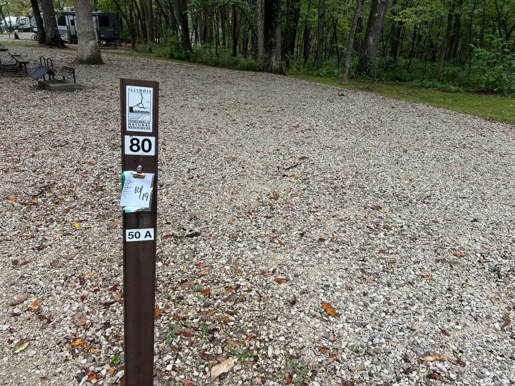
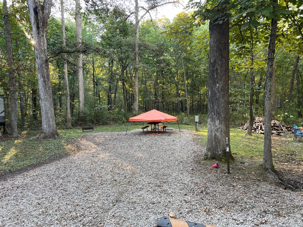
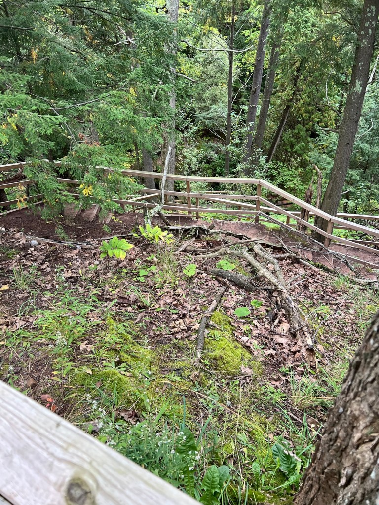
I started noticing a lot of reservation tags all ending on October 19th. Some were on empty sites.
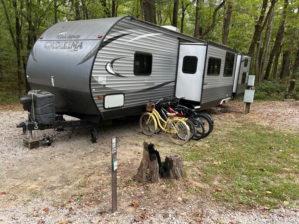
In some sites folks had brought in a trailer and set it up and then left.
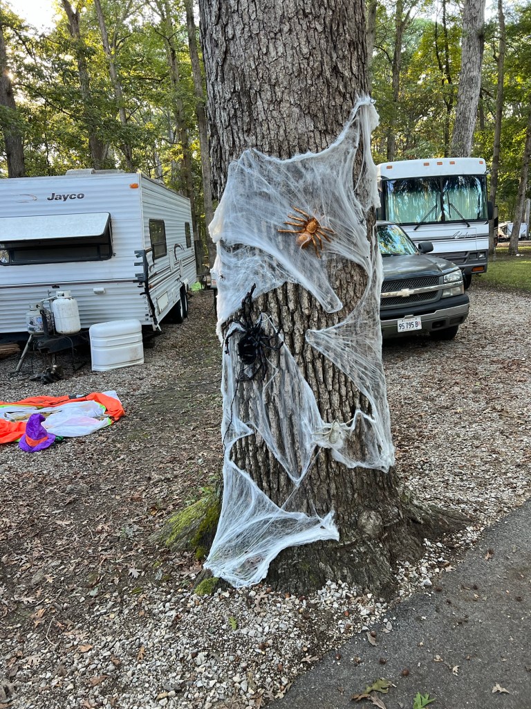
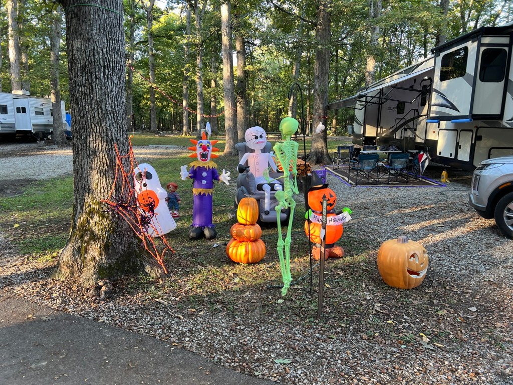
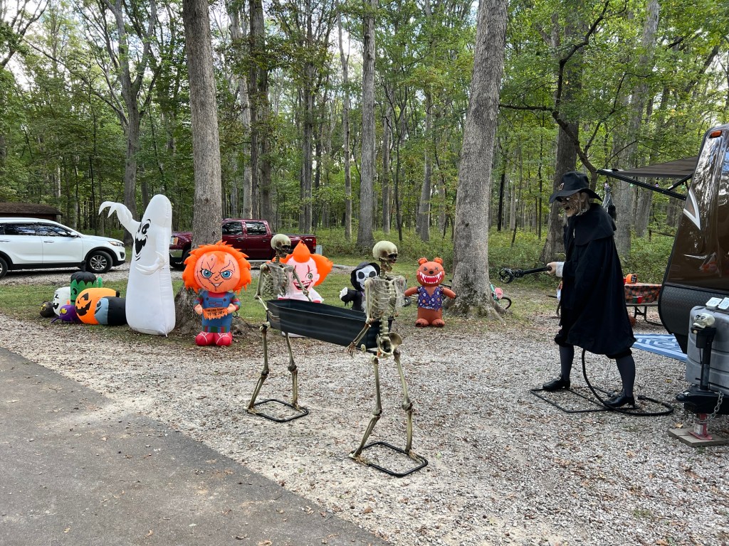
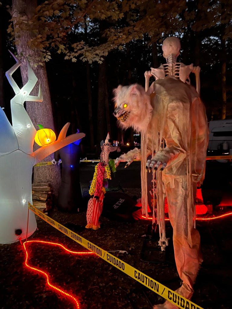
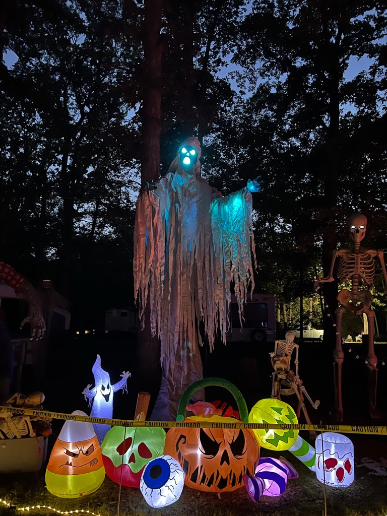
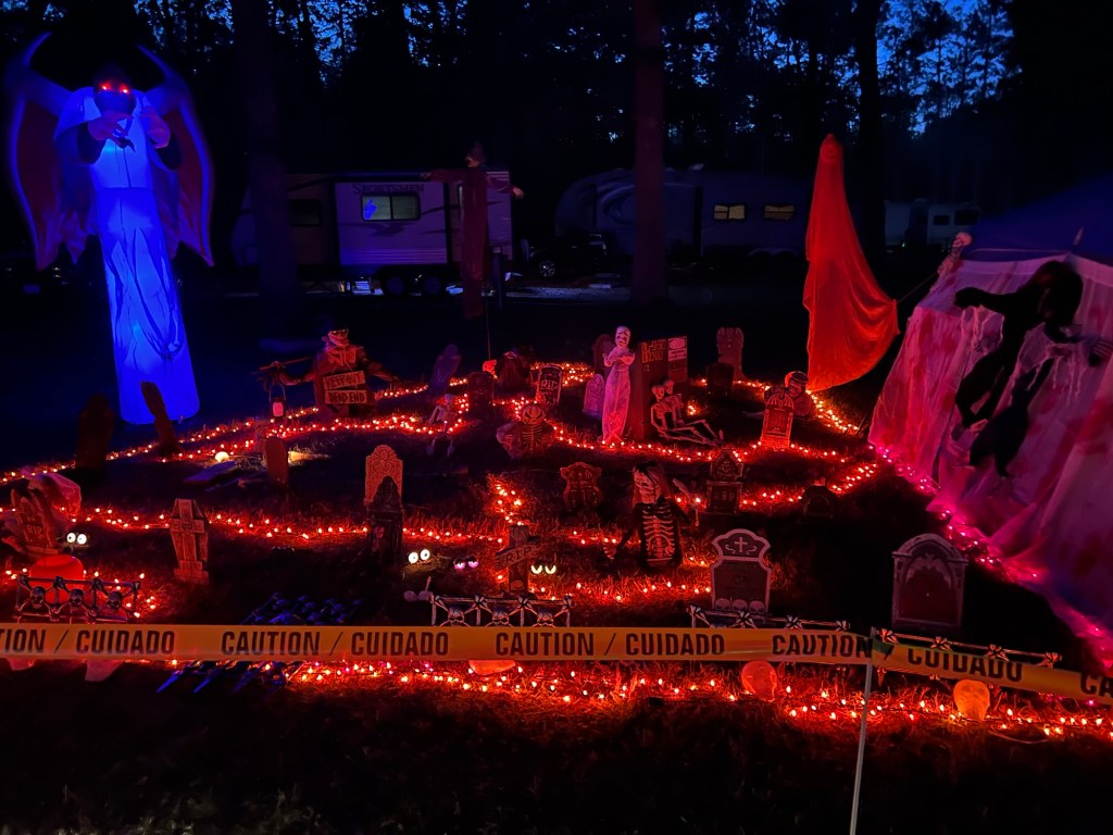
I also saw quite a few sites with Halloween decorations.
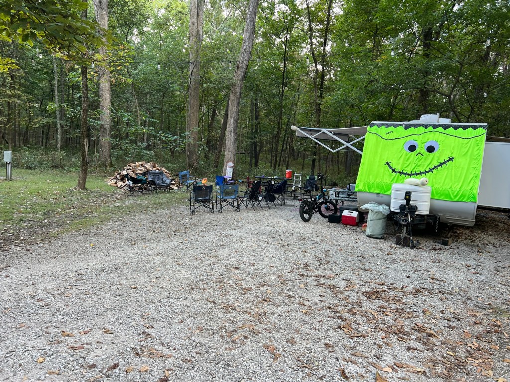
Not only did these folks have a mask for their trailer, they also had a lot of camp chairs and a huge pile of wood. They were getting ready for something.
And I think they rented the site next door to them, too.
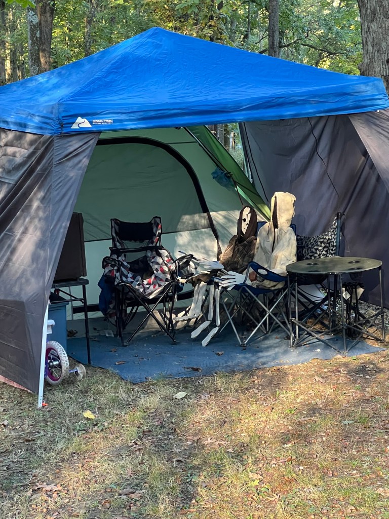
These folks look like they might have been waiting for a looonng time.
I was seeing more and
more decorations.
The guy from this site was out adding to his decorations so I asked him if there was a contest or something. He said there was a tradition for folks from the area to come and camp, then Saturday evening, the 18th, all the kids would go trick or treating.
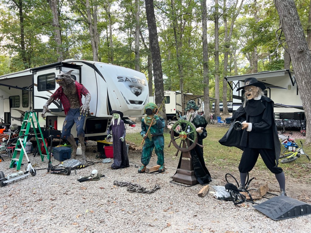
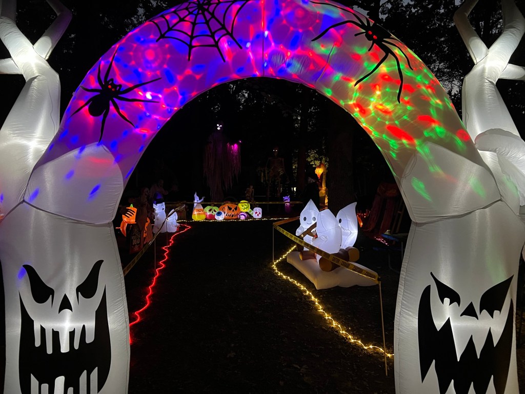
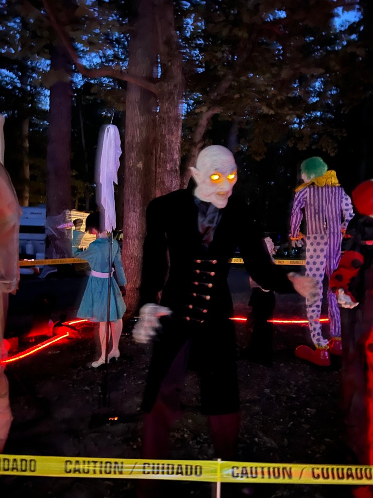
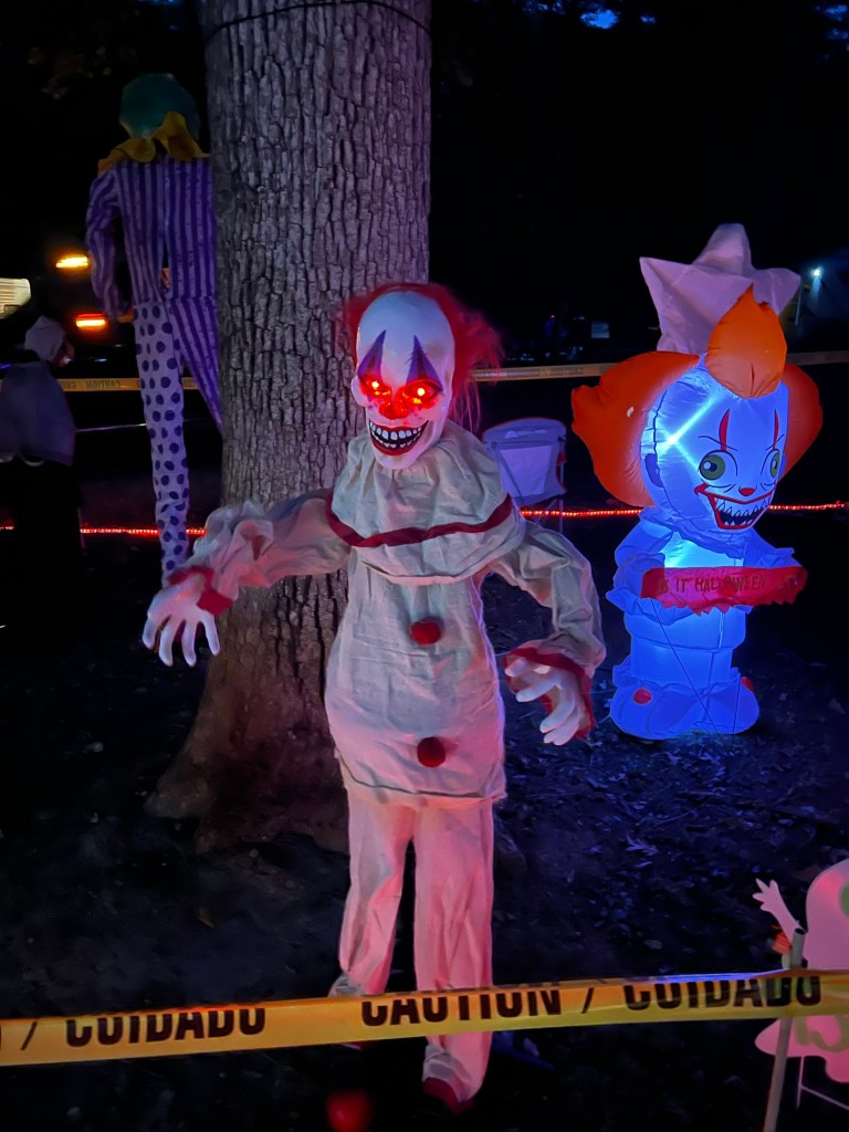
Obviously people get really into it. I asked the lady with this display if I could take a picture. She invited Matey and me to walk through.
There were several motion activated figures.
I thought Matey would be frightened, but he wasn’t.
I guess he can smell that they’re not alive so he wasn’t worried…
no matter how big they were.
I talked to the park host about it. She said people come from all over to trick and treat here. Last year there were over 800 people and they parked all the way around the lake, so some had to walk a mile to the campground. One of the campers told her he’d bought $300 worth of candy for this year.
So although it sounds like spooky Halloween fun for the kids it would be a nightmare for us and I’m glad we moved on today. I was happy with my preview minus the 800 trick or treaters.
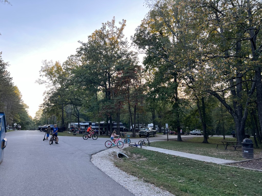
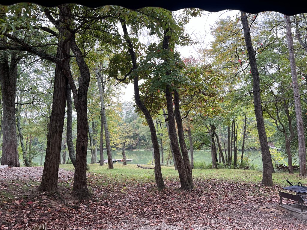
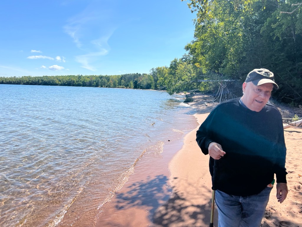
After the tranquility of Johnson-Sauk Trail we were dismayed Saturday to arrive at Red Hills State Park and find it buzzing with children. Children on bikes, scooters and skateboards were zipping around the campground roads. Not only that, but the reservation I had called in had not gotten passed to the campground hosts, so someone was in our spot.
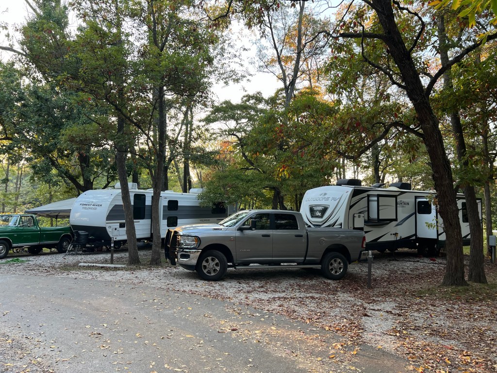
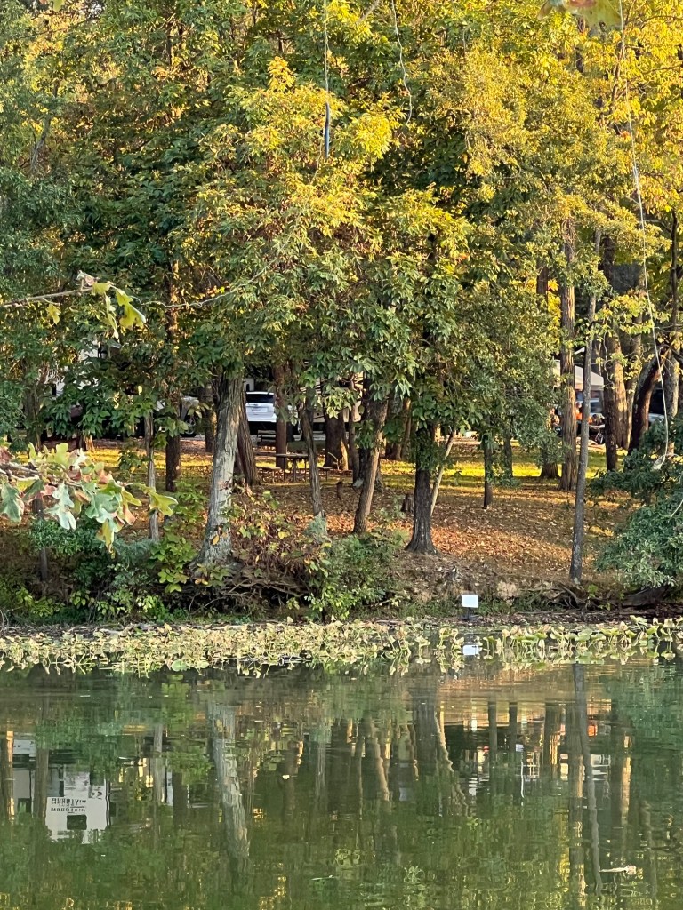
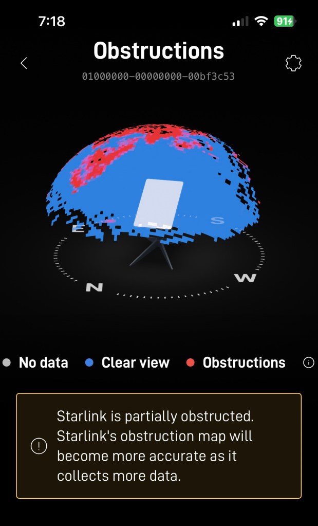
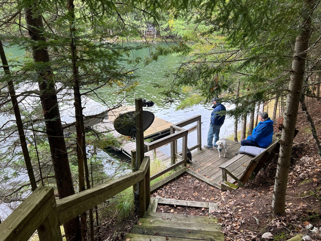
After some time and discussion we took a site with 30 amp electric and no water or sewer with the hope that there might be some open sky for Starlink. We filled our water tank and settled in. The patch of sky over the camper wasn’t getting us connected to Starlink but we had the lake behind us so we decided to see if our longer, 150 foot, cable would reach the shore.
It just made it.
The trees at the edge of the water block the top of the reception area, but it hasn’t affected our service.
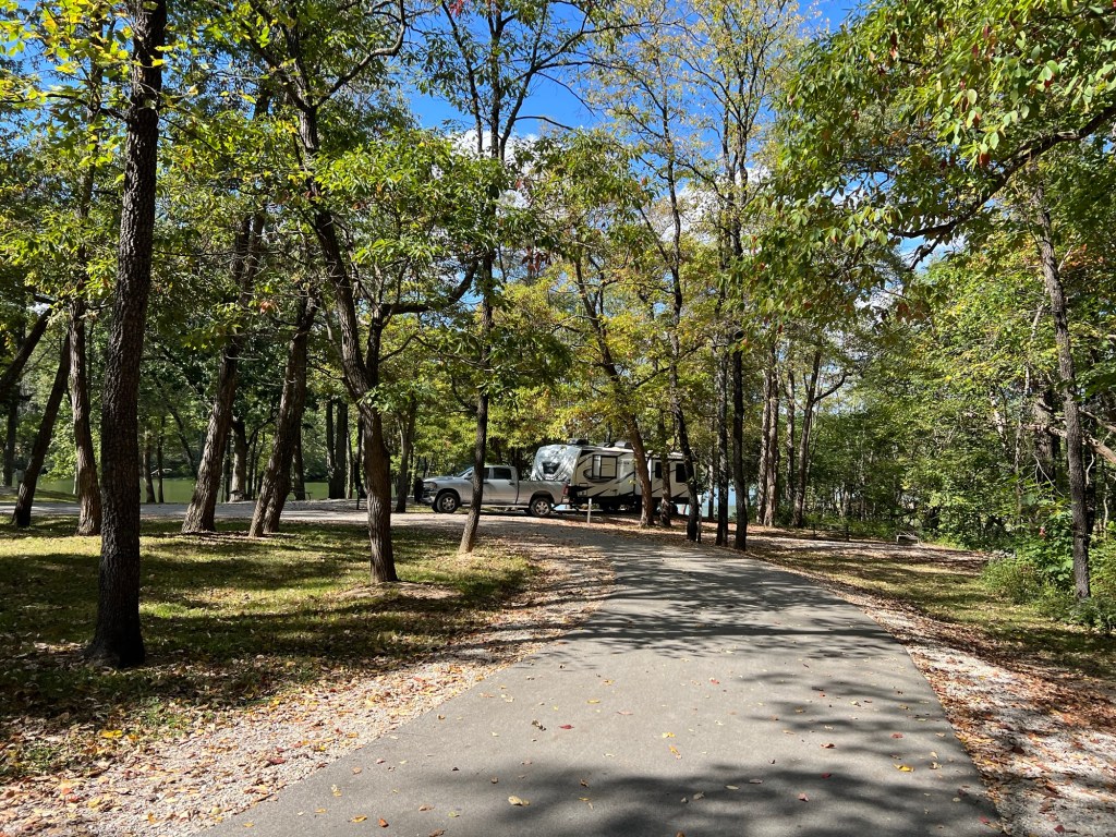
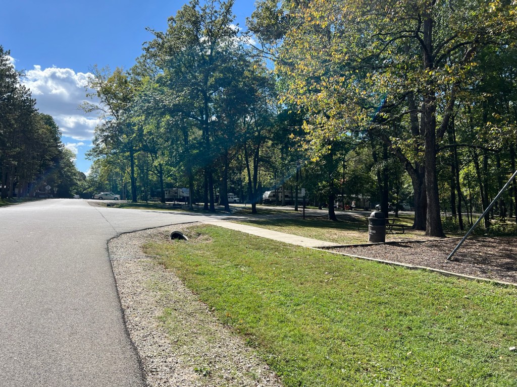
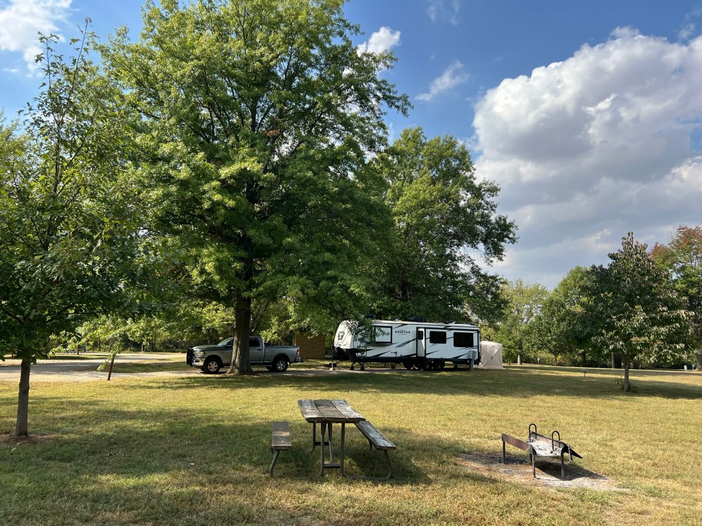
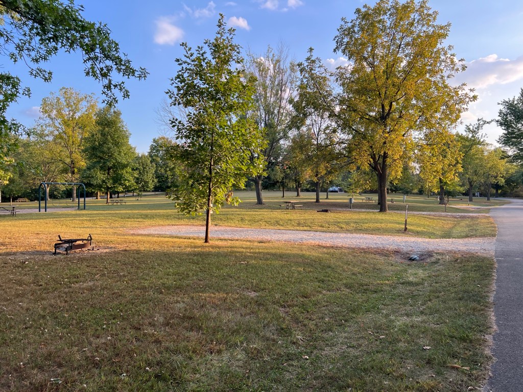
And by Sunday afternoon most people had left and we had the loop to ourselves, ahh.
The roads were now quiet.
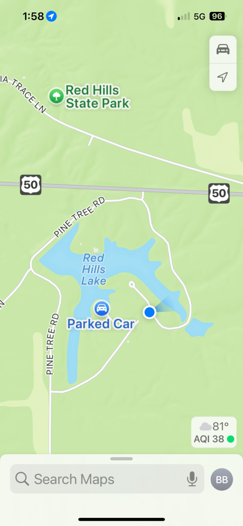
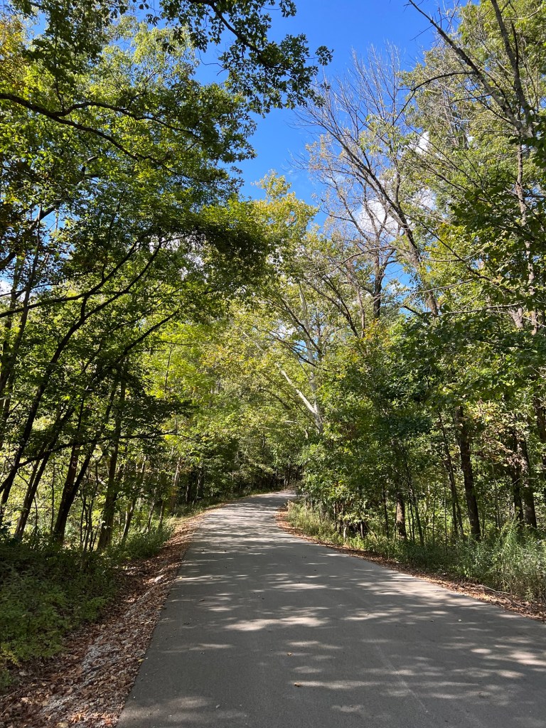
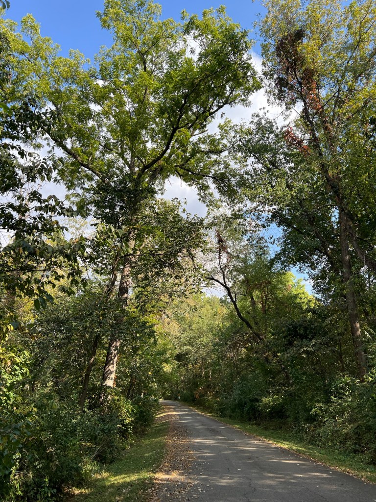
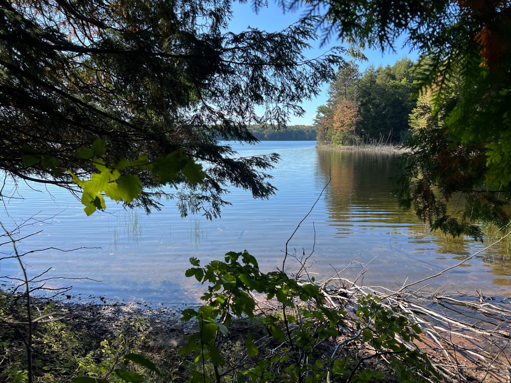
There were no trail maps but after taking a sidewalk to the next road I could see that I could walk around the lake, so I decided to walk alone again.
This was not as pretty a road as the one around Johnson Lake at the last park.
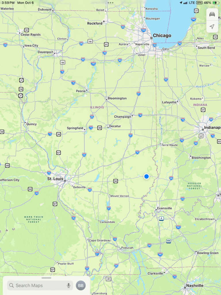
We, the blue dot, are now getting towards southern Illinois,
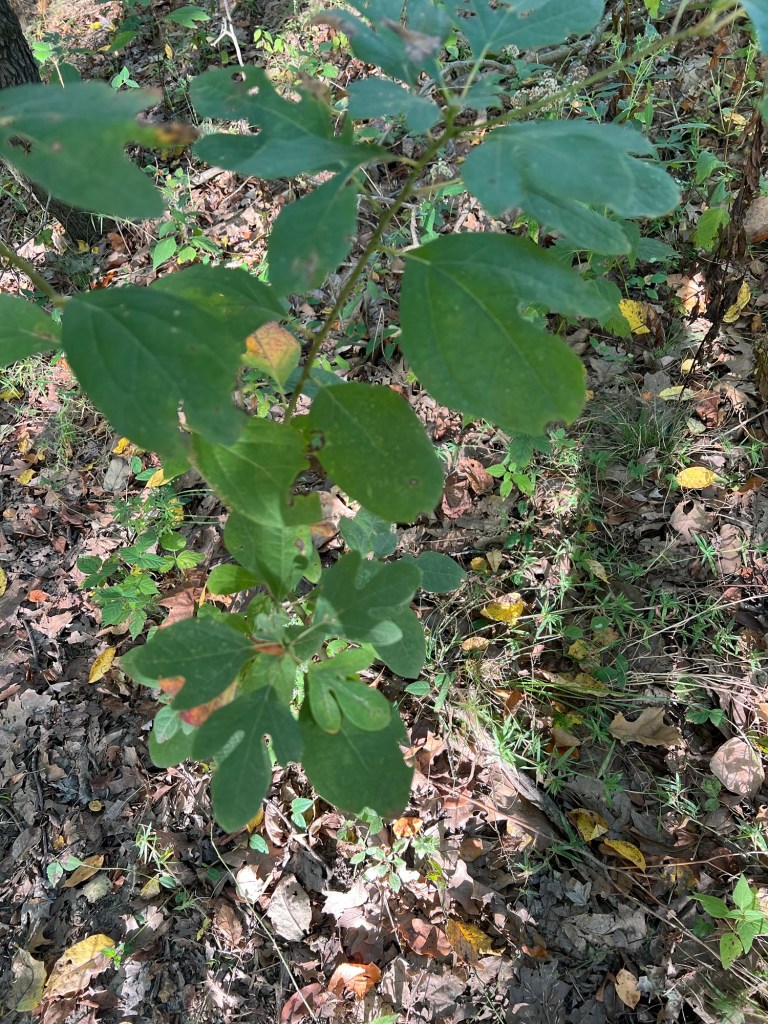
and I have been happy to find Sassafras all over here. The last time I saw any was at Kopegaron Conservation Area in southern Ontario, which shows what a unique part of Canada that is!
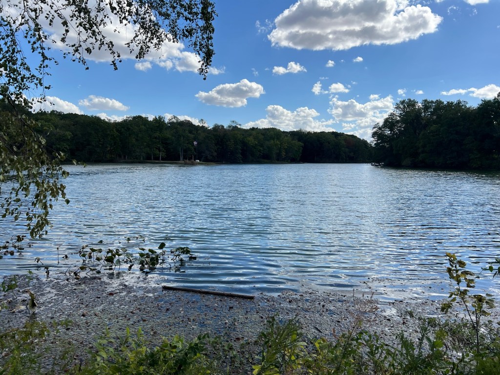
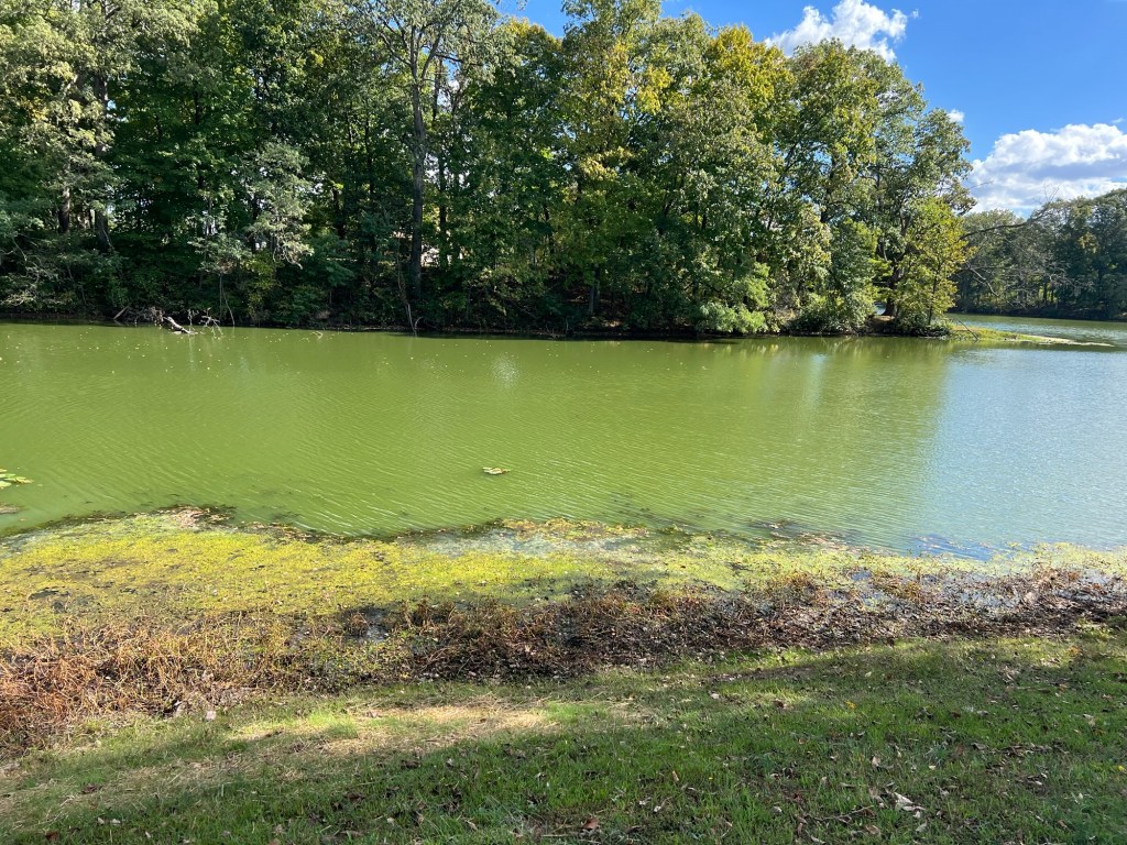
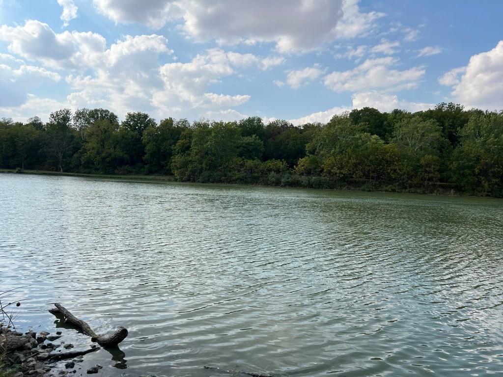
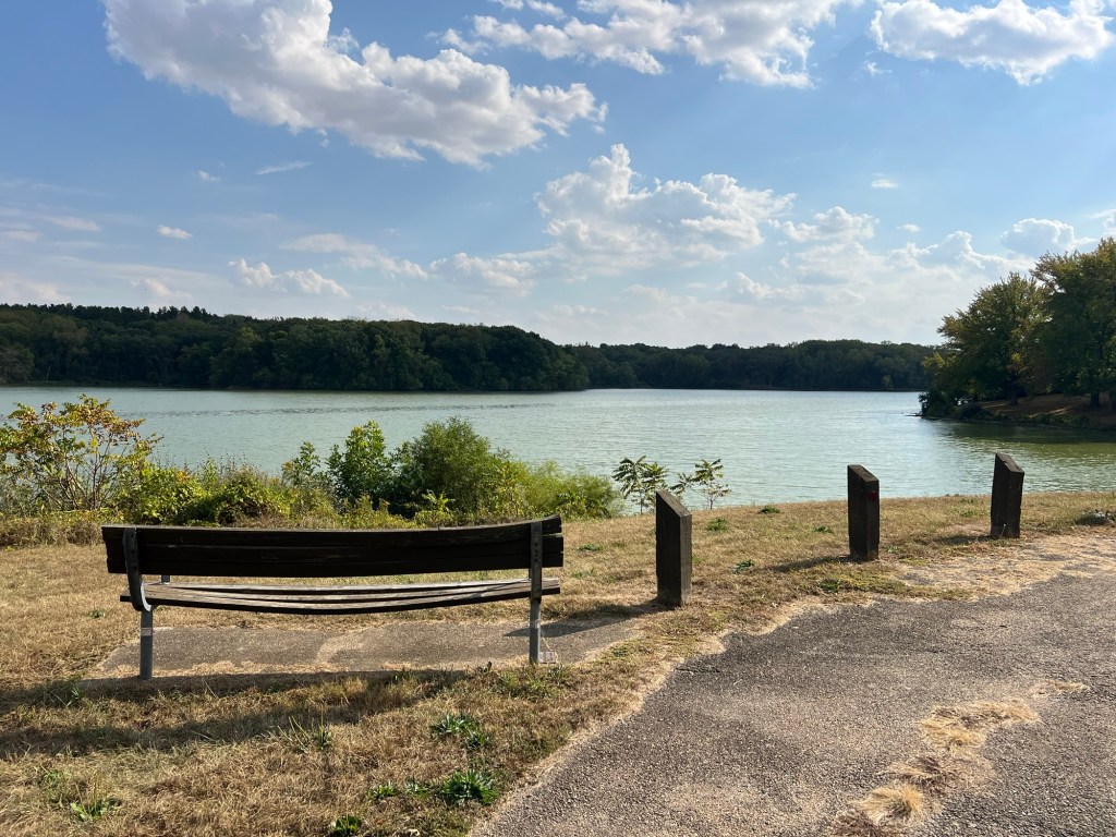
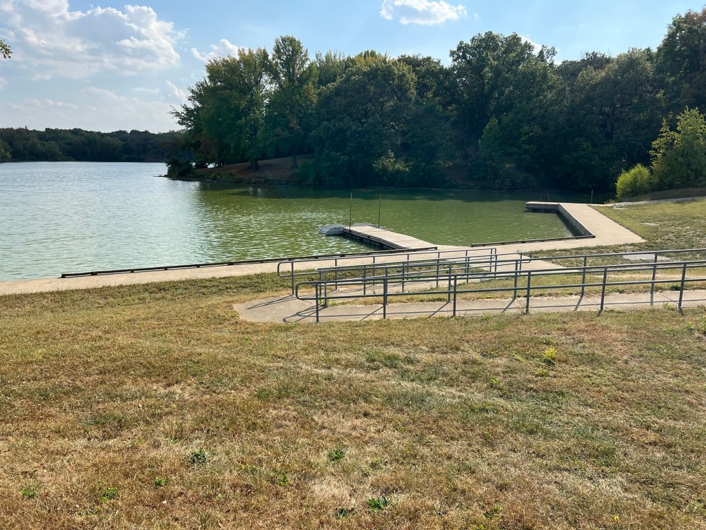
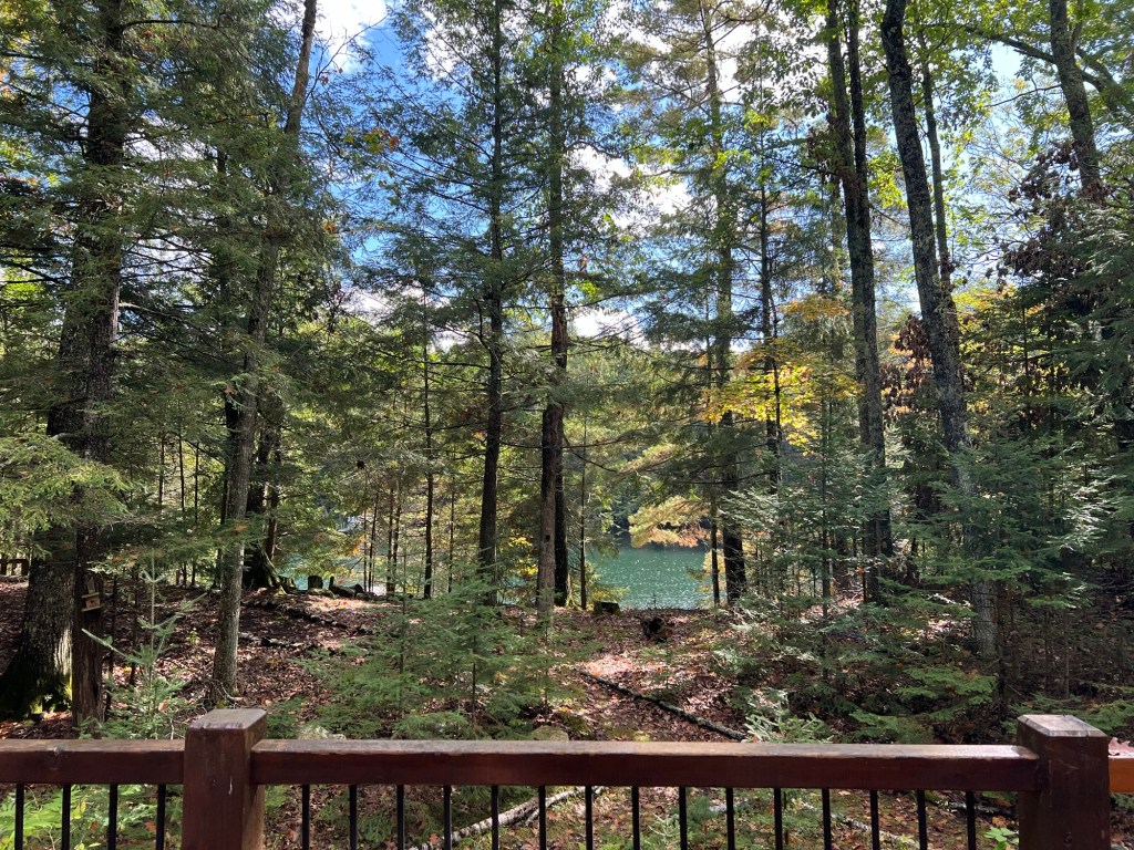
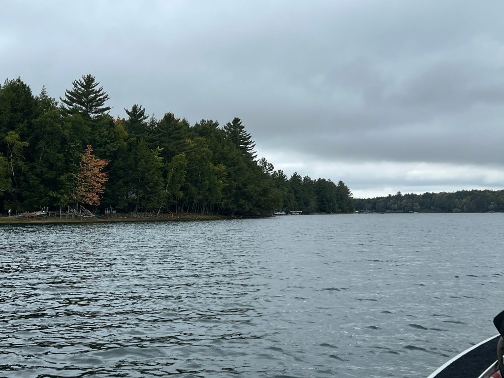
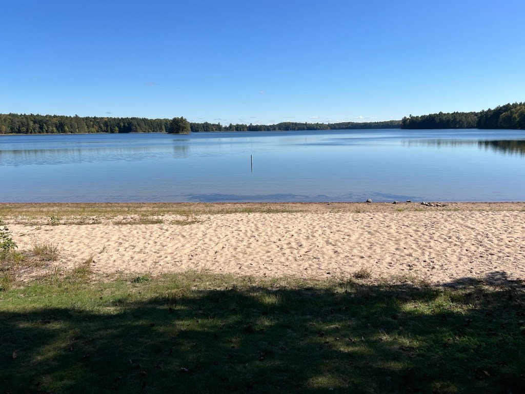
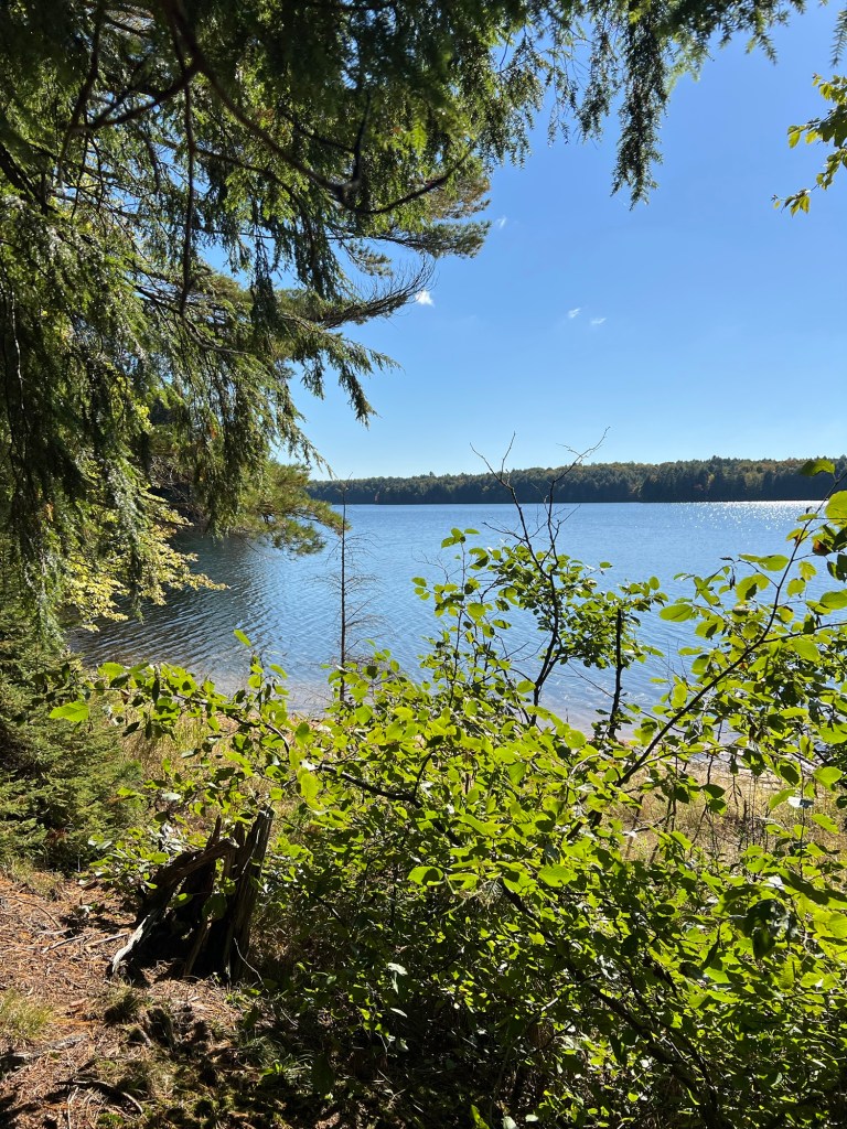
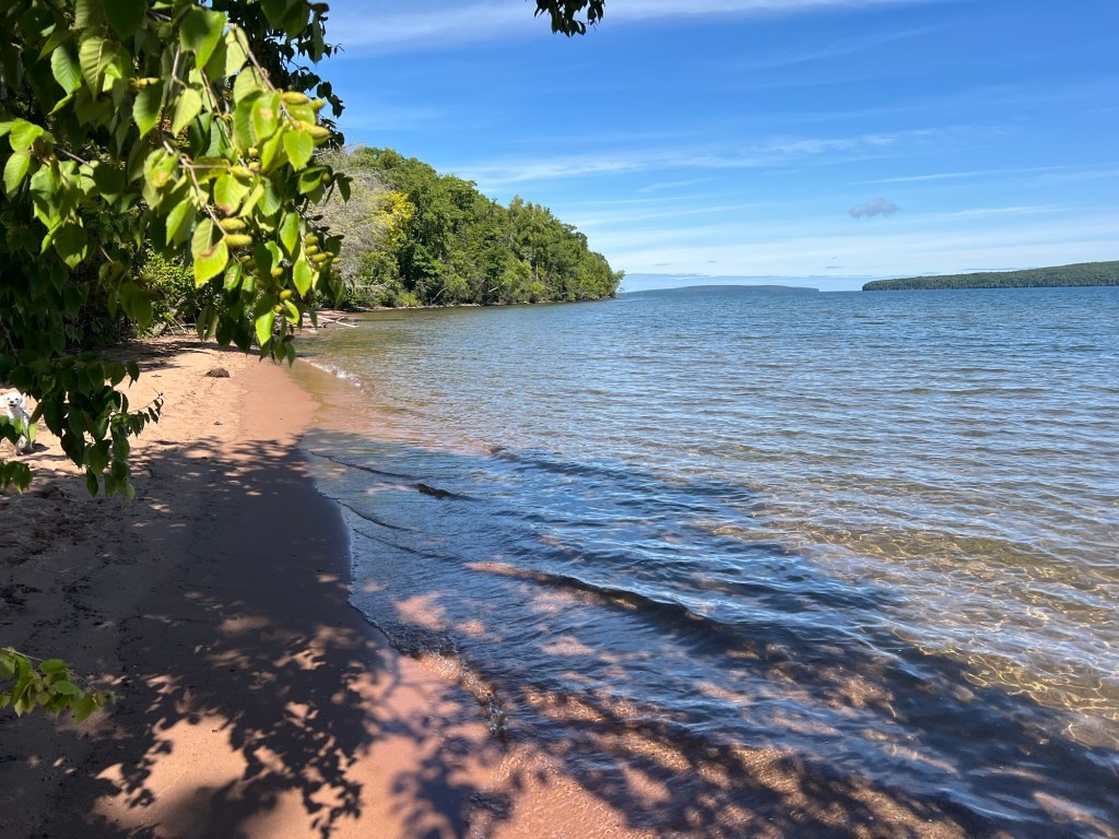
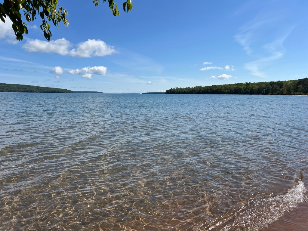
Red Hills Lake is pretty,
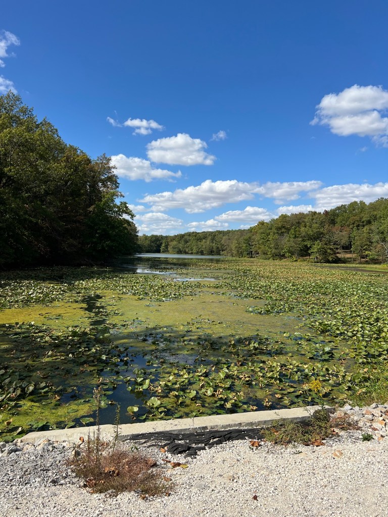
but seems nutrient rich.
There was a sign here saying no swimming.
The algae at this nearby dock would be enough to keep me out of the water.
After all our travels up north with sparkling clean water this pea green soup is a bit shocking.
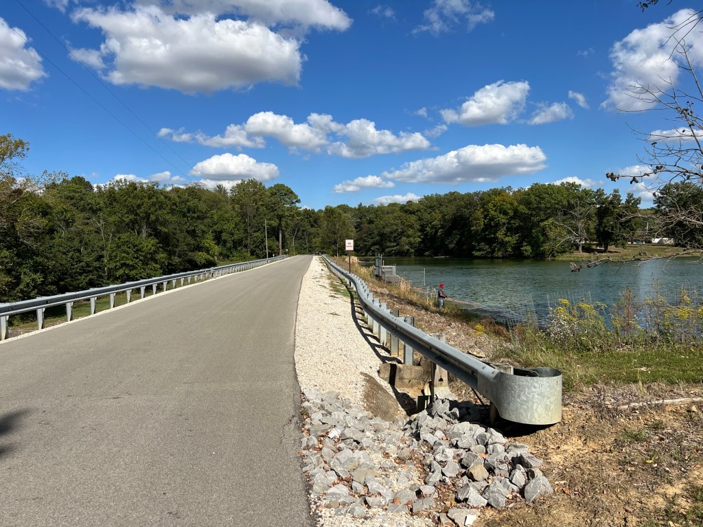
There are no trails here at the campground and my walk around the lake was on roads, some through roads with some traffic.
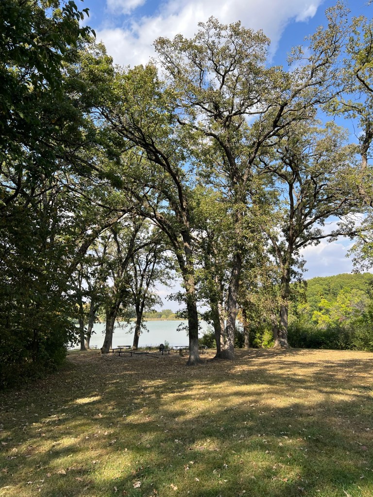
Still there are some short paths,
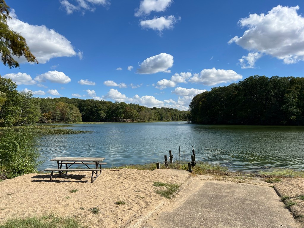
and lovely treed areas.
And our campsite, now that we are alone, is very, very nice.
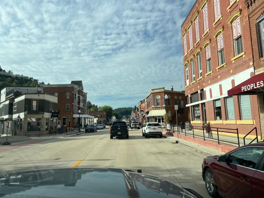
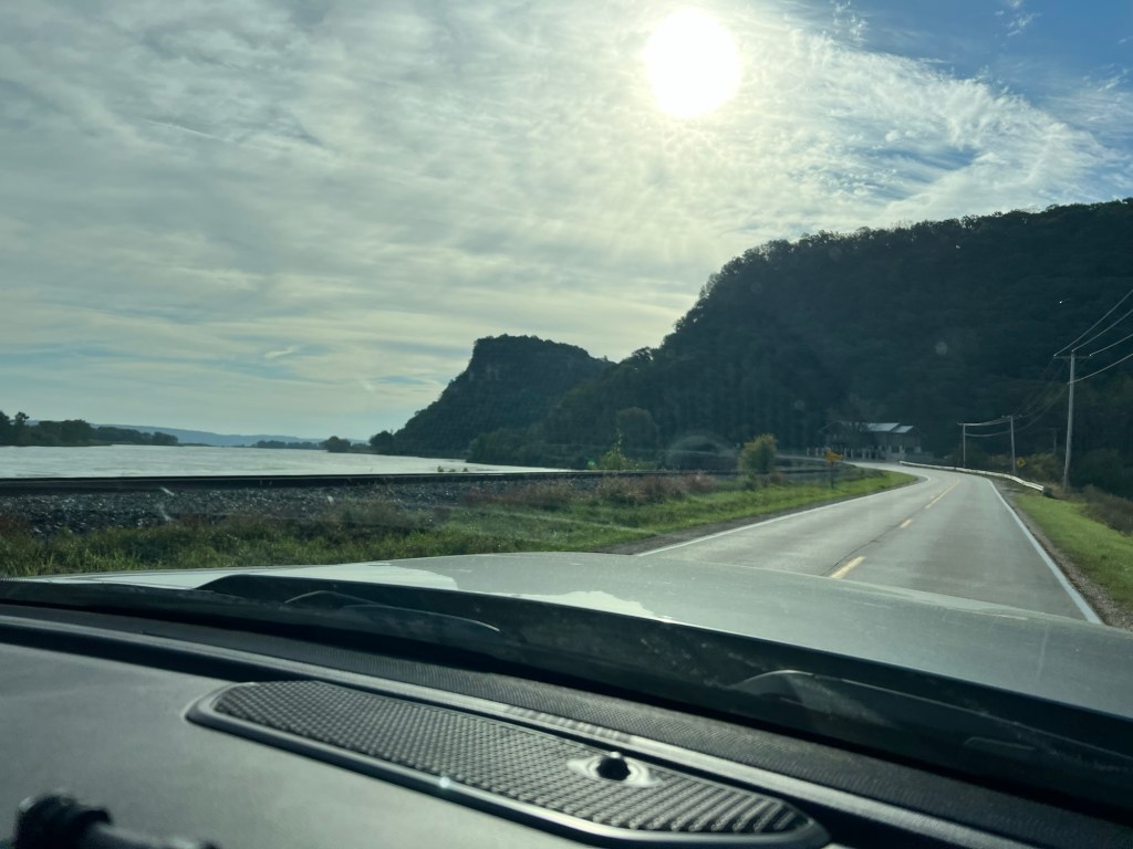
Our times with friends ended as we drove south along the Iowa shore of the Mississippi River on the first of October. The first part of our journey was on relatively back roads through picturesque river towns.
Just under five hours later we were at Johnson-Sauk Trail State Recreation Area in Illinois, 150 miles west and a bit south of Chicago.
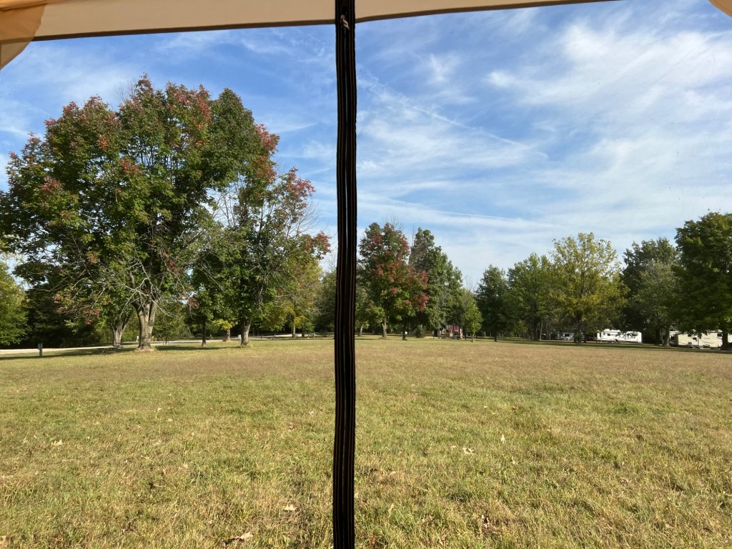
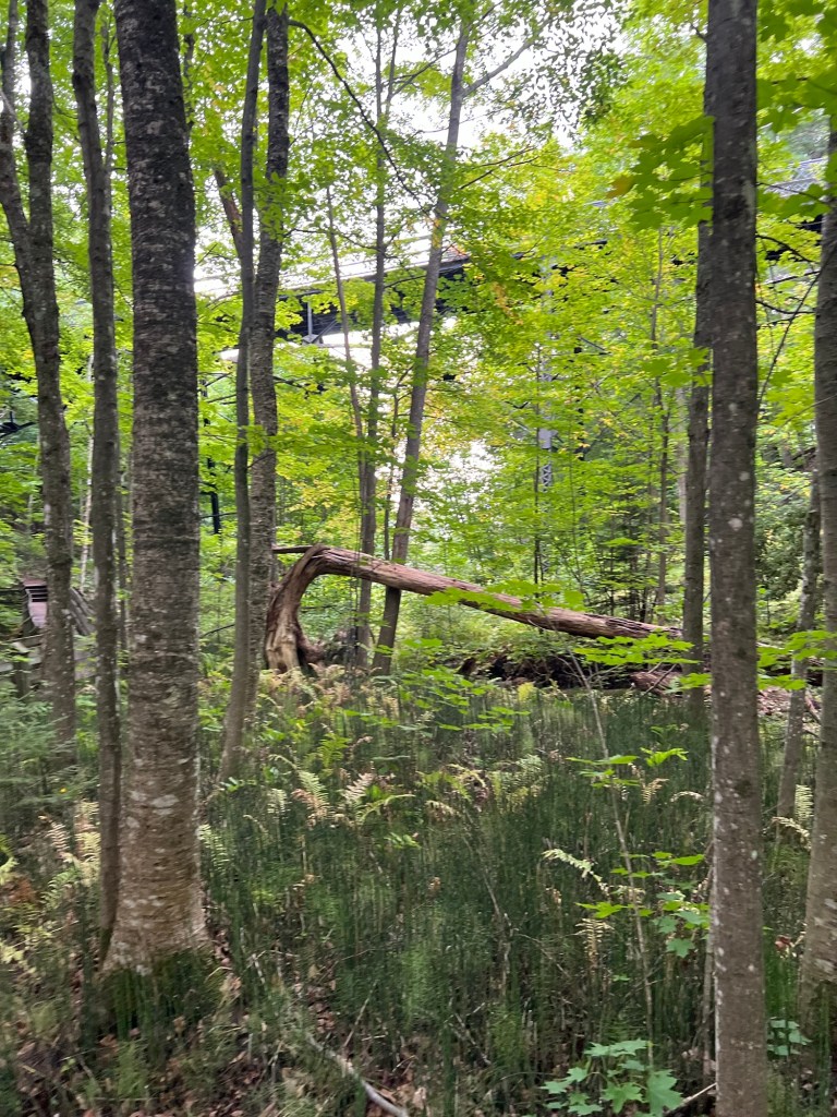
We have plenty of room here and the view from my tent is lovely. Unfortunately, there are biting gnats so tiny they can get through the mesh and worse, the temperatures have been in the mid 80’s, so Matey and I only spent one morning enjoying this view.
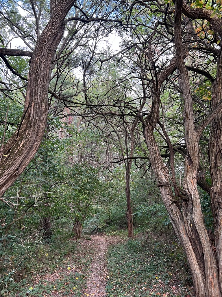
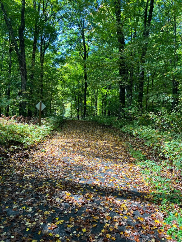
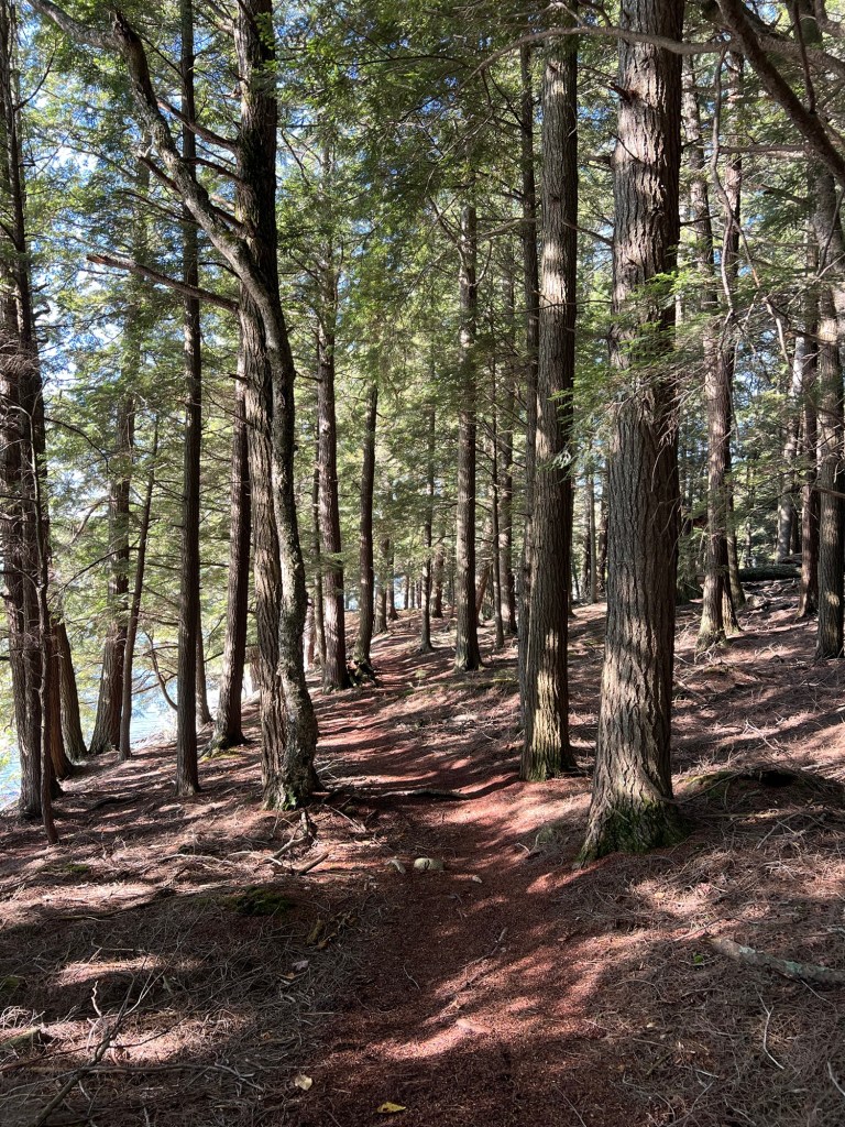
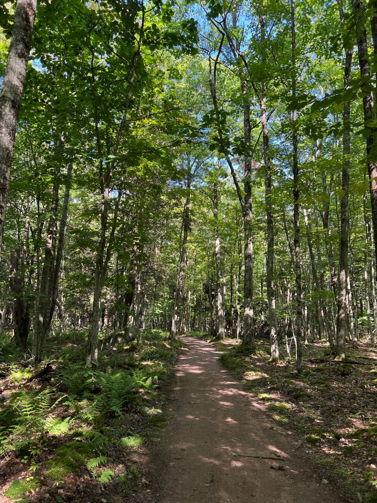
We have done some morning and evening walks. This inviting trail…
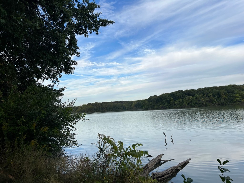
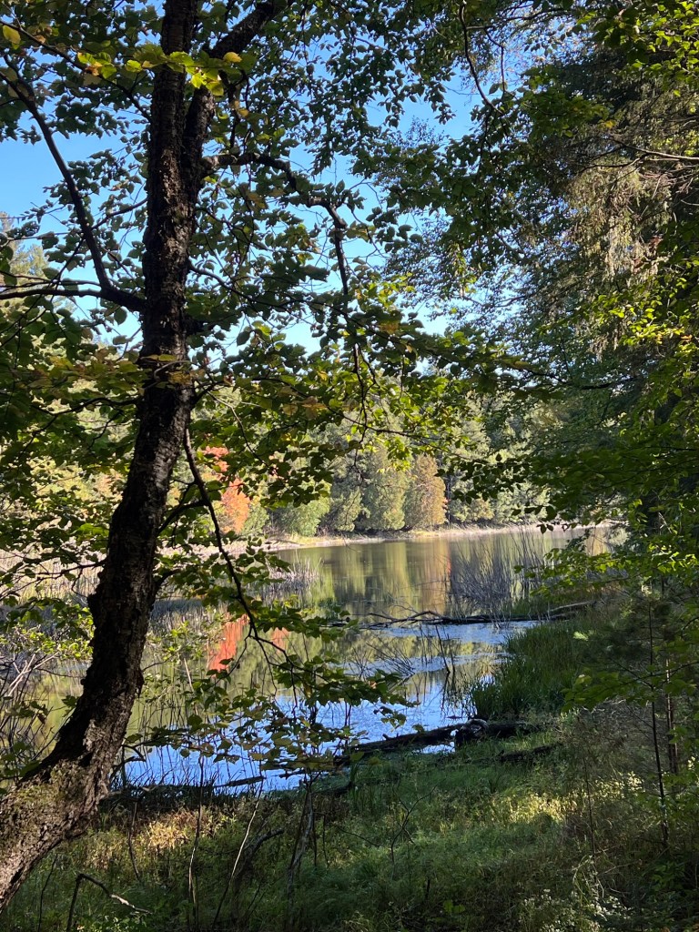
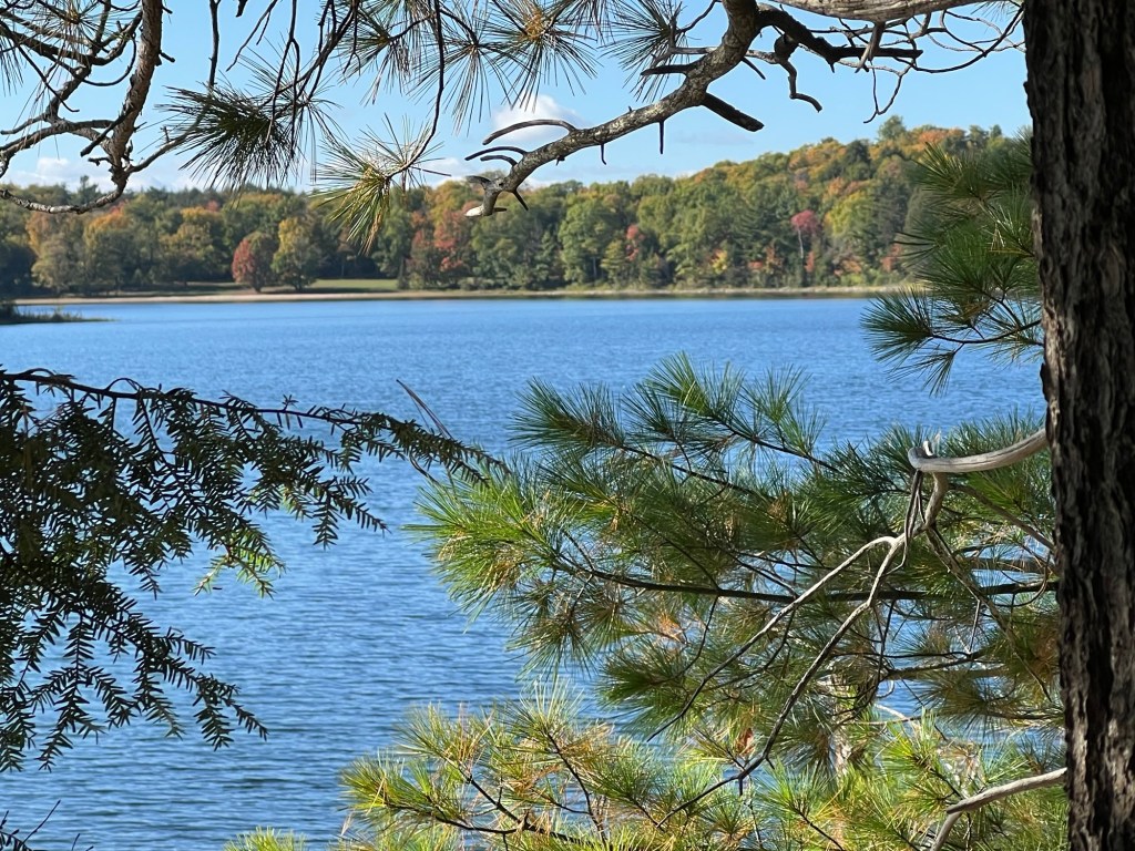
leads to Johnson Lake.
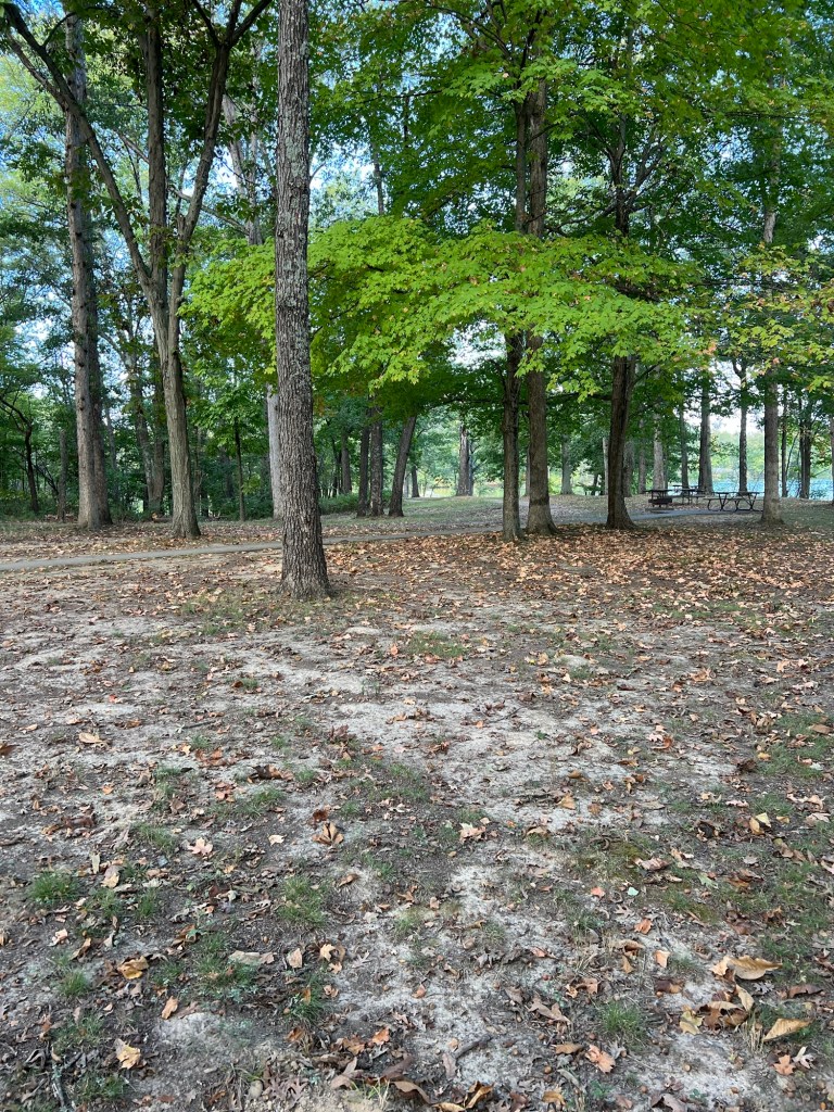
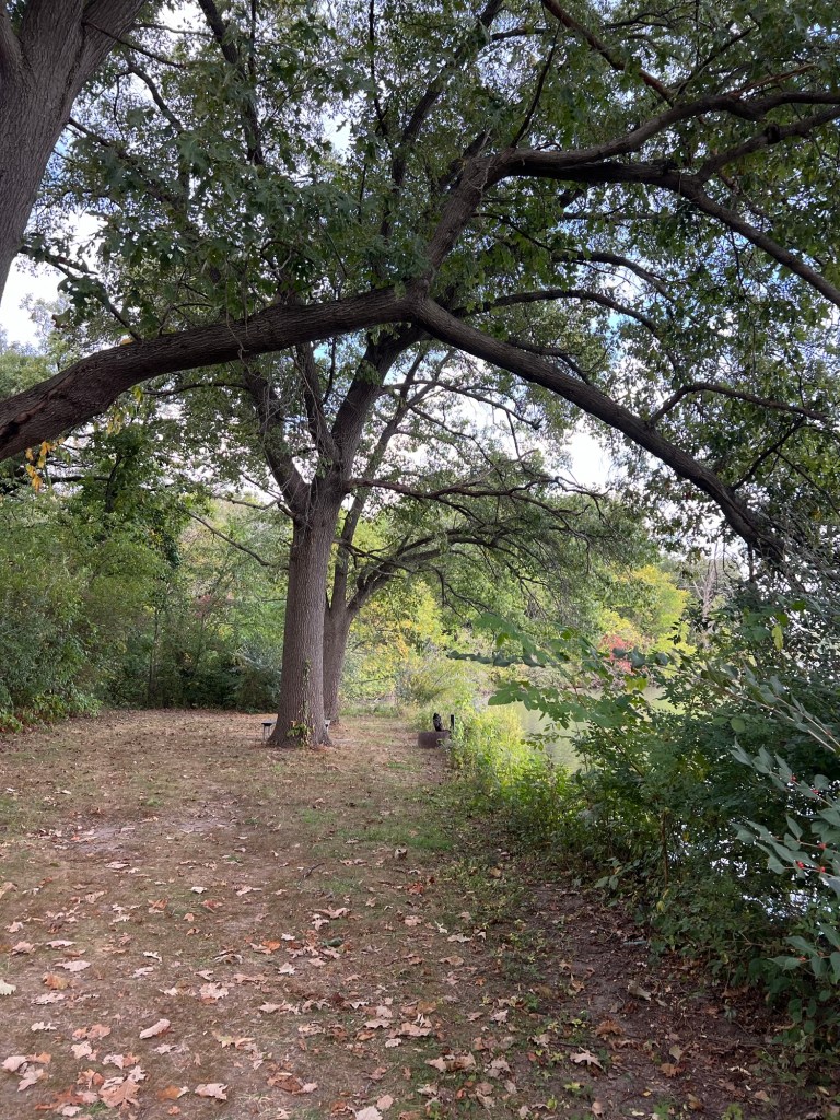
There’s a picnic area there and a path back to another part of the campground.
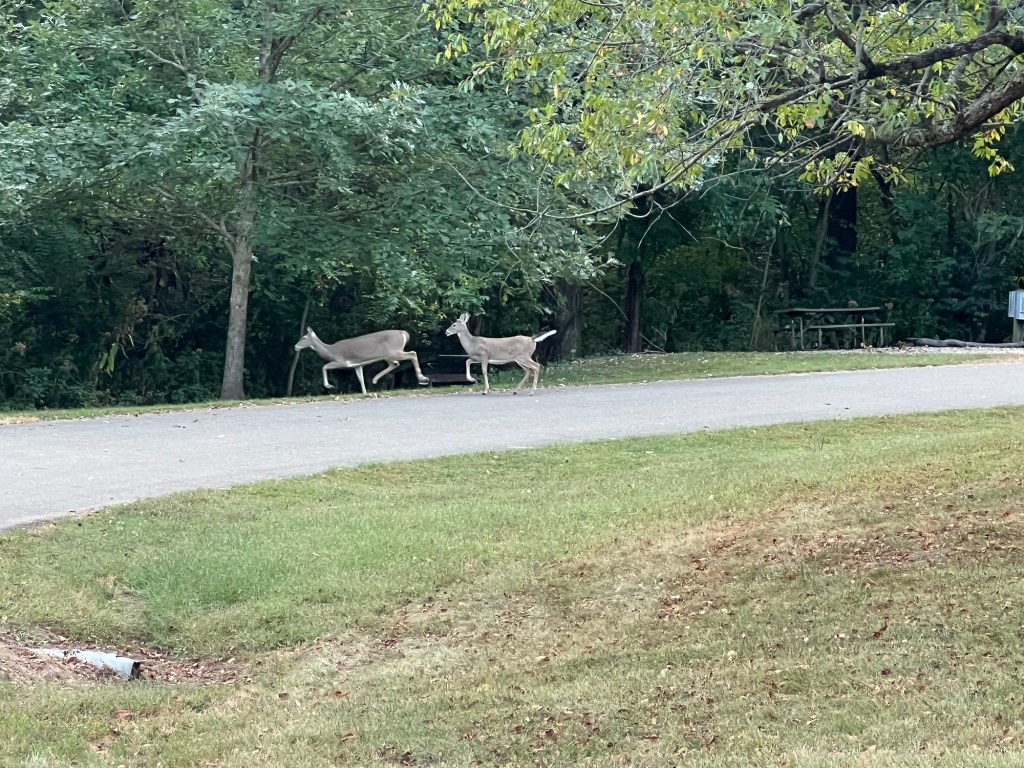
We came across these deer.
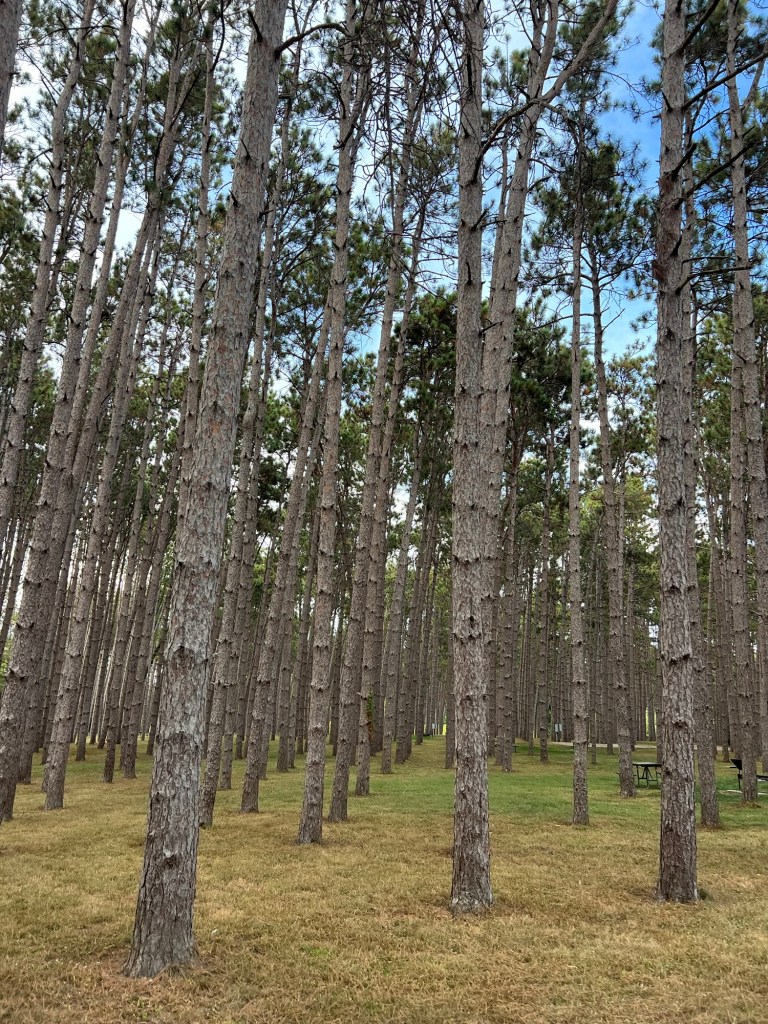
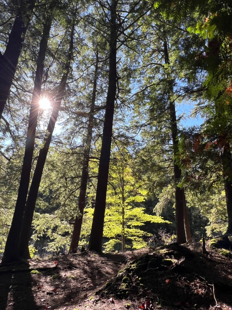
There’s a pine planting in that area; kind of pretty but also sterile. There are tent and RV camping spots through it and that’s a good use.
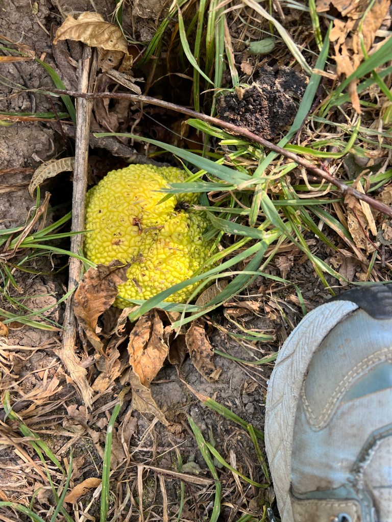
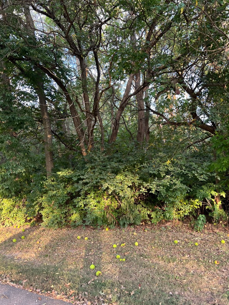
There are also Osage orange trees here.
I love these gnarly trees that look like they’re dropping tennis balls all over the ground.
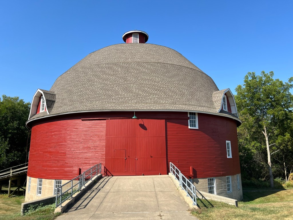
The park is the home of the Ryan Round Barn. It was built in the early 1900’s but unfortunately is only available for tours by appointment.
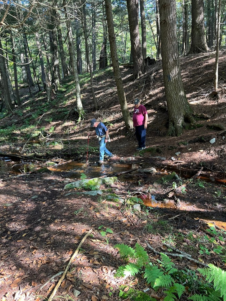
Yesterday afternoon I took a walk by myself around the lake. It was too hot for Matey and Bud’s back was hurting. It was Bud’s birthday and I teased him that the nicest thing I could do for him was to leave him alone for the day. Anyway, it’s a bit under three miles around the lake. This is looking back at the picnic area where Matey and I walked the first evening.
A lot of the walk was along the one-way road that circles the lake. Some of the biggest walnut trees I’ve seen towered over the road. Nuts were dropping with a frequency that made me wonder if I might get hit in the head with one.
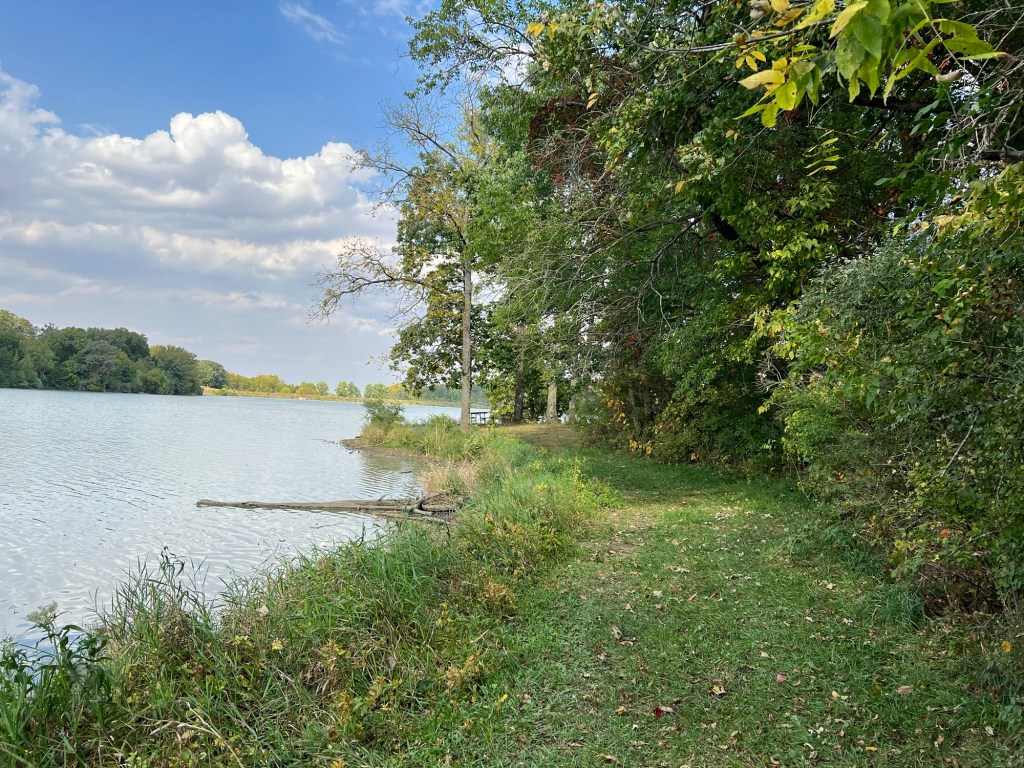
I passed some nice picnic areas…
and was able to walk along the lake for a bit.
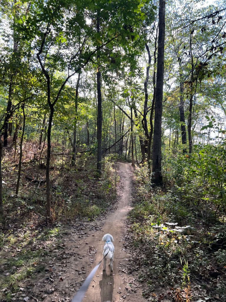
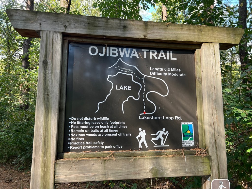
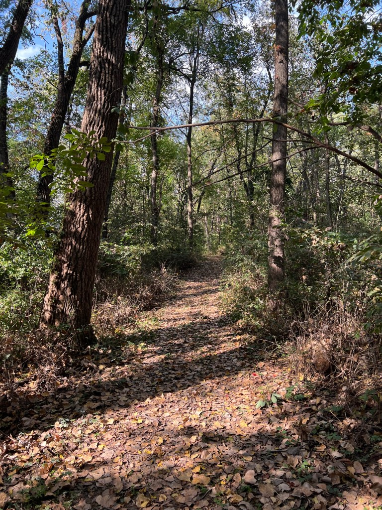
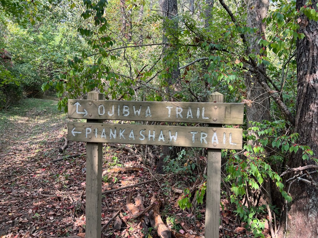
I cut through on the Ojibwa Trail. It’s marked moderate,
but the whole trail was like this. It’s hard to judge a trail by its posted difficulty, I’ve been on trails marked moderate that were pretty challenging, but this was not.
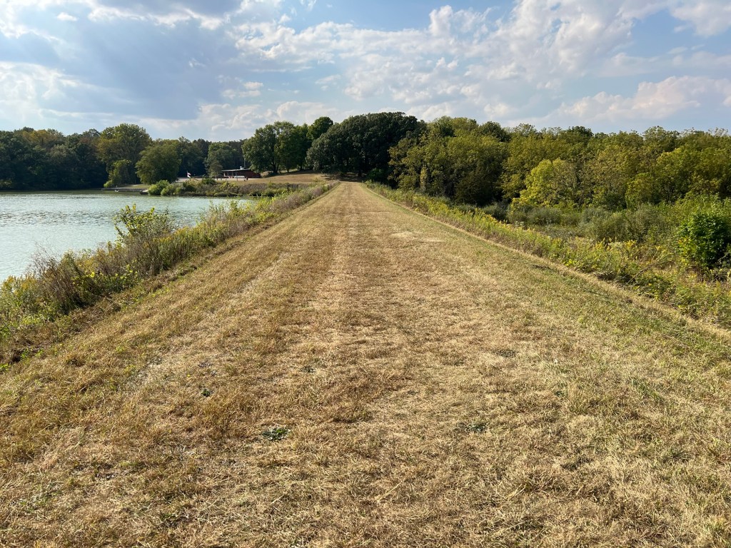
I then took the Piankashaw Trail…
that led up to and along the dam that makes the lake.
There are nice views at this end of the lake…
as well as a kayak launch and fishing dock.
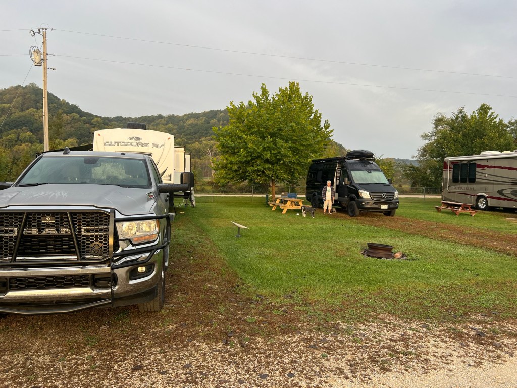
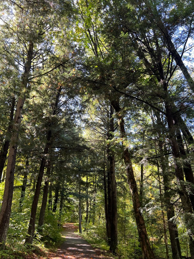
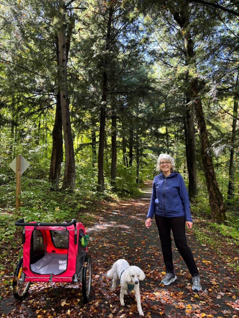
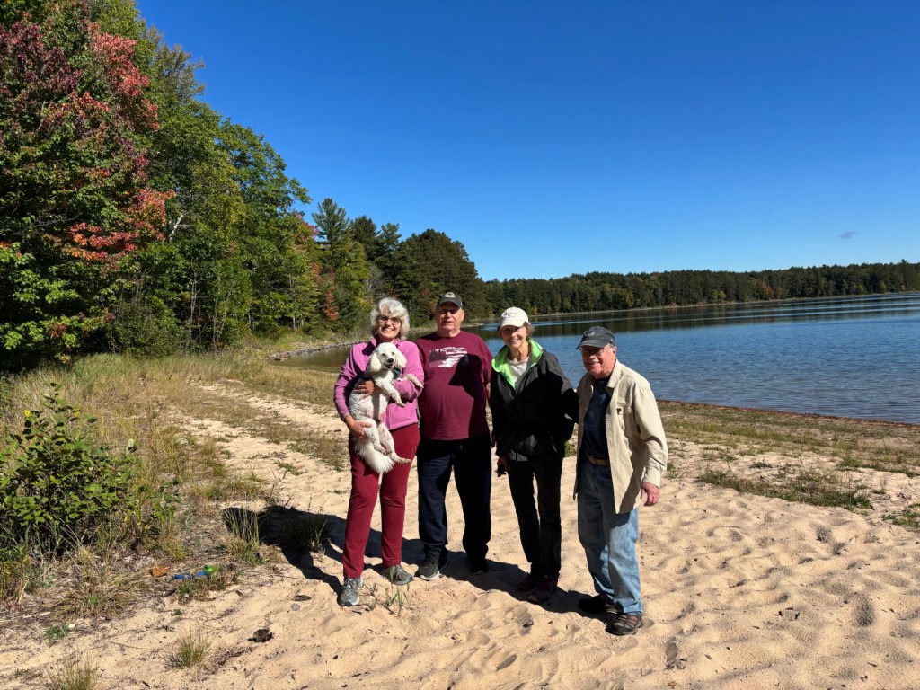
This is off season camping and through the week parks are pretty empty. You can just see our trailer in the distance, the only campers at our end of this big loop. Although it’s hard to leave friends we both love the new sights and the solitude we find on the road.
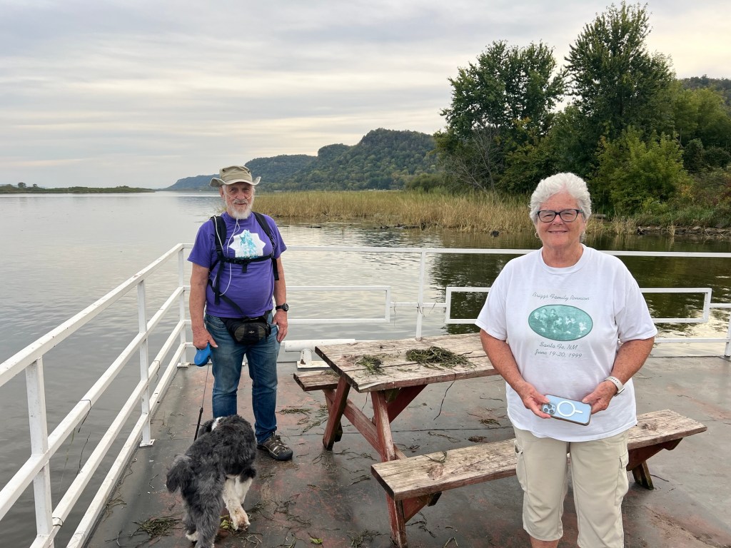
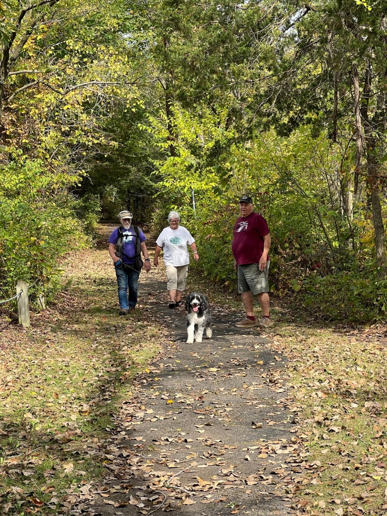
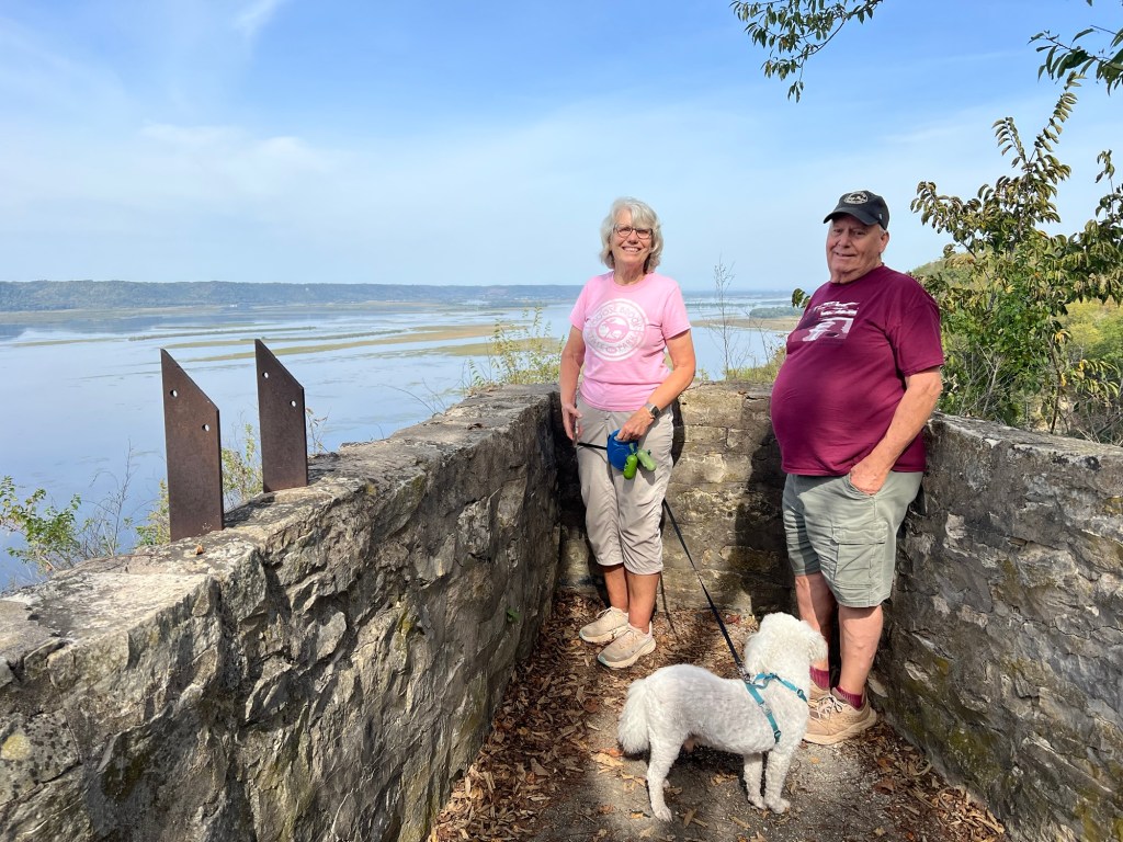
After not seeing anyone we know for four months the last couple of weeks have been a happy change. After leaving Land O’ Lakes on Monday we drove to the Mississippi River near Brownsville, MN and camped for a couple of days with our friends Jim and Margaret and their dog, Bo.
Jim and Margaret are always up for an adventure and they were willing to rent a camper van and come stay by us at Wildcat Park, Landing and Campground.
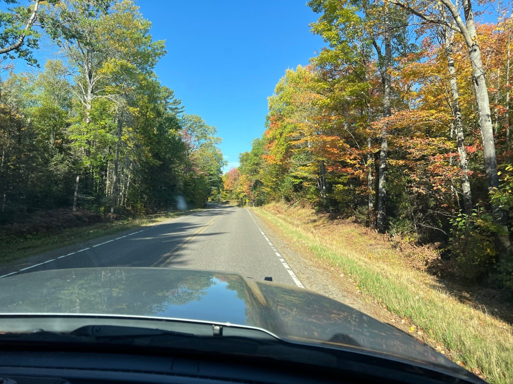
We left the colors of northern Wisconsin…
for the bluffs of the upper Mississippi where everything is still green.
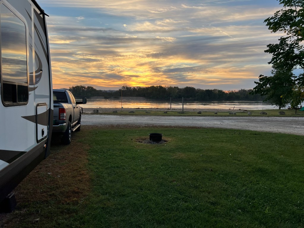
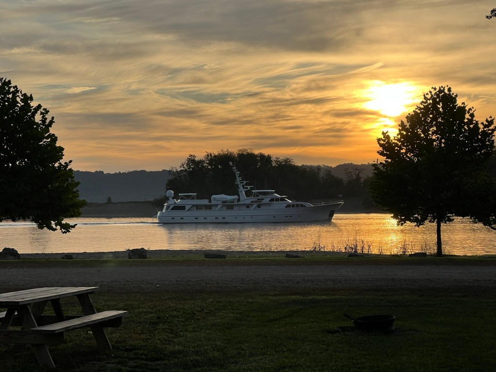
Our campsites were right on the Mississippi and we enjoyed the sunrises over the water…
and seeing the boats go by.
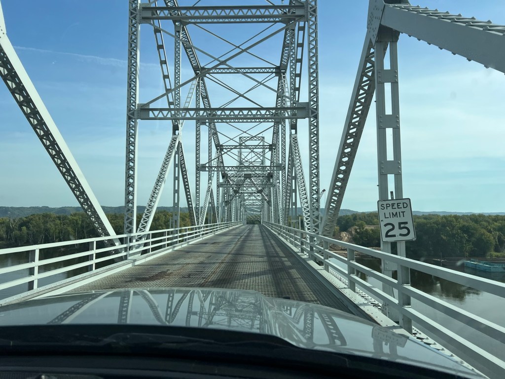
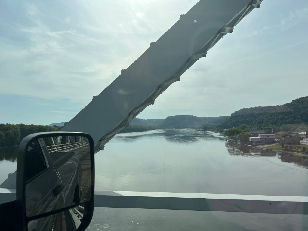
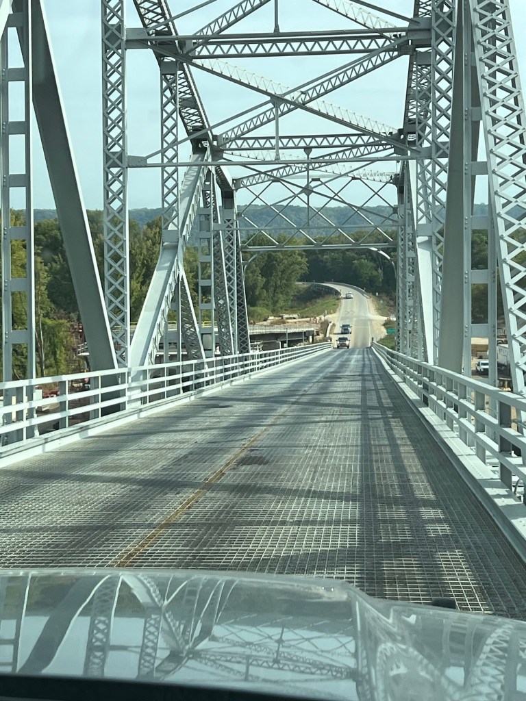
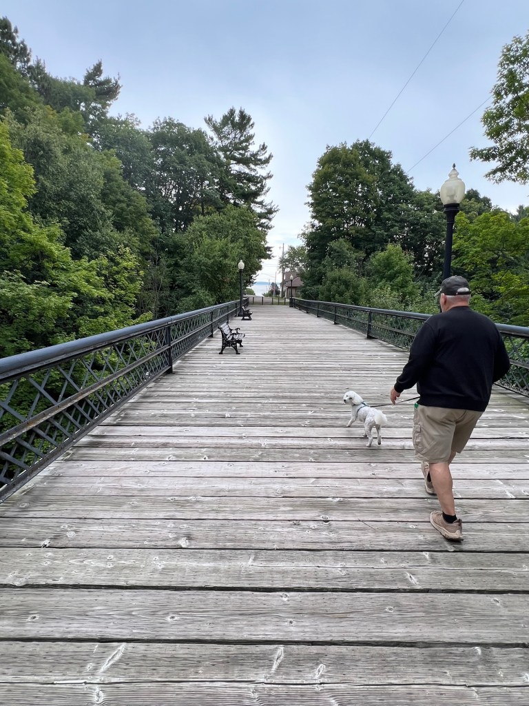
We made the most of our brief time together, sharing a couple of meals and playing some cards in the evenings. On our one day we took a drive south along the river to this old bridge at Lansing, Iowa,
where we crossed the river and its many islands…
into Wisconsin.
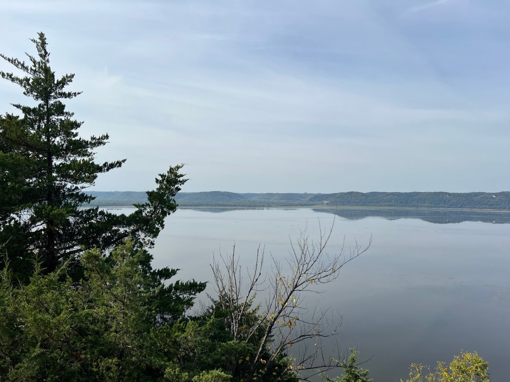
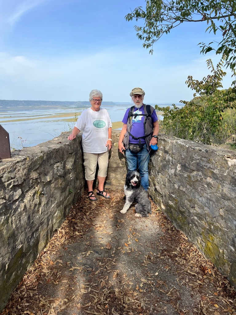
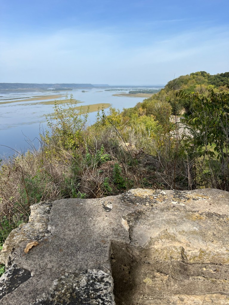
We drove back north along the east side of the river to Old Settler’s Overlook.
There were some old paved trails we took.
There were several overlooks, but this was the highest and my favorite.
Yes, we were all there.
There was just a bit of haze, but the view was still great.
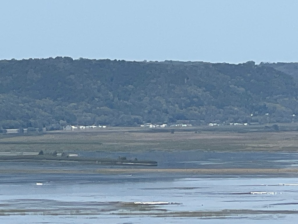
We drove 44 miles and could see our campground across the river.
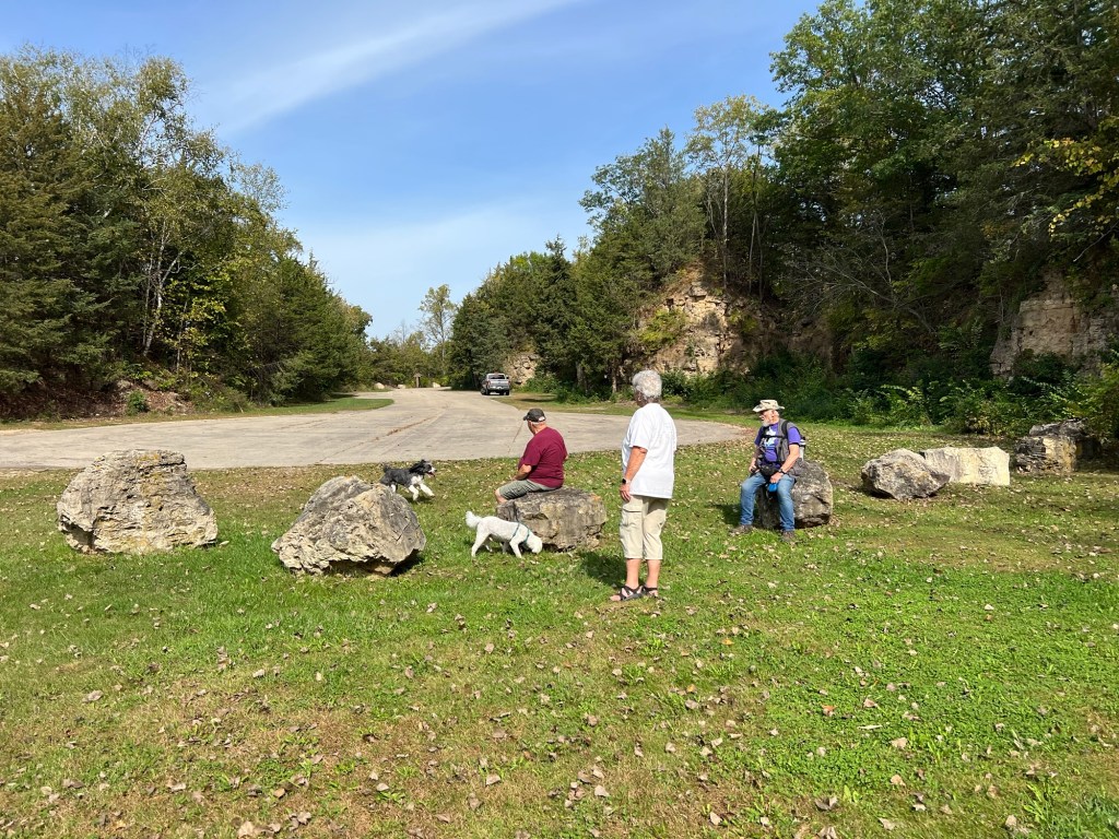
There were some old quarries there that were pretty. That high point was somewhere up beyond this quarry wall.
Besides being pretty this quarry made a safe place to let the dogs run. It was like a box canyon with the opening at the road in where we parked the truck. No one else was there when we got back from the overlook paths so the dogs had a romp off leash. Admittedly, Bo did a lot more romping than Matey.
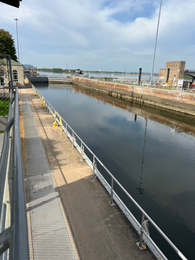
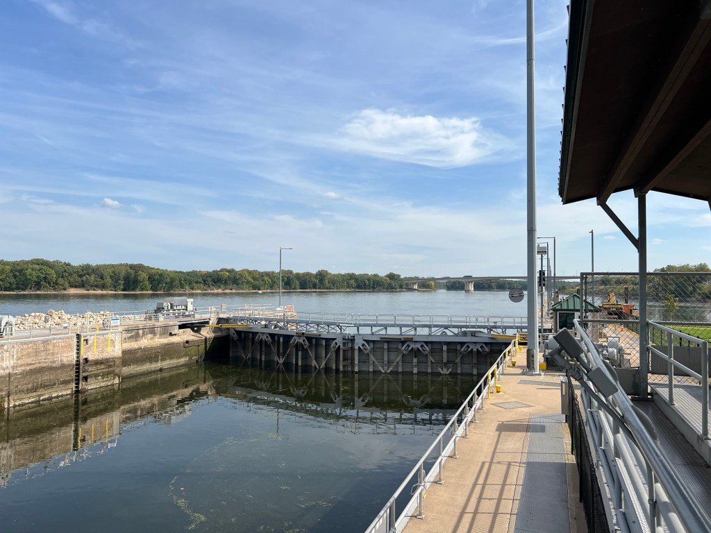
From there we continued north along the river to LaCrosse, WI where we had a nice lunch at Huck Finn’s on the Water. It was a bit hot (!) but we ate out on their dog friendly deck. Then we crossed back on I-90 and stopped at Lock and Dam Number 7. But nothing was coming through the lock…
so after a couple of quick photos we left and went back to camp.
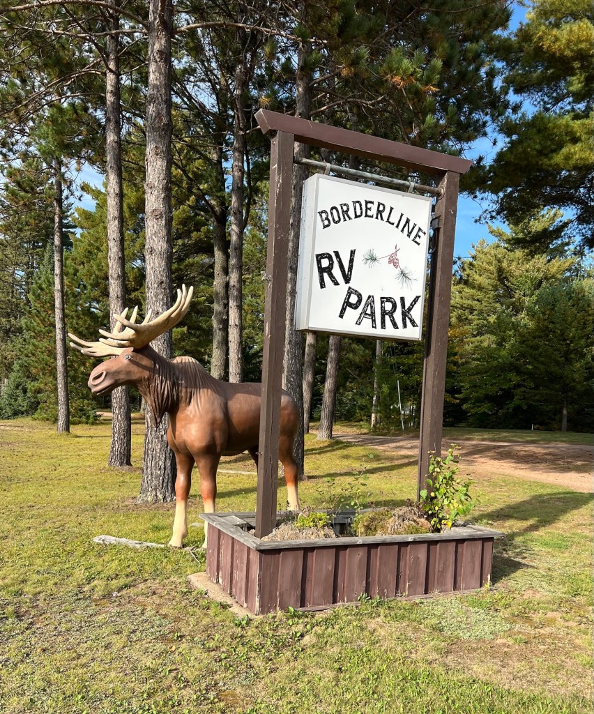
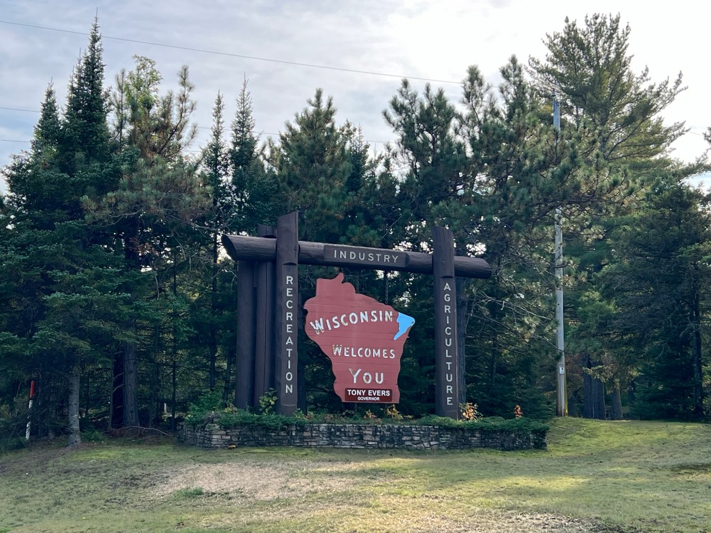
We’ve been wanting to visit our friends, Jane and Rob Speer, at their lake house in northern Wisconsin for a while. So this year we booked two weeks at nearby Borderline RV Park.
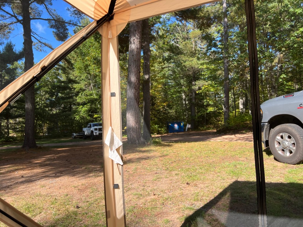
The name Borderline is because it’s on the border of Wisconsin and the Upper Peninsula of Michigan,
and not because it’s kind of borderline pretty, with trees and some space, but also a dumpster directly in my view from the only place I can put my tent.
But it’s only 12 miles from the Lake House…
and Jane and Rob.
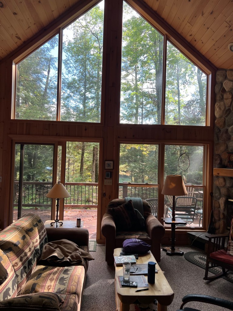
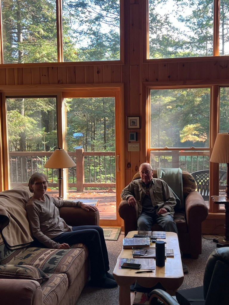
The view there was close to perfect, especially when the sun chose to peek out.
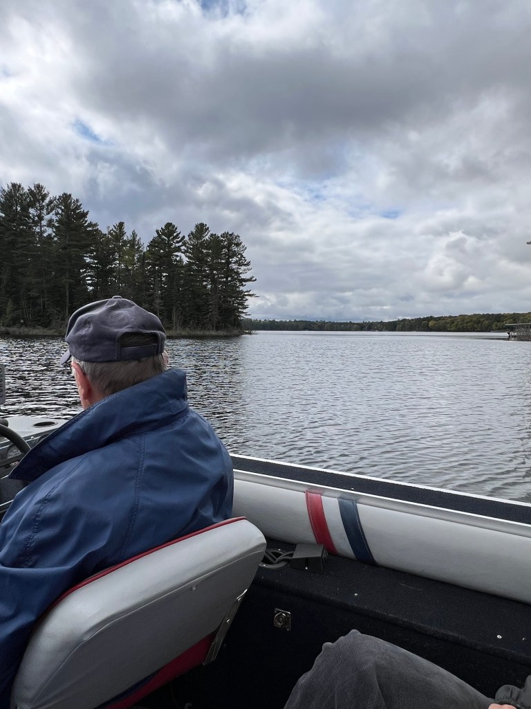
The house sits on Forest Lake…
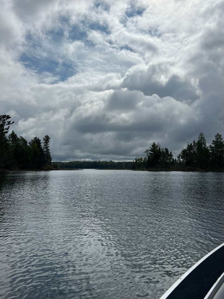
which we explored in their fishing boat. Our first ride was fairly short,
as it was pretty cool and cloudy.
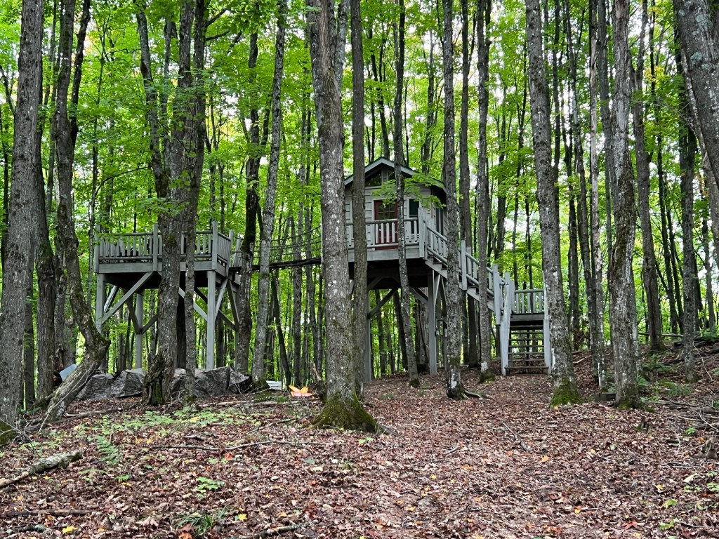
We’ve been having a great time exploring the area with them. On our first walk they took us to this treehouse in the neighborhood. The man who built it is happy to have hikers come by. We noticed the treehouse even had electricity going to it.
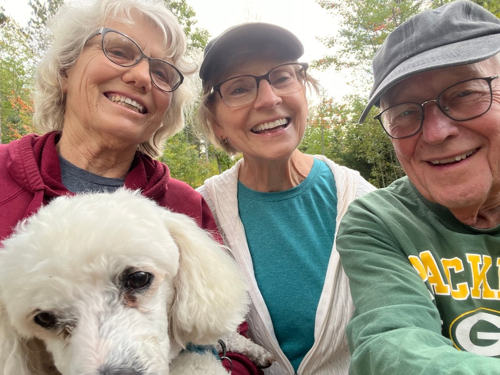
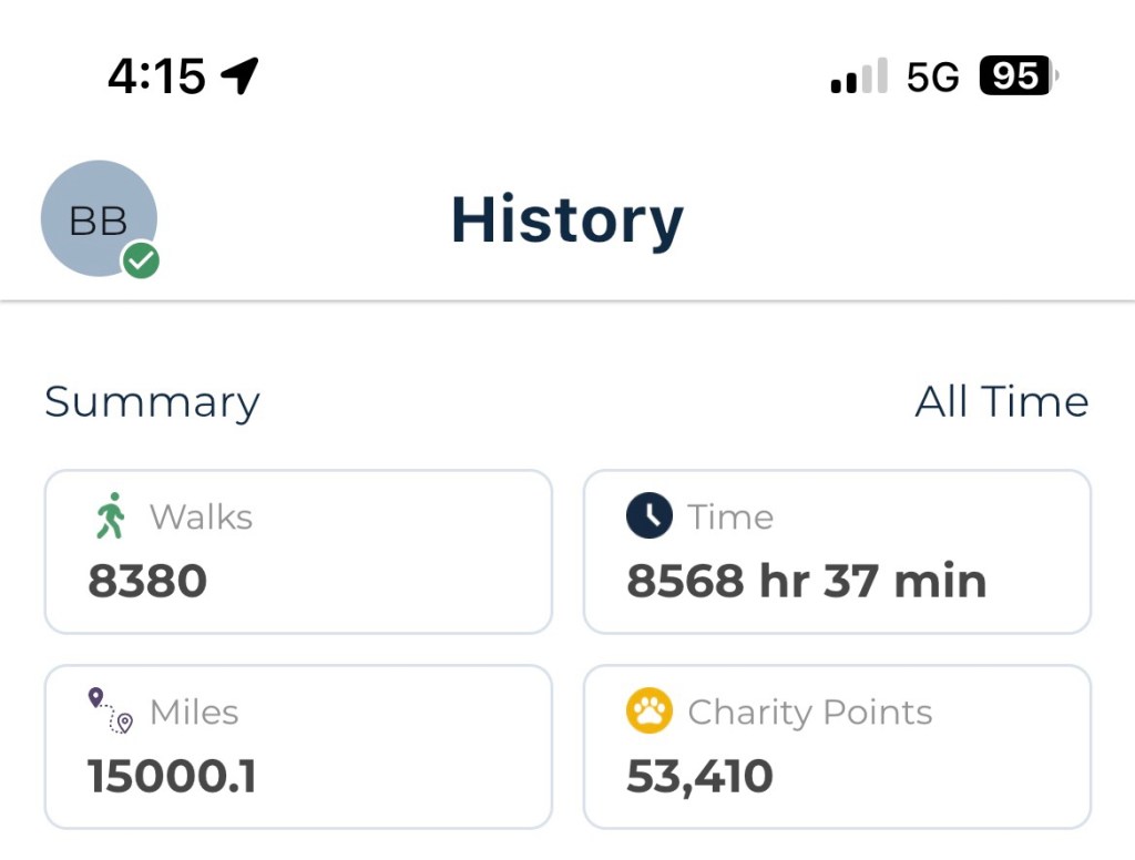
We’ve been doing a lot of walking, and Jane and Rob were with Matey and me for an important milestone which we commemorated with this selfie.
Matey and I have reached 15,000 recorded miles walked since I got him almost 11 years ago!
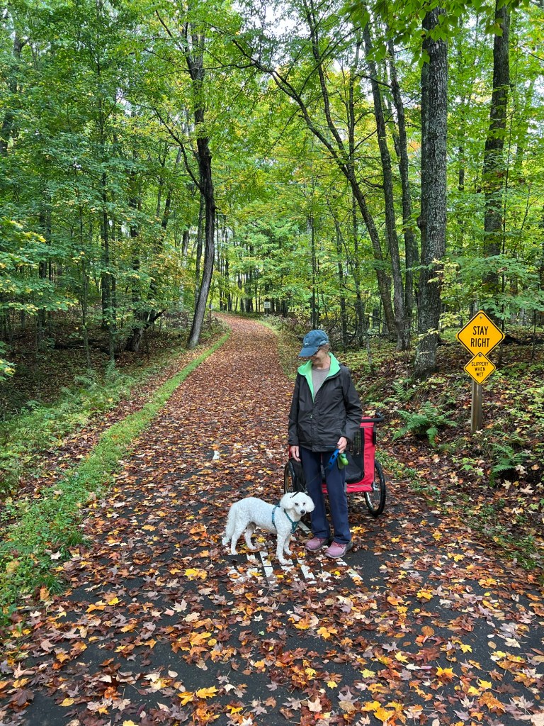
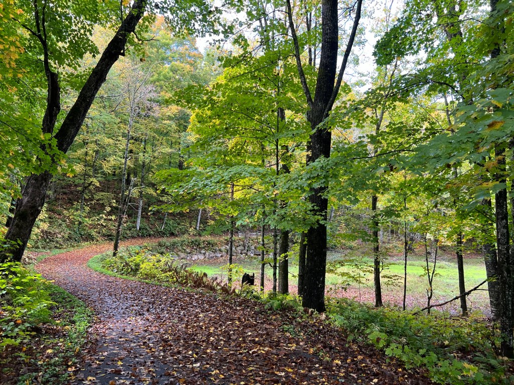
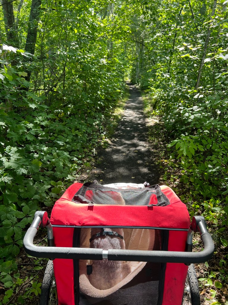
We didn’t stop there, while Rob and Bud golfed Jane and I took Matey and the stroller for a walk on a bike trail off their road.
It was a lovely trail.
The sun came out a bit, too.
We walked to some towering hemlocks and back.
Matey sometimes rode and sometimes walked and we went four miles altogether.
We went back out in the boat on another almost sunny day.
Jane and I just wanted a bit of a ride,
but while Rob stopped the boat for a few minutes on the still lake,
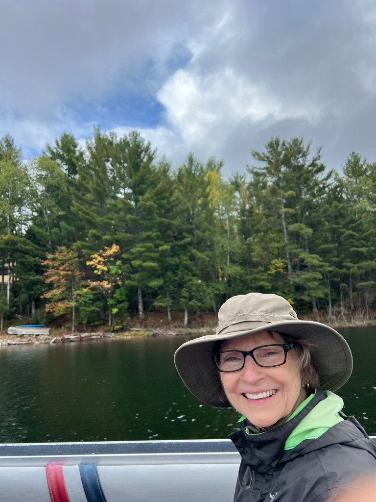
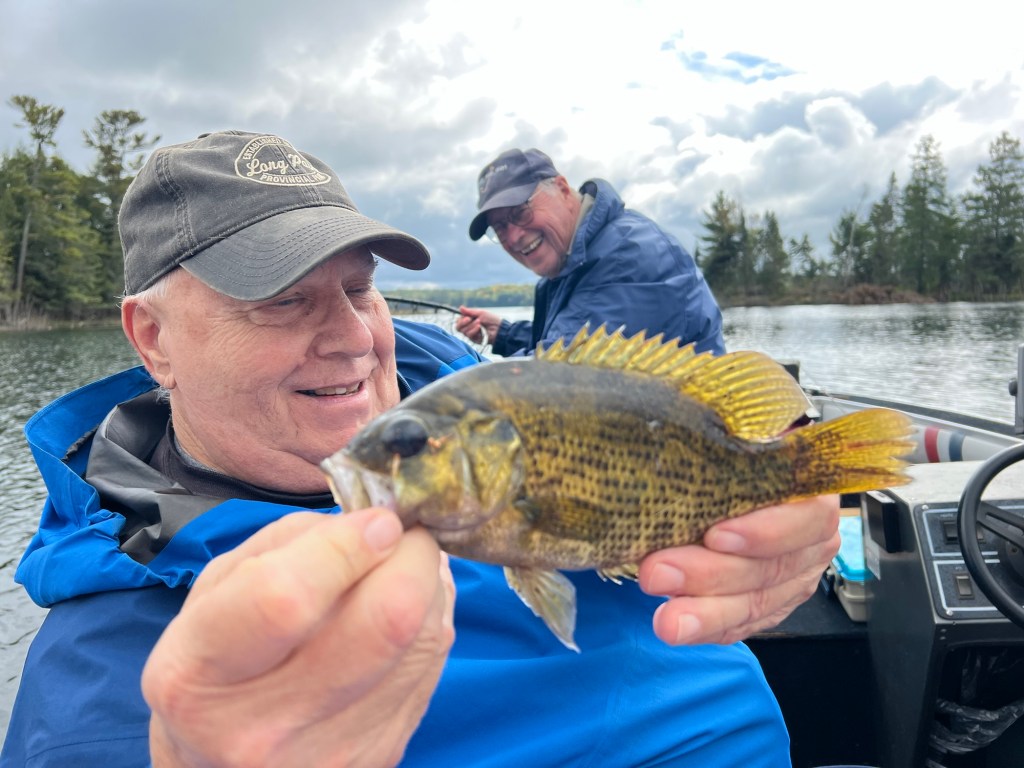
Bud caught this rock bass.
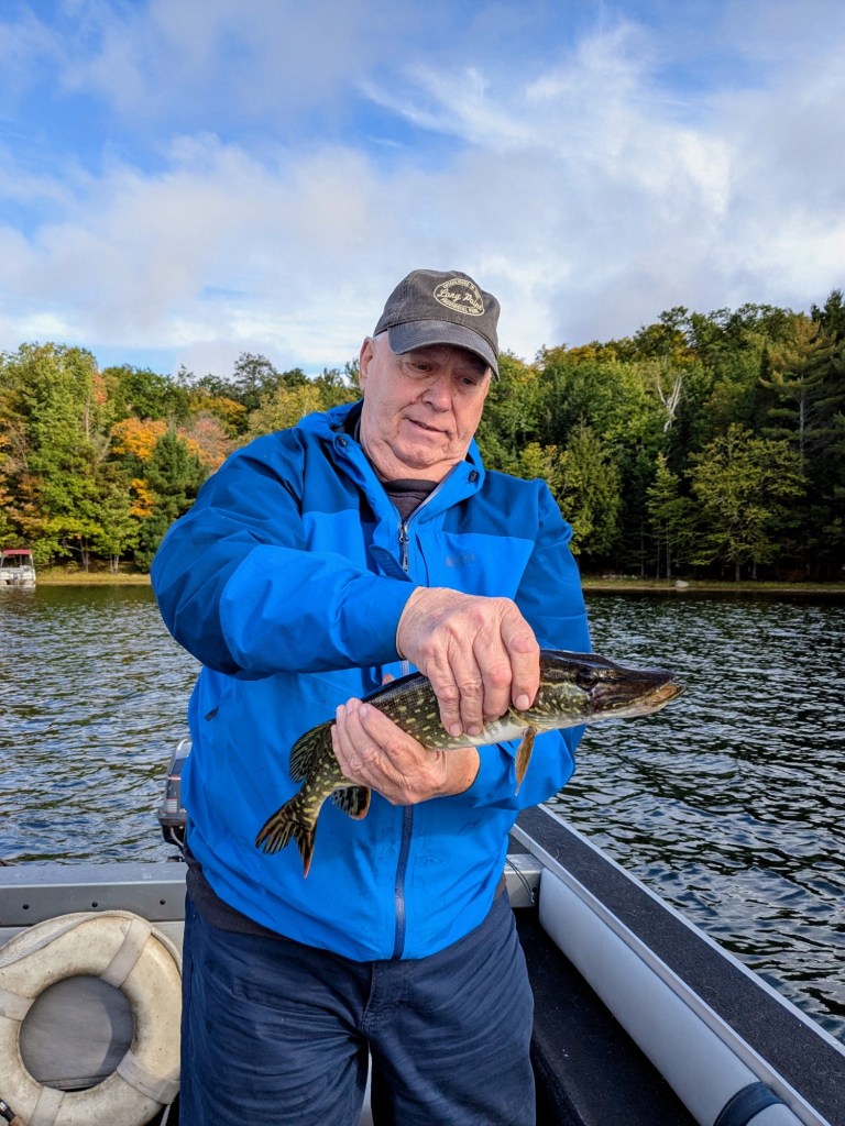
The guys dropped us off and we did another three mile stroller walk. They went back out fishing. Rob caught a largemouth bass and Bud caught this 20 inch northern pike. All the fishes went back in the water and we had steak for dinner.
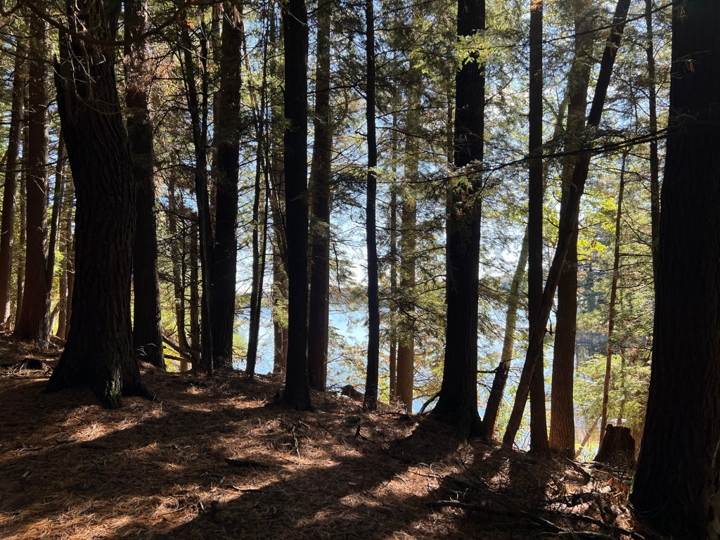
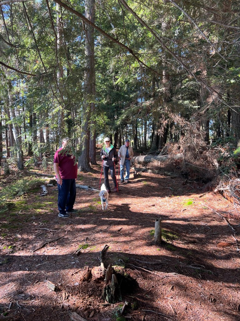
We finally had a sunny day and went just north into Michigan and the Sylvania Wilderness Recreation Area. We went to hike along Clark Lake. This is the beach there.
A very nice couple from Indiana took this picture for us.
We hiked along the east side of the lake so the afternoon sun would shine through from the lake.
I tried to capture the party, but of course Bud stepped behind a hanging branch.
There were some nice views of the lake.
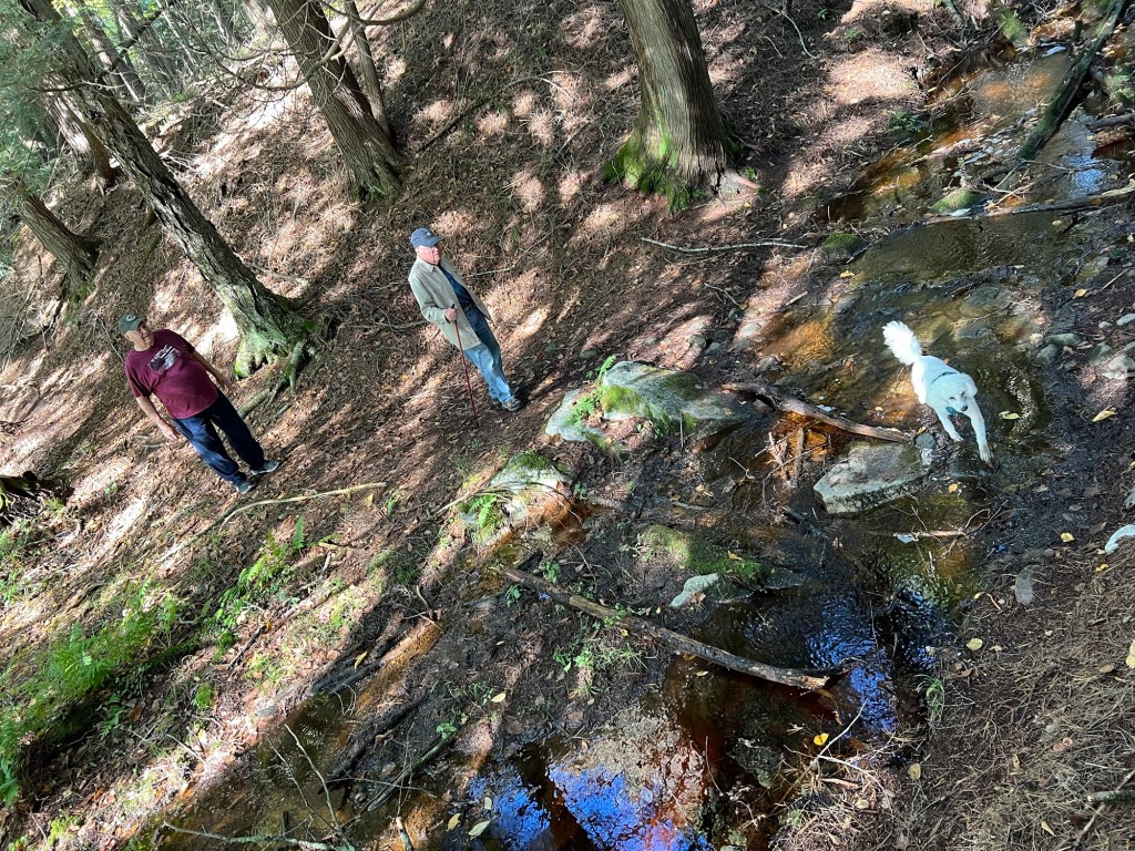
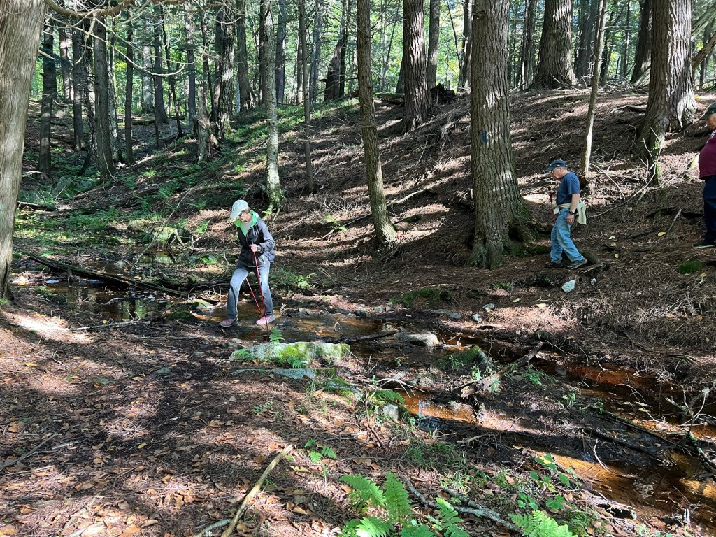
We hiked across this little creek…
up to another place where I could get a shot of the lake.
Then we all came…
back across the creek…
and back along the trail…
where the sun made the trees glow.
It was cool, but still, and very pretty.
With over thirty lakes around, this is a beautiful area, and we have loved being here with good friends.
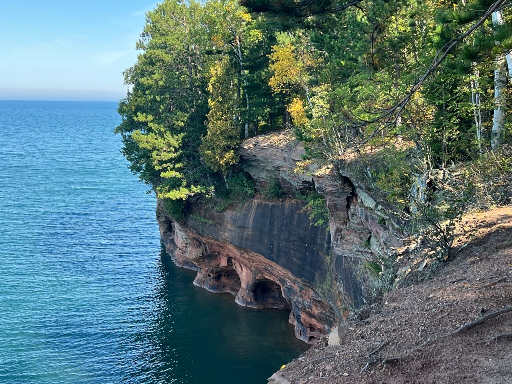
There is only one hiking trail on the mainland part of Apostle Islands National Lakeshore, and that trail starts here, at Meyers Beach.
It runs through the woods for almost two miles before it comes out along the cliffs you can see in the distance. Of course I wanted to walk it, but it would mean an almost 5 mile round trip, and neither Bud nor Matey would do that. So today I went alone.
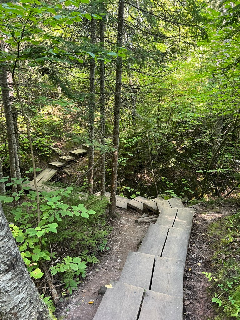
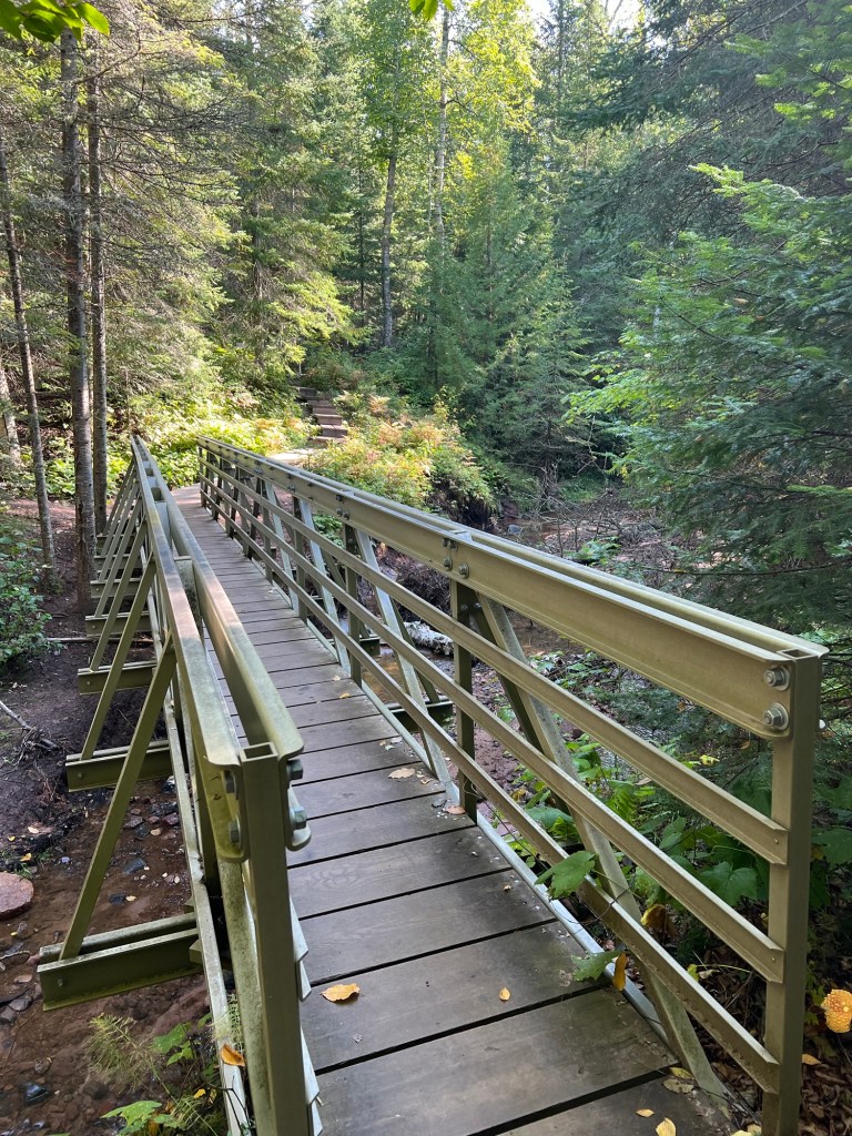
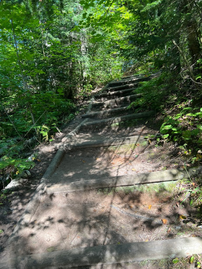
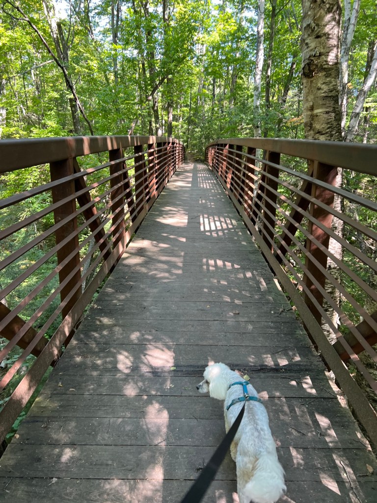
The first three quarters of a mile was entirely on wooden planks, with steps through the gullies…
and bridges over creeks and ravines.
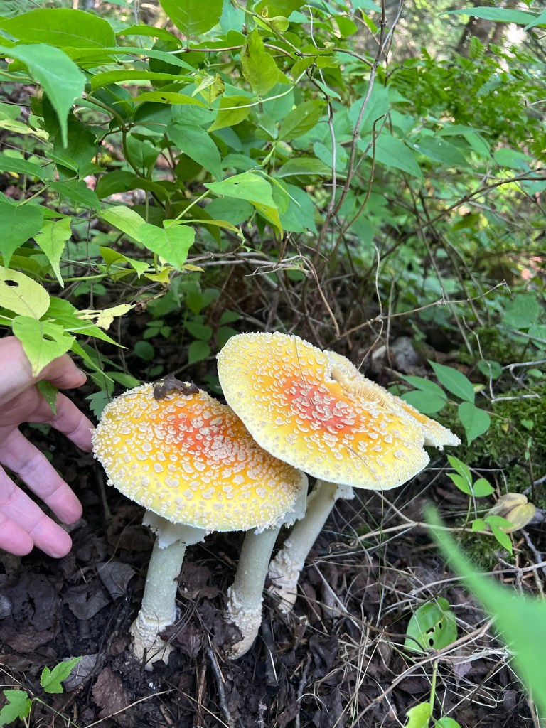
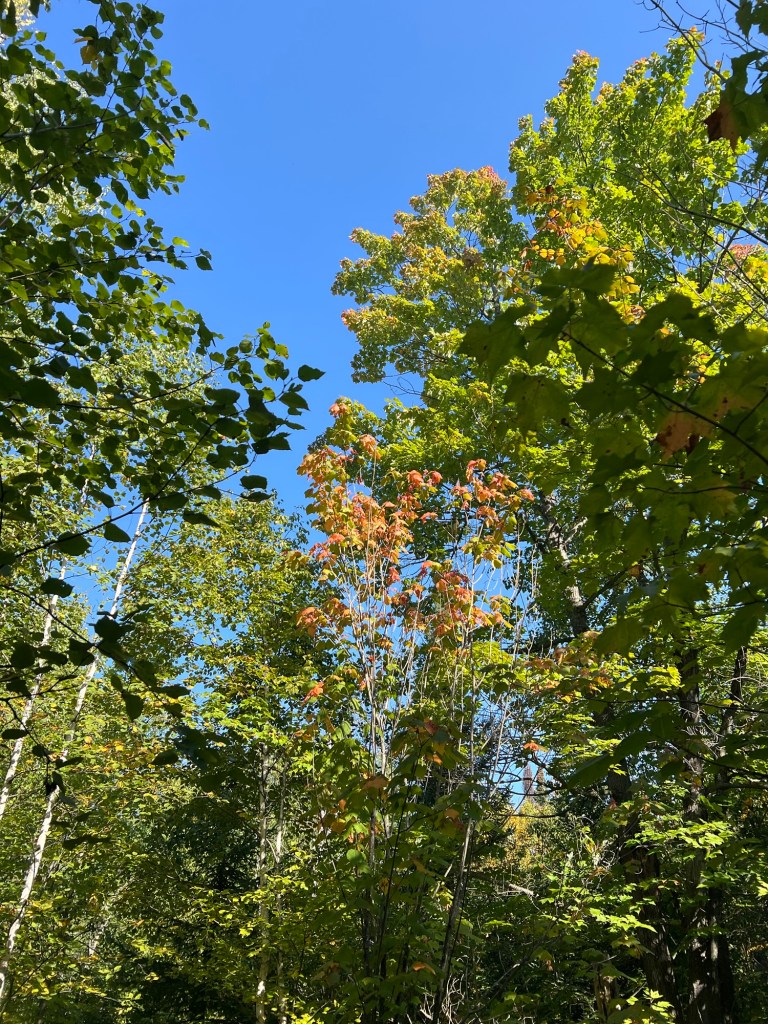
This appears to be mushroom season,
and the leaves are just starting to turn.
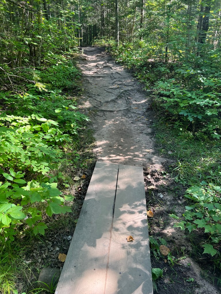
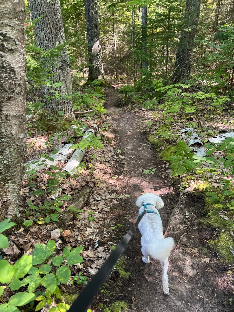
The plankway ended in a well worn track.
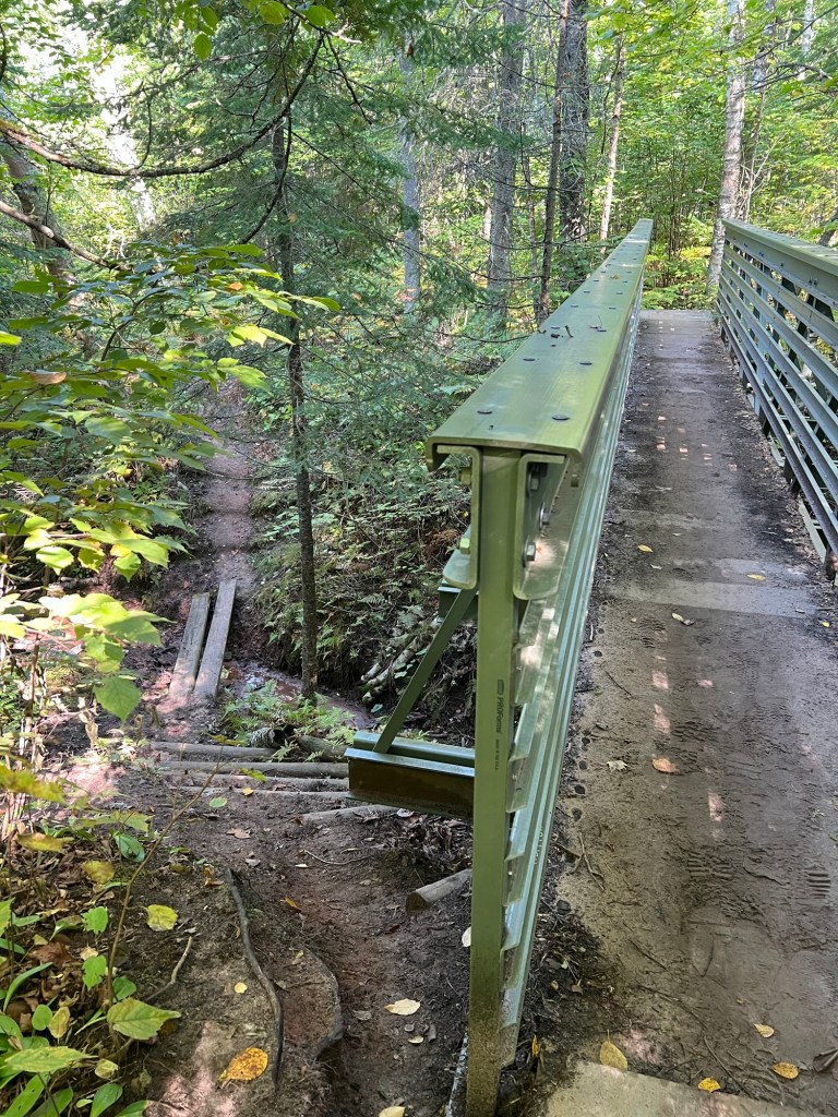
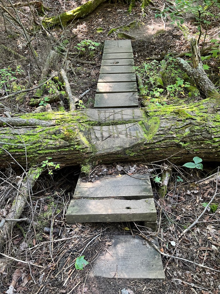
There were bridges and I was happy to take this new bridge instead of the steep trail.
There were still some pretty steep places to negotiate.
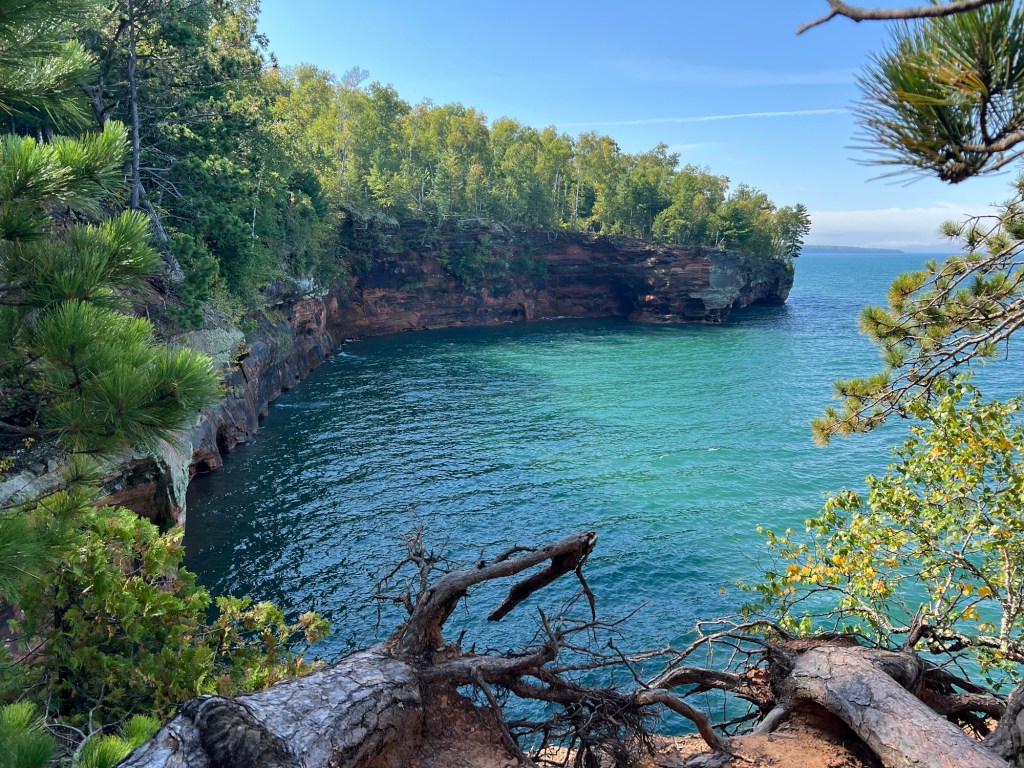
Then, after 1.8 miles, the lakeshore, just as promised.
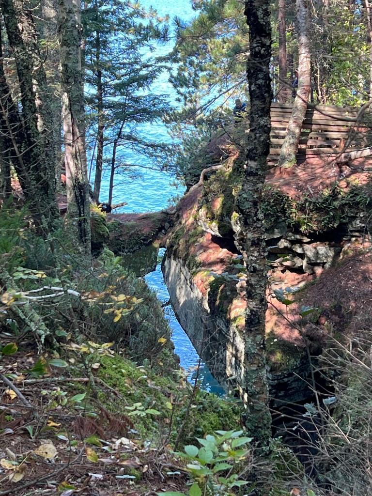
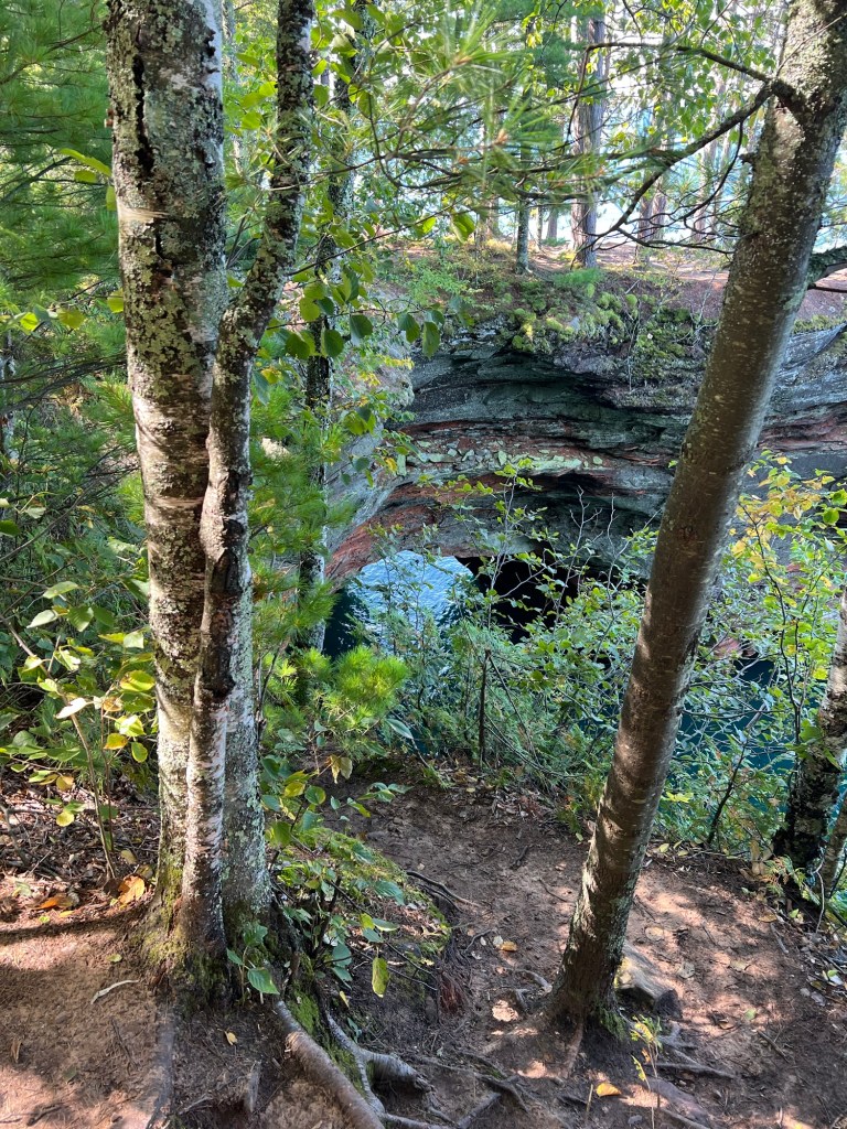
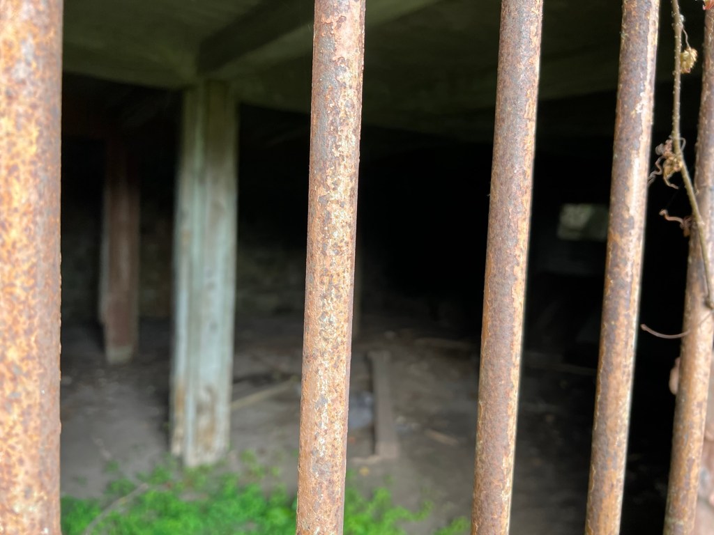
There was a bridge across this ravine and fencing to keep people off the natural bridge that still remained.
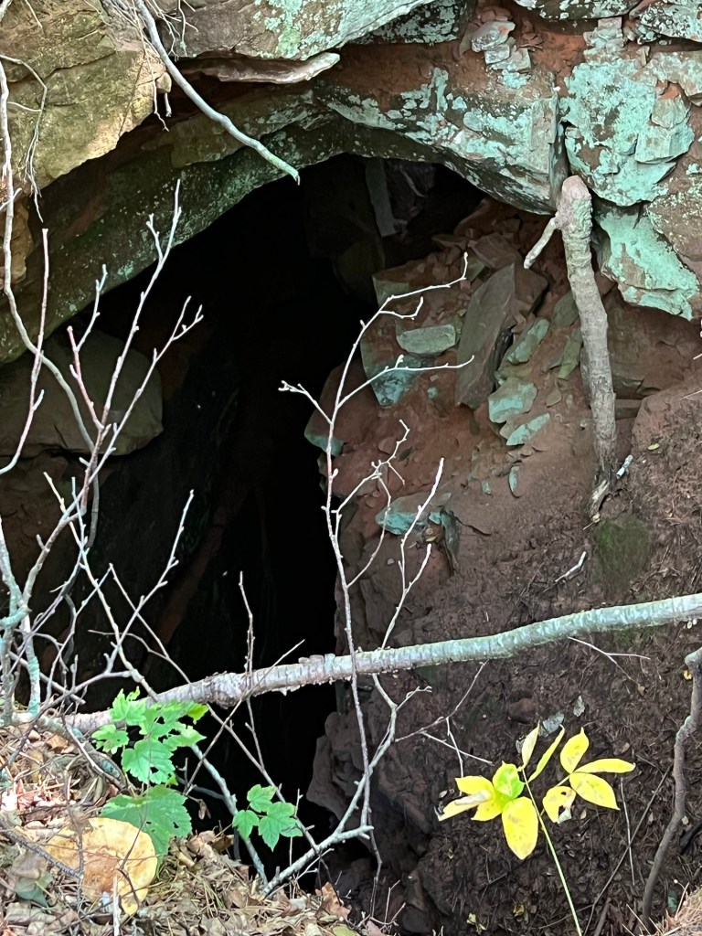
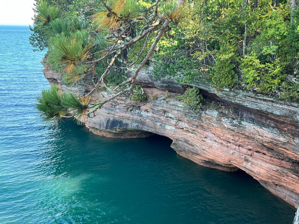
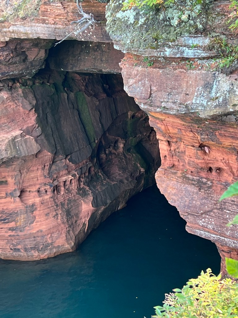
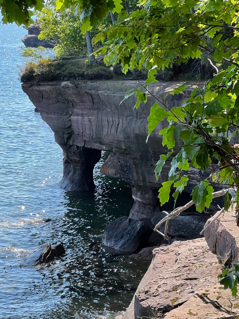
To the right of the trail bridge the ravine ended in a cave.
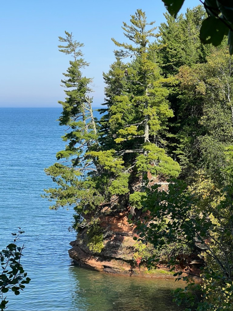
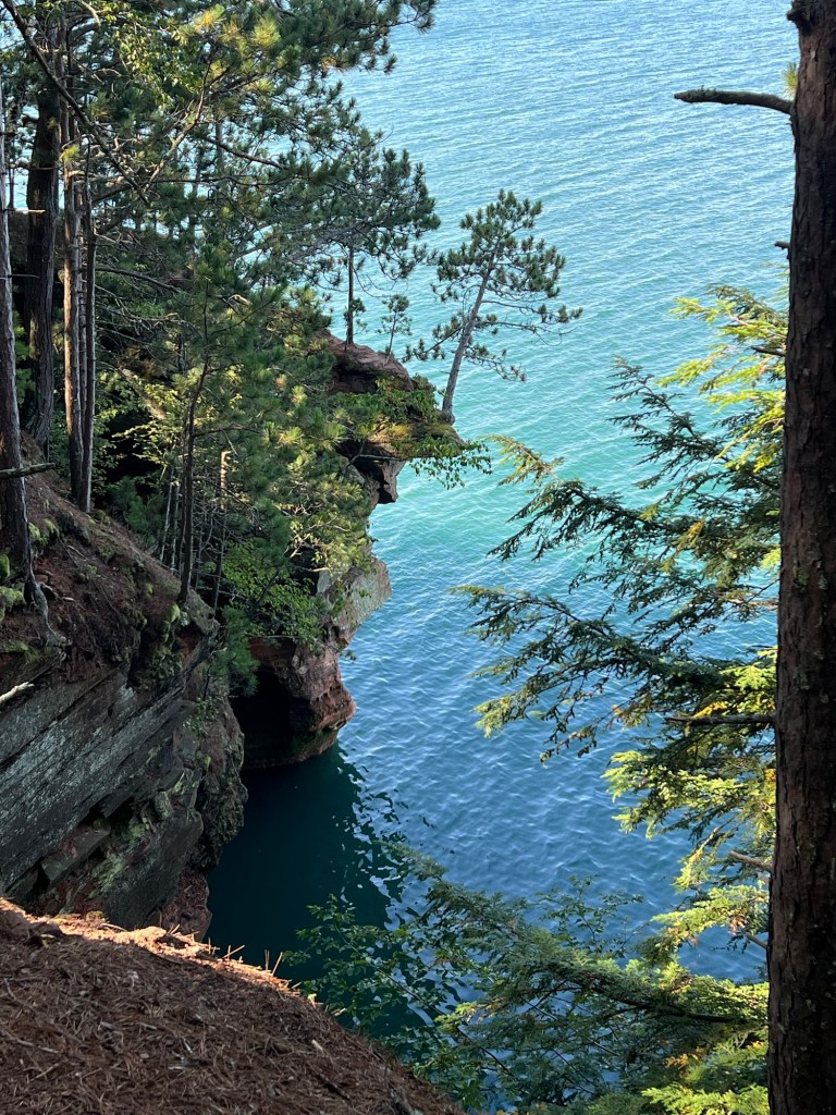
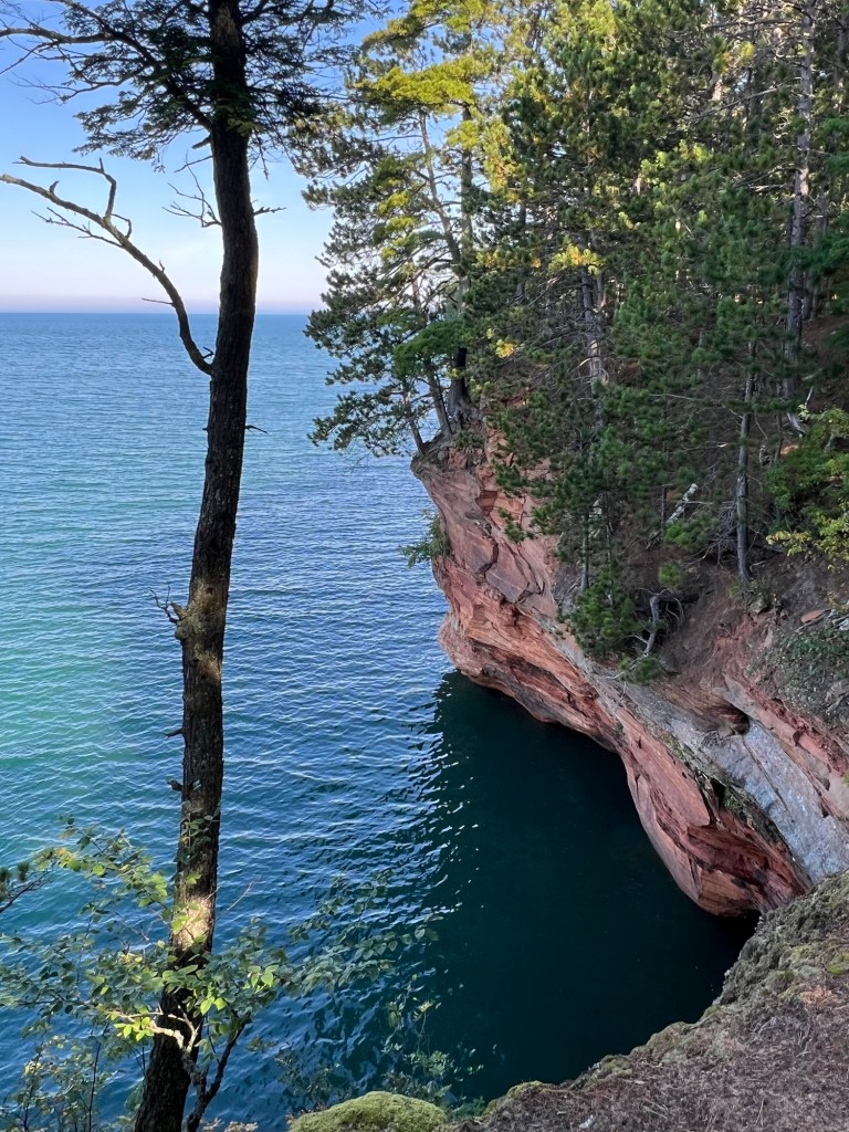
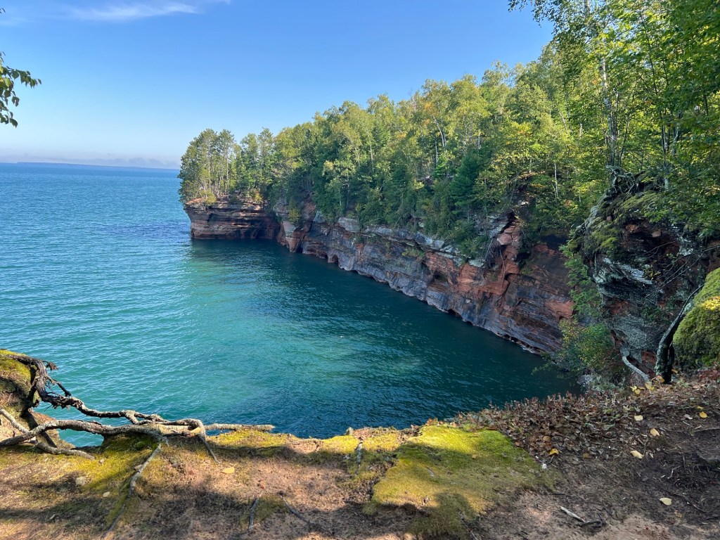
It seemed that every vista…
was more spectacular than the last.
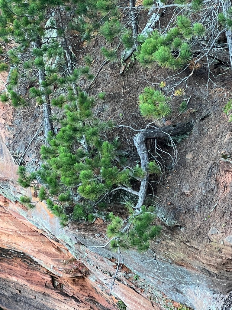
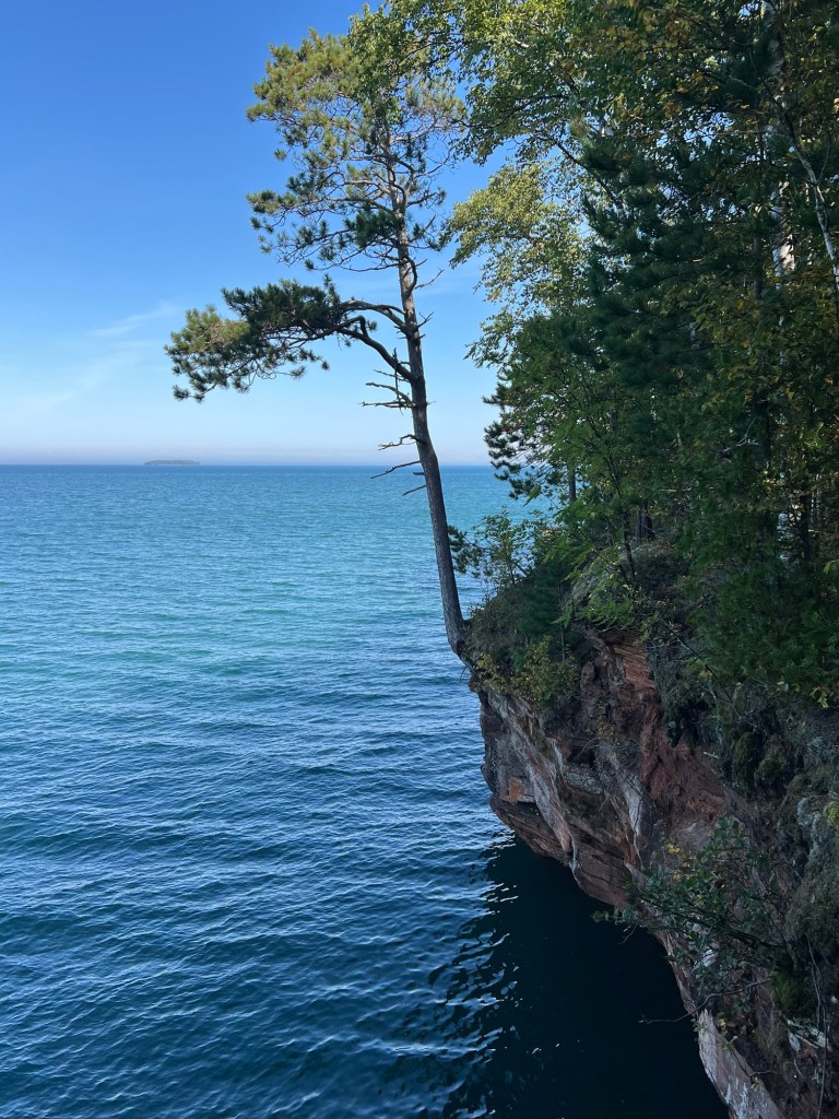
I found another entry for my tree hall of fame.
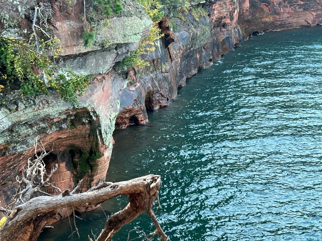
He was clinging on the wall above some lake caves.
Cliffs,
crevices,
overhangs,
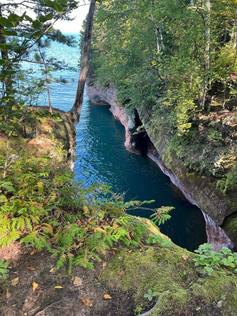
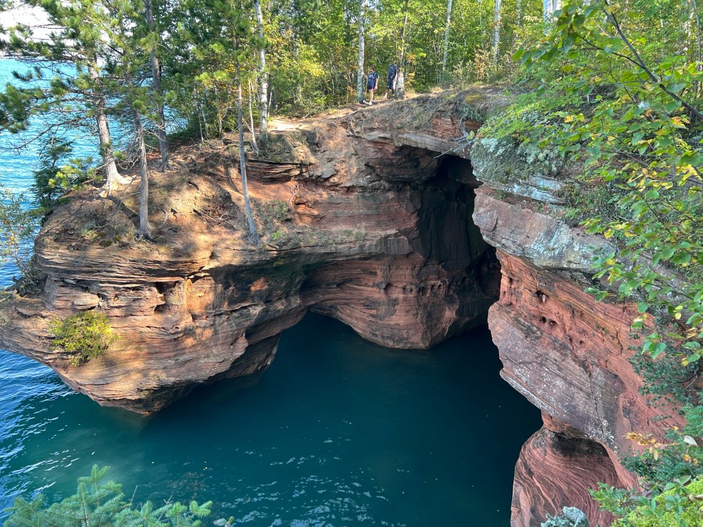
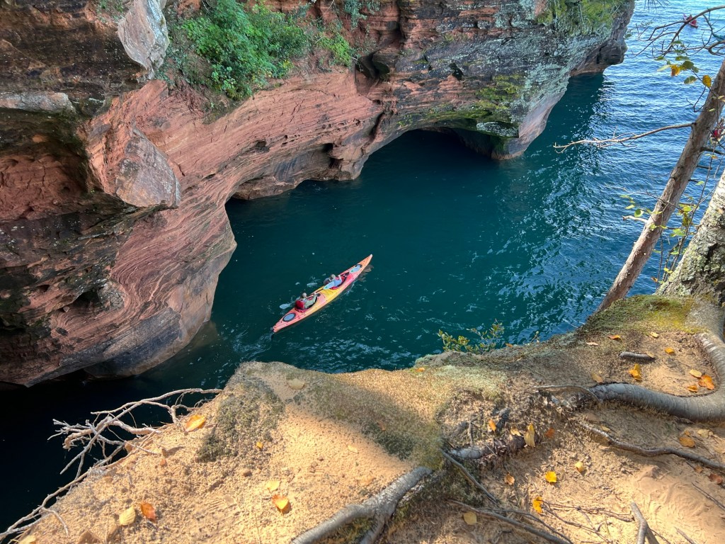
and caves, some really big caves, lined the shore.
See the couple on the other side? I waited for them to get in sight to show the scale.
Better yet, I caught these kayakers coming out of the cave.
The last section I visited is called the bowl.
I walked to the far end of the bowl for these shots.
That’s about as close to the edge as I wanted to get, and this is where I turned around. From what I read the spectacular stuff ended here.
On the way back I saw that one of the points I’d walked out on had a water passage underneath it.
It was a beautiful day and a beautiful place, well worth the 4.77 mile walk. I won’t feel bad moving on, now.
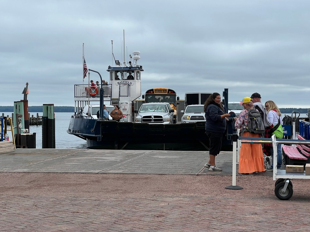
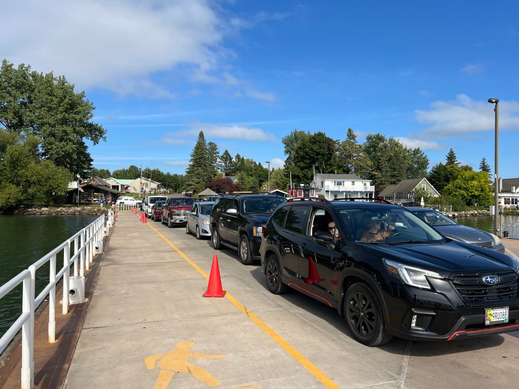
On Thursday we decided we’d make the ferry trip to Madeline Island and visit the state park there. If you don’t own a boat this is the only way you can get out on one of the islands right now. There are tour boats, but after Labor Day they don’t make any runs where they drop you off on the islands to hike or camp. But the ferry to Madeline Island runs all year, as long as they can get through the ice. Notice the school bus! This was the 11:30 AM ferry from the island, so not sure what was going on with the bus, but there were students on it.
Anyway, once they unloaded we drove aboard and at 12:10 PM were well on our way from Bayfield to LaPointe, on Madeline Island. It was cool and cloudy but the clouds were supposed to clear a bit.
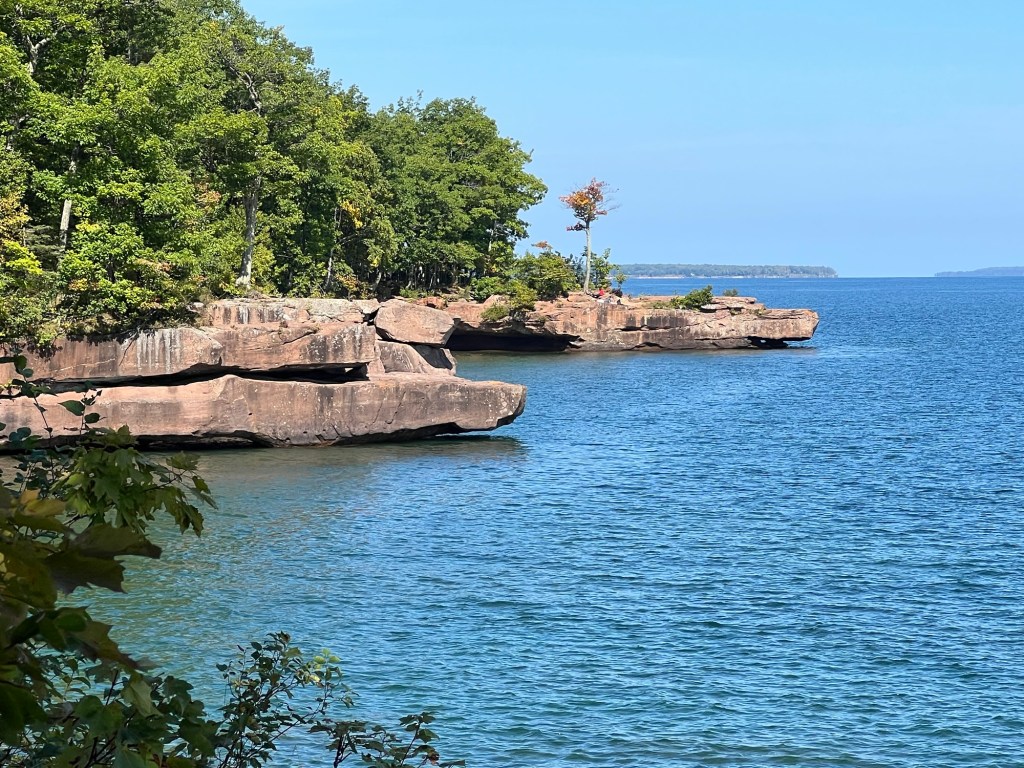
We drove all the way around the island and pretty much just saw trees. We came to Big Bay State Park and went to the Point Trail. More nice trees.
Then we came to the shoreline,
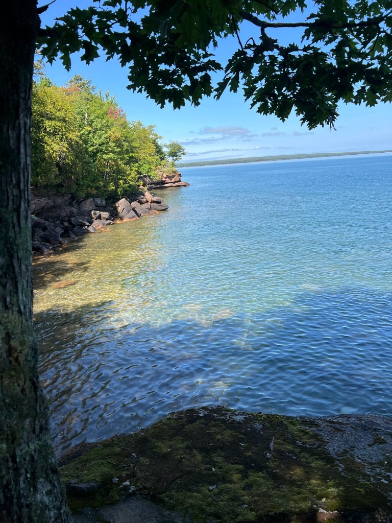
and it was beautiful.
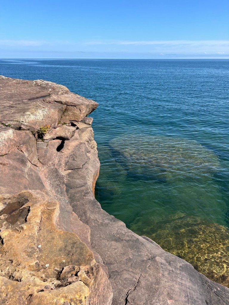
The water was crystal clear.
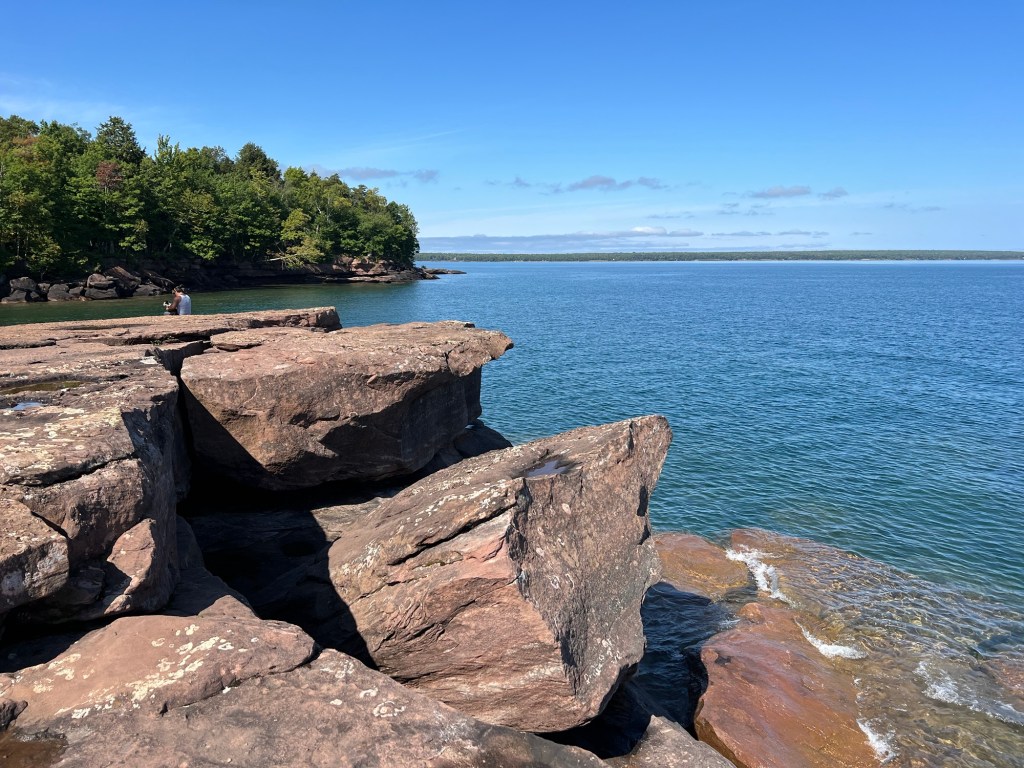
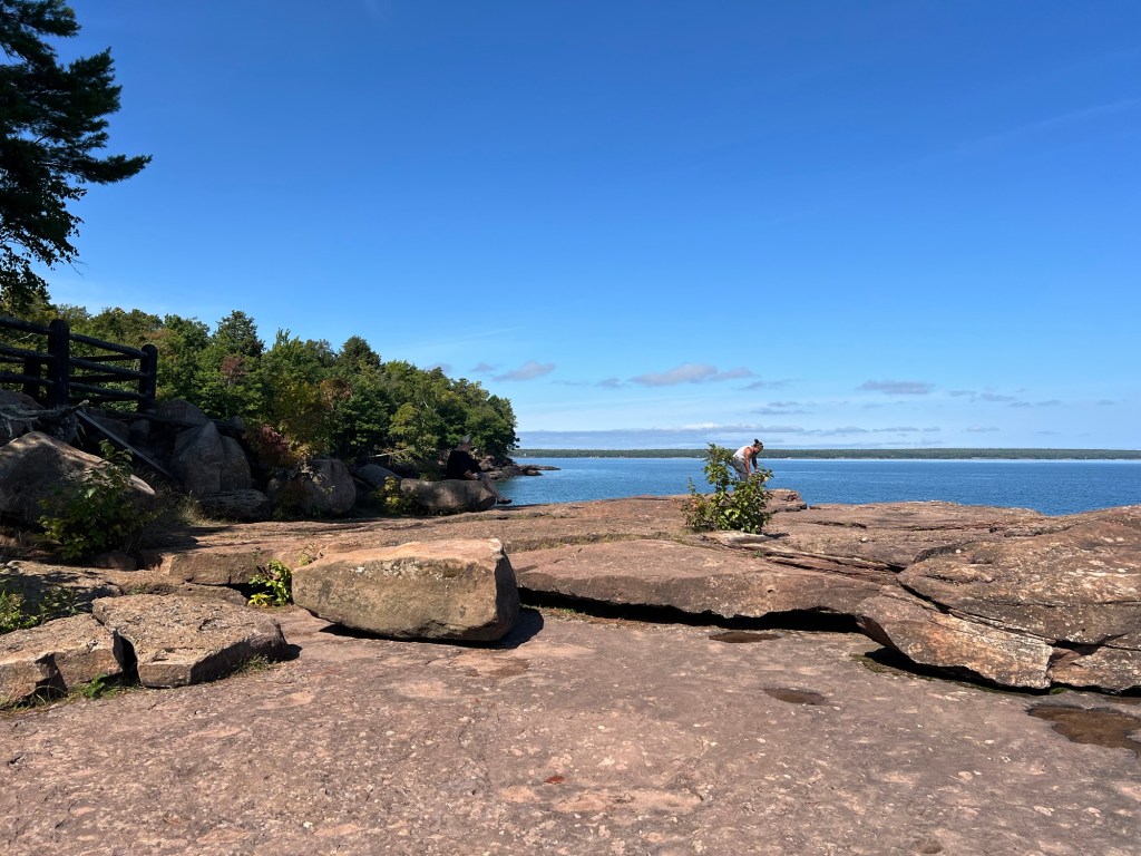
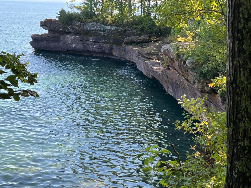
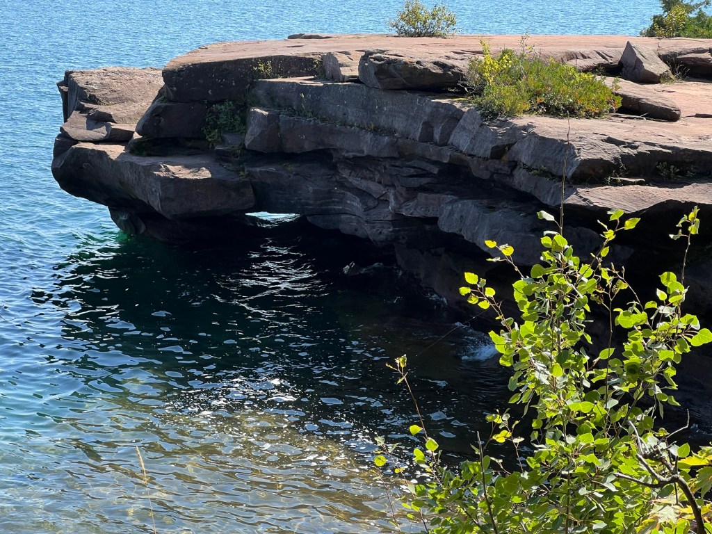
This is the point, and it is a huge rocky outcrop.
The rocks along the shore are sculpted by the waves. By this time, Bud wasn’t feeling too great, so he went back to the truck to rest and Matey and I continued along the shore.
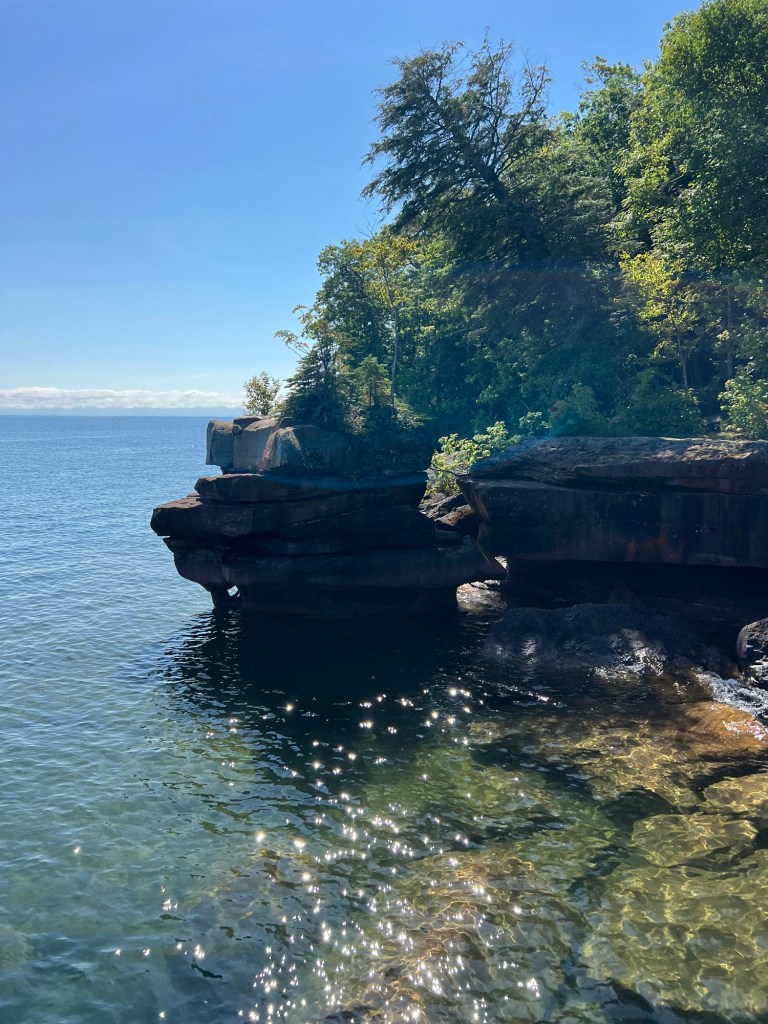
More rocks and caves.
Whole stretches of the shore were undercut.
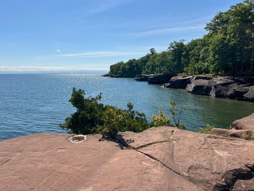
The clouds were mostly gone and the sunshine peeked from under the rocks.
With the sun at my back the red rocks glowed.
Such a beautiful place.
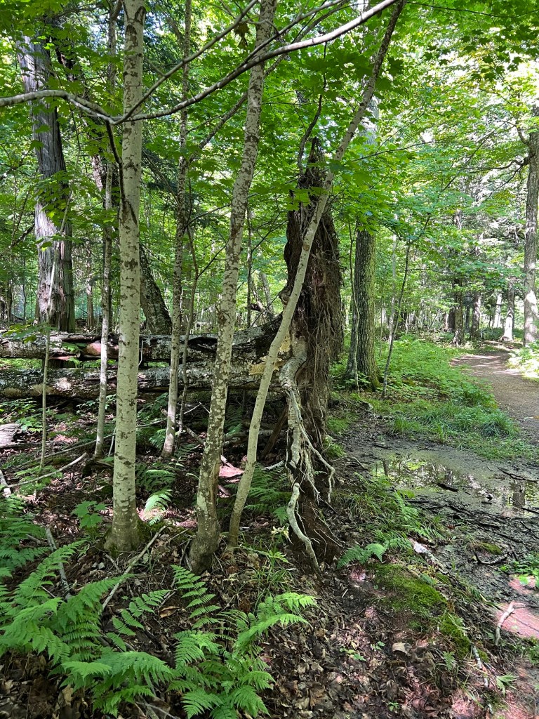
Matey and I looped back through the woods.
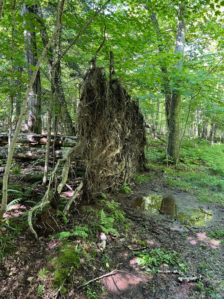
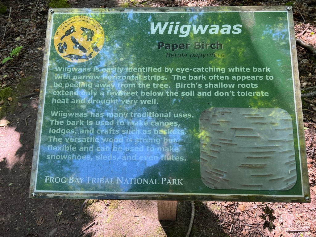
That’s a paper birch root “ball”, but it’s more like a giant dinner plate.
It was over six feet in diameter but only about a foot thick. The Anishinaabeg sign in the Frog Bay Tribal National Park mentioned that paper birch have a very shallow root system. They sure do!
Back in LaPointe we lined up for the ferry…
and took it back to Bayfield. The clouds were building up,again, they just went away so we could see that gorgeous shoreline.
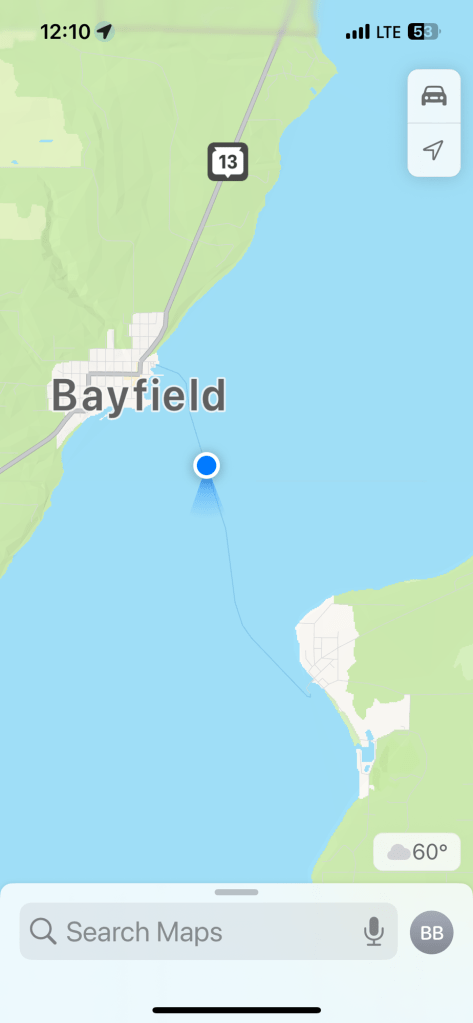
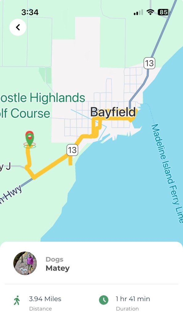
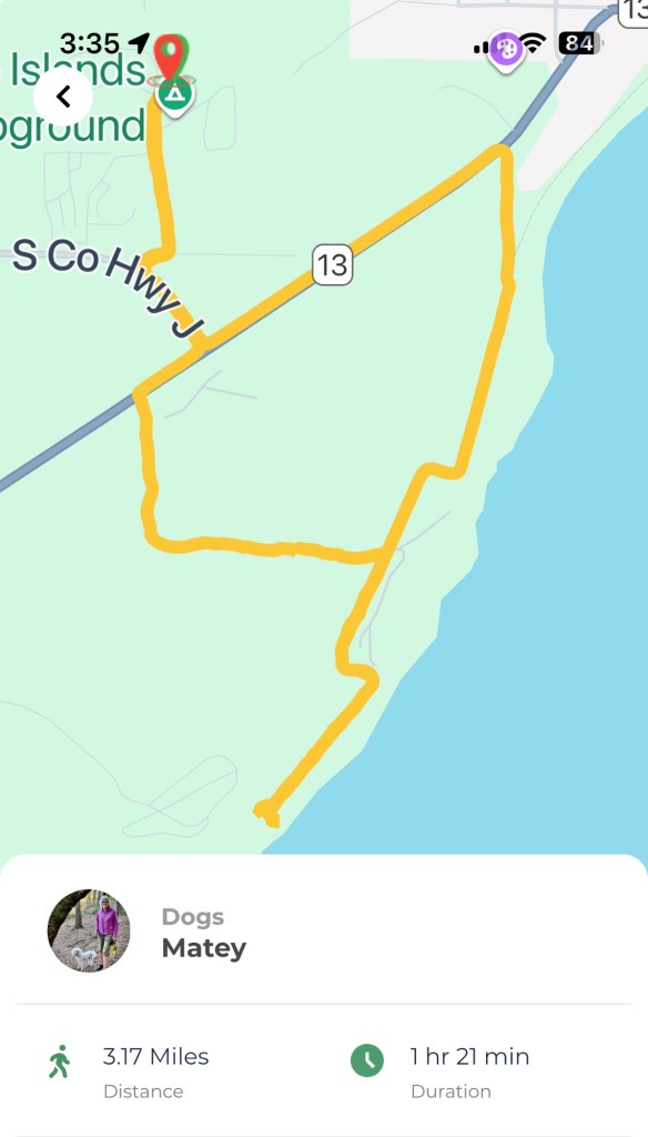
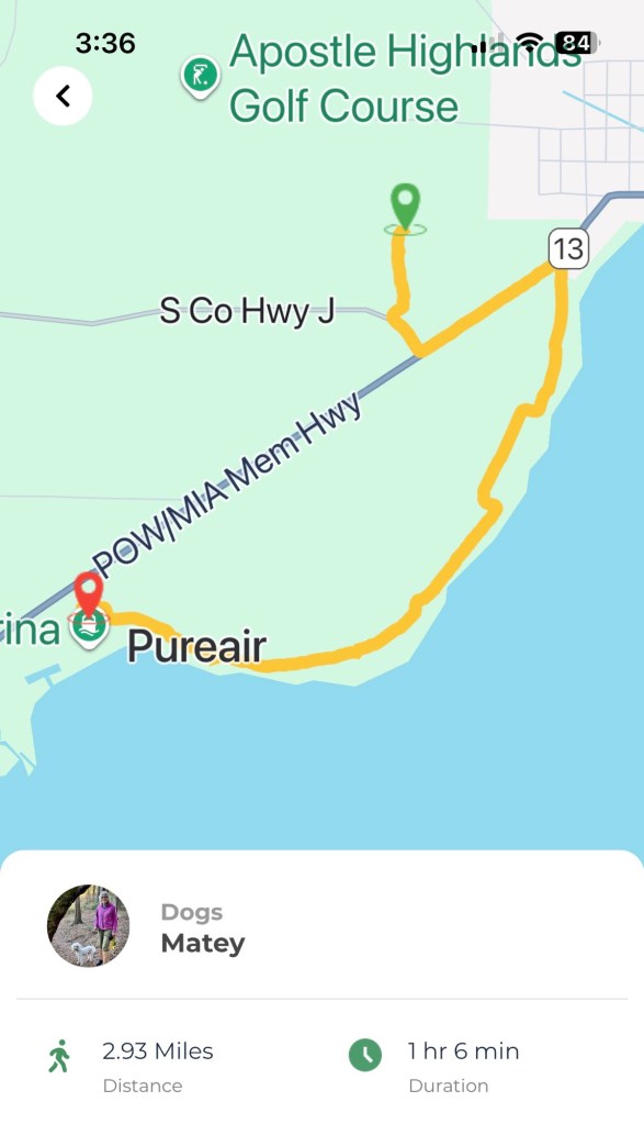
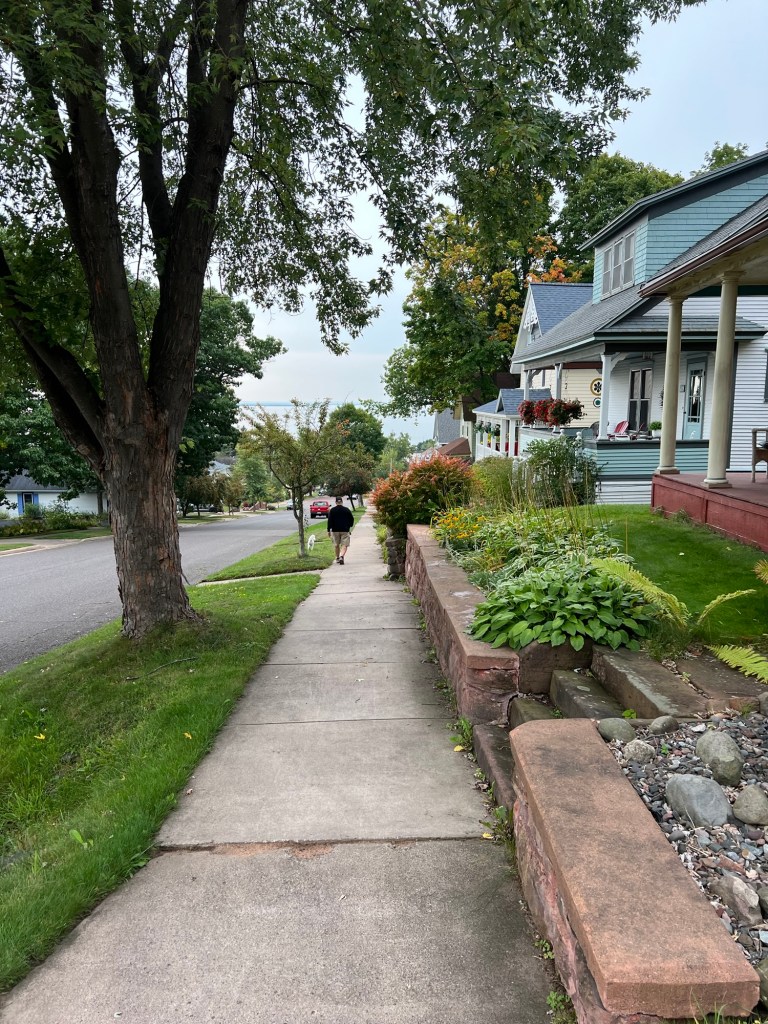
Tuesday Bud had to go back to a dentist in Duluth because his front tooth broke while we were in Black Beach Campground. He drove to Duluth then and they X-rayed and took impressions. The whole time we were in Duluth they couldn’t see him. So Tuesday he drove 90 miles back so they could pull the tooth, put a bone graft in, and give him a temporary fake tooth to hold the space open while everything heals. Anyway, Matey and I were at the camper and I decided to take Matey into town in the stroller. This is from the app that tracks our walks. I wanted to take the Brownstone Trail, which I thought I could access from a little dead end road just down the highway. I couldn’t find the trail. The little tail below the 13 is my aborted attempt.
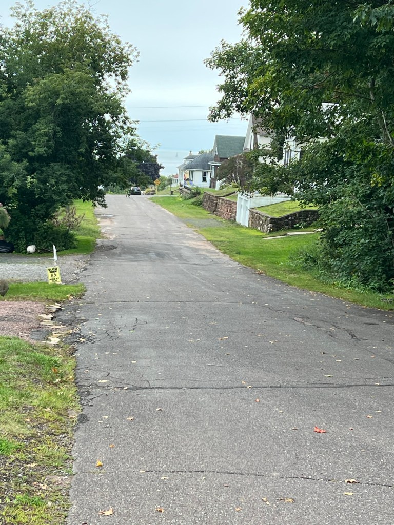
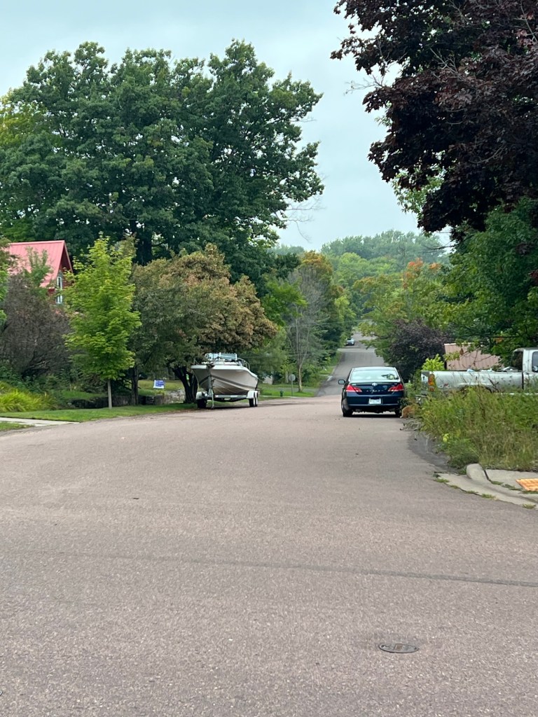
I did make it into town,
which is quite pretty, and all hills.
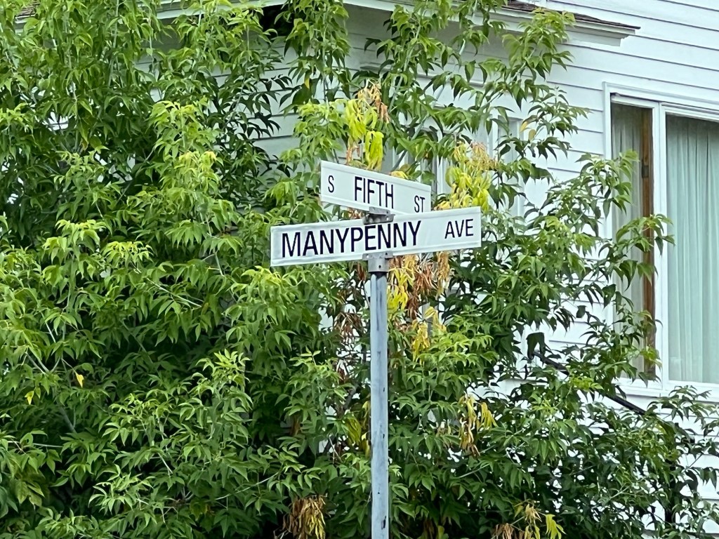
This was the corner of Manypenny and Fifth. I took a photo of the sign just because I love the street name.
That would be a fun address. We walked down Manypenny…
to the harbor.
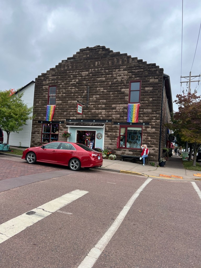
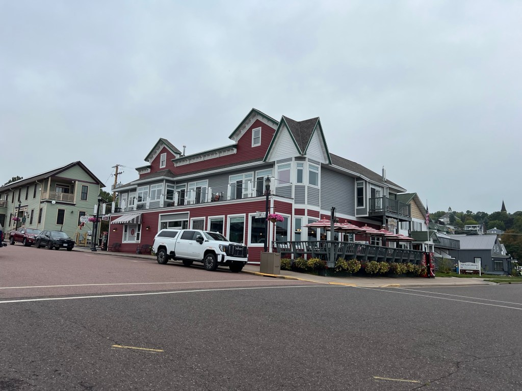
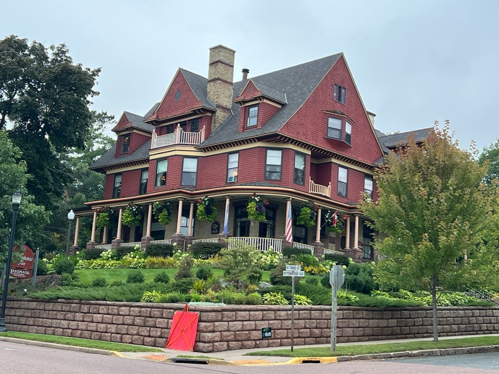
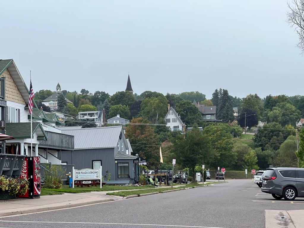
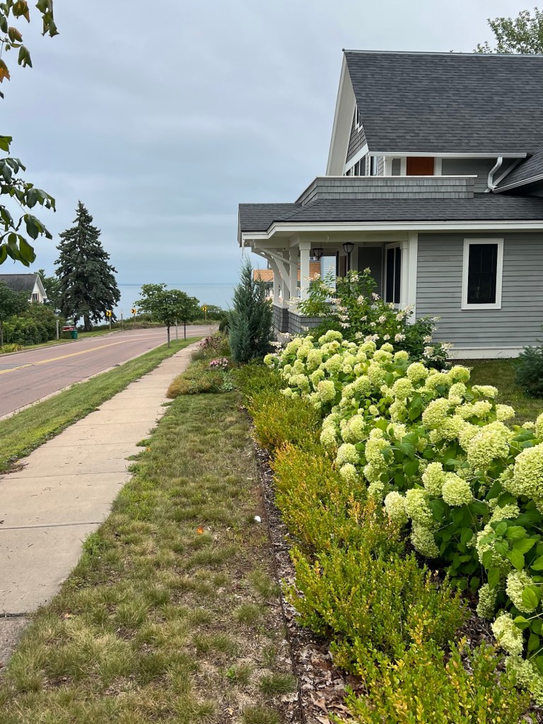
Bayfield is a touristy little town,
but nicely done.
There are several beautiful old places that are hotels and restaurants.
The hillsides afford nice views,
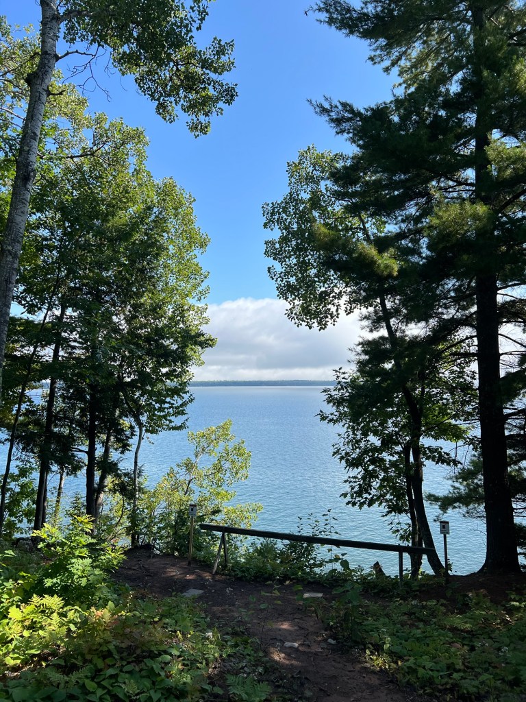
and everywhere you look there’s Lake Superior.
I was disappointed that I didn’t get to go on the Brownstone Trail, but I found out the part from town to the little road near us is not revamped and not bike or stroller friendly, but the trail did continue southwest, away from town. So the next day I decided to go that way.
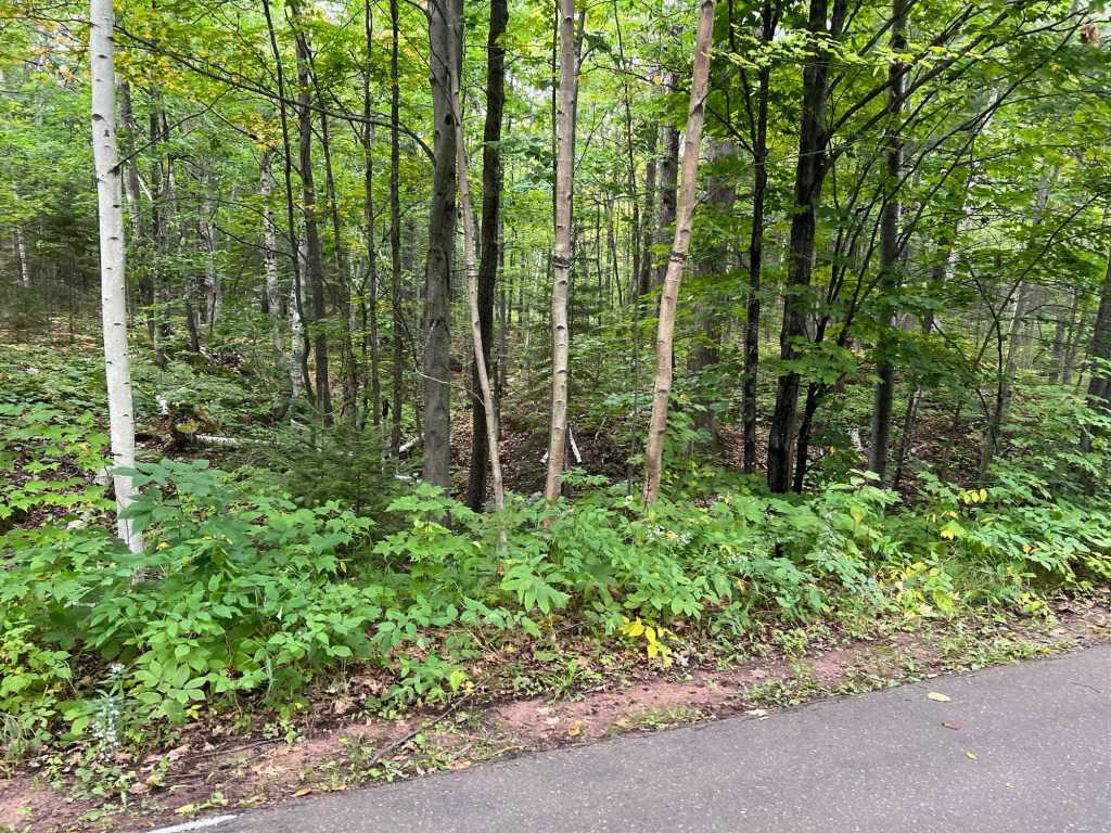
This was better.
We walked behind some interesting old properties.
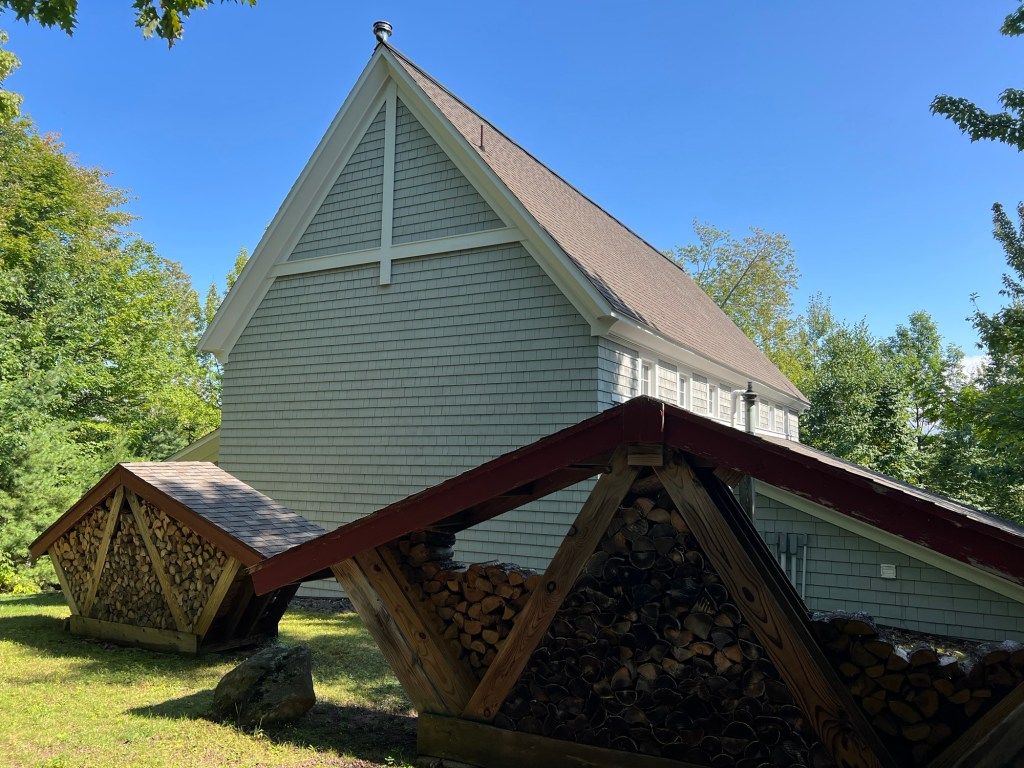
These people’s wood storage was art.
There were some steep portions, but it was doable.
The only lake views were right at the start of the trail,
and where I turned around.
I could have walked further, but I didn’t want to have to come back too far along the highway and I didn’t want to have Bud come and get us as he was hurting from the surgery on his mouth. So I backtracked to this little dirt road…
and only had a few hundred yards to come back along 13.
Today Bud was feeling better, so he agreed to pick me up and Matey and I got to walk to the end of the trail.
Turns out most of the rest of it was along a private road.
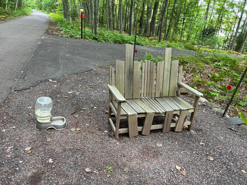
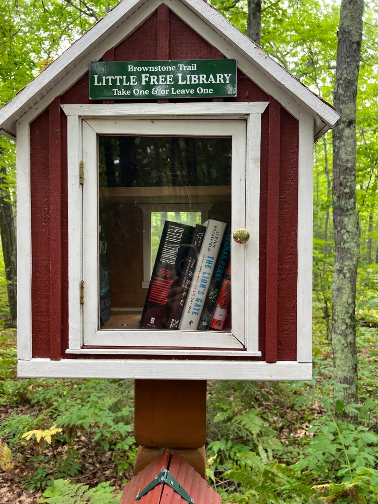
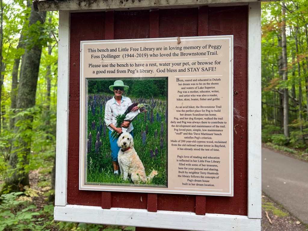
There were beautiful houses but I was most impressed with this. This bench and dog watering station…
were next to the Little Free Library,
built by a neighbor in memory of Peggy Foss Dollinger. What a lovely legacy!
Earlier today the three of us had gone into town to a short trail there.
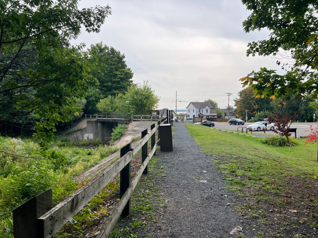
This was the Iron Bridge Trail, part of the Big Ravine Nature Preserve.
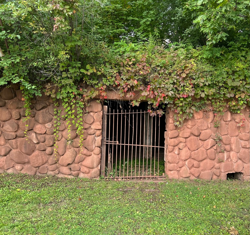
At the start was this structure.
It’s an old apple storage shed built by William Knight into the slope beneath his house and made from fieldstones collected from his orchards. This area is known for apples and I was able to buy some Wealthy’s from a local orchard.
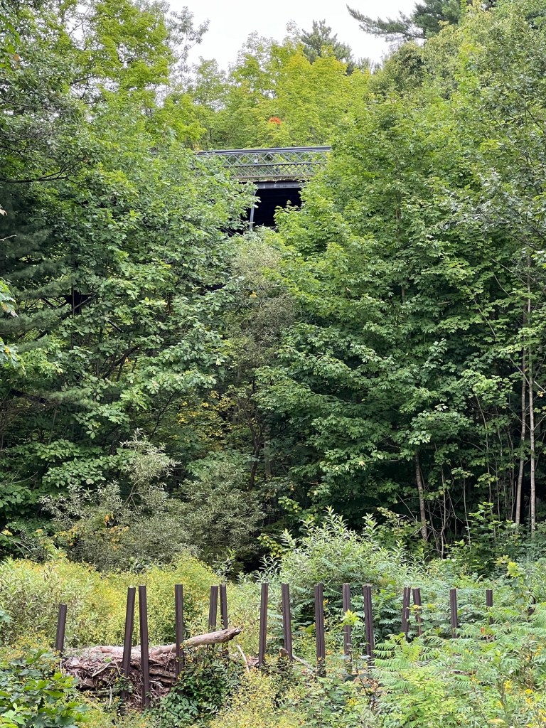
Just up the trail you get a glimpse of the iron bridge for which the trail is named. Those stakes are pieces of railroad rails implanted to catch debris when the creek floods to keep the debris out of the underground portion of the creek just below. The creek was rerouted after a flood buried downtown in mud and debris in 1942.
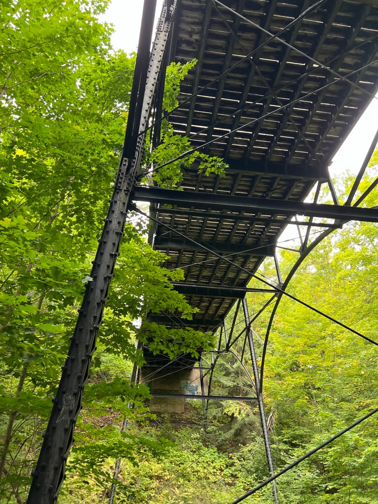
The bridge from below. The wrought iron bridge was built across the ravine in 1912 by Wausau Iron Works.
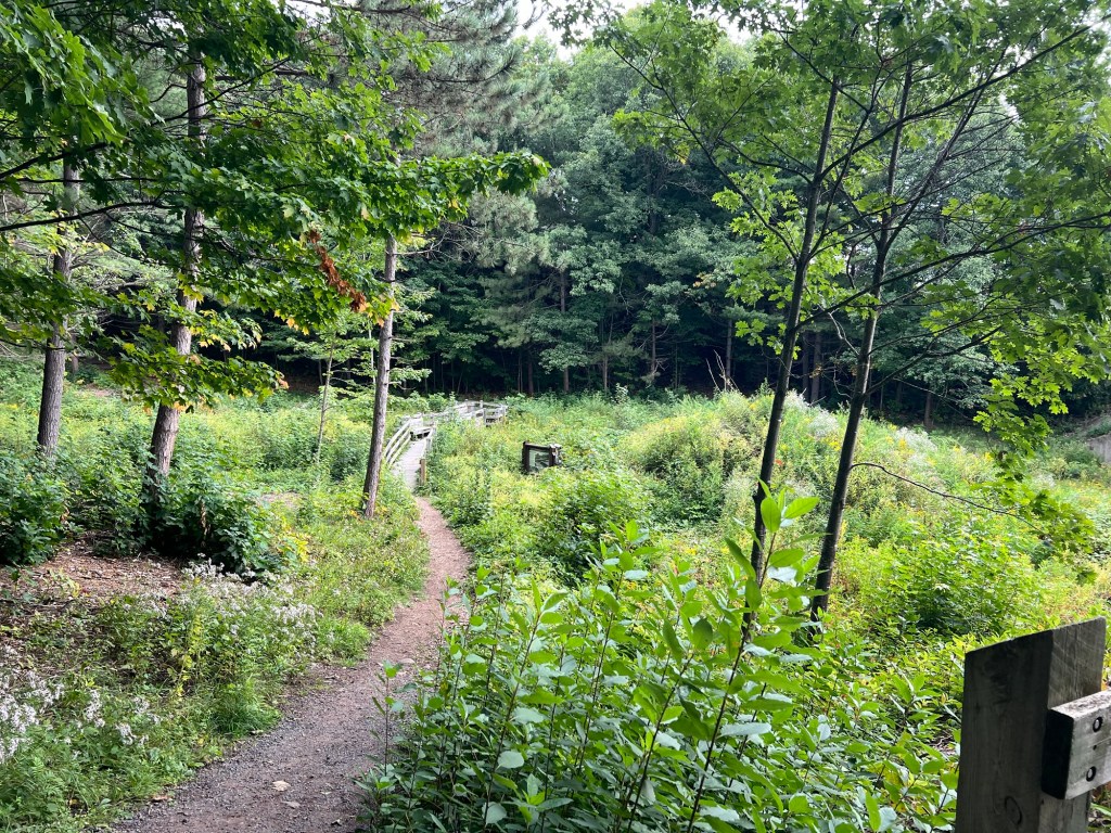
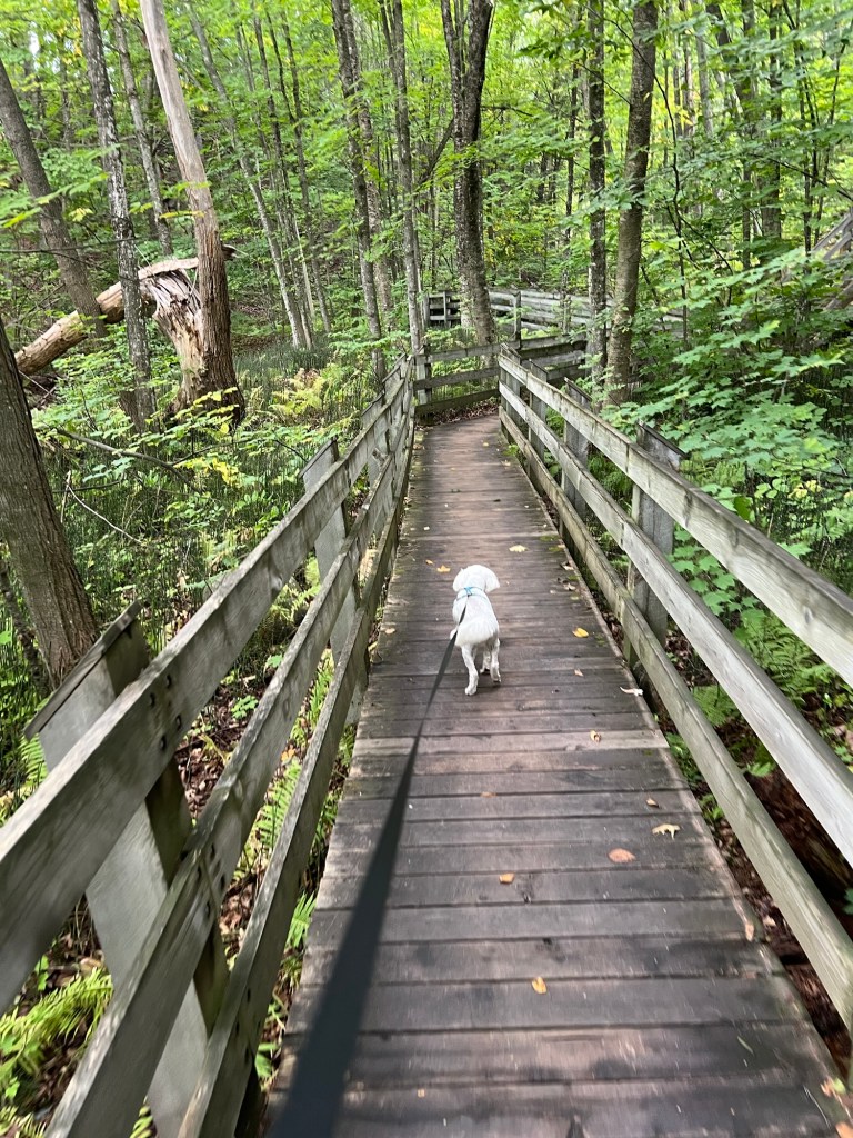
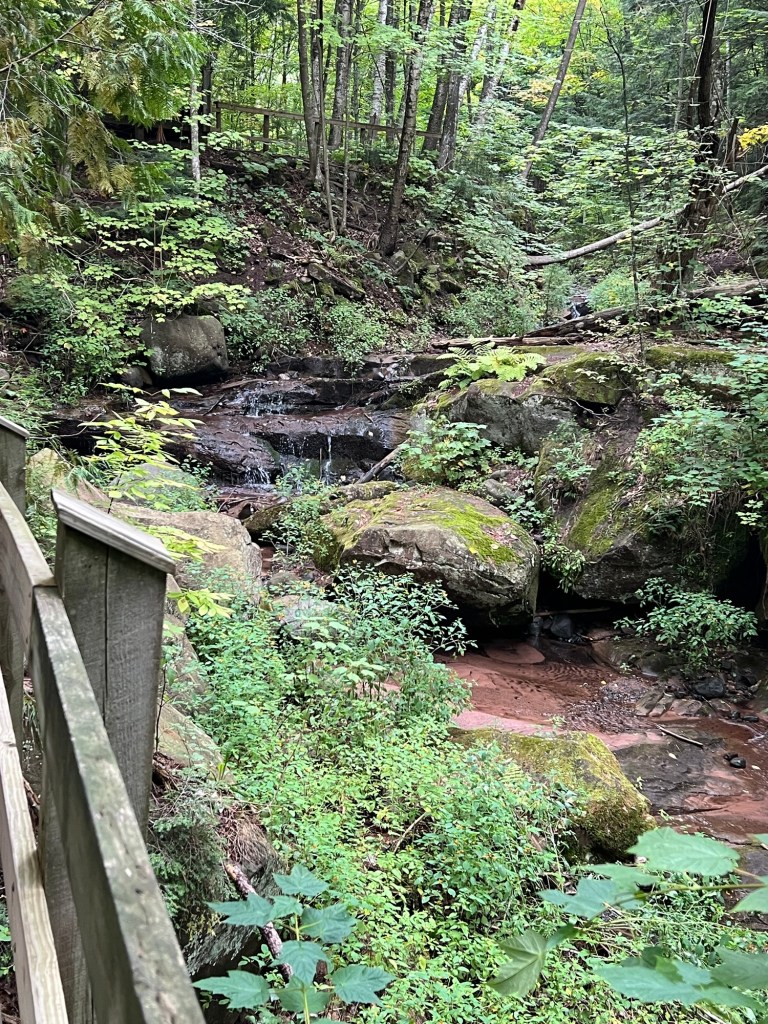
The trail continued up the ravine, now forested.
Looking back down you can see the bridge and the rather unusual ground cover of ferns and equisetum.
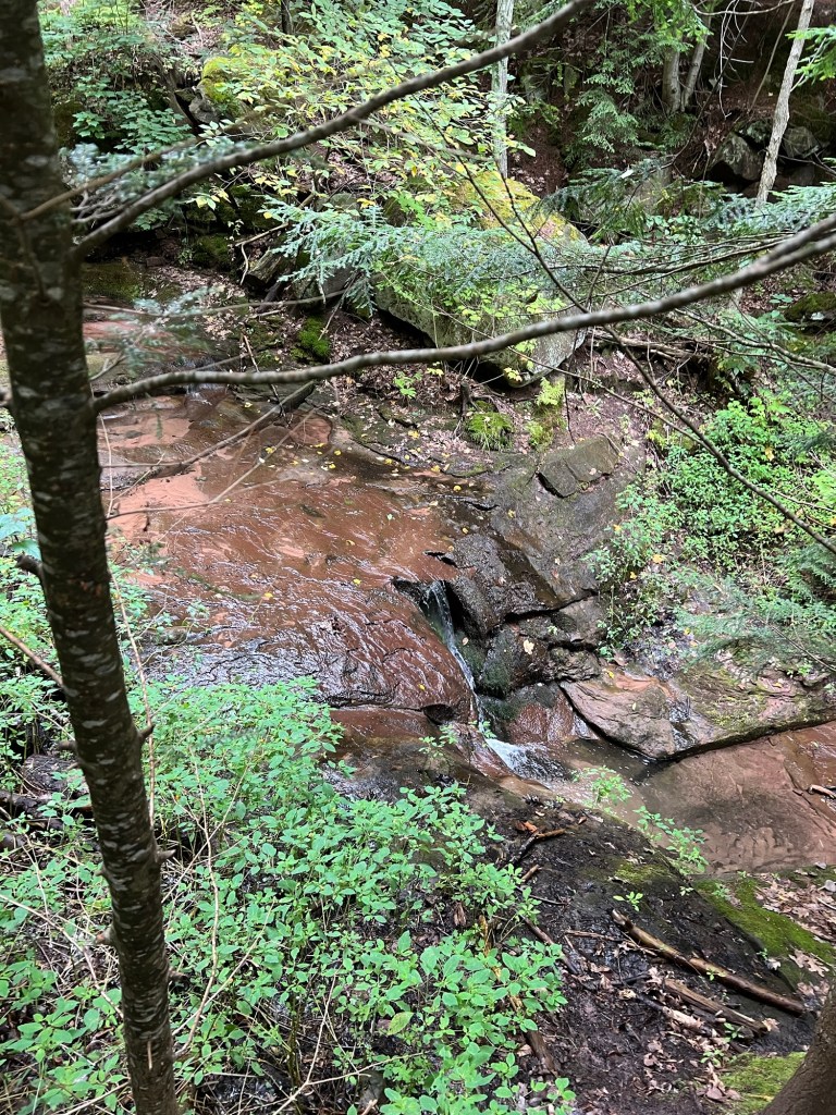
There was a trickle of a waterfall…
that came down in steps along the trail, which was starting to climb here.
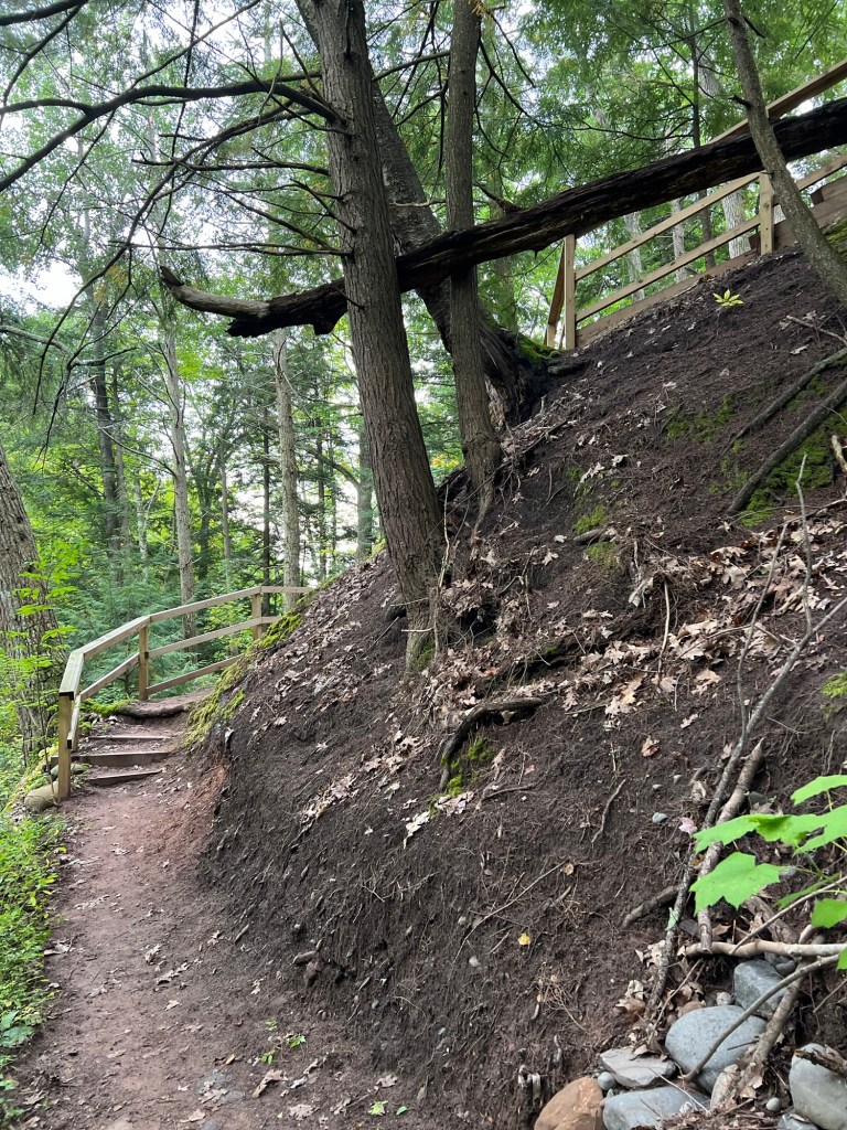
We went up…
and up,
and came out of the ravine by the school. Can you see the peak of the old school completely surrounded by the newer parts? That part was the new school when the bridge was built to give easier access from Catholic Hill to School Hill.
We walked down the street and across the iron bridge, a pedestrian only bridge since the 60’s.
There’s a nice view from the middle and you can see where the creek goes into the culvert where it now flows under downtown and out to the lake.
We continued down the streets,
past more pretty houses.
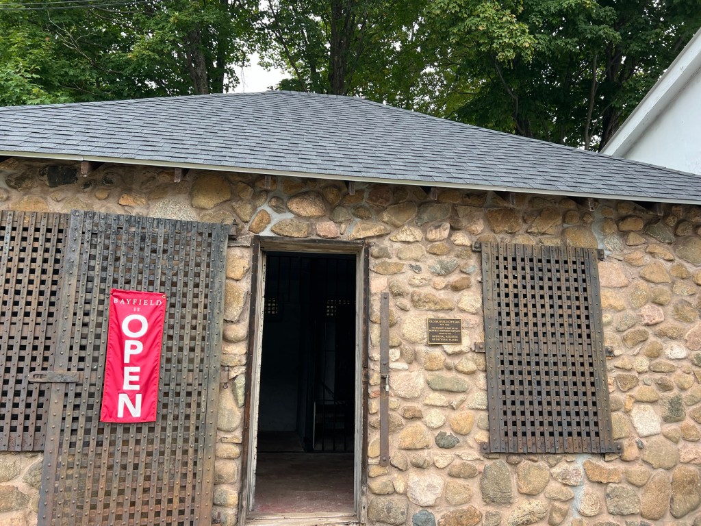
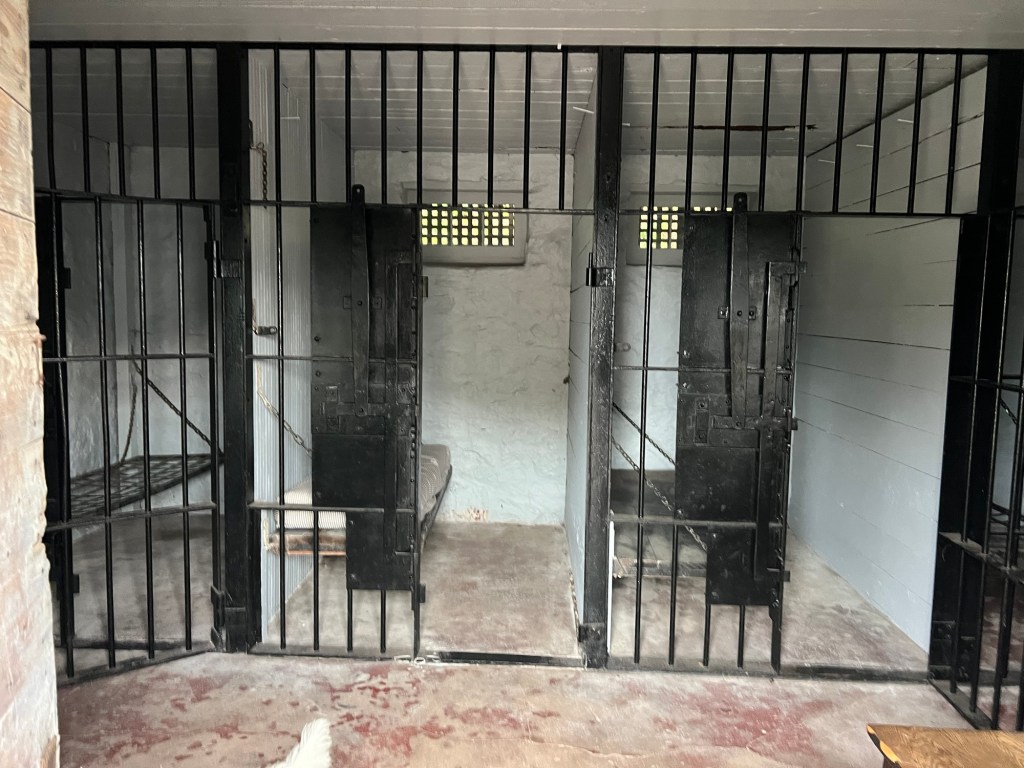
We came back to the parking lot from the other side and saw this building,
the old jail.
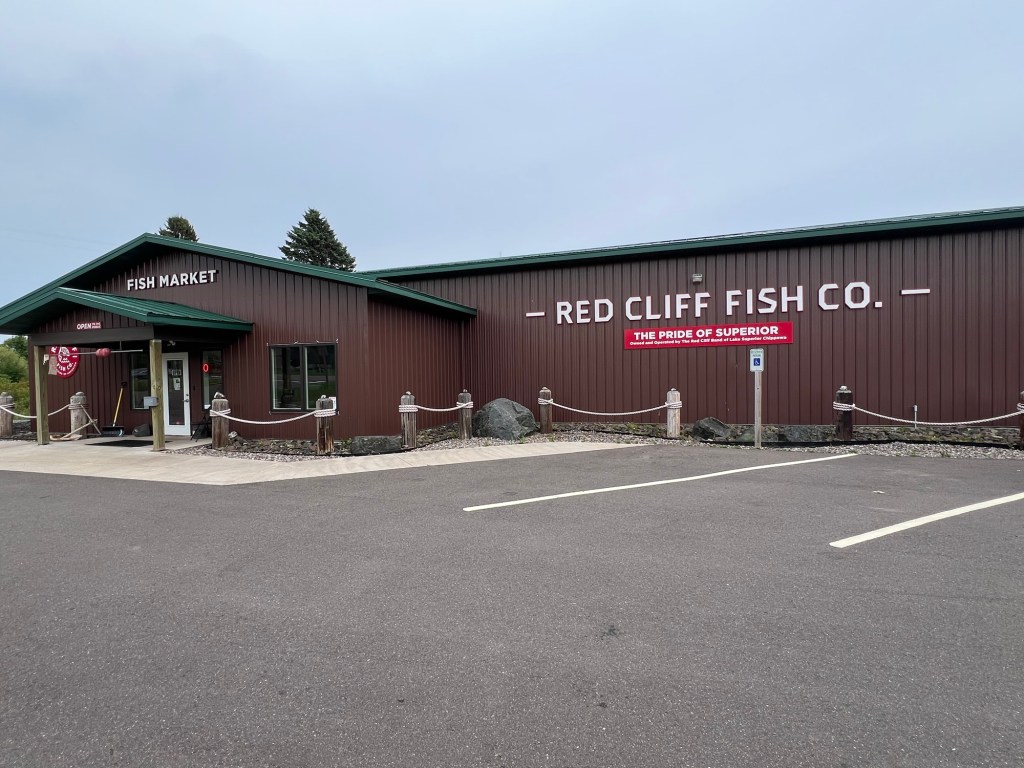
Then we went into the hills to get apples for me and came down to the shore and went to Red Cliff where Bud was able to get smoked whitefish and frozen walleye from the Red Cliff Chippewas, or Ojibways or as they call themselves, the Anishinaabeg. It’s nice to get a taste of a place, as well as taking in the sights.
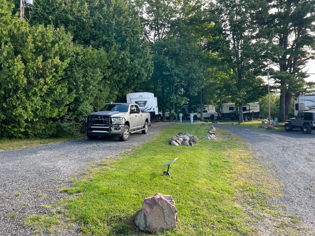
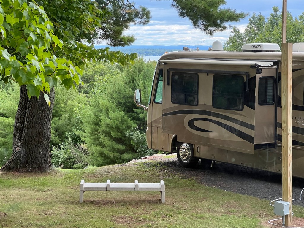
We’re at another commercial campground, but this is a far cry from our parking lot digs.
This is the Apostle Islands Area Campground, just south of Bayfield, WI and, as the name says, in the area of the Apostle Islands National Lakeshore. It is very nicely done.
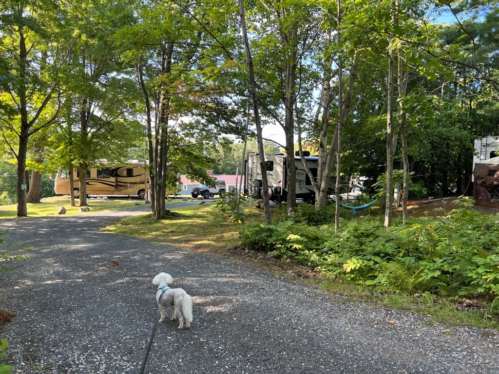
We’re in the old part and the roads and sites are tighter, but we still have enough privacy…
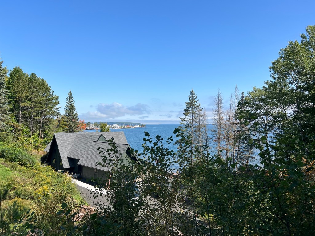
and when you’re standing and look out the dinette window you can just see Lake Superior between the motorhome and the tree across the street. The land past the water is one of the islands. Nice enough.
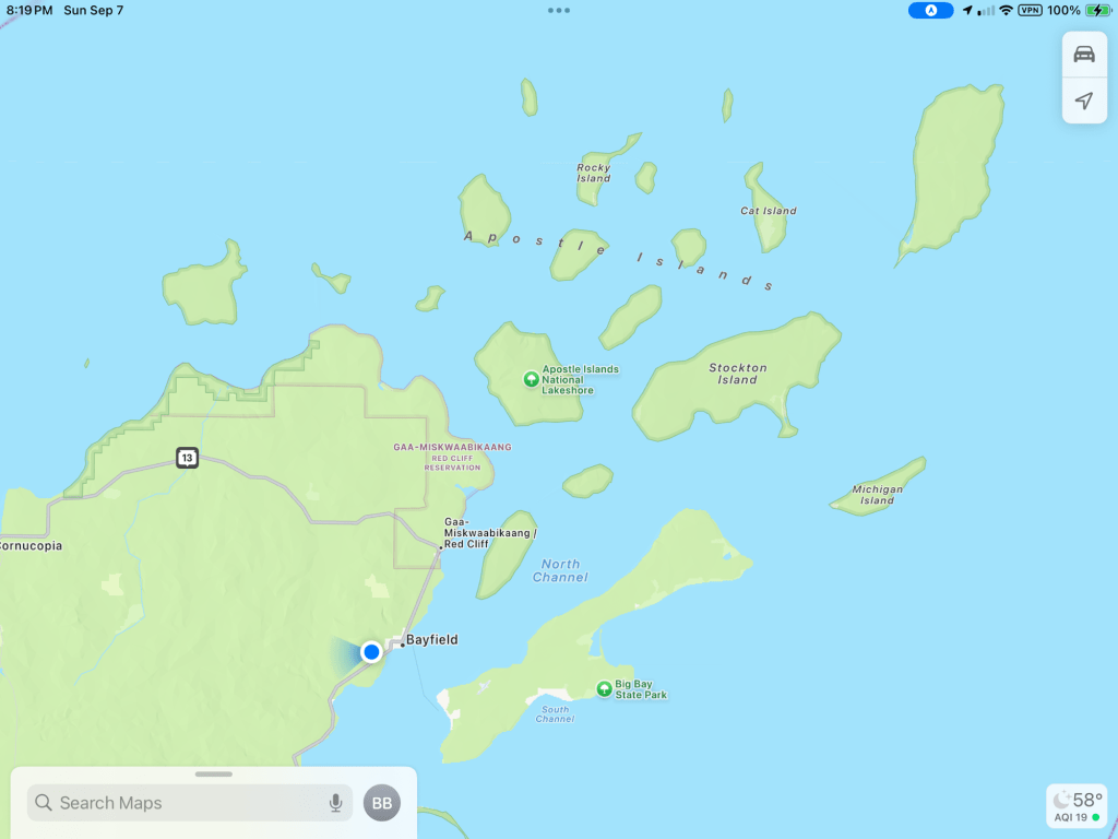
Most of the Apostle Islands National Lakeshore is out on the Apostle Islands and only reachable by boat. There is a little strip of land along the north side of the peninsula we are on that is also part of the National Park. The only national park camping is out on the islands, so we weren’t going there!
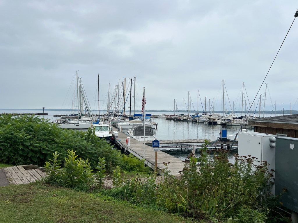
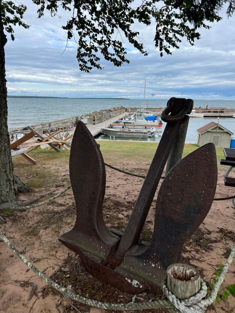
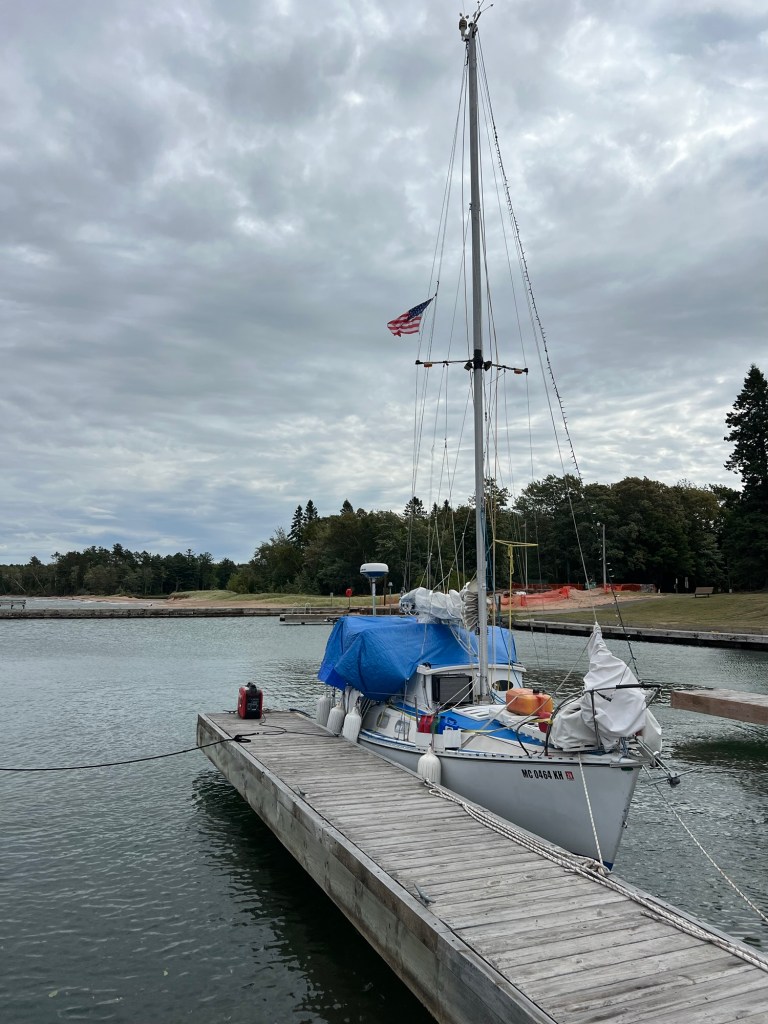
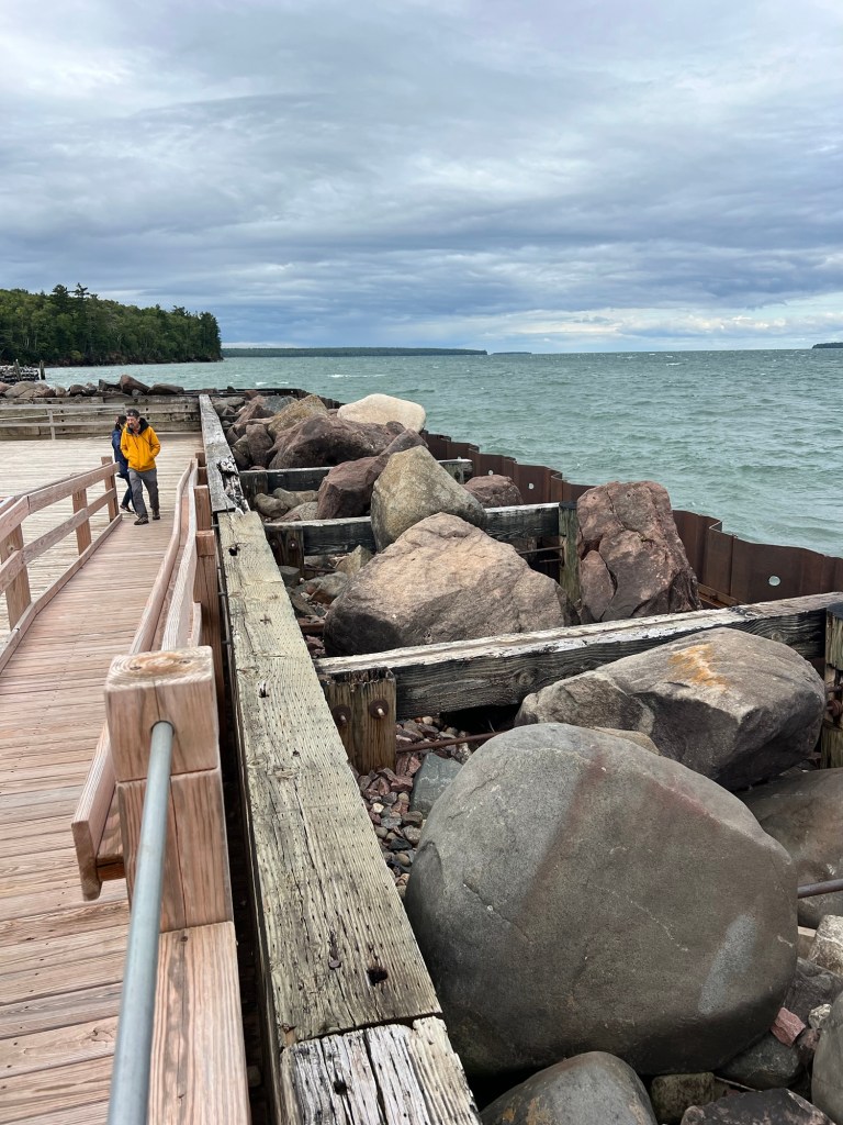
Saturday we took a drive up to the park visitor center on the north shore, about 30 minutes away. There was this very nice little marina there.
This is obviously a live-aboard sailor staying there for $15 a night. No electric, but he has a generator sitting out on the dock. He’ll need it, nights have been getting down to the upper 40’s lately.
It was only about 50 when we were there, cloudy and windy so we didn’t linger long.
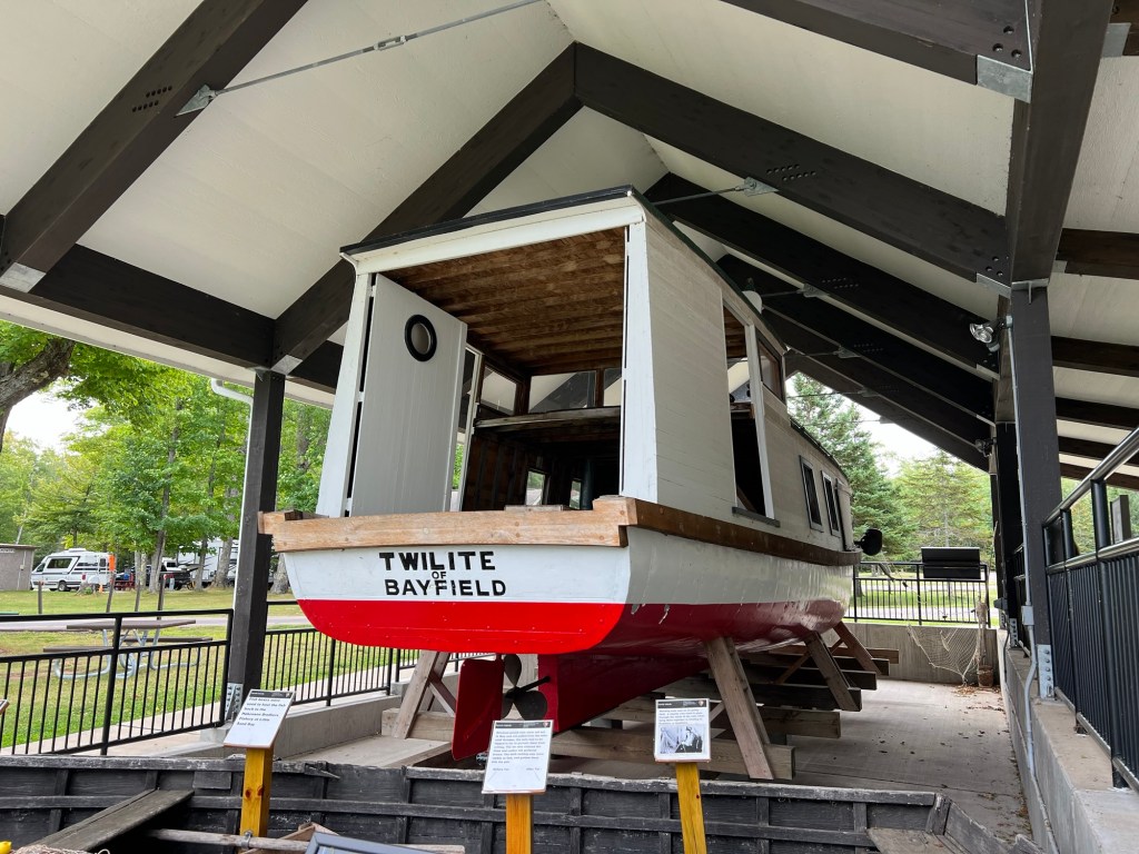
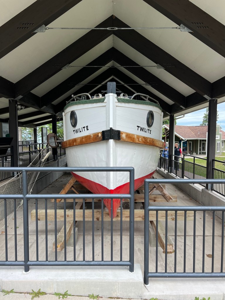
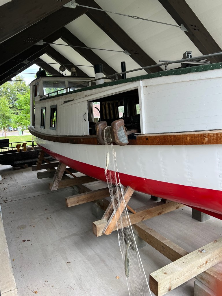
We took the time to visit the display of the fishing boat, the Twilite.
We’ve seen a lot of fishing boats like this on the Great Lakes; they’re covered.
This display showed how they fish off a covered boat. The sides have sliding panels so they can open an area on whichever side they wish to pull in the net.
Today it was nicer, less wind, more sun, so we wanted to take a walk. I had found what sounded like a nice trail just a few miles away on the reservation of the Red Cliff Band of the Ojibways.
It was at Frog Bay Tribal National Park, the first Tribal National Park in the United States.
The trail started on a bridge across a ravine.
It was easy to follow…
and had just enough structure to protect you from mud and the forest from compaction. I liked the way they modified these fallen trees rather than removing them.
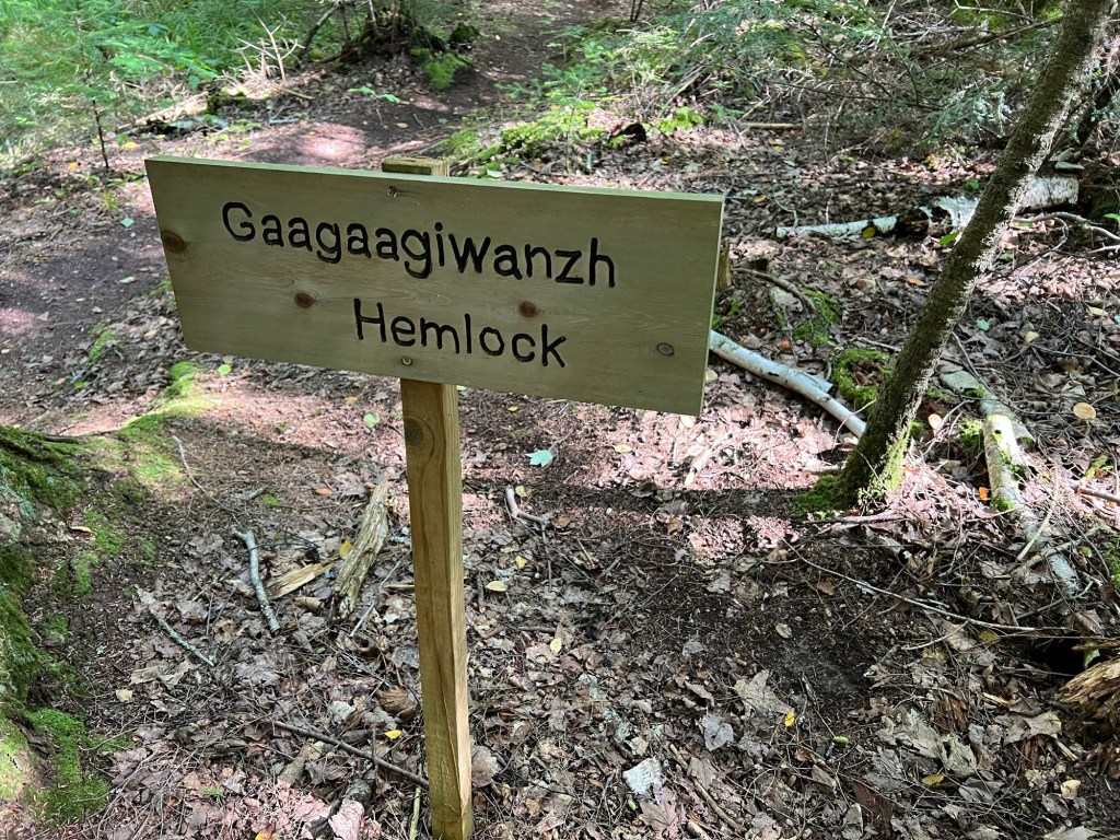
But best of all they had trees labeled in Anishinaabeg as well as English. Many of the signs were hand carved,
but some were printed signs with more information.
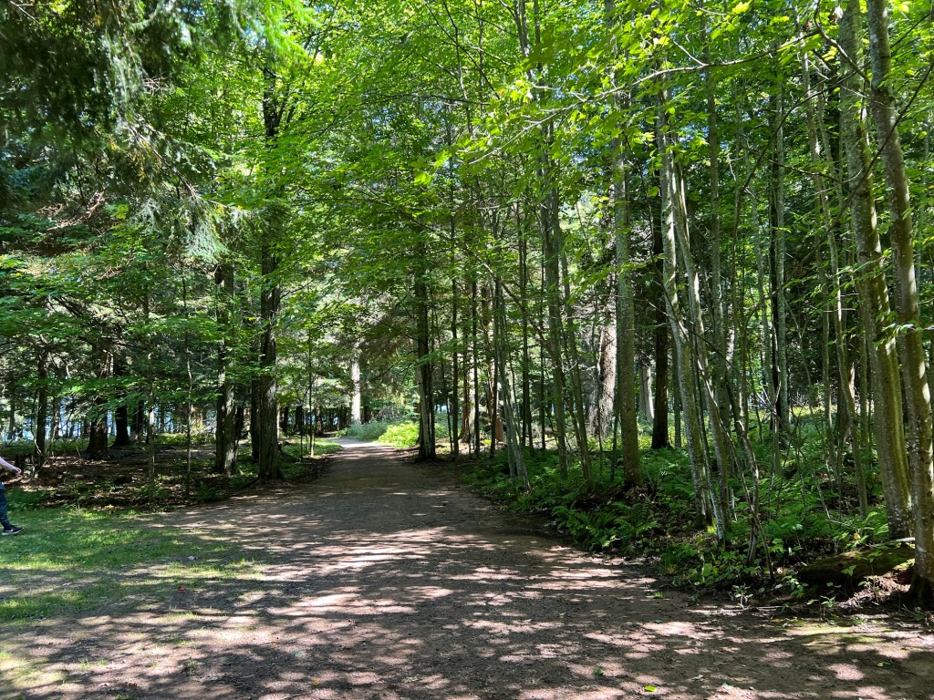
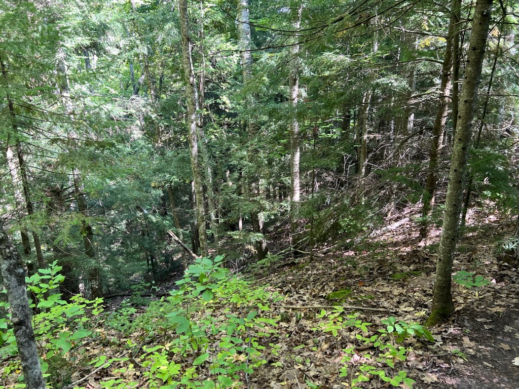
After a nice meander through the woods…
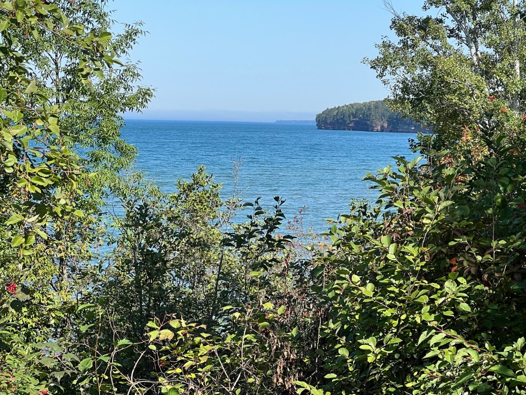
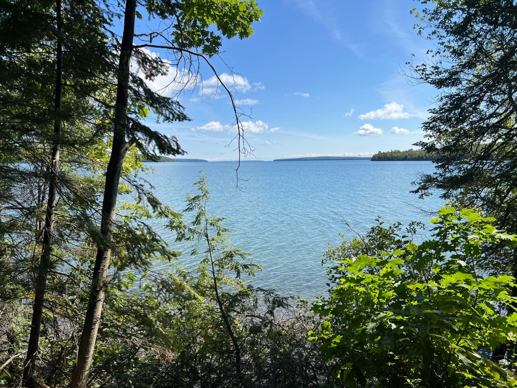
we came to the edge of the lake.
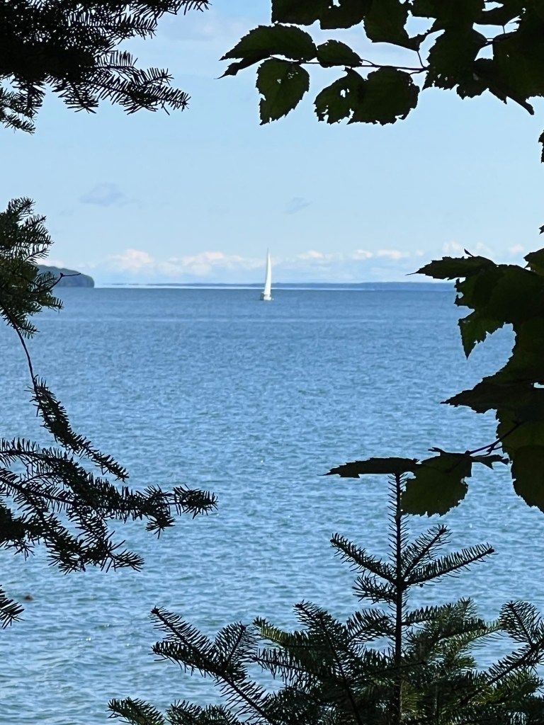
There was a sailboat out there among the islands.
The trail led to this nice little beach.
You could see a number of the Apostle Islands just offshore.
There was a bench and we sat and enjoyed the view for a bit and then looped back to the parking lot on a more direct dirt track. What a lovely discovery.
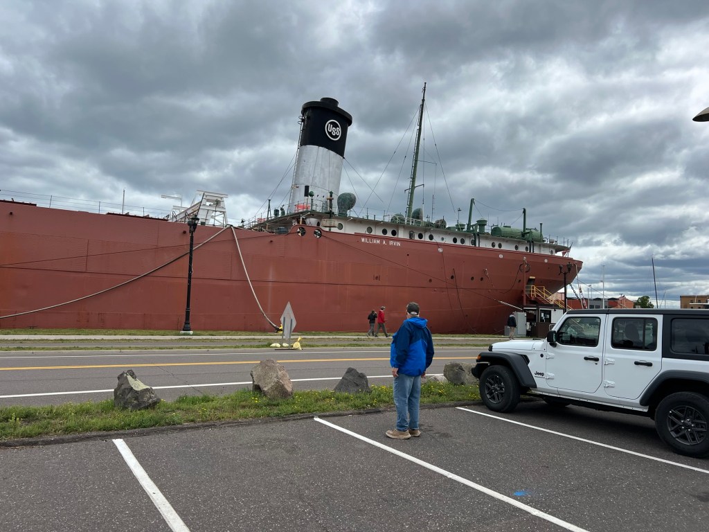
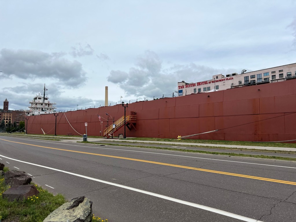
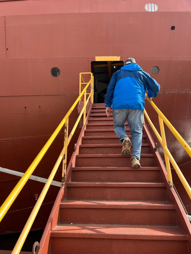
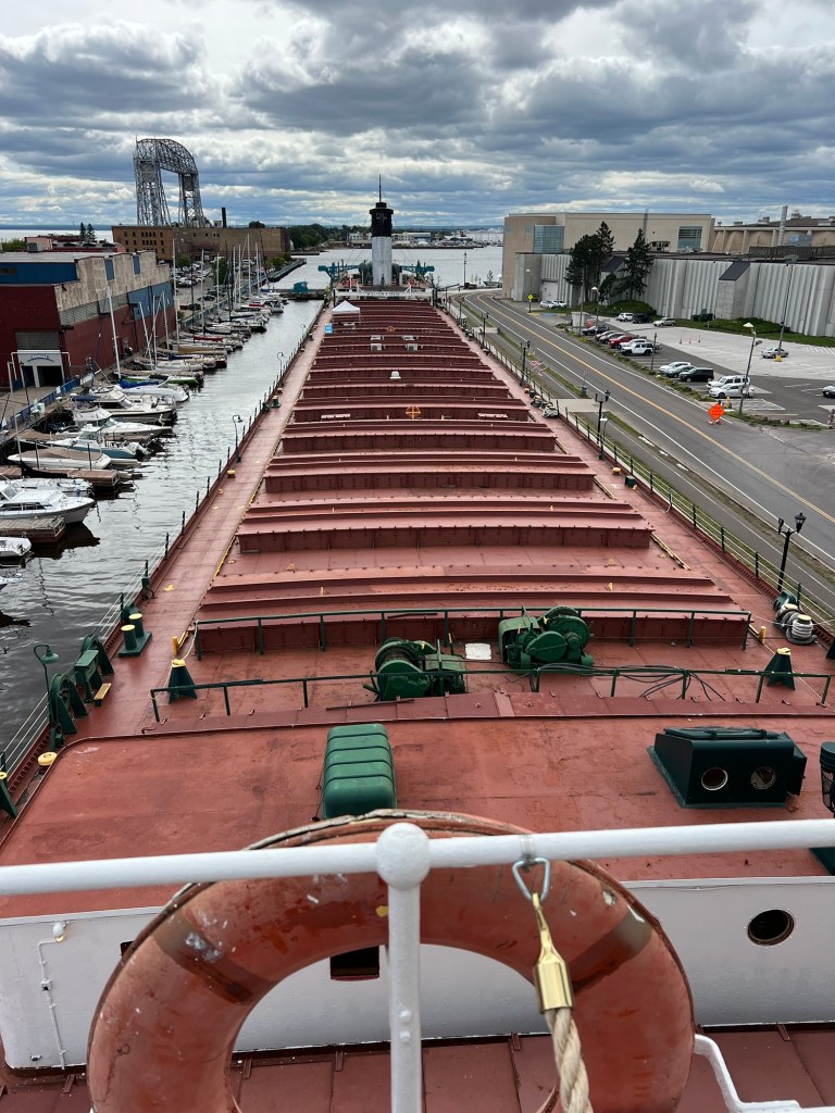
Thursday was our last day in Duluth and it was chilly and drizzly, so it seemed like a good day to tour the William A. Irvin, a retired bulk carrier owned by the city and berthed just across the canal from our parking lot campground.
She was built for US Steel in 1937 and when she was launched in 1938 she was the biggest ship on the Great Lakes at 610 feet long and 60 feet wide. She was named for the president of US Steel at the time, William Irvin.
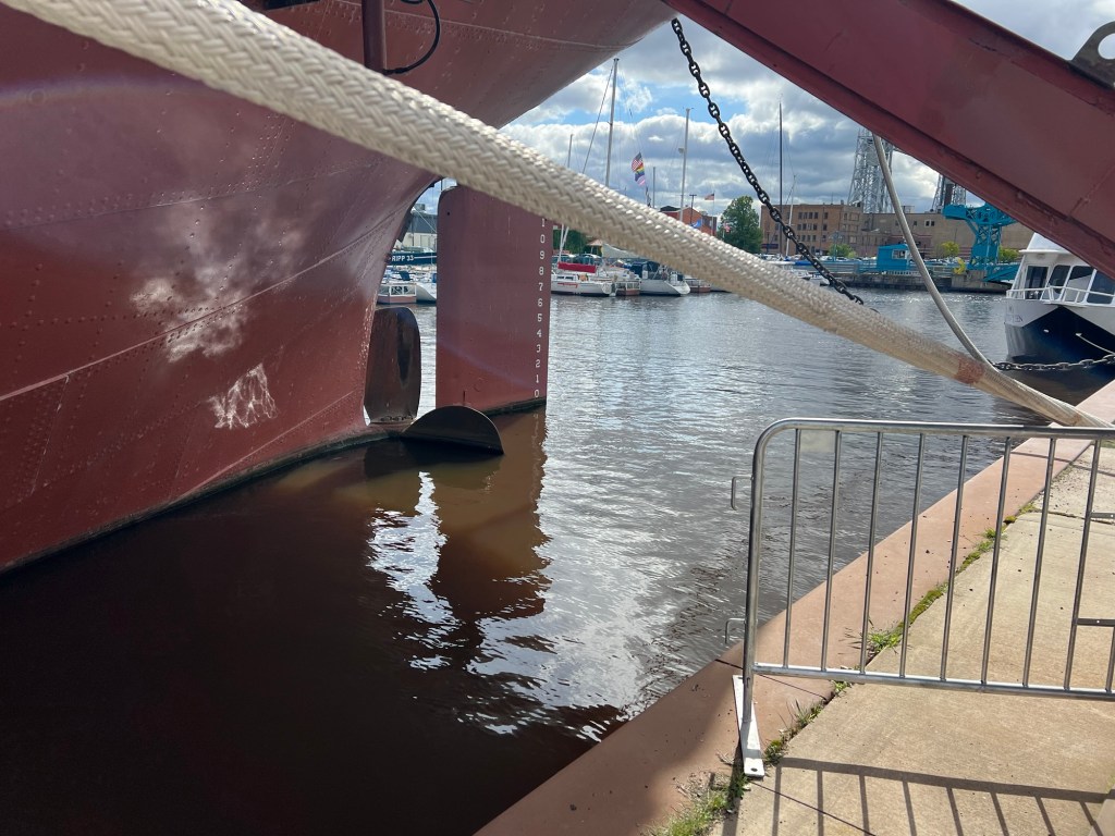
Her last voyage was in December of 1978, hauling a small load of coal from Sandusky to Duluth. Although many of her crew expected to be back aboard in the spring, the move in December from the unloading dock to the Fraser Shipyards where she was prepared for winter was the last time this 15’ 6” propeller drove her through the water. (In use there would be enough weight in her hold to sink the hull to the point where the entire propeller was underwater.)
Since then when she has been moved in the harbor tugboats have moved her. And recently when she was taken to a shipyard to have her hull refurbished, front end loaders inched her out of her slip, as there is only 15 inches to spare in the gate through which she must exit. The docent said she made it out and back without a scratch. Good thing they have tugs and front end loaders, as this huge ship has just a single screw and no thrusters!
Although she is massive, she was retired when USS launched its first 1,000 footer. And so she became a tour boat.
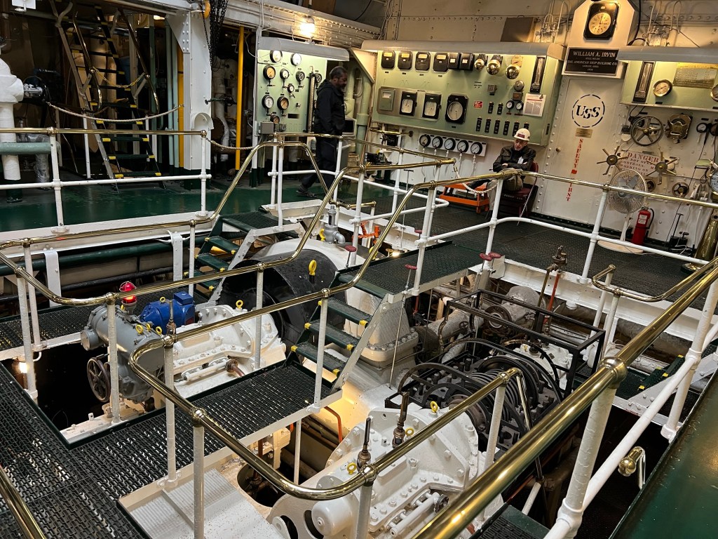
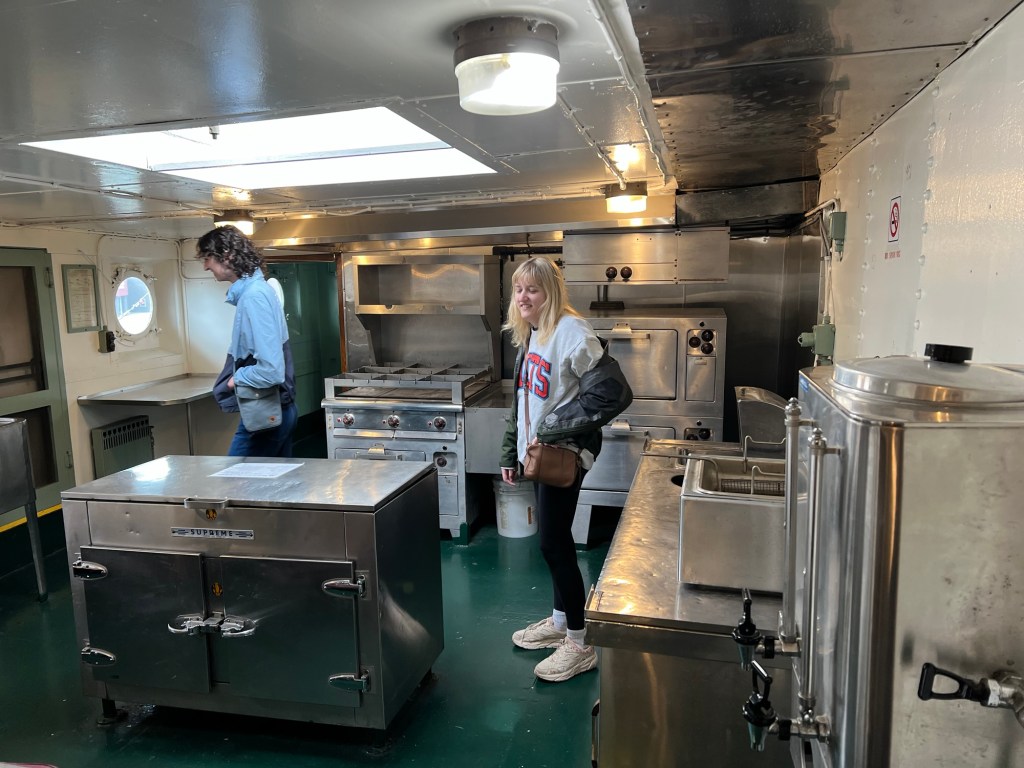
The tour starts near the stern in the engine room, where you can see her two coal fired steam engines. They burned 1.2 tons of coal per hour and generated 2,000 horsepower.
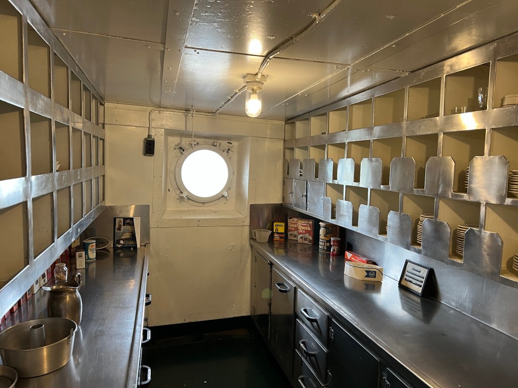
Also in the stern are the main galley,
and the pantry.
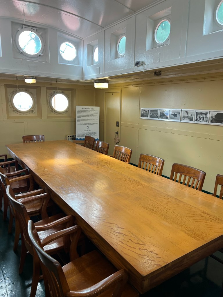
The Irvin carried 9 officers and 22 crew. This was the officers dining room in the stern.
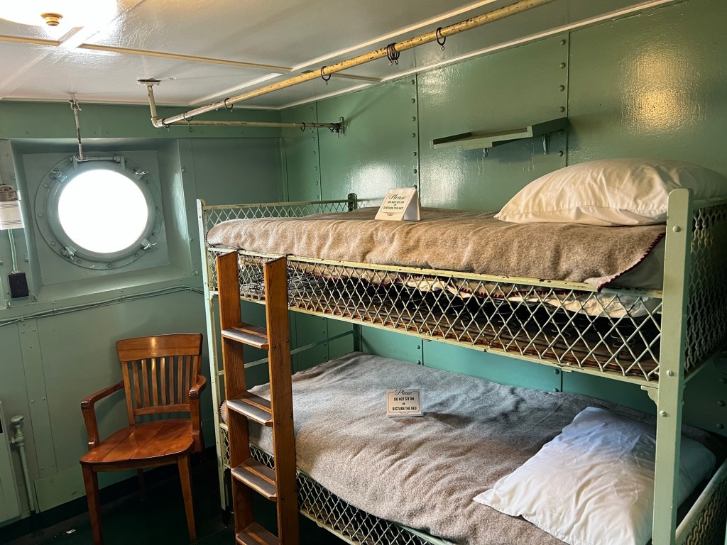
And this was one room of the crew quarters.
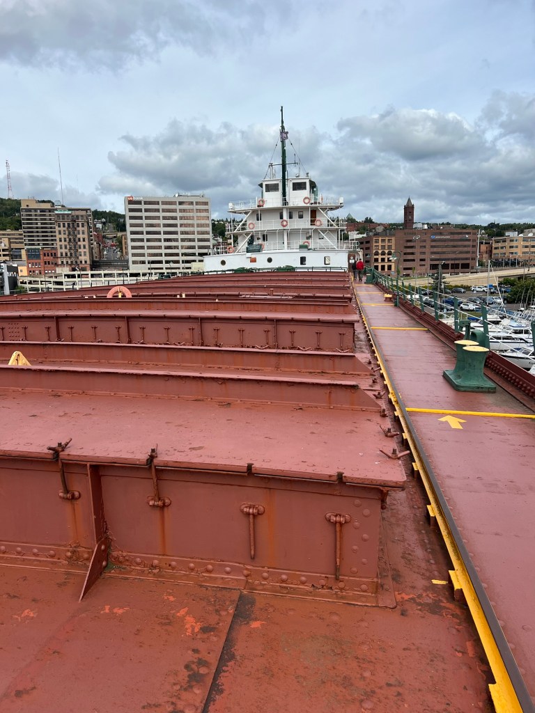
Walking up to the bow and looking back you really got a sense of the size of this ship. She was the flagship of the USS fleet for many years. She was one of the first ships to be welded, not riveted. She was also one of the first ships to have below deck passages from bow to stern so in bad weather the crew didn’t need to walk on the deck.
In 1940, using the new Hulett cranes on the shore, the William A. Irvin set a record that still stands by unloading 13,856 tons of iron ore in 2 hours and 55 minutes. Ships are now self unloading, which requires no machinery on shore, and they can unload somewhat faster than that record, but no ship without self unloading has ever beat her record.
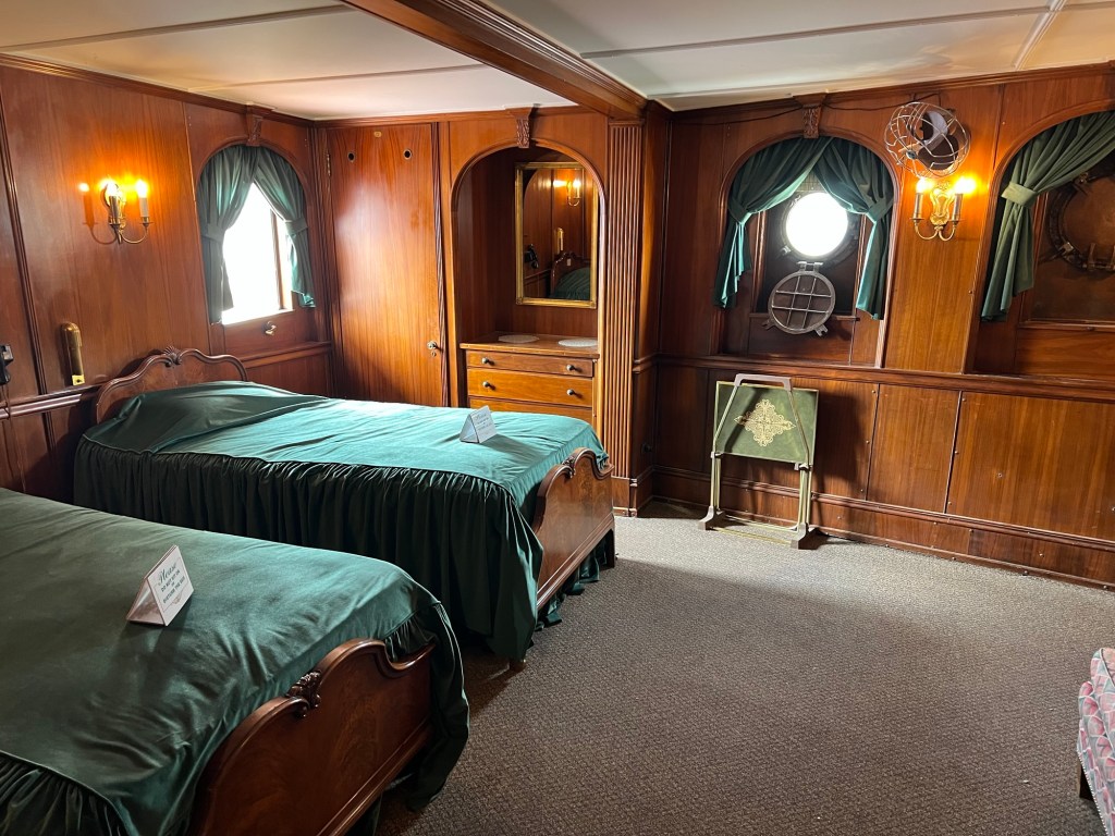
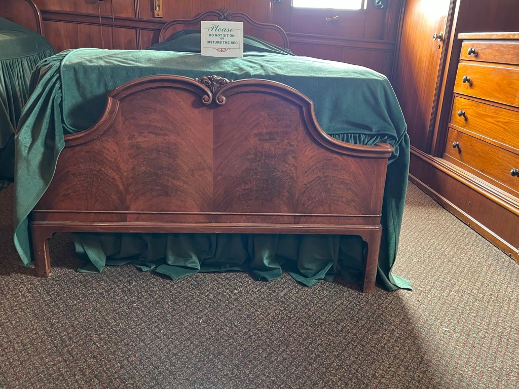
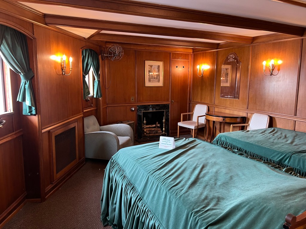
The Irvin was also unusual in that she had three decks to her bow cabin, not the usual two.
The added middle deck accommodated four guest cabins,
with electric fireplaces.
Since the decks are cambered for strength, the legs on the beds were different lengths to fit the camber.
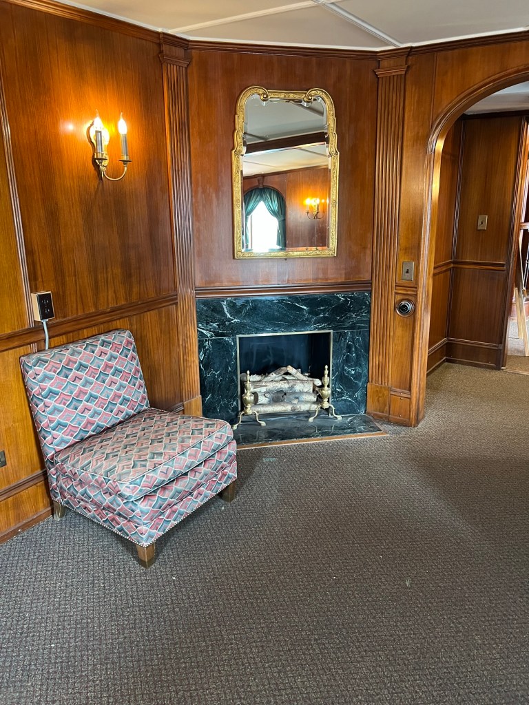
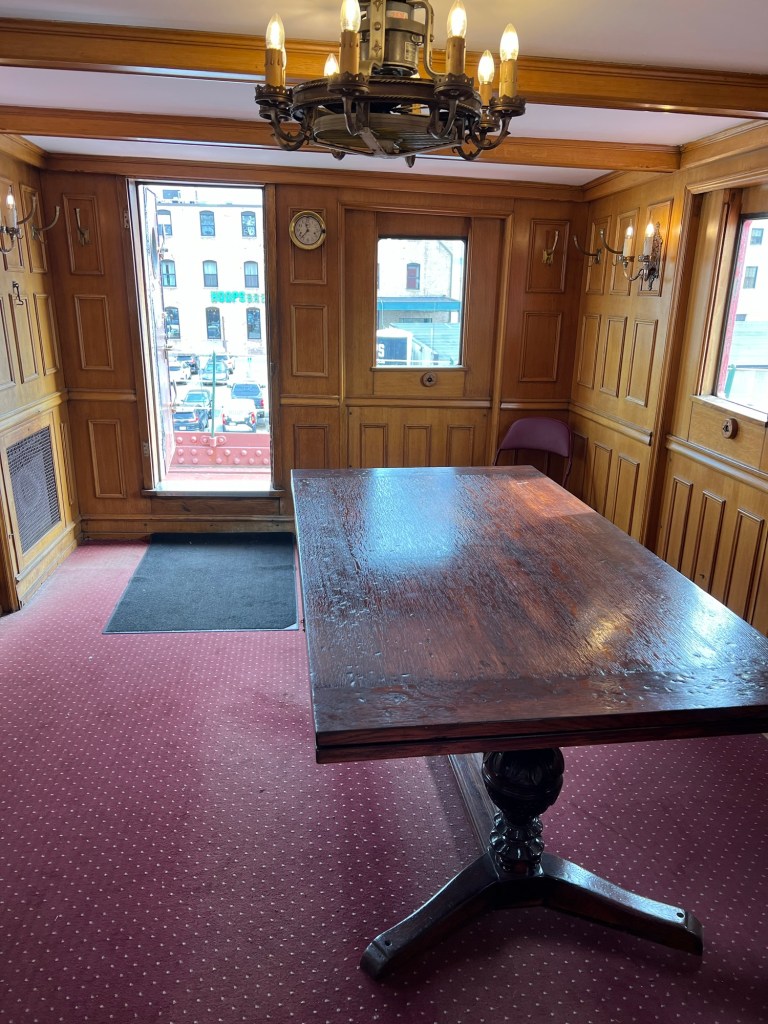
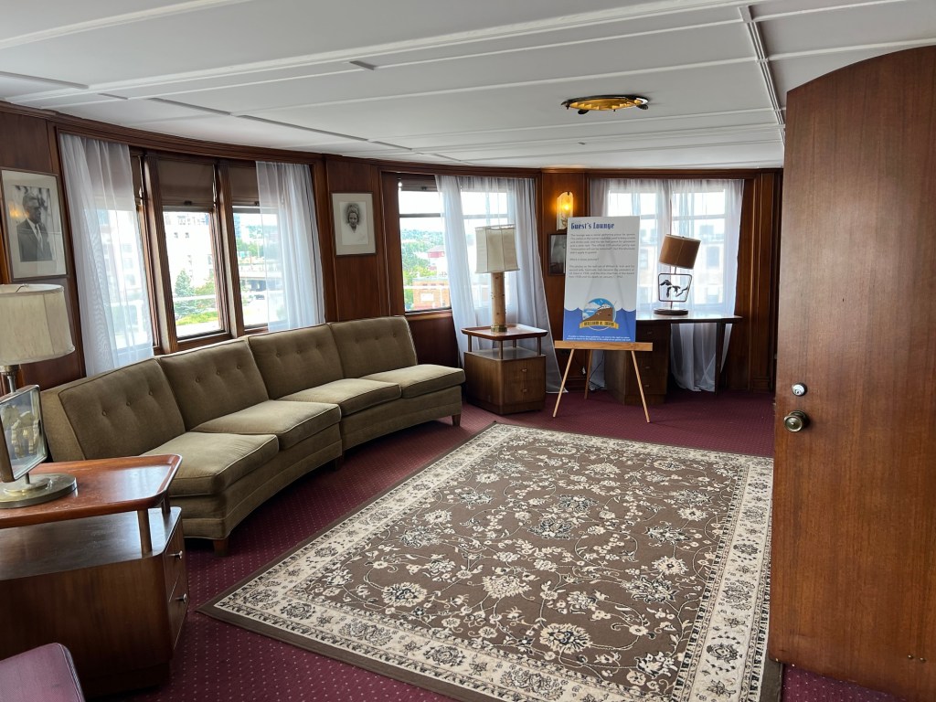
There was a dining room…
and a lounge.
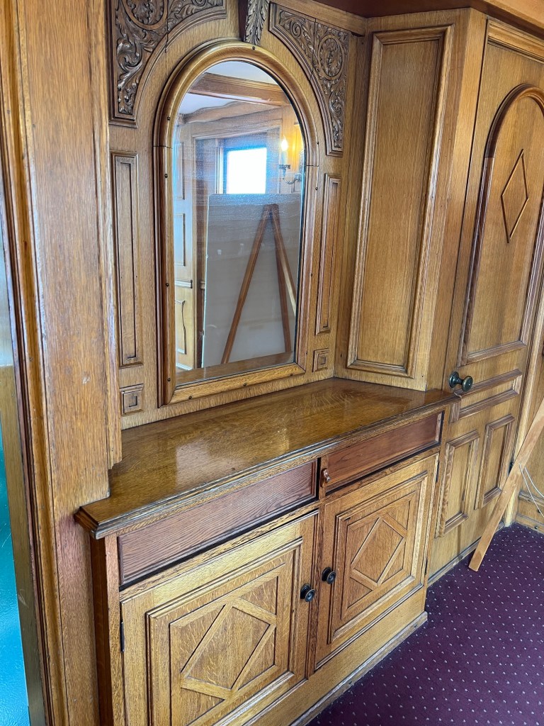
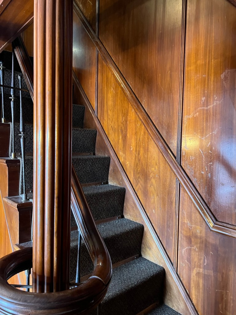
It was all done in oak and walnut veneer.
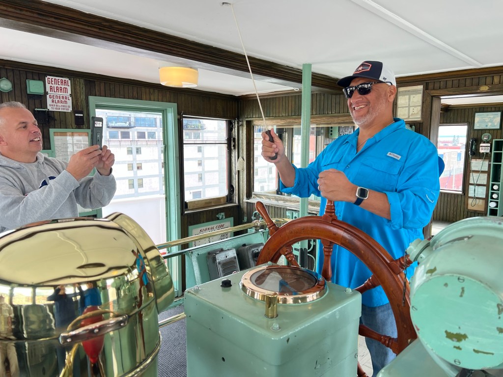
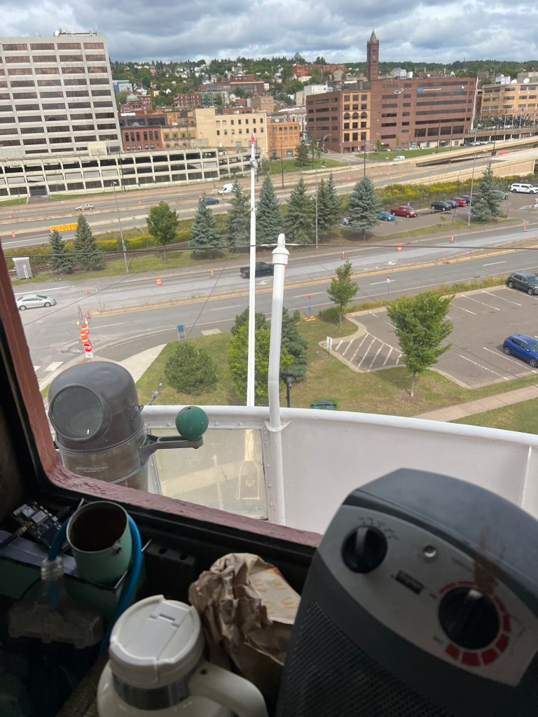
Going up to the top deck…
you find the wheelhouse. There were four retired navy men who were visiting and obviously enjoying the nostalgia. The docent explained that since this wasn’t a navy ship it was a wheelhouse, not a bridge. You had a wheelman at the wheel, not a helmsman at the helm.
The cabin and its wheelhouse were at the very front of the ship. I asked why now all the lake freighters have the wheelhouse in the back. The docent said that’s because of radar. Without radar you need the captain and the wheelman right at the front so they can see obstacles in the fog. With radar, it’s cheaper to build everything in the stern, where the engine and engine room and most of the crew have to be. And you don’t need to go between the bow and the stern anymore.
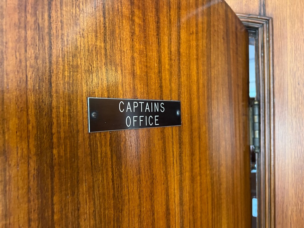
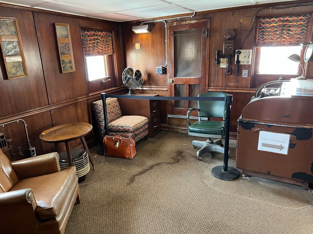
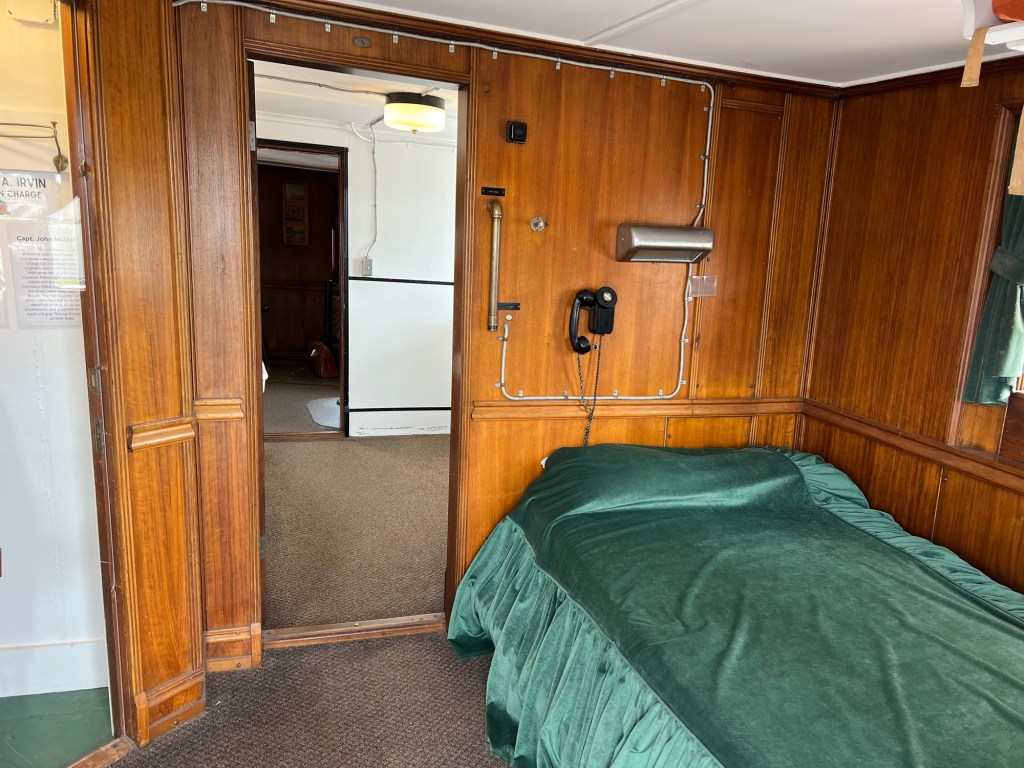
On the Irvin the Captain’s office,
which we walked through,
and his quarters are on the top deck of the bow cabin, just behind the wheelhouse. I noticed the phone on the wall behind his bed so he can always be reached at a moment’s notice.
That was a fun tour, and with accommodations like this I would have loved being a guest back when she sailed!