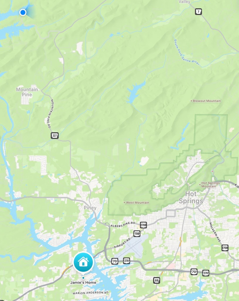
We’re now at the blue dot, and we’re pretty much straight north of Jamie. If you look just northeast of Hot Springs you might be able to see the tiny red dot I put on Gulpha Gorge Campground. We are only a couple of miles further from Jamie, but now we’re out in the country and not on the edge of the city.
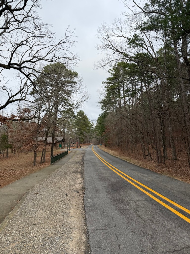
This is the highway here and it dead ends just past the campground.
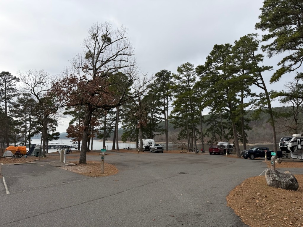
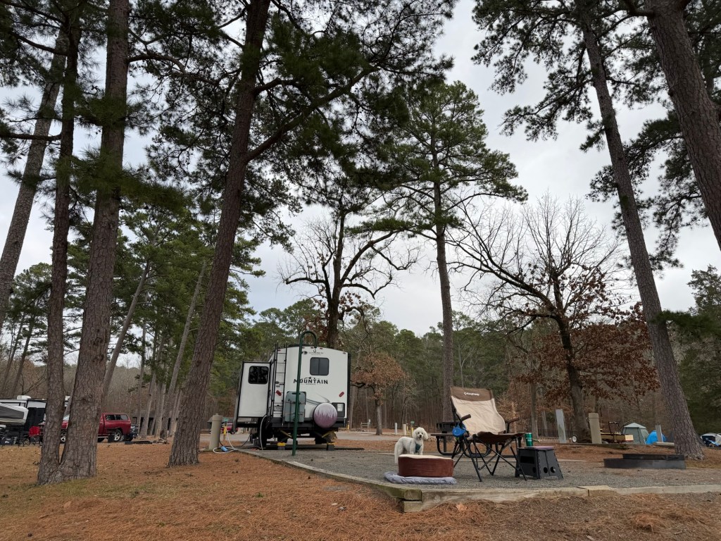
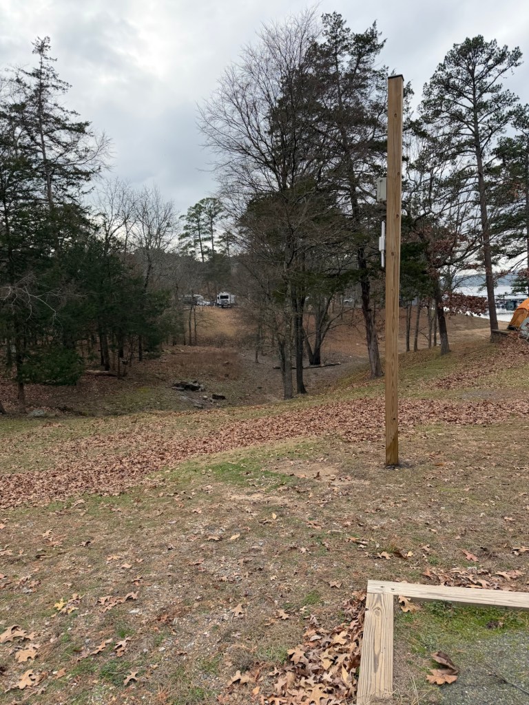
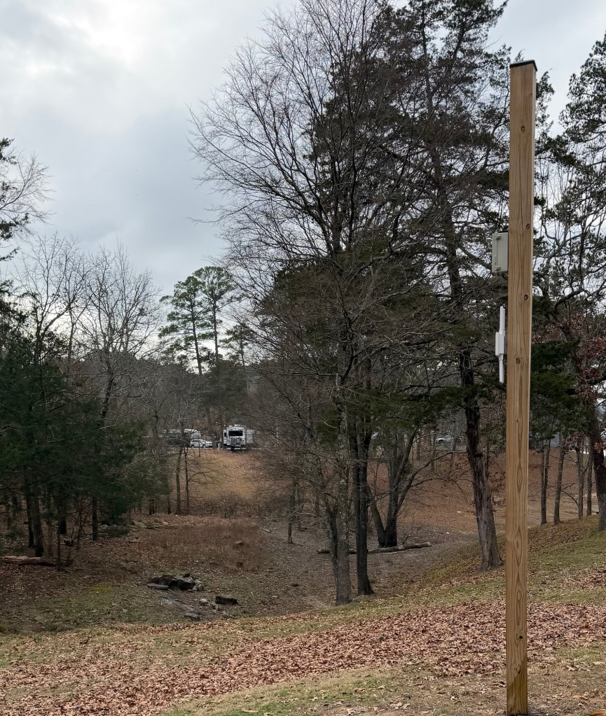
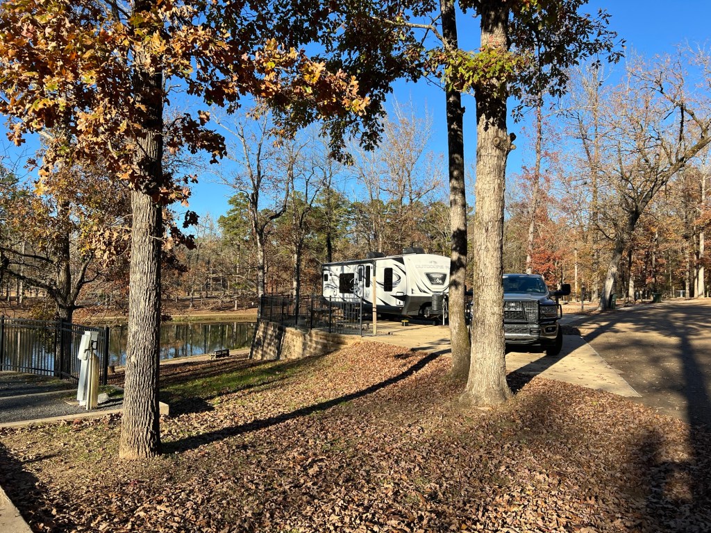
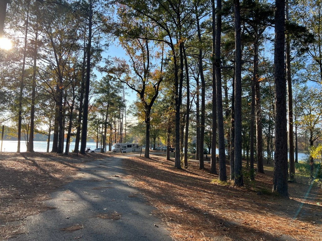
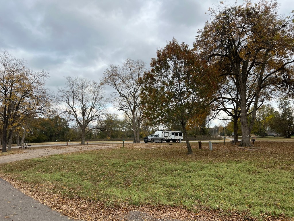
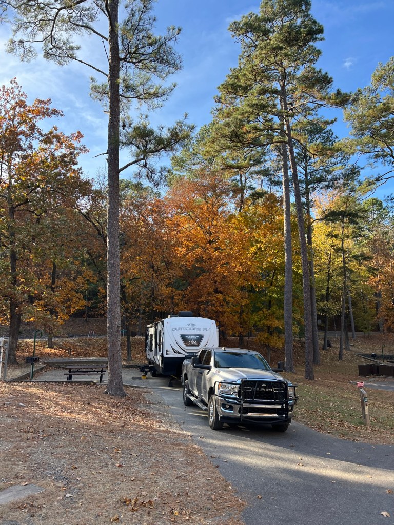
Our site is pretty nice,
with a gravel “patio” lakeside.
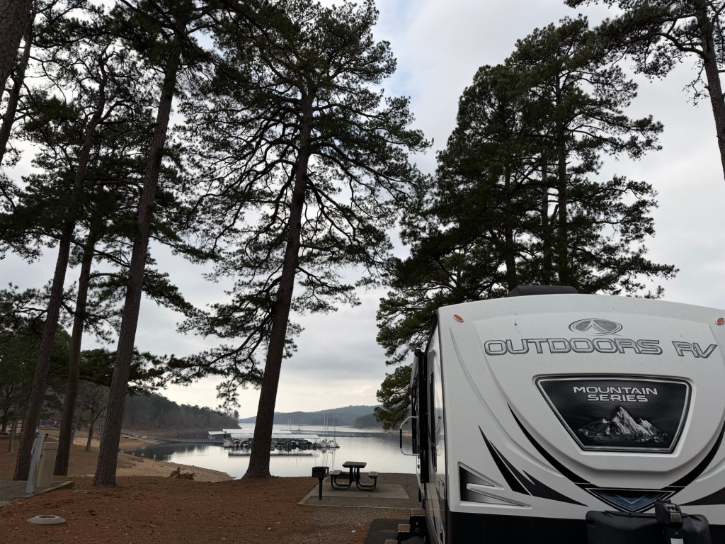
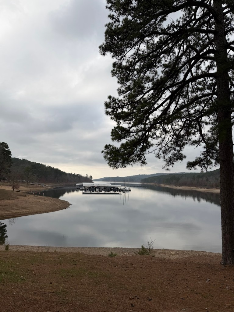
A nice view sitting out,
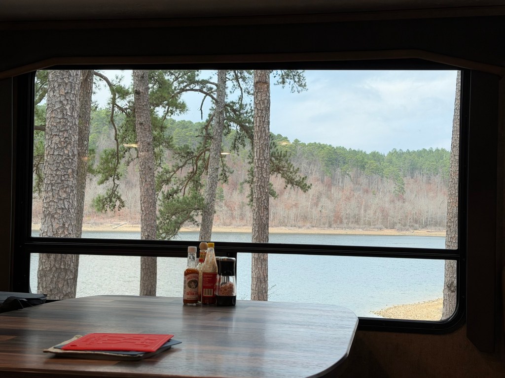
and for that matter, a fine view sitting inside.
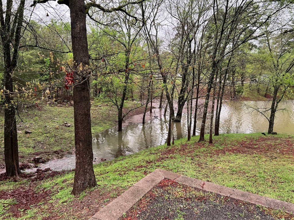
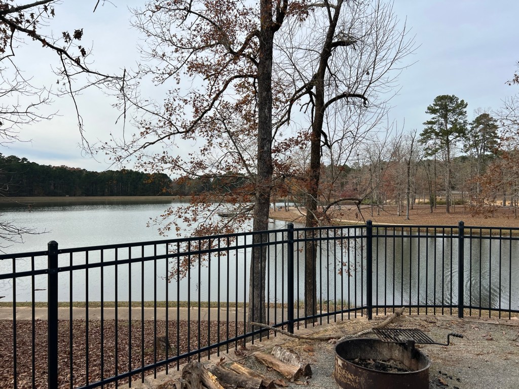
By the way, we were last here the first week of April, 2025, during torrential spring rains.
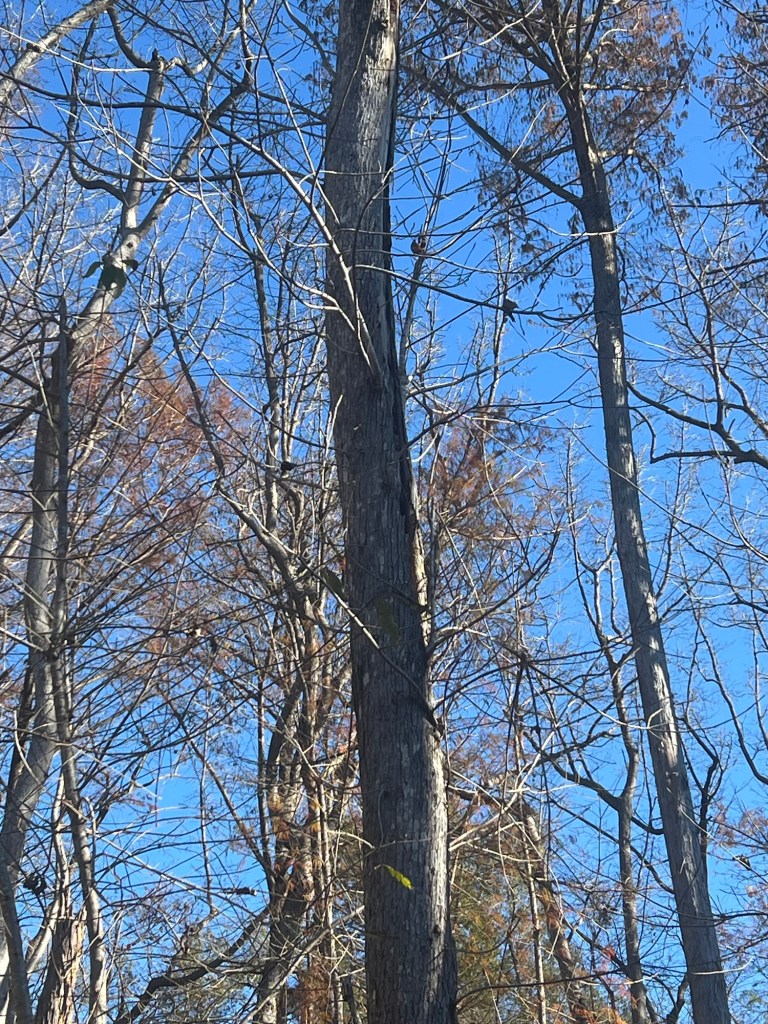
The water is nowhere near, now. This isn’t quite the same angle as someone is in the campsite where I took the photo last spring,
but that double trunk tree is the one surrounded by water in the earlier photo.
So colder and drier now, and still a fine place to call home.
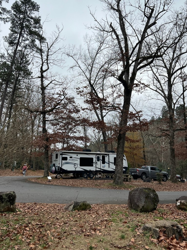
We’re back at Gulpha Gorge Campground in Hot Springs, and this feels as much like home as anywhere.
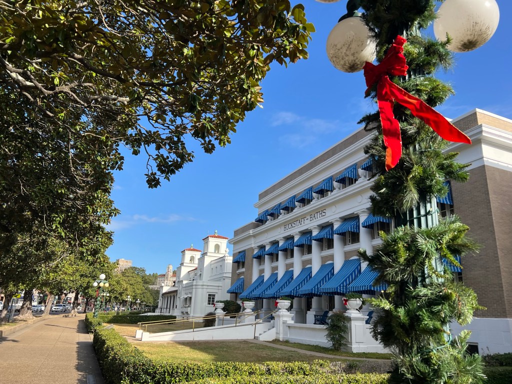
Bathhouse Row is all decked out for the holidays,
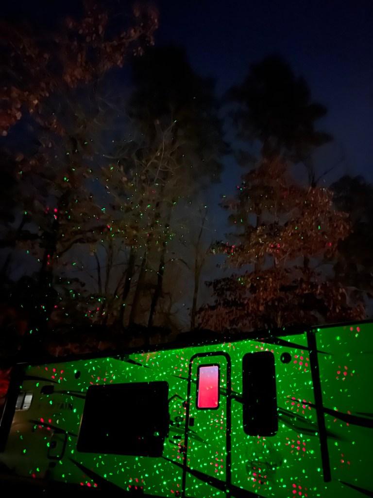
as is the camper (and the trees behind us).
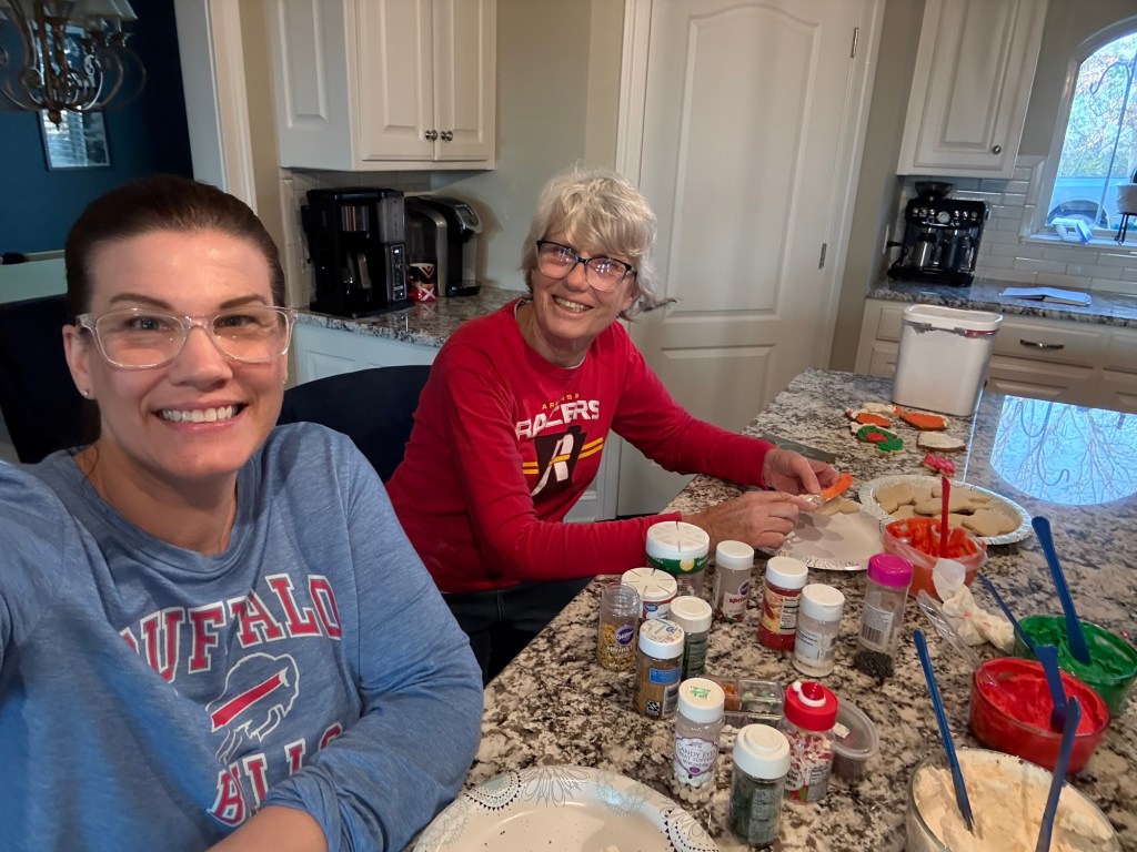
It’s time for traditions. Sunday I helped Jamie with cookies. Sean was out trying to put up new lights, Adler was sick, Jacey wasn’t there and Tia has her own apartment, so it was just the two of us.
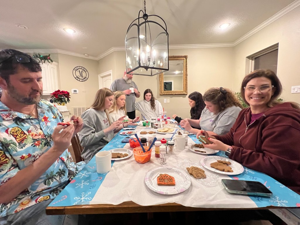
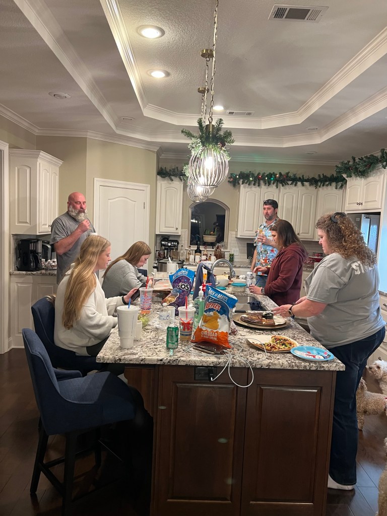
Christmas Eve friends of theirs came over and we decorated the last of them. They have been doing this every Christmas Eve for about eight years. Adler joined us just after I took this photo, so he missed the picture. Bud was home sick, but was able to join us Christmas morning.
I hope all of you are having a lovely holiday season with your family and friends.
Happy Holidays to all from beautiful Hot Springs, Arkansas.
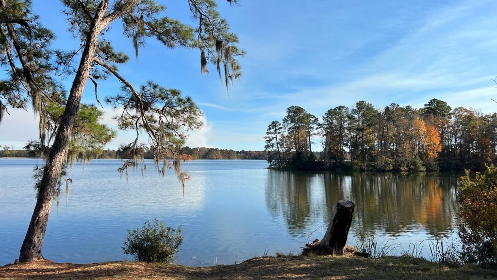
When we came into Lincoln Parish Park near Ruston, Louisiana, I was hoping we liked it, because I had inadvertently booked us back here for January 16-21 on our way out of the Hot Springs area after the holidays.
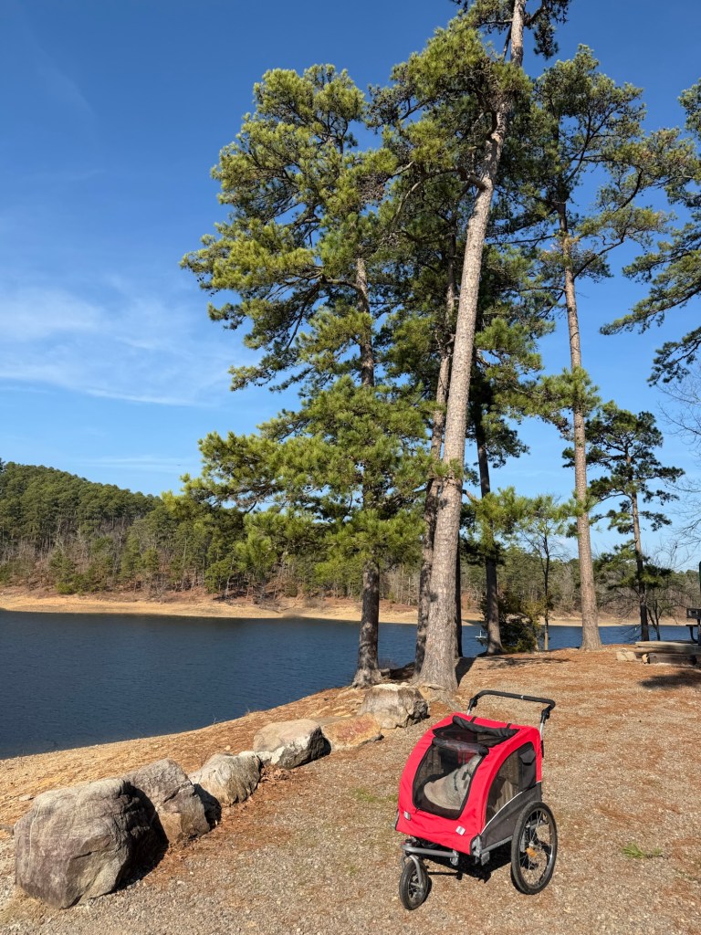
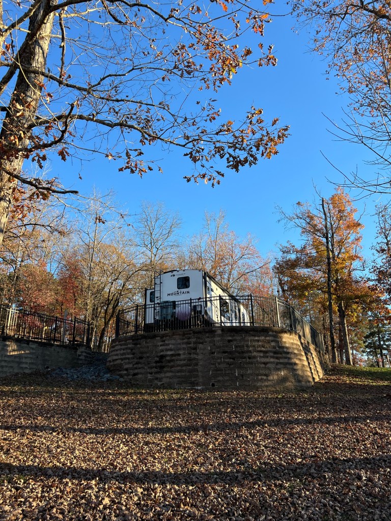
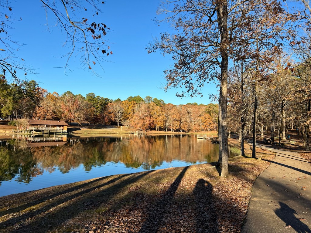
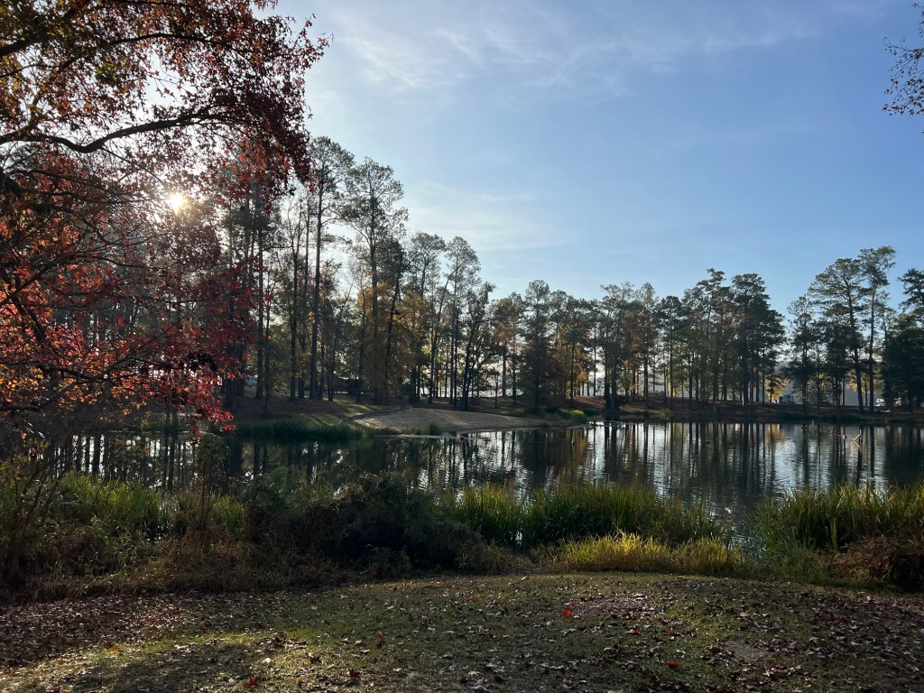
We were delighted to find the lakeside sites were raised and paved giving us what amounted to a private patio…
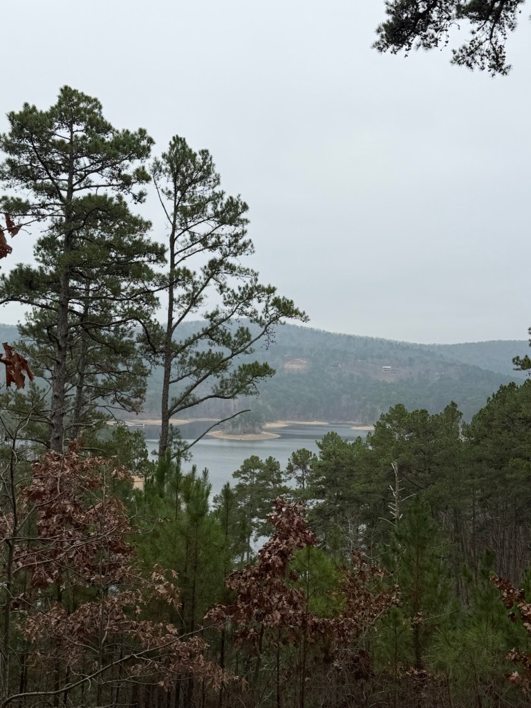
overlooking the reservoir.
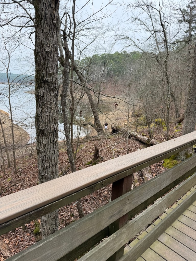
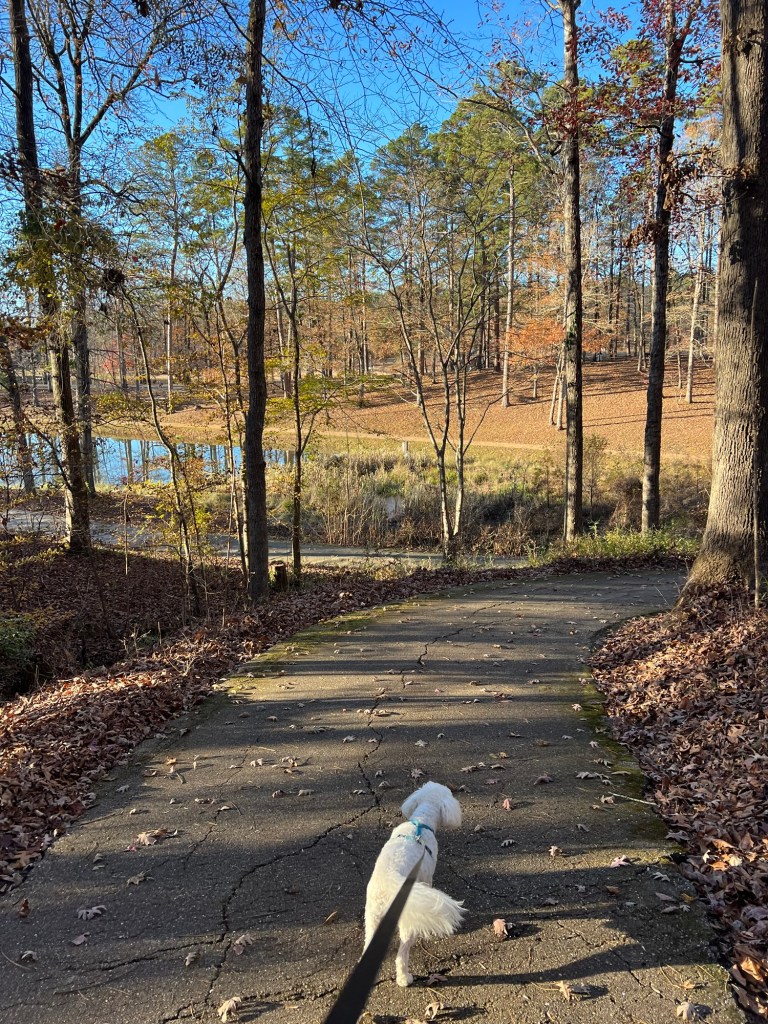
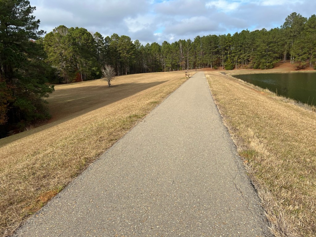
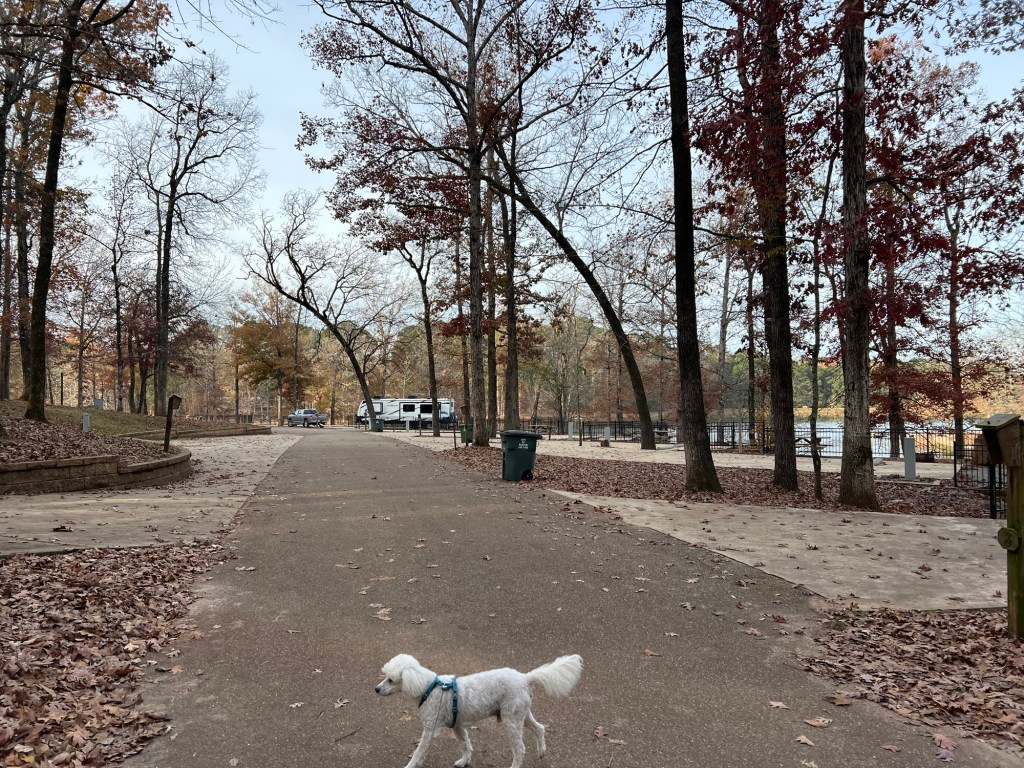
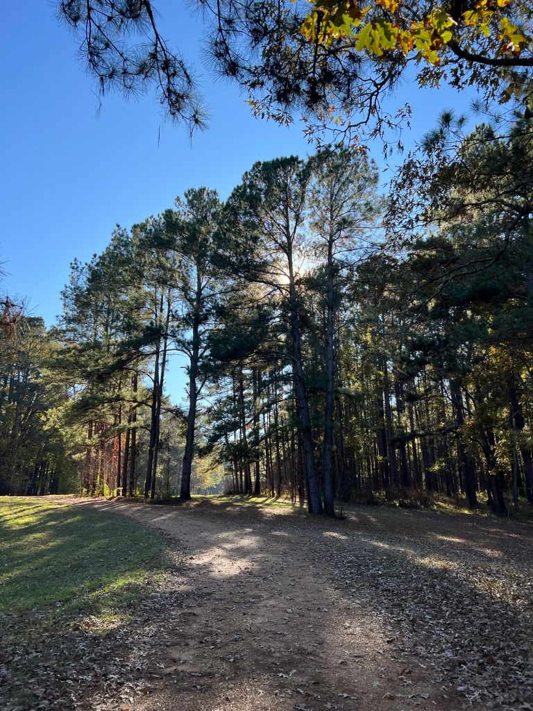
There is a lovely paved walking trail going around the reservoir with access from the campground.
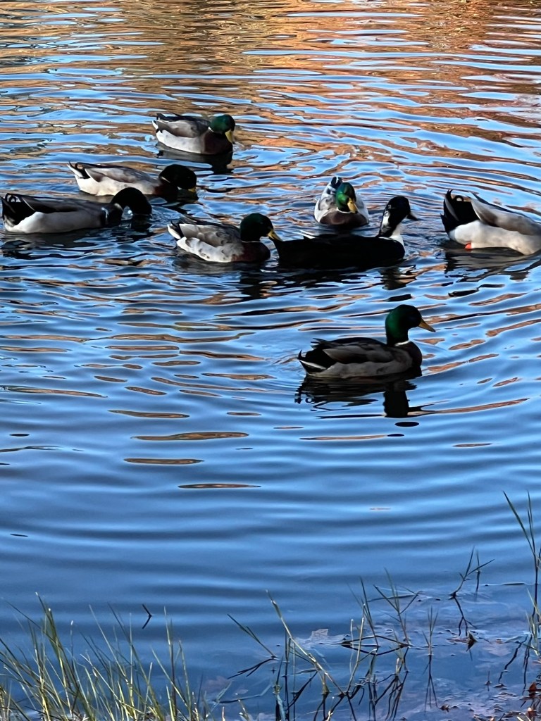
There are ducks…
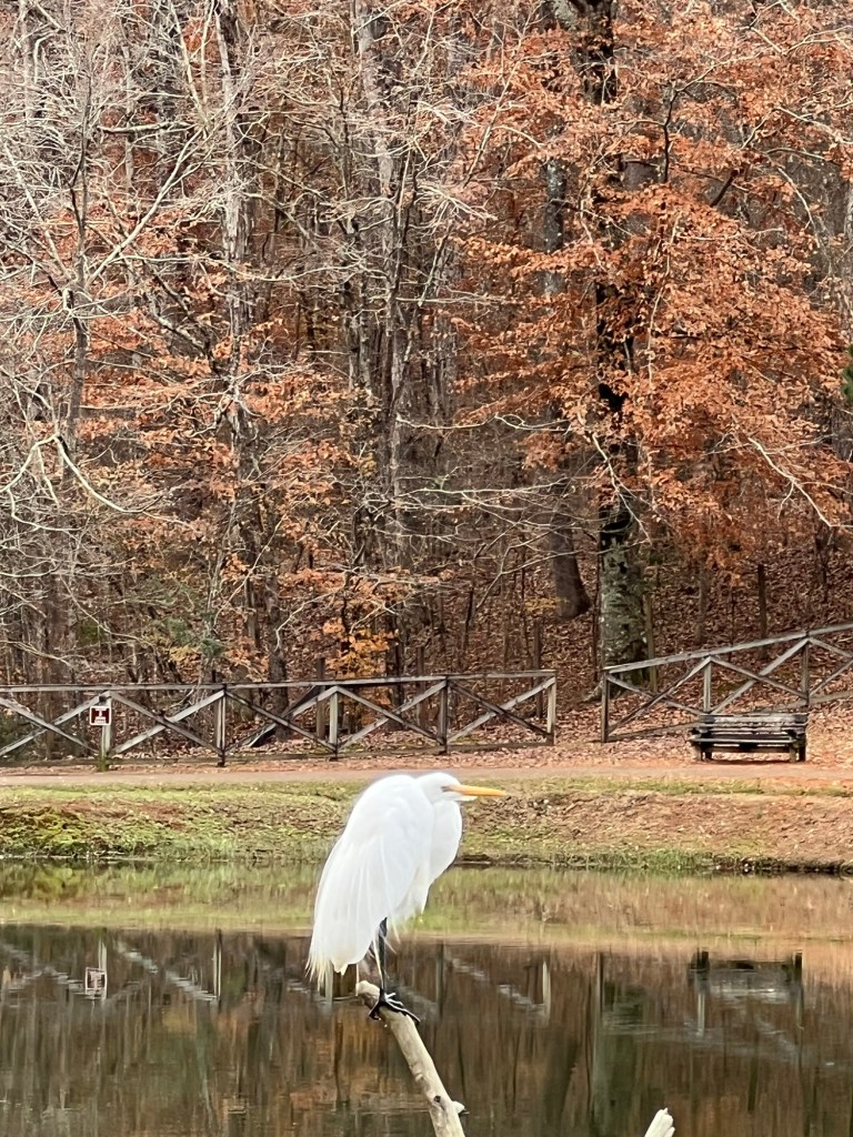
and at least one egret.
It’s just under a mile and a half around the reservoir,
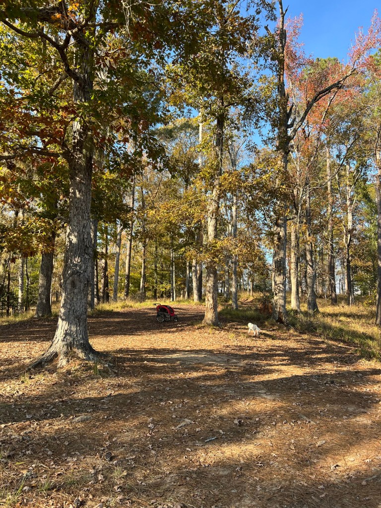
and Matey can walk with me or ride in the stroller.
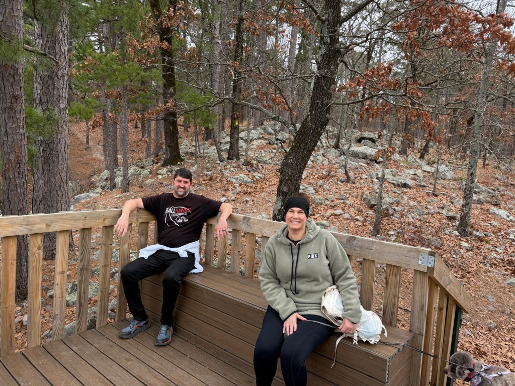
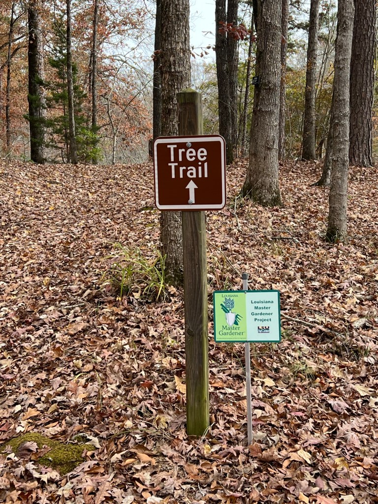
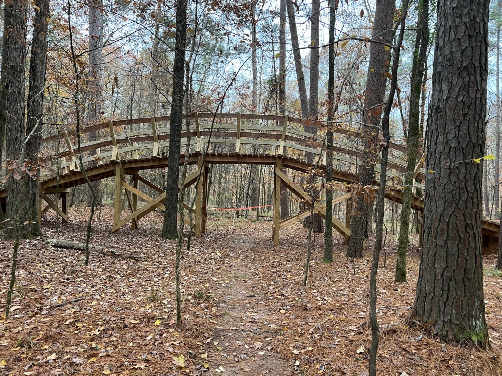
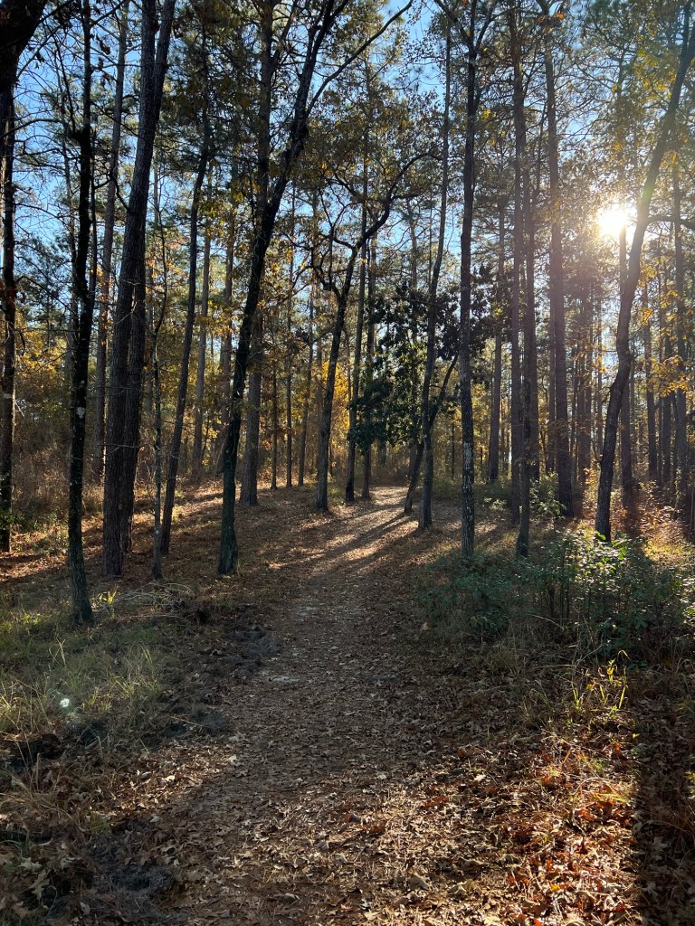
There is a tree identification trail…
with both an underpass and an overpass at the junctions of the well made and
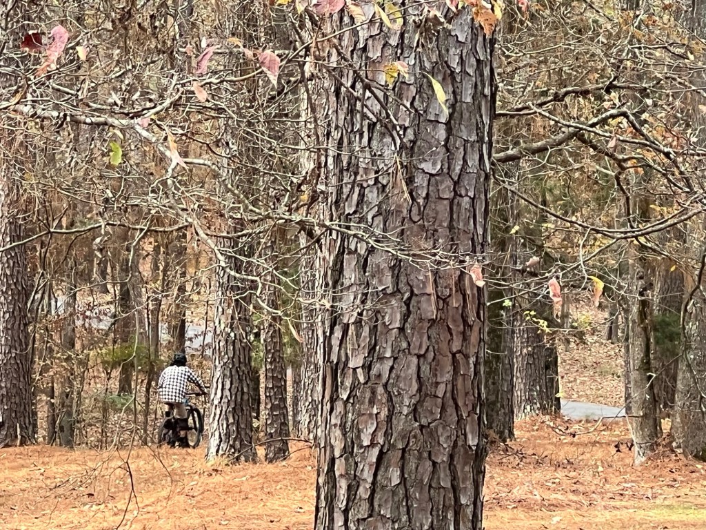
well used mountain bike trails.
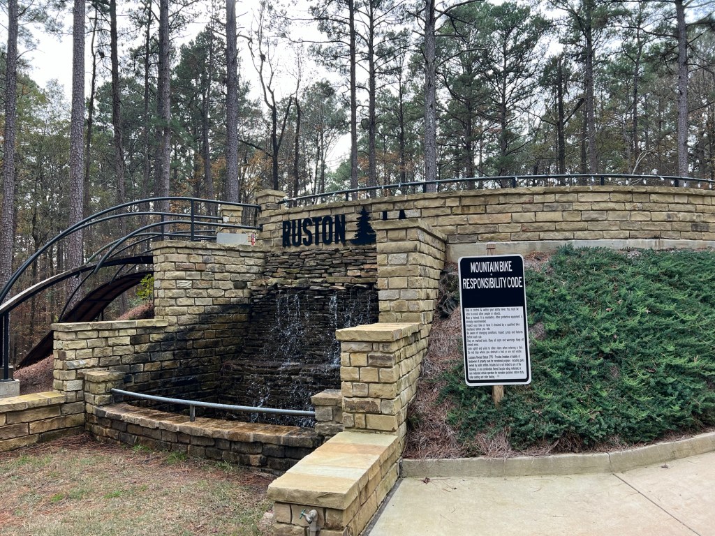
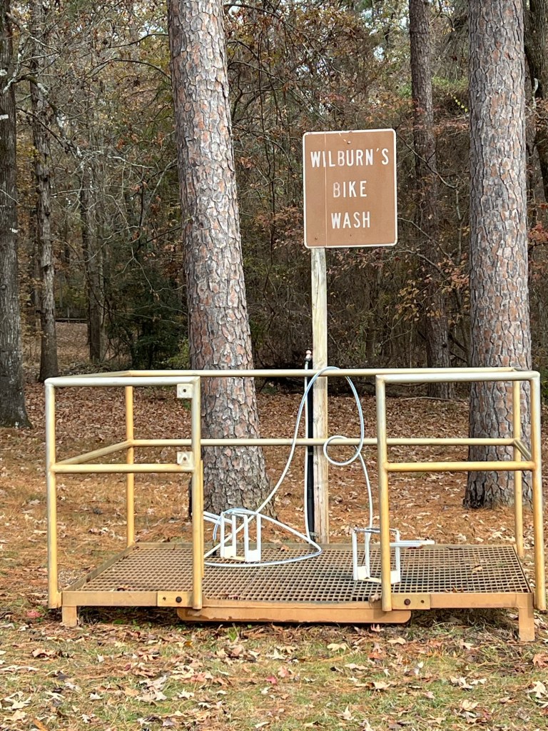
This is the “Hub” where most of the those trails start.
They even have a place to wash the bikes.
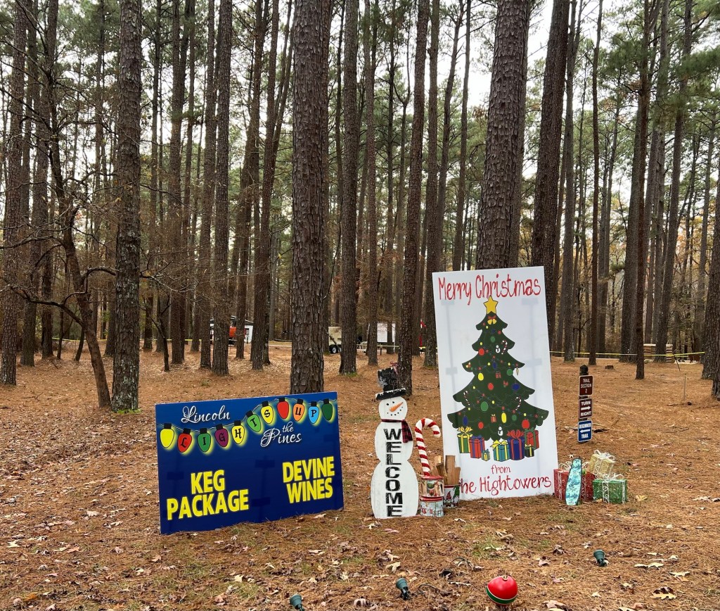
When we arrived we found we’d just missed the annual Christmas celebration; Lincoln Lights Up the Pines.
It had been held the two weekends before we arrived.
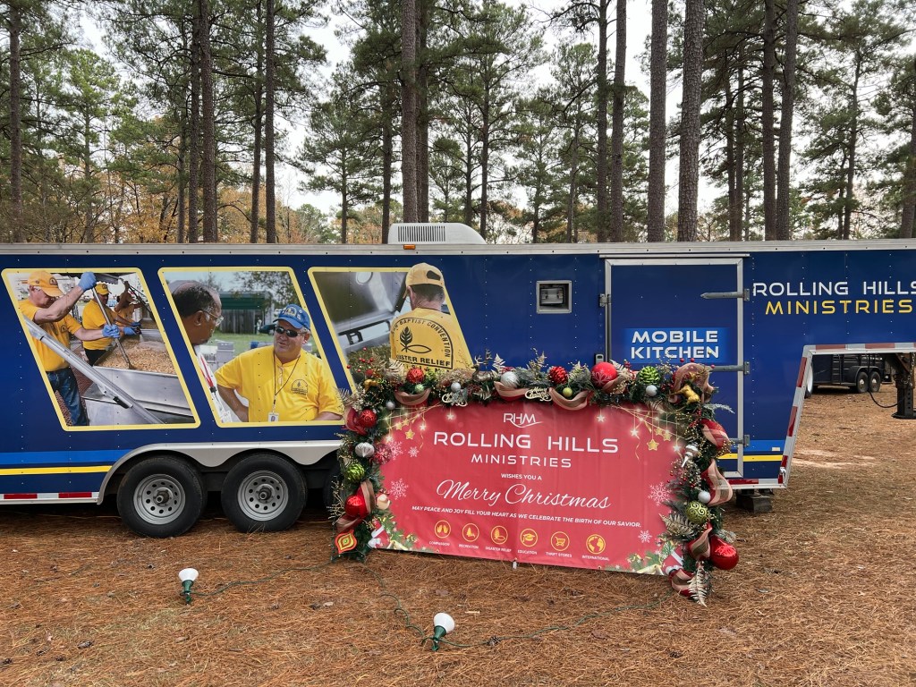
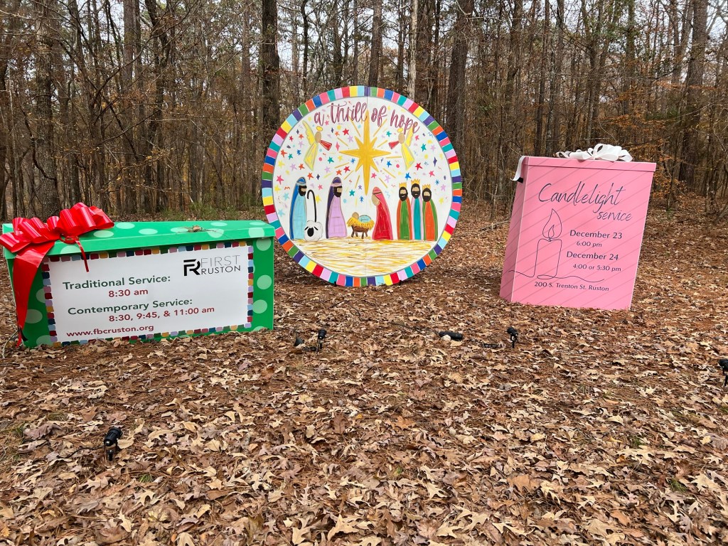
Non-profits,
churches,
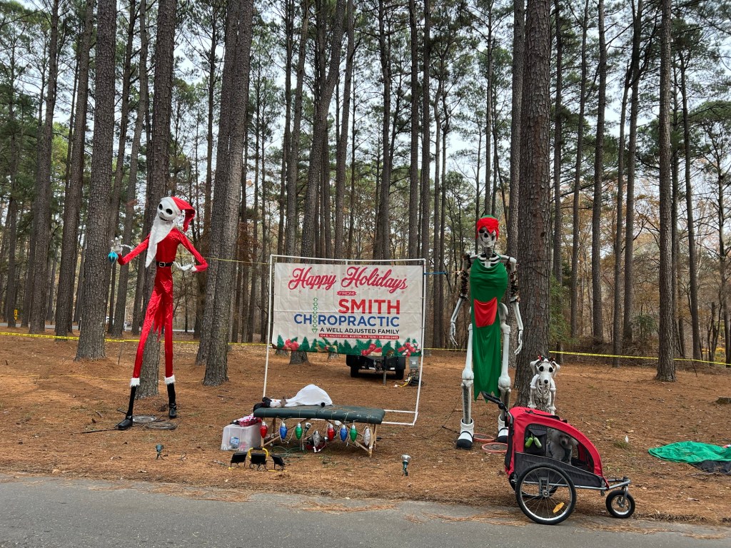
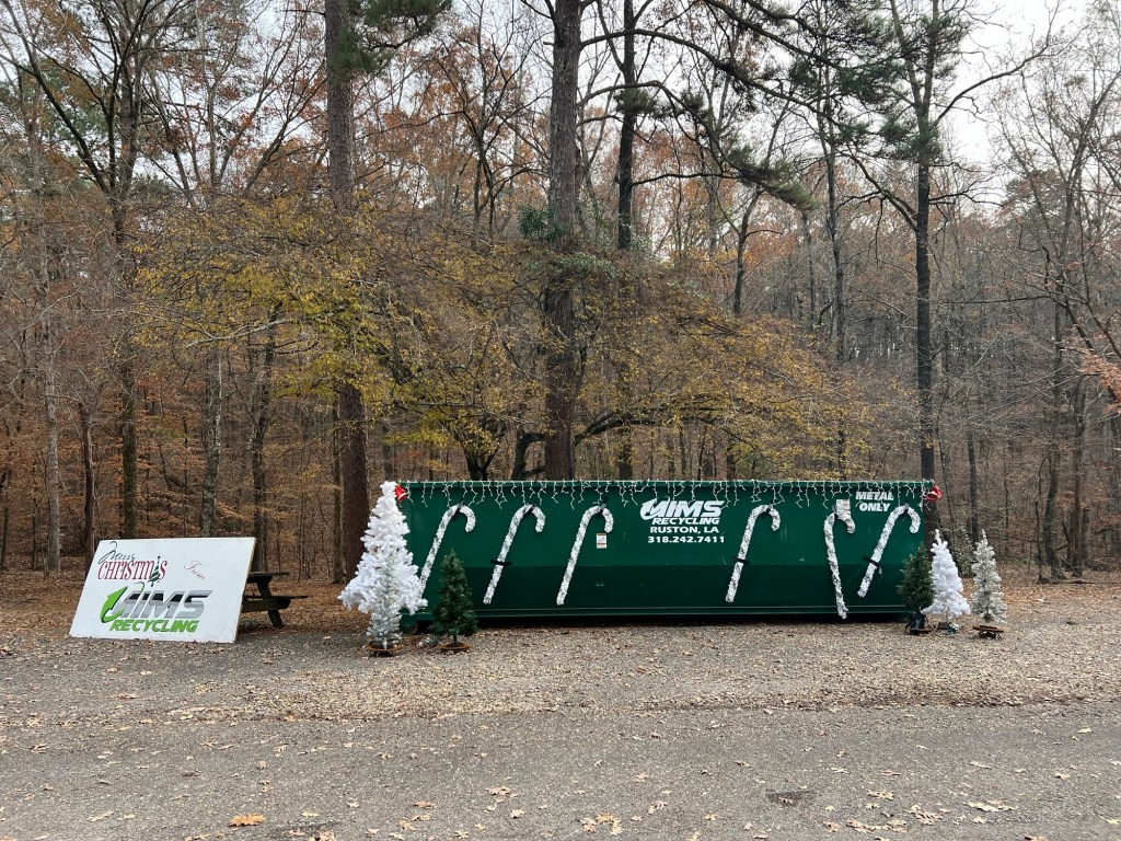
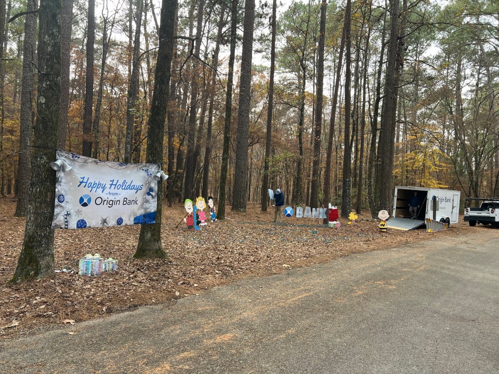
and businesses had displays. These folks showed you can even dress up a dumpster!
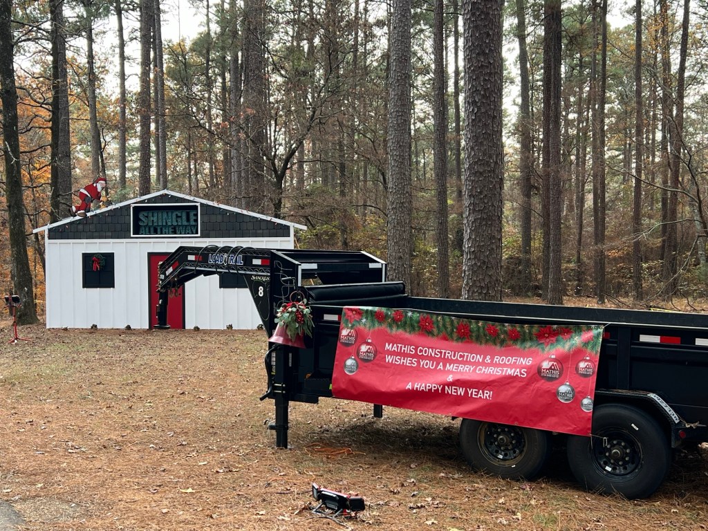
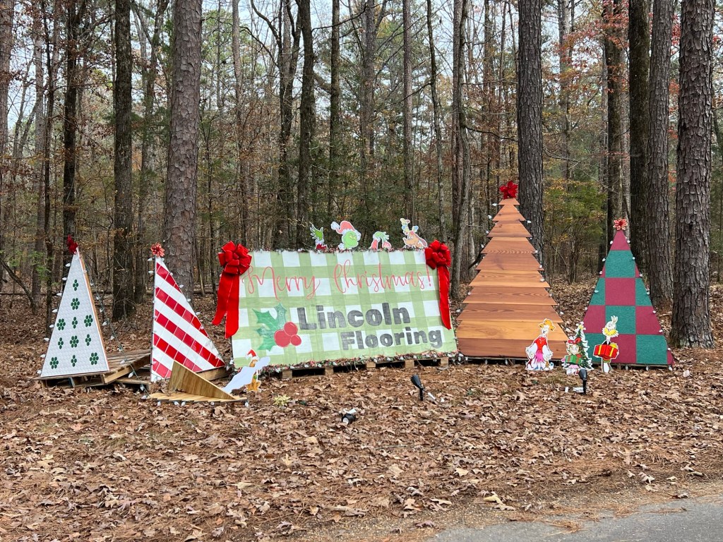
Some of the displays were elaborate…
and inventive.
It must have been quite a big event.
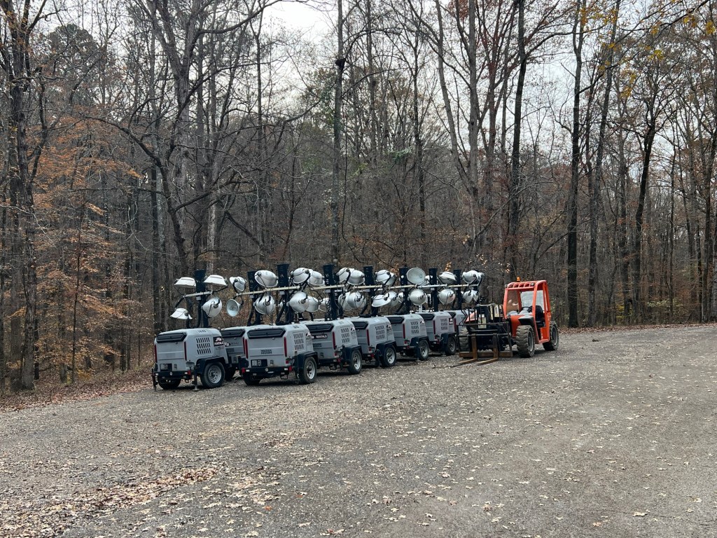
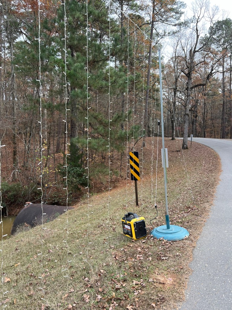
There were generators scattered around to power the many lights.
Folks were beginning to take things apart. But we were not disappointed to miss it.
The young man at the gate said both weekends the campground had been fully booked, and about half the people stayed the week between. They had all cleared out just before we arrived, and we had the whole campground to ourselves. Of 33 RV sites and 10 tent sites there is just us and the campground host.
That’s just fine with us; we’re happy to share this space with just the birds and the squirrels and the walkers and the bikers.
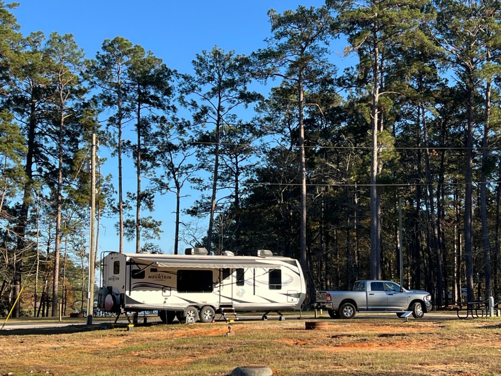
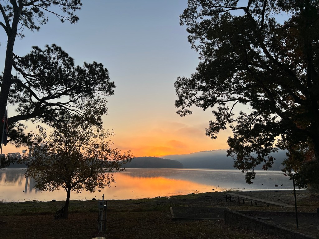
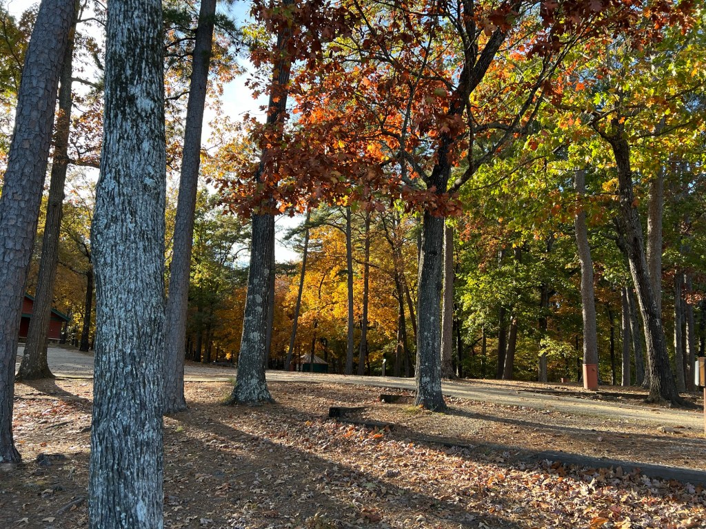
Last Monday we arrived here just south of Alexandria in central Louisiana. We have a paved site with full services.
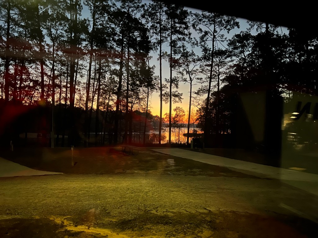
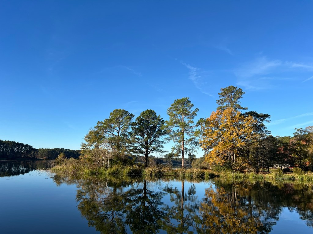
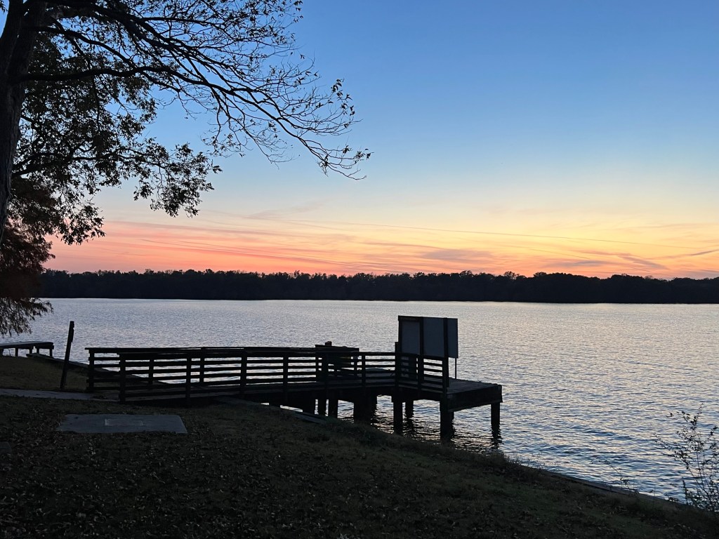
For the weekdays there were just 7 sites occupied of the 17 on our loop. We had this nice view of the Indian Creek reservoir out our window. This is sunrise.
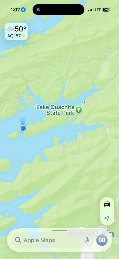
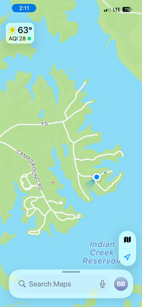
There are plenty of places to walk here and the weather has been great, so Matey and I have been doing a lot of walking. This is a screen grab from my phone, Bud had just dropped Matey and I at the little blue dot. He then drove back to our trailer at the little red dot (I think ours is a new loop and doesn’t show on the map).
Matey and I then walked back, wandering down the side roads for yet another view of the beautiful vista of water and trees.
I have the stroller and when Matey gets tired he gets to ride.
The forest service roads are fine for the stroller.
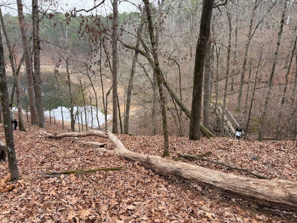
One afternoon I cut back along a section of the nature trail. It was a little bumpy for Matey, but doable.
There is plenty of walking just around the campground loops. Matey and I still walk about 2 miles a day. If I put him in the stroller and walk all the campground loops it’s about 3 miles.
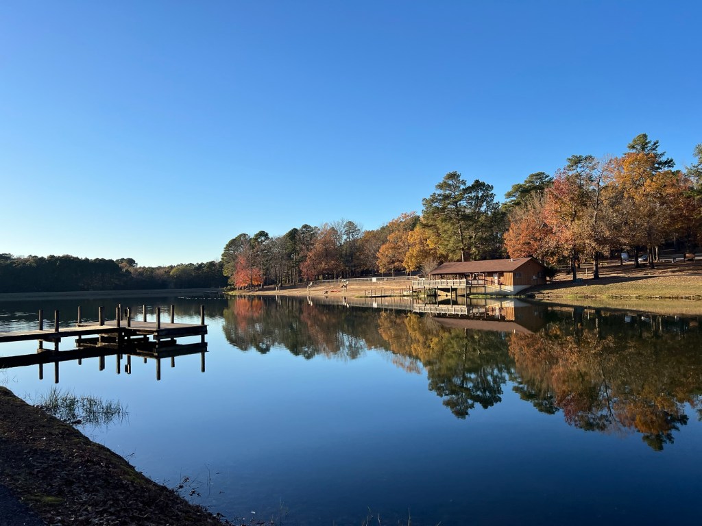
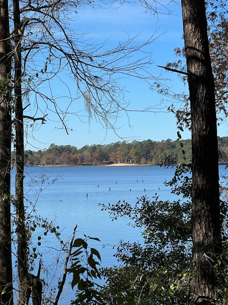
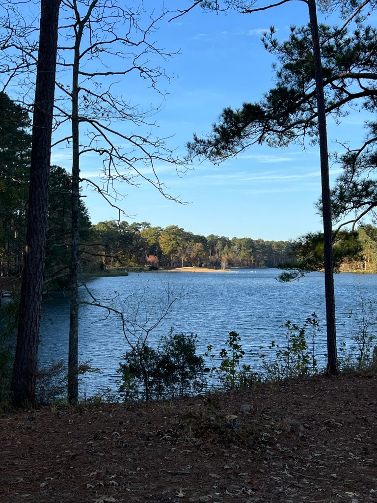
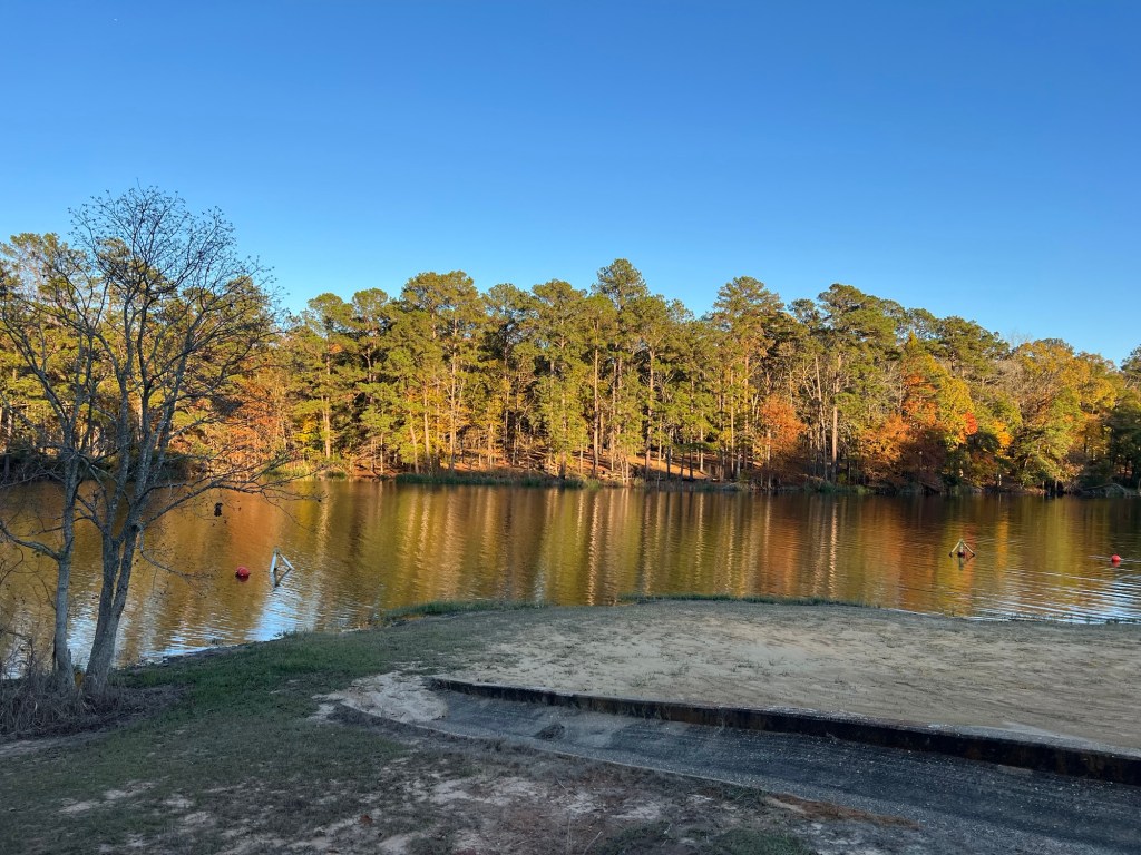
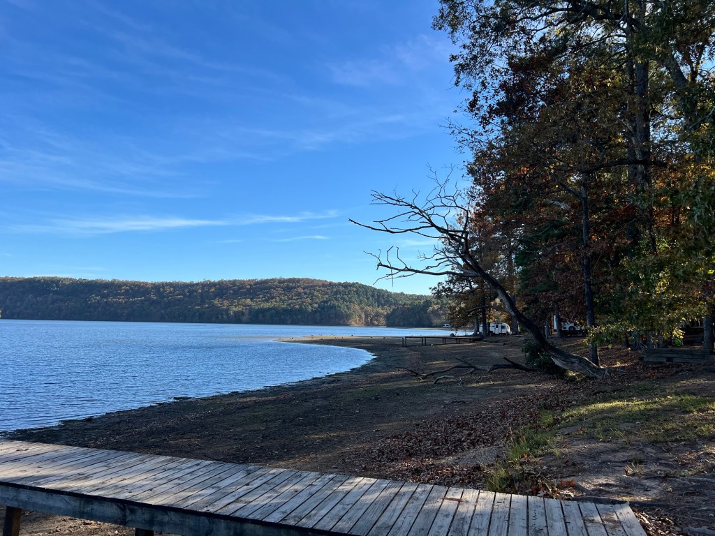
There are three beaches here, this is the largest as seen from across the reservoir.
This is the smaller beach, just past our loop
There’s also a campers beach,
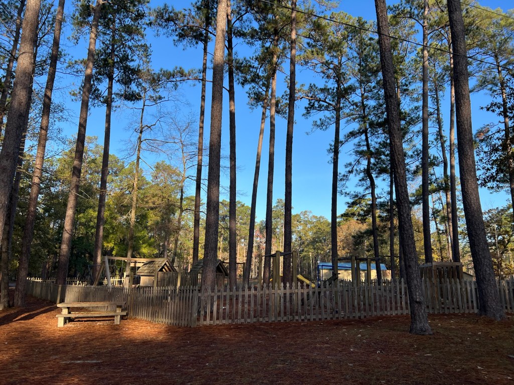
and a playground. But in the winter all these are blessedly empty,
and we get to enjoy the peacefulness of this place.
Cold nights, warm days, blue skies and colorful trees; perfect!
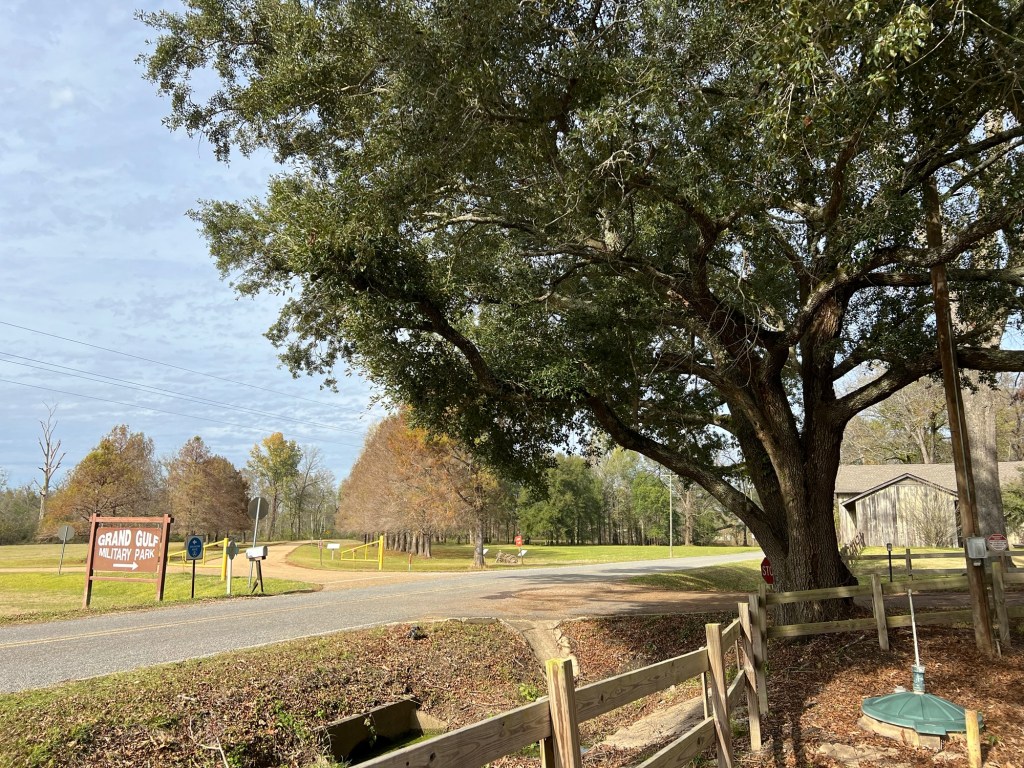
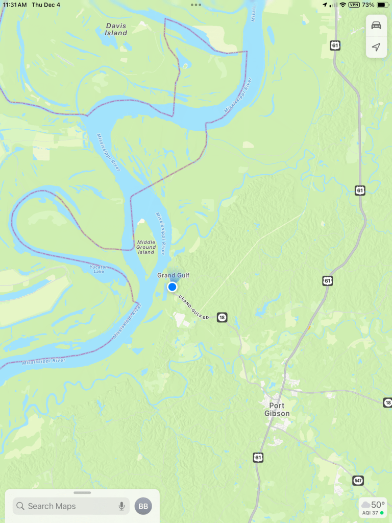
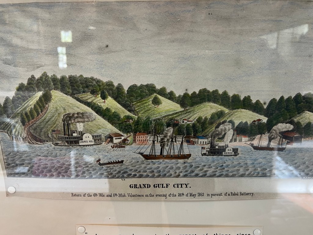
I love finding interesting, out of the way places and Grand Gulf Military Park qualifies.
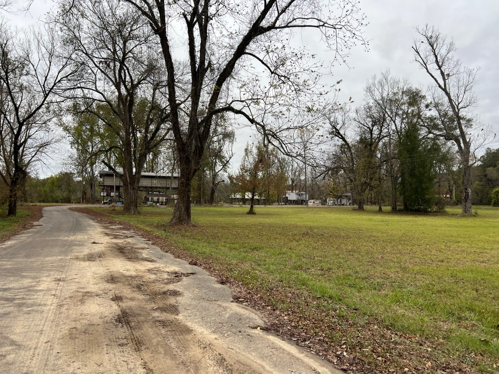
It’s at the end of Mississippi route 18 along the Mississippi River between Vicksburg and Natchez. The closest town is Port Gibson, the county seat, with a population of just around 1,200 people. As for Grand Gulf, it doesn’t exist as a town anymore.
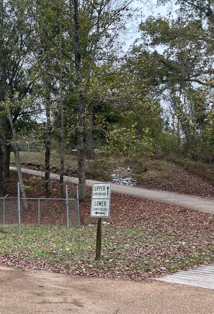
There’s the park, with its two campground loops. The woman at check-in told us we could take any open site, they all had water, sewer and 30 and 50 amp electrical service and they all would fit our trailer.
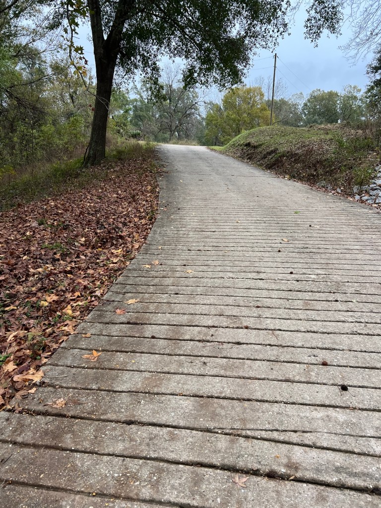
We chose the upper loop; the hill was steep enough to warrant traction grooves in the concrete pavement.
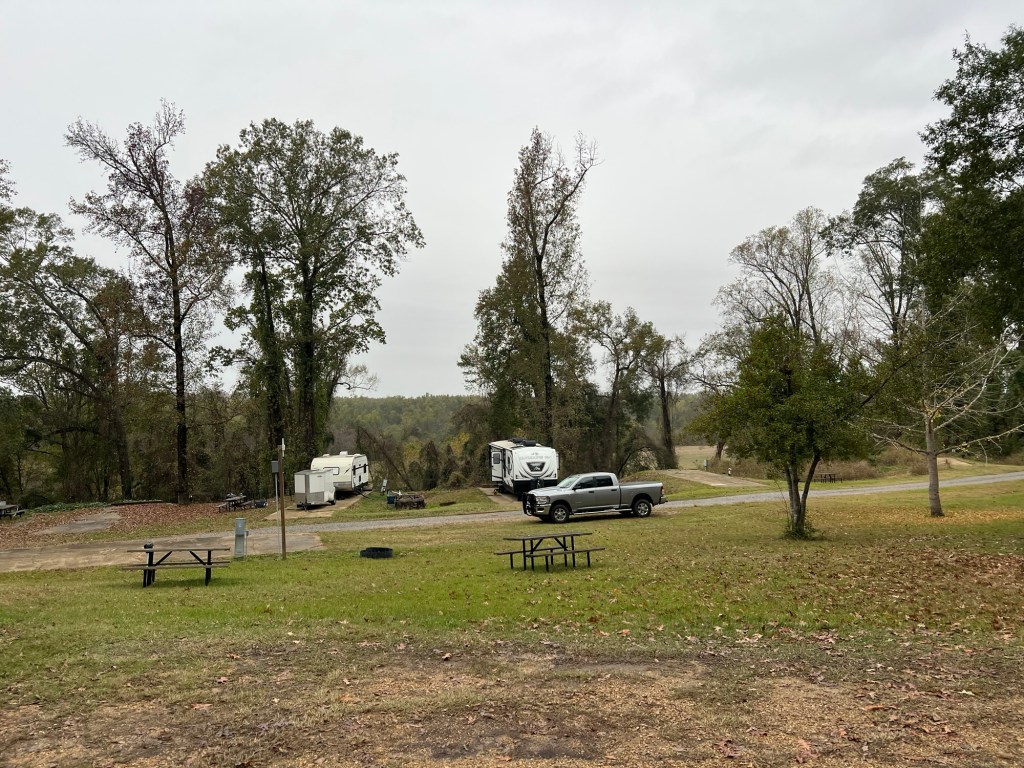
The sites are old but level and the services all work, and it costs just $30 per night for seniors.
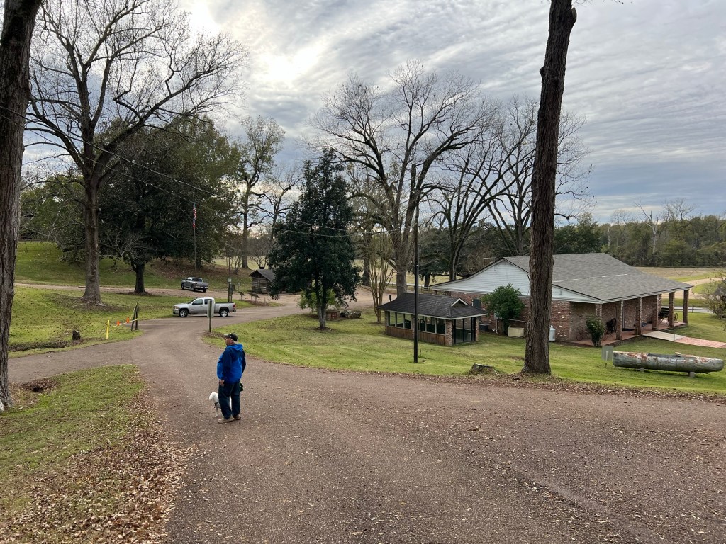
The main part of the park is a historic site with a museum and a number of buildings. We found out our camping fee includes admission to the museum and the rest of the site.
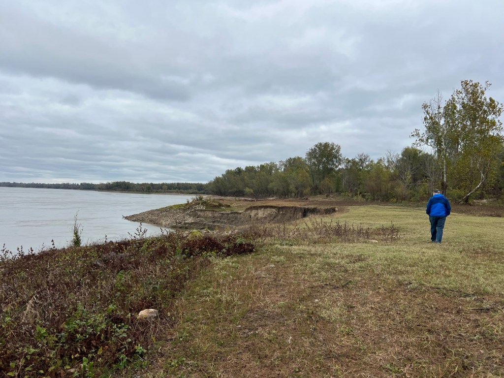
The first day we were here it was too cold to explore the grounds on foot, so we took a bit of a drive. We took a short dead end road to the Mississippi River. It turns out this wandering river, which is the reason the town was built, is a major part of the reason the town no longer exists. By 1840 the town had about 1,000 people, two newspapers, a hospital, numerous businesses and several churches and was shipping thousands of bales of cotton. Then in 1843 there was an epidemic of yellow fever. Added to that there was a devastating tornado less than 10 years later. But the river dealt the fatal blow. Between 1855 and 1860 the river changed course and ate away 55 city blocks. By 1860 there were only 132 people left. Now the river has moved west, leaving the remnants of the town about a half mile from shore.
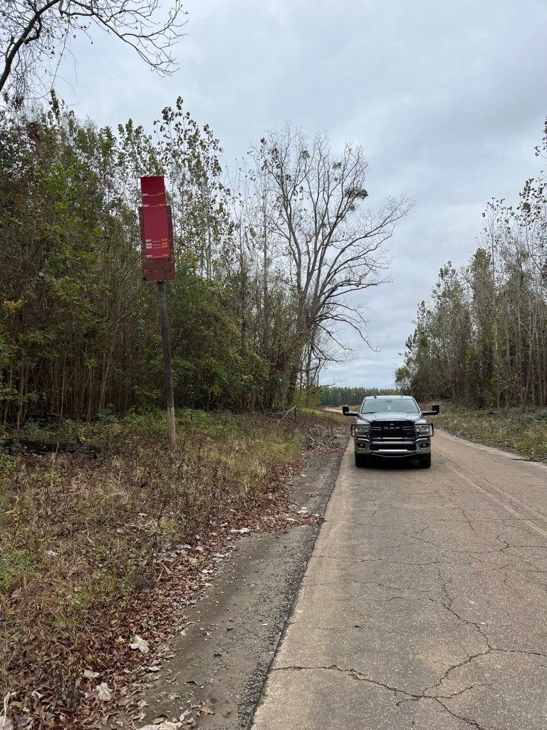
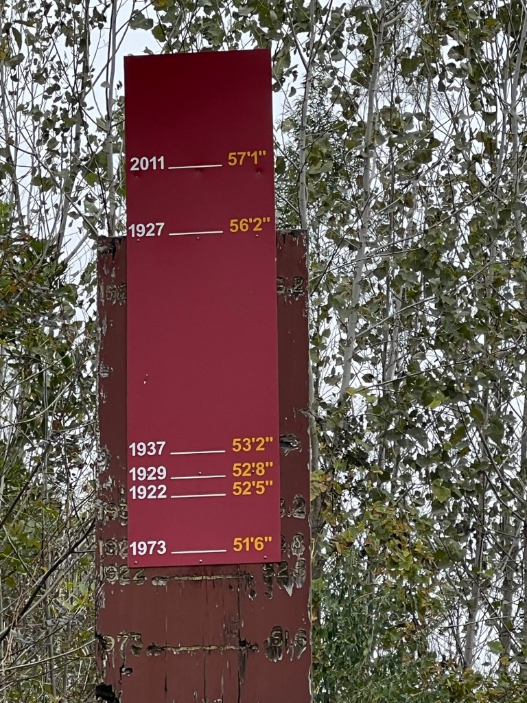
But the river isn’t done messing with Grand Gulf. This sign is along the road to the river, more than a tenth of a mile from the shore.
The sign shows flood heights from 1922 until today. The worst flood was in 2011, when the waters rose 57’ 1” above flood level.
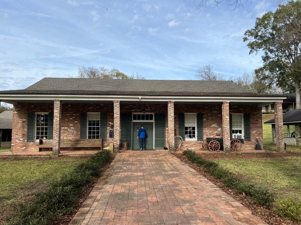
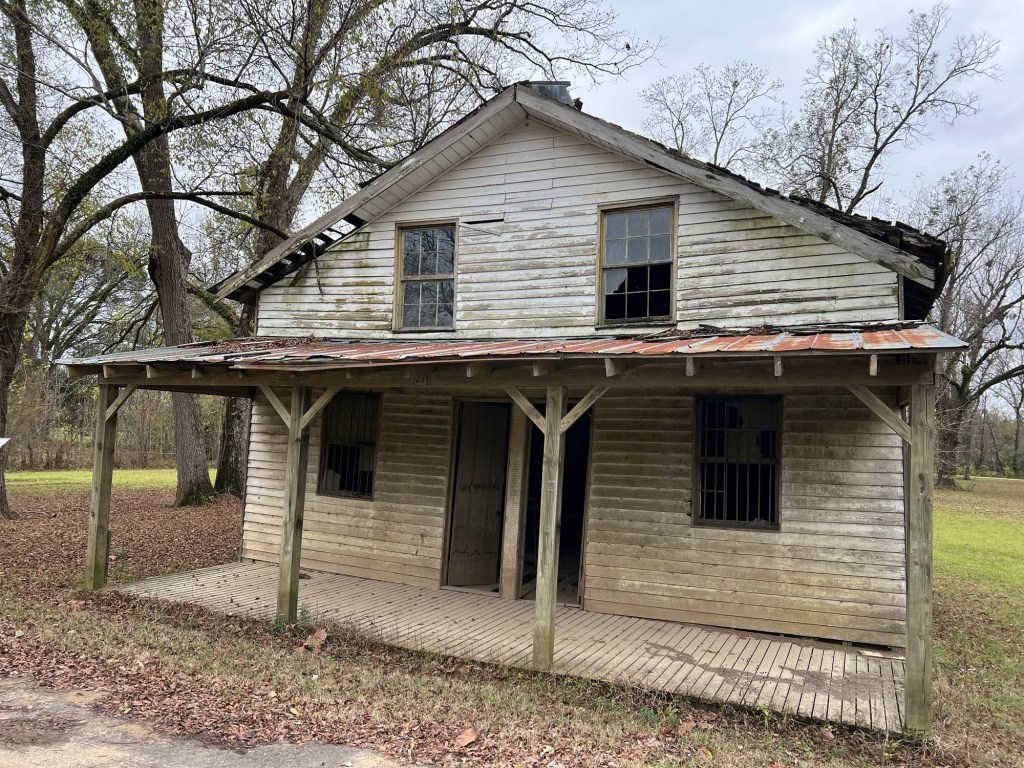
Any permanent building on the old town square is up on stilts – high up on stilts.
This is the only building at ground level and it has been abandoned for years. It had to have been built after the Civil War because the Union burned the few remaining buildings during that war.
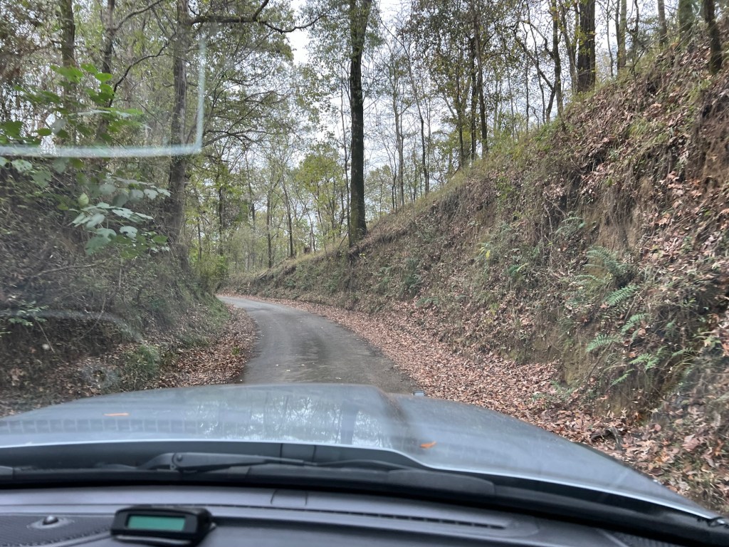
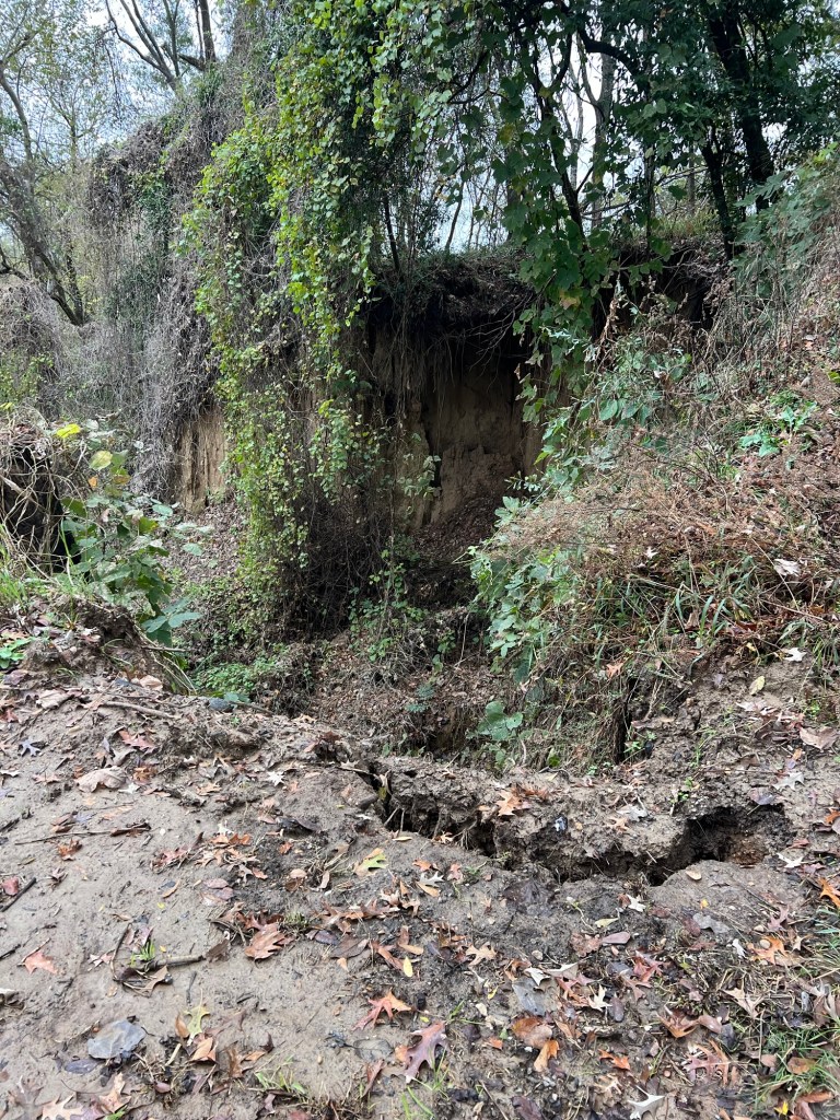
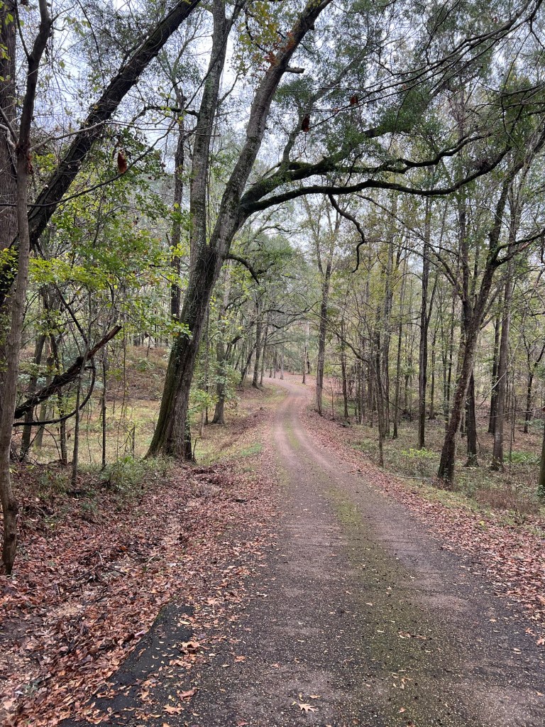
We drove out of town on Back Grand Gulf Road, and it is, indeed, a back road. Parts are down in narrow gullies…
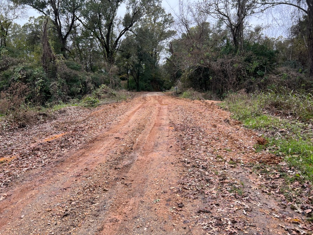
and parts are on ridges between even deeper gullies. This part was obviously repaired after it eroded.
The land at the edge of the repair is still breaking away.
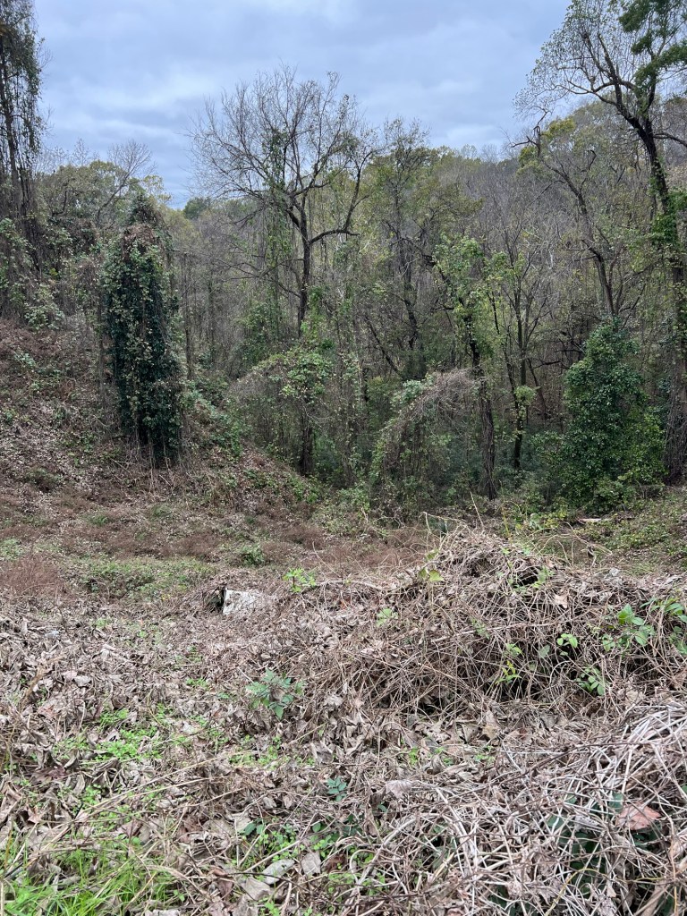
All the land here is crumbling hills and steep eroding gullies. Much is covered with Kudzu, but the Kudzu smothers the trees and the erosion continues.
Although it was only in the lower 50’s and still mostly cloudy, yesterday may well have been our best weather day for our week long stay. We decided to tour the site. There was a lot to see.
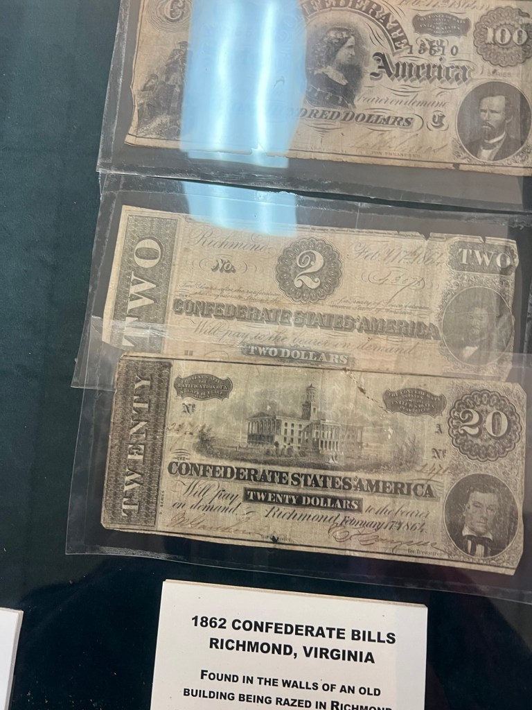
The museum is mostly filled with old Civil War paraphernalia.
The city might have been mostly gone but it was still a good landing spot. Grant wanted to land here to march north and attack Vicksburg from land. Vicksburg was the only remaining city on the Mississippi not yet taken by the Union and the key to splitting the South. The bluffs behind Grand Gulf proved as good a defense as the bluffs at Vicksburg and the Union gunboats were repulsed. But Grant just went further south, crossed at an unfortified place, marched overland and took Port Gibson cutting the Confederates off. Grand Gulf fell and was used by the Union as a staging place for the siege of Vicksburg. The remaining buildings were burnt and that was pretty much the end of the town.
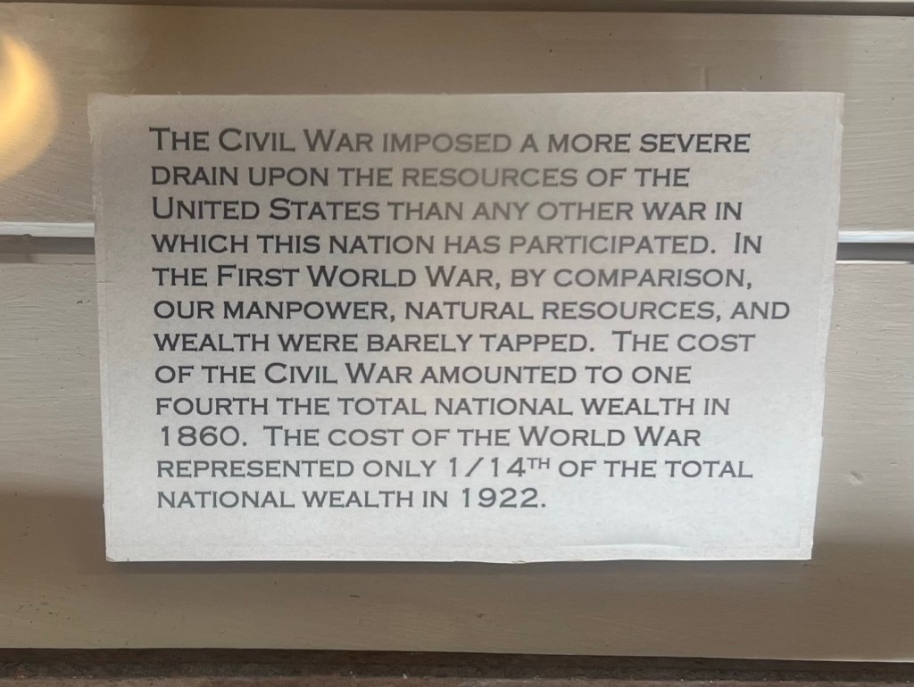
I was stunned by this sign. One fourth of the total wealth of the country went to the cost of the Civil War in 1860. It’s hard to imagine what that would have been like to live through.
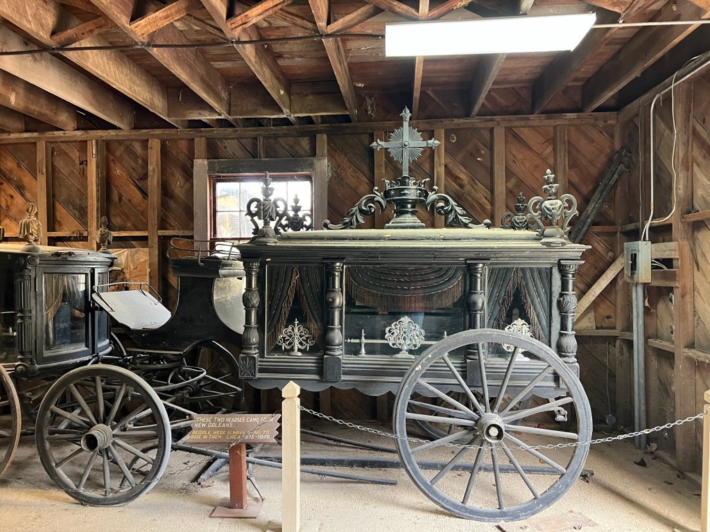
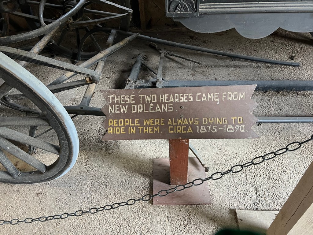
Outside there are a number of buildings. The old carriage house has two horse drawn hearses from New Orleans.
I liked the sense of humor of those who made this sign.
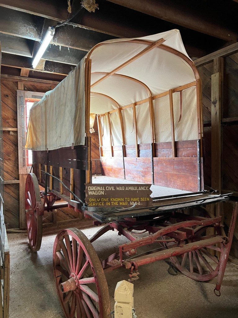
They also have the only known surviving ambulance from the civil war.
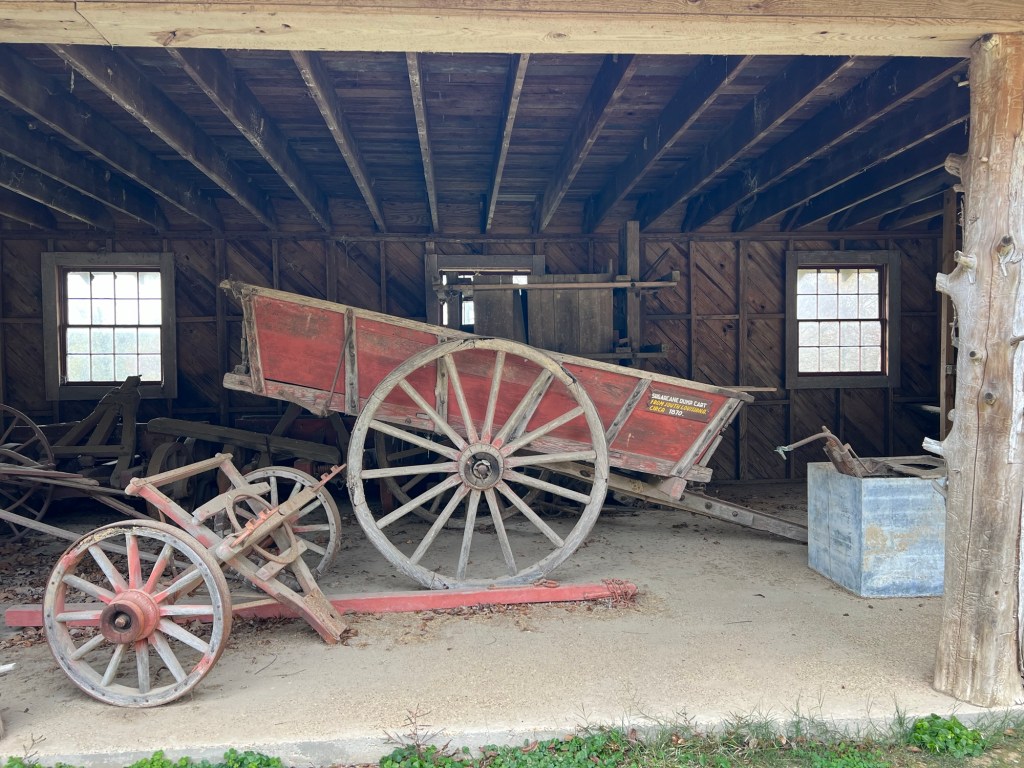
There is a sugar cane dump cart from 1870,
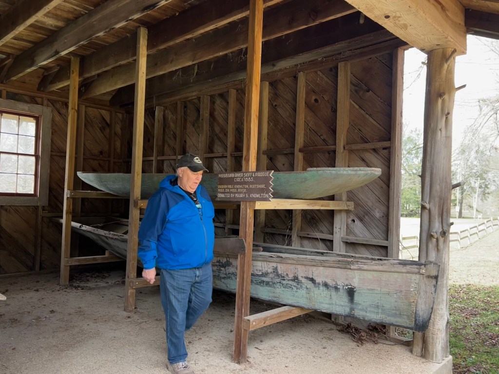
a skiff and a pirogue from 1885,
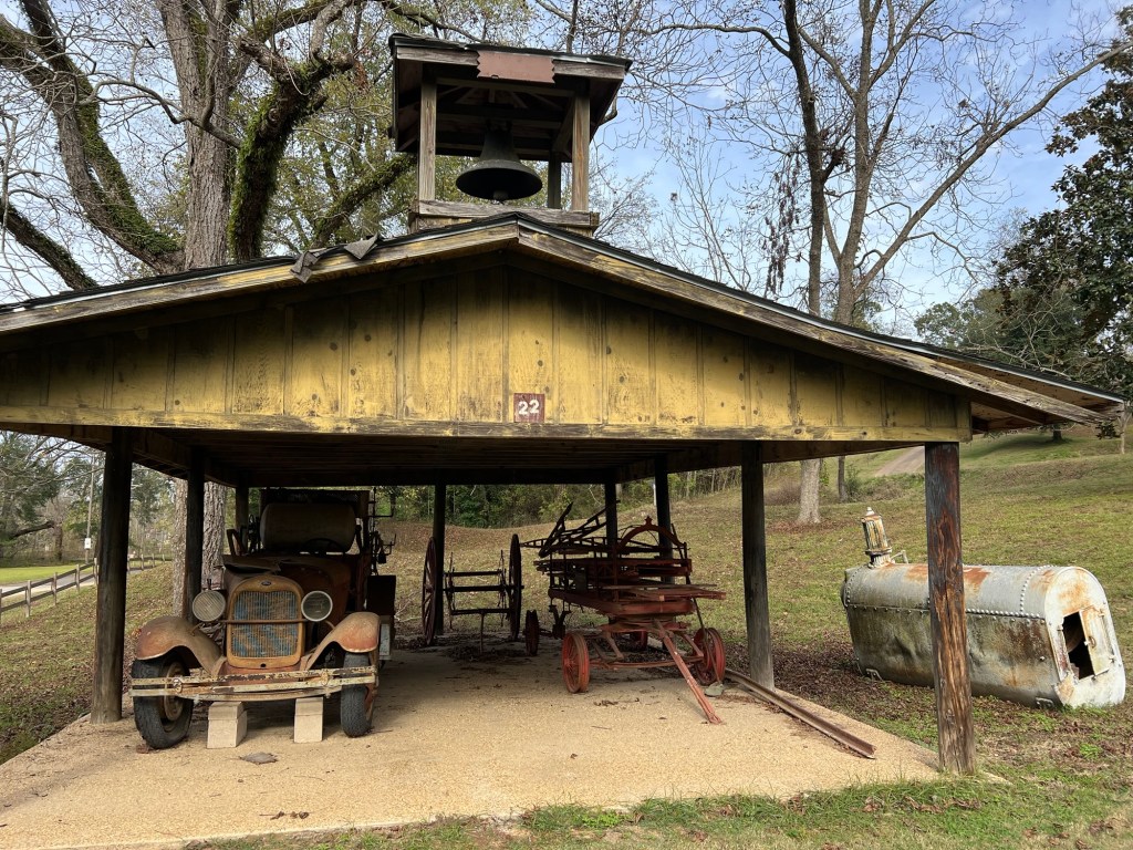
and a shed with a 1923 fire truck and an 1890 hand hauled ladder wagon from Port Gibson.
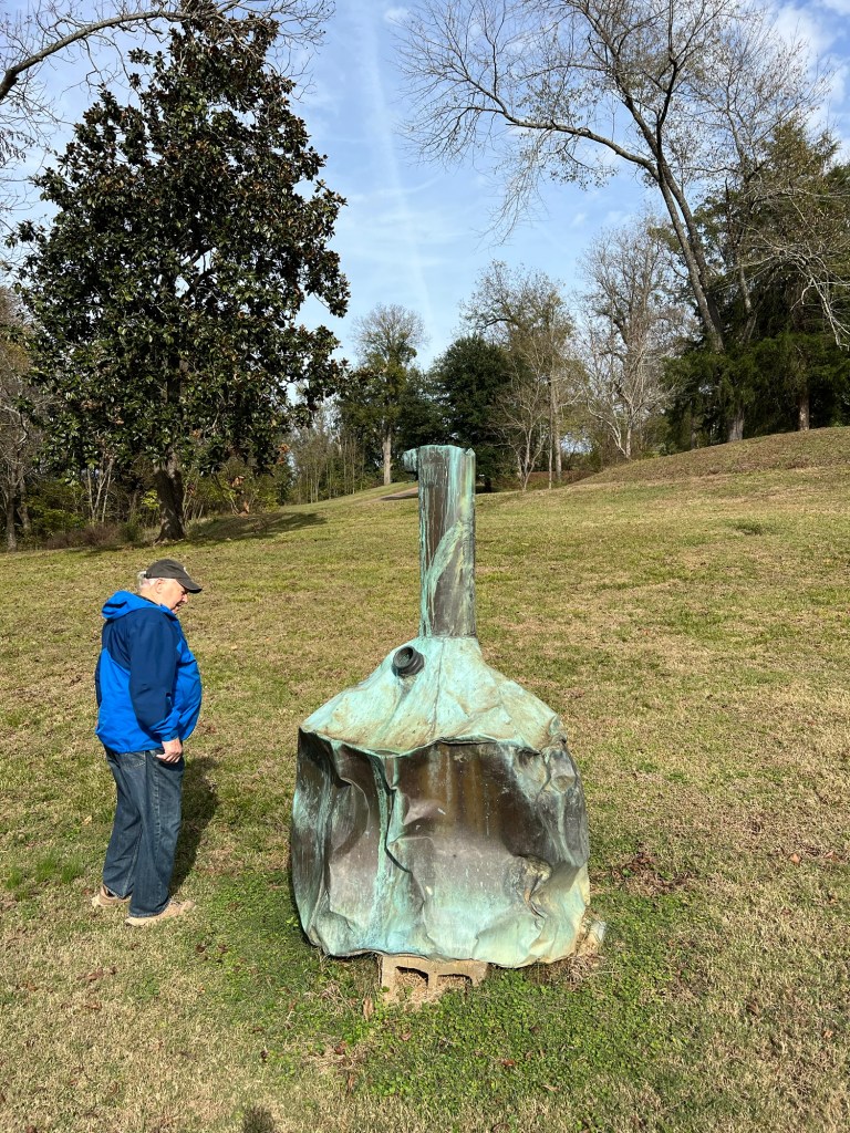
This old still has no sign. We wondered if the damage was from “revenuers”.
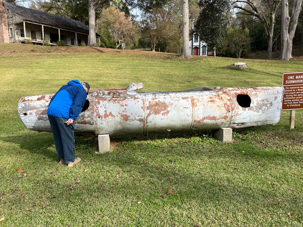
Continuing the same theme is this one man sub that was powered by a Model T engine and used to bring bootlegged liquor from Davis Island to Vicksburg during prohibition.
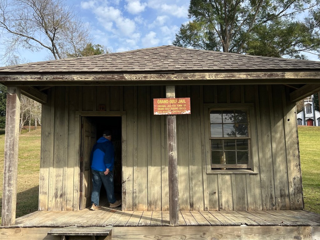
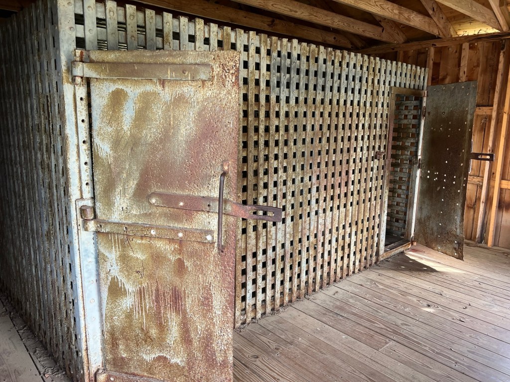
And then there is the old Grand Gulf jail…
with its riveted cells.
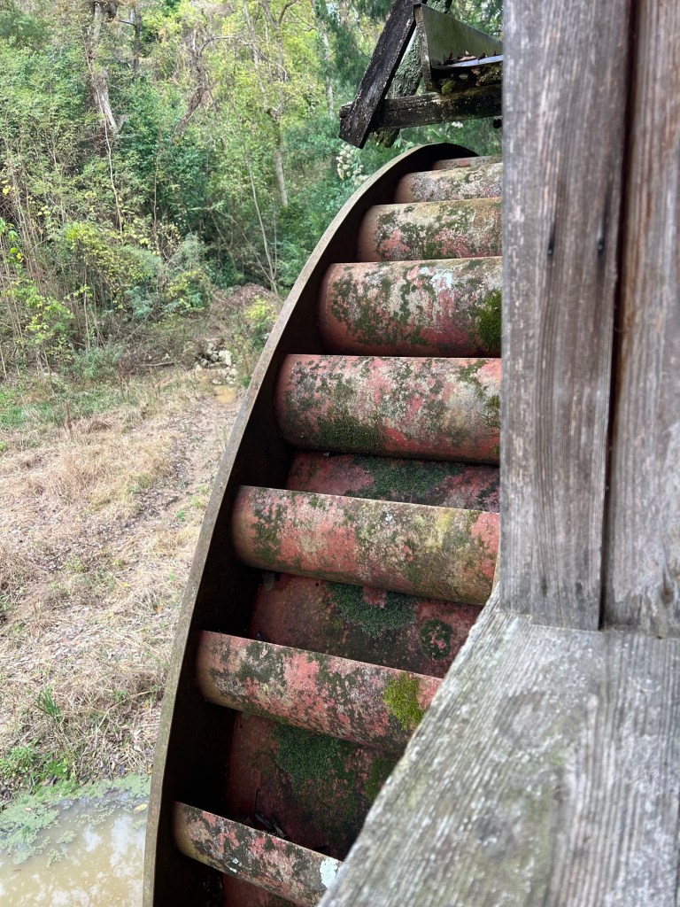
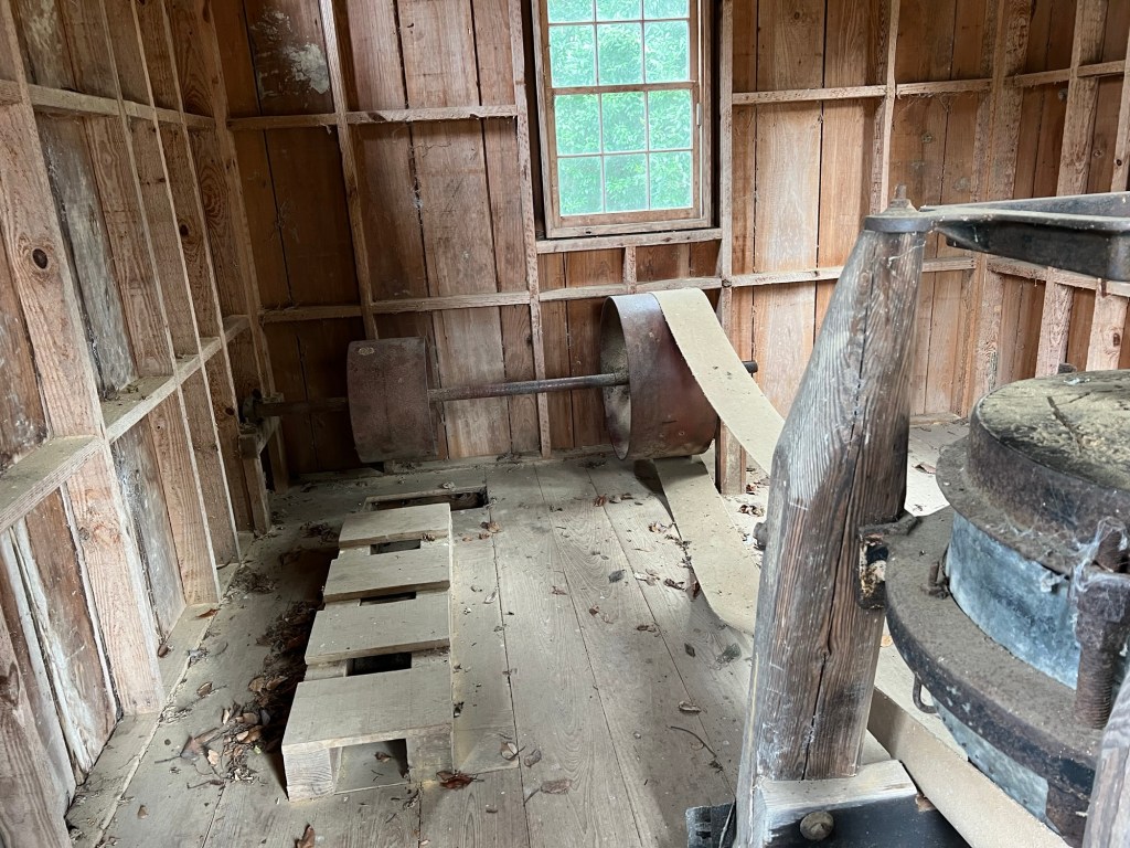
There is an old water wheel,
which surprisingly, had been built to generate electricity in 1948.
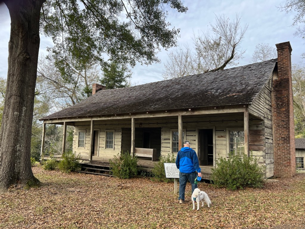
There are two houses on the grounds. This dog trot house was moved from the extinct town of Scotia. It was built in 1768 by Thomas Foster.
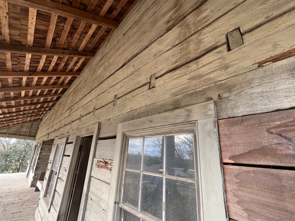
The heart pine logs above the doors are single logs 52 feet long and still sound 250 years later.
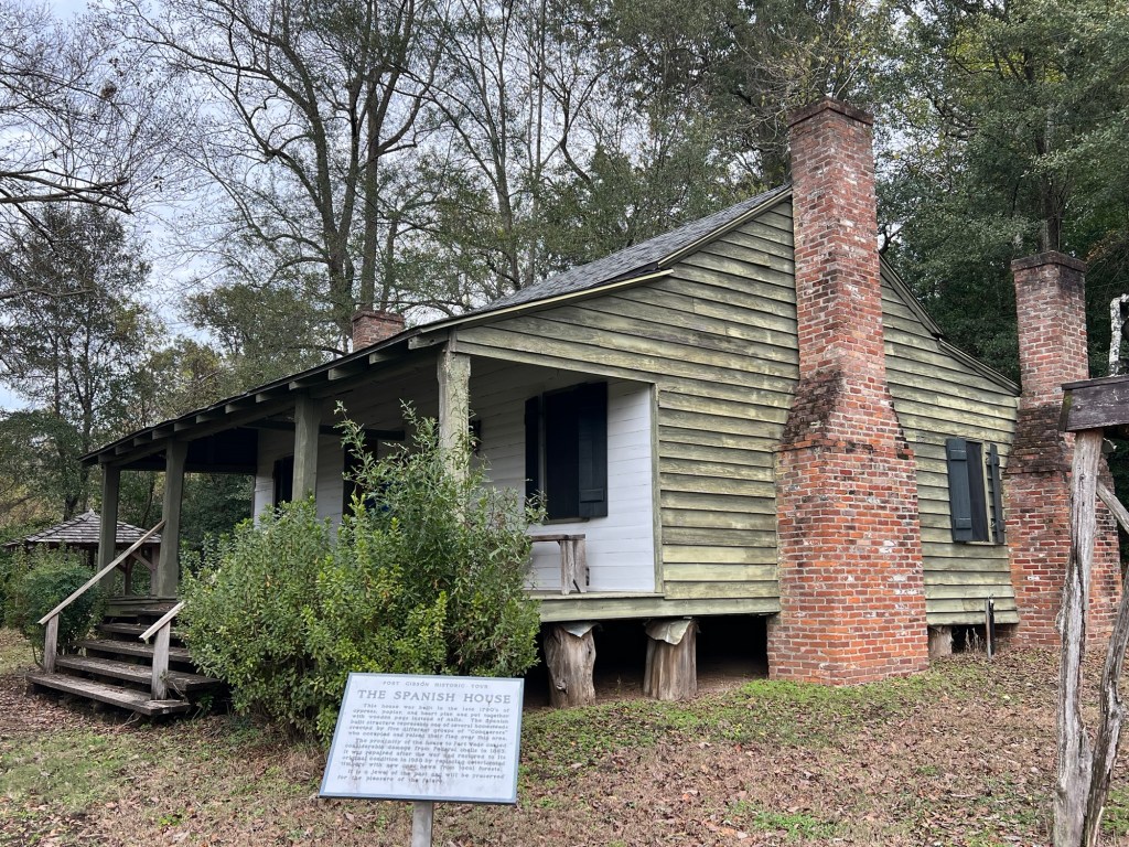
The only building on its original site is the Spanish House, built in 1790. It was damaged in 1863 during battles fought here, but has been restored with local wood.
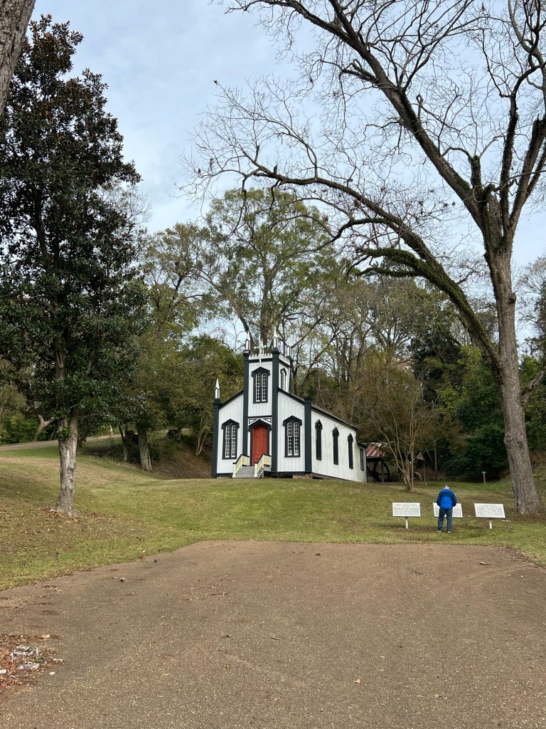
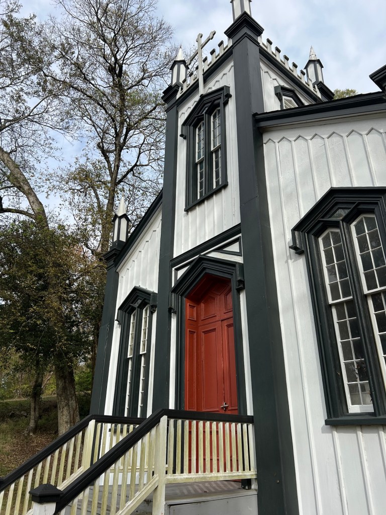
The prettiest building on the site is this old Catholic Church built in 1868 in the town of Rodney.
Rodney is another river town that no longer exists. The church was brought here to preserve this excellent example of carpenter gothic architecture.
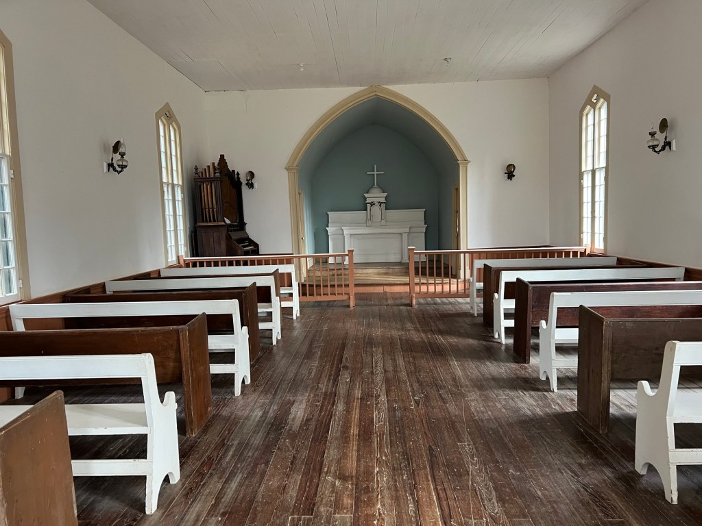
It is still used for some services today.
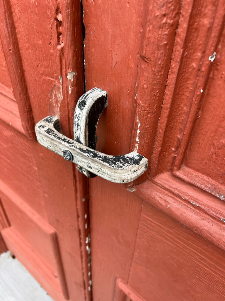
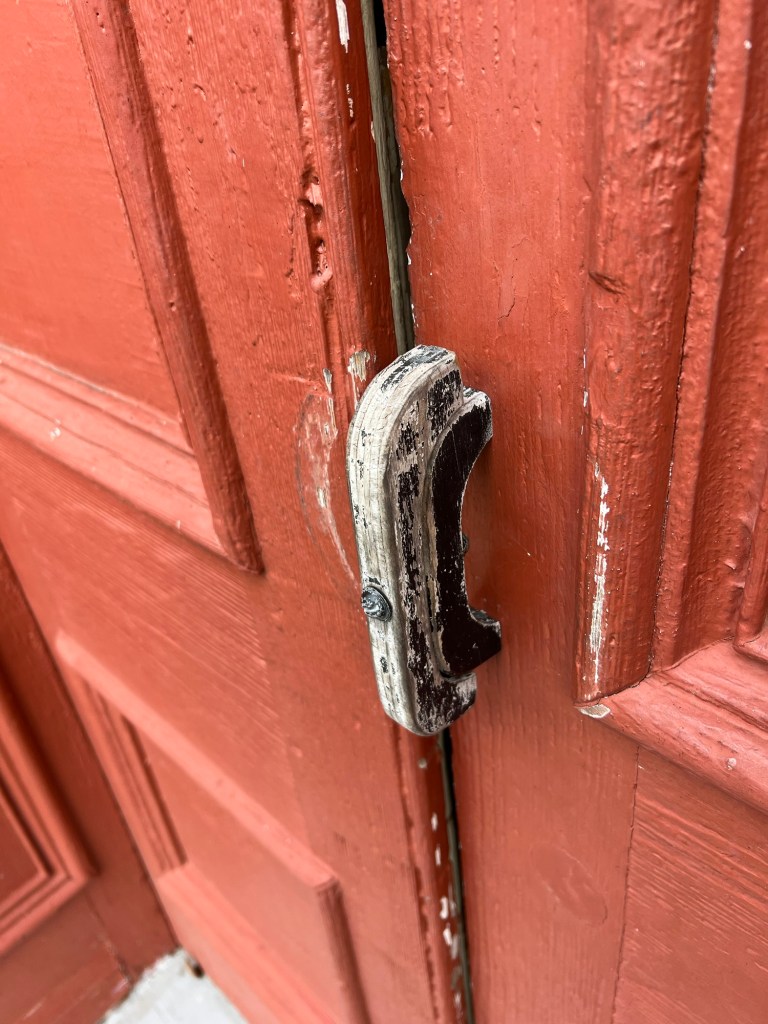
I have never seen a door “knob” like this.
Turn the top piece of wood parallel to the bottom piece to open the door.
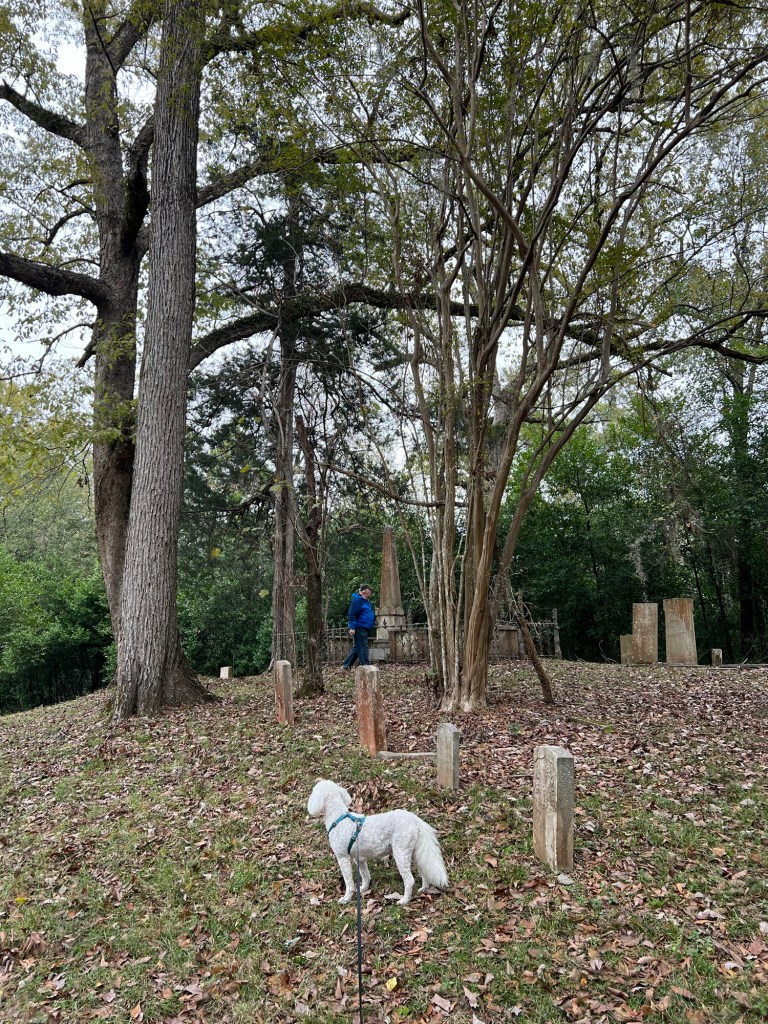
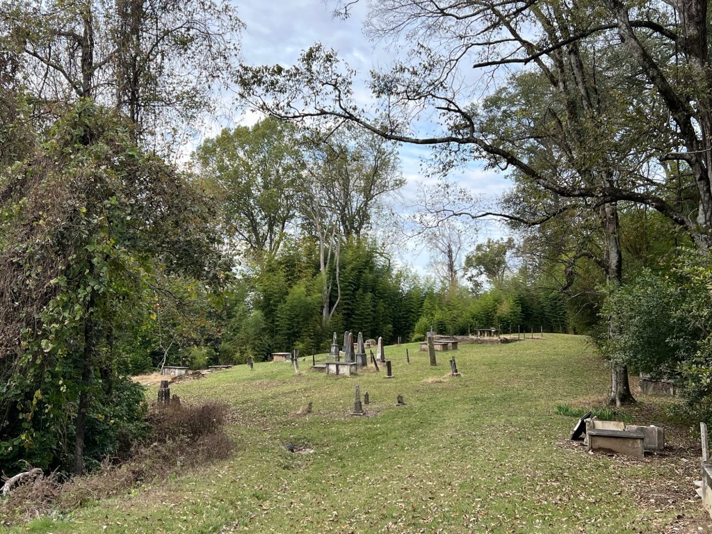
We then drove up to the top of a hill to the old cemetery.
It stretches quite a long ways along the top of the ridge. I’m almost certain some graves have been lost to erosion.
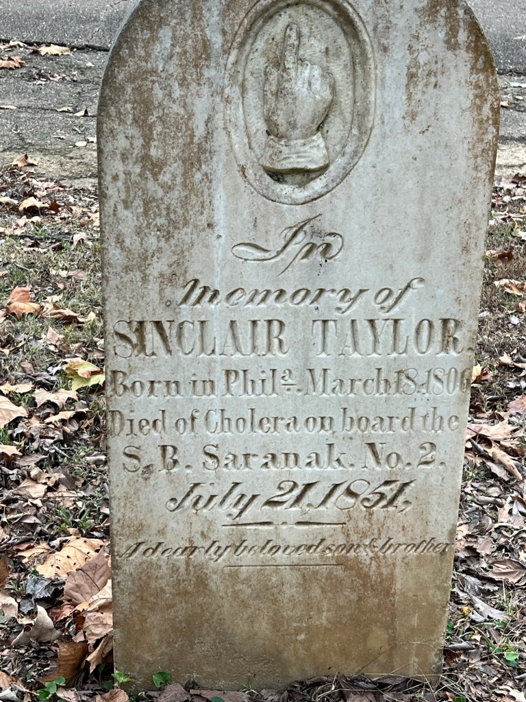
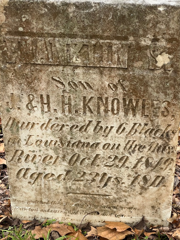
Cemeteries are filled with sadness…
and drama. To be murdered by blacks in the south in 1849 I think this young man had to have been a bad actor.
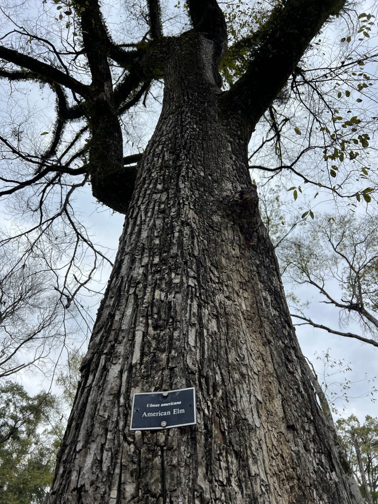
A happier sight was this gigantic American Elm, still thriving.
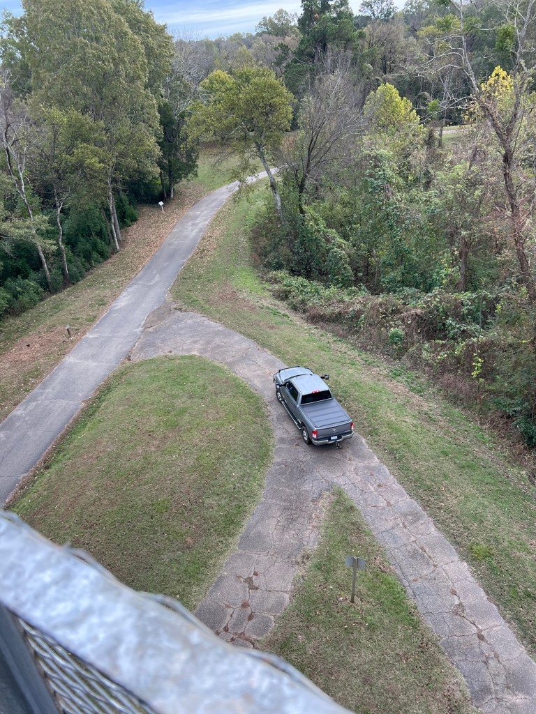
At the very top of the hill is an observation tower. I climbed it.
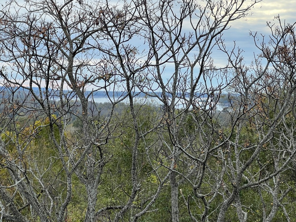
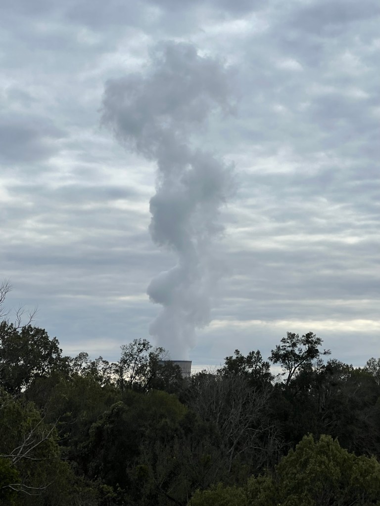
Trees had grown up, but I could still see the river…
and the nearby Grand Gulf Nuclear Power Plant. You can’t see that from the ground because of the terrain, but we knew it was there. There are probably a dozen campers here that are temporary workers here to service the plant. Our neighbor came for that and ended up taking a full time position there. He and his wife and two dogs are all living in a pretty small trailer while they relocate from Chattanooga. He said they were preparing to refuel the plant in January.
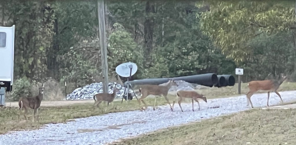
Except for the deer and the temporary workers,
we have this lovely place to ourselves. What a great discovery.
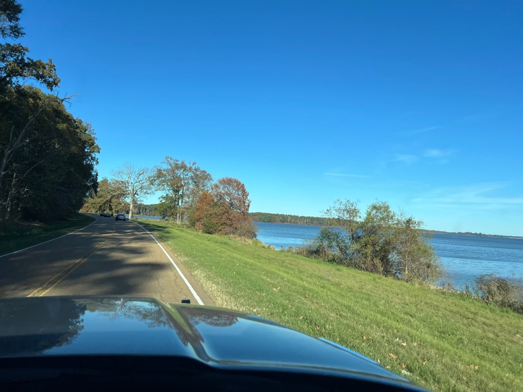
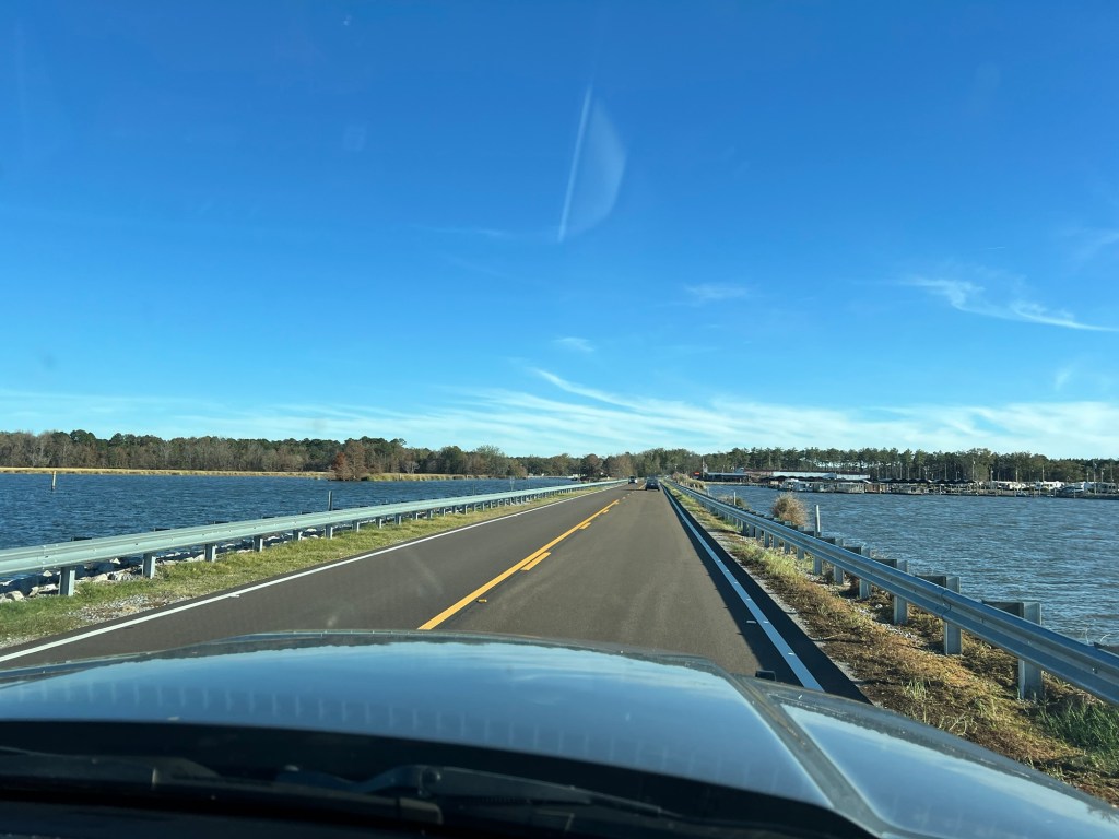
In honor of Thanksgiving the New York Times challenged its readers to write what they are thankful for in six words. I’ve been thinking about that over the last couple of days. I am always thankful for the people in my life, family and friends. But I think my six words would be “wandering through nature especially among trees”. Not everyone gets to do that, but I do. Here we are driving north on the Natchez Trace Parkway coming back to our current campsite.
We’re staying on the Ross Barnett Reservoir…
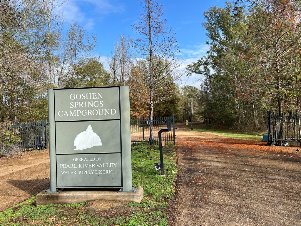
at the Goshen Springs Campground, one of three campgrounds operated by the Pearl River Valley Water Supply District.
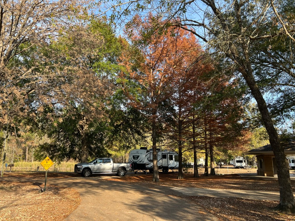
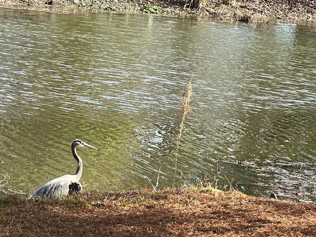
We have a nice site on a small inlet with water oak and cypress trees around us.
This great blue heron was hunting along the edge of our site when we arrived.
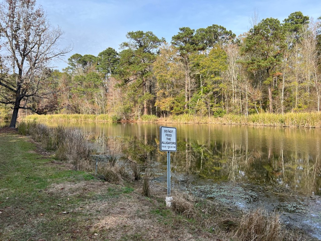
We’re far enough south now that alligators share the water, though I haven’t seen one.
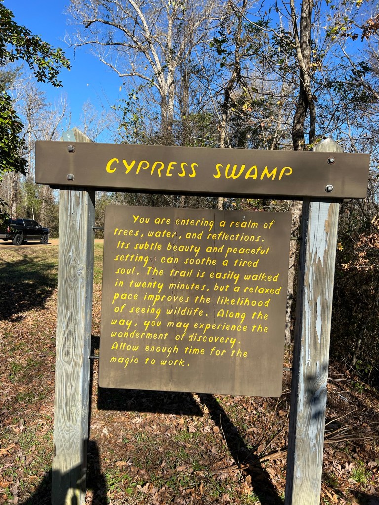
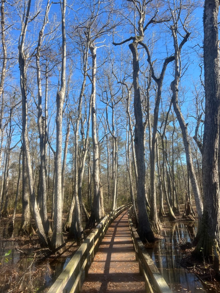
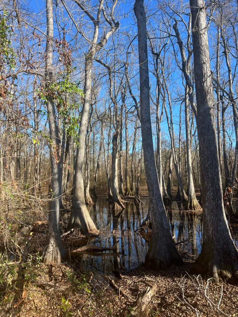
Yesterday, while Bud was beginning the preparation of our Thanksgiving dinner (and watching football), Matey and I went for a walk in a nearby Cypress Swamp.
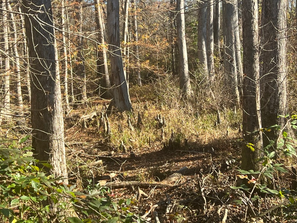
I love cypress with their knees…
and their needles that turn rusty brown in the fall;
but I was delighted to find this swamp also had water tupelo trees, again a sign of the south.
Sunshine and trees, a perfect combination!
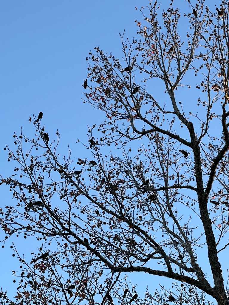
Bud and I enjoyed our holiday dinner, and the birds were having a holiday feast provided by the seed balls on this sweet gum tree.
My life in nature gives me joy for which I am grateful every day.
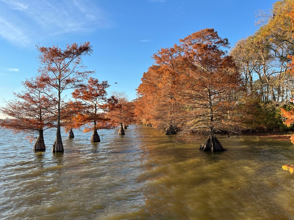
As has become our tradition we headed south for the weeks before Christmas and our first stop is here, Lake Chicot State Park in the Lower Arkansas Delta.
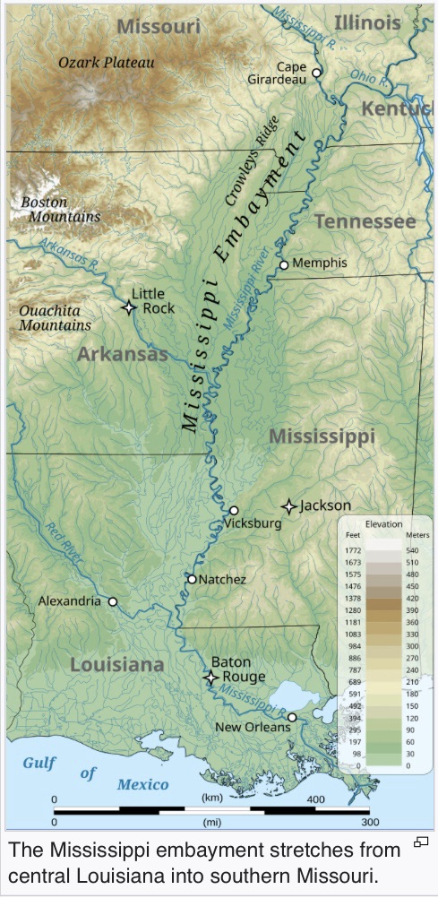
Lake Chicot, at 20 miles long, is the largest natural lake in Arkansas and the largest oxbow lake in North America. An oxbow lake is a curved lake left behind when a river changes its course. The river here is the Mississippi.
From Wikipedia I learned that the Mississippi embayment is an ancient basin now filled with sediment. It stretches from the confluence of the Ohio River to central Louisiana and the land is very flat and the river very meandering all through the area. The part of Arkansas within the embayment is called the Arkansas Delta and the lens shaped area in Mississippi between Vicksburg and the border just south of Memphis is the Mississippi Delta. Not to be confused with the Mississippi River Delta, which is in Louisiana where the river enters the Gulf of Mexico.
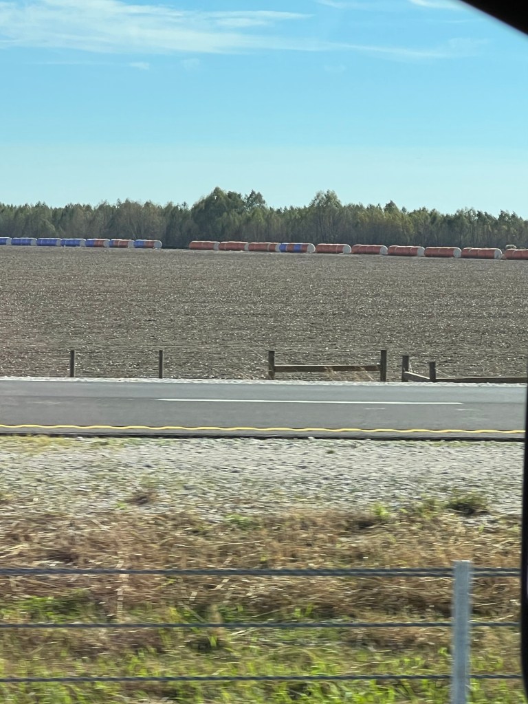
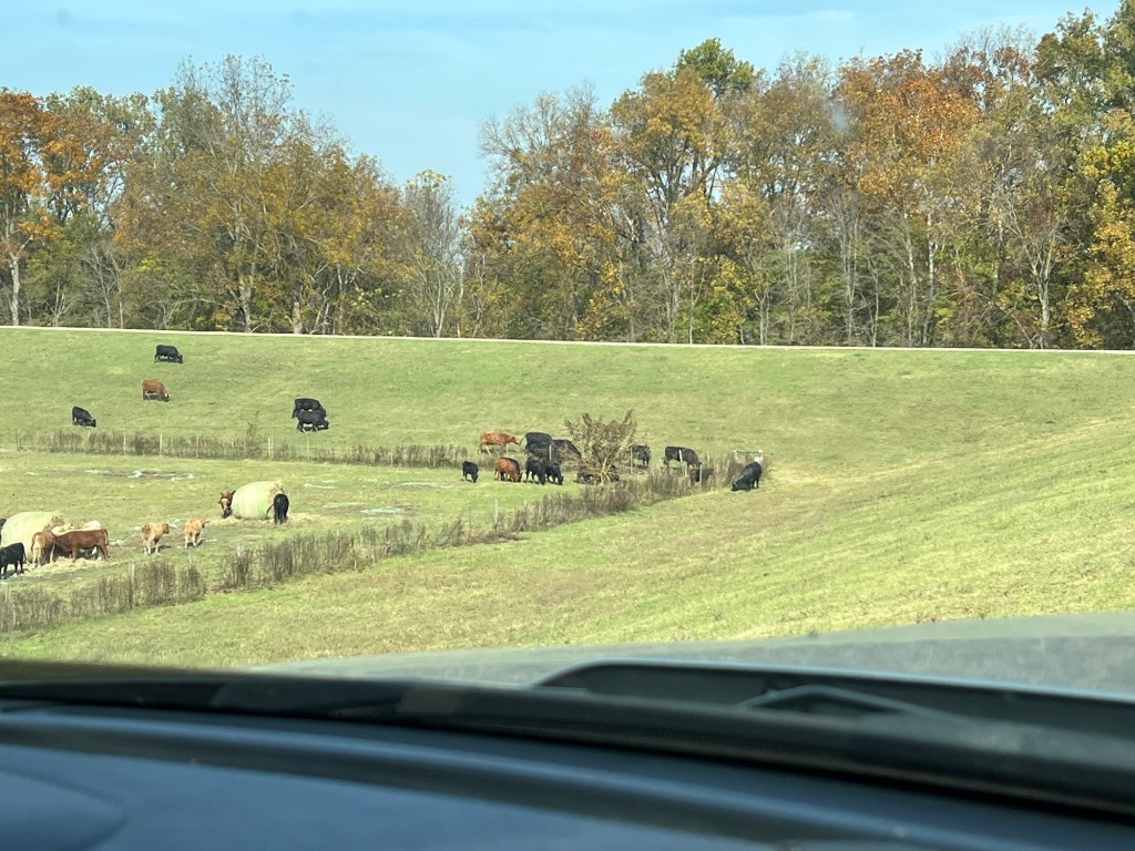
You can see the bales of cotton lined up on the far edge of this field. This is a very rich agricultural area. Cotton has been an important crop here, first grown with slave labor, then with sharecroppers, and today with machinery. The concentration of wealth among a few has resulted in this being an economically stressed area.
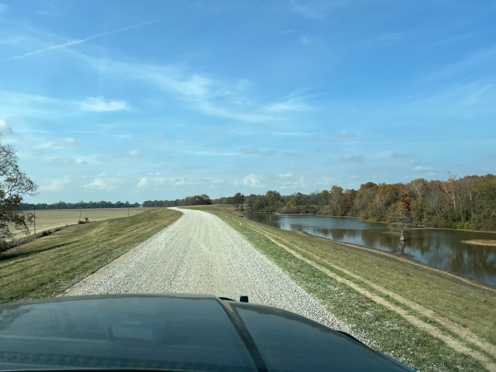
We’ve done a bit of exploring here. The other day we drove up onto the levee road. Cattle were grazing all along the levee.
The smooth gravel road goes on for miles.
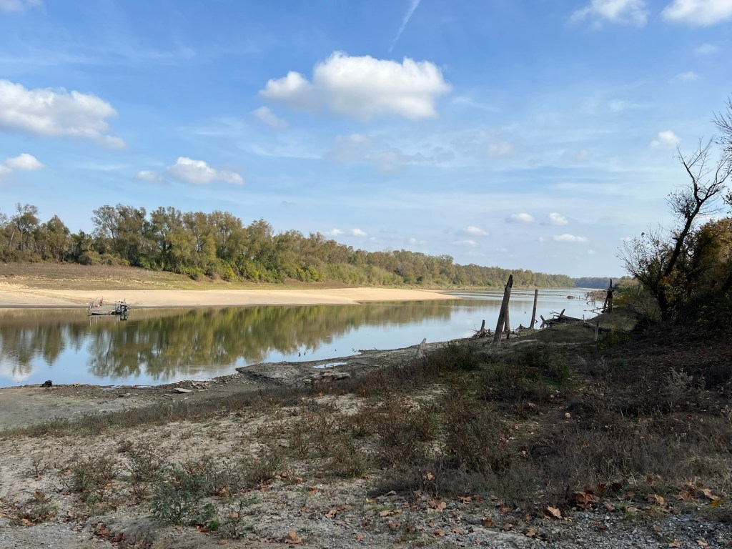
We found a side road down off the levee on the river side.
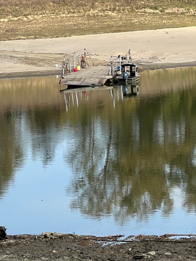
But this bit of river with a makeshift ferry can’t be the Mississippi.
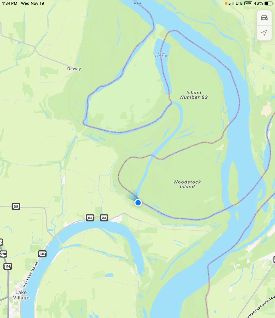
Well it is, but just a small channel that creates this island (near us, the blue dot). You can see from the border line between Arkansas and Mississippi how convoluted the main channel used to be. Some of those switchbacks get cut off naturally, like Lake Chicot, and some have been cut through by the Army Corps of Engineers to make the river more easily navigable.
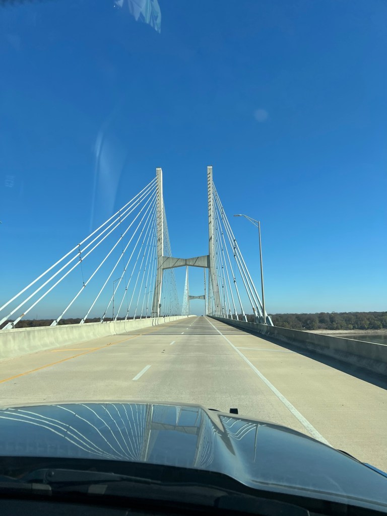
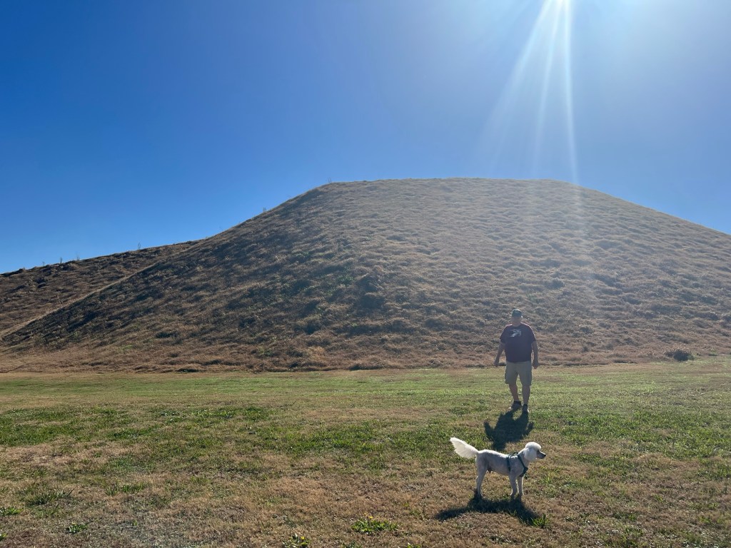
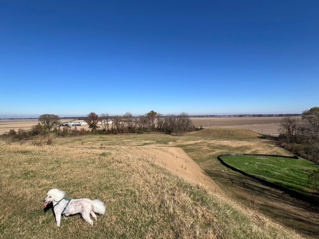
Today we crossed the river to Greenville, Ms. to visit an Indian mound site. (In late October when we came west into Arkansas I said I didn’t know when I’d be crossing the Mississippi again, but I obviously forgot about the near future. Not only did I cross the river going to Indianapolis, but we crossed to tour today and our next two campgrounds are in Mississippi. That’s three times back and forth before Christmas!)
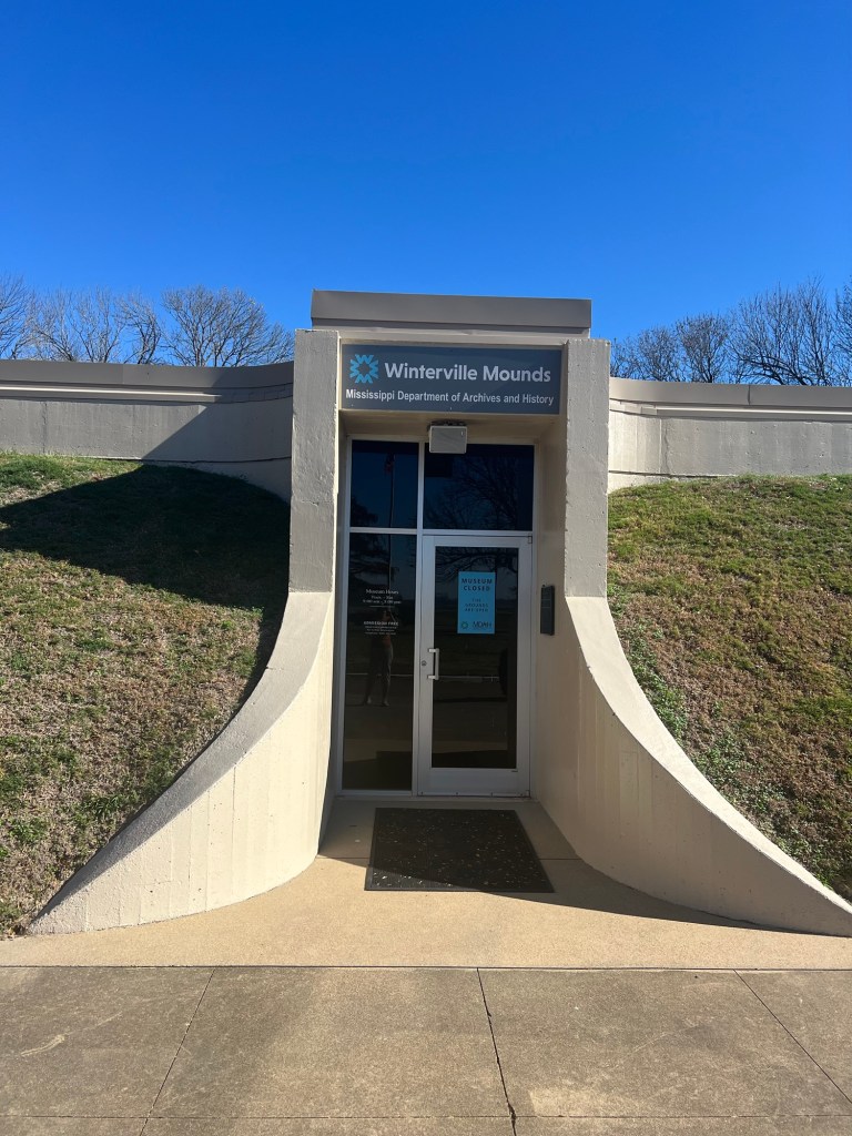
This was the Winterville Site and was thought to be occupied by ancestors of the Natchez for about 450 years, starting around 1000 CE. The museum was closed, I think for renovations,
but the grounds were open.
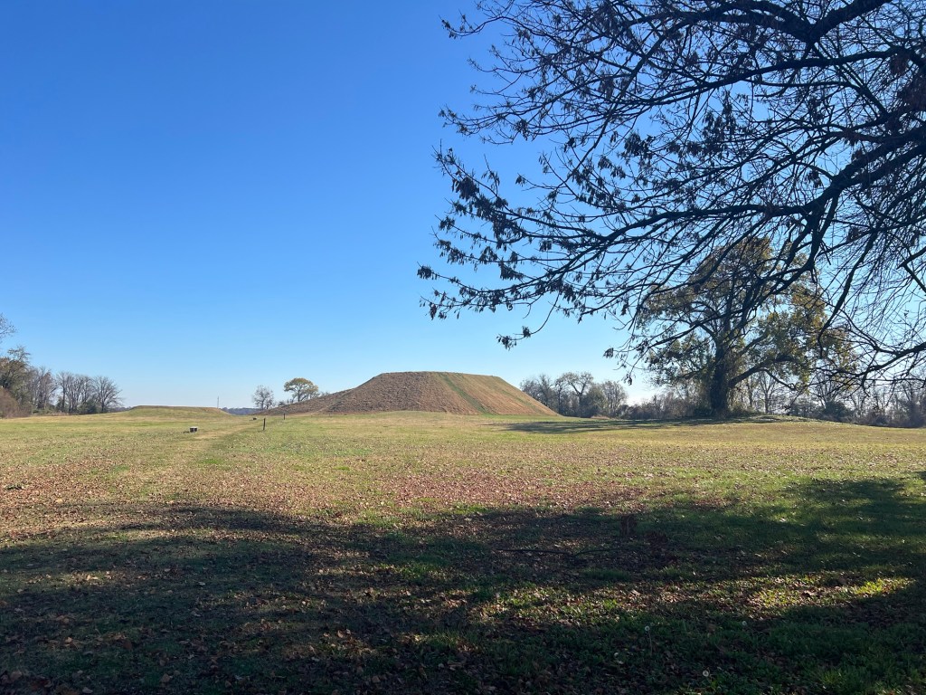
The largest of the mounds was carefully reconstructed to its original height, 55 feet, as tall as a five story building.
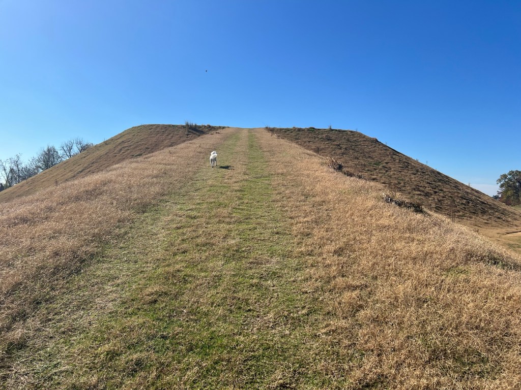
A long ramp up one side leads to the top where a temple was probably located.
The edges are abrupt and the sides very steep.
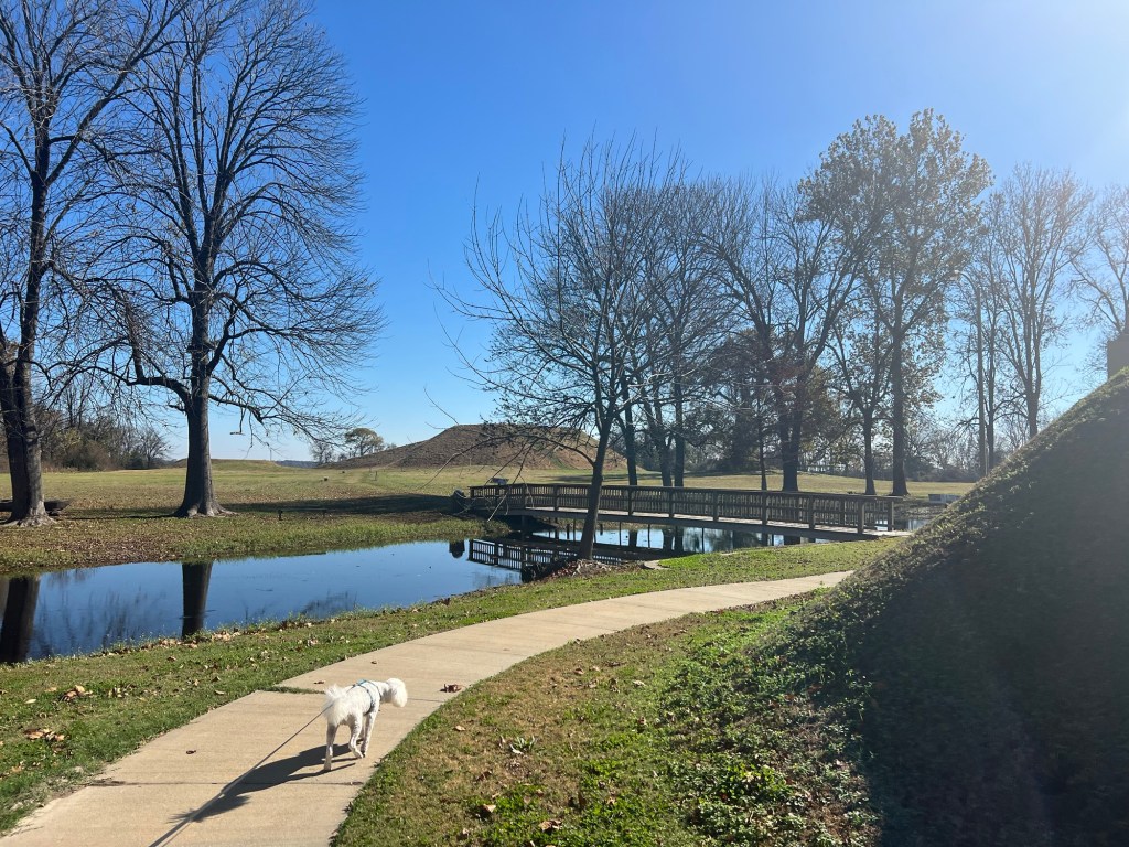
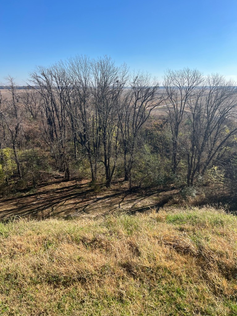
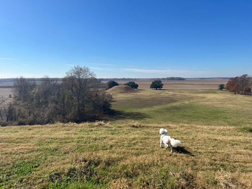
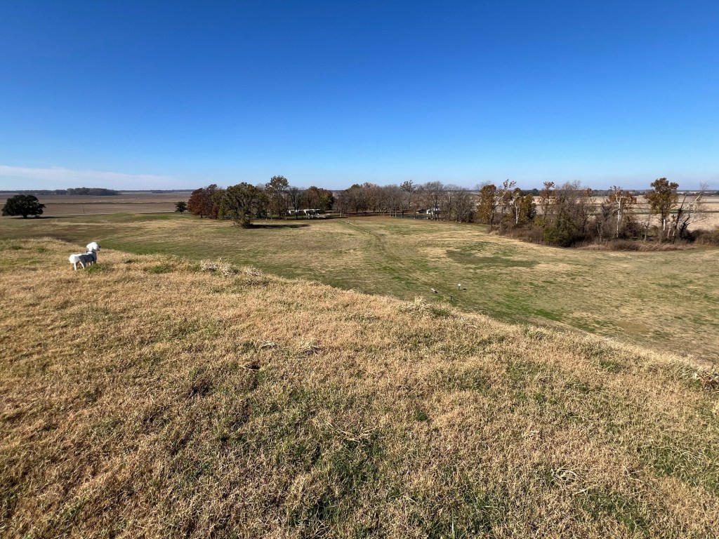
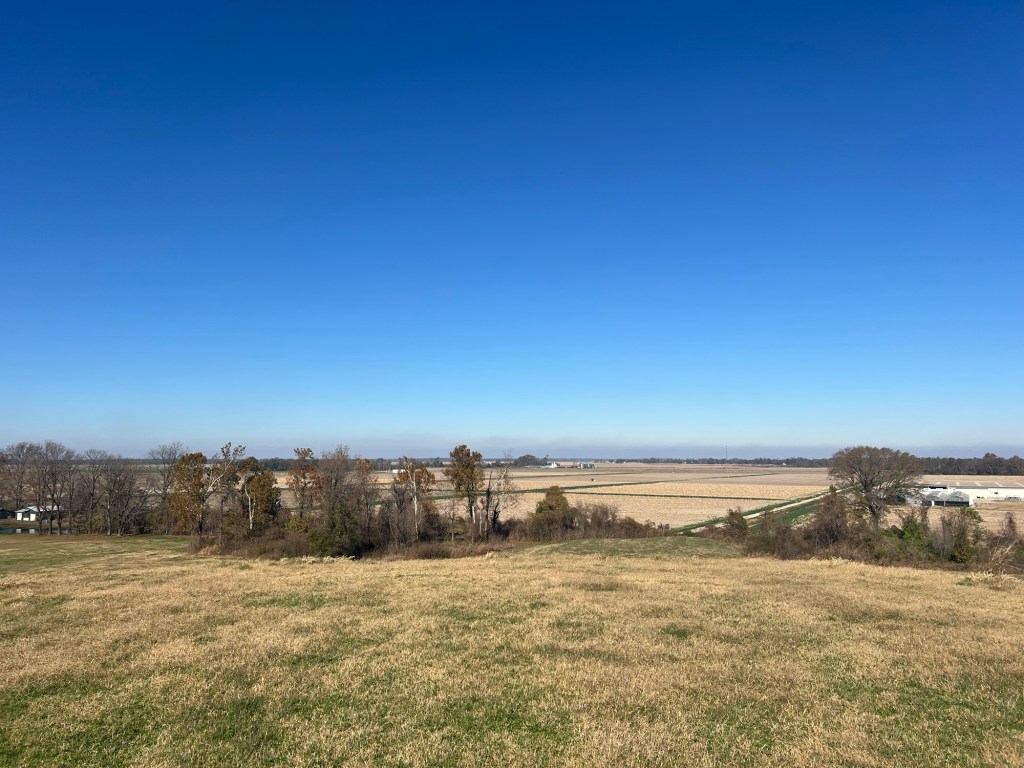
From the top you can see some of the other mounds on the site.
Eleven of the 22 known mounds are still there, but not all are easy to see.
The top also gives a nice view of the entrance and museum.
You can also see the miles of agricultural land around the mounds. There is no evidence that any but a few people lived on the mounds, so it is assumed the people who built the mounds lived on family farms in the surrounding area and used the mounds for ceremonies and other gatherings.
These remain beautiful places.
I love the hills, but Lake Chicot and the flat Delta regions have their own beauty, not the least of which is the gorgeous fall coloring of the cypress trees.
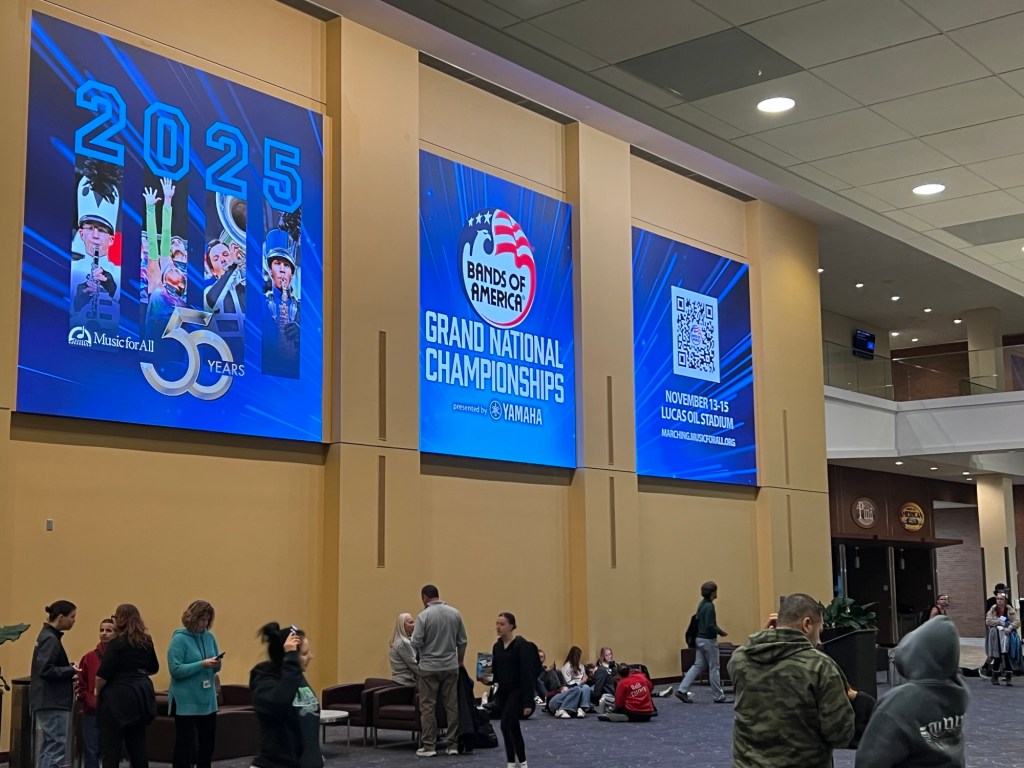
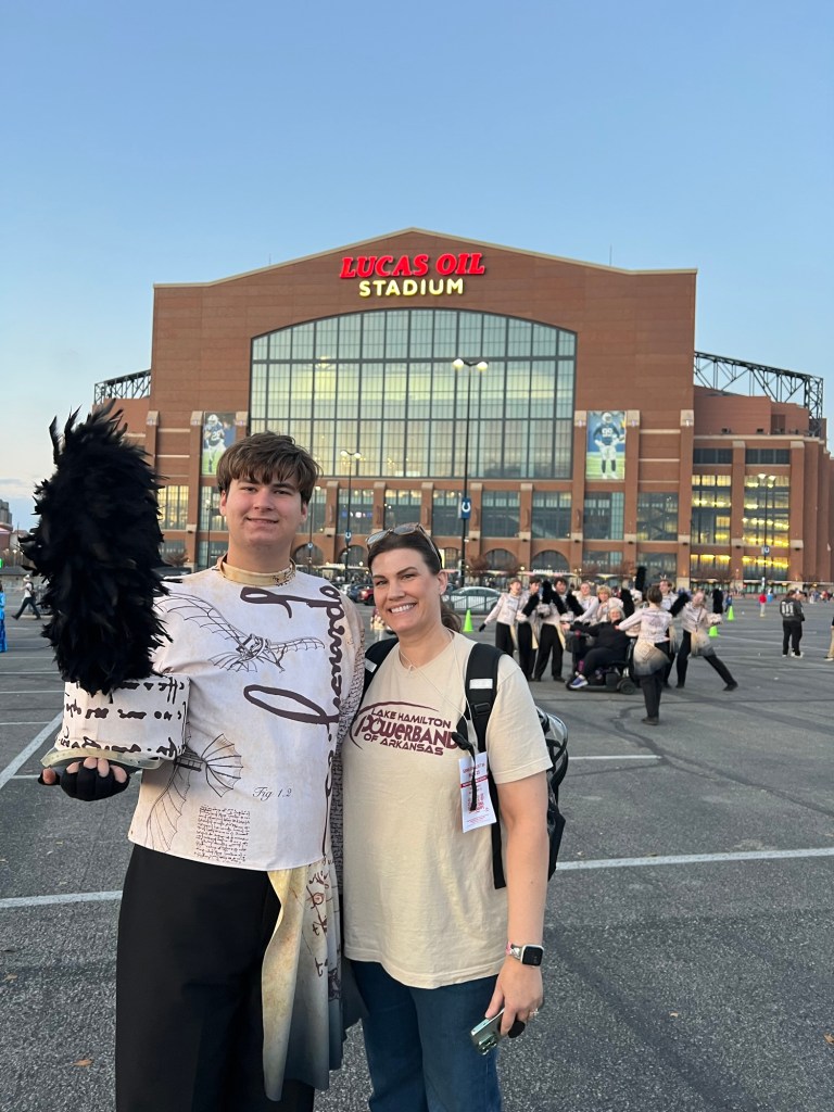
I know, my whole life is a road trip, but this was different. Thursday morning I got out early to give Matey a walk before Jamie picked me up to drive up to Indianapolis to watch Adler and the band compete at the Bands of America Grand Nationals.
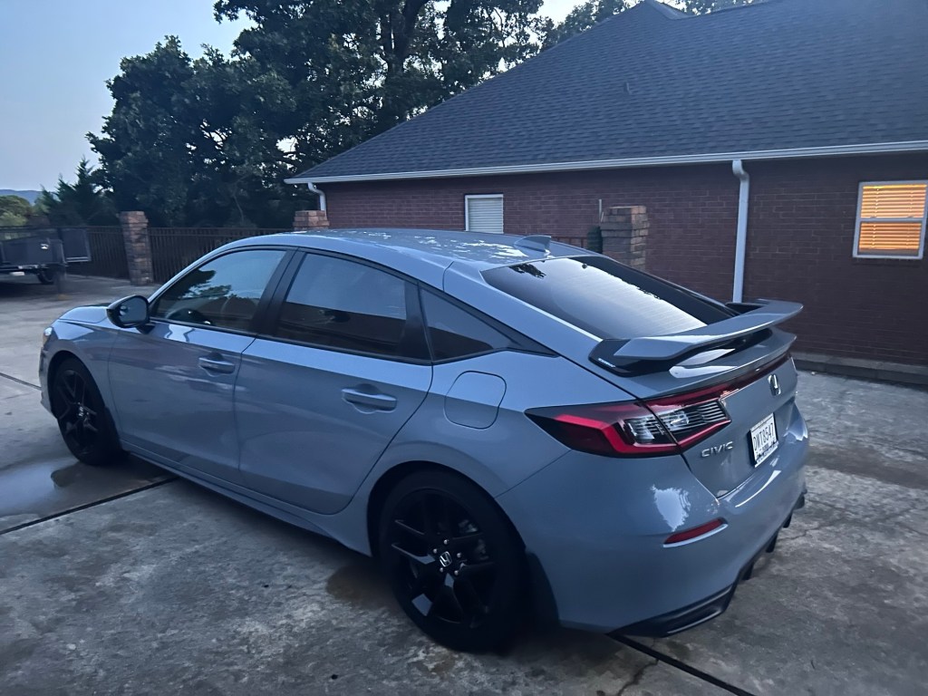
Jamie had hoped to fly, but there were no good flights and right now is a bad time to rely on the airlines. So instead we took Adler’s 2023 Honda Civic Hatchback. It actually has fewer miles on it than any of our other vehicles and it gets almost 45 mpg on the highway. The only drawback is it’s a 6 speed standard. Happily driving a standard car is like riding a bicycle, you don’t forget.
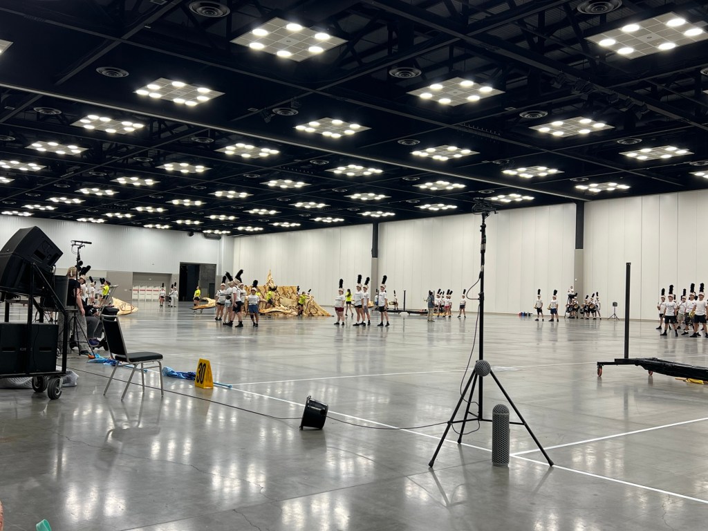
We got there just in time to watch the band do a two hour evening rehearsal.
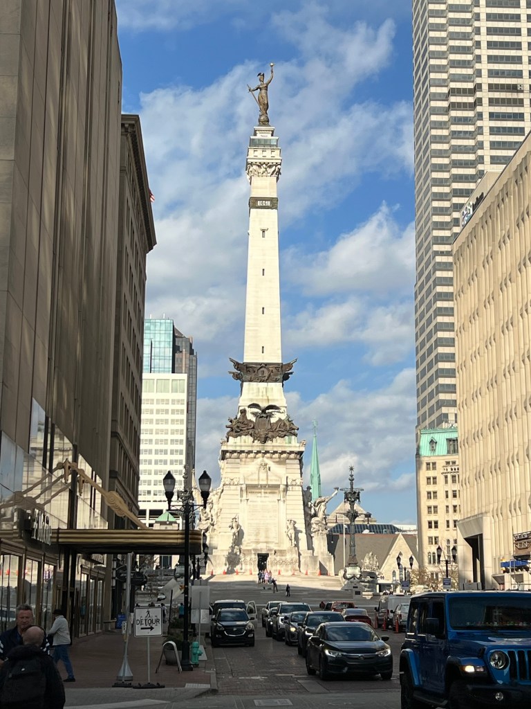
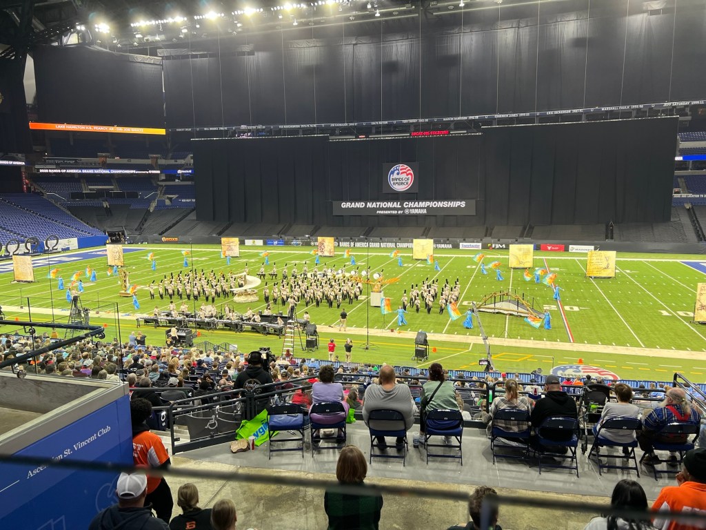
The Grand Nationals are held at Lucas Oil Stadium, home of the Colts, and the adjacent convention center is used for practice.
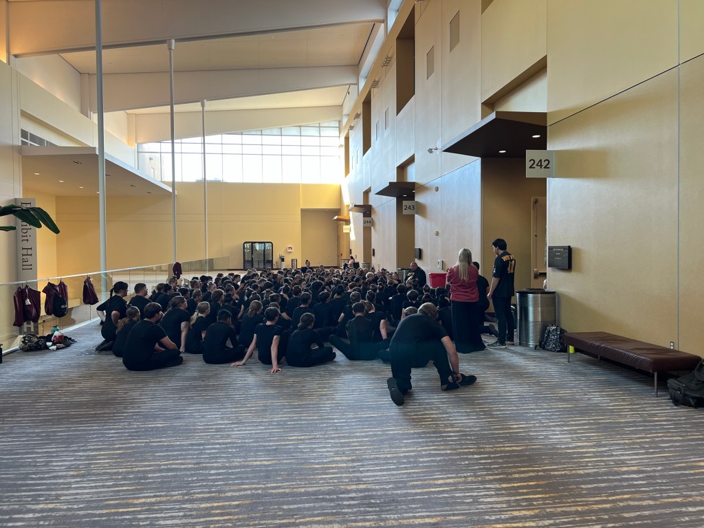
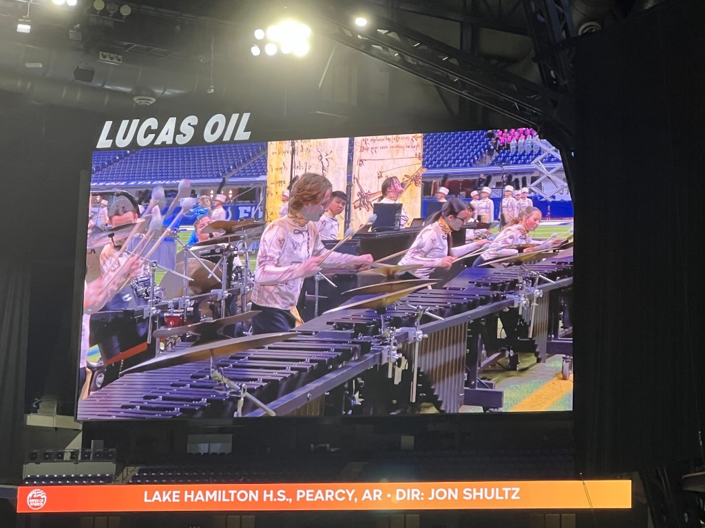
The large halls are divided into rooms the size of a football field and bands are assigned practice times. 104 bands participated this year, so their preliminary performances took place over two days. Lake Hamilton performed at 8 PM Friday evening, the third to the last band. They had practice time Thursday evening from 8 until 10 and Friday afternoon from 3 until 5.
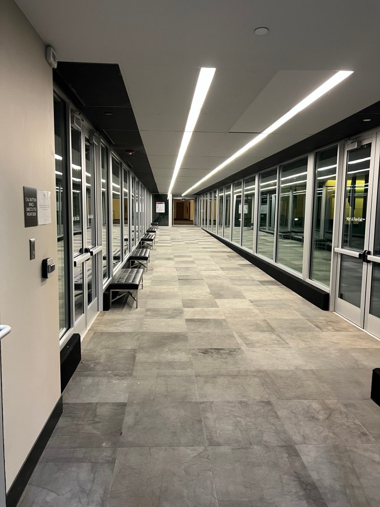
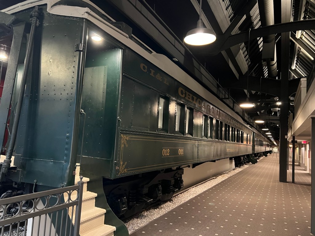
The kids had an hour and a half bus ride back to the camp where they were staying, but Jamie and I just had to walk across this skywalk to our room at the Crowne Plaza Hotel. Nice!
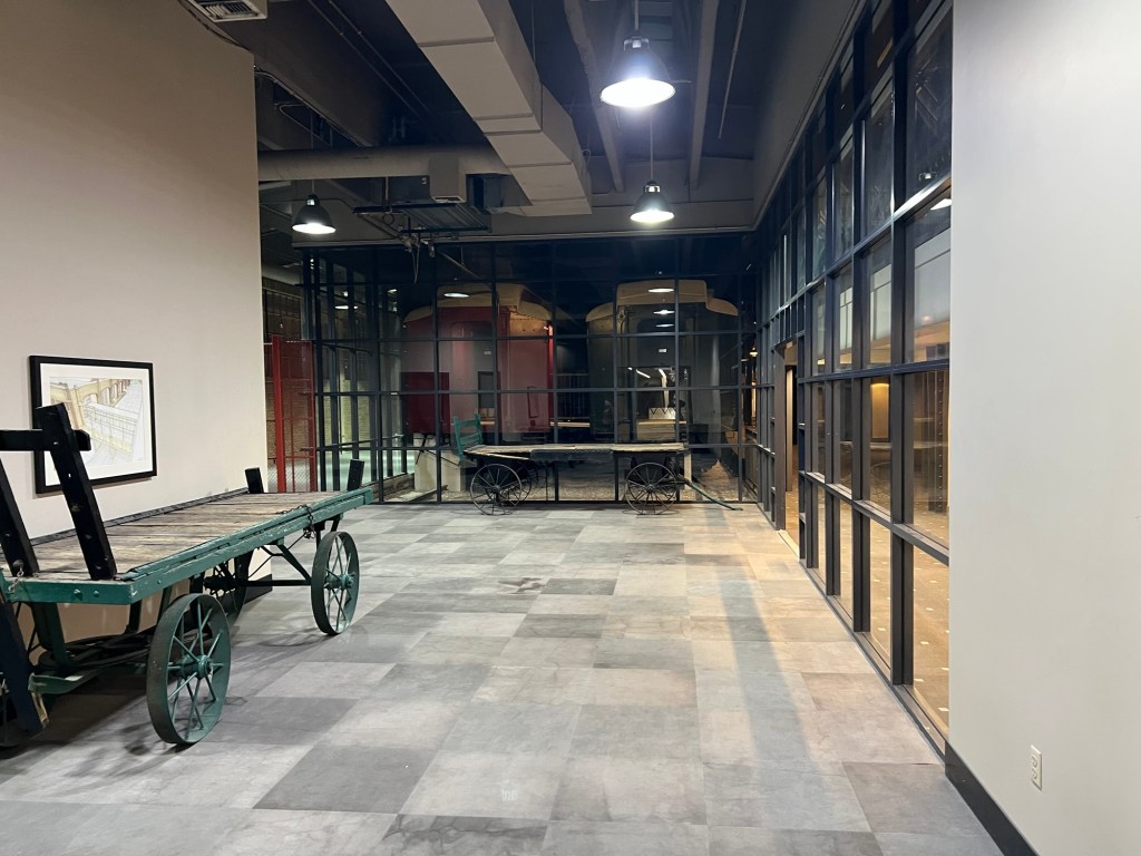
The hotel is built in the old train shed for the next door train station and the decor is railroad themed,
including two rows of railroad cars that have been converted into rooms. The cars were pushed onto the existing tracks and the hotel built around them.
It was a fun place to stay and very convenient.
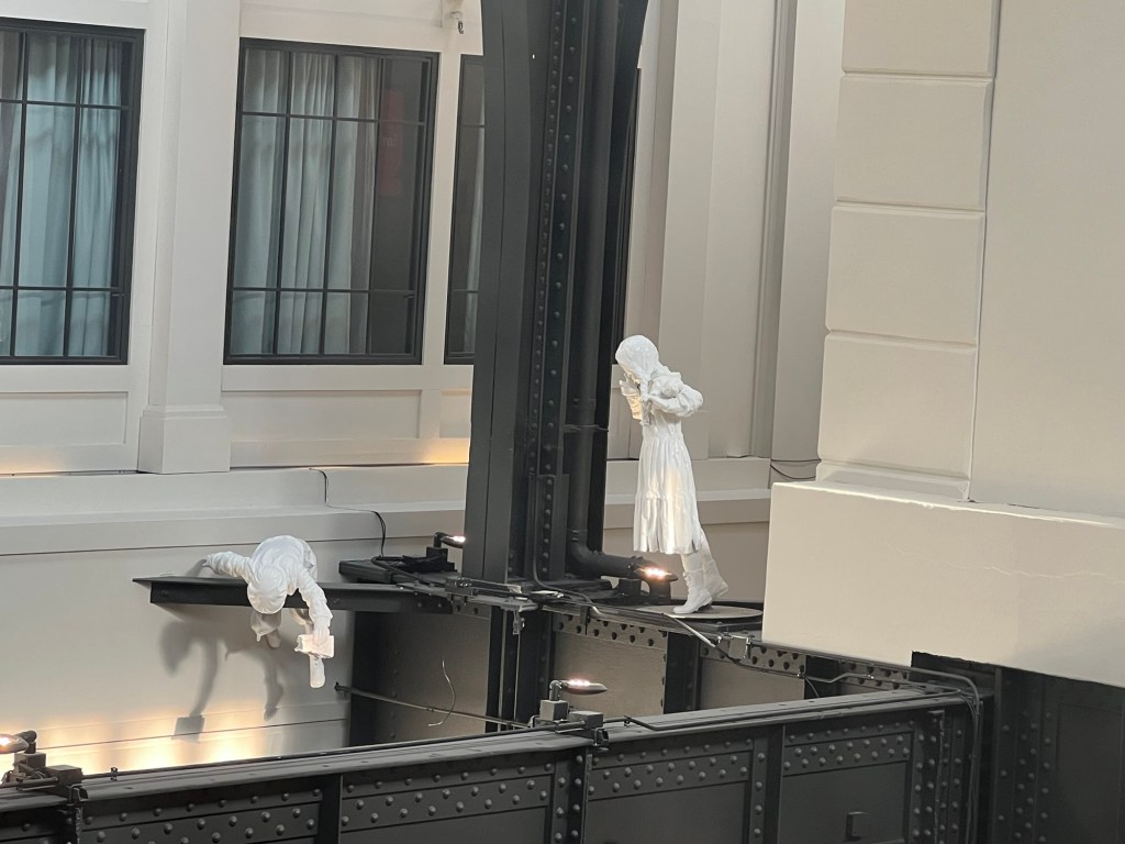
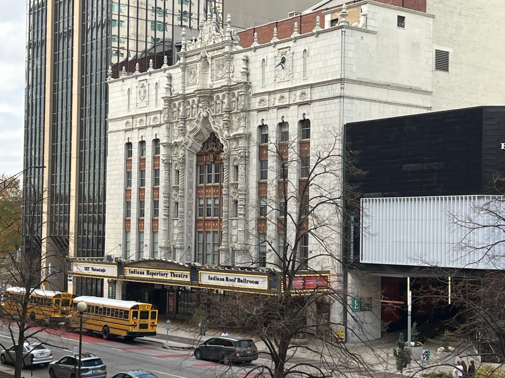
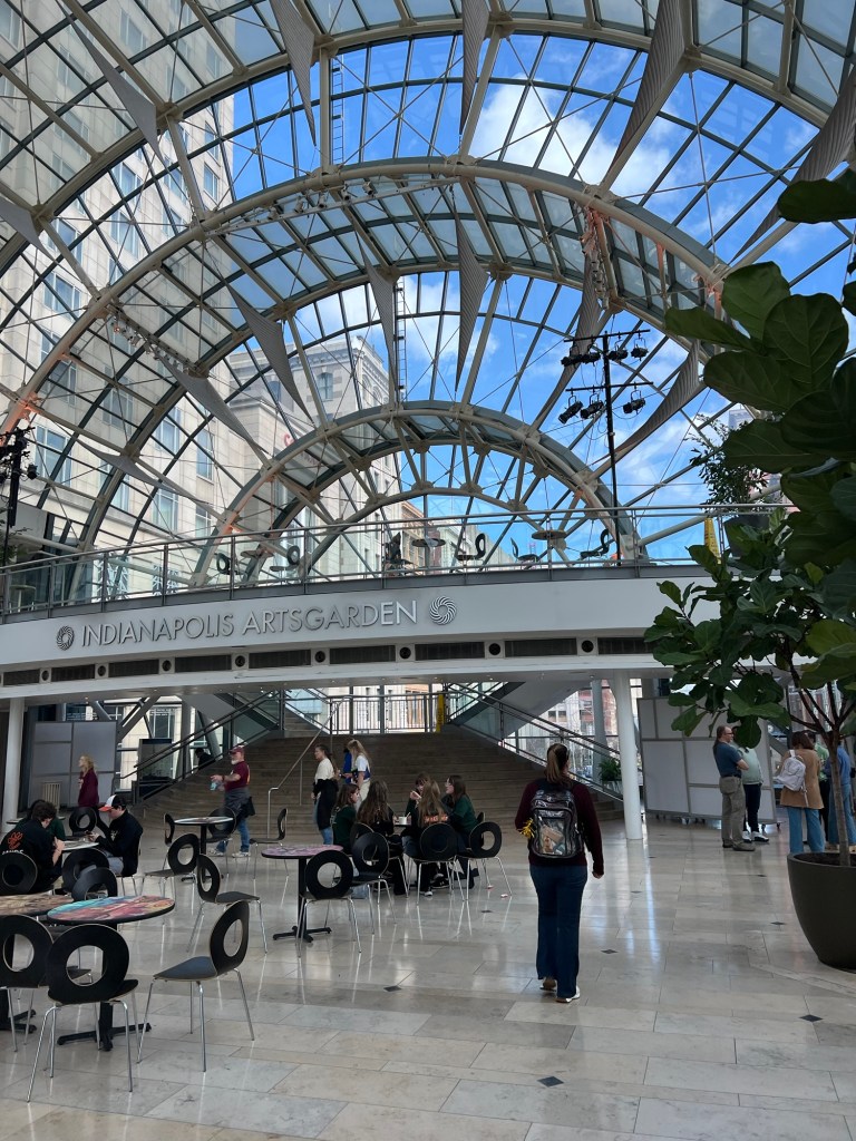
Friday morning we had some time so we walked around downtown. First we wandered the skywalks searching for a way into the adjacent mall.
The direct route was closed for construction so we ended up taking about four different skywalks. It’s impressive.
The mall didn’t have any store that carried Afrin nasal spray, which Adler needed, so then we took a tour of the streets. We found our way to a nearby CVS…
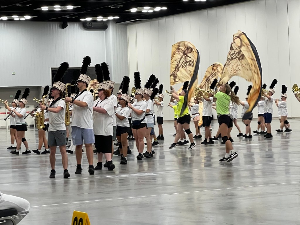
and managed to deliver it to Adler just as the band was getting some final words from their director before their 3 to 5 practice.
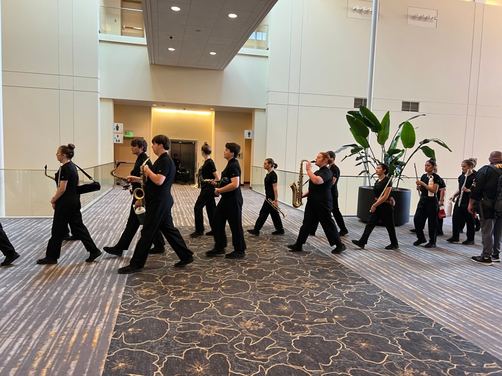
For this practice they are wearing their bibbers, which are uniform overalls without the top tunic.
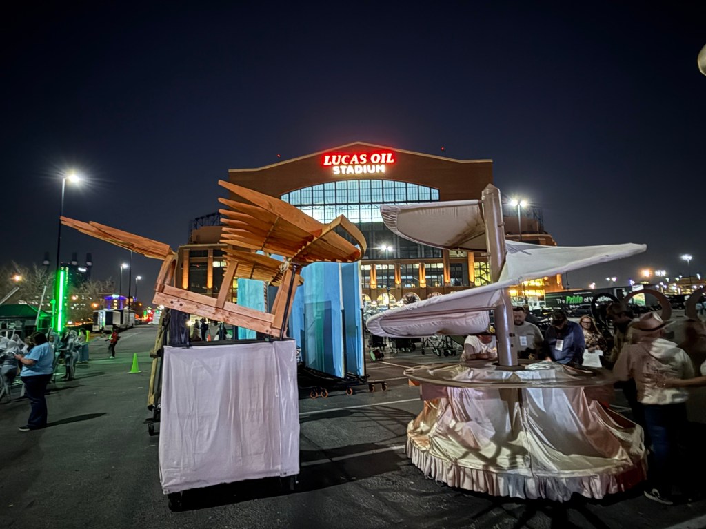
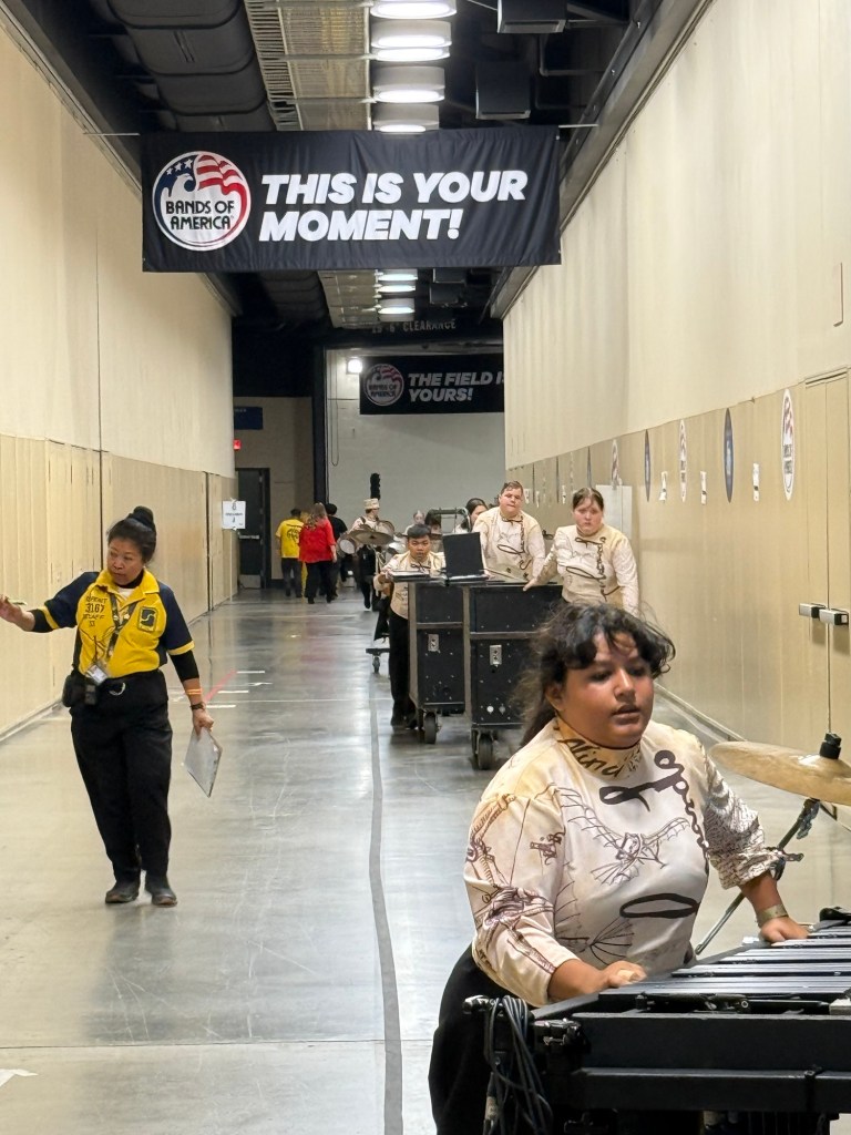
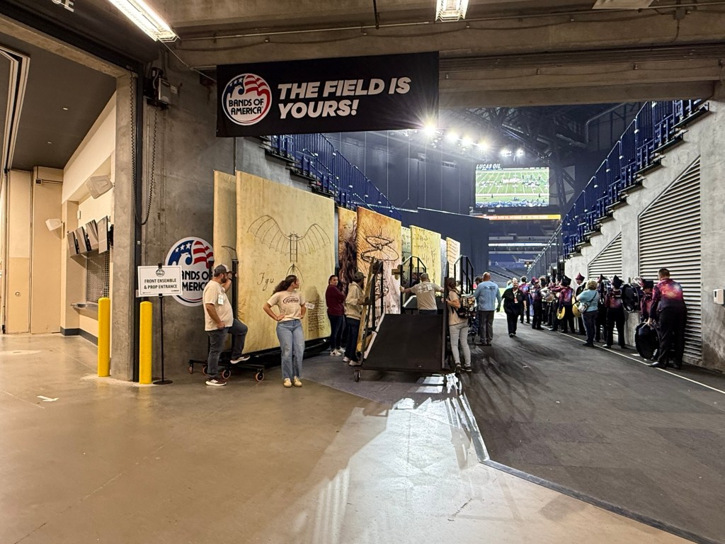
Jamie left to work with the prop team while I went in to watch bands perform. The screens and props all have to be assembled before every show.
Then all the props and the equipment are taken under the stadium. There’s room down there for the band to warm up. At last it gets pushed through the tunnels…
and up to the entrance to the field.
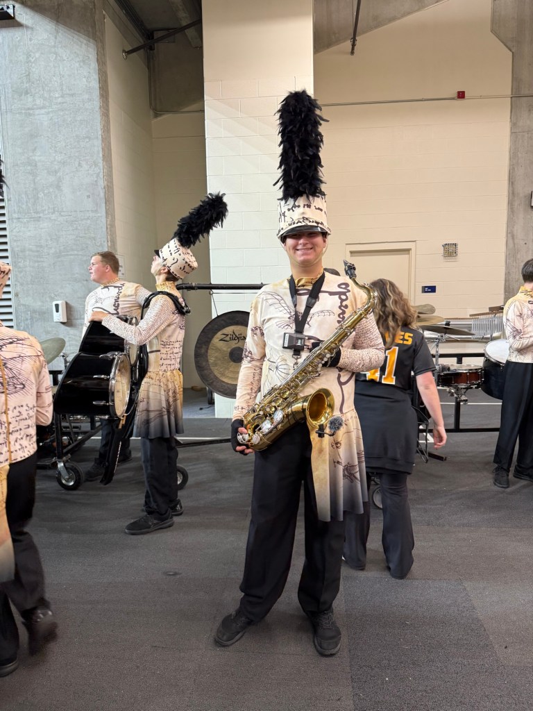
Jamie took this picture of Adler at 7:40, waiting at the tunnel exit to the field.
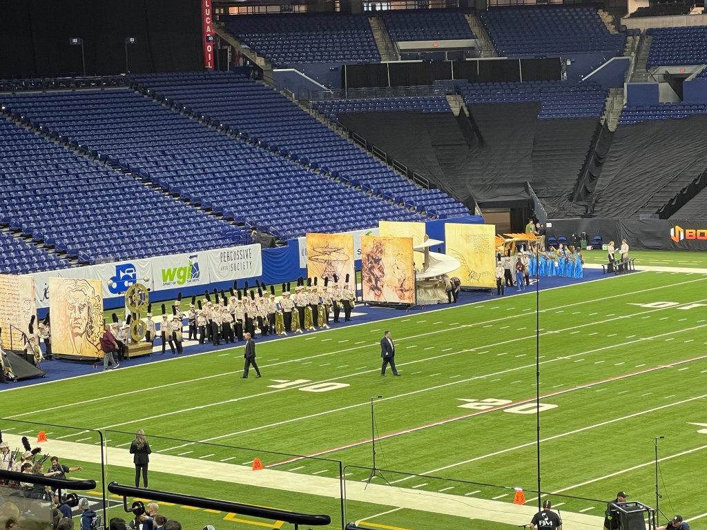
Here’s what it looks like when they are all lined up on the sidelines, ready to come on the field.
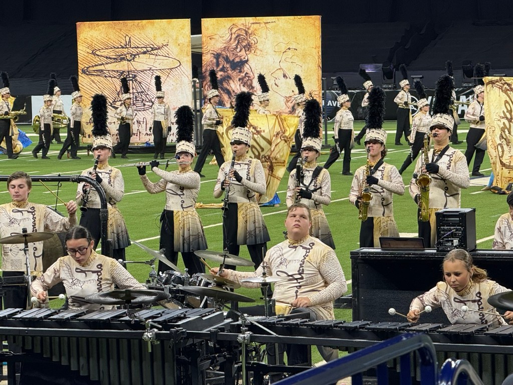
At 7:59 Adler is playing with the pit (the percussion instruments that don’t move) and 5 other woodwinds while the show is introduced.
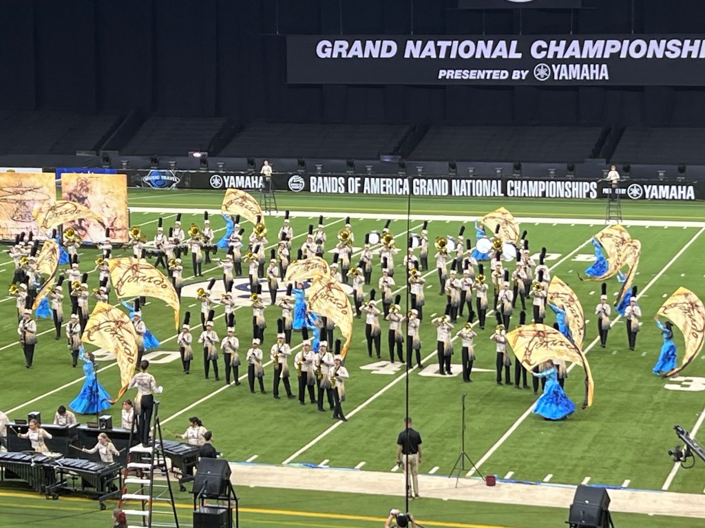
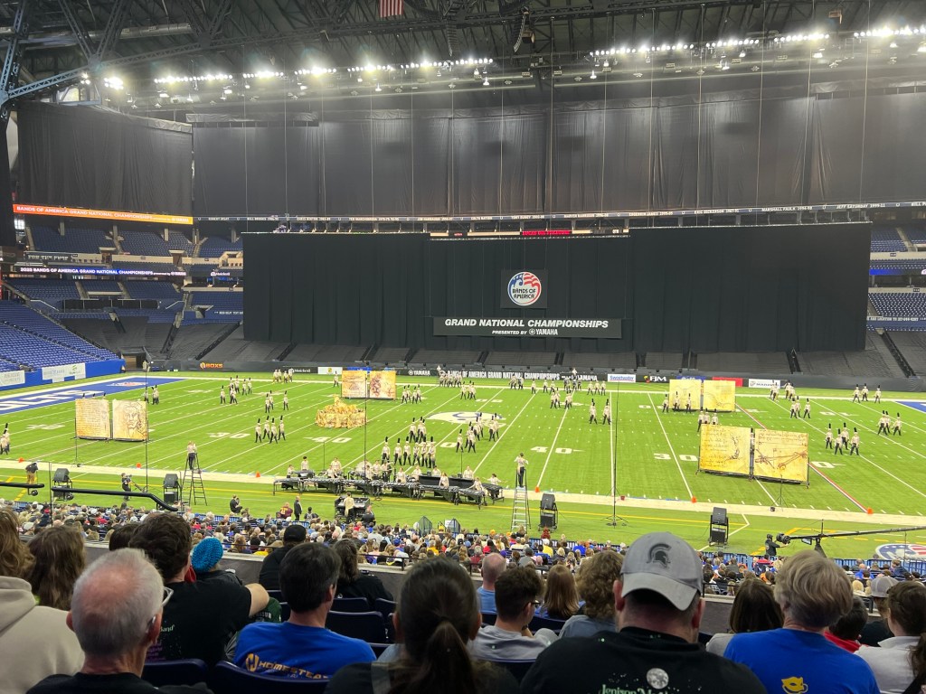
And at 8:00 the show starts.
It’s fun to see them perform in such a great venue. They even get put on the Jumbotron.
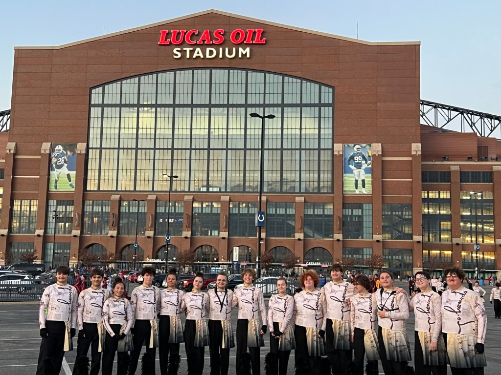
After their nine and a half minutes they all had to exit the field. The kids went up in the stands for a photo and the parents on the prop team took all the props back out to the parking lot where they had to be partially disassembled to fit on the truck and two trailers. They had to be removed to a farther parking lot, so the close lot could be used by the bands that would be first to go in semifinals the next day. I joined Jamie there and we walked back to where the band was having a watch party waiting for the announcement of the semifinal bands.
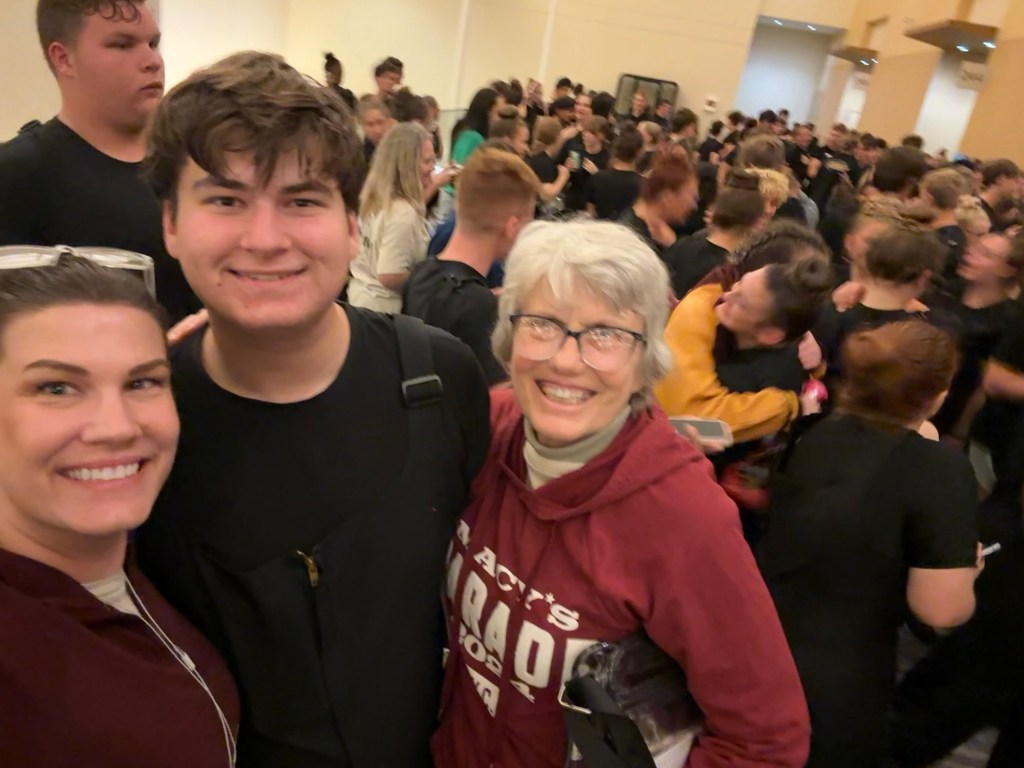
And here we are, moments after finding out that Lake Hamilton made semifinals, 36 bands out of 104.
So the next afternoon they got to do it all again.
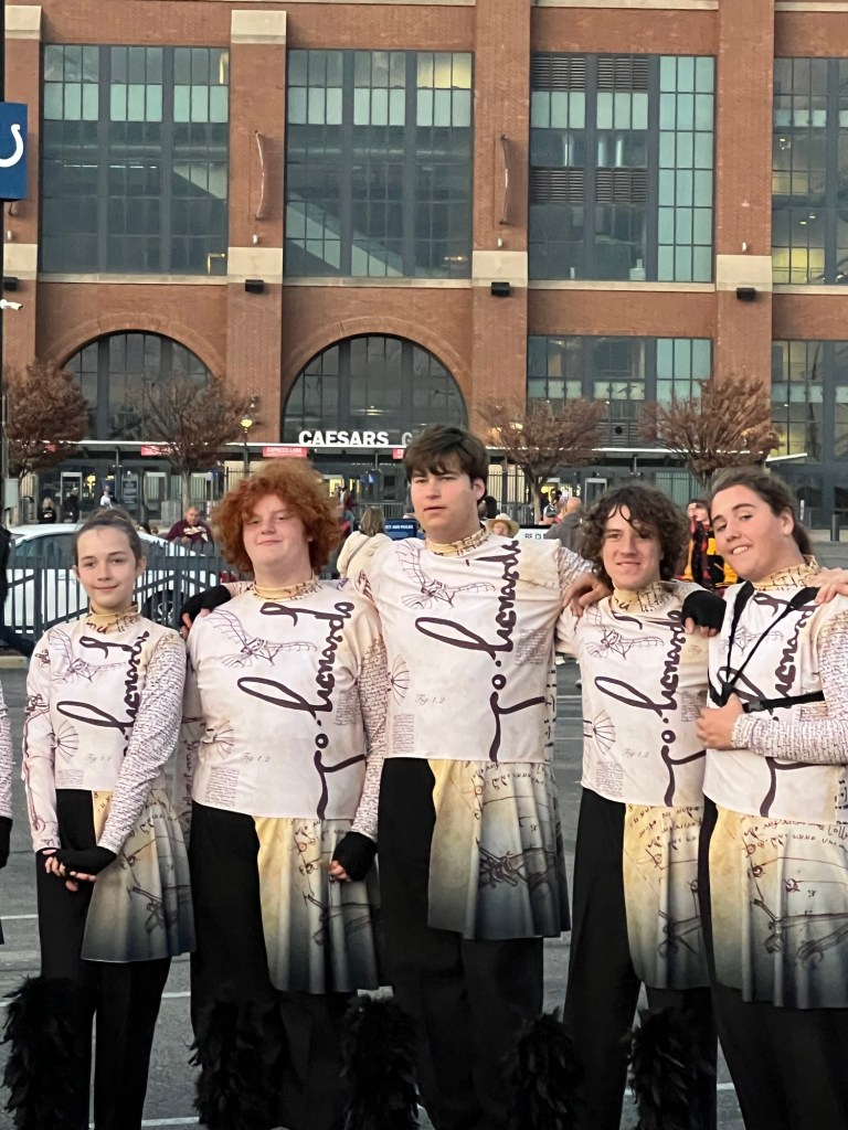
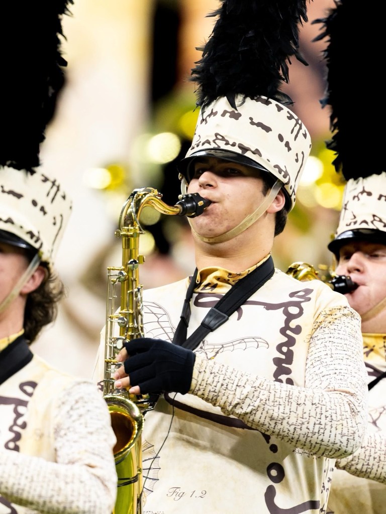
They did not win a medal this year, but it was a great experience for these kids. This is Adler’s section posing for pictures after their performance.
That’s him in the middle.
A ton of work, but a proud moment for Jamie and Adler.
Congratulations Adler, thanks for the road trip.
(I must confess, I did not take this picture. A professional photographer posted a picture of one student from each band, and Adler was the one from Lake Hamilton.)
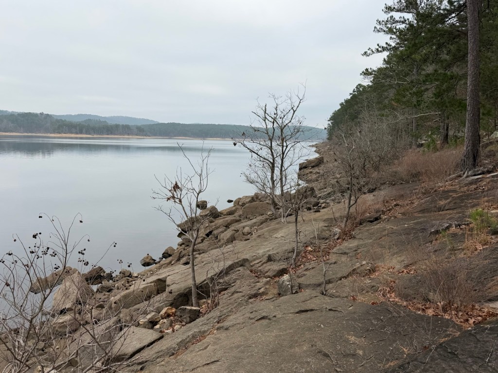
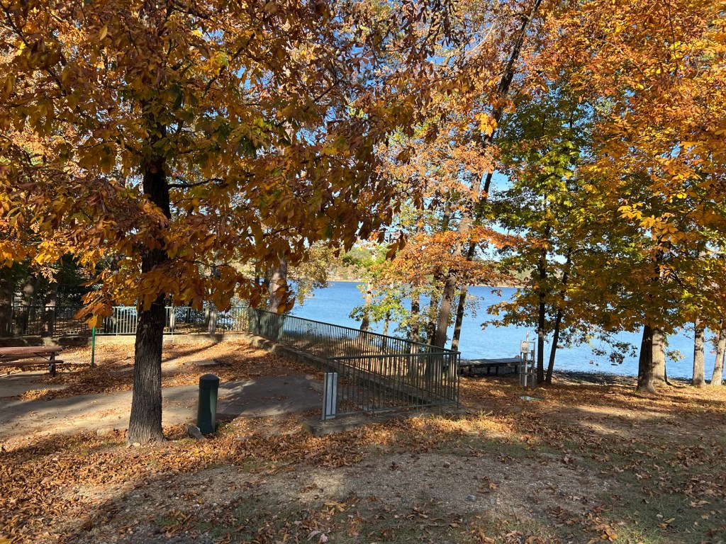
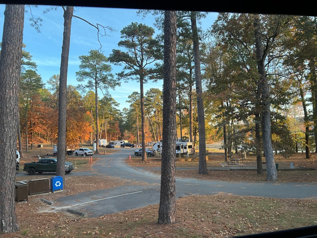
We’re still in Hot Springs, but now just southeast of the city at Lake Catherine State Park.
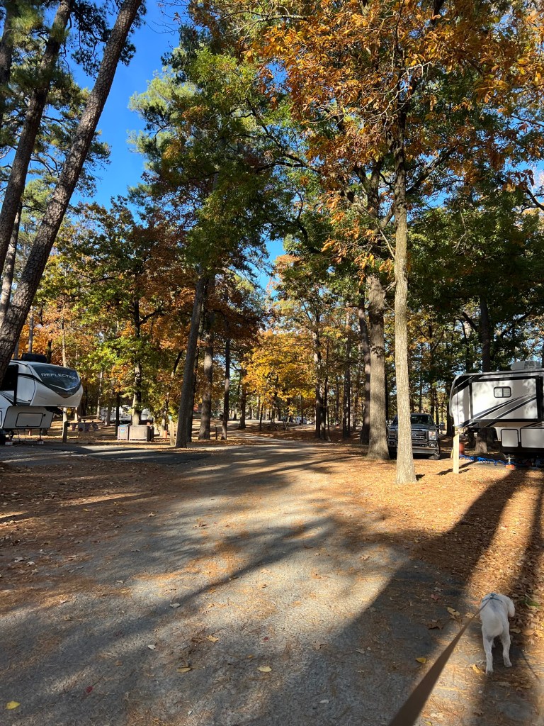
Matey and I did our initial reconnaissance yesterday and I realized this may be my favorite campground in the area. Gulpha Gorge has a great location and I love the trails up over the mountain but Lake Catherine has nice sites with plenty of room.
Most of the sites are close to the lake,
which is pretty even when they lower the water level for the winter.
The fall colors are nice here and it is easy to walk a mile wandering through the campsites.
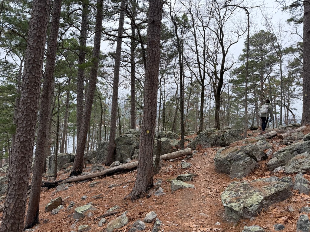
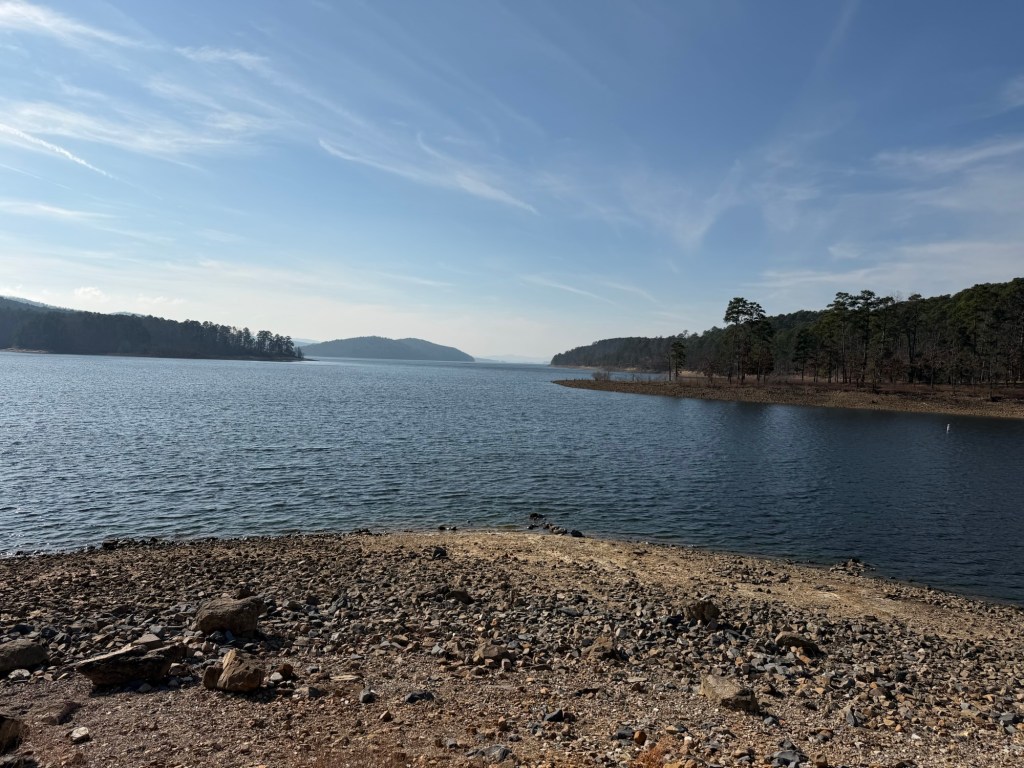
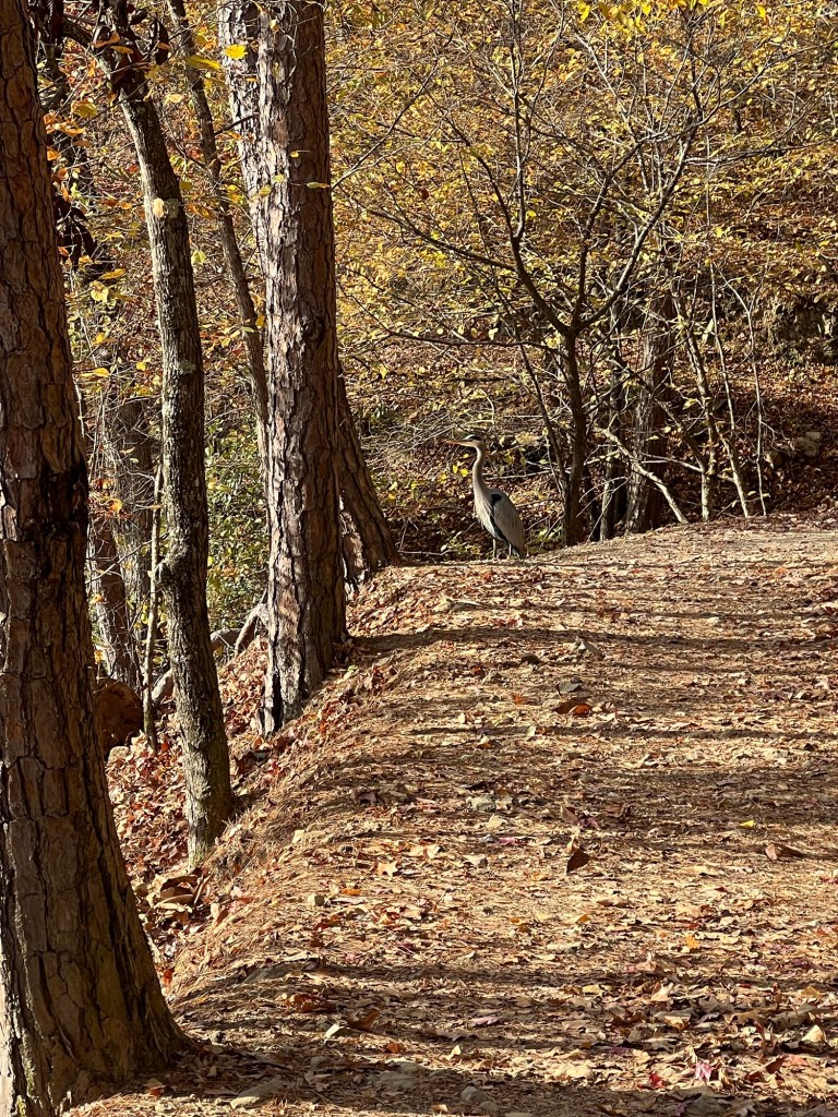
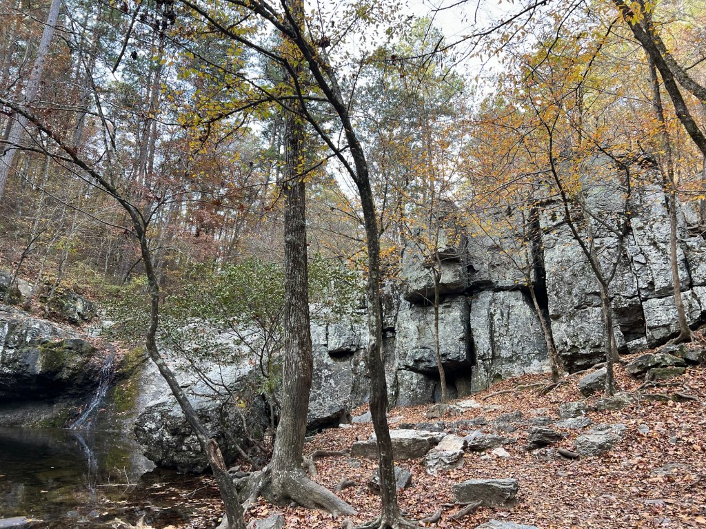
There are some easy trails for Matey. This morning we took the Falls Trail and came across this great blue heron surveying the lake from the trail.
There’s not much water now but this is still a pretty scene.