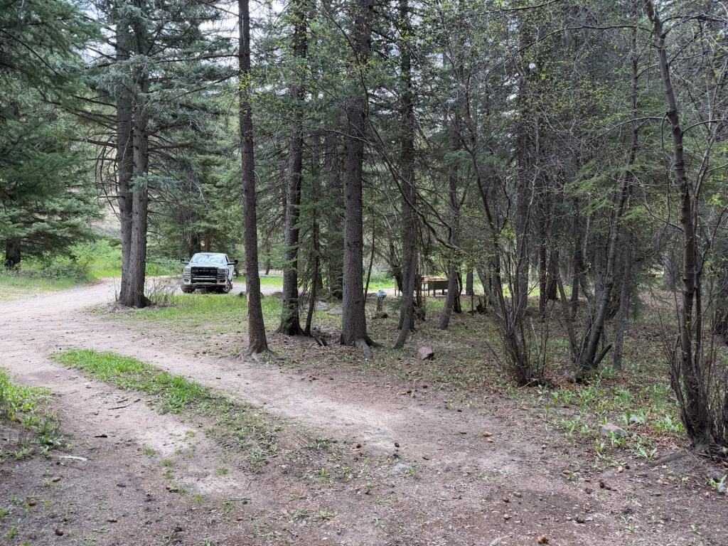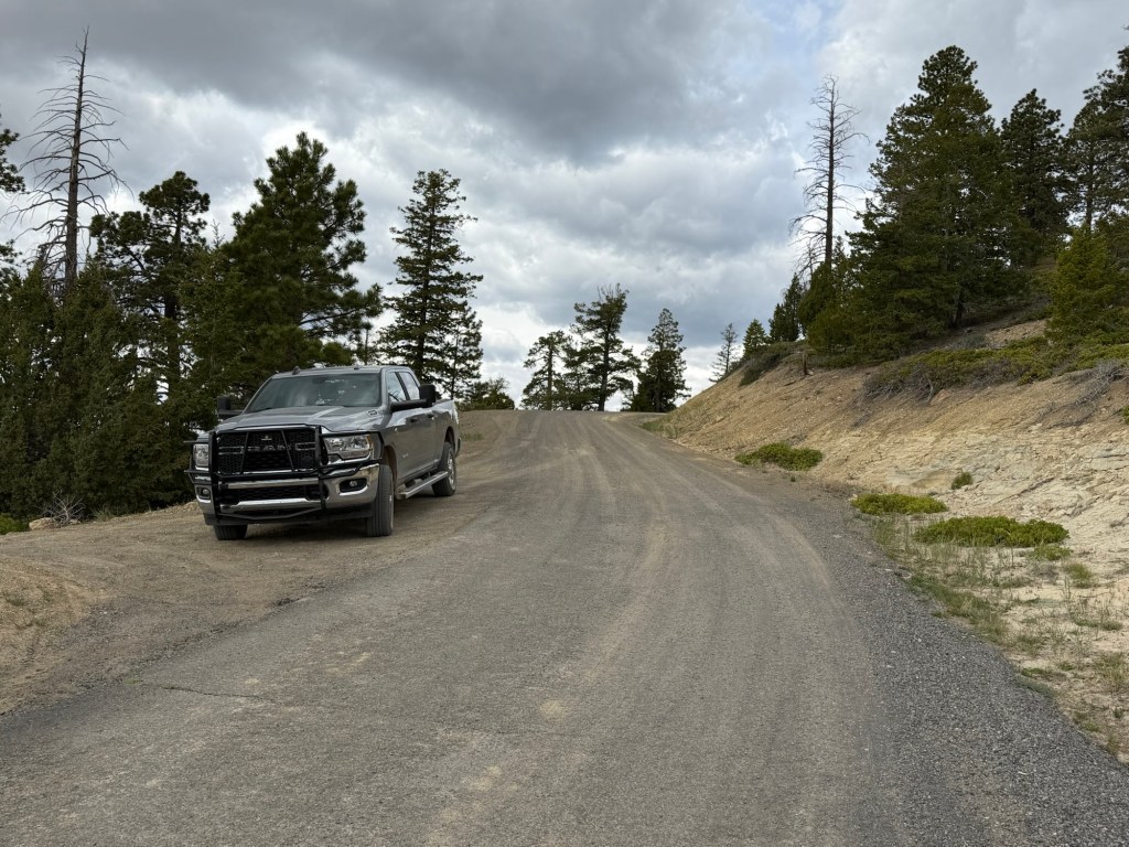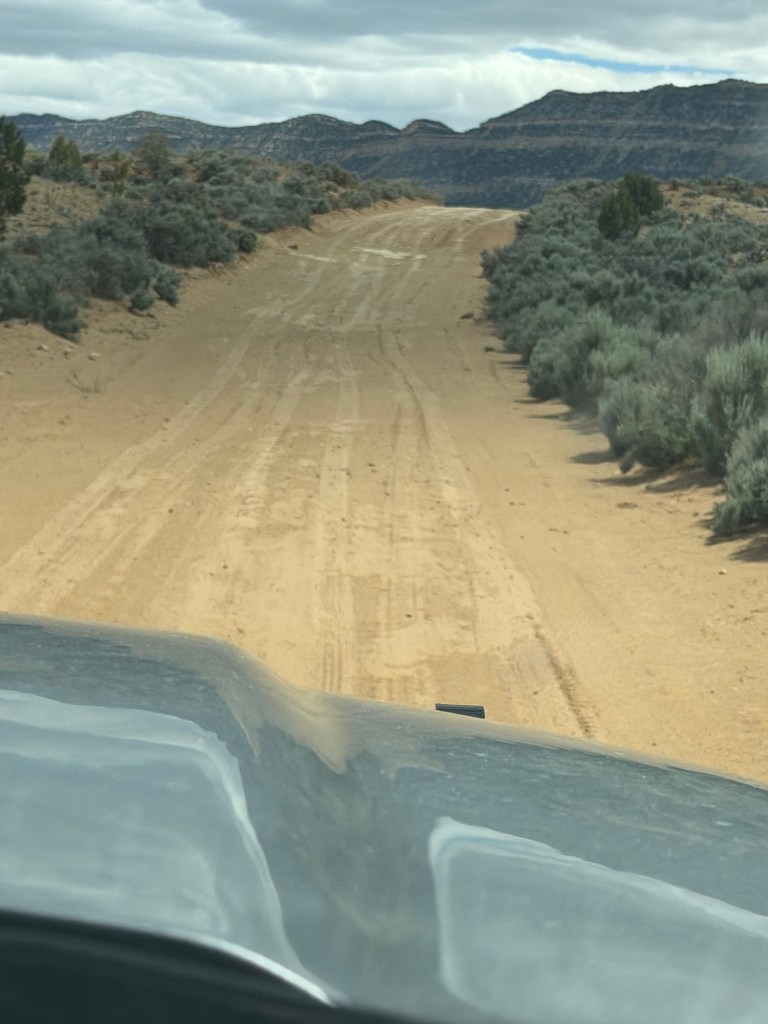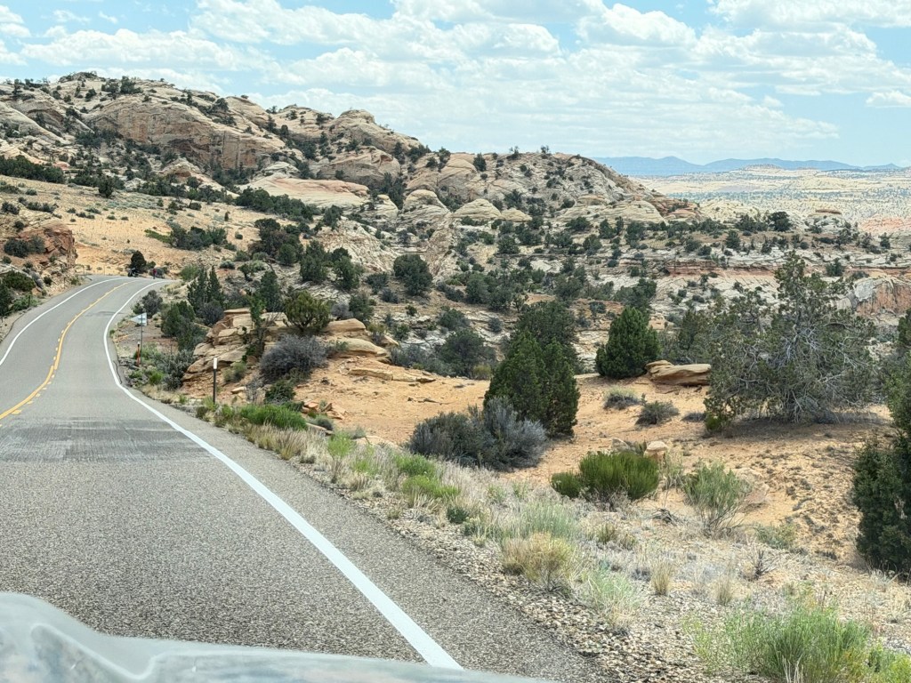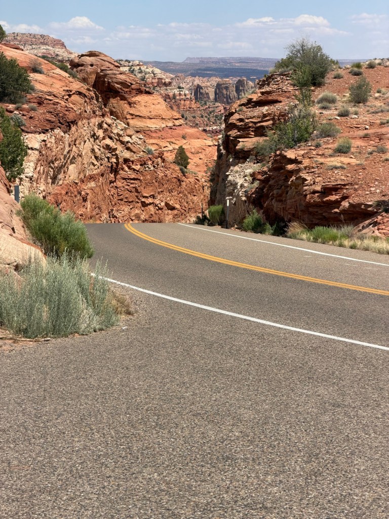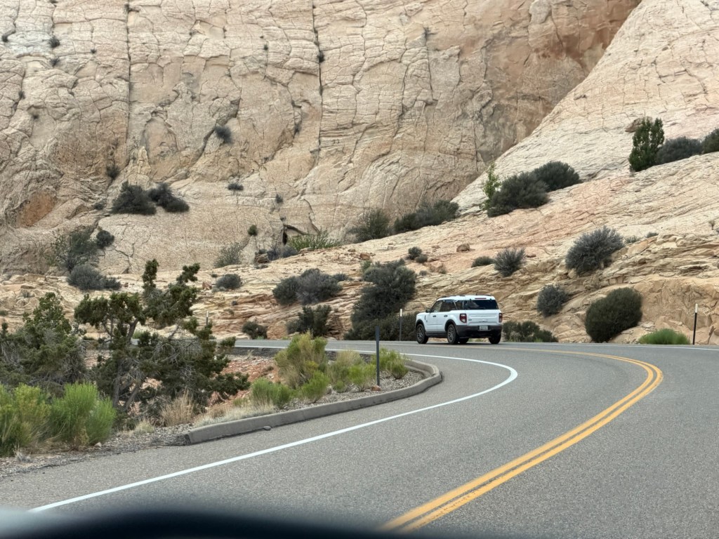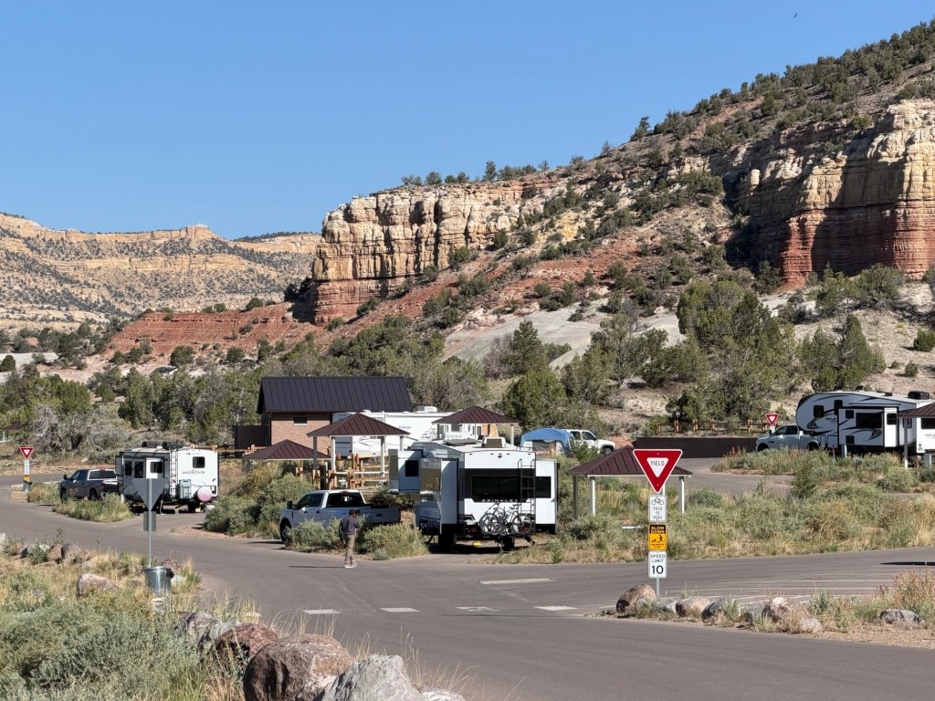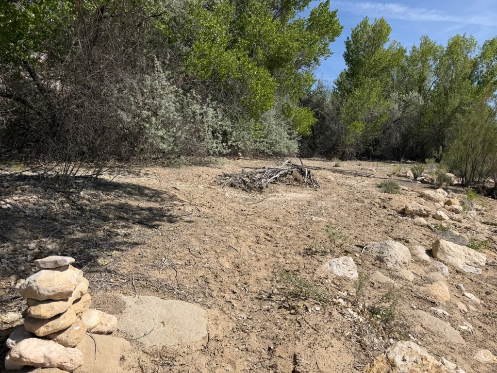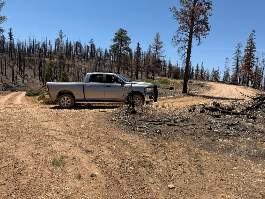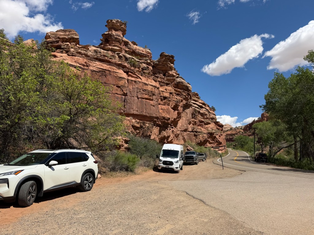
Twelve days and 57 miles from where we took our first hike in this awesome national monument, we parked the truck at the Escalante River Trailhead to take the lesser known trail up by the cliffs to three petroglyph panels.
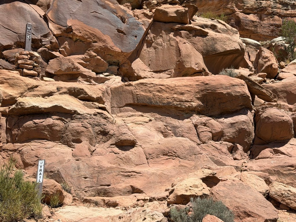
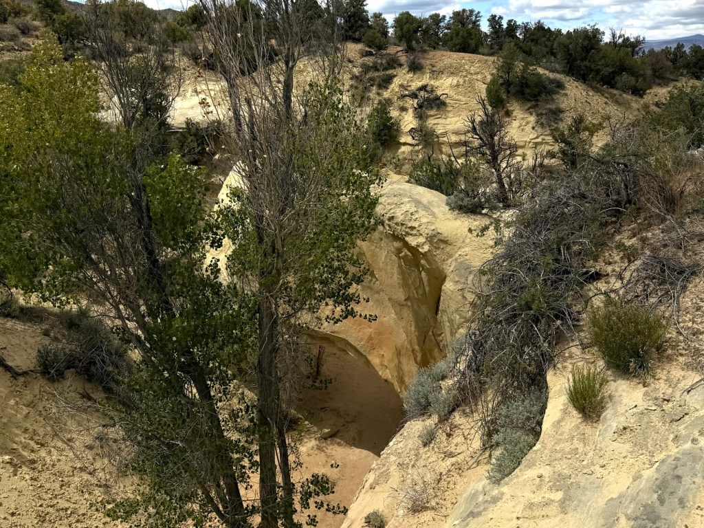
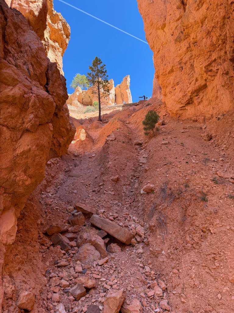
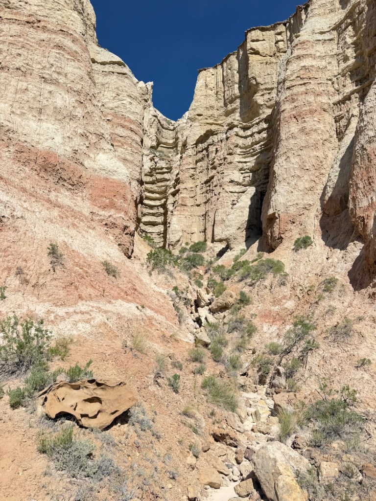
Unfortunately, the beginning of the hike, which was described as “a bit of a scramble” or even “bouldering” by past hikers, involves climbing up this section on your hands and knees. Bud’s artificial knees don’t allow that. After a few minutes of trying to find a route that didn’t involve being on your knees he gave up. He insisted I go ahead and hike the short trail, so I did.
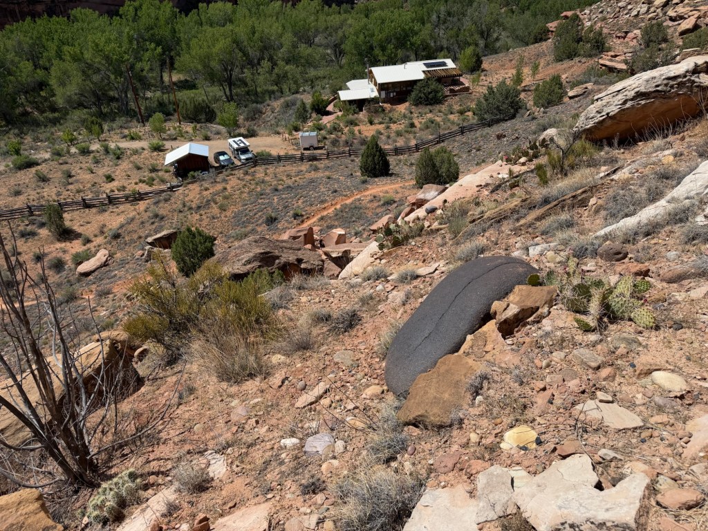
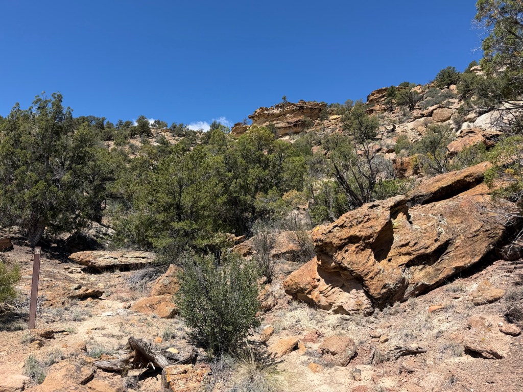
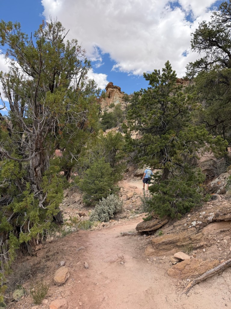
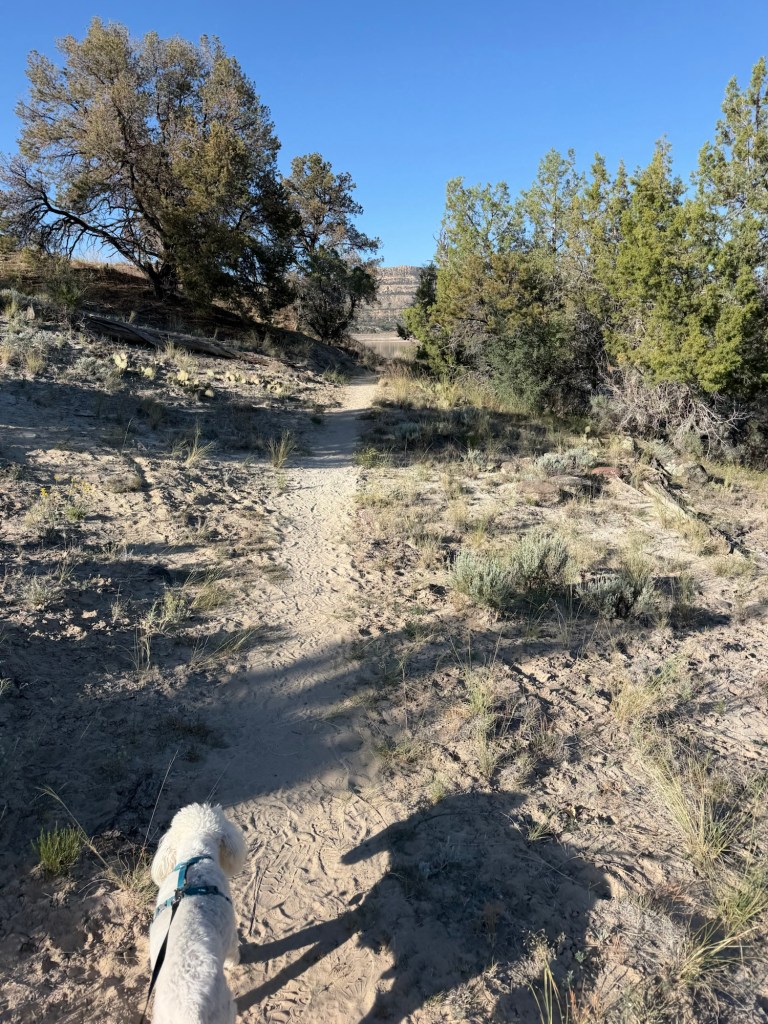
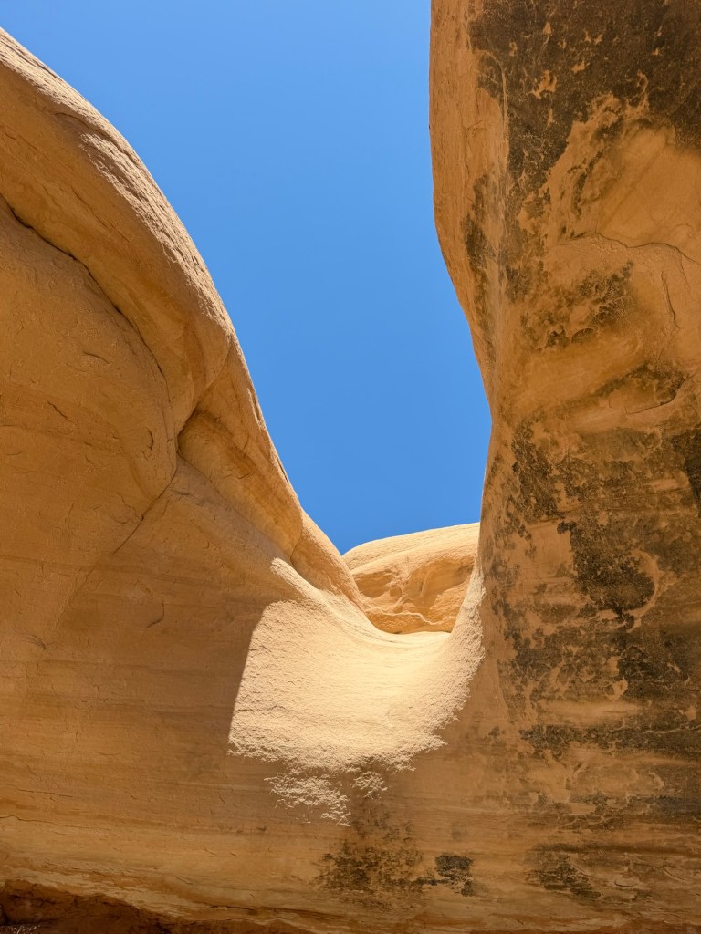
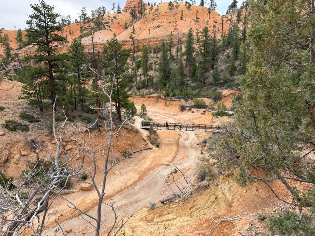
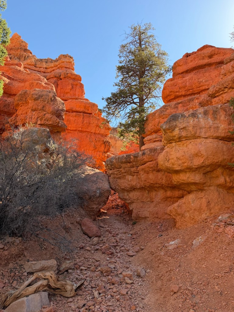
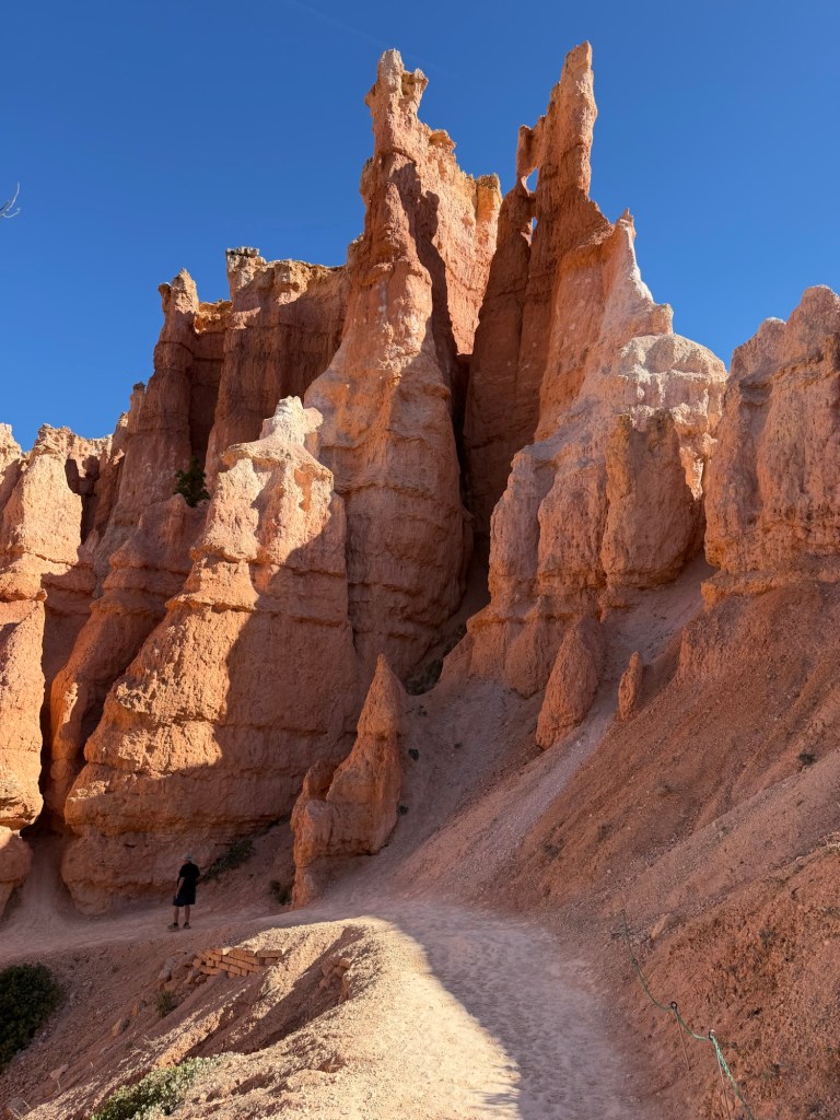
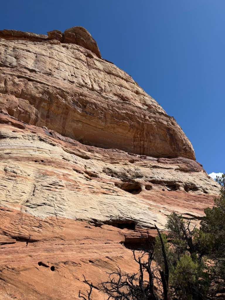
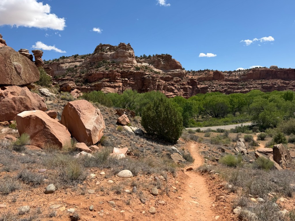
I will admit, the beginning was a bit daunting as you went up a pretty steep little canyon wall. I took this photo on the way back down because I noticed that odd rock that looks like a giant black tongue, but you can also see how steep the area is.
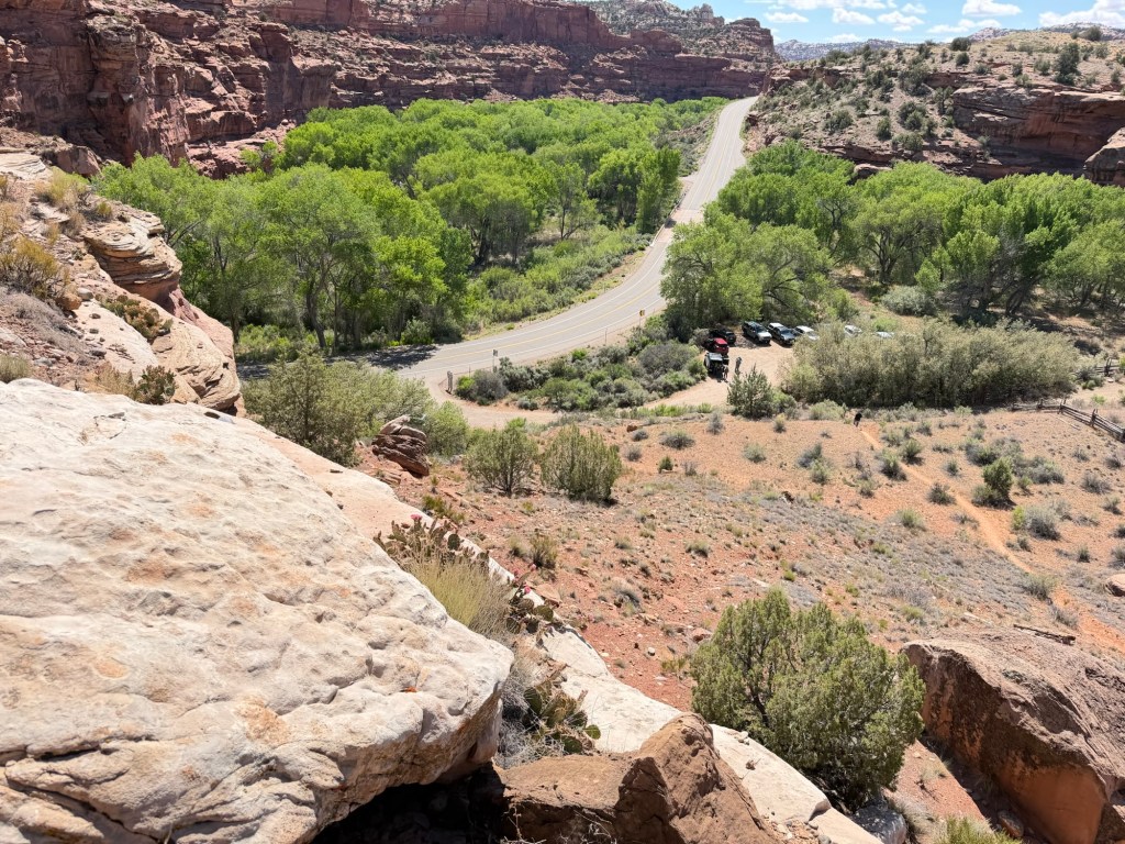
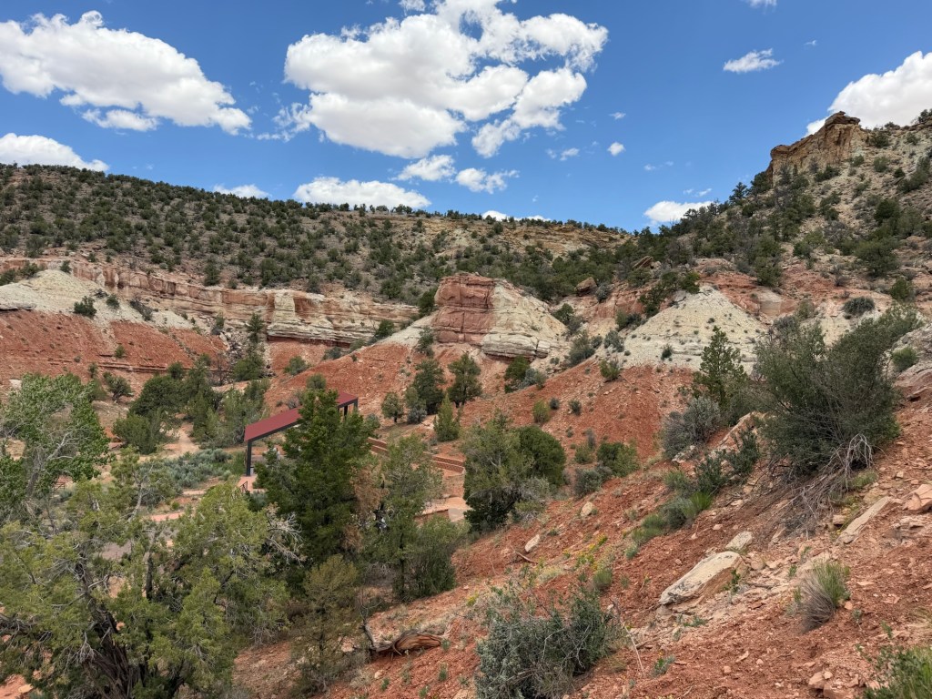
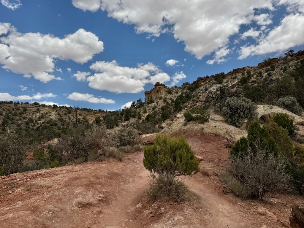
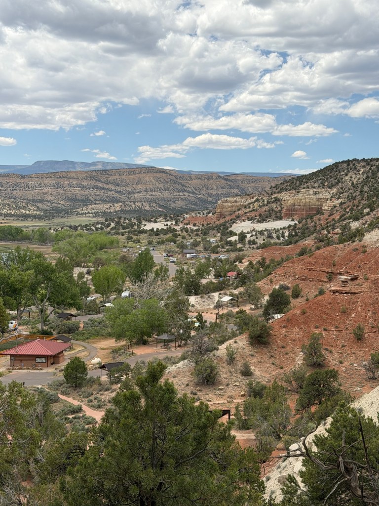
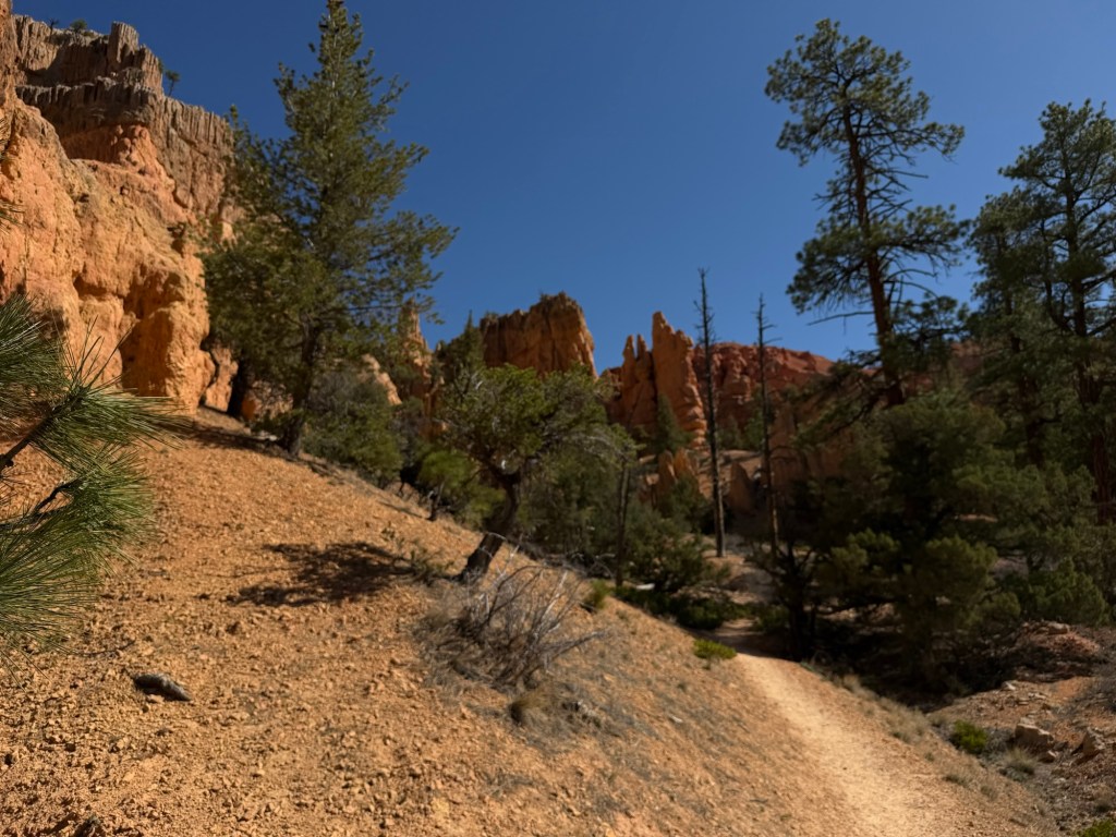
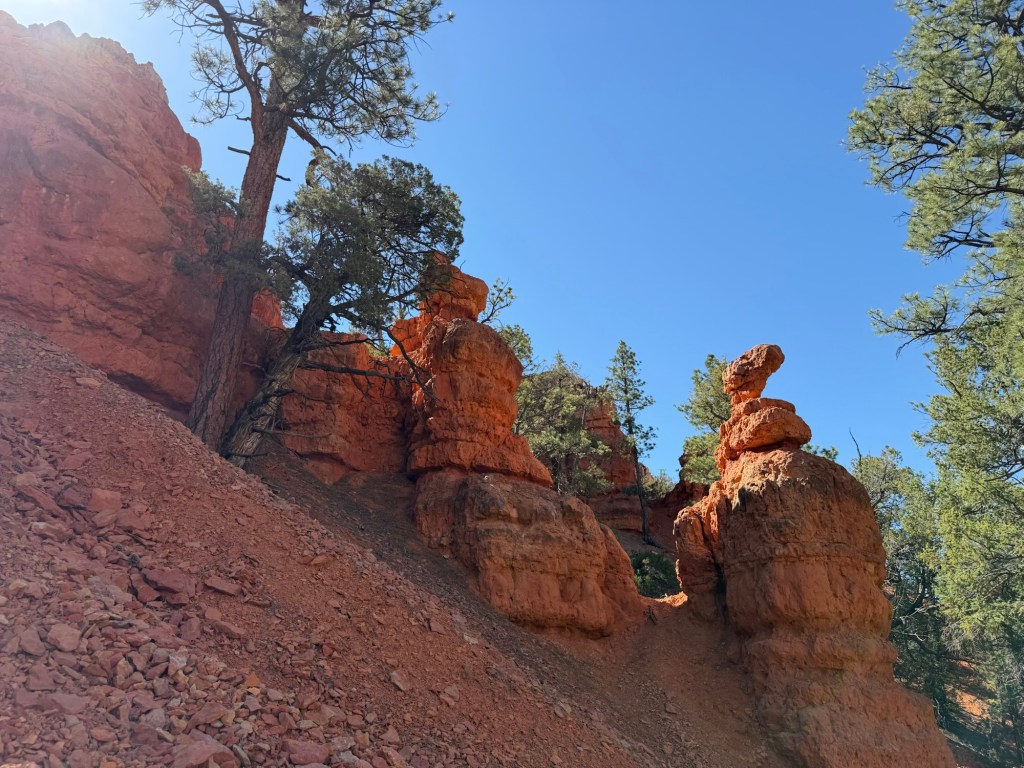
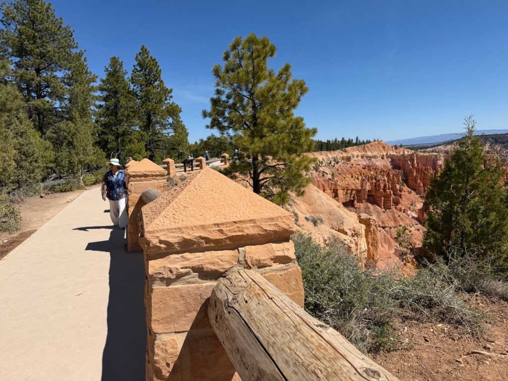
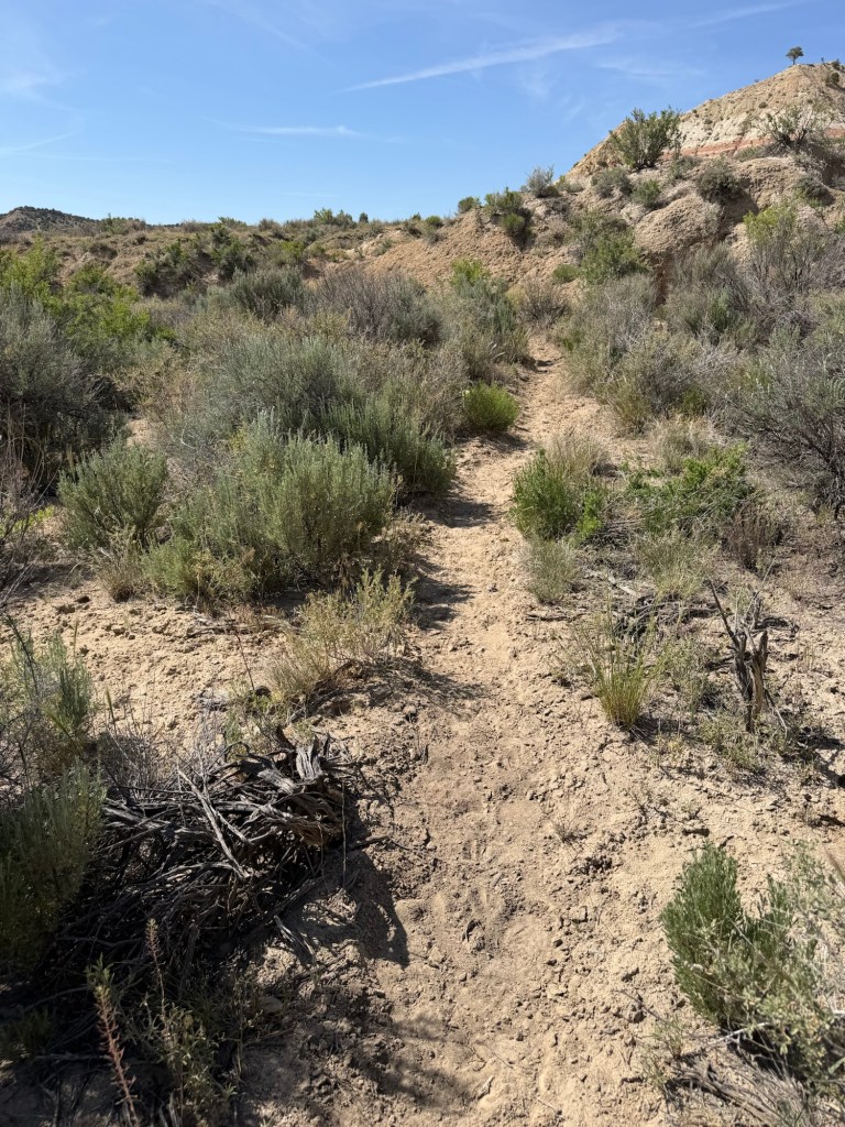
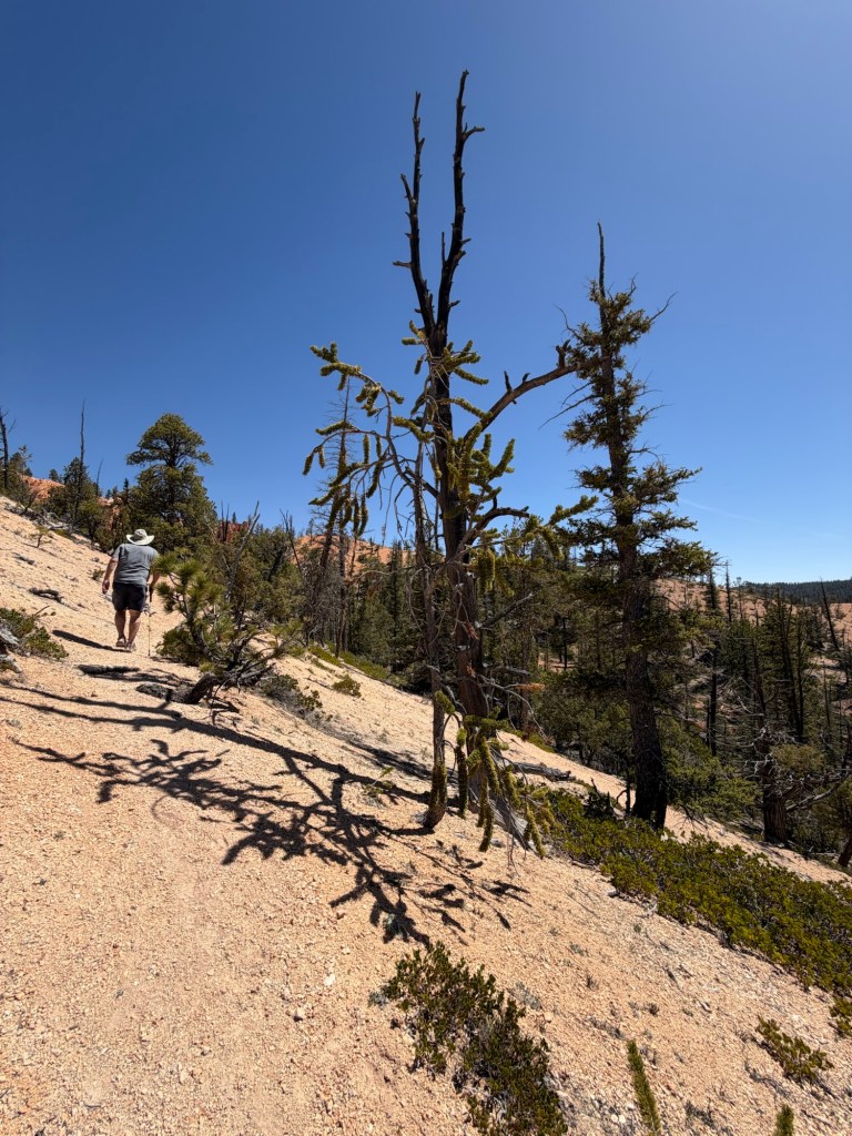
In just a few minutes you are well above the road and trailhead parking lot.
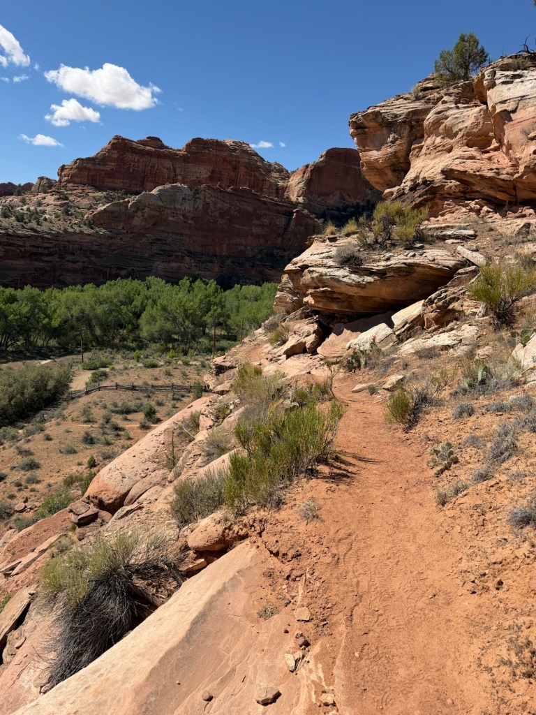
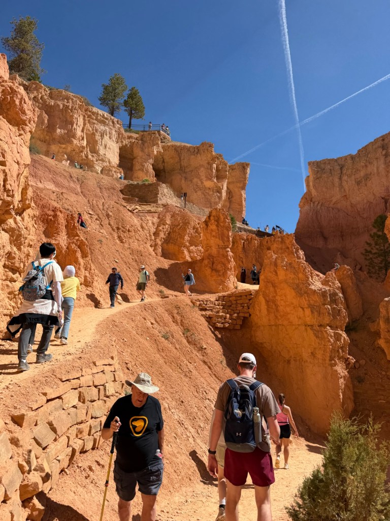
And the trail is just a narrow track right along the edge.
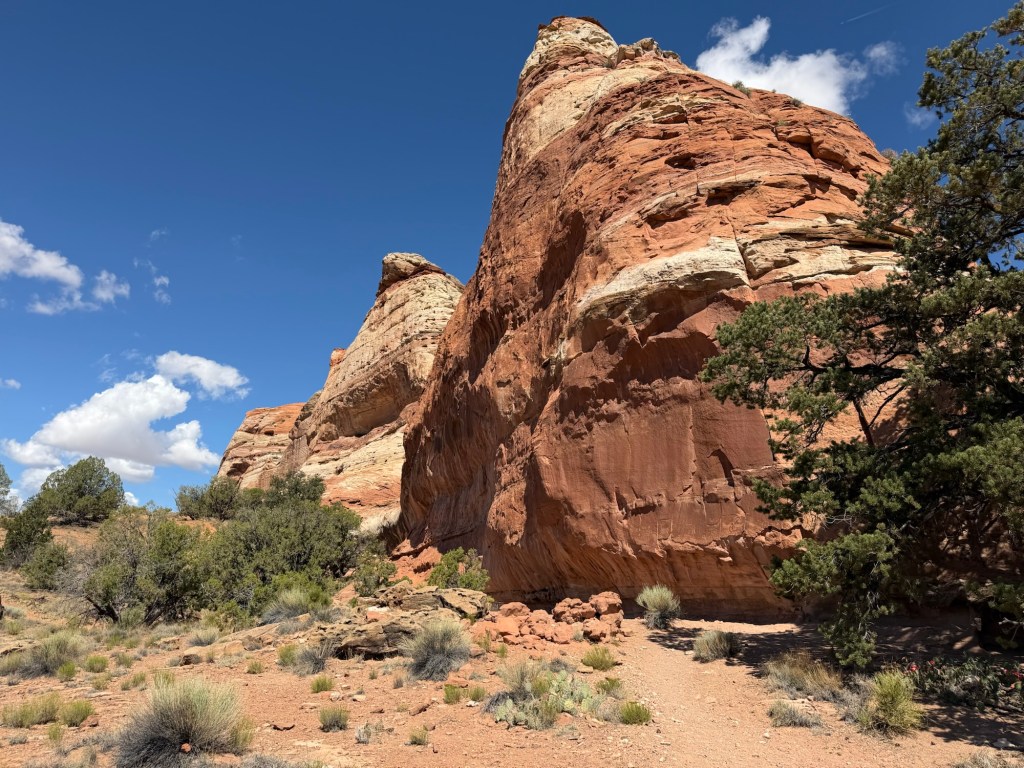
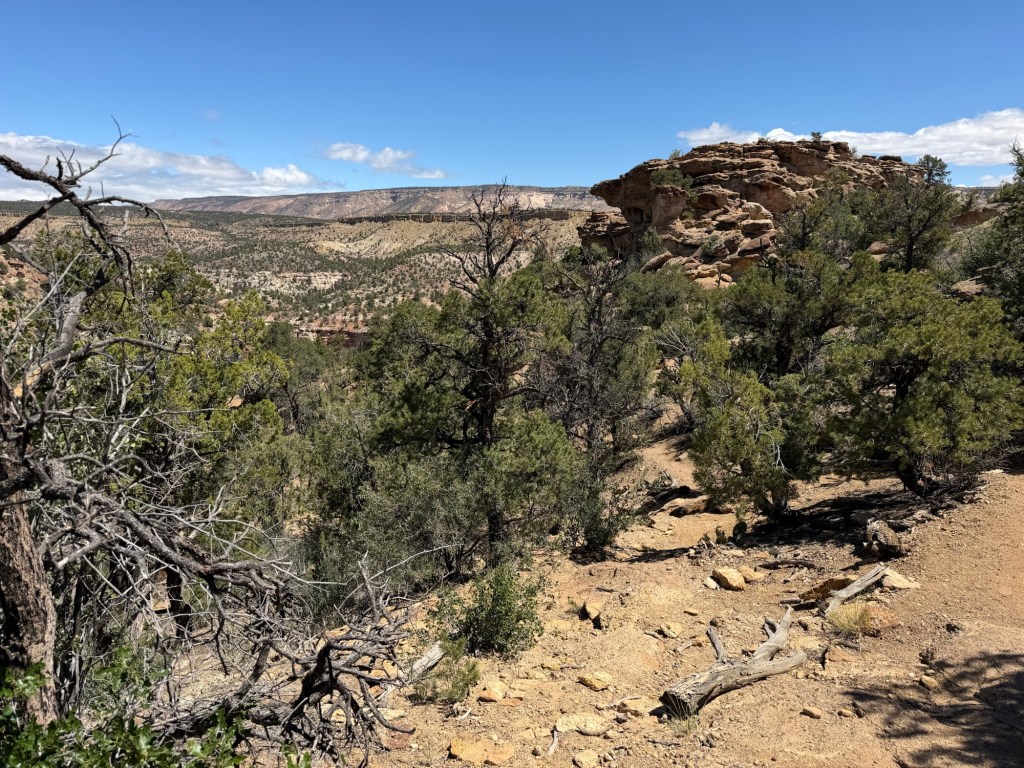
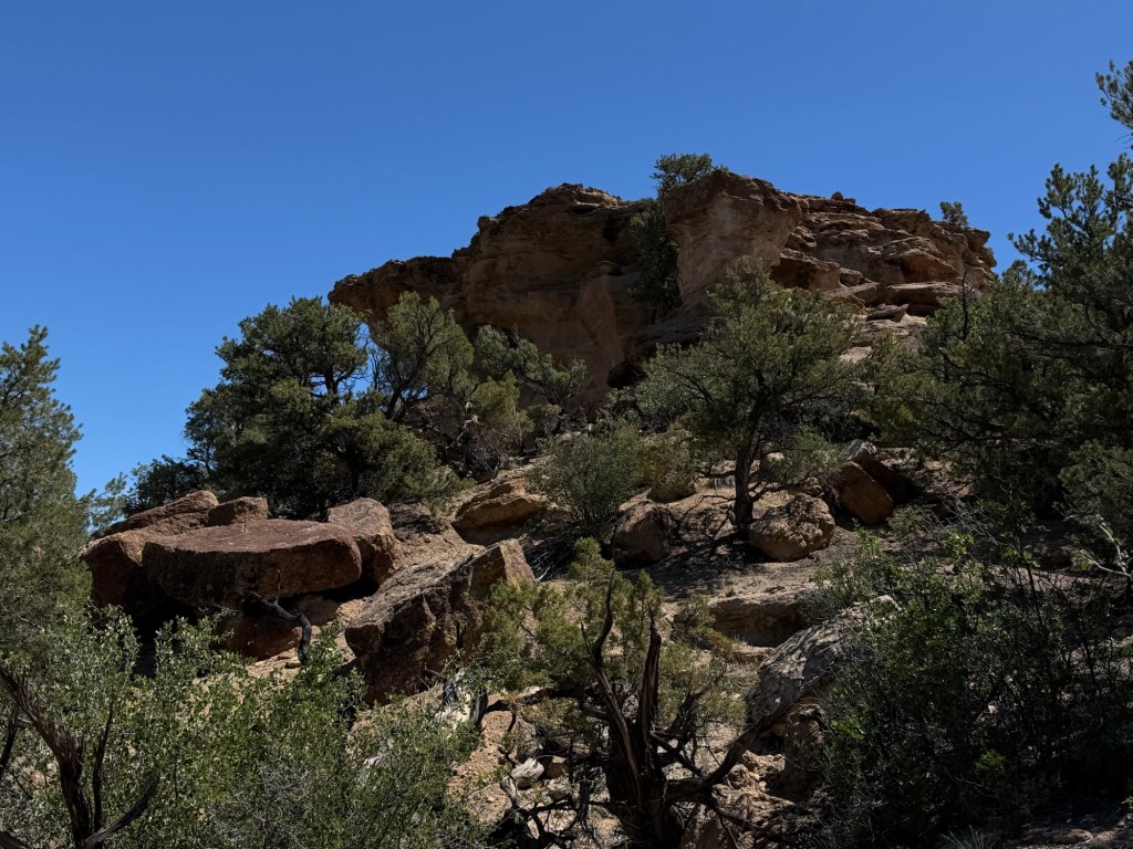
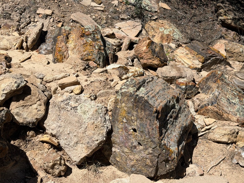
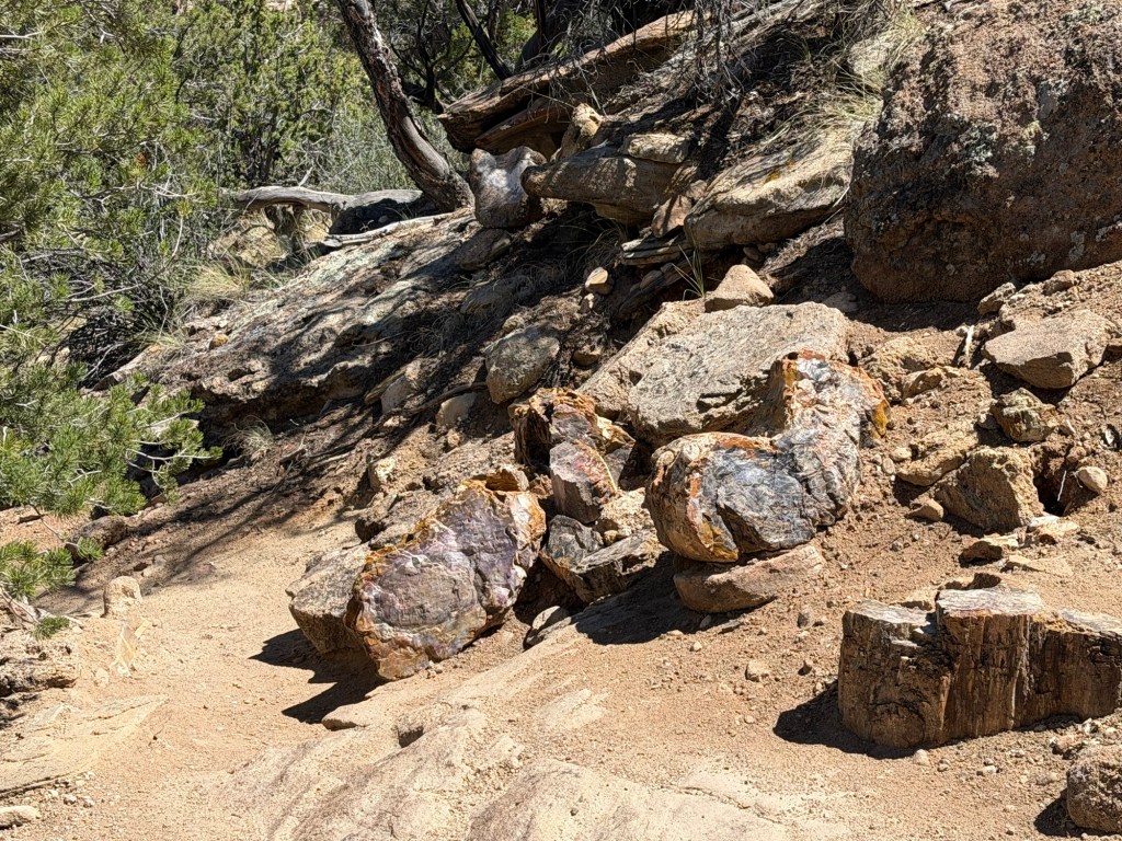
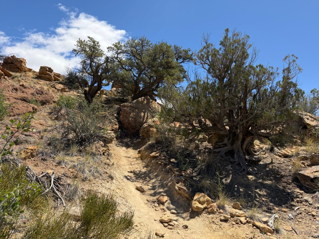
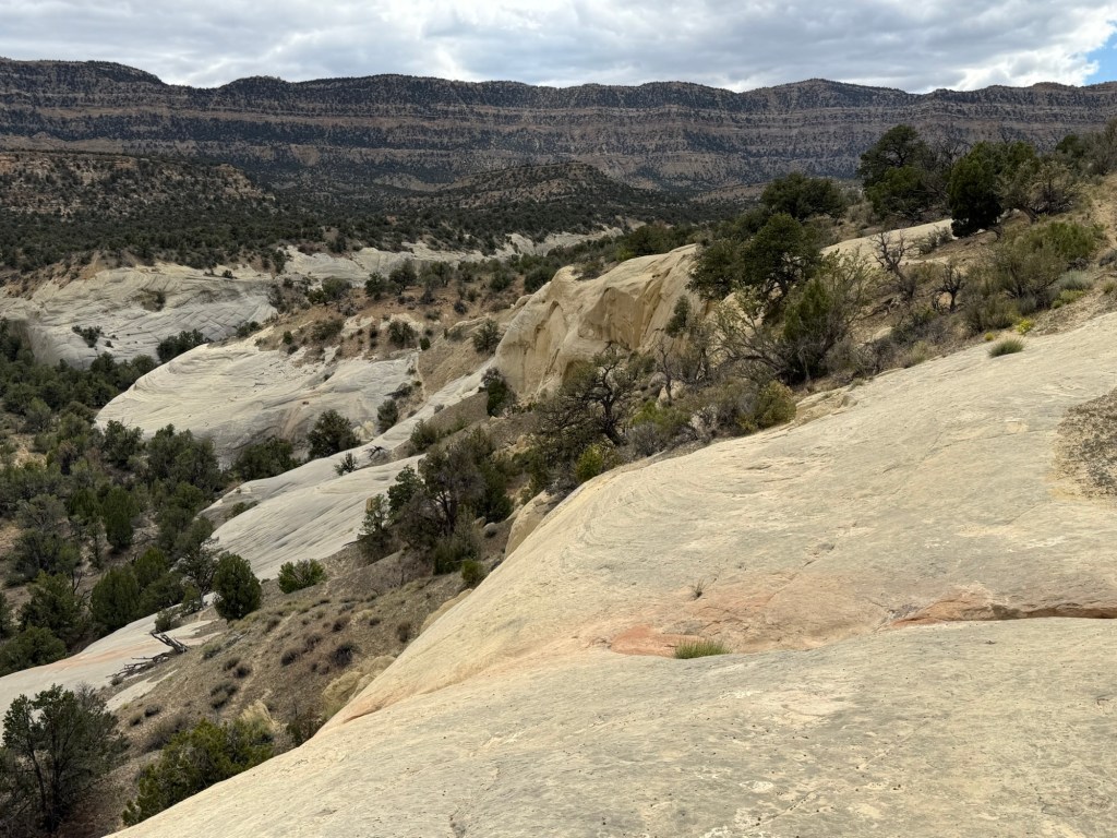
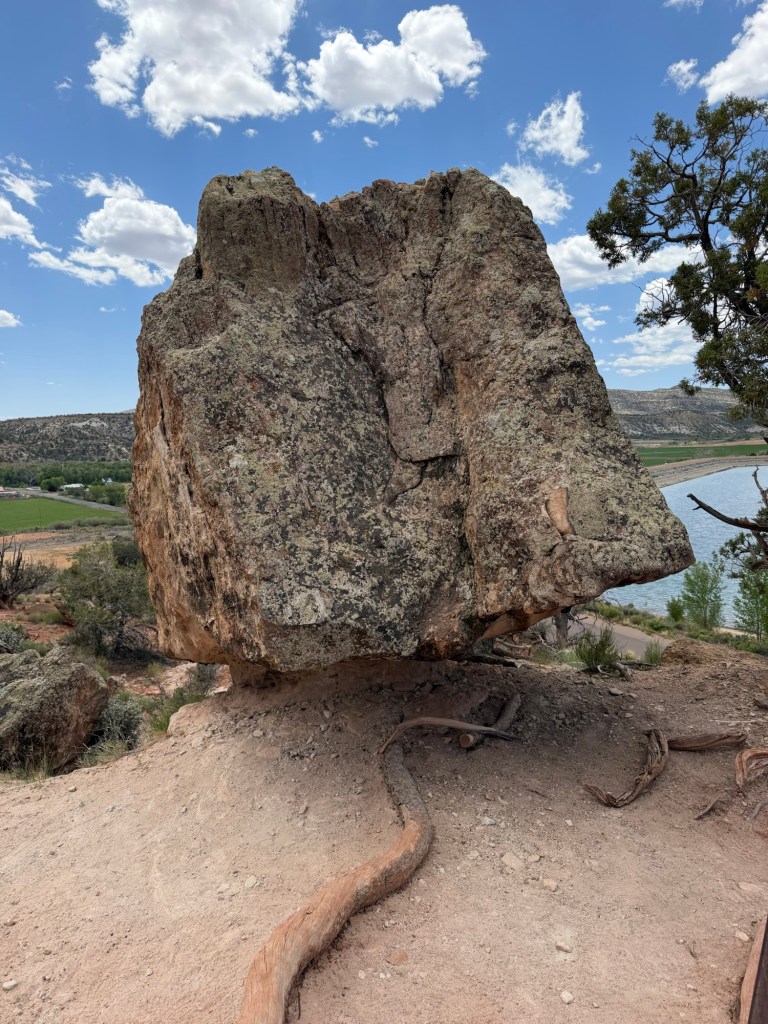
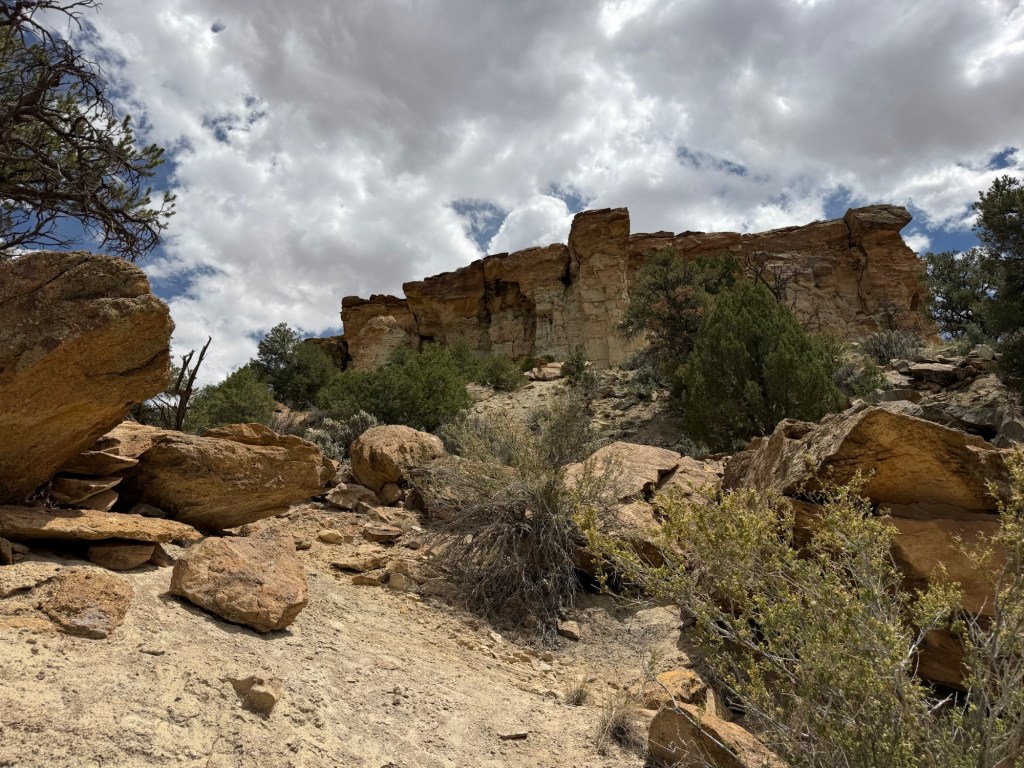
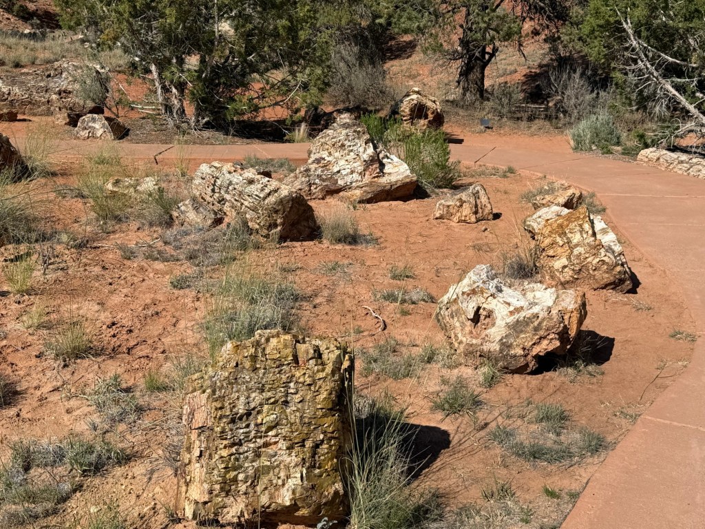
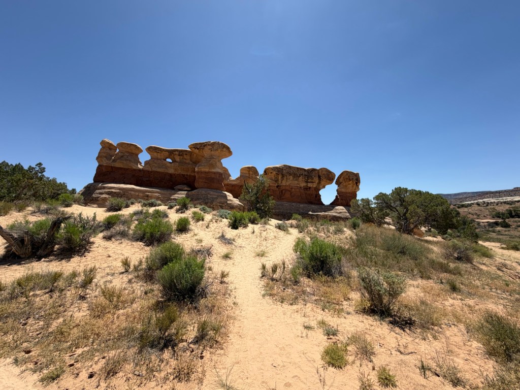
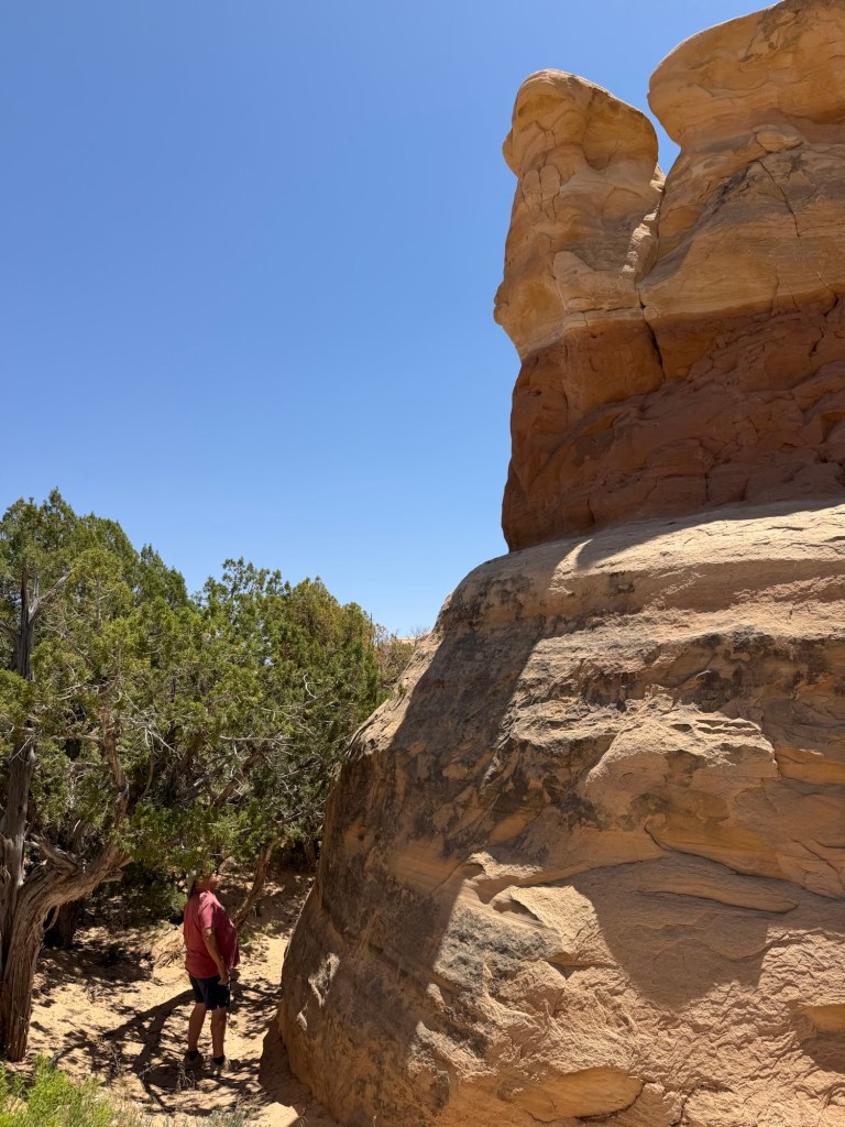
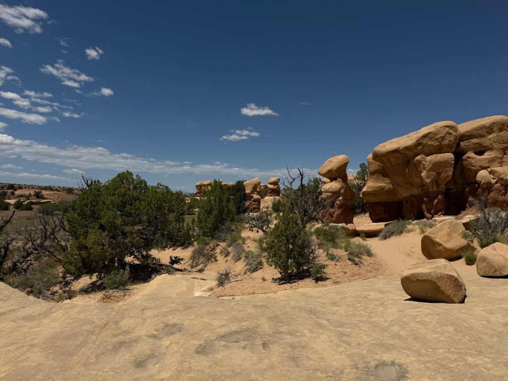
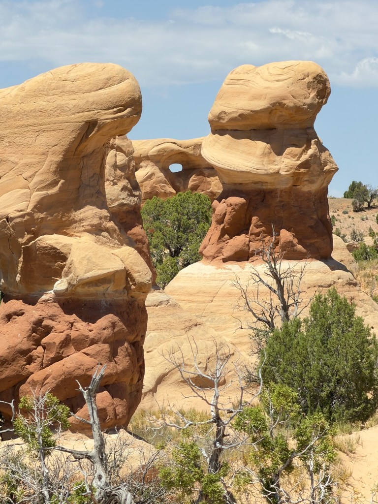
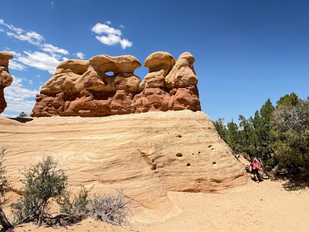
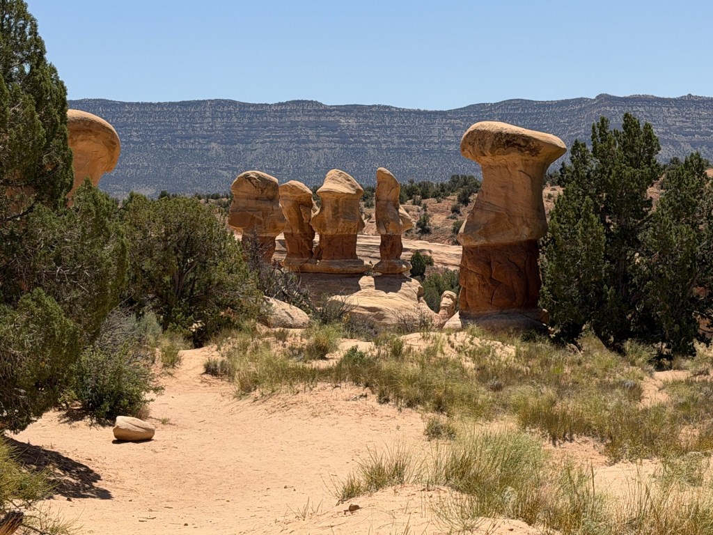
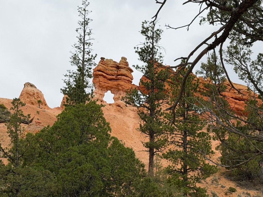
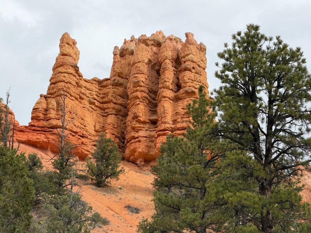
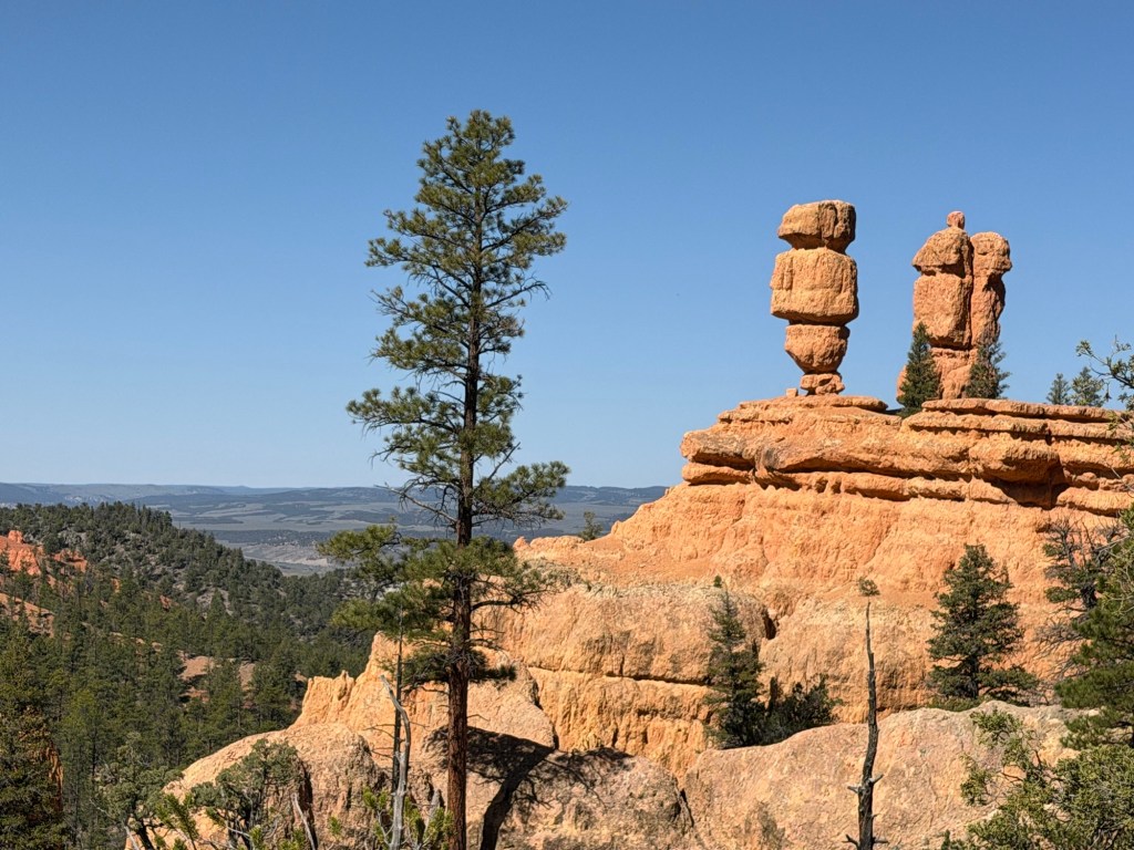
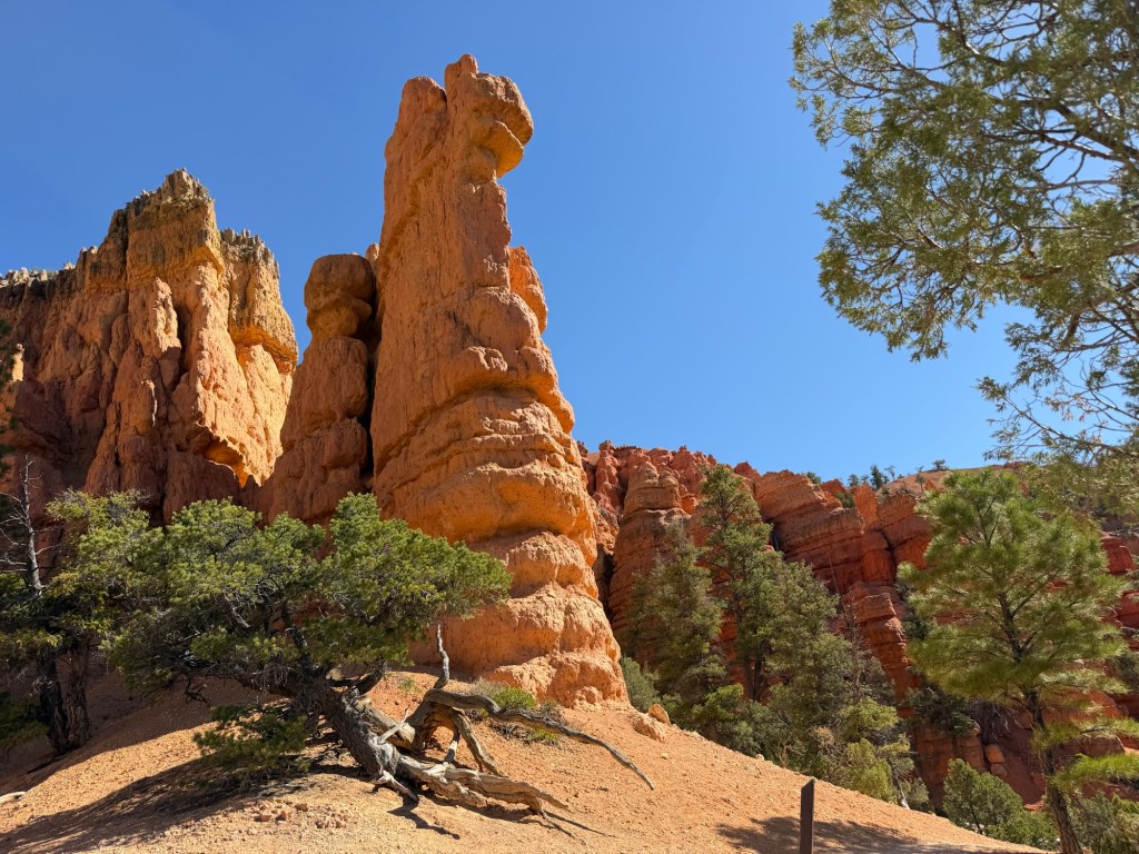
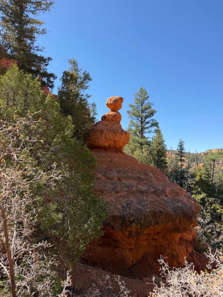
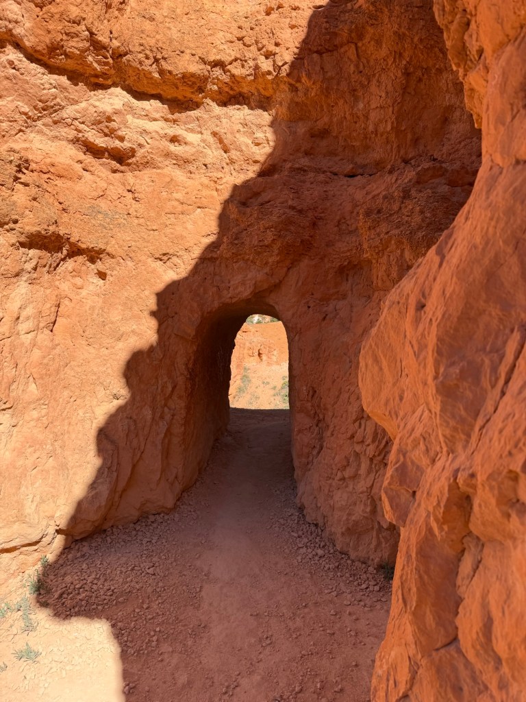
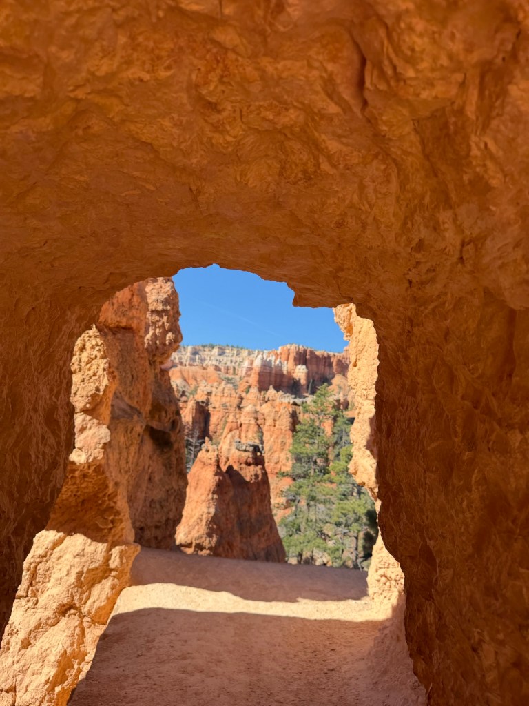
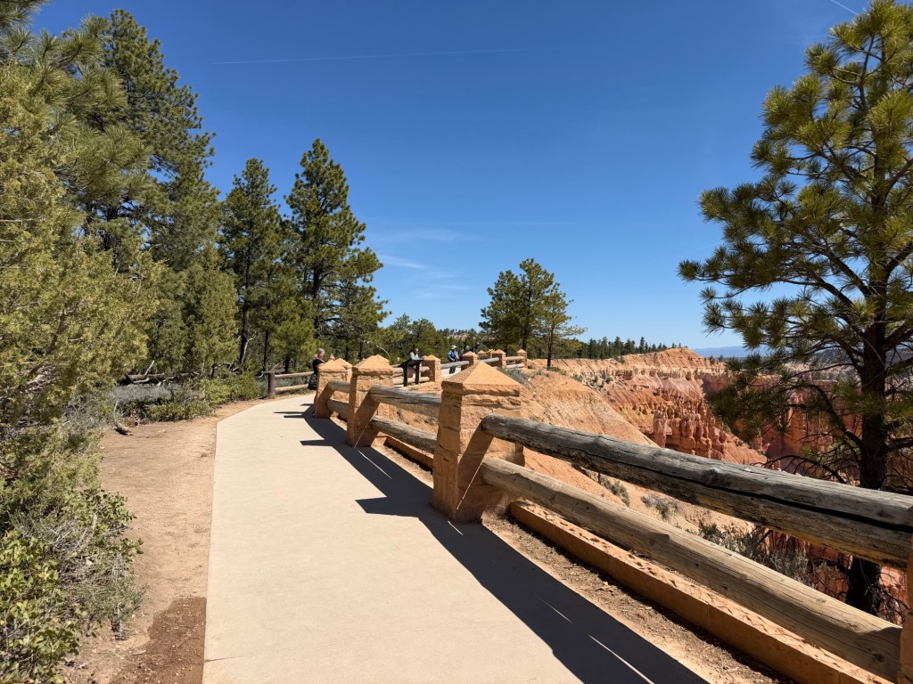
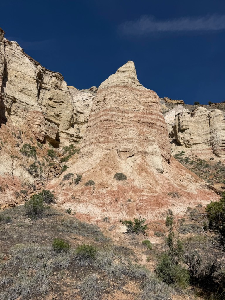
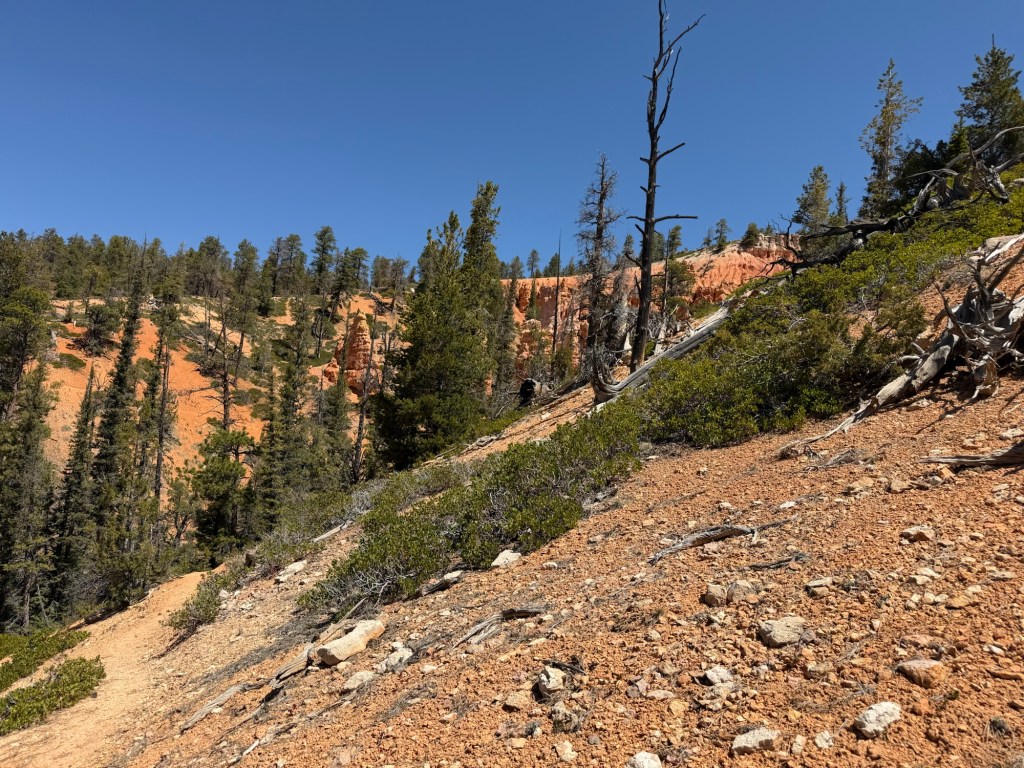
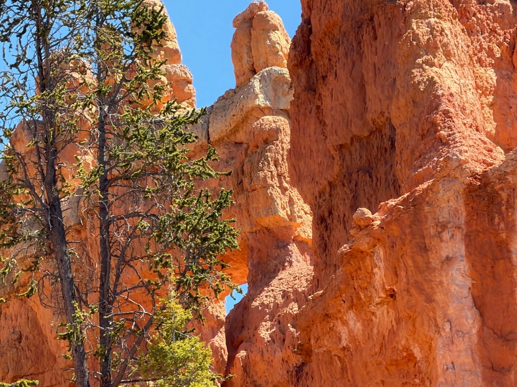
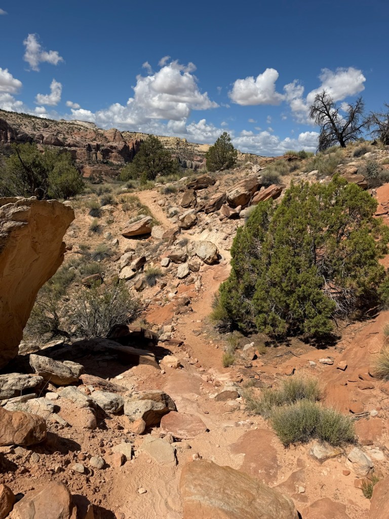
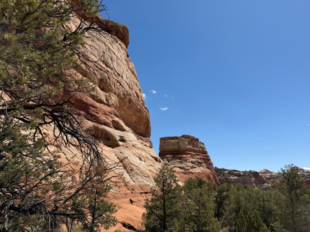
But once past that it’s an easy walk up to these huge rocks.
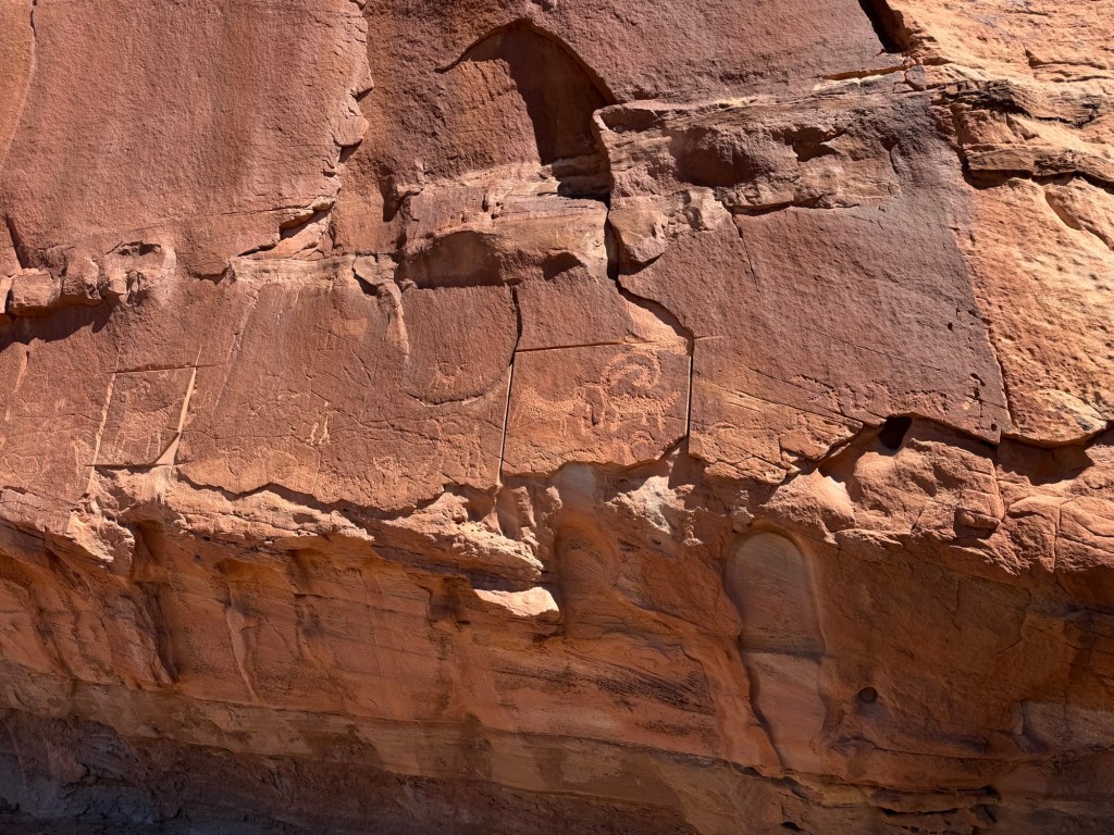
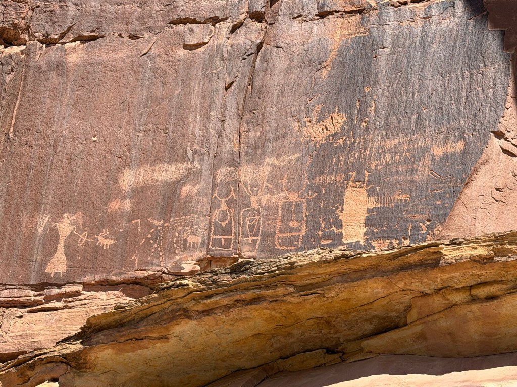
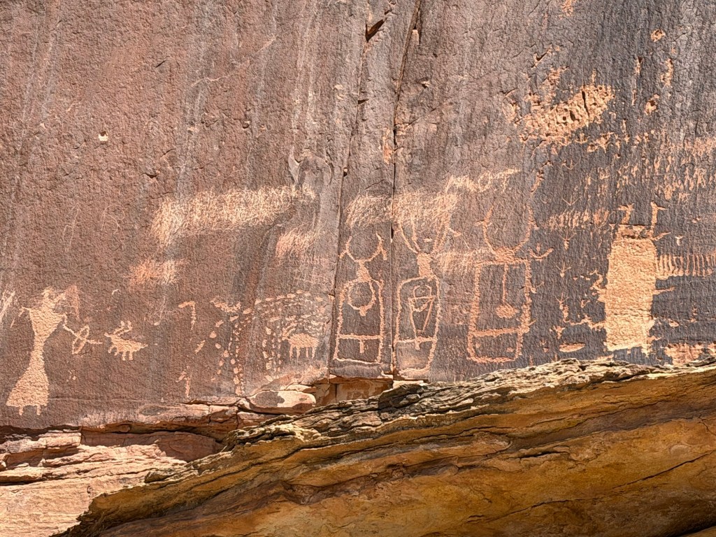
The first panel of art starts here, it’s called the bighorn sheep for obvious reasons.
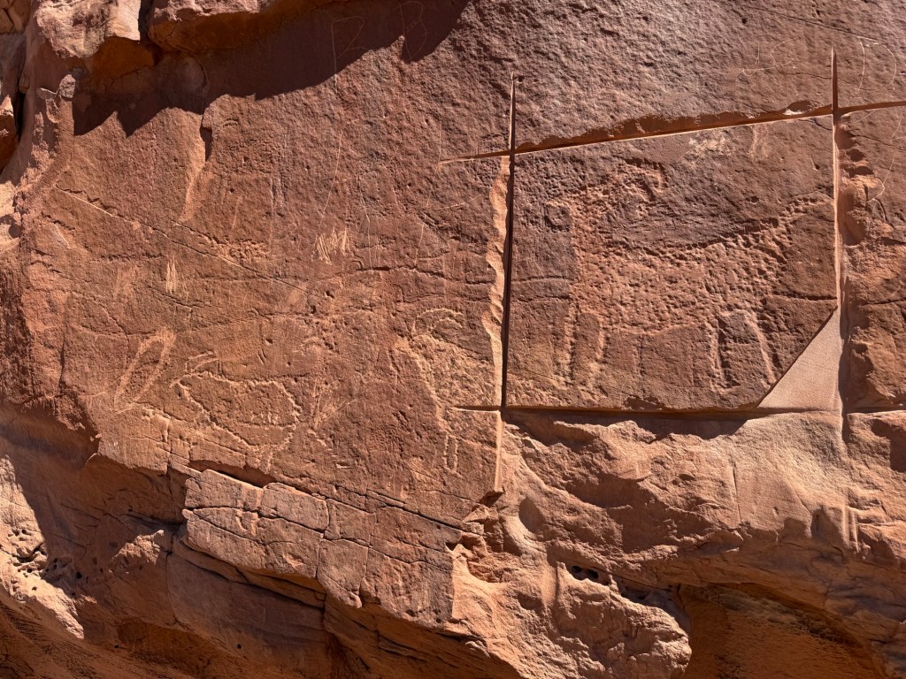
It looks like someone was trying to remove two of the images. Highly illegal, not to mention disrespectful, disturbing and disgusting. Thankfully they quit before they totally ruined the art. I think perhaps other petroglyphs were removed, and the sheep to the right of the one cut around was ruined.
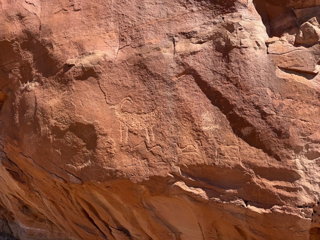
Happily, much of the panel remains.
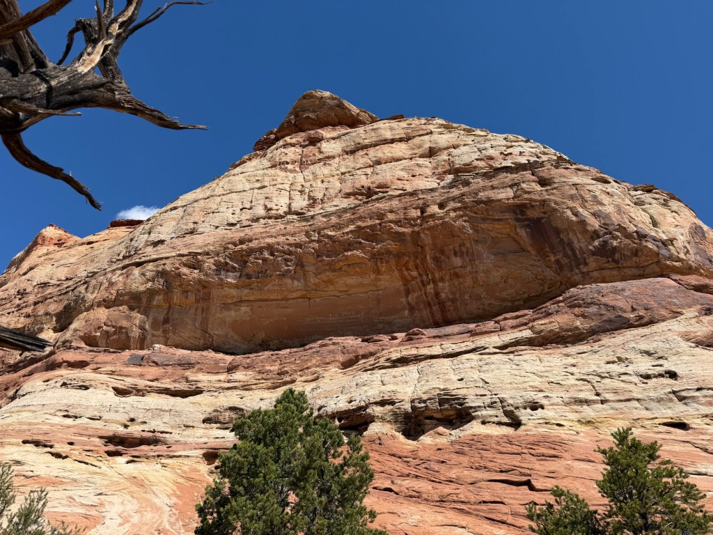
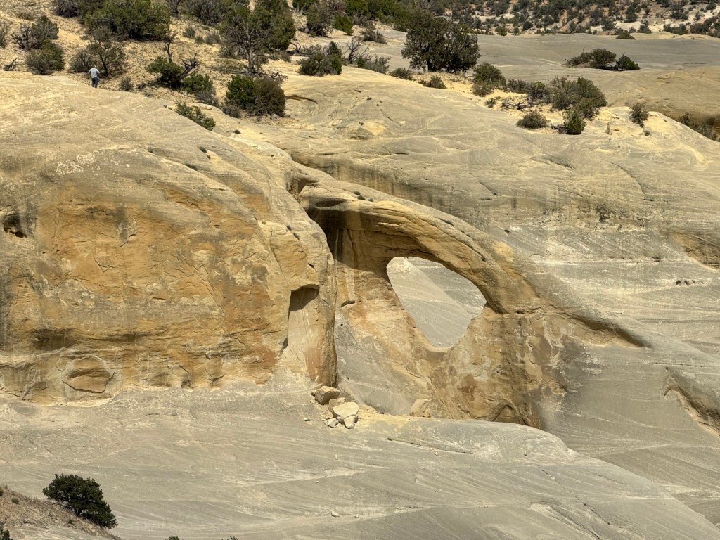
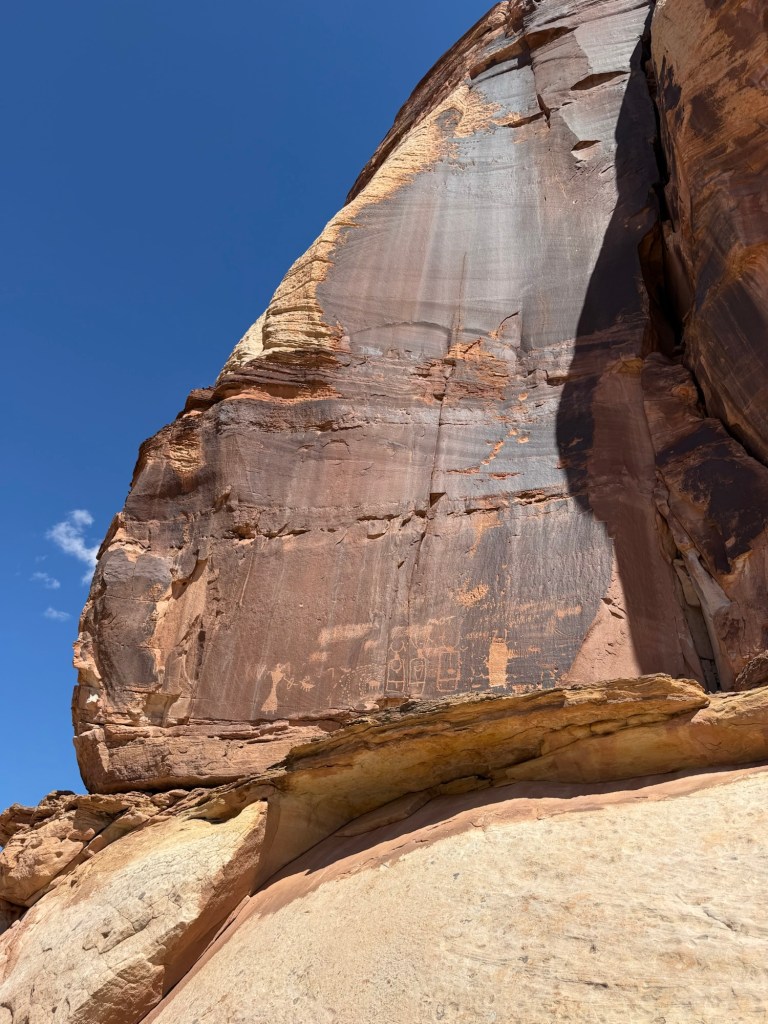
A bit further on, on a high and almost inaccessible ledge,
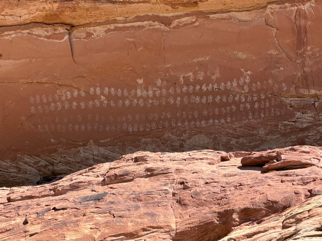
are the hundred hands pictographs. These are very much like those at the Cave of a Hundred Hands at Fremont Indian State Park. This area was also settled by the Fremont Indians.
Looking at the difficulty of getting up there I like to imagine this is a coming of age thing, like painting your name on the town water tower, but no doubt done more respectfully.
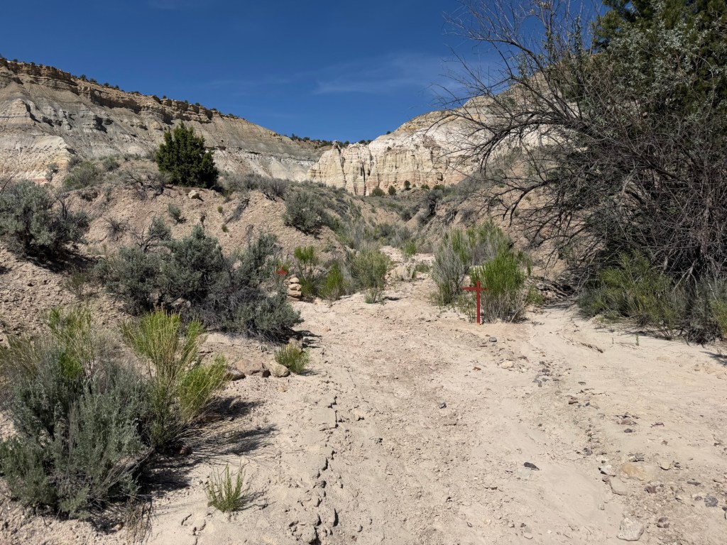
A bit more hiking, with some ups and downs…
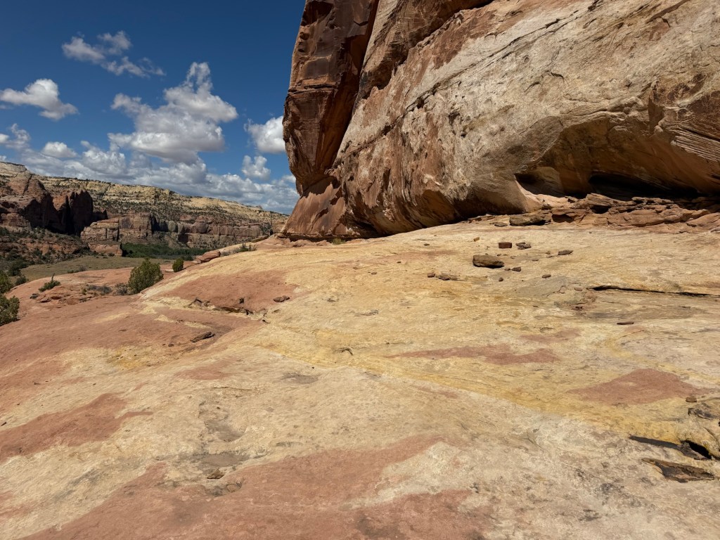
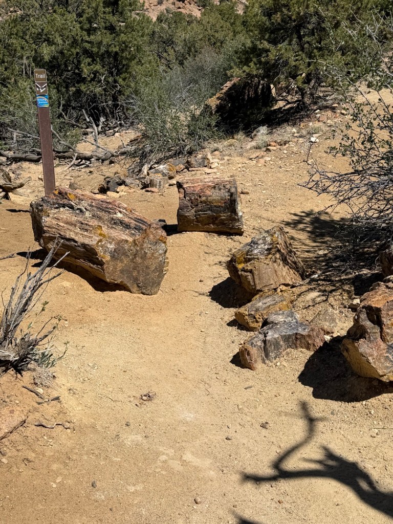
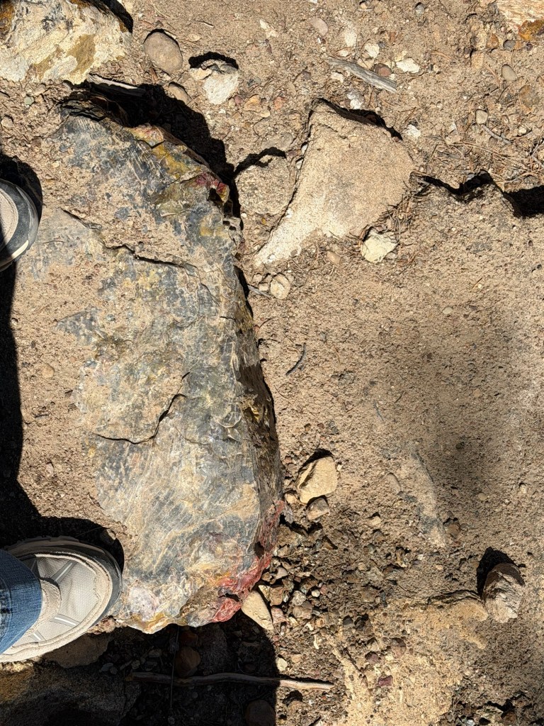
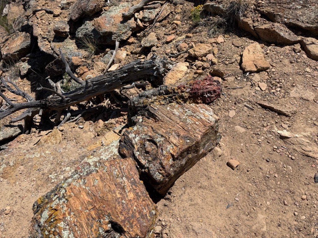
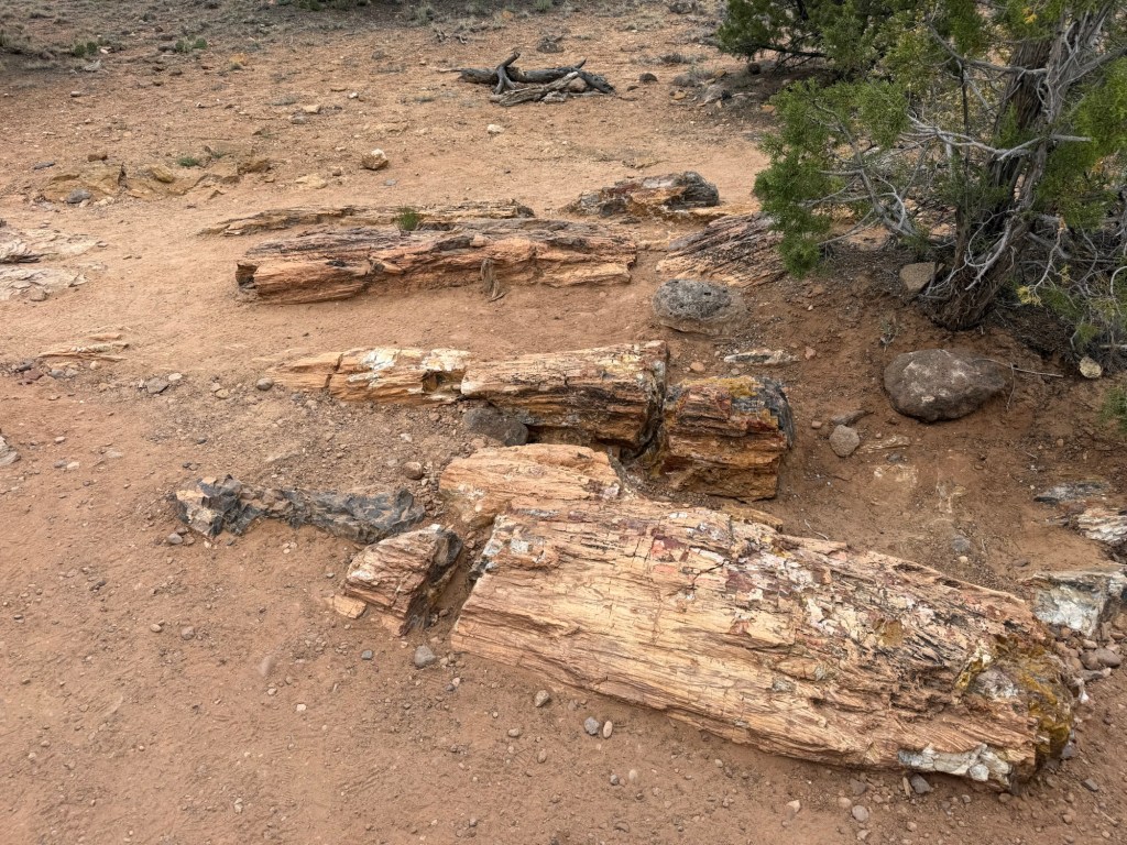
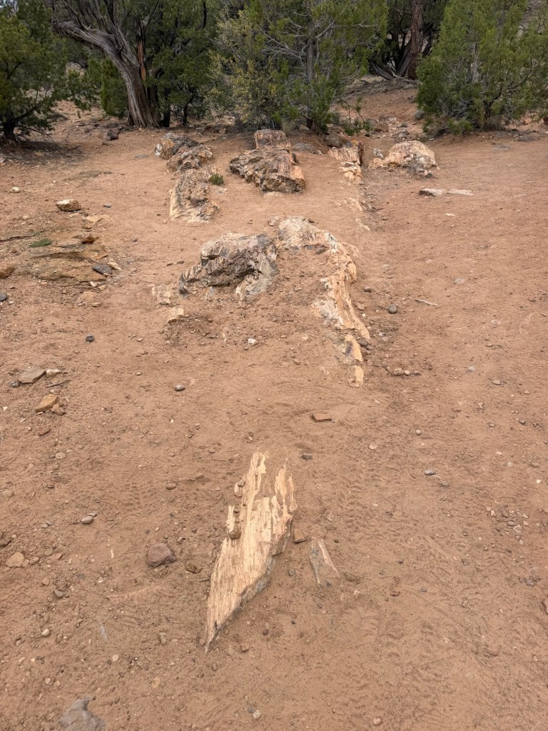
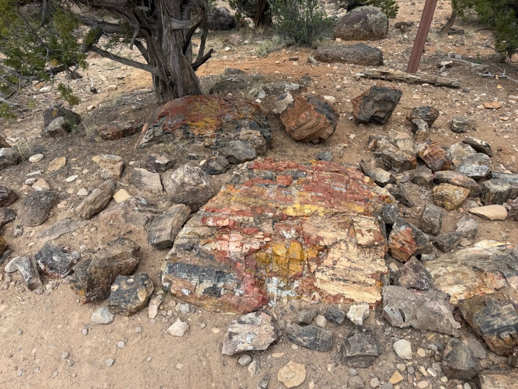
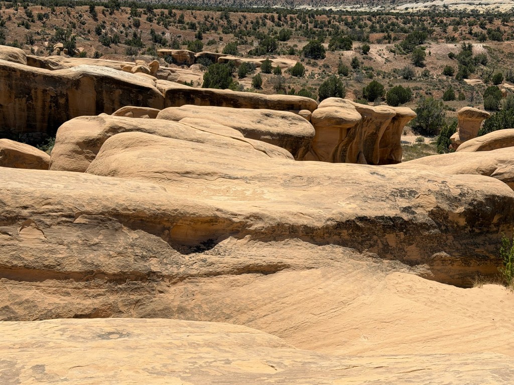
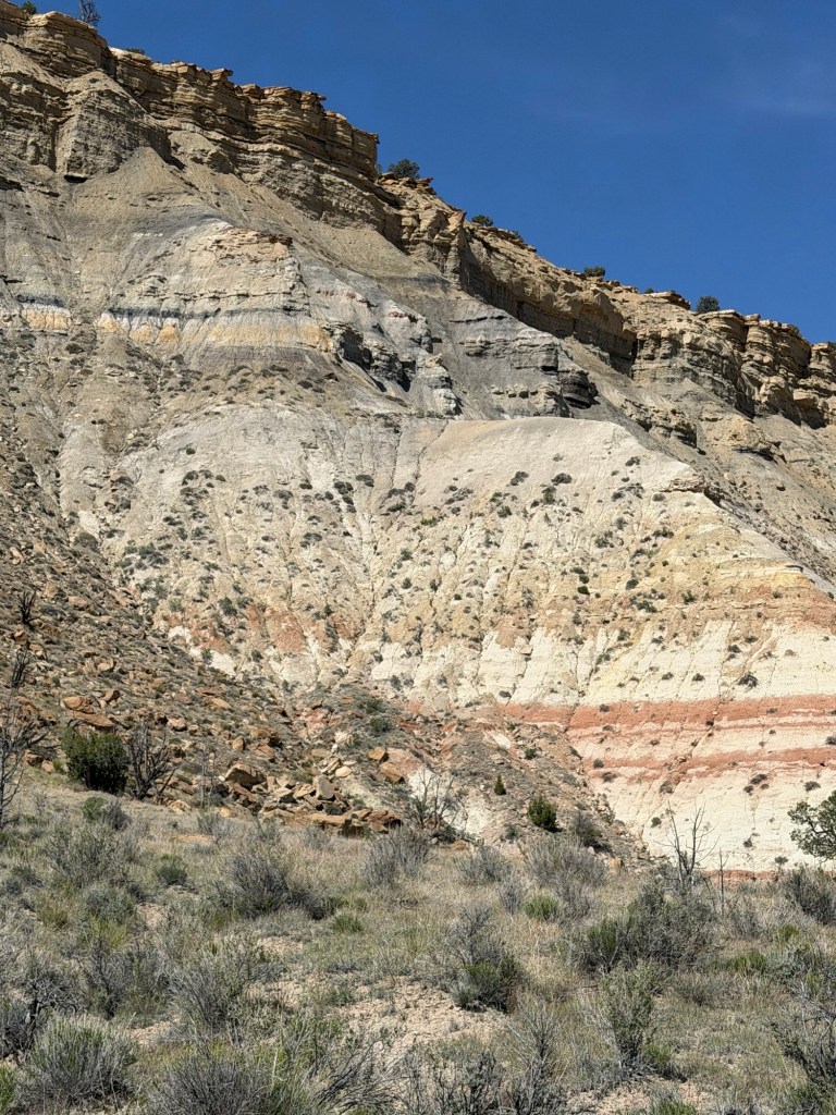
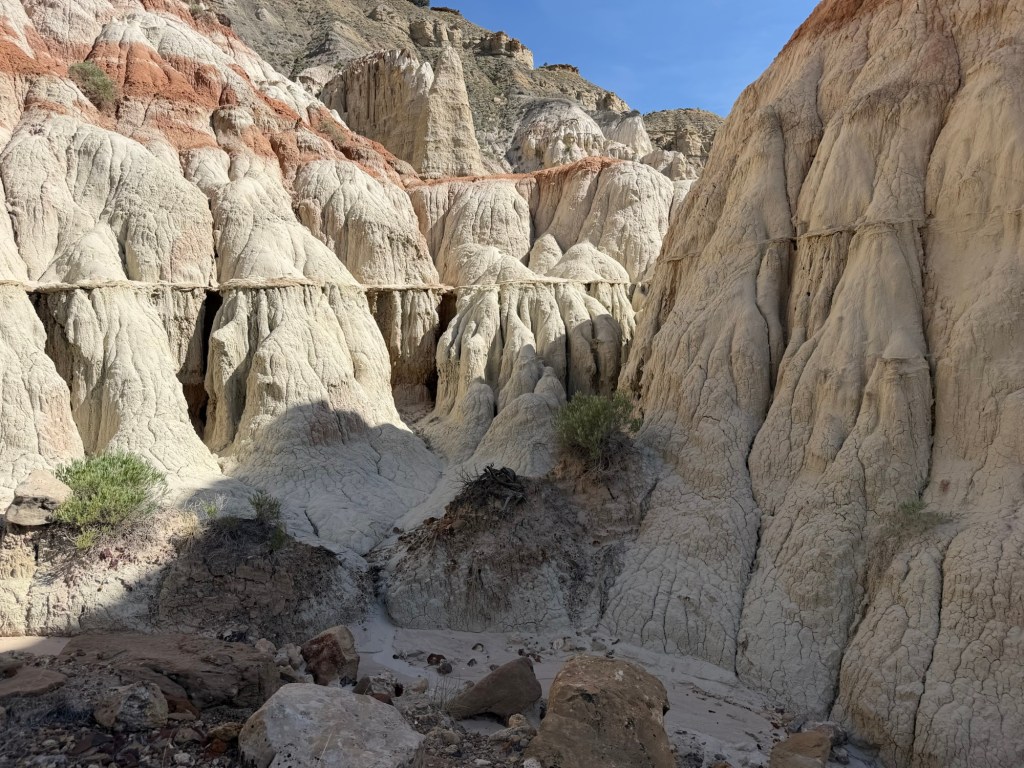
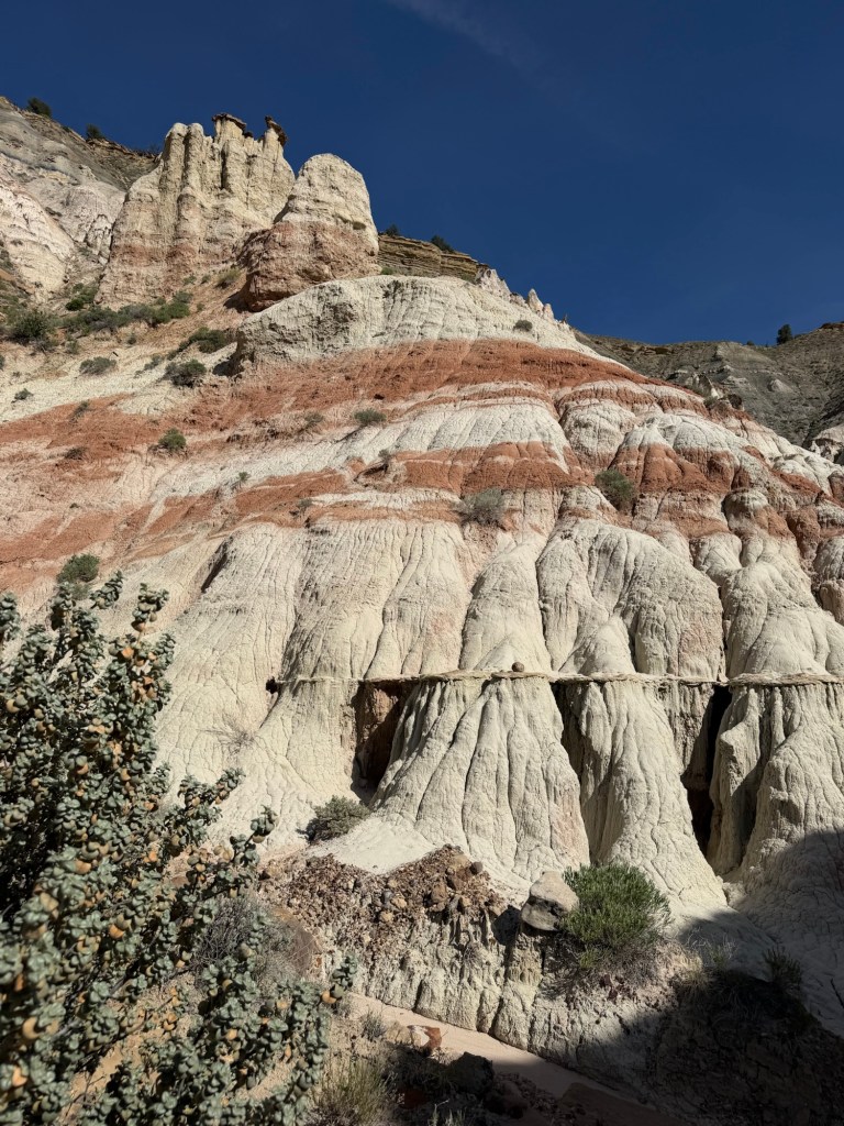
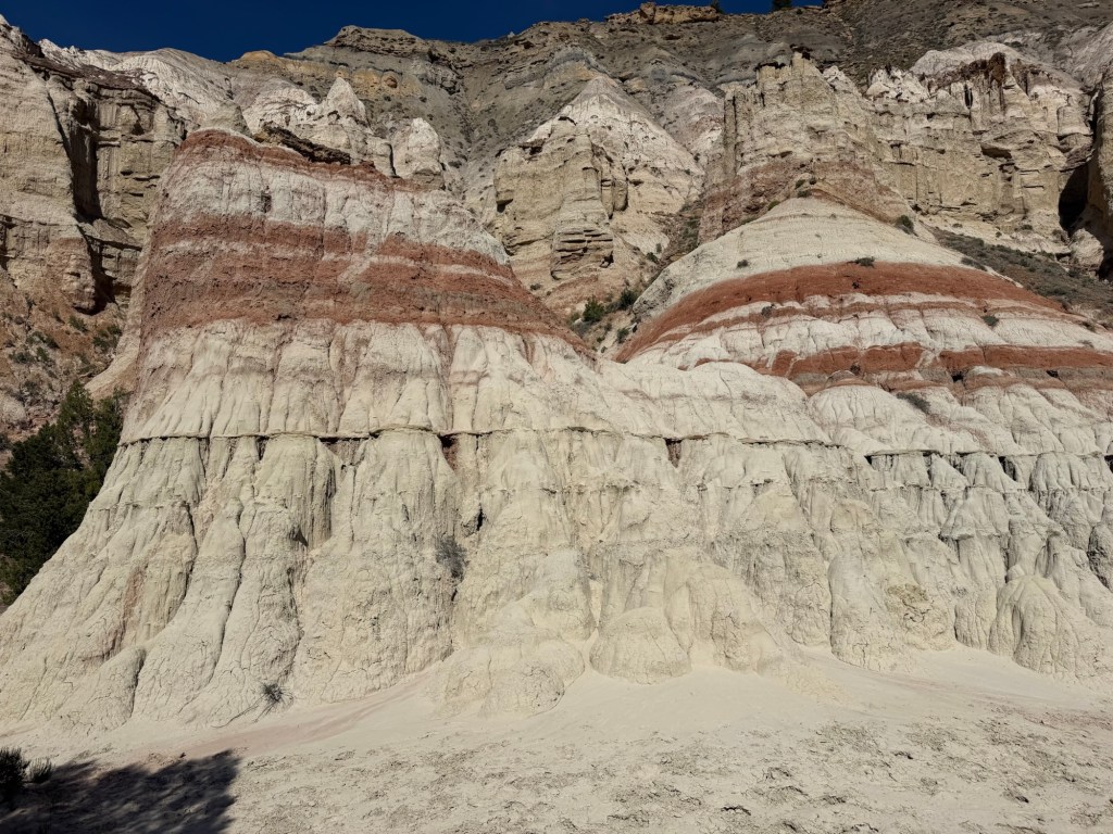
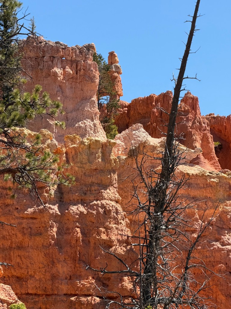
and after crossing this multicolored rock shelf,
you come to the shaman and hunter panel. Since we know so little about the people who did this art, and nothing for sure about their beliefs, I like that these panels are given such obvious names.
and I definitely like seeing them.
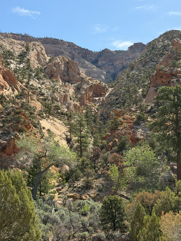
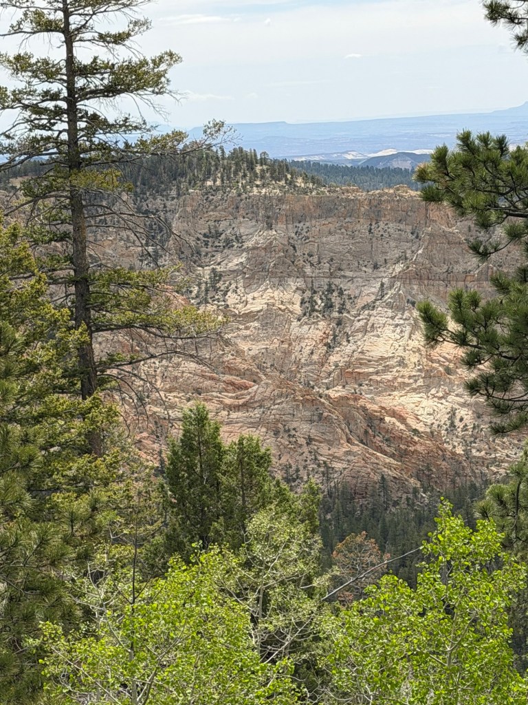
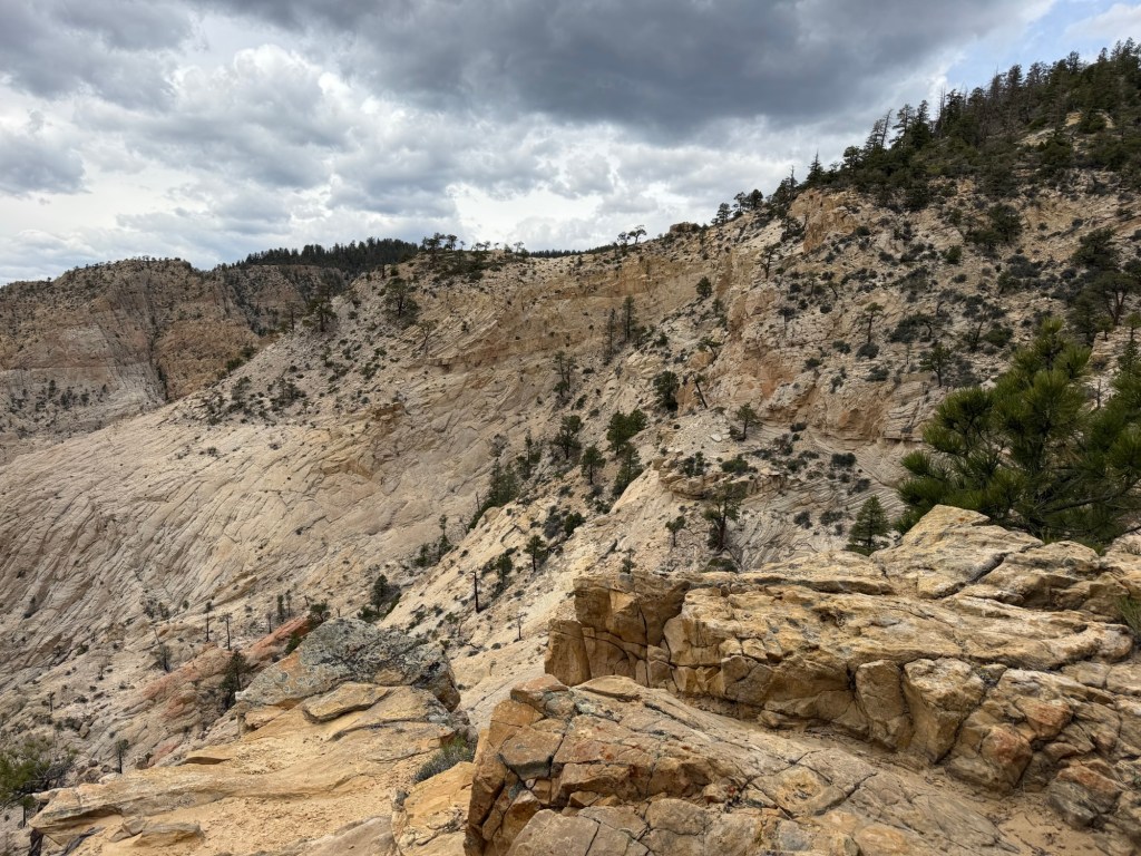
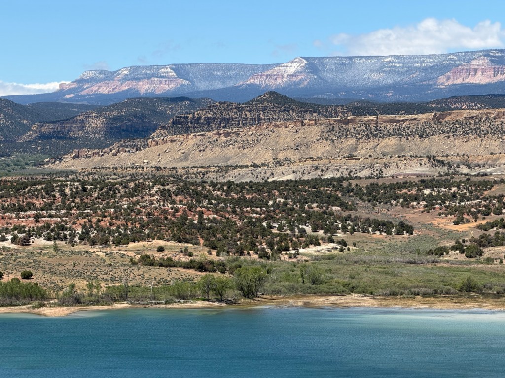
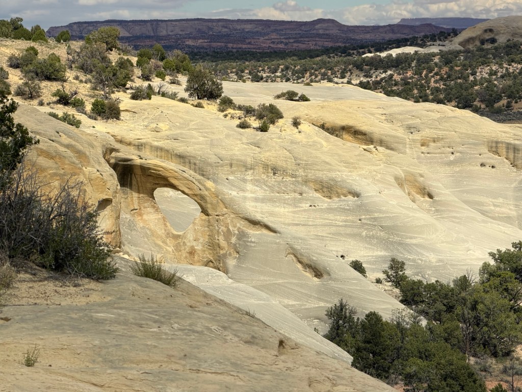
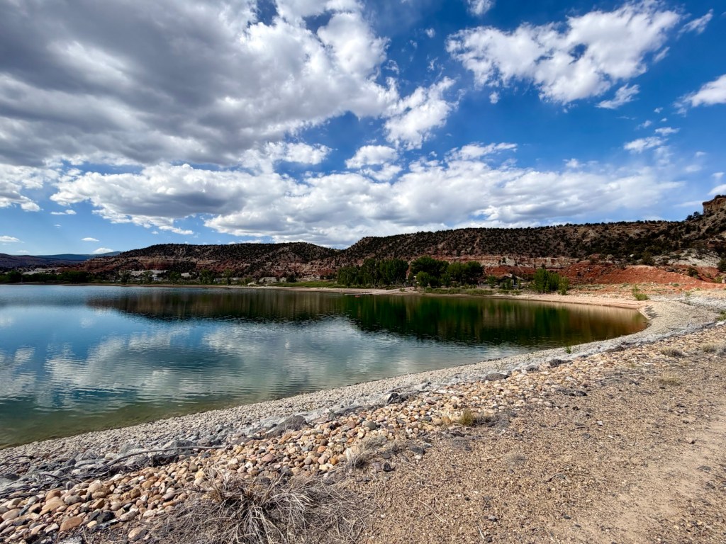
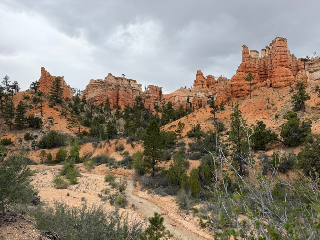
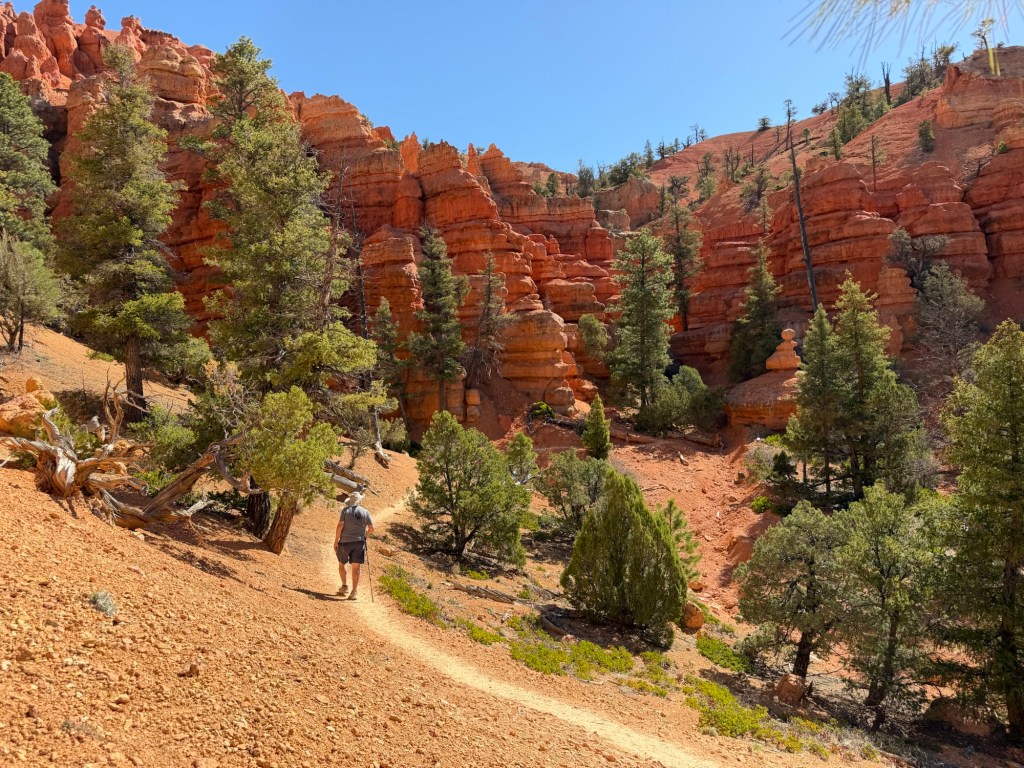
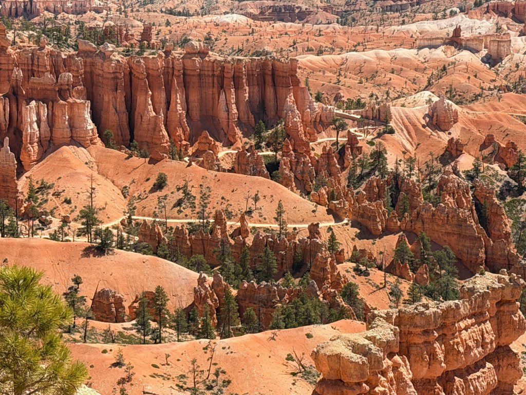
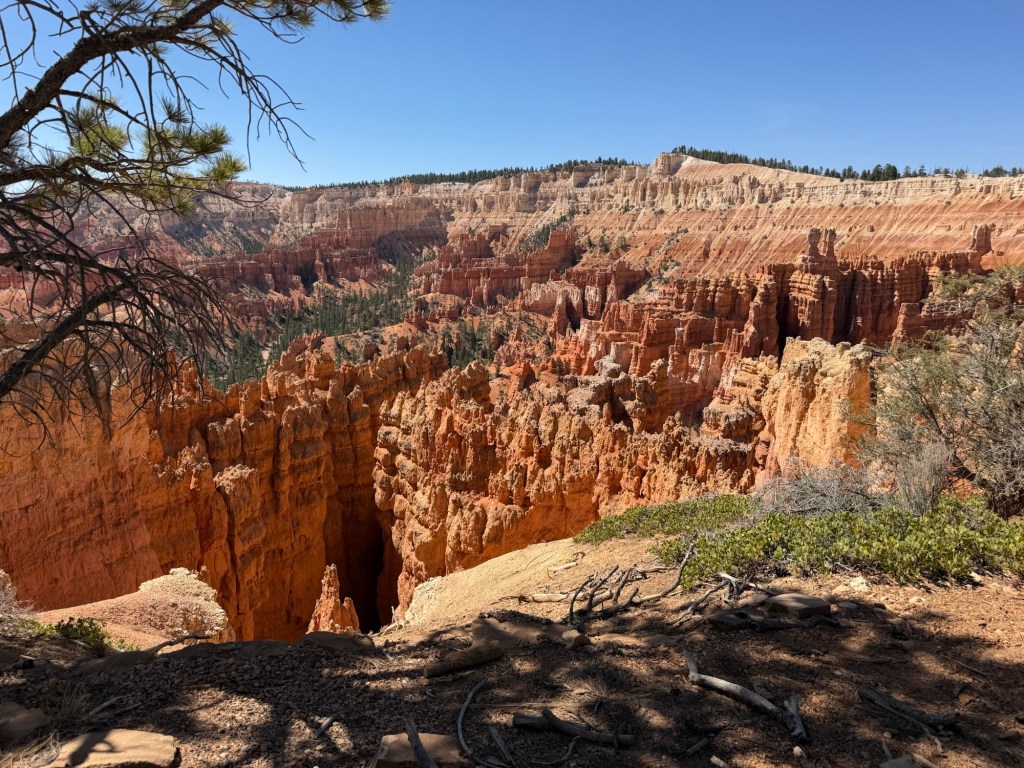
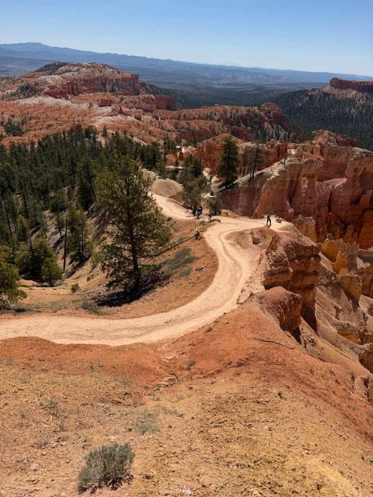
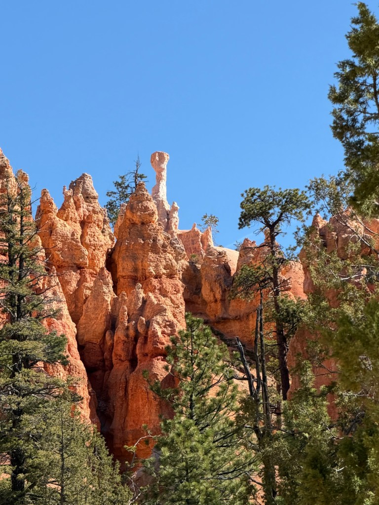
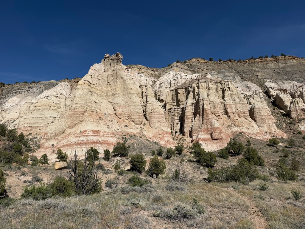
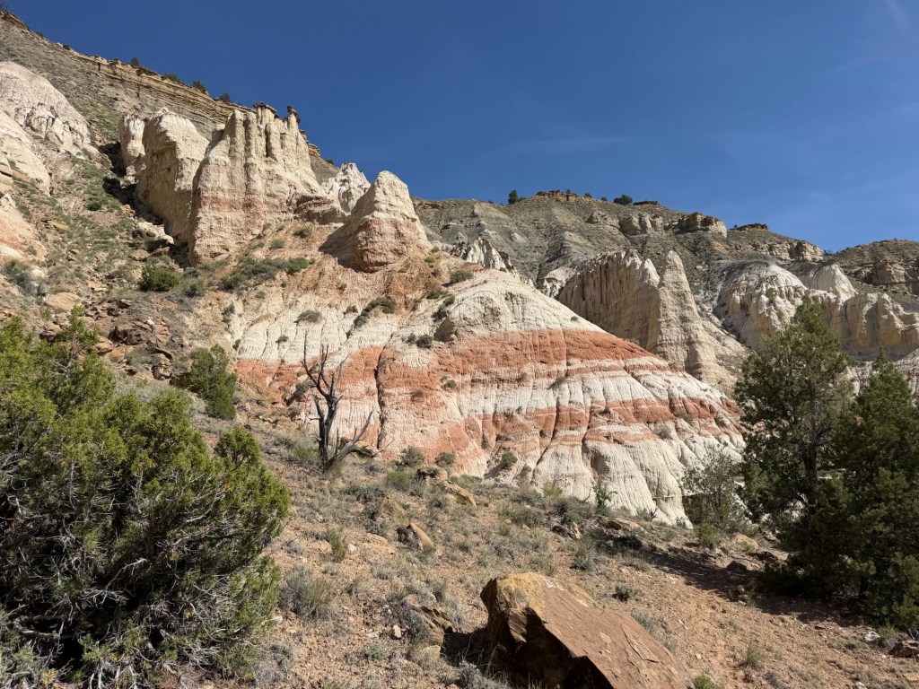
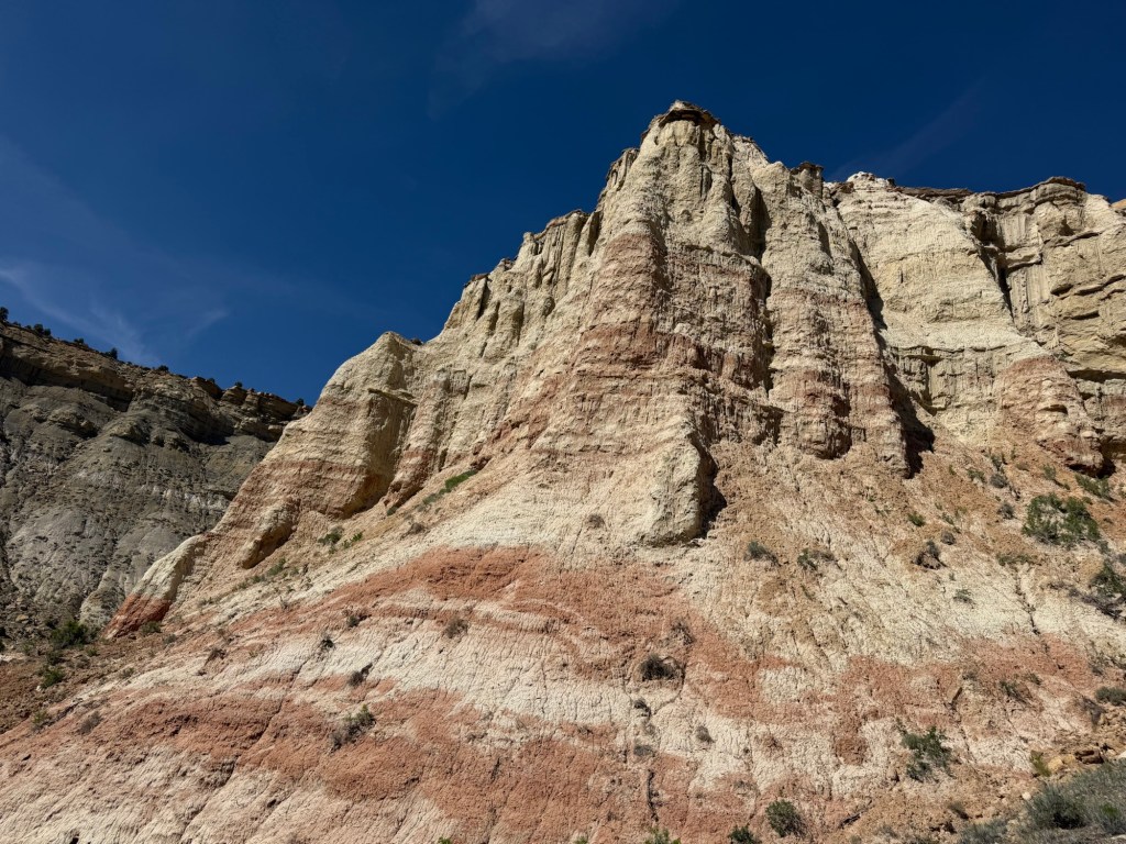
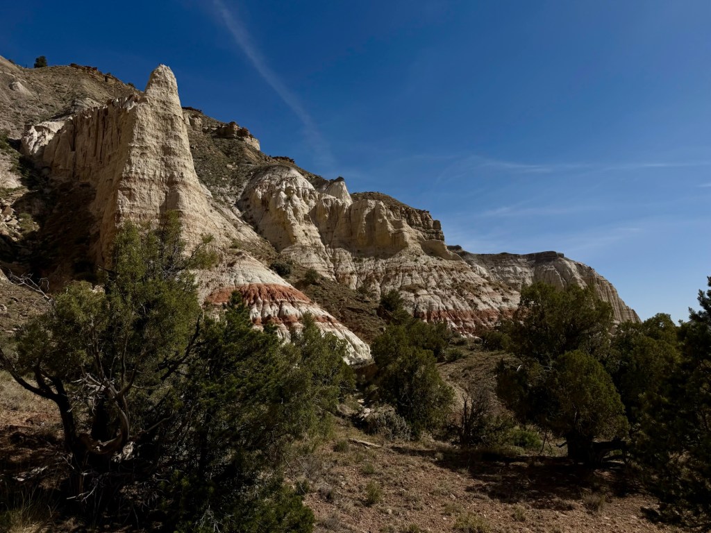
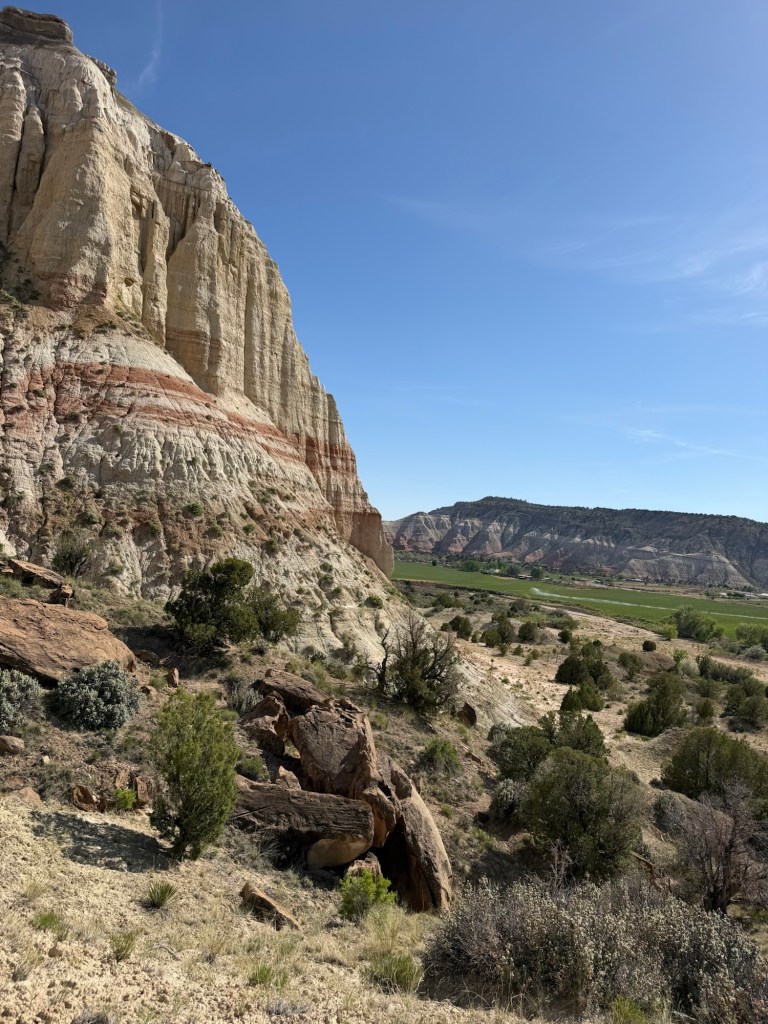
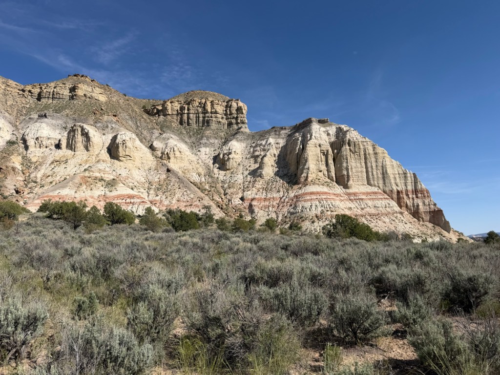
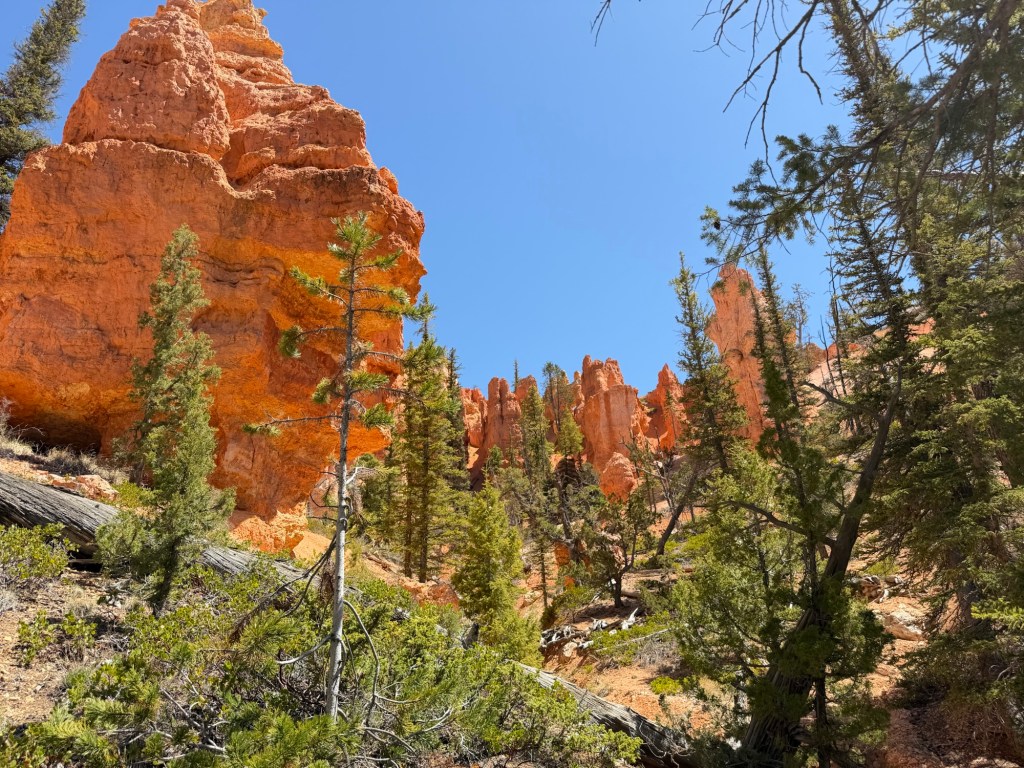
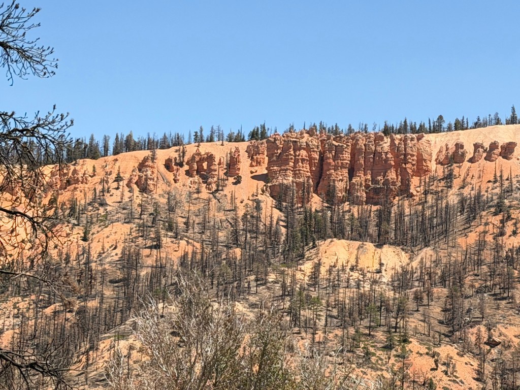
Especially since they are usually in such beautiful settings.
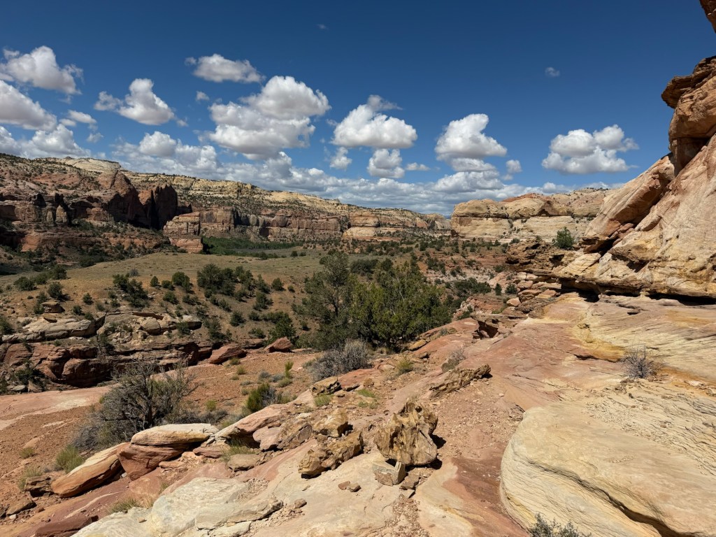
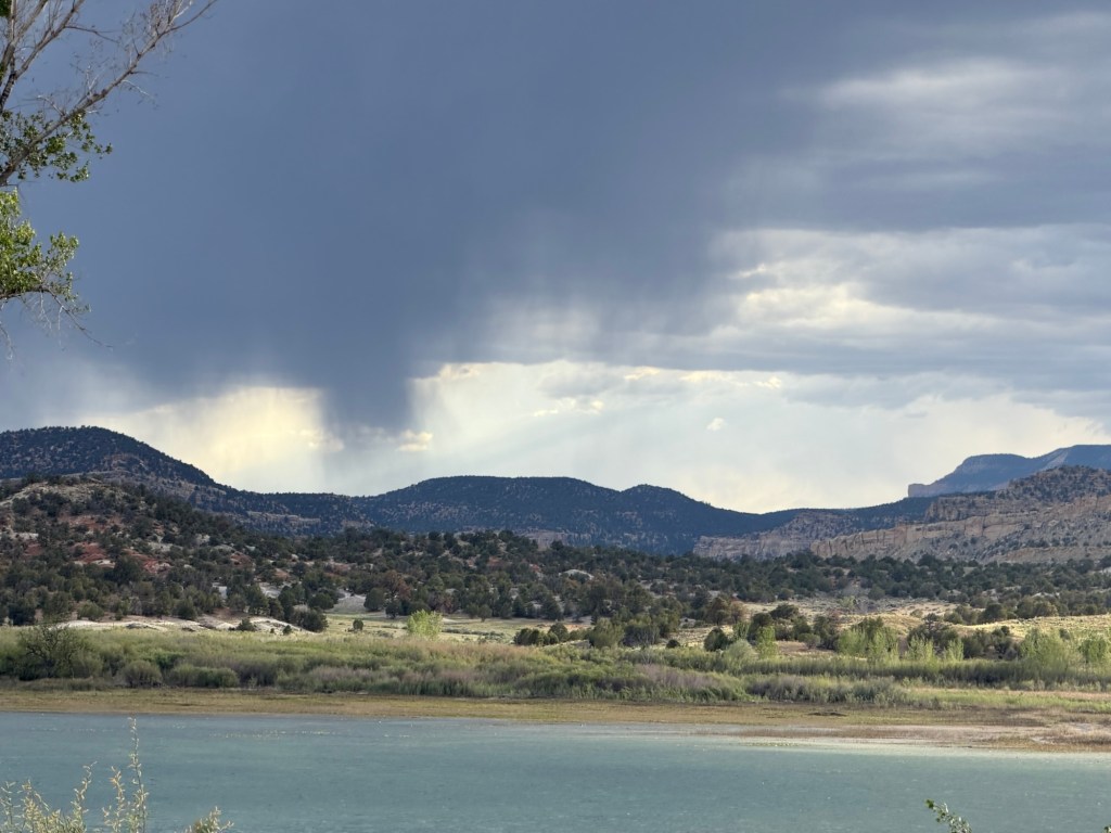
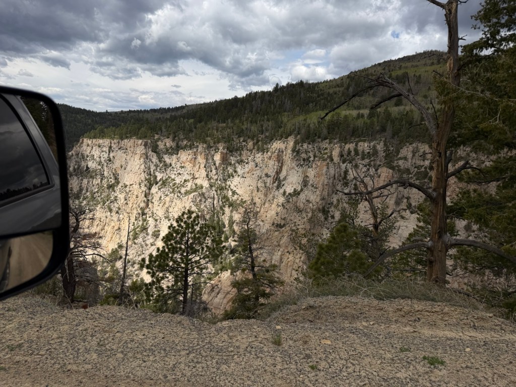
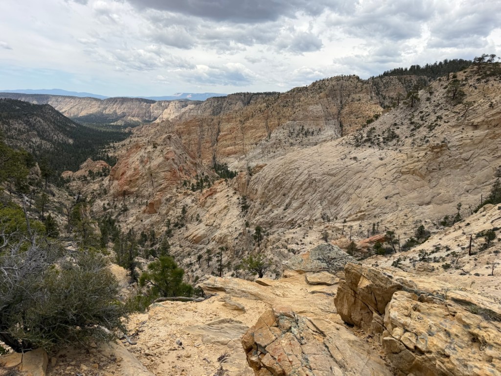
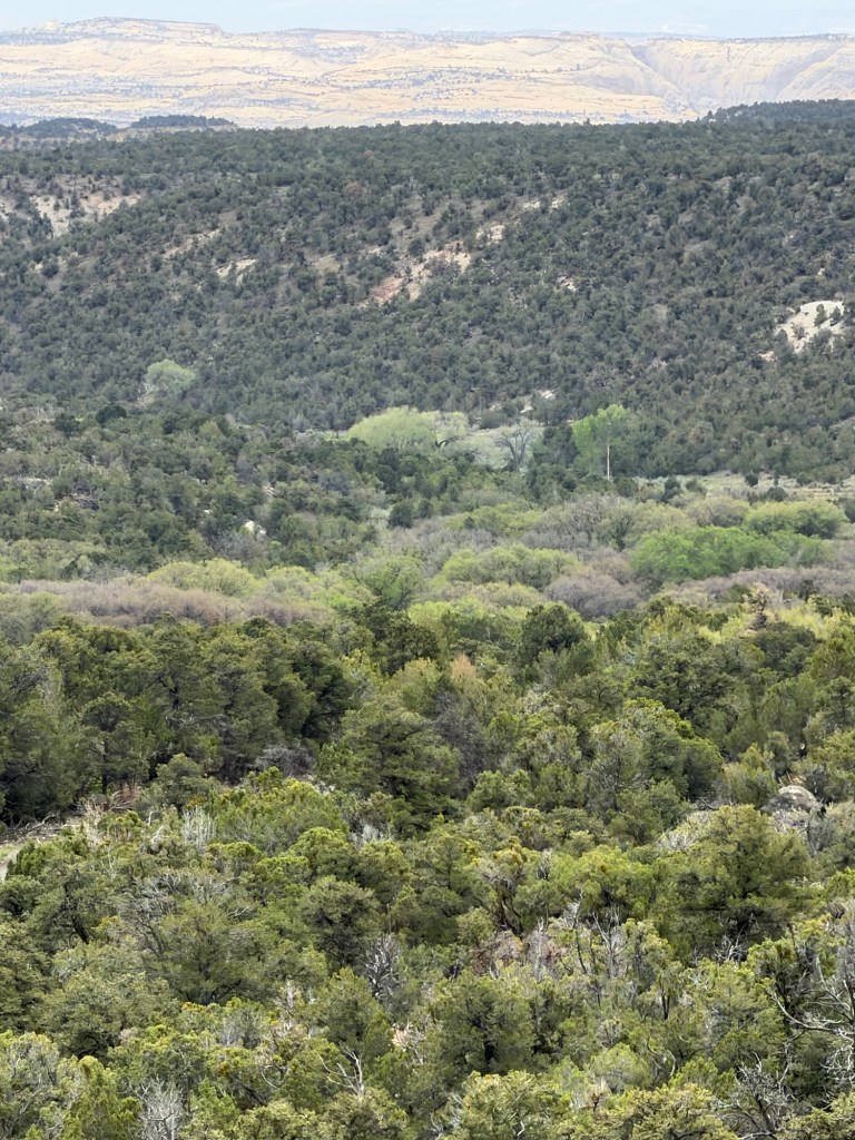
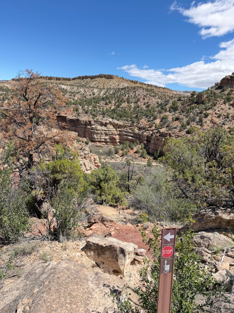
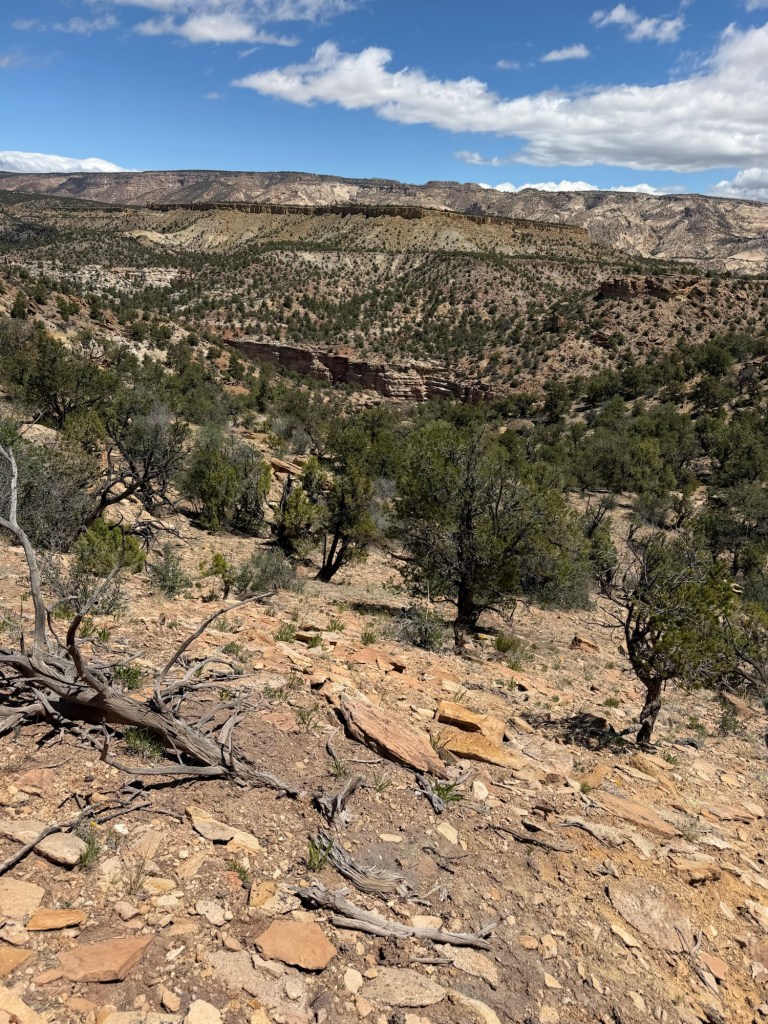
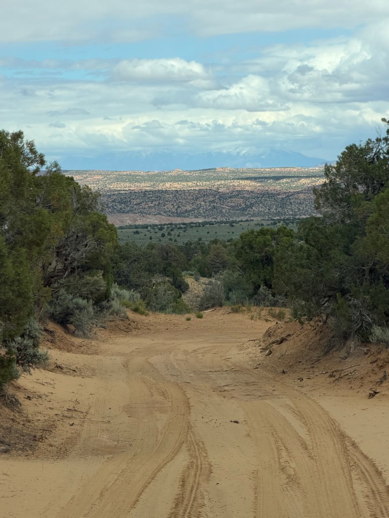
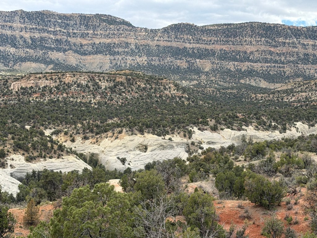
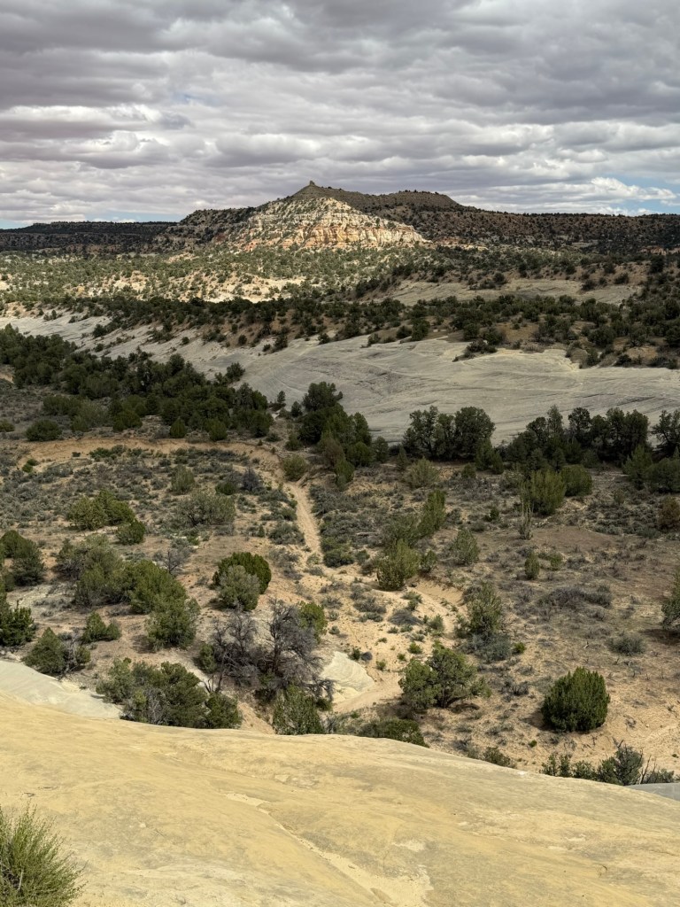
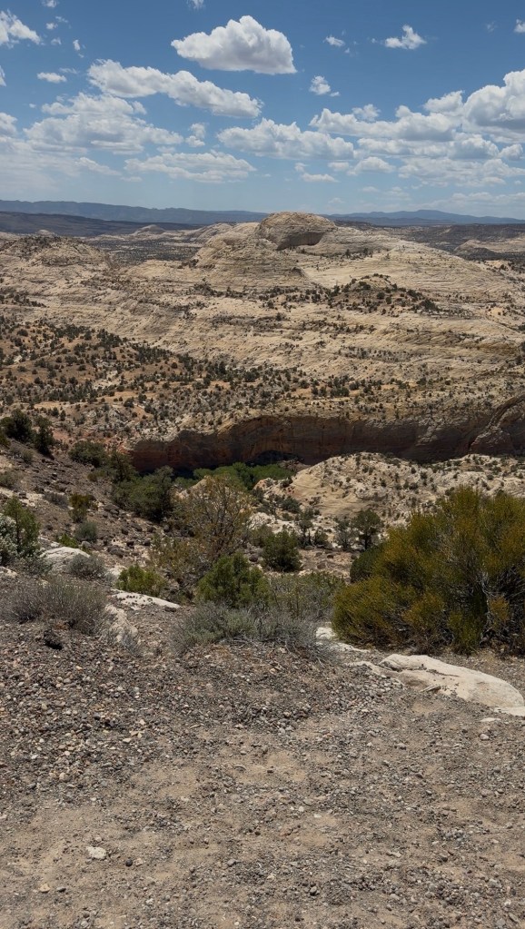
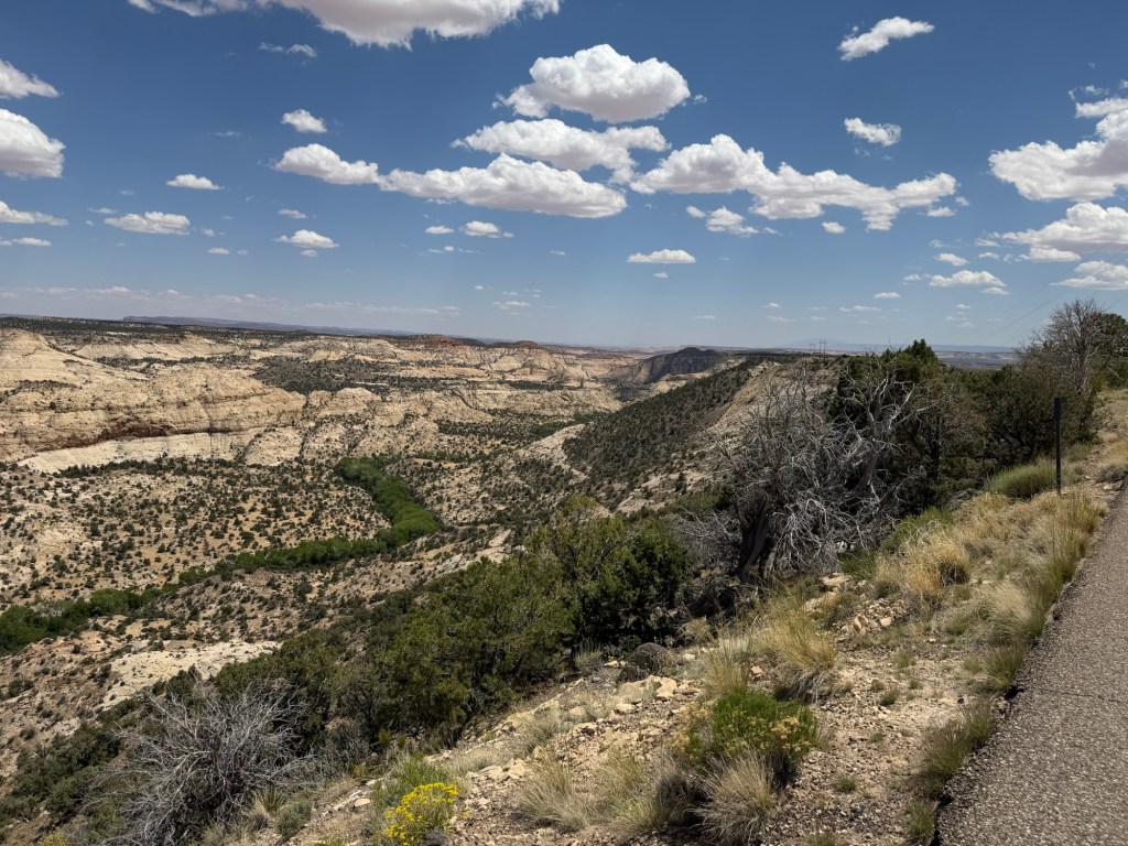
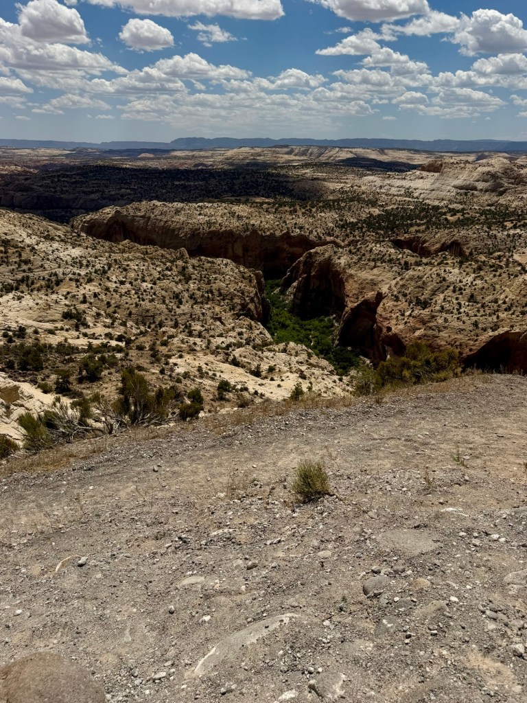
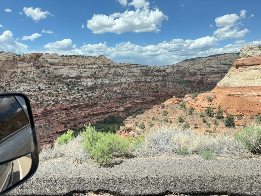
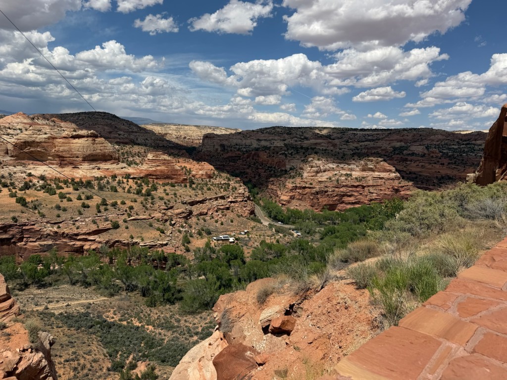
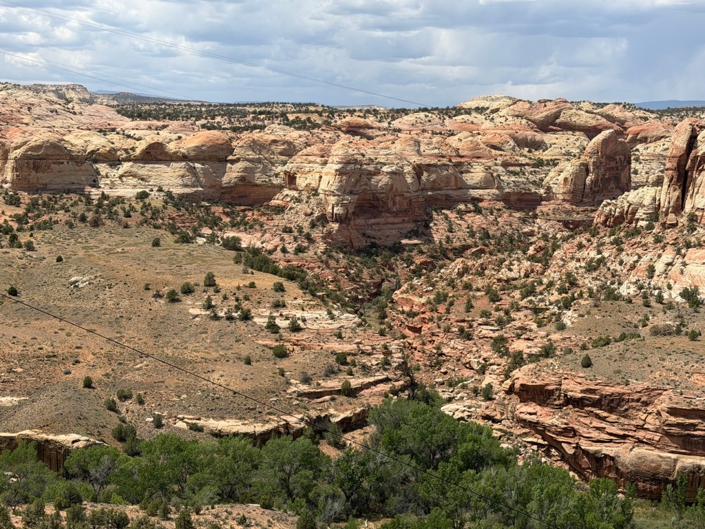
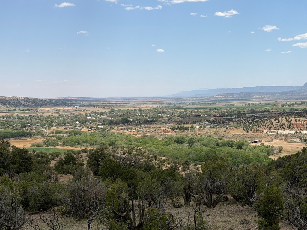
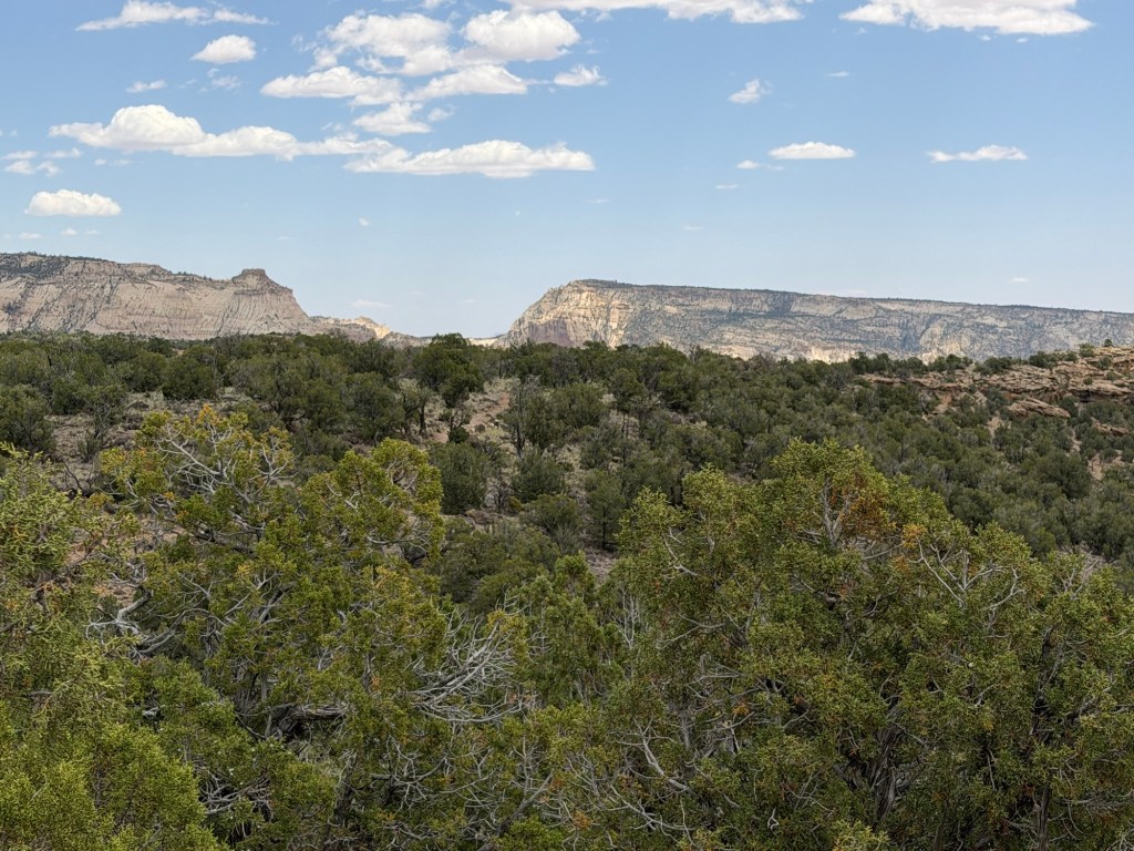
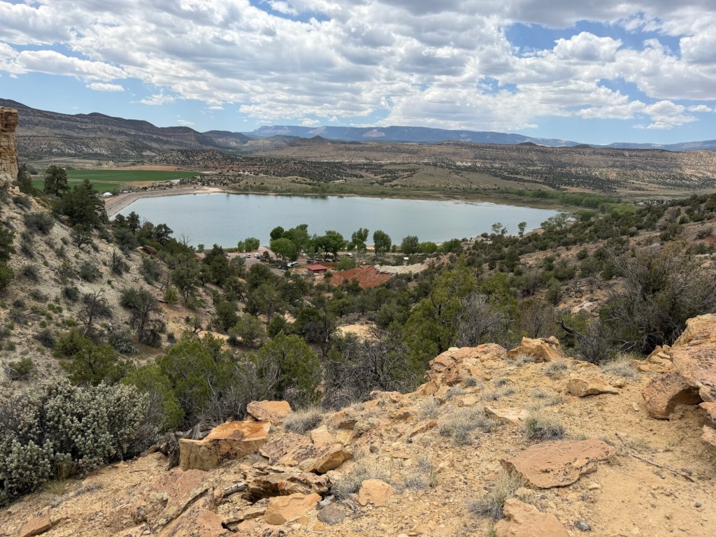
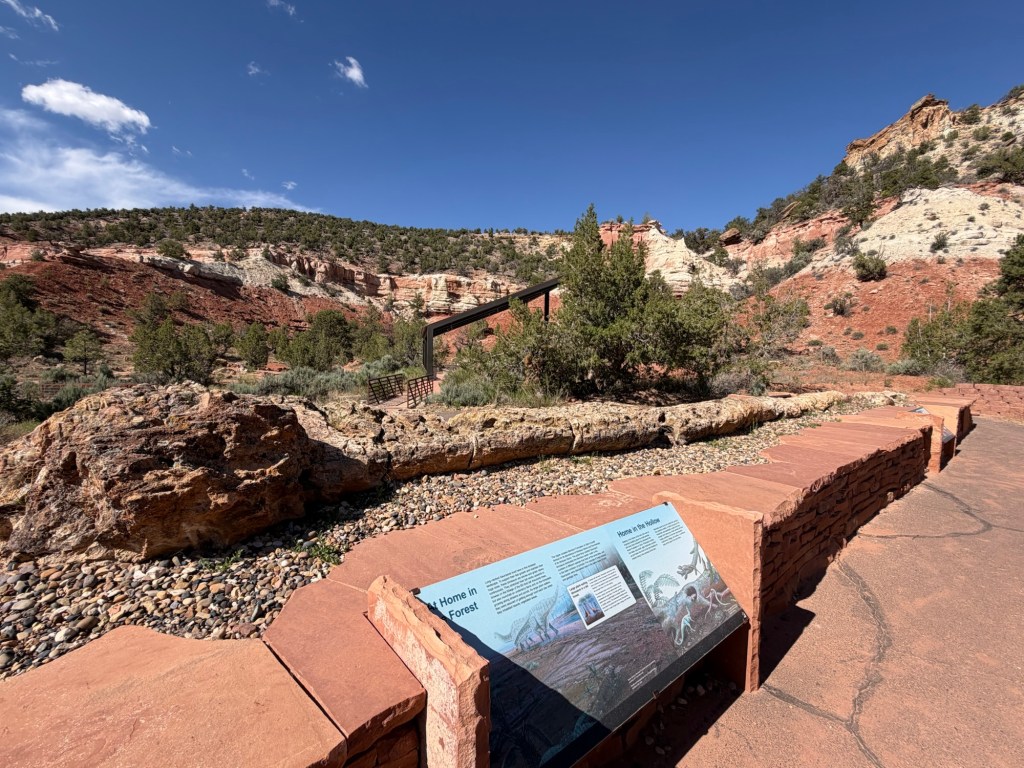
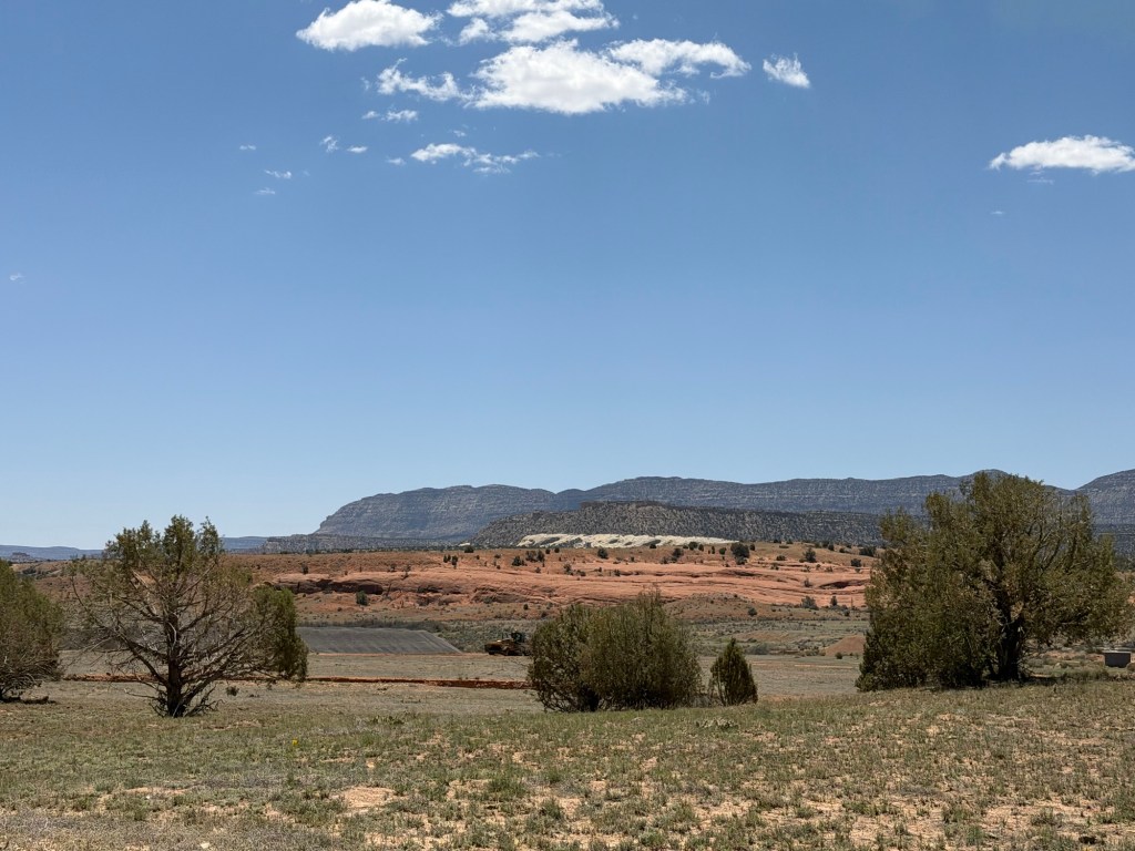
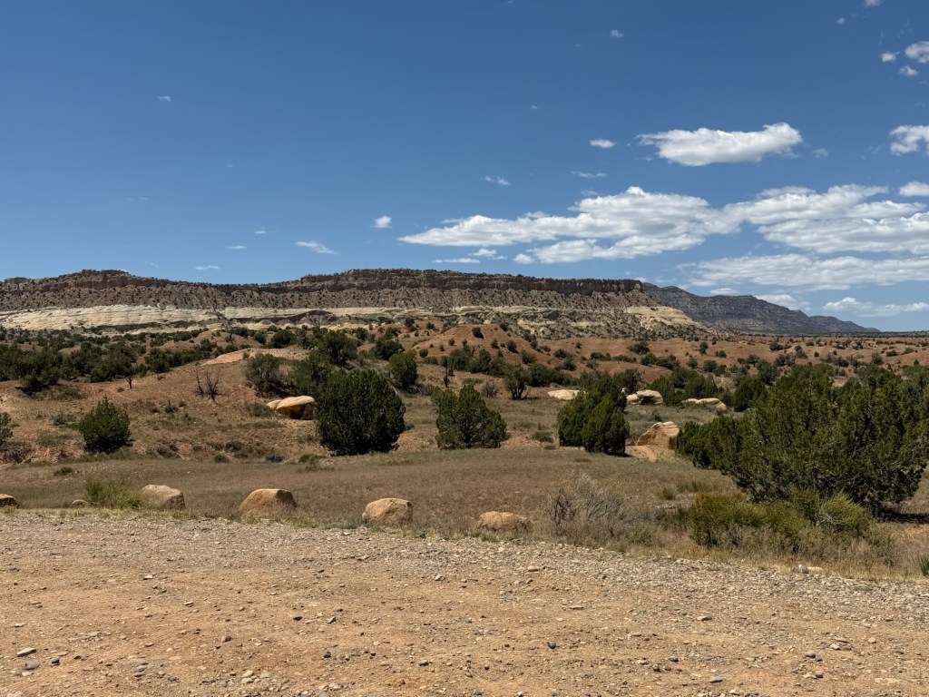
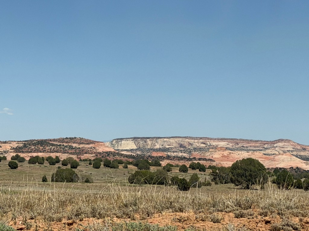
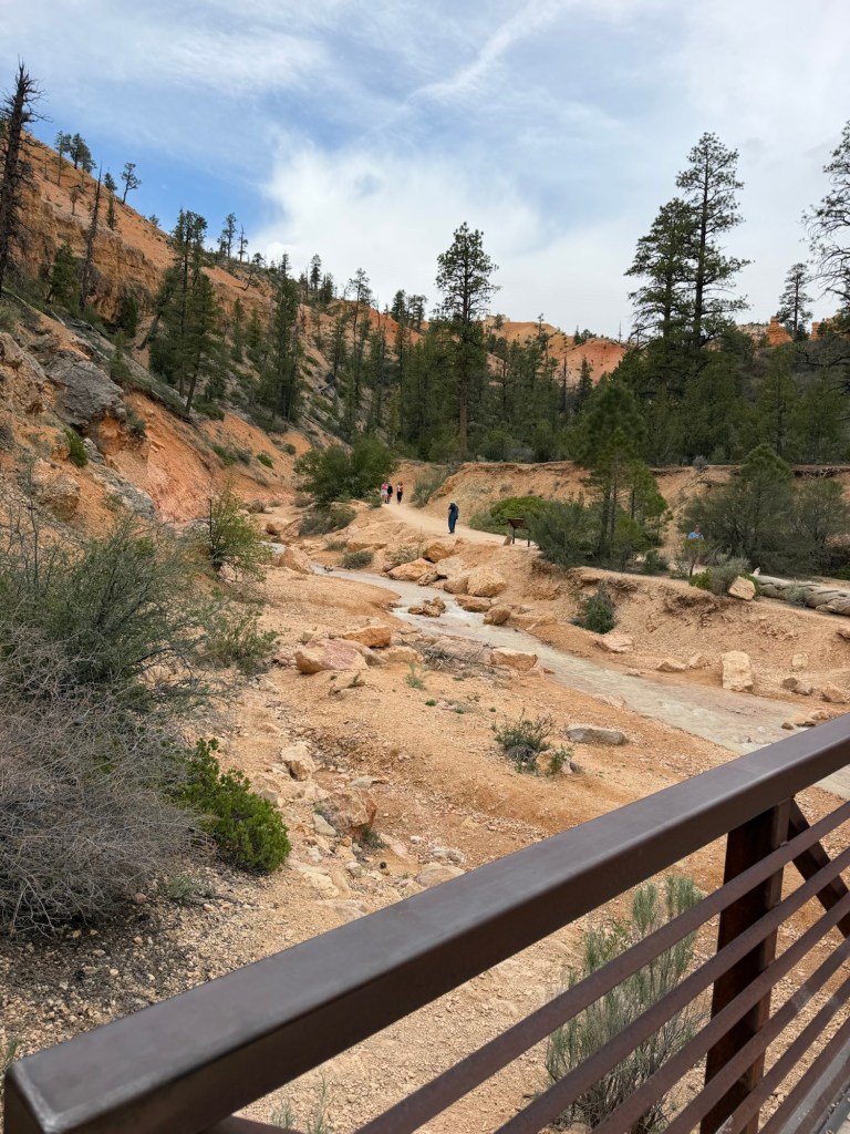
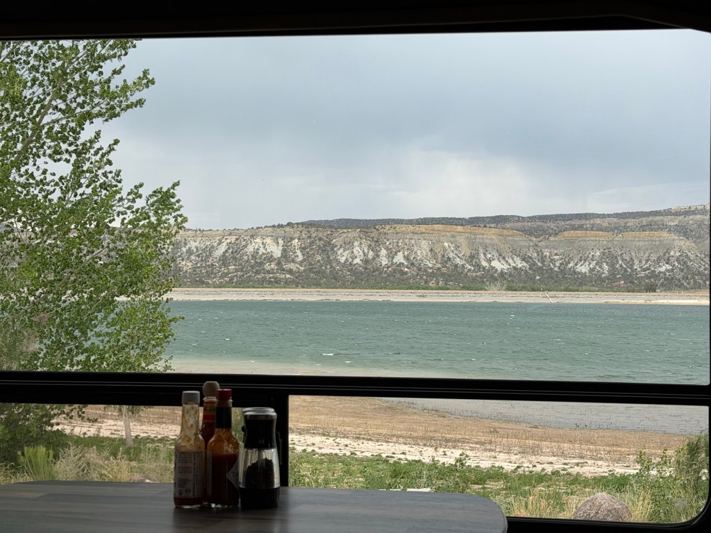
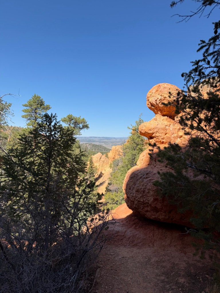
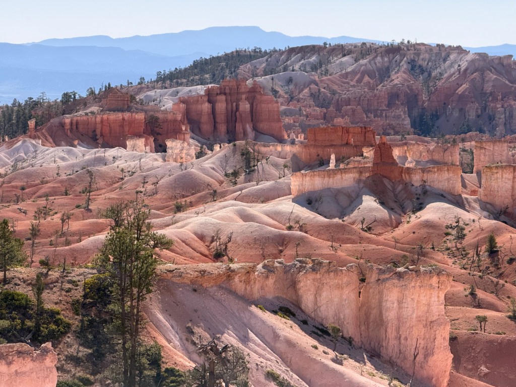
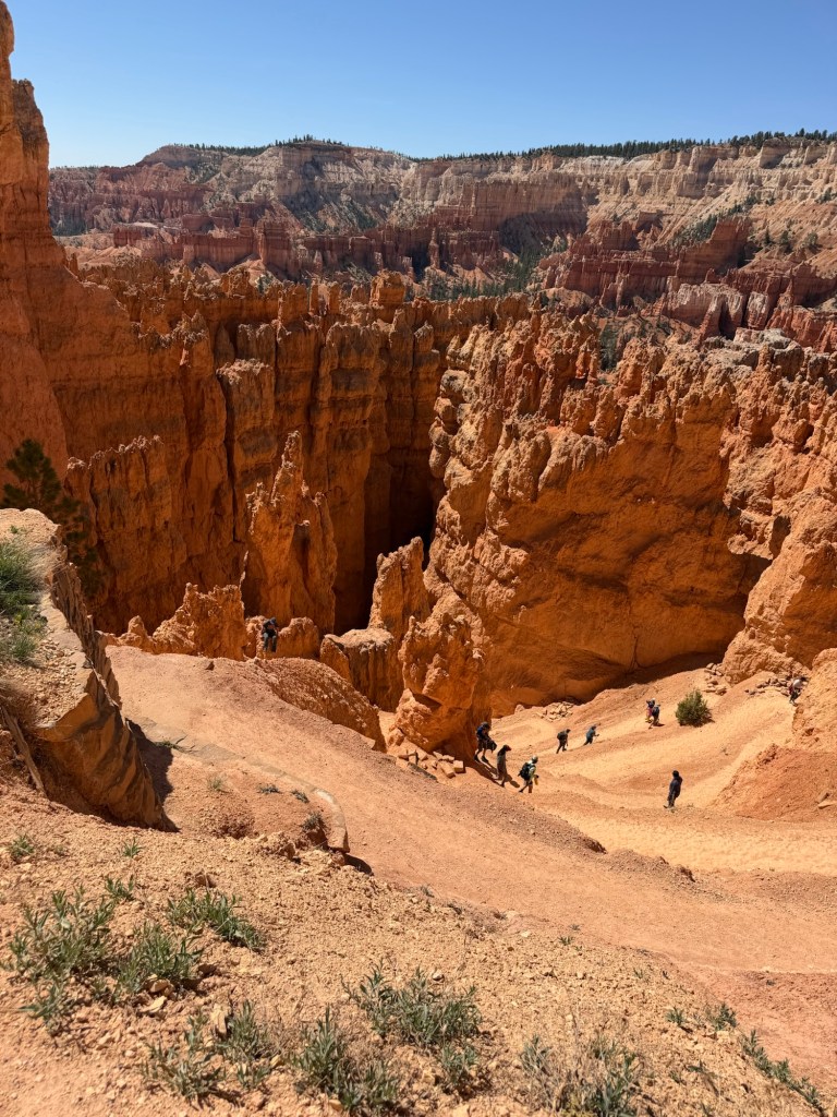
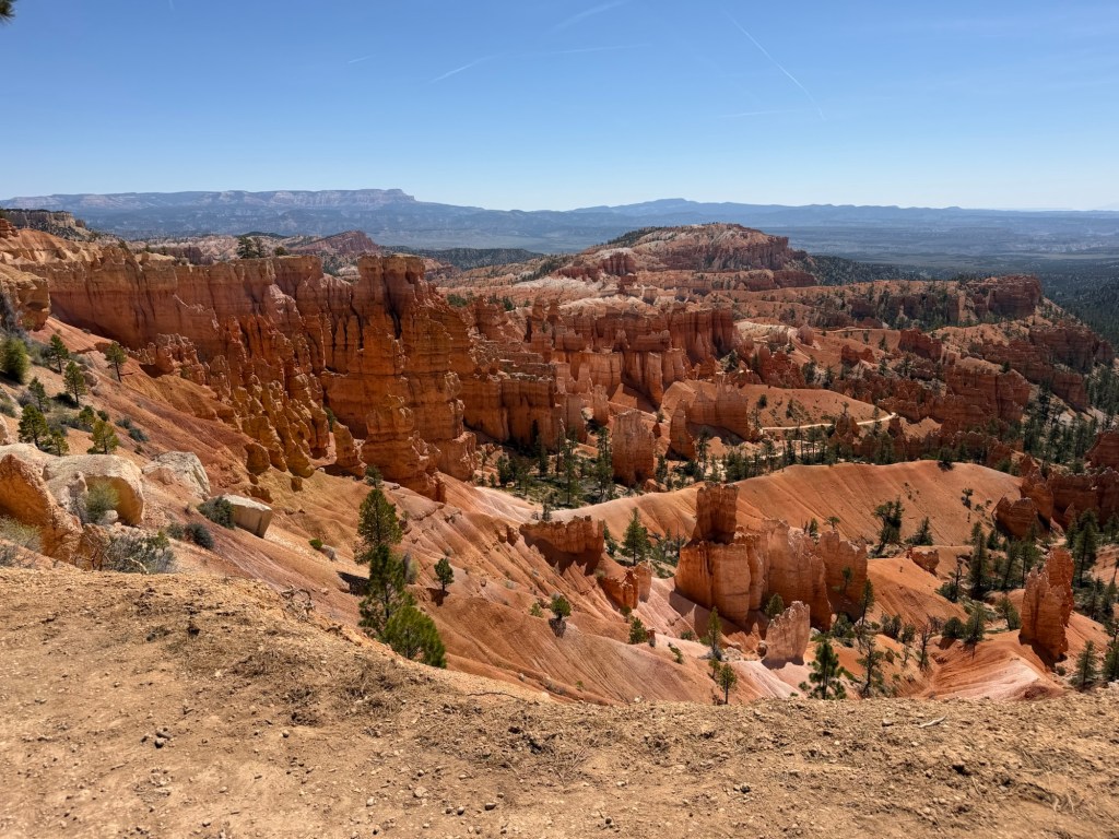
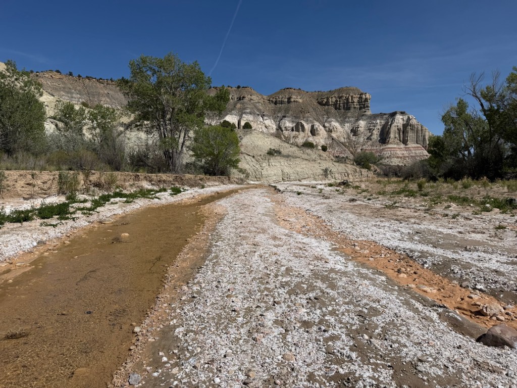
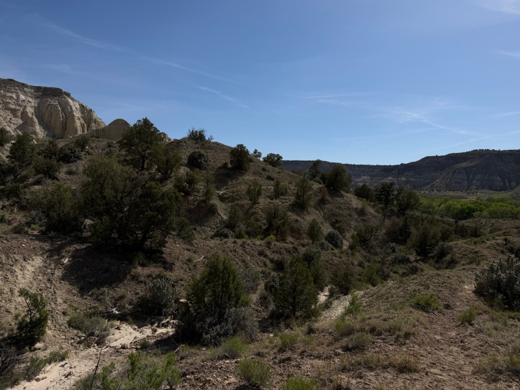
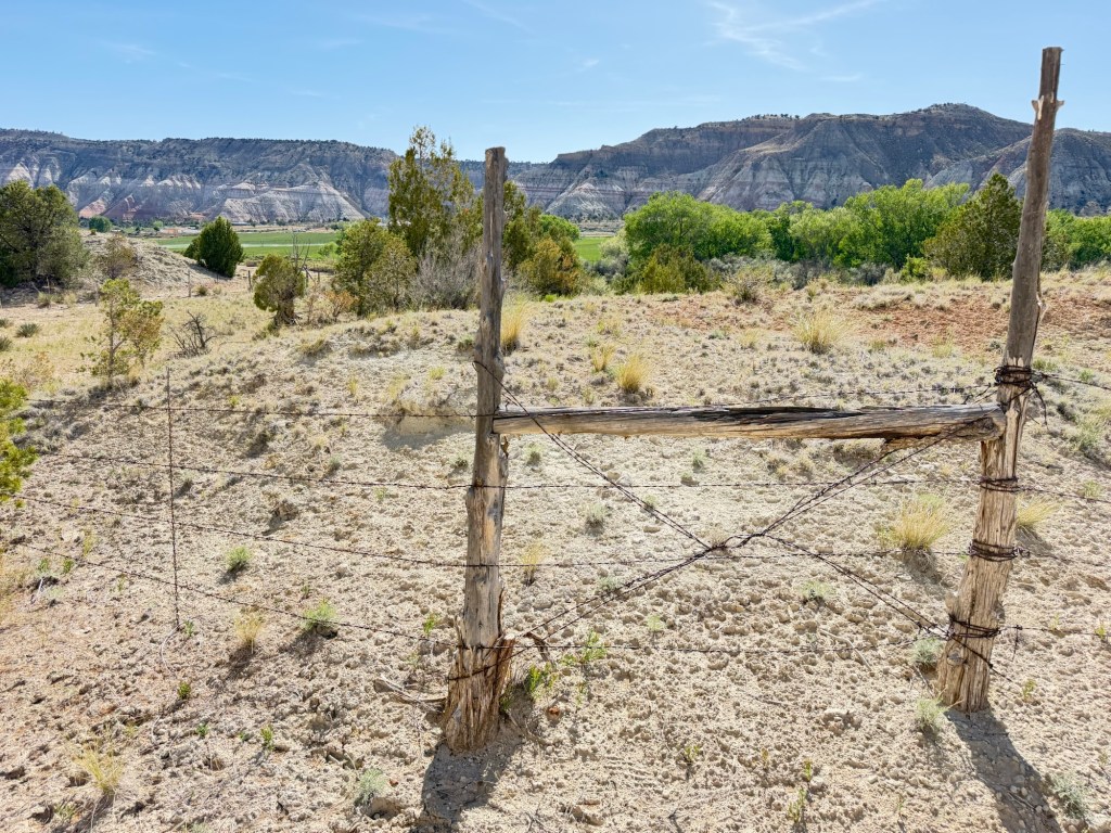
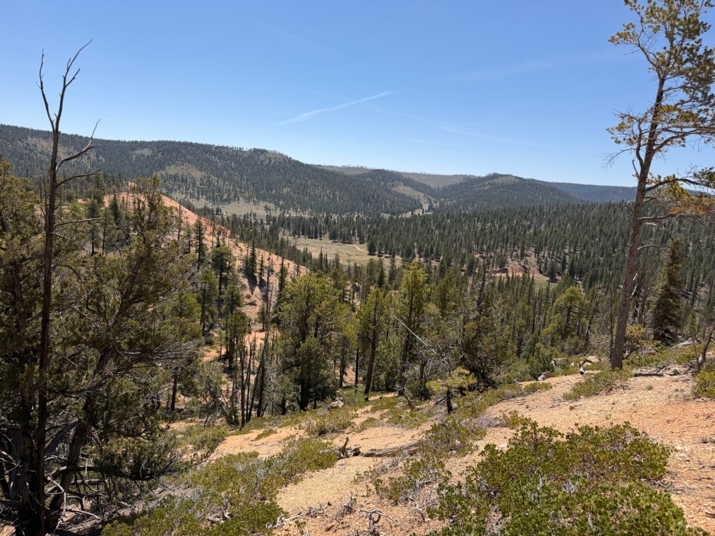
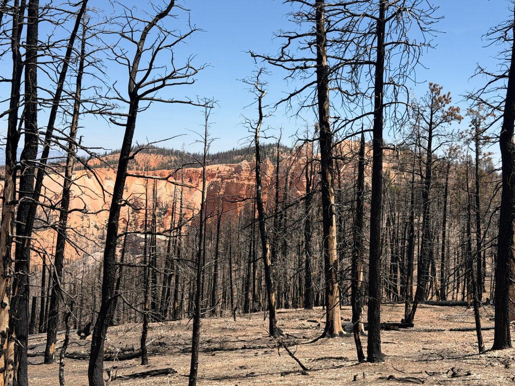
That was the end of the trail, after just a half mile. I took time to look around at the Escalante River canyon.
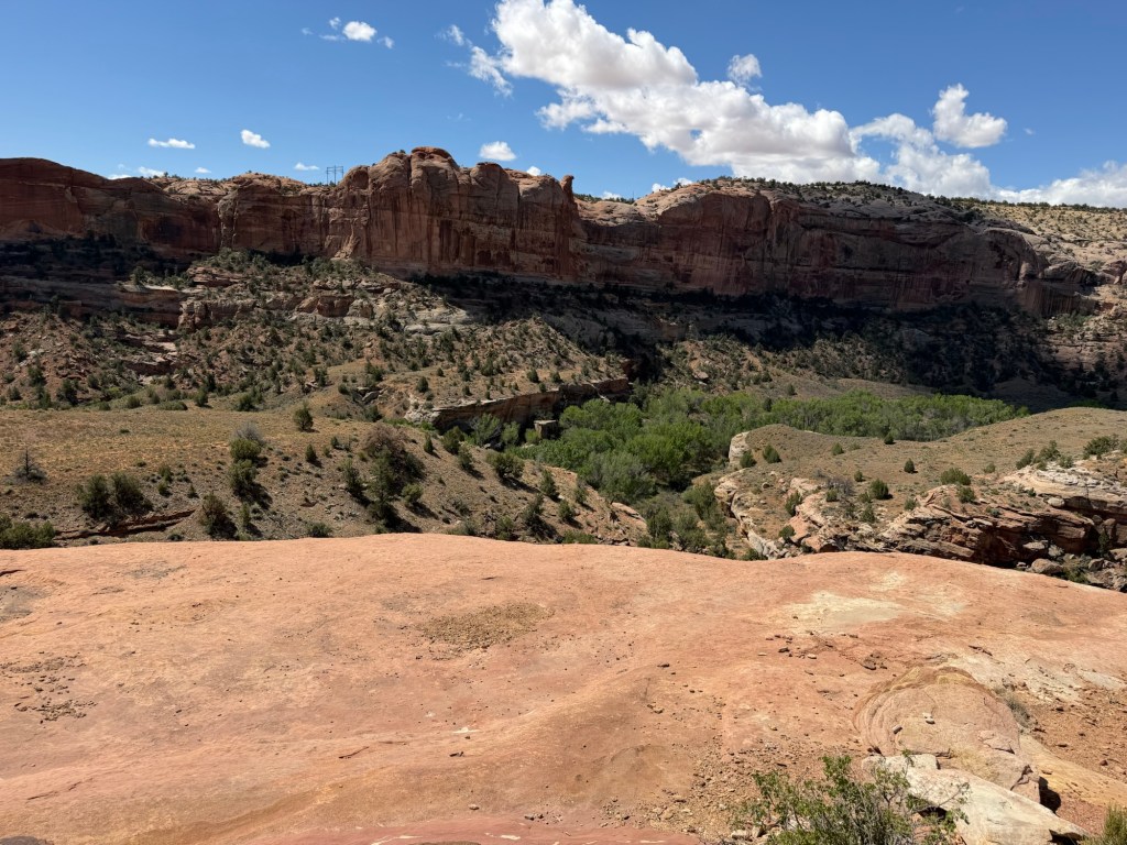
As usual, words fall short in describing this country.
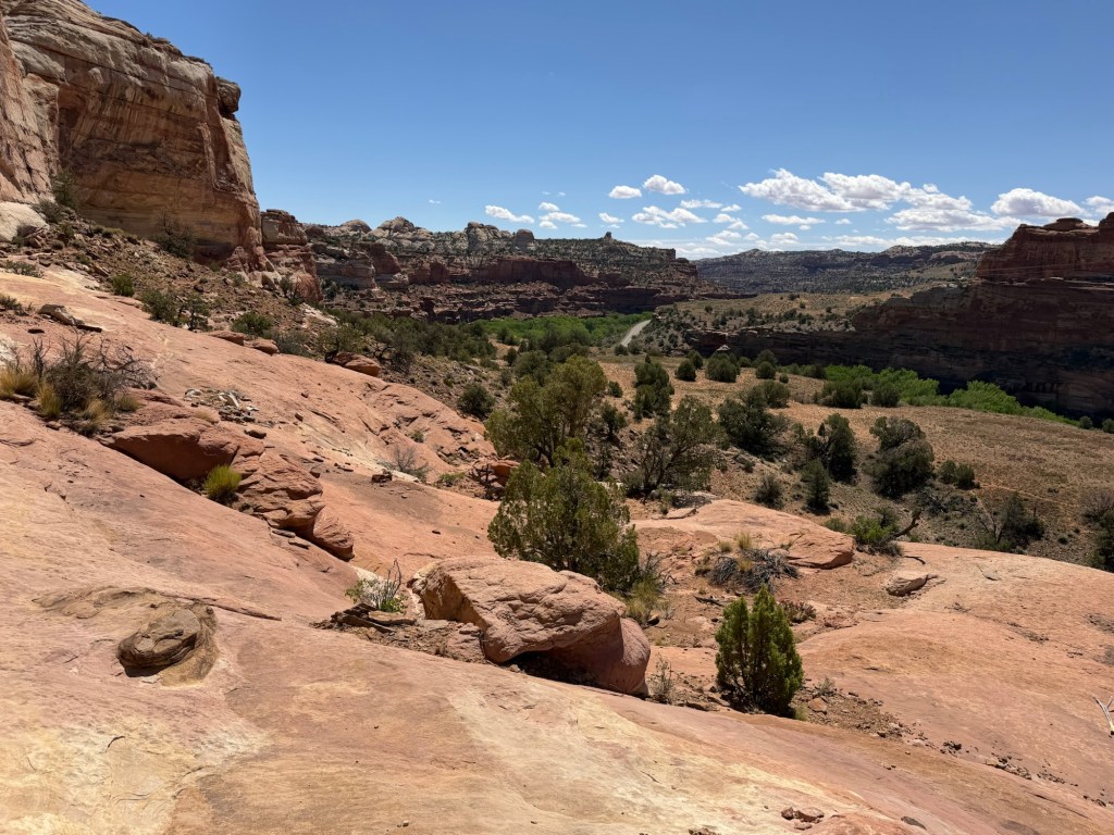
Beautiful is obvious but inadequate.
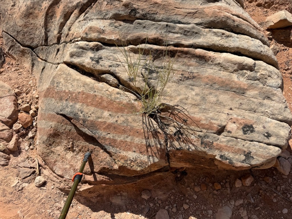
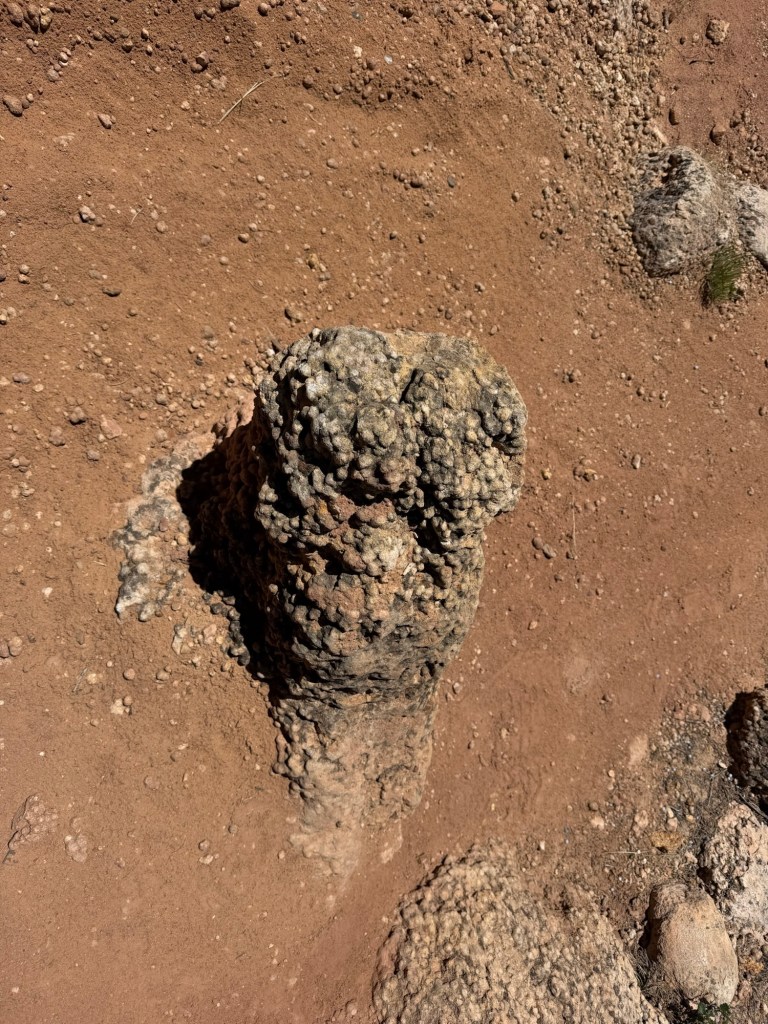
On the way back I noticed this rock with red and white stripes on a small scale. I used the tip of my walking stick to show how narrow the stripes were.
There is so much to see on a large scale I’m sure I miss many of the smaller things.
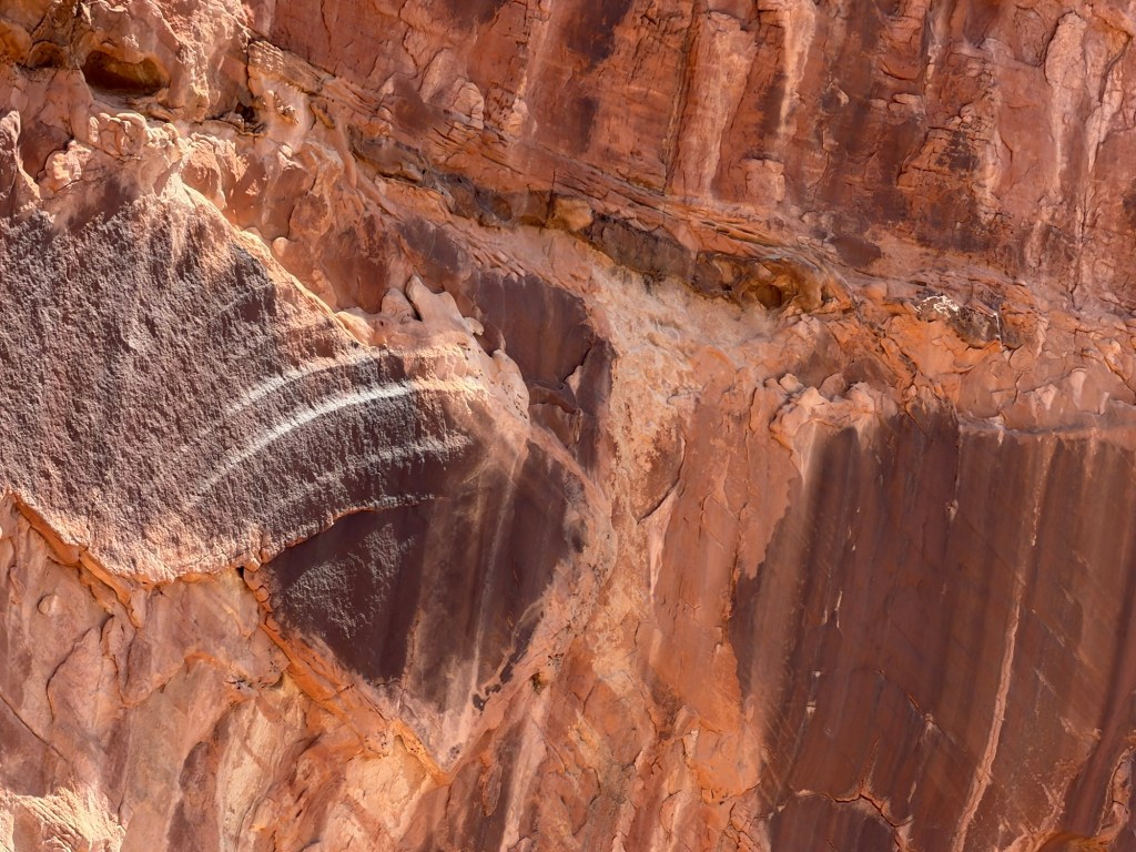
I also noticed these curved lines carved into a rock on a cliff. It looked to me like a partial petroglyph where the rest of the rock face had fallen away. Or maybe just more natural striping. Interesting, in any case.
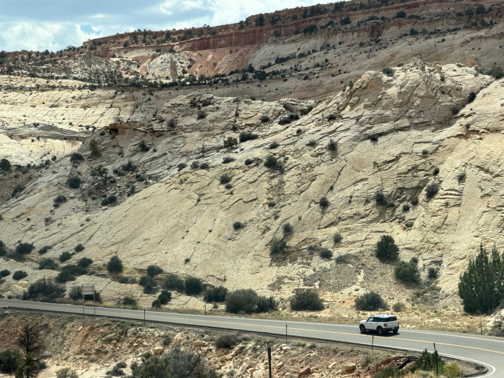
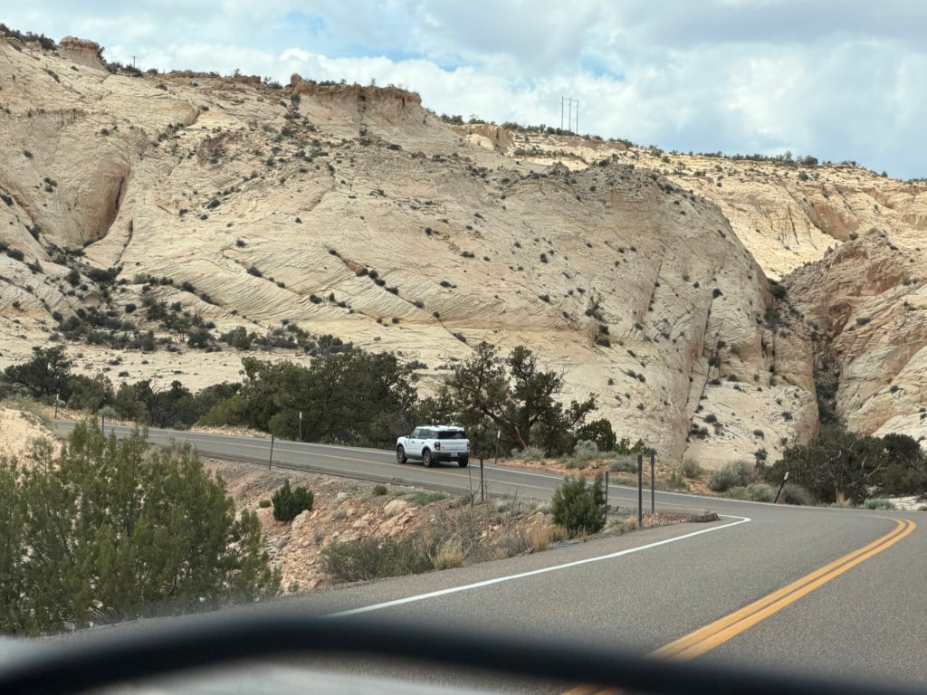
Too soon I was back to the start of the trail and it was time to say goodbye to this fabulous landscape. I hope I’ll be back someday.