In the Heart of the Canadian Shield

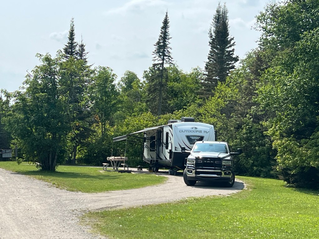
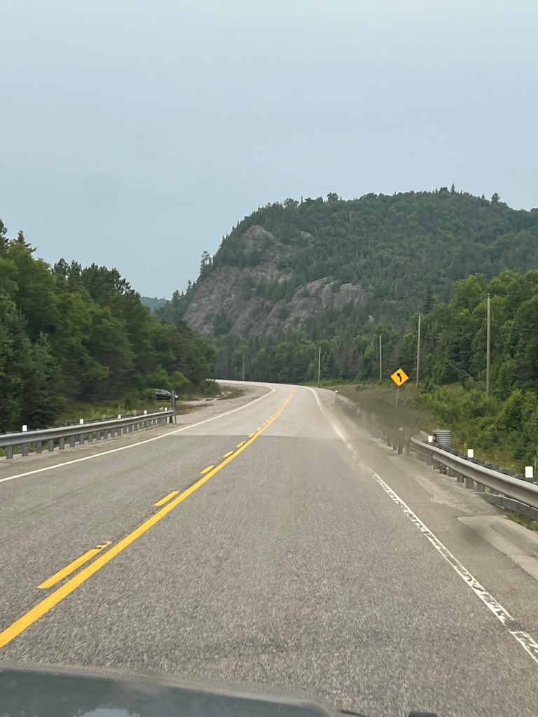
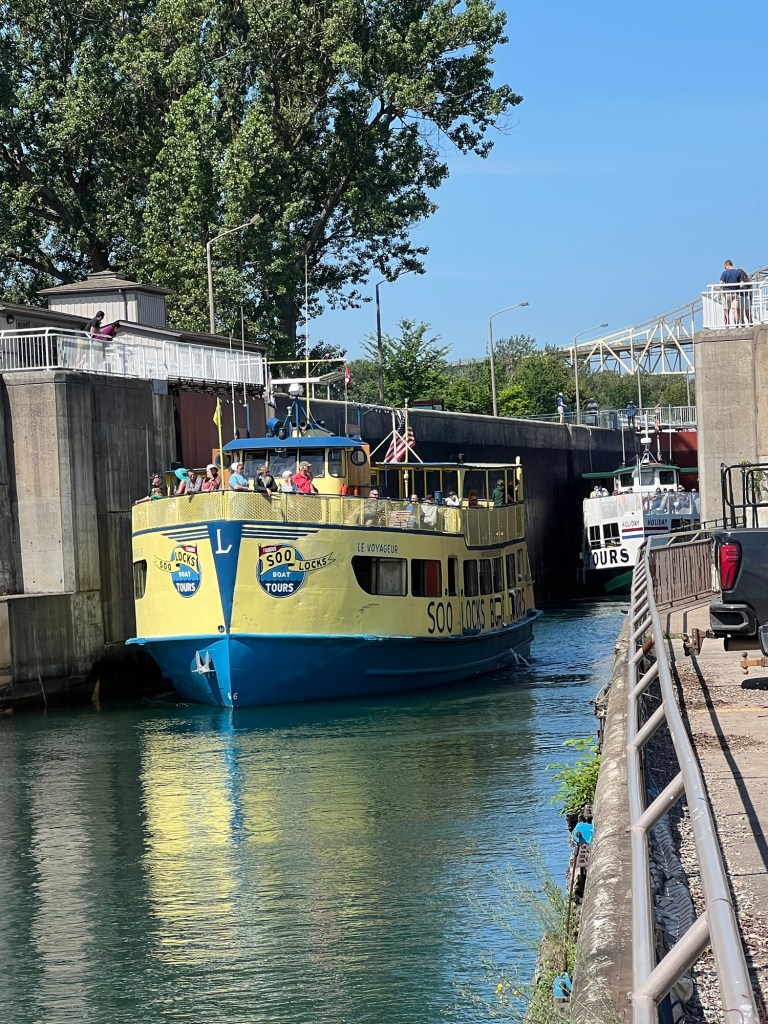
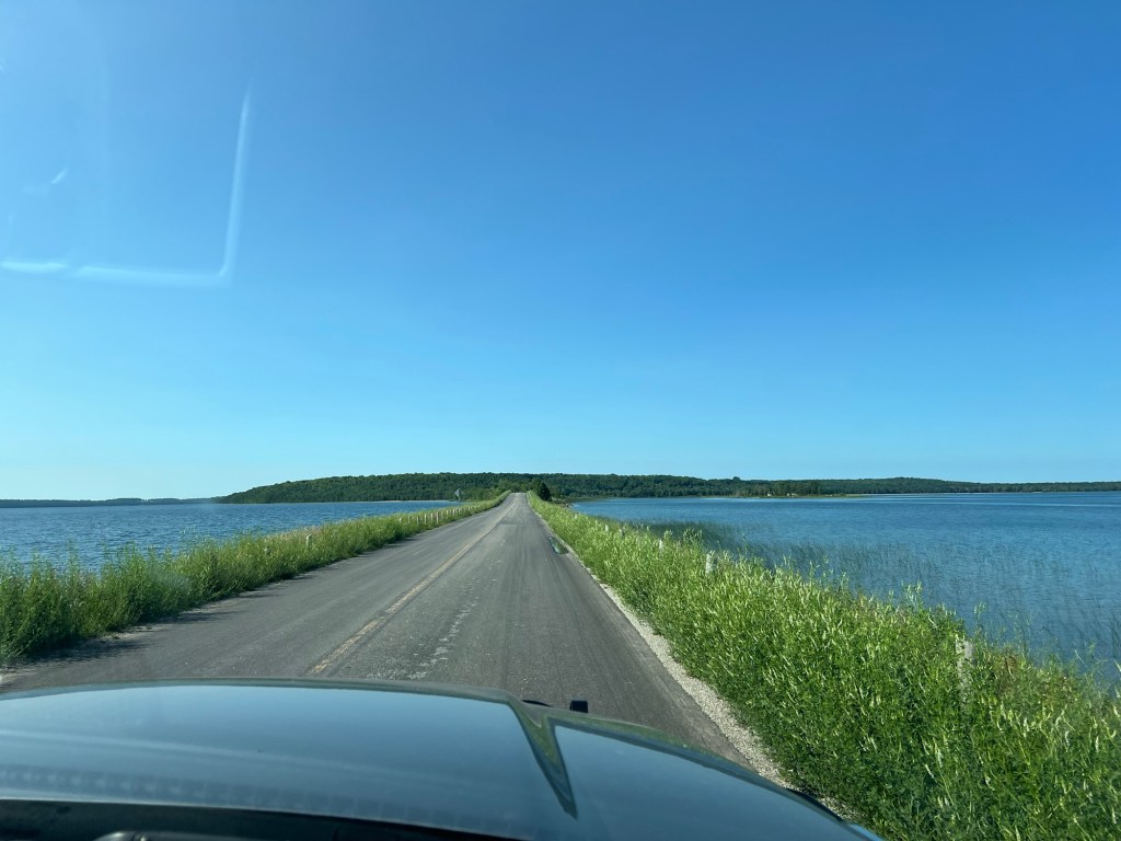
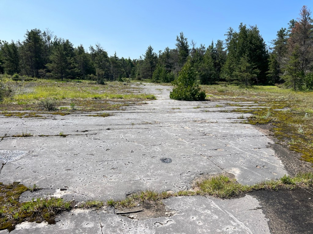
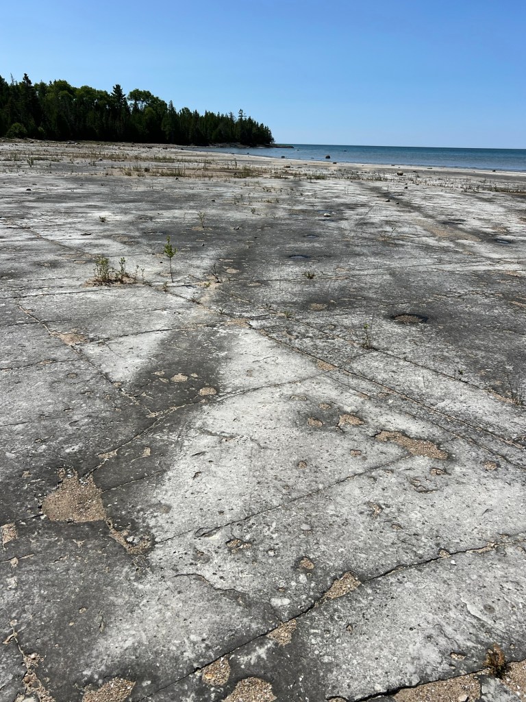
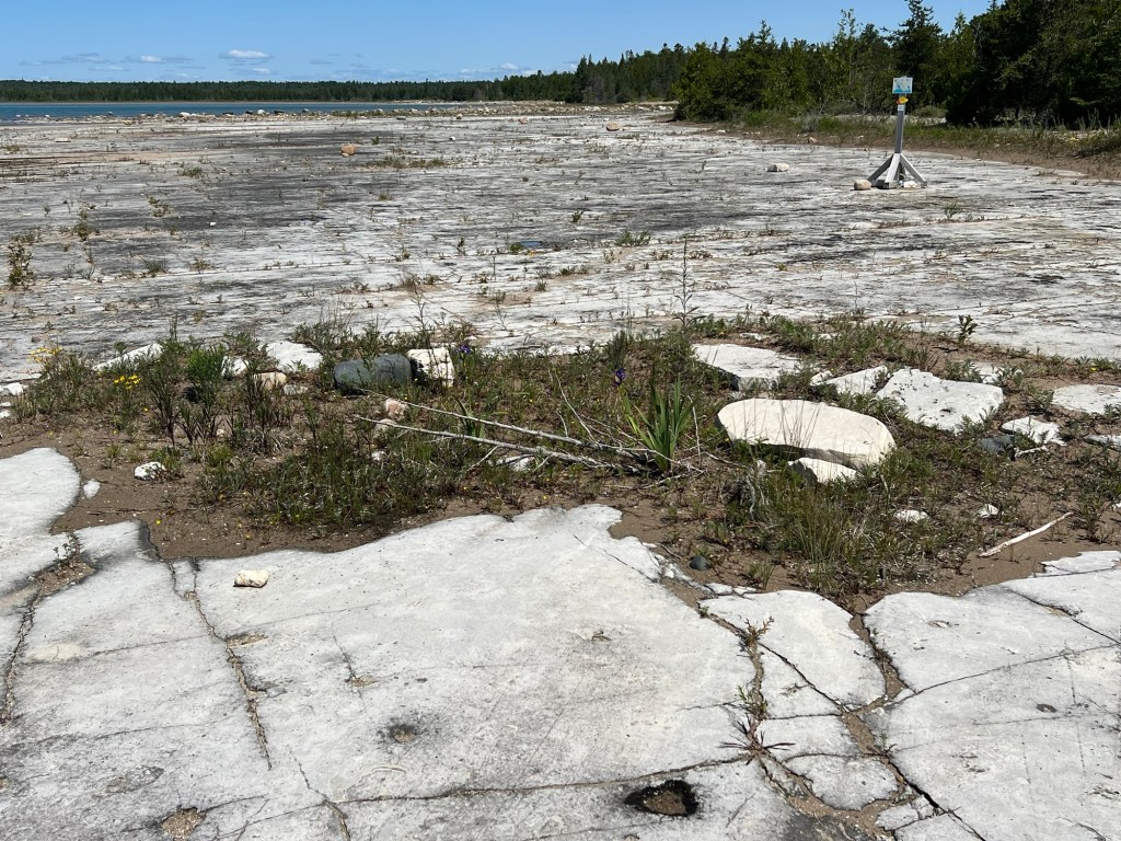
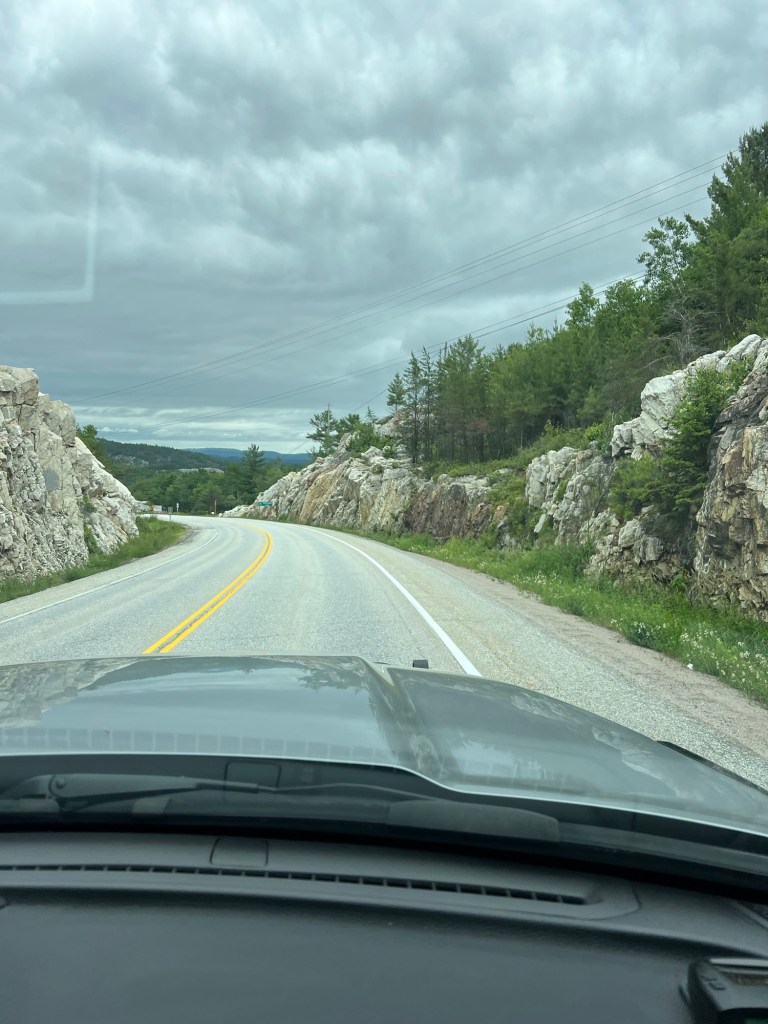
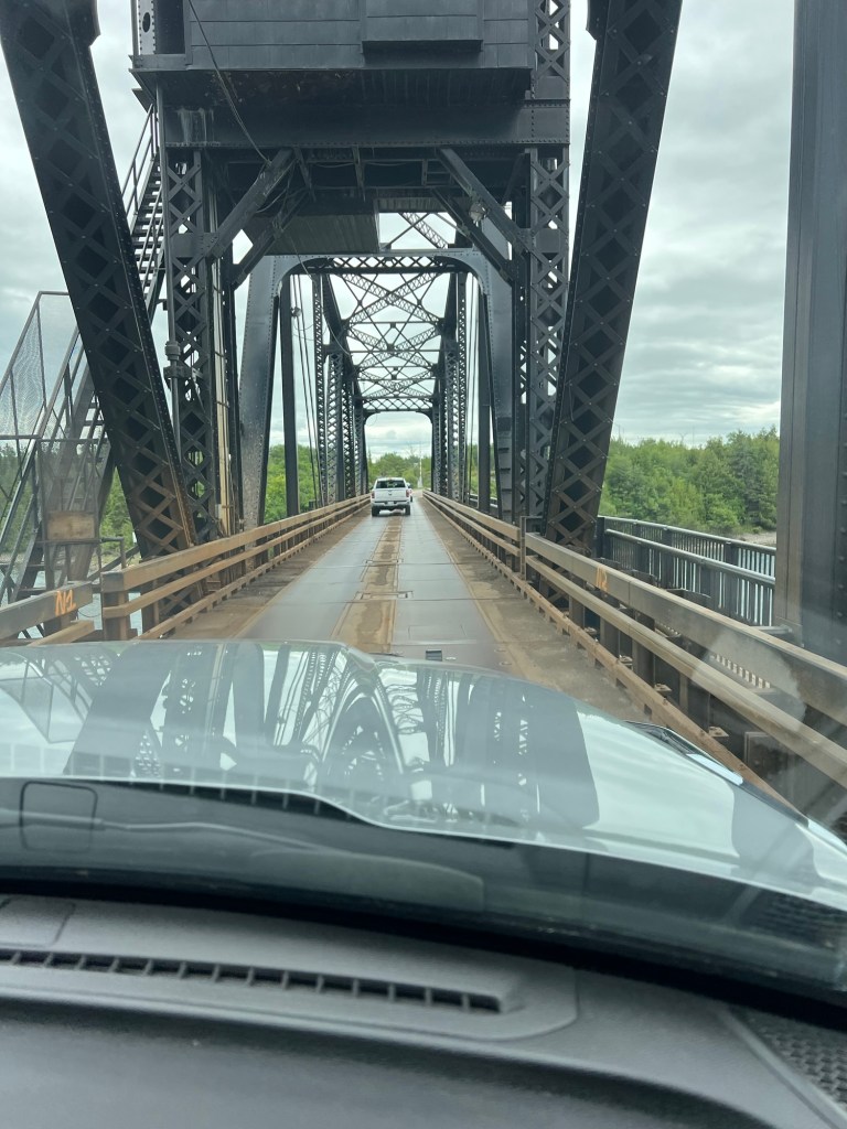
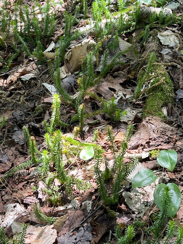
We have been doing some exploring around here and all of the region shows that it is part of the Canadian Shield. This is the largest mass of Precambrian rock exposed on earth. The Shield stretches from Saskatchewan through Quebec and from Baffin Bay to Lakes Superior and Huron, with small extensions into Minnesota and Wisconsin, but the exposed and glacial polished rocks are in every landscape here.

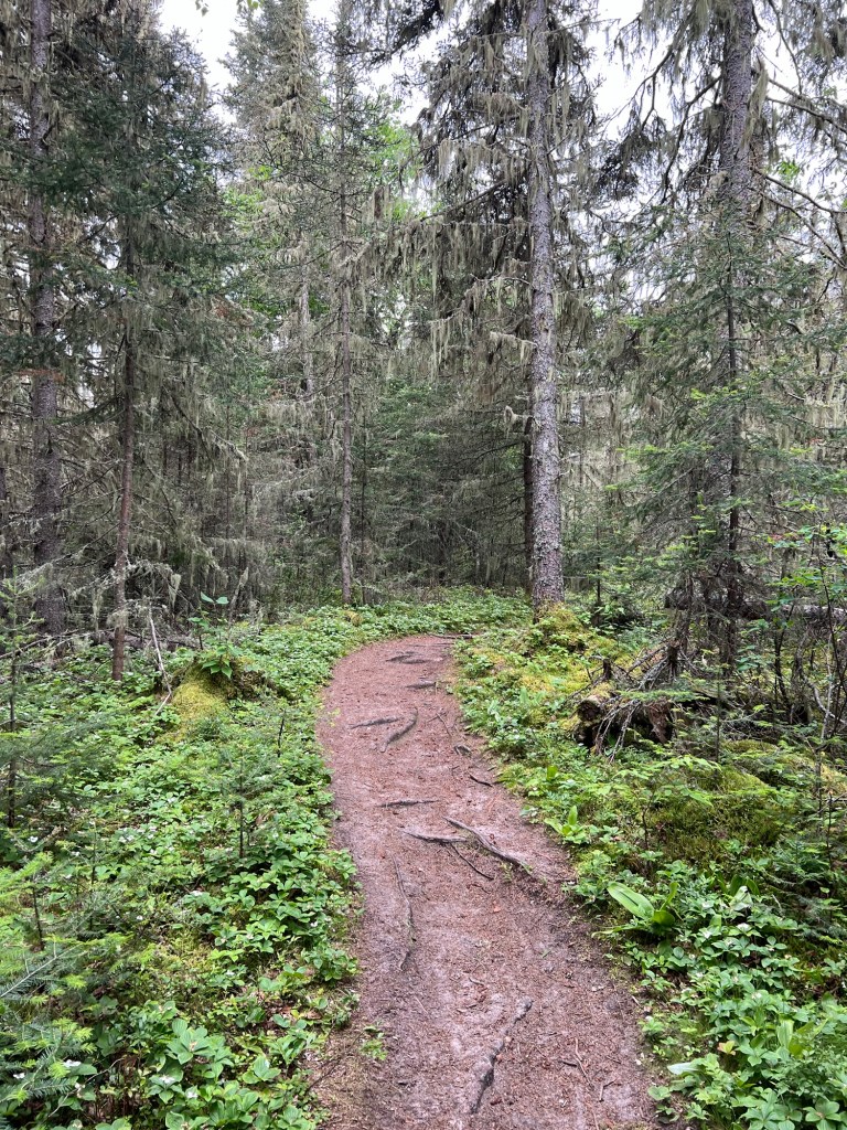
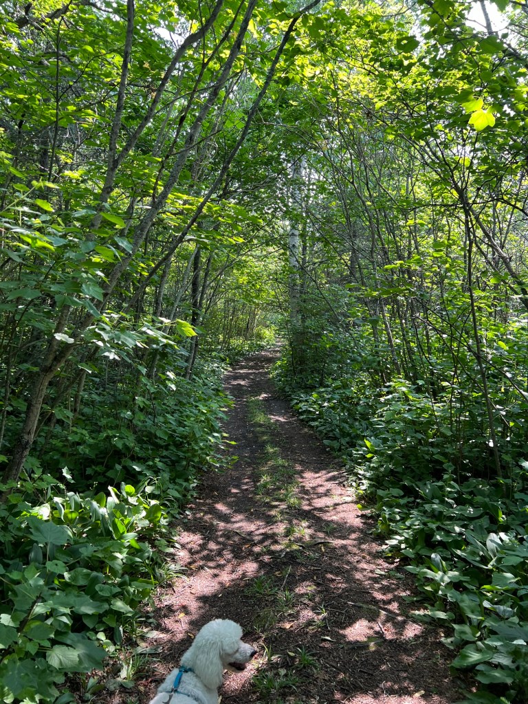
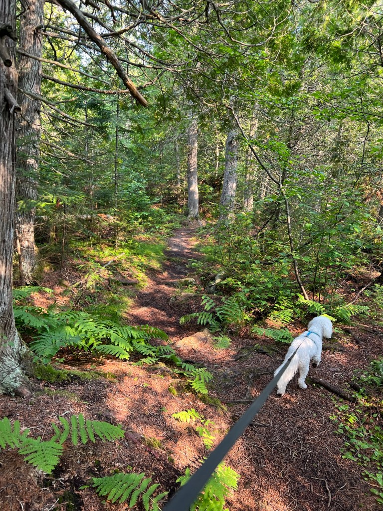
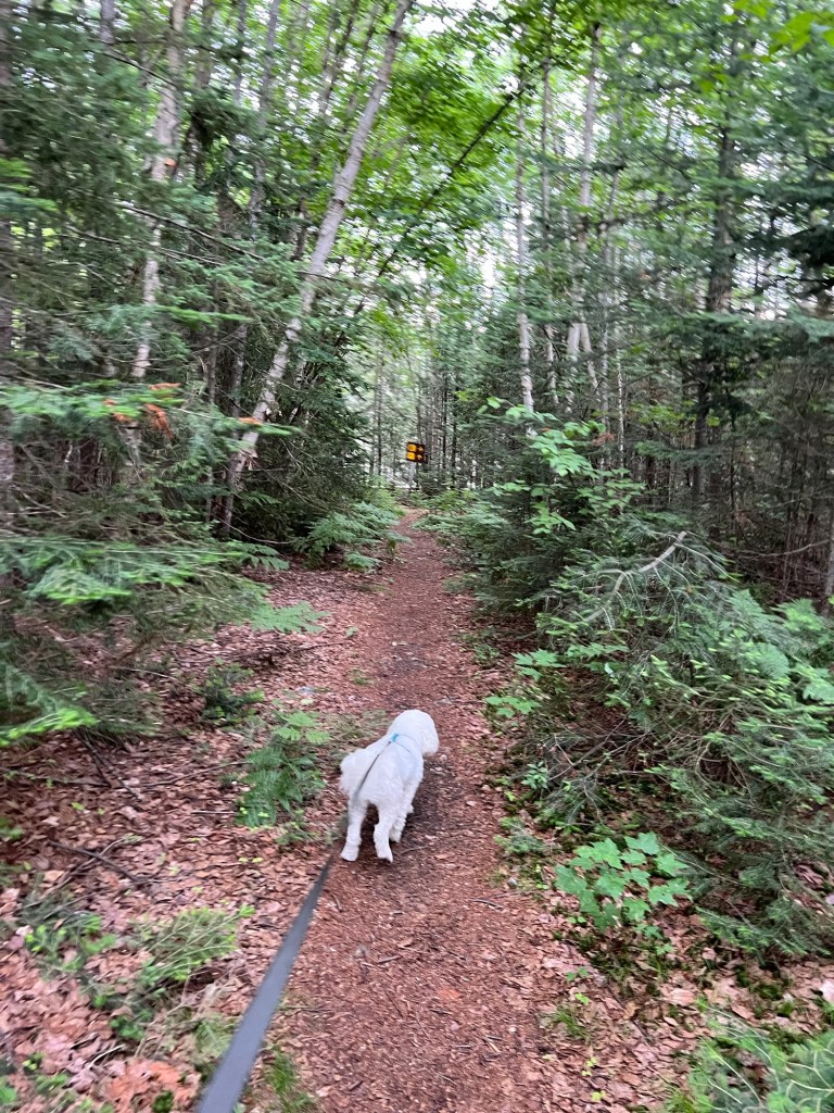
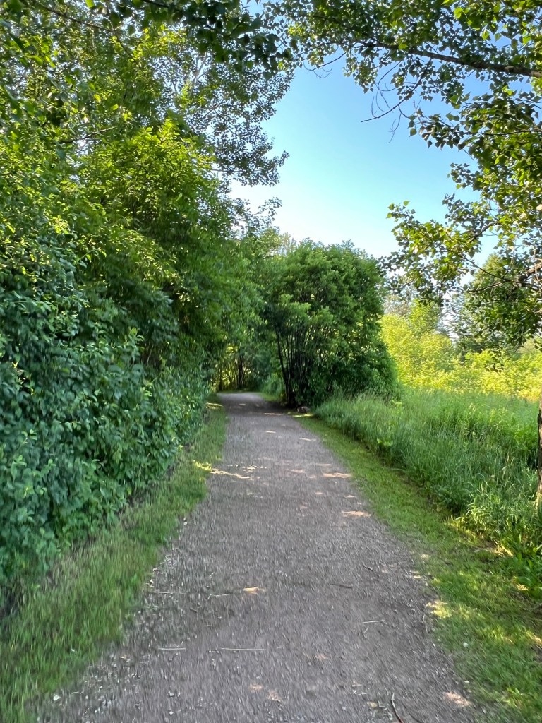
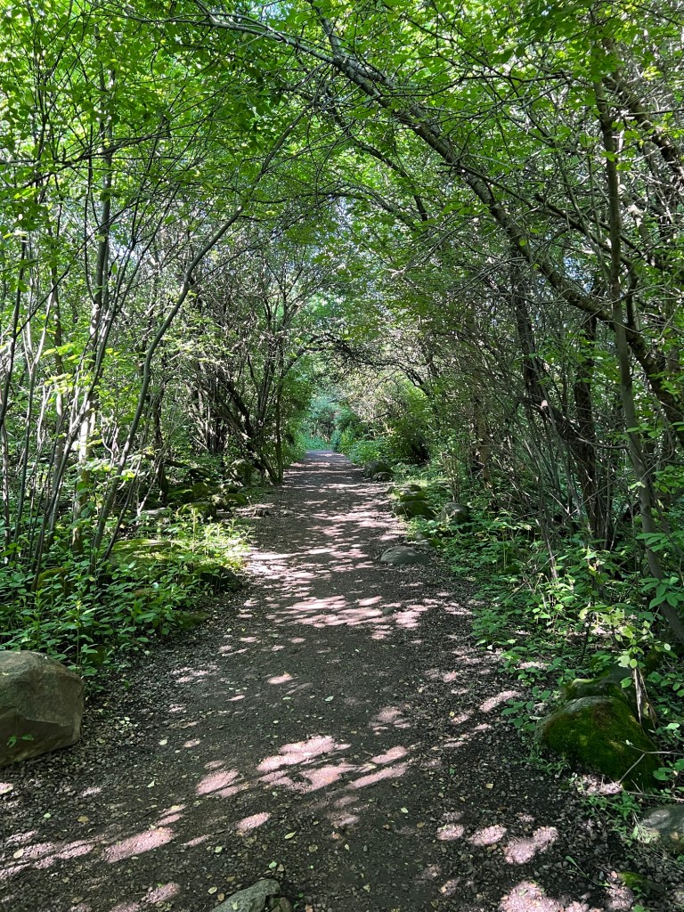
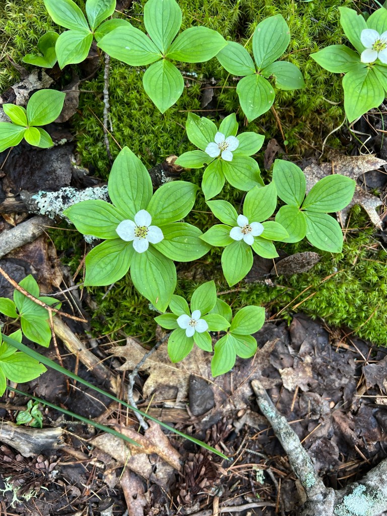
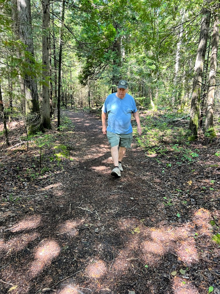
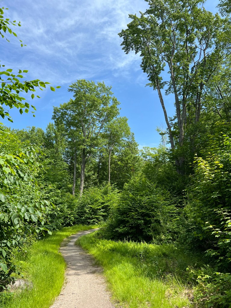
This is Neys Provincial Park, where we went Saturday. We took a trail over the thin soil through the Boreal forest of spruce, fir and birch.

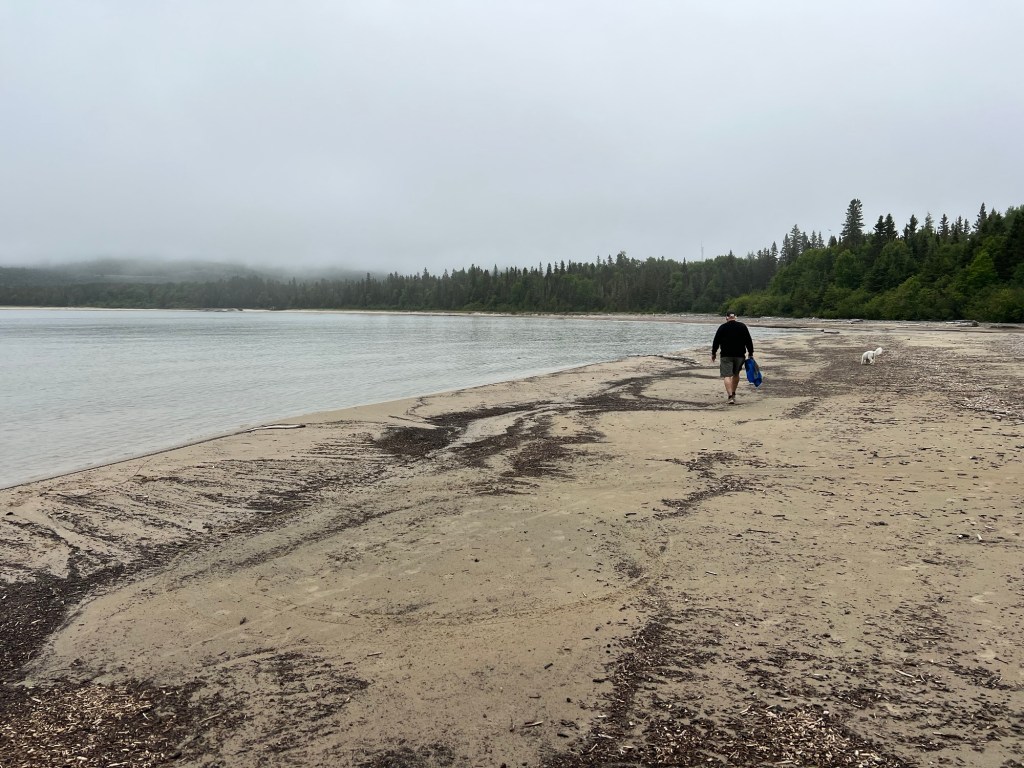
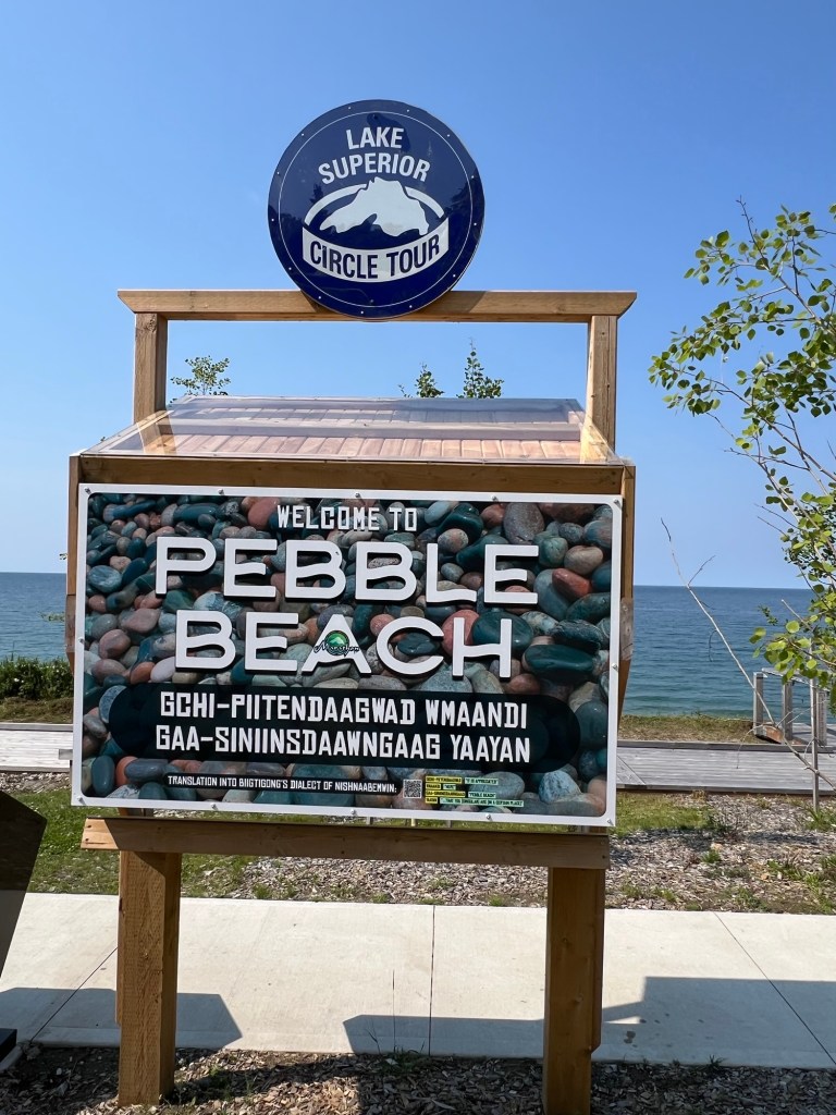
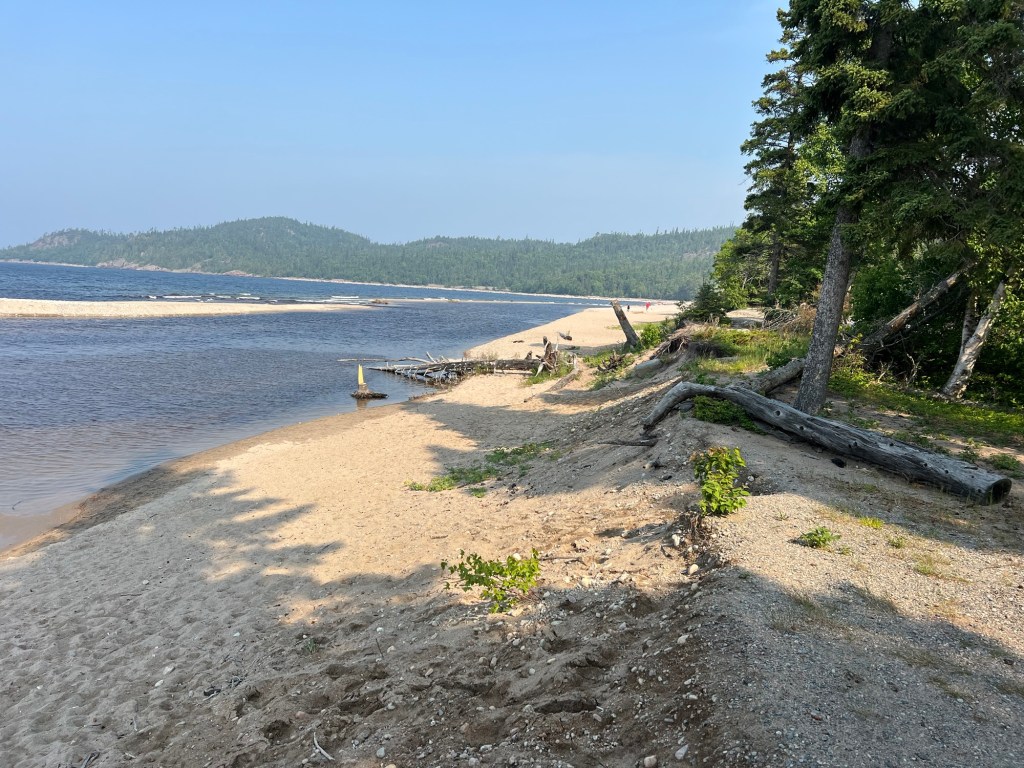
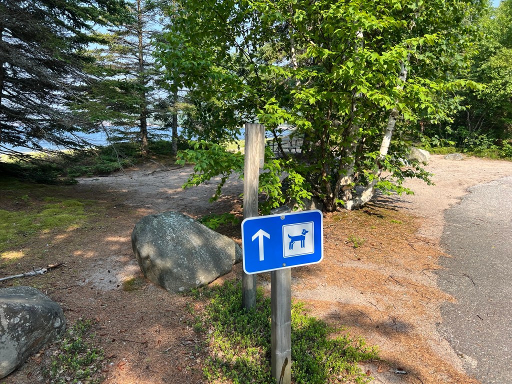
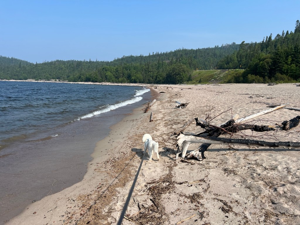
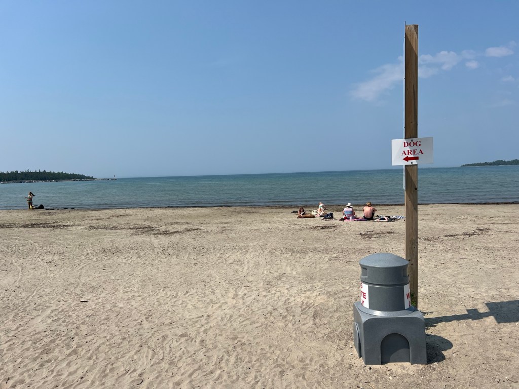
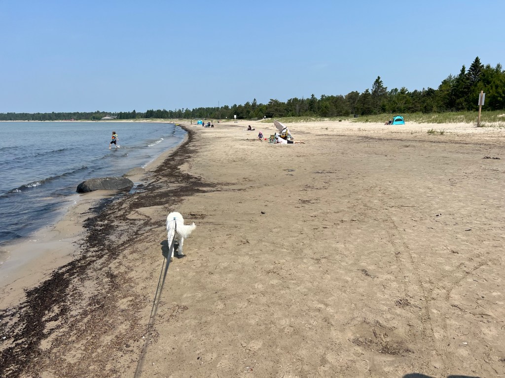
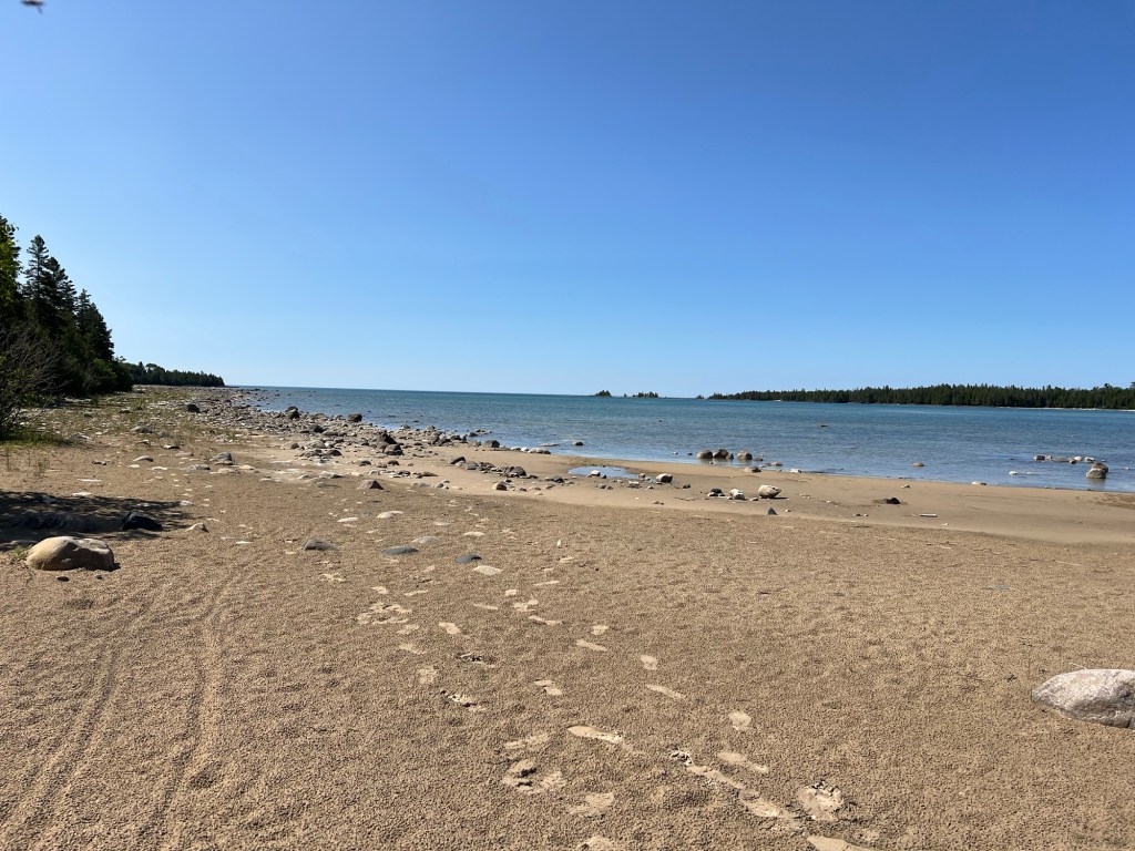
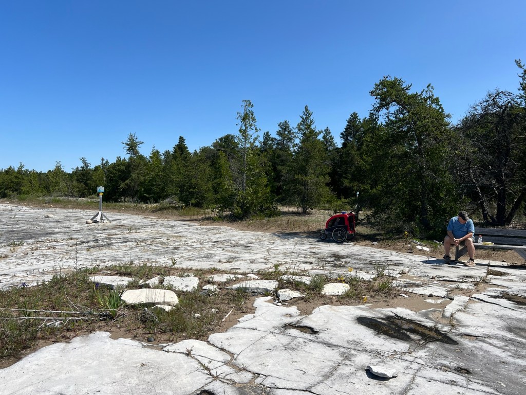
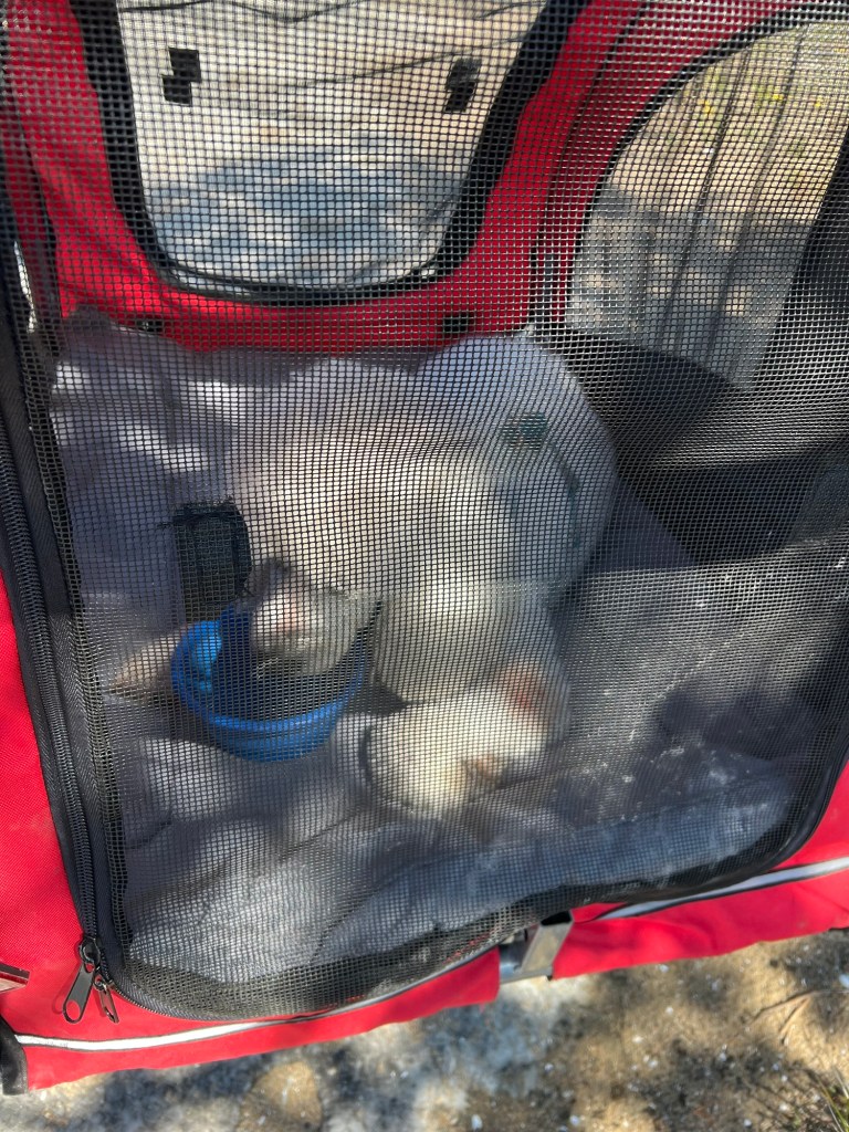
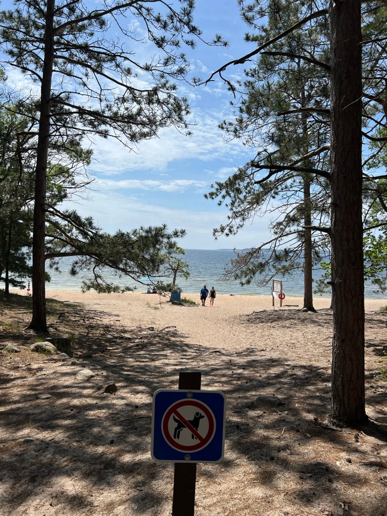
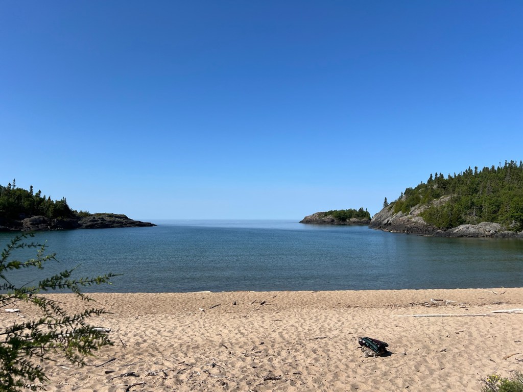
There was a dog beach here, like we’re finding at most Canadian Parks.

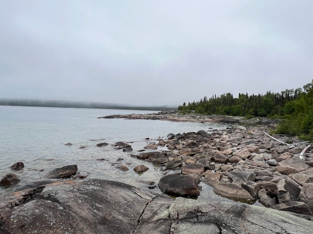
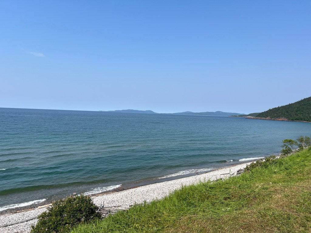
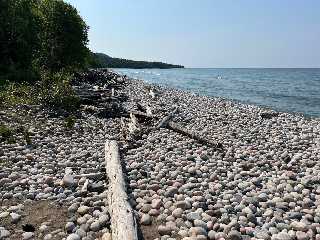
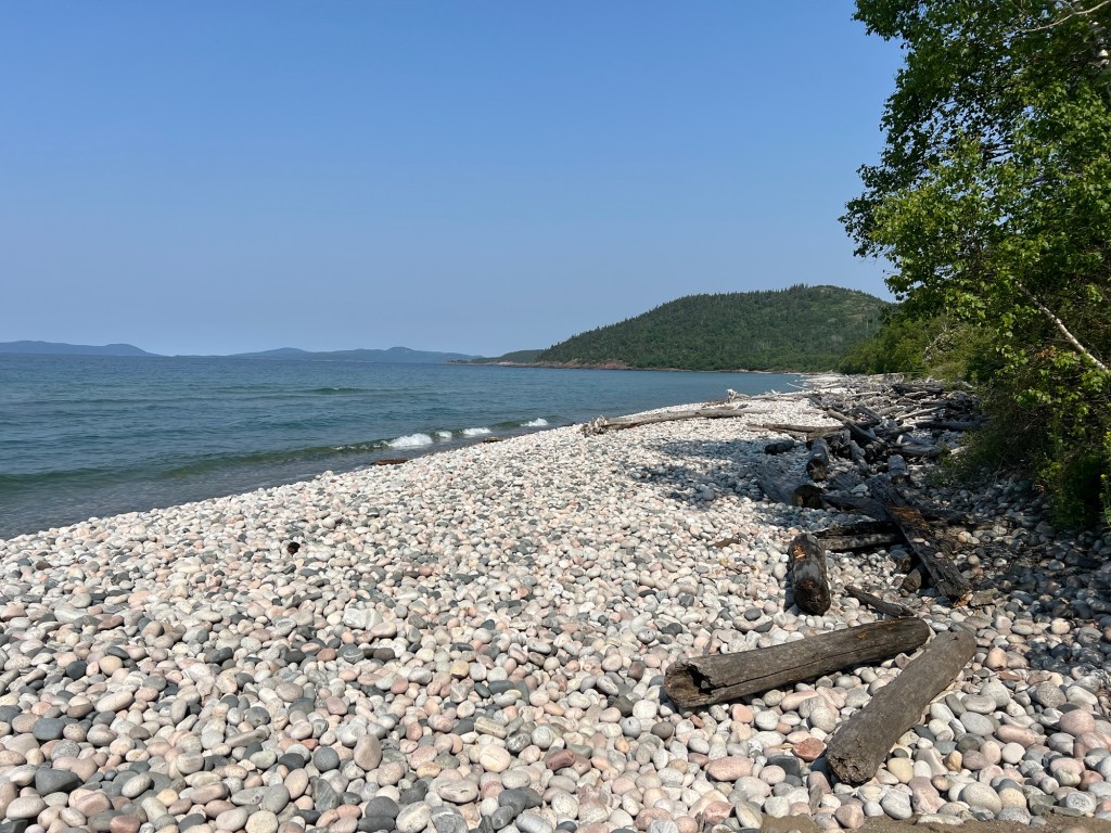
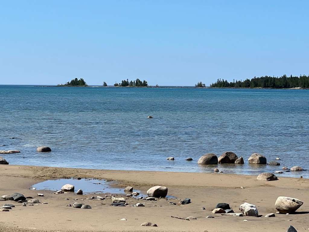
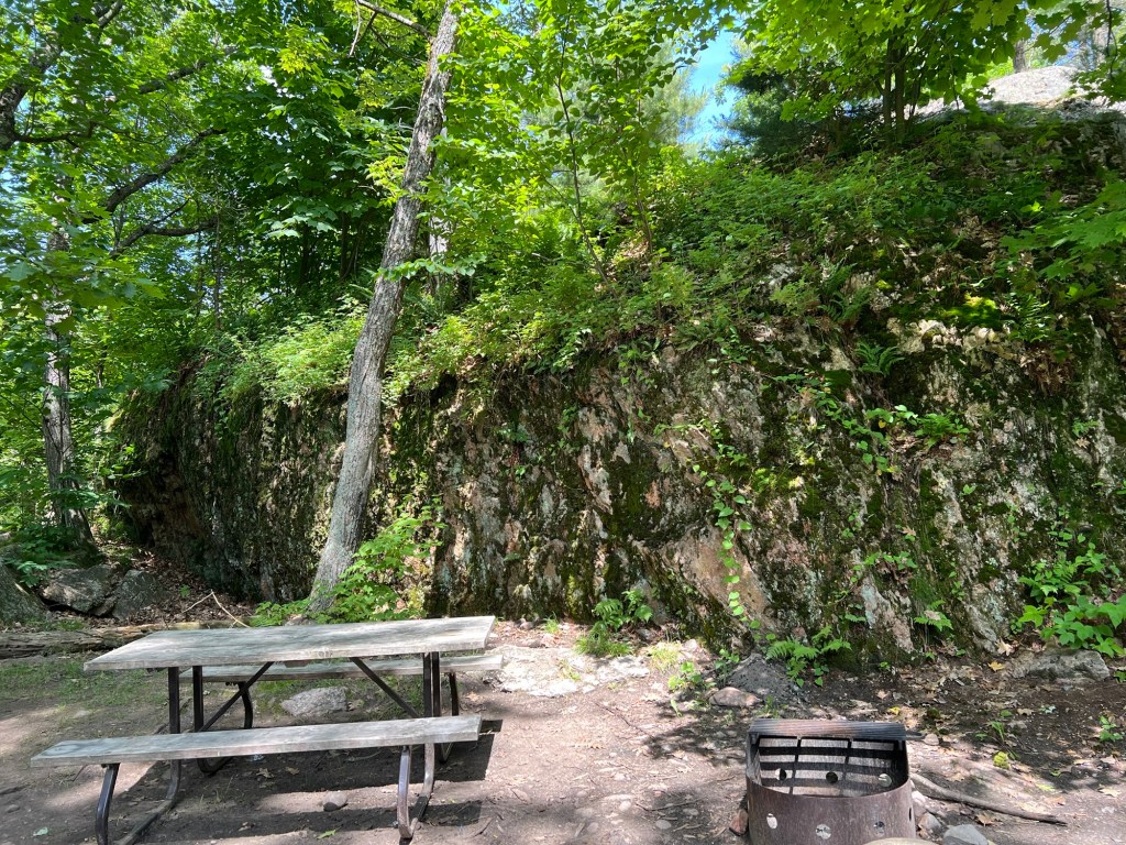
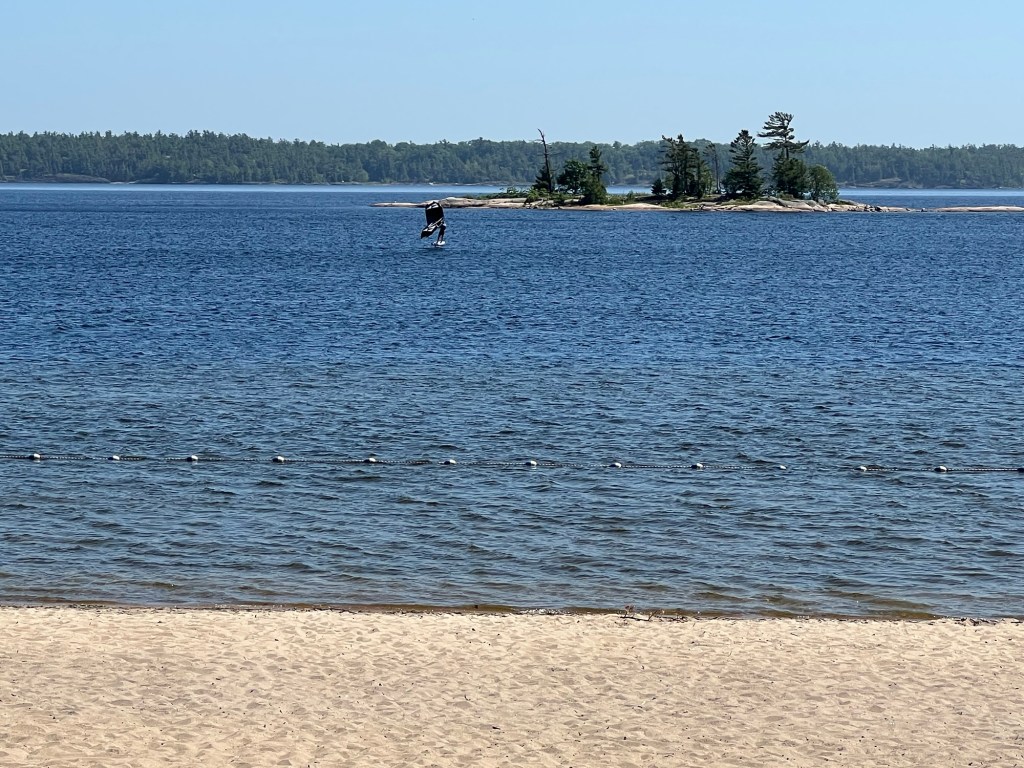
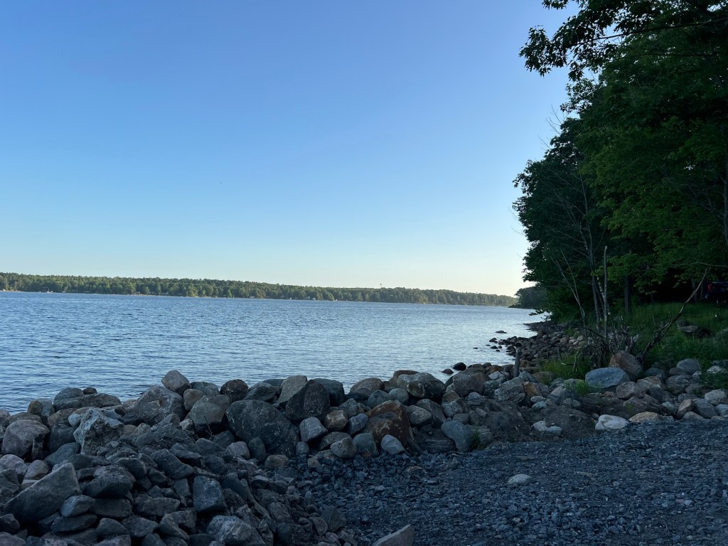
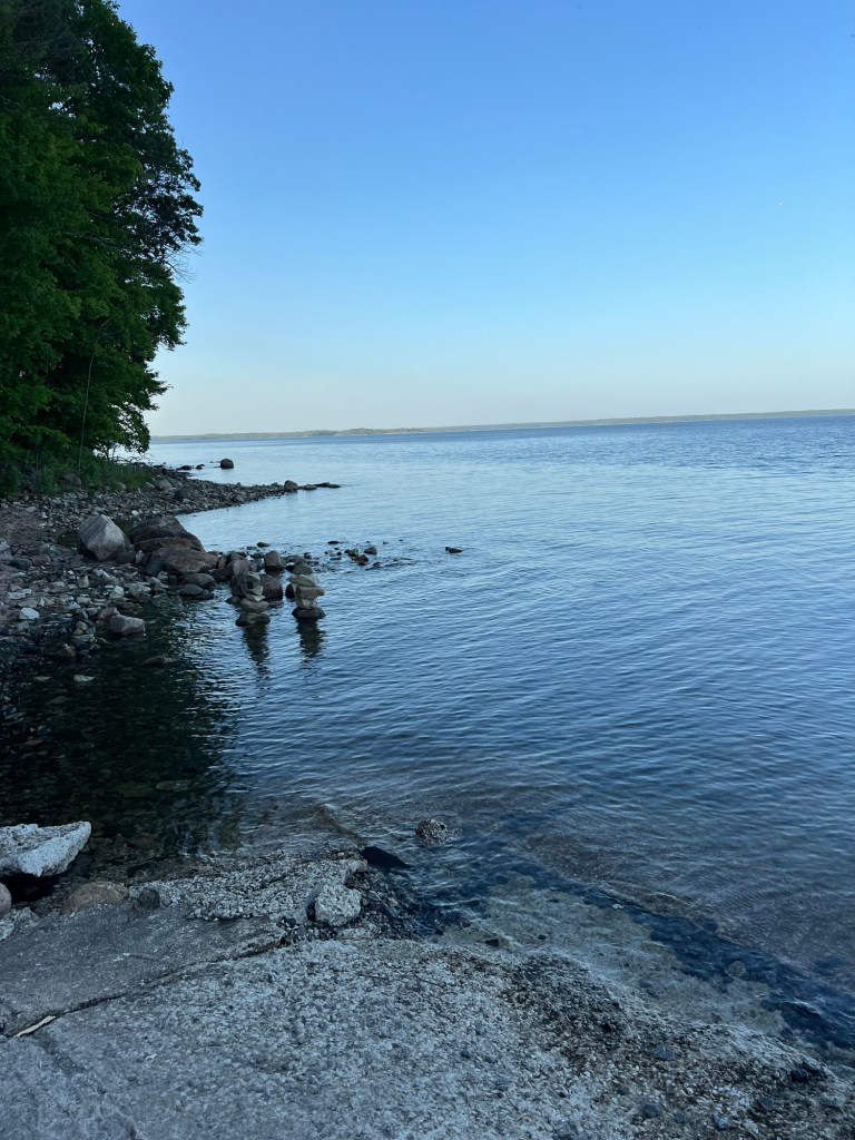
But though there are some sandy beaches, you are never far from rocks.

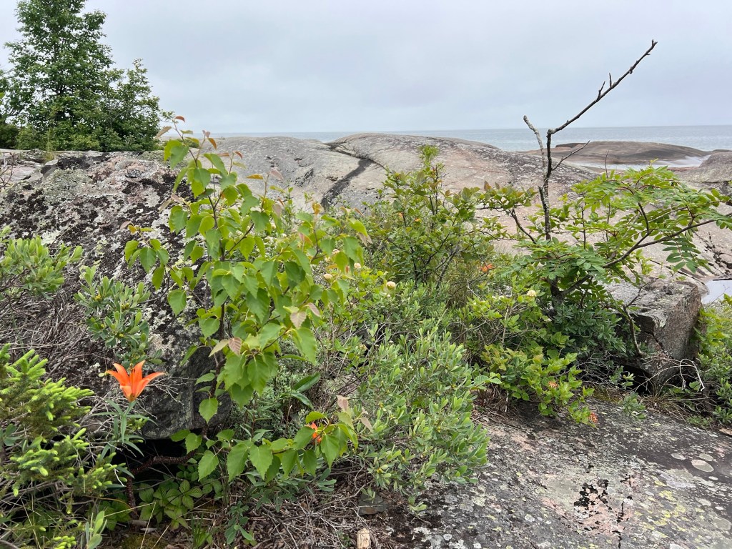
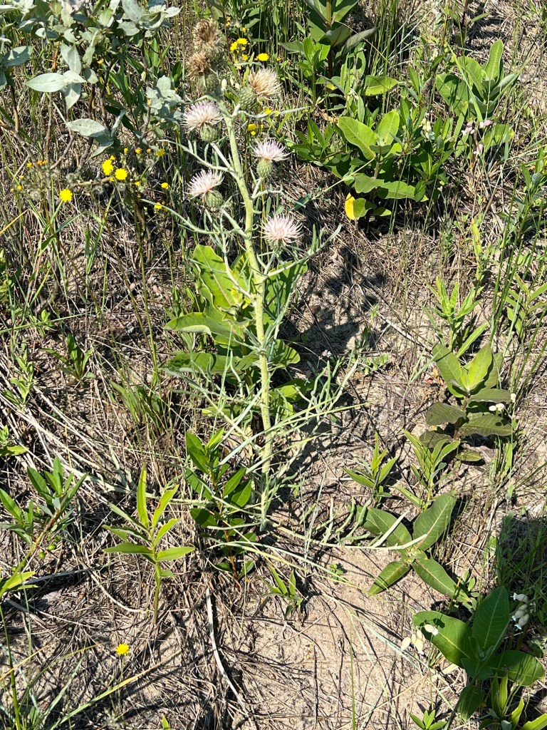
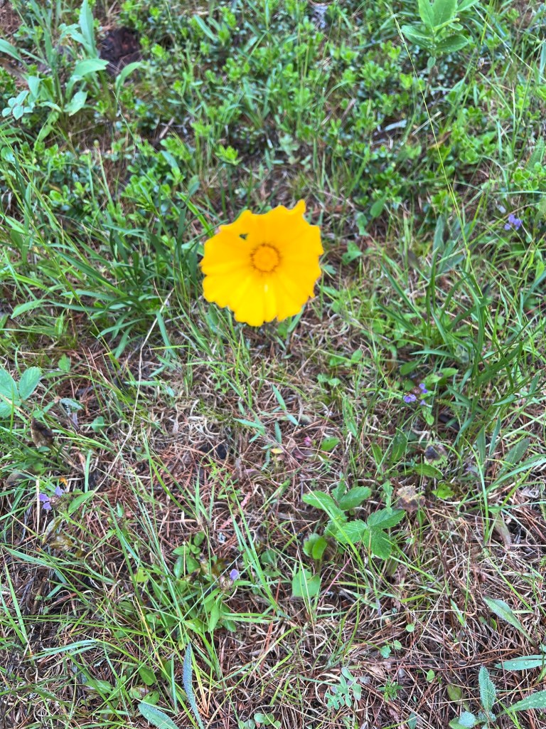
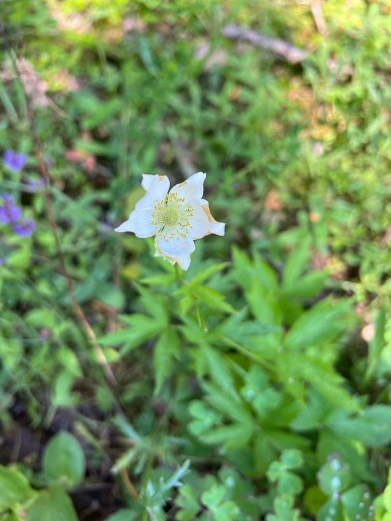
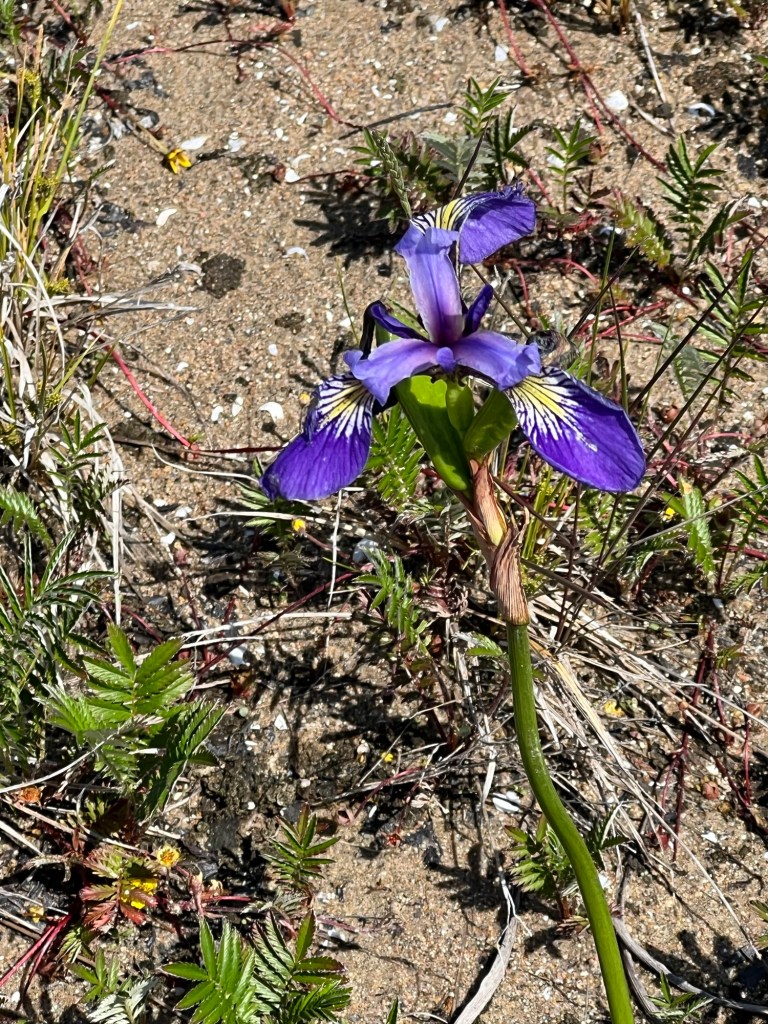
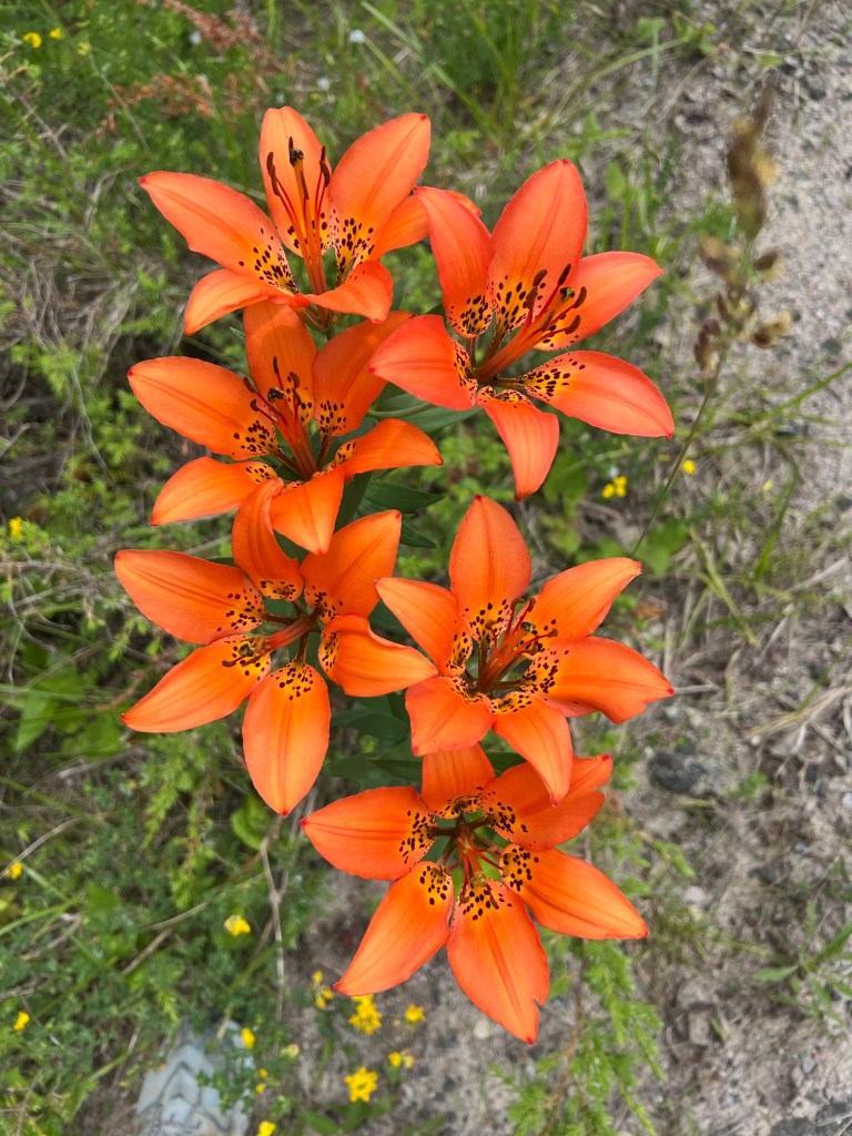
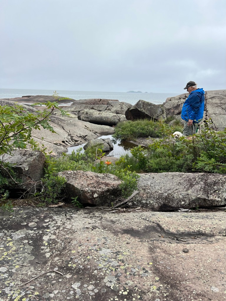
The trail led to the point, where I was delighted to find wood lilies growing in the hollows of the massive rocks.

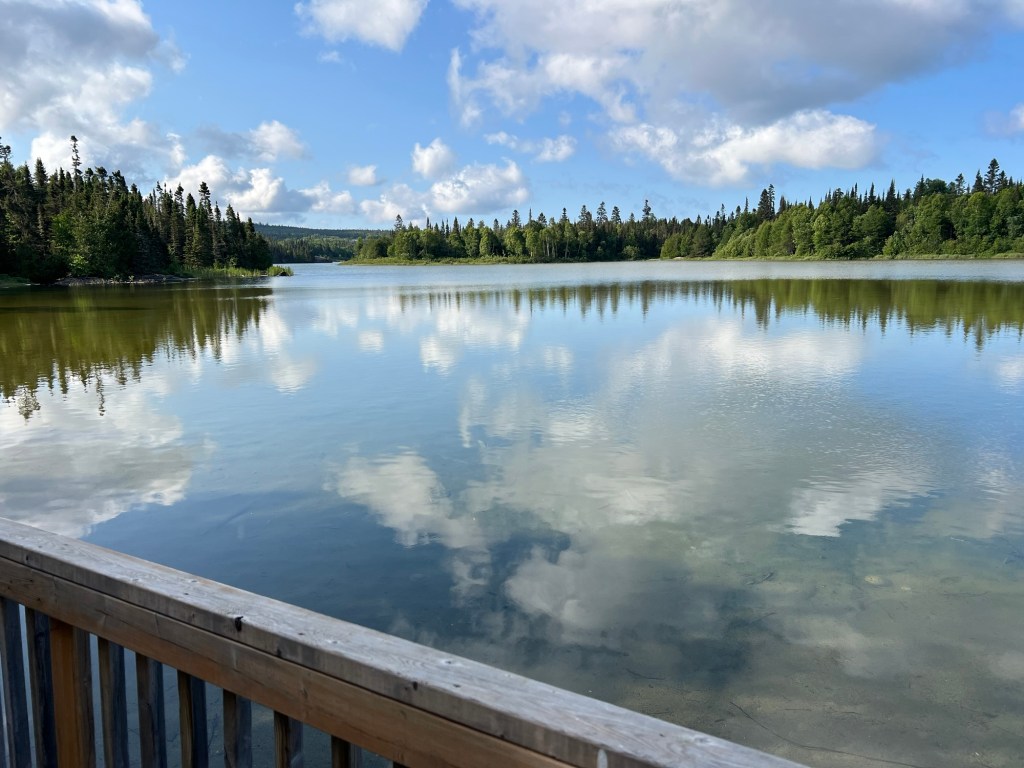
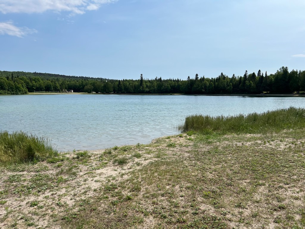
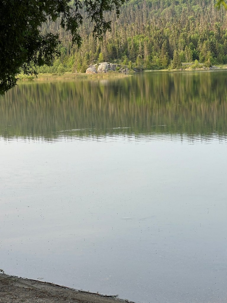
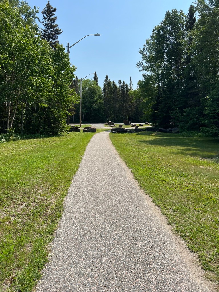
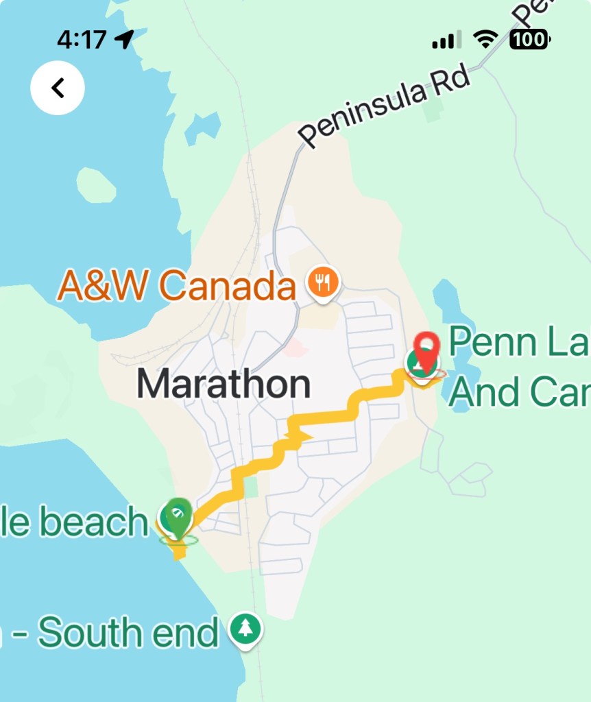
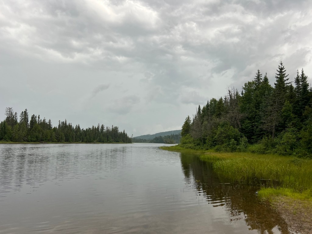
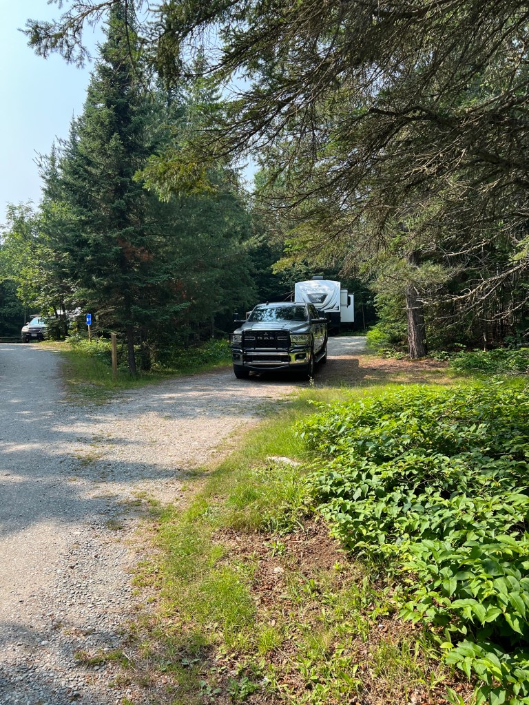
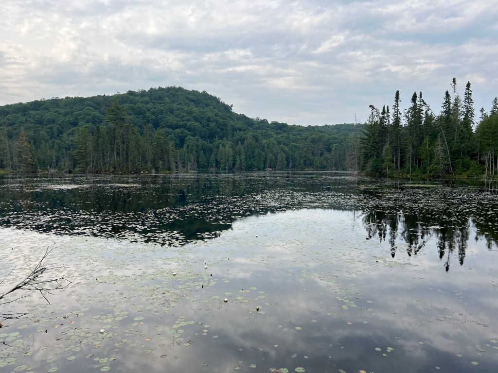
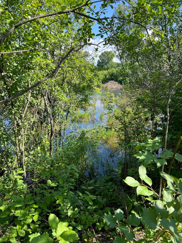
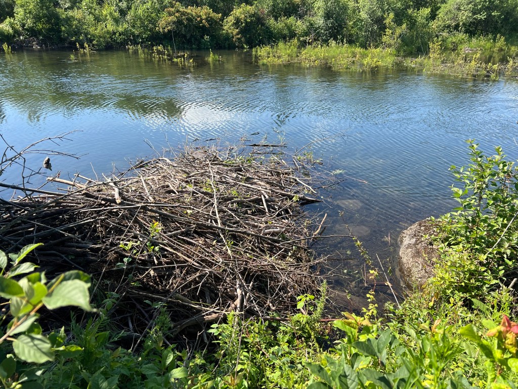
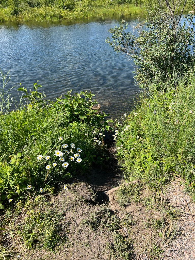
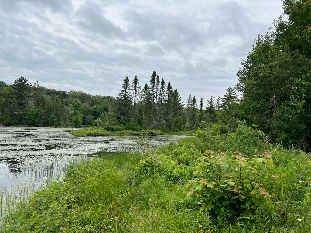
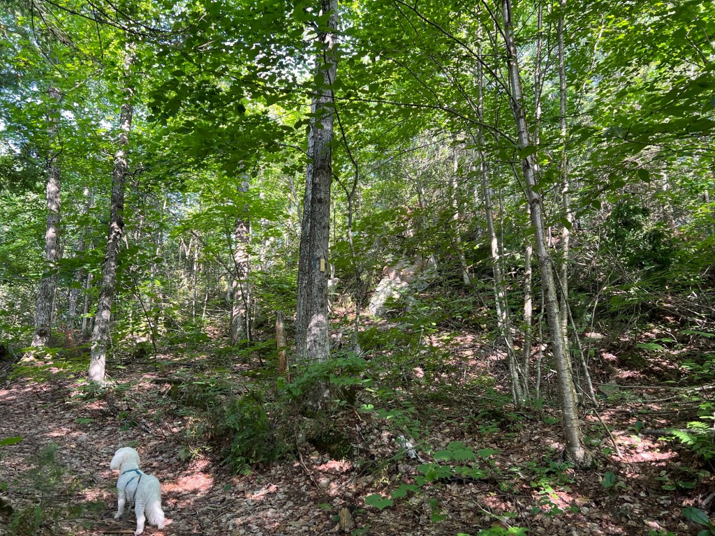
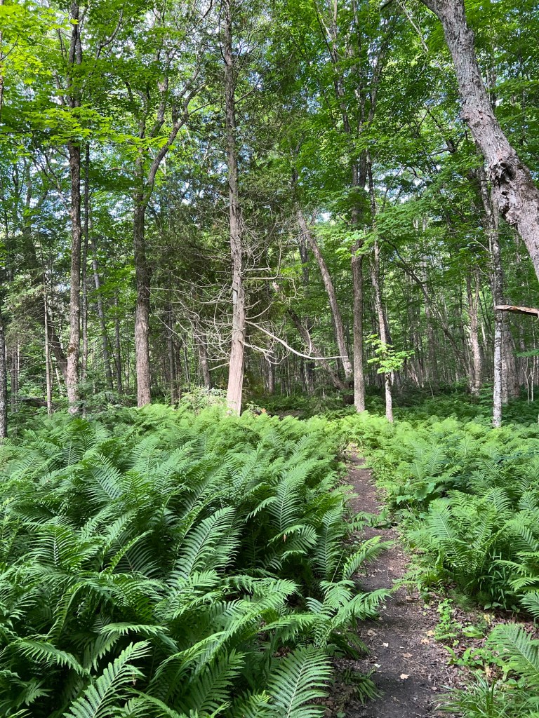
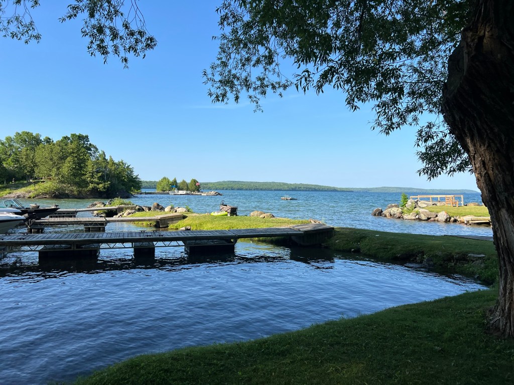
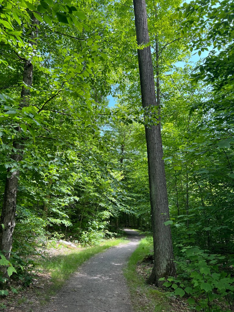
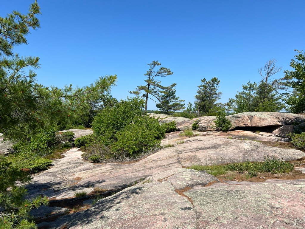
On Sunday we made the hike around Penn Lake here at the campground.

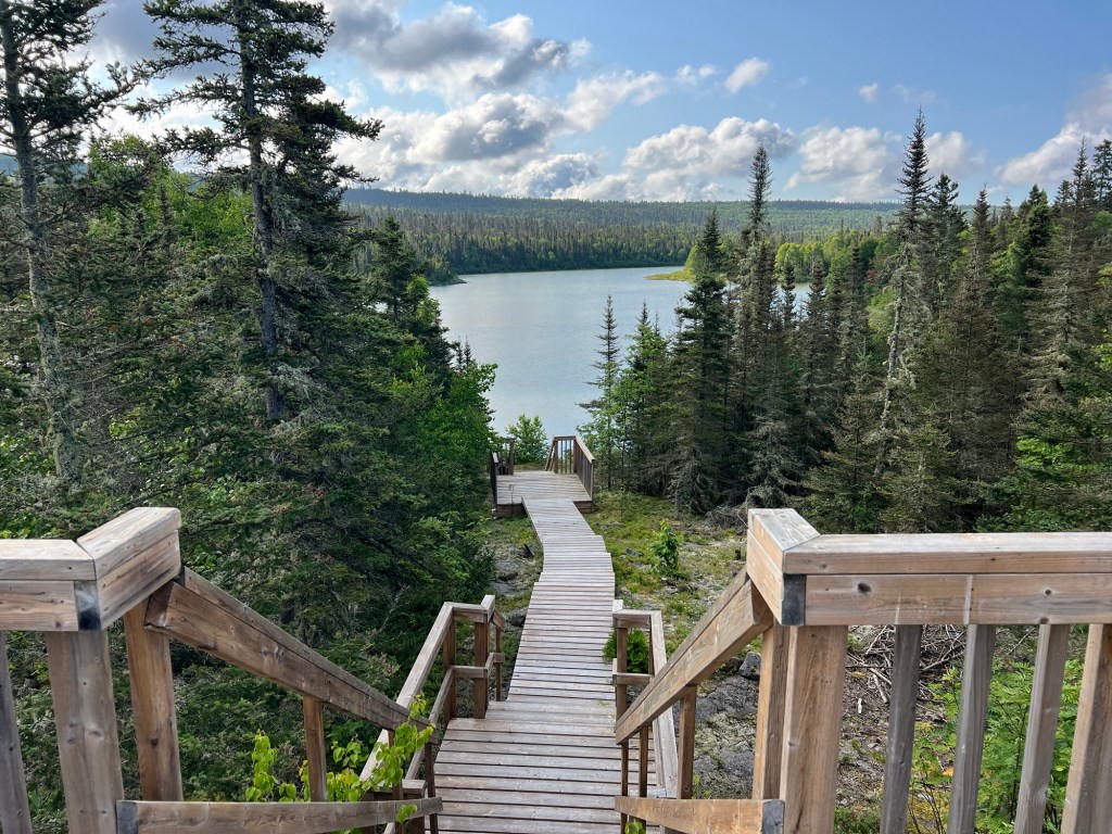
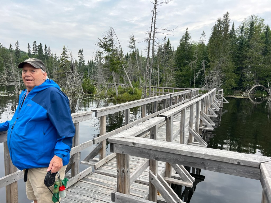
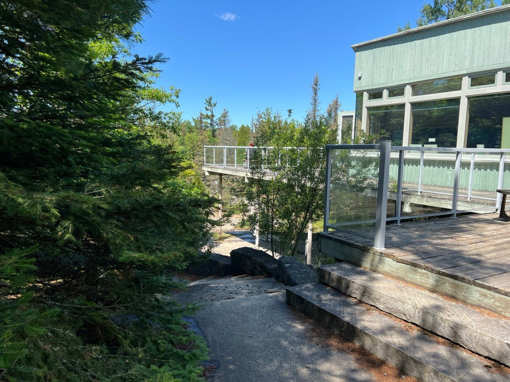
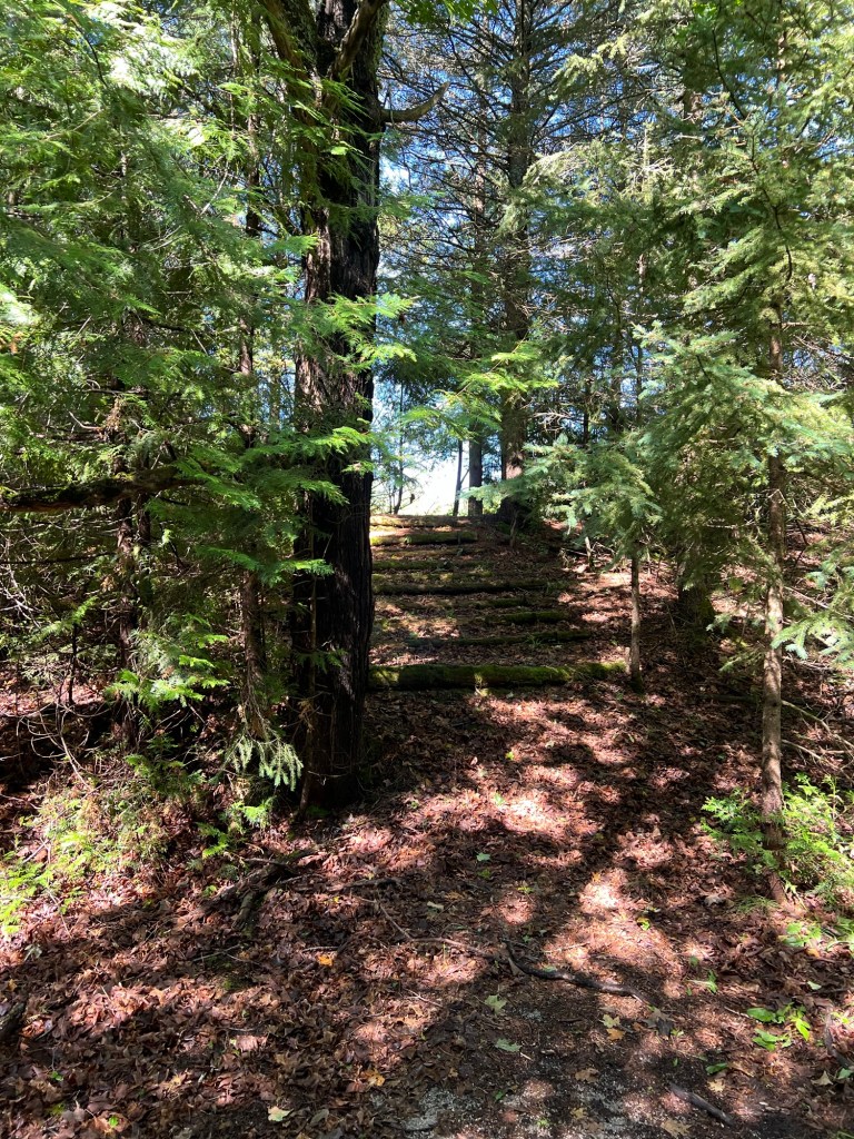
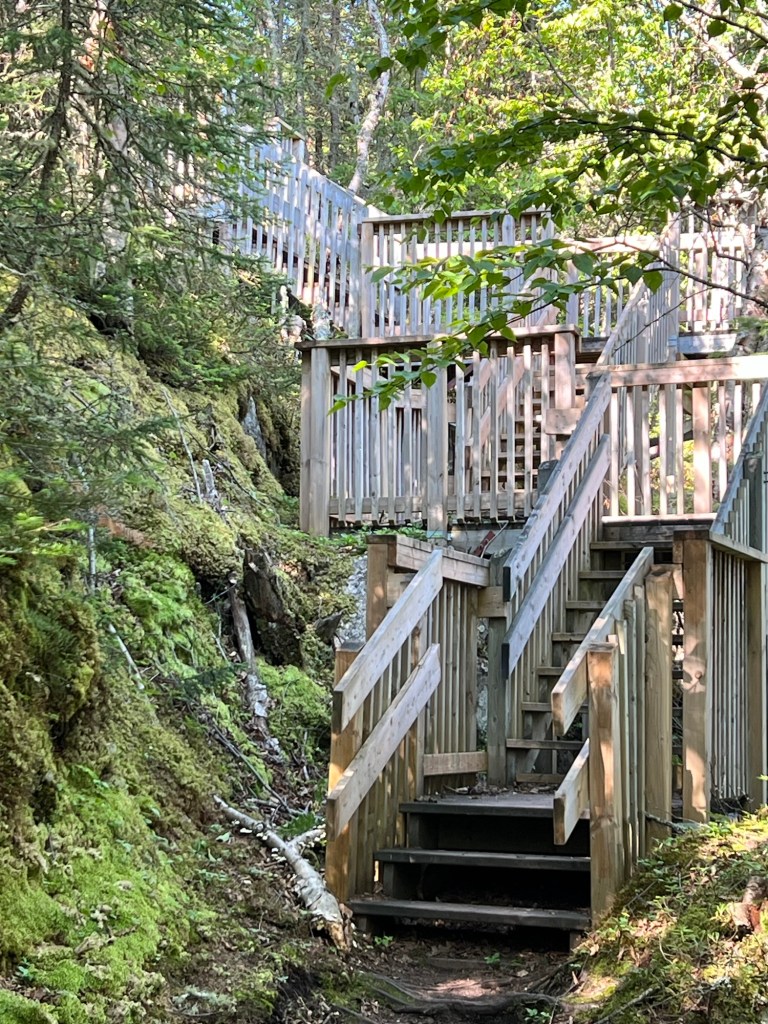
This area reminds us of Newfoundland, and like Newfoundland the town here has built walkways and stairs to help you enjoy the vistas.

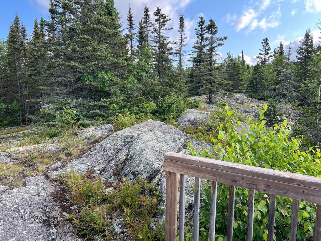
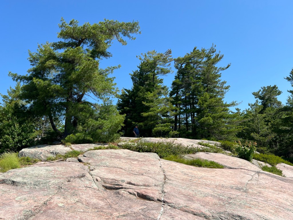
The steps were not part of the trail, just a way to the top of the rocks to take in the sights.

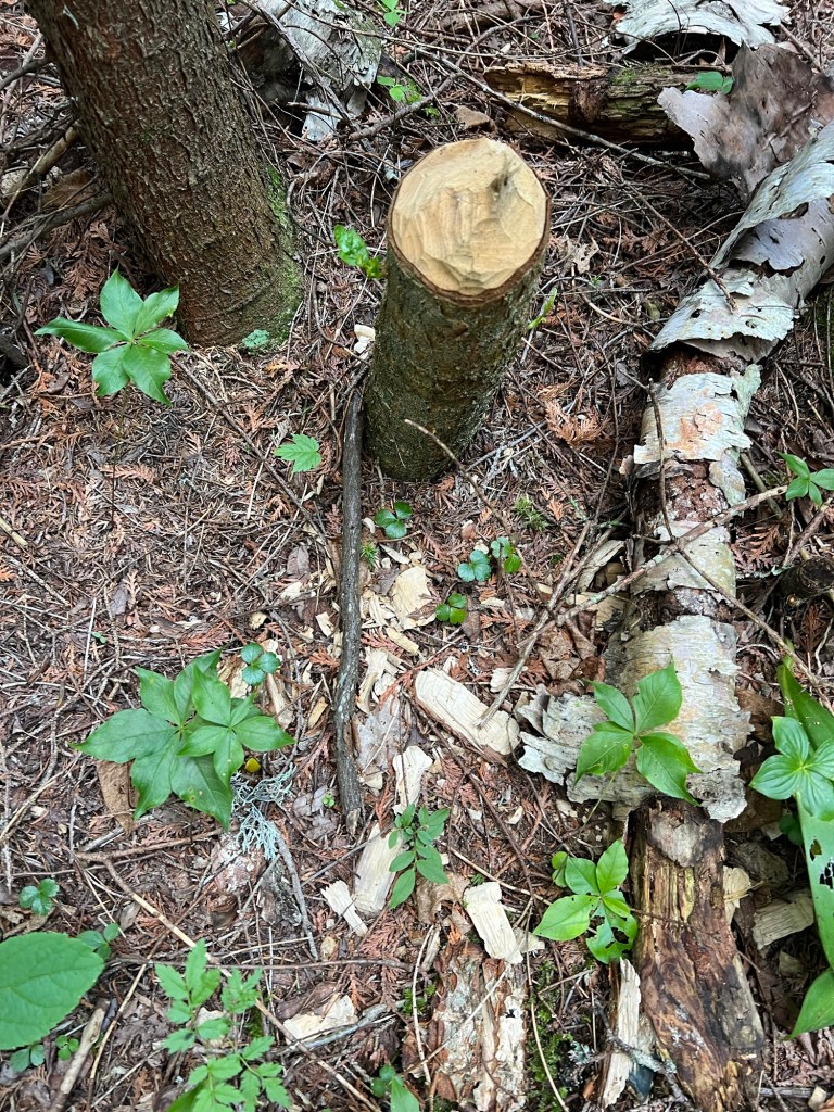
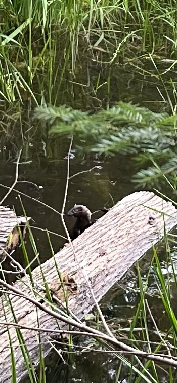
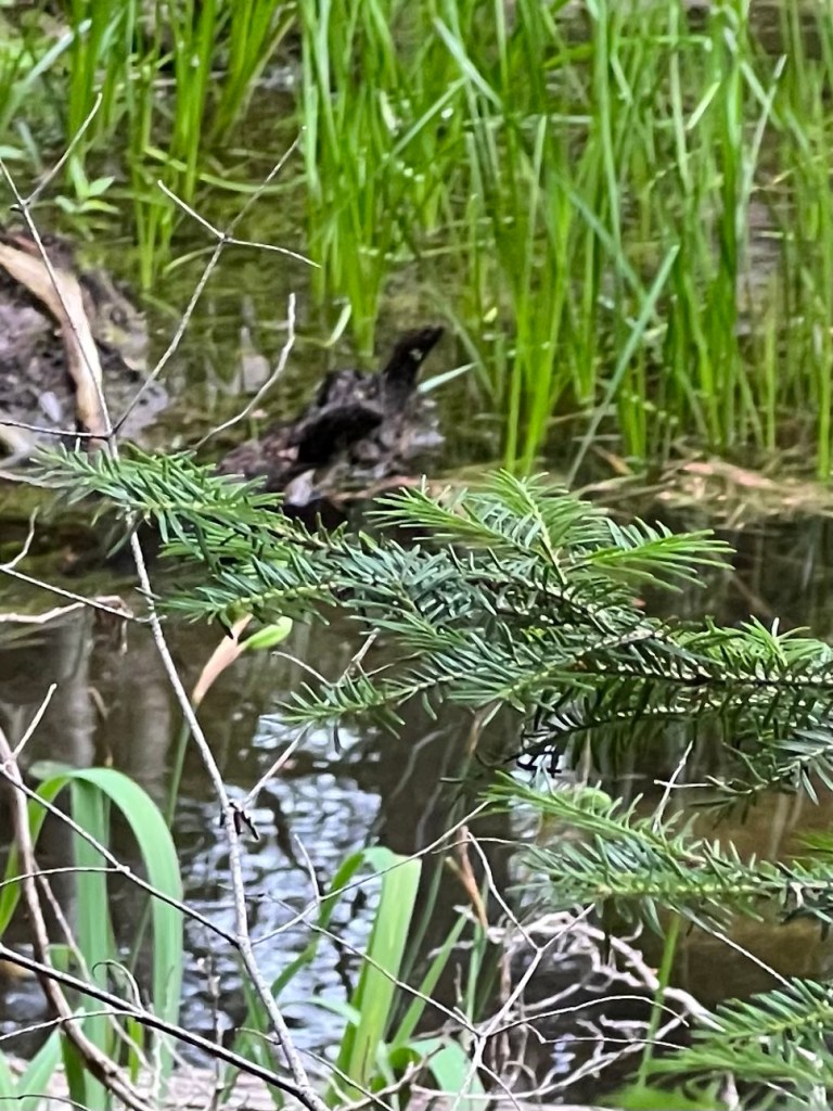
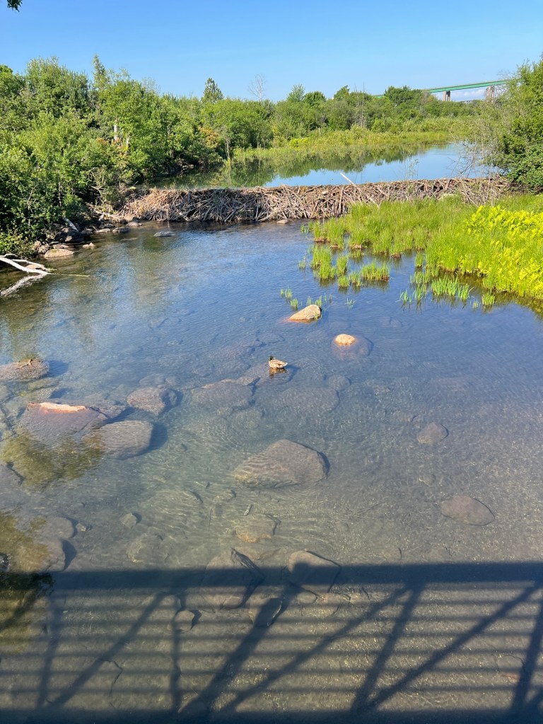
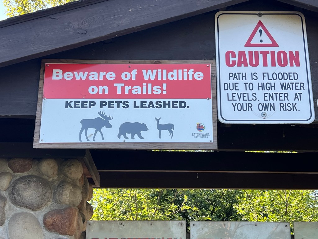
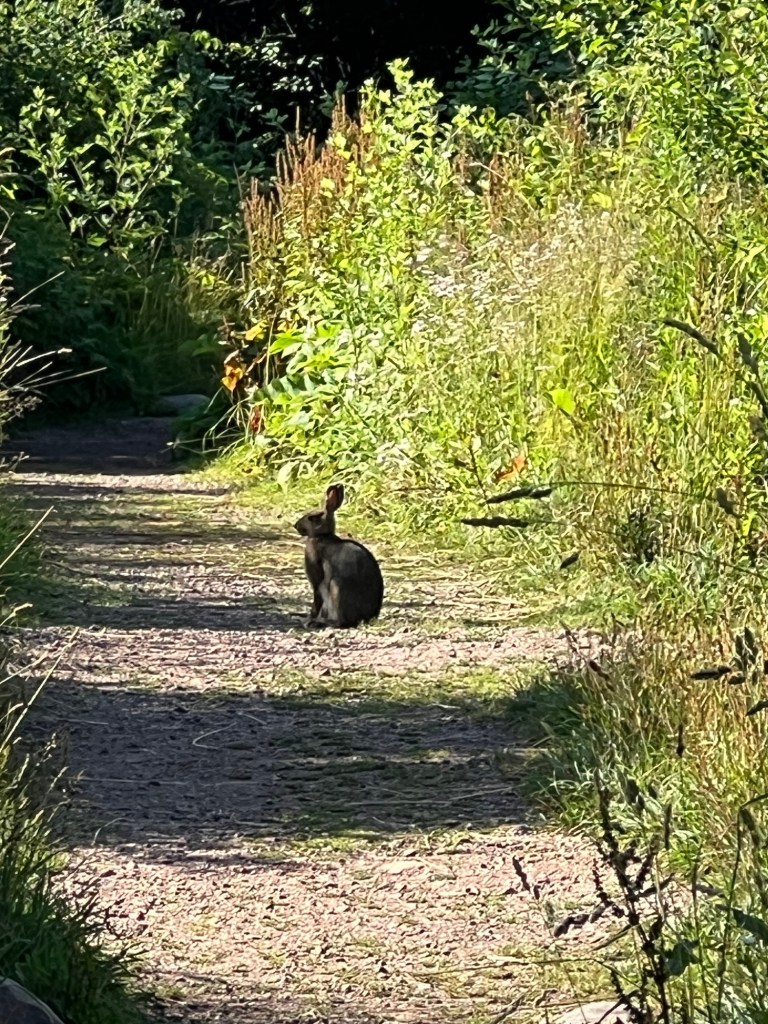
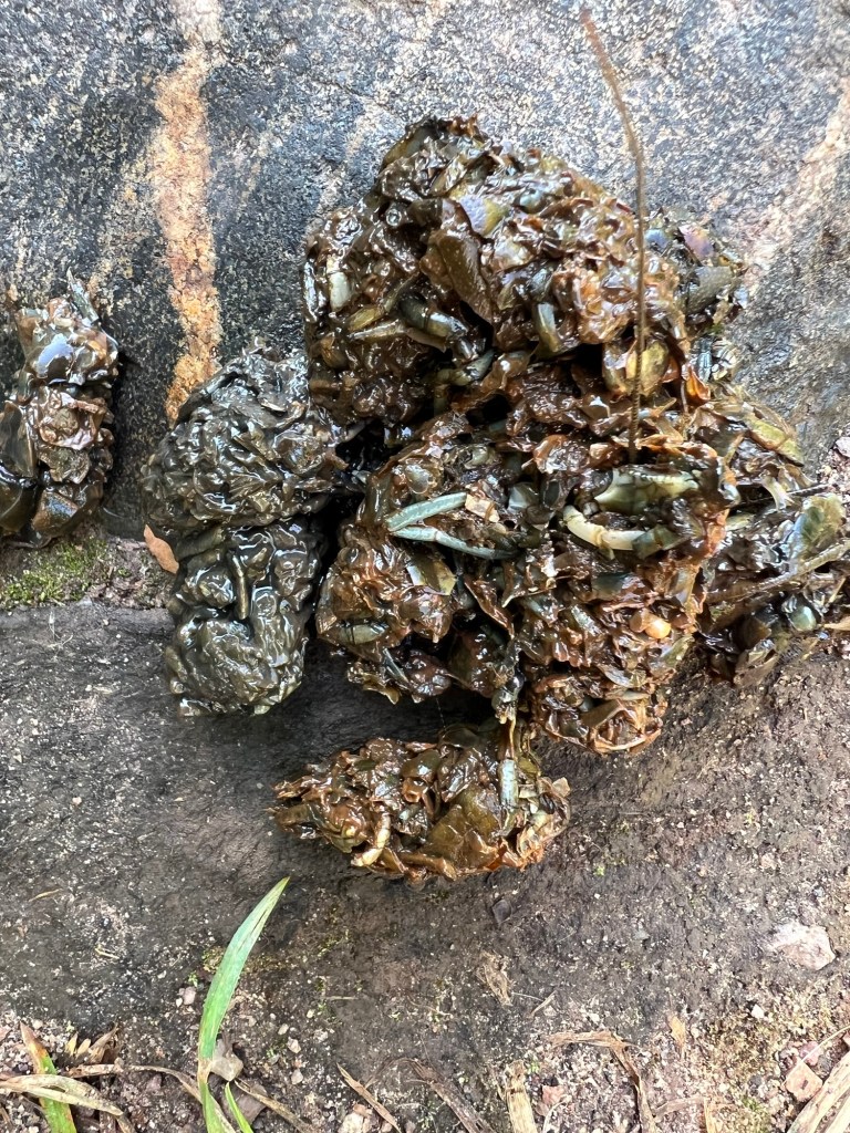
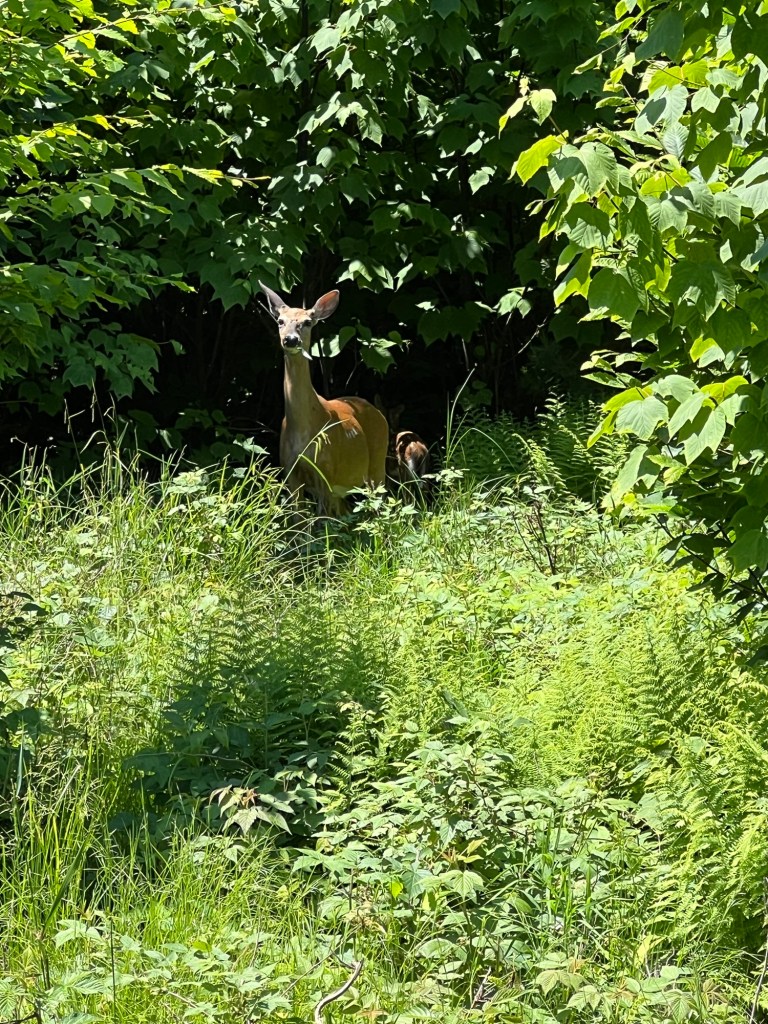
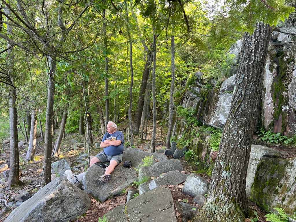
We saw signs of beaver and bears, but no animals. I’d love to see a beaver, not so much a bear. Another camper just warned me that four bears have been seen in the area. I won’t be walking the trail alone.

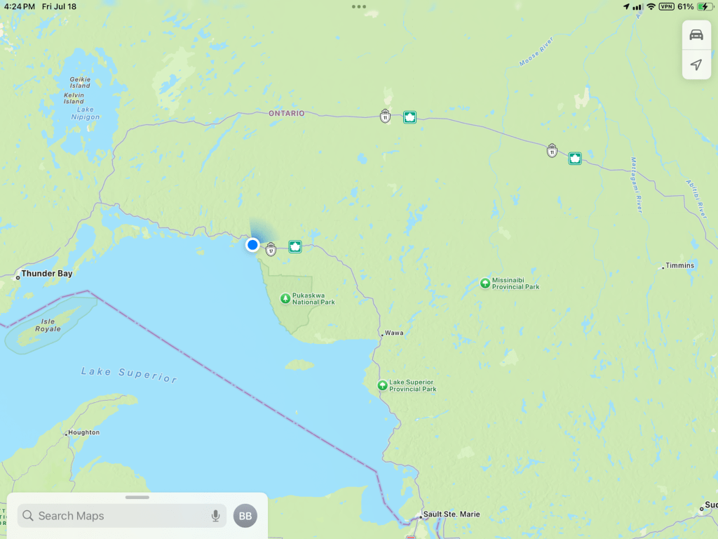
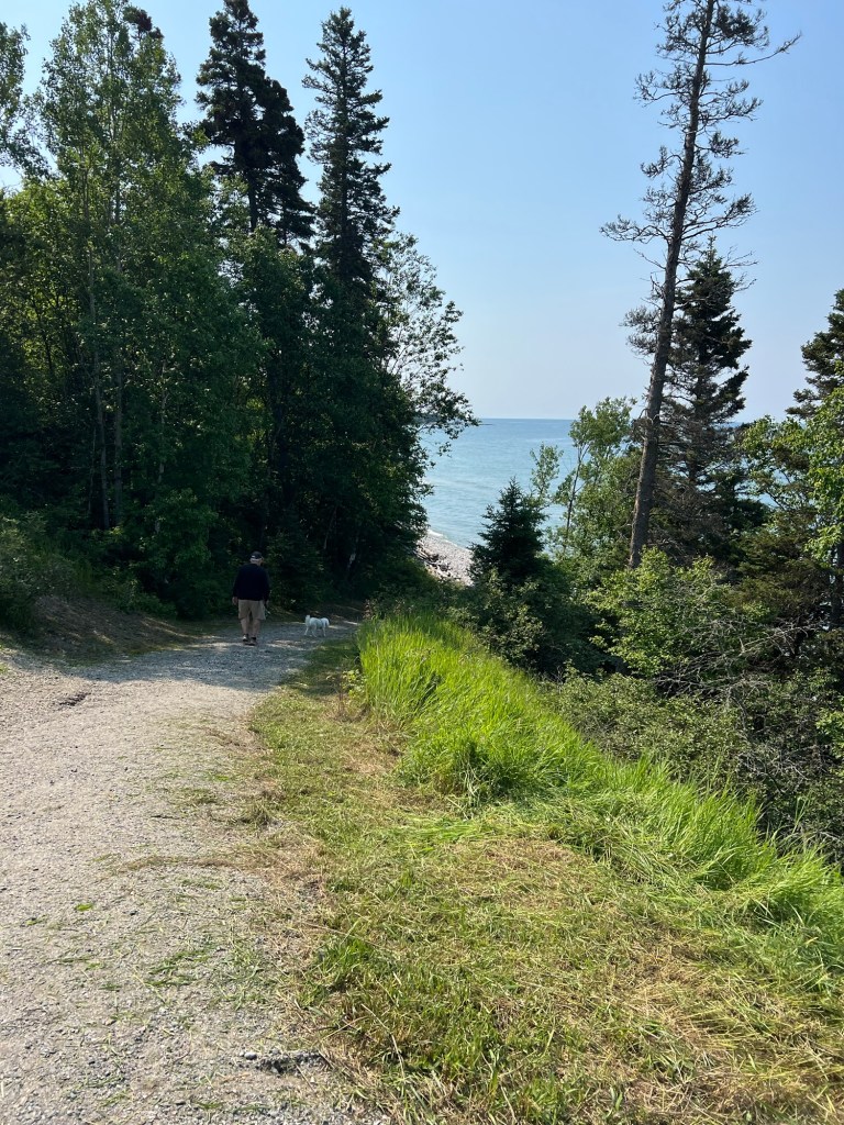
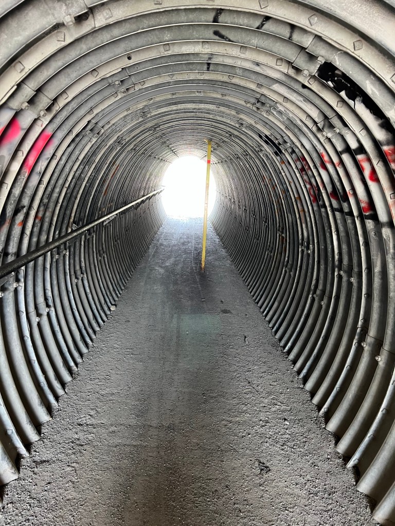
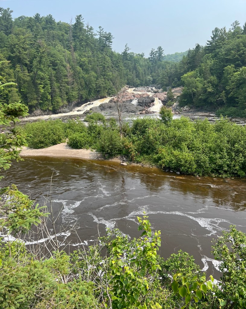
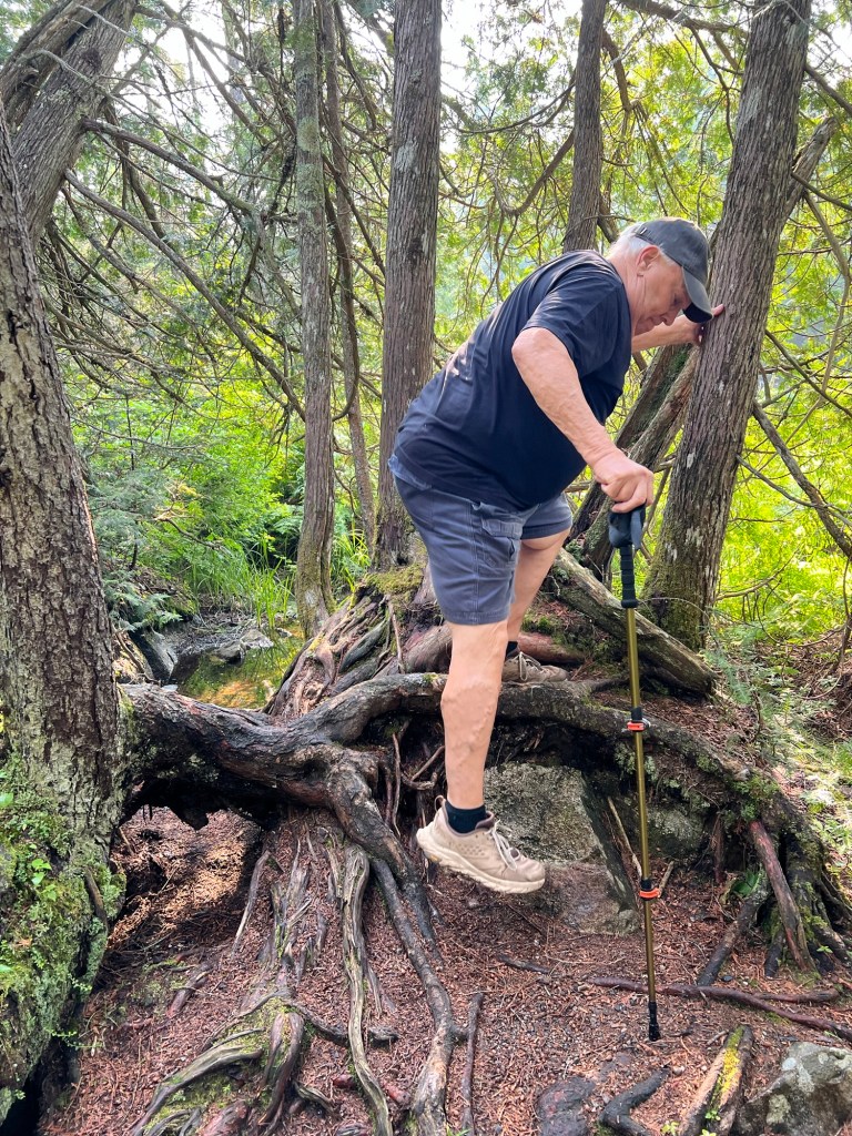
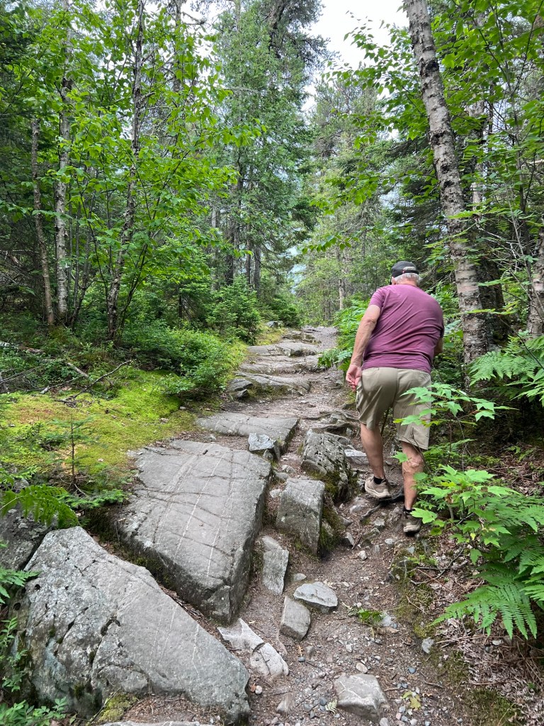
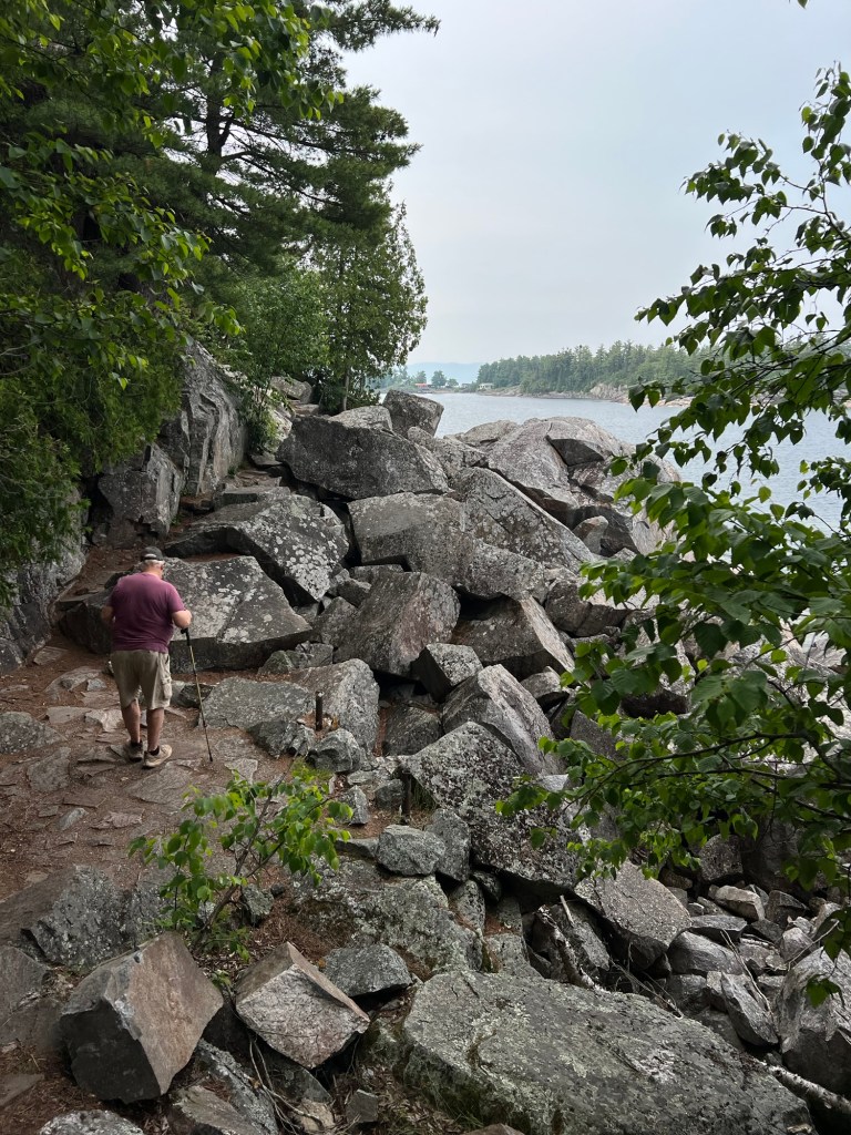
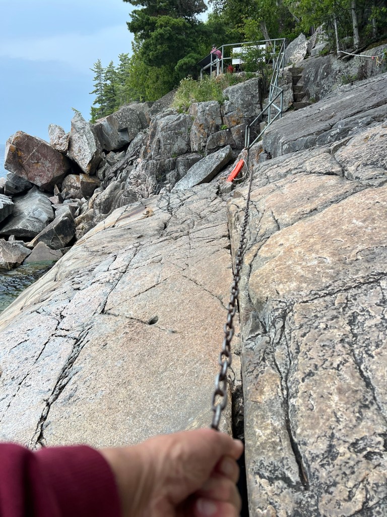
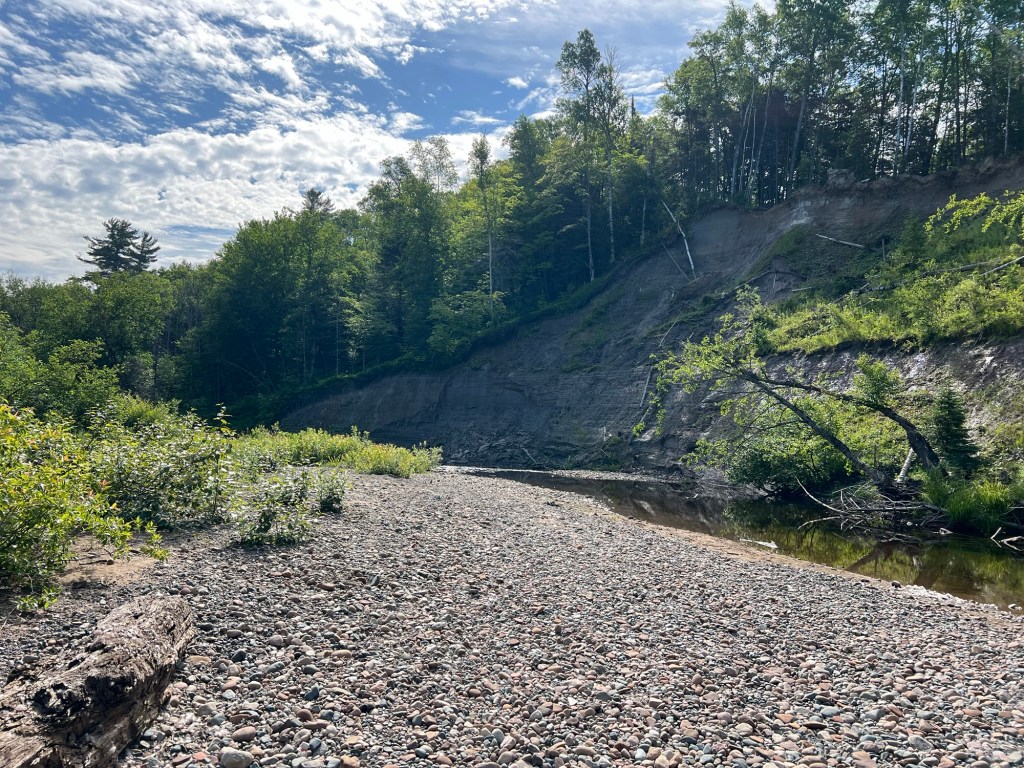
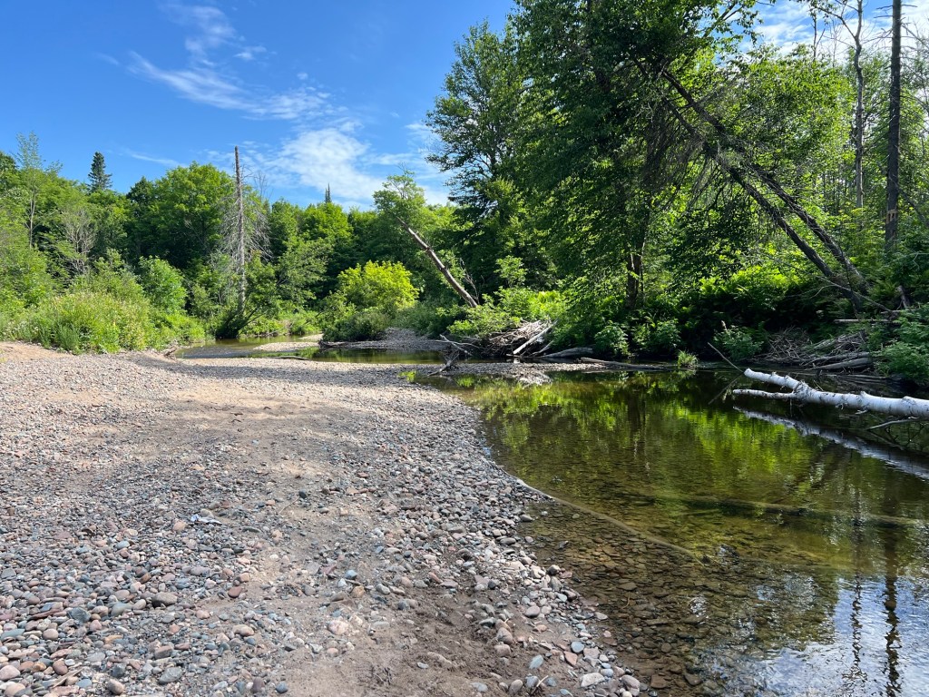
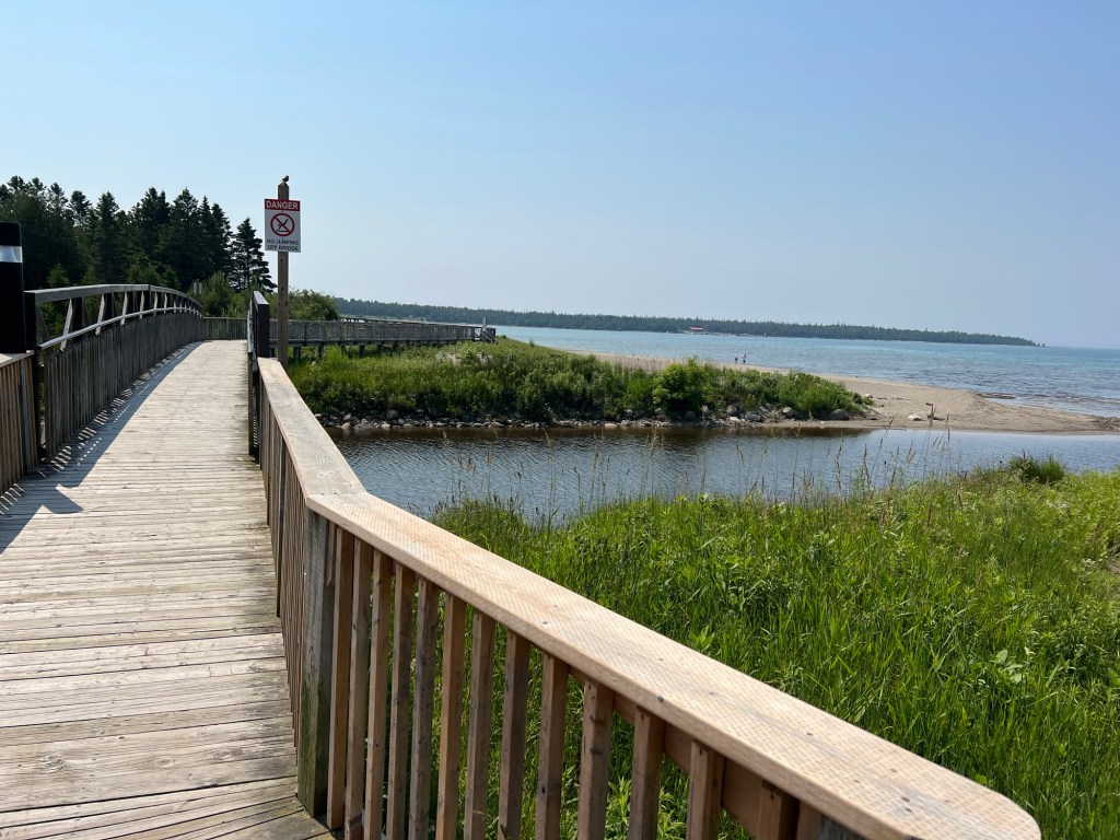
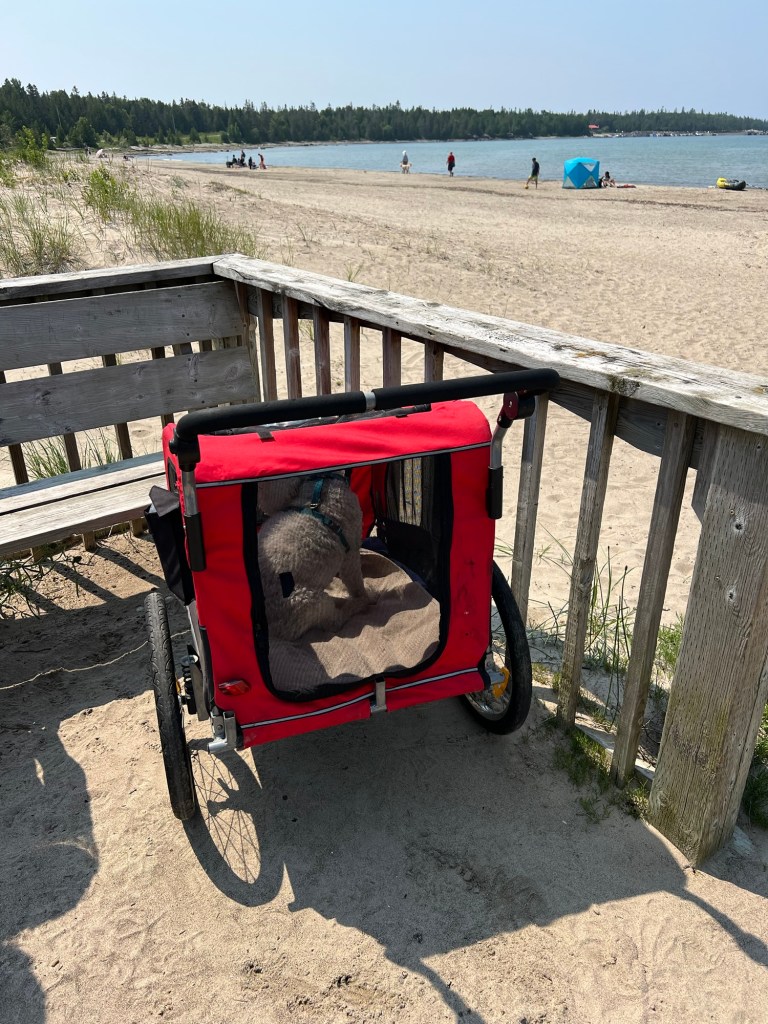
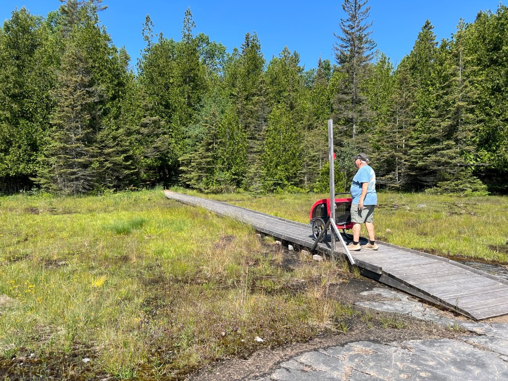
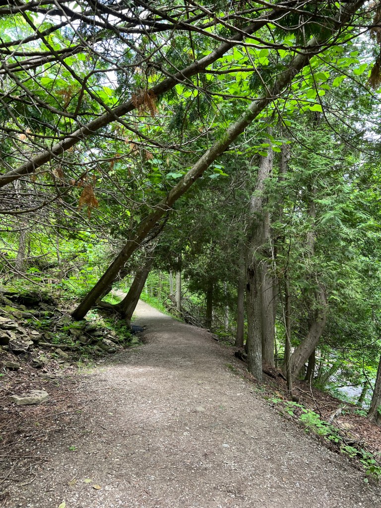
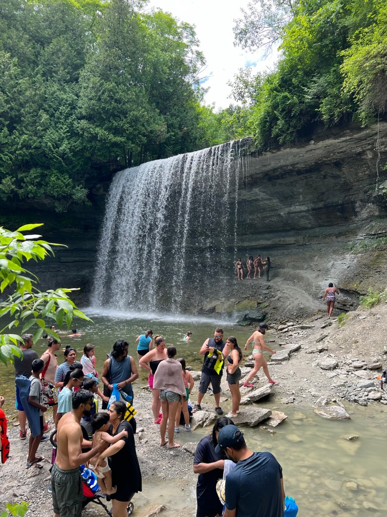
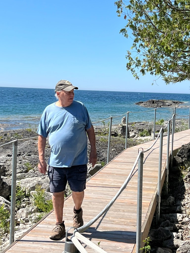
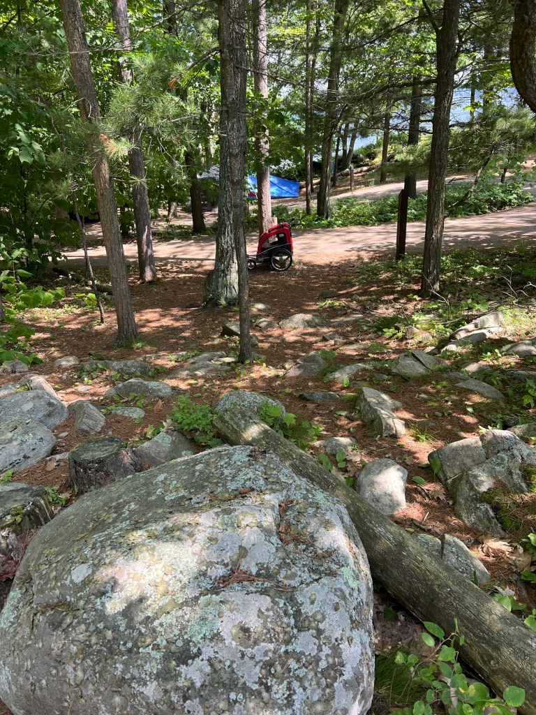
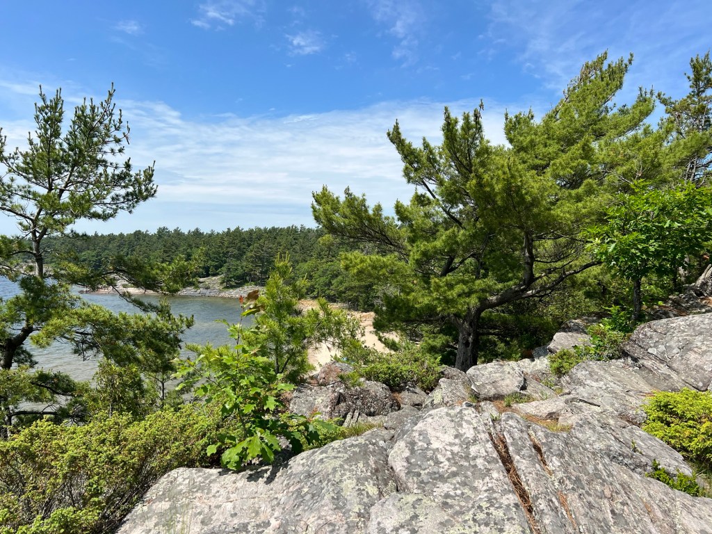
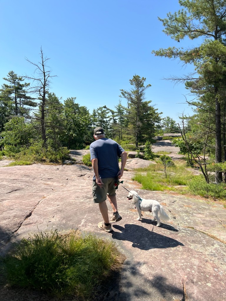
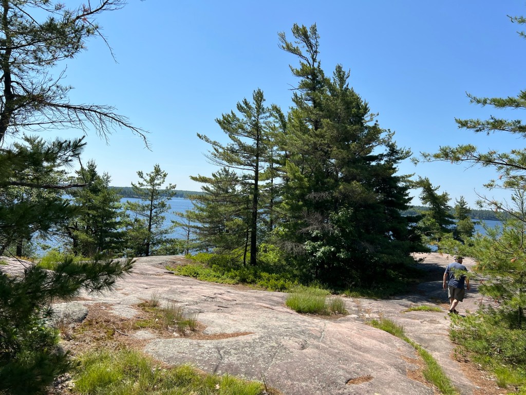
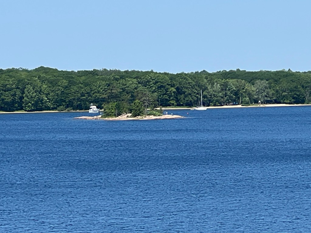
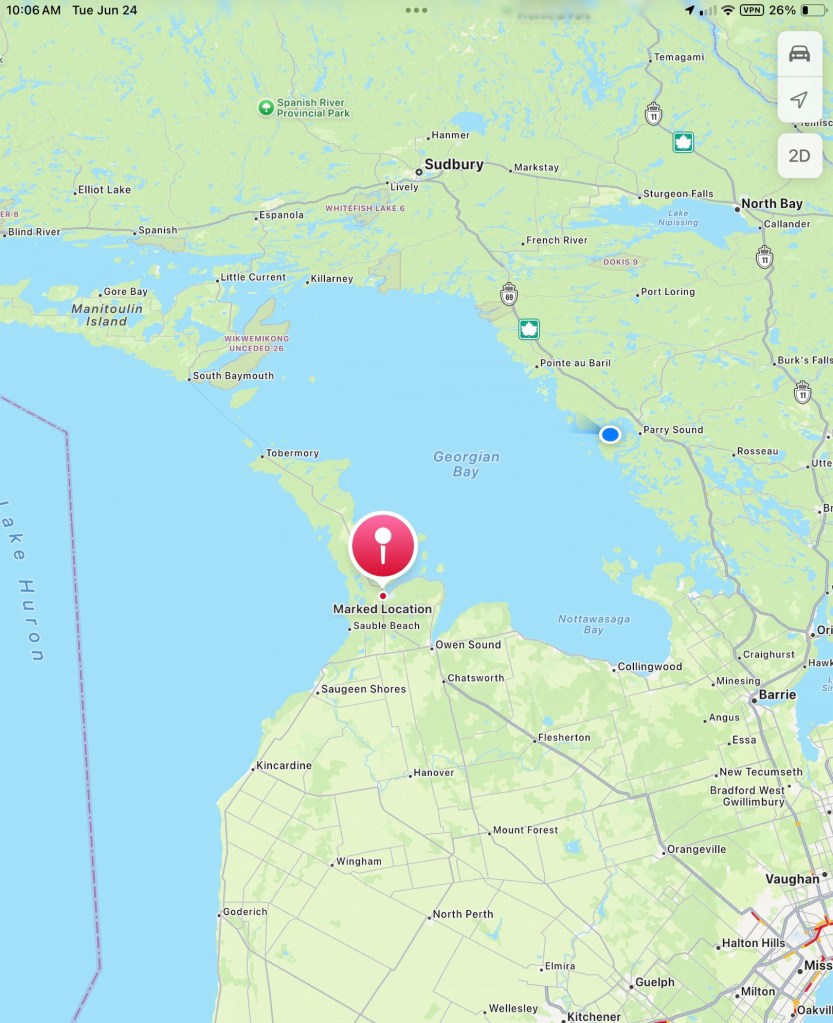
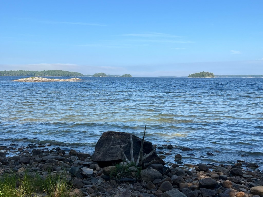
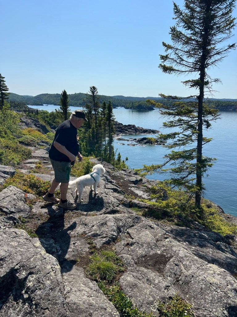
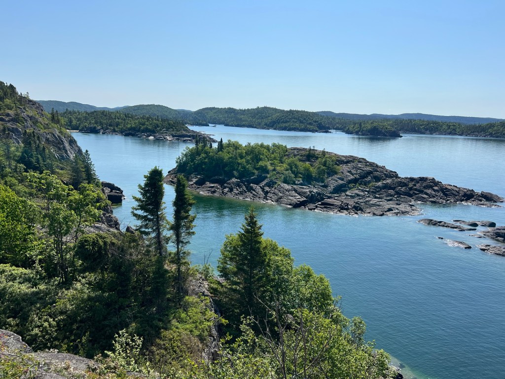
Today we went to Pukaskwa (puck-a-saw) National Park. We walked along park roads and accessible trails to beautiful Horseshoe Bay. We left Matey’s stroller there and continued on the trail out to the point on the right.

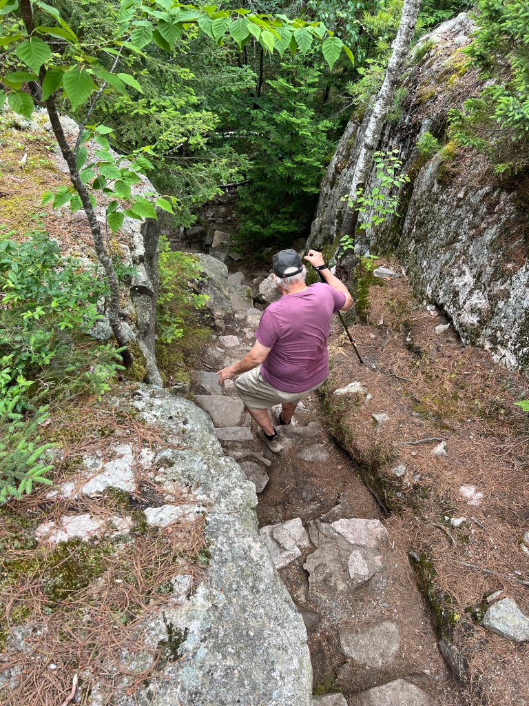
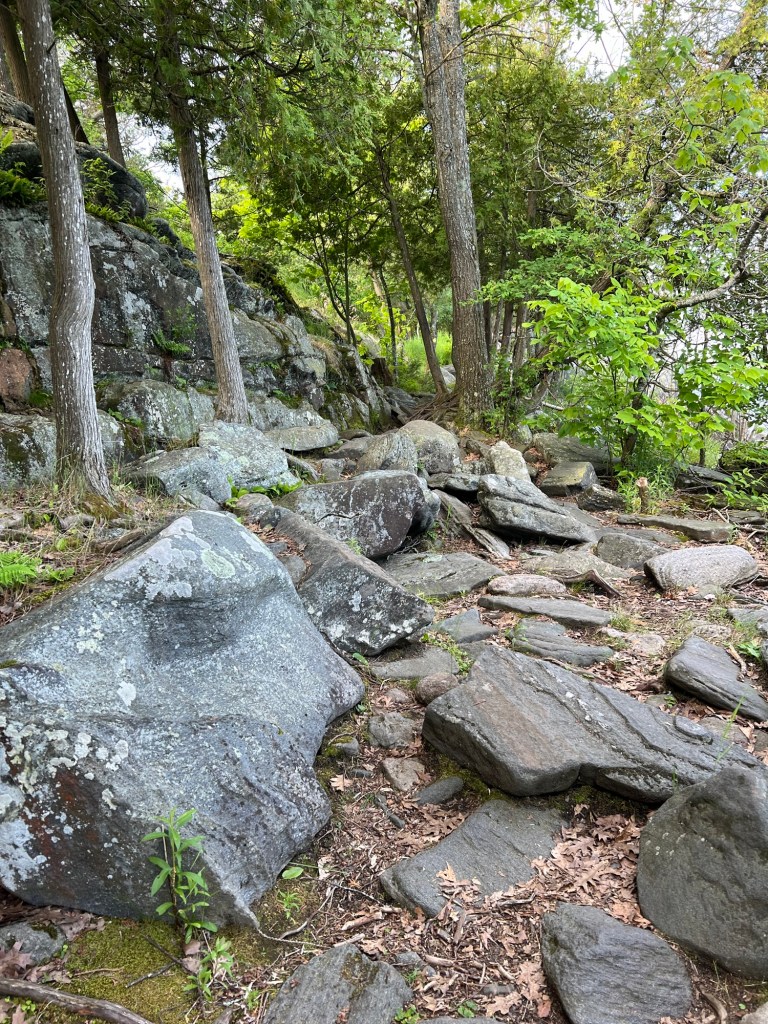
It was a gorgeous walk, though a bit challenging. We don’t trust Matey on stairs anymore as he sometimes slips. So I carried him up and down many sets of stairs, big and small.

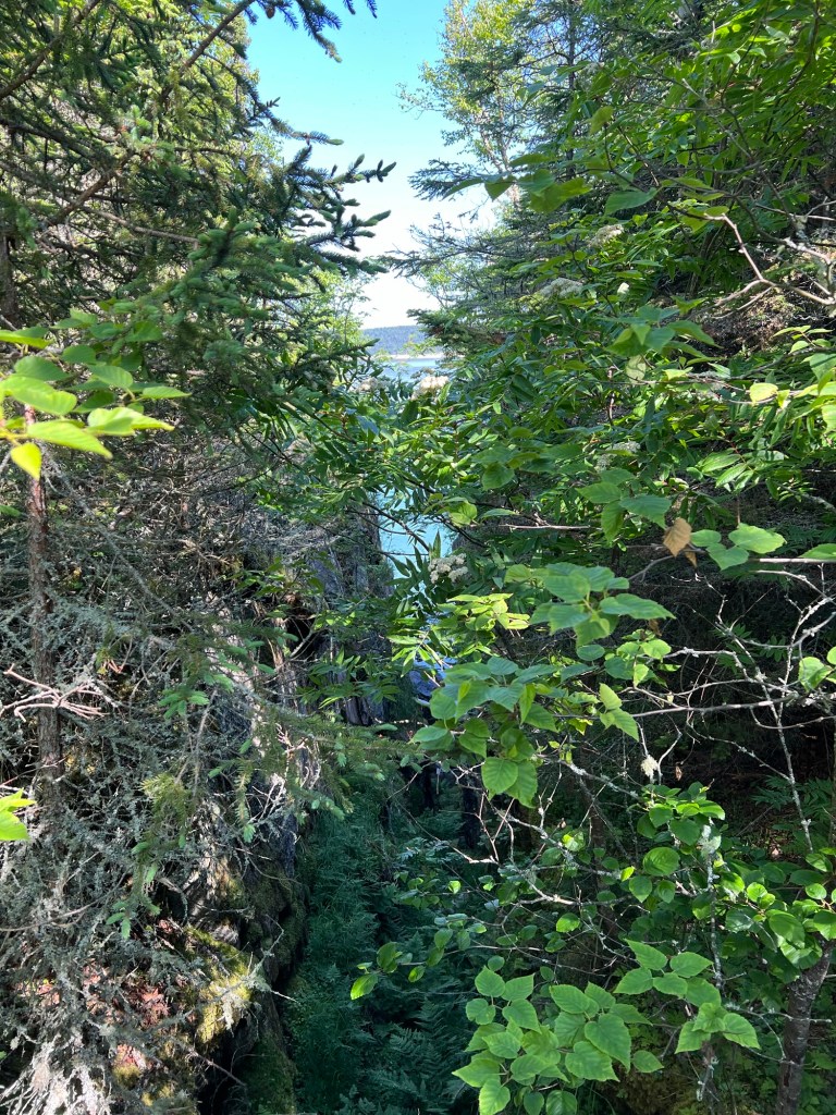
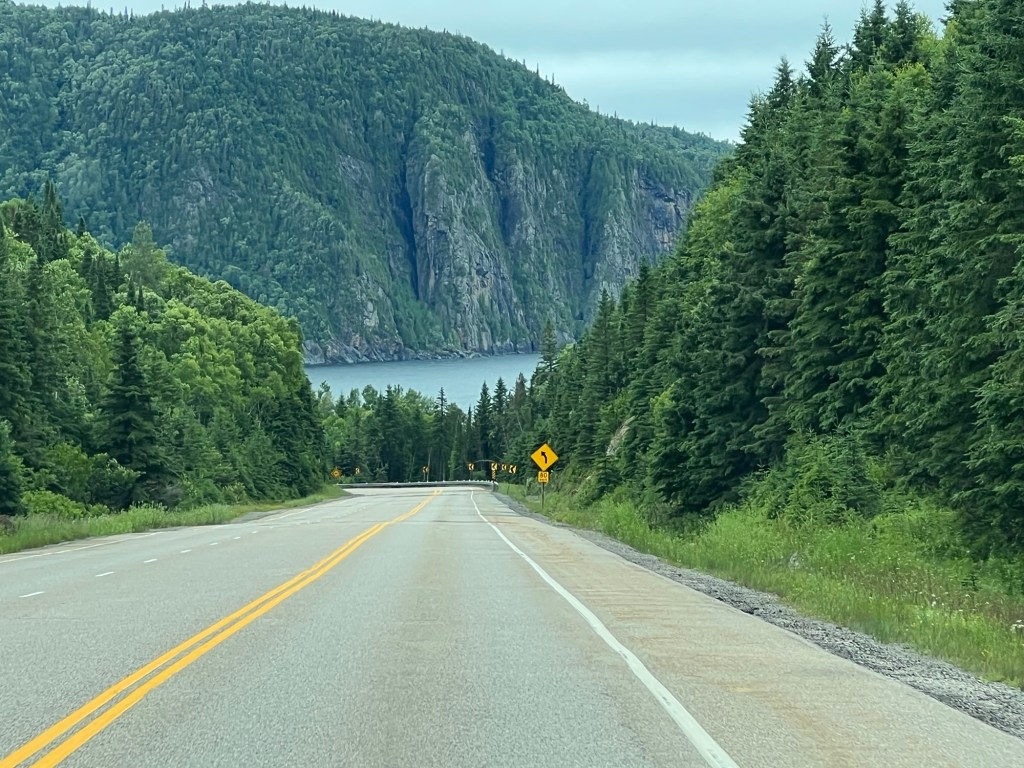
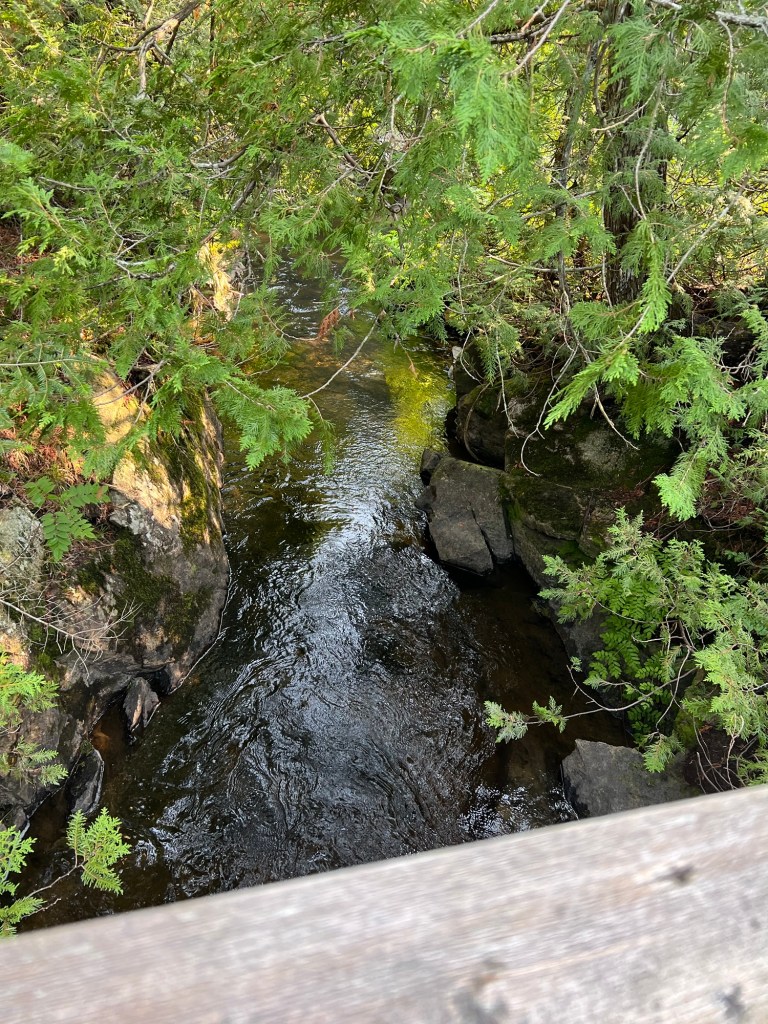
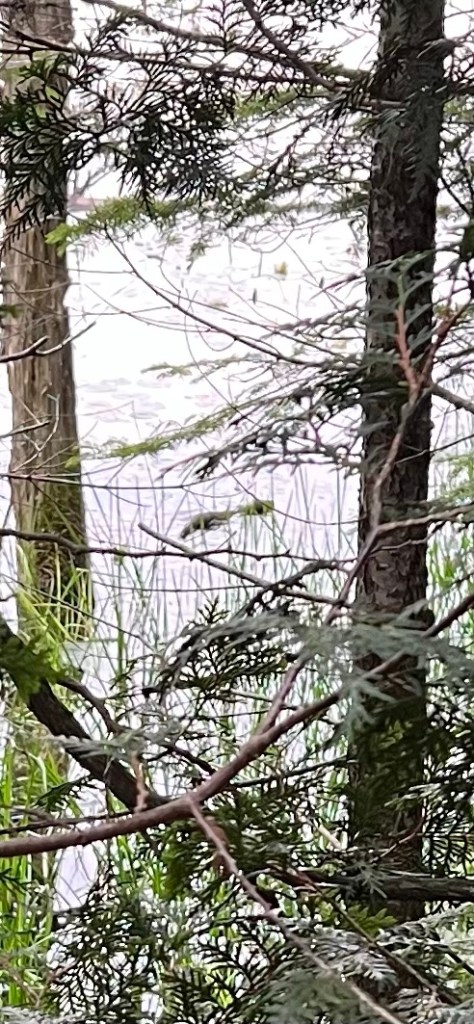
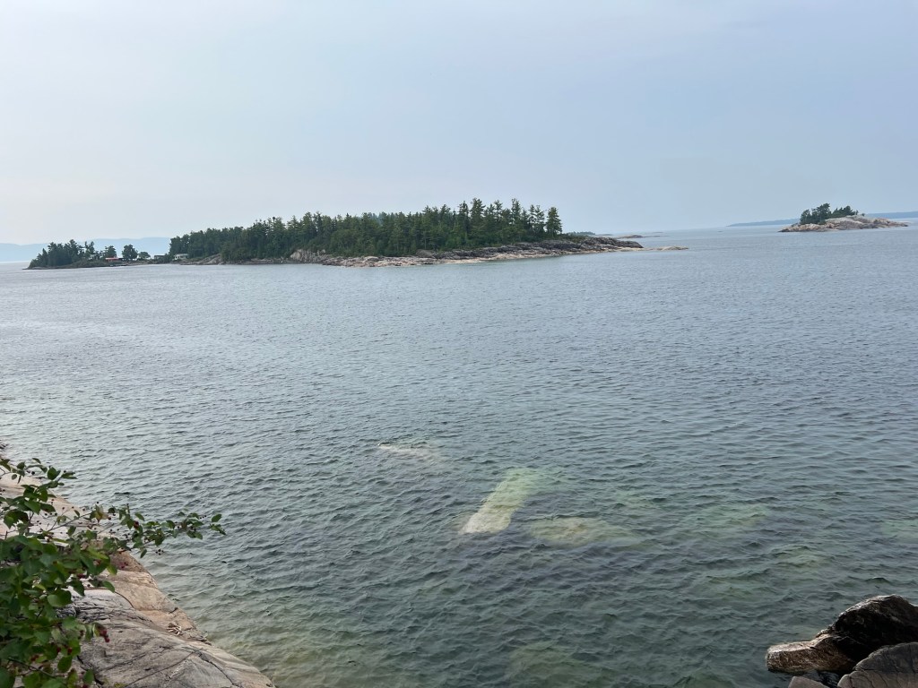
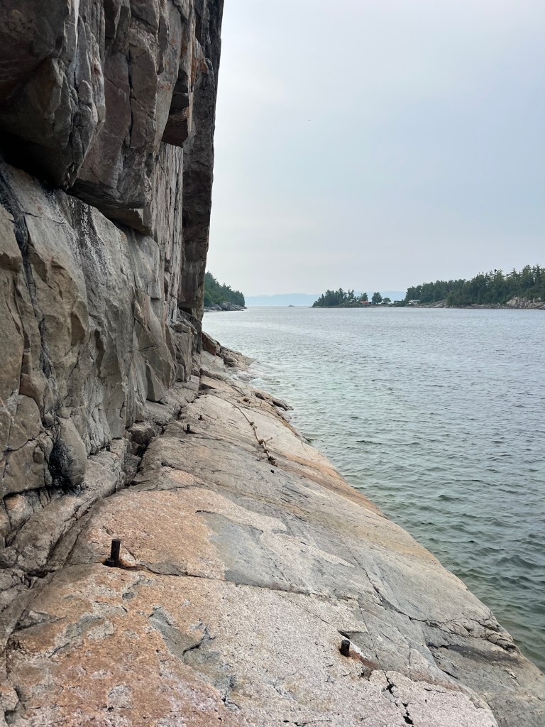
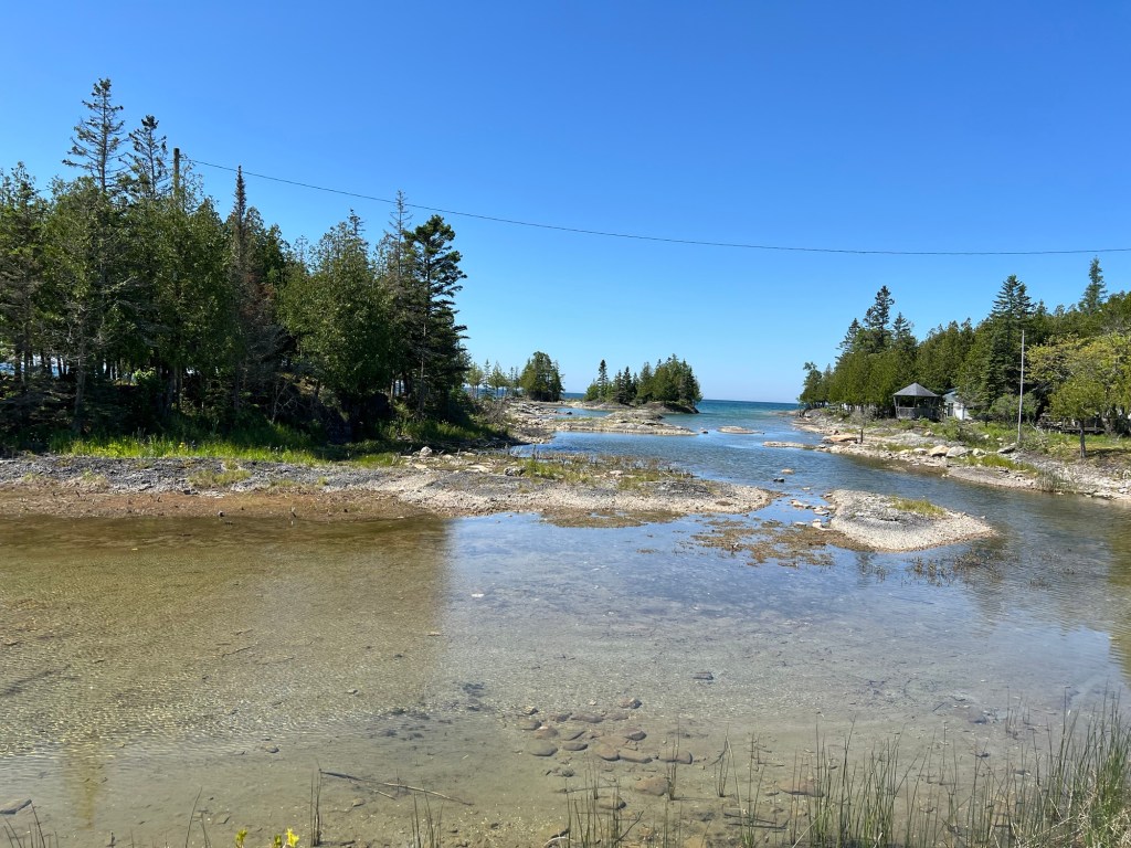
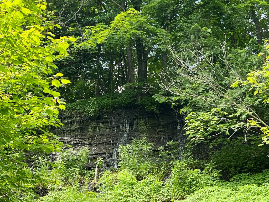
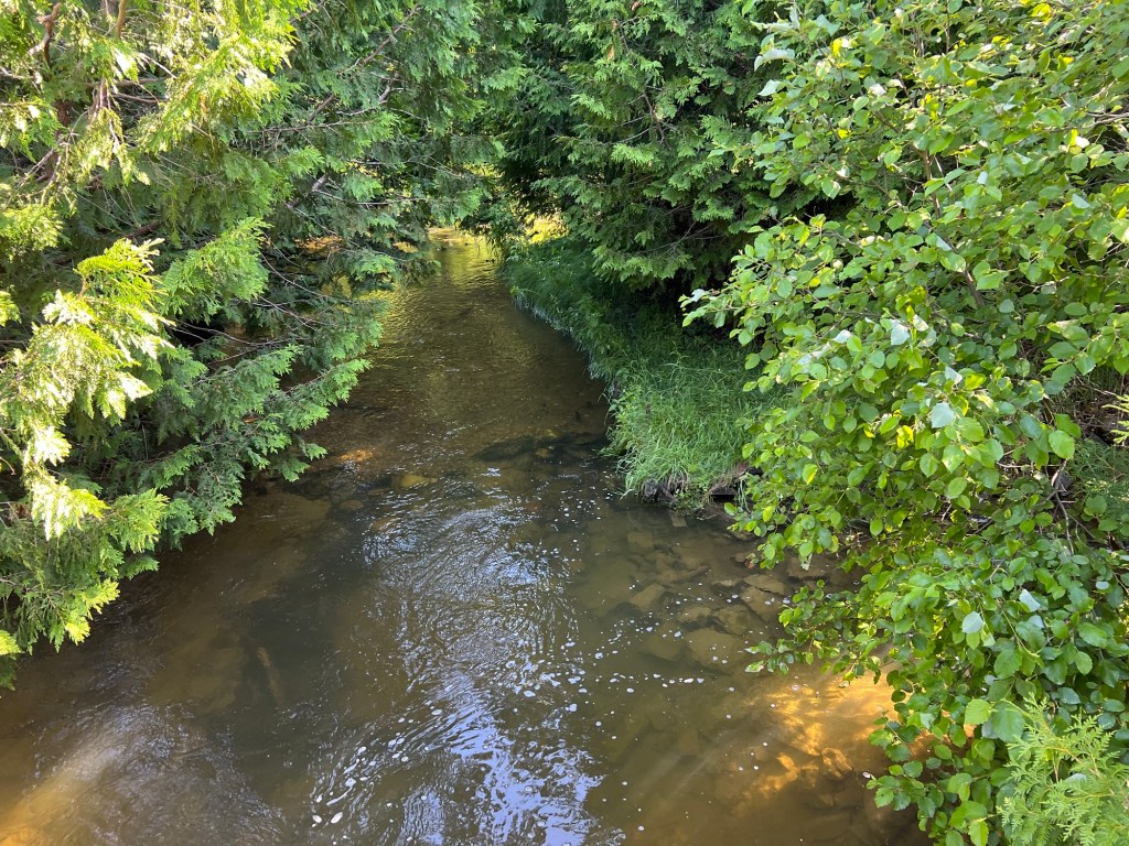
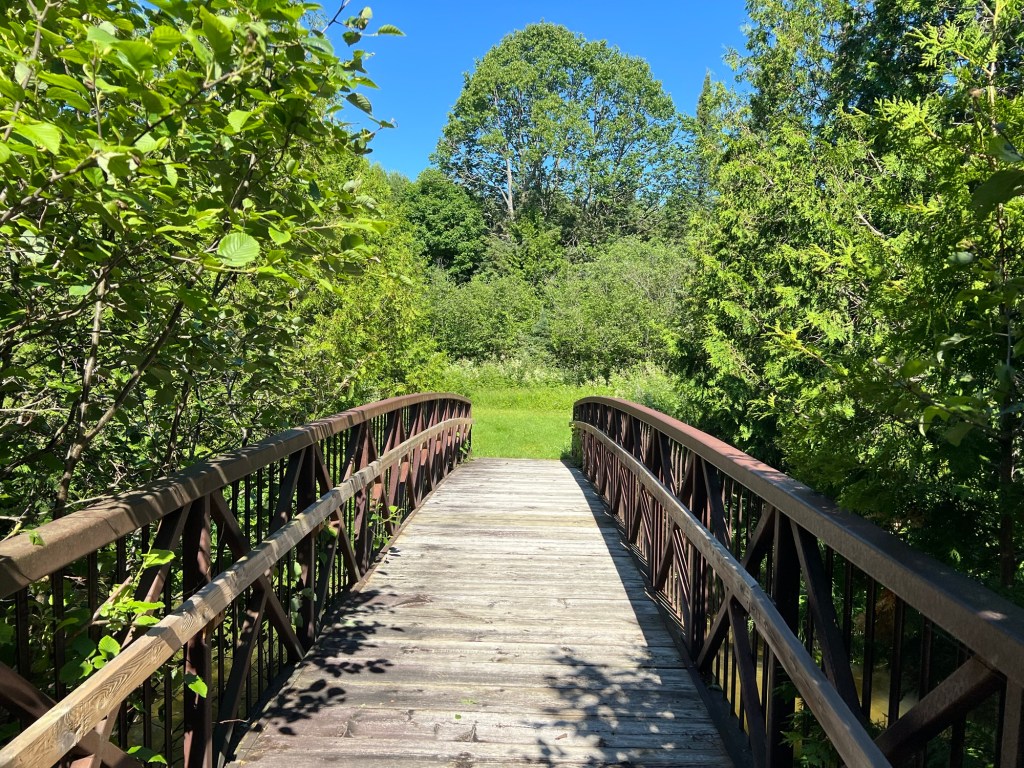
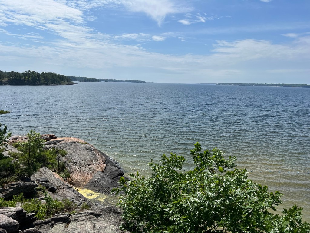
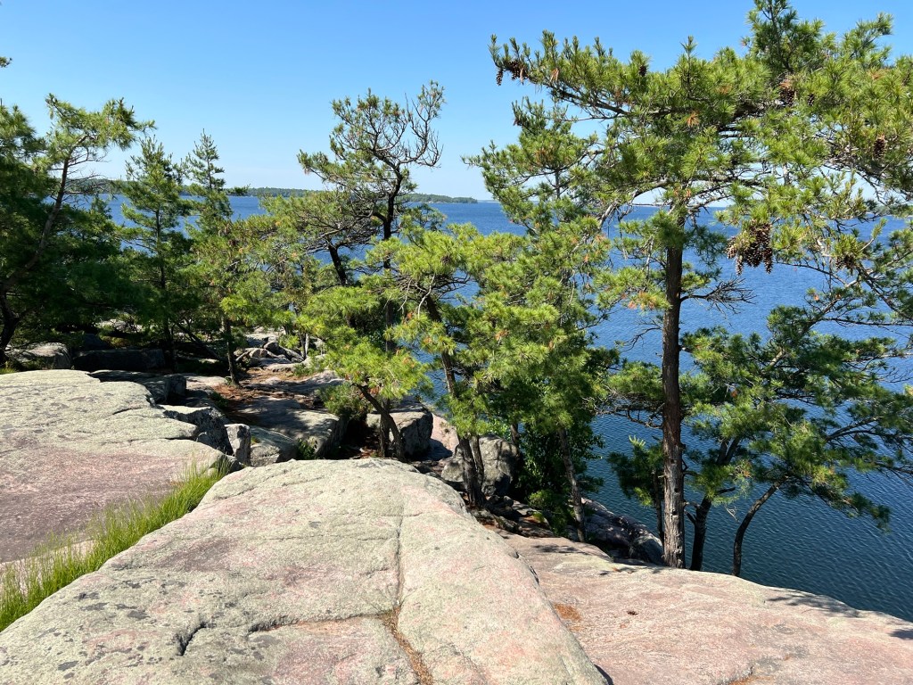
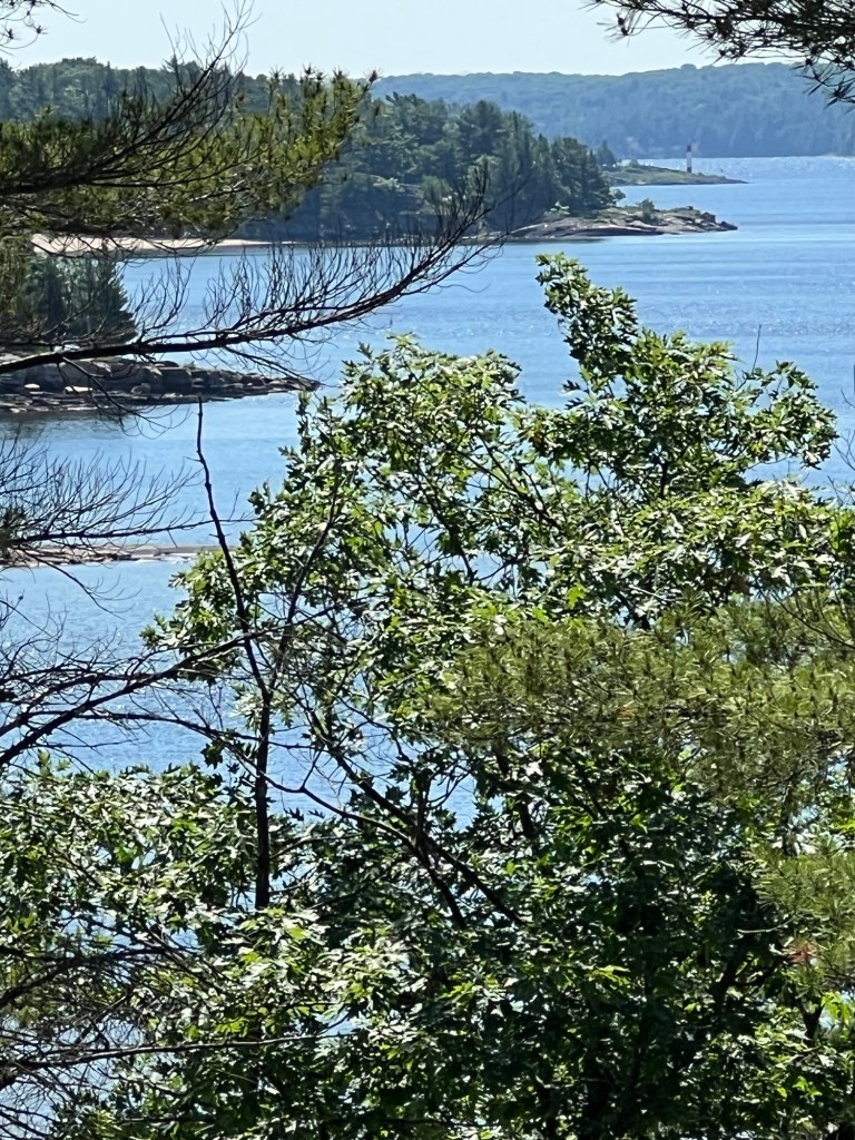
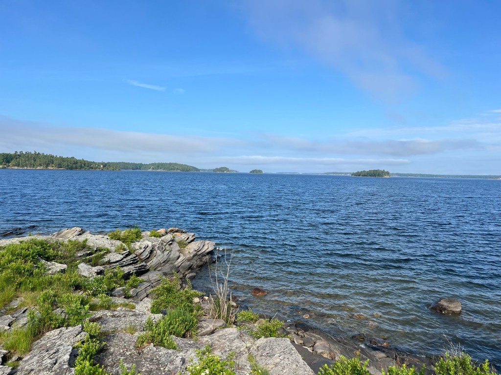
We got peeks out to Lake Superior on both the right…

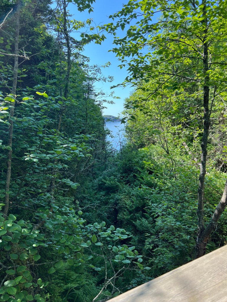
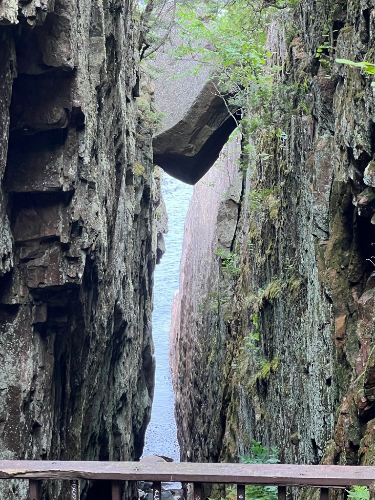
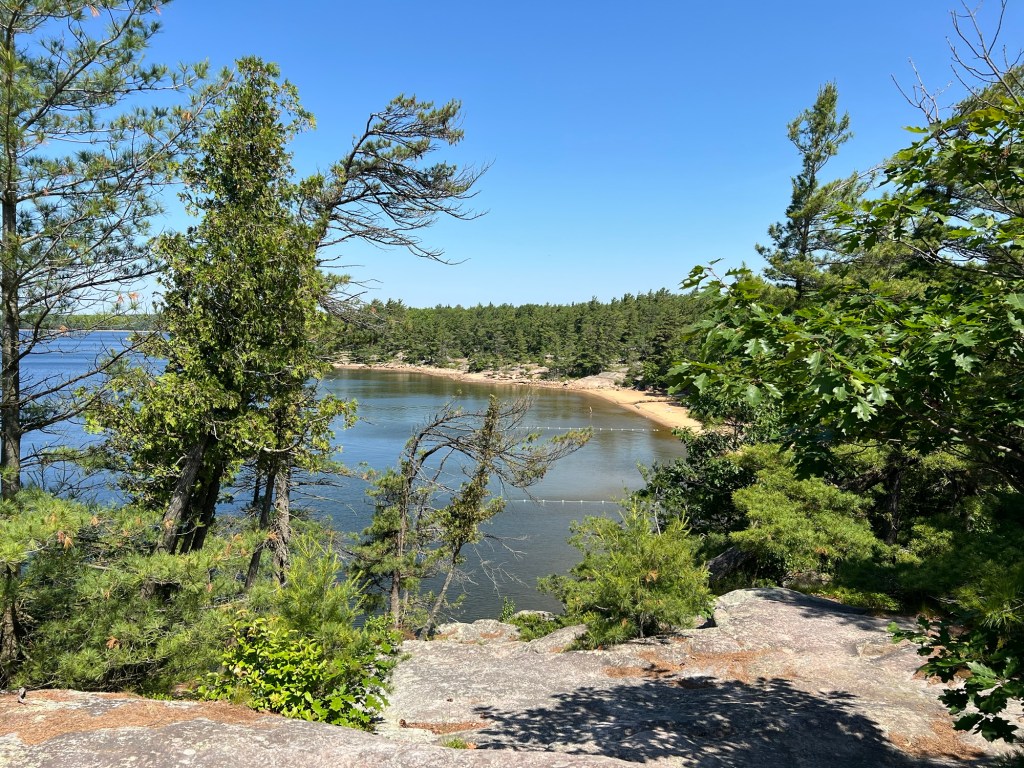
and left from a bridge down inside a ravine. (There were stairs down to the bridge on either side.)

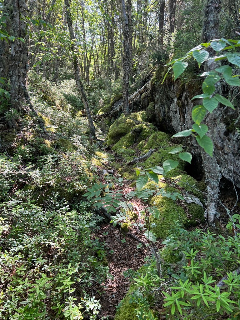
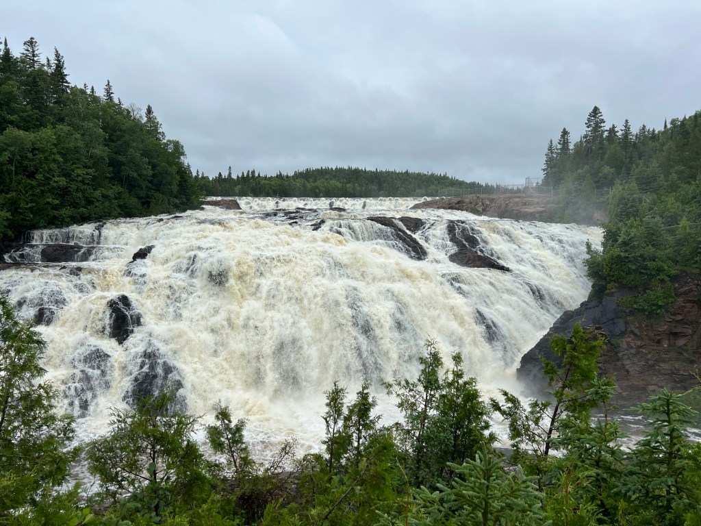
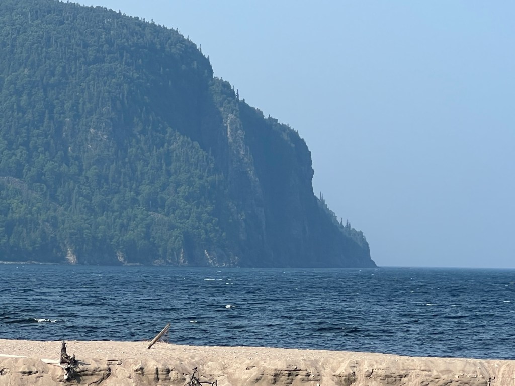
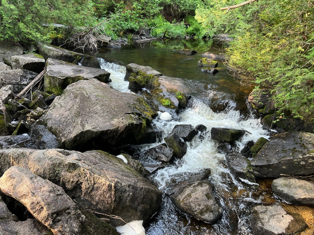
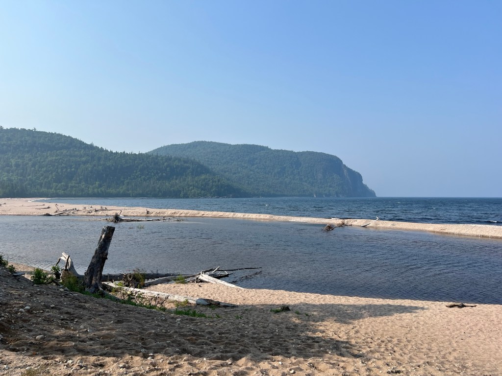
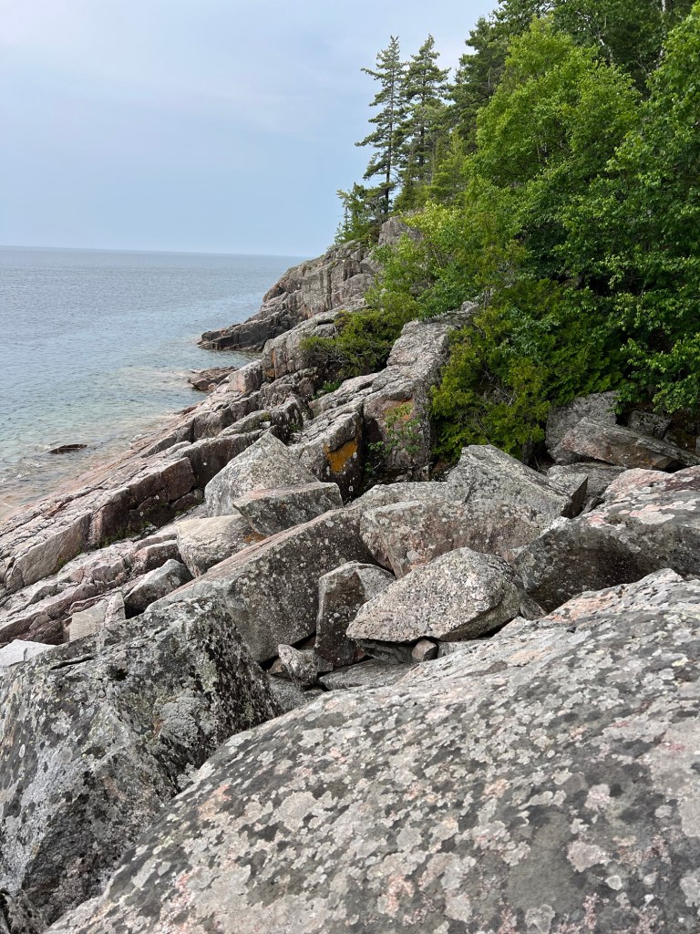
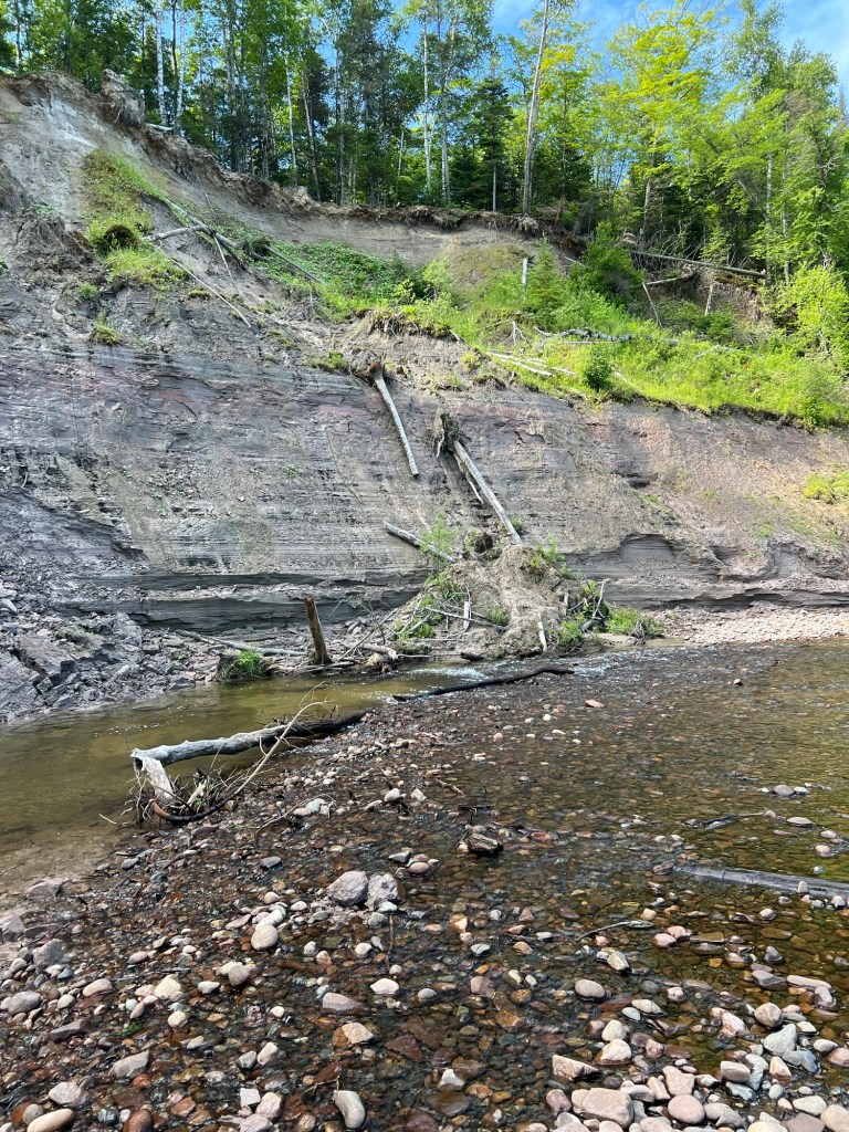
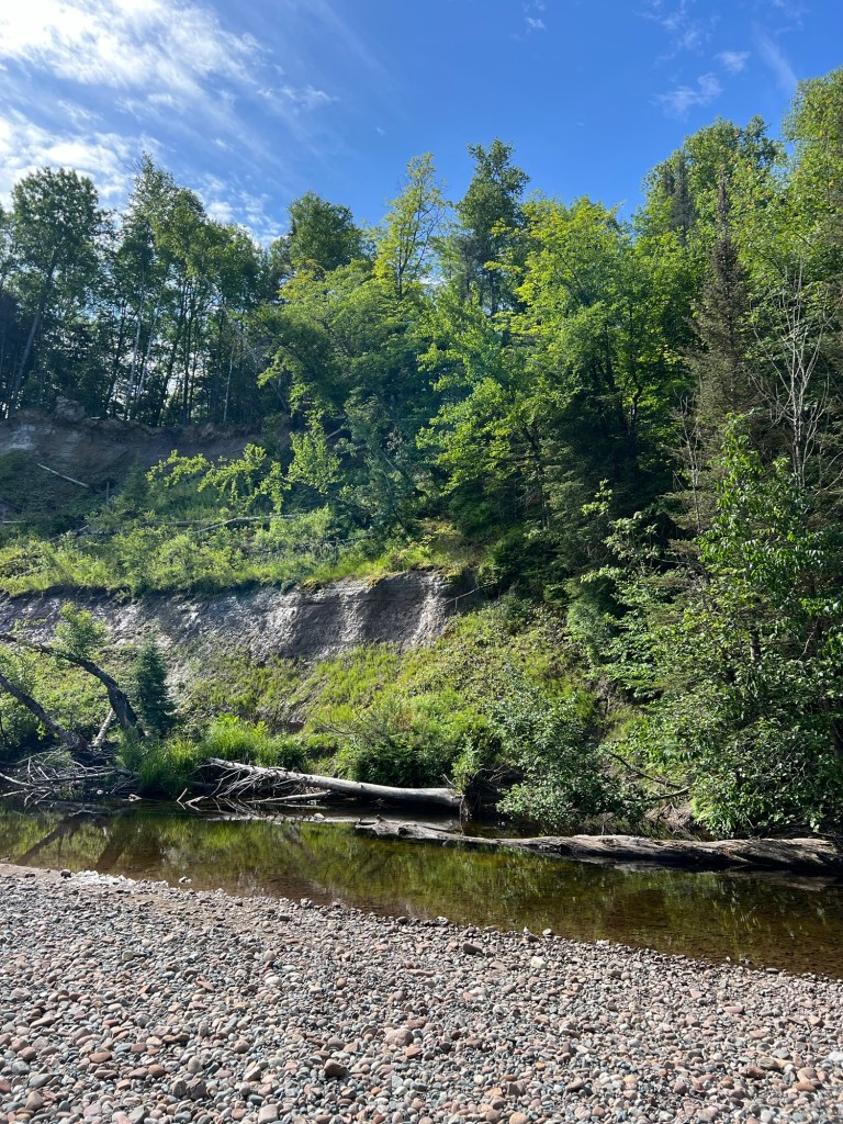
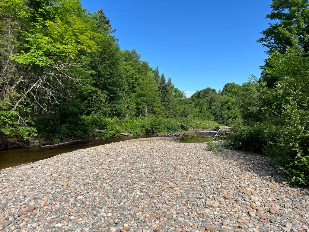
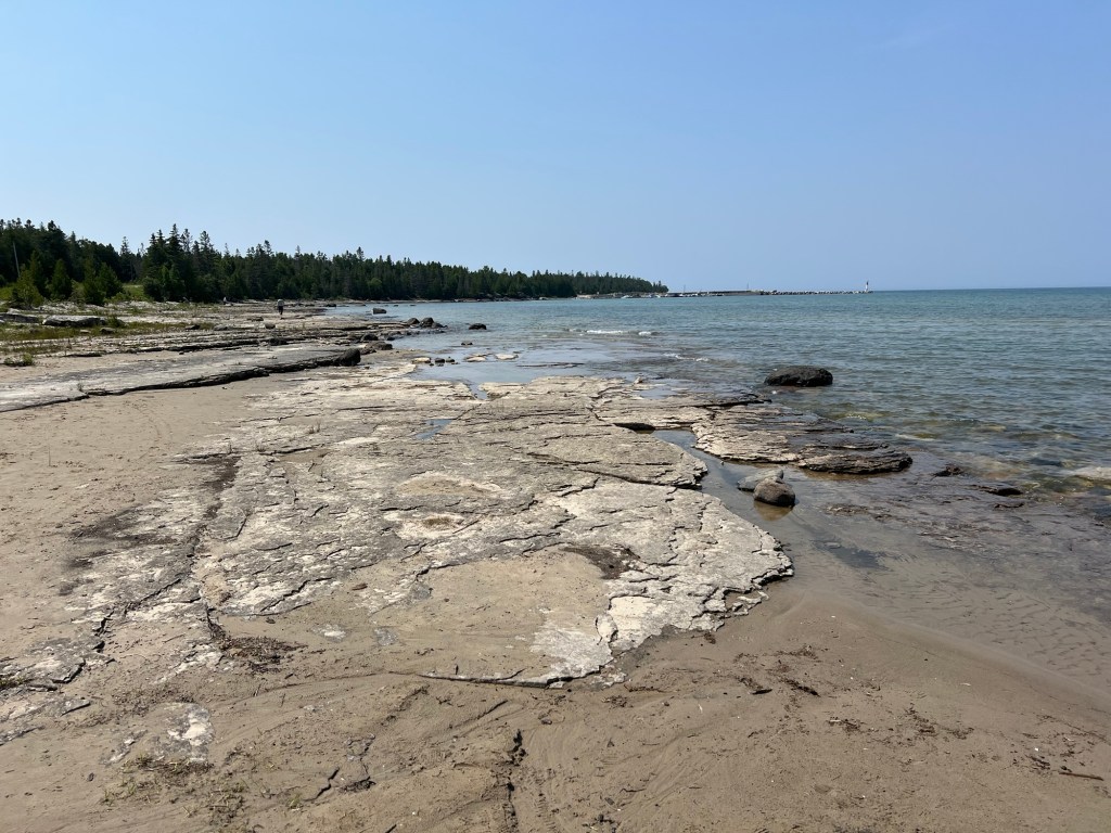
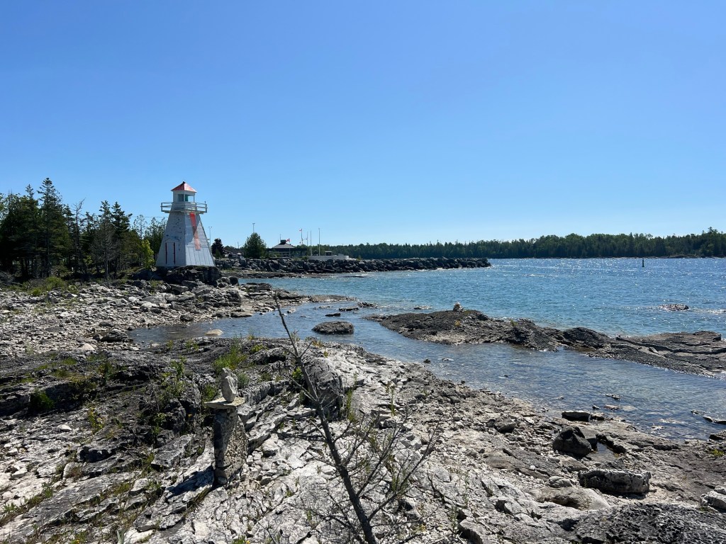
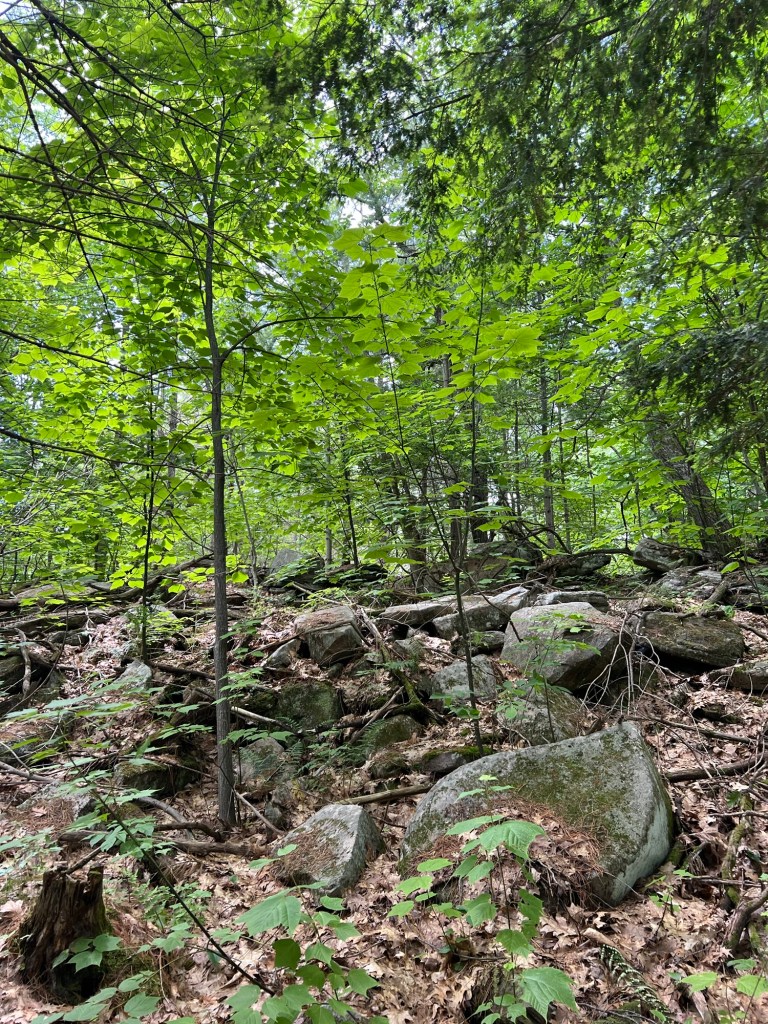
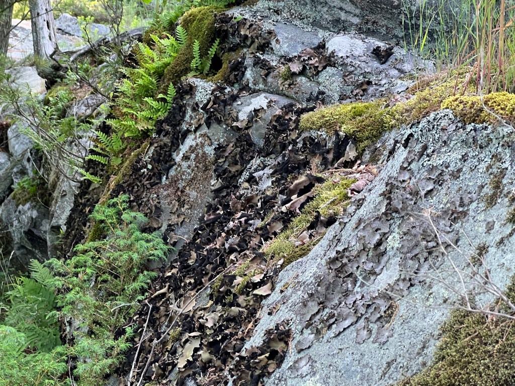
This is rugged land.

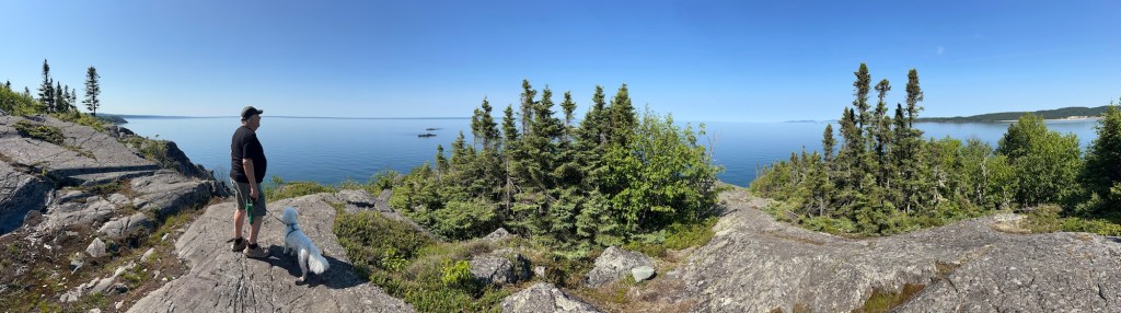
But the views are spectacular.

Everywhere you look…
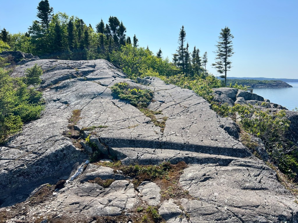
the rocks…

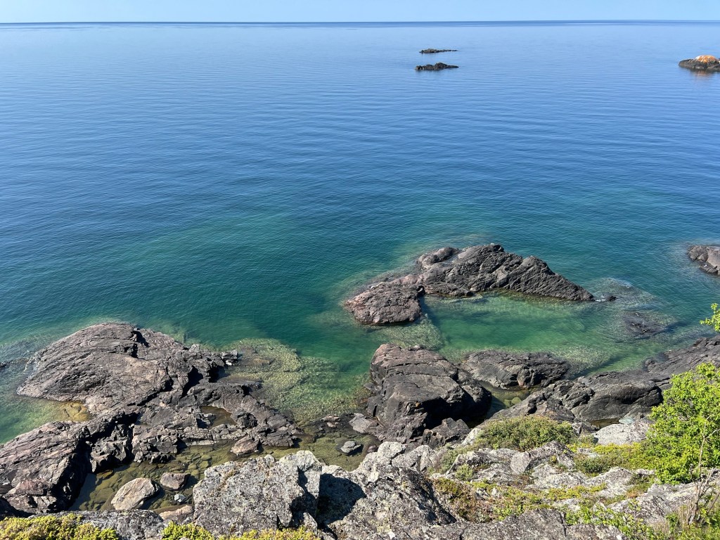
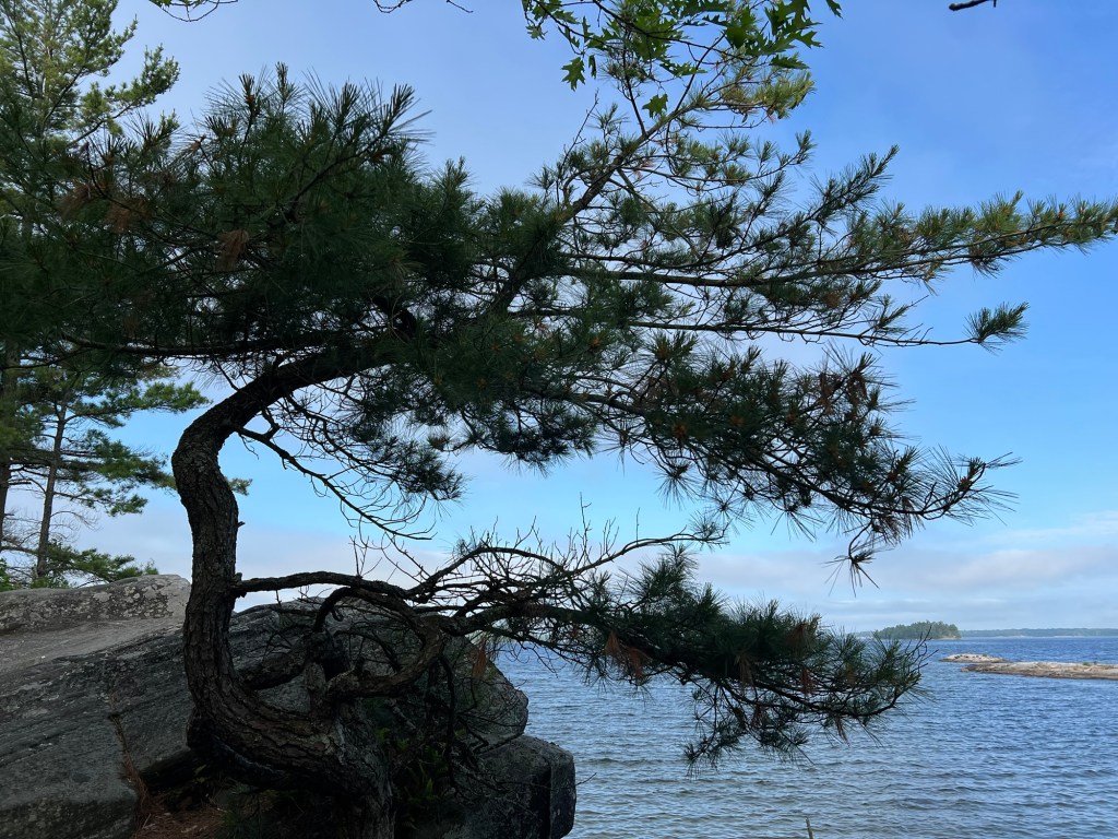
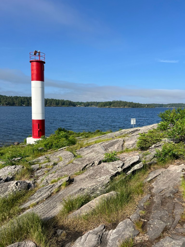
and the water are gorgeous.

This is beauty well worth sore knees!

This is Nice, Too

We moved yesterday to a very nice campsite at Penn Lake Park and Campground. This campground is owned and operated by the Town of Marathon, ON. We have full hookups and 50 amp electrical service. As you can see, there is nothing behind our site but trees, so we have a good deal of privacy. There are only 18 serviced and 9 unserviced sites.

Marathon is on the shore of Lake Superior about halfway between Sault Ste. Marie and Thunder Bay.

The campgound sits on pretty little Penn Lake. Across this end of the lake you can see the sandy beach.

The other end of the lake is rockier and more wild.

There’s a nice trail that goes around the lake, but neither Bud nor Matey has wanted to walk around it with me yet. This is just the section behind the tent sites.

This morning we drove across town to the beach at Lake Superior.

The beach is down a bank. At the top are benches and lookouts.

There’s a steep bit of trail down.

Pebbles indeed! These rocks were the size of cantaloupes.

Very pretty to look at but not a place to lay your towel down for sunbathing.

Bud then went grocery shopping while I pushed Matey back to the campground in his stroller.

There are several pedestrian walkways, including this culvert under the railroad tracks.

I think that post is there to keep ATVs from using this, as there are also ATV trails through the town.

I stayed on sidewalks and pedestrian walkways.

It was a nice walk and from Lake Superior back to the campsite, crossing the whole town, was only a bit over a mile and a half.

Now Matey and I are out relaxing in my tent. Yeah, I think this place is pretty nice.

It’s Been Raining Here

This is Rabbit Blanket Lake and our skies have been cloudy most days. Yesterday and last night it really poured for a while.

I didn’t realize how much it had rained until I tried to put a route in Apple Maps for another provincial park just north of here and Highway 17 showed up as closed. Closed?! We’re supposed to leave tomorrow and Matey has a vet appointment in the next town, Wawa.

A guy walking by with his dog told Bud he had just driven in from Wawa. We walked up and asked at the campground office. The young woman there said the road was open to the north, but closed beyond the park office, about three miles south of us. Right now it would take almost 5 hours to make the two hour trip we made coming here. There aren’t a lot of roads through here.

Anyway, since the road was open we drove north to find the vet’s office we have to stop at tomorrow. We wanted to make sure there was room to park the trailer, as we’ll be towing it. There is. On the way we stopped at High Falls on Magpie River. The road back wasn’t great and was a bit flooded, but nothing too bad.

The falls were pretty impressive.

Evidently all the rain we’ve had has transformed the falls to its dangerous self.

Besides making the falls roar…

the rain cleared the air and made the cliff at Old Woman Bay all the more dramatic. But I will welcome the sun when it returns.

Lake Superior Provincial Park

We have made it to the north shore of Lake Superior and it is beautiful. The weather has not been cooperative for picture taking, but we still love it. This photo looks misty because of wildfire smoke. We’ve either had poor air quality or rain.

We’re staying at Rabbit Blanket Lake Campground. This park is huge. We drove a bit under 70 miles to get to the park boundary from Sault Ste. Marie and then almost 50 miles further along 17 to get to the campground. And there is still another 20 miles of park beyond this campground.

We’re very happy to be back in a place where we have some room.

And we especially love the view out the dinette window.

On the way here we stopped at Chippewa Falls, which is at the midpoint of the Trans Canada Highway.

Yesterday we tried to take a short hike on South Old Woman River Trail that is just across the road from our campground.

It was quite pretty.

But when they said it was rooty they weren’t kidding.

We couldn’t make this river crossing. I would have had to carry Matey as he is still too wobbly to be reliable jumping. And those gaps were too wide and the rocks too slanty for me to try.

Instead we drove a few miles to where the river emptied into Lake Superior.

There were no dogs allowed out on the beach, so I just took some pictures.

We walked down the park road along the beach and at the end there was a dog beach.

So we walked out there.

Today it was supposed to start raining at about 11, so we got going early and at 8:15 we were 16 miles down the road walking Trapper’s Trail. This was one that Matey could handle.

It circled pretty little Trapper’s Lake.

There were some boardwalks and lookouts,

But the highlight for us was watching a family of minks playing around some logs on the edge of the pond.

It was really hard to catch a picture because they were so fast.

This is the only one I got of one of them swimming, and it’s hard to even find it. Sorry, limitations of picture taking with an iPhone.

We then drove another 16 miles to the trail to the Agawa Rock Pictographs. Matey had to wait in the truck for this one.

This was listed as a moderately difficult trail, though it was short.

We passed this fissure that made a window to Lake Superior. That boulder was suspended there.

Matey would never have made it here!

It was a beautiful shore. Those are huge pieces of rock just under the water.

But we never saw the pictographs. I went out along the slanted rock where they had this chain to hang onto.

But the pictographs were out on that verticals rock wall, and the ledge below was quite slanted. And there was nothing to hang on to. Neither of us was willing to try it.

Still, the view was definitely worth the scramble.

We were driving back to camp by 10:30.

By noon the rains came! Our weather obsession paid off, we got two hikes in and stayed dry.

Sault Ste. Marie Canal National Historic Site

Wednesday we played disc golf at a little course we found. There aren’t too many courses in Canada, so this was a treat.

Afterwards we decided to drive to the waterfront. We missed a turn and found these old buildings, now repurposed.

And this train station, still in use for a tourist train that looks like a great day long excursion but is booked up until August.

Going back to Canal Street we drove out to St. Mary’s Island, which is bisected by the old canal.

We didn’t realize from our map that this was a National Historic Site.

But it is, complete with the Red Adirondack Chairs found in all of Canada’s National Parks.

We walked far enough to see the old canal that now handles just recreational boats. Lake freighters use the Soo Locks on the U.S. side of St. Mary’s River.

We passed the old superintendent’s residence. Nice place!

A bit further were these bridges. The orange structure is the swing dam and bridge. In an emergency it can be swung out so the large steel pieces hang down into the canal and dam the water, keeping it out of the lock. Behind it is a black swing bridge for the railroad and above them both is the international highway bridge.

We found out there were trails accessible beyond the locks, so today we went back and I carried Matey across the walkway on top of the lock gates.

A nice groomed trail leads across the other side of St. Mary’s Island.

A footbridge took us across to Whitefish Island. The bit of river between these islands had multiple beaver dams.

Aside from the path, Whitefish Island is left wild, and as unlikely as it seems between downtown Sault Ste. Marie, Ontario and downtown Sault Ste. Marie, Michigan, wild animals live here.

This is the only wildlife we saw besides ducks.

And this rabbit is obviously used to visitors.

I did, however, see this bear scat.

And we saw a beaver lodge.

Another path took us behind the beaver lodge.

And we saw several places where they went from water to land.

They were obviously using these places to bring branches back. But, alas, we saw no beaver.

On the far side of Whitefish Island were the rapids, and beyond those the commercial locks.

There was a nice boardwalk along the river. In the distance are the international highway and railroad bridges.

At one overlook we noticed an upbound lake freighter. We only noticed it because it was moving. The superstructure is aft on these ships, that’s it on the left in front of the two stacks and the spire. The ship is white. Then there are some yellow steel rails along the deck and at the front a yellow tower with lights and radar. You can see that towards the right in front of the square building just to the right of the nearest crane. The rest of the ship is below the bank.

It was an interesting walk, wild and serene against a backdrop of commerce.

As a bonus when we got back we got to watch a couple of tour boats come down through the recreational lock. Here’s the lead boat waiting in the lock.

When they start to let the water out it really comes fast.

Almost down.

And there they go. From where I was standing I didn’t even know there was a second boat until the locks opened.

A nice walk on a nice day!

Sault Ste. Marie, Ontario

We’ve come to Glenview Cottages…

and Campgound about 5 miles west of Sault Ste. Marie, Ontario.

This is our second commercial campground in a row, but there weren’t alternatives around here.

The good news is that’s it’s very well kept.

We arrived Saturday and our neighbors, a very nice couple from Vancouver Island, were leaving Monday. They suggested we go to the office and ask if we could move into their space, this nice end lot with a lot of room around it. It was worth moving since we’re staying until next Monday. I did, the office guy said OK and now we have a much better place.

And Matey and I have a much nicer view. Admittedly there is a lot of road noise, as we’re right next to The Great Northern Highway, which is the main road to Thunder Bay and all points west.

But that doesn’t make this place urban. This is the pond just behind the cottages.

And when Matey and I took the trail that went from one end of the campground to the other end of the cabins we ended up walking over a mile and a half through some pretty, and pretty rough, country.

This morning Bud, Matey and I went for a walk in nearby Wishart Park. I was following All Trails along some very well worn paths. There were a number of choices of paths. We met a fellow walker who said the paths all wound around but you really couldn’t get lost. “Just watch out for the bears.” There are three that live in this area. Not urban at all.

We didn’t see any bears.

We just got several views of the lovely Root River.

Seeing the downed trees from normal erosion and spring flooding made me think of those poor folks in Central Texas.

We camped on the Guadeloupe River in Kerrville two different times. The river was as shallow and placid as this one (though bigger), but even this small river is obviously capable of taking down trees.

I will enjoy the rivers’ beauty but I hope I always remember their potential power.

Two Walks; Nice and Nicer

Yesterday we decided to venture out to another of the places recommended by our host here at the Manitoulin Resort. This is the boardwalk at the beach at Providence Bay.

There is not much to Providence Bay besides the beach; the little village is only about three blocks square.

For such a small place the welcome center was large and very well done.

Matey could only be up on the boardwalk, so we loaded him in the stroller and set off. This beach is on Lake Huron, not the Georgian Bay.

It’s a nice beach and on the day after Canada Day it was not crowded.

I had heard a rare thistle grows on Manitoulin Island so when I saw this I took this photo. It is the Cirsium pitcheri, the Pitcher’s thistle. It only grows on sand dunes on lakes Huron, Michigan and Superior. Most of them are in Michigan. Ontario only has thirty sites where they grow, so I felt lucky to have spied one. The tap root on this plant might go 2 meters deep and it’s been growing for four to twelve years before it flowered, and after these flowers go to seed this plant will die.

The boardwalk was about a quarter mile long and we expected to just turn around at the end, but instead we found we’d come to a dog beach.

So I parked the stroller and let Matey out.

We walked further to an area of flat stones. I tried to get Matey to take a drink from the lake, but the little waves put him off.

Having the dog beach made this a nice little walk.

Today we decided to go a little farther. We crossed this causeway across one of the many bays on Manitoulin and drove to Misery Bay Provincial Park, also a recommended place.

Behind their visitor center were several trails.

These led through areas of Alvar. Alvar is a habitat made of thin soil or no soil over limestone or dolostone.

The first three quarters of a mile was on a wheelchair accessible trail down to the bay. Most of it was a lot rougher than this boardwalk and it would take a good bit of effort to get a person in a wheelchair down it, but it was easy for us with Matey in the stroller.

There was a bit of beach on pretty Misery Bay.

We walked on across more of this interesting landscape.

There were a lot of flowers out. This is a tickseed, not sure which one,

this is tall anemone,

and this is one of my favorites, creeping dogwood.

We came back to the bay at another spot where there was a lot of bare rock.

A lot of bare rock.

Small pockets of soil…

had some sweet surprises.

We took a little break here. Matey was content to stay in the stroller for his drink.

Then we walked back through the woods and Alvar. We took a different trail on the way back and it was definitely not wheelchair accessible like what Bud is on here. Altogether we went just under three miles, but it was a good workout pushing the stroller.

Yesterday’s walk was nice, but this was nicer.

Manitoulin Island

Manitoulin Island is the largest freshwater island in the world and it is formed by the arc of the Niagara Escarpment as it arches over the northern end of Lake Huron. This is exposed rock of the escarpment, but unlike on the Bruce Peninsula, here there is no cliff. The rock is at lake level.

We came down from the north after driving along the east shore of the Georgian Bay. Here we were on route 6 coming south through the rugged rocks of the Canadian Shield.

From the north you come on the island via this swing bridge. The red light was not because the bridge was opening for boats.

We had to wait our turn because this is a one lane steel decked bridge.

Access to the island on the south is by the ferry from Tobermory,

the same ferry we’d seen loading there, now heading back there after just leaving the dock at South Baymouth.

We’re staying at the Manitoulin Resort.

This is an older place where most of the sites are seasonal and permanent.

Most of the trailers are enclosed with roofs…

with covered front porches.

The property is well kept…

with access to Lake Manitoulin.

But it’s a bit dense for our tastes.

Sunday we drove about 30 miles to see Bridal Veil Falls, a place recommended by the woman who checked us in. We walked up a pretty nice trail.

At one point there were springs running down the rocks along the trail for several hundred feet.

But when we got to the falls we were dismayed by the number of people. We couldn’t even walk down to the splash pool without pushing past people on the path. I got close enough on a side path to get a picture and we left. Of course it was Sunday on a holiday weekend.

The trip was redeemed when I started seeing these along the roadsides. Bud stopped so I could take a picture. These are wood lilies. They are native to much of southern Canada and some of the higher regions of the northeast U.S. and they are every bit as vibrant as they look in this photo.

Today is Canada Day, so we chose not to go to one of the “must see sights”. I found a nice trail through the woods and then a “Fish Culture Station”. Both nearby and both deserted.

Blue Jay Creek, where they release the fish, is a lovely, deep, little creek.

This bridge provided access to a short trail to show the work done to rehabilitate the creek.

There was a little visitor center with information about the project.

Today is when we drove down to South Baymouth where the ferry lands. We walked around the park at the west side of the harbor.

It was very pretty, and not crowded. So, happy Canada Day. Later in the week we’ll check out some of the other recommended places.

I Don’t Get Tired of This

Yesterday afternoon was not hot, only around 70 degrees, so I decided to take Matey for a walk in his stroller. I like that this park has a well packed cinder multi-use trail that parallels the park road the length of the peninsula.

It’s mostly woods with a few pretty meadows and is a nice walk in itself.

We walked up to the next campground, Granite Saddle. There were some picturesque sites there.

At the end of the loop was a nice beach, but Matey wasn’t allowed there.

There was also a rocky outcrop, so I parked the stroller and Matey and I went up to the top.

It wasn’t far and gave a good view of the beach…

and the bay.

I saw on the park map a place called Harold Point Rocks. This morning we drove up to a nearby parking lot with the stroller in the truck. We brought the stroller along as we walked through another pretty campground to the path to the rocks. There we left the stroller behind. The rocks were large and flat and if we picked our path, Matey could walk on them.

This was a big area of rock.

It also made an outcropping into the bay.

There were beautiful views all around.

You could look down on another pretty little beach.

I think this island, with its boats, was outside the park boundary.

I love the windswept trees.

From one place you could look down to the end of the peninsula and see the lighthouse on the point.

When we got off the rocks we put Matey in the stroller. Bud took the truck back and Matey and I walked the two and a half miles. Trees, trees, trees; rocks, rocks, rocks. But I never get tired of it. Walking in the woods soothes my spirit.

If you pay attention to the small things you can see unusual things, like this Lycopodium, a nonflowering vascular plant. Called club moss or deer moss, these aren’t mosses at all and are classified in a different division.

And on foot you see the things others pass right by. This lovely doe stood and posed as I talked quietly to her. I think she had two fawns, but the other one is behind her.

Killbear Provincial Park; Now We Like It

Yesterday we drove around the south end of the Georgian Bay to Killbear Provincial Park. We (blue dot) are now pretty much directly across the bay from where we were at Wiarton (red pin).

We knew they had a boil water alert at the park and we stopped and bought drinking water on our way. It was a long drive in the hot sun. Our site is close to the end of the peninsula the park is on and it was a fifteen minute drive from the gate to our site.

What we didn’t know was that the water tap close to our site did not have a threaded nozzle, so we couldn’t fill our tank for showers, etc. A fellow camper told us the trailer tank water fill station was all the way back the entrance road, almost to the gate.

So Bud had to drive back out of the very narrow campground roads and then 15 minutes back to the fill station, which had no signage and we would have missed if we hadn’t been told it was there.

But while Bud was filling the tank I took Matey to stretch his legs and in a few minutes we came to the shore and this view. Okay, this place has potential.

And this is our very nice site which has a shaded area for my screen tent. It also has 50 amp service, though the website said it was just 30 amps. That was great because the interior of the trailer was 91 degrees after being pulled for five hours in the eighty plus degree heat. Bud cranked on both the air conditioners and by supper time had it down to near 70.

Matey and I walked down to the little boat launch after supper.

It was pretty, but not as nice as the shoreline we’d walked to earlier.

Then this morning the three of us walked down to the end of the peninsula, Lighthouse Point. Ahh, that’s better.

Matey is doing pretty well, but when the trail turned this stony we didn’t think he could handle it.

Bud agreed to sit and wait with him while I explored the end of the loop.

It got very stony,

and very pretty.

I found the lighthouse and found the trail back the other side was much easier, so next time we can all get to the end.

So we are pretty happy with this place now.