Lost Mine Trail; This One Deserves Its Own Post

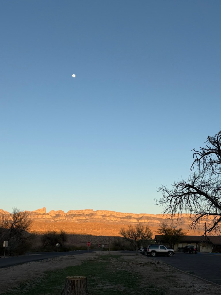
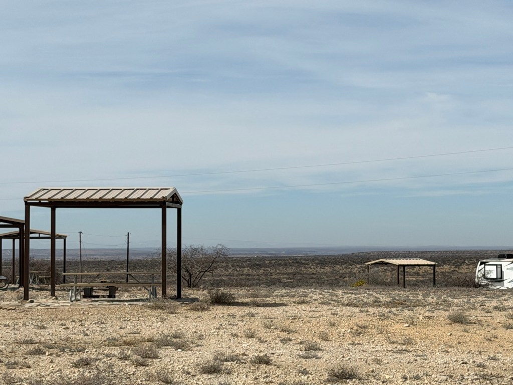
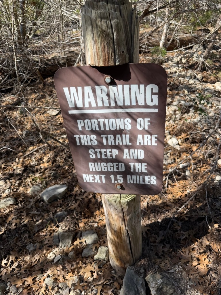
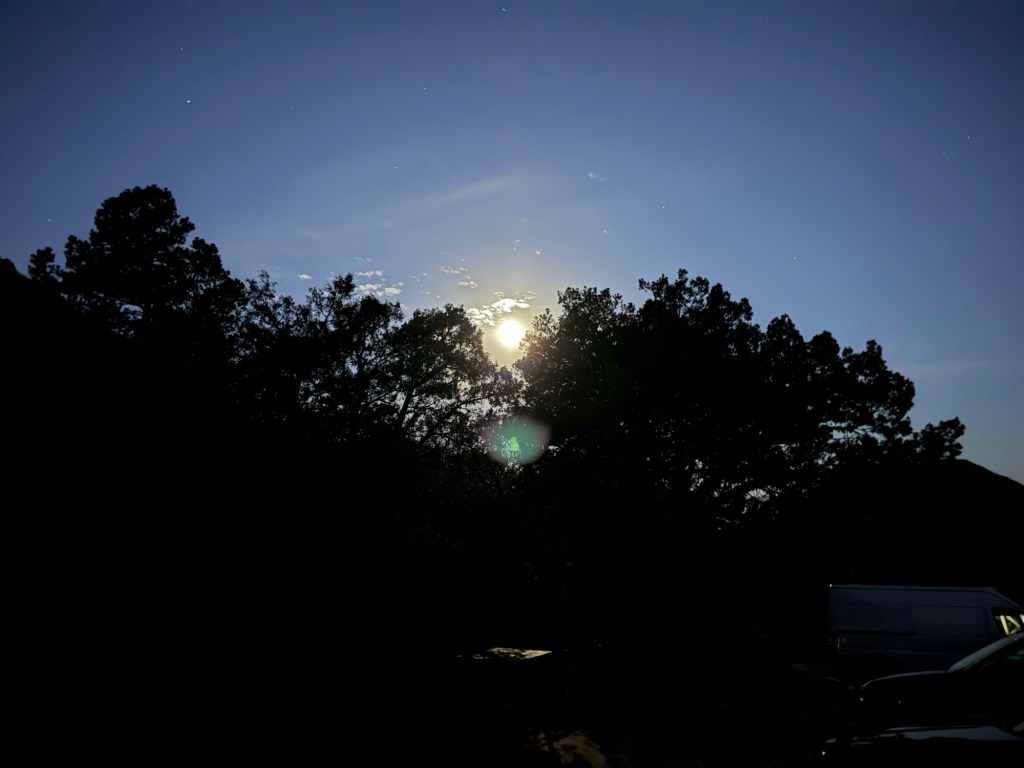
The Lost Mine Trail is one of the most popular trails in Big Bend National Park and Jack really wanted to take me on it. “I’m serious about a 5:45 AM start.”, he told me. It’s 30 miles to the trailhead and there is limited parking. Jack wanted to be at the trailhead no later than 6:30. So I knocked on his trailer door at 5:44, and woke him up! His alarm had been set to silent. I waited in his truck while he splashed some water on his face, threw on some clothes, grabbed his hiking boots and daypack and we took off. We arrived under a westering full moon…

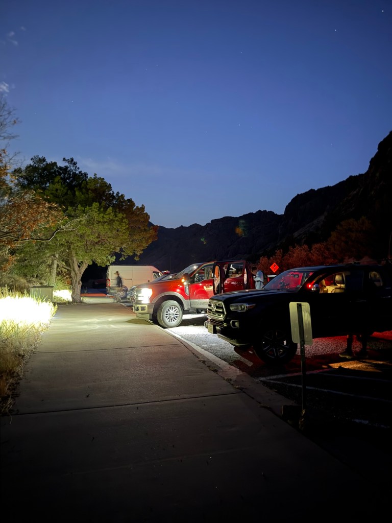
at 6:27, and though there were plenty of people already there we got a spot.

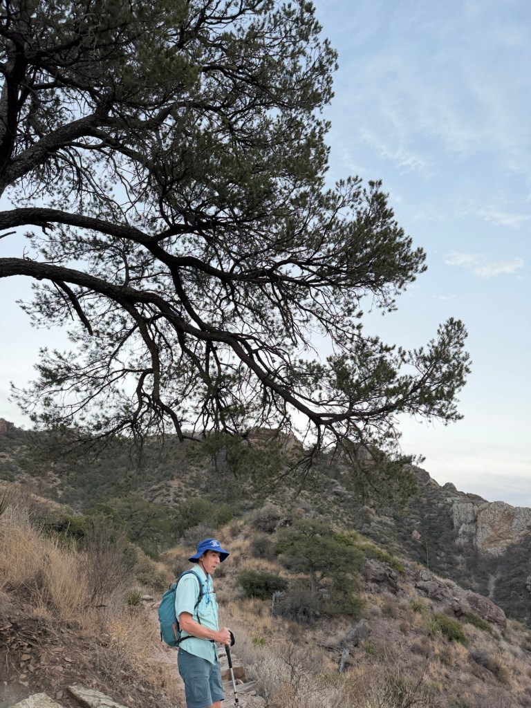
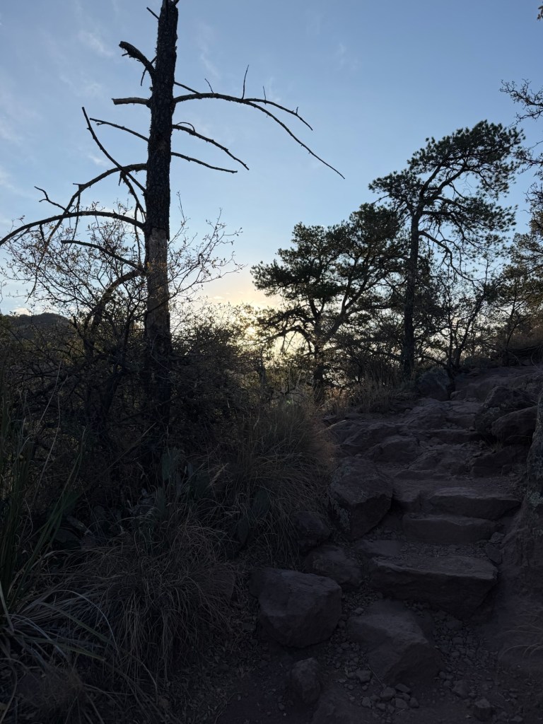
We started hiking at about 6:40 using head lamps.

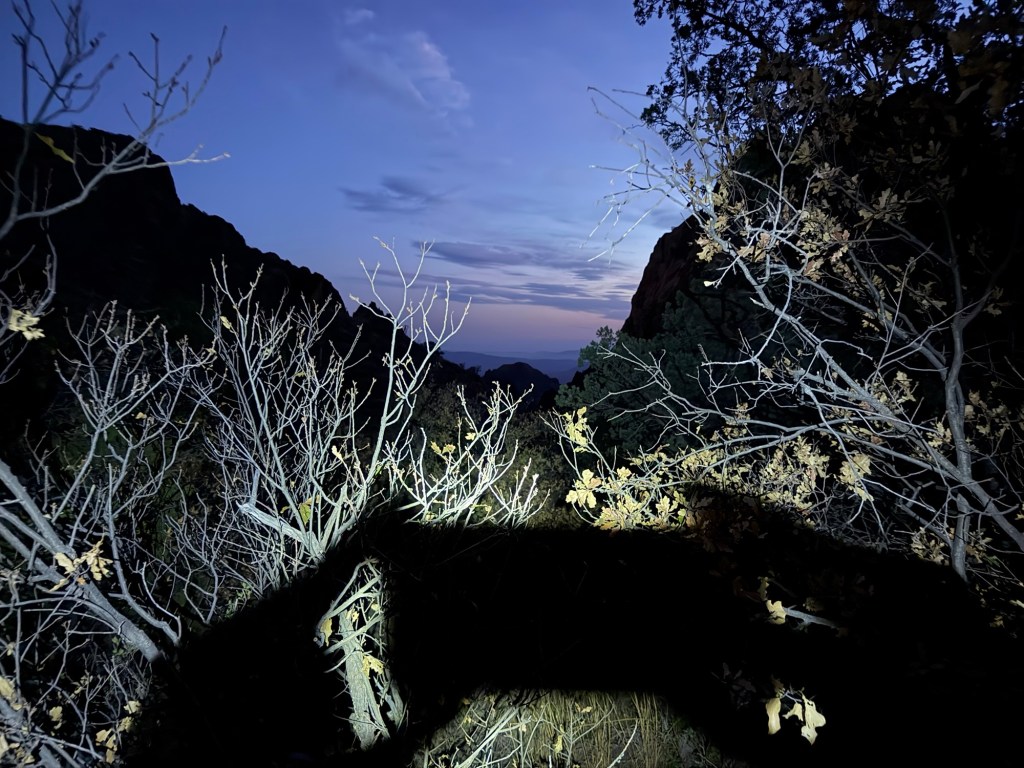
The eastern sky was just starting to get light.

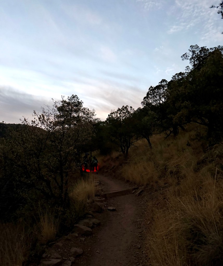
By 6:50 I was able to walk without the headlamp. Another couple walked by and he was using a red headlamp, which you can see ahead on the trail.

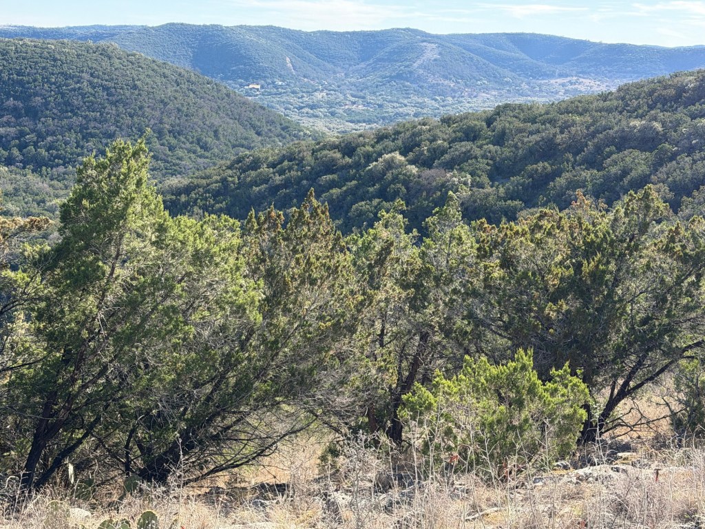
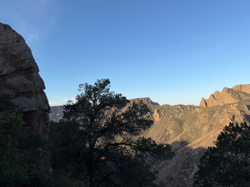
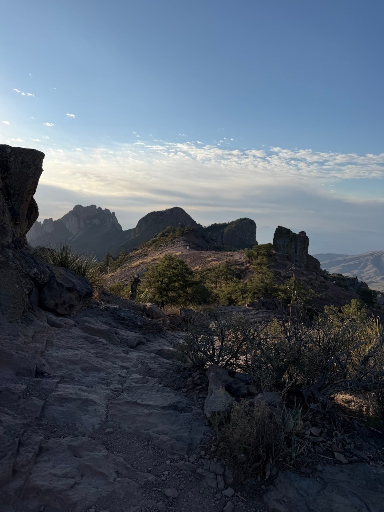
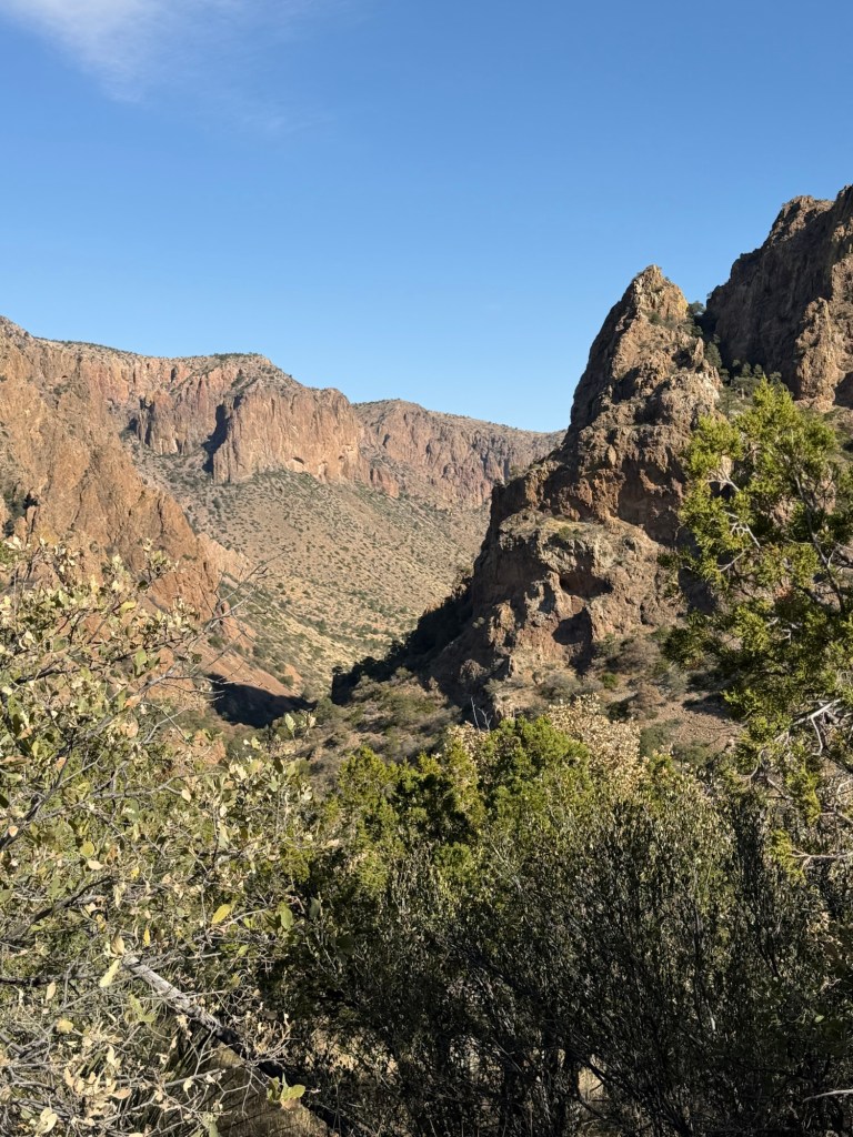
As the light increased the dramatic landscape of the Chisos Mountains began to appear.

It wasn’t long before we were walking through beautiful vistas.

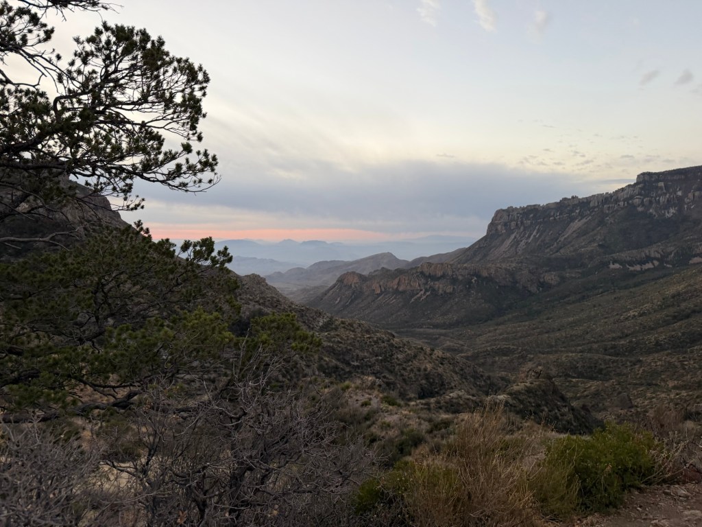
We could see towards the east, where the impending sunrise began to paint the sky. Notice the pinyon pine; up here in the Chisos Mountains there is more moisture and the desert drops away. They call these mountains an island in the desert.

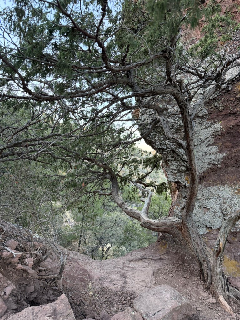
The trees get pretty tall.

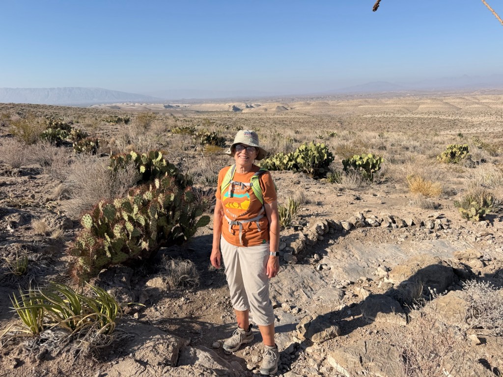
Everywhere I looked I was arrested by the beauty.

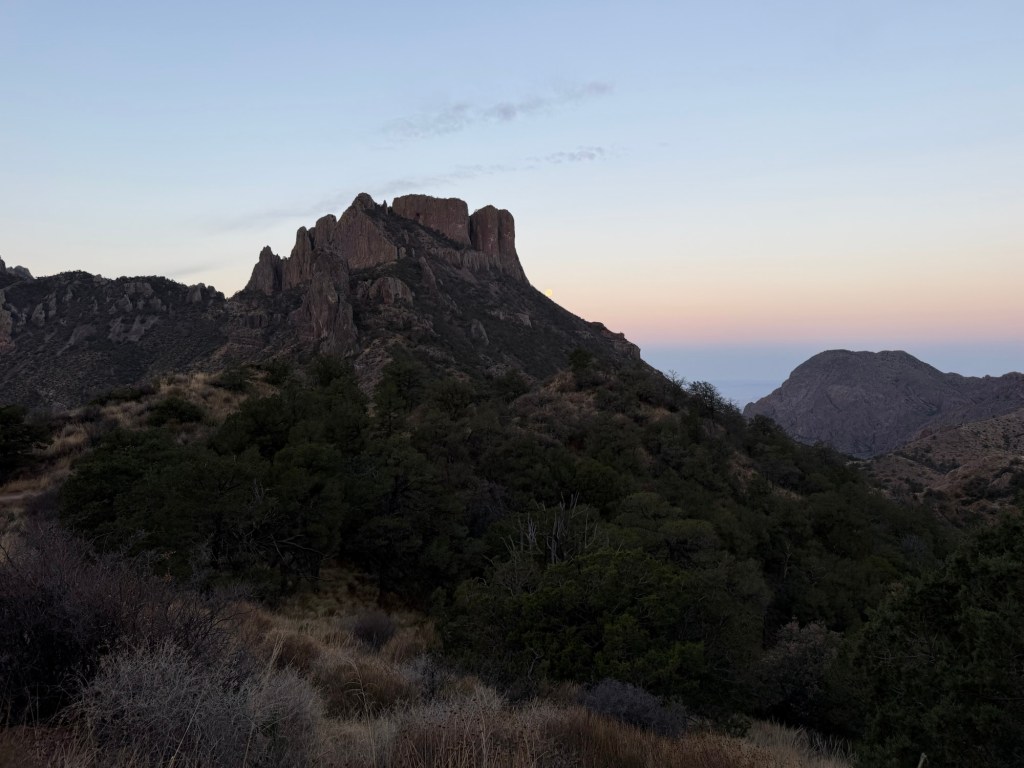
This was looking southwest,

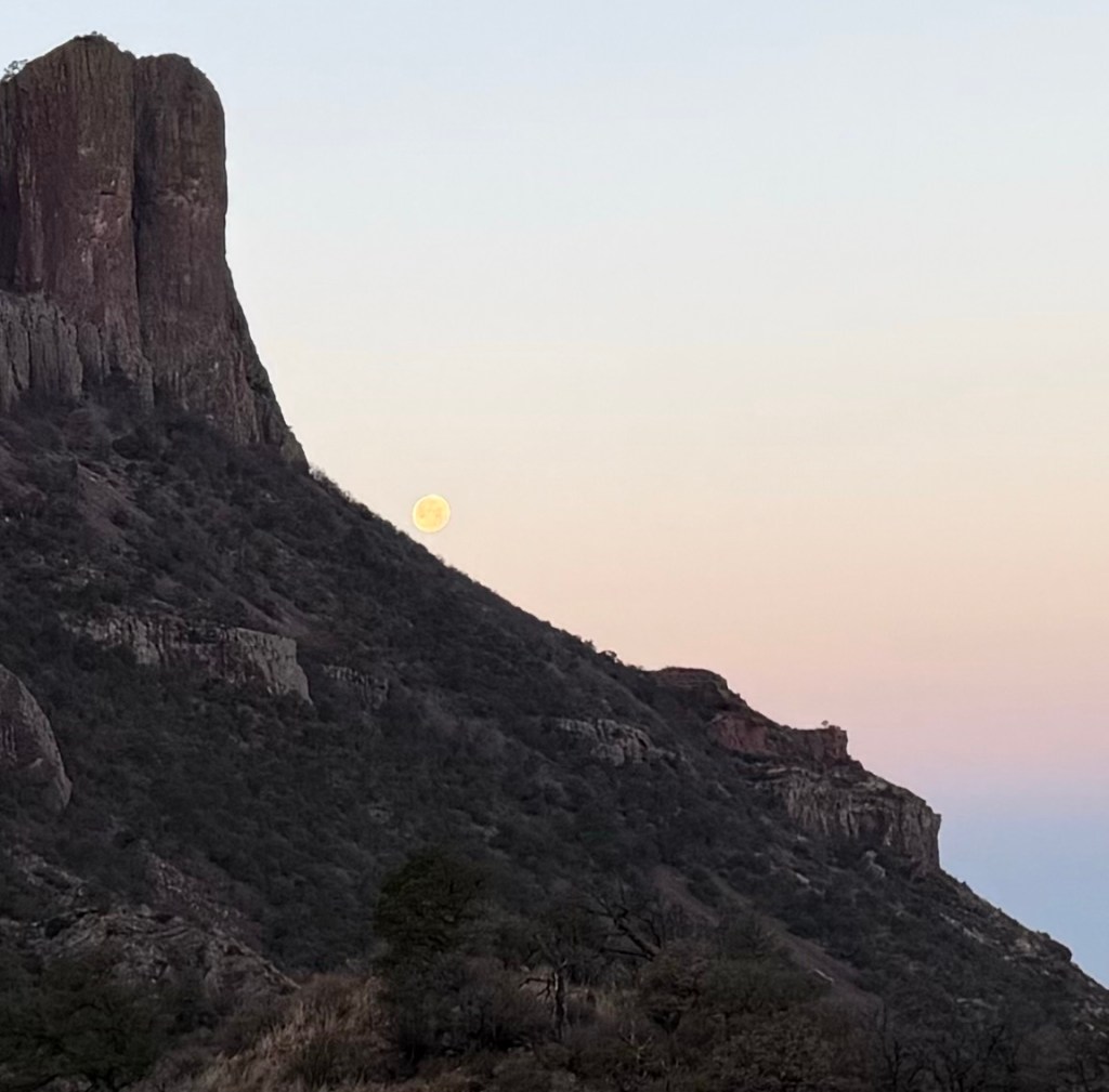
towards the setting moon.

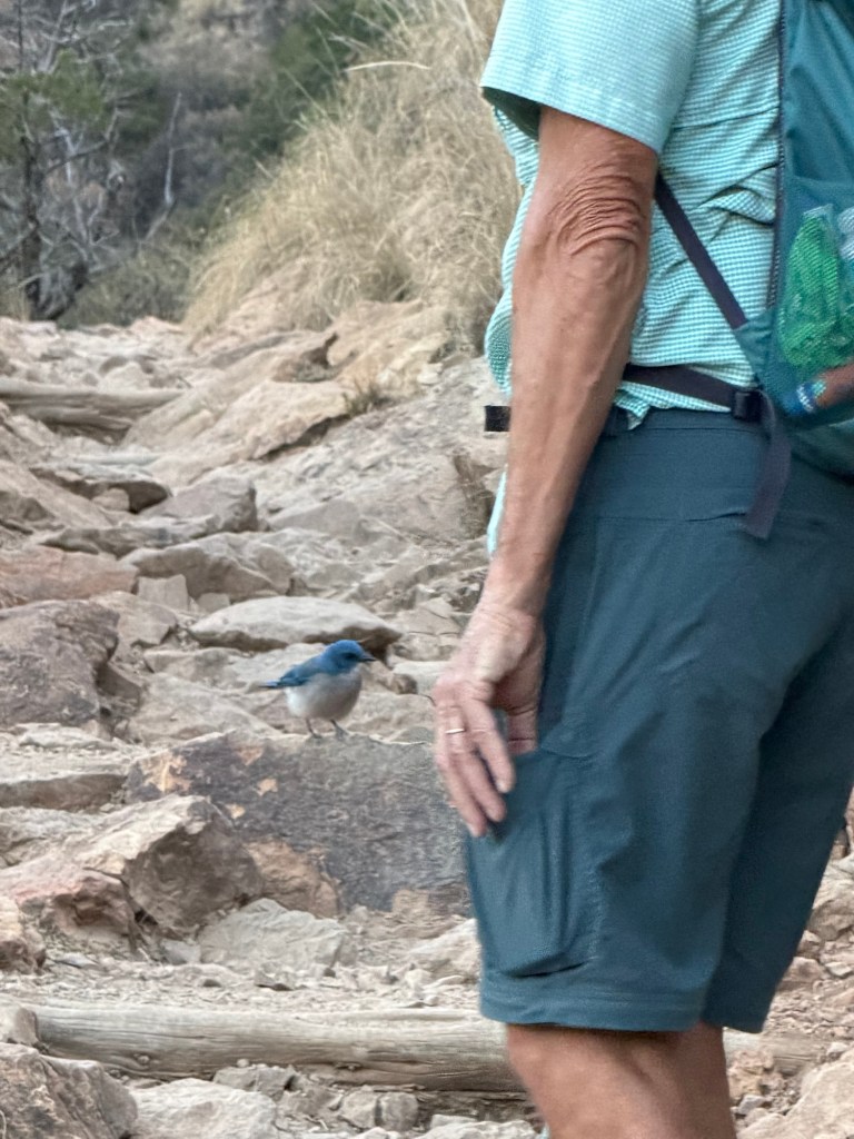
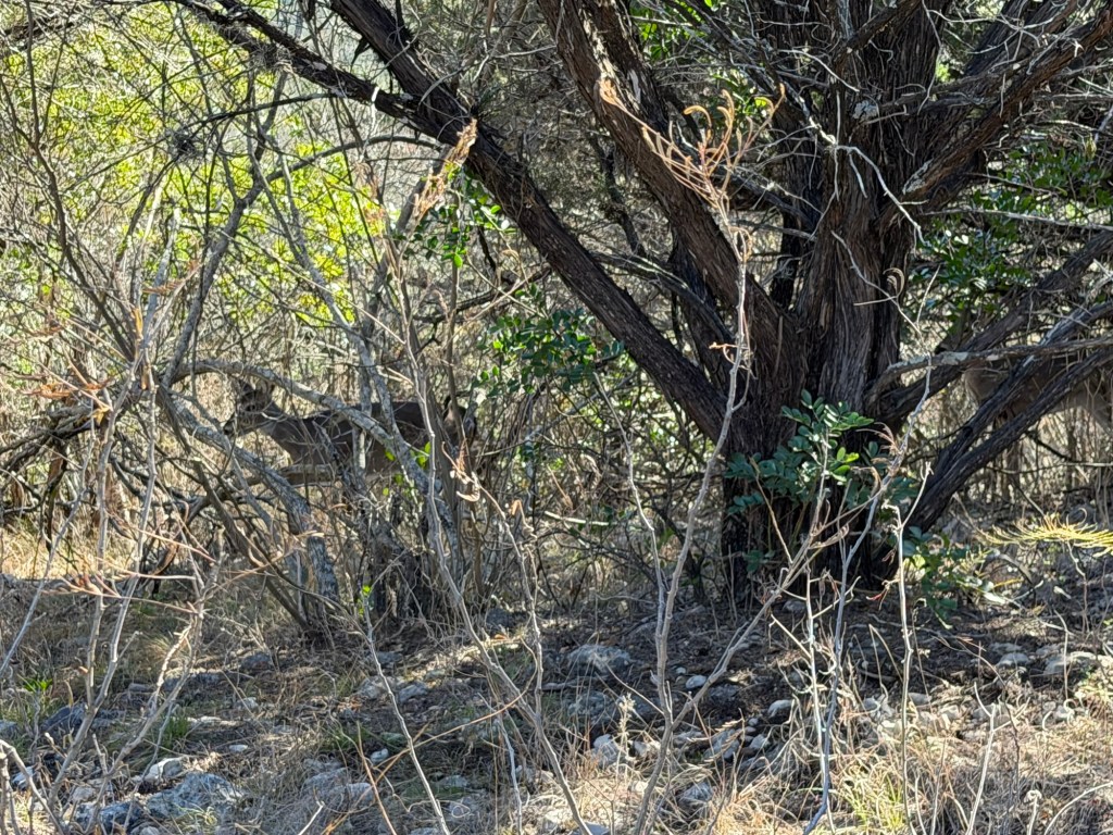
Suddenly Jack stopped. This bird was right on the trail in front of him. We have since identified it as a Mexican Jay. Jack says he never sees them except in the Chisos Mountains, but does see them every time he hikes up here.

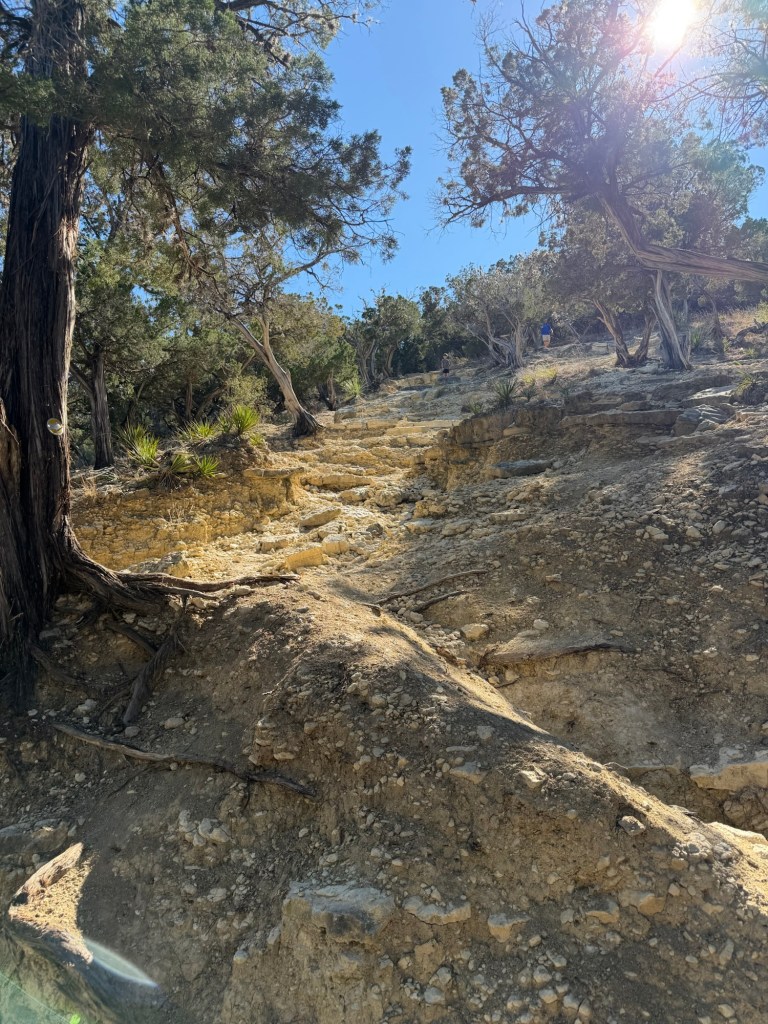
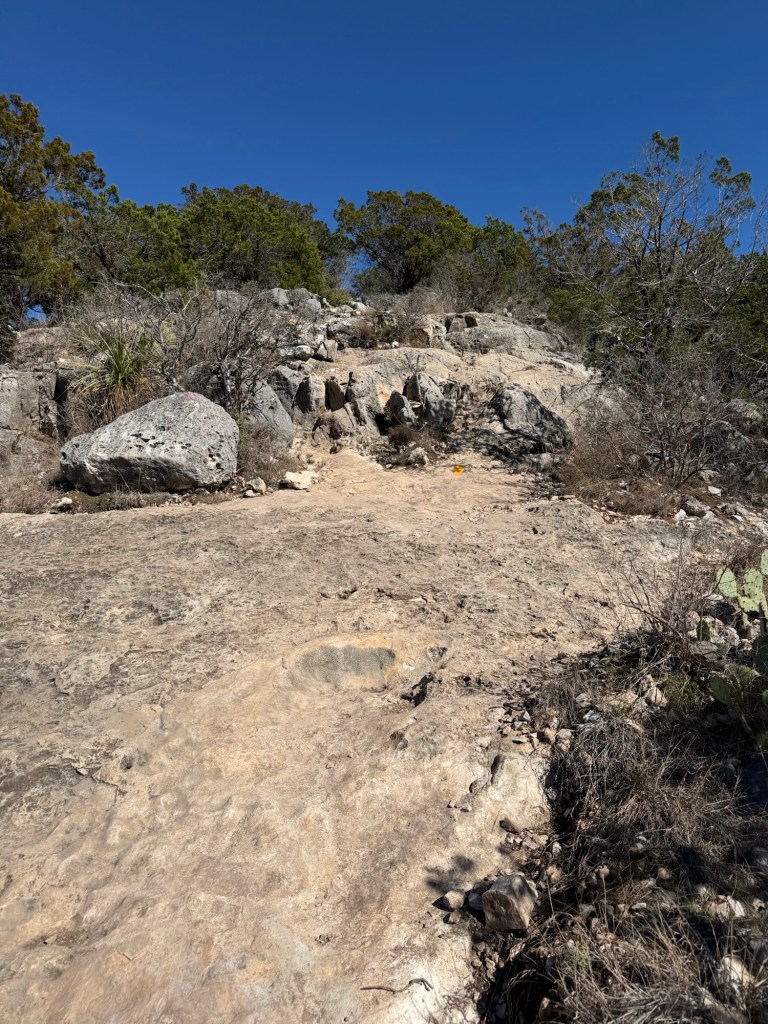
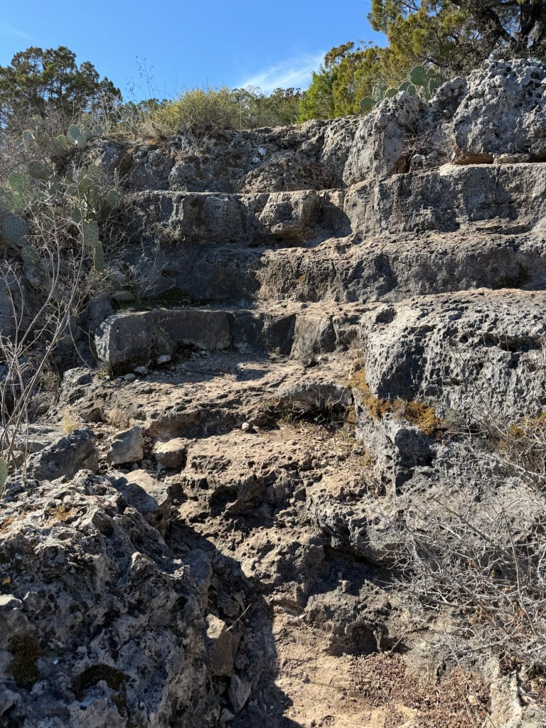
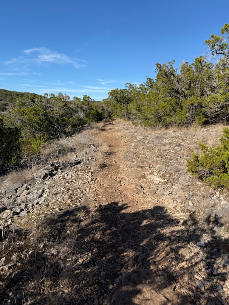
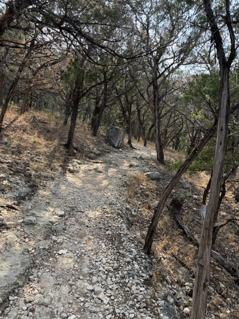
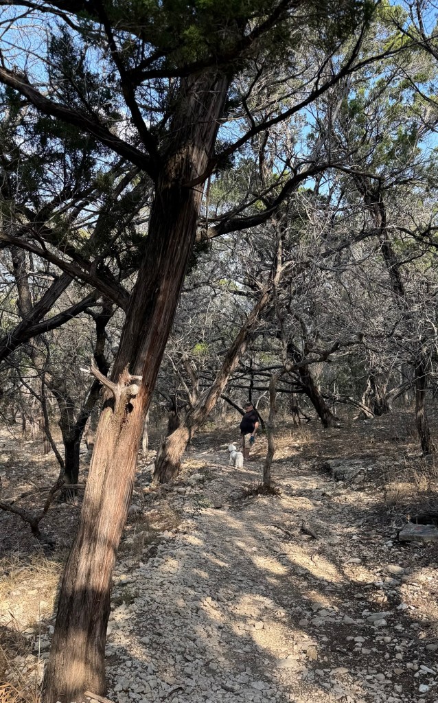
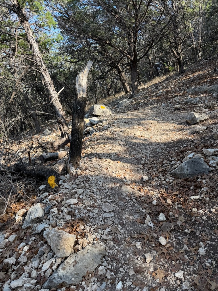
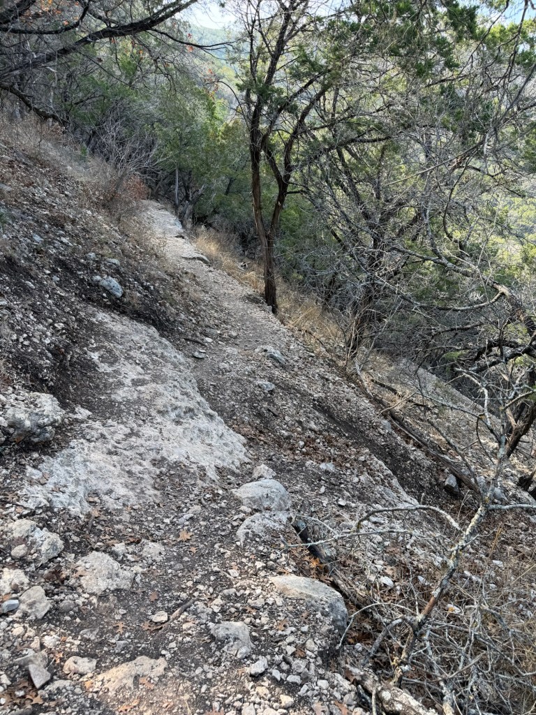
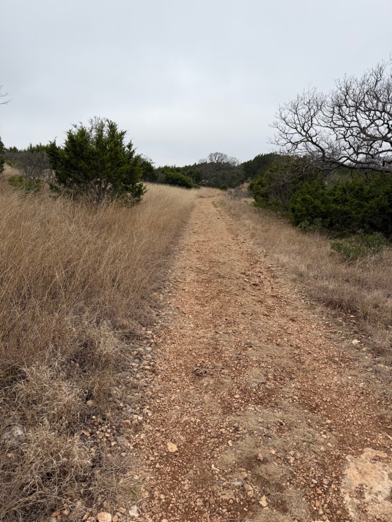
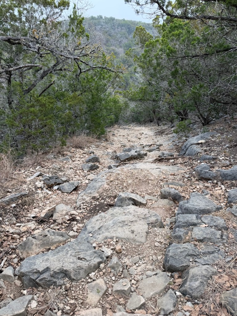
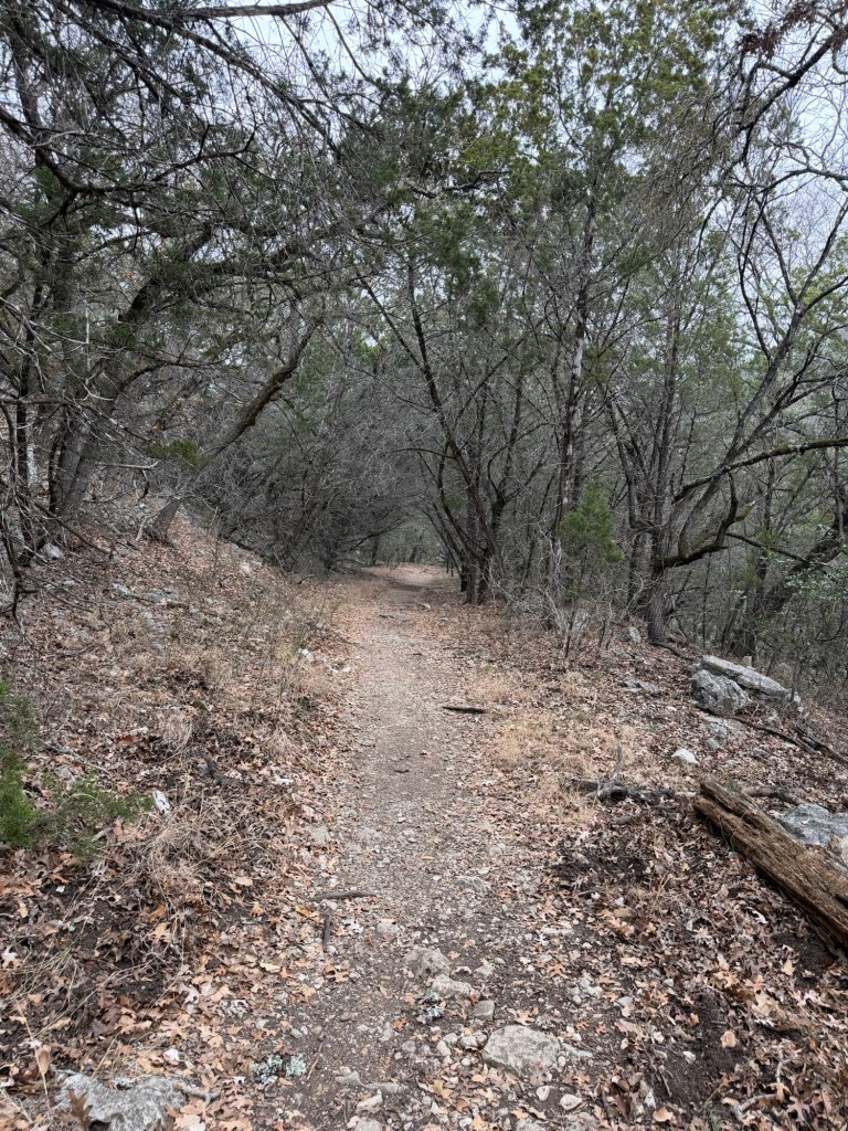
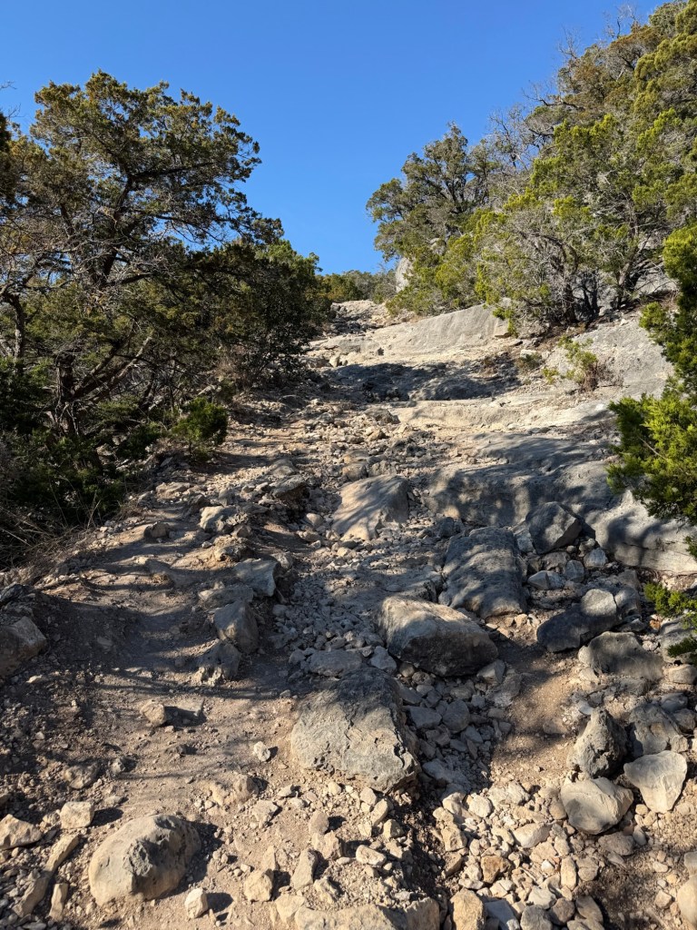
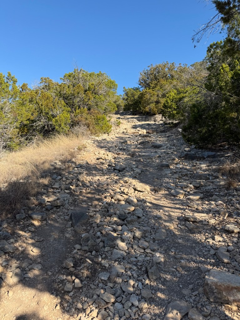
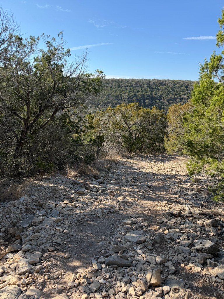
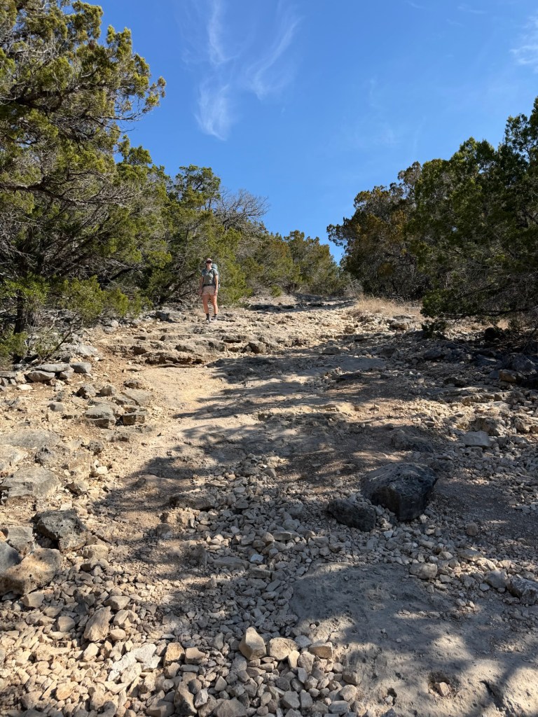
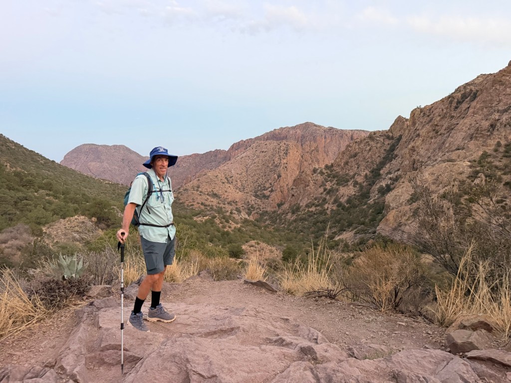
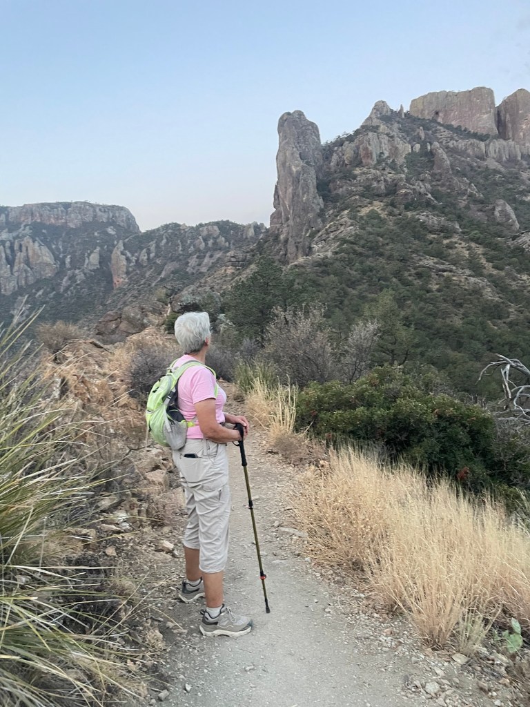
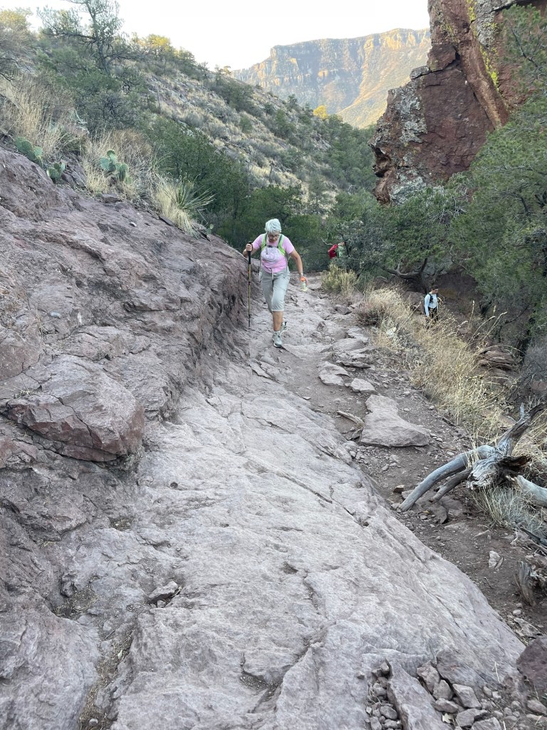
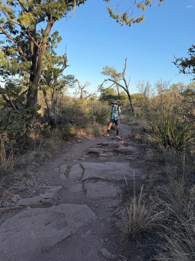
Most of the trail was like this. Not at all difficult, but going pretty steadily uphill.

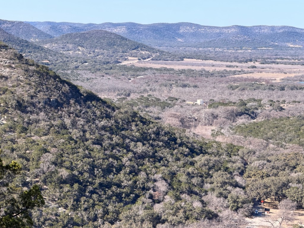
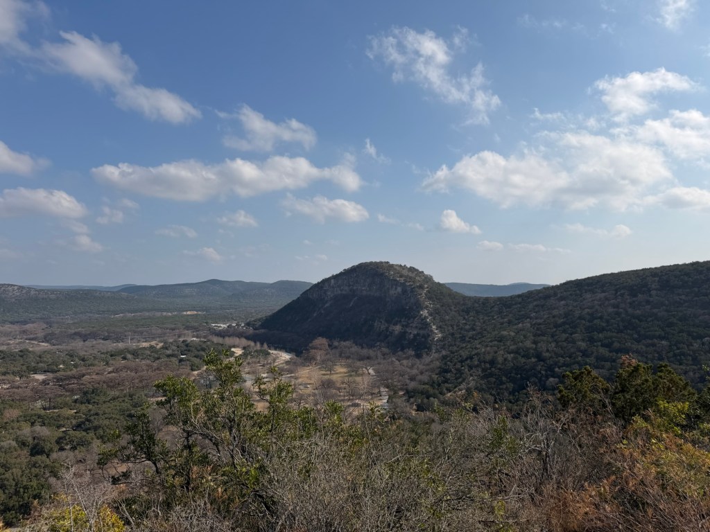
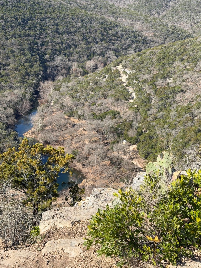
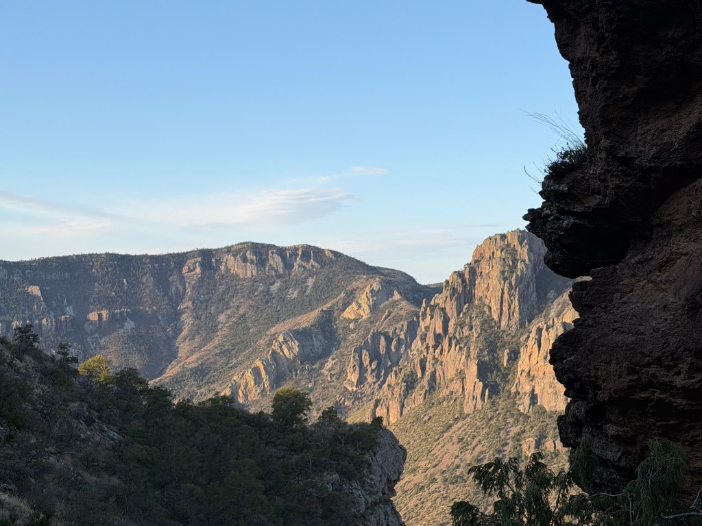
My progress was impeded more by frequent viewing stops than by the physical effort. This is looking down towards the Chisos Basin, where there is a lodge and campground. We aren’t high enough to see into the basin, but you can see the road as it passes over the last ridge.

We were still in the shade, but the rising sun was starting to light up the cliffs in the distance.

Minute by minute the vistas unfolded.

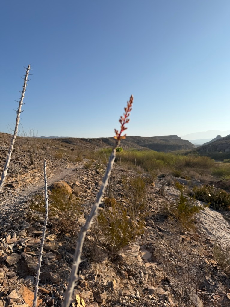
There was plenty of beauty close by, too.

It was hard to keep your eyes on the trail, which you sometimes needed to do.

At 8:02 AM we met the climbing sun.

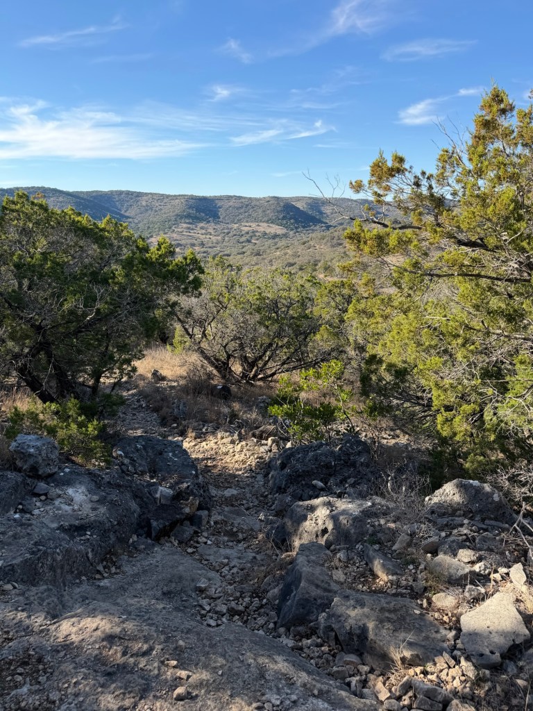
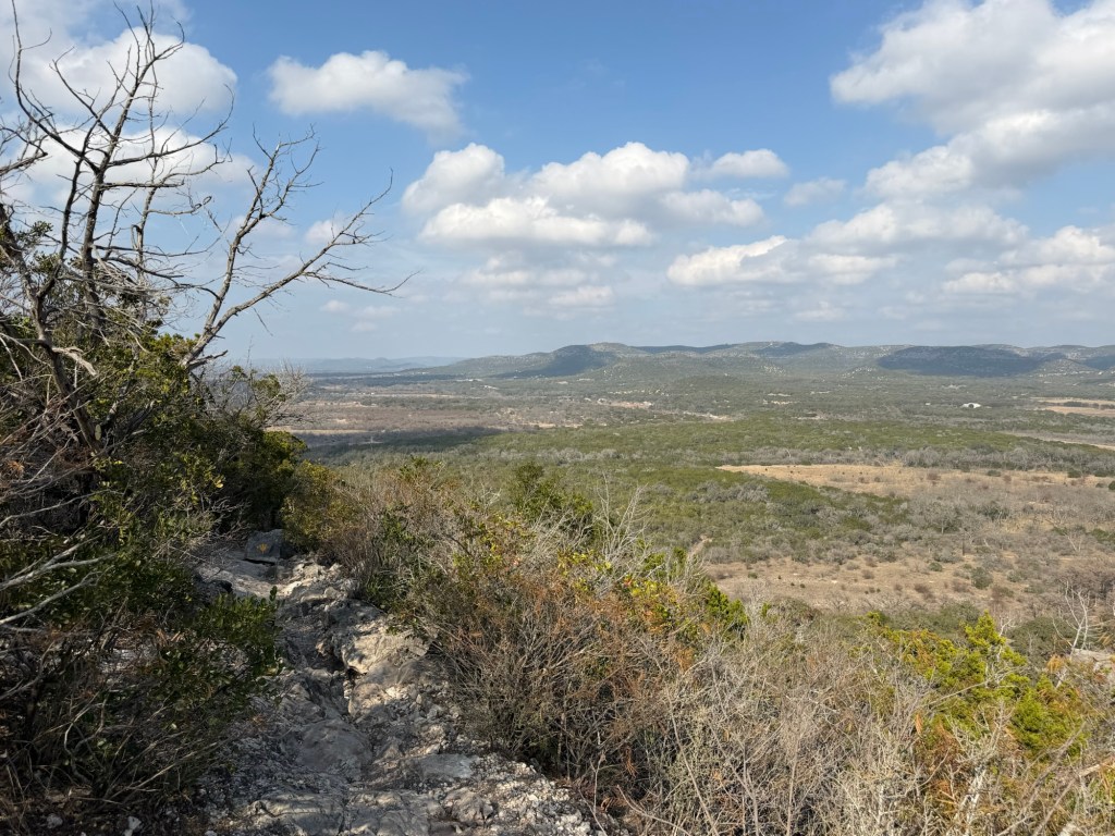
At this point we were walking along the top of a ridge.

There were higher mountains around us…

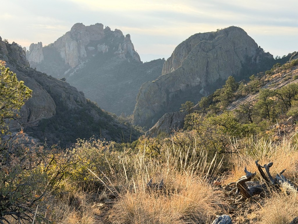
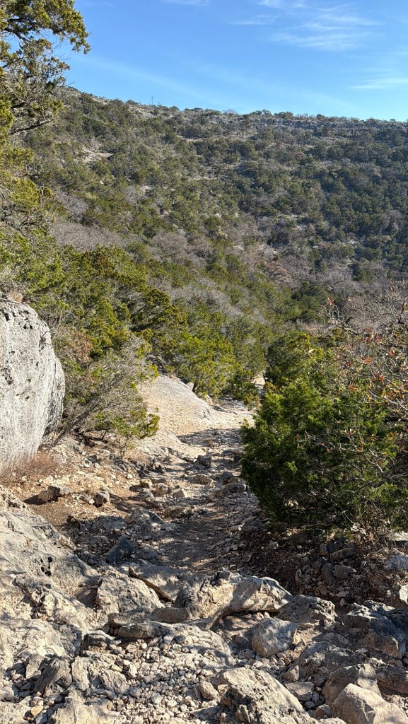
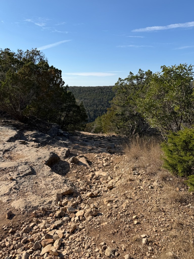
But we could see a long way down.

We were headed east, towards the end of the ridge.
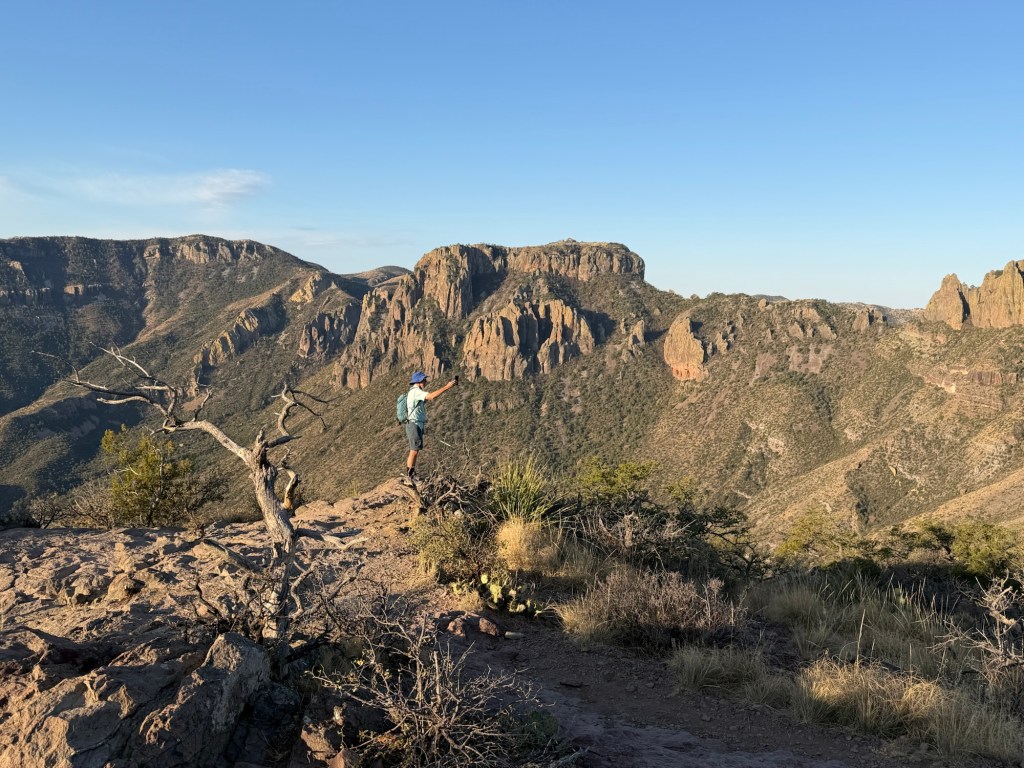
Jack…

and I both stopped to take videos.

This is what I recorded.

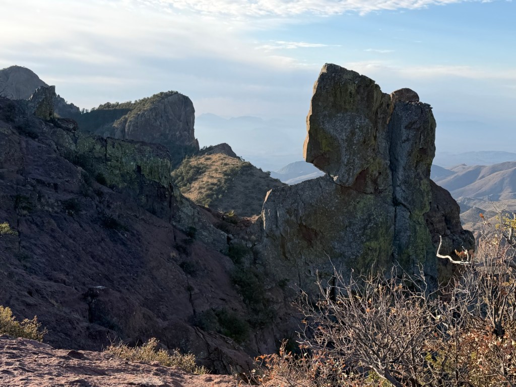
Near the end of the trail was this rather dramatic knife edge boulder.

And then this rather dramatic neck of rock to cross. It sloped steeply to the left and dropped off abruptly on the right. Not a place you’d want to slip and fall.

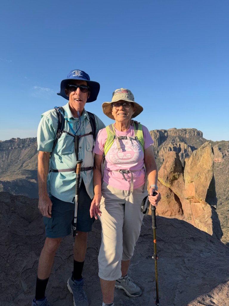
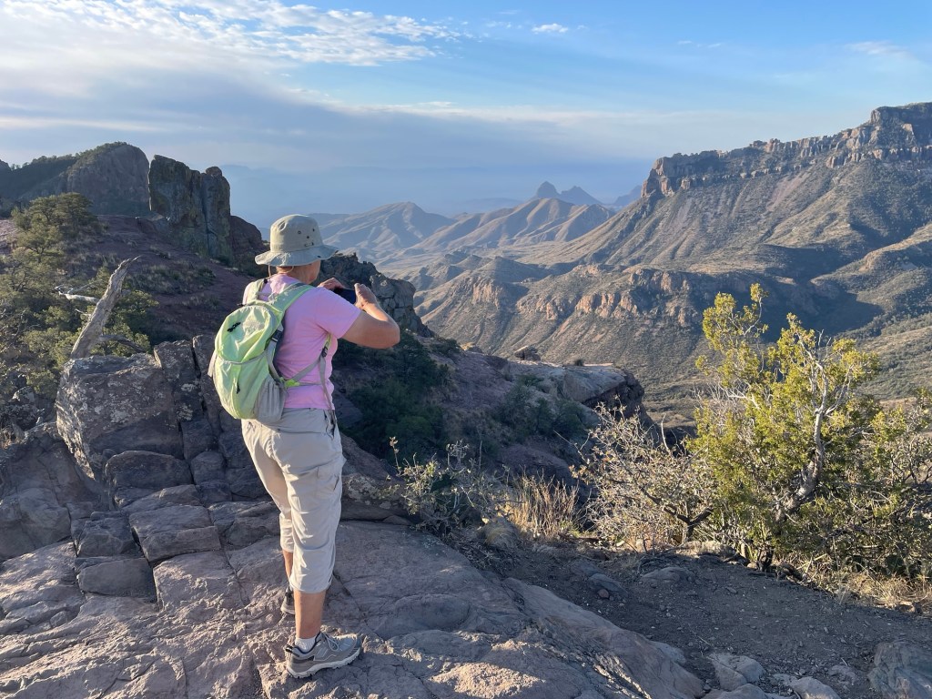
But we both made it,

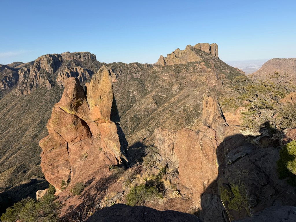
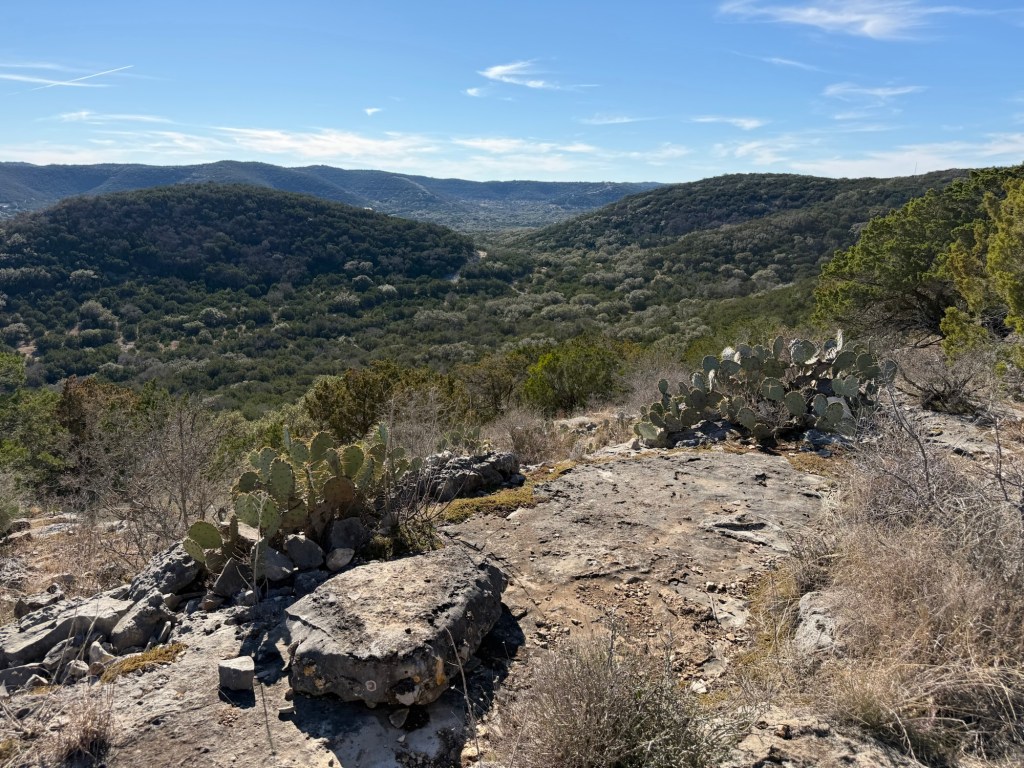
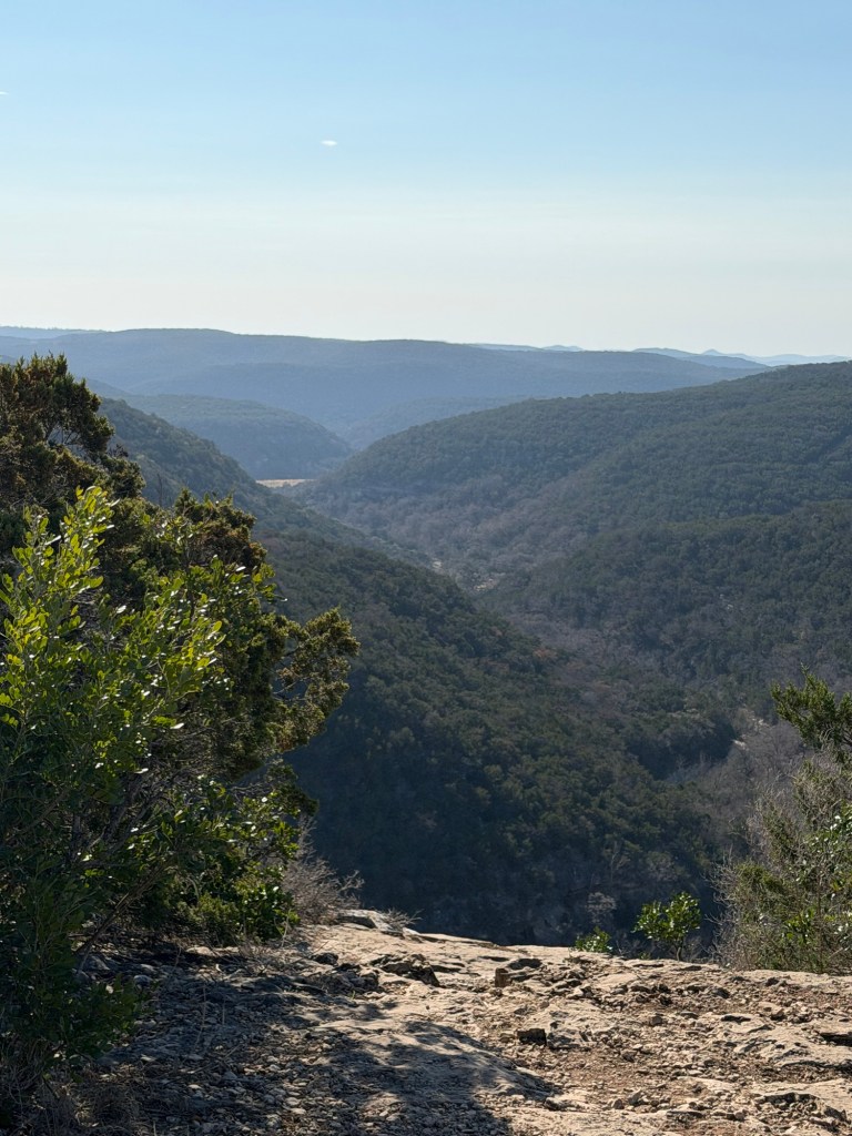
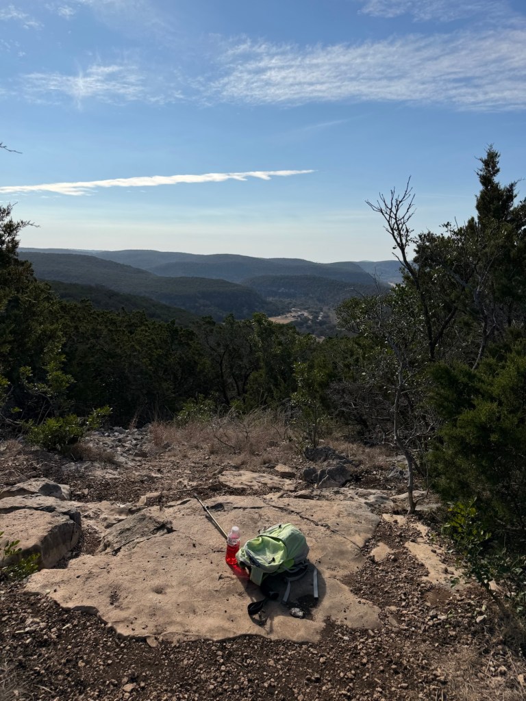
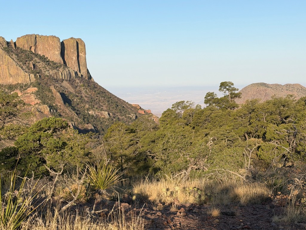
and were well rewarded for our climb.

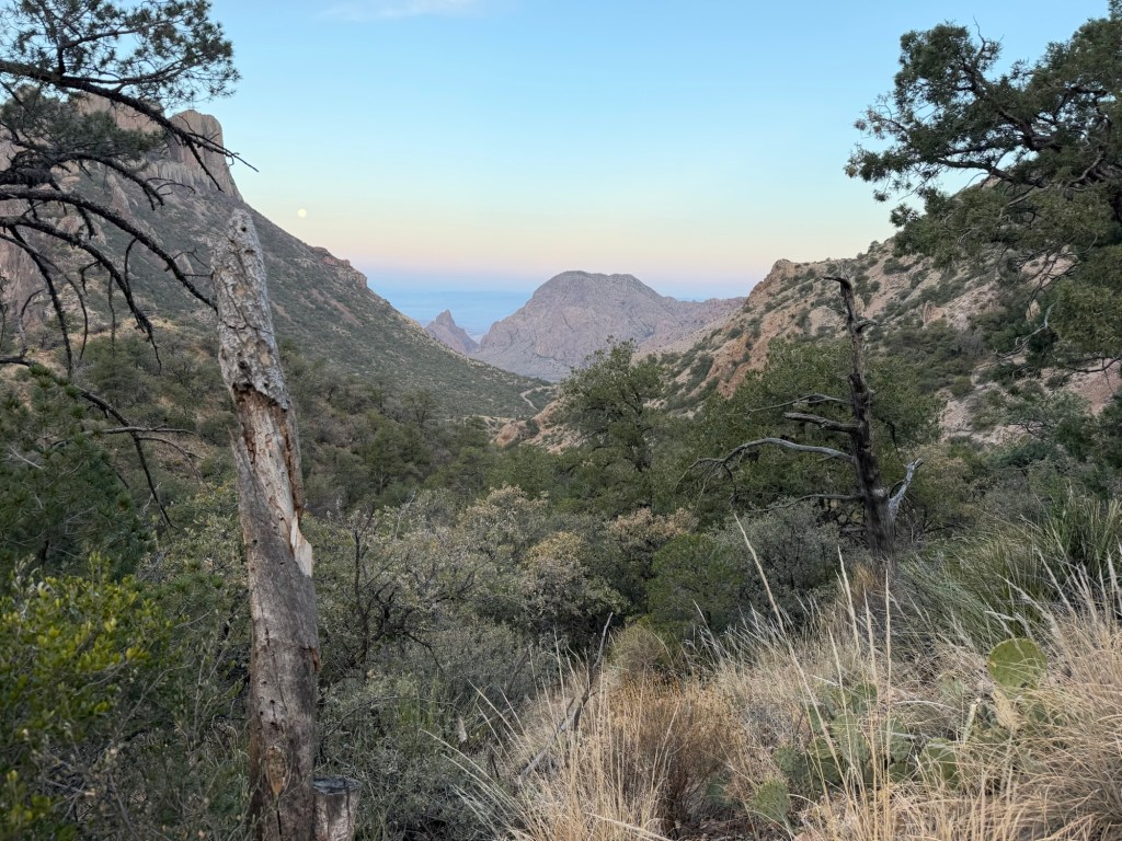
We’d come up over 1200 feet in a bit less than two and a half miles, but none of it was arduous. This view alone would have been worth it, but the views were gorgeous the whole way.

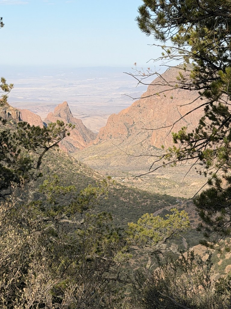
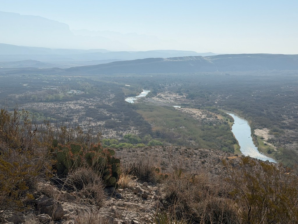
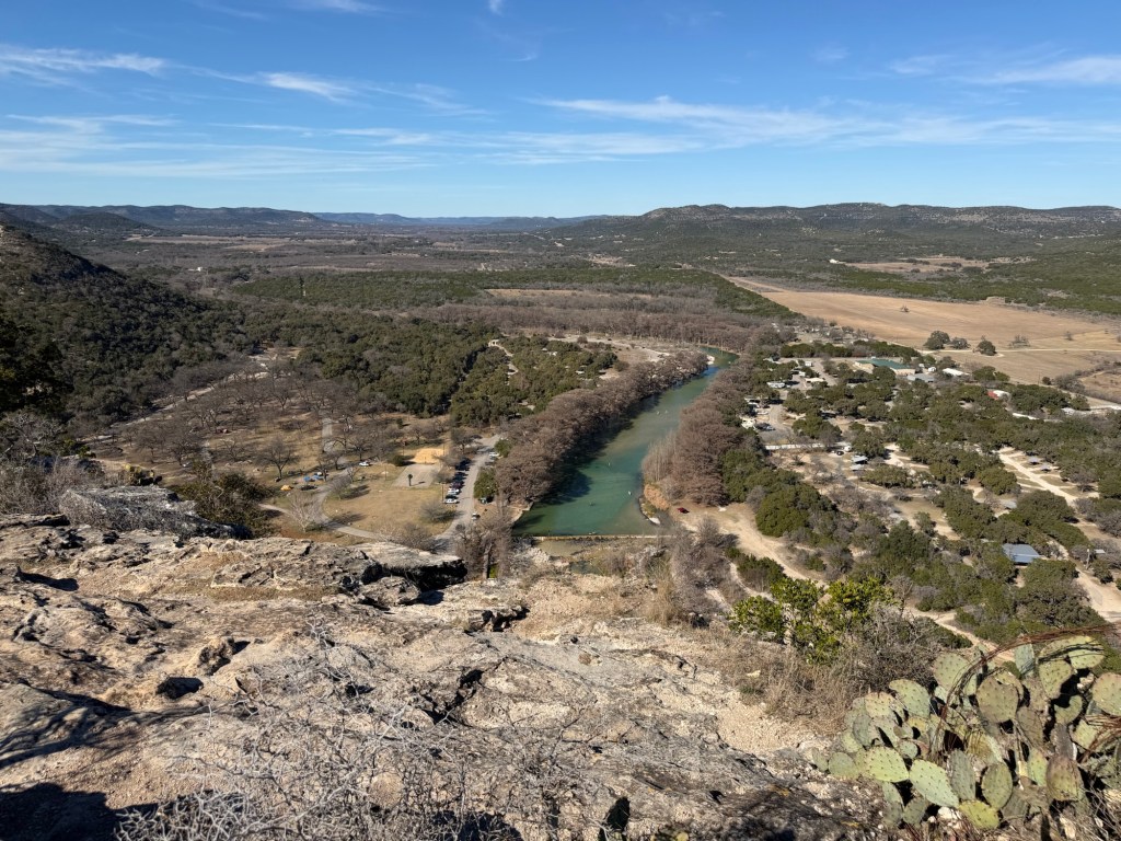
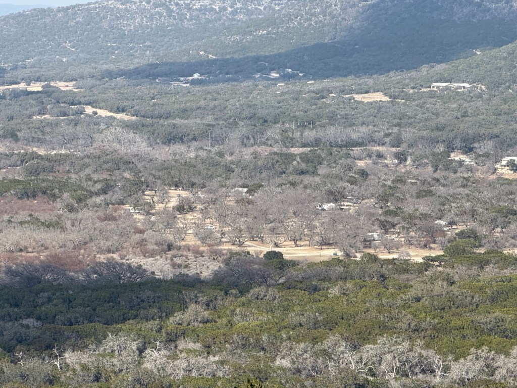
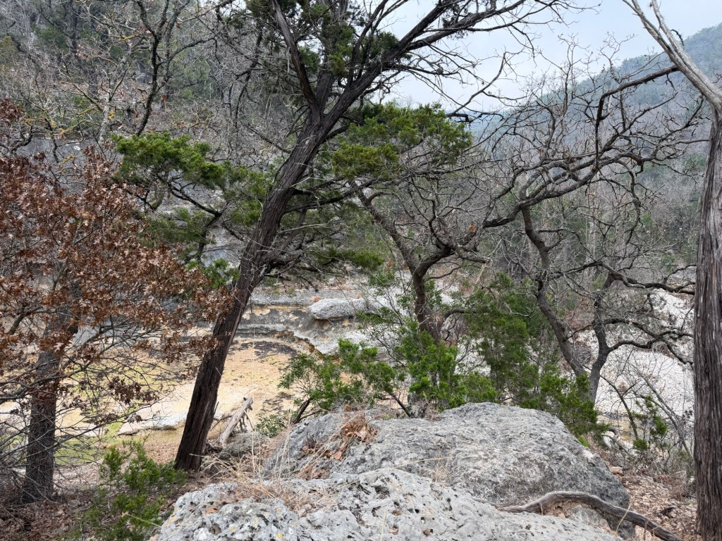
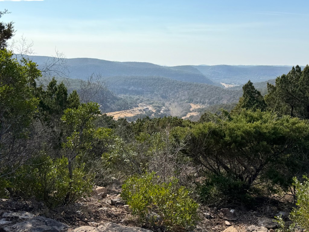
Coming back down was much faster, but I still had to stop to catch some shots, like this where you can actually see into Chisos Basin and see the campground down there. The V shaped notch in the far mountains is the famous Window, and we hope to hike to it tomorrow.

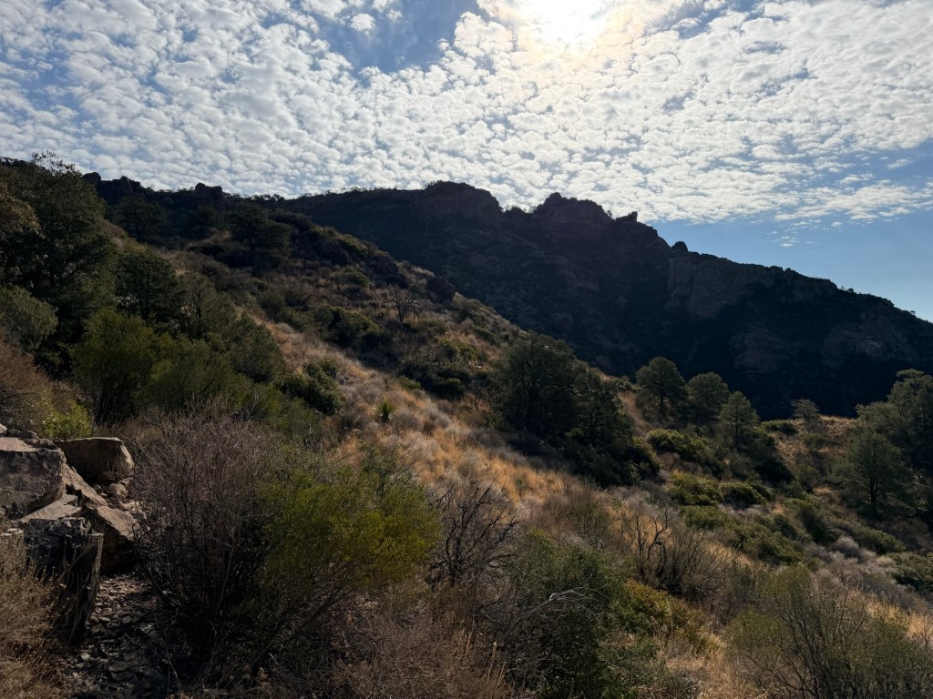
The play of Sun and clouds caught my eye here.

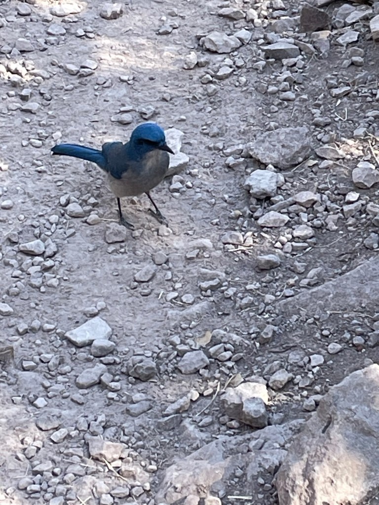
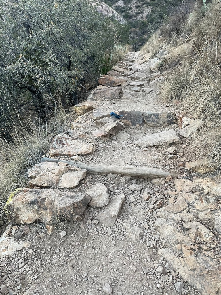
We met what we think was the same Jay on the way back down. This is Jack’s picture of him.

And now that I was returning in daylight I saw the valley we drove up to reach the trailhead.

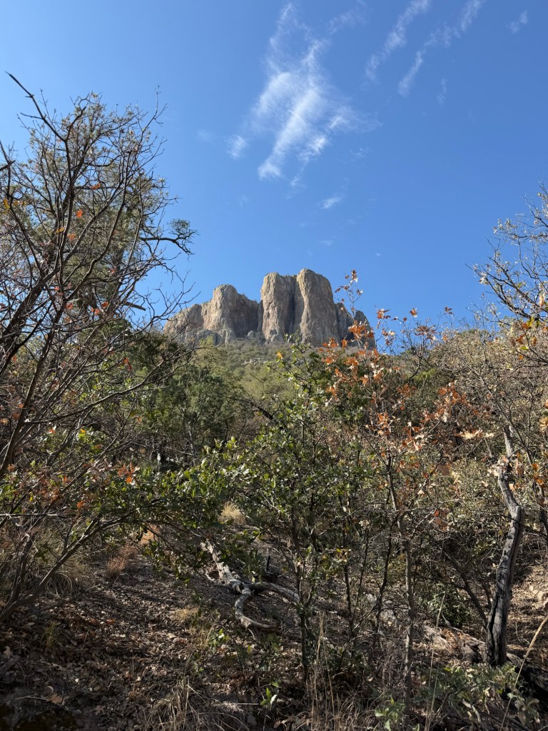
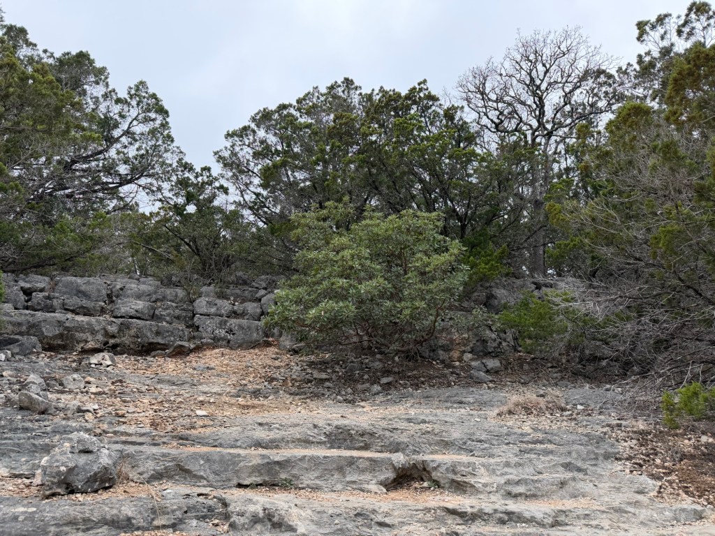
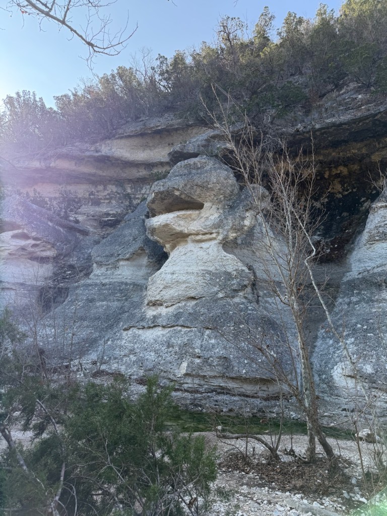
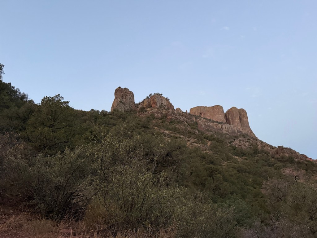
The first rock formation I noticed on the way up impressed me again. What a spectacular hike, no wonder it’s so popular. Thanks Jack for missing your morning coffee to get us to the trailhead for this.

Big Bend National Park; Looking at the Ernst Ridge Trail Through the Eyes of Loss

We are back at Big Bend National Park, this time visiting with Jack. This picture is moonrise over the Sierra del Carmen range in Mexico as seen from our campsite at Rio Grande Village RV Park. I am having a very hard time writing this post as so many emotions are swirling through me.

It is wonderful to be back in this vast, wild land. We have not been in such wildness since the north shore of Lake Superior. Places like this feed my soul.

But I just learned that this great National Park is now in danger.

On February 17th the Department of Homelamd Security “set aside” 28 laws to clear the way for border wall construction in the Big Bend region. According to the Texas Monthly these laws included “the Endangered Species Act, the National Environmental Policy Act, the National Historic Preservation Act, the Clean Water Act, the Migratory Bird Conservation Act, the Clean Air Act, the Wild and Scenic Rivers Act, and the Historic Sites, Buildings, and Antiquities Act”.

This morning Jack and I hiked the Ernst Ridge Trail. Bud dropped us off at the Hot Springs historic site where the sand has drifted enough to almost bury the picnic tables.

What will happen to this place and its palms that were probably planted in the 30’s?

What will happen to the Hot Springs,

where Jack enjoyed a morning soak?

What will happen to the horses that freely range across the river?

What will happen to this beautiful trail?

I was happy to show Jack a trail he had never taken, there aren’t many.

Will this beautiful trail even exist in a few years?

And what about this plain with the Rio Grande Village campgrounds?

But surely, the plans don’t include an actual wall in the park.

Well if you look at this map, a physical wall is planned running right through Rio Grande Village, the Hot Springs and over 100 miles more of Big Bend.

To quote the Texas Monthly:

“The idea of a border wall in Big Bend was once unthinkable.

The far West Texas region is one of the most remote, unpopulated places in the continental U.S.—a hot, arid landscape that defies human existence. Few migrants bother to cross the border here, for the same reason few people have ever called this part of the Chihuahuan Desert home. Summers are deadly hot, water is scarce, and any trek by foot will be long, arduous, and dangerous. Much of the Rio Grande is sheltered by steep, unscalable canyons—some as deep as 1,500 feet—that are far more effective in deterring illegal crossings that any man-made fence could ever be. The Big Bend sector of U.S. Customs and Border Protection, which encompasses nearly a quarter of the U.S.-Mexico border, typically has the fewest crossings of any of the agency’s nine sectors. In fiscal year 2025, there were just 3,096 apprehensions of migrants across 517 miles. The border here has never been open, not really.”

So what will the billions we spend on a border wall do?

According to Kristi Noem there is “an acute and immediate need to construct additional physical barriers and roads” along the U.S.-Mexico border. She describes the Big Bend as an “area of high illegal entry,”

Those who live here and visit here don’t see it. Again, according to the Texas Monthly, “There is virtually no support for a wall in the Big Bend region. Every local elected official—Republican or Democrat—who has spoken on the issue has rejected it.” Here the illegal entry that would be stopped…

is the folks from the village of Boquillas del Carmen, who set up makeshift stands in trafficked areas of the park to sell their handcrafts on the honor system. Also stopped would be the wildlife; coyotes, bobcats, and more that range in the park and come to the river for water. They can’t advocate for themselves,

but the people from Boquillas can.

They want you to know what’s happening, and so do I!

Just remember, the desert doesn’t recover. This railroad bed in Seminole Canyon State Park is still visible after being used for just 10 years over 130 years ago.

The damage we do to Big Bend will be permanent.

It makes me sick!

It makes it hard to see this beauty.

The Fate Bell Shelter

At every curve in the Seminole Canyon is a rock alcove carved by the periodic rushing water through the canyon walls. One of the largest is the one you can see near the top of this photo, the Fate Bell Shelter.

You can only visit with a guided tour and on Thursday I took the tour.

That’s the Visitor’s Center at the top of the canyon where the tour starts. The only trail into the canyon in the park is the one from the visitors center.

This whole area was once a shallow inland sea and the limestone of the surrounding desert and the canyon is composed of the shells of ancient sea creatures. There are fossils all around and our guide pointed out these as we walked by.

Our guide also explained why a canyon in south-central Texas is named after an Indian tribe from Florida. A group of blacks had fled slavery and lived and fought with the Seminoles. They were also exiled to Oklahoma with the Seminoles. Some fled to Mexico and some came to join the army as scouts. These Black Seminole Indian Scouts were stationed at Fort Clark. They patrolled west from there protecting white settlers from Apache and Comanche Indians who were still trying to repel the whites. There is a spring in the canyon floor not far north of here that they used as an outpost. It became known as the Seminole Spring and the canyon as the Seminole Canyon. The Black Seminole Indian Scouts have a storied history and a group of their descendants has a web site which I would recommend if you are interested.

Meanwhile, at least 5,000 years ago other people were sheltering in the canyon.

High on the canyon wall is the huge Fate Bell Shelter (named for an early land owner, Fayette Bell, whom everyone just called Fate).

And for over 4,000 years people had been painting on the shelter walls using crushed minerals mixed with animal fat, water, and a soapy substance from yucca plants that acts as an emulsifier.

5,000 years later their paint is still adhering to the walls.

Lance, our guide told us about recent research done with digital microscopy by a team led by Carolyn Boyd that has shown that the colors of paint are always applied in the same order; first black, then red, yellow and lastly white. And the later colors are not just placed over the earlier colors. So the whole image has to be mapped out in some way before the first color is finished.

They also found that the images and techniques are consistent over that 4,000 year span. What an accomplishment!

Speaking of accomplishments, this little tree was growing upside down on the lip of the huge alcove.

And back at the campsite I spotted on this patch of inhospitable ground…

three tiny flowers

The things I see on my travels both inspire and humble me.

On the Edge of the Desert

We are definitely not in Texas hill country anymore.

We’ve gone west, not far past the Amistad Reservoir, which is quite low,

to Seminole Canyon State Park and Historic Site.

We are in miles of emptiness on the edge of the Chihuahuan Desert.

This is a place of far horizons,

vast skies, and lovely sunsets…

and sunrises.

But the emptiness is deceiving. What looks to be flat…

conceals the huge Seminole Canyon.

And though there doesn’t seem like much besides cacti and scrub bushes, when I walked into that bird blind this morning I was surprised to see 30 or so birds and

this collared peccary. No wait,

this family of collared peccaries!

Yep, they do eat prickly pear cactus. So, by the way, do we; but Bud was able to buy ours in the grocery store with the spines already removed.

New leaves are coming on the mesquite and I’m sure there are walking and crawling beasts all around that I just don’t see. We are here until Sunday so I hope to report on further explorations. Right now Matey and I are sitting in the shade because it’s 85 on its way to 94 or so.

Fort Clark Springs Campers World: a Mixed Bag

The Empty Saddle statue that commemorates fallen calvarymen greets you when you enter Fort Clark Springs in Brackettville, Texas.

To quote their association materials, “Fort Clark Springs is a gated recreational community encompassing approximately 2700 acres of land. At least 1,600 acres will remain as club ground (Community Property of Green Area) for all members to utilize and enjoy.”

Among their amenities is the RV park. The sites are typical of a commercial RV park,

but since they offer monthly rates, some units are set up to be seasonal, at least.

Members here have all kinds of housing. There are very nice traditional homes in some areas.

In the historic area of the fort some of the old barracks are now townhomes and condos.

This has been a gated community since 1971, and some streets have single wide trailers that look like they are from that era.

They also allow permanent RV sites, and I found the variety of these fascinating. Almost all have metal structures to protect the RV. Some are fairly simple and it looks as though those people take their RV out on the road regularly.

Some are quite large. To pull the trailer out of this one you’d have to take down a panel on the front of the building.

Some have structures built inside the RV “hangar”, to give you more living space when you’re here.

Sometimes that becomes the house and the RV is gone.

Like the housing, the rest of the grounds are varied. The whole place is a bird sanctuary,

and they have beautiful axis deer, but as you can see, the yards sometimes look fairly junky,

and some of the units in the storage area…

are probably past their useful life.

Nevertheless, I have enjoyed wandering the trails with Matey. Many are old roads from when this was a military base.

First built as a fort in 1852…

it was expanded and in use until 1946. As you can see from the signage…

things aren’t very formally done, but that adds to the adventure.

From time to time you come to an oasis of live oaks.

I was a bit dismayed by this footbridge,

that had approaches to restrict golf carts and came close to keeping Matey’s stroller from passing.

All of this is here because of Las Moras Spring, which has been used by people for millennia and today feeds a swimming area.

I stopped there today on my four and a half mile walk with Matey.

Unfortunately, Las Moras Creek is sluggish, murky and weed choked.

Again, almost beautiful, but not quite.

Still, it has been a nice enough place to stay and I was able to wash and wax the camper, so although it is a mix of good and bad we are happy to be here for now.

Exploring by Truck and Foot

We have an App on my iPad called OnX, that gives off road trails all across the country. We have the filter set to full width roads for the Ram. I had found a long series of roads in the area called the Texas Hill Country Tour. This morning we decided to drive a section of it. We drove 35 miles to get to the nearest section.

Just getting to the trail was pretty.

This is one of those bridges built to flood. This is on a four lane section of Texas Highway 55 we took coming home from our drive.

The first part of the trail we took was along Cedar Creek.

These were county roads, this one crossed the creek several times. Some were low water crossings, like this.

Some were on gravel causeways with culverts.

Along the creek were the hillsides carved over millennia.

The water was clear and bright blue in the sunshine.

You could see the road had been recently graded, but still there were places where it was washed out.

At the last crossing we stopped to let Matey get a drink.

The road headed uphill, following a smaller creek that was dry now.

We were in back country and my phone navigation was blank.

But I had downloaded the OnX map, so the GPS showed our little blue dot following the Texas Hill Country Tour.

Now we were coming up onto the hilltops.

This is the first of many of these gates we drove through. Two pickups had just passed through going the opposite way. They simply drove slowly into the gate and let their brush guard push the gate open. We have a brush guard, but ours has never hit anything larger than a bird and Bud didn’t want to scratch it up, so I got out and opened each gate.

They are really heavy. Two cables come from a cross beam above them. The gate is fastened around the pole and there is a lot of grease so the gate can swivel and slide on the pole.

When the gate swings left, the right cable tightens and lifts the gate up the pole. Gravity then swings it back.

When it swings to the right the left cable tightens and again the gate slides up the pole. Gravity brings it back and after a couple of swings it settles back in the middle, in the closed position. Trucks driving down the road never have to stop, their brush guards swing the gate open and after they’re through the gate settles closed behind them. The gates seem to swing quite wide, they don’t scrape along the trucks, in fact we saw two pickups go through together, only the first one pushed the gate open. Pretty ingenious.

And yes, there were cattle,

who were very nonchalant about the passing traffic.

This is a cattle loading pen. It looked quite old, but looked like it was still in use.

Besides being ingenious, folks seem to have a sense of humor. I can’t figure out what trespassers will be told once they are hog tied. Do they have a “pretty mouth” or “dirty mouth” or something else altogether?

In any case it was an interesting trip in beautiful country.

I still hadn’t hiked up Old Baldy. After lunch I asked Bud if he could drive me to the trailhead.

The park road is being worked on and to get there you have to drive this section of one lane road controlled by a traffic light. There are no pedestrians allowed along the road or the river trail below it. So I decided I would hike back out through the back country.

This is near the base of the trail to Old Baldy, and this is where we decided is wasn’t a good trail for Matey.

And it got worse.

For a long way I was scrambling up an area of scree, without knowing exactly where the trail was.

Once in a while, looking back, you could see there were signs to keep people from getting too close to the edge.

I didn’t like getting anywhere near the edge. Can you see that car parked down below? Go too far that way and you might quickly join it.

I thought about turning onto the Foshee Trail when it joined. There was a pretty good view from that junction.

But instead I kept going. At times I was using my hands, as well as my feet to climb, my climbing stick dangling from the wrist strap.

This is the view I finally saw.

The view is cut off by the edge of the cliff. I didn’t want to get too close.

I did go out far enough to get a peek downstream.

The hillside on the left foreground is where I climbed to the Picture Rock Overlook.

I carefully returned until I could cut across the hills on the Foshee Trail. Almost immediately I spotted four deer. I just managed to capture an image of one in the brush.

The Foshee Trail is listed as moderate, as opposed to challenging. It had its moments.

It also had some lovely views.

Past the old rock wall,

was some delightfully level trail.

More rough trail was rewarded with more nice views.

Then began a long trek downhill, rough, but nothing like Old Baldy. At the end of the Foshee Trail I took the short Wild Horse Creek Trail.

I came out into the Shady Meadows Camping Area, from which I could look back at the hill I’d traversed.

I walked the park roads over to the Frio Canyon Trailhead and followed that trail to a cutoff that led back to our campground. Phew!

In reviewing the hike as recorded by my Apple Watch and iPhone I found that it made a map for me, I started at the green dot and finished 4.24 miles later at the red dot. The red, yellow and green on the route match my heart rate. No green on Old Baldy. There’s a little side blip towards the end. That’s where I walked out to the river to see if Rio Frio really is cold. Didn’t seem so to me, but maybe it stays cool even in the summer.

I also found my watch keeps splits for each mile and the final fraction of a mile. I have no recorded pace for that first section, as it took me over an hour to go the first mile. That four and a quarter mile hike was by far the most difficult hike I’ve done these weeks, far more tiring than the six and a half miles Jack and I did at Pedernales Falls. Still, I’m glad I did it and quite pleased that at 76 I could.

Garner State Park

Just 30 miles southwest of Lost Maples State Natural Area is Garner State Park. This is an old and large state park along the Rio Frio.

We’re camped out on the flats of the Frio Canyon where the newer campgrounds are. Our site has 50 amp service, though the weather has been so mild (lows near 50 and highs around 70) we’ve not had to use either both heaters or both air conditioners, so we really don’t need the 50 amp service.

On my first foray with Matey in the stroller we came across this armadillo. I aimed the stroller right towards it, so Matey could see it and got this photo. Another day we saw a Jack rabbit in the same area, but he wasn’t so obliging, so no photo. The only other wildlife I’ve seen are feral cats, and I think there are several.

There are plenty of places to take the stroller. I cut through to the loop we camped on in March of 2022 and there was no one there.

When I walked out I saw that’s because it’s not yet open this year. Altogether there are 214 campsites in this part of the park, only Rio Frio Camping Area is open, and only about 25 of the 114 sites are occupied. We’ve no one around us so far, which you know we like.

Yesterday we drove over to the old side of the park to climb Old Baldy. We immediately saw that trail was much too steep for Matey, so we came here, to Bridges Trail to hike the half mile to the Painted Rock Overlook.

Unfortunately, Matey doesn’t like walking on the loose stones, and this trail was all loose stone. Matey and Bud turned back after about a tenth of a mile on the trail.

I continued on.

I like the trail markings, yellow footprints painted on the rocks.

However, there were places where the trail was only a small level place to put your feet in the scree on the side of the steep hill. I was glad I didn’t have Matey to worry about.

You were definitely rewarded for your climb. That’s Old Baldy and the white zigzag on the right side is the trail.

I took this video of the view from the overlook.

Coming back you could see over the flats to our campground.

Yep, there it is.

There was also this rather whimsical trail mark.

Just before coming back to the truck the trail runs above the river and I got this shot.

This morning we took a short walk on an access trail to the Rio Frio.

These rocks were about 3 or 4 feet above the water, so we couldn’t test to see if the Rio Frio, Cold River, really was.

And there wasn’t a path either up or downstream so that was a short walk. Matey and I did walk back to the campsite, cutting through the closed loop, so we walked about three quarters of a mile.

I wanted a good walk, so decided to try taking the stroller on the Frio Canyon Trail. I knew it was relatively flat and used by regular bikes, so thought I’d take a chance.

We passed this river view, but I didn’t take the stroller down.

There were some rough spots, but nothing too bad.

This part of the trail went along the river for a bit.

Then it was about a half mile walk on park roads from one trailhead to the other. I had joined the trail midway at the nearest access from our campground.

At one point I think this was the entrance road, though not the oldest one. There’s an old entrance road that’s now just a trail.

Soon we were back on the trail which was very nice and smooth here.

We walked through an area that has turkeys, but saw none.

I thought this bridge was going to be rough for the stroller, but it wasn’t.

I liked where the trail went through the mesquite, oaks and juniper.

Towards the end of the loop we crossed a large flat open area. It didn’t seem long enough for a runway, but there was a windsock. It is used as a helipad. That windsock says Air Evac Lifeteam.

Although the whole trail was flat, you could always see the surrounding mountains. Matey got out and walked the last half mile of the trail. I made him ride in the stroller again when we came to the road.

That was my most ambitious stroller walk yet; 4.38 miles, three miles on the trail and the rest on park roads. Now Matey and I are relaxing in the shade by the trailer.

I wish there were more short trails that Matey could walk; the short trails all seem to be steep. Otherwise this is a very nice place, especially now when it’s mostly empty.

Two More Hikes to See the Sights

I was debating on whether I wanted to do a short out and back hike or a longer loop on Tuesday. Bud said I would probably have time to do the shorter hike today, as we weren’t planning to leave until noon. So I did the West Loop Trail Tuesday, which is five miles. I decided to hike it clockwise as it looked like I would encounter the more rugged terrain earlier in the hike, when I would perhaps have more energy. I was right. Within a mile I was in country like this.

I walked up a dry creek bed.

Eventually the trail left the creek and scrambled to the top of the hills.

For less than a half mile I walked across the top of the hill on a nice even track.

Then I headed down the other side.

Going down meant carefully choosing where each step would be, as it was steep and there were many loose rocks.

I was happy to get back to a creek bed,

and happier still when the trail became a relatively flat track through the trees next to the creek.

This was Mystic Canyon, and it was lovely.

When I got this far I knew the rough stuff was pretty much behind me.

Much of the trail was now an easy walk in the woods.

Soon I came to Point of Interest #5, the spring. I took a short video so you could hear “the soothing trickle of the spring” as recommended in the park trail guide.

Then the trail joined the service road,

which was at times rough for a road, but not bad for a trail.

After four miles I came back to the Pond Day Use Area (Point of Interest #4), that Bud, Matey and I had walked to the day before. I knew it was a pretty easy mile back from there.

This morning Bud, Matey and I set off on the East Trail. After about seven tenths of a mile Bud and Matey headed back, but I continued on.

I wanted to see two more of the points of interest. Point of interest #1 was Monkey Rock, aptly named.

I was walking up Sabinal River. There were some nice cliffs.

A bit past a mile and a half in was the grotto, Point of Interest #2. Water was dripping from the ceiling of this carved out bank. I didn’t take any time to explore it because I had to hurry back.

This park guy passed me on the way back. Even he had to go pretty slowly on the rough stones.

I made it back by 10:30. Point of Interest #3 was the overlook I’d hiked to on Monday, so I got to see 5 of the 6 places listed. The last one was another spring, on a side loop trail off the West Trail.

Maybe next time. But today we had to take the short, but windy drive to Garner State Park. Now I’m off to explore that.

A Good Hike

Bud enjoyed yesterday’s walk on the Maple Trail, so I asked him if he might like to walk the mile trail to a day use pond area. He and Matey could wait there while I walked another mile and a half to an overlook. He agreed.

We started out before 9. It was less than 50 degrees, but the day was going to get hot, so we wanted to walk early.

We took the East Trail to the Ponds, along Can Creek.

There were several places where you could use stepping stones or walk in the water.

Matey chose the water route and took plenty of opportunities for drinks.

It was a nice level path and the sun on our backs felt good.

We passed a dam. Above the dam was just rubble, but the water was flowing out a pipe at the base of the dam. I don’t know if it was an old dam that had filled in or if it was built to keep the rocks and trees that washed down in floods from coming any further downstream.

Further upstream the creek was flowing nicely.

Right at a mile, as promised, we came to a large pond.

I left Bud and Matey sitting on a bench, in the shade.

I will admit, I wasn’t sure how far I would go.

The next section of trail started like this, and this wasn’t the part labeled “steep” on the map.

I was getting pretty high, but I still didn’t think I’d gotten to the steep part, so I kept going.

When I got this far, I was pretty sure this was steep. This was in front of me,

and this was behind me. It wasn’t so bad, so I kept going.

Looking back from near the top the trail just dropped from view.

At the top was a side trail for primitive camping area B. What a trek to haul your gear up here, but what a lovely, remote spot.

Now the trail was level and I made good time.

I stopped at one place where I could see the valley we’d walked up, but that wasn’t the official overlook.

After more than a half mile I came to the side trail to the overlook.

And there it was.

I took a break to have a drink and mark the moment and then headed back.

Along the way I found a spot where I could look down on the pond. Bud and Matey were down in those trees.

Going down the steep part I passed this young woman on her way up to camp at area B. After she’d passed me I thought to ask if I could take her picture and she obliged. I was impressed, although there was a time when I would camp alone.

But I was happy to come back to Bud and Matey and I was very glad that they walked the first and last mile of the hike with me.

Lost Maples State Natural Area

Jack and Sharon went home and we’ve moved on. We have a nice site here at Lost Maples State Natural Area.

This is pretty much the middle of nowhere in hill country Texas. The nearest town, Leakey ( pronounced Lakey) is a half hour drive away.

It is lovely and quiet,

although the park was full Friday and Saturday nights, including this group of boys in tents that took six sites. They weren’t noisy, though, and they weren’t near us, so that was fine.

The park is along the Sabinal River, which right now is quiet, but you can see that like all the rivers in the hill country, it floods.

They build the bridges here so the flood water will just flow over them, and not wash them out. This is the park road, but you see bridges like this on secondary highways all over hill country.

It’s a bit cooler in this high valley and the live oaks are larger.

And this microclimate supports Bigtooth Maples, which 10,000 years ago, when things were cooler, grew all over the area. Now this is one of the pockets where they remain, and one of just a few places on public land.

In the fall these little leaves are brightly colored…

and the short Maple Trail is very popular.

It is still a pretty trail. Matey and I walked it yesterday and brought Bud along it today.

Bud noticed this maple that they have walled up, probably to protect it from the floods.

You return via the East Trail, which is easy walking.

It does cross the river several times, but above the confluence of Can Creek, and in this weather, you don’t need to worry about getting your feet wet.

So far I’ve just been walking Matey, sometimes in his stroller, up to the day use area, less than a mile on the park road. Then we’ve hiked the short Maple Trail. There are some nice trails I hope to do in the next two days; sure wish Jack was still with us. It’s nicer to walk with a friend.