Odd but Fascinating; the Salton Sea

We call this the Salton Sea, but for most of its existence it’s been the Salton Basin.

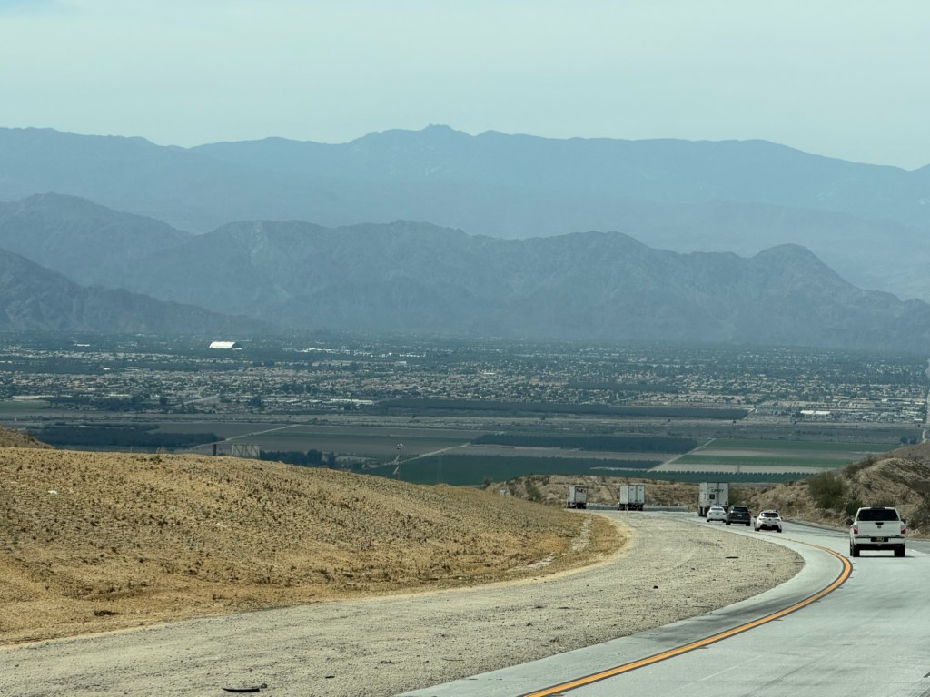
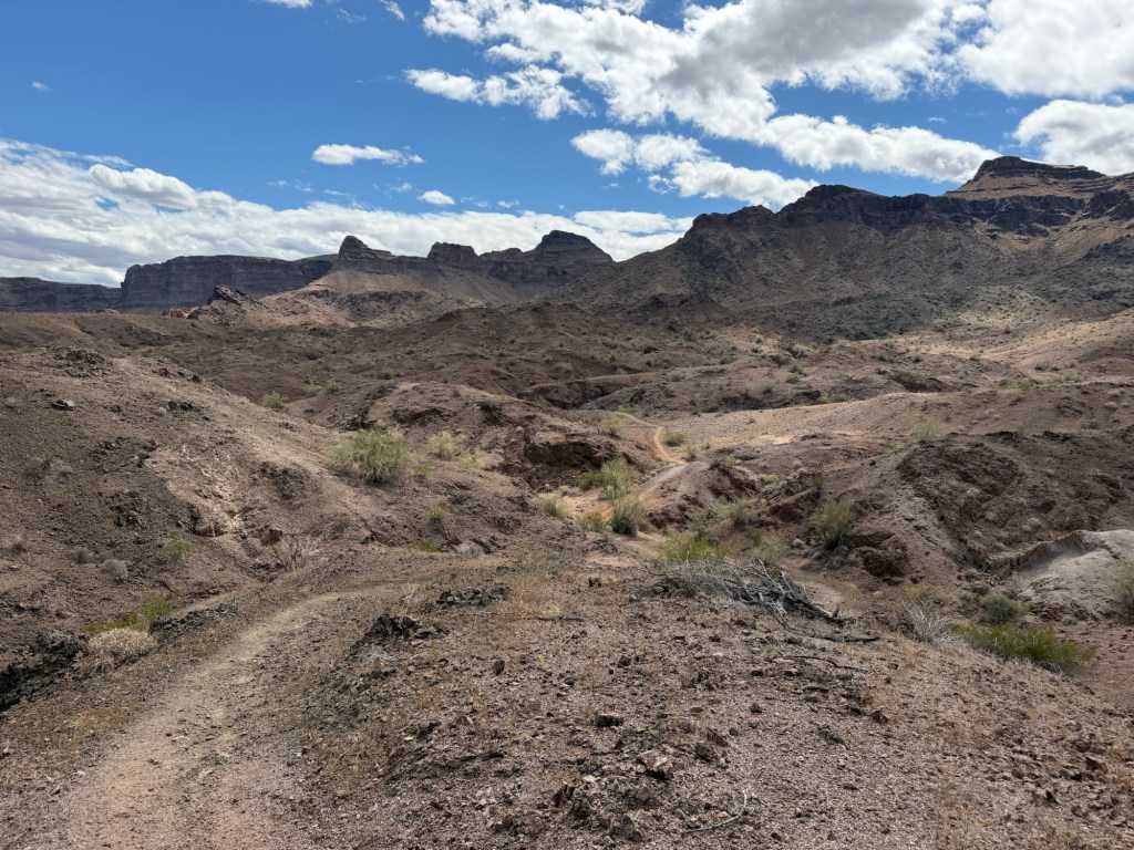
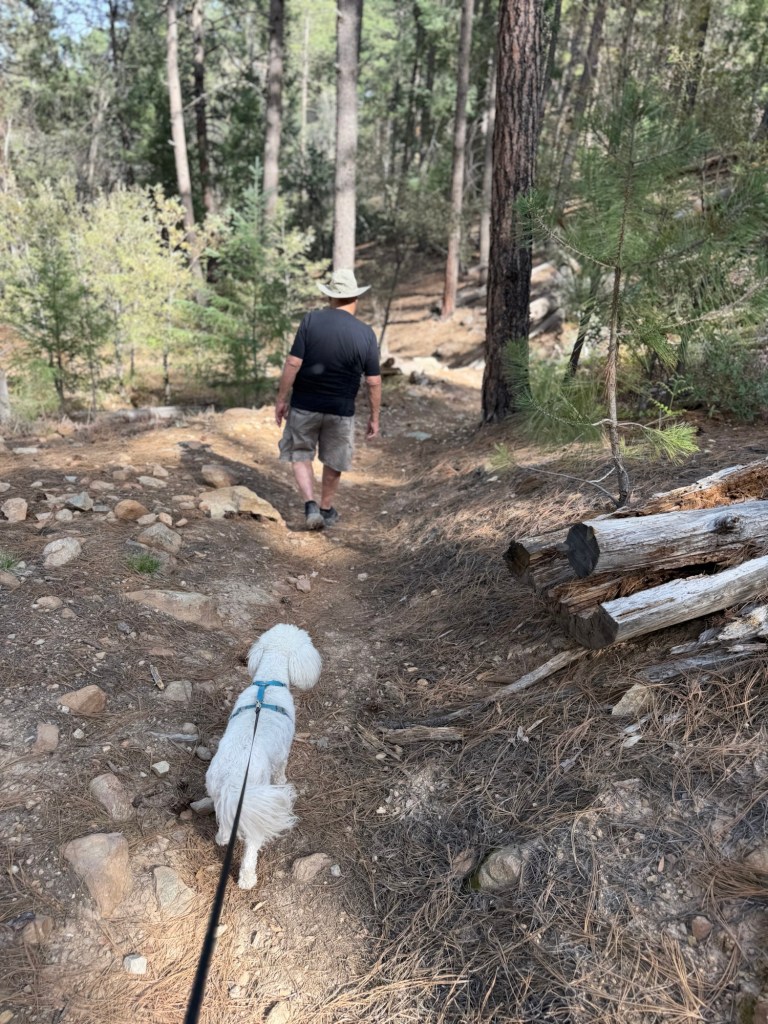
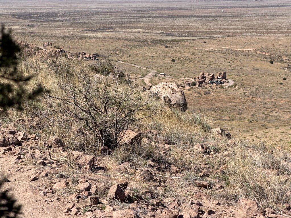
We came down from the hills heading to the Salton Sea State Recreation Area in southeastern California.

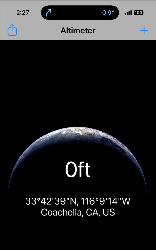
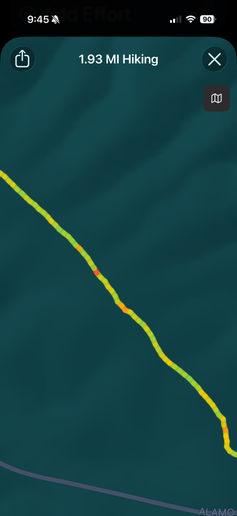
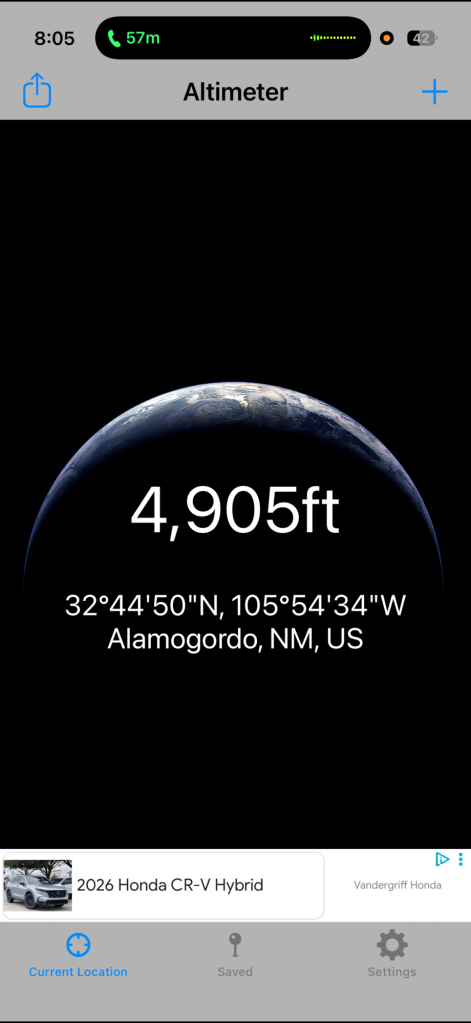
I watched my altimeter, we hit sea level.

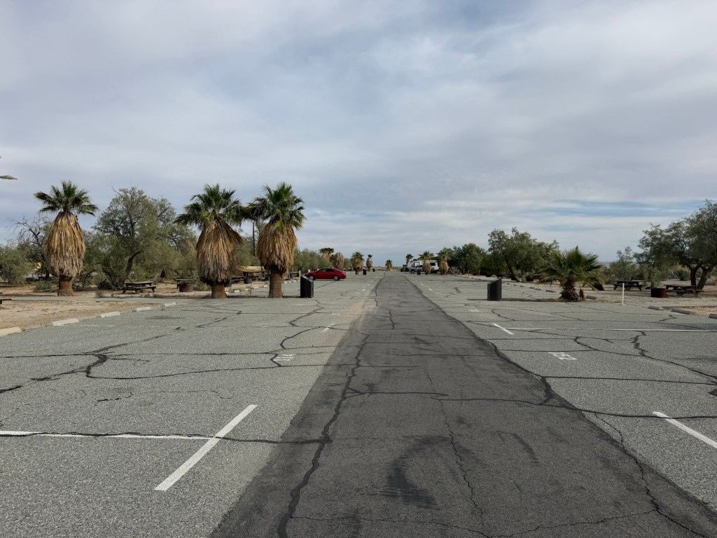
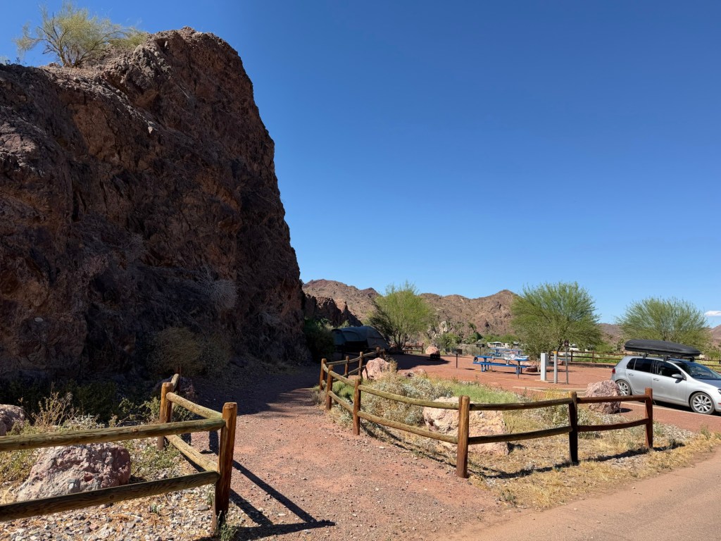
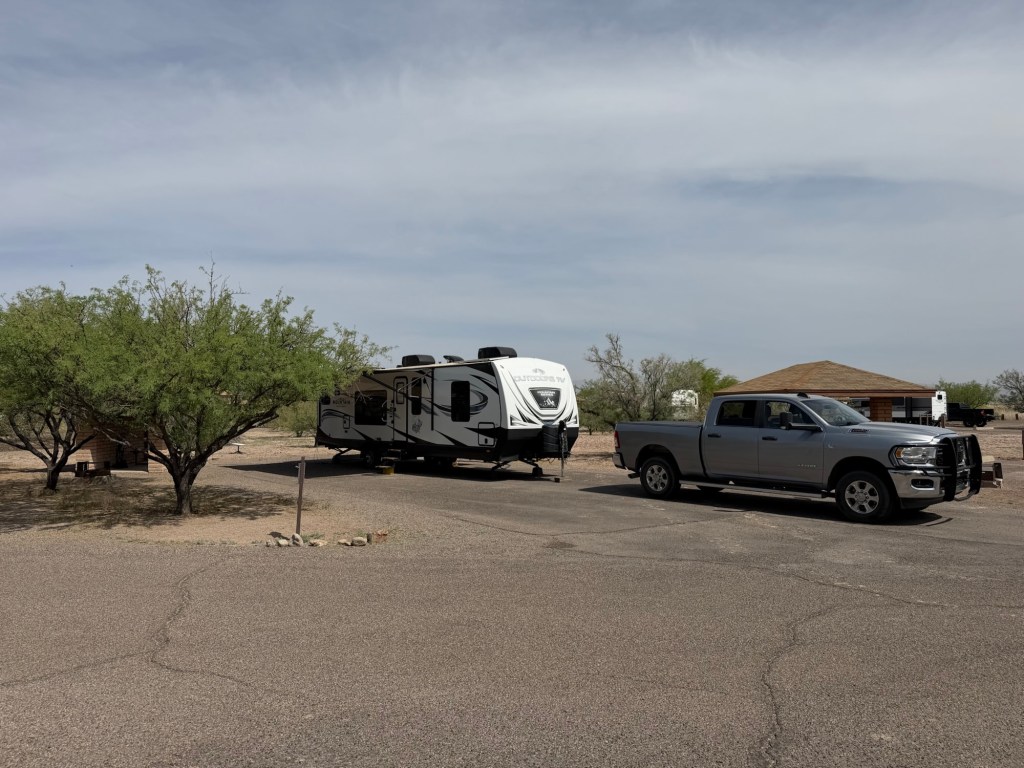
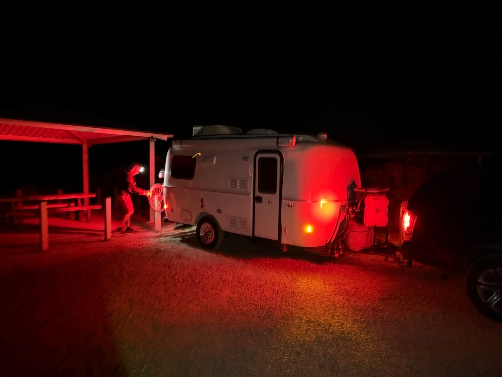
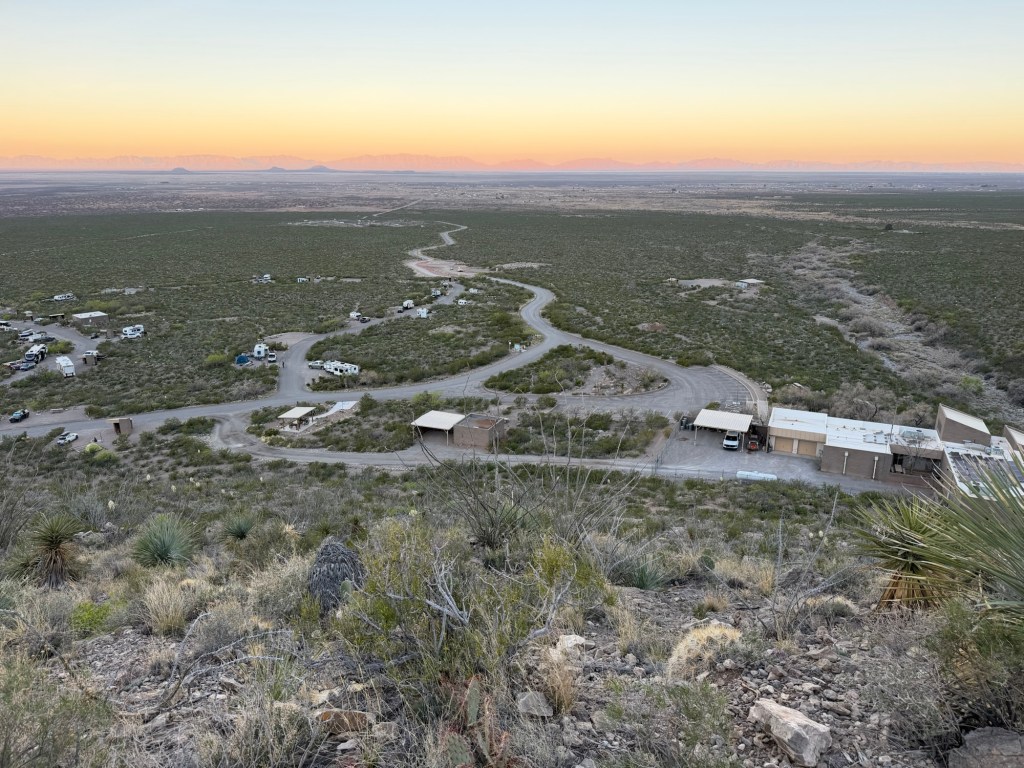
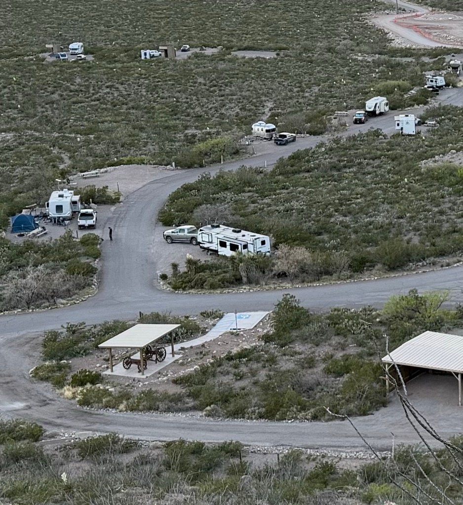
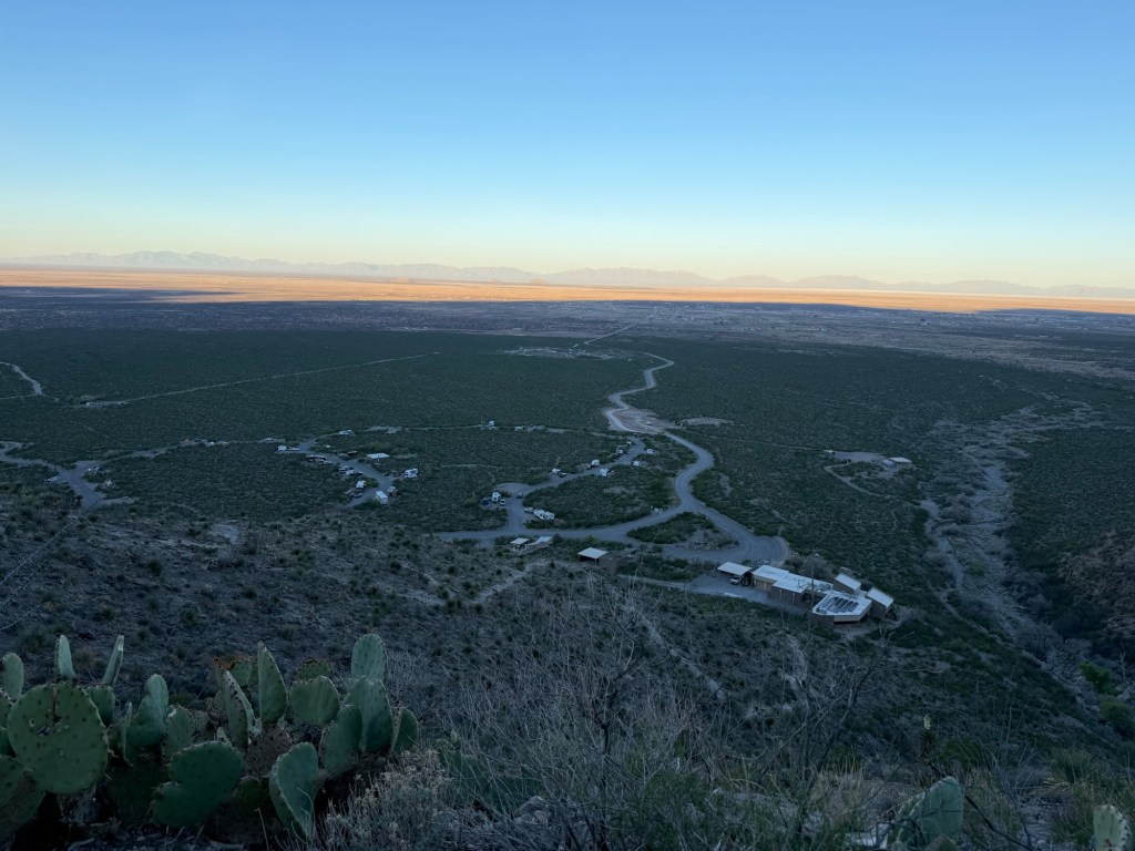
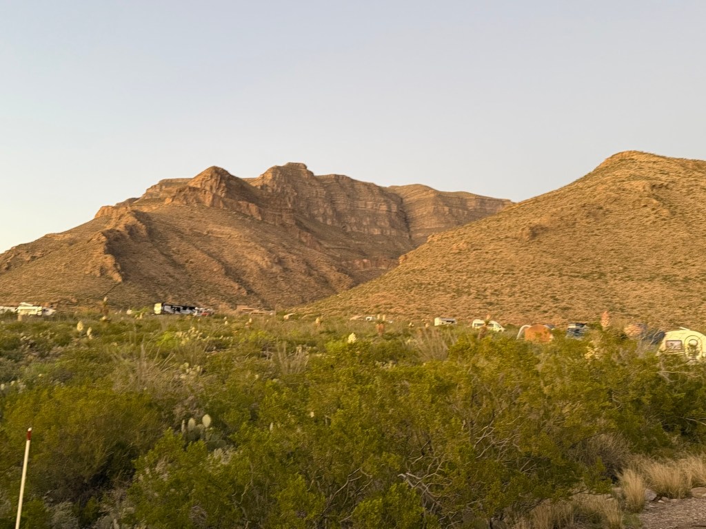
When we got to the rather funky campground, a converted parking lot,

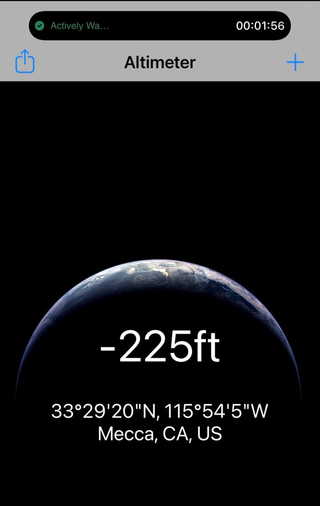
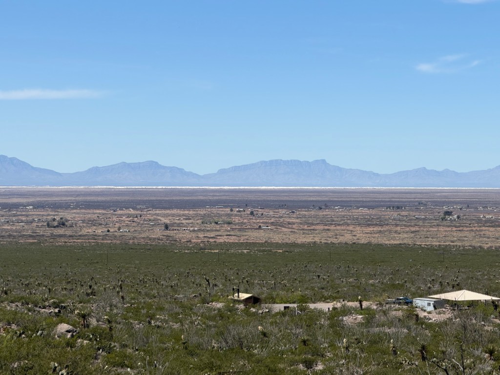
we were 225 feet below sea level. The water has come in here periodically from the Colorado River. Earlier when the delta silted up and the last time in 1905 when a levee on an irrigation canal collapsed and the entire river flowed into the basin for over a year. Whole towns were flooded.

But there’s no outlet for the basin, so as it gradually evaporated the remaining water got saltier.

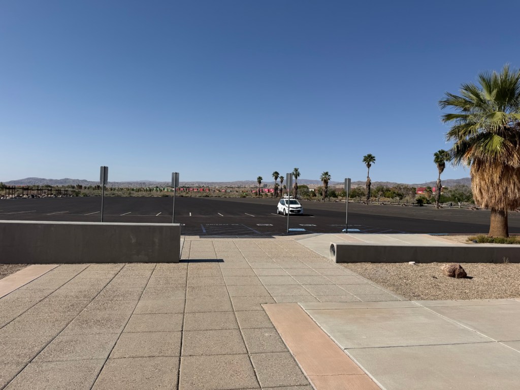
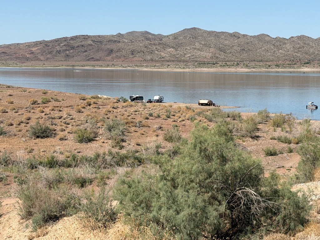
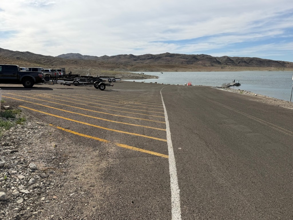
Eventually it got as salty as the sea. It was stocked with marine fishes and in the 50’s and 60’s was a very popular weekend destination. There was a marina here with a 15 boat wide boat launch. Hence the huge parking lots to accommodate all the boats. There were also huge populations of brown and white pelicans. But the water kept evaporating. The only inputs were from agricultural runoff, so the salinity kept increasing and the fish started dying. Two hurricanes destroyed the marina.

A new smaller one was built.

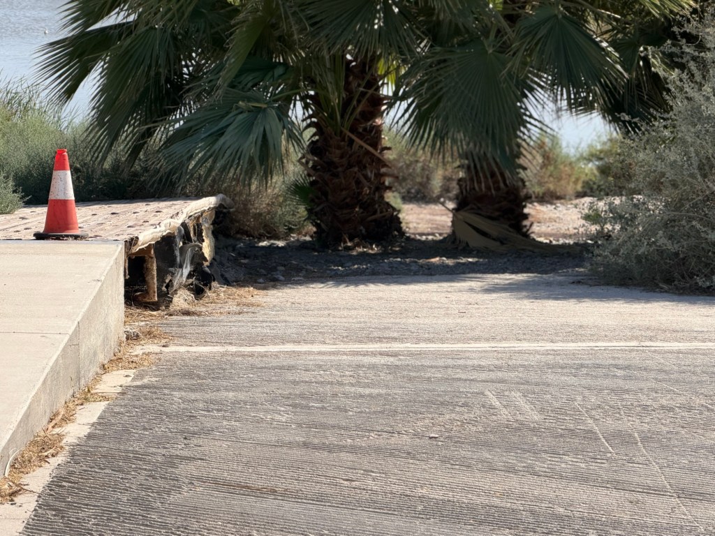
But its boat ramp hasn’t reached the water in years.

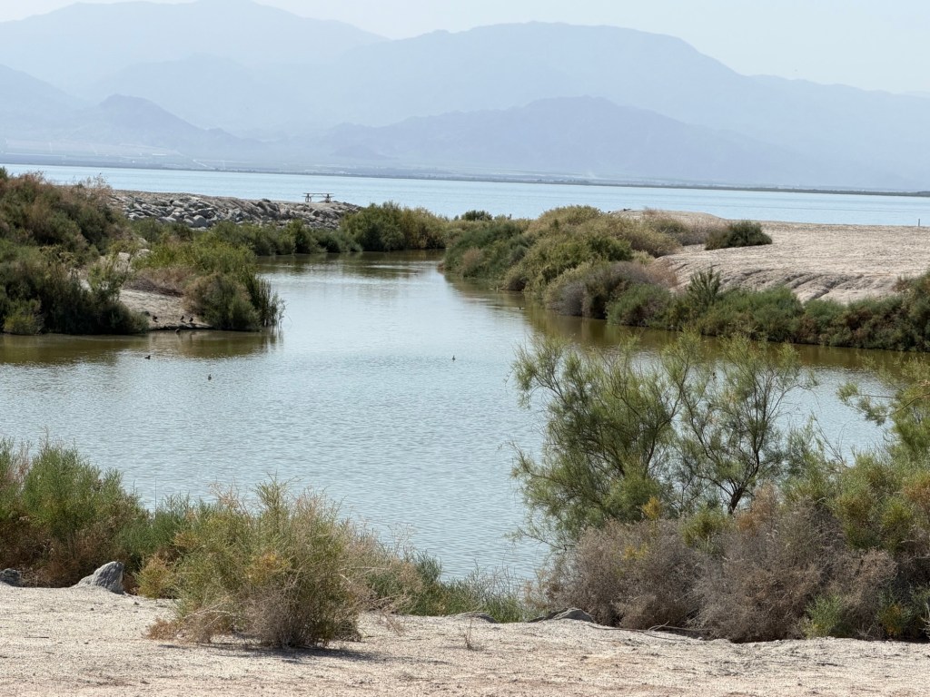
The marina itself is now cut off from the lake, but that’s a good thing.

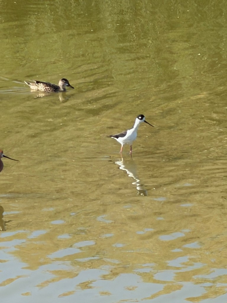
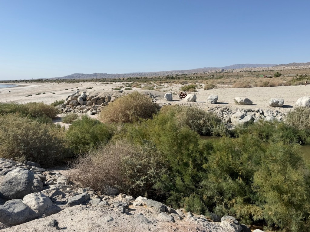
The water in it seeps up from the ground, so the sand has filtered out much of the salt. There are no fish surviving in the lake as it is now 7.8% salt. But desert pupfish live in the marina pond and this black necked rail and

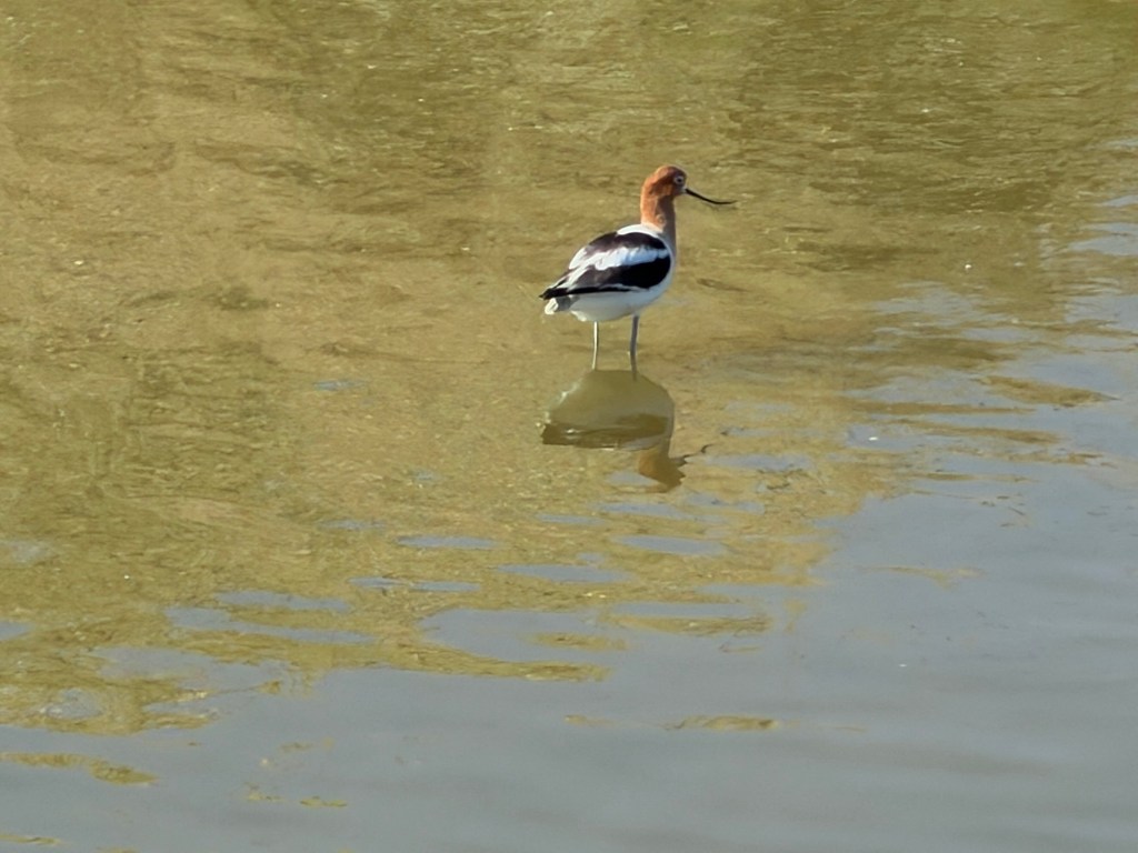
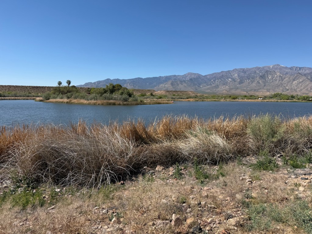
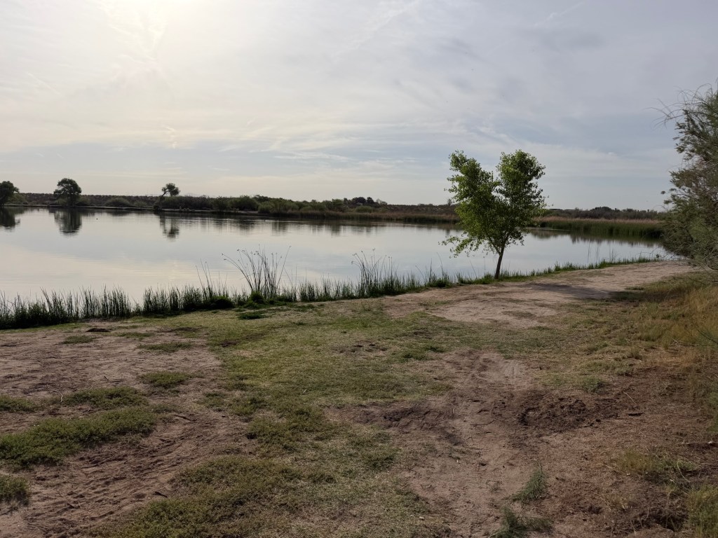
avocet are here to catch them. There are some diked wetlands at the southern end of the lake being fed with sand filtered water from the Alamo and New Rivers, and pelicans are returning there.

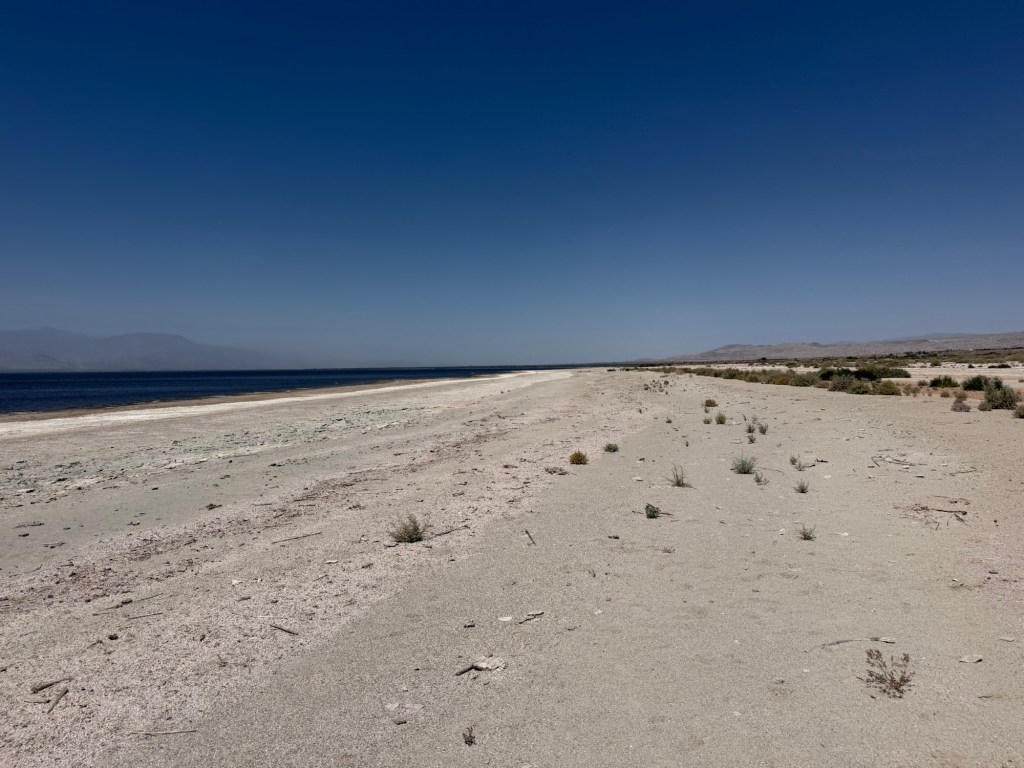
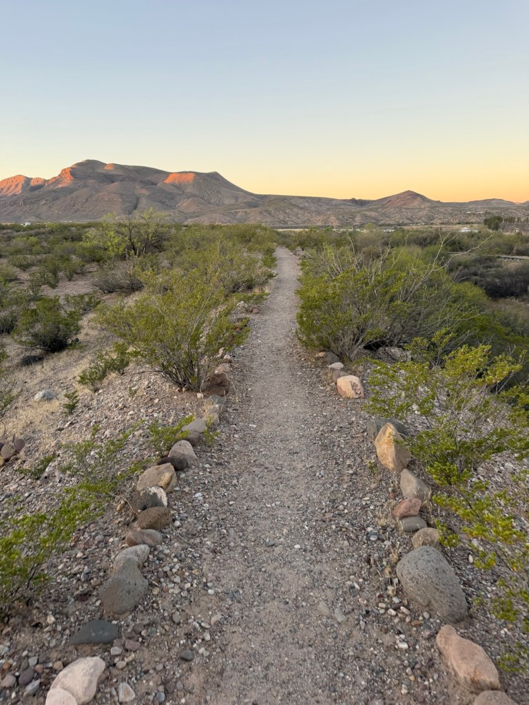
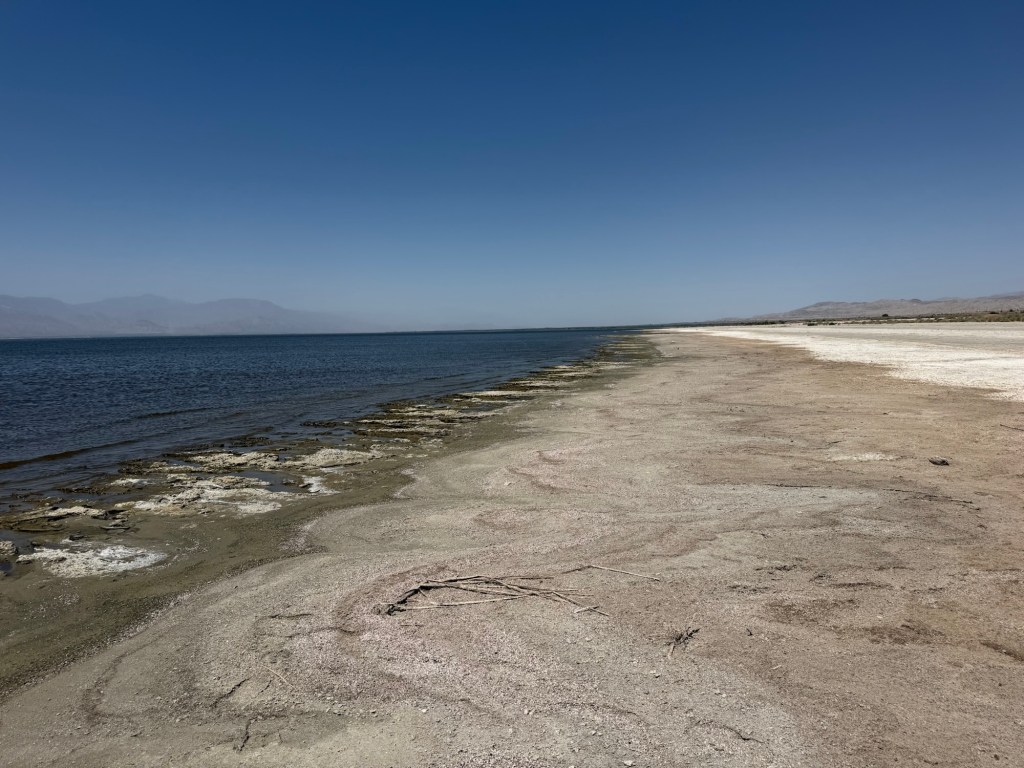
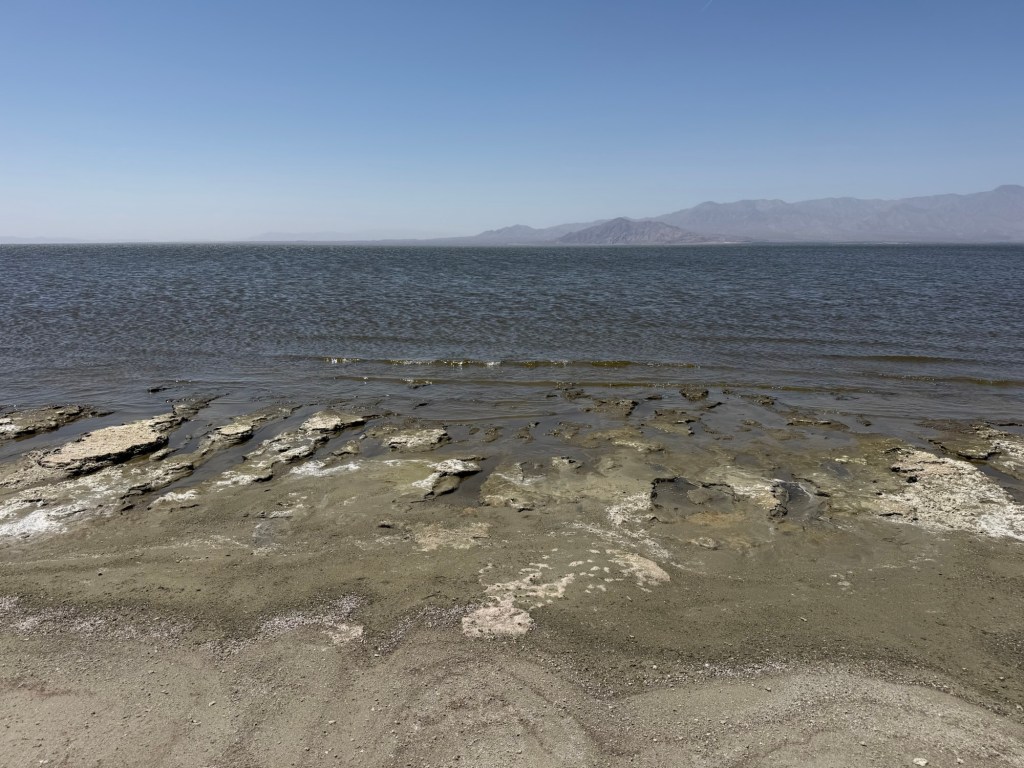
The beach itself is very strange.

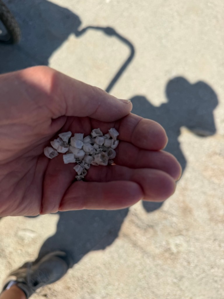
There are huge deposits of barnacle shells. The barnacles are still surviving, having been brought here on navy amphibious aircraft during World War II. They, too, will die when the salinity reaches 8 or 9%.

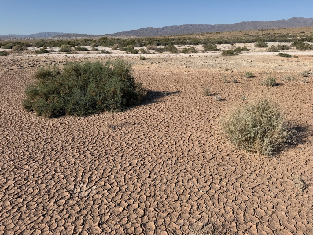
There is also a lot of mud and as you near the edge of the water the ground becomes spongy. We retreated, but the ranger told me many people sink in to their knees and come back mud covered, stinky and missing shoes. Ugh!

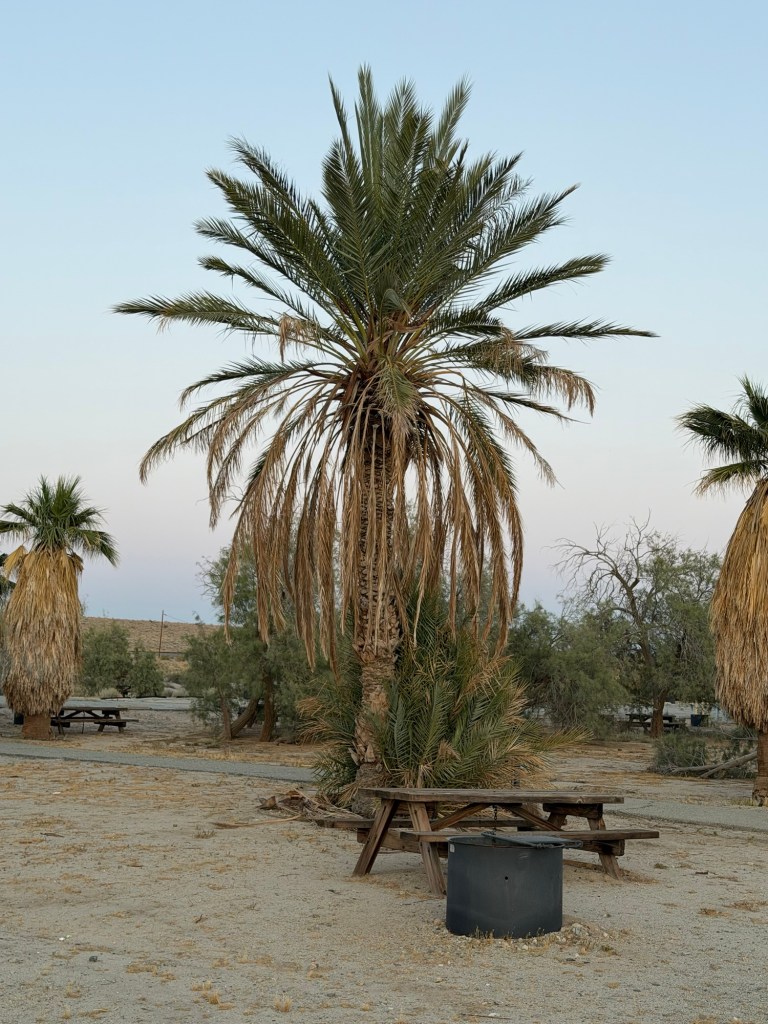
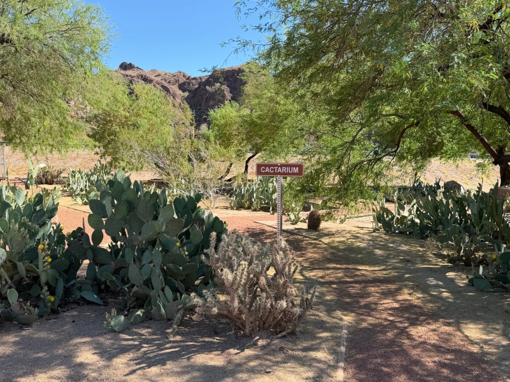
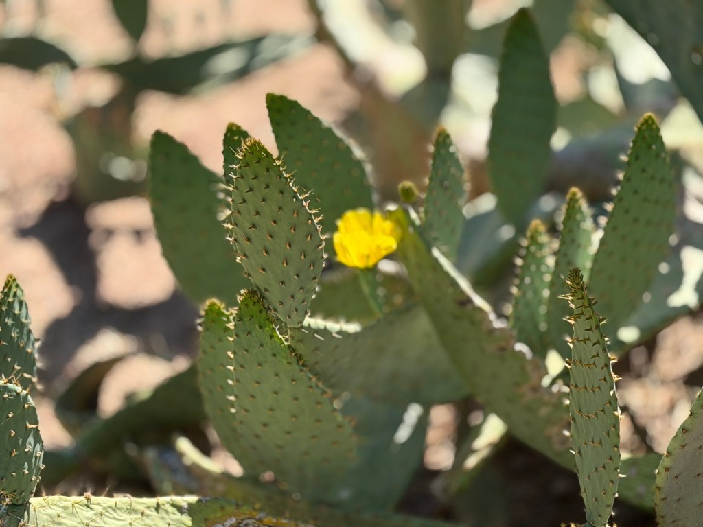
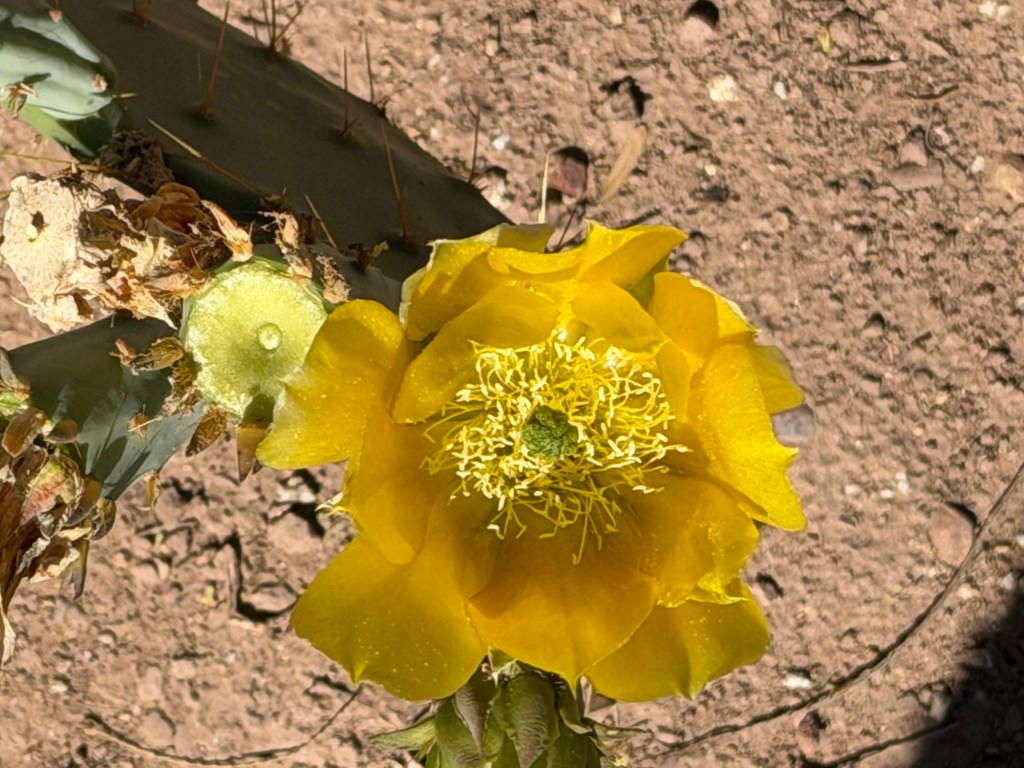
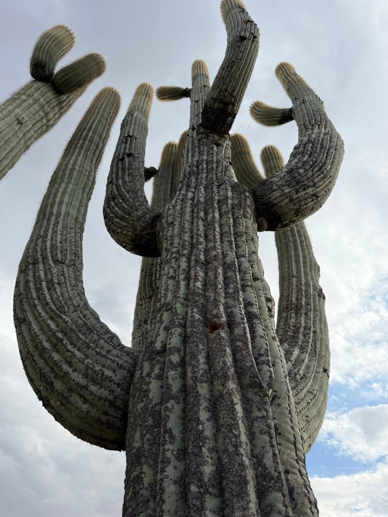
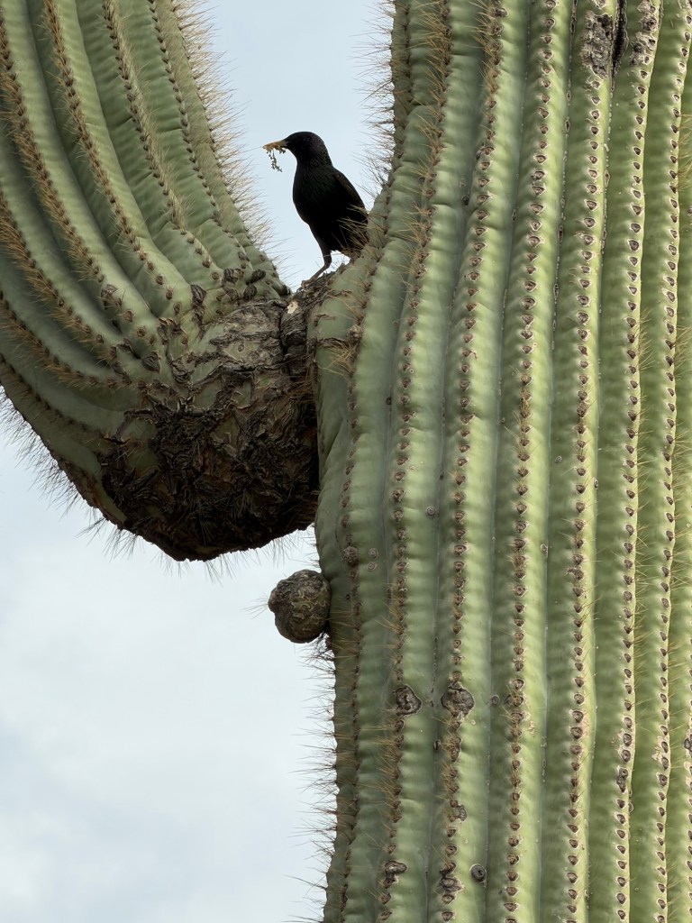
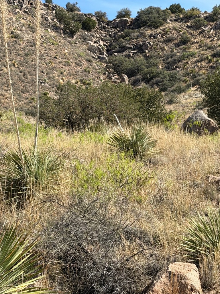
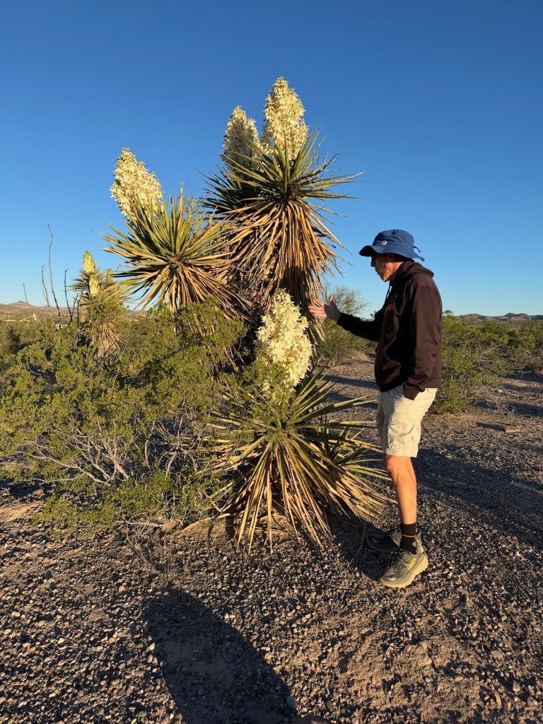
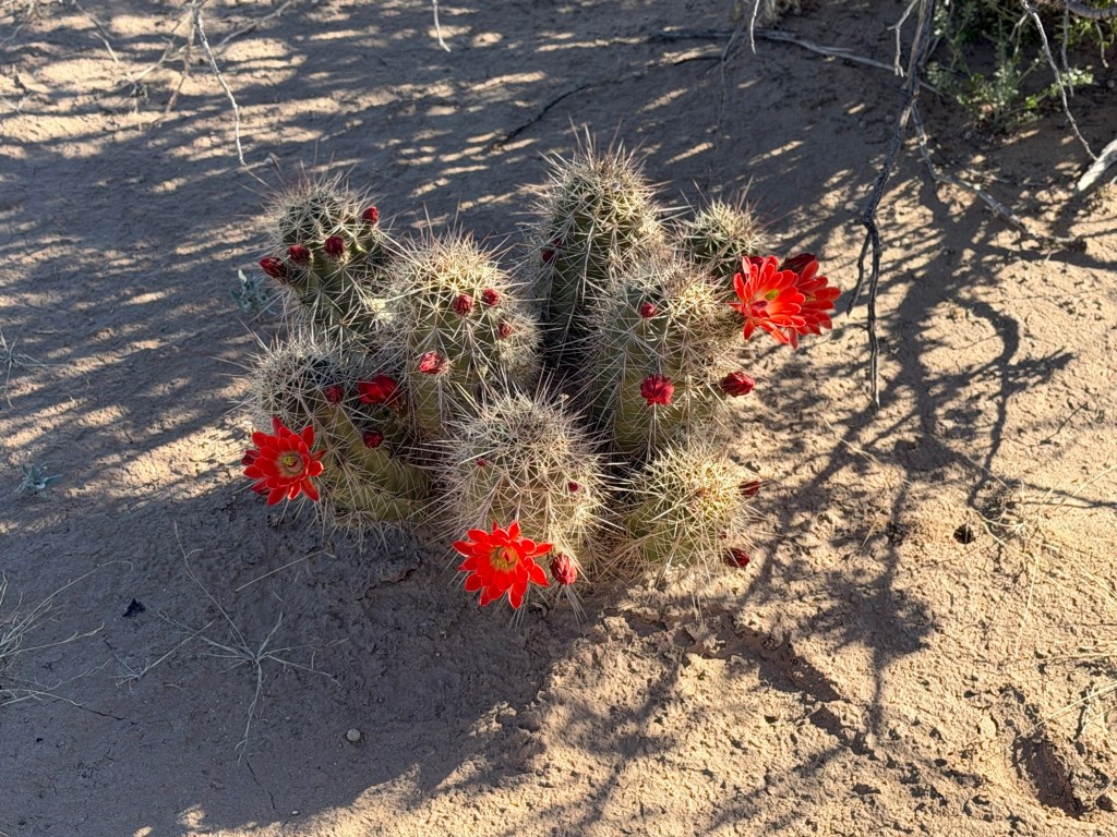
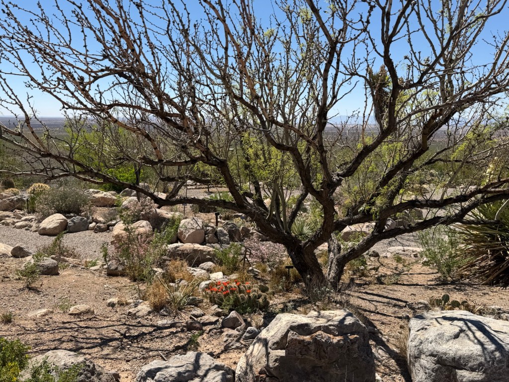
But there is plenty of life here. Date palms and

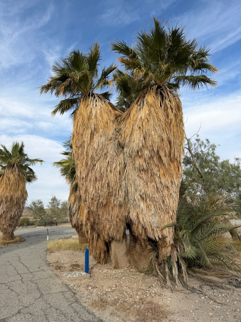
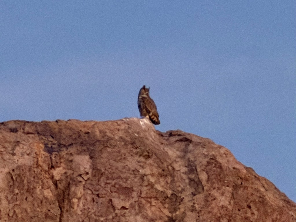
desert palms. The clinging dead fronds of these create places for birds,

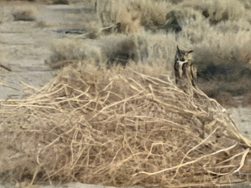
including this horned owl.

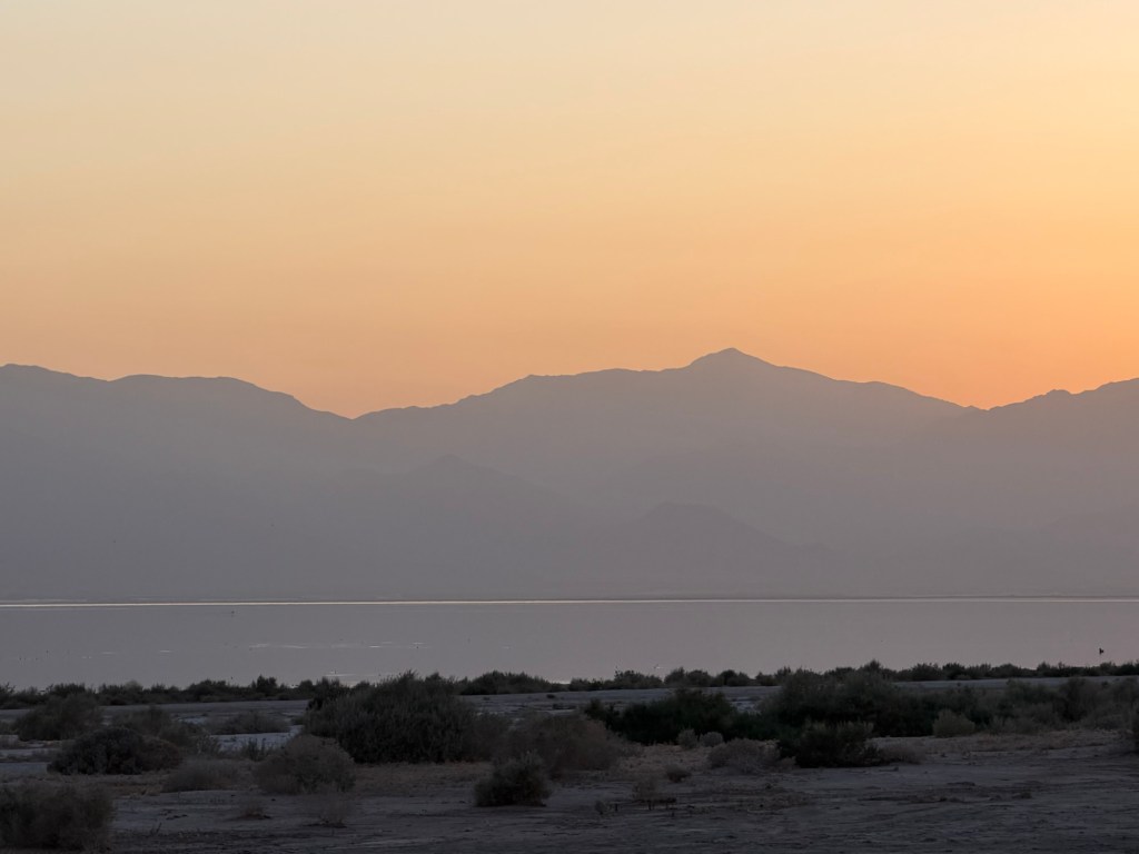
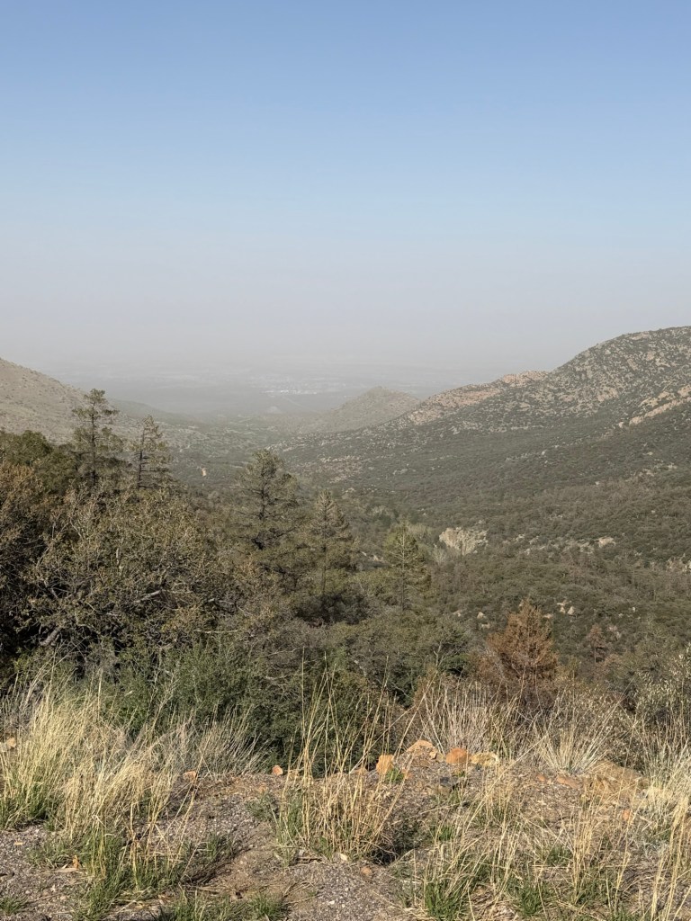
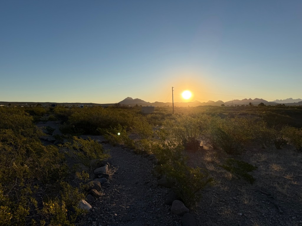
The retreating water exposing more shore and the extensive plowing in the nearby Imperial Valley have resulted in an overload of dust in the air.

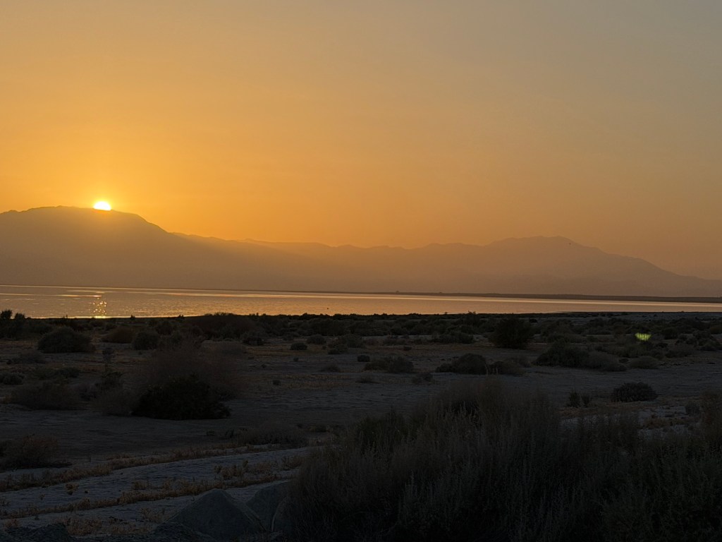
Nice for sunsets but not for lungs.

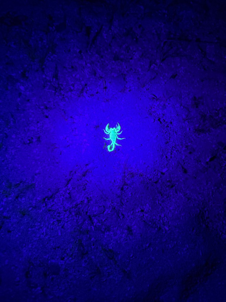
And a final oddity, the little desert scorpions here glow under a black light. The ranger loaned me a black light flashlight and I found this one in about 10 minutes. I got Bud and we went back and he was still there, so I got a better picture. If you use a flashlight and not the black light it’s almost impossible to see it against the sand. Lesson learned, don’t go out at night without shoes on!

Buckskin Trail; a Good Hike

Today was predicted to be the coolest day of the week so we took Matey and went the two miles up the road to Buckskin Mountain State Park. We all walked around the developed part of the park. It’s a bit larger than River Island but we thought River Island was prettier.

Bud and Matey drove back and I hiked back on the Buckskin Trail. The first section is called Lightning Bolt Trail, probably because it zigzags up the hillside.

I took a bit of a side trip to the overlook so I could get that shot of the campground.

Then it was back to my route, across the highway on the pedestrian bridge. The trail I was taking is the one that winds up the hill on the other side.

There are several trails on the other side and all are accessed from this very nice pedestrian bridge.

Walking east along the top of the hills you would never think…

there was a river lined with houses behind you.

This first part of the trail is quite wide and very well made.

After about a mile the trail passes some abandoned mines.

This one was vertical and deep, and it was fenced off.

At this point the hills stretch out all around you.

The trail crosses an ATV road. I could have walked out to the highway on it, but I kept to the trail.

By now the trail was narrower, but still very easy to follow.

There were trail markers every two tenths of a mile. On this side of the ATV road bicycles are allowed on the trail.

With terrain like this…

biking is not something I’d try.

When I stopped and took this video I was looking around this vast area of rugged mountains and thinking there is nothing quite so friendly in a place like this as a good footpath. I am grateful to those that build them.

Where would I be without them?

Even though sometimes they seem perverse in their ups and downs. That’s a bench up there and I was headed for it.

There was a nice vista when I got to it. Scenes like this relax my eyes and fill my heart.

Later, down in a wash, I came across this California barrel cactus in bloom,

and that just made me happy.

Near the end of the trail it descends into a large wash…

and you follow that out.

Finally you get a glimpse again of the river,

and you can see the bench on top of Wedge Hill.

And then you’re at the end of the trail.

There’s just a bit of a path out to the highway and you have to walk a few hundred feet along the highway to the entrance to River Island Park.

When I started this trail I was wondering if I wanted to walk the whole way alone. I almost always have those moments of doubts. But I go on because so far I have never done a hike where I have not been happy that I went. As long as I can see and as long as I can walk, I will go.

A Little Pocket of Beauty; River Island State Park

There is this bit of an island in the Colorado River just off River Island State Park outside Parker, Arizona.

But the park itself is kind of an island in the rocks between Arizona Highway 95 and the river. You can see that in this video, which shows pretty much the whole park. If the video plays to the end (31 seconds) you’ll see a close up of our site, tucked near the rocks.

It’s a lovely site and the rocks are on the southwest side of the trailer.

So just about the time the hot afternoon sun would start shining in our windows it goes behind the hill. Nice.

There’s not a lot of room to walk Matey but he has liked walking among the campers…

and out to a path that leads above the beach.

There’s also a “Cactarium” that we’ve walked through.

They have some cow tongue prickly pear cactus in bloom.

It’s native to this area, but these were probably planted here.

There’s only one trail, Wedge Hill Trail, that goes about a half mile up to this bench at the top of the rocky hills on the northwest side of the campground.

I walked up it yesterday afternoon (it was in the mid-eighties) to see if it was a trail Matey could do. No, it is not. These steps start nice and low, but at the top end there are some narrow, steep cement steps I’d have to carry him up.

Once up those steps there are a couple of nice river overlooks.

You can see a good deal of the campground with its beach and boat launch.

This is looking upstream, on the right is Arizona, on the left, California.

Inshore from the first overlook was this trail to an intriguing hole in the hill.

But whatever it was for, it only goes in about 10 feet.

Going up the trail towards the top of Wedge Hill you come to this section. This was hard for me to manage without Matey, it is not something I want to do while helping an old dog.

And there was still a ways to go to reach the top.

After a couple of more steep sections with loose rock I came to the bench. This is where I shot the video.

That’s looking back down the trail, the highway can be seen coming from behind the hills.

The river makes a strip of green as it wends downstream.

Heading back, the steep spot looks even worse, the trail just disappears over the edge. Though it was steep and the footing was bad it was like that for less than fifty feet, so manageable enough for me.

This morning Bud and I walked up. My phone was almost dead so when we got to the top I decided not to take more photos. On the way down I realized I needed a photo of Bud up there. This is after we negotiated all the tough spots, up and down.

This is such a pretty place it almost makes up for the size and lack of trails.

But as a bonus we are right next to Buckskin Mountain State Park and can use those trails. So the next couple of days, when the temperature is predicted to be lower, we’ll check those out.

Meanwhile, I’ll continue to enjoy this island of beauty.

A Little Excitement and a Few More Pictures

Monday I decided to take a hike around a loop here with a short side spur to an overlook.

I was walking up a gradual slope to the summit on the main loop and had just stopped to look back and take a photo of the campground.

I turned around and this snake was crawling across the trail.

If you look closely you can just see him curled in that bush. I estimate he was about 3 feet long. After I snapped his photo for identification I stepped a bit off the trail and quietly walked by. It was a western diamondback rattlesnake.

I can pinpoint exactly where I was when I saw him on the map of my hike; I was at the blip of red heart rate.

I continued with my hike. When I got to the spur trail the sign said it was 2 miles, while my map said it was just a tenth of a mile. I opted not to take the trail, admittedly mostly because it is called Rattlesnake Overlook.

Yesterday we did some exploring in the truck. All the roads except the one to the park are dirt. Most dead end at the edge of the lake.

We were impressed that at the end of these small, steep dirt roads were large camping trailers. This is Army Corps of Engineers land and camping is free and permitted for up to two weeks at a time. But this seemed like a lot of work for a two week stay with no services.

We went down a road called Brown’s Crossing,

but like all the roads it ended in a turnaround near the river.

By the way, the whole end of the lake as shown on our off-road map is dry now. We probably could have driven past the turnaround, but the road dwindled and we weren’t sure it would be passable for our truck. The map said it was not.

It was strange to see stop signs out on these remote dirt roads.

Yesterday I did venture up to Rattlesnake Overlook, even though it was a rocky ridge and looked like great snake territory.

I was very vigilant but saw no snakes. It did give a nice view of the lake.

On the way back I saw this lizard. Can you see him? He blends in pretty well.

And I was surprised to see this very dried up and leathery little mushroom. A mushroom in the desert! I was again amazed at the ability of life to exist under the most difficult conditions.

Oh yes, Bud did get a fishing license and has gone fishing twice. Above is a picture of the fish he’s caught. Yeah, nothing. He did see some fish swim by this morning. He said he dropped his worm right in front of one and it swam right by. There’s a fish cleaning station in view of our trailer. Every day at least six boats go out fishing here but I’ve never seen anyone cleaning fish. So the best bass fishing in Arizona may not be much.

It’s Going to Be a Quiet Week

We are now at Alamo Lake State Park.

It’s not much of a campground but we have full hookups,

and if no one comes to the spaces next to us, a nice view of the lake and mountains on the other side. The pointed mountain is Artillery Peak.

This may be the most remote campgound we’ve been to in the U.S. It’s 41 miles out the only paved road to the nearest town, Wenden, AZ, which is so small it doesn’t even show on this map.

Across the lake from us…

you can just see some buildings. They are 2.2 miles from where I sit, according to Apple Maps.

But it is 117 miles to drive there. There are wilderness areas at either end of Alamo Lake and no roads. And the route shown includes primitive roads, which is why the average speed predicted is 35 mph.

There are several campgrounds and quite a few campers scattered around the park. Most people seem to come for the fishing. This is supposed to be the best bass fishing in Arizona; though if you think of Arizona you probably don’t think of bass fishing, so I’m not sure how good it is.

Bud is thinking of getting a temporary license and fishing from shore, so we may see.

A lot of campers are leaving today, so this place is going to be very quiet.

The only ones left making noise are these guys, the wild burros.

Alamo Lake was created when the Bill Williams River was dammed in 1968. Bill Williams was a trapper who trapped beaver here (it surprised me to learn that before the white people trapped them out there were beavers and their constructed wetlands in the southwest).

After the trappers came miners, and they brought burros to carry their equipment. That was at the turn of the previous century and the burros have been here ever since. Now there are enough of them that the herds have to be thinned from time to time. You can adopt one from the government if you want.

We aren’t leaving here until Friday, so meanwhile I’ll enjoy the human made trails,

and the burro trails,

and sharing the peace and quiet with the burros.

We’re in the Bloomin’ Desert! Lost Dutchman State Park

We set up at site 79 in Lost Dutchman State Park, on the eastern outskirts of Phoenix.

I was hoping there would be saguaro cacti here, I’d seen some on our drive in. Not only did we have this stately specimen along with this ocotillo right next to our site,

we were situated (like everyone else) with the dramatic Superstition Mountains behind us, and…

we had a blooming buckthorn cholla right next to our water and power hookups!

I took a walk up to the gate and the Native Plant Trail and I found teddy bear cholla in bloom,

along with dark pink…

and salmon pink prickly pear cacti.

Foothill palo verdi is in bloom all over here. I learned that it is the state tree of Arizona and the most important nursery plant for sheltering young saguaro, which later can grow bigger than the foothill palo verde.

They can reach fifty feet tall and 10 tons. This huge specimen…

is providing a nesting spot for this starling. I guess the birds know how to avoid the thorns.

On other walks I found this strawberry hedgehog cactus,

this desert willow,

and this aloe in bloom.

Some of the saguaros have buds. In town today I almost gave Bud a heart attack when I spotted an open flower on one. He thought when I yelled he was about to pull in front of a car. Nope, just a flower. I hope there are saguaros at the next place we go and I can get a picture of one in bloom.

Those mountains look inviting…

and there are some trails going up there, but we didn’t get to do any hiking. We were only here 3 nights and on the two days here we had business.

Matey got groomed Wednesday morning. In the afternoon it was too hot to hike so we took a ride on the Apache Trail, Arizona 88.

It goes northeast past beautiful Canyon Lake.

The road crosses arms of the lake on two one lane bridges.

This isn’t mountainous, just very rugged.

There was a yellow bloom on a prickly pear cactus out past the lake.

Eventually the road turns to dirt.

That’s a place where a stone wall has been built to support the road.

We went as far as the Fish Creek Overlook.

There was a buckhorn cactus blooming there.

We decided not to go down the famous Fish Creek Hill; the gate was open but the road described as primitive. The overlook had a sign saying “last turn around”. Last until when?

This morning I had hoped to hike, but Bud made an appointment to have the oil changed in the truck and I didn’t want to leave Matey alone. He’s had a couple of bad days lately. He and I walked.

Later I took him in the stroller. I did a short trail over to the day use area and then we walked on all the park roads.

We have really enjoyed our stay. There are a lot of birds here, and the quails are quite used to campers.

And it has to be…

one of the most photogenic places…

we have ever stayed. We’d definitely come back here.

Roper Lake State Park and Vicinity

Sorry I haven’t posted the whole time we were at Roper Lake State Park, but sometimes it’s just hard for me to sit down and write. We are in eastern Arizona now and on Mountain Standard Time so the multiple time changes are getting confusing. We also crossed the continental divide coming here. Roper Lake exists because of the Pinoleno Mountains…

whose runoff feeds the lake.

You could still see some snow on top of the tallest peak, Mount Graham.

We had decent sites, though we were in site 8 for three nights and site 6 for the next two. We had decided to move from the 30 amp loop to the 50 amp loop a day before our stay because of the high temperatures; we wanted to be able to run both our air conditioners. We figured it was worth moving sites to keep cool.

It was cool enough in the mornings to explore the park.

There are fishhook barrel cactus here,

and velvet mesquite,

and blue Palo verde which have green photosynthetic trunks and branches and yellow flowers full of bumblebees.

It’s a pretty little lake with a nice day use area. Someone planted a couple of palms there a long time ago.

Another morning we went over and walked at Dankworth Pond State Park, which is just about three miles down the road and is managed as part of Roper Lake.

We took the stroller. We were trying to visit the reconstructed Indian village.

But because I misjudged the direction the arrow was pointing we missed it.

I put Matey in the stroller and walked back through the sandy part of the trail,

only to find it was three quarters of a mile, first up these steps then around the village and back down. It was too far for Matey to walk (he’d already walked a mile) and too hard for me to push the stroller, so we didn’t go.

Instead I pushed him back through the sandy part and back around the pond to the truck. At least I got some good exercise.

On the hottest afternoon we decided to drive up to the mountains. It had been windy for a while so the valley had a haze of dust. The road starts out straight as an arrow.

But you are soon warned that it won’t stay that way.

And they aren’t kidding.

There were steep hills, sharp turns and no guardrails.

We stopped at a trailhead here. We were right off the end of a switchback.

We were quite a ways up…

where tall pines grew. I’m pretty sure this was a ponderosa pine, its bark smelled faintly sweet, like vanilla, though it wasn’t as strong as others I’ve encountered.

We kept going…

to where the pavement ended and the road was closed. It’s closed from October 15 to April 15. We were now at 9,144 feet above sea level. We’d come 11 miles as the crow flies, 25 miles by road and over 6,000 feet up. It was also about 20 degrees cooler up here.

Bud suggested we stop at a recreation area we’d passed to walk in the cool. I put it into the navigation system so we wouldn’t miss it on the way down.

This wasn’t a road you could stop and turn around on.

You can see from the navigation why the road takes 25 miles to cover 11 straight miles.

We stopped and found a trail.

Matey got to walk where it was only 70 degrees…

and it was quite pretty.

Then we drove back to our dusty valley,

which had beauty on a smaller scale.

City of Rocks and the Table Mountain Trail

We’re back at City of Rocks State Park in New Mexico.

We found this place on a day trip two years ago. We drove up from Deming, about 30 miles south of here.

Although not as picturesque as the unserviced sites tucked among the rocks, they have 9 sites with electric and water, six of which are reservable. We came and stayed last year. Bud stayed a week, but this is where we were when my mom had her stroke, so I flew back to Buffalo after four days. We’re back for another three days this year.

Our site is pretty nice, being at the end of the row.

Unfortunately, we’re in the middle of a heat wave and the open area is on the south side of the trailer, so those windows have the shades drawn and foil insulation between the shade and the window. We have thermal pane windows, but we’ve found when the temperature gets above the low 80’s the desert sun shining in the windows is too much for the air conditioner. We just got the foil on Sunday and it really helps; ugly, though.

It’s still beautiful outside.

Matey and I went out at sunset…

and were treated to this display.

A bird swooped by and landed on a huge rock. I used maximum zoom in that low light and was pleased to see that I got a pretty good image. It was a great horned owl!

This morning Bud, Matey and I took a walk through the rocks.

These rocks are made of volcanic ash and pumice that was still hot enough to weld together and formed a continuous layer. As it cooled it fractured.

Over the next 34.9 million years the fractures eroded forming columns…

and streets. We wandered through the rocks for about a mile.

Then I took my pack and walking stick and set out for Table Mountain. The connecting trail leads out from next to site 16 in the Pegasus Campground, a small loop on the north end of the main loop road.

That’s where I was heading. It’s almost a six mile out and back with 500 feet of elevation gain.

When I got to the wash where the trail turned north along the flank of the mountain I wished I had stuck another bottle of drink in my pack. I’d had a drink before I left, but only had one bottle with me, and that was already opened. I probably had about 17 ounces left.

But this was a steady uphill on a fairly rough trail. Also, I hadn’t started until after 10, so it was getting warm. It was only 70 degrees when I left, but the sun is intense. Jack has inspired me to get out on my own and hike, but he would have told me to take an extra bottle of drink.

This is the switchback where the trail stops its northeast trend.

I took a picture of the north slope and beyond.

On this part of the trail there were pockets of shade and the breeze was in my face.

I tried to remember to only stop and take pictures when I was in the shade. The campground lies to the southwest of Table Mountain and I was coming around to where I could see it again. That’s the Pegasus Loop just right of the rock and some of the main loop road left of it.

There was a bench in the shade and I stopped for a drink. I was rationing my fluid. I knew I would be fine, but the walk would have been more pleasant if I wasn’t worrying about how much I had to drink. Lesson learned, take more than you think you’ll need.

I drank that much, next drink at the summit.

I got back to the wash, but now I was above the first prominent layer of rocks.

I had just the steep section of trail to the summit left.

Now I could see the whole campground.

It does look like a city of rocks.

I zoomed in on the main campground. The campers in the serviced sites are lined up in the front just left of center.

A few more minutes…

and I came to the bench at the summit.

Time to look around.

There’s quite a drop off here.

Down there is the shade structure at the observation point that you can drive to. Matey and I walked back from there last year. You can see another group of the volcanic rocks below it.

I took this rather long video to show the view and to show how very isolated this place is. That’s one of the reasons we like it.

There we are.

I drank half my remaining PowerAde and took off back down.

I was happy to see our campsites. I was out of drink and it was over 80.

That’s where I was and I’m glad I went up there.

Goodbye, Jack

That is not Jack in the Arctic. Friday we had only an hour and a half trip from Oliver Lee State Park to Leasburg Dam State Park so we decided to stop off for a picnic at White Sands National Park along the way.

Park literature said there was bus and RV parking at the Roadrunner Picnic Area, and there was.

That’s Jack’s Casita in front of a picnic shade structure and our Outdoors RV behind it.

White sands is a different kind of National Park. It’s very popular, there was a line at the gate.

There is one road in, it’s paved for a while and then you are driving on hard packed gypsum, which is the stuff of the dunes.

It looks like they must plow the sand off both the asphalt…

and the gypsum.

This is the largest area of gypsum dunes in the world. The gypsum all came from the shells of ancient sea creatures. The San Andres mountains to the west contain gypsum which has dissolved in rain, run down here and recrystalized as fine sand grains.

The sand is surprisingly hard and cool.

We all took the opportunity to walk the dunes.

Even Matey was allowed.

Coming here is a cross between a beach without water and a sledding hill without snow and cold.

With our trailers we couldn’t stop at any of the trailheads, so our visit was brief, but it was an interesting place to experience.

From there we drove through a pass in the San Andres Mountains, through Las Cruces and a short distance north…

to Leasburg Dam State Park. Unfortunately this whole day use area…

is temporarily closed due to construction on the park road into it.

Jack and I went out at 7AM…

to explore the trails we could.

That’s because, although not long after sunrise,

at 7:30, it was still cold enough that I was wearing a sweatshirt, jacket and gloves,

by mid afternoon it hit 97. Notice the low and high for temperature yesterday, 44 and 97; while humidity went from 21% in the cold to a whopping 1% in the heat!

This park has yucca in bloom,

crimson hedgehog cactus,

and a mountain in the background. But Jack and I agreed that it pales in comparison to Oliver Lee Memorial. In a short time we walked almost all of the available trails, less than 2 miles.

In the afternoon we went to Hatch, New Mexico, the chili pepper capital of the world. Jack wanted to get powdered chilies for Sharon. He also got some canned chilies and Bud got a variety of dried chilies he’d been looking for. Then we went for a late lunch at the only restaurant in town open on Saturday afternoon, Sparky’s. Bud had a green pepper cheeseburger,

Jack had a chicken sandwich, because he’s not much for spicy food, and I had green chili pork tacos, which were really good. Hatch also seems to go in heavy for antiques, which were all over town.

This morning, before dawn, Jack was out hooking up his trailer by the light of a headlamp.

At six AM he was ready to take off. After spending three weeks on the road with us he is heading home. Jack, we will miss you!

The Rest of Oliver Lee Memorial State Park

I started out early this morning because I wanted to explore this park before it got hot.

There are two trails and I wanted to climb the beginning of Dog Canyon Trail by myself. Later Matey and I walked the short Riparian Nature Trail.

Dog Canyon Trail is steep, and in less than 10 minutes I was well above the campground. Looking west the sun was just hitting the San Andres Mountains.

That’s us, in the middle in site 1.

My mind was kept from the steep, difficult trail by the flowers I started to see. This is Utah penstemon.

This is featherplume.

And there it was, my first cactus in bloom for the season, scarlet hedgehog cactus.

The trail was steep, and tilted in places,

and sometimes pretty rough.

More scarlet hedgehog cactus.

I was gaining height steadily, and the lightening sky made the shadows I walked in more pronounced.

To the east the sun started to kiss the highest cliffs.

With all this beauty around me perhaps it’s understandable…

That when I found myself on a narrow, dwindling trail and turned back I found I’d missed a switchback.

Ah, that’s better. I was now crossing from state park land to national forest land.

Well, yes, I meant to stay on the trail. Going off-trail here would not be possible for more than a few feet, after that you be skidding or rolling down the slope.

Here’s a good view of the whole campground.

The sun was moving across the valley. This photo was taken just before 8 AM. I like the shadow of the mountains out on the plain.

The new leaves of this little mesquite juxtaposed with this yucca stopped me in my tracks.

After less than a mile I came to the first plateau. I would have liked to walk further, but I needed to get back to walk Matey.

I’d climbed 510 feet.

The campground was now well below me.

The sun was coming closer, it was time to leave this beauty behind.

At 8:30 I was almost down and the sun had reached our trailer…

and was illuminating the upper part of the canyon.

I got Matey and headed back…

to the Riparian Nature Trail, which was still in shade.

There were cottonwoods…

and trickling water…

along this easy, well made trail.

We headed back from the shade…

to the sun downstream.

We were going to look at the partially reconstructed cabin of “Frenchy” Rochas, who lived here from 1886 to 1894, but first we came across this section of dry stone wall he built.

He only lived here eight years, but in that short time he built his cabin, rock walls to confine his cattle and protect his plants, constructed an irrigation system and had an orchard and a vineyard. Poor Frenchy was found shot in the chest in 1894.

This afternoon Bud and I walked up to the Visitors’ Center where there is a small museum. Besides artifacts excavated from Frenchy’s cabin, and items donated by the family of Oliver Lee who collaborated with Frenchy on the irrigation and ranched here for many years, they had items from the Jornada-Mogollon people, including these shell pendants, which caught my eye.

Walking back from the museum I passed a Chihuahuan Desert Garden, funded and constructed by the New Mexico and Otero County Native Plant Societies. Here was scarlet hedgehog cactus blooming beneath a honey mesquite tree.

And looking across the valley I saw that the dust from the weekend’s winds had finally settled and you could see White Sands in the distance.

This is definitely a park I’d be happy to visit again.