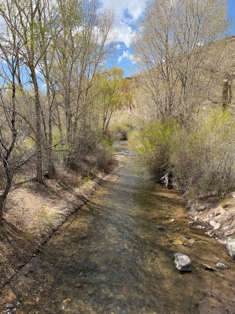
A couple of years ago a travel newsletter dropped into my inbox with recommendations for substitutes for crowded popular tourist spots. This one said instead of Bryce Canyon National Park visit Kodachrome Basin State Park nearby; just as beautiful but without the crowds. I’ve been wanting to see it ever since.
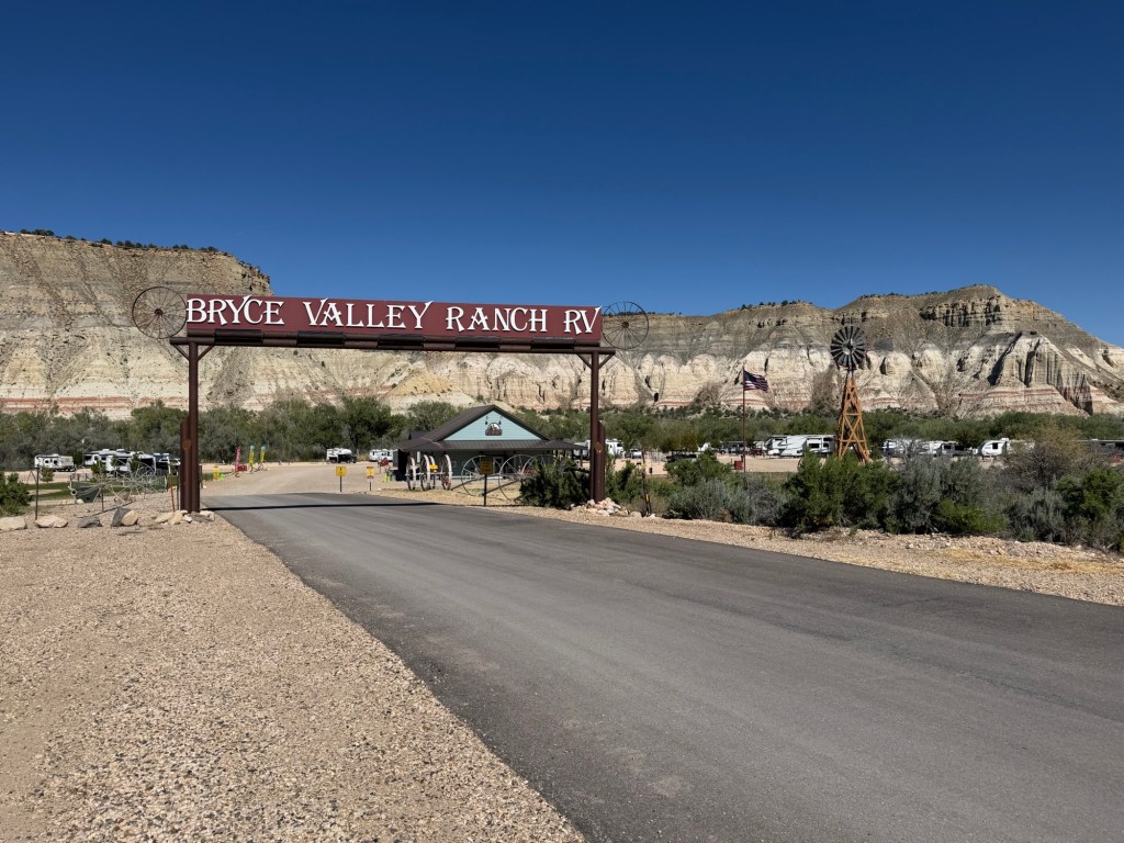
In fact, I wanted to camp here, but in January when I was making reservations for this area, none of the twenty-seven serviced sites that would fit our 35 foot trailer were available. But since I added the time at nearby Bryce Valley Ranch RV and Horse Park we could at least come and visit.
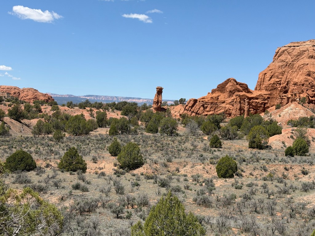
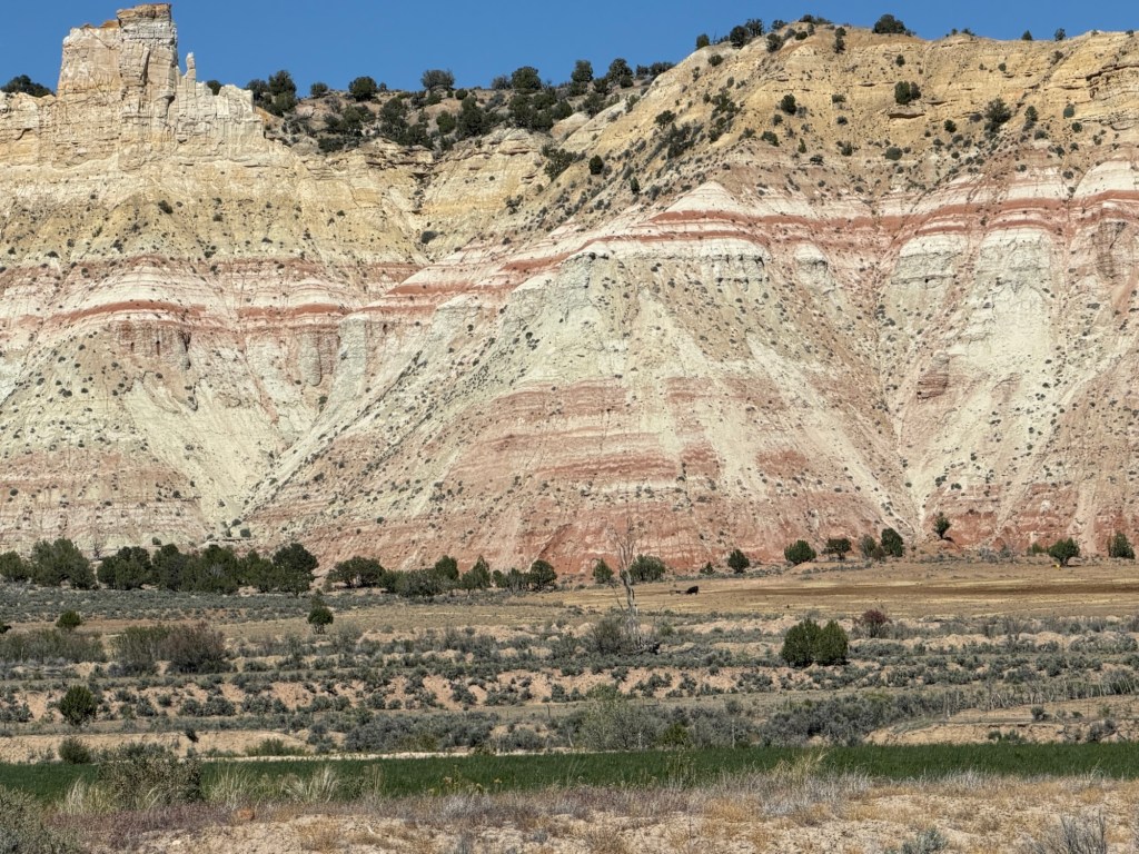
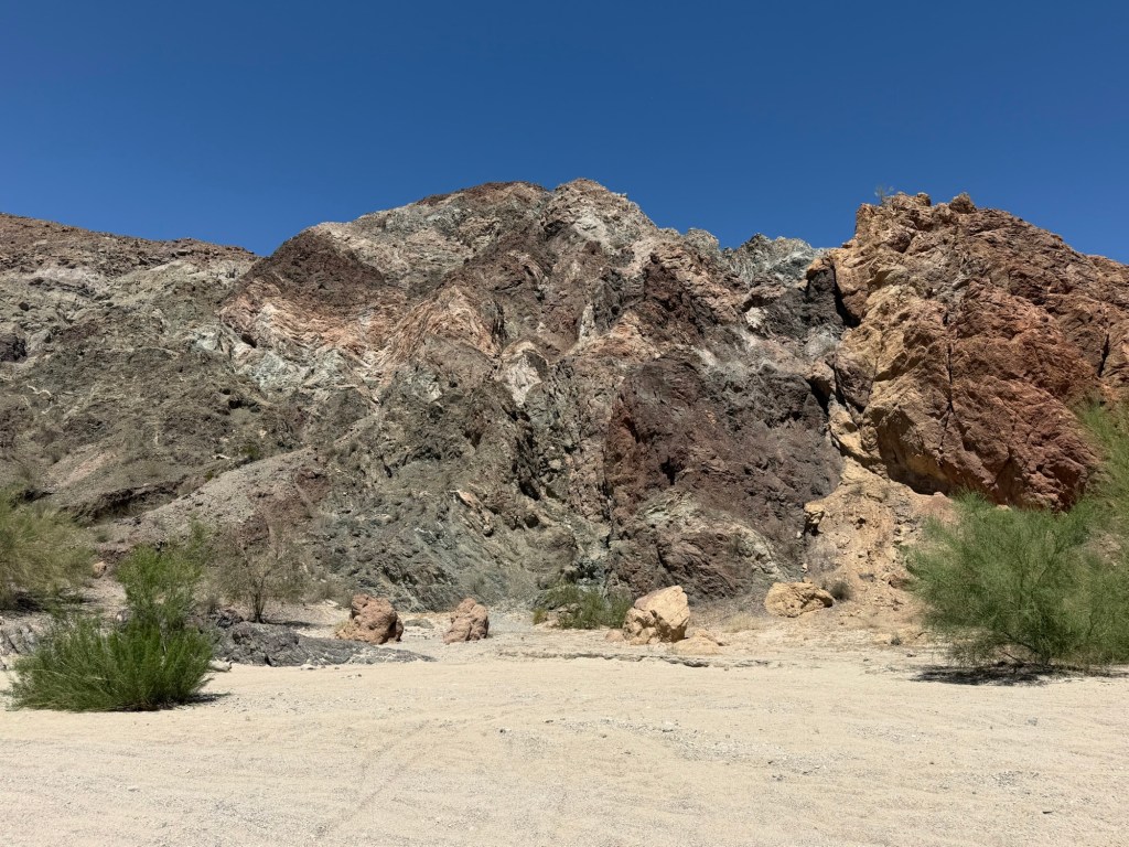
Kodachrome Basin was named after the famous Kodak color film by a National Geographic team that came here in 1949. You can see why.
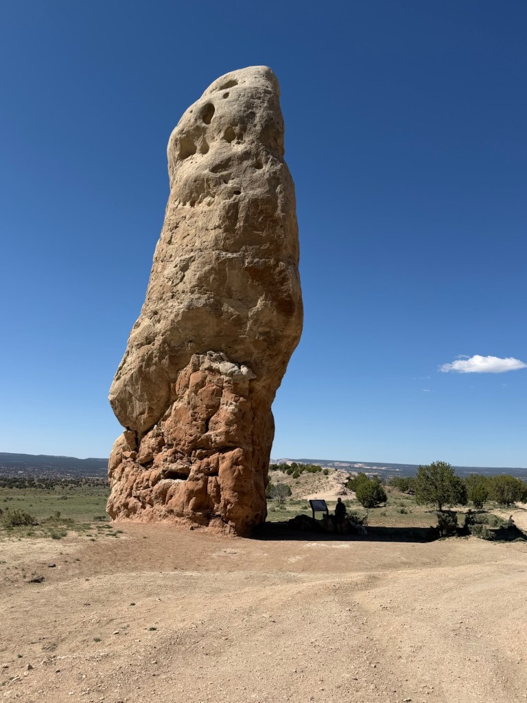
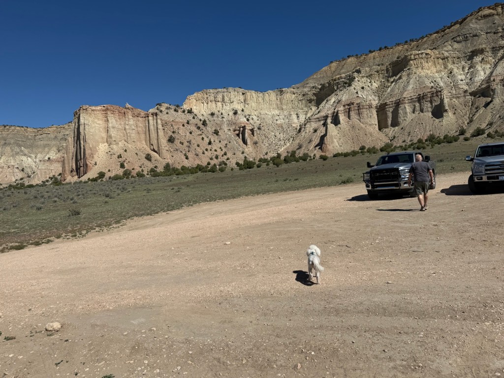
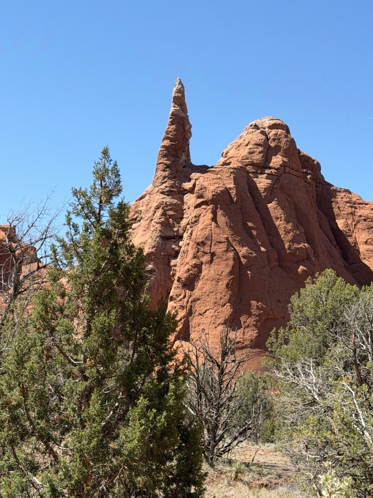
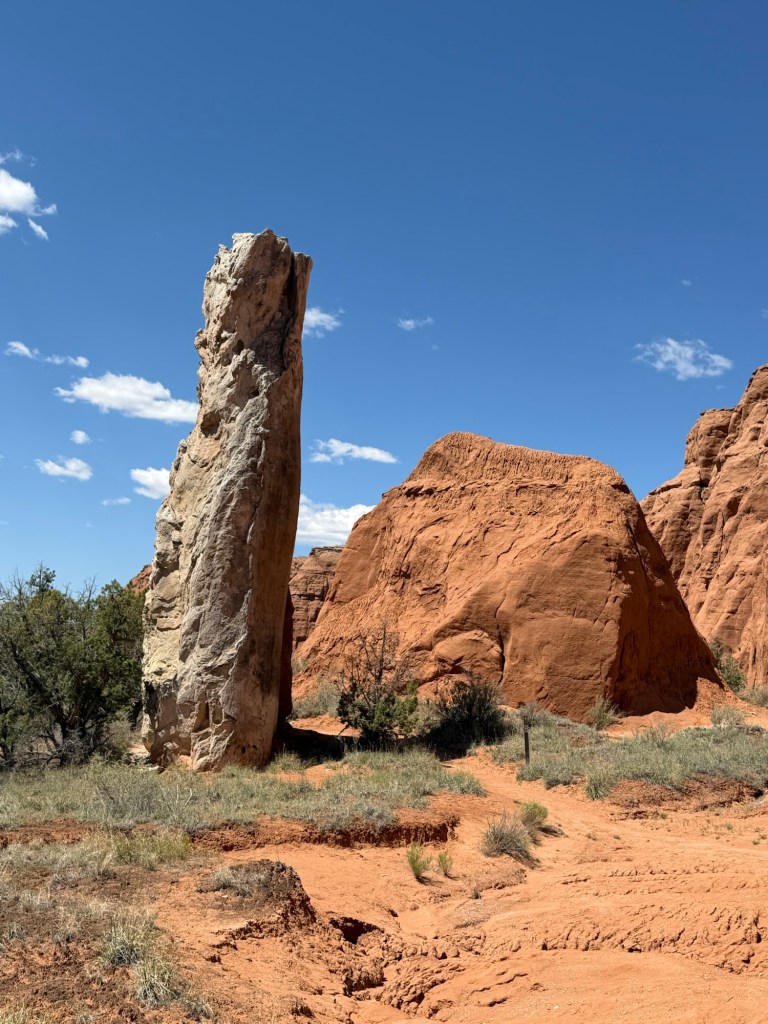
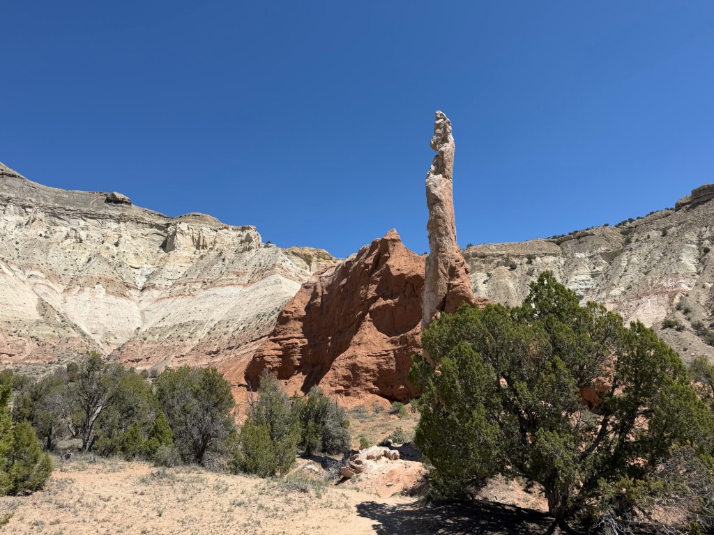
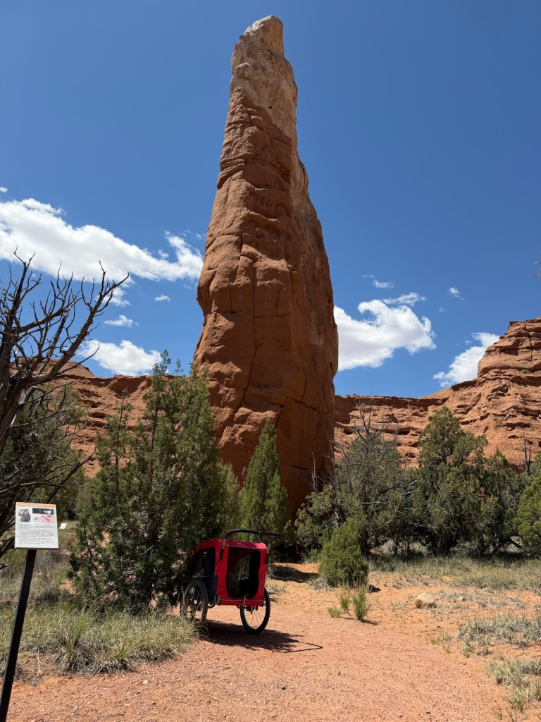
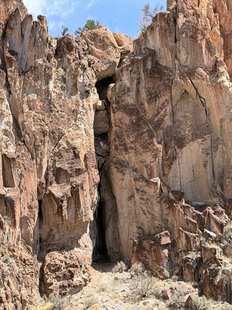
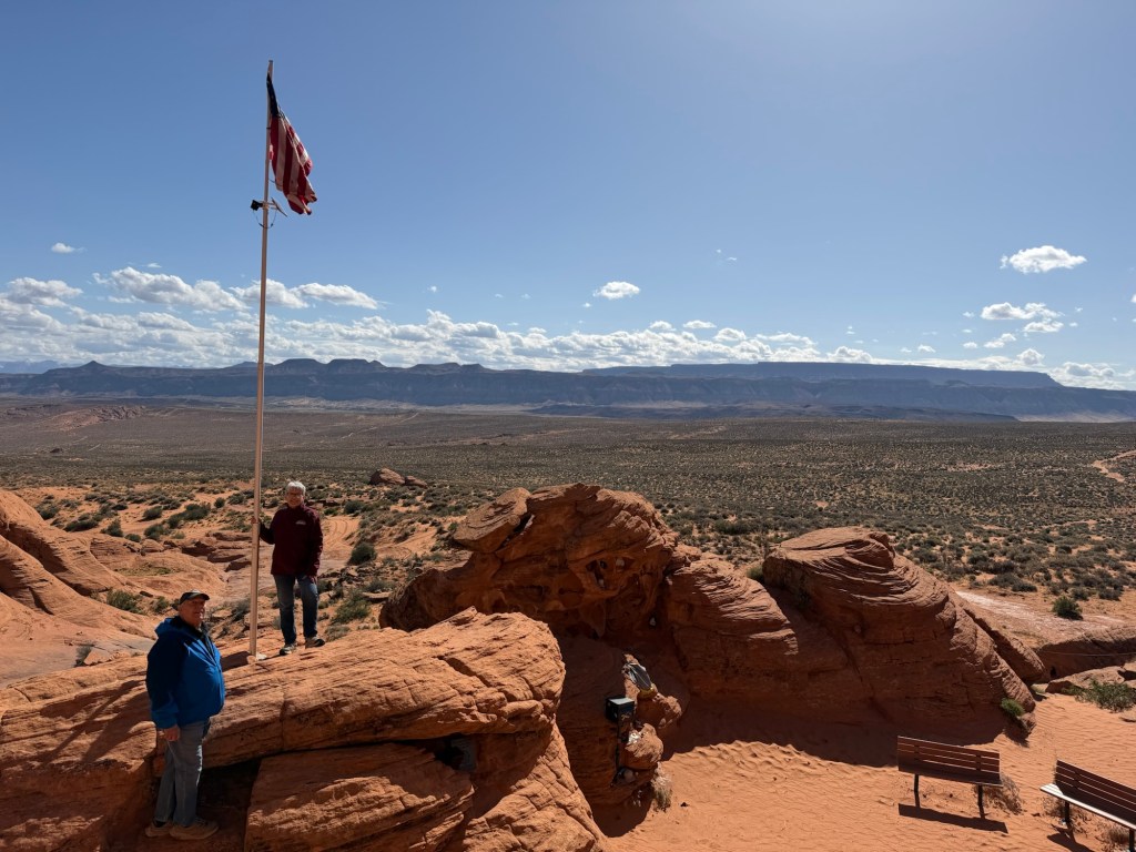
Our first stop was Chimney Rock, and there were no crowds.
In fact, there was only one other car parked and we never saw those people.
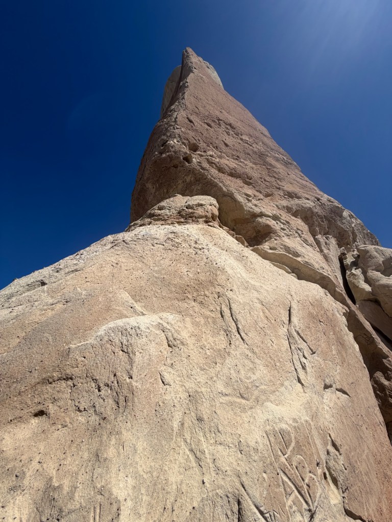
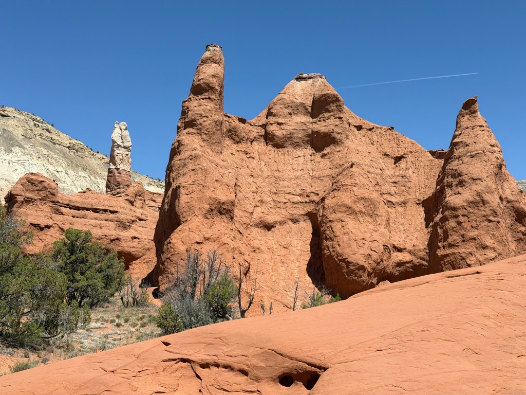
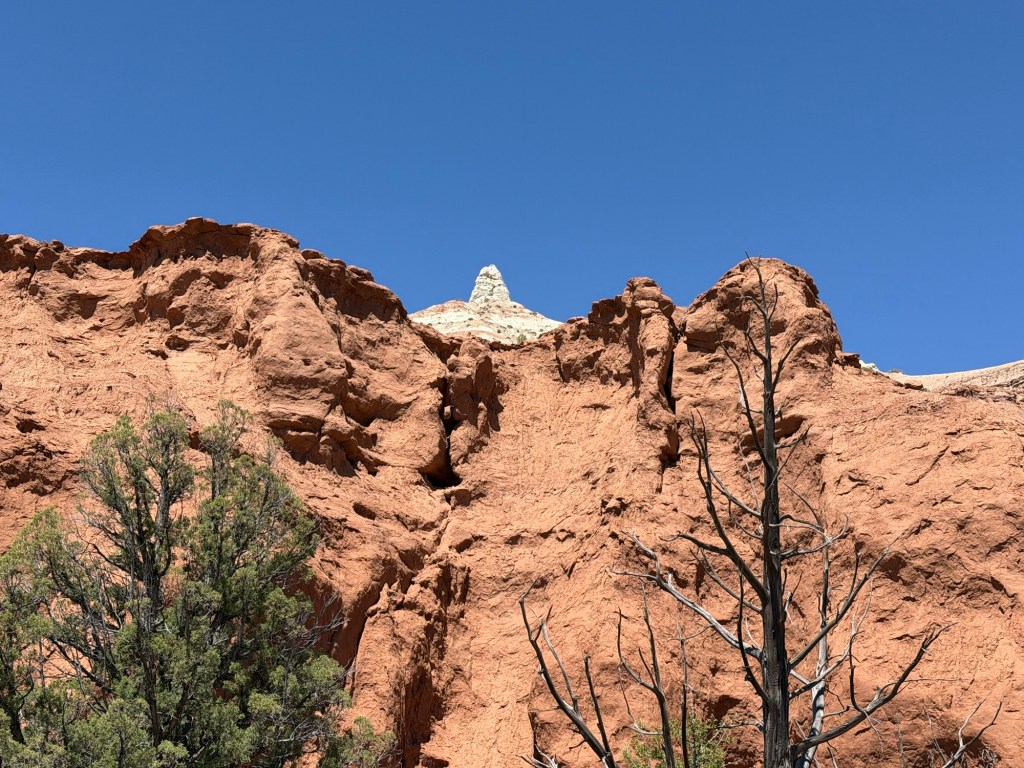
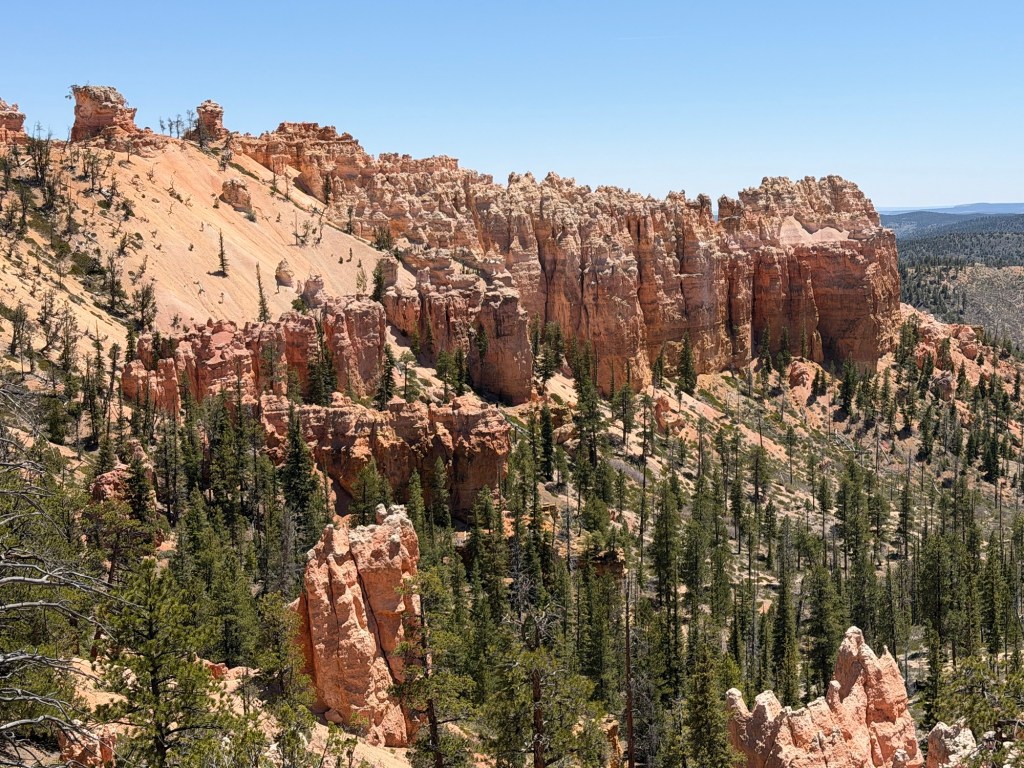
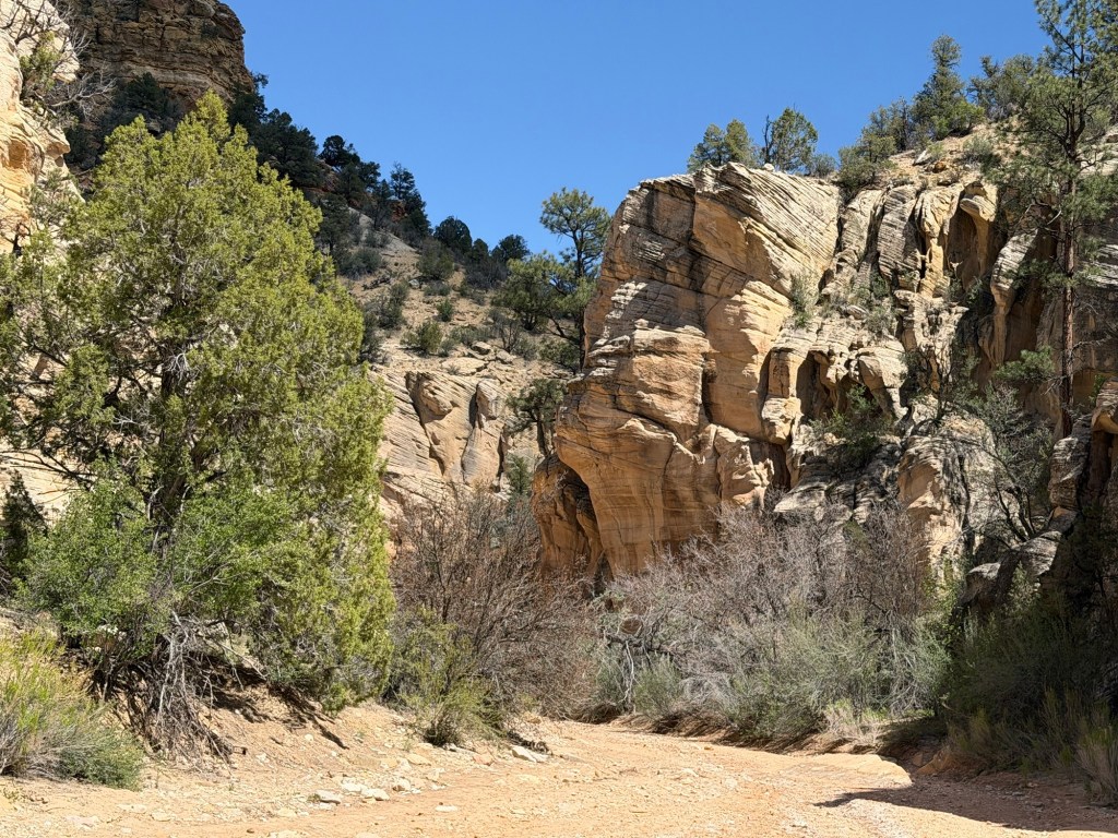
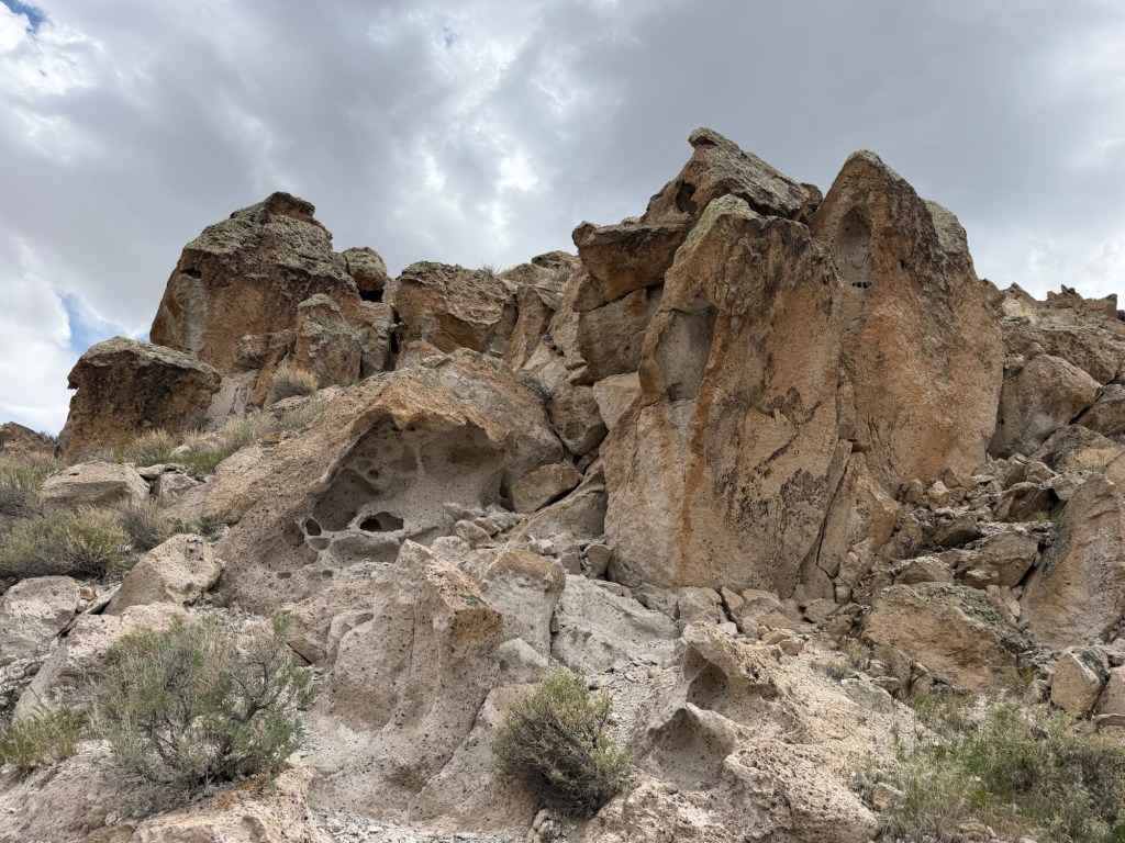
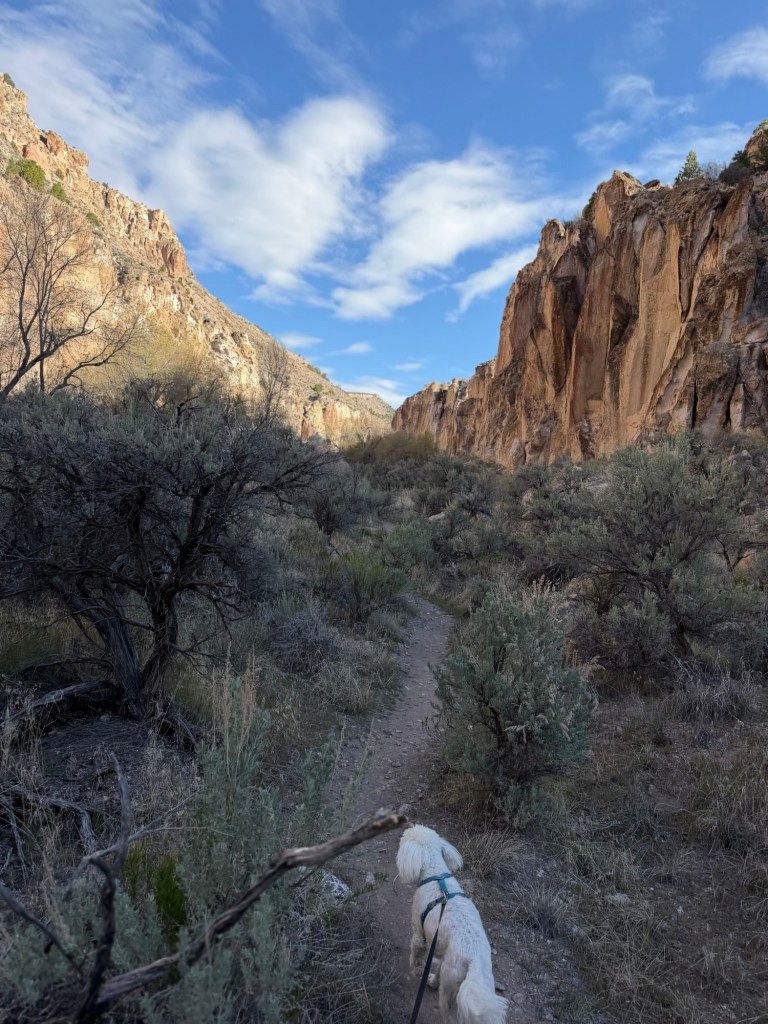
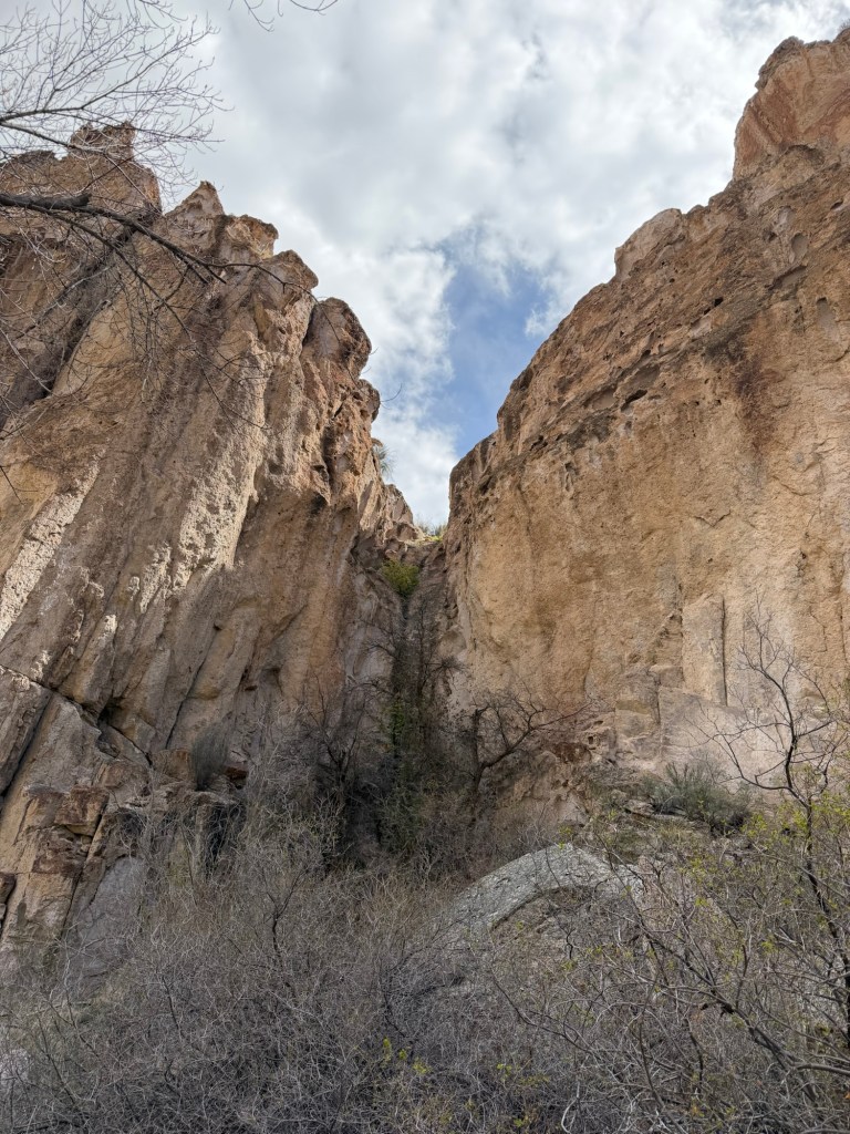
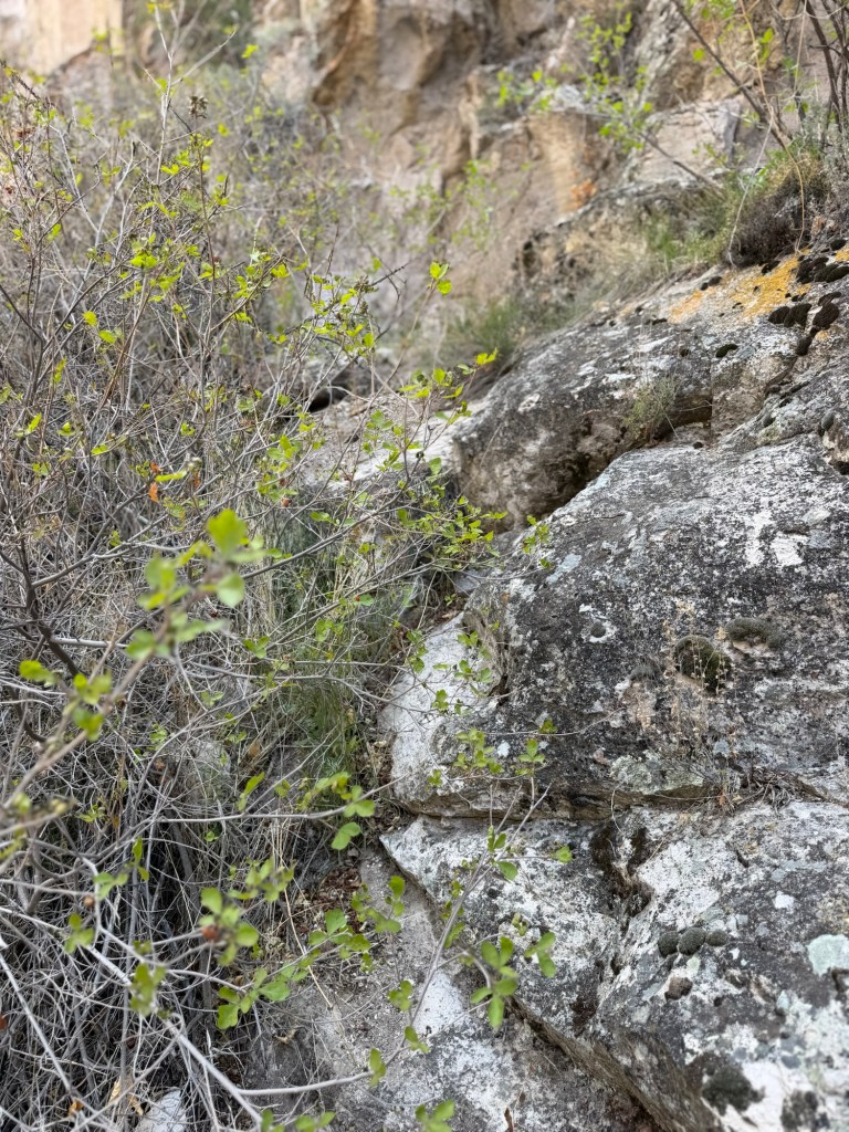
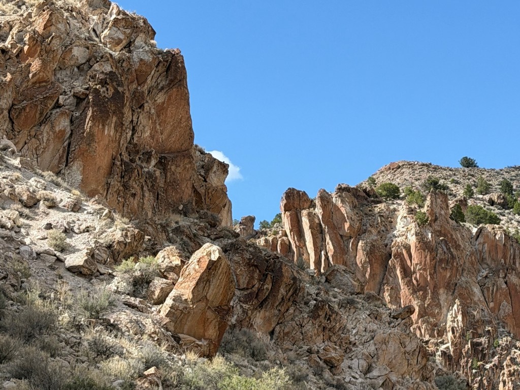
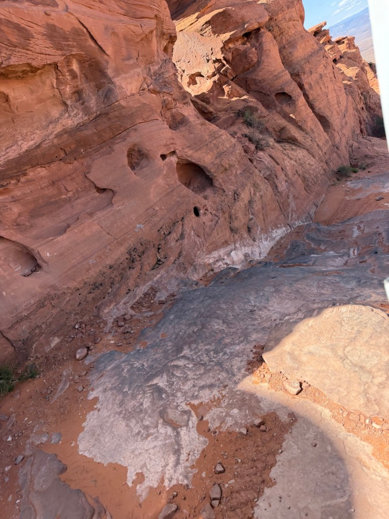
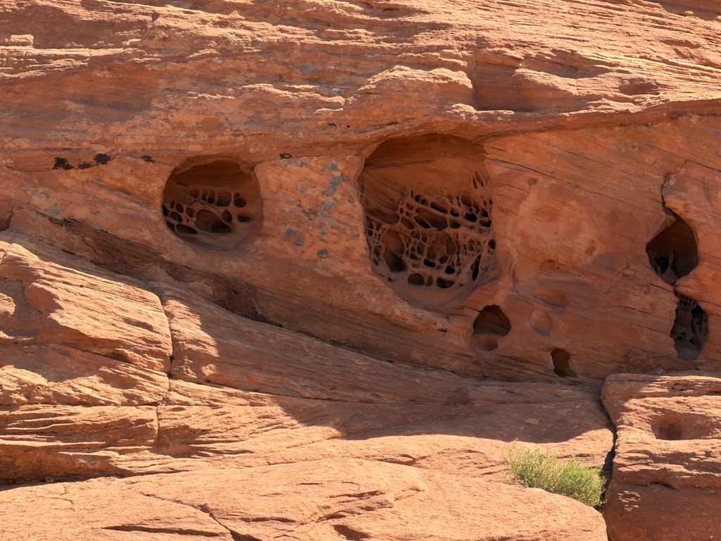
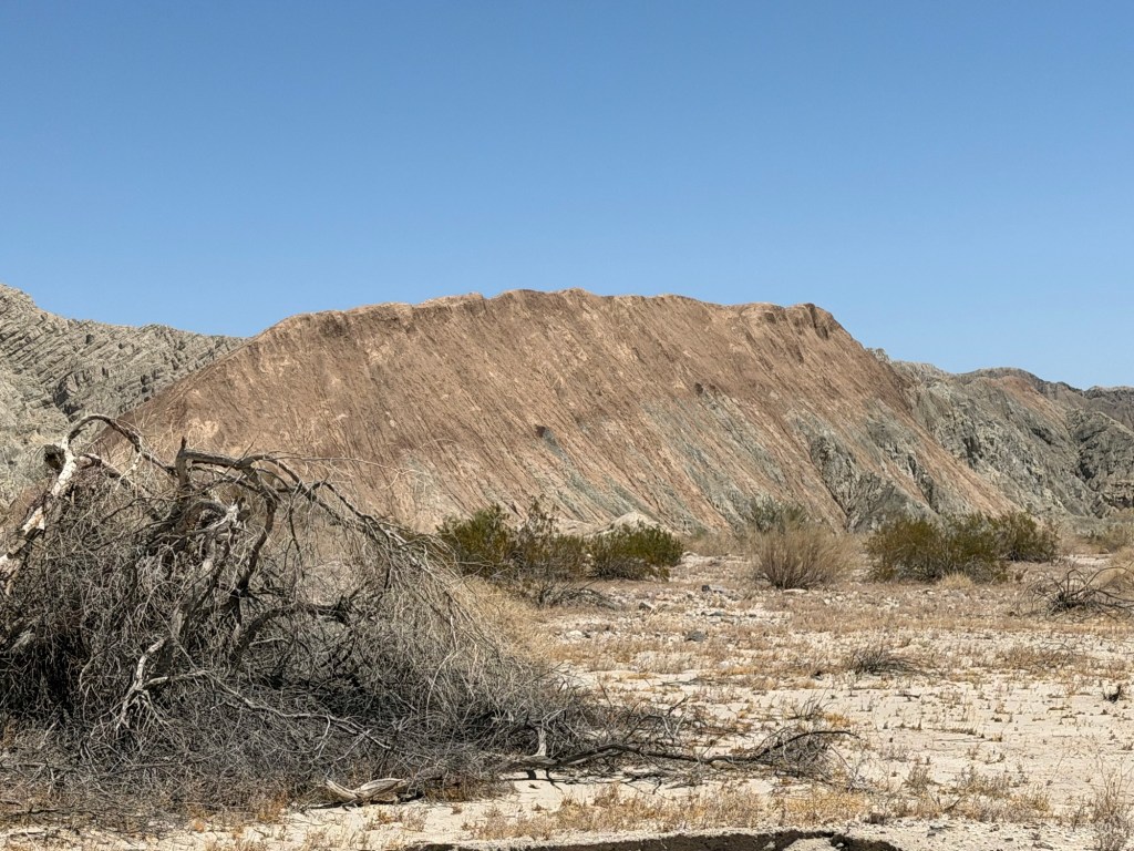
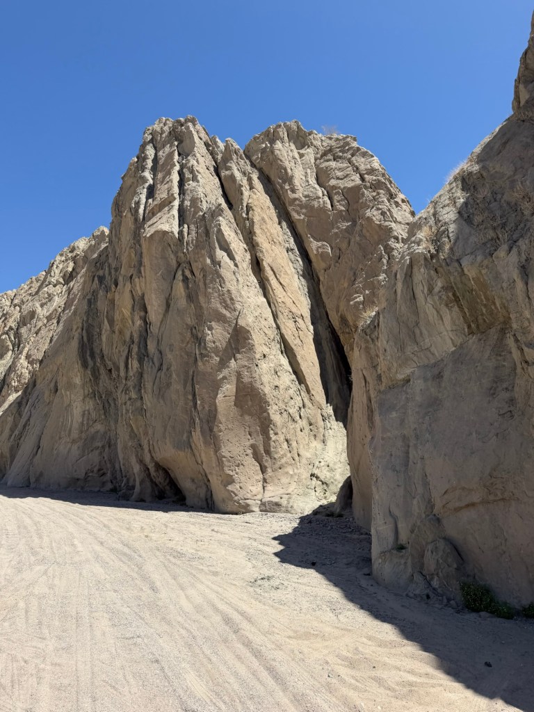
This is one of nearly 70 such spires found in the park. They are made up of sedimentary rock, but the exact origin of these pipes is unknown.
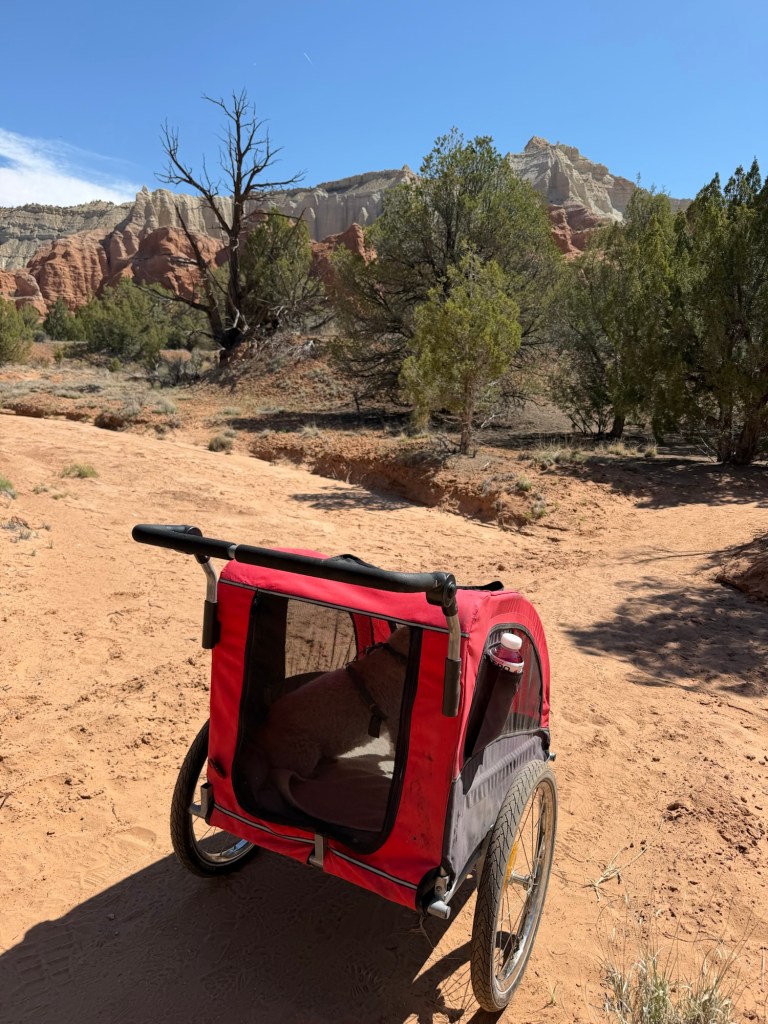
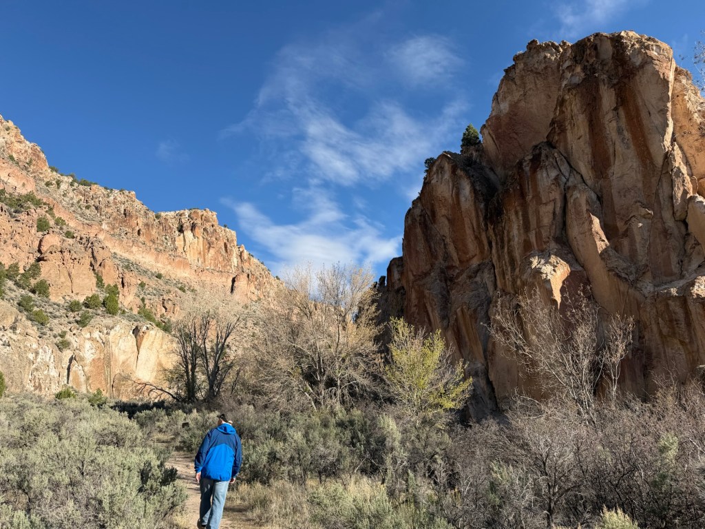
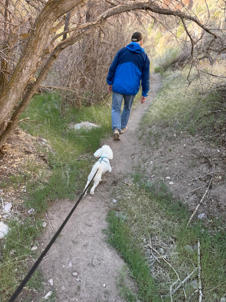
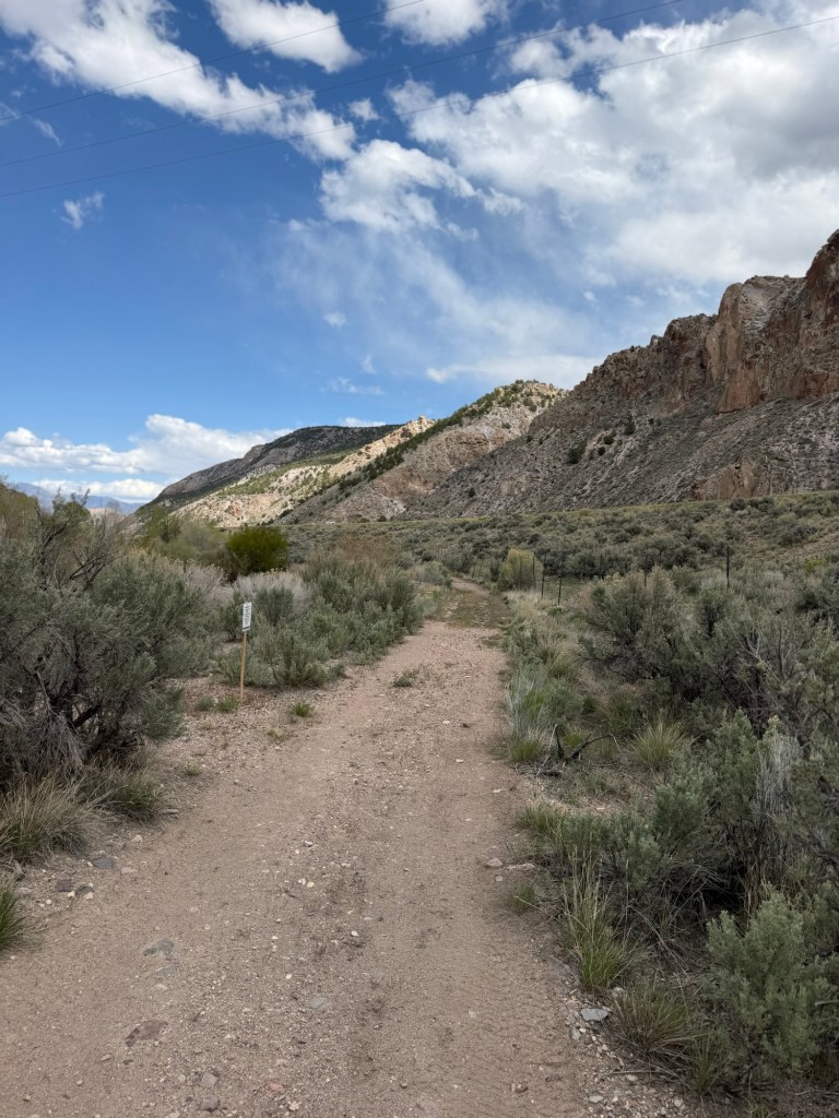
Another draw for us was that dogs are allowed on the trails and there were two trails that looked like they were okay for the stroller. This is Matey in his stroller at the beginning of the Grand Parade Trail.
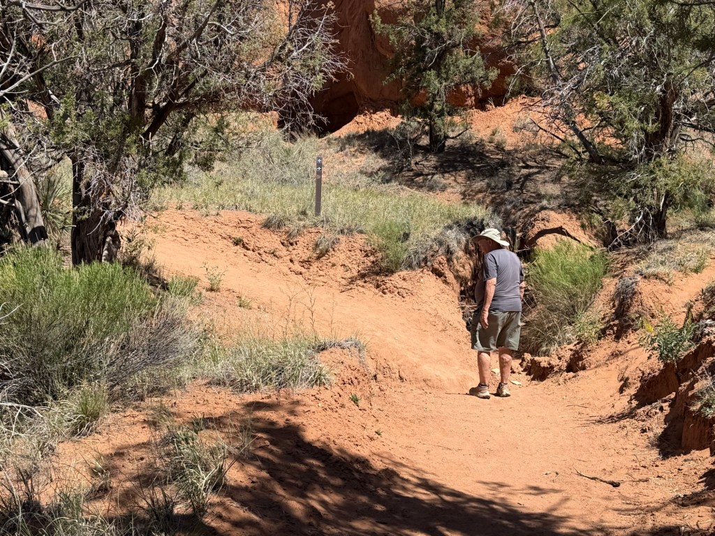
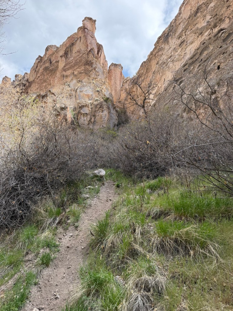
Although there were difficult spots I was able to negotiate the mile and a half trail.
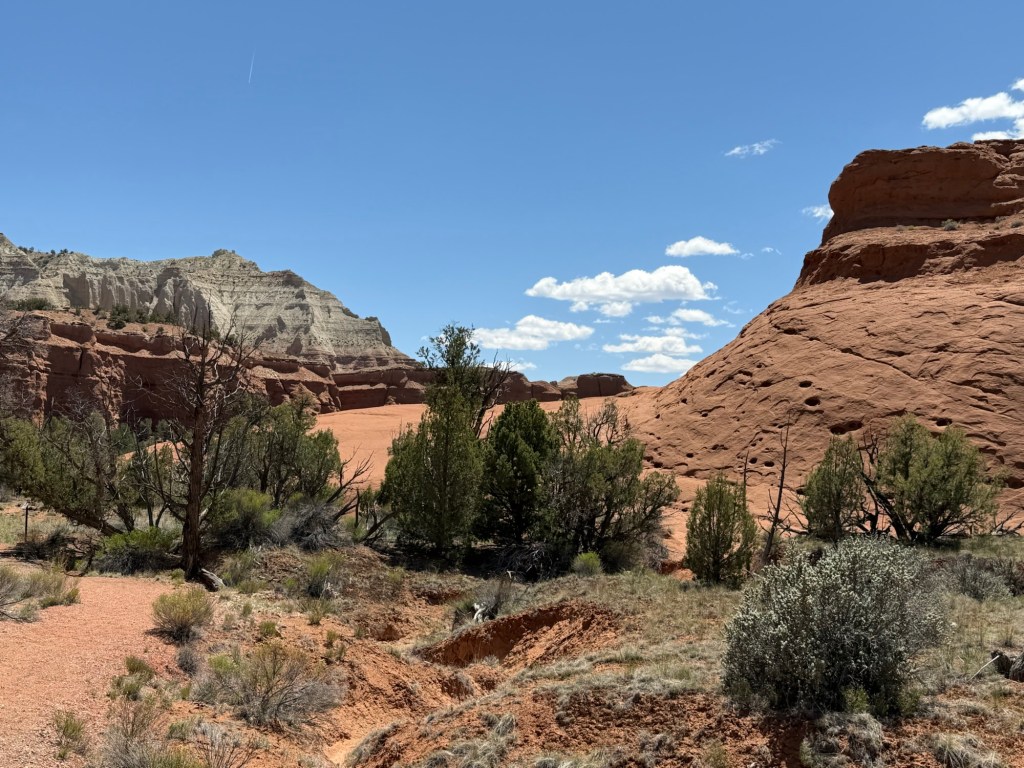
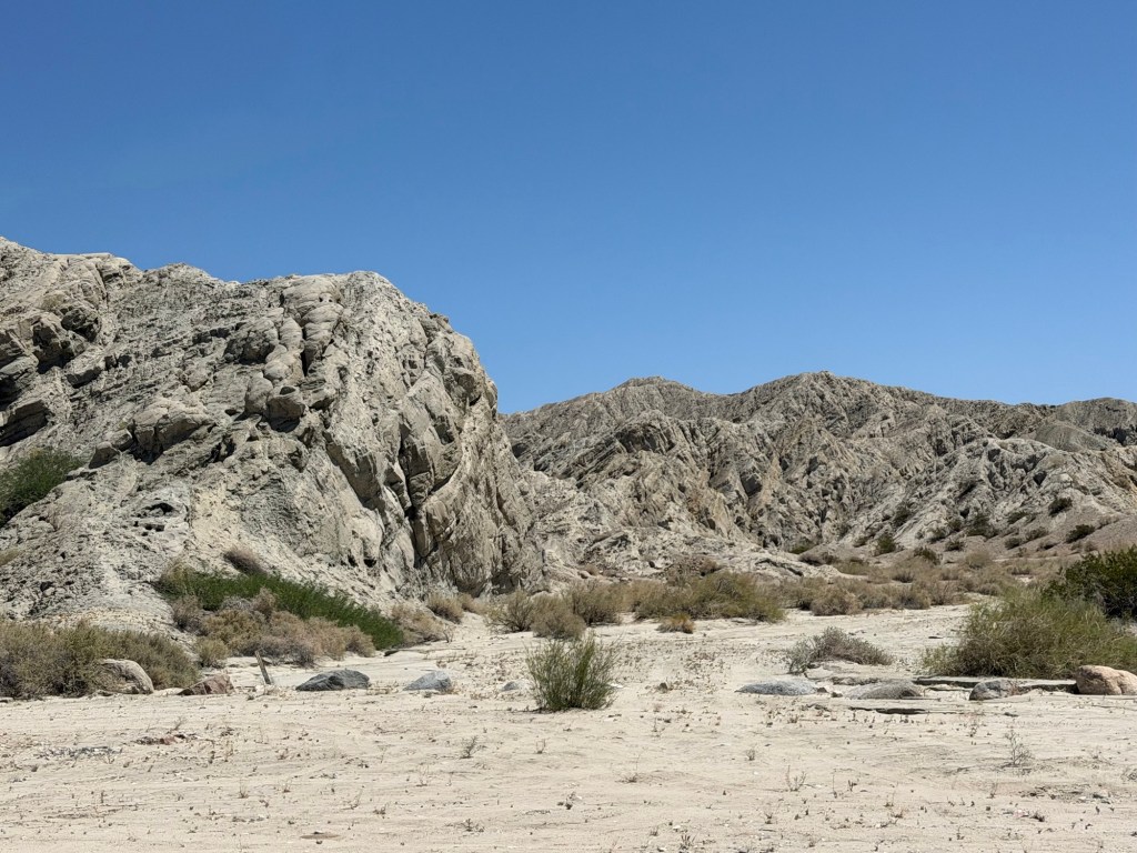
It took us past spires,
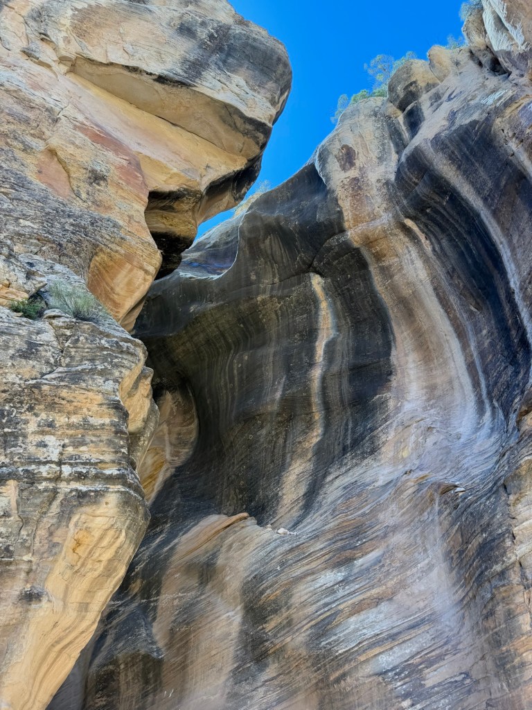
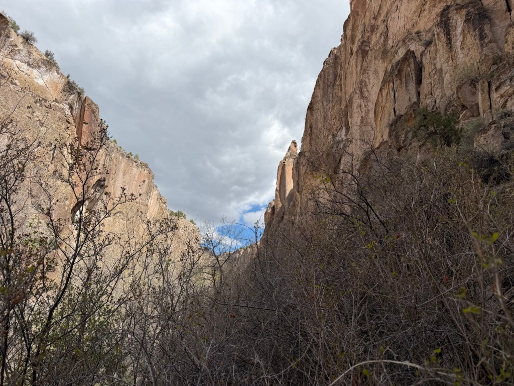
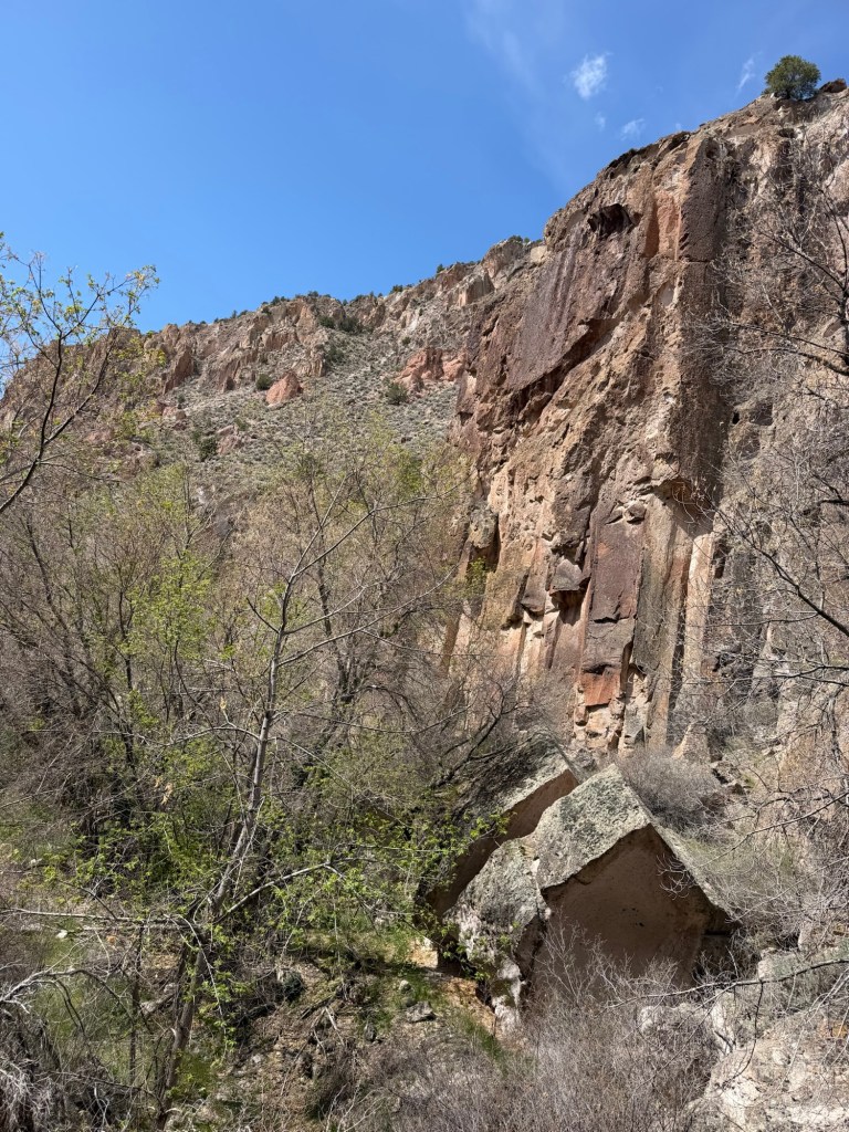
and close to huge stone walls,
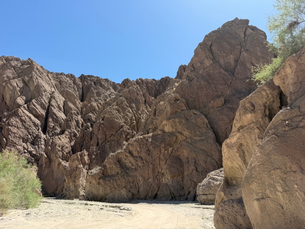
There were rugged, colorful formations.
There were areas where the canyon walls were beginning to form hoodoos.
One of the rock spires was right by the trail.
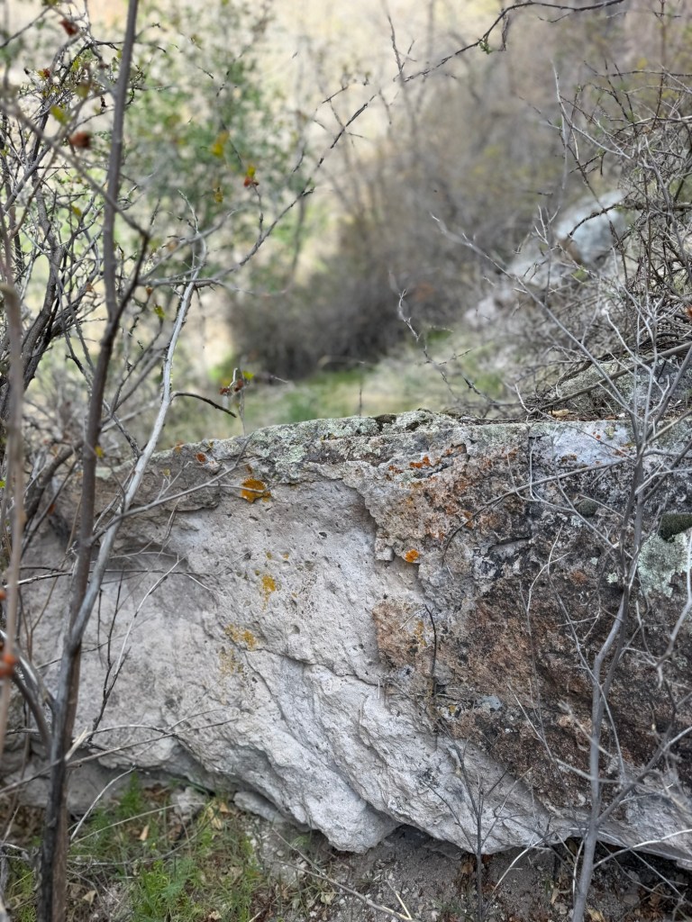
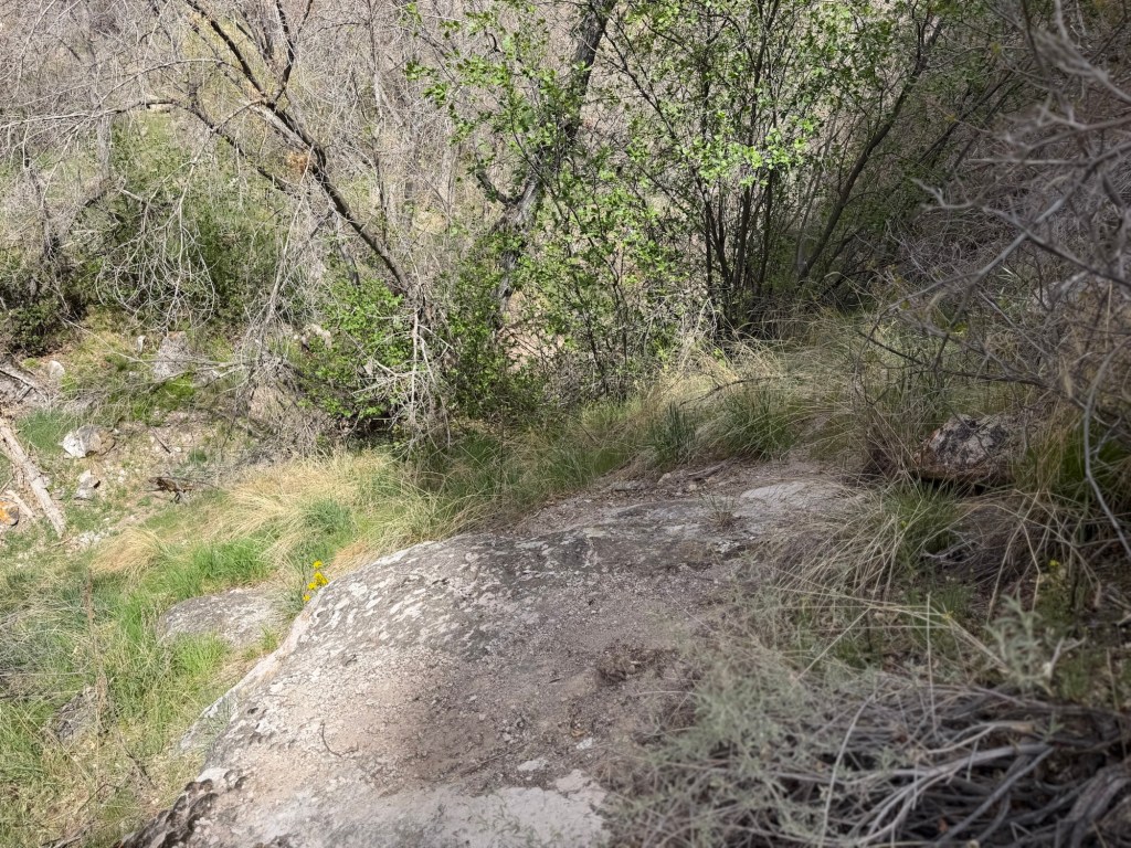
It was a lovely trail.
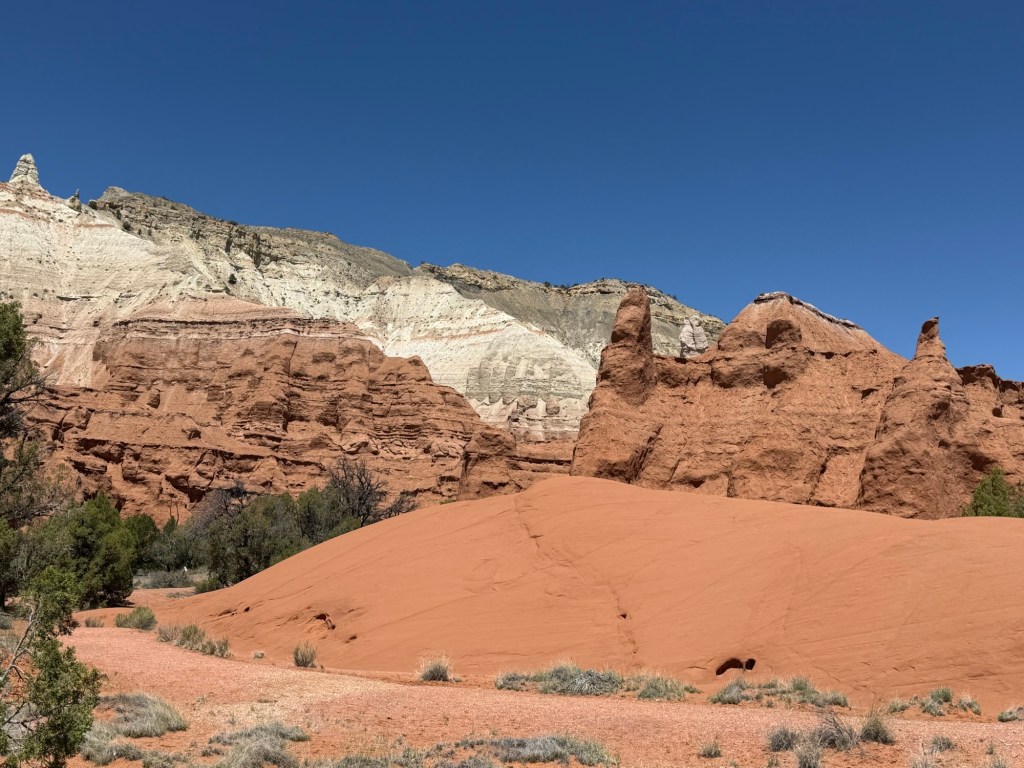
Matey and I then did another short trail. This was hard packed gravel and suitable for wheelchairs, so pushing the stroller on it was easy.
Though only four-tenths of a mile long it was packed with beauty.
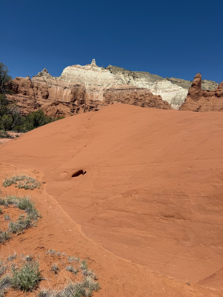
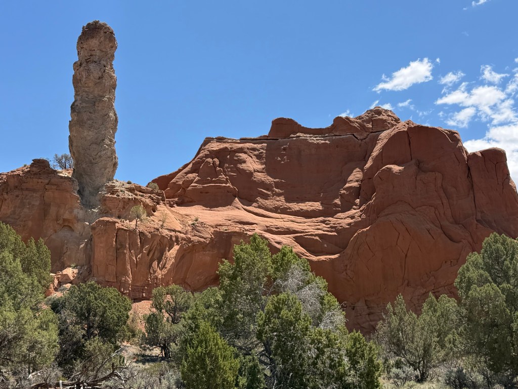
It had its own sedimentary pipe. I let Matey pose in the closest shade patch for scale.
It had plenty of the famous color,
and some huge red boulders that looked almost like sand dunes, but were rocks.
Kodachrome Basin is certainly beautiful, and I would recommend going to see it,
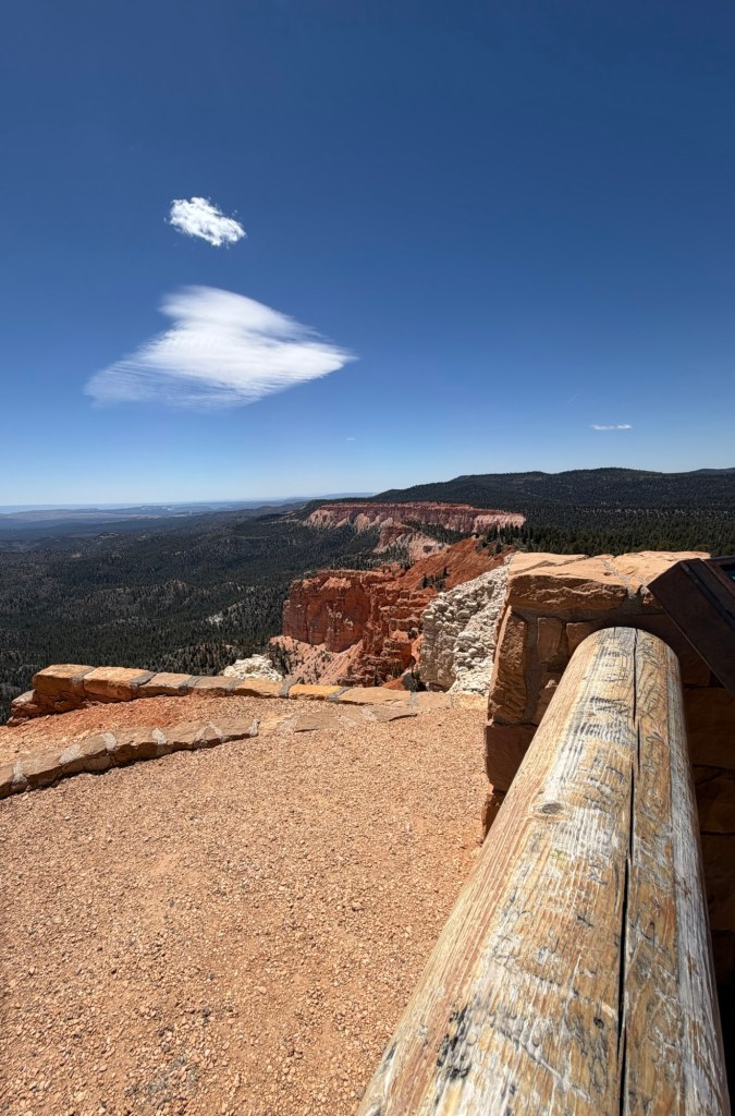
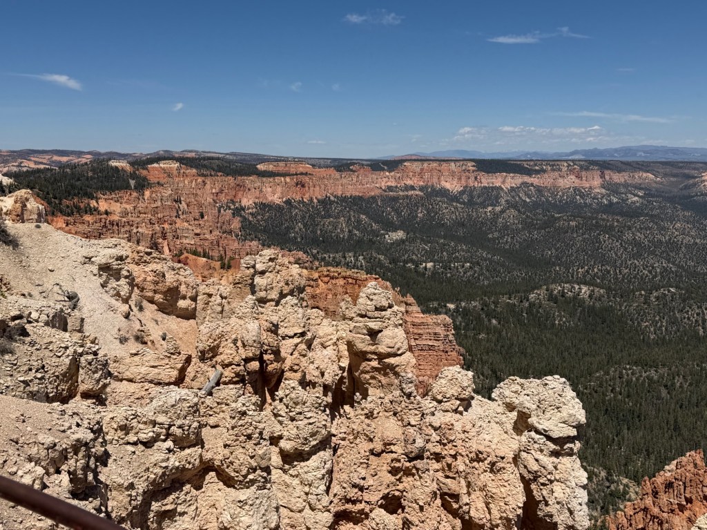
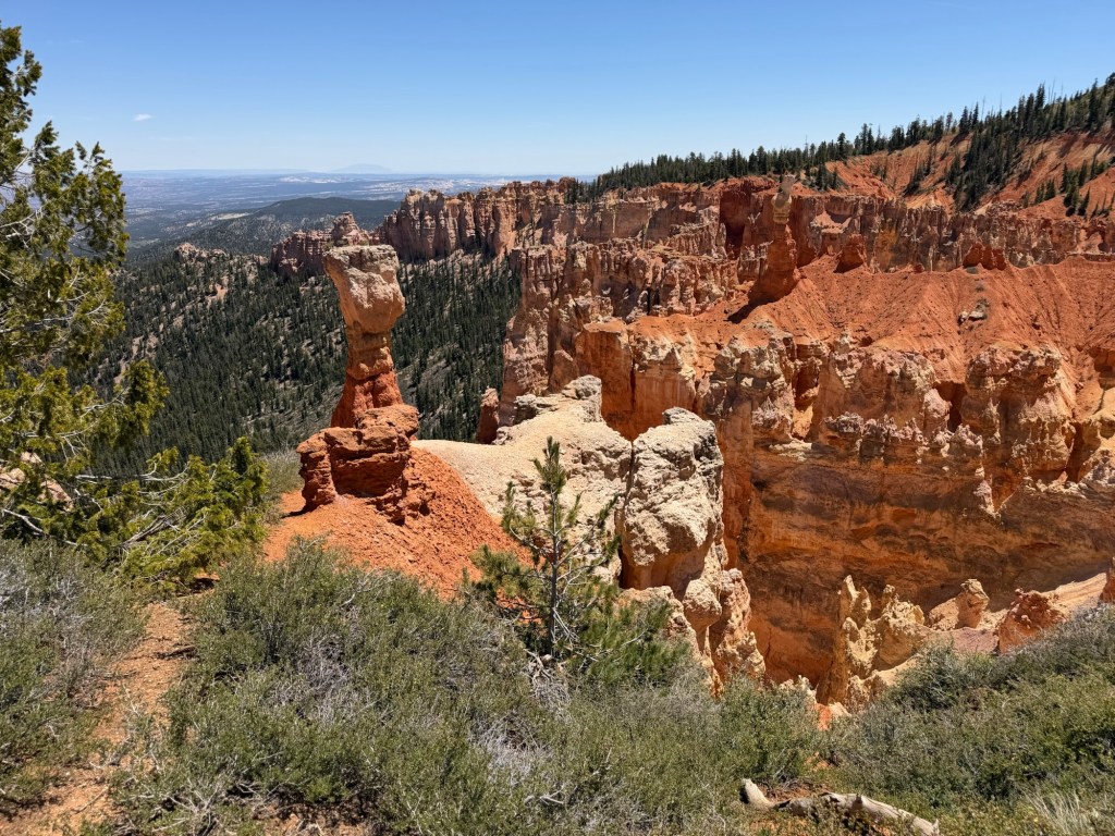
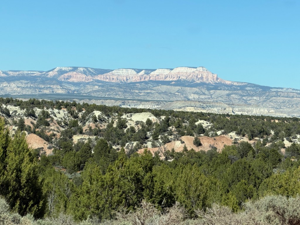
Today we took Matey and a lunch and went to Bryce Canyon National Park. Since we had Matey we didn’t intend to do any hiking, instead we wanted to go to the overlooks. Bryce is a long, narrow park running from the north to the south. We drove all the way to the end of the road for our picnic. Although we stopped at a couple of overlooks on the way, I’m putting the photos in the blog in geographical order, from south to north. This is Yovimpa Point, and these are the pink cliffs running out towards the end of the Paunsaugunt Plateau.
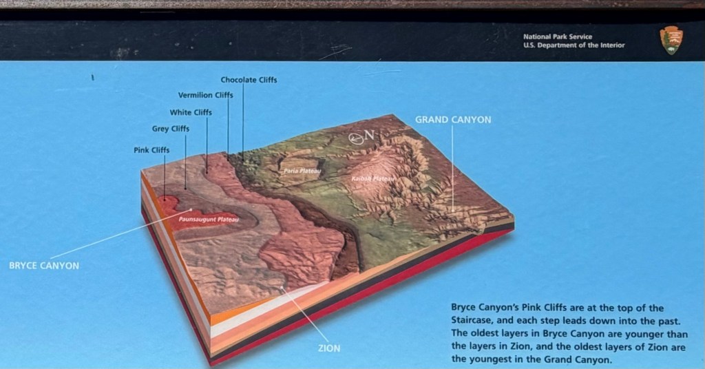
From here you can see south with no obstructions. That’s because the land drops away all the way to the Grand Canyon. The youngest rocks and highest elevation is at Bryce. The bottom of Bryce Canyon is at the level of the top of Zion. And the bottom of Zion is at the level of the top of the Grand Canyon. And as the rocks get lower, they get older.
There was a sign there showing this, and from this illustration you can see why the land south of Bryce is called the Grand Staircase.
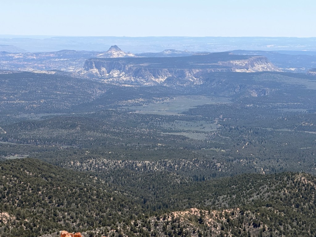
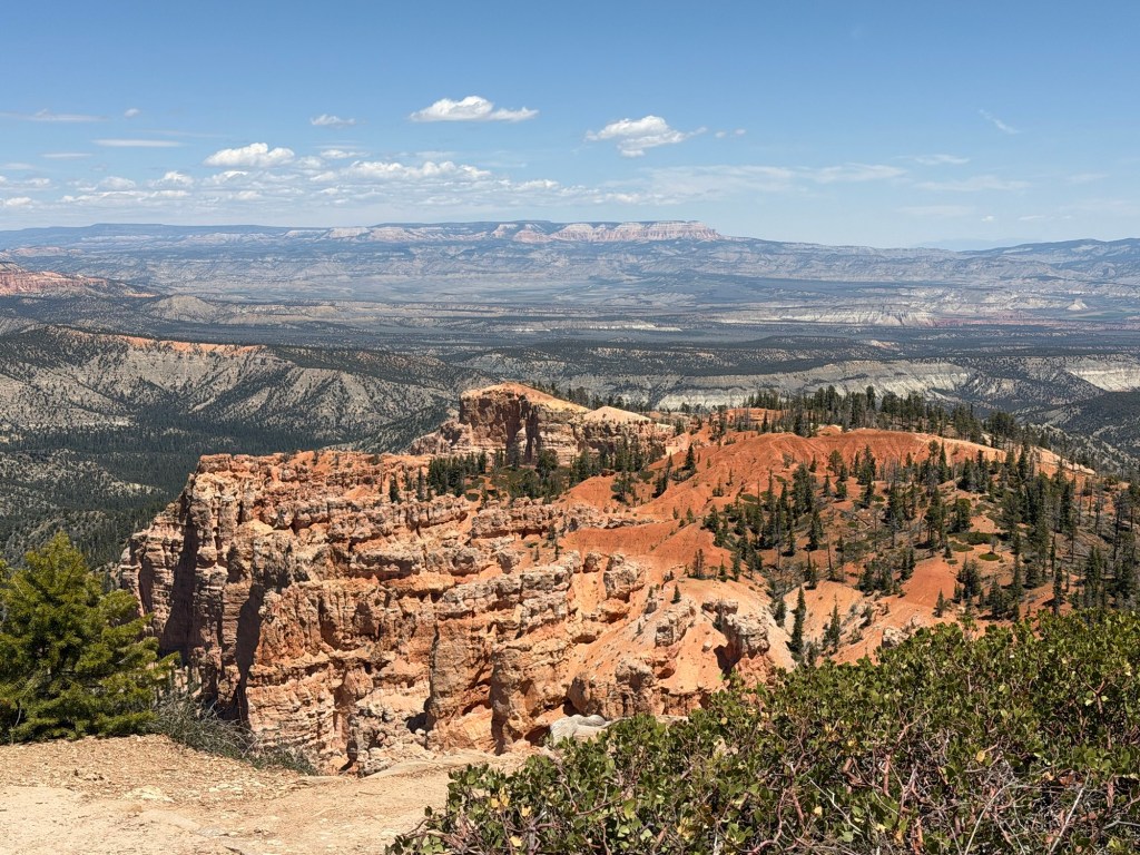
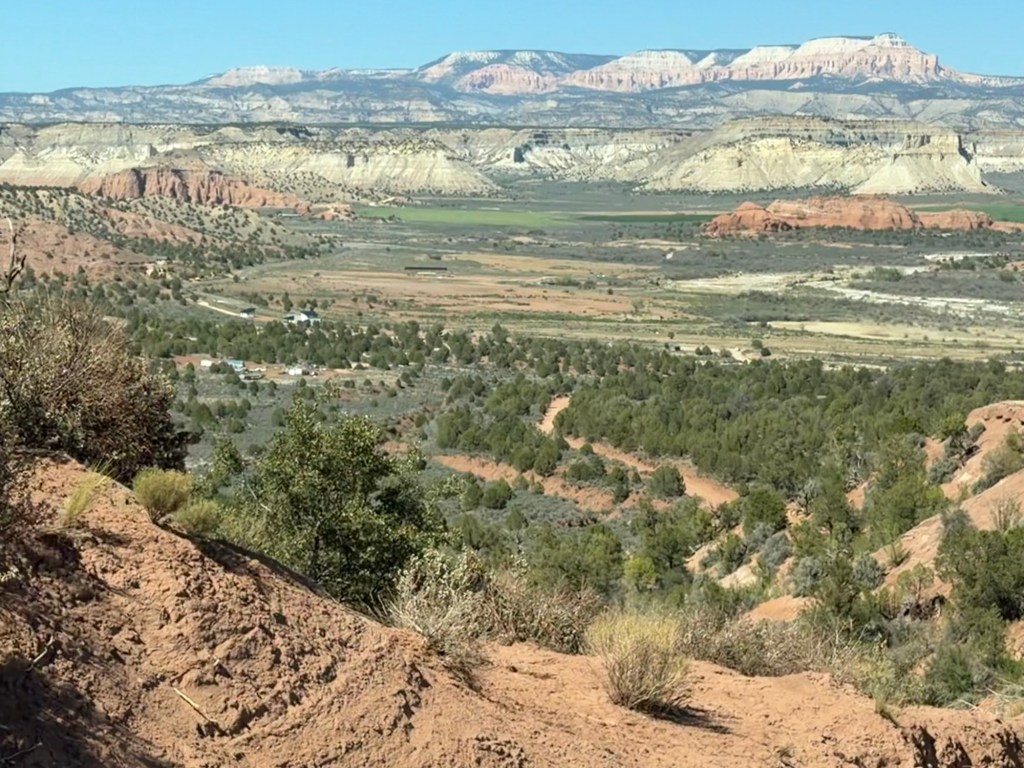
Adjacent to Yovimpa Point, and looking north is Rainbow Point, where you begin to see the hoodoo formations and stripes in the rock layers that Bryce is famous for.
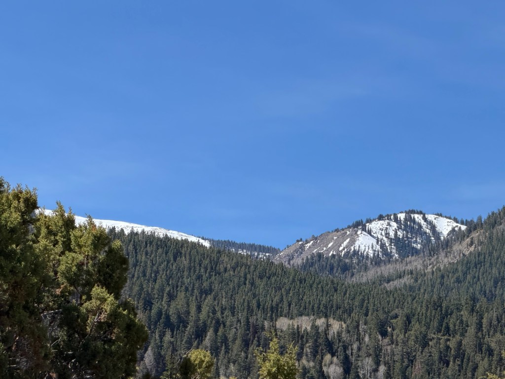
Looking past the hoodoos of Rainbow Point you could see the country we drove through yesterday.
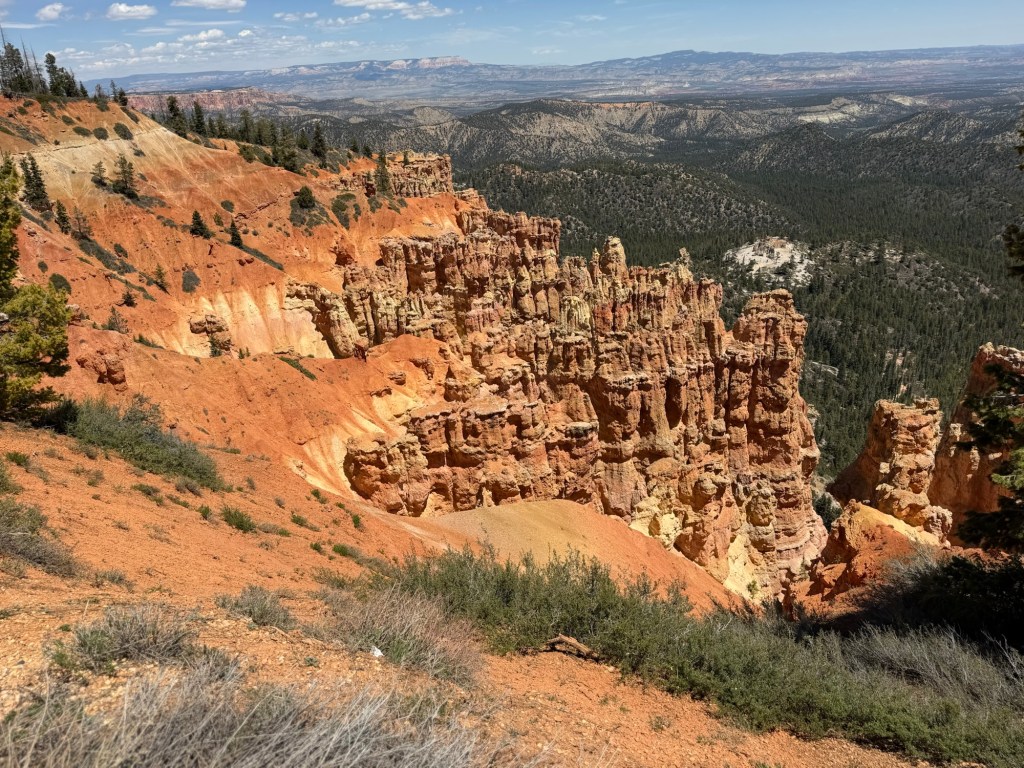
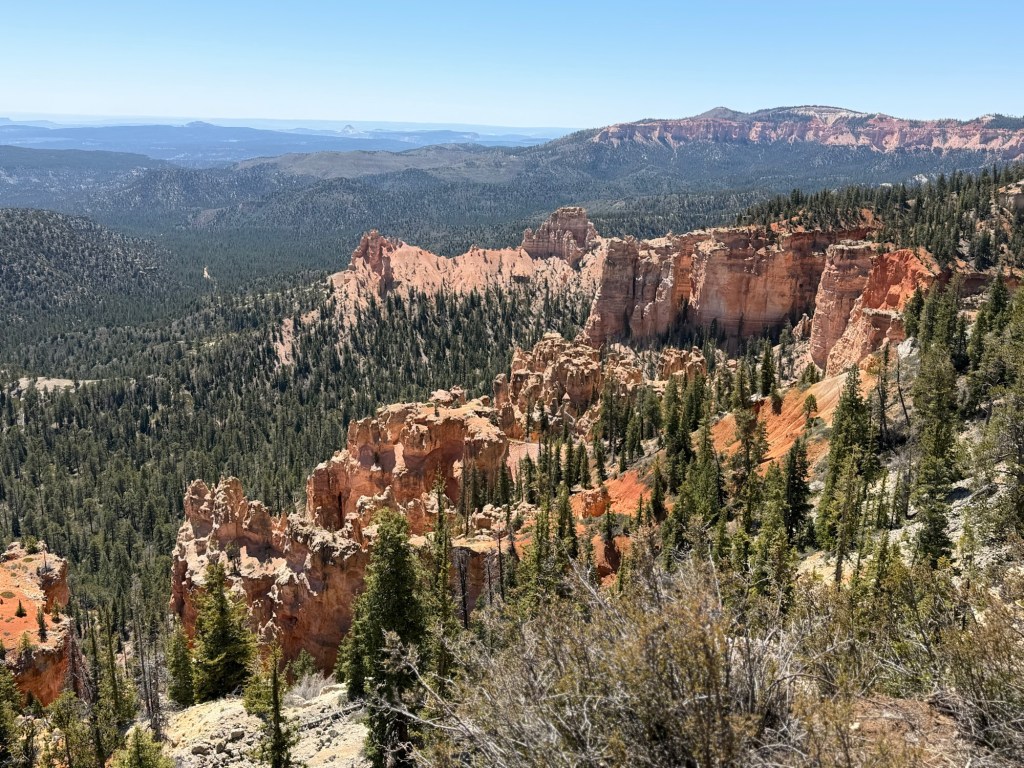
A bit further north is Ponderosa Point.
Agua Canyon,
I think that’s the canyon on the right.
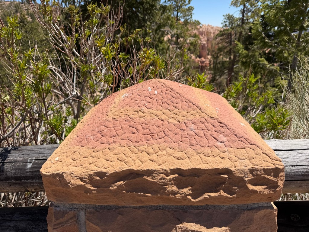
Here I noticed that the stone caps on the fence posts were made from the local pink striped rock.
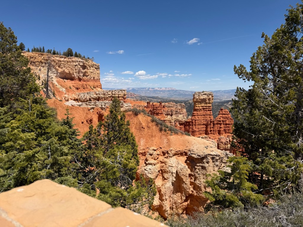
Next Natural Bridge.
This is Fairview Point, looking a bit towards the south. That’s Rainbow Point in the distance.
This is Swamp Canyon, and is trailhead parking. Imagine hiking through that! There are trails all along below the cliffs.
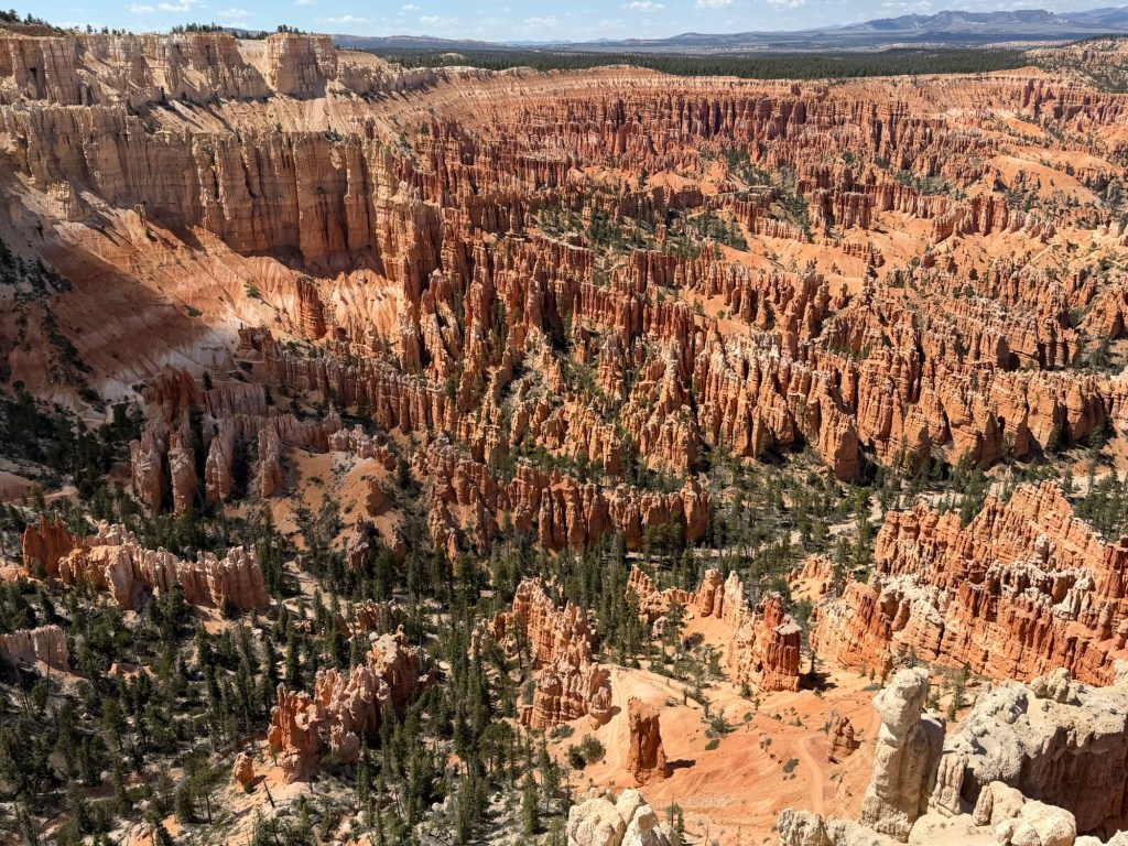
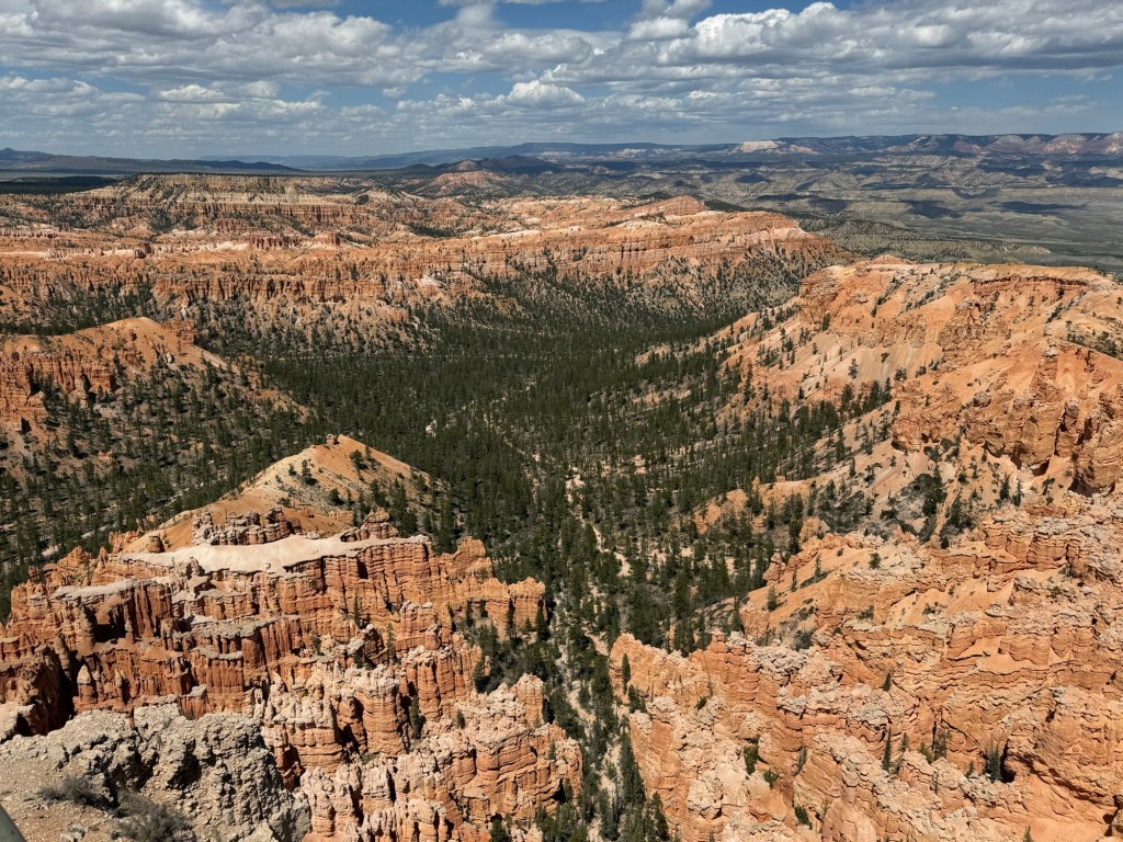
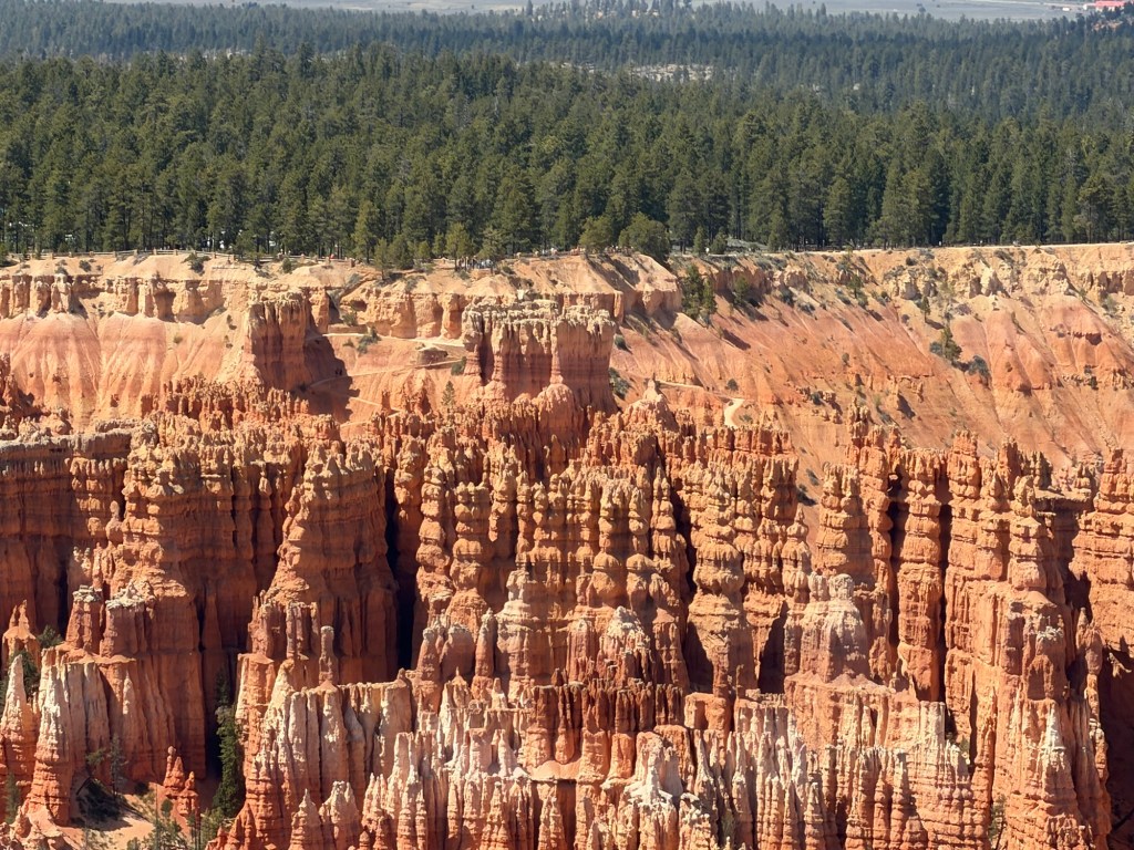
Next you come to what’s called the Bryce Amphitheater, and on the southeast side is Bryce Point.
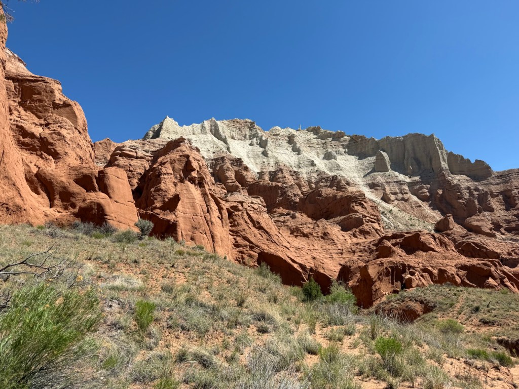
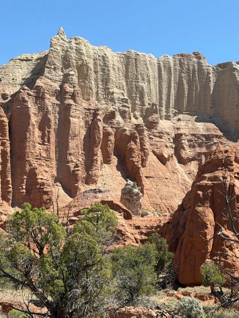
Bryce Canyon National Park has the largest concentration of hoodoos in the world, and here they are. And they’re pink and white striped.
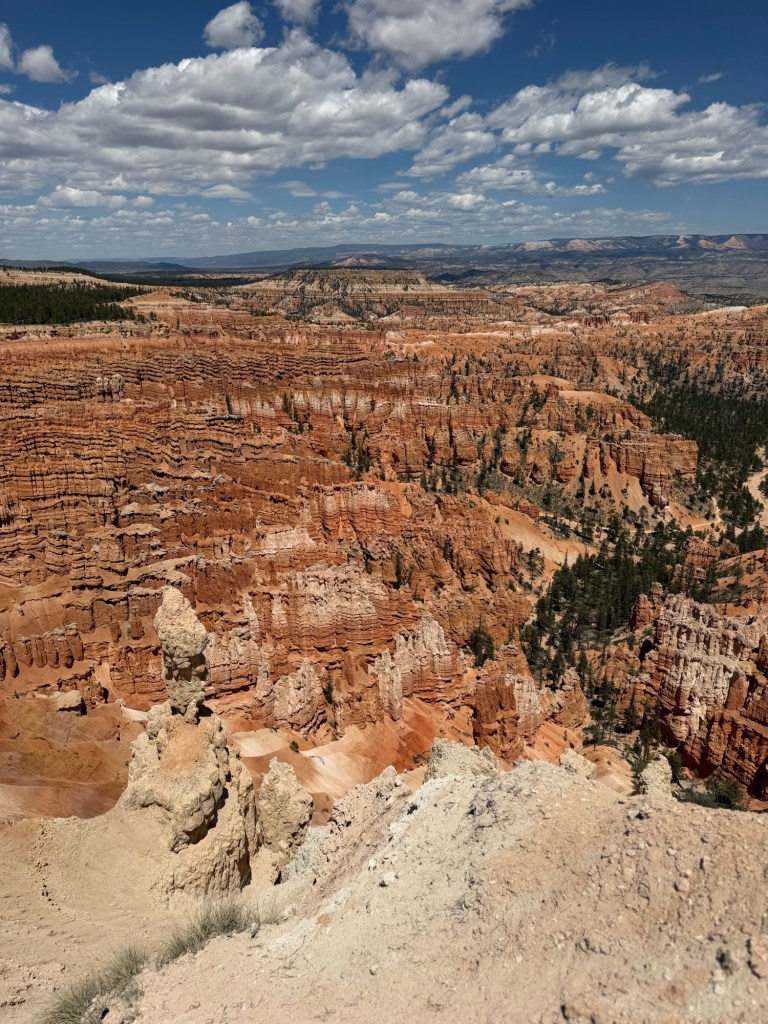
Our northernmost stop today was Inspiration Point. This is a photo from Lower Inspiration Point.
And this video is from Upper Inspiration Point. If you’ve ever ridden The Maid of the Mist at Niagara Falls you know that when the boat is so close to the bottom of the falls that all you see is mist and all you hear is thundering water the announcer says, “Ladies and gentlemen, Niagara Falls.” I thought of that. Ladies and Gentlemen, Bryce Canyon. Spectacular hardly covers it.
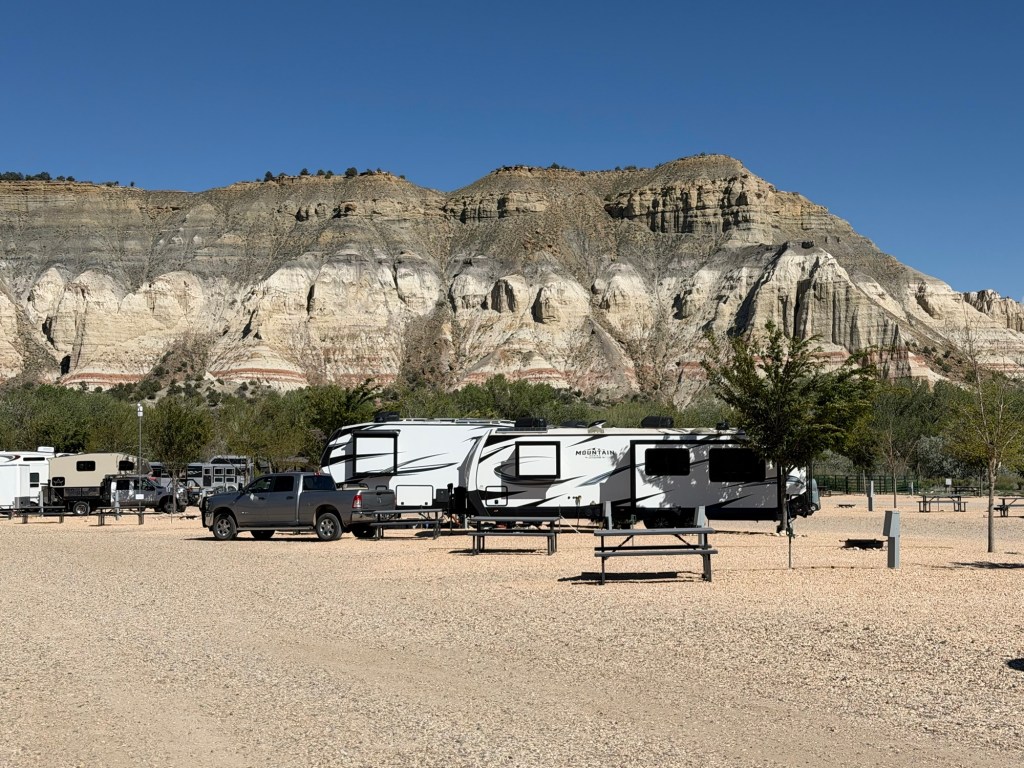
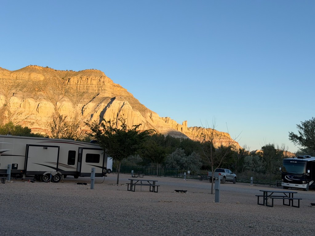
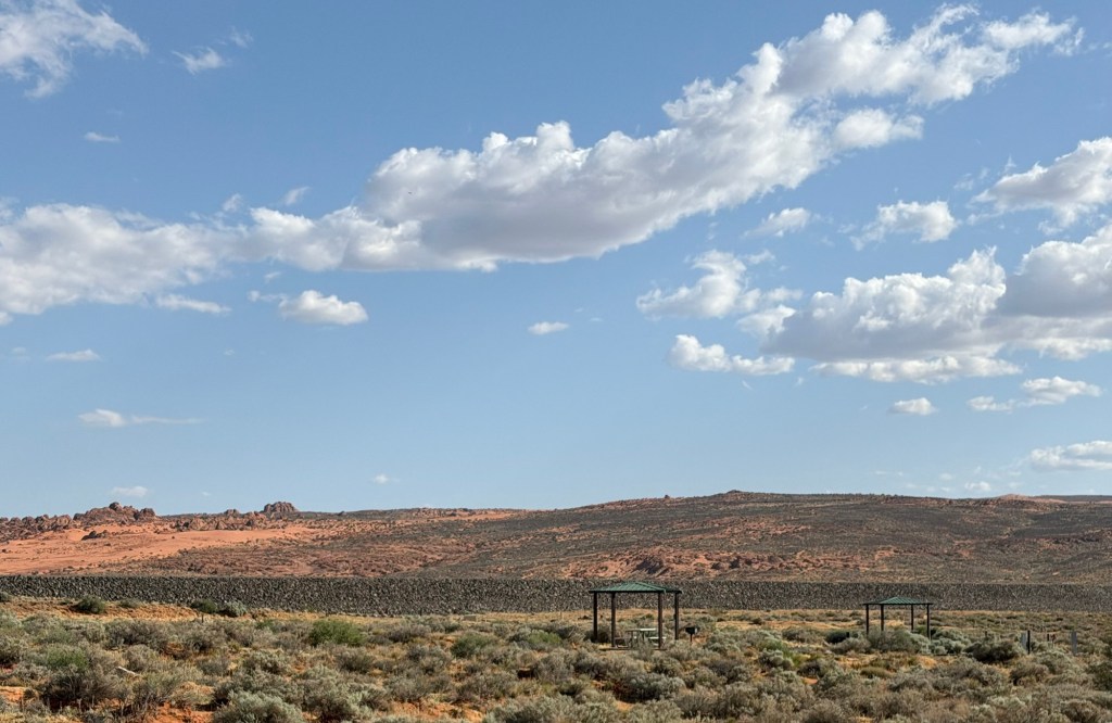
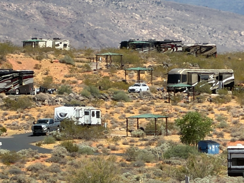
This commercial campground will be our base for a week.
It is just a well made gravel lot with RV sites, but the setting is beautiful.
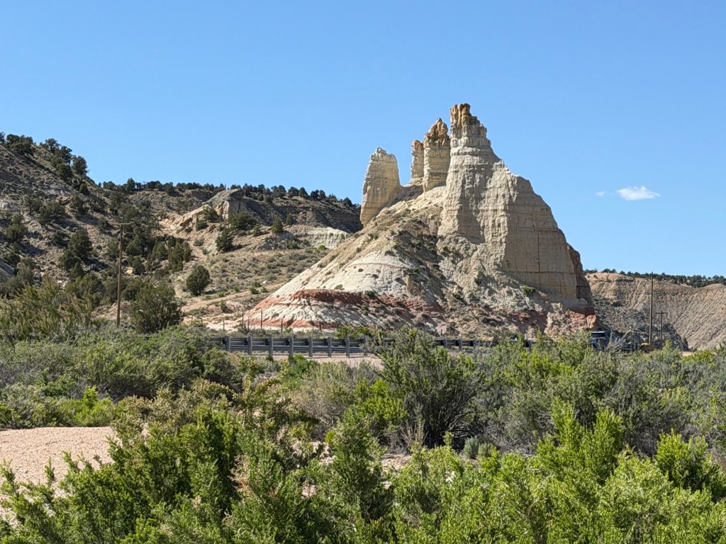
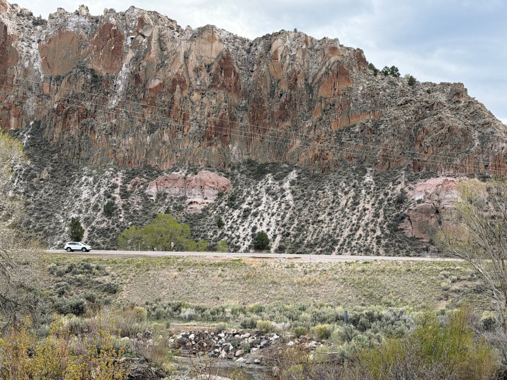
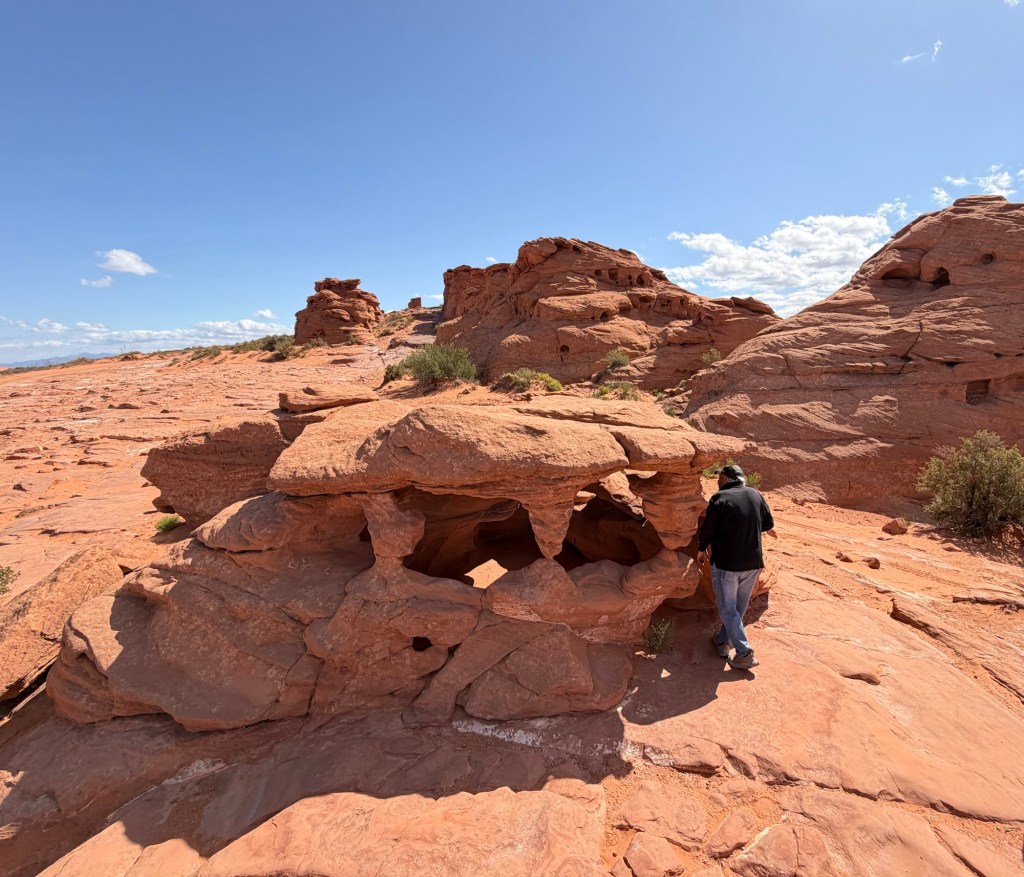
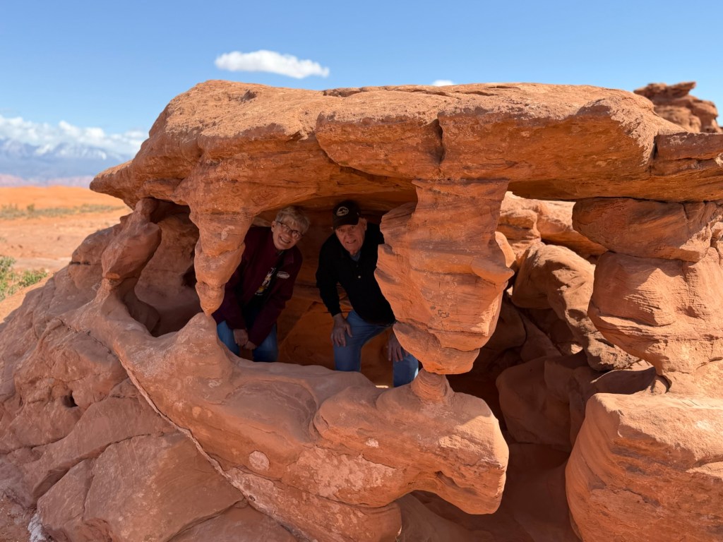
This unusual rock formation is right across the street.
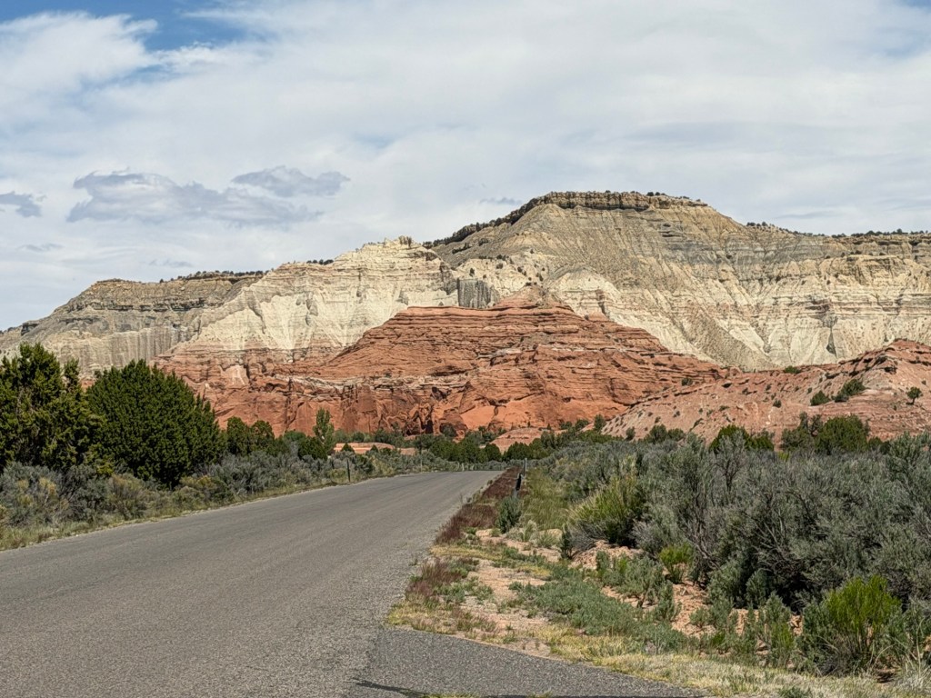
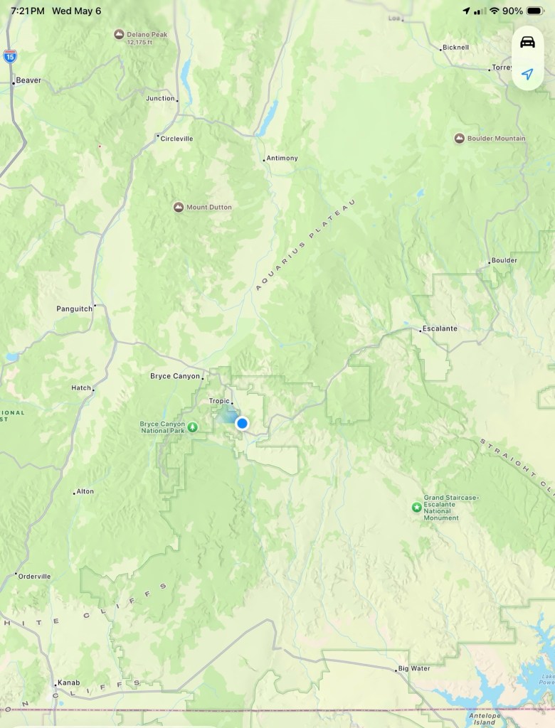
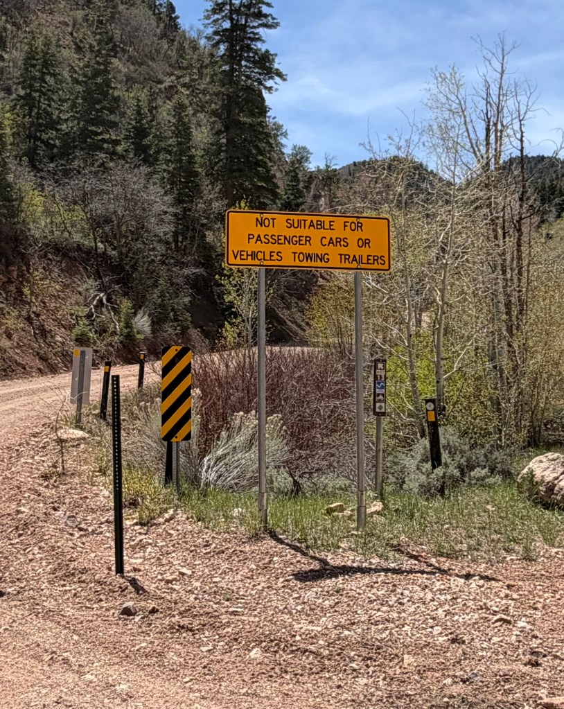
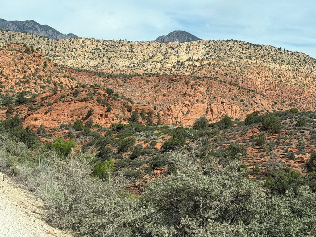
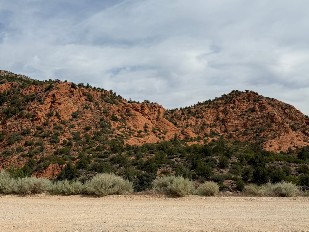
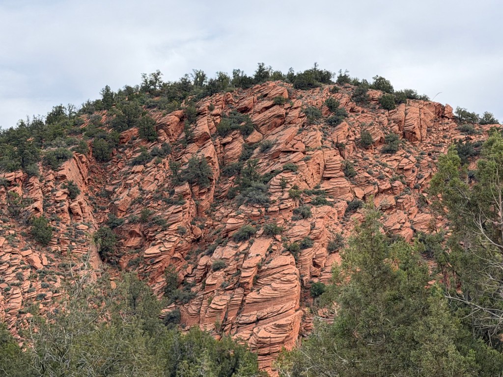
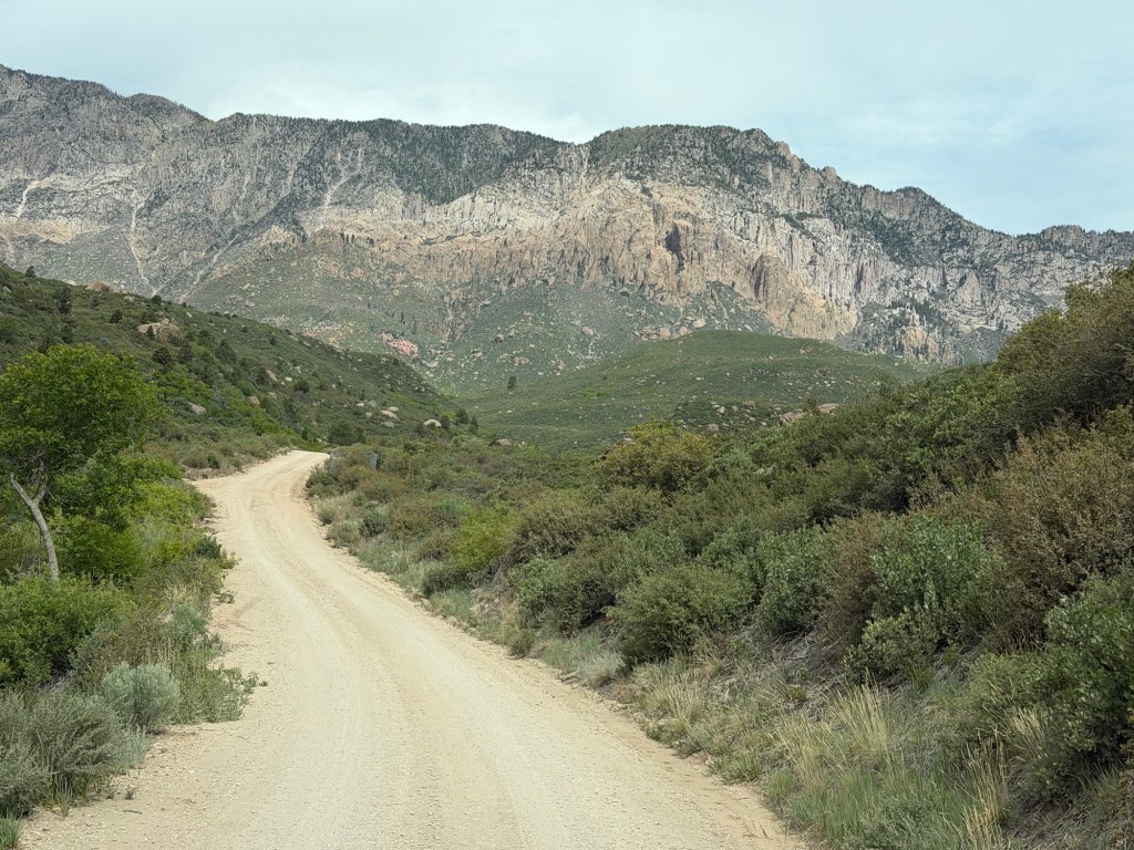
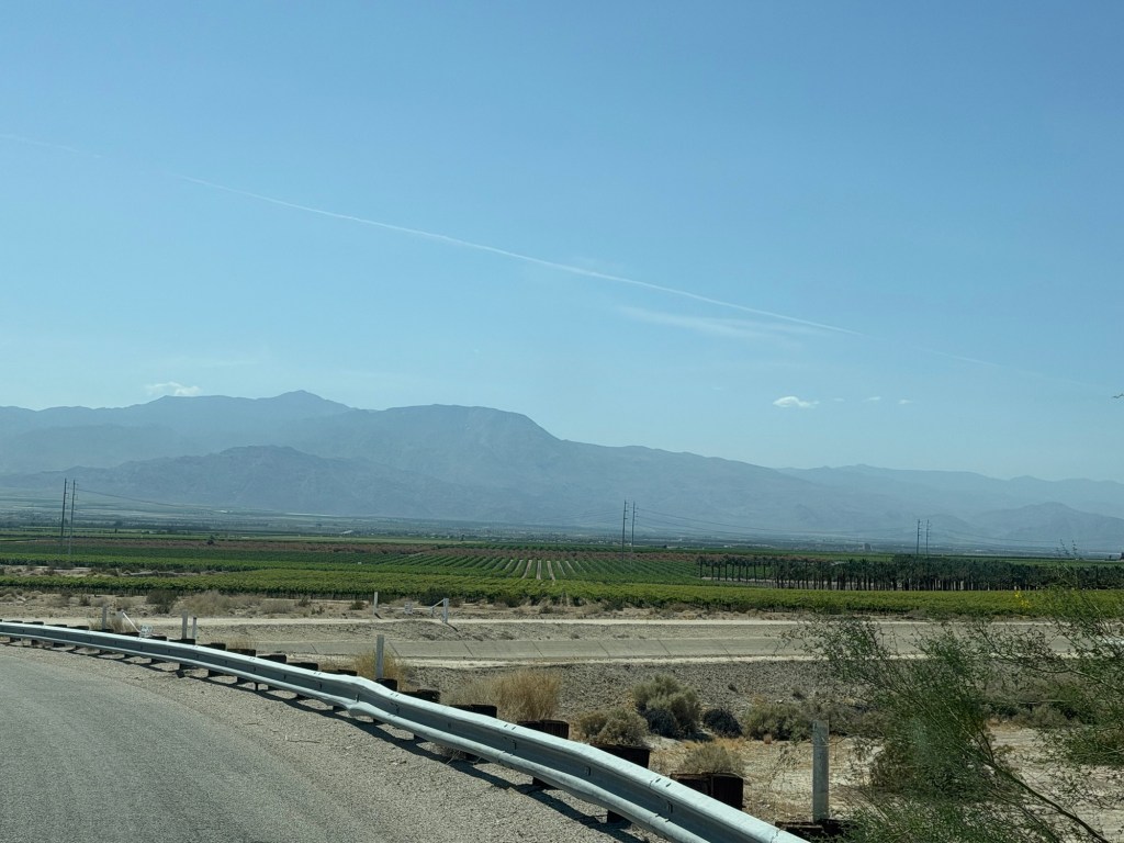
We are still in Utah, now just back a little south and a bit further east. We are near Bryce Canyon National Park, Kodachrome Basin State Park and Grand Staircase Escalante National Monument, so there is plenty to see.
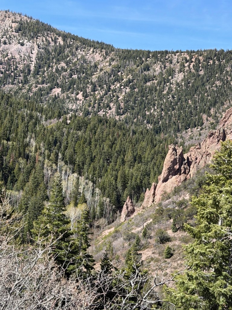
I am going to run out of superlatives describing this country.
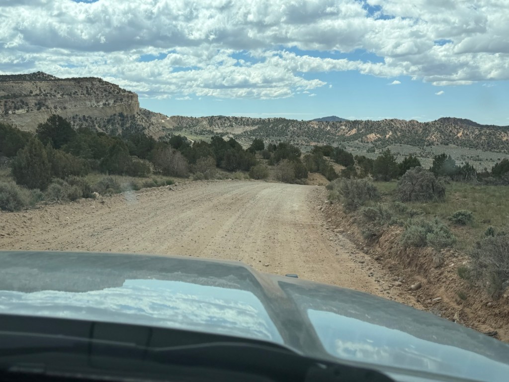
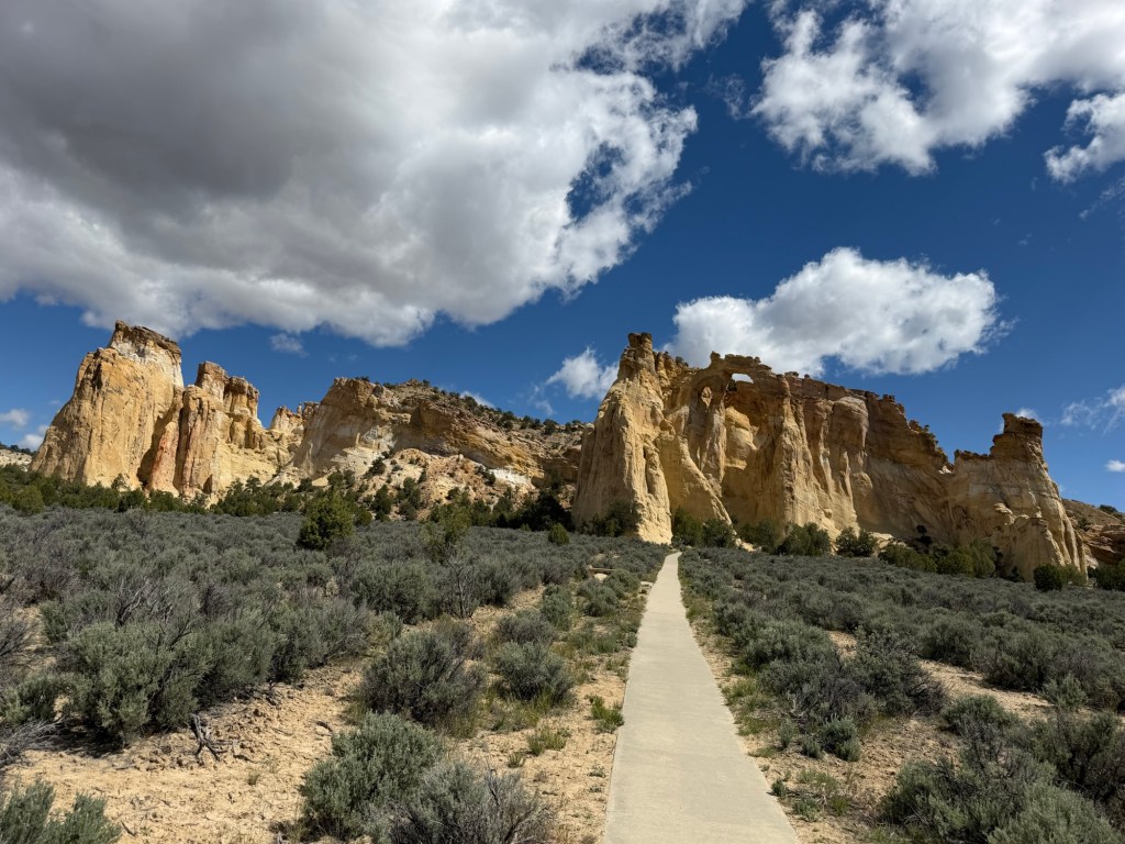
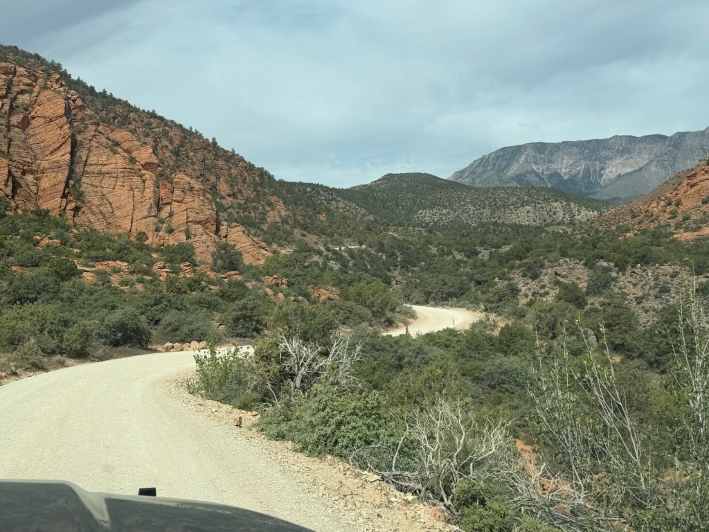
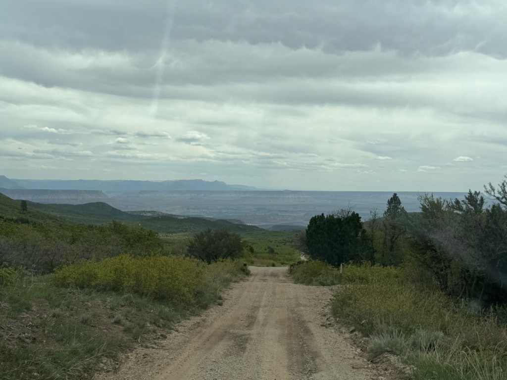
When we checked in here they gave us a sheet on scenic side trips in the area. This morning we decided to drive 17 miles out Cottonwood Canyon Road Scenic Backway to see Grosvenor Arch.
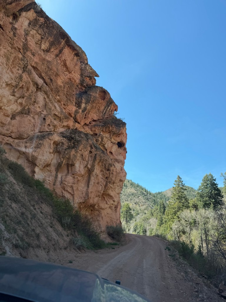
Just the drive out was pretty entertaining.
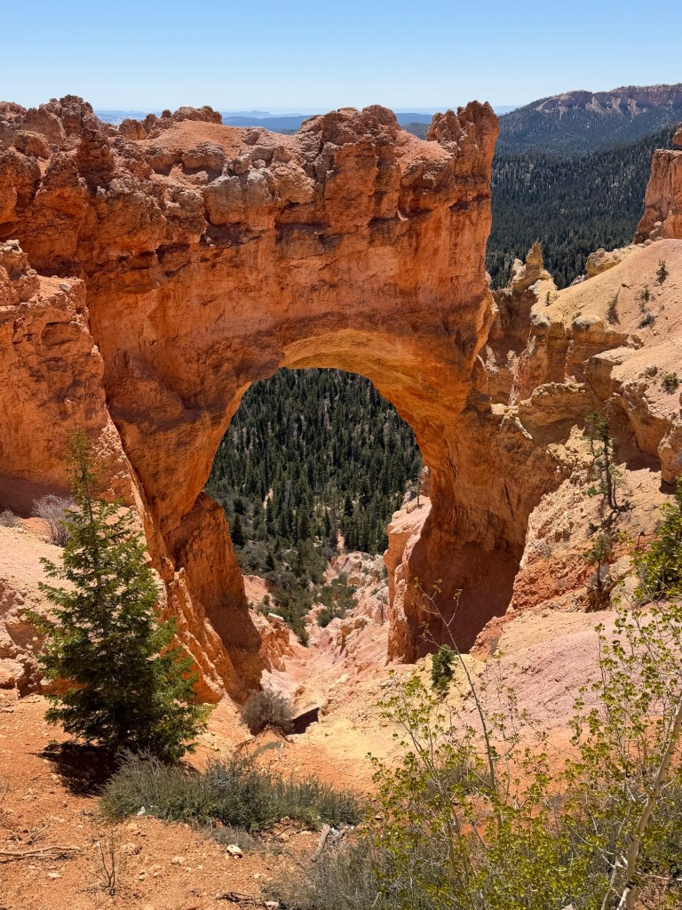
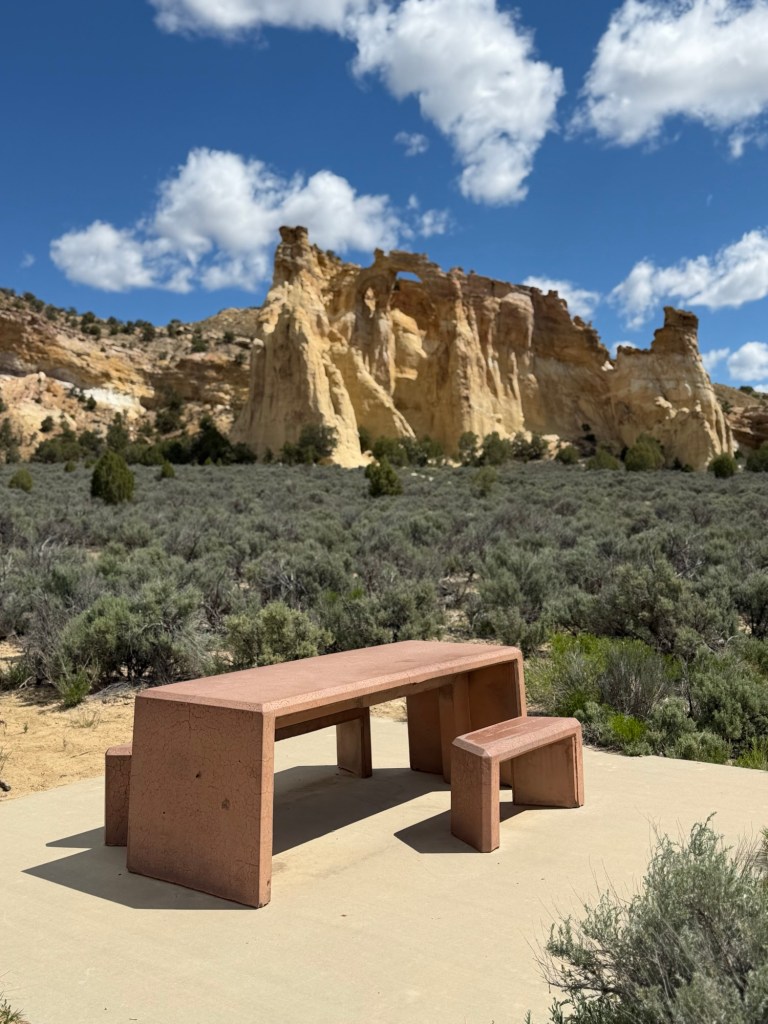
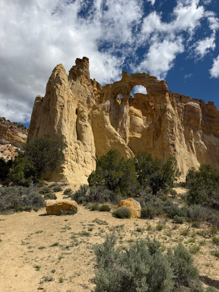
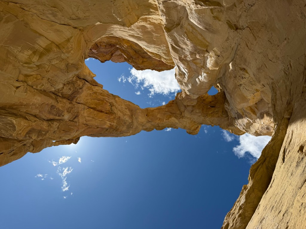
And here is the arch, it’s one of only two developed day use areas in Grand Staircase Escalante National Monument.
The approach is even wheelchair accessible.
And it is worth approaching.
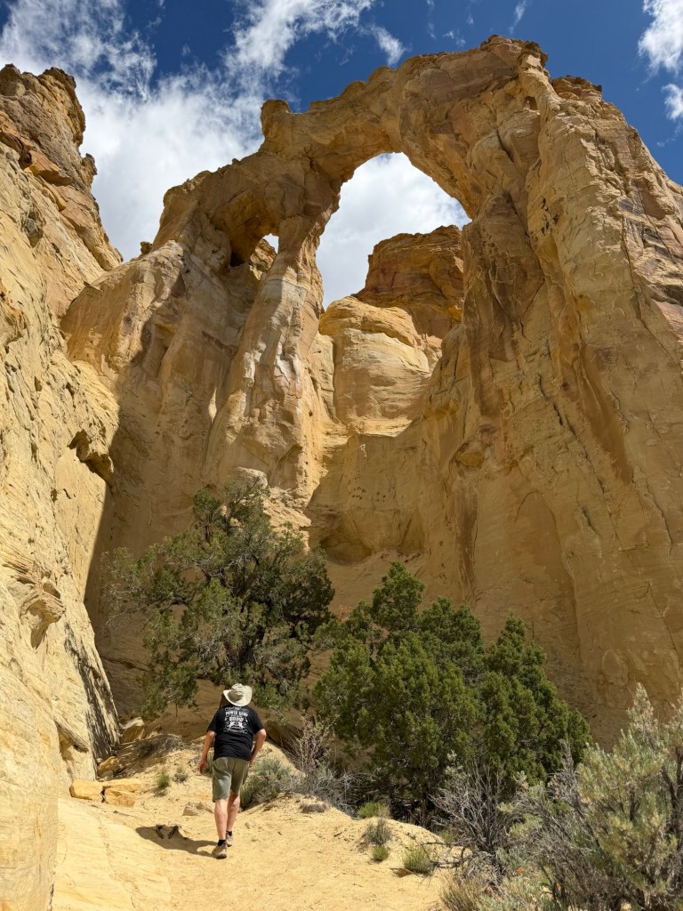
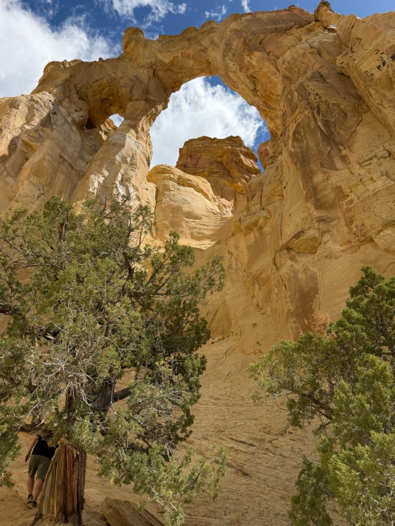
As we walked up to it you could see how massive this double arch is.
It is impressive…
and beautiful from any angle.
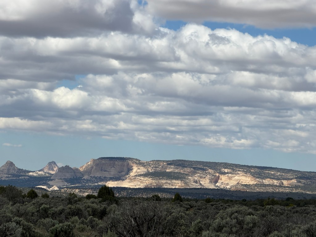
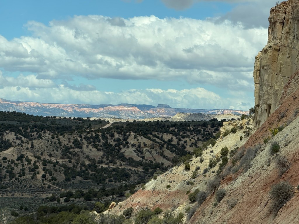
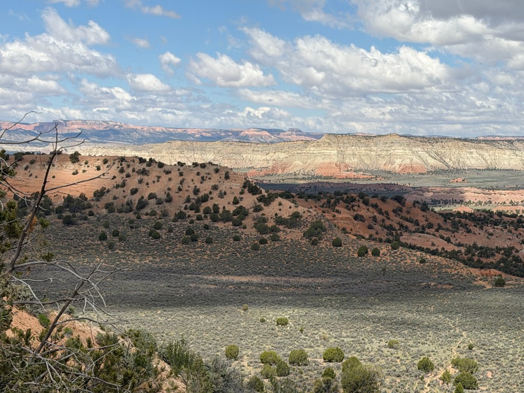
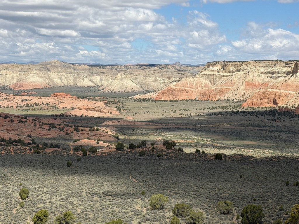
On the drive back we noted how we just kept descending from one beautiful valley to another.
Bud stopped at the crest of a hill so I could get out and take a couple of photos…
of the incredible country spread below.
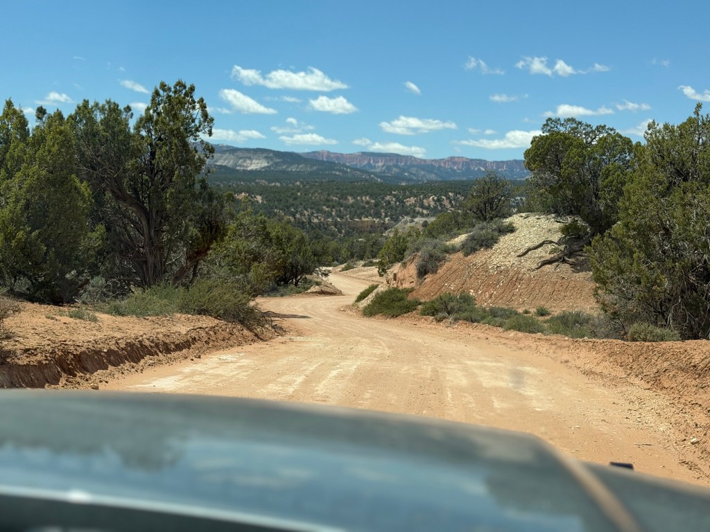
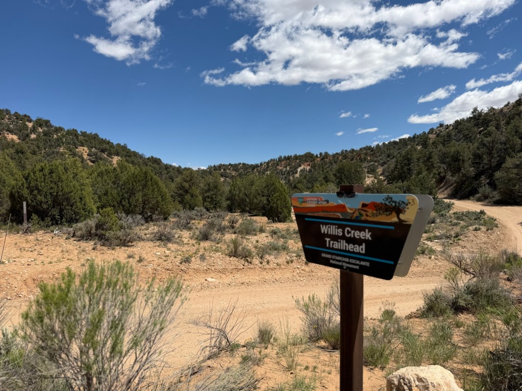
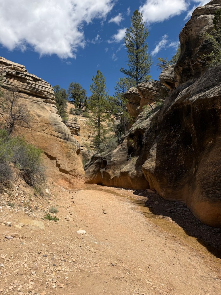
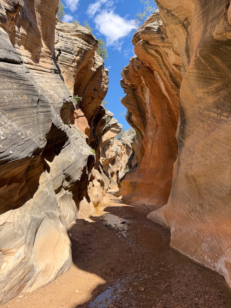
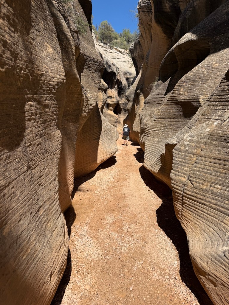
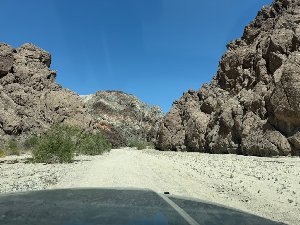
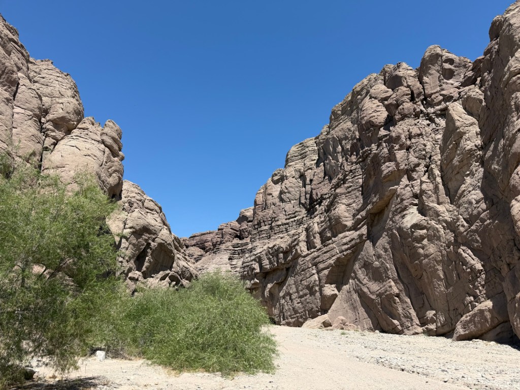
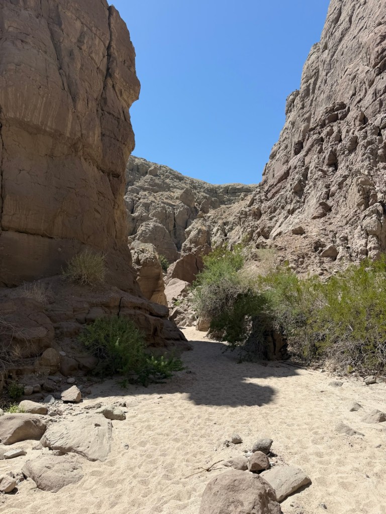
After lunch we went out Skutumpah Road for a short slot canyon hike…
at Willis Creek Canyon.
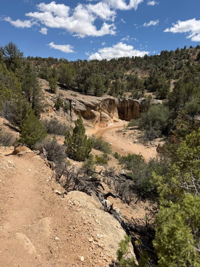
After a short approach trail…
you walk right along Willis Creek.
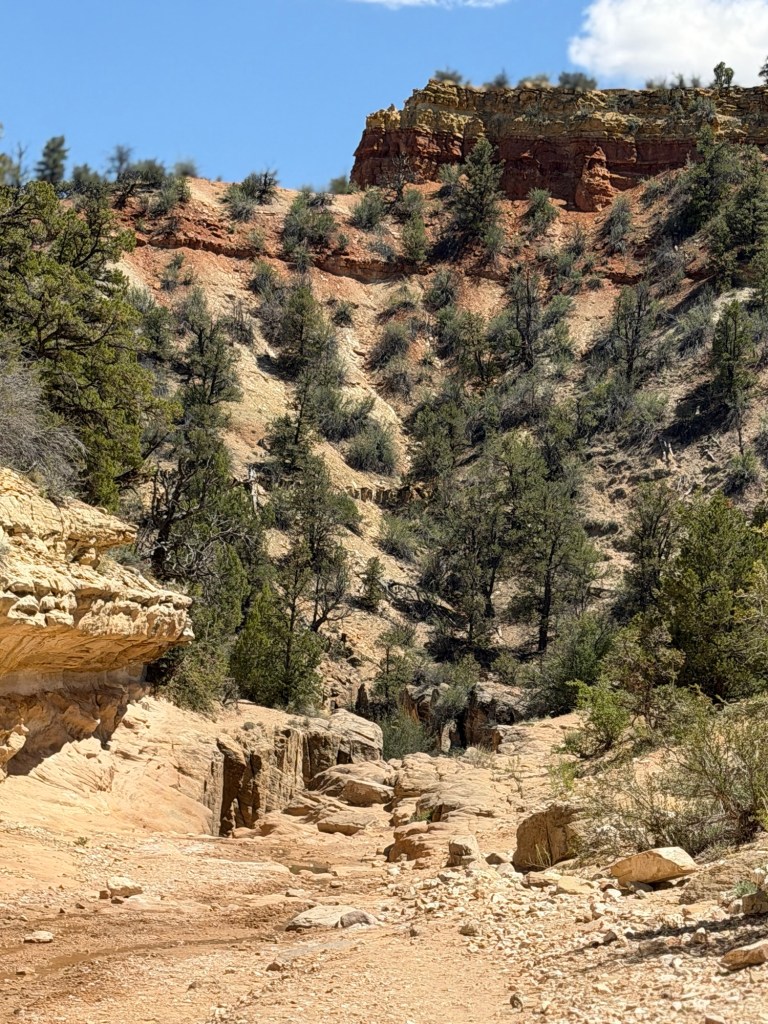
The open canyon is pretty enough…
with its stone and trees.
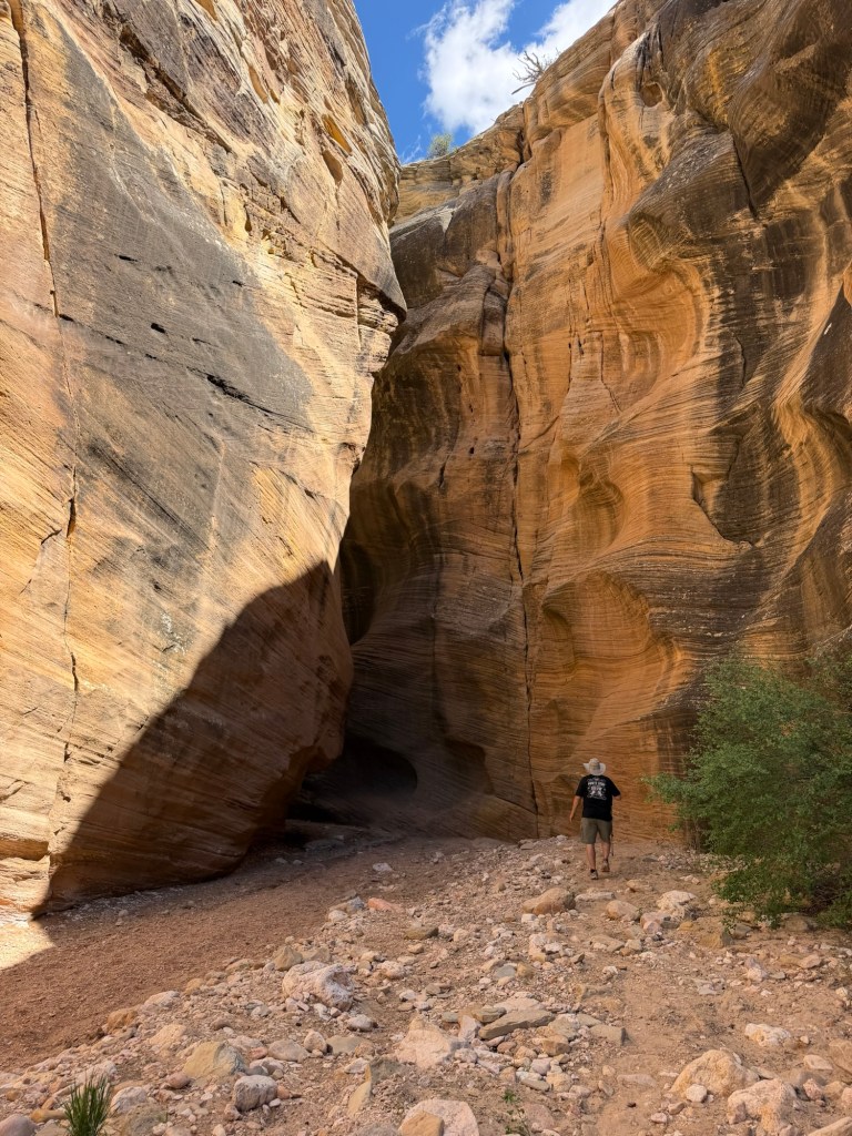
Then you round a corner…
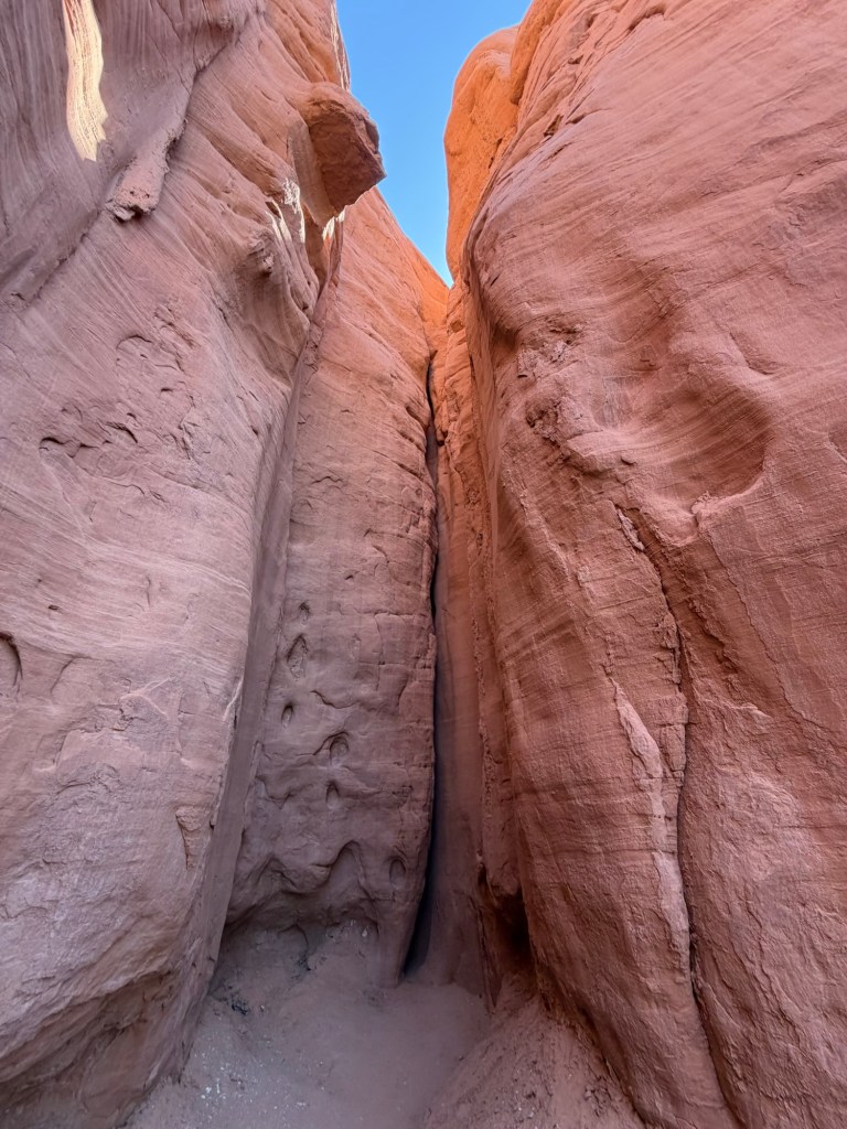
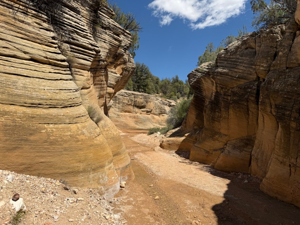
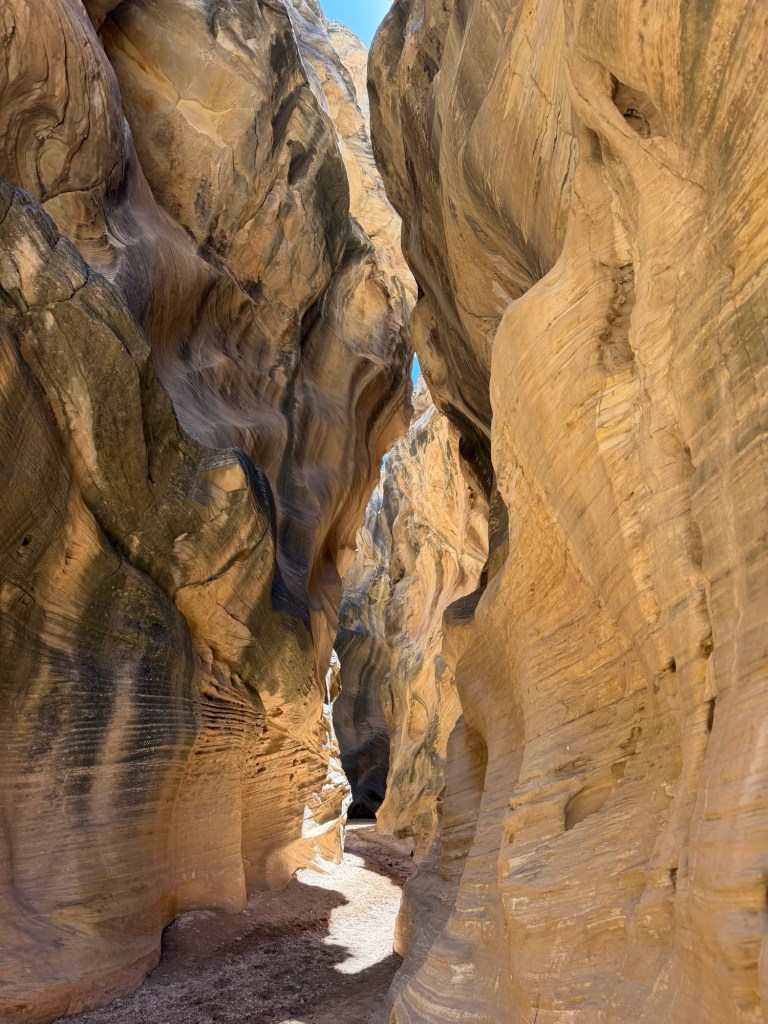
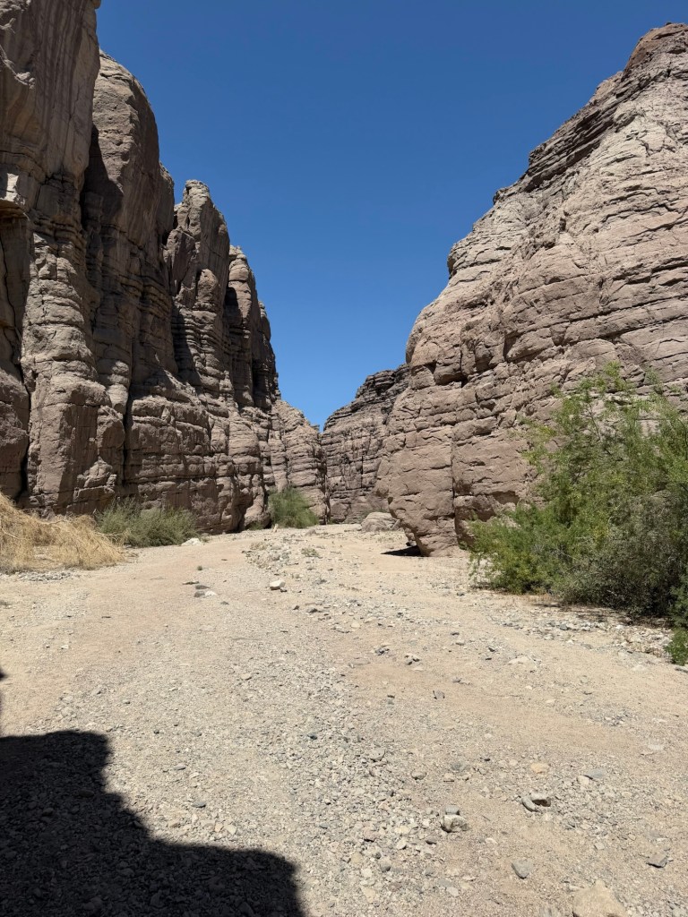
and come to the first slot canyon.
These are otherworldly.
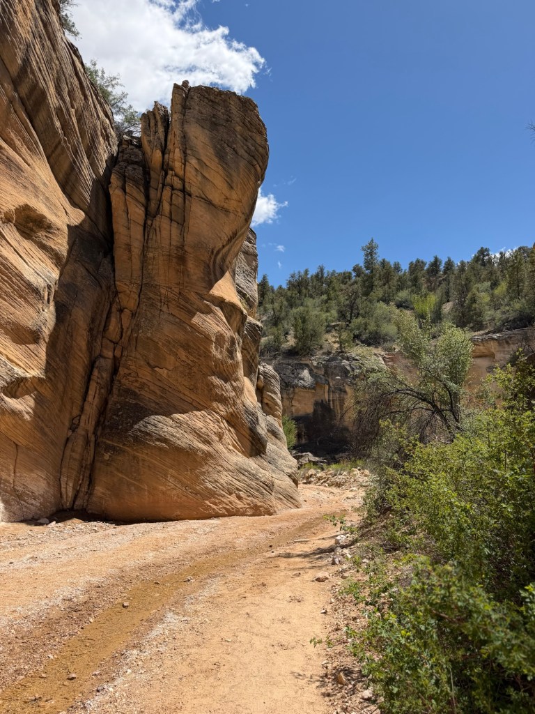
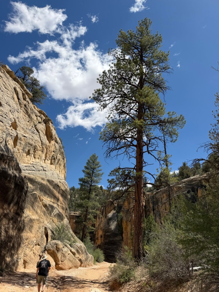
You exit the slot and follow the creek through more rugged and colorful country.
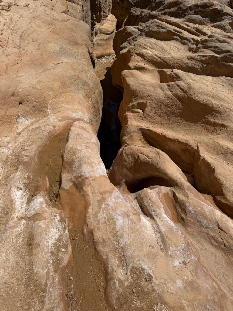
At one point the creek flowed into a space too narrow to enter and the trail went around.
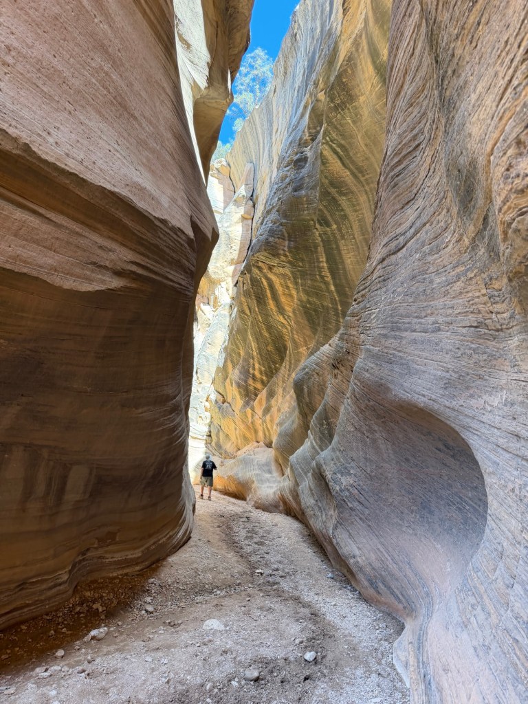
Then there was another slot, a bit taller and narrower than the last. I noticed that as we descended this gravel bottomed canyon the creek got smaller. I think much of the water was now flowing through the gravel, so we didn’t get our feet wet in the narrow canyon.
I let Bud get ahead of me so you could see how deep these slots were getting.
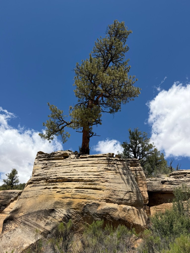
In an open part of the canyon we passed this massive ponderosa pine.
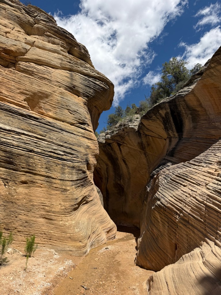
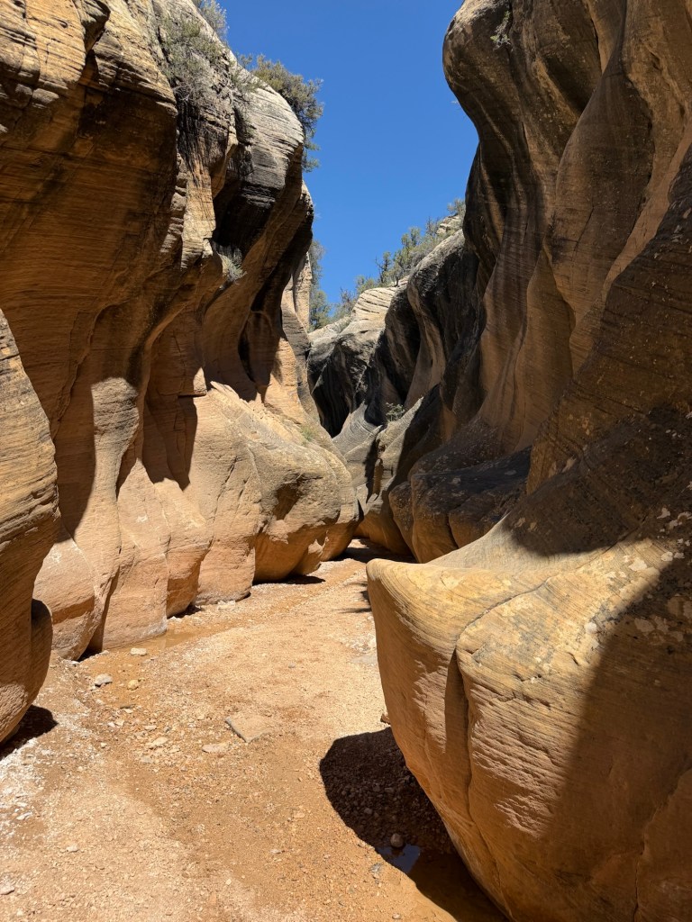
And then we entered the last and deepest slot.
Notice how the creek is just damp gravel at the bottom of this gorgeous sculpted passage.
After about a mile and a third we came out into more open canyon. We thought we were at the end of the slots (the hike was listed as 2.6 miles out and back) so we turned around.
The light shone on the walls differently going back,
I don’t think a cathedral could be more lovely or holy than this.
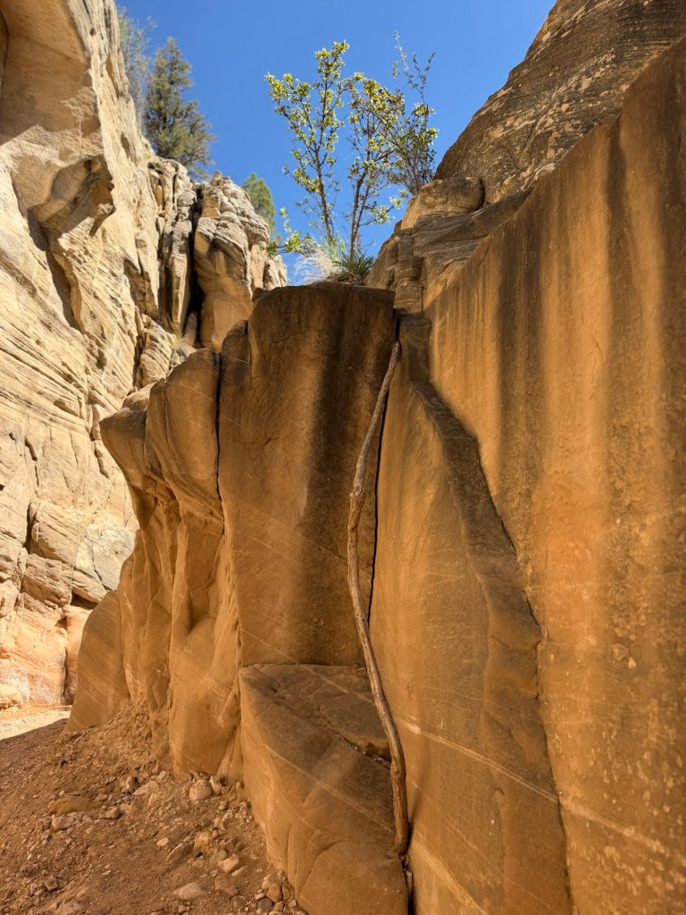
Bud noticed this modest bush with an incredible root looking for water and minerals in that rock.
On the way back we skipped the approach trail and followed the creek further. We found this sweet little falls, so I took a video.
We didn’t have to worry about exiting the creek, the road crossed it, we just walked out the road.
Then it was a drive back out through this boring country,
This road was more than entertaining. At one point this was the steep and stunning view out my passenger window…
and this was the steep and stunning view on the driver’s side.
After seven more nights here we’re staying seven nights at a state park just 35 miles from here, so even though this is just our first day I thought I better post some pictures. Who knows what we’ll find tomorrow.
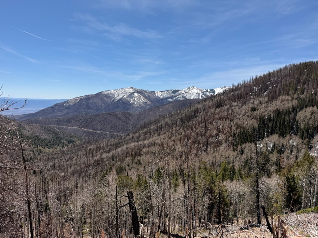
We spent the rest of the week running errands and exploring this park and mountains around it.
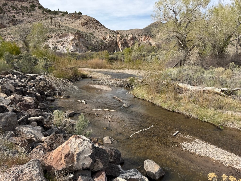
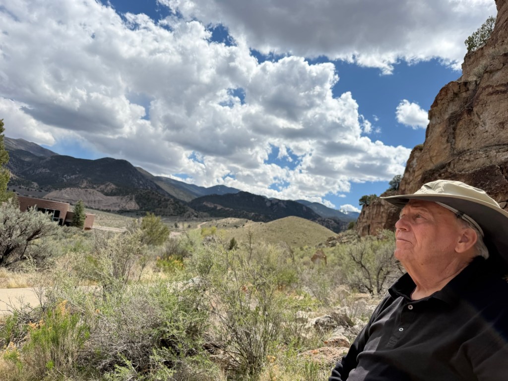
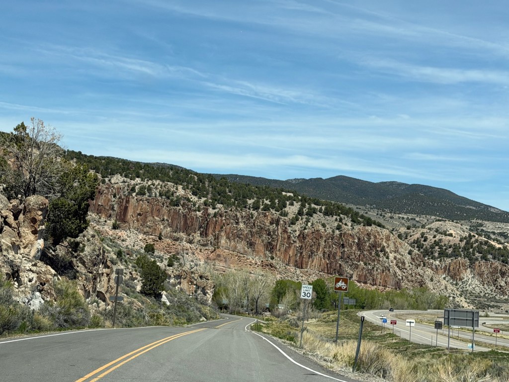
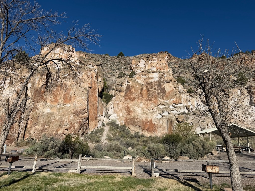
The park is here because of Clear Creek and its canyon.
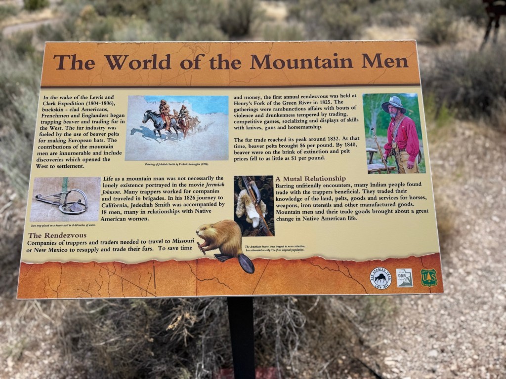
In the 1980’s I-70 was routed through this canyon. Before the interstate was constructed archeologists were sent to check for any remains that might be destroyed in the construction.
They found the remains of a village attributed to people called the Fremonts by archaeologists. The village, which was along the low hills you can see here, was excavated and the artifacts are now in a museum at the park, Fremont Indian State Park. The museum is in the round building on the left, but unfortunately it is closed for renovations.
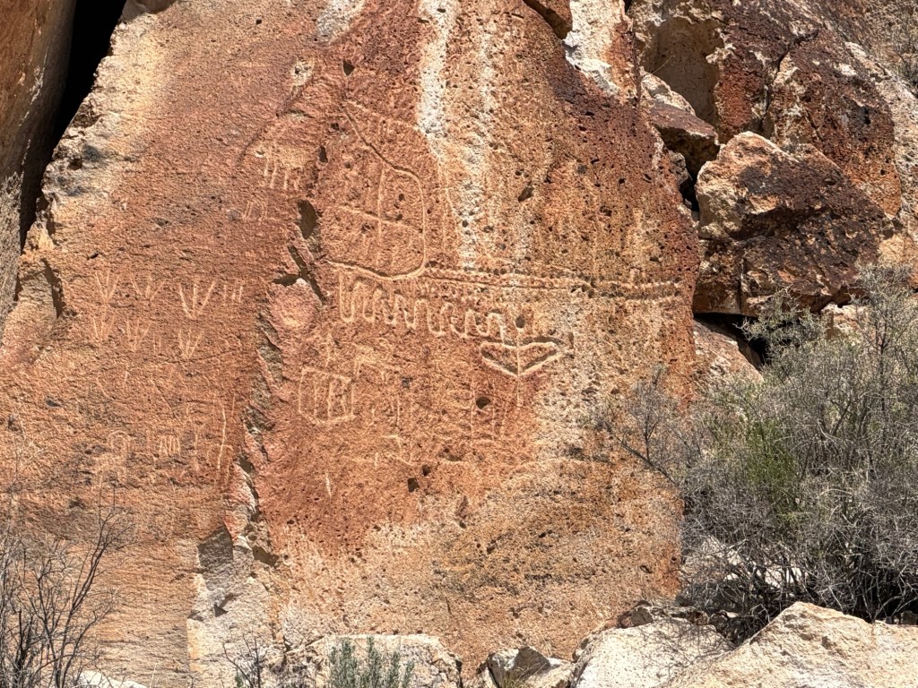
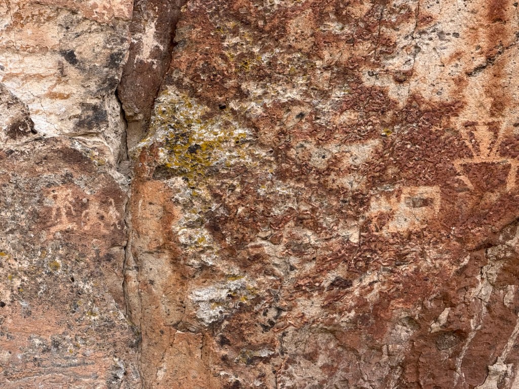
They also found hundreds of panels of petroglyphs and pictographs, and the canyons containing these images became the park.
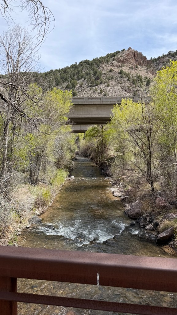
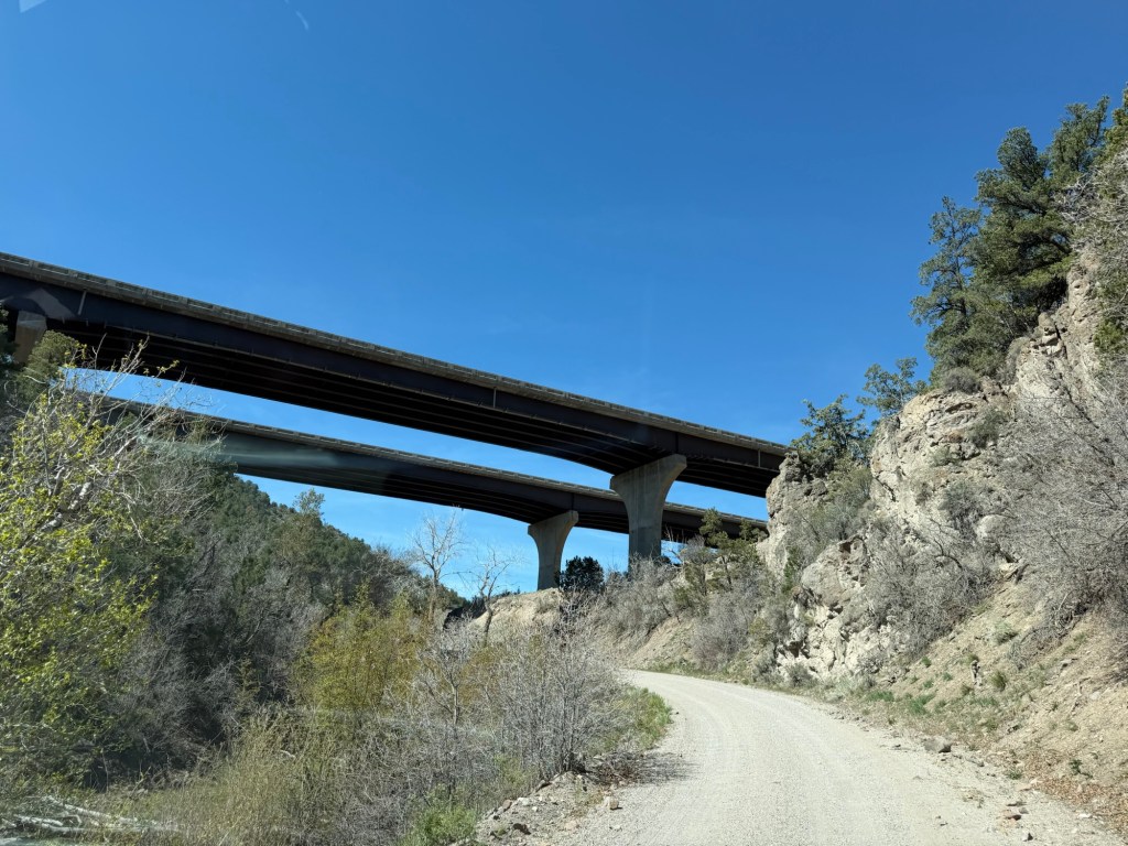
There is one main trail, the Centennial Trail that makes a five mile loop through the central Clear Creek Canyon. It runs on both sides of the interstate,
with three crossing points where the interstate bridges cross the meandering creek.
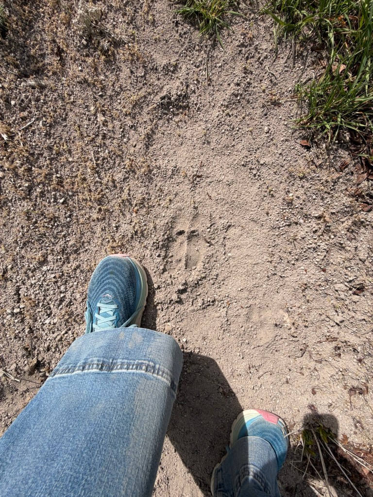
Apparently the wildlife use these crossing areas, too.
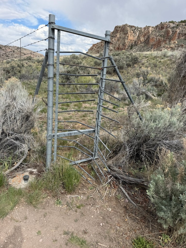
If any large animal manages to get through the fencing into the interstate roadway, they can exit through these ingenious gates that allow only one way passage.
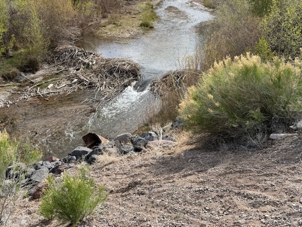
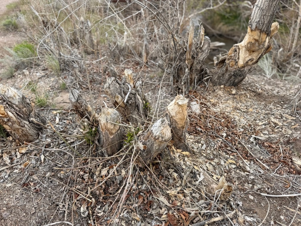
Apparently beaver are active here. Although the three dams I saw all had large breaks in them,
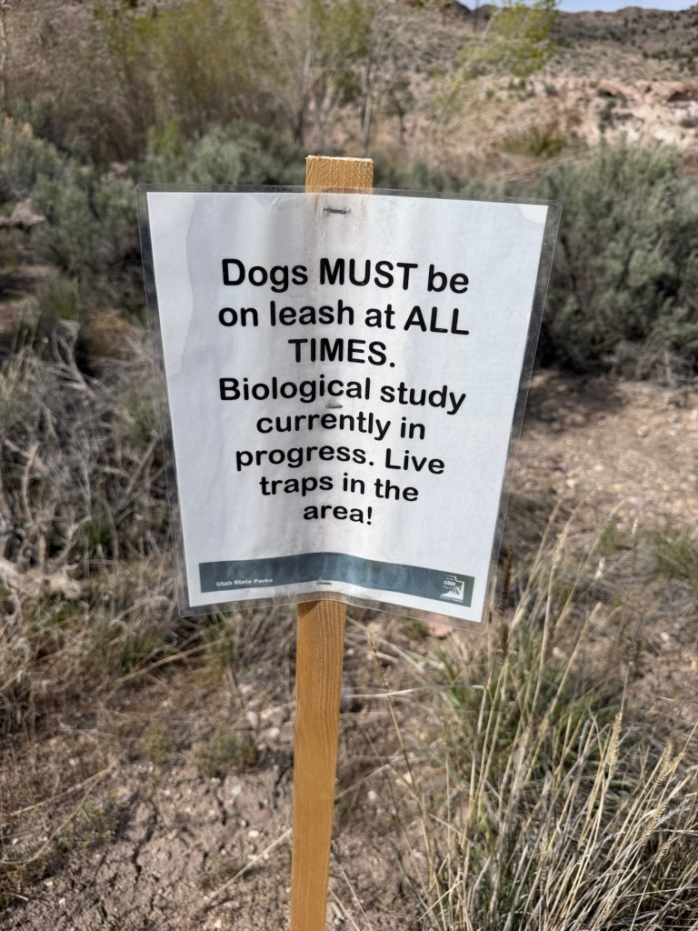
there was what appeared to be recent beaver work. I read that the beavers in Utah are live trapped from problem areas and relocated to creeks where their dams will enhance the ecosystem.
Seeing these signs and the broken dams made me wonder if this was an area they are being removed from, but all the park information lists beaver as residents.
A display about an early trapper, Jedediah Smith, says the population of beaver is now about 5% what it was before white men like Smith trapped them almost to extinction; another example of the greed, hubris and lack of foresight that I’m afraid still defines parts of our culture. Anyway, I still haven’t seen a beaver, but I’m glad they’re around.
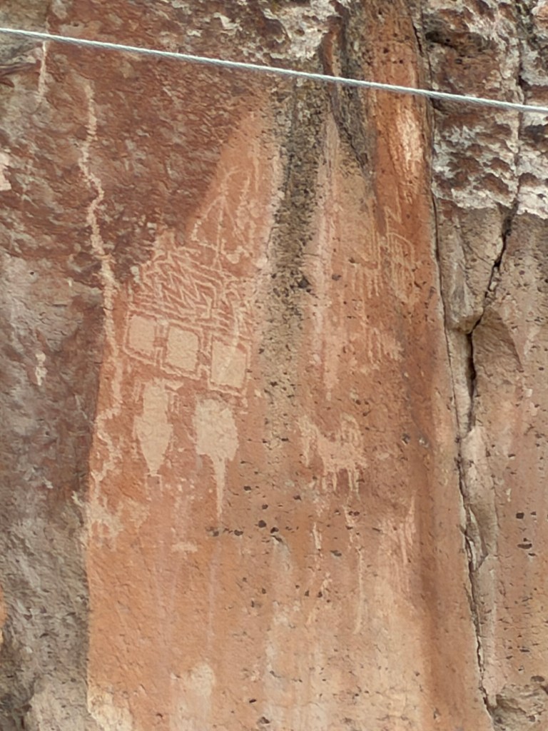
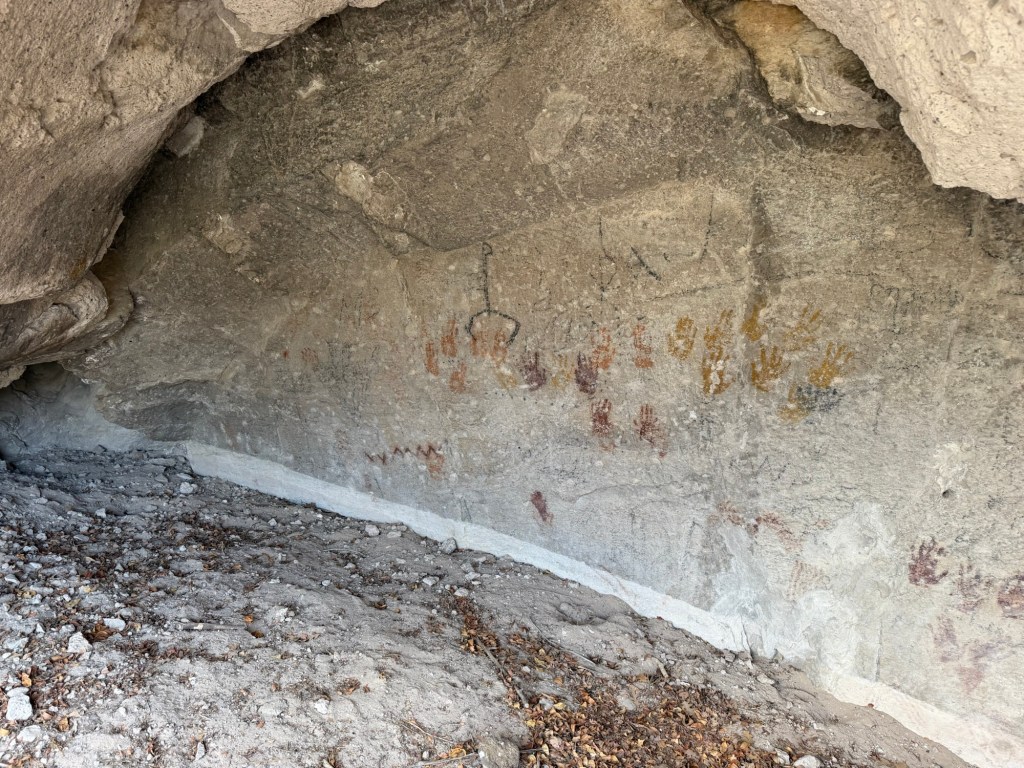
Short side trails lead to other sites of petroglyphs…
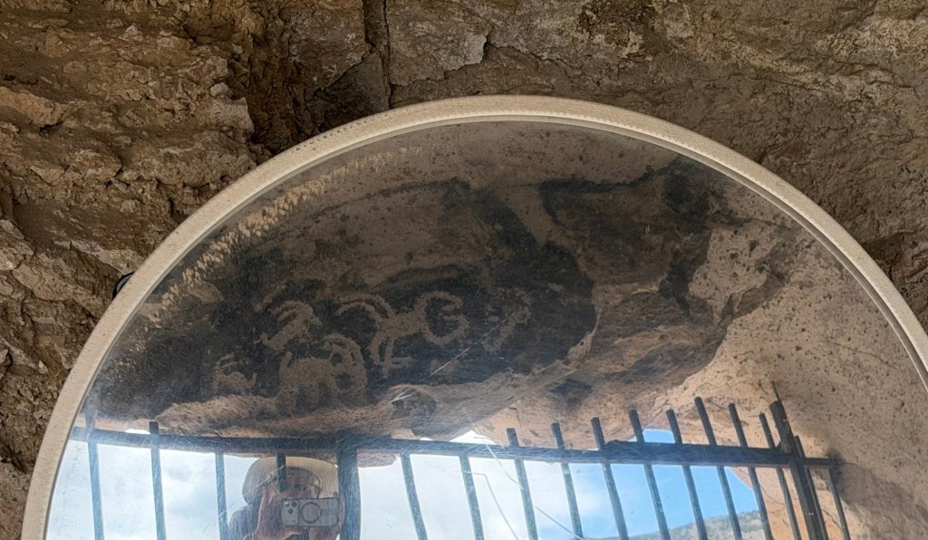
and pictographs like these hand prints.
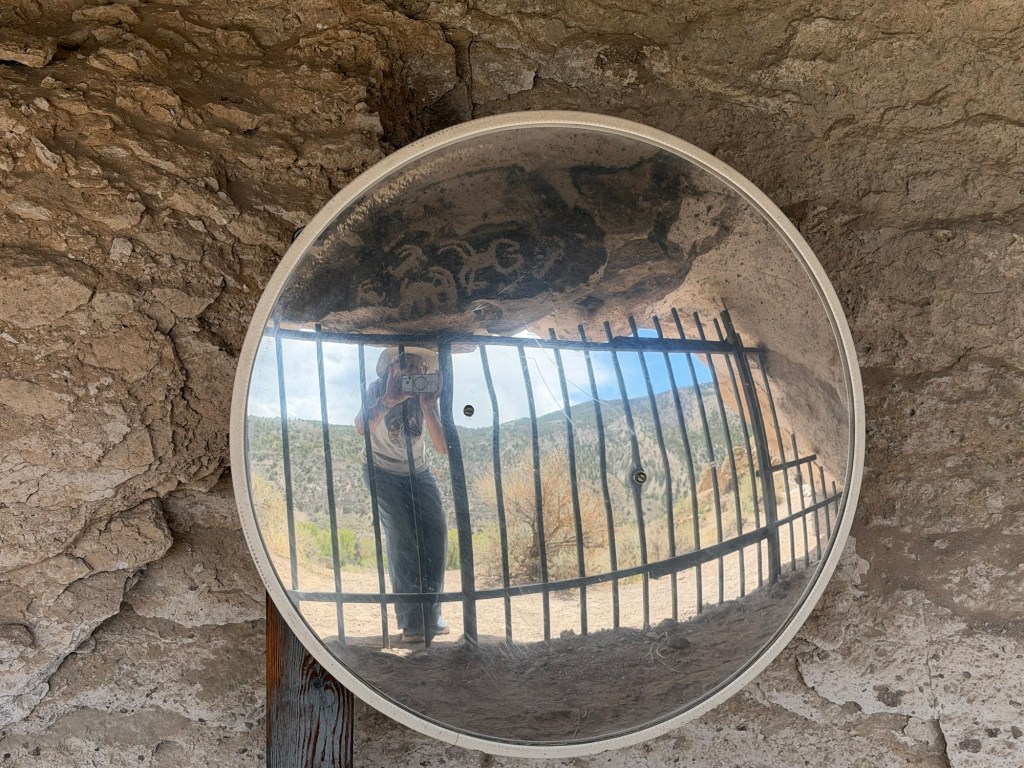
These, seen from outside the overhang through a mirror,
including a sheep and a scorpion,
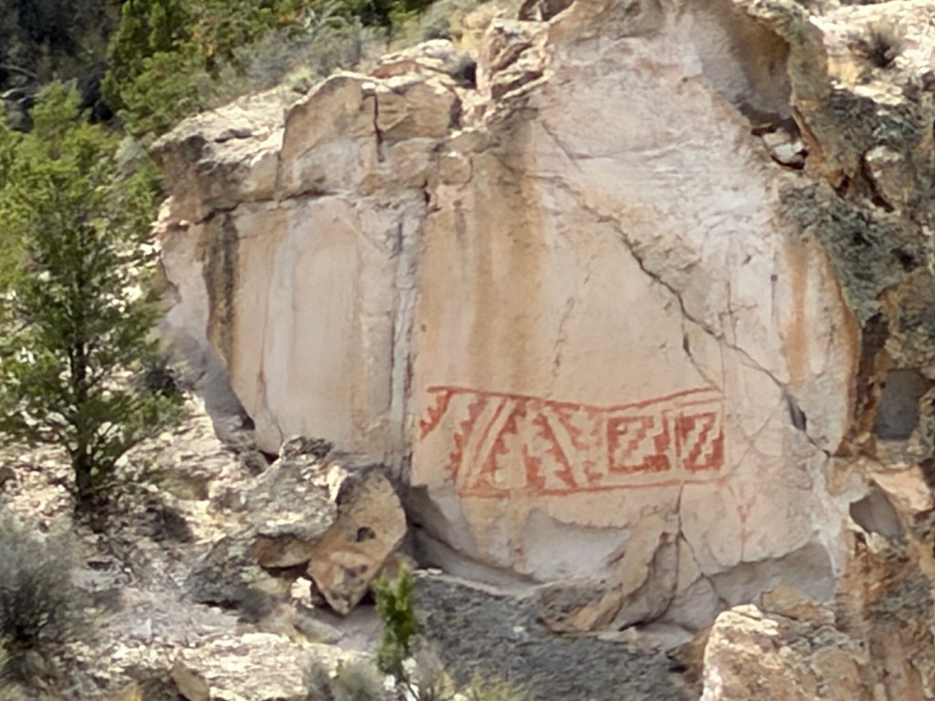
and this geometric design were among my favorites.
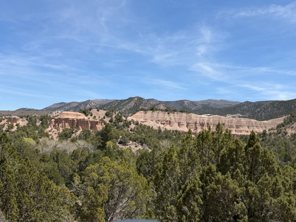
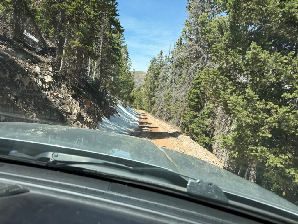
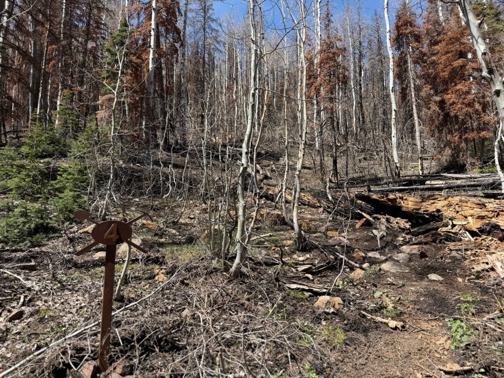
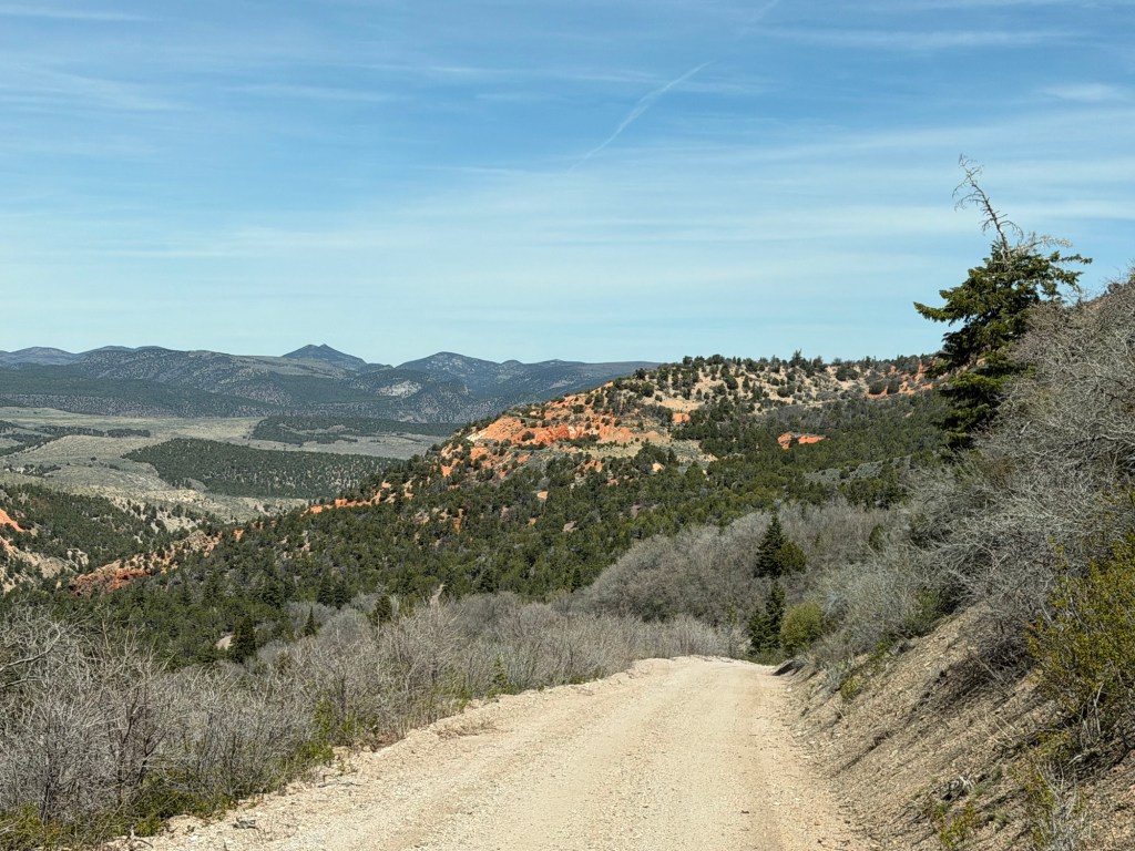
One day we decided to drive up a dirt road to an old mine site.
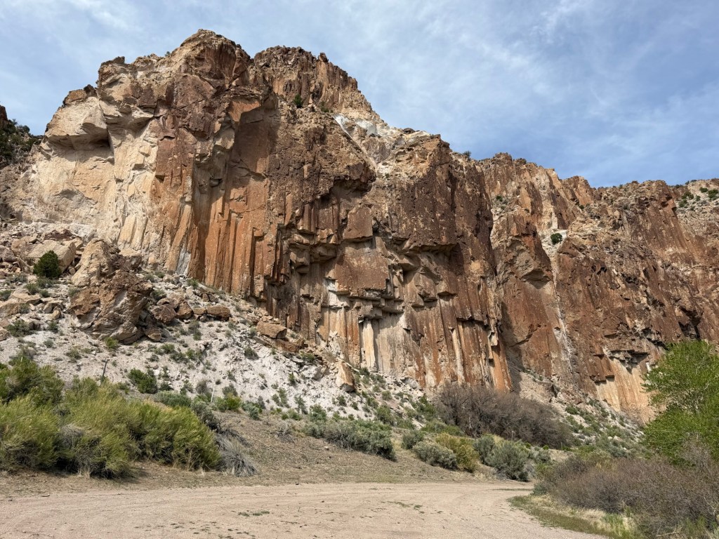
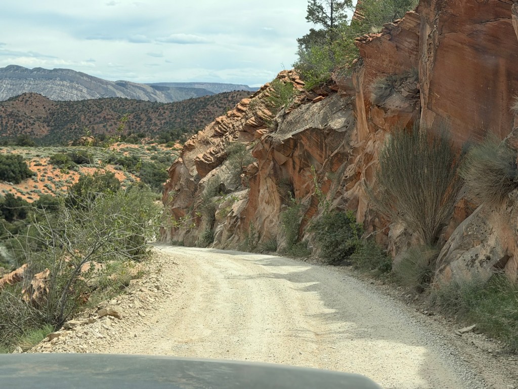
We passed some interesting cliffs while still in Clear Creek Canyon.
As we left the canyon we passed this sign.
We were headed up,
and the road was getting narrow.
The road had no guardrails and steep drop offs, but the scenery was beautiful.
We got high enough that on the shady side of the mountain there was snow. (This is the picture I took on the way down, because it came out better.)
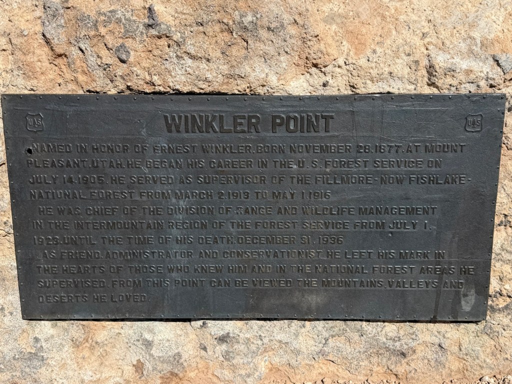
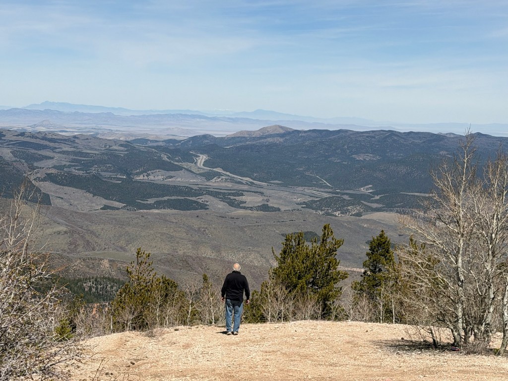
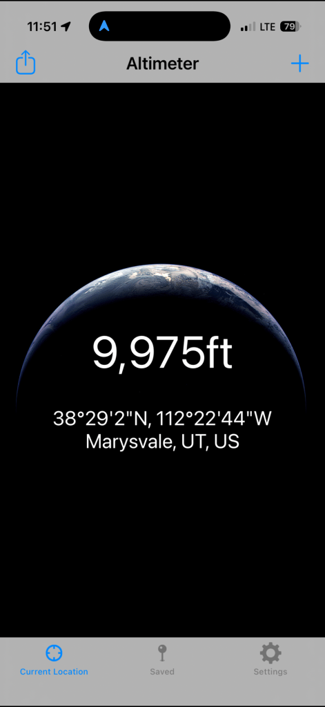
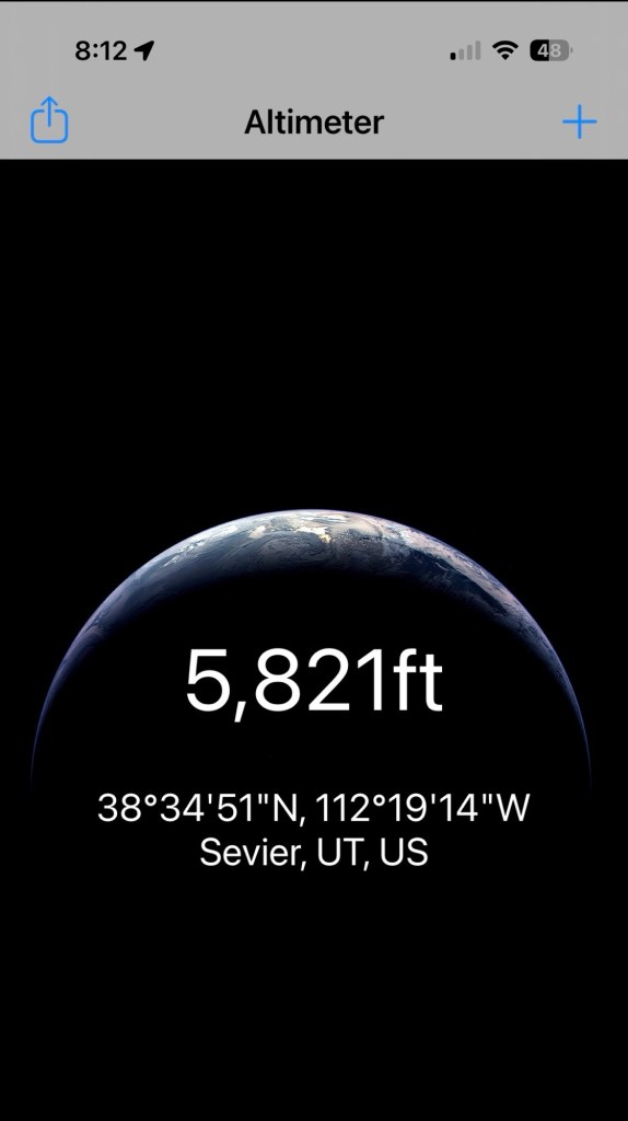
When we got to Winkler Point we were at 9,850 feet above sea level. I thought that would be the highest point.
There was a pull off there and the view was spectacular.
The road continued up another 125 feet,
before we started down the other side of the mountain.
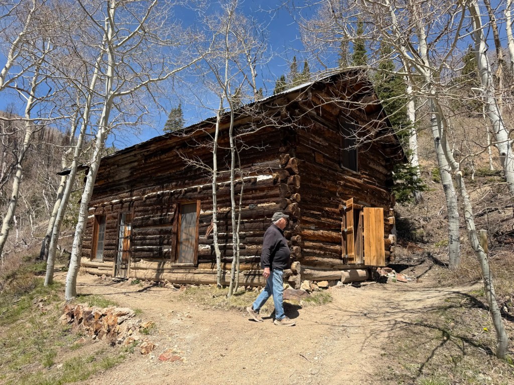
Soon we arrived at the mine site. There wasn’t too much left of the old Silver King Mine. This cabin was constructed by the first owner.
But a recent fire seems to have burned what was left of a lodge and the old mine entrance was both burned and caved in.
But it gave us a destination for what turned out to be a gorgeous drive.
Whether under brooding skies…
or sunshine Fremont Indian State Park has been a great stop.
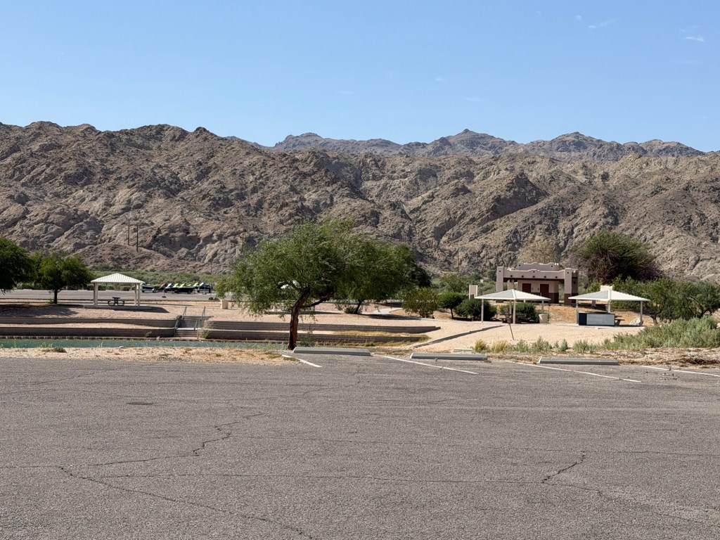
This park was not on our original itinerary. We planned to stay longer at both Salton Sea and Sand Hollow. But when Matey started showing signs of stress in the heat back in Arizona (as did we), Bud asked me if it would be possible to change some reservations and get us higher into the mountains where it would be cooler.
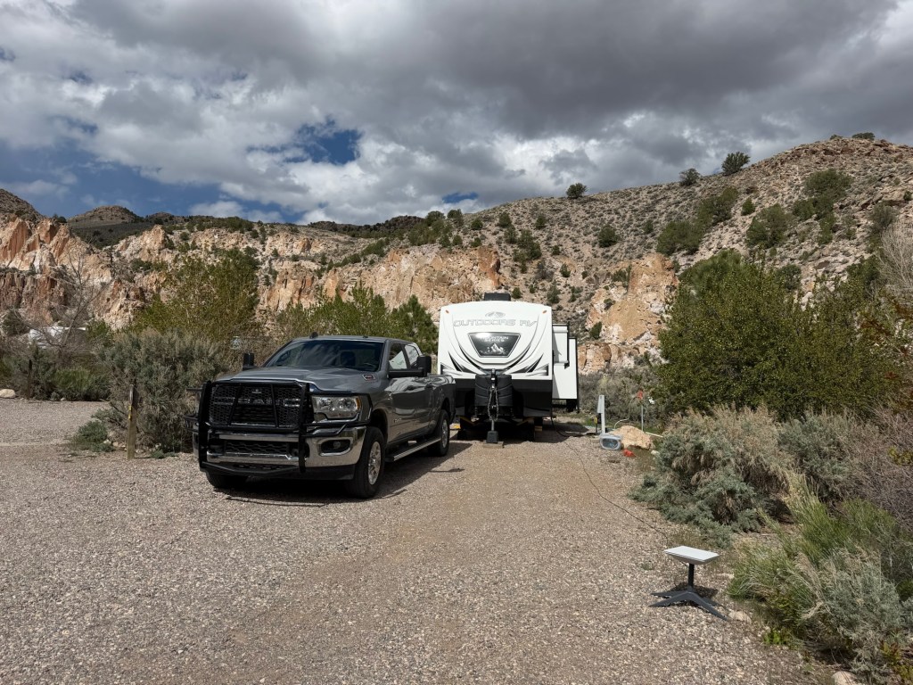
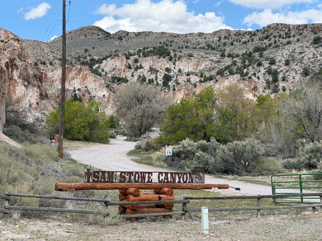
I looked around for a place that would fit into our route and found the Sam Stowe Canyon campground at Fremont Indian State Park. It had full hookups so I booked us here for a week.
There are only seven full hookup sites here, tucked into this beautiful little canyon.
And it meets our criteria for altitude…
and temperature. In fact there was a freeze warning last night and there is one again tonight.
But these temperatures are right where we are most comfortable.
And we certainly can’t complain about the scenery.
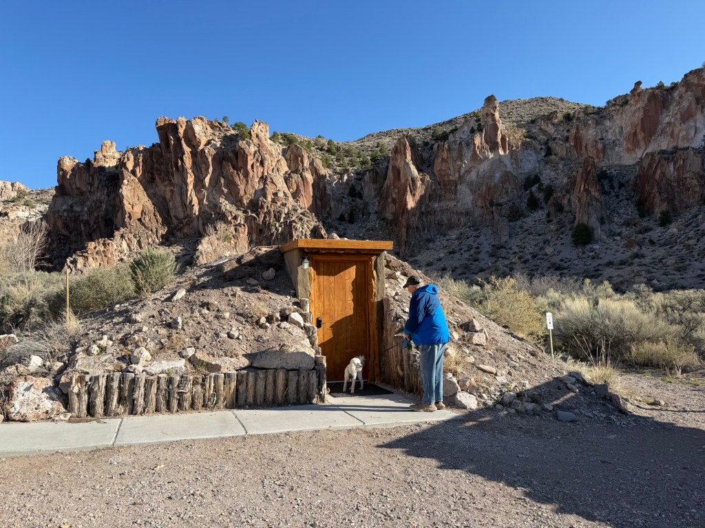
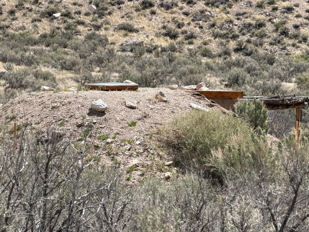
We all walked up the canyon this morning. We stopped to check out their “modernized pithouse”. This is built like the Fremont Indians built their dwellings but with a better door and floor…
and a skylight. Unfortunately no windows, so we couldn’t see inside. They rent this for overnight stays along with a couple of traditional cabins. Someone’s staying there tonight.
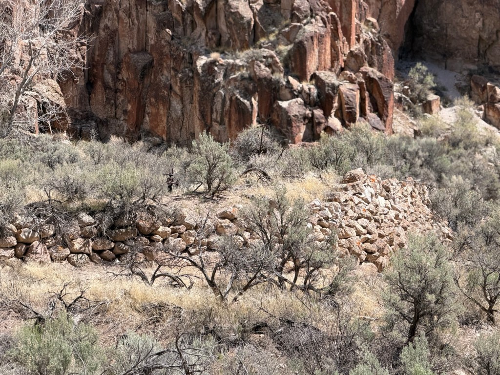
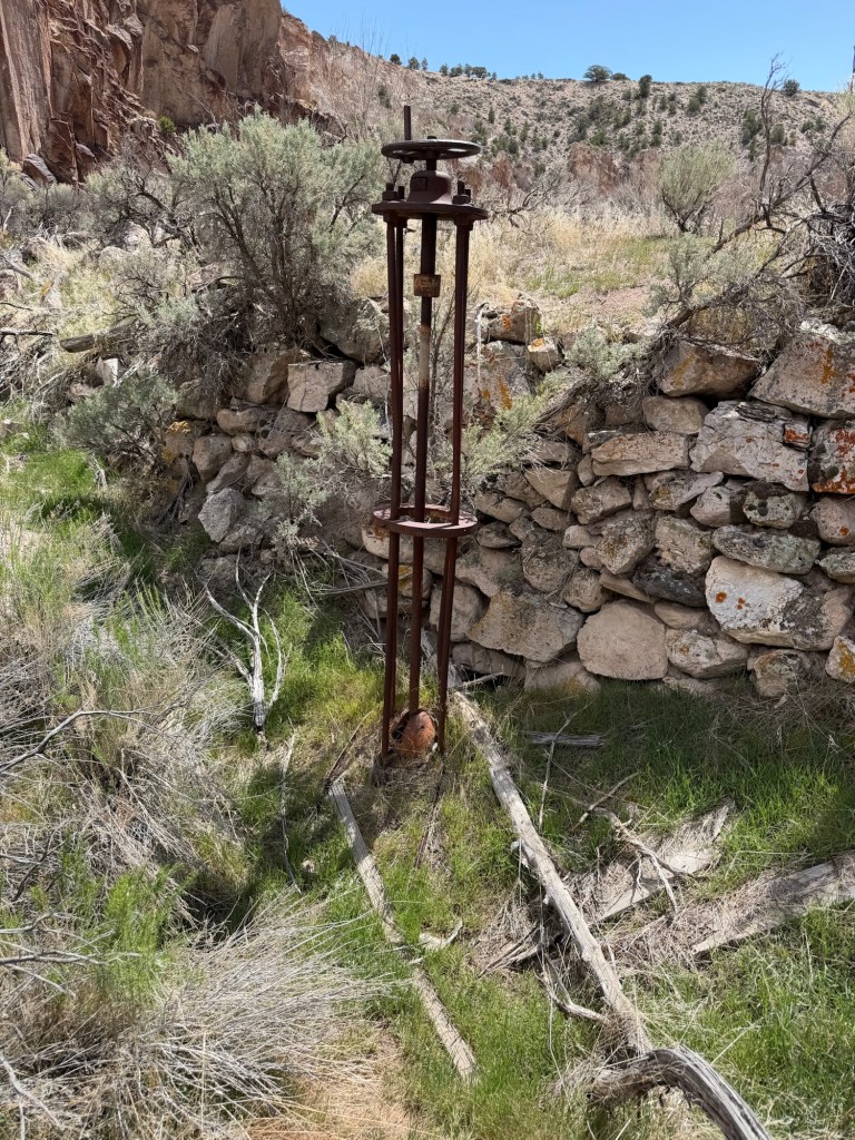
Sam Stowe was the first European settler of this canyon, but others followed and there are remnants of their farm. When we saw this I thought it was a corral,
but I walked back up the canyon later and discovered this valve; this was a water storage tank for irrigation.
There are some imposing rock walls as the canyon narrows.
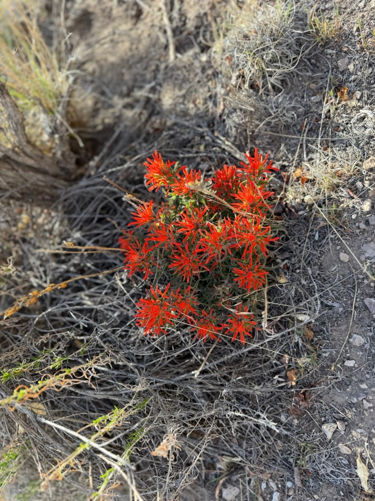
Bud spotted this lovely desert paintbrush.
It is so pretty,
and Matey has perked up with the cooler temperatures.
We took Matey less than a half mile up, so the whole walk for him would be under a mile. I went back to see where the trail went. I went through this gate.
This was an impressive pour off.
The trail got narrower,
As did the canyon. Not too far up I came to a place where there were three possible paths.
But after a few more feet…
each option…
disappeared. So I turned back.
It was a very pretty walk,
even if it was short.
The only drawback to this spot is that it is right alongside I 70.
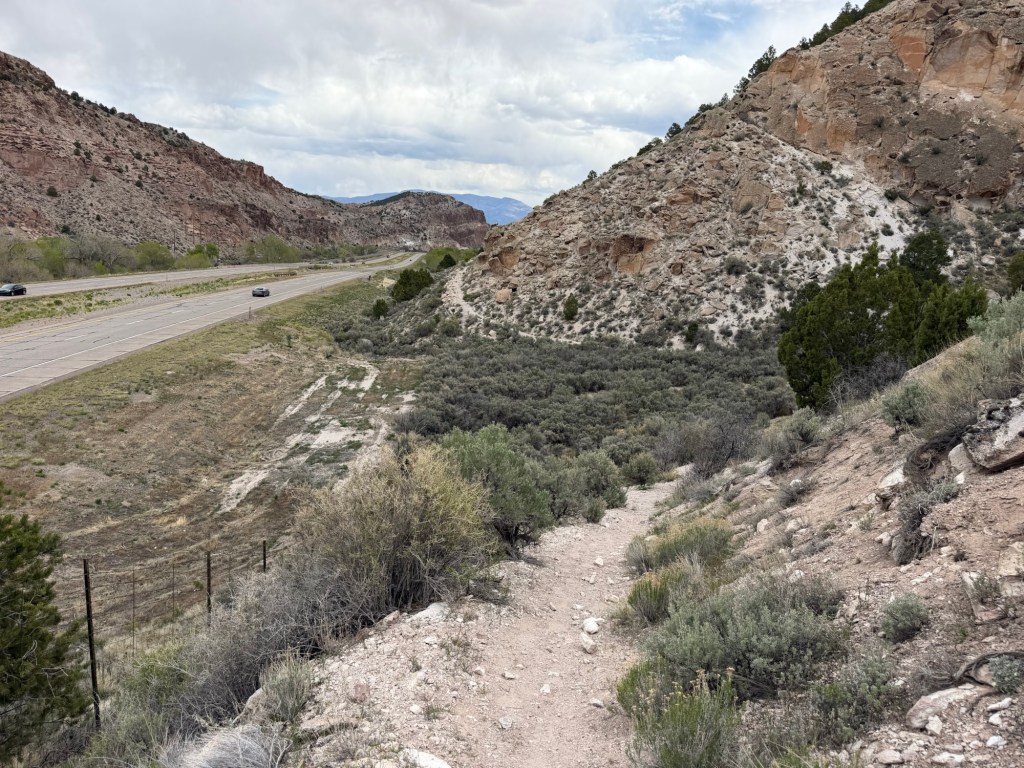
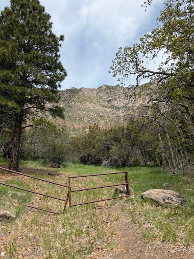
The park and the campground are along Clear Creek Canyon Road, which parallels the interstate here. I can walk Matey in the stroller here.
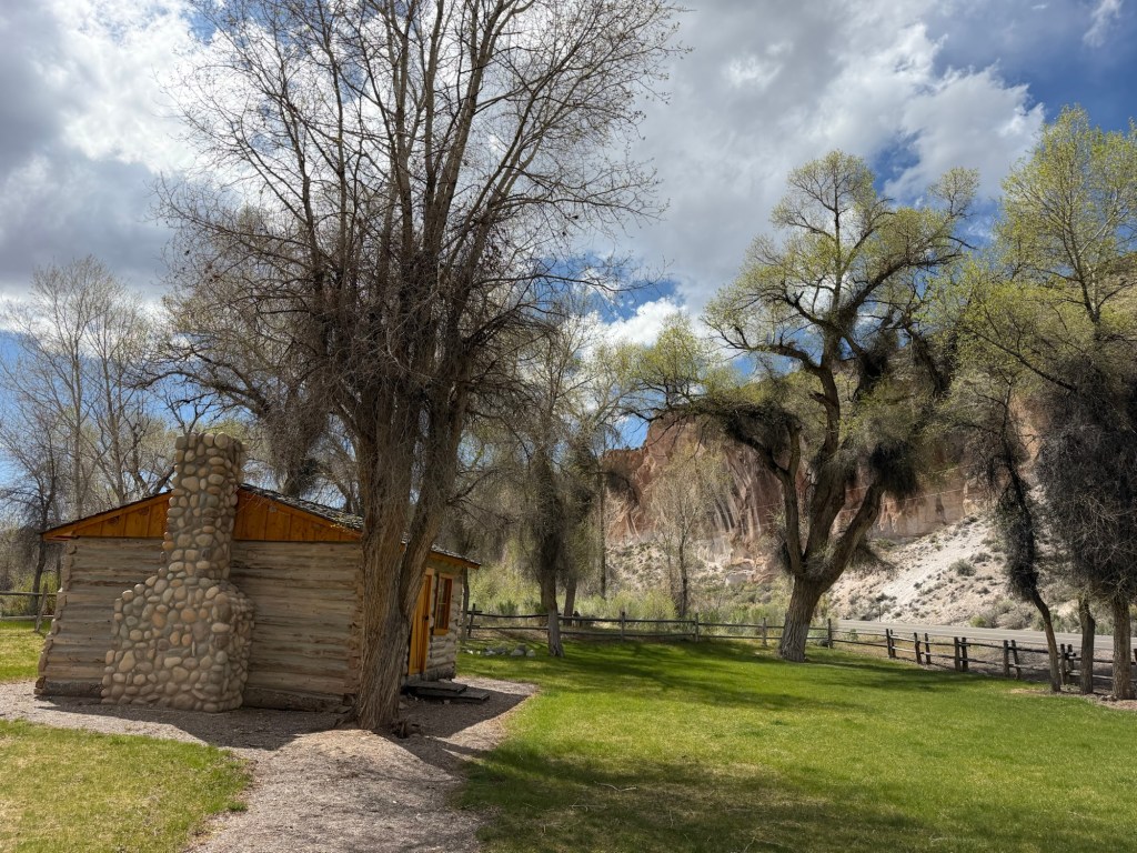
And close by is a picnic area with a preserved cabin.
There’s a footbridge there across Clear Creek,
and a trail on the other side that also works for the stroller.
All in all this is a fine place to spend some time.
To top it off there are petroglyphs done by the Fremont Indians all through this park. We’ll go see more in the coming days, but these are right in the campground.
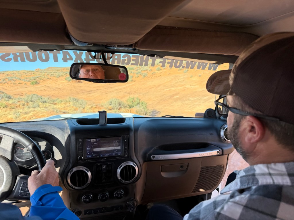
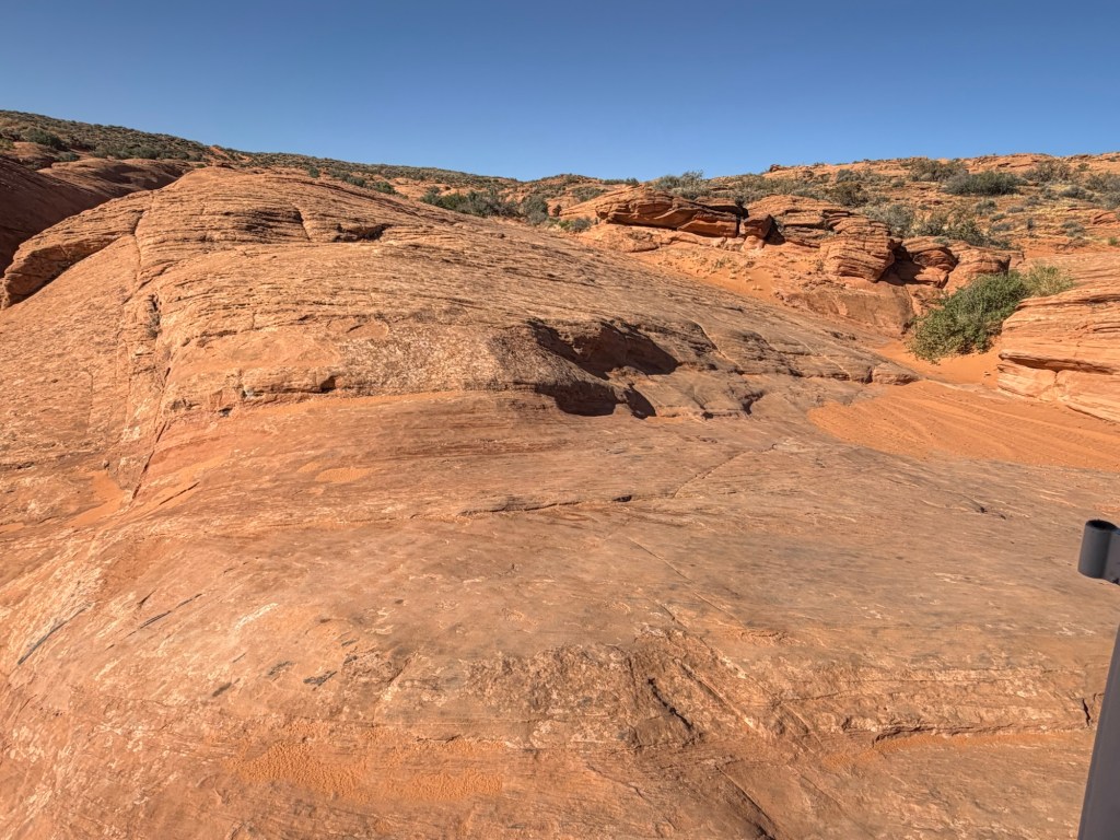
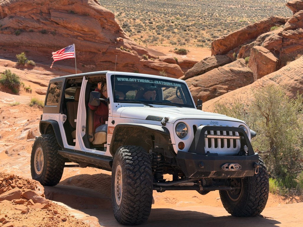
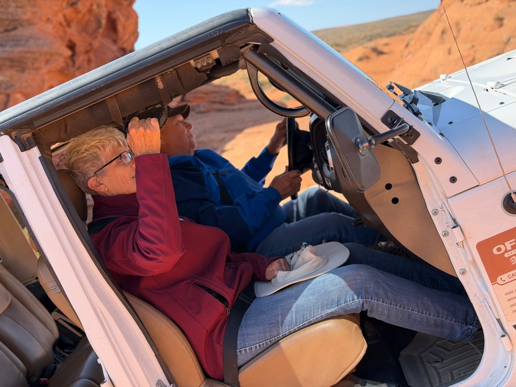
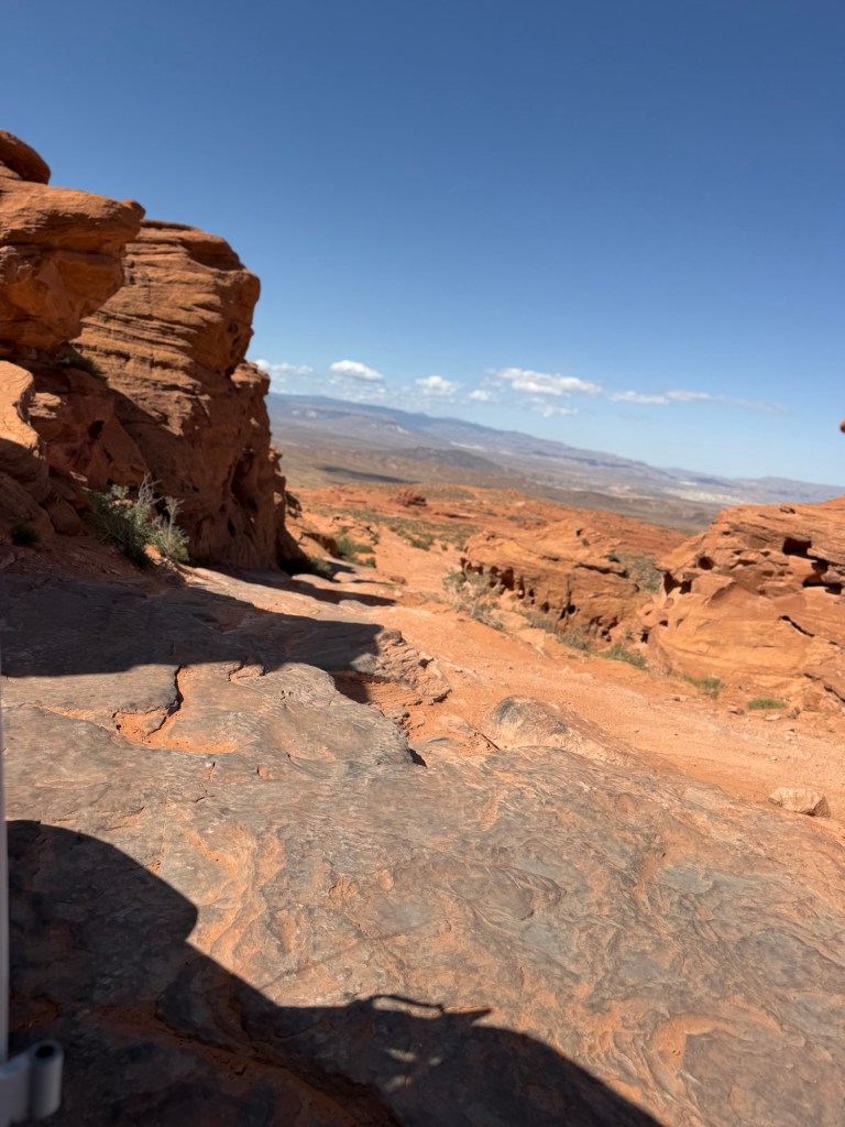
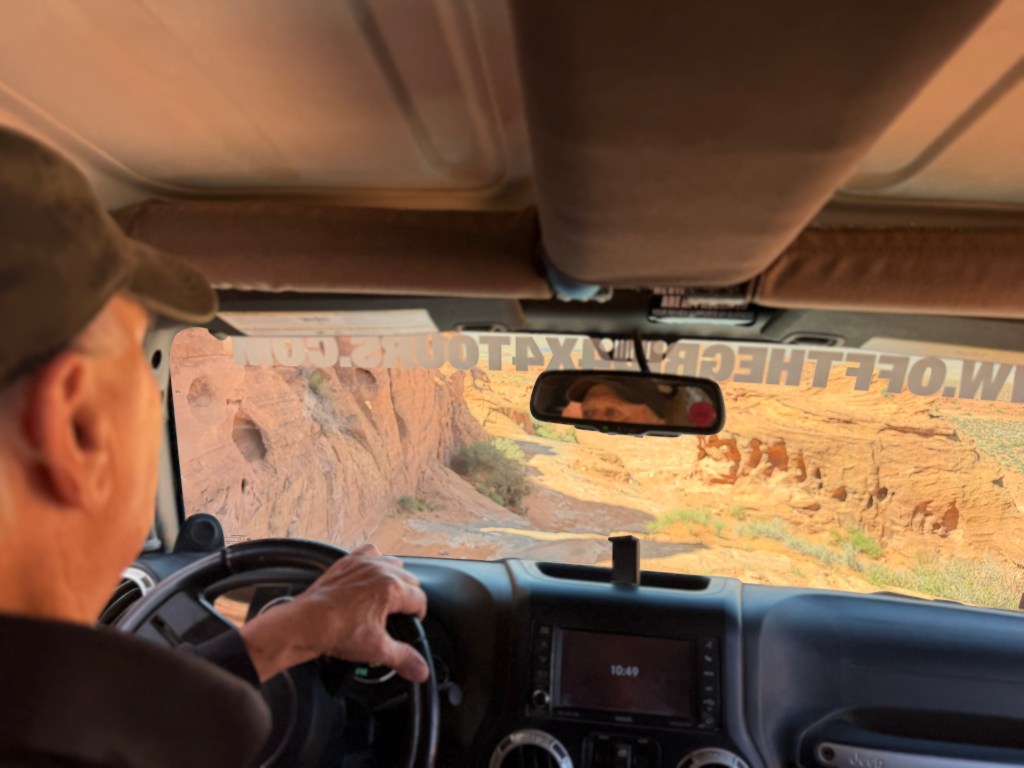
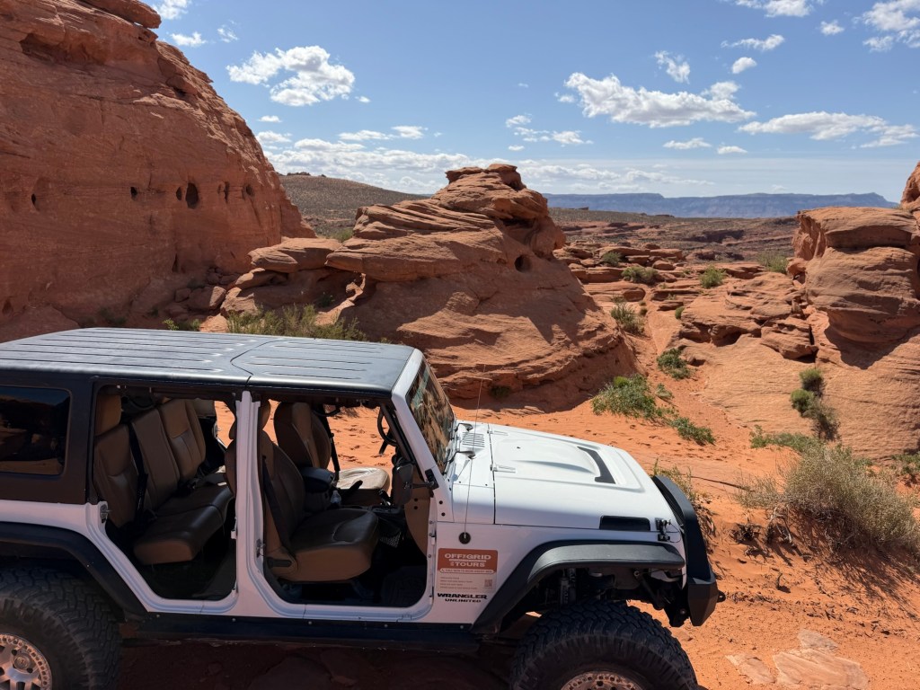
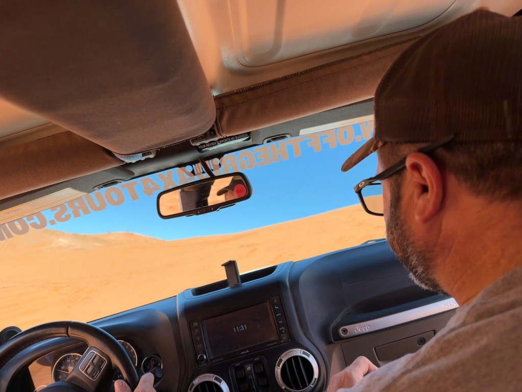
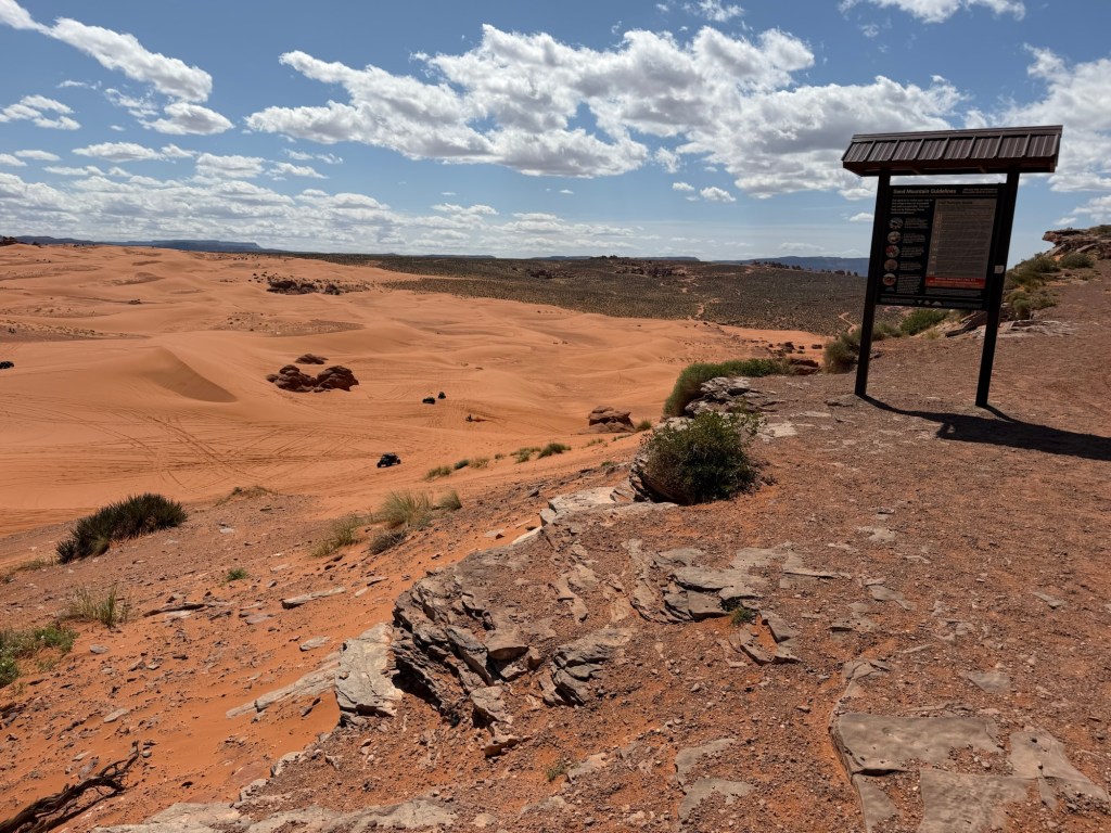
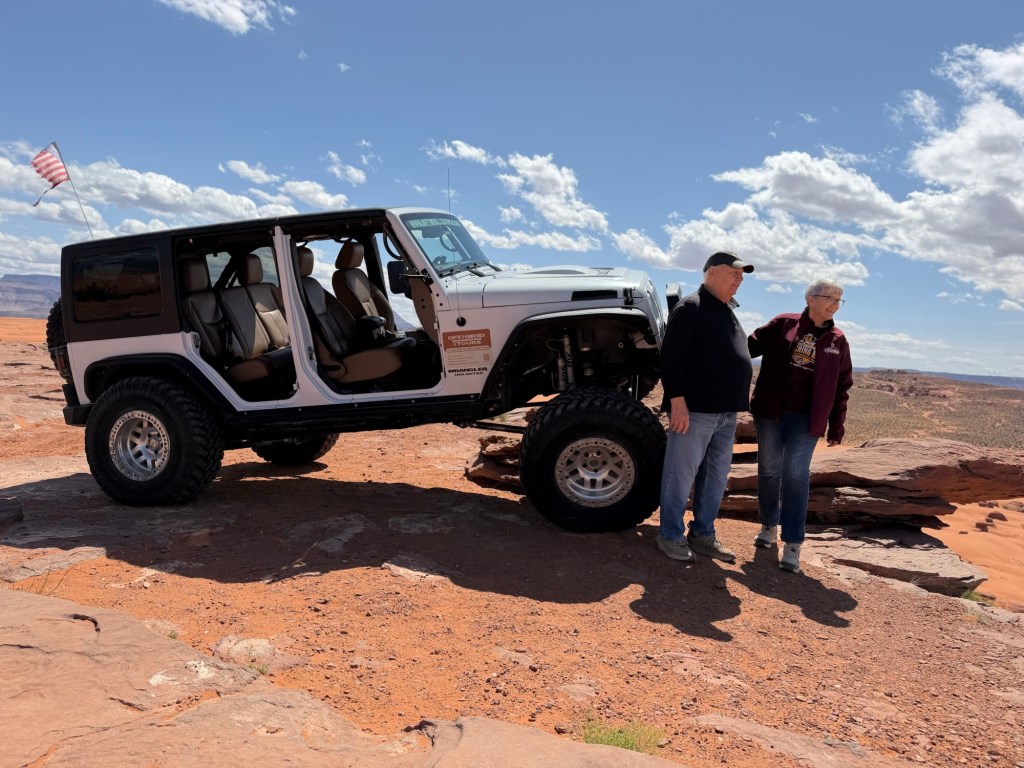
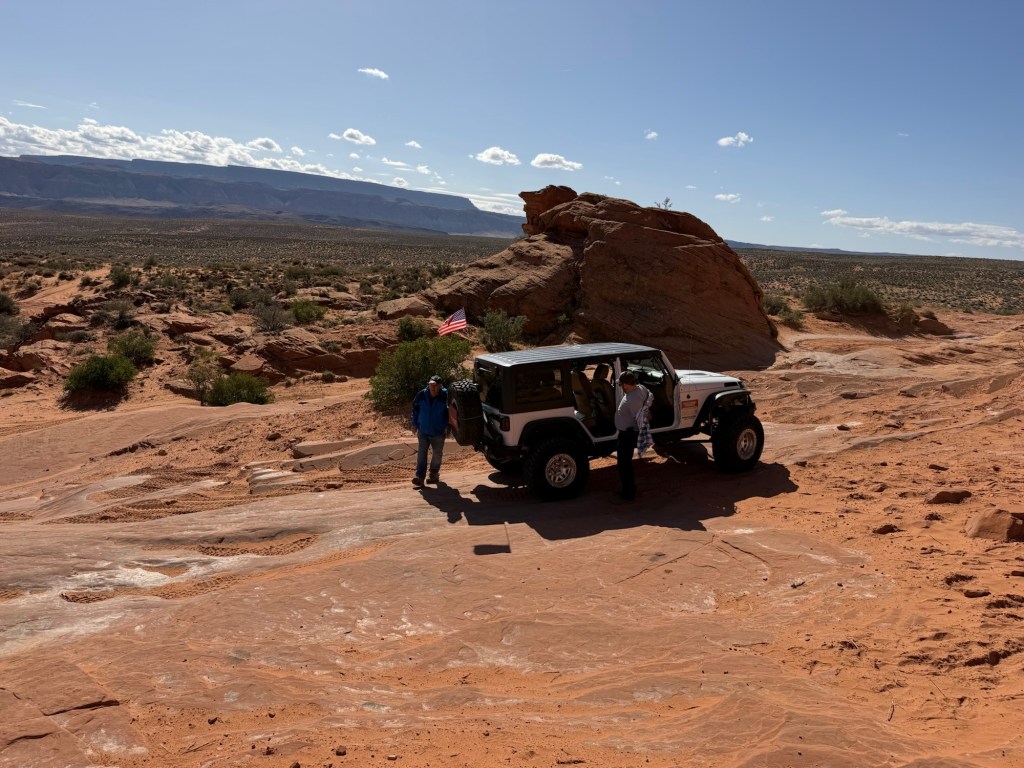
From the time we knew we were coming across the southwest Bud wanted to return to southwest Utah and take a jeep out in the open country around here. He heard the best way to do this was with a guide. I went on line and found Off the Grid 4×4 Tours who offered just that, jeep rentals with a guide. Here we are just off the highway and Bud has taken over the driving. Our guide, and owner of Off the Grid, is Steve.
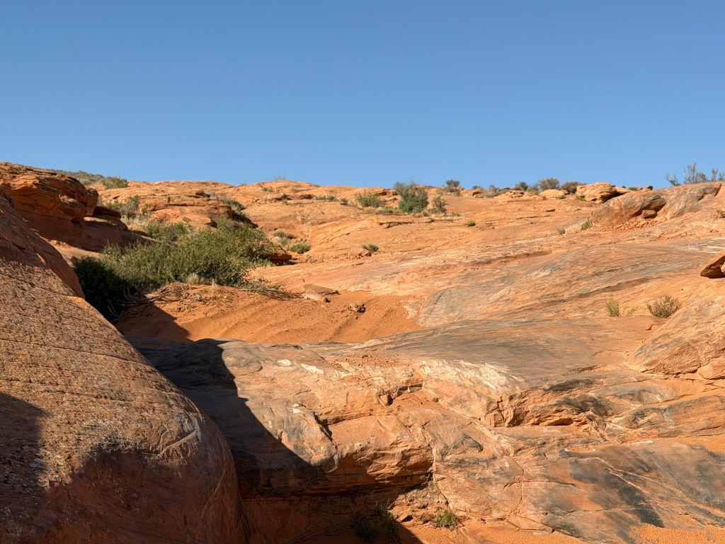
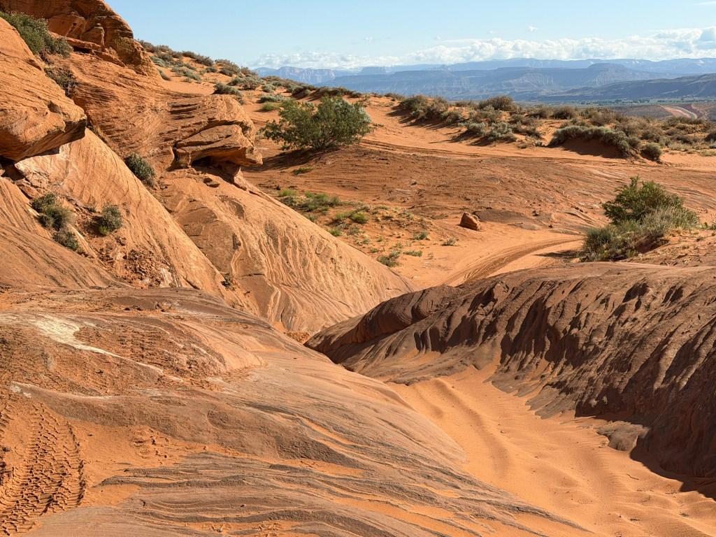
We headed up the rocks and sand south of the state park.
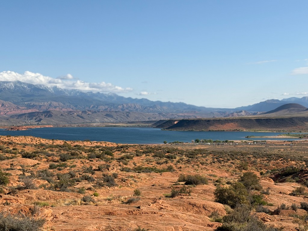
It wasn’t long before we had a great view of the reservoir.
I wasn’t seeing anything that resembled a trail, but Steve said we were right on the route.
Sometimes the only thing you could see of a route were the scrape and skid marks from other vehicles.
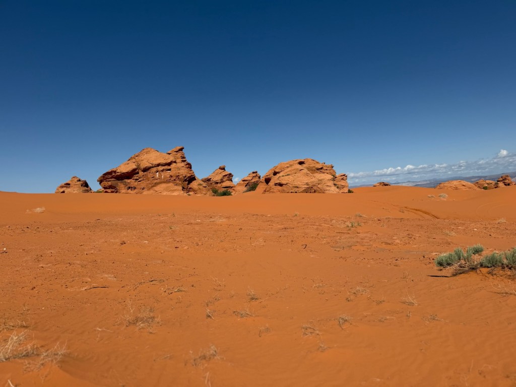
We were headed up a rock formation to “the memorial” and we were taking the easy route. We were definitely gaining altitude.
We got to a gnarly part and Steve got out to take pictures, guiding Bud from outside.
I was having fun but hanging on!
This felt even steeper than it looked. I was amazed how the jeep would just crawl up those sandy rocks.
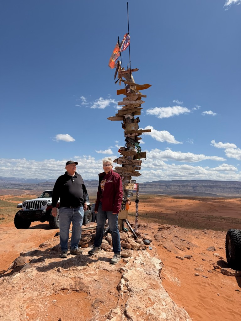
This was the memorial.
All around were mementoes left in honor of fallen soldiers.
The whole thing was built by volunteers at the base of the highest rock in this formation.
Its railings and plaques and even some folks ashes all were placed in this spot with a spectacular view.
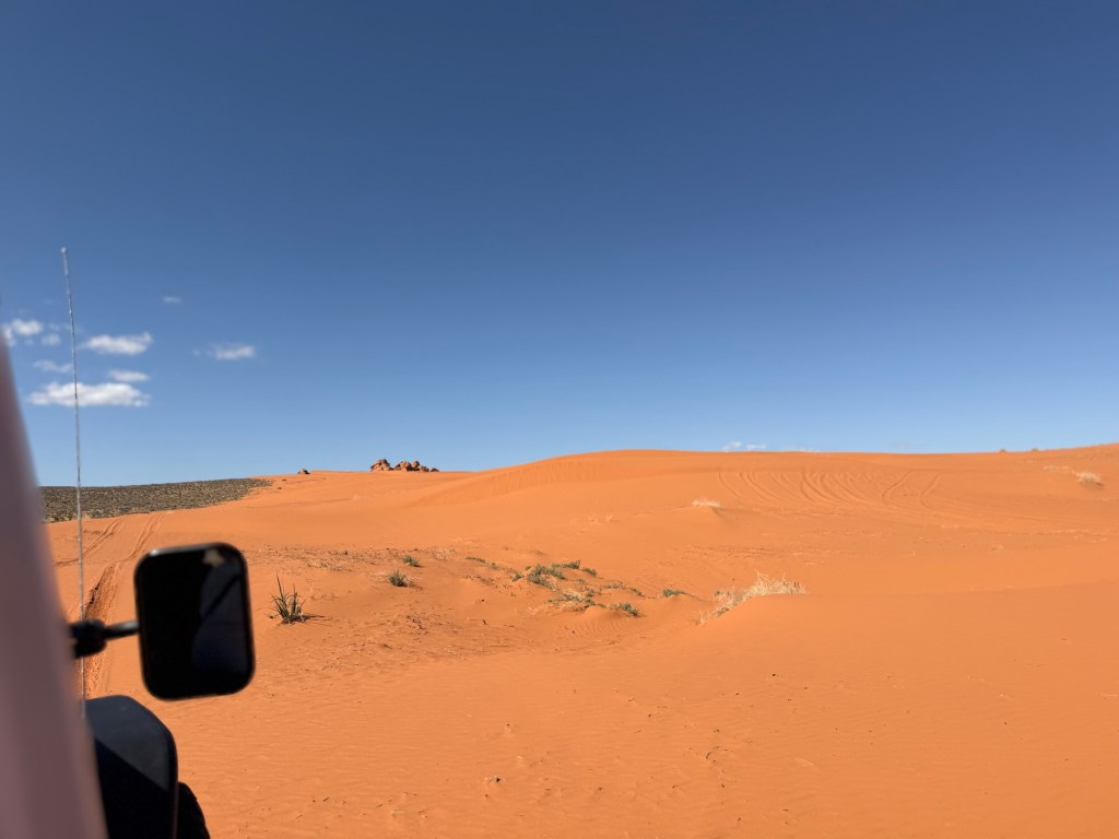
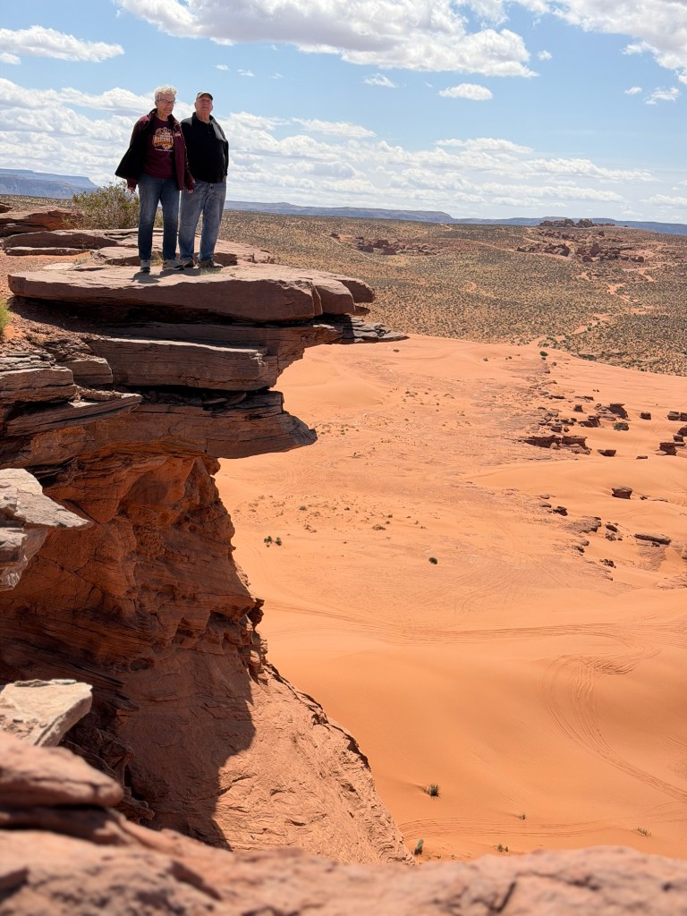
From there we headed higher up along the edge of the dunes to another rock formation to see the “Flintstone House”.
The red rocks and sand with the blue sky are just gorgeous, they almost seem unreal.
Before we got to our next stop we had more rocks to climb. I included this minute and a half video to show just how Steve carefully guided Bud, but with humor that put you at ease. He didn’t seem worried about his very expensive modified jeep.
He was calm and throughly enjoying himself,
even when Bud hit something underneath hard on a rock…
crawling down these.
The jeep came through fine.
And we were at the Flintstone House.
It lacks headroom but as a rock formation it is pretty cool.
Steve pointed out this webbing the wind had carved high on the surrounding rocks.
Our next destination was over there, the “top of the world”. It’s the sandy looking point on the top right.
But to get there we had to cross some dunes. We took a roundabout route to minimize the dune crossing. As good as the jeep is on rocks, it’s too heavy to negotiate deep sand with ease.
We had to take a running start up the dune, then when it got too steep Bud had to turn quickly back down. The dunes looked like even mounds but were wave shaped; we were driving up the face of a wave, which got steeper as you got higher.
We made it to the rocky ridge.
We drove to the far edge and Steve put one tire up on a rock formation for pictures. I have hold of the jeep…
because it’s a long drop from here.
We had a great view of the Arizona Strip, a swath of empty land that runs all the way to the Grand Canyon. Maybe in the future we’ll go out there.
But this trip we were happy to make it to the “top of the world”.
It’s the highest point on this mesa and gives a panoramic view. As you can see, a lot of folks come up here. (The jump in the video is when I stepped off a little ledge as I was turning around.)
It was time for us to go back. You can see everywhere we went from the campground, from the memorial rocks on the left to the little sandy looking blip on the right that is the “top of the world”. But we had taken almost three and a half hours playing on those rocks.
I am very glad we found Steve and Off the Grid 4×4 Tours. This was way more rugged and way more fun than I expected and Bud had a great time driving.
Sand Hollow State Park was the first park we visited with Adler as full time RVers. That was June of 2022. Bud has been wanting to come back to southwestern Utah, so here we are again.
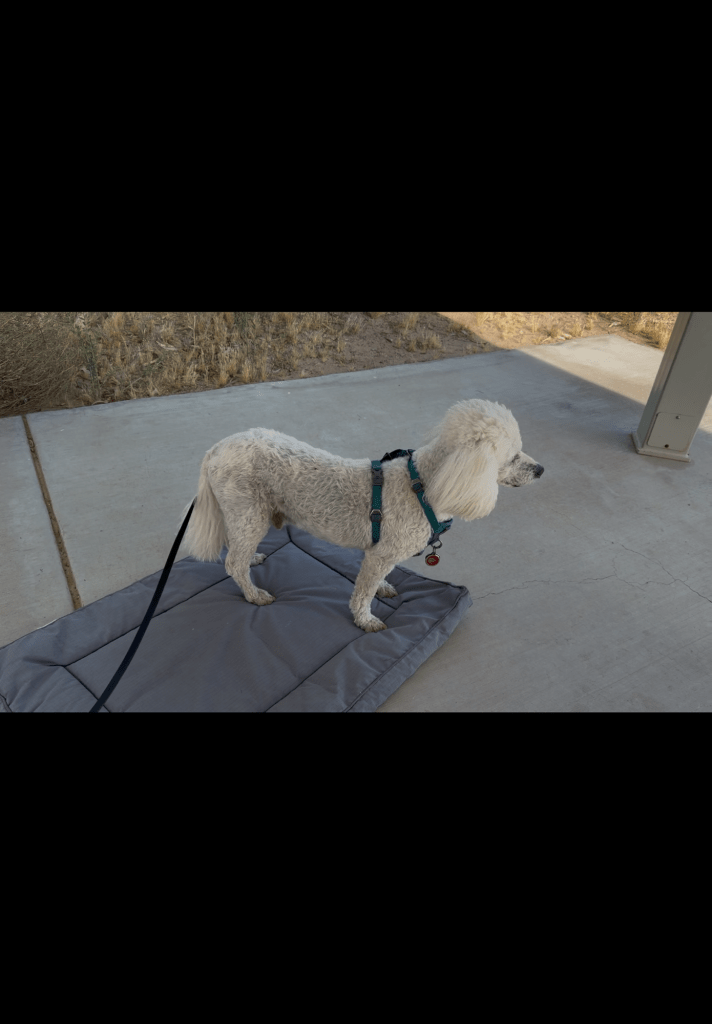
This time around our trip here was much more of an ordeal. First, Matey had been acting odd for a couple of days.
These are still images from a minute long video I took to show the vet how he couldn’t seem to relax outside on his bed like he usually does. We were afraid he was in pain.
Matey goes to Banfield Vet Hospitals as they are a nationwide chain. There was one on our way here, on the outskirts of Las Vegas, so I got an appointment for noon on Thursday. Pulling the trailer through town and into their parking lot was not fun. Then we found the only way they could diagnose his hind parts was to take an x-ray, and it would take 2 to 3 hours to get the results from a radiologist. They did it and put a rush on it and we left there at about 2:45. But now we know that Matey has some degeneration in his discs, but that is not the cause of his behavior. The vet was certain he was not in pain (he’s on an anti inflammatory) and his behavior is the result of his ongoing dementia.
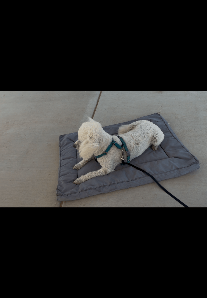
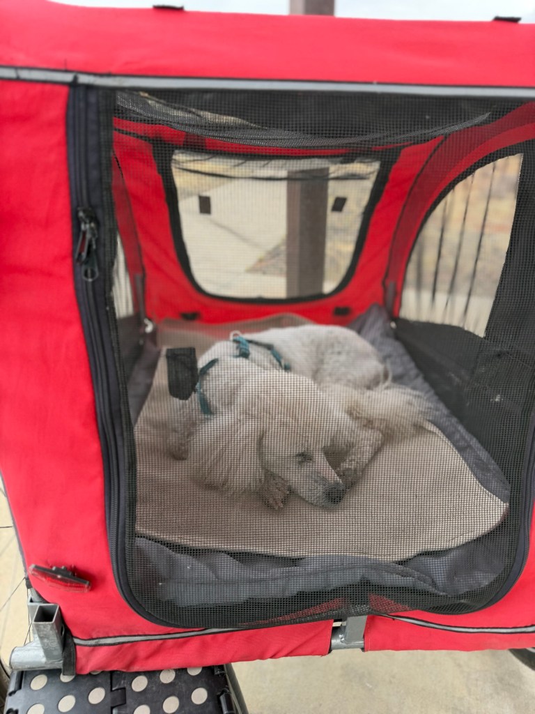
Now that we are up where it is cooler I can let Matey rest outside in the stroller, where he can be outside as he likes but still feel secure, and he is resting easy again.
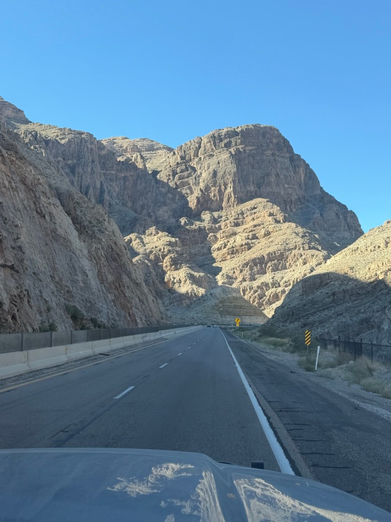
But we still had two and a half hours of driving. Getting out of Las Vegas was no treat and we were very glad to get back to the Virgin River Canyon on I 15, which we remembered from four years ago. As you approach it looks like the road disappears into the mountain, but instead you enter the canyon.
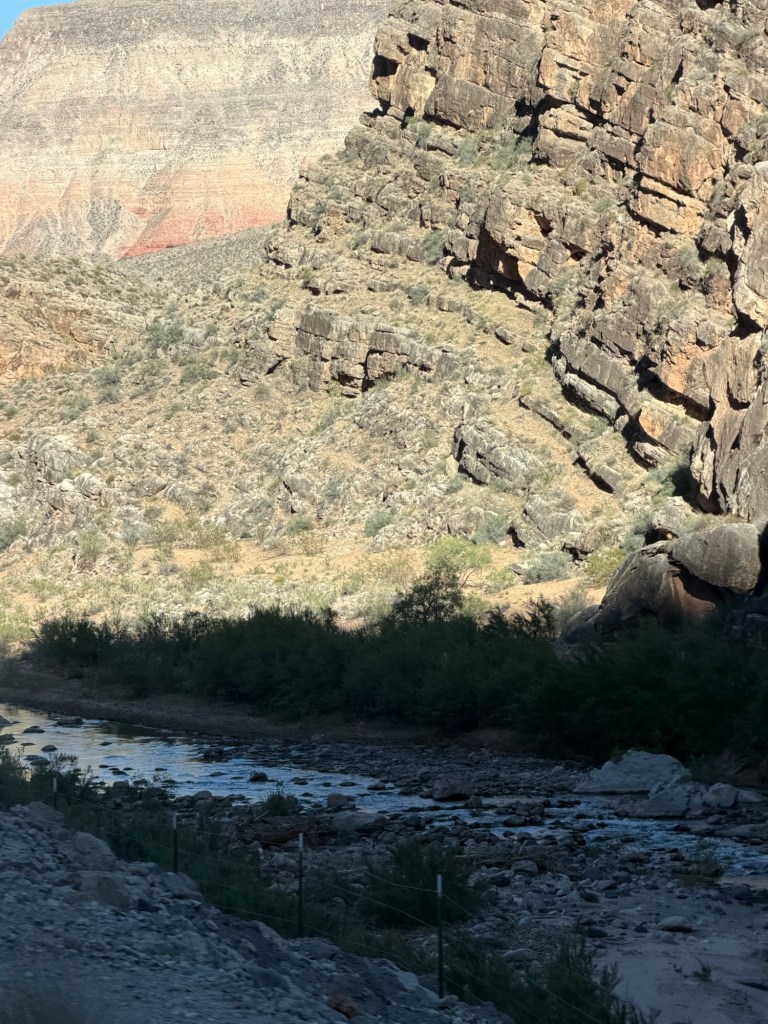
The speed limit drops from 75 mph to 55 mph as you wind up the canyon…
alongside the Virgin River.
We also lost an hour going from Nevada to Utah, so we finally got here at 6:15 PM, Mountain Daylight Time. We’d left our site at ten in the morning, so that was a long day.
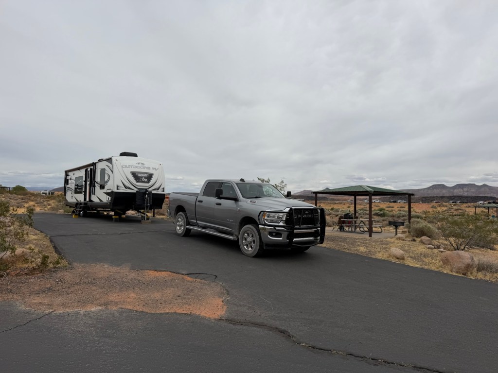
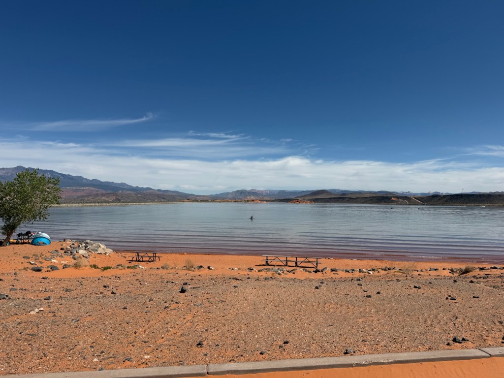
But now we are here and it is as nice a campground as I remembered.
We have a large site with full hookups.
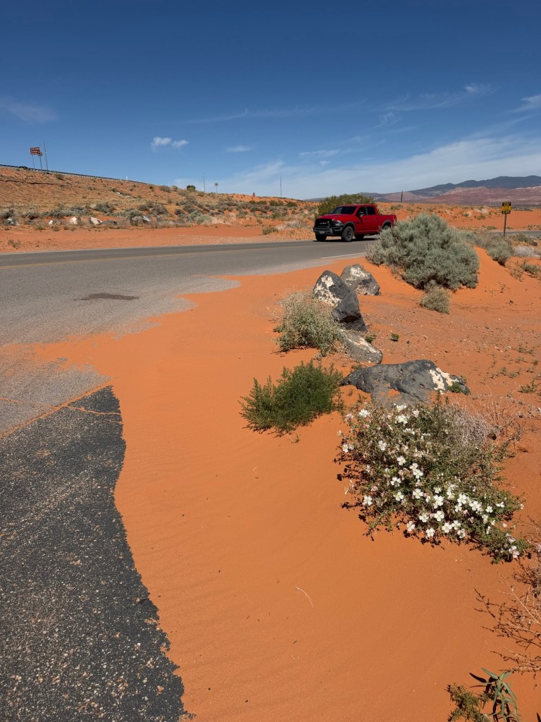
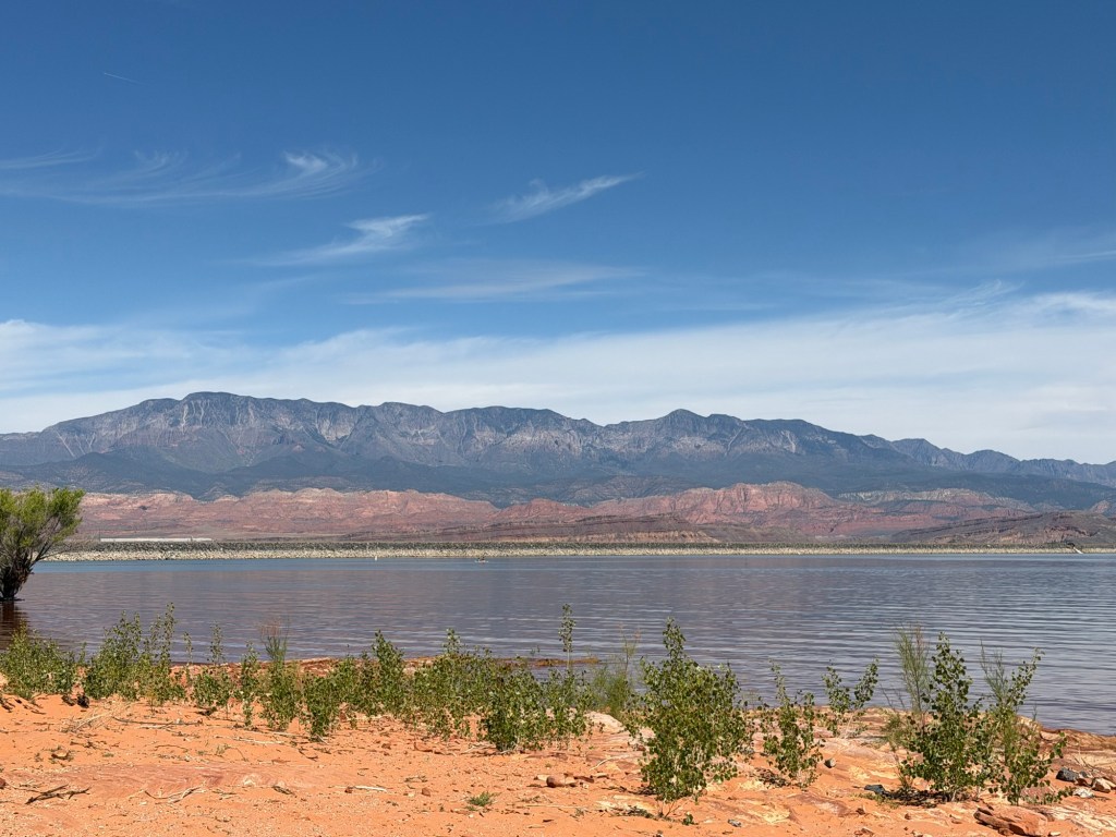
And the sand is as red as I remember,
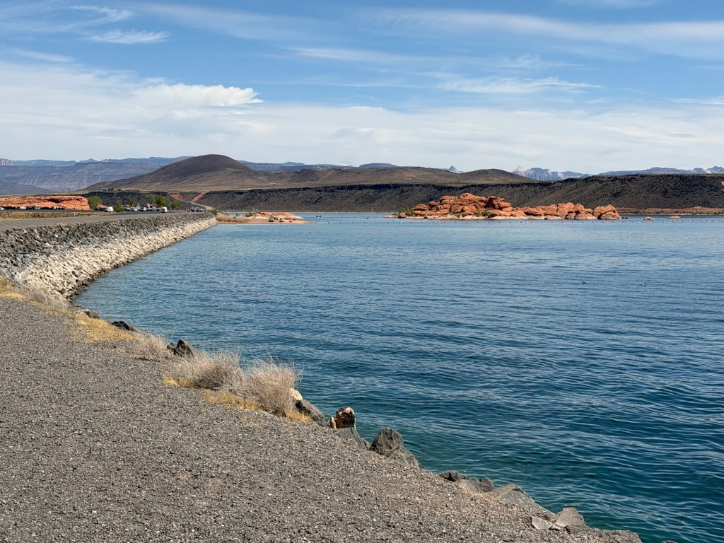
the reservoir as pretty and blue,
and the surrounding mountains just as colorful.
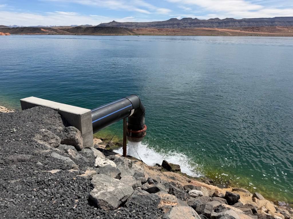
And this time I answered some of my questions. Why would you put a reservoir in a sandy valley?
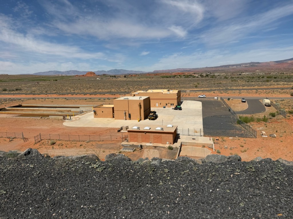
What is that building just below the dam.
And why are they pumping water from that building into the reservoir?
This is all part of the water management system for Washington County, home of the fastest growing city in the United States, St. George, Utah.
Water from the Virgin River is piped into Sand Hollow Reservoir. Some of that water is piped out to a water treatment facility, but much of it does sink into the sand. This is a Managed Aquifer Recharge system and the water from Sand Hollow Reservoir has raised the water level in wells down grade from it.
And the building below the dam is a groundwater treatment plant, because the groundwater here has some dissolved heavy metals from the surrounding rocks and those have to be removed before the water can be used. Then the treated water goes into the reservoir along with the Virgin River Water to be used or to re-enter the aquifer (probably a shallower aquifer, but I couldn’t confirm that).
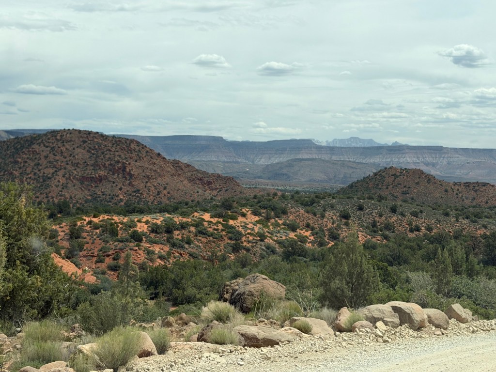
Today we took a drive to those colorful mountains.
We drove up the very pretty Oak Grove Road.
We drove past gorgeous red hills,
whose rock formations were as interesting as they were colorful.
The road went up a long way…
and ended at the Oak Grove Campground.
There were oaks,
and reservable campsites.
Also some great views…
of the Pine Valley Mountains.
We stopped at Leeds Creek to give Matey a drink.
I stuck my hand in the water and can attest that it is snowmelt from those mountains.
When we started back down we realized how high we’d come. We were up to about 6300 feet and the temperature was around 60 degrees. Back at camp we’re at 3,000 feet and about 72 degrees.
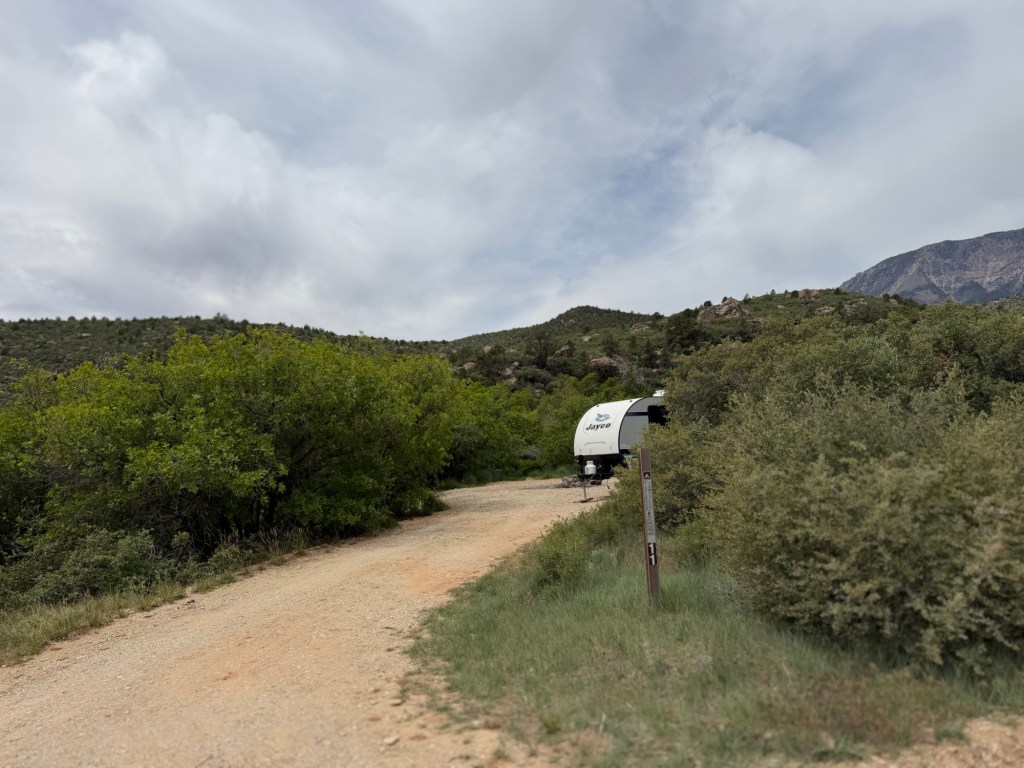
This little trailer was about three quarters of the way up the road. That part of the road was narrow enough that one car had to pull over if you met someone going the opposite direction.
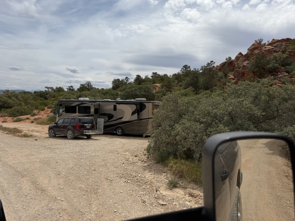
And up just before this section, nestled in the red rocks,
was this motorhome. At least the road was a bit wider here.
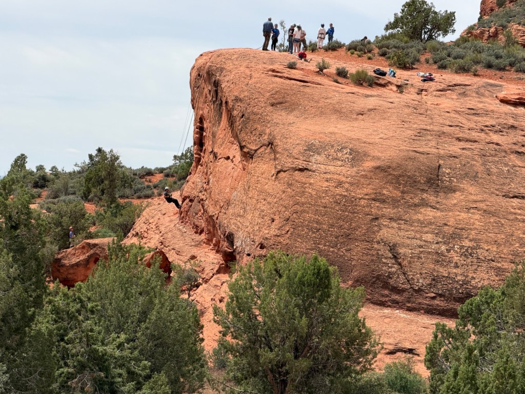
On the way down I managed to get a picture of these folks practicing repelling down this red rock wall.
We are enjoying our return to this beautiful part of the country.
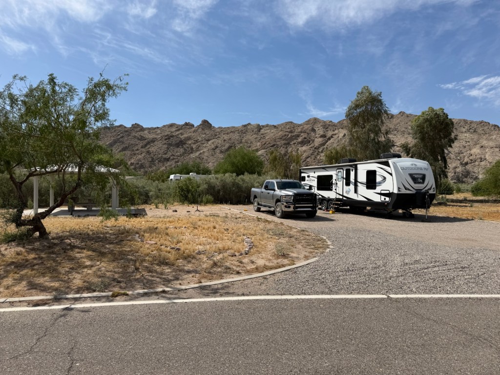
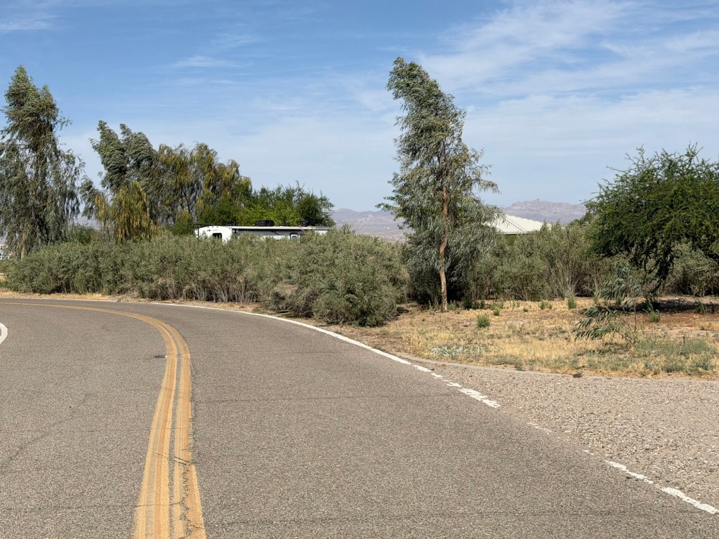
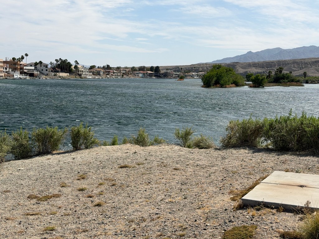
We’re now headed north and a little east to southwestern Utah. On the way we’ve stopped at Big Bend of the Colorado State Recreation Area near Laughlin, Nevada. We have a very nice, large, level full hookup site.
We’re at the end of the loop, so no neighbors in this direction.
And where the loop road comes along the back of our site we have this fine hedge of Arrowweed. Despite its common name this is a native shrub “that forms dense thickets”. I’m happy for its density here.
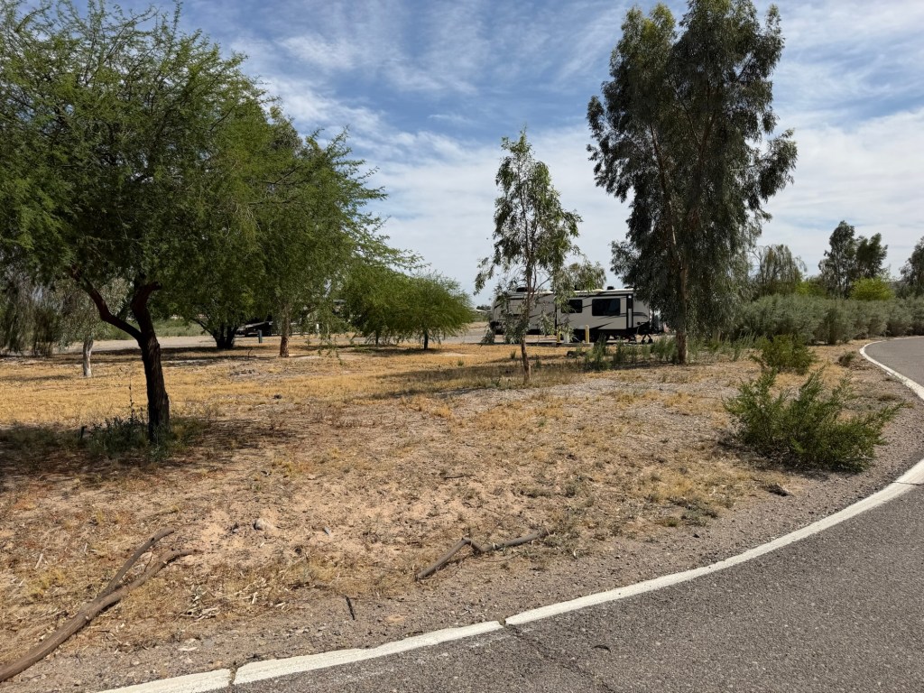
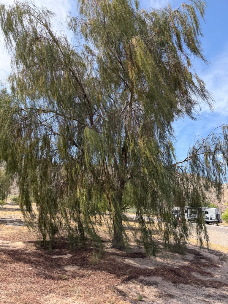
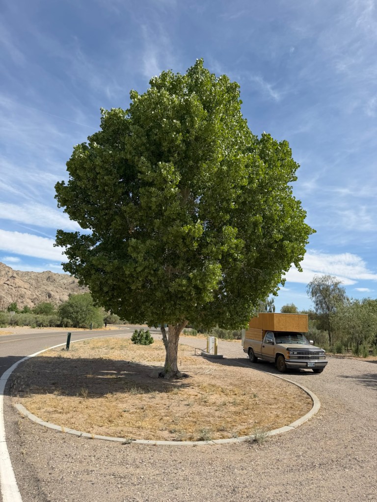
Overall this is a very nice campground with lots of trees,
some good sized.
and every one of them is irrigated.
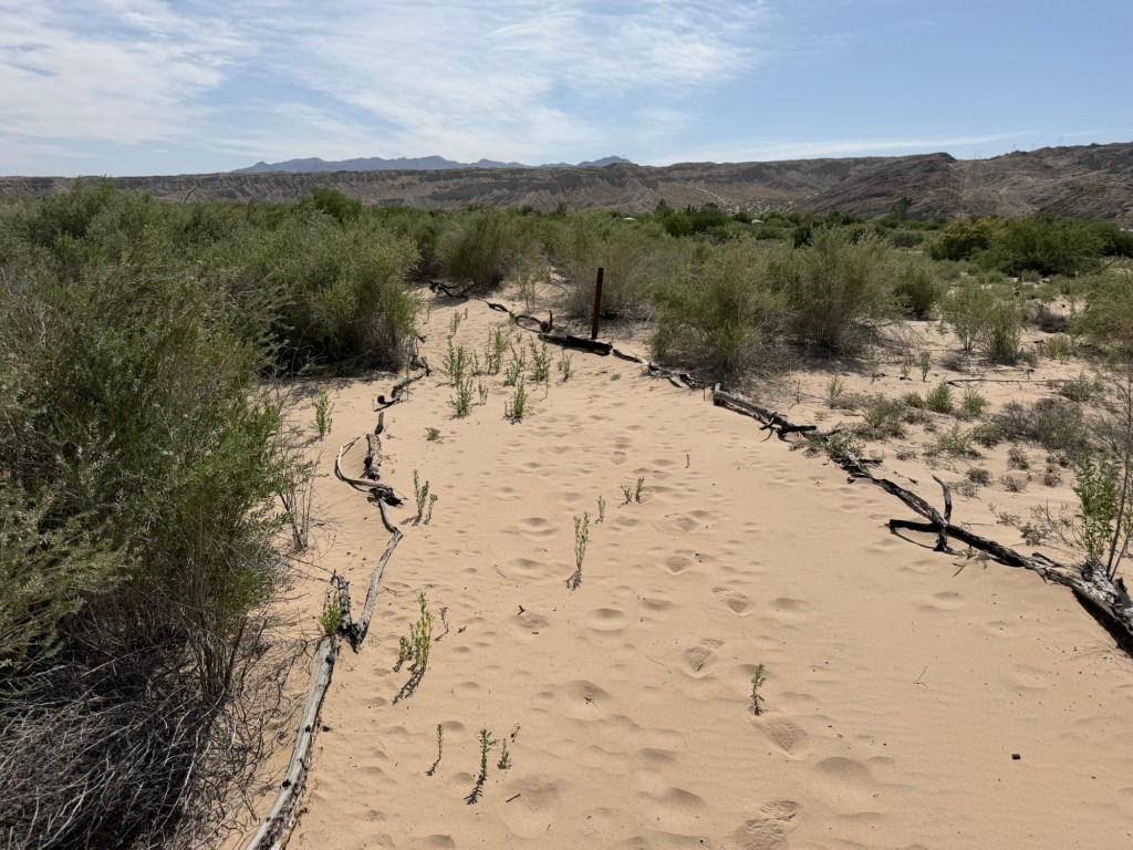
The campground is quite a ways from the river and much of the trail there is this fine, soft sand, which makes walking difficult.
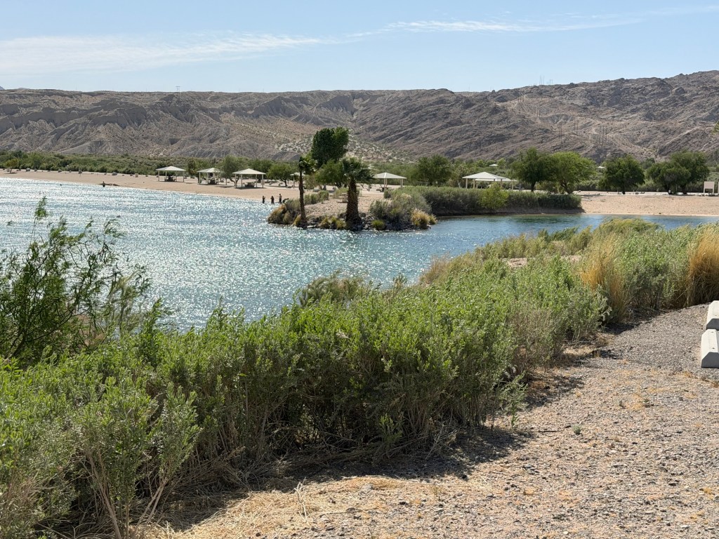
The day use area on the river is nice once you get to it, with shelters, beaches and a boat launch.
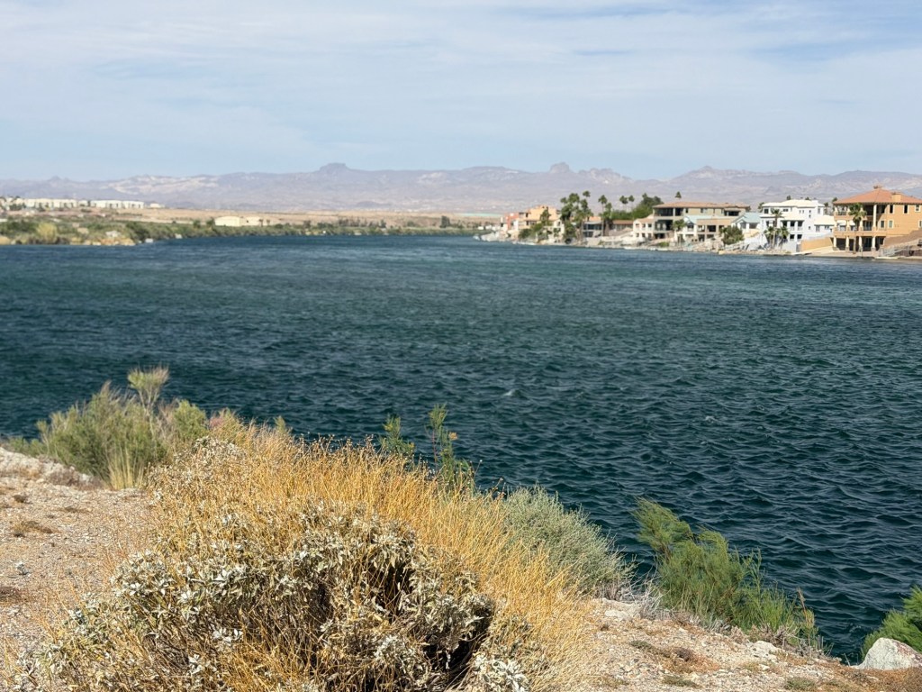
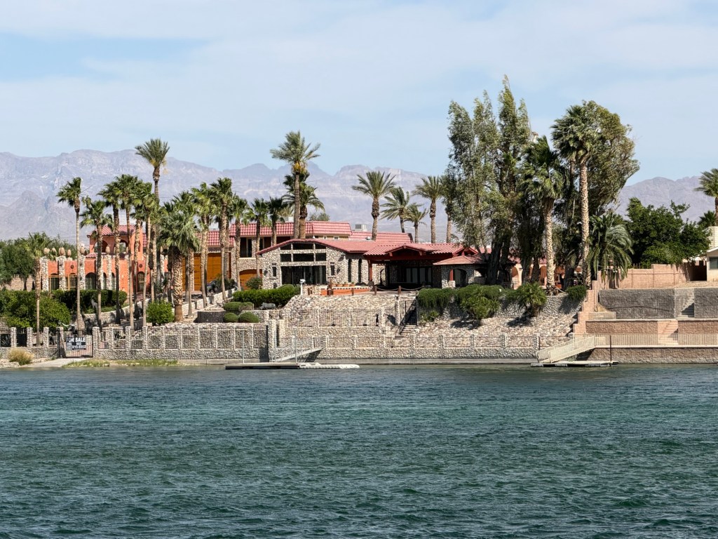
Across the river is Bullhead City, Arizona.
There are some nice large houses there.
I’m happy to be here, on the wilder side.
All in all it’s a nice place to be and I wouldn’t mind staying longer, but that’s not on our itinerary, so tomorrow we move on.
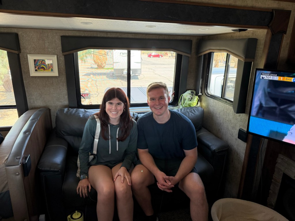
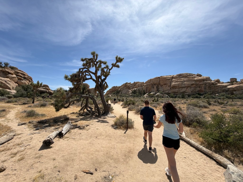
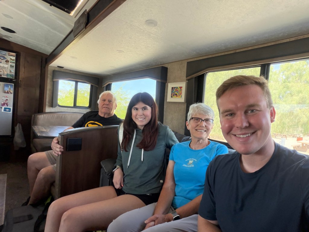
We came this far into the southwest because I wanted to see the Joshua trees. I let my great nephew, Luke, know of our plans in case he and his girlfriend, Maya, might be willing to make the trek from San Diego to see us. Well they were, and yesterday morning they came to the camper.
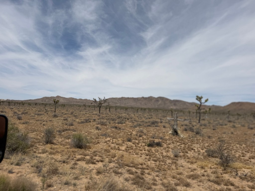
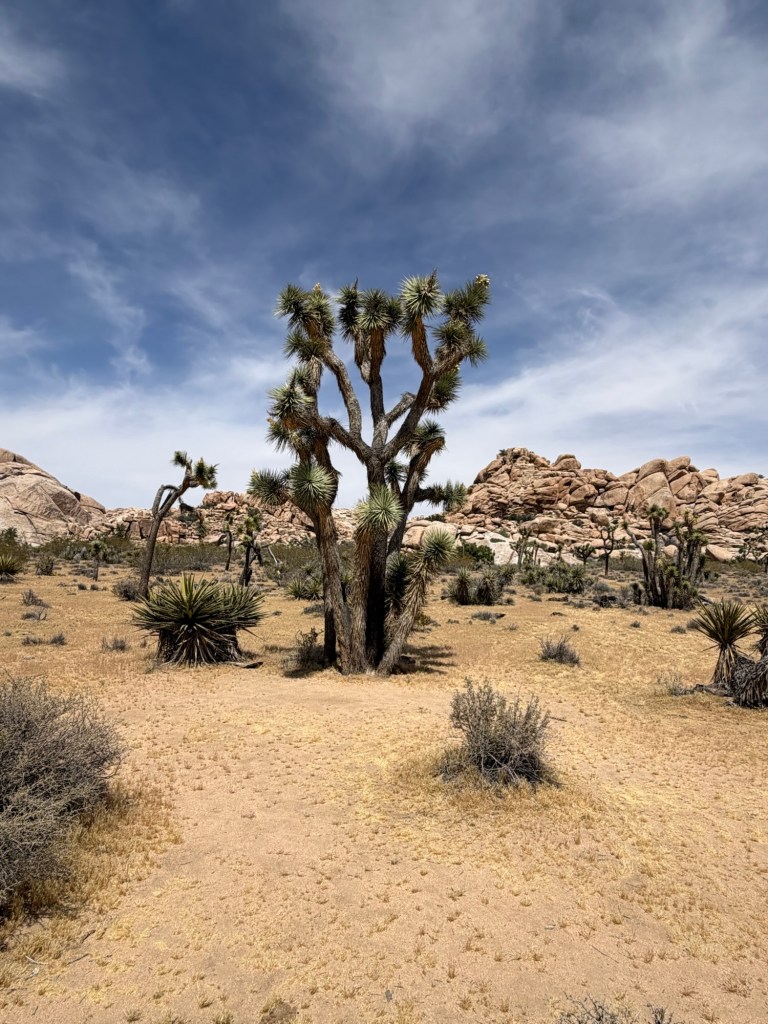
Luke had been to the National Park, but Maya had not (despite having family in nearby Indio). They said they’d like to do the additional drive to visit the park with us. It was a 45 minute drive to the south entrance to Joshua Tree National Park, the “back door”. From there we drove many more miles through desert, seeing only rocks and bushes, ocotillos and a lot of cholla cactus. Finally we spotted Joshua trees. “They look like yuccas,” said Bud. Later Maya looked up information on them, they are a species of yucca, Yucca brevifolia.
But as we drove further and saw ever larger specimens you could see why they are called trees.
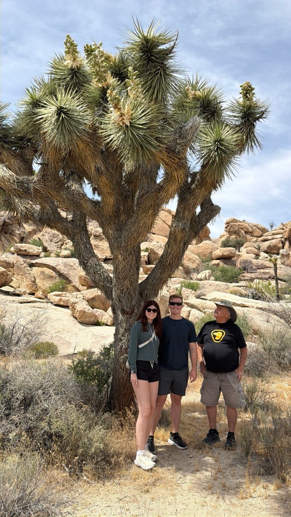
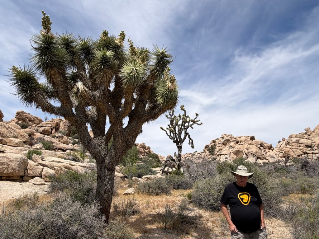
We stopped to hike the Barker Dam Nature Trail, but first we had to find a good specimen for pictures. Joshua trees only grow at higher altitudes. We were above 4,000 feet here and when we stepped out of the truck it was a pleasant 70 degrees.
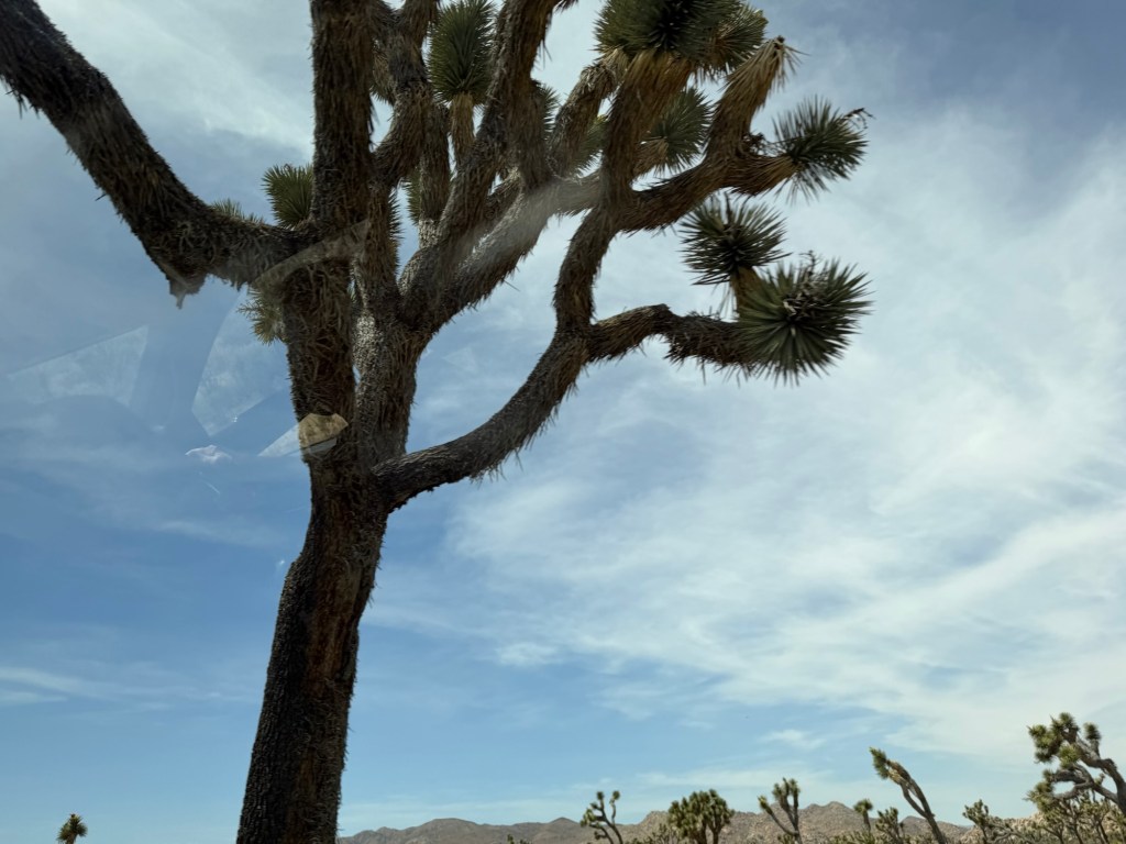
Maya took a photo so I could be in it. Notice the tree we picked was one that still had some flowers.
I just love the varied shapes they take.
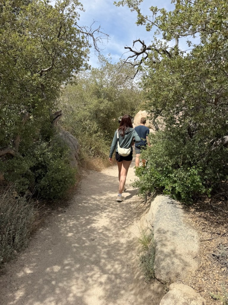
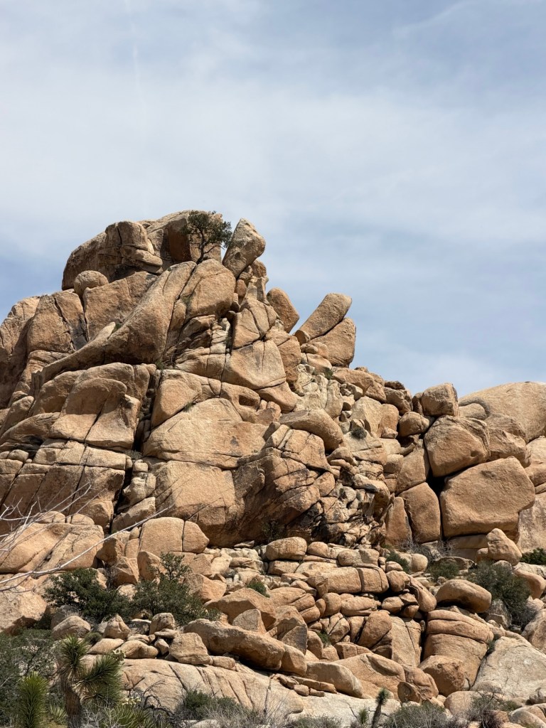
We enjoyed the hike.
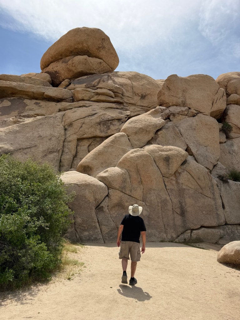
Besides the Joshua trees there were a lot of boulders.
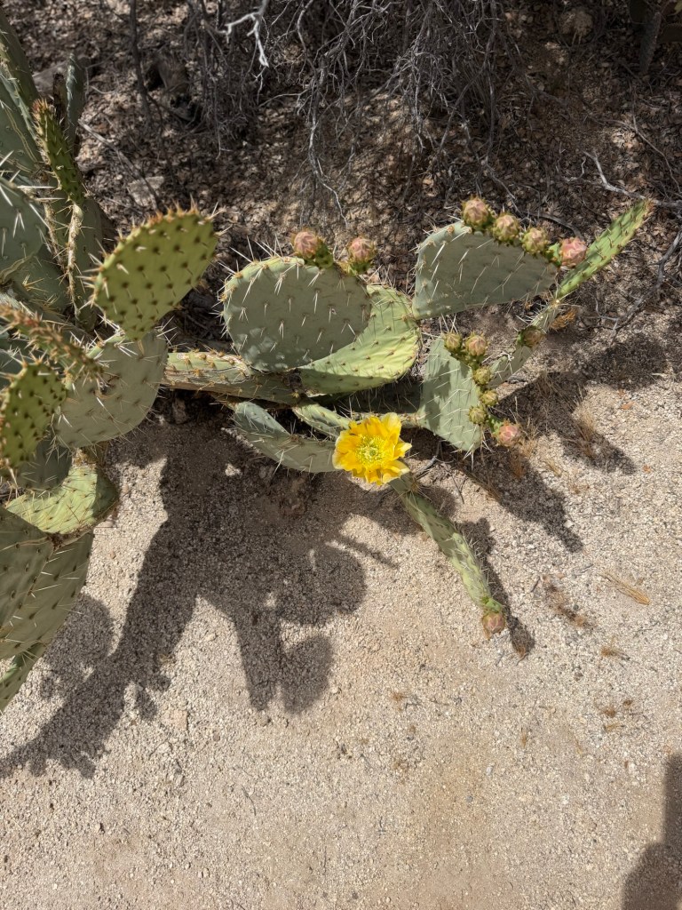
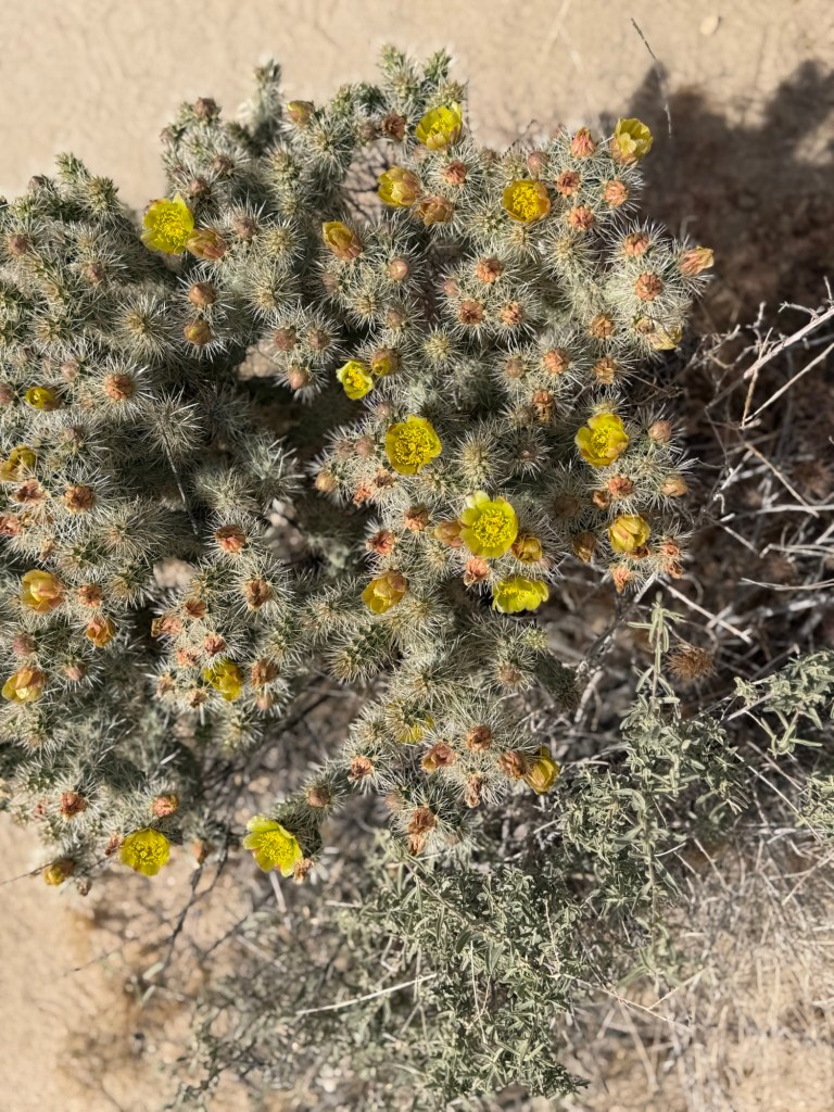
We found yellow,
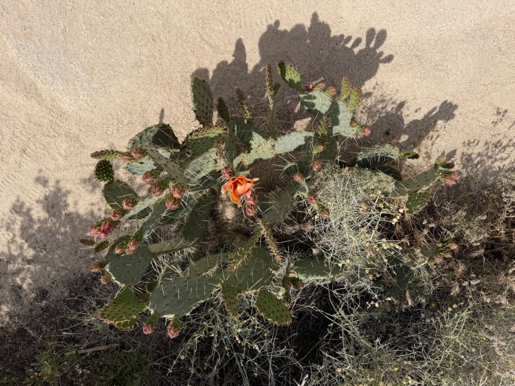
salmon and
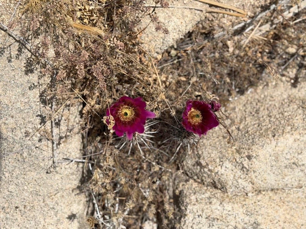
maroon prickly pears.
There was also silver cholla in bloom.
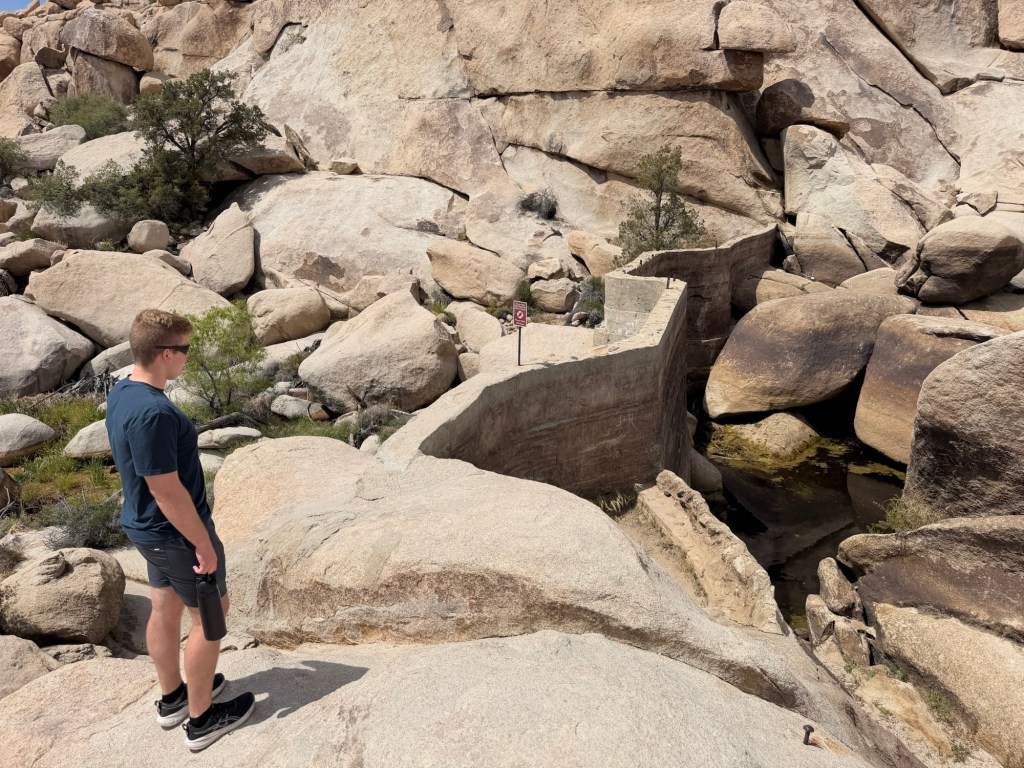
Barker dam was where ranchers had added a wall to a natural water catchment in the rocks. There was water in it, which is not always the case.
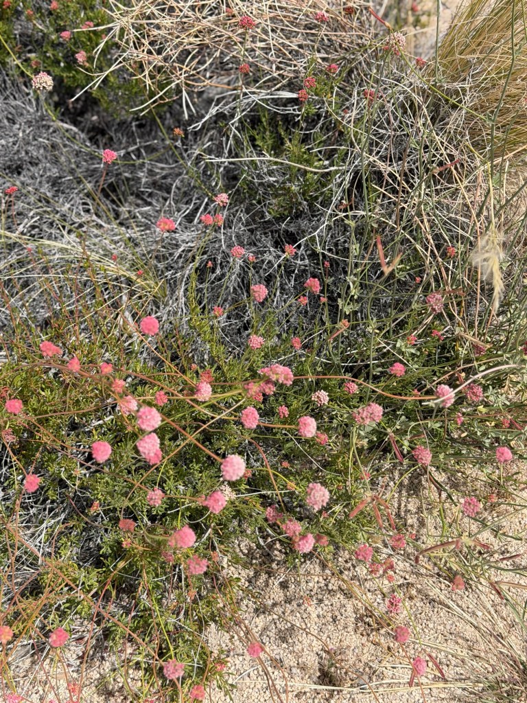
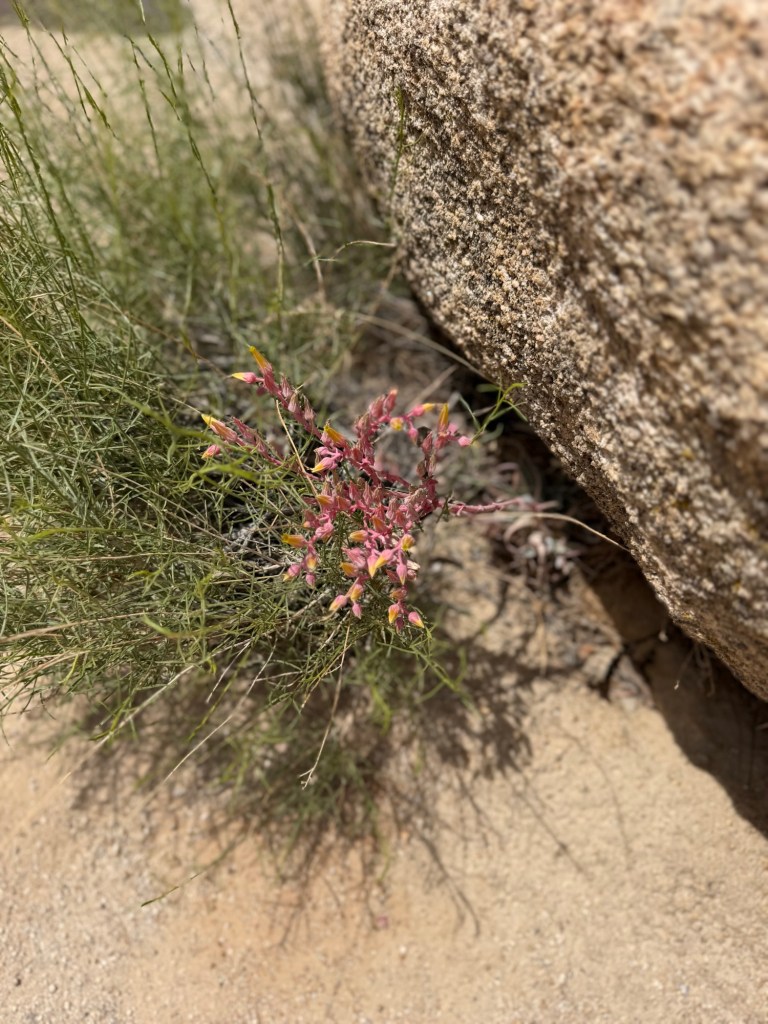
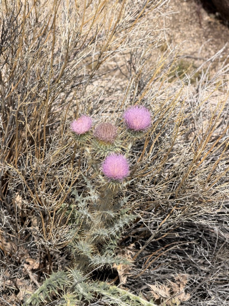
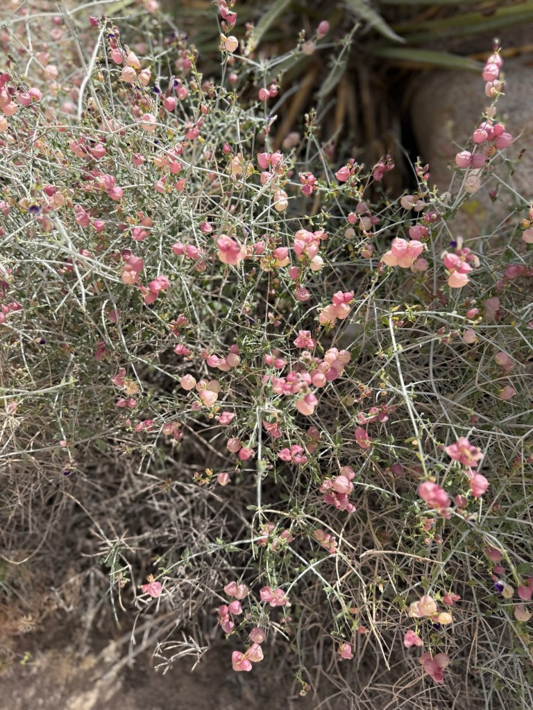
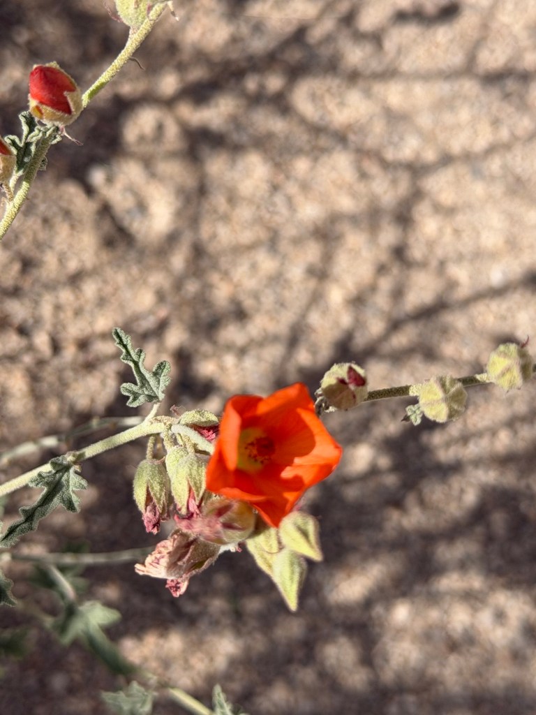
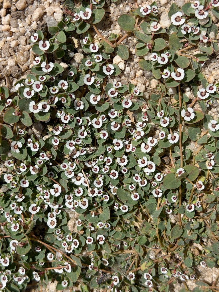
Recent rains might be why we saw so many different flowers in bloom.
Some were very small.
Some were larger.
Some had interesting shapes.
We enjoyed them all.
Bud remarked there were more flowers than we’d ever seen in the desert.
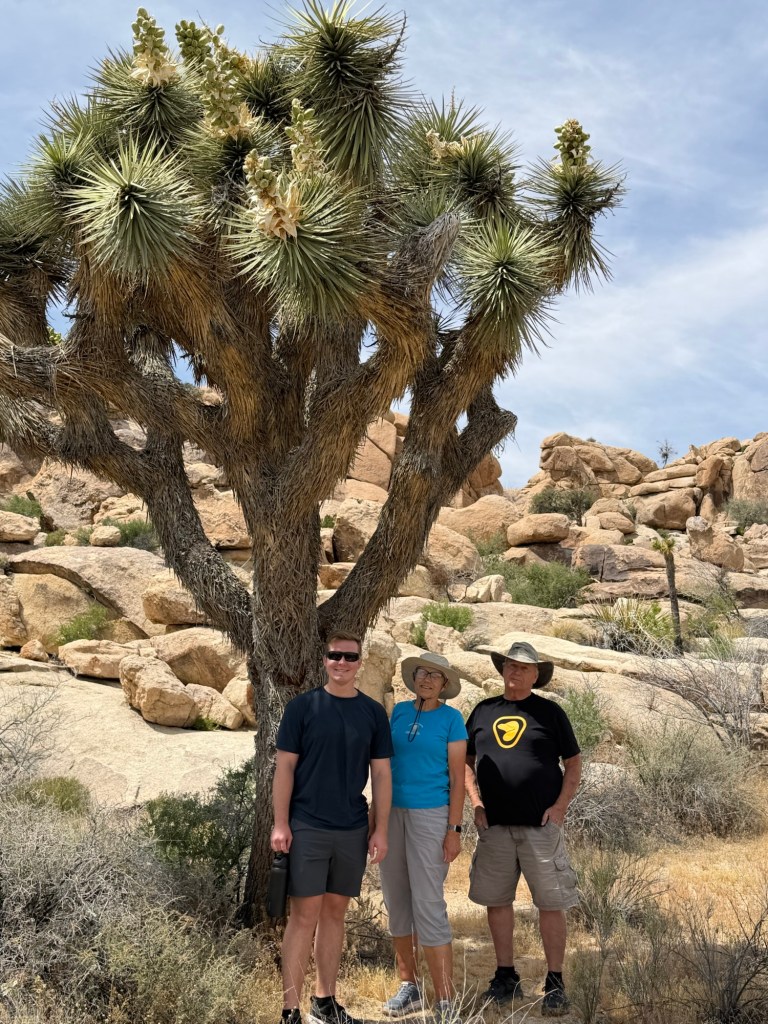
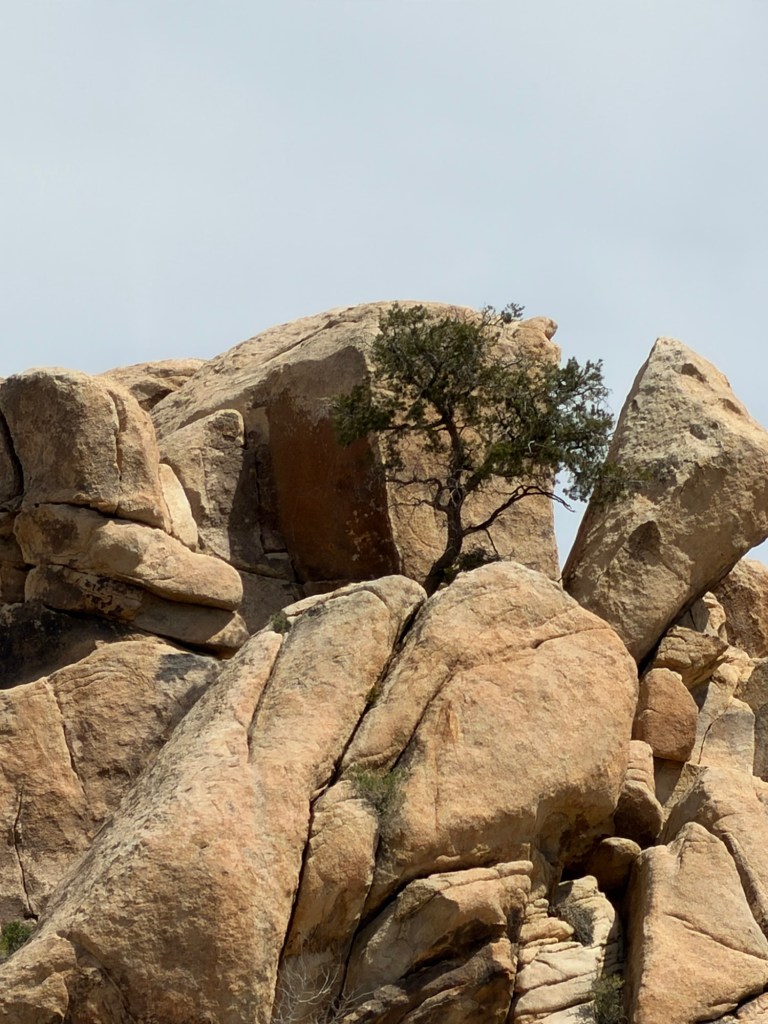
Maya even spotted another specimen…
for my tree hall of fame. That specimen must be growing in just the idea of soil.