Camping at Oliver Lee Memorial State Park and Visiting Valley of Fires Recreation Area and Three Rivers Petroglyphs Site

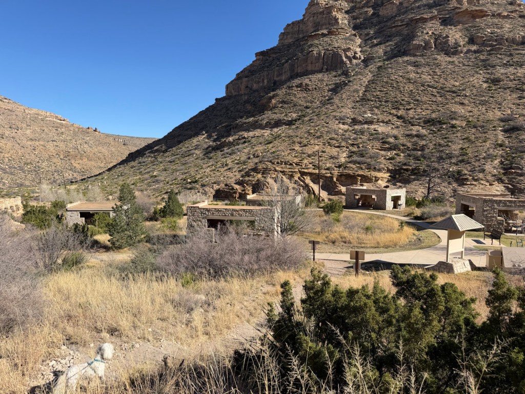
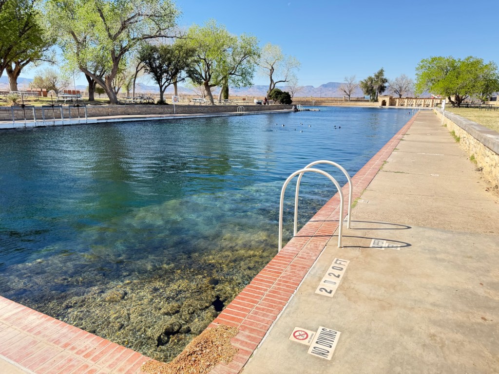
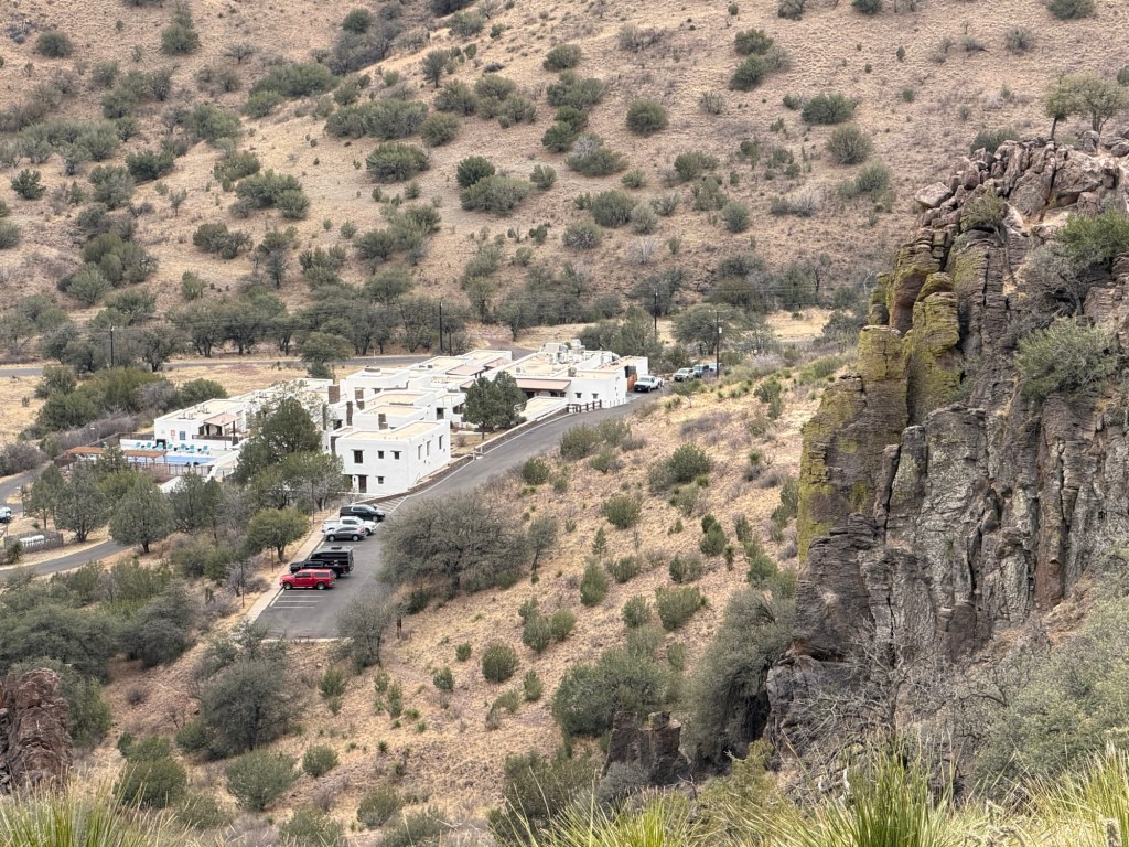
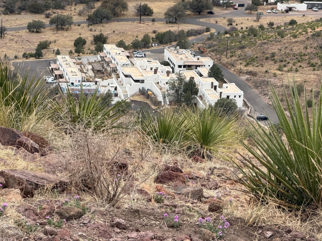
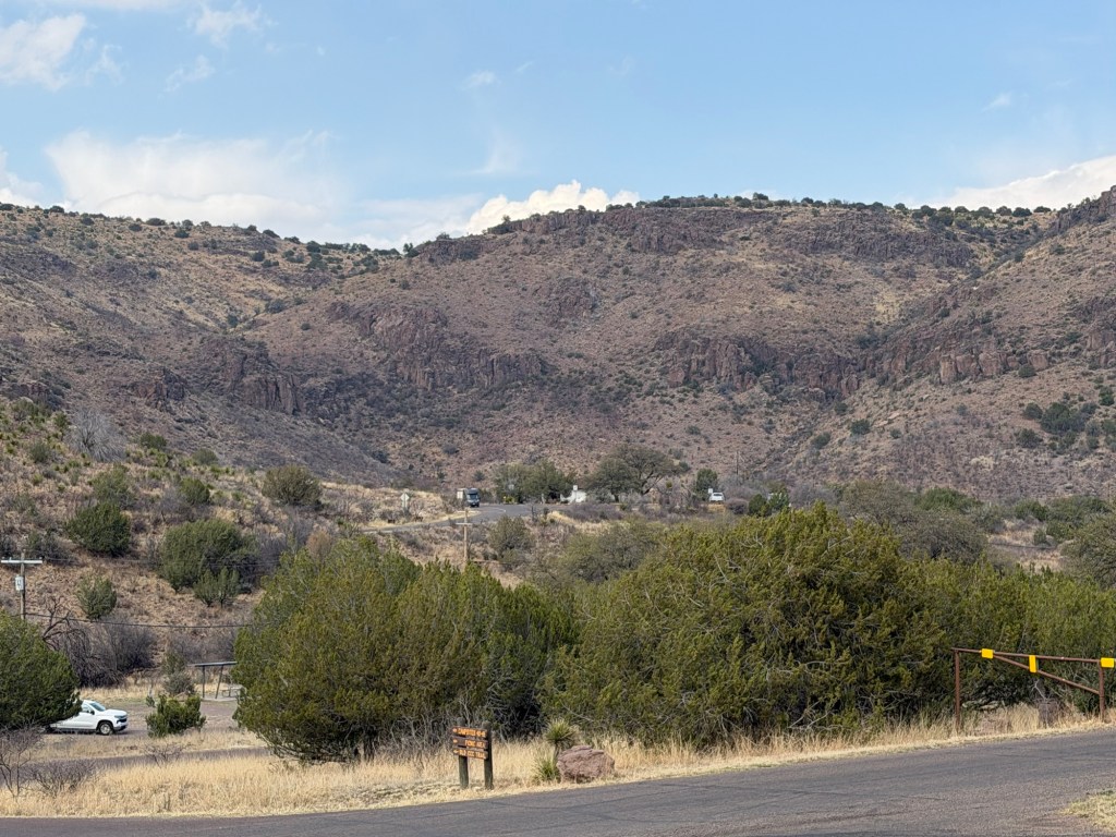
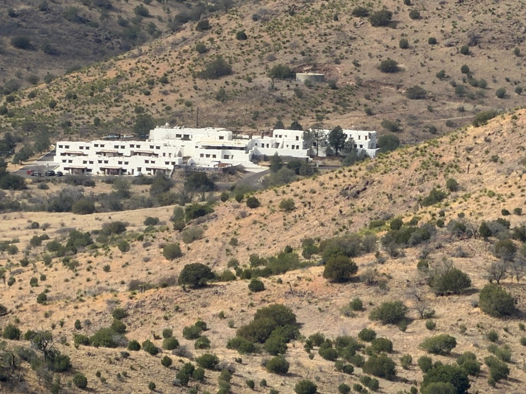
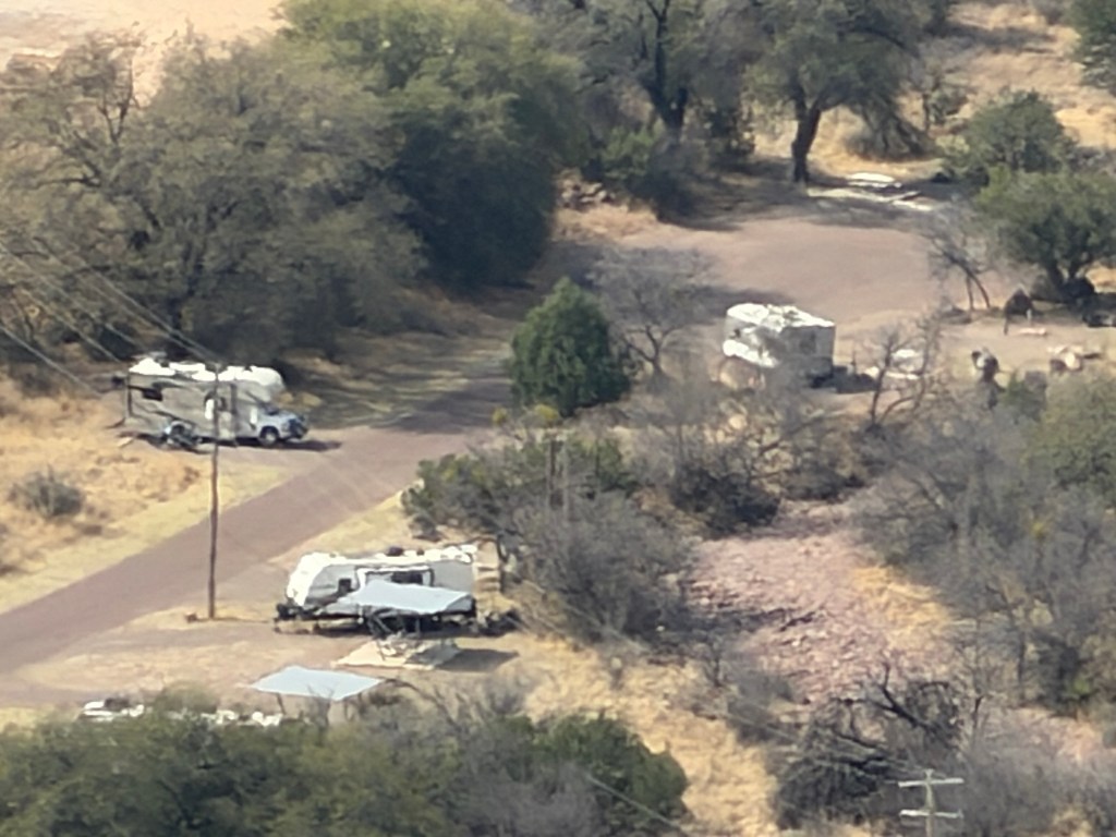
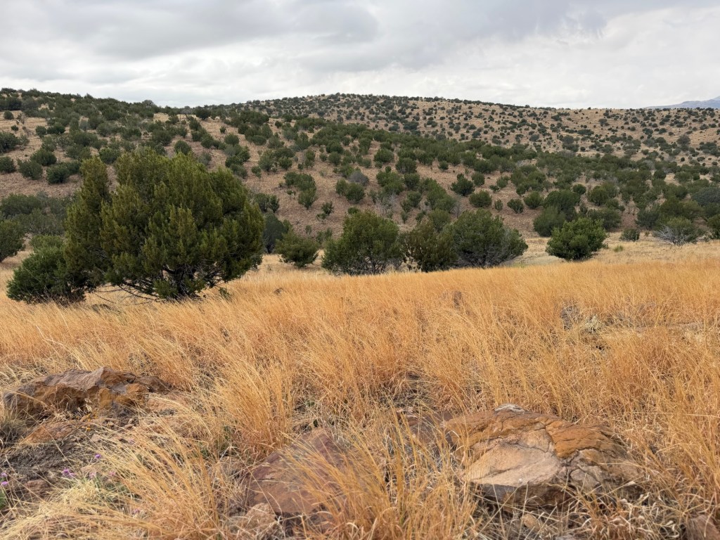
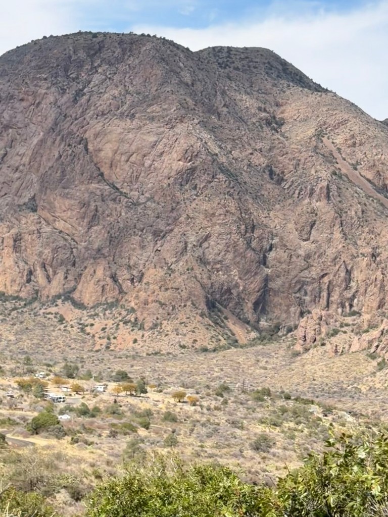
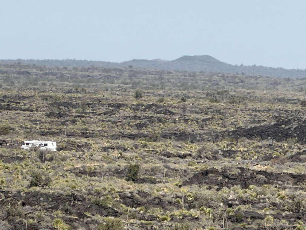
Sorry for the long title, but I haven’t had the chance to explore Oliver Lee Memorial SP yet, so I can really just speak to the campsite. I took this photo while coming back from the laundromat today because I wanted to show how the campground sits at the base of the Sacramento Mountains below the outlet of Dog Canyon. It’s not the best photo, but I was driving; the campground is the scattering of white dots (RV’s) in the green area just below the mountains.

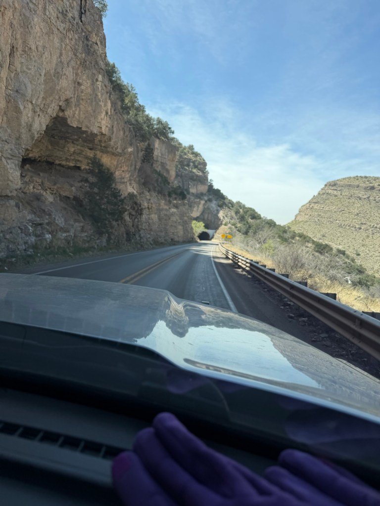
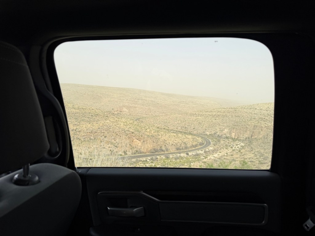
I didn’t take a photo coming in, but I did take pictures of our passage down this side of the mountains. Here we are approaching a tunnel in the midst of a long downhill on US 82 west of Cloudcroft, NM.

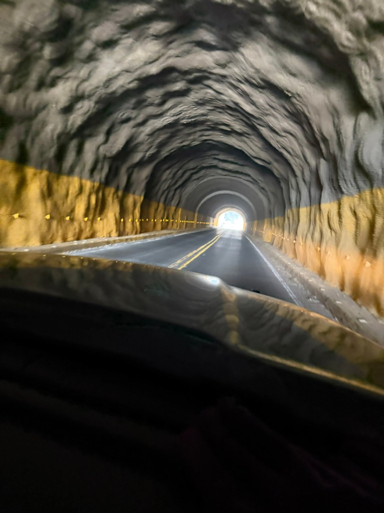
I noticed that the tunnel walls changed from carved rock to concrete. It was also unusual in that the tunnel was going downhill.

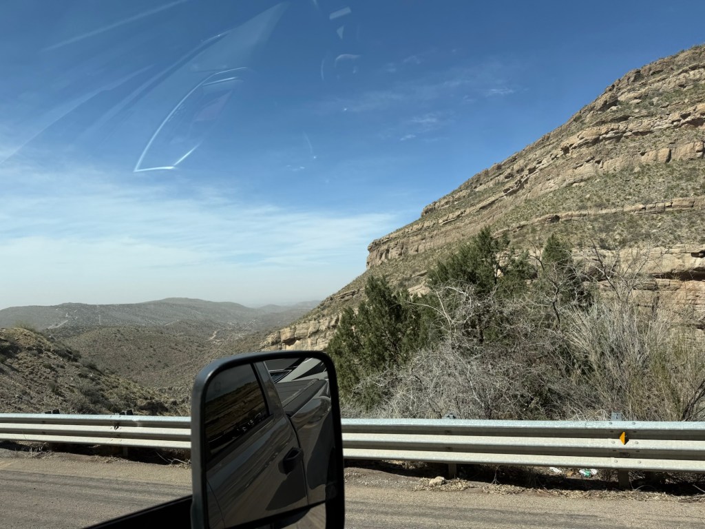
At this point we had been going steeply downhill for 9 miles, but we were still pretty high.

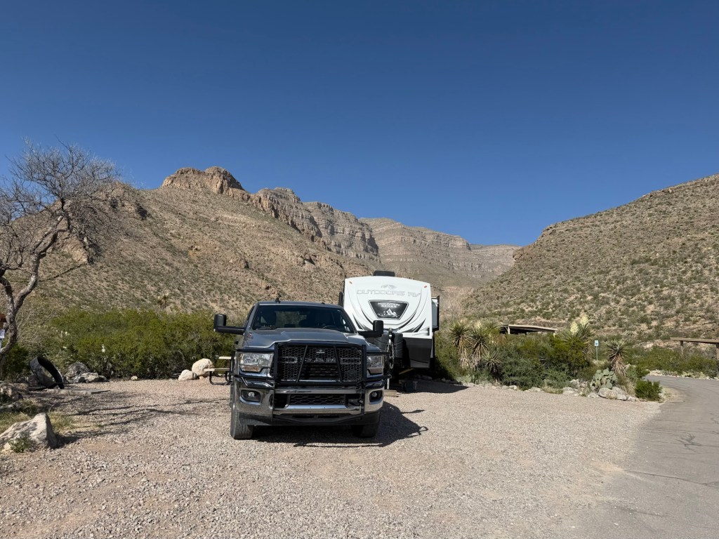
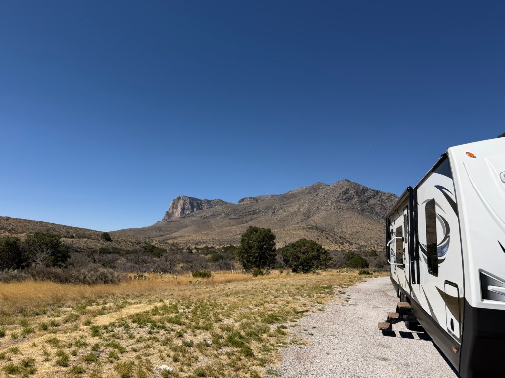
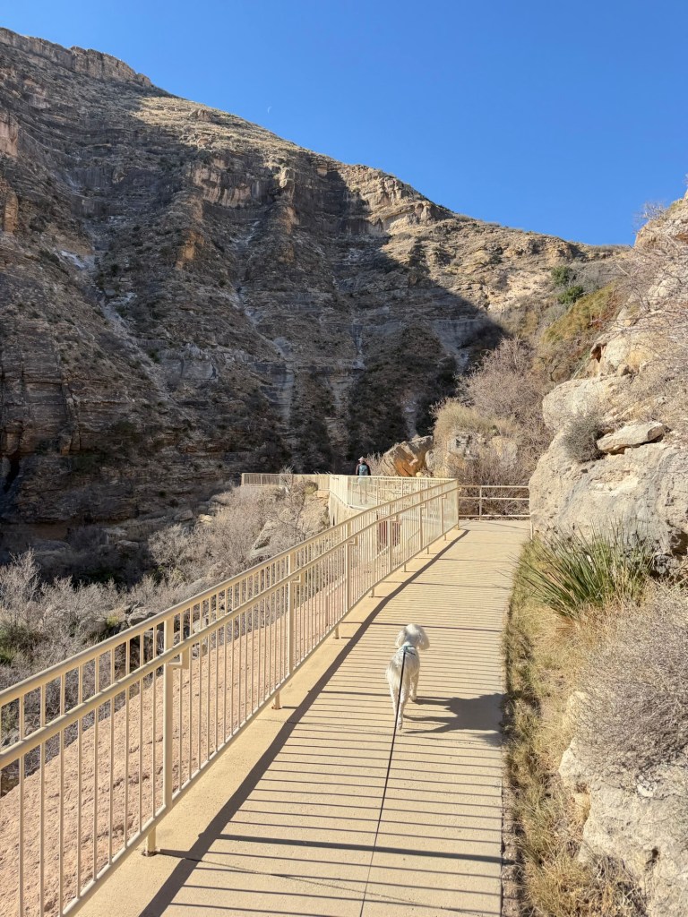
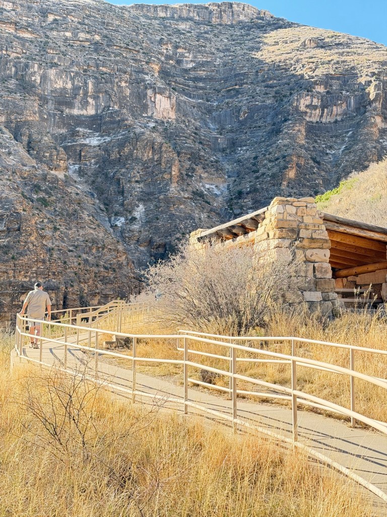
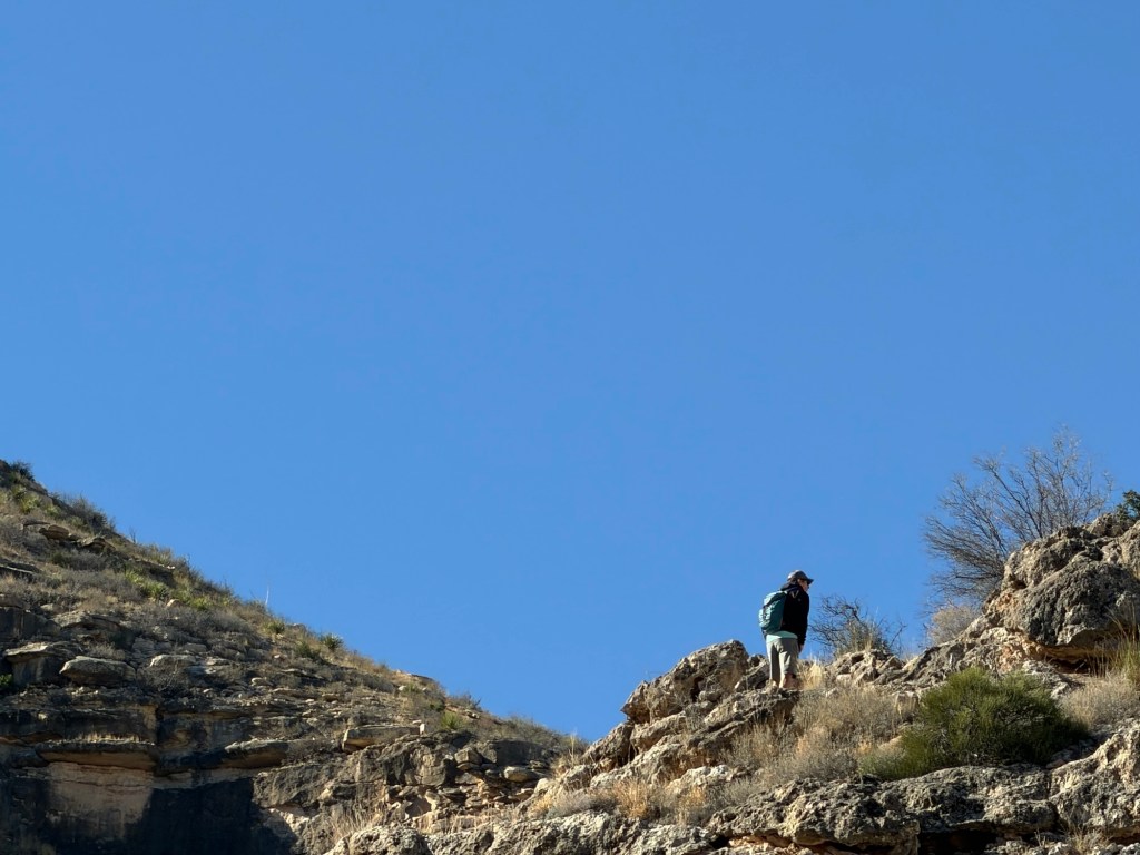
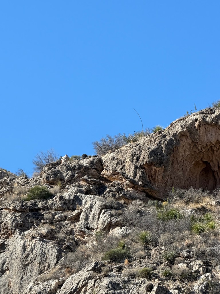
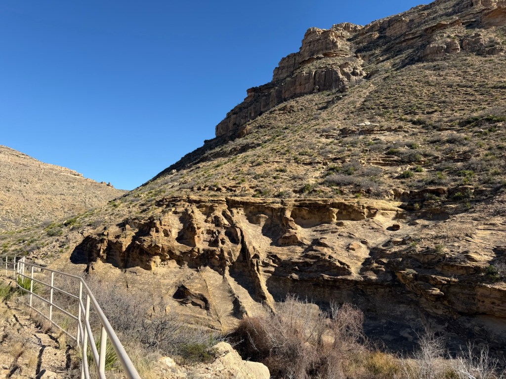
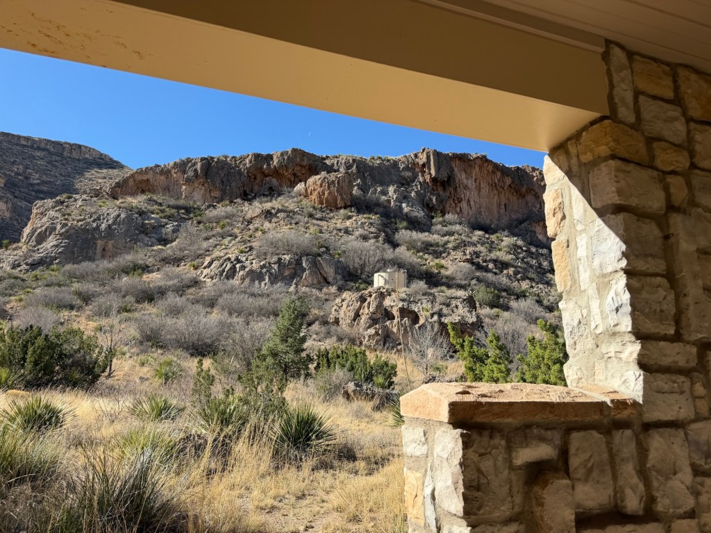
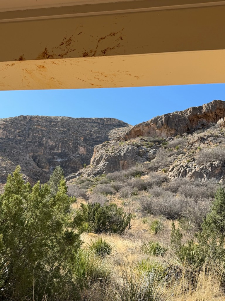
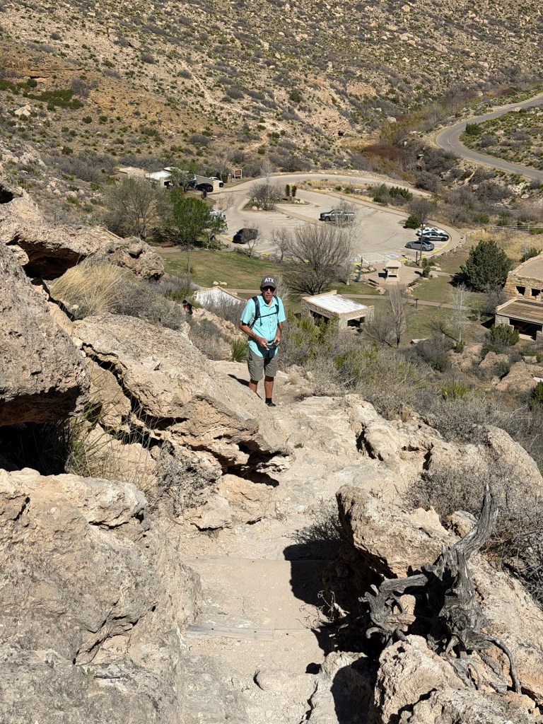
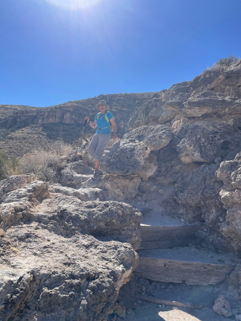
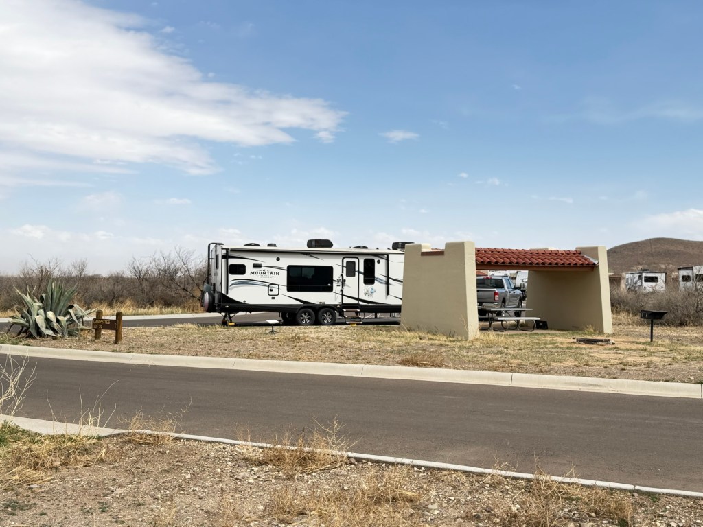
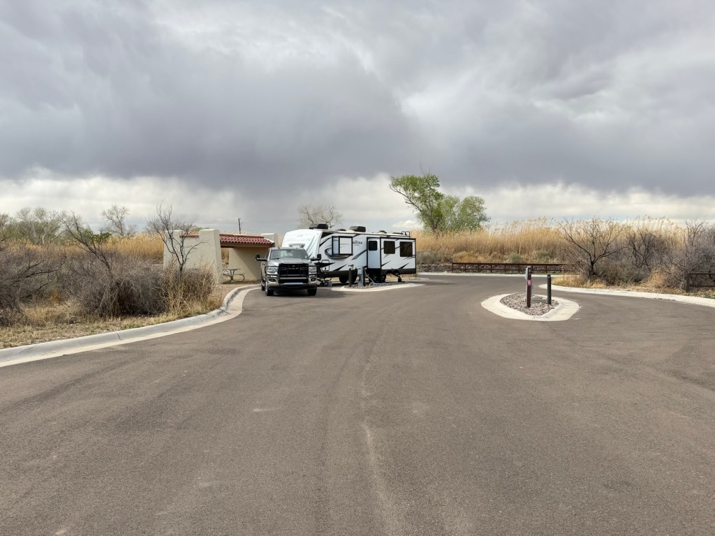
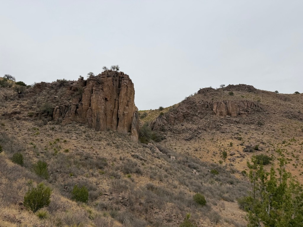
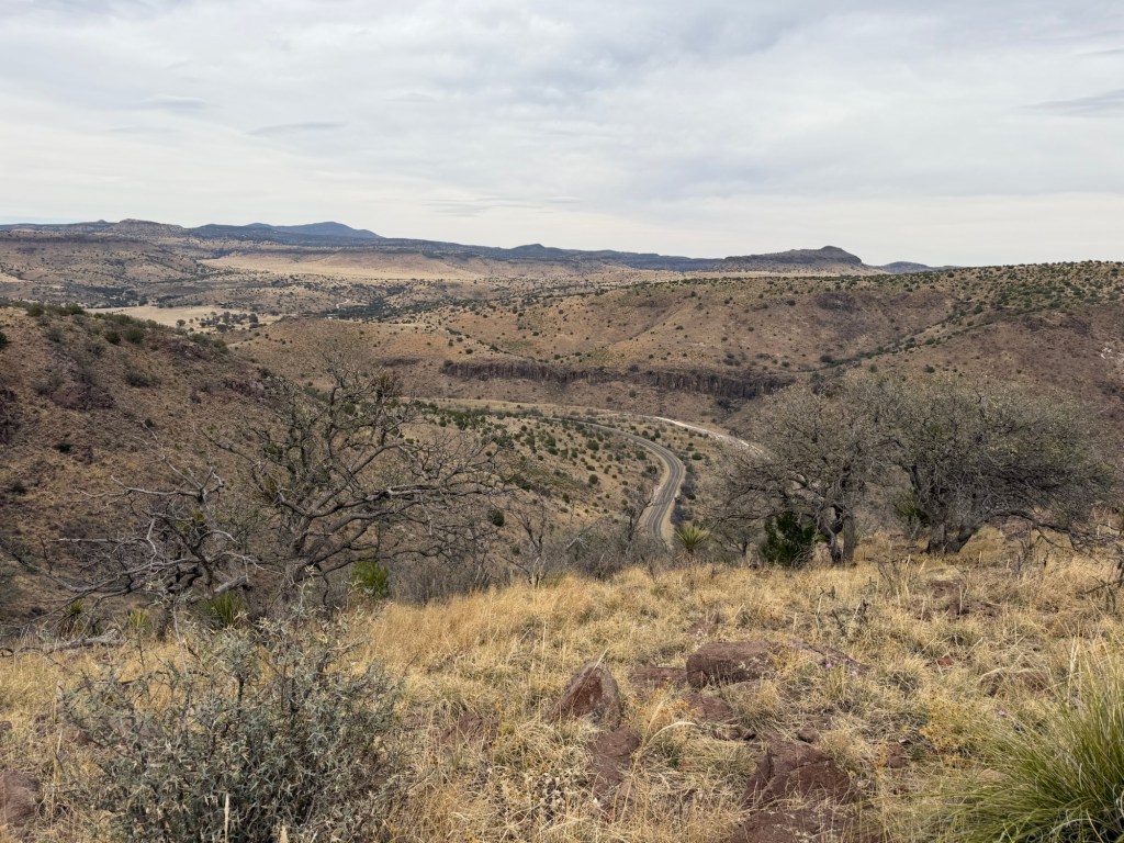
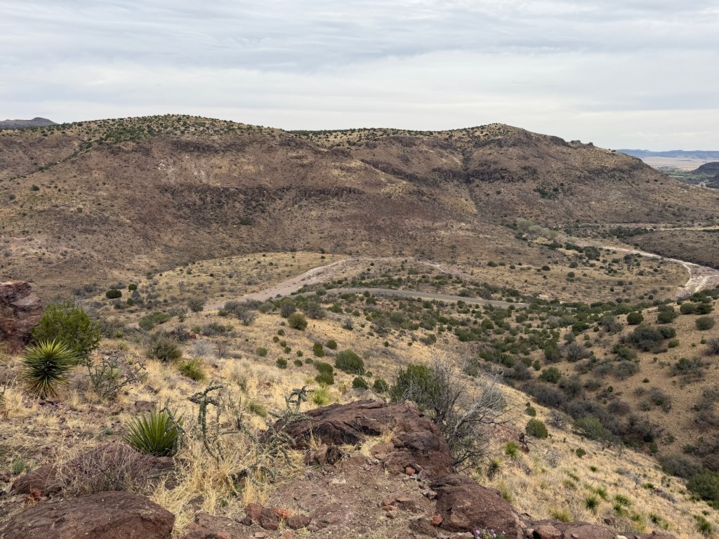
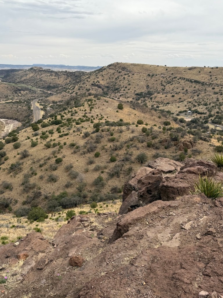
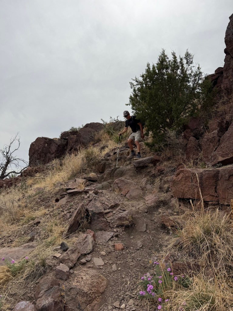
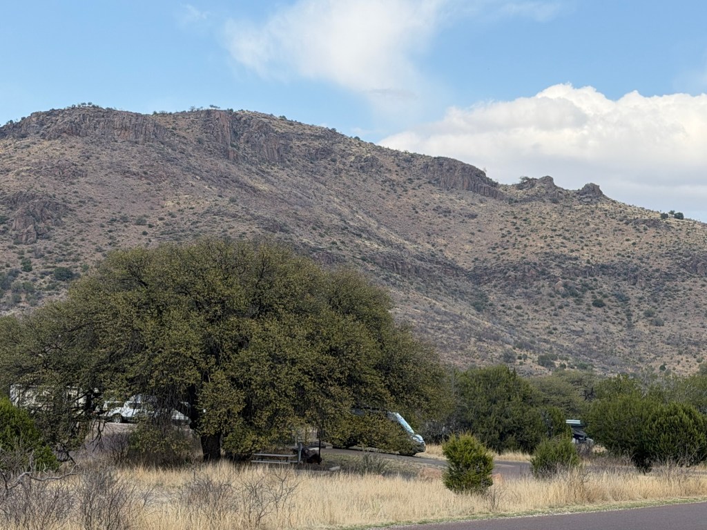
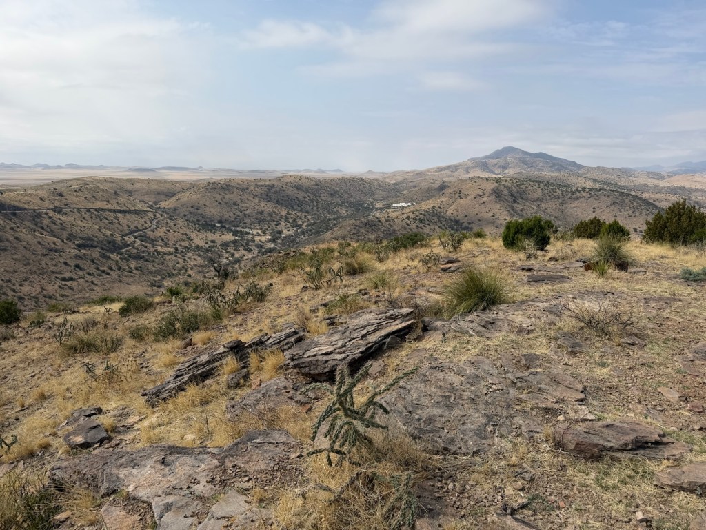
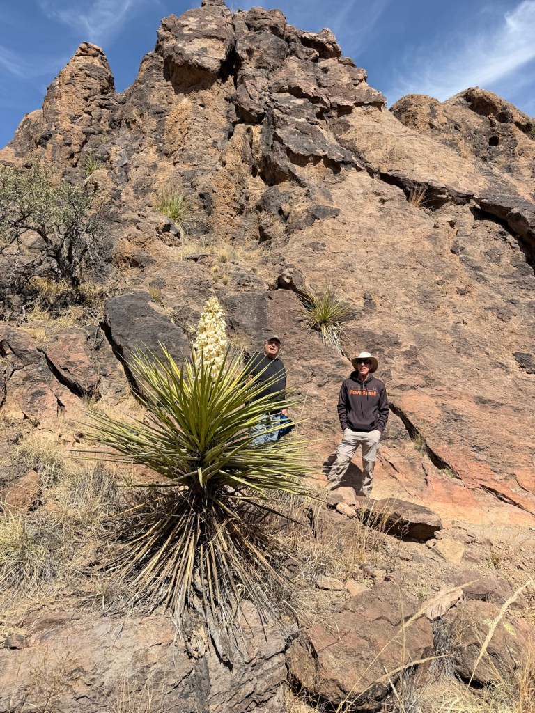
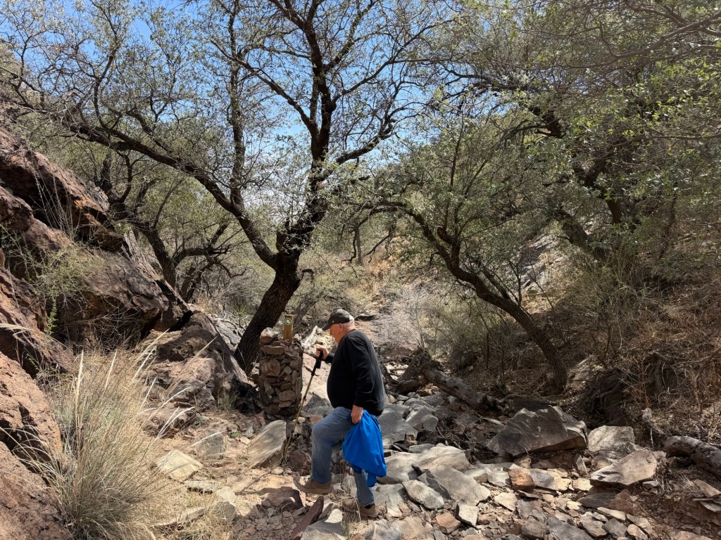
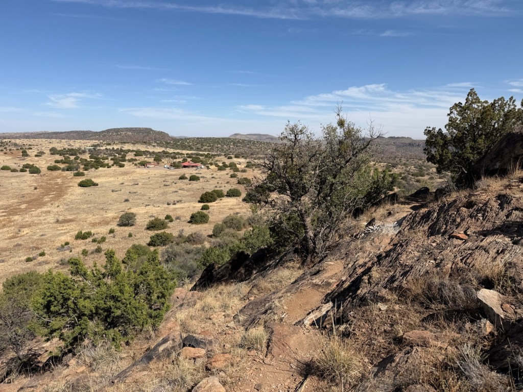
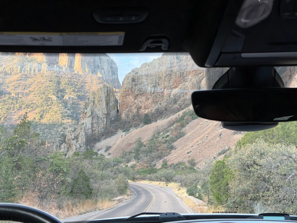
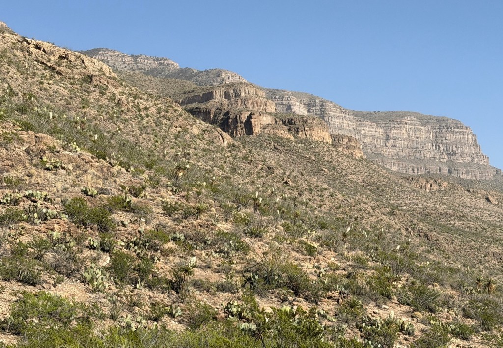
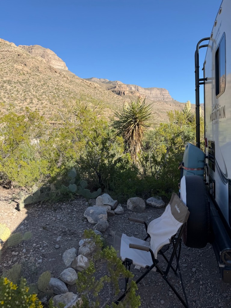
I did want to talk about the campsite because it’s stellar. That’s Dog Canyon behind us.

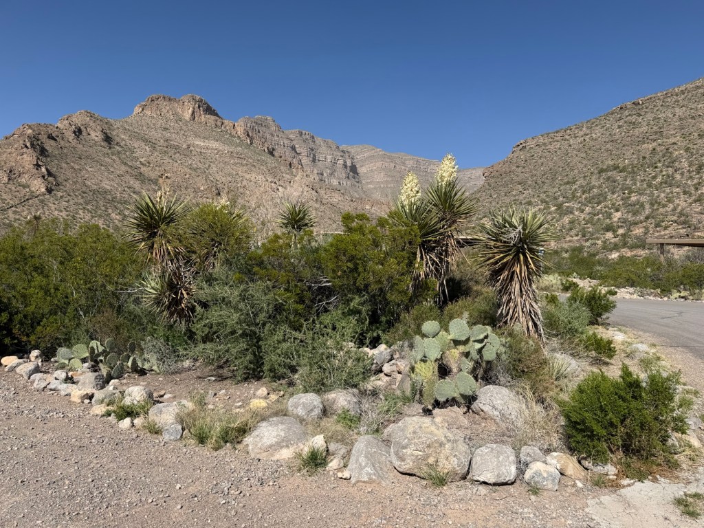
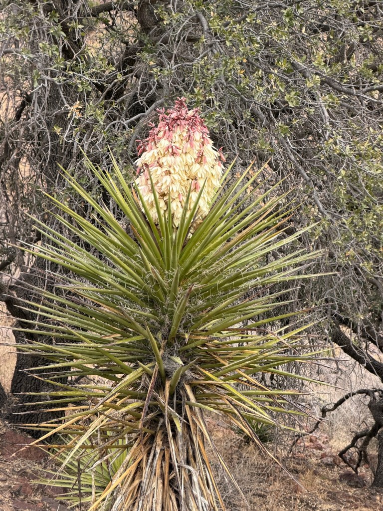
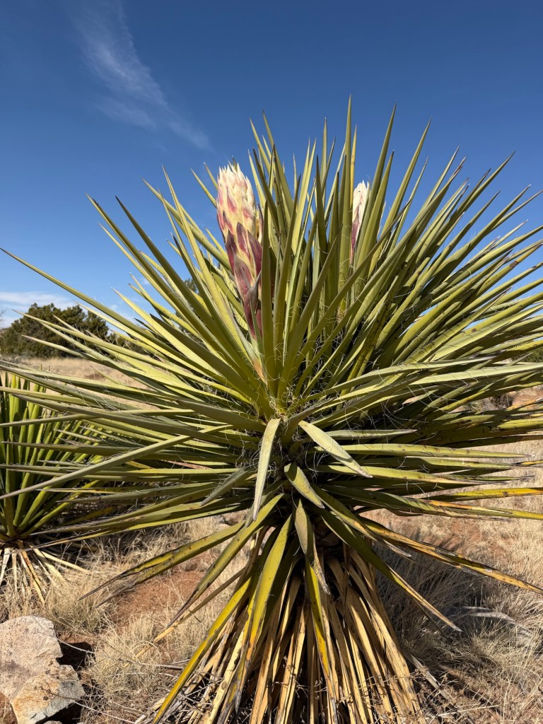
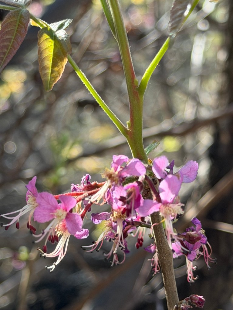
That blooming yucca is right next to us.

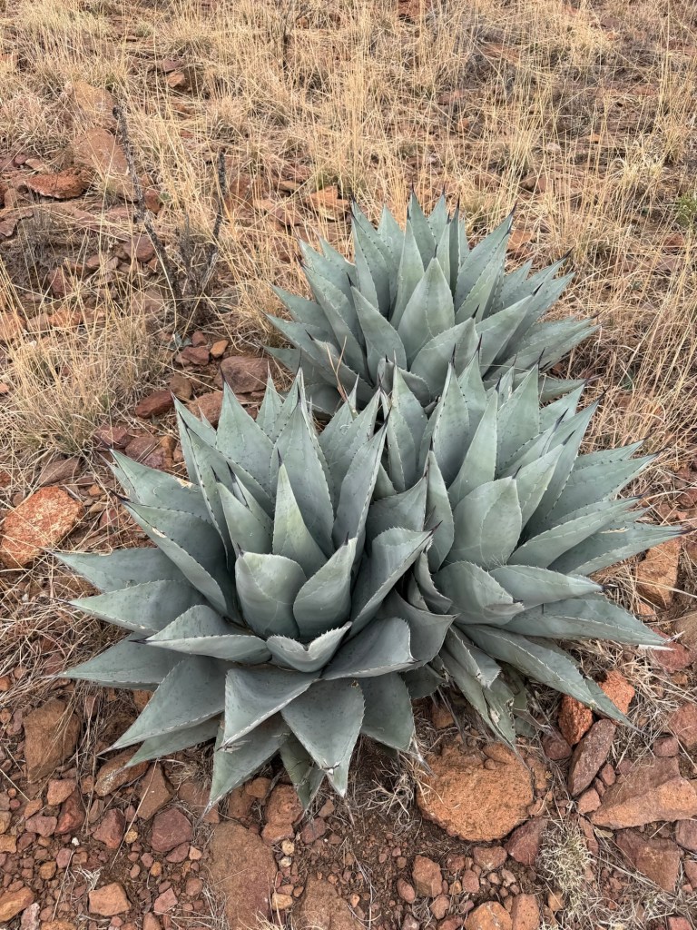
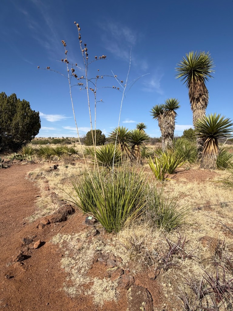
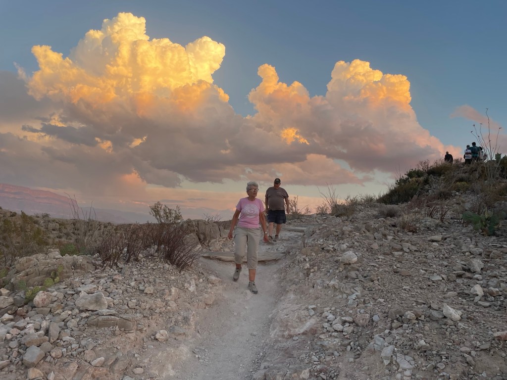
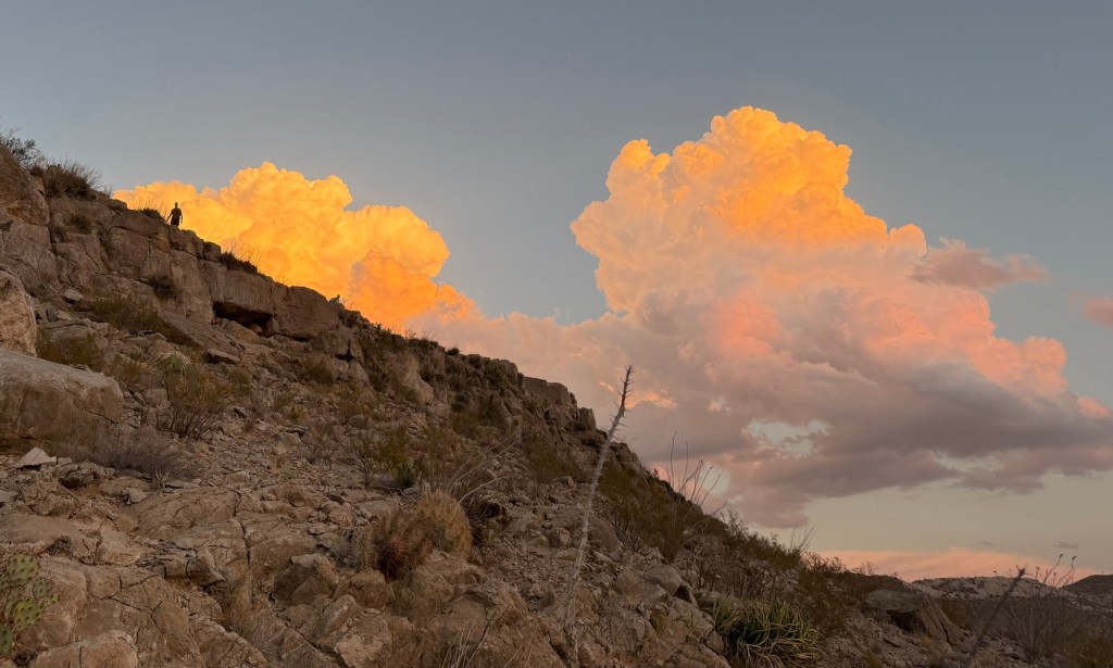
The whole hillside here is covered with yuccas in bloom.

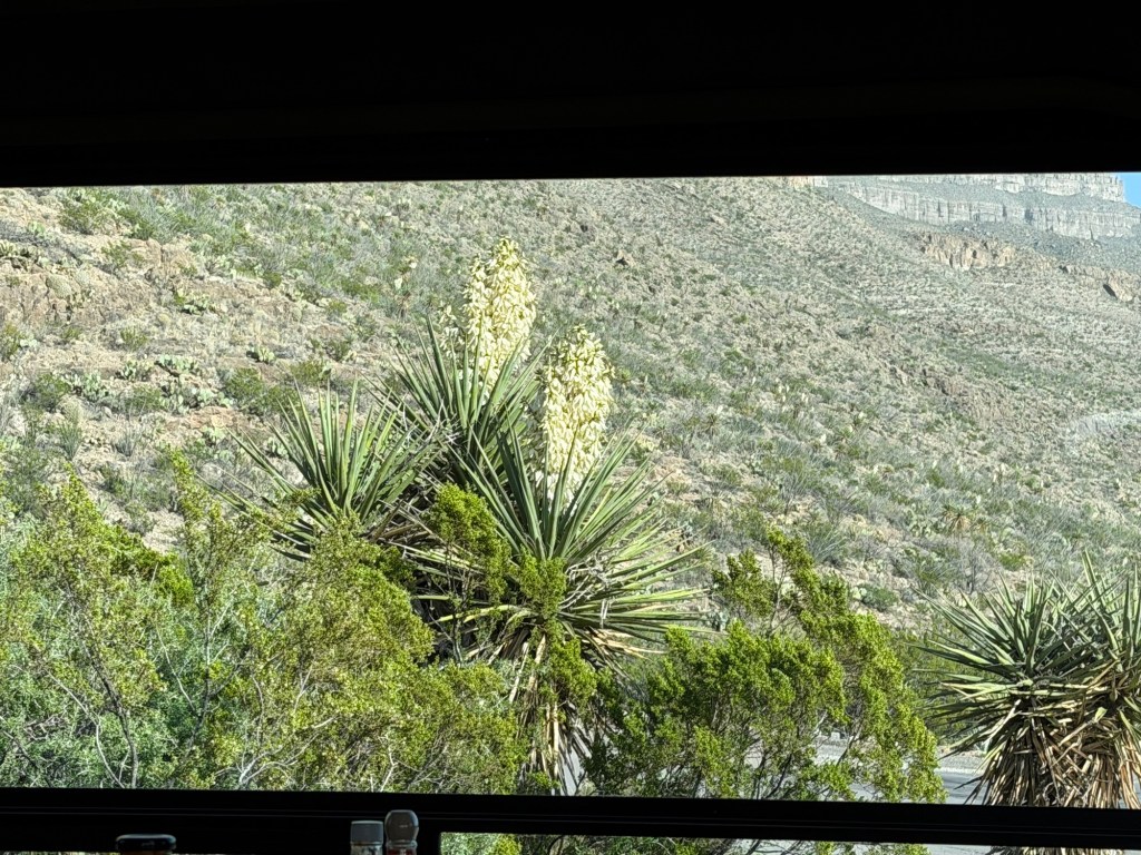
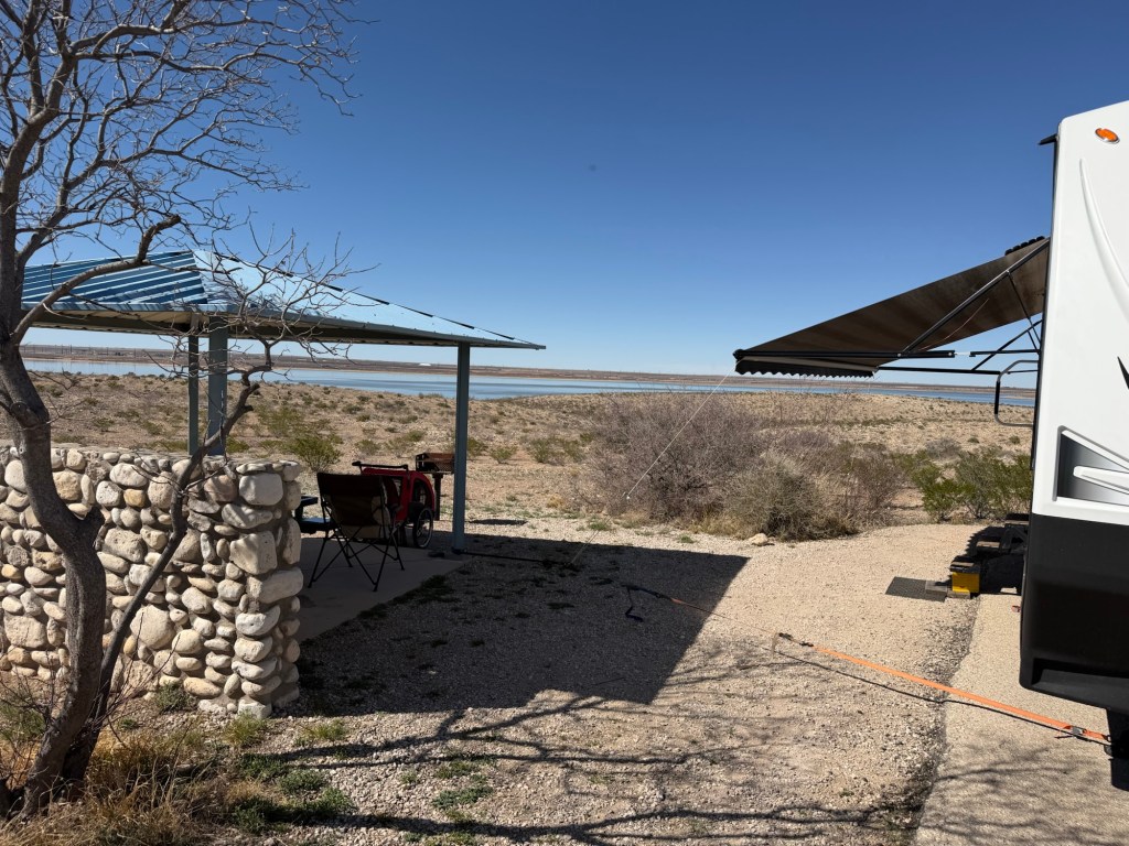
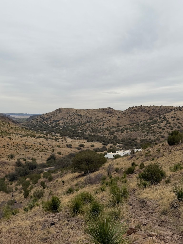
This has to be one of the nicest views we’ve ever had out our dinette window.

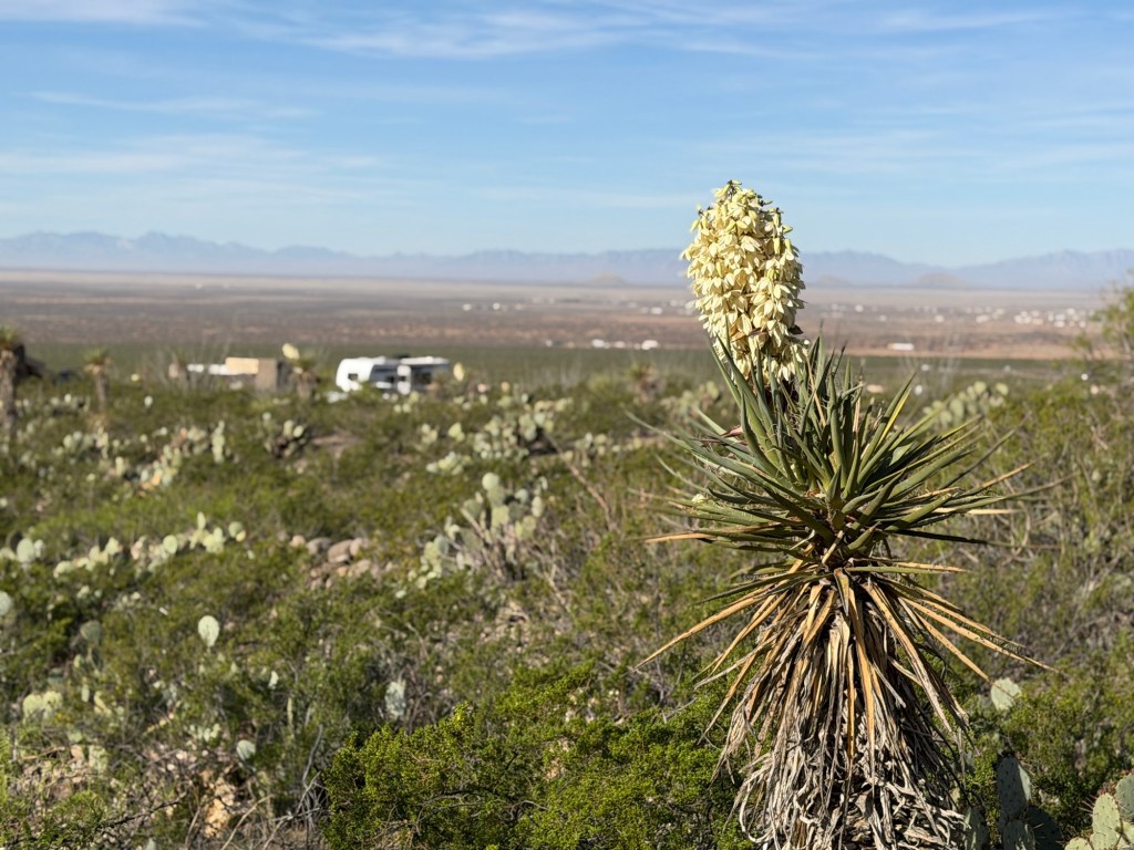
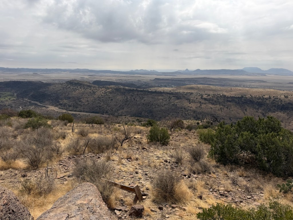
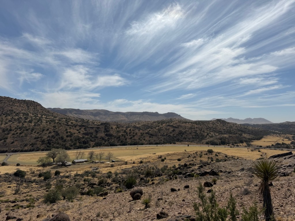
Looking west you look across the Tularosa Valley to the San Andres Mountains. Somewhere over there is White Sands National Monument, which we plan to stop at on our way to our next campsite.

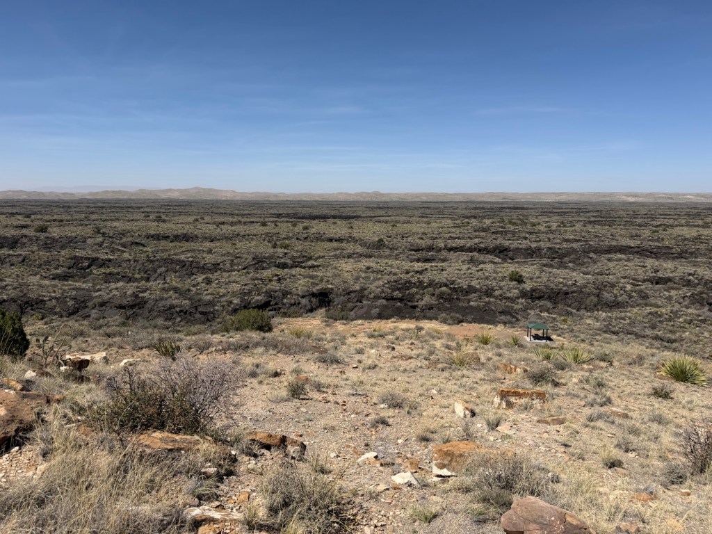
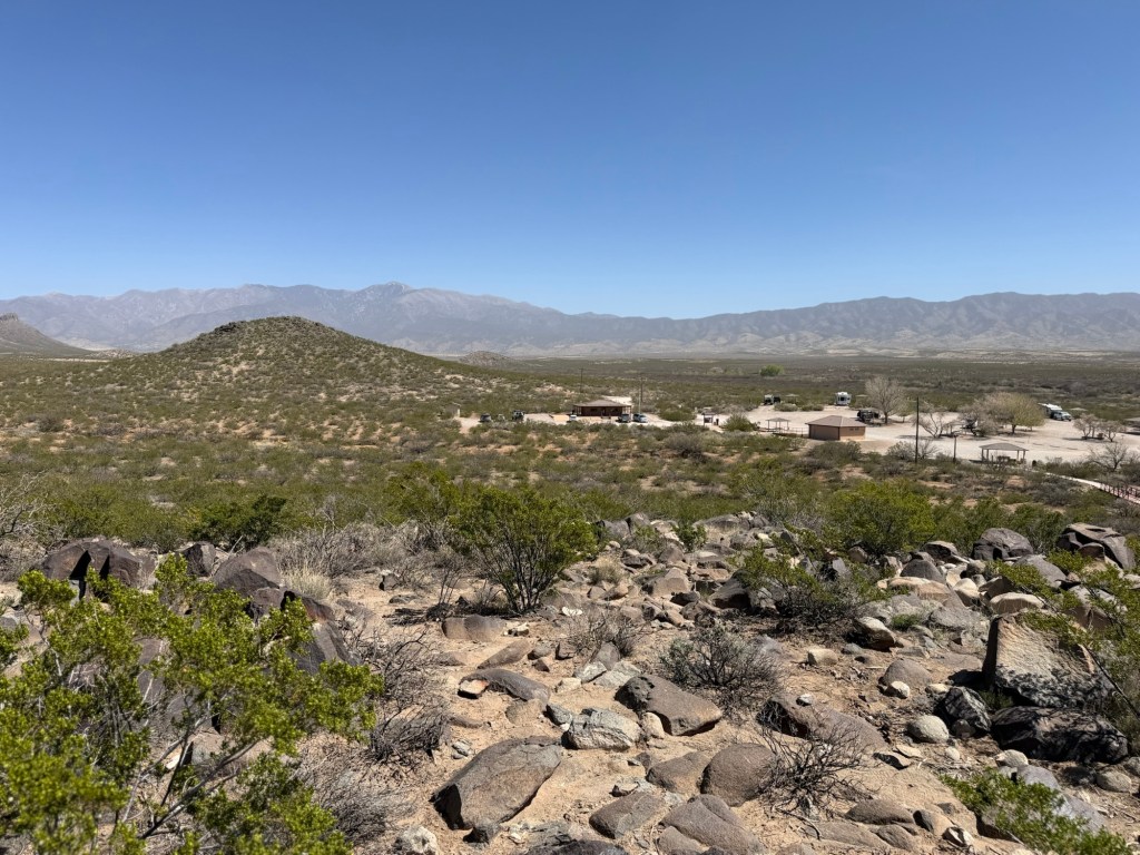
Meanwhile, yesterday the high was only about 71, so it was a good day to go exploring. We drove up to Valley of Fires Recreation Area. This is a giant lava flow,

with an island of desert in it.

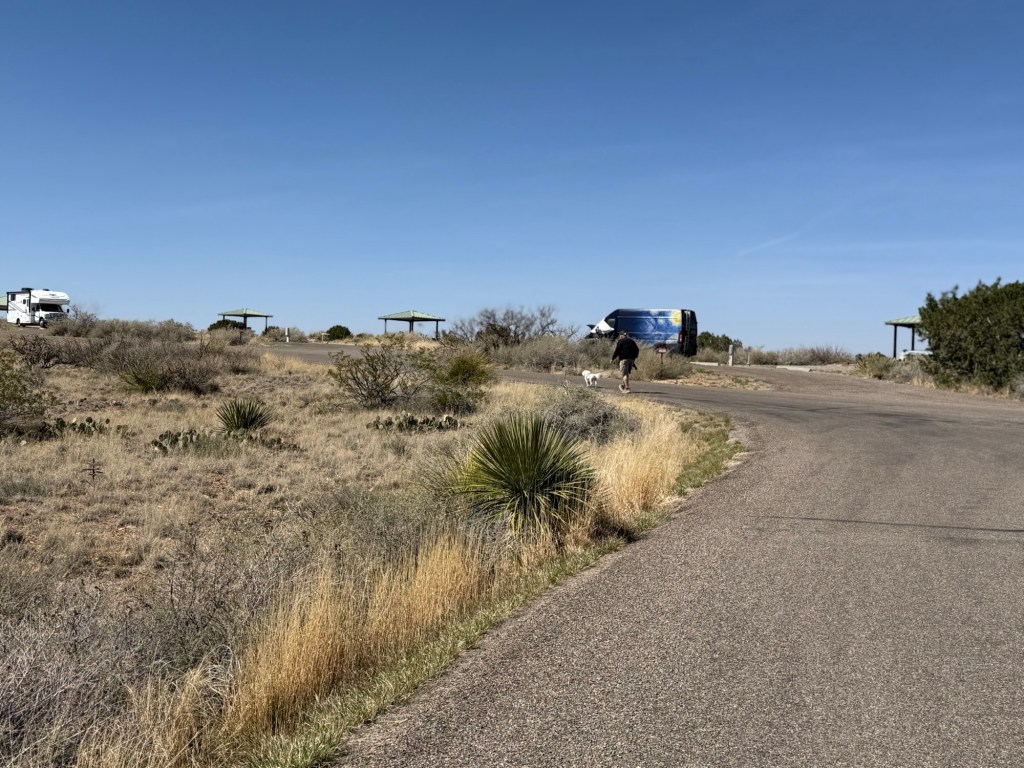
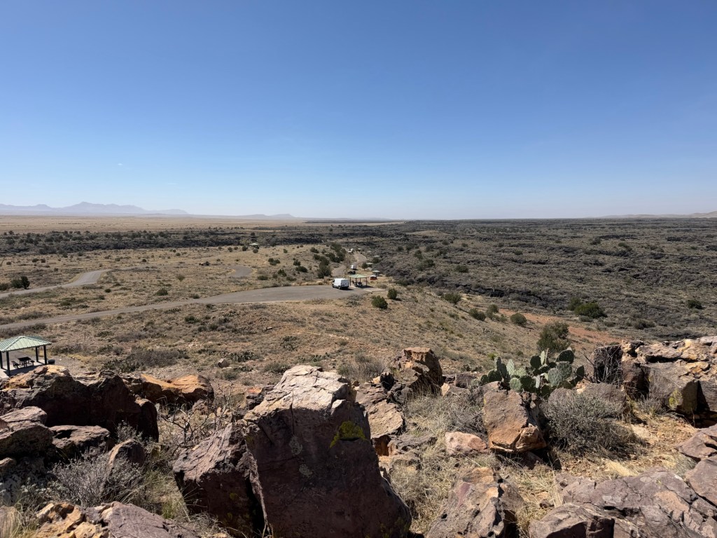
There’s a small campground on the island…

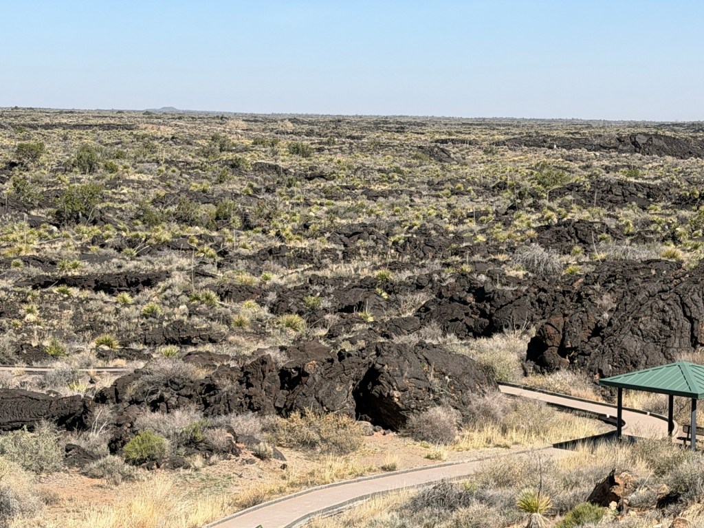
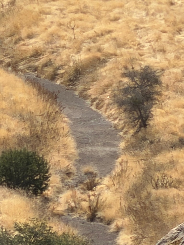
and a paved trail out into the lava.

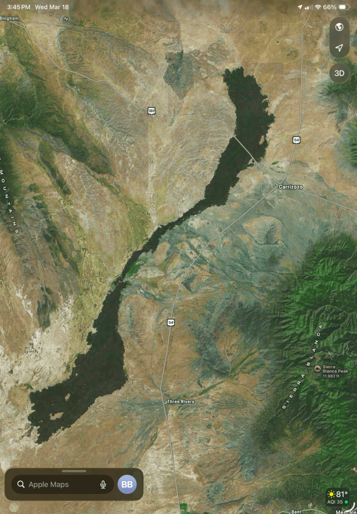
This is the satellite image of the Carrizozo Malpais (malpais is bad land or country in Spanish) from Apple Maps, one of the youngest and longest lava fields in the continental United States. It is about 42 miles long.

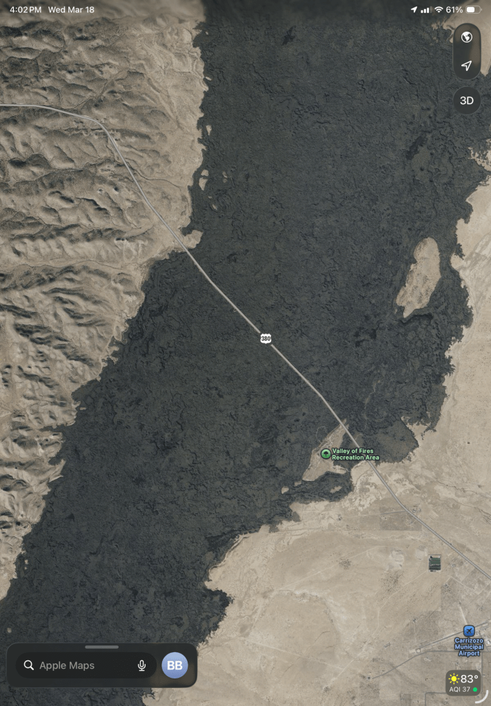
We drove about an hour and a half north to US 380 to get to the recreation area.

The lava is cracked and fissured.

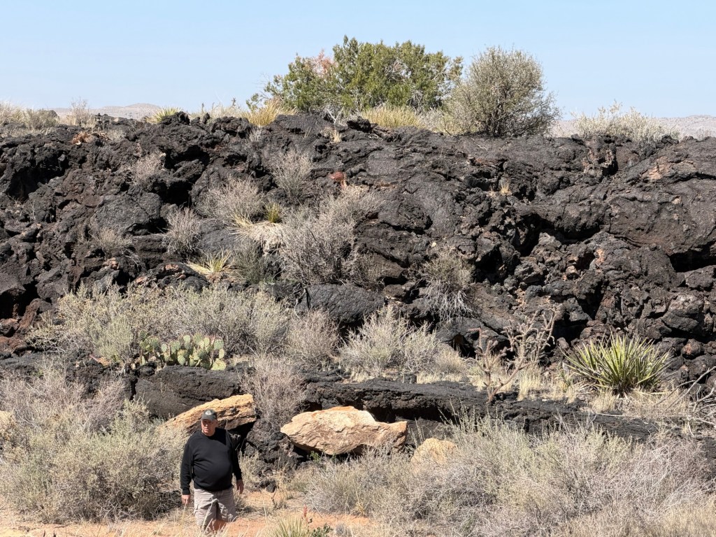
Soil and water both accumulate in the cracks and allow a surprising amount of plant growth. The flow is now dated at about 5,000 years ago.

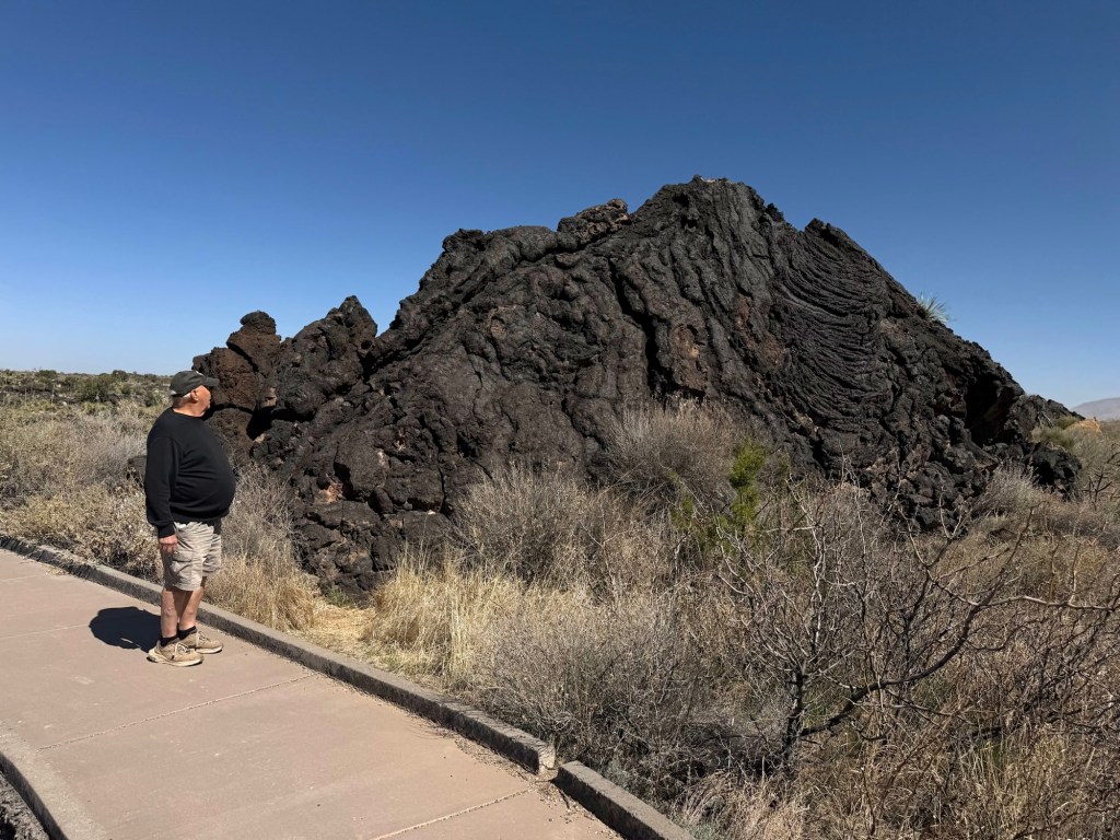
There are still plenty of huge blocks of solid lava.

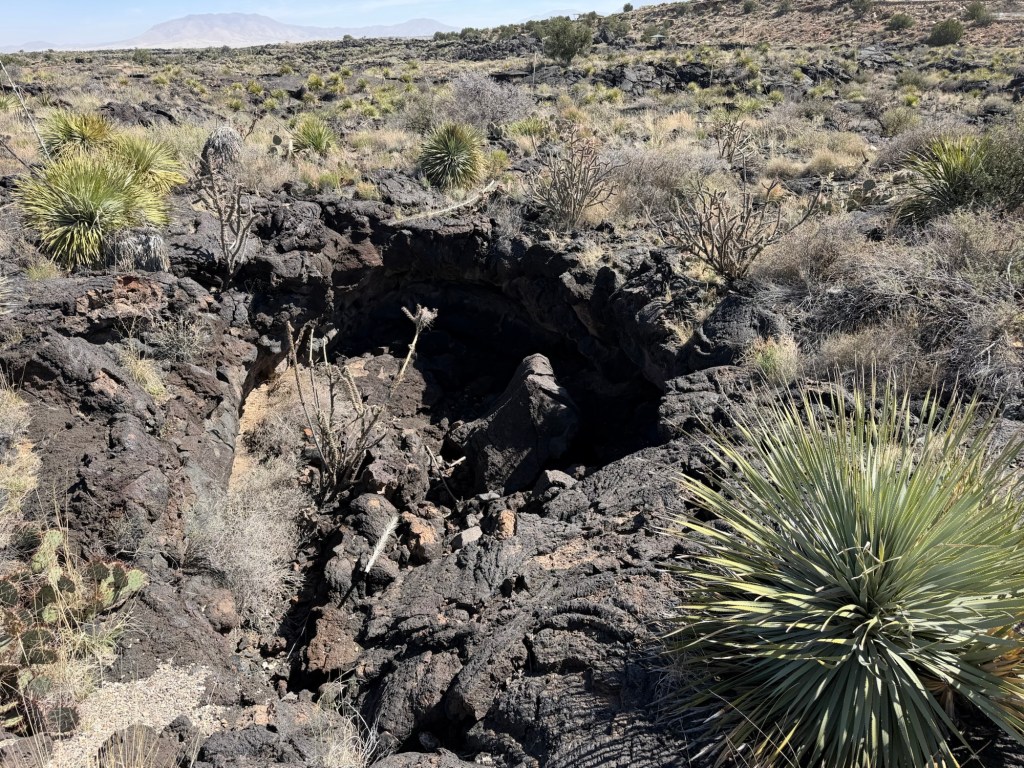
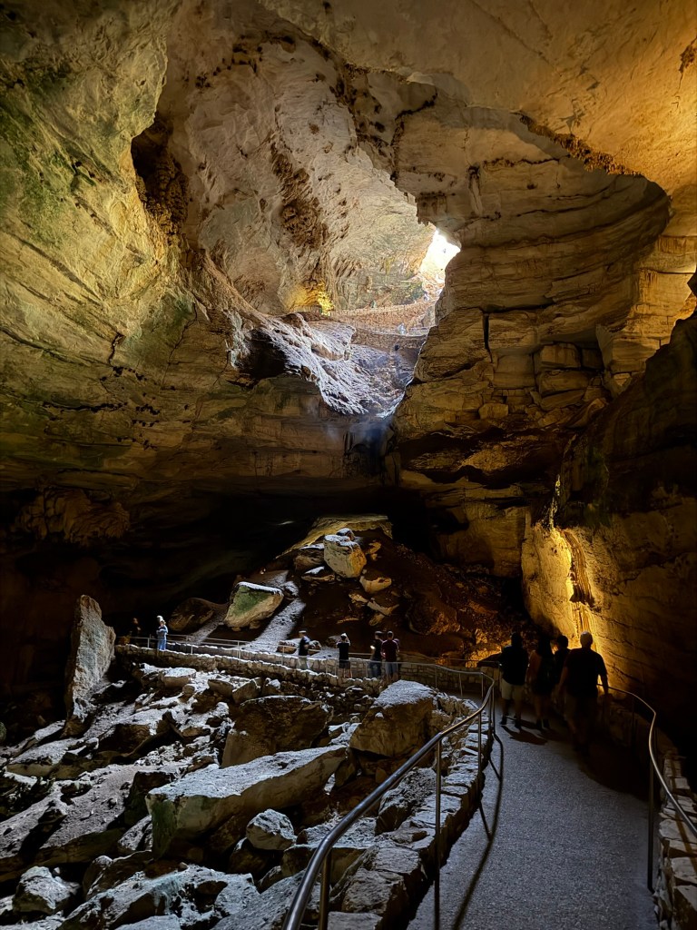
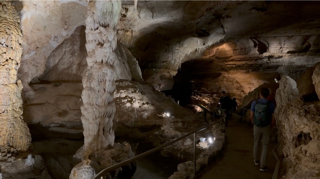
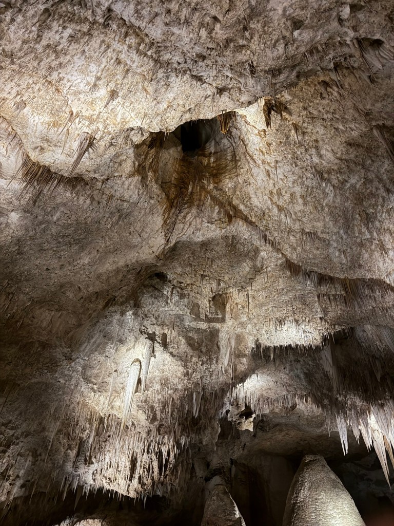
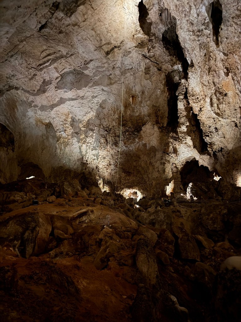
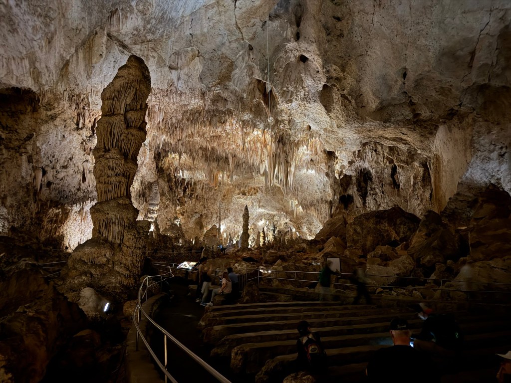
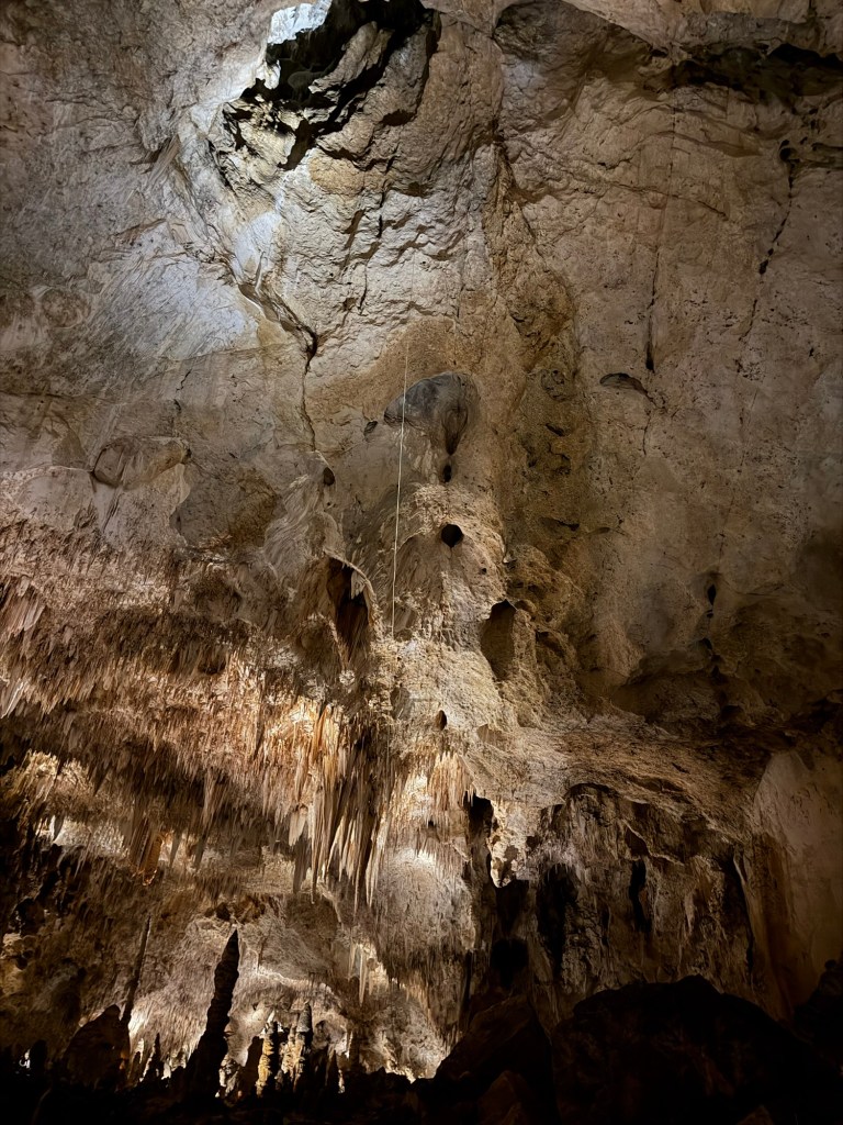
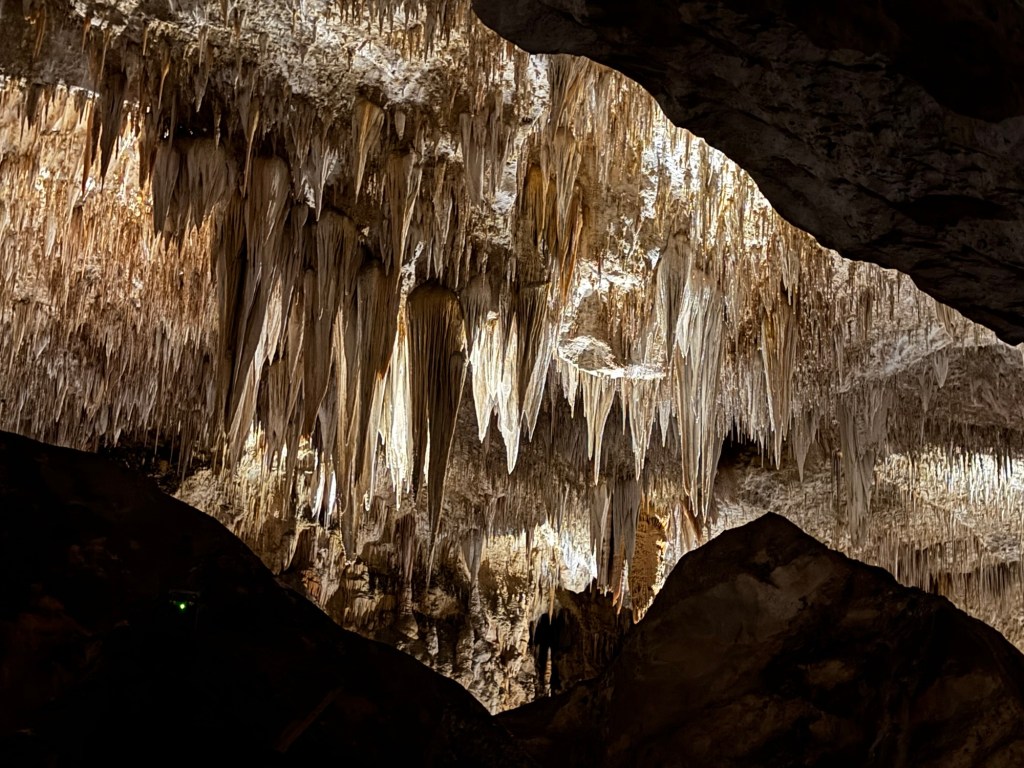
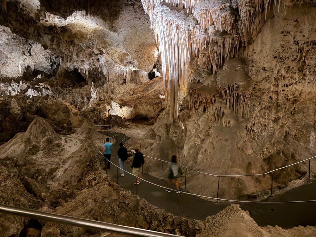
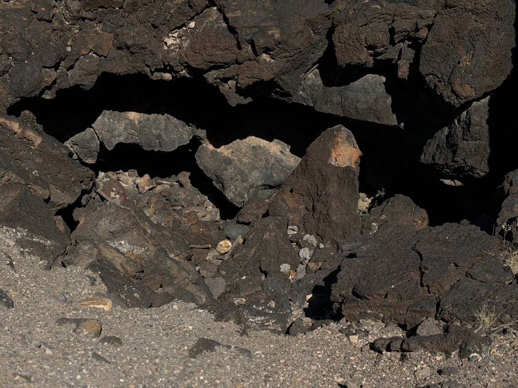
And there are caves where lava tubes have broken open.

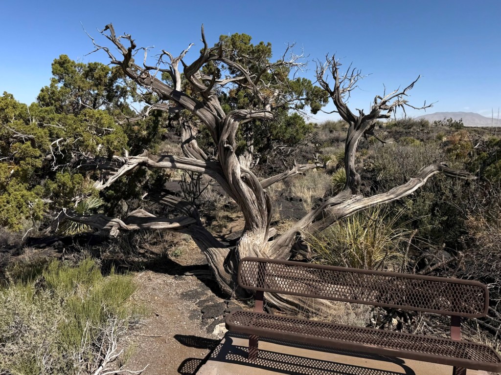
This juniper has been growing here for about 500 years.

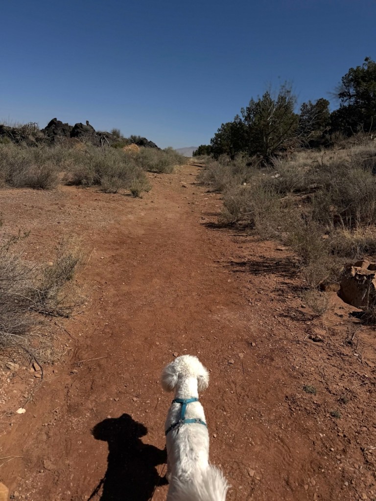
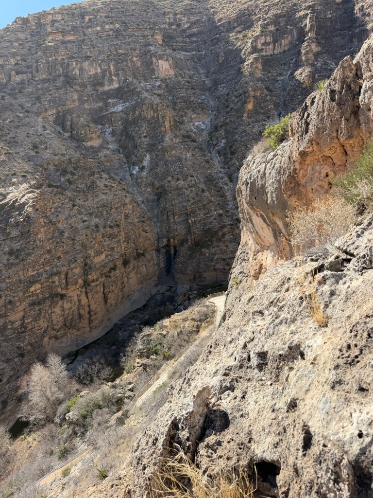
After walking the three quarters of a mile through the lava, we took a new trail alongside the flow. The dirt here isn’t red because of iron. It’s from limestone that was altered by the intense heat of the lava.

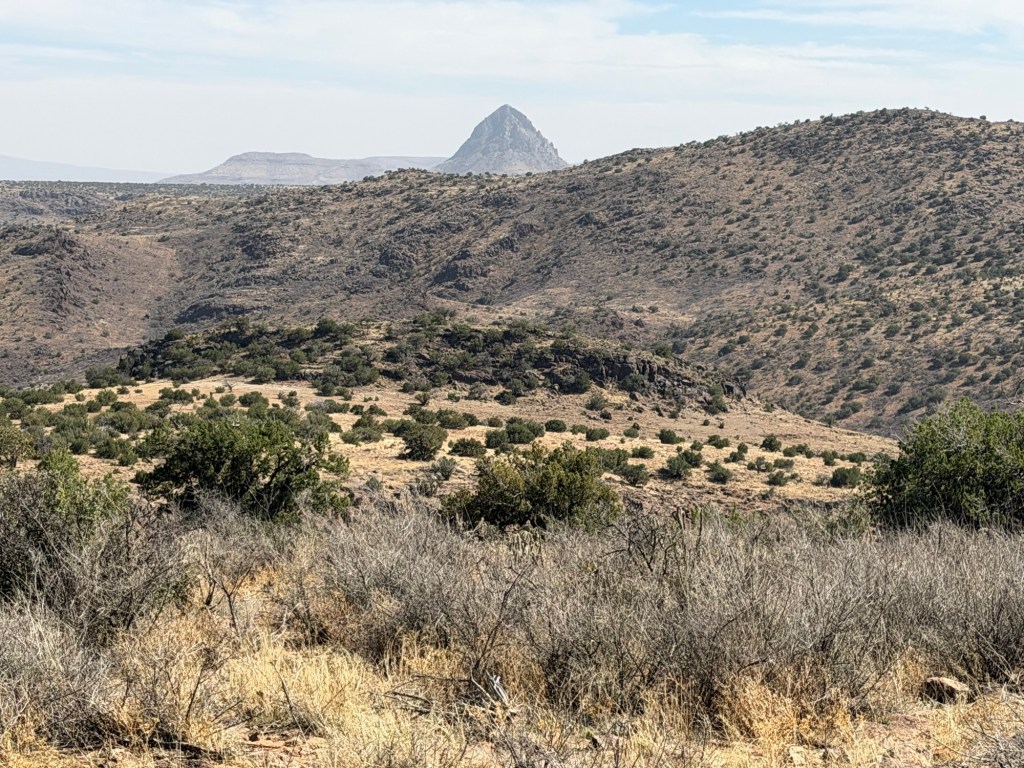
From an overlook on a small hill you could see Little Black Mountain, probably the last source of lava in the three decade period in which the lava oozed forth, and the only source that resembled an eruption. That RV is most likely at the Carrizozo Malpais Wilderness Study Area, west along 380, though we didn’t drive there.

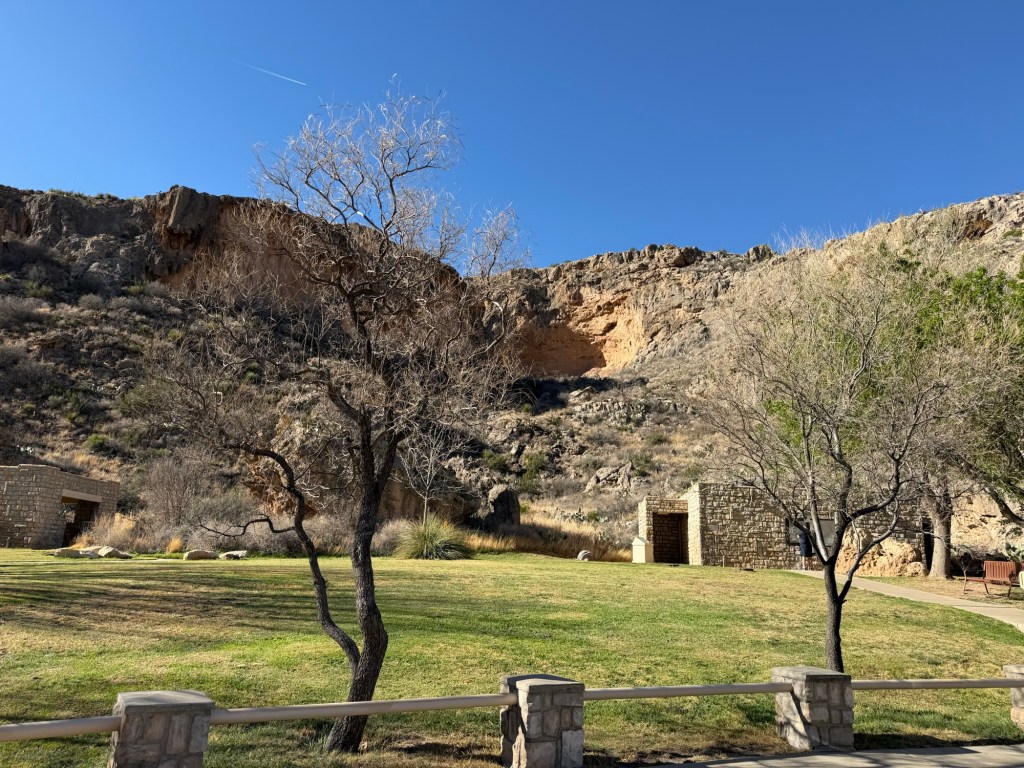
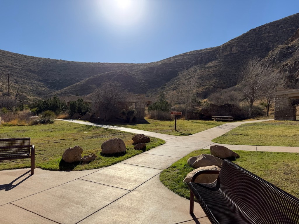
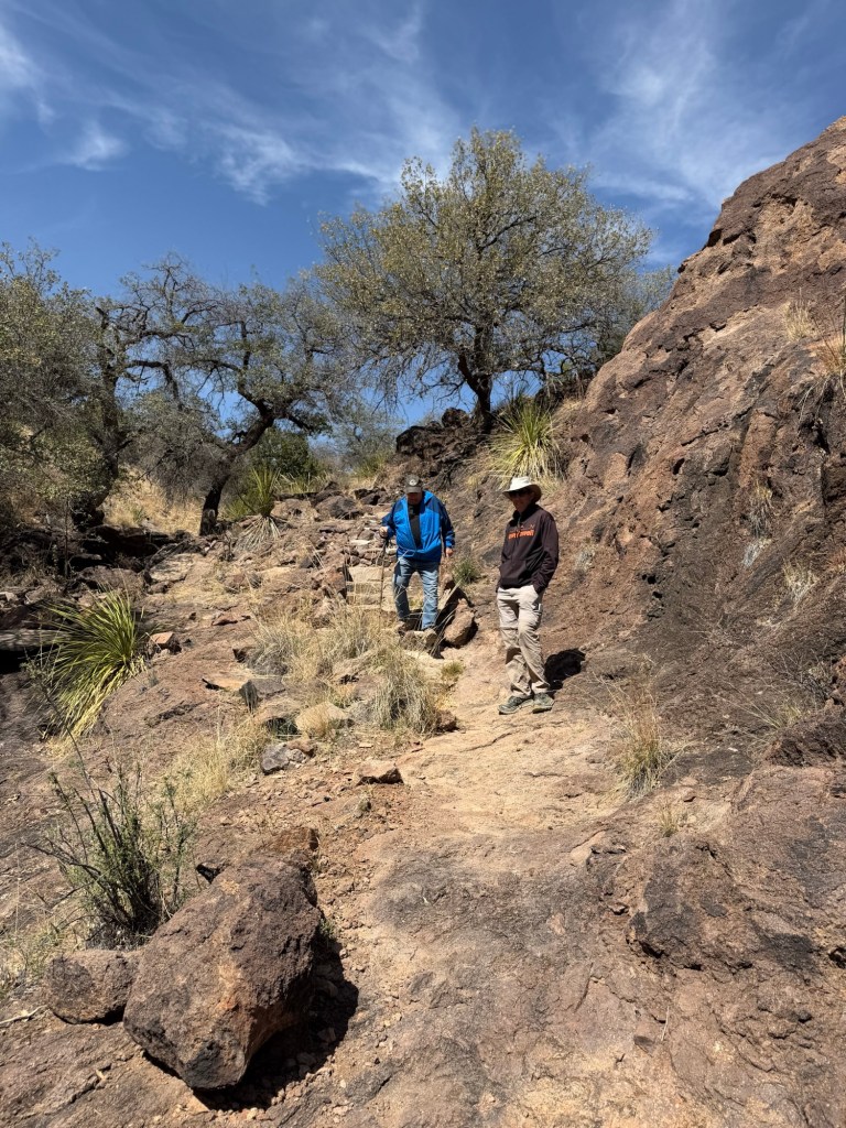
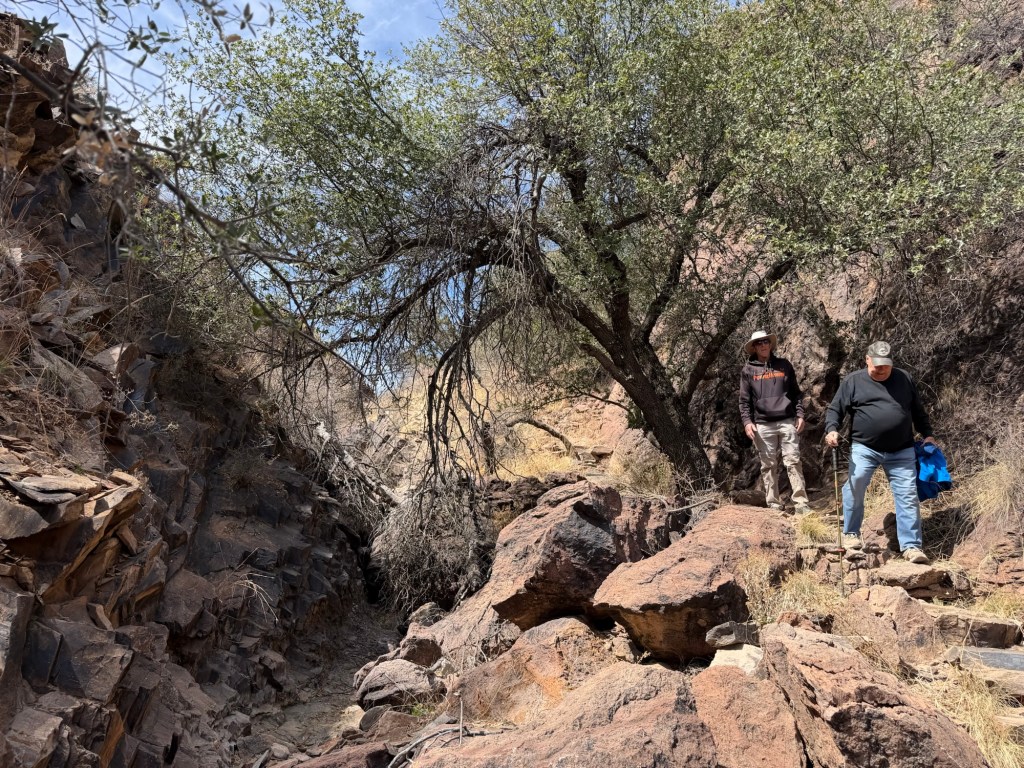
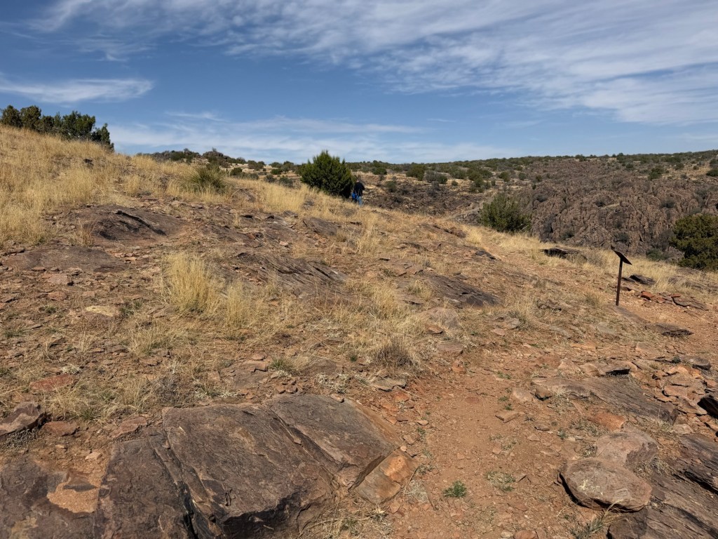
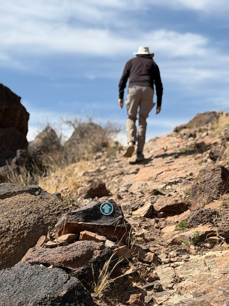
Instead, we drove back towards our campground, but along the way stopped at the Three Rivers Petroglyph Site. We had to take turns walking the trail because Matey wasn’t allowed near the petroglyphs. The truck stayed cool with all the windows open and Matey was content to sleep.

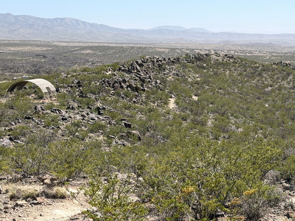
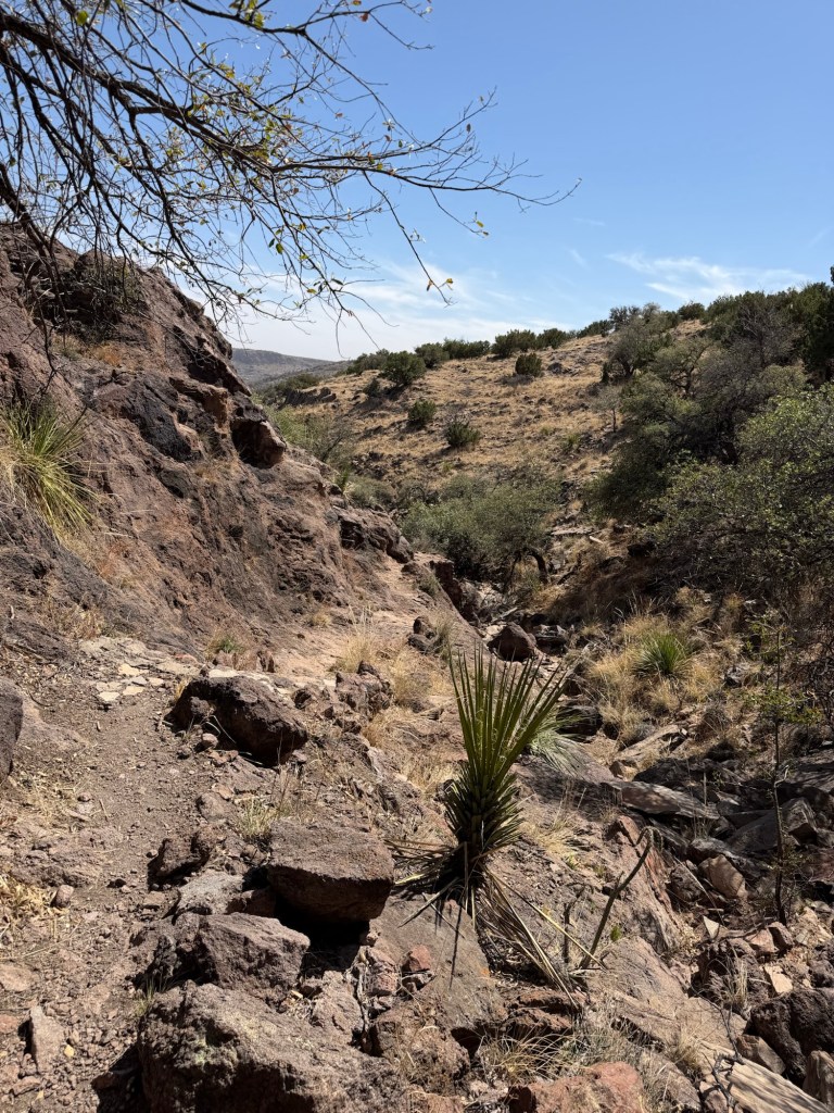
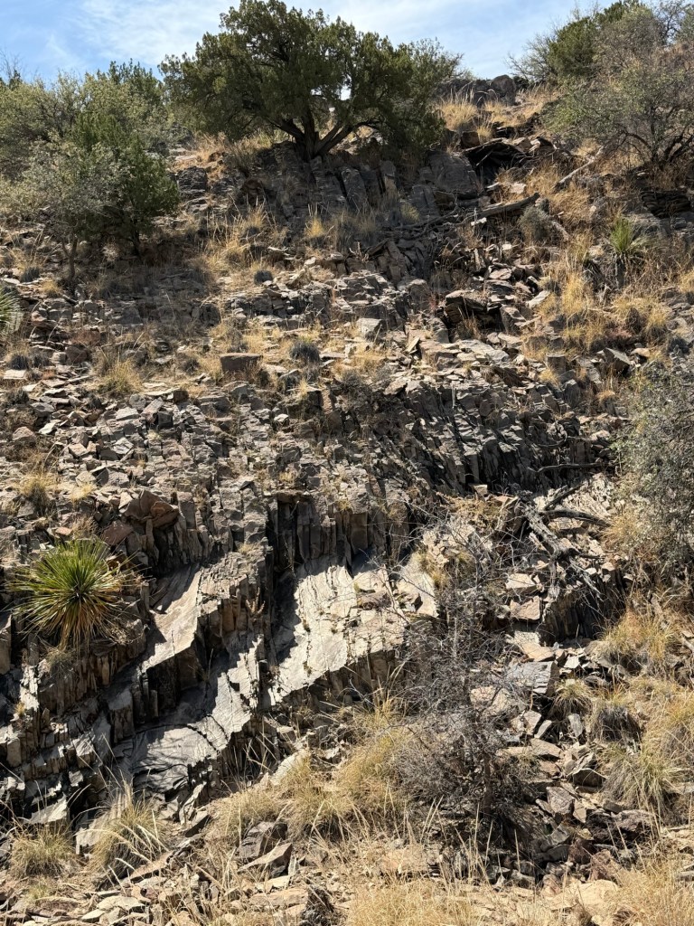
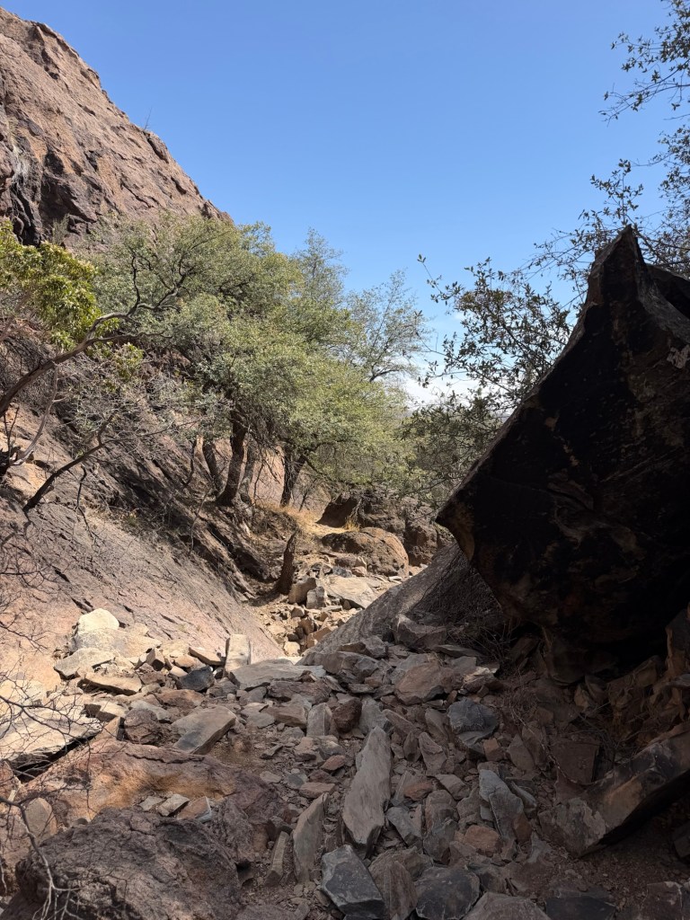
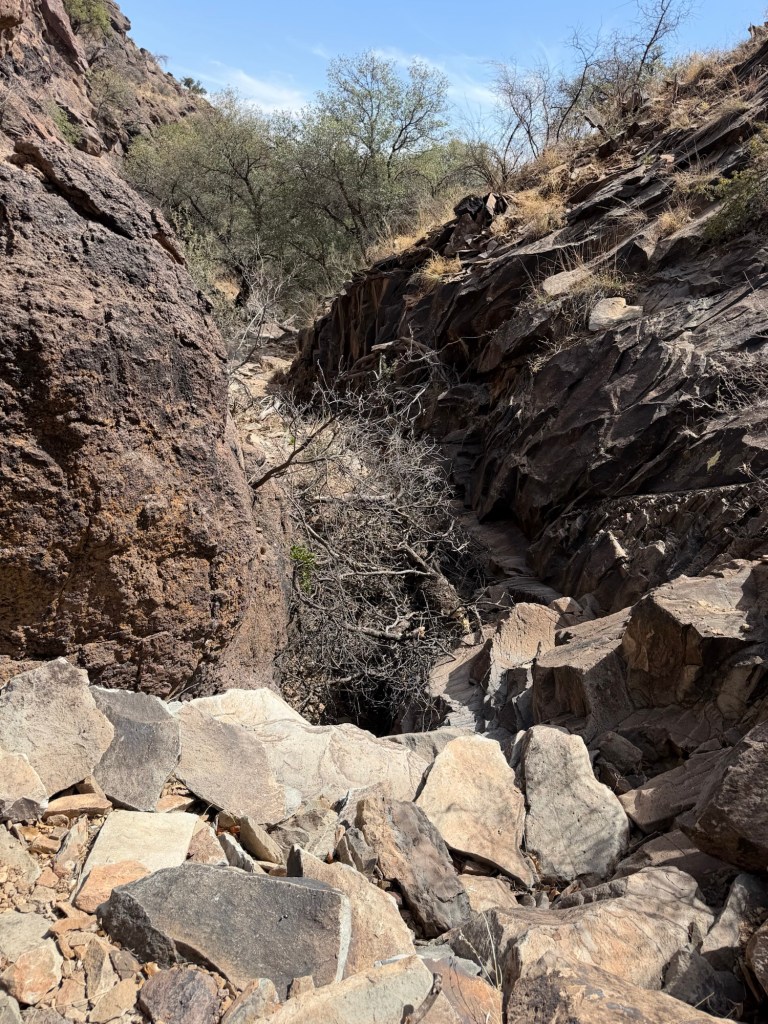
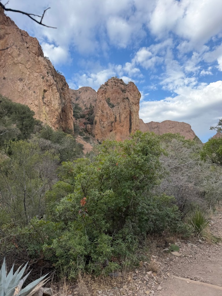
I walked quite a ways up, past the first basaltic ridge.

There were petroglyphs starting less than a tenth of a mile from the trailhead.

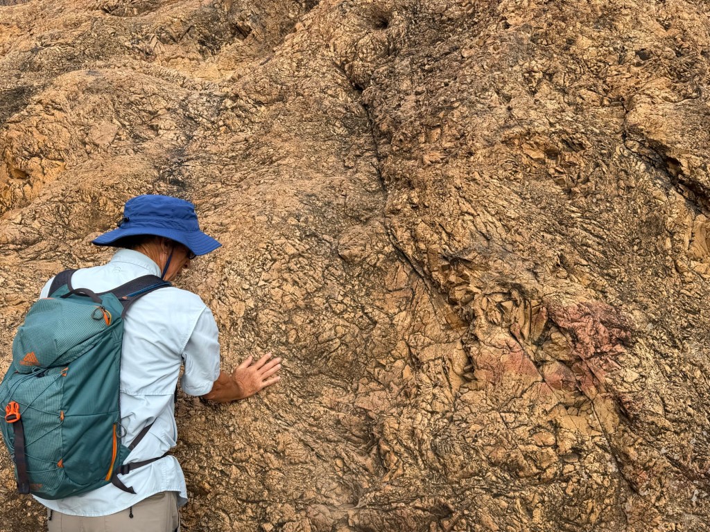
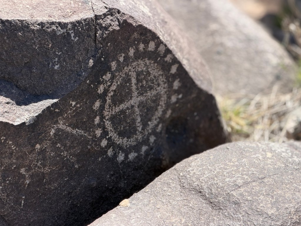
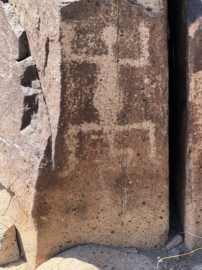
These petroglyphs were made by the Jonada Mogolon people between about 200-1450 CE. They are made by using stone tools to remove the dark patina on the rocks.

This face is carved on the curved surface of the rock, so it almost looks like the rock is alive.

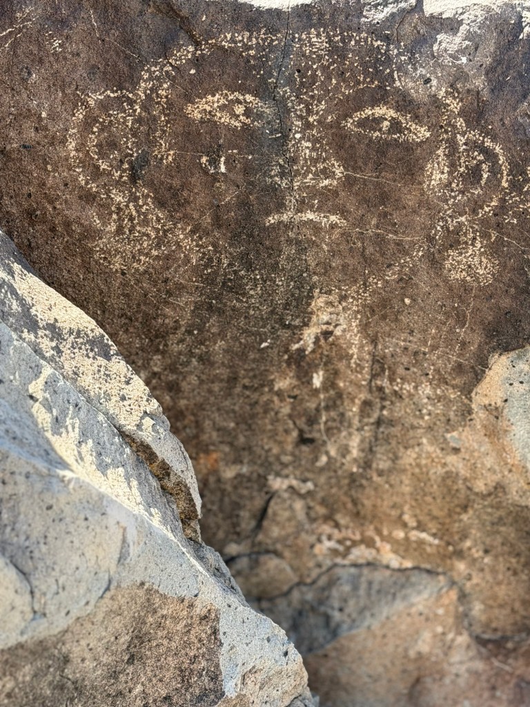
I liked this face, with earrings.

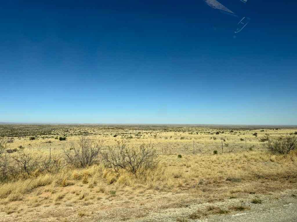
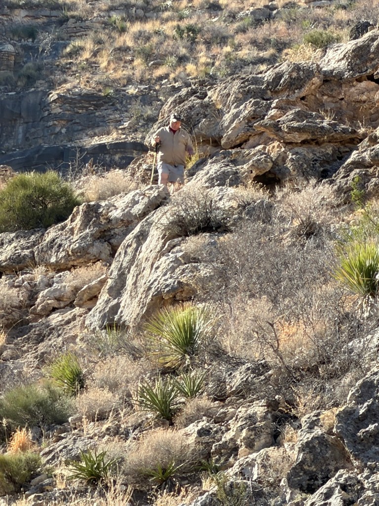
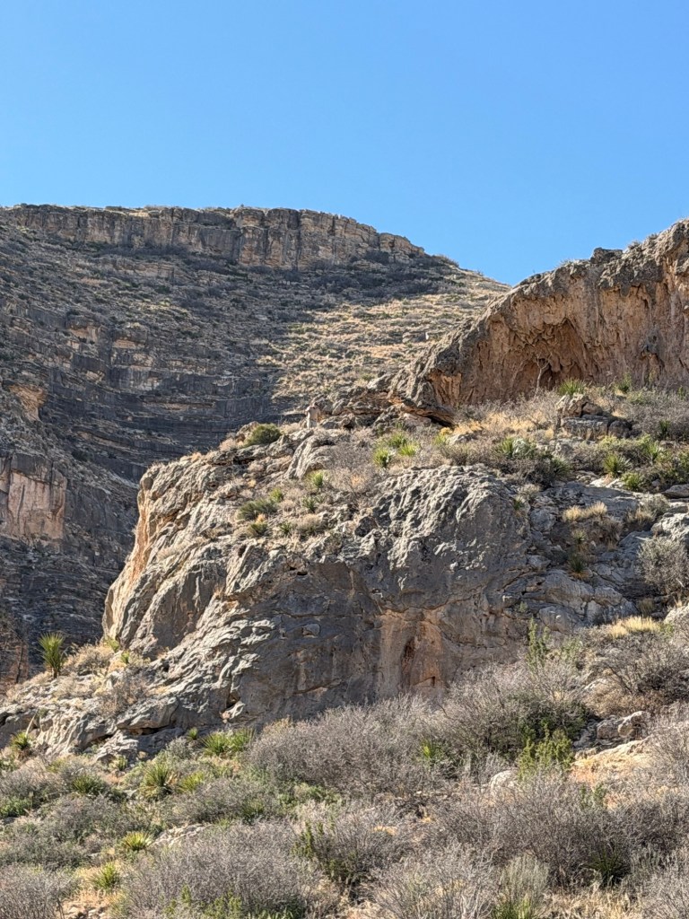
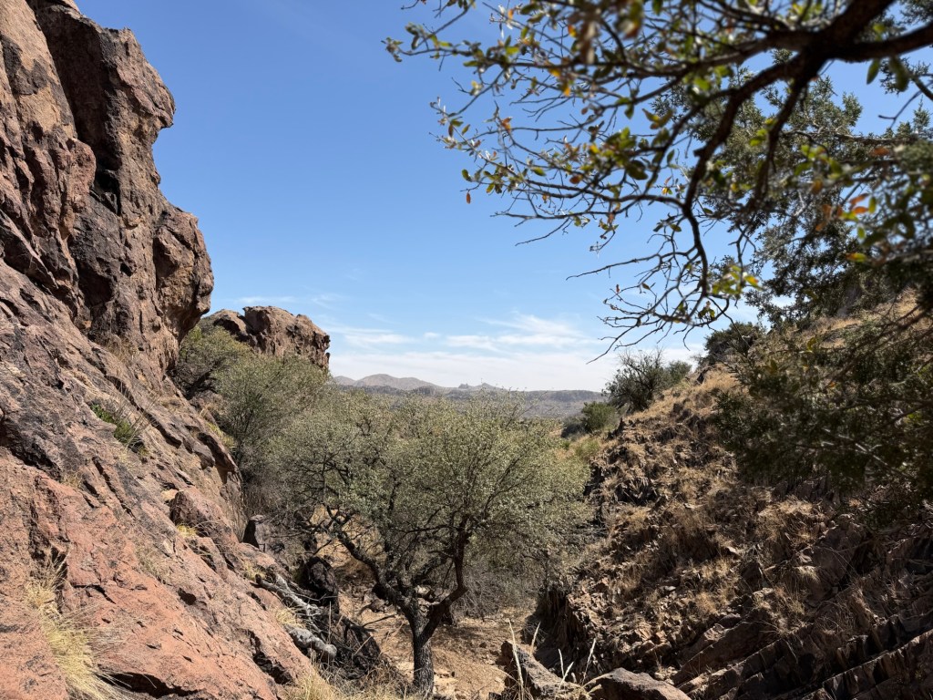
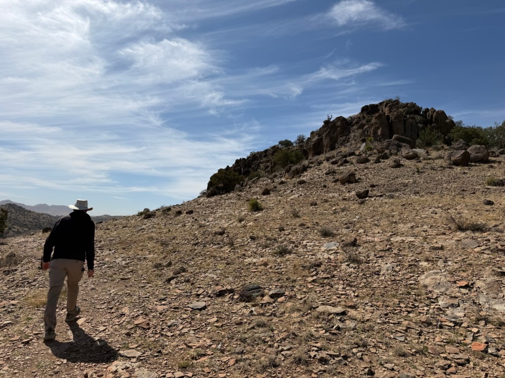
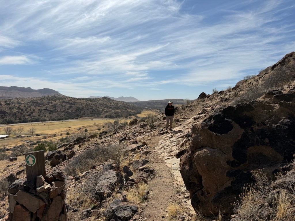
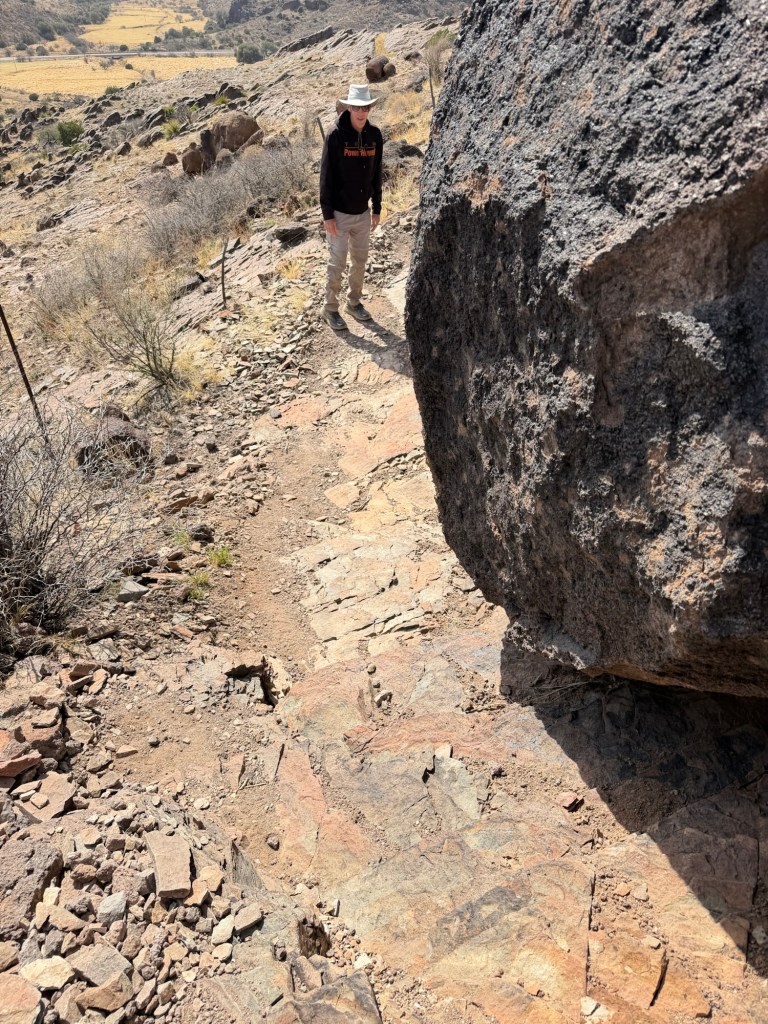
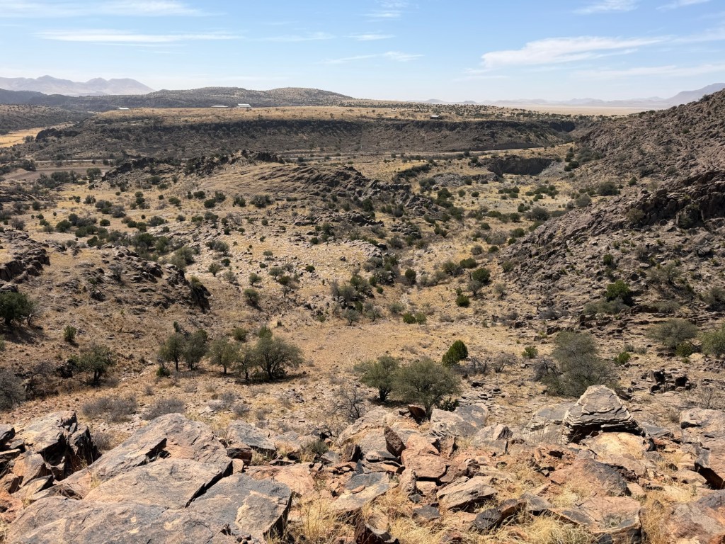
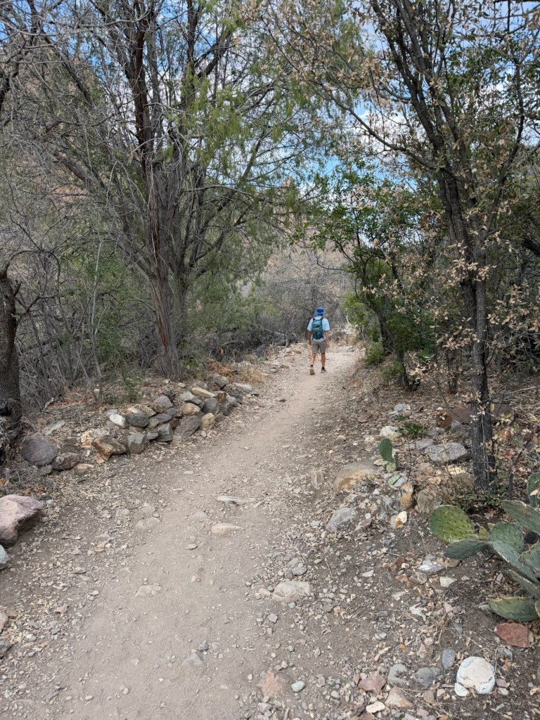
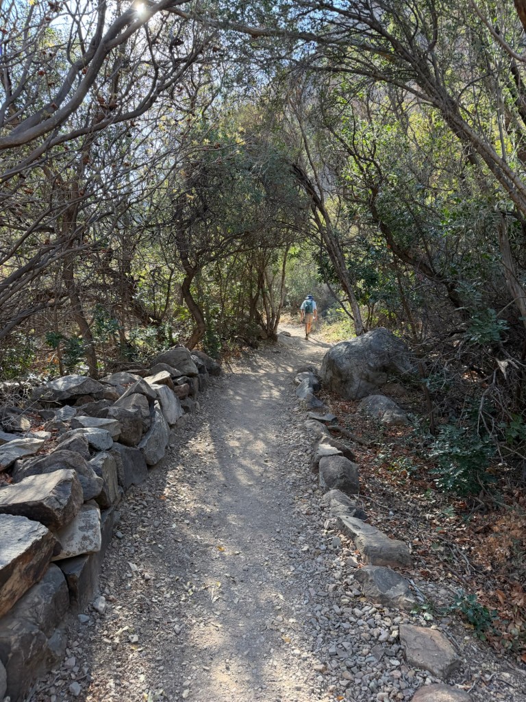
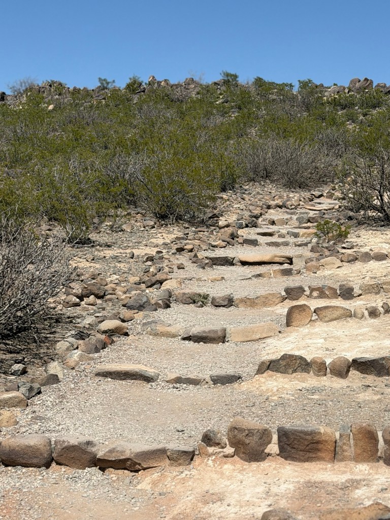
It was a pleasant hike even without the petroglyphs…

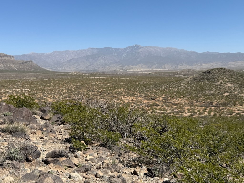
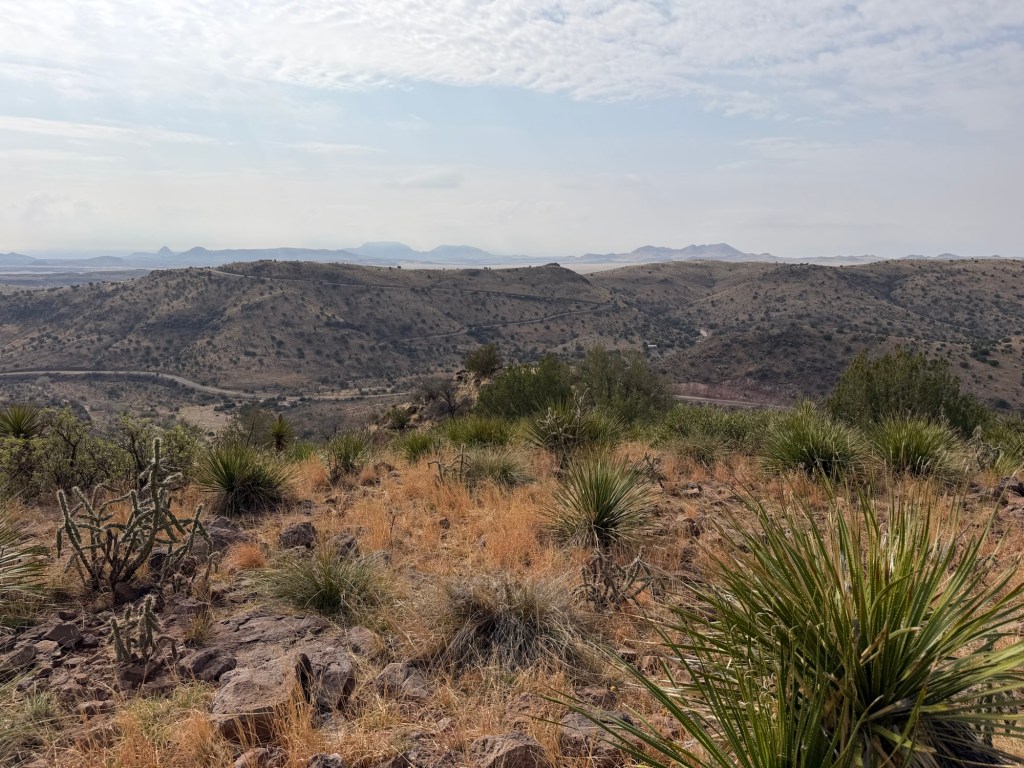
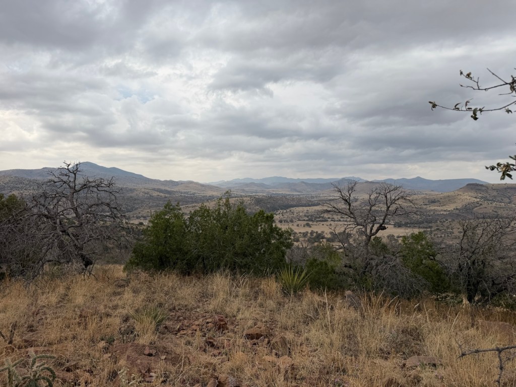
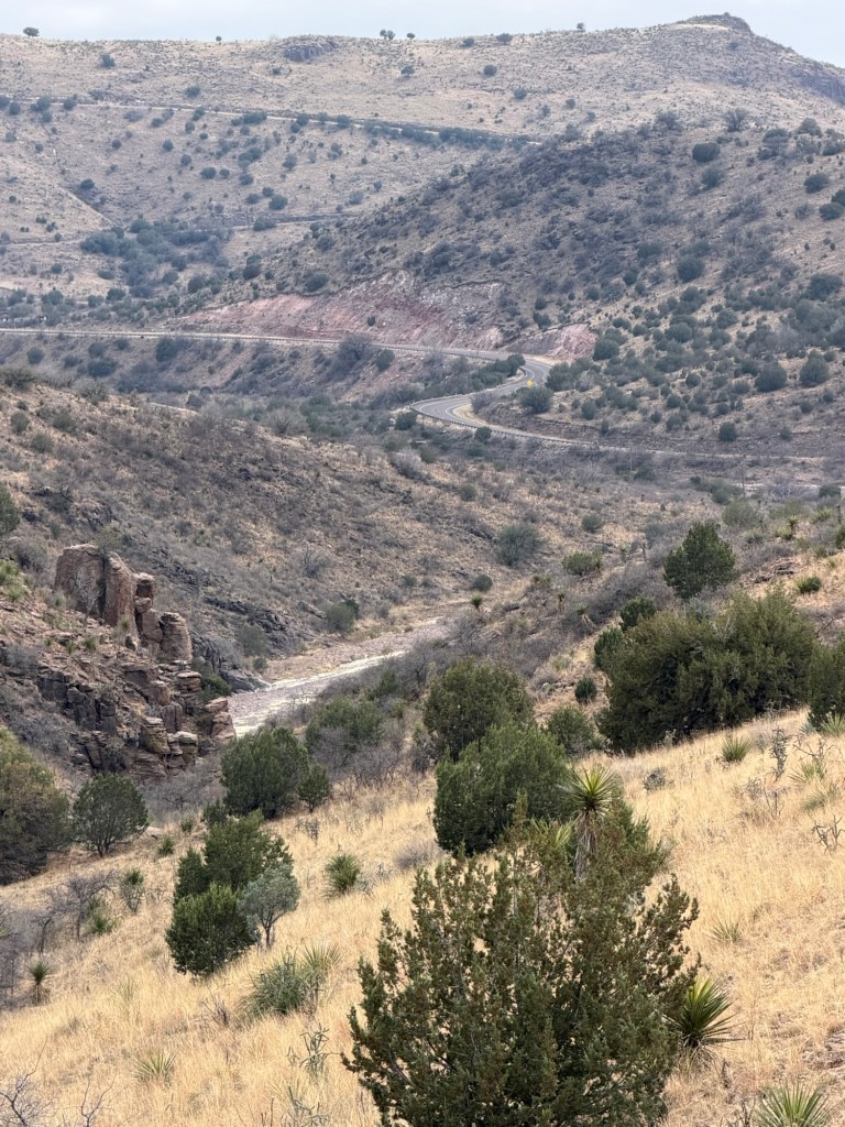
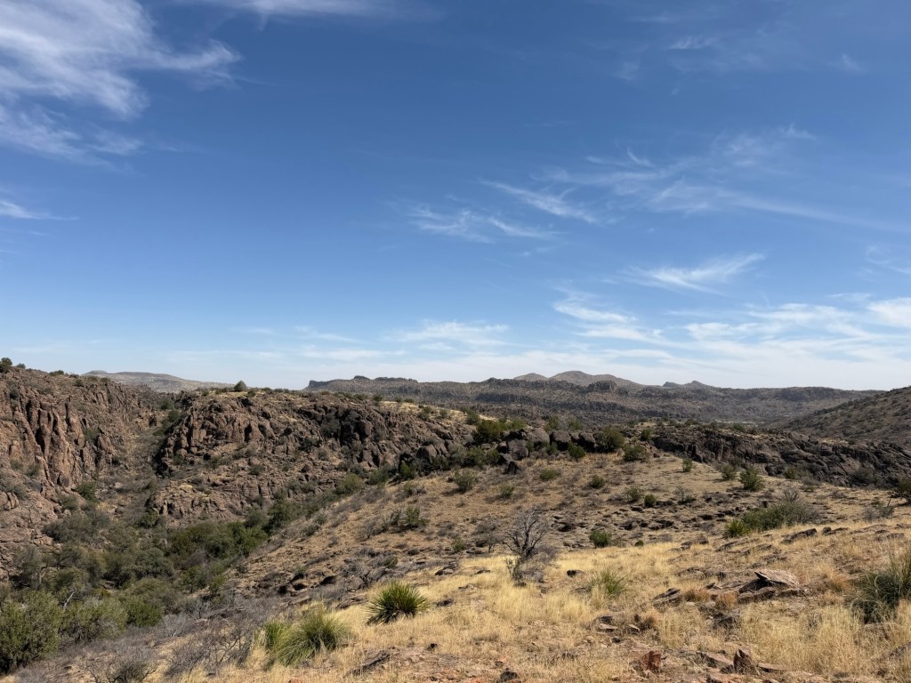
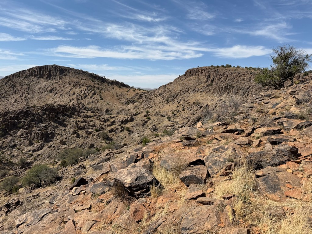
with views of the Sacramento Mountains,

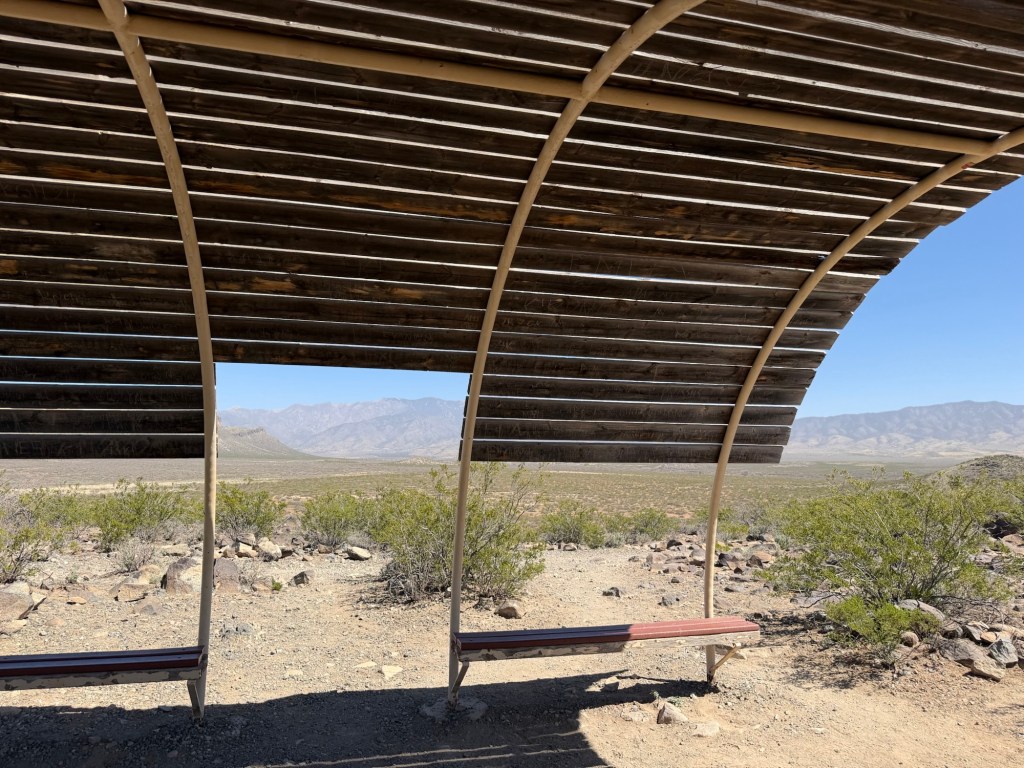
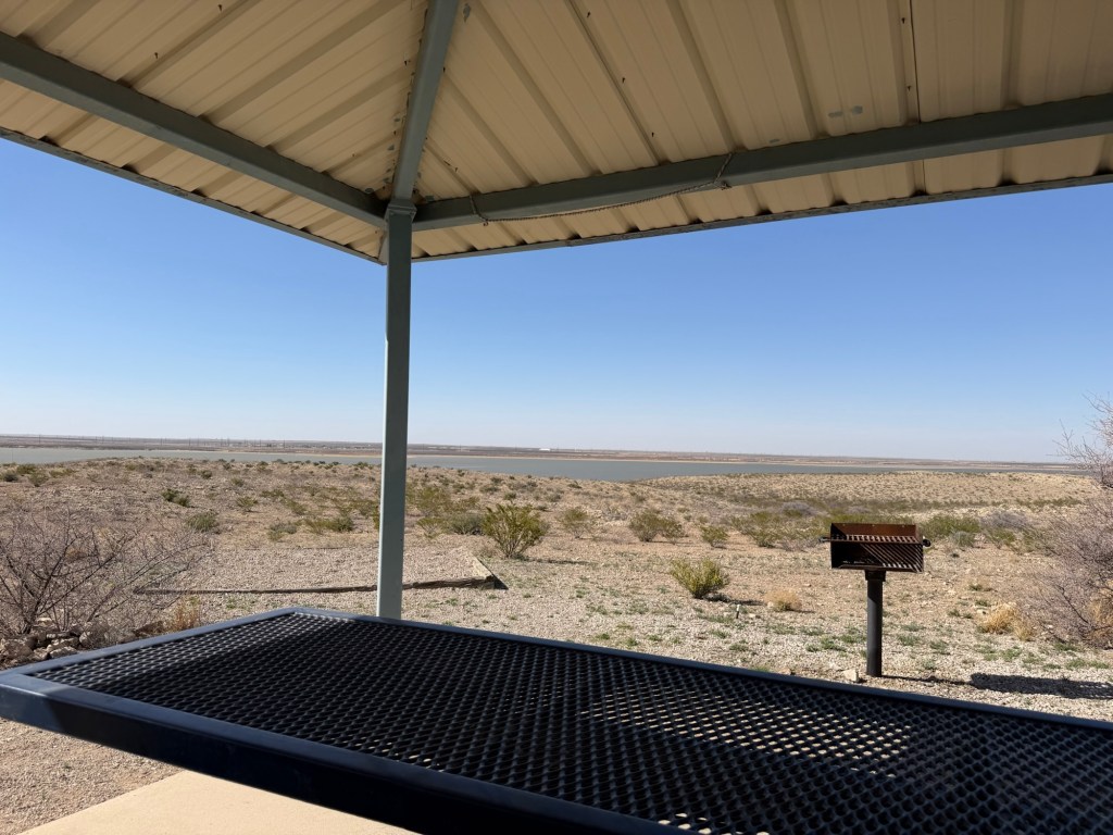
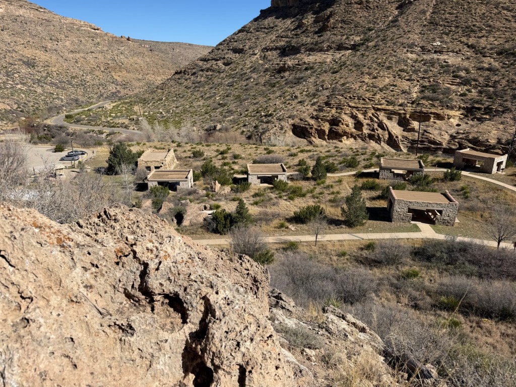
and a nice shade structure.

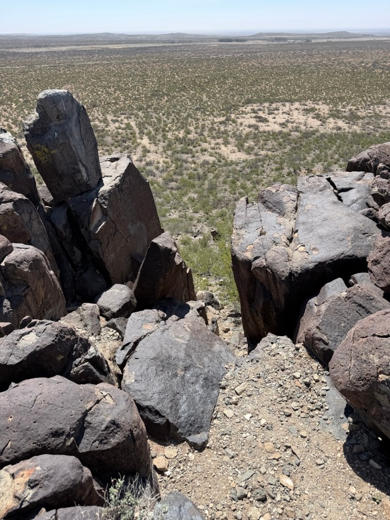
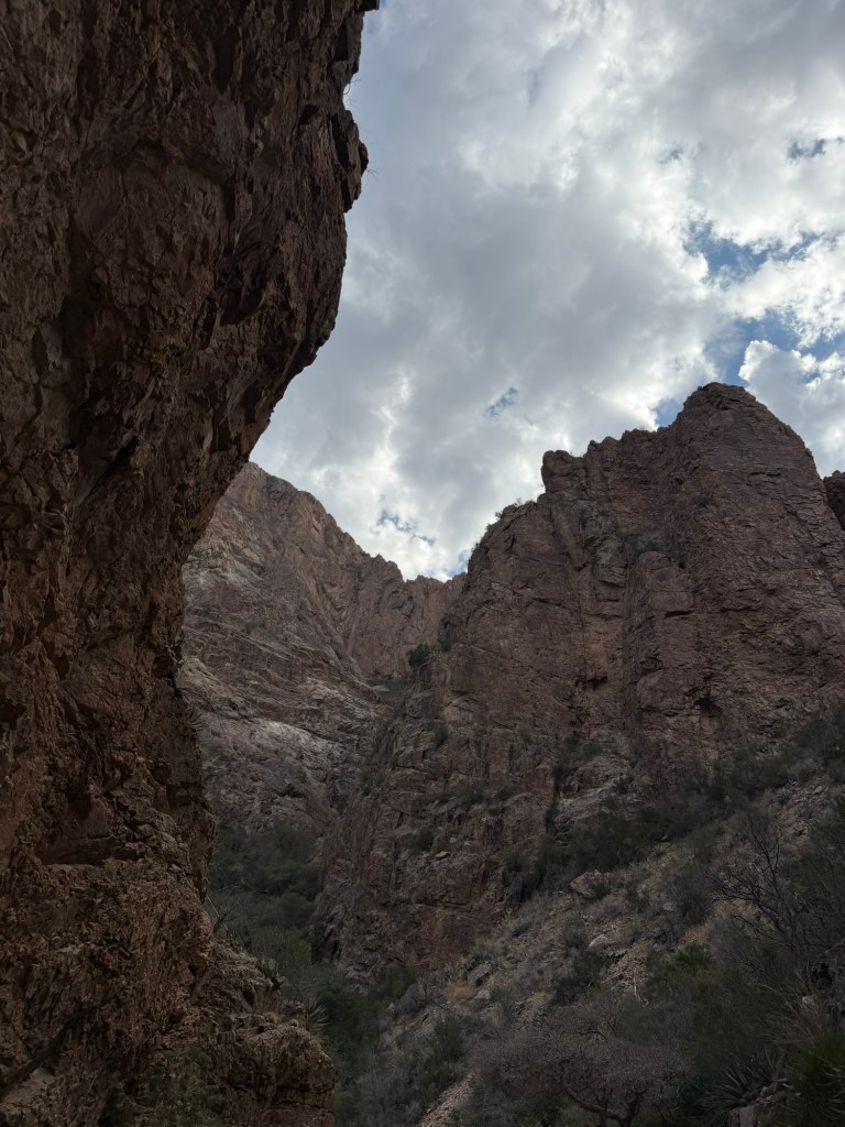
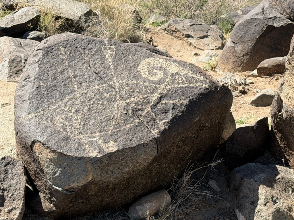
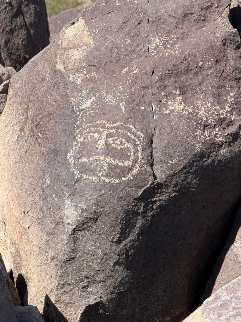
But the stars of the show on these rugged ridges…

are the 21,000 petroglyphs.

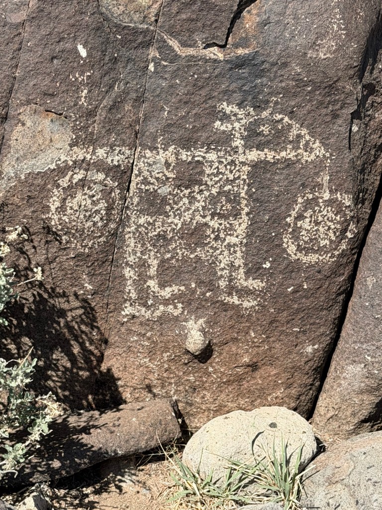
This was among my favorites.

Both of the sites we visited were run by the Bureau of Land Management. And both had small campgrounds. The Three Rivers Petroglyph Site has just two serviced RV sites and a few unserviced sites. Either would make a great stop in the future.

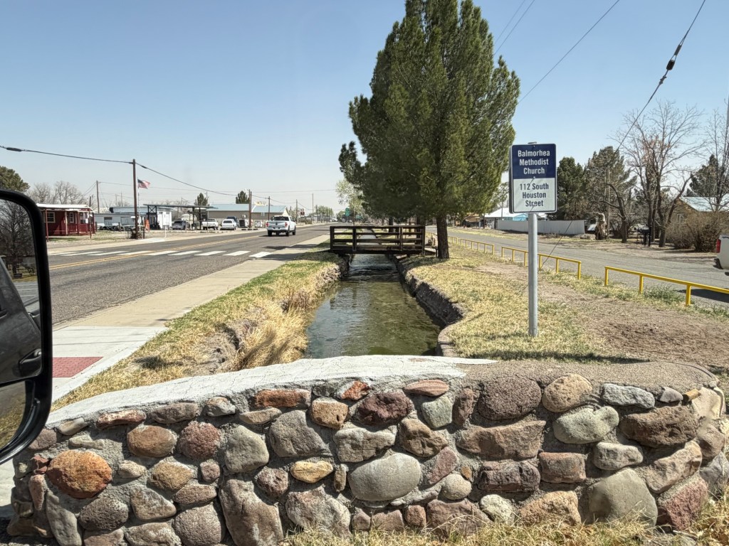
Today it’s 84 degrees, so after going to the laundromat this morning, I’m just chasing the shade around the camper as I write this, which isn’t so bad, at all.

Carlsbad Caverns National Park

Bud and I had visited Carlsbad Caverns in January of 2020, but Jack had never been so today we went. The National Park is less than an hour from our campsite at Brantley Lake. You can enter the caverns through the natural entrance, seen here, or you can take an elevator down.

Since Jack hadn’t been here before we went in through the natural entrance, which is the best way to experience the immensity of the caves.

You do quite a bit of walking and go down a ways before you even get past the entry.

This time the entry was alive with birds. I tried to capture them flitting about. You could hear them as you descended even after you could no longer see them.

There were some formations near the entrance.

We had been walking for about 10 minutes when we passed below the entrance and through the last of the sunlight.

Now there was just the dim lighting and things were really starting to look like a cavern.

But we were still walking down…

and down.

Formations were getting more extensive…

and larger,

but we weren’t down yet.

In fact, if you walk in the natural entrance you walk 1.2 miles before you get to the “Big Room”. There are benches (stone, of course) where you can take a break, and we did, here. We had been walking steadily downhill for about 40 minutes at this point.

But we weren’t down yet.

Finally, nearly an hour after we started into the cavern we reached the Big Room. Once there you have another 1.2 miles of walkway around its perimeter.

If you look at the people and the railings you can get a sense of the size of these formations.

Wonder…

after wonder.

We were constantly gazing all around.

This formation, named the Lion’s Tail, hung right over our heads.

Here are more of what we passed.

There were huge holes above, too.

See that rope? In 1985 a small team of cavers used helium balloons to lift a rope to the ceiling where they eventually were able to snag a stalagmite. Amazingly they then ascended the rope and found another large passage above the Big Room which they named Spirit World. Then in 2014 another group of cavers found a room above that. They named it Halloween Hall.

There are also further rooms below the level of the Big Room. This fence wire and stick ladder made by Jim White, an early explorer was used by Dr. Willis T. Lee in a 1924 photo expedition for National Geographic. Lee had done an expedition in 1923 that led to the establishment of Carlsbad Cave National Monument in 1923.

The bravery of the people who explore these caves with ropes and ladders and lanterns humbles me.

Meanwhile we continued to walk through this surreal landscape they had made accessible.

We came around to a vantage point on the other side of this end of the Big Room. There was the rope, dangling through it.

We passed ornate stalactites,

and colossal stalagmites.

This is the largest formation here that is still growing. I had thought all this part of the cavern was “dead”, with no seeping water adding minerals to the formations. But there is some water still here and in fact I had a drop hit me when I was stopped to take a picture.

Imagine walking more than a mile

through such splendor.

It’s almost sensory overload.

These platelike structures that formed on the surface of long gone pools are some of my favorites.

After walking…

and looking…

for about two hours…

we took the elevator 750 feet up to the surface.

The vast, sunny desert was a bit of a shock.

And so was this.

A dust storm,

coming right at us.

We drove out through a dusty desert, all part of the experience of this part of the country.

Brantley Lake State Park, Day One

We left Texas yesterday and came to Brantley Lake State Park in New Mexico.

We also crossed into Mountain Daylight Time. So four days after we set our clocks forward an hour for daylight savings, we set them back for Mountain Time. This can all get a bit confusing.

We drove here via Guadeloupe Mountains National Park where Jack stayed while we were at Balmorhea. That’s El Capitan that you see as you approach the park from the south. The park has only small, primitive sites, so we didn’t stay there.

We had intended to park at the visitor center and take a short, paved trail that allows dogs. We had plenty of time as we were gaining an hour and New Mexico State Parks have a four o’clock check-in time. But we found that not only would we not fit in their campsites, their parking lot was all but full and we couldn’t fit there either. So we pulled off on a bit of a siding. Behind us you see El Capitan and to the right of it Guadeloupe Peak; at 8,750 feet it is the highest point in Texas. Jack climbed that for the second time on his visit. We just had a bite to eat and drove on.

Happily, there was no one at the gate at Brantley Lake and no one at our site, so we came in early and set up. I spent some of the afternoon relaxing in the shade of our nice shelter.

This morning Jack went with us to Sitting Bull Falls. This is a place he and Sharon found five years ago. It was about an hour’s drive down a secondary and then a tertiary road through miles of open desert.

It was a bit surprising to find this nicely developed National Forest site at the end of the road.

It was bright, but cool, when we set out up the short paved path to the falls.

Matey got to come on this one.

We went past the last of the picnic shelters and arrived at a viewing platform,

where we could see the 150 foot spring fed waterfalls…

and the pools below.

There was a rough trail to the top of the falls that ascended this ridge. I took this shot of the crescent moon…

while Jack

and Bud went up.

Matey and I walked around the shelters,

I took a photo looking downstream,

and then we waited in one of the nice, stone shelters.

There were pretty pleasant views all around.

Eventually I saw Bud headed down,

and I was relieved as it was…

a long way up.

Then Bud stayed with Matey and it was my turn.

At one point I could see the viewing platform, but not the falls.

There is one place on the trail where you could just see the brink of the falls,

but you were not allowed to walk out there.

Instead the trail took you above the falls,

where you could look down on the pools the spring makes before the falls. The water runs over in the grassy area in the middle of the photo, but you wouldn’t want to walk there. As you can see, people do go in the pools.

Jack was waiting at the top and he took this picture.

He also showed me a path where we could walk over and look down into the parking lot and the road in.

It had warmed up by the time we hiked back down…

and we were now in shirt sleeves.

This afternoon Matey and I are content to just rest in the shade. It’s about 87 with a breeze. We’ll do more exploring when it cools.

Balmorhea; the Spring and the Lake

This morning Bud and I walked over without Matey to see the San Solomon Spring.

It took two pictures to capture the main pool of the 3.5 million gallon swimming pool.

There are two wings off the main pool. One is 3 to 5 feet deep and includes this platform and lift to lower disabled people to the pool. It’s not every swimming pool that has a warning to not feed or catch the wildlife!

The depth quickly increases in the main pool.

Most of it is 25 feet deep.

There are areas where the bottom is left natural and the depth varies.

I wanted to look for the wildlife, but the wind was making it hard.

There was an area of relatively flat water by the diving board in the main pool. We saw some of the little fish there…

and I managed to get a picture of one.

The other arm seemed to have a more natural bottom than the shallow arm, I think it was the original channel. It was deeper and had ducks on the water.

And we saw a Texas spiny soft shelled turtle swimming along. I took several distorted pictures through the wavy water. In this one , I think I caught an endangered Comanche Springs pupfish, now found only in the spring fed waters near Balmorhea.

I also thought I saw some headwaters catfish, similar to a channel catfish but a separate species. Since the water mostly looked like this, pretty but very distorting, I wasn’t positive and got no image.

The best way to see these creatures is to get in the water and go snorkeling. We didn’t, we no longer have snorkeling gear and though the water is constantly in the low seventies, the air was only in the upper sixties and the wind was blowing. The thought of getting out of the water into that wind was enough to deter me.

Here Bud is looking at the gates at the outlet to the pool.

I took this video to show how fast the water is moving. There are three openings that allow the water to pass out of the pool area. The spring flows at a rate of 15 million gallons a day.

It flows through a series of small canals. Some is bled off to the quiet cienagas to support the native wildlife.

Some flows into and past the little town of Balmorhea. it is used to irrigate crops, and apparently pine trees.

And much of it flows into Balmorhea Lake, about four miles away, where it is held in reserve.

We took a ride out to Balmorhea Lake to hopefully walk Matey and look at wildlife. We had to pay $7 each for a permit.

There wasn’t much scenery. (Those are our permits taped in the windshield, one for the state park and one for the lake).

And the only animals we saw were some cattle grazing in the very lush grass…

at the lower side of the dam.

But at least we got to see where the water goes.

And we got to see the sometimes funky,

but mostly rundown lake houses folks have out there.

And so my opinion remains. It was nice to see the spring, but two nights and one day is plenty of time to spend in this place.

Postscript: Big Bend National Park

The uproar from all who love Big Bend National Park seems to have had an effect. The Customs and Border Protection website now shows the “wall” through Big Bend as “Detection Technology” and not a physical barrier. That is great news for all the creatures of the park. Let’s hope that technology preserves the dark sky designation. Let’s also hope things don’t change once the attention is off. I’m sure there are many people who will stay vigilant (including me) to sound the alarm again if that is needed.

A Different Kind of Place, a Different Kind of Day

We came just 33 miles to Balmorhea (ball more ray) State Park. They have a brand new campground, but they don’t have mountains. As we drove here and descended 2,000 feet the temperature increased about seven degrees, from 70 to 77. To the east we had blue sky,

but to the south and west we had a stormy sky and soon the temperature dropped nine degrees. We’ve had a divided sky all day, so the weather you see depends on the direction I’m facing.

We drove to town for fuel and the wind was whipping and the dust was blowing.

Fortunately, the heart of this small park is the San Solomon Spring. So we have wind, but no dust.

Unfortunately, dogs are not allowed inside the fenced spring area, so this is as close as I’ve gotten so far, as I was walking with Matey.

There’s a huge swimming area and there are supposed to be fish and turtles there, so tomorrow I will have to explore without Matey.

Water flows from here through miles of canals.

There is quite a current.

Evidently the new campground is popular. Of course we had reservations.

The spring has been a popular place for millennia, as is any reliable source of water in such dry land.

Governor Pat Neff made it a state park and the CCC constructed the pool and built this motor court from 1935 to 1940.

Originally each room had a carport,

in the 1970’s the carports were enclosed and used to enlarge the rooms and add bathrooms.

There are two cienagas, or swamps. They were constructed because some native fishes were struggling to survive in the fast flowing canals that were made for irrigation.

Matey and I went up to the viewing area on this one.

They even have underwater ports, but I couldn’t see through them.

This is a beautiful new campground and an interesting place. I’m happy to see it but our two night stay will be plenty for me as it has no trails.

Indian Lodge and Its Trail

Today Jack treated us to lunch at the Black Bear Restaurant in Indian Lodge.

This sprawling structure,

built by the CCC from 1934-36. This tribute to them is in the lobby.

The building nestles in the hills at Davis Mountain State Park and the lodge and the restaurant are operated by the park.

Coming in from the back, Bud and I walked along the outdoor decks in front of the rooms.

There are plenty of places to relax.

The pool is not open.

This is the largest outdoor courtyard.

We found our way through the beautiful lobby,

and then with a bit of direction, to the restaurant.

Looking at this emergency exit diagram you can see how it might be confusing getting around.

We exited through other courtyards…

and other outdoor passages.

The lodge had been closed for over a year for renovations, but the feel and furnishings of its era have been retained, as you can see from this picture I took peeking through the window of an empty room.

After lunch Jack and I tackled the Indian Lodge Trail.

The trail is only a mile and a half long, probably around two and a half including a connecting trail and the walk back, but it is the only trail labeled “challenging” on the trail guide. It goes up very steeply behind the lodge.

I was happy to stop for photos of the blooming yucca…

and this little lizard. I also took the photos of the lodge that began this post.

Eventually you arrive on the top of the hill.

From up here there are views of the far side where the highway and Limpia Creek are.

Here you can see the dry bed of Limpia Creek running to the east. A park volunteer told me this creek didn’t dry up until recently when increased population in the Davis Mountains and increased use of well water lowered the water table.

On the east end of the ridge the terrain gets rugged.

It’s slow going here. Four years ago Matey and I did this trail. Poor Matey would never make it, now.

But Jack and I successfully negotiated the rough parts and returned to his truck at the lodge. He drove me back to our campsite as it is about a mile from the lodge. Indian Lodge and its challenging trail are a special part of Davis Mountains State Park.

A New Personal Best; Just Trying to Keep Up with Jack

Yesterday Jack wanted to hike on the other side of the highway in the Limpia Creek Primitive Area.

I wanted to go up to the overlook there, at the highest point in the park. Jack said he also wanted to do the Sheep Pen Canyon Loop. It’s a bit over four miles one way just up to the overlook. I wasn’t sure I wanted to add the additional four miles to do the rest of the loop. Jack suggested I see how I felt once I got to the overlook, so that was the plan.

None of this was a particularly strenuous hike, just some long gradual uphills.

But we did gain some height fairly quickly.

We could soon see Texas Route 118 as it winds further into the Davis Mountains.

We then saw the McDonald Observatory, about eight miles away as the crow flies.

We cut back to the east along the top of the hills across 118 from the campground.

It didn’t seem to take long to reach the 0.3 mile spur trail to the vista.

I was pretty surprised to see a picnic table up there.

Looking east and a bit south you could see over the town. The historic fort is tucked behind the ridge.

Looking south and a bit west you can see the developed side of the park.

At the end of the park road is the beautiful white adobe Indian Lodge, built by the CCC.

I managed to find our campground loop, but our trailer is the one almost obscured by trees at the bottom of the photo.

This is the Skyline Drive, probably the most known feature of the park.

There’s a lookout along Skyline Drive now closed for repair. That is the highest point I had been in past visits. Now I was looking down at it.

I could also see the lookout at the end of Skyline Drive, and could see over it to part of the town of Fort Davis beyond.

Once we were done gazing around, Jack and I sat at the table and had our lunch.

There was an ammo box (water tight) on the table with a log book in it.

So I signed it, and did a little bragging.

At this point I was feeling pretty good and so I decided to go on around the loop with Jack. It was, as he claimed, pleasant rolling terrain.

I took this photo to commemorate surpassing my six and a half mile hike with Jack.

I saw one deer (Jack saw a second). Two women we met coming off the hike said they saw bighorn sheep (probably the aoudads that live here), but we didn’t see them.

On the far side of the loop was this water tank and trough. The solar panel runs the pump and the water level in both the tank and trough is controlled by floats.

The tank used to have a windmill,

but that was fallen.

There was a seep out of the end of the trough and the insects were coming there for water.

A few more vistas,

lots of desert plants,

and we completed the loop.

Jack checked his messages (no cell service down in the park) before we tackled the return trip on the 2.4 mile trail up to the loop.

It seemed a bit steeper coming down, probably because I was more tired.

But I did it, 11.46 miles; a record for me at least since my retirement. And I have now walked every trail in Davis Mountains State Park.

Chihuahuan Desert Nature Center – Botanical Gardens

We’re at Davis Mountain State Park, in Fort Davis, Texas. Jack is also here with his Casita camping trailer. I’ll post more on the park later as today Bud and I didn’t really do anything park related.

This morning Bud went grocery shopping in town and I replaced the vent cap on our black (sewer) water holding tank with this fancy new one that‘s supposed to suck all the stinky air up the vent tube. The installation was a success, we’ll see how it works.

This afternoon the guys agreed to come with me to visit the Chihuahuan Desert Nature Center and Botanical Garden. There are a number of trails on the property. Jack and I decided to hike the Outside Loop, Bud decided to hike with us through the Modesta Canyon and then take a cut through back to the Visitor Center while we finished the loop. We all had on long pants and sweatshirts, this whole area is above 5,000 feet. The temperature at Big Bend is a few degrees cooler than when we were there, Fort Davis today was more than twenty degrees cooler than Big Bend. It was about 60 degrees when we were hiking.

Hiking the direction we did the trail started at the shallow end of the canyon.

As we walked the canyon deepened and became more rocky.

Up on the rocks I spotted these, which I thought were white flowers. They are not, the are the desiccated and curled up fronds of a fern, Notholaena standleyi. When it rains these fronds will turn green and uncurl. Even when unfurled these fronds will be tiny, maybe an inch or two long.

This yucca wasn’t tiny! And it was in bloom. I hope to see a lot more of that.

I was going to write that the canyon was getting deeper, and that’s true in that the sides were higher. But the whole canyon is up on a hillside, so we could look down from floor of the canyon to the plains below.

The trail was well done, but it was narrow and rocky,

sometimes very rocky.

In some places they had to work to find a place for the trail.

Here Bud is heading up around that tree.

There were some nice rock formations.

Eventually we reached the spring. That is a pool of water full of algae.

The water continued below the spring. There were water striders on the surface…

and ferns along the canyon wall. How those water loving species found this tiny bit of water in all the surrounding desert amazes me.

At this point the trail left the canyon bottom and ascended the canyon wall, here much higher and steeper.

Finally we came to the top.

Below us the canyon continued down the hillside.

This country is all much rougher than it appears from a distance.

Here Bud took a cut through to a trail back to the Visitor Center. That’s him about to disappear behind the juniper.

Jack and I continued on the Outer Loop around Lion’s Head Hill.

This is stony country. Sometimes the trail markers were on posts, but the posts were held up in chicken wire tubes full of rocks.

And sometimes the trail markers were just fastened to the rocks.

I liked the contrast here between the flat layer of sedimentary rock the trail is on and that great igneous boulder that had fallen on it.

I also liked the view and the sky.

We saw this stream down below. It looked like it might have water in it. But at 40x you can see that’s just gravel.

We were now headed towards that nearer hill, and Clayton’s Overlook.

Somewhere here there is supposed to be an old rhyolite quarry, but I’m not sure where.

At Clayton’s overlook there was an octagon platform with signs explaining the mountains you could see in the distance. All these mountains are the result of volcanic activity that started about 38 million years ago.

This striking mountain is Mitre Peak. It is six miles away and tops at 6,190 feet. Mitre Peak is the result of magma pushing up into older rock. That rock eroded leaving this peak which resembles a volcano.

To the northwest you could see Fort Davis. That line down the picture is some kind of antenna. The cliffs are the result of lava flows 36 million years ago. The lava cooled, contracted and formed vertical cracks. Those cracks eroded to form the vertical columns you see.

Leaving Clayton’s Overlook we headed around the side of the hill and back to the Visitor’s Center where Bud was waiting. He’d had a nice hike back along the top of the canyon.

We then walked out to the botanical garden. There were some great specimens, like this yucca,

this false yucca,

and this agave.

Unfortunately it was getting late and we didn’t want to leave Matey any longer so we decided to we had to leave.

We just got to see how large the garden was. I don’t know if there will be time this visit, but I hope eventually to come back.

“The mission of the Chihuahuan Desert Research Institute is to promote public awareness, appreciation and concern for nature generally and the natural diversity of the Chihuahuan Desert region specifically, through education, the visitor experience, and through the support of research.”

I like their mission and I like their place.

Beauty at Sunset and Again in the Morning

Last evening Jack, Bud and I took the nature trail in the Rio Grande Village Campground to an overlook to watch the sunset. The trail starts through a marsh.

Yes, a marsh in the desert.

Looking back you can see that the marsh is substantial.

From up on the overlook you can see the band of green the river makes through here. A river through the desert is a precious thing.

We made it up not long before sunset.

Good night, sun.

We walked back in the twilight,

while the lingering light painted the clouds.

This morning we all (including Matey) drove up to the Chisos Basin. I took this picture of that slot canyon from the back seat of the Ram.

There is a campground you can barely see here.

And a developed area with a lodge and restaurant,

several motel type buildings of rooms,

a visitor center and store,

and parking lots, all surrounded by the peaks of the Chisos Mountains.

There are bears and mountain lions in the Chisos Mountains, but we only saw some deer.

It was still cool so we left Matey in the truck. Bud walked the short loop of the Window View Trail and then went back to walk Matey and stay with him while Jack and I hiked the Window Trail.

Our hike was two and three quarters miles down to that “V” in the mountains circling the basin, then two and three quarters miles back up.

About half of it was a gradual slope, an easy walk while the sun gave a light show on the mountain walls.

After almost two miles we came to Oak Creek Canyon.

The start of the descent through the canyon was on a smooth track through rising rock walls.

There were interesting rocks and

beautiful formations.

The going got gradually more rugged.

I was glad there were steps built around the difficult parts of the stream bed.

Even the steps took some concentration to navigate.

In the end we came to the narrow slot where Oak Creek…

pours out of the mountains to the desert below.

We wouldn’t be here if the creek was running.

And this was as close as I would go, because even dry these rocks were slick.

That’s a close enough look for me.

Then it was back up,

scrambling where we had to,

through the shaded canyon…

with its lovely flowers.

Then we came out of the canyon to just under two miles of steady climbing in the hot sun. The whole time we were walking up we passed people walking down. I felt bad for the folks just starting at close to eleven as we ended our hike. It was getting hot! Our timing was great as we were alone at the Window; all those who followed us would have to share the space.

When we got back to Bud and Matey we went and got lunch at a food truck and ate on the shaded terrace of the lodge,

where we could look back across the basin to the notch in the mountains we’d just visited.

Tomorrow we leave this unique, remarkable and beautiful place. I just hope it is preserved for others to discover.