Sault Ste. Marie, Ontario

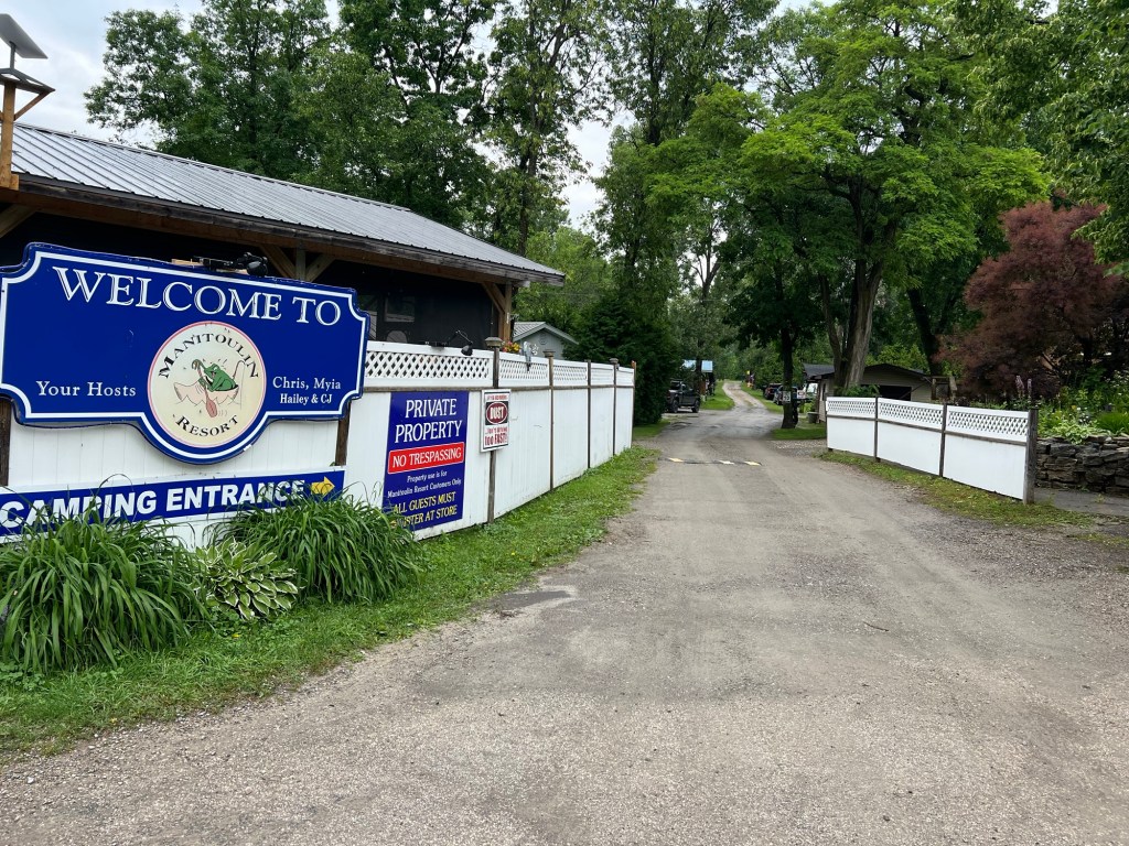
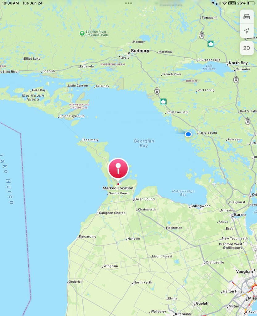
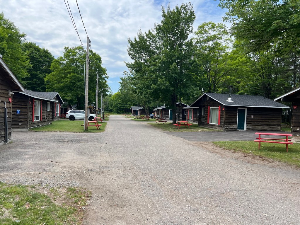
We’ve come to Glenview Cottages…

and Campgound about 5 miles west of Sault Ste. Marie, Ontario.

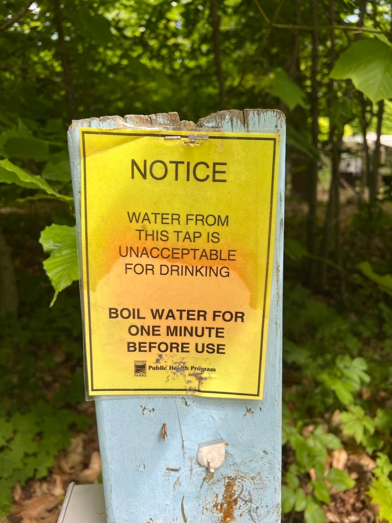
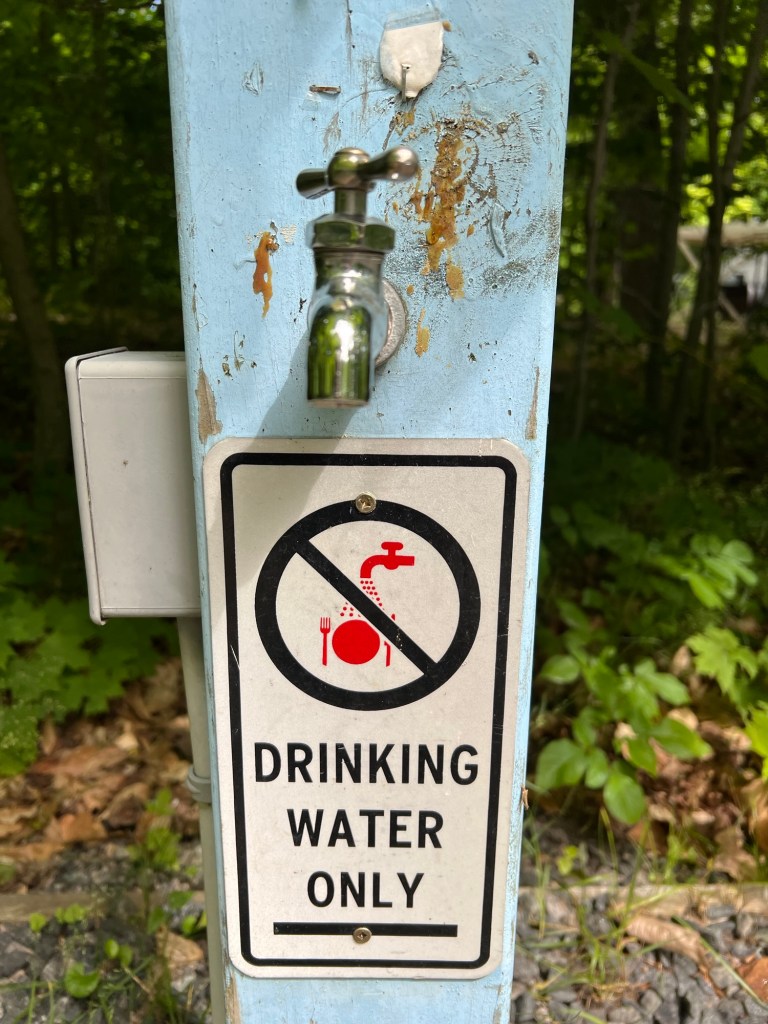
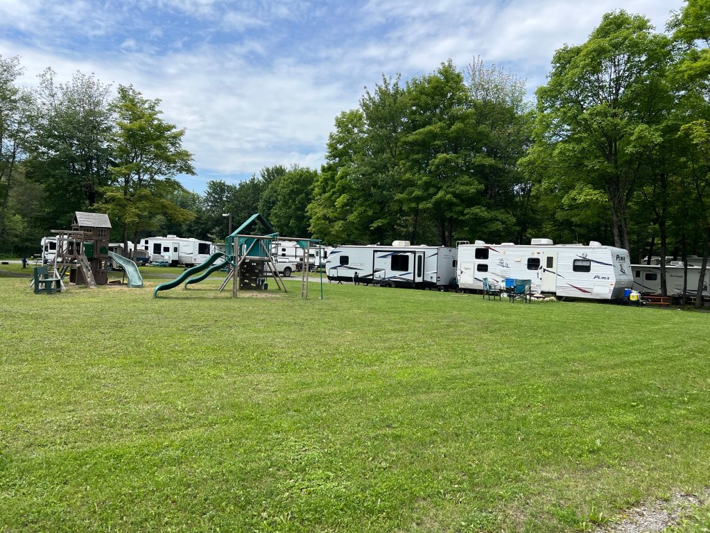
This is our second commercial campground in a row, but there weren’t alternatives around here.

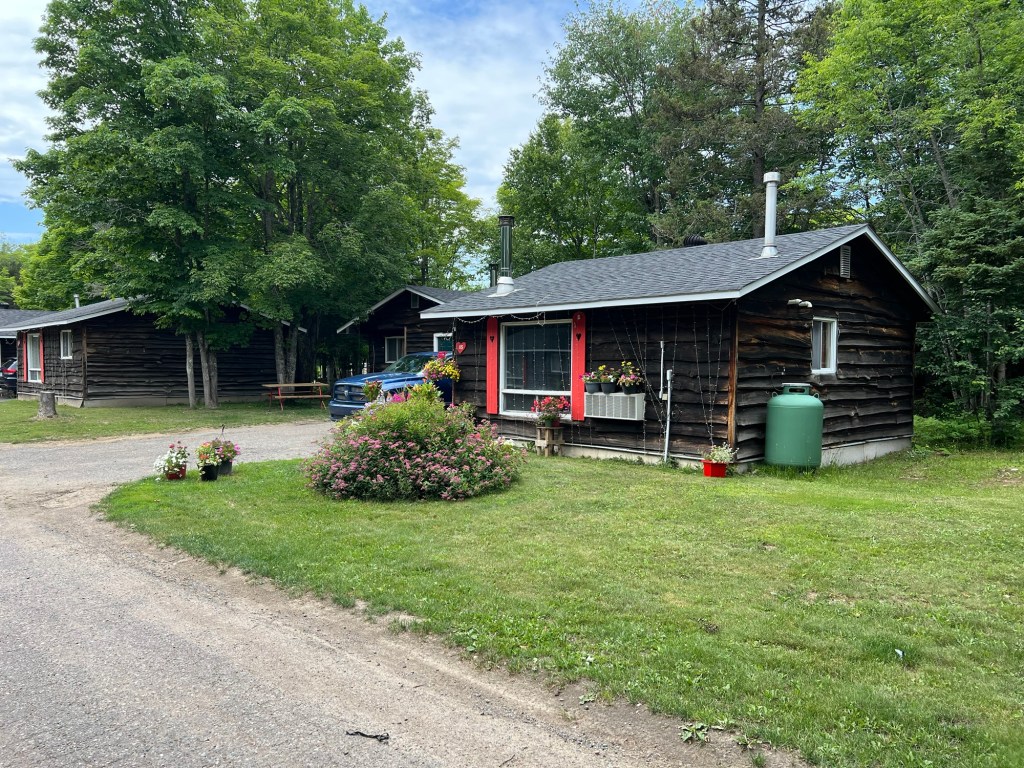
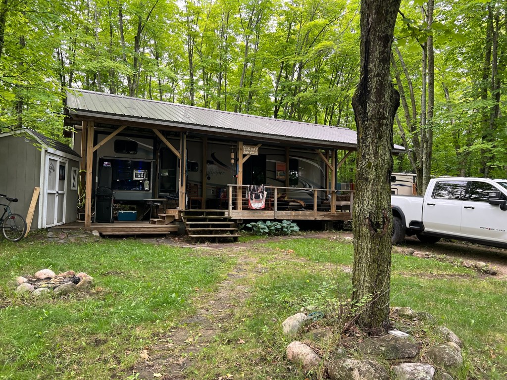
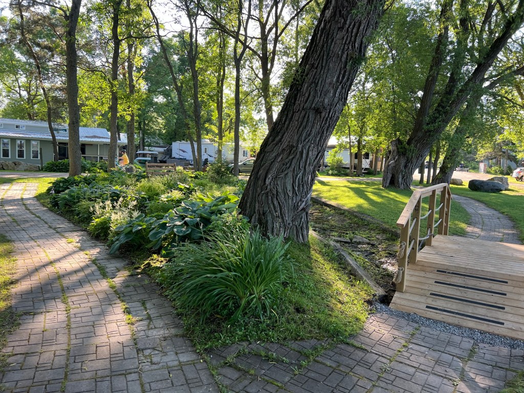
The good news is that’s it’s very well kept.

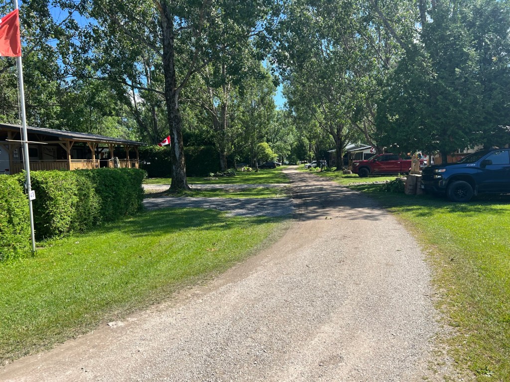
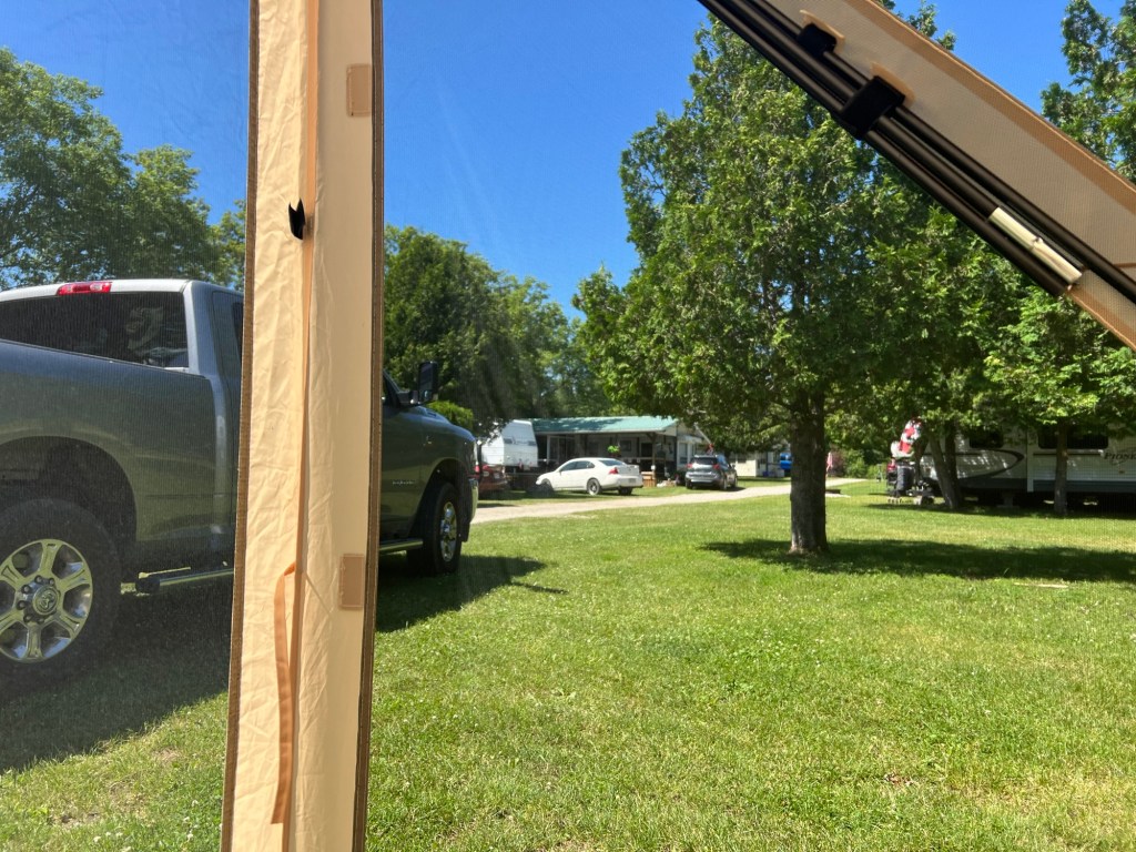
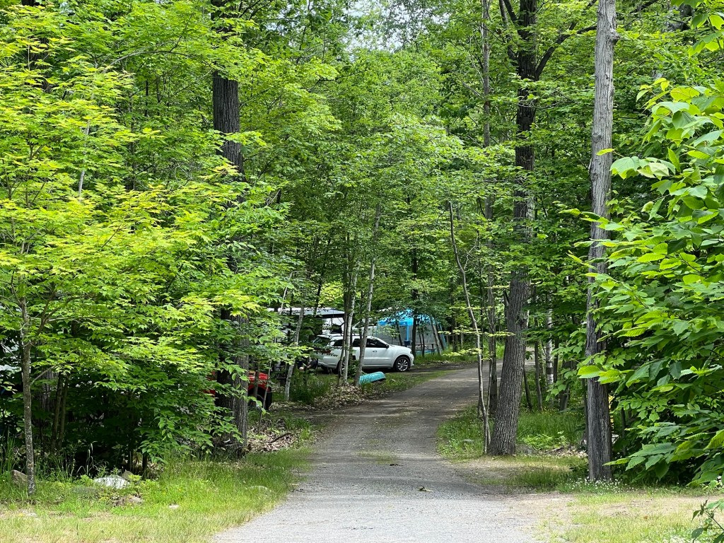
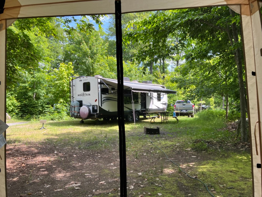
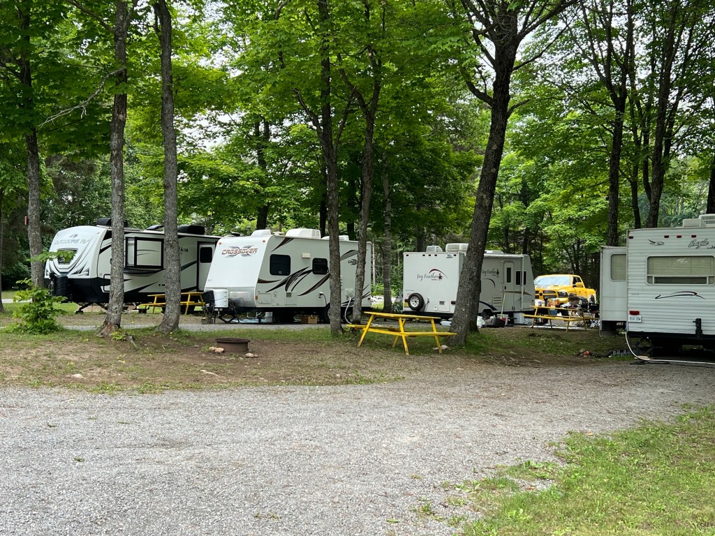
We arrived Saturday and our neighbors, a very nice couple from Vancouver Island, were leaving Monday. They suggested we go to the office and ask if we could move into their space, this nice end lot with a lot of room around it. It was worth moving since we’re staying until next Monday. I did, the office guy said OK and now we have a much better place.

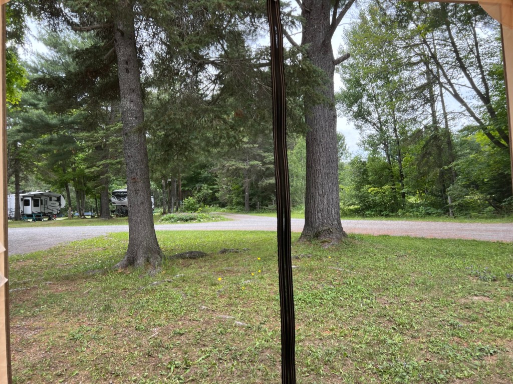
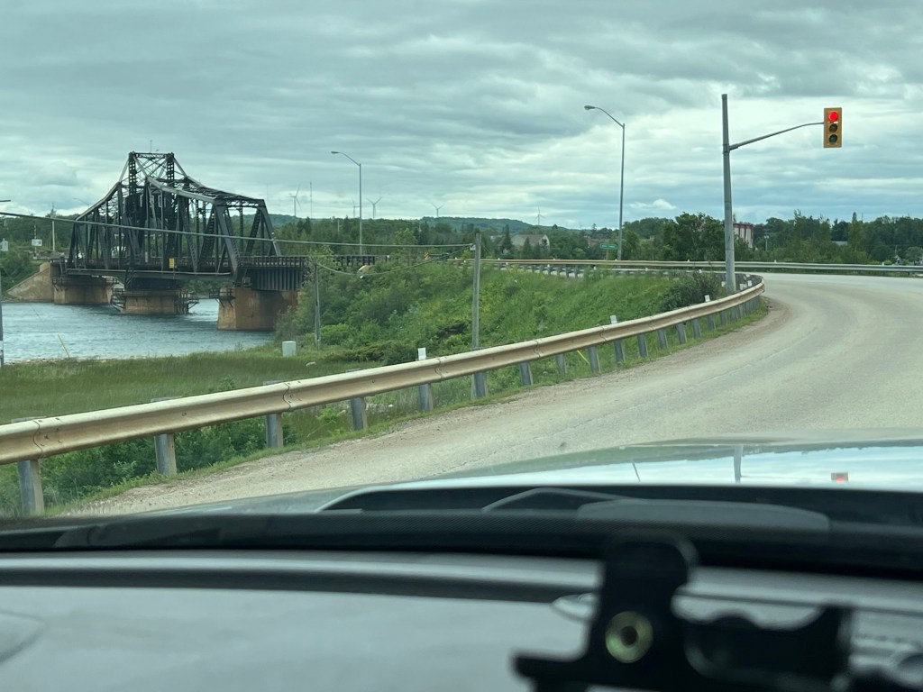
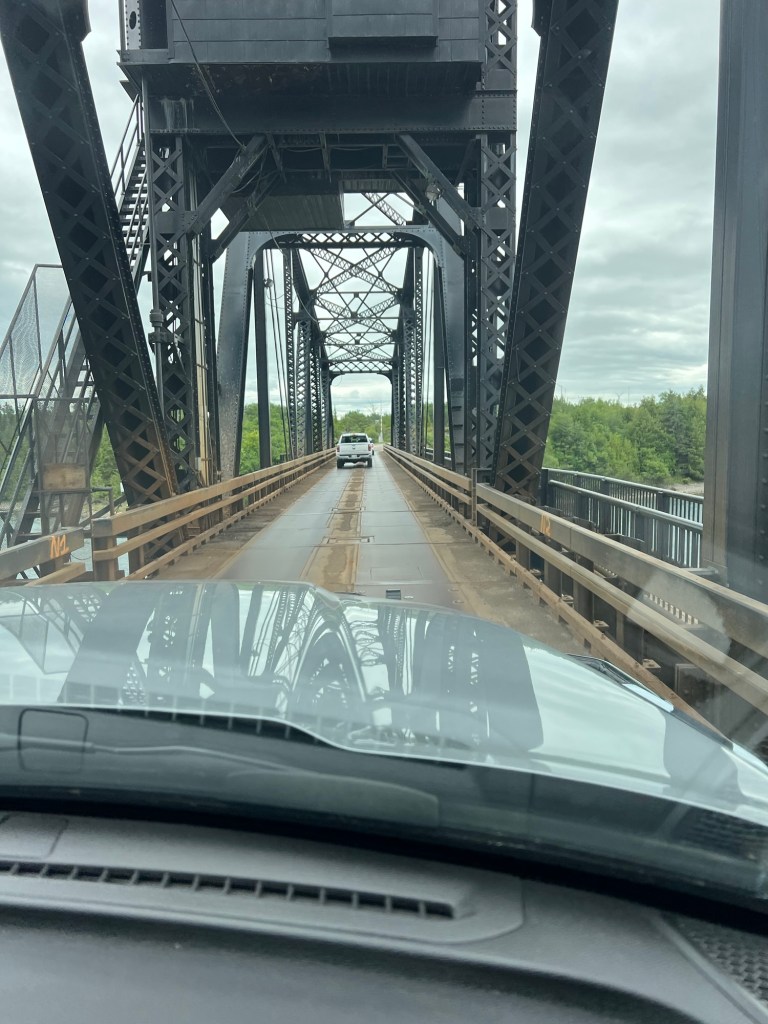
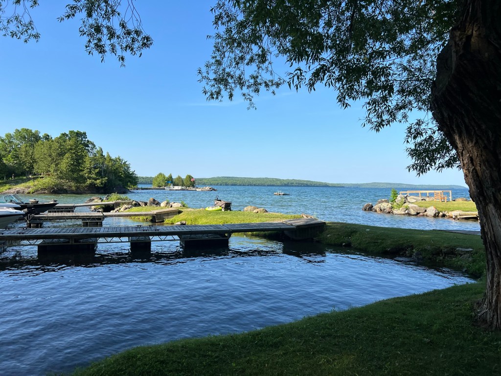
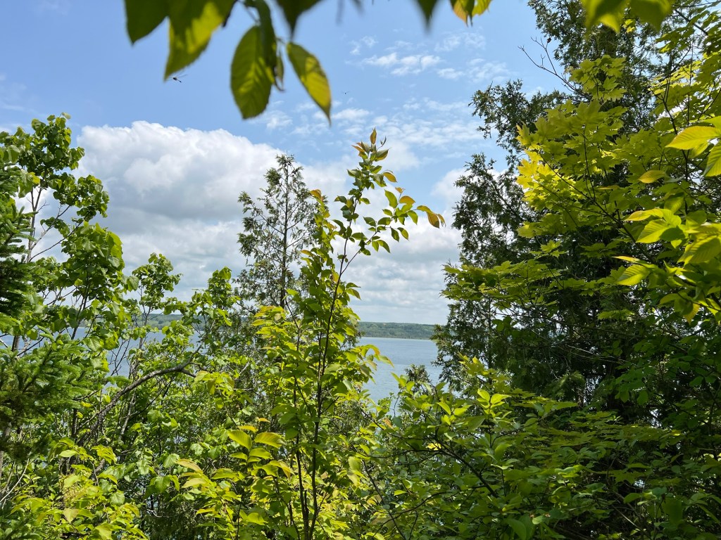
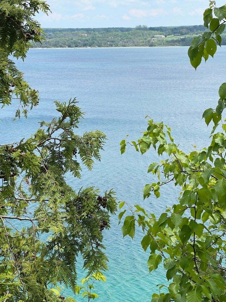
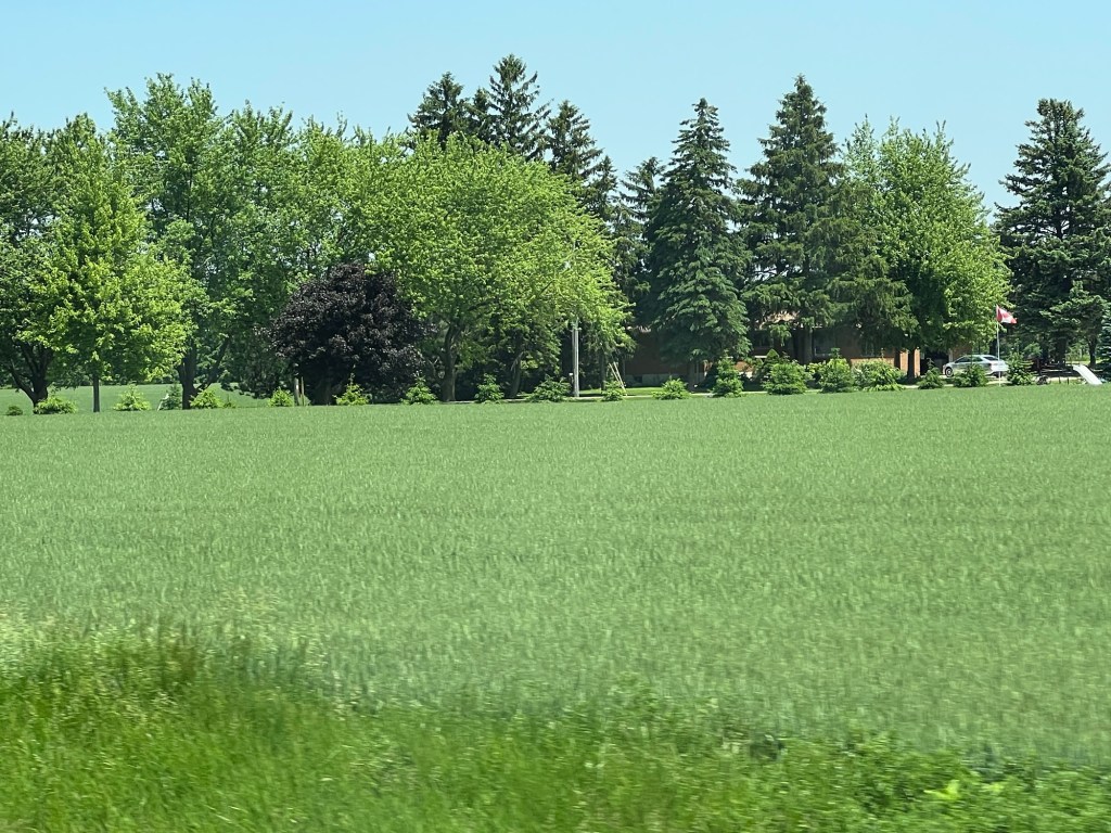
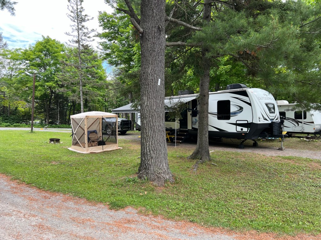
And Matey and I have a much nicer view. Admittedly there is a lot of road noise, as we’re right next to The Great Northern Highway, which is the main road to Thunder Bay and all points west.

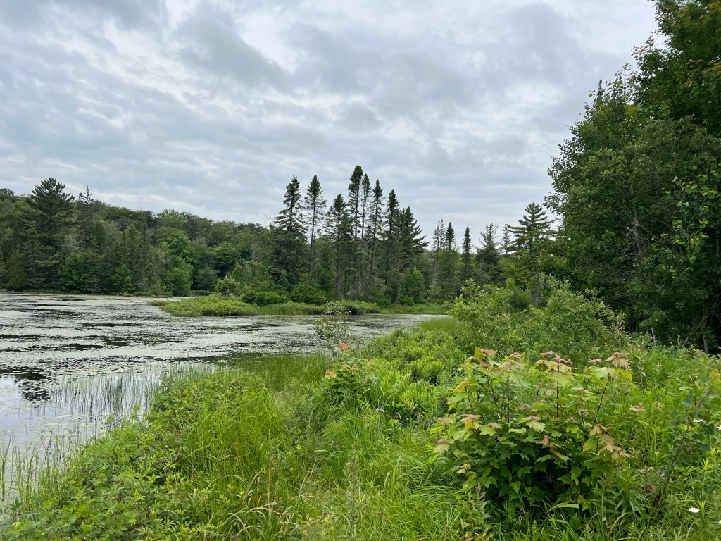
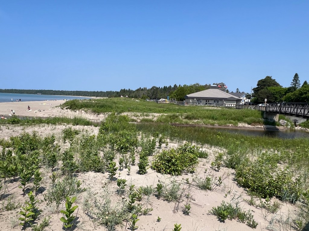
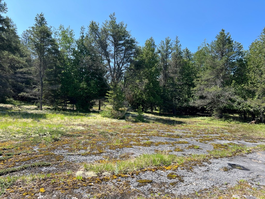
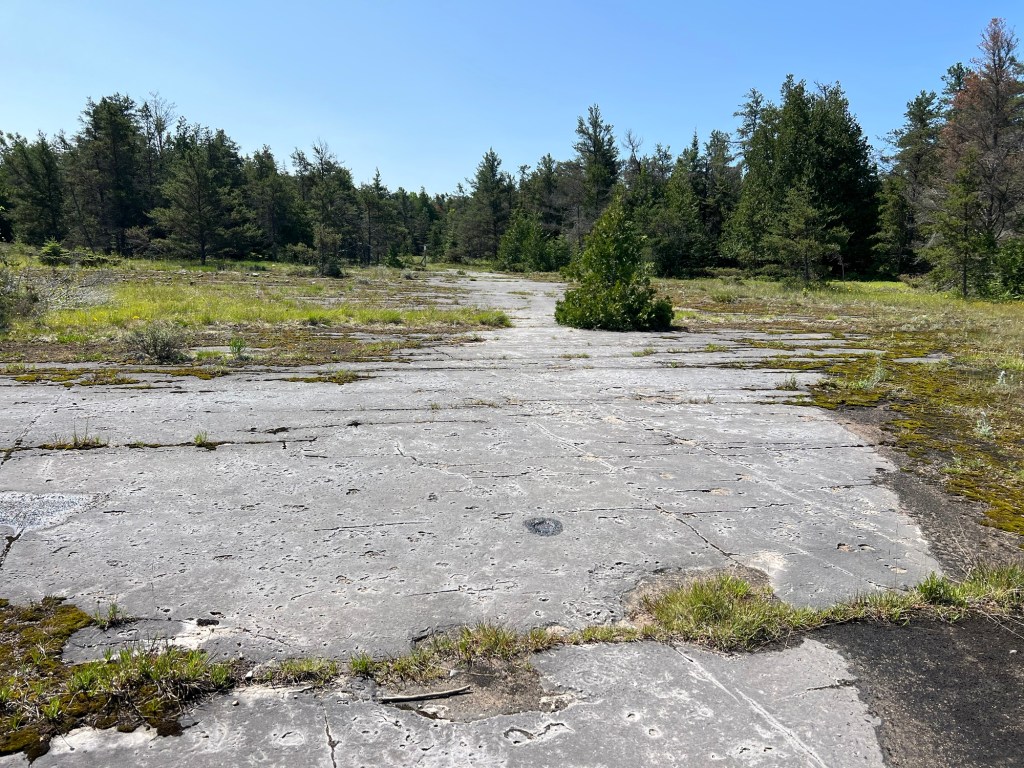
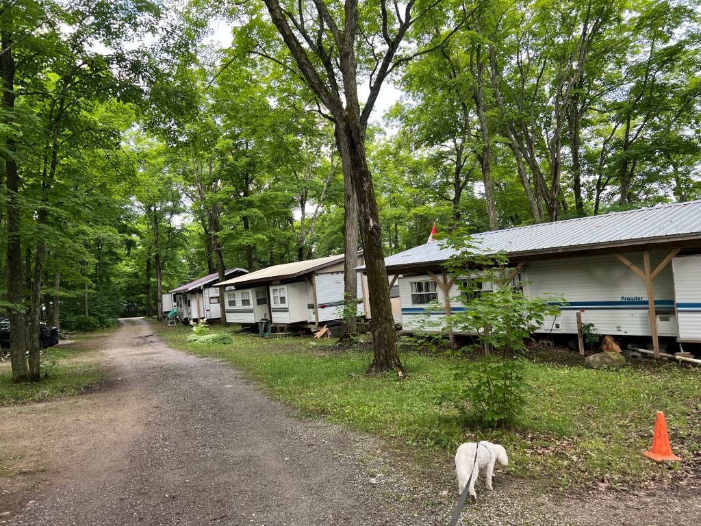
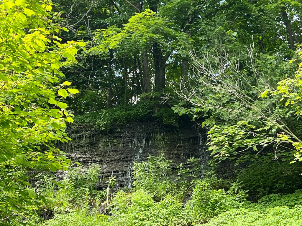
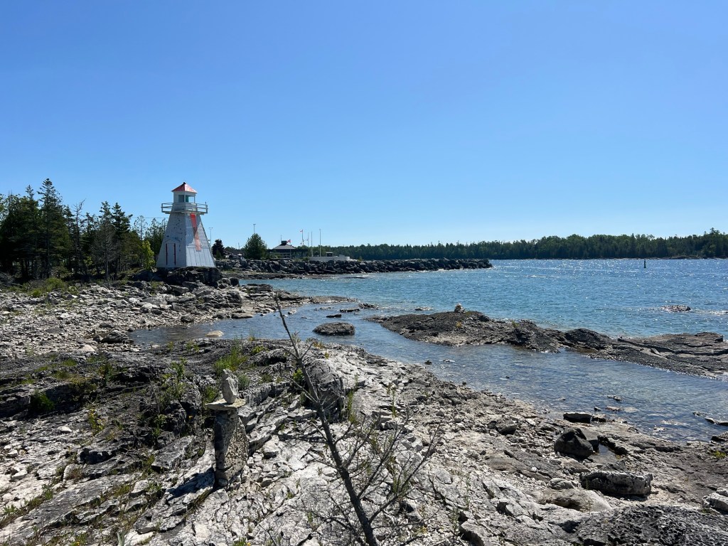
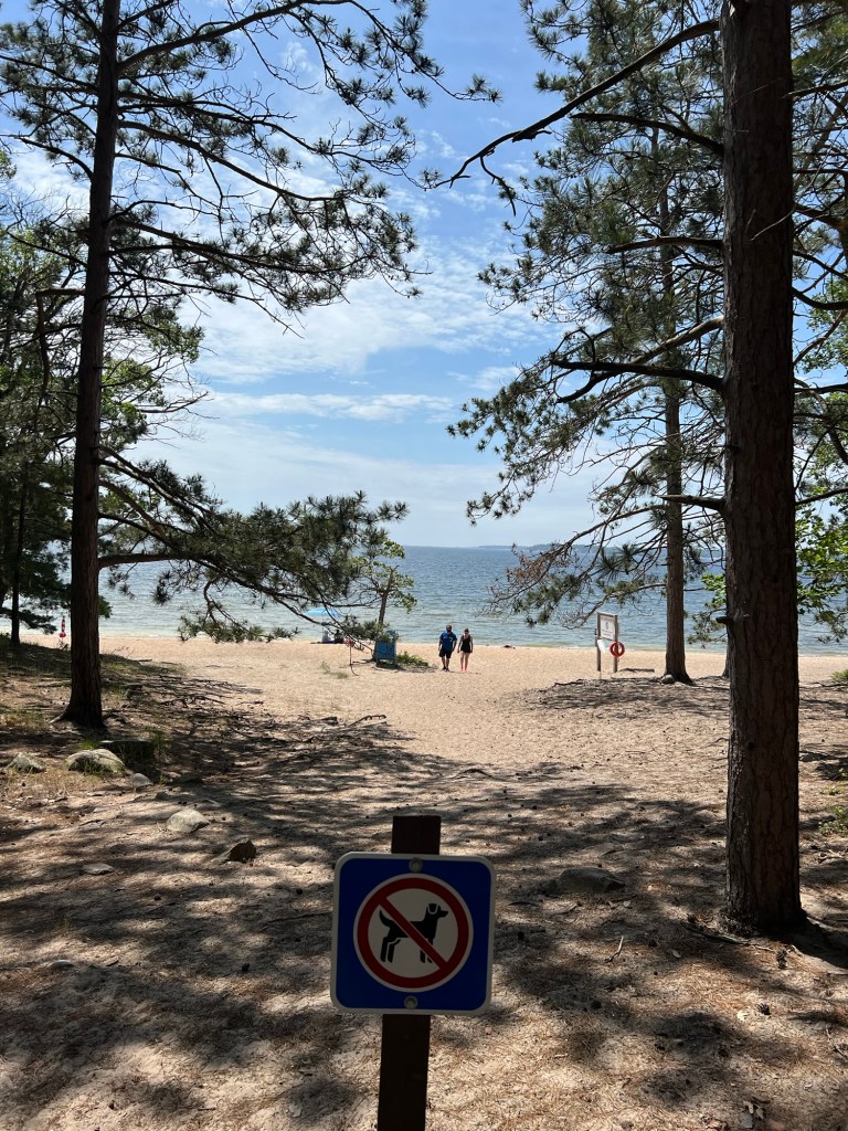
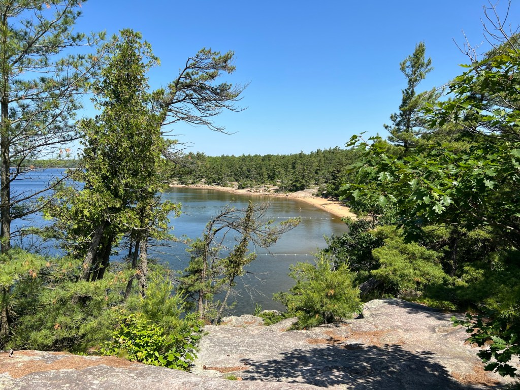
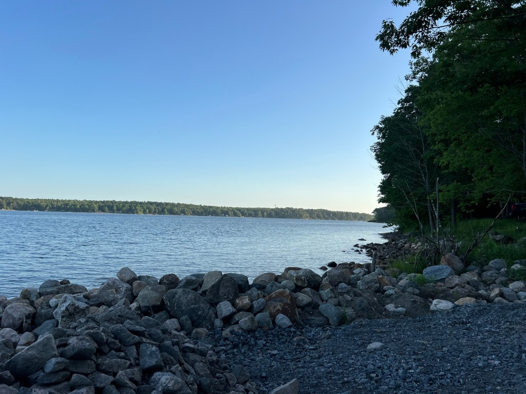
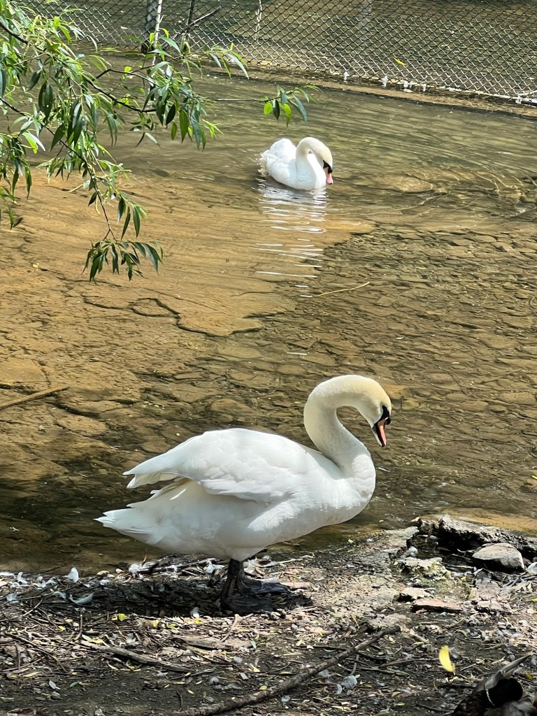
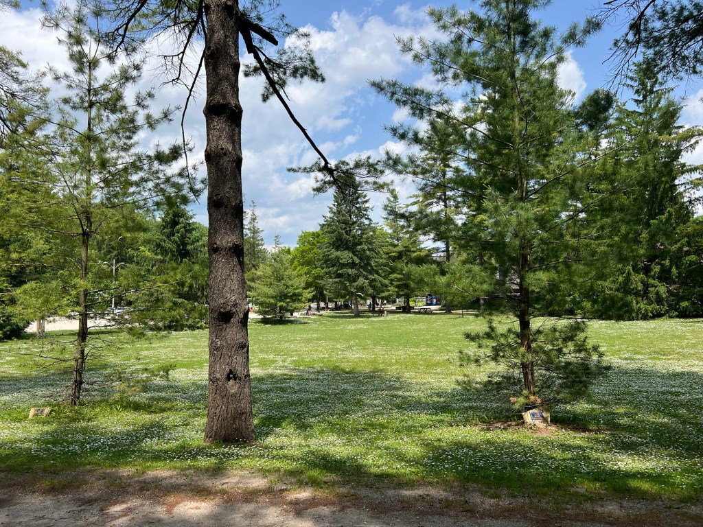
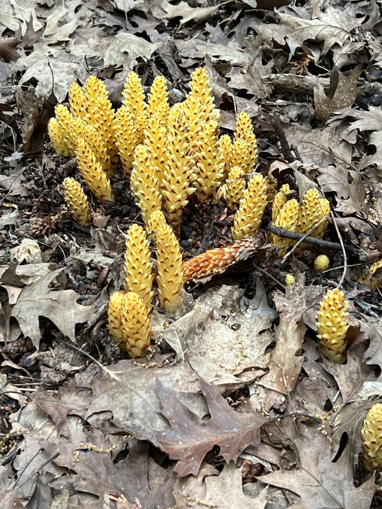
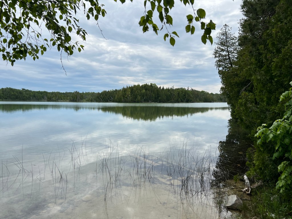
But that doesn’t make this place urban. This is the pond just behind the cottages.

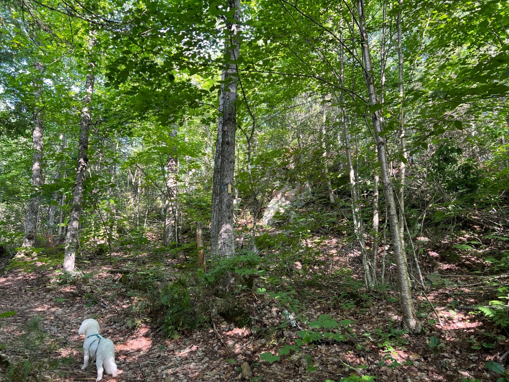
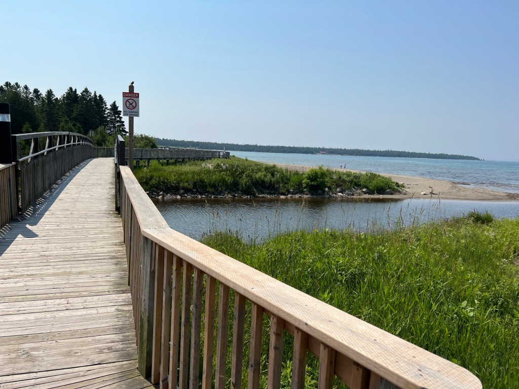
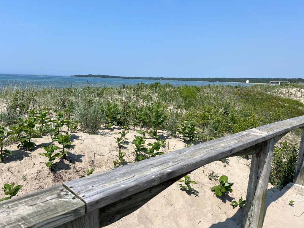
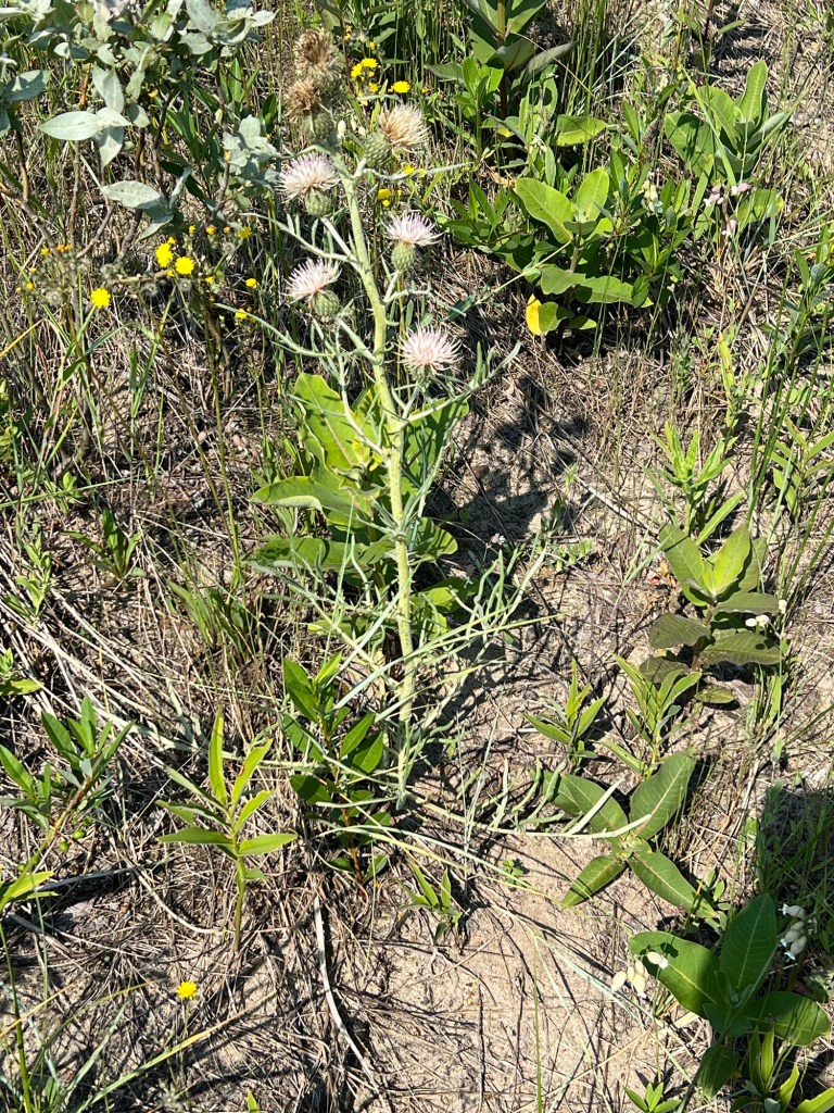
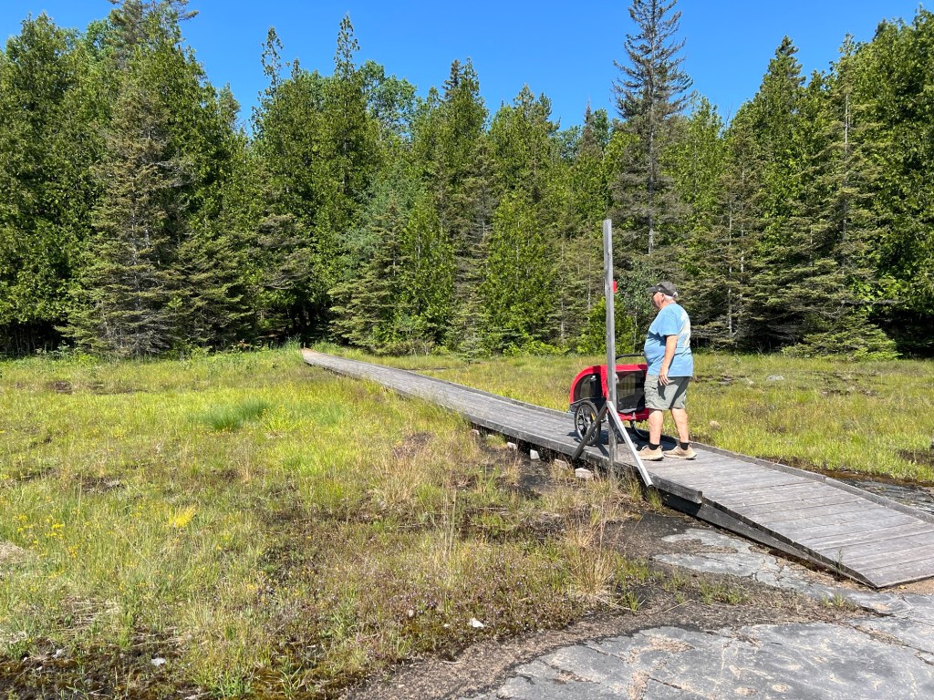
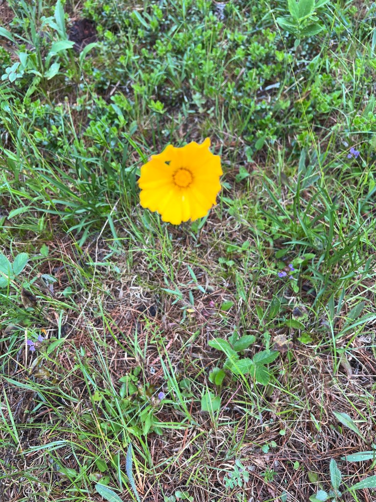
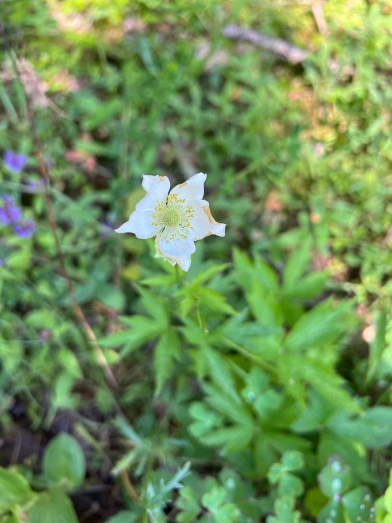
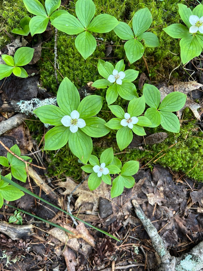
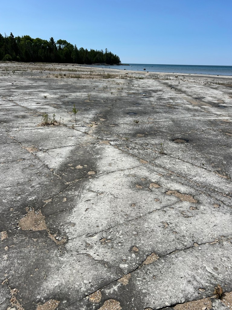
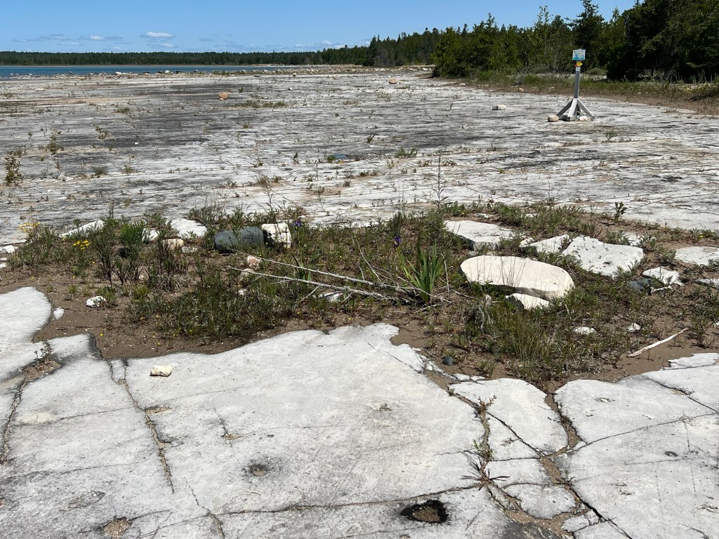
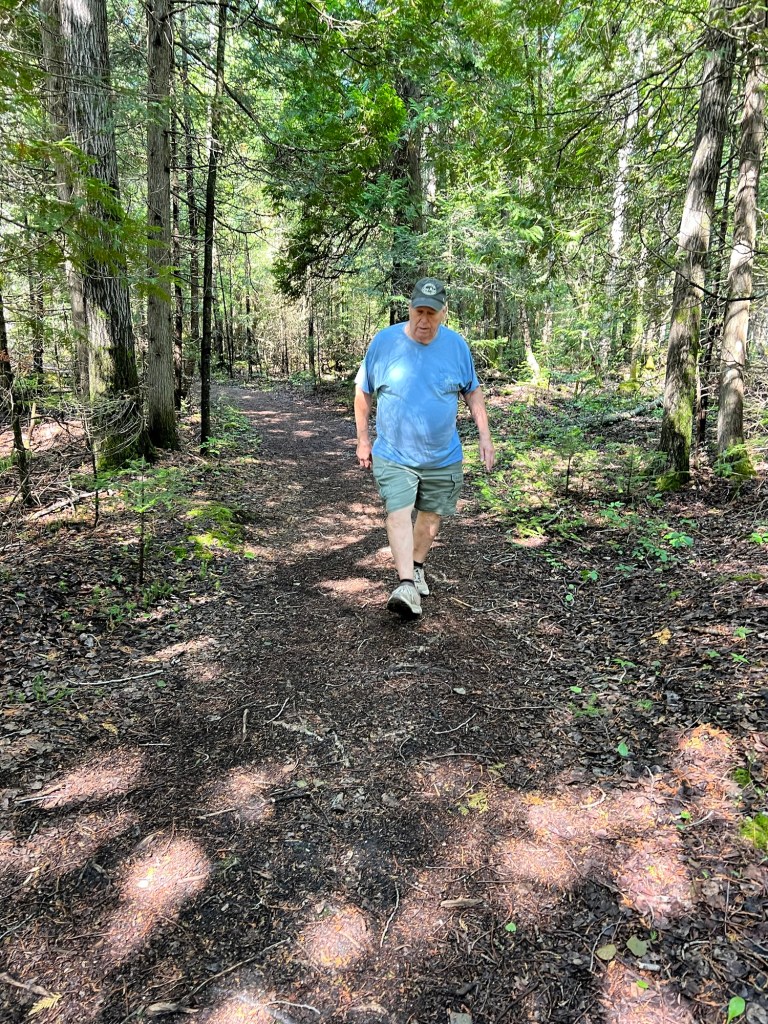
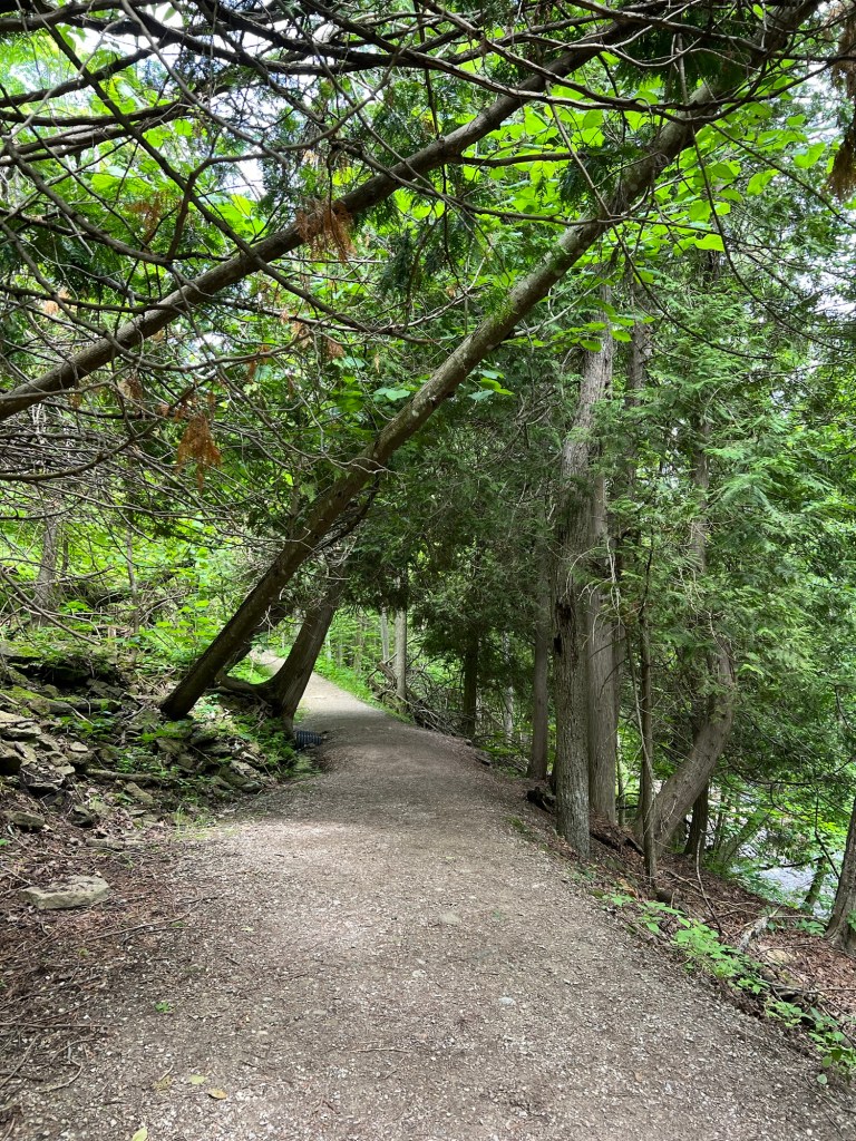
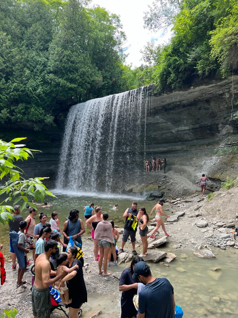
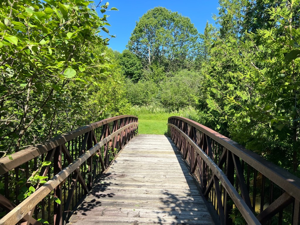
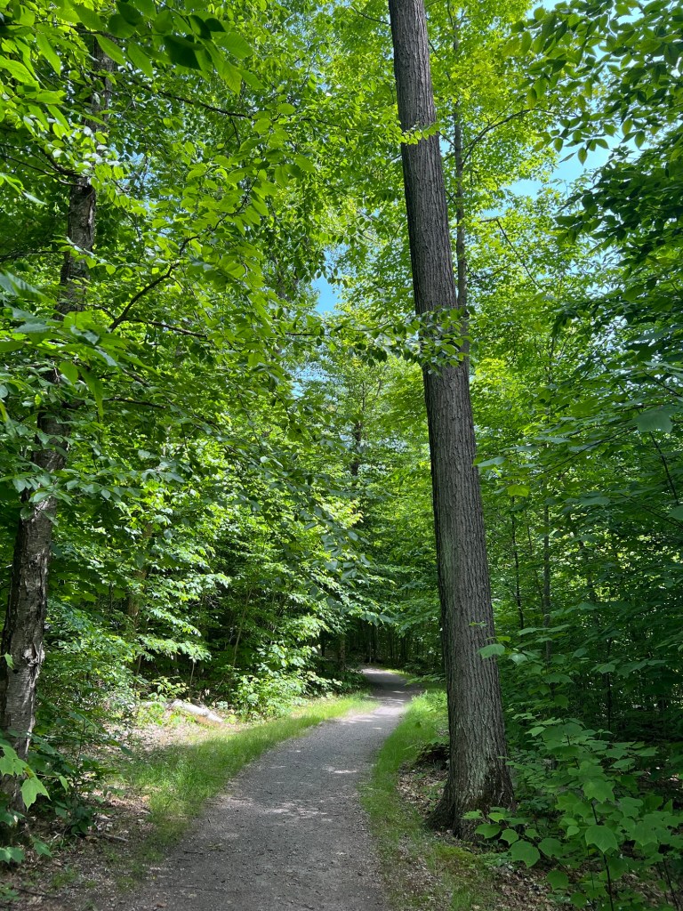
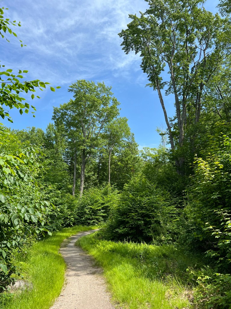
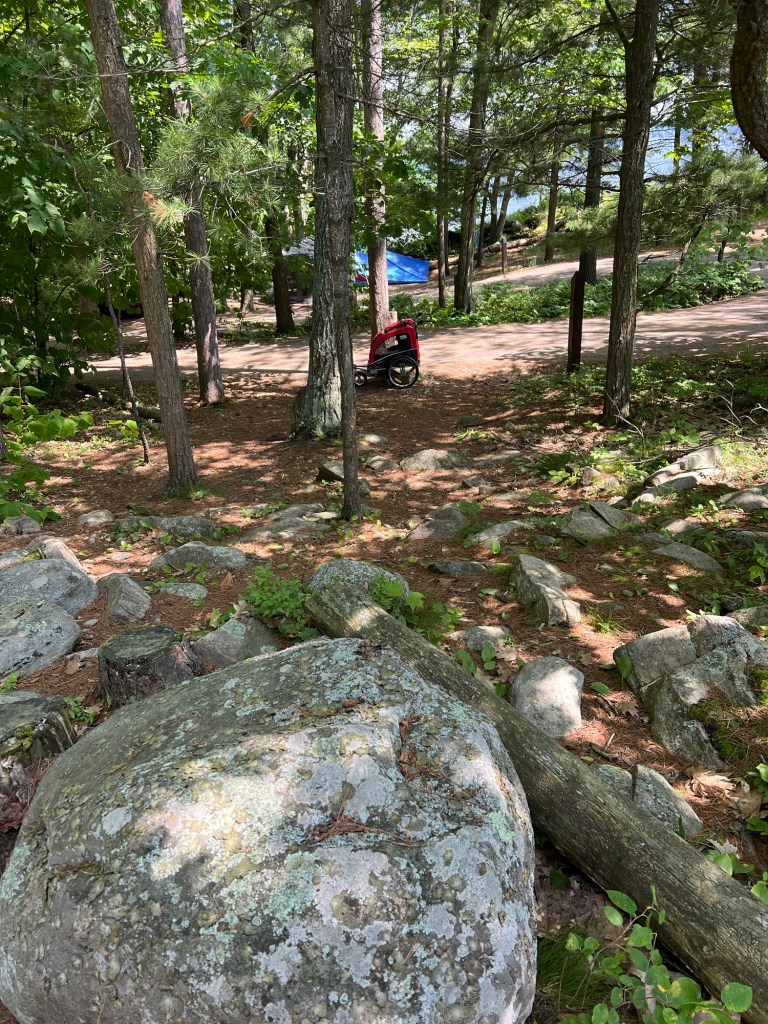
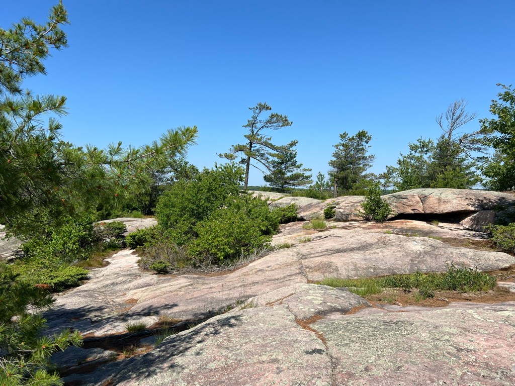
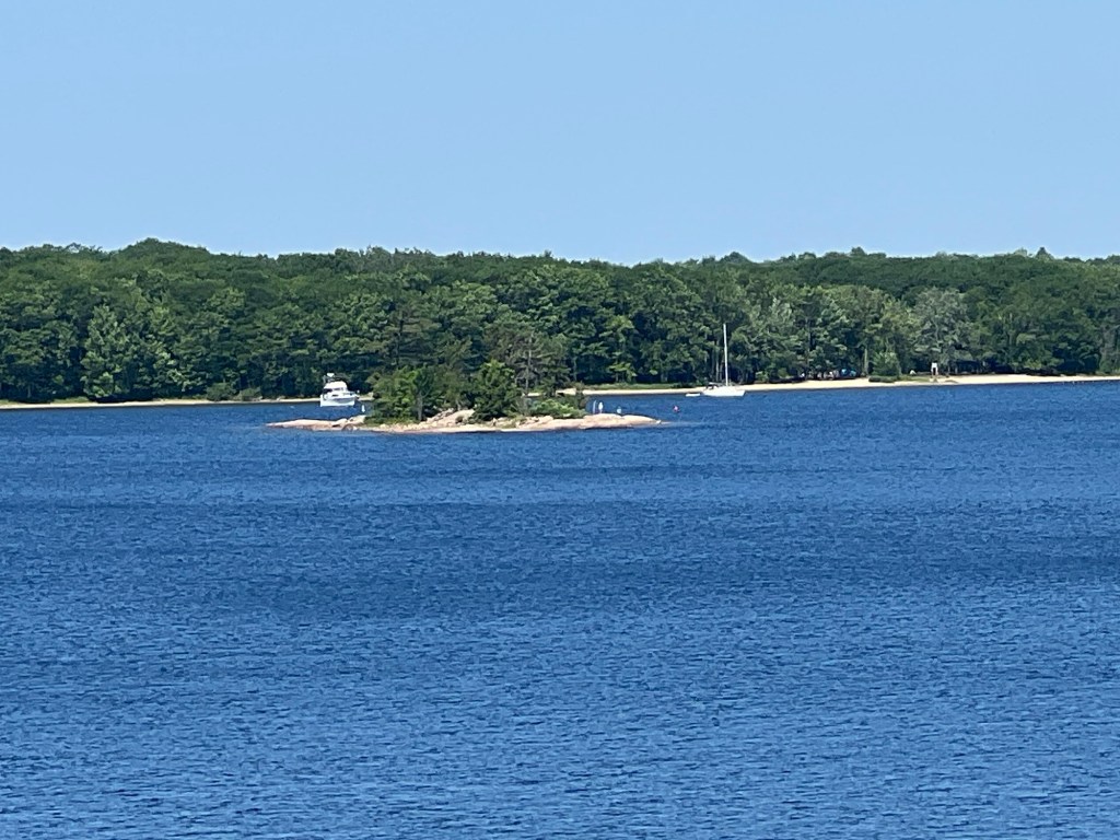
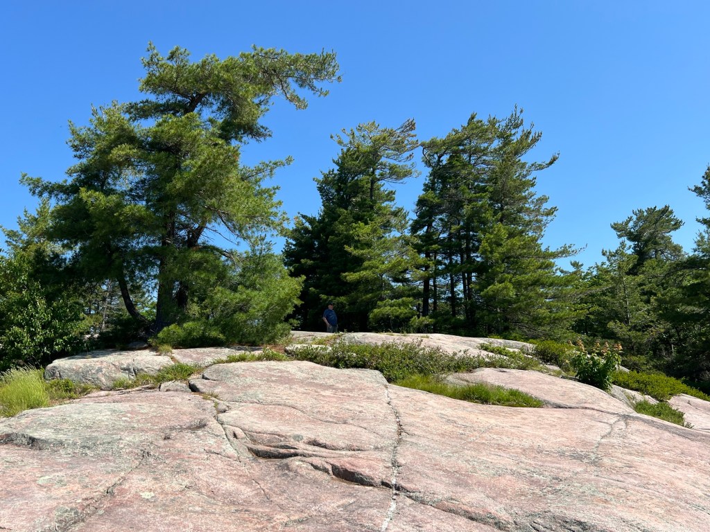
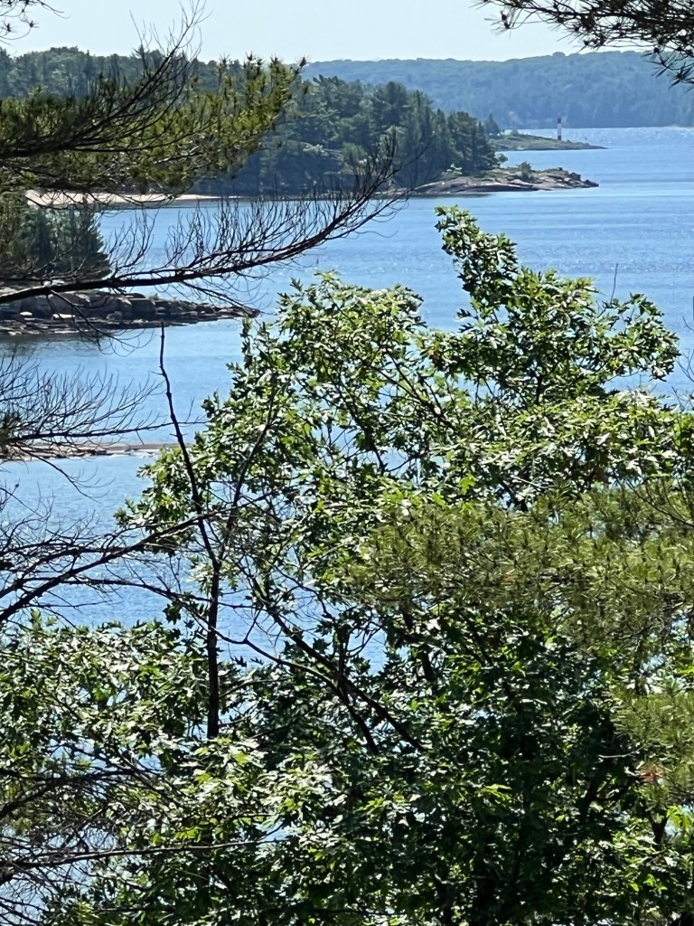
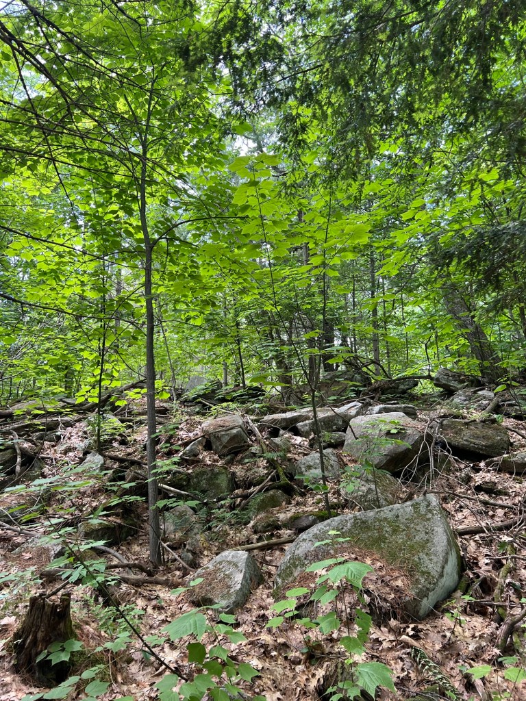
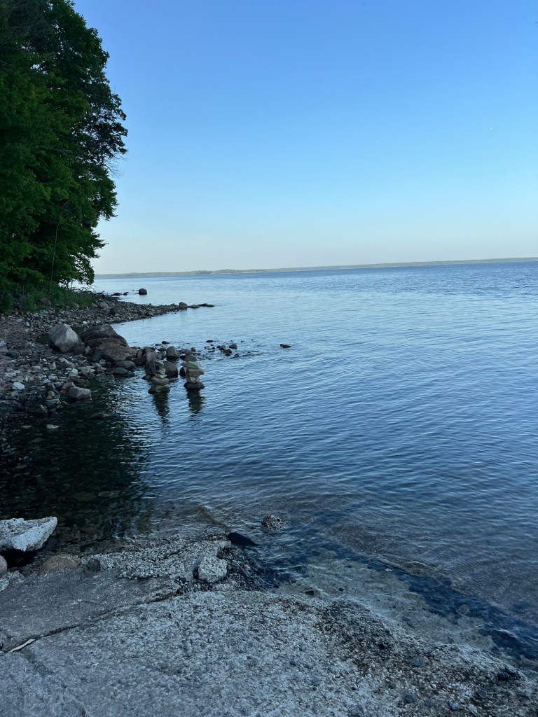
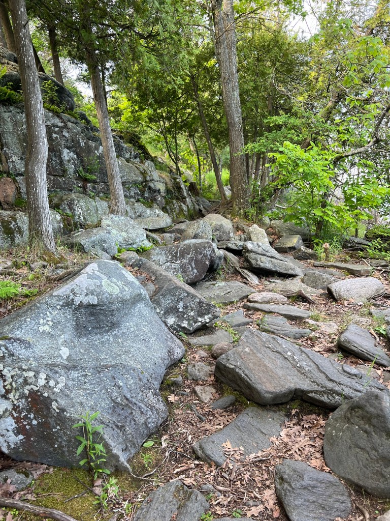
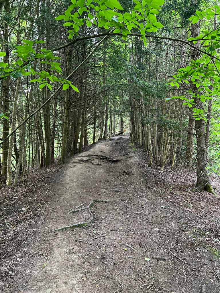
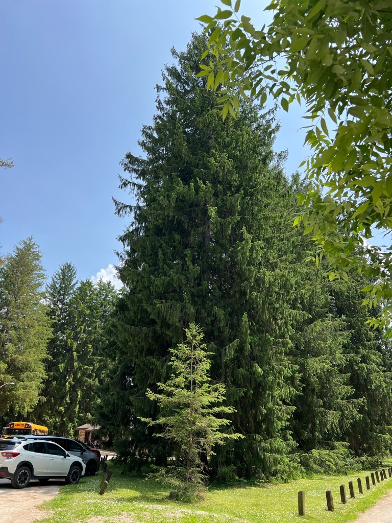
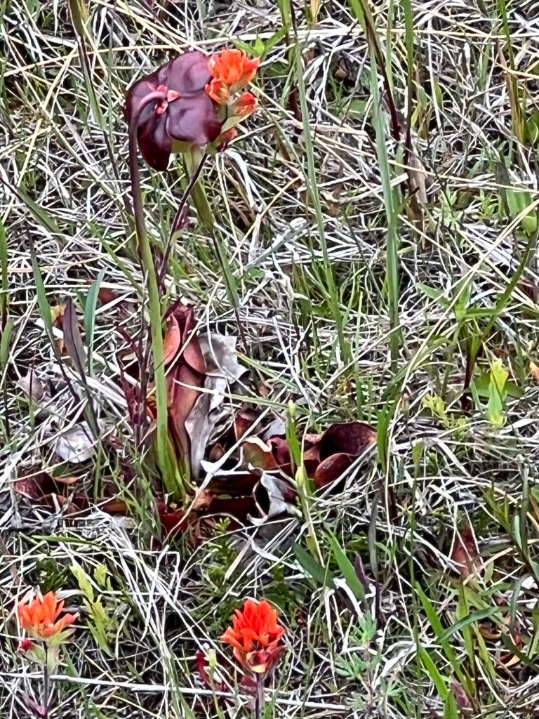
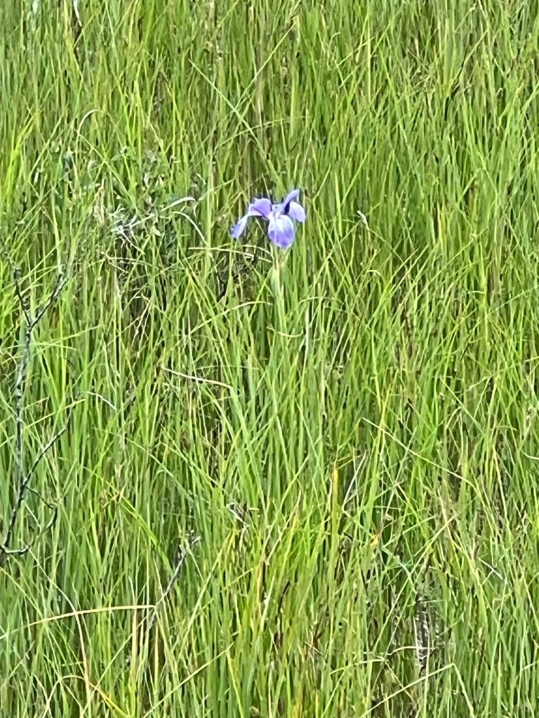
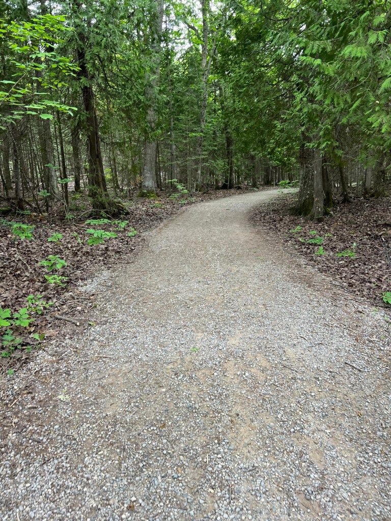
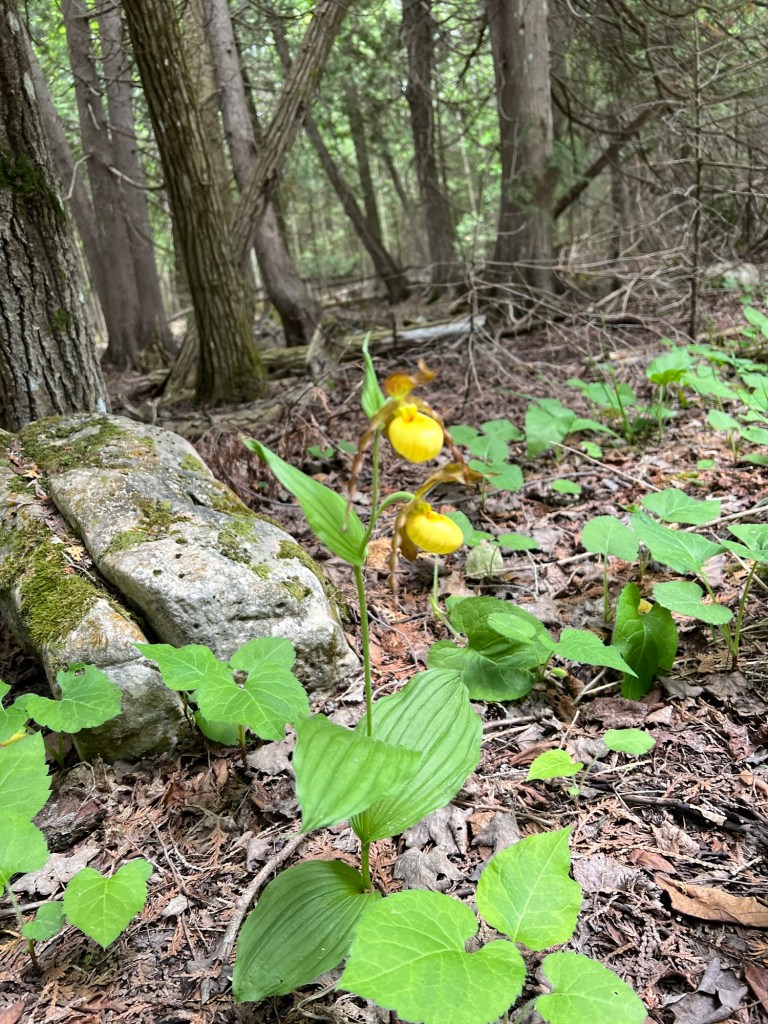
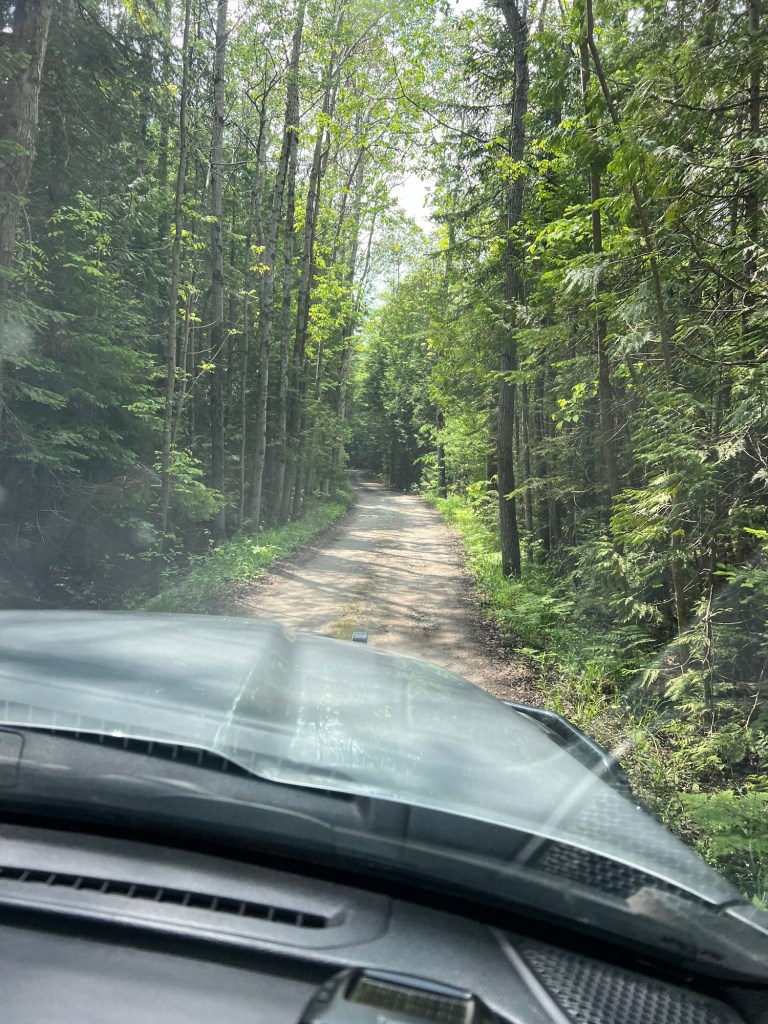
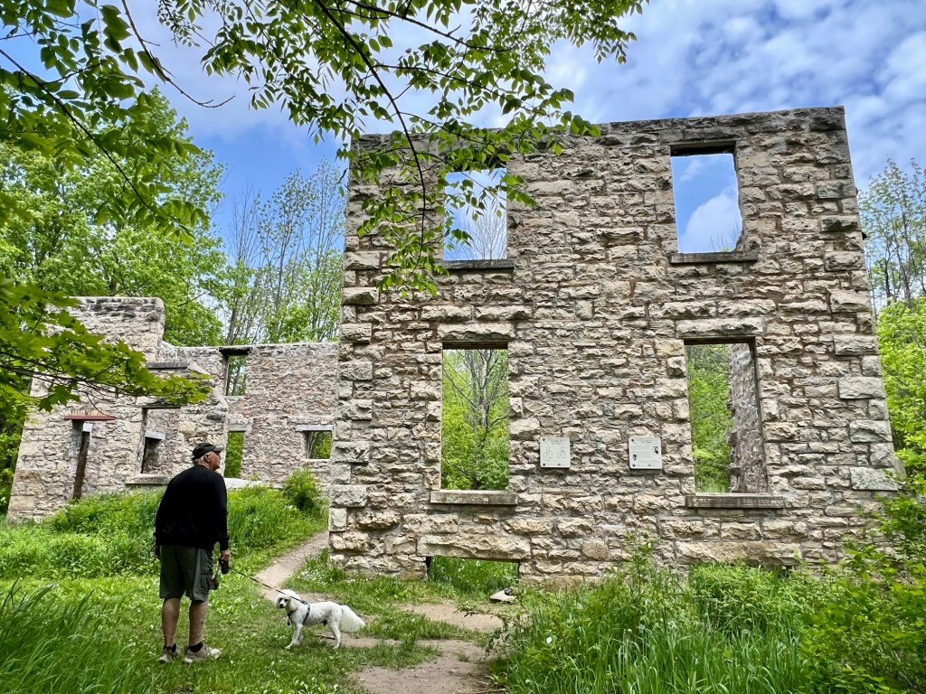
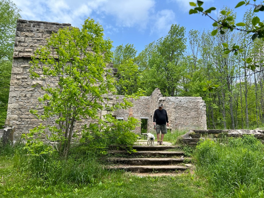
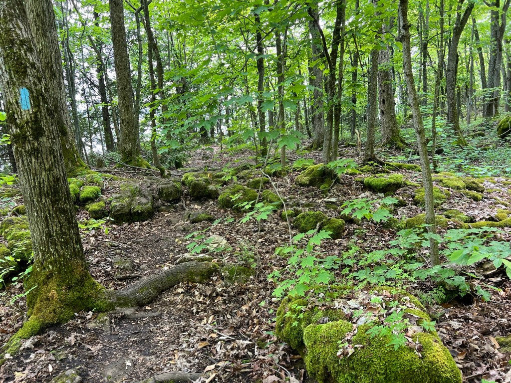
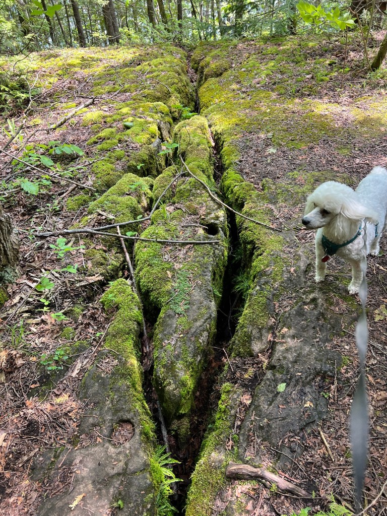
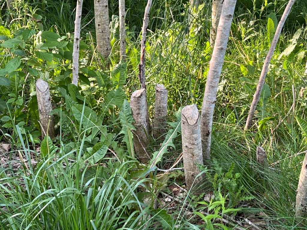
And when Matey and I took the trail that went from one end of the campground to the other end of the cabins we ended up walking over a mile and a half through some pretty, and pretty rough, country.

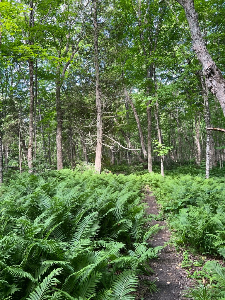
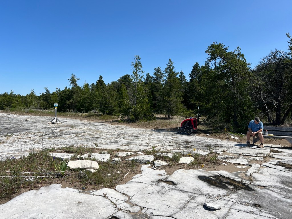
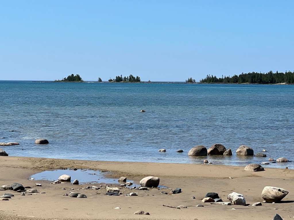
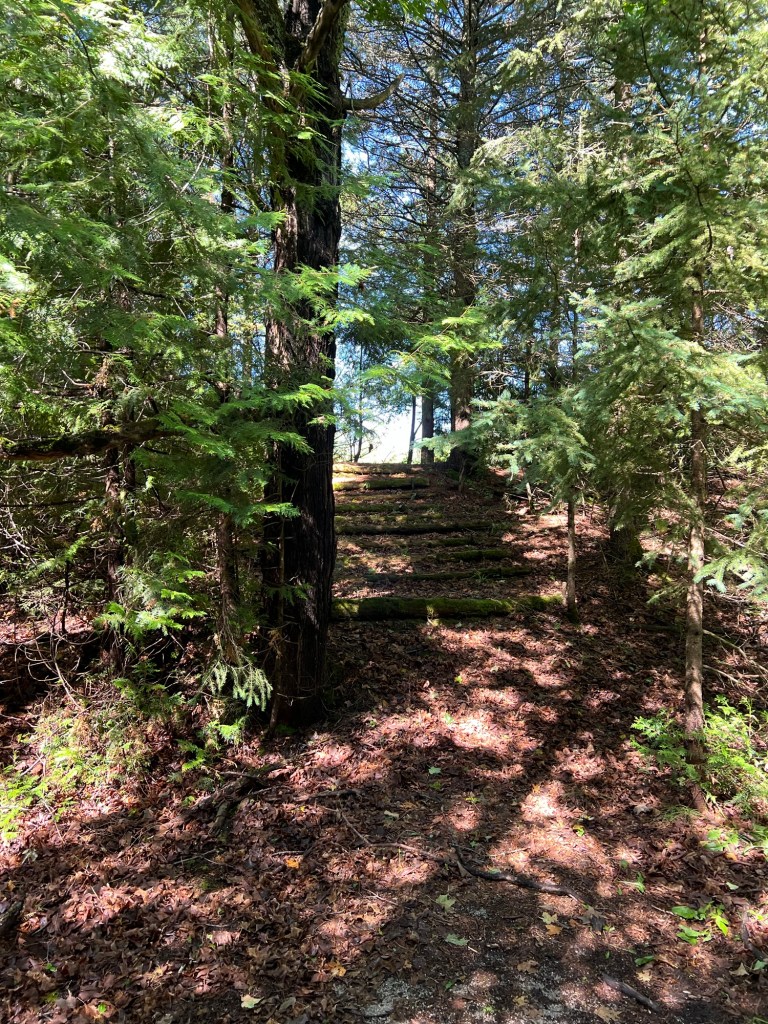
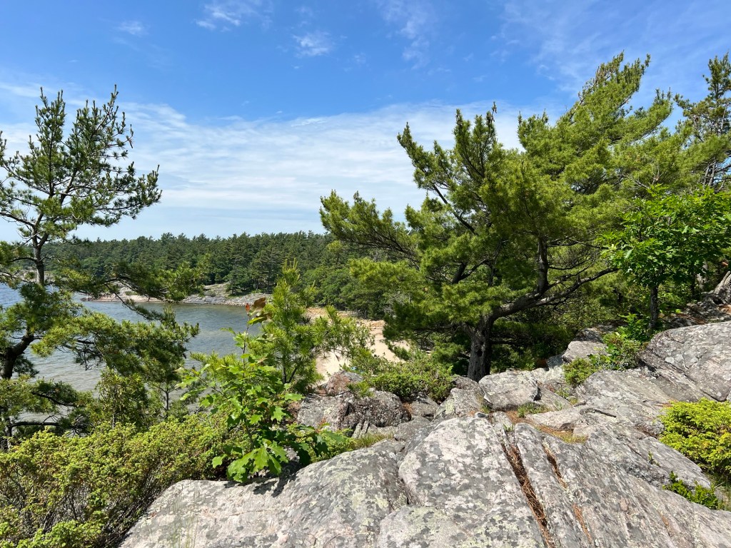
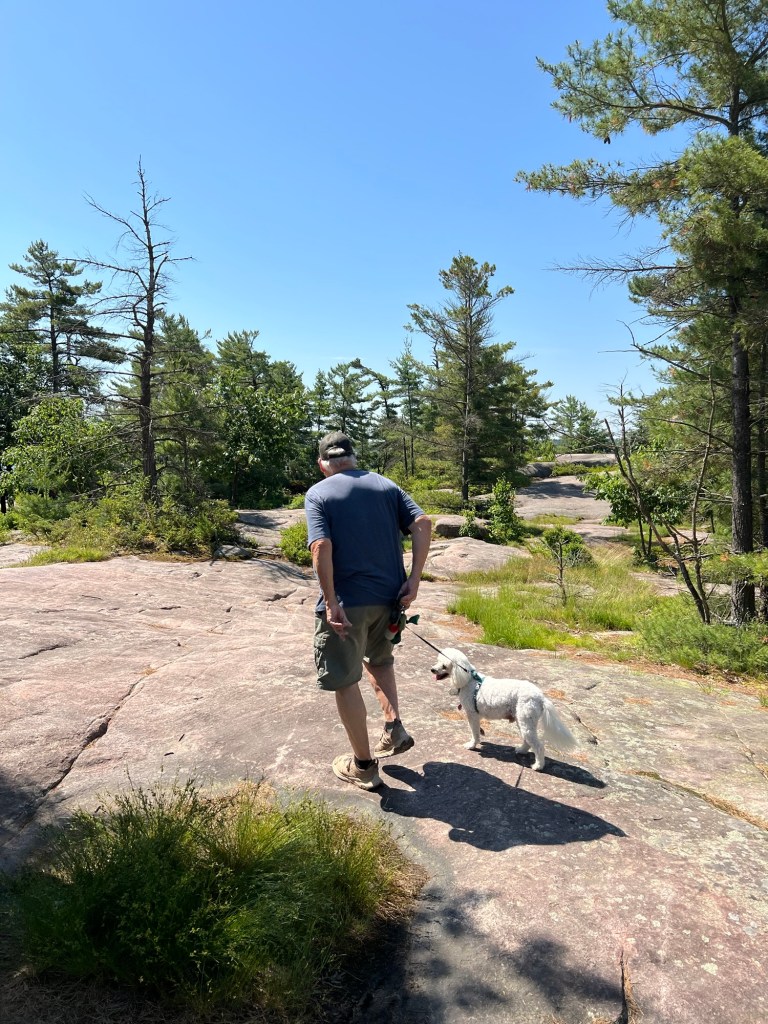
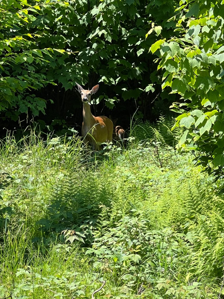
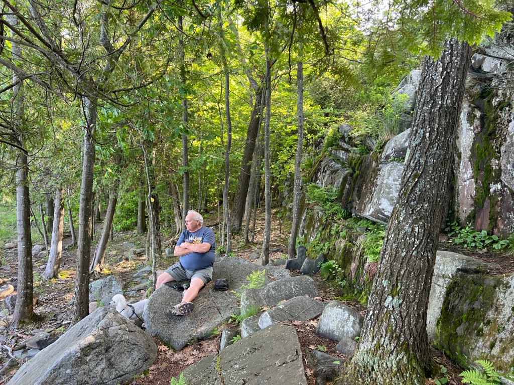
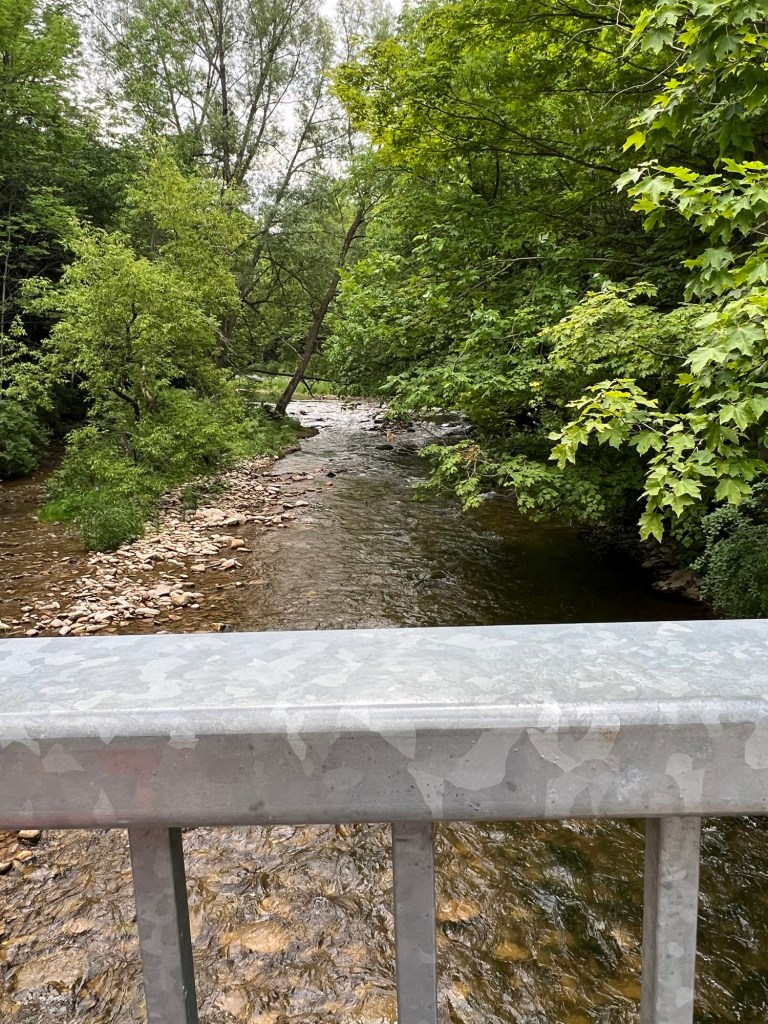
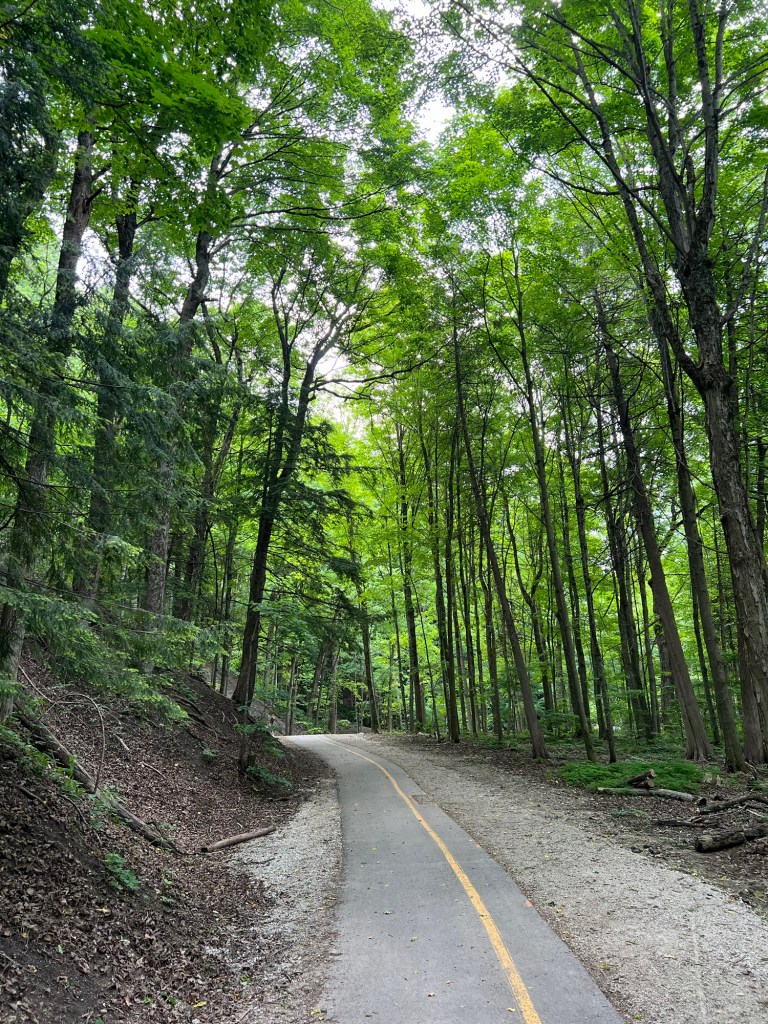
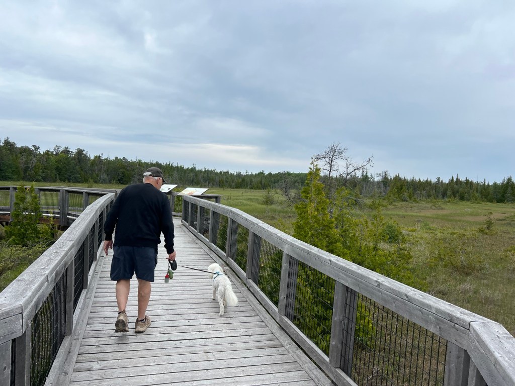
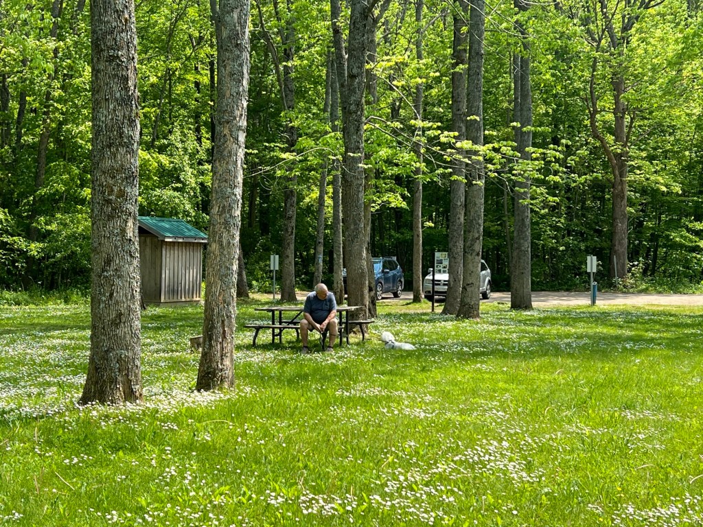
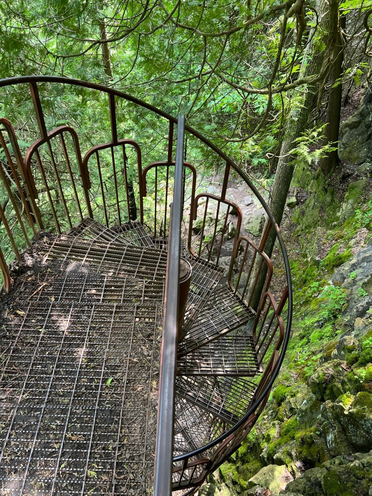
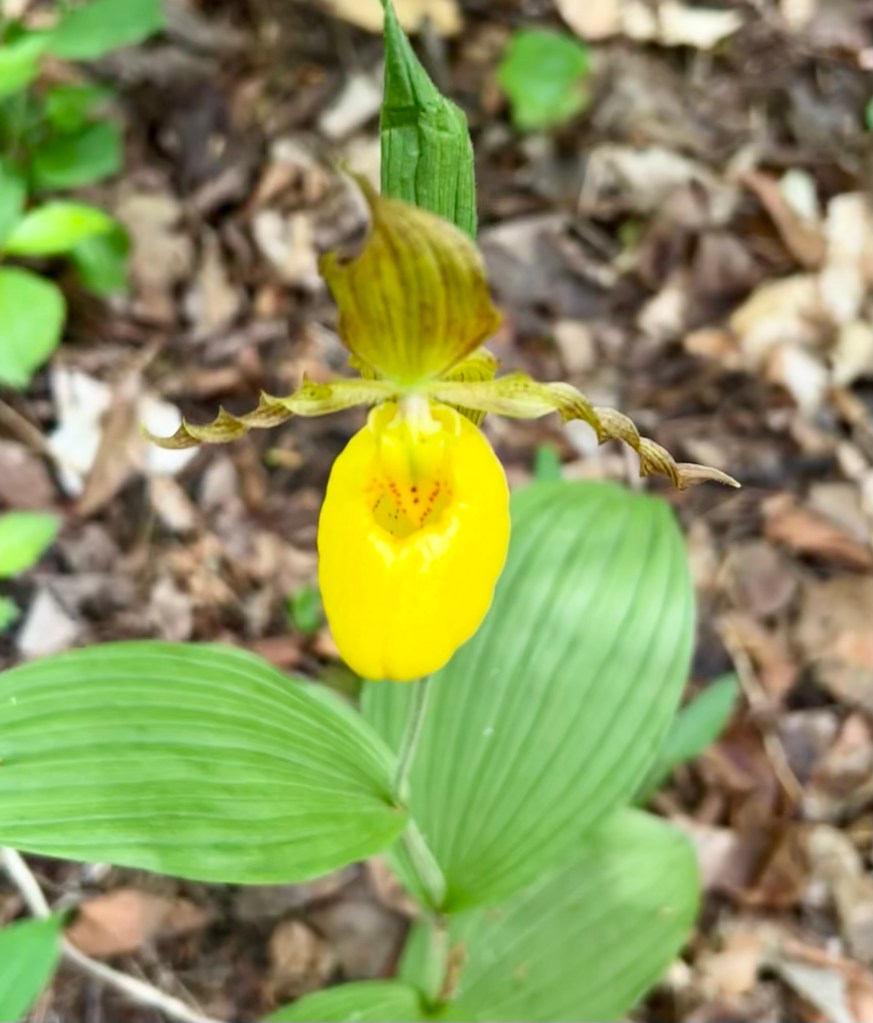
This morning Bud, Matey and I went for a walk in nearby Wishart Park. I was following All Trails along some very well worn paths. There were a number of choices of paths. We met a fellow walker who said the paths all wound around but you really couldn’t get lost. “Just watch out for the bears.” There are three that live in this area. Not urban at all.

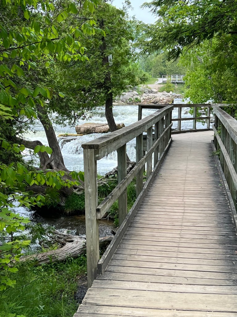
We didn’t see any bears.

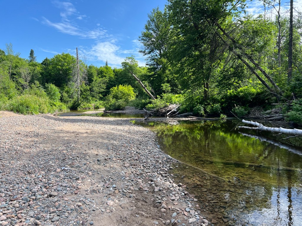
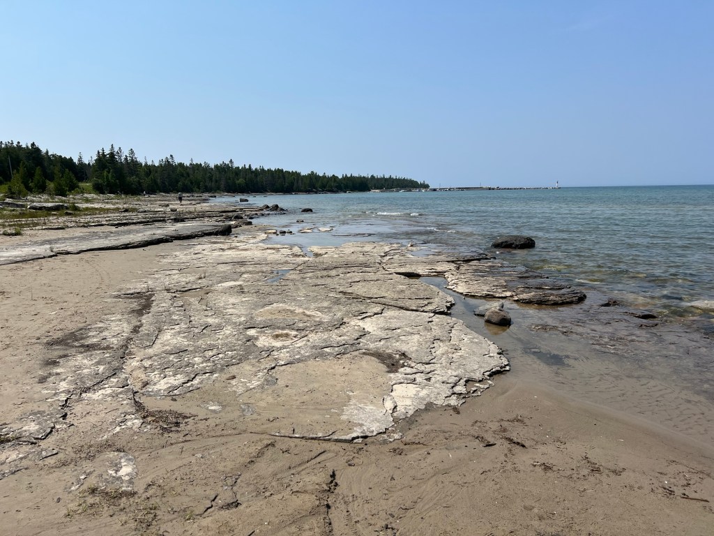
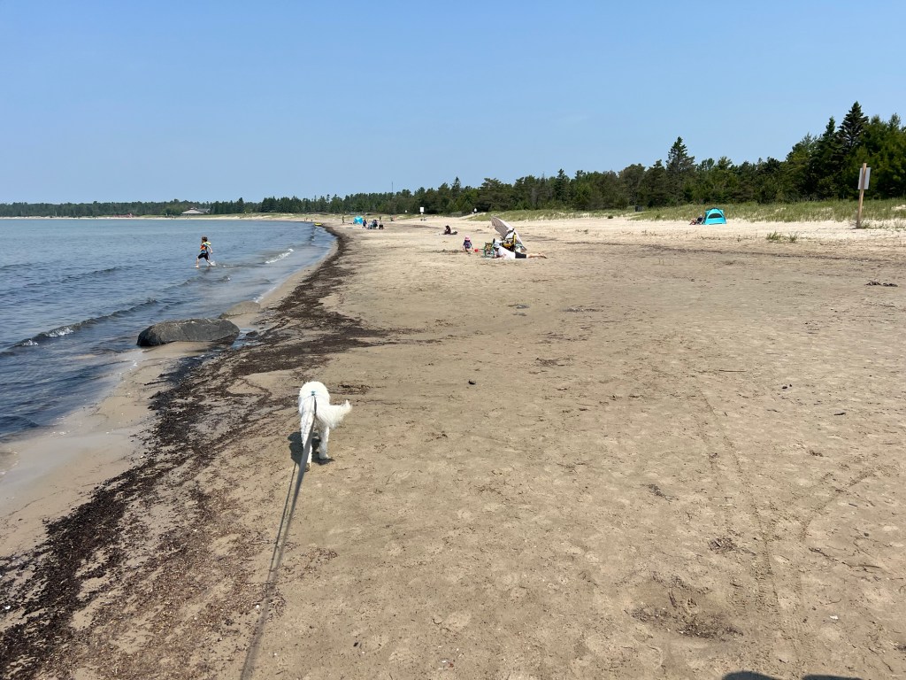
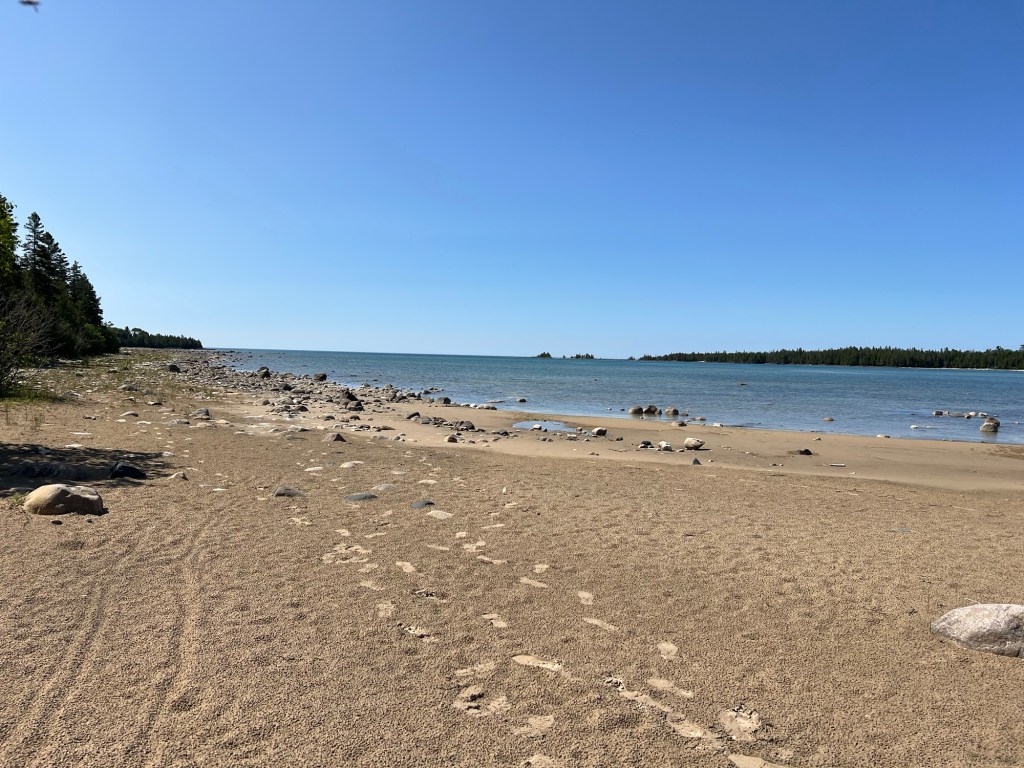
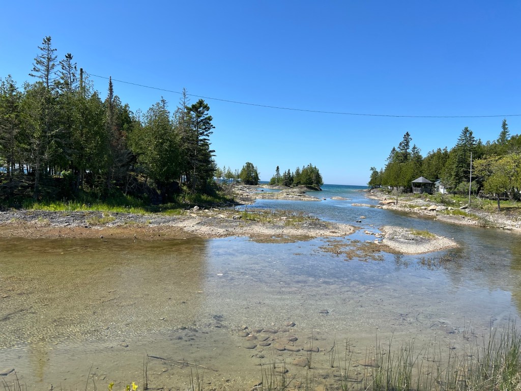
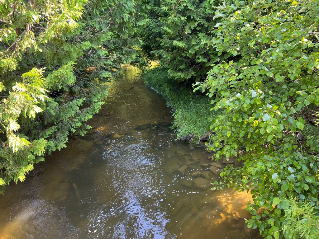
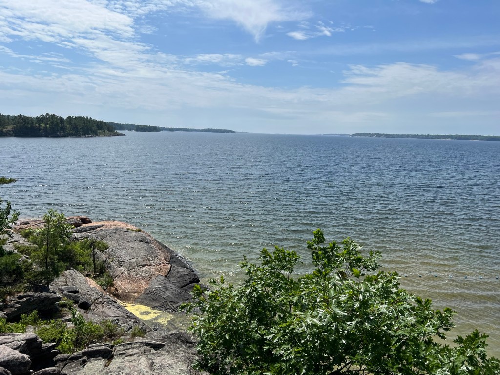
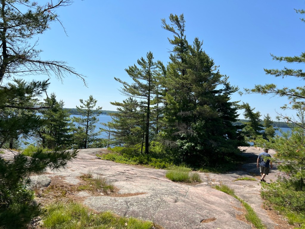
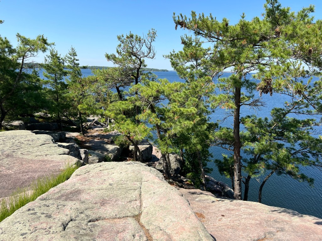
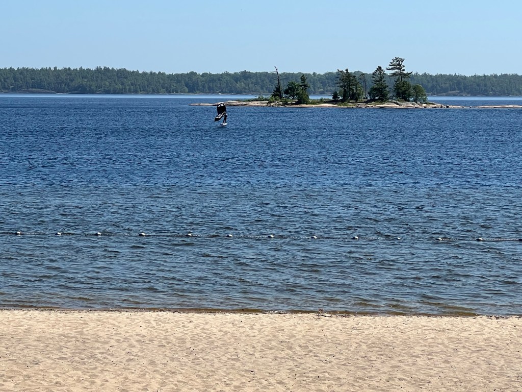
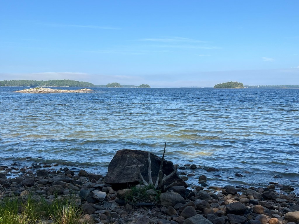
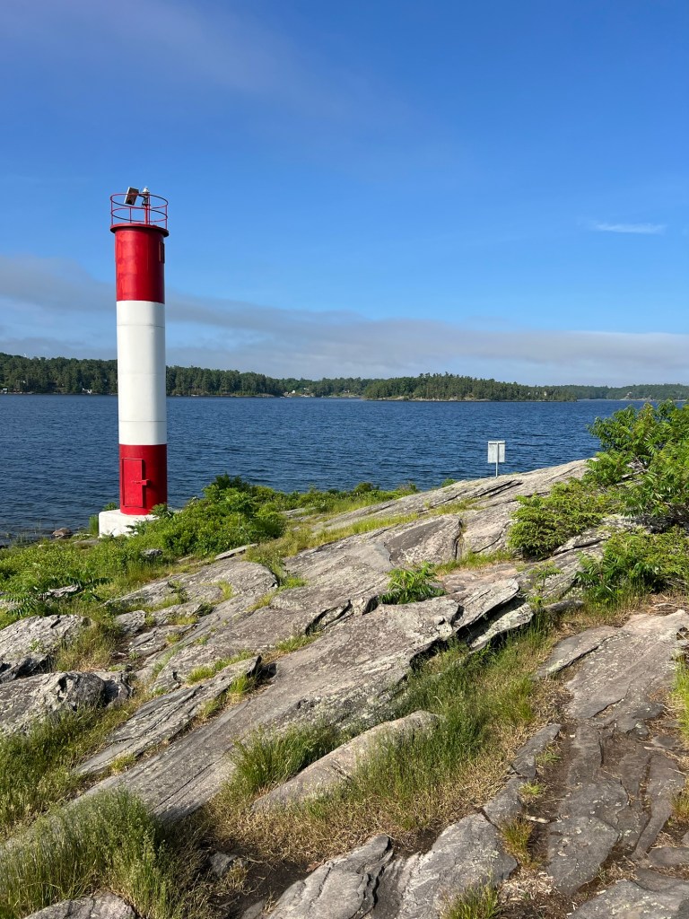
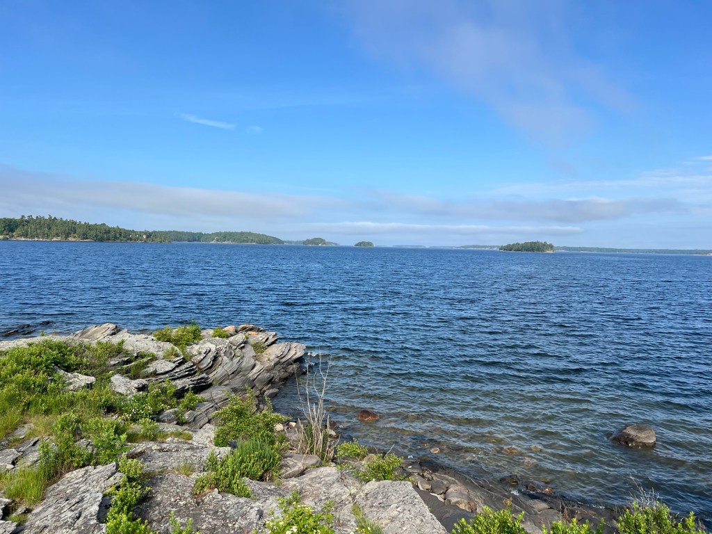
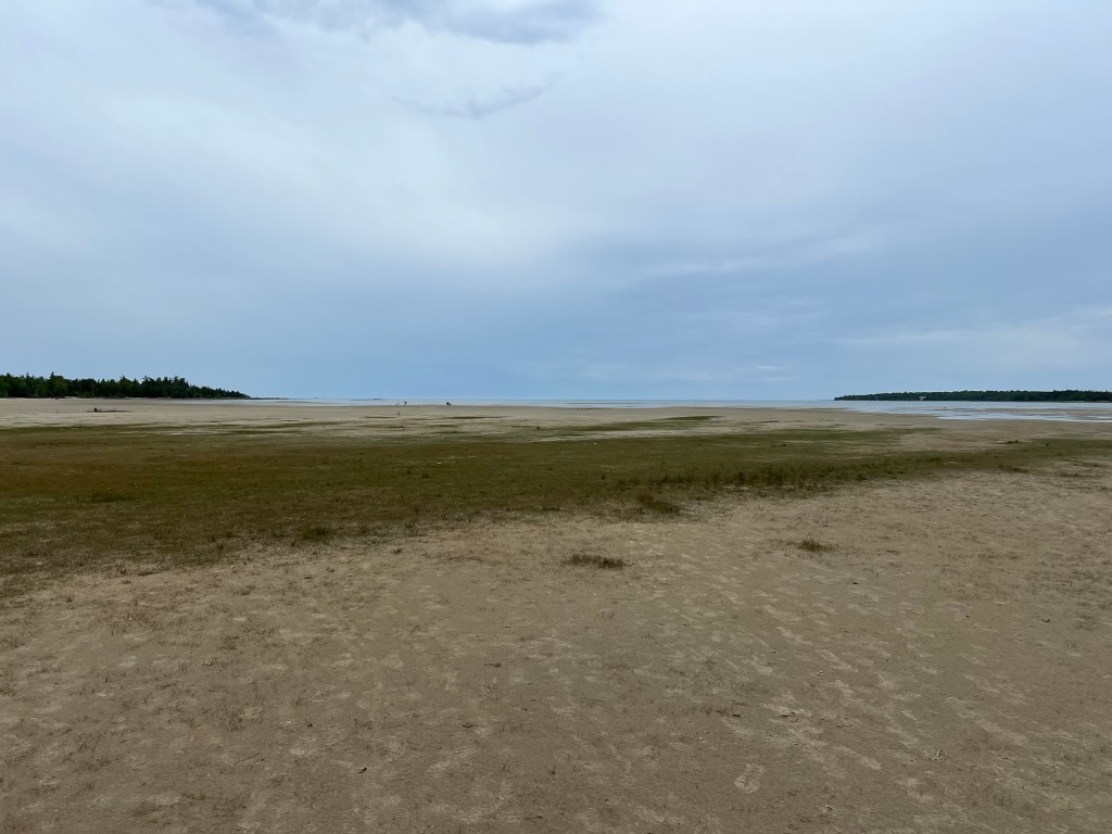
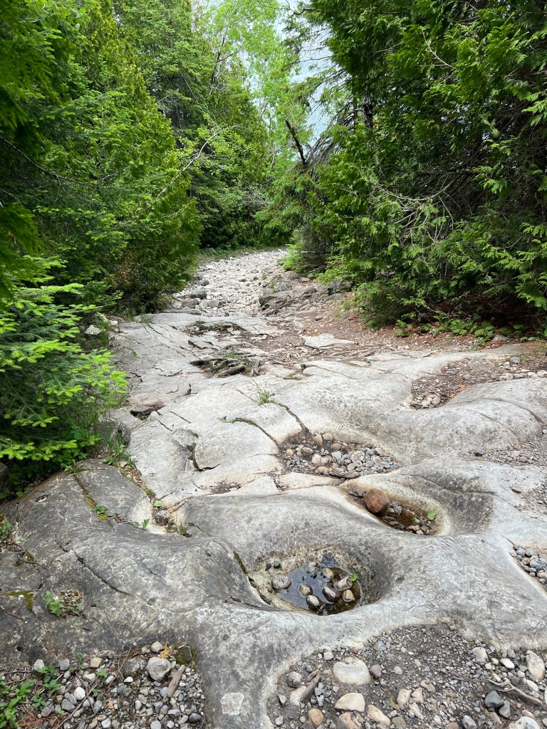
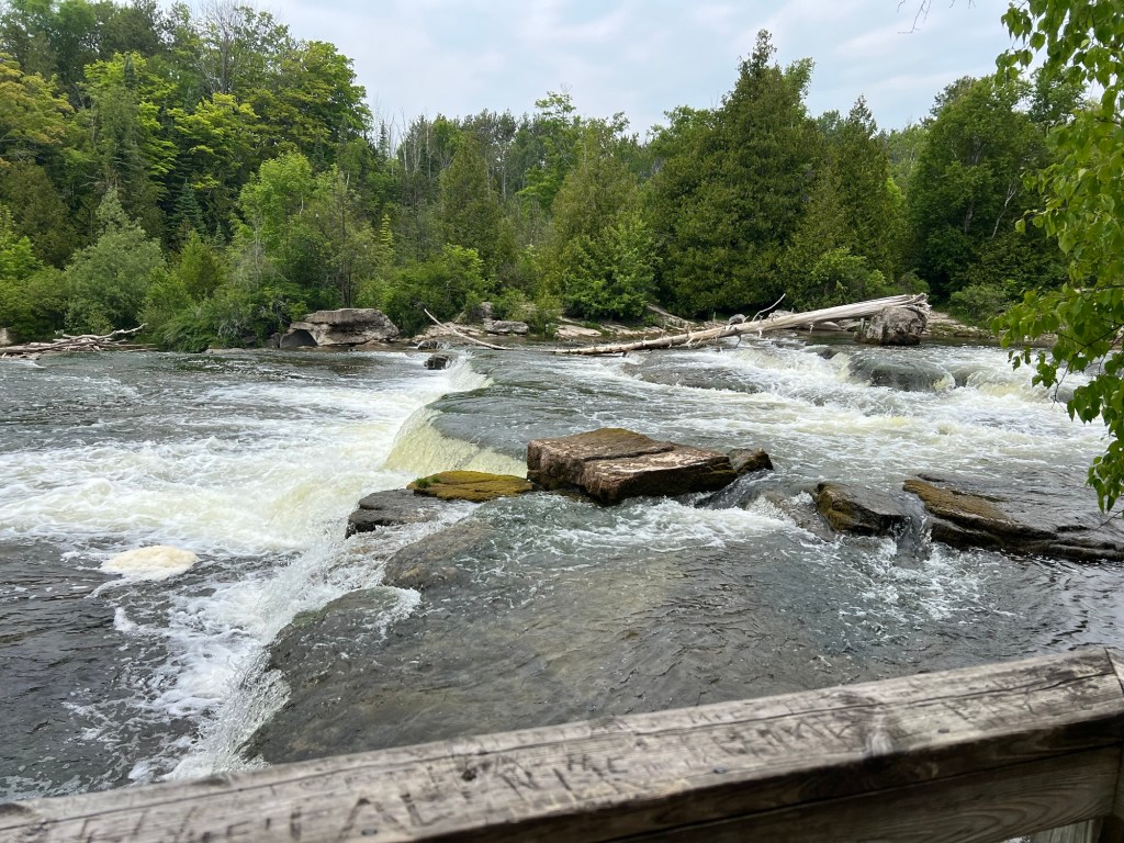
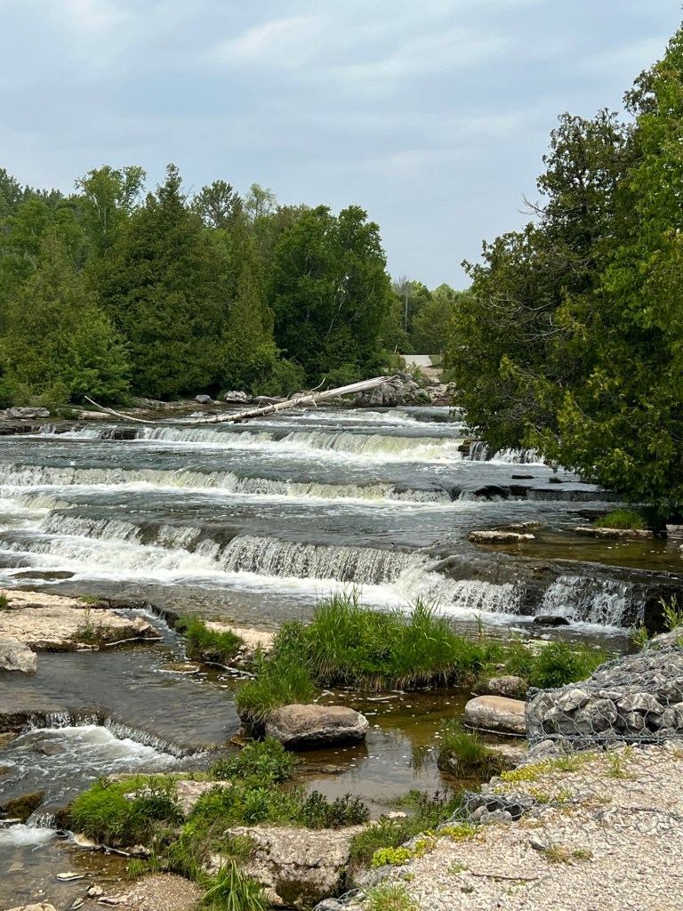
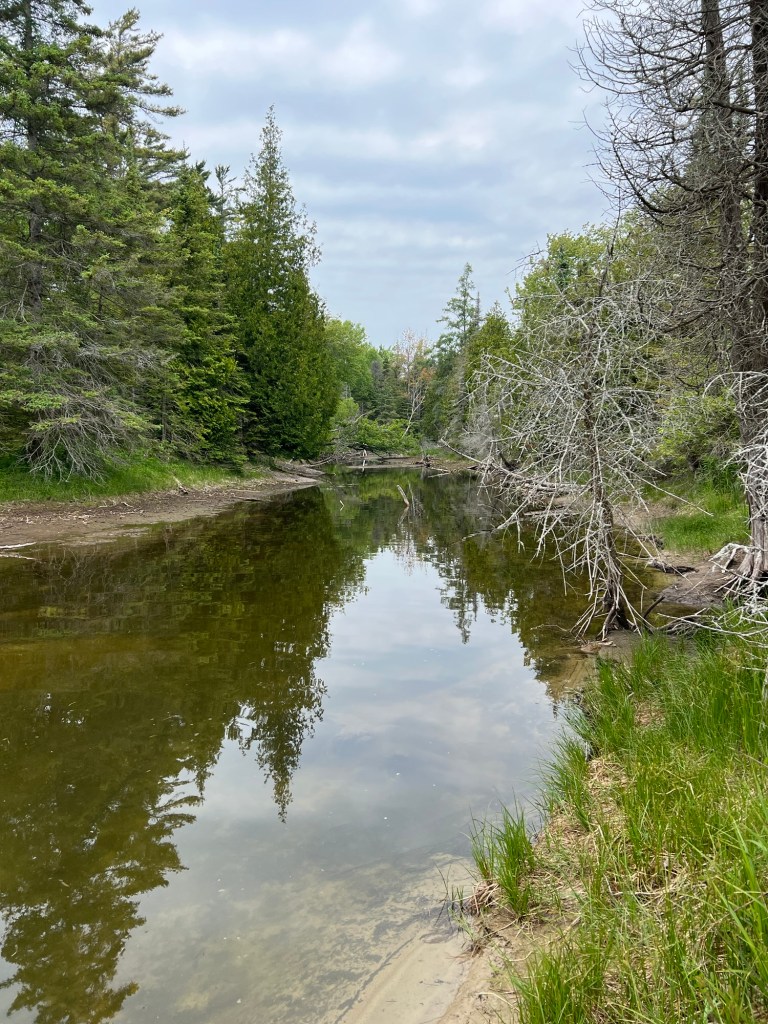
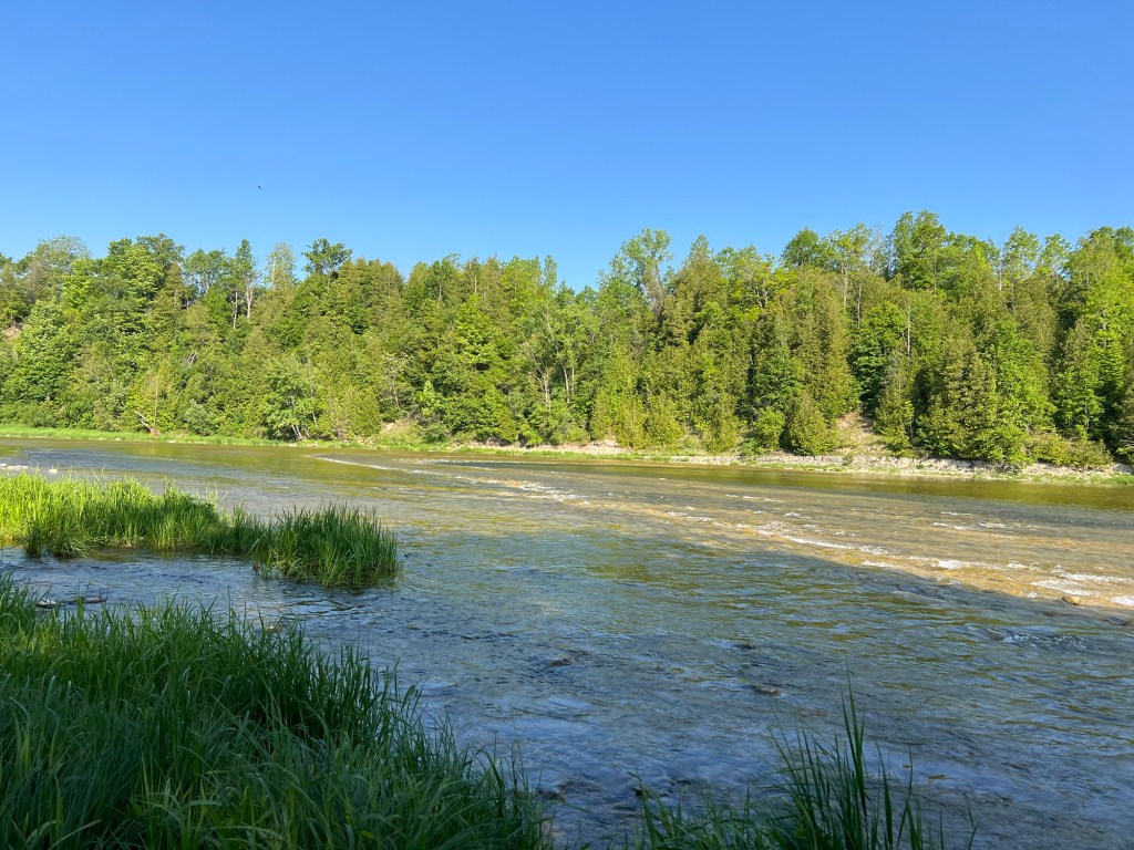
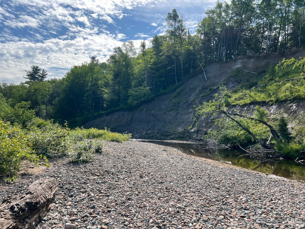
We just got several views of the lovely Root River.

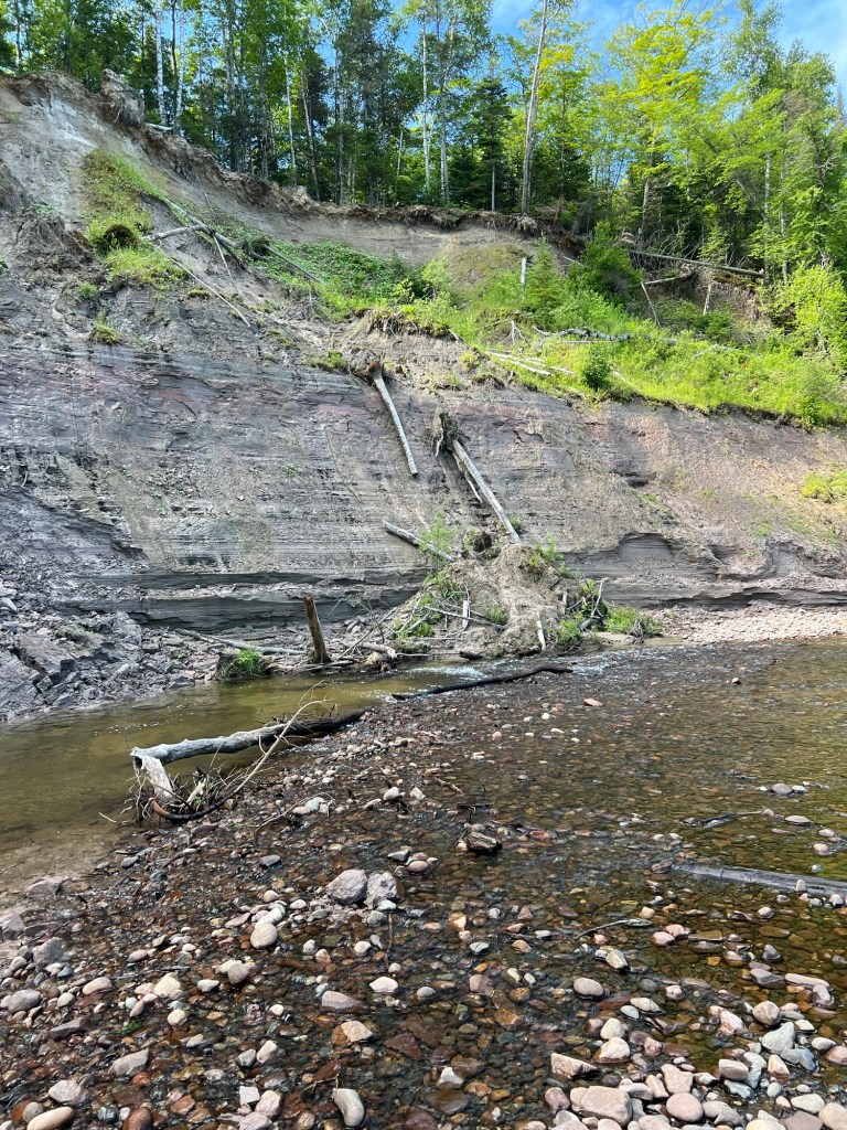
Seeing the downed trees from normal erosion and spring flooding made me think of those poor folks in Central Texas.

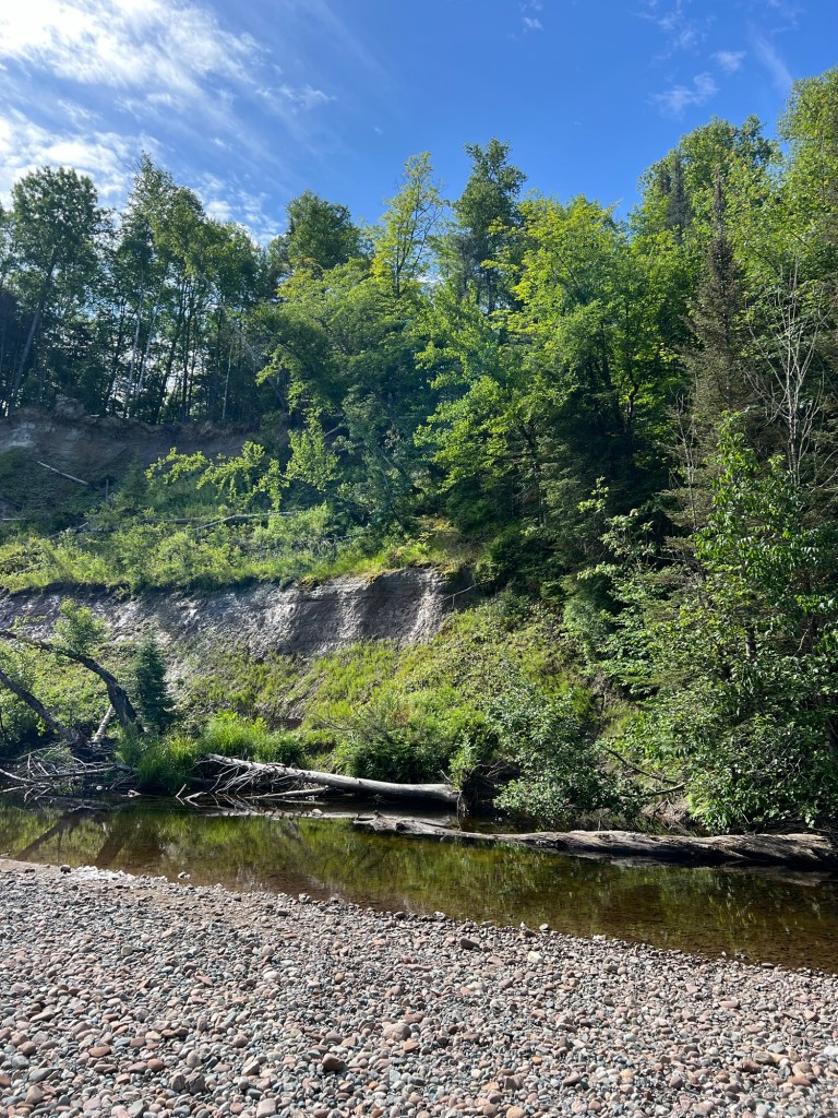
We camped on the Guadeloupe River in Kerrville two different times. The river was as shallow and placid as this one (though bigger), but even this small river is obviously capable of taking down trees.

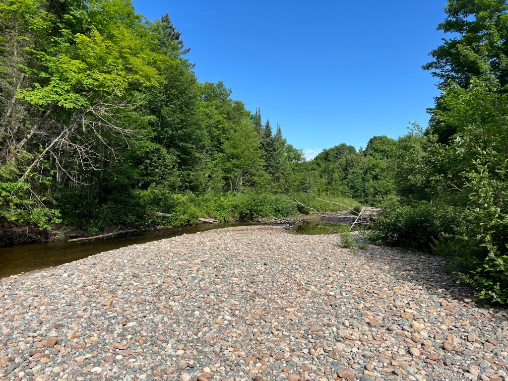
I will enjoy the rivers’ beauty but I hope I always remember their potential power.

Two Walks; Nice and Nicer

Yesterday we decided to venture out to another of the places recommended by our host here at the Manitoulin Resort. This is the boardwalk at the beach at Providence Bay.

There is not much to Providence Bay besides the beach; the little village is only about three blocks square.

For such a small place the welcome center was large and very well done.

Matey could only be up on the boardwalk, so we loaded him in the stroller and set off. This beach is on Lake Huron, not the Georgian Bay.

It’s a nice beach and on the day after Canada Day it was not crowded.

I had heard a rare thistle grows on Manitoulin Island so when I saw this I took this photo. It is the Cirsium pitcheri, the Pitcher’s thistle. It only grows on sand dunes on lakes Huron, Michigan and Superior. Most of them are in Michigan. Ontario only has thirty sites where they grow, so I felt lucky to have spied one. The tap root on this plant might go 2 meters deep and it’s been growing for four to twelve years before it flowered, and after these flowers go to seed this plant will die.

The boardwalk was about a quarter mile long and we expected to just turn around at the end, but instead we found we’d come to a dog beach.

So I parked the stroller and let Matey out.

We walked further to an area of flat stones. I tried to get Matey to take a drink from the lake, but the little waves put him off.

Having the dog beach made this a nice little walk.

Today we decided to go a little farther. We crossed this causeway across one of the many bays on Manitoulin and drove to Misery Bay Provincial Park, also a recommended place.

Behind their visitor center were several trails.

These led through areas of Alvar. Alvar is a habitat made of thin soil or no soil over limestone or dolostone.

The first three quarters of a mile was on a wheelchair accessible trail down to the bay. Most of it was a lot rougher than this boardwalk and it would take a good bit of effort to get a person in a wheelchair down it, but it was easy for us with Matey in the stroller.

There was a bit of beach on pretty Misery Bay.

We walked on across more of this interesting landscape.

There were a lot of flowers out. This is a tickseed, not sure which one,

this is tall anemone,

and this is one of my favorites, creeping dogwood.

We came back to the bay at another spot where there was a lot of bare rock.

A lot of bare rock.

Small pockets of soil…

had some sweet surprises.

We took a little break here. Matey was content to stay in the stroller for his drink.

Then we walked back through the woods and Alvar. We took a different trail on the way back and it was definitely not wheelchair accessible like what Bud is on here. Altogether we went just under three miles, but it was a good workout pushing the stroller.

Yesterday’s walk was nice, but this was nicer.

Manitoulin Island

Manitoulin Island is the largest freshwater island in the world and it is formed by the arc of the Niagara Escarpment as it arches over the northern end of Lake Huron. This is exposed rock of the escarpment, but unlike on the Bruce Peninsula, here there is no cliff. The rock is at lake level.

We came down from the north after driving along the east shore of the Georgian Bay. Here we were on route 6 coming south through the rugged rocks of the Canadian Shield.

From the north you come on the island via this swing bridge. The red light was not because the bridge was opening for boats.

We had to wait our turn because this is a one lane steel decked bridge.

Access to the island on the south is by the ferry from Tobermory,

the same ferry we’d seen loading there, now heading back there after just leaving the dock at South Baymouth.

We’re staying at the Manitoulin Resort.

This is an older place where most of the sites are seasonal and permanent.

Most of the trailers are enclosed with roofs…

with covered front porches.

The property is well kept…

with access to Lake Manitoulin.

But it’s a bit dense for our tastes.

Sunday we drove about 30 miles to see Bridal Veil Falls, a place recommended by the woman who checked us in. We walked up a pretty nice trail.

At one point there were springs running down the rocks along the trail for several hundred feet.

But when we got to the falls we were dismayed by the number of people. We couldn’t even walk down to the splash pool without pushing past people on the path. I got close enough on a side path to get a picture and we left. Of course it was Sunday on a holiday weekend.

The trip was redeemed when I started seeing these along the roadsides. Bud stopped so I could take a picture. These are wood lilies. They are native to much of southern Canada and some of the higher regions of the northeast U.S. and they are every bit as vibrant as they look in this photo.

Today is Canada Day, so we chose not to go to one of the “must see sights”. I found a nice trail through the woods and then a “Fish Culture Station”. Both nearby and both deserted.

Blue Jay Creek, where they release the fish, is a lovely, deep, little creek.

This bridge provided access to a short trail to show the work done to rehabilitate the creek.

There was a little visitor center with information about the project.

Today is when we drove down to South Baymouth where the ferry lands. We walked around the park at the west side of the harbor.

It was very pretty, and not crowded. So, happy Canada Day. Later in the week we’ll check out some of the other recommended places.

I Don’t Get Tired of This

Yesterday afternoon was not hot, only around 70 degrees, so I decided to take Matey for a walk in his stroller. I like that this park has a well packed cinder multi-use trail that parallels the park road the length of the peninsula.

It’s mostly woods with a few pretty meadows and is a nice walk in itself.

We walked up to the next campground, Granite Saddle. There were some picturesque sites there.

At the end of the loop was a nice beach, but Matey wasn’t allowed there.

There was also a rocky outcrop, so I parked the stroller and Matey and I went up to the top.

It wasn’t far and gave a good view of the beach…

and the bay.

I saw on the park map a place called Harold Point Rocks. This morning we drove up to a nearby parking lot with the stroller in the truck. We brought the stroller along as we walked through another pretty campground to the path to the rocks. There we left the stroller behind. The rocks were large and flat and if we picked our path, Matey could walk on them.

This was a big area of rock.

It also made an outcropping into the bay.

There were beautiful views all around.

You could look down on another pretty little beach.

I think this island, with its boats, was outside the park boundary.

I love the windswept trees.

From one place you could look down to the end of the peninsula and see the lighthouse on the point.

When we got off the rocks we put Matey in the stroller. Bud took the truck back and Matey and I walked the two and a half miles. Trees, trees, trees; rocks, rocks, rocks. But I never get tired of it. Walking in the woods soothes my spirit.

If you pay attention to the small things you can see unusual things, like this Lycopodium, a nonflowering vascular plant. Called club moss or deer moss, these aren’t mosses at all and are classified in a different division.

And on foot you see the things others pass right by. This lovely doe stood and posed as I talked quietly to her. I think she had two fawns, but the other one is behind her.

Killbear Provincial Park; Now We Like It

Yesterday we drove around the south end of the Georgian Bay to Killbear Provincial Park. We (blue dot) are now pretty much directly across the bay from where we were at Wiarton (red pin).

We knew they had a boil water alert at the park and we stopped and bought drinking water on our way. It was a long drive in the hot sun. Our site is close to the end of the peninsula the park is on and it was a fifteen minute drive from the gate to our site.

What we didn’t know was that the water tap close to our site did not have a threaded nozzle, so we couldn’t fill our tank for showers, etc. A fellow camper told us the trailer tank water fill station was all the way back the entrance road, almost to the gate.

So Bud had to drive back out of the very narrow campground roads and then 15 minutes back to the fill station, which had no signage and we would have missed if we hadn’t been told it was there.

But while Bud was filling the tank I took Matey to stretch his legs and in a few minutes we came to the shore and this view. Okay, this place has potential.

And this is our very nice site which has a shaded area for my screen tent. It also has 50 amp service, though the website said it was just 30 amps. That was great because the interior of the trailer was 91 degrees after being pulled for five hours in the eighty plus degree heat. Bud cranked on both the air conditioners and by supper time had it down to near 70.

Matey and I walked down to the little boat launch after supper.

It was pretty, but not as nice as the shoreline we’d walked to earlier.

Then this morning the three of us walked down to the end of the peninsula, Lighthouse Point. Ahh, that’s better.

Matey is doing pretty well, but when the trail turned this stony we didn’t think he could handle it.

Bud agreed to sit and wait with him while I explored the end of the loop.

It got very stony,

and very pretty.

I found the lighthouse and found the trail back the other side was much easier, so next time we can all get to the end.

So we are pretty happy with this place now.

Getting Old is Tough

Matey got worse before he got better, so despite beautiful weather we didn’t go anywhere over the weekend and I had to content myself with pushing Matey in his stroller around the hilly streets of Wiarton.

By Tuesday he seemed well on the mend, so we decided to try a trip to nearby Owen Sound and a walk in Harrison Park. Here we are approaching the sound.

I had hoped to take the side trail out of the park to Inglis Falls, but it turned steep and rooty. Besides the difficulty of pushing the stroller, I was afraid the rough ride would make Matey more dizzy.

We opted to cross the little bridge…

and take the paved trail instead.

It was a pretty walk and we came back by a pond with some swans.

It was a nice park…

with some impressively tall trees.

Matey was still getting better each day, so Wednesday we decided to try the longer trip to Tobermory and Bruce Penisula National Park. Our first stop was Singing Sands Beach on the Lake Huron side of the Penisula.

We let Matey walk on the short trail out through the fen.

There were pitcher plants!

And this rare iris.

We looped back along the wide beach. The whole walk was only about a half mile.

We then drove further north to Tobermory, where we had lunch.

We checked out the harbor,

the ferry to Manitoulin Island,

and found the northern end of the Bruce Trail.

At 2PM we came back south to the Georgian Bay side for a walk at Halfway Log Dump. This is such a popular spot that we had to have a reservation to park there. Most of the half mile (one way) trail was wide and smooth and easy going with the stroller (we decided that Matey should ride).

Along the way we saw several clumps of this parasitic plant, American cancer-root, which only grows on the roots of certain oak species. Up this far north these will flower in July. This is another new plant for me, and I love to see the odd parasitic flowering plant.

We saw more lady slipper orchids, including some with two flowers on a stem. I always thought they were single.

I almost stepped on this dragonfly. I don’t know why it just sat on the trail and let me take its picture. It was alive, but maybe injured. I let it be and hoped for the best.

When the trail reached the shore it became steep and rough. We parked the stroller and Matey walked for a bit,

but he couldn’t manage the cobblestone beach. I carried him here.

It was a beautiful place even with the grey skies.

The water is famously clear.

I would have liked to explore further. I was willing to carry Matey over to the shale area, but he had been wobbly trying to negotiate the uneven trail coming down so we decided to head back. I carried him up to the stroller.

On the way out we stopped at pretty Emmett Lake, just so I could get a picture. Matey was worse again when we got home and through the night. We are afraid the 100 mile round trip in the truck exacerbated his inner ear problem setting back his recovery. So now we think we need to forego any more sightseeing trips. We are scheduled to leave here Monday, we hope he’s ready for travel by then. Bud said his hip was hurting him at the end of the day. So I have no one well enough to walk with me.

There are so many gorgeous trails here, it’s disappointing not to hike more.

A Day Off after Some Exploring

We spent Tuesday and Wednesday exploring the countryside within about 30 miles of this little town of Wiarton. This is all of downtown Wiarton as seen on our return on one of our outings. Small, but it has everything you need. There’s even a hospital in town. Hopefully we won’t need that.

Tuesday we drove back a half mile into the Spirit Rock Conservation Area on this one lane road. We were surprised to find a parking lot and about 6 cars at the end.

A group of people were having a picnic in this meadow when we got there. We let them enjoy the sunshine and flowers.

We took the path back to The Corran, the ruins of a mansion built in 1898.

After walking around the little that was left of this once great house…

we walked down the Bruce Trail towards the bay and the edge of the Niagara Escarpment.

The trail goes down a spiral staircase here!

We chose to take the side trail on the top of the cliff.

Unfortunately, most of the overlooks were fairly overgrown.

This is the best look we got of Colpoy’s Bay.

The fascinating rocks…

and beautiful lady slippers orchids more than made up for it.

Wednesday we visited two Provincial Parks. The first was Sauble Falls, where some short trails…

gave views..

of this pretty little falls.

It was a historic site, but the only structure left was this bridge built in 1930.

We drove up the west side of the peninsula to Black Creek Provincial Park. It was pretty much this beach.

At the other end of the beach was the creek, but no trail back to the beaver swamp. I really wanted to see a beaver.

Our last stop was Lion’s Head. We were looking for the lighthouse. We found it, but they charge to park everywhere in the little town, so we literally just stopped and I got out to take a few photos. Of the bay…

and the Lion’s Head.

When we got back Matey suddenly couldn’t stand right. We took him to a nearby vet. She thought he had an inner ear disorder of unknown cause. Really, it’s an official thing in dogs and has an official name. It may go away on its own or it may not. Today Matey spent most of the day in the stroller, we walked and he watched and that wore him out and he slept. It was so sudden; it’s scary.

I Like this Place

Bluewater Park Campgound is our base camp for two weeks to explore the Bruce Peninsula in Ontario.

It’s located in Wiarton,

a small town in the South Bruce Peninsula at the head of Colpoy’s Bay off the Georgian Bay.

The campground and park are operated by the Town of South Bruce Penisula. The campground office is in this restored train depot.

It also houses a small museum.

The park and campground lie right at the head of the bay…

at the edge of town.

To the northeast is a marina.

To the southeast is a bit of beach.

The Niagara Escarpment runs along here…

and the Bruce Trail follows the waking path through the park.

Lovely grounds and a full hook up site; I like it here!

The Maitland River

Our campground is in a U formed by the Maitland River and is run by the Maitland Valley Conservation Authority. There are trails all around this peninsula and Matey and I have walked along most of the river here.

We never did go down the steep metal stairs, but we found a trail to take us to the rivers edge away from the falls. The river along here is shallow and it flows rapidly.

It doesn’t look like a place for beaver, but they’ve been here.

The trails are lovely, some a tunnel through the trees.

Some places there are meadows,

and there is an area full of larches.

Bud came along for a river walk this morning. We took the trail along the south part of the property.

Here and there you get glimpses of the river.

And you come up to a little fishing pond.

But the highlight of the walk was watching this doe lead her fawn across the river.

On the Land

This part of Ontario is rural and lovely.

Driving around I’ve been impressed with the many working farms.

They look in great shape and I love the tree lined drives.

There are also hedgerows along the fields.

Not only are these old hedgerows preserved,

young ones have been planted.

Even newer houses have trees planted…

and people are adding to their hedgerows.

We also saw many agriculture cooperatives, including this huge one.

I think these must contribute to the health of the farms.