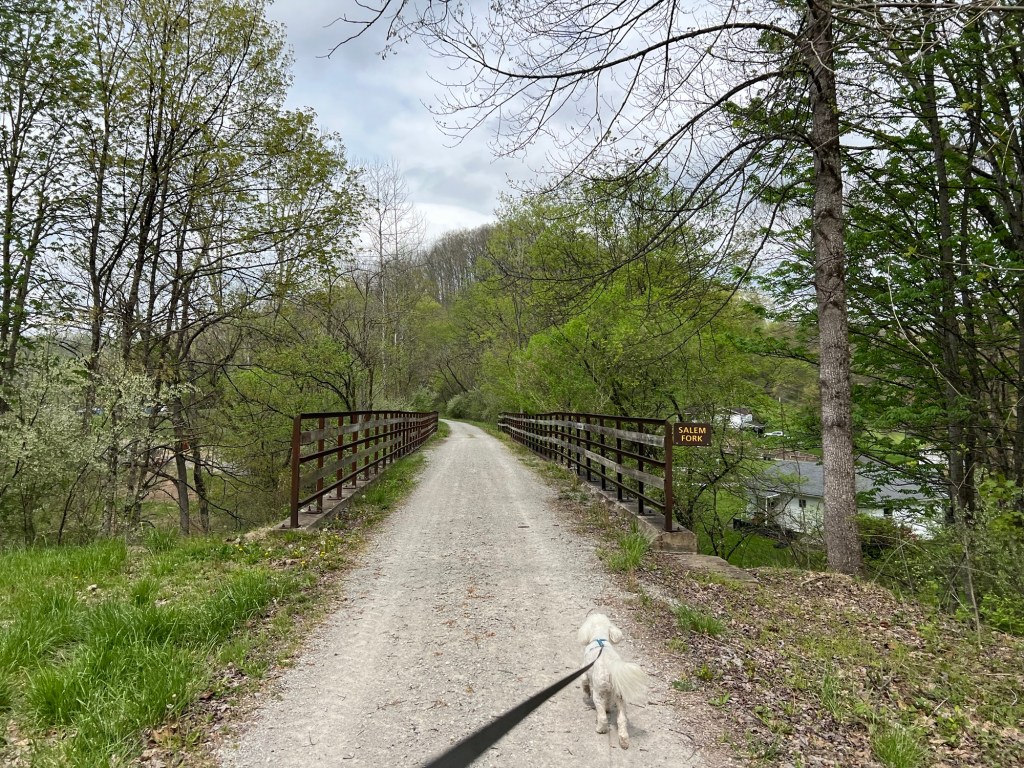
Bud wanted to go into Clarksburg for groceries yesterday. He said he’d seen something about a trail nearby that went through an old train tunnel.
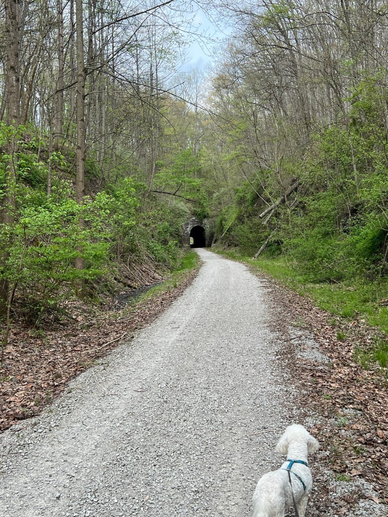
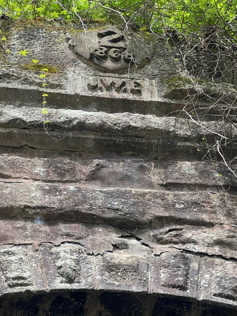
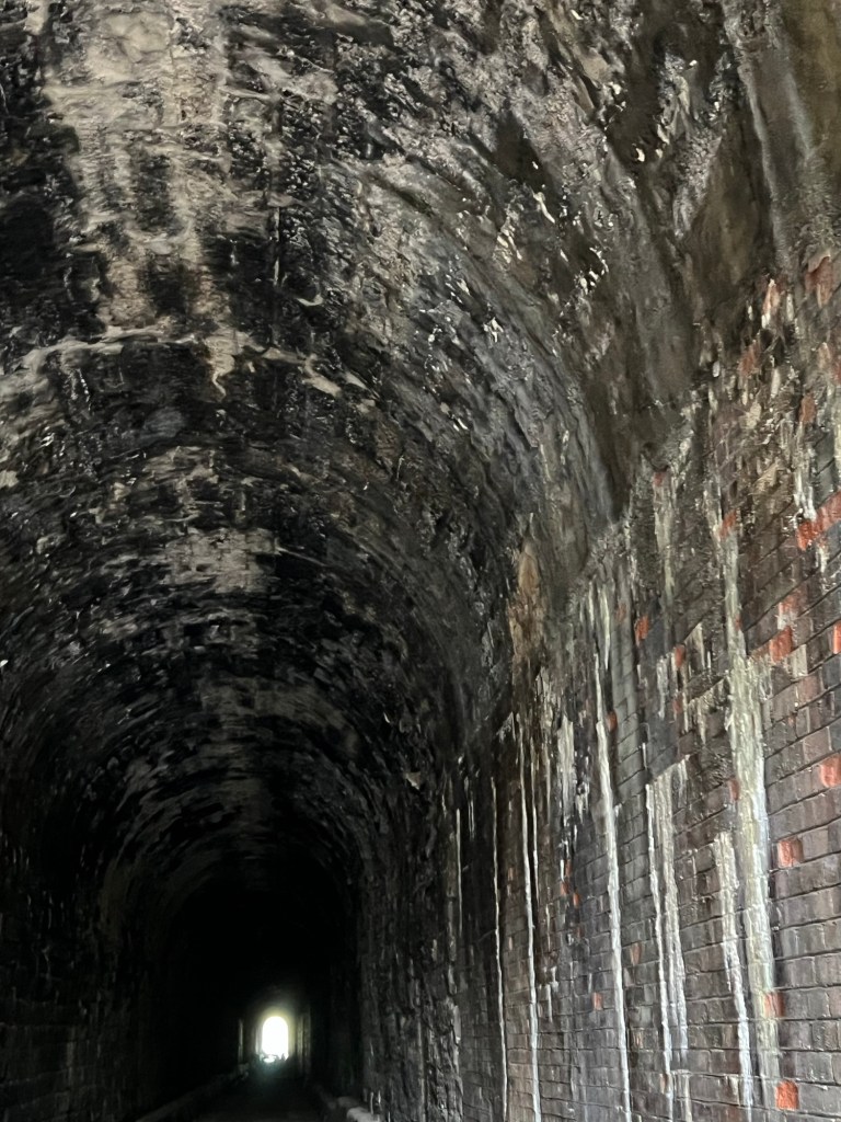
So I did some research and found the North Bend Rail Trail State Park stretched 72 miles from just east of Clarksburg to Parkersburg. The trail has 10 tunnels, and we would pass an access point just a short distance from Tunnel Number Two. This was originally part of the Western Virginia Railroad, a subsidiary of the B & O Railroad and this 1,084 foot long tunnel was built in 1868. I tried to find what the initials J.W.E. stood for but couldn’t find it. I think perhaps the firm that either designed or built the tunnel.
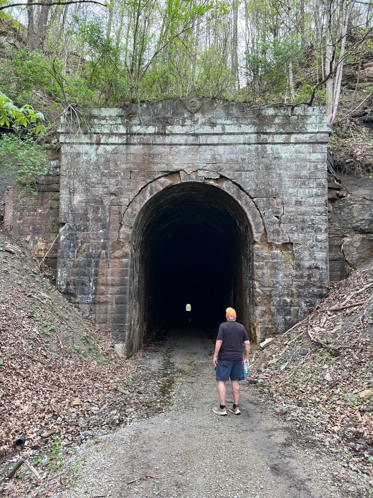
On approach it didn’t look like we’d even need the flashlight we brought.
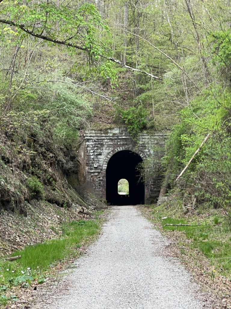
Oddly, as we got closer, the tunnel seemed to get longer.
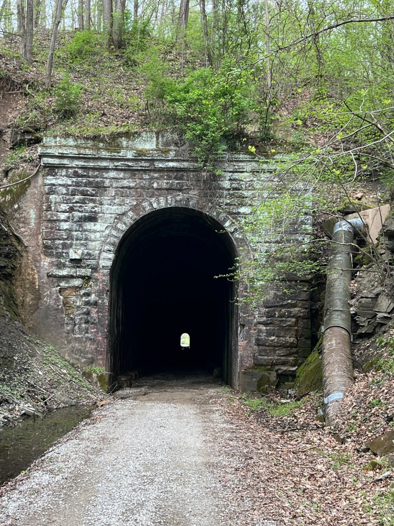
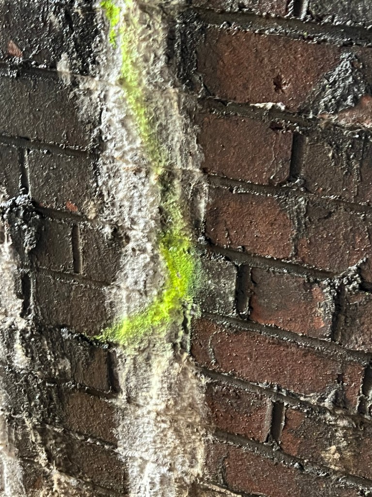
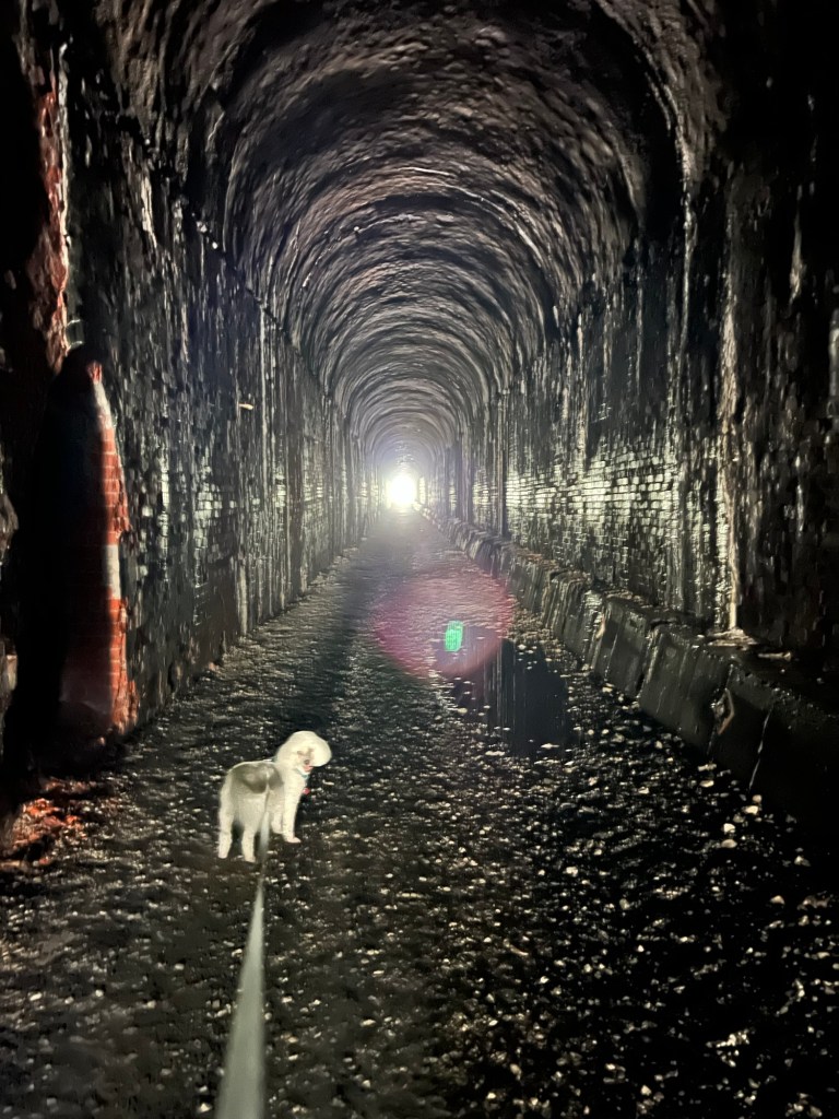
Once inside those seepy old brick walls didn’t look as impregnable as I would have liked.
Major slime, how sturdy was this anyway?
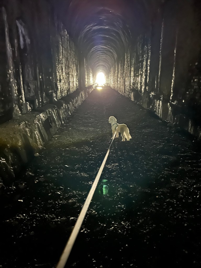
This was getting downright creepy.
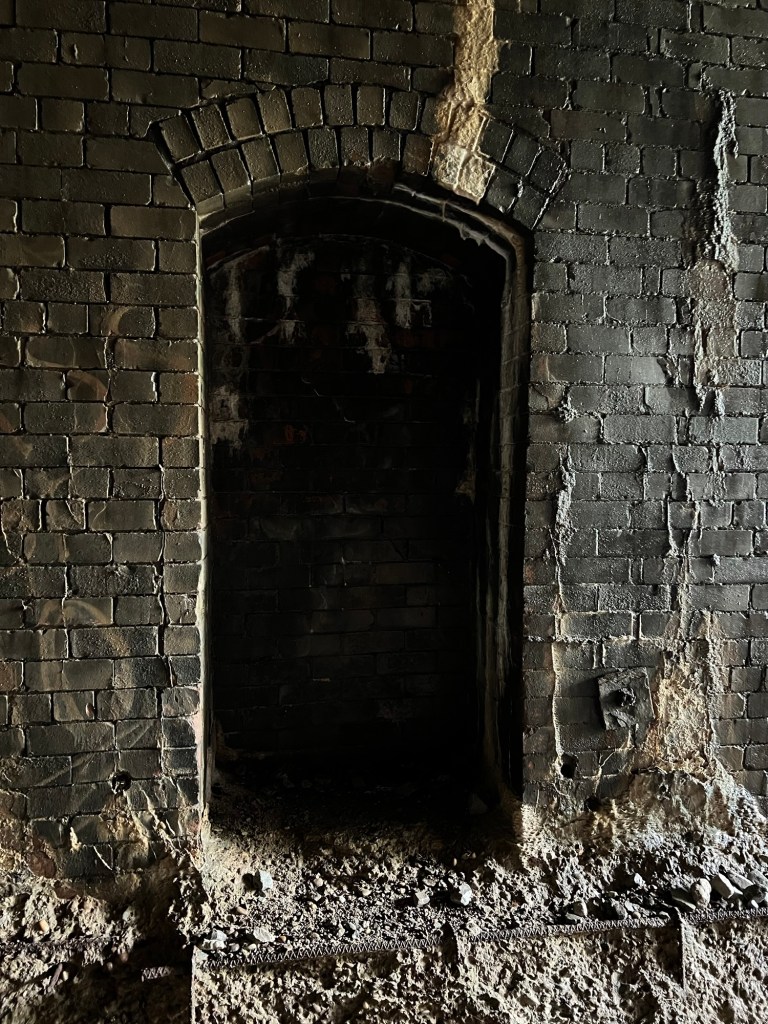
The periodic “manholes”, where workers (or anybody else) could escape if caught in the tunnel by a passing train, only added to the uneasy feeling of the place.
We came out the other end and came almost immediately to a bridge. There was a lot of engineering to get a railroad line through these mountains with a maximum grade of only 1.5%.
Soon we had to turn around…
and go back through.
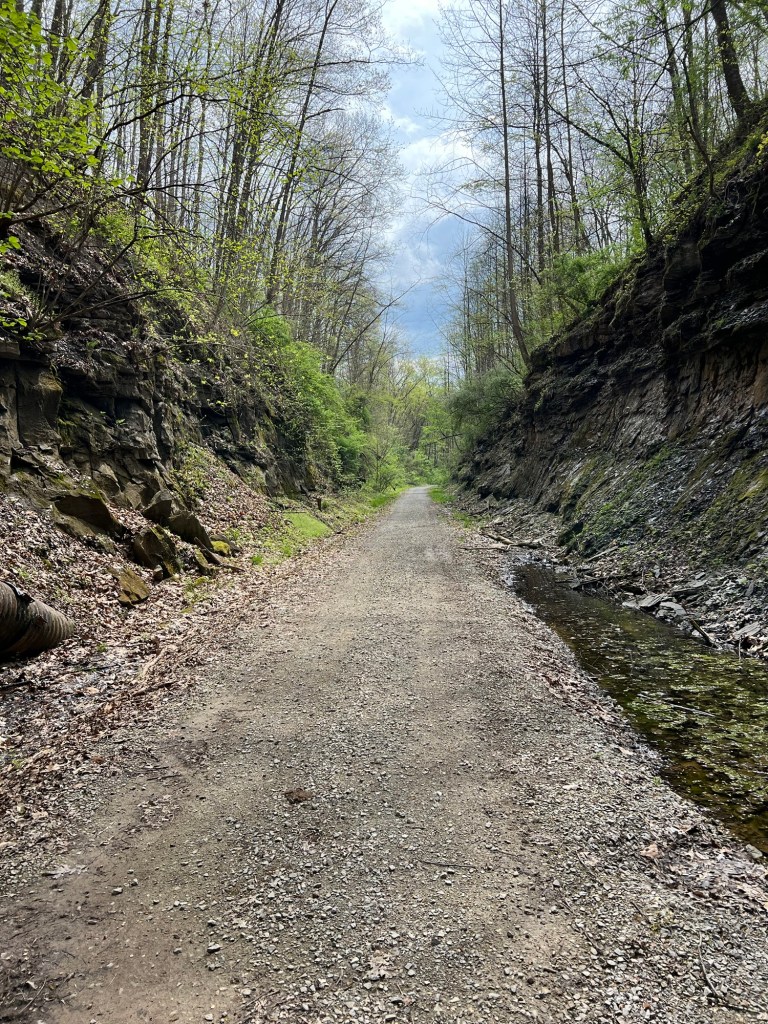
I have to admit I was relieved to finally come back out into the cut on the east side where we’d started.
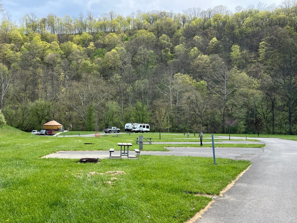
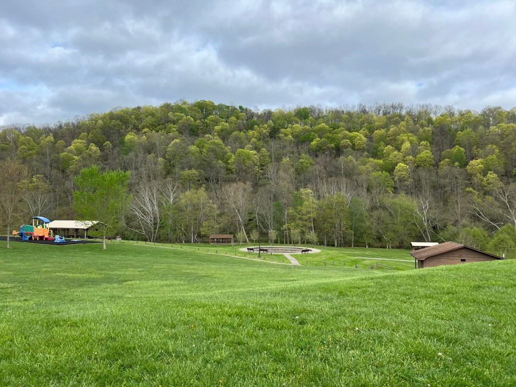
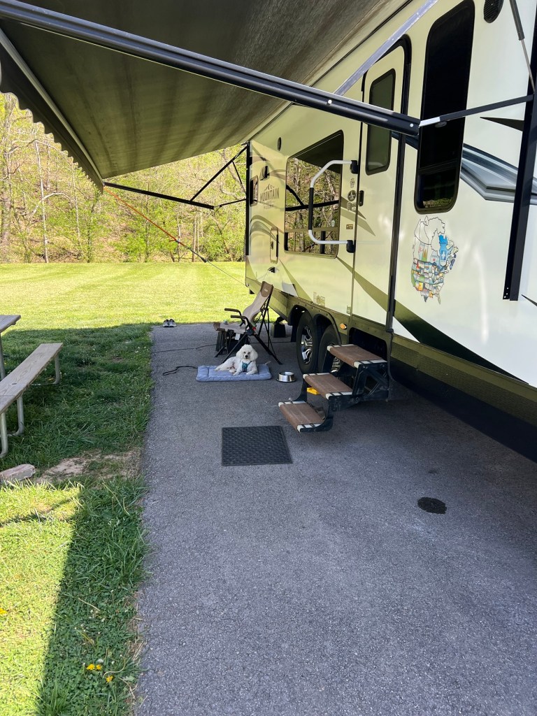
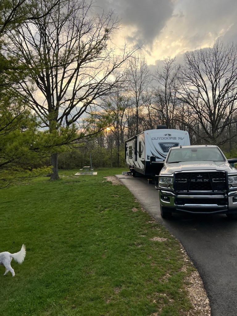
Monday we moved to the Lonepine Campground at Doddridge County Park in West Virginia. It’s a lovely, uncrowded place with paved, full hookup sites.
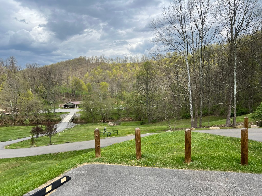
The entry was a bit daunting, we came off a small road on a very steep entrance, then stopped and took off the weight distribution bars on our hitch so we could continue down this twisting downhill…
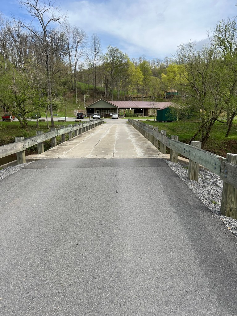
and then across this one lane bridge to the campground office.
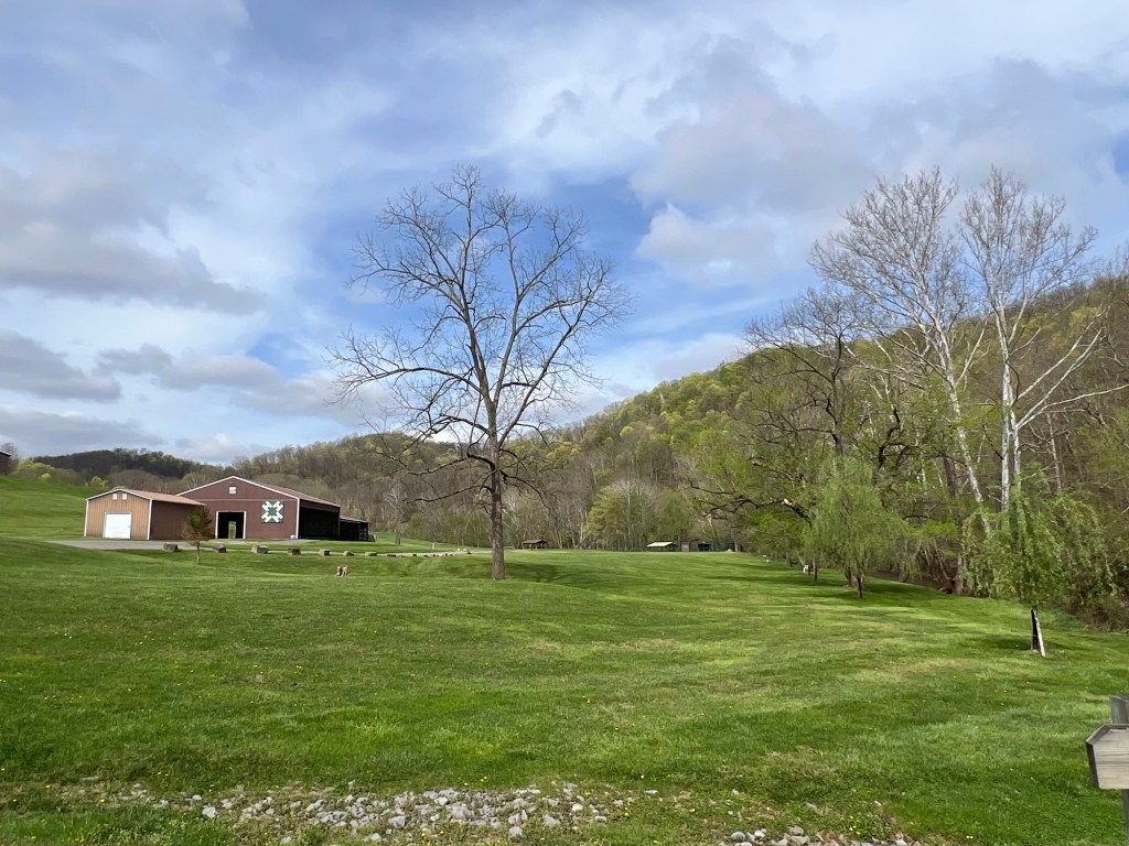
The park is beautiful and the grounds are well cared for.
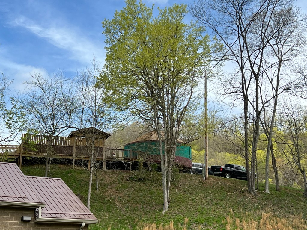
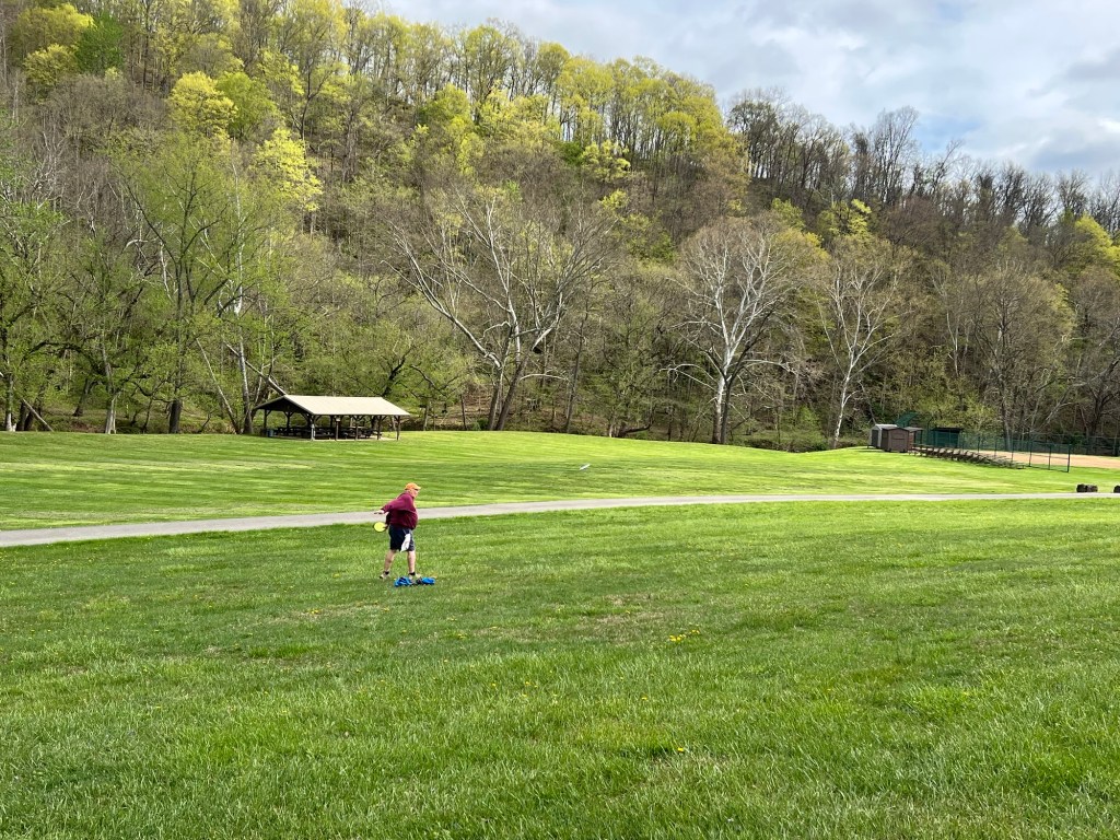
It has a disc golf course…
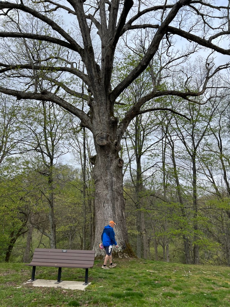
and some spectacular trees.
We’ve played disc golf every day.
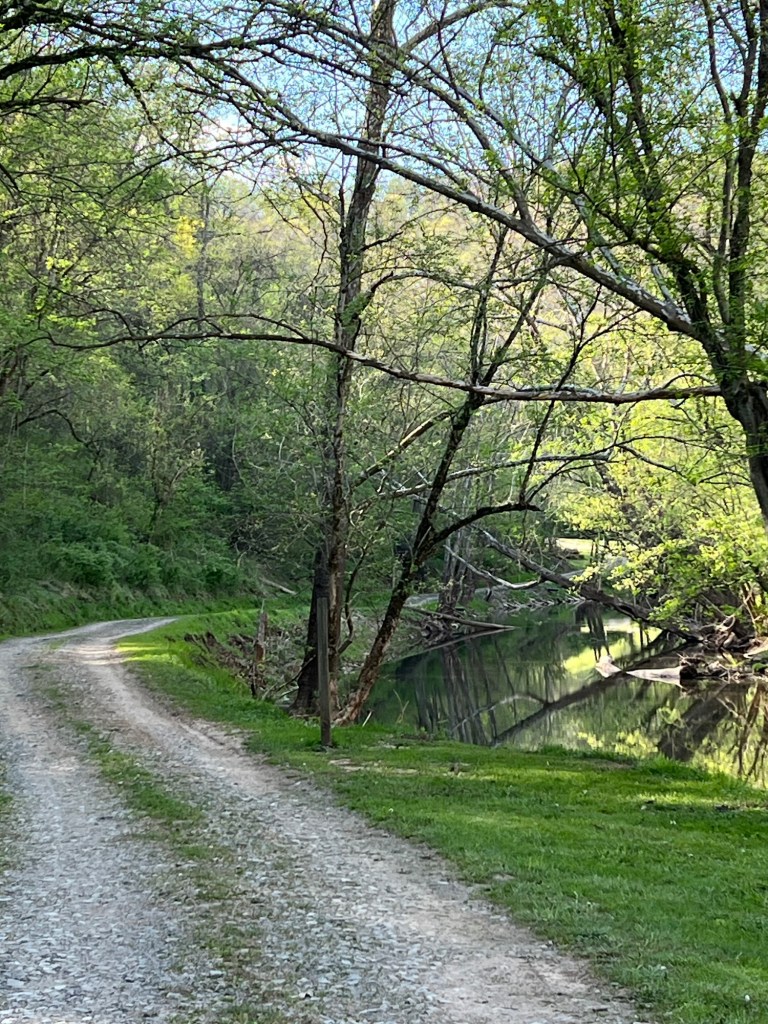
Matey and I have taken other short walks to enjoy the scenery.
With so much space we’ve been letting Matey off the leash while we play disc golf. He’s loved tearing around the lush grass.
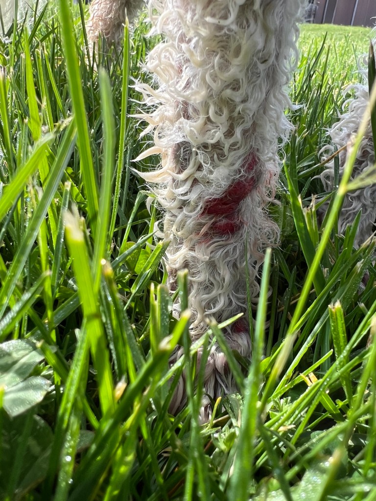
Until the eighth hole we played today, when he came running downhill through deep, thick grass, tripped when he came to the blacktop road and skidded on his right knee, taking his fur and some of his skin off.
He still thinks he’s young, but he’s not; just like us.
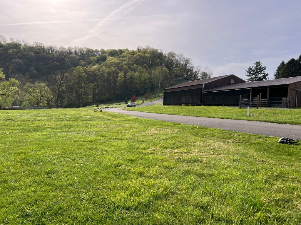
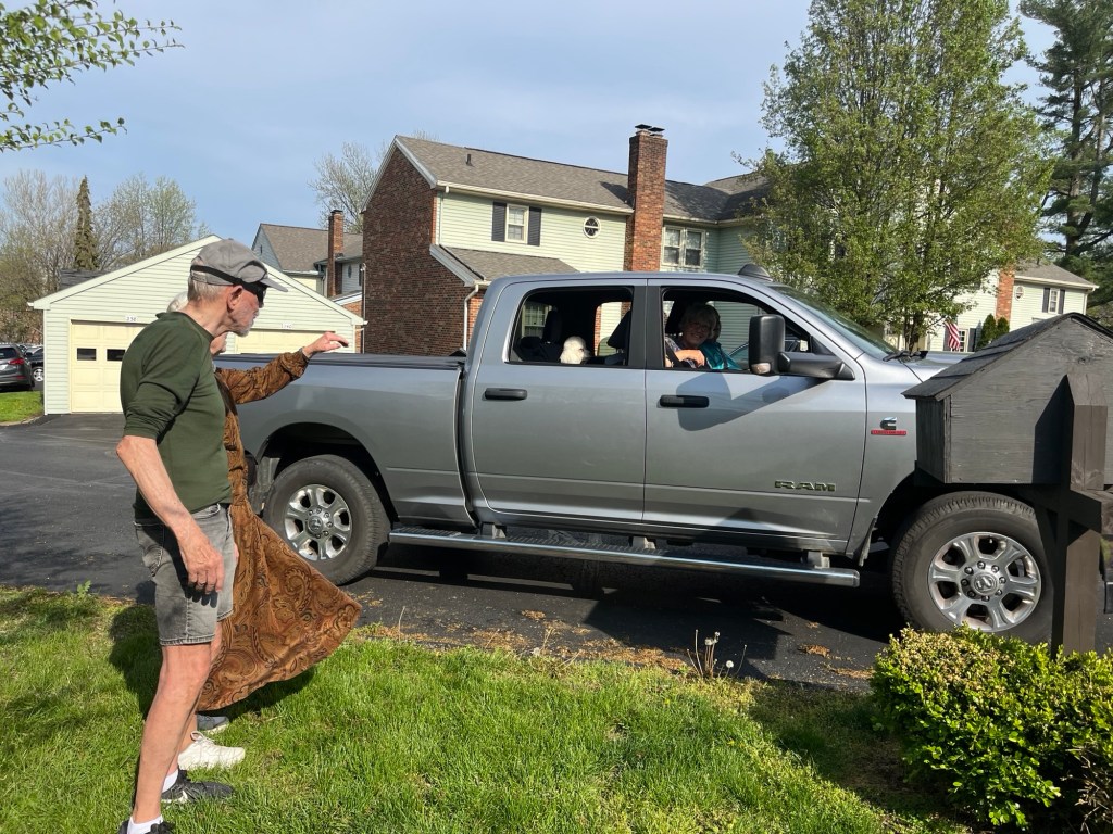
Bud walked back and brought the truck so we could take him home…
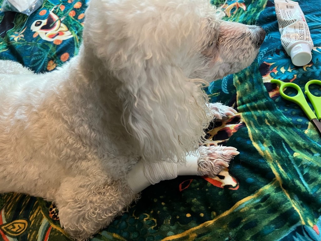
and patch him up. That bandage lasted less than five minutes, but at least the antibiotic ointment had a bit of time to work.
Now we’re just relaxing in the shade on a gorgeous day in a beautiful setting.
My cousin Rich has a condo in Chillicothe, about 30 miles from Deer Creek State Park. He flew in to Columbus on Saturday for an extended stay there. I picked him up at the airport and brought him to the trailer. My sister Joan drove in from Youngstown, NY. She got there within 15 minutes of Rich and me. We all had a great dinner that Bud made and then Joan drove Rich to Chillicothe where she is staying until Tuesday. Of course I forgot to take pictures.
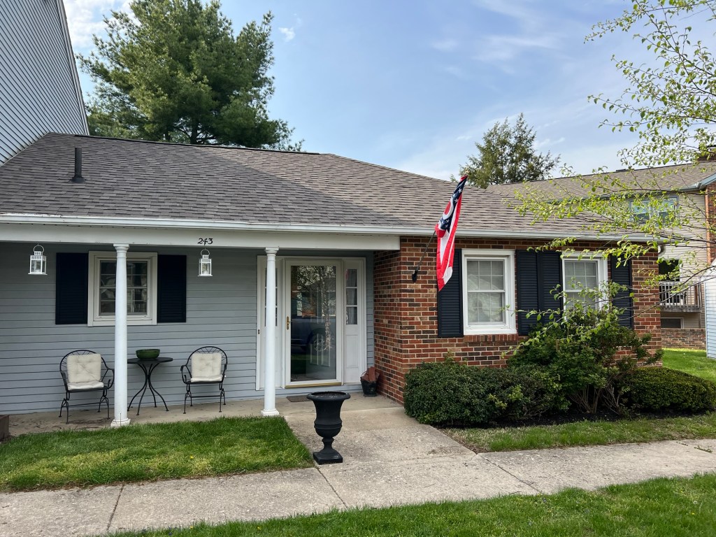
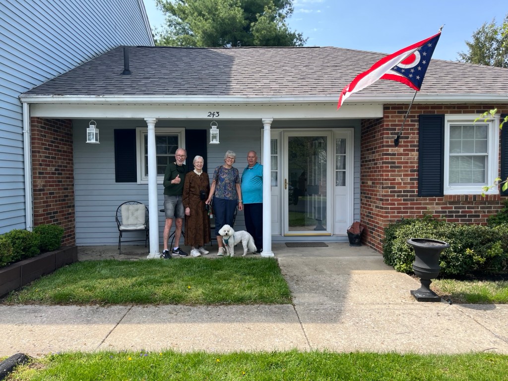
But here we all are on Sunday. Rich’s partner, Ken, took this. He made sure to include the Ohio State Flag, which is the only state flag that is pennant shaped.
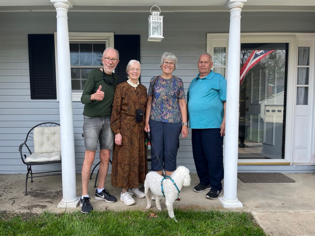
Here we are without the flag.
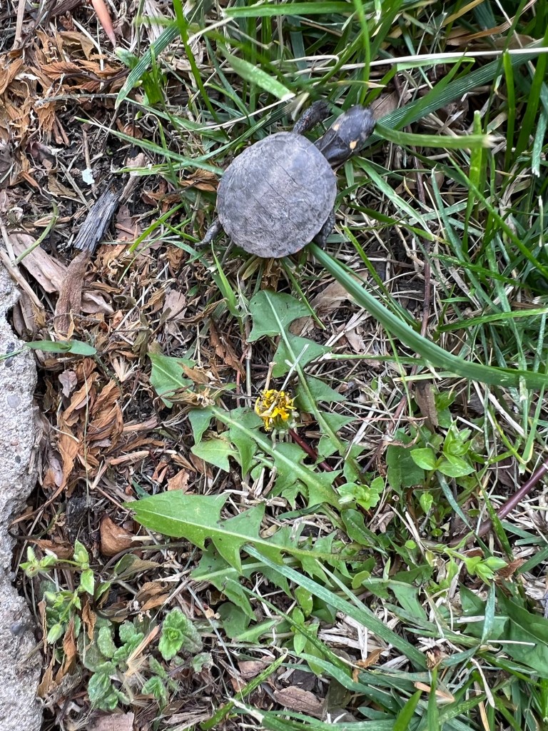
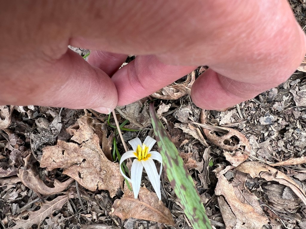
This was an uninvited guest at the condo. Bud and I thought it might be a baby snapping turtle. It was tiny; look at it compared to the wilted dandelion. Bud took it over near a large pond on the property, away from the parking lot where it seemed to be heading.
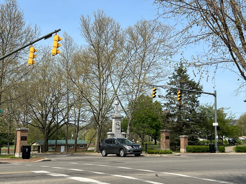
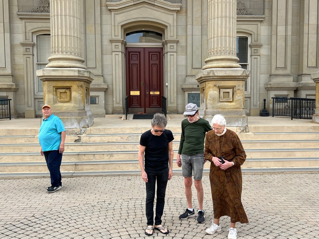
Then we all headed out for a walking tour of downtown Chillicothe. We started at this intersection, which is where the city started. Ken filled us in and he should know. European Americans first settled Chillicothe in 1796 and Ken’s family came in 1799. His great-great-great(?)grandfather was a revolutionary war soldier from Virginia who accepted 50 acres of land in Ohio for his service. After the land surveyor took his 50%, Ken’s fore-bearer had 25 acres to support his family. He was a widower with many children.
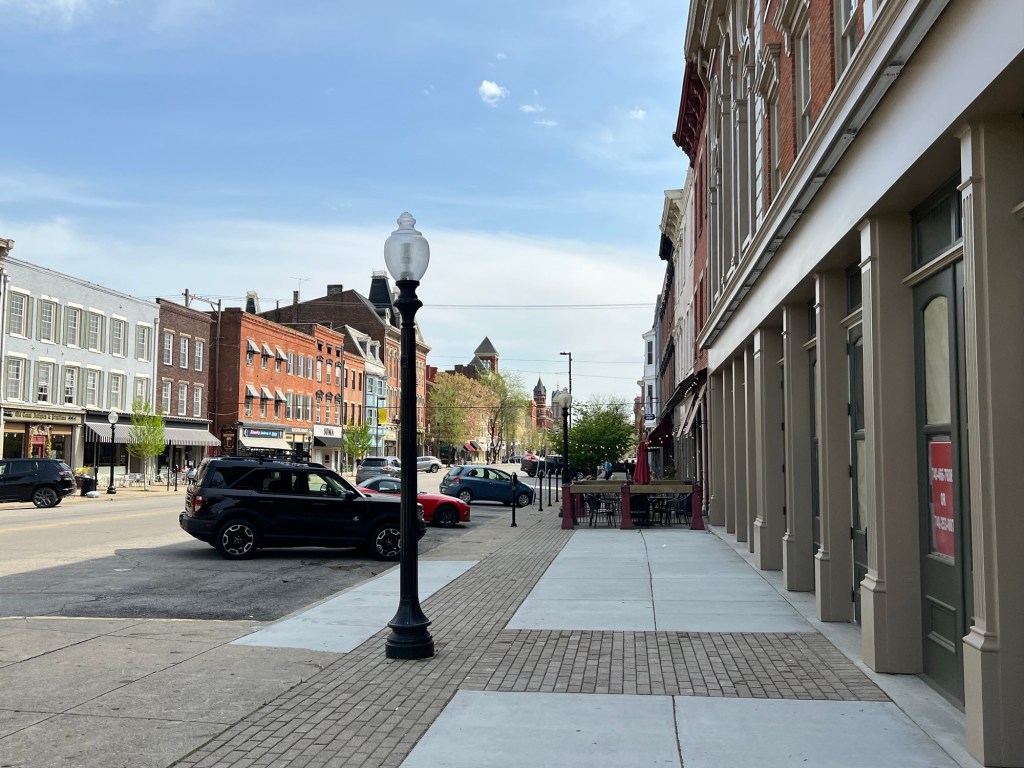
The city escaped urban renewal in the ‘50’s and ‘60’s and thus has a beautiful downtown.
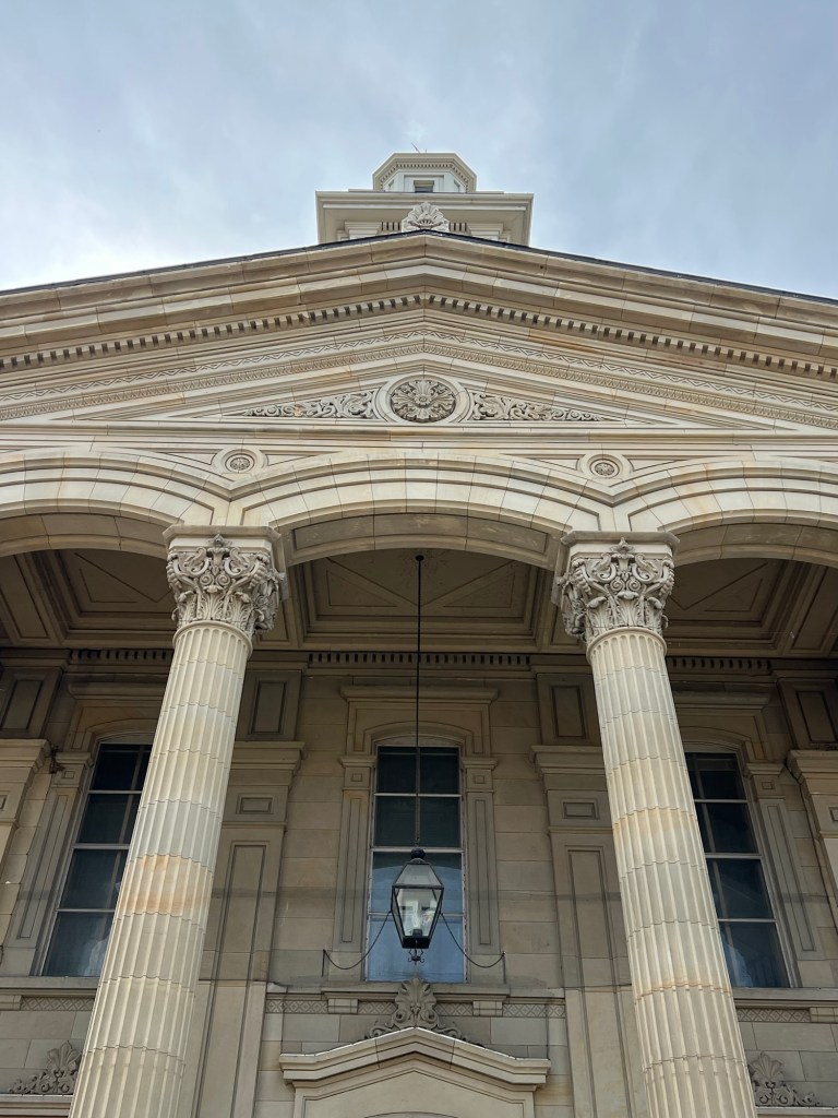
This is the courthouse.
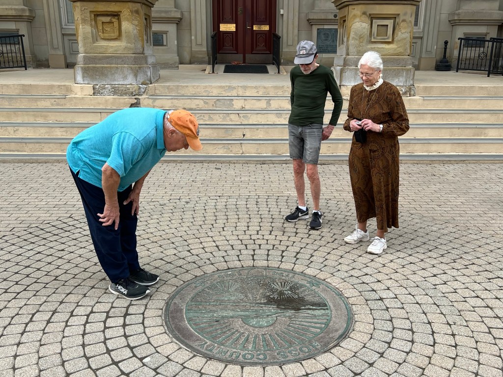
In front of it is the great seal of Ohio. Ken is pointing out that it includes the hills behind Chillicothe, as this was the first (and third) state capital.
There’s the seal, but now Ken has disappeared.
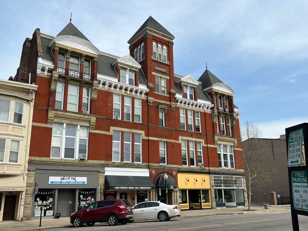
Here’s another great old building.
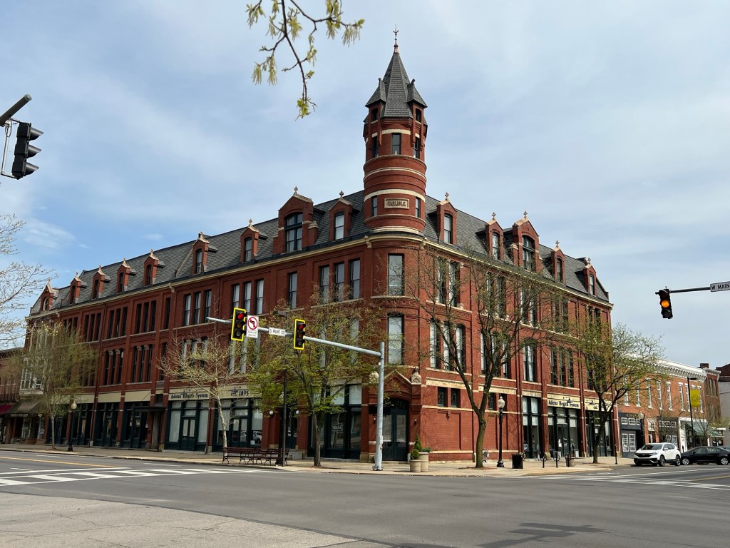
This corner building was purchased and renovated by the local health system, Adena Health System. Ken says they did a great job and about the only thing not like the original is the asphalt roof, instead of slate.
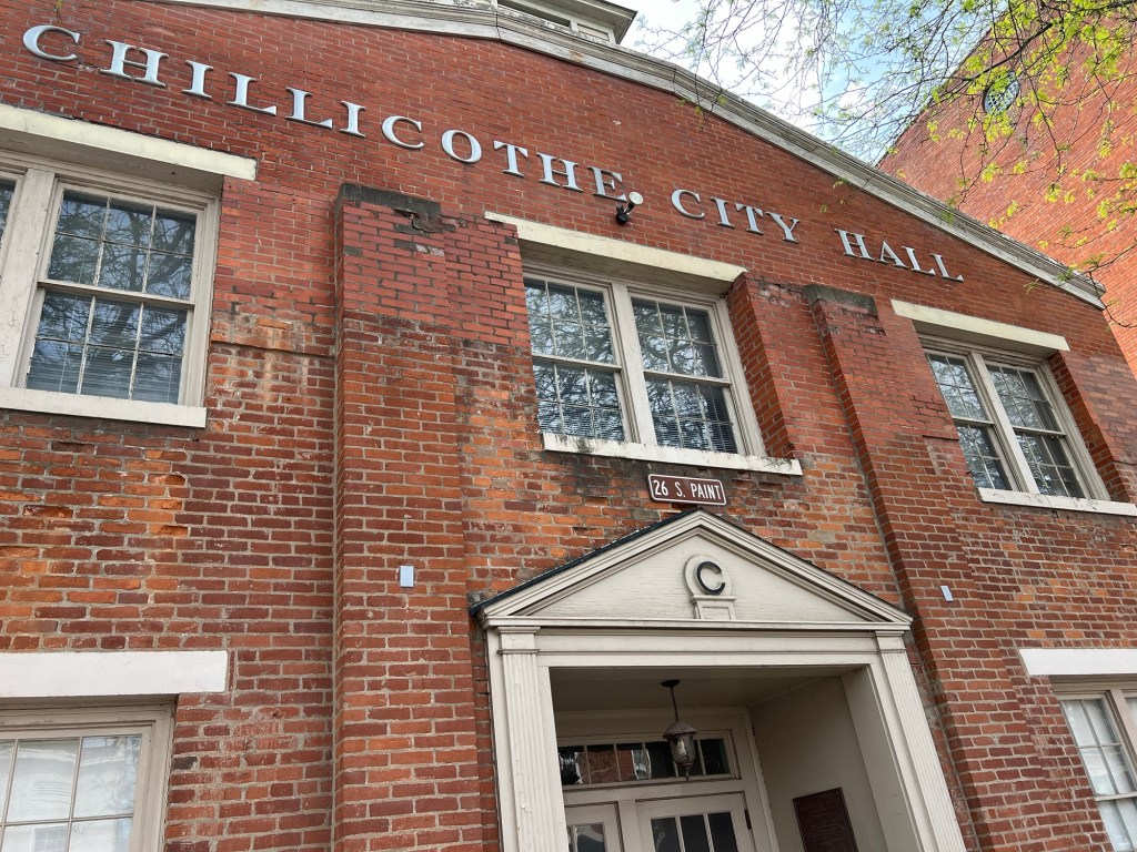
City hall used to have another story with a Mansard roof, but it was taken off in the fifties. At least the rest of the building remains.
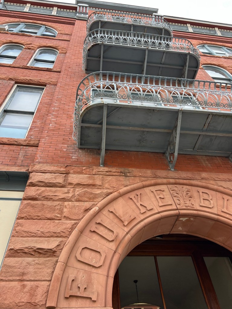
This was one of my favorites. It’s called the Foulke Block, and it does stretch the whole block.
After our too brief visit, Bud, Matey and I headed back to Deer Creek.
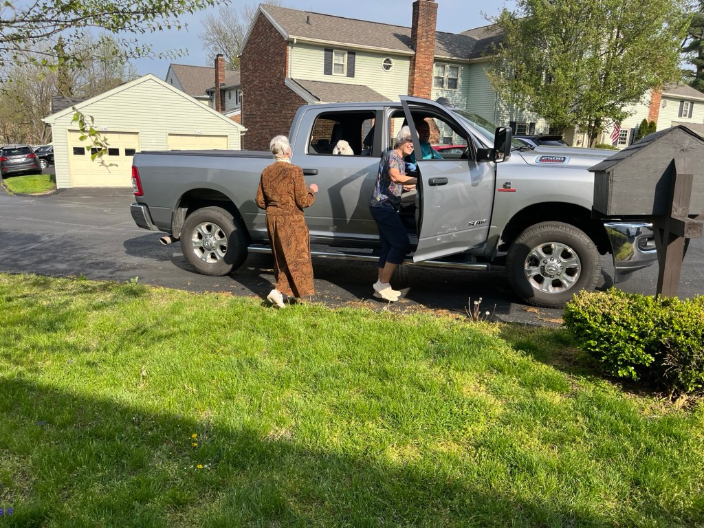
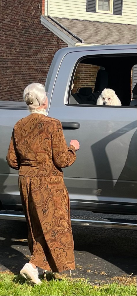
Joan and Matey said their goodbyes.
What a fun day! Hope to see them next year as we’ll most likely be back in the area in April for Adler’s band competition.
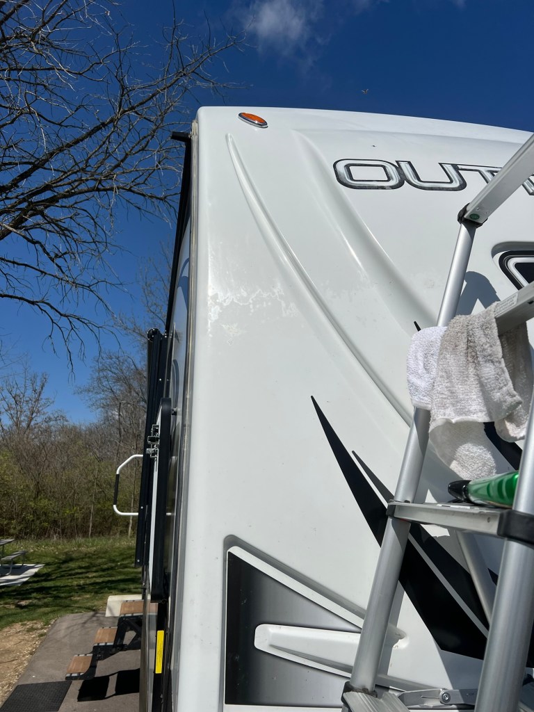
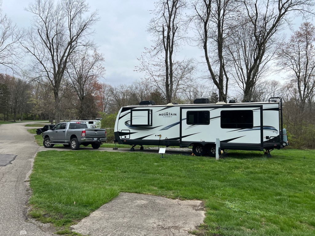
We had a short drive Monday to Deer Creek State Park southeast of Columbus, Ohio. On the way we stopped at a do-it-yourself car wash with good overhead clearance. We could almost fit the trailer in. We could pull the front end in and scrubbed the front cap and about 10 feet back along each side.
Tuesday was cold and windy, but Wednesday it warmed and I went out with bug and tar cleaner and spent a couple of hours scrubbing dead bugs off the front.
I took this when I had one side done. If you look close you can see the bugs still speckling the driver’s side. I then put a coat of wax on it, because the cleaner had wax but the finish looked very uneven after I’d used it. Finally we washed the rest of the trailer and put a ceramic wax on all of it. The whole thing took two days.
I did walk Matey and explored this huge park. I found this trout lily in bloom.
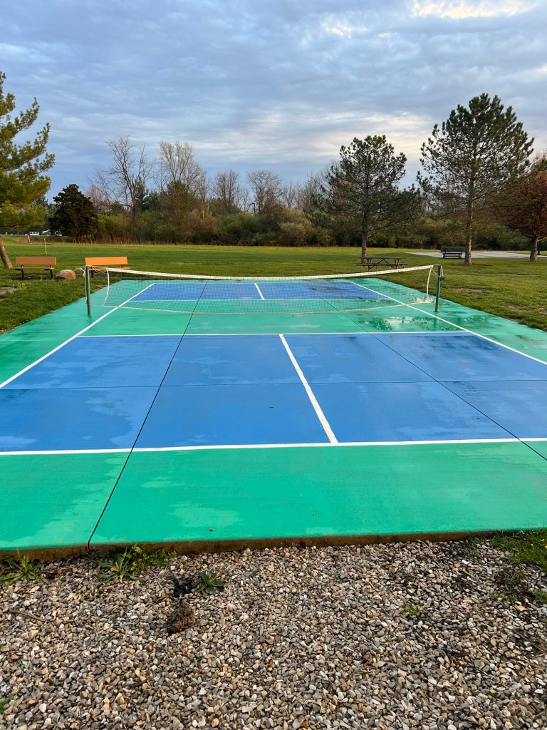
They have a lot of recreation opportunities here. They have a regular golf course and mini golf and pickleball.
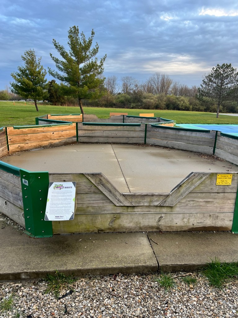
They also have something called GaGa Ball. It’s basically dodgeball played in a “pit”, but you can only propel the ball by slapping it. Good thing, because the pits are not very big! A thrown ball at this close range could really hurt!
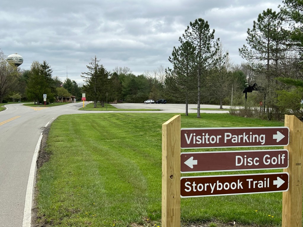
They have disc golf and we took the time to play nine holes. It was a decent course and Matey went crazy because we let him off the leash for a bit.
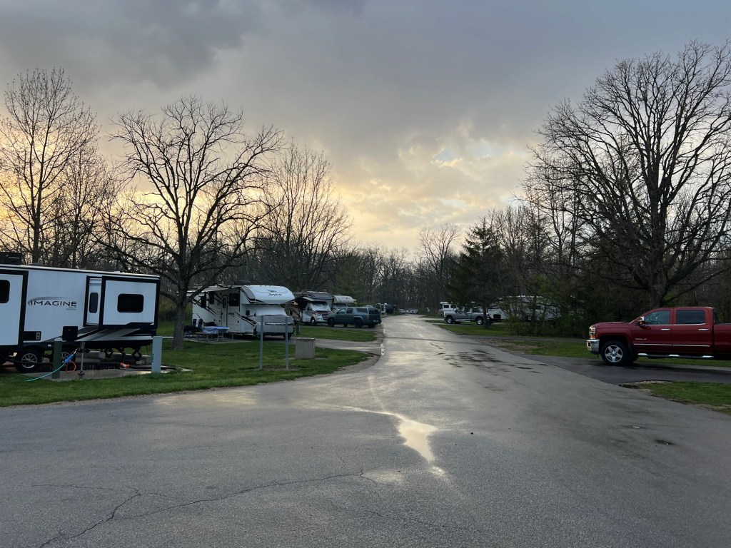
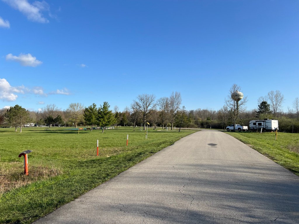
With all these things to do this is a very popular park. Our area is almost full, but we have full hookups.
It’s more crowded now that it’s Easter Weekend, but there’s still plenty of space on the sites with only electricity, no water or sewer. It’s a trade we were willing to make as we are staying a week.
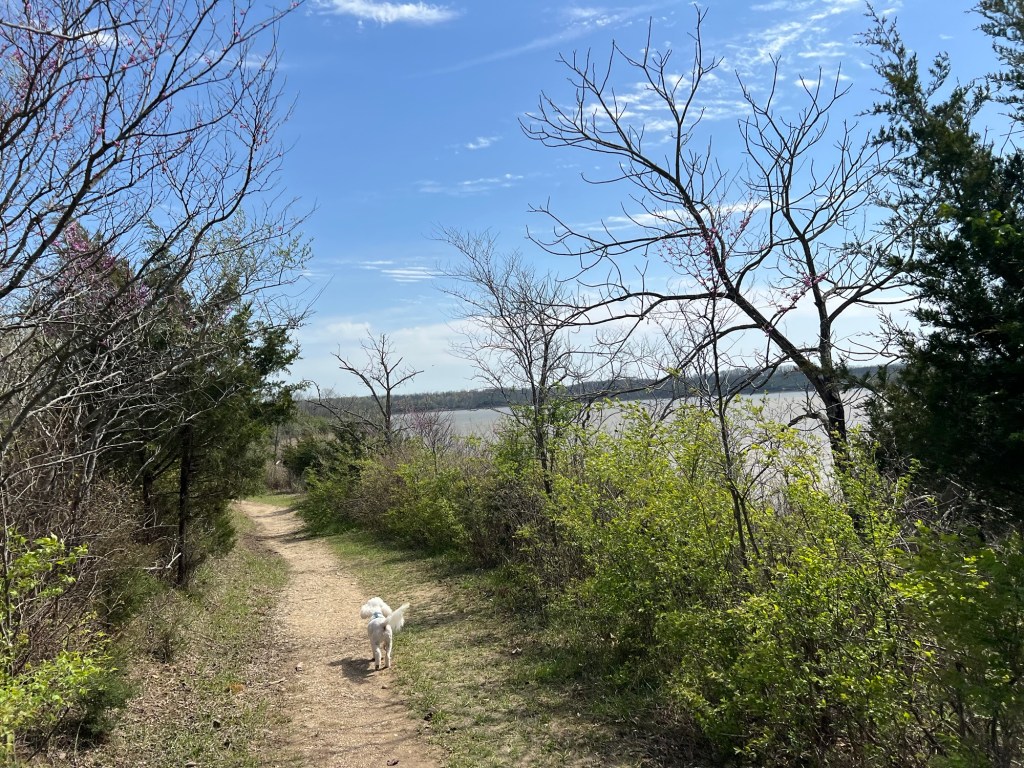
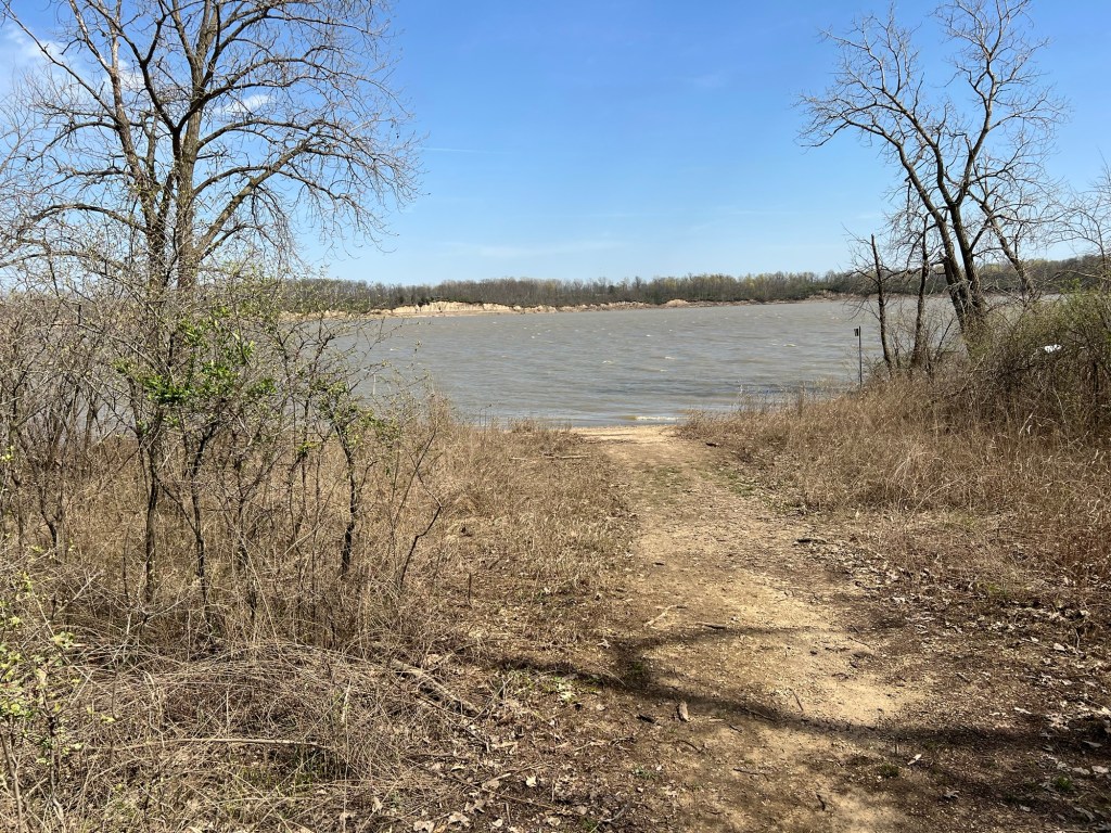
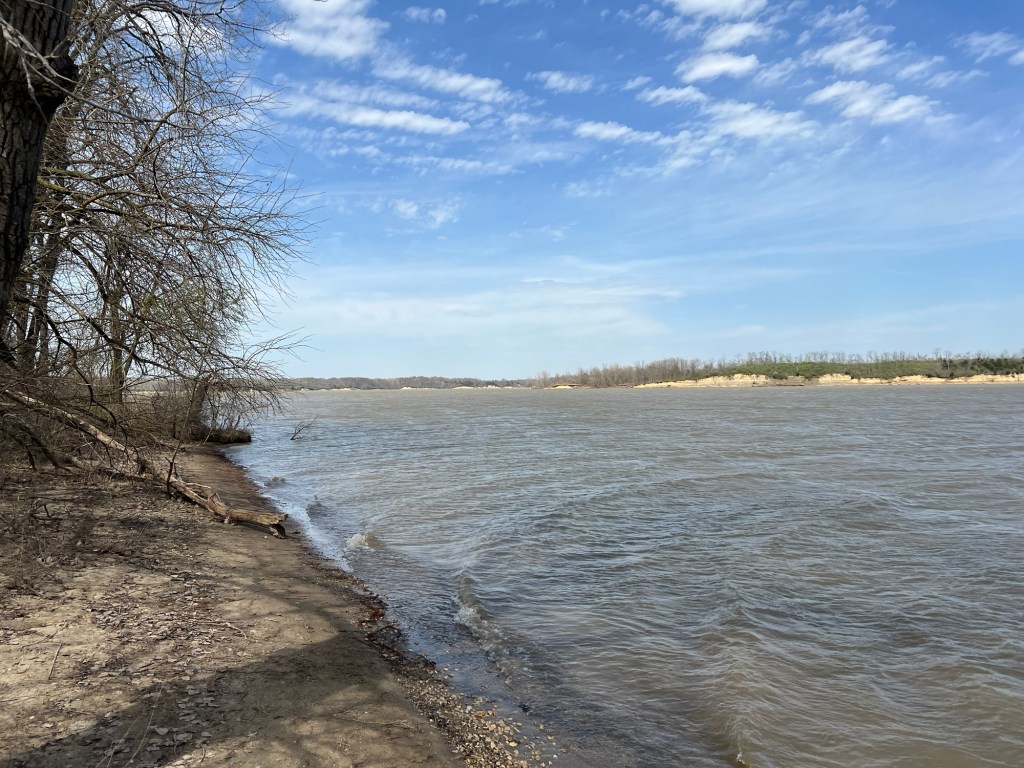
Yesterday, after some more jobs, we took a short hike to look at the lake.
The trail led to the end of a peninsula.
It was windy, but warm and nice to get out and see this huge park a bit.
We came back to Ohio and Stonelick State Park for Adler’s second year competing at the WGI Worlds Winds Championships. For winter, when it’s not possible to march a full band inside in a gym, the bands are divided into Color Guards, Percussion and Winds. At Lake Hamilton only the Winds compete on a national level.
Jamie flew into Dayton and I picked her up Saturday morning. The afternoon found the three of us cheering on Lake Hamilton during the preliminaries at Northern Kentucky University.
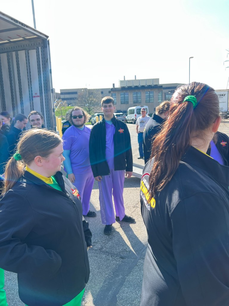
This was all we saw of Adler before he was whisked away for pictures, then back to camp and more practice before finals.
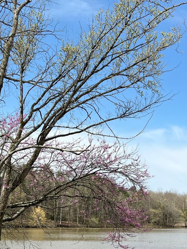
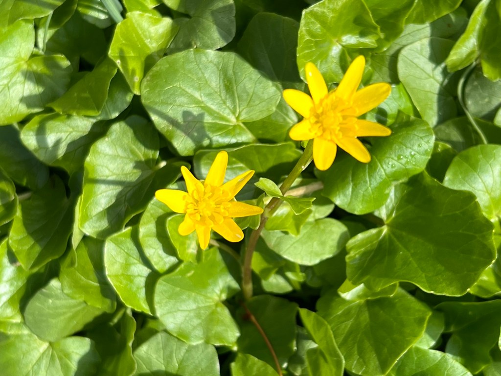
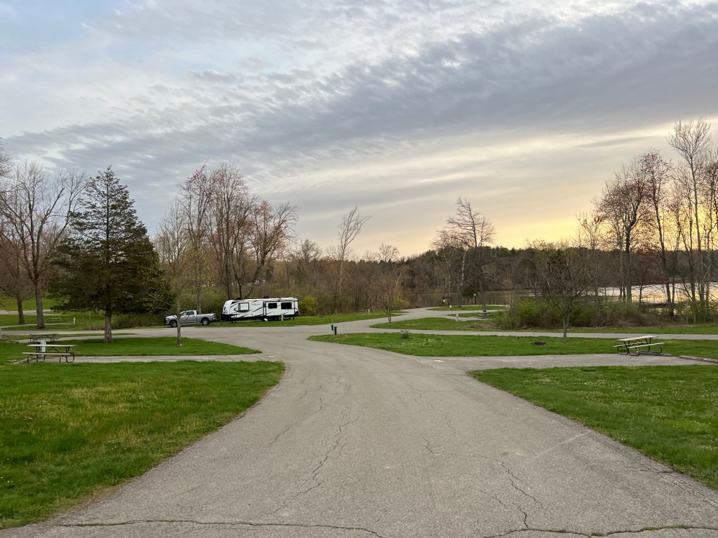
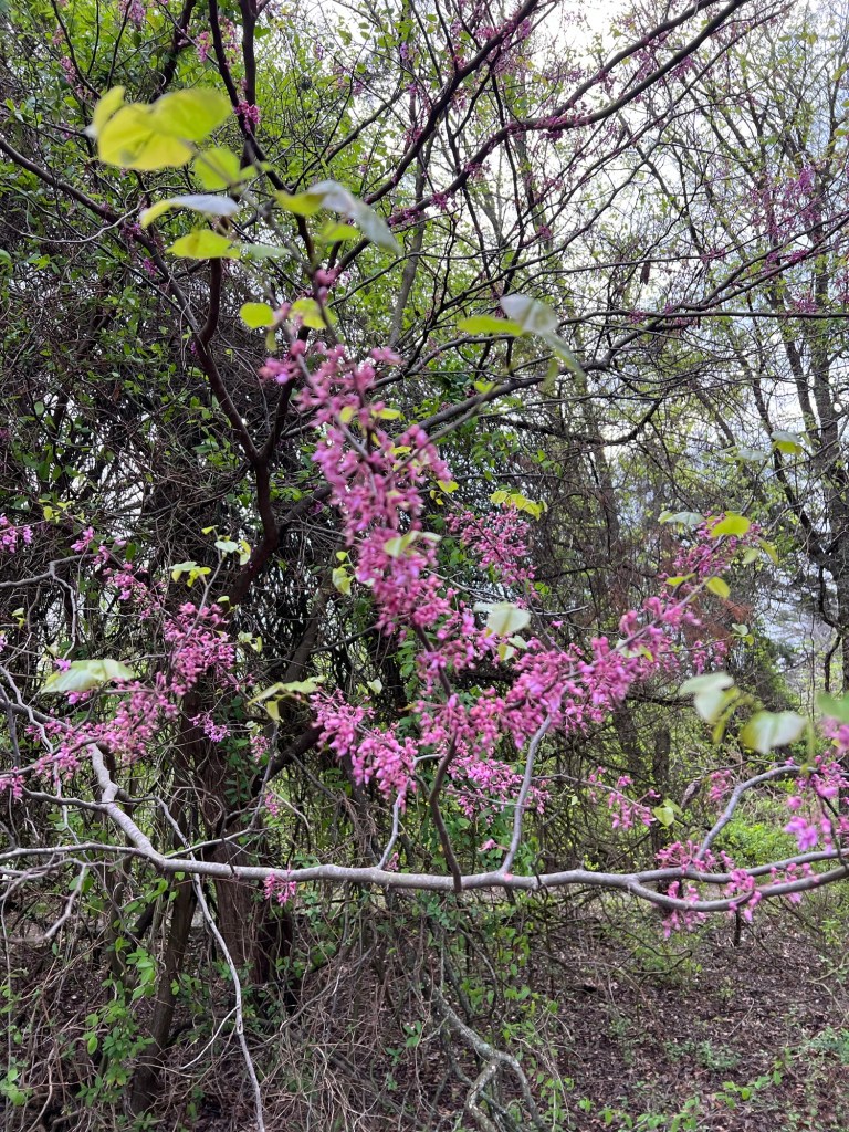
We went back to our own campground where spring was trying to make a showing, with redbuds and other trees in bloom,
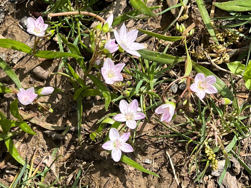
and the earliest wildflowers out.
But despite the warm colors, it was pretty cold out. Oh well, we were here for the band.
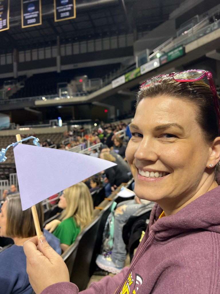
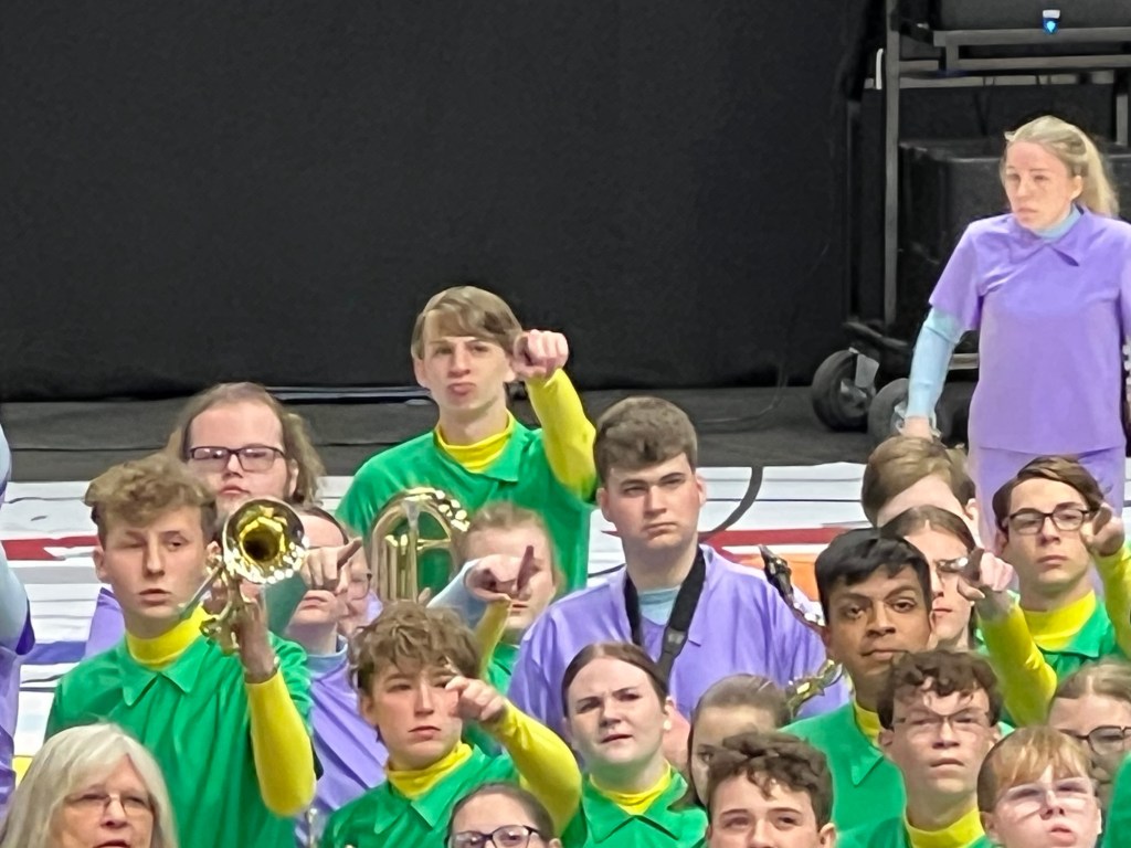
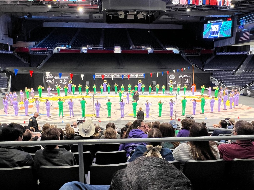
Today was finals at The University of Dayton Arena. I remembered to take a few pictures. Here’s Adler as the band is moving into place.
Here they all are, almost ready to start.
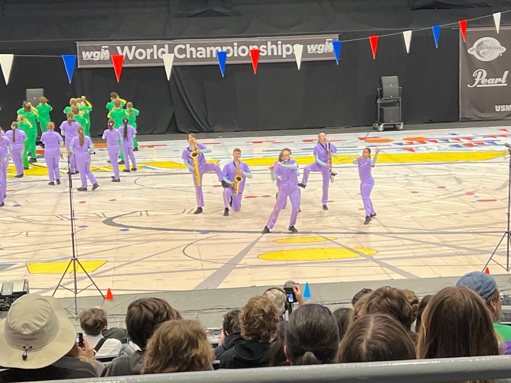
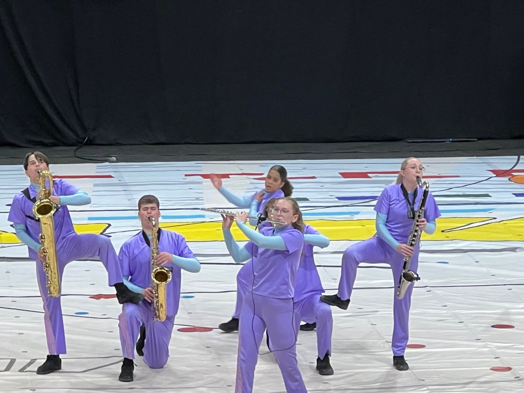
Adler played with a group of five in this performance.
Four saxes and a flute. The girl behind and center is a dancer, their only one. Most groups had several, some had a lot!
This is a bit of video I took. It ends rather abruptly as I wanted to give my attention back to watching the band, not the screen. Sorry.
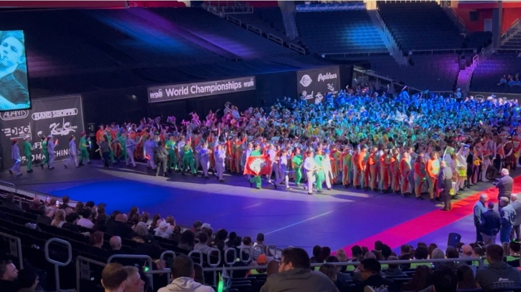
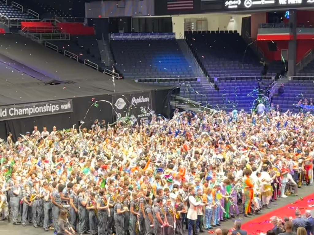
Here they are walking in for the awards ceremony.
There are a lot of kids and a lot of bands! Lake Hamilton had a good clean performance but only took fourth, which was last place in their group, because only four schools chose to compete in the Scholastic World Class, the highest level. I told Jamie I would be happy if they did a good run, no matter what the score, but I have to admit, I was disappointed they did not make third. Oh well, next year!
Now we’re back at camp and Jamie and Adler are gone, but so are most of the campers. I love a quiet campground.
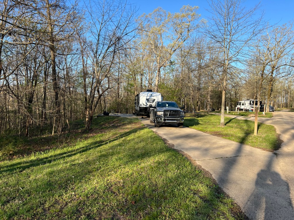
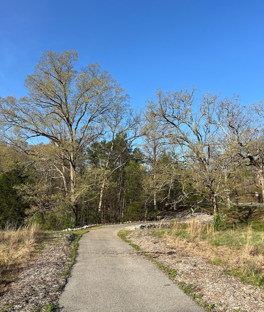
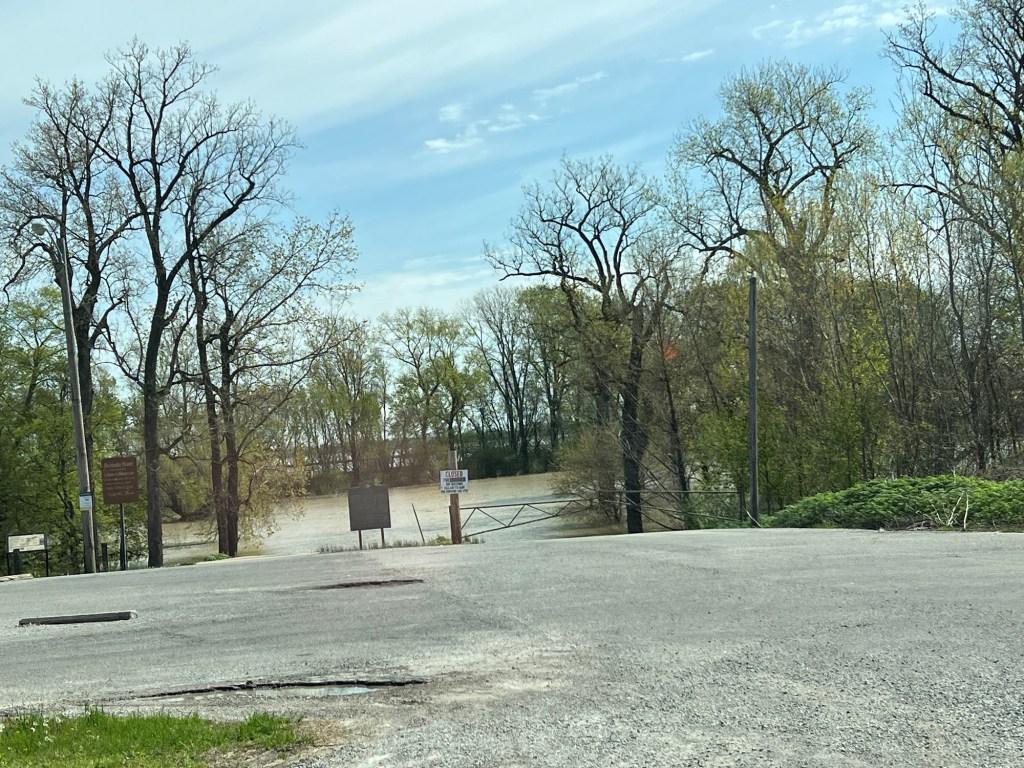
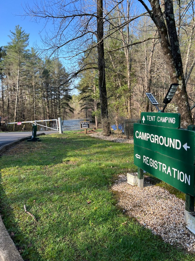
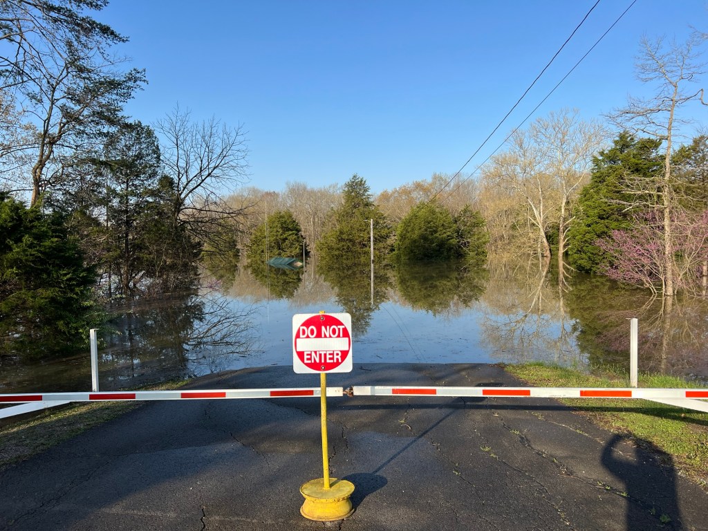
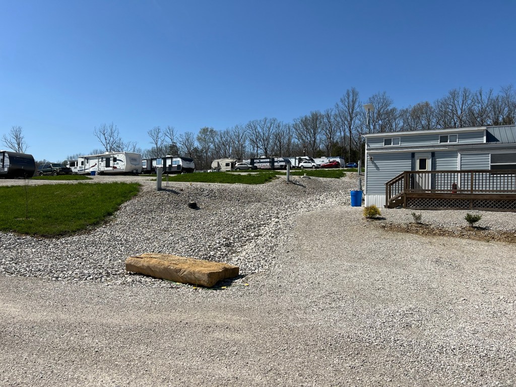
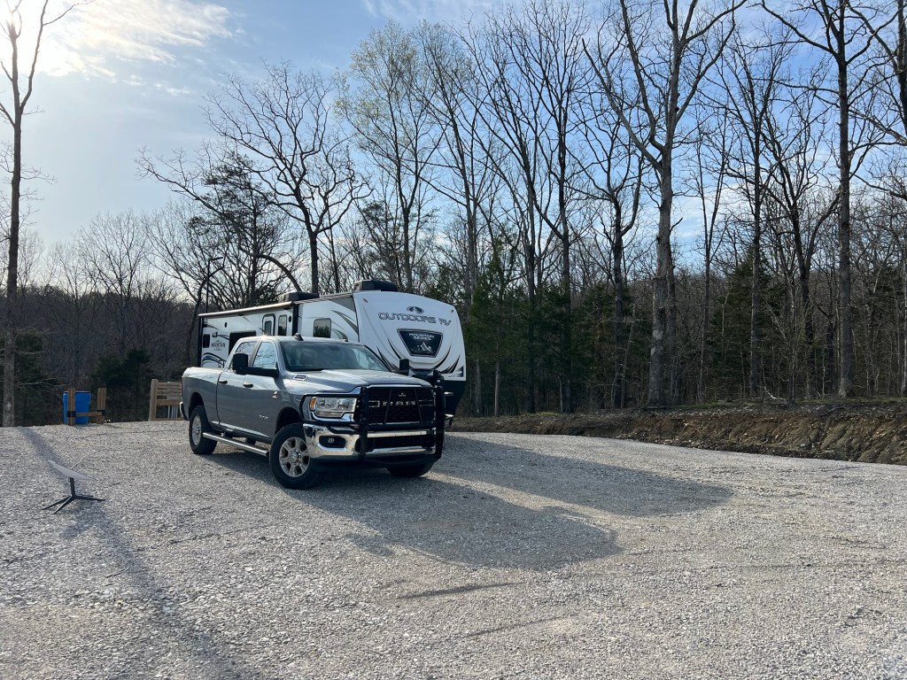
We came to Hot Springs and Lake Ouachita State Park on Tuesday. Like most Arkansas State Parks the sites are very well done, and we have full hook-ups.
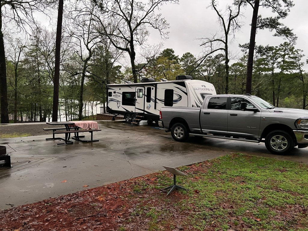
The forecast was for rain, lots of rain. Wednesday we ran errands all day and the rain held off.
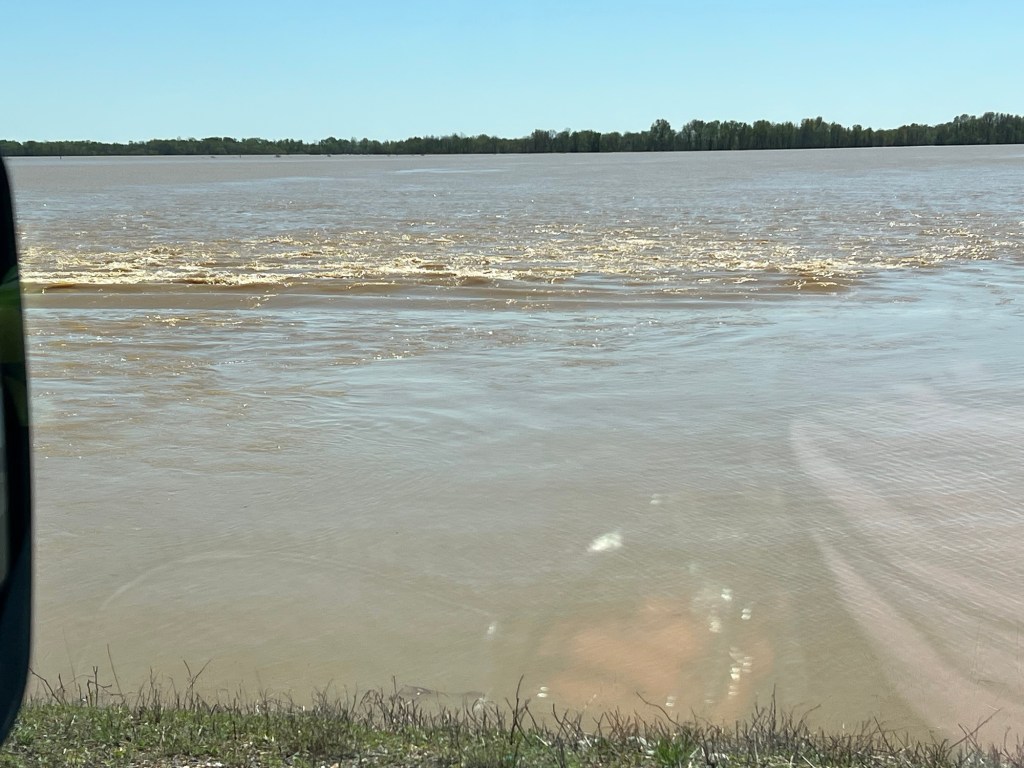
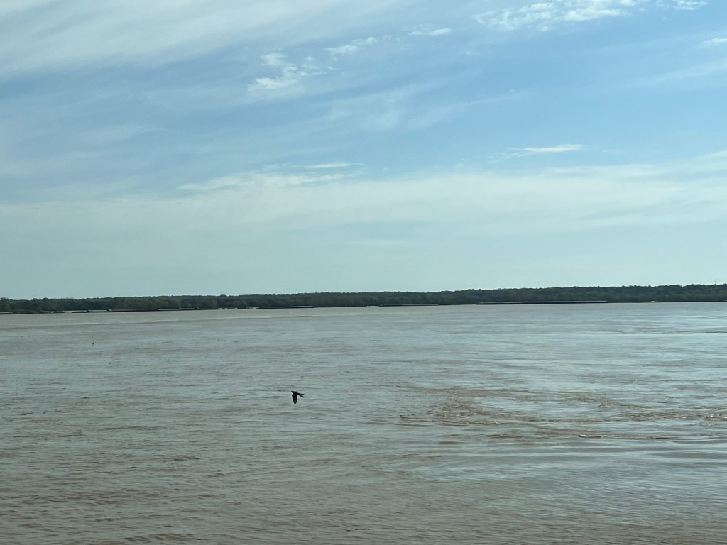
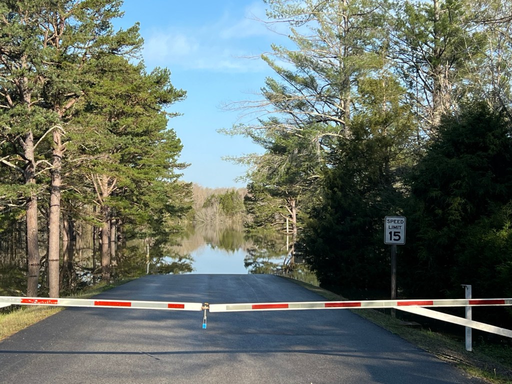
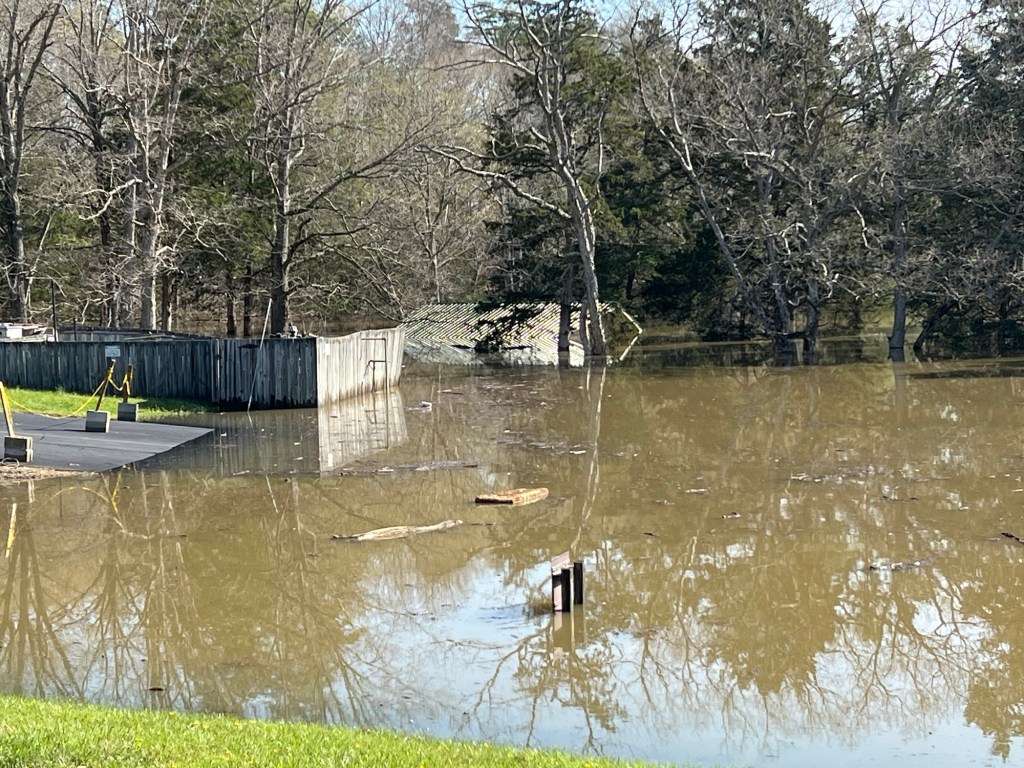
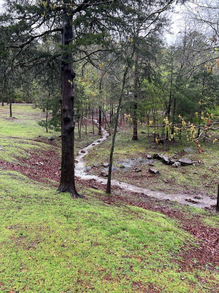
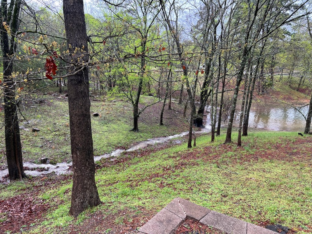
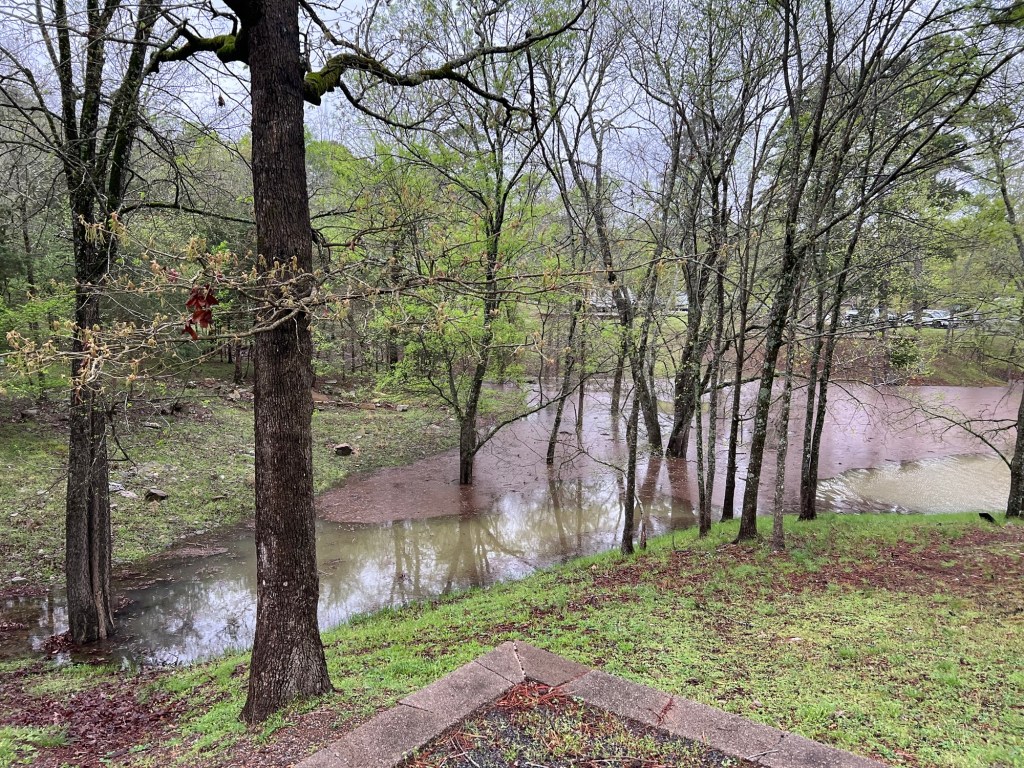
But it started raining Wednesday evening and rained all day Thursday. Water was running down the hills through all the little channels that are normally dry.
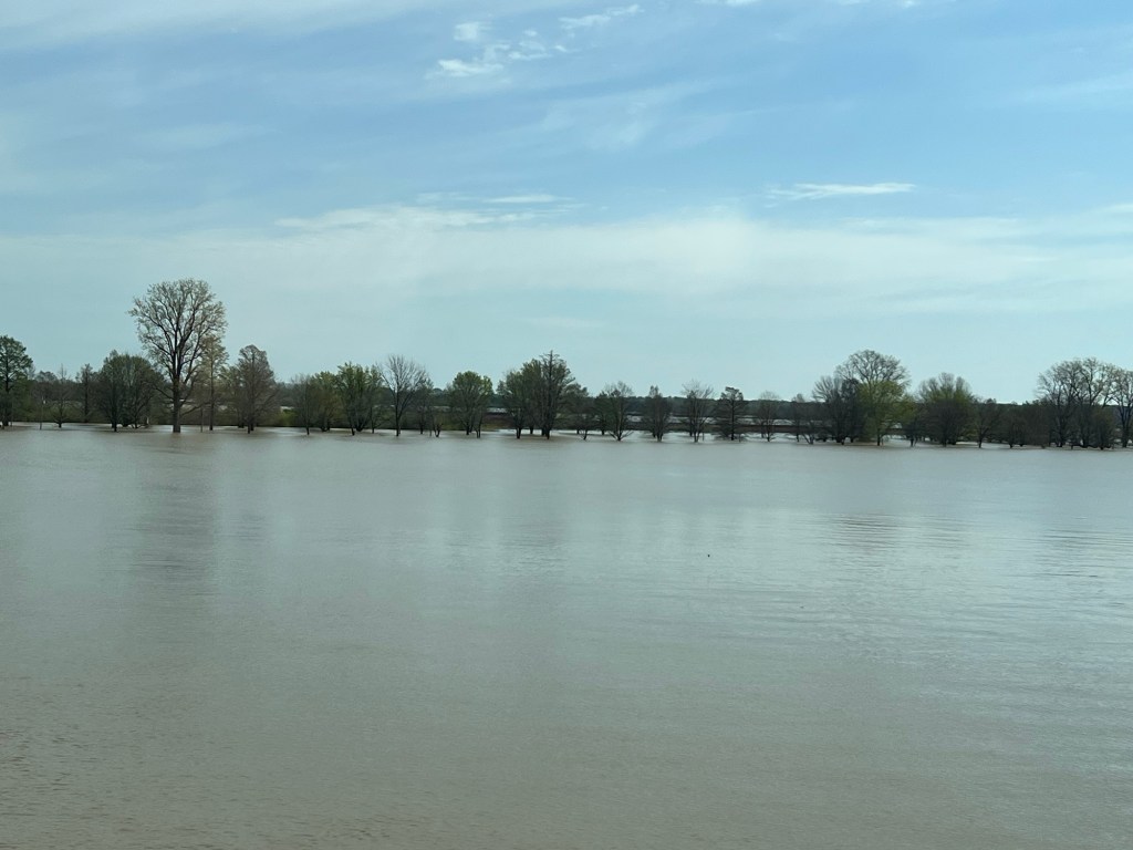
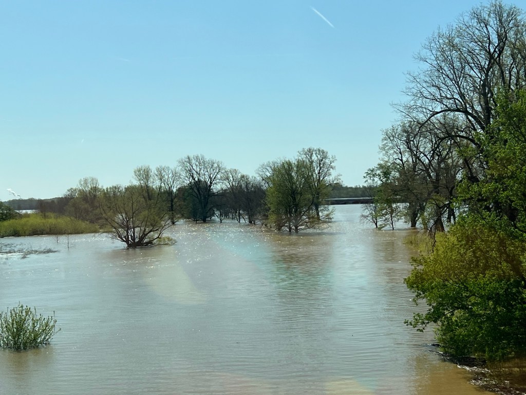
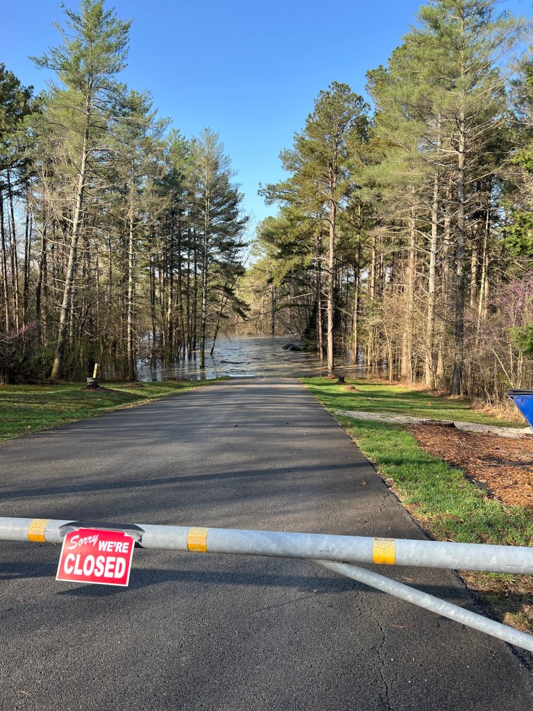
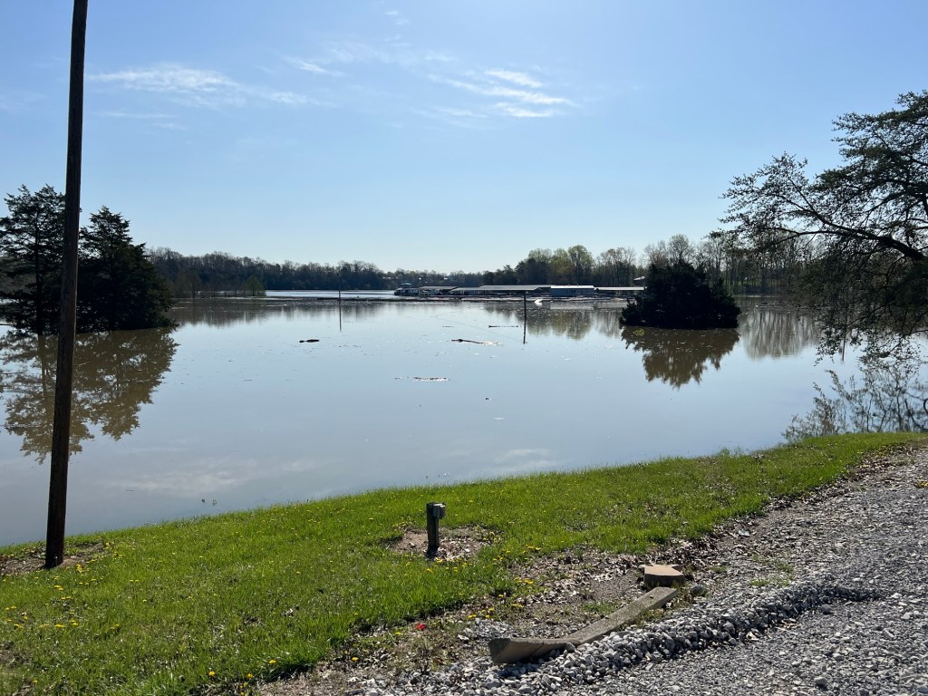
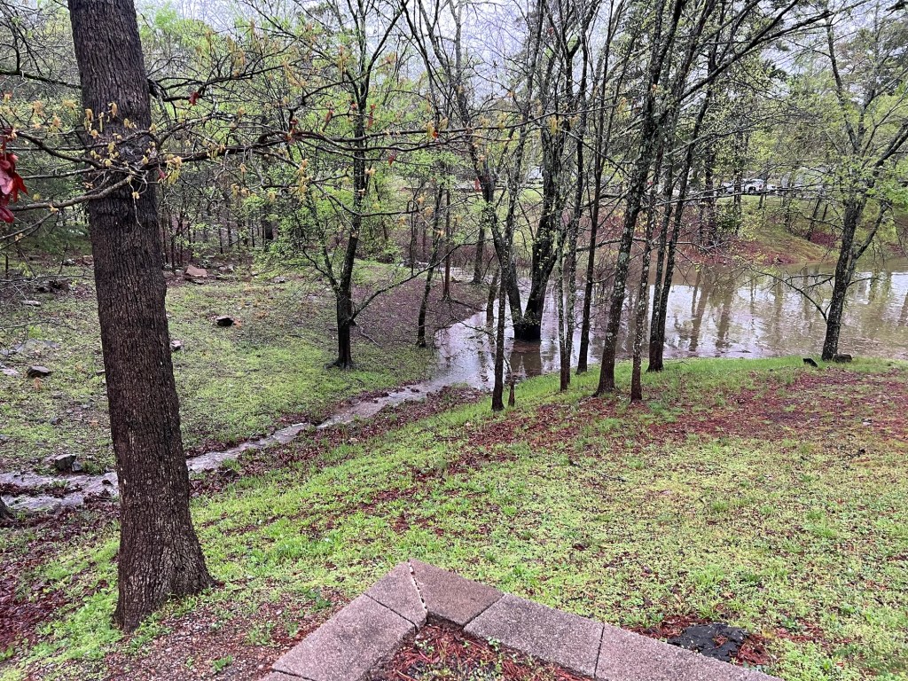
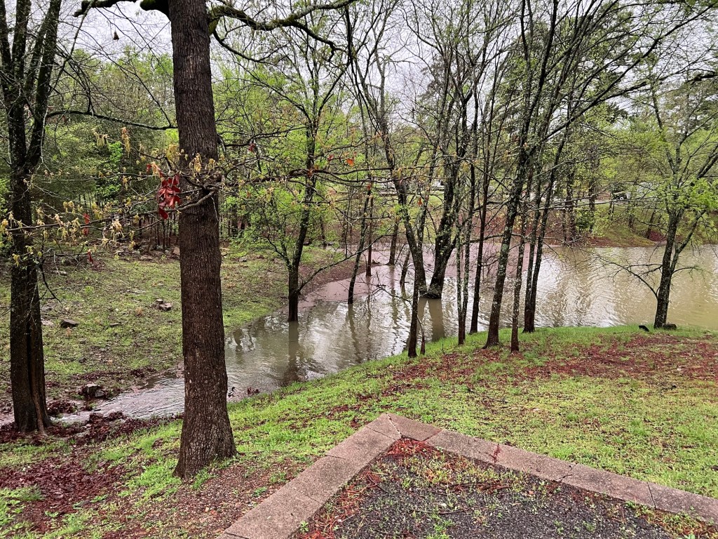
By the end of the day Thursday the lake was so high that I took a picture.
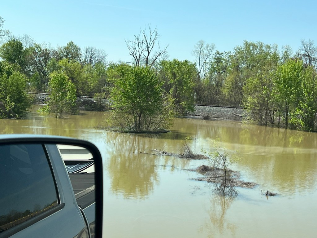
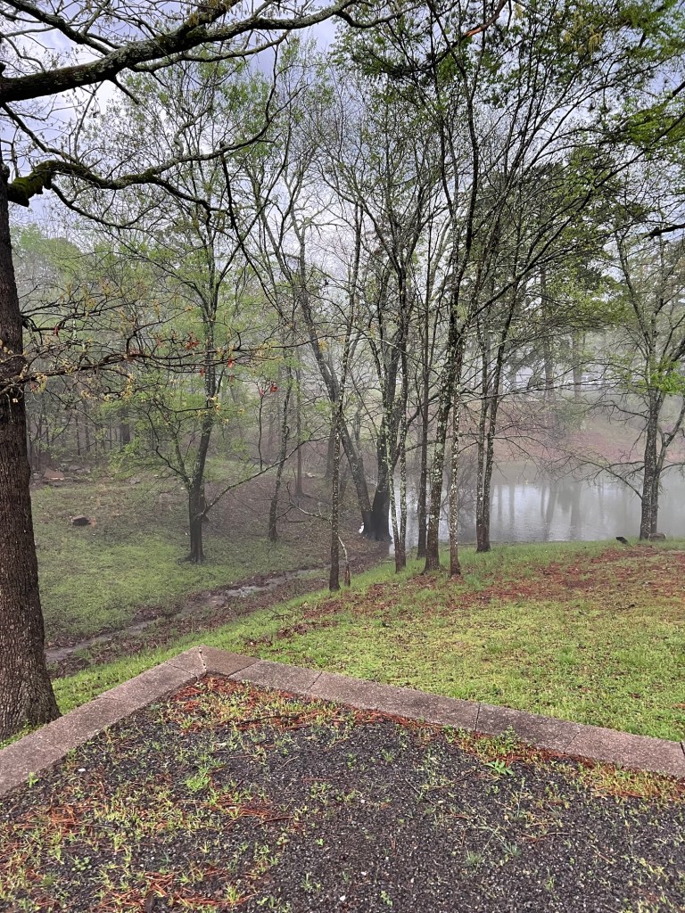
But it kept raining.
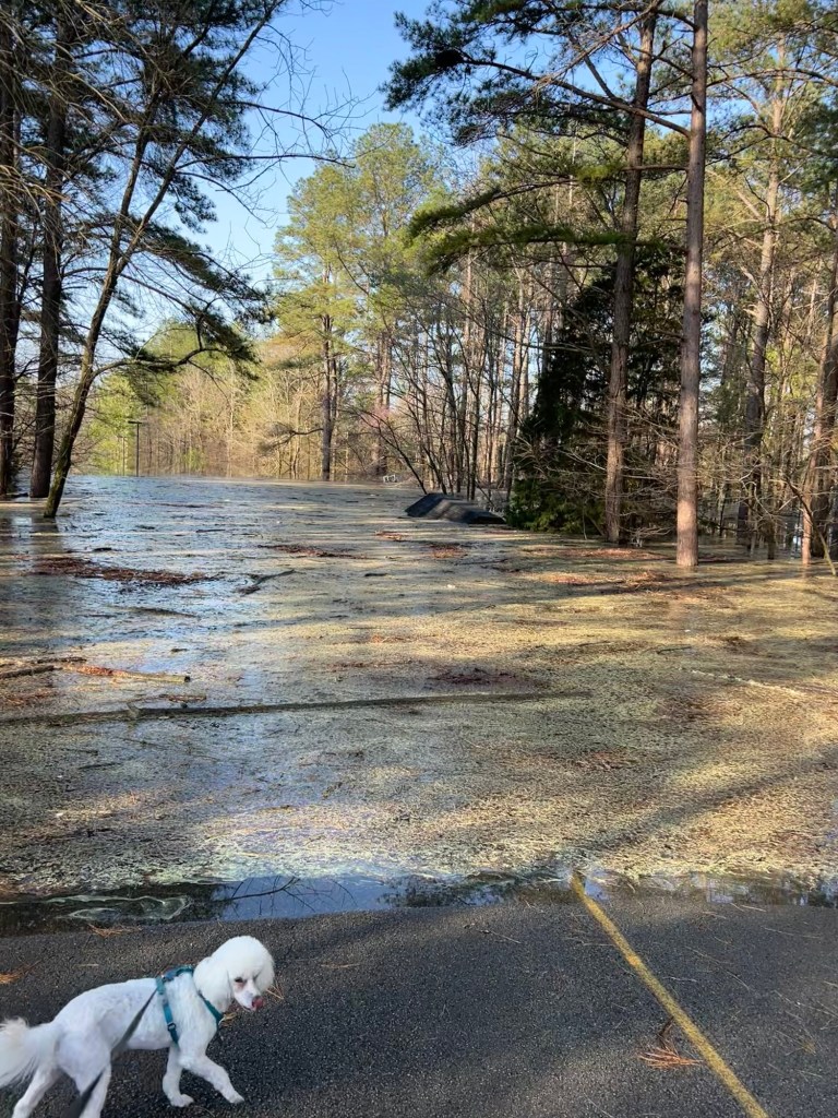
Off and on Friday.
Pretty much all night Friday night.
All day Saturday.
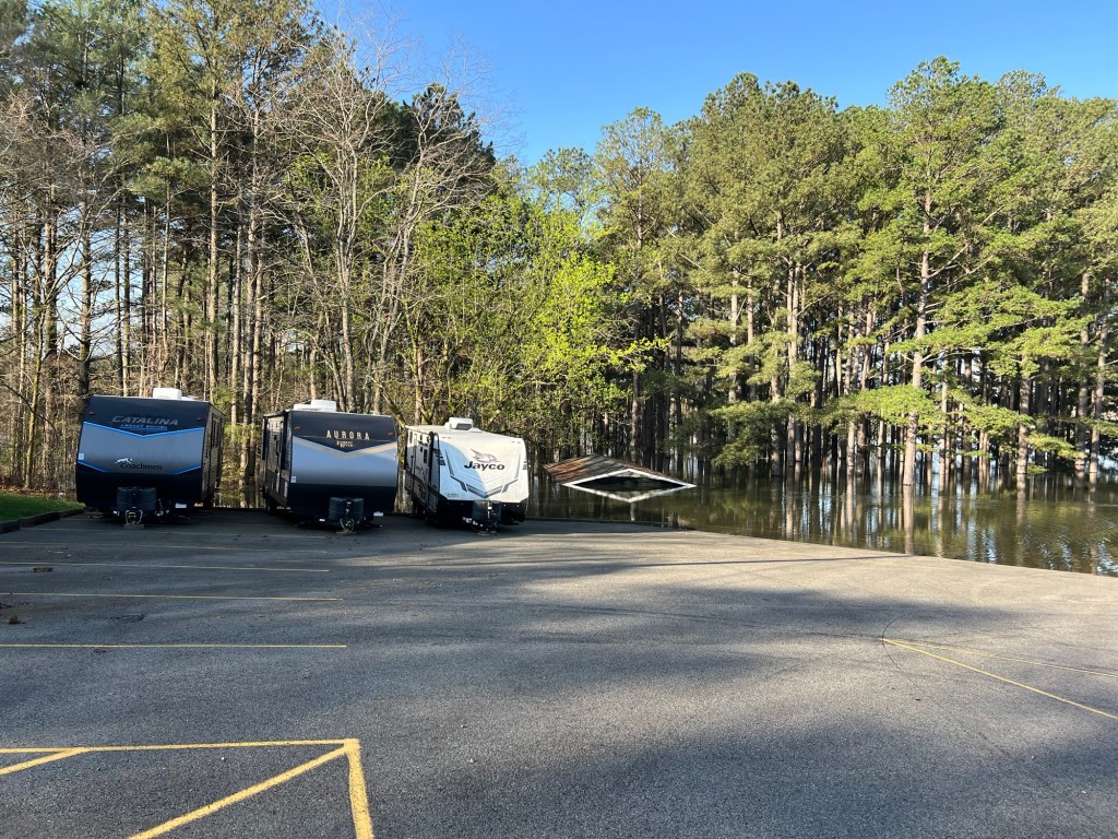
And all night Saturday night.
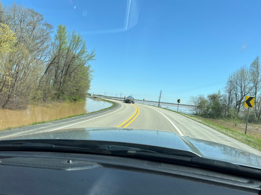
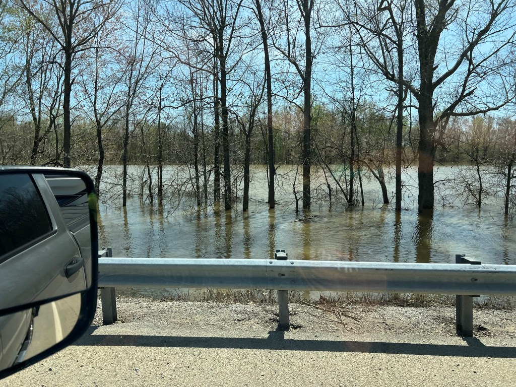
We were lucky that we were camped on high ground and that none of the roads closed between us and town.
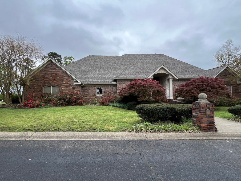
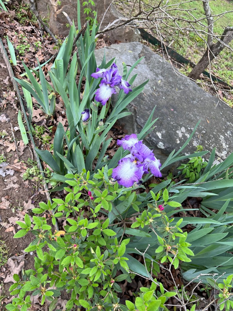
Today it quit raining and we went back over to Jamie’s, but it was too damp and cold to do much. Things are green…
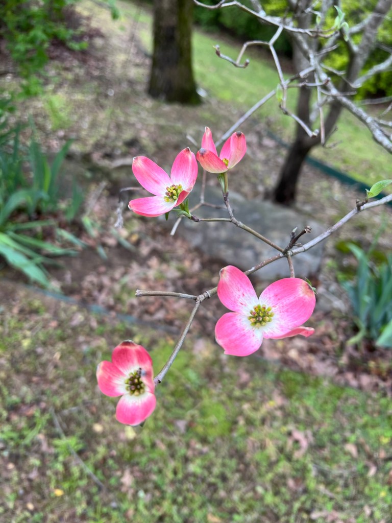
and the flowers are out.
Tomorrow we leave and it’s supposed to be sunny, and all next week it should be sunny and warm.
Oh well, at least we were only under severe thunderstorm warnings and a tornado watch. We never got a tornado warning although there was a cell aimed at us that was developing a twist, but it dissipated.
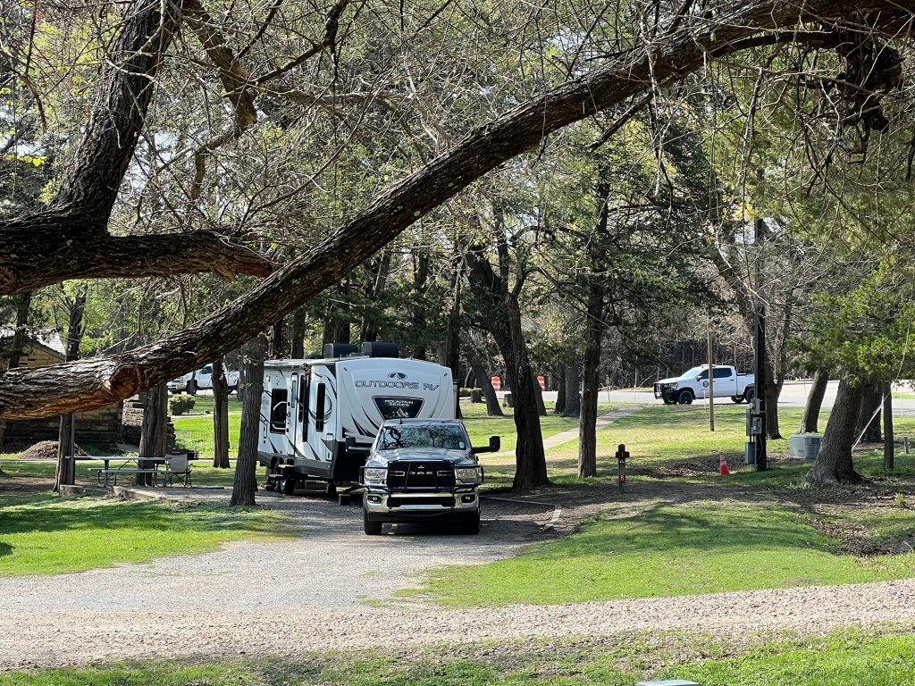
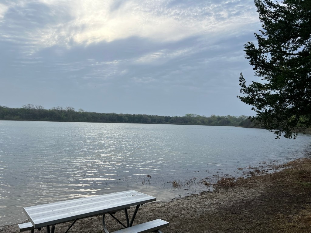
There are two full hookup sites at Bonham State Park, we have one of them.
It’s a pleasant small park centered on a lake dammed by the CCC.
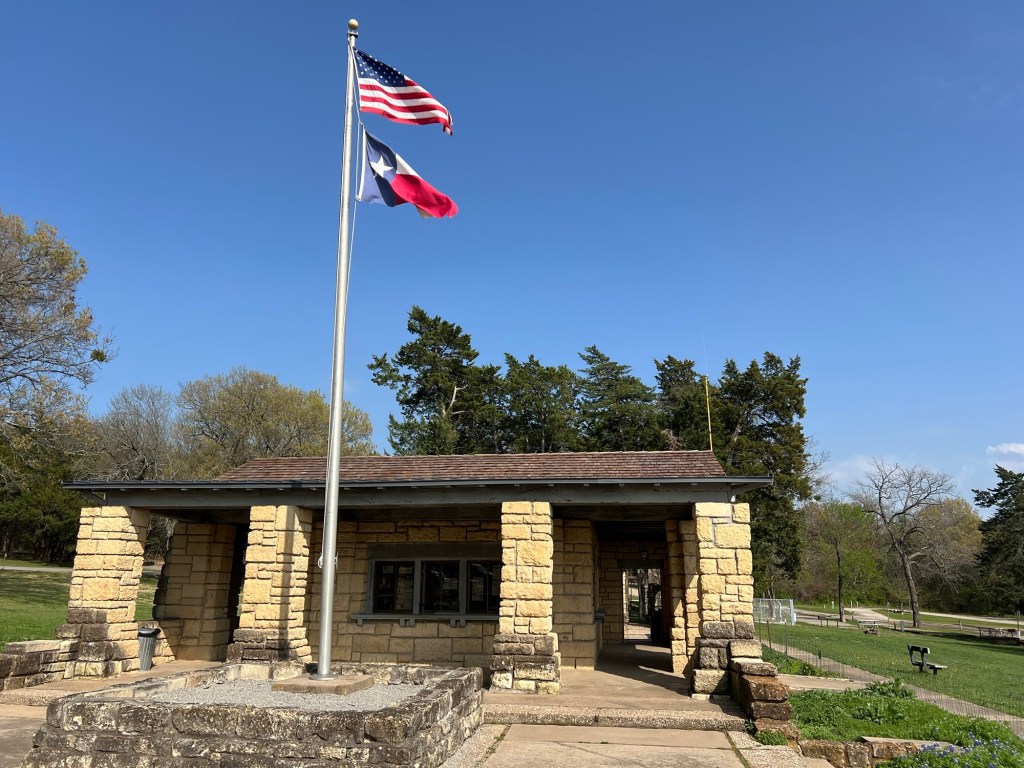
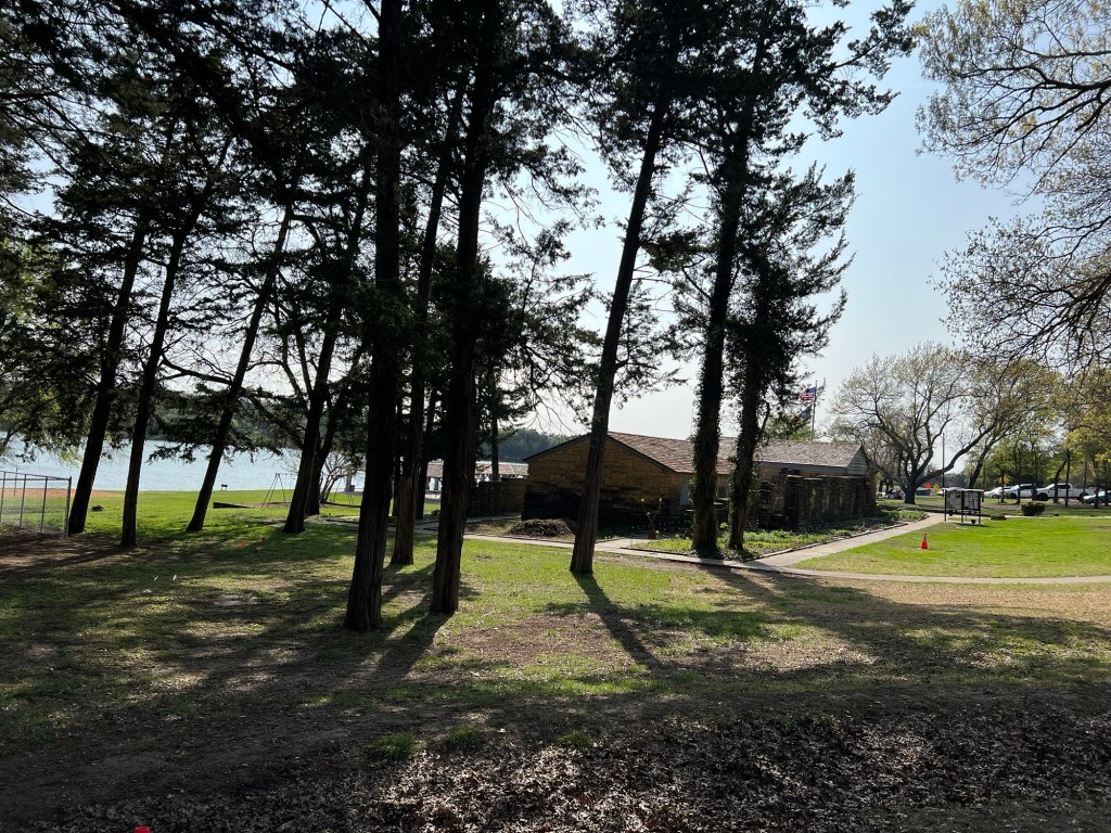
The main building was also made by the CCC…
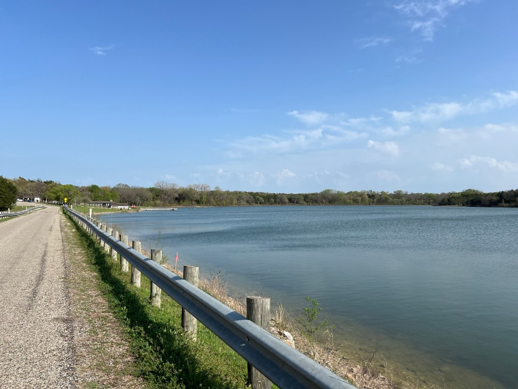
and faces the lake and a nice beach area.
You’ll notice we’re not in the desert anymore. We’re 65 miles northeast of Dallas and there is actual mud here.
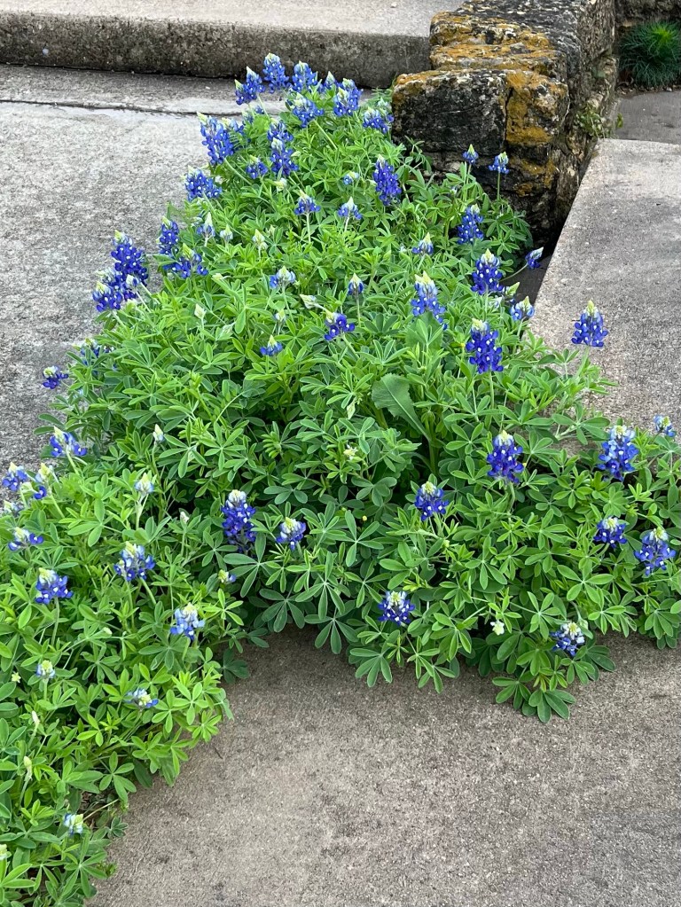
We have found spring.
Those are Texas Bluebells.
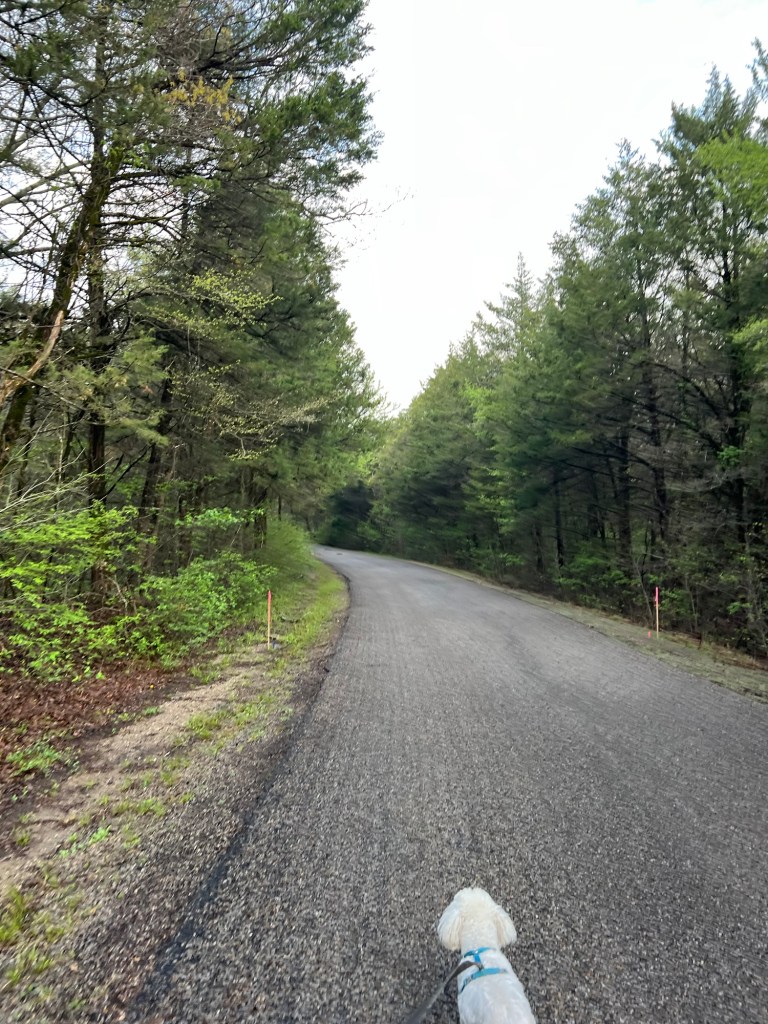
Matey and I took a nice walk around the lake.
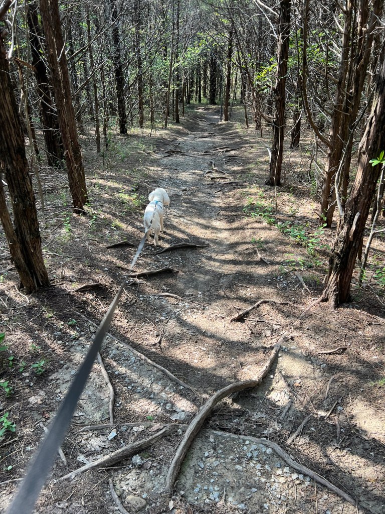
We also walked the aptly named Gnarly Root Trail.
It’s a pleasant enough stop. It’s also 5 miles from Bonham, a small town just big enough to have a Walmart, a Brookshires and a laundromat; so the shopping and laundry got done. Works for me!
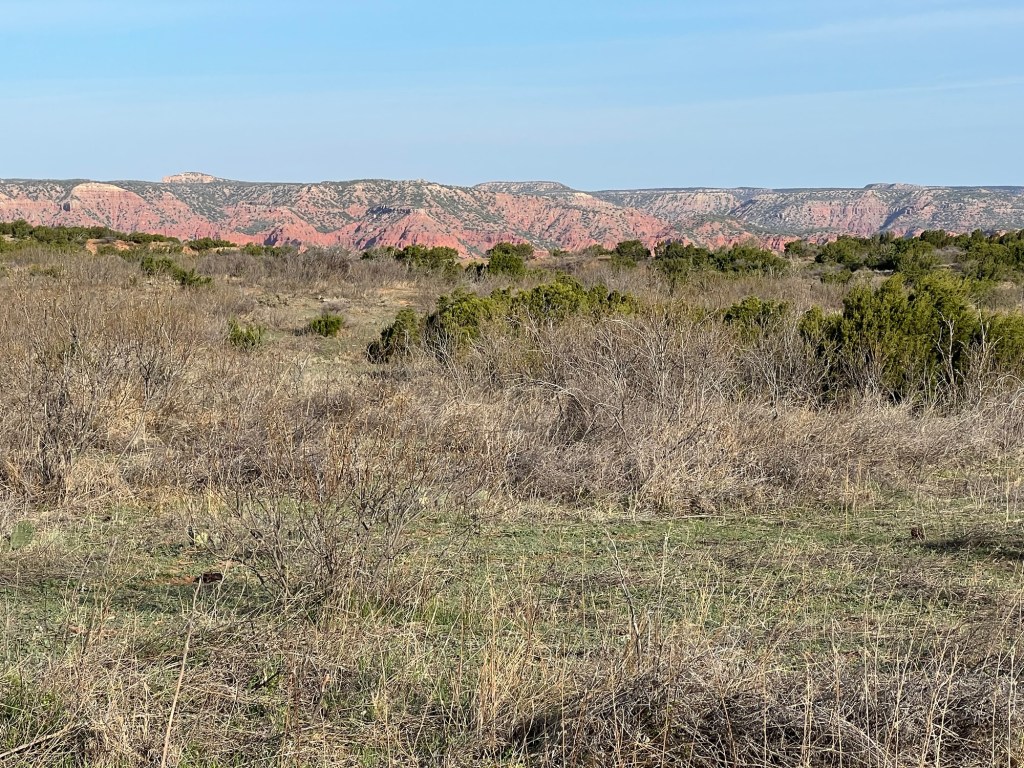
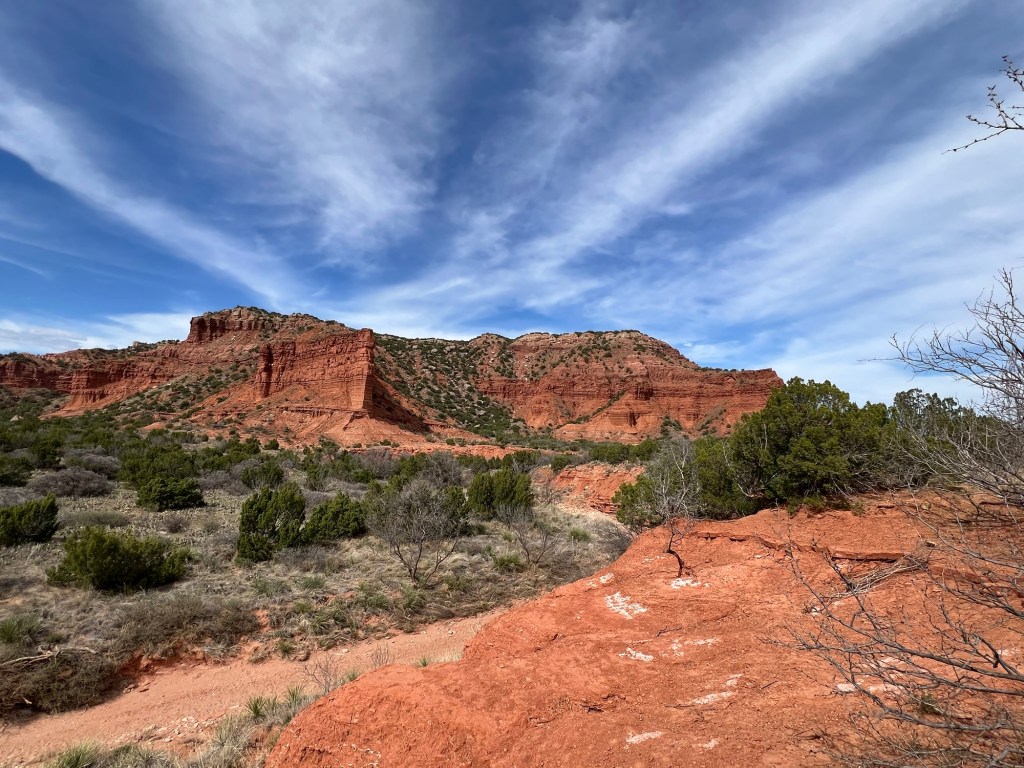
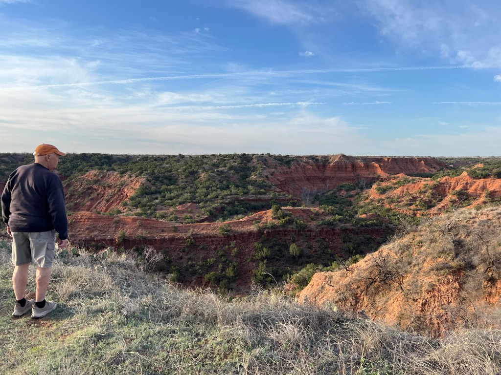
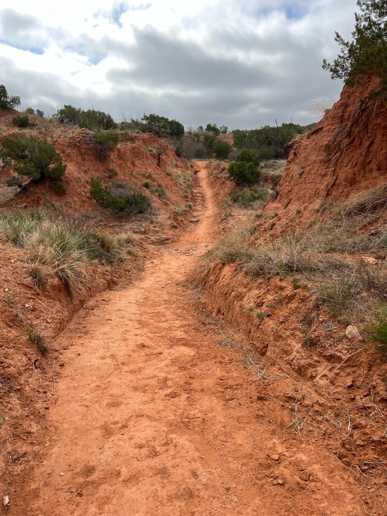
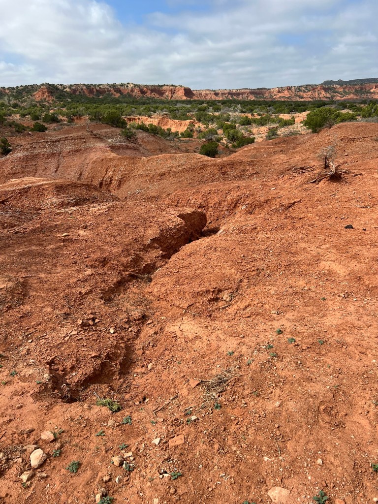
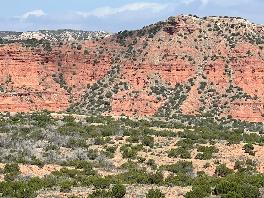
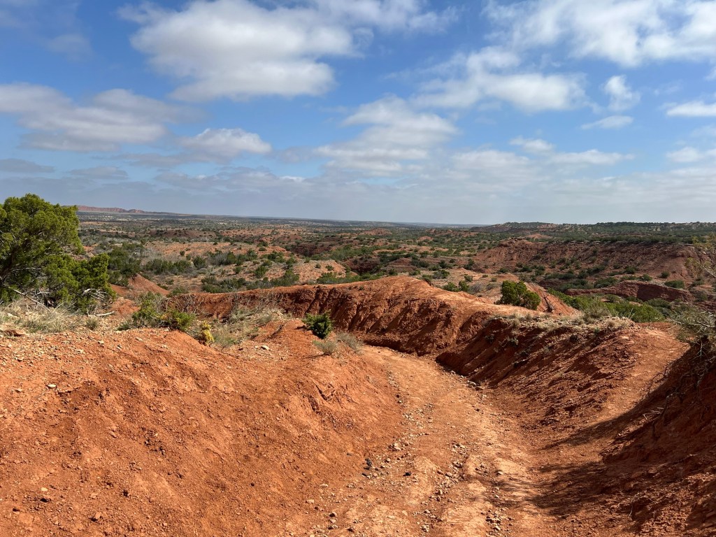
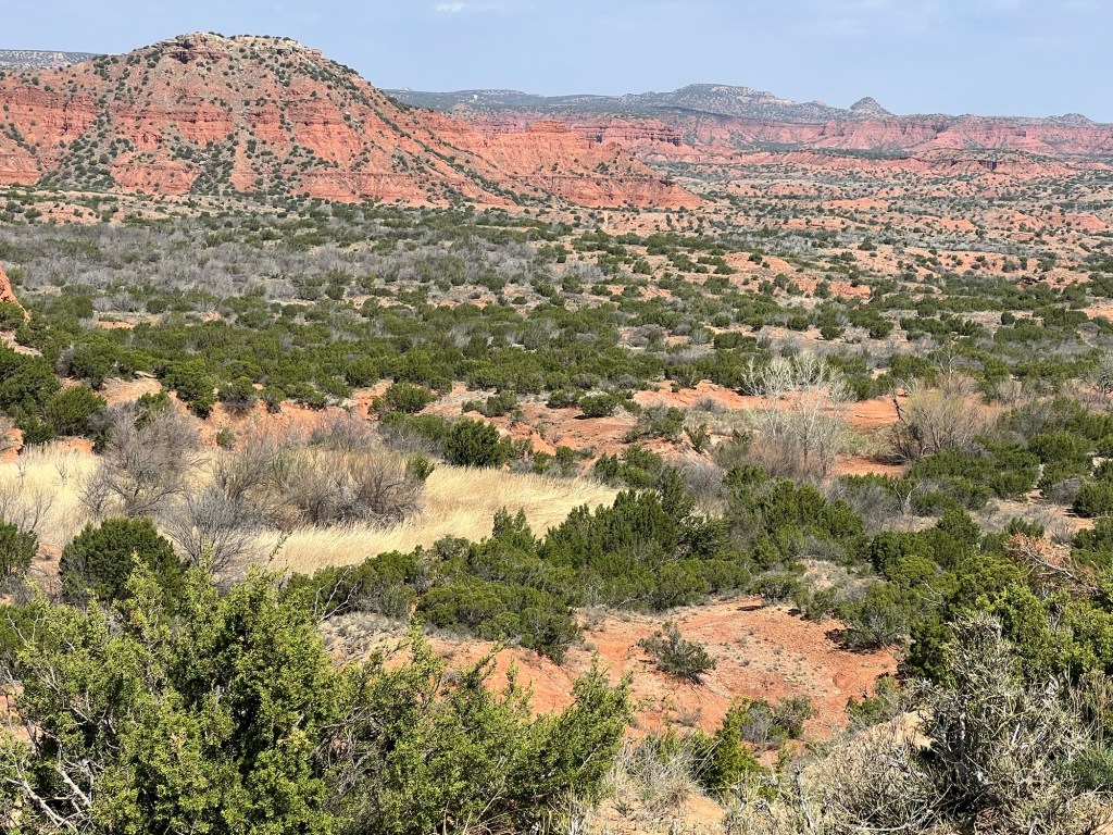
First of all, you’ve got to like this landscape. We’re camped on Honey Flats and the view from the flats is an array of red rock canyons. The distant hills are capped with a white calcite rock resistant to erosion.
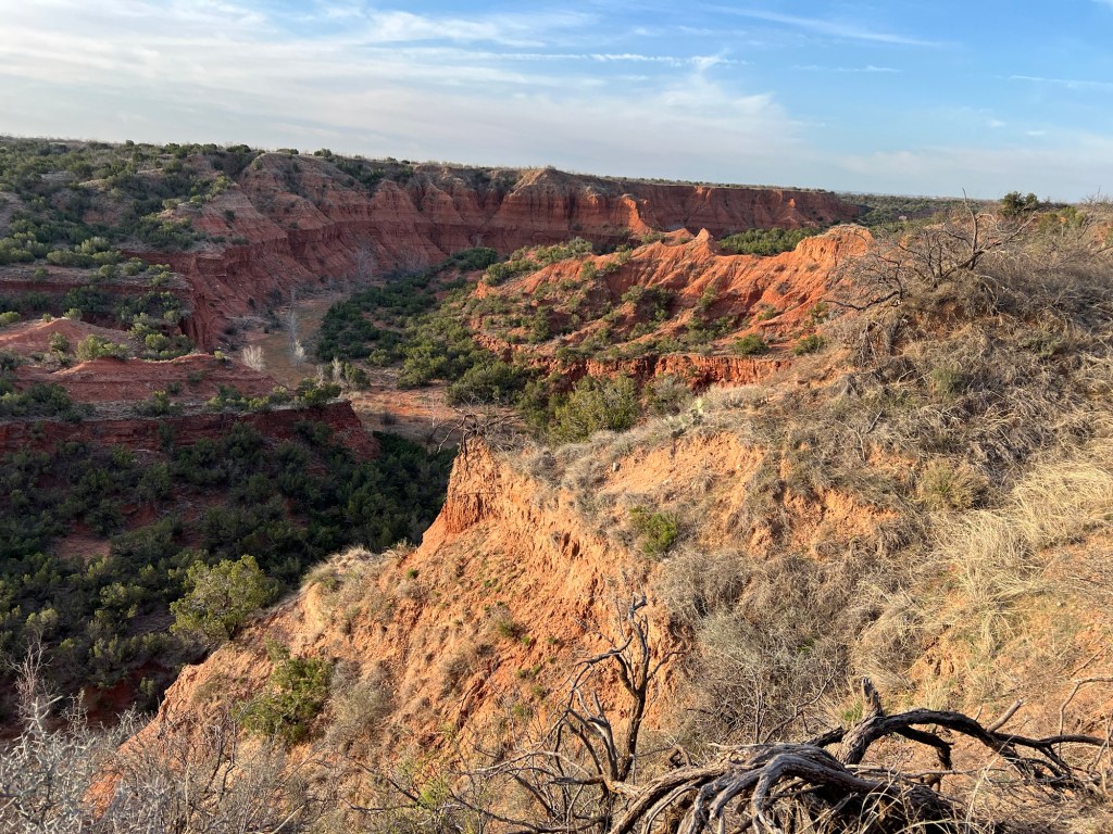
But where the cap is broken the red rocks below are eroded into deep canyons.
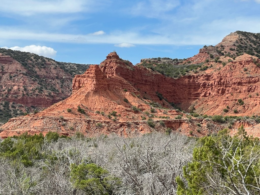
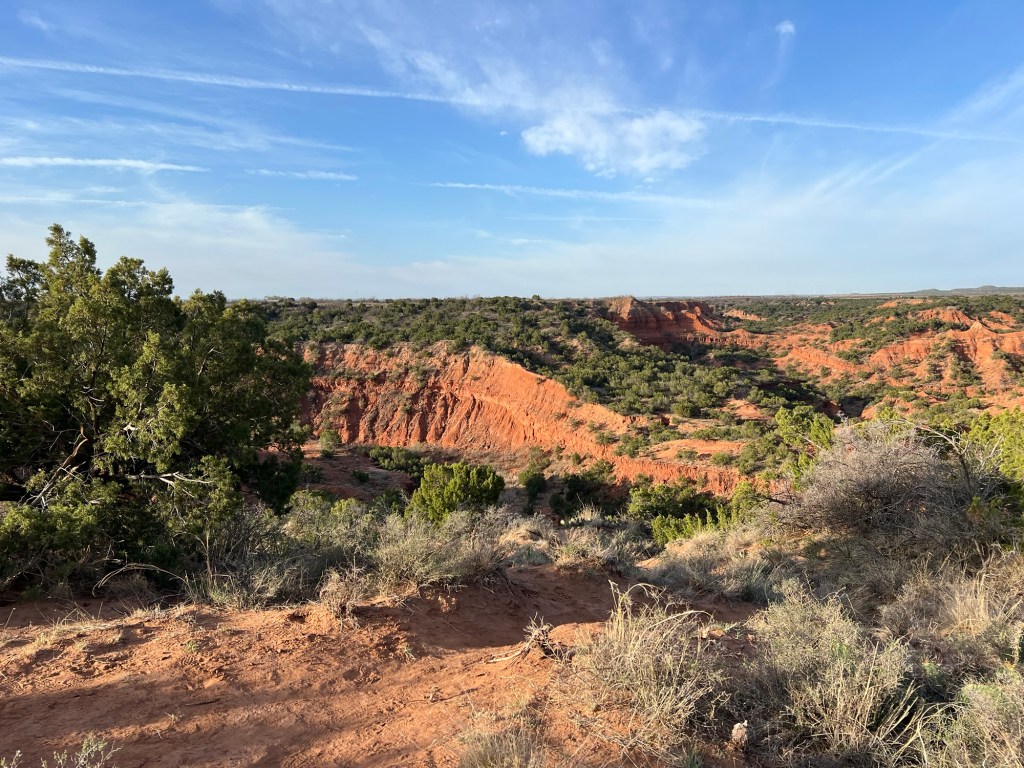
Pillars and cliffs abound…
creating beautiful vistas everywhere.
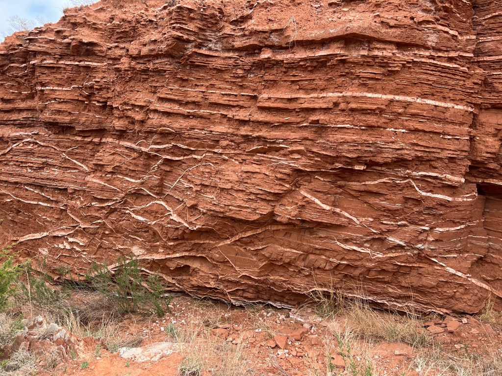
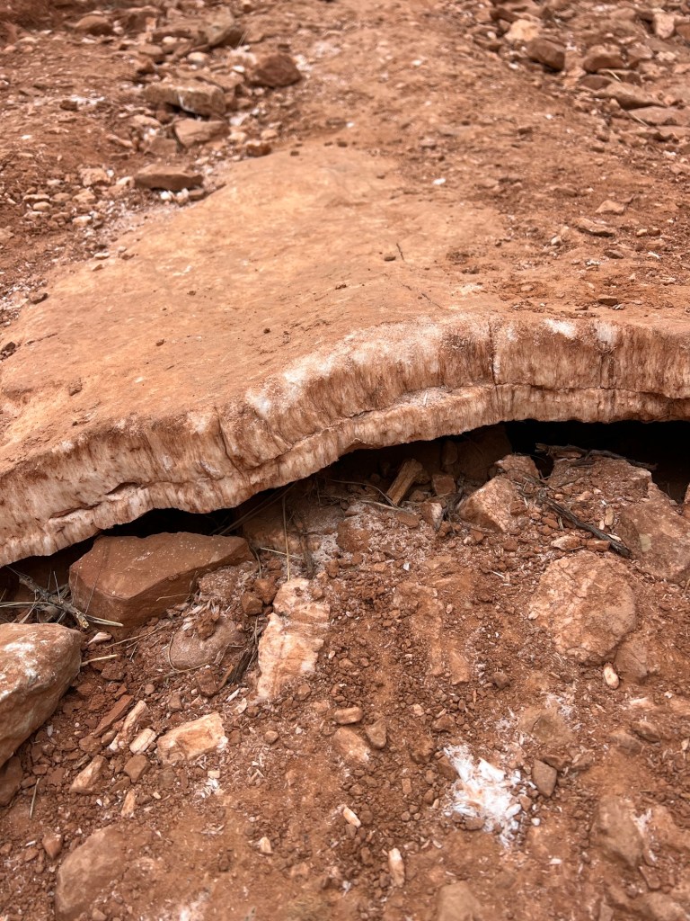
Added to this are twisting veins of gypsum.
adding special interest to the trails.
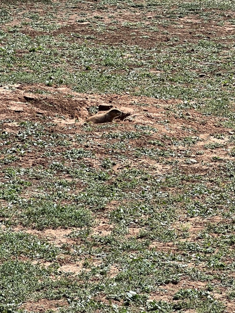
Then there is the wildlife. There is a prairie dog town right next to the campground.
Their sentries raise the alarm every time you walk by.
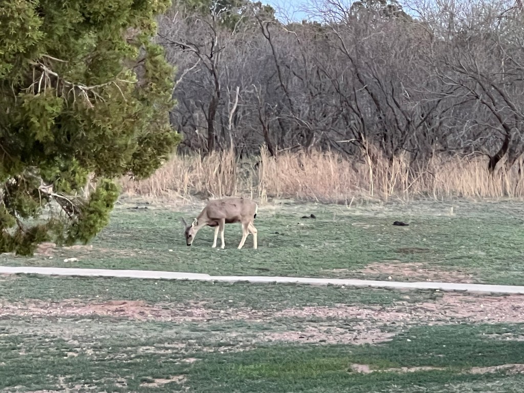
There were two mule deer right in the campground,
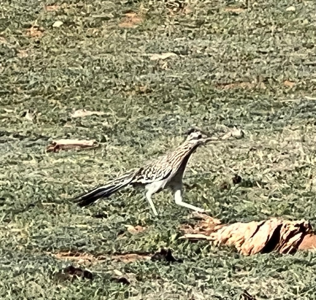
I saw a couple of my favorite birds, roadrunners,
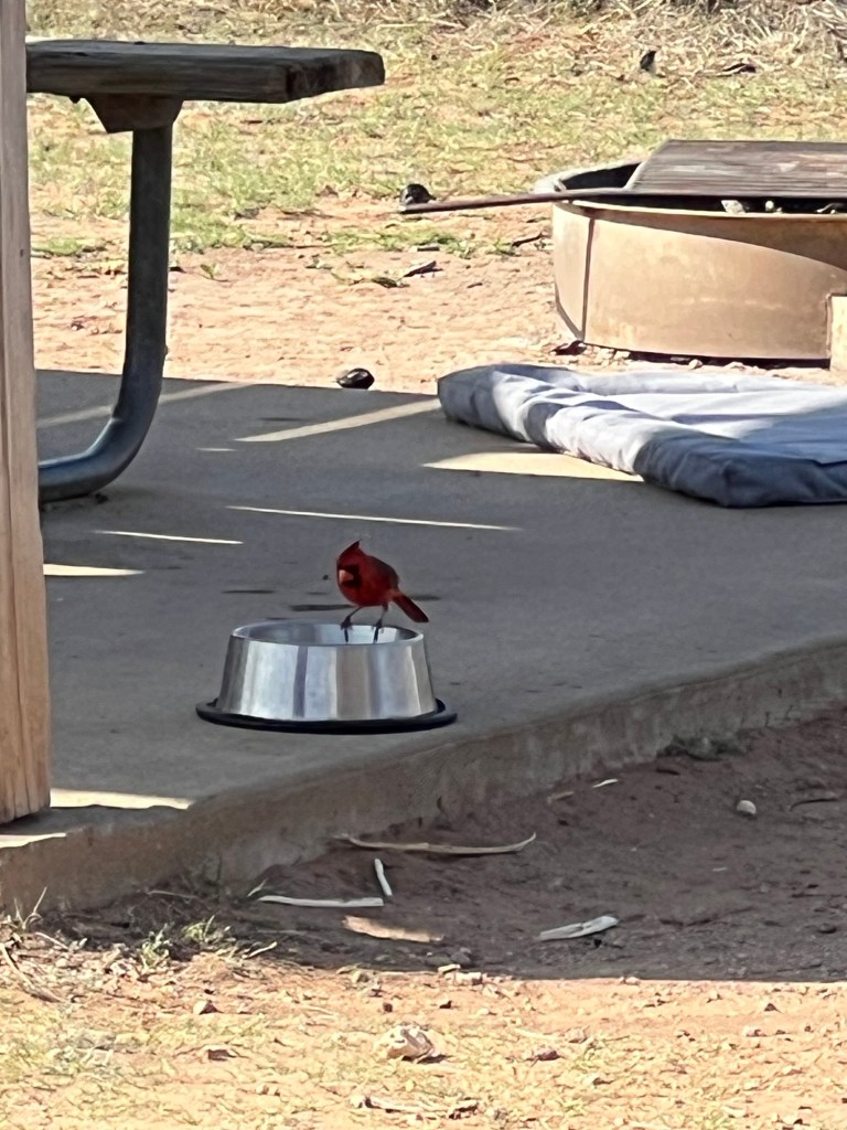
and Matey even had a cardinal share his water bowl.
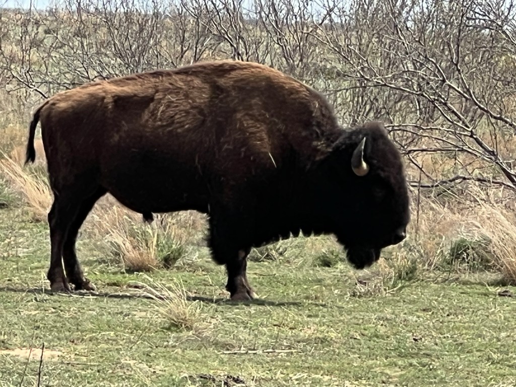
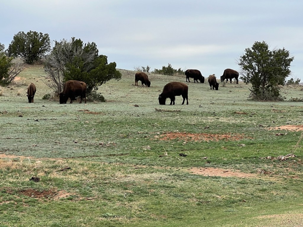
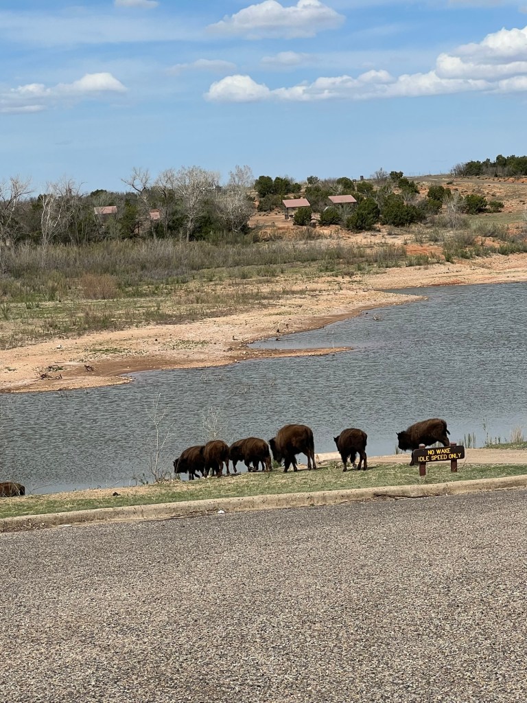
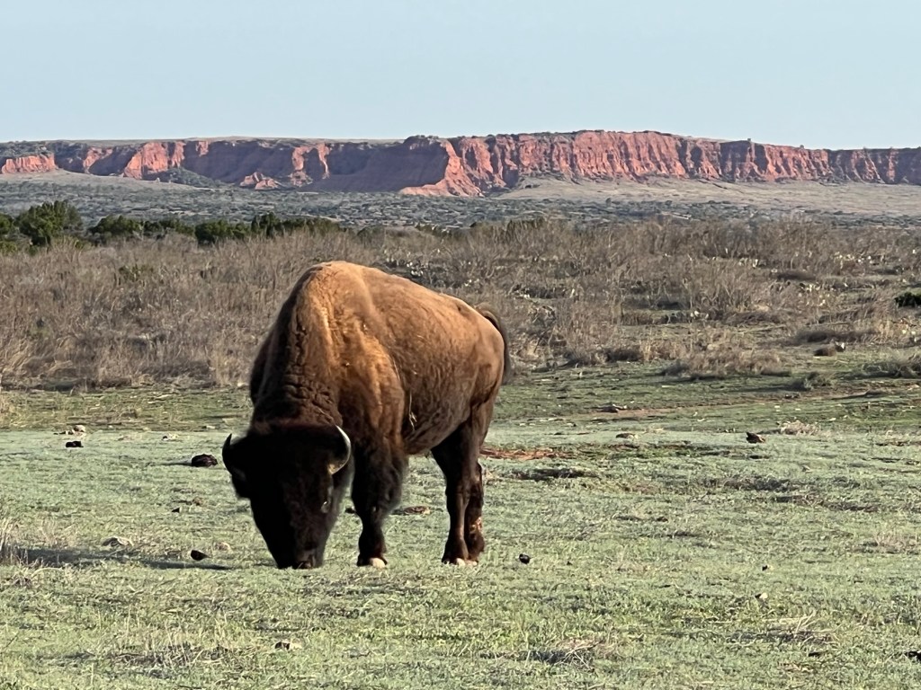
But the stars of the park are the bison.
The official Texas State Bison Herd lives here. These animals are the descendants of some orphaned calves rescued at the end of the great bison slaughter in 1878 by Charles Goodnight at the urging of his wife, Mary Ann.
Eventually they had a herd of 200 on their JA Ranch. On their death the herd dwindled until 1997, when the remaining 32 were moved here. It was found that these were the only remaining genetically unique southern plains strain.
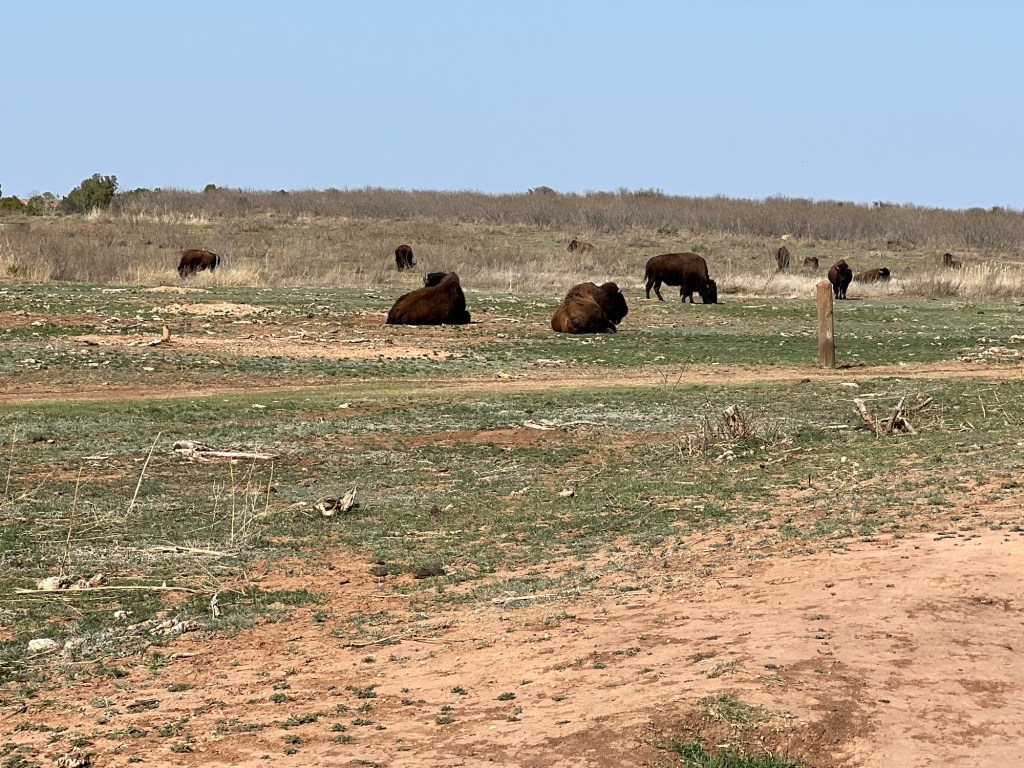
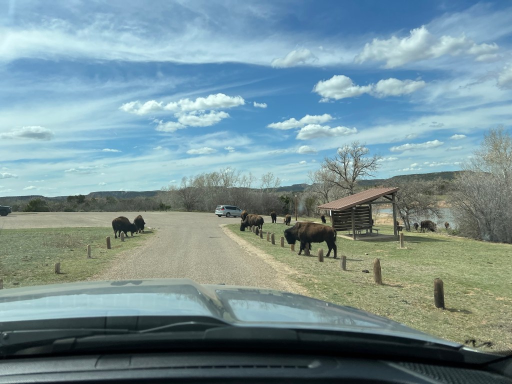
Today there are around 300 and this is their home first. They hang around the trails,
wander the roads,
and go swimming at the boat ramp. There was one in a campsite when we arrived (happily not ours).
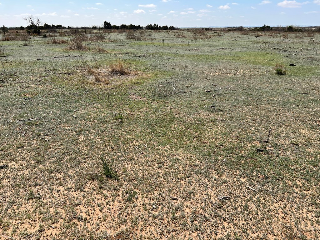
The grazing of the bison is helping to restore the prairie, favoring the deep rooted grasses and suppressing the cactus and juniper. The park also uses controlled burns to clear the brush so the grasses can get established.
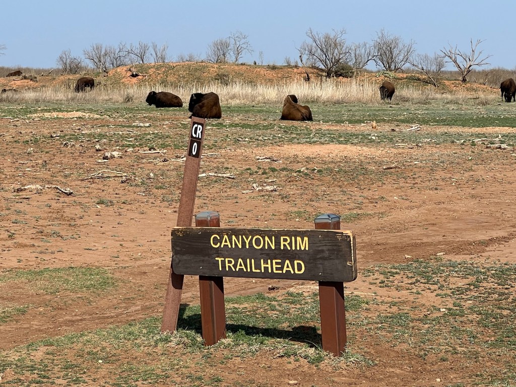
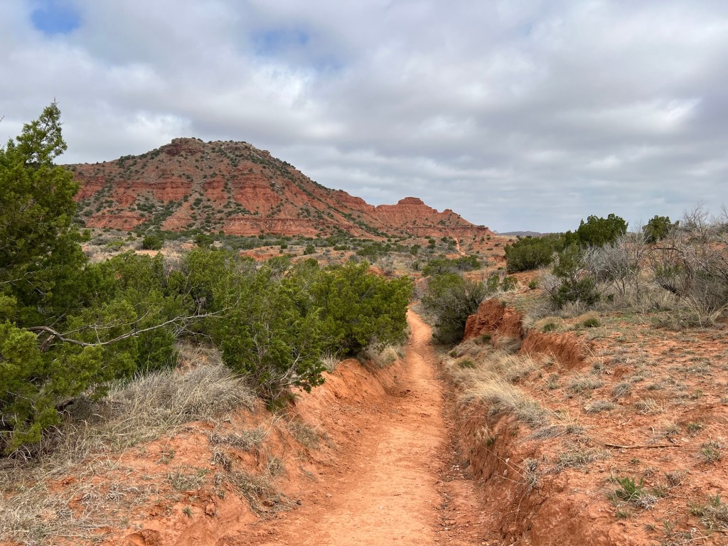
This park also has great trails. Yesterday we walked the Canyon Rim Trail, a two mile loop right next to the campground.
There were plenty of beautiful views,
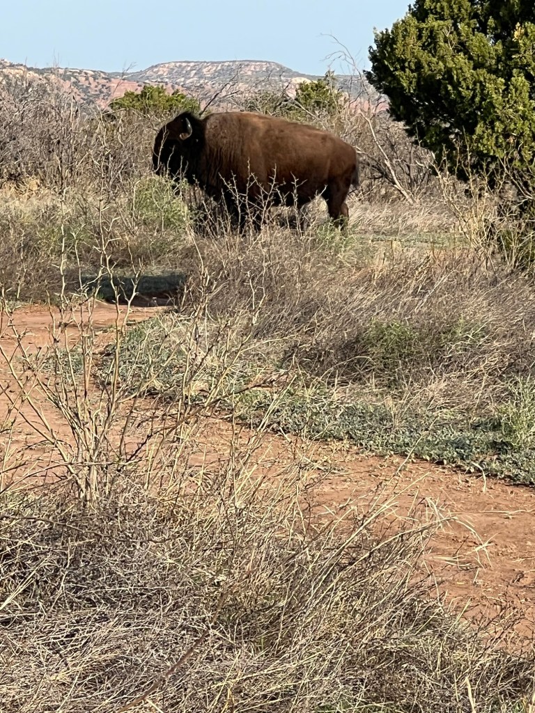
and bison.
You’re supposed to stay about 50 yards away from the bison, but sometimes it’s not possible. This big guy stepped out of the brush about 50 feet in front of Matey and I. I backed up a few paces and then we walked back to where Bud was and waited for him to go back in the bushes. We still walked by about 100 feet from him, but at least he was back in the bushes and not looking at us anymore.
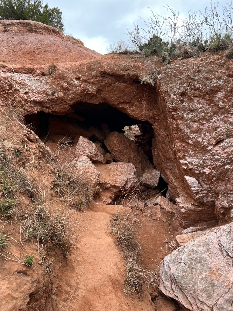
This morning Bud and Matey and I drove to the far trailhead of Eagle Point Trail.
We all walked as far as the natural bridge, where there was a tunnel eroded under the trail. Bud and Matey walked about a quarter mile back to the truck and I walked back to the campground, about two miles on the trail and another three quarters of a mile back to our site.
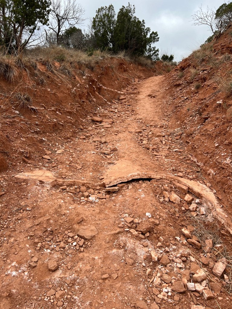
This is one of nicest trails I’ve walked on. It was very well made.
It went through some rugged areas, but the trail was always pretty smooth.
And the scenery was spectacular.
Usually when I’m hiking alone I’m kind of glad to get to the end of the trail,
but not with this one.
I hated to leave this beauty behind.
Happily the walk back still afforded some great views.
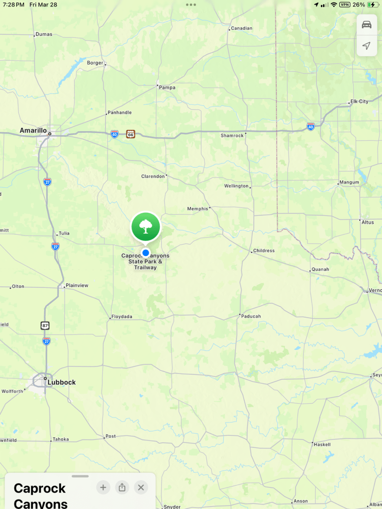
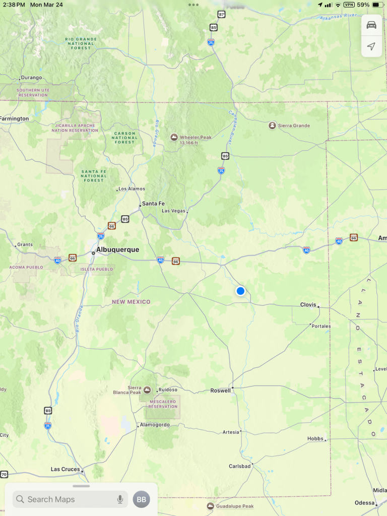
I’m leaving you with a map of where this is, just southeast of Amarillo and the junction of I-40 and I-27, because if you ever come camping in this part of the country you should come here.
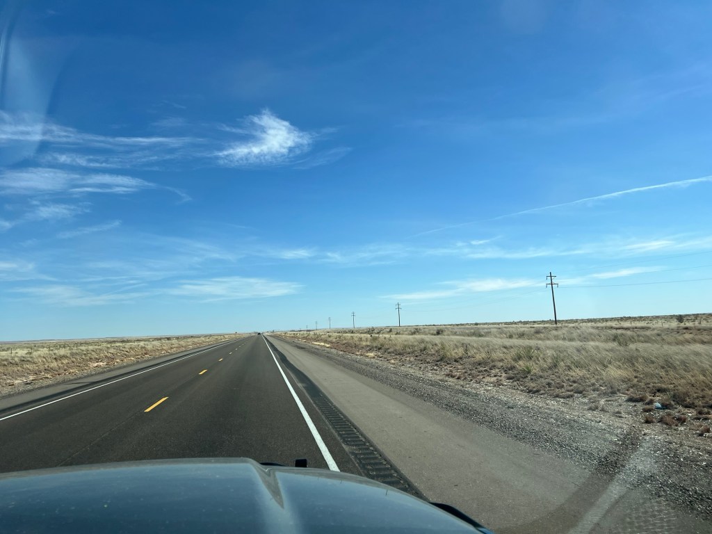
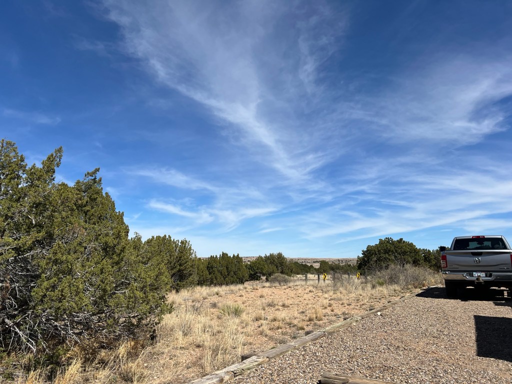
We finally left I-40 and came southeast to the middle of nowhere…
in east-central New Mexico.
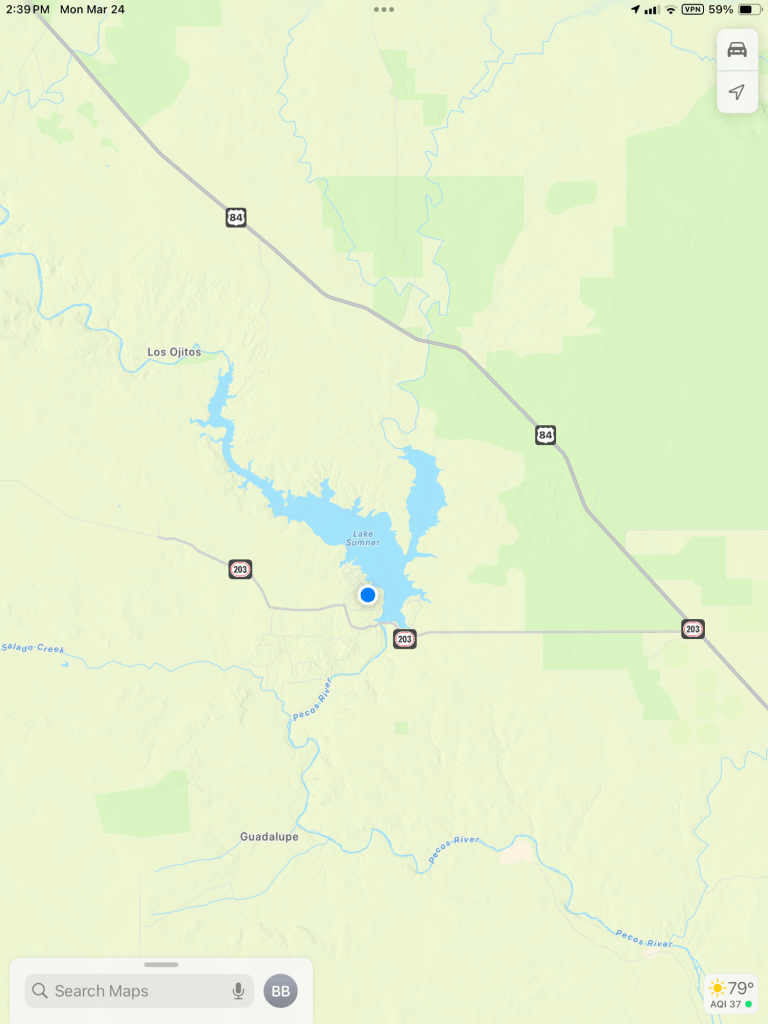
But when you look a little closer…
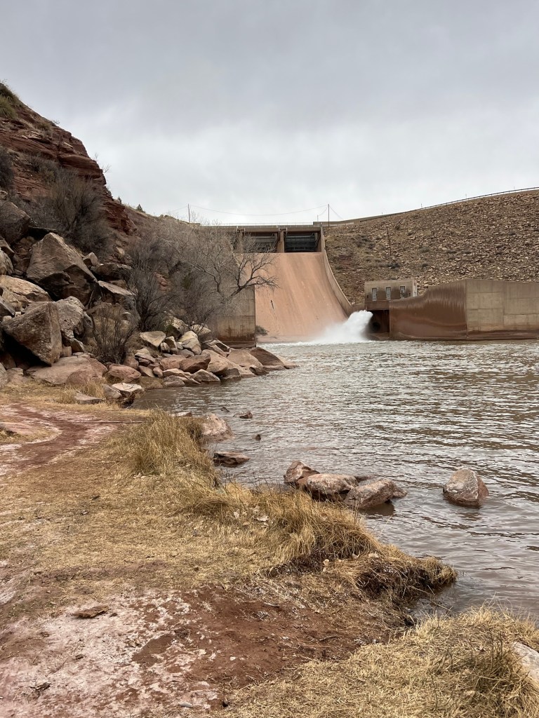
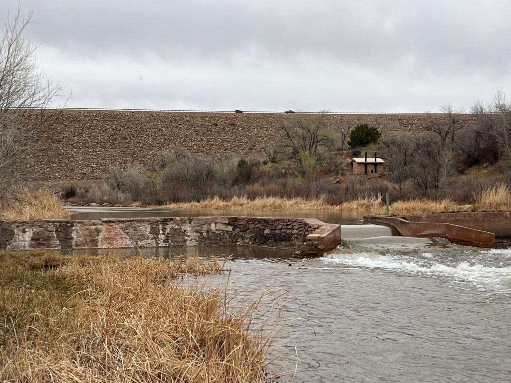
you find a dam…
on the Pecos River…
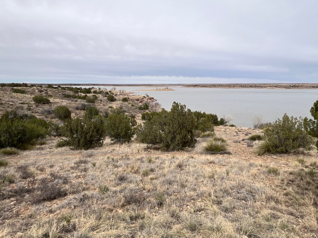
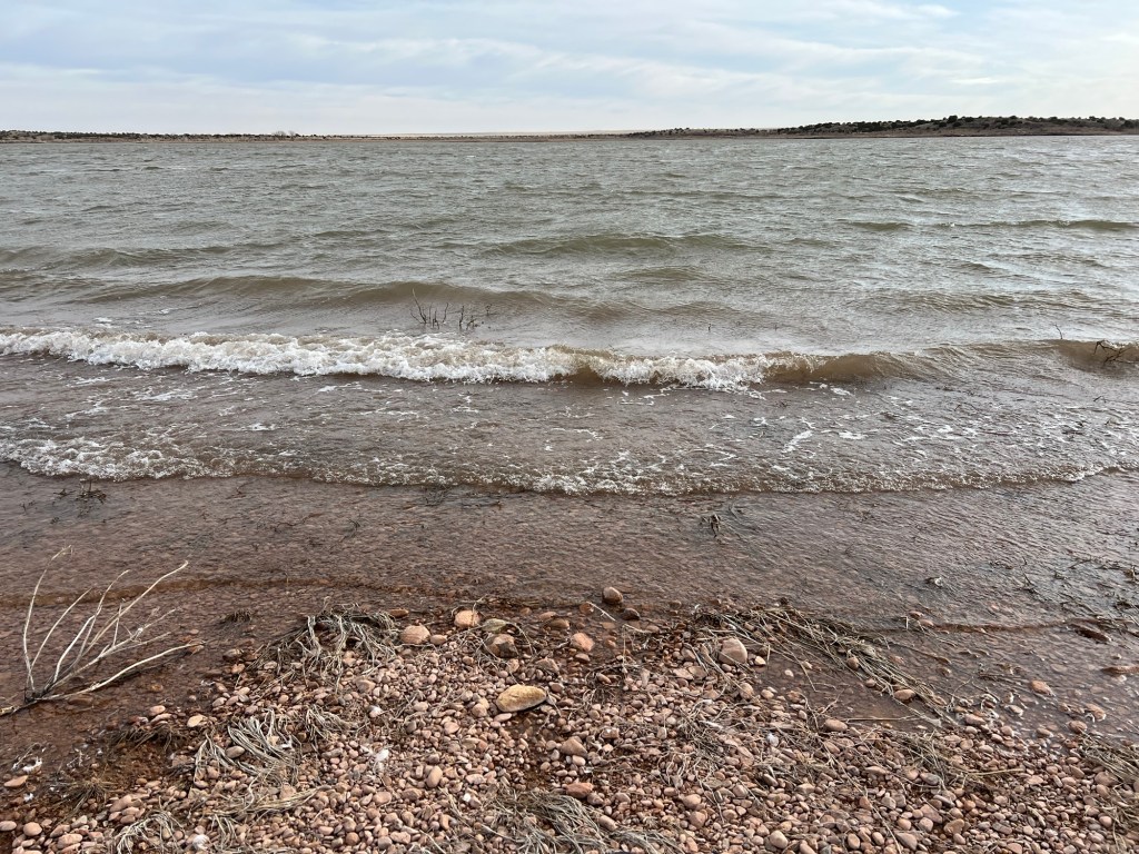
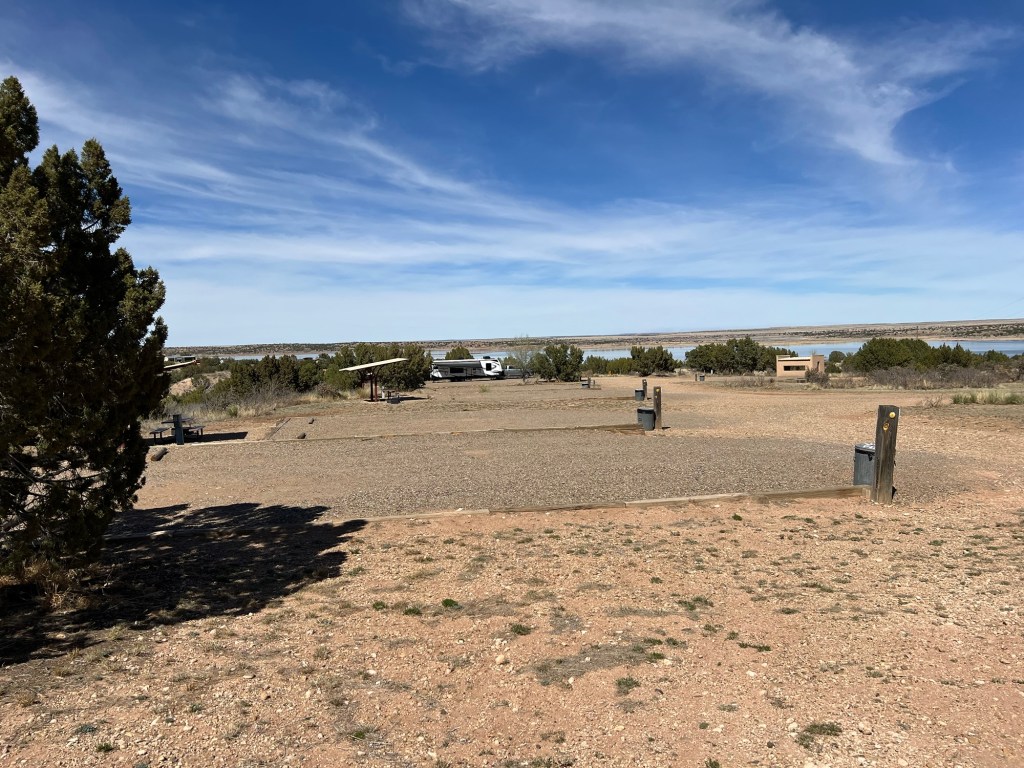
and Lake Sumner.
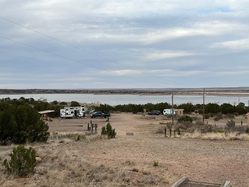
The state park has a couple of campgrounds on the lake with water and electricity, the one on the east side is closed for the winter. There are also primitive campsites,
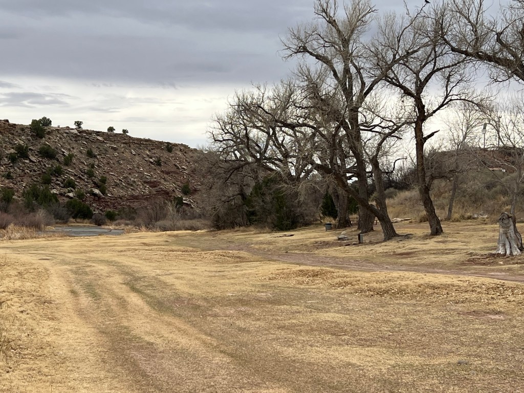
including some very pretty ones below the dam among the cottonwoods lining the river.
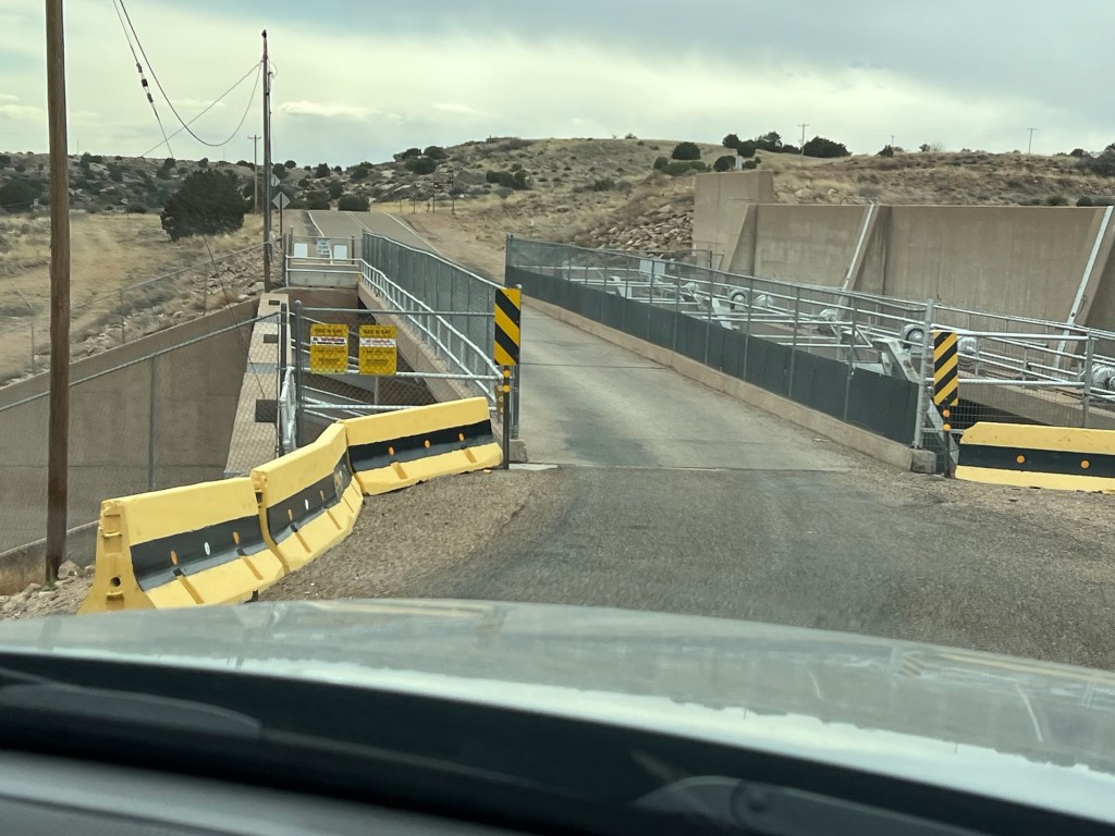
It’s a pretty big dam, part concrete…
with a larger rock wall.
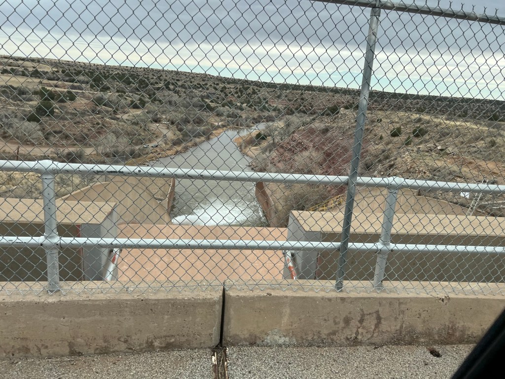
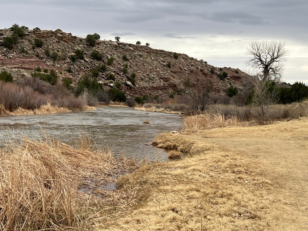
The river and valley below the dam are lovely.
It’s a decent sized lake.
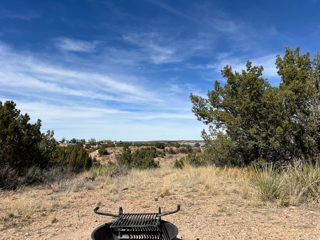
Our campsite sits quite a ways above the lake, but I get a glimpse of it from the shade of the cabana behind our site.
We are miles from a road of any size,
and today, Monday, we have the place mostly to ourselves.