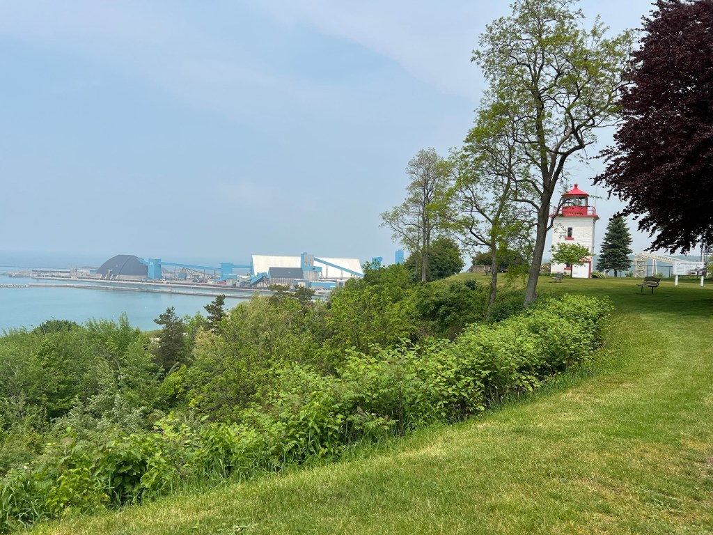
We are very near the little city of Goderich, which is a port on Lake Huron. We took a ride over to explore the water’s edge. We started at the lighthouse, which turned out to be high on a bluff.
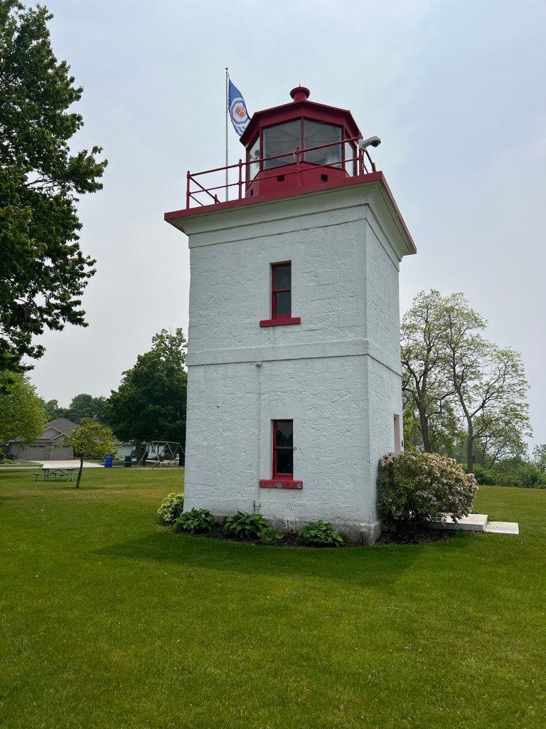
The first lighthouse built on the Canadian shore of Lake Huron was in Goderich. This tower was built in 1847 and is still in use today. It is unusual in that it is square and not tapered. Of course, since it sits high on the bluff it doesn’t need to be very tall.
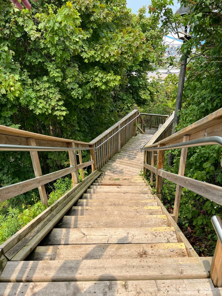
We wanted to walk along the harbor shore, but seeing these rather daunting steps decided to drive down. From the bottom we saw the steps were continuous all the way to the lake shore.
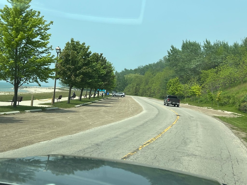
Down below there is a road and a walking path all along the shore.
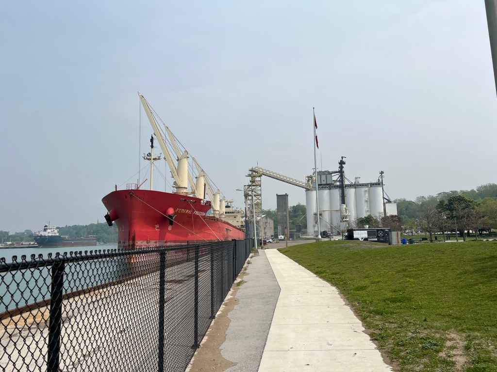
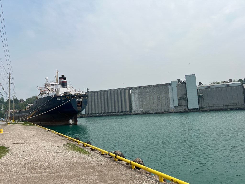
It stretched from the harbor, where this lake freighter was being loaded with grain,
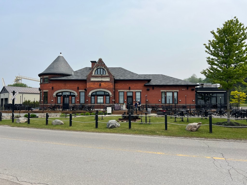
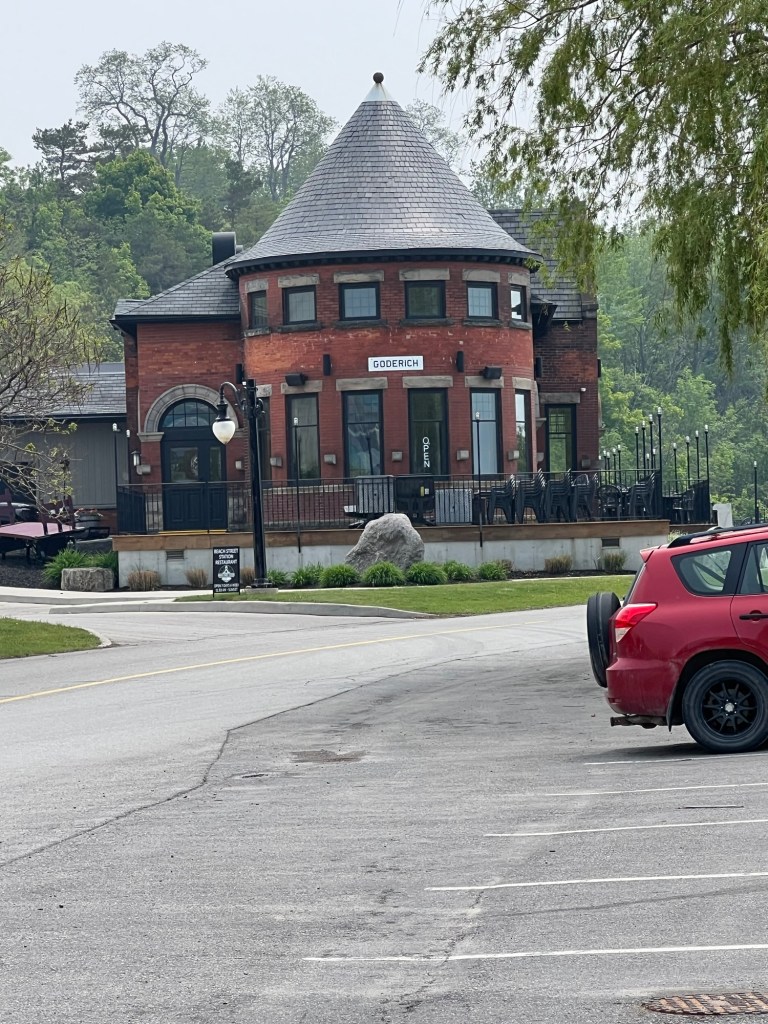
past the old train station,
now a restaurant,
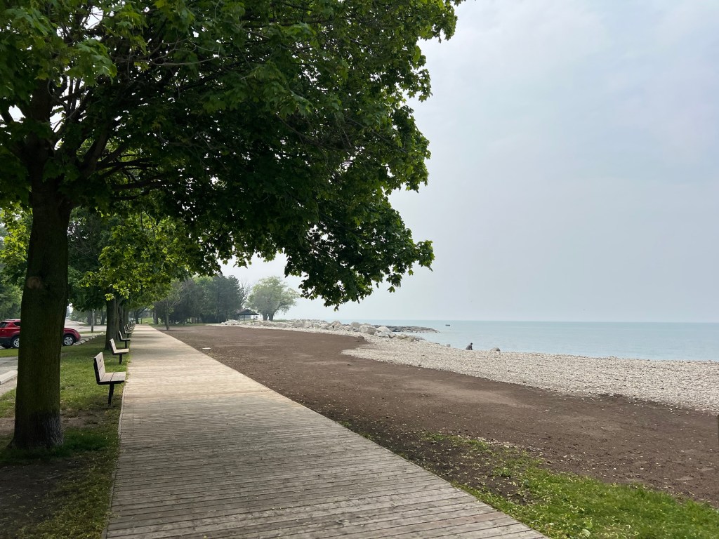
and out along the reinforced shore and beaches.
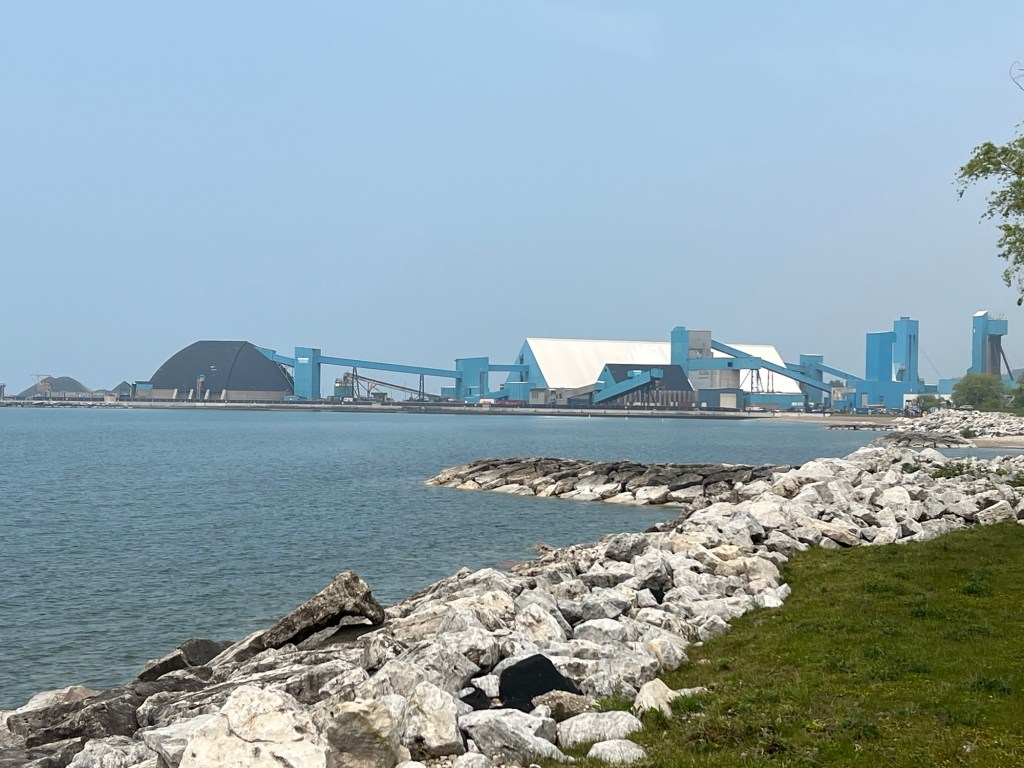
We found out the giant blue buildings were the above ground parts of a salt mine. The mine itself extends several kilometers under the lake and has more horizontal “streets” than the town.
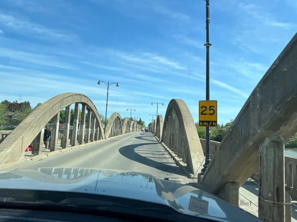
We tried to get to the marina, but it was private and gated, and there was no parking on the north side of the harbor. The walking trail and famous old bridge it crossed were closed for construction, so that was the end of our harbor tour.
Today we moved to Falls Reserve Conservation Area on the Maitland River.
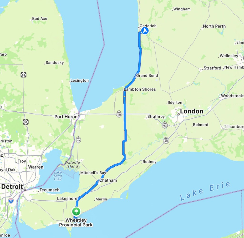
It is north and a little east of Wheatley Provincial Park and it took us 3 hours and 20 minutes to get here.
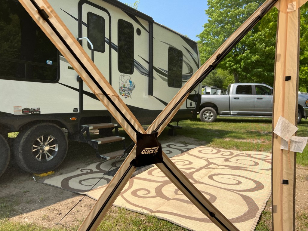
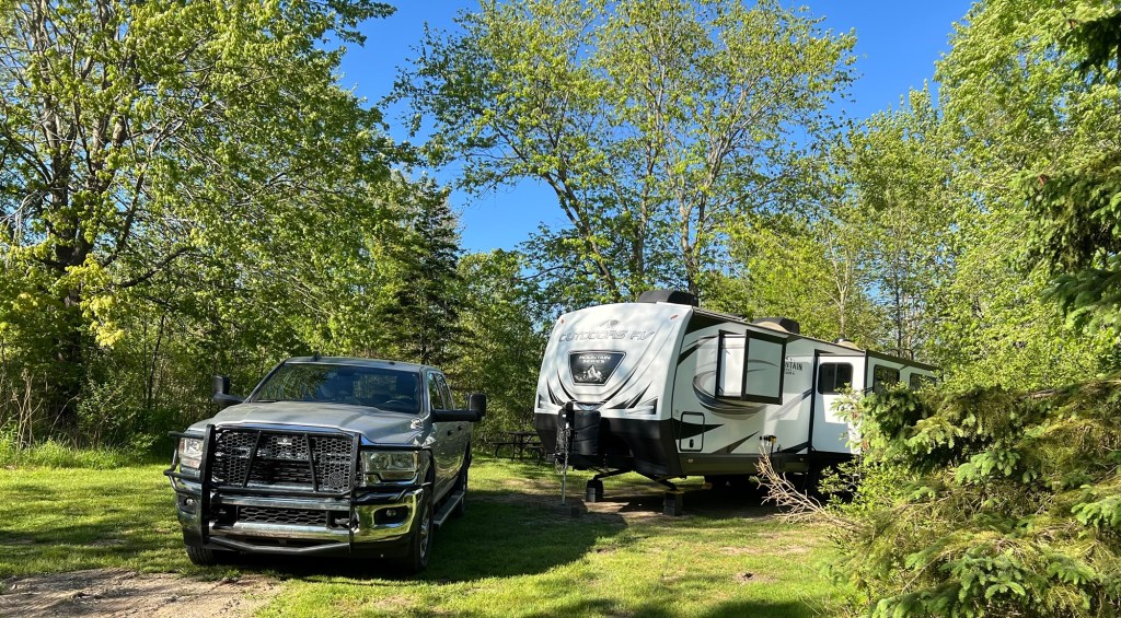
We got to the gate at 2:03 and 45 minutes later we were level and unhitched, we had the electric and water hooked up, the slides out, the inside arranged, Starlink deployed and our outdoor rug staked out over the bare spot in front of our steps. Matey and I then went on our initial reconnaissance tour.
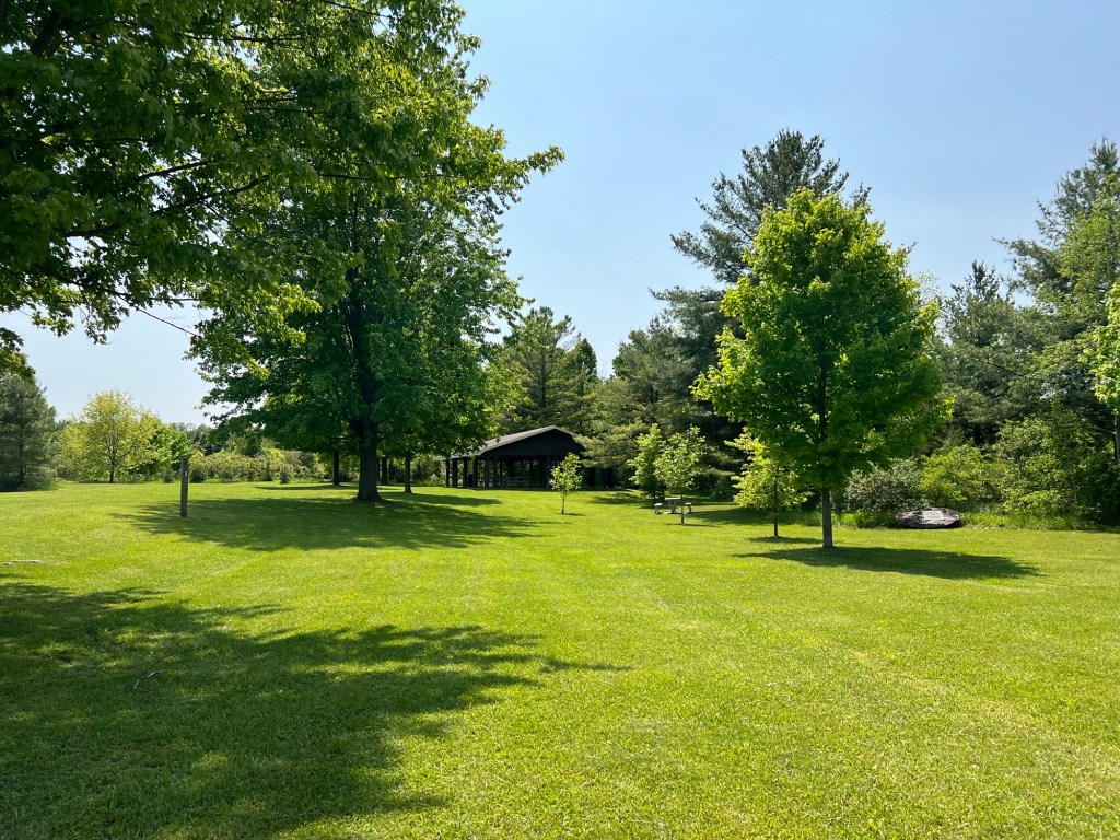
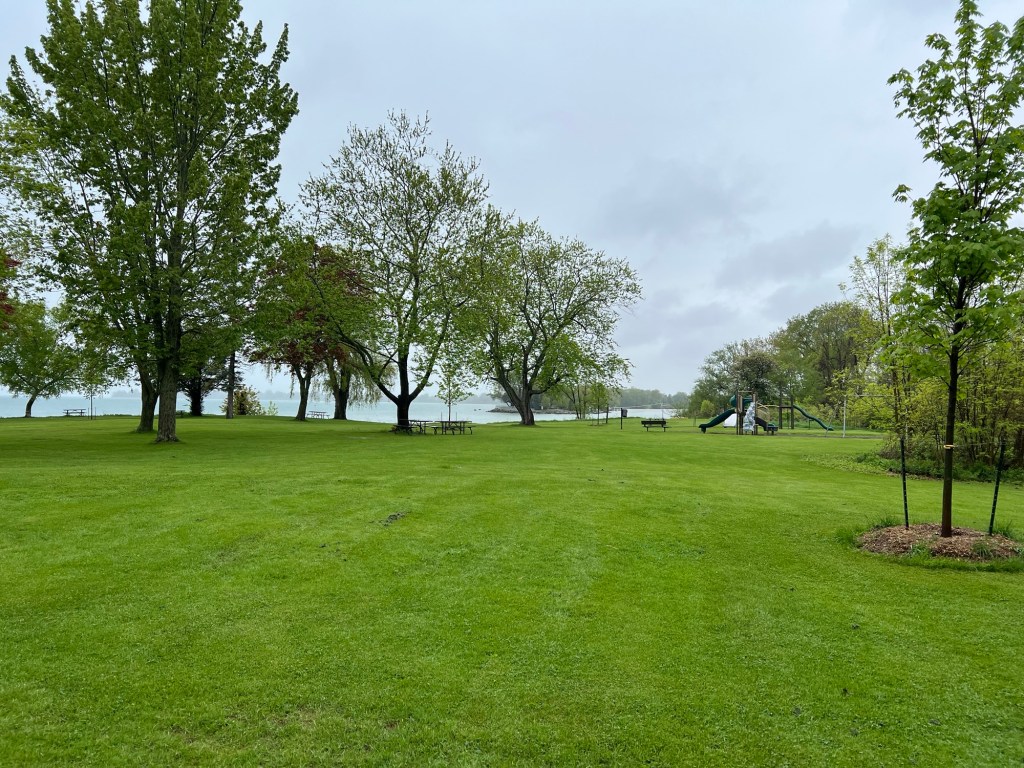
Across an open picnic area…
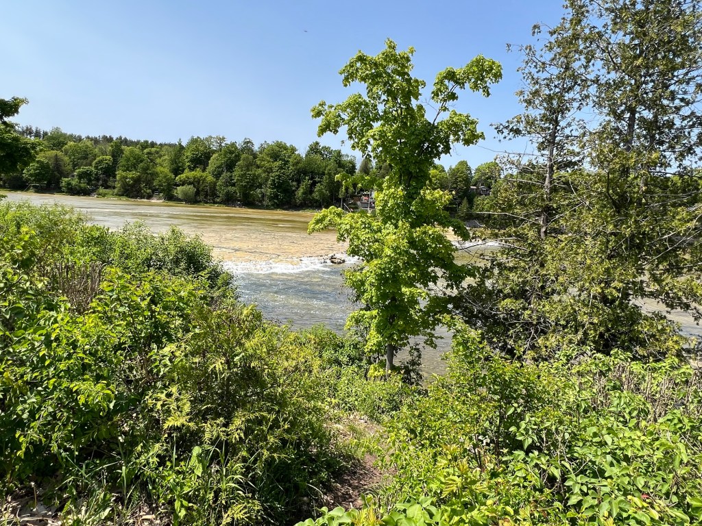
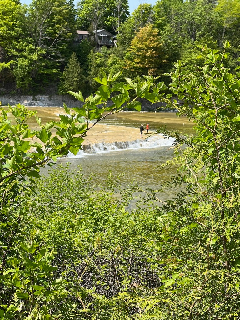
we found the river and the falls. Pretty little falls.
But it looks like it would be fun to go down there.
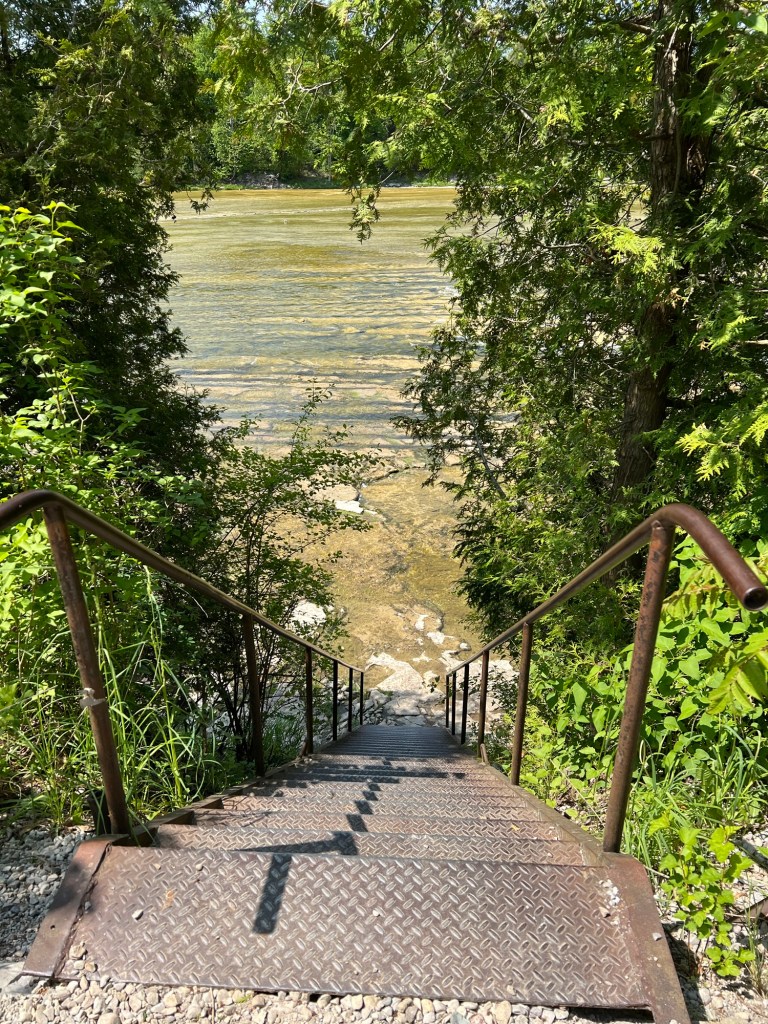
I wasn’t up to trying these steps with Matey. He is not good on steps anymore. We might try this with Bud’s help.
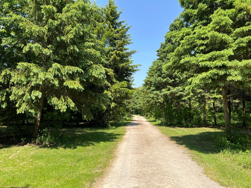
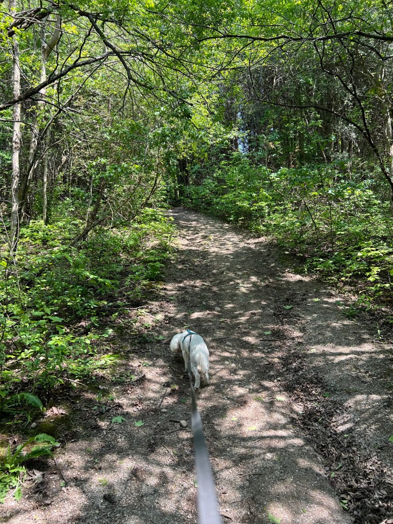
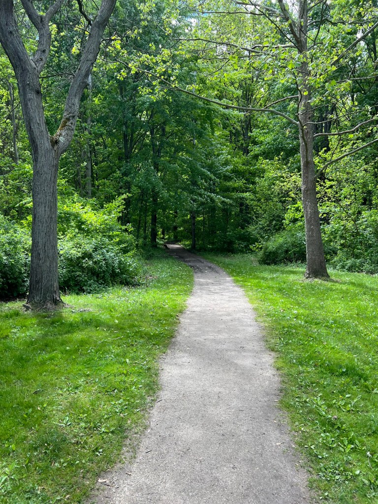
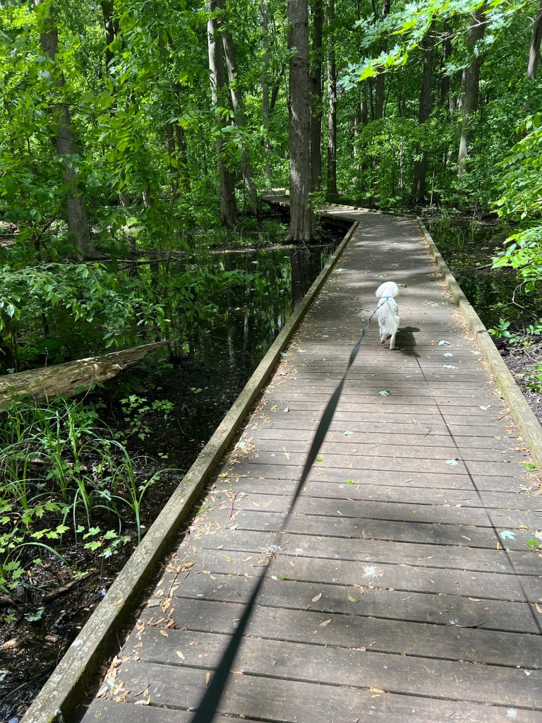
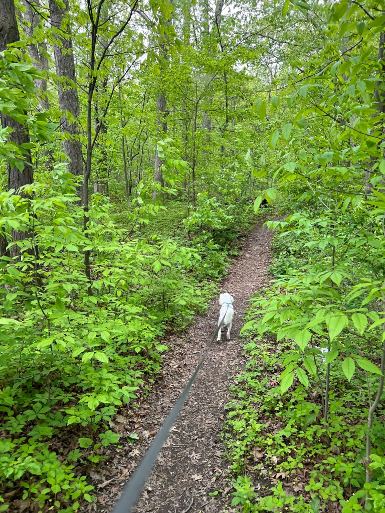
Instead we found a shortcut through the woods back to our loop.
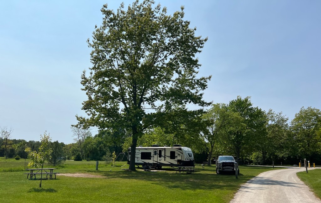
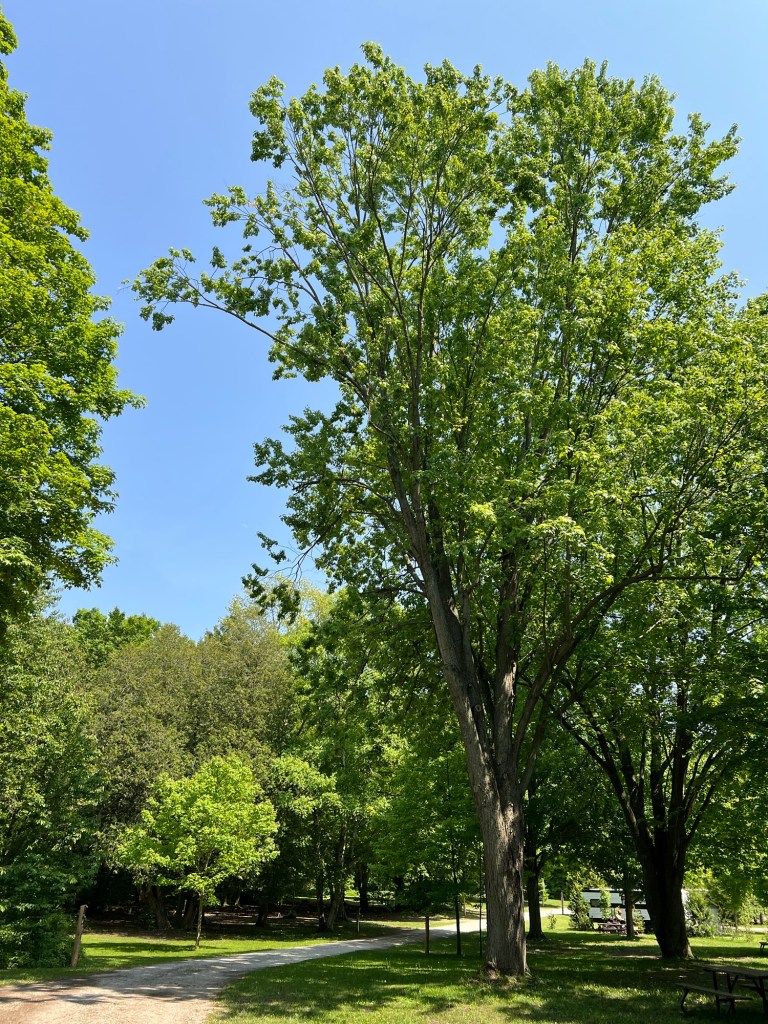
We’re on Maple Loop and that’s a maple.
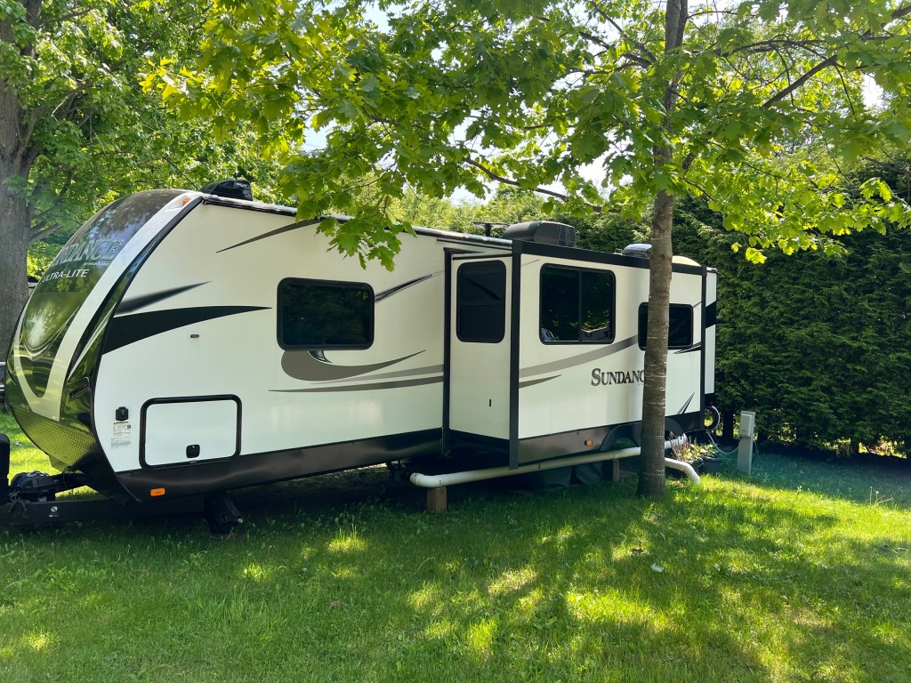
There are 188 campsites here, including 43 seasonal sites. You can tell this is a seasonal site by the PVC pipe hooked to the sewer. There are only 4 sites with 50 amp electric, water and sewer and we have one of them.
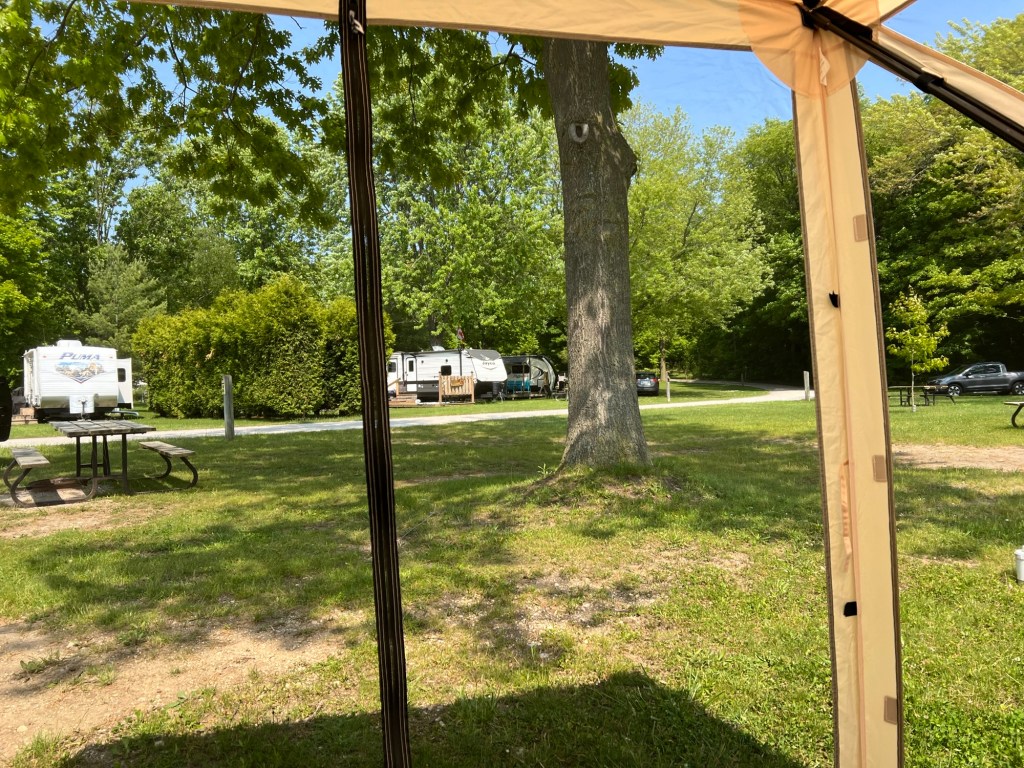
When Matey and I returned I put up my tent shelter, it’s warm out but there are gnats.
One of my favorite parts of camping is getting to a new place and getting everything set up. Home again!
I can’t leave this area of Ontario without remarking on the flora. As noted in my Point Pelee post, this area extends as far south as the 42nd parallel. And with Lake Erie as its southern boundary it has a very moderated climate (northerners would call it mild, but it still gets winter).
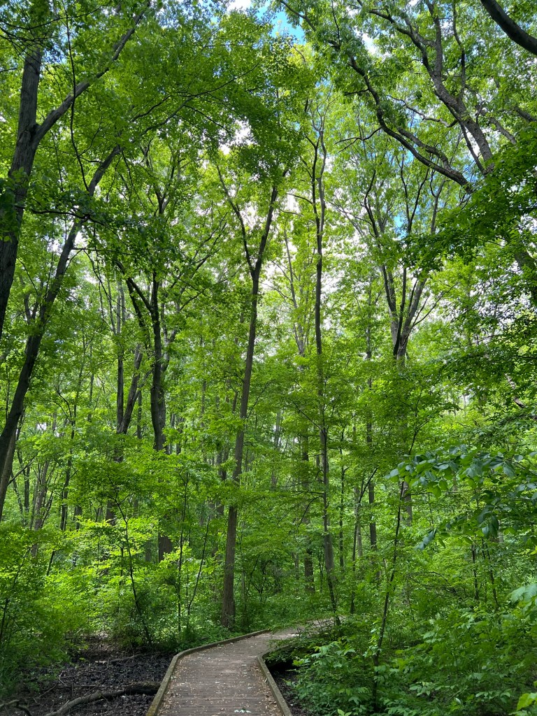
Saturday Matey and I took a short stroll through beautiful Kopegaron Woods Conservation Area.
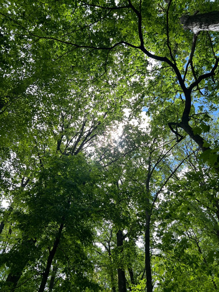
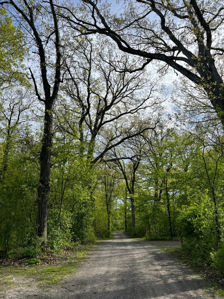
This can’t be more than a couple hundred acres, but is one of the prettiest woods I’ve walked through. The back drop is soaring old oak trees.
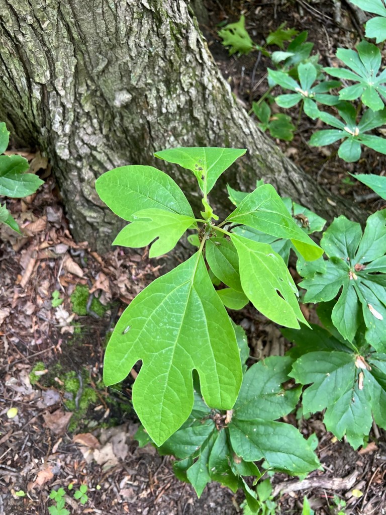
I was startled to see this little sassafras seedling.
Then I saw there was sassafras everywhere, and some were 30 feet tall. This is probably the only area of Canada where they grow.
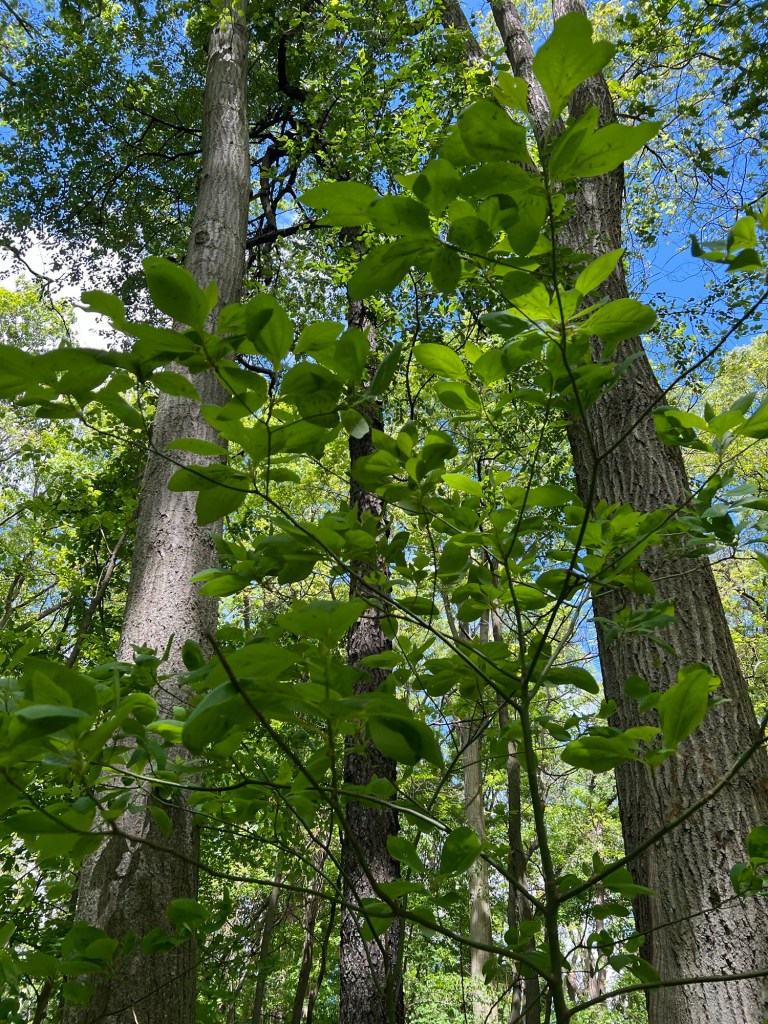
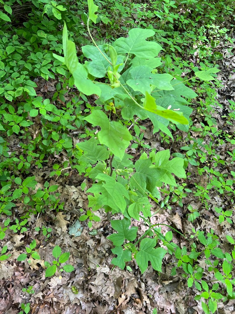
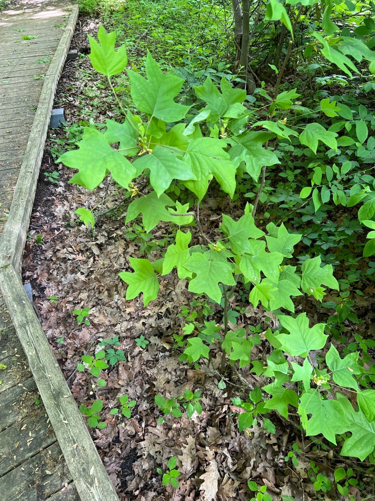
The same is true for the tulip trees.
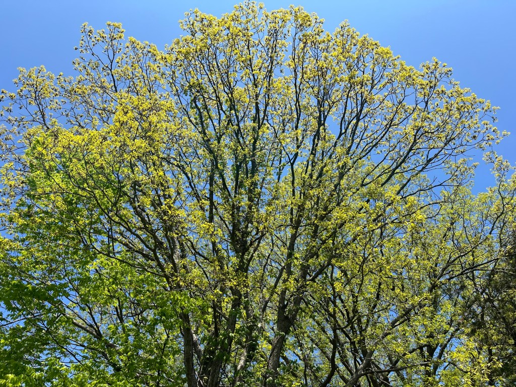
I could only get good photos of the seedlings, but they were also part of the canopy.
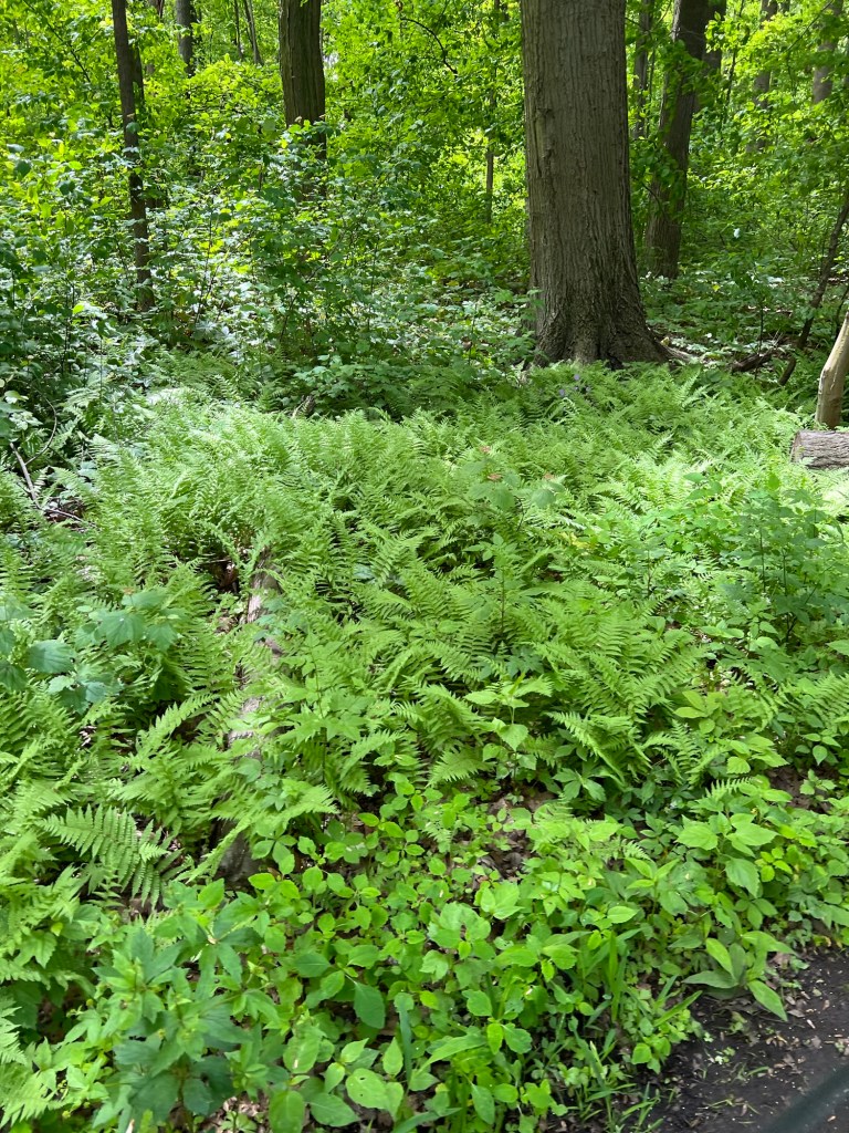
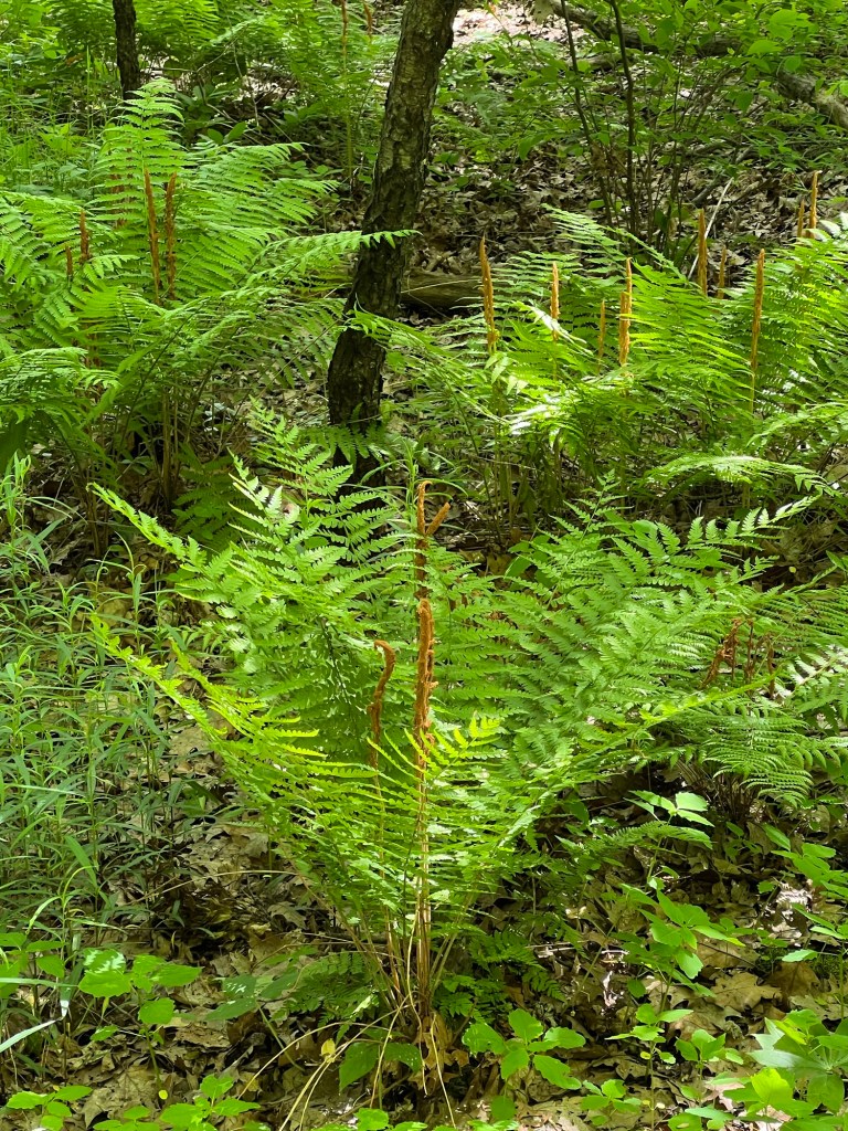
And there were a lot of ferns,
including cinnamon fern.
What I discovered in that little woods inspired my to post about all the lovely plants I’ve seen in this area.
Like this chinquapin oak, again not a normal Canadian tree.
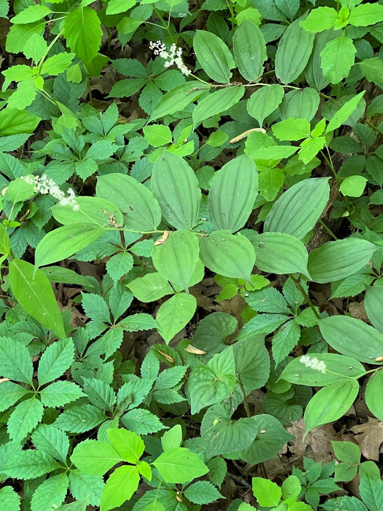
“False” Solomon’s seal, with its inflorescence at the end of its stem, is a common woodland plant.
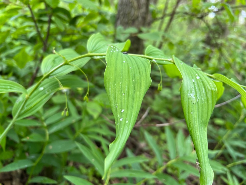
But “true” Solomon’s seal, whose flowers hang from nodes along the stem, is pretty rare. On these plants the flowers have gone to seed, but I was still delighted to see them.
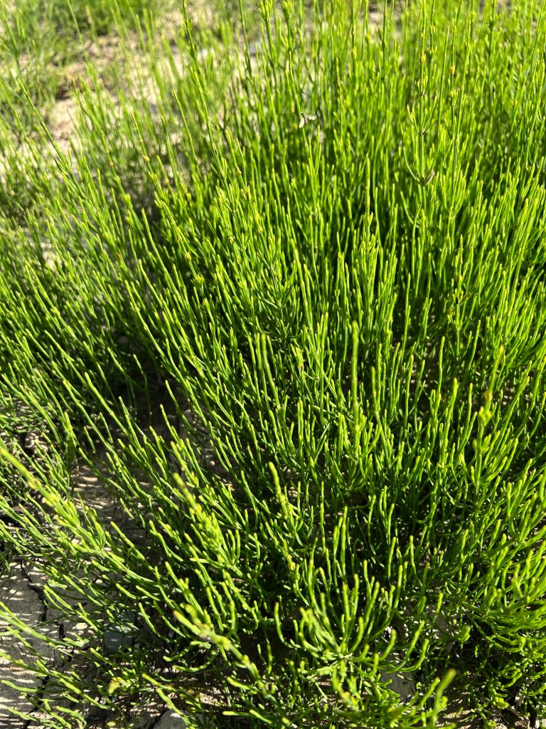
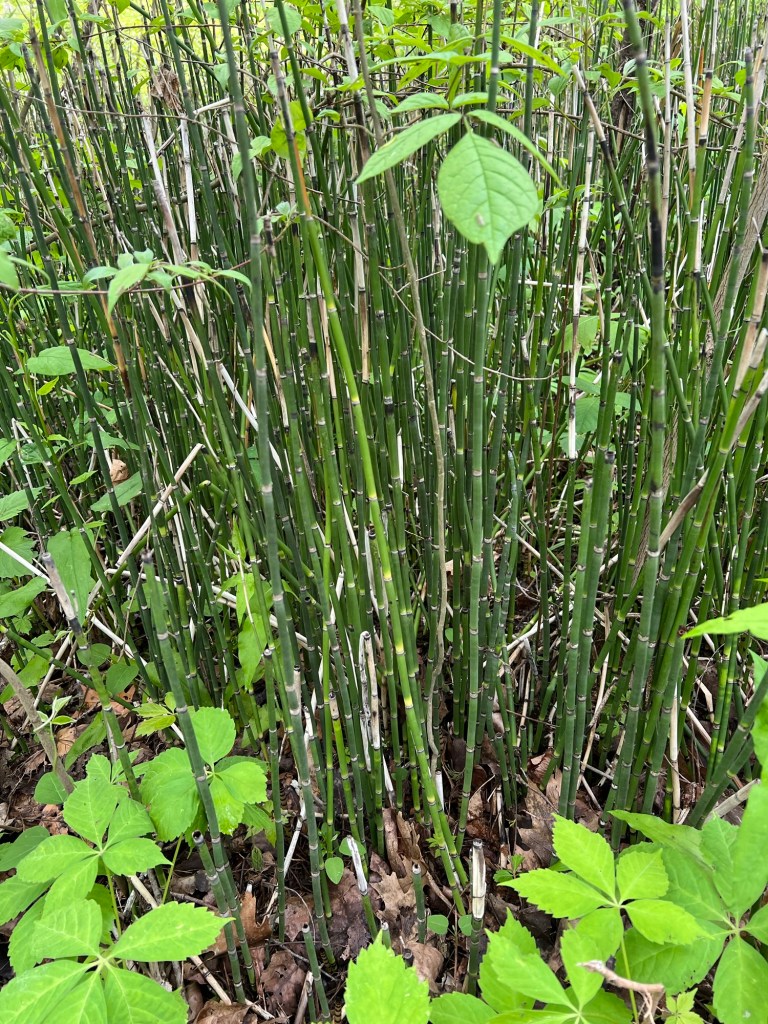
And I love Equisetum, a nonflowering plant that has been growing since the dinosaurs were around.
I saw a lot of it, and two different species.
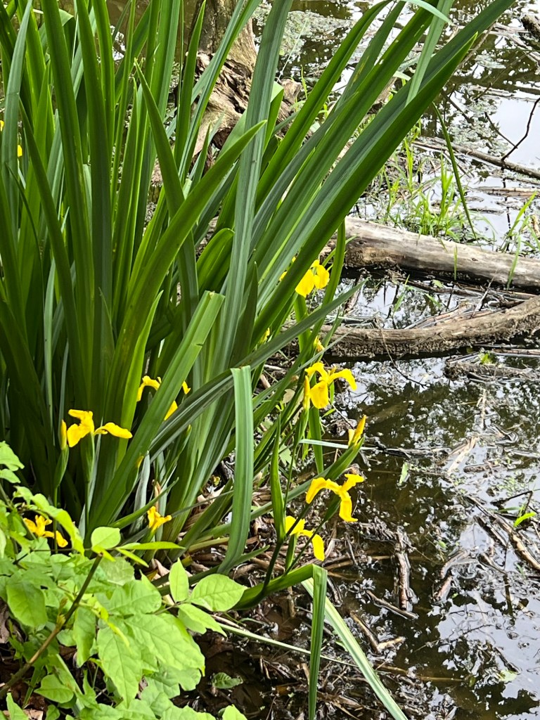
And just this morning while walking Matey I saw this lovely wild iris along Sugar Creek.
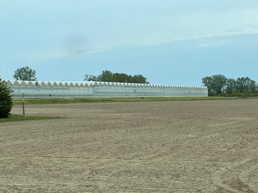
With this climate it’s not surprising that there is agriculture all around us. We’ve seen acres of ginseng being grown under shade nets, muck land just north of Point Pelee and thousands of acres of greenhouses. Leamington, 10 miles west of here, is the “Tomato Capital of Canada”.
I appreciate the agriculture, but I prefer the woods.
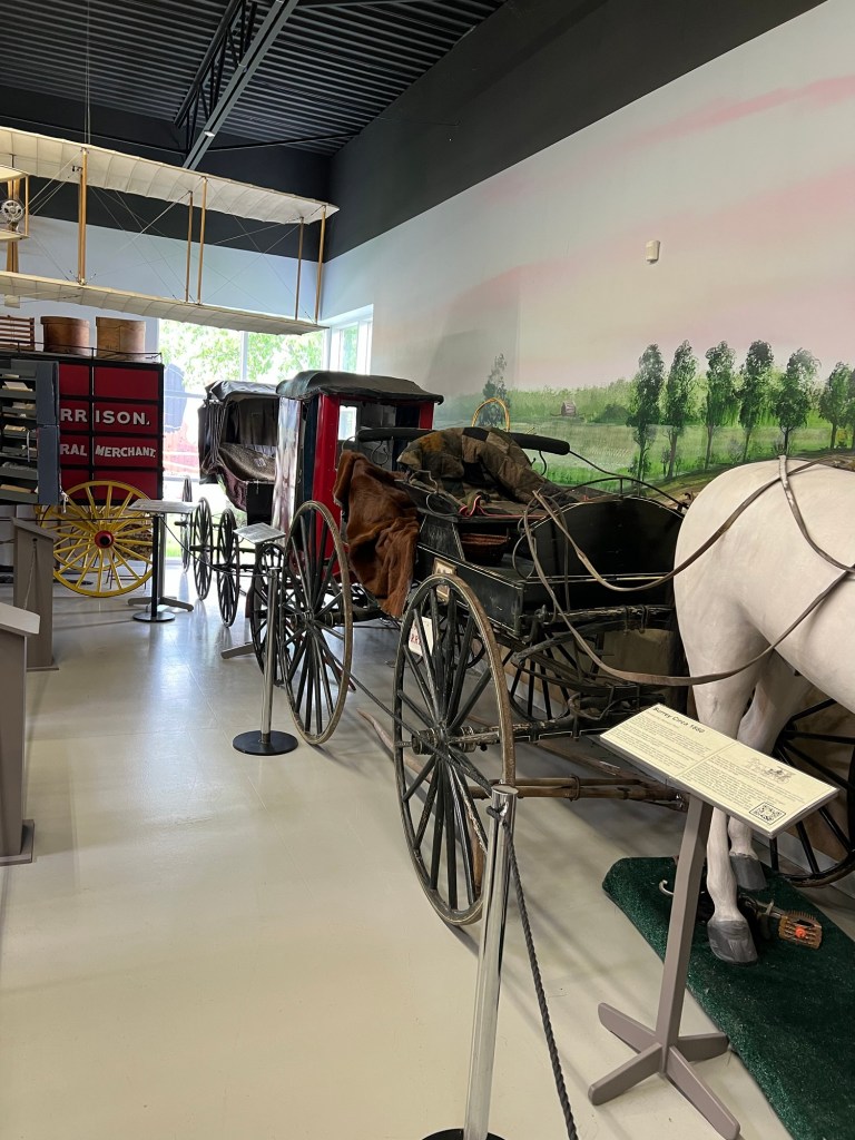
Friday we visited the Canadian Transportation Museum and Heritage Village 20 miles west of us.
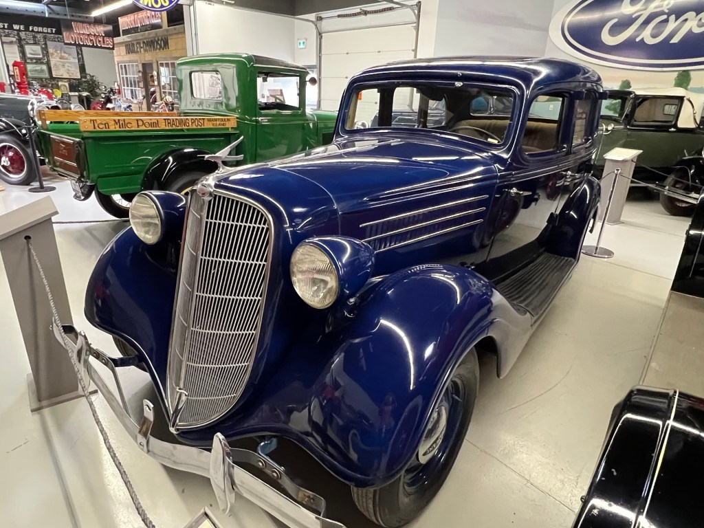
They had some beautifully restored old cars.
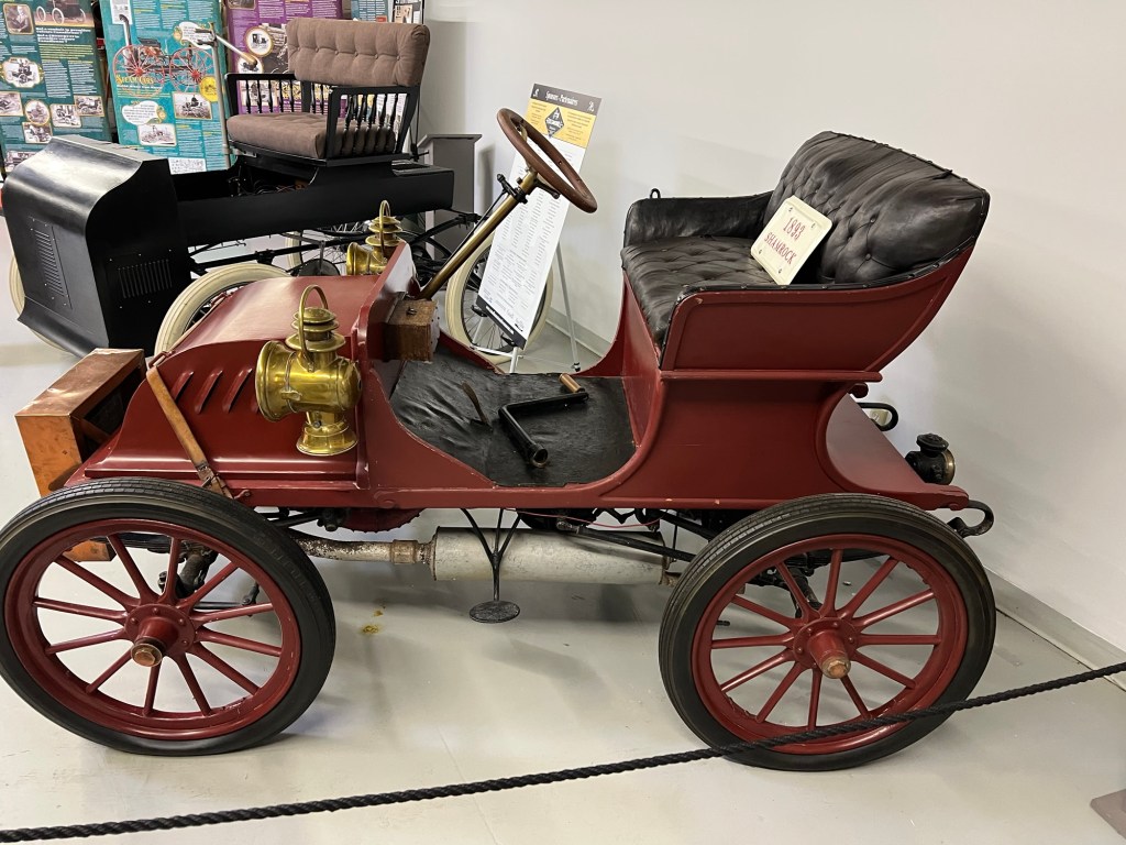
I liked the odd ones, like this 1893 Shamrock. Its maker only made two and was unable to form a company. The second of his two cars was ruined in a crash on its first outing. This is the sole survivor and probably the first registered gasoline engine vehicle in Canada.
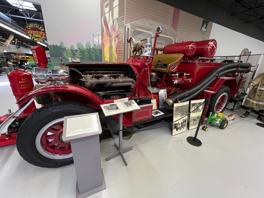
Another unique exhibit was this 1925 American LaFrance Fire Truck. This pumper was still used in 1959 for multiple alarm fires when all equipment was engaged. The fire chief reported that by then it had to run a block behind the other trucks because oil leaked on the brakes making them almost useless. At that time it was donated as an antique.
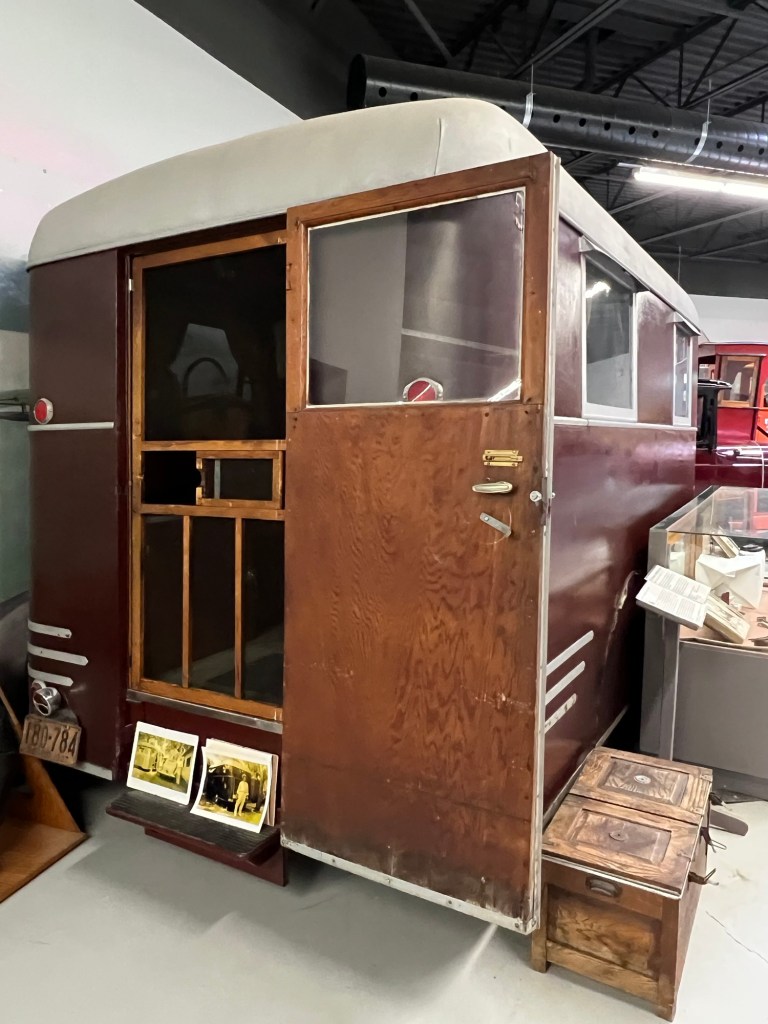
And of course I liked this 1927 Coachworks Caravan. It had a refrigerator, portable stove, sink, sleeping area and “basic sanitary facilities”. It had a wood frame and plywood and veneer interior. The exterior was covered with airplane canvas.
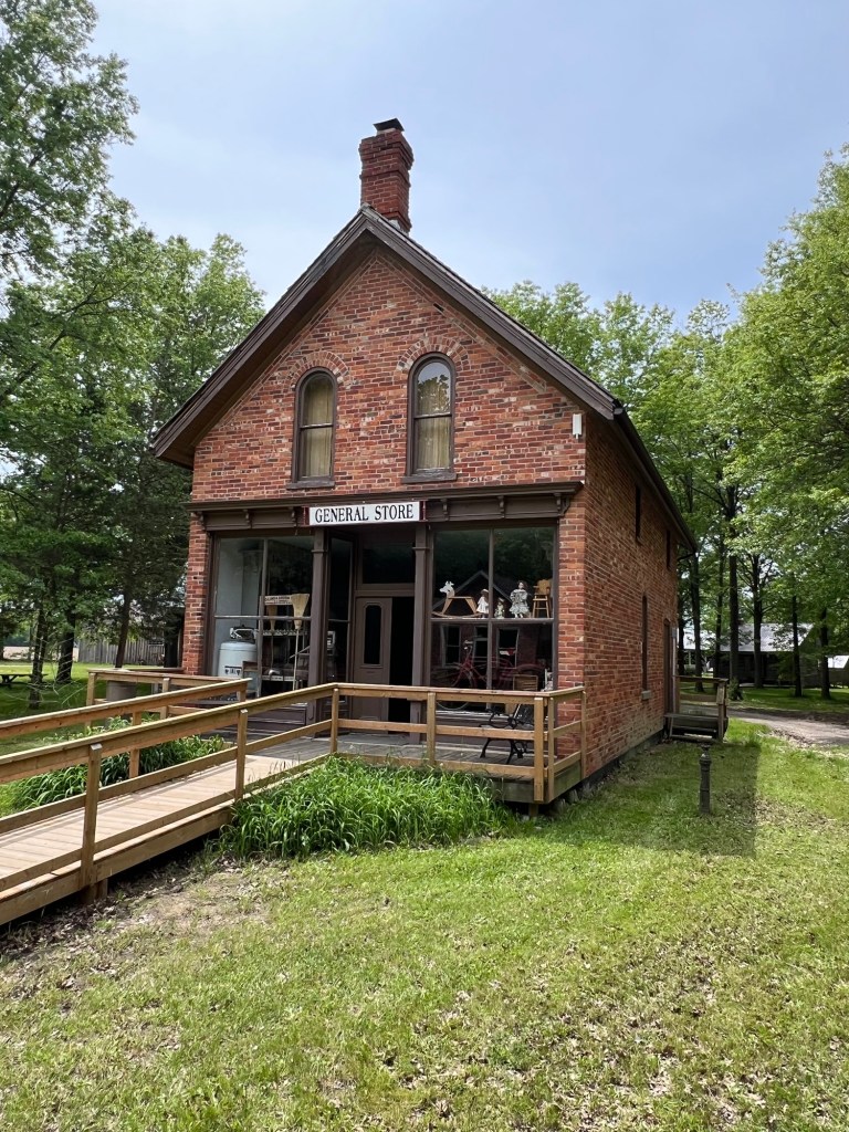
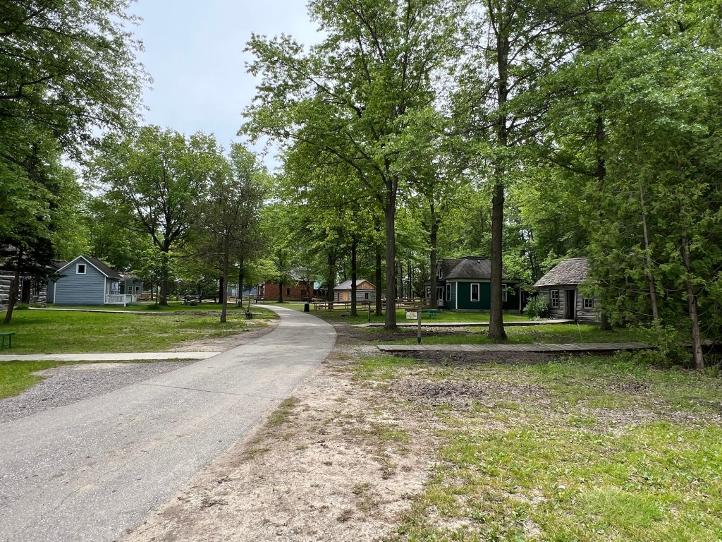
The heritage village had some pretty buildings…
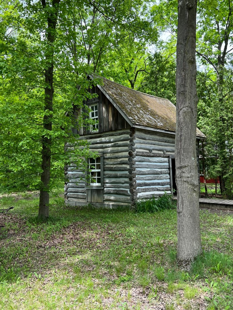
and some very old cabins.
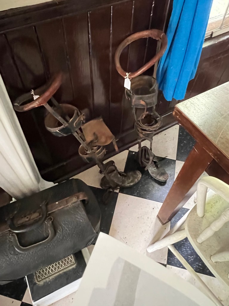
Unfortunately no one was around and there were few signs to explain things. I figured these were leg braces in the doctor’s office, but there were other things I couldn’t recognize at all.
It was still fun to poke around.
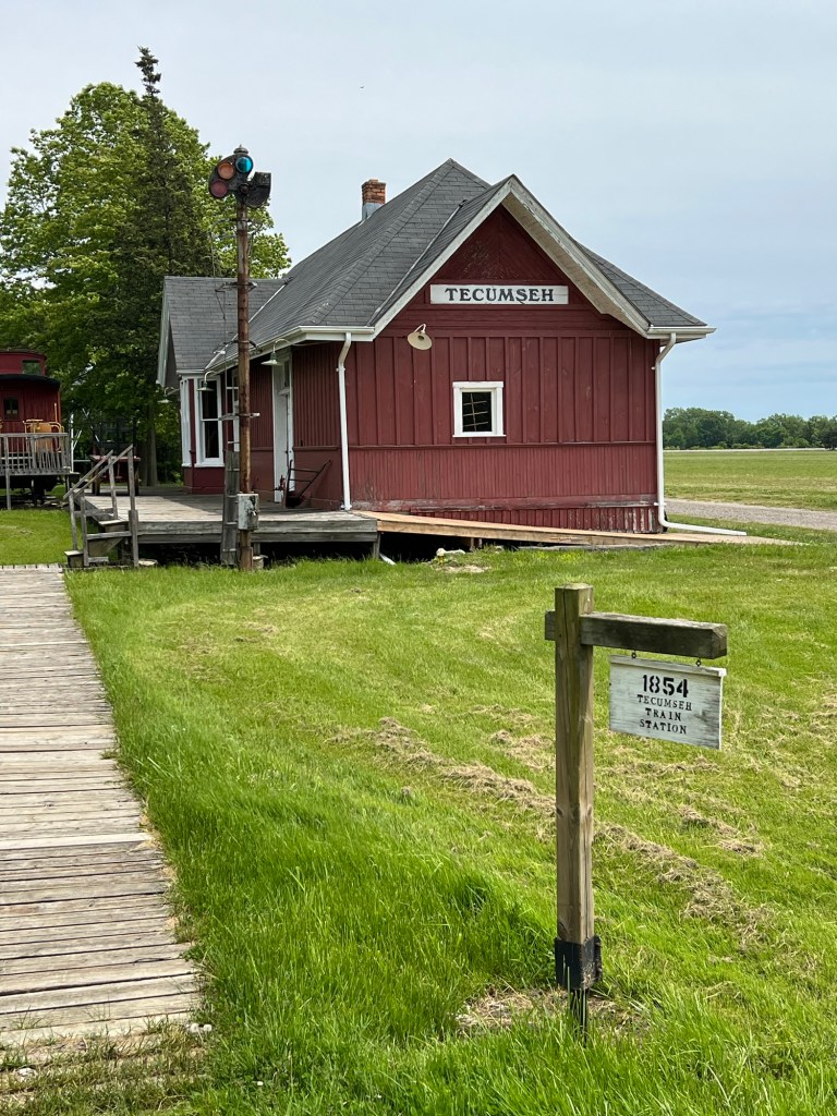
Not all buildings were open, but the train station was.
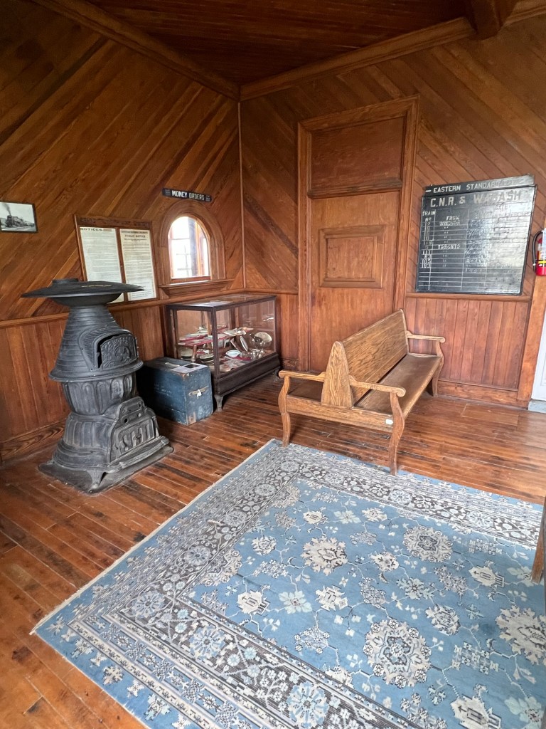
I thought the waiting room in the train station…
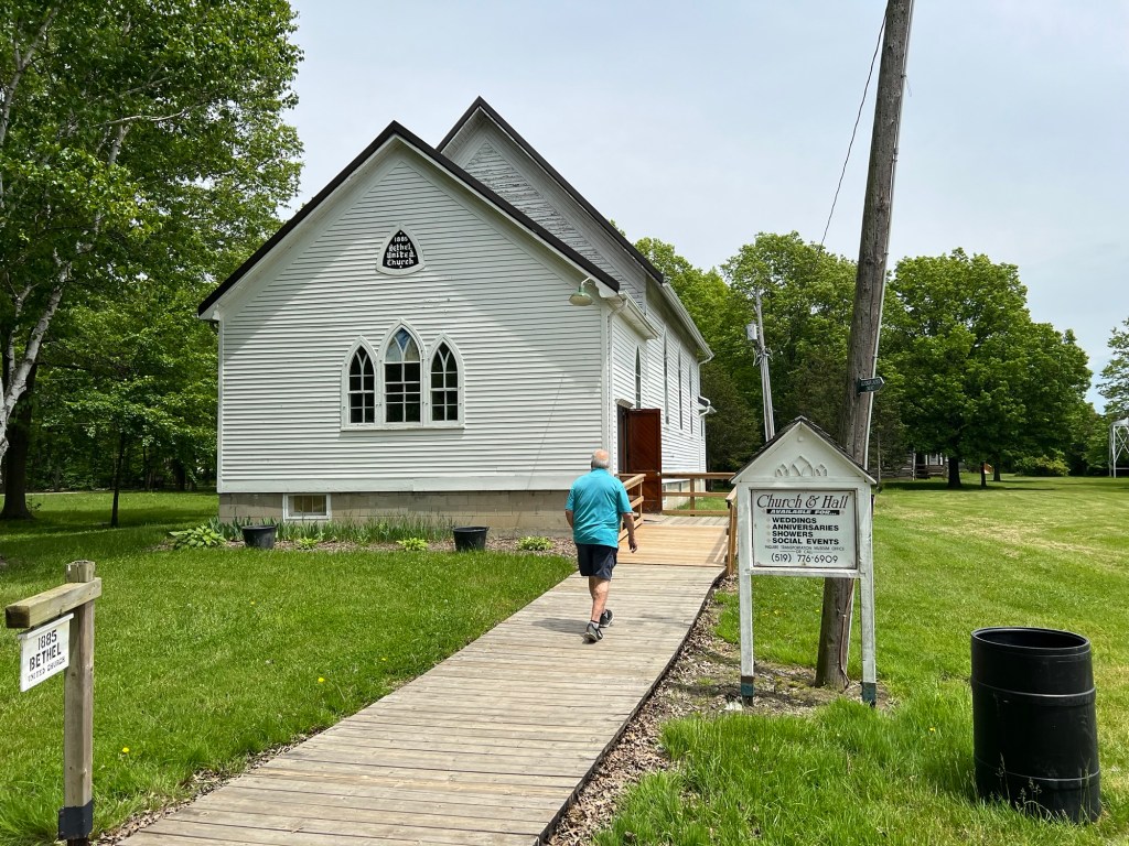
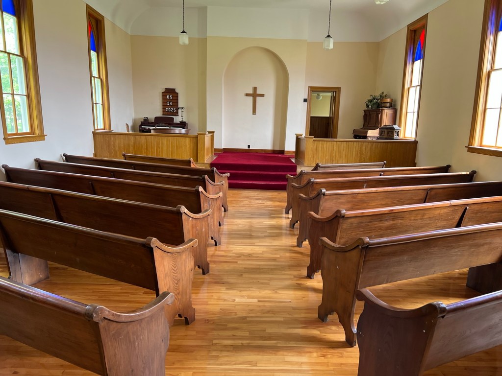
was as beautiful as the inside of the church. By the way, this is run privately and the church is available for weddings and other occasions. It would be a fun venue.
This was certainly not our favorite museum, but a worthwhile visit.
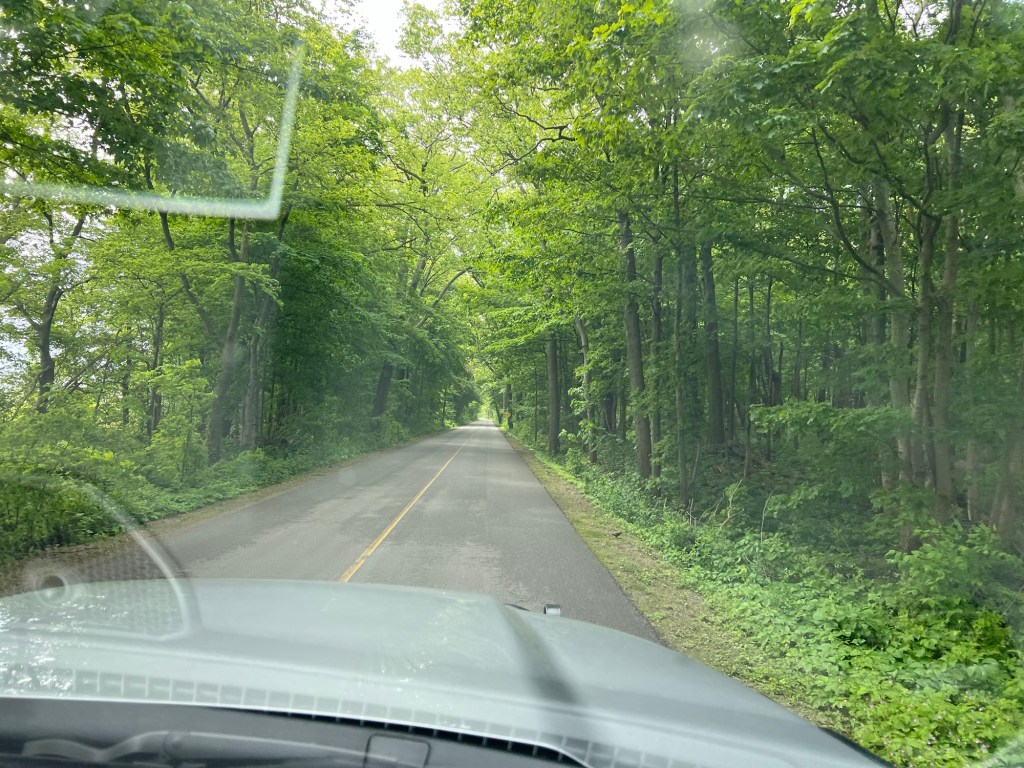
Thursday’s forecast was no rain, temperatures in the 60’s and some sun through the clouds, so we thought it was a good day to explore nearby Point Pelee National Park. This is a very sharp point of land that sticks down into Lake Erie and it is the southernmost point in Canada. I was surprised as we entered the park to be driving several miles through a tunnel of trees.
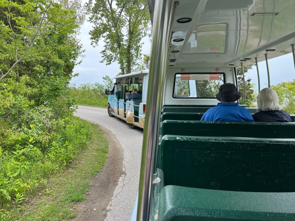
We attempted to drive to the tip, but found the last mile is only accessible by walking, biking, or taking their tram.
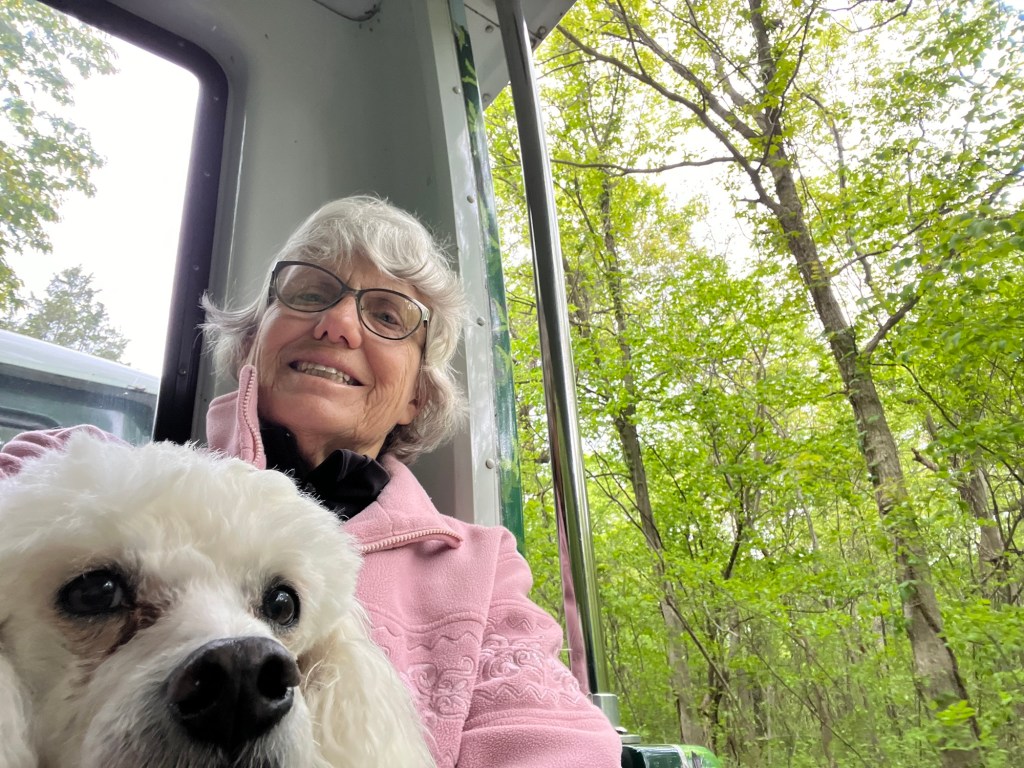
Happily, the tram is included with the park admission and is dog friendly.
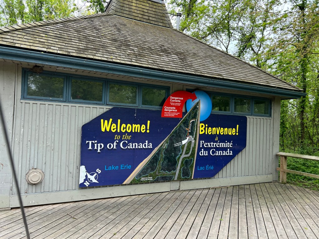
We were dropped off here,
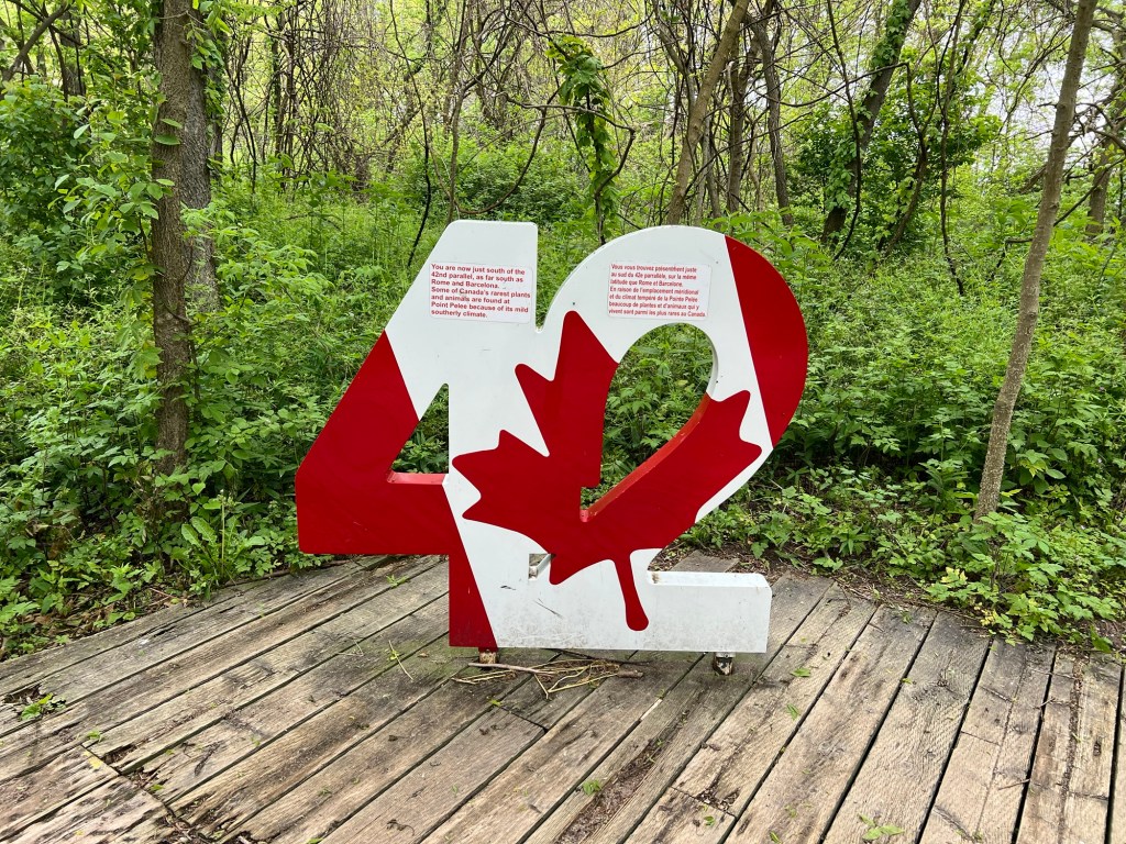
where signs explained that we were at the 42nd parallel, as far south as Rome or Barcelona.
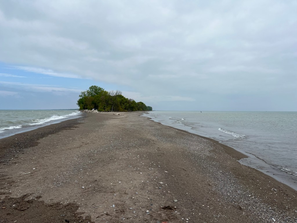
A short walk took us to the actual tip. Notice the breakers extending out and to the left. There were signs everywhere warning to not even wade in these waters due to currents and undertows.
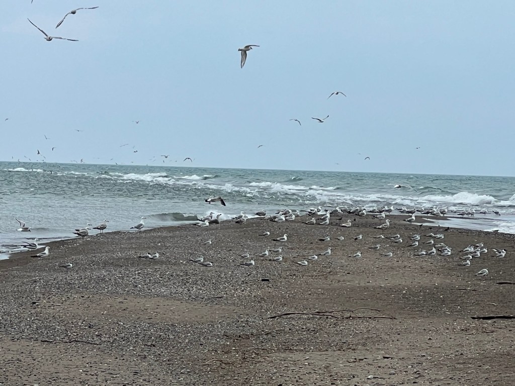
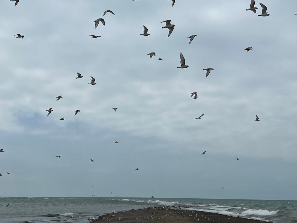
We were content to just walk out and disturb the gulls.
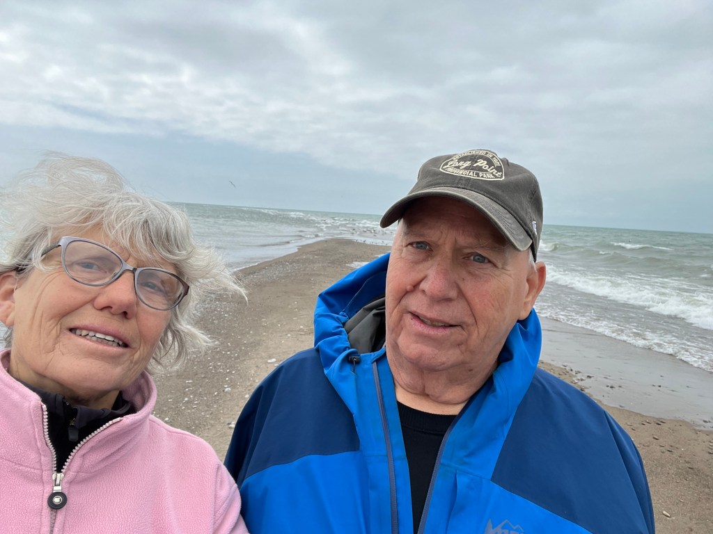
So here we are, at the southernmost point of land in continental Canada.
Turning around to the north you can see just how narrow this point of land is.
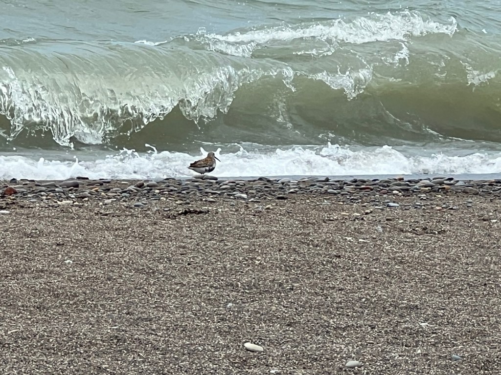
This is my favorite shot from the tip. I was trying to catch the little wading birds, but I love the way the iPhone freezes the curl of the wave.
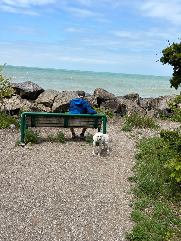
We walked back from the tip and Bud and Matey waited at a bench overlooking the western basin of Lake Erie…
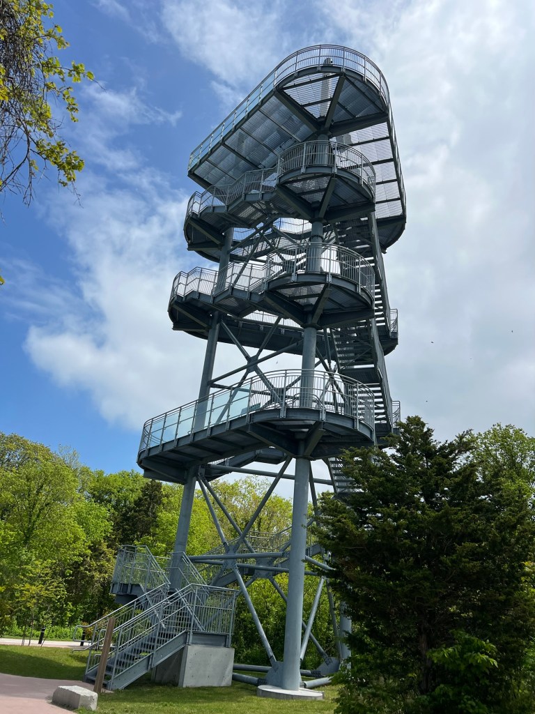
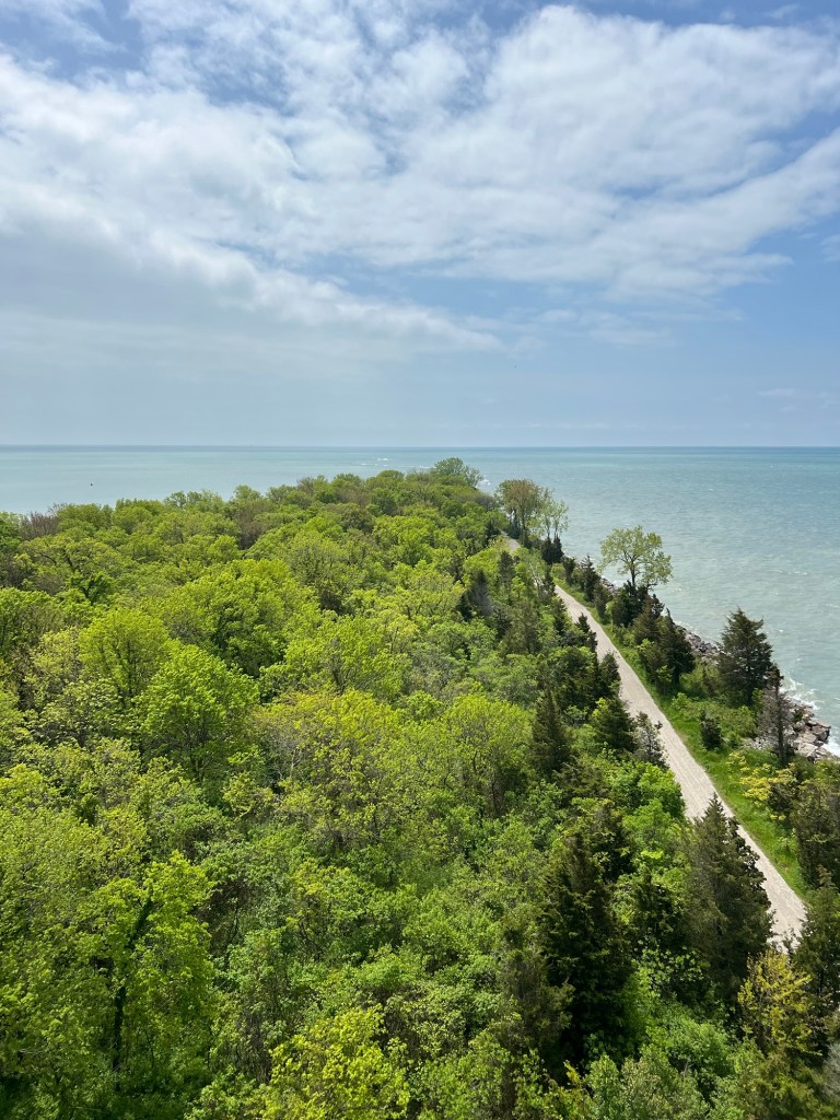
while I climbed the observation tower.
As impressive as the view of the tip is…
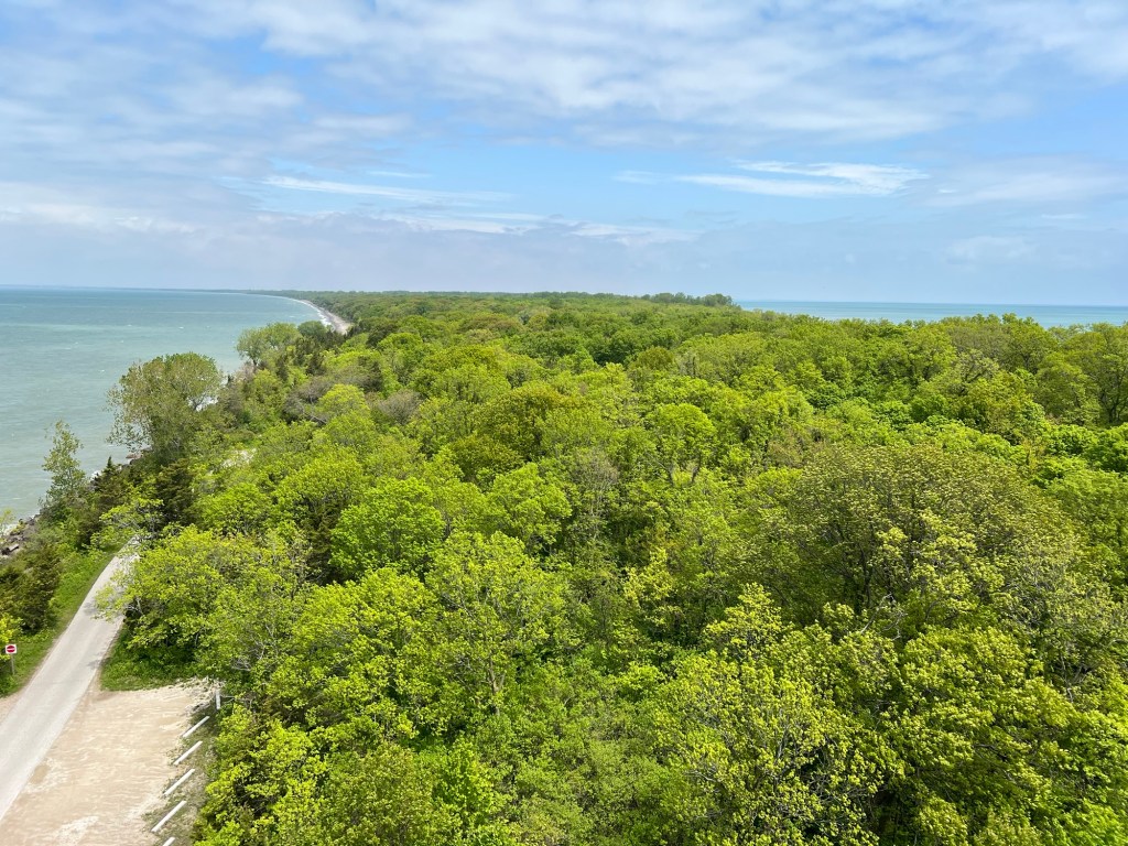
I also enjoyed the view back up this pointy peninsula.
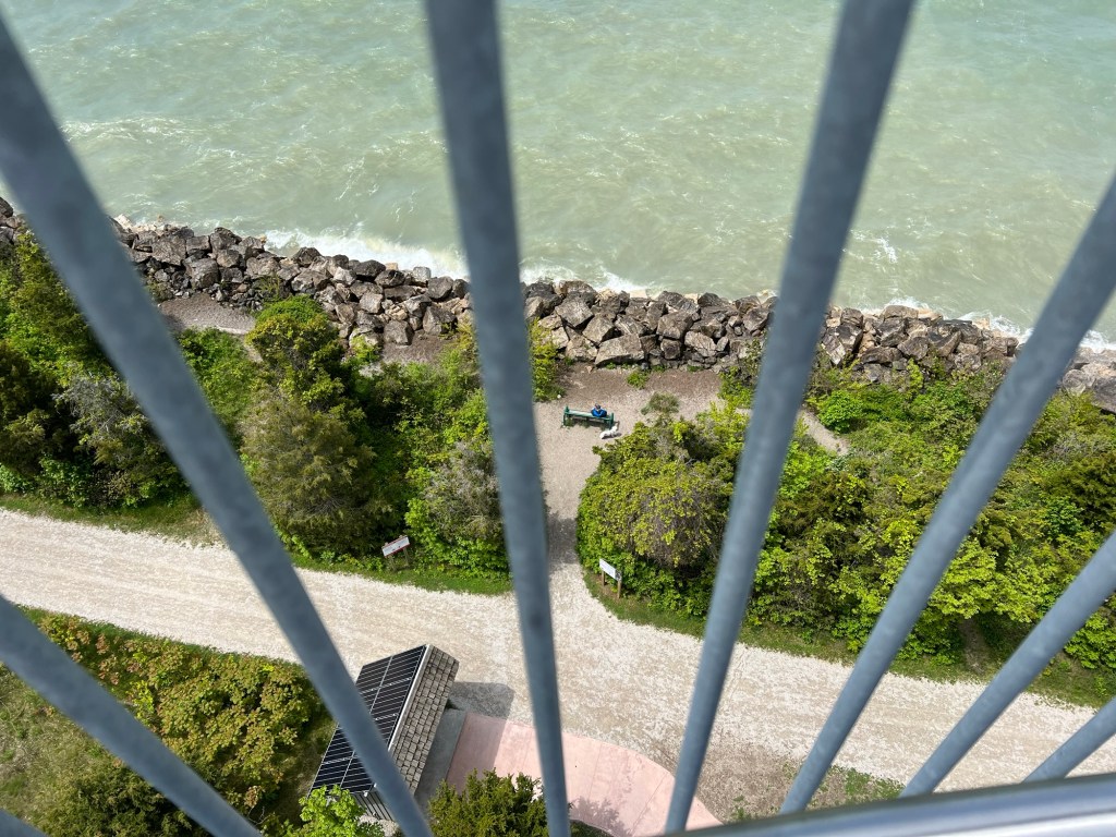
There are Bud and Matey, waiting below.
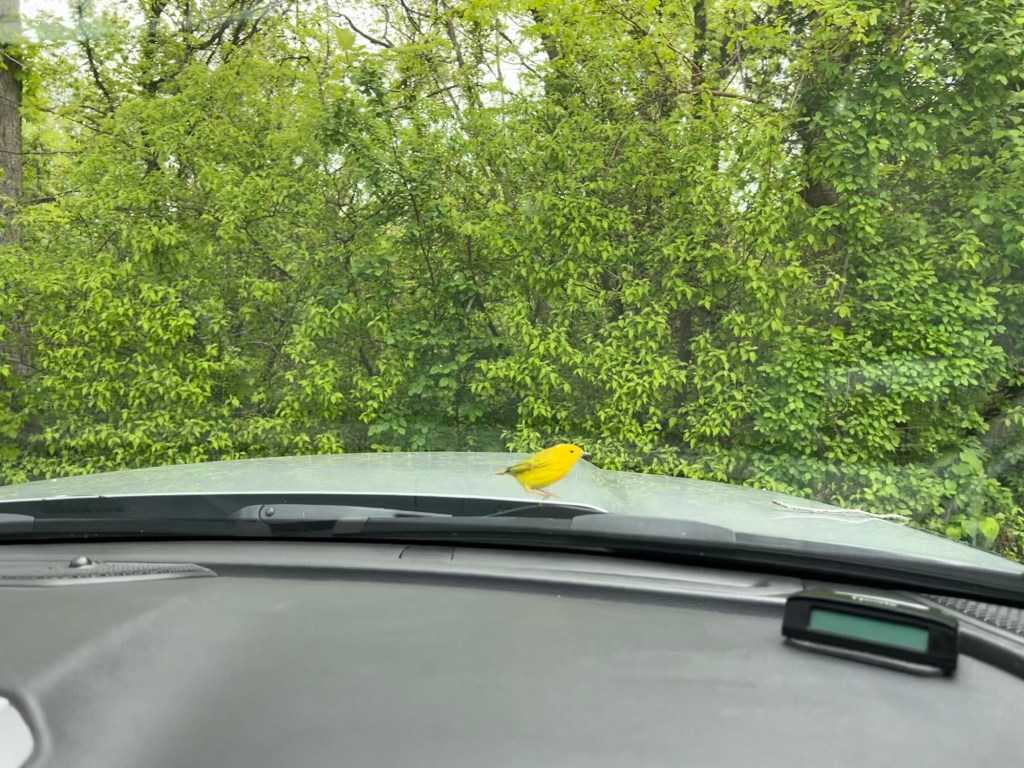
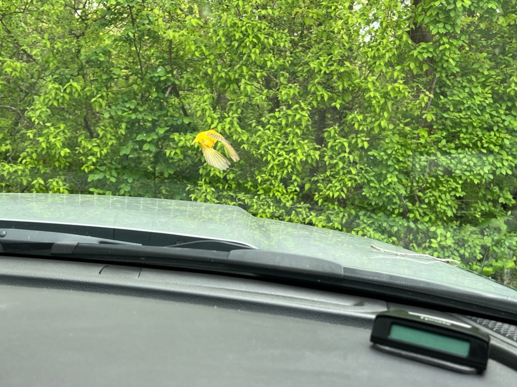
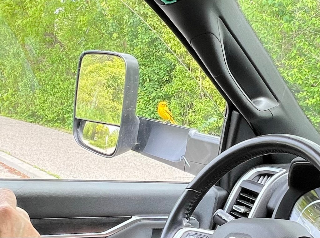
After we came back on the shuttle we got a snack and ate it in the truck where we were visited by a yellow warbler.
He would rest just a fraction of a second and then flit away…
only to stop back for another second.
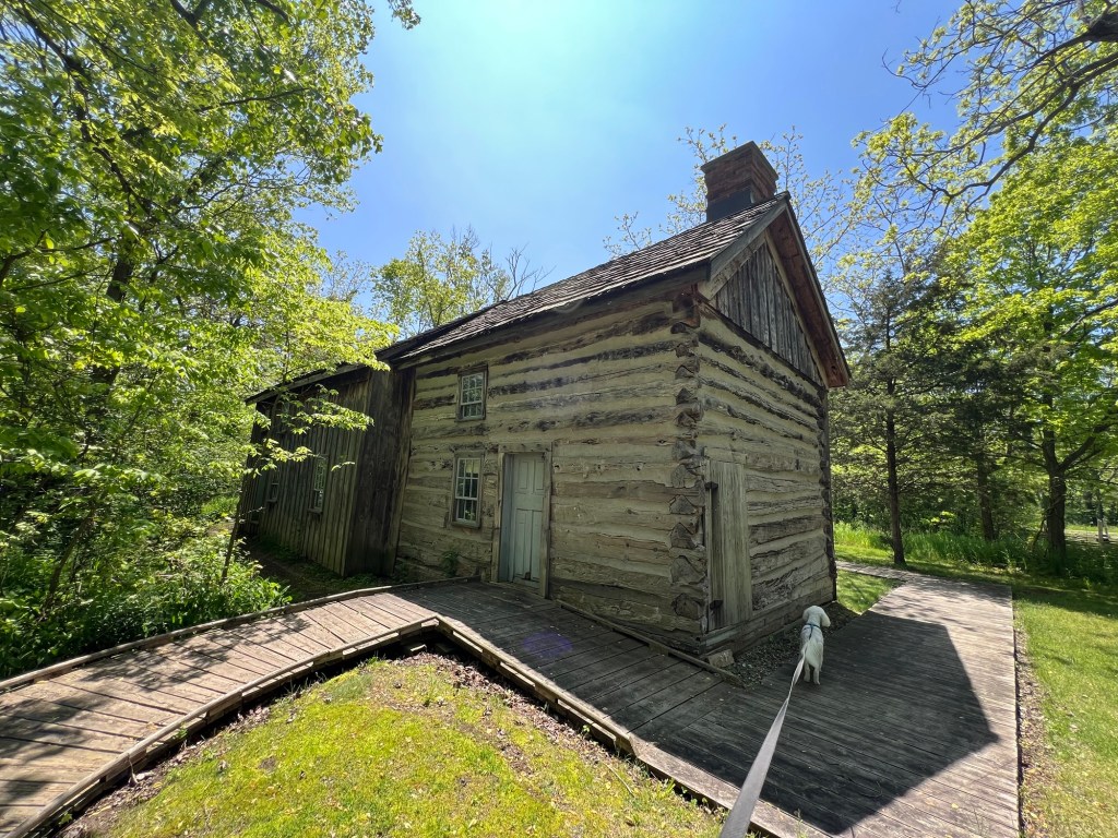
Our next stop was the DeLaurier Homestead. Since both the barn and the house were locked…
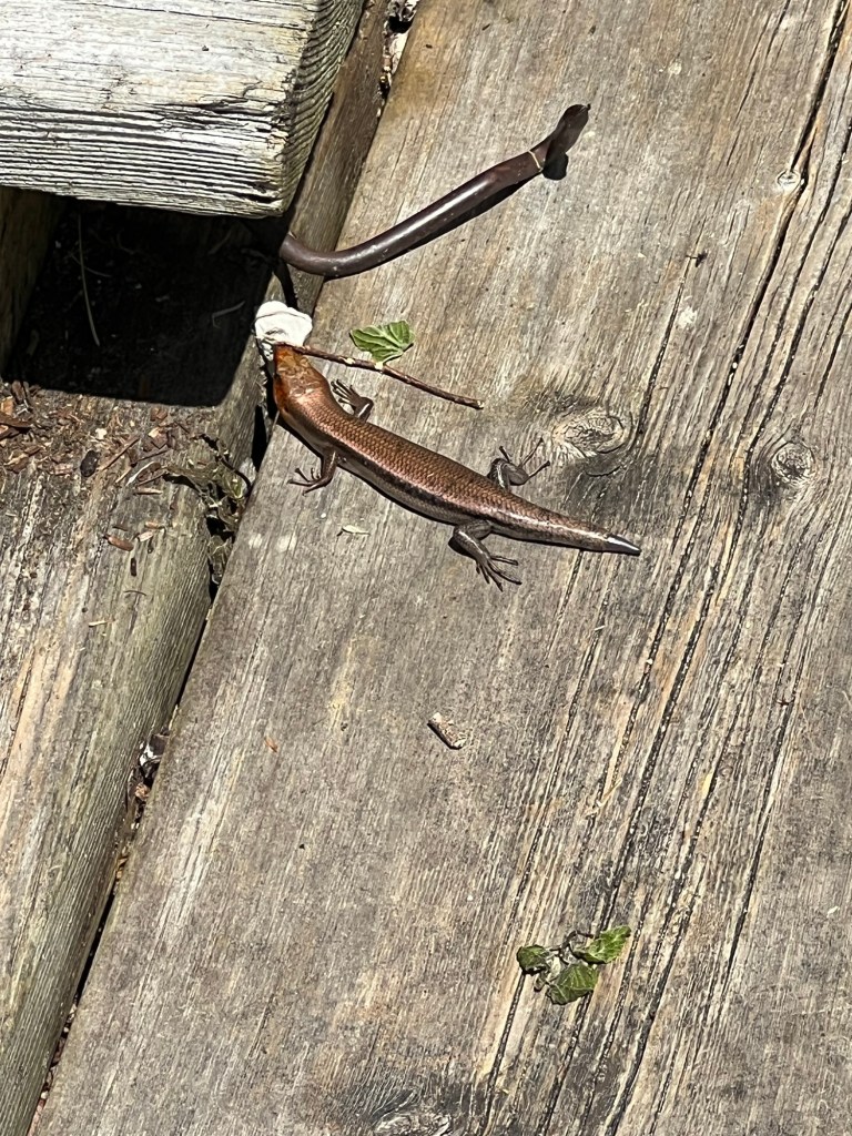
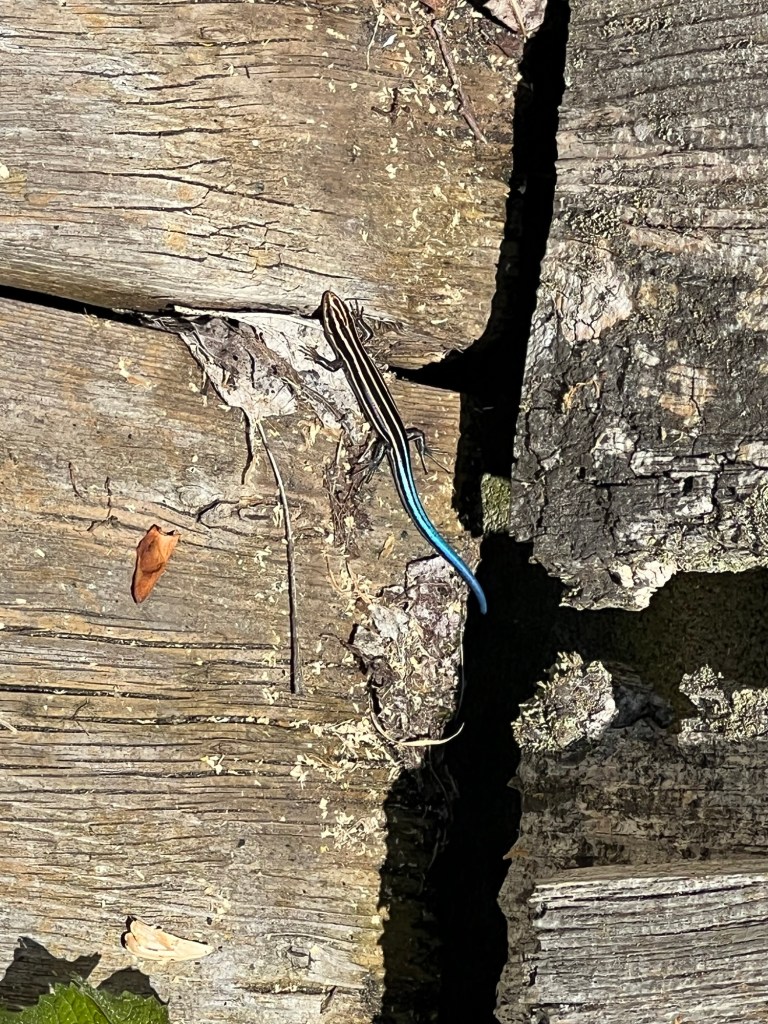
I found the skinks…
the most interesting things there. From what I can find these are probably both five lined skinks, but since the bigger one had lost his tail it was difficult to be sure.
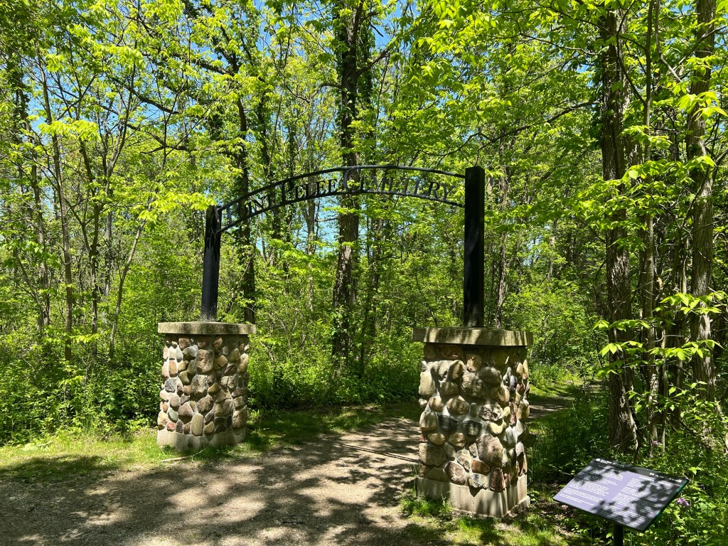
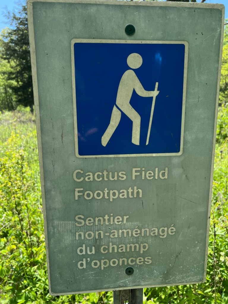
There were many more places to explore, but Bud and Matey were done walking for the day so I took a short walk by myself to the Point Pelee Cemetery and the Cactus Field Footpath.
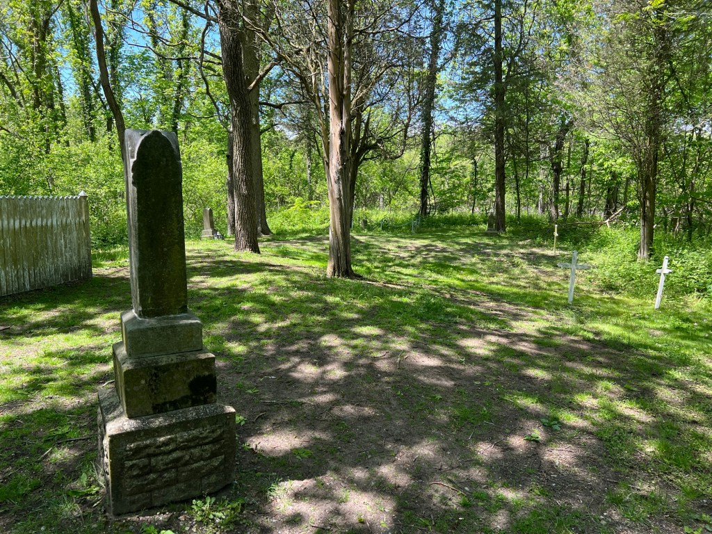
The cemetery was a pretty spot with a cluster of marked graves of European settlers…
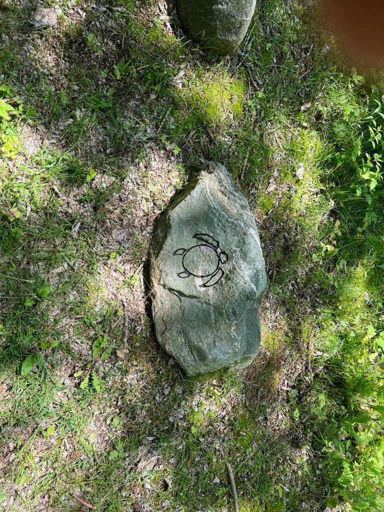
and a handful of unmarked graves of First Nation people now marked with carved stones.
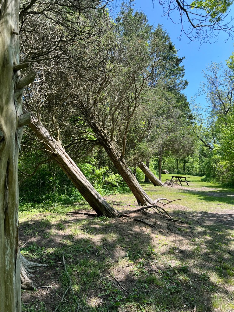
These old trees have barely survived some severe winds.
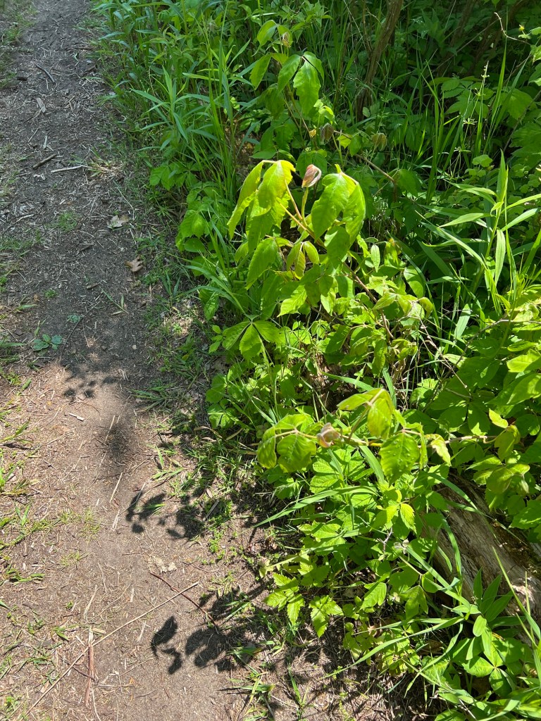
When I started down the Cactus Field Footpath I was hoping to see cactus without leaving the well worn track…
because whether or not there was cactus, there was plenty of poison ivy.
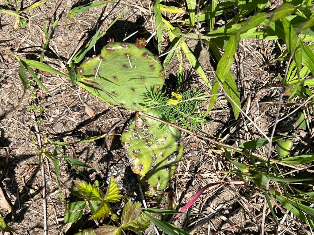
Happily I did spot the prickly pear cactus right along the path. You might be surprised, but this eastern prickly pear is found all over the eastern part of North America including places much further north than this.
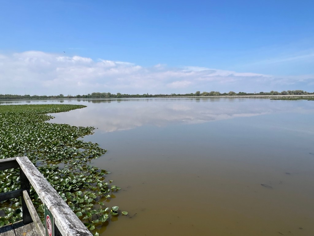
On our way out of the park we stopped at an overlook where I could get some pictures of the huge marshes that are part of this park.
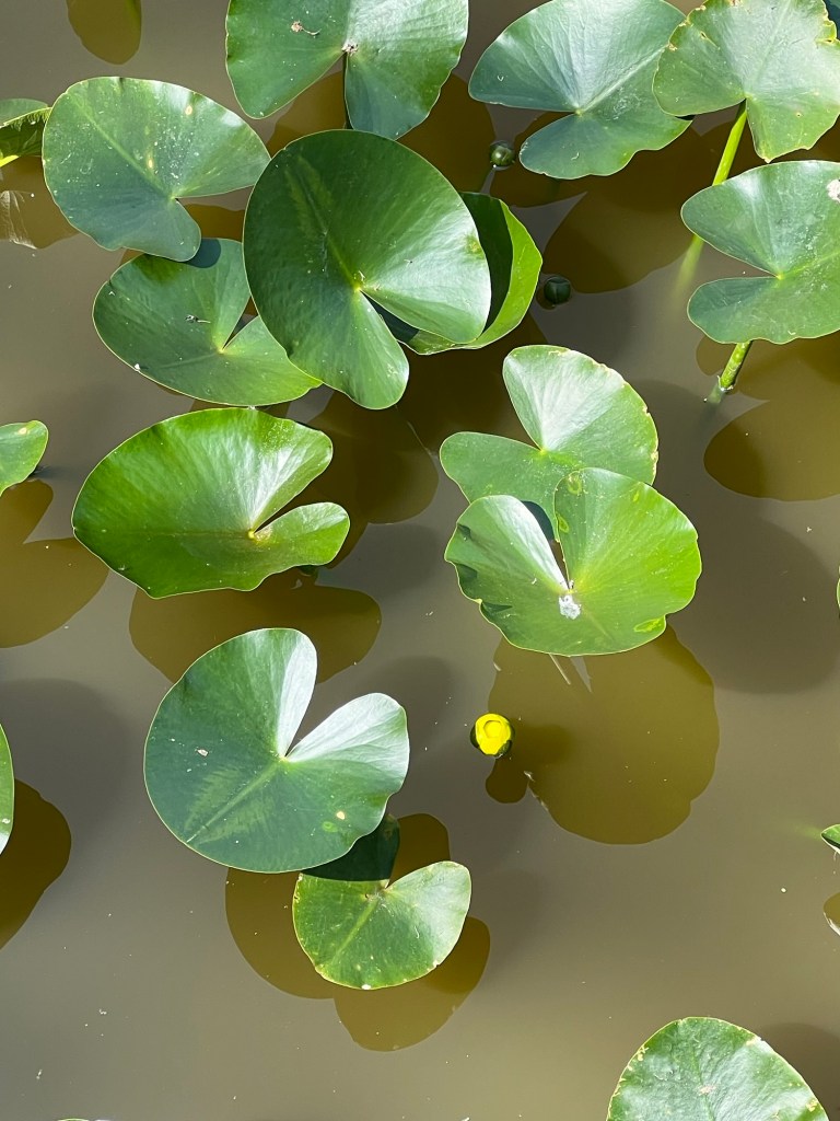
The water lilies were starting to flower.
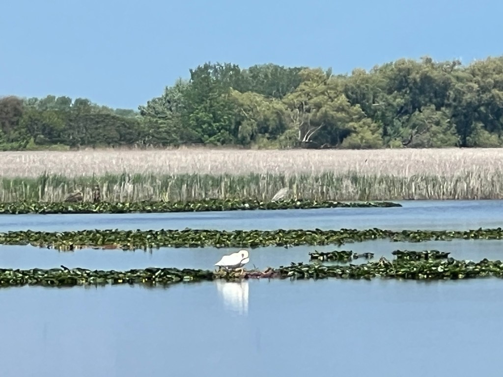
I think this swan was nesting, though she was a long ways away.
I filled out a survey that asked if I would recommend Point Pelee National Park to others. I marked it 10, I definitely would, because I knew I’d be writing this blog and I would encourage anyone traveling in southern Ontario to take the time to visit here.
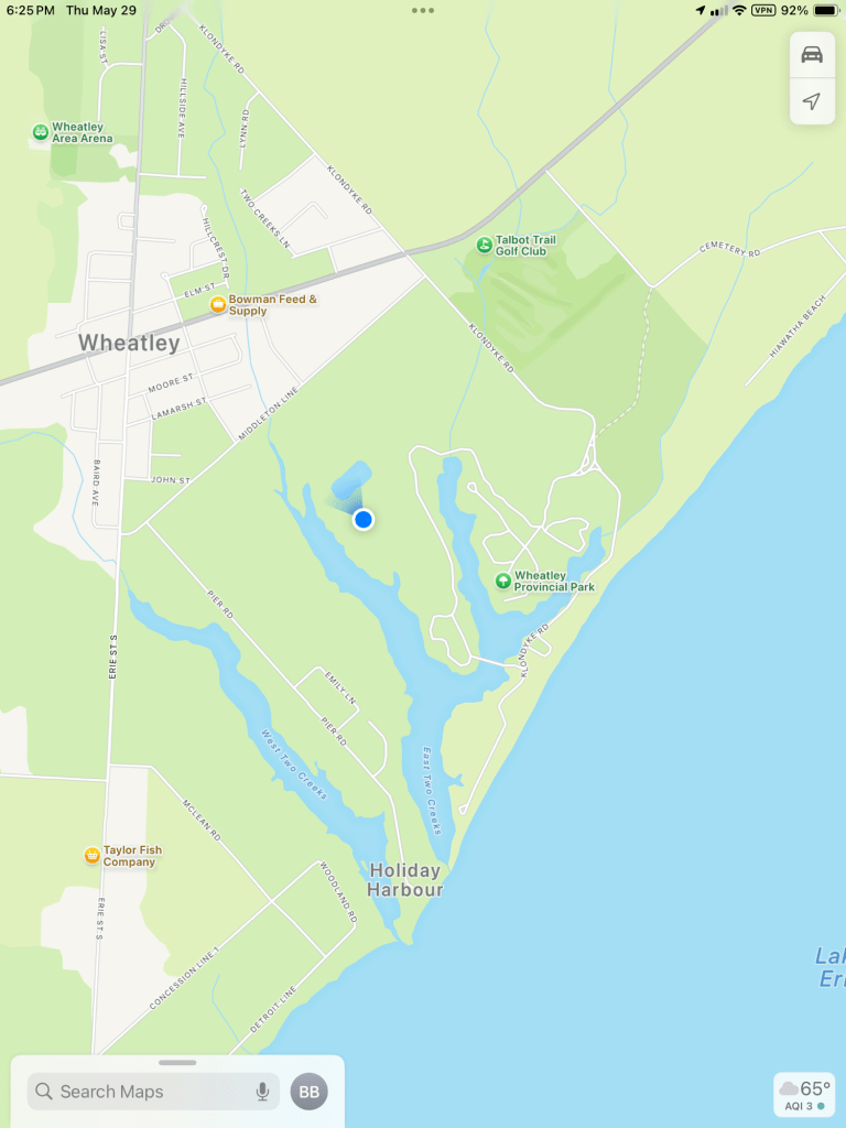
150 miles west of Selkirk Provincial Park is Wheatley Provincial Park.
It sits where Boosey Creek and Sugar Creek join East Two Creeks at the edge of Lake Erie.
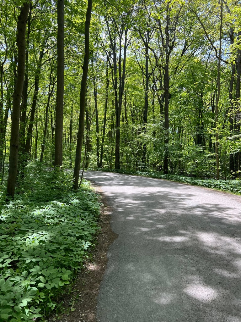
This is a large park with paved main roads.
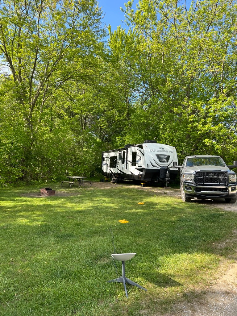
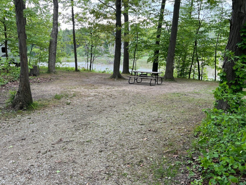
A number of sites sit right the along the creeks, but they either had no power or no clear sky for Starlink, so we’re happy with the site I chose. It’s more open, but still private.
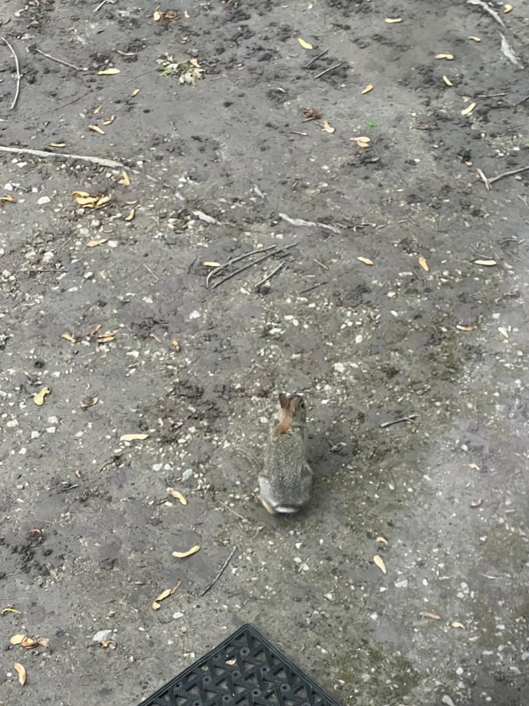
And we’ve had bunnies to entertain us. I have never seen rabbits act like this!
The little one didn’t pay any attention to those other two, but he did come up and investigate our entry mat.
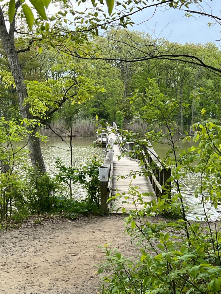
We’ve taken some nice walks here. Bud even came for a walk over this bridge on Boosey Creek to the strip of park along the lake.
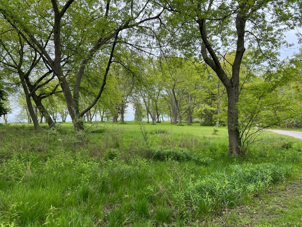
It’s a nice piece of land, somewhat manicured.
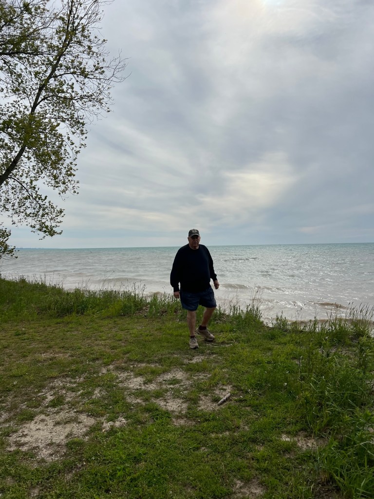
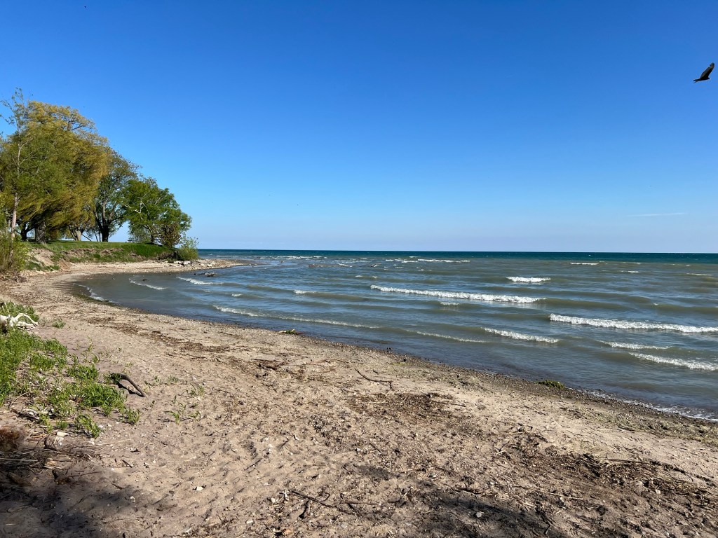
It’s a good place to view the lake,
but there’s not much beach.
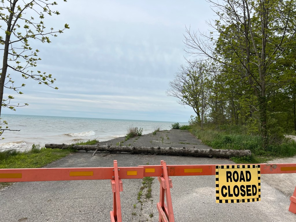
This is the end of Klondike Road, that leads into the park. But this part is not open to cars.
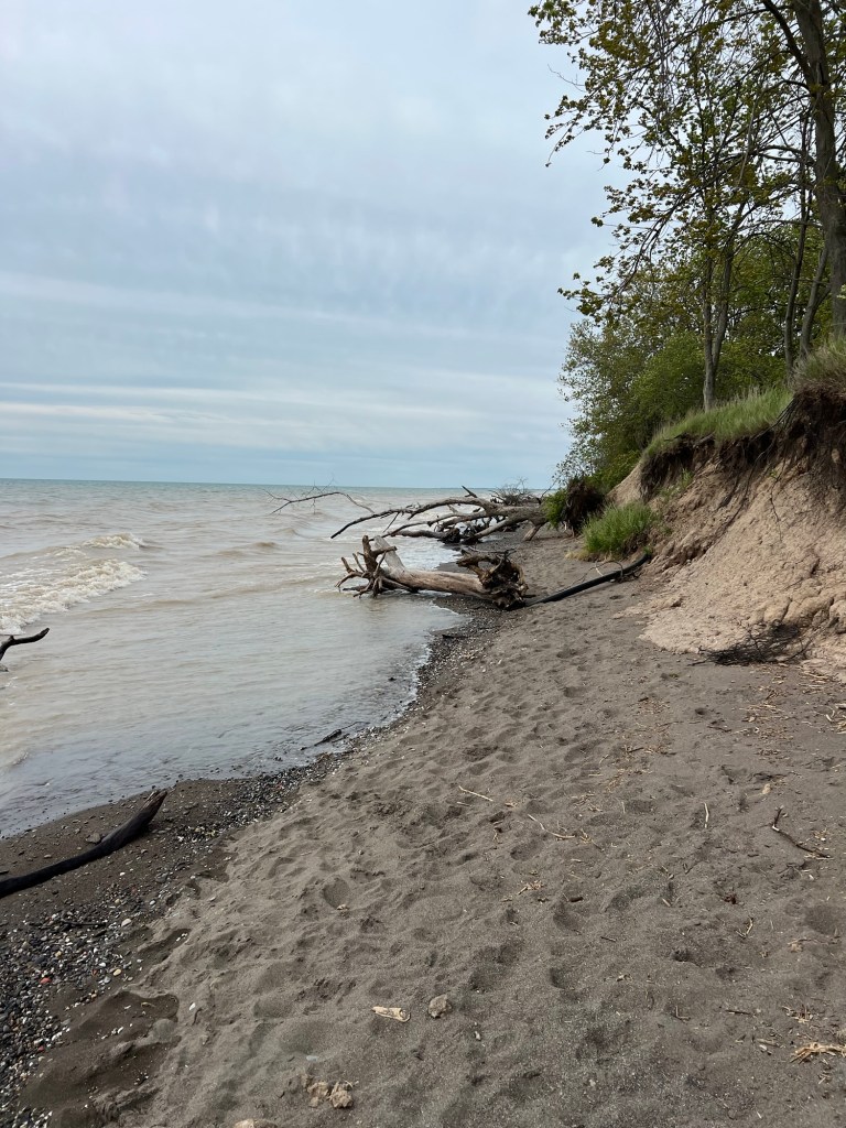
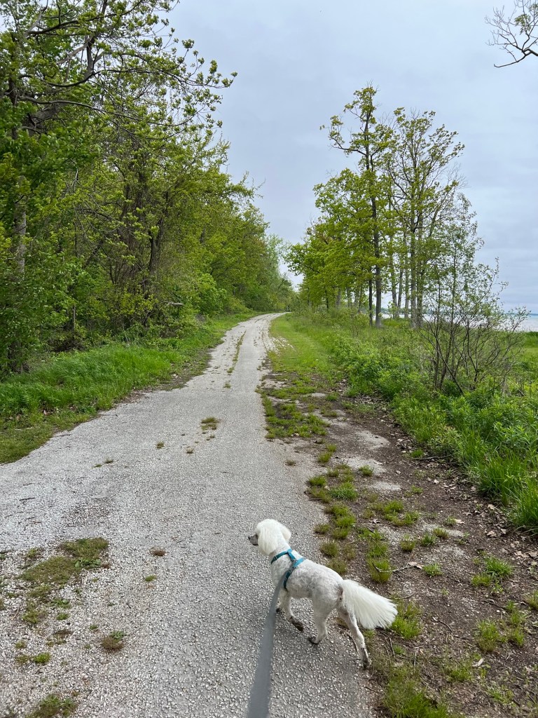
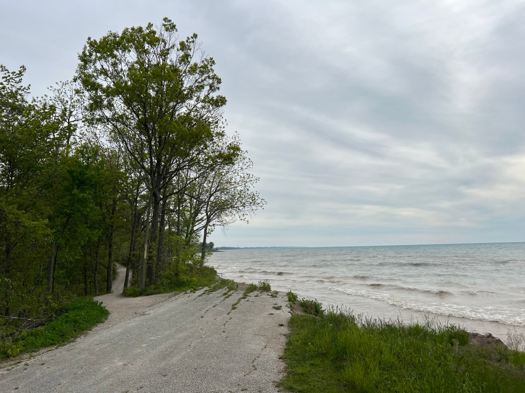
Walking east we found out why. A gravel trail goes on from where the road drops into the lake.
At the other end we came to where vehicle travel on Klondike Road ends.
The tip of the peninsula is now a decent walk from anywhere in the park.
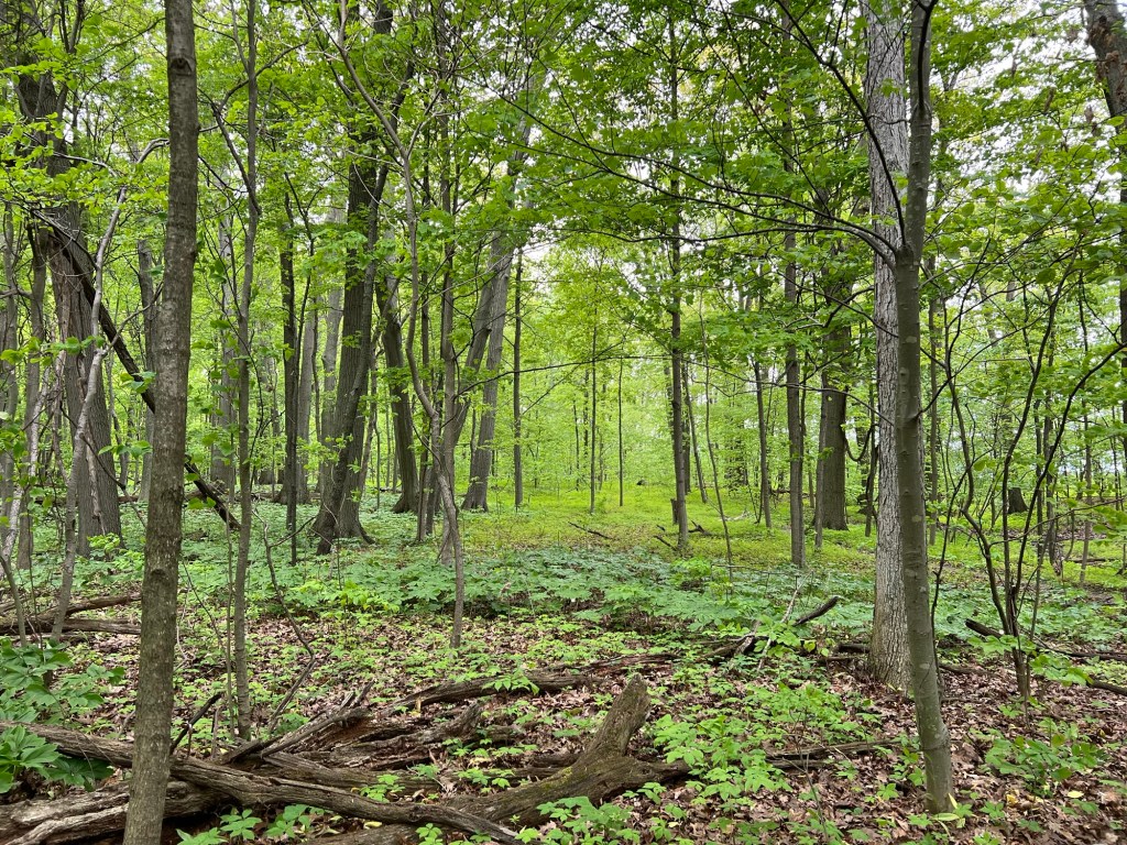
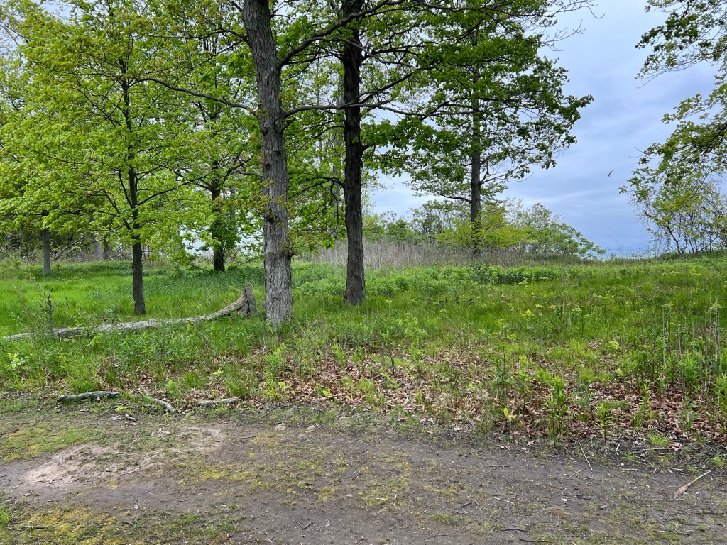
And the woods here are quiet and beautiful.
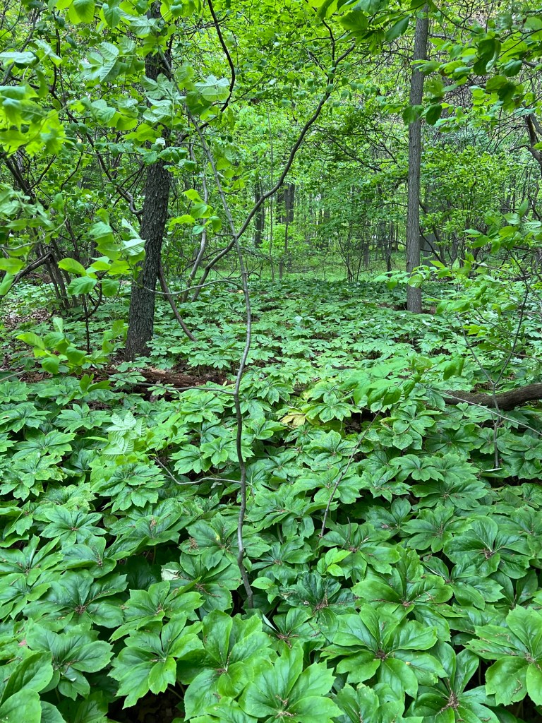
This section was carpeted with May apples. It was incredibly green.
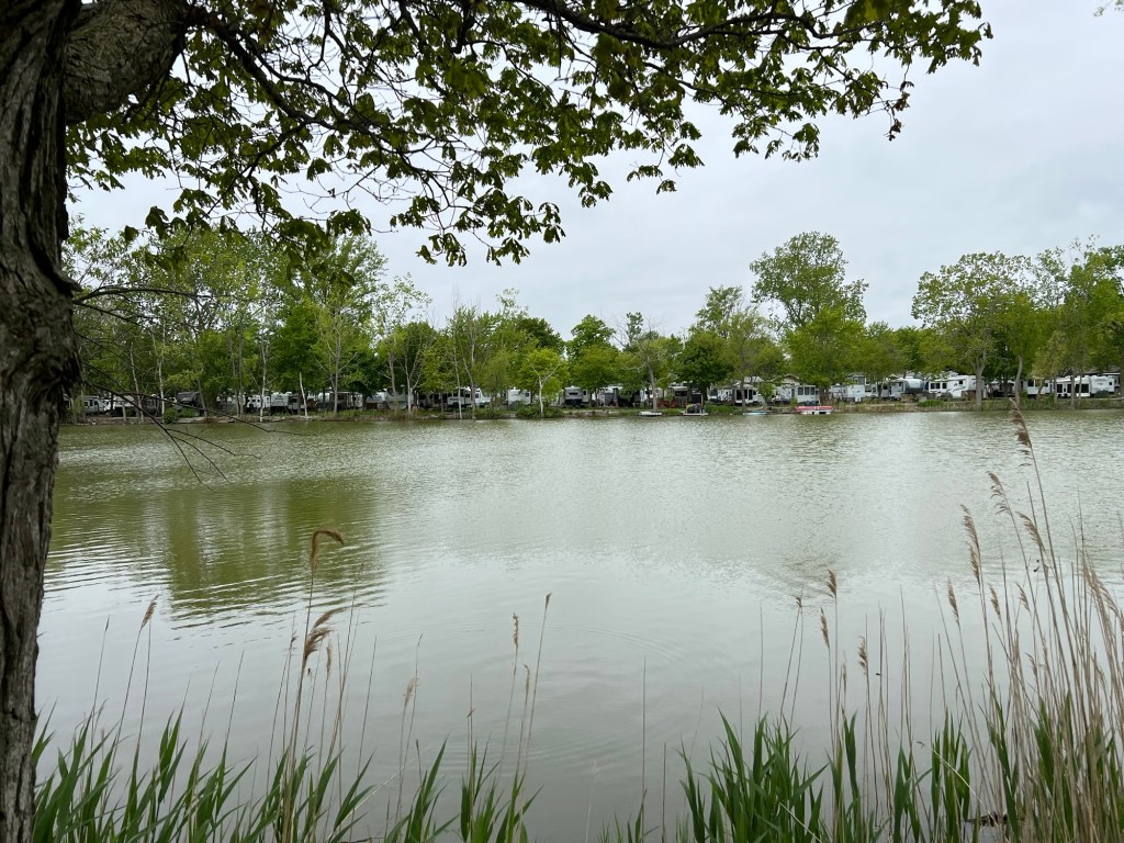
Just across the creek, outside the park, the trailers were cheek by jowl.
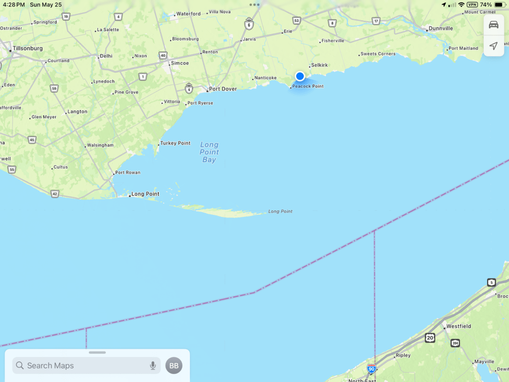
About half way along the north shore of Lake Erie there’s a spit of land that sticks almost halfway across the lake, Long Point. I’ve always been curious about this but never visited.
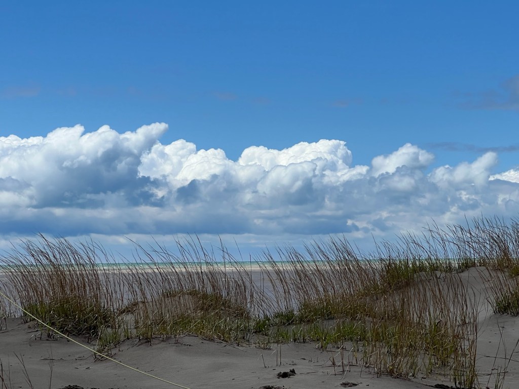
So Friday when we got a break in the dayslong rain we headed over to Long Point Provincial Park. There are dunes there.
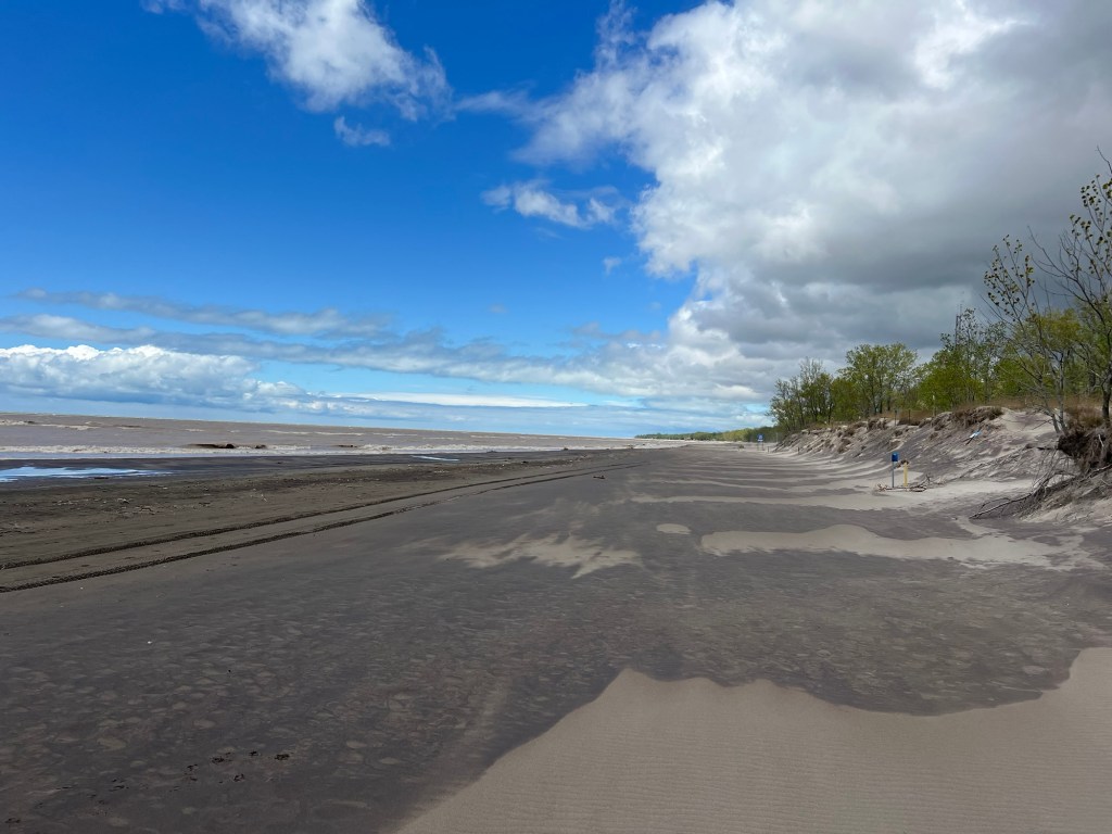
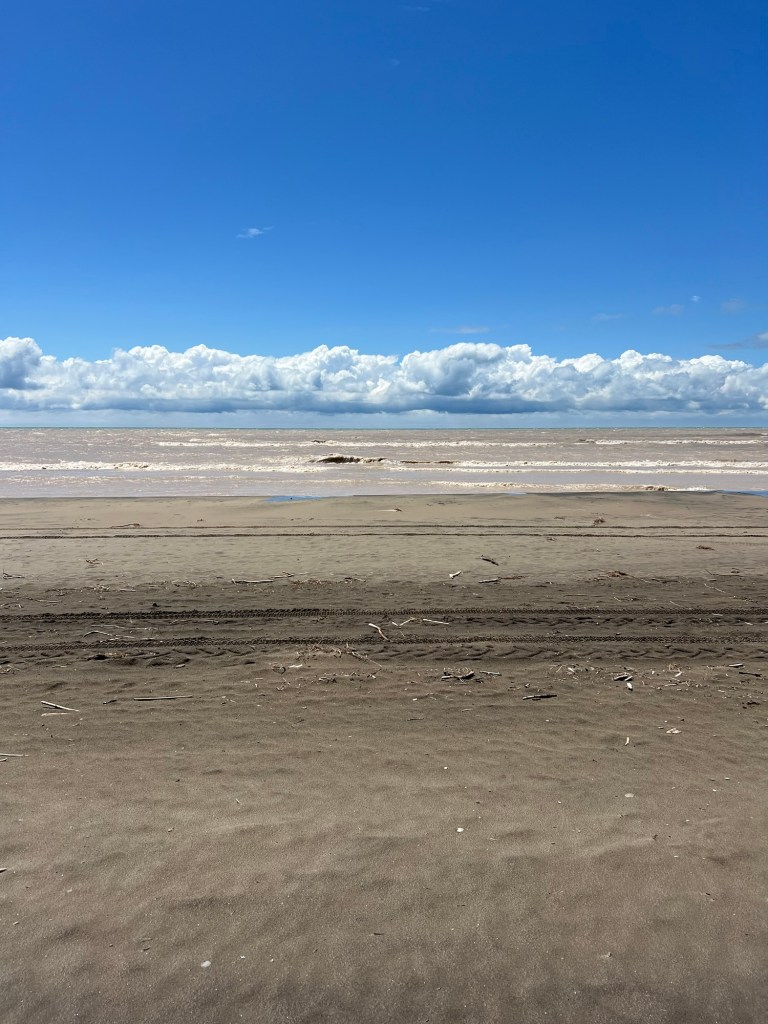
And wide beaches.
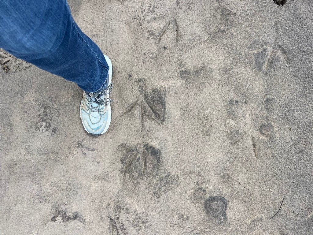
Whatever made these tracks was a big bird.
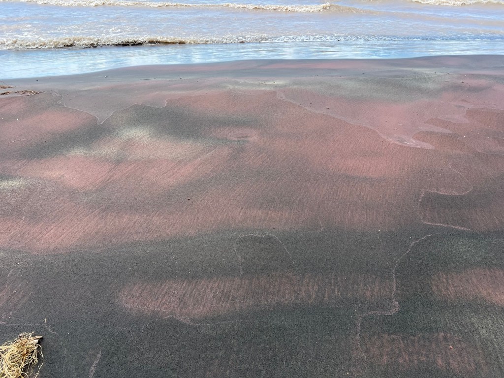
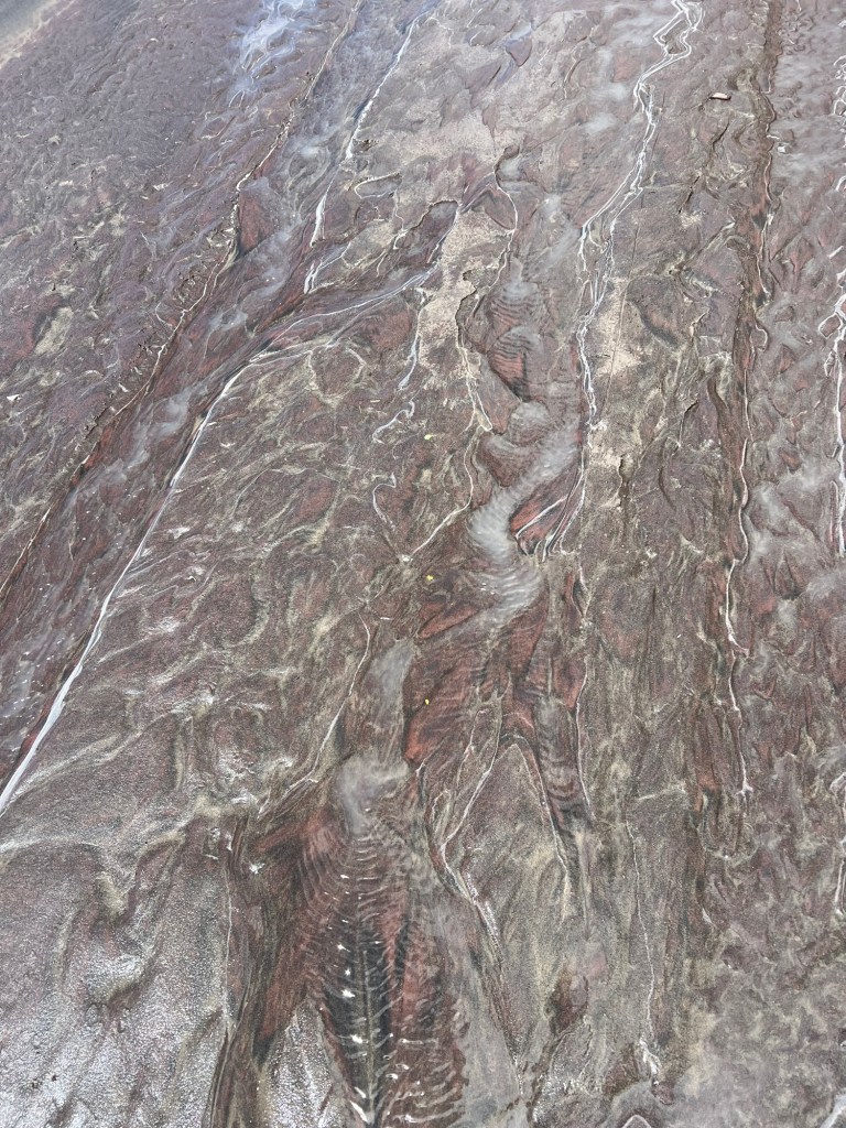
There aren’t many rocks on this coast, but this beautiful sand came from long ago rocks.
The waves and sand made interesting patterns.
We didn’t linger long, the cold wind churned the shallow water brown and cut through our jackets. Unfortunately there are no roads very far out along the point and it was much too cold for a hike. I don’t think there were any trails that went far, anyway. A good place for the birds and other wildlife but you need a boat to see them.
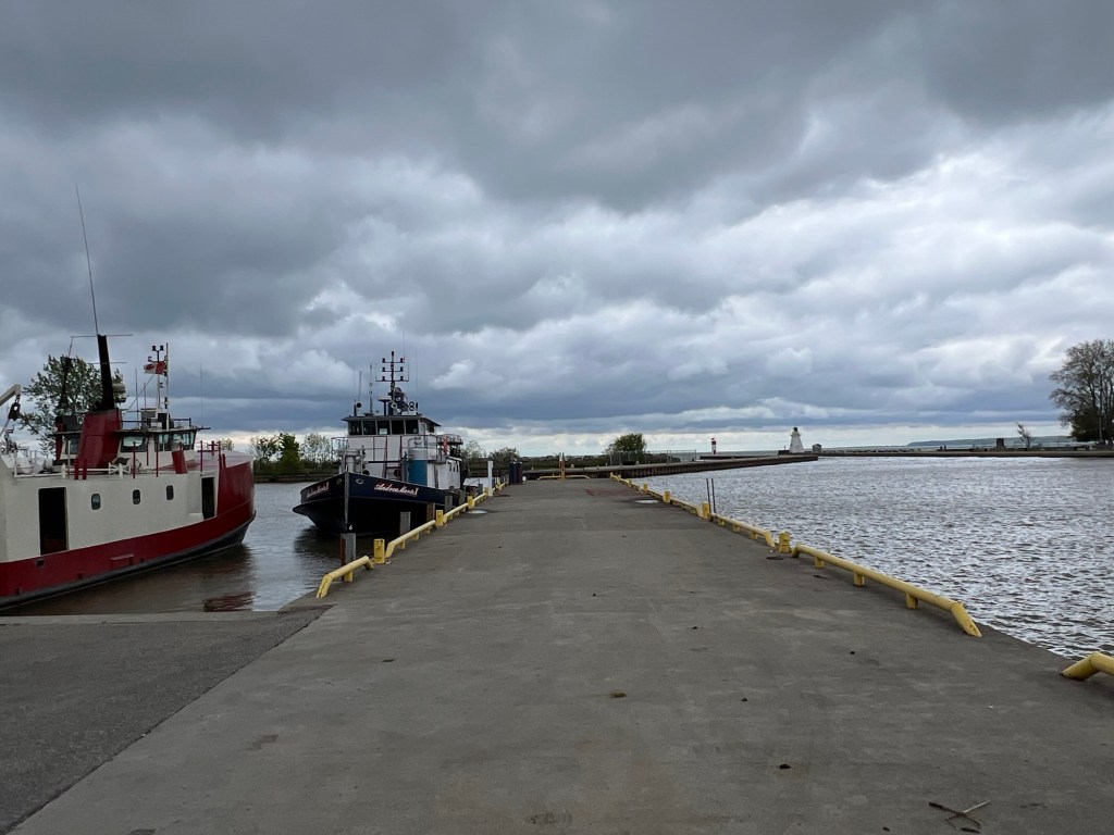
On the way back we stopped at Port Dover. This is the inlet to the small commercial harbor.
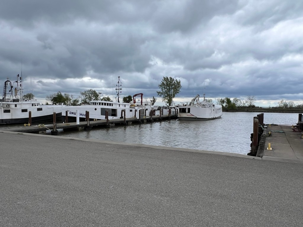
I was fascinated by the almost enclosed fishing boats, which seemed like a good idea in this weather.
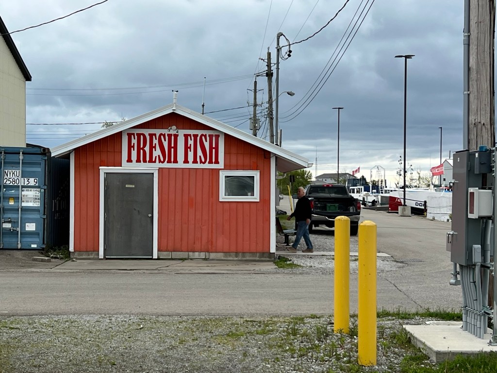
Bud was interested in the Pleasantport Fish Company where he was able to get Lake Erie pickerel and whitefish.
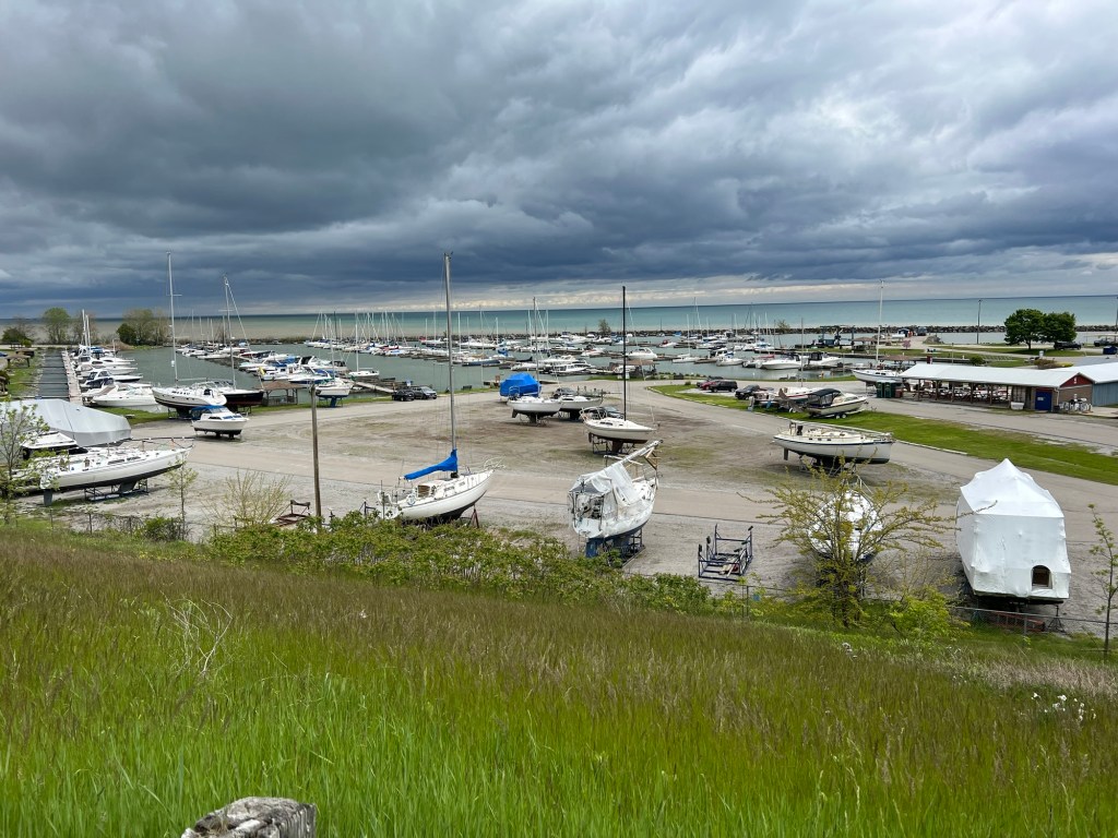
A different inlet takes you to the pleasure boat marina. Bud liked that there were so many sailboats.
This old houseboat was someone’s dream once.
We drove back along the shore where we passed this jetty for a steel plant.
Meanwhile, the mud in Selkirk Provincial Park is starting to dry up.
But there is still too little sun and too much cold wind for me.
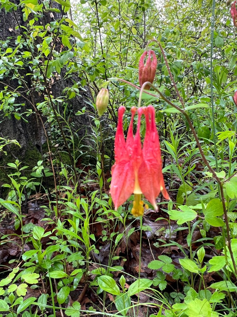
But I did spot this red columbine, which brightened my day.
We spent two weeks in Western New York where we had great times with friends and family and I mostly forgot to take pictures. I didn’t take a picture at our lovely dinner on the Niagara River with Randy and Chris. I didn’t take a picture at the fun picnic with Dick and Sue and Sue and Gary (almost a tradition now). I didn’t take a picture at the chilly but very fun golf game with Jim and Goody, even though I reveled in the very picturesque Rolling Hills Golf Course.
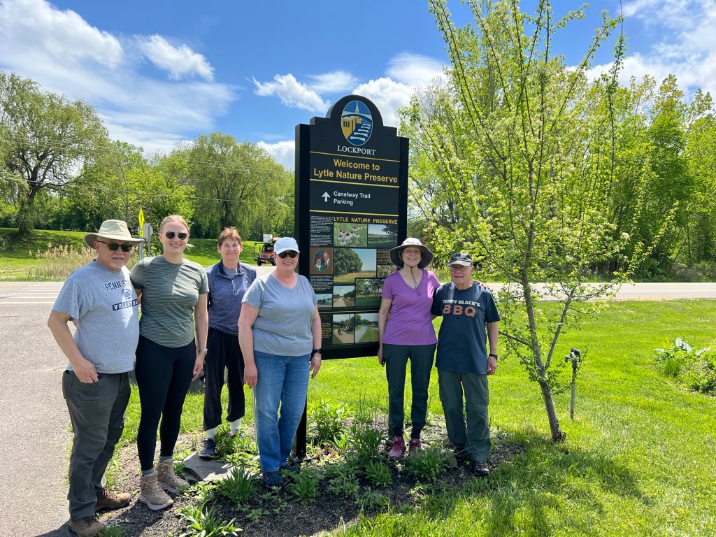
I did get this picture when we took a hike with our friends Jane and Rob, on the right above. To the left of the sign are Jane’s sister, Anne, whom I hadn’t seen since she was probably a toddler, another of our classmates, Molly, Anne’s daughter Celeste and Anne’s husband Hyland. Bud was there, but hiding. The sign is for the Lytle Nature Preserve, where we hiked. This was a gift from Jane and Anne’s parents to the town of Lockport and is being managed by Cornell Cooperative Extension of Niagara County. It’s along the canal just north of Lockport and if you’re in the area you should check it out.
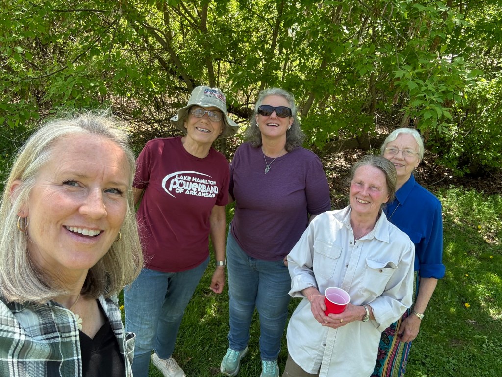
Thanks to Jeanie, I have this picture of her, me, Michelle, Erin and Joan walking in Four Mile Creek State Park after eating a great lunch with Bud. He cooked, he didn’t walk.
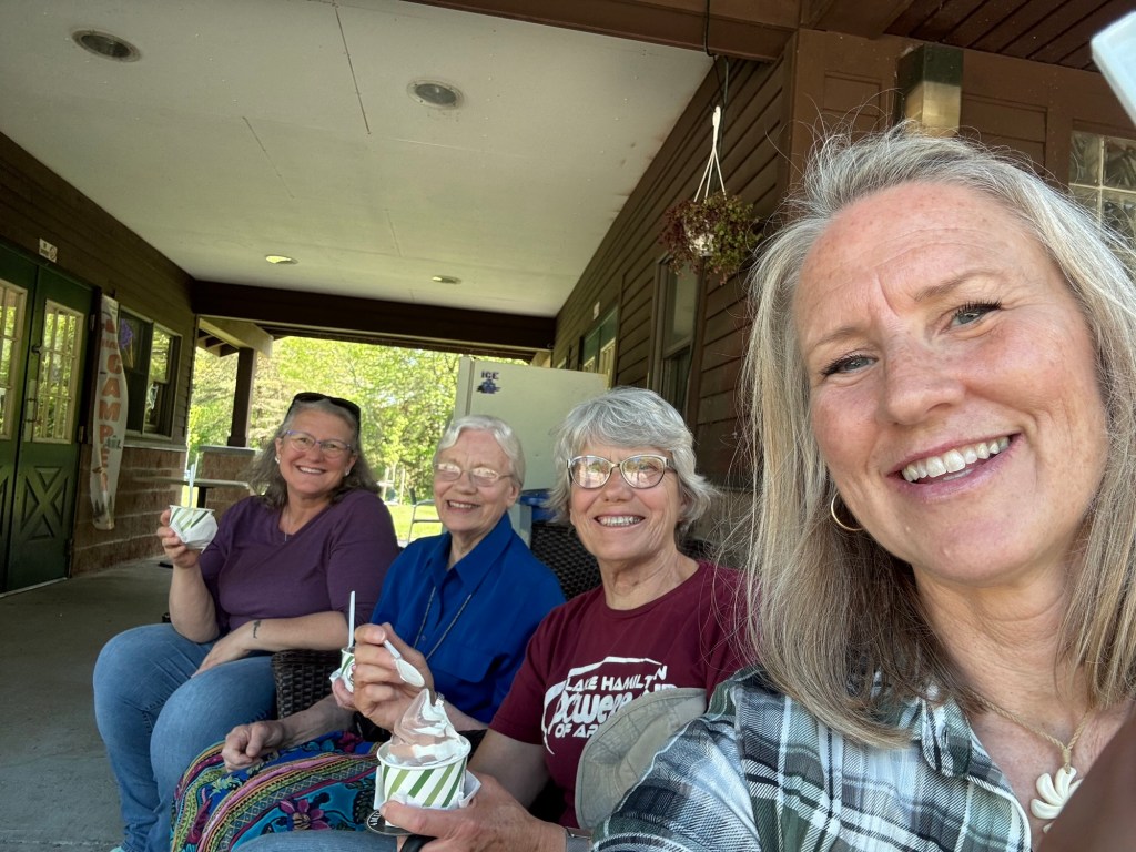
Erin had to leave but the rest of us walked over to the camp store for my first soft ice cream of the year.
Monday we moved on to Selkirk Provincial Park, our first stop in Ontario, where we’ll be spending the summer.
It’s a nice park on the north shore of Lake Erie.
So far we have a private spot.
As I was walking around with Matey enjoying the woods, I realized that unless family or friends come up to see us while we wander the near regions of Ontario, we will not see anyone we know for four months.
That’s a definite downside to our wandering life,
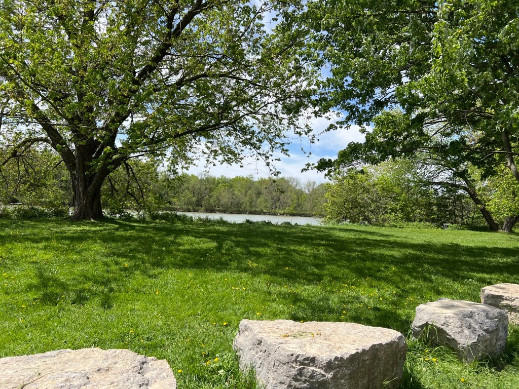
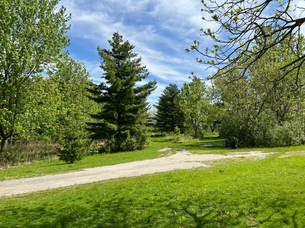
but it’s offset by the new places we find, like this lovely disc golf course outside of Caledonia, Ontario.
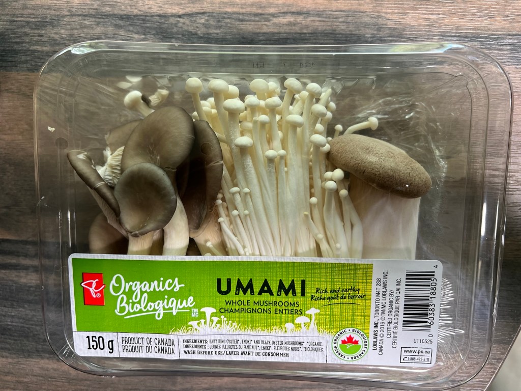
There are fun differences in regions. We don’t usually find packages of mushrooms like this.
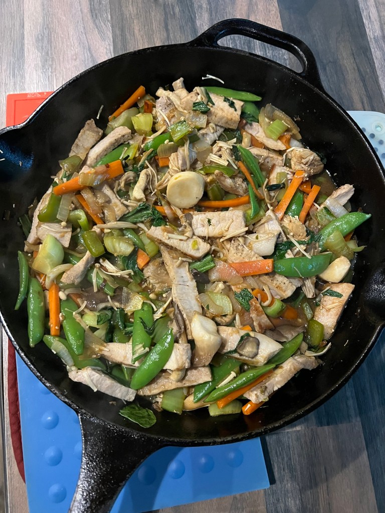
That inspired this great stir fry!
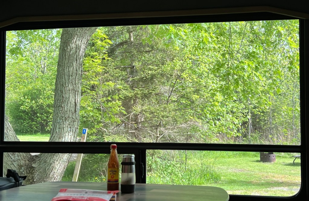
So even though we are alone, we are enjoying the changing view from our windows…
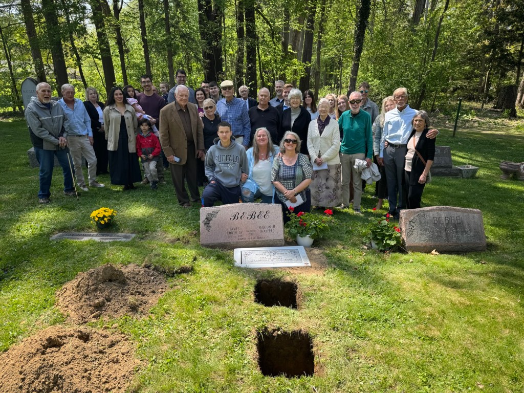
We came up to Western New York for a two week stay. This was originally planned to celebrate my mom’s 106th birthday, but instead we had the memorial service for her and my sister Judy.
Lots of emotions as we visit with many friends and family and it also brought home that Mom and Judy are gone. This is the little family cemetery where the urns with their ashes are buried. Judy’s stone was placed flat in front of my parents.
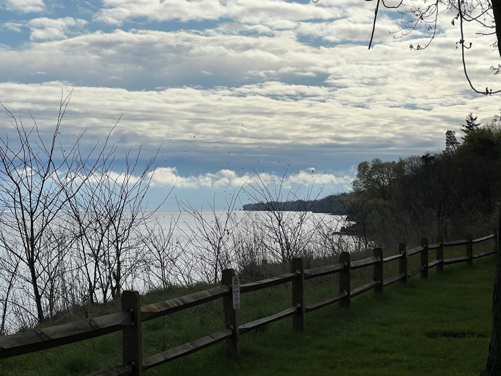
My cousin Rich is in town and he and Joan came to Four Mile Creek State Campsite where we are staying. We took a walk along Lake Ontario. That’s Toronto on the far shore.
All of Judy’s family and Jamie and Sean stayed at an AirBnB just three miles down the lake from us.
The evening after the combined service we gathered for memorial family games. Both Mom and Judy loved to play games when the family got together.
The weather, like my emotions, has been up and down, friends to enjoy but many times when I just ache inside because Mom and Judy can’t be here to share these times.
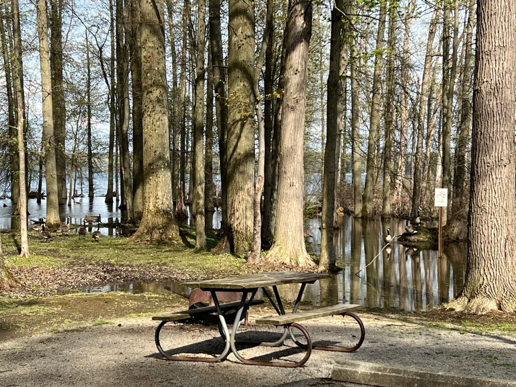
We’re now at Mosquito Lake State Park not far from Youngstown, Ohio. Despite the inauspicious name it’s a pretty nice place, though we bought wood chips to fill the muddy spot by our door.
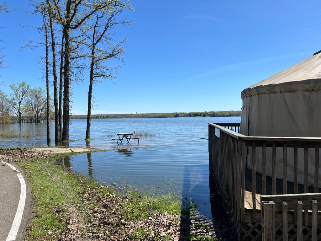
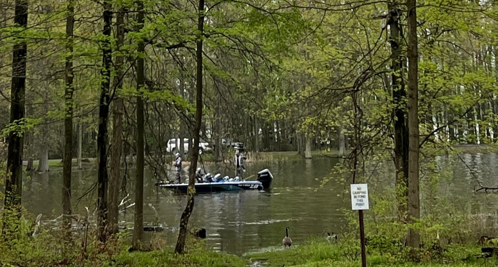
They have had more than enough rain here and some of the campsites look to be nesting sites for the geese. The white sign says no camping beyond this point. Not too tempting now.
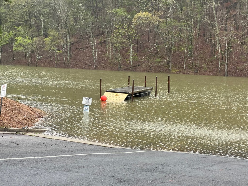
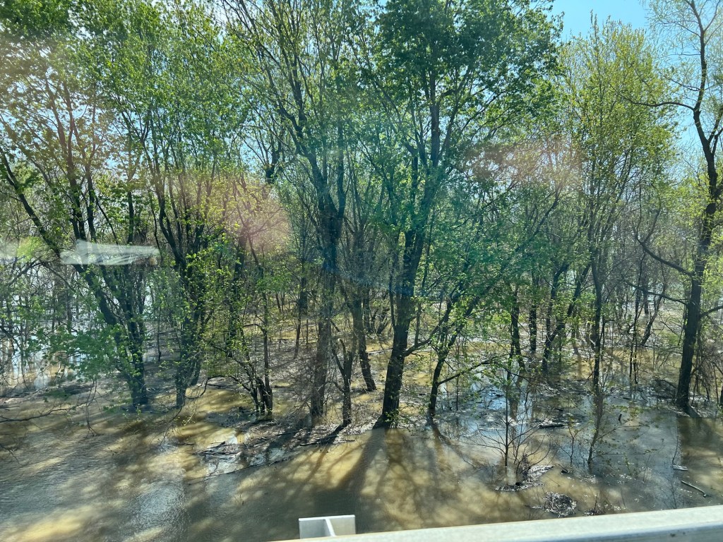
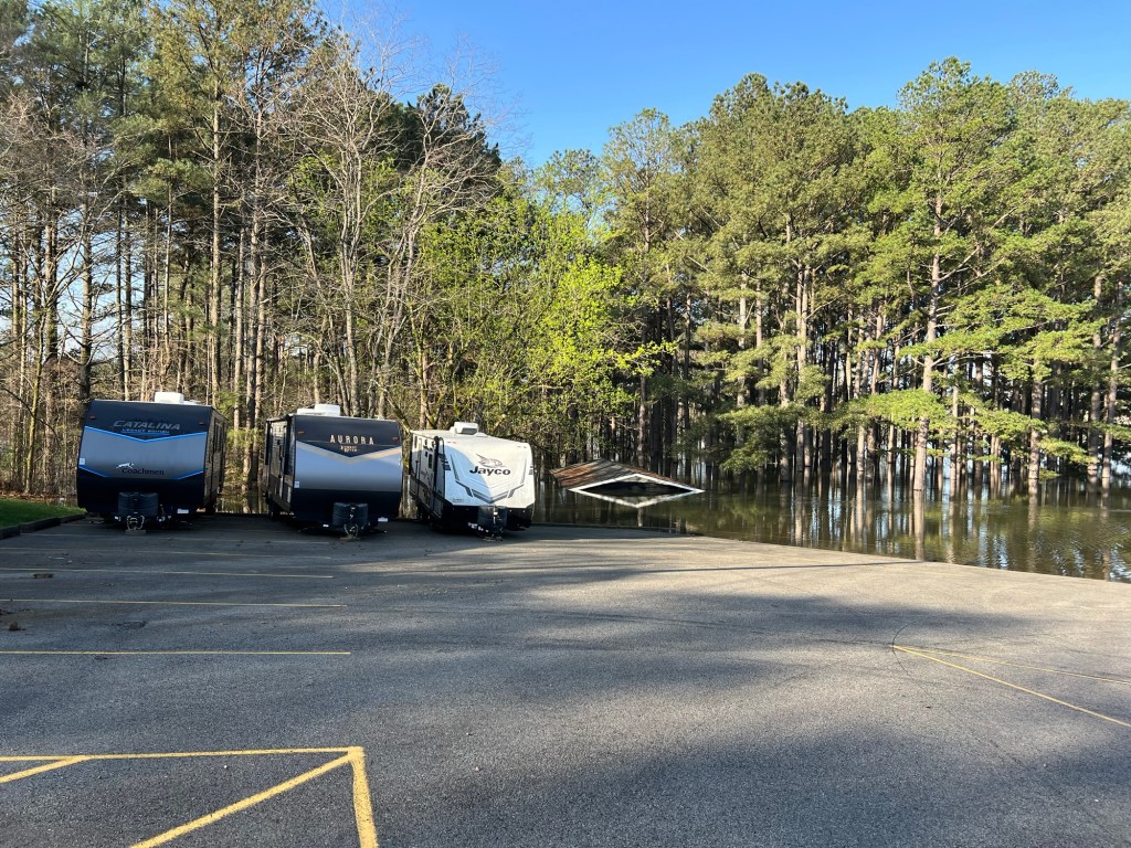
We saw flooding in Arkansas,
Missouri,
and Kentucky.
And now, here in Ohio.
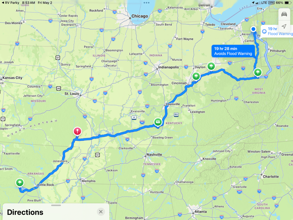
But if you look at our route you can see that we’ve been going…
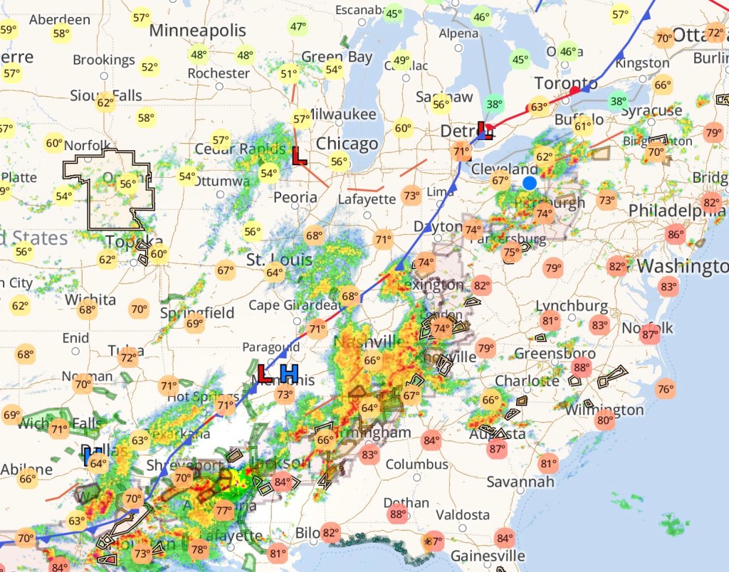
right along the path of the storms that have been rolling, rolling and rolling up from Texas.
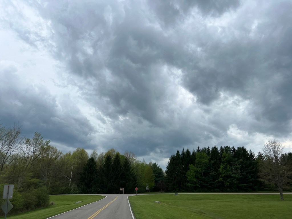
I’ve had enough of spring rains.
There are rain and thunderstorms in the forecast every day for the next five days.
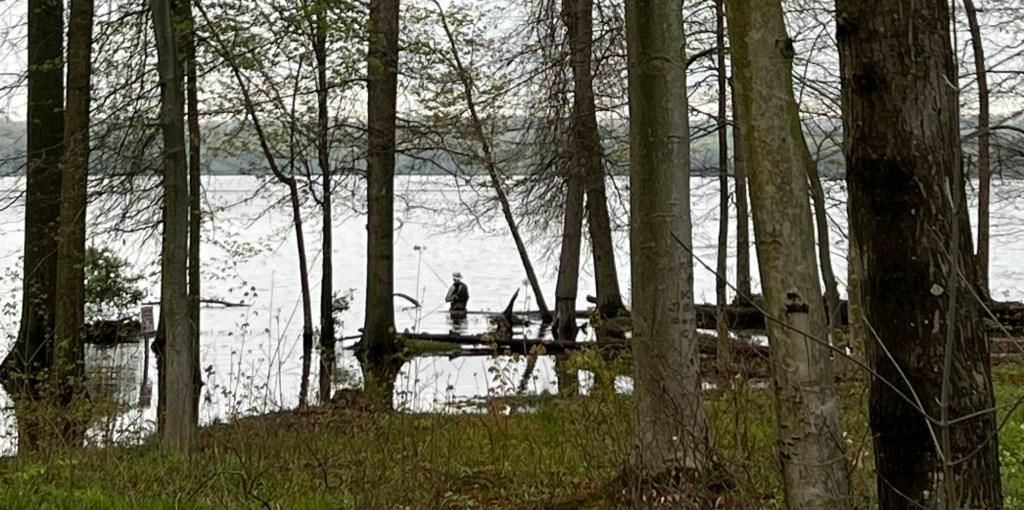
The fishermen don’t mind.
They like water.
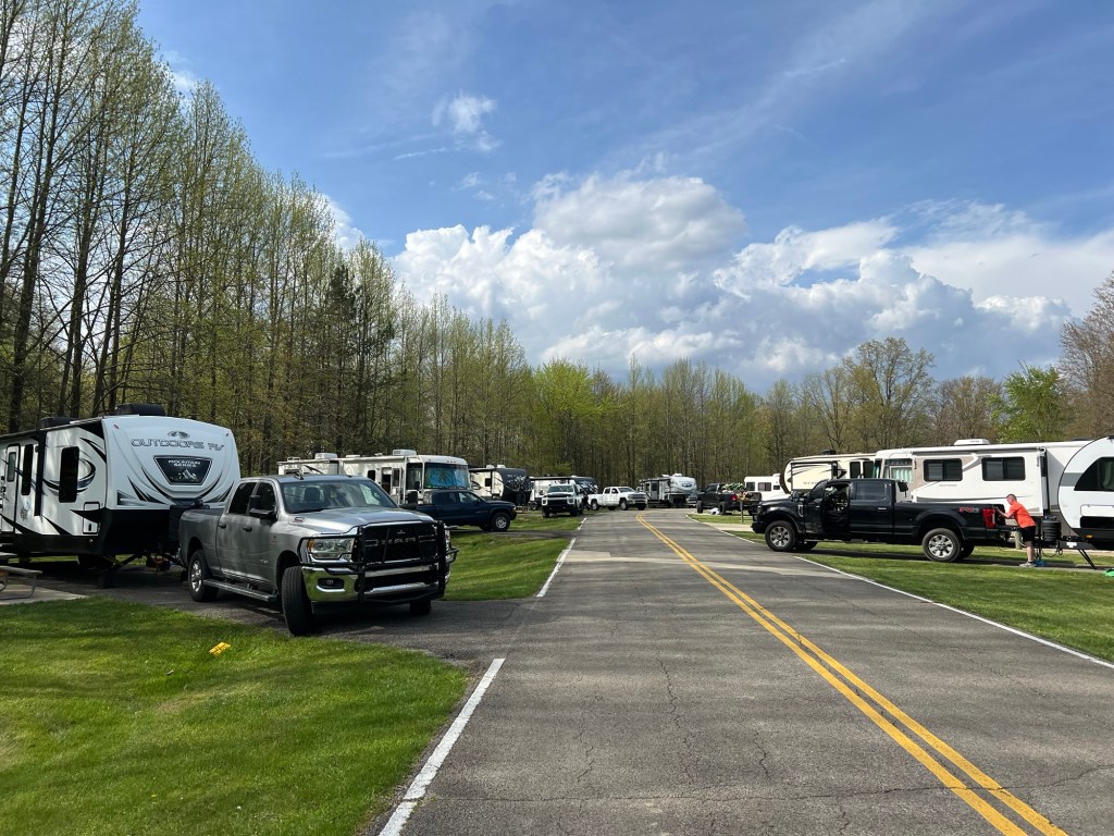
And it hasn’t deterred the weekend campers.
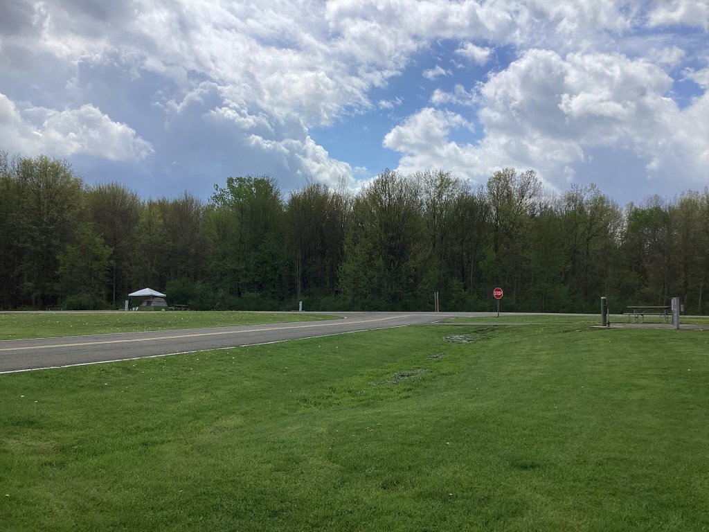
Oh well, Matey and I still have a nice view when we can sit outside in between the showers.

 On the Roam Again