Getting Old is Tough

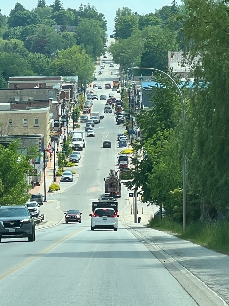
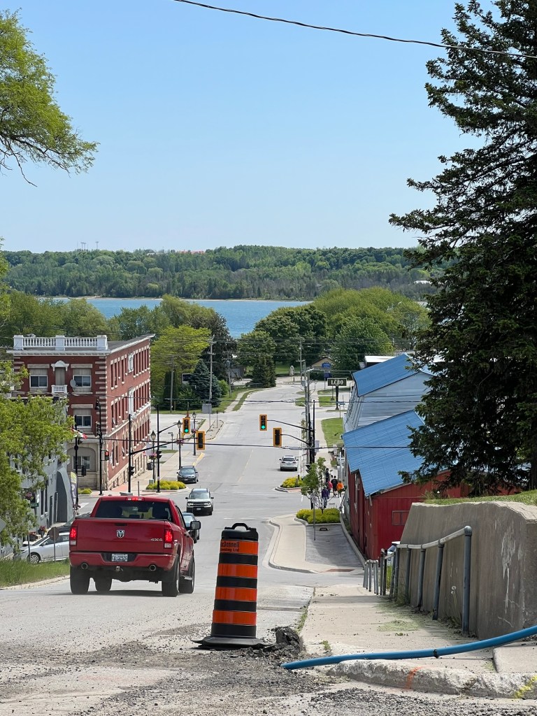
Matey got worse before he got better, so despite beautiful weather we didn’t go anywhere over the weekend and I had to content myself with pushing Matey in his stroller around the hilly streets of Wiarton.

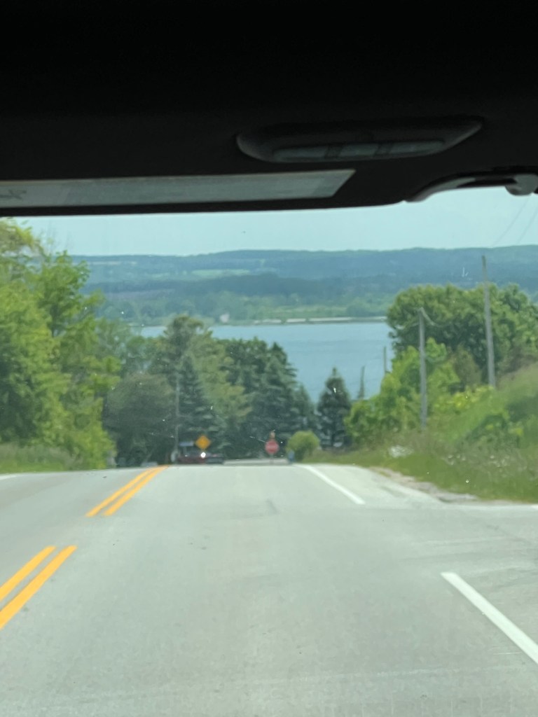
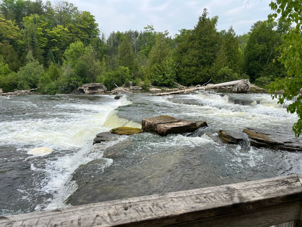
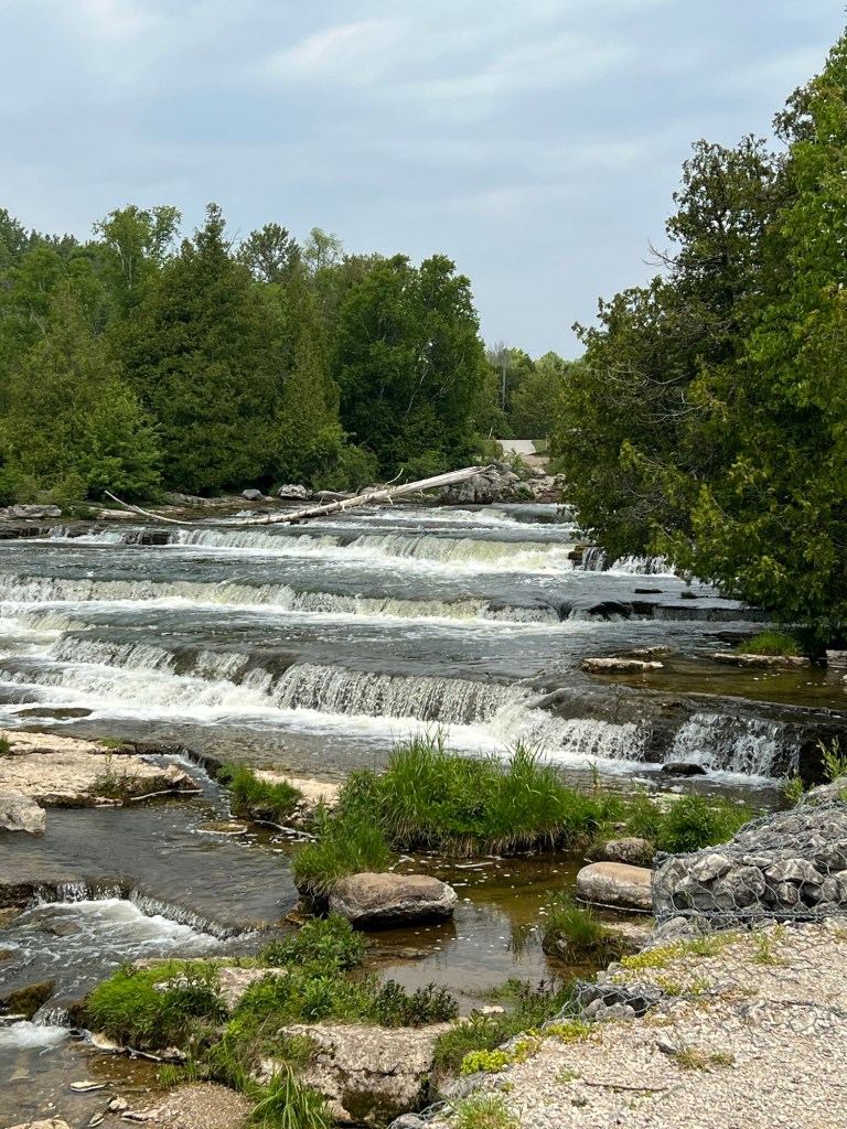
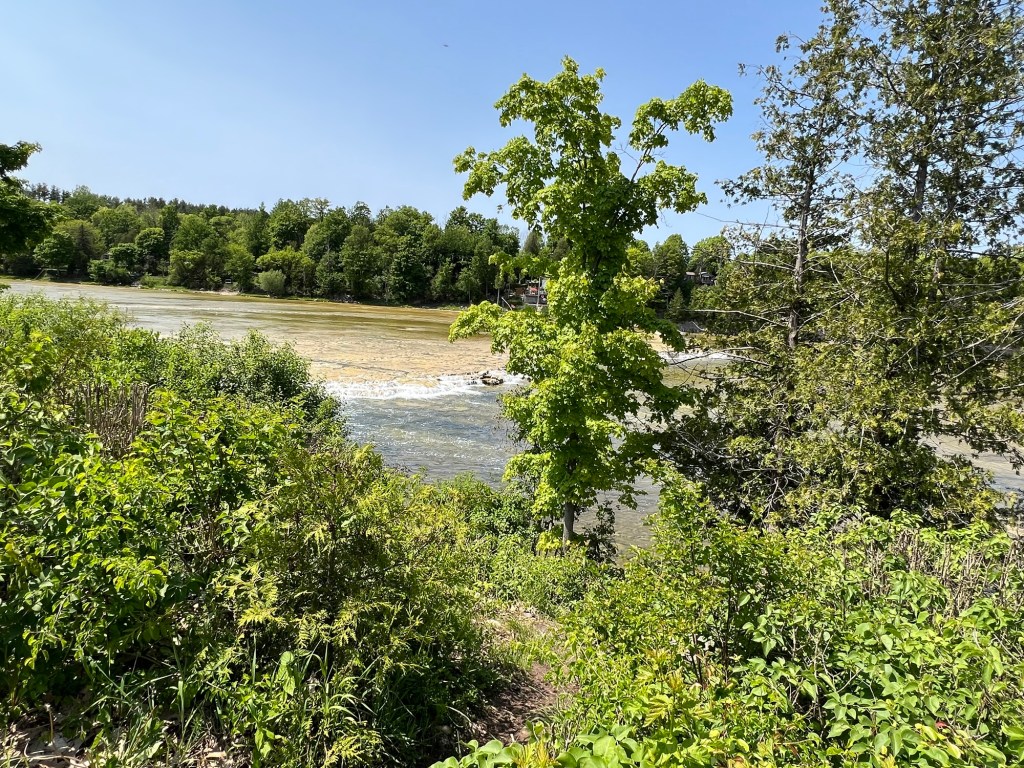
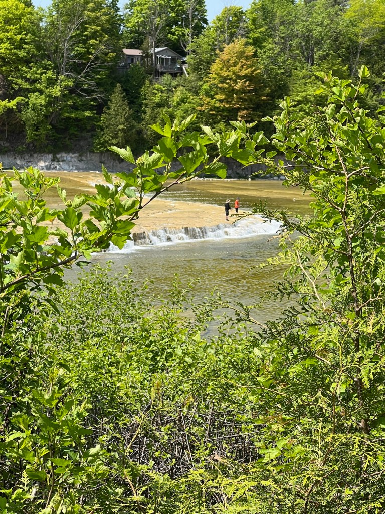
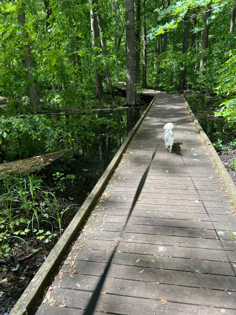
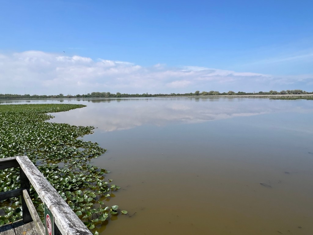
By Tuesday he seemed well on the mend, so we decided to try a trip to nearby Owen Sound and a walk in Harrison Park. Here we are approaching the sound.

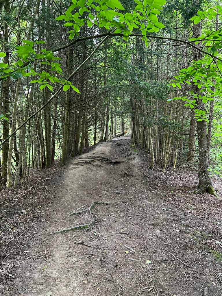
I had hoped to take the side trail out of the park to Inglis Falls, but it turned steep and rooty. Besides the difficulty of pushing the stroller, I was afraid the rough ride would make Matey more dizzy.

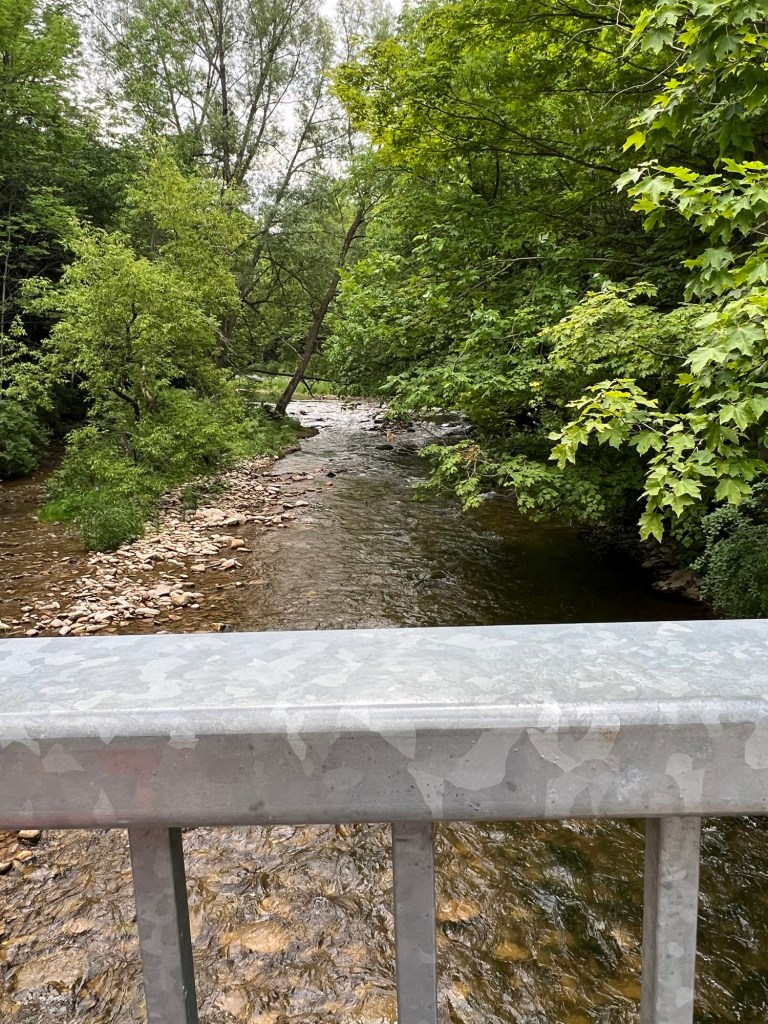
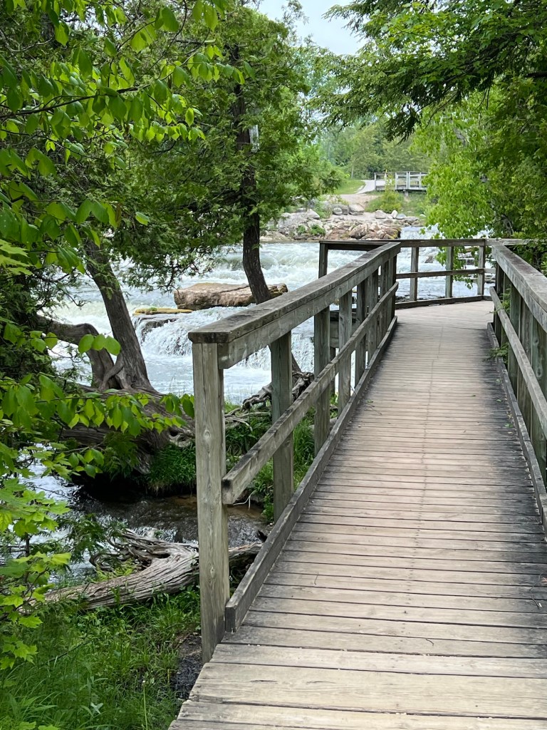
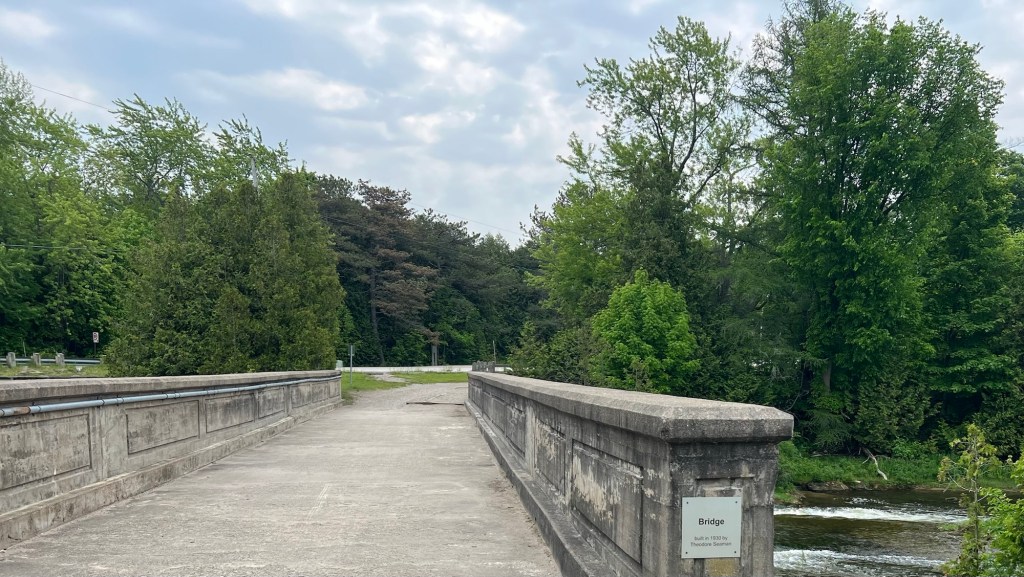
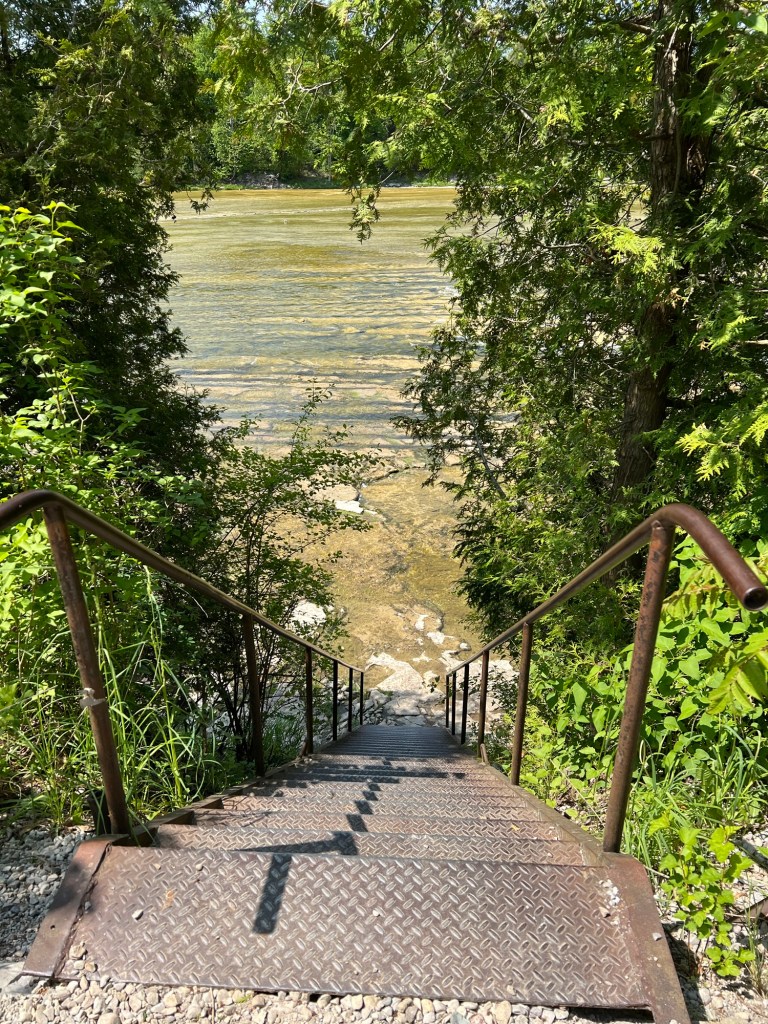
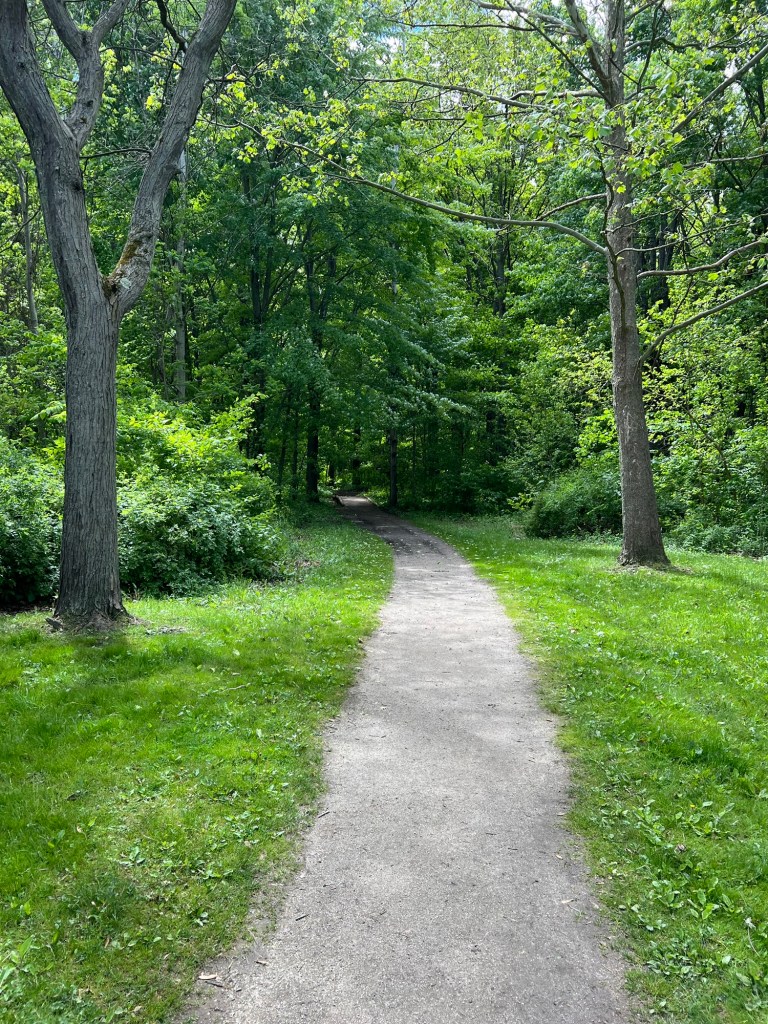
We opted to cross the little bridge…

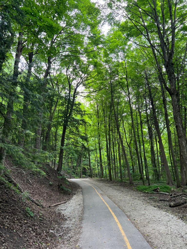
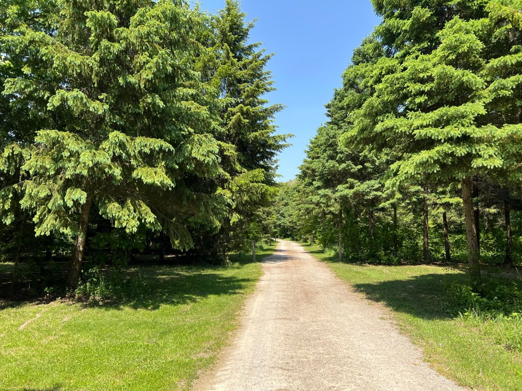
and take the paved trail instead.

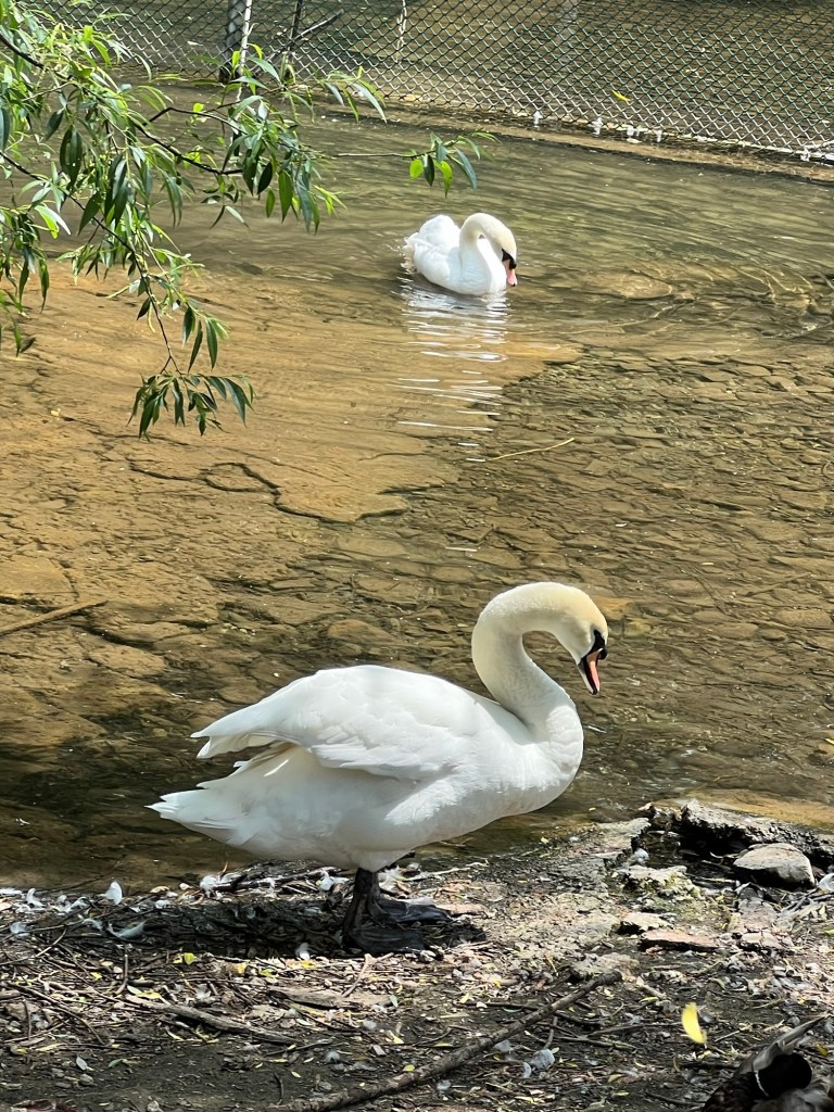
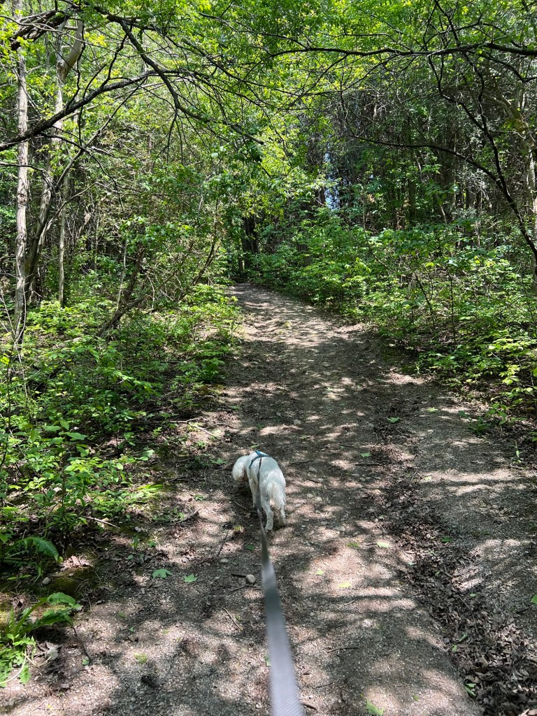
It was a pretty walk and we came back by a pond with some swans.
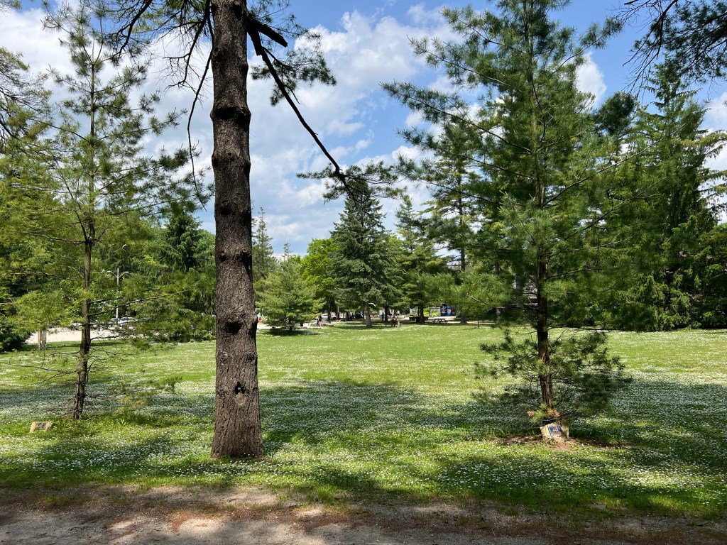
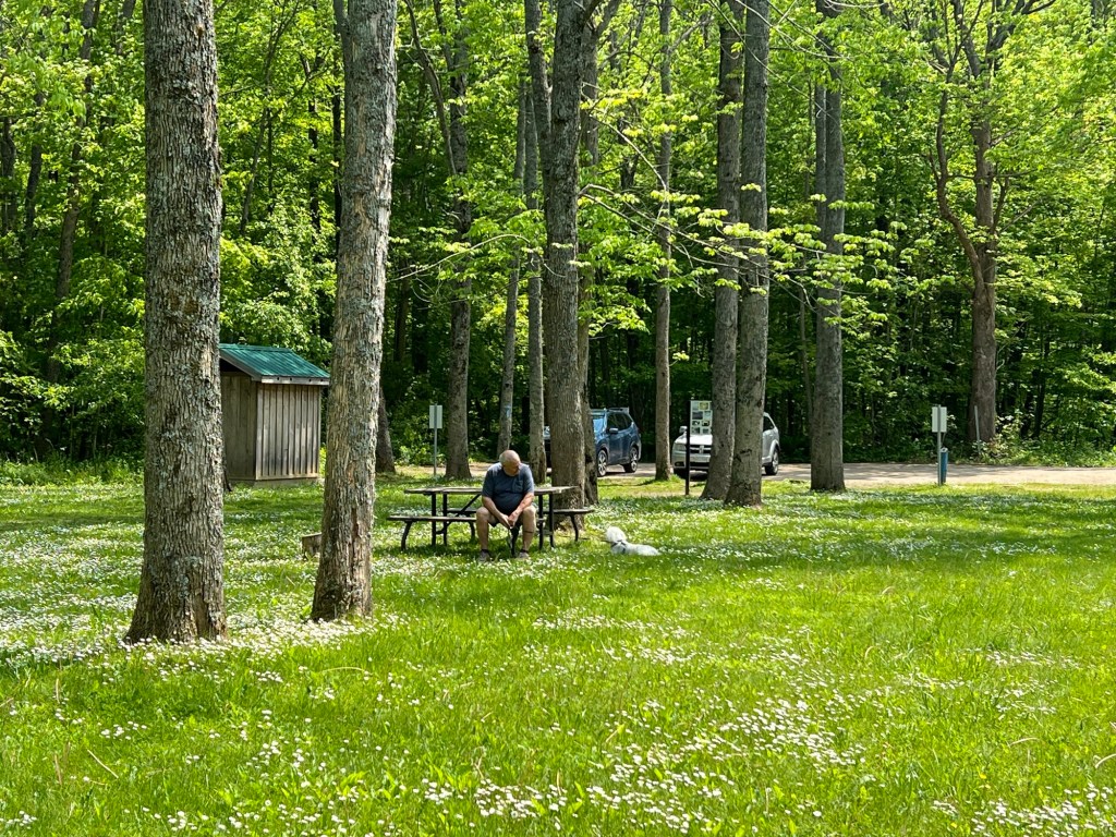
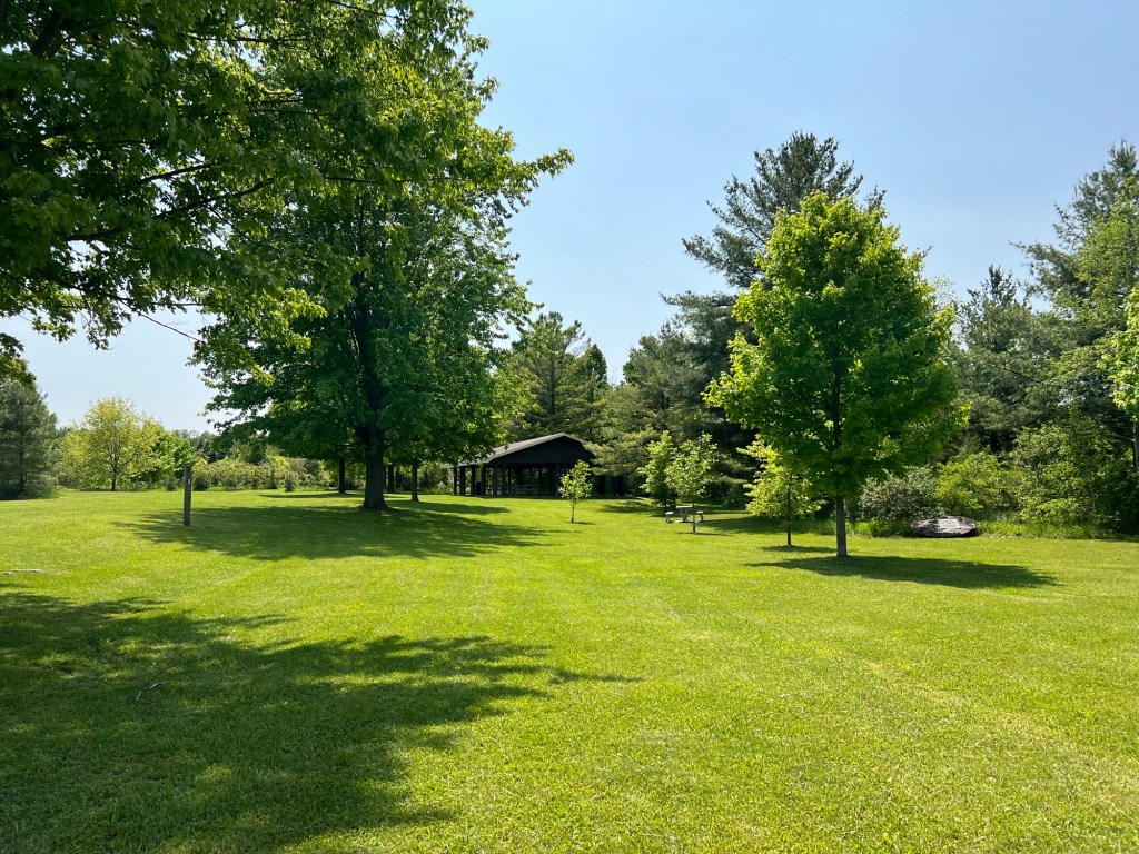
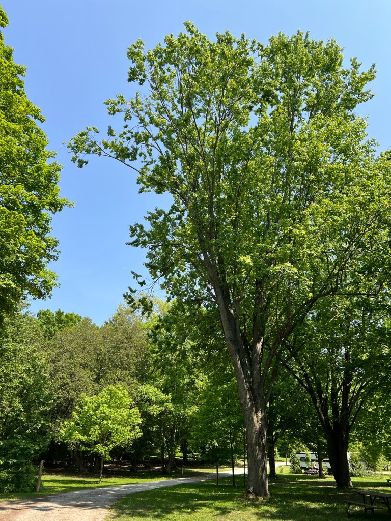
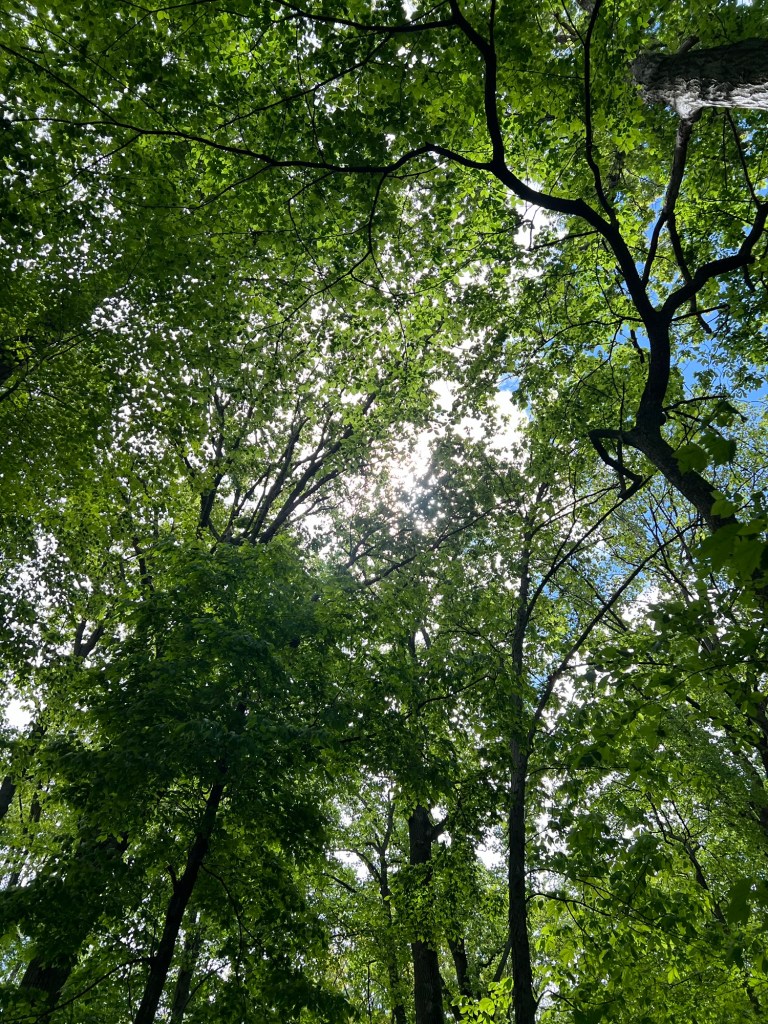
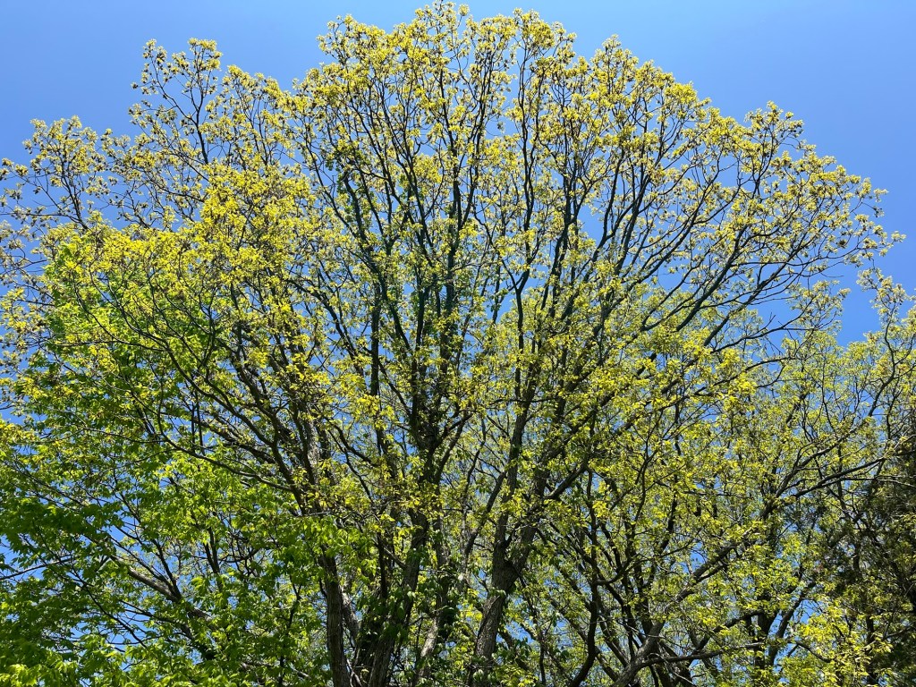
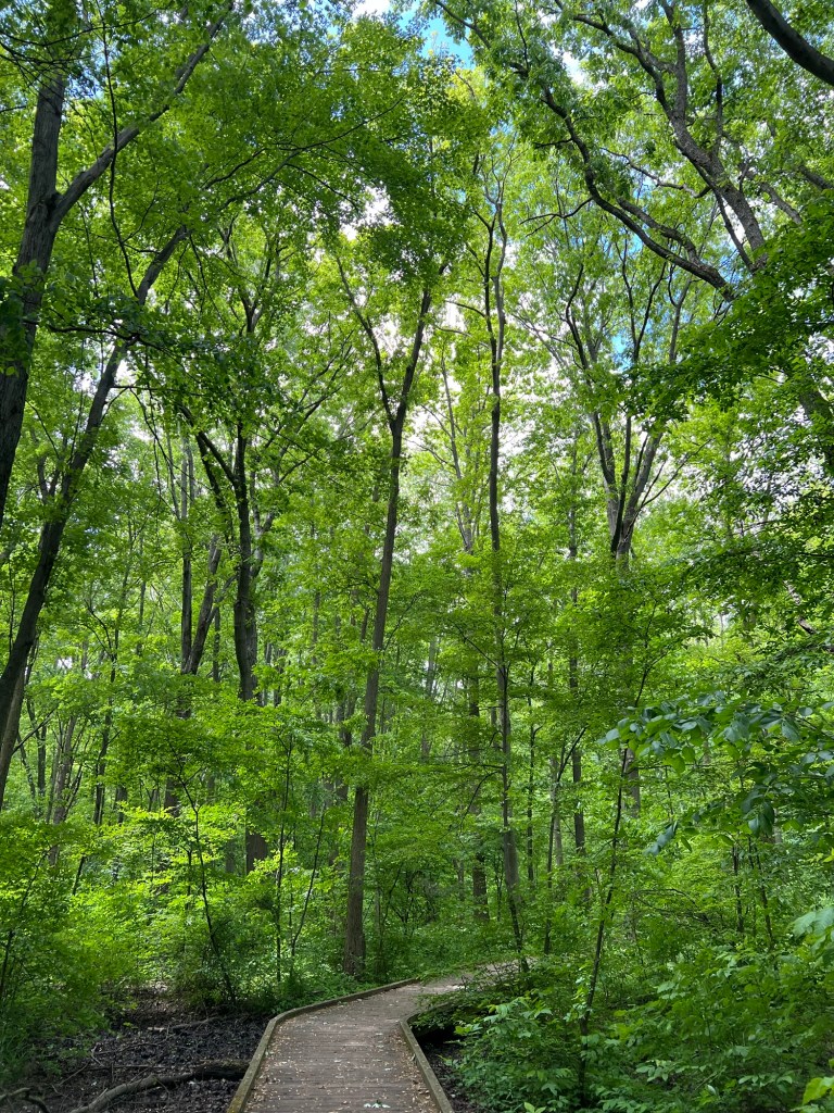
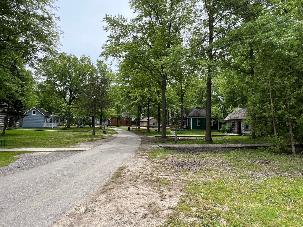
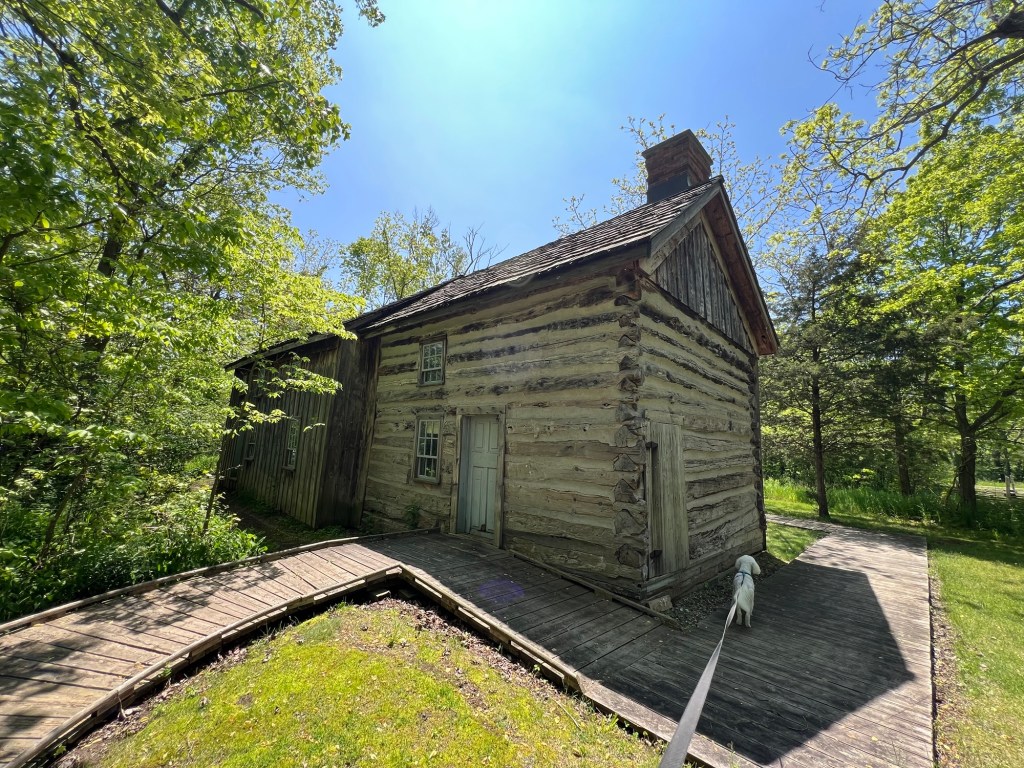
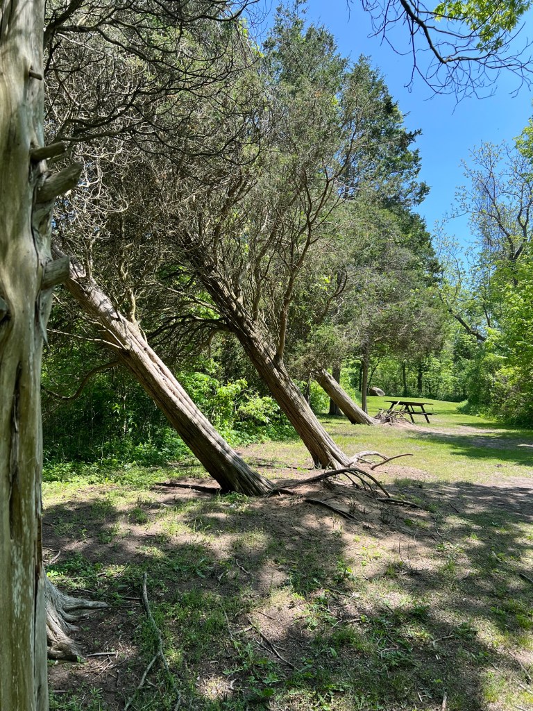
It was a nice park…

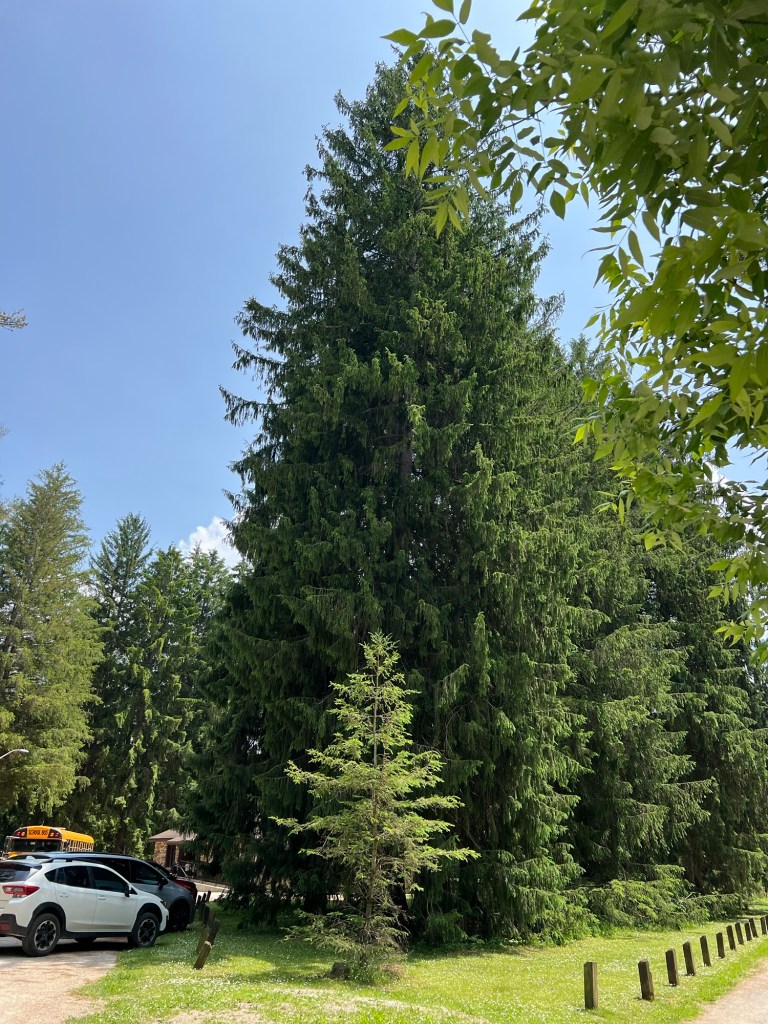
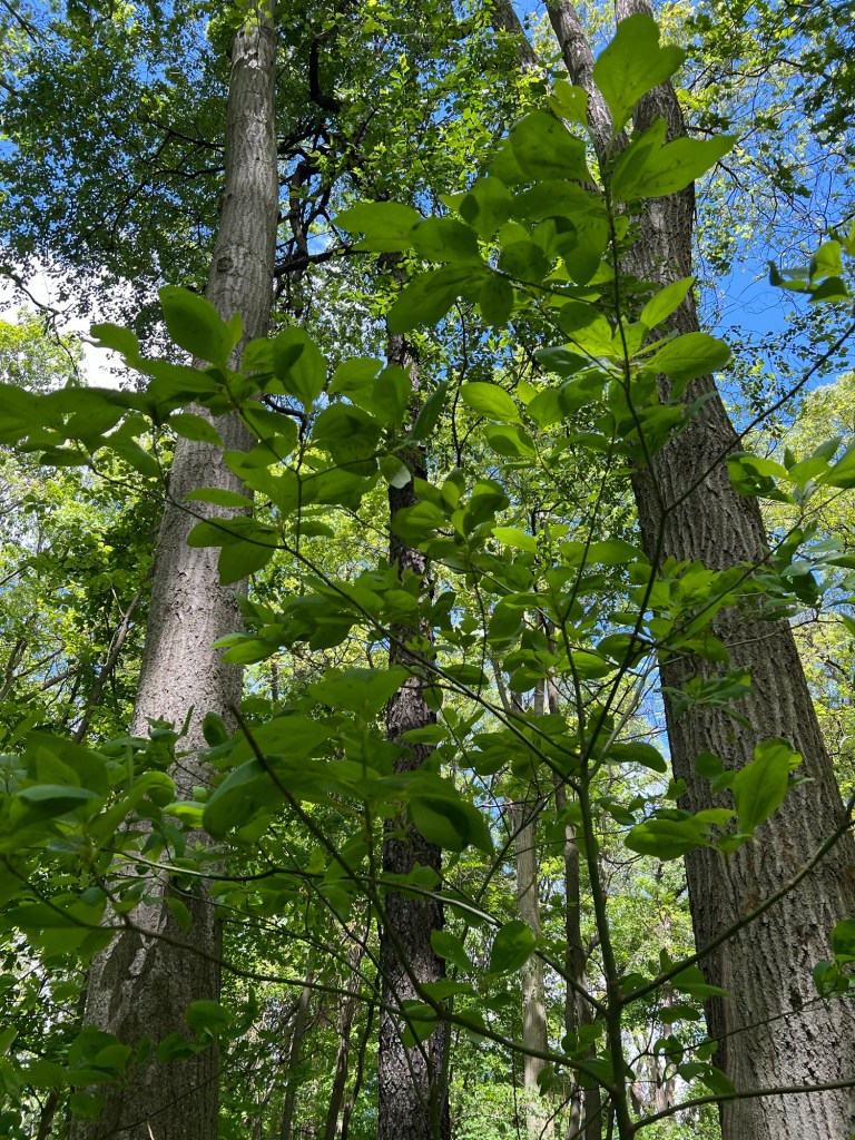
with some impressively tall trees.

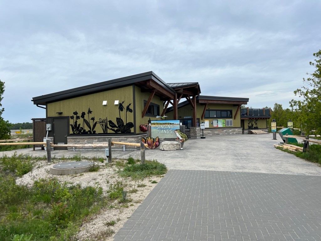
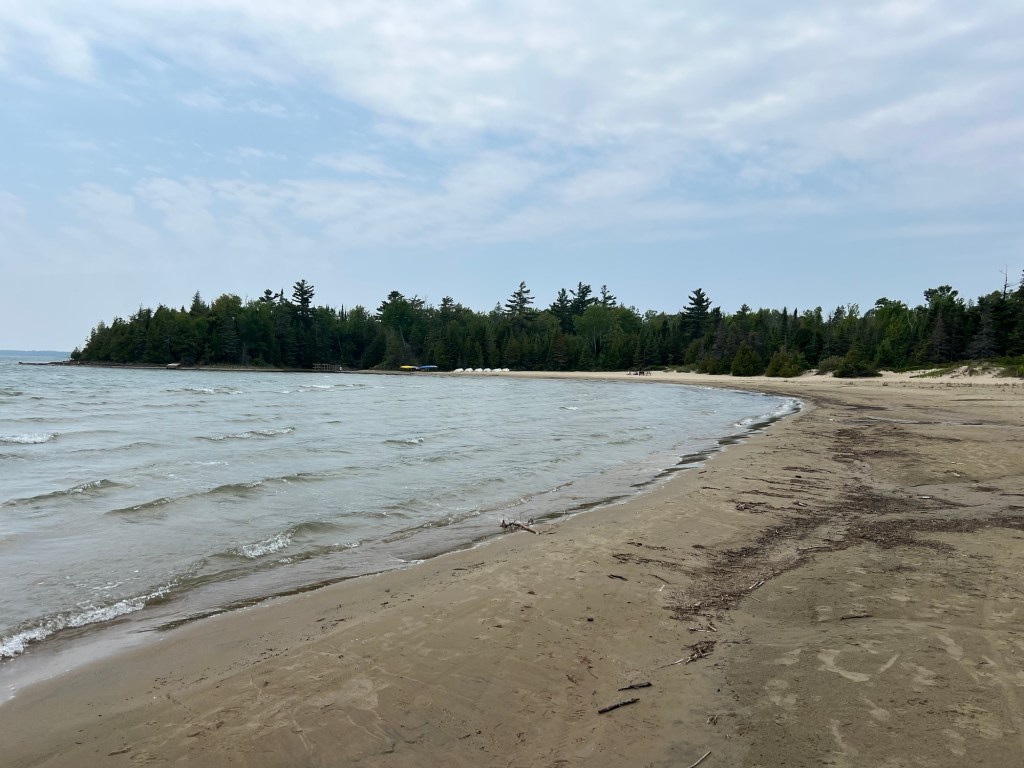
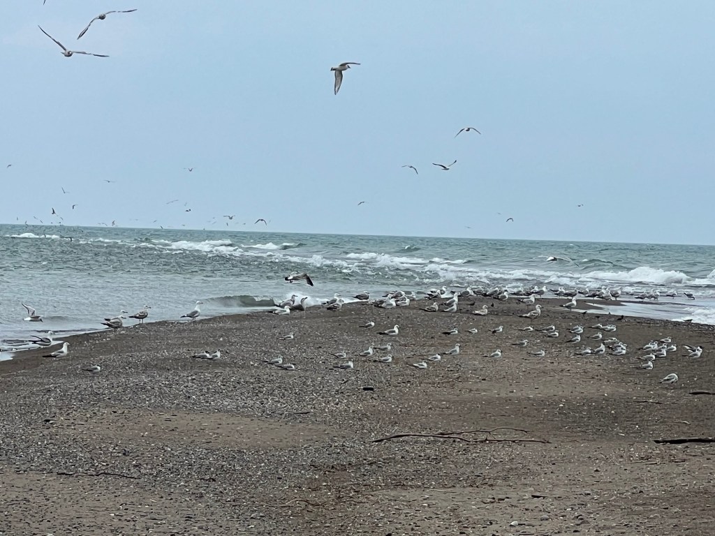
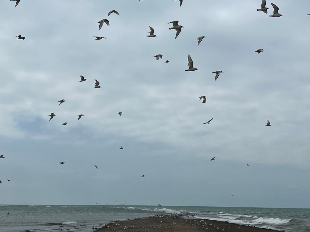
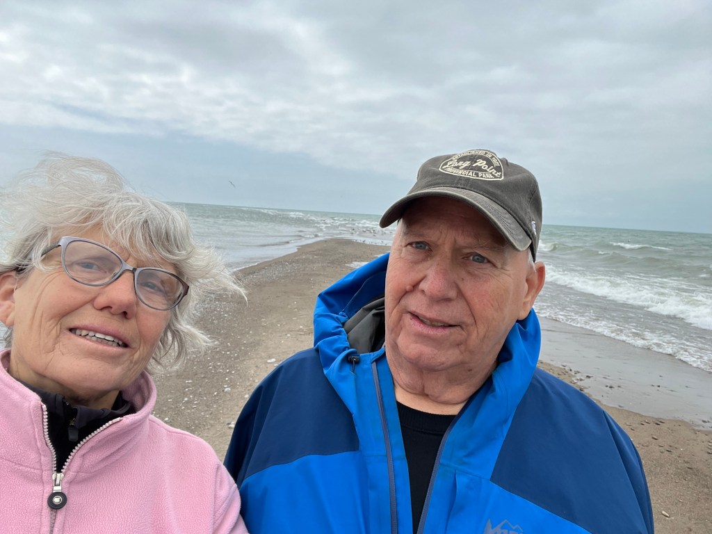
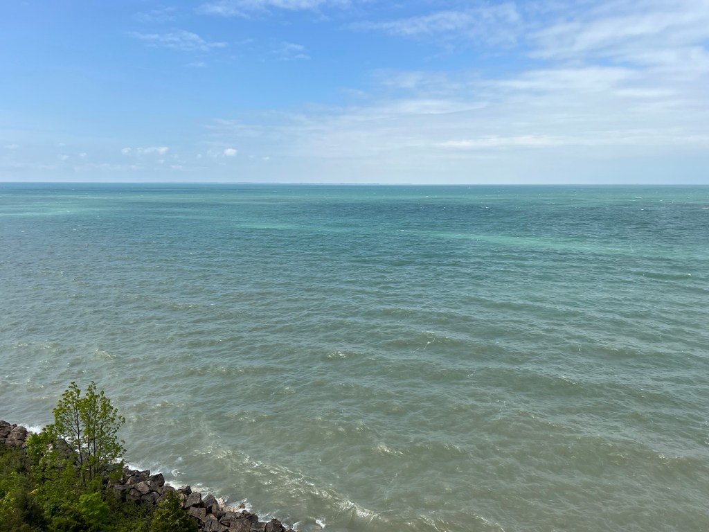
Matey was still getting better each day, so Wednesday we decided to try the longer trip to Tobermory and Bruce Penisula National Park. Our first stop was Singing Sands Beach on the Lake Huron side of the Penisula.

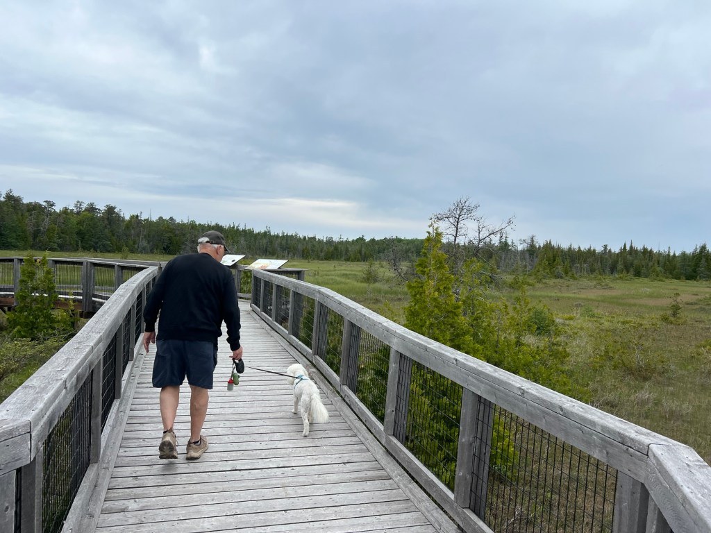
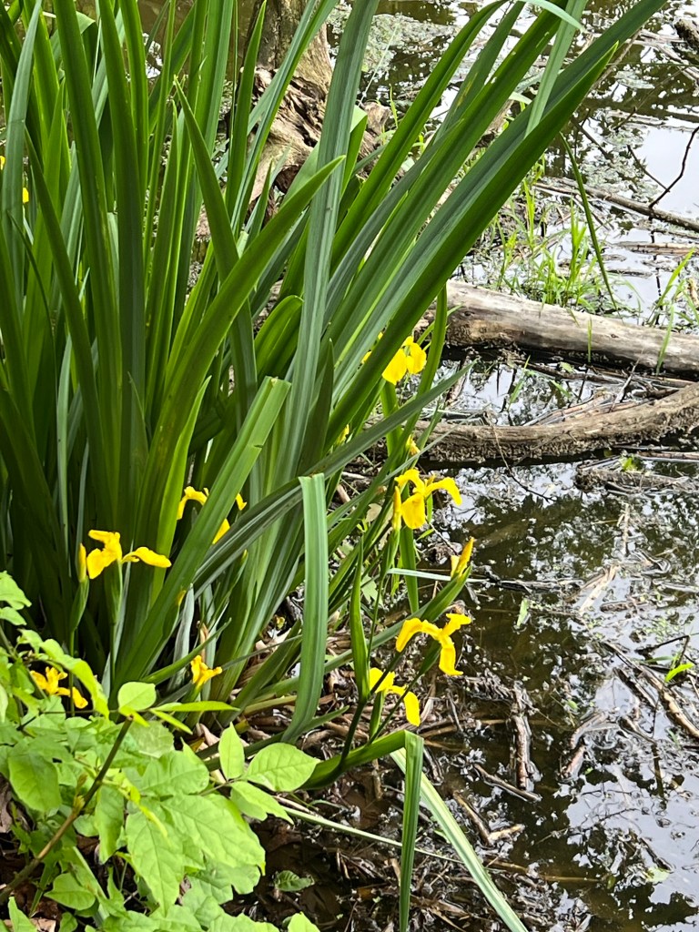
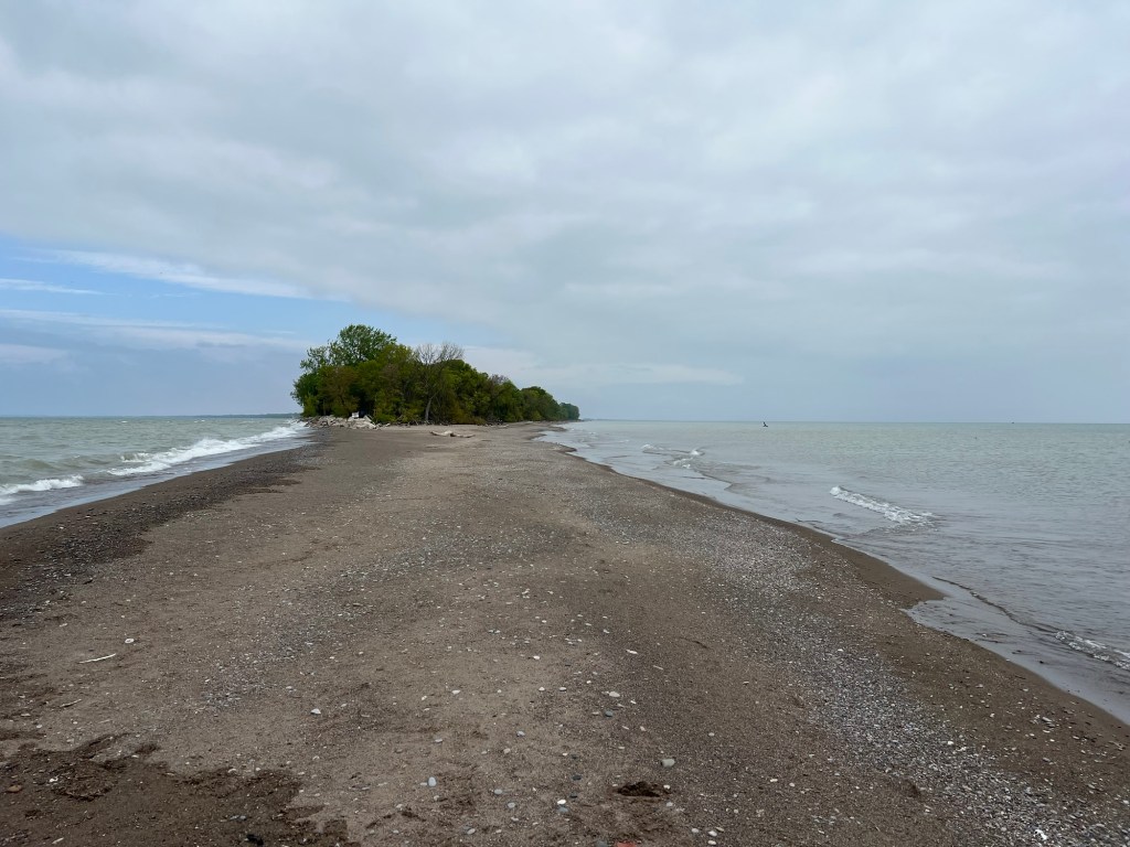
We let Matey walk on the short trail out through the fen.

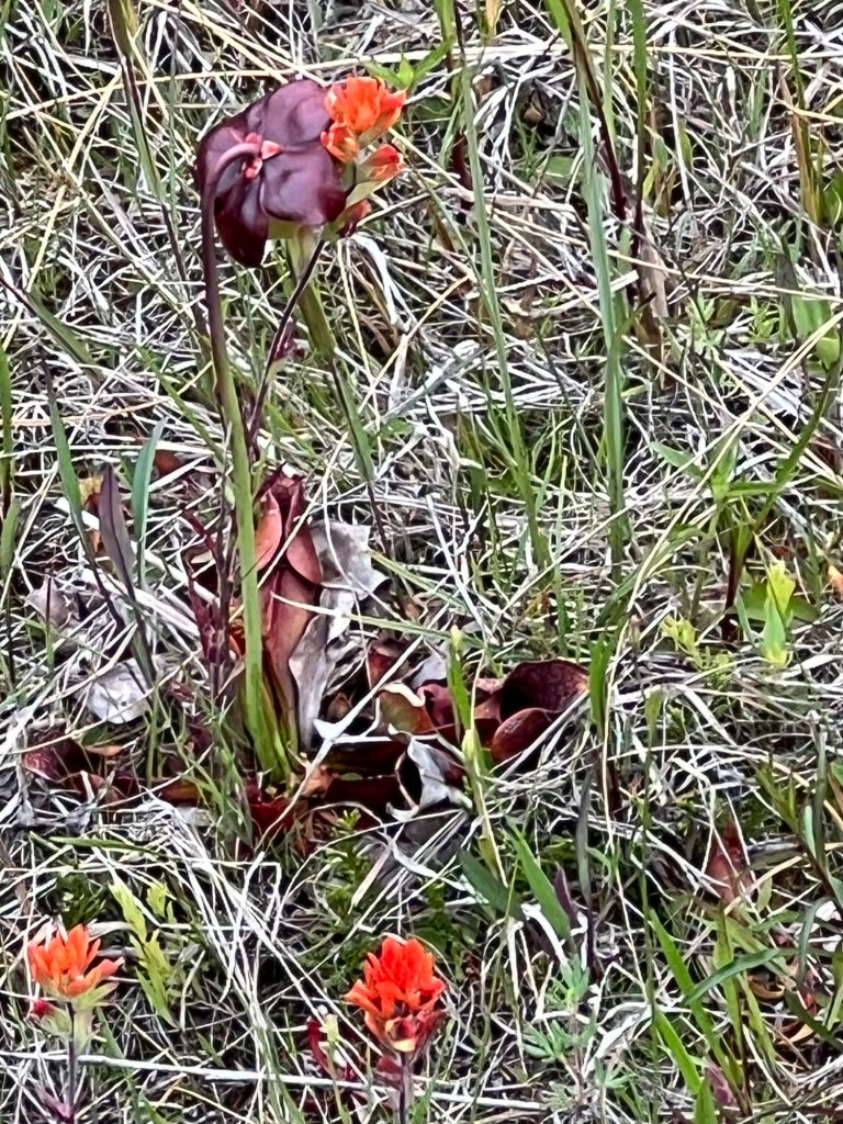
There were pitcher plants!
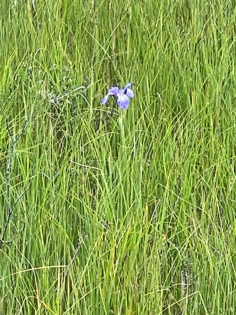
And this rare iris.

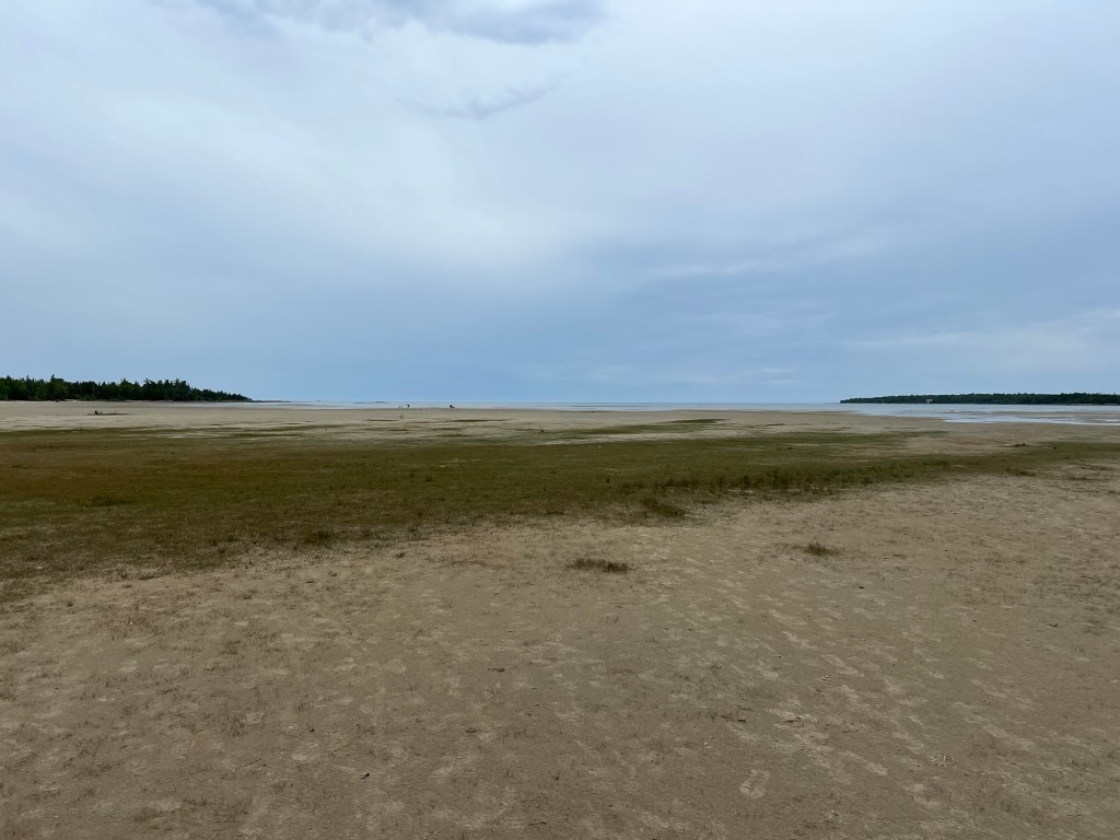
We looped back along the wide beach. The whole walk was only about a half mile.

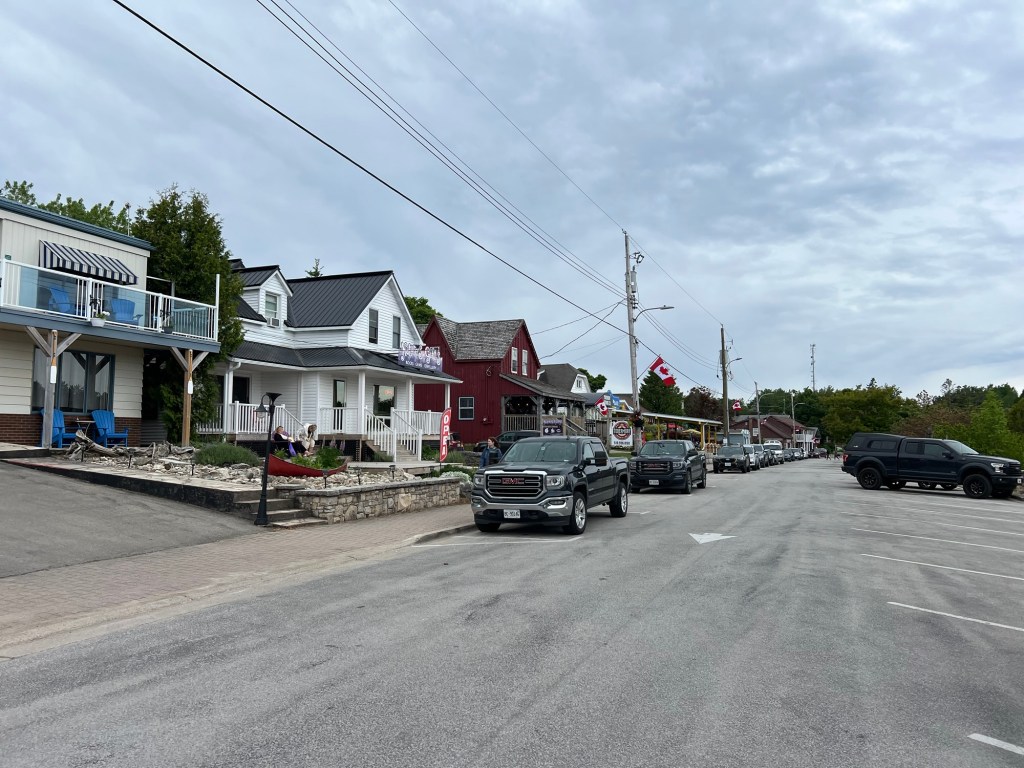
We then drove further north to Tobermory, where we had lunch.

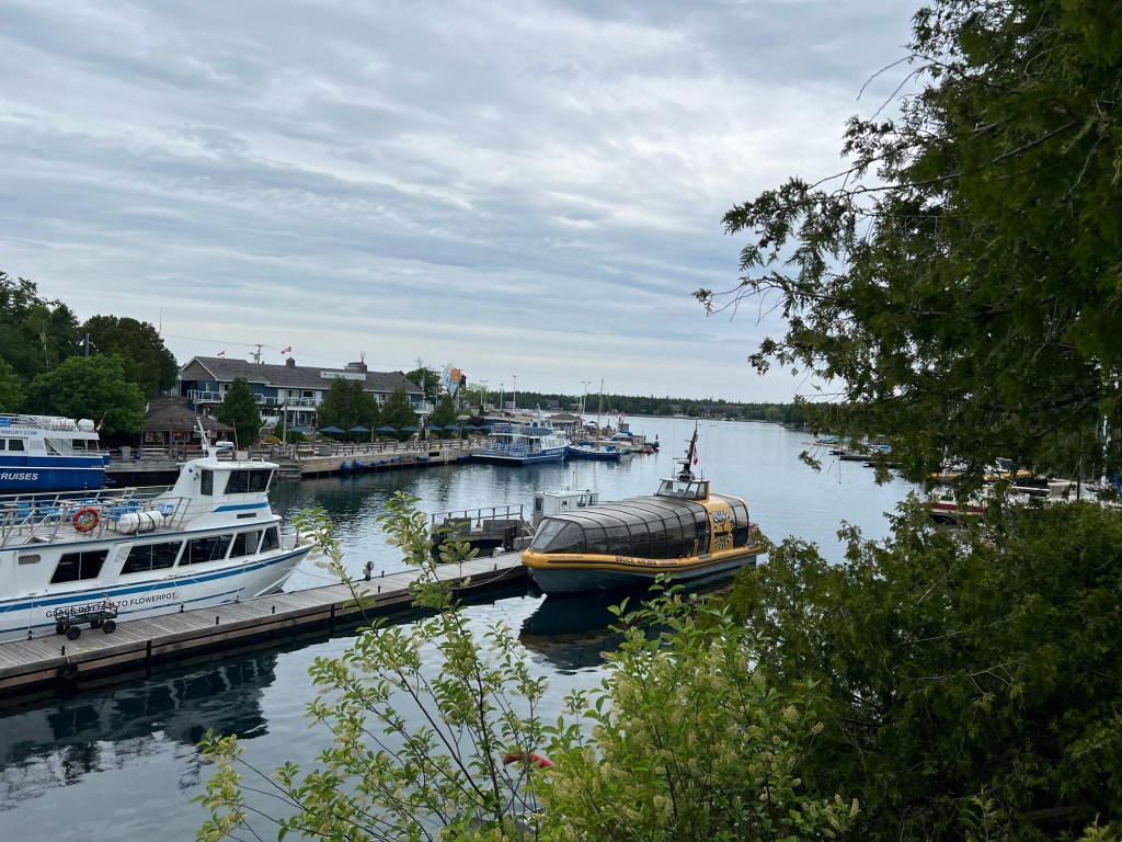
We checked out the harbor,

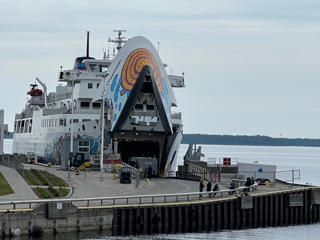
the ferry to Manitoulin Island,

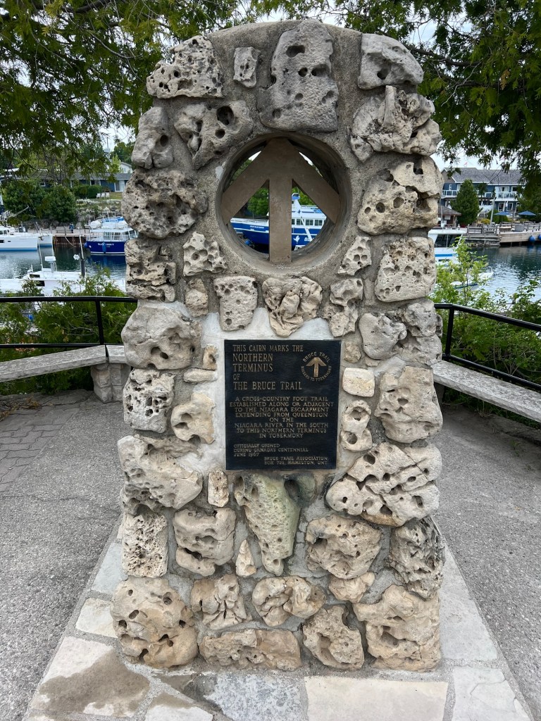
and found the northern end of the Bruce Trail.

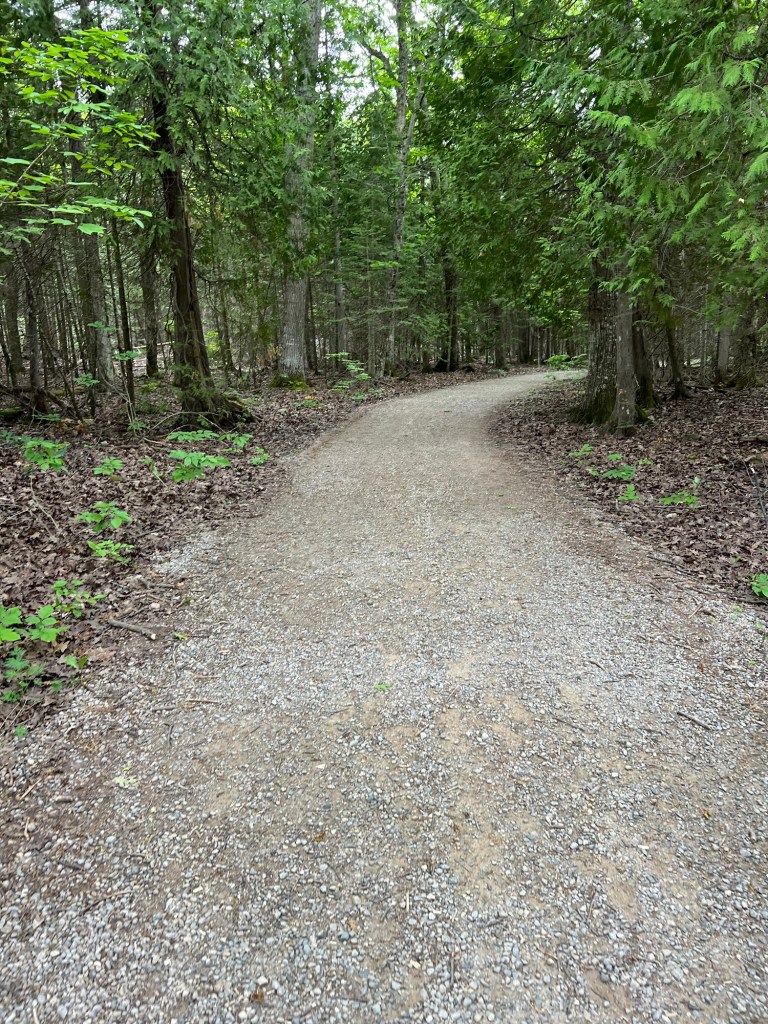
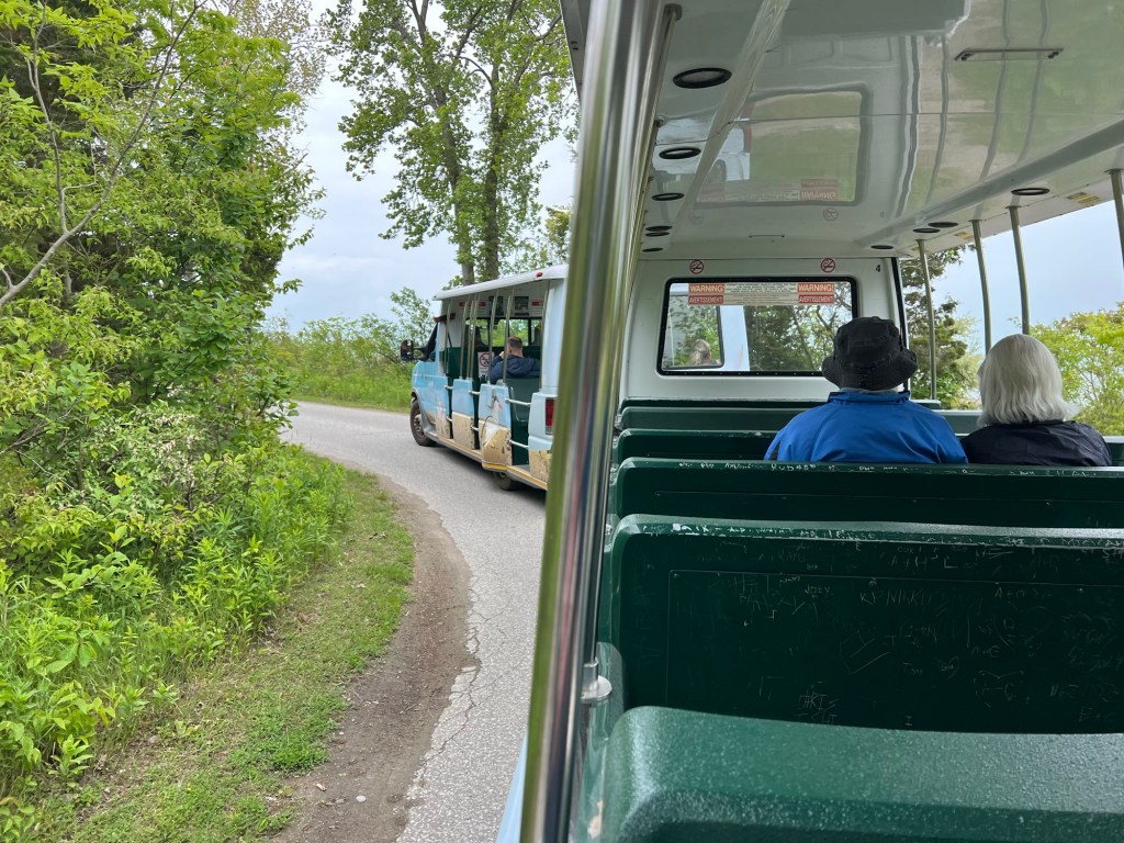
At 2PM we came back south to the Georgian Bay side for a walk at Halfway Log Dump. This is such a popular spot that we had to have a reservation to park there. Most of the half mile (one way) trail was wide and smooth and easy going with the stroller (we decided that Matey should ride).

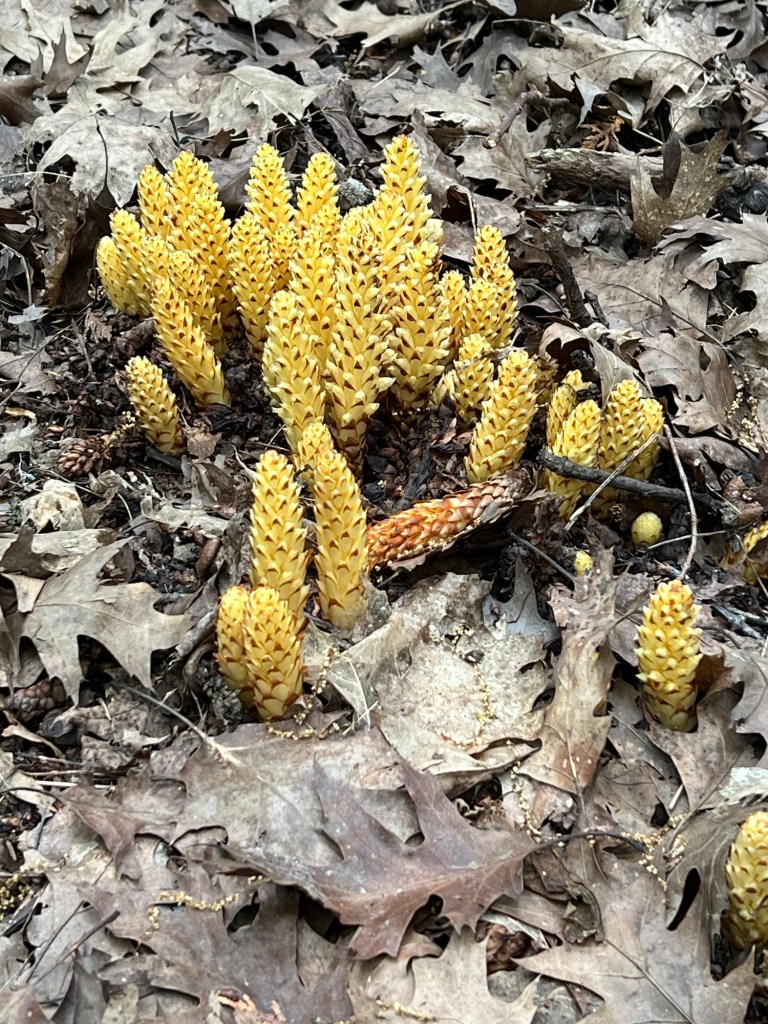
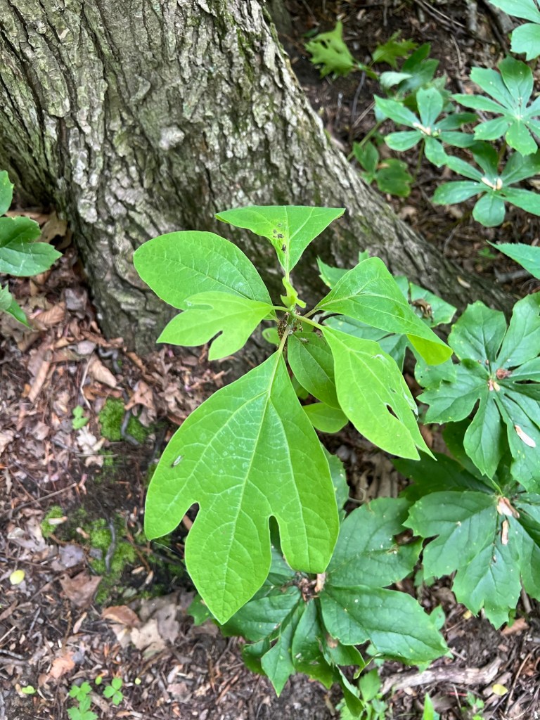
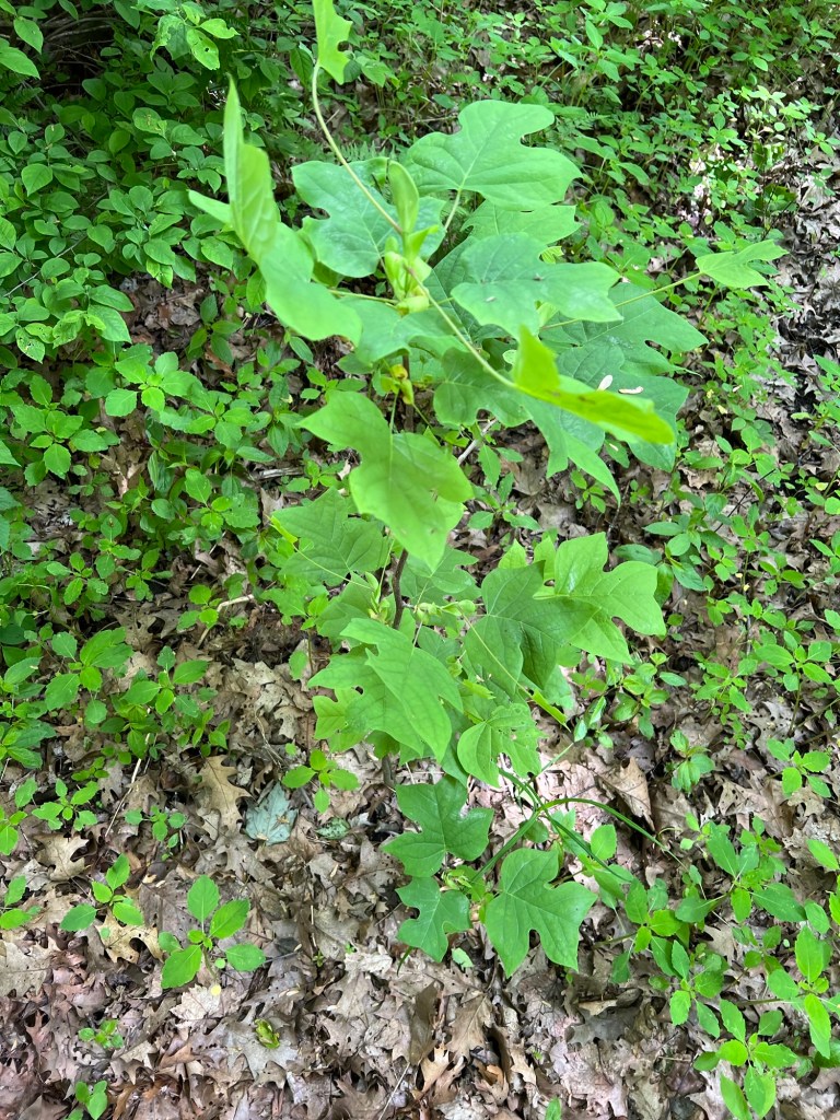
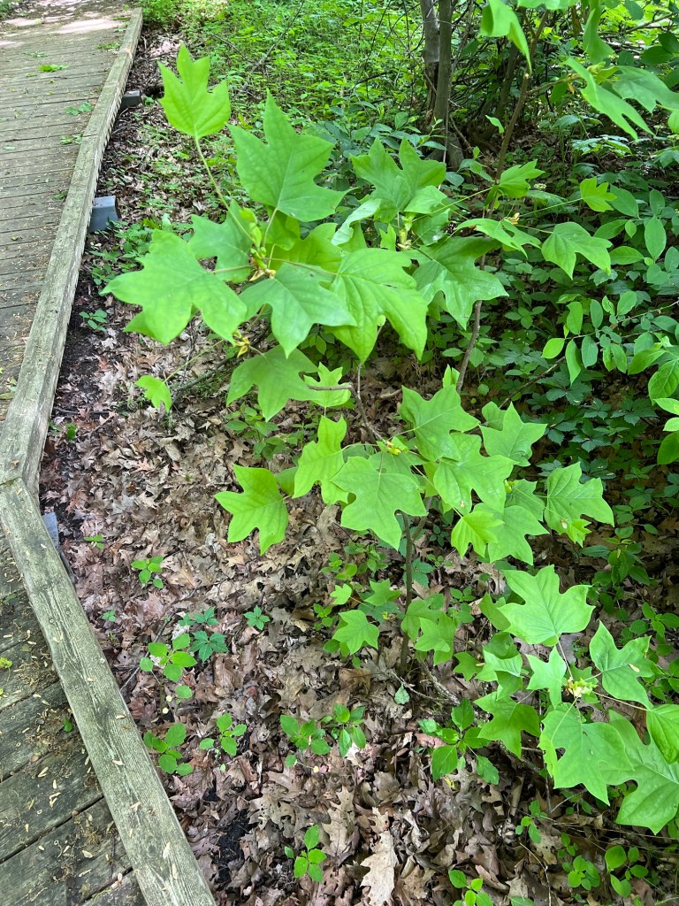
Along the way we saw several clumps of this parasitic plant, American cancer-root, which only grows on the roots of certain oak species. Up this far north these will flower in July. This is another new plant for me, and I love to see the odd parasitic flowering plant.

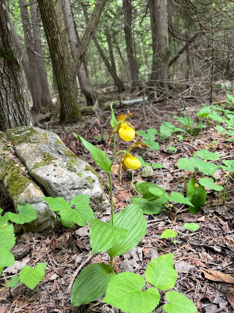
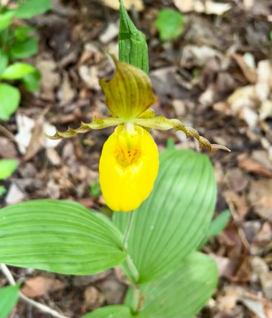
We saw more lady slipper orchids, including some with two flowers on a stem. I always thought they were single.

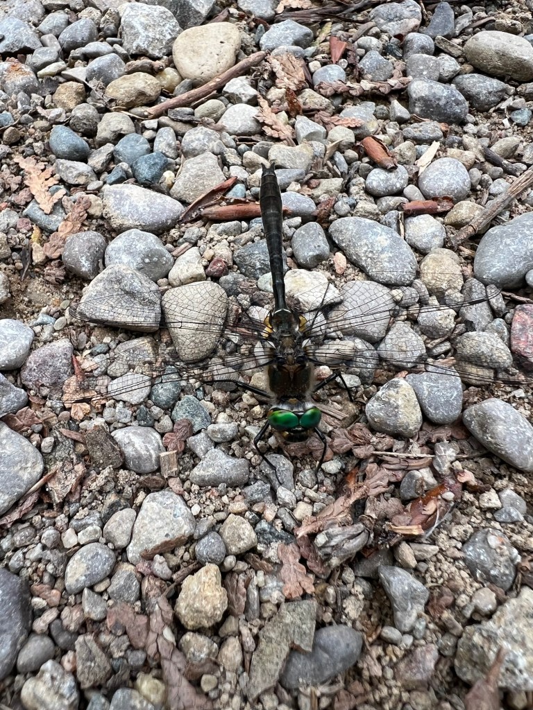
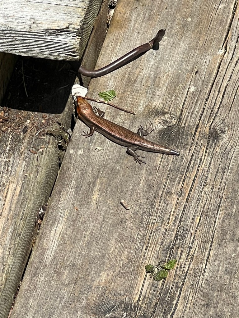
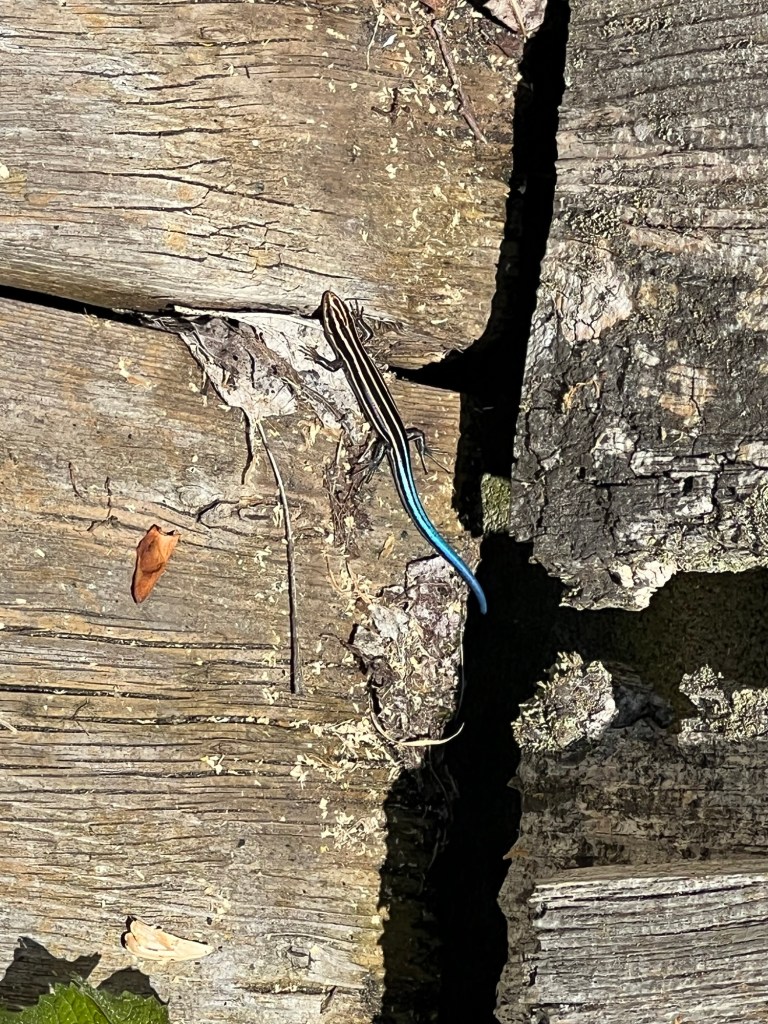
I almost stepped on this dragonfly. I don’t know why it just sat on the trail and let me take its picture. It was alive, but maybe injured. I let it be and hoped for the best.

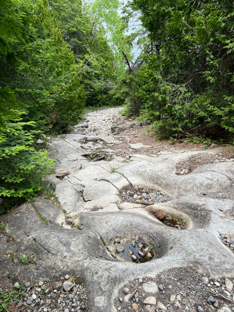
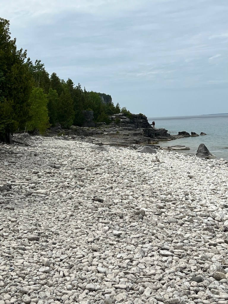
When the trail reached the shore it became steep and rough. We parked the stroller and Matey walked for a bit,

but he couldn’t manage the cobblestone beach. I carried him here.

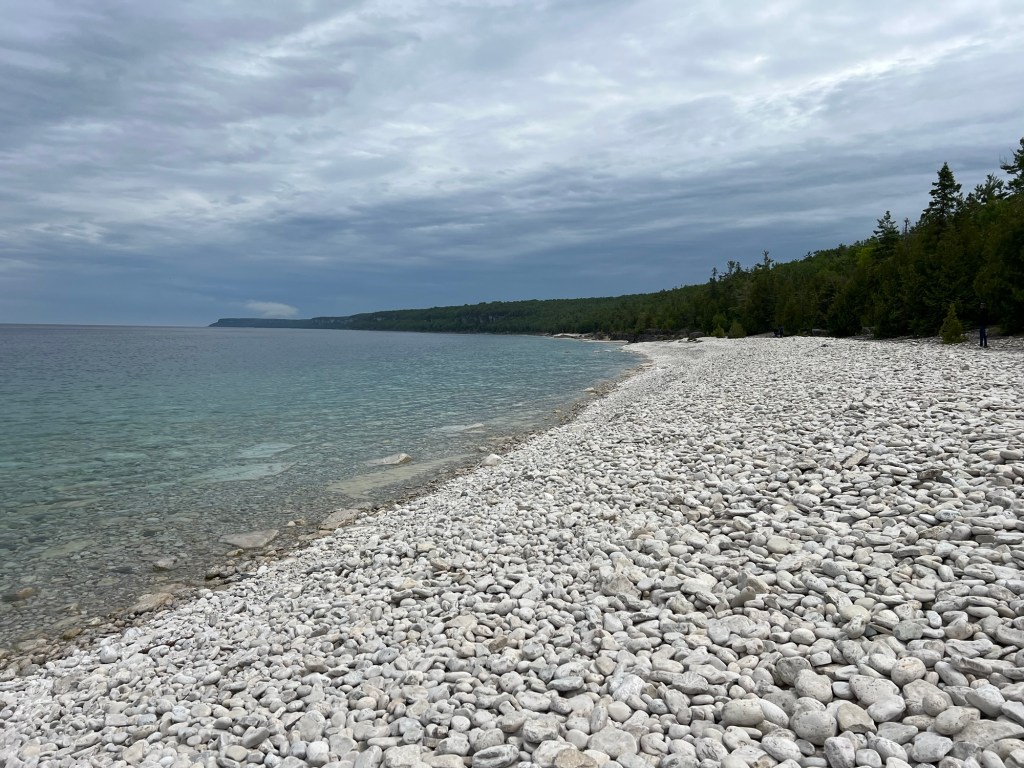
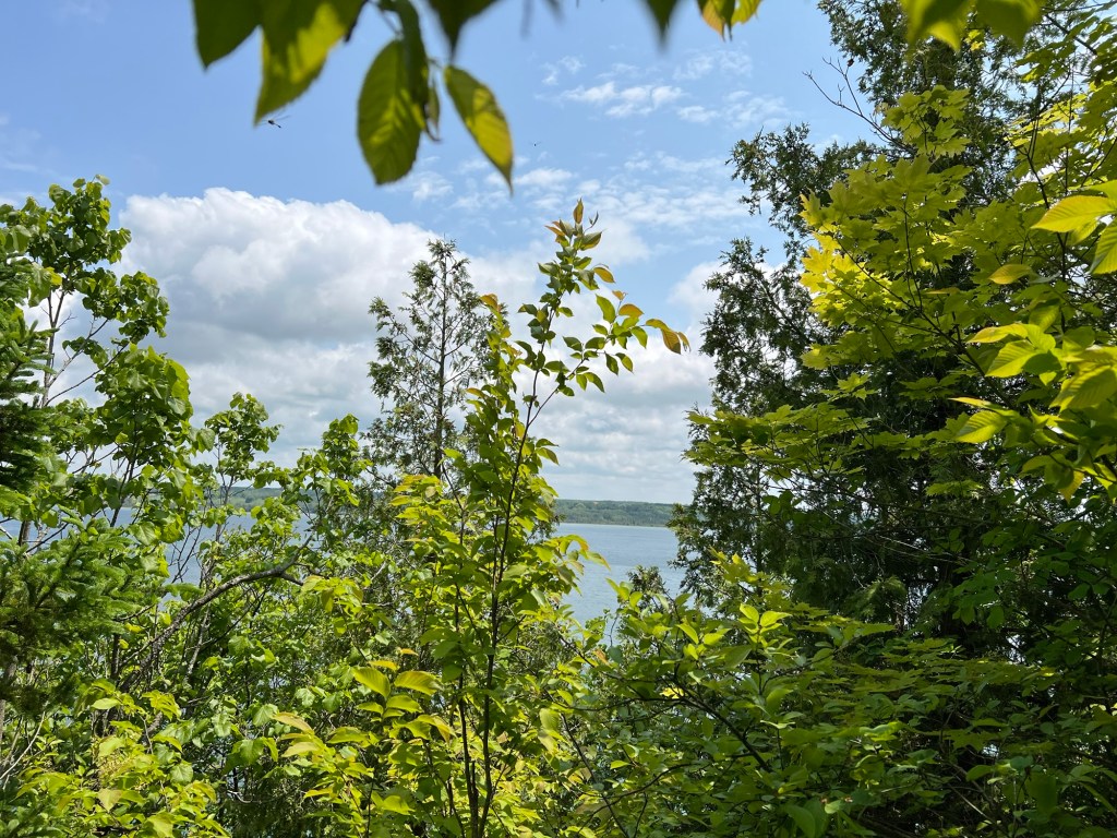
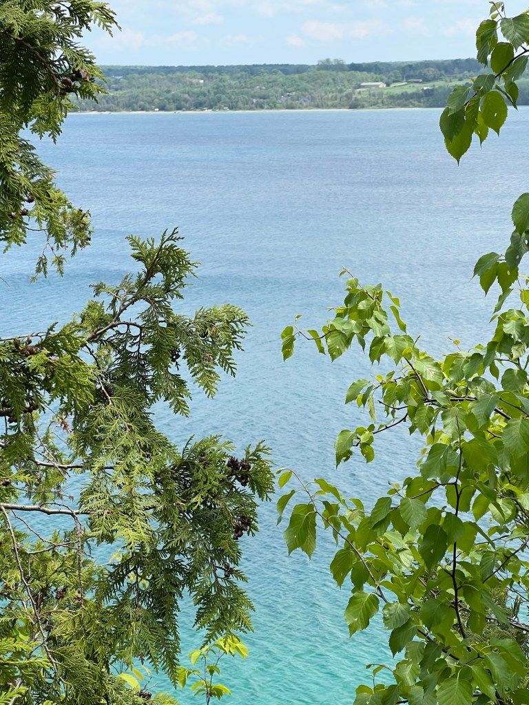
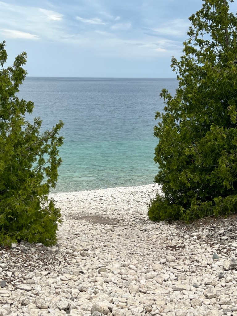
It was a beautiful place even with the grey skies.

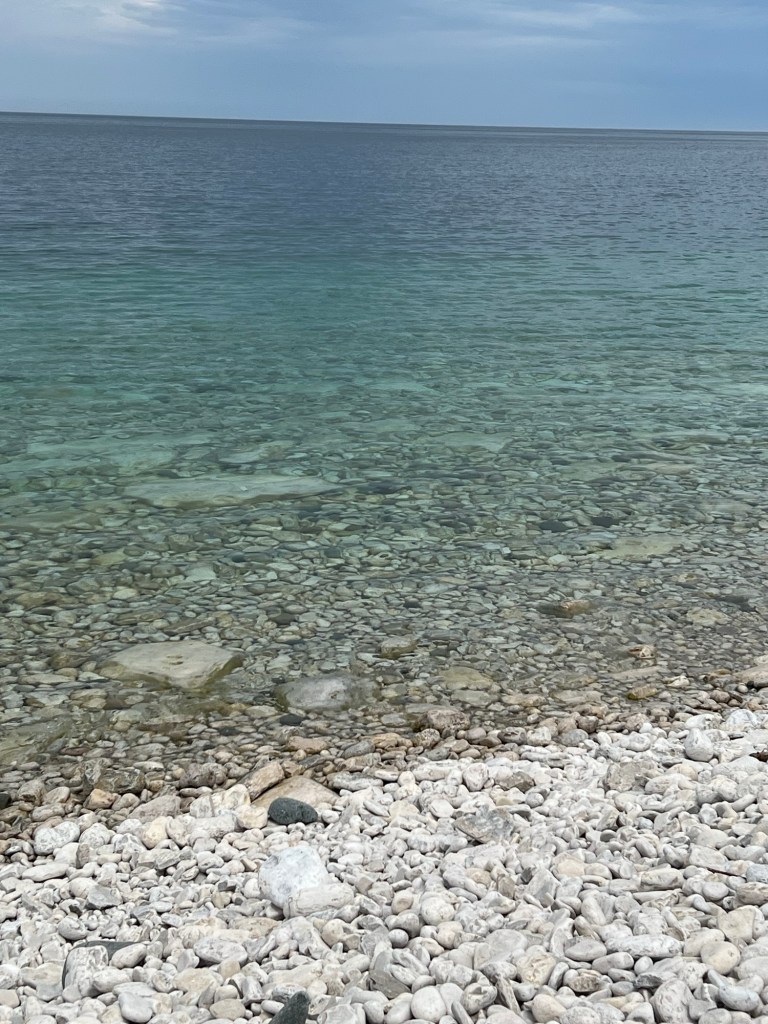
The water is famously clear.

I would have liked to explore further. I was willing to carry Matey over to the shale area, but he had been wobbly trying to negotiate the uneven trail coming down so we decided to head back. I carried him up to the stroller.

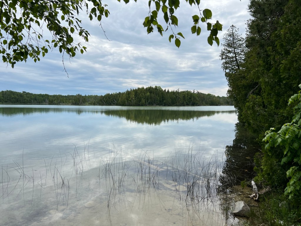
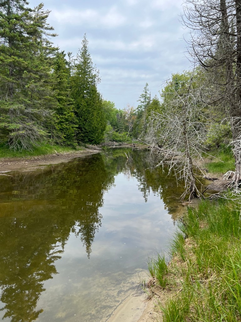
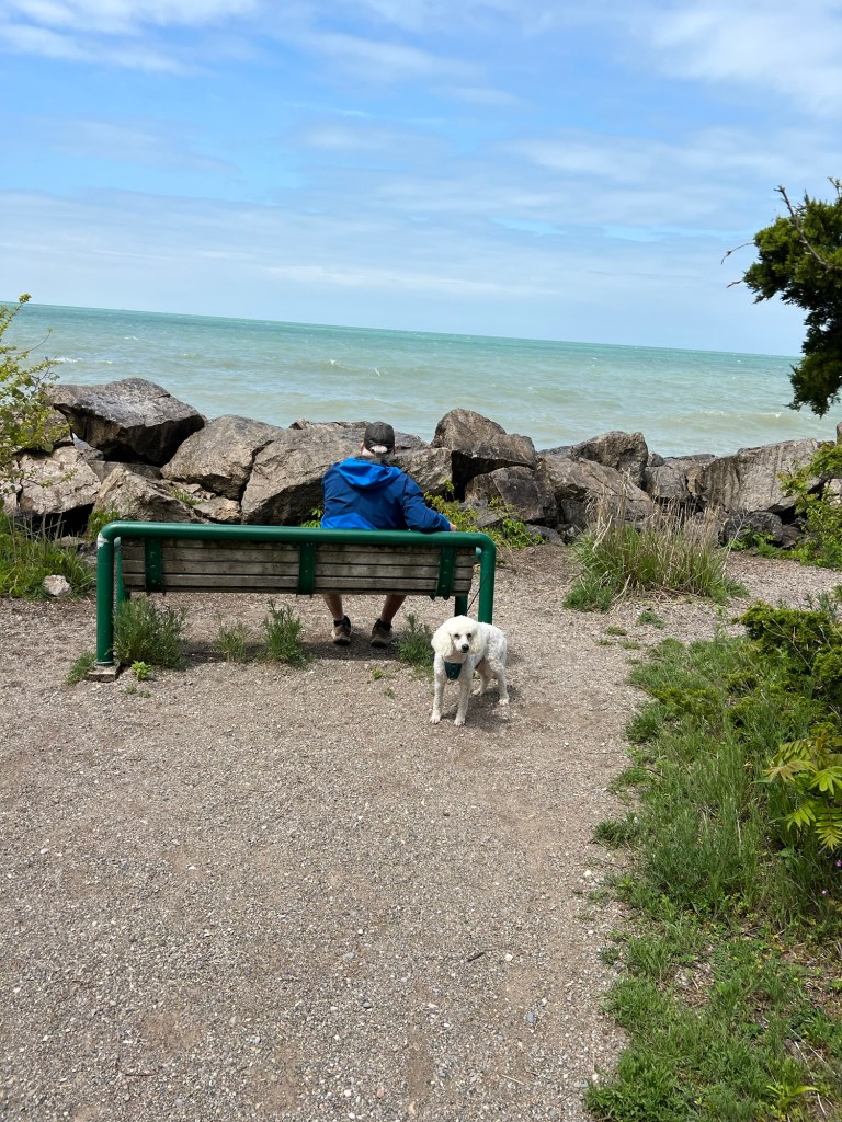
On the way out we stopped at pretty Emmett Lake, just so I could get a picture. Matey was worse again when we got home and through the night. We are afraid the 100 mile round trip in the truck exacerbated his inner ear problem setting back his recovery. So now we think we need to forego any more sightseeing trips. We are scheduled to leave here Monday, we hope he’s ready for travel by then. Bud said his hip was hurting him at the end of the day. So I have no one well enough to walk with me.

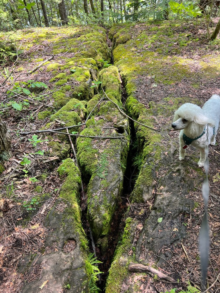
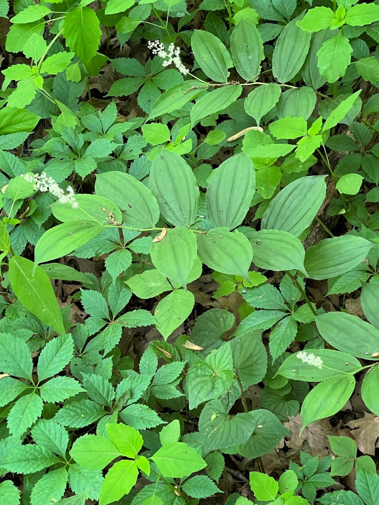
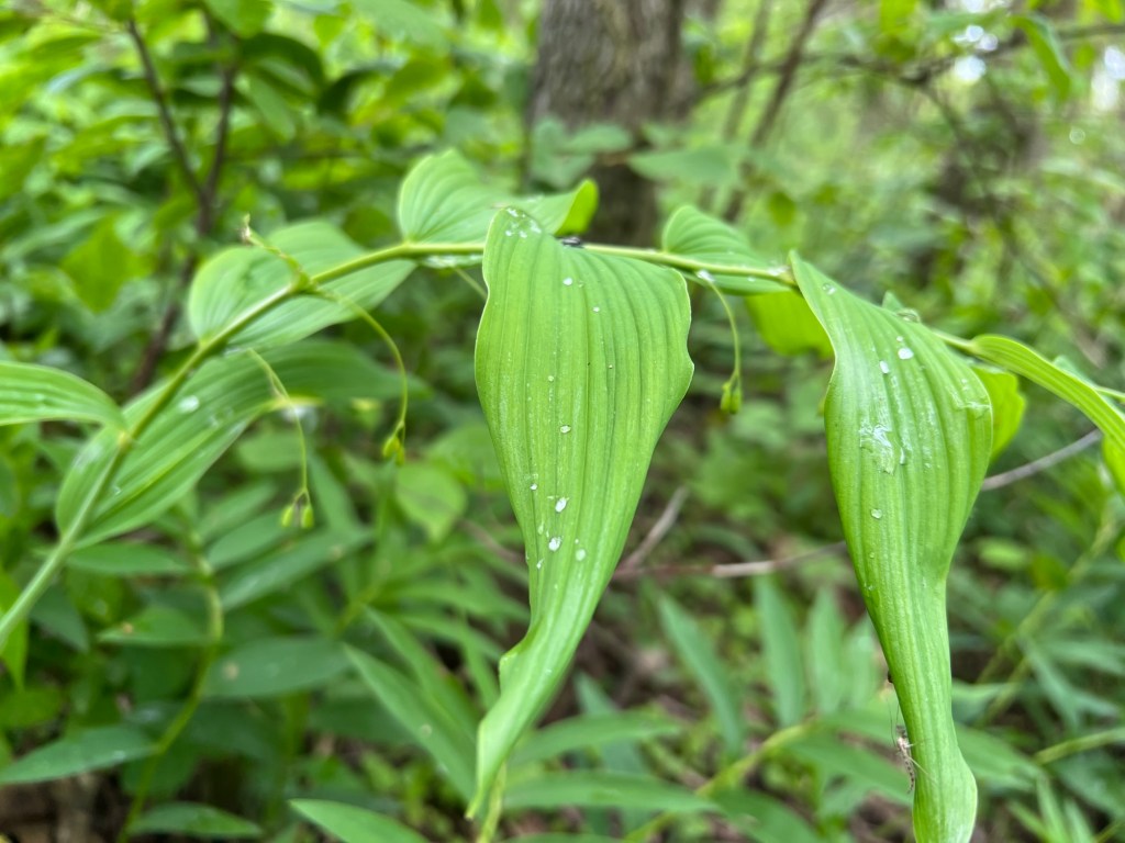
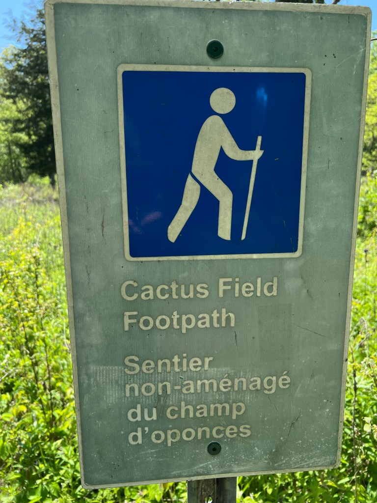
There are so many gorgeous trails here, it’s disappointing not to hike more.

A Day Off after Some Exploring

We spent Tuesday and Wednesday exploring the countryside within about 30 miles of this little town of Wiarton. This is all of downtown Wiarton as seen on our return on one of our outings. Small, but it has everything you need. There’s even a hospital in town. Hopefully we won’t need that.

Tuesday we drove back a half mile into the Spirit Rock Conservation Area on this one lane road. We were surprised to find a parking lot and about 6 cars at the end.

A group of people were having a picnic in this meadow when we got there. We let them enjoy the sunshine and flowers.

We took the path back to The Corran, the ruins of a mansion built in 1898.

After walking around the little that was left of this once great house…

we walked down the Bruce Trail towards the bay and the edge of the Niagara Escarpment.

The trail goes down a spiral staircase here!

We chose to take the side trail on the top of the cliff.

Unfortunately, most of the overlooks were fairly overgrown.

This is the best look we got of Colpoy’s Bay.

The fascinating rocks…

and beautiful lady slippers orchids more than made up for it.

Wednesday we visited two Provincial Parks. The first was Sauble Falls, where some short trails…

gave views..

of this pretty little falls.

It was a historic site, but the only structure left was this bridge built in 1930.

We drove up the west side of the peninsula to Black Creek Provincial Park. It was pretty much this beach.

At the other end of the beach was the creek, but no trail back to the beaver swamp. I really wanted to see a beaver.

Our last stop was Lion’s Head. We were looking for the lighthouse. We found it, but they charge to park everywhere in the little town, so we literally just stopped and I got out to take a few photos. Of the bay…

and the Lion’s Head.

When we got back Matey suddenly couldn’t stand right. We took him to a nearby vet. She thought he had an inner ear disorder of unknown cause. Really, it’s an official thing in dogs and has an official name. It may go away on its own or it may not. Today Matey spent most of the day in the stroller, we walked and he watched and that wore him out and he slept. It was so sudden; it’s scary.

I Like this Place

Bluewater Park Campgound is our base camp for two weeks to explore the Bruce Peninsula in Ontario.

It’s located in Wiarton,

a small town in the South Bruce Peninsula at the head of Colpoy’s Bay off the Georgian Bay.

The campground and park are operated by the Town of South Bruce Penisula. The campground office is in this restored train depot.

It also houses a small museum.

The park and campground lie right at the head of the bay…

at the edge of town.

To the northeast is a marina.

To the southeast is a bit of beach.

The Niagara Escarpment runs along here…

and the Bruce Trail follows the waking path through the park.

Lovely grounds and a full hook up site; I like it here!

The Maitland River

Our campground is in a U formed by the Maitland River and is run by the Maitland Valley Conservation Authority. There are trails all around this peninsula and Matey and I have walked along most of the river here.

We never did go down the steep metal stairs, but we found a trail to take us to the rivers edge away from the falls. The river along here is shallow and it flows rapidly.

It doesn’t look like a place for beaver, but they’ve been here.

The trails are lovely, some a tunnel through the trees.

Some places there are meadows,

and there is an area full of larches.

Bud came along for a river walk this morning. We took the trail along the south part of the property.

Here and there you get glimpses of the river.

And you come up to a little fishing pond.

But the highlight of the walk was watching this doe lead her fawn across the river.

On the Land

This part of Ontario is rural and lovely.

Driving around I’ve been impressed with the many working farms.

They look in great shape and I love the tree lined drives.

There are also hedgerows along the fields.

Not only are these old hedgerows preserved,

young ones have been planted.

Even newer houses have trees planted…

and people are adding to their hedgerows.

We also saw many agriculture cooperatives, including this huge one.

I think these must contribute to the health of the farms.

Along Lake Huron

We are very near the little city of Goderich, which is a port on Lake Huron. We took a ride over to explore the water’s edge. We started at the lighthouse, which turned out to be high on a bluff.

The first lighthouse built on the Canadian shore of Lake Huron was in Goderich. This tower was built in 1847 and is still in use today. It is unusual in that it is square and not tapered. Of course, since it sits high on the bluff it doesn’t need to be very tall.

We wanted to walk along the harbor shore, but seeing these rather daunting steps decided to drive down. From the bottom we saw the steps were continuous all the way to the lake shore.

Down below there is a road and a walking path all along the shore.

It stretched from the harbor, where this lake freighter was being loaded with grain,

past the old train station,

now a restaurant,

and out along the reinforced shore and beaches.

We found out the giant blue buildings were the above ground parts of a salt mine. The mine itself extends several kilometers under the lake and has more horizontal “streets” than the town.

We tried to get to the marina, but it was private and gated, and there was no parking on the north side of the harbor. The walking trail and famous old bridge it crossed were closed for construction, so that was the end of our harbor tour.

All Set Up

Today we moved to Falls Reserve Conservation Area on the Maitland River.

It is north and a little east of Wheatley Provincial Park and it took us 3 hours and 20 minutes to get here.

We got to the gate at 2:03 and 45 minutes later we were level and unhitched, we had the electric and water hooked up, the slides out, the inside arranged, Starlink deployed and our outdoor rug staked out over the bare spot in front of our steps. Matey and I then went on our initial reconnaissance tour.

Across an open picnic area…

we found the river and the falls. Pretty little falls.

But it looks like it would be fun to go down there.

I wasn’t up to trying these steps with Matey. He is not good on steps anymore. We might try this with Bud’s help.

Instead we found a shortcut through the woods back to our loop.

We’re on Maple Loop and that’s a maple.

There are 188 campsites here, including 43 seasonal sites. You can tell this is a seasonal site by the PVC pipe hooked to the sewer. There are only 4 sites with 50 amp electric, water and sewer and we have one of them.

When Matey and I returned I put up my tent shelter, it’s warm out but there are gnats.

One of my favorite parts of camping is getting to a new place and getting everything set up. Home again!

A Plant Post

I can’t leave this area of Ontario without remarking on the flora. As noted in my Point Pelee post, this area extends as far south as the 42nd parallel. And with Lake Erie as its southern boundary it has a very moderated climate (northerners would call it mild, but it still gets winter).

Saturday Matey and I took a short stroll through beautiful Kopegaron Woods Conservation Area.

This can’t be more than a couple hundred acres, but is one of the prettiest woods I’ve walked through. The back drop is soaring old oak trees.

I was startled to see this little sassafras seedling.

Then I saw there was sassafras everywhere, and some were 30 feet tall. This is probably the only area of Canada where they grow.

The same is true for the tulip trees.

I could only get good photos of the seedlings, but they were also part of the canopy.

And there were a lot of ferns,

including cinnamon fern.

What I discovered in that little woods inspired my to post about all the lovely plants I’ve seen in this area.

Like this chinquapin oak, again not a normal Canadian tree.

“False” Solomon’s seal, with its inflorescence at the end of its stem, is a common woodland plant.

But “true” Solomon’s seal, whose flowers hang from nodes along the stem, is pretty rare. On these plants the flowers have gone to seed, but I was still delighted to see them.

And I love Equisetum, a nonflowering plant that has been growing since the dinosaurs were around.

I saw a lot of it, and two different species.

And just this morning while walking Matey I saw this lovely wild iris along Sugar Creek.

With this climate it’s not surprising that there is agriculture all around us. We’ve seen acres of ginseng being grown under shade nets, muck land just north of Point Pelee and thousands of acres of greenhouses. Leamington, 10 miles west of here, is the “Tomato Capital of Canada”.

I appreciate the agriculture, but I prefer the woods.

An Old Timey Place

Friday we visited the Canadian Transportation Museum and Heritage Village 20 miles west of us.

They had some beautifully restored old cars.

I liked the odd ones, like this 1893 Shamrock. Its maker only made two and was unable to form a company. The second of his two cars was ruined in a crash on its first outing. This is the sole survivor and probably the first registered gasoline engine vehicle in Canada.

Another unique exhibit was this 1925 American LaFrance Fire Truck. This pumper was still used in 1959 for multiple alarm fires when all equipment was engaged. The fire chief reported that by then it had to run a block behind the other trucks because oil leaked on the brakes making them almost useless. At that time it was donated as an antique.

And of course I liked this 1927 Coachworks Caravan. It had a refrigerator, portable stove, sink, sleeping area and “basic sanitary facilities”. It had a wood frame and plywood and veneer interior. The exterior was covered with airplane canvas.

The heritage village had some pretty buildings…

and some very old cabins.

Unfortunately no one was around and there were few signs to explain things. I figured these were leg braces in the doctor’s office, but there were other things I couldn’t recognize at all.

It was still fun to poke around.

Not all buildings were open, but the train station was.

I thought the waiting room in the train station…

was as beautiful as the inside of the church. By the way, this is run privately and the church is available for weddings and other occasions. It would be a fun venue.

This was certainly not our favorite museum, but a worthwhile visit.

Point Pelee National Park

Thursday’s forecast was no rain, temperatures in the 60’s and some sun through the clouds, so we thought it was a good day to explore nearby Point Pelee National Park. This is a very sharp point of land that sticks down into Lake Erie and it is the southernmost point in Canada. I was surprised as we entered the park to be driving several miles through a tunnel of trees.

We attempted to drive to the tip, but found the last mile is only accessible by walking, biking, or taking their tram.

Happily, the tram is included with the park admission and is dog friendly.

We were dropped off here,

where signs explained that we were at the 42nd parallel, as far south as Rome or Barcelona.

A short walk took us to the actual tip. Notice the breakers extending out and to the left. There were signs everywhere warning to not even wade in these waters due to currents and undertows.

We were content to just walk out and disturb the gulls.

So here we are, at the southernmost point of land in continental Canada.

Turning around to the north you can see just how narrow this point of land is.

This is my favorite shot from the tip. I was trying to catch the little wading birds, but I love the way the iPhone freezes the curl of the wave.

We walked back from the tip and Bud and Matey waited at a bench overlooking the western basin of Lake Erie…

while I climbed the observation tower.

As impressive as the view of the tip is…

I also enjoyed the view back up this pointy peninsula.

There are Bud and Matey, waiting below.

After we came back on the shuttle we got a snack and ate it in the truck where we were visited by a yellow warbler.

He would rest just a fraction of a second and then flit away…

only to stop back for another second.

Our next stop was the DeLaurier Homestead. Since both the barn and the house were locked…

I found the skinks…

the most interesting things there. From what I can find these are probably both five lined skinks, but since the bigger one had lost his tail it was difficult to be sure.

There were many more places to explore, but Bud and Matey were done walking for the day so I took a short walk by myself to the Point Pelee Cemetery and the Cactus Field Footpath.

The cemetery was a pretty spot with a cluster of marked graves of European settlers…

and a handful of unmarked graves of First Nation people now marked with carved stones.

These old trees have barely survived some severe winds.

When I started down the Cactus Field Footpath I was hoping to see cactus without leaving the well worn track…

because whether or not there was cactus, there was plenty of poison ivy.

Happily I did spot the prickly pear cactus right along the path. You might be surprised, but this eastern prickly pear is found all over the eastern part of North America including places much further north than this.

On our way out of the park we stopped at an overlook where I could get some pictures of the huge marshes that are part of this park.

The water lilies were starting to flower.

I think this swan was nesting, though she was a long ways away.

I filled out a survey that asked if I would recommend Point Pelee National Park to others. I marked it 10, I definitely would, because I knew I’d be writing this blog and I would encourage anyone traveling in southern Ontario to take the time to visit here.