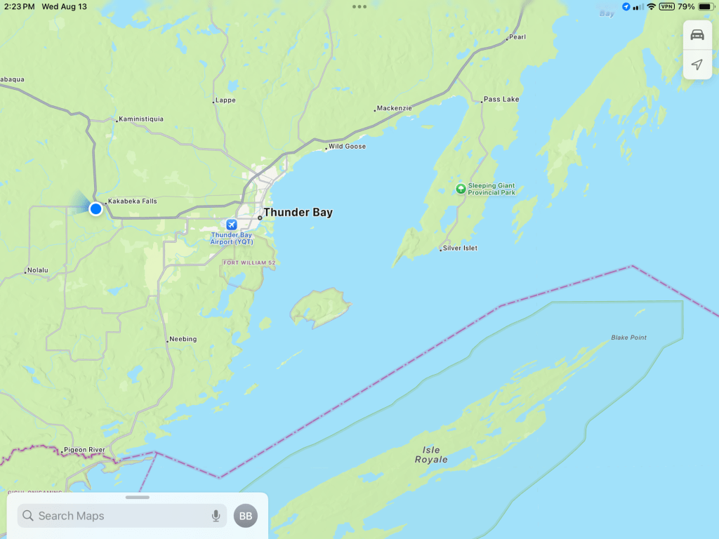
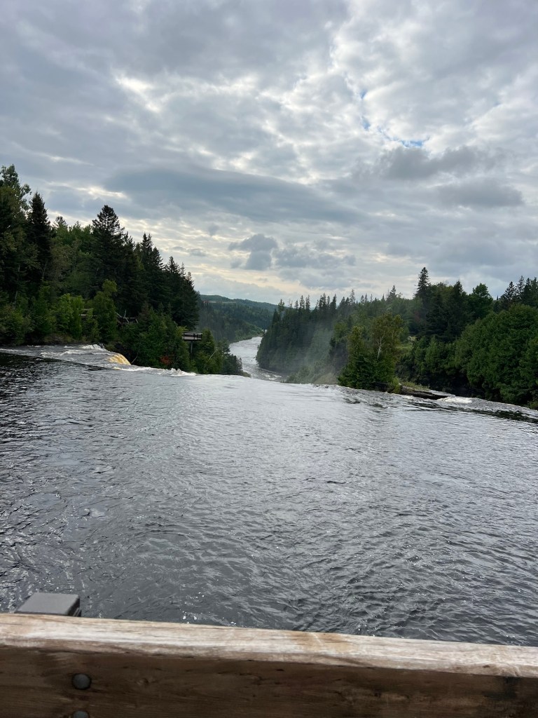
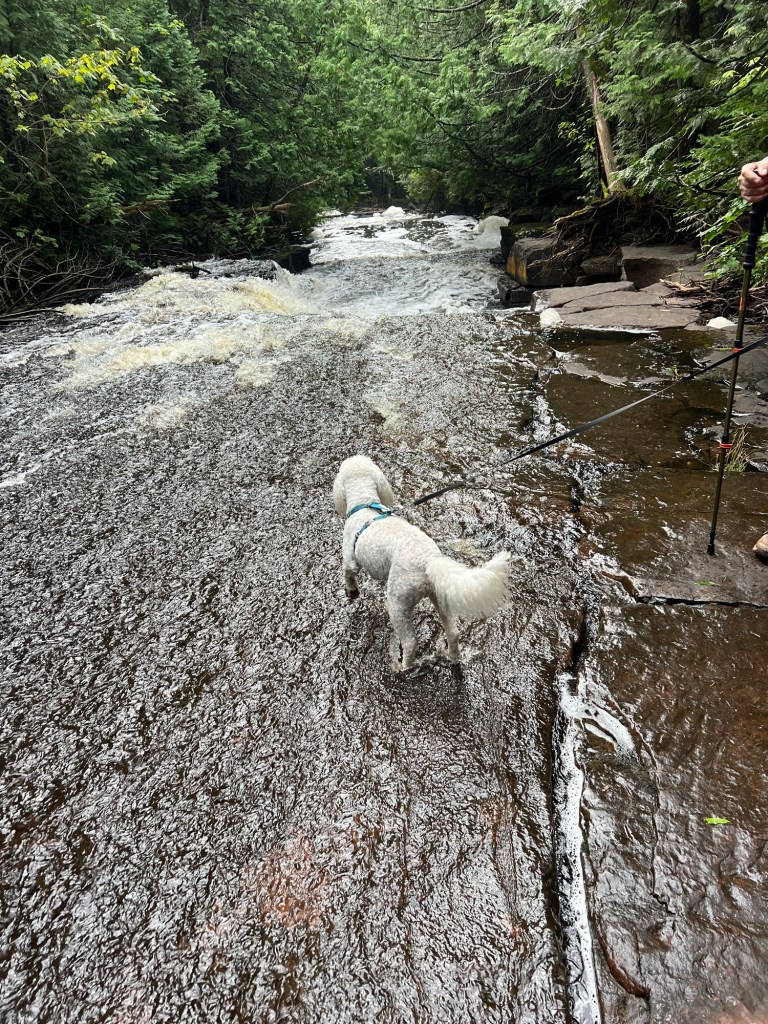
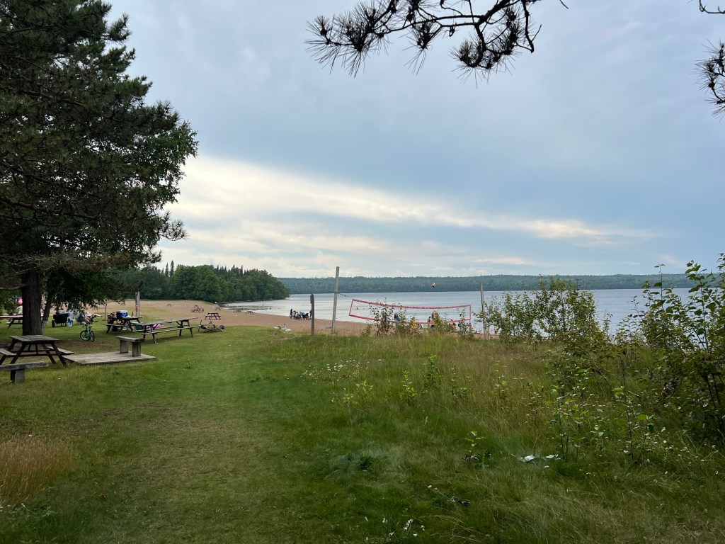
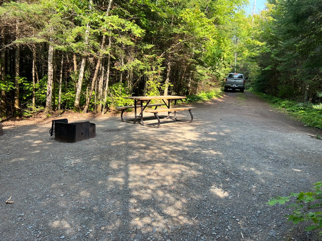
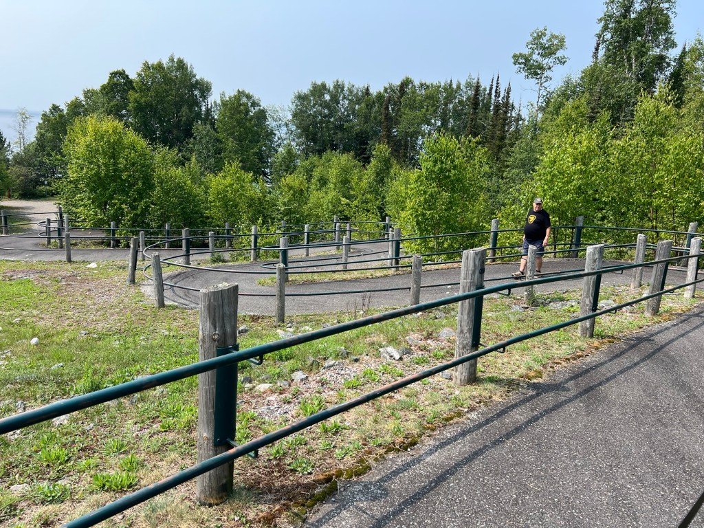
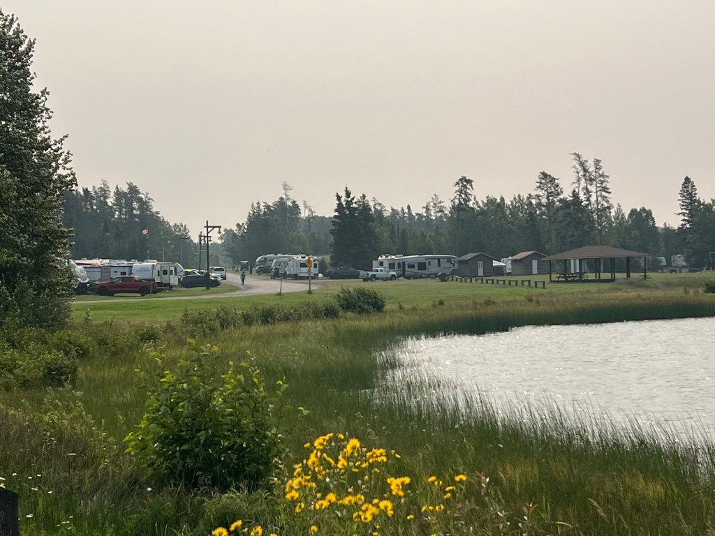
We’ve been at Kakabeka Falls Provincial Park for a week. Besides the falls and the fort we’ve gone into the city of Thunder Bay. They have disc golf here. We’ve not been near a course since southern Ontario and we played three times here.
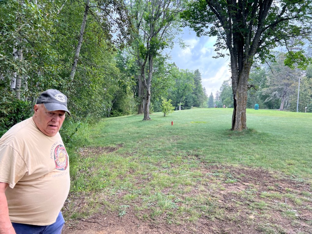
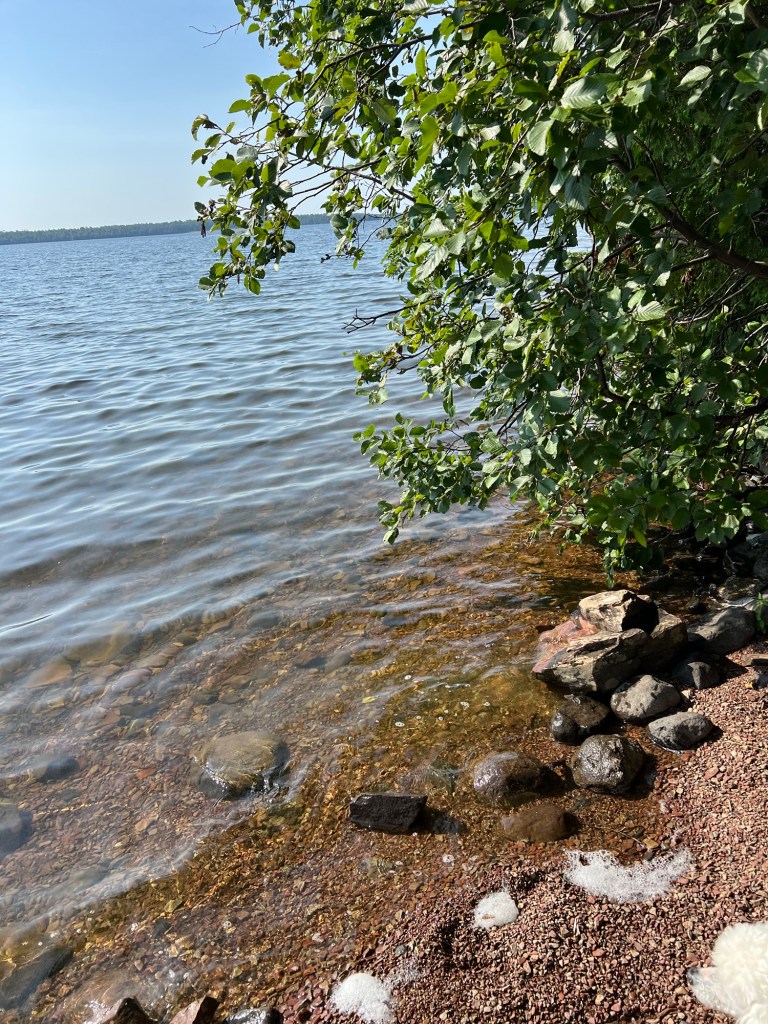
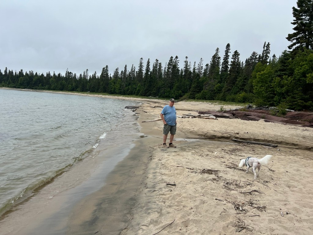
We played two different courses, but preferred this one at Birch Point Park.
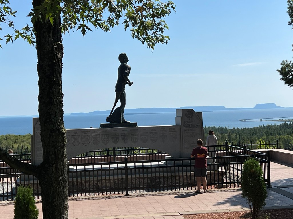
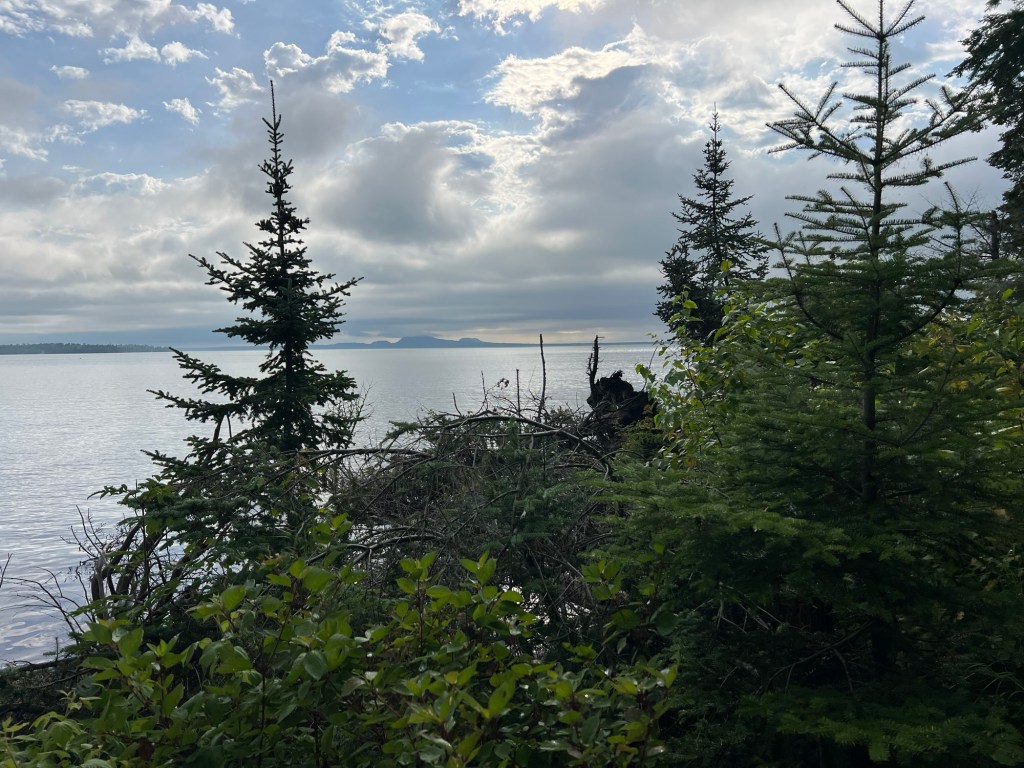
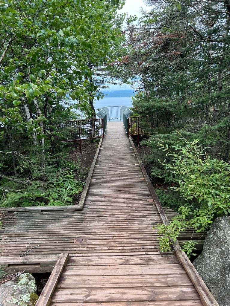
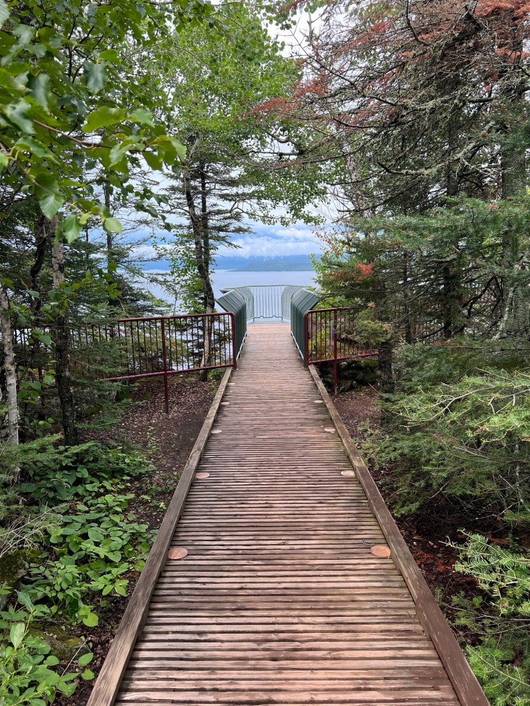
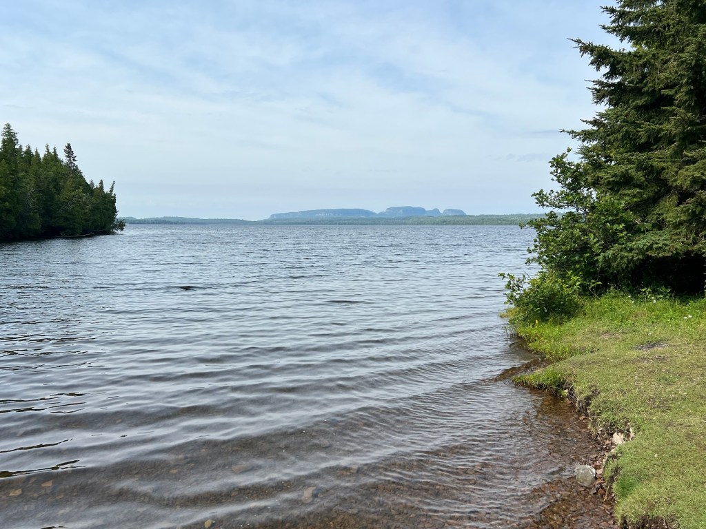
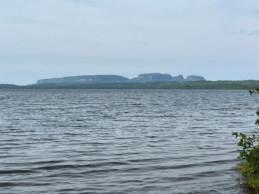
We’ve also gone to two overlooks. The first, on the northwest side is the Terry Fox Memorial. Terry was a young Canadian who lost his leg to cancer. In 1980, while in remission, he decided to raise awareness and money by running across Canada, he called it his Marathon of Hope.
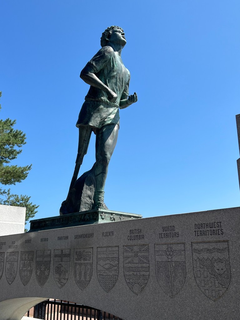
He started in St. John’s, Newfoundland and ran almost a marathon a day for 143 days straight. His cancer returned and forced him to quit very near this spot. He’d run 3,339 miles and raised $24,000,000 for cancer research. All charity runs owe their origin to Terry Fox.
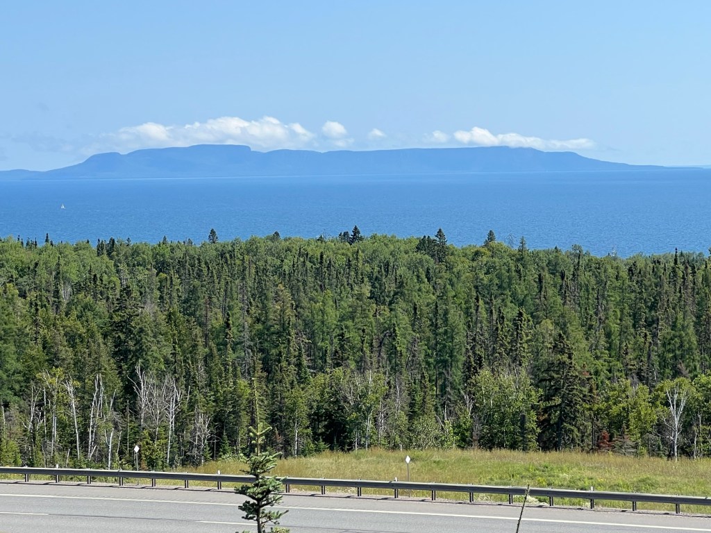
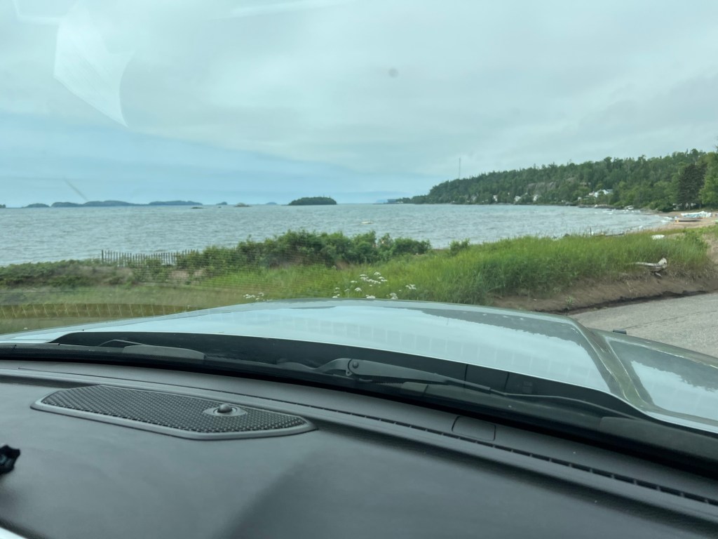
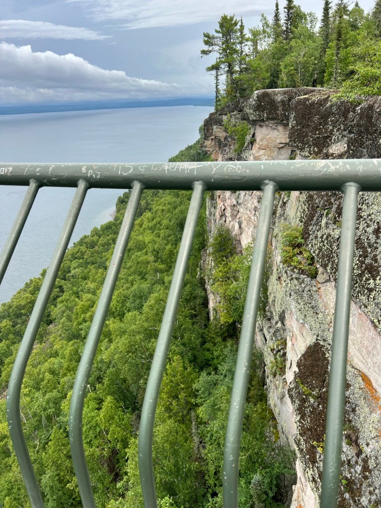
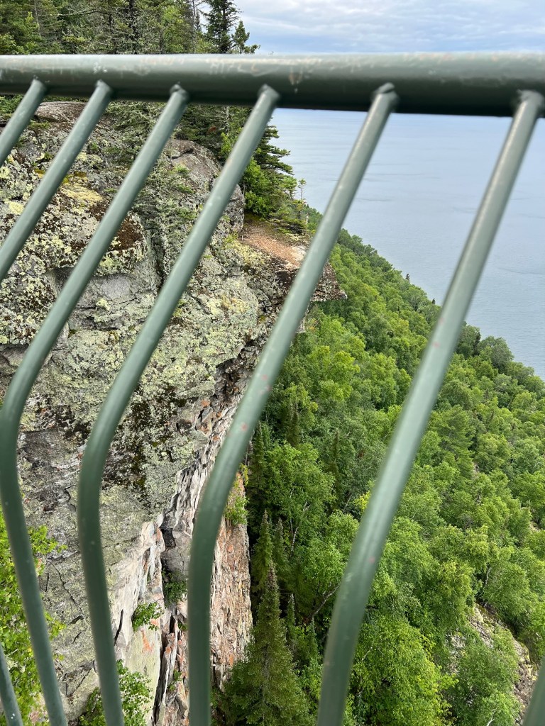
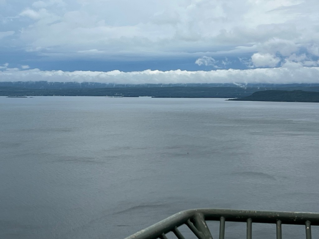
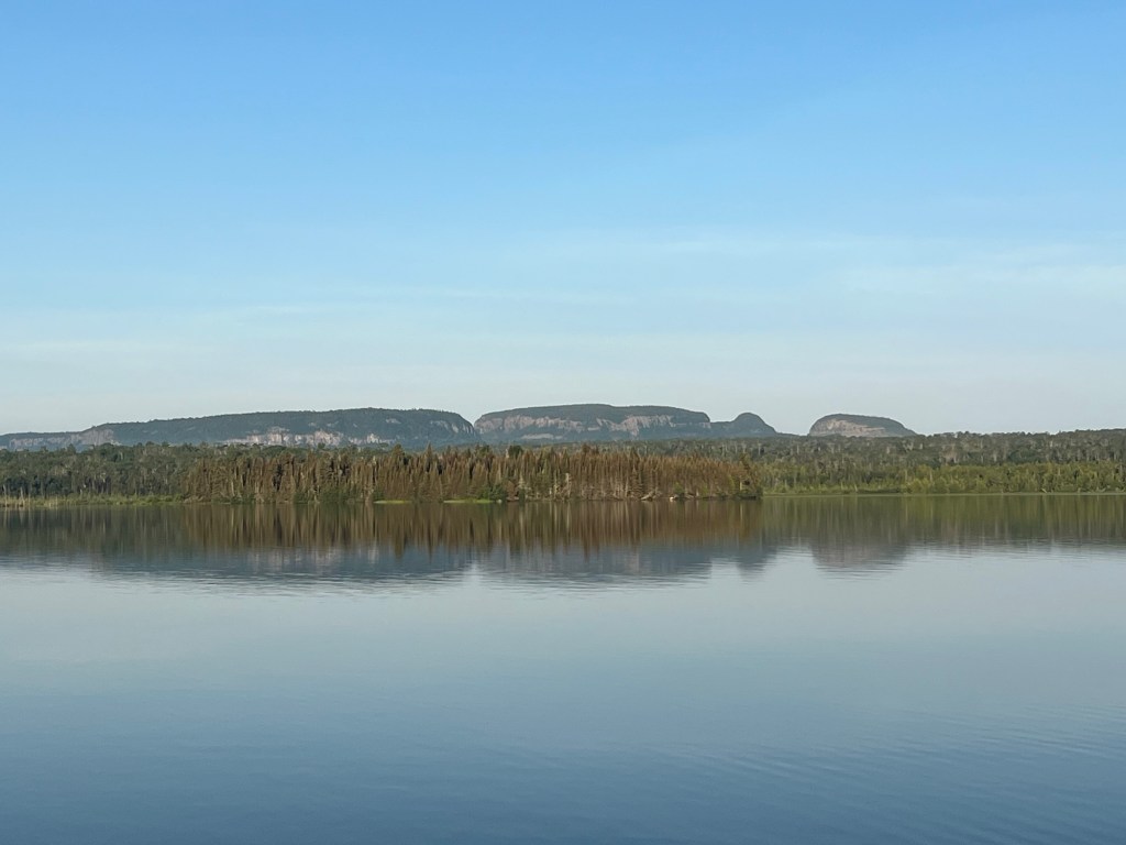
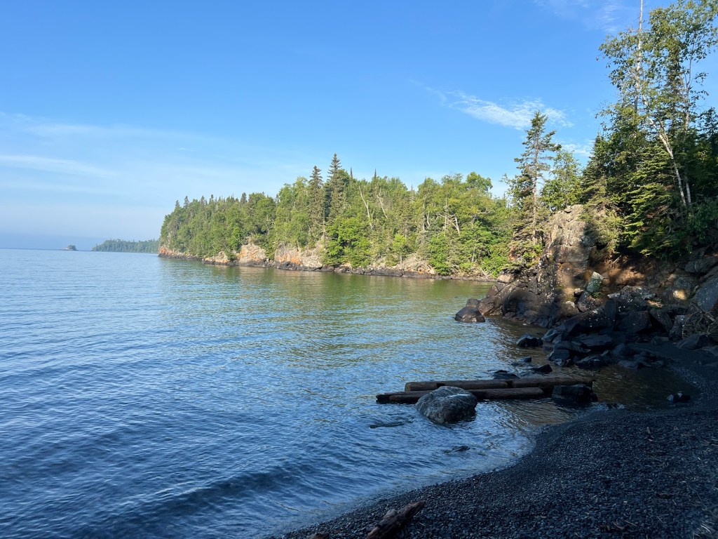
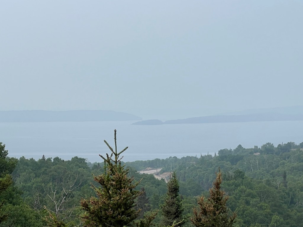
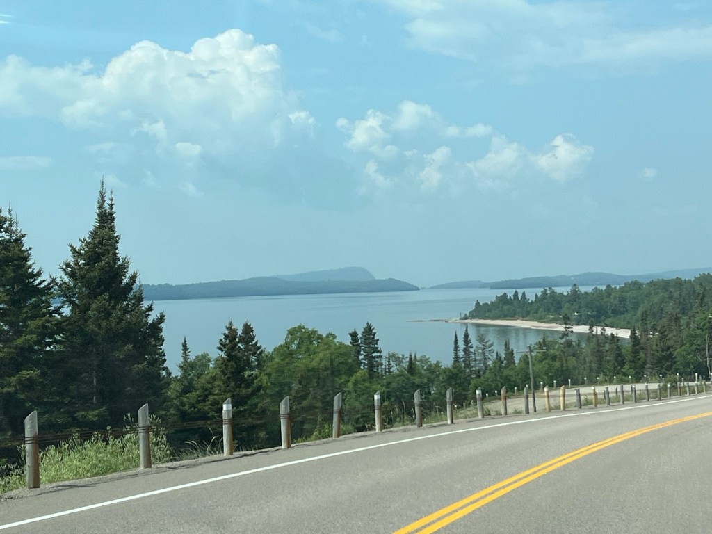
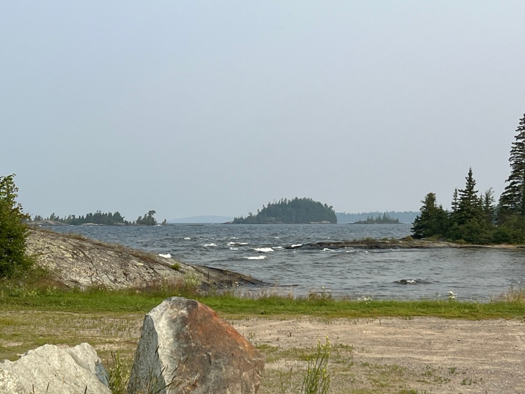
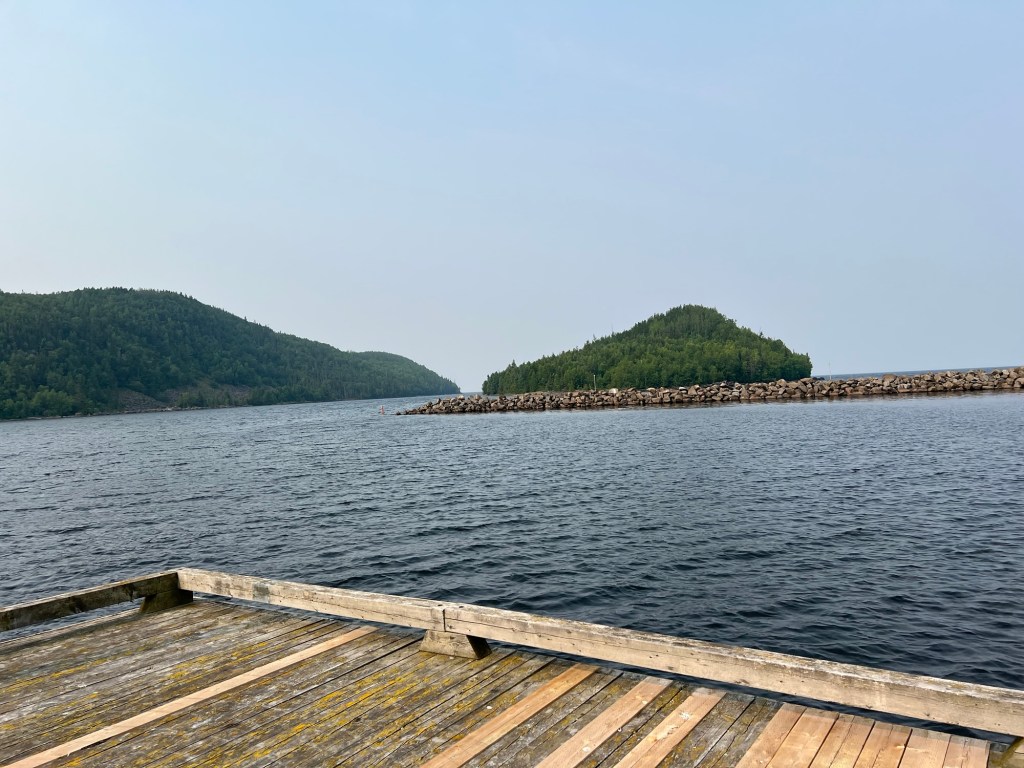
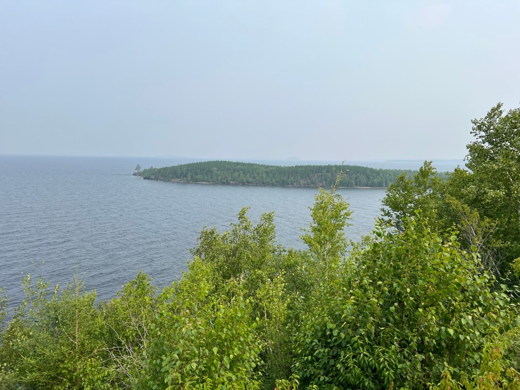
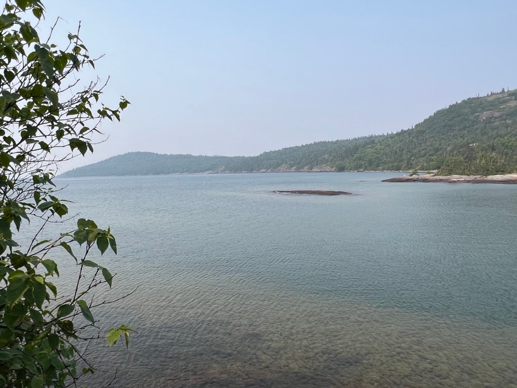
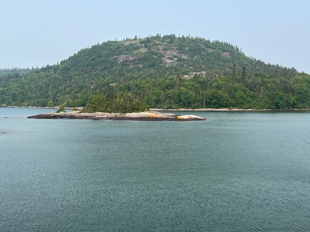
Looking from his memorial out across Thunder Bay you can see the Sleeping Giant.
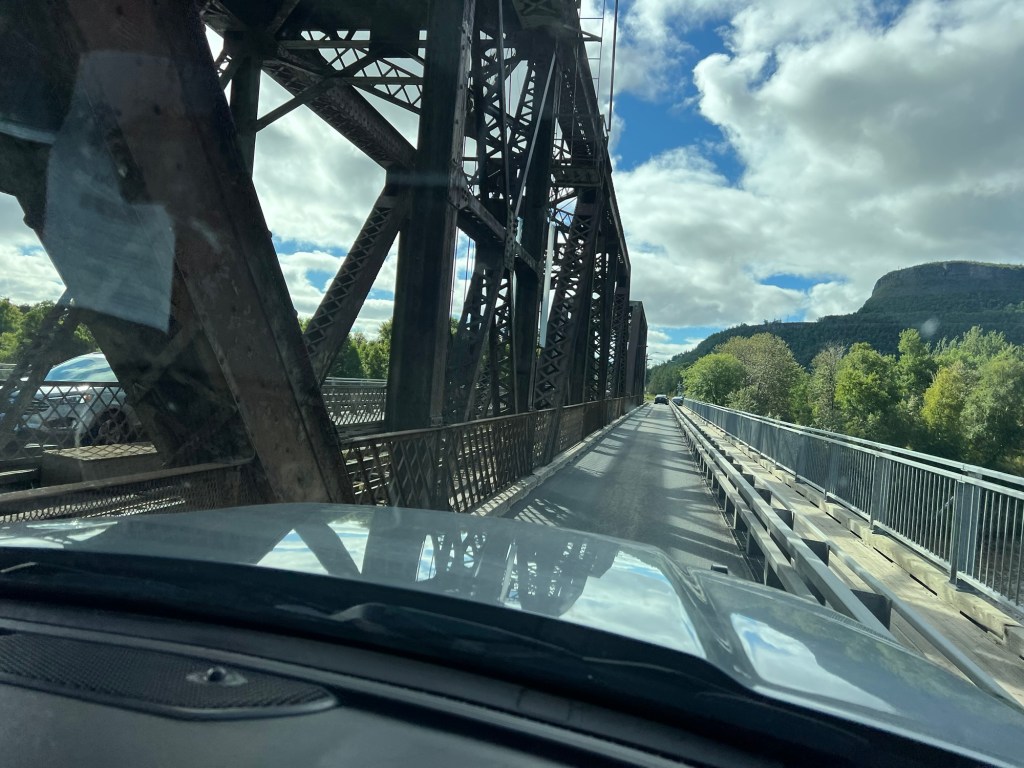
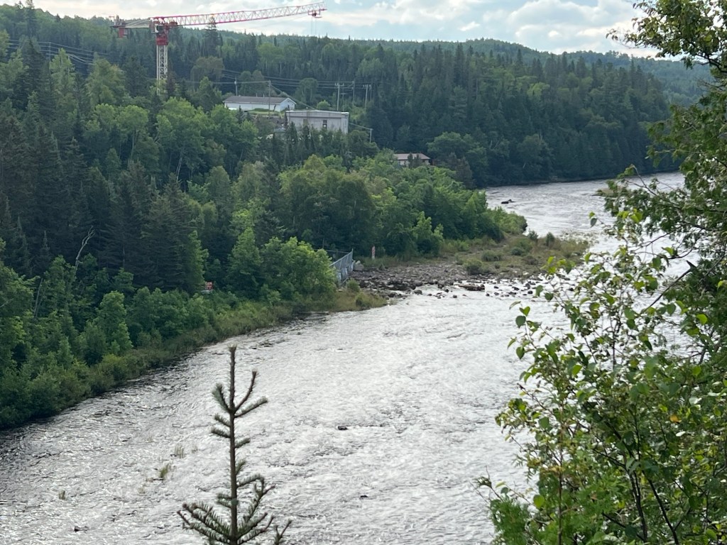
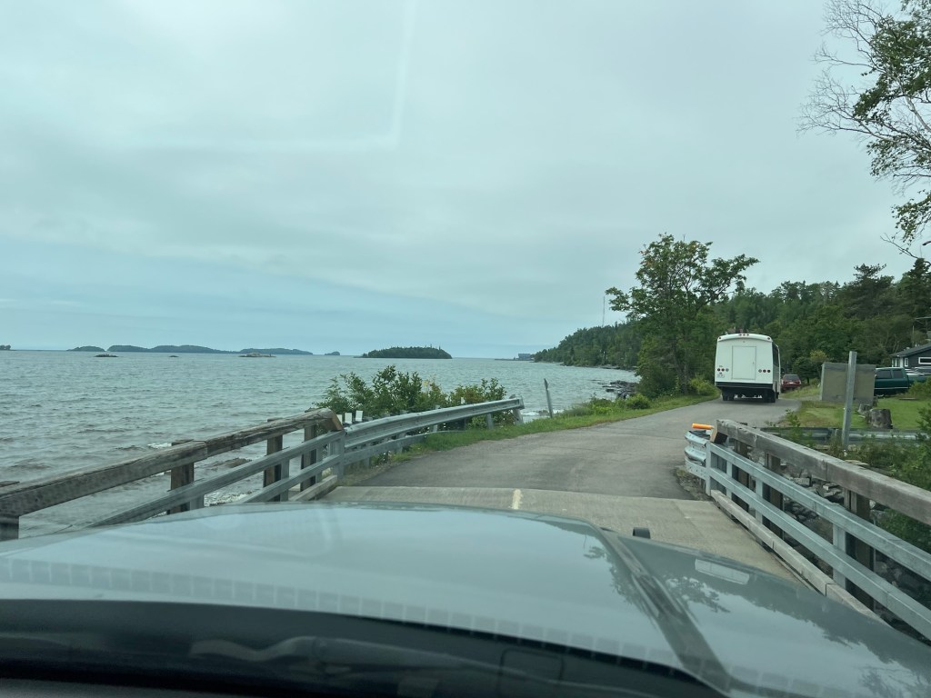
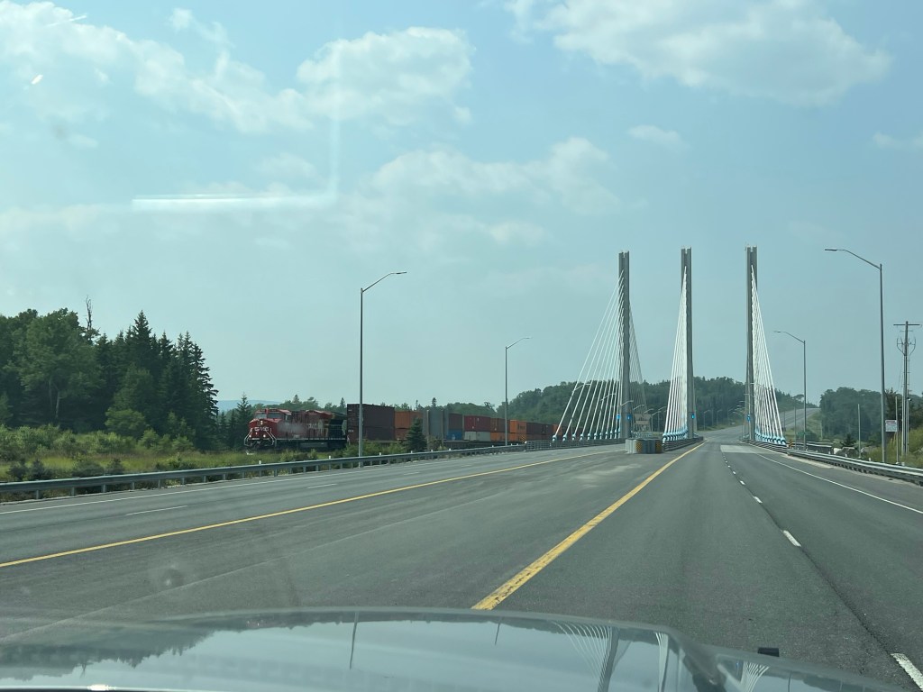
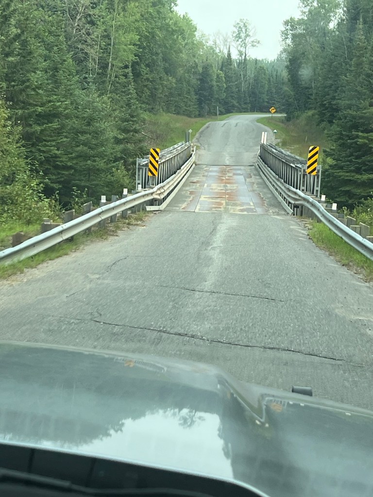
Today we drove across this very narrow bridge to the Fort William First Nation for fuel. No large trucks are allowed on this. Between the two narrow auto lanes is a railroad bridge. I don’t think I’d want to be crossing with a train!
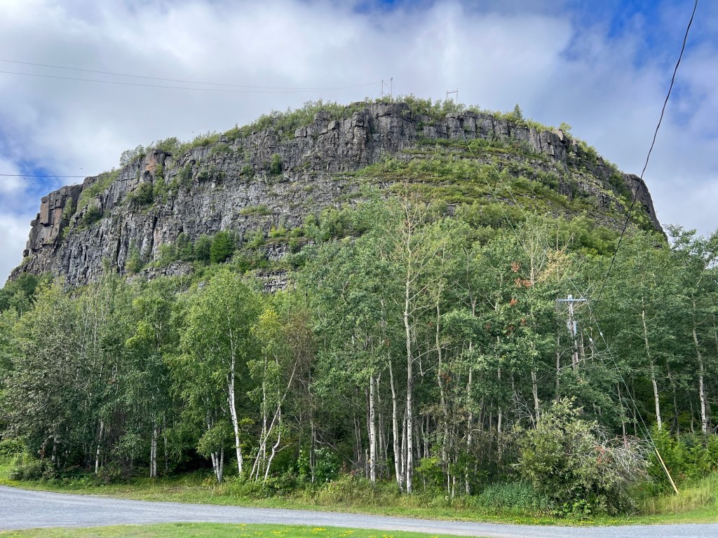
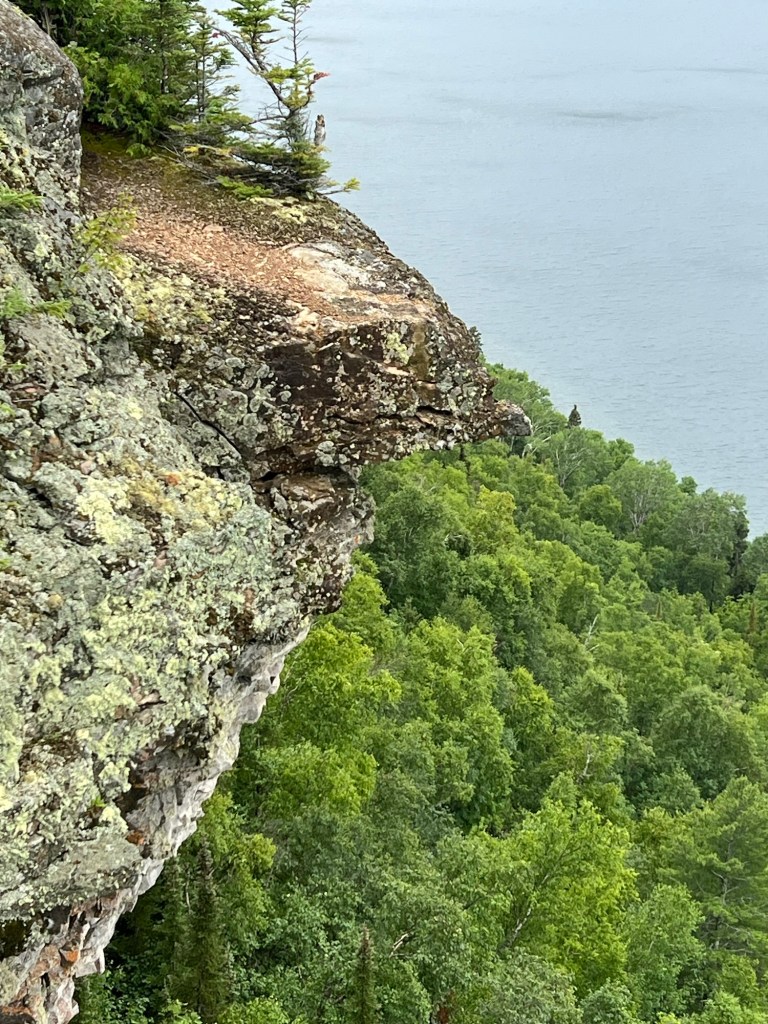
On their land is the Mount McKay Lookout, though their name for the mountain is Thunder Mountain.
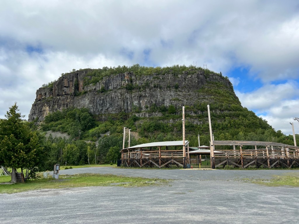
This top hat of rock rises above the lookout. The lookout area also has this stadium for pow wows. I attended a public pow wow at Fort William so I know the central pagoda is where the drummer groups sit. The groups I saw were two to four people. They sat around a large drum that sat on a stand with feet. They each had one drumstick and they all beat the drum and sang. The dancers dance in the circle around them. I noticed that this stadium has four entrances placed in the four directions.
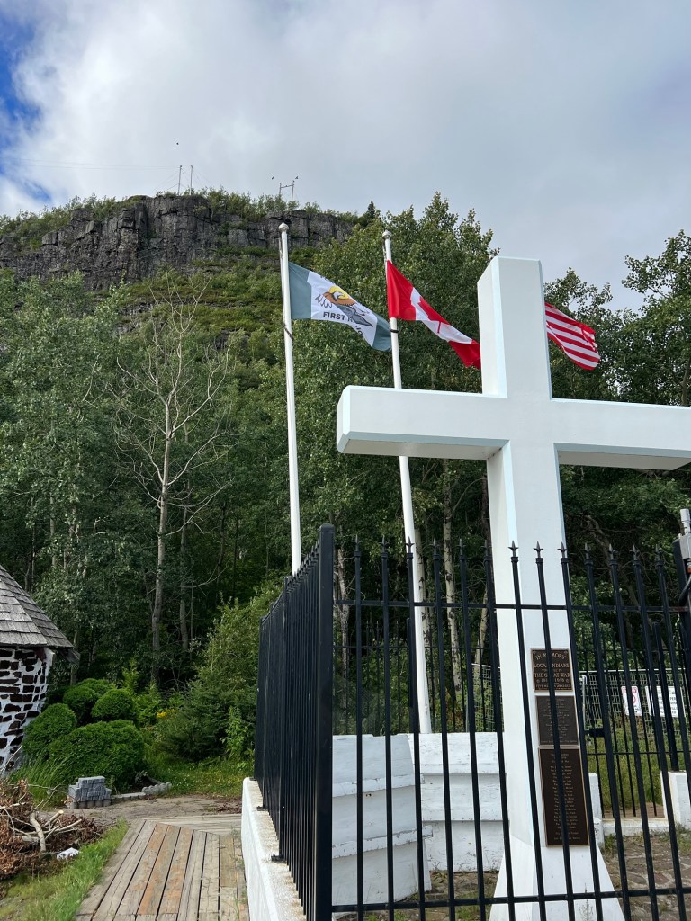
Also at the lookout were a war memorial for World War I…
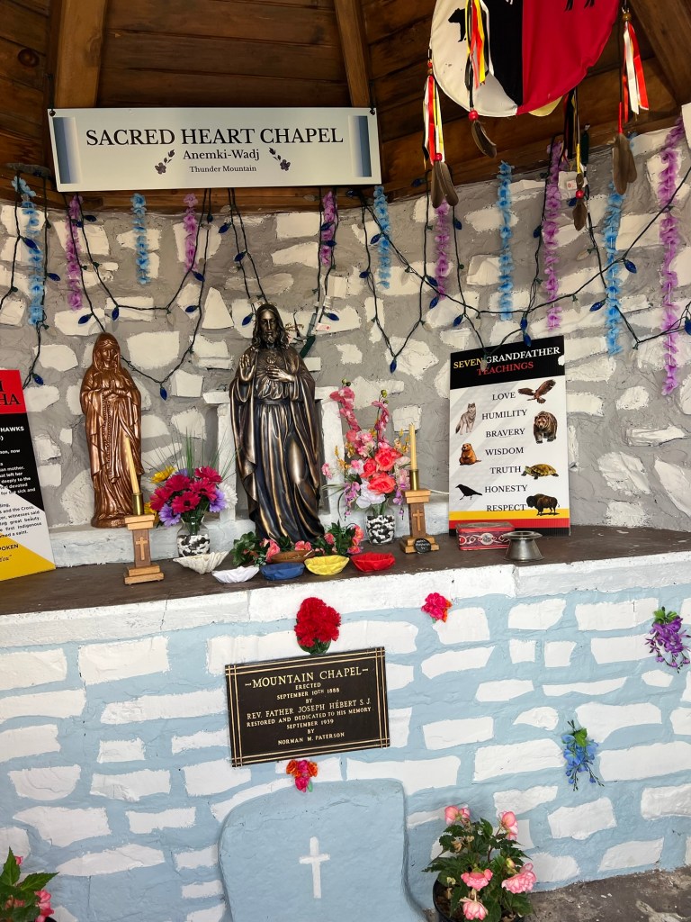
and this chapel.
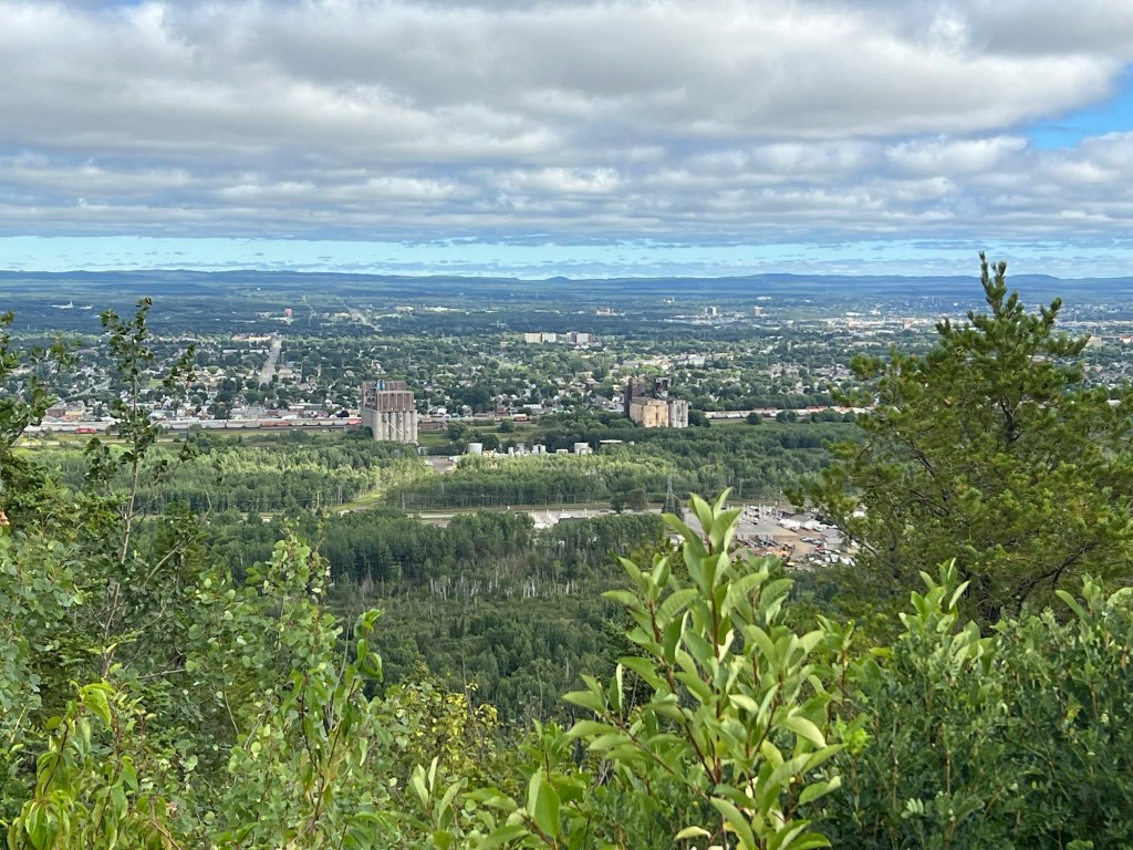
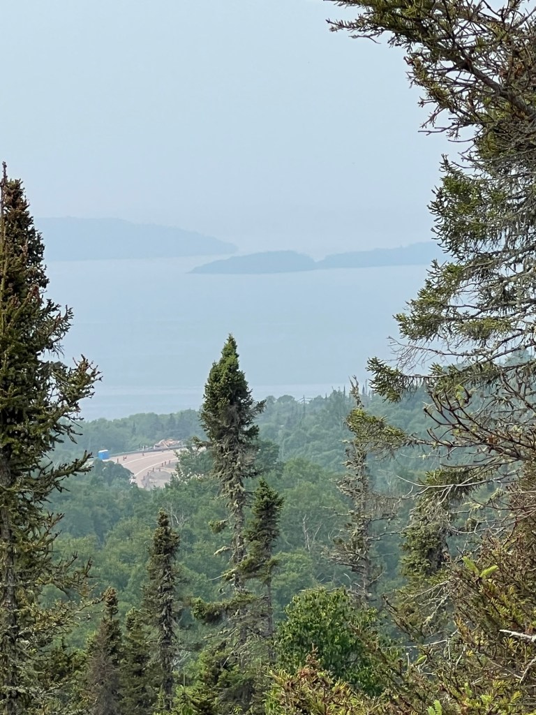
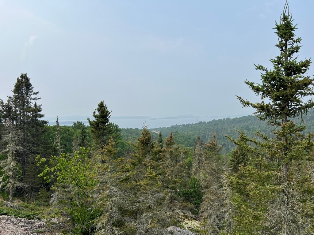
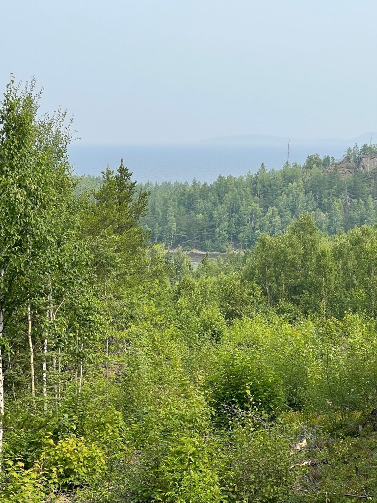
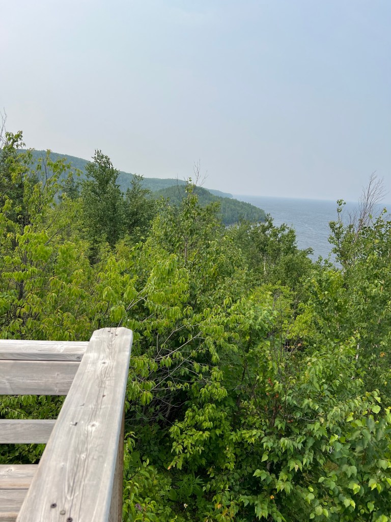
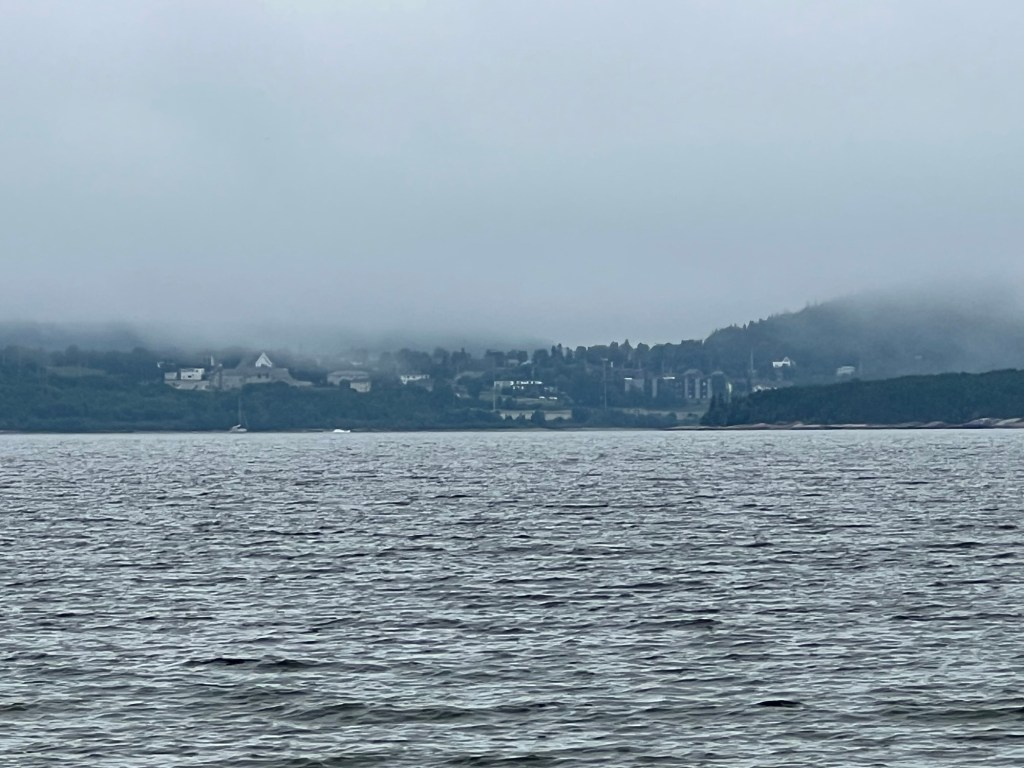
There was a great view of the city, this time from the south,
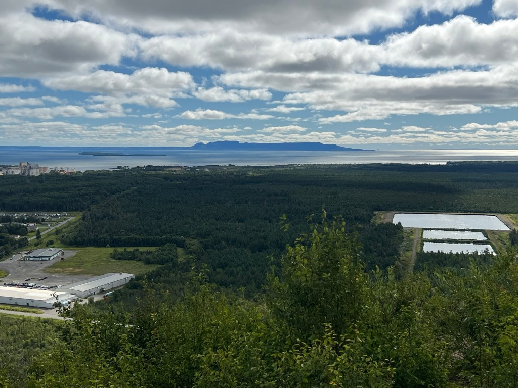
and out across the bay was the Sleeping Giant.
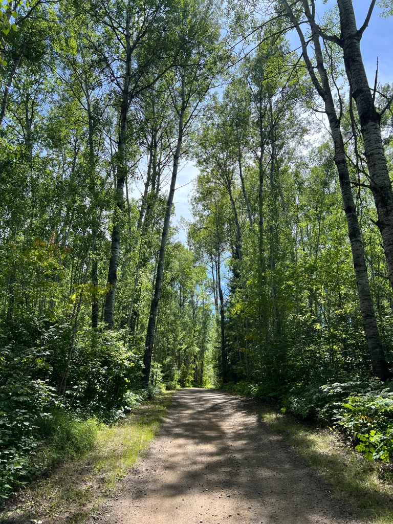
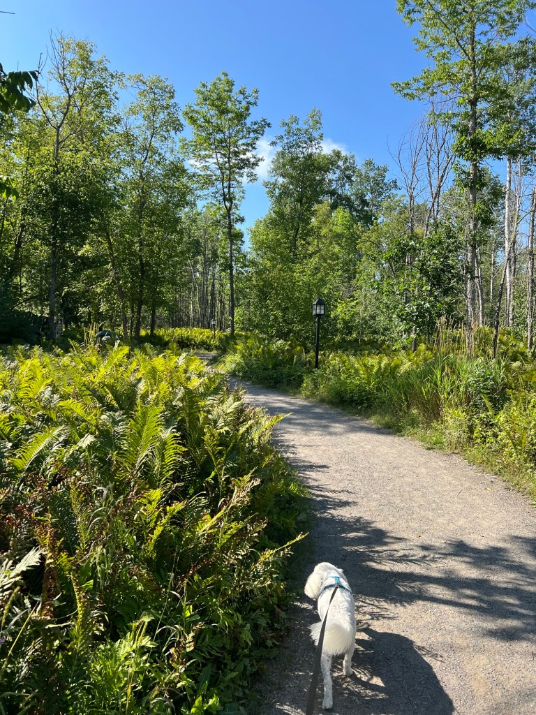
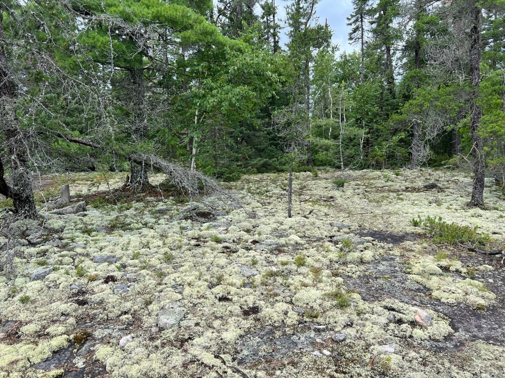
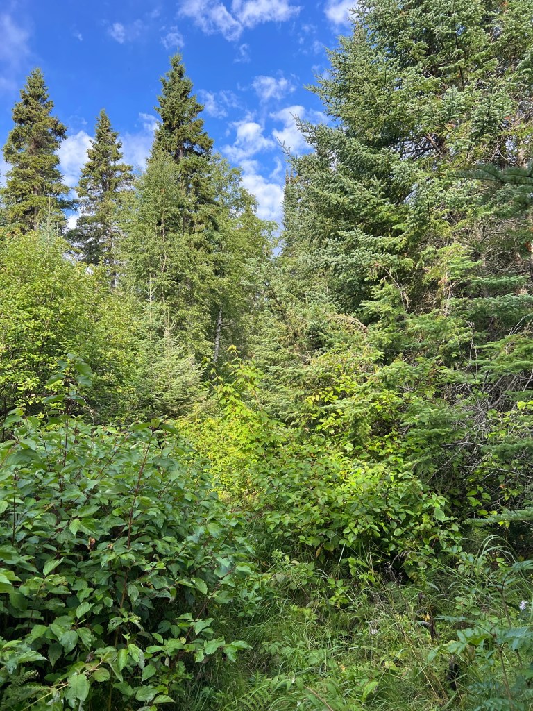
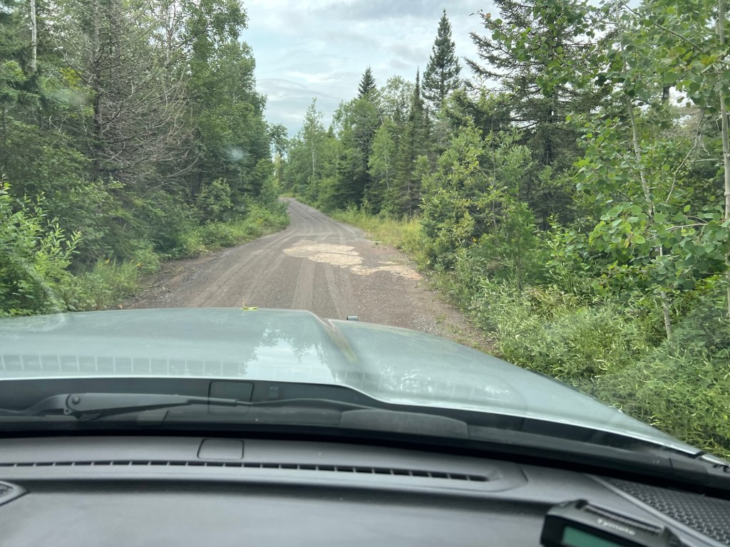
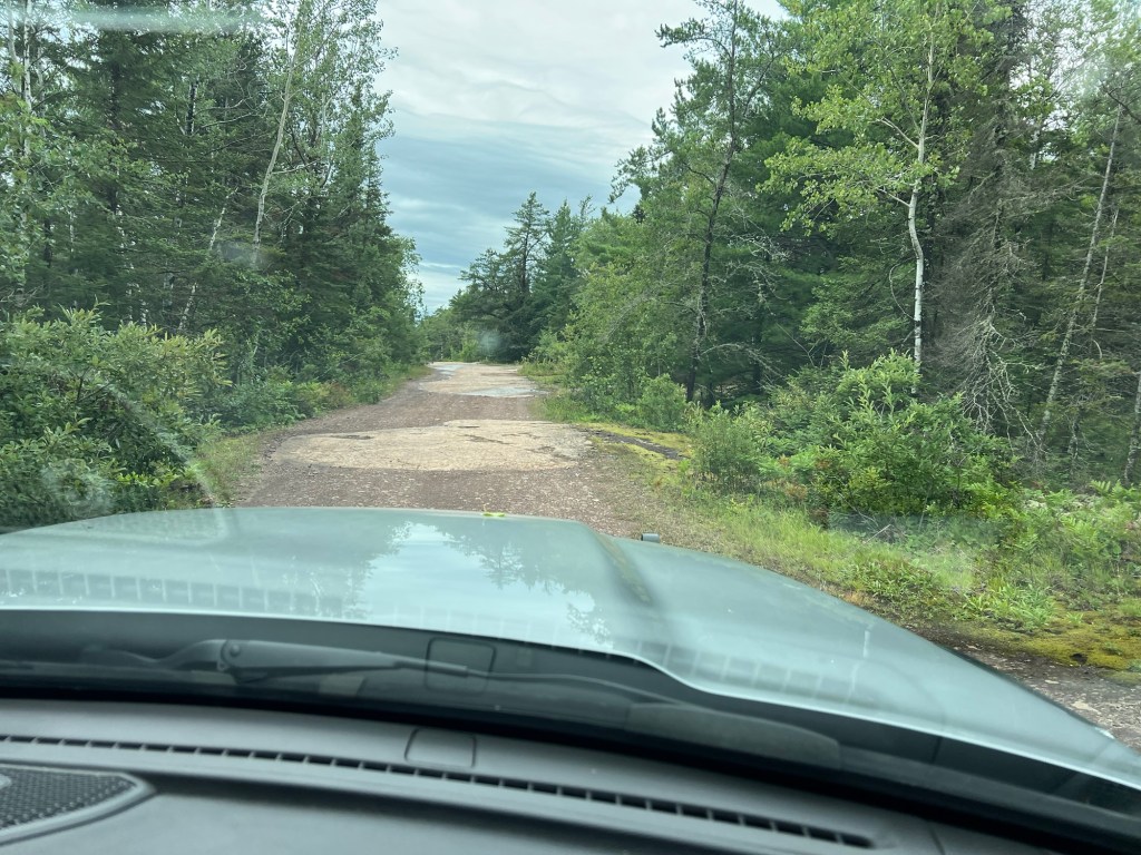
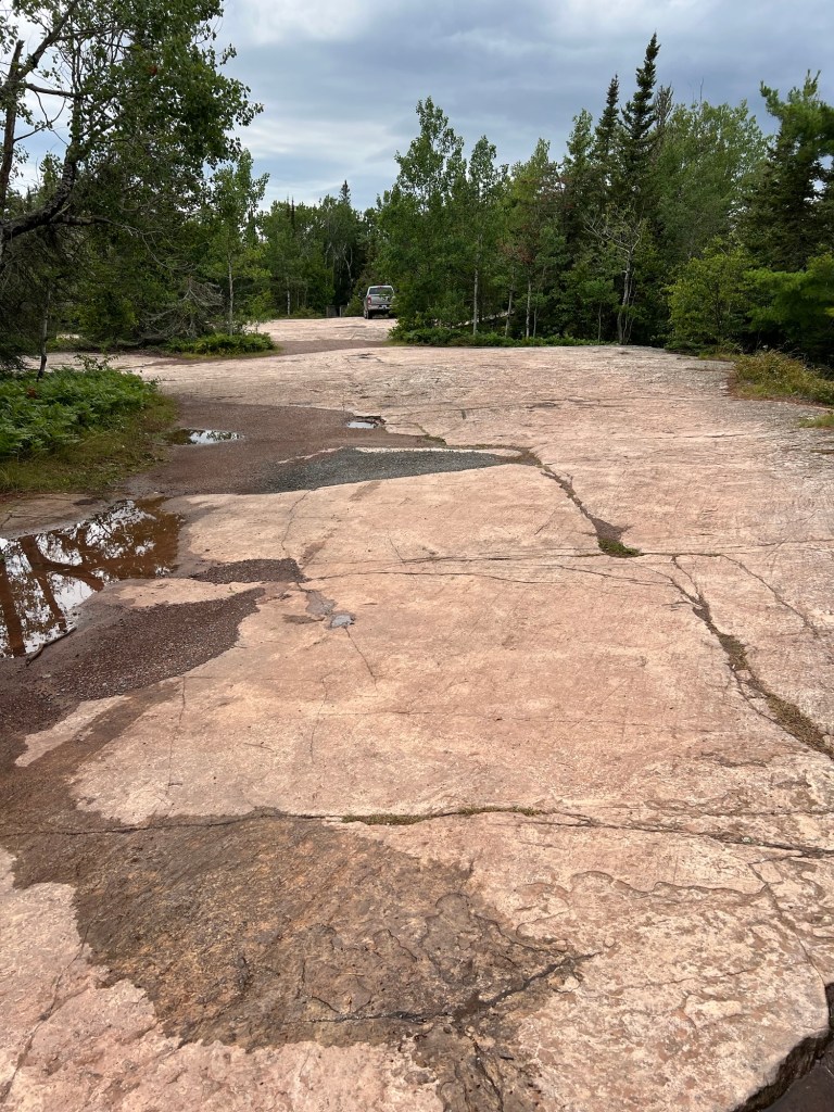
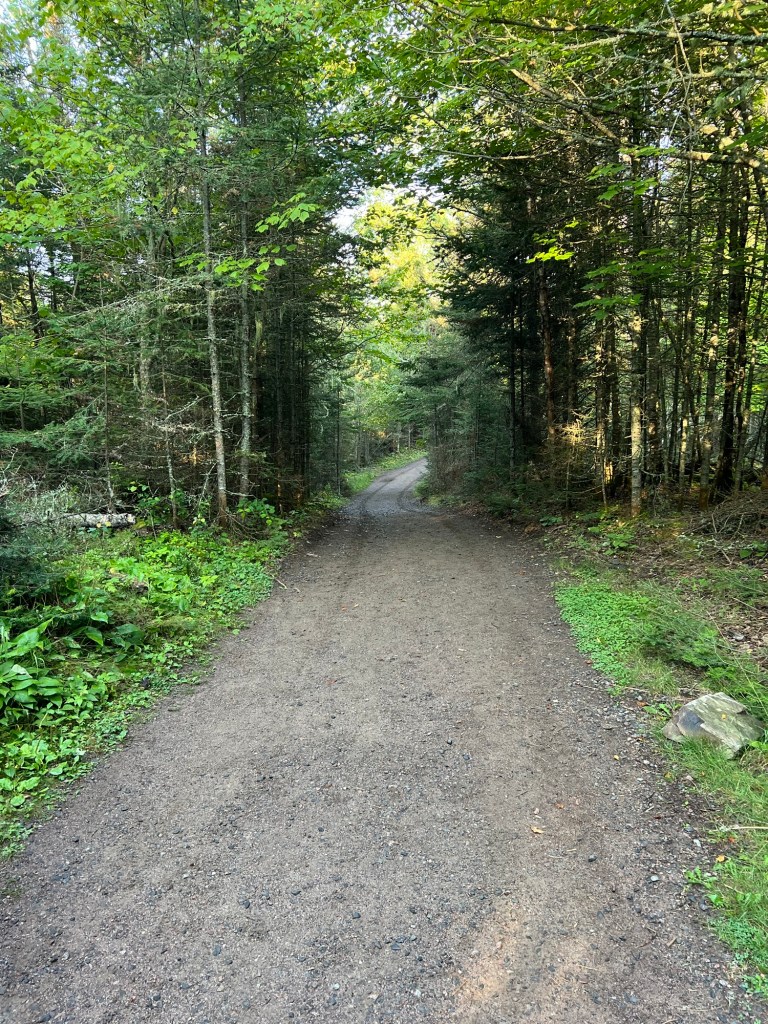
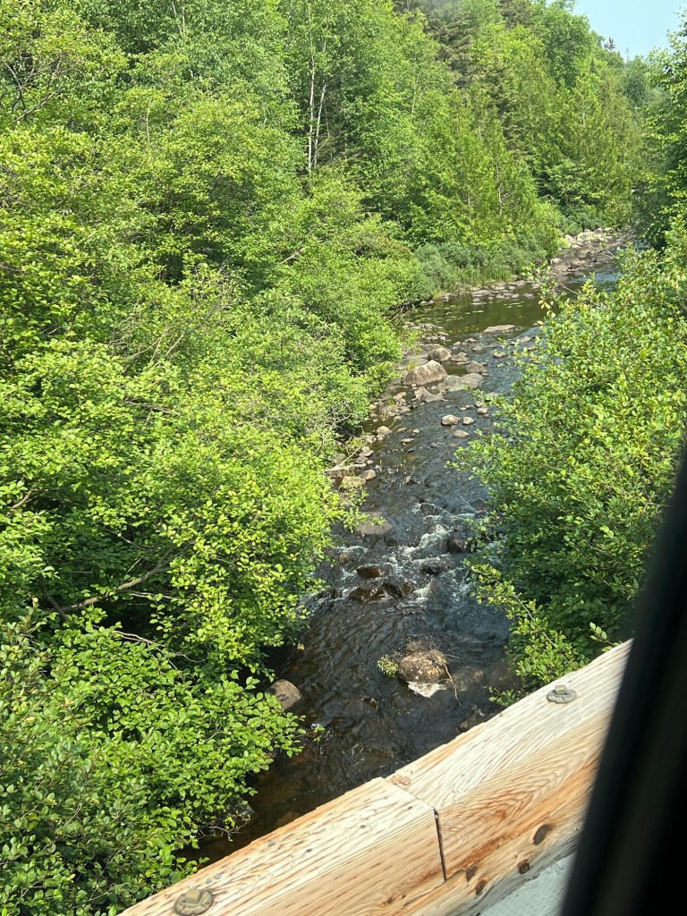
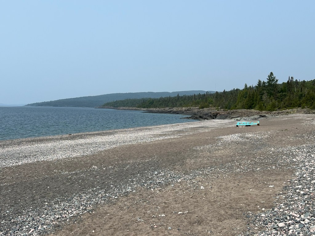
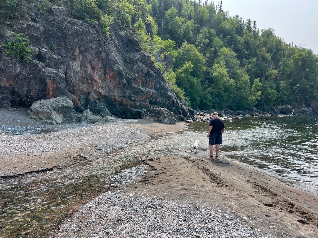
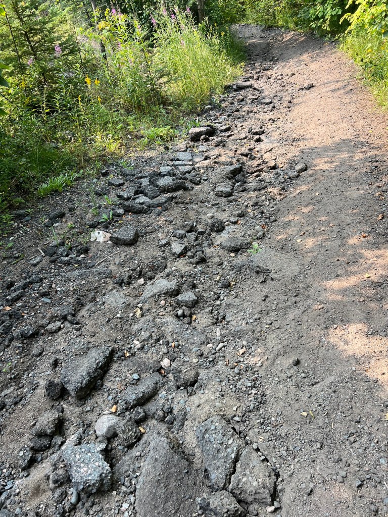
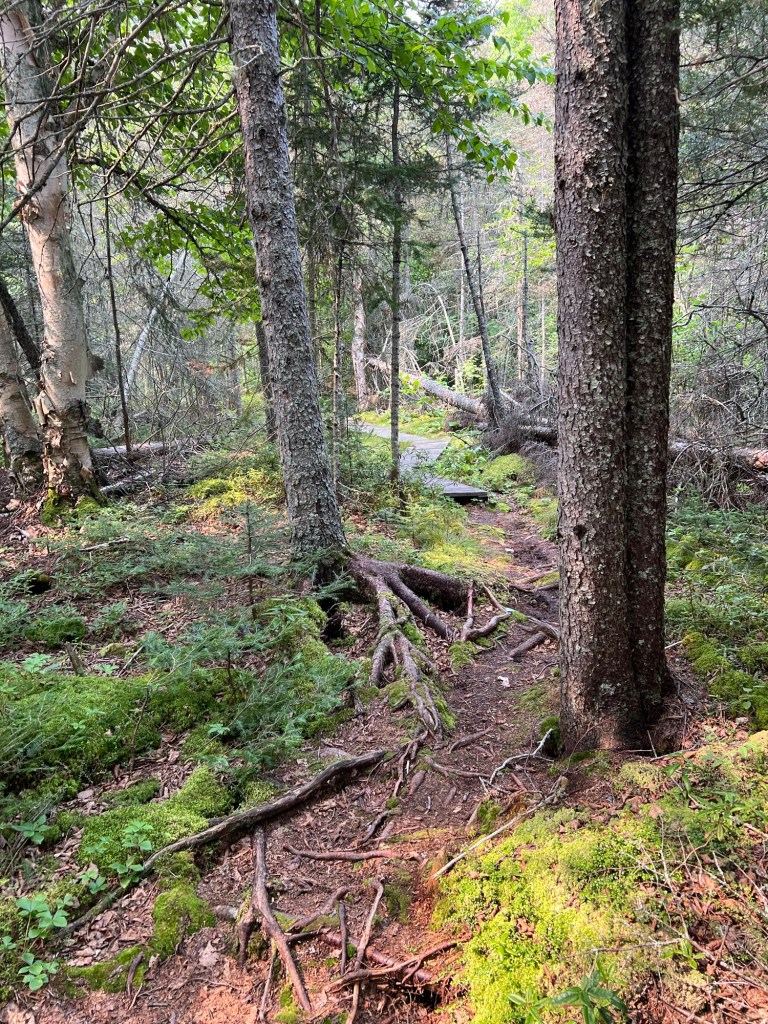
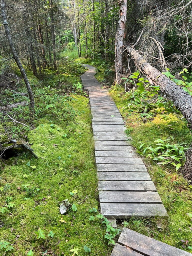
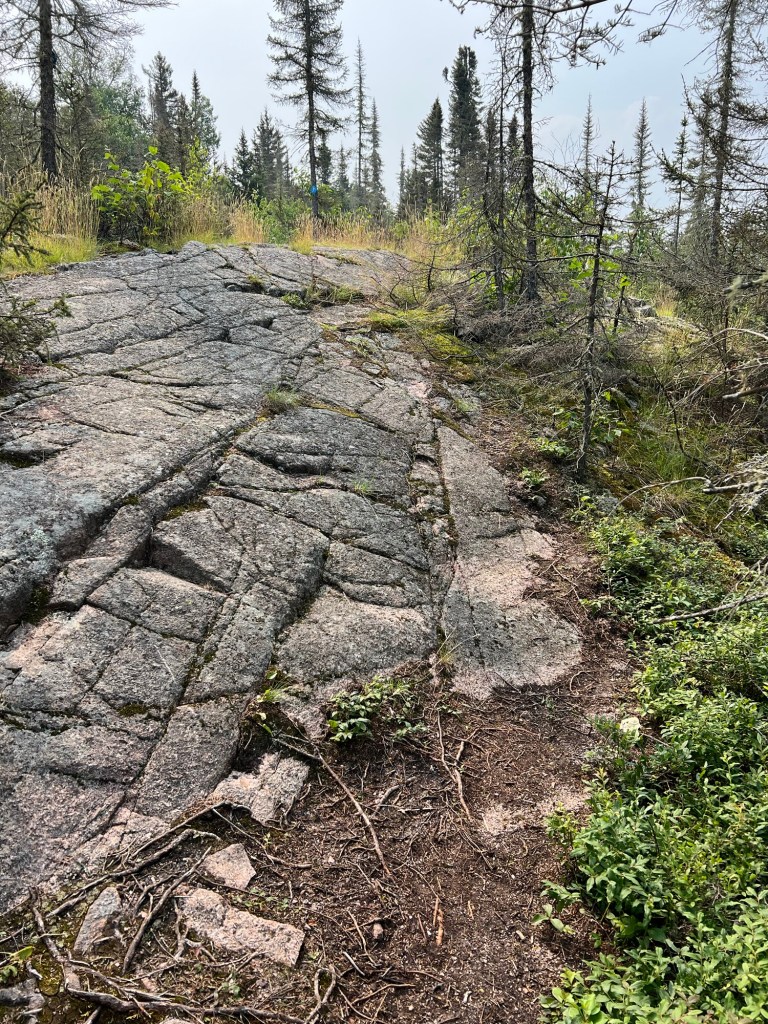
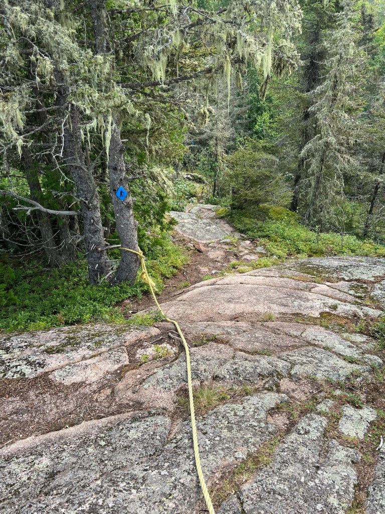
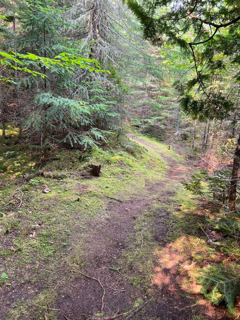
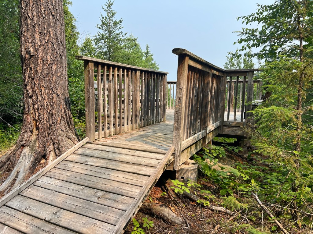
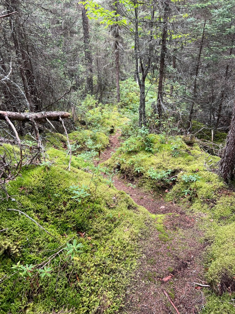
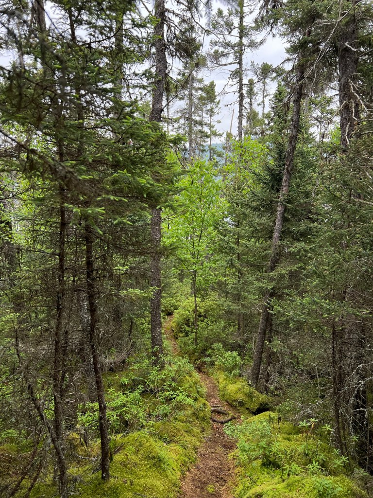
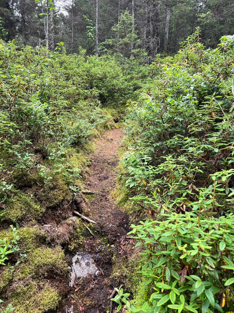
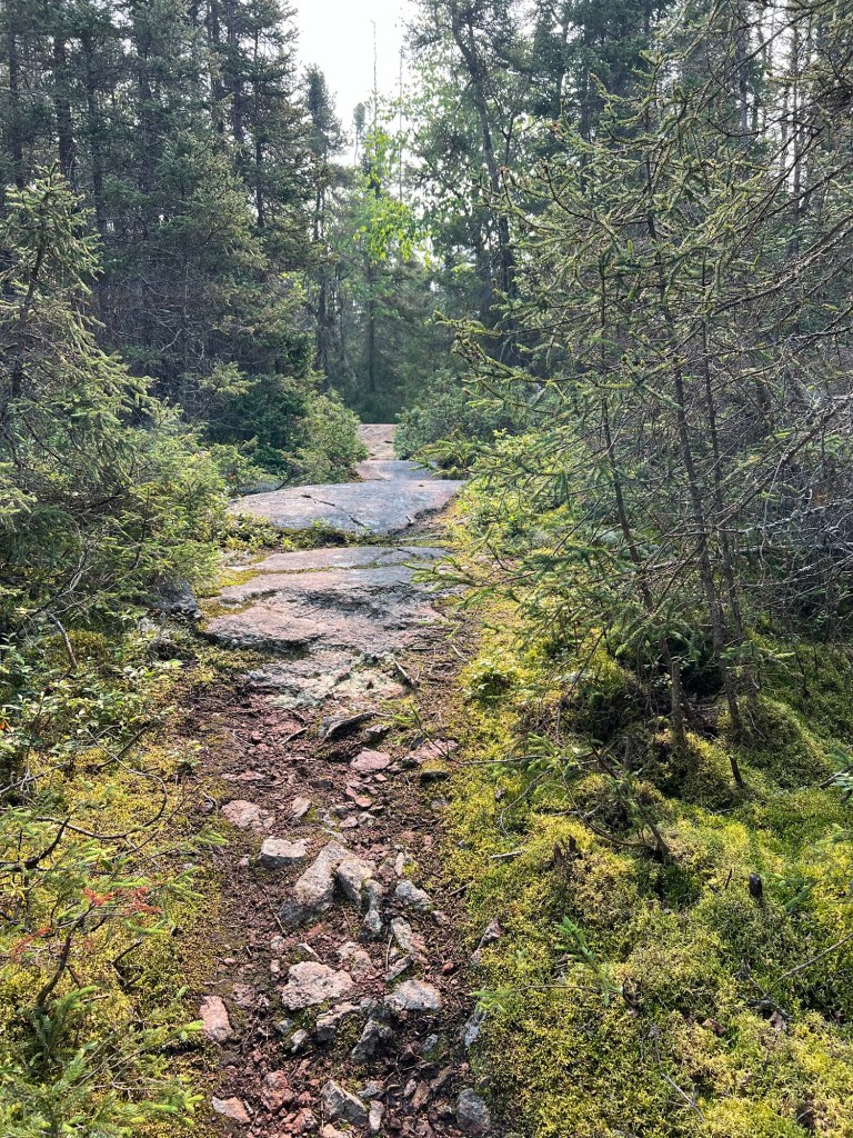
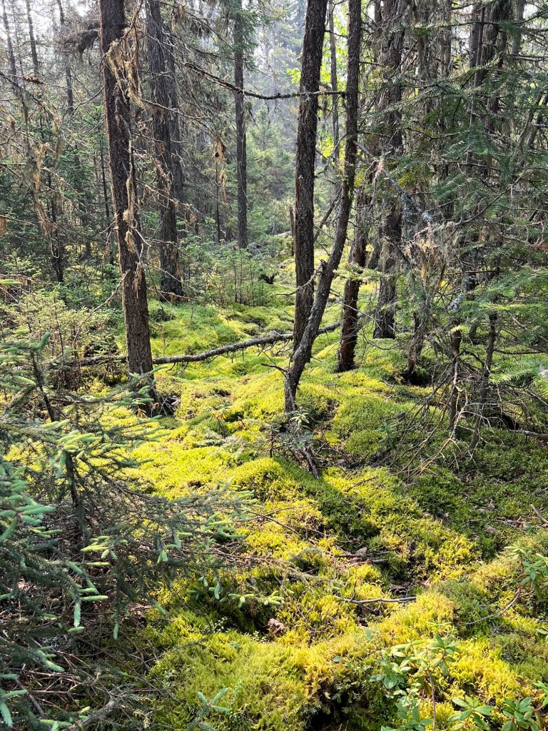
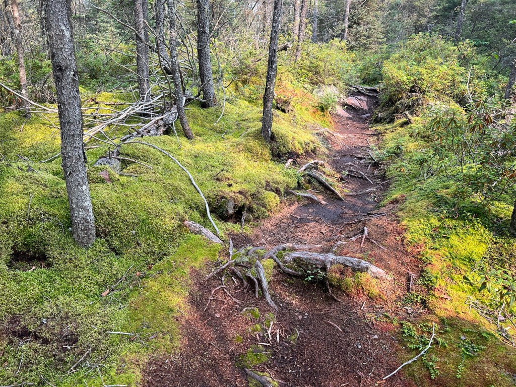
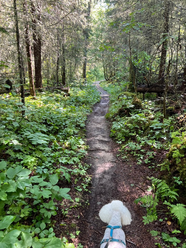
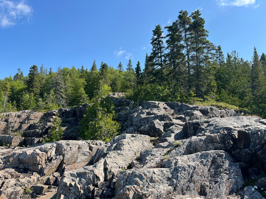
This afternoon I took a walk on a trail that went all around the campground here.
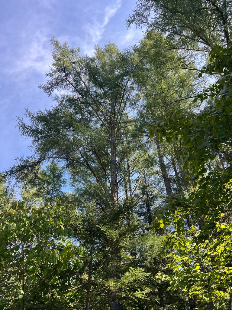
I passed some huge larches.
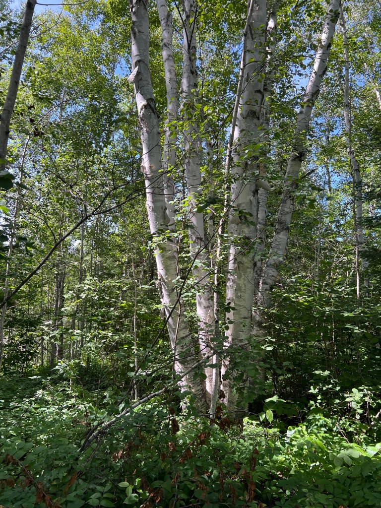
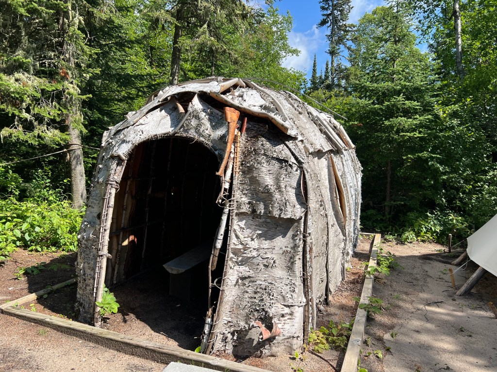
Then towards the end of the hike I finally came to some very large birches. And I realized that the very tall tree at Fort Davis…
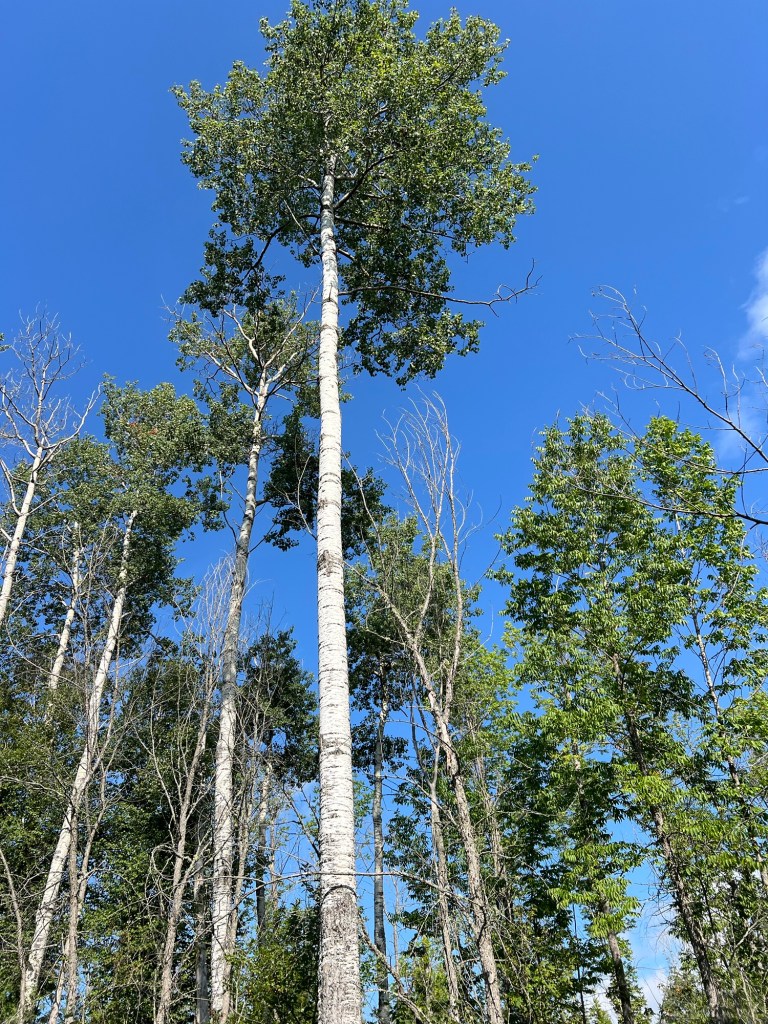
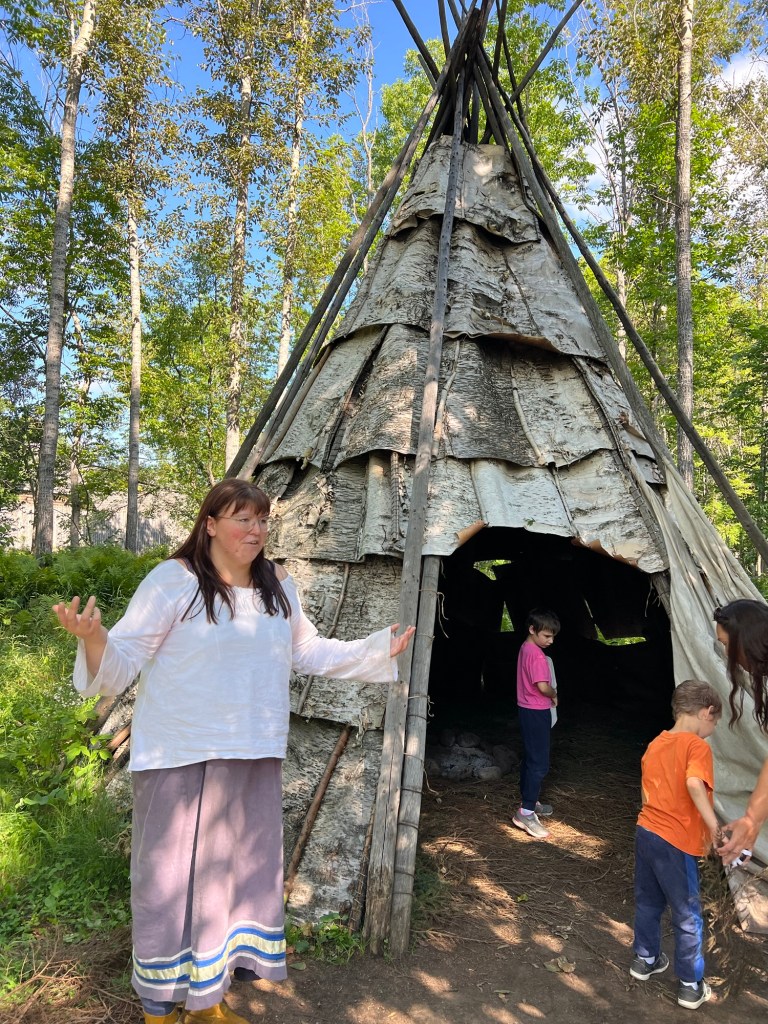
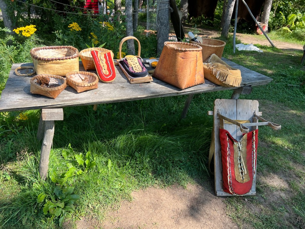
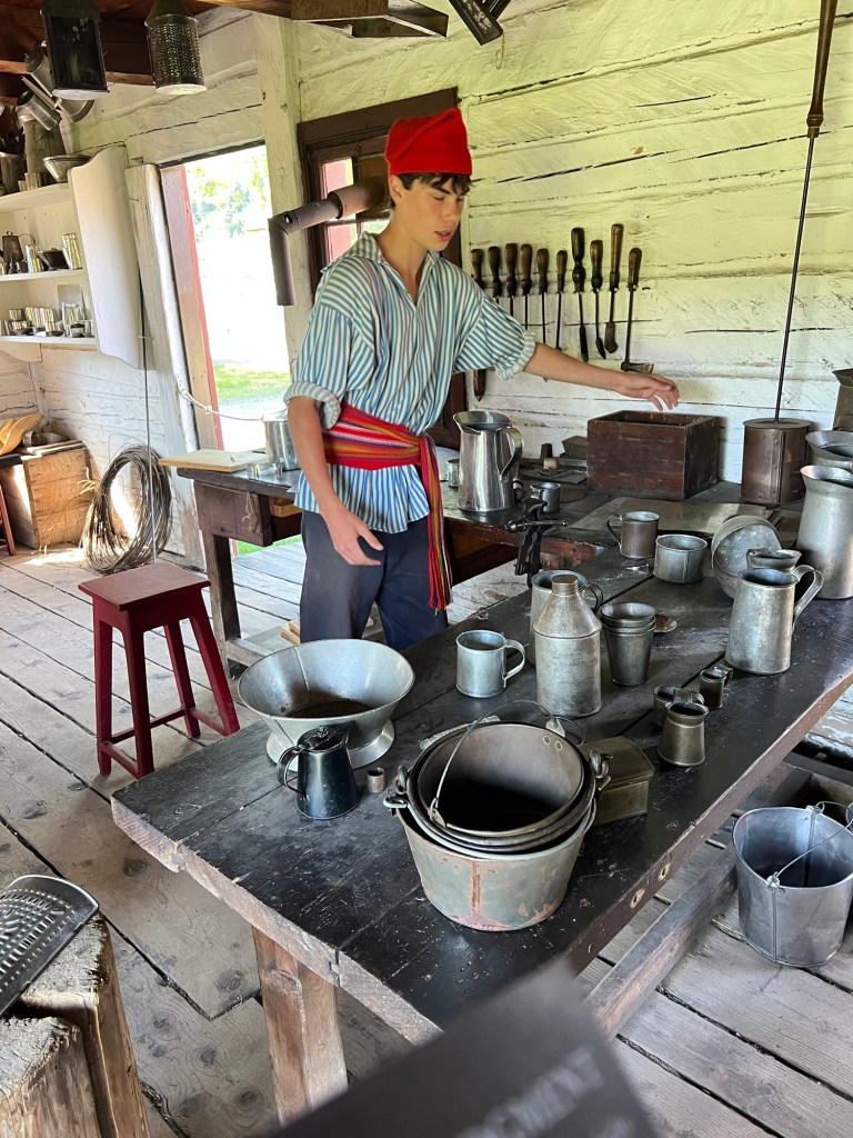
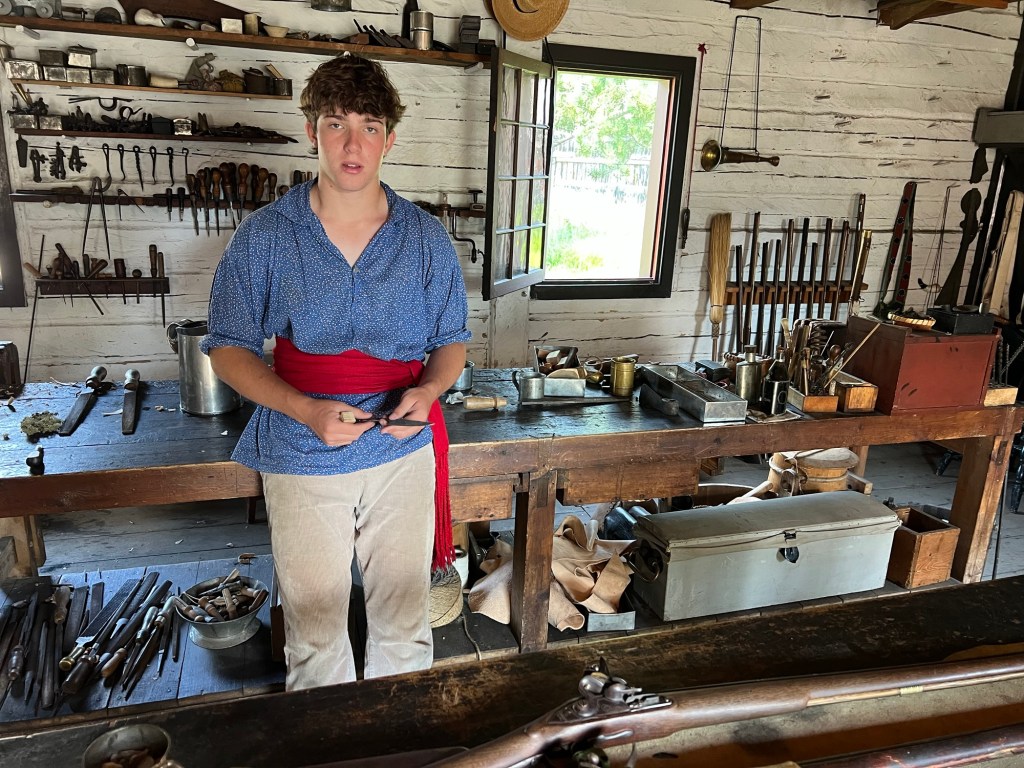
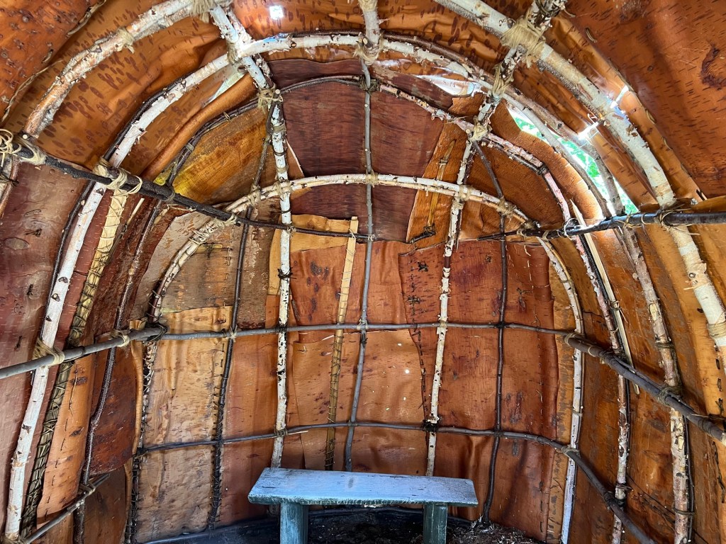
was a poplar, not a birch. In my defense, it was very white and despite there being birch bark houses, canoes and baskets on display everywhere in the fort, I now realize that on the grounds, there were no birches.
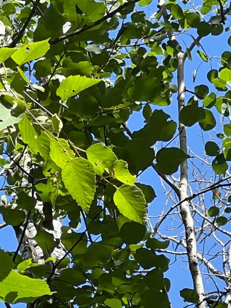
Birch leaves.
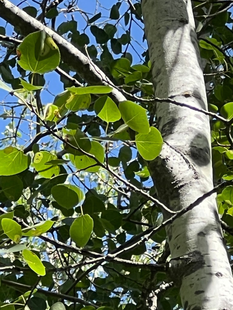
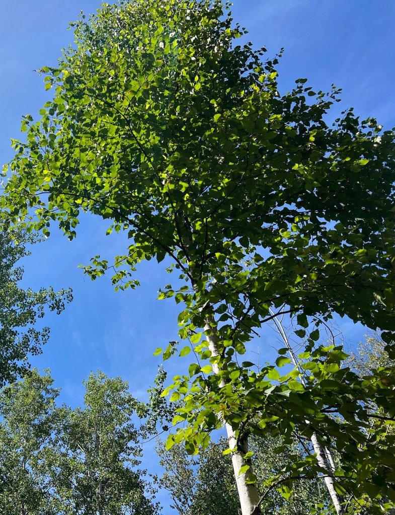
Poplar leaves.
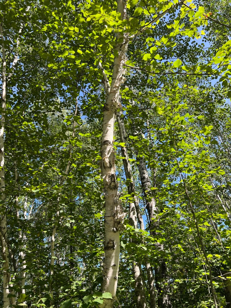
Birch trunk.
Poplar trunk.
Now I’ve got that straight, and just in time; tomorrow we leave this park and Canada.