Discovering Grand Gulf Military Park

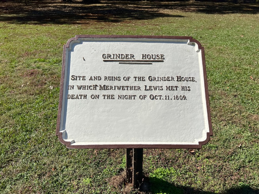
I love finding interesting, out of the way places and Grand Gulf Military Park qualifies.

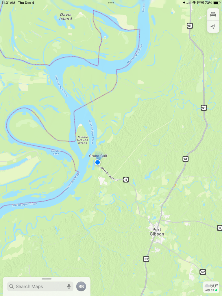
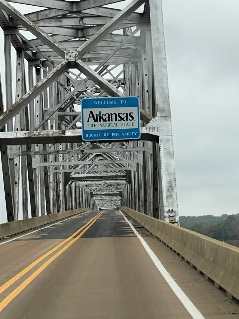
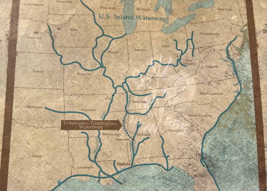
It’s at the end of Mississippi route 18 along the Mississippi River between Vicksburg and Natchez. The closest town is Port Gibson, the county seat, with a population of just around 1,200 people. As for Grand Gulf, it doesn’t exist as a town anymore.

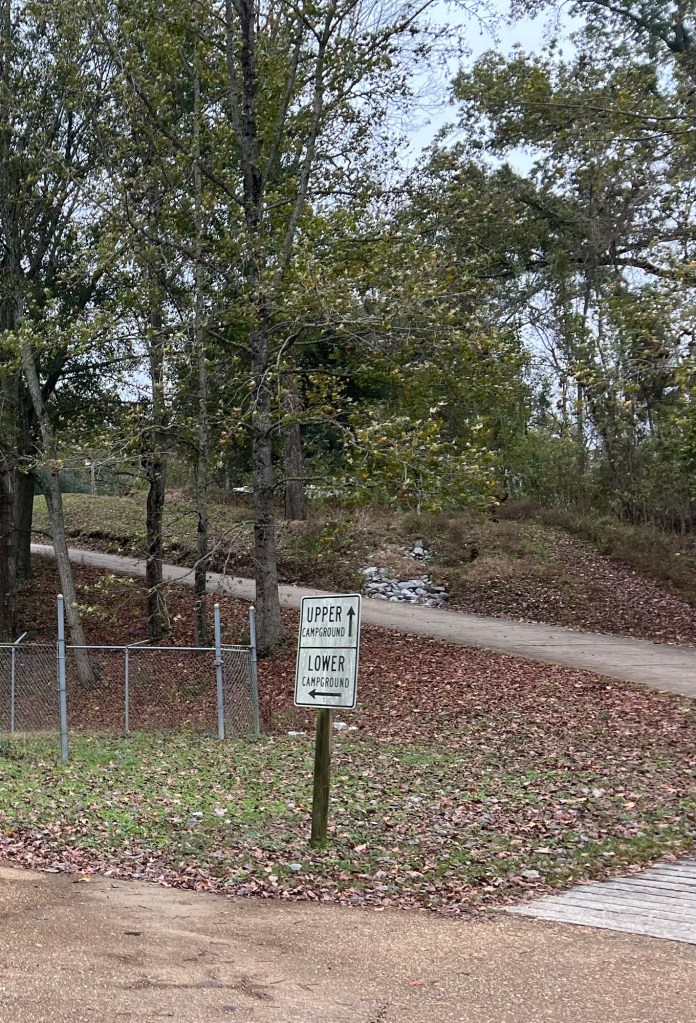
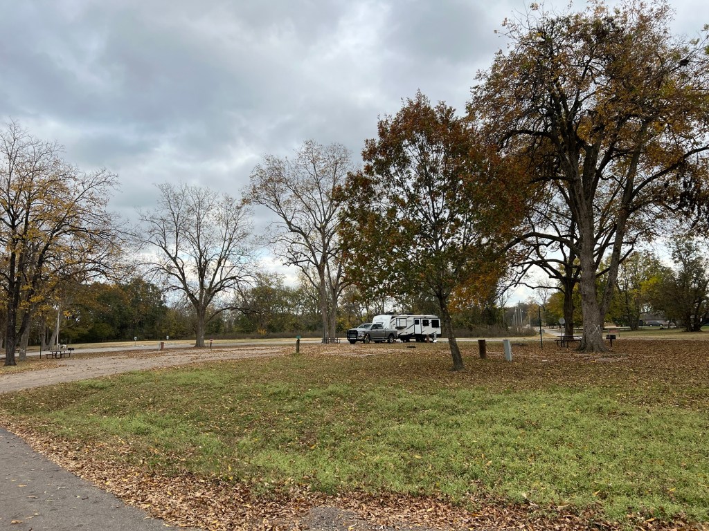
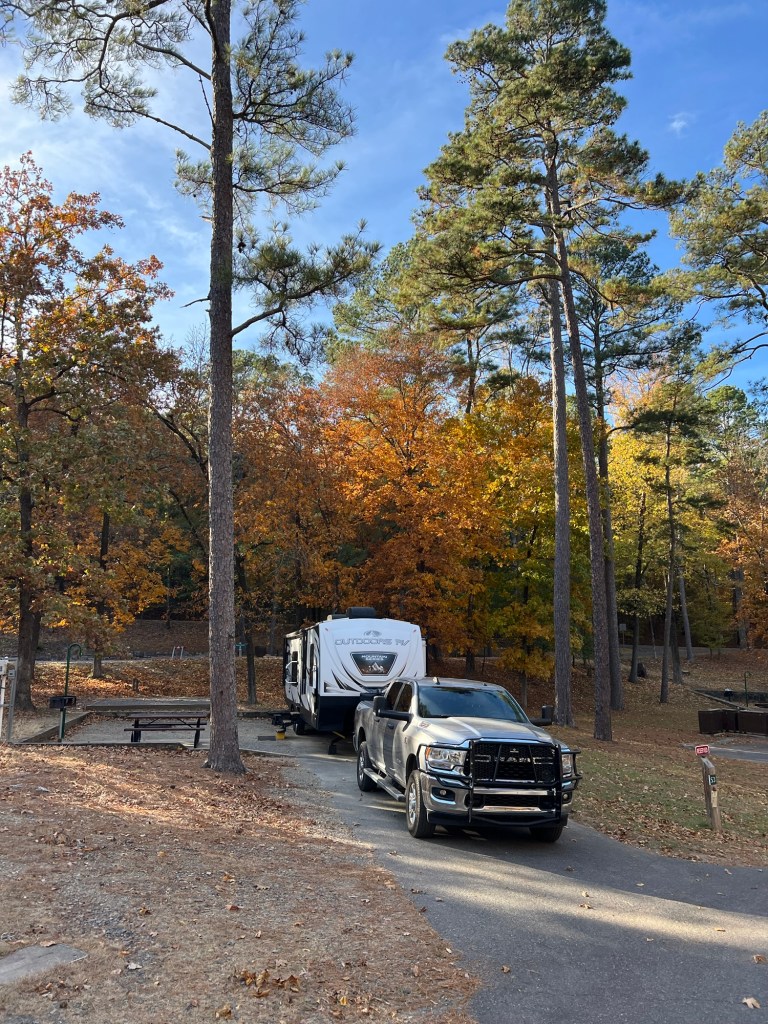
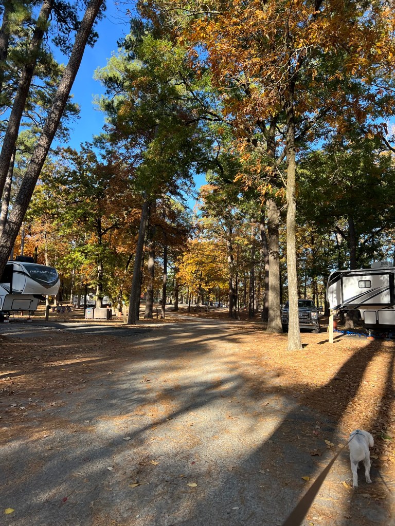
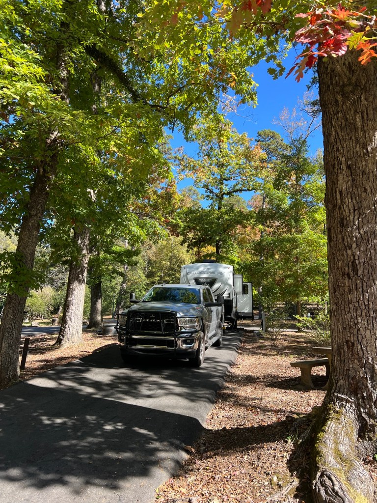
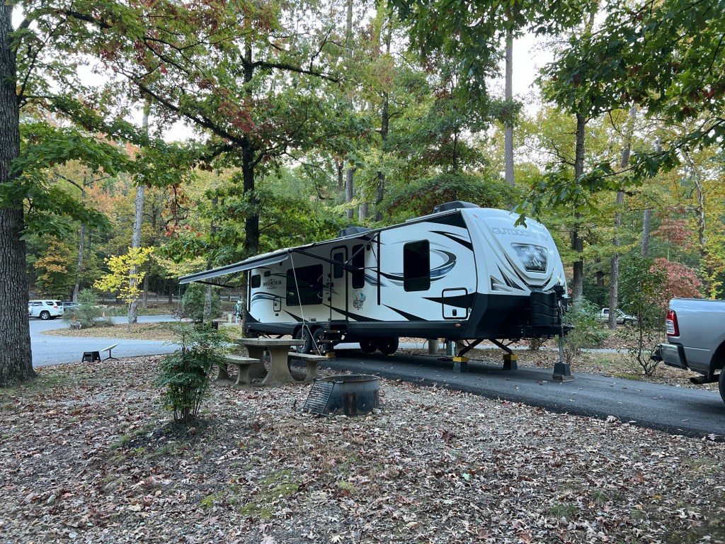
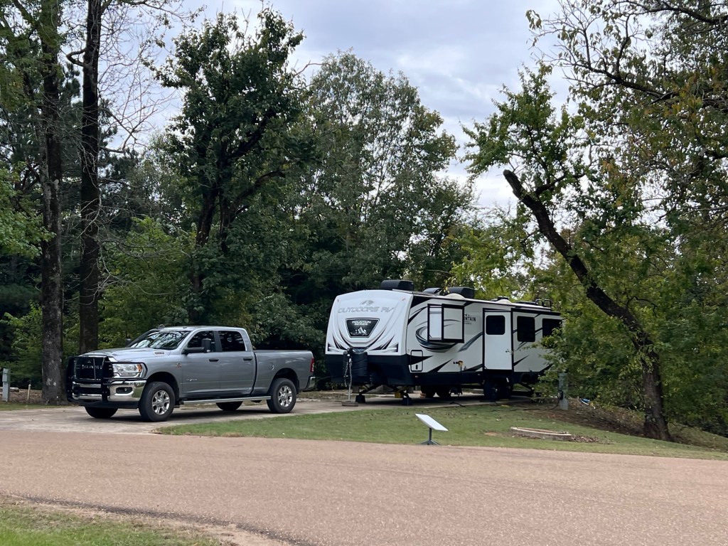
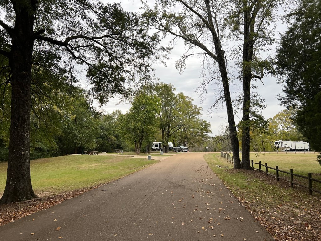
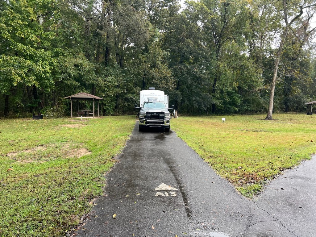
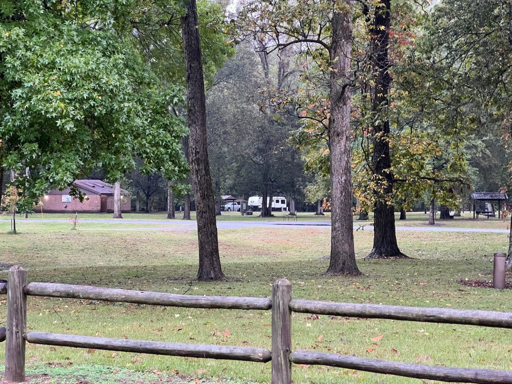
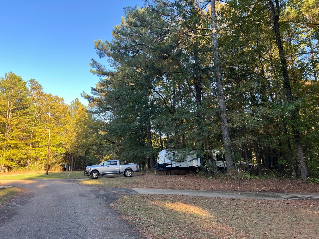
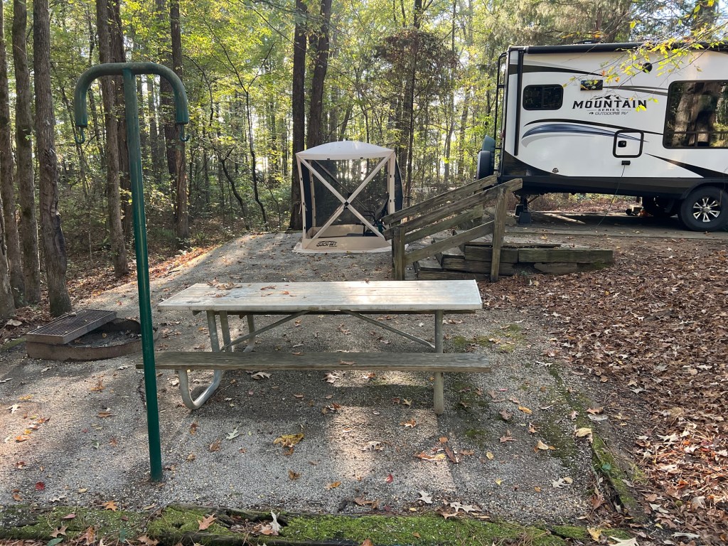
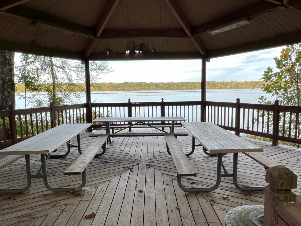
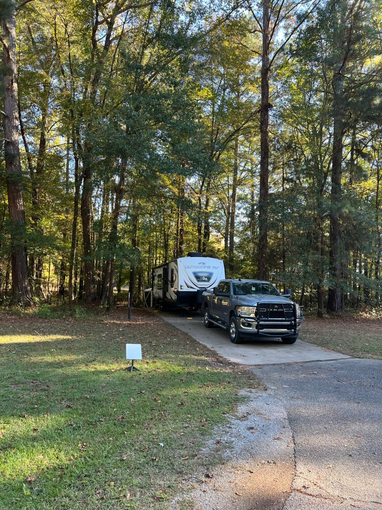
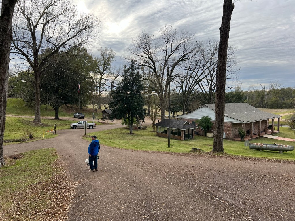
There’s the park, with its two campground loops. The woman at check-in told us we could take any open site, they all had water, sewer and 30 and 50 amp electrical service and they all would fit our trailer.

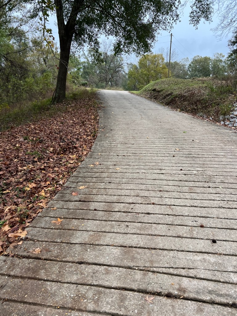
We chose the upper loop; the hill was steep enough to warrant traction grooves in the concrete pavement.

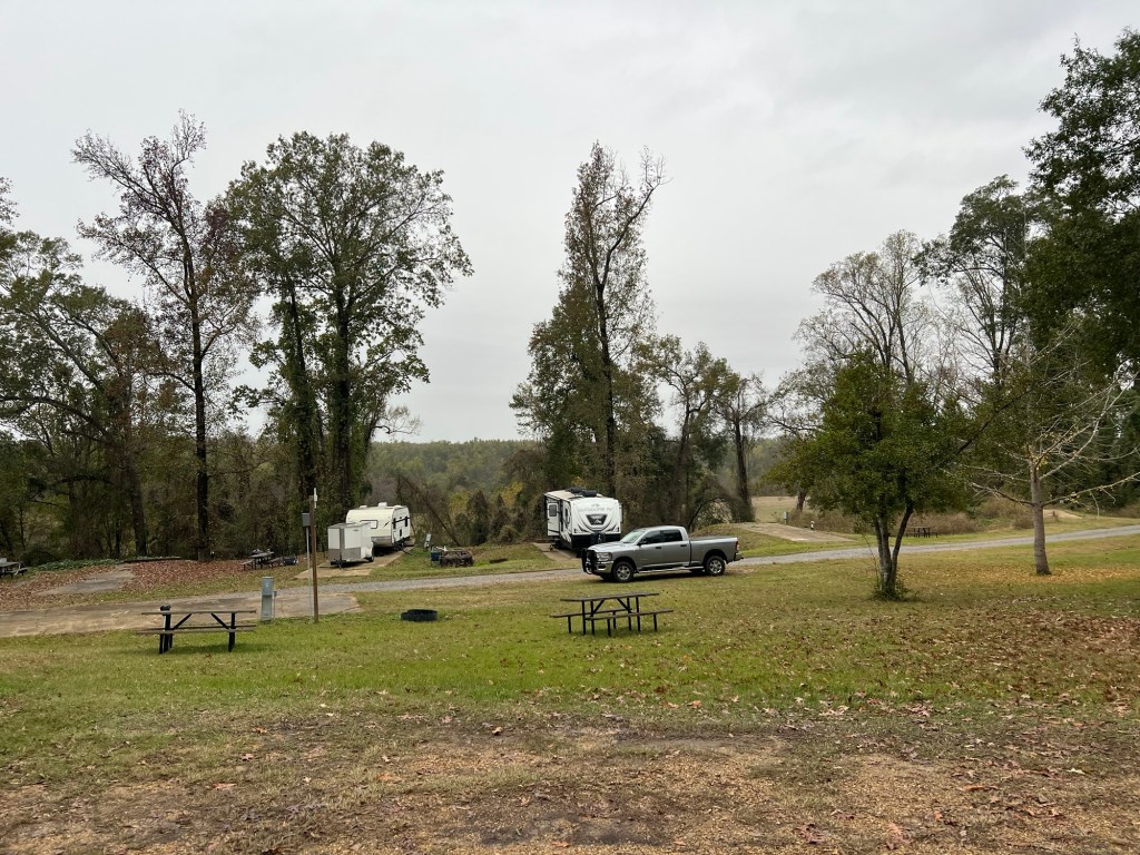
The sites are old but level and the services all work, and it costs just $30 per night for seniors.

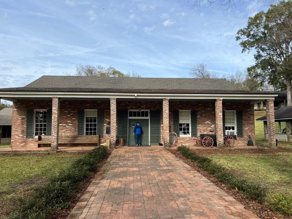
The main part of the park is a historic site with a museum and a number of buildings. We found out our camping fee includes admission to the museum and the rest of the site.

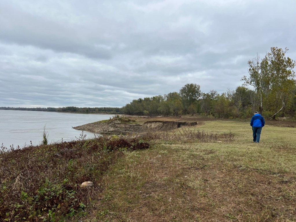
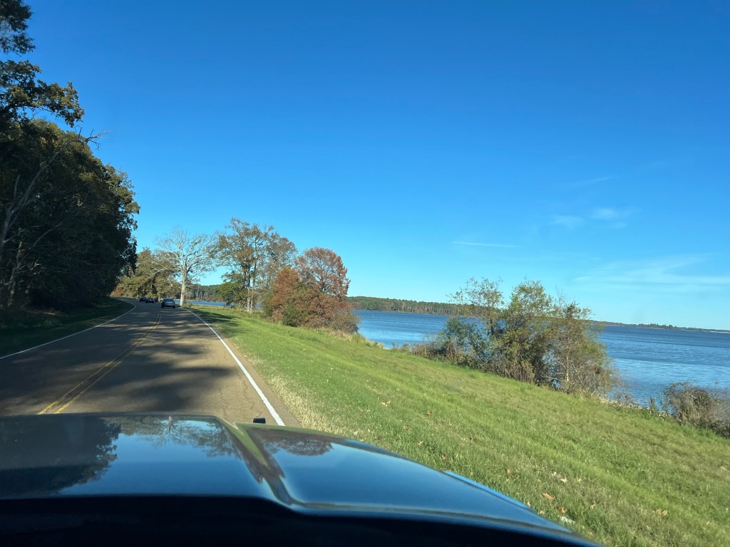
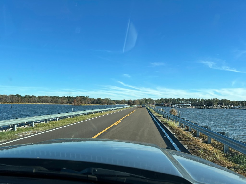
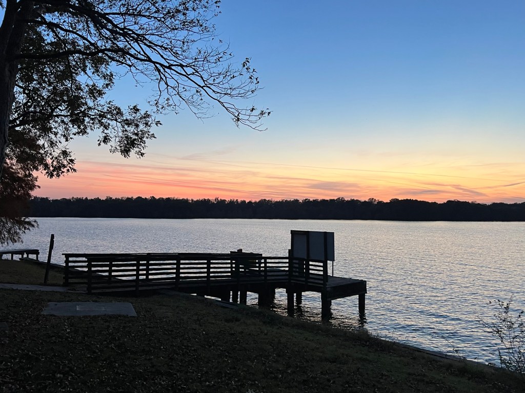
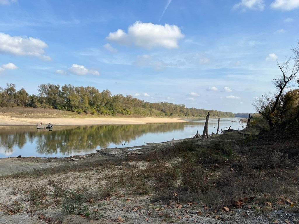
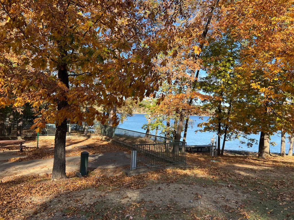
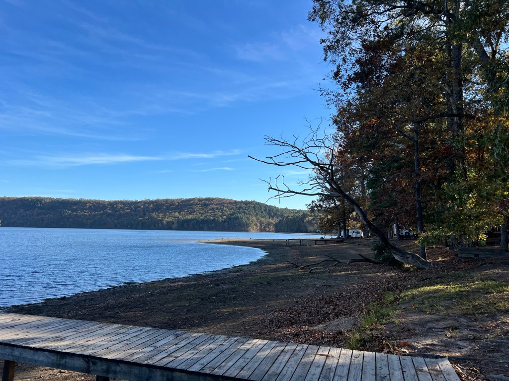
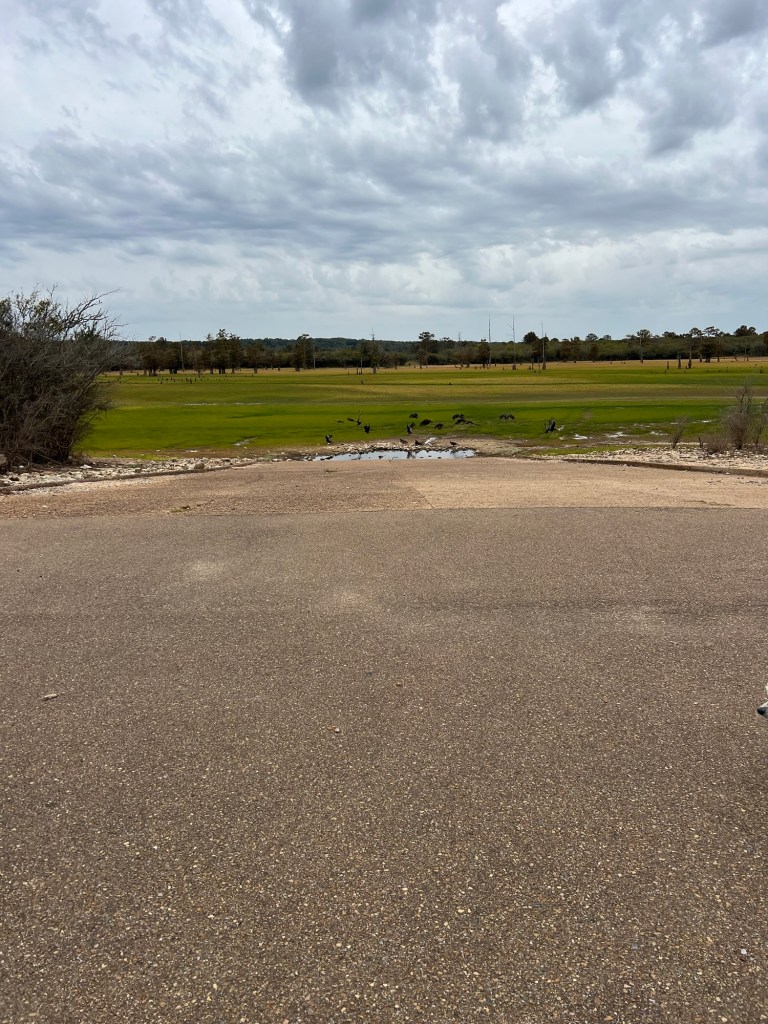
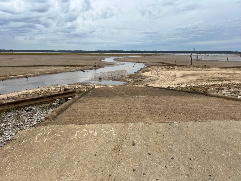
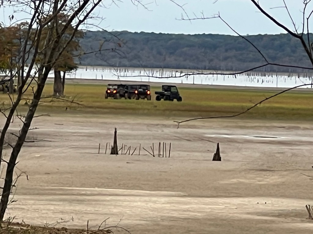
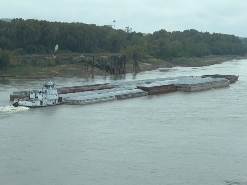
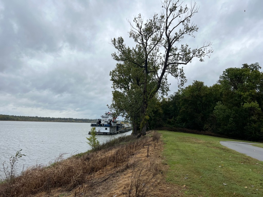
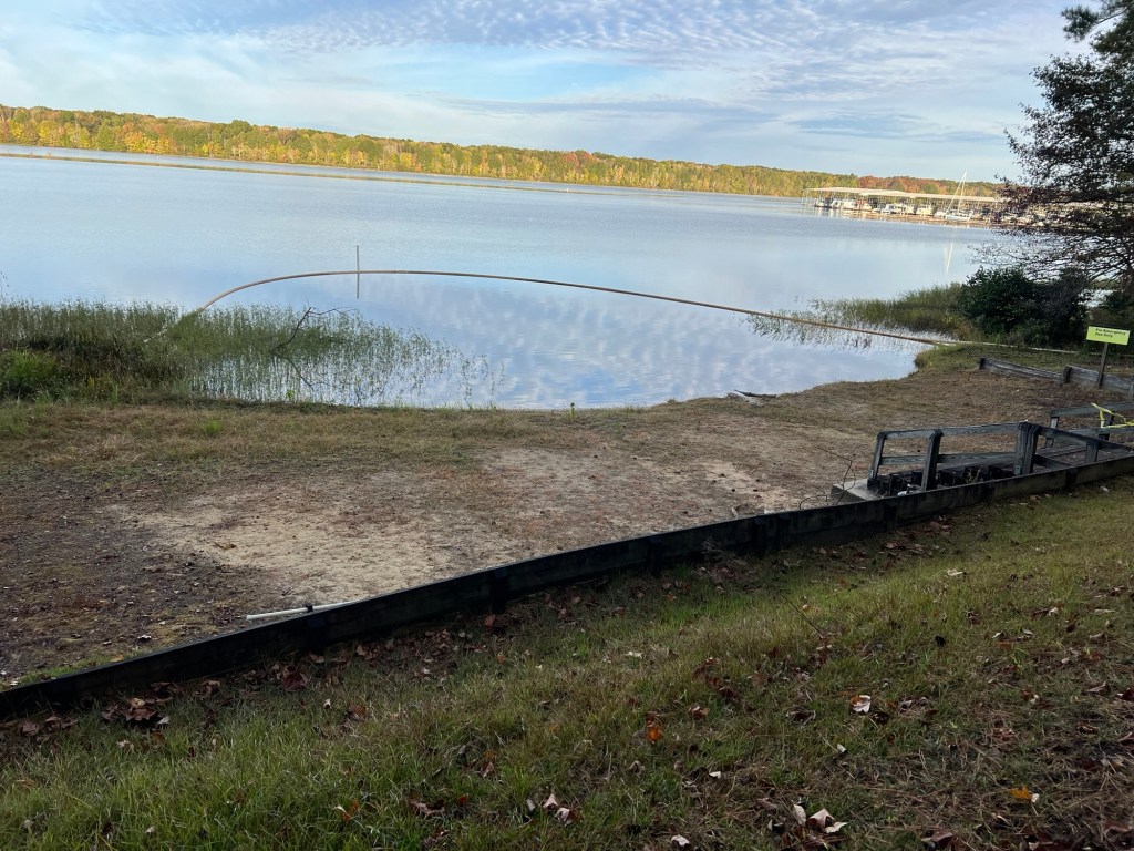
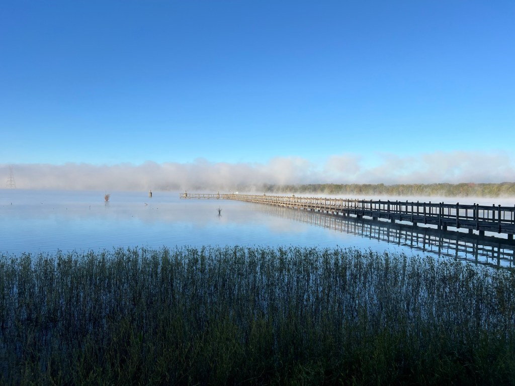
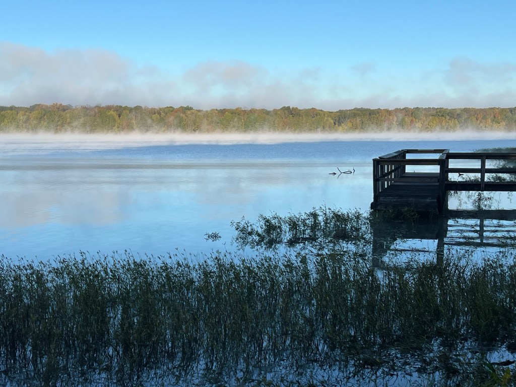
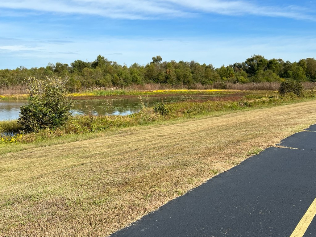
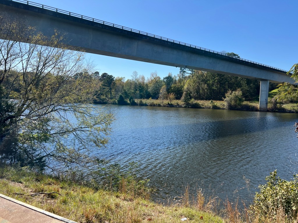
The first day we were here it was too cold to explore the grounds on foot, so we took a bit of a drive. We took a short dead end road to the Mississippi River. It turns out this wandering river, which is the reason the town was built, is a major part of the reason the town no longer exists. By 1840 the town had about 1,000 people, two newspapers, a hospital, numerous businesses and several churches and was shipping thousands of bales of cotton. Then in 1843 there was an epidemic of yellow fever. Added to that there was a devastating tornado less than 10 years later. But the river dealt the fatal blow. Between 1855 and 1860 the river changed course and ate away 55 city blocks. By 1860 there were only 132 people left. Now the river has moved west, leaving the remnants of the town about a half mile from shore.

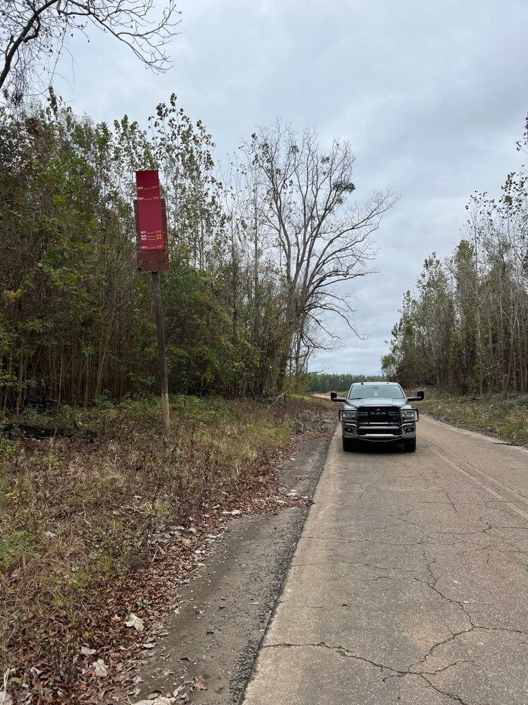
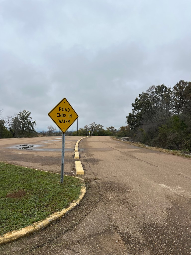
But the river isn’t done messing with Grand Gulf. This sign is along the road to the river, more than a tenth of a mile from the shore.

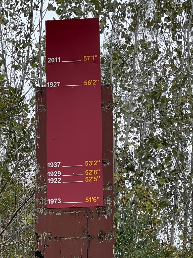
The sign shows flood heights from 1922 until today. The worst flood was in 2011, when the waters rose 57’ 1” above flood level.

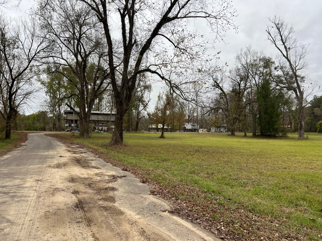
Any permanent building on the old town square is up on stilts – high up on stilts.

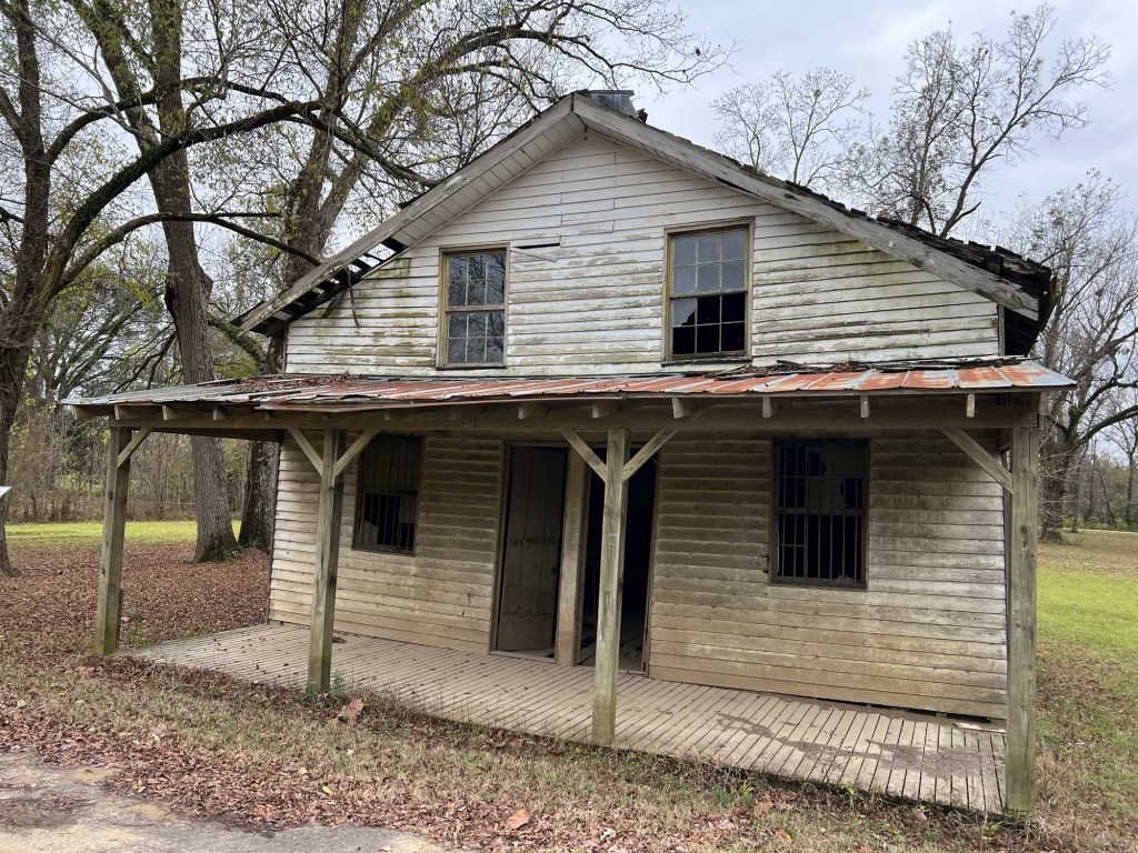
This is the only building at ground level and it has been abandoned for years. It had to have been built after the Civil War because the Union burned the few remaining buildings during that war.

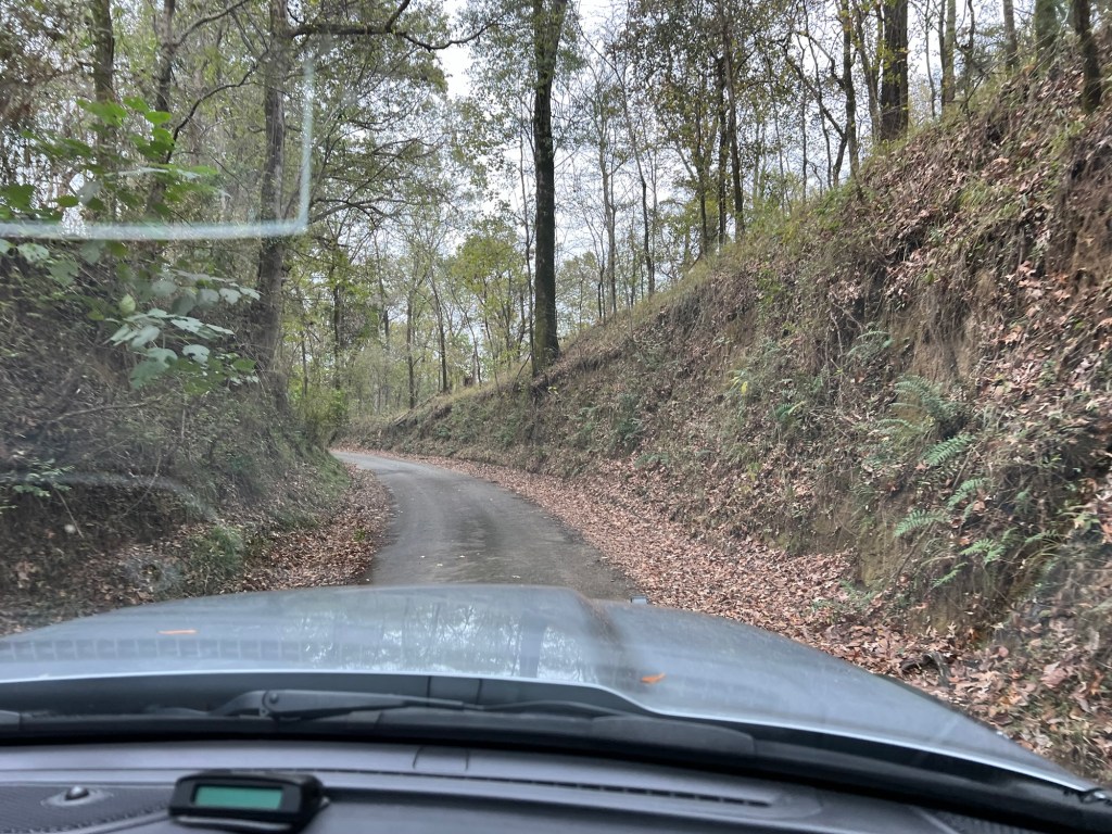
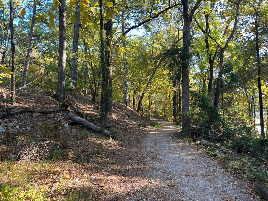
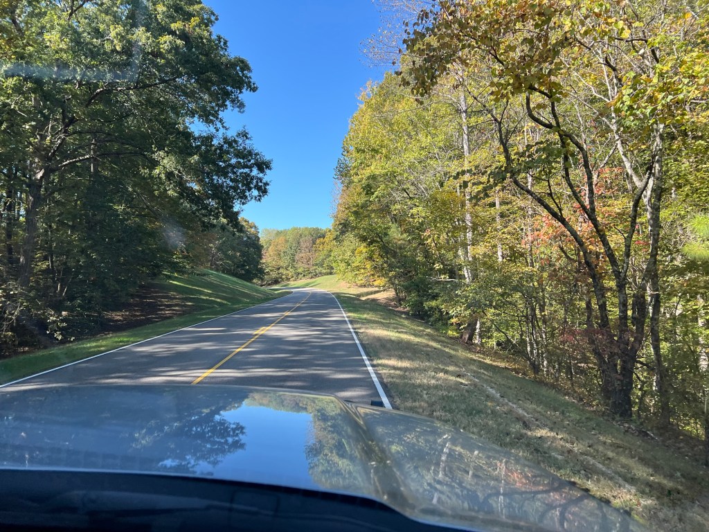
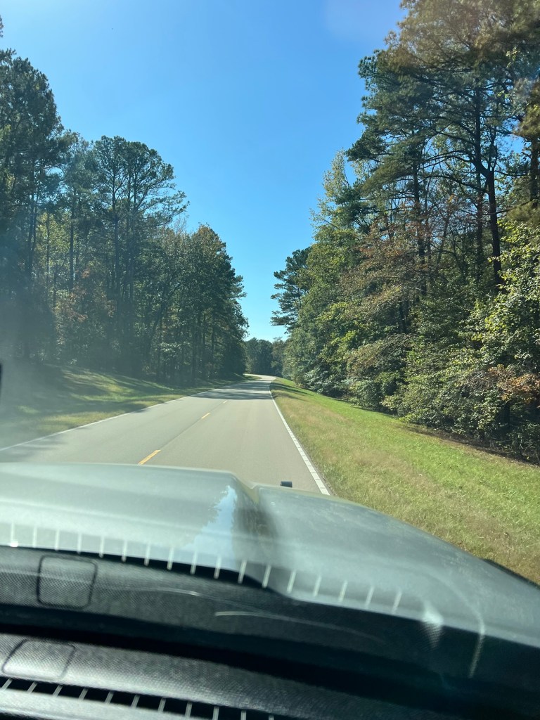
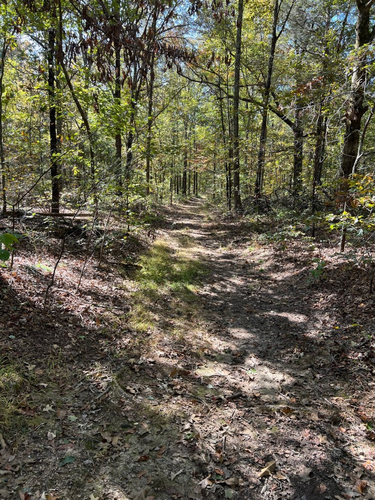
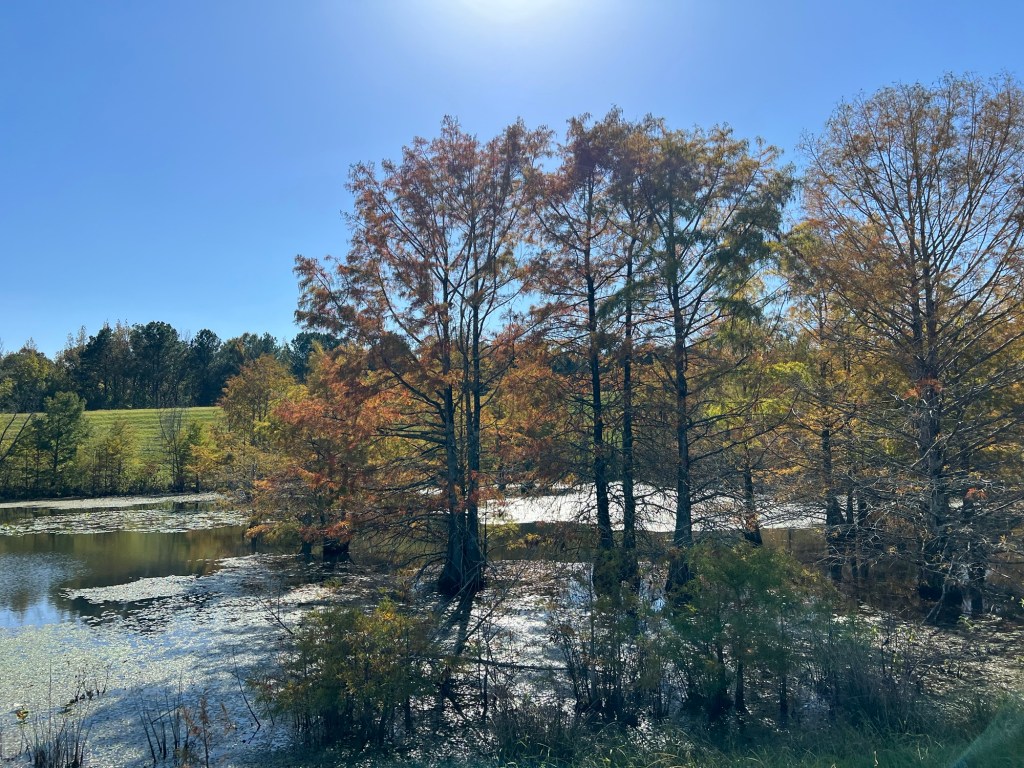
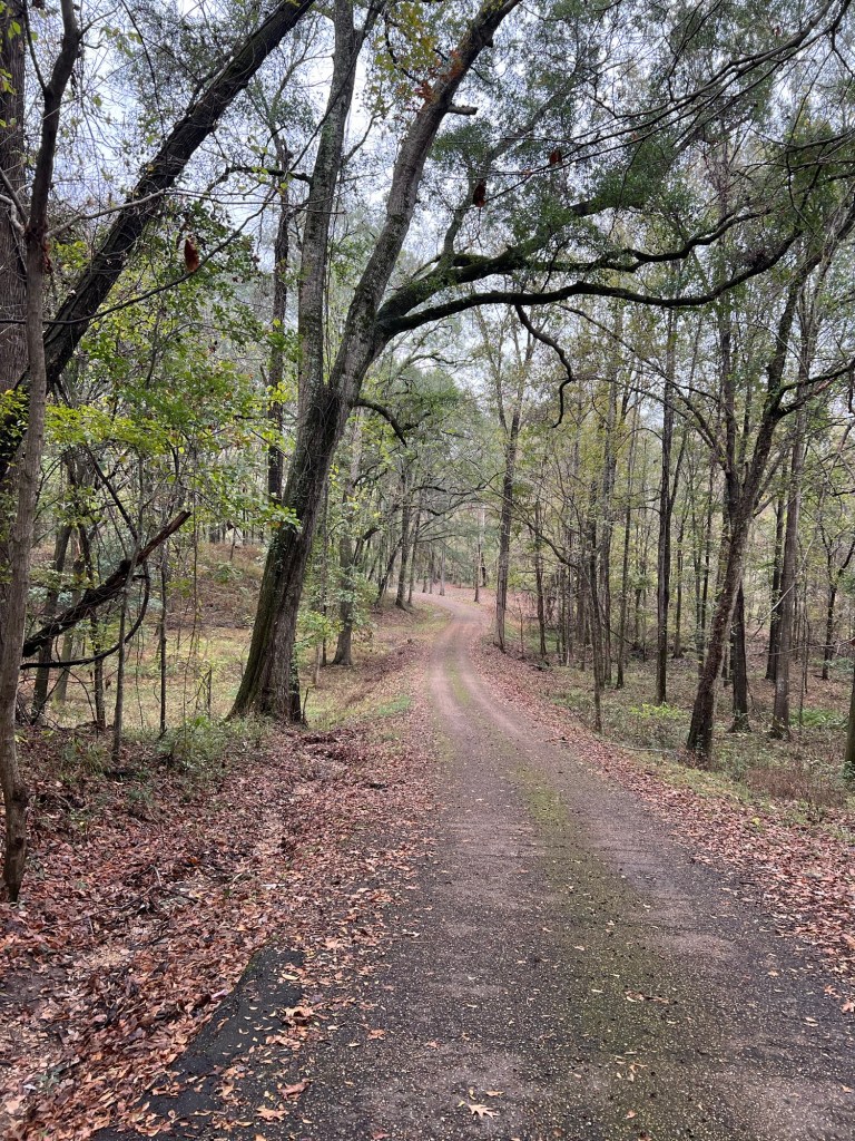
We drove out of town on Back Grand Gulf Road, and it is, indeed, a back road. Parts are down in narrow gullies…

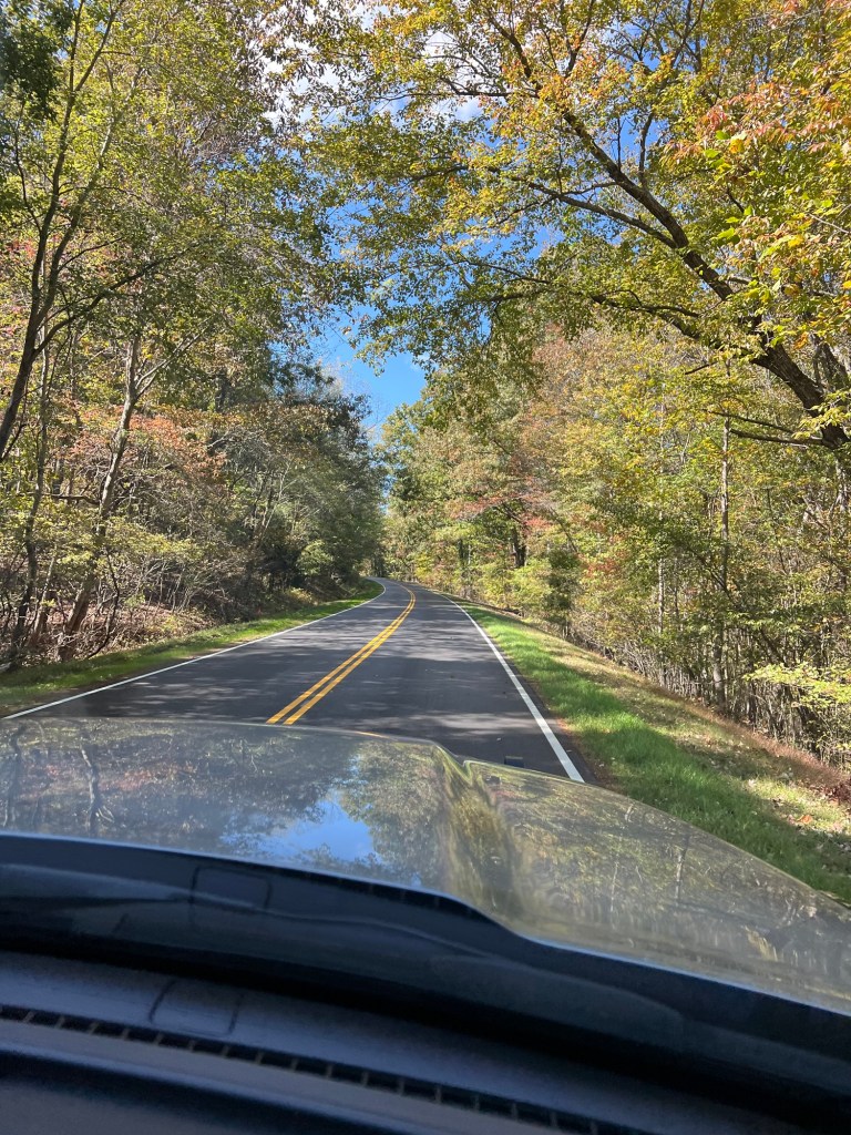
and parts are on ridges between even deeper gullies. This part was obviously repaired after it eroded.

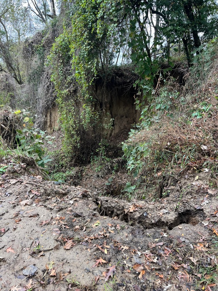
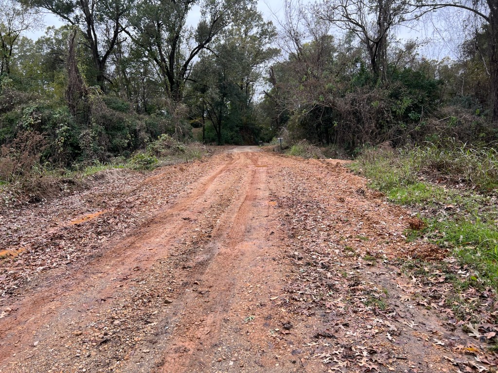
The land at the edge of the repair is still breaking away.

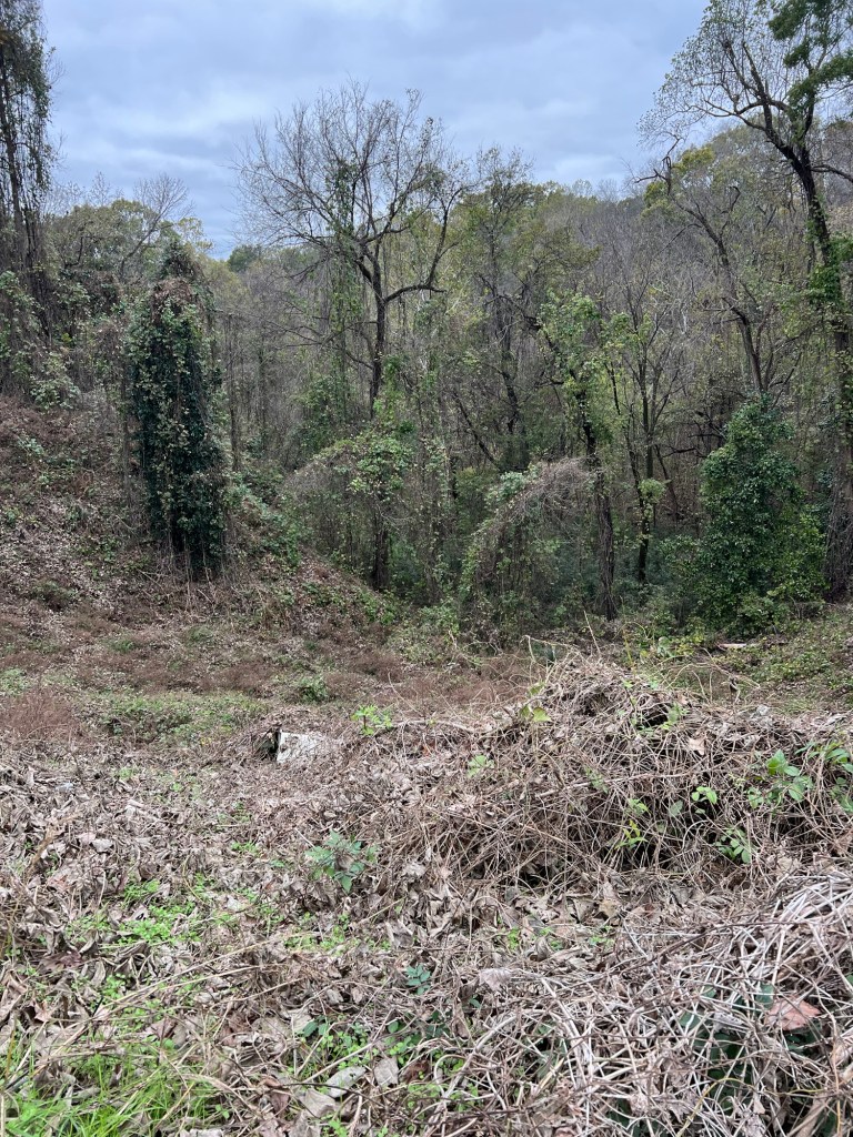
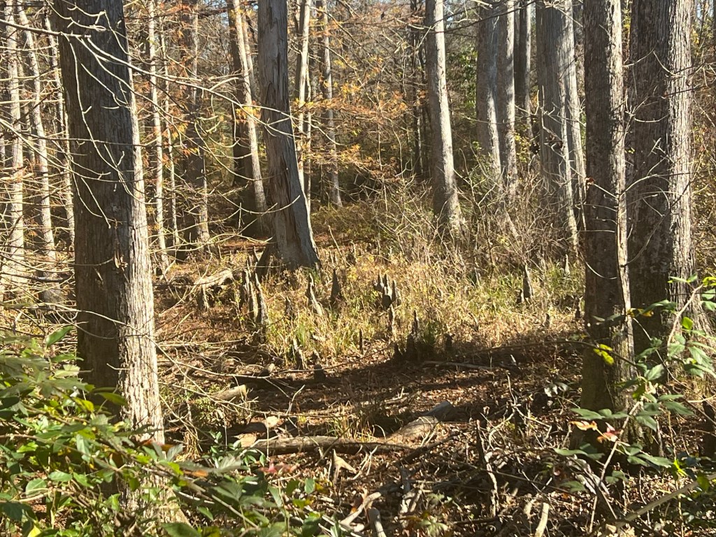
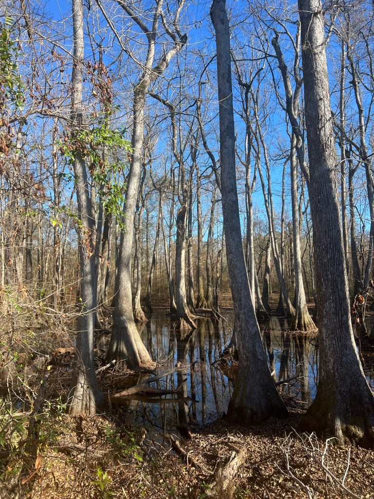
All the land here is crumbling hills and steep eroding gullies. Much is covered with Kudzu, but the Kudzu smothers the trees and the erosion continues.

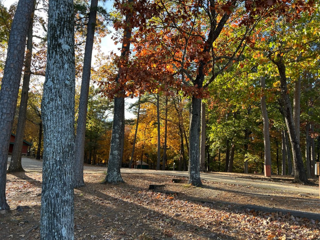
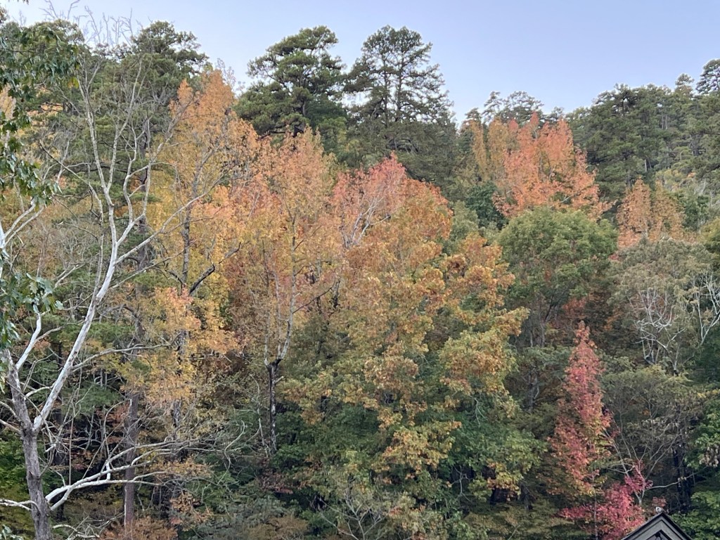
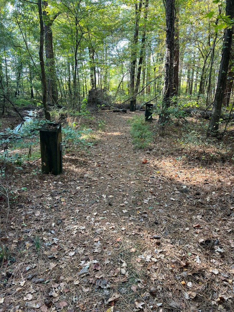
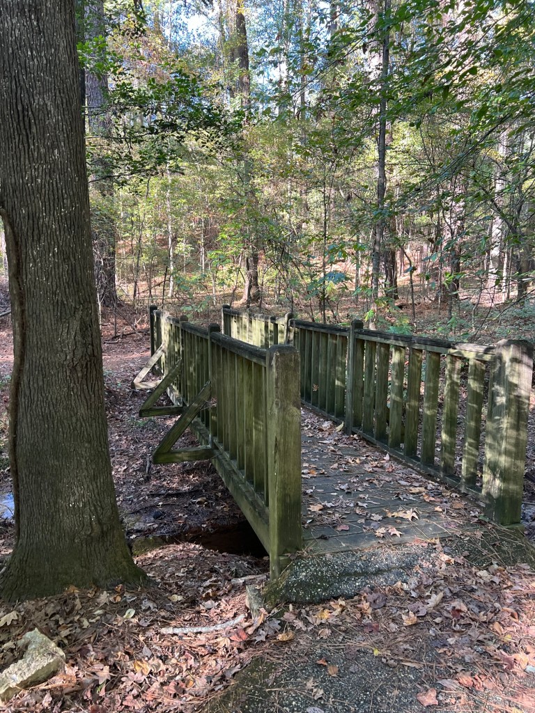
Although it was only in the lower 50’s and still mostly cloudy, yesterday may well have been our best weather day for our week long stay. We decided to tour the site. There was a lot to see.

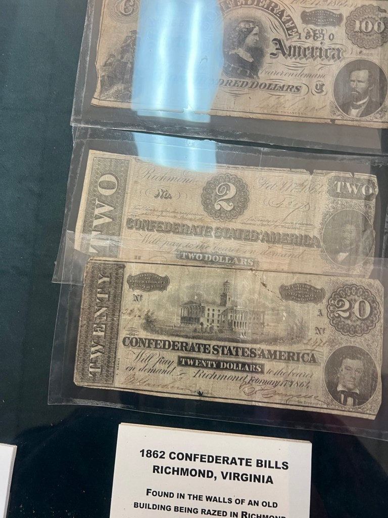
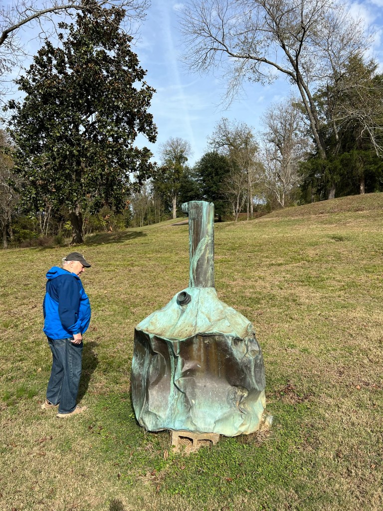
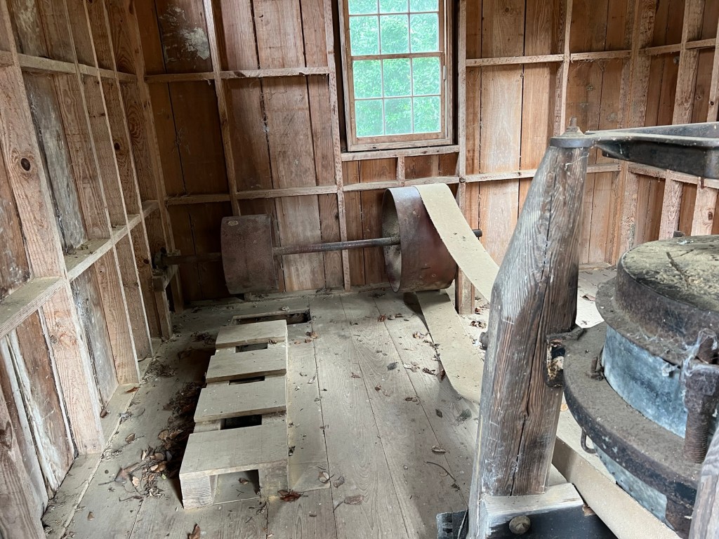
The museum is mostly filled with old Civil War paraphernalia.

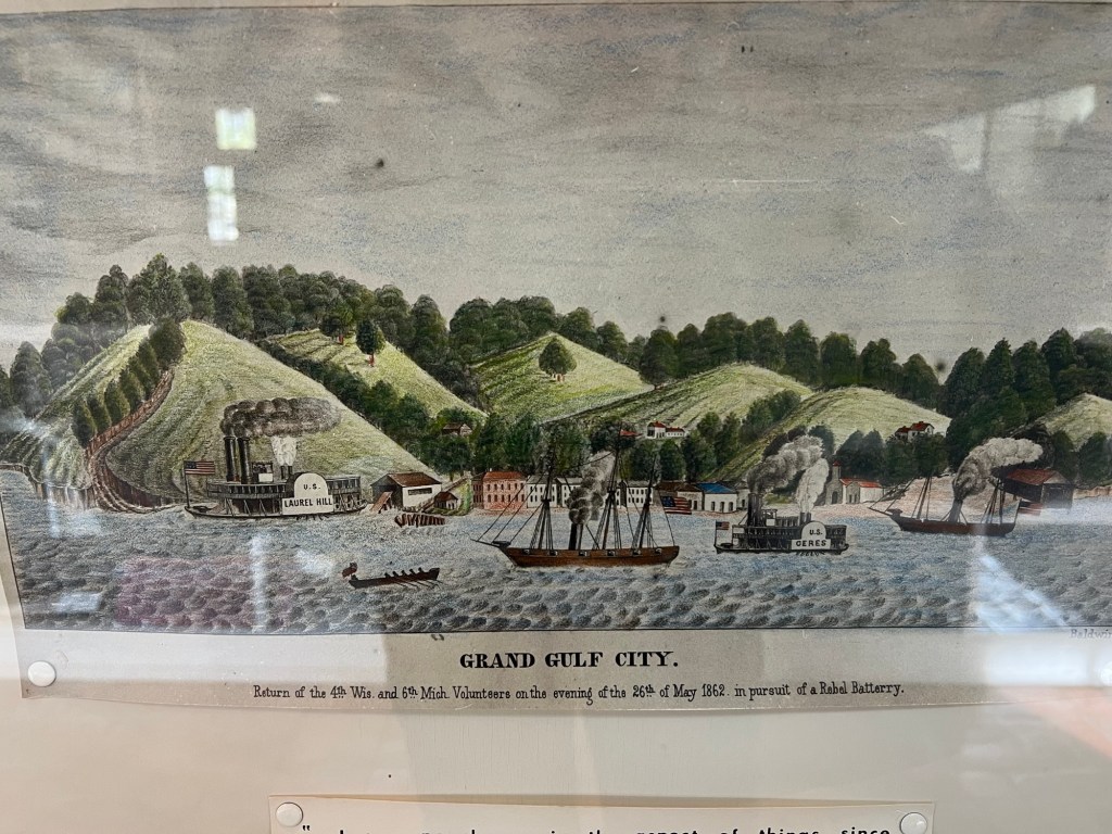
The city might have been mostly gone but it was still a good landing spot. Grant wanted to land here to march north and attack Vicksburg from land. Vicksburg was the only remaining city on the Mississippi not yet taken by the Union and the key to splitting the South. The bluffs behind Grand Gulf proved as good a defense as the bluffs at Vicksburg and the Union gunboats were repulsed. But Grant just went further south, crossed at an unfortified place, marched overland and took Port Gibson cutting the Confederates off. Grand Gulf fell and was used by the Union as a staging place for the siege of Vicksburg. The remaining buildings were burnt and that was pretty much the end of the town.

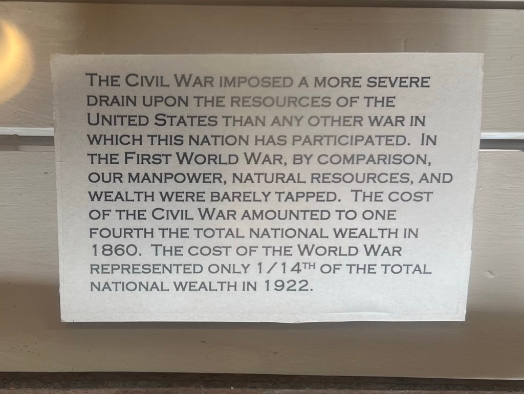
I was stunned by this sign. One fourth of the total wealth of the country went to the cost of the Civil War in 1860. It’s hard to imagine what that would have been like to live through.

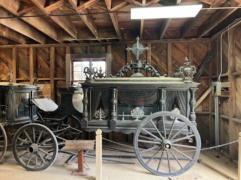
Outside there are a number of buildings. The old carriage house has two horse drawn hearses from New Orleans.

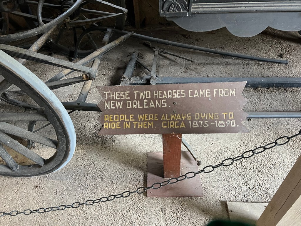
I liked the sense of humor of those who made this sign.

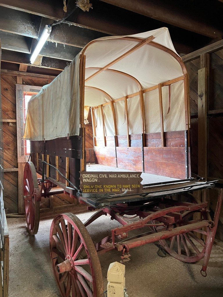
They also have the only known surviving ambulance from the civil war.

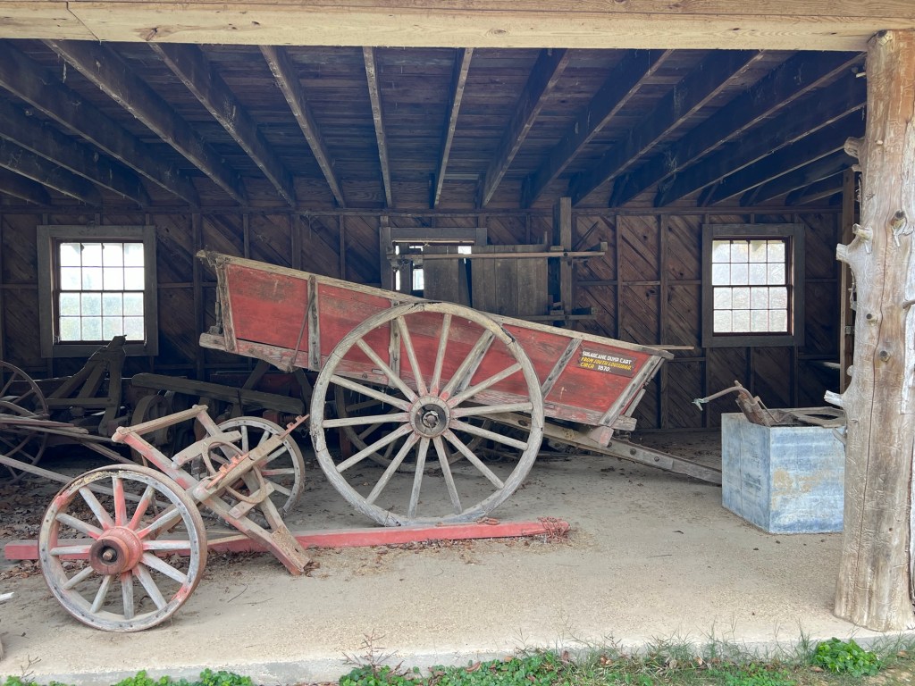
There is a sugar cane dump cart from 1870,

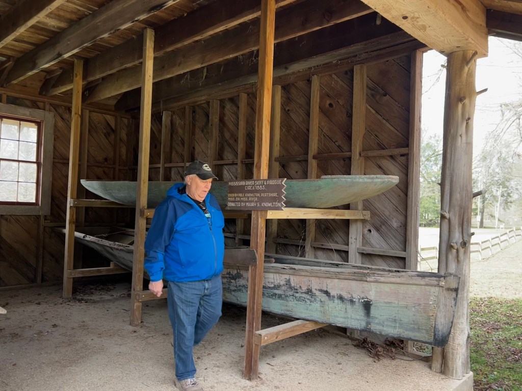
a skiff and a pirogue from 1885,

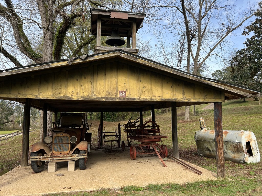
and a shed with a 1923 fire truck and an 1890 hand hauled ladder wagon from Port Gibson.

This old still has no sign. We wondered if the damage was from “revenuers”.

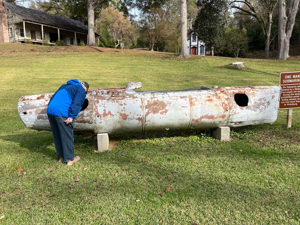
Continuing the same theme is this one man sub that was powered by a Model T engine and used to bring bootlegged liquor from Davis Island to Vicksburg during prohibition.

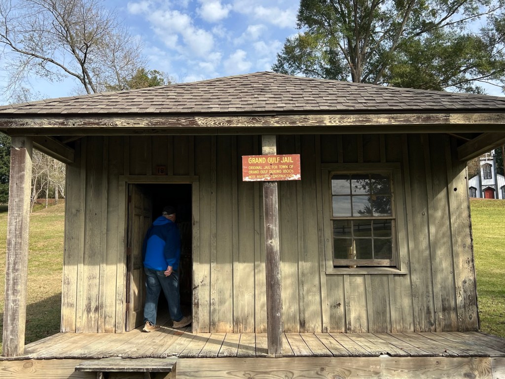
And then there is the old Grand Gulf jail…

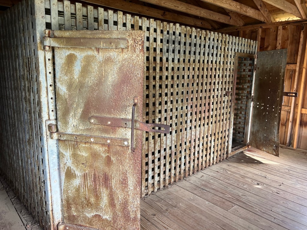
with its riveted cells.

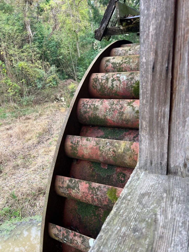
There is an old water wheel,

which surprisingly, had been built to generate electricity in 1948.

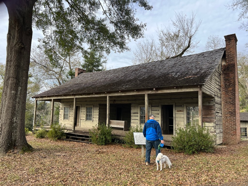
There are two houses on the grounds. This dog trot house was moved from the extinct town of Scotia. It was built in 1768 by Thomas Foster.

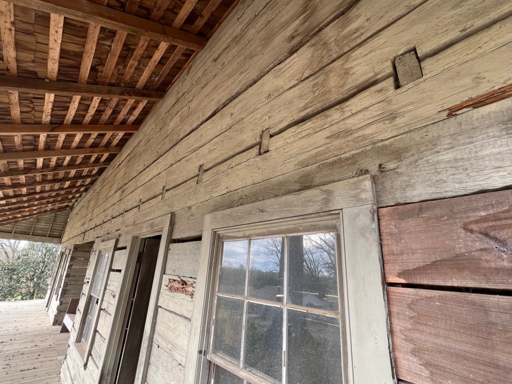
The heart pine logs above the doors are single logs 52 feet long and still sound 250 years later.

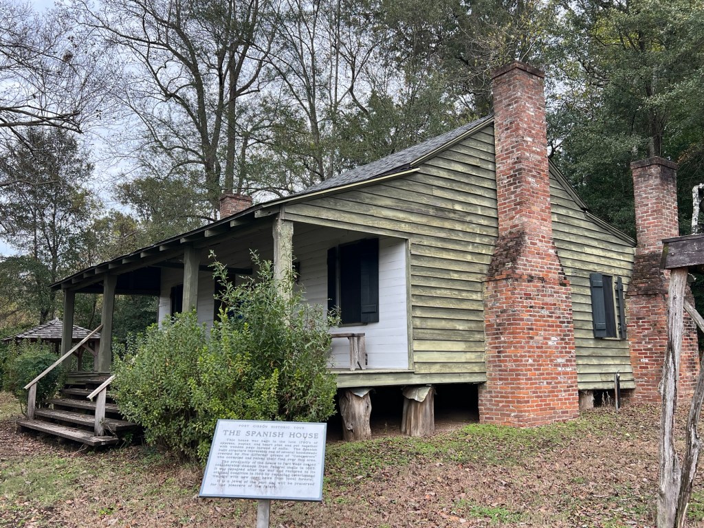
The only building on its original site is the Spanish House, built in 1790. It was damaged in 1863 during battles fought here, but has been restored with local wood.

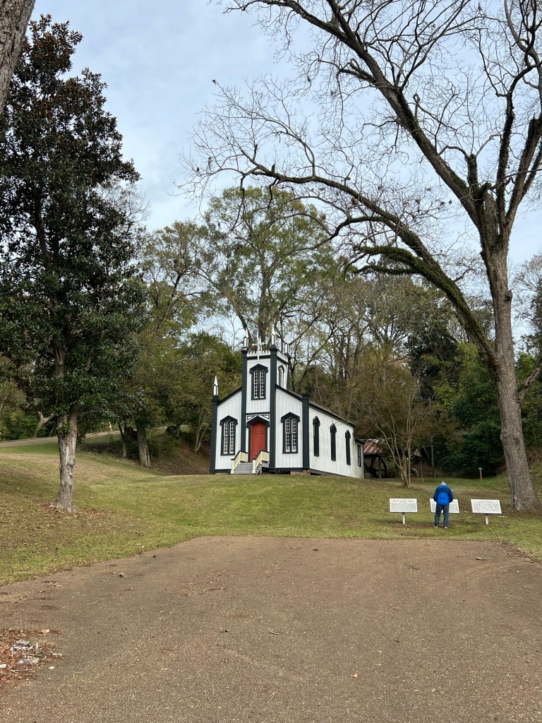
The prettiest building on the site is this old Catholic Church built in 1868 in the town of Rodney.

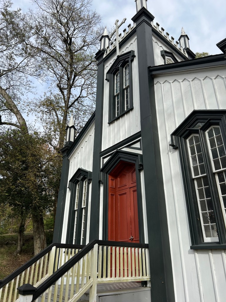
Rodney is another river town that no longer exists. The church was brought here to preserve this excellent example of carpenter gothic architecture.

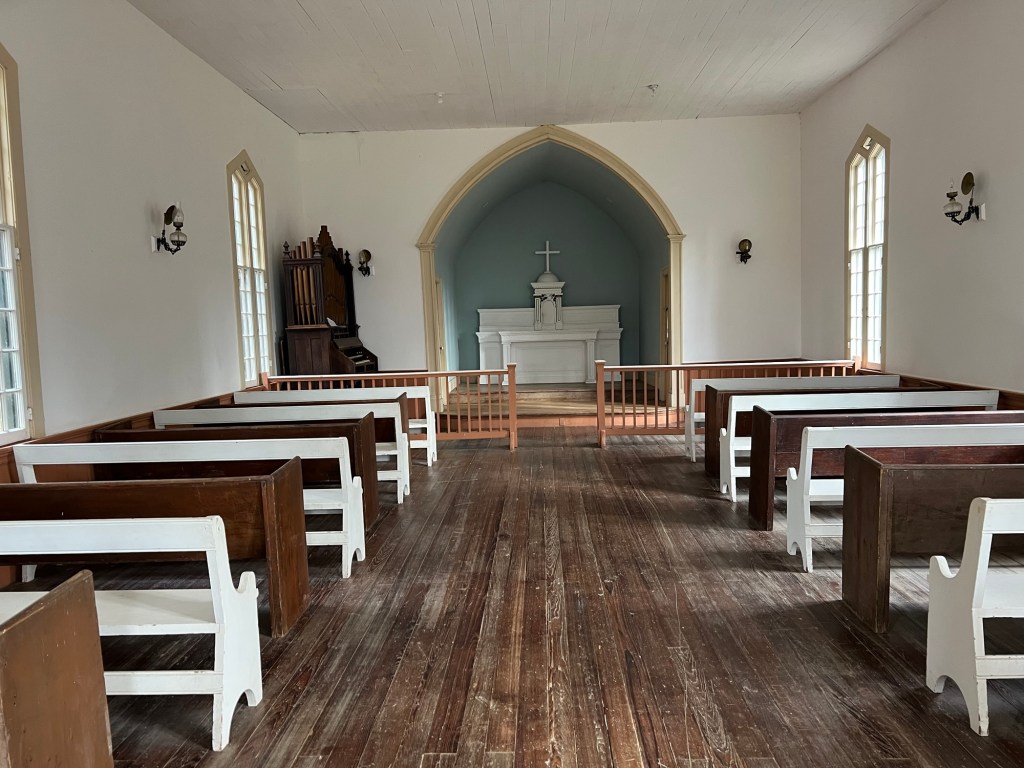
It is still used for some services today.

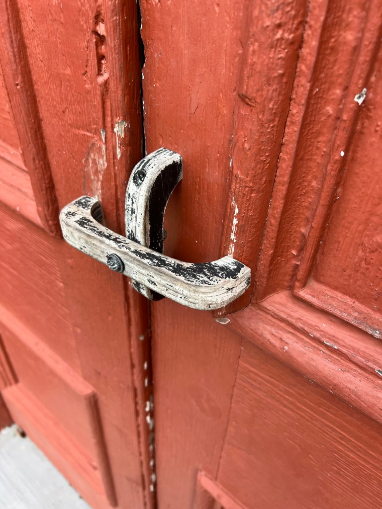
I have never seen a door “knob” like this.

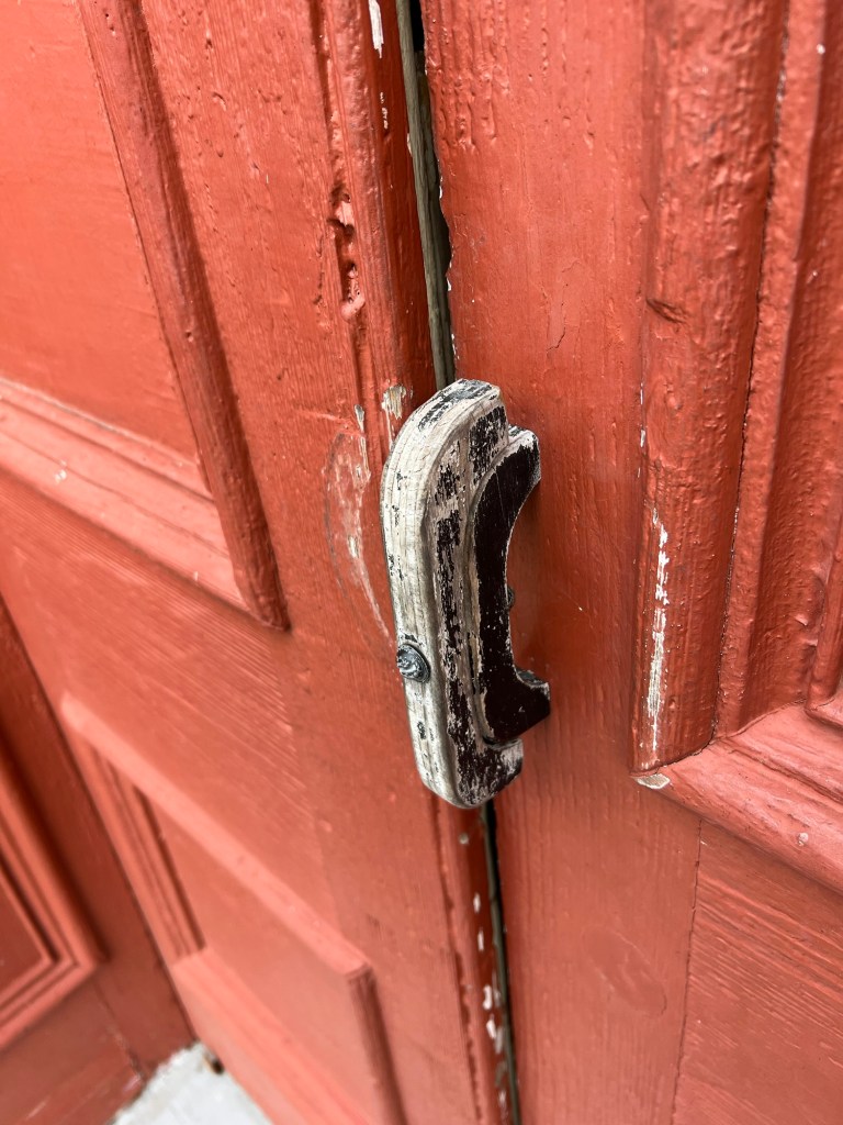
Turn the top piece of wood parallel to the bottom piece to open the door.

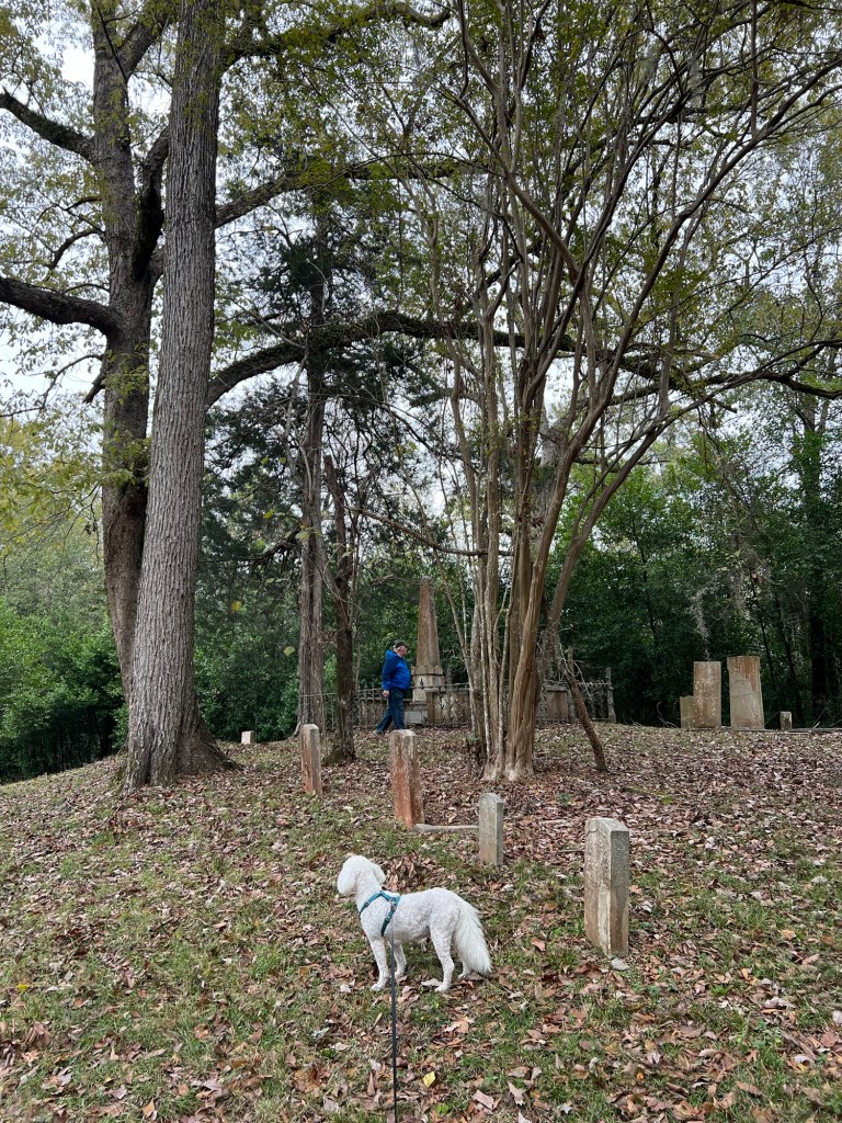
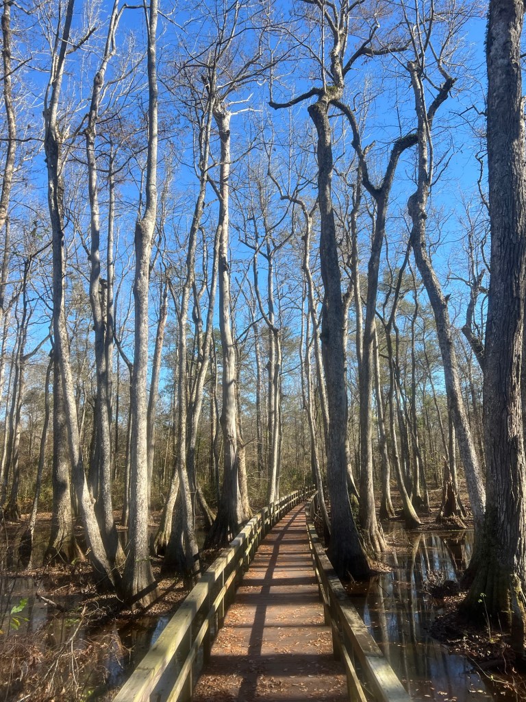
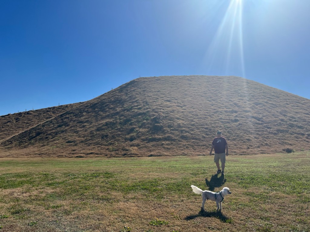
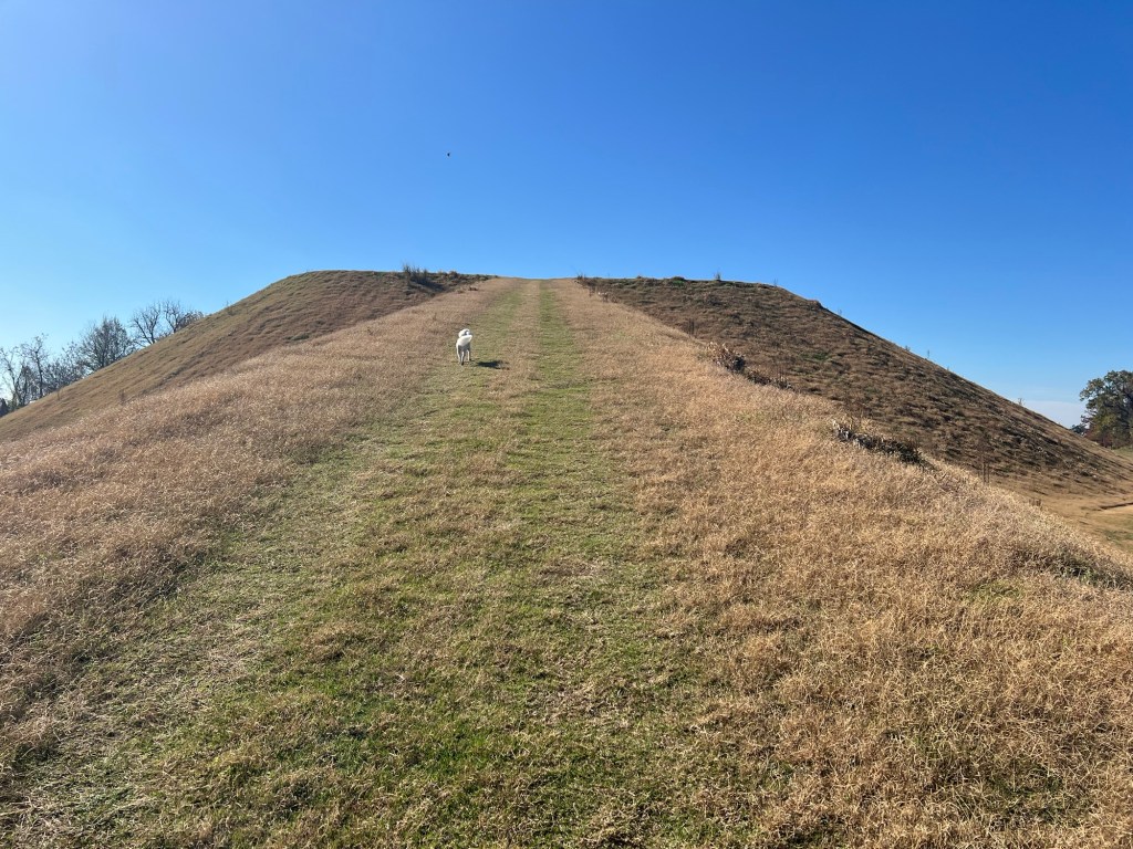
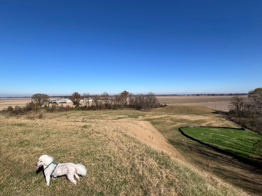
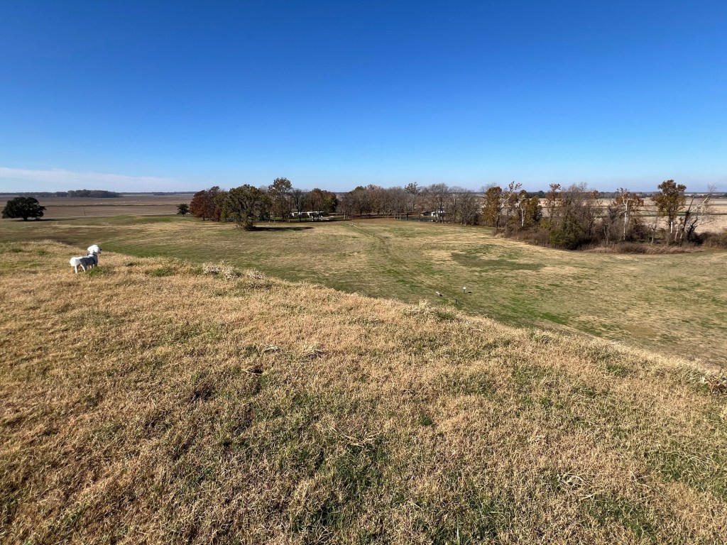
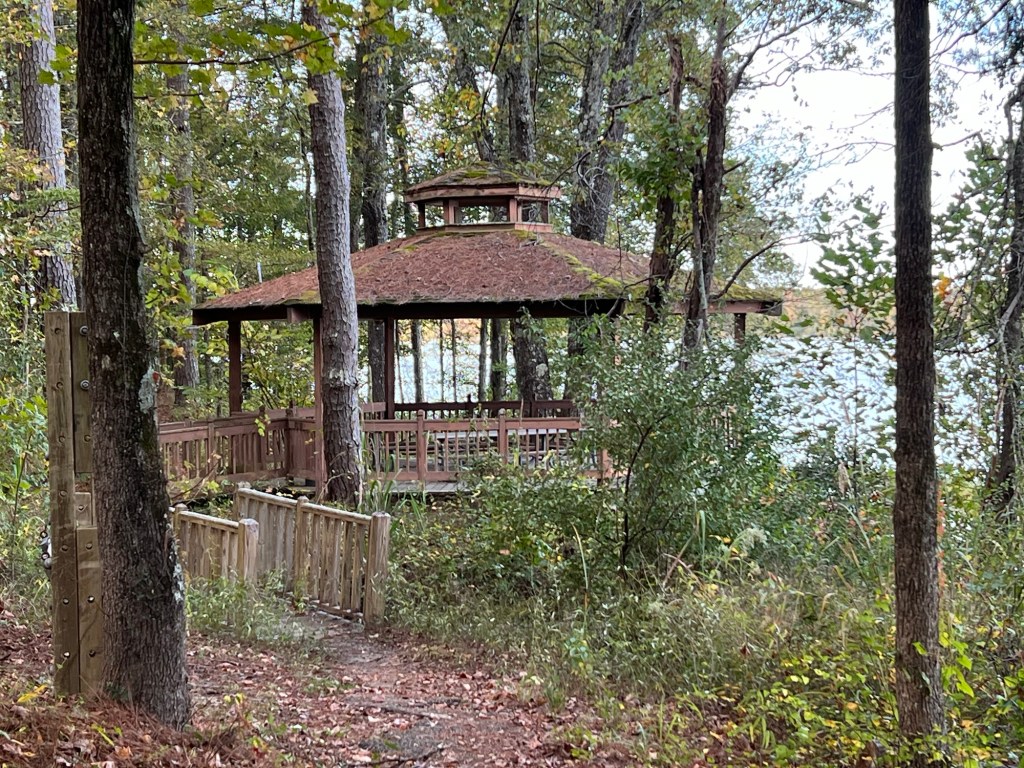
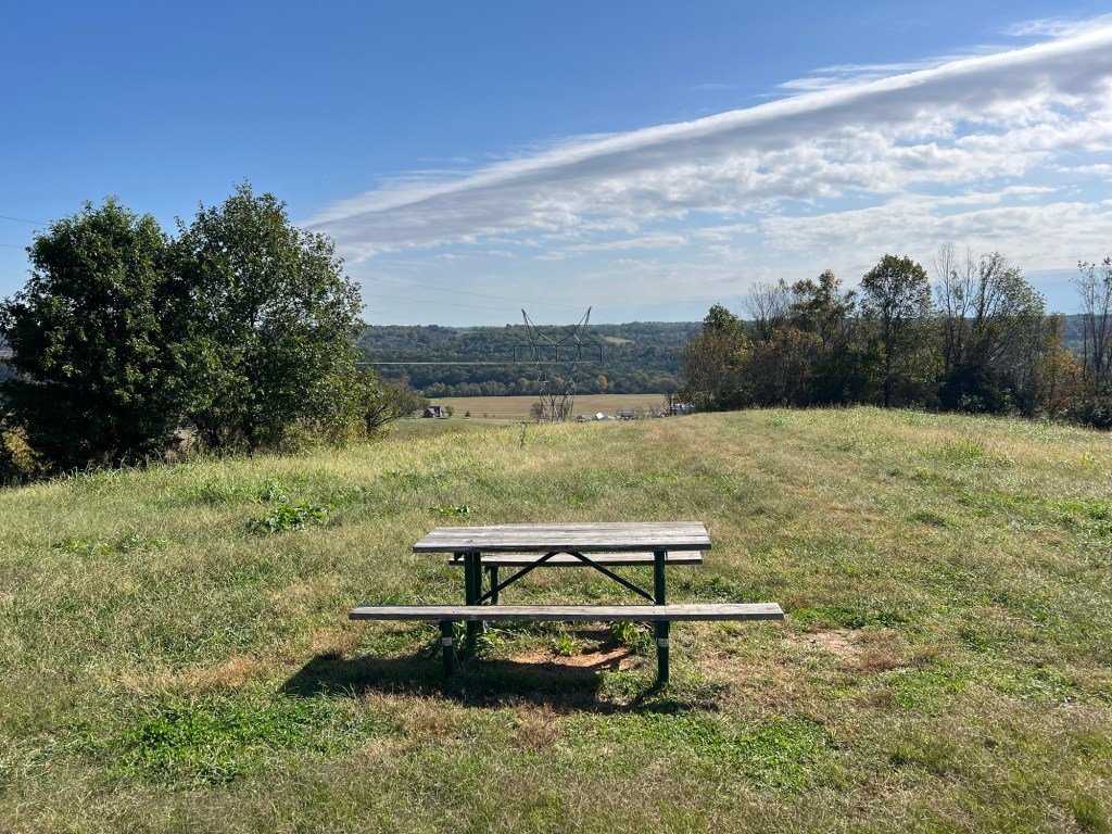
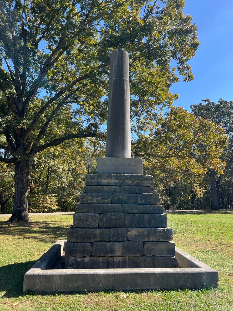
We then drove up to the top of a hill to the old cemetery.

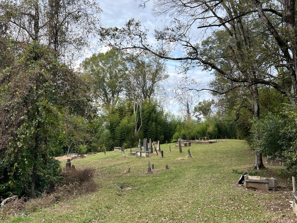
It stretches quite a long ways along the top of the ridge. I’m almost certain some graves have been lost to erosion.

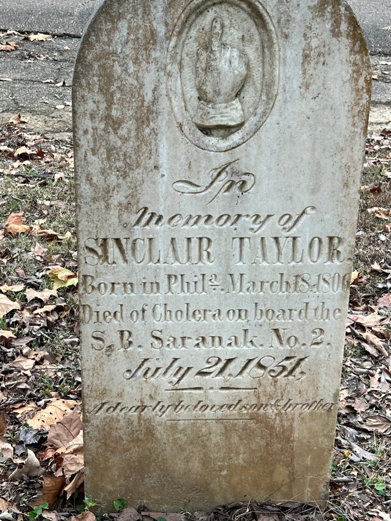
Cemeteries are filled with sadness…

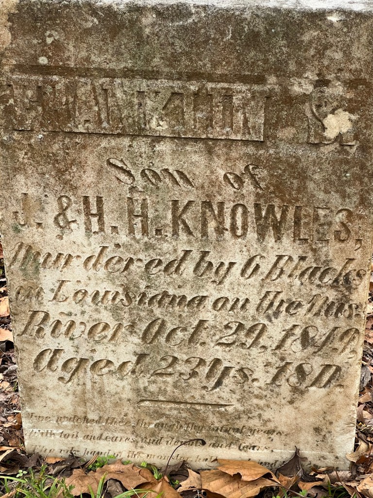
and drama. To be murdered by blacks in the south in 1849 I think this young man had to have been a bad actor.

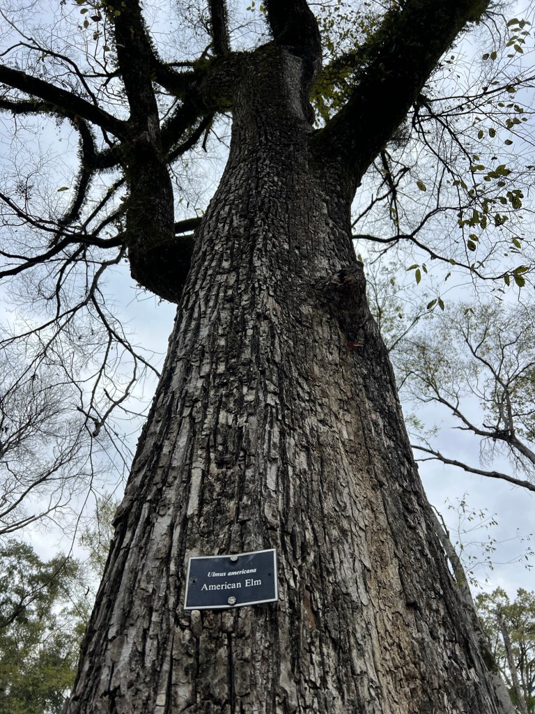
A happier sight was this gigantic American Elm, still thriving.

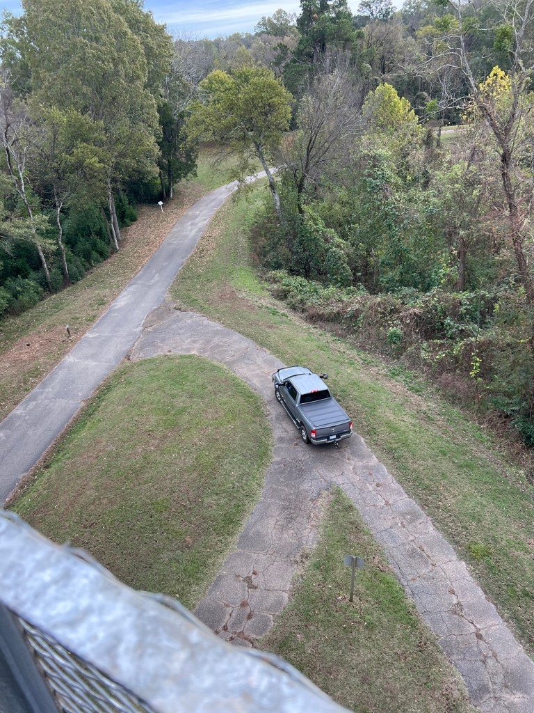
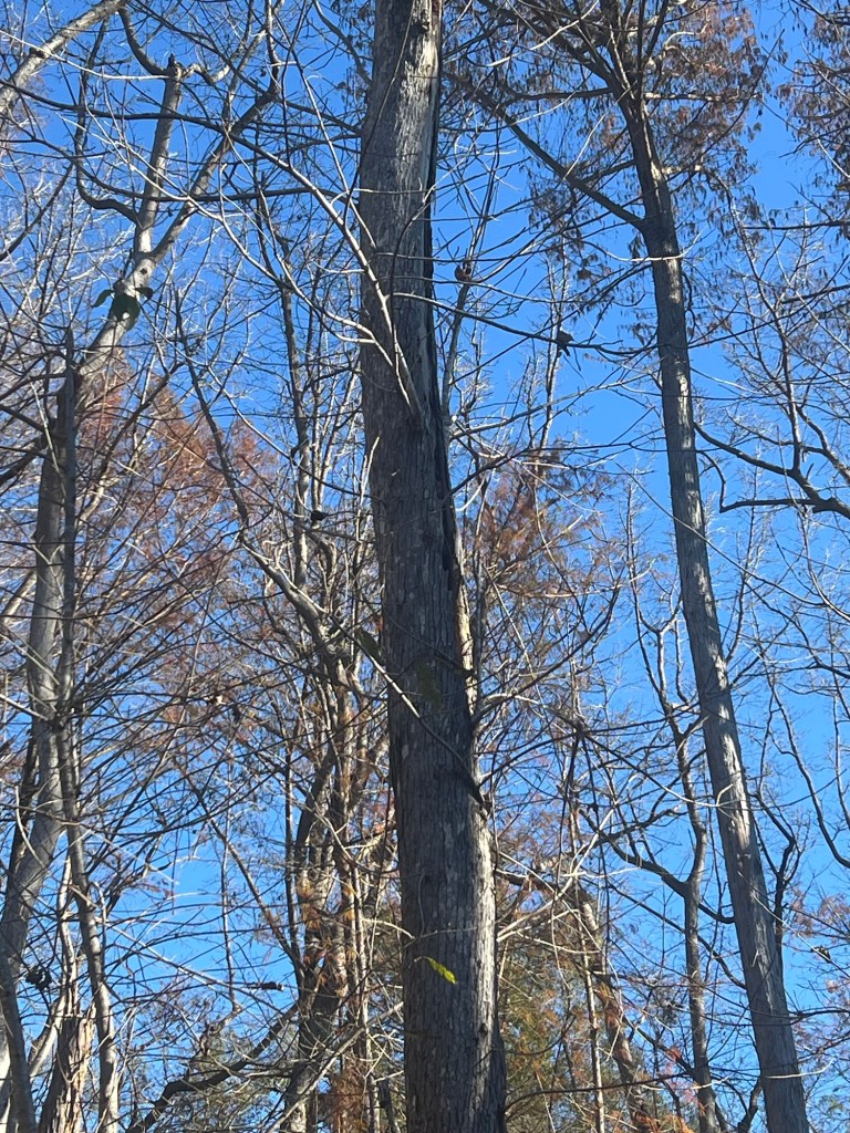
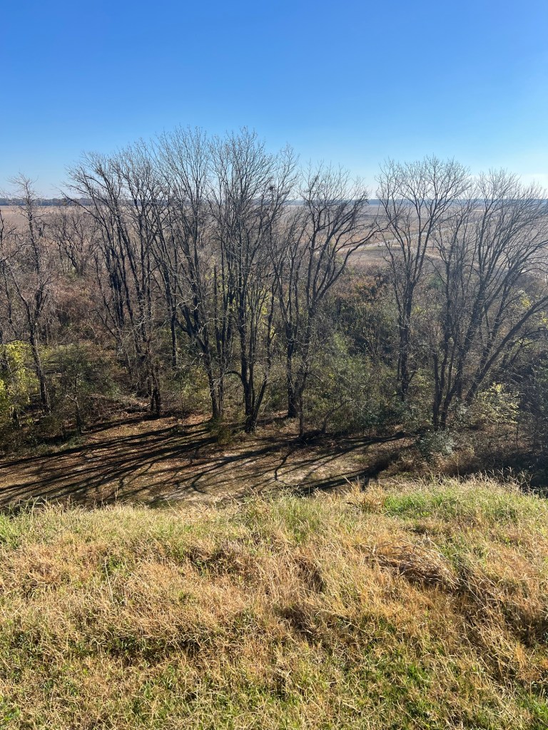
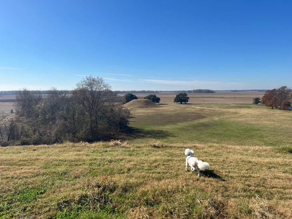
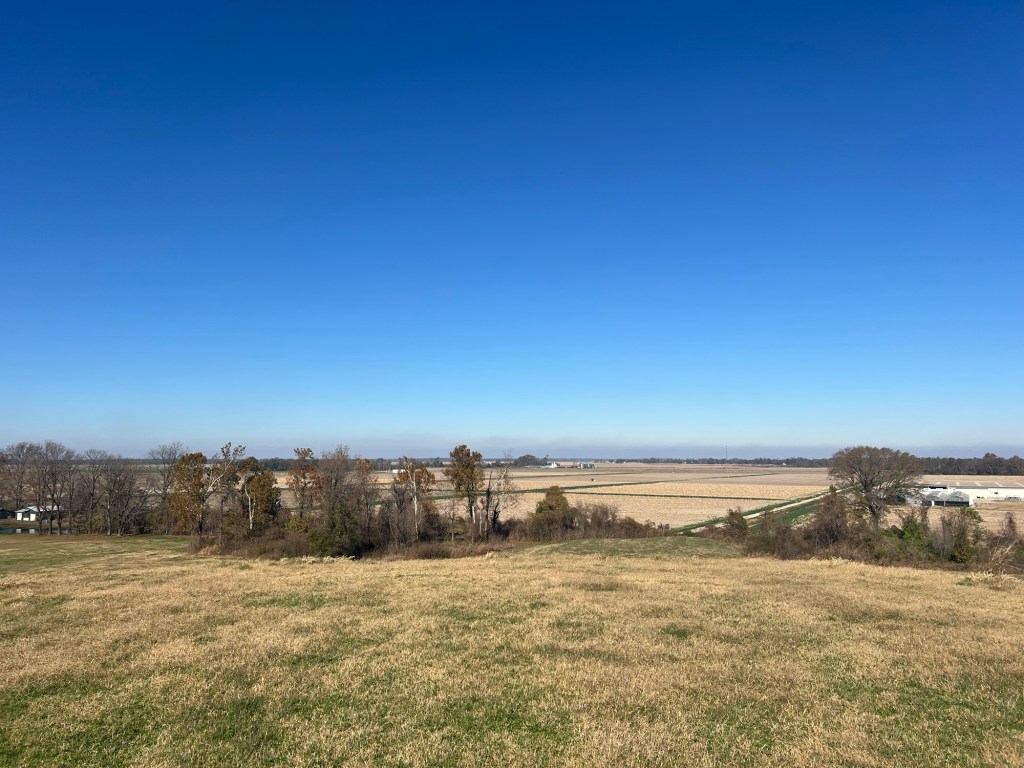
At the very top of the hill is an observation tower. I climbed it.

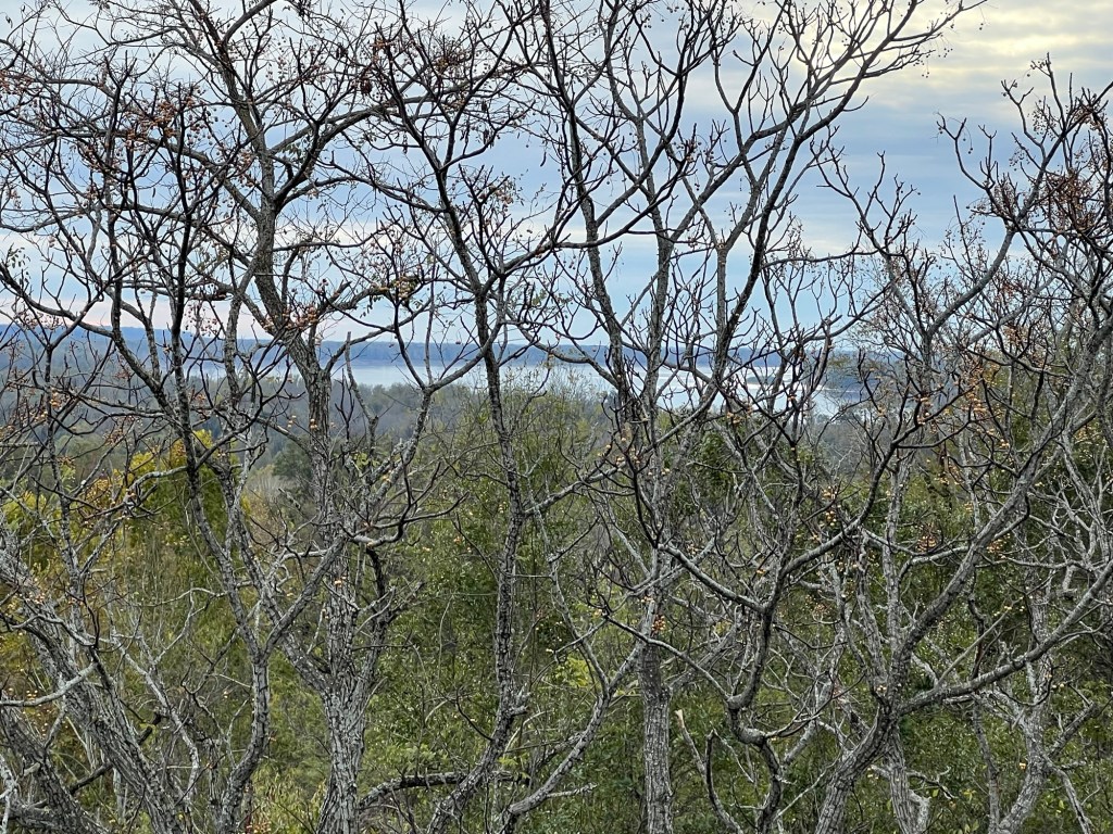
Trees had grown up, but I could still see the river…

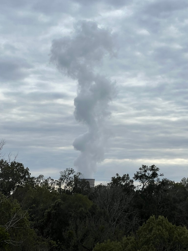
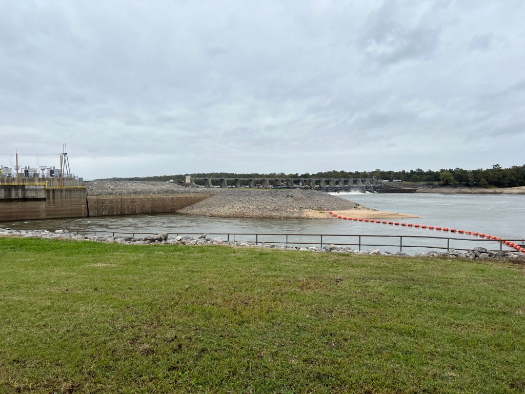
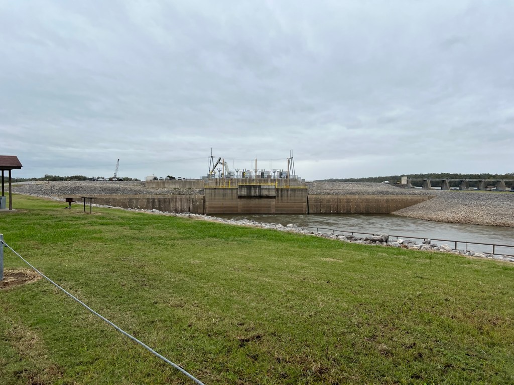
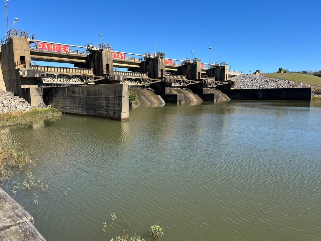
and the nearby Grand Gulf Nuclear Power Plant. You can’t see that from the ground because of the terrain, but we knew it was there. There are probably a dozen campers here that are temporary workers here to service the plant. Our neighbor came for that and ended up taking a full time position there. He and his wife and two dogs are all living in a pretty small trailer while they relocate from Chattanooga. He said they were preparing to refuel the plant in January.

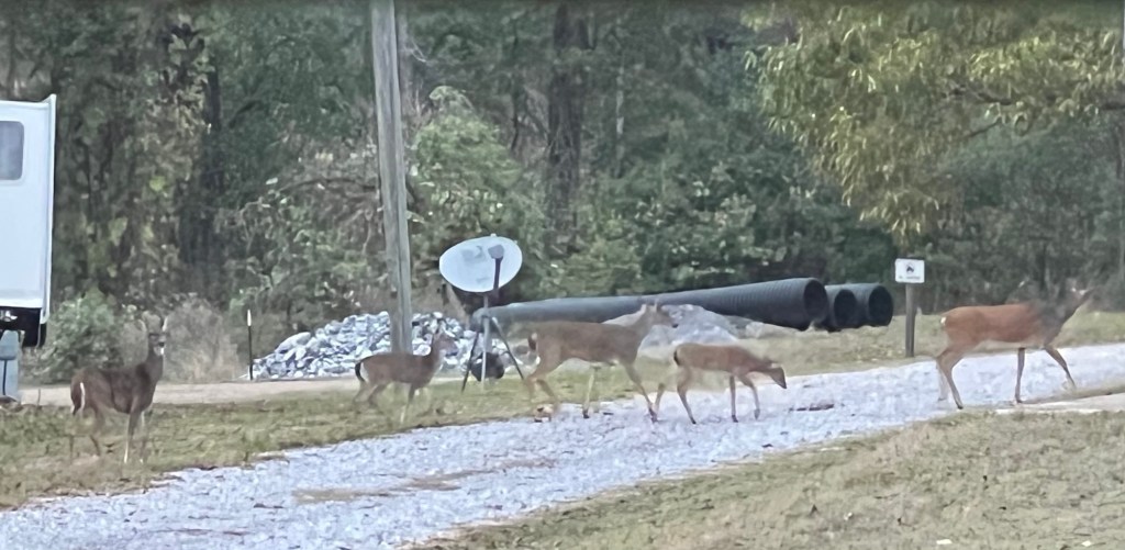
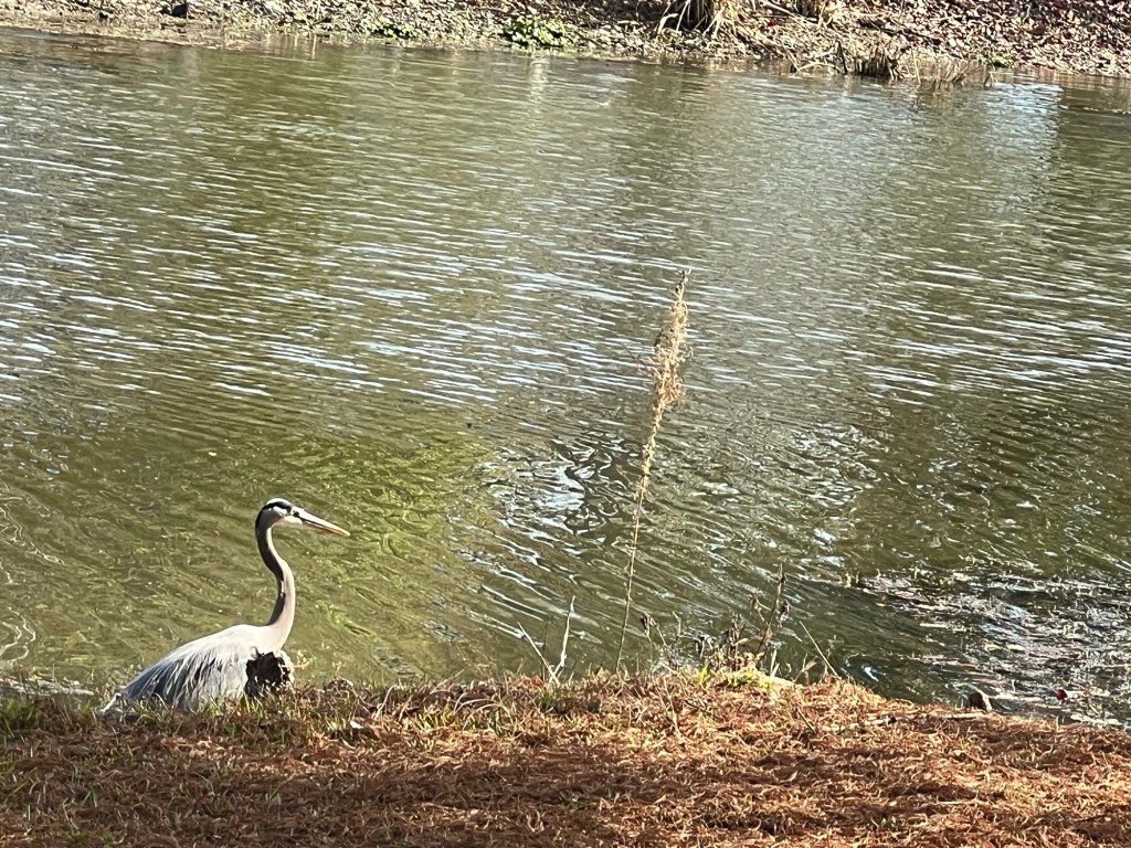
Except for the deer and the temporary workers,

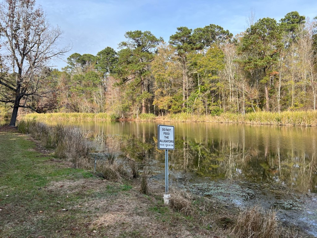
we have this lovely place to ourselves. What a great discovery.

Giving Thanks

In honor of Thanksgiving the New York Times challenged its readers to write what they are thankful for in six words. I’ve been thinking about that over the last couple of days. I am always thankful for the people in my life, family and friends. But I think my six words would be “wandering through nature especially among trees”. Not everyone gets to do that, but I do. Here we are driving north on the Natchez Trace Parkway coming back to our current campsite.

We’re staying on the Ross Barnett Reservoir…

at the Goshen Springs Campground, one of three campgrounds operated by the Pearl River Valley Water Supply District.

We have a nice site on a small inlet with water oak and cypress trees around us.

This great blue heron was hunting along the edge of our site when we arrived.

We’re far enough south now that alligators share the water, though I haven’t seen one.

Yesterday, while Bud was beginning the preparation of our Thanksgiving dinner (and watching football), Matey and I went for a walk in a nearby Cypress Swamp.

I love cypress with their knees…

and their needles that turn rusty brown in the fall;

but I was delighted to find this swamp also had water tupelo trees, again a sign of the south.

Sunshine and trees, a perfect combination!

Bud and I enjoyed our holiday dinner, and the birds were having a holiday feast provided by the seed balls on this sweet gum tree.

My life in nature gives me joy for which I am grateful every day.

Delta Country

As has become our tradition we headed south for the weeks before Christmas and our first stop is here, Lake Chicot State Park in the Lower Arkansas Delta.

Lake Chicot, at 20 miles long, is the largest natural lake in Arkansas and the largest oxbow lake in North America. An oxbow lake is a curved lake left behind when a river changes its course. The river here is the Mississippi.

From Wikipedia I learned that the Mississippi embayment is an ancient basin now filled with sediment. It stretches from the confluence of the Ohio River to central Louisiana and the land is very flat and the river very meandering all through the area. The part of Arkansas within the embayment is called the Arkansas Delta and the lens shaped area in Mississippi between Vicksburg and the border just south of Memphis is the Mississippi Delta. Not to be confused with the Mississippi River Delta, which is in Louisiana where the river enters the Gulf of Mexico.

You can see the bales of cotton lined up on the far edge of this field. This is a very rich agricultural area. Cotton has been an important crop here, first grown with slave labor, then with sharecroppers, and today with machinery. The concentration of wealth among a few has resulted in this being an economically stressed area.

We’ve done a bit of exploring here. The other day we drove up onto the levee road. Cattle were grazing all along the levee.

The smooth gravel road goes on for miles.

We found a side road down off the levee on the river side.

But this bit of river with a makeshift ferry can’t be the Mississippi.

Well it is, but just a small channel that creates this island (near us, the blue dot). You can see from the border line between Arkansas and Mississippi how convoluted the main channel used to be. Some of those switchbacks get cut off naturally, like Lake Chicot, and some have been cut through by the Army Corps of Engineers to make the river more easily navigable.

Today we crossed the river to Greenville, Ms. to visit an Indian mound site. (In late October when we came west into Arkansas I said I didn’t know when I’d be crossing the Mississippi again, but I obviously forgot about the near future. Not only did I cross the river going to Indianapolis, but we crossed to tour today and our next two campgrounds are in Mississippi. That’s three times back and forth before Christmas!)

This was the Winterville Site and was thought to be occupied by ancestors of the Natchez for about 450 years, starting around 1000 CE. The museum was closed, I think for renovations,

but the grounds were open.

The largest of the mounds was carefully reconstructed to its original height, 55 feet, as tall as a five story building.

A long ramp up one side leads to the top where a temple was probably located.

The edges are abrupt and the sides very steep.

From the top you can see some of the other mounds on the site.

Eleven of the 22 known mounds are still there, but not all are easy to see.

The top also gives a nice view of the entrance and museum.

You can also see the miles of agricultural land around the mounds. There is no evidence that any but a few people lived on the mounds, so it is assumed the people who built the mounds lived on family farms in the surrounding area and used the mounds for ceremonies and other gatherings.

These remain beautiful places.

I love the hills, but Lake Chicot and the flat Delta regions have their own beauty, not the least of which is the gorgeous fall coloring of the cypress trees.

Road Trip!

I know, my whole life is a road trip, but this was different. Thursday morning I got out early to give Matey a walk before Jamie picked me up to drive up to Indianapolis to watch Adler and the band compete at the Bands of America Grand Nationals.

Jamie had hoped to fly, but there were no good flights and right now is a bad time to rely on the airlines. So instead we took Adler’s 2023 Honda Civic Hatchback. It actually has fewer miles on it than any of our other vehicles and it gets almost 45 mpg on the highway. The only drawback is it’s a 6 speed standard. Happily driving a standard car is like riding a bicycle, you don’t forget.

We got there just in time to watch the band do a two hour evening rehearsal.

The Grand Nationals are held at Lucas Oil Stadium, home of the Colts, and the adjacent convention center is used for practice.

The large halls are divided into rooms the size of a football field and bands are assigned practice times. 104 bands participated this year, so their preliminary performances took place over two days. Lake Hamilton performed at 8 PM Friday evening, the third to the last band. They had practice time Thursday evening from 8 until 10 and Friday afternoon from 3 until 5.

The kids had an hour and a half bus ride back to the camp where they were staying, but Jamie and I just had to walk across this skywalk to our room at the Crowne Plaza Hotel. Nice!

The hotel is built in the old train shed for the next door train station and the decor is railroad themed,

including two rows of railroad cars that have been converted into rooms. The cars were pushed onto the existing tracks and the hotel built around them.

It was a fun place to stay and very convenient.

Friday morning we had some time so we walked around downtown. First we wandered the skywalks searching for a way into the adjacent mall.

The direct route was closed for construction so we ended up taking about four different skywalks. It’s impressive.

The mall didn’t have any store that carried Afrin nasal spray, which Adler needed, so then we took a tour of the streets. We found our way to a nearby CVS…

and managed to deliver it to Adler just as the band was getting some final words from their director before their 3 to 5 practice.

For this practice they are wearing their bibbers, which are uniform overalls without the top tunic.

Jamie left to work with the prop team while I went in to watch bands perform. The screens and props all have to be assembled before every show.

Then all the props and the equipment are taken under the stadium. There’s room down there for the band to warm up. At last it gets pushed through the tunnels…

and up to the entrance to the field.

Jamie took this picture of Adler at 7:40, waiting at the tunnel exit to the field.

Here’s what it looks like when they are all lined up on the sidelines, ready to come on the field.

At 7:59 Adler is playing with the pit (the percussion instruments that don’t move) and 5 other woodwinds while the show is introduced.

And at 8:00 the show starts.

It’s fun to see them perform in such a great venue. They even get put on the Jumbotron.

After their nine and a half minutes they all had to exit the field. The kids went up in the stands for a photo and the parents on the prop team took all the props back out to the parking lot where they had to be partially disassembled to fit on the truck and two trailers. They had to be removed to a farther parking lot, so the close lot could be used by the bands that would be first to go in semifinals the next day. I joined Jamie there and we walked back to where the band was having a watch party waiting for the announcement of the semifinal bands.

And here we are, moments after finding out that Lake Hamilton made semifinals, 36 bands out of 104.

So the next afternoon they got to do it all again.

They did not win a medal this year, but it was a great experience for these kids. This is Adler’s section posing for pictures after their performance.

That’s him in the middle.

A ton of work, but a proud moment for Jamie and Adler.

Congratulations Adler, thanks for the road trip.

(I must confess, I did not take this picture. A professional photographer posted a picture of one student from each band, and Adler was the one from Lake Hamilton.)

Still at Home

We’re still in Hot Springs, but now just southeast of the city at Lake Catherine State Park.

Matey and I did our initial reconnaissance yesterday and I realized this may be my favorite campground in the area. Gulpha Gorge has a great location and I love the trails up over the mountain but Lake Catherine has nice sites with plenty of room.

Most of the sites are close to the lake,

which is pretty even when they lower the water level for the winter.

The fall colors are nice here and it is easy to walk a mile wandering through the campsites.

There are some easy trails for Matey. This morning we took the Falls Trail and came across this great blue heron surveying the lake from the trail.

There’s not much water now but this is still a pretty scene.

Not a bad place to call home.

Downtown Hot Springs in the Fall

Fall is my favorite time of the year here, and downtown Hot Springs is like no other city.

Not only does the main street lie between two hills that have been protected federal land since the early 1800’s, the slope of Hot Springs Mountain is dotted with springs that steam gently in the early morning chill.

The east side of Central Avenue is lined with the historic and ornate bathhouses. These buildings are all part of the National Park and though many are leased, all are protected. Here is the dome of the Quapaw Bathhouse against the colorful backdrop of West Mountain.

Even the commercial west side of the street is lovely and shaded.

Downtown is well kept. This place where a building was torn down long ago is now a pocket park.

One of my favorite buildings is the historic Arlington Hotel.

This 100 year old building has been undergoing renovations and it shows. The outside decor is now pristine.

Across Fountain Street from the hotel is Arlington Lawn and the Hot Water Cascade, part of the National Park.

I took all of these pictures yesterday morning when Matey and I did one of my favorite walks; north along Central Avenue and Fountain Street to here, the northern end of the Grand Promenade.

Then back along the promenade,

which gets wider and more ornate as it passes behind Bathhouse Row.

Where else do the storm sewers steam?

These are some of the spring boxes. Most of the springs are now piped down to the bathhouses. Park personnel test the water for rate of flow, pH and temperature through these boxes. If needed, the pipes can be shut off further up the mountain. During the current Federal shutdown only the most critical are checked.

The promenade also gives some nice views of West Mountain. Central Avenue and all its buildings are tucked down below.

Here you can see two of the bathhouses, some of the stores and West Mountain. The building on the left is the National Park Visitors Center which is a museum. Unfortunately it is closed now, but normally there are free tours.

Even the walkway is beautiful in the early morning sun.

Matey and I have it all to ourselves.

At the south end you come down to Reserve Street which has several of the fountains in the downtown area. Some are small and ornate.

This steaming fountain is in front of the park office.

And this is one of several fill stations where people can bring their containers and get all the water they want. This station is for hot mineral water, but my favorite is on Fountain Street where you can get great tasting cold spring water. Jamie’s clinic fills their office water bottles there.

There are also decorative fountains.

This fountain has a new statue,

whose dedication is a fitting tribute to this unique city.

A Very Good Day

We are back at Gulpha Gorge Campgound, the campground for Hot Springs National Park.

This is a small campground with fairly tight sites and it’s always full.

But this is such a pretty valley that I don’t mind.

The oak just outside our window makes a colorful screen, even though it’s also dropping acorns on us.

And if I get to sit out in between errands there’s a lovely view as we’re on one end of the campground loop.

Today Bud and I wanted to go to Little Rock for the state marching band contest, so I wanted Matey to get a good walk as he was going to be left home by himself. I tried taking him around the flank of Hot Springs Mountain. Happily, he did well and was still full of pep after finishing the two mile walk. I was delighted to be back walking some of my favorite trails.

Then it was off to Little Rock for the competition. The band had a problem with one of their cords setting up. It was all tangled and they struggled to get one of their microphones plugged in. I think that shook them up as they had a couple of errors in their performance.

It is a very impressive show, though, with a lot of movement and complexity. Jamie is helping with props again this year, so she was down on the field and got this nice picture of Adler.

We were all nervous waiting for the awards. The four drum majors were lined up.

They did it! First place at States for the third year in a row.

The drum majors were happy.

Her, too.

The whole band was happy.

Adler was happy.

Grandma was happy.

We were all happy. (I had to call Bud with the news as he left soon after the performance to be with Matey. And Matey was fine.)

A very good day.

Two Stops Along the Way

Since we are on the road full time, everywhere we go is “along the way”, but I try to choose places that will be a destination in themselves. Some places don’t feel that way though and these last two stops have not; especially since our next stop is back in Hot Springs, as close to home as we have.

When we left Fulton and Whitten Park we went to Hurricane Landing on Sardis Lake, just north of Oxford, Mississippi. It was a nice campground and we had plenty of room.

If we’d come here to fish we would have been disappointed. This is the first boat ramp.

The road ends in water in the springtime.

But now even the second boat ramp, at the end of an extension of the road, is not near significant water.

Now it’s the season for off road vehicles.

These guys were using the end of the road to load their ATV into the bed of their truck. I walked over and put my foot on their tailgate, as the tailgate kept lifting as they tried to lift the vehicle in. They were quite grateful.

There were lots of Osage orange trees here and many of the fruits were squashed on the road. But these were more like Osage grapefruits.

I was glad none were dropping at our site on our camper.

After three nights there we crossed the Mississippi into Arkansas. I don’t know when we’ll be back east of the Mississippi, but I expect it will be a year or more.

It’s always interesting along that river.

We drove south and crossed the Arkansas River in the rain.

Our stop here is along the Arkansas River, another Army Corps of Engineers campground, this one at Pendleton Bend.

These are nice deep sites, but narrow.

Again, we have plenty of room.

The last two days were cool and rainy. But of course I’m out there walking with Matey, mostly between the showers. Yesterday morning this tug and barge were sitting along the river.

Today, in the sunshine, I got a picture of the larger of the two rice warehouses located along the Arkansas River just before the campground.

I thought the barges would be entering the Mississippi just downstream from this dam.

But what looked like it might have been a lock on the map is a power generating station.

Looking back at the map I can see there’s a canal that cuts across through Merrisach Lake to the White River and then into the Mississippi. The barges of rice must go that way.

Even when it’s just a stop there are always things to see and learn.

I Am: Not at All Likely, Somewhat Likely, [Extremely Likely], to Recommend this Campground to Others

Whitten Park campground in Fulton Mississippi gets a very high rating from me. First of all the park host switched our reservation for us from a wooded site to this one; where we have woods to the south and open sky to the north, for our Starlink. And not only did I not get charged a change fee, for some reason I got a $4 refund.

And we have this lovely area to the rear of our site for my screen tent. This is a Corps of Engineers park and though old is very nicely done. No leveling blocks needed here.

Matey and I have appreciated the trails through the woods linking the three campground loops. It looks like they were once all lit, but the lighting is gone.

All the bridges are still in good repair,

as is this pavilion…

which is a nice place to sit along the Tenn-Tom Waterway.

There is even a little beach.

This lovely stone building is part of the park and inside is a lot of information about four Federal programs and what they contribute to the area. It covers the Army Corps of Engineers, Mobile District, the National Park Service, the Tennessee Valley Authority and the USDA Natural Resources Conservation Service. There was also information about Jamie Whitten, the congressman who pushed for the Tenn-Tom Waterway and for whom the park is named.

The only information about the waterway was this sign out back. According to the sign the Tenn-Tom Waterway “was the largest earth moving project in history, moving one third more earth than the Panama Canal.”

Also out back is a path and boardwalk that leads to this fishing pier. This foggy scene greeted Matey and I on our first early morning walk.

The wisps of fog were gently blowing across the water, very ethereal.

There is a disc golf course through the woods,

and though challenging, it’s playable.

There’s also a disc golf course less than two miles away on the grounds of a community college. We played them both.

Not far past the college is the Fulton Lock and Dam.

We drove nine miles around to try to get a better look from the other side.

I was able to take these stairs…

to the bottom of the dam. I found it interesting that no water was coming past the dam. Then I remembered reading at another site how many millions of gallons of water it takes each time a boat locks through. The impoundment above the dam is the source of that water, so little water has to be let down otherwise.

This morning Bud dropped Matey, the stroller and me off at the lock on our side of the waterway.

There’s a paved and lighted walking/ bike path along the waterway.

Although it’s mostly straight and open there’s the occasional boat to see.

The path follows this creek upstream…

and eventually crosses it.

It’s very nicely done with benches and garbage cans.

The walking path ends at this pavilion right at the entrance to Whitten Park.

A three mile walk brought us right back to the park…

and our lovely site. Yes, this place gets high marks from me.

A Very Relaxing Drive

The Natchez Trace Parkway runs 444 miles from Natchez, Mississippi to Nashville, Tennessee. The entire route is a National Park. Since we were going to be in Nashville I planned this next stop so we could travel the Parkway. We entered the Parkway about 30 miles from its northern terminus and took it for a bit over 120 miles.

The whole route is like this. It’s a two lane road, no shoulders, just a grassy verge. The speed limit is 50 mph. But there are no stop signs or traffic lights, no trucks (no commercial traffic), no billboards and very little traffic. You just cruise along through the trees.

There are some open areas…

but the majority is tree lined. The route follows an Indian trail that the United States gained a right of way for in treaties with the Chickasaw and Choctaw Nations in 1801. European boatmen walked north along the route after floating goods down the Ohio and Mississippi Rivers. They would sell their goods in Natchez, including the timbers that made the flatboats they came down river on. Then they would walk the Natchez Trace back to Nashville and on to their homes.

There are plenty of places to pull over along the way and we stopped three times. The first time was right after we got on, at mile marker 412, the Water Valley Scenic Overlook. The scene was a bit marred by the power line running through, but it still made a pleasant stop.

Our second stop was at the Meriwether Lewis Burial Monument at mile marker 386. After his great expedition with Clark, Meriwether Lewis was appointed Governor of the Territory of Louisiana.

In the fall of 1809 he was journeying north on the Natchez Trace with Major James Neely, the U.S. Agent for the Chickasaw Nation. This is a portion of the original trail still visible at the site of the monument.

On October 11, 1809, they stopped for the night at the Grinder House, one of many Stands that offered accommodations to walkers along the trail. That night shots were fired and Lewis died. It is still debated whether this was suicide or murder. Lewis was in money trouble and known to drink and take drugs. His trip was to clear up claims to get reimbursements withheld from his expedition with Clark and to deliver his journals to a publisher in Boston. Perhaps he despaired of ever getting his money from these things. Perhaps he suffered, as has been suggested, from depression and PTSD. Perhaps he was one of the many victims of highwaymen along the Trace.

In any case, his body was buried in an unmarked grave in a pioneer cemetery next to the Grinder House. A year later a friend put an iron fence around the grave and in 1848 Tennessee erected his monument.

Today the grave, ruins and monument are part of the Natchez Trace National Parkway.

Our final stop was at the Tenn-Tom Waterway at mile marker 293. This was actually about a half mile past where we were supposed to turn off.

The Tennessee-Tombigbee Waterway joins the Tennessee River to the Tombigbee River creating an alternate route for barges and boats between the Gulf of Mexico and the Great Lakes. Since its completion in 1985 this has been the preferred route for pleasure boats as the lower Mississippi has so much commercial traffic and few accommodations for smaller boats.

The Natchez Trace Parkway crosses the Tenn-Tom on the Jamie R. Whitten Bridge. Jamie Whitten was a congressman who fought for funding to link the two rivers, something that had been discussed for more than a century. As the sign there said “His vision helped make possible this historic landmark, the intersection of two great avenues of transportation-one past, one present, and both for the future.”

We turned back to County Road One and went 20 miles along the Tenn-Tom to our new campground, but I have another 80 mile stretch of the Natchez Parkway planned for later in the year. It’s a great road for touring.