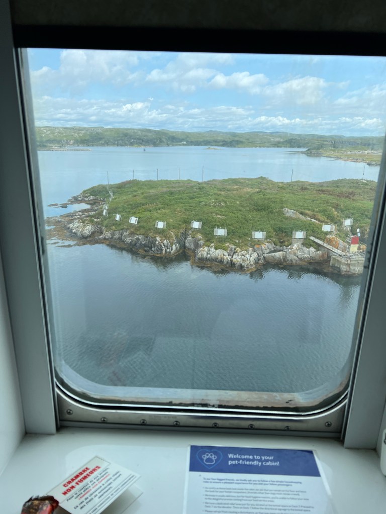
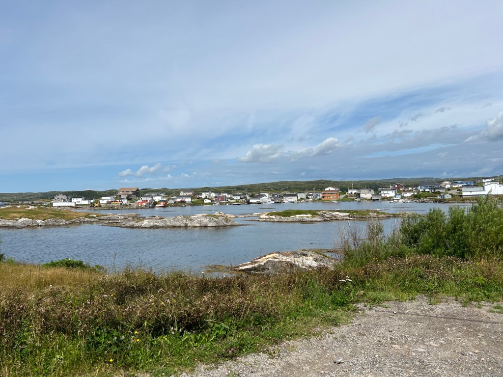
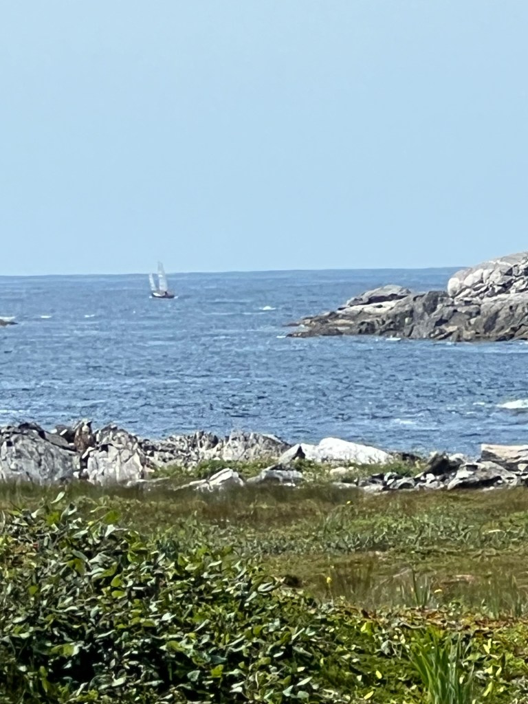
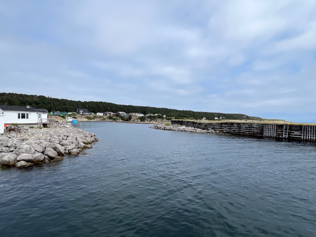
Yesterday we took the ferry back to Nova Scotia. The channel out of Channel-Port aux Basques is not any too wide. That little rocky island is well marked!
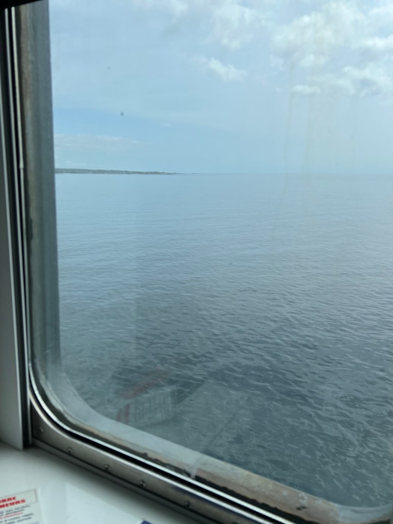
This was my last glimpse of Newfoundland.
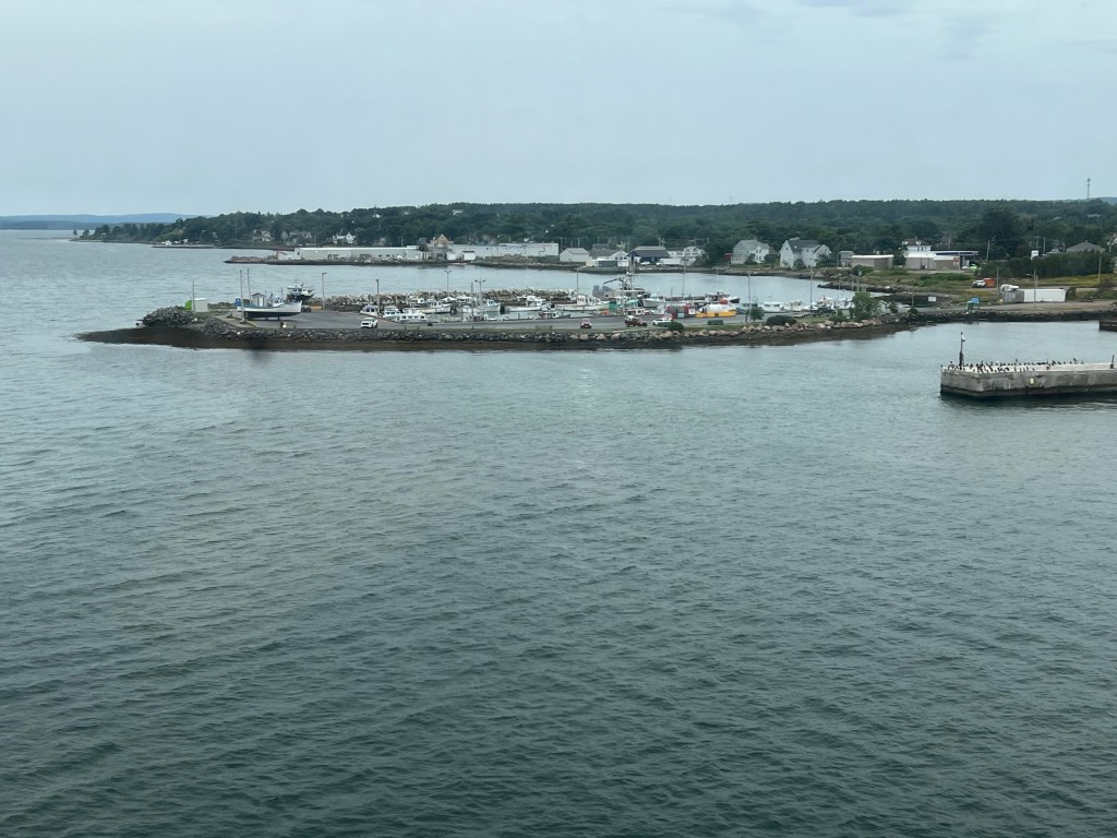
About six and a half hours later we finished the 110 mile trip to North Sydney, Nova Scotia.
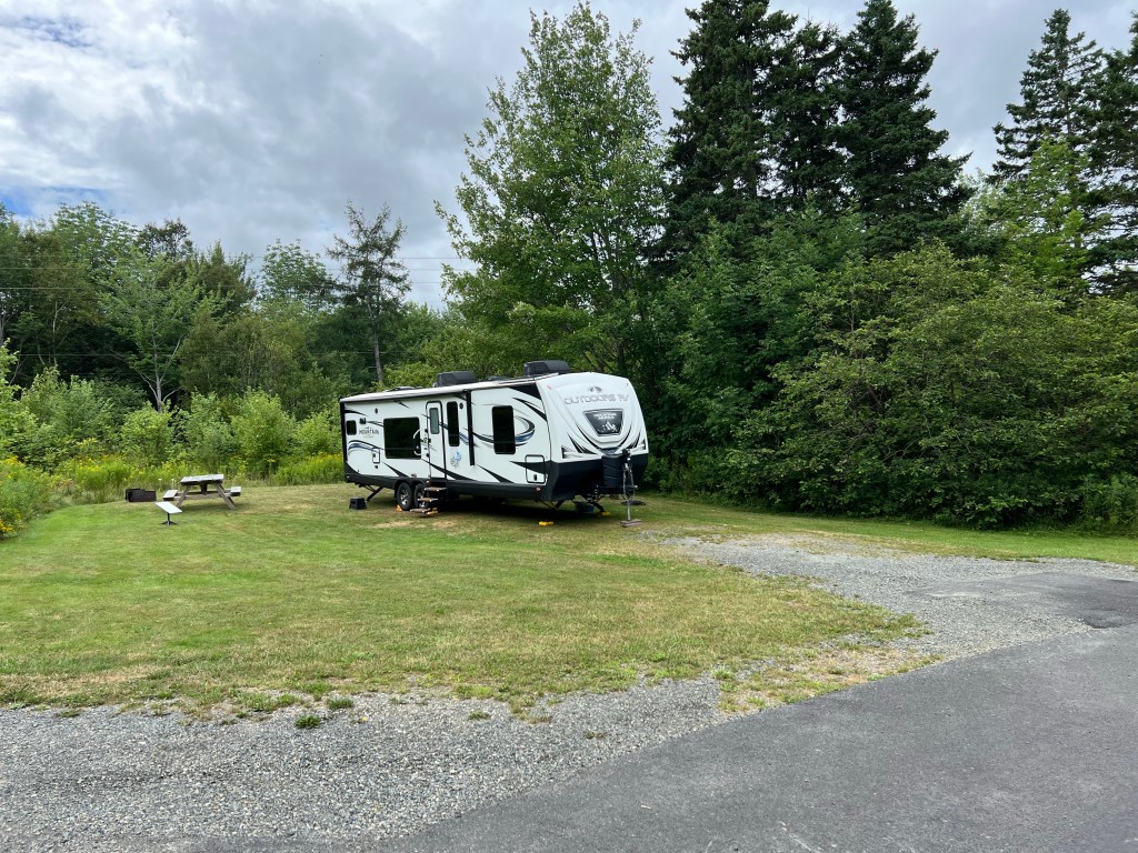
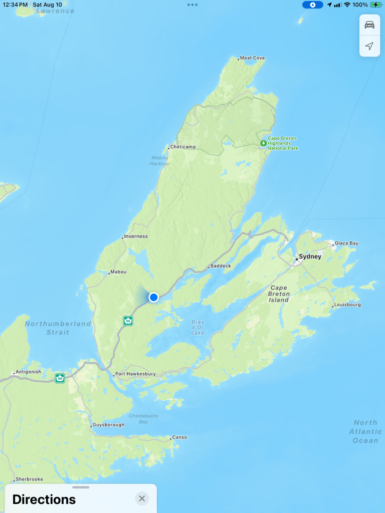
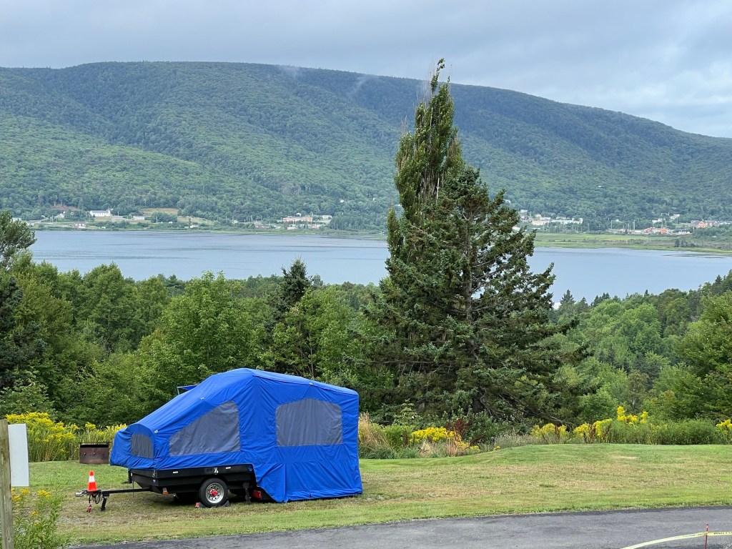
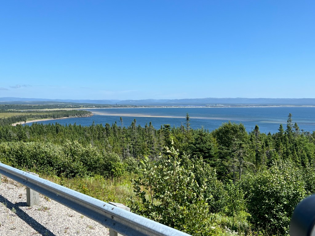
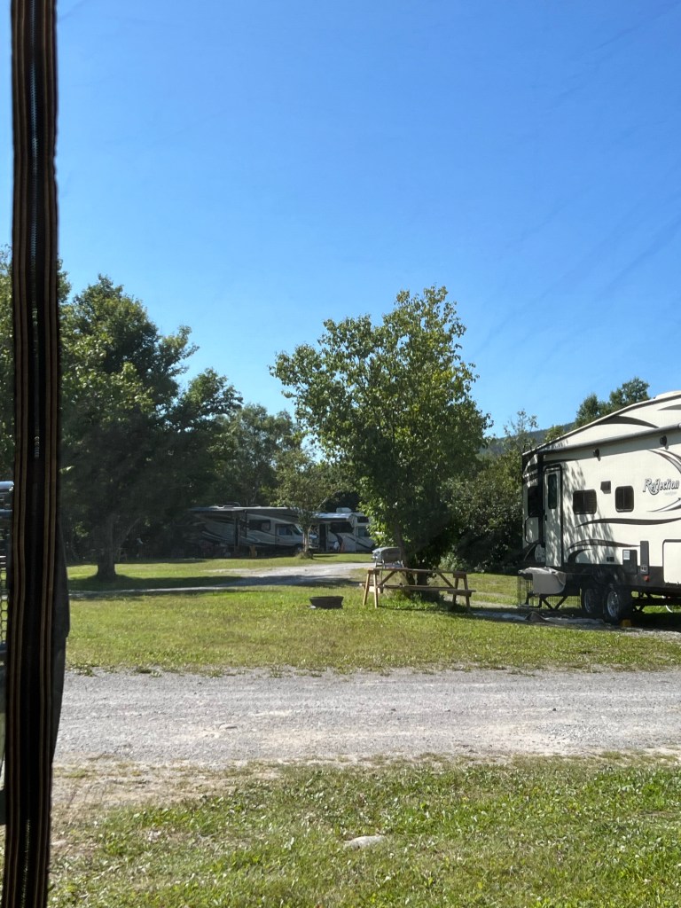
An hour’s additional drive brought us to this large, private campsite at Whycocomagh Provincial Park.
We are not far from the center of Cape Breton Island on an extension of the Bras d’Or Lake (Arm of Gold Lake), which isn’t a lake at all but is, as advertised, Canada’s inland sea.
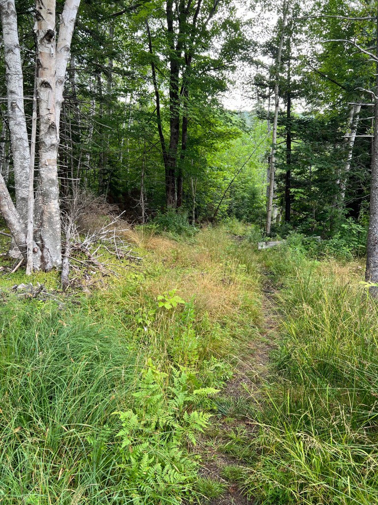
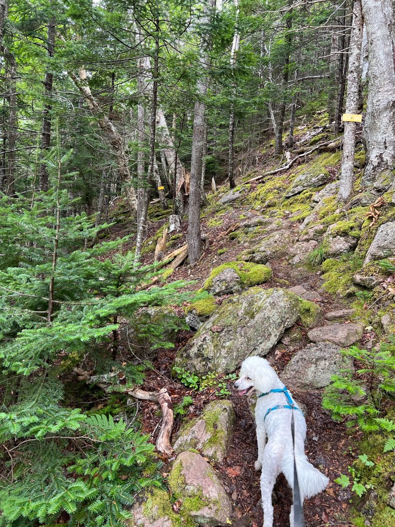
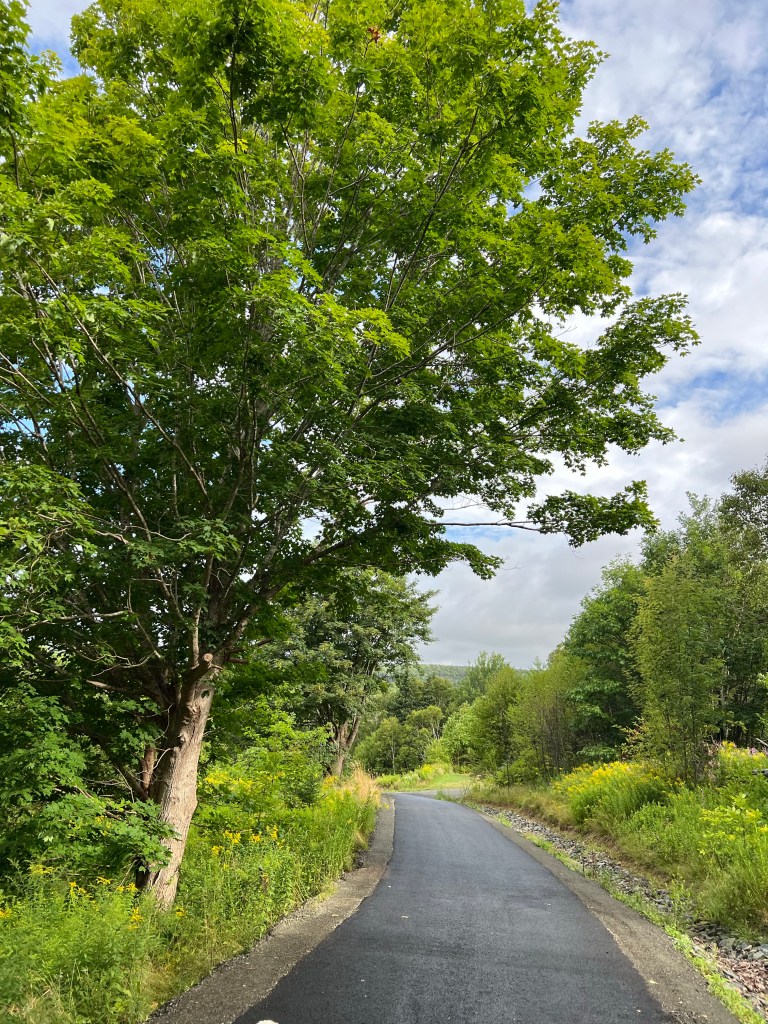
This morning Matey and I took a walk on one of the park trails and it was immediately obvious that we were not in Newfoundland anymore.
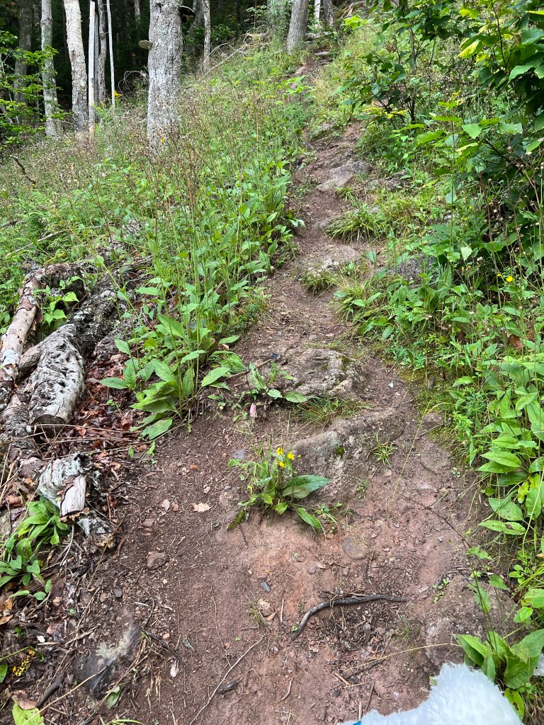
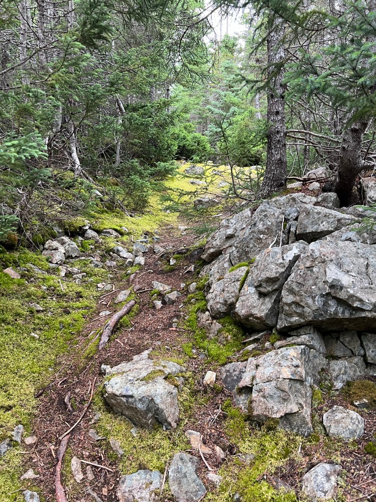
The trail was well marked…
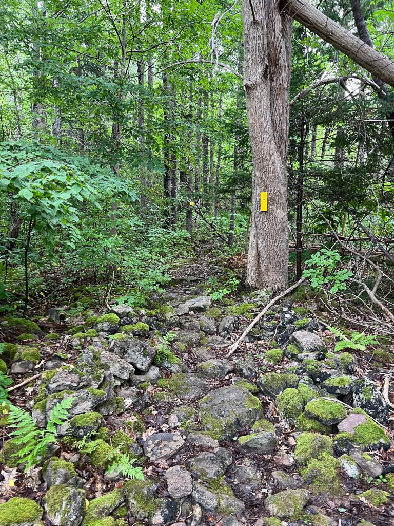
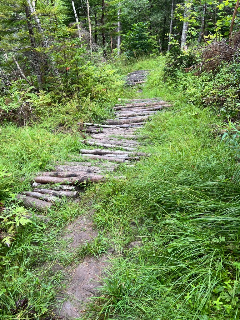
but the construction for wet areas…
or steep hills was lacking.
There were times I wondered if a 74 year old woman and her 14 year old dog should be out here alone. I had to place every step.
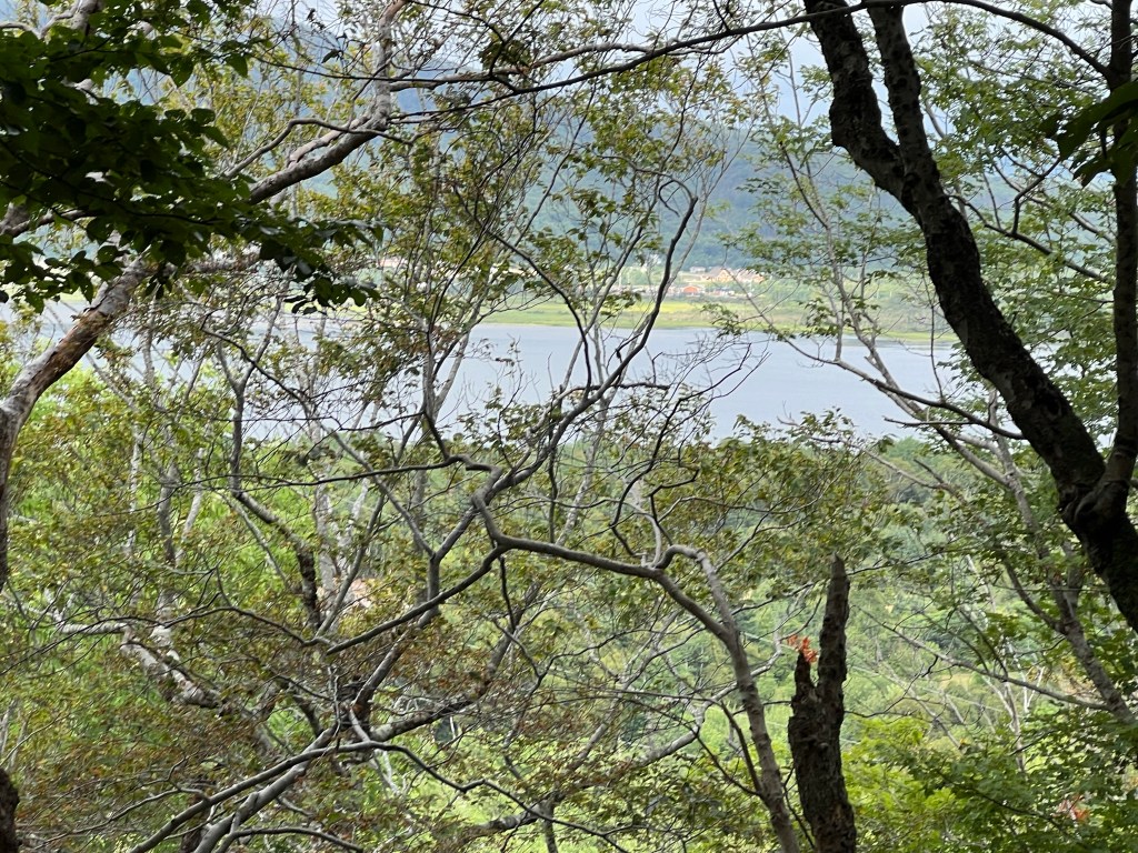
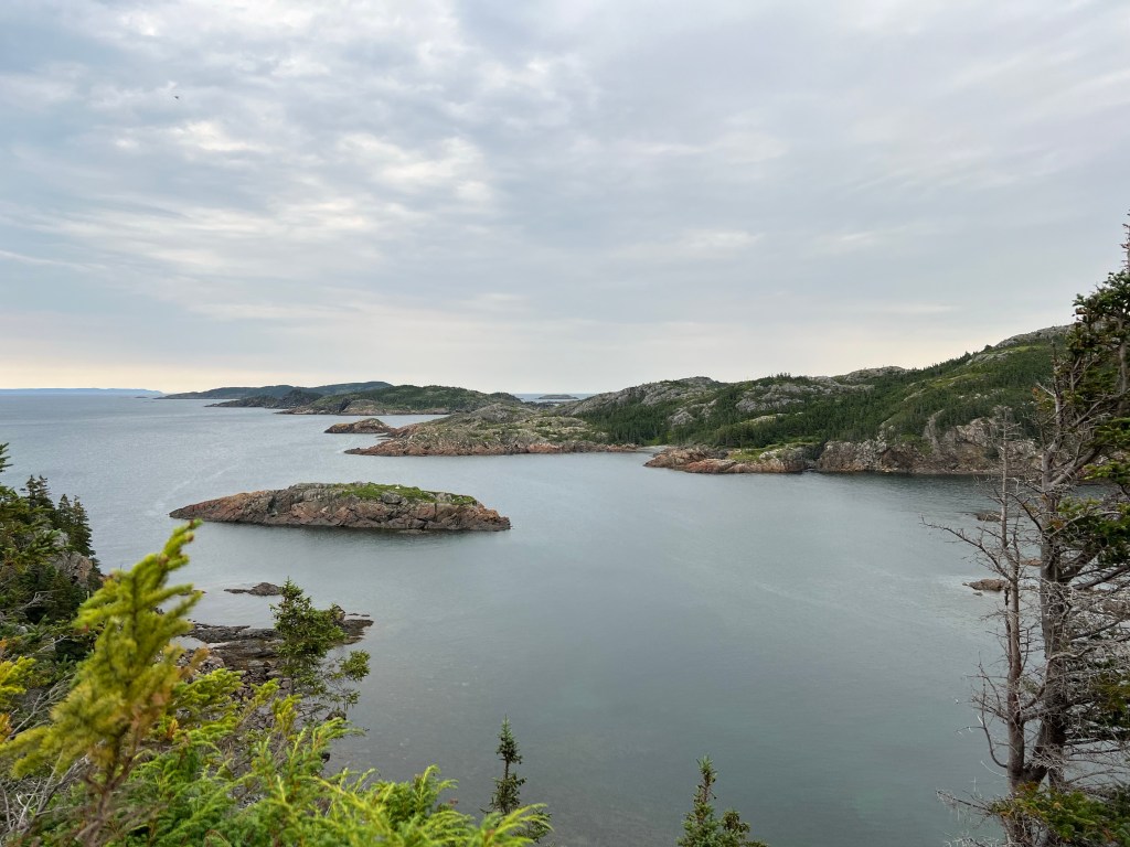
But we made it and were rewarded with glimpses of the Bras D’Or Lake. There are overlooks on another trail but that trail is labeled difficult whereas this one was moderate, so we may not get to those.
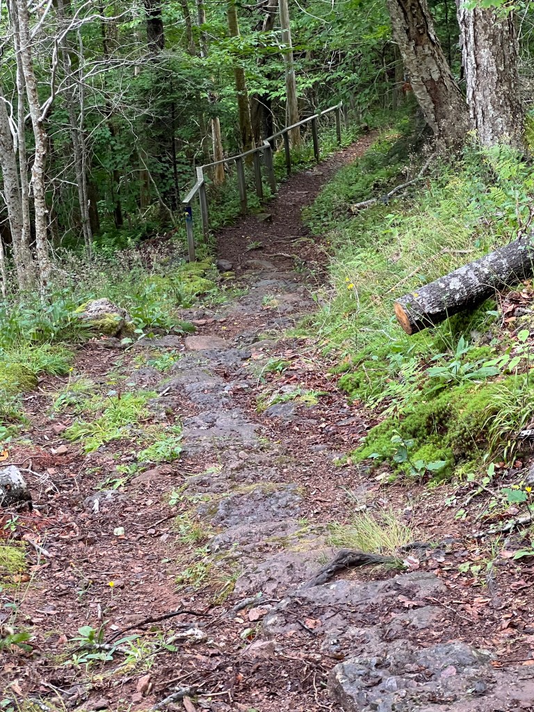
We walked back on a bit of that trail and it seemed to be more used and a bit better constructed; those are stone steps down this pretty steep slope.
We got our best view of the water from the upper sites in the campground.
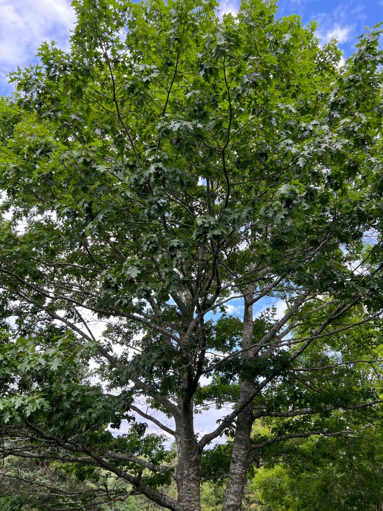
Even though I miss the trails of Newfoundland, Nova Scotia has huge oaks…
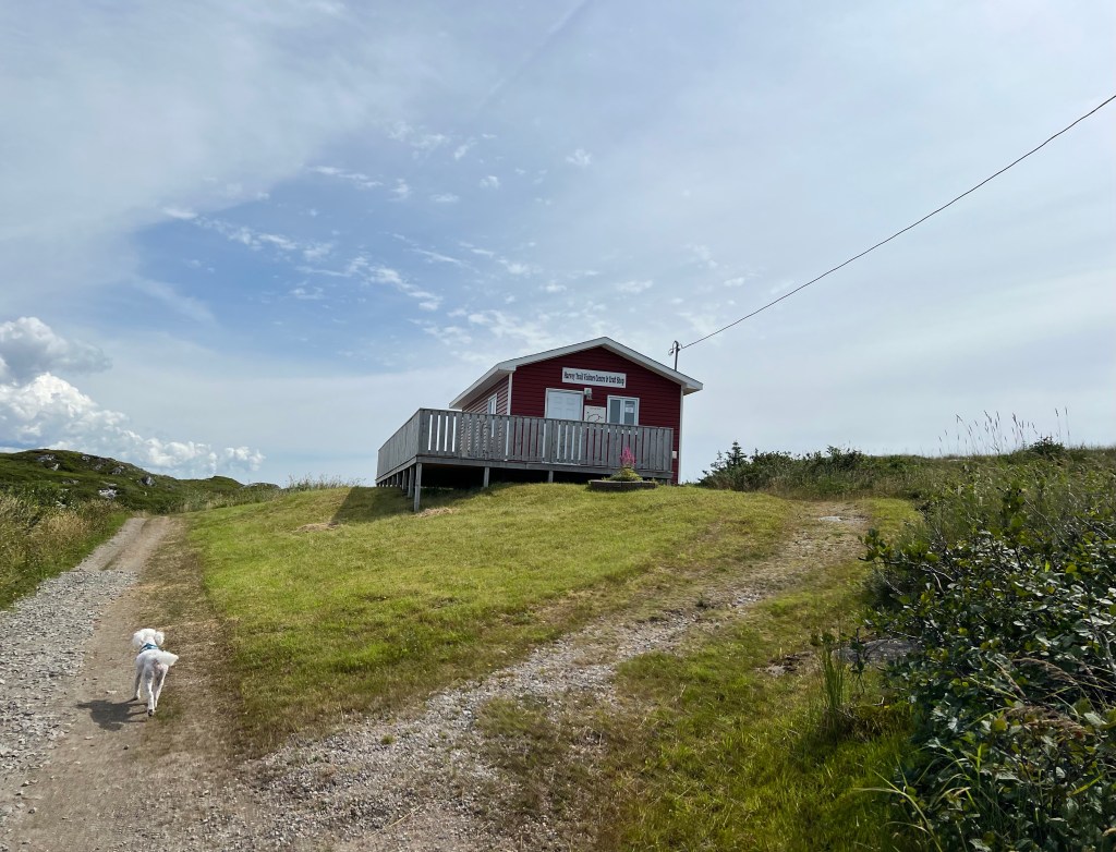
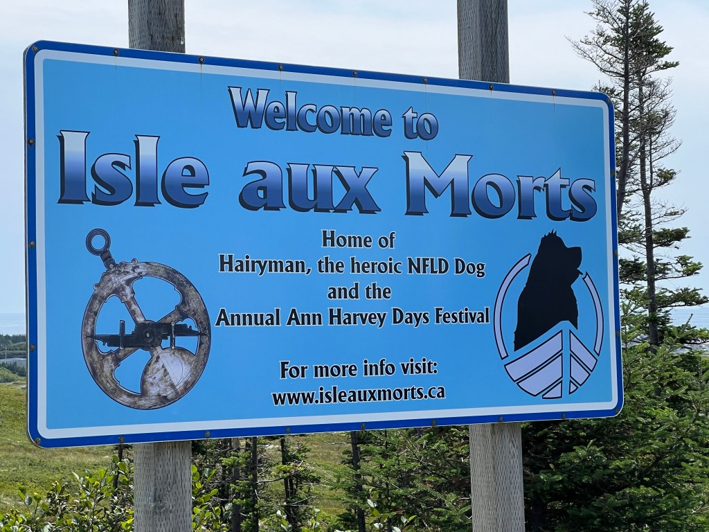
These are our last days in Newfoundland and we are back at Grand Codroy RV and Tent Campground to wait for our ferry out on Friday. Today it stopped raining so we drove to the south coast to a trail we hadn’t been on yet. This was the Harvey Trail in Isle aux Morts.
We had a lot of trouble finding it, some of the signs were missing. When we got there the information center and gift shop were closed and there was a sign saying the trail was washed out.
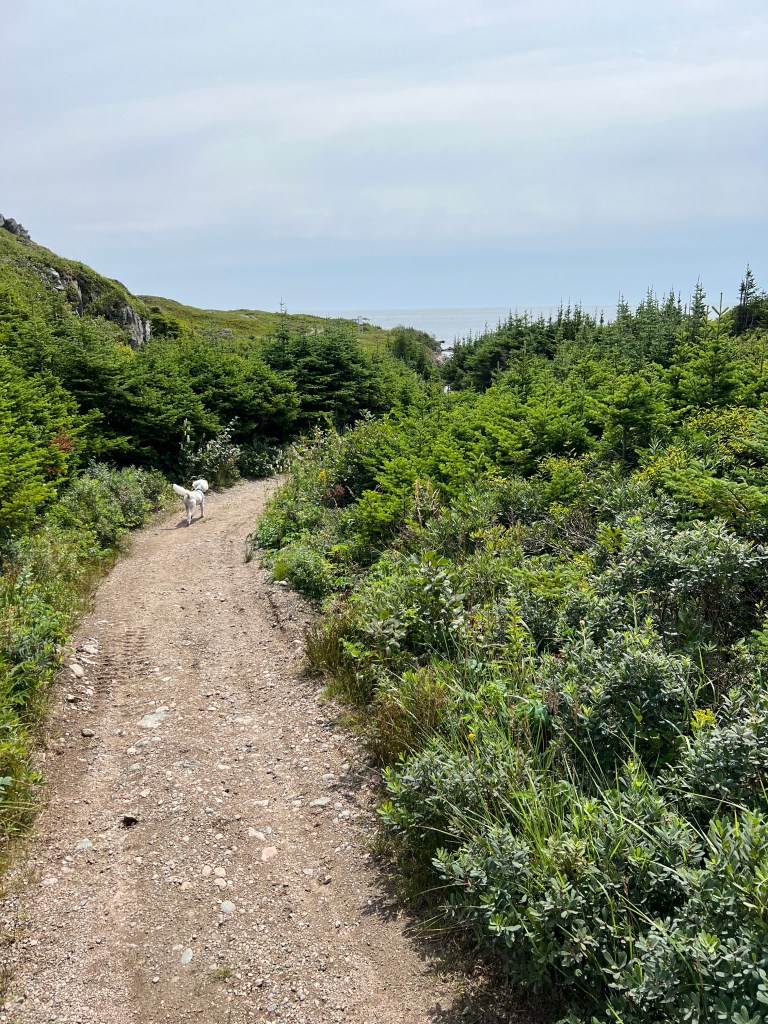
It looked okay here so we decided to take it as far as we could.
Along the way there were signs about George Harvey and his family who lived alone on the Isle aux Morts in the early 1800’s.
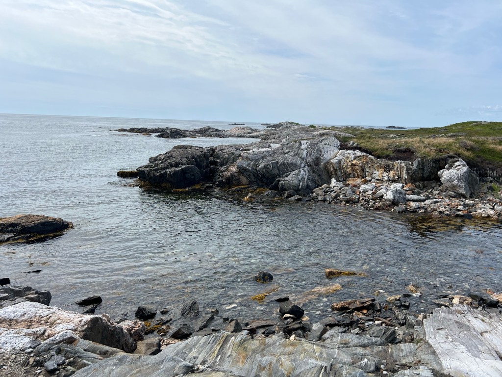
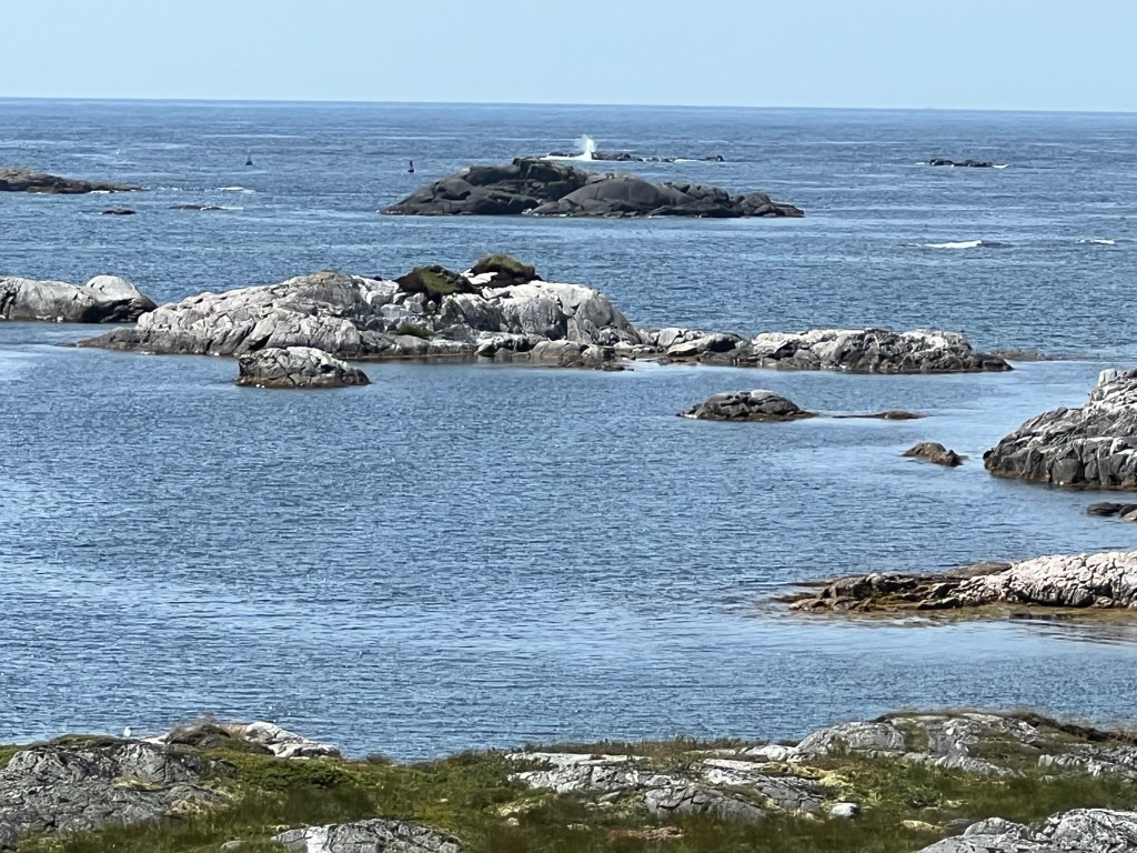
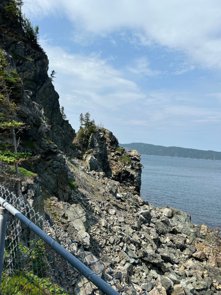
This is a very rocky granite coast and unlike other places the water stays shallow. There are many “sunkers”, which I take to mean rocks that are just under the surface. Even with the two navigation buoys you can see here, this would be a hard channel to enter. There have been at least 3,000 shipwrecks along the southwest coast of Newfoundland and Isle aux Morts has seen more than its share.
George Harvey and his family rescued about 200 people from two wrecks. I saw signage for the wreck of the Despatch in July of 1828. The seas and winds were terrific and the ship could not keep off shore. Seeing the nearby lighthouse at Rose Blanche the captain thought it was the Cape Ray light and ordered the ship run to shore.
Instead of coming up on the sandy shores of the Codroy Valley you see ahead of us in this photo, he came up on the granite shores and the ship hit hard on Wreck Rock.
George Harvey, his oldest two children, Ann and Thomas (teenagers) and their Newfoundland dog, Hairyman, set out as soon as they could rowing their 12 foot punt. It was still too rough to approach the ship but Hairyman swam to them with a line tied to him. Those on the ship pulled him aboard and then sent him back with a second line from the ship. The Harveys managed to row ashore and somehow find a place to secure the line from the ship. Then using breeches buoys set up by the crew they were able to haul all of the passengers and crew to shore, the last of the crew just as the ship was breaking up and sinking. Then the Harvey’s took in these 163 people and somehow gave them food and shelter until the weather calmed and another ship could come for them.
All this happened almost 200 years ago, but it’s still remembered and honored by the people of Isle aux Morts, many of whom are no doubt descendants of the Harvey’s (there were nine kids).
And if any of you know the story of the planes that were diverted to Gander when the US closed its airspace after 9/11, you know that the tradition of open-handed hospitality still thrives here.
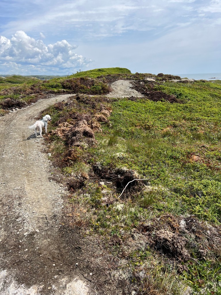
Meanwhile, we continued on the trail and this was obviously a newly constructed section.
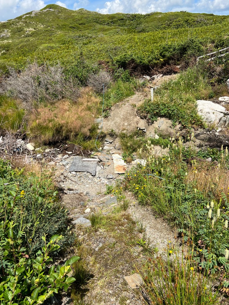
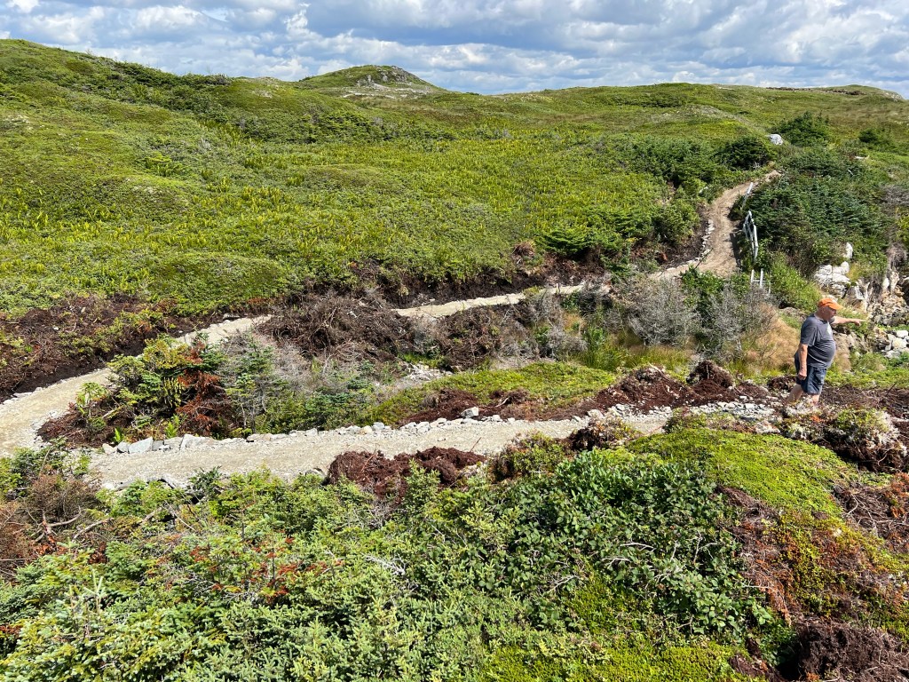
We found out parts of the trail had been destroyed by Hurricane Fiona in 2022.
Whole new sections were being built.
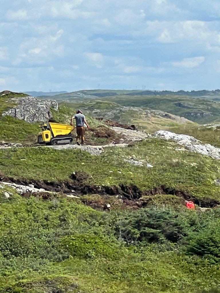
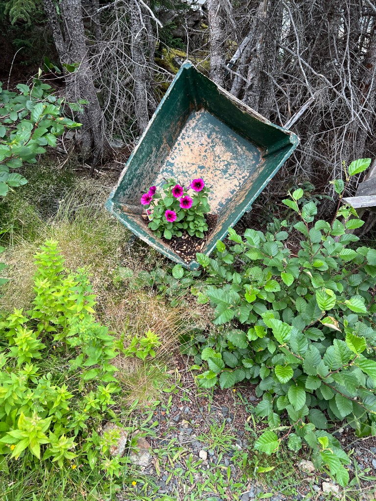
This guy was still working on it using this motorized wheelbarrow.
And all this is being done by the folks from this very pretty and very tiny town.
Heritage, beauty and kind people who work to share their stories and places with you. That’s why I love Newfoundland.
Bud didn’t want to drive all the way out on the peninsula again just to see Long Point, but I persuaded him. You never know what you might find. (On the way out we stopped at Gravels Pond and I checked the water, brackish, figures.)
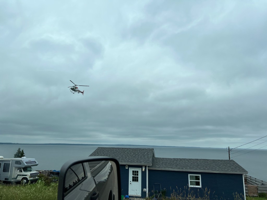
The first thing we found was this hovering helicopter. It was just hanging offshore at a tiny town. There were other pieces of search and rescue equipment parked around, but it looked more like an event than a rescue operation. Maybe a fundraiser.
A disclaimer here, the next pictures I took on the way out, so the orientation is wrong. On the way down the peninsula the open ocean was on the left. I am presenting them to you in the order we saw them on the way in, even though I waited to take pictures until we were leaving.
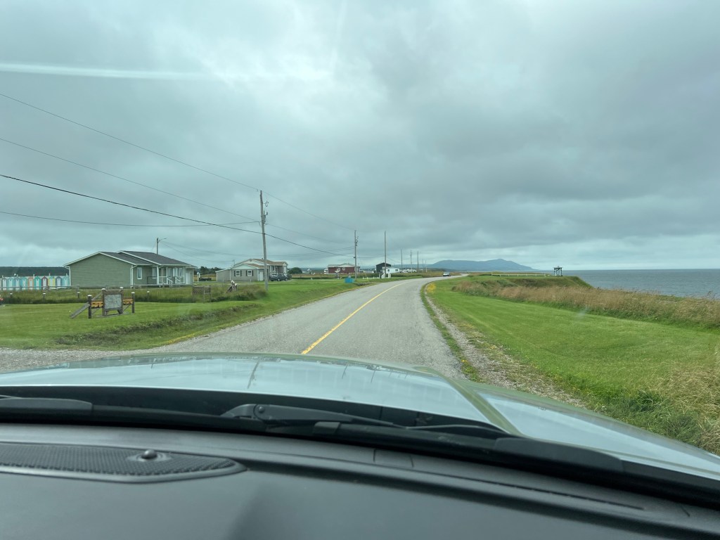
So, we turned right to go northeast on route 464. The map program said it was 14 miles to Blue Beach, at the end of the road. First we came to the town of Winter Houses (Maisons d’Hiver). It turns out that’s exactly what these were in the late 1800’s. Families who lived and fished in Black Duck Brook decided to build houses here, which used to be forested, to get away from the winter winds. The forest is gone but the houses and the name remain.
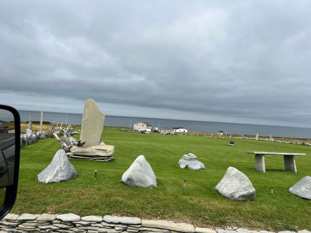
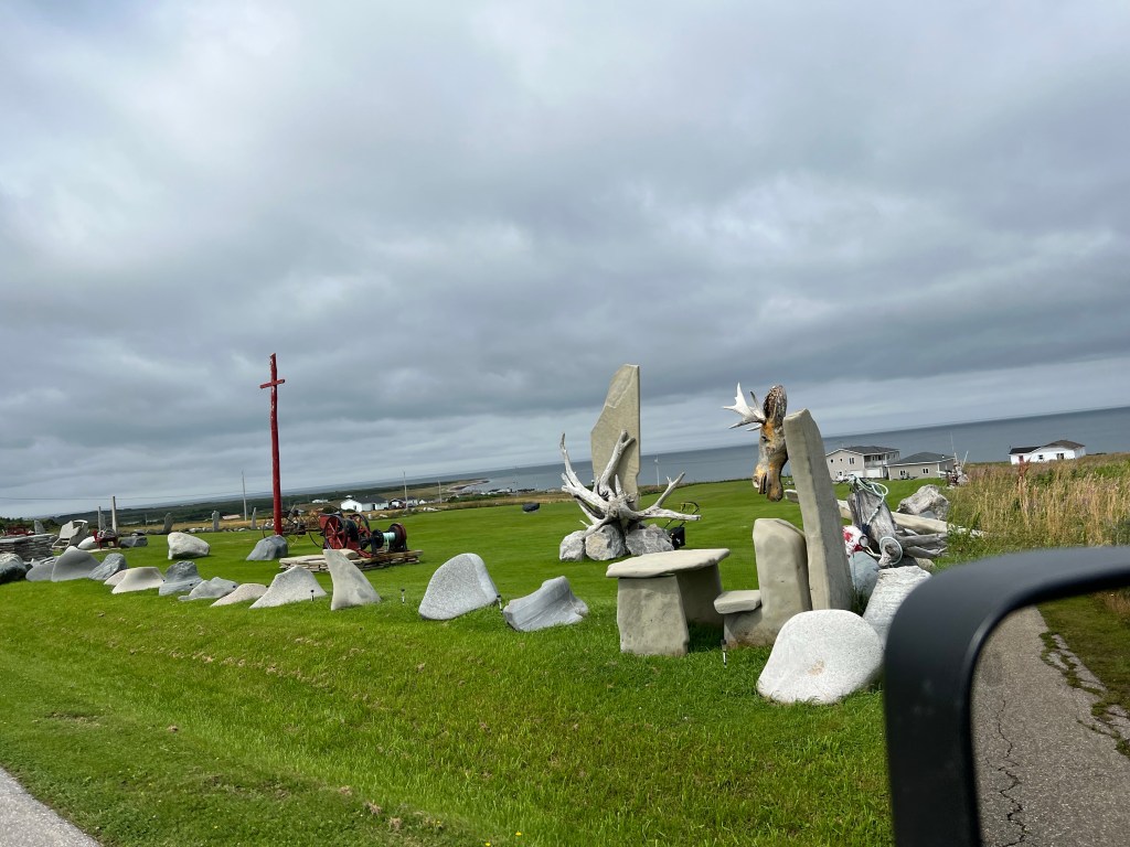
Next we came to a house with a huge yard enclosed and decorated with stones.
We still don’t know what this is about, but we loved the moose.
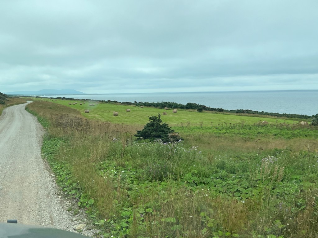
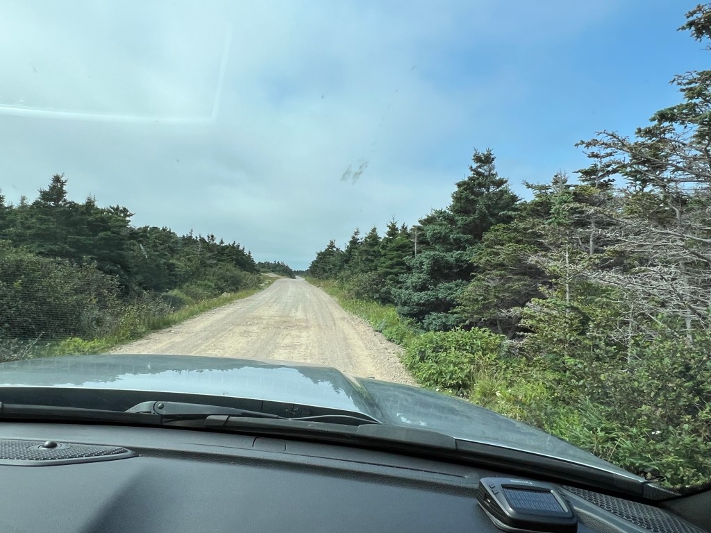
After about seven miles the road turned to gravel and the power poles stopped. Not too far along here we came to several fields where they had cut and baled hay. Not what we expected out on a peninsula that was less than two fields wide.
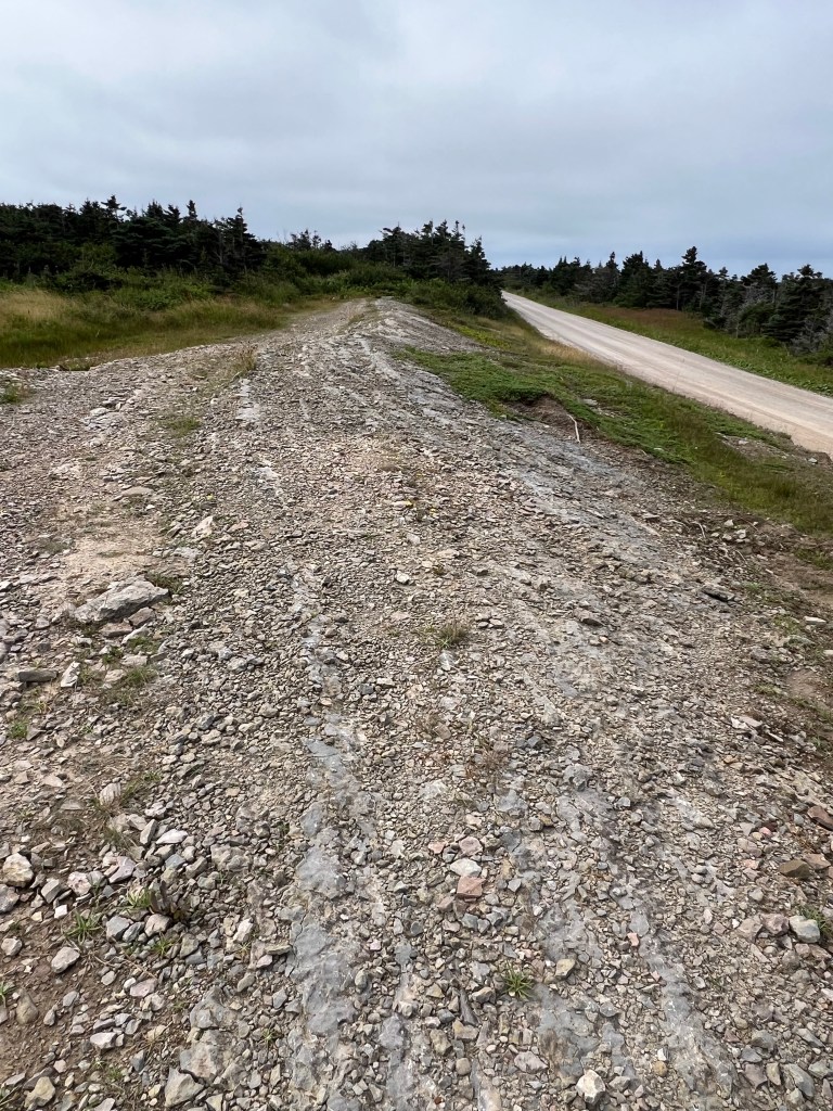
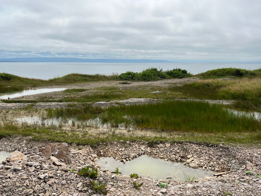
On the way back we stopped at this rocky place. This is a worn ridge of rocks, the “backbone” of the peninsula.
From on top of it you could look across the road to the Gulf of St. Lawrence.
Turning the other way you could see the Port au Port Bay. That was the width of the peninsula at that point.
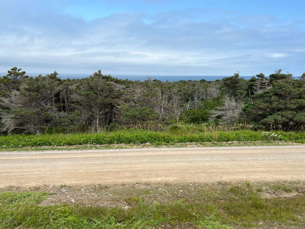
We drove on through the wind-trimmed trees…
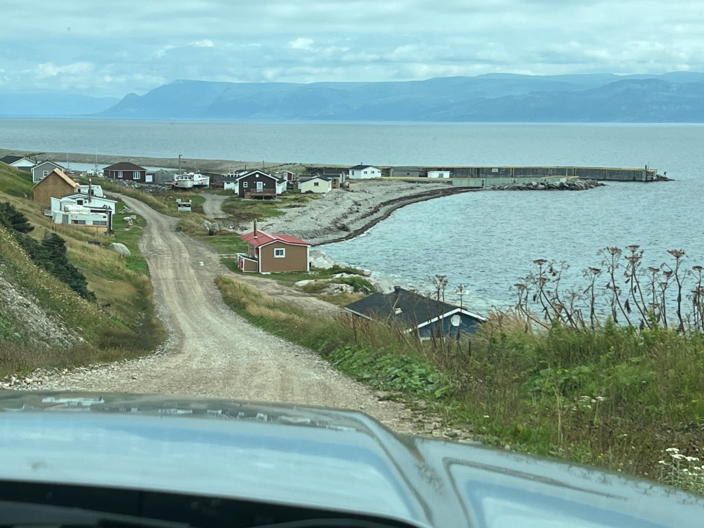
until we suddenly drove down a little hill into Blue Beach.
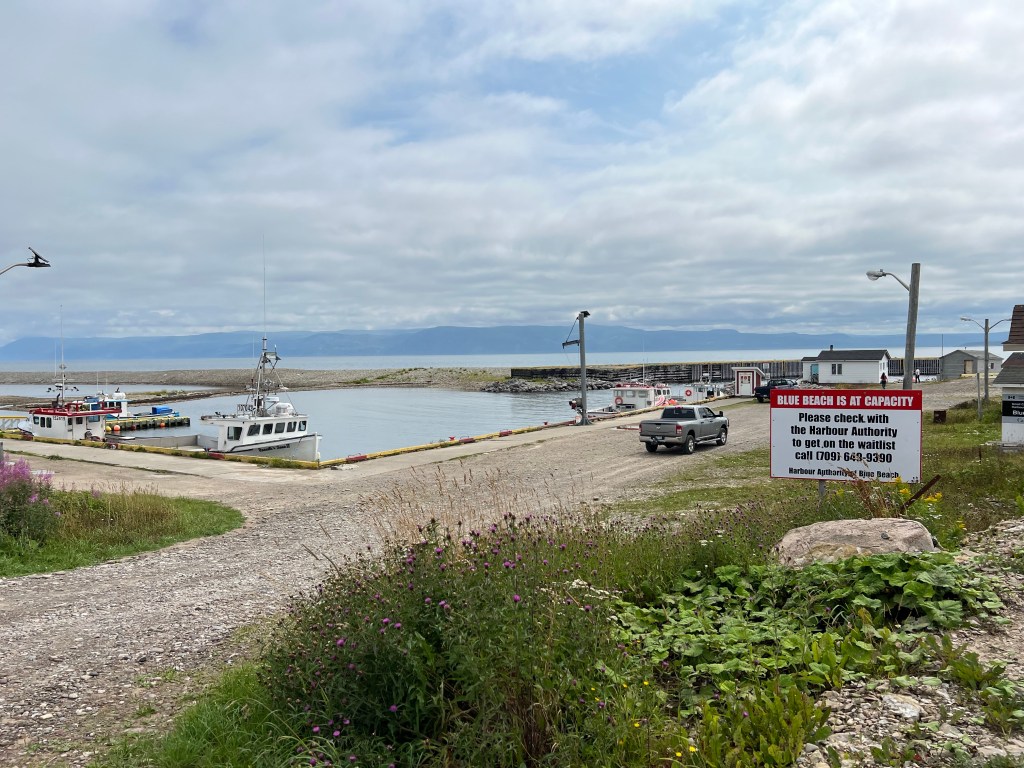
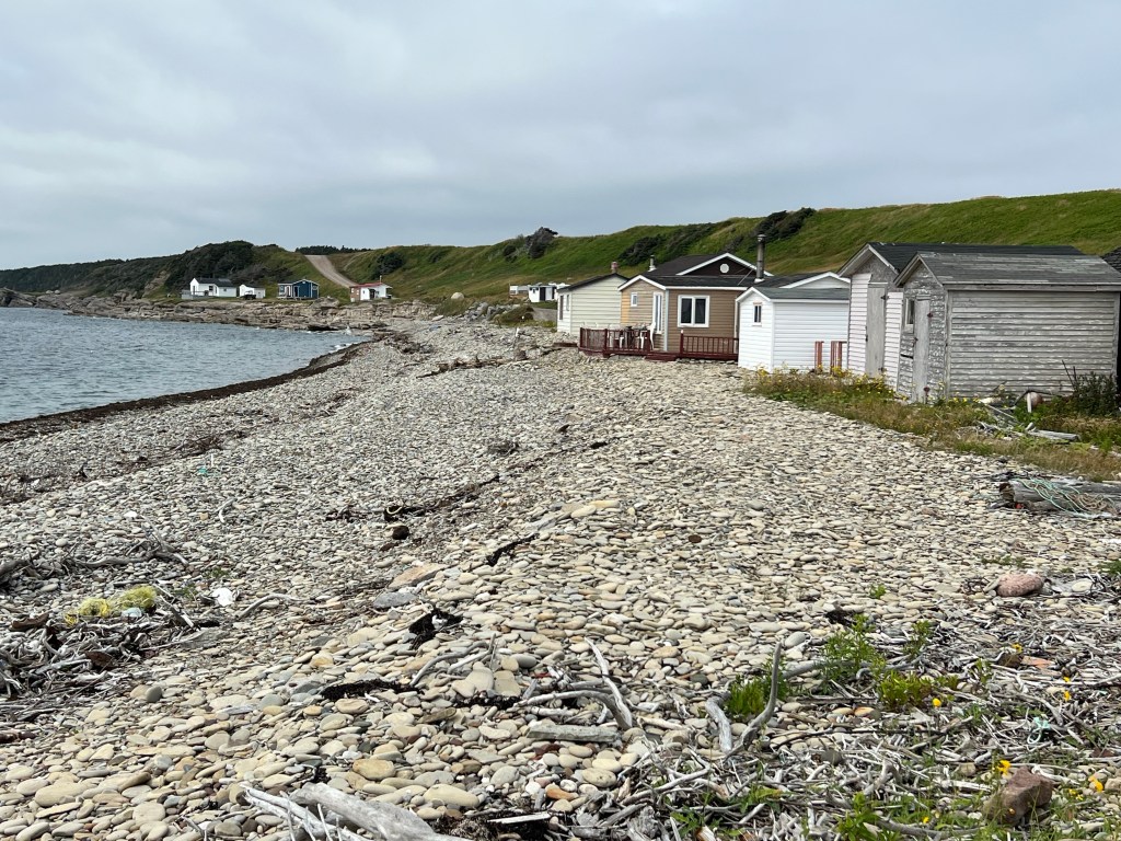
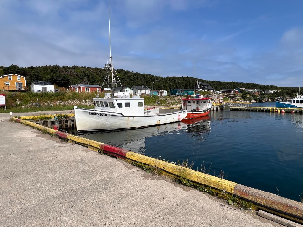
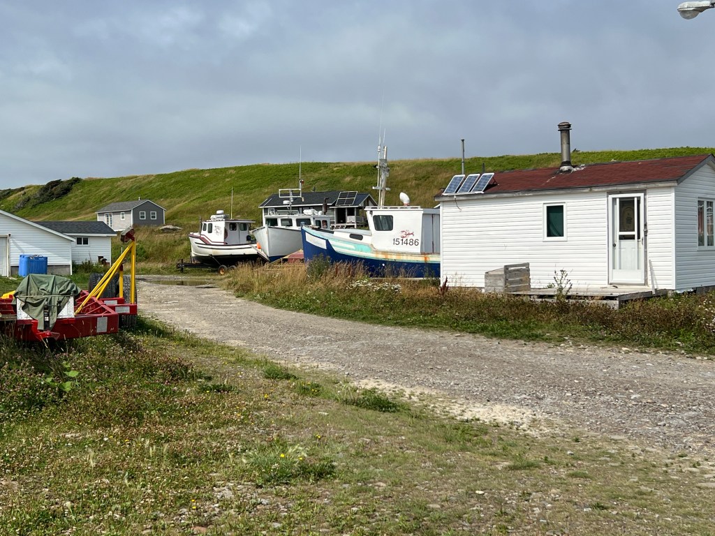
We certainly didn’t expect this tidy little harbor. And if you look at the sign you’ll see they have no vacant berths, there’s a waiting list!
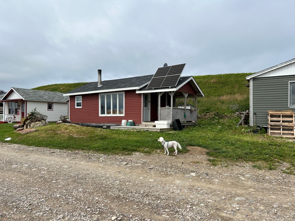
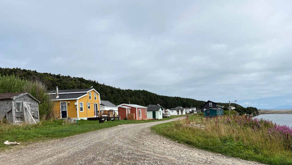
There are no services for these little cottages,
but a number of them had solar panels.
It’s a deep and well protected harbor and obviously popular.
It didn’t look overly full to me…
but there were also some boats up on the hard.
What a cute little place.
You never know what you’re going to find at the end of the road!
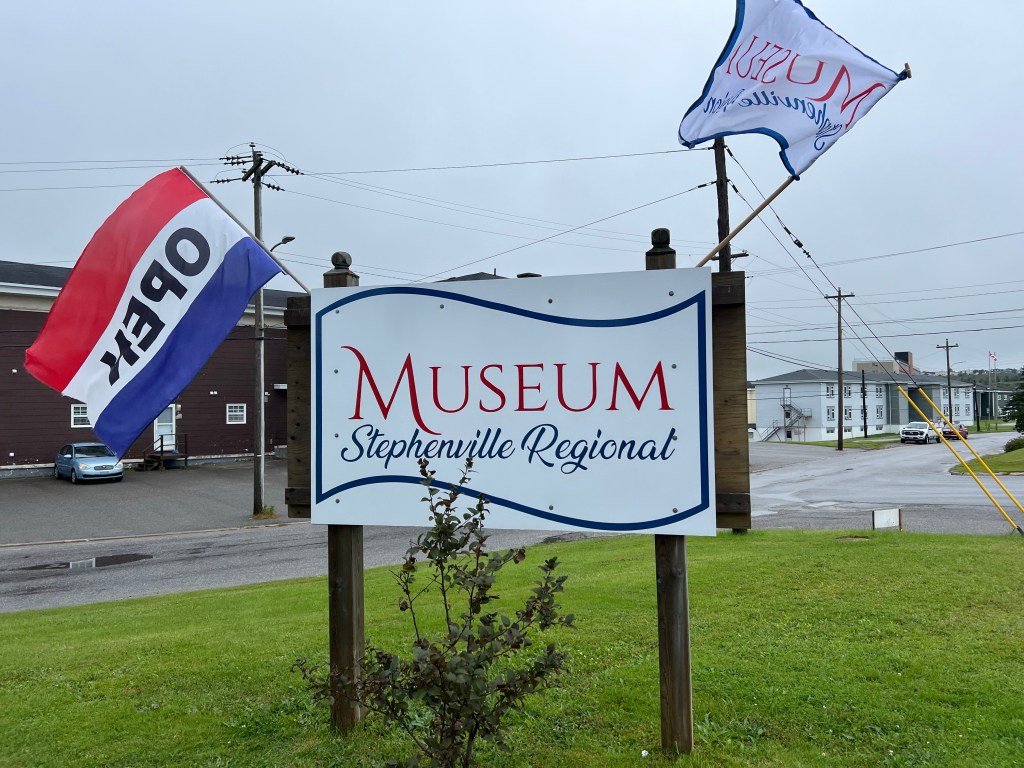
While Matey was getting groomed yesterday Bud and I went to the Stephenville Regional Museum.
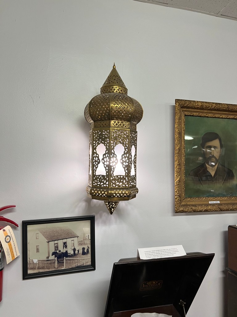
This is the only picture I took of the displays; this is a Moroccan brass sconce, one of several lighting the room, which had once been the officers club at the U.S Air Force base. More on that later.
The reason I didn’t take more pictures is that we spent our hour plus at the museum talking to the two young men working as docents. Both were from Stephenville and both were in college.
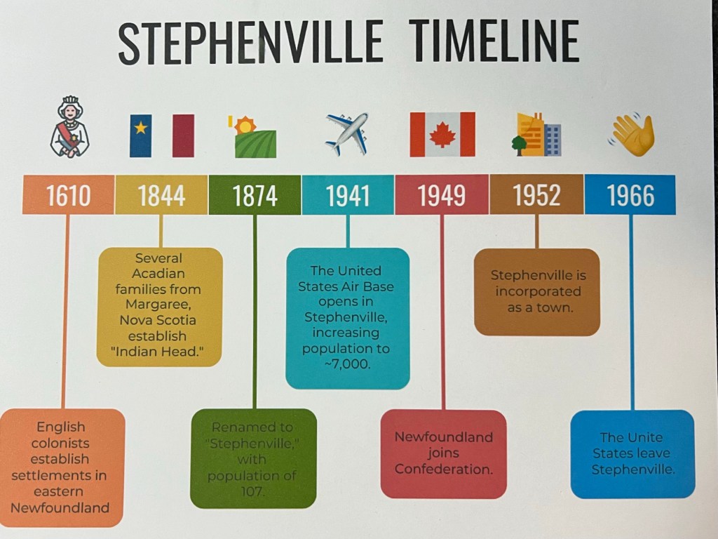
They had this timeline prepared, and I took a picture of that. I asked about the French ancestry, turns out they are both part or mostly French (and both had indigenous ancestors, too). The name Stephenville was in honor of the first son born to a French settler here, Stephen Gallant. One of the young men was a descendant of the Gallants. Pretty much all the information that follows came from our conversation.
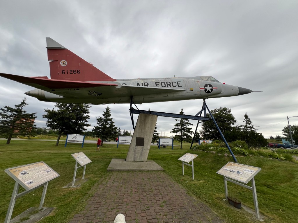
The US Air Force Base that was here from 1941 until 1966 had a profound influence on the town. There are reminders all over town, including this jet. In 1941 Britain desperately needed ships to protect her borders and shipping lanes. The US provided 11 destroyers in exchange for the use of land in Commonwealth countries for military bases. There were actually four bases established in Newfoundland because of its proximity to Europe. The airbase here, one in Gander, a Naval base in Argentia and an army air and coastal defense base in St. John’s.
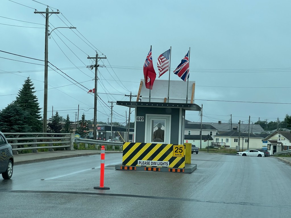
This gave us pause the first time we passed it; yes it’s the gate to the base, but that’s just a mannequin inside.
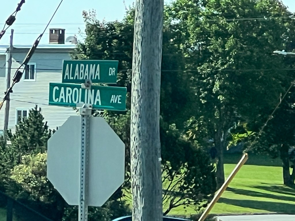
Inside the 8,159 acres of the base (the largest under the lend-lease agreement) all the streets were, and still are, named for states.
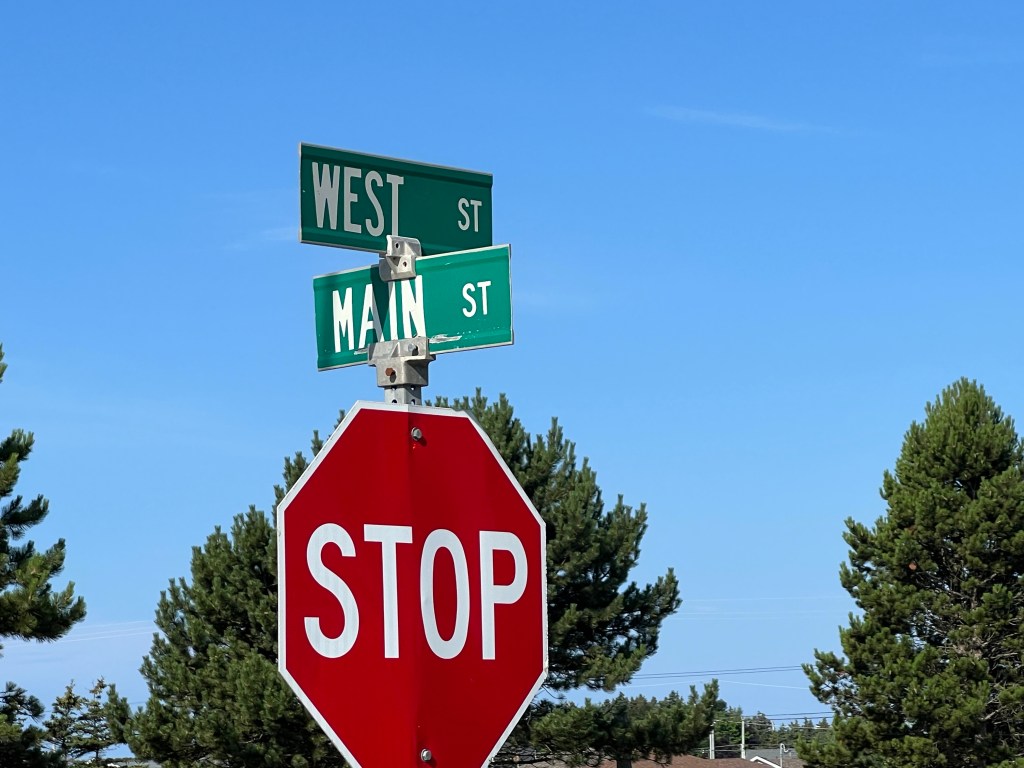
Main Street becomes Carolina Avenue once you pass the old gate.
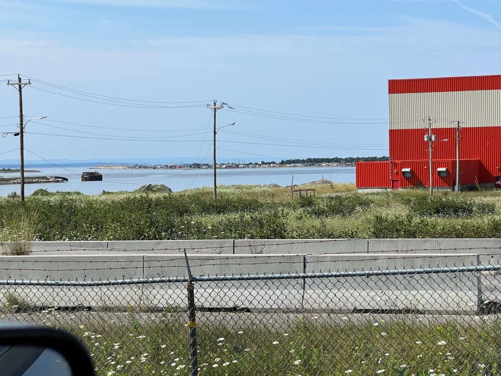
The body of water here was a freshwater pond. It was dredged for material to build up the airfield and the base. Then an opening was blasted to create a deep water port, Port Harmon.
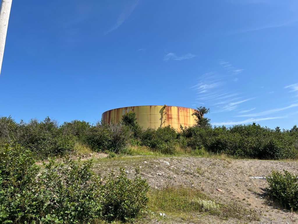
Because of its location and excellent flying conditions this became a stopover and a refueling site. The port allowed mass importation of jet fuel. Tanks like this are scattered around the port.
At its peak there were over 4,000 troops stationed here,
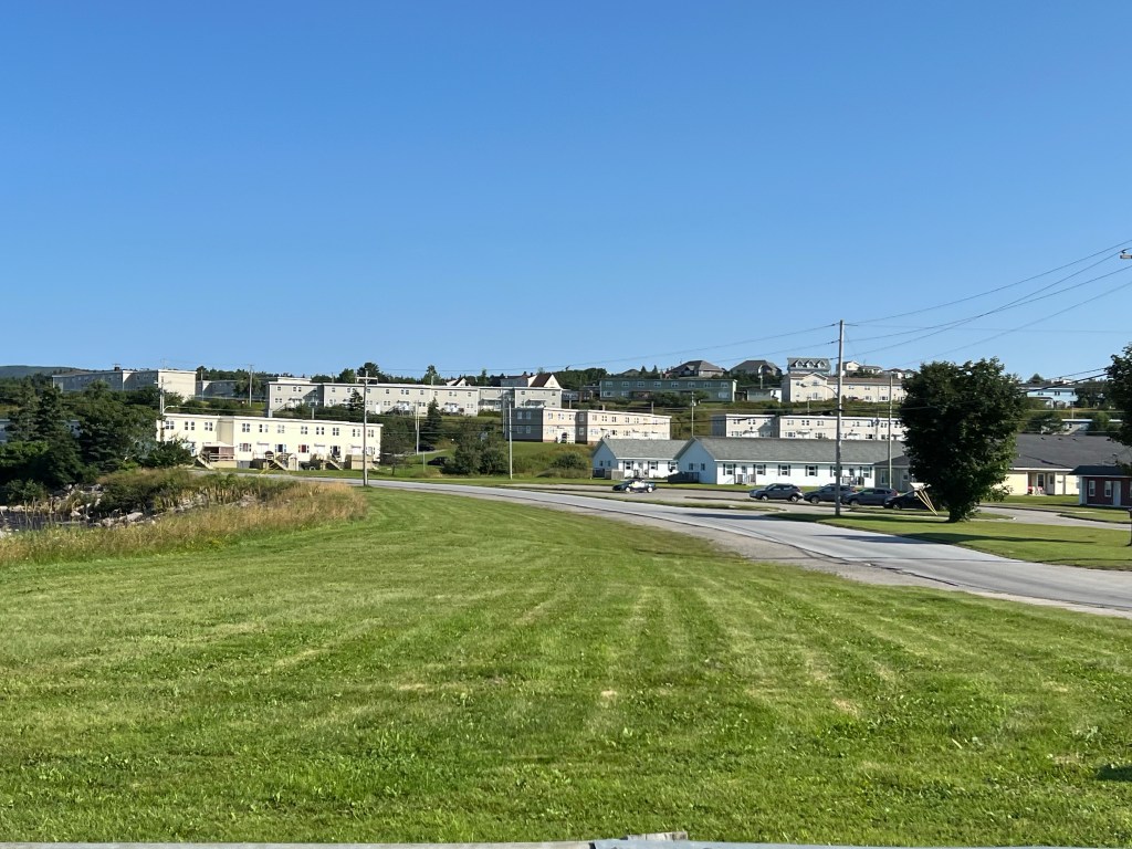
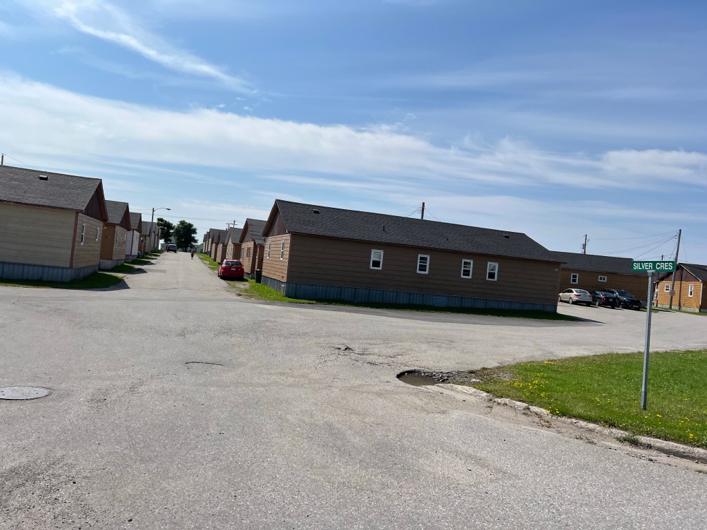
and barracks still dot the landscape.
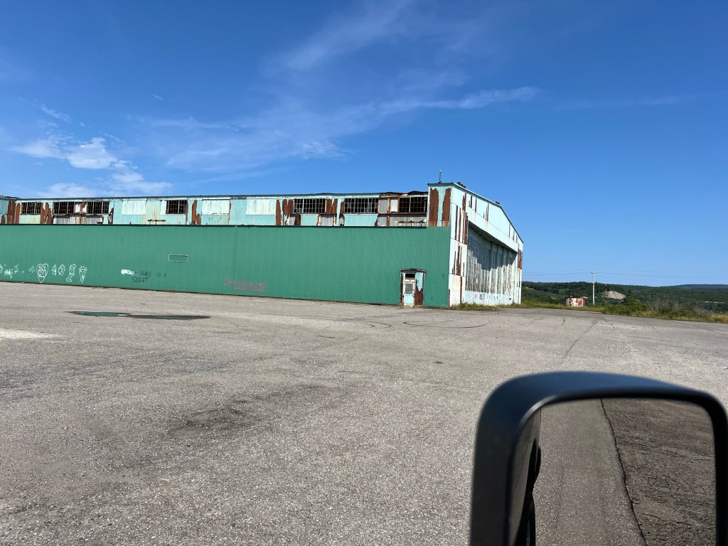
Some of the old hangars sit abandoned,
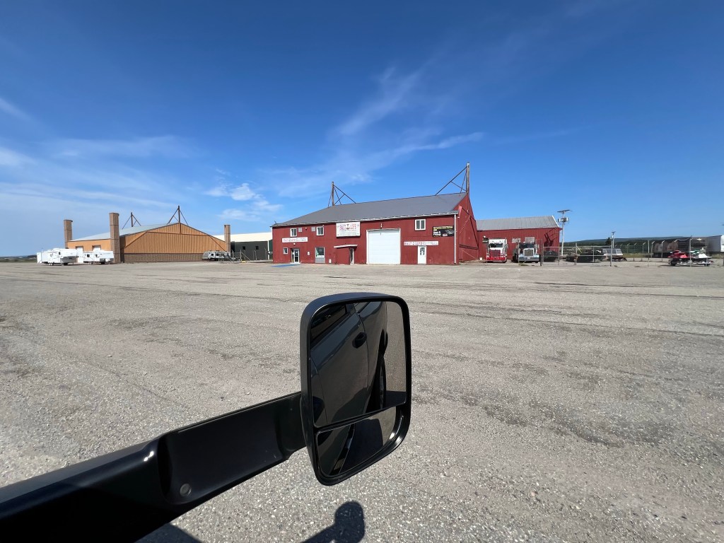
but many of them are still in use.
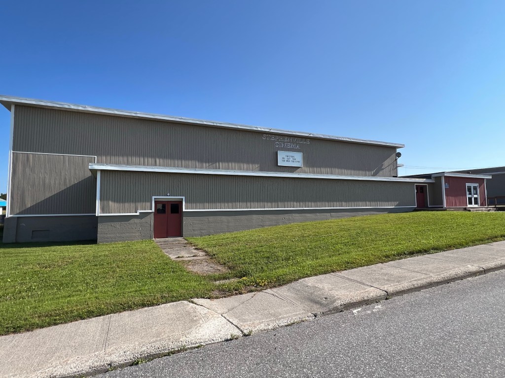
Even the base theater is still the town’s cinema.
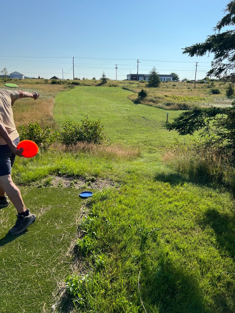
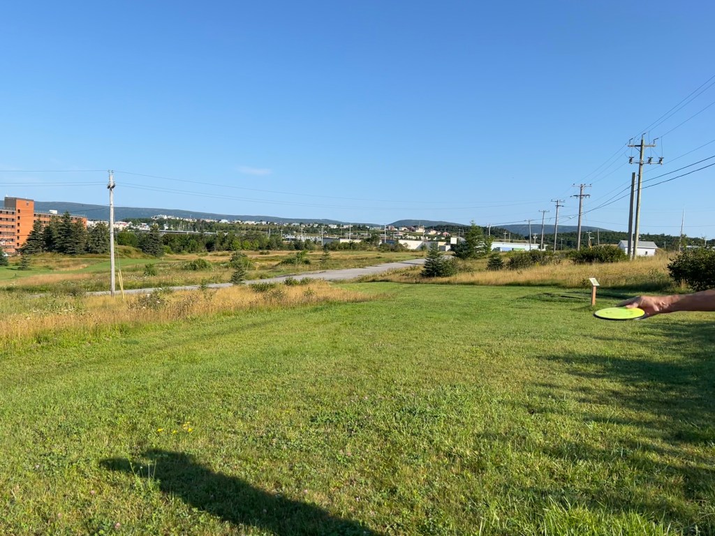
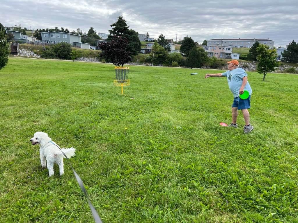
Our favorite disc golf course is made on the old base.
The road that crosses this fairway is no longer used.
After the base closed a paper mill came to repurpose the port and facilities. Unfortunately, they made newsprint and when the demand for that plummeted they closed.
We asked what the current industry was. Our docents looked at each other and said, “None.”
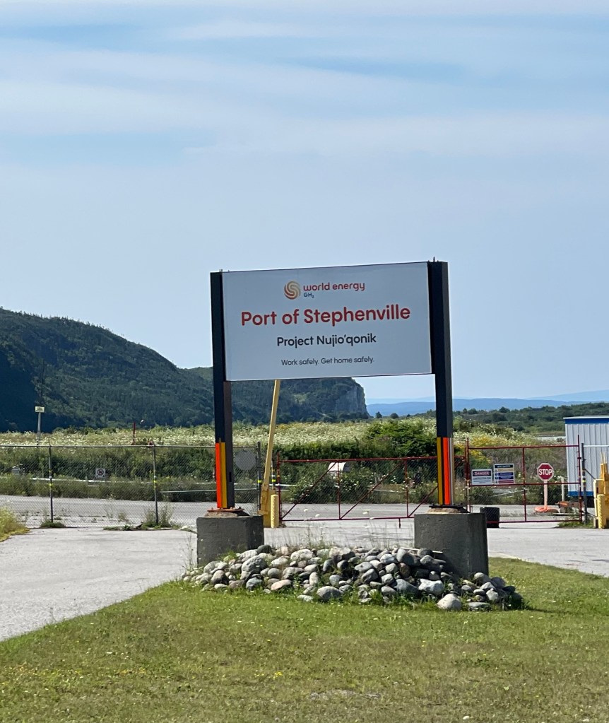
But they were quick to point out a project that has begun to put wind turbines out on Port au Port Peninsula and use that power to make hydrogen and ammonia. They will build their plants on the brown fields left by the paper mill and use Port Harmon to ship their product worldwide.
Our docents were optimistic about a future built on green energy with the input and consideration of the locals, including the indigenous community.
One of our docents was working on a degree in chemistry and math, the other had a master’s in philosophy, but was now taking accounting. They seemed to have the new project in mind.
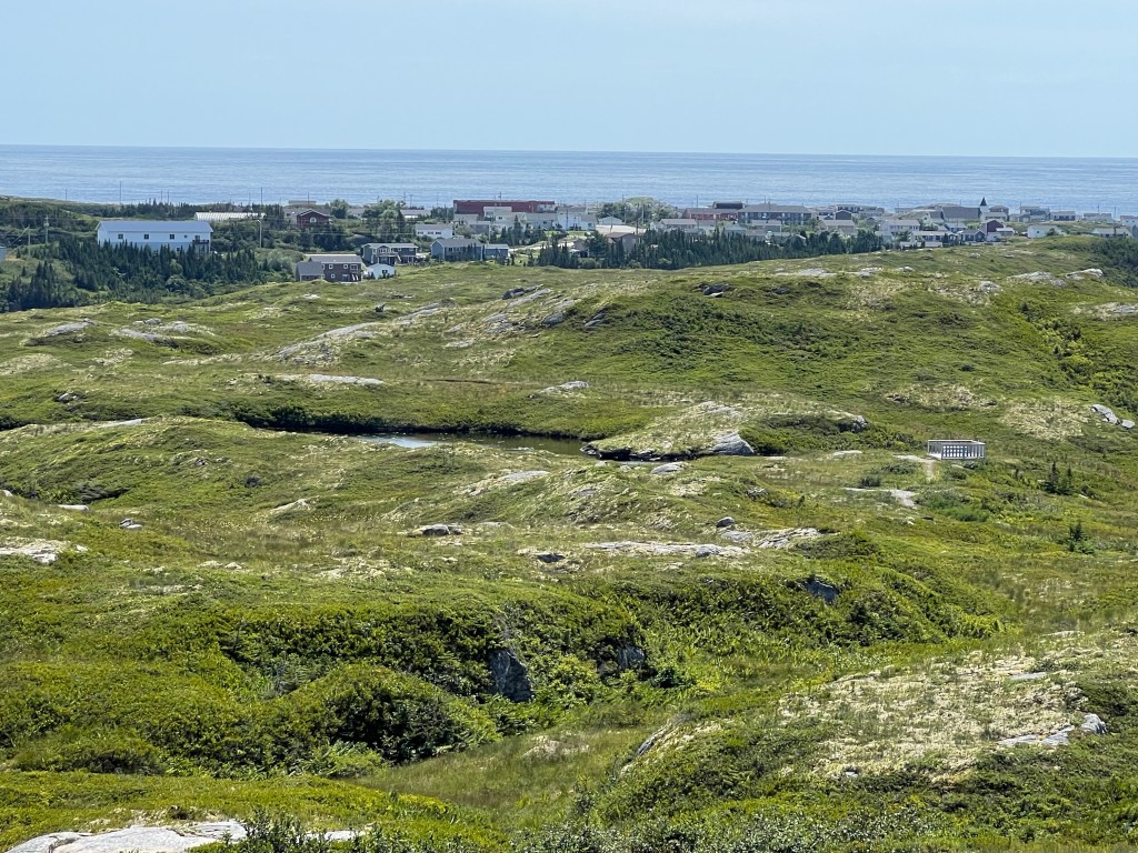
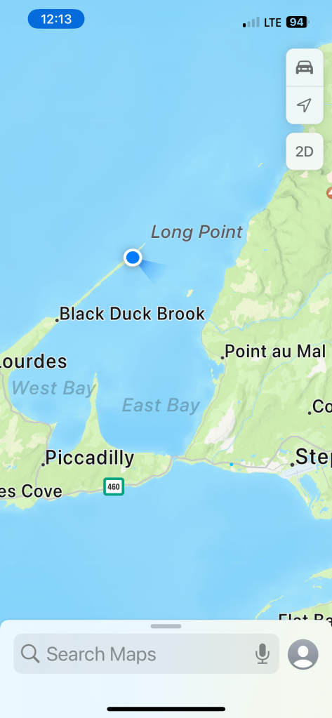
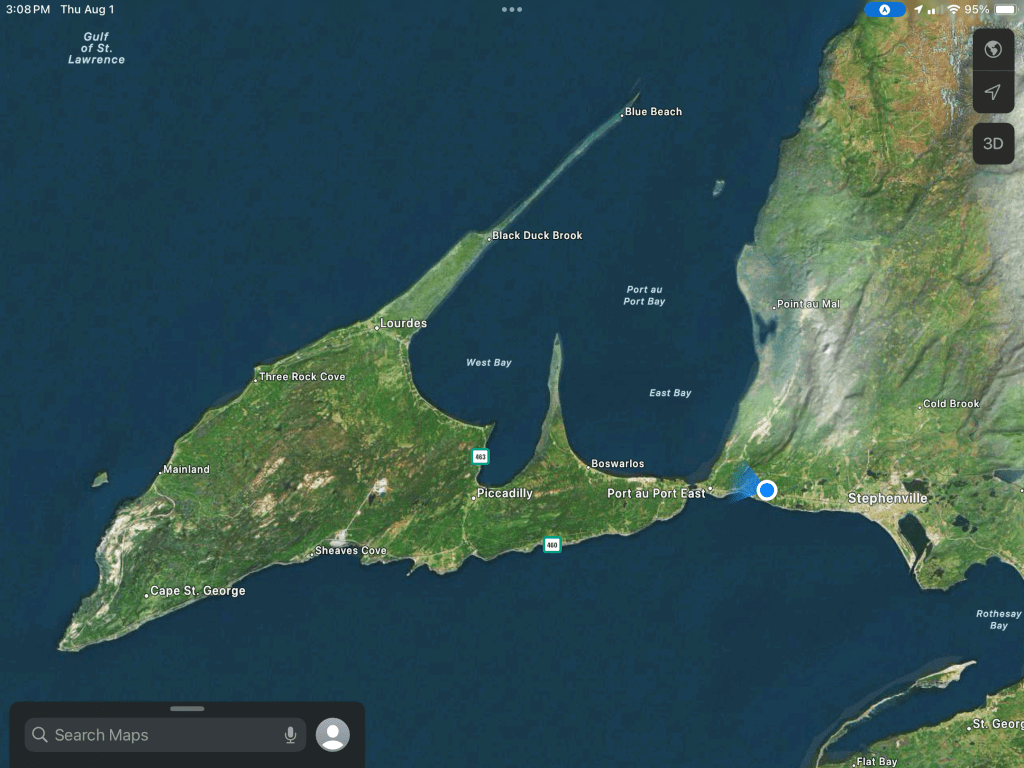
Another reason I wanted to stay where we are was to explore this arrow shaped peninsula, Port au Port Peninsula. There’s basically one road around the coastline with a spur going out the long, narrow point heading northeast. Today we took a drive out there.
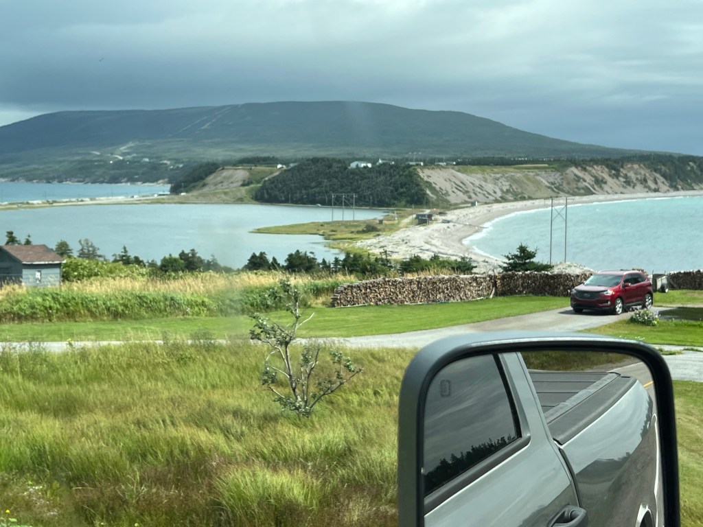
On the way back I was able to get a good shot of the very tenuous link between the peninsula and the rest of Newfoundland. The road crosses the causeway to the left. The water body between the land links is Gravels Pond. We didn’t stop to check if it was fresh or salt water. Hopefully we’ll get back there and I can see.
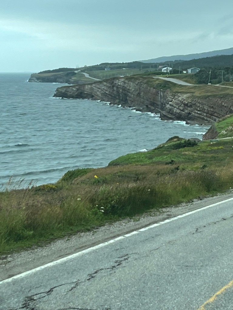
We drove out to Cape St. George along the south shore. There are cliffs here.
In fact, the shoreline is almost all cliffs with no real harbors.
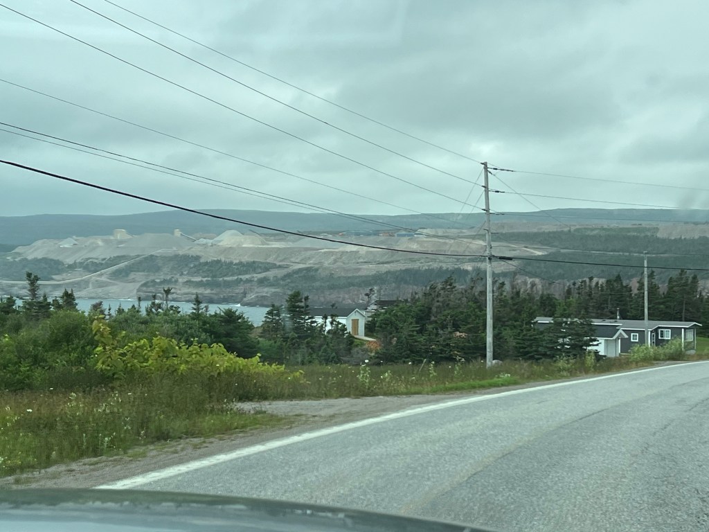
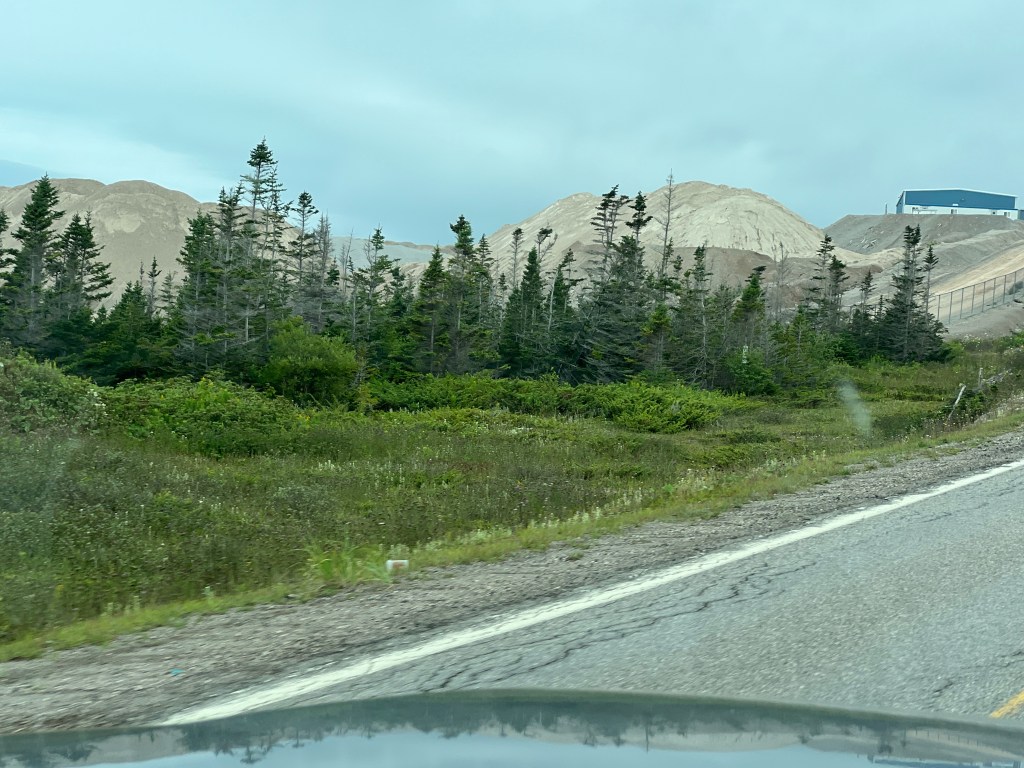
As we drove we saw this huge area of excavation with huge piles of sand and gravel.
This is the Lower Cove Quarry of CEMEX, an international building materials company that started as a cement plant in northern Mexico in 1906.
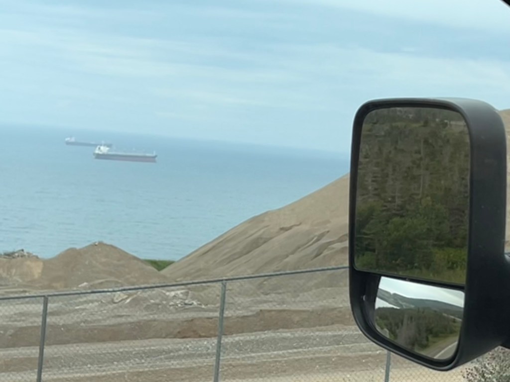
I never got a good angle to show the loading facility that extends into St. George’s Bay. These ships are probably at anchor waiting to load the sand, gravel or aggregates quarried here. The bay is completely exposed to the southwest, so I’m guessing weather plays a big role in their operations.
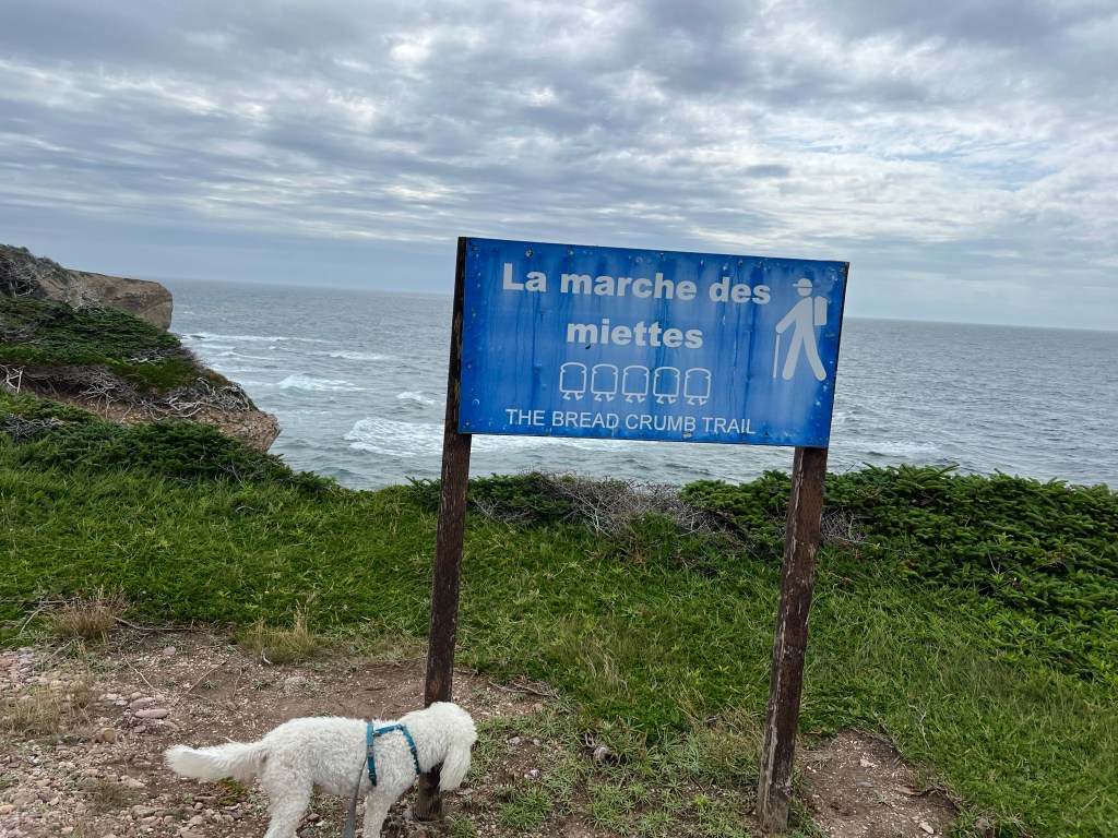
We stopped at Boutte du Cap Park in Cape St. George and poked about The Breadcrumb Trail. There’s an outdoor French Bread Oven here but we were too early for the baking. This peninsula has a lot of French ancestry people. People from both France and England fished Newfoundland and had some settlements. When the English won the Seven Years War (called the French and Indian War here), they took over French Canada (except for the tiny islands of Saint-Pierre and Miquelon) but let the French continue to fish off Newfoundland. When the Acadians were expelled from the Maritime Provinces some of them came here and joined the other French settlers who stayed here. So the peninsula has a lot of French names, Catholic Churches and schools and even a French speaking school.
The trail went through a patch of dwarf woods…
and then out on the open heath.
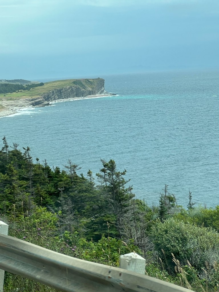
The sun was peaking out and I got a couple of shots of the cliffs.
Another beautiful shoreline.
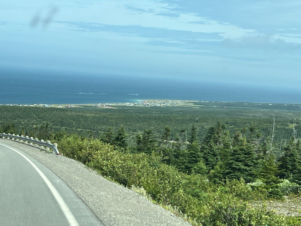
The road back went across a highland until it swept down to the town of Mainland along the northwest shore.
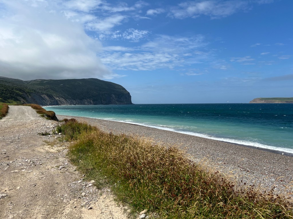
We stopped there so I could get a shot of the headland we’d just crossed, and Red Island offshore.
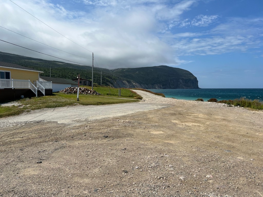
There were a couple of houses here. What a view they had!
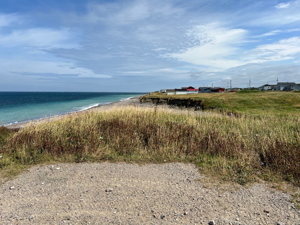
The town stretched along a gravel beach.
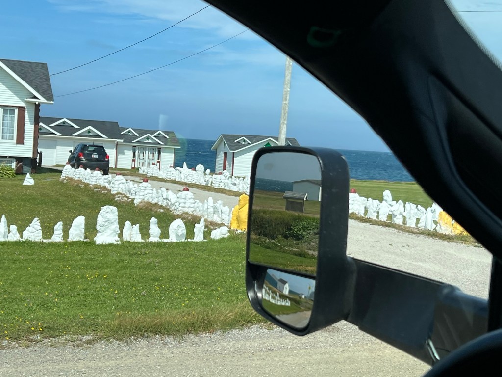
There were several houses in town that had arrays of white painted rocks in their lawns. Don’t know what that was about.
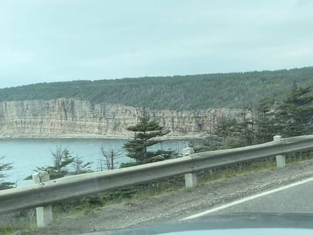
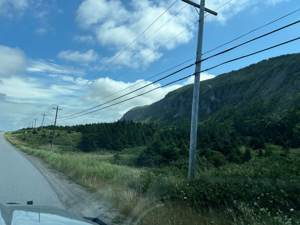
For this part of the drive there was a smaller cliff sea side and then a large cliff inland.
We finished our loop without going out to Long Point because our truck was not liking the low speed driving. It has a particle filter to clean the exhaust and you need to drive at highway speed for the engine to generate enough heat to burn that clean. Evidently 60kph (37mph) doesn’t do it. We were afraid the smaller road out the point would be even slower. Hopefully we can do that another day, the filter was about 80% clean when we got back.
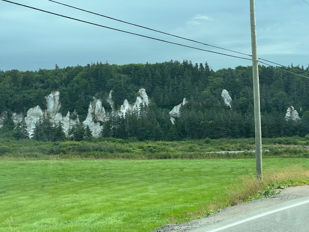
As a bonus we saw these white hoodoo structures on the bank of Romaines Brook less than a mile from the campground. Something else to explore if I can get Matey to walk there.
We are now at the Zenzville Campground in Kippens, just outside of Stephenville, NL. We’re back along the west coast and heading back towards Channel-Port aux Basques and the ferry back to Nova Scotia.
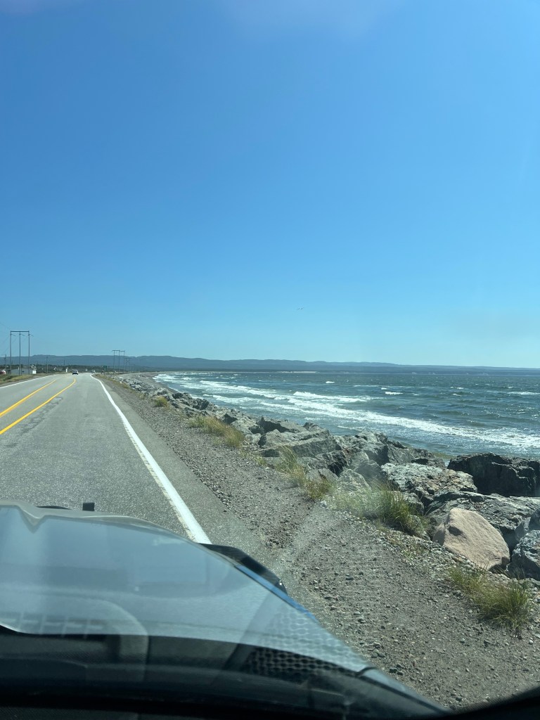
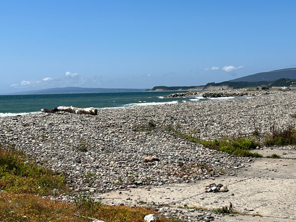
The coast right here is about the tamest we’ve seen on this island, with miles of beach.
This has its own beauty, and the dramatic cliffs are not far off.
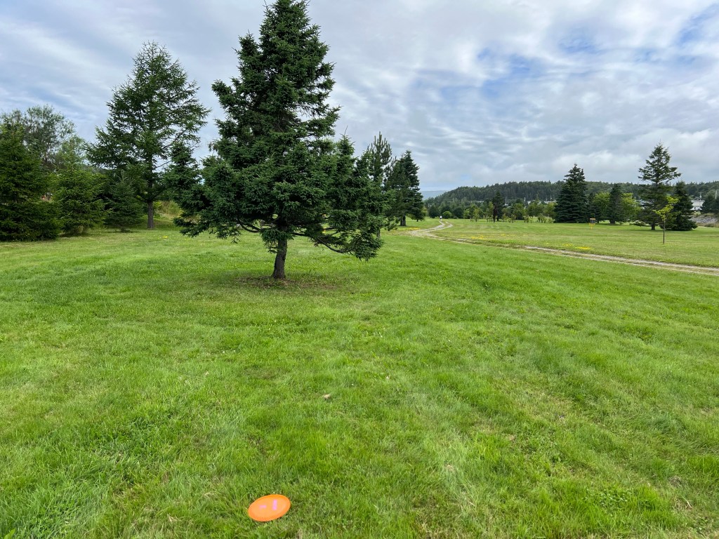
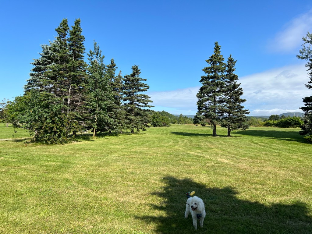
One reason I booked us here for a week is that Stephenville is “the disc golf capital of Newfoundland”. That’s not hard to do, as there are only 8 courses on the island; four of them are here. Today we tried Blanche Brook Disc Golf Course and were happy to find it was in a park with mowed lawns and lots of space among the trees.
It only had ten holes and Matey had to stay leashed,
but it was pretty and well cared for.
Matey was seeking shade (it was only about 70 degrees out) so 10 holes was enough. We’d walked about a mile.
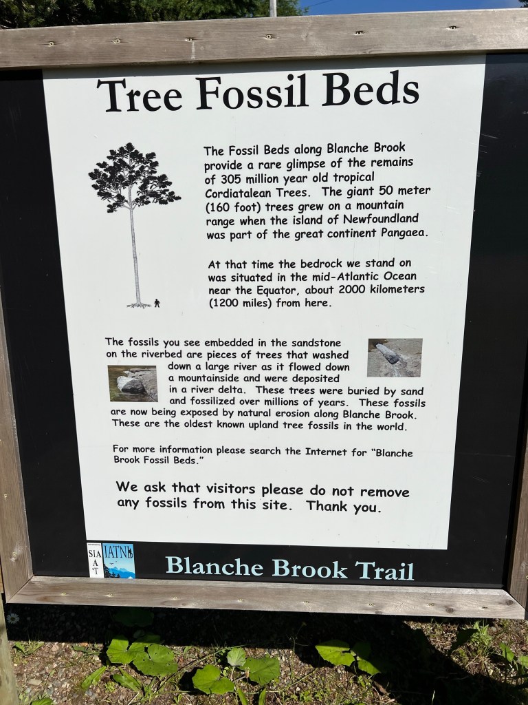
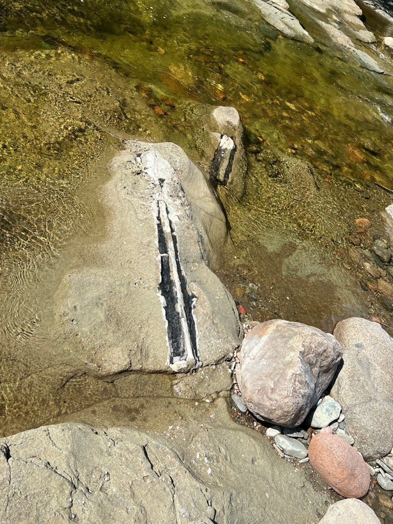
My travelers’ guide to Newfoundland mentioned an area of fossilized trees along the same Blanche Brook, not two miles away. Of course I wanted to visit. And of course these are the oldest known upland tree fossils in the world. This is Newfoundland after all.
A short path took you to the brook, it was quite clear that we should walk upstream.
We passed behind a very nice house…
and continued along the edge of the brook.
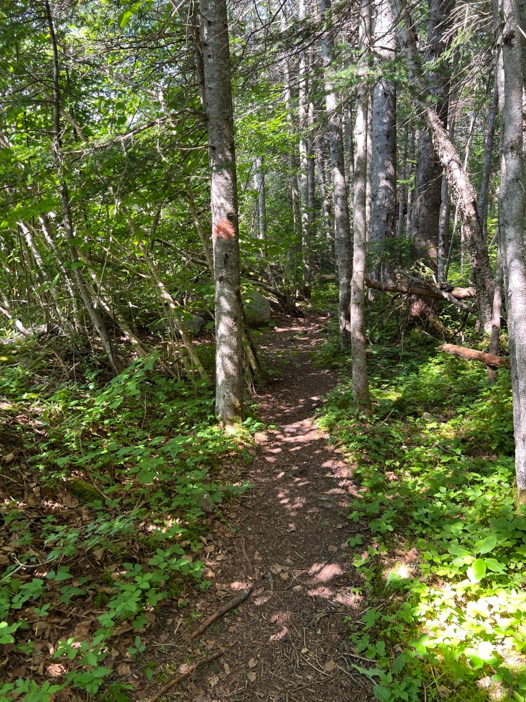
The path got quite small in places. Just as I was wondering if we’d missed the site I spotted this red blaze on a tree. Okay, carry on.
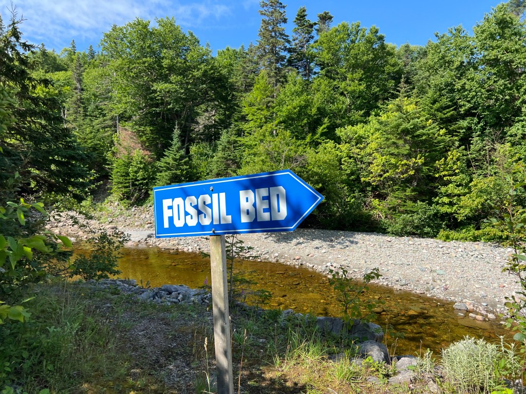
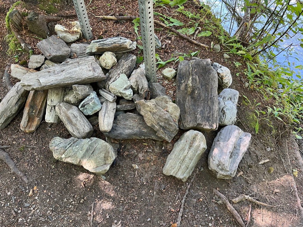
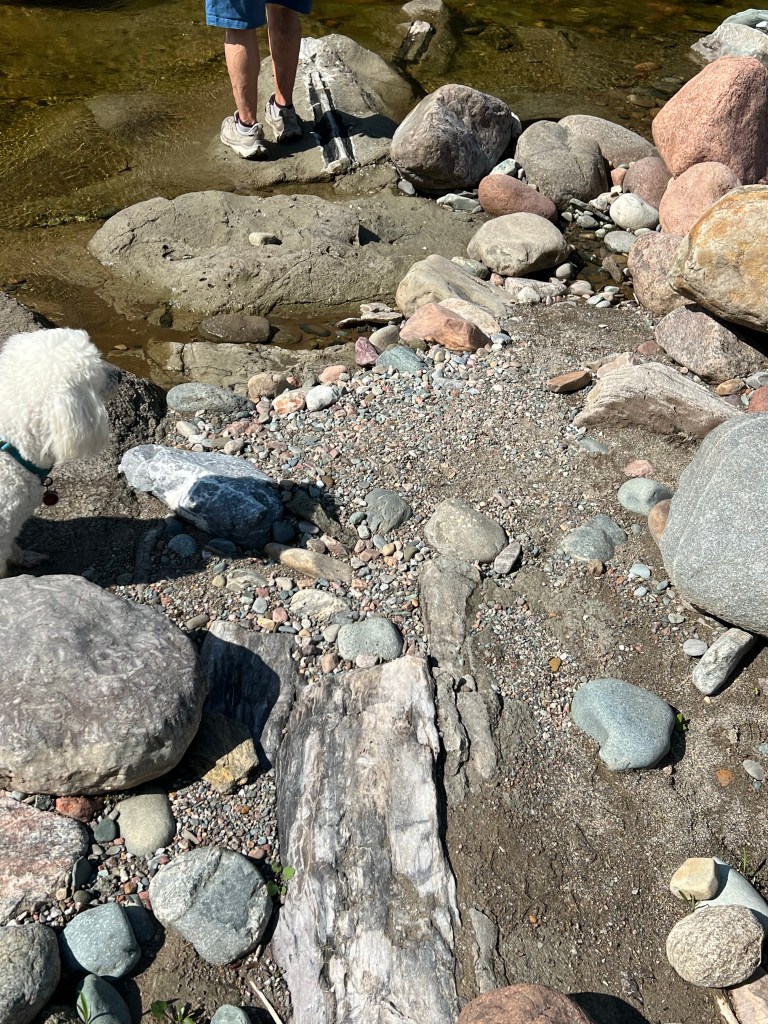
There was no chance of missing the spot, there was a sign surrounded by pieces of fossil logs.
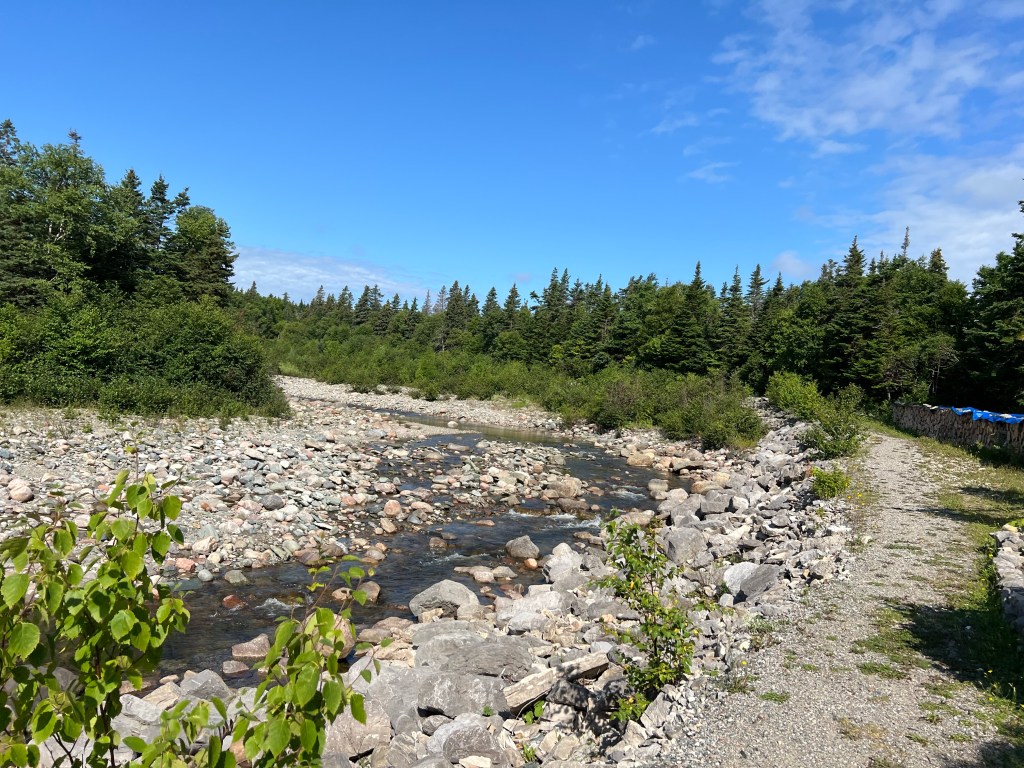
There were plenty more in the creek bed.
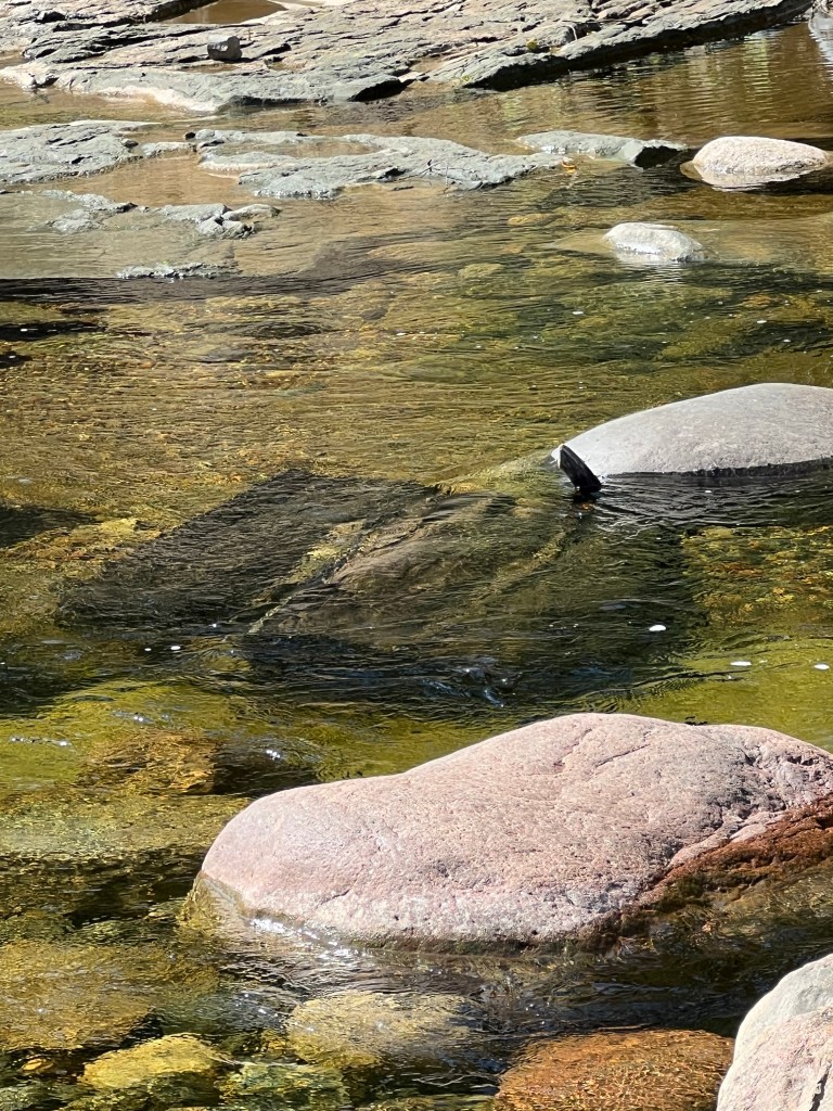
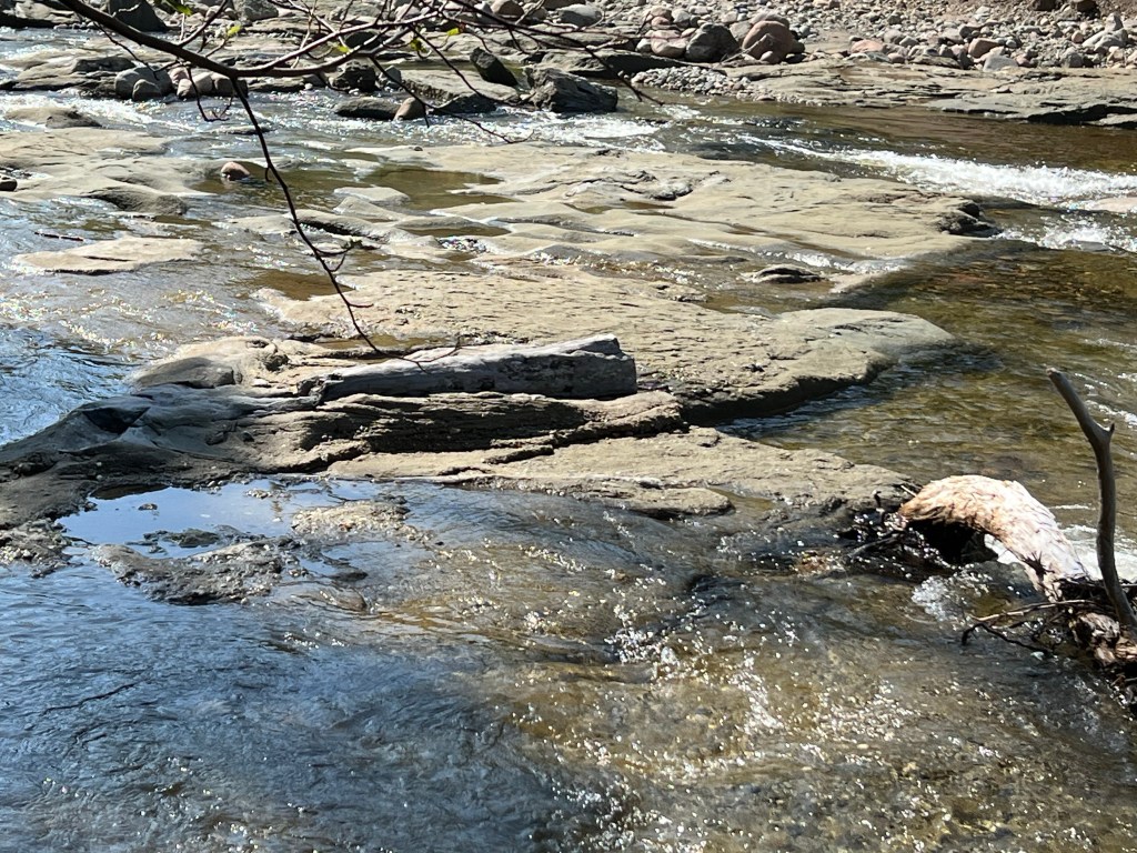
Some were underwater.
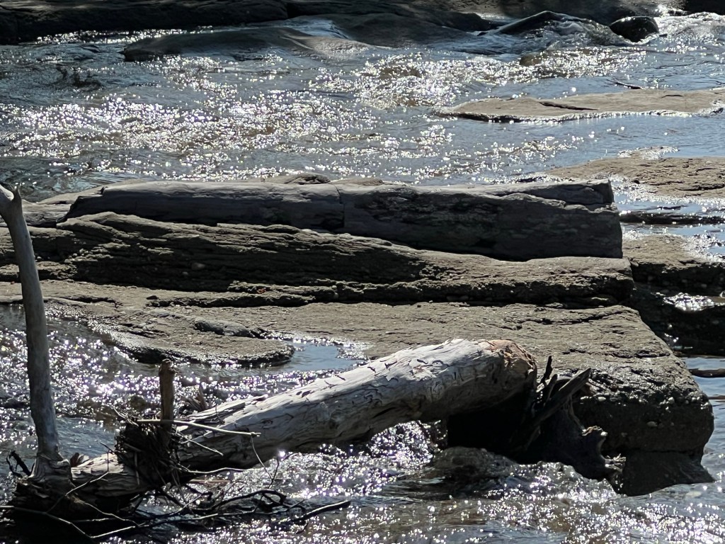
There’s a big one behind a piece of modern driftwood.
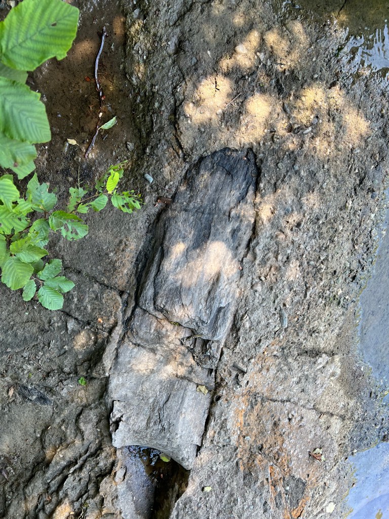
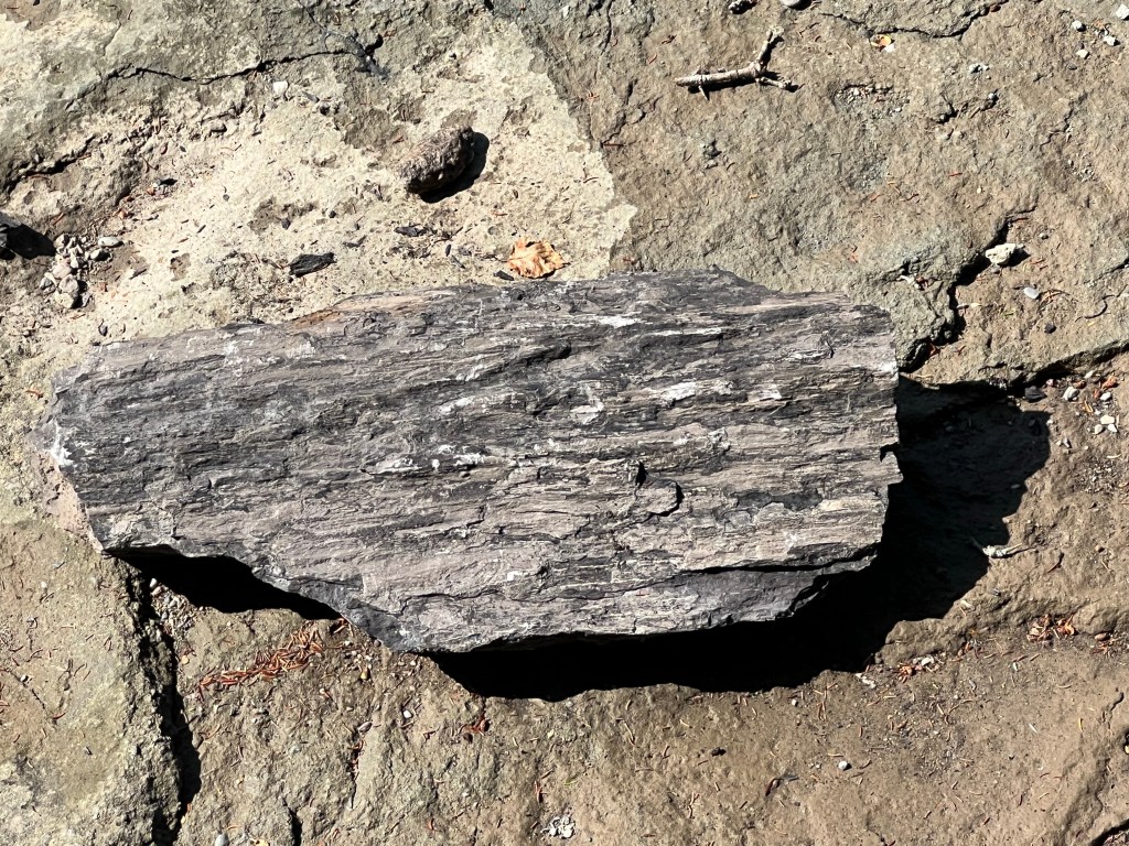
This was my favorite, see the piece that broke from it above and to the right?
Bud noticed what could well be a piece of its lower trunk, too.
What a nice find…
and it was all just sitting there with a sign saying please don’t take these.
This afternoon we took a drive that ended on another dead end dirt road. Coming home there was an accident and we had to turn back to make a detour. The shortest detour was 12 miles around. It made me think of route 360, down to Harbour Breton. There is no detour available there, you would just have to wait.
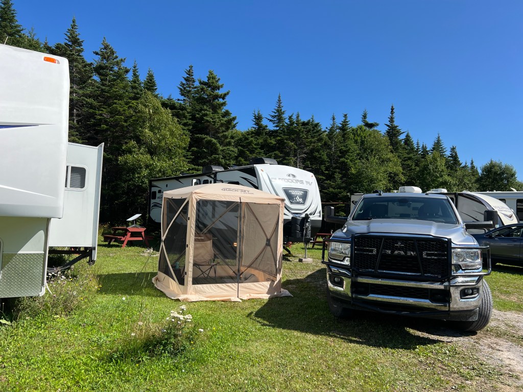
But we did make it around and back to camp and now Matey and I are enjoying the screen house, which just fits on our site.
The problem is Newfoundland has 6,000 miles of coastline, and every mile is beautiful. Yesterday we decided to try another ferry, this one to little Long Island and the Beothuk hiking trail.
This ferry took vehicles, but only 16. After our last experience we didn’t want to be left out, so we arrived at about 9:10 AM for the ten o’clock ferry. Here we are, first in line.
There were a bunch of jellyfish to amuse us.
About 20 minutes later the ferry…
started its 5 minute trip to our side. In case you weren’t sure what you wanted to do on Long Island this sign listed the attractions.
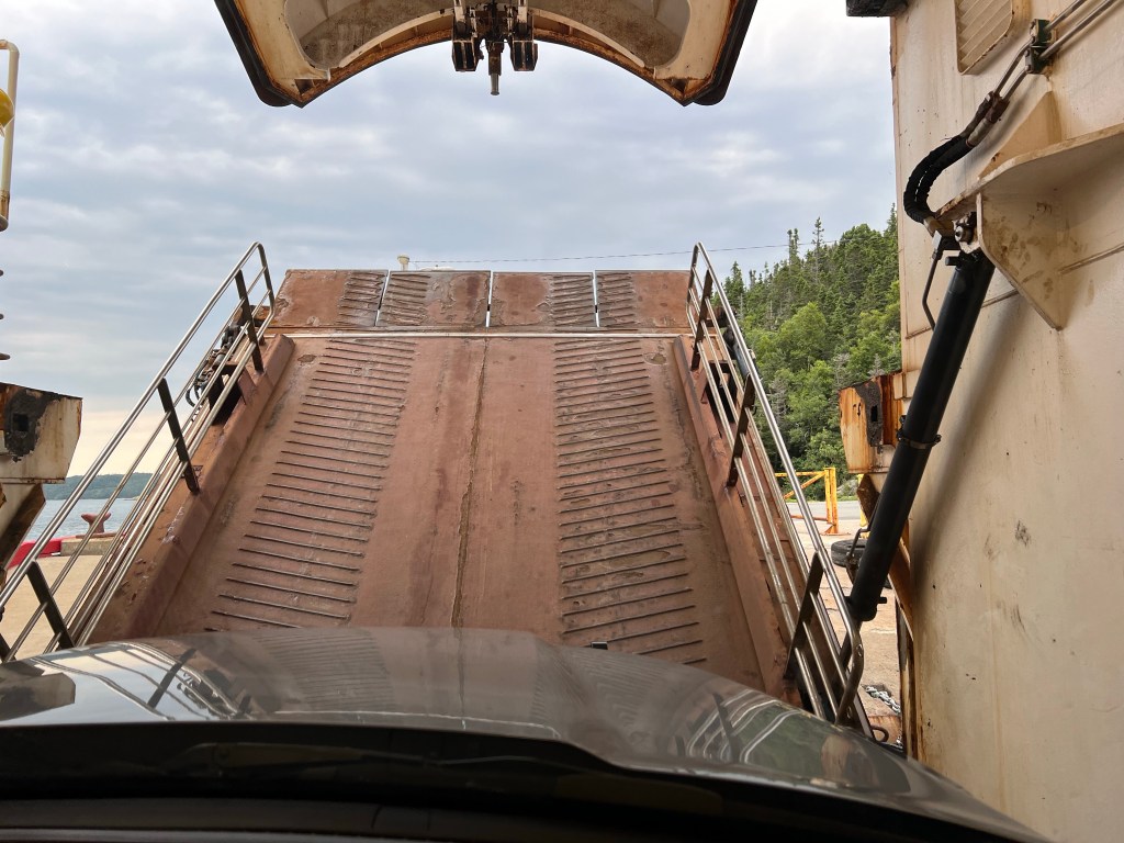
We were loaded right up front by the bow. It’s the first time we’ve stayed in the truck in an enclosed ferry during a crossing. It was noisy.
You can see the press of vehicles in our rear view mirror, all three of us.
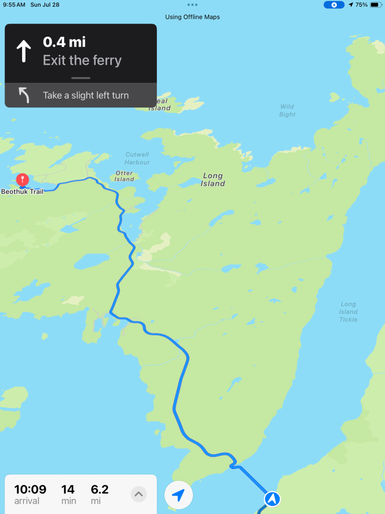
We left the ferry…
and soon came to the hiking trail…
it was less than six miles across the island.
The locals made you feel welcome..
and the trail itself was inviting.
And then there were the views.
I took these at the first lookout..
where a couple who grew up in this little place were flying a drone trying to track whales. They lost the whales and we never saw them. They told us her dad had cleared the trail to this lookout, Amos’s Lookout. He was Amos.
As they were trying to get their drone back, before it ran out of power or the wind got it, we walked on. Up the hill we came to this bog.
You could look across the bog to the cliff and the ocean and islands beyond. Those are pitcher plants in the foreground.
I think they’re beautiful even without their flowers.
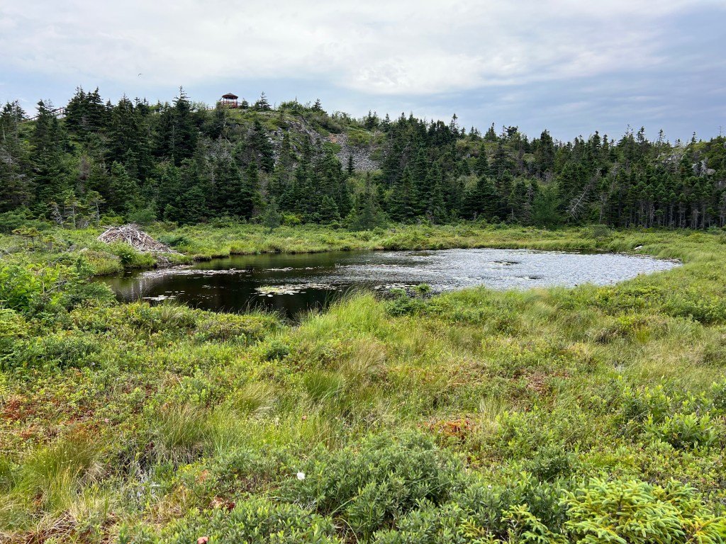
We went past this pond with a beaver lodge and bypassed the gazebo on the knob…
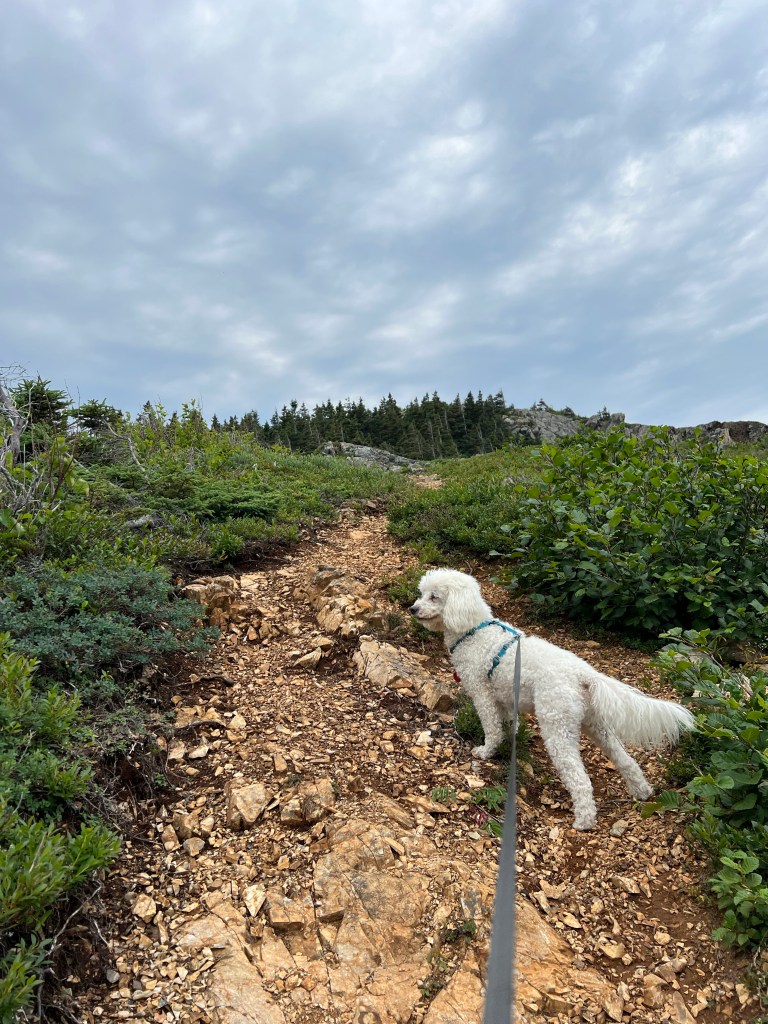
to climb up a steep slope…
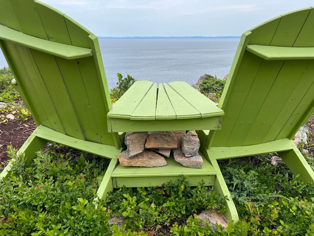
to an outlook with these chairs. The rocks are to keep them in place on windy days. Newfoundland gets lots of wind.
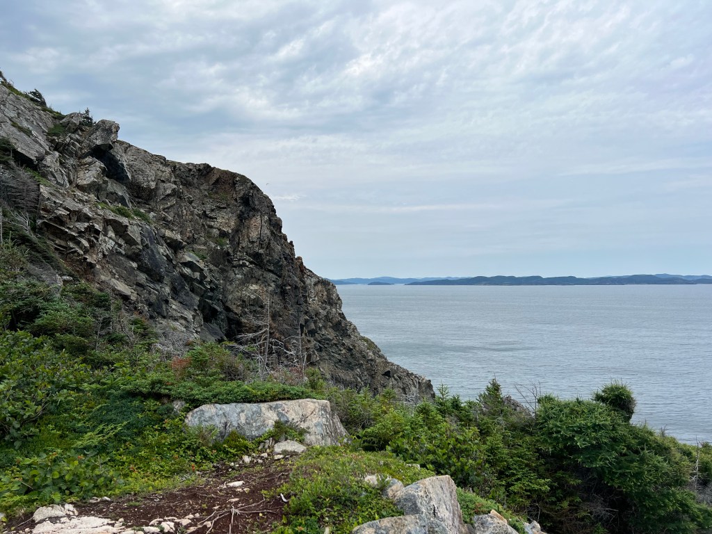
We looked for whales and just enjoyed the views.
Very rugged and very lovely.
We came back from the chairs and climbed these steps to the gazebo on the knob hill.
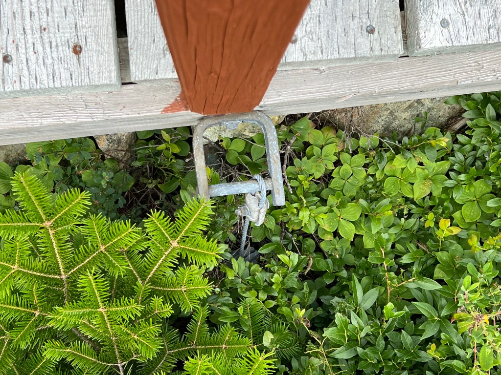
The steps and walkways were all cabled down…
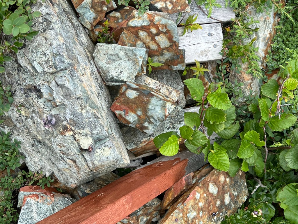
or weighted with rocks against the wind.
I took picture after picture of the gorgeous landscape in every direction. Finally I just took this video as I moved around to catch the 360 degree beauty.
We walked back the trail and left the little town of Beaumont…
and drove back across Long Island to the ferry.
We were first in line again, but this time the ferry had more customers. I took this video of a straight truck being loaded. He was the last one to come on. These ferry workers get the vehicles in without any wasted space. They even folded in the mirrors on the vehicles on either side of the truck.
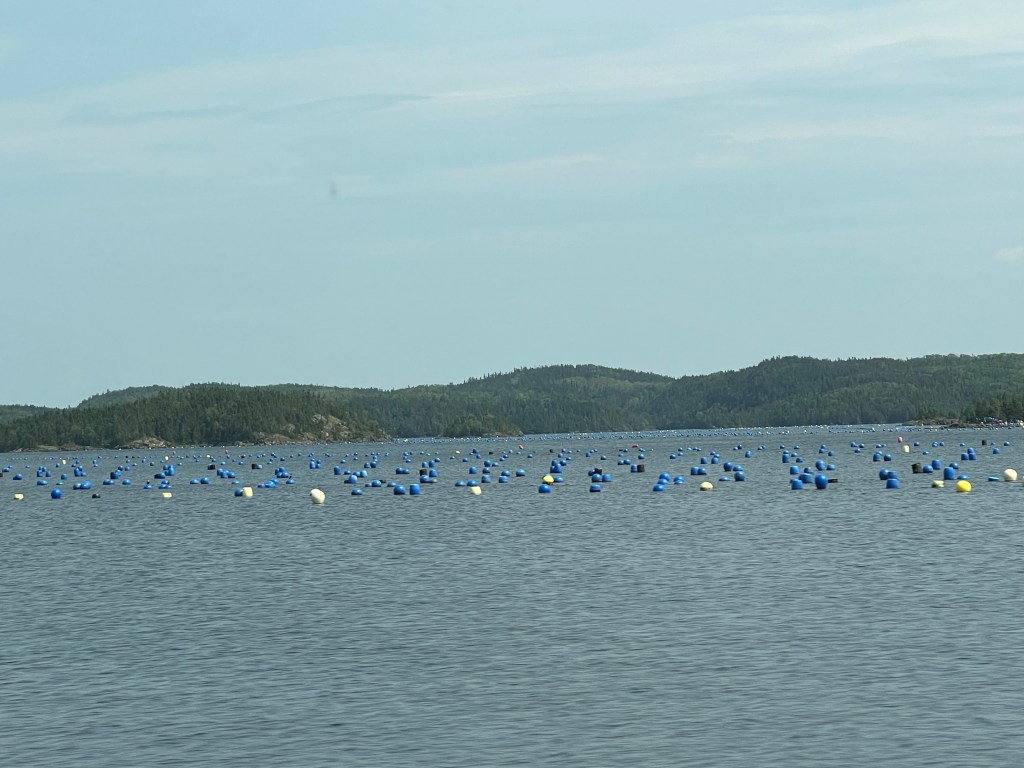
We then drove across Pilley’s Island to Triton Island and finally across to tiny Cobbler Island, all of seventeen miles. Along the way we saw these bouys, set out for some kind of aquaculture,
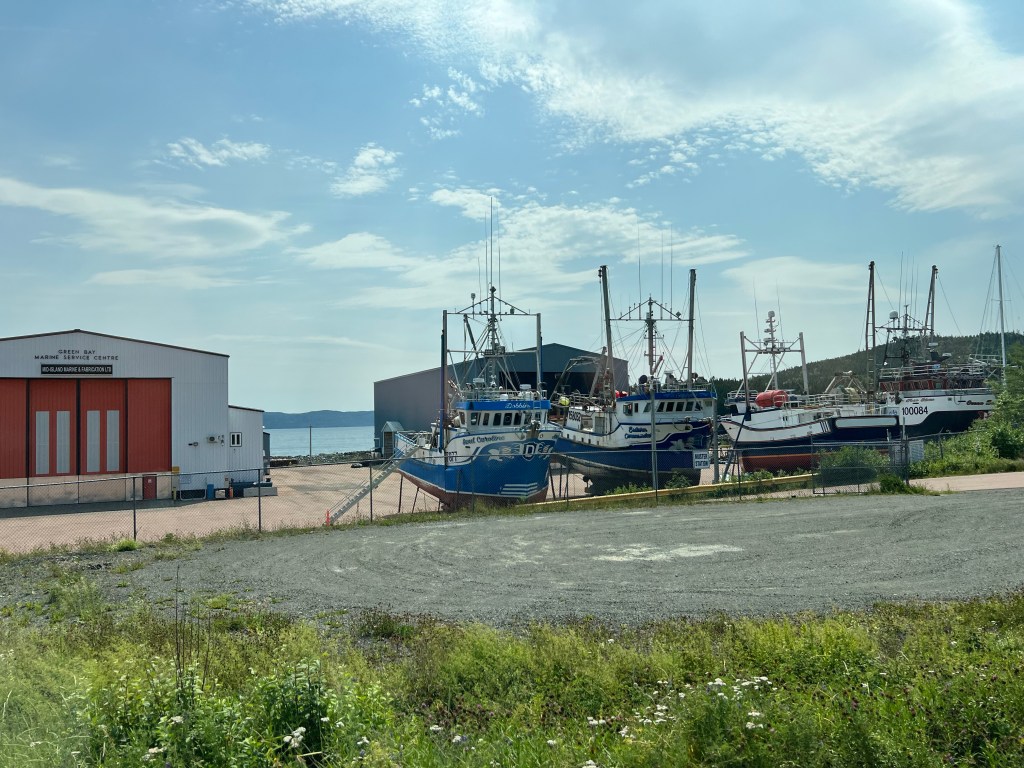
and this good sized shipyard.
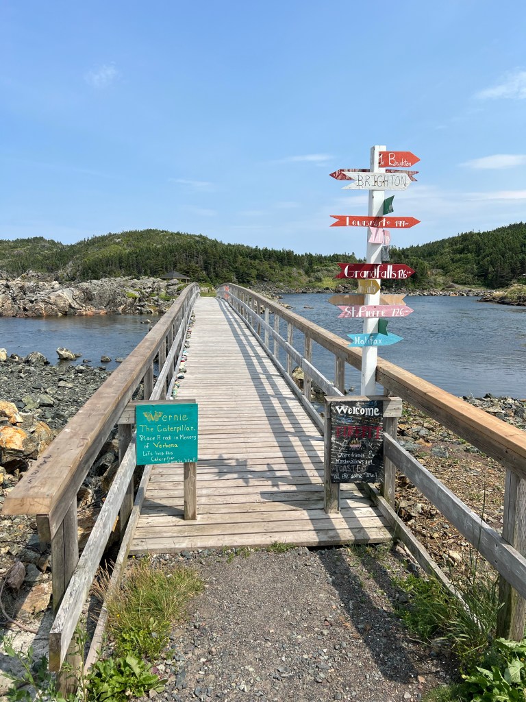
Cobbler Island had this bridge to a bit of island with a gazebo on it.
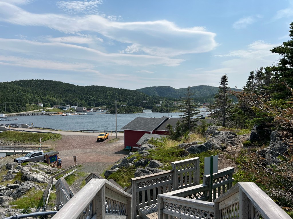
We walked up the nearby steps…
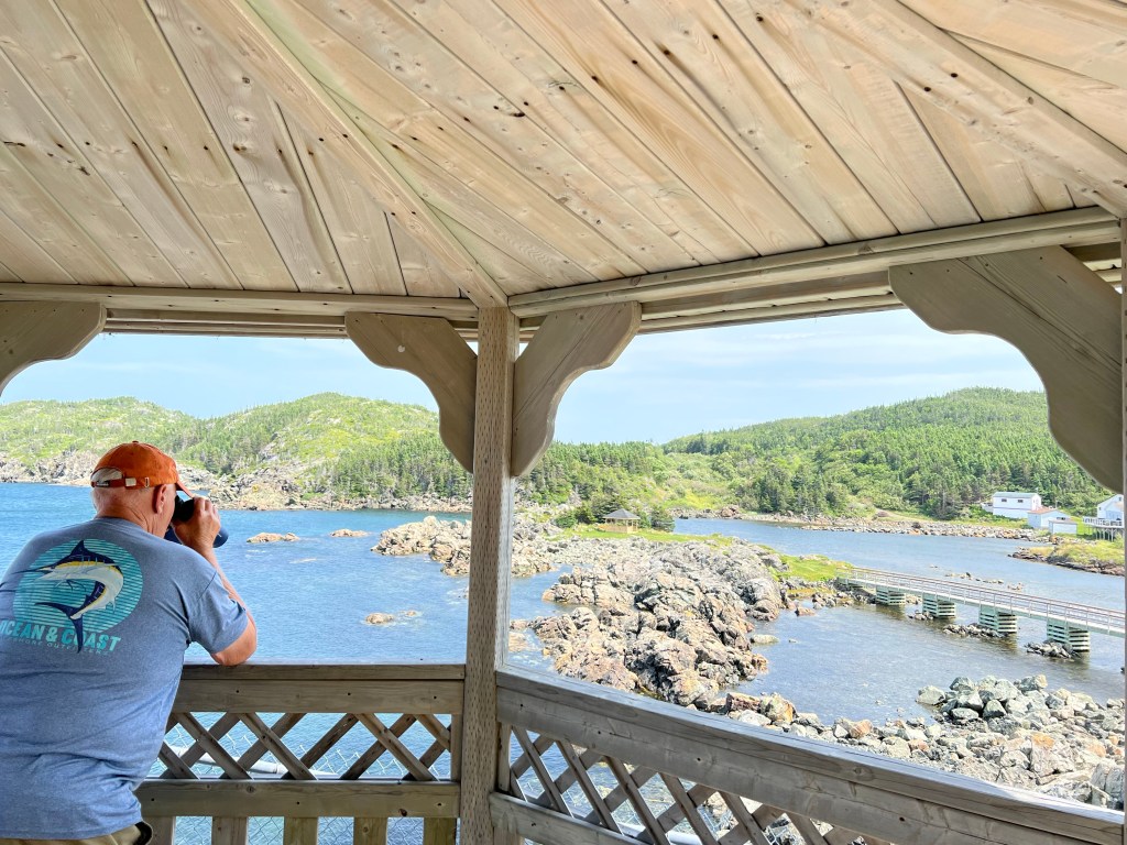
to this very nice gazebo. It looked down on the bridge and little island…
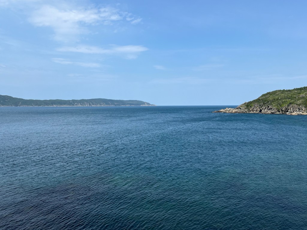
and gave a great view out to sea…
and along their piece of beautiful coastline.
As you can see, everywhere we went it was picturesque, pretty or downright stunning. It was hard to find the pictures to tell the story without overwhelming you.
Thursday morning we said a reluctant goodbye to Harbour Breton and headed back north on Route 360. If there had been a bit more water pressure at Deadman’s Cove campground and the dump station had been closer than a mile away in town it would have been the perfect campground. But then it would have been even harder to leave.
We saw plenty of open country on the way north, but again no moose or caribou.
Now we are at another municipal campground, George Huxter Memorial Park in Springdale. We are close to the north shore and not far off TransCanada Highway One. We ended up in their overflow area which is basically a parking lot. They had no record of the reservation I’d made in May when I was assigned site 10. At least there’s good water here and Starlink works.
And of course there is a very nice trail…
on a pretty little river, or big brook. This is Indian Brook, or Indian River, or Indian River Brook, depending on the map you check!
It’s a salmon river…
with a fish ladder (under those grates), but we’ve seen no salmon.
Yesterday it rained all morning. During a break in the afternoon we went to town and looked around.
There were some lovely views…
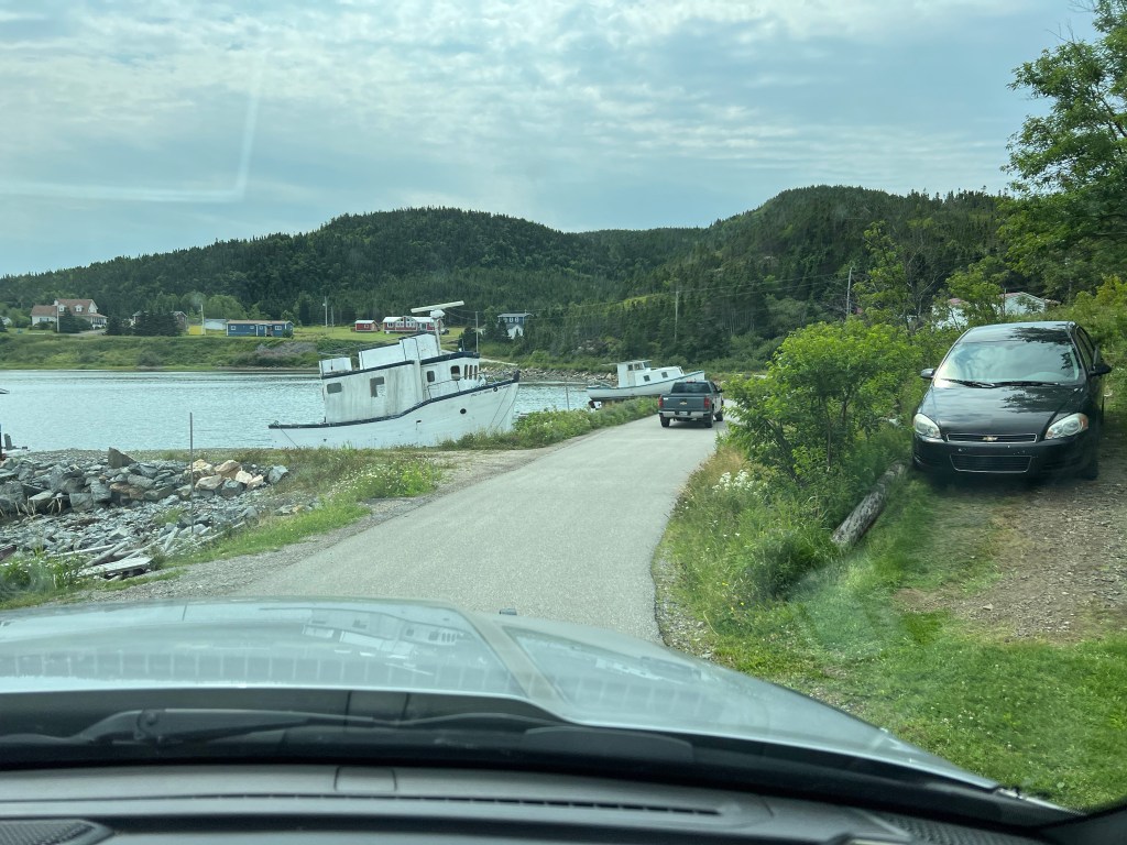
and some old boats. Bud got a haircut and the barber told him a guy bought this old ferry from the government and then basically abandoned it here. The town and the owner of the dock are trying to get it removed.
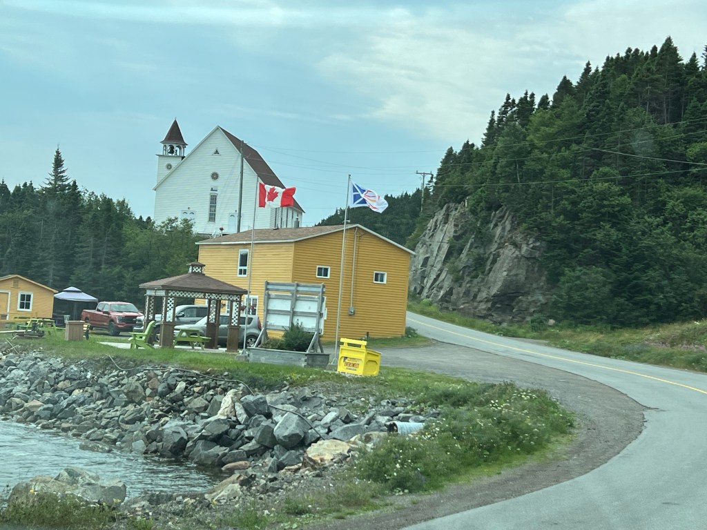
This is so Newfoundland I had to take a picture.
And any town that’s more than a hamlet has a Great Canadian Dollar Store.
Today was nice so we got to explore a bit more. First we went to Glass Beach, which was just that. A beach with so much beach glass that it outnumbered the gravel.
I don’t have any explanation for it; there was a poem on the sign to the little trail down about tides and currents, but it seems there should be more to it than that.
We then went to the nearby town of King’s Point where we visited their Whale Pavilion. They have the complete skeleton of a humpback whale. I couldn’t find the sign that said how it had died, but the townspeople all helped to clean the bones and configure the skeleton under the guidance of a famous animal behavior scientist. He had come to Newfoundland to study something other than whales, but ended up spending the rest of his career studying and championing whales.
While there we asked directions to the trail some folks told us about to this falls on Rattling Brook (love the name). We’re headed in the right direction.
Of course there was a beautiful and well made trail.
It first took you to a lower viewing platform.
Then after going up a lot of stairs…
and along a boardwalk carefully fastened to the hillside…
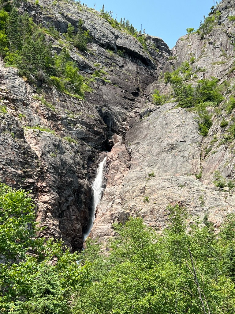
you came to the upper platform where you get a better look at this 850 foot high falls.
Here’s a close-up of where you can first see the water. It’s in two columns above this and they join and pour down here.
And here’s Rattling Brook as it flows under the road…
and out into Halls Bay.
Our last stop was Harry’s Harbour. There were some docks and some houses,
a library,
a beautiful coastline….
and, of course, a hiking trail. It was enticing, but we didn’t think Matey could handle the stones or another walk. It was a fine day anyway.
Yesterday we decided to drive to the end of Route 364, a branch off the road we came down on. It was on my map program as a route, but our paper map said the last bit was gravel.
Okay, not so bad. There was a warning sign that this road was not maintained by the Department of Transportation, use at your own risk. We’d been on those before.
This is where we turned around. We’d crawled up two hills in four wheel drive. The map program said we still had five miles to go.
There was nothing around us and no cell coverage.
It was a long walk back if we got the truck in a situation we couldn’t get out of.
So we didn’t drive to the end of Route 364.
On our way out Bud had seen a nice little bridge. He wanted to try going that way. I told him I thought it was a walking trail. He said there was a road. I said it was a trail. I said it will be a long way to back up if it is a trail.
It was a trail.
It was a long ways to back up. And you don’t drive off the edge into the field because it’s probably a bog and you’ll sink to the frame.
So we didn’t get to drive over the little bridge.
But we did get to see more of this country in the sunshine.
It’s worth the drive.
It’s huge and empty and very striking.
I was trying to catch this where the cliff was closer to the road, but trees made it hard. Our altitude here is about 500 feet. That’s sea level down below.
We stopped at the overlook for the mouth of the Connaigre Bay. One of the resettled communities, Great Harbour, was just on the other side of the point. For public services and supplies folks came by boat across the bay to a cove below this point, then took a path into Harbour Breton, about three miles. No wonder they agreed to move where life was a bit easier.
But we didn’t actually get to go to Great Harbour.
Today we decided to take the passenger ferry and go to Gaultois, one of the outport communities still accessed only by boat. The ferry was at 2 PM. We left in plenty of time. It took a bit to find the right wharf in the little town of Hermitage, and then to find a place to park. Still, we were at the wharf at 1:40.
That wasn’t soon enough. They had their allowed 20 passengers. They pulled the gangway in as we walked out on the wharf and told us sorry, we are full.
They were underway at 1:45 without us.
So we didn’t get to go to the outport of Gaultois.
We saw this boat with a huge reel on it…
and this one with what looked like a vacuum system. We are pretty sure they are both used in aquaculture.
There is a lot of aquaculture here. These rings are in a fresh water pond, but we’ve also seen them in the salt water bays. They raise salmon and mussels. But Bud asked about a retail seafood store in town and there isn’t one!
So we didn’t buy any fish.
But there are always nice trails. So we came back to Mile Pond and took Matey and the stroller around the pond.
This is a pretty big pond.
At least two thirds of the trail was boardwalk so it made pushing the stroller easy.
Here and there along the trail were little fairy towns…
and collections of painted rocks. It was fun.
We came to one spot where there was a ramp up to the trail from the bog…
and then down to the pond. It took a minute, but then it dawned on me, that’s a snowmobile crossing!
No matter what you can pretty much count on a nice walk on a well made trail in a beautiful setting.
TransCanada Highway One makes an upside down U across the island of Newfoundland. Between the downward, and coastal, legs of this U there are exactly three paved highways south (outside of the eastern and more populous Avalon Peninsula). We are now at the end of the middle one, Route 360, the “Road to the Coast of Bays”.
It was a long way down. We drove 230 miles from Terra Nova National Park and never passed a stop sign or signal light.
127 miles of that was south on 360 and we didn’t even pass through a town.
We were hoping to see moose and caribou. I saw just one moose munching in the deep ditch by the highway. But we did see a lot of wide open beauty.
As we approached our destination both the weather and the topography changed. This is our first glimpse of the head of a bay, Hermitage Bay, and we are still over 20 miles north of our destination. It was cloudy, foggy and 10 degrees cooler than Terra Nova.
We were now going up and down steep hills as we crossed from Hermitage Bay…
across an arm of Connaigre Bay and finally to Deadman’s Cove on the ocean side of the town of Harbour Breton. We set up camp in the cloudy damp.
The sun was bright this morning when Matey and I went out and walked along the coast.
We didn’t go very far along this extremely well made path.
But we did see this lovely beach…
and just feet from the slope to the beach is this bog which stretches to the hills behind.
I haven’t learned why this is called Deadman’s Cove, but there are three cemeteries just outside the rv park. With all the boldly engraved headstones and bright artificial flowers these are hardly spooky.
A bit later all of us went back out. We went the other direction where there was a pavilion…
and a path and steps down to the beach.
First we walked out on the rocks where we got a nice view of the coastline,
which was pretty rugged in both directions.
We went down on the beach and the sand was pink and black and dotted with little jellyfish.
The edge was something like a cross between sand dunes and cliffs.
Next we drove to another short trail that led to the lighthouse at Rocky Point. We are now looking at the bay of Harbour Breton.
My friends the larches were growing here…
and there was another bog.
It was a small lighthouse…
but there were big views.
The open ocean is actually behind us here, reached through a channel on the right of the photo.
To our left the channel winds back to the town of Harbour Breton.
We came back for lunch to our very private camping spot at Deadman’s Cove RV Park.
After lunch we left Matey in the trailer and went back to town to the Sunny Cottage Heritage Centre.
The house was built in 1909 by John Joseph Rose, a wealthy merchant. He and his wife had no children so the house went to their nephew, Jack Stewart.
Our tour began in the old kitchen. A young woman was to be our tour guide but she wasn’t back from lunch yet, so we started the tour with Jack Stewart’s granddaughter. She grew up in the house. She remembers this old stove and the day bed off to the right which was used when the house was full of her and her siblings.
Most of the house remains original, including tin ceilings and chandeliers like this one in the downstairs hall.
Our official guide joined us here. She said I could open the front door, which isn’t used, to take a picture of the view they had of the harbor.
The dining table and chairs are the originals…
as are the dishes in the cabinet.
The drawing room was beautiful with its striking tin ceiling…
and original fireplace. I liked the inlaid ceramic hearth. Many items in the house were donated by members of the community. Some are from the Rose and Stewart families, others are just nice period pieces.
The house is three stories high with a central stairwell. The railings were all short because Mr. Rose was short.
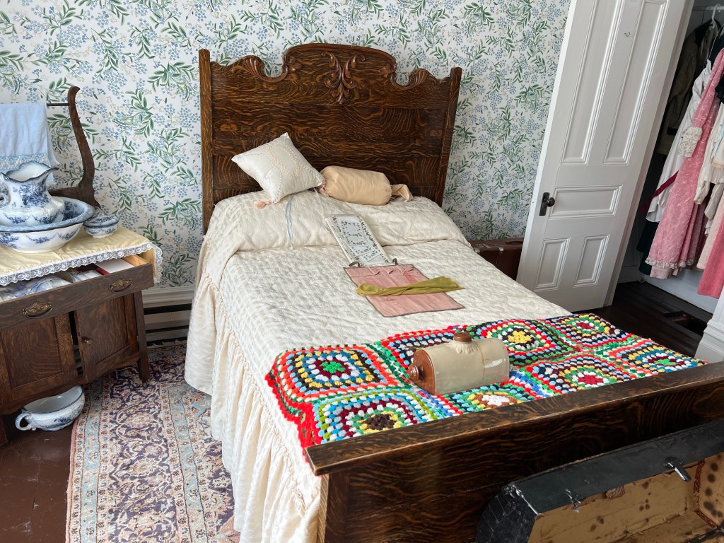
This was the Stewart’s bed…
and in the nightstand drawer is the nightgown worn by Mrs. Stewart on her wedding night!
In what had been a third story storage area they had some items from the community. My favorites were this first barber chair…
and this old outboard engine.
One of the rooms on the second floor was dedicated to the resettled communities. In the 1960’s the Canadian government paid people in remote communities to move to one community in the region. Harbour Breton was selected to receive resettled people. This is a closeup of the large wall map they had in the room. Each red pin is a community that is no more. Harbour Breton is the blue pin.
The room was filled with pictures, documents and artifacts from those resettled communities. This personal local history touches me.
We have a couple of more days to spend in this beautiful area. Perhaps we can find the site of one of those little fishing villages that is no more.









 On the Roam Again