A Nice Place, Once We Got Here

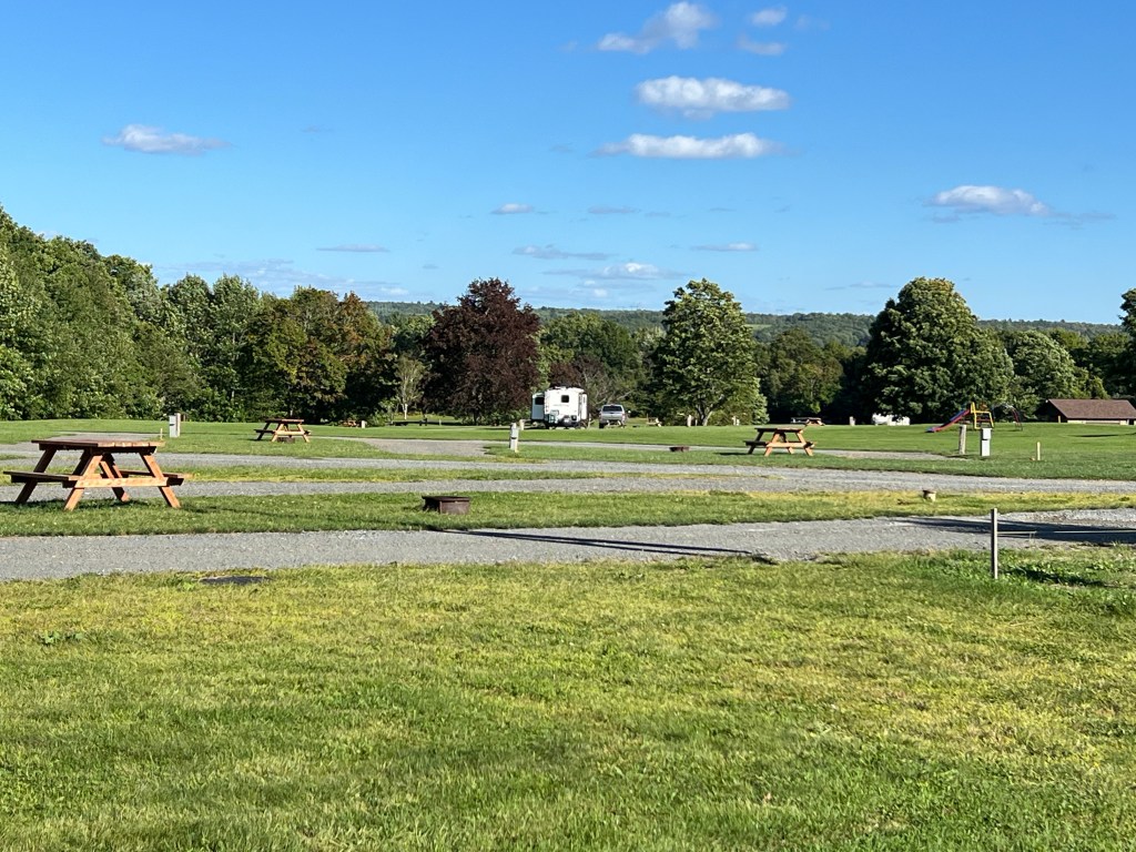
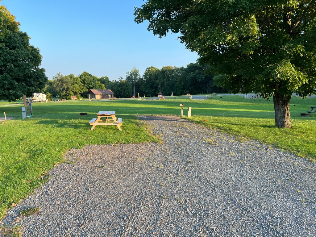
We are now spending 5 nights at Big Ridge State Park in Tennessee. This is a change from our original reservation, which was at Douglas Dam Tailwater Campground. That campground, just below the Douglas Dam on the French Broad River, was closed due to the recent flooding from Hurricane Helene. Big Ridge sounded like a safer bet.
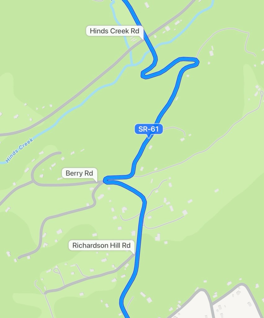
Apple Maps took us up State Route 61 for our final leg of the journey. I noticed it had some disconcerting squiggles as we got closer. I checked the park website for directions and they had a link to Google Maps which showed the same route, so we took it.

Well, those squiggles turned out to be 10 mph hair pin turns that we needed two lanes to negotiate with the trailer. They were so tight that Bud wanted to go back and take pictures. This is not the tightest one, but it is one where Bud was able to drop me off so I could film him coming back through the turn.
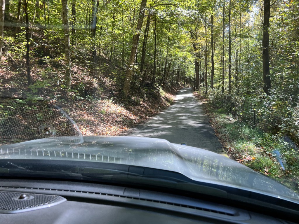
Even getting the video was difficult. Coming back from the park we mistakenly got on the truck detour around the curvy section (we didn’t see that the way we came in). We then ended up on this road, Ousley Gap Road, trying to get back to RT 61. Thank goodness we weren’t pulling the trailer.
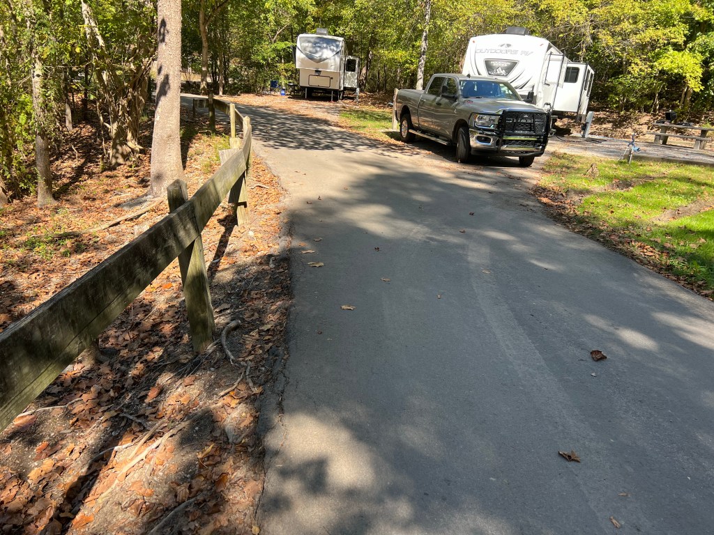
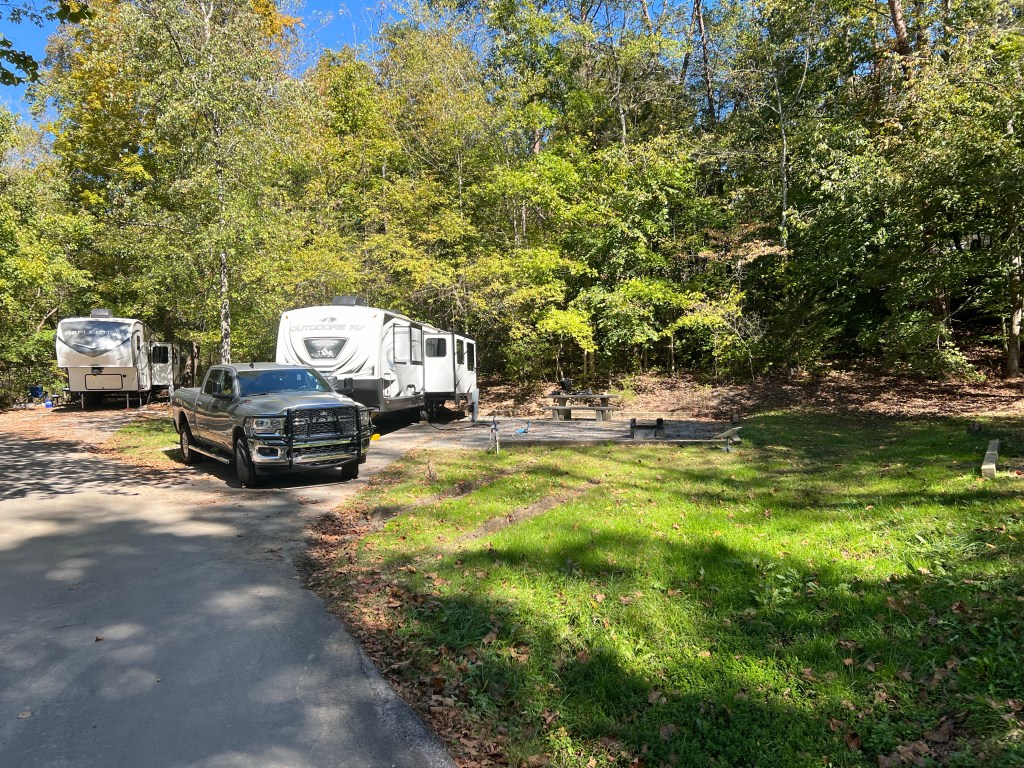
When we first got to the park I asked at the office if there was a better way out. “Which way did you come in?” the woman asked, “Did you turn right or left off 61 onto the park road?” I said right and the three people in the office all laughed. Obviously that is not the best way to come. Getting backed into our site was no picnic, either. Notice the drop off and fence along the narrow park road, just where Bud would swing the front of the pickup wide to back in. But Bud made it and now we are here and we don’t have to go back that road.
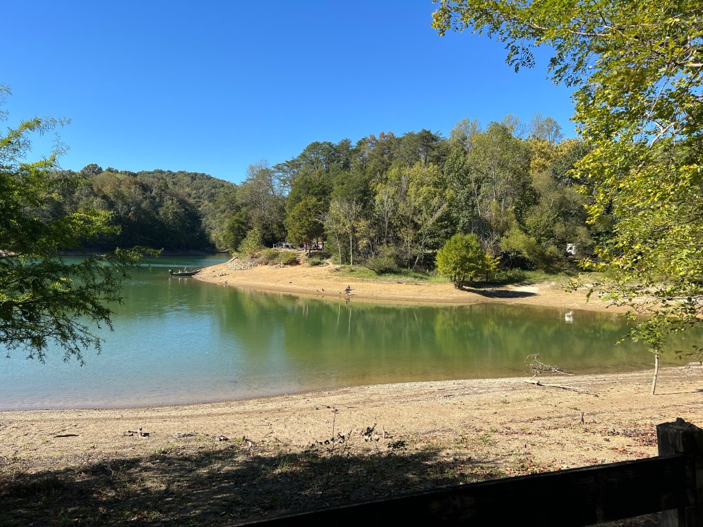
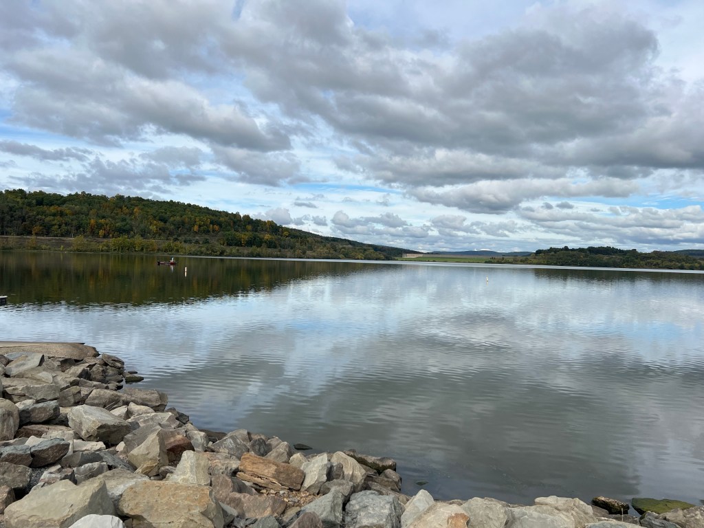
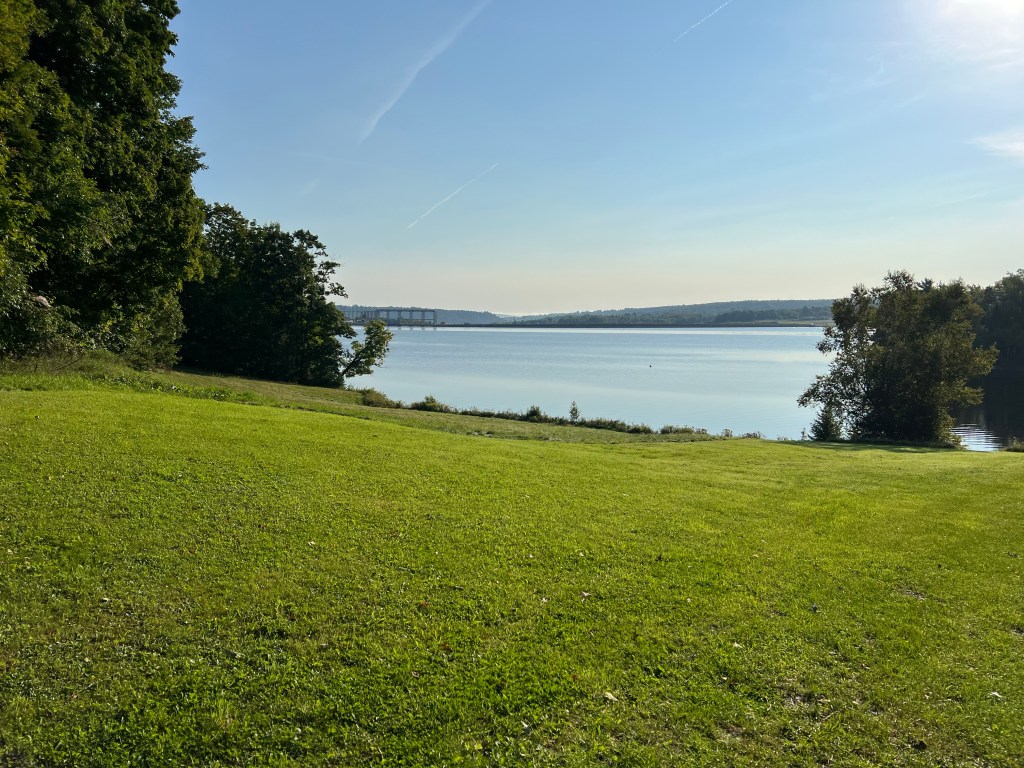
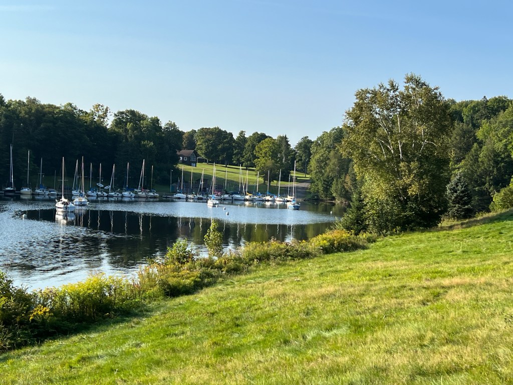
It turns out that this park is on Norris Lake, formed by a dam on the Clinch River; the first dam the Tennessee Valley Authority built back in the 1930’s. But this river and lake were not affected by the flooding.
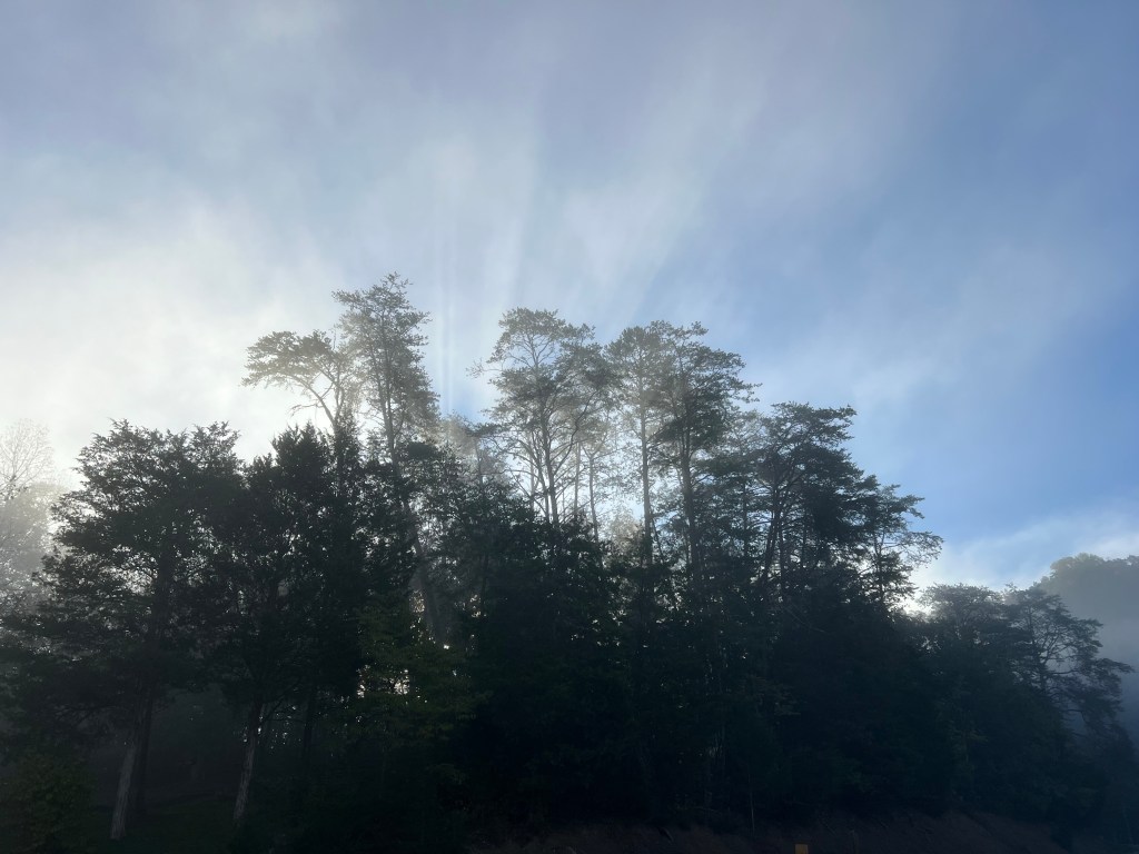
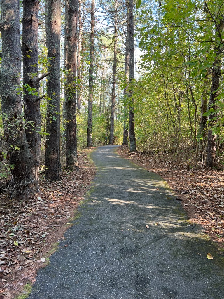
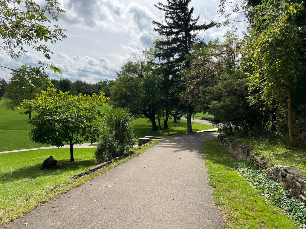
Matey and I have had some lovely morning walks here.
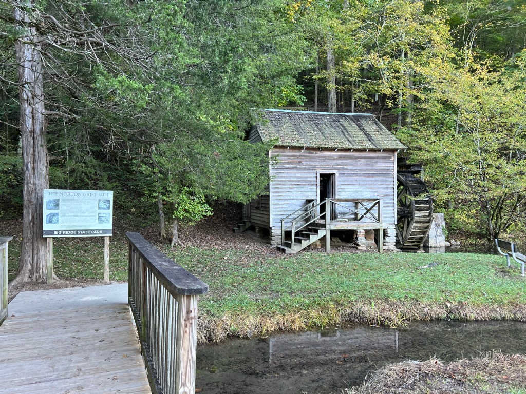
We walked over to the “old grist mill” which turns out to be a 1968 reconstruction.
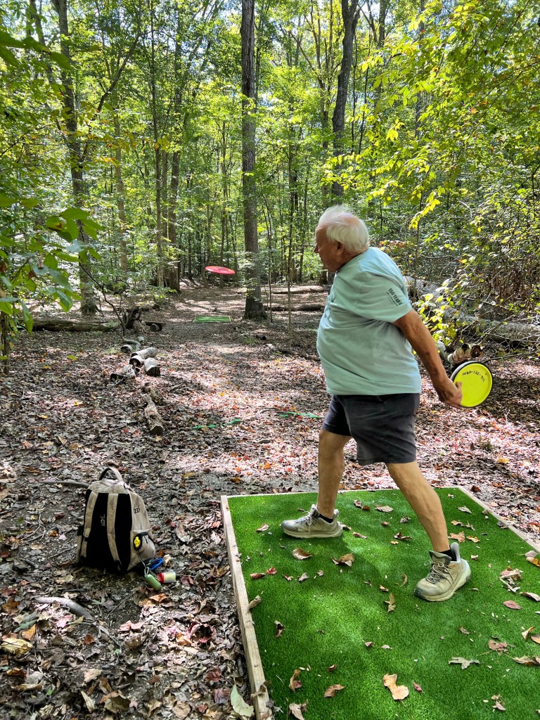
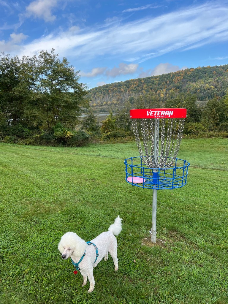
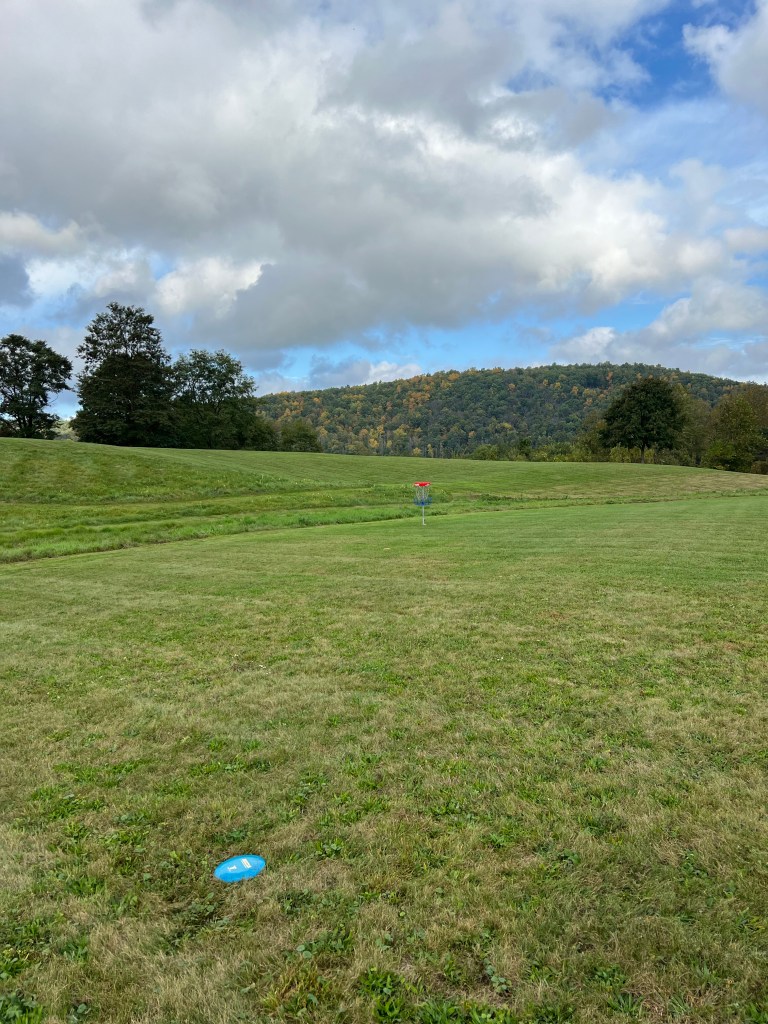
There is also a pretty decent disc golf course nearby.
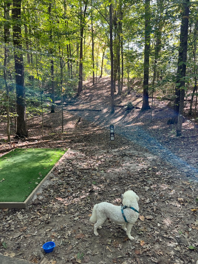
It’s all wooded, but the fairways aren’t too tight and the understory is open enough that you can find your disc if it does go astray.
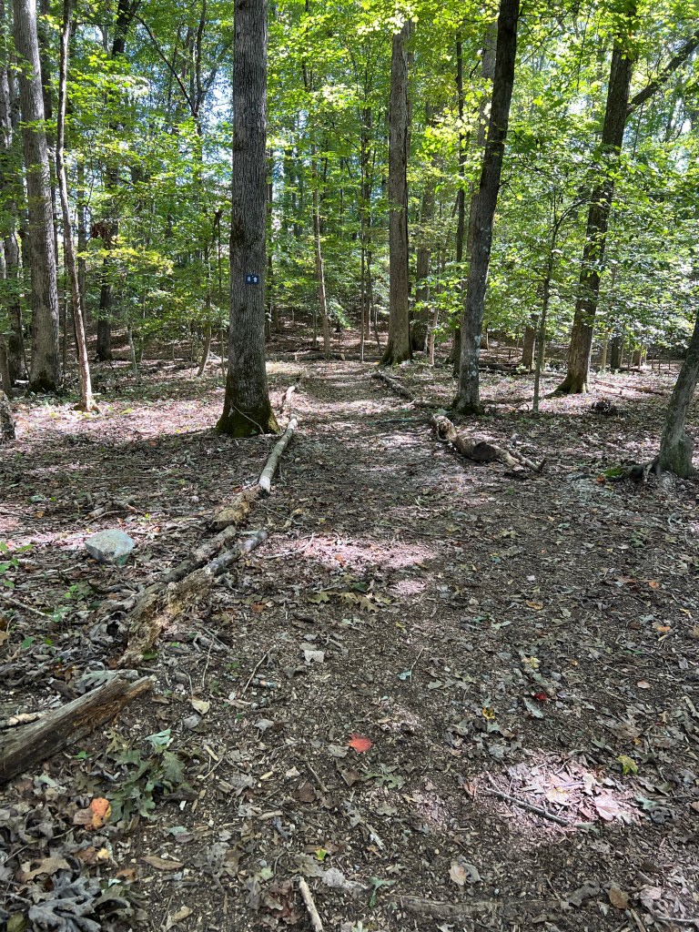
It’s also clearly marked between holes, so it’s easy to get around. We’ve played there twice.
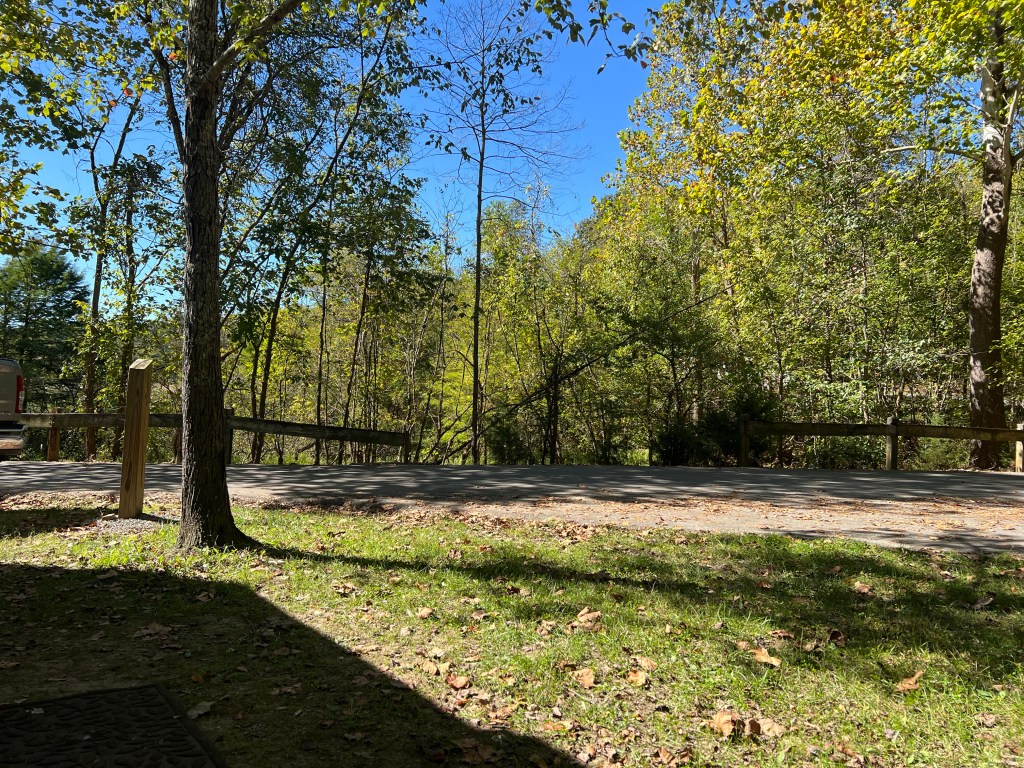
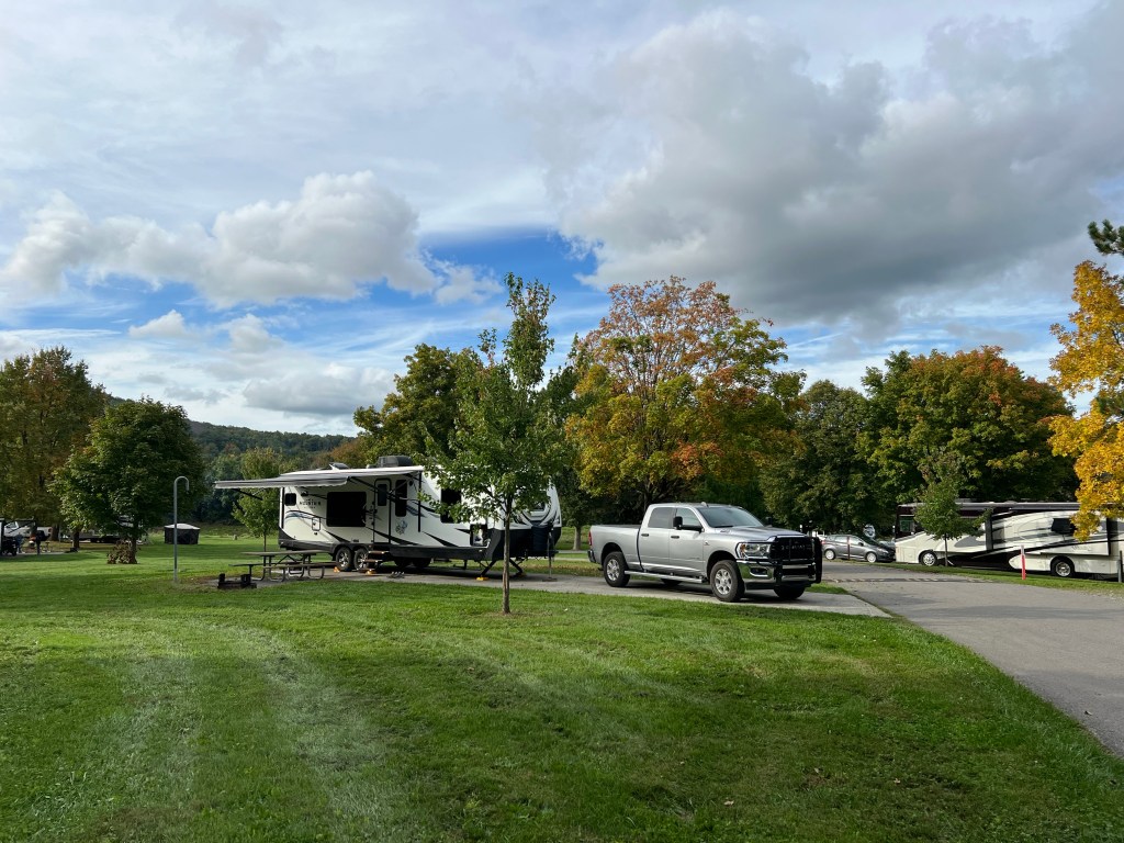
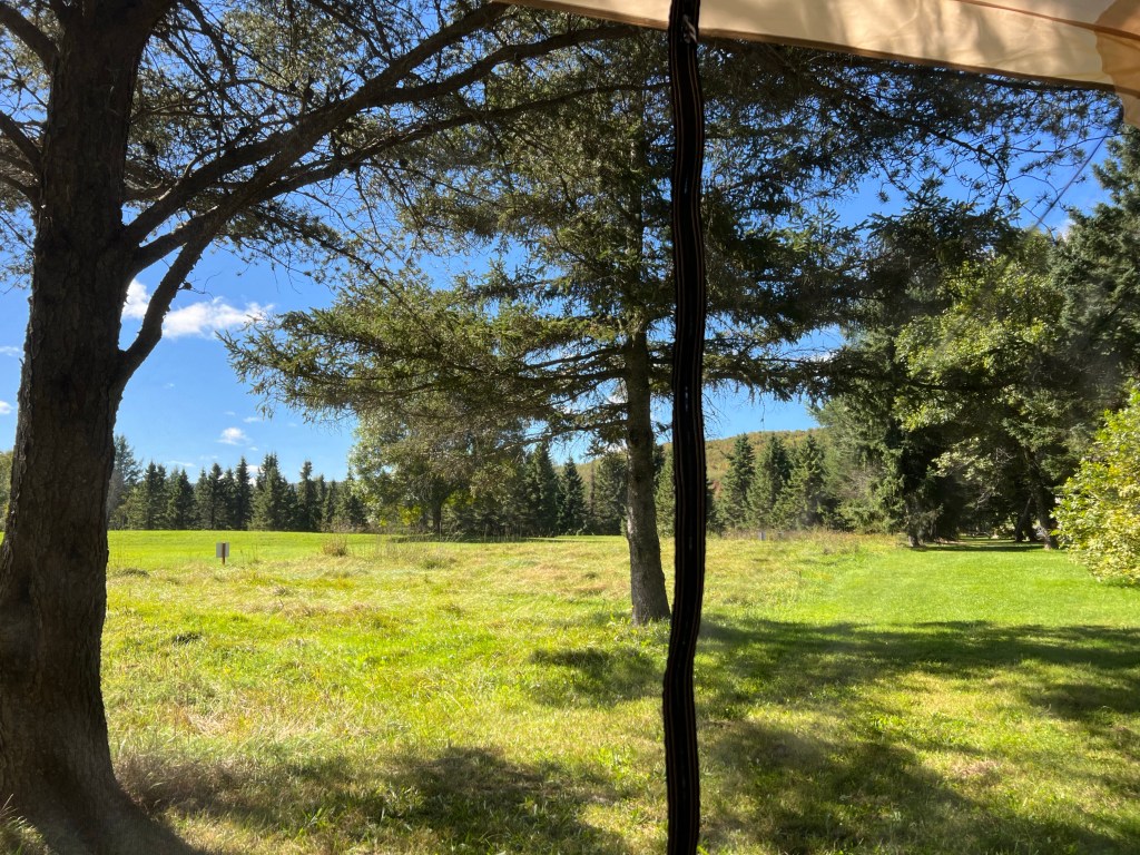
And in the afternoons, when it warms up, Matey and I have a nice view sitting outside the trailer. No tent needed, no bugs. After all the trouble getting here I’m glad we have a few days to enjoy it!
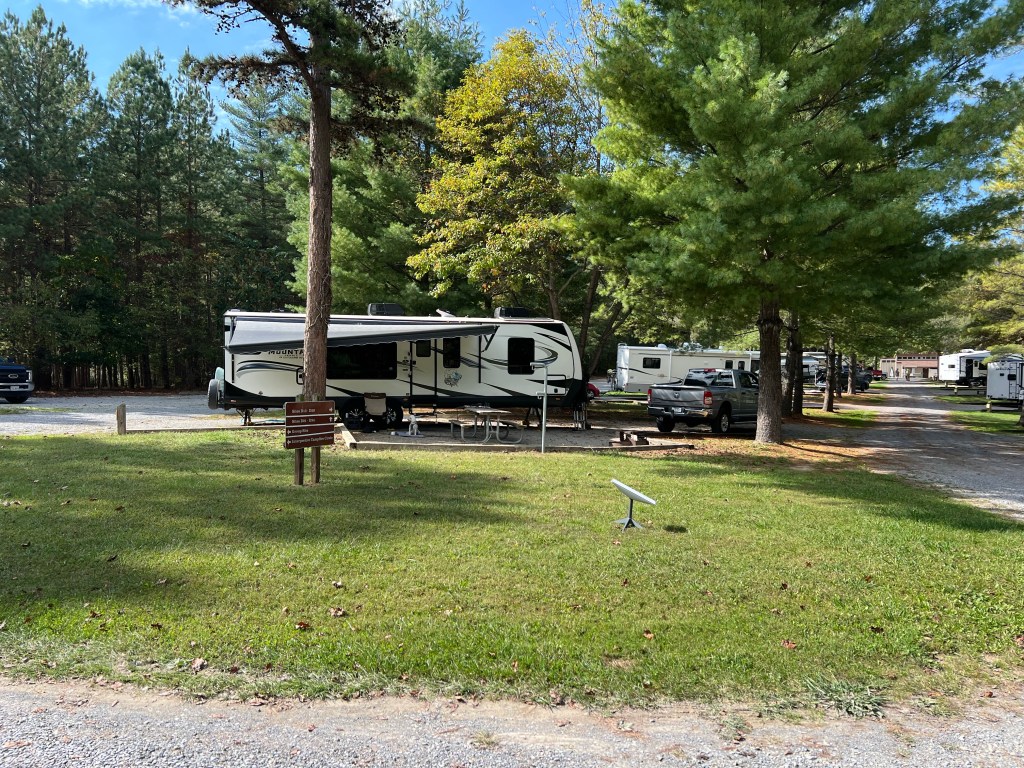
We Are So Lucky

Yesterday we drove 290 miles to get to Claytor Lake State Park. Unlike most of our travels, the whole way was down an interstate, I-81. And there was a lot of truck traffic; at times Bud was going up to 70 mph to get by slow traffic in the right lane without slowing down the left lane. With our current trailer and hitch he generally cruises at 64 on a smooth interstate. In any case, the towing went fine and our new campsite is nice.

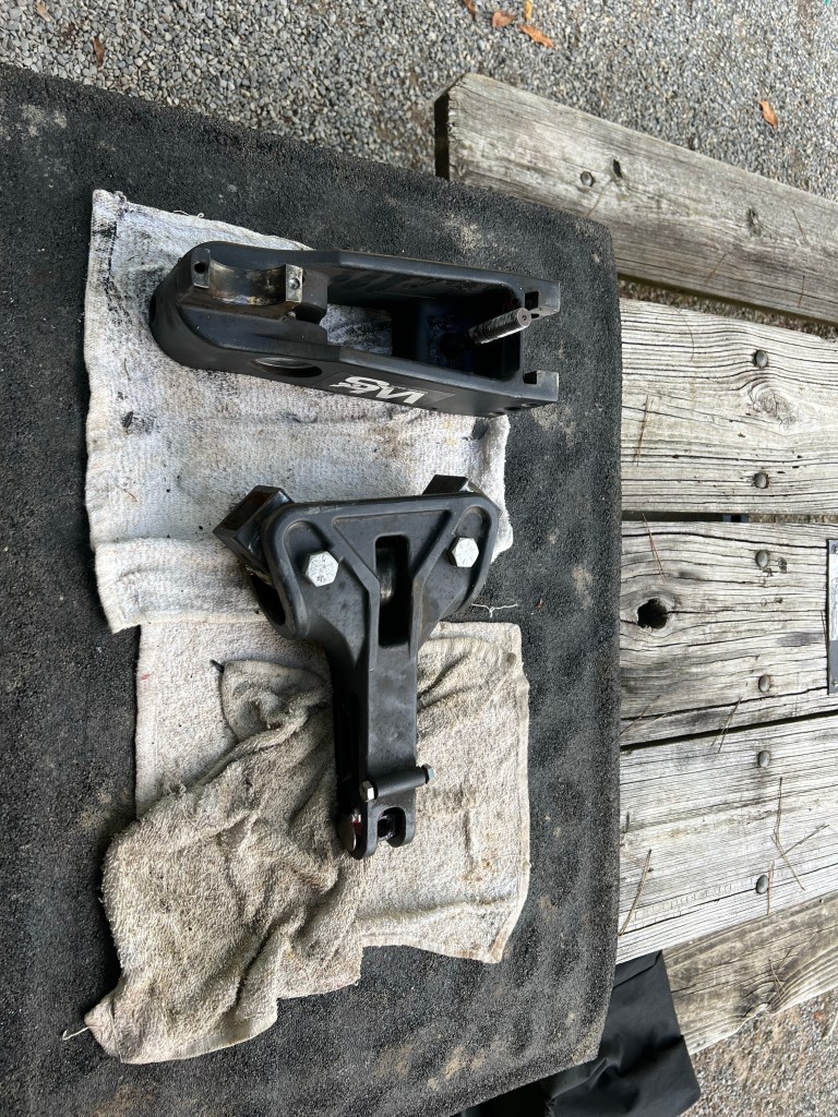
But this is what our hitch looks like now. We have a fancy new hitch that distributes the trailer weight towards the front of the truck and helps control trailer sway. It has a big bolt on top and a gauge on the side so you can easily adjust it. But the last two times we hooked it up it didn’t seem to stay adjusted and there was a lot of side to side motion until it was all hooked in. So Bud took it off to inspect it.

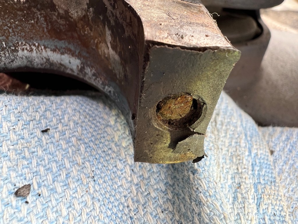
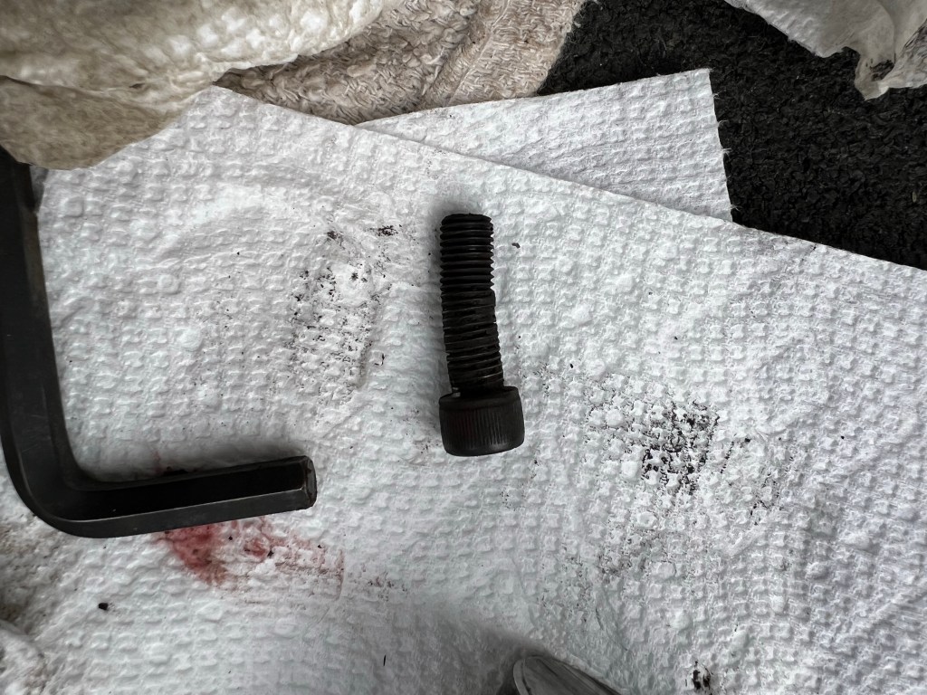
And we found one bolt (invisible in use and not part of the regular inspection and maintenance) had sheared…

and its counterpart was bent. So although there was no chance that the trailer would come off, we definitely did not have either the weight distribution or the sway control we should have had. Good thing this trailer tows well.

And we are at a lovely park,

with gorgeous trees…

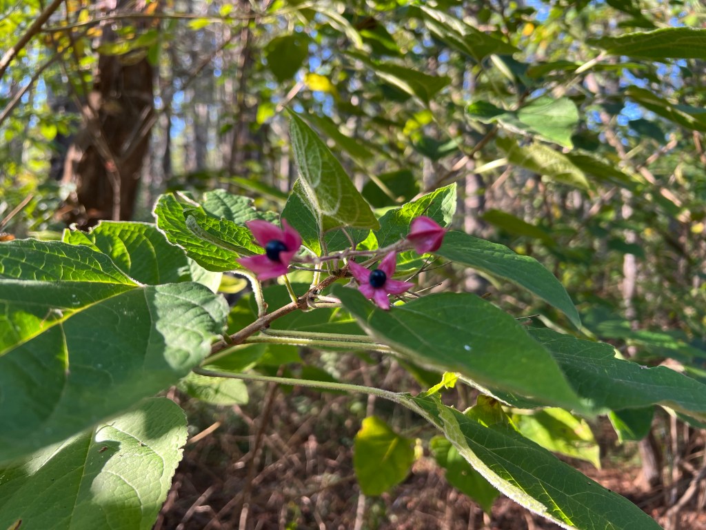
like this small tree called peanut butter shrub,

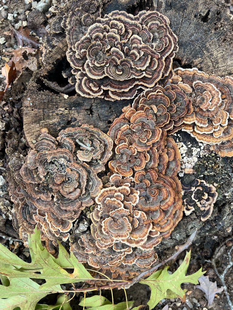
and this (these) beautiful fungus (fungi). (It’s hard to know individuals or multiples with fungi). Anyway, even though we have to stay an extra day to take the hitch to a machine shop because the broken bolt won’t come out, we are lucky to be here.

We were reminded just how lucky when we went to look at Claytor Lake.

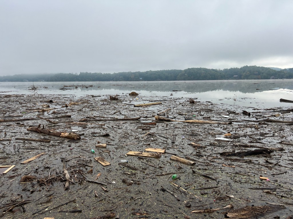
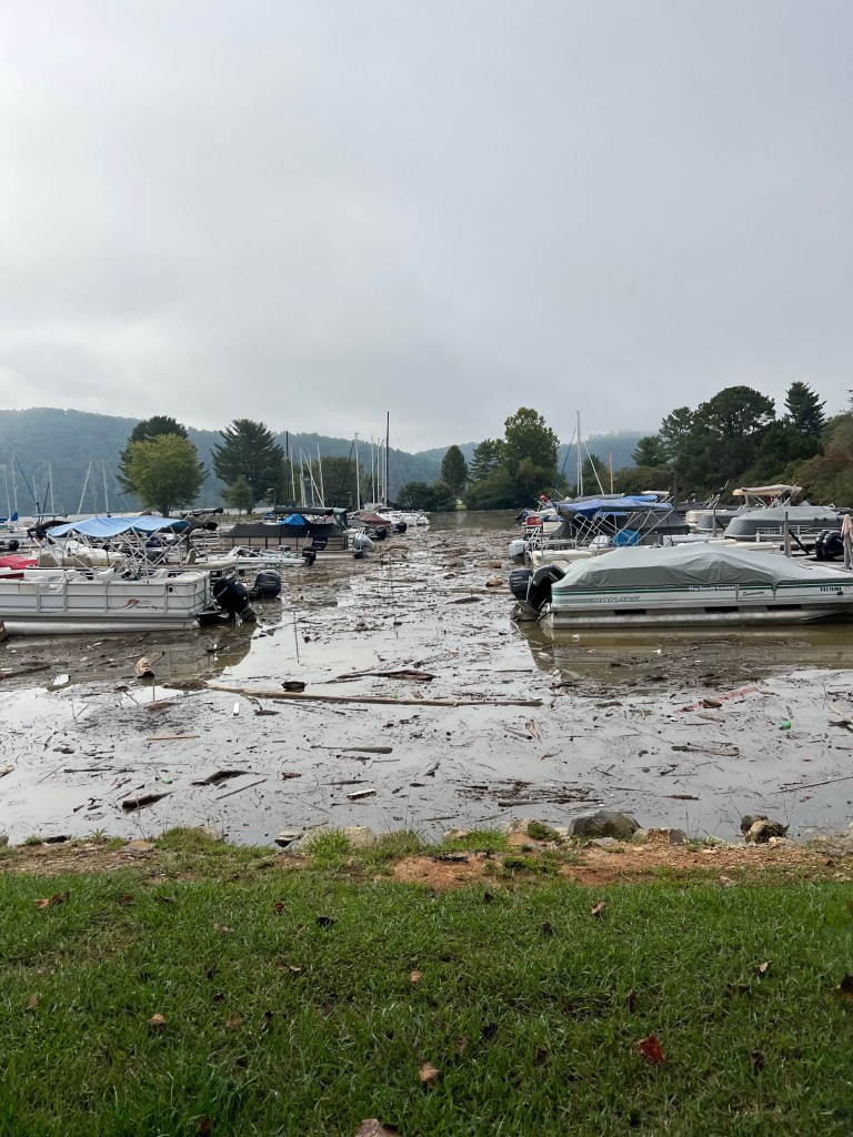
This lake is formed by a dam on the New River and all water access is closed, obviously.

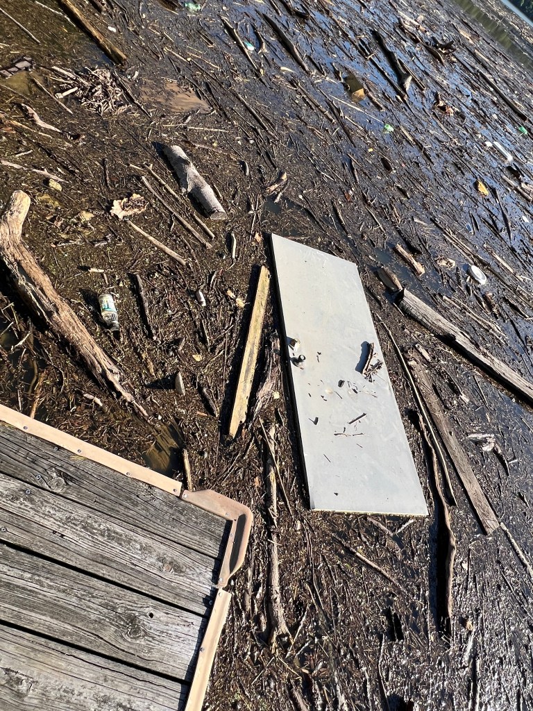
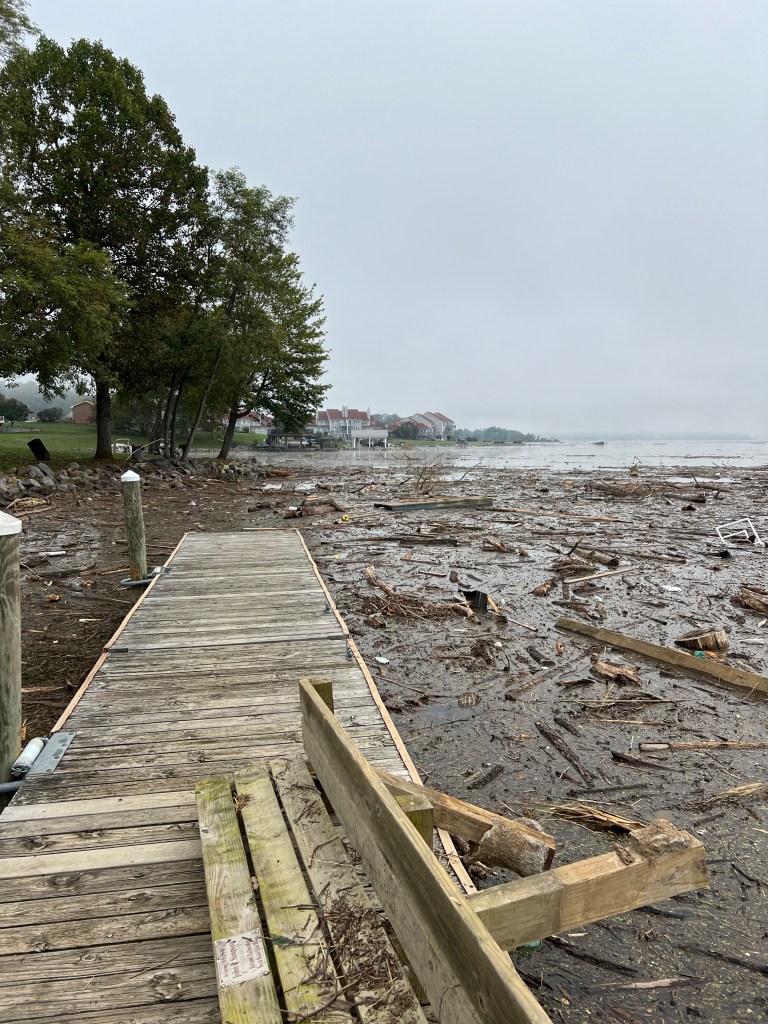
Even though we are miles downstream from the worst flooding from Hurricane Helene, the detritus that now litters the shores shows what others endured.

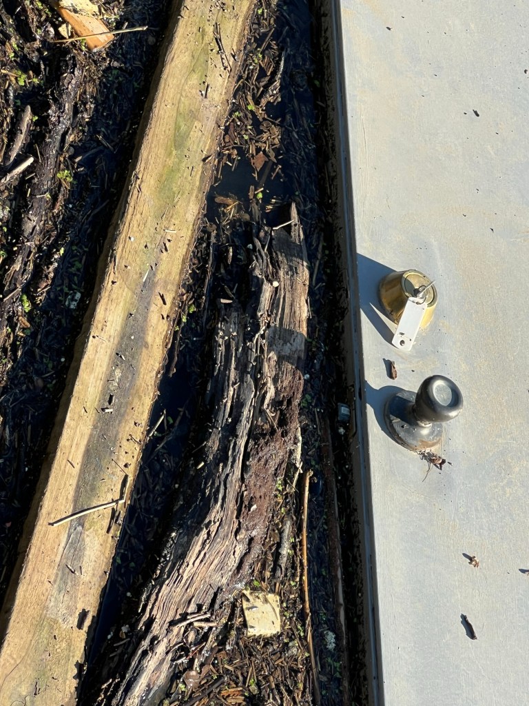
I hope whoever put this key in this door was long gone before the door came loose.

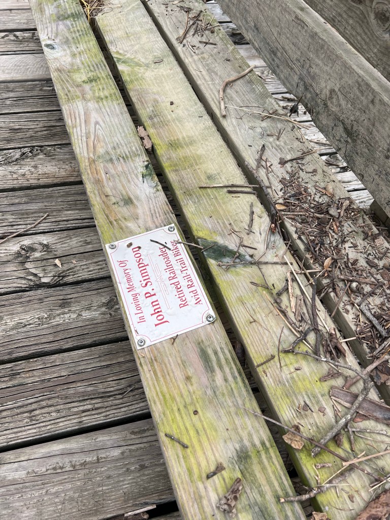
I thought this might have been a bench that had been part of this fishing dock…

until I read the inscription on the plaque.

So yes, even with a broken hitch and modified plans, we are very lucky.

Gettysburg National Military Park

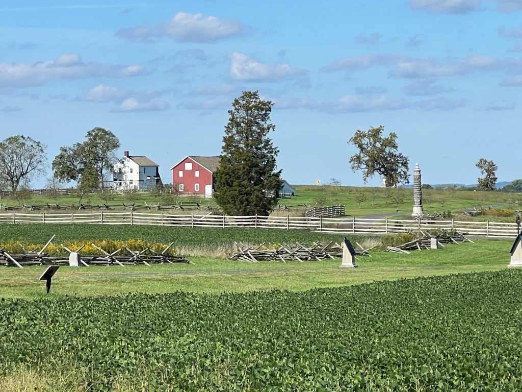
I planned this trip so we could visit Gettysburg. I had been here in my early teens with my parents and never forgot it. I wanted Bud to see it. Most of it is acres and acres around the town, preserved with the fences, cleared fields and woods as they were then and dotted with monuments.

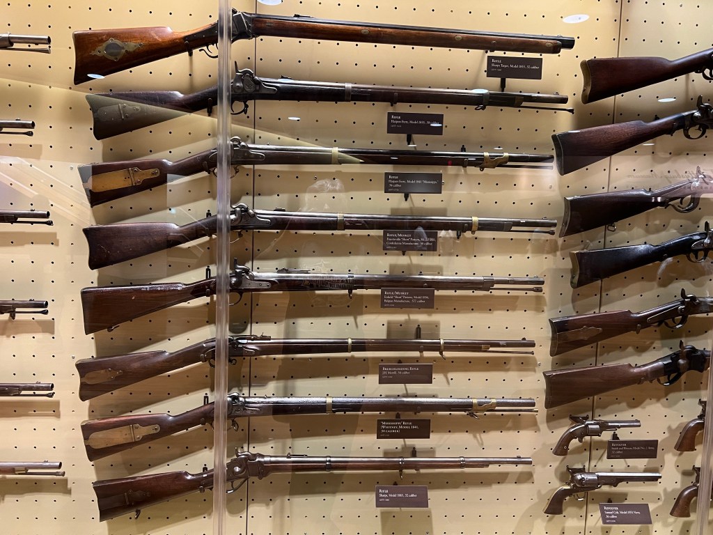
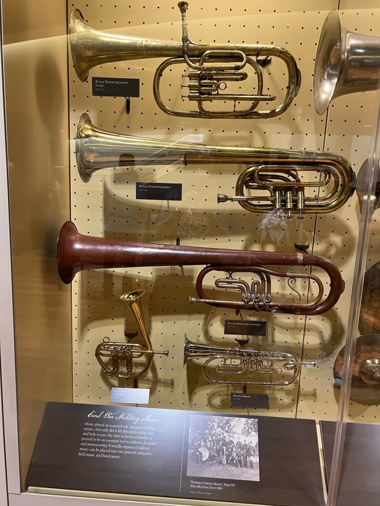
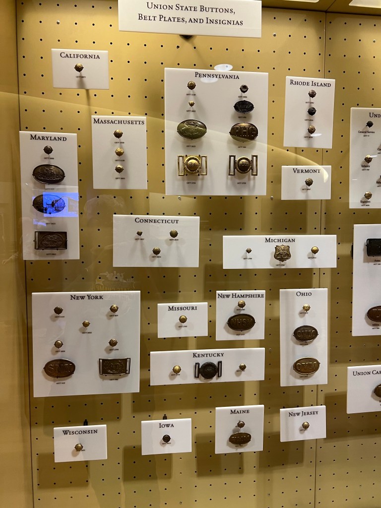
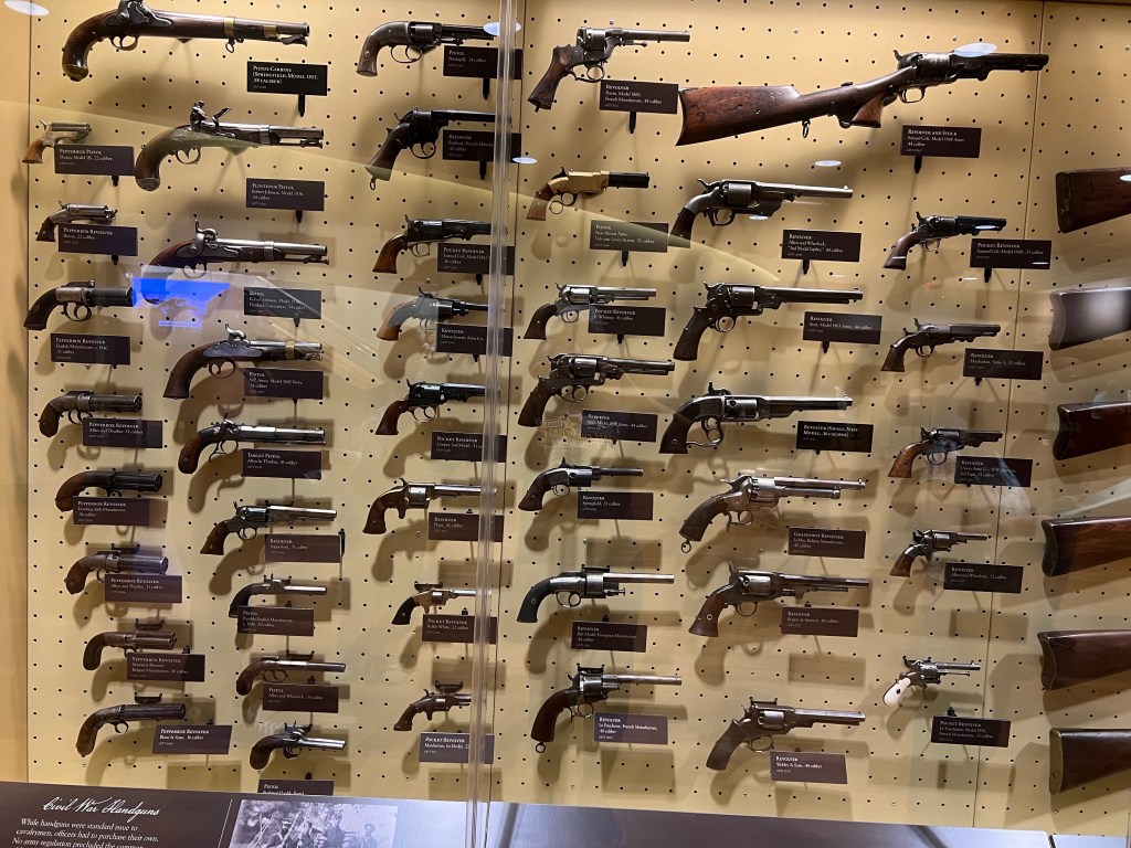
There is a Visitors Center with many of the thousands of artifacts found after the battle.

I preferred the musical instruments…

to the buttons…

or the guns.

We put Matey in the stroller and walked out to see the area closest to the Visitor Center.

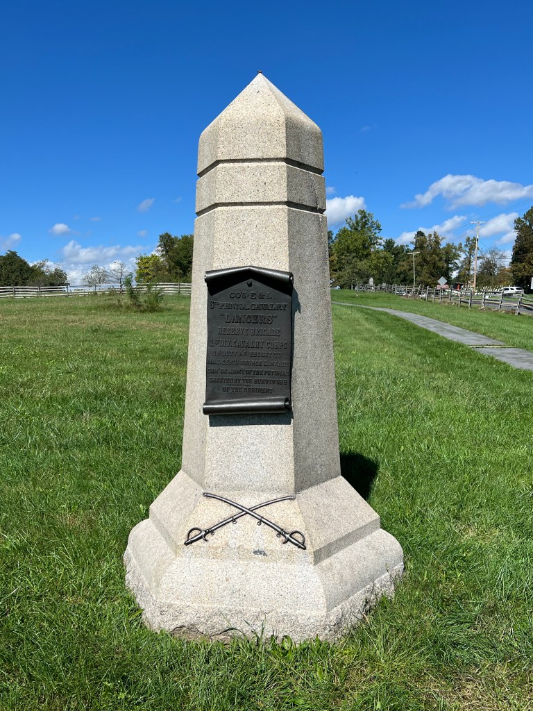
This is the first monument I read, to Companies E and I of the 6th Pennsylvania Cavalry. What struck me was the last line of the inscription. “Erected by the survivors of the regiment.”

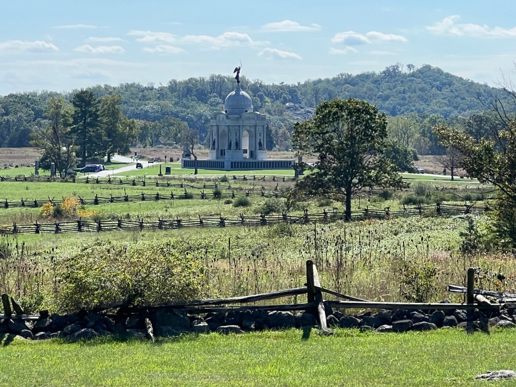
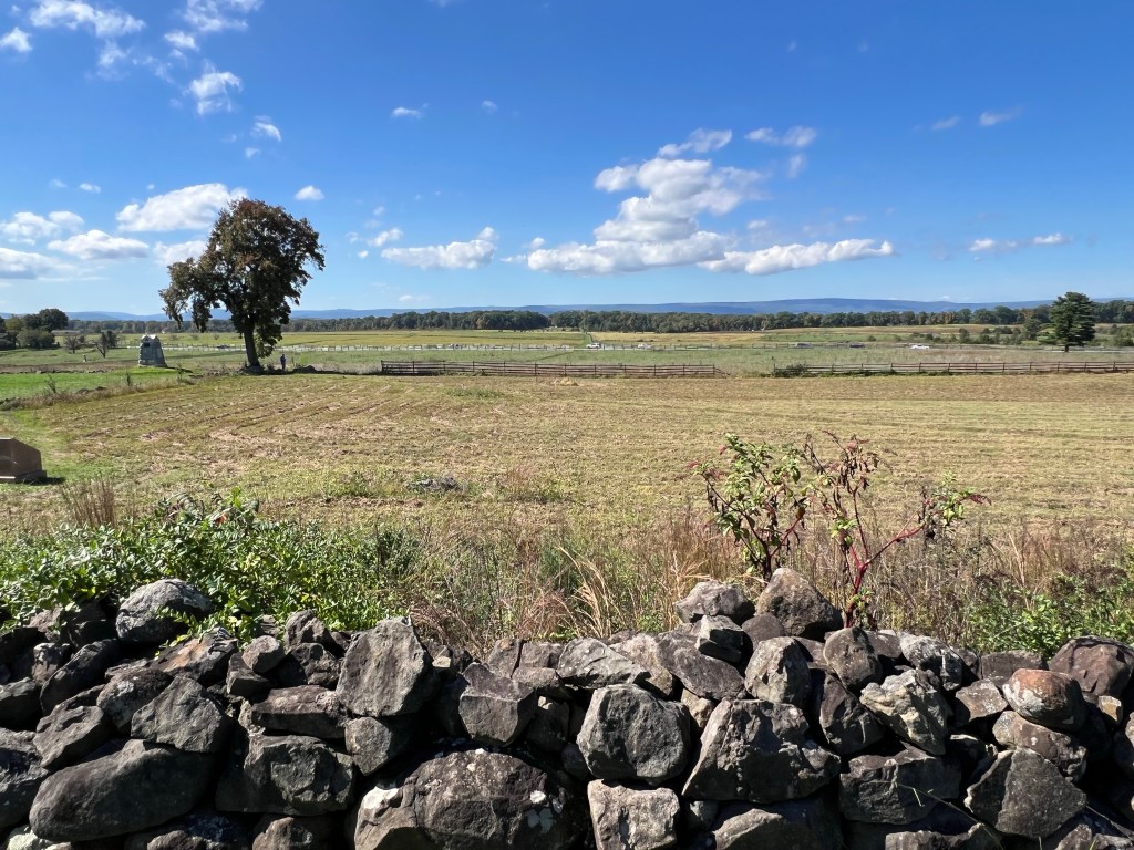
This is the view from Cemetery Ridge, where the Union troops were arrayed. On the third and final day of this bloodiest battle of the Civil War 12,000 Confederate soldiers under Pickett charged from their position on Seminary Ridge. The Union lines held and Lee was thwarted in his attempt to bring the war north of the Mason-Dixon Line. It was moving and sad to stand in these places and think of the thousands who died here.

We then took the auto tour. We drove through miles of beautiful countryside dotted with monuments to the fighters and the fallen.

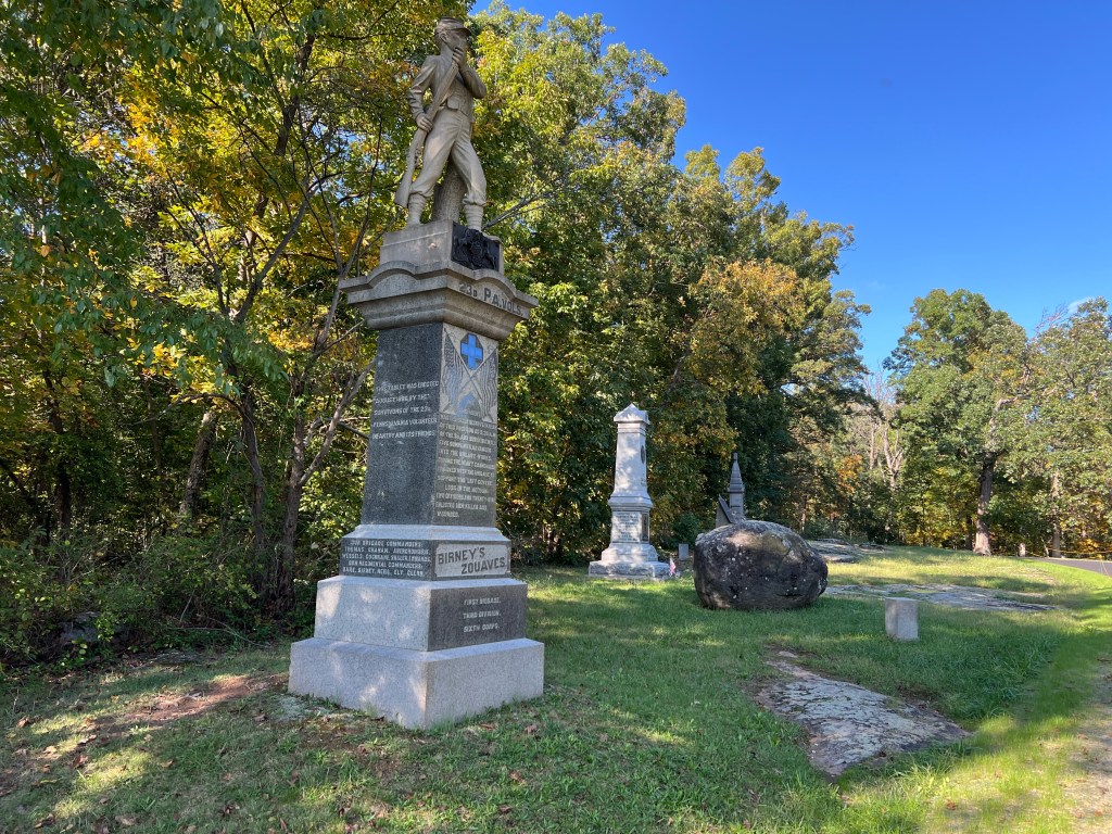
There were hundreds of monuments, large…

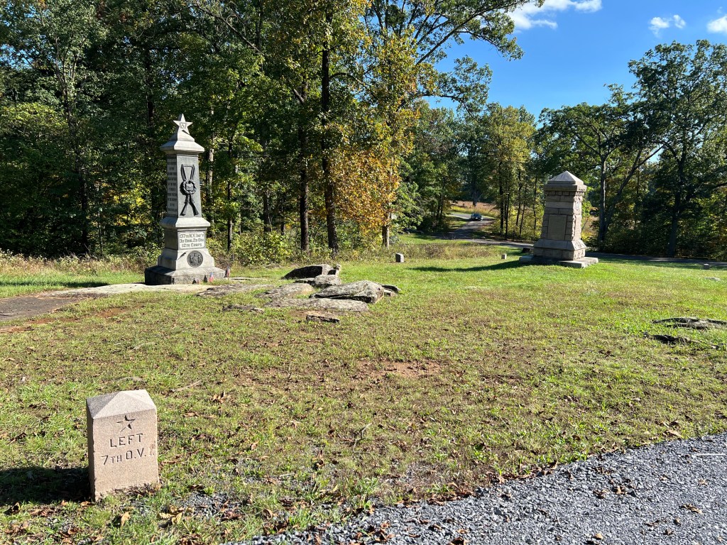
and small.

70,000 Confederate soldiers fought 93,000 Union soldiers on these fields and woods. 51,000 of them were killed, injured or captured.

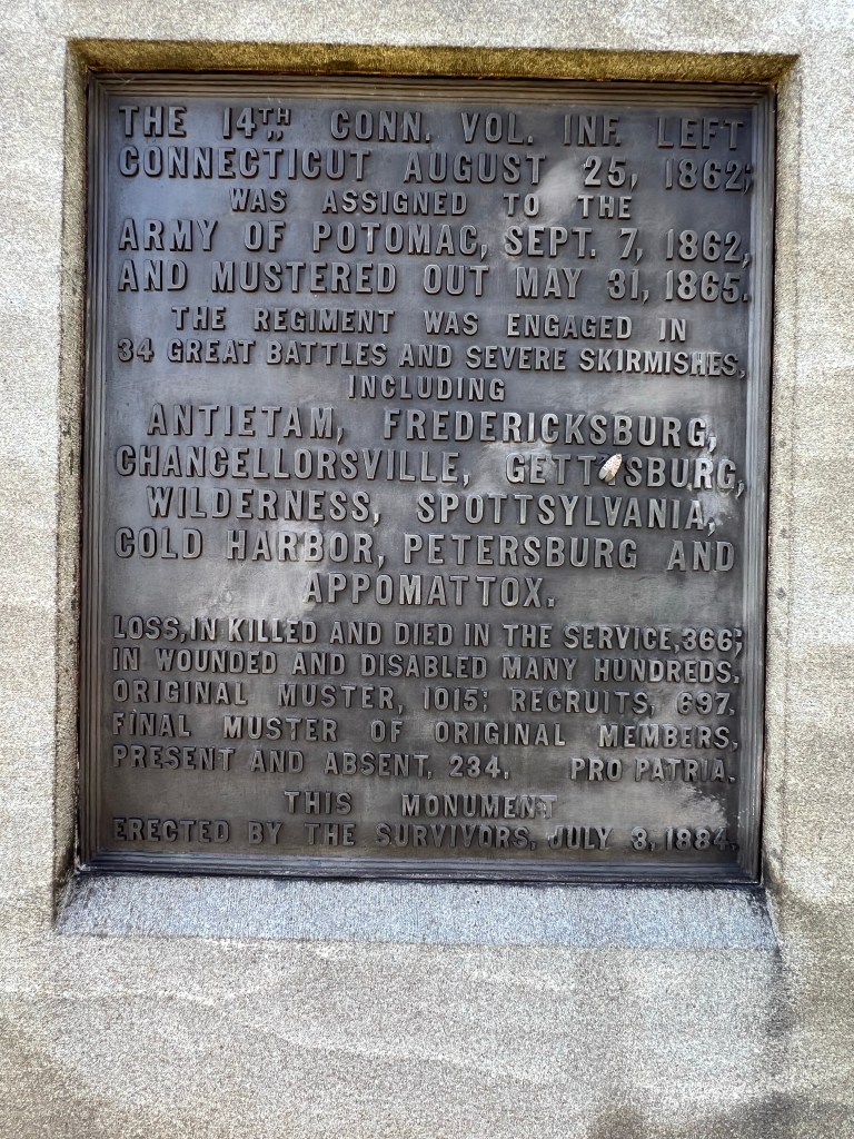
This inscription was typical. The units memorialized fought many battles. It is staggering to think of the harm we inflicted on each other during this awful war.

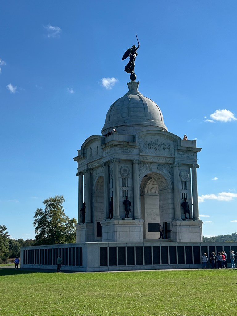
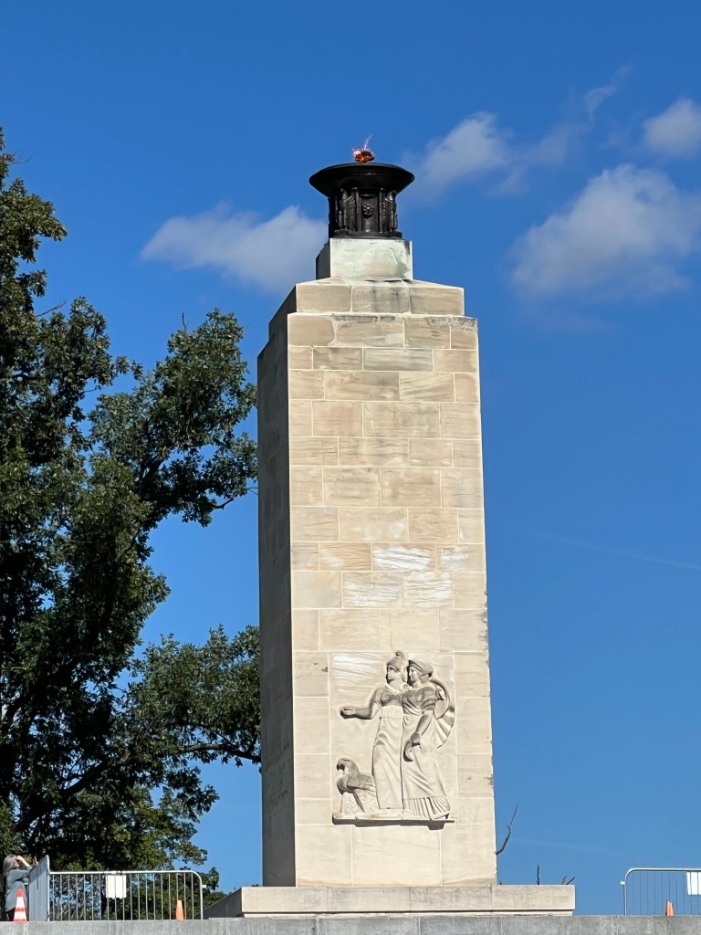
I will leave you with this image, the Eternal Peace Memorial. Seventy-five years after the end of the war, 1,800 Civil War veterans helped dedicate this memorial to “Peace Eternal in a Nation United”.

May it stay that way.

A Very Nice Park

We’ve moved on and we are now at Ives Run Recreation Area, a Corps of Engineers site just above a dam on Crooked Creek near Tioga, Pennsylvania. We have neighbors across the way but three sites on our right and four on our left are empty.

There is a boat launch just down from our site onto the little lake above the dam.

There is a well maintained day use area.

And there is disc golf.

The course is nicely mowed, although the original nine holes are a bit short, even for us,

and the set up for adding nine more holes ends up with holes that are all very long. Still, we had fun and it was pretty.

With sugar maples and paved sites with full hookups, we both agree, it’s a very nice park.

What We’ve Been Up To

I just realized it’s been eleven days since I posted. After brief stops in Vermont and northern New York, we’ve now been at Four Mile Creek State Campground for six days.

For the most part this has been a pleasant surprise. The last time we were here (May of 1999) they were pulling RV’s out of their waterlogged sites with tractors and dumping front end loads of wood chips at people’s trailer doors so they could get out without sinking into muck. It’s drier now, but I also see they’ve added drainage in what were the worst spots.

This weekend the place has filled up…

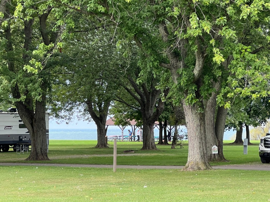
but we still have a distant view of the lake from our campsite.

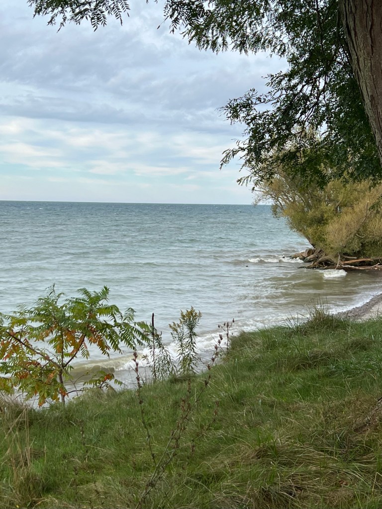
It is nice to be back on the shore of Lake Ontario.

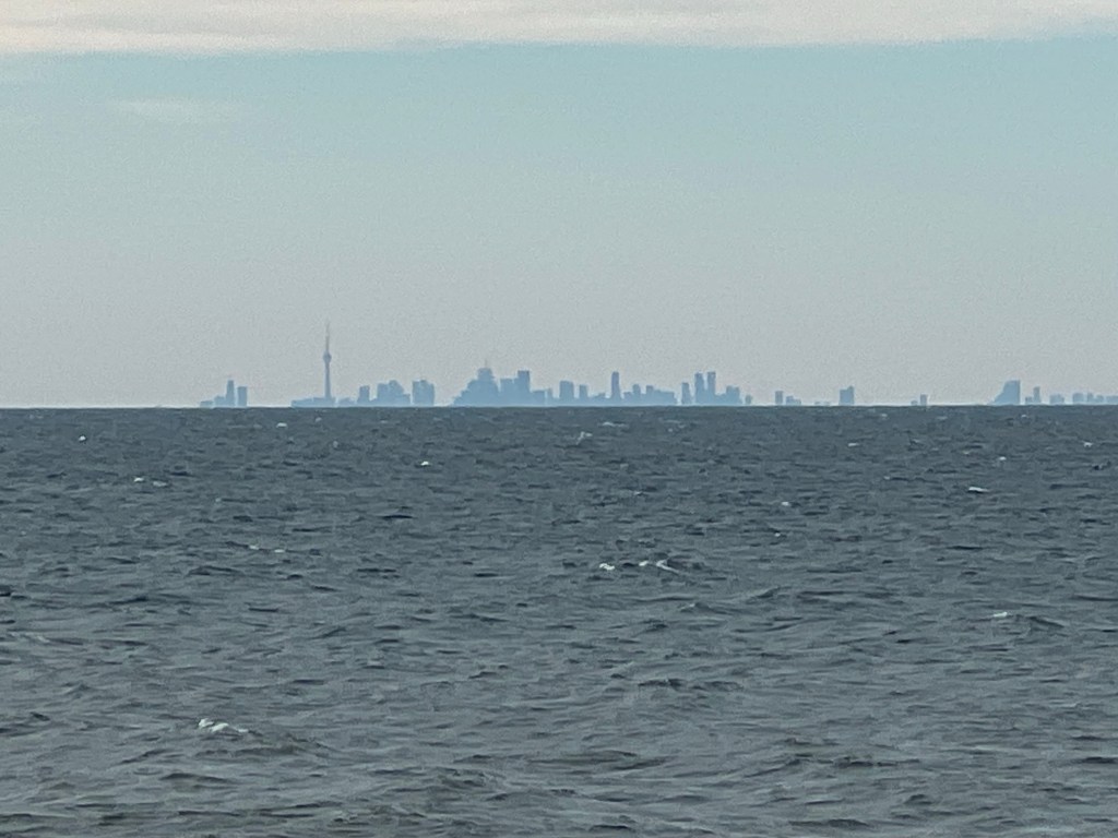
I always love looking across the lake at Toronto.

Of course the real reason we’re here is to visit family and friends. And we have been doing that. And I have been mostly forgetting to take pictures. But yesterday I caught my sister Joan and my mother as they were looking for a checkout line at Walmart. No one would ever guess that my mom, hurrying along behind Joan, was 105. How lucky we are to have her.

I took no pictures of Dick and Sue Manning on Wednesday, but Thursday, when my friend Erin and I went to Amherst State Park I did take some photos.

Neither of us knew this existed but found it when looking for a trail where we could walk with Matey. It’s a lovely place, though quite small. A fellow walker told us the land came from an order of nuns who used it to grow the food for the convent. They sold this land, just north of the village of Williamsville, for a pittance to the state of New York so it could stay open land.

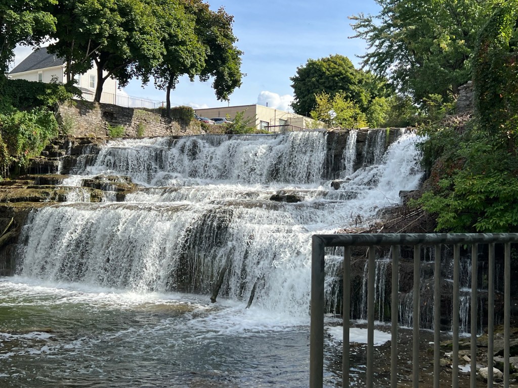
We then put Matey in the stroller and walked in Glen Falls Park, where dogs aren’t allowed.

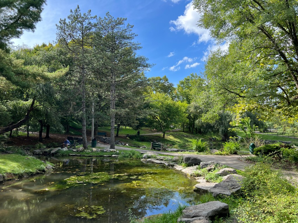
This little pond is formed by the water that was diverted and used to turn the mills. I would guess that makes it the old mill pond.

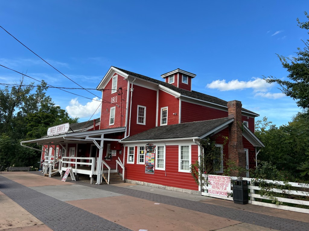
And this is the old mill,

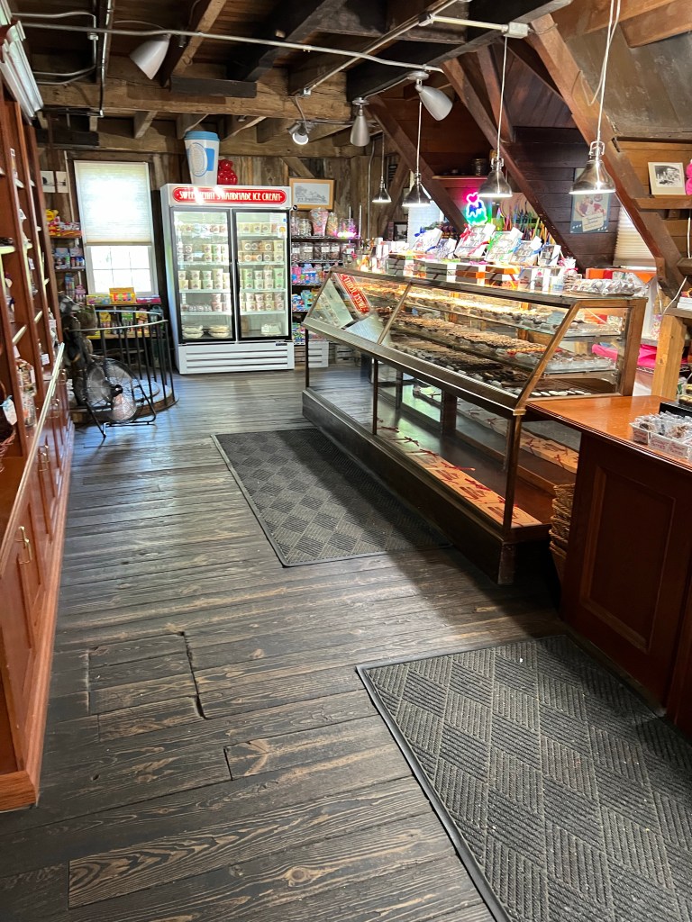
now a candy store with a very old interior.

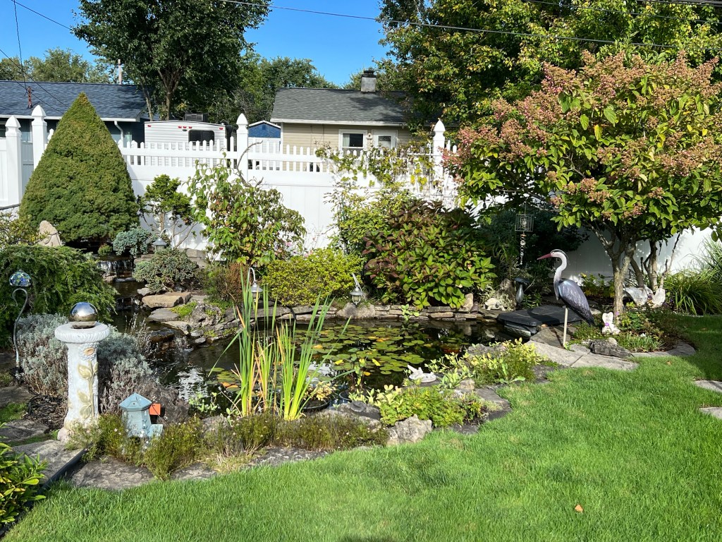
I also remembered to take a few photos of Erin’s back yard. With its little falls and lily pond…

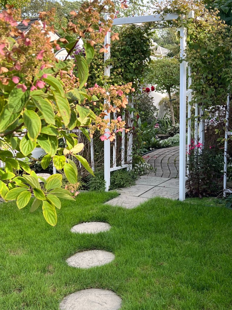
it’s stepping stones leading…

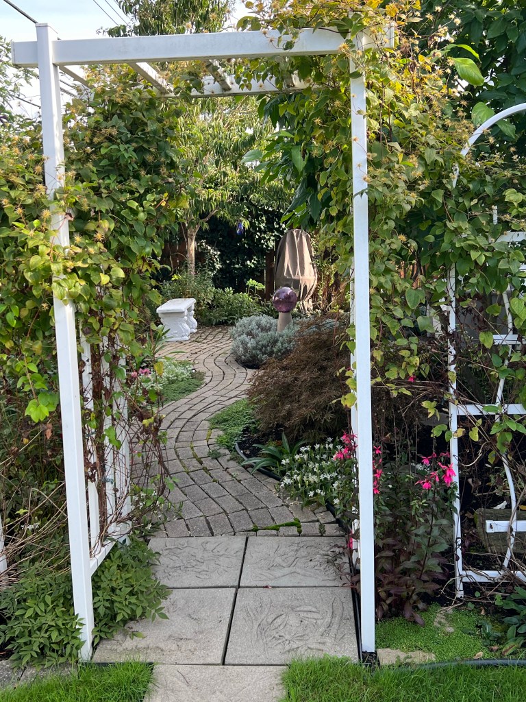
to a secret garden behind the garage her place is a like a botanical garden in miniature.

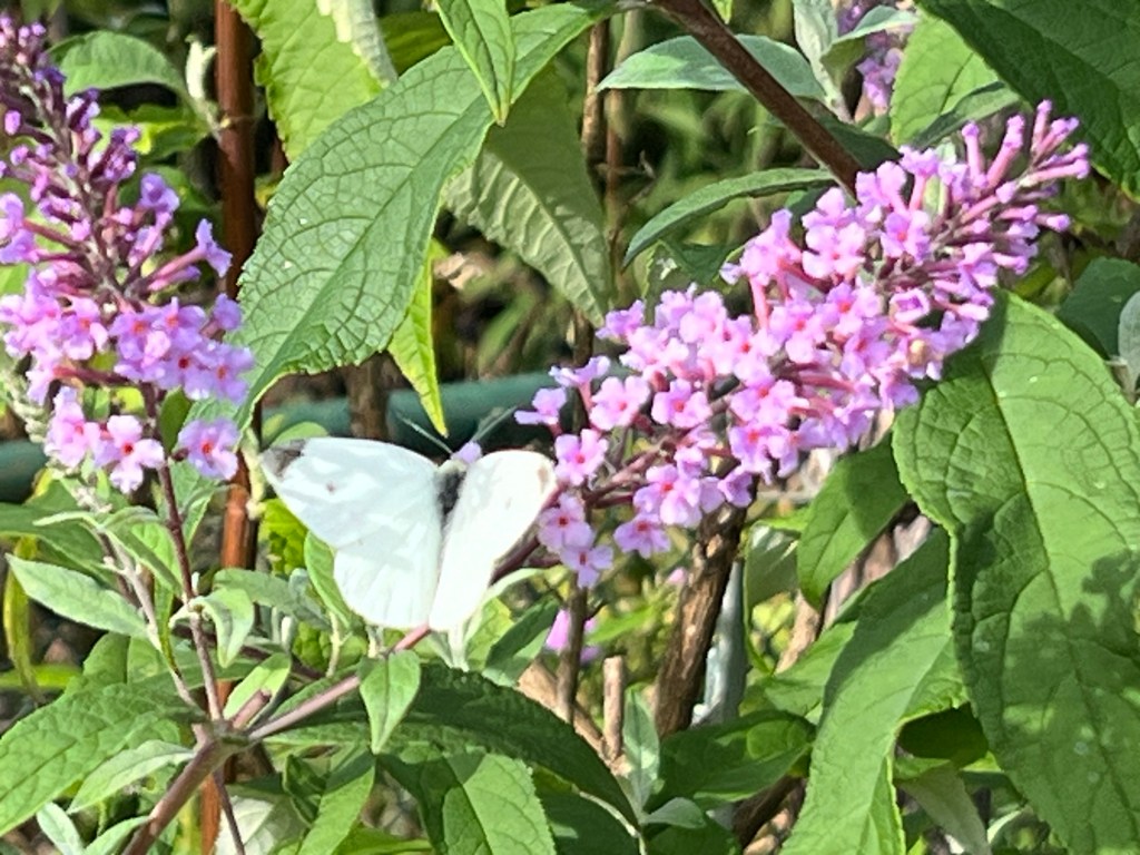
So we have been enjoying ourselves and enjoying the pleasures of Western New York, including this butterfly on Erin’s giant butterfly bush…

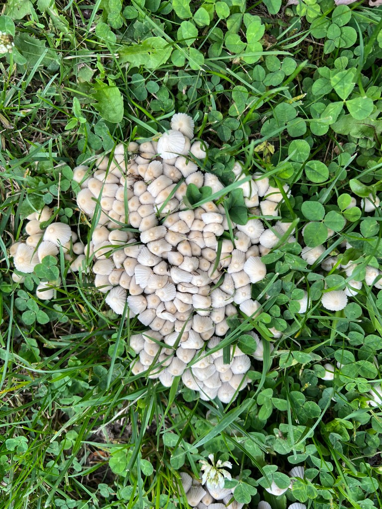
and this cluster of tiny, tiny mushrooms here at the State Park.

Two Quick Stops in Quebec

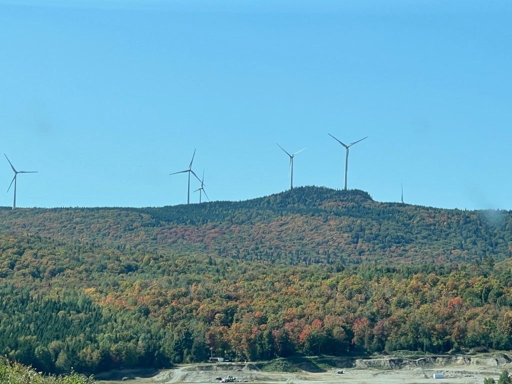
This photo was taken on the road as we headed for our first stop in Quebec last Saturday. It is notable for the fall colors starting to show up in the trees and for its location. This was taken in St-Louis-du-Ha!-Ha! I kid you not; that is how the name appeared on the road signs, exclamation points and all. Someone had a sense of humor.
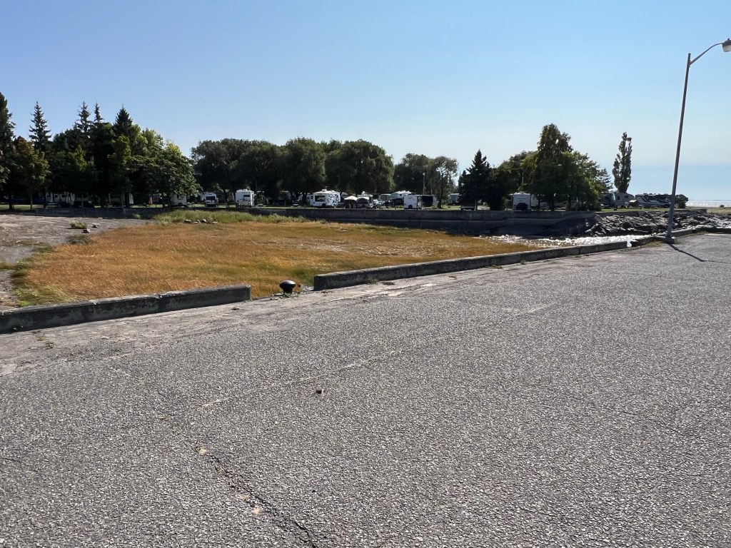
We stayed in the much more ordinary L’Islet-sur-Mer, which wasn’t on the sea…

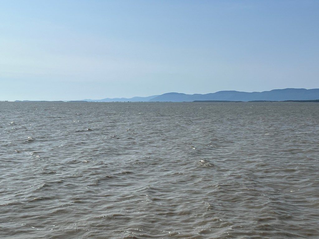
but was on the St. Lawrence River.

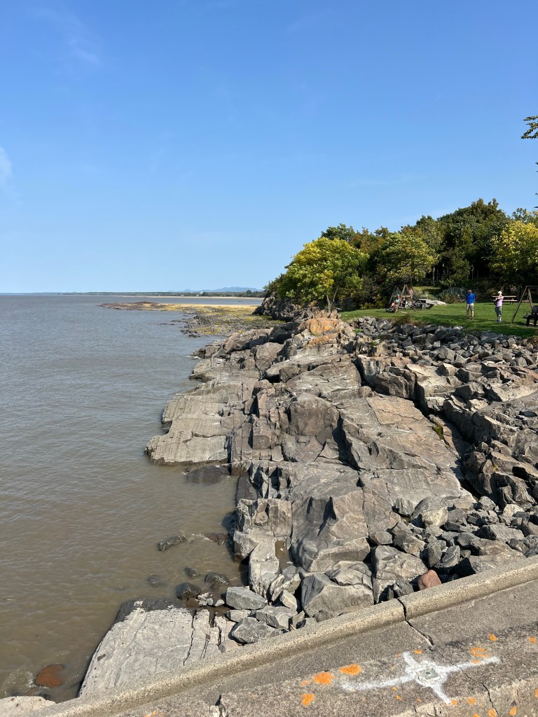
It was a pretty place with an interesting shoreline.

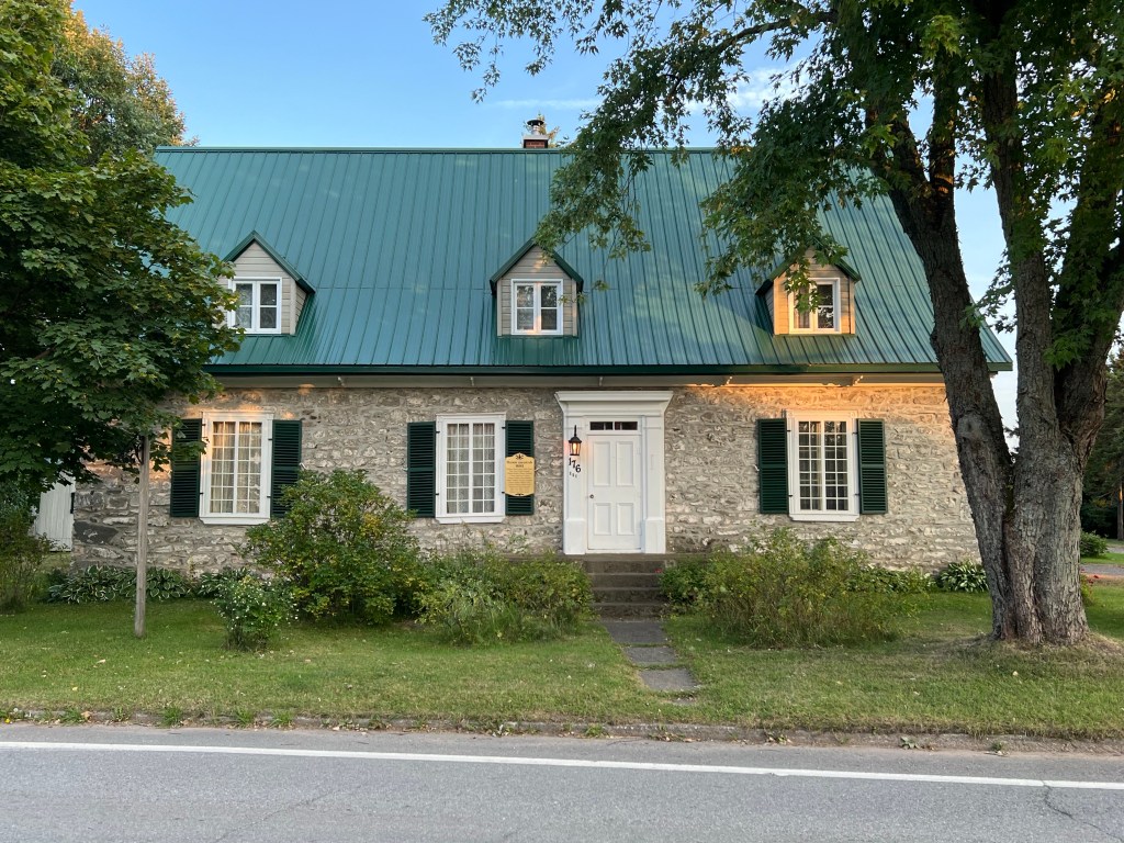
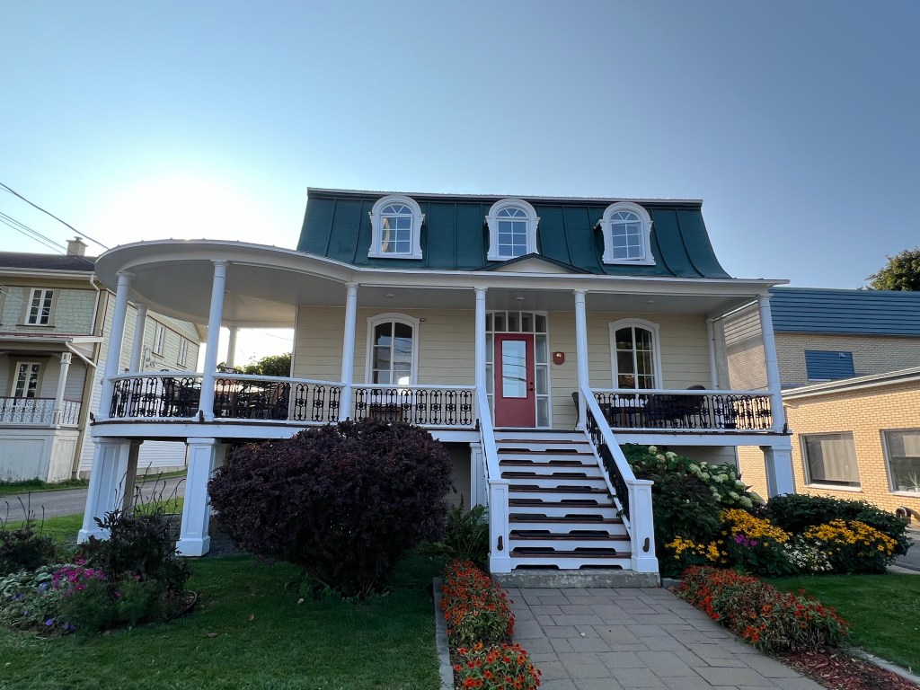
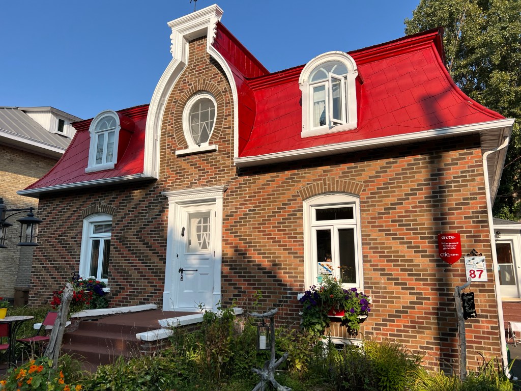
It had some very old houses. The plaque on this one says “Maison ancestrale 1681.

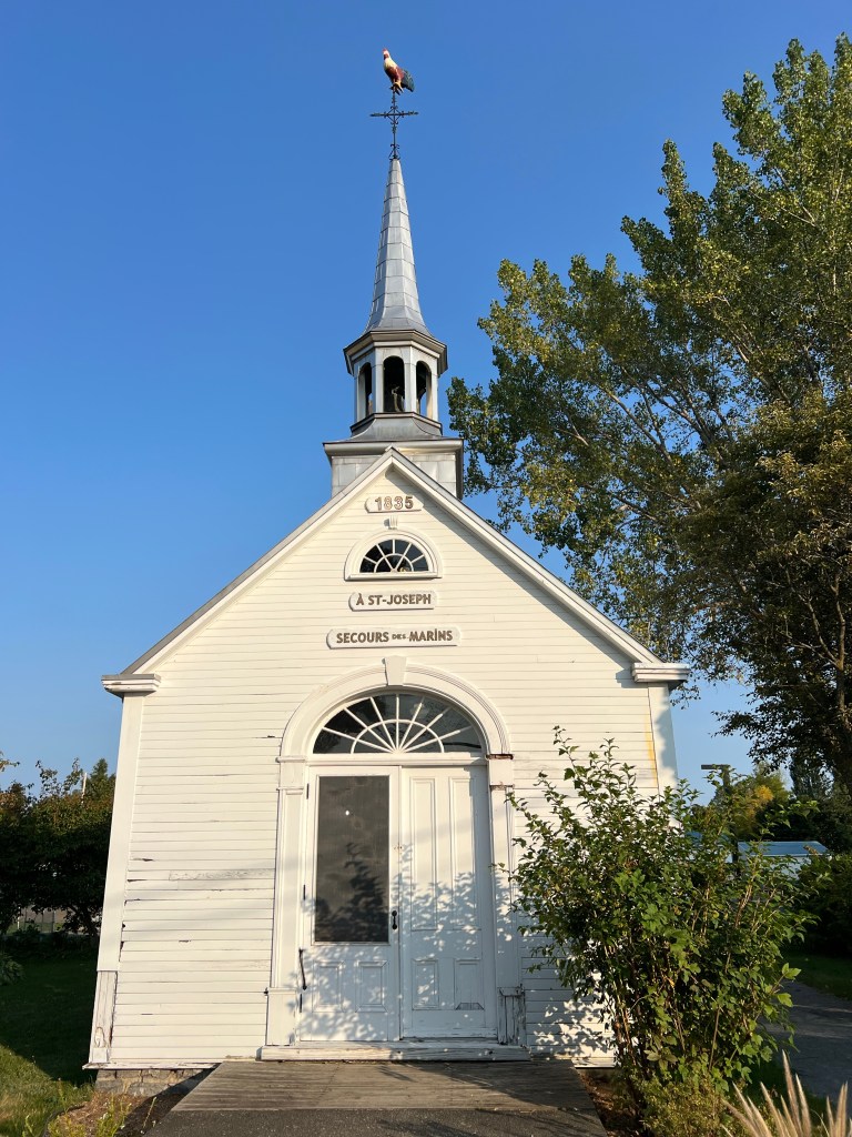
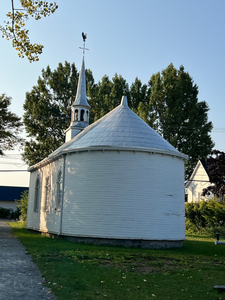
Just inland of the RV park was this small church. Built in 1835,

the back of the church was rounded.

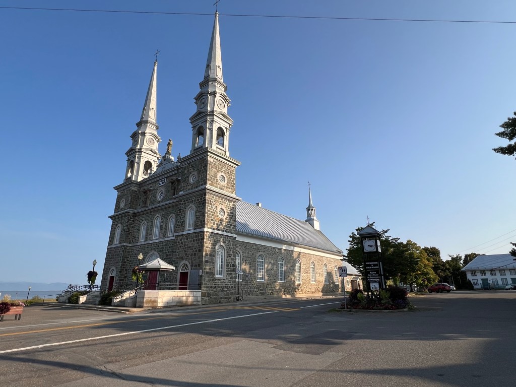
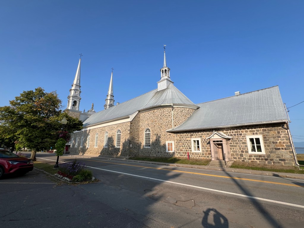
Down the street was this much larger church. It was built (or at least founded) in 1768.

The back of this one was also rounded.

The builders seemed to like curves in this little village.

It made for some interesting places.

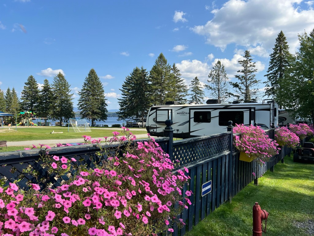
Now we are staying at Piopolis. This is a little municipal campground…

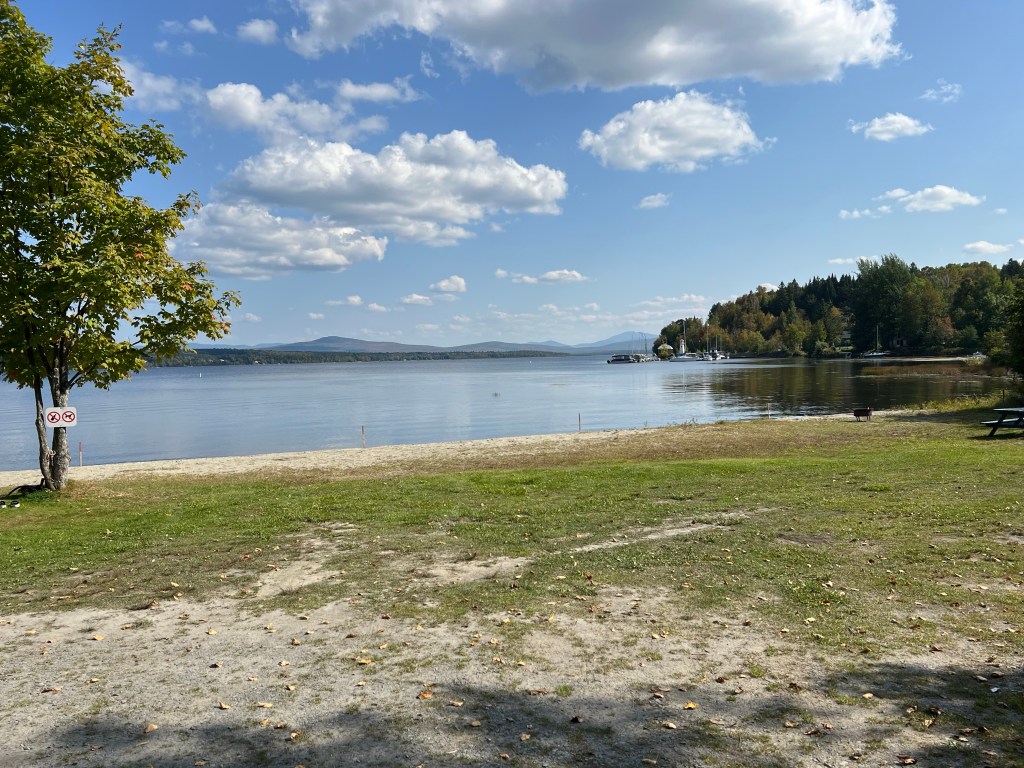
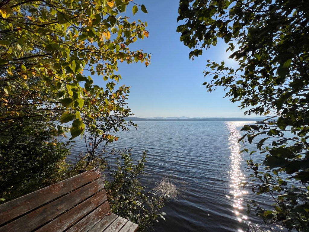
on Lac-Megantic.

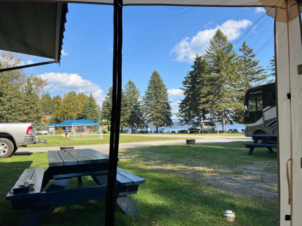
The campsites are small but as long as no one uses the one right next to us Matey and I have a nice view from the tent.

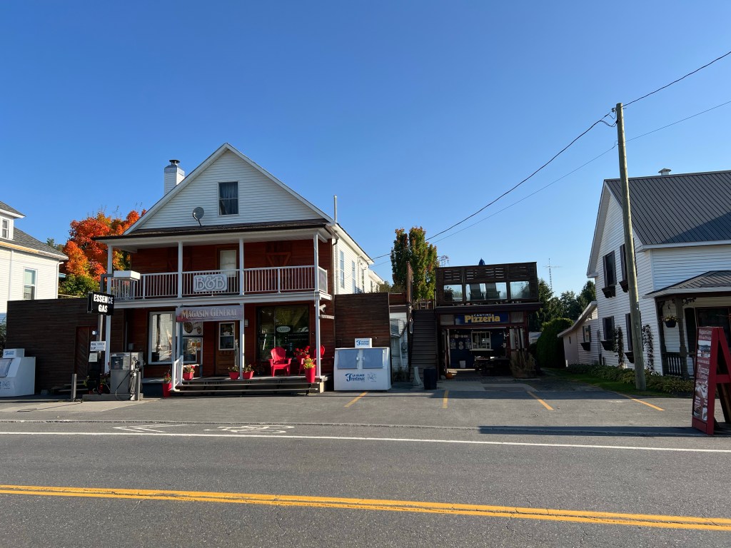
It’s a short walk to town where there’s a tiny Magasin General.

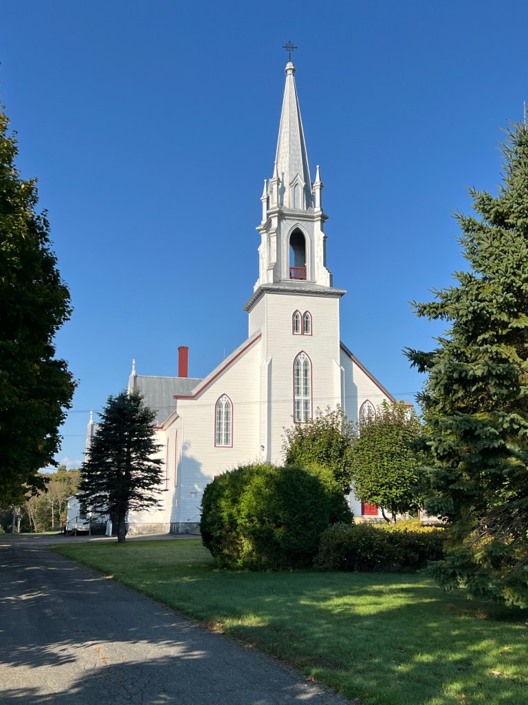
There’s the required Catholic Church with bells that sound the hours.

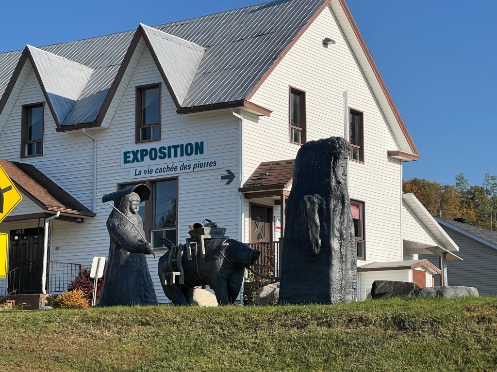
The name of this gallery means “life hidden in stone”. I like that.

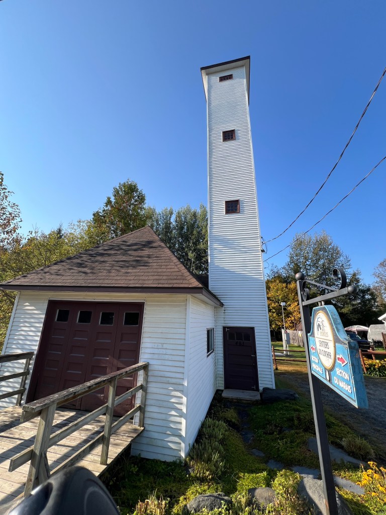
This fire tower, built in 1947, is not a lookout. They used it to hang the linen fire hoses out to dry.

There is also a pub,

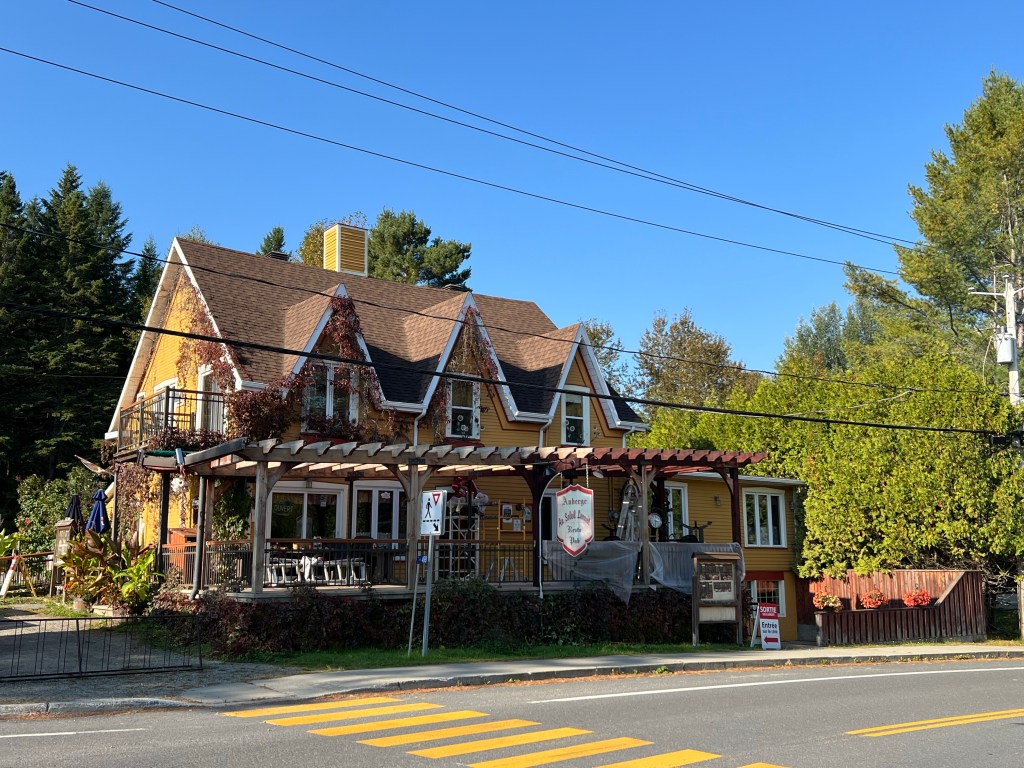
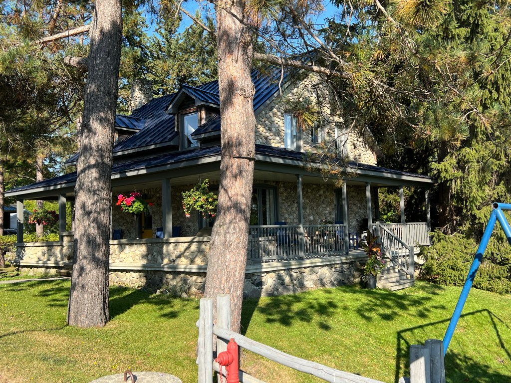
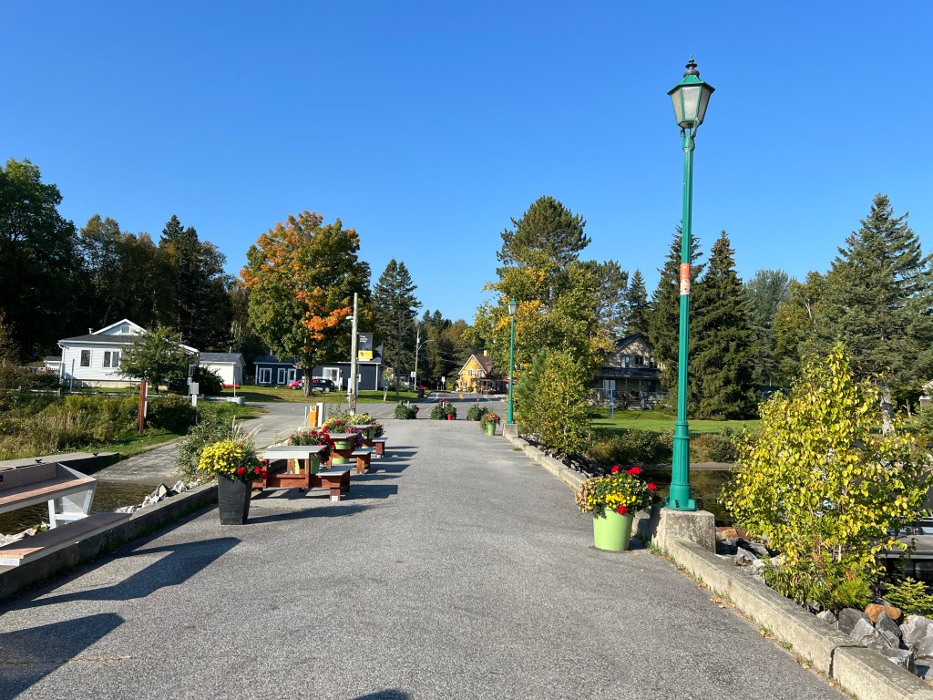
and some pretty homes.

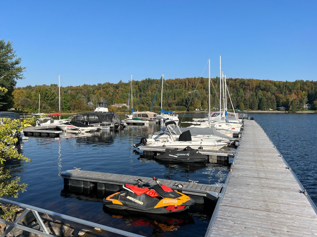
We walked down to the marina. The campground is just across the little bay.

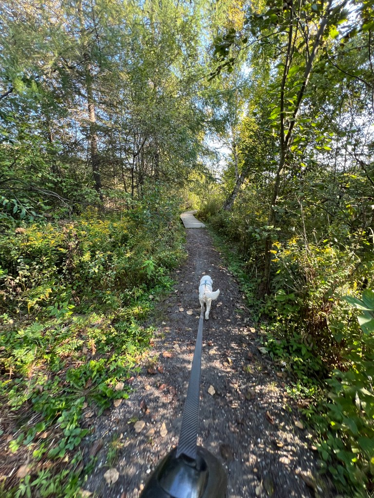
We also explored a short side trail.

It just led out to a place where you might want to wet a line in the lake.

Another nicely kept campground in a nicely kept little town and a fine place for our last stop in Canada.

New Brunswick Botanical Garden

An unexpected benefit of République Provincial Park is that it abuts the New Brunswick Botanical Garden. Of course I had to go there. I waited until Friday hoping Bud would be well enough to attend, but although he’s on the mend he wasn’t up for this. So he and Matey stayed home.

I walked over, this beautiful campground made a nice prelude.

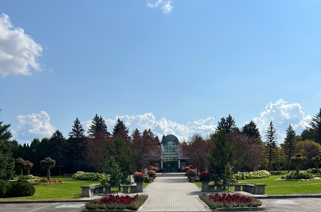
The day had turned nice and quite warm as I came to the impressive front entrance…

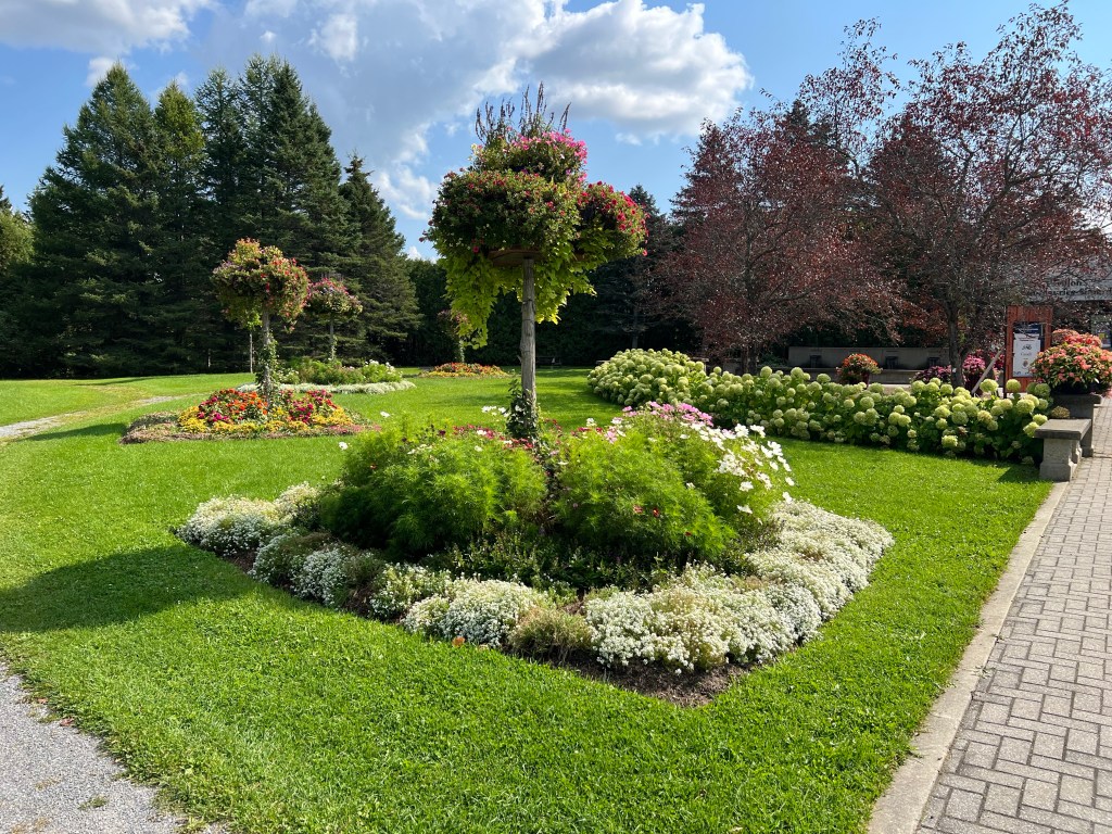
with its welcome garden.

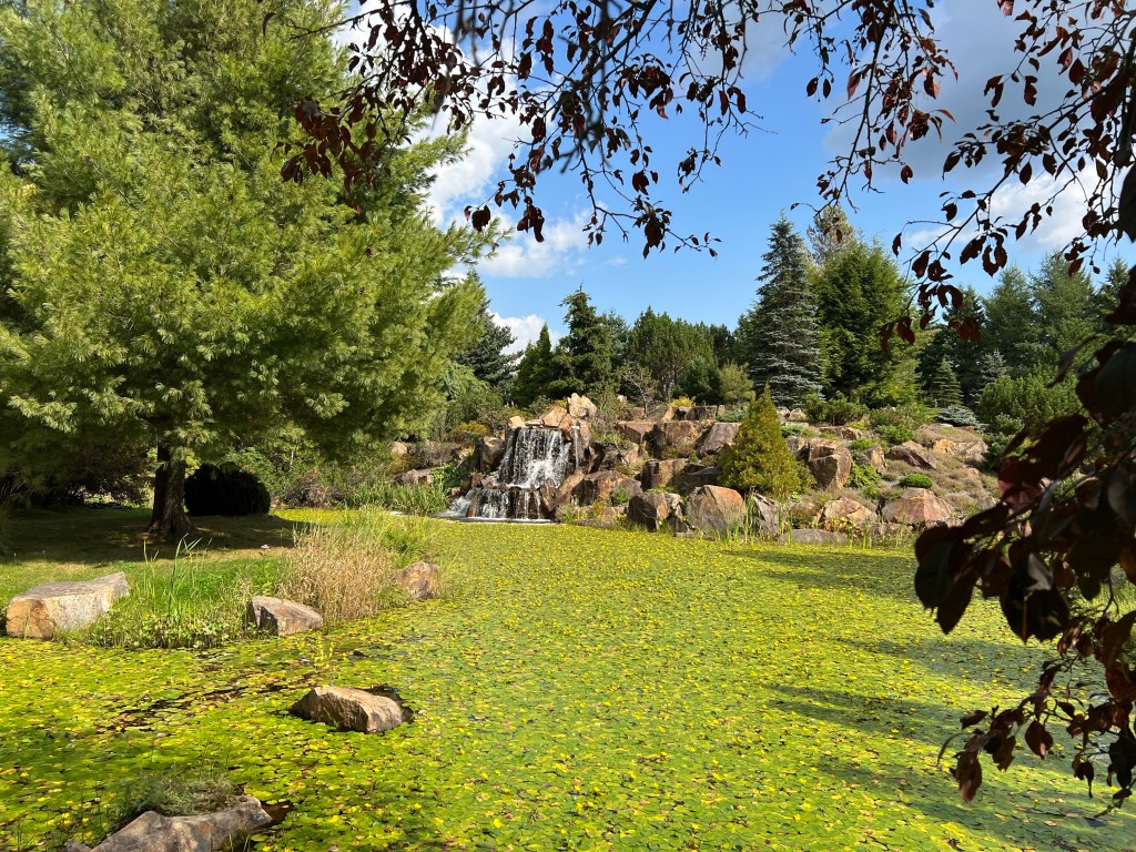
As you leave the entrance building you are greeted by this huge water feature.

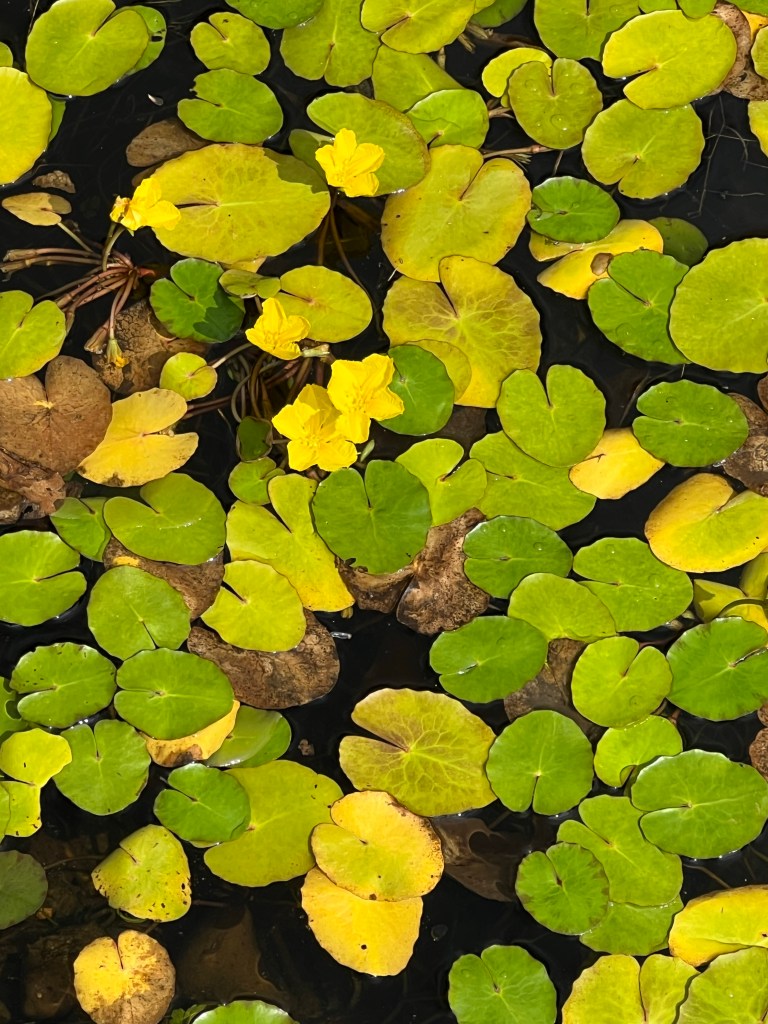
That’s not a lawn, it’s a lily pond!
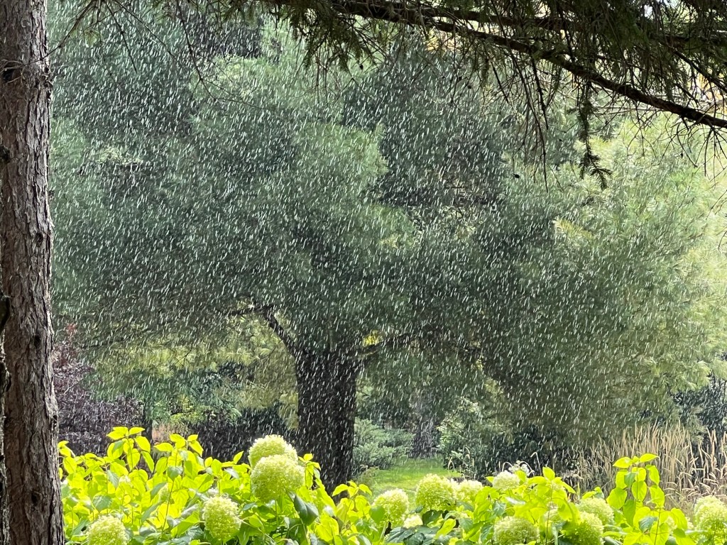
Almost as soon as I started my tour some rain drops fell. I ducked under some trees and it really came down for a bit. It rained just long enough to make me run for a nearby building and get soaked.

The rain stopped, things dried out, and so did I.

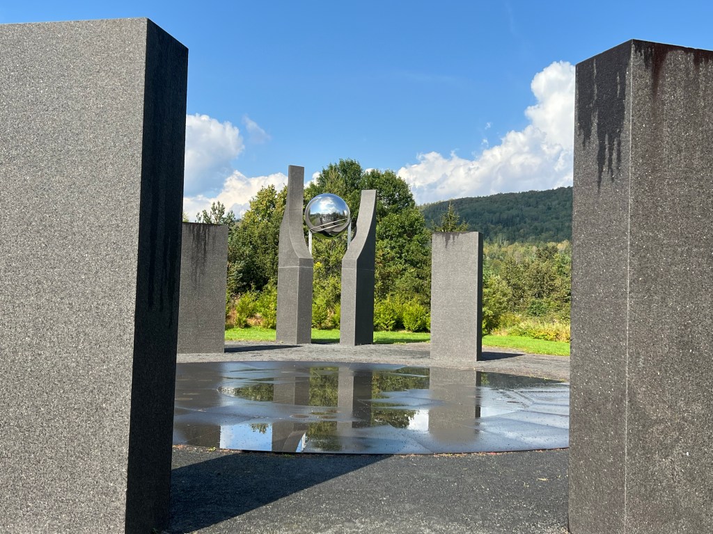
There were a number of artists’ installations, this garden of time and space was one of them.

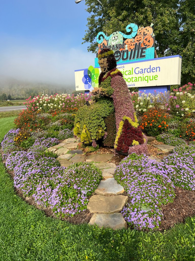
There was also topiary. Besides the woman at the gate there was this gardener that startled me by whistling and talking as I approached. Since he spoke French I didn’t catch what he said.

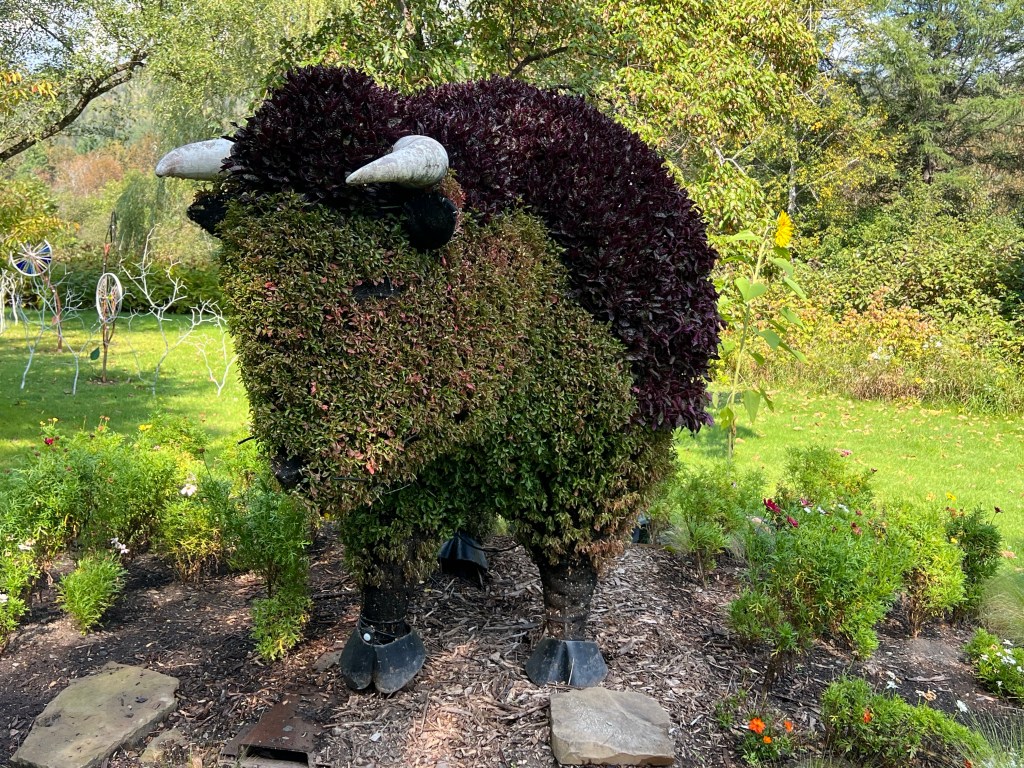
And there was this buffalo.

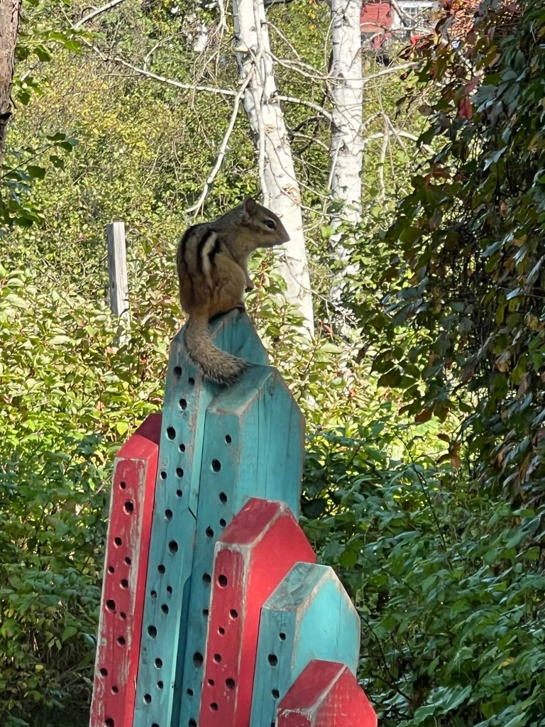
That was quite near the insect houses display. This little fellow did not read the sign on the kind of housing offered here.

Here’s another art installation. This one drew me in.

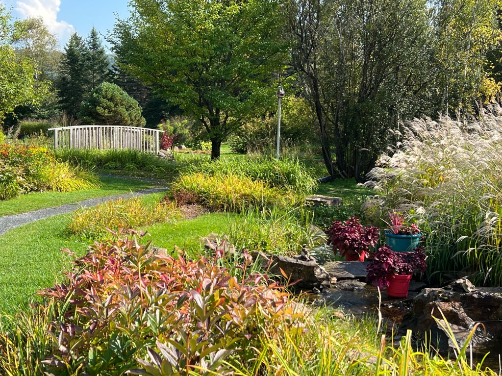
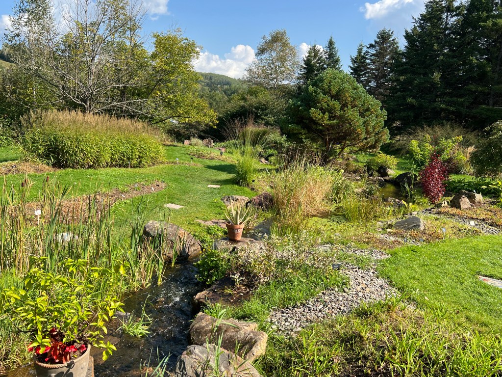
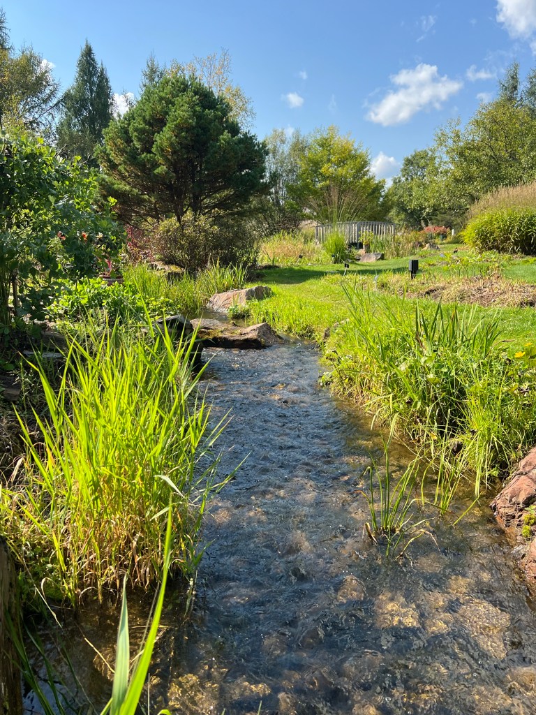
One of my favorite areas was the “flowering brook”.

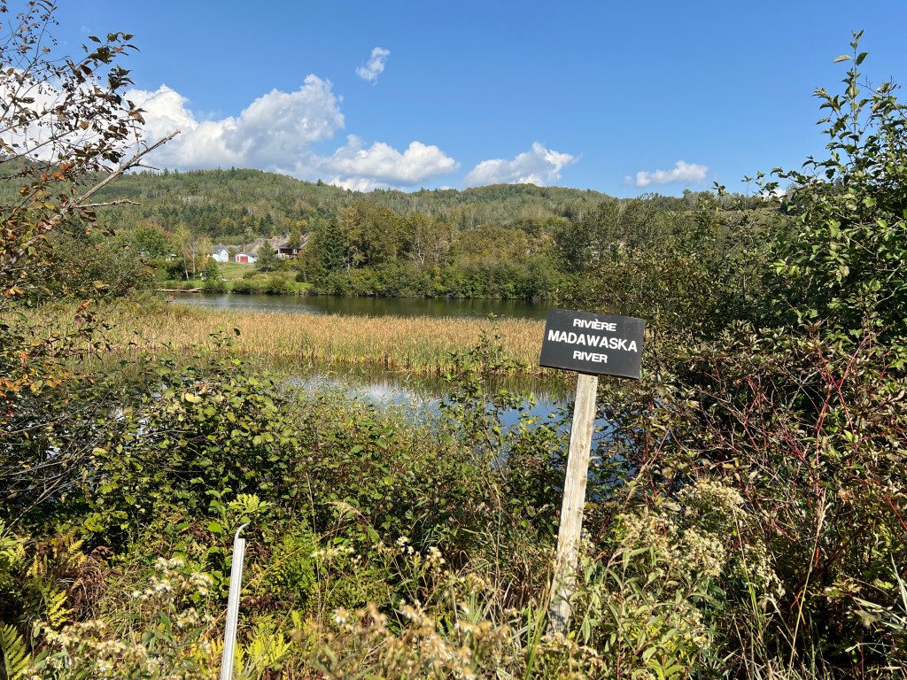
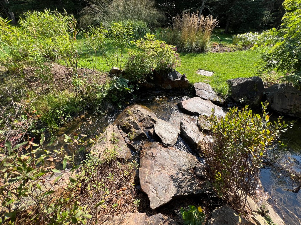
It took the water from the ponds…

back to the Madawaska River.

It was a beautiful stream…

and invited wandering.

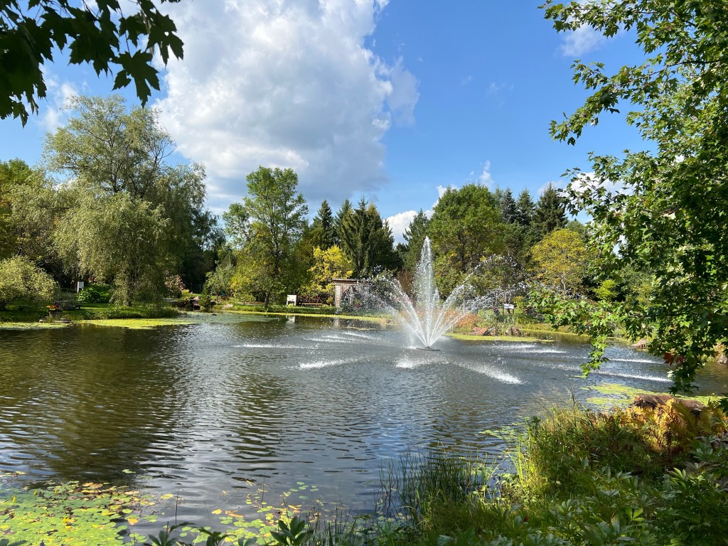
There were more ponds.

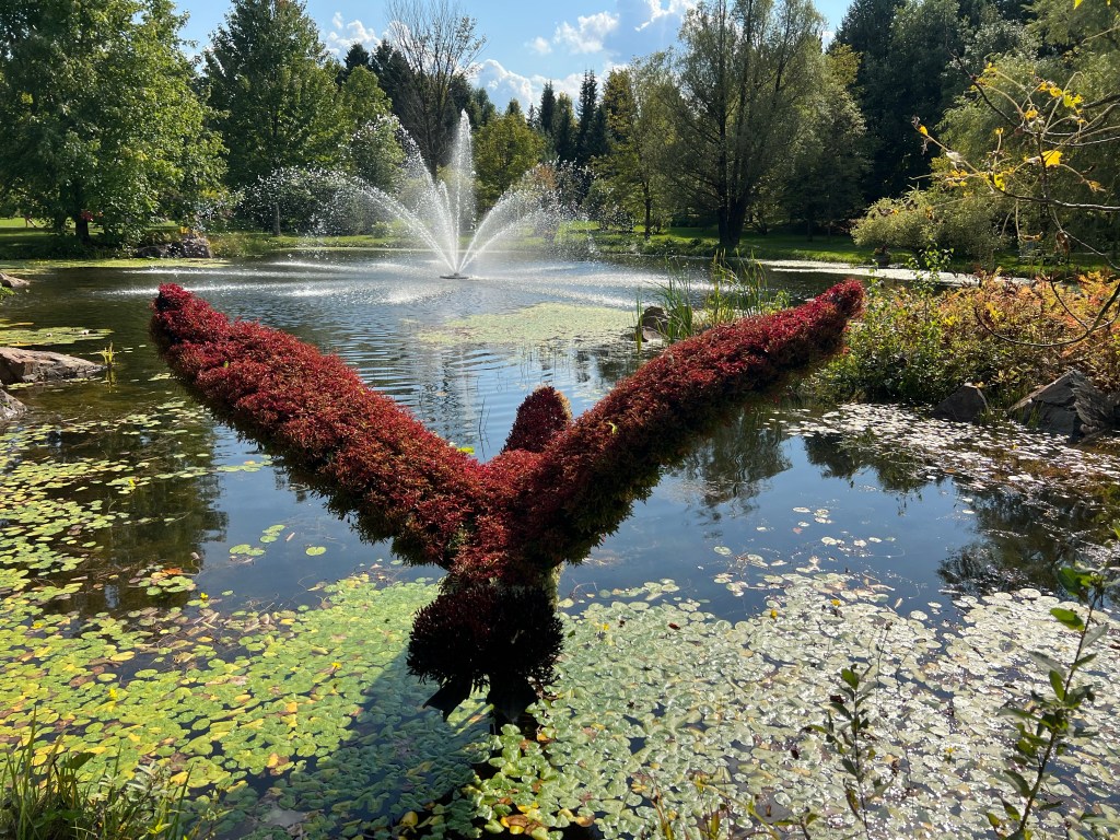
This topiary Canada goose was about to land in one.

That pond also had the shelter for the artist in residence along it. The shelter itself was a piece of art.

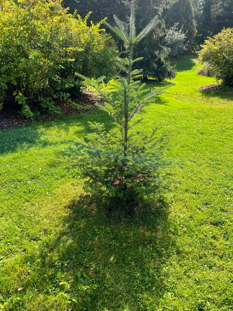
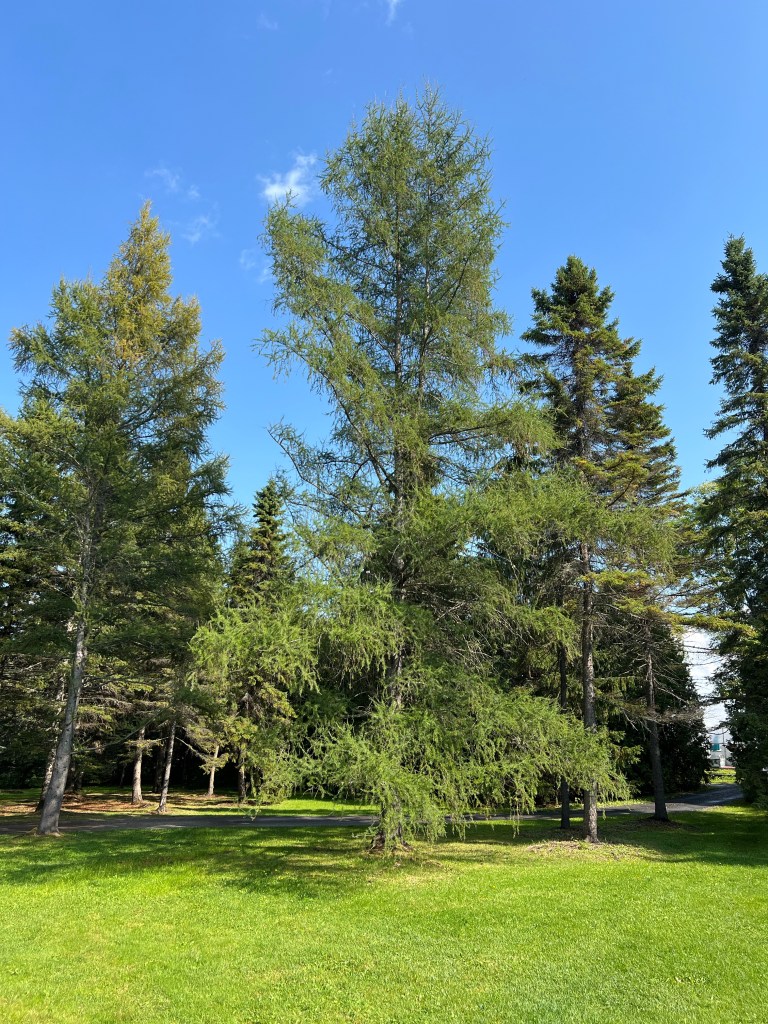
Around the perimeter was an arboretum. This was a young balsam fir, the provincial tree.

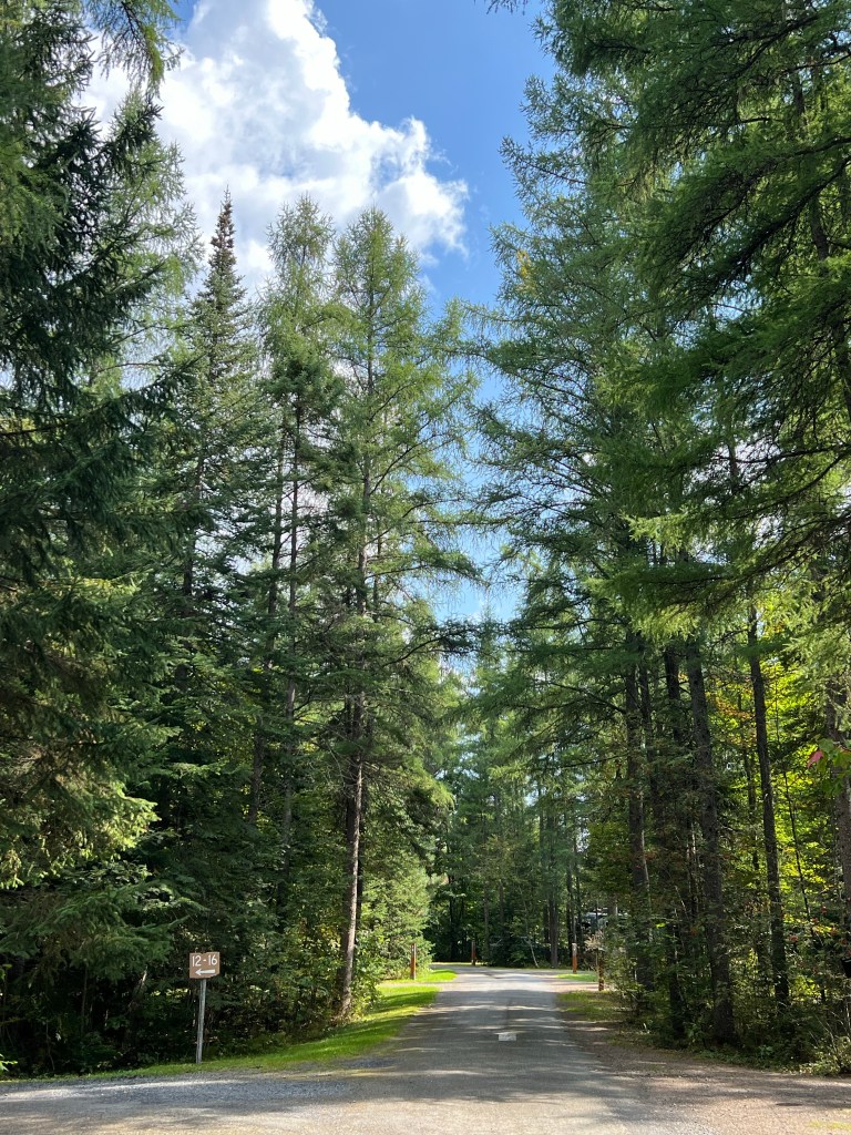
I would have suggested the larch, which obviously grow well here, but no one asked me.

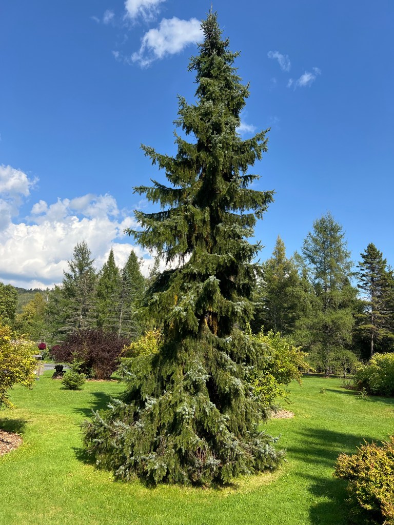
And when did weeping varieties get this big?

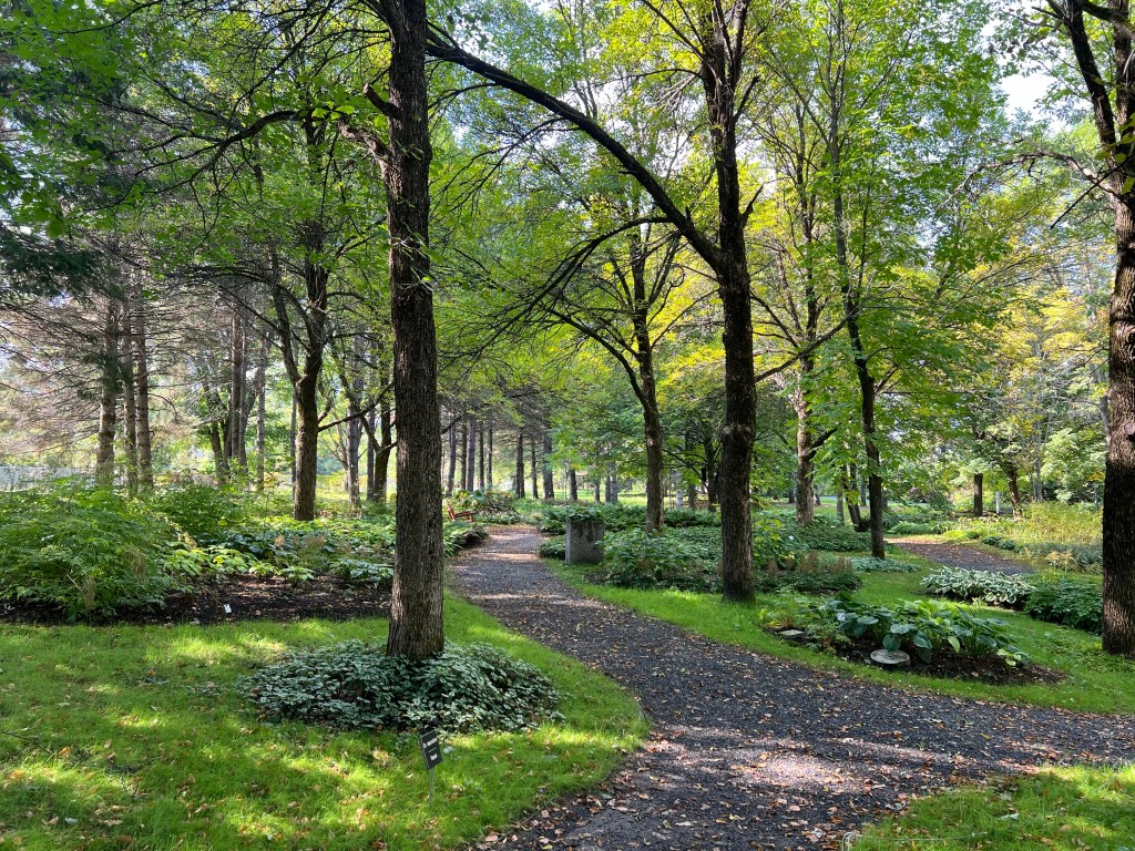
Another of my favorites was the shade garden.

I revisited the main waterfall, this time climbing the artificial hill it fell down

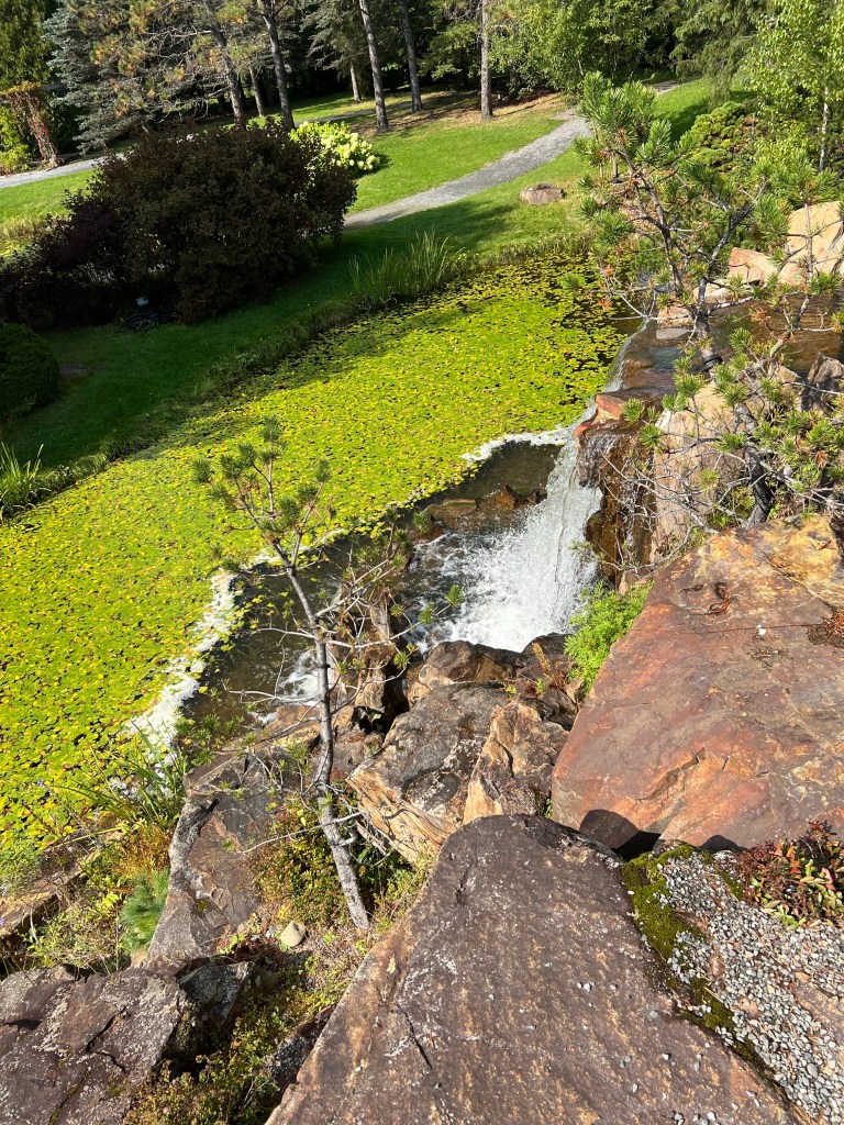
Here’s where all the water starts its journey back to the river.

The last area I walked through was the perennial garden.

It was beautifully done and still had a lot of showiness this late in the season.

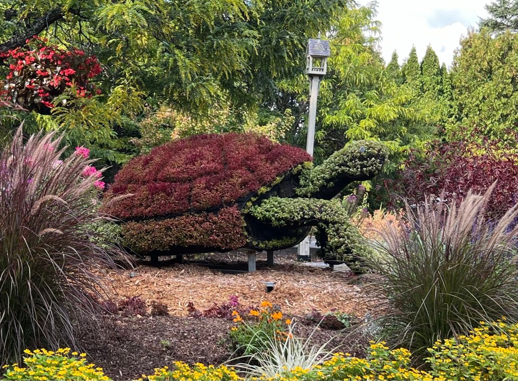
As I walked back towards the entrance building I passed by this guy, coming out of his shell to say hello.

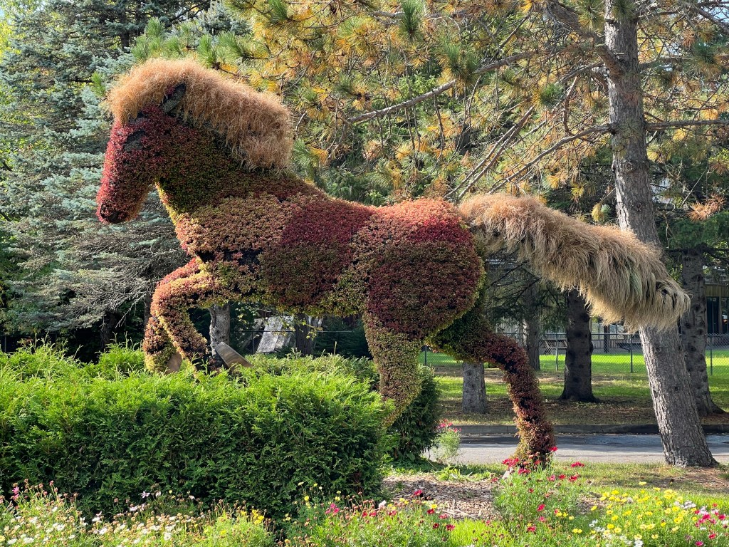
When I left I detoured out to the auto entrance to get a good look at this horse. He was gorgeous and my favorite topiary.

What a treat this was.

Small Troubles but We’re Okay

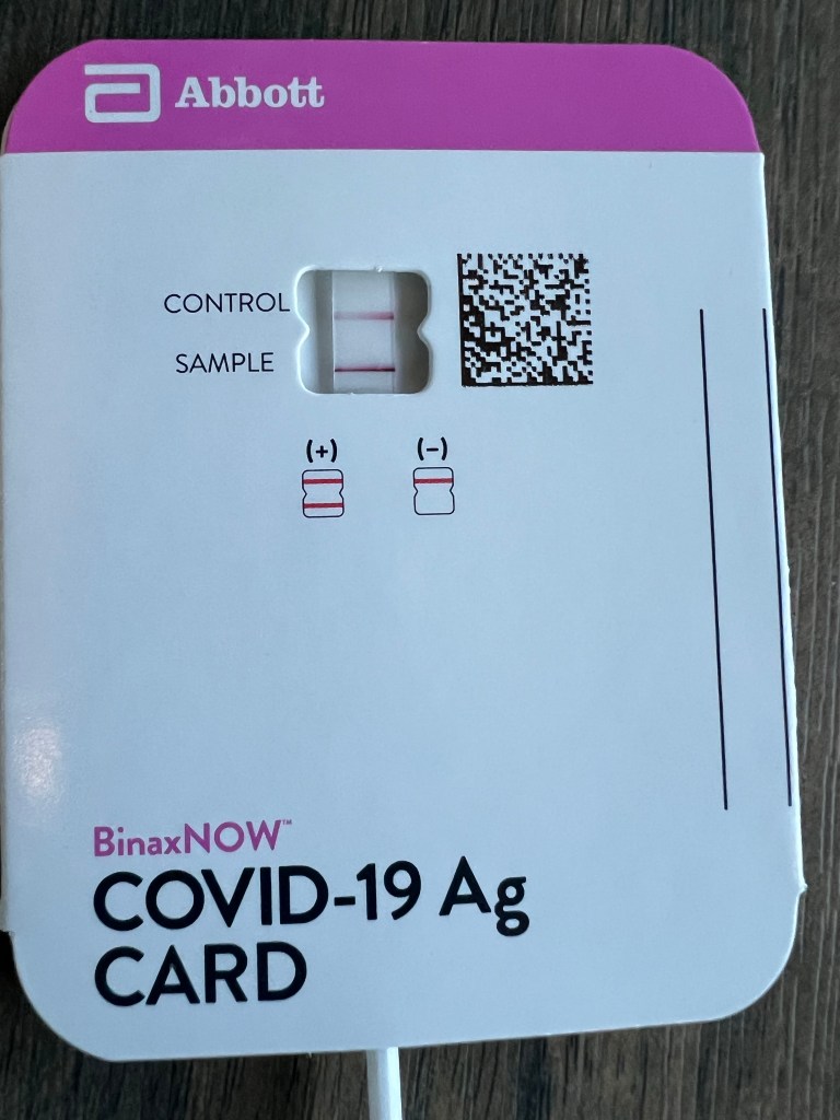
Well, yeah, that’s the first one. I have COVID, and now it looks like Bud does, too. We had escaped so far, we have had many vaccinations and are never around people indoors. But last Wednesday I ended up doing the laundry in a very small and crowded laundromat and Sunday I was sick. Jamie says from the symptoms it sounds like the latest variant. We’ll get that vaccine once we’re back in the States.

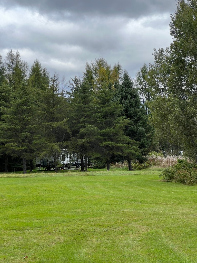
Fortunately by Tuesday I was well enough to have the energy to move to our new campsite. See the trailer there in our “Full sun, no shade” site? I chose the “open” site for the satellite TV antenna; now we have Starlink which uses much less sky so the inaccuracy of the description didn’t matter.

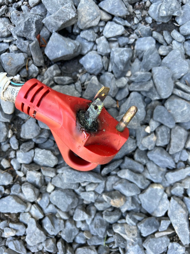
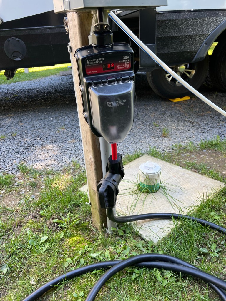
Anyway, our troubles weren’t over because when I went to hook up our electrical service I noticed some discoloration on the side of our 30 to 50 amp adapter which always stays plugged into our surge protector.

When I unplugged it I found this. Woah, we can’t use that.

But there was a Canadian Tire in town and they had a replacement so we are now nicely hooked up and warm and dry.

We are still in New Brunswick, now almost to the border of Quebec, at de le Republique Provincial Park. I’m well enough to walk Matey and sit outside (bundled up today, it’s just over 60) and enjoy the view. I hope tomorrow or the next day Bud is well enough to join me touring this place. Today he’s just sleeping.

I Wouldn’t Have Liked this Place a Week Ago

We are now at Mataquac Provincial Park in south central New Brunswick near Fredericton. There is a huge groomed campground, divided into parts by hedgerows and with some wooded areas.

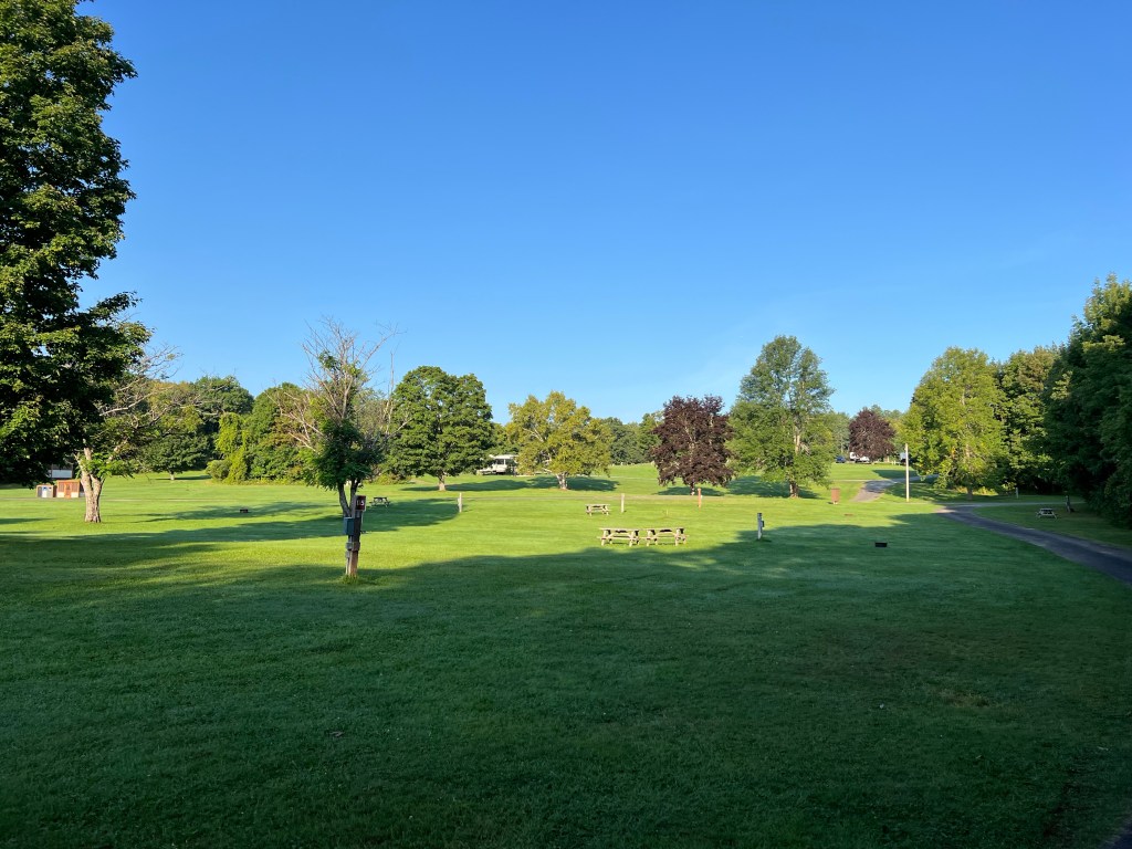
We are out in the open in campground 1, and you can see that we are surrounded by camp roads and sites. There are 311 campsites in two campgrounds. Since it’s after Labor Day it’s almost empty. If all these sites were filled we wouldn’t like it here.

But now we have acres of public land…

right along the St. John River to share with just a few other campers.

Off season camping is one of the things we love about doing this full time.

More of Five Islands, the Beach and Economy Falls

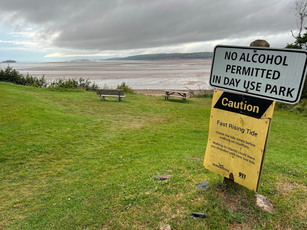
After it rained on Sunday and the tide started to drop we finally took a walk out on the beach. I’d been wanting to walk out along the cliffs, but every morning while we were here there was a rising tide.

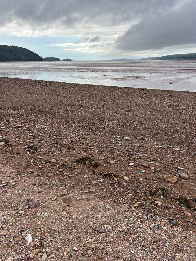
The tide is about 40 feet here now. This was only a couple of hours after high tide and already a lot of beach is exposed. You can see the bit of dry sand at the bottom of the photo, and the wet tide line.

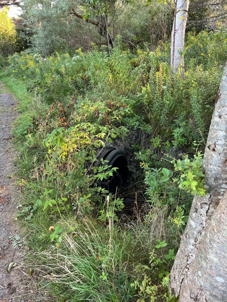
When I walked the trail along the top of the cliffs I noticed this large culvert, but couldn’t really see where the water drained.

This is where it drains.

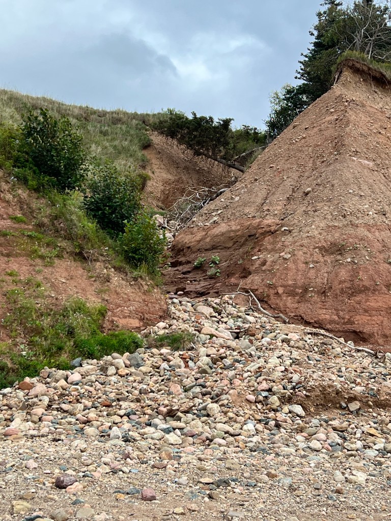
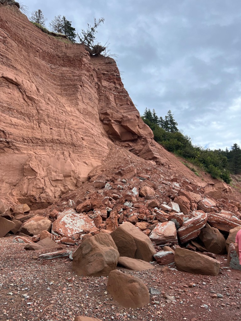
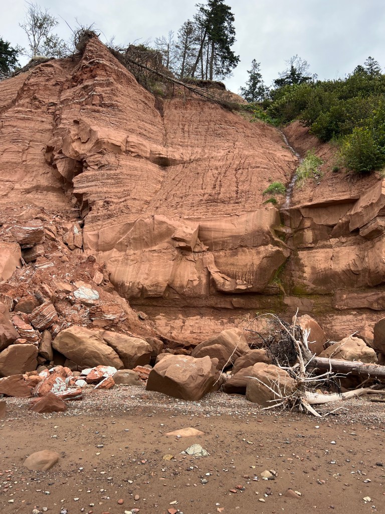
When the sign says these are actively eroding cliffs, this is what it’s referring to.

You don’t want to stand near these edges!

I found out later that this striking seam between the red rocks and the grey rocks is a fault line between the more recent (200 to 150 million years ago) Jurassic red rocks and the older (250 to 200 million years ago) Triassic grey basalt rocks.

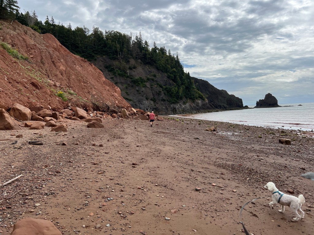
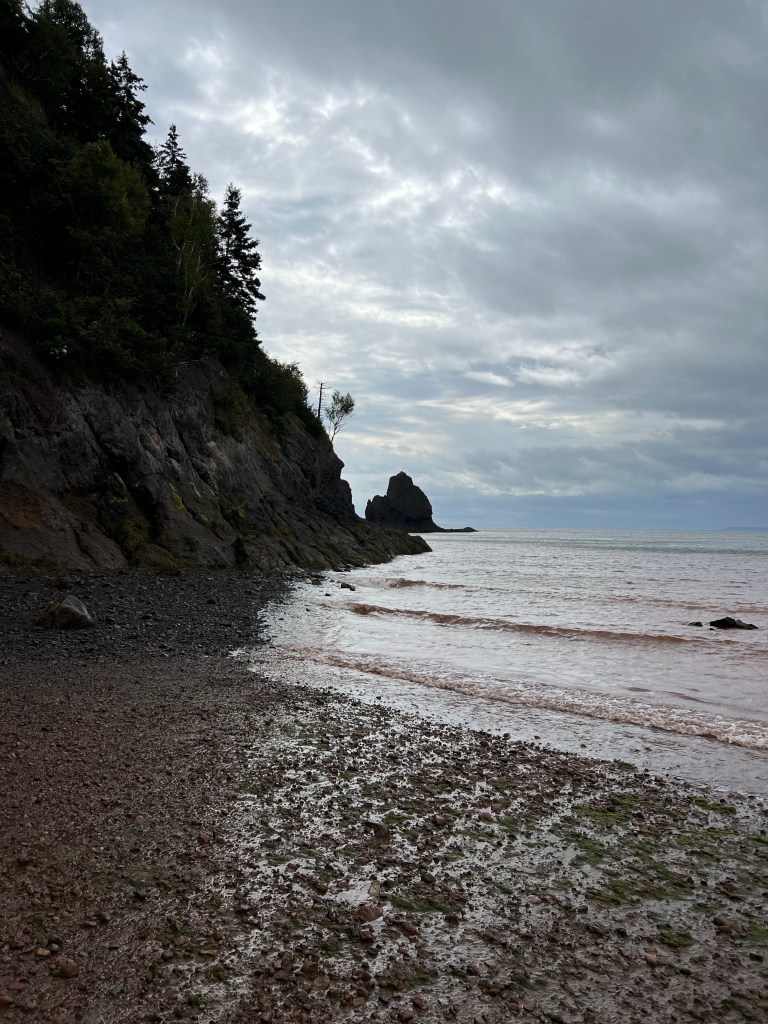
But alas, this was as far as we could go as the water was up against the cliffs at this point.

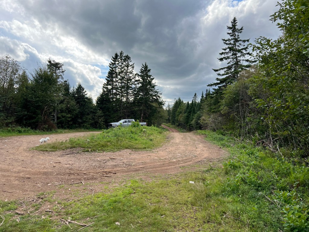
On Monday the tides were even less cooperative, so we took a drive to the end of Phillips River Road nearby.

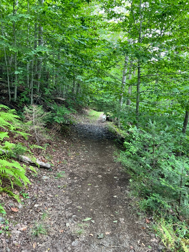
We walked a short way on the trail there…

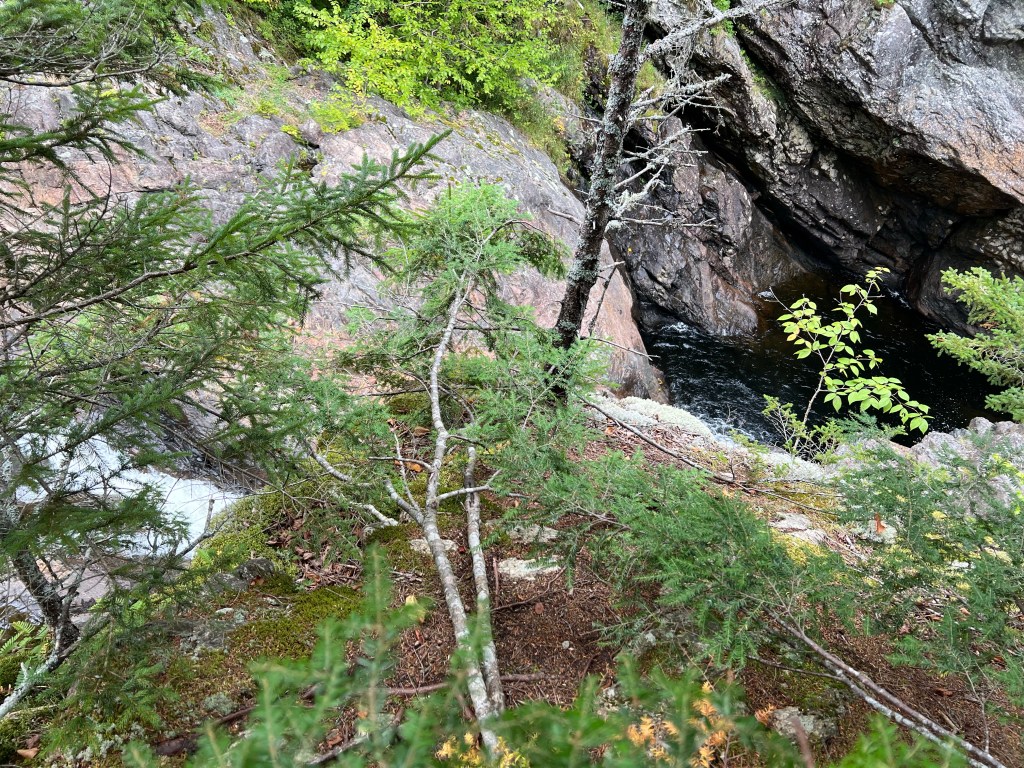
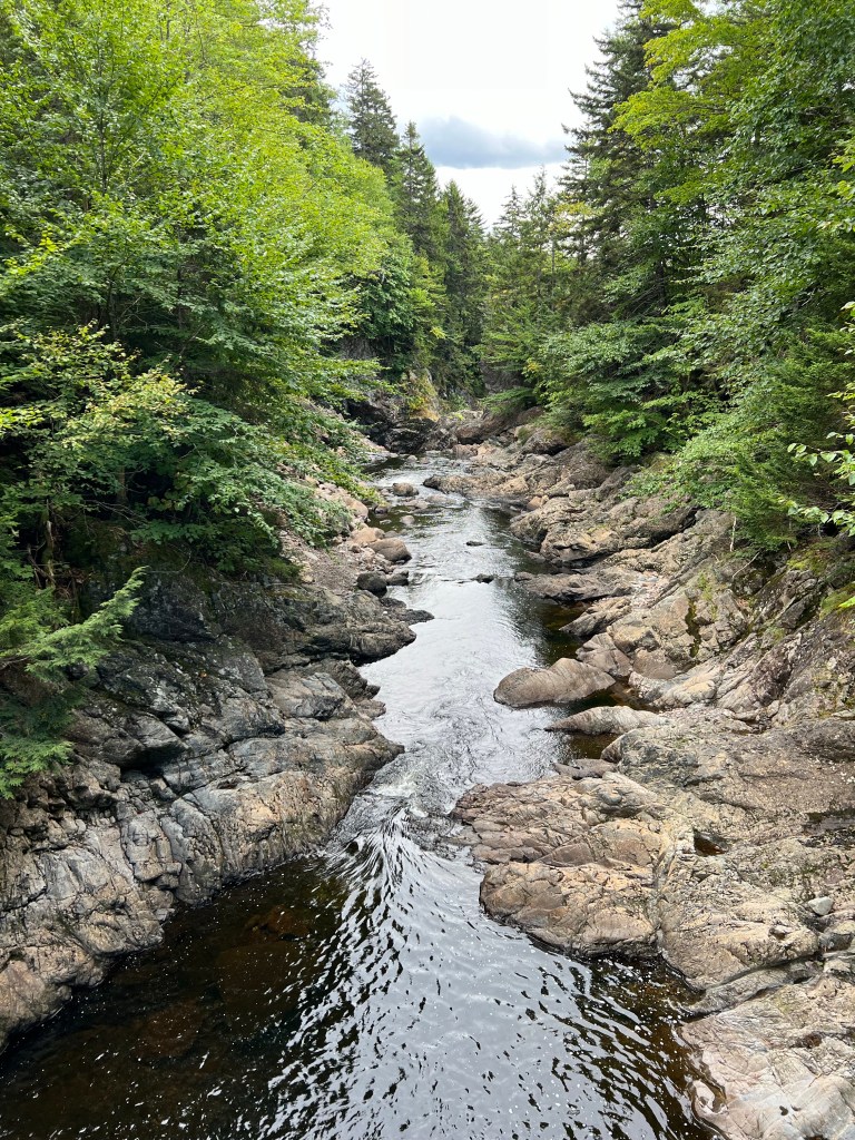
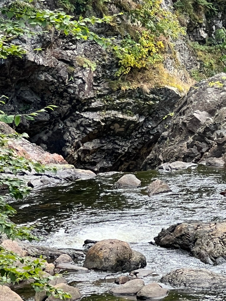
to Economy Falls. You can just about see the falls from this vantage point. The water is flowing from the left, then is blocked by the rock I’m standing on and falls into the deep pool on the right.

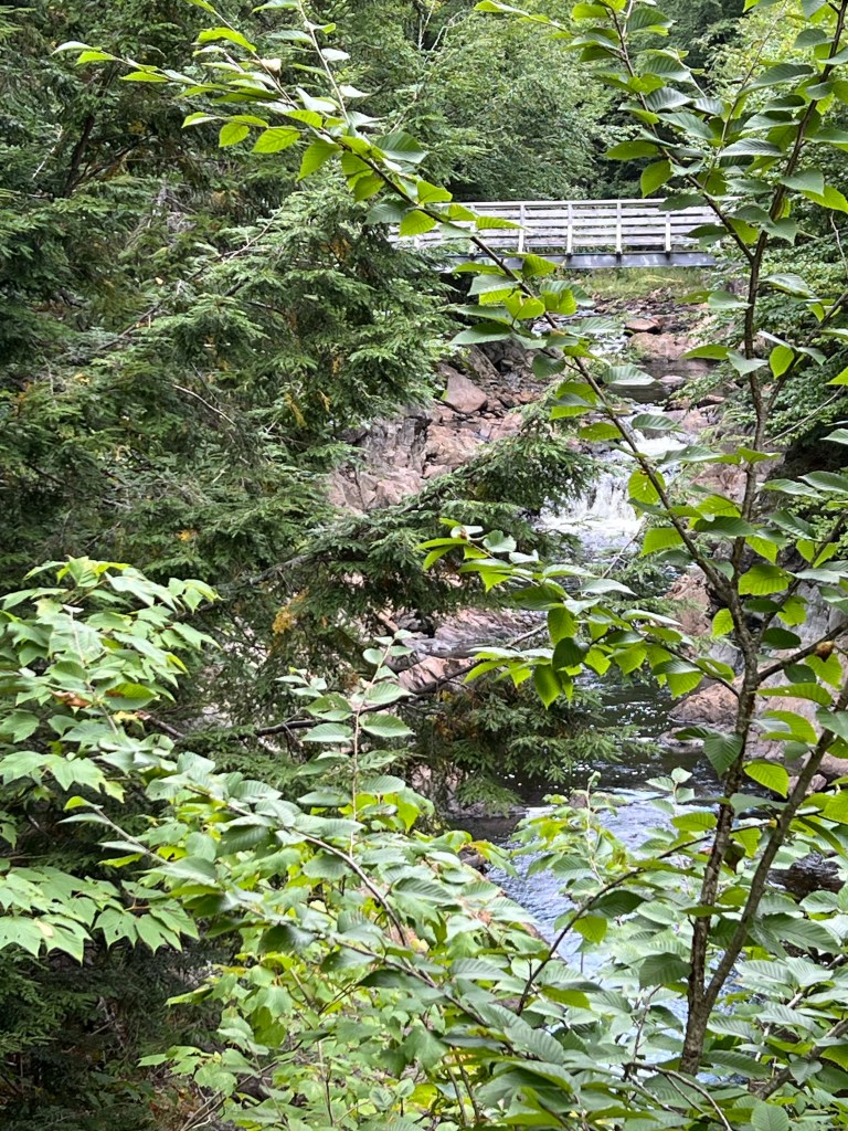
There was a bridge…

that afforded a nice view of the stream…

but you still couldn’t see the brink of the falls.

I think the best view was below the falls, but we didn’t do the 186 steps to get down there (the dog, you know).

It was a nice walk and a pretty drive anyway.

Tuesday morning when we got up to leave the air was crisp and clear.

I had to snap a few more photos…

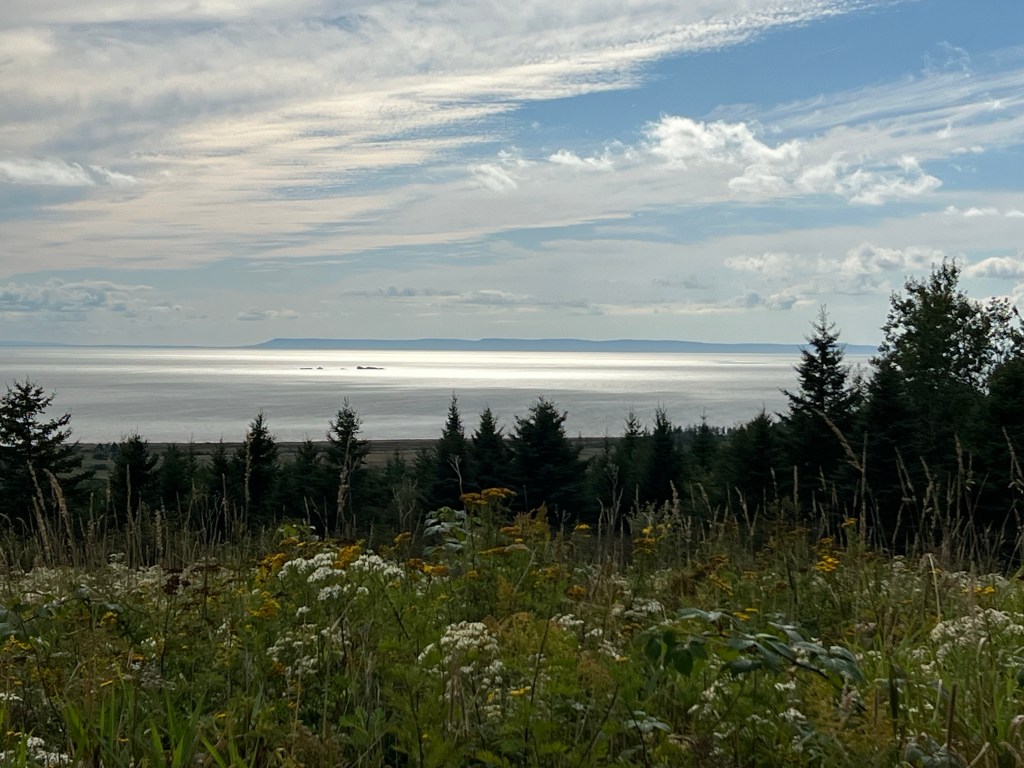
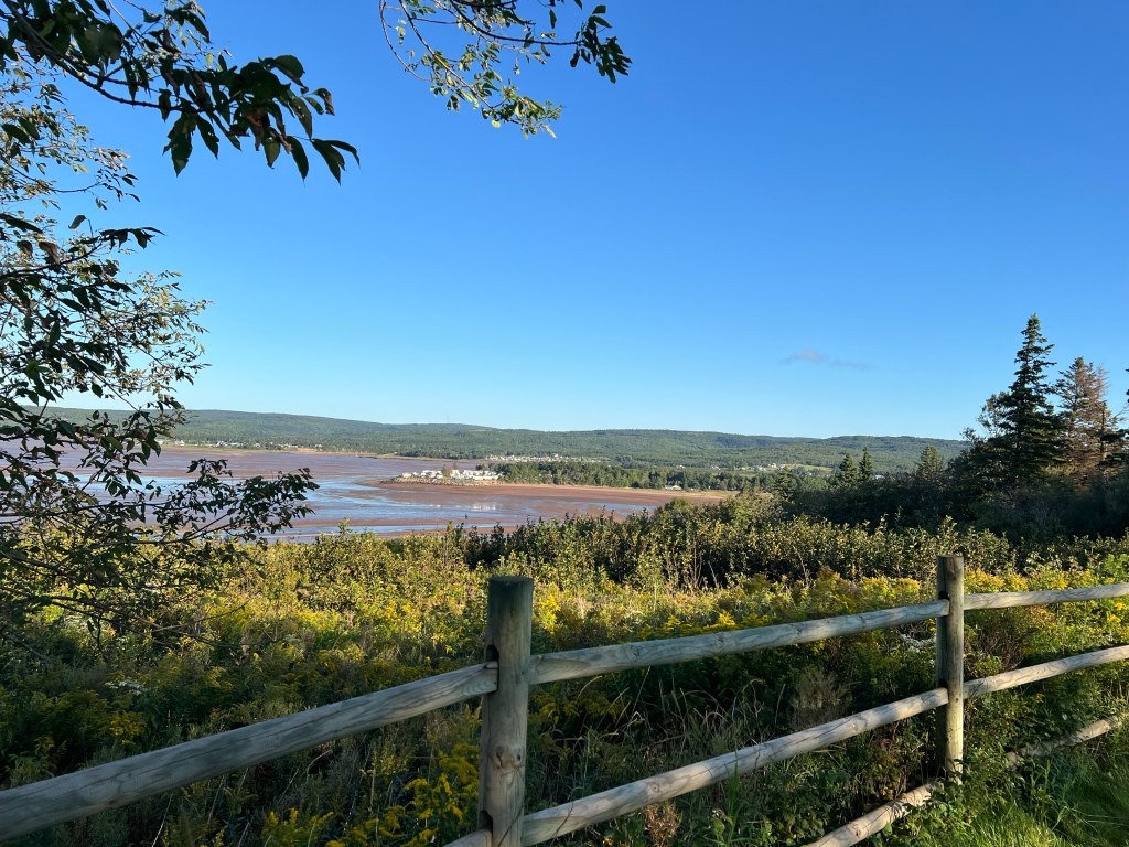
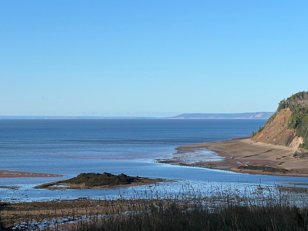
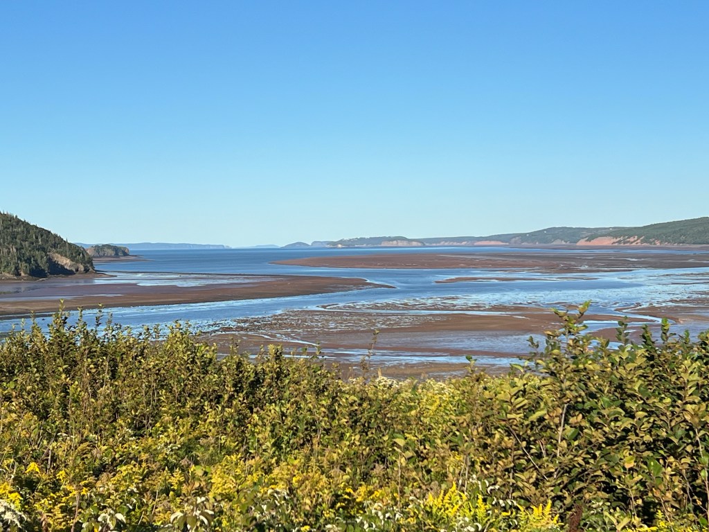
of this beautiful place.

Goodbye Five Islands.

Goodbye Fundy.

Goodbye Nova Scotia.