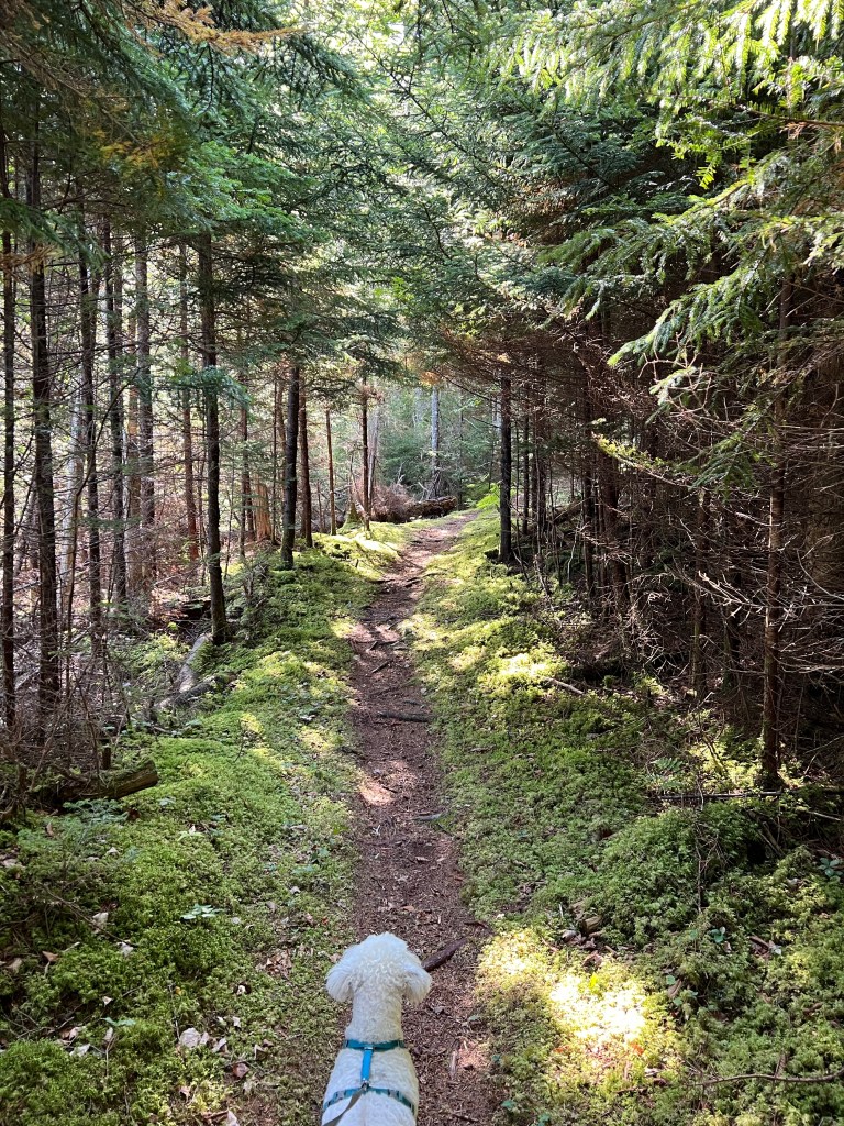
Quite a Walk and a Little Drive

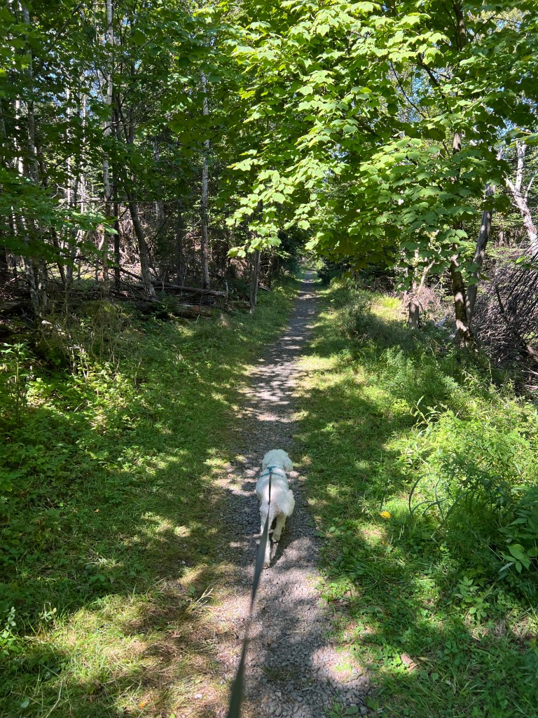
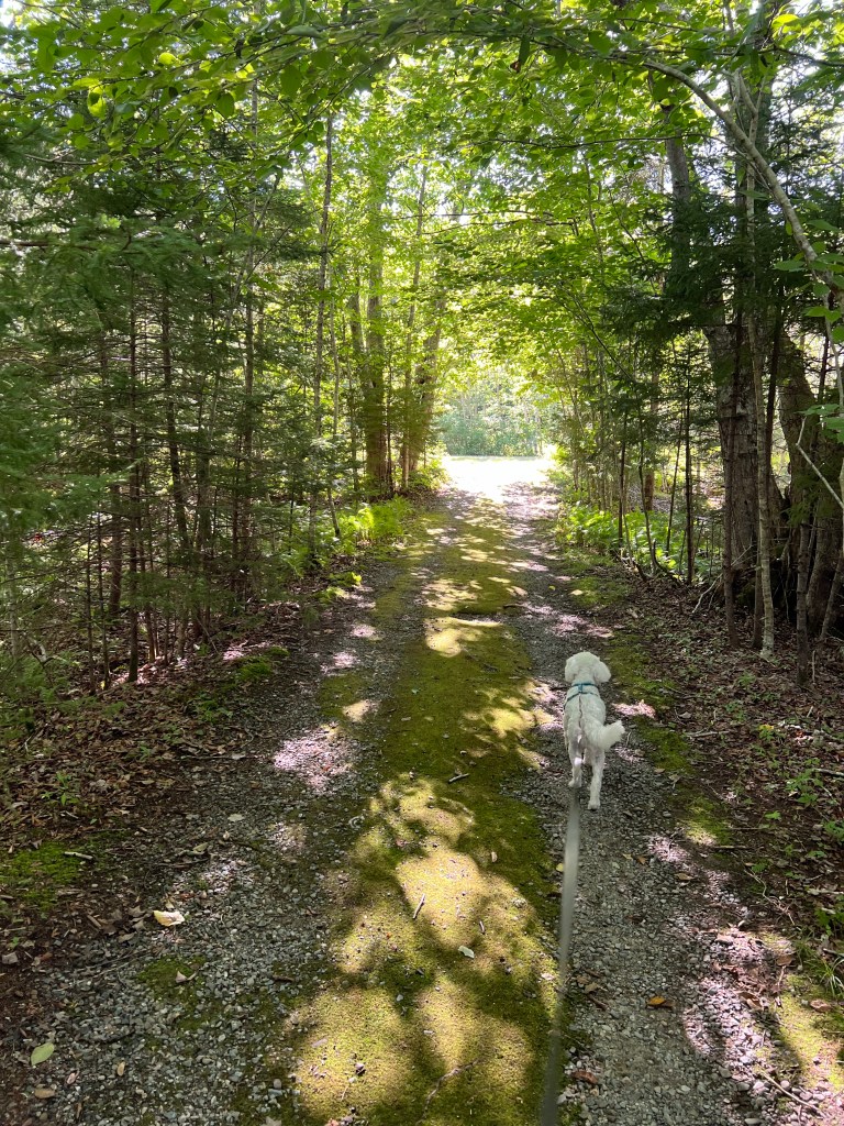
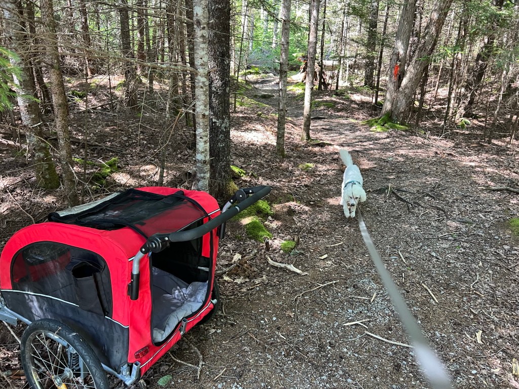
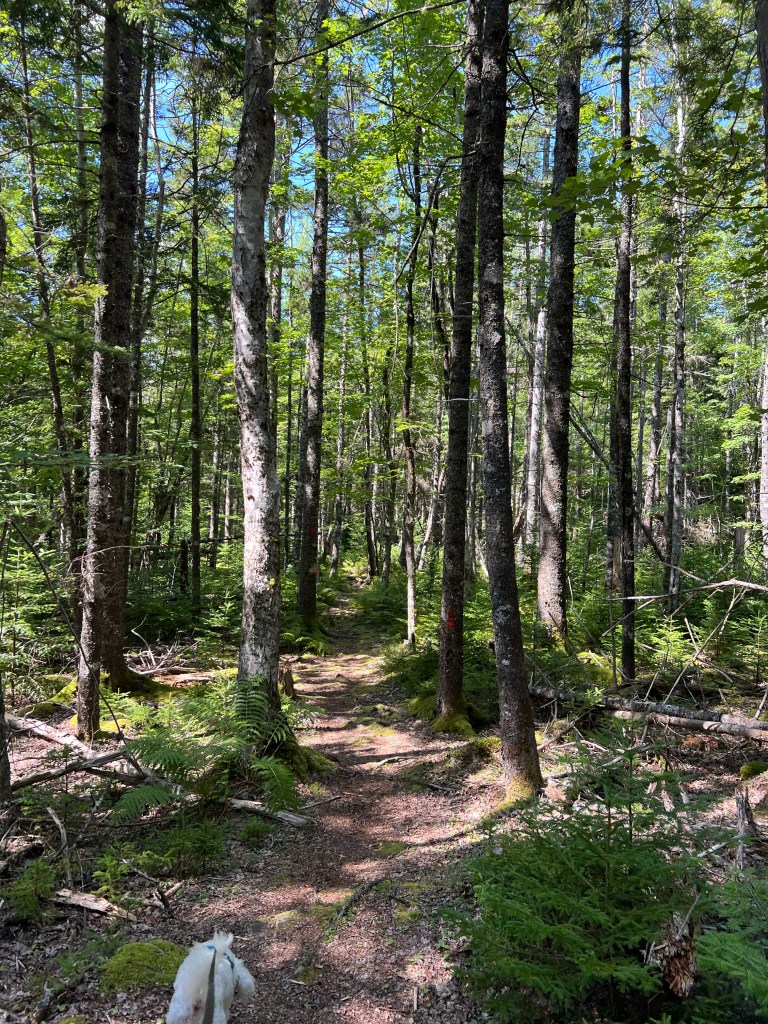
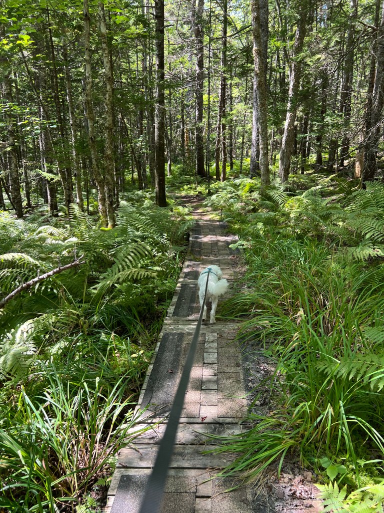
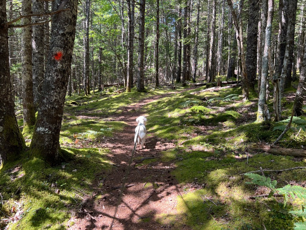
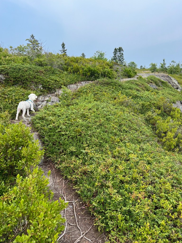
I had the great idea to take the stroller and walk the Estuary Trail this morning. Matey started out on the leash and he was happy to walk, which was a good thing, because this trail got very rooty, so even pushing the empty stroller was a chore.
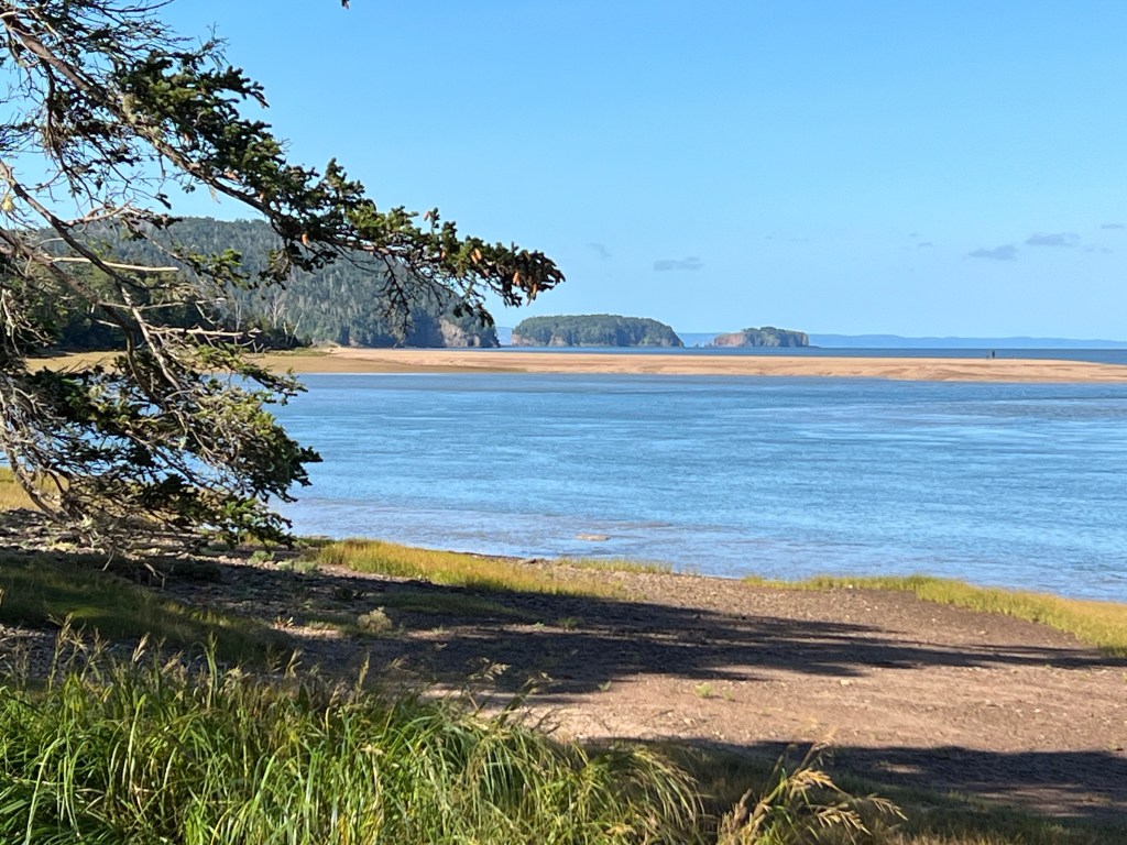
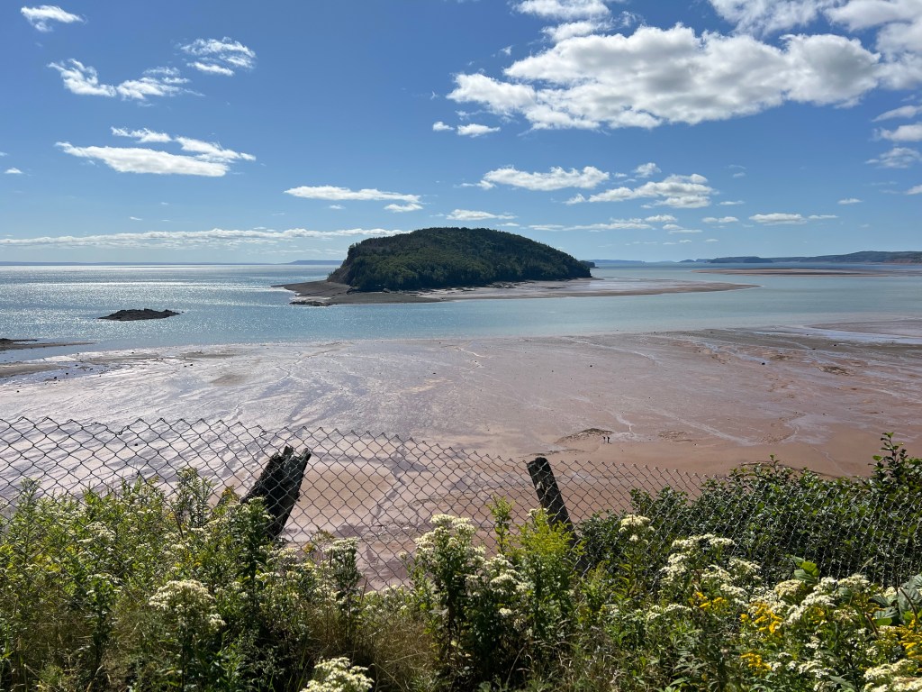
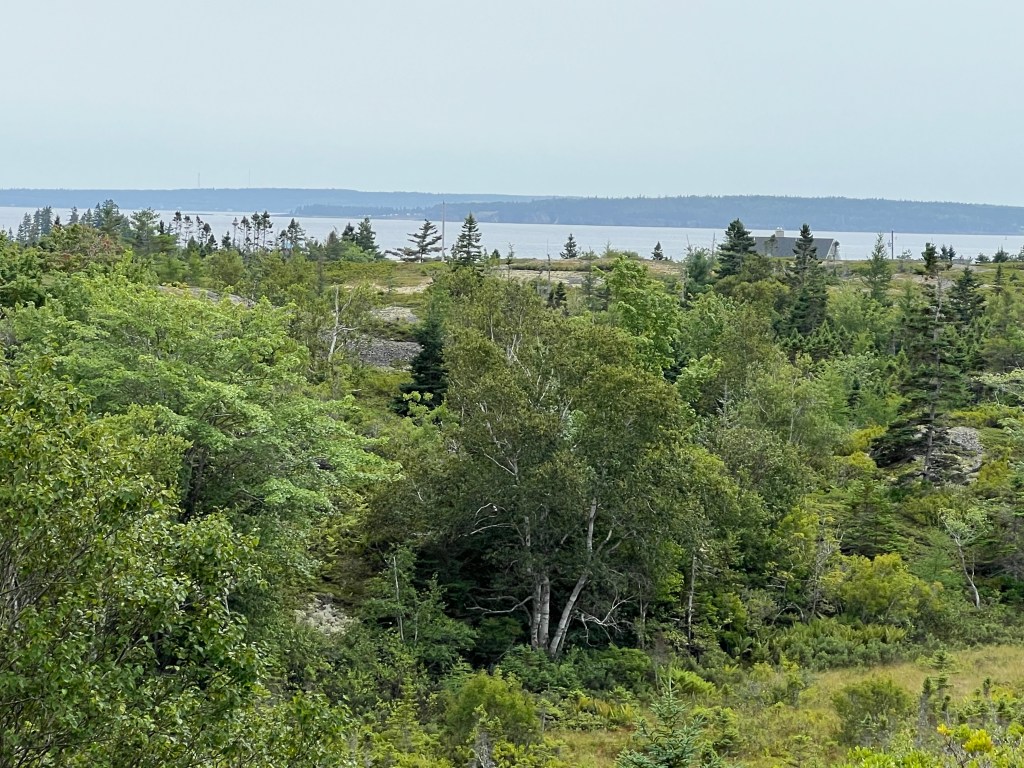
We did find a few nice lookouts. The first afforded us a better look at the Five Islands, though you still couldn’t see them all.
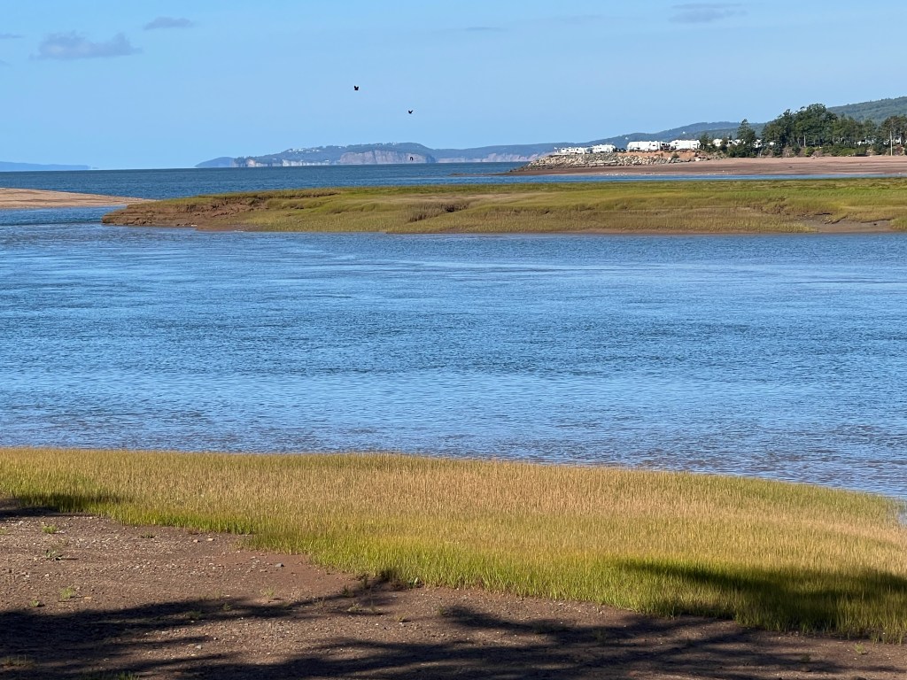
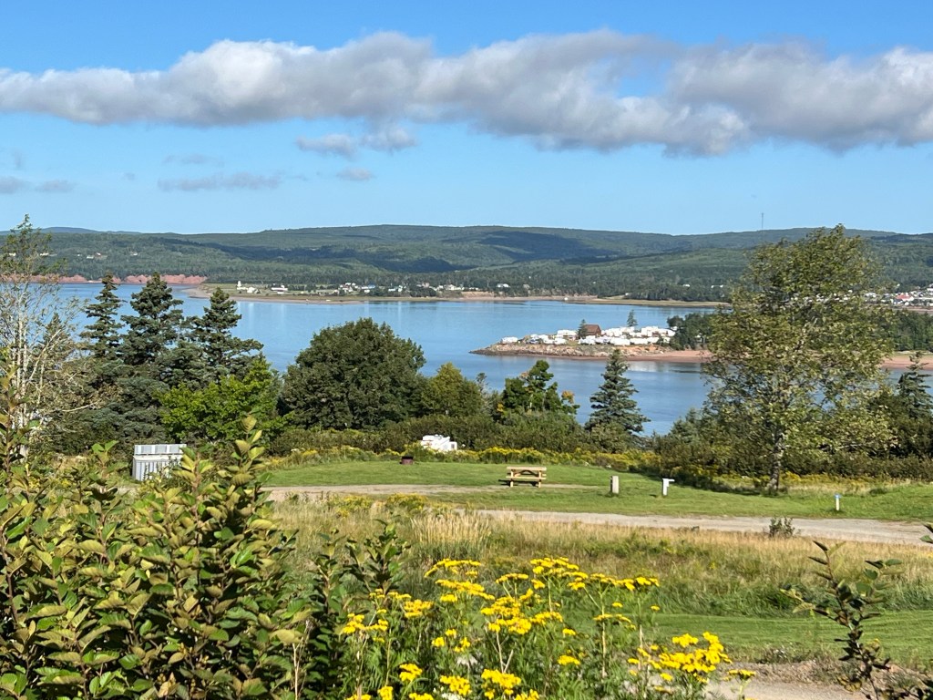
Here we are further in and lower down, so you can see the commercial RV park at Sand Point more at eye level.
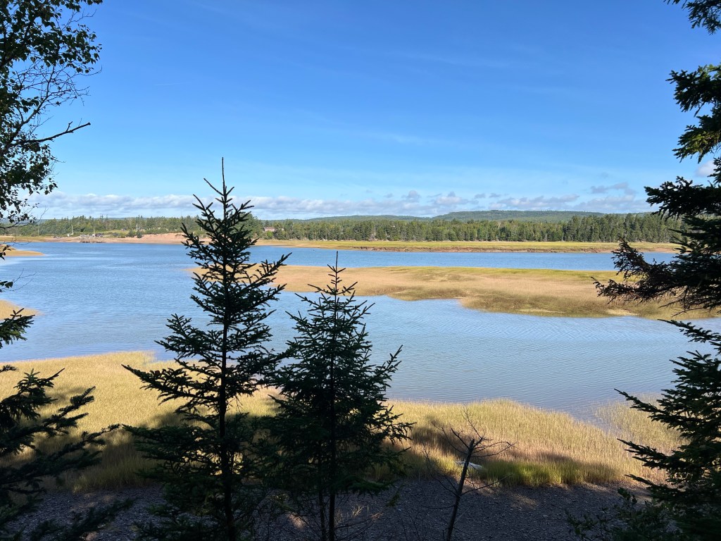
This is still further up the estuary. It was two hours before high tide so there was water up here.
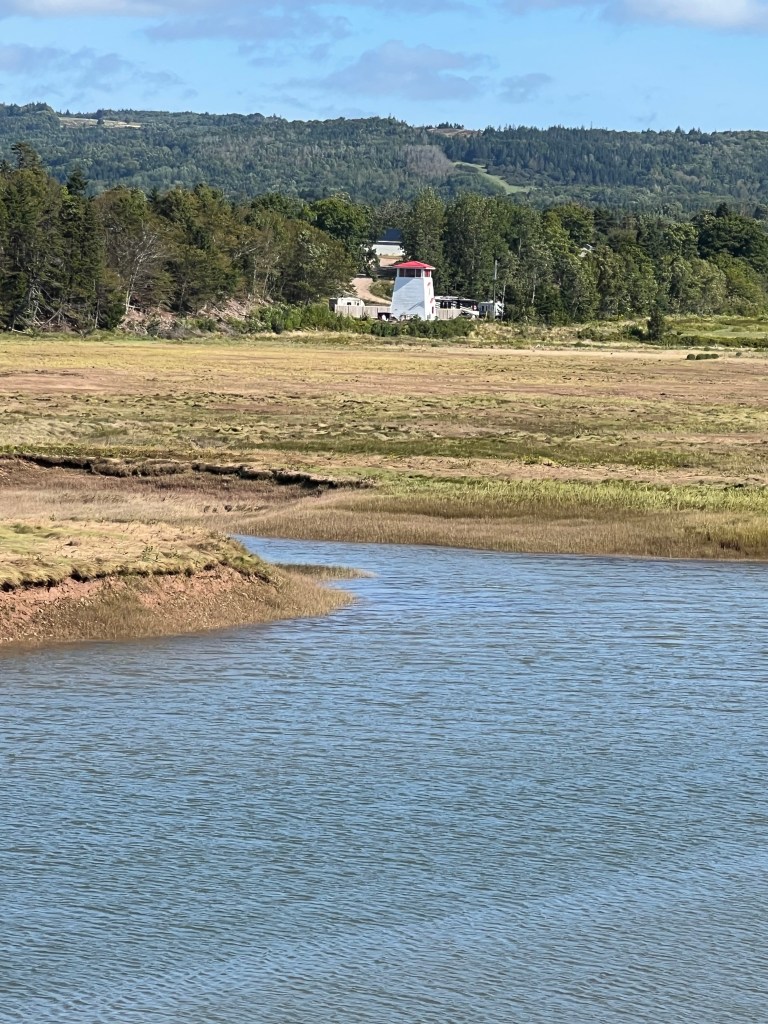
That is not a functioning lighthouse, but it was picturesque.

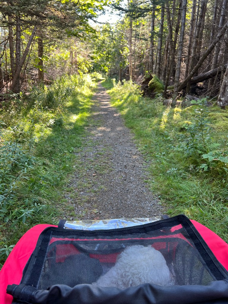
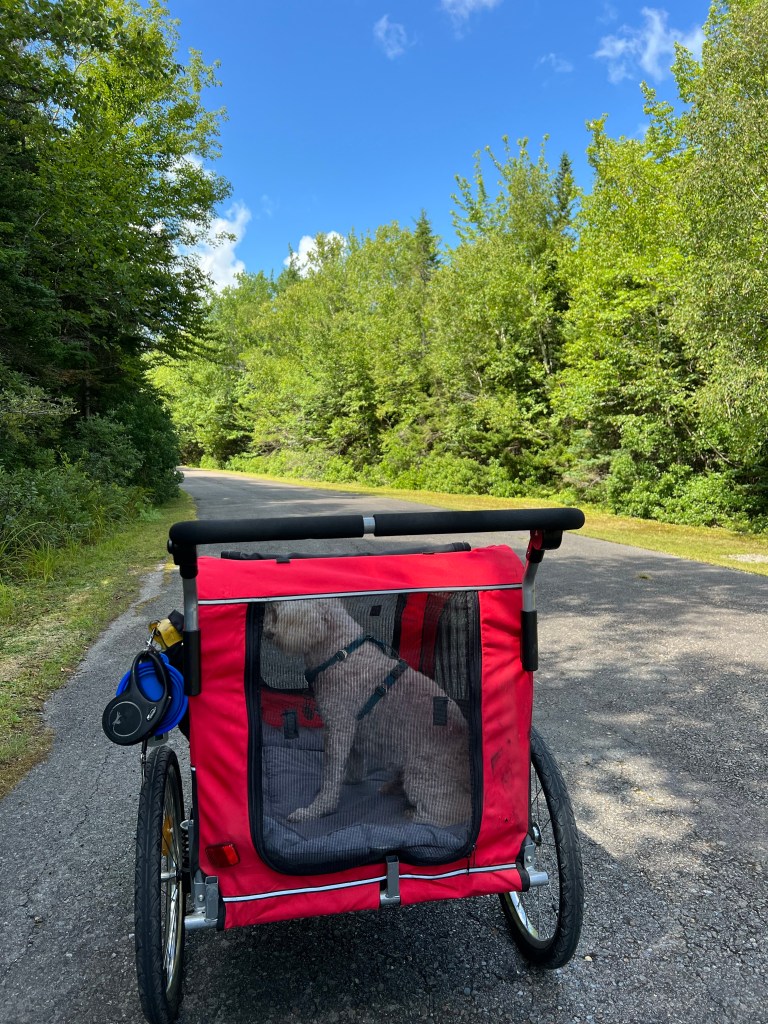
After over a mile Matey seemed to be slowing so we put him in the stroller. Bud had to pull with the strap while I pushed and steered over the roots. At one point we crossed a little bridge down in a dip. Bud had to hold the stroller back while I carefully steered it down, then I was able to step down while Bud climbed up the other side. Then he pulled and I pushed up and over the other bank. I wanted a picture of that but the photo made it look almost flat. It wasn’t.

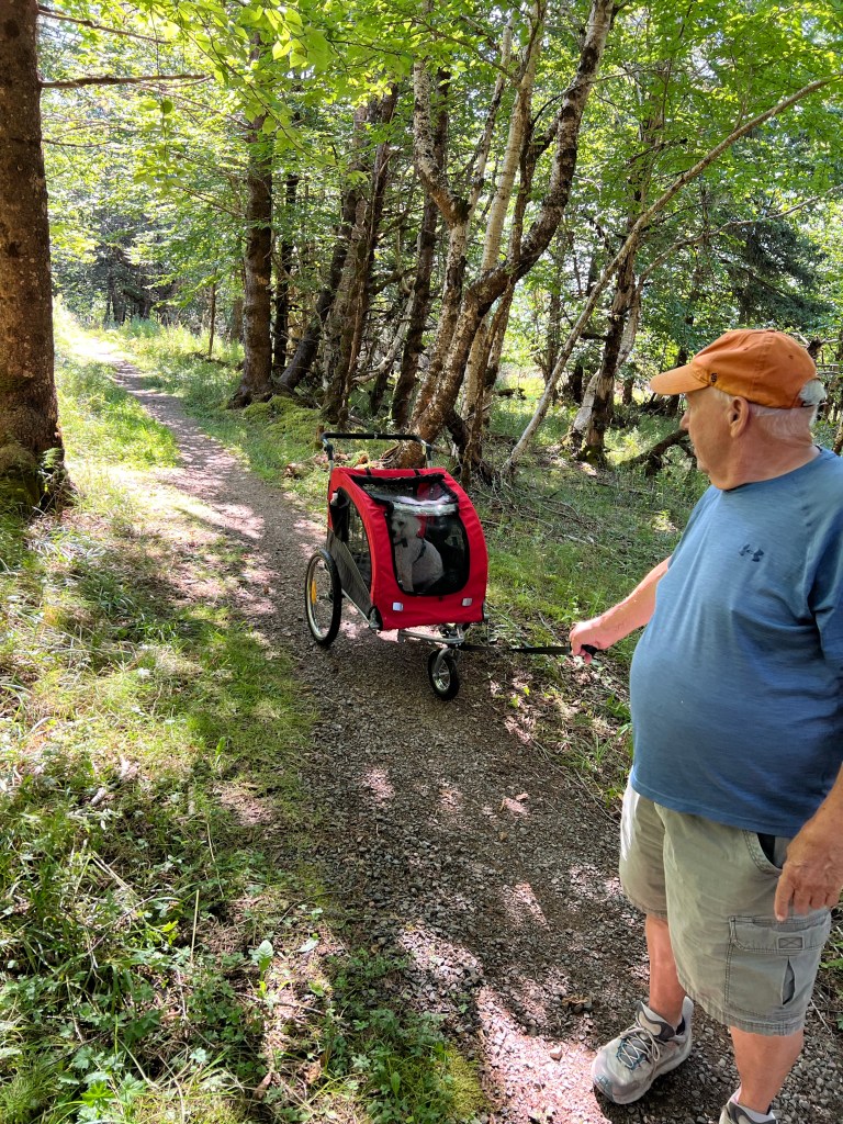
Matey began to look a bit stressed out from all the bouncing around. I don’t think standing with your feet braced is particularly restful. We let him out to walk on his own and I pulled the empty stroller while Bud pushed. The trail made a loop back to the beginning, or you could take a short branch up to the park road. We opted to take the exit and walk back the park road. As we neared the road I needed to put Matey back on the leash, so for the last bit of trail Matey was ahead, I followed with his leash in my left hand and the thick leash to the front of the stroller in my right. Bud followed pushing the stroller from behind. I wish someone had come by to take a picture of that!
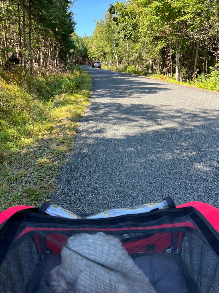
After 1.8 miles of walking or being jostled, Matey was as glad to ride in the smooth stroller as we were to walk on the smooth road!
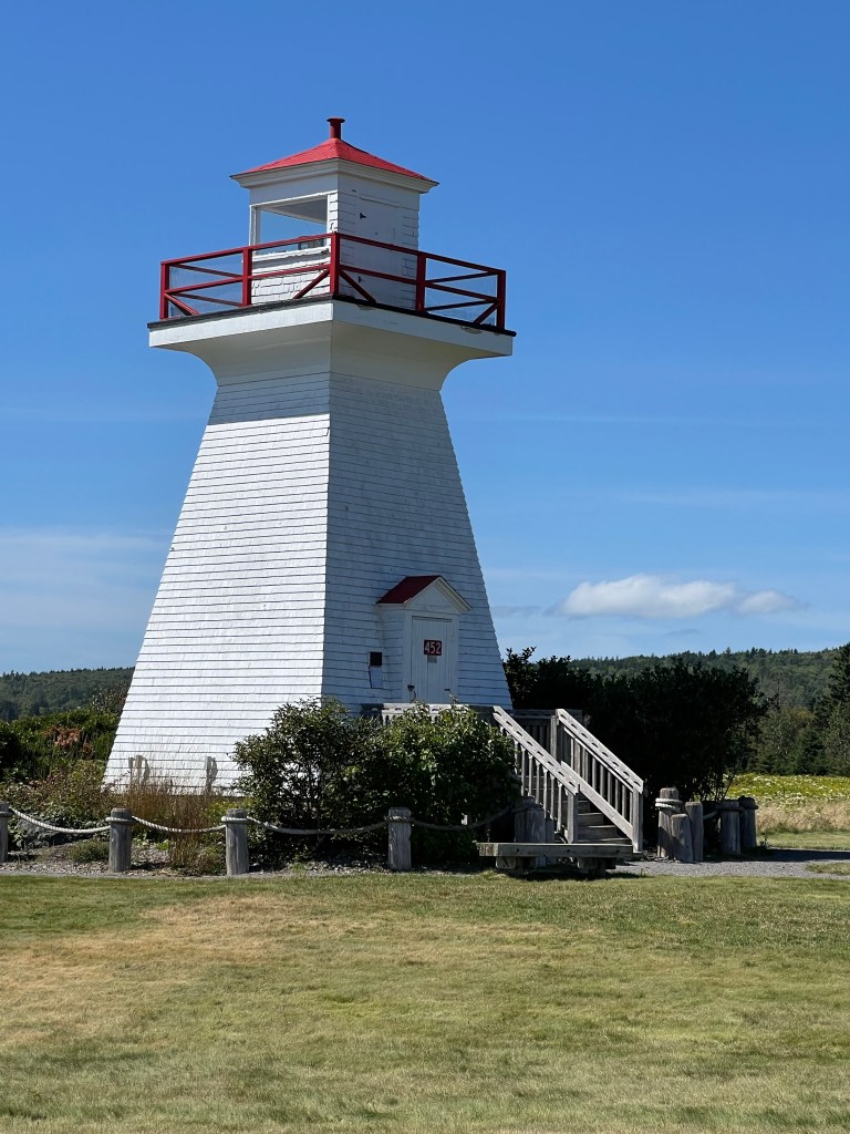
This afternoon we took a short ride down to Five Islands Lighthouse Park. We can see this lighthouse (not operational) from our campsite.
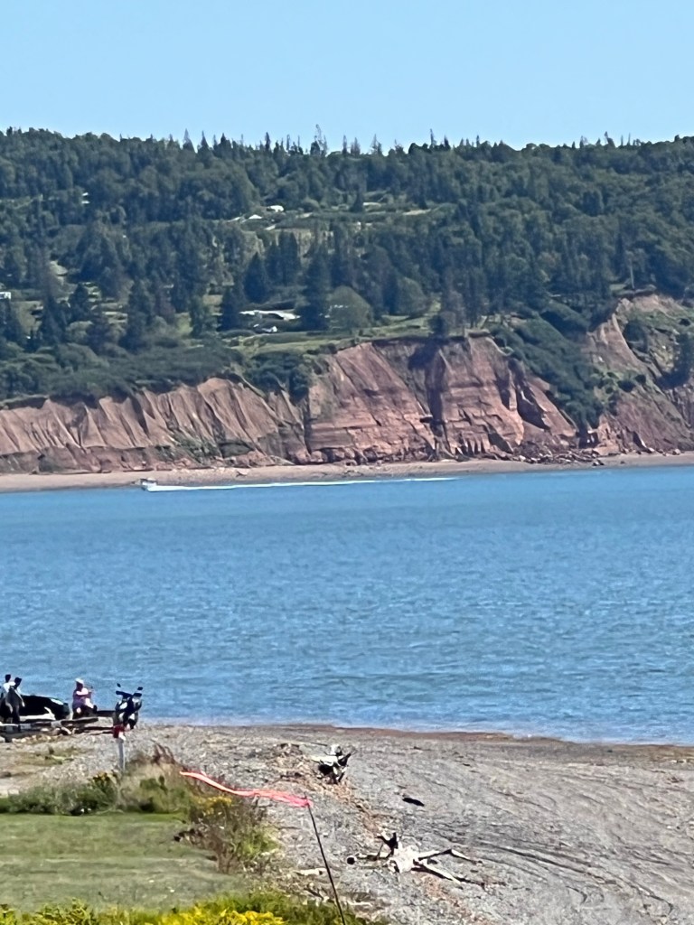
That’s the campground from the lighthouse.
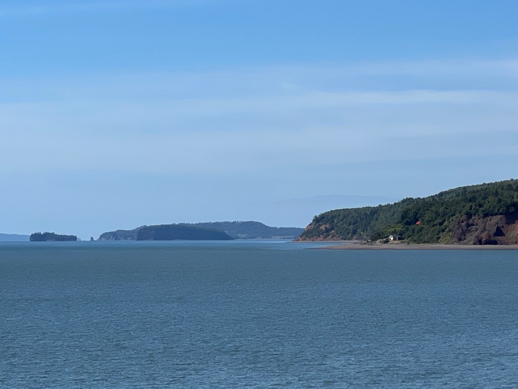
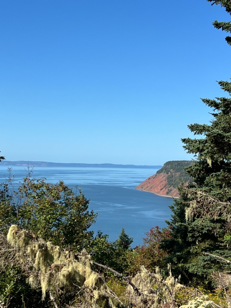
Besides some nice views of the shoreline further west,
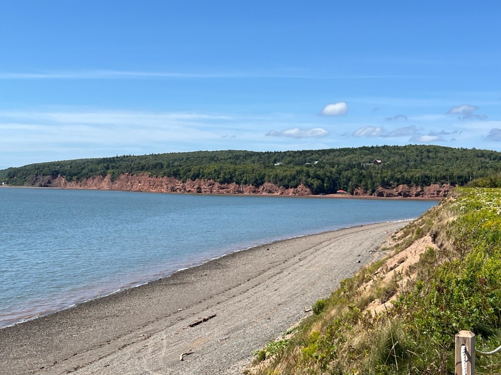
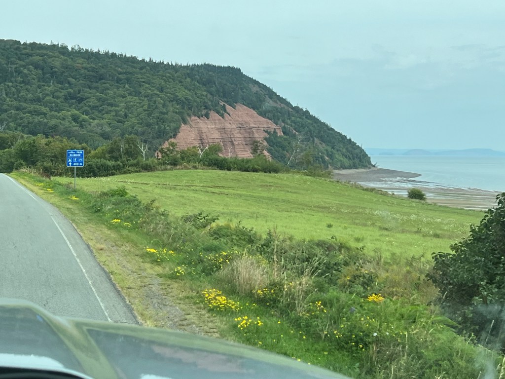
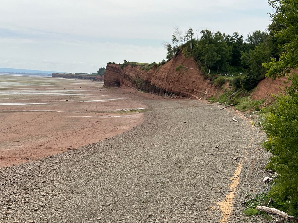
with its pretty, crumbling red cliffs,
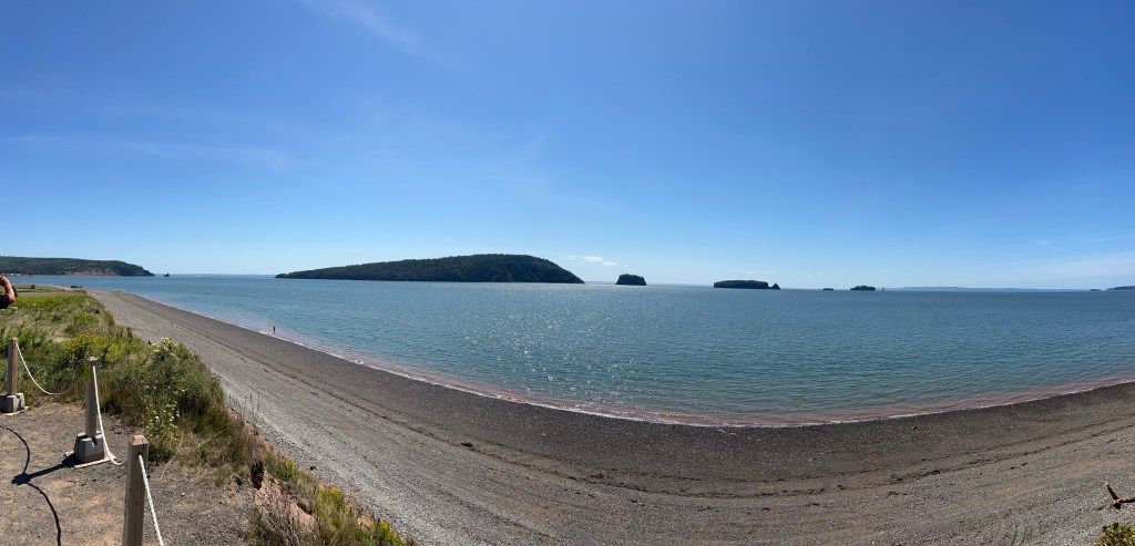
I finally got to see all five islands.
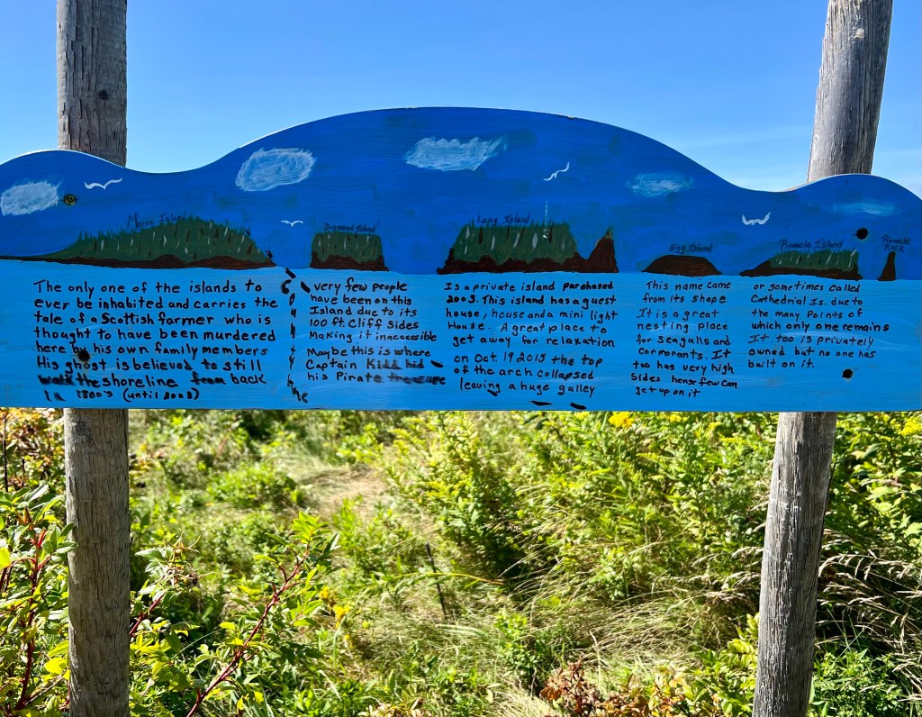
Someone had painted and put up this nice sign identifying and giving a little information on each one. I liked that. The names are in the sky above the islands and hard to read, from the left there is Moose Island, Diamond Island, Long Island, Egg Island (it hardly shows in my photo) and Pinnacle Island, with Pinnacle Rock just to its right. Seeing the sign was worth the ride.
Five Islands Provincial Park: a Good Decision

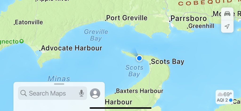
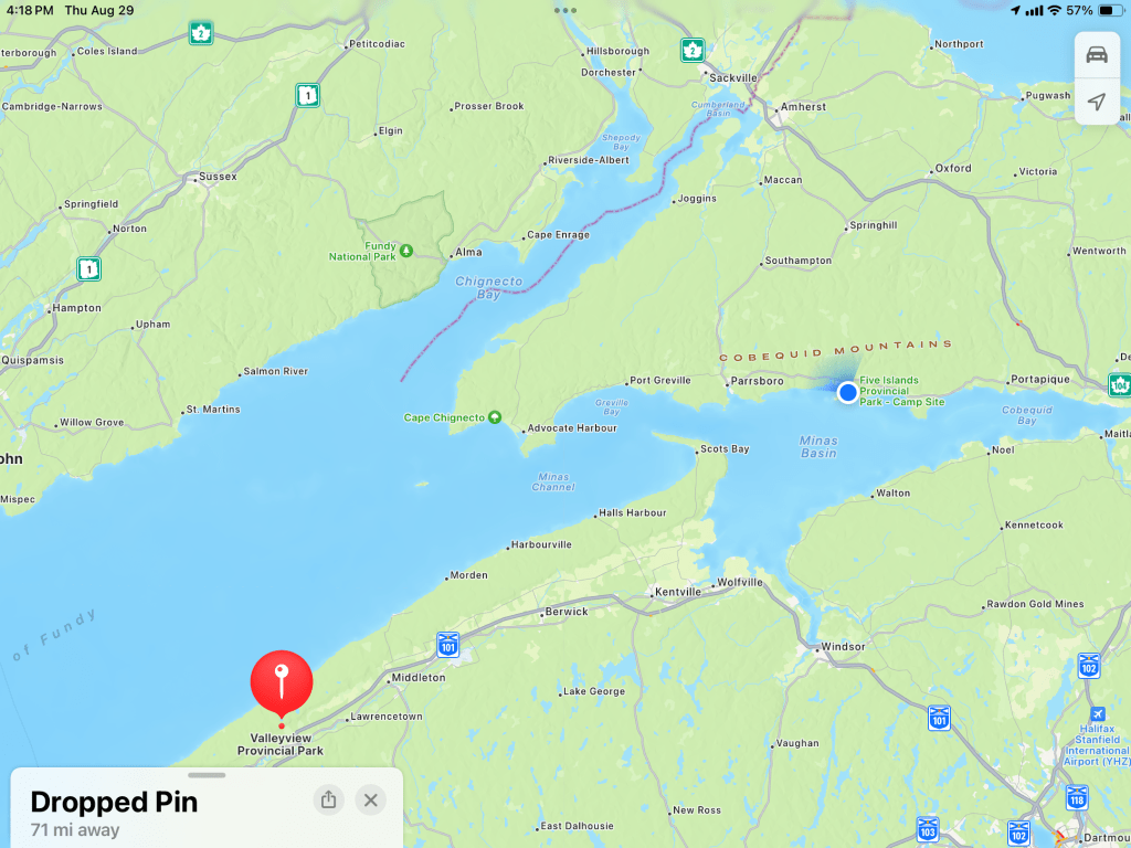
When I was planning our route way back last winter I tried to book us into Five Islands Provincial Park on our way to Newfoundland. But we needed a place in early June and the park didn’t open until June 15th. So we went to Glooscap Campground near Parrsboro instead. Still, the park sounded nice and when I realized we’d be circling back this way on our way out of Nova Scotia I booked us for five nights here. Yesterday we drove 162 miles to get the 71 miles from the red pin at Valleyview Provincial Park around the end of the Bay of Fundy to our campsite here, at the blue dot, at Five Islands Provincial Park.

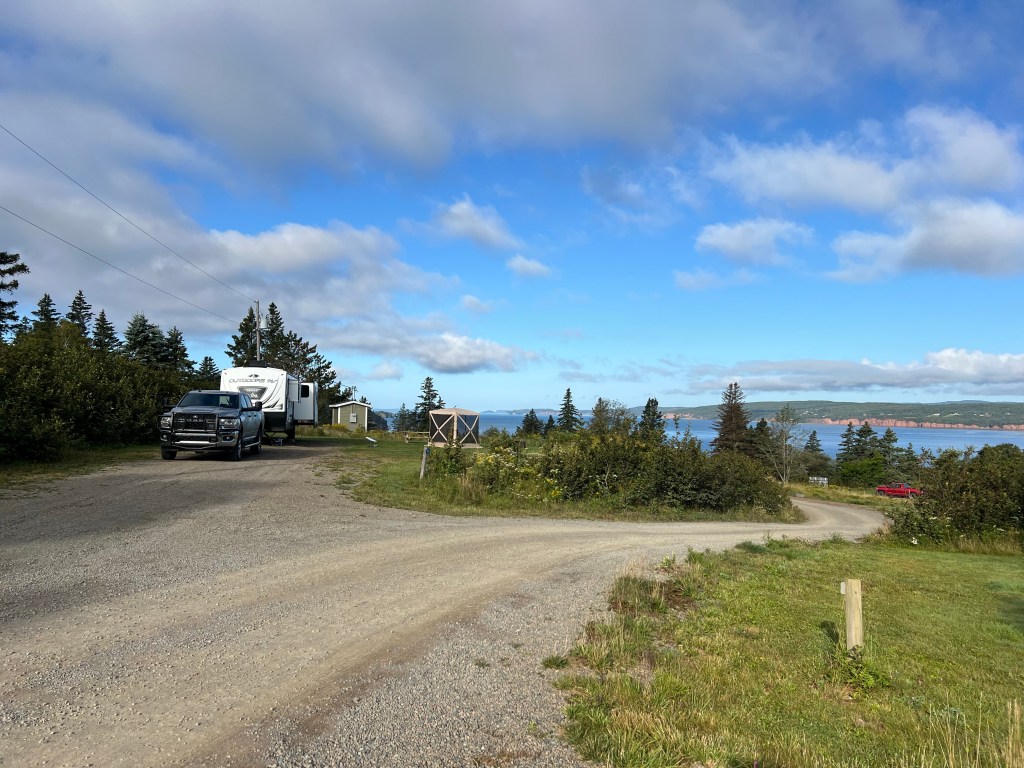
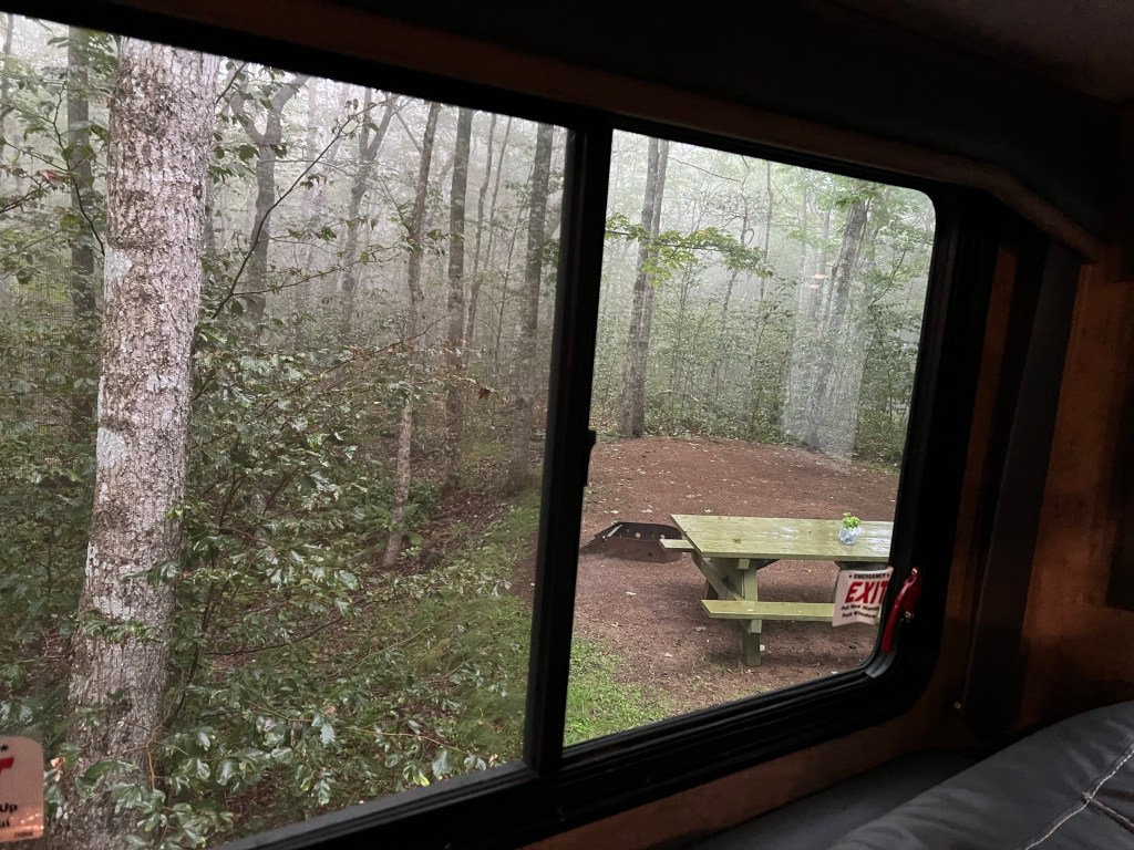
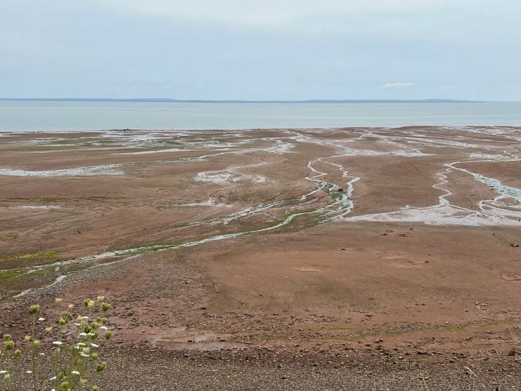
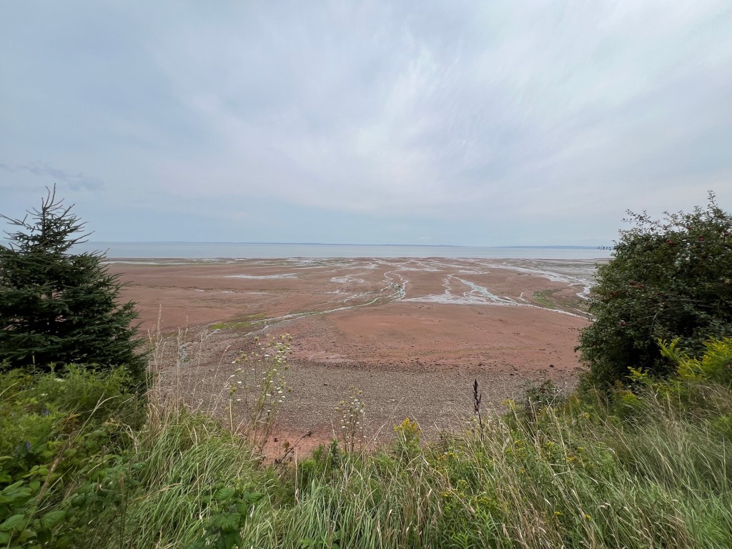
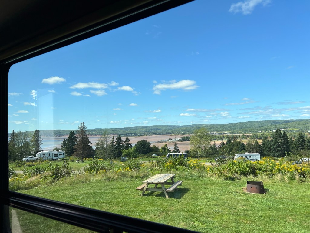
I’m so glad we came! This is the view out our dinette window. We look across the top of the other serviced campsites, across an inlet of the the Bay of Fundy (all sand in this picture at low tide) to the shore beyond.

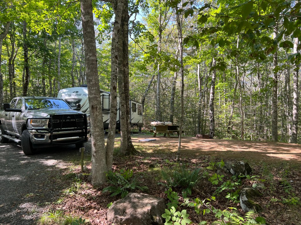
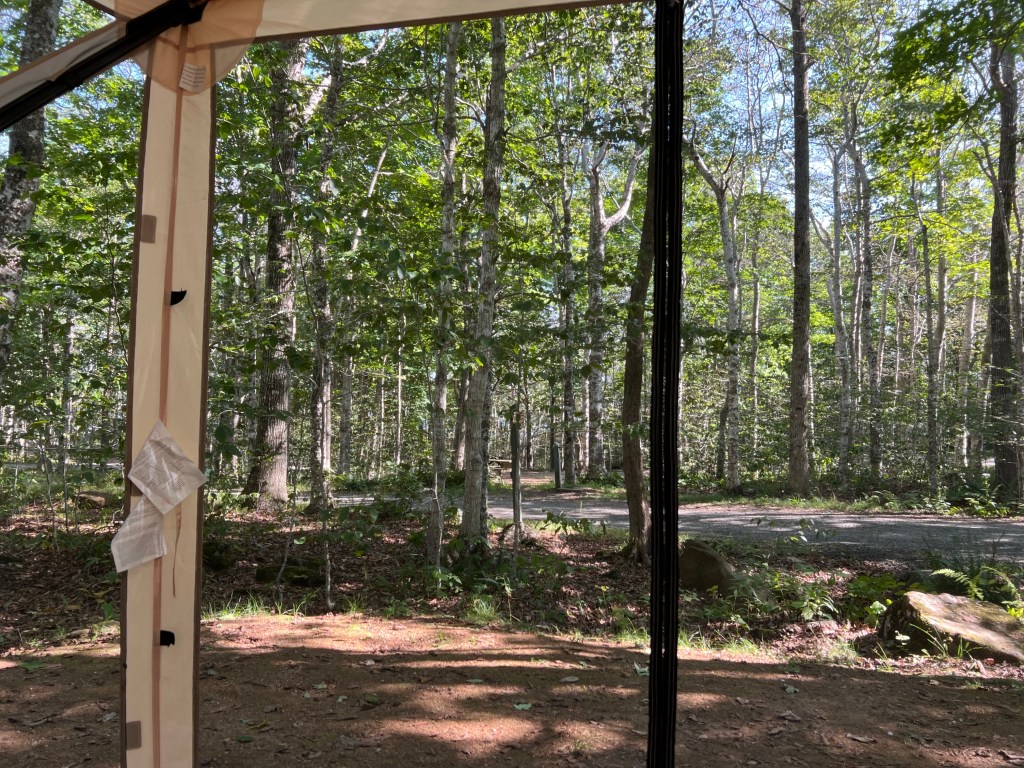
Not only that, we have a huge site and total privacy.

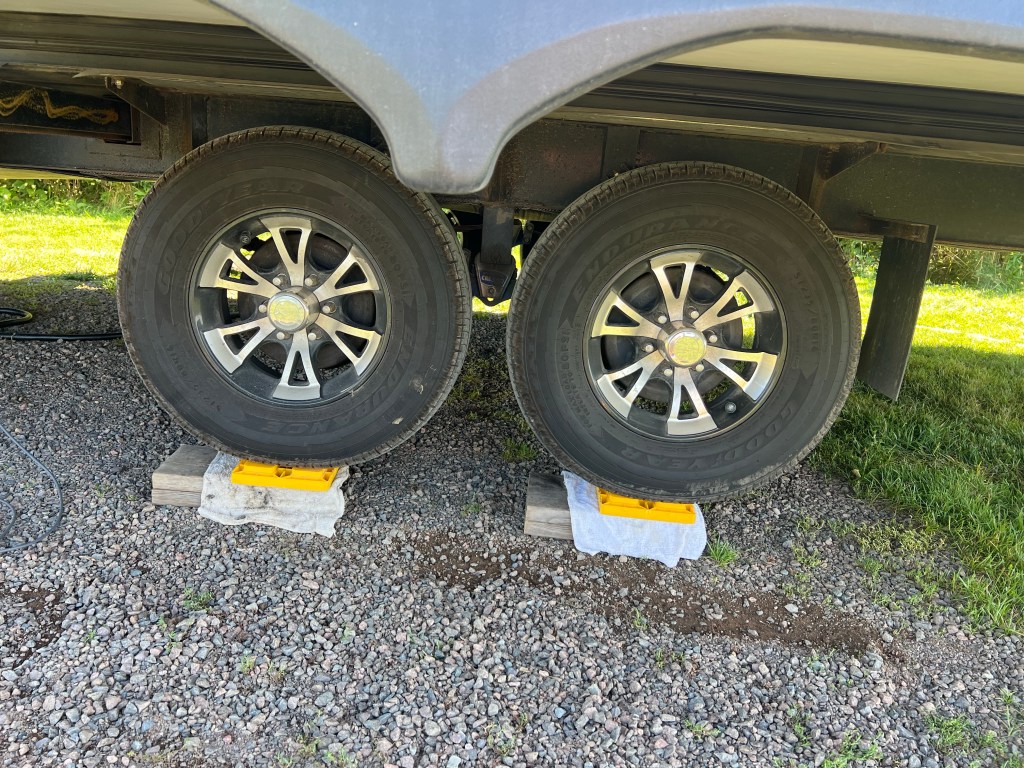
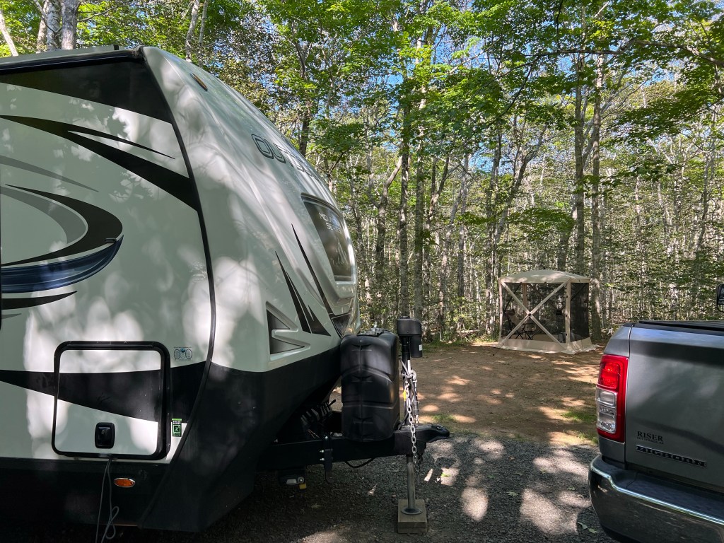
The blocking job we had to do to get the trailer level was totally worth it! (Those are rags between our boards and our yellow leveling blocks to keep the blocks from slipping as Bud pulled the trailer up on them; it worked.)

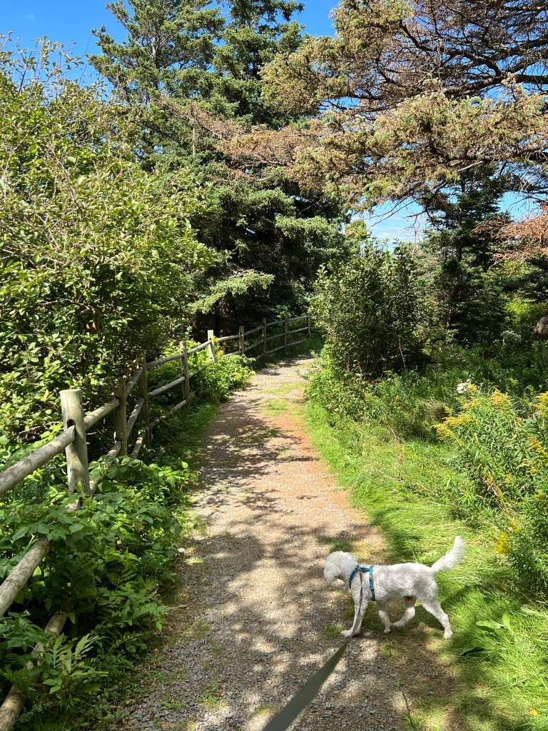
Matey and I took a short walk on a nice trail that curves from just above our campsite down along the cliff to the beach access parking lot.

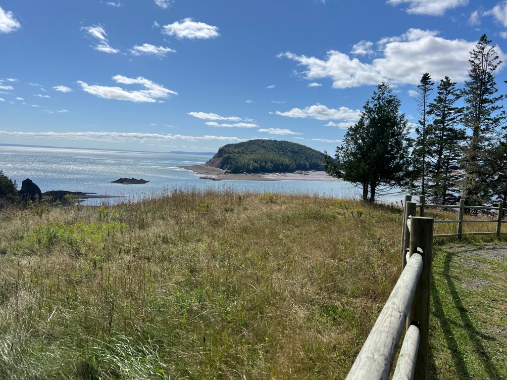
It afforded some great views, too.

I think that’s one or two of the five islands. The fencing is because all these cliffs are eroding, so the edges are unstable. Again, it’s close to low tide, here.

I took a picture this morning about an hour before high tide; what was once a huge beach is now mostly water.

Then Bud and I took Matey and the stroller up Red Head Trail.

The trail got narrow and rough; going downhill I could manage, but going up Bud fastened a leash to the front to give me an assist. It worked well. I don’t have pictures of the rough stuff because I couldn’t spare a hand, but to look at it you’d never think a stroller would make it, but it wasn’t a problem.

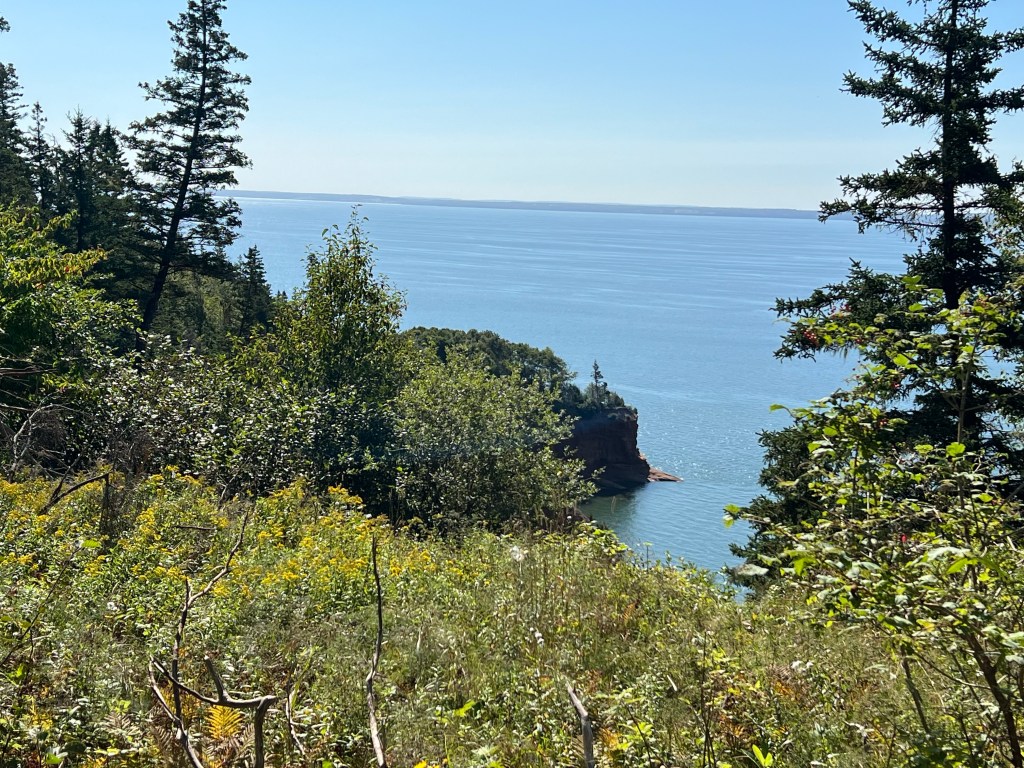
We made it back to a couple of nice viewpoints.

This is where we turned back.

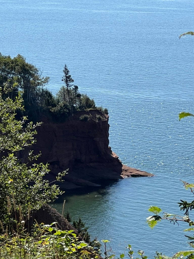
The telephoto lens gives you a better sense of the place.

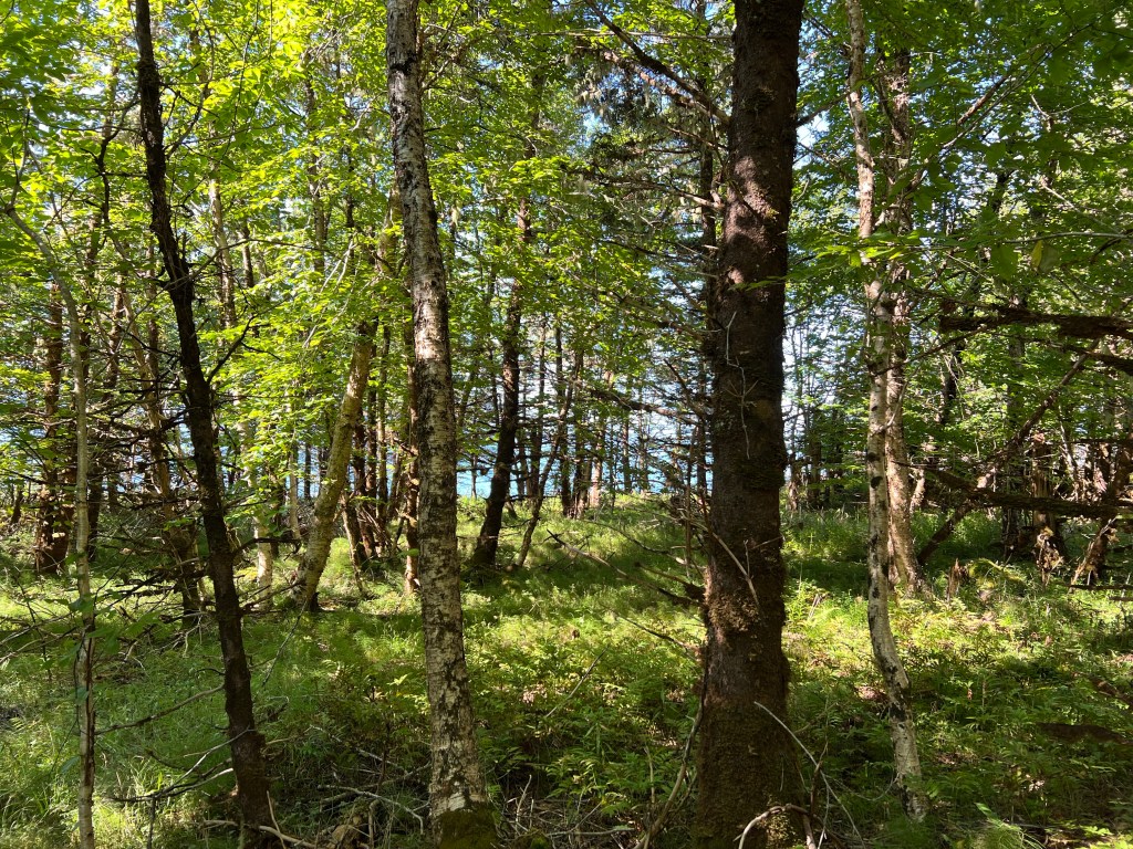
Most of the time we could only glimpse the bay through the trees.

Matey had a nice walk in the shady parts going downhill on the way back. It’s a dog’s life, right?

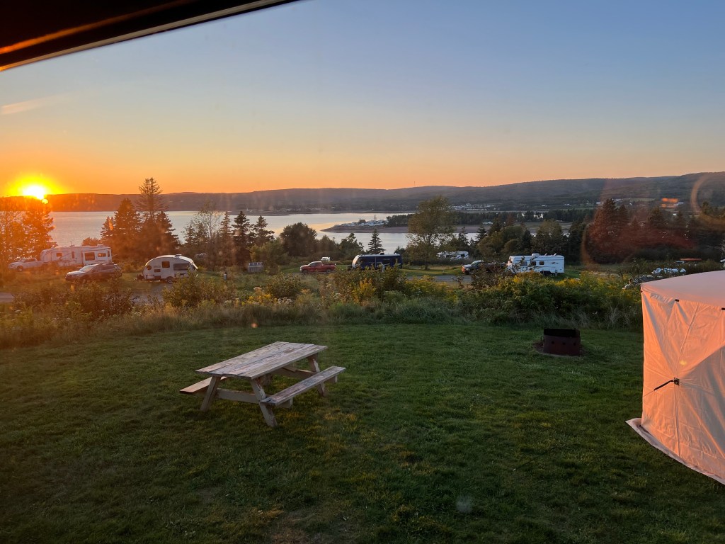
There are beautiful views all around, but none better than right here at our campsite.

What a fine place to watch five sunsets!

Exploring Old Acadia

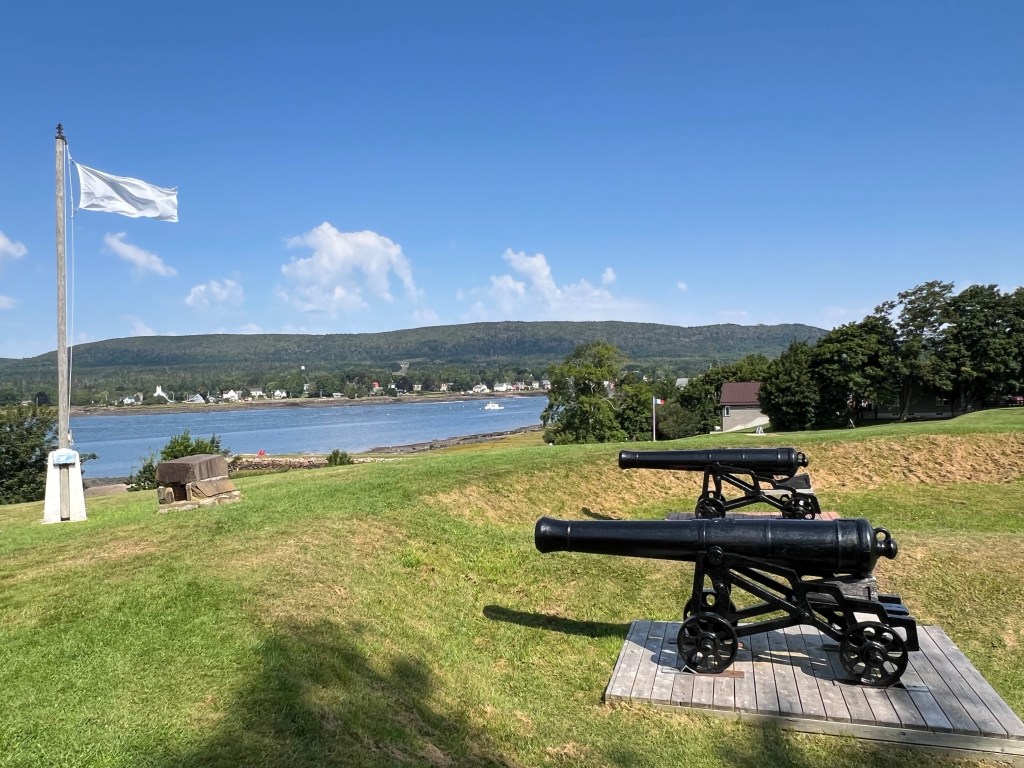
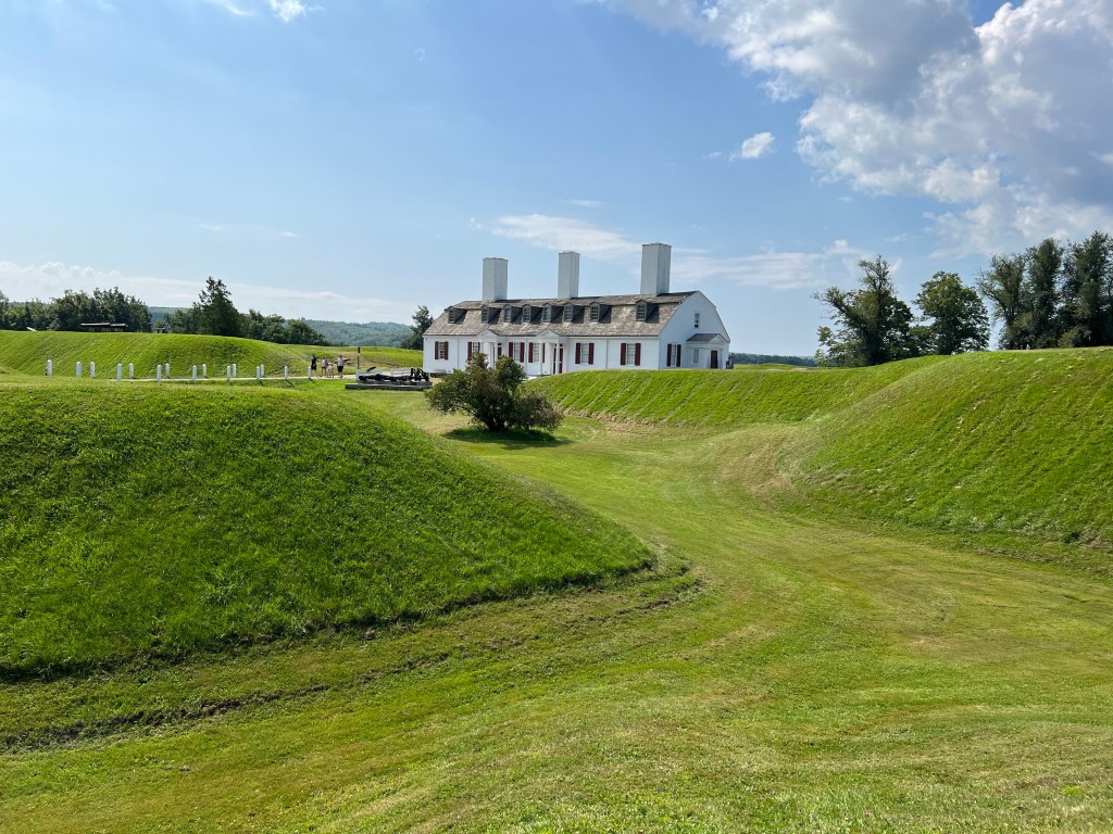
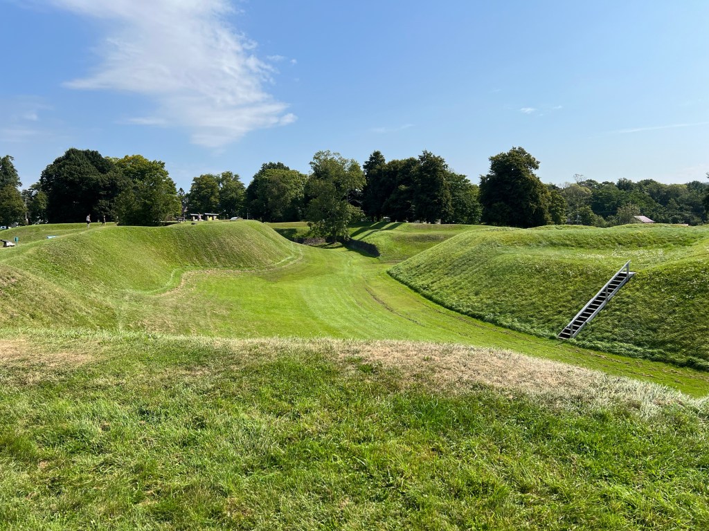
Yesterday we went to Fort Anne National Historic Site. The fort as restored is mostly based on the last fort the French built here, in the community they called Port-Royal.

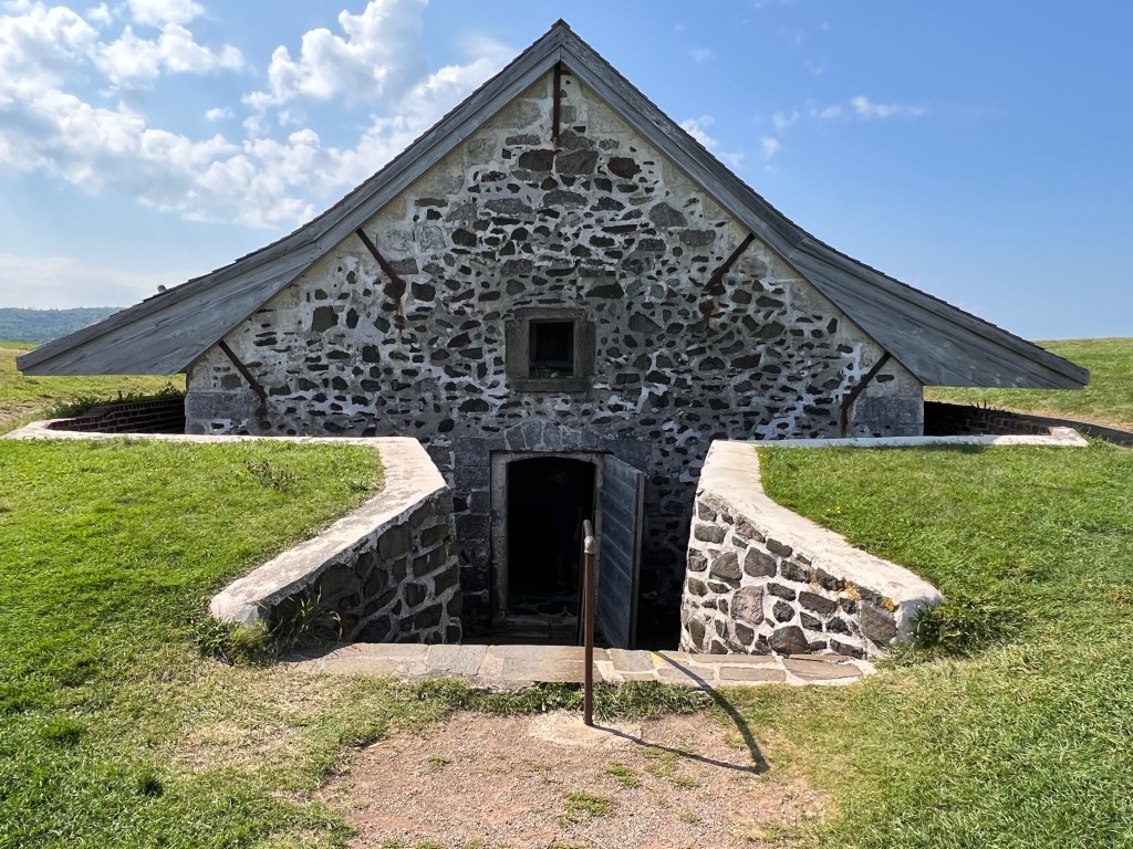
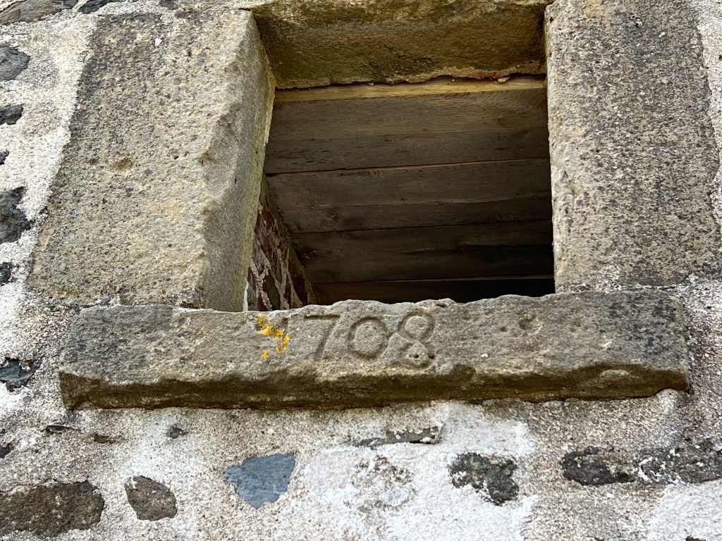
The site is the first national historic site in Canada, operating as such since 1917. It also has the oldest building protected by Parks Canada, this powder magazine…

built in 1708.

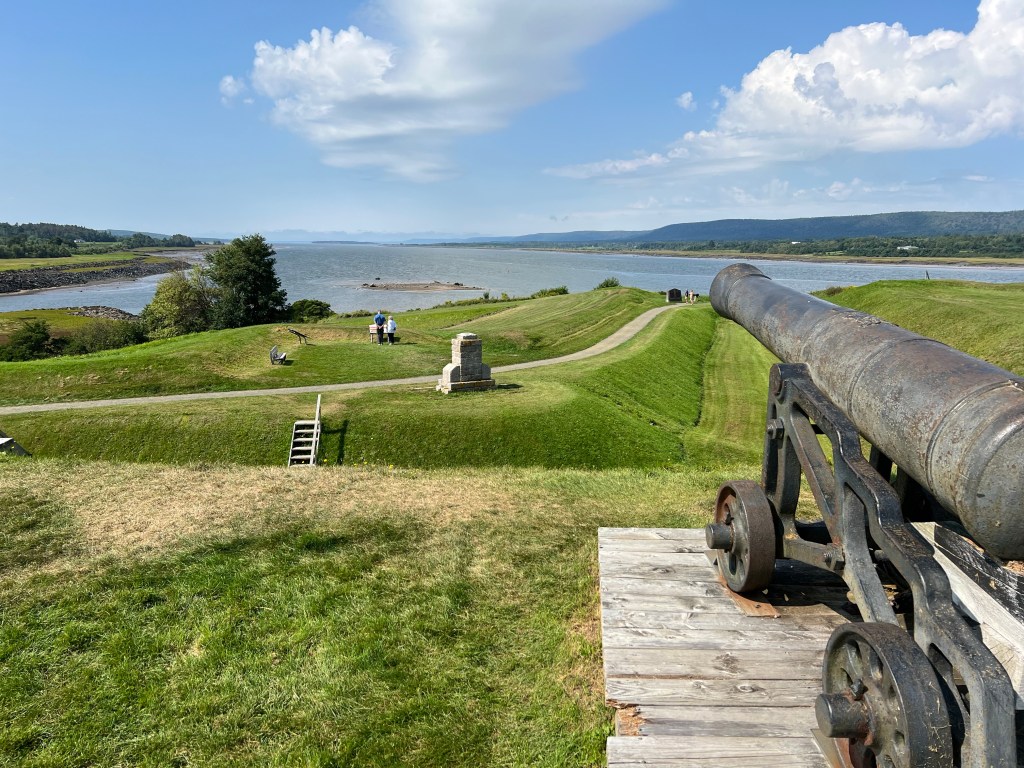
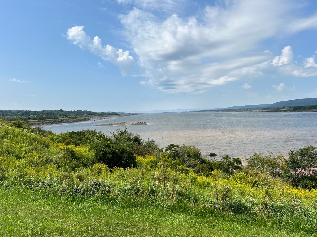
The fort sits where the Annapolis River widens to become the Annapolis Basin, a very protected harbor on the Bay of Fundy. This is a rich area, its first human inhabitants, the Mi’kmaq, call it Nme’juaqnek-place of bountiful fish. There was a French fur trading post built in 1605, burned by an expedition from Jamestown in 1613.

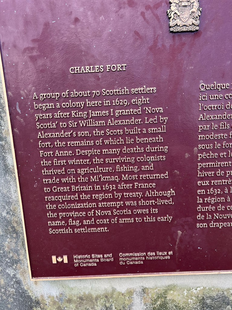
And this was the place that gave Nova Scotia its name. A group of Scottish settlers came here in 1629. A treaty between France and Britain gave the area back to France in 1632; but though the Scots left, ultimately the name stuck and 70 people who lived here for just three years gave us Nova Scotia, Latin for New Scotland.

Then in 1636 a group of French came back. They were welcomed by the Mi’kmaq who helped them learn to live on this land. It became the center of the French colony of Acadie. The Acadians learned to dyke the river and convert the land from marshes to fertile fields. They didn’t interfere with the Mi’kmaq’s seasonal fishing and the groups lived as friends and allies. The fort changed hands seven times over the next years. The Acadians kept farming and tried to stay neutral. The Mi’kmaq just tried to keep to their traditional way of life; no matter who claimed the land belonged to them, the Mi’kmaq knew they belonged to the land.

In 1710 Port Royal fell to the British for the last time. The fort was renamed Fort Anne and the town became Annapolis Royal in honor of Queen Anne. The officer quarters you see here, now a museum, is the only building remaining from the British fort.

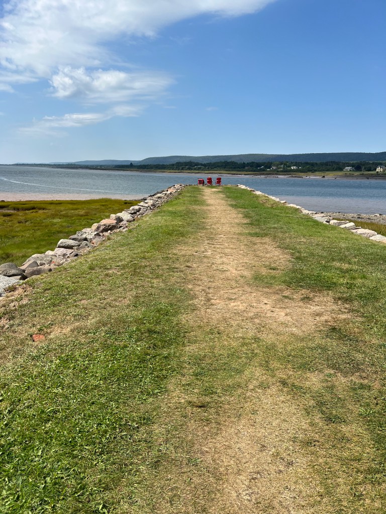
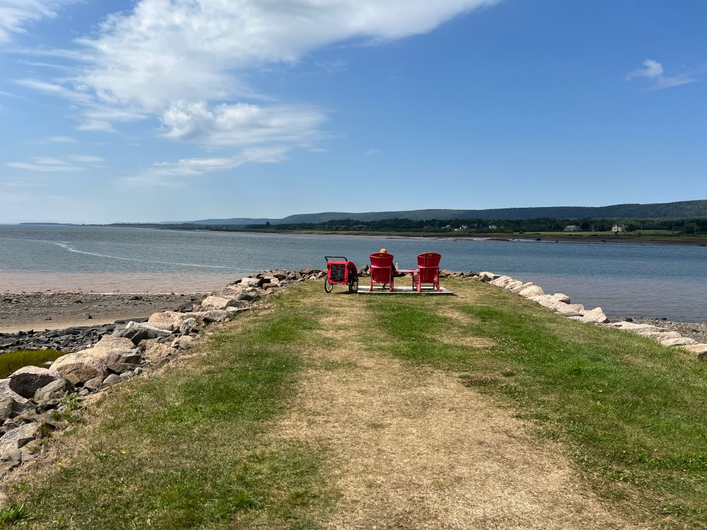
But not the only structure. This is the Queens Wharf.

It’s been partially reconstructed and although it no longer extends far enough to be useful to boats it is a great place to take in the view, complete with Canadian National Parks red Adirondack chairs. Bud and Matey waited for me there while I toured the museum.

The whole site is now a lovely place to be.

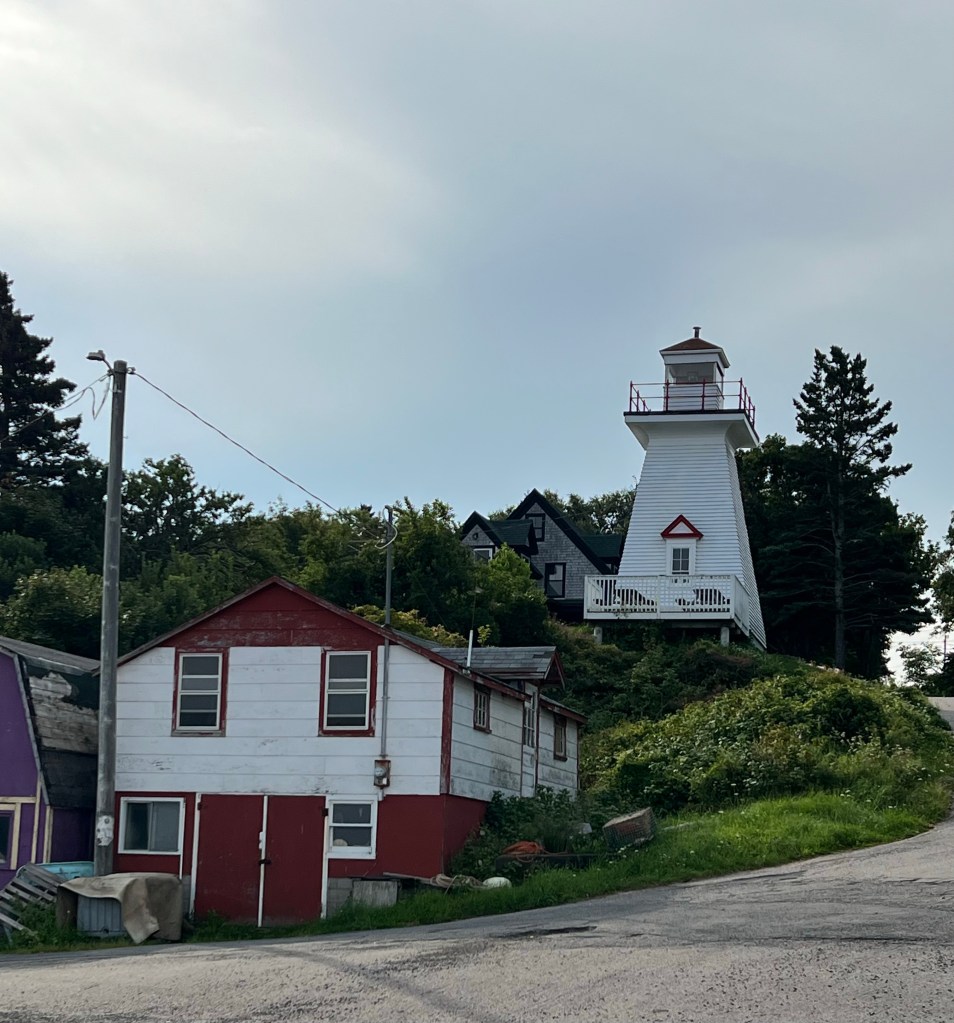
Today after a brief stop at a nearby lighthouse…

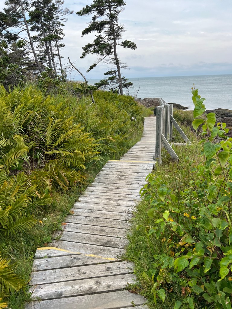
we took a walk on the nicest trail we’ve been on since leaving Newfoundland. Signage told us the trail, part of the Delaps Cove Wilderness Trail is on land that was a settlement of “Black Indians”, descendants of Mi’kmaq and Black Loyalists who came north after the Revolutionary War. Their name for the place is Medbankeajetc (Little Red Bank).

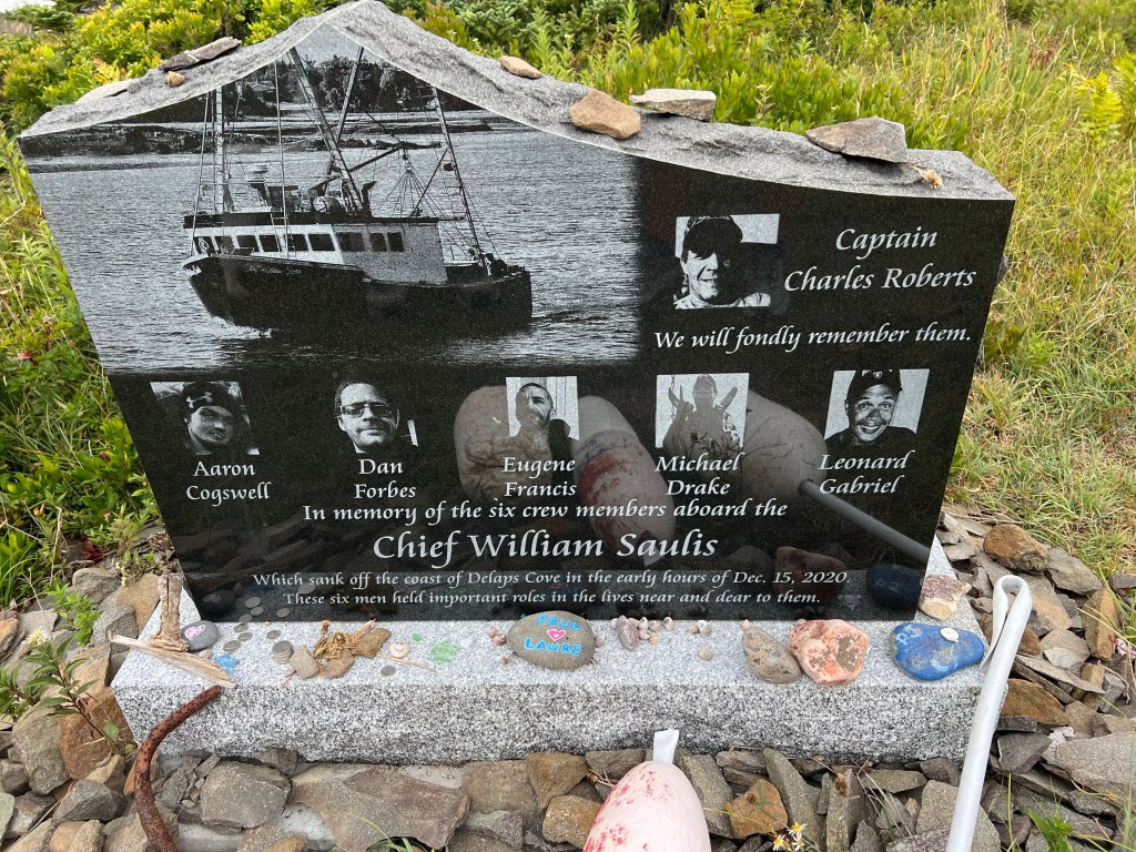
When the trail reached the coast of the Bay of Fundy we found this moving memorial.

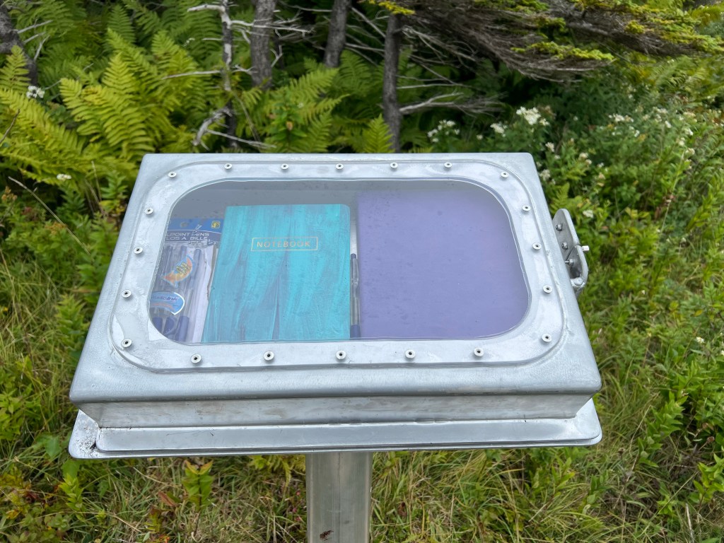
I signed the guestbook enclosed in the very well made stand.

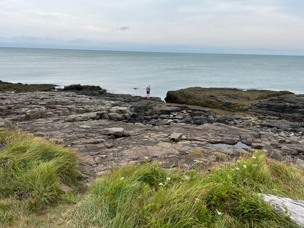
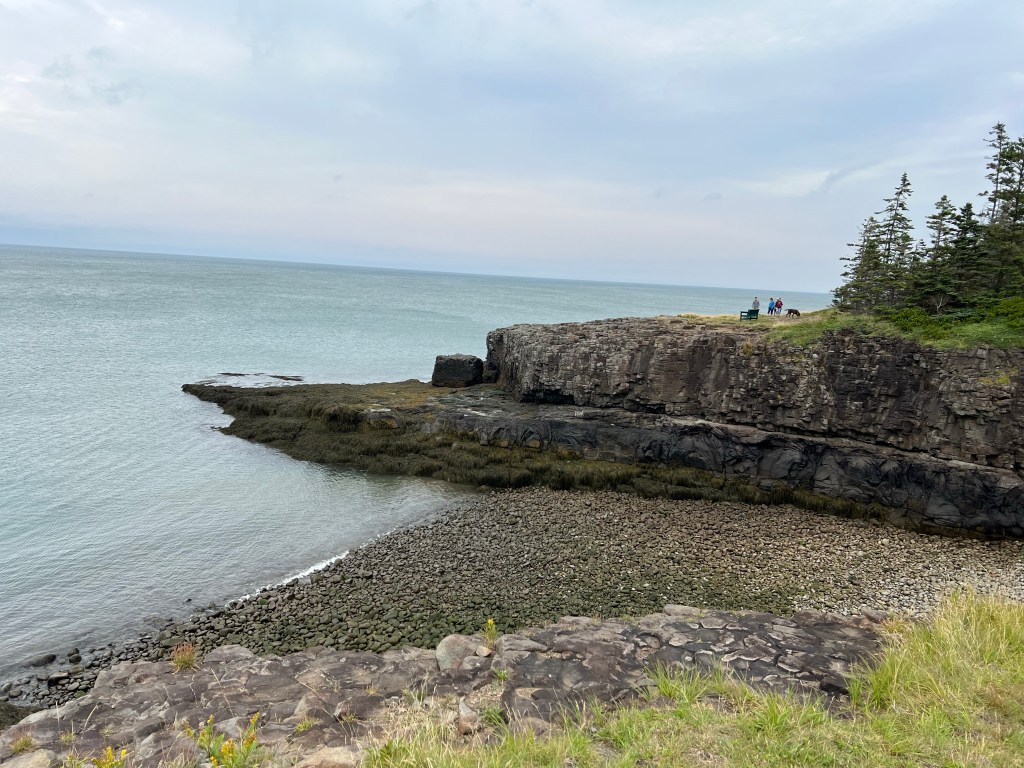
This was a very rocky shore.

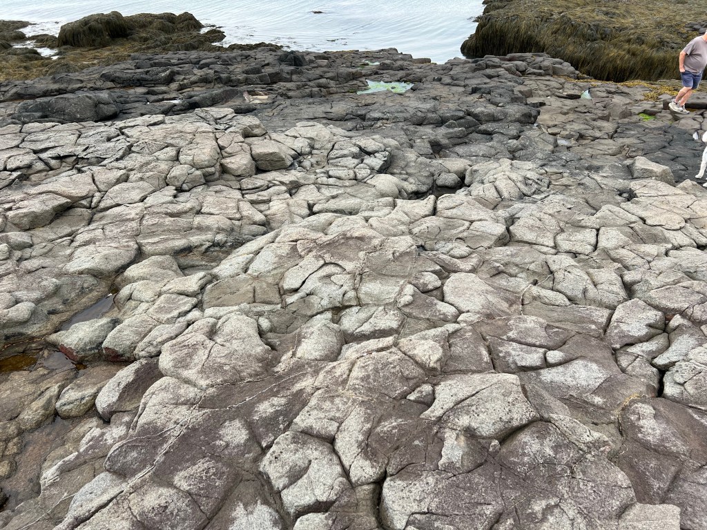
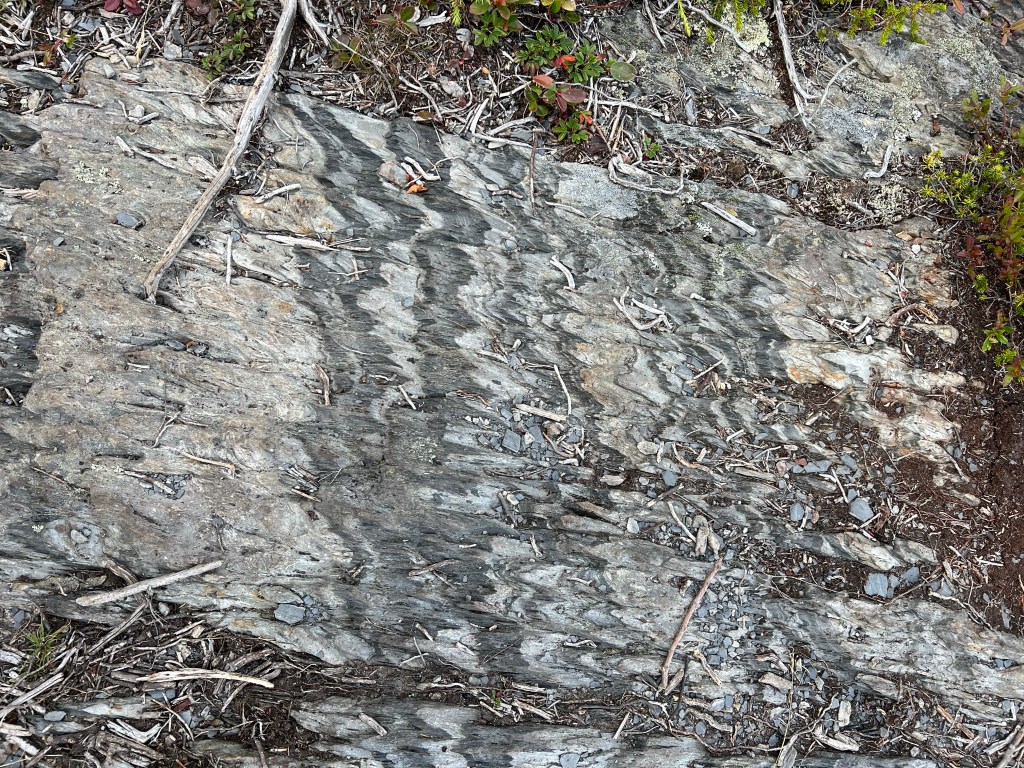
We thought these rocks looked volcanic.

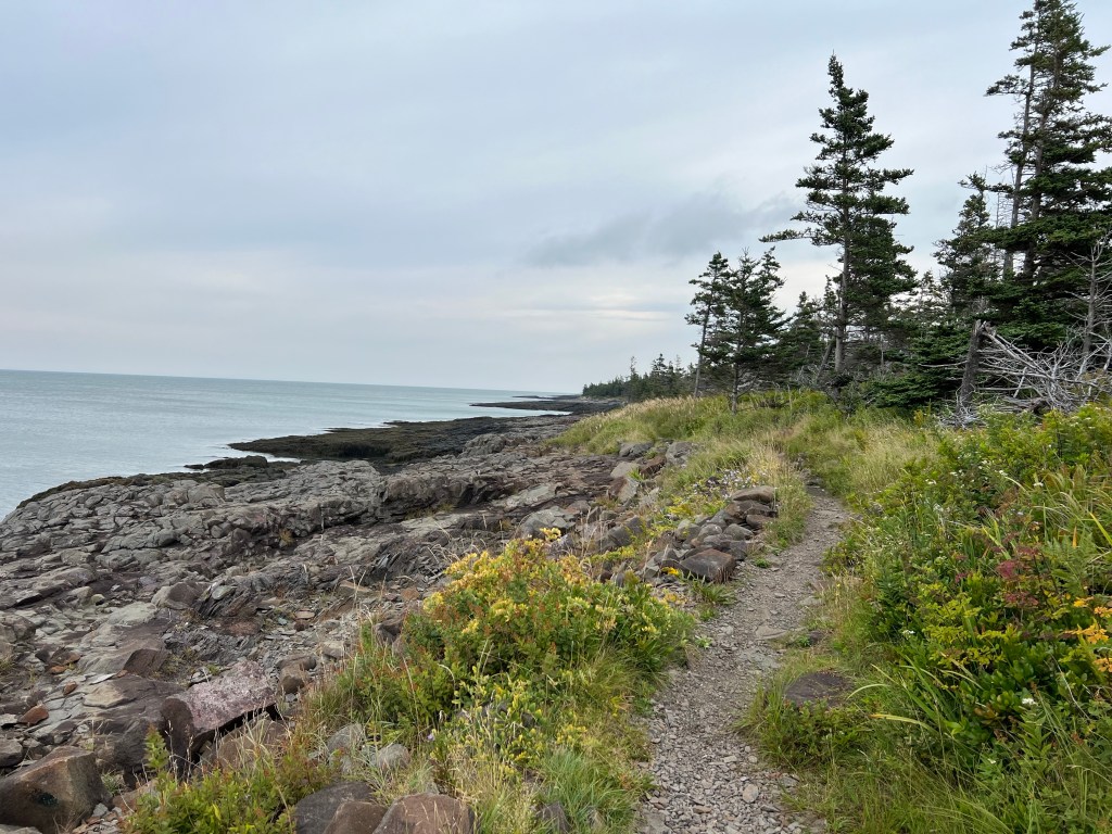
Whatever the rocks, it was beautiful.

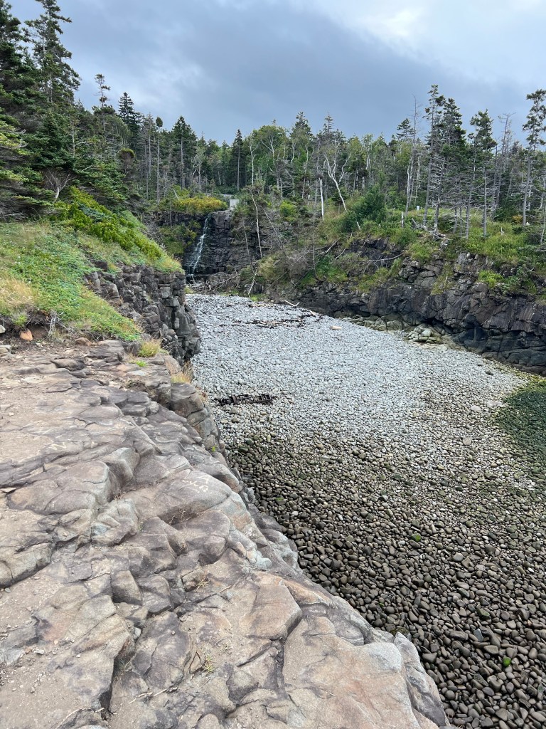
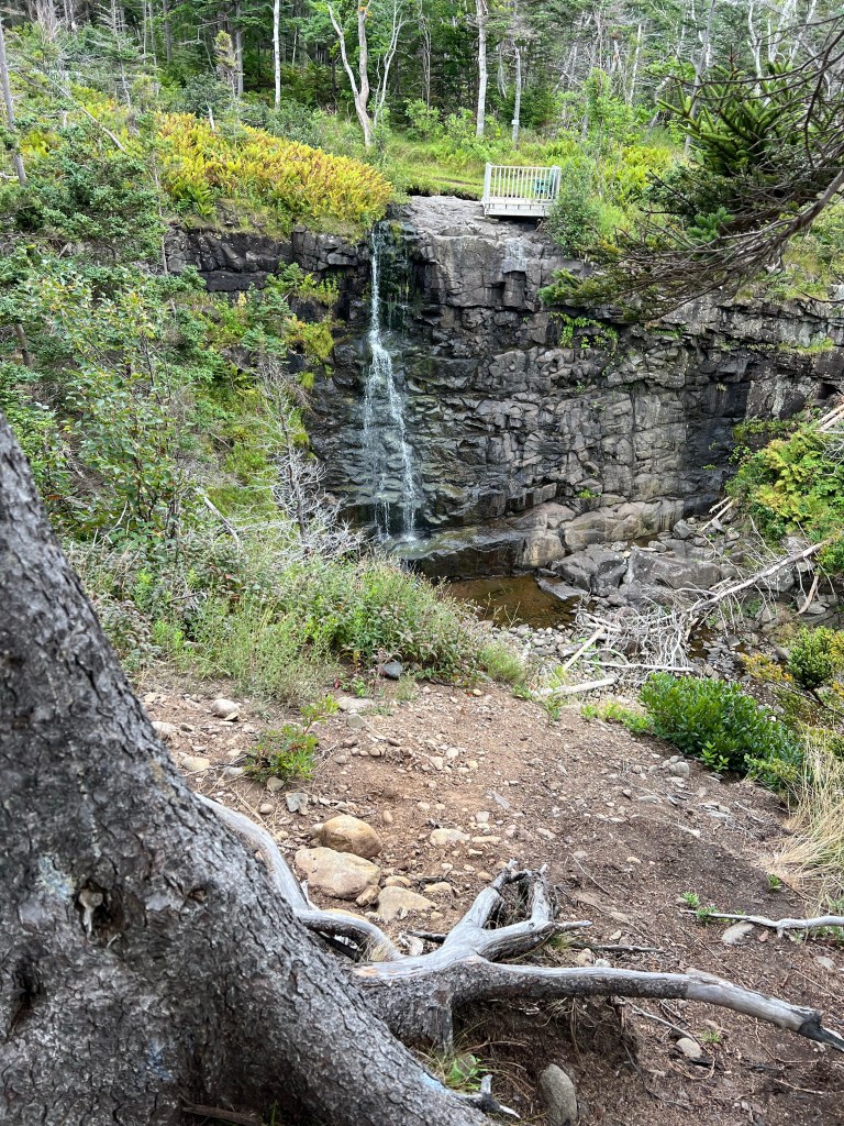
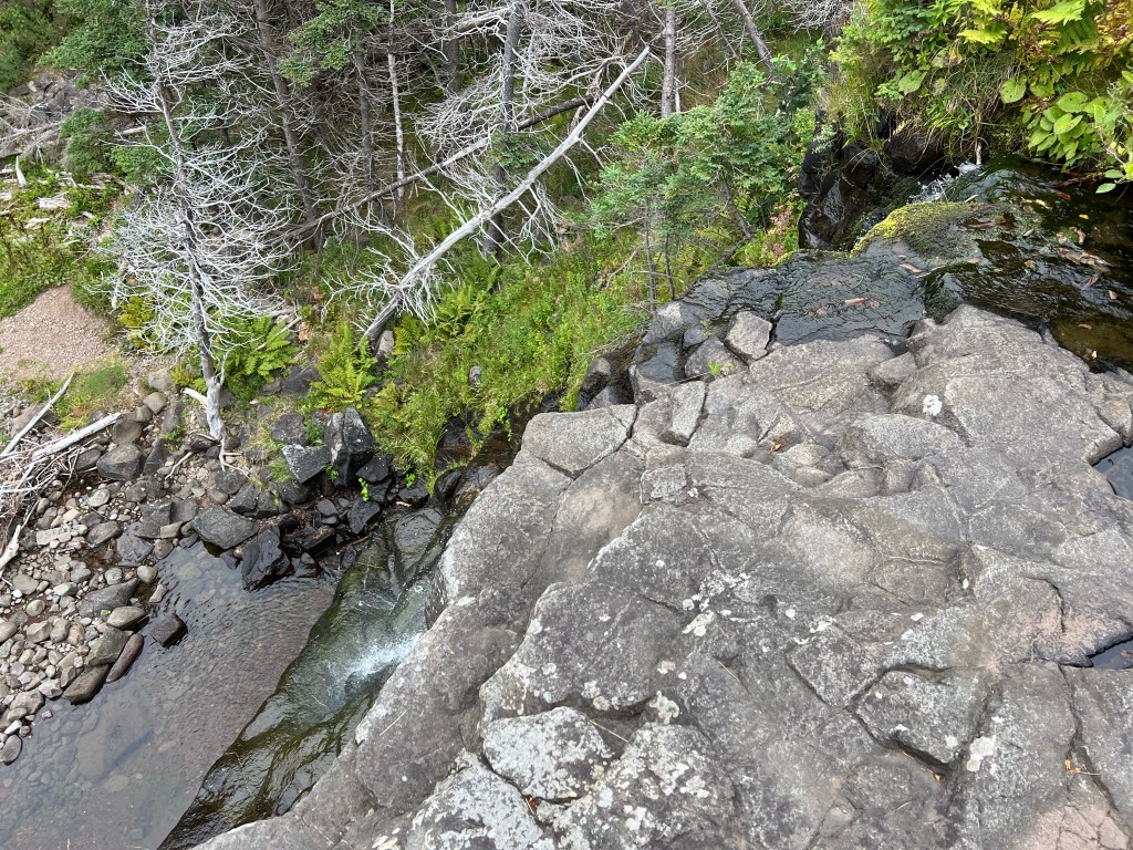
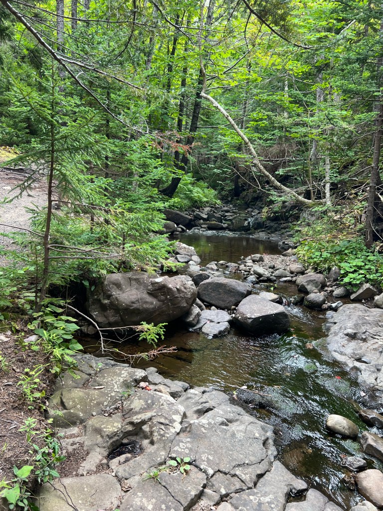
There was a brook that made a little falls…

with places to view it…

from both sides.

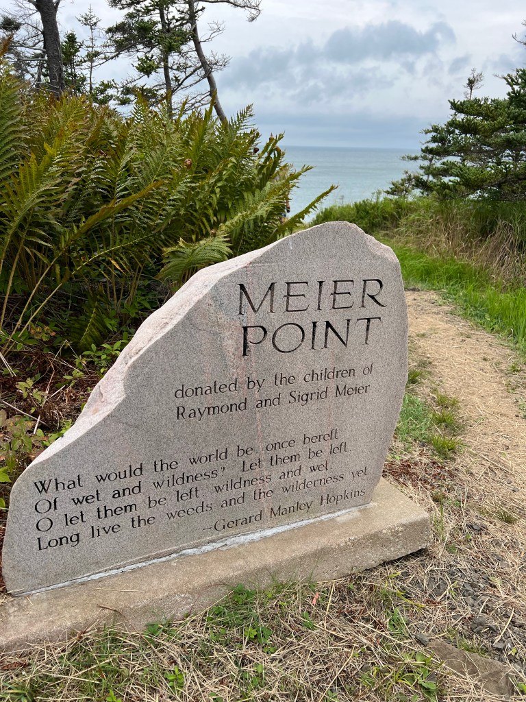
I loved the poem on this dedication for Meier Point.

The view was nice, too.

From there the trail followed Bohaker Brook and looped back to the parking lot.

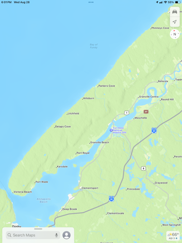
Leaving the trail we drove across the peninsula to the Annapolis River.

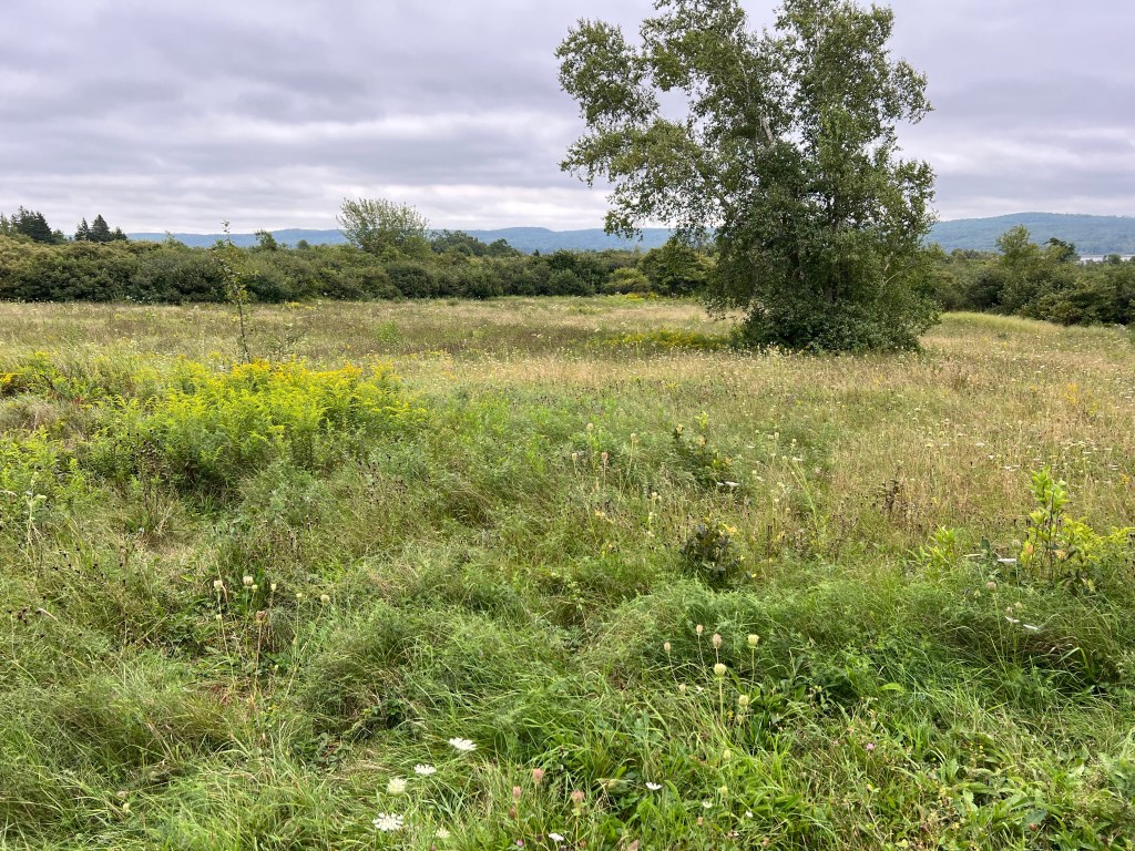
We went to the Melanson Settlement National Historic Site, just outside of today’s Port Royal, which turned out to be this open field with a lot of signage.

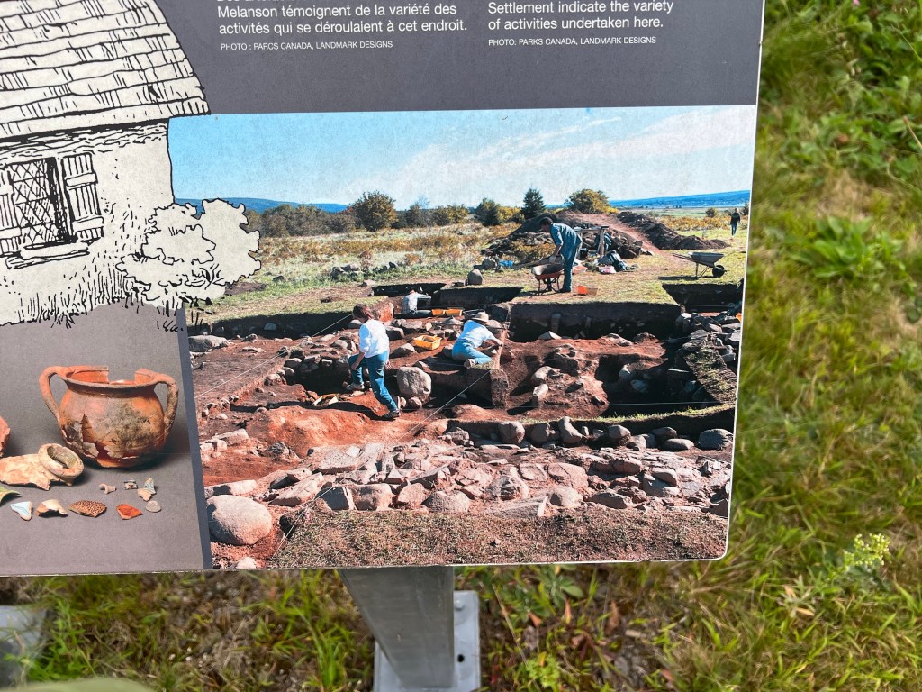
From the picture on this sign you could see that there had been a lot of activity here. This was an Acadian homestead where six families lived. It was abandoned in 1755 when the Acadians were forcibly deported. Because of its location this site was never disturbed since the British razed it, so it is a great archaeological find.

Now we are snug in our trailer for a very foggy, drippy afternoon.

Even Better

Sunday we came to another Nova Scotia Provincial Park. This one has only 30 campsites in total and only 12 serviced sites. Here we are in site number seven and it is very private.

There is a big area off to the side for my screen tent…

and Matey and I are enjoying the view.

Our visit to Ellenwood Lake was ruined when Matey was attacked by an unspayed female Boxer. She broke her flimsy lead and charged out and tackled him as we were walking by. Matey never saw her until she was on him. The person who brought her to the park (he said he wasn’t the owner) grabbed her and Matey wasn’t seriously hurt, but it was scary and enough to make me glad to leave.

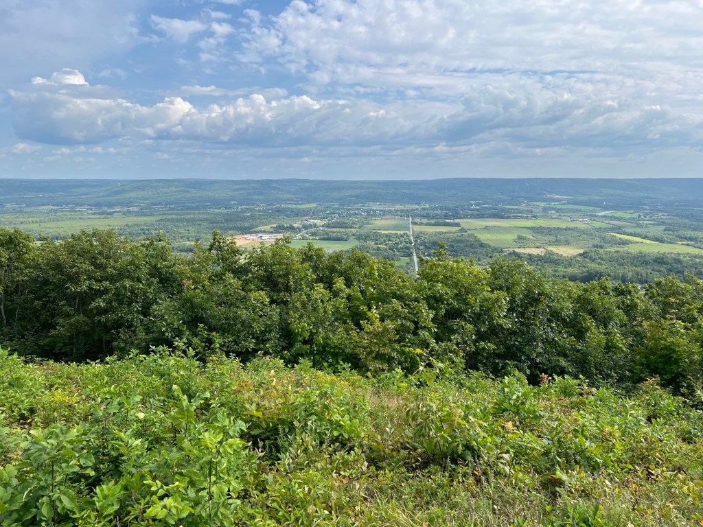
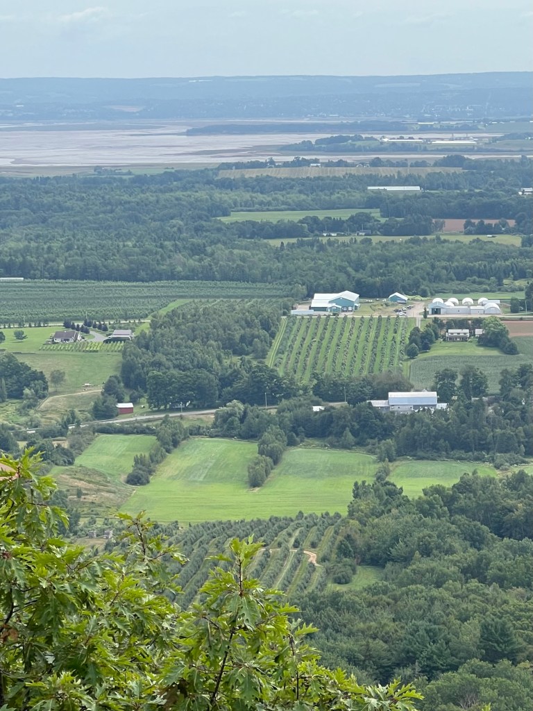
So I am very glad to be at the smaller and appropriately named Valleyview Provincial Park. This is looking out on the Annapolis Valley. This lookout is just on the other side of our small camping loop.

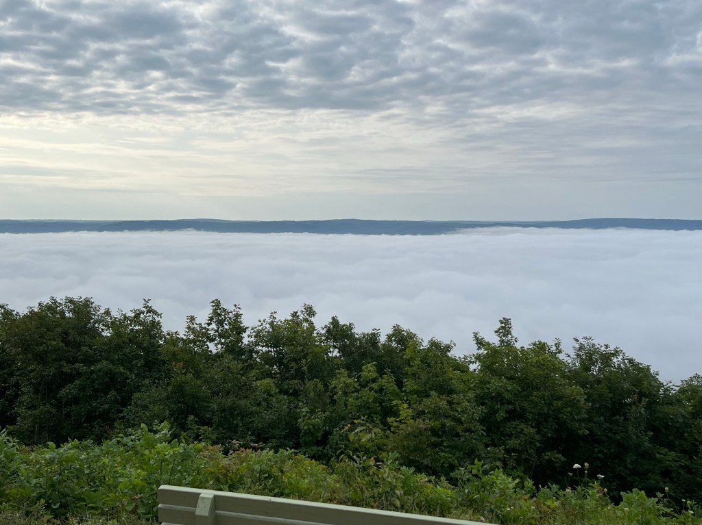
Earlier this morning there was a very different view.

We are once again near the shore of the Bay of Fundy, this time on the southeast side. This morning we drove northeast to play disc golf. While there we drove up to a small provincial park on the east side of Cape Split.
Here we were directly across the bay from Glooscap, where we had stayed in early June.

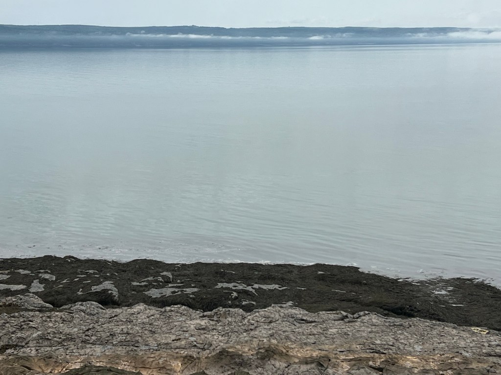
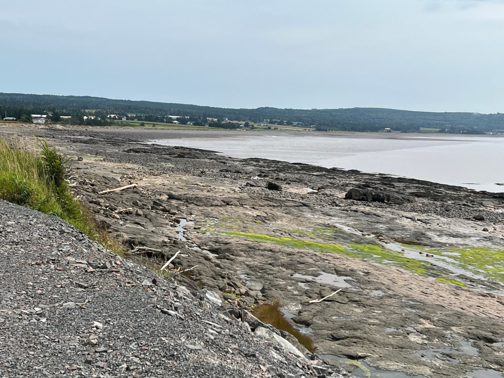
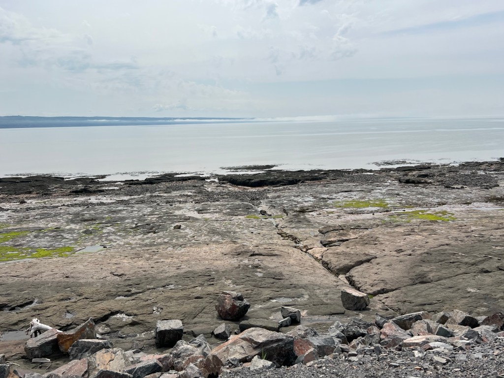
It was low tide and there were the same huge beaches.

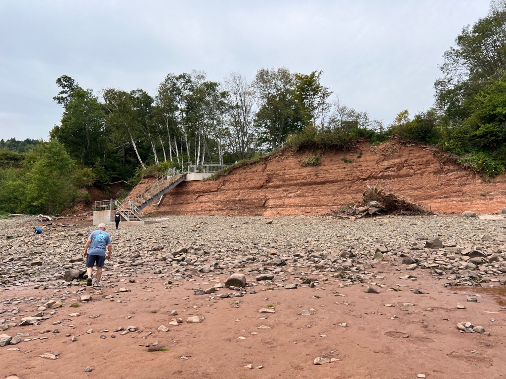
We came down these steps…

and had a look around.

Then we drove up to the top of the ridge that runs along the center of the cape.

We took the road as far as it went out the cape. From there Split Rock Trail takes you on a nine mile loop to the end of the cape.

We just stopped so I could get some pictures. First looking back at the mainland shore…

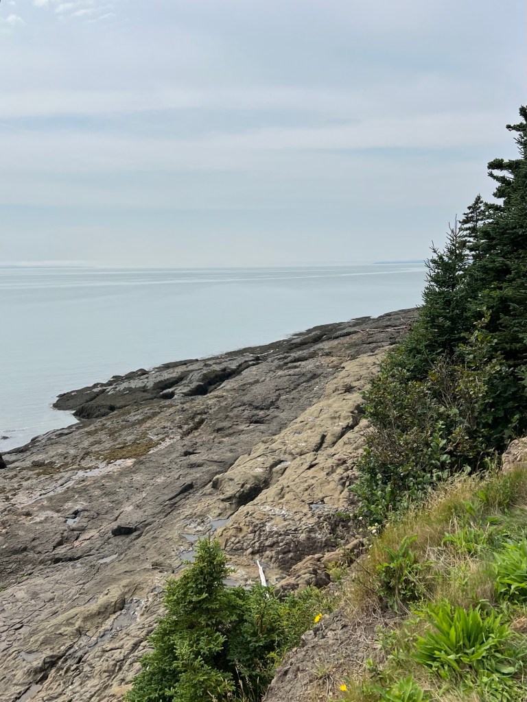
and then looking out towards the end of the cape.

That’s Scots Bay, the village on Scots Bay.

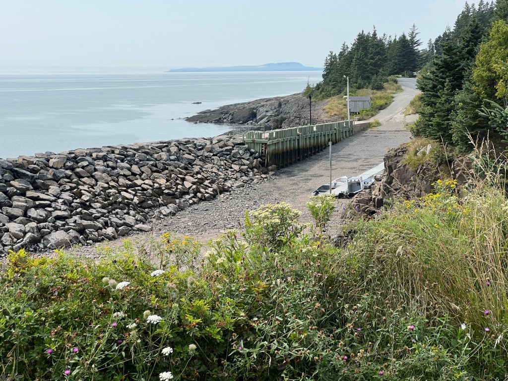
This is a boat launch, complete with boats waiting for high tide. They are tied to a floating dock. That post on the end secures the dock, notice how tall it is.
Yes, we are glad to be in our small campground and back near the fascinating Bay of Fundy.

A Walking Tour of Yarmouth, Nova Scotia

I’ve been so pleased with taking Matey in the stroller that we decided to do it again yesterday and take a 2.5 mile walking tour of Yarmouth. We started at the waterfront, and here we let Matey walk on his own.

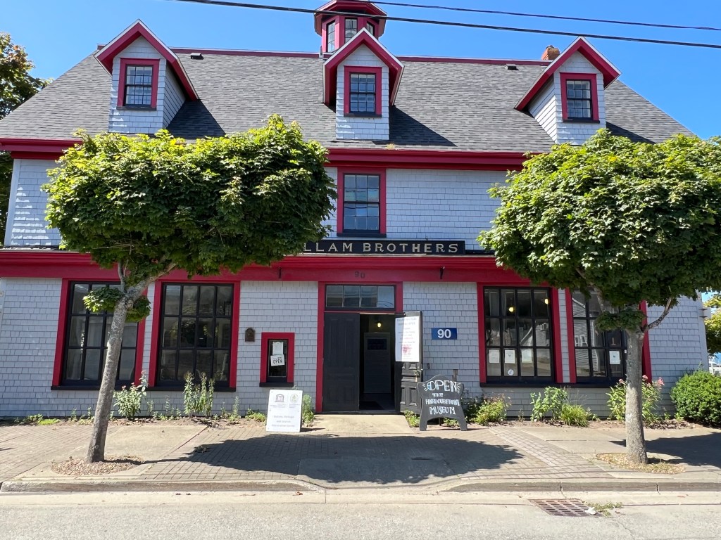
This building was the headquarters of the Killam Brothers shipping business for 203 years. Now it’s a museum. After the Killam Brothers building the tour was supposed to go up along Main Street, but instead of looking at the old commercial buildings we decided to continue along the waterfront.

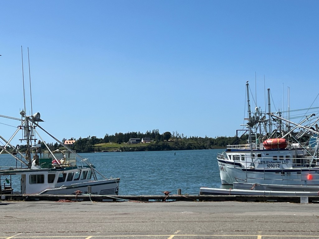
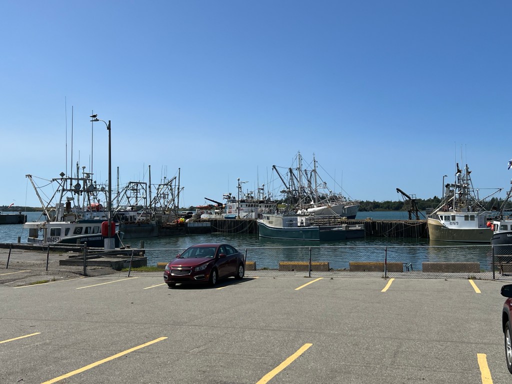
There is a fleet of pretty big boats there.
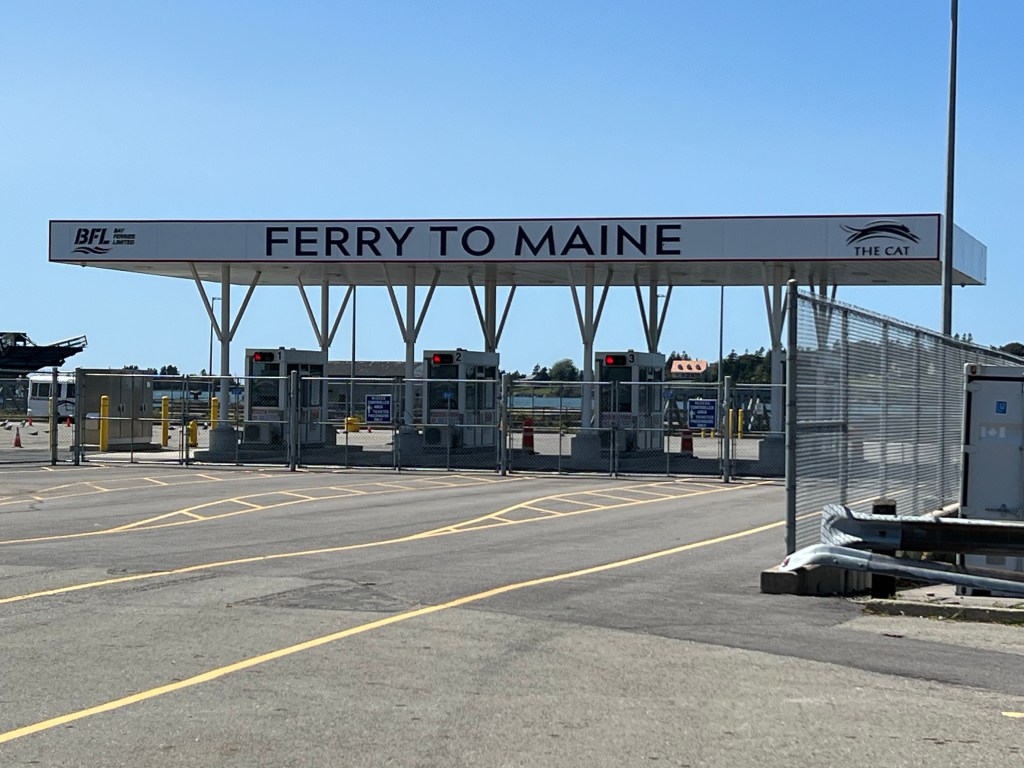
We walked as far as the ferry dock. The ferry here goes to Portland, Maine. It might be something to look into for a future trip.
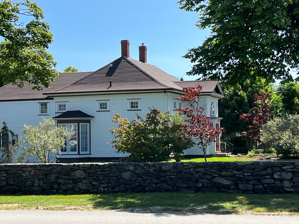
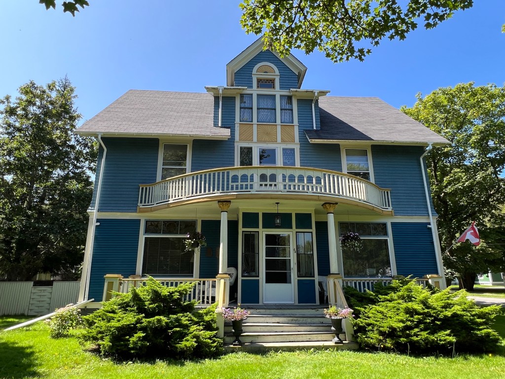
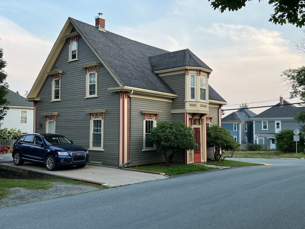
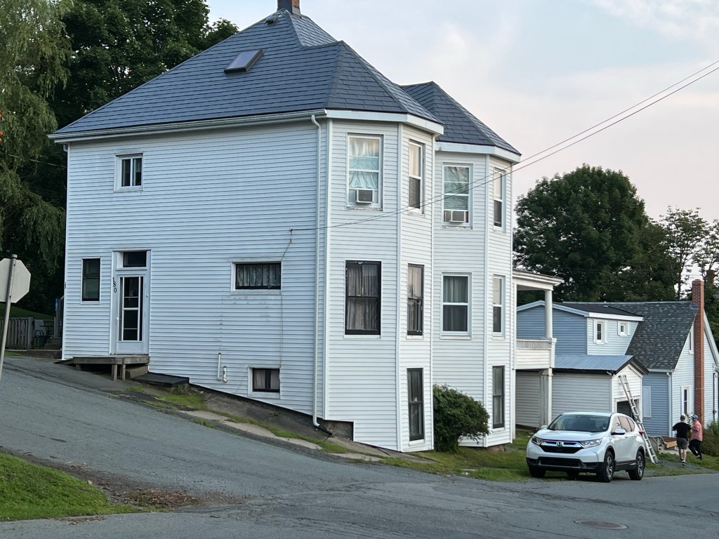
Most of the rest of the tour was big, beautiful old houses. The guide map was less than precise and between the stroller and taking pictures I had a hard time following the map. The map was on one side of the brochure and the descriptions on the other. Bud couldn’t help with the map because he didn’t have his glasses. So some of these I know are the houses in the brochure and some are just pretty houses. This is Murray Manor, built in 1845 and is the regency gothic style.

This was the newspaper publishers house, a colonial revival house built in 1897.

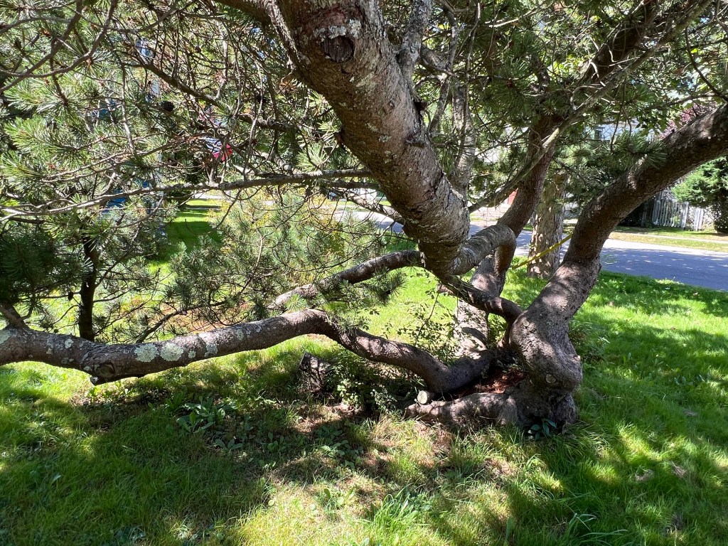
Bud and I loved this old tree in the yard. Apparently it lost its main trunk long ago, but it’s still growing.

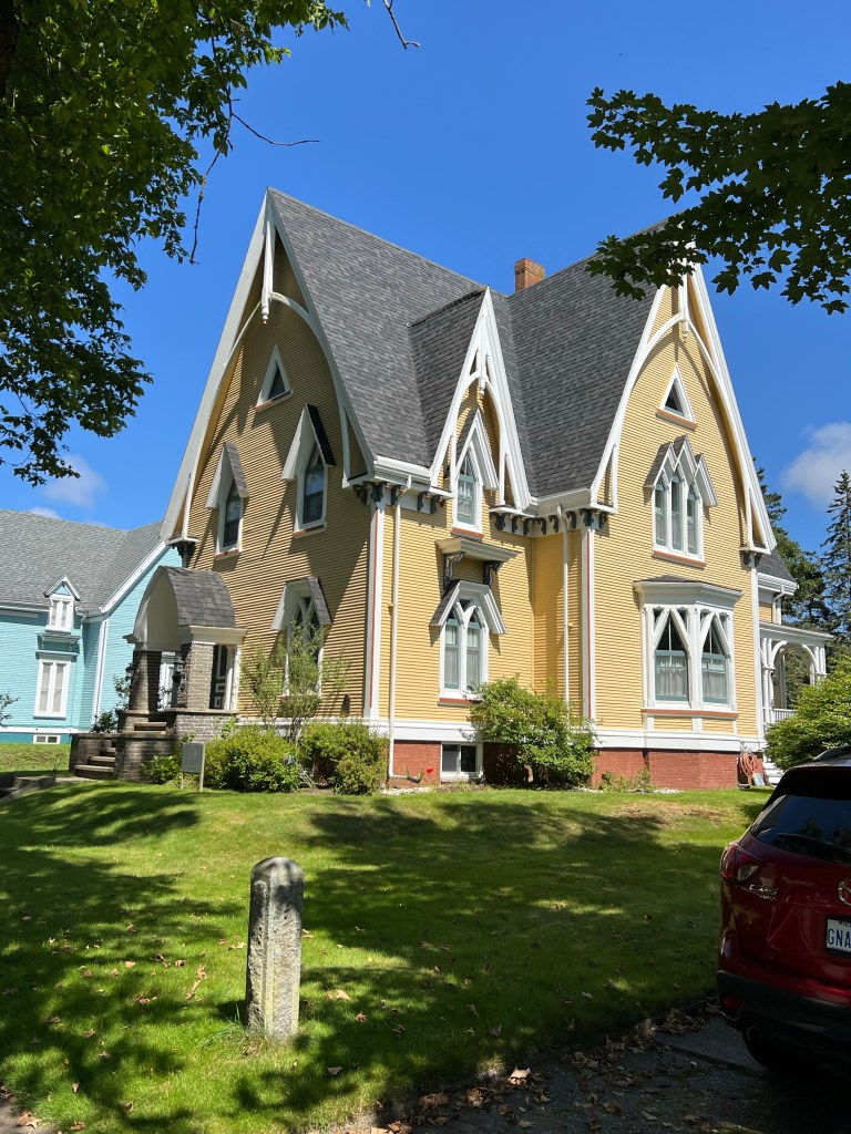
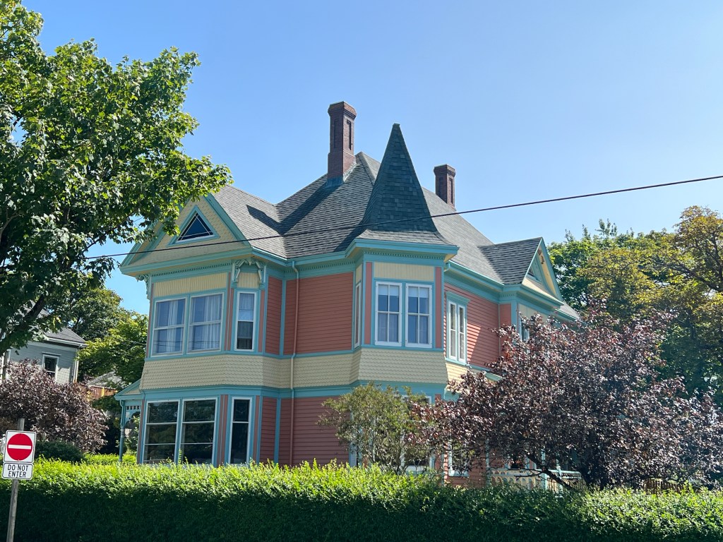
And this is my favorite; it was one of two identical houses built in 1877 by Robert Eakins as gifts for his son and daughter. They were built in the gothic revival style. Unfortunately the twin to this house burned down in 1992.

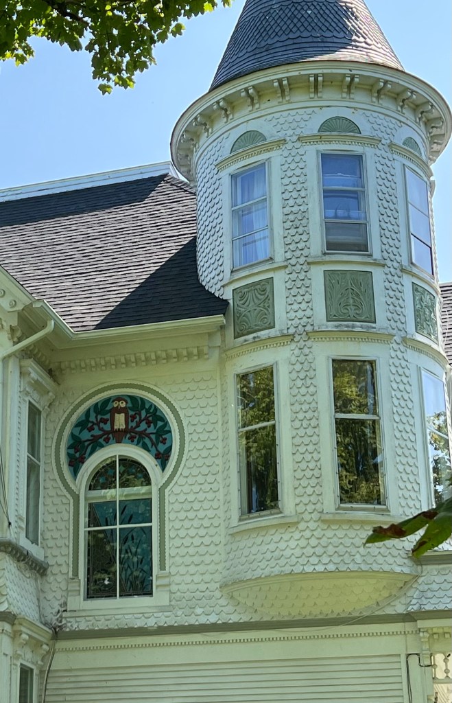
This beauty was for a time the Catholic bishop’s residence. It is incredibly intricate.

My favorite detail was this owl above a stairway window.

My vote for best paint job goes to this beauty.

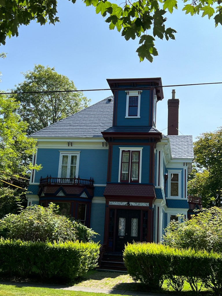
This Italianate house has a nice paint job also.

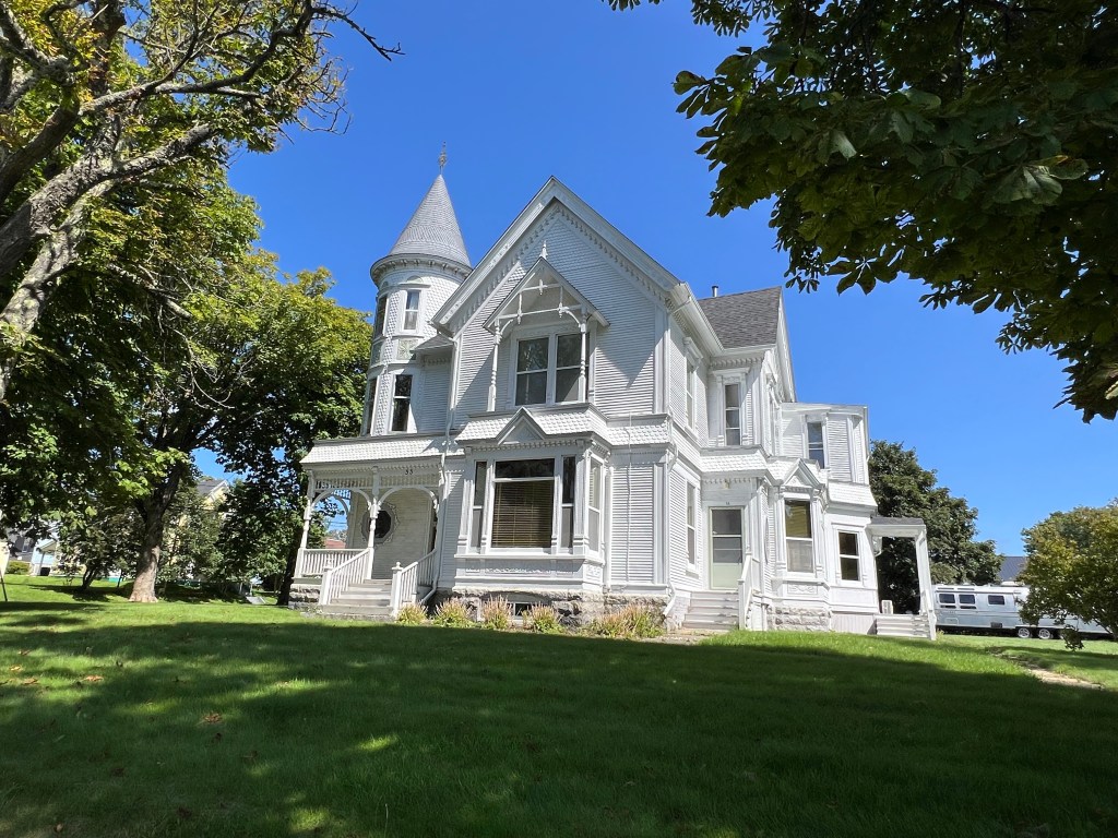
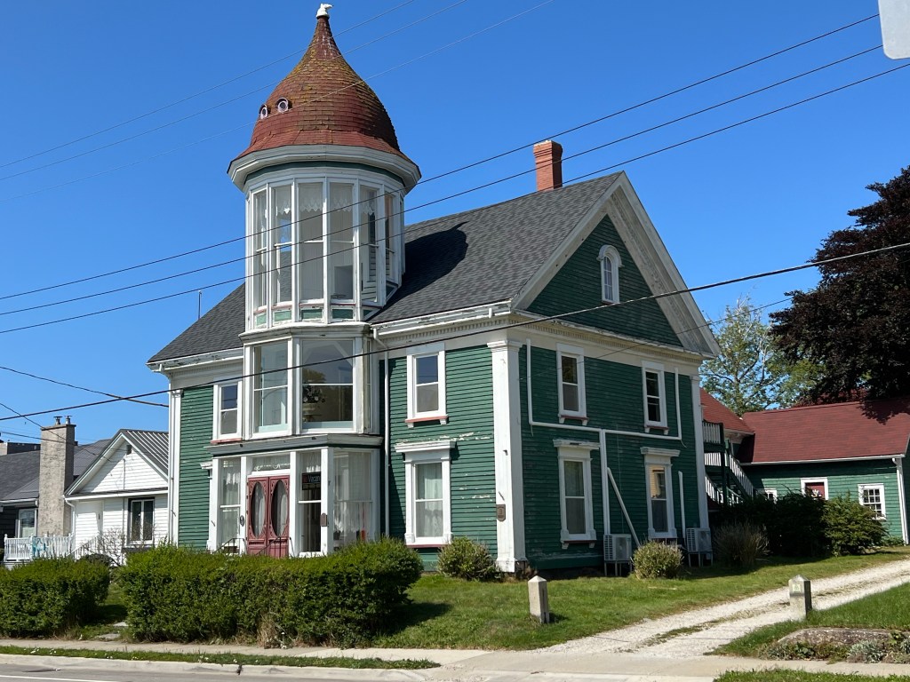
And I love the glass tower and the little portholes in the tower roof on this one; though the house was built in 1862 and the tower added in 1891. To me it doesn’t go with the house, but that is part of its charm.

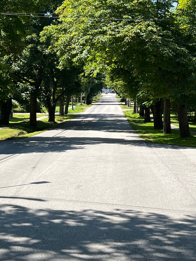
It was nice to walk through these pretty streets…

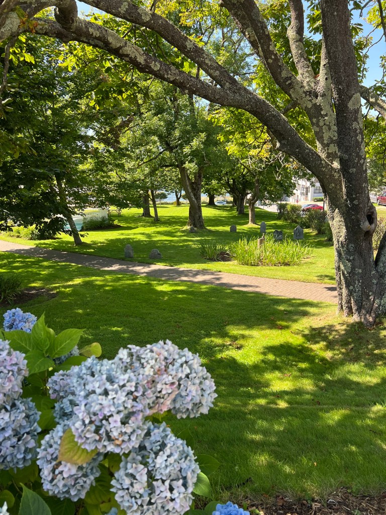
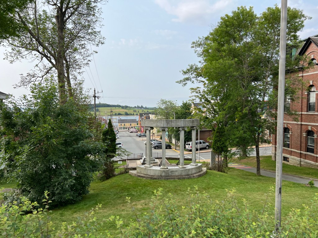
and see a bit of charming old Yarmouth. And yes, those are gravestones in the park. Apparently it was decided in 1865 that this site was too small for the graveyard. It became a park, but the graves remain. There are also graves beneath some of the nearby streets. I guess people weren’t as careful about old cemeteries then.

Ellenwood Lake Provincial Park

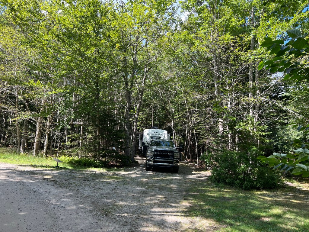
Yesterday we came here to Ellenwood Lake Provincial Park. This park is more our style. It has only 20 serviced sites (electric and water, in this case). So it’s quiet. And our site is quite private.

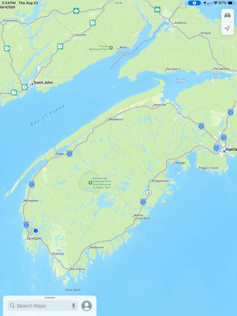
Just to orient you, we’re the blue dot towards the lower left near Yarmouth, Nova Scotia. We came from Kejimkujik National Park and National Historic Site, which is that green dot with a white tree right in the middle of this part of Nova Scotia.

Matey and I walked around the campground this morning, then we all went and played a short game of disc golf.

So this afternoon was the perfect time to take a walk using the stroller.

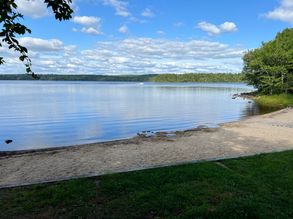
We walked past the campers’ beach at Ellenwood Lake, then down an old park road now closed to vehicle traffic.

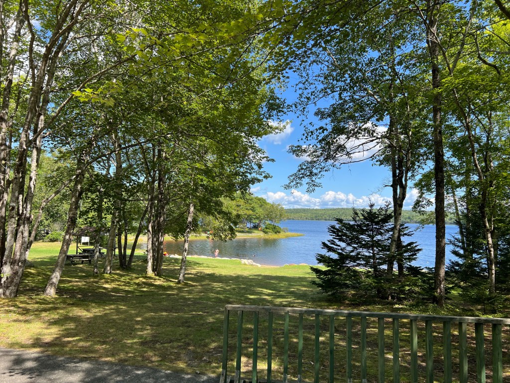
We passed the very pretty day use area…

and came to the hiking trail. I’d walked three quarters of a mile at that point. I parked the stroller and Matey got out.

He and I then walked the trail.

It was a pretty nice trail with some structure in the really wet spots.

The loop was 1.2 miles long and Matey did fine. Then I loaded him in the stroller for the walk back. Perfect.

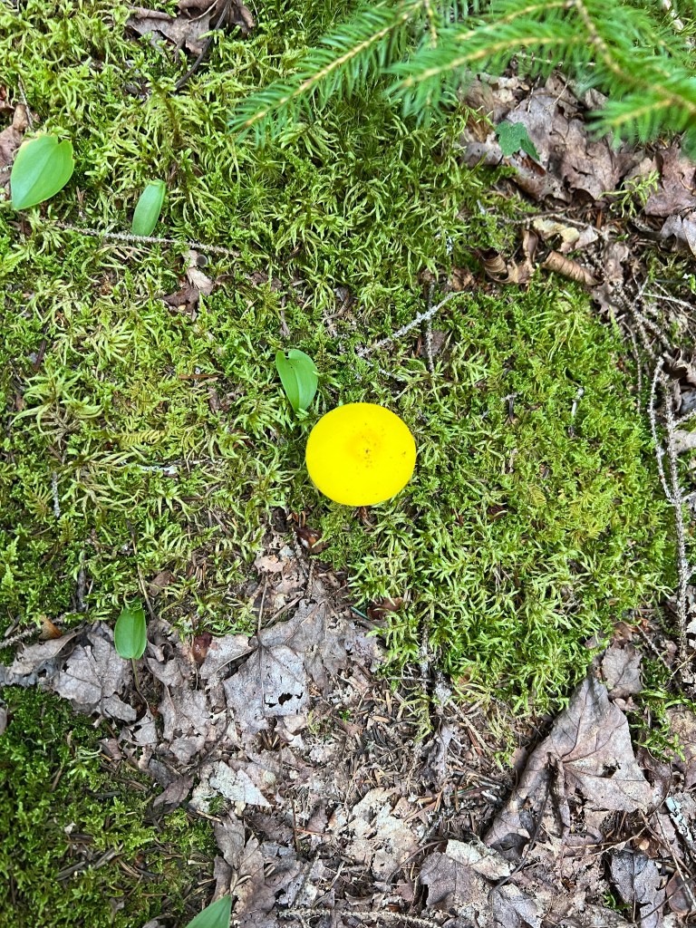
And here’s my fungus of the day, a small lemon yellow mushroom. (Actually this is not the fungus, which is underground, but just its fruiting body.)

The River and the Sea

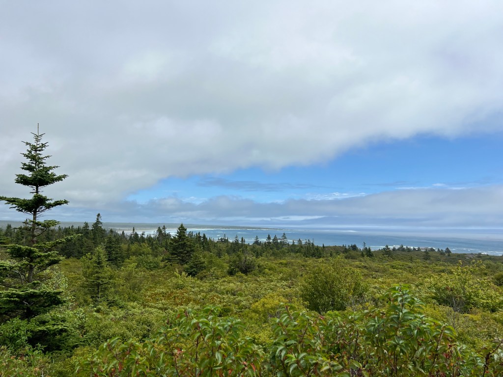
Sixty miles away from where we’re staying is the Seaside Adjunct of this park. I’m not sure how the two are related except the seaside part is not too far from the mouth of the Mersey River, which flows through the park and was an important route for the Mi’kmaq people who lived here. In any case, since Hurricane Ernesto had just cruised by well offshore, Monday we decided to drive over there to see the waves. It turns out it was a long walk to the shore. As we crossed the open area approaching the shore we noticed the curved bands of clouds, the outer bands of the hurricane.

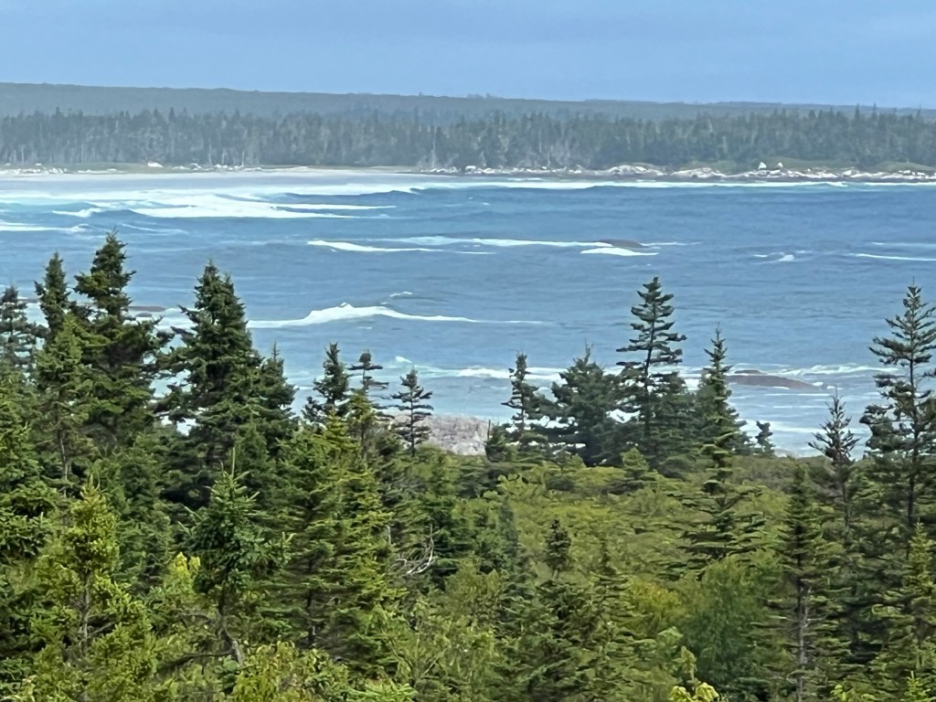
We only made it as far as the first overlook, but I did manage to get a picture.

We are at least a half mile from the shore and the swells are big enough to show up, even at this distance.

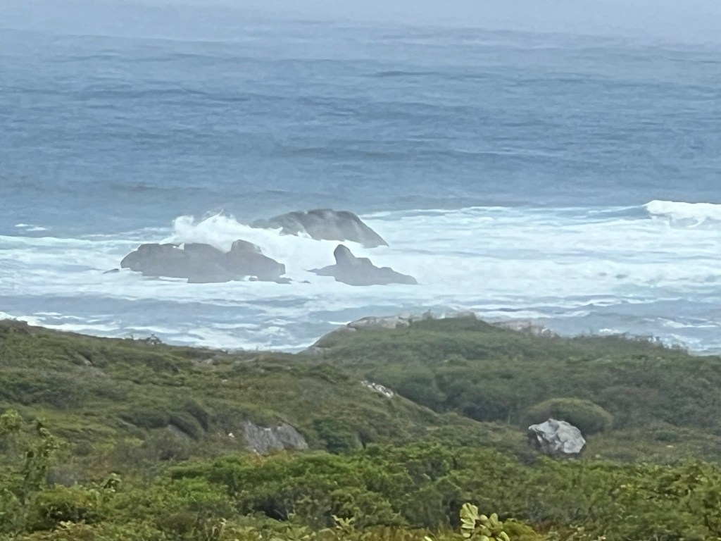
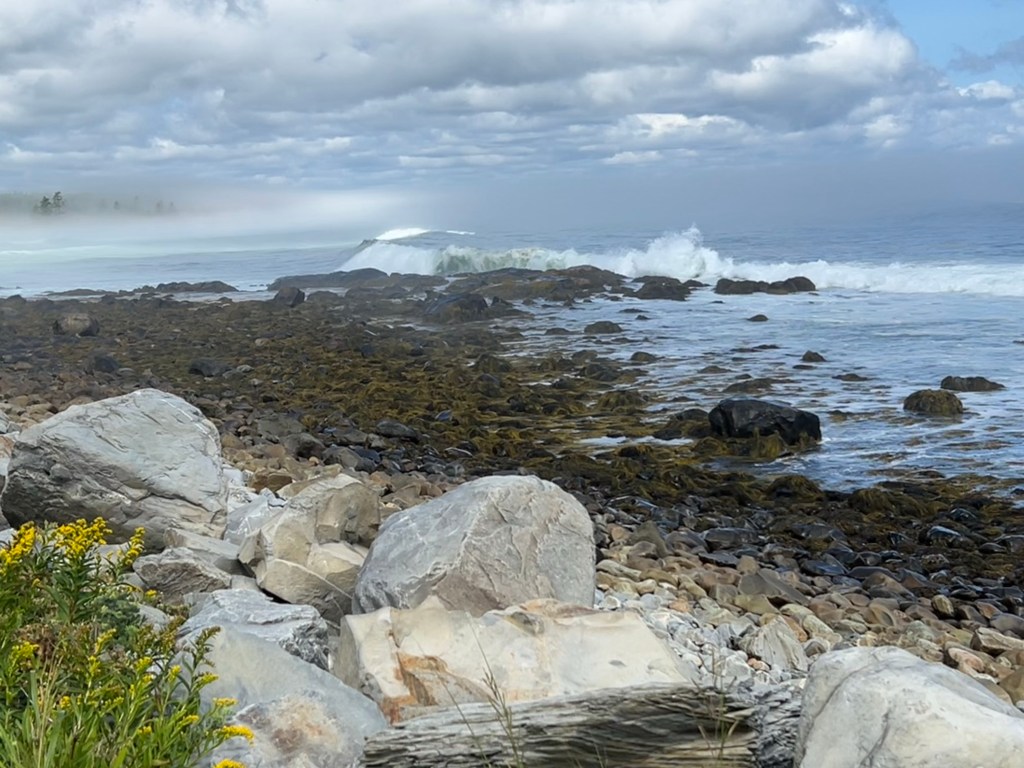
Since Matey wasn’t up for walking all the way to the shore we left there and drove to a lighthouse where I took this video. It’s still hard to see the size of these waves, especially since there was fog blowing in with the waves.

I got the best shot along the road as we were driving out.

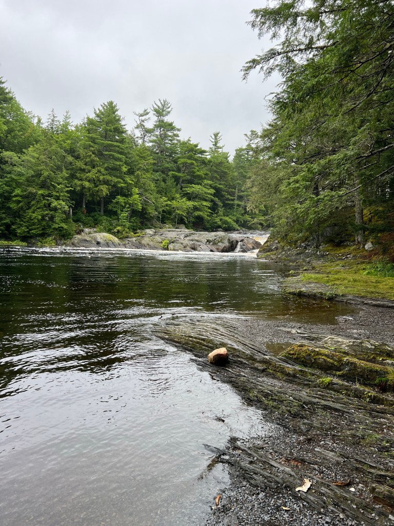
Tuesday we decided to explore more inside the park along the river. This is the Mersey River before it flows into Kejimkujik Lake.

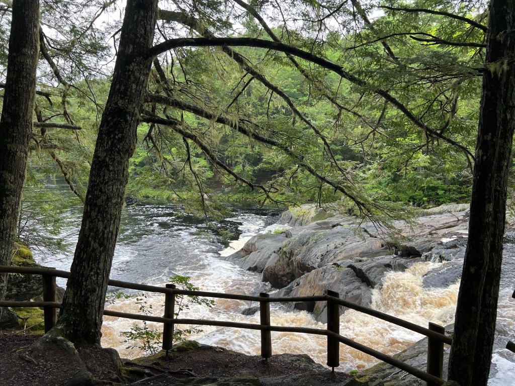
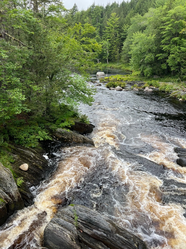
This is Mills Falls on the Mersey.

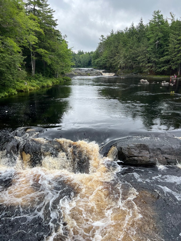
There’s another rapid right under a pedestrian bridge. Bud and I were trying to figure the route a kayak could take.

It would definitely be a tricky run.

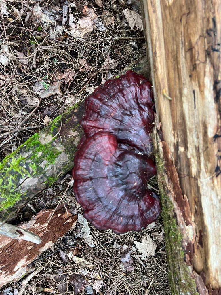
This morning we left this beautiful and busy National Park, but it had one last treat for us. As we were breaking camp Bud noticed this stunning maroon shelf fungus. I’ve never seen one this color before.

In the Woods

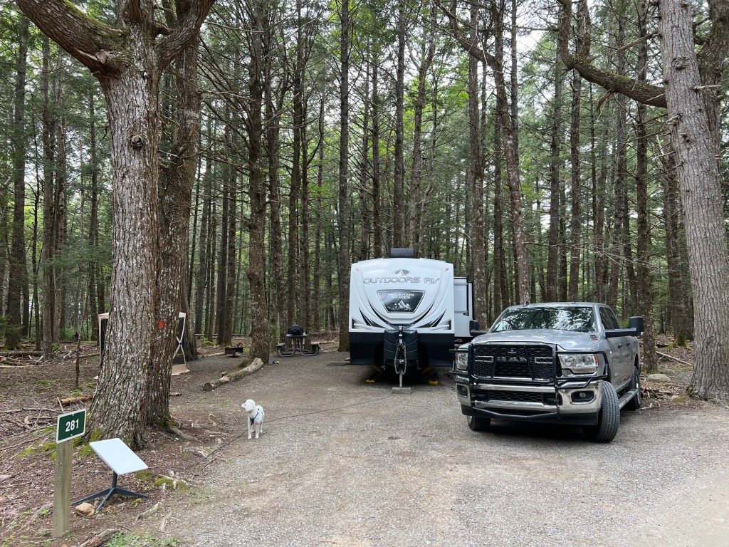
We’re staying at Kejimkujik National Park in central Nova Scotia. The campground is huge but the sites are spaced apart.

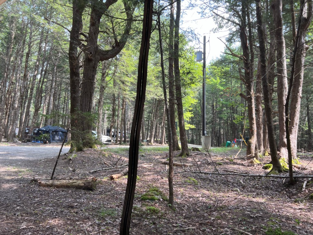
Although there are 360 campsites in the area, what you mostly see are trees.

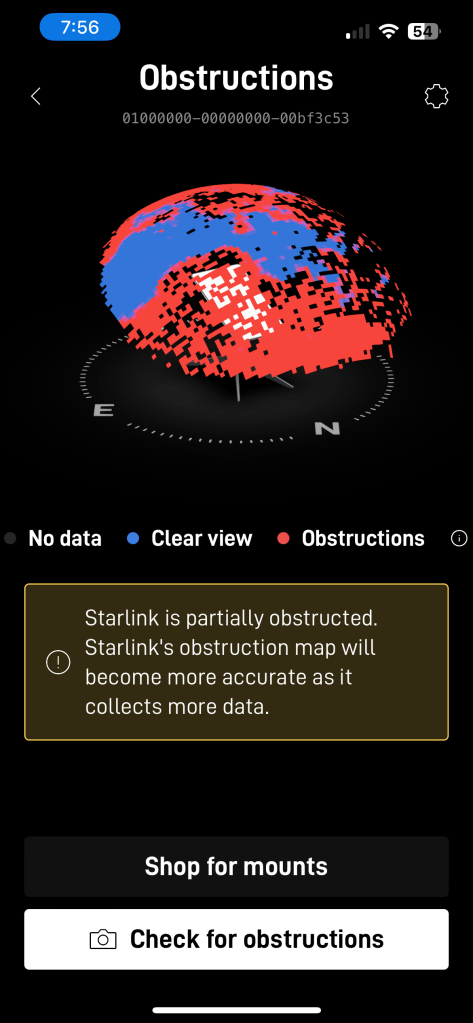
Our Starlink is sitting at the front of the site trying to find satellites in the bit of sky over the park road. It’s doing well considering how obstructed the view is, so hopefully this will get posted.

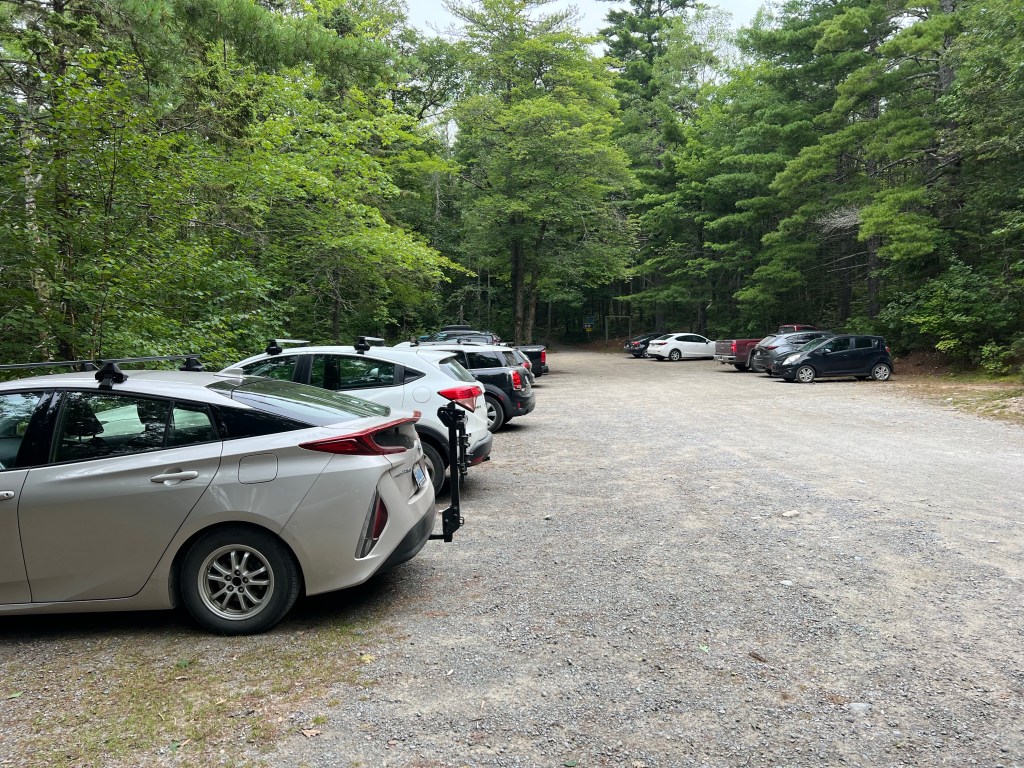
Today may be the only day we’re here when it’s not raining. I wanted to try to walk the Hemlocks and Hardwoods Trail so we did that this morning. This time I hoped to see some old growth trees. We were taken aback by another full parking lot but people might have been canoeing. We met only two other couples and those when we were almost done with the loop.

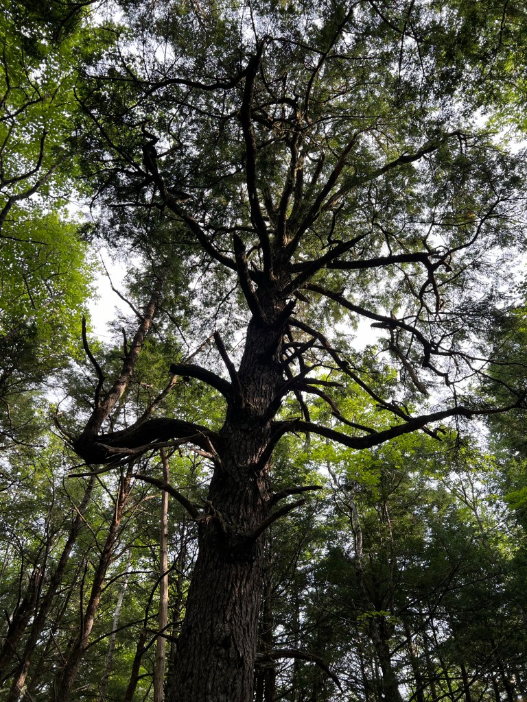
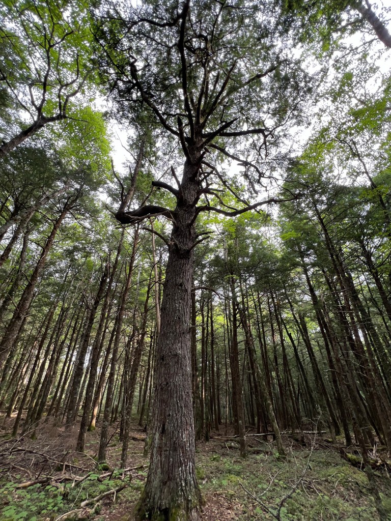
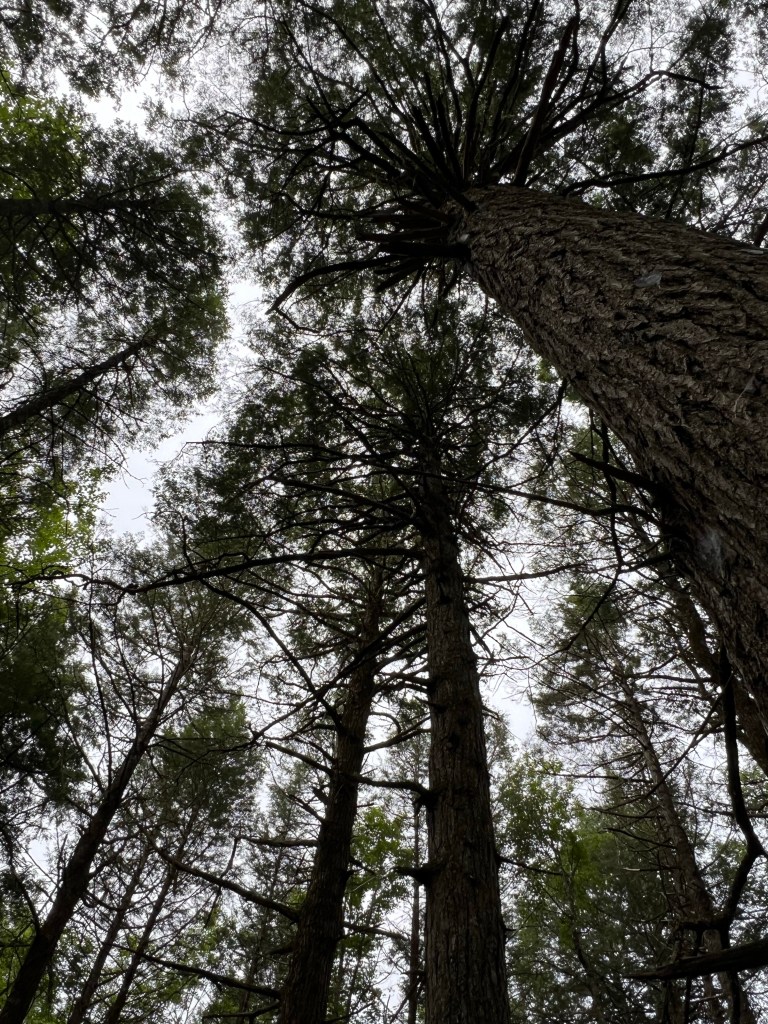
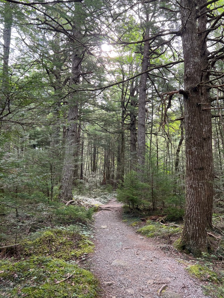
We got to see the old growth hemlocks; this is the oldest, about 400 years old.

I used a wide angle lens to try to capture the whole tree, but still couldn’t quite make it.

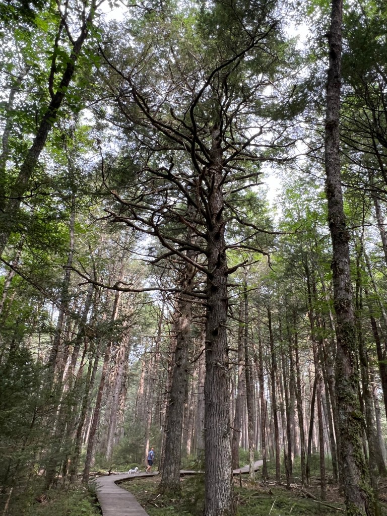
There was a large grove of them; the trail here was a boardwalk to protect their roots. Notice how small Bud and Matey are compared to these giants.

It was a wonderful place.

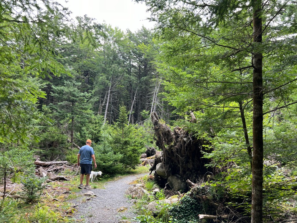
A huge old hemlock went down here creating this clearing in the woods. That’s its root ball just to the right of Bud.

It was a great trail. Matey made the whole three mile loop.

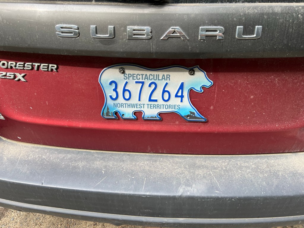
And in the parking lot on the way out I saw my first ever license plate from the Northwest Territories.

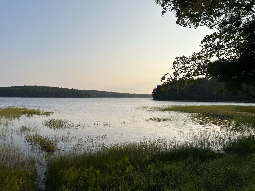
Even if it rains and with intermittent internet I am liking my time on the edge of Kejimkujik Lake in the woods.

Return to Lunenburg

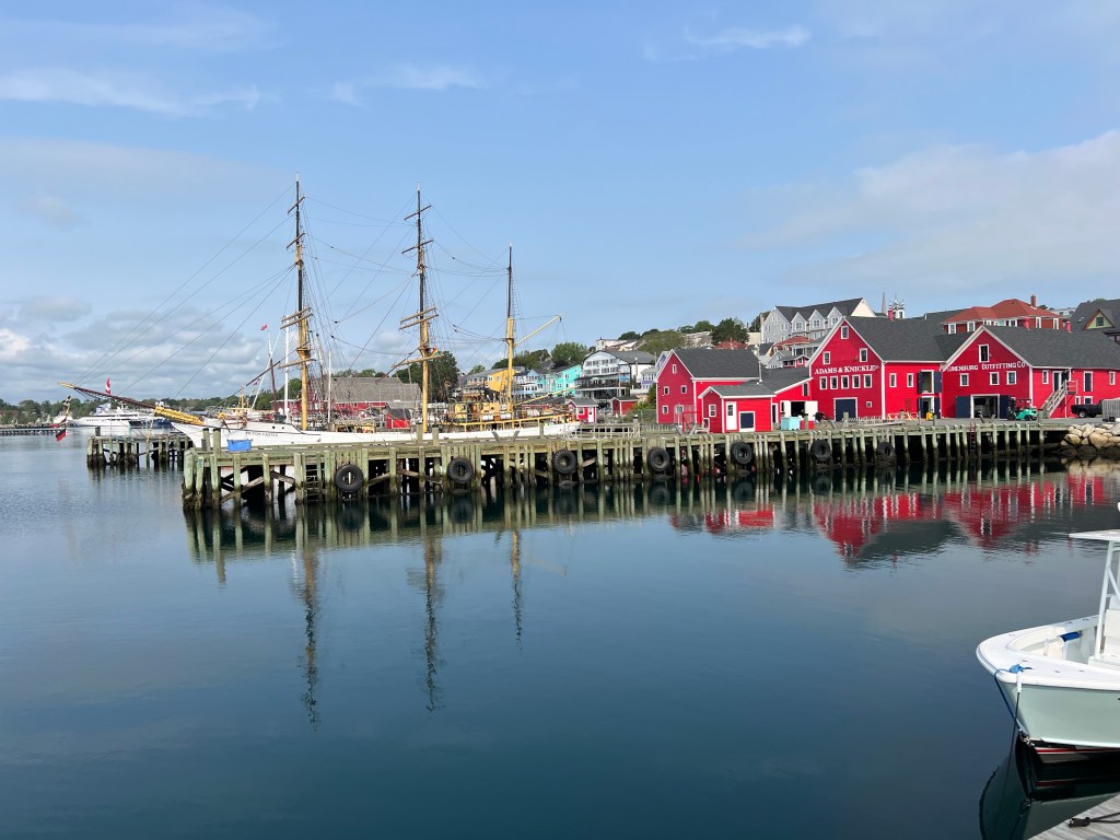
Lunenburg, Nova Scotia is a World Heritage Site and although we visited last year we couldn’t come down this coast and not visit again.

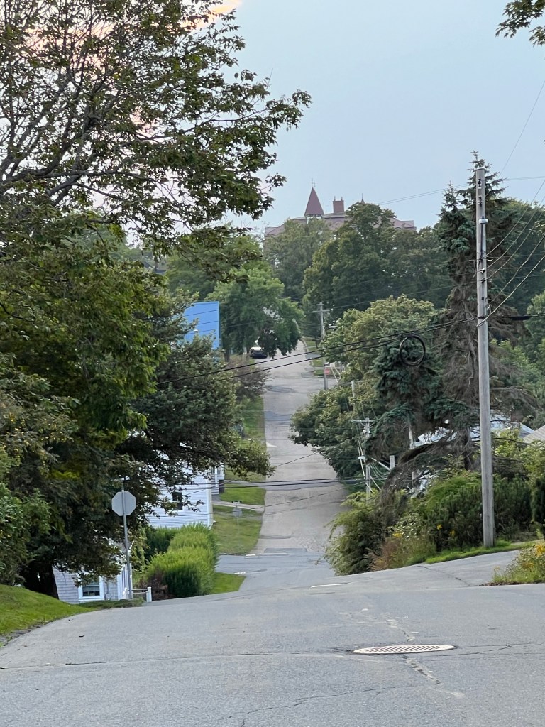
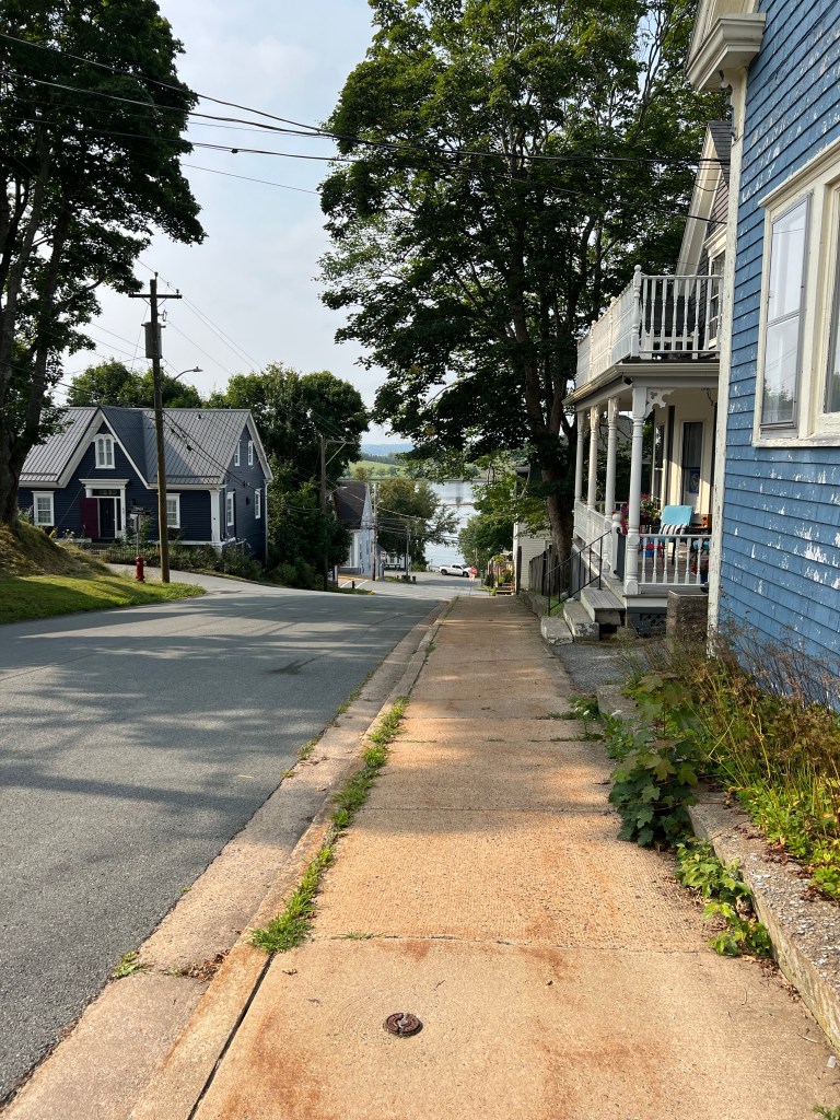
Everything above the harbor is a hill.

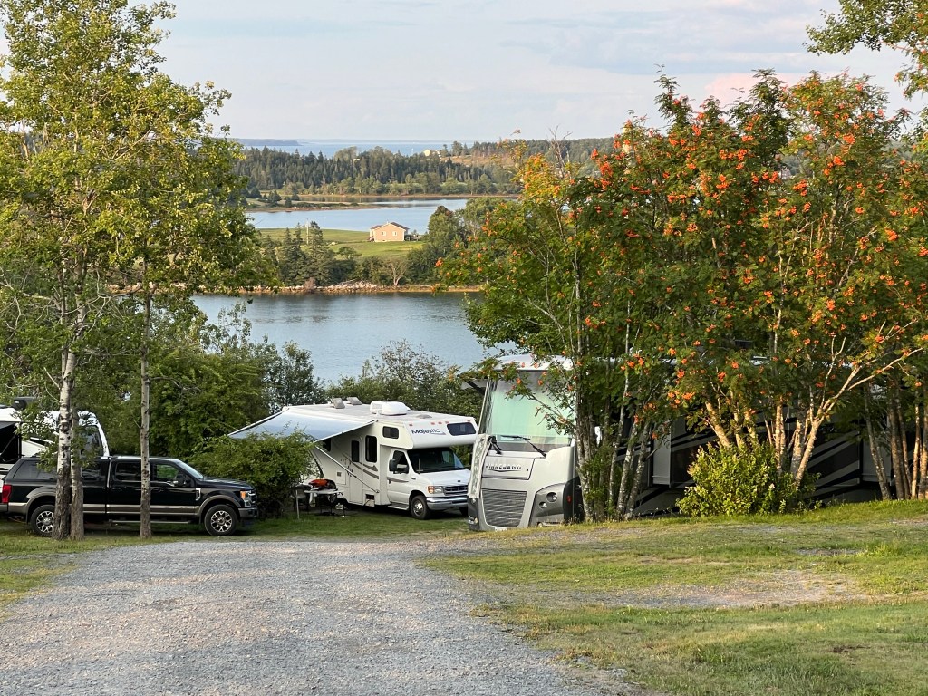
The campground sits on the top or side of a hill between the back bay…

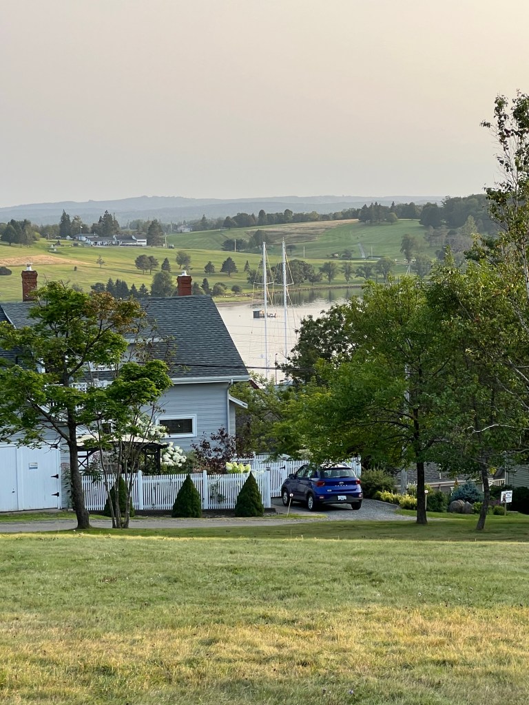
and the harbor.

This year we did try to do some new things. We played disc golf in this pretty park nearby.

We drove east out to this extremely narrow road past Blue Rocks.

We tried the Blue Rocks Common hiking trail.

It led across those blue rocks…

which were in places quite striking.

It had some pretty views.

We went as far as Matey would go.

But the real attraction here remains the town itself.

It’s lovely old houses, many with “bump out” rooms above the doors.

The way everything has to fit on the hills.

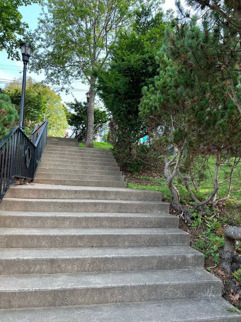
Come on in, if you don’t mind the climb. The stairs are just off to the left.

The central square lends itself to vistas,

but not to lawn bowling.

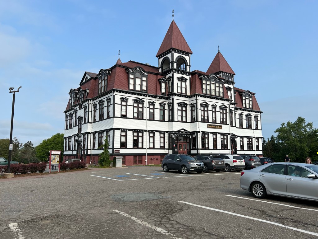
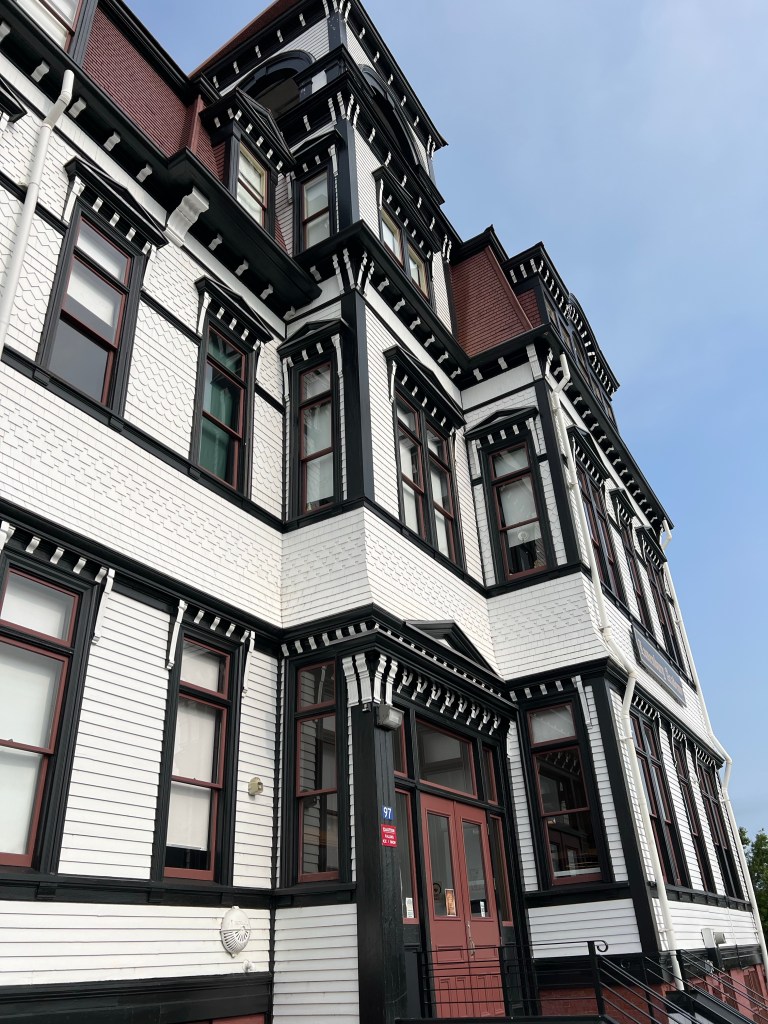
On the opposite hill from the campground sits the Lunenburg Academy. It is now the campus for a private English academy, a Music academy and a private primary school, but for many years it was the K-12 school for the town.

It got too expensive to maintain, you can imagine why.

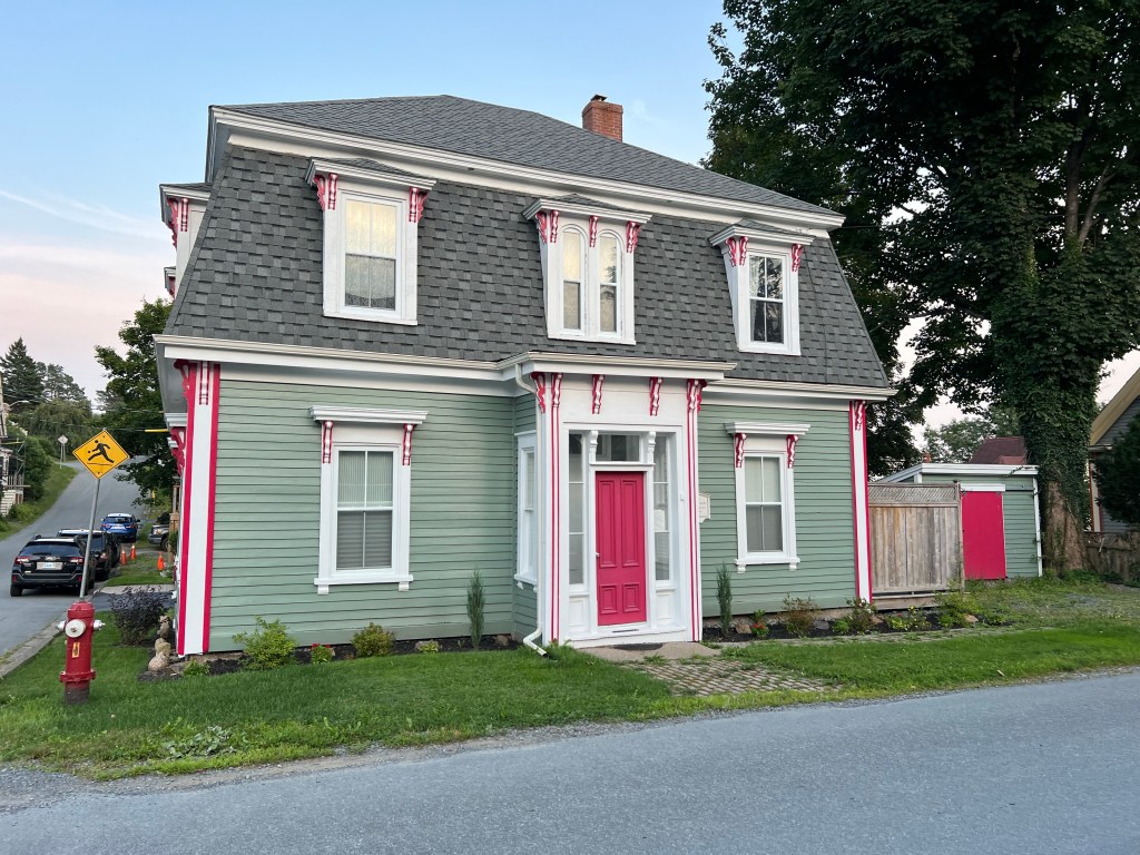
House painters have plenty of work here.

We walked the pretty hills…

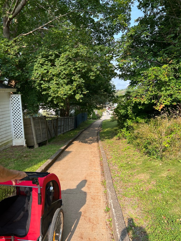
and back paths…

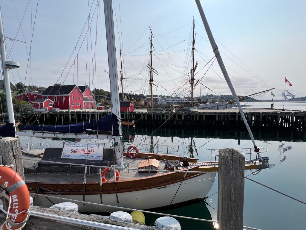
and eventually came back to the harbor.

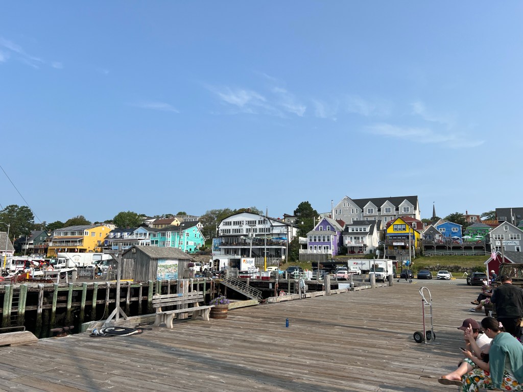
It’s a busy place…

and the heart of this unique and beautiful town.

Just a Stop, but Pretty Nice

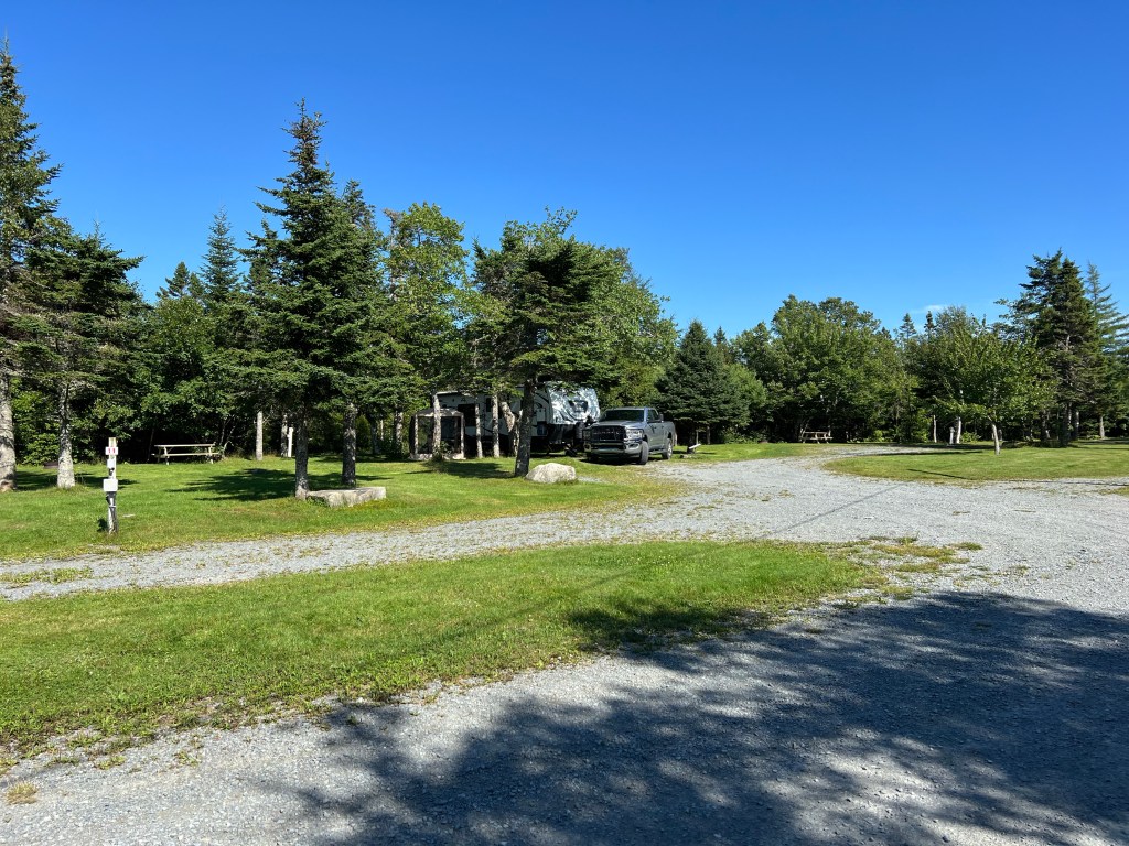
We’re headed south along the east coast of Nova Scotia. I booked us into a quick 2 night stop at Spry Bay Campground and Cabins. The front part of the campground is for transients, like us, and it was pretty empty.

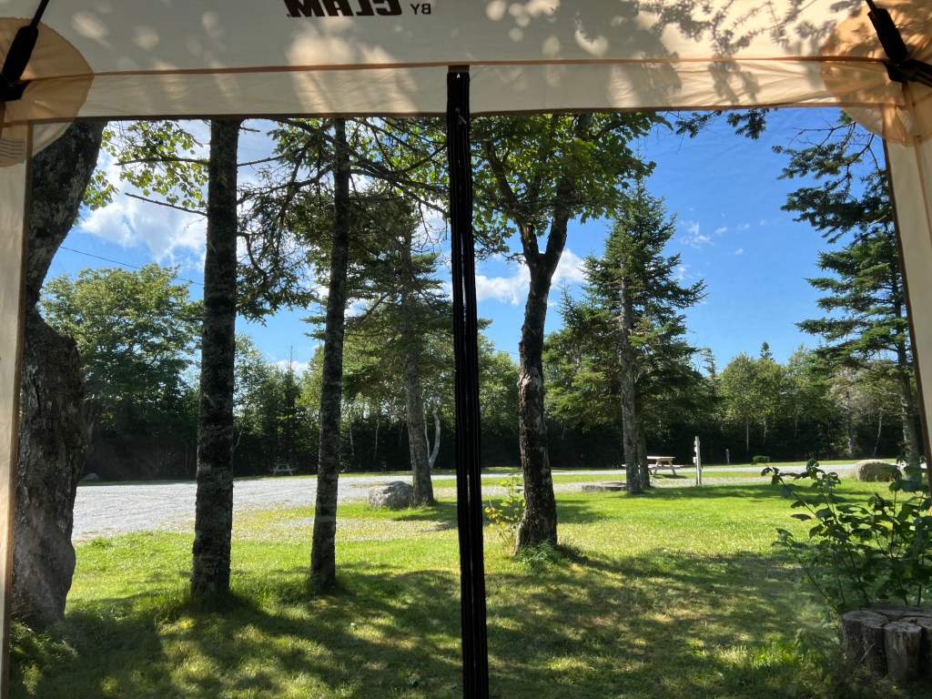
Matey and I had a nice view from the screen house.

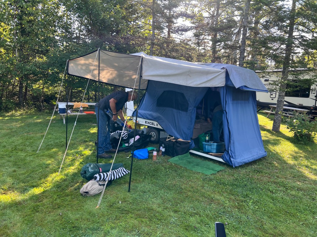
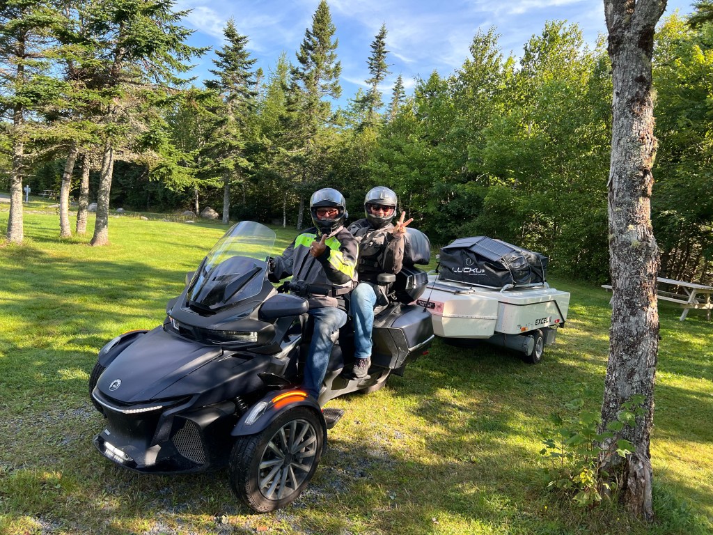
When we got back from our reconnaissance walk we found we had neighbors, Bob and Jodie, a really nice couple from Vancouver Island, British Columbia.

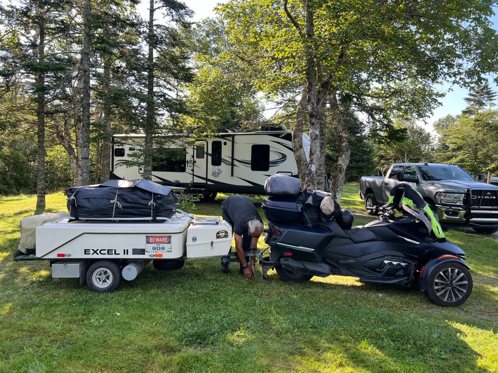
They were only here overnight and in the morning they packed up all their stuff, including a little refrigerator, a little generator, solar panels, camping equipment and a screen room into this tidy package…

and away they went on their Spyder. I was impressed.

I followed them out because I needed to do wash today and had found out that the laundromat here was out of service. The woman told me the closest one was 33 miles away in Head of Jeddore. So off I went to Danny’s Cafe and Laundromat. But when I got there it was Michelle’s Cafe and Laundromat and there was no laundry equipment. The nice young ladies assured me it would be in by September first. The next laundromat was another 23 miles.

But just before I got to Head of Jeddore I had passed the campground we stayed at in this area last year. I called them and for a dollar day use pass I could go in and use their laundry, so that’s what I did.

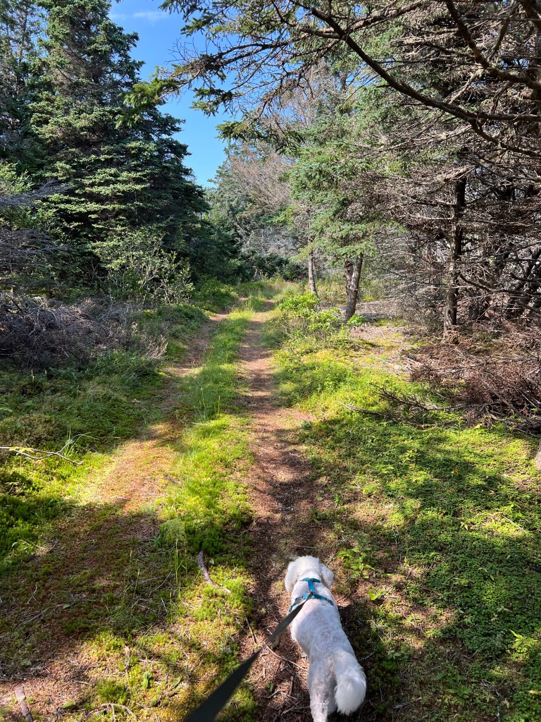
By time I got back and we put the laundry away and I had lunch it was three o’clock. I asked Bud if he would come walking with Matey and me at nearby Taylor’s Head Provincial Park. We were somewhat dismayed by the parking lot full of cars…probably 20 or so. We took off on a path through the woods…

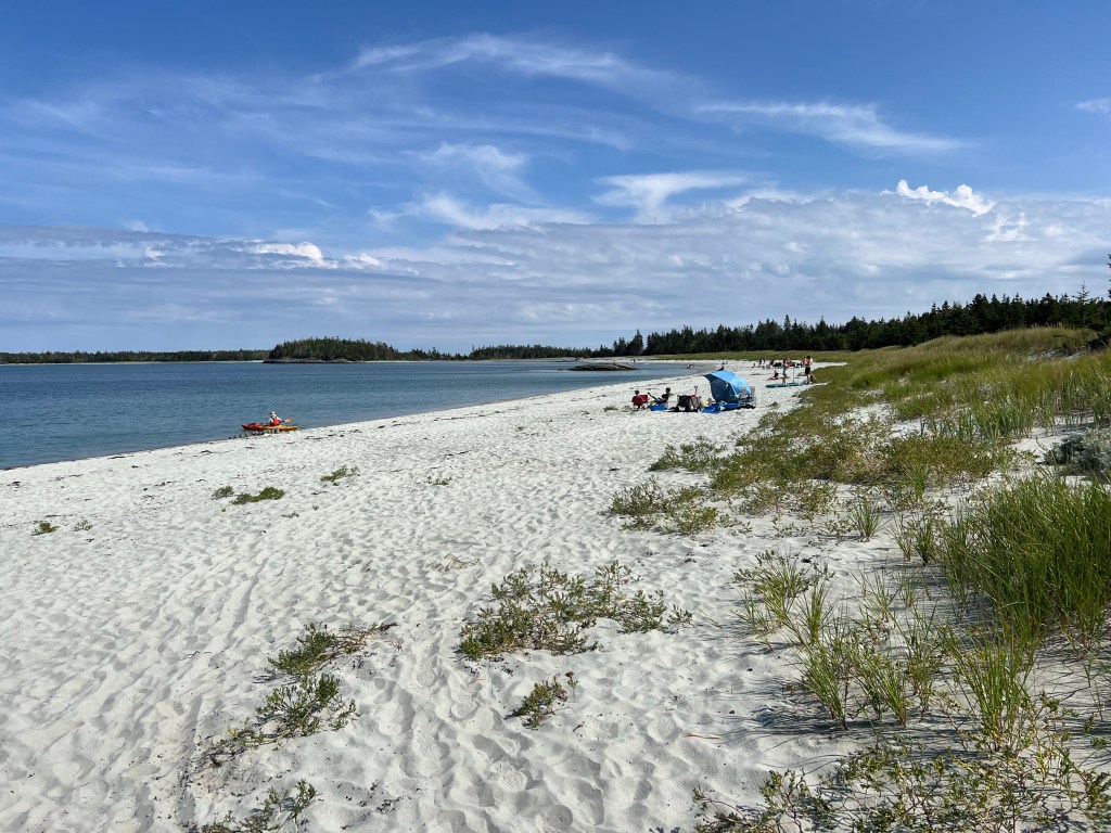
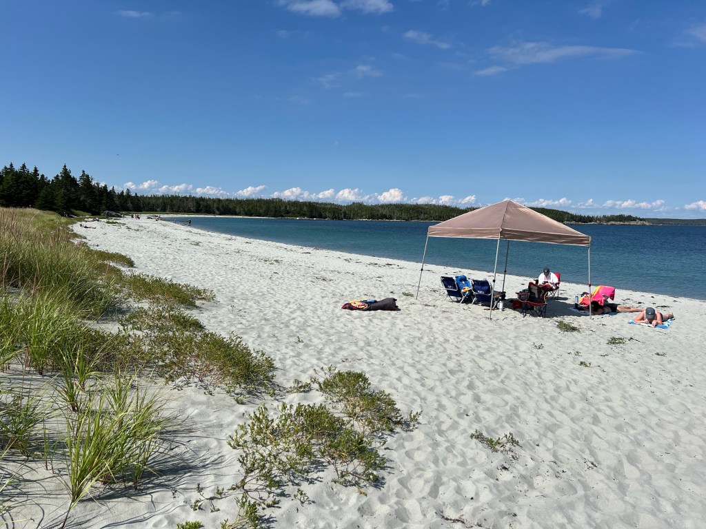
but it soon dumped us out on the crowded beach.

Well, yes, this seems crowded to us.

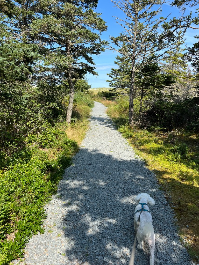
Anyway, we went back and found more trail through the woods.

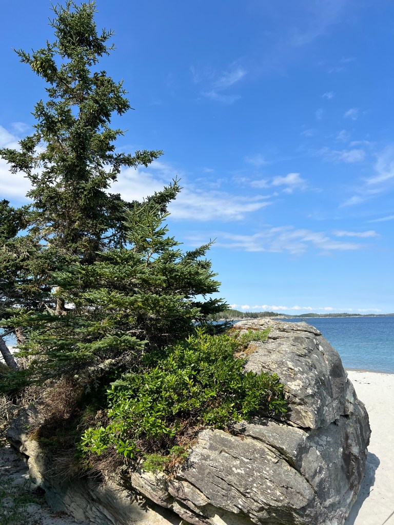
That ended at this big rock and we had to walk out on the beach.

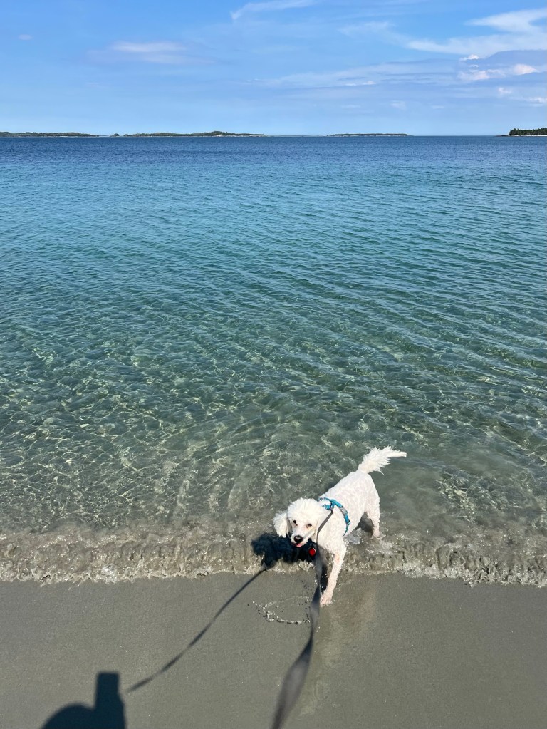
Matey doesn’t like walking in the sun, but wading in the ocean cooled him off when needed (it was about 72 degrees).

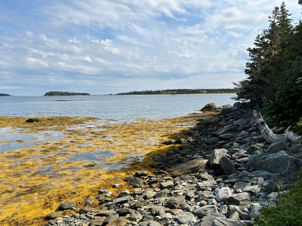
We walked down to this rocky place…

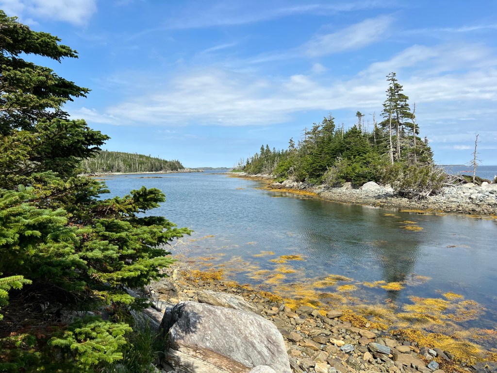
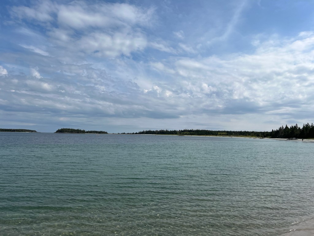
and I took a couple of pictures before we headed back.

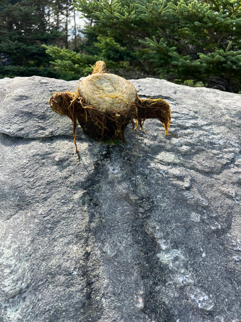
On the way off the beach Bud spotted this whale vertebrae that someone had found and put up on a rock. I think that’s seaweed growing on it.

So on the whole it was a good day. Now that we’re back in the camper it’s clouding over and may rain. Nice timing.