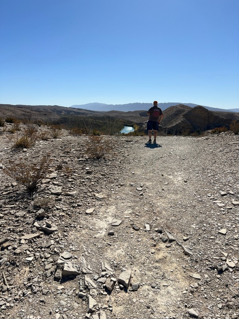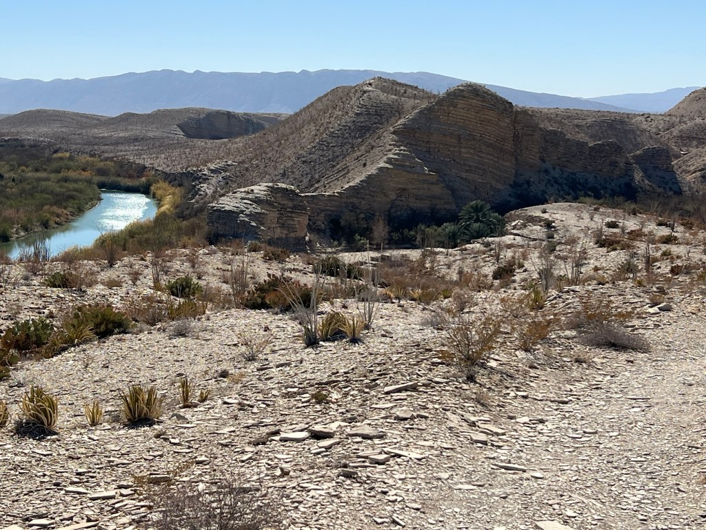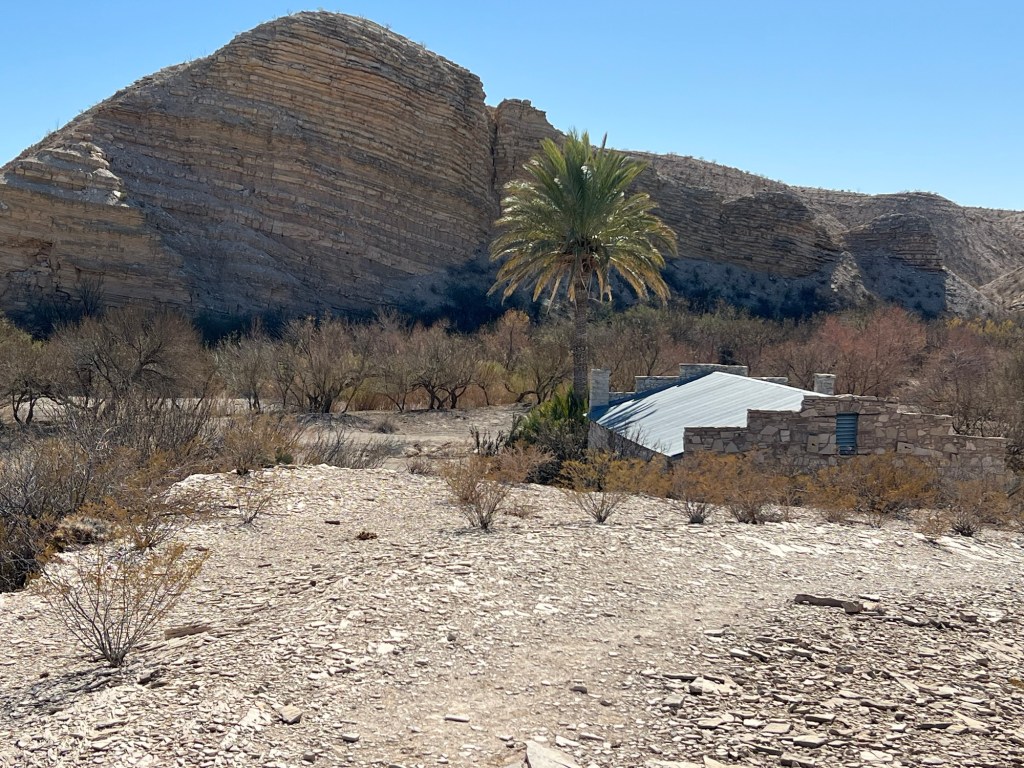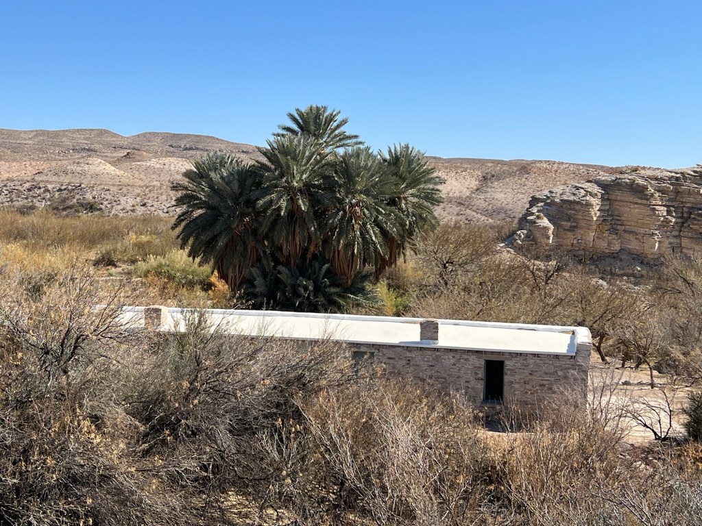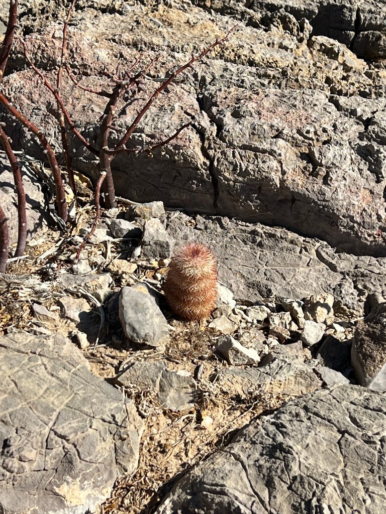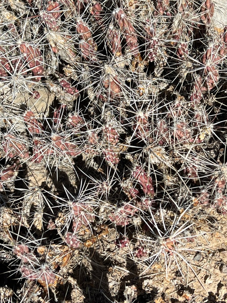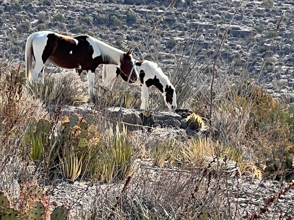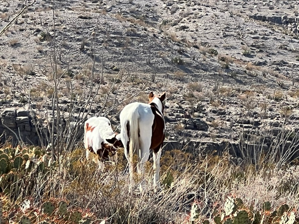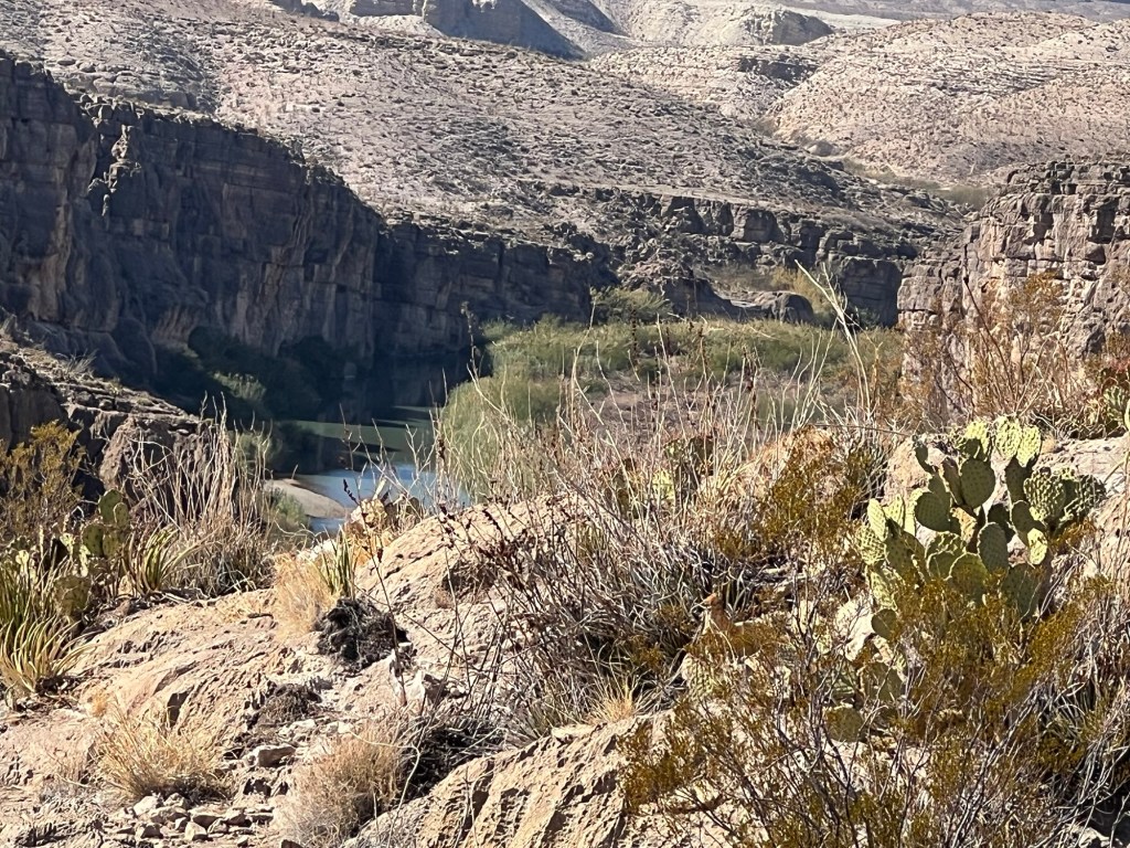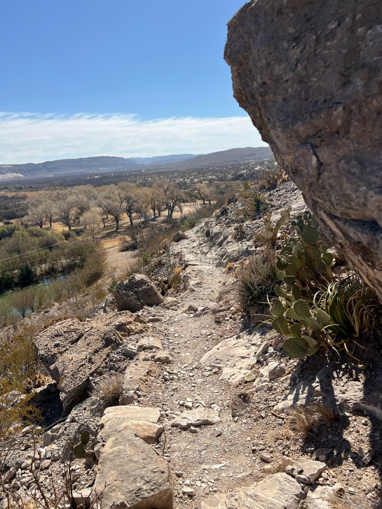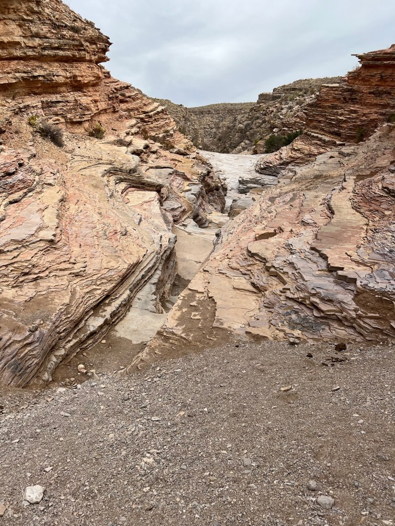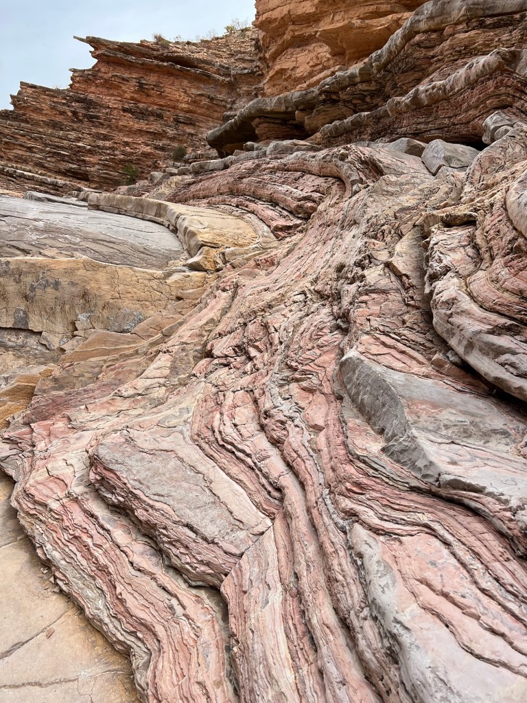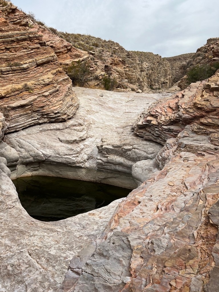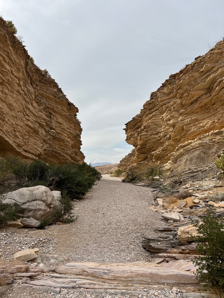
A Morning Walk and Campsite Visitors

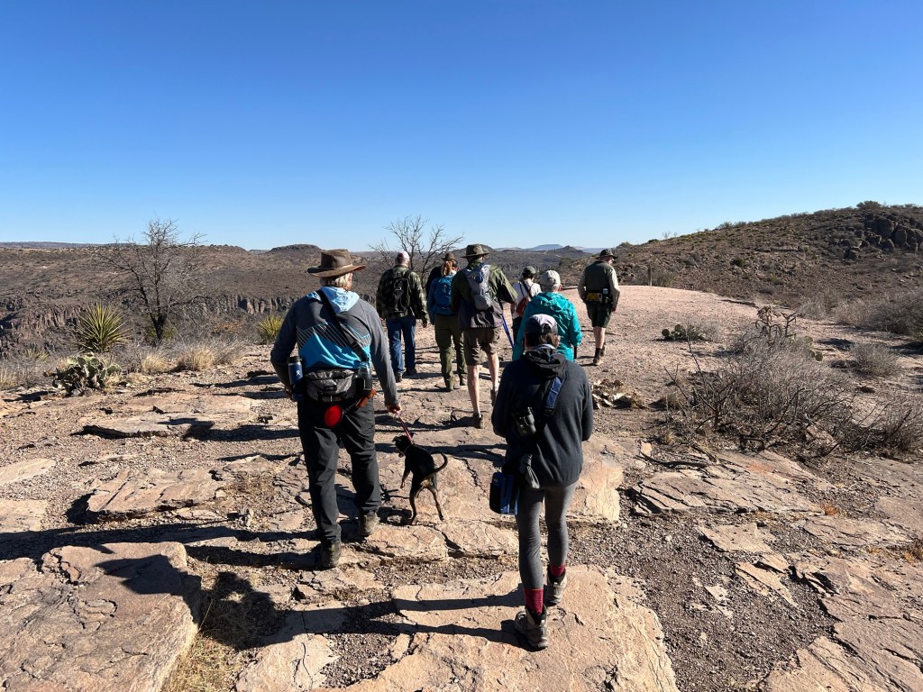
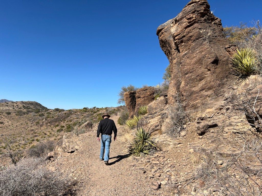
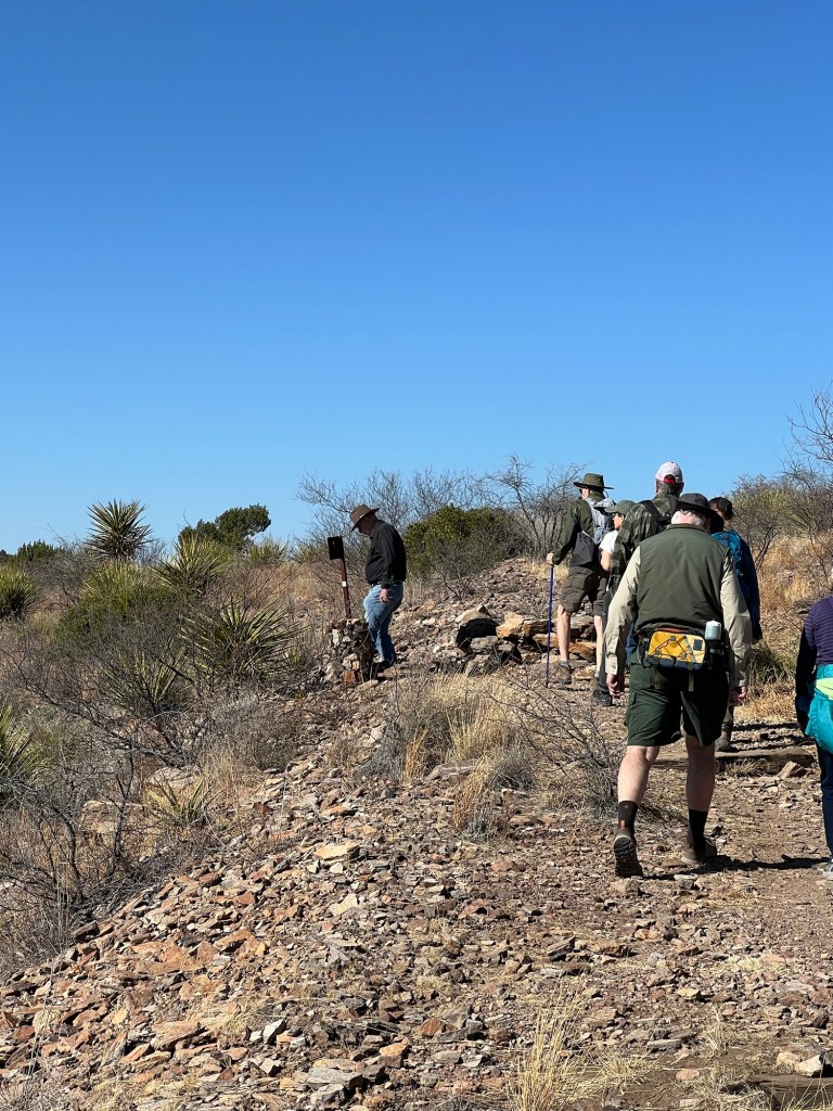
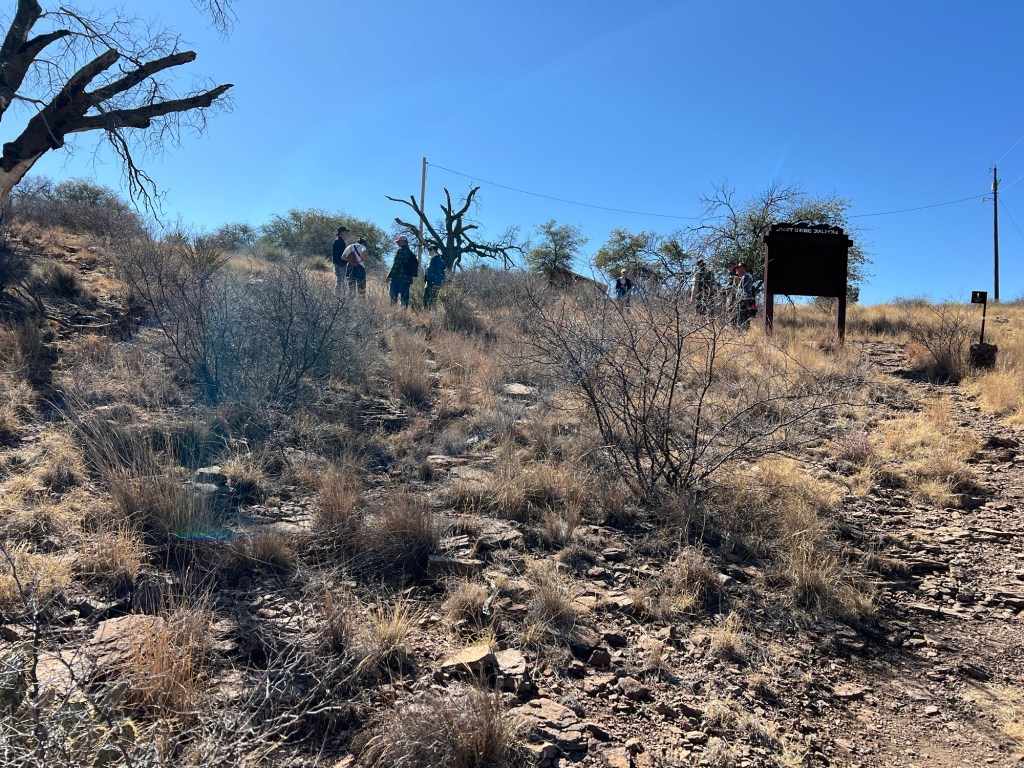
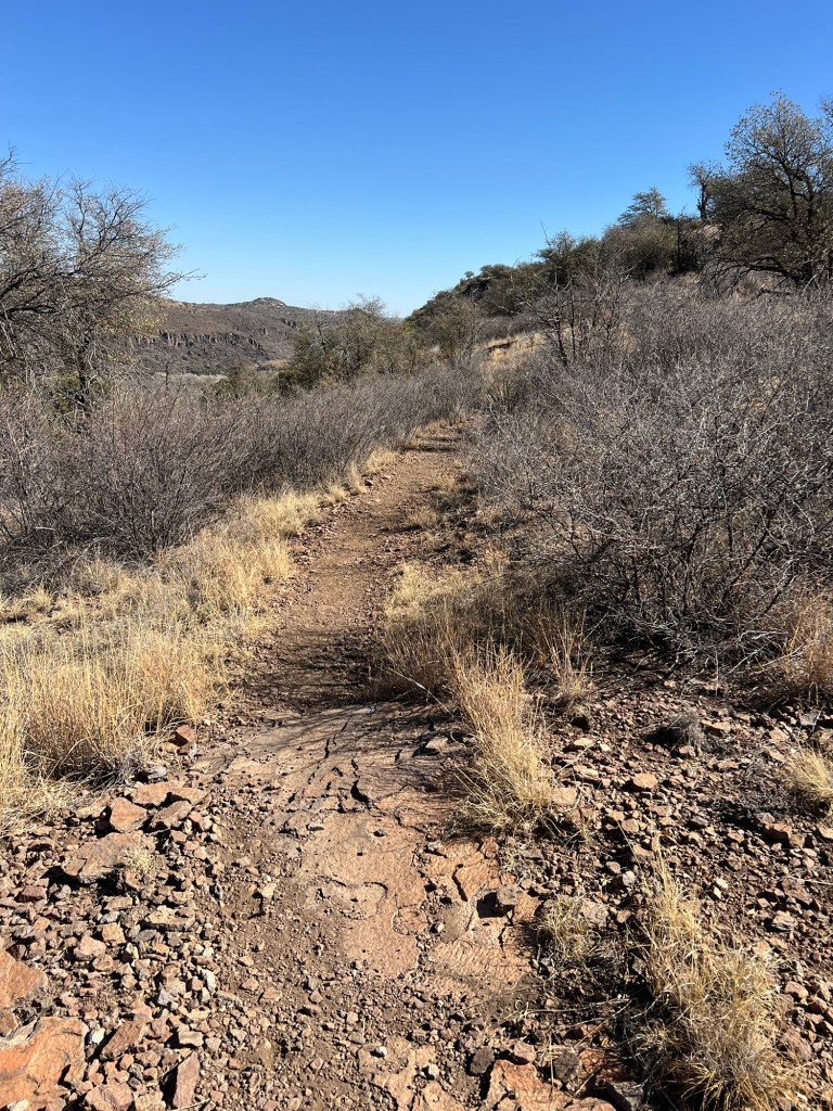
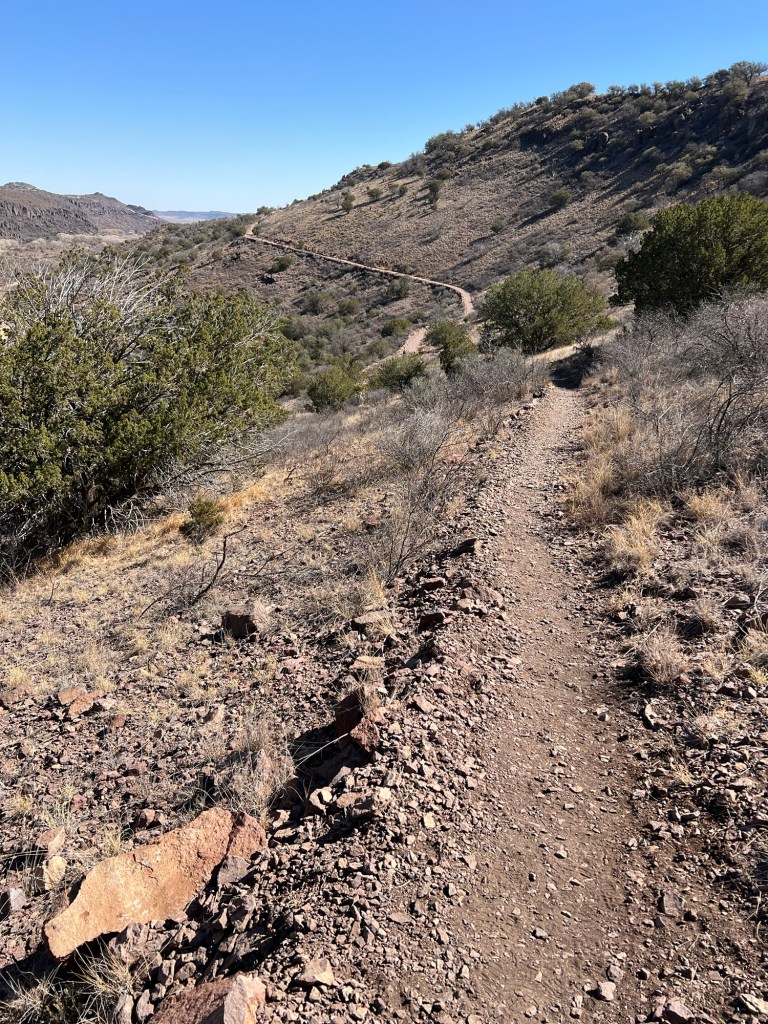
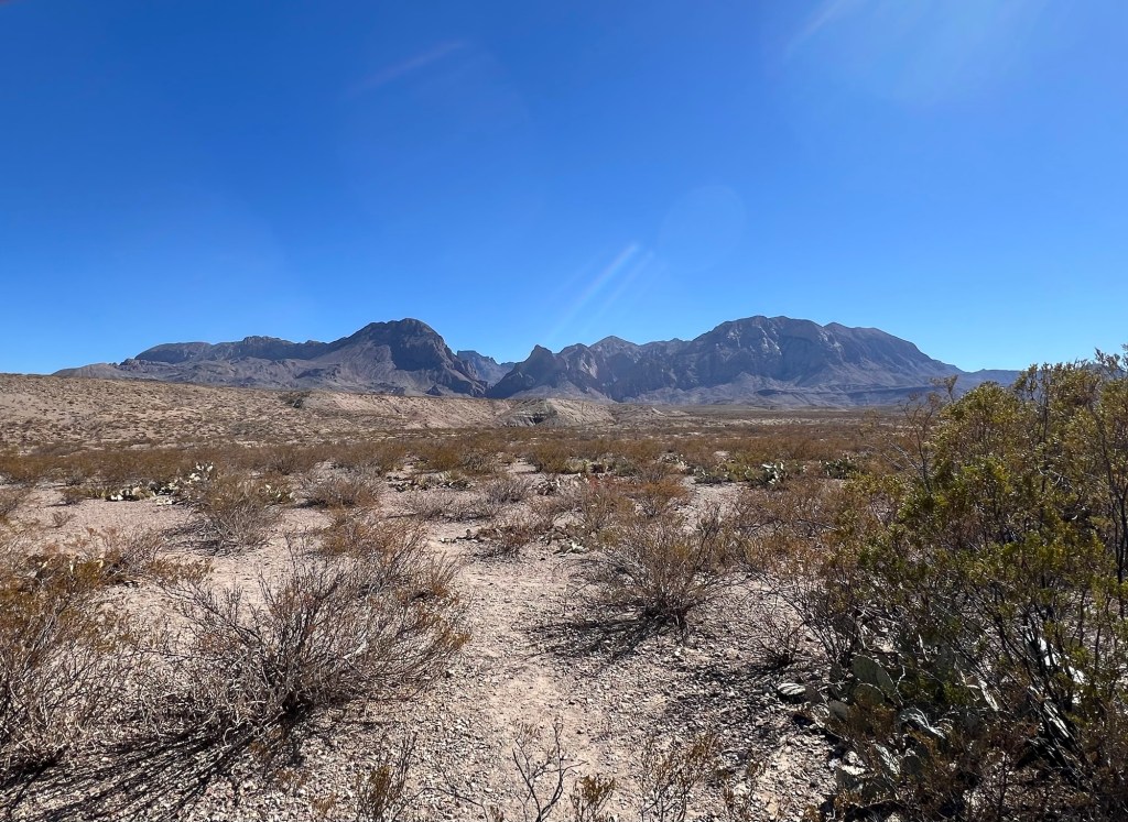
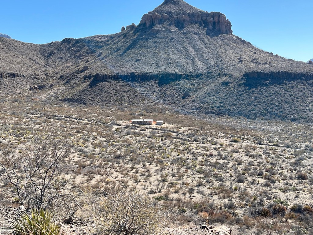
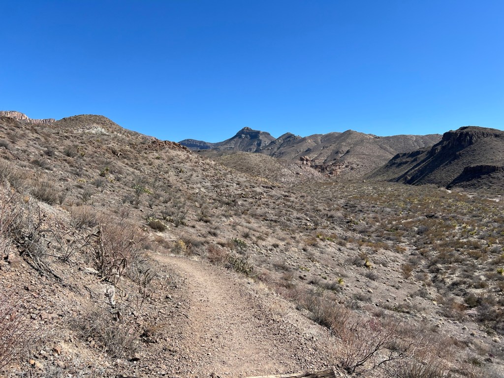
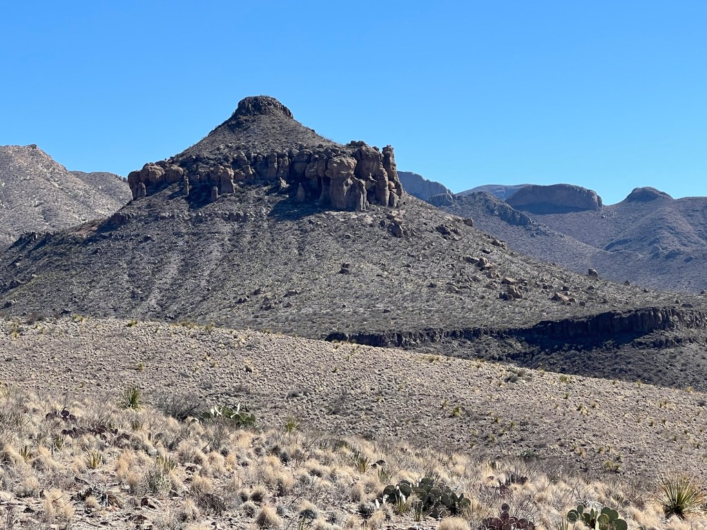
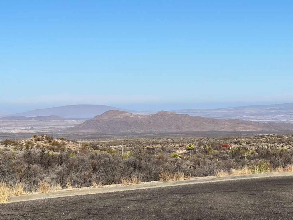
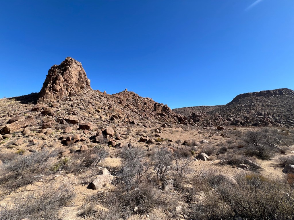
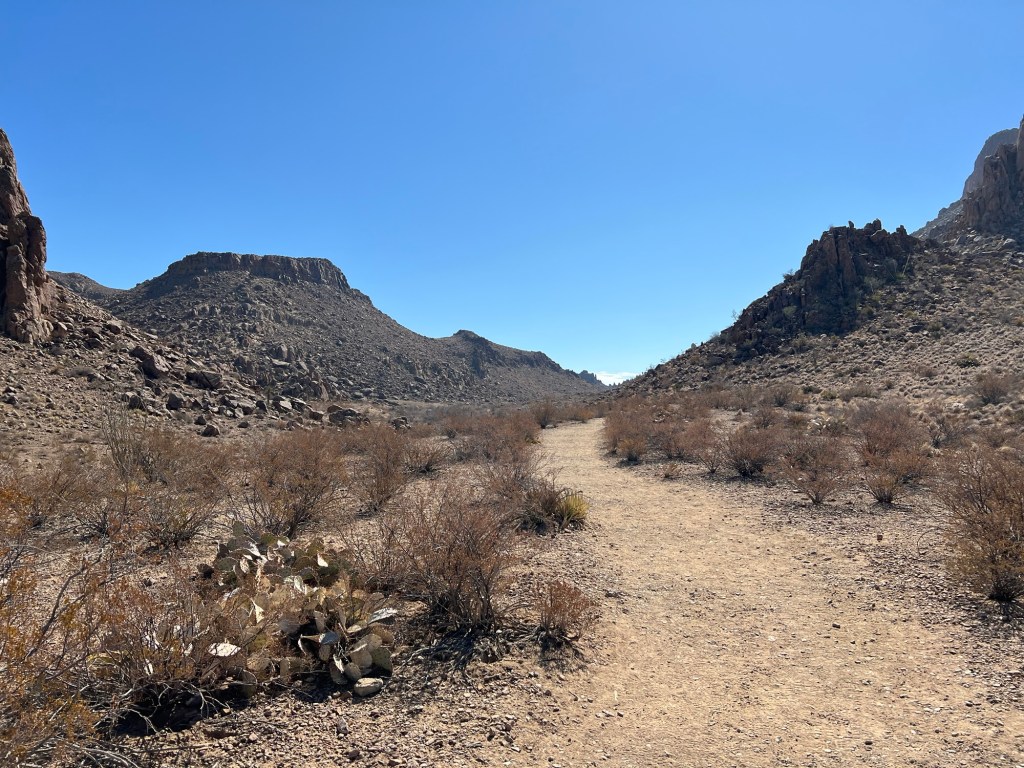
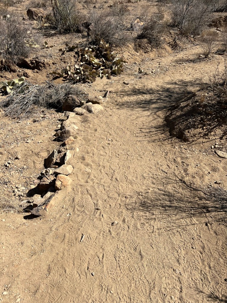
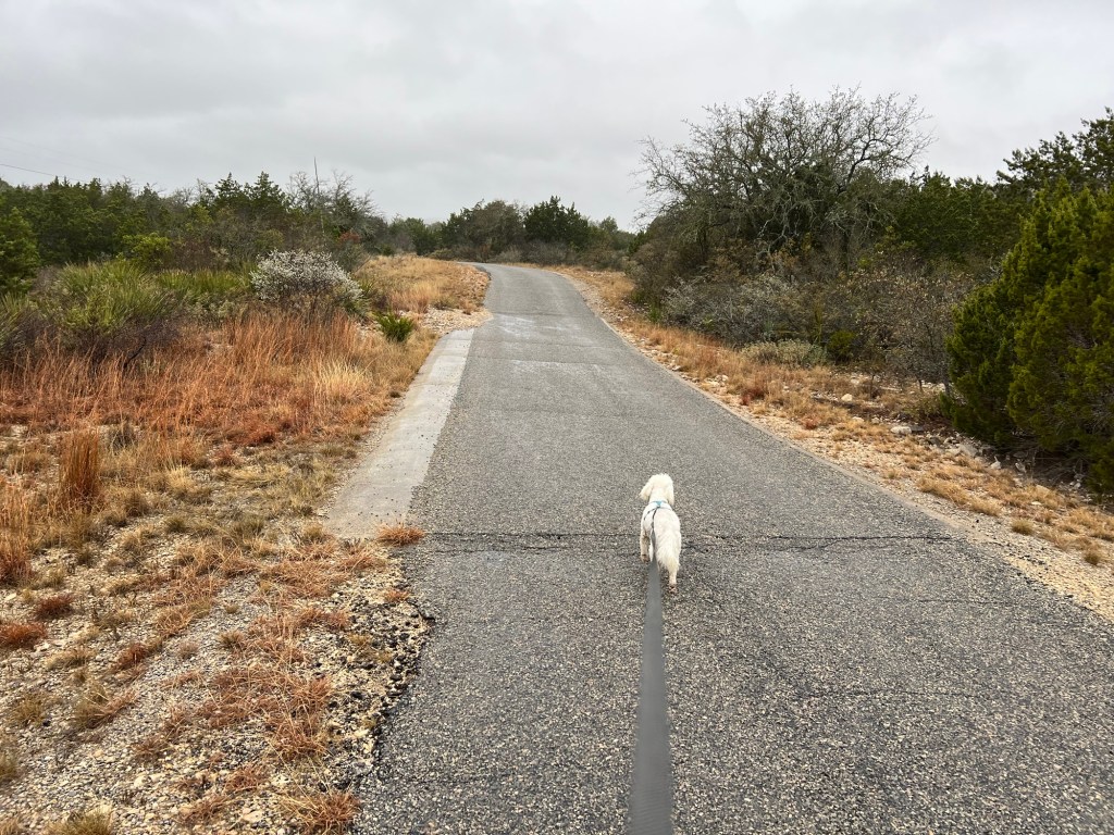
This morning I decided to take Matey to the top of Skyline Drive for our walk. It wasn’t yet forty degrees out, but that sun was so intense I just needed a lightweight jacket. We started at the CCC lookout where the guided walk had started. But we went down along the other side of the ridge, on the top part of the Old CCC Trail.
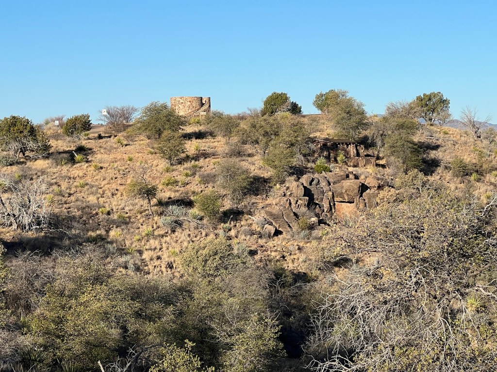
As we started down the trail we passed below an observation tower built by the CCC.
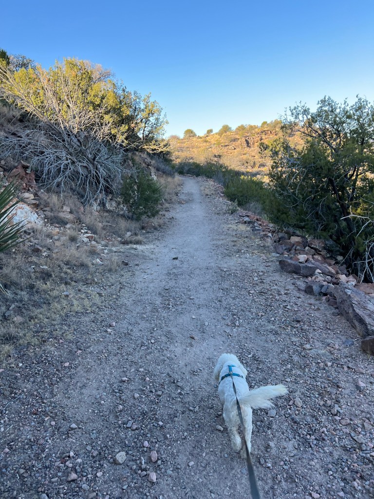
We walked about three-quarters of a mile to the connecting trail I had started on the other day. We went up that trail.
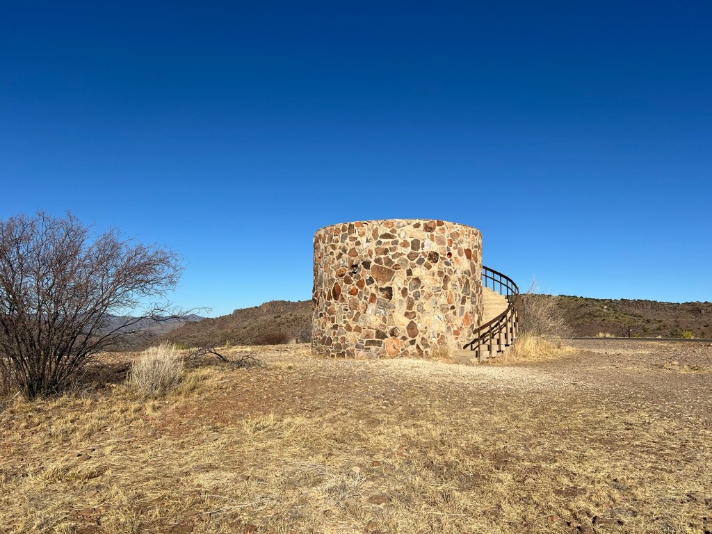
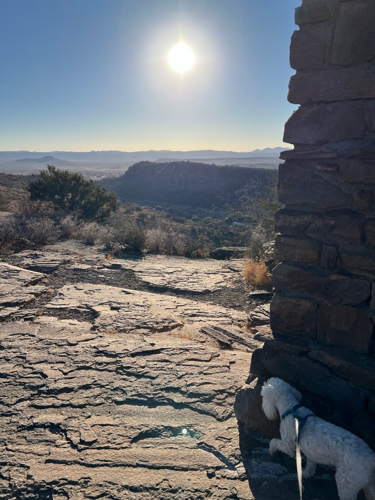
I was going to walk along the top portion of the Skyline trail, but we’d already walked over a mile so I turned back along the park road. That brought us to the observation tower.

Of course we had to go up. I took this 360 degree video standing in the center of the top of the observation tower. There is a lot of open land here, and we were the only ones up here enjoying it.
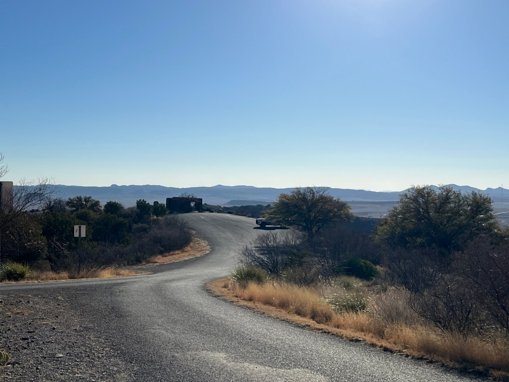
We walked back to the truck.
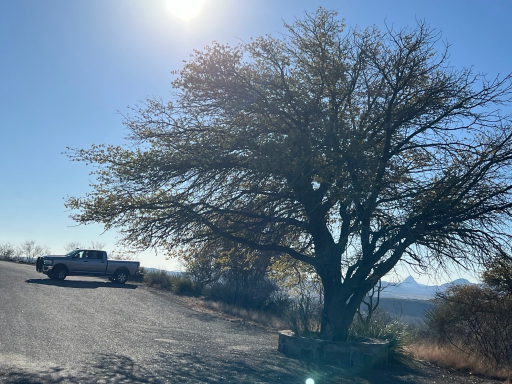
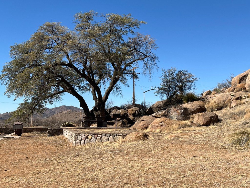
As we got close I noticed the little wall built around this Emory oak. Since the wall was probably built by the CCC, it and the parking lot don’t seem to be hurting the tree.
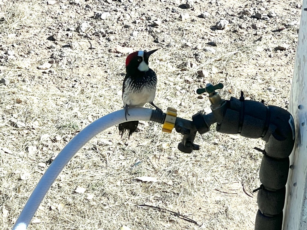
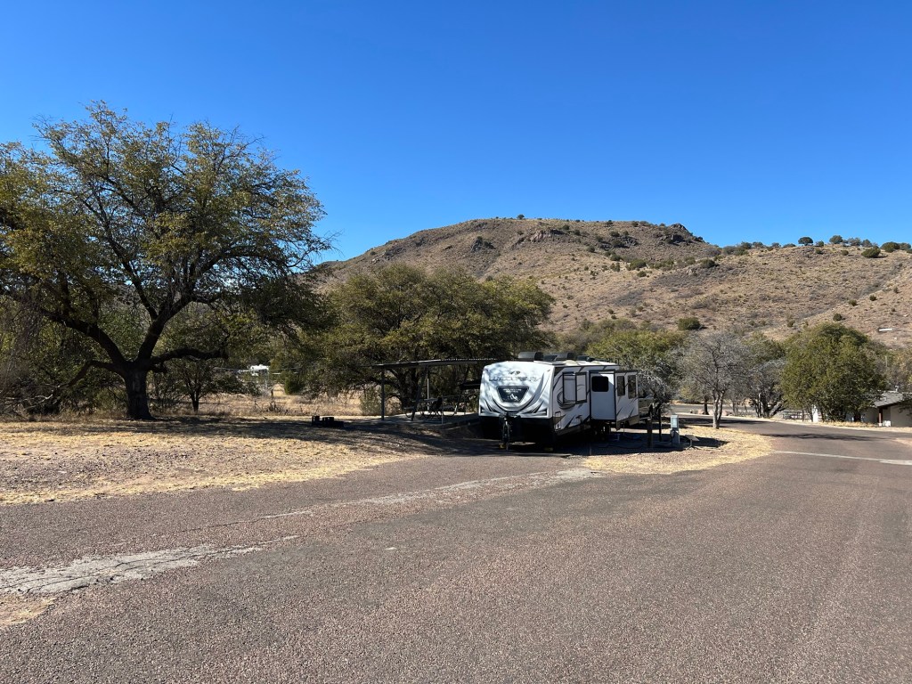
Back at the campsite we had acorn woodpeckers visit again. They are vividly black, white and red, but unfortunately our faucet was in the shade.
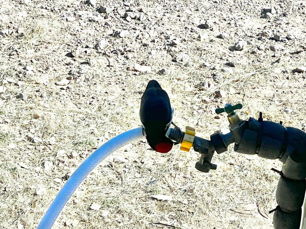
They come and get water from our hose. The hose is dripping about 10 drops a minute. Normally I would tighten it to stop the drip, but I don’t want to deprive the birds.
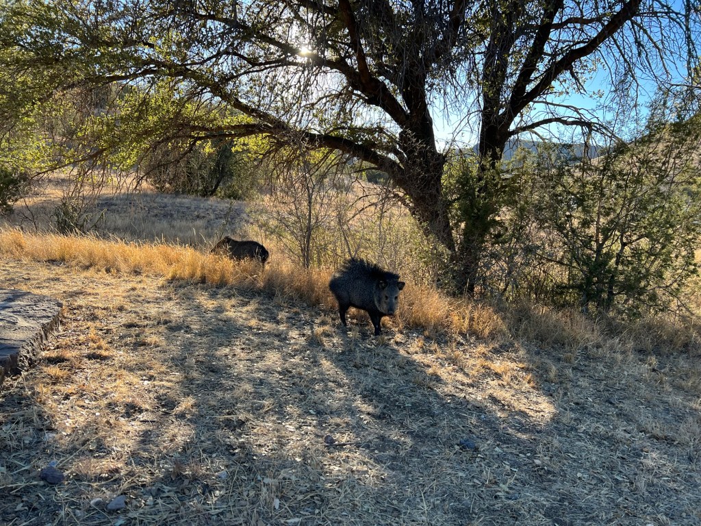
Yesterday afternoon we had three Javelinas visit.
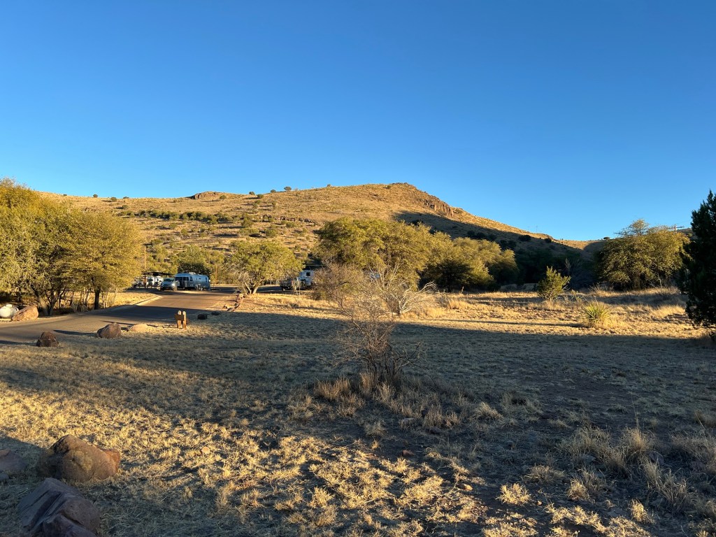
There is plenty of grass around on these hills, so I wondered what brought them so close.
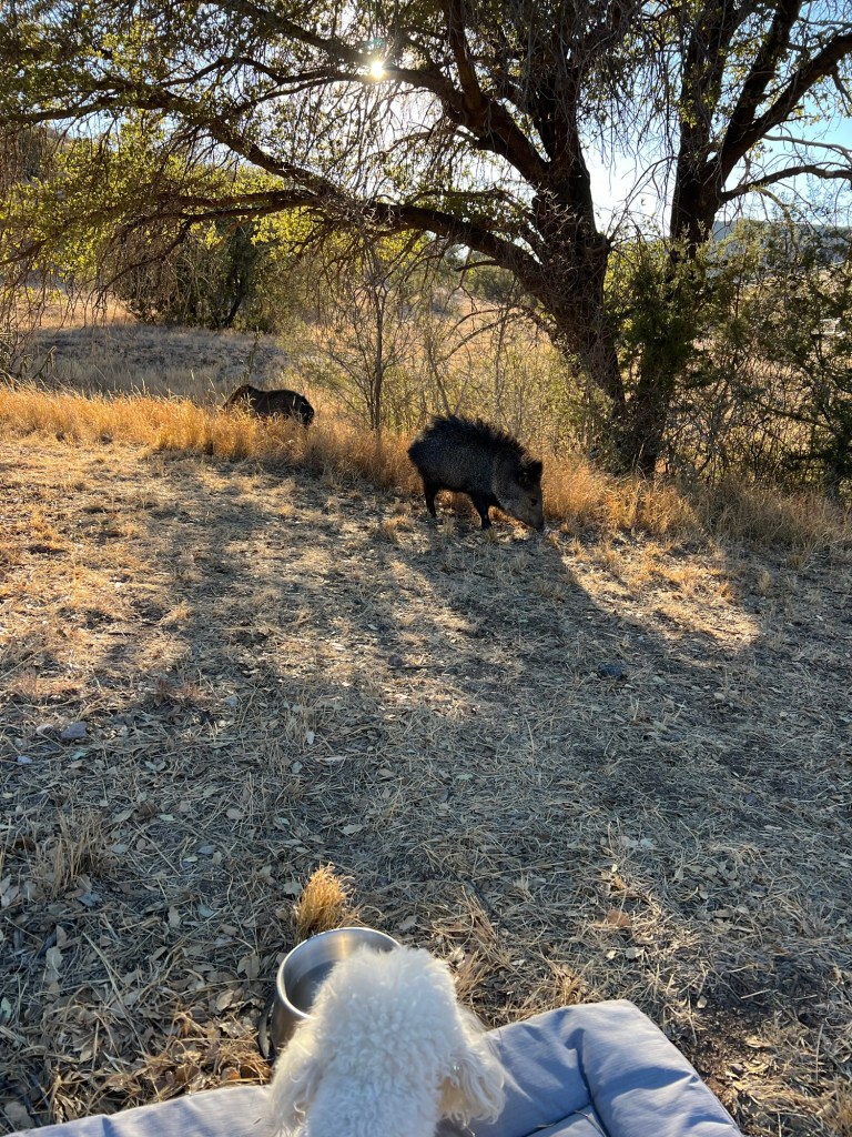
Perhaps it was Matey’s water. Bud reminded me that Javelinas attack dogs. Just then Matey lunged and barked. Happily the three retreated a couple of hundred feet. That was the end of our Javelina watching. I didn’t bring Matey’s water out today but our neighbors just told me they had one licking the grill on their fire pit. Matey will not be out unattended!
More of Davis Mountains

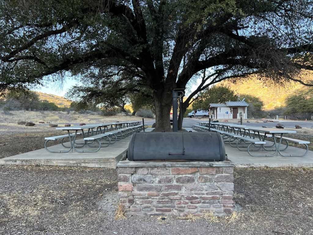
This morning Matey and I walked through the group picnic area. That’s a huge barbecue in front. They take barbecue seriously in Texas.

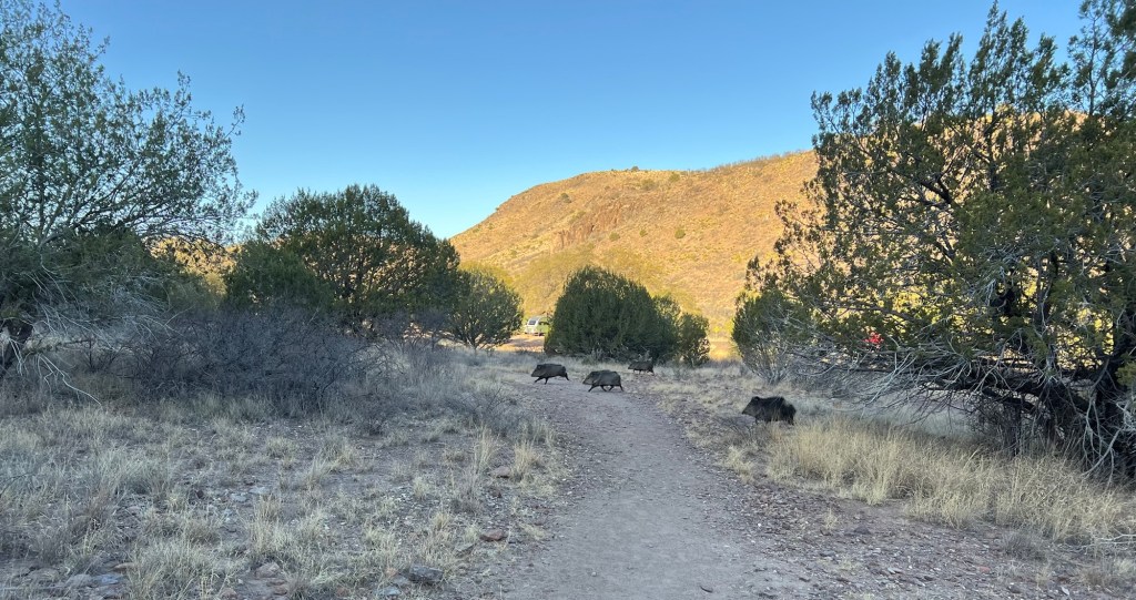
We looped up to the very end of the Old CCC Trail and then we saw these four javelinas. What fun. Matey and I were both excited.

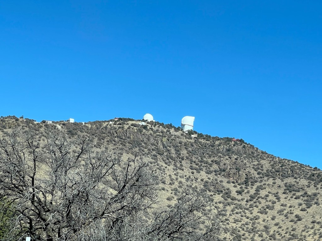
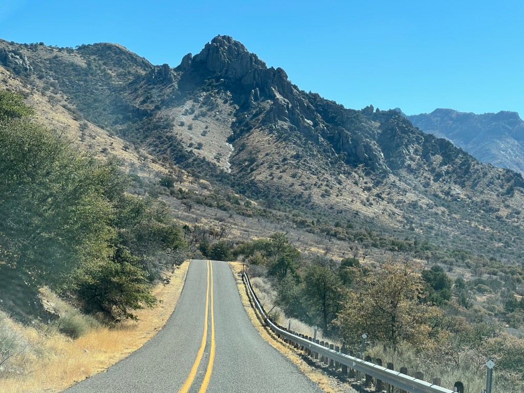
Yesterday the Master Naturalist recommended a drive through the Davis Mountains on Route 118, circling back around the south side of the mountains on Route 166, a distance of about 70 miles. Bud and I decided to try it, so we packed up a lunch and Matey and headed out. Unfortunately for the blog I got so absorbed in the scenery I forgot to take pictures for a while. I did take this shot of a couple of the telescopes at the McDonald Observatory.

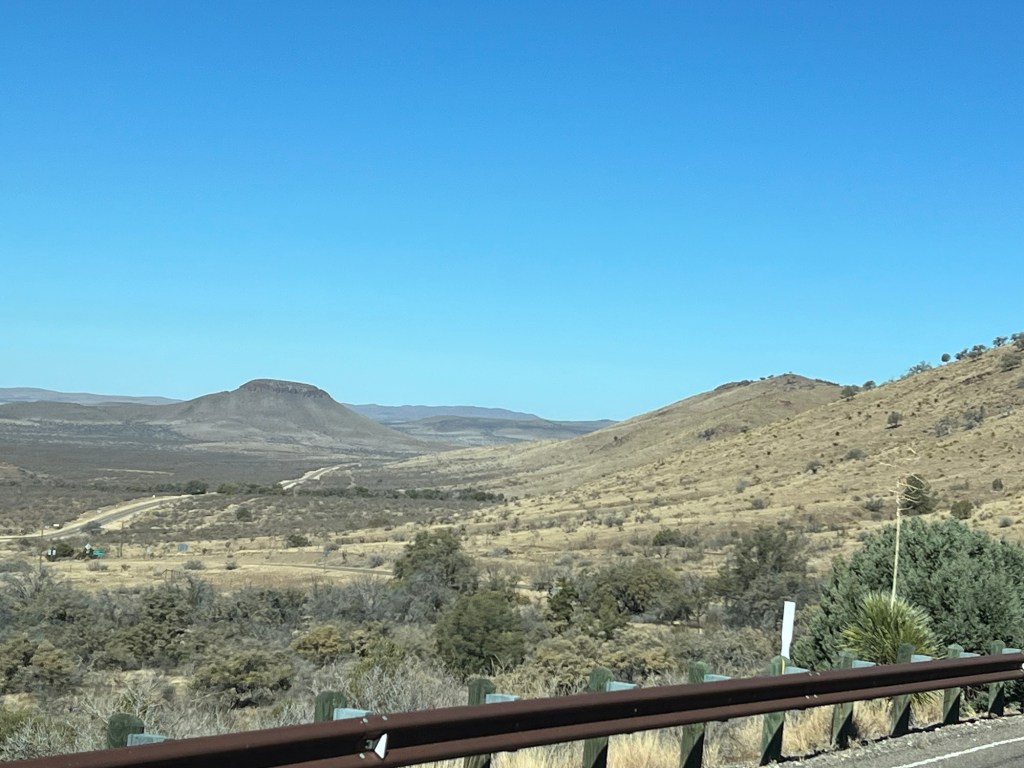
This is coming to the west side of the mountains where Route 118 meets Route 166.

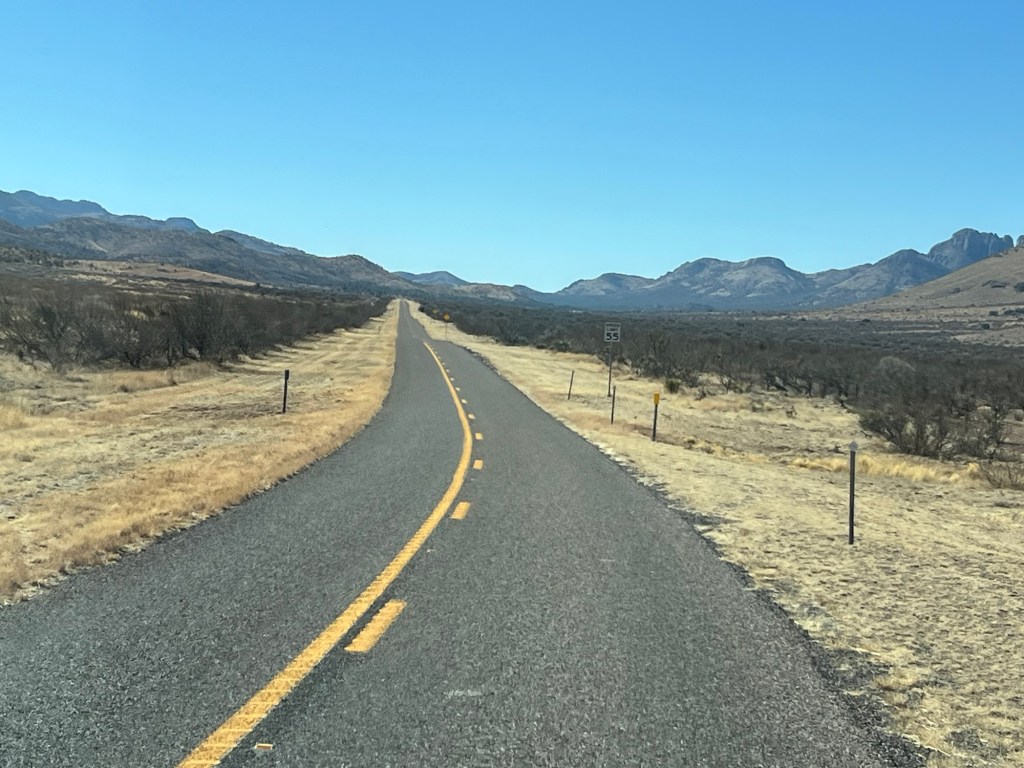
Since it skirted around the south side of the Davis Mountains I thought Route 166 wouldn’t be very pretty. I was wrong.

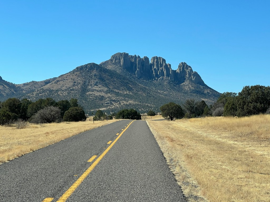
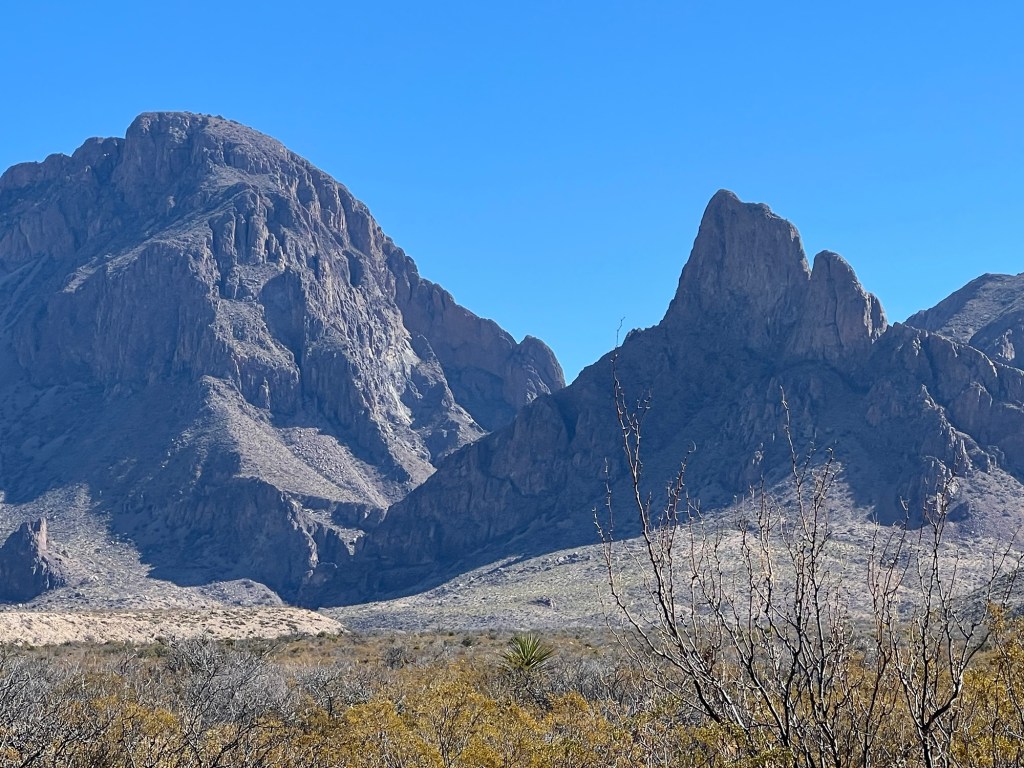
There were some dramatic peaks there,

and still some winding road,

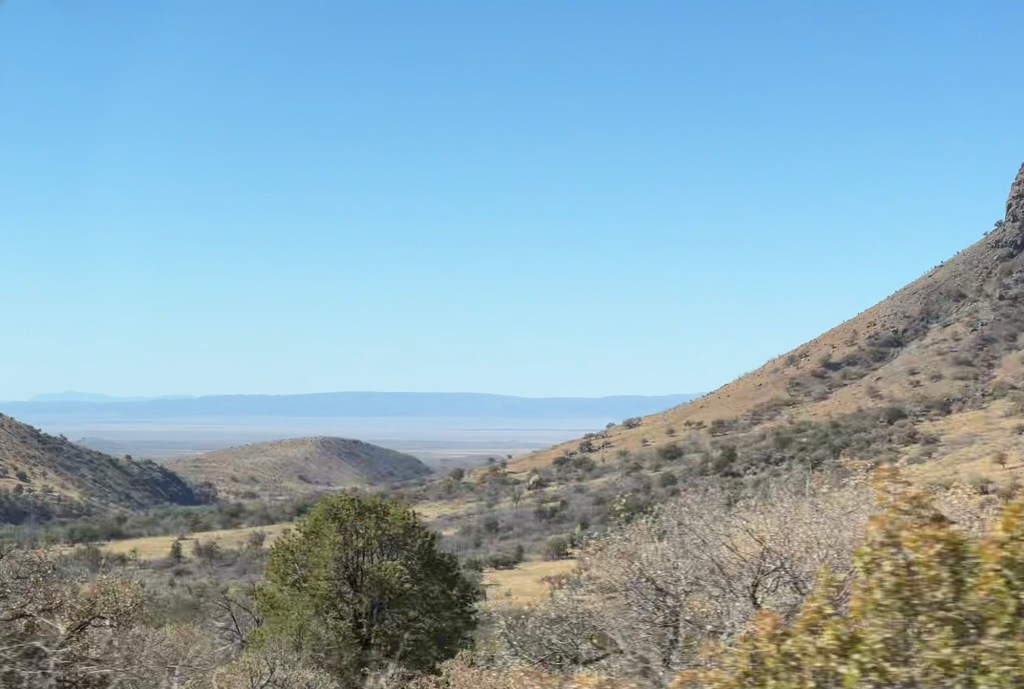
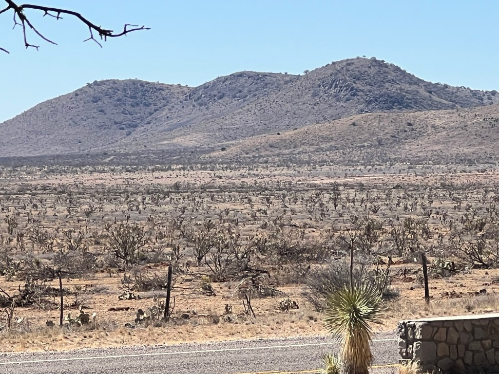
as well as desert vistas.

We lucked out and found a nice picnic area to stop for lunch.

It was under the end of a rocky ridge.

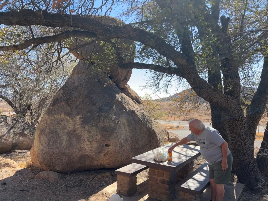
We chose this shady table as our lunch spot.

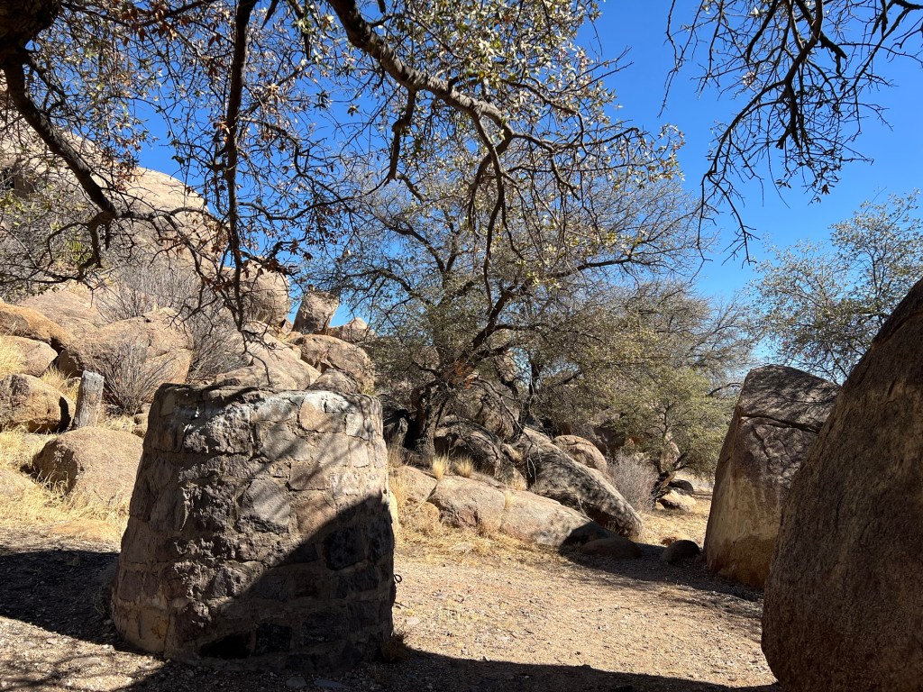
The sites had these stone structures. They looked like huge stone grills, but they were cemented shut.

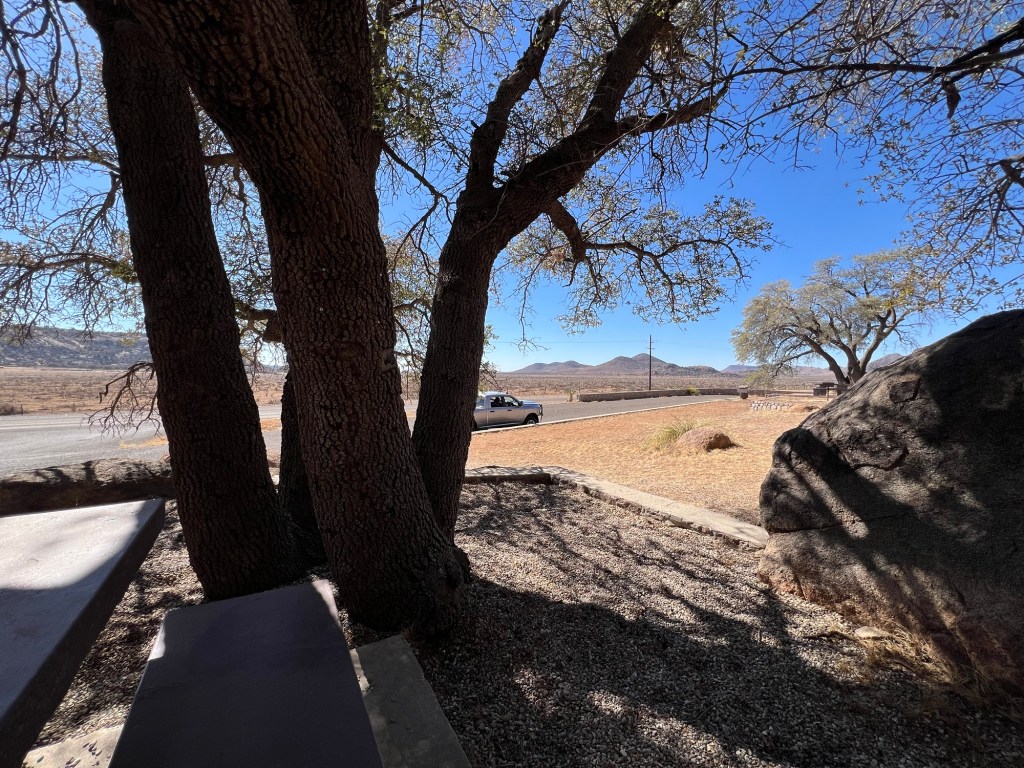
So no grills, but nice surroundings.

As I sat in that lovely spot and looked out at the harsh desert I realized again that people didn’t live out there,

they lived here.

A Great Hike in Davis Mountains State Park

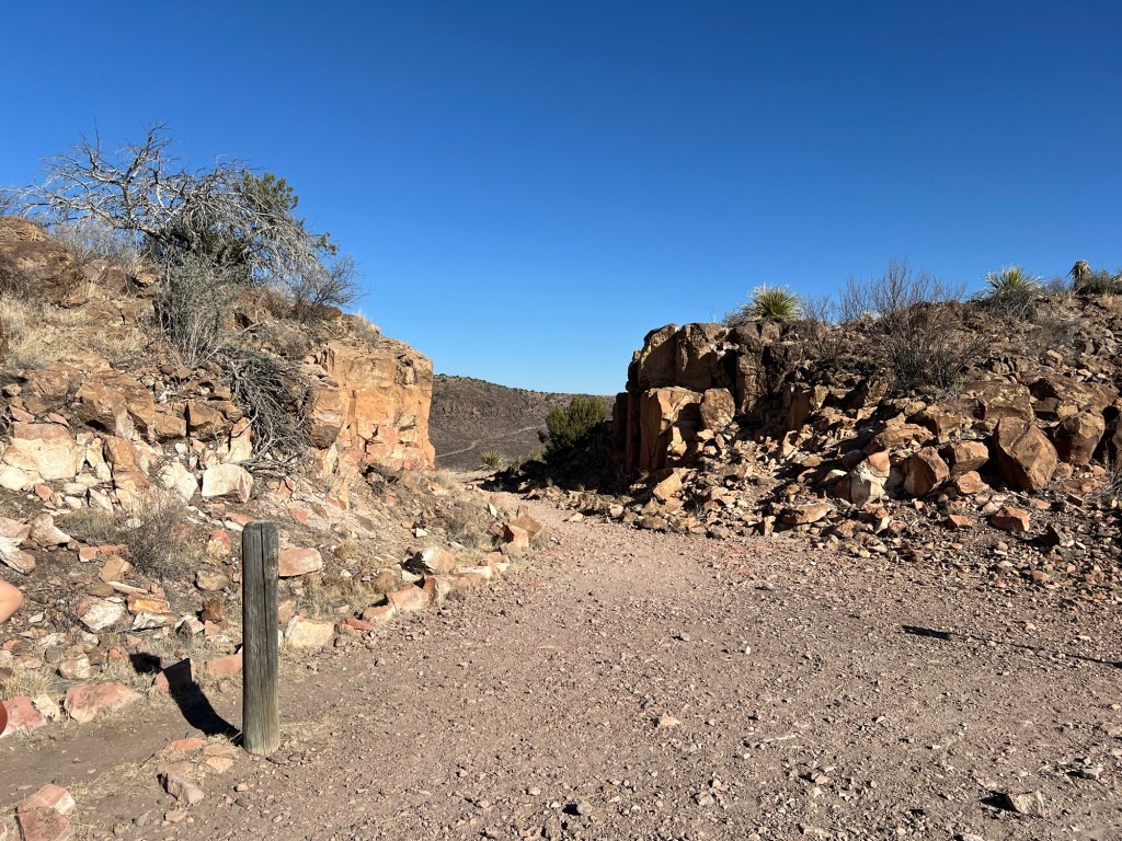
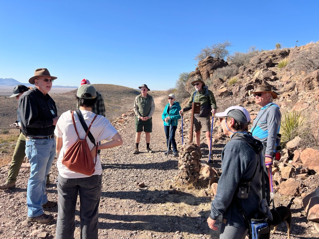
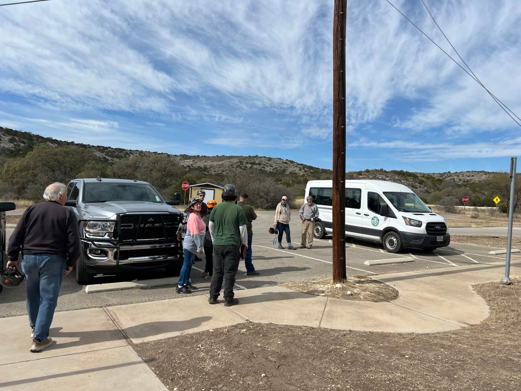
I saw a flyer for a hike with a Master Naturalist. Bud doesn’t like group things but said he’d be happy to take me to the top of Skyline Drive where we were to meet. I decided if the Old CCC Trail was open (it was being repaired the last time we were here) I would be able to walk back down it to the campground. It was open, so at a bit after 10 AM I took off with the group and Bud and Matey returned to the camper.

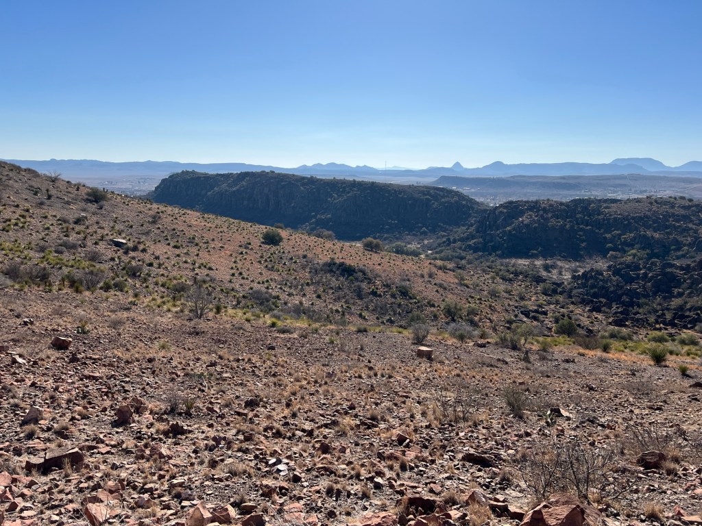
There’s a nice view to the east from our starting point.

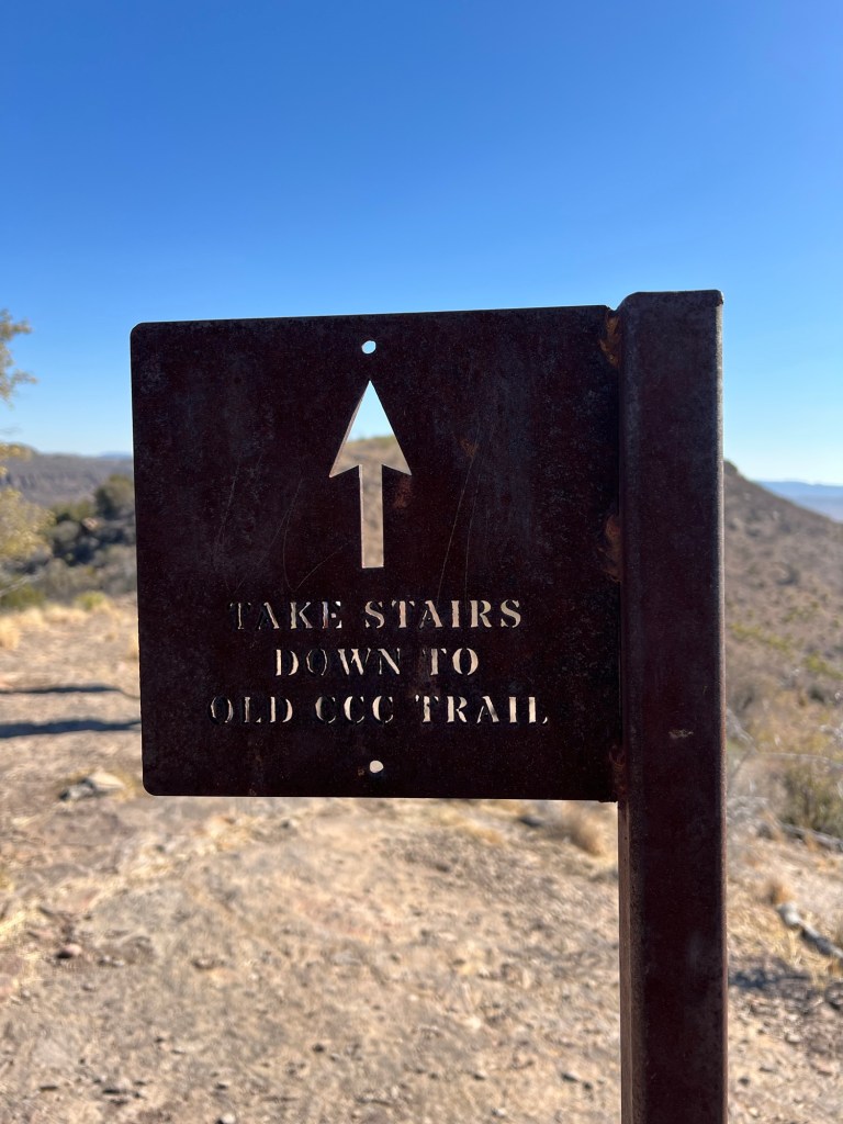
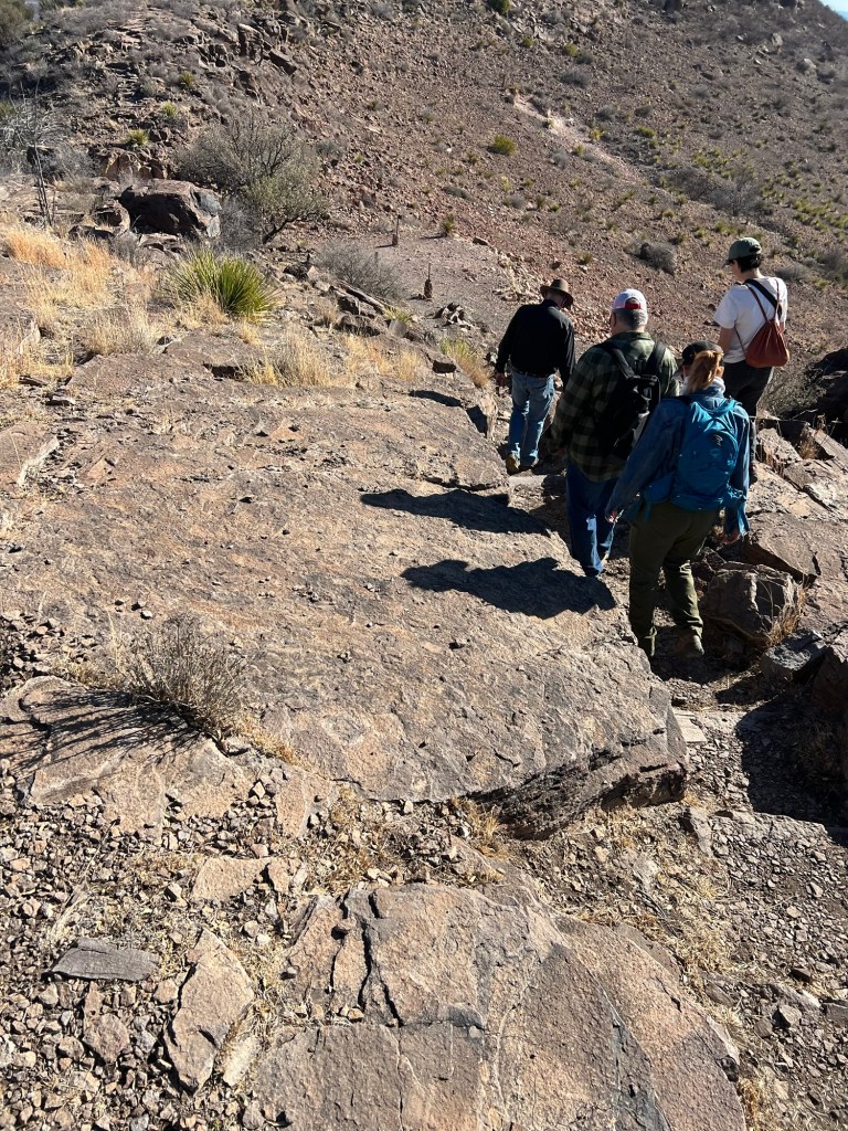
The first thing we encountered were these stairs.

The CCC must have cut them into the rock.

The Old CCC trail goes that way…

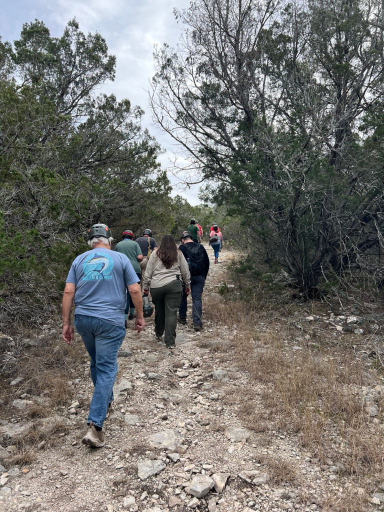
but we were heading down the other side of the ridge on the Skyline Trail. We walked slowly, with plenty of time to learn about the geology and ecology of the area.

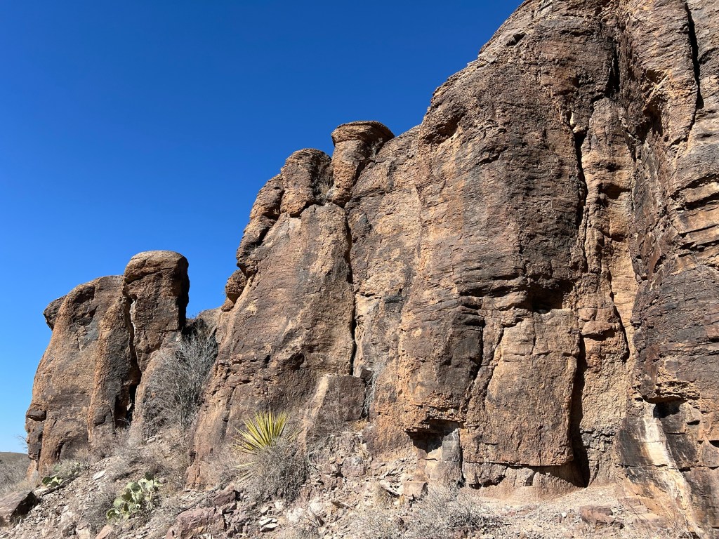
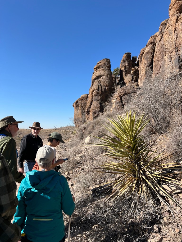
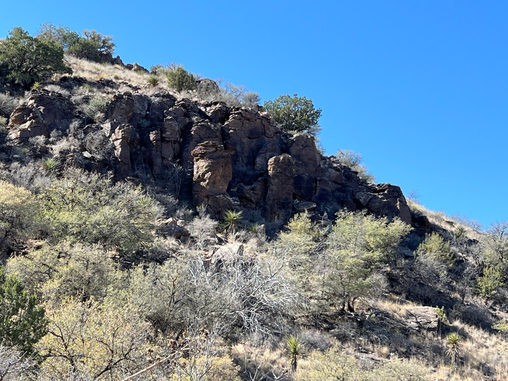
These mountains, like many of the ranges in this part of the country, resulted from volcanic activity because the Pacific tectonic plate is moving under another plate here. A fault let the magma explode upward millions of years ago. The magma here cooled quickly and formed rhyolite, a very fine grained, very hard rock. Granite is also an igneous rock composed of cooled magma, but granite cooled slowly beneath a covering of crust, and is courser grained and easy to work. You don’t find rhyolite countertops!
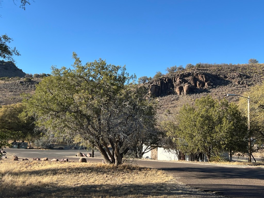
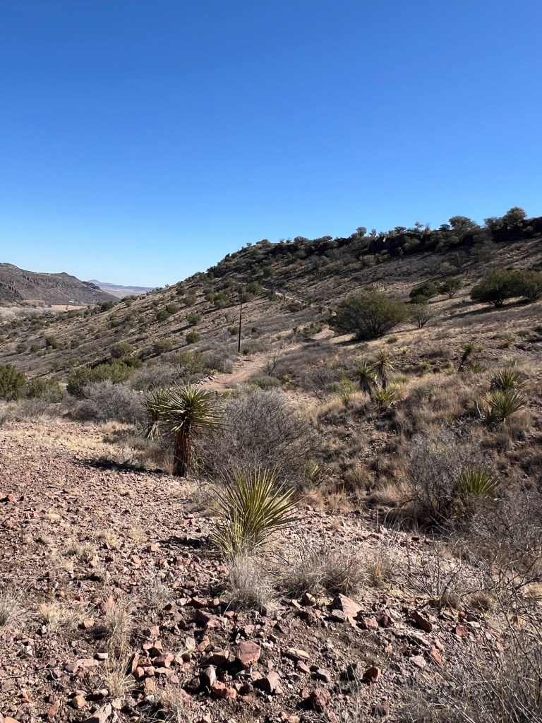
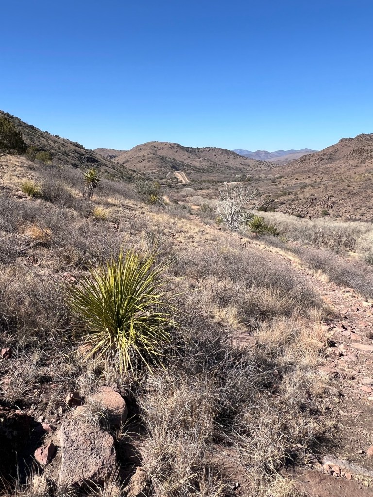
Yucca, which we are looking at here, also grows on the desert floor, but like the Chisos Mountains in Big Bend, the Davis Mountains have a cooler, wetter, climate than the desert below and support grasses.

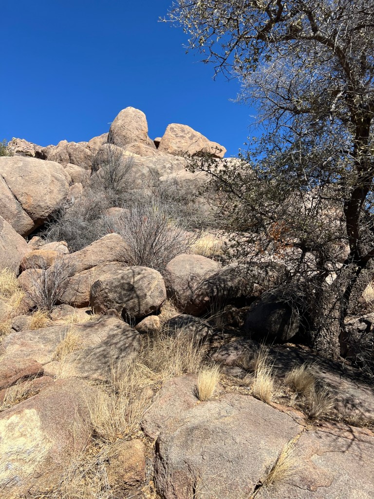
There used to be bighorn sheep here but they died out. In the 1950’s aoudads, or Barbary sheep were introduced in West Texas and have done very well. They tried to reintroduce the bighorn sheep but the aoudads are twice their size, so the bighorns couldn’t make it. We saw a herd of aoudads but they were too far away for me to get a picture, so you get to see another nice rock.

Altogether we walked and talked about a mile and a quarter.

Then they were going to return along the park road to the parking lot.

I chose to take this connecting trail down to the old CCC trail.

That’s the Old CCC Trail coming down from the edge of the ridge where we started.

When I got to where I could see to the west I saw just how far I had to go. The piece of road you can see going up the hillside in the distance is the park entrance. I needed to go a ways past that.

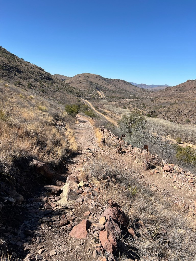
The walking got easier when I joined the Old CCC Trail.

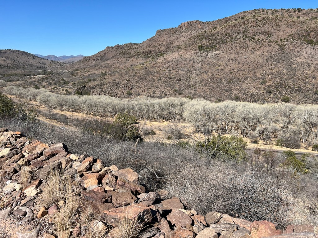
Now I was walking on an old road bed slanting gently down towards Limpia Creek, below. It’s still lined with cottonwoods, here leafless in winter, but it no longer flows above ground year round as it once did. Our guide said that was most likely because there are enough wells to have lowered the water table. Now there’s water but it’s most often underground.

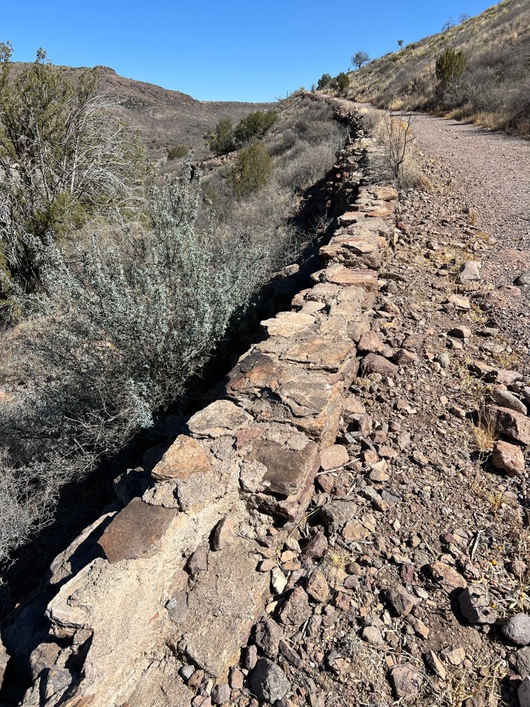
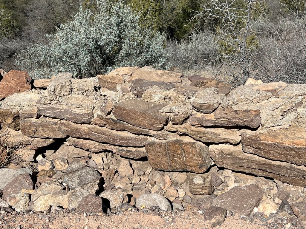
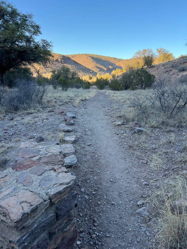
You can tell this was CCC work by the stone walls.

Our guide told us we’d notice that the structures here had a lot of mortar. That’s because they were built with rhyolite and it can’t be cut to fit like other stone.

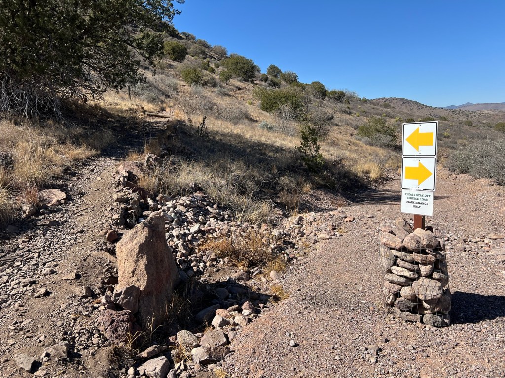
The other park ranger that was walking with us advised me to keep to the left on the foot trail and not take the old roadbed all the way down to the highway.

Not much chance of missing that.

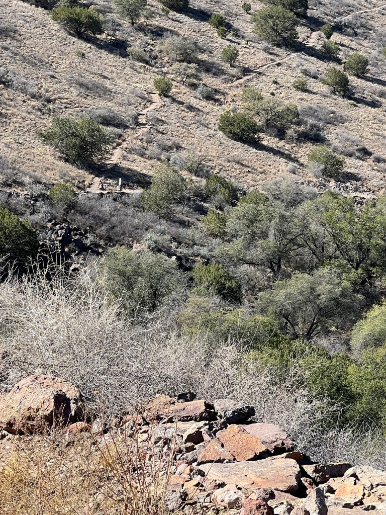
I thought my return trip would be a steady downhill from the ridge top. Silly me; first I hiked down the old roadbed, then back up this far and then down again. It’s steeper than it looks, especially the uphill parts!
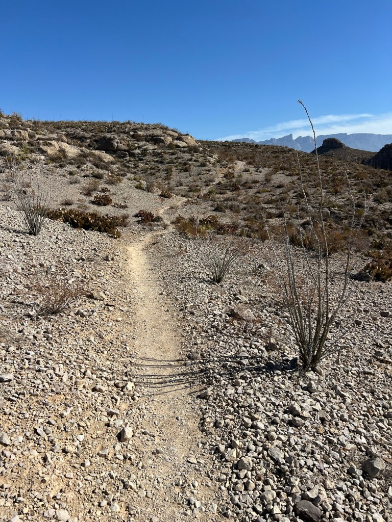
It was beautiful, though.

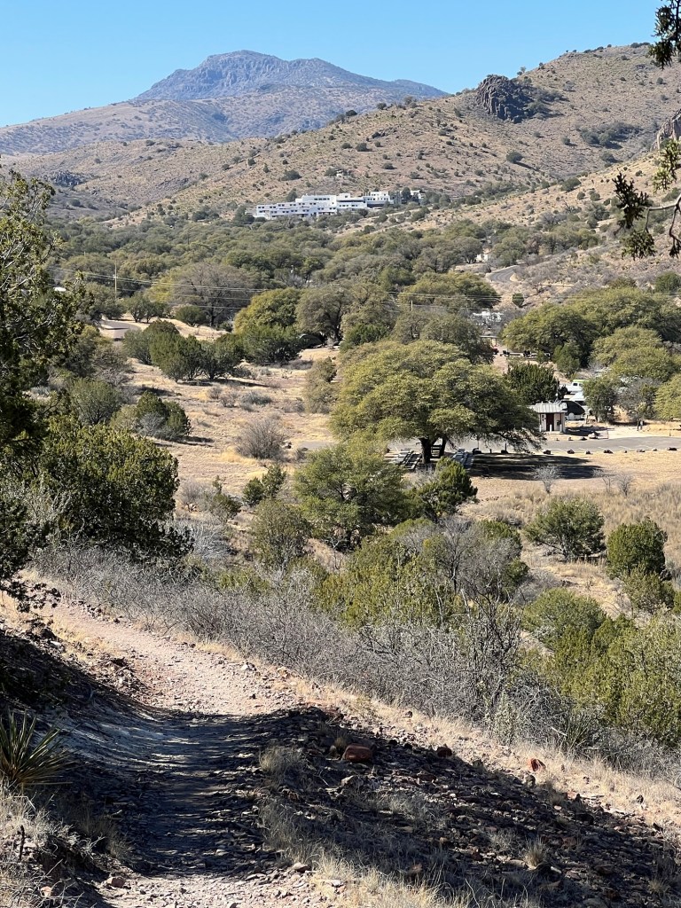
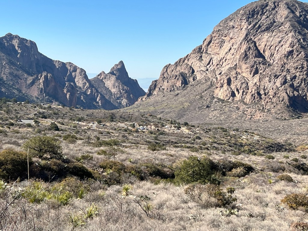
When I got to this point I could look up along the valley where the campgrounds are to the beautiful Indian Lodge at the far end. Unfortunately the lodge is being repaired and won’t open again for a couple of months.

But I can still sit out in the shade, today facing a different direction and taking in another piece of beauty.

Lovely from Morning ‘til Night

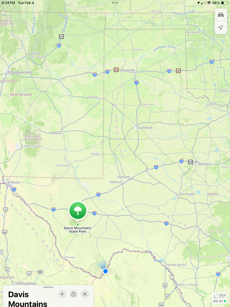
We moved yesterday to Davis Mountains State Park in Fort Davis, Texas.

This is West Texas. Yes, we’re still in Texas. The blue dot is where we were at Big Bend National Park; we’ve moved, but my iPad hasn’t found us yet.

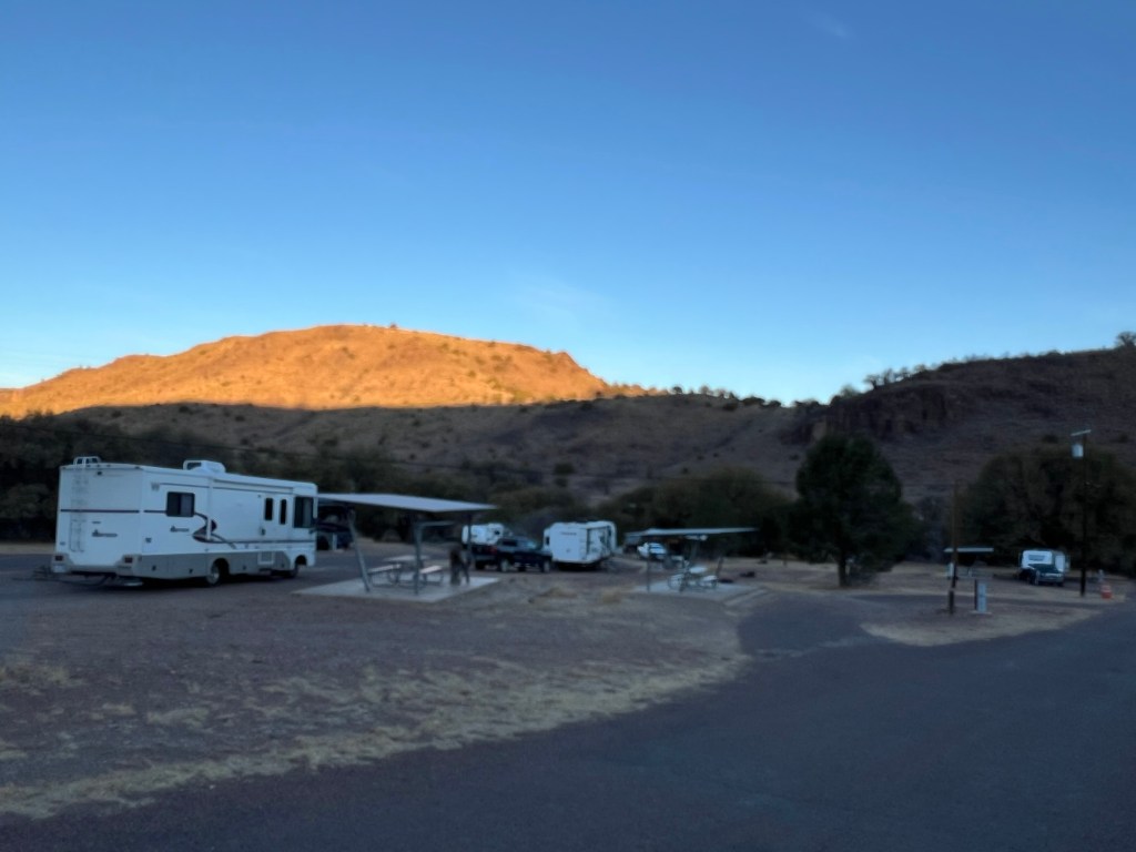
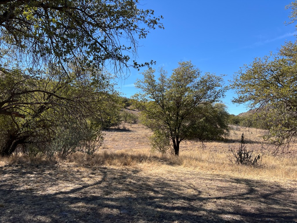
As I walked Matey this morning I caught the sun lighting the hills across the park.

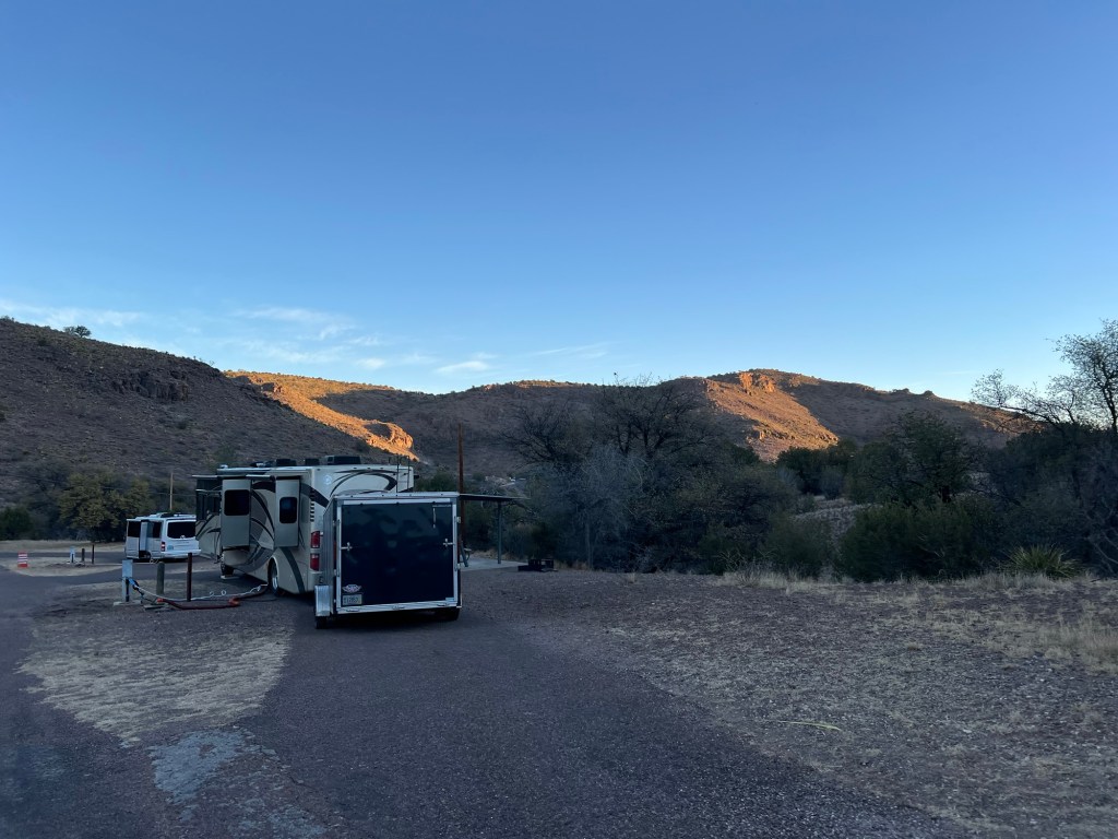
Our campground was still in the shadows.

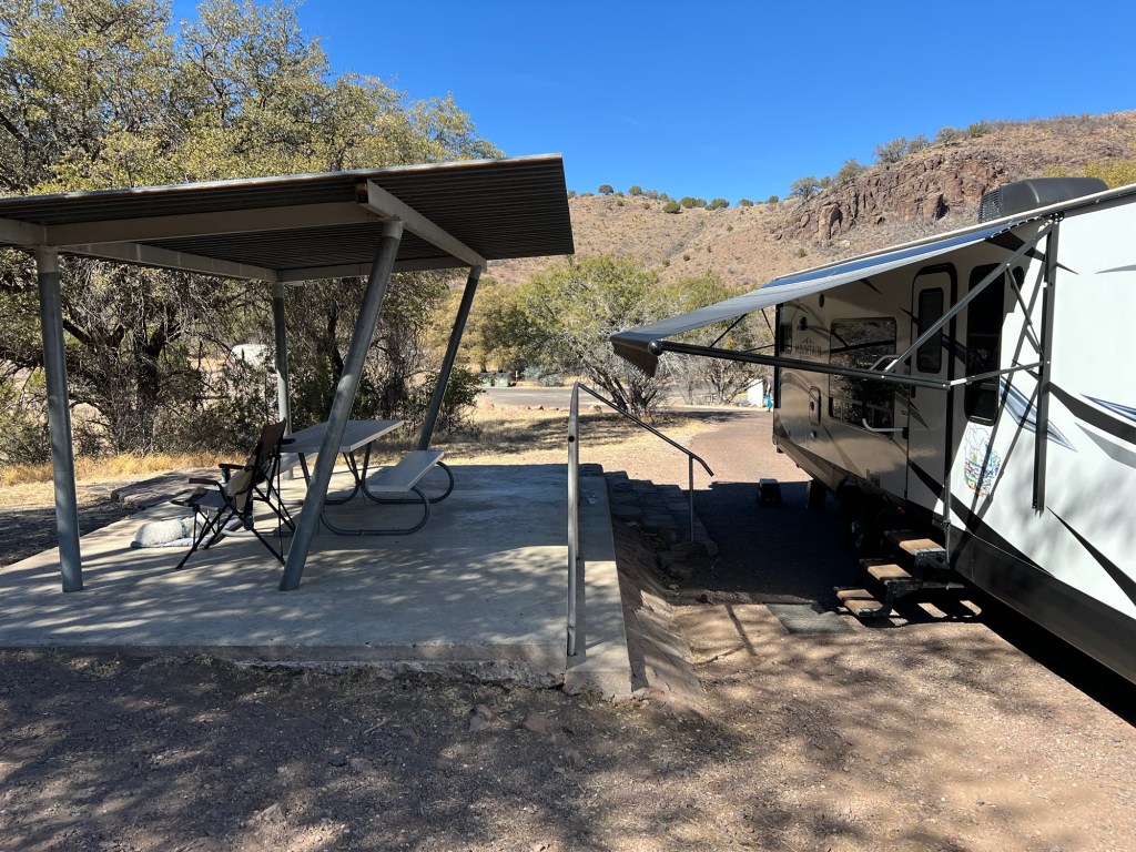
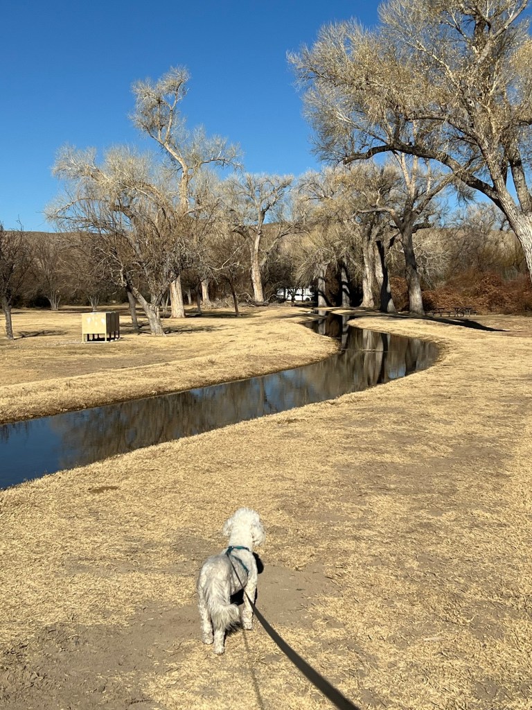
This afternoon Matey and I sat out in the shade.

We had a lovely view.

Late afternoon we walked again and the shadows were coming back. This is a really pretty campground in the mountains of West Texas. Even though we did nothing but errands so far, I’ve enjoyed being here.

Big Bend National Park; the Old Ranches

Sharon Gaskill gave me a book to read; “Beneath the Window, Early Ranch Life in the Big Bend Country” by Patricia Wilson Clothier. I read it while we were here, so of course I wanted to check out the two ranches that figured most prominently in her book.

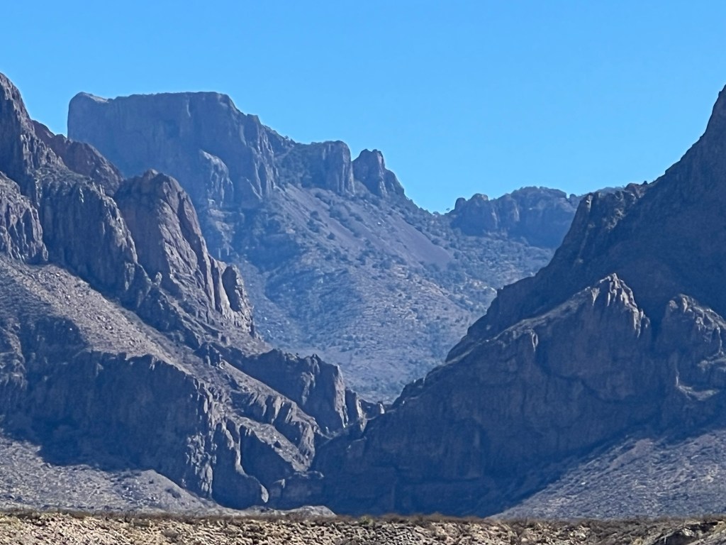
She was born and lived for 14 years in a Sears Roebuck mail order house about two miles towards that notch in the Chisos Mountains, The Window. That notch may look low but it’s still 4600 feet above sea level and high above the surrounding desert.

At nearly a mile above the desert floor, the Chisos Mountains are cooler and wetter than the surrounding desert. Patricia’s father, Homer Wilson, ranched land in the western foothills of the mountains, taking advantage of the water from the mountains. Unfortunately, the old house on Oak Creek was bulldozed when the National Park took over the land.

The ranch headquarters on Blue Creek still has some buildings standing.

Water came down from the mountains, much of it underground, and was pumped up to high tanks to serve the needs of the ranch. At Oak Creek there was water for vegetable gardens, orchard trees and even a flower garden. I wish there was a trail to that area.

This is Signal Hill and I was a bit astonished when I realized this was the hill Patricia and a friend climbed as kids. They went all the way to that flat top.

I got a much better sense of the past at the Sam Nail Ranch, their nearest neighbors.

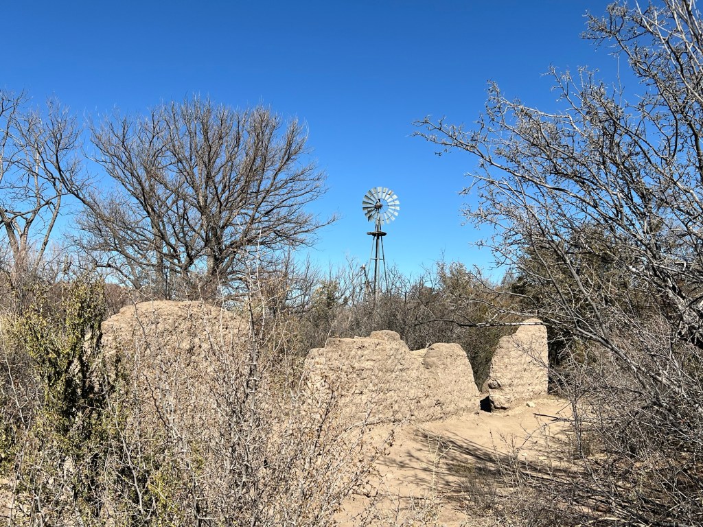
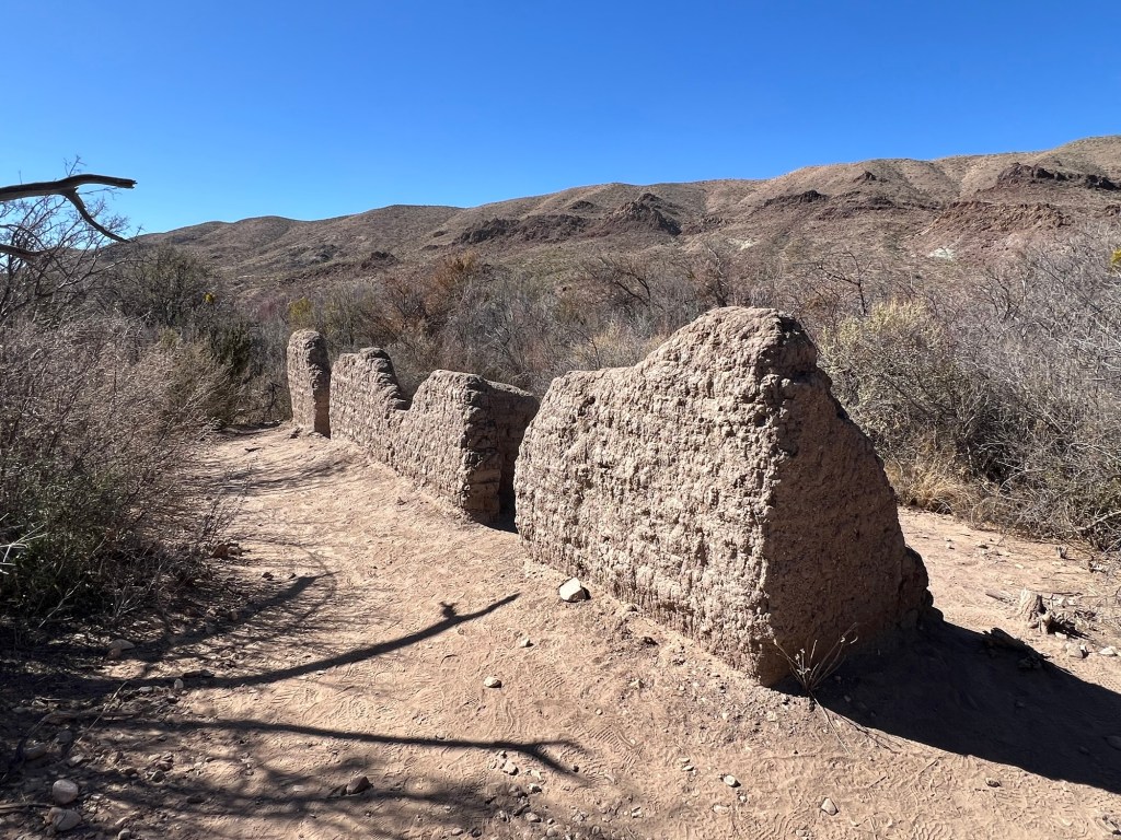
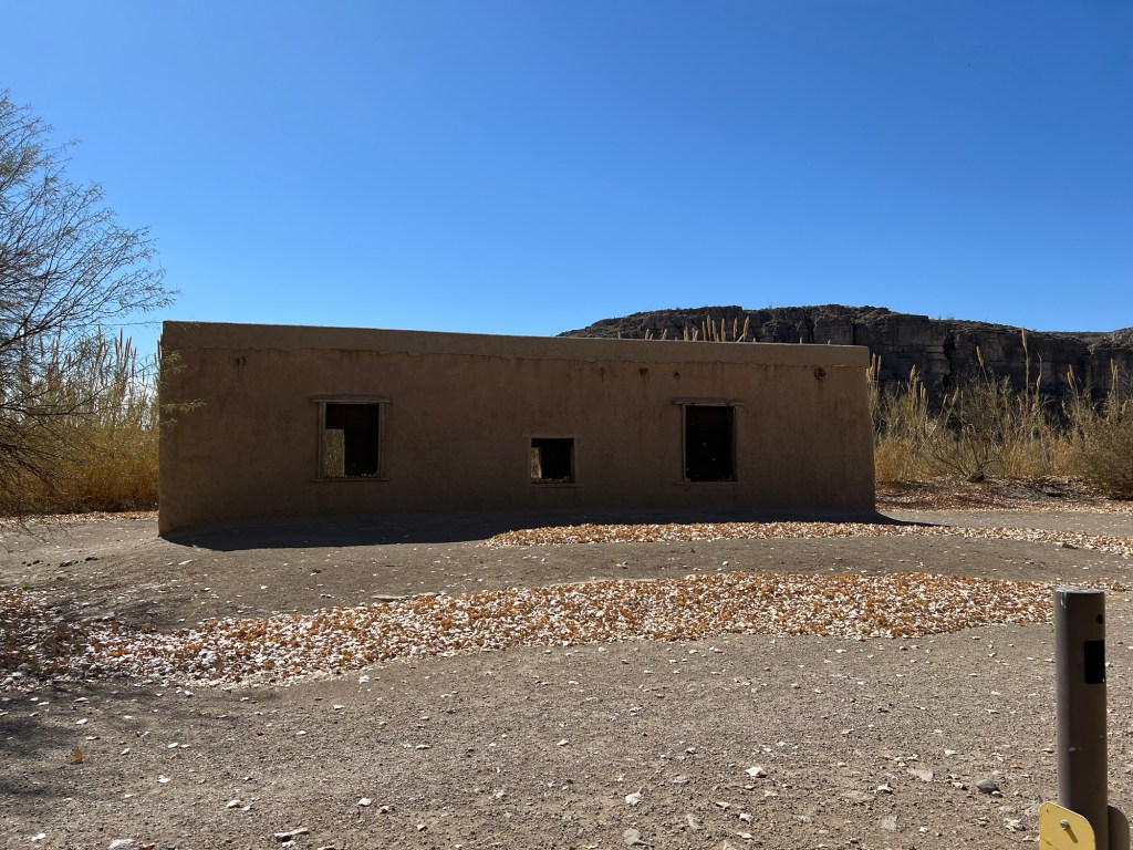
The adobe walls of the house have not yet disappeared.

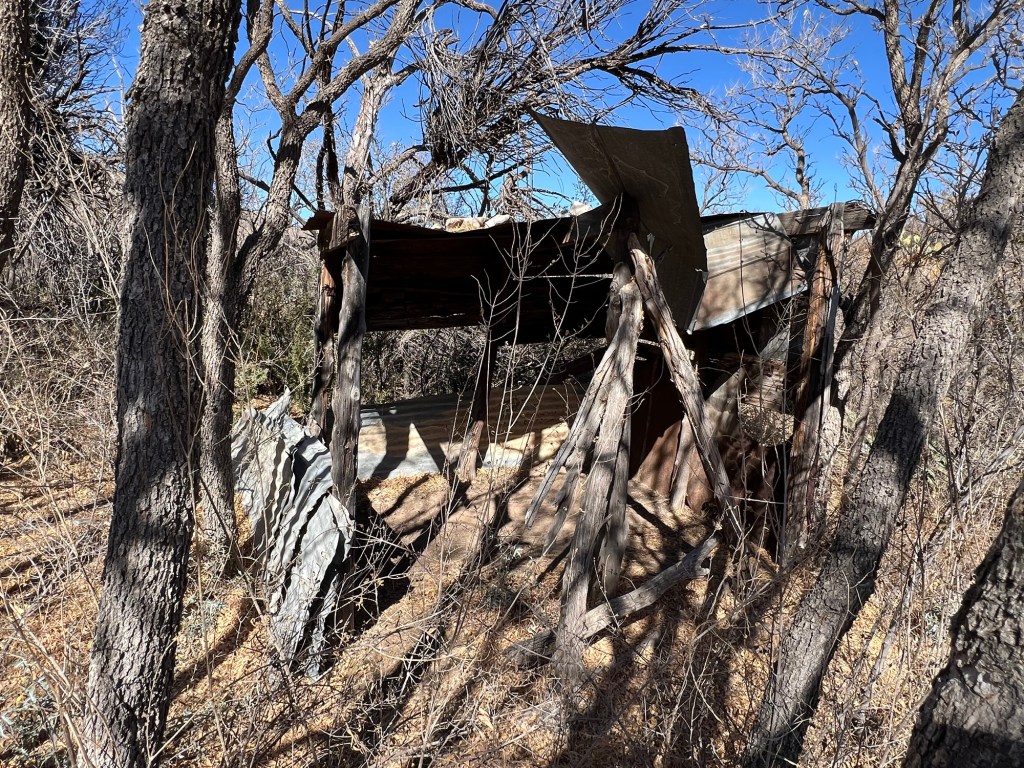
That’s the old chicken coop,

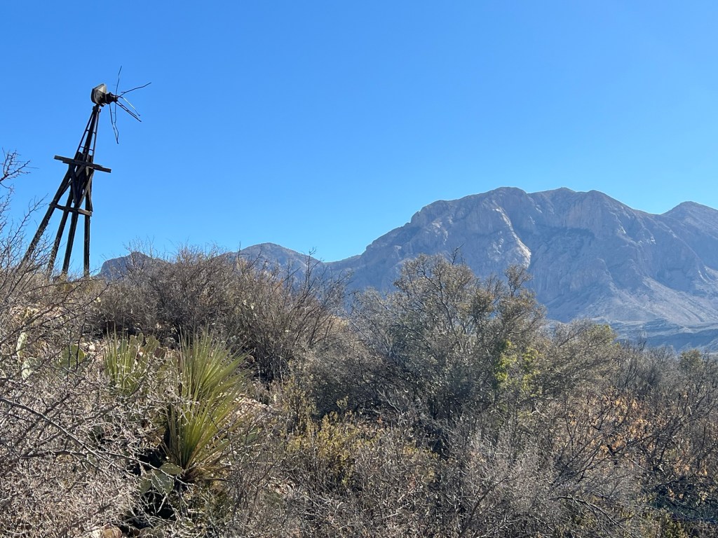
the back up windmill,

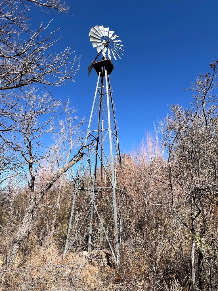
and the main windmill, which is now being used to bring the runoff from Burro Mesa that flows in Cottonwood Creek, above and below the ground, to tanks for the wildlife.

No mention was made in the book of the Daniel’s Ranch. Our campground is located on that land.

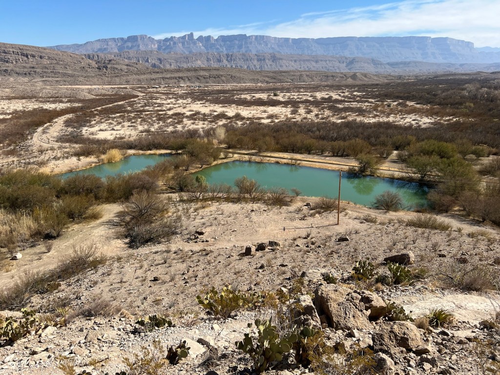
That ranch was a floodplain ranch and also operated from the 1920’s to the 1940’s. Coming down off Ernst Ridge I looked down on the holding ponds where water from the Rio Grande is pumped.

The ponds are near the old ranch house at the upstream end of the ranch.

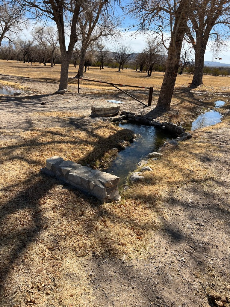
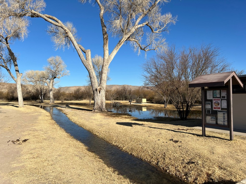
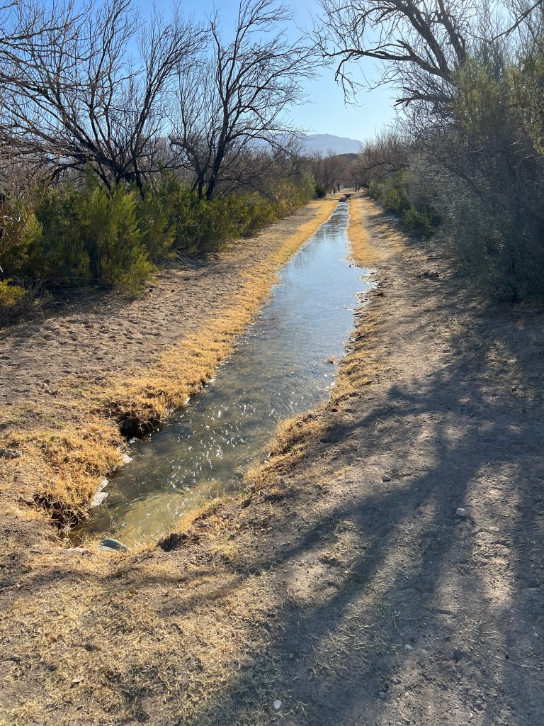
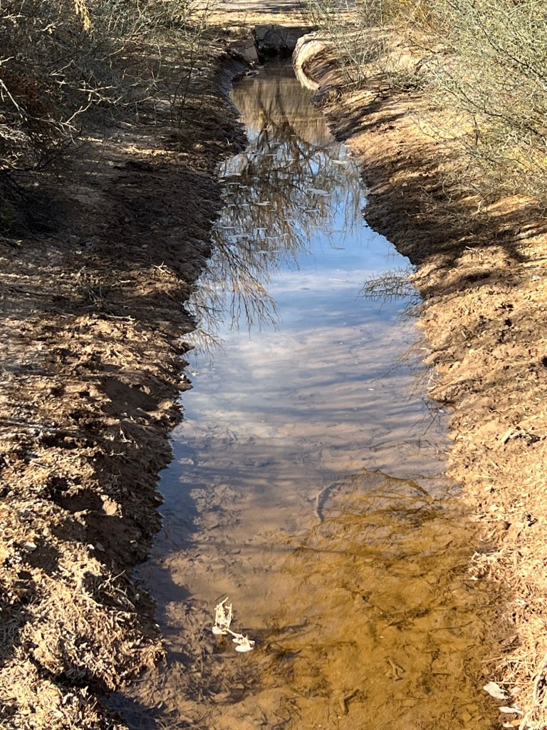
Little canals take the water to the fields.

You can see in this video that the water moves quickly.

Triangular boards direct the flow at junctions and culverts take it under roads.

Different fields are flooded in succession.

Altogether the canals run about 2 miles.

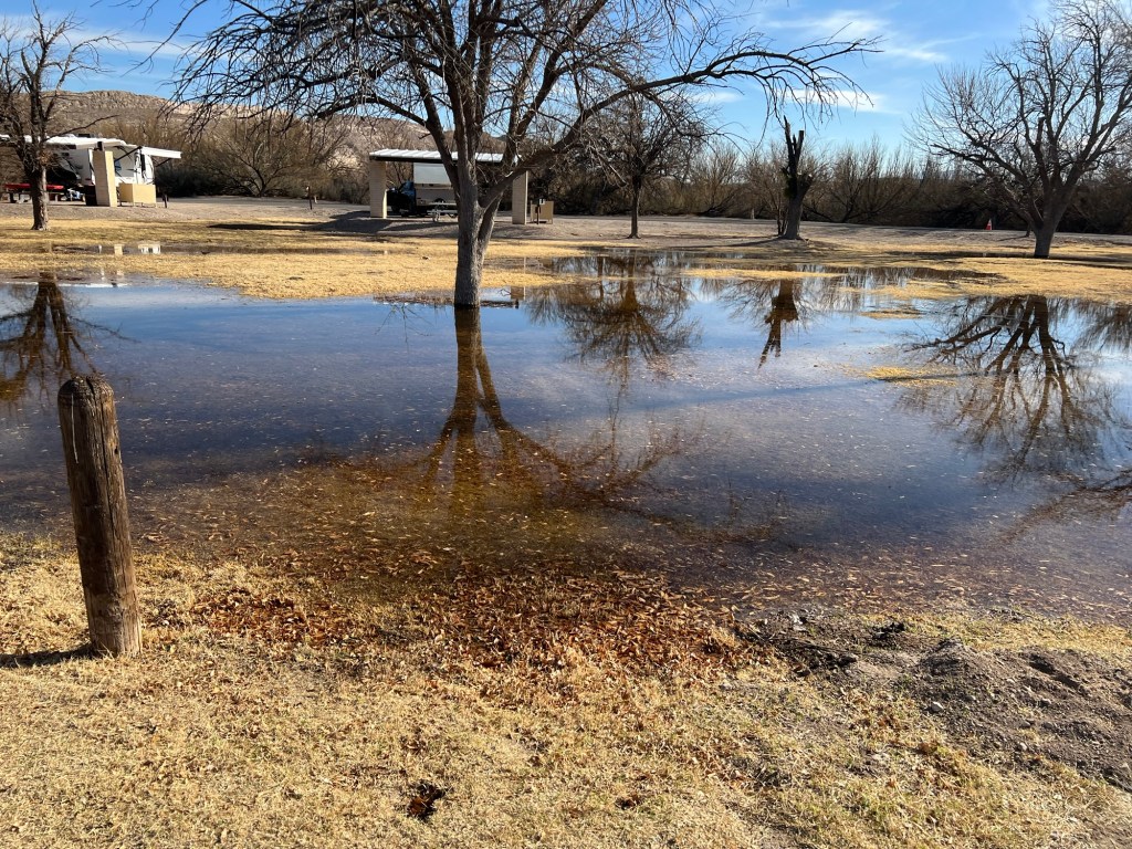
Here they are flooding the no services campground; there are signs warning tenters that irrigation happens.

On the far side of that campground the last of the water seeps into the ground.

The Daniels used this system to grow cotton, and even watermelons and to provide shaded pastures.

The system is still maintained and used; the cattle, horses and burros share the grass with the campers.

And that’s why we have so much wildlife at Rio Grande Village Campground.

In a desert, water is key.

Big Bend National Park; Hot Springs Loop Trail

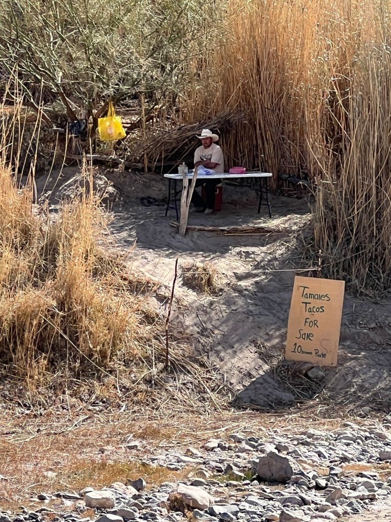
Bud and I went back to the Hot Springs Historic District to try to find the pictographs I had seen a sign for. There was not enough left of them to even photograph. So we walked on down to the hot springs and this time we found this taco stand on the Mexican side. Of course it is illegal to cross here, but there was a well worn path where folks waded the river and walked up the bank for a meal.

Again Bud surprised me by agreeing to continue the hike, so we walked on down the path until we came to the upper trail of the Hot Springs Loop and ascended the ridges.

Now we were looking down on the river as well as out along the cliffs and canyons.

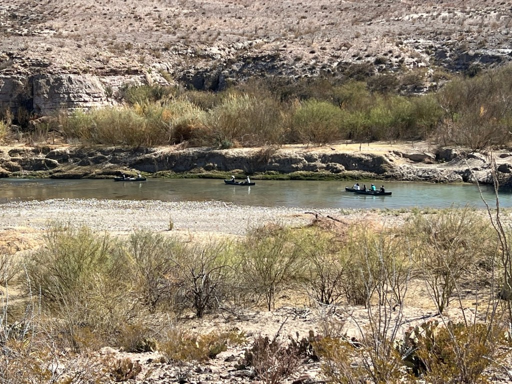
We watched a group of canoers pass by. They were probably going through the Boquillas Canyon to a landing at the end of a ranch road just outside the park. That would be a gorgeous trip.

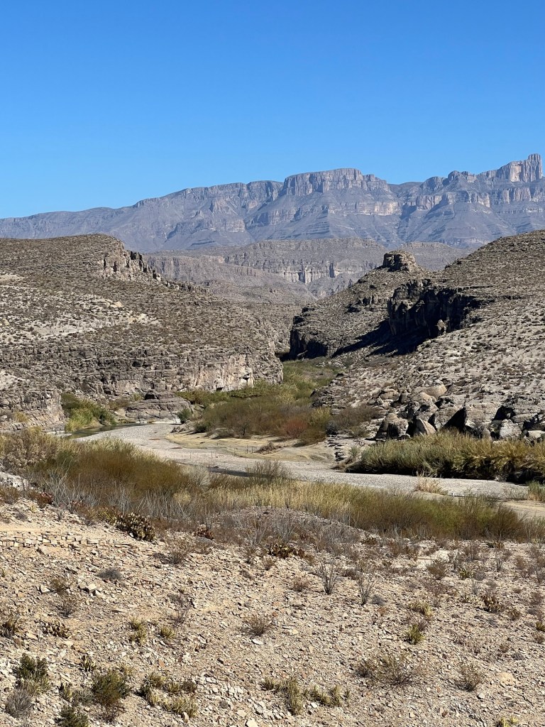
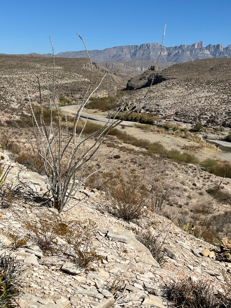
That canyon is just downstream of our campground, and cuts through the Sierra del Carmen Mountains. They contain that huge striped ridge that is in the background of many of my photos, including this one. By the way, that ridge is in Mexico as the Rio Grande cuts northeast there.

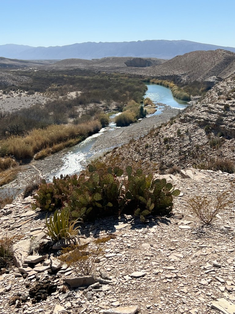
As we topped the first ridge we got a good view upstream.

We were now a long ways above the river.

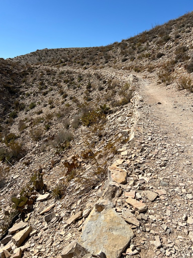
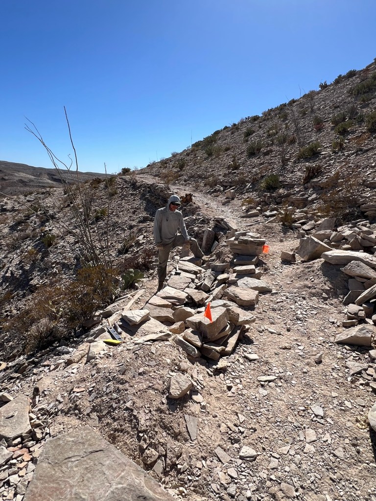
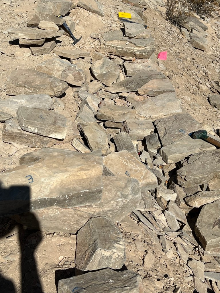
I have been admiring how well these trails are made and maintained. We came across this guy who is a member of the trails team. He explained that this section of the trail was probably built in the 1940’s, when the hot springs were operated as a commercial resort. This section had washed out. The repair he was doing tried to keep as much as possible to the original, including reusing most of the original rocks.

The letters he’s written on the rocks are his system for labeling thickness so he can better fit them back. I thanked him and told him how I had been admiring their work. He was glad to hear it.

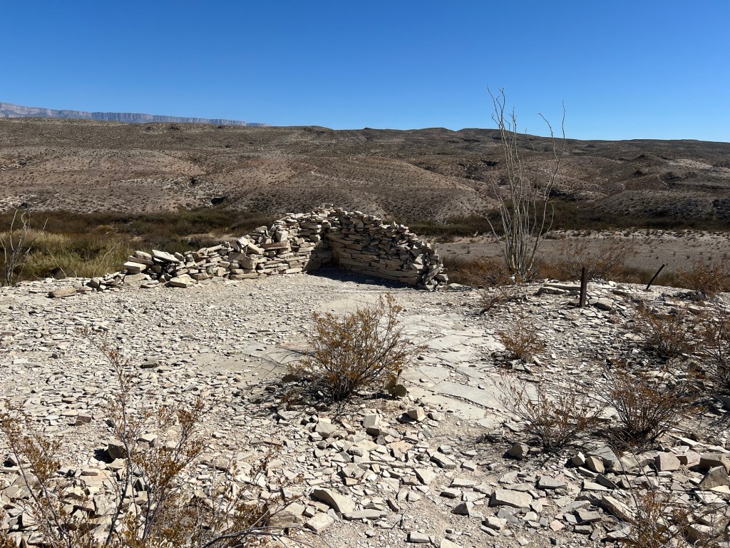
Not far past the trail repair we came to what was left of J.O. Langford’s house. He homesteaded the hot springs for his health, then developed the resort and eventually built this house on the edge of the cliff…

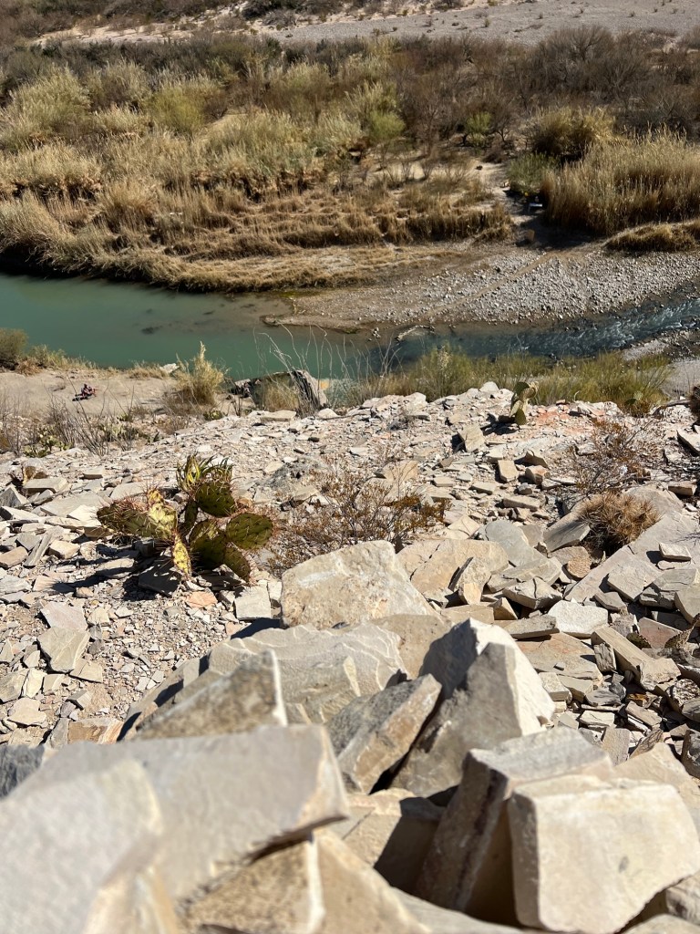
directly above the hot springs. He had a pulley system to bring up water for his use. I wonder if he set it up to bring up hot and cold.

We ascended one last ridge…

and walked down along the edge of the side canyon where the buildings of the resort are located.

Notice the palms that were planted.

These are far from home.

So is this car.

Even the drive in and out of this spot is a bit of an adventure. The road follows the side canyon and for a ways it’s split, one way on each side of the wash.

I folded the mirror in on my side so Bud could hug the rocky wall. Obviously no RV’s are allowed on this road. They don’t even allow pickup trucks with dual rear wheels. (Be sure to open this in the app so you can see the video.)

Another interesting day at Big Bend.

Big Bend National Park; the Ernst Ridge Trail

Bud wanted to have time to smoke some meat and Matey seems content with half mile walks so I proposed that Bud drive me to the Hot Springs Historic District and I could hike the three miles back to the campground.

I didn’t spend time at the historic area…

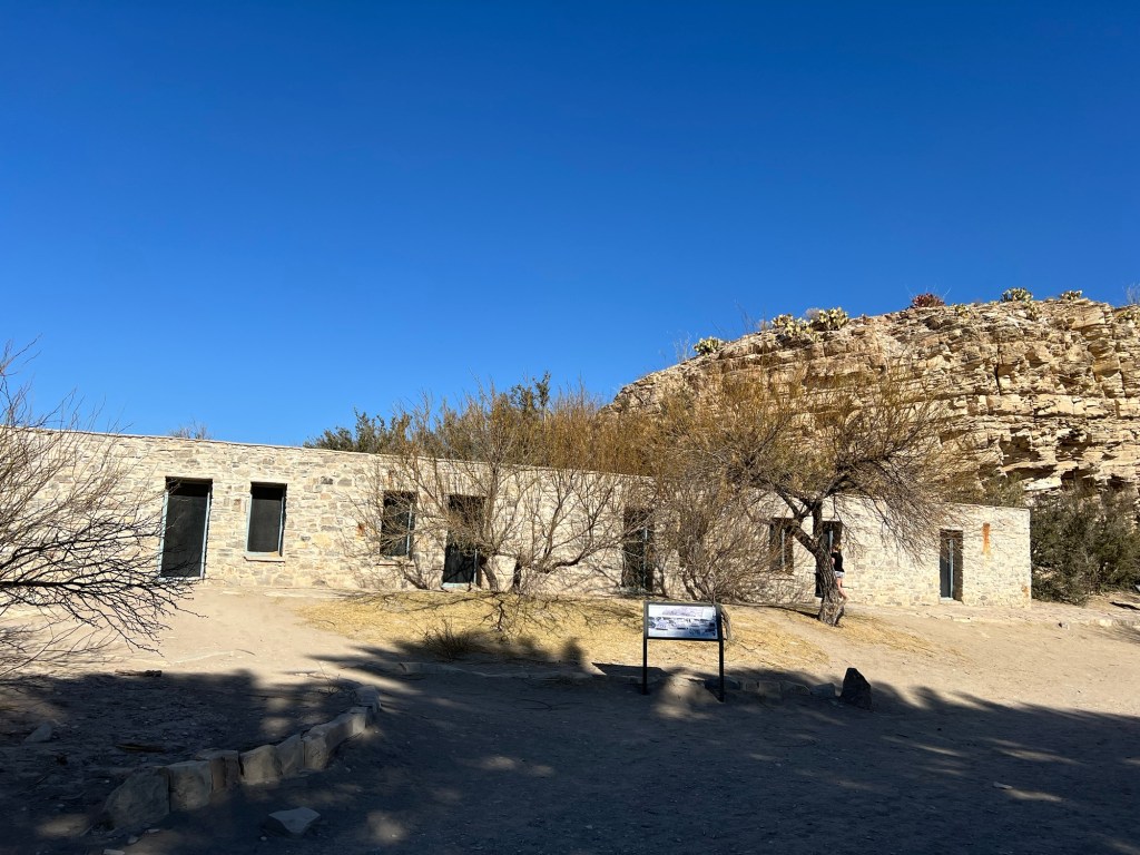
I just walked by the old buildings.

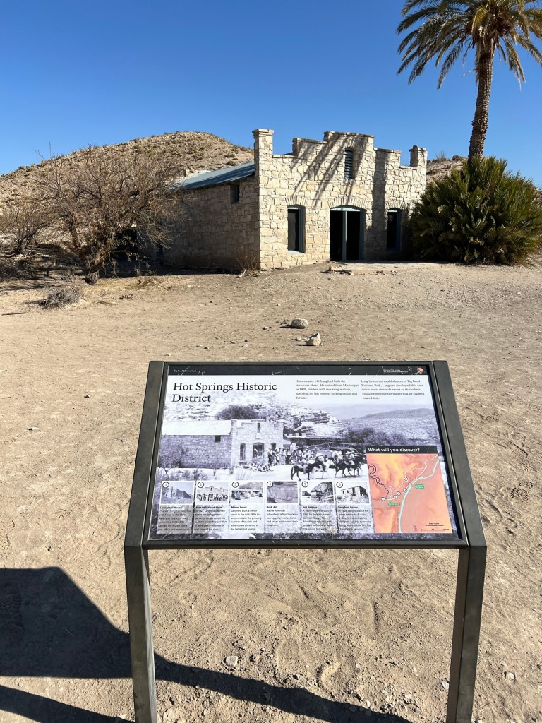
This area was developed to coax people to come and enjoy the nearby hot spring that bubbles up on the edge of the Rio Grande. If they didn’t want to camp they could stay in one of these rooms, no water, though.

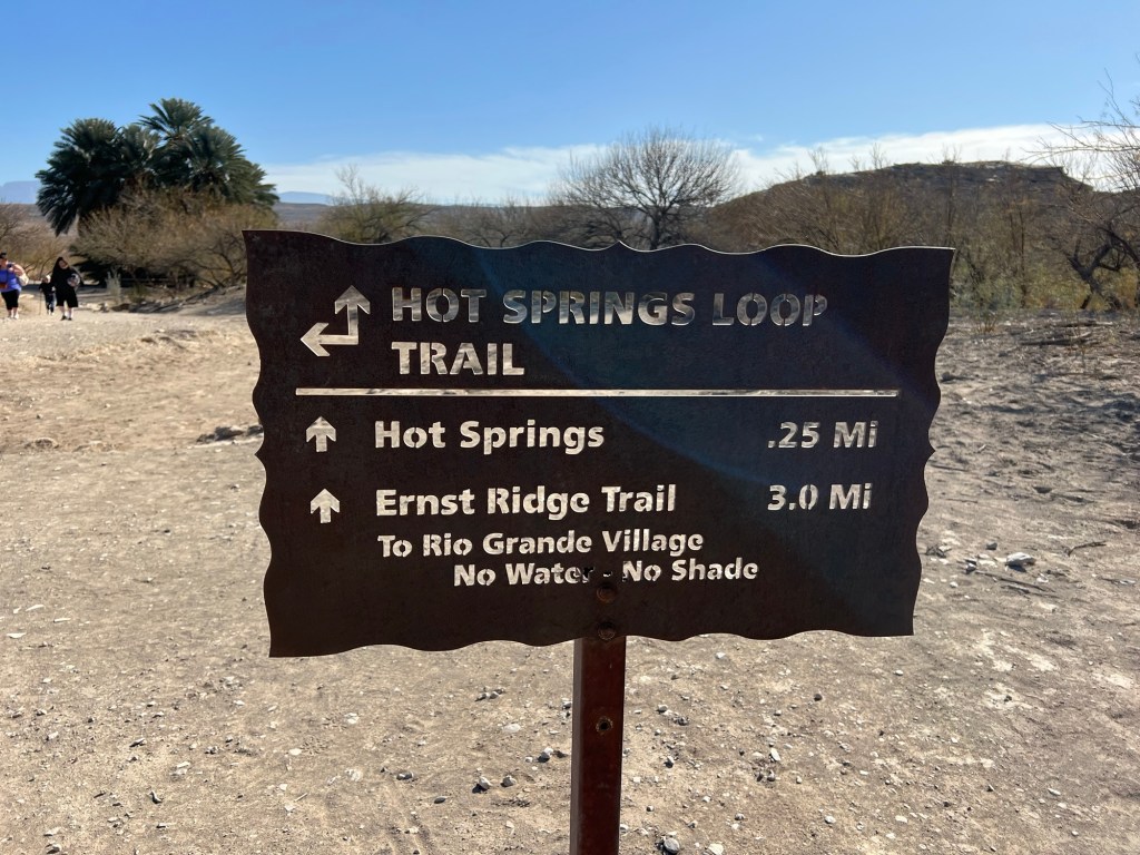
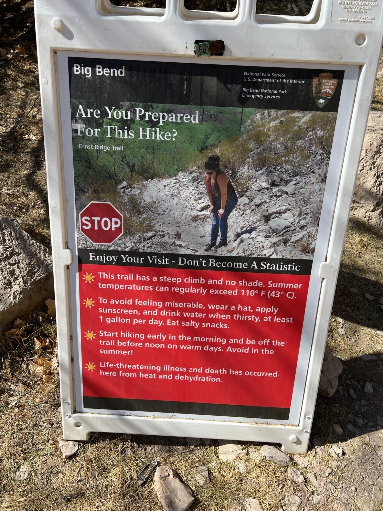
I was here to hike the trail and with a 3 mile “moderate” hike to do I didn’t want to linger. The sign was blunt, “No Water – No Shade”. This time I was better prepared, I had sun protection, two bottles of drink and I had downloaded the trail map.

It was a great day, blue sky and cool temperatures. The trail here was very well made.

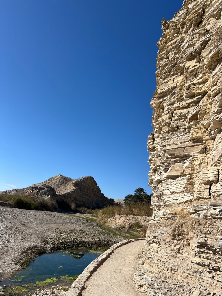
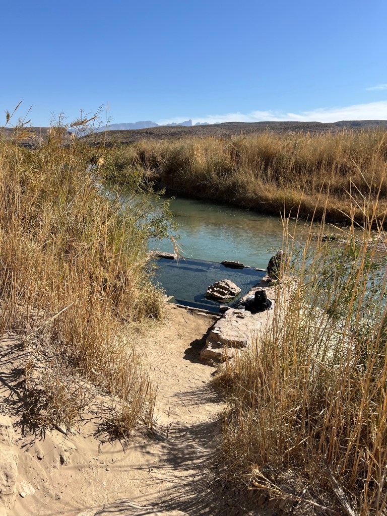
I walked past the hot springs. There was once an enclosed bathhouse here, you can still see the foundation and you can go into the 105 degree water it encloses.

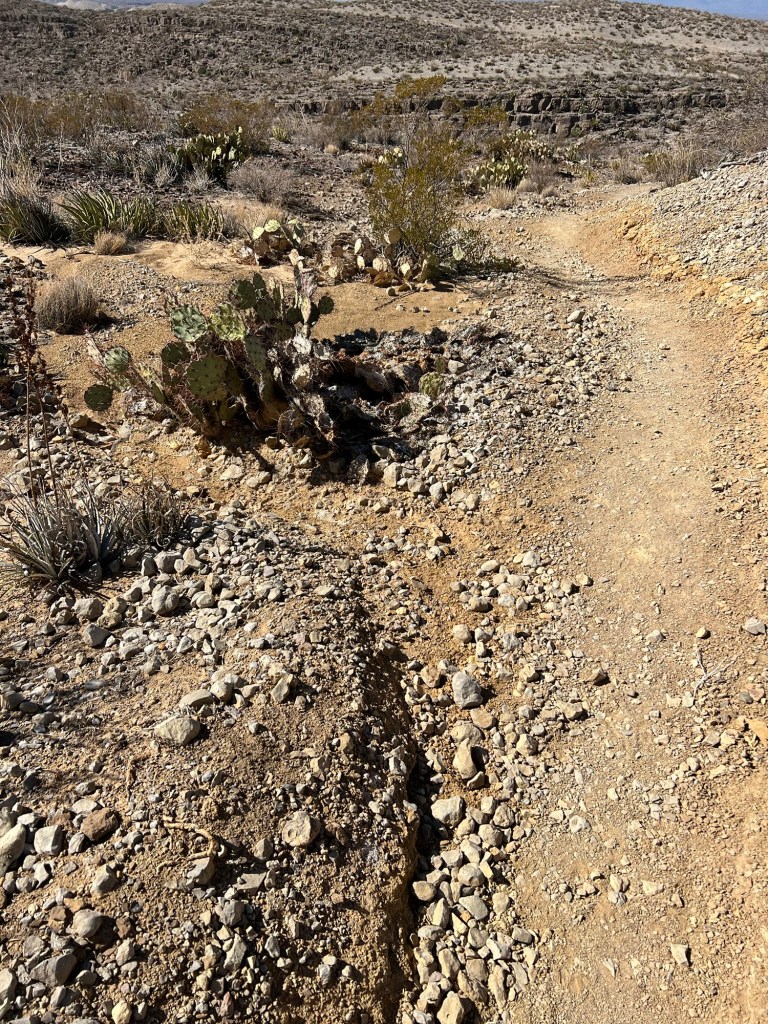
The trail was easy and flat here, but there was rough country ahead.

Soon the trail began to climb…

and I could look down on more of the river,

and the ahead to the spectacular cliffs. Many times during the hike I was wondering just where, through those rocks, the trail would take me.

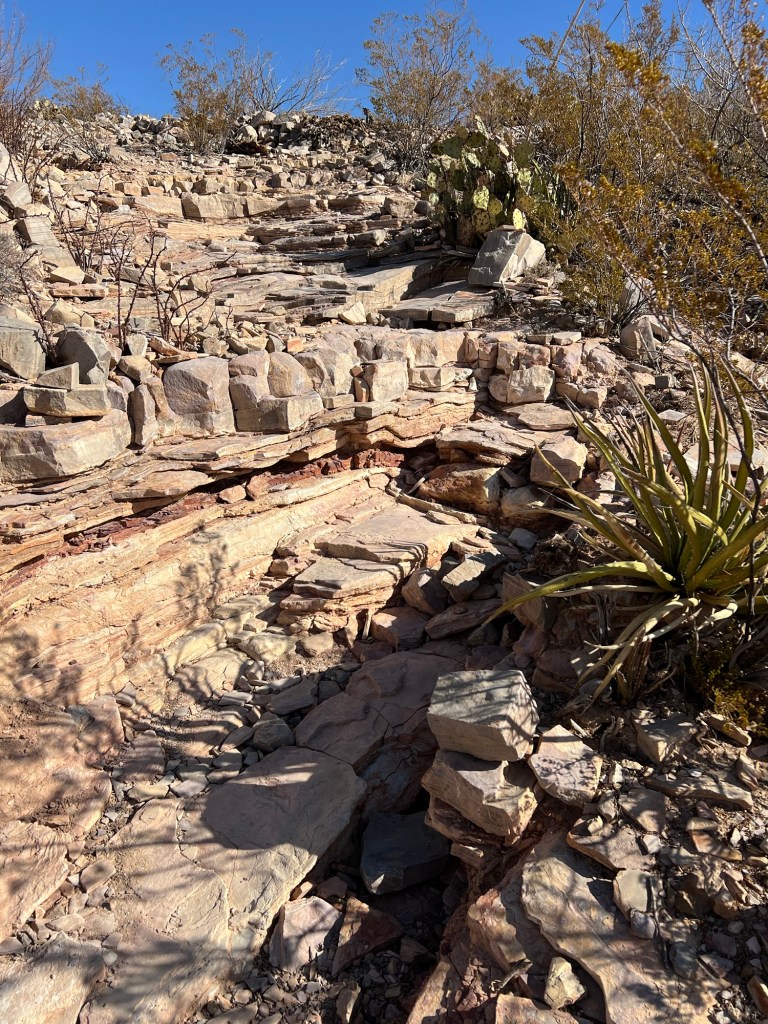
I think it was justifiably rated a moderate trail. The climbs up the rocky parts…

brought me to smoother parts up top…

and more beautiful views.

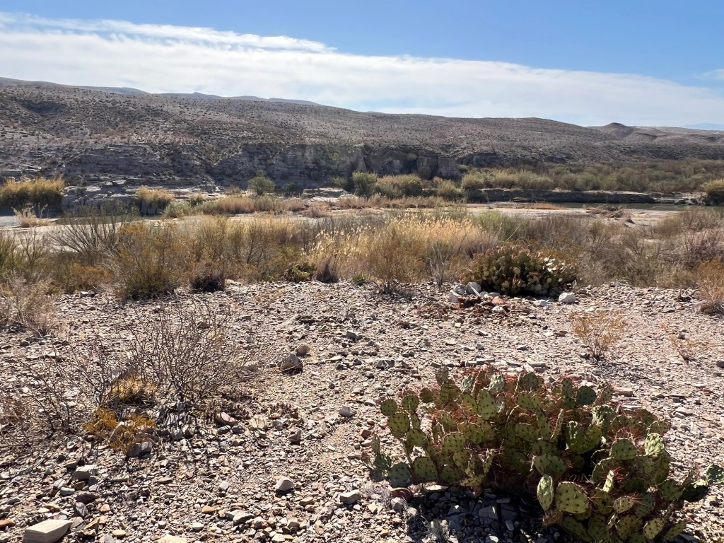
I enjoyed the close-up scenery, too.

Very pretty,

just don’t touch.

When I was high above the river I came across these two horses.

Baby gets a drink, but momma has a long walk before she can drink.

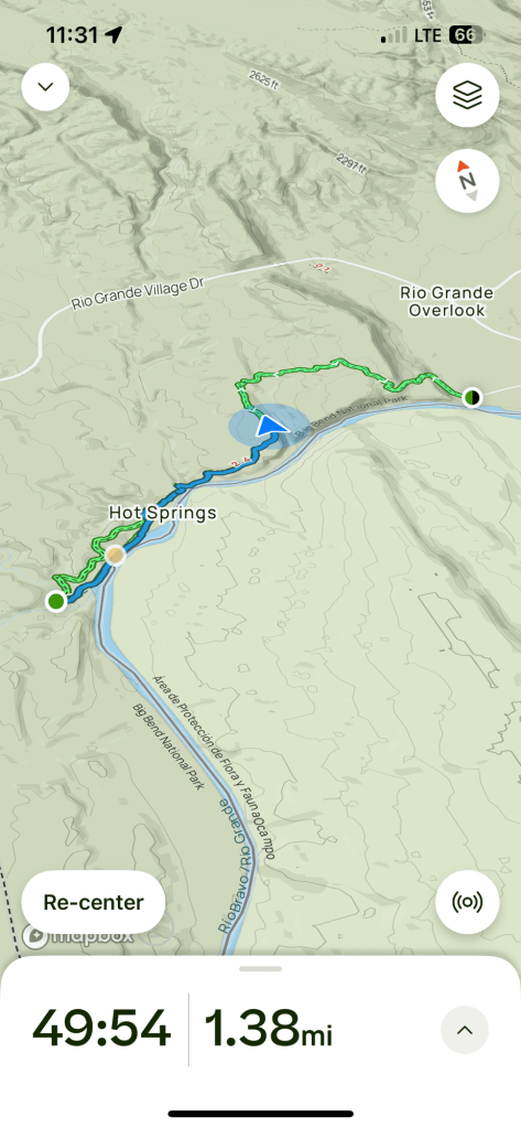
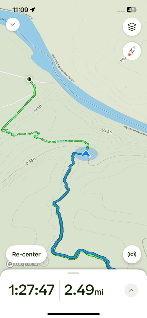
I could follow my progress on the downloaded map.

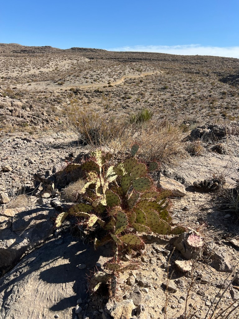
But the map doesn’t show you the huge gully that’s just beyond the cactus, between you and the trail on the far side.

Turns out you just have to walk up the side canyon a ways until you can walk down and back up again. None of it was too steep or too scary but it was a workout.

The trail was well made,

with cuts made to divert rainwater,

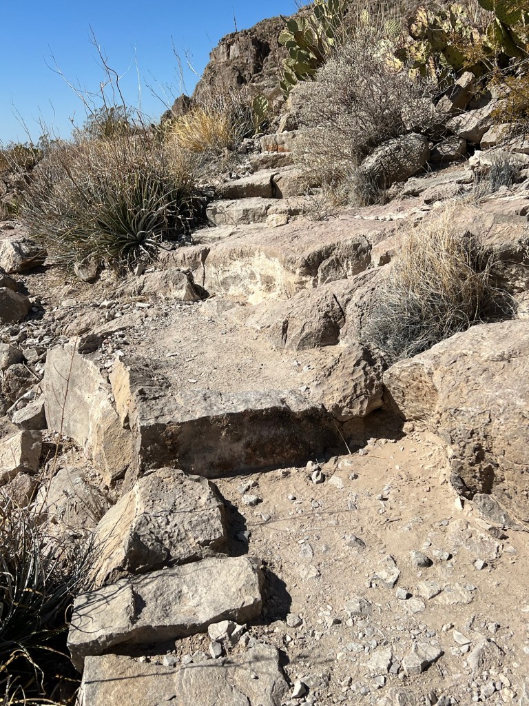
and in some of the steeper places, steps.

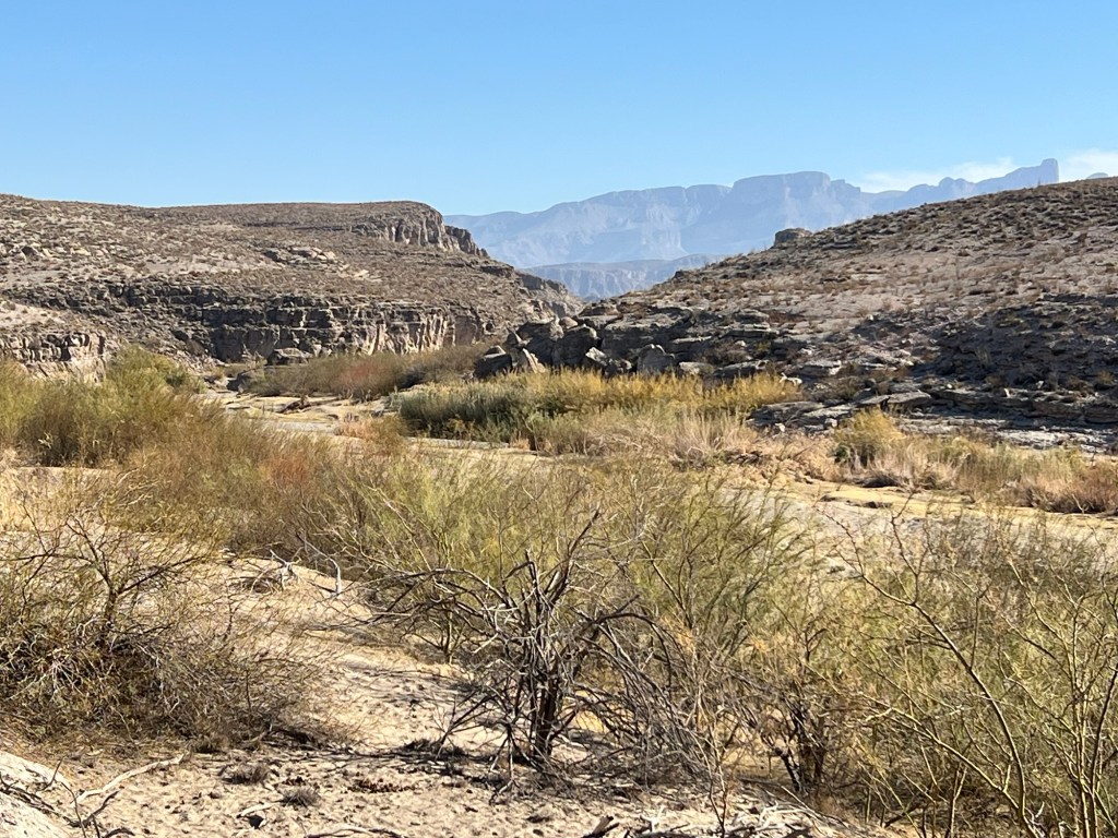
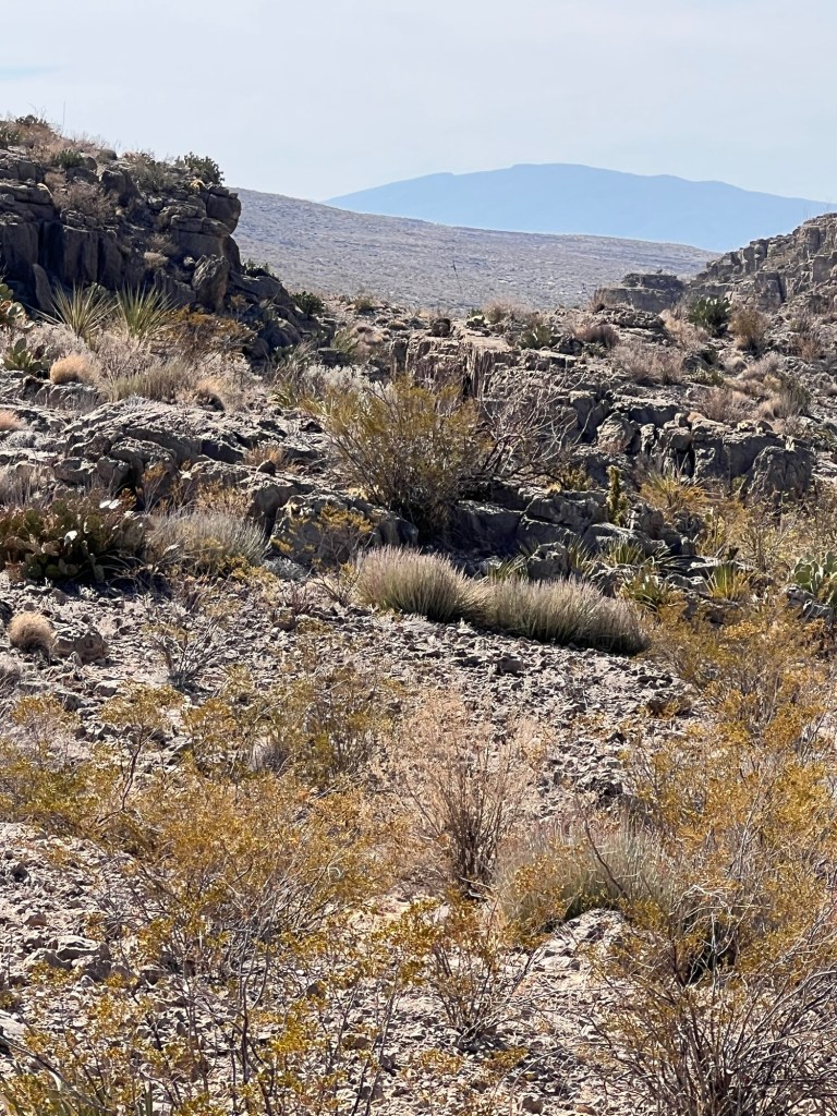
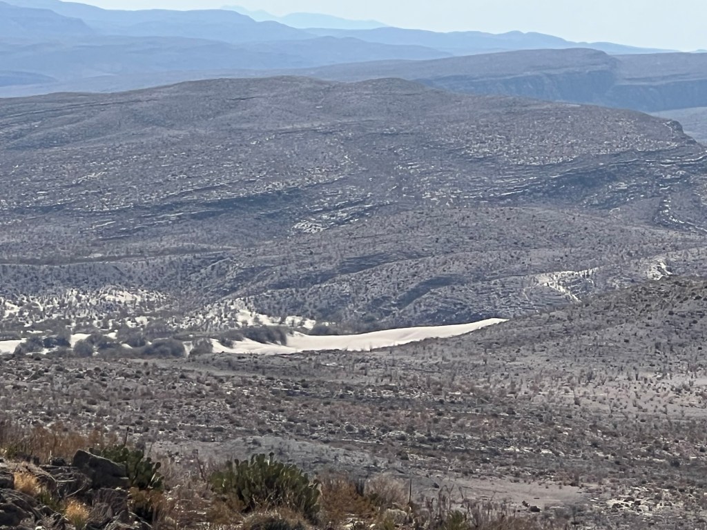
And always the views. This is looking far over the Rio Grande into Mexico. That sand area is visible for miles, it would be interesting to see it up close.

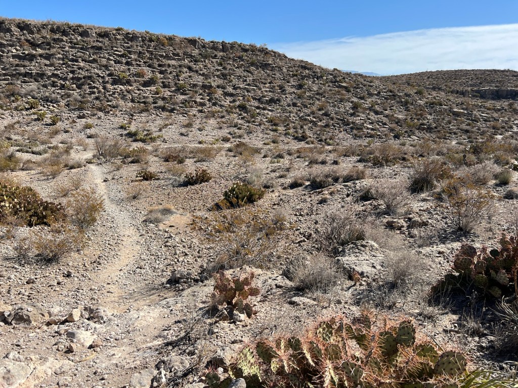
I kept thinking as I crested a ridge that I would see the river again and the plain with the campground, but instead there was another, higher, ridge.

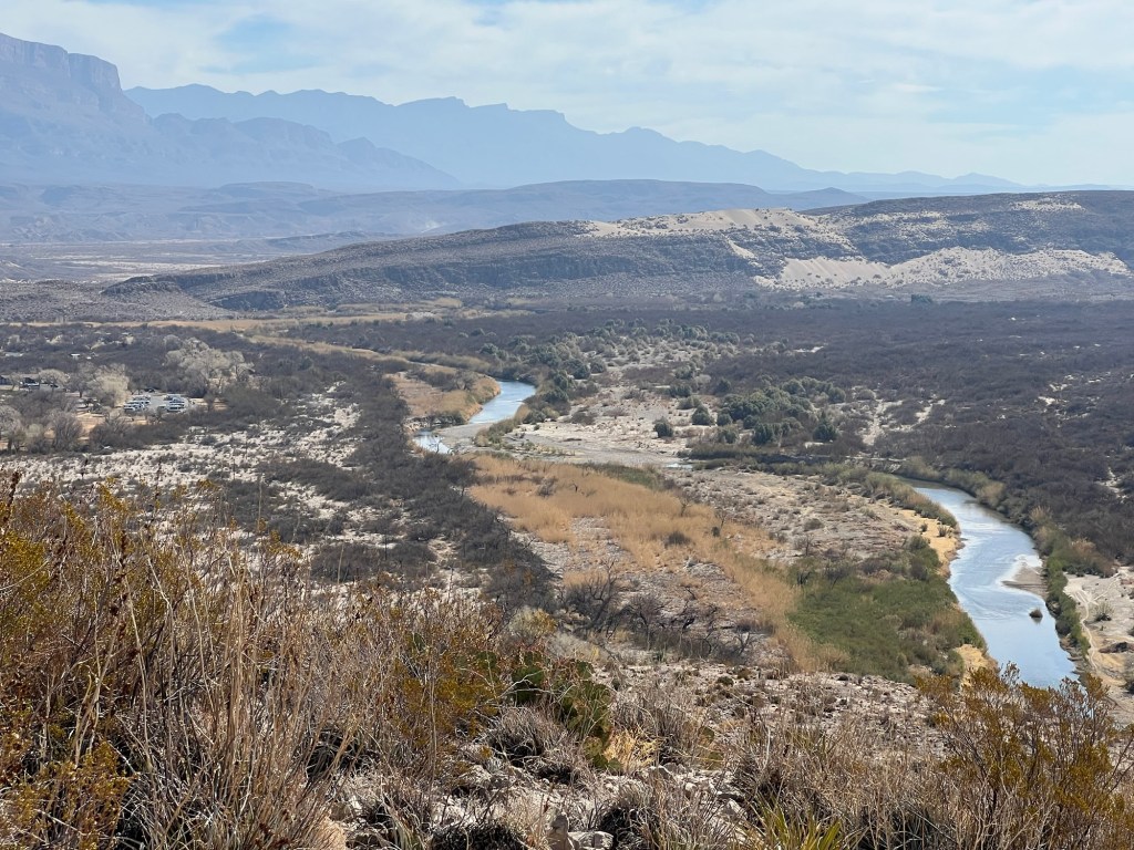
Finally, there it was, the river again, and to the left of center our parking lot campground.

I still had quite a ways to walk to get down there.

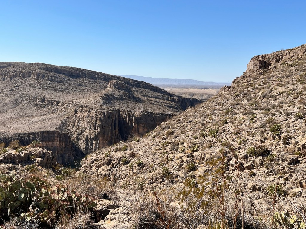
The trail was taking me towards the gorge.

I walked far enough out on the overlook spur…

to get a glimpse of the river. It may not look it, but that’s a long ways down.

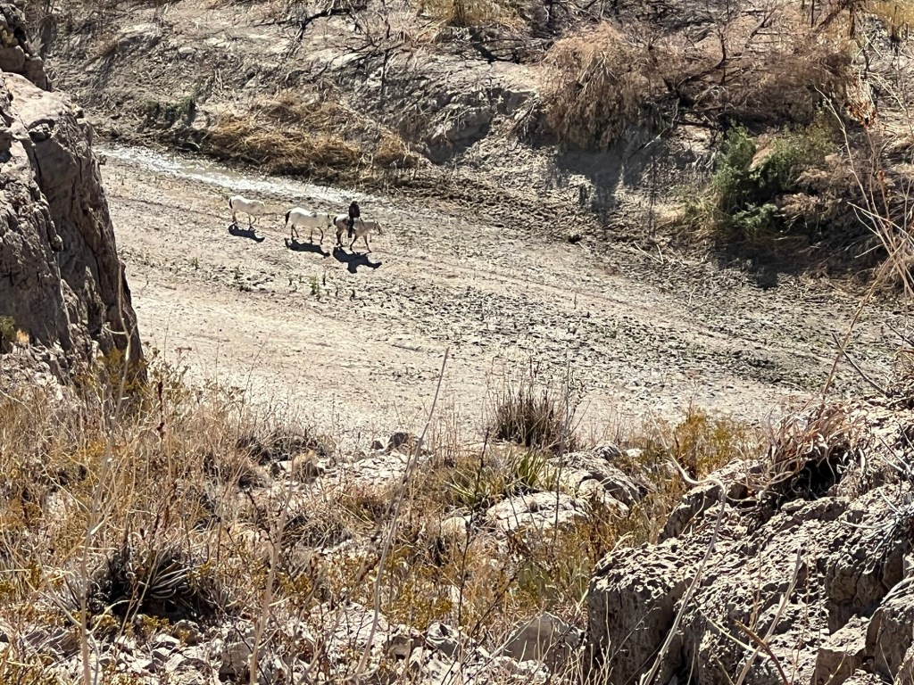
I also saw this cowboy leading two horses. They are all on the Mexican side, the Rio Grande is blocked from view by the cliff.

A bit later I came to the last descent.

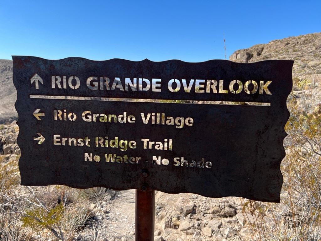
This was a sign for the trail at this end of it. I think I’m glad it wasn’t at the end where I started.

But I made it, it was a beautiful hike.

I walked the half mile back the park road and had my lunch.

Big Bend National Park; Grapevine Hills and Chisos Basin

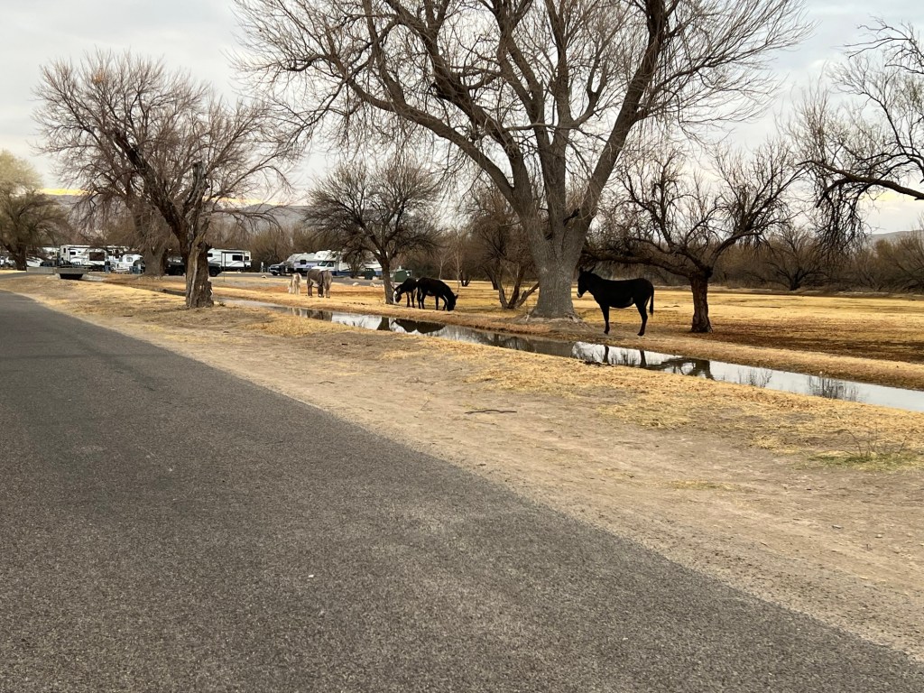
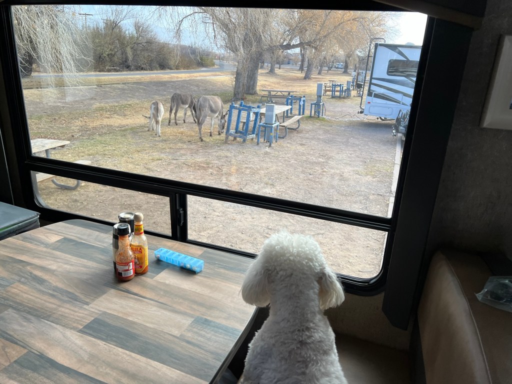
This morning when I walked Matey there were no cattle or horses, there were donkeys.

They grazed right into the campground, which was very entertaining for Matey.

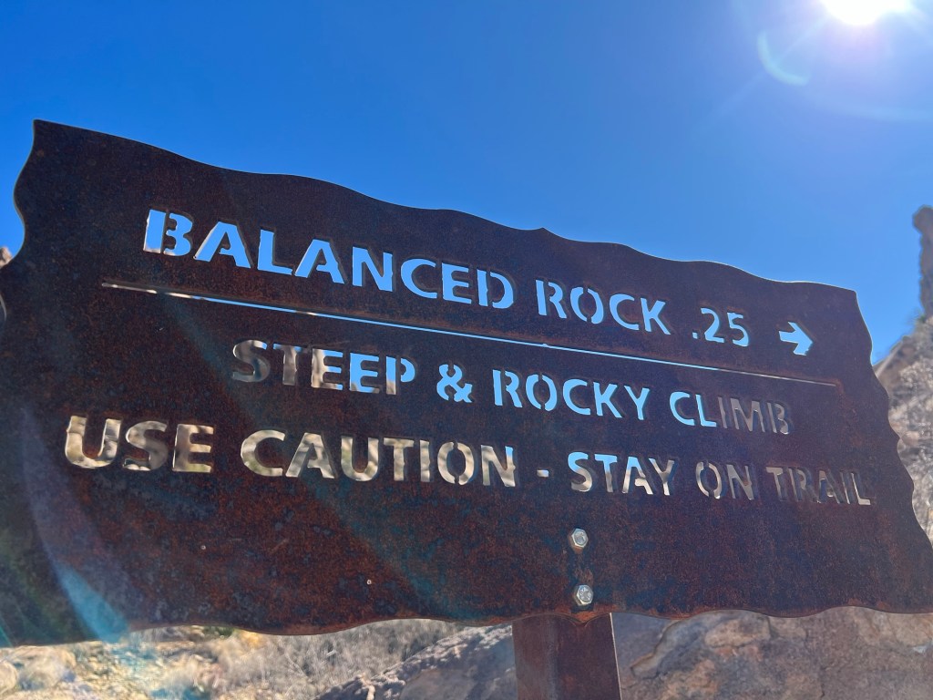
When we were done watching donkeys we headed to the six mile long Grapevine Hills Road. It’s a better road than the Old Ore Road, but in places not by much. It takes you down to those brown hills in the middle distance. We were headed for Balanced Rock Trail, which Jack had recommended.

Again Bud waited in the truck with Matey so I could do this short hike. Today the sky was bright blue and it had warmed to the upper fifties by the time I started the walk.

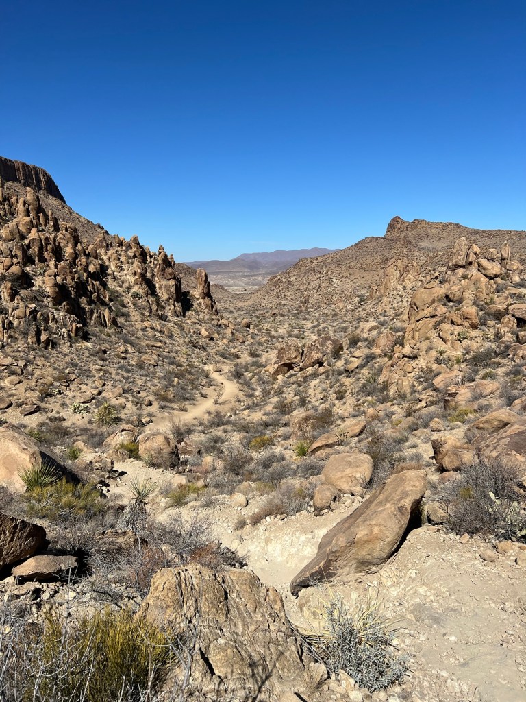
The beginning of this trail was also up a sandy wash.

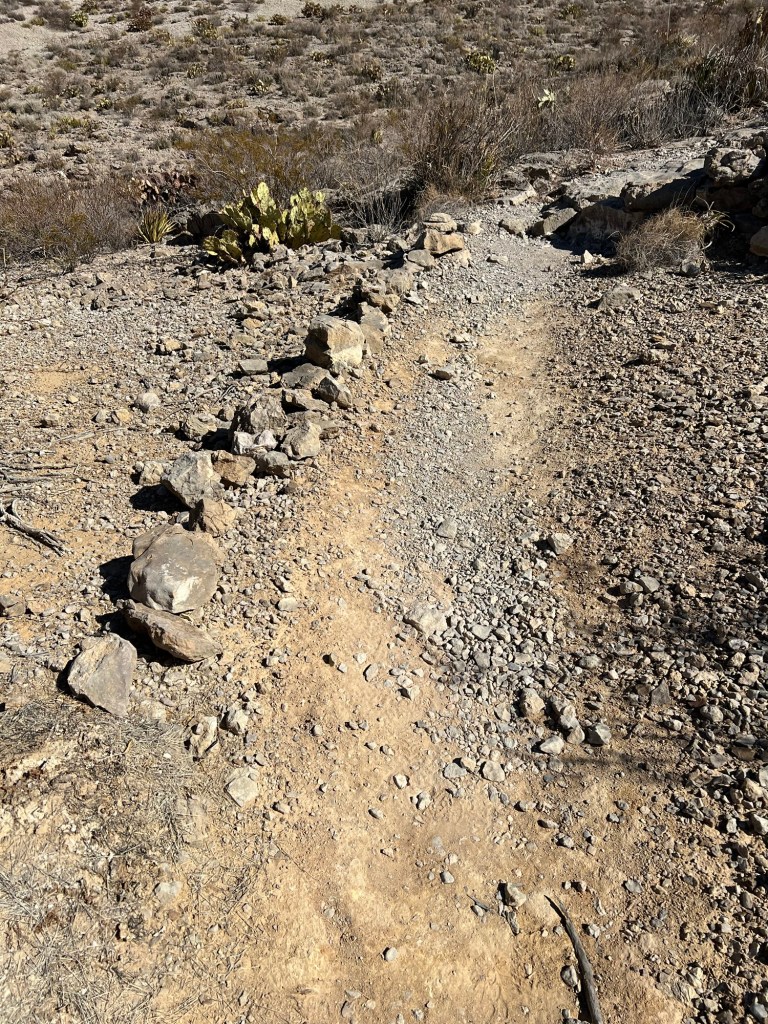
If you don’t have trees to mark a trail you use what you have.

There are plenty of rocks here.

So far it was an easy walk, but things looked more difficult ahead.

The trail was taking me up and closer to the rocks.

It’s rugged and beautiful.

Now it was about to get interesting.

I quickly gained altitude and a nice view of the trail behind me.

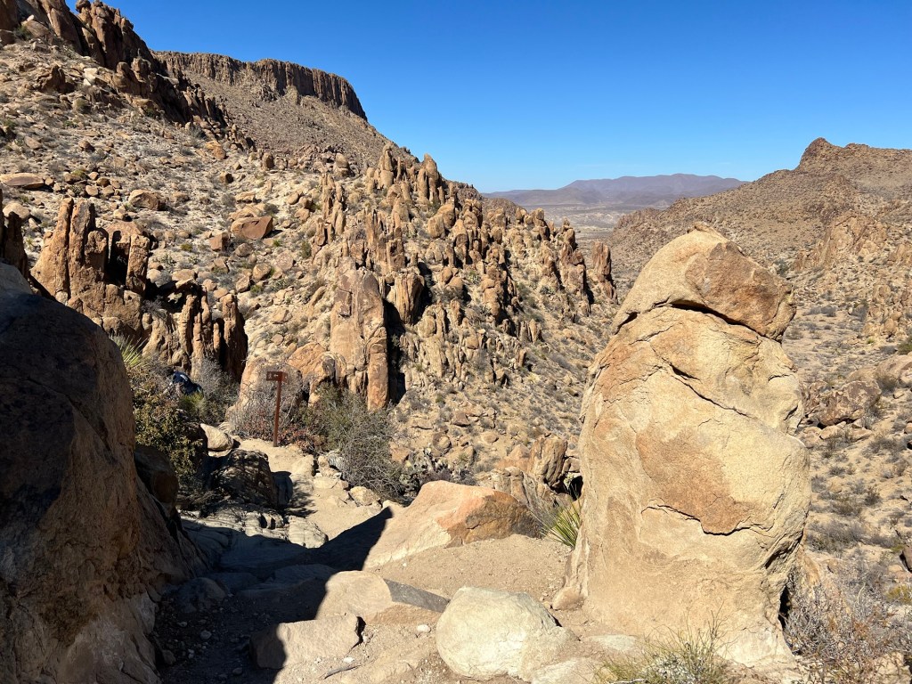
It’s not so easy to find the trail here, but if you look close you may be able to pick out the metal trail sign ahead.

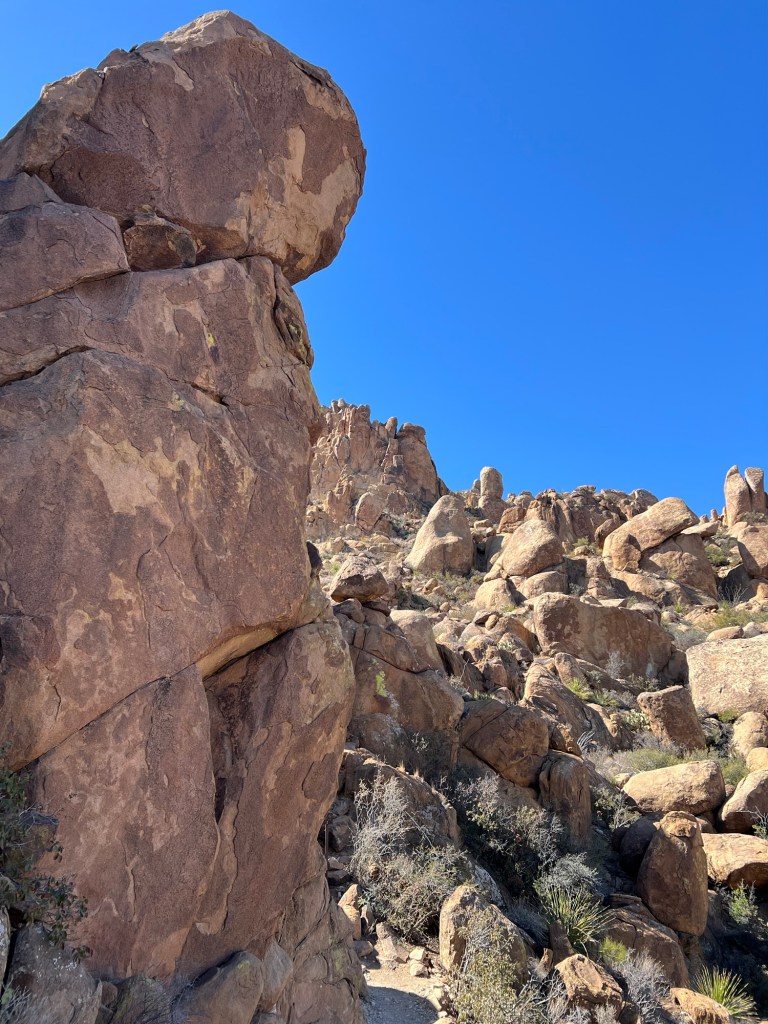
I was right up among the boulders now.

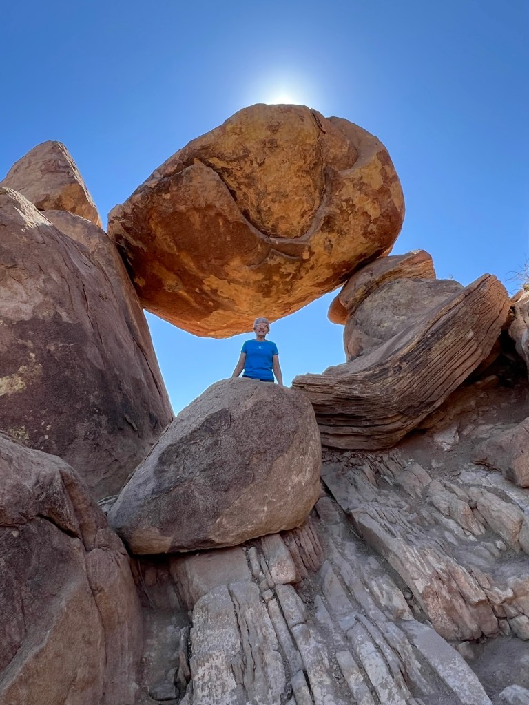
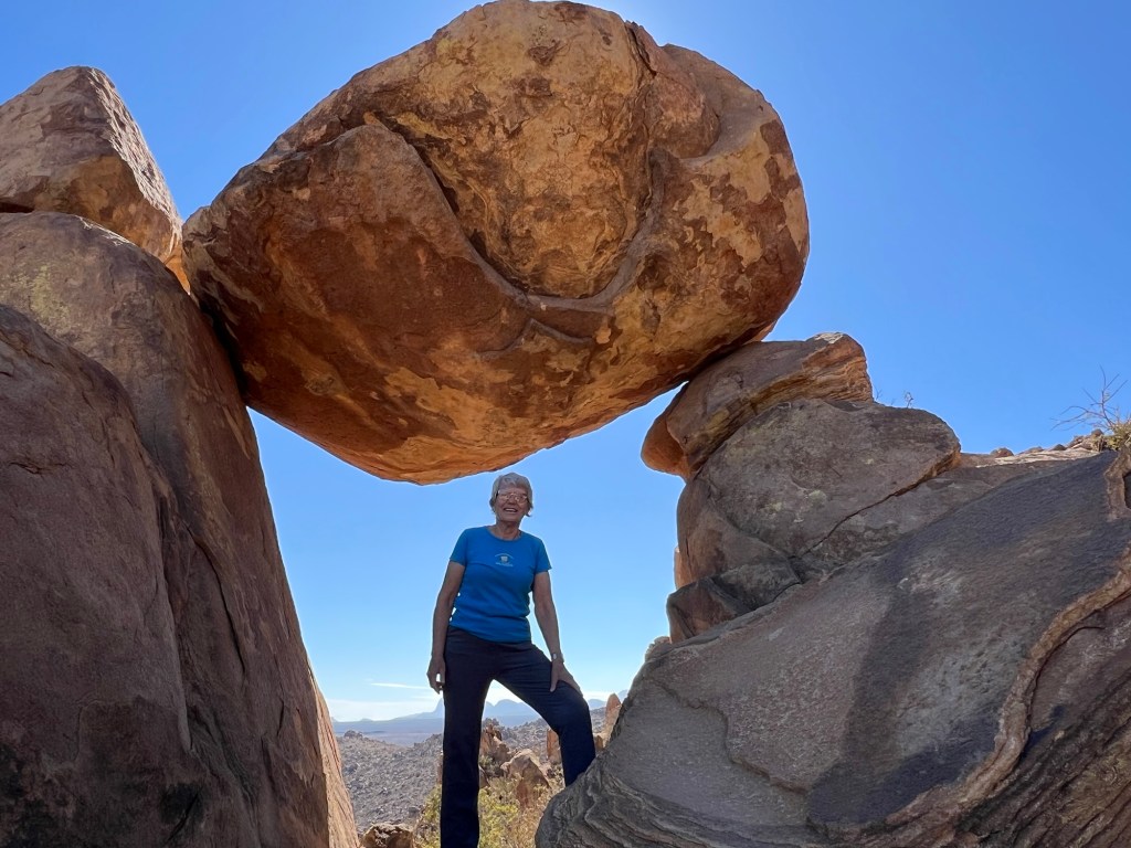
And here I am…

under the balanced rock. A nice young woman from Austin took these for me.

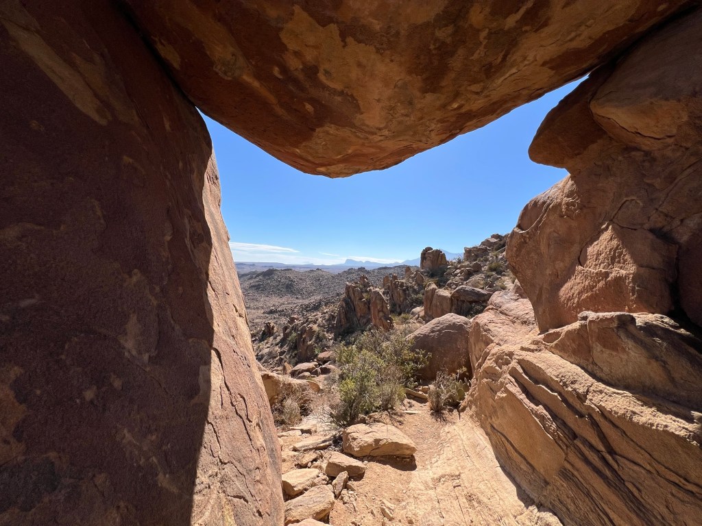
This is looking out from under the rock.

I started back down and right away went astray. Oops, those footsteps in the dust were not the trail, but this is a pretty dead end and it was only 50 feet or so in the wrong direction.

Right after I took this shot I must have missed the trail again as I ended up on a steep and slippery shortcut. The young woman was following me, happily we both made it safely back to the more level part of the main trail.

I hurried to get back to the truck, the hike was about 2 miles.

Bud and Matey had walked a bit further down Grapevine Hills Road and seen their own balanced rock. Bud drove me down to see it. Pretty spectacular.

Once we made it back out the dirt road we took the paved road up into the Chisos Mountains to Chisos Basin.

Of course there are spectacular rocks here, too.

Another switchback closer and you can see the campground below and get a sense of just how big this basin is.

We parked and took a look at the campground. It’s beautiful here, but we would never fit. Trailers are limited to 20 feet.

We walked around to look at the surrounding peaks and let Matey stretch his legs.

Notice the pine trees on this peak. It’s a whole other ecosystem here.

The drive back was one long descent.

Chisos Basin is at an altitude of 5400 feet. Twenty five miles later we were back at Rio Grande Village and just 1,800 feet above sea level.

The donkeys were still hanging out.

Big Bend National Park, It Doesn’t Get Old

This is our third visit to Big Bend National Park (my fourth, but that’s another story). And from the minute I looked around Rio Grande Village at the cottonwoods and gorgeous cliffs I knew I wasn’t tired of it.

The campground is a parking lot that was converted to full hookup campsites, but even a parking lot is beautiful in these surroundings.

We set up after a long drive here yesterday and as soon as I could I took Matey for a short walk down the park road towards the Daniels Ranch Picnic Area.

This isn’t a ranch anymore but there were unfenced cattle happily munching near the campground.

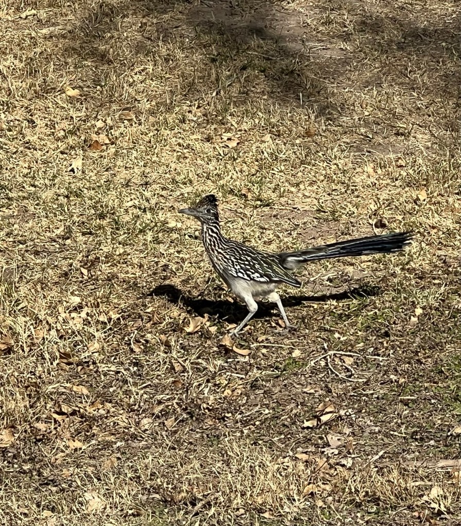
And I saw my favorite western bird, a roadrunner.

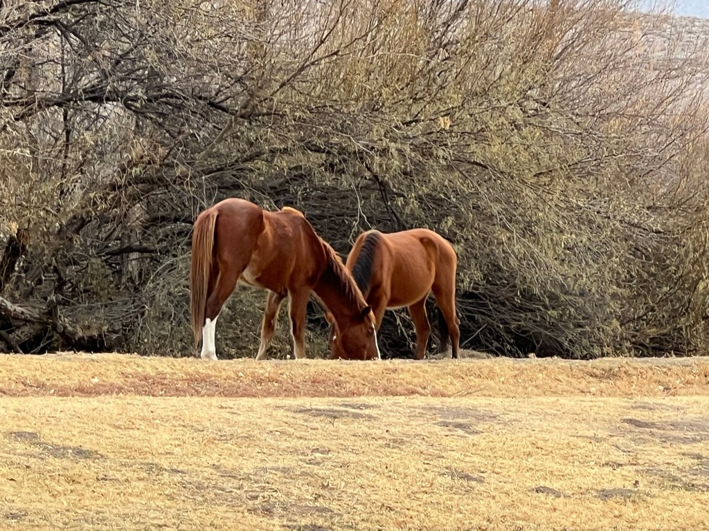
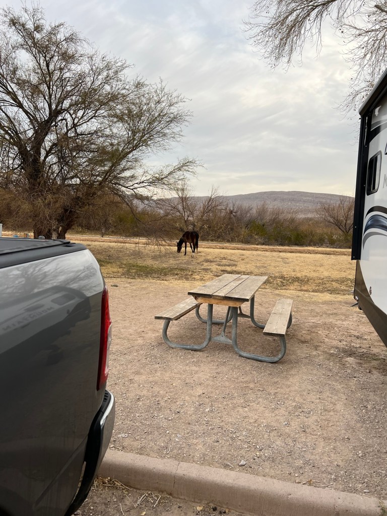
There are also a few horses that hang around the campground.

And I mean right around.

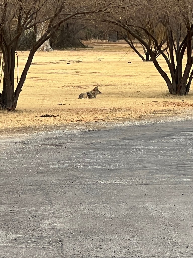
This morning Matey and I went out to find a coyote just chilling in the pasture next to the campground.

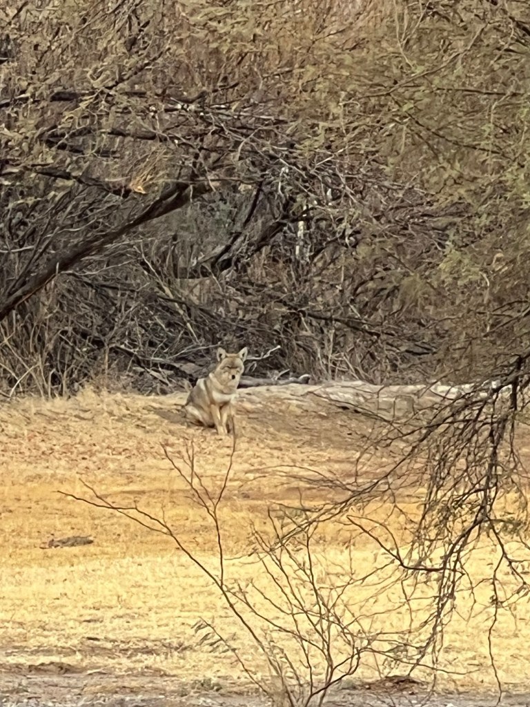
Then I spotted a larger one at the back of the field. We eyed each other for a bit, then he walked across the the campground driveway, hopped up on the cement rail along the side of the cattle guard leading in and calmly walked across the irrigation ditch and off into the bushes.

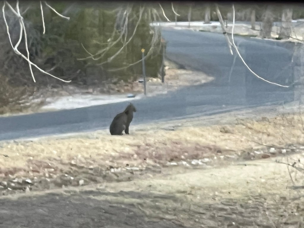
Later in the morning we saw this guy. I took this through the dinette window; we think it’s a bobcat.

He too got up and walked away.

Pretty good wildlife for a parking lot!

I am also always impressed with the immensity of this place. Yesterday as we came through the northern entrance our map program said we still had 45 miles to go to the campground.

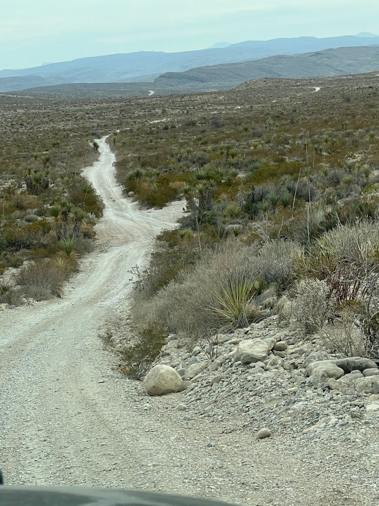
Today we took a drive on the Old Ore Road, a pretty rough dirt road through the immensity of this park.

We stopped and walked back…

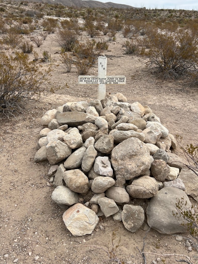
to revisit the grave of Juan de Leon, which sits alone by the side of this track. I don’t know how he came to be there.

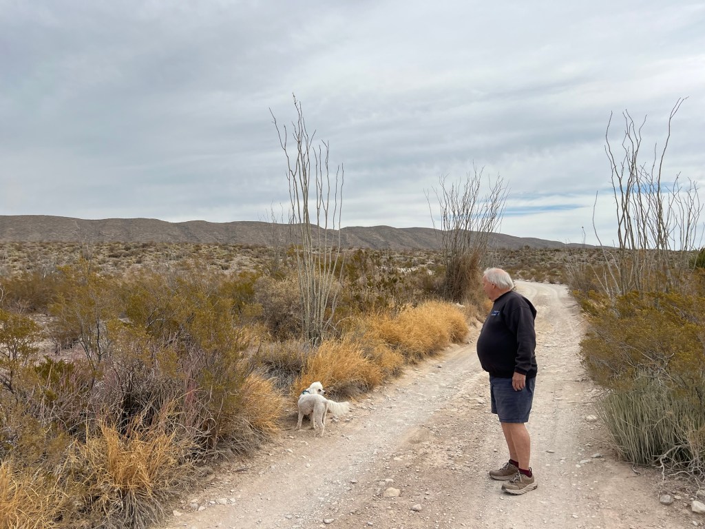
Matey is not allowed on the trails here, but there are plenty of backcountry roads for him to walk.

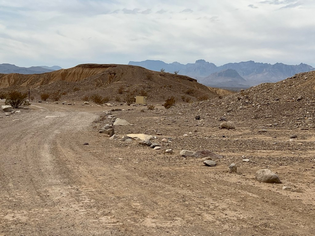
We drove to Ernst Tinaja where there is a primitive campsite…

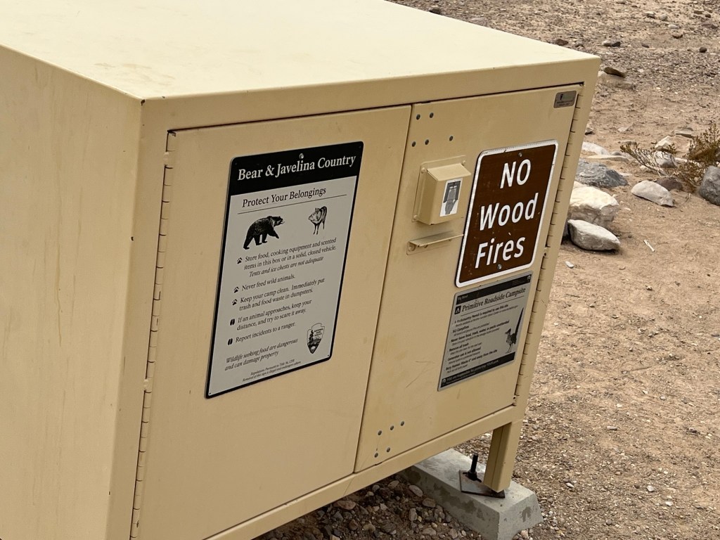
with the only amenity this food locker.

It’s also the trailhead for this trail to the Tinaja. Bud waited with Matey in the truck while I walked back.

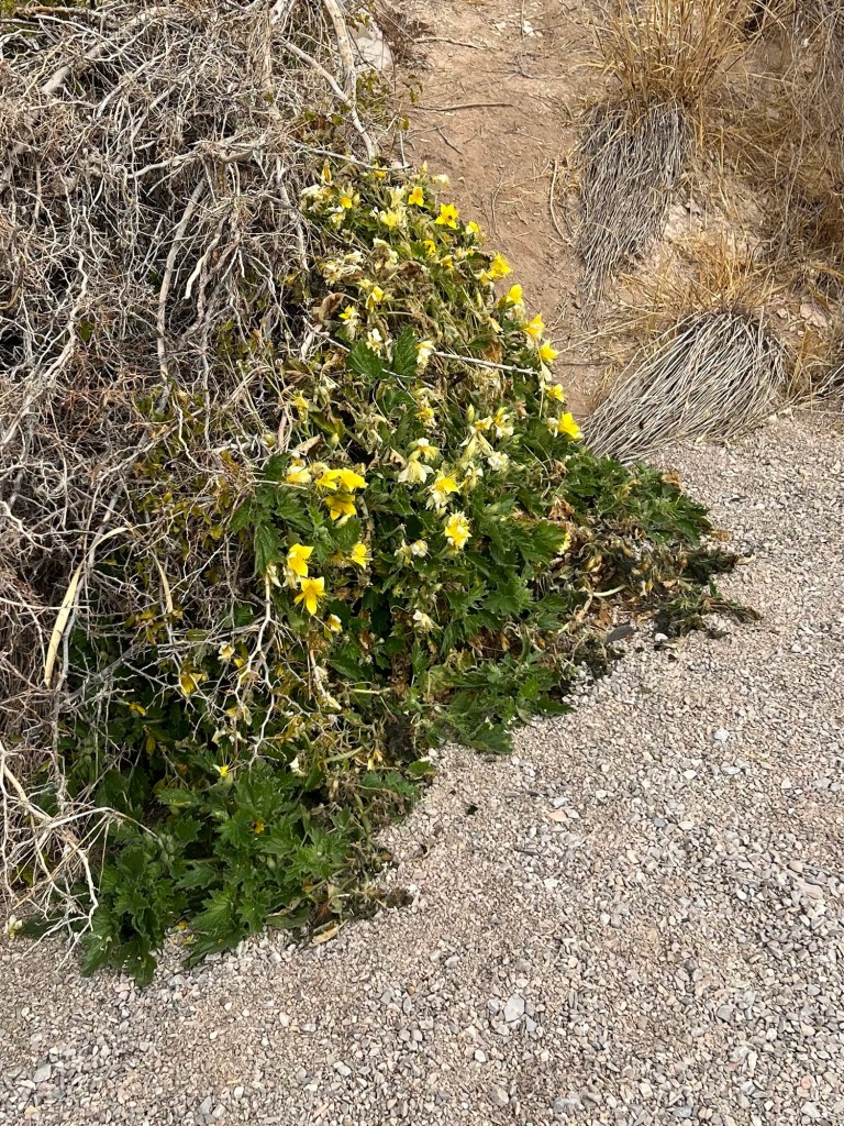
There were rock nettles blooming in this protected canyon, the only flowers I’ve seen yet, but the blooms were full of bees! How did they find the flowers, and where do they live? Life astounds me!

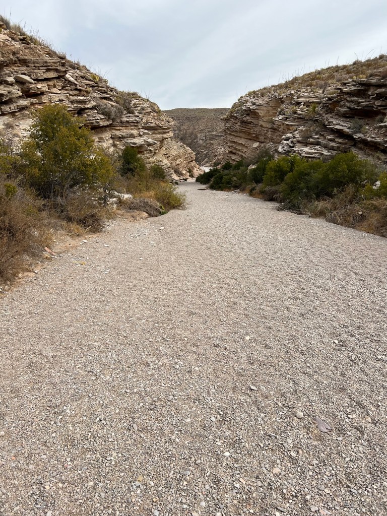
The gravel is outwash from the drainage from these hills.

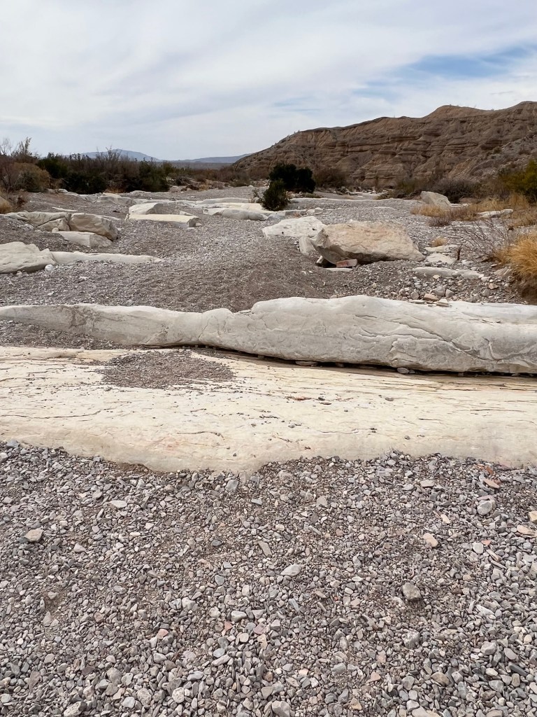
Looking back you see how the water has piled the gravel and scraped bare the bedrock.

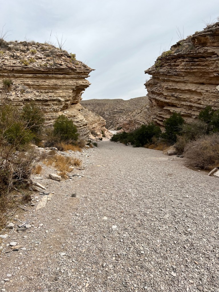
The canyon narrowed and the view got more dramatic.

The rocks were pink and grey and red.

And this is Ernst Tinaja. That is a huge hole, probably 20 feet across, and it’s hard to tell in this cloudy light, but it was full of water.

The view walking back was pretty dramatic, too.

After I got back to the truck I walked Matey for a bit on the road out. I stopped and took this 360 degree video that gives some impression of the vast openness here.

We crawled our way back the rough Old Ore Road until we got back to the paved park road.

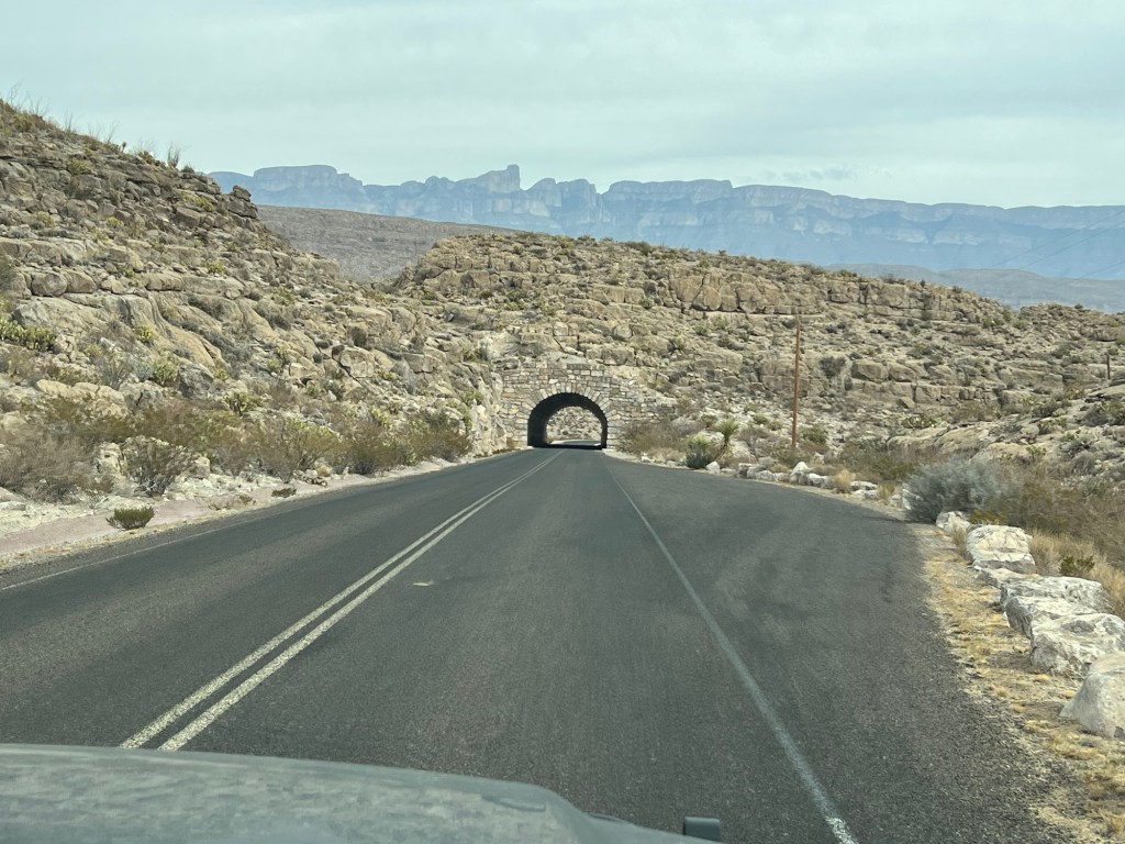
Then we drove back, through the tunnel, and back to the campground.

Can you see why Big Bend continues to fascinate even after several visits?

Kickapoo Cavern State Park Part Two: We Like It Anyway

They ended up having two no shows for the cave tour, so Bud and I joined the group getting aboard the State Park van.

After a drive of a few miles, about half on a dirt track, we arrived at the trail up to the cave.

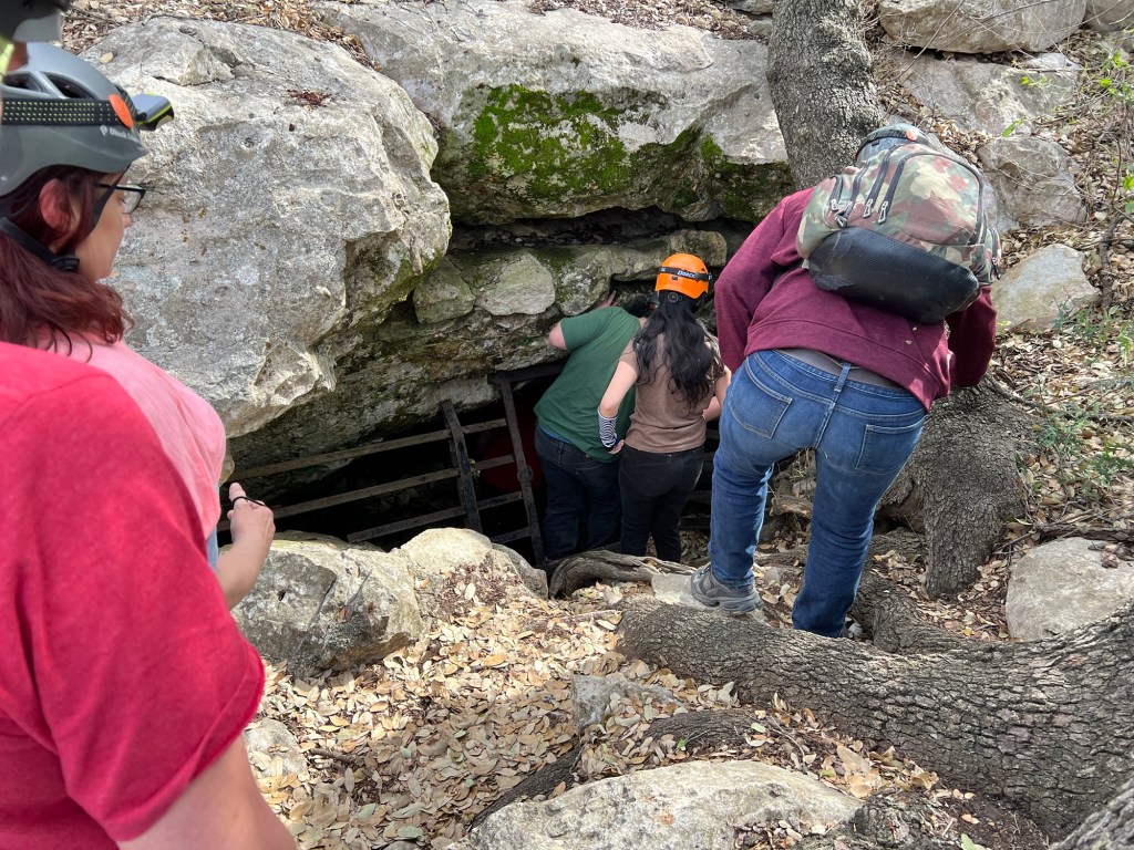
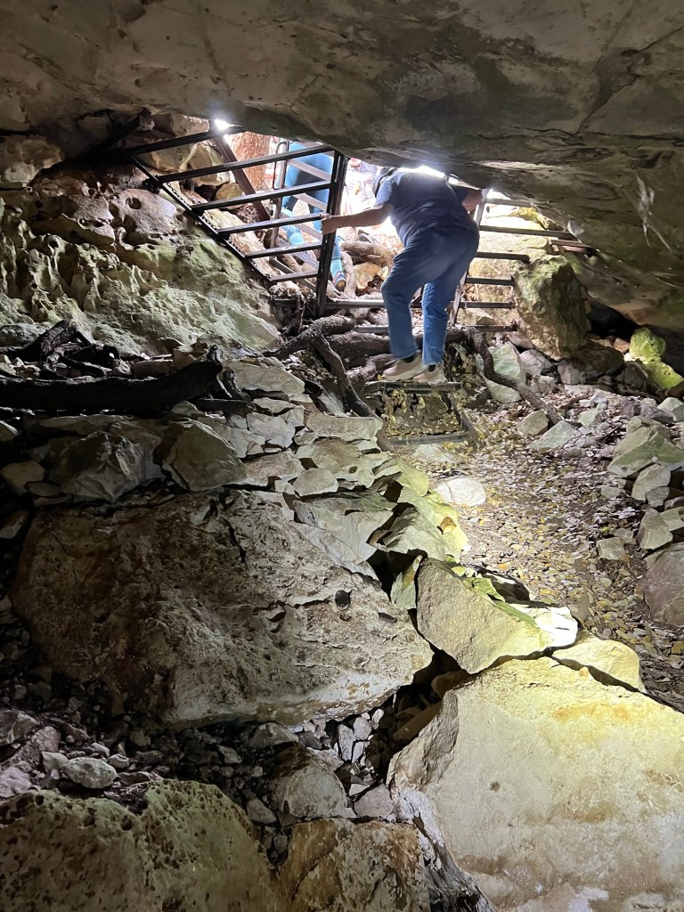
So we have to climb in that hole?

Yep.

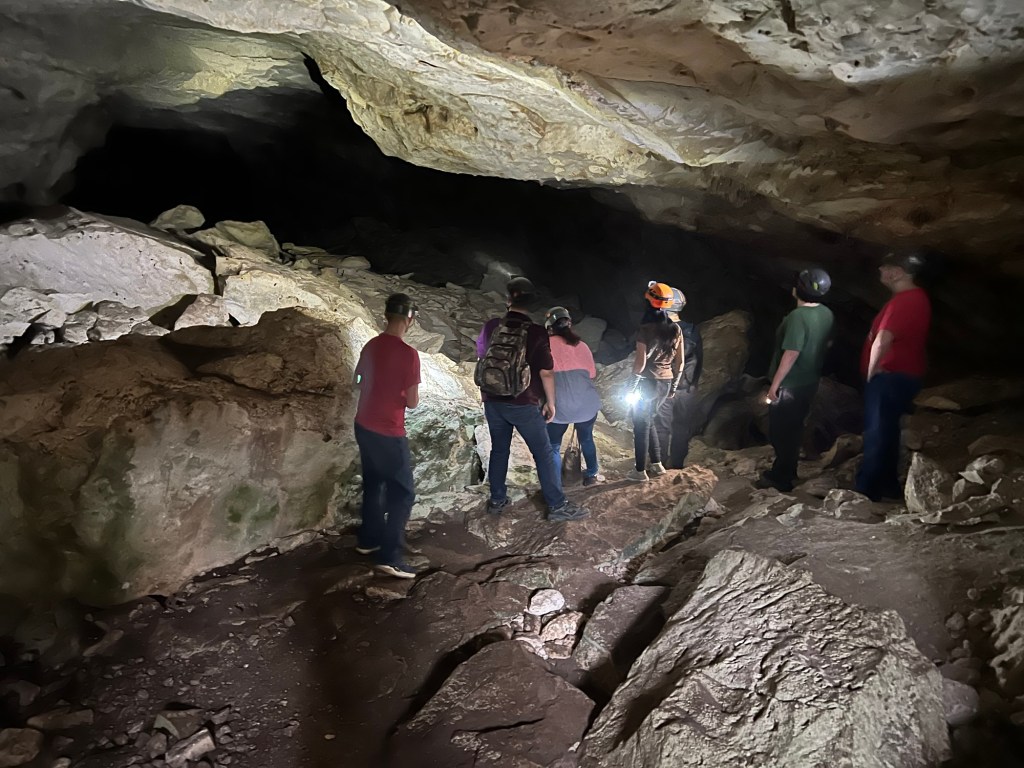
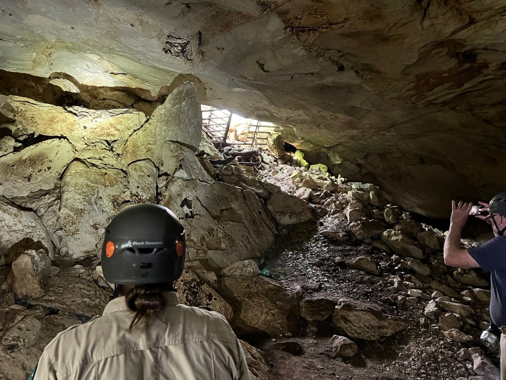
Unfortunately, once inside Bud and I discovered that neither of our flashlights was up to the job. We don’t have headlamps, our back up lights were the flashlight apps on our phones, but we couldn’t even turn Bud’s on. So this is as far as we got. We were willing to wait at the entrance for the rest to come back, but they have an extra person and an extra vehicle to take people back if they decide not to go on. We were the drop outs this time.

Afterwards I talked to a couple, fellow campers and older like us. They said we made the right choice to turn back. There were places where you had to climb over rocks and slide down on your butt. Coming back you had to climb back that slope you’d slid down. Doing that without being able to see well and with a dim flashlight in your hand would not have been fun and might have been dangerous.

So if we want to see any more of this cave it will have to be next time with proper lights. It might be interesting to go in a wild cave, but if the only light I have is the one I’m carrying I want it to be a very good one. What was I thinking? But honestly, we didn’t realize how bad our lights were until we had to rely on only them to see.

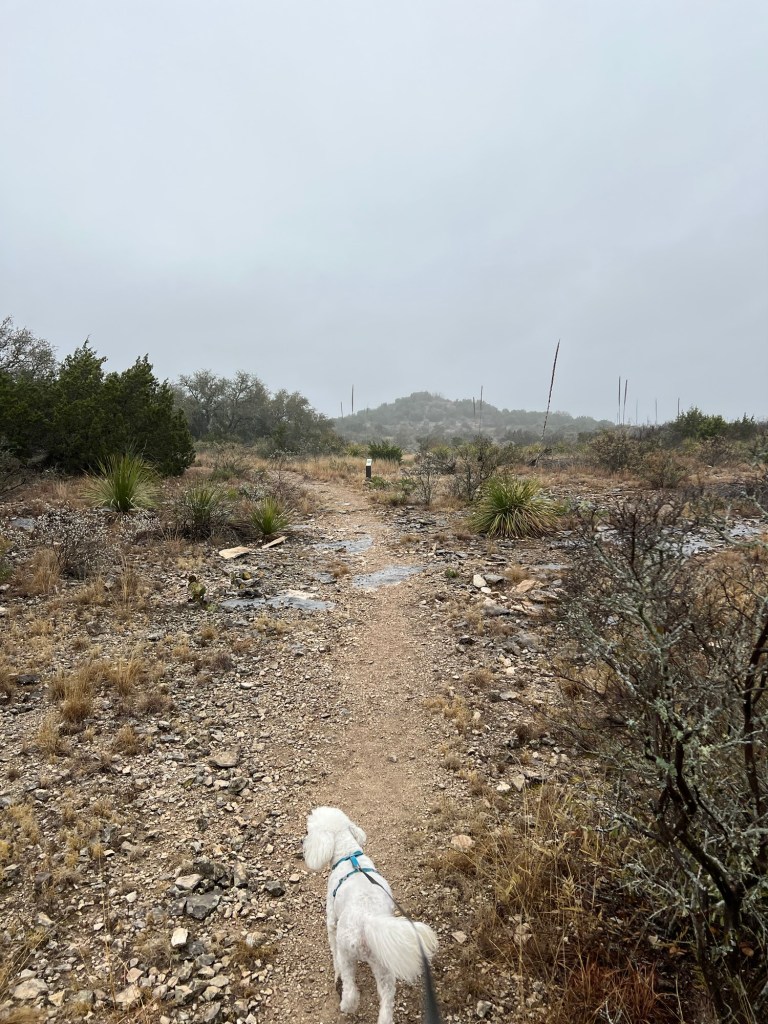
This morning was foggy and drizzly, but in the upper fifties. Surprisingly, Bud said he would walk with Matey and me. We chose a short hike on the Vireo View Trail. Those stalks you see are Sotol. Seeing them was like seeing old friends again, “Oh, I know you.”

It was nice to have Bud along.

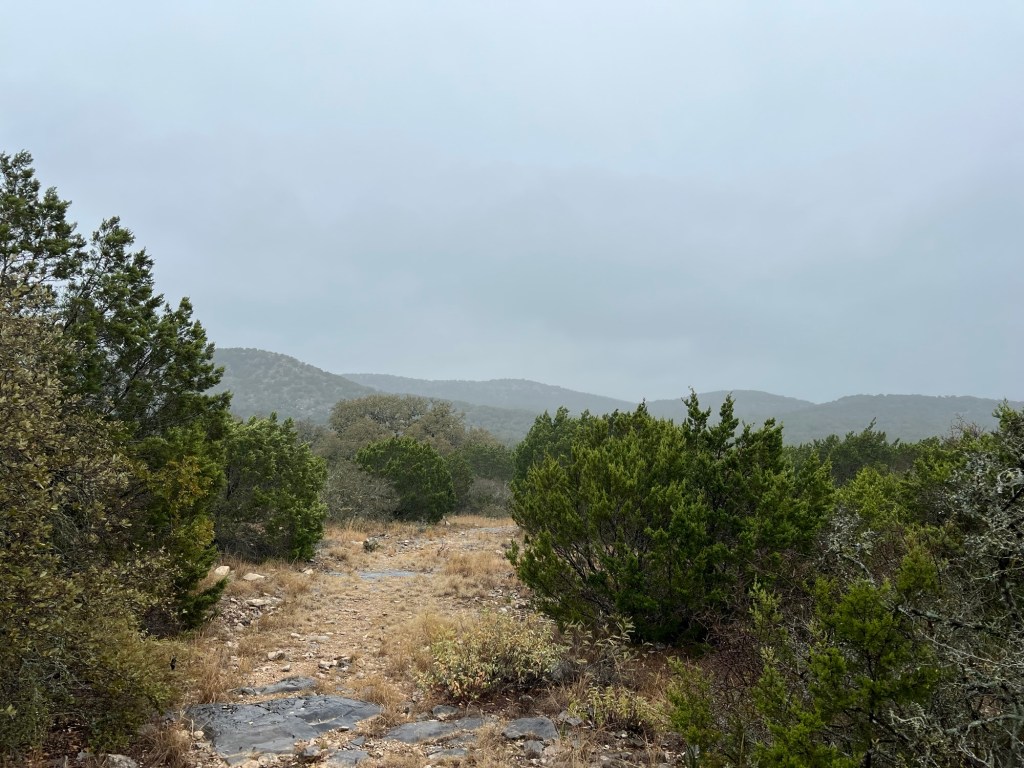
The views were muted, but nice.

This would be an inviting place to rest in the hot sun.

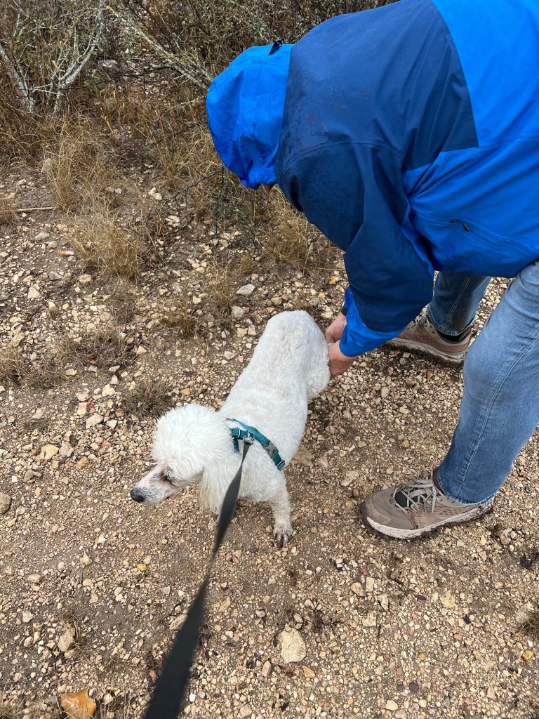
The middle third of our walk took us along a vehicle track, part of which had a thin layer of gluey mud and part was gravely. This resulted in poor Matey having little stones glued to his muddy feet. We had to stop several time to pull them off.

We were all happy to get off that and back on the park road.

Despite the disappointments, we really like this place. It’s rare to find a place with such solitude and such good amenities. We will be back!