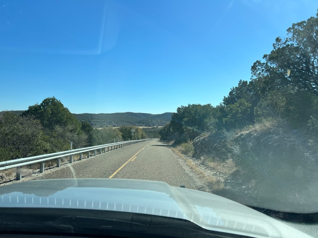
We only drove 120 miles today, but it brought us to an area we haven’t been before.
I’m not used to these kinds of rolling hills in Texas.
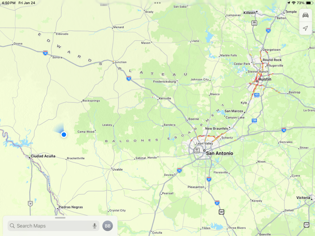
We are the blue dot on the map, and we’re in the Western Hill Country, well west of Austin and San Antonio, but not into the flatter land near the Rio Grande.
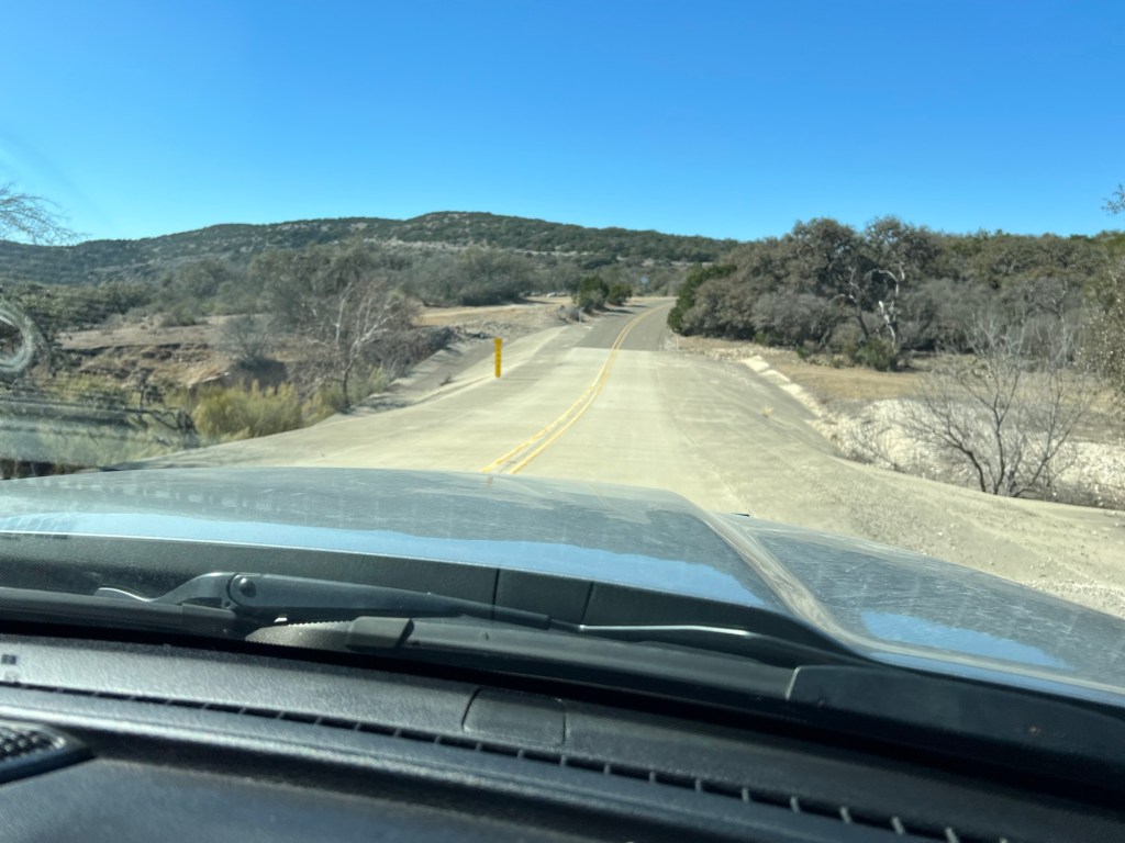
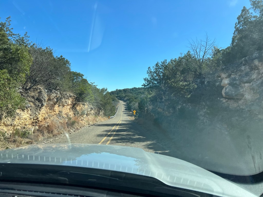
It was an interesting drive with many, many places with flood warning signs and high water indicators in the low spots.
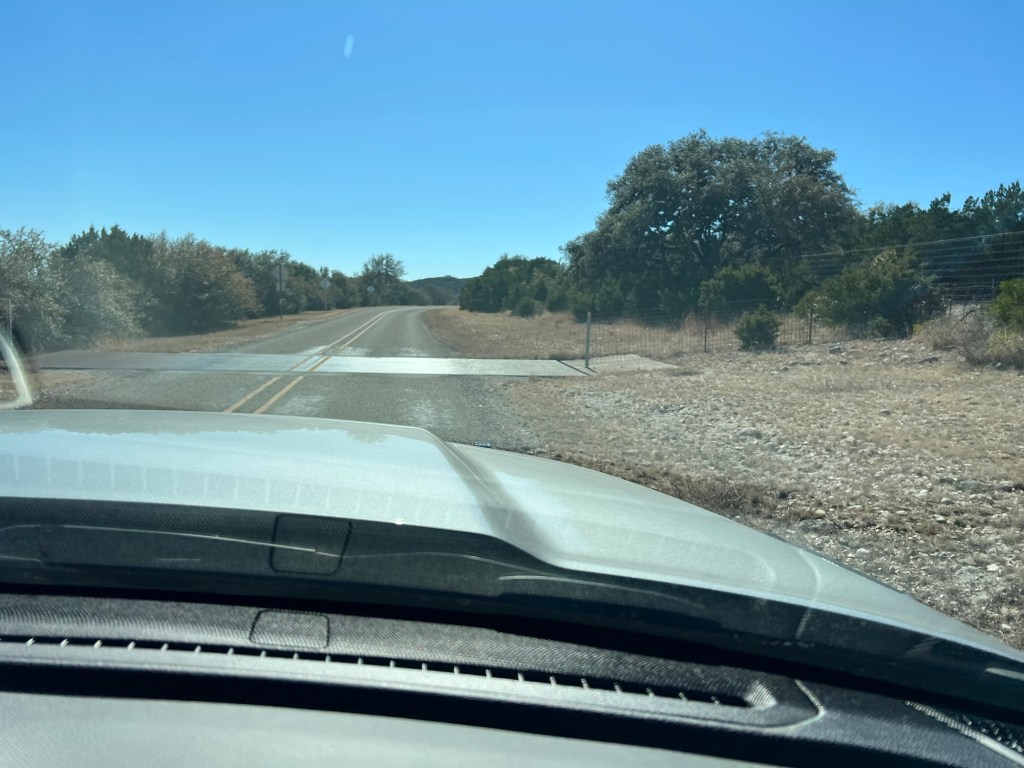
On the 30 or so miles coming south on Ranch Road 674 we also crossed several cattle guards, “bridges” of round bars the cattle can’t cross, and entered areas of “Loose Livestock”, although we saw none.
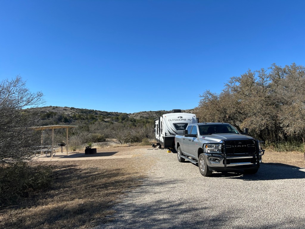
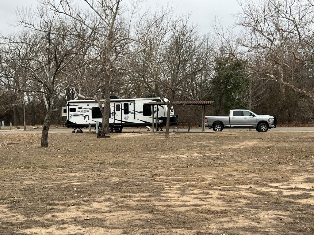
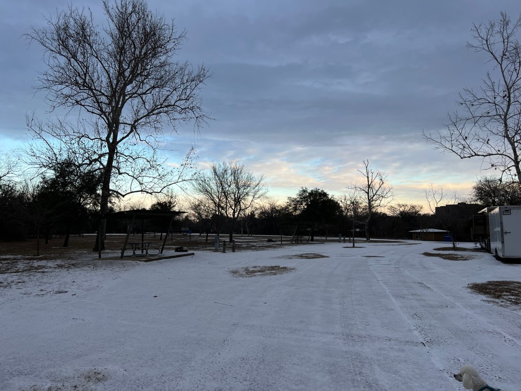
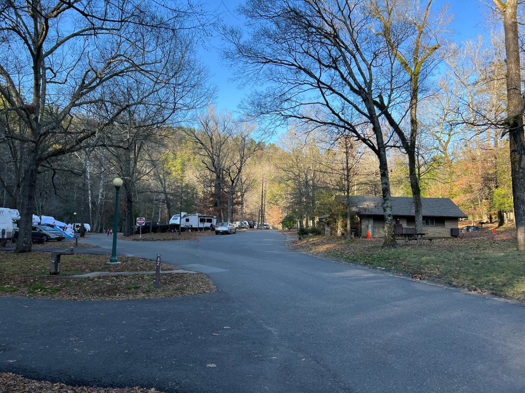
There are only 15 campsites in this state park, but 5 of them, including ours, have 50 Amp service and water and sewer.
There is plenty of space around each site. This is looking up the main road of the campground, and you can’t really see where the other sites are.
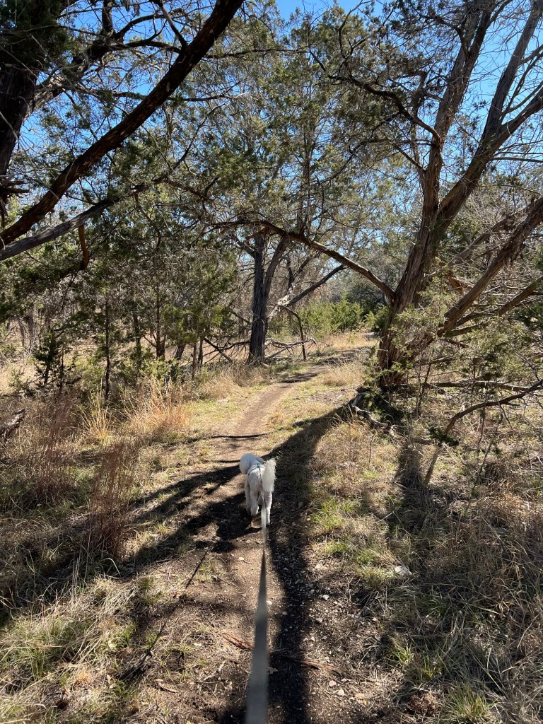
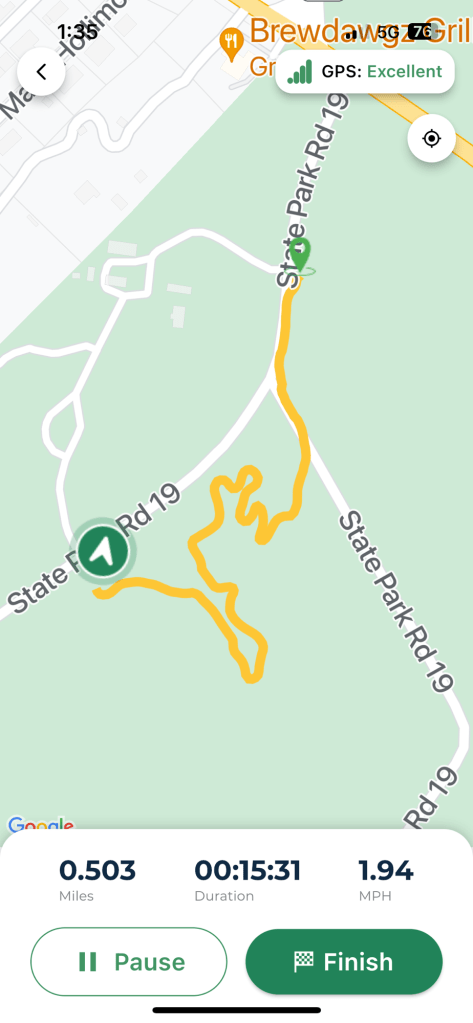
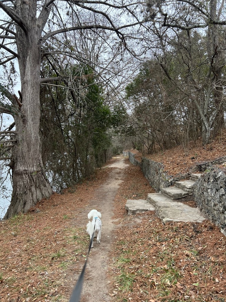
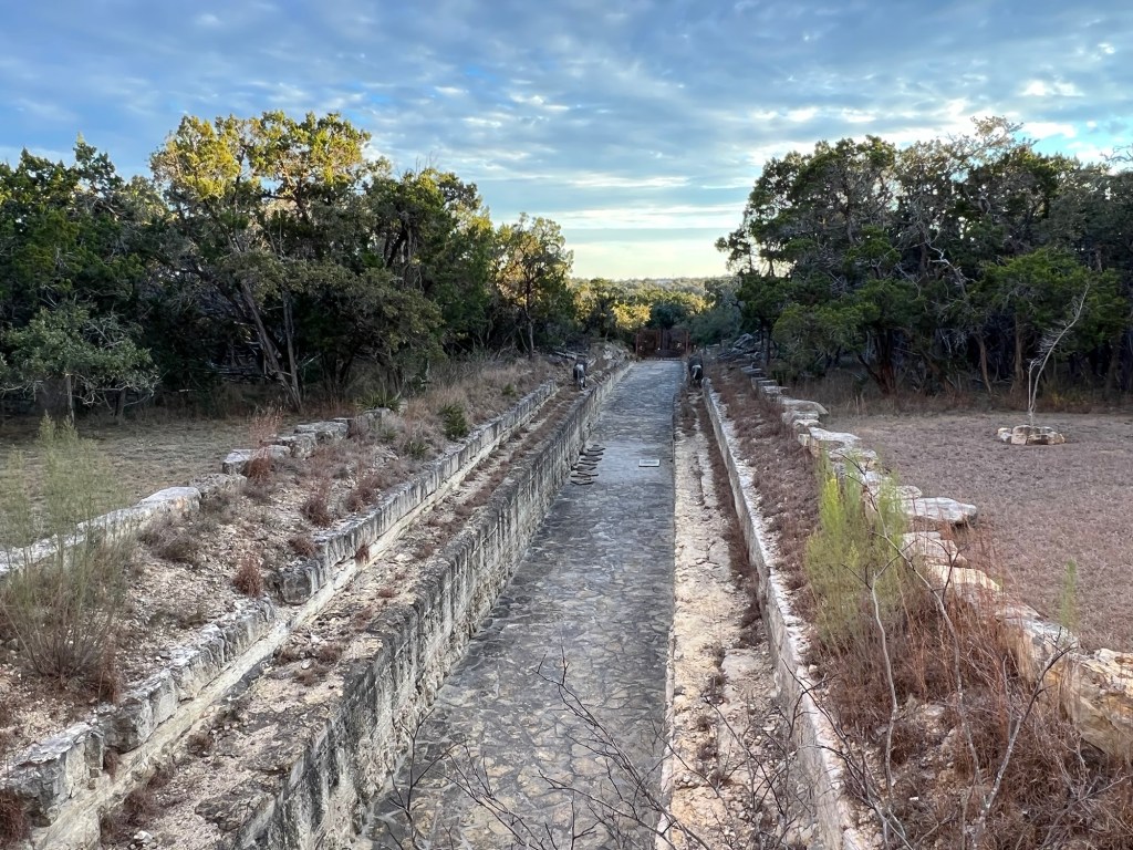
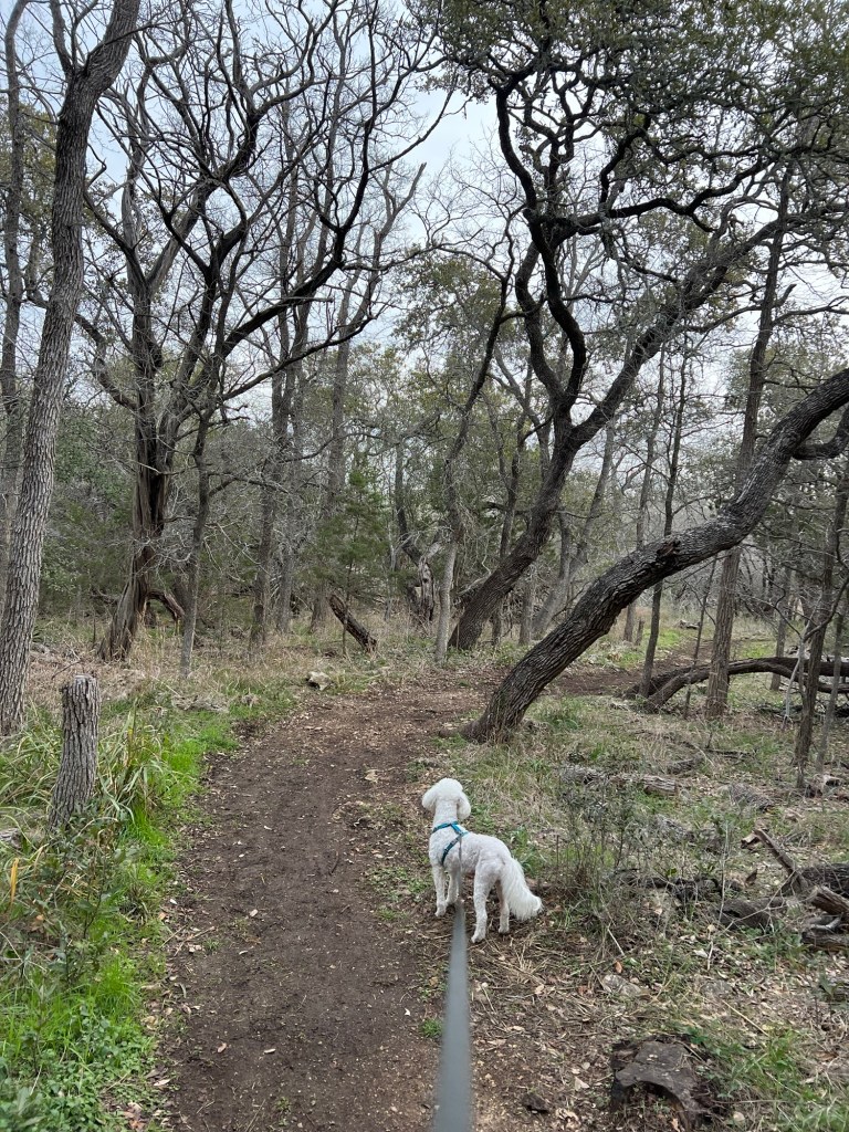
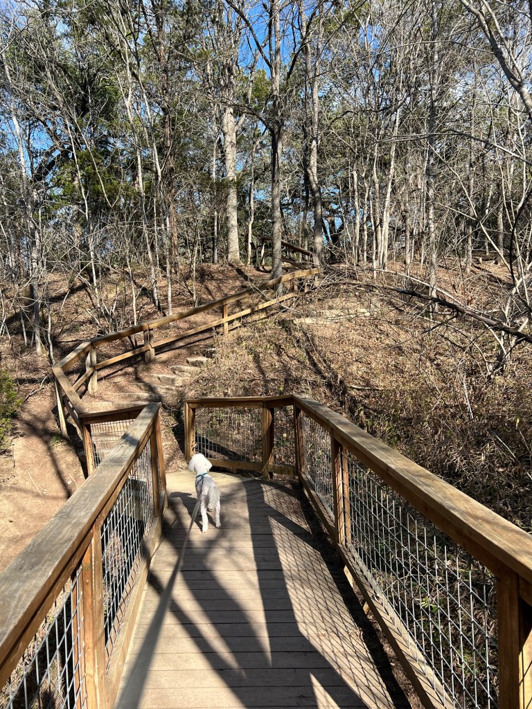
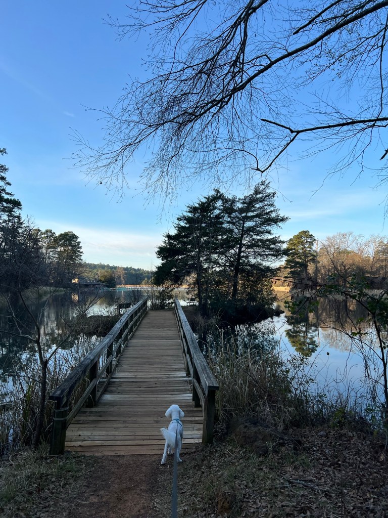
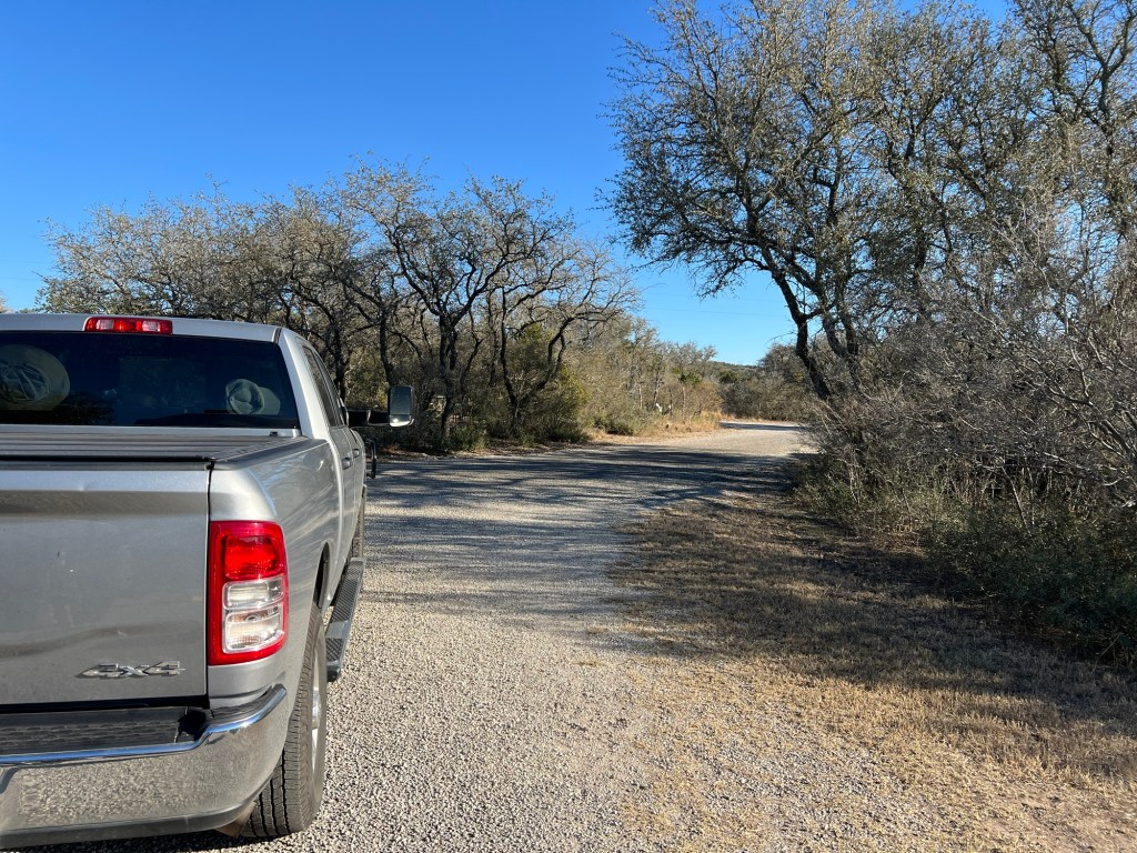
After we got set up Matey and I took a short walk on the Seargeant Memorial Trail. This land was the Seargeant Ranch until 1986, until Tommy Seargeant was able to donate it and have it made a state park.
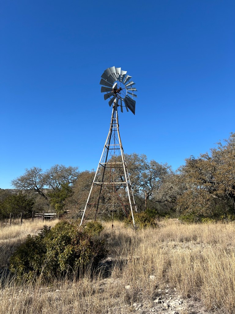
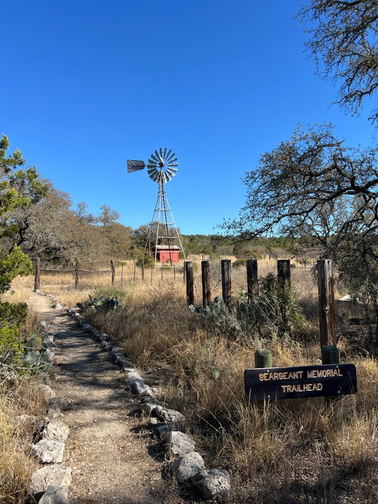
The windmill is the one that was used on the ranch…
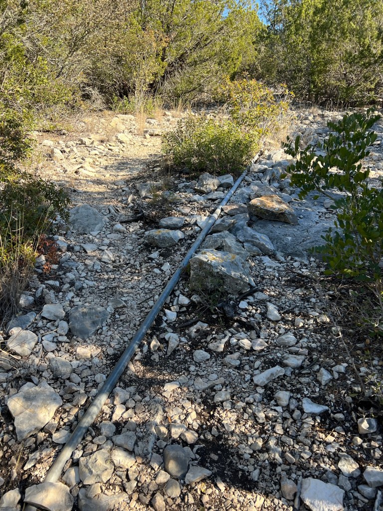
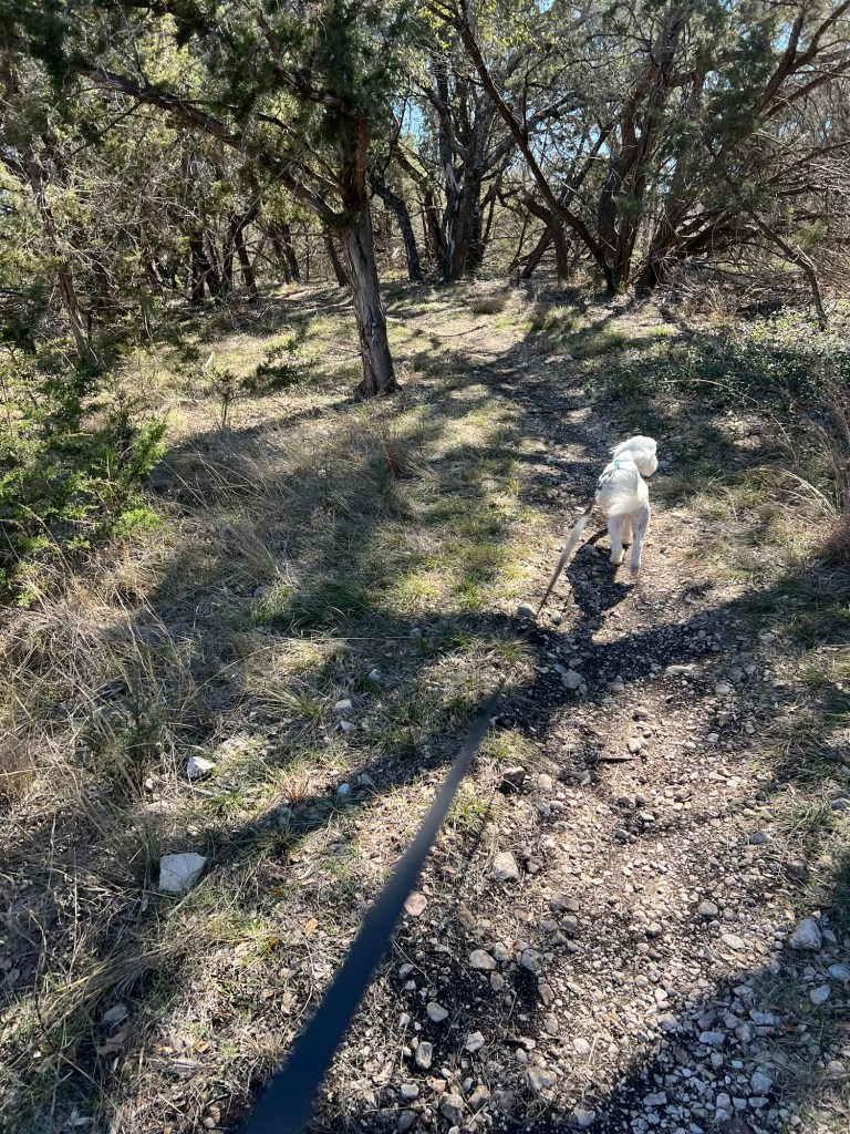
and some of the miles of galvanized pipes that took water to the pastures are visible along the trail.
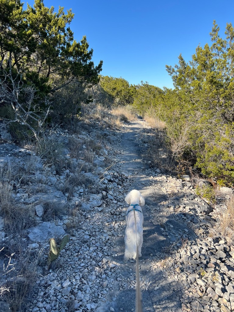
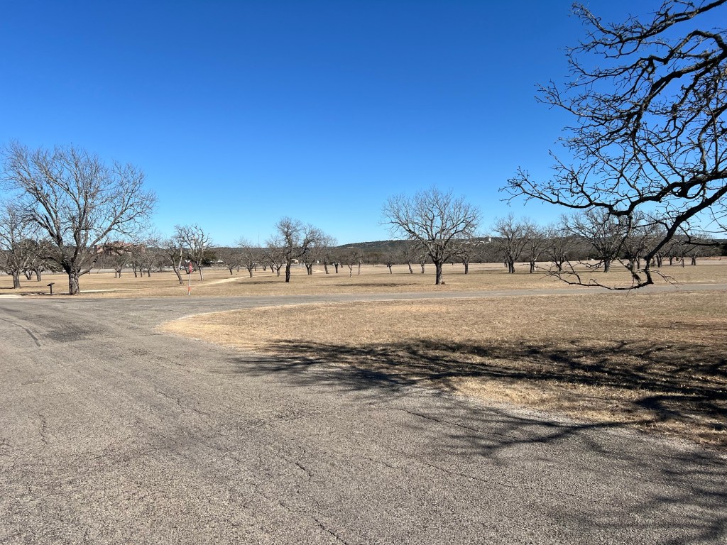
There is scrub oak and juniper here, but also prickly pear cactus and honey mesquite. We are on the edge of the desert.
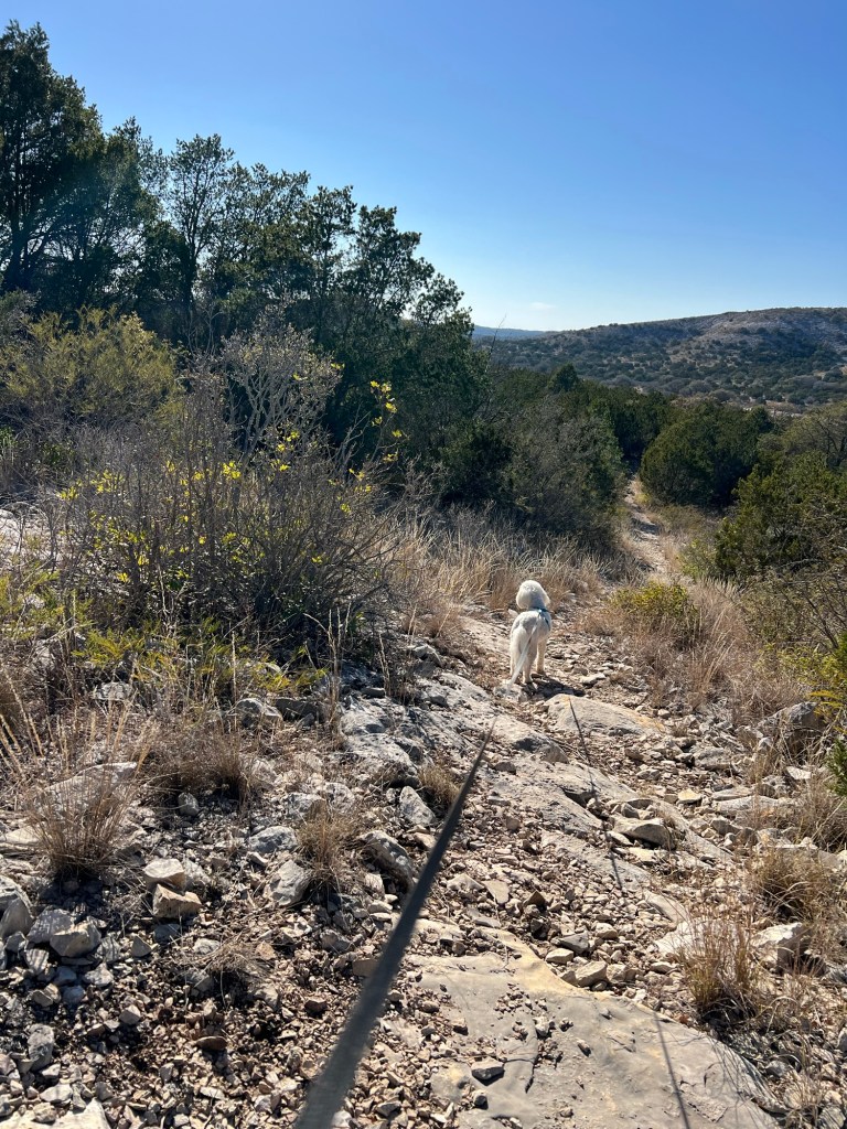
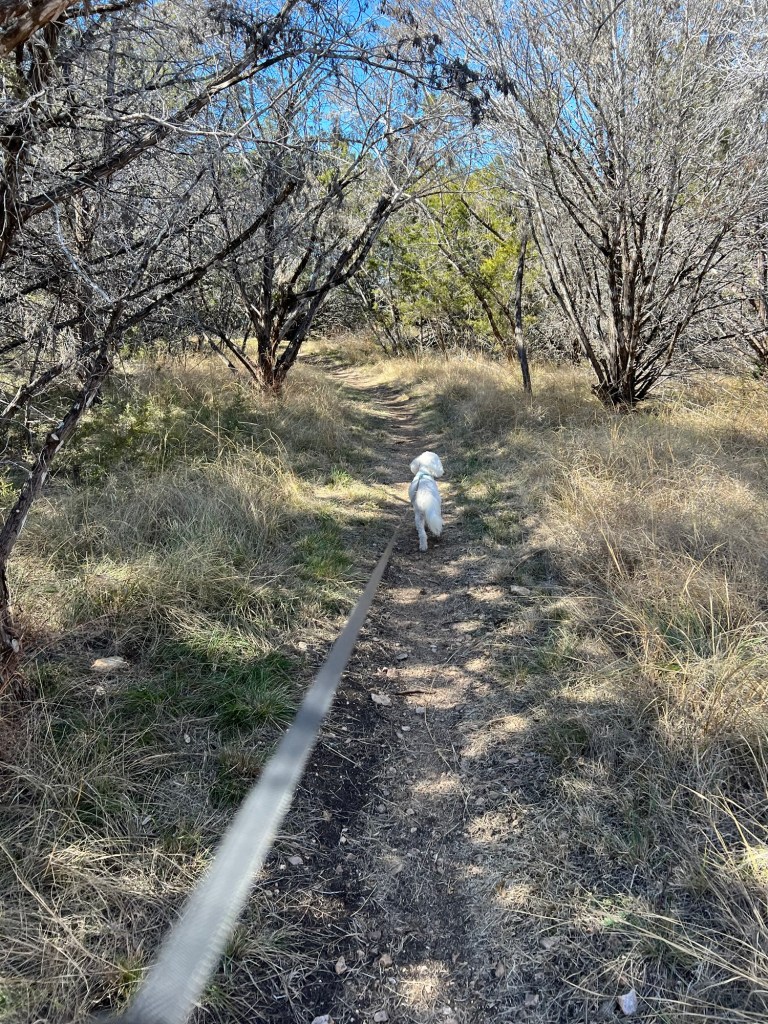
The trail was short but had a couple of fairly steep places. Matey is happily going back down part of the trail where I carried him up.
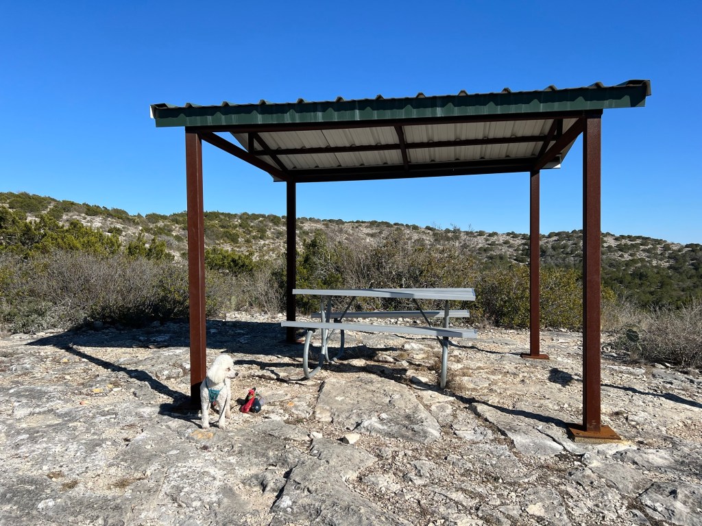
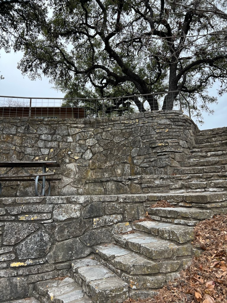
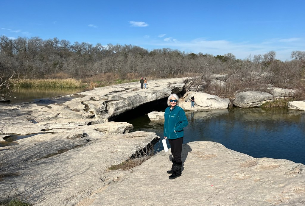
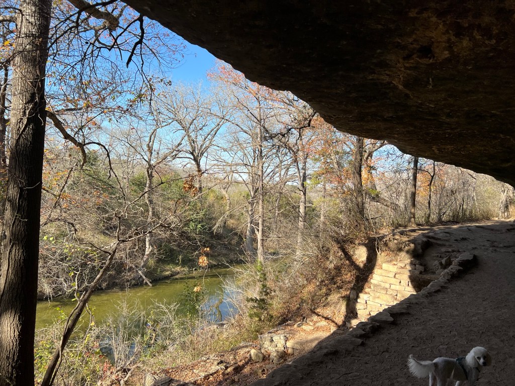
I wanted to make it up here, to the overlook…
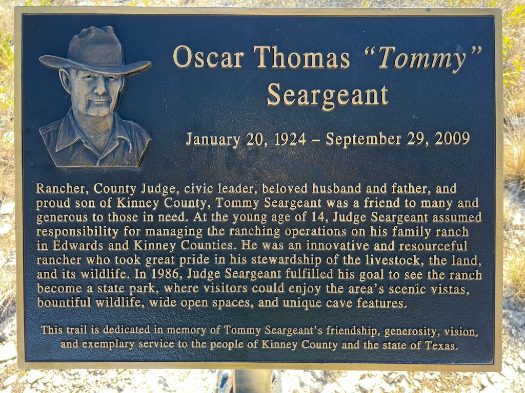
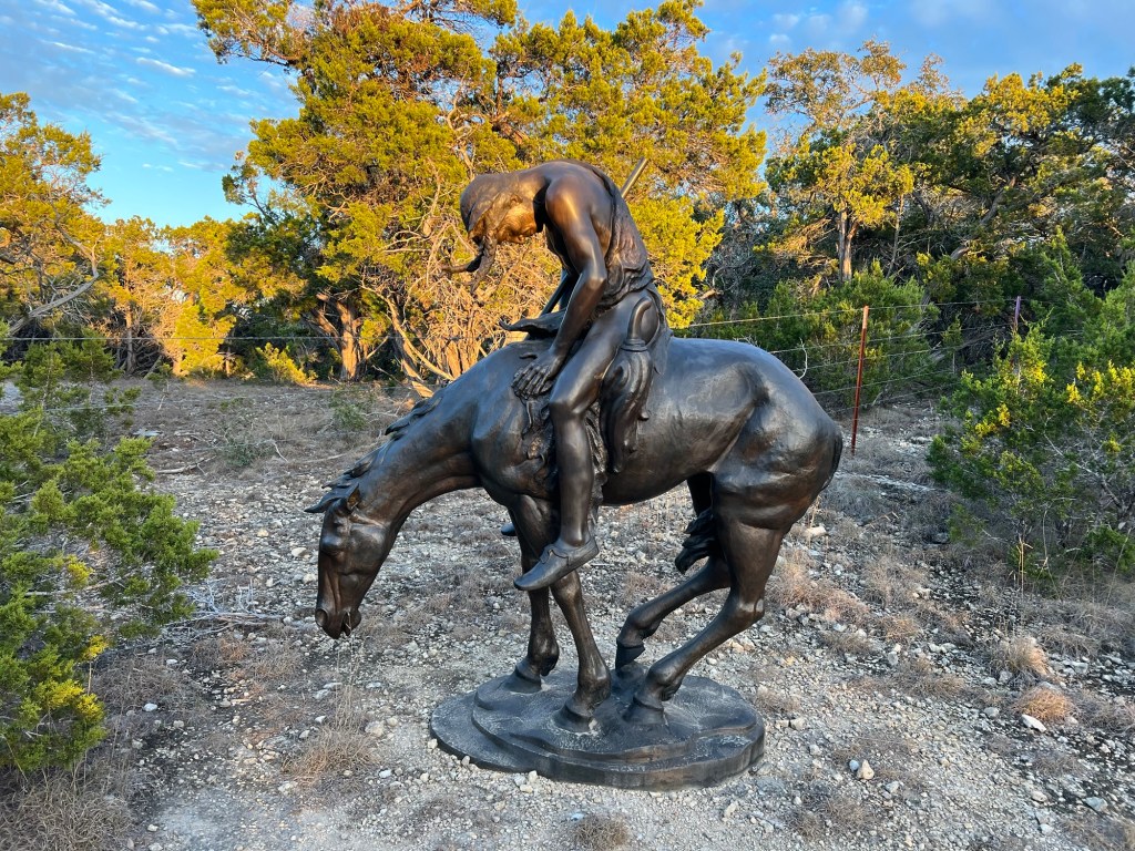
and the Tommy Seargeant Memorial.
There is a cavern here that you can only go through on a guided tour. When I booked the site I thought I could easily book a tour later. But when I tried I found that not only is the park only open Friday through Monday, there is only one tour each week (Saturday at 1:00) and they only take 10 people. So we are on “standby”, but the nice man at the office told us to come down tomorrow at 12:30 and they would see what they could do.
If we miss the cave tour I won’t mind coming back here another year to enjoy the beauty, the solitude and the silence. And I will book the tour when I book the site!