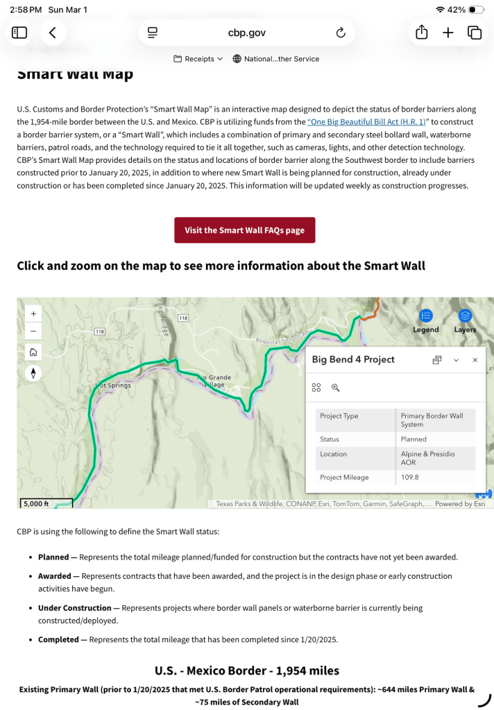
The uproar from all who love Big Bend National Park seems to have had an effect. The Customs and Border Protection website now shows the “wall” through Big Bend as “Detection Technology” and not a physical barrier. That is great news for all the creatures of the park. Let’s hope that technology preserves the dark sky designation. Let’s also hope things don’t change once the attention is off. I’m sure there are many people who will stay vigilant (including me) to sound the alarm again if that is needed.
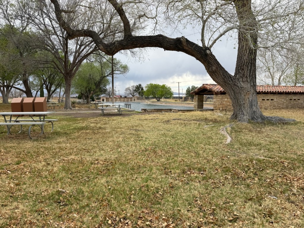
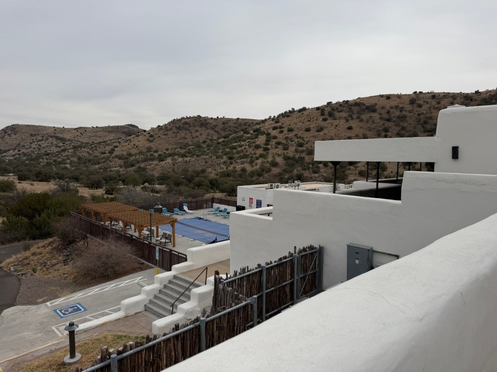
We came just 33 miles to Balmorhea (ball more ray) State Park. They have a brand new campground, but they don’t have mountains. As we drove here and descended 2,000 feet the temperature increased about seven degrees, from 70 to 77. To the east we had blue sky,
but to the south and west we had a stormy sky and soon the temperature dropped nine degrees. We’ve had a divided sky all day, so the weather you see depends on the direction I’m facing.
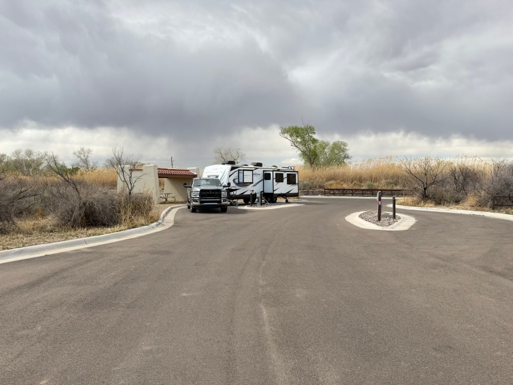
We drove to town for fuel and the wind was whipping and the dust was blowing.
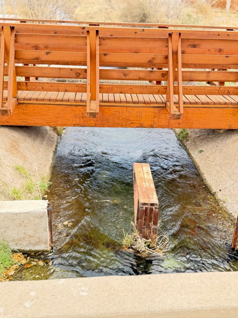
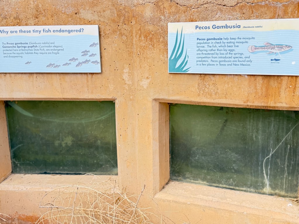
Fortunately, the heart of this small park is the San Solomon Spring. So we have wind, but no dust.
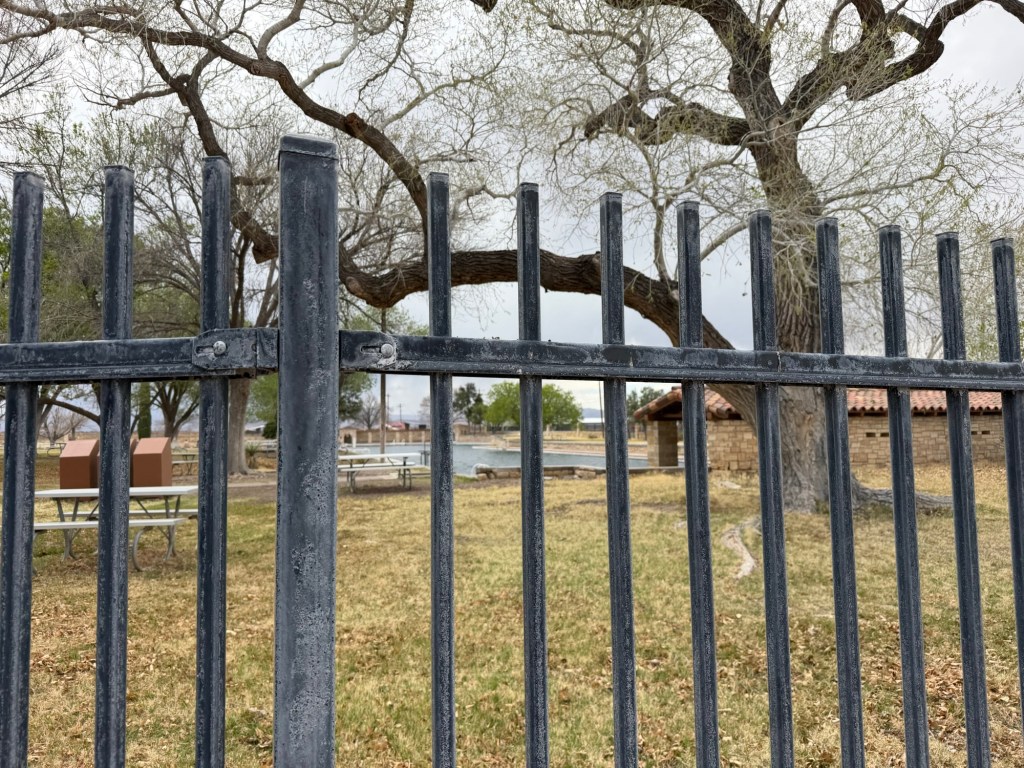
Unfortunately, dogs are not allowed inside the fenced spring area, so this is as close as I’ve gotten so far, as I was walking with Matey.
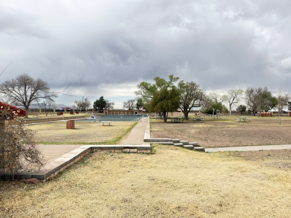
There’s a huge swimming area and there are supposed to be fish and turtles there, so tomorrow I will have to explore without Matey.
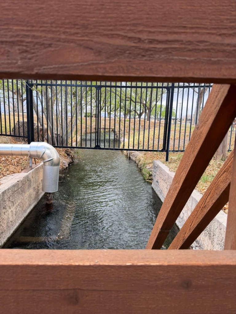
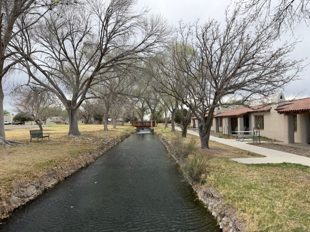
Water flows from here through miles of canals.
There is quite a current.
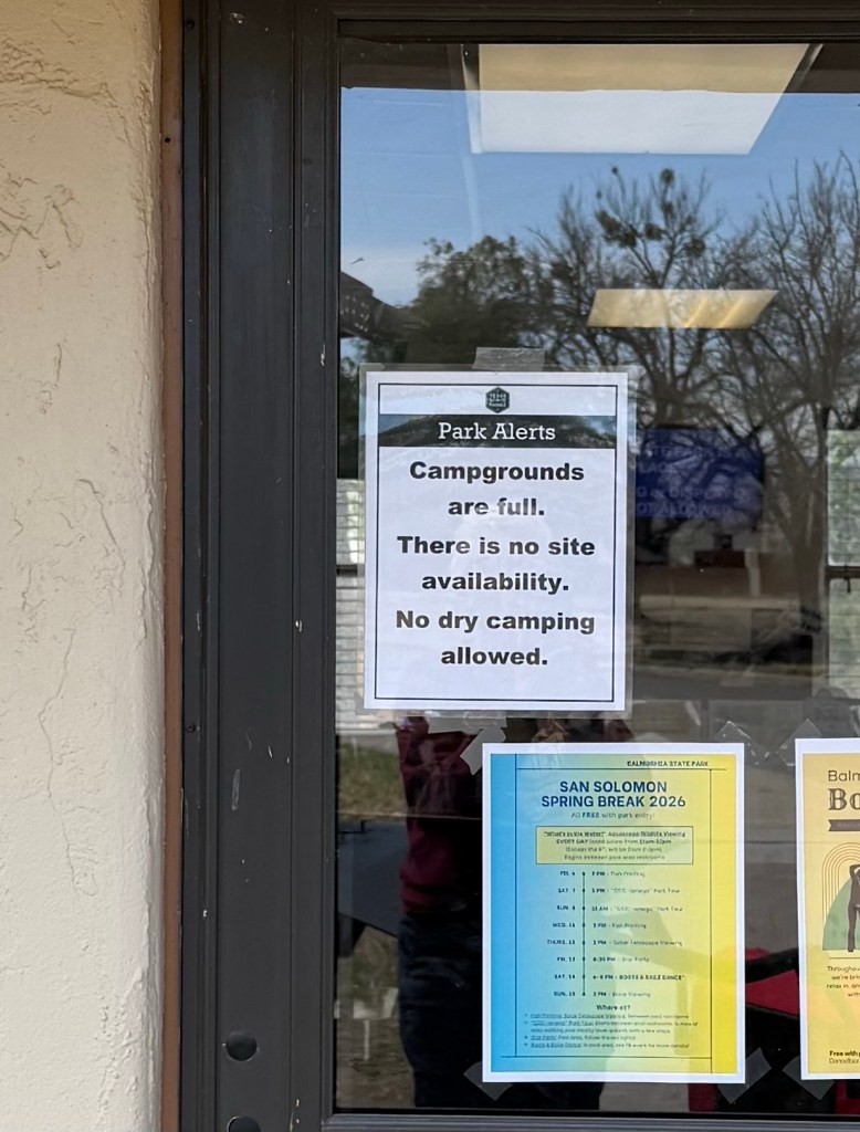
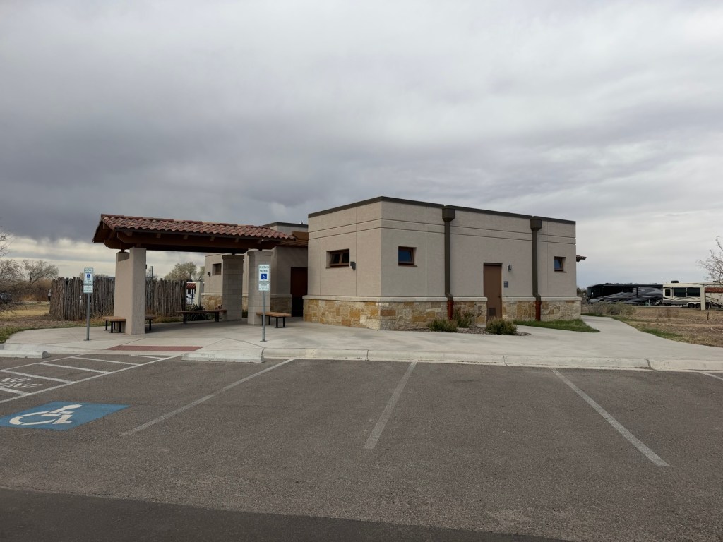
Evidently the new campground is popular. Of course we had reservations.
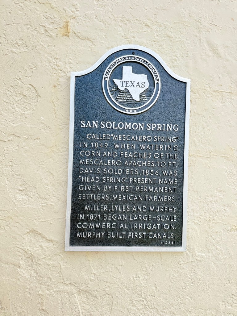
The spring has been a popular place for millennia, as is any reliable source of water in such dry land.
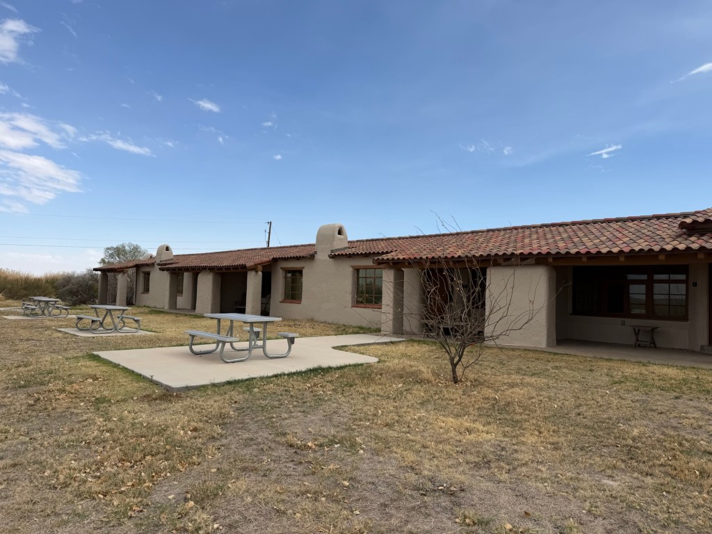
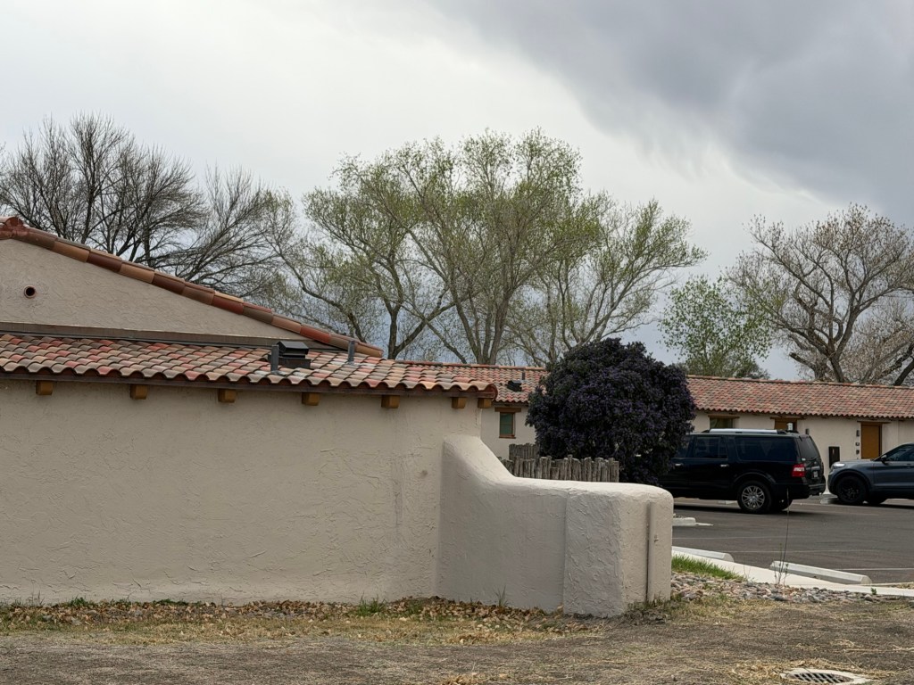
Governor Pat Neff made it a state park and the CCC constructed the pool and built this motor court from 1935 to 1940.
Originally each room had a carport,
in the 1970’s the carports were enclosed and used to enlarge the rooms and add bathrooms.
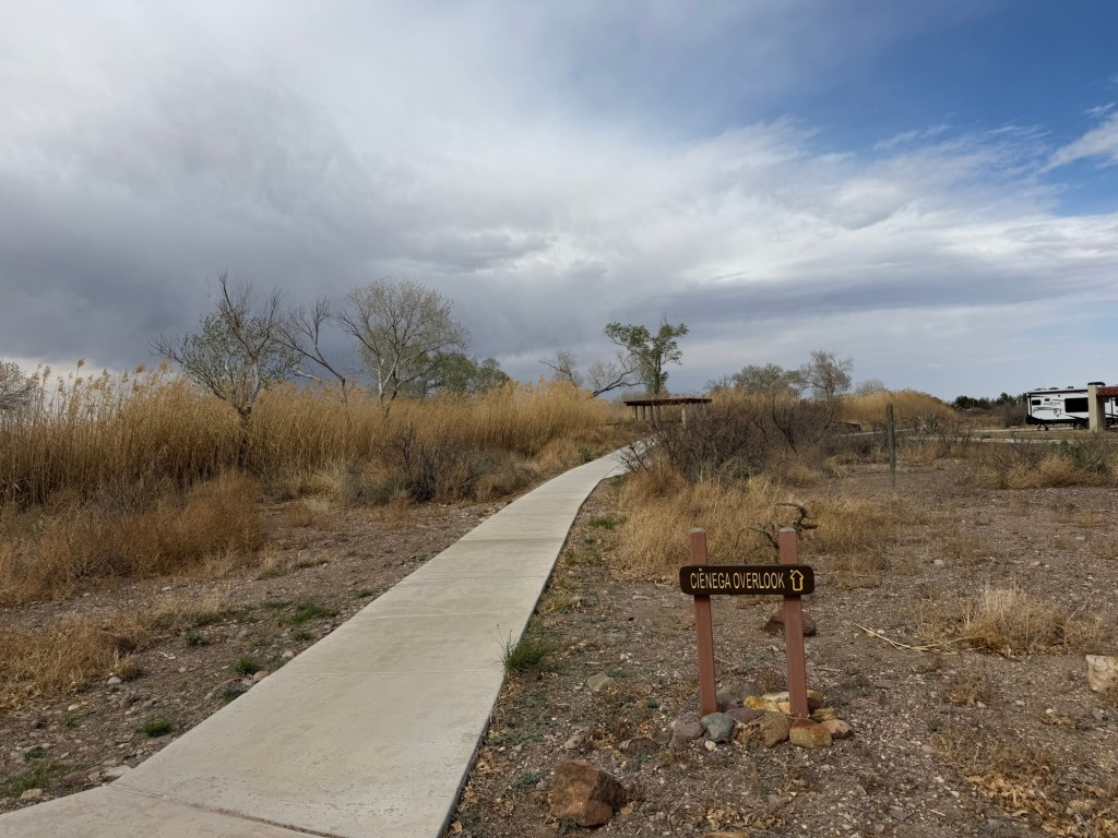
There are two cienagas, or swamps. They were constructed because some native fishes were struggling to survive in the fast flowing canals that were made for irrigation.
Matey and I went up to the viewing area on this one.
They even have underwater ports, but I couldn’t see through them.
This is a beautiful new campground and an interesting place. I’m happy to see it but our two night stay will be plenty for me as it has no trails.
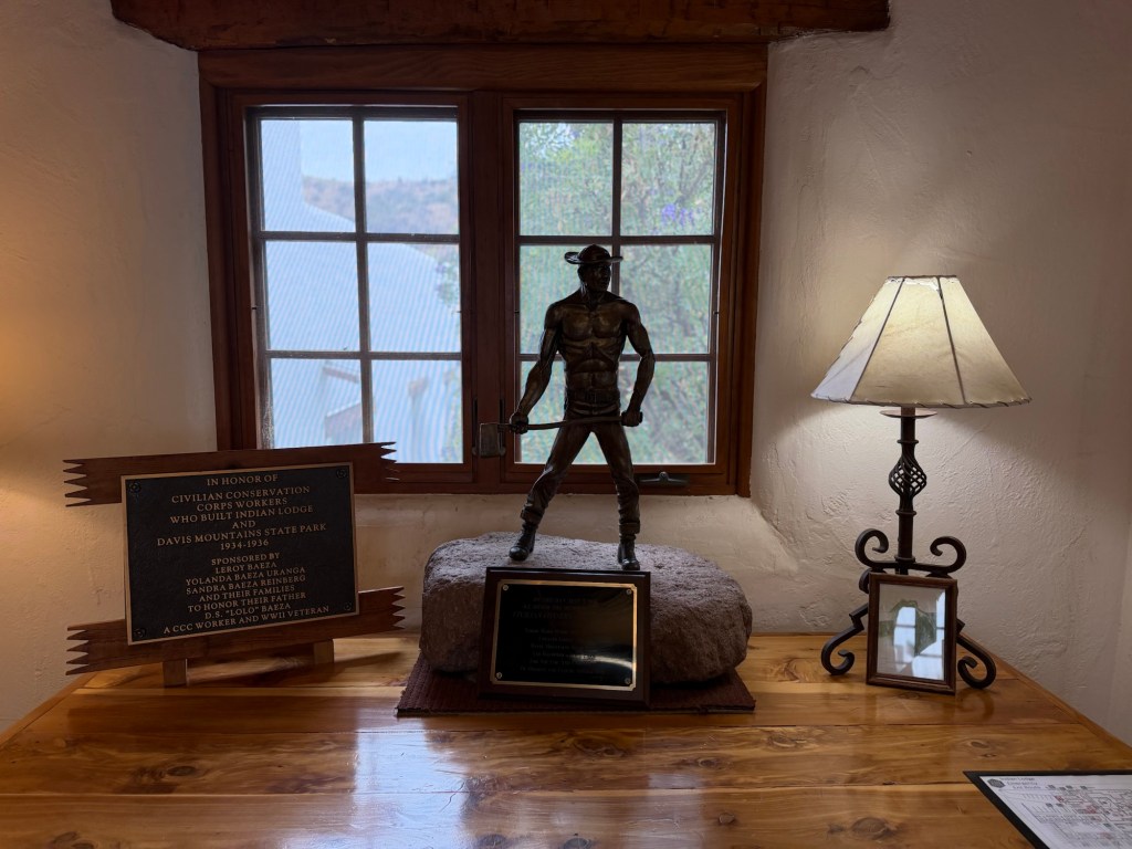
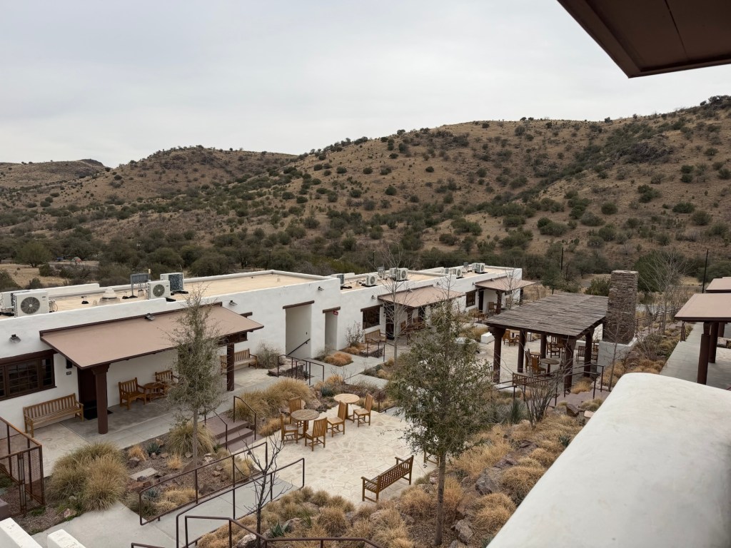
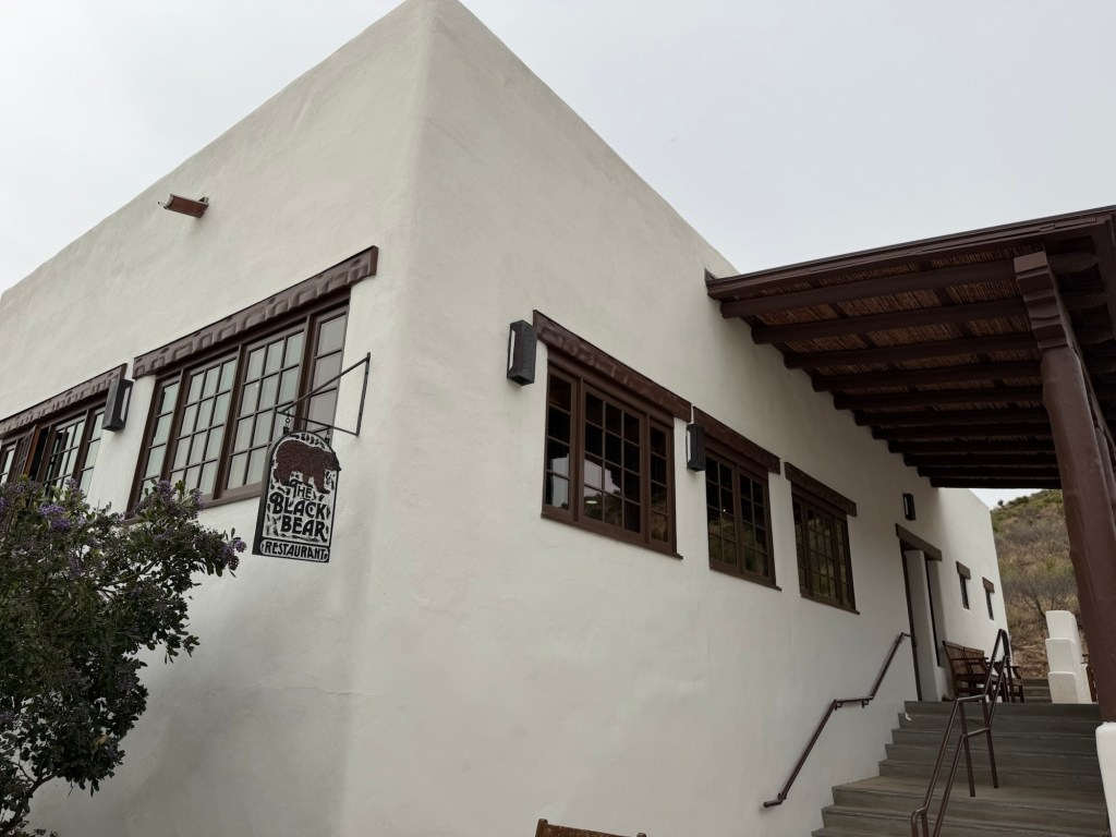
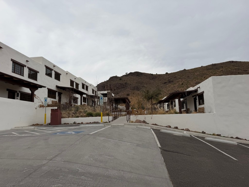
Today Jack treated us to lunch at the Black Bear Restaurant in Indian Lodge.
This sprawling structure,
built by the CCC from 1934-36. This tribute to them is in the lobby.
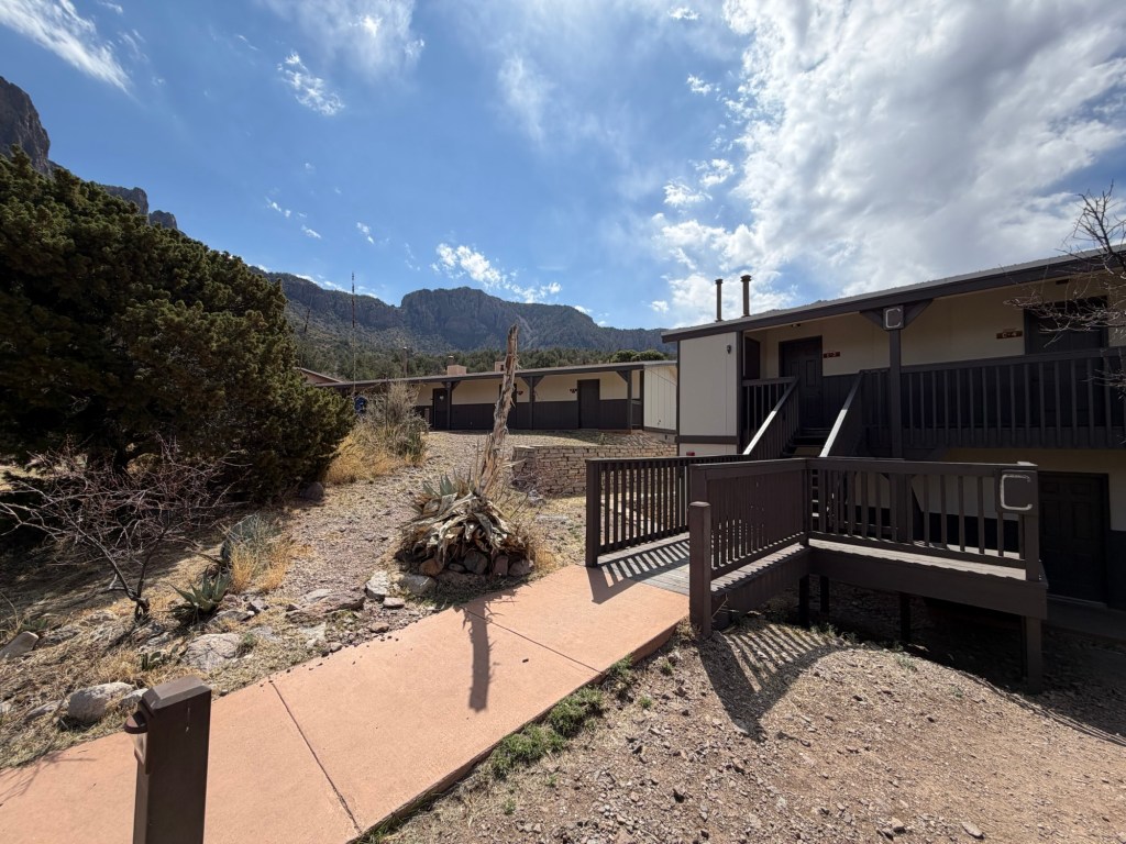
The building nestles in the hills at Davis Mountain State Park and the lodge and the restaurant are operated by the park.
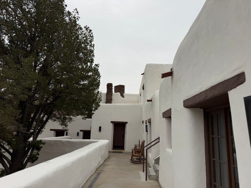
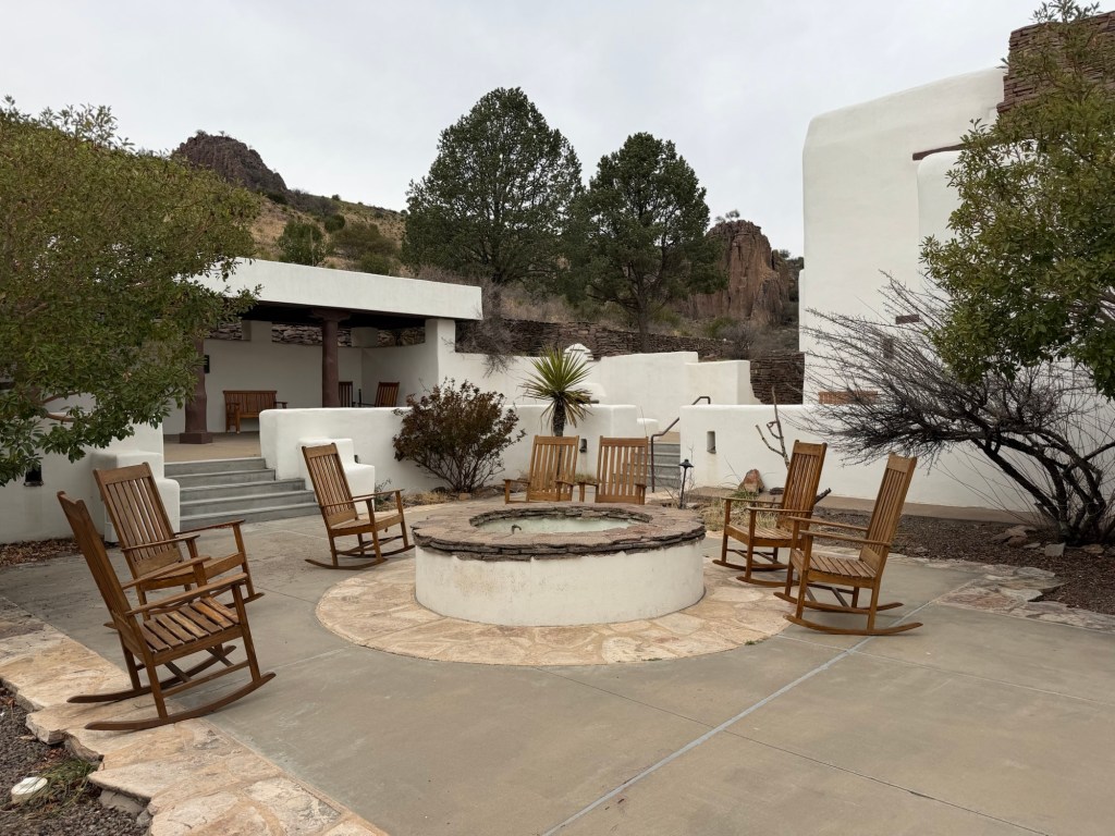
Coming in from the back, Bud and I walked along the outdoor decks in front of the rooms.
There are plenty of places to relax.
The pool is not open.
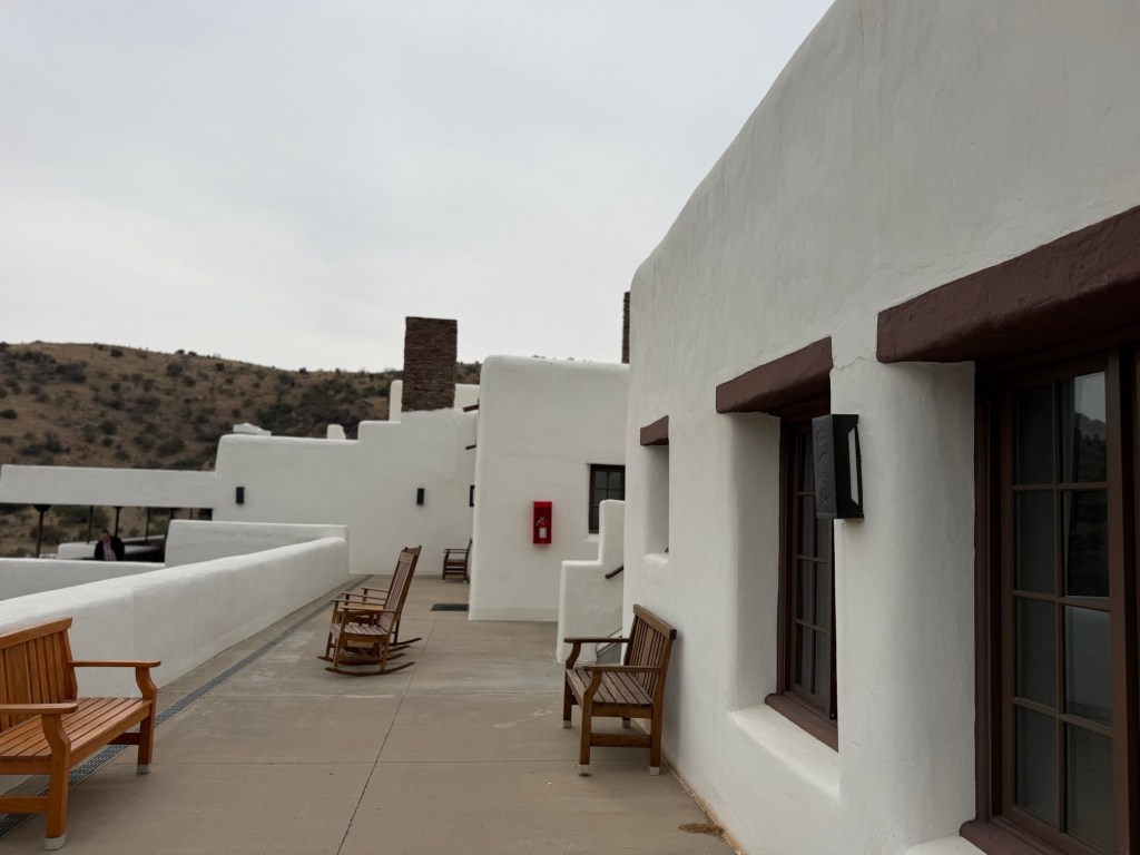
This is the largest outdoor courtyard.
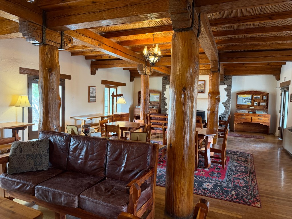
We found our way through the beautiful lobby,
and then with a bit of direction, to the restaurant.
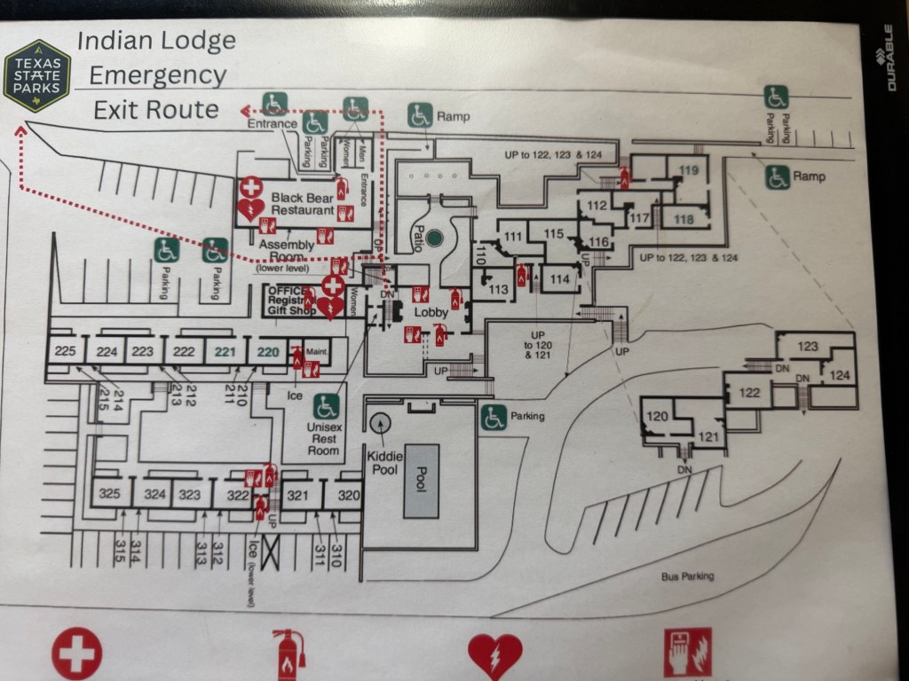
Looking at this emergency exit diagram you can see how it might be confusing getting around.
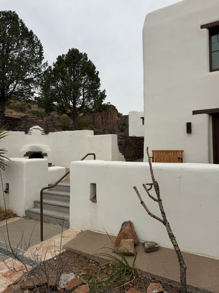
We exited through other courtyards…
and other outdoor passages.
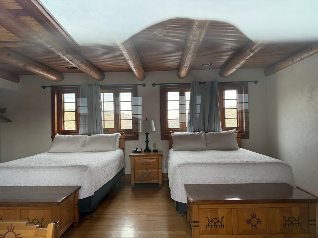
The lodge had been closed for over a year for renovations, but the feel and furnishings of its era have been retained, as you can see from this picture I took peeking through the window of an empty room.
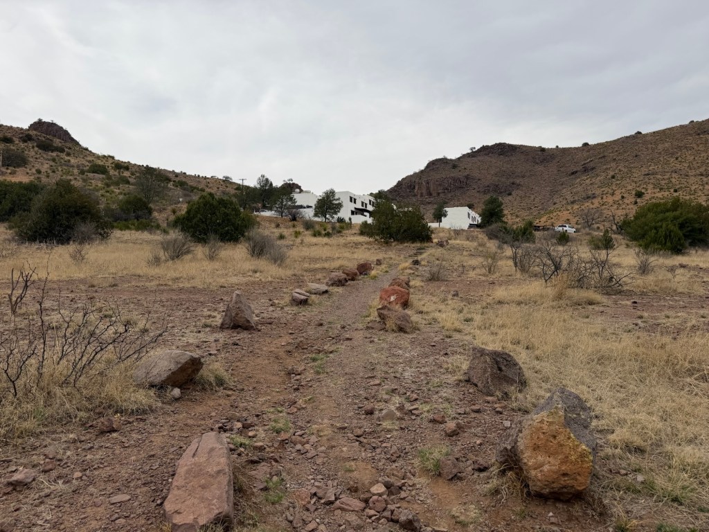
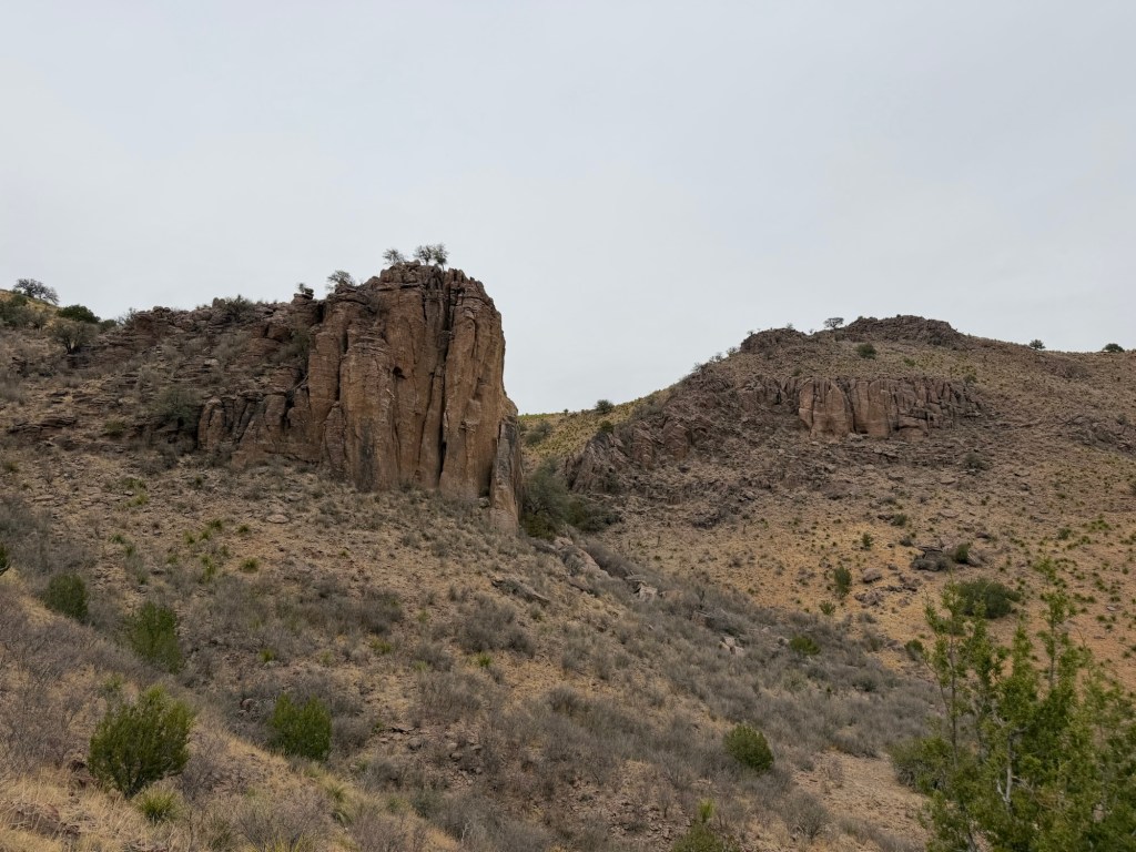
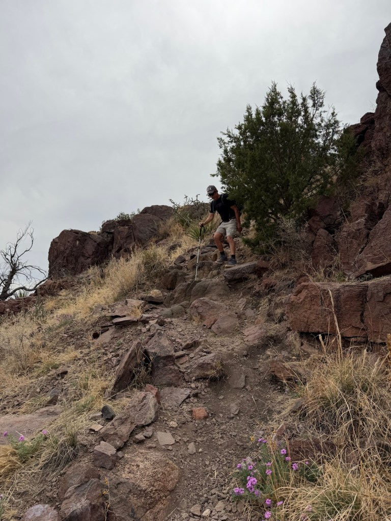
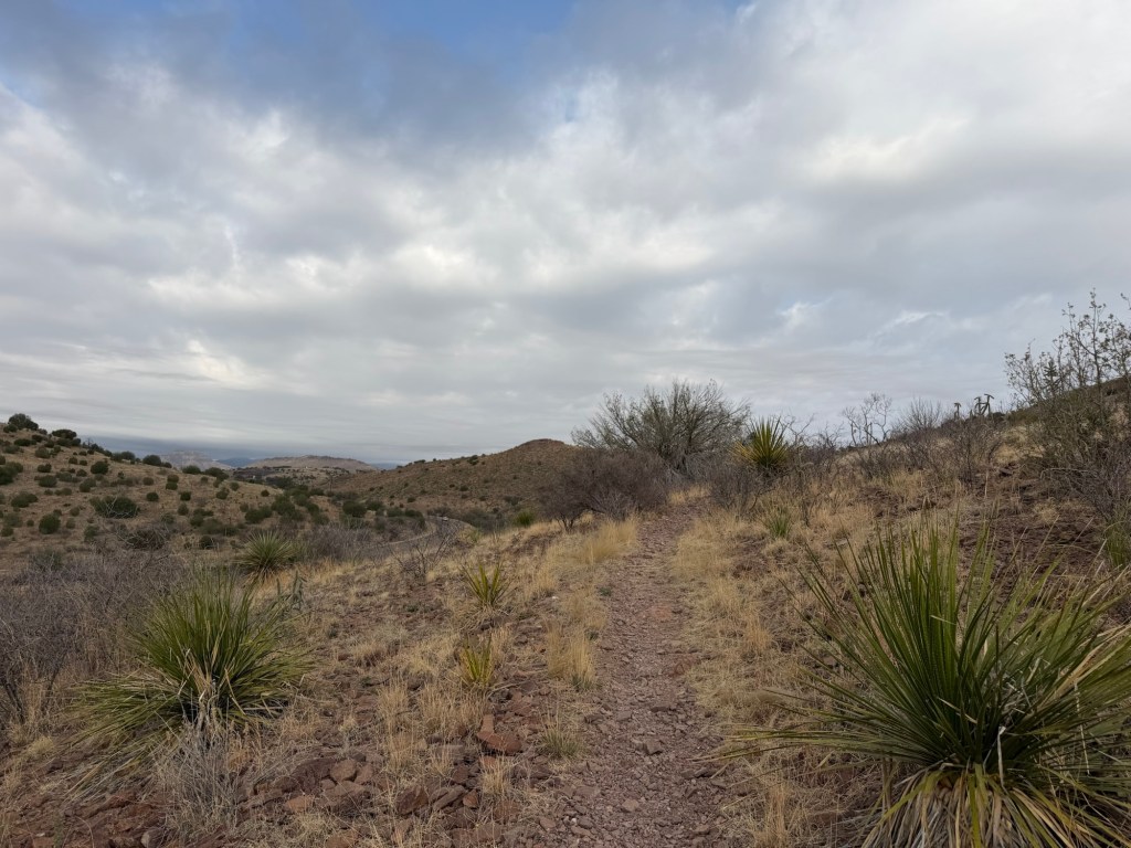
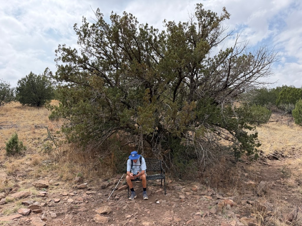
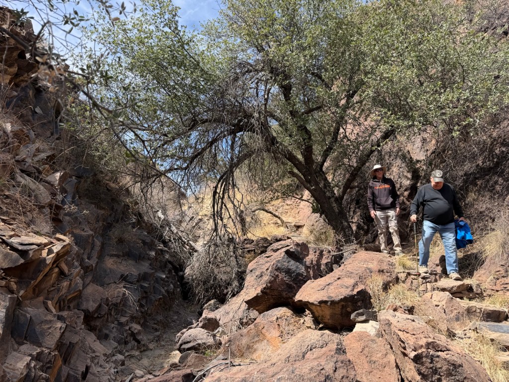
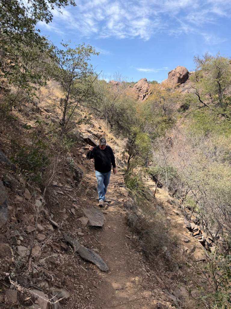
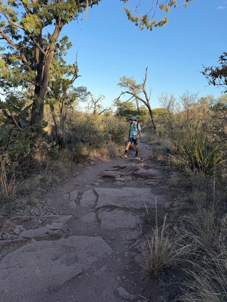
After lunch Jack and I tackled the Indian Lodge Trail.
The trail is only a mile and a half long, probably around two and a half including a connecting trail and the walk back, but it is the only trail labeled “challenging” on the trail guide. It goes up very steeply behind the lodge.
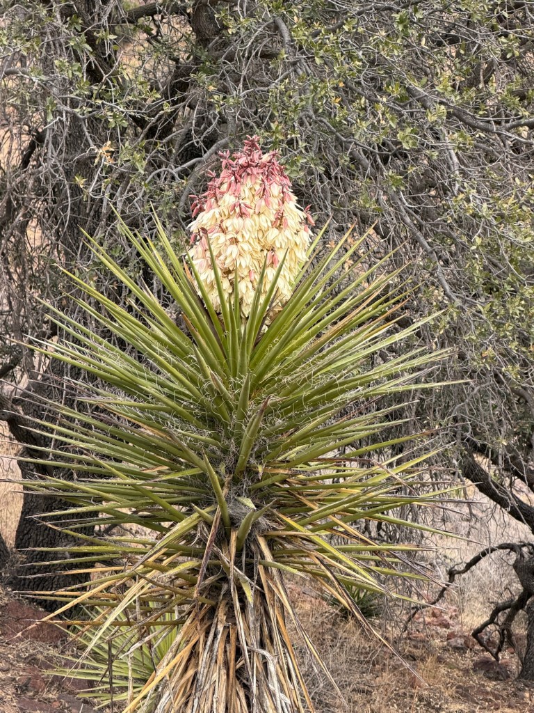
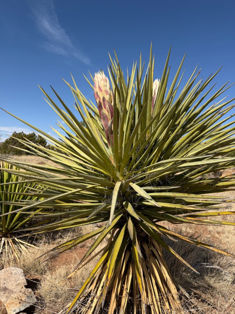
I was happy to stop for photos of the blooming yucca…
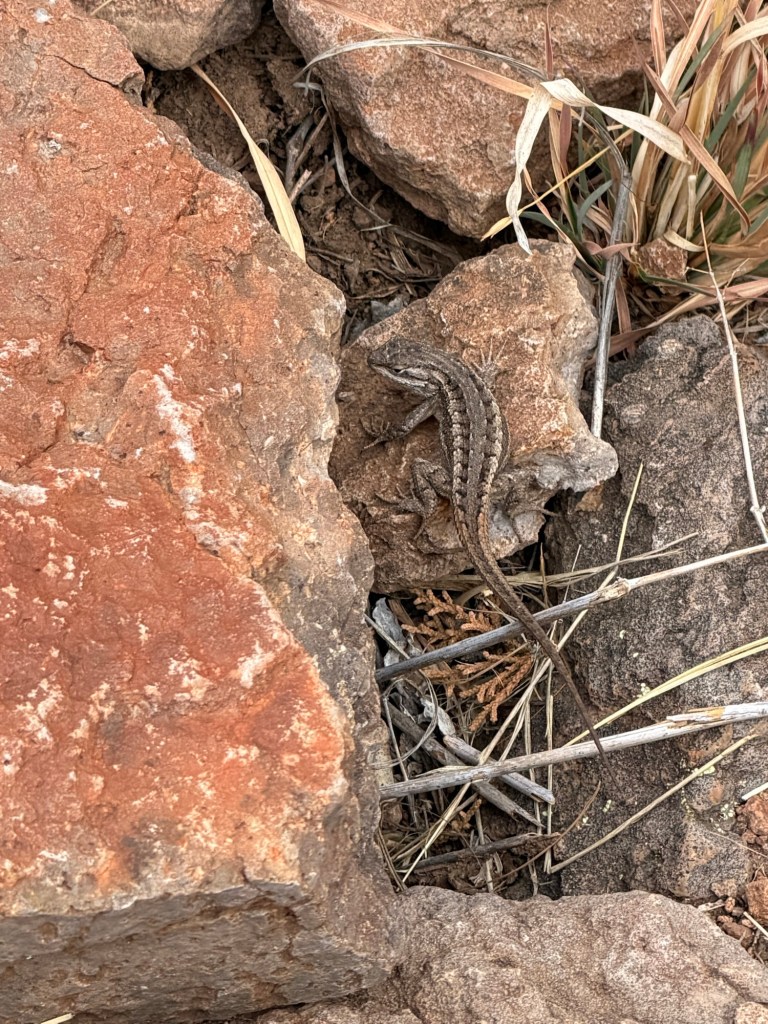
and this little lizard. I also took the photos of the lodge that began this post.
Eventually you arrive on the top of the hill.
From up here there are views of the far side where the highway and Limpia Creek are.
Here you can see the dry bed of Limpia Creek running to the east. A park volunteer told me this creek didn’t dry up until recently when increased population in the Davis Mountains and increased use of well water lowered the water table.
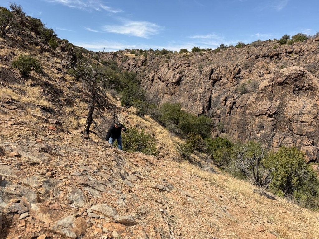
On the east end of the ridge the terrain gets rugged.
It’s slow going here. Four years ago Matey and I did this trail. Poor Matey would never make it, now.
But Jack and I successfully negotiated the rough parts and returned to his truck at the lodge. He drove me back to our campsite as it is about a mile from the lodge. Indian Lodge and its challenging trail are a special part of Davis Mountains State Park.
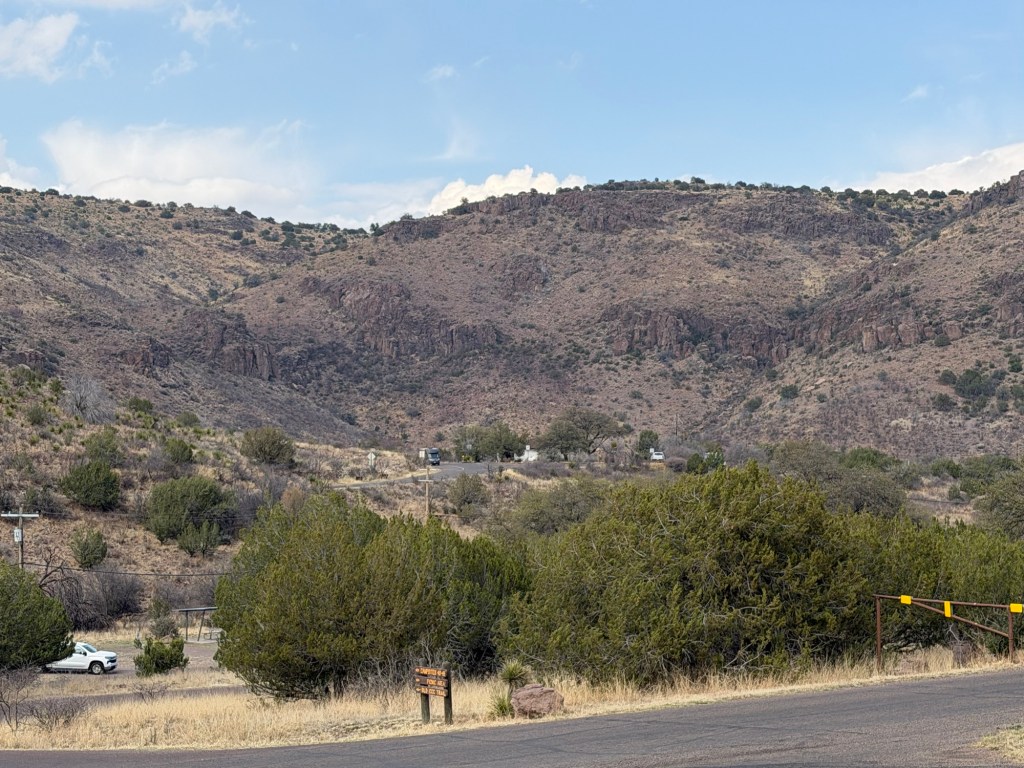
Yesterday Jack wanted to hike on the other side of the highway in the Limpia Creek Primitive Area.
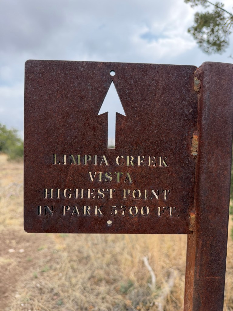
I wanted to go up to the overlook there, at the highest point in the park. Jack said he also wanted to do the Sheep Pen Canyon Loop. It’s a bit over four miles one way just up to the overlook. I wasn’t sure I wanted to add the additional four miles to do the rest of the loop. Jack suggested I see how I felt once I got to the overlook, so that was the plan.
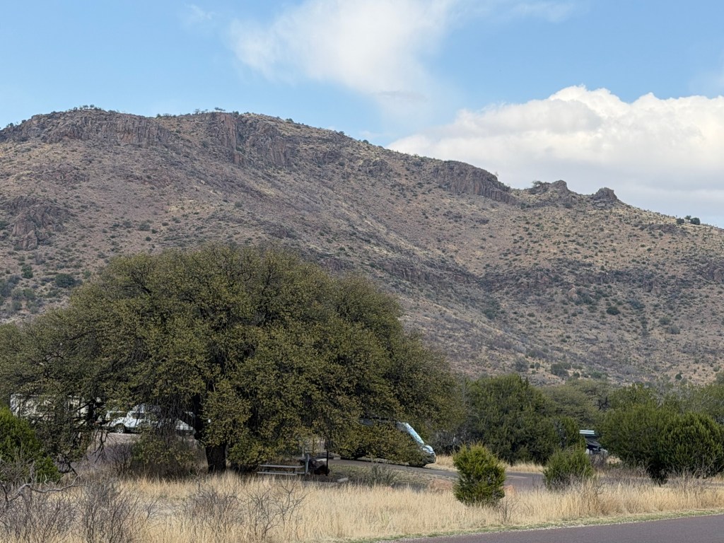
None of this was a particularly strenuous hike, just some long gradual uphills.
But we did gain some height fairly quickly.
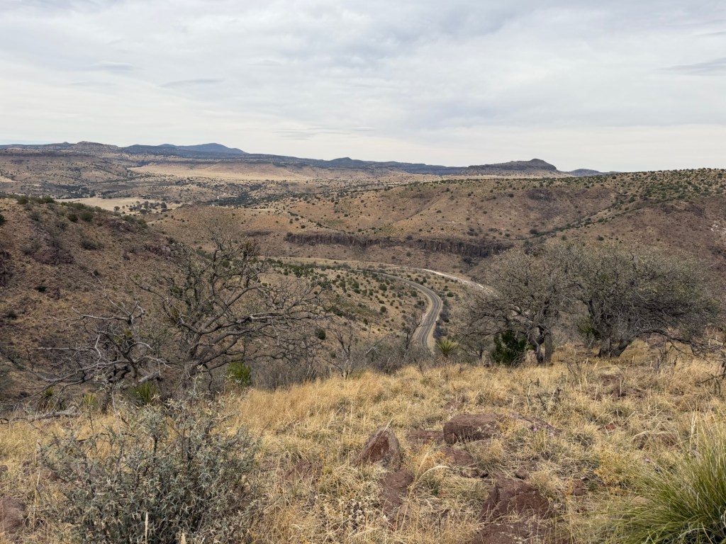
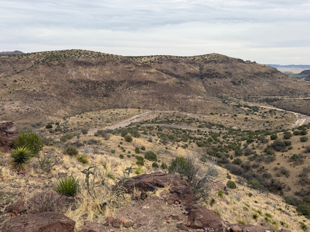
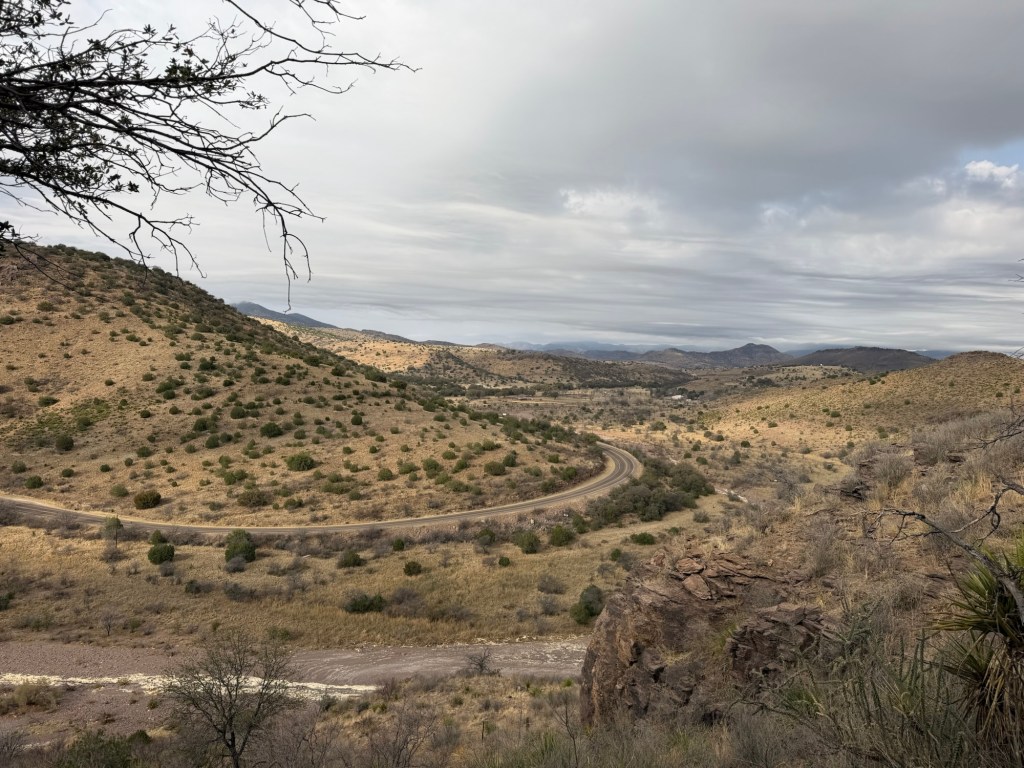
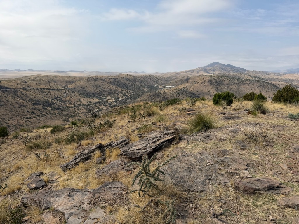
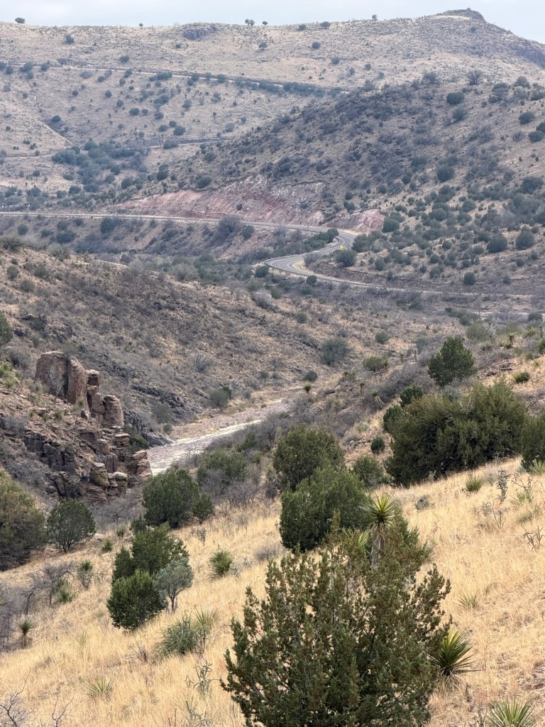
We could soon see Texas Route 118 as it winds further into the Davis Mountains.
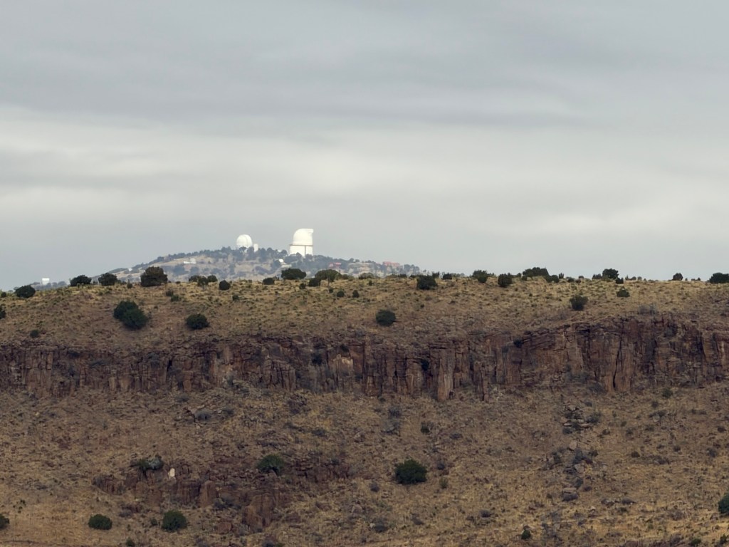
We then saw the McDonald Observatory, about eight miles away as the crow flies.
We cut back to the east along the top of the hills across 118 from the campground.
It didn’t seem to take long to reach the 0.3 mile spur trail to the vista.
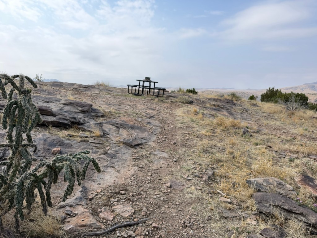
I was pretty surprised to see a picnic table up there.
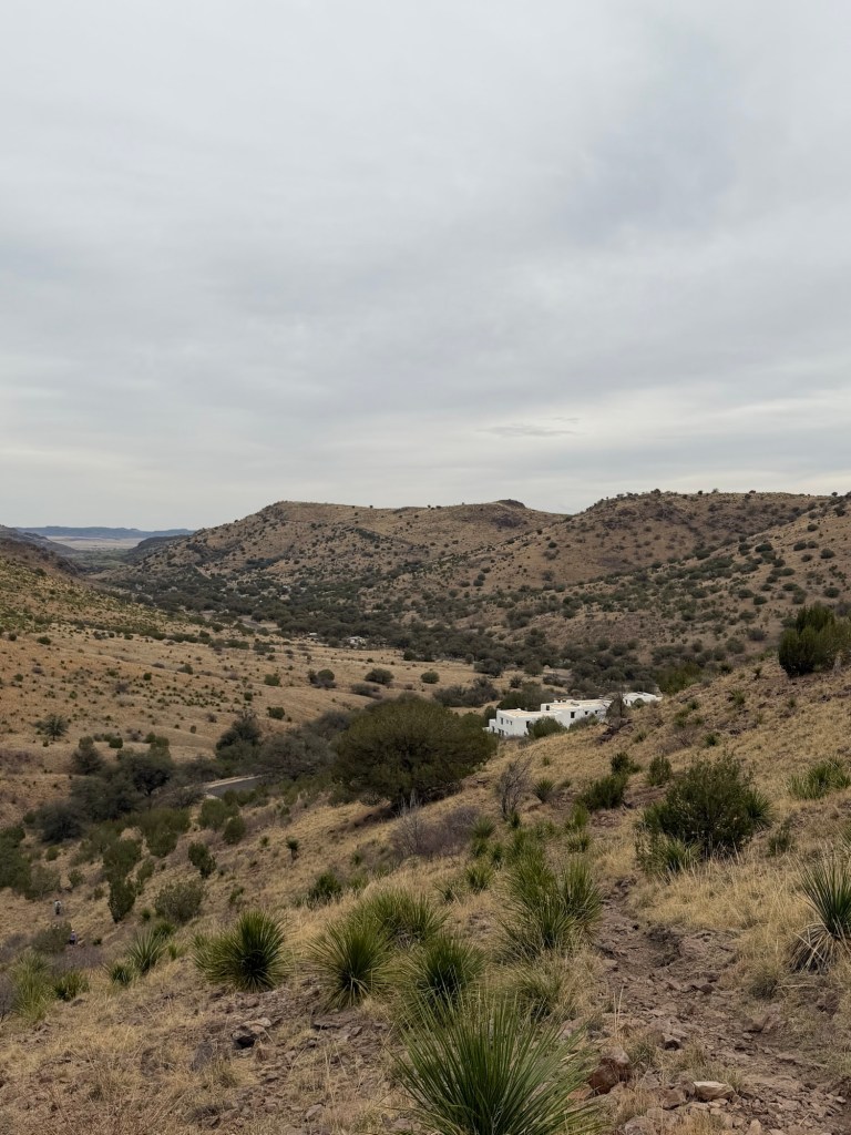
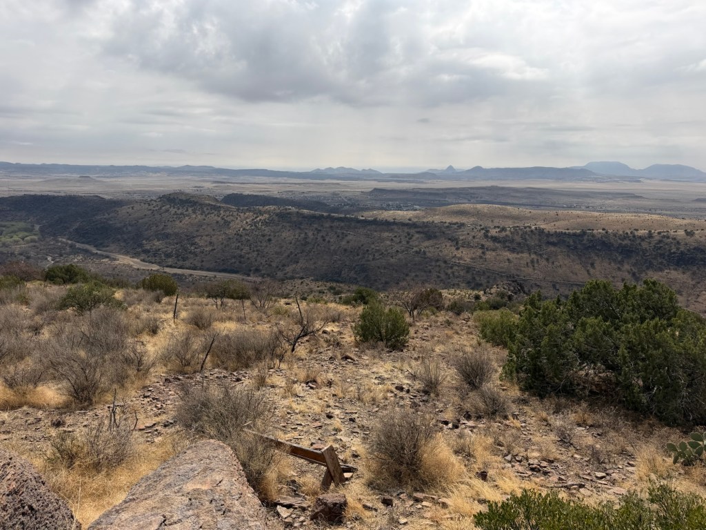
Looking east and a bit south you could see over the town. The historic fort is tucked behind the ridge.
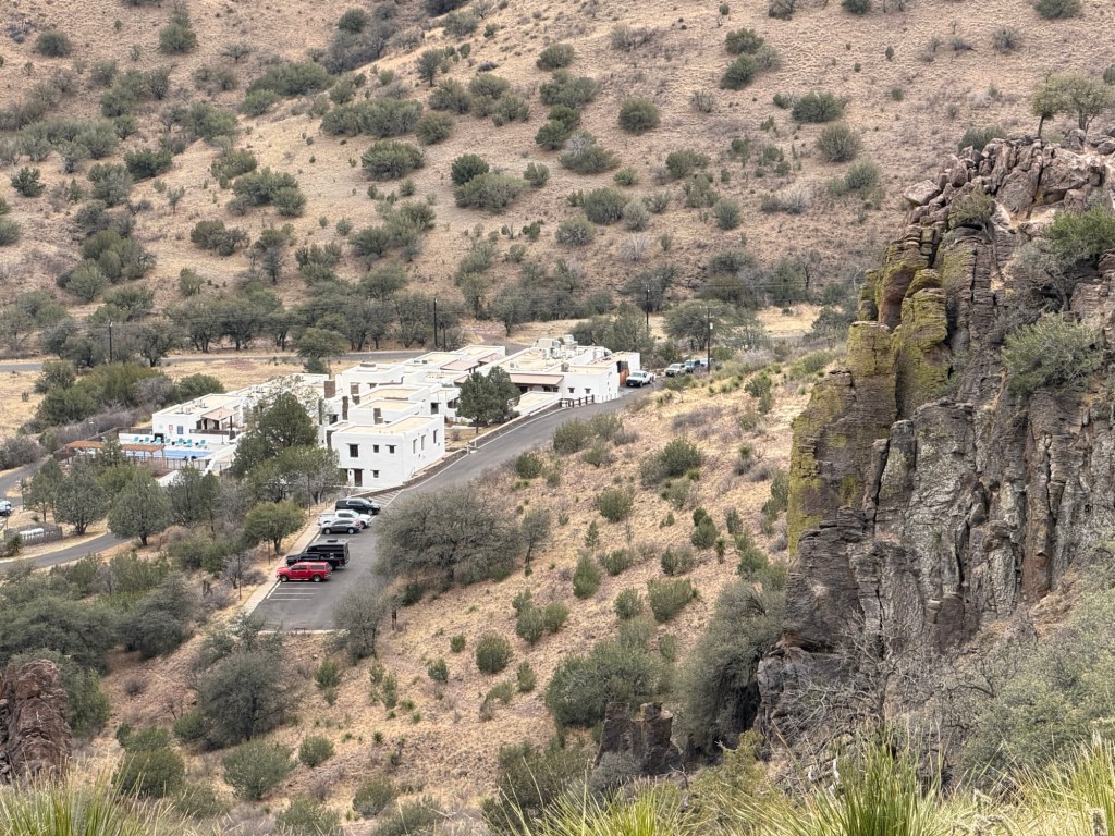
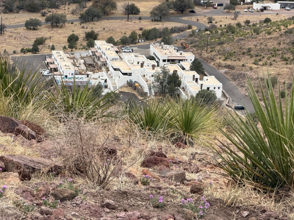
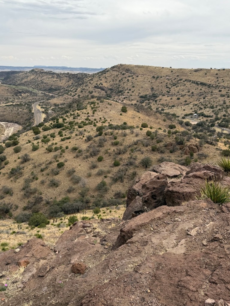
Looking south and a bit west you can see the developed side of the park.
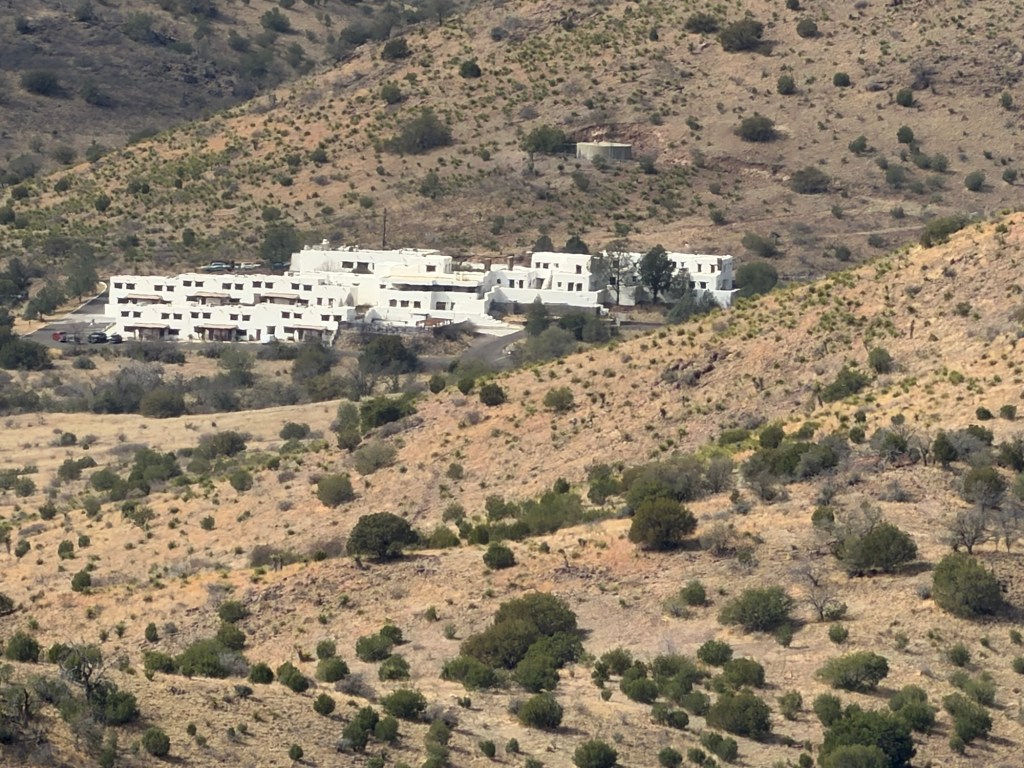
At the end of the park road is the beautiful white adobe Indian Lodge, built by the CCC.
I managed to find our campground loop, but our trailer is the one almost obscured by trees at the bottom of the photo.
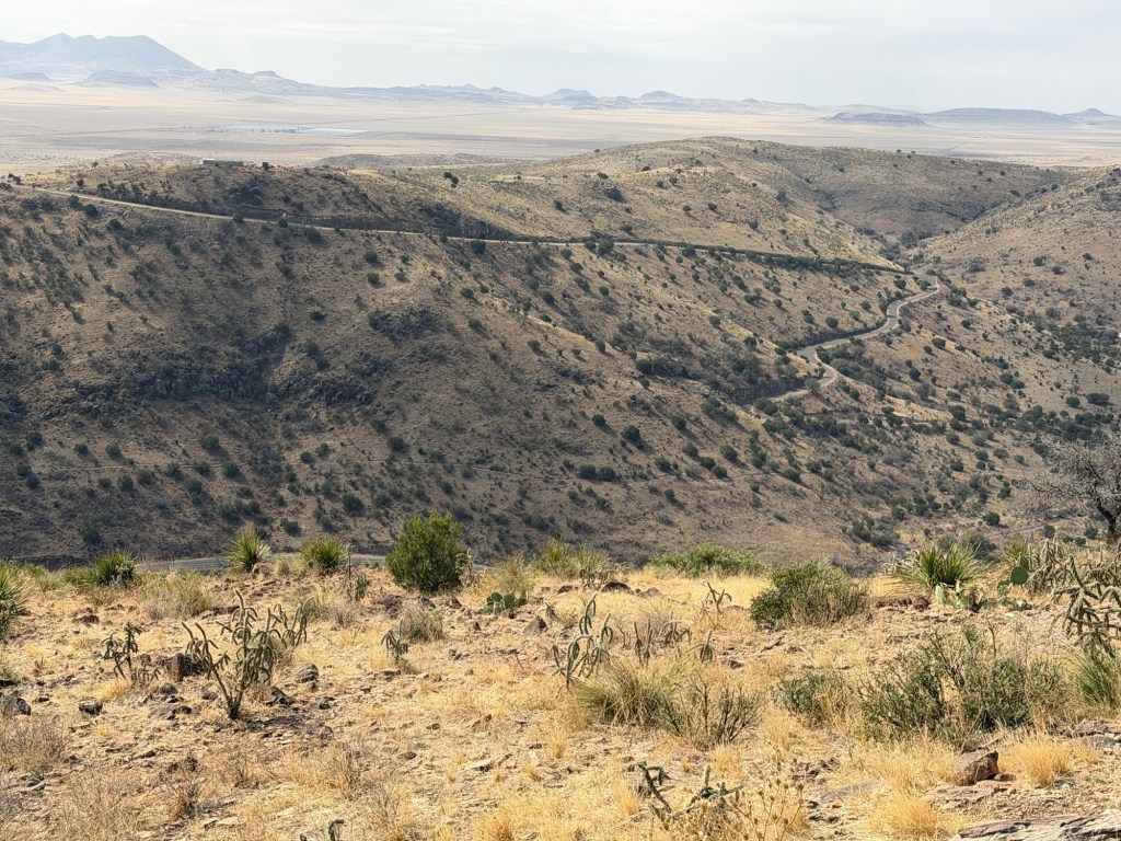
This is the Skyline Drive, probably the most known feature of the park.
There’s a lookout along Skyline Drive now closed for repair. That is the highest point I had been in past visits. Now I was looking down at it.
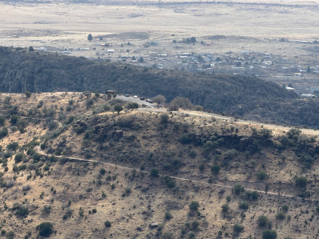
I could also see the lookout at the end of Skyline Drive, and could see over it to part of the town of Fort Davis beyond.
Once we were done gazing around, Jack and I sat at the table and had our lunch.
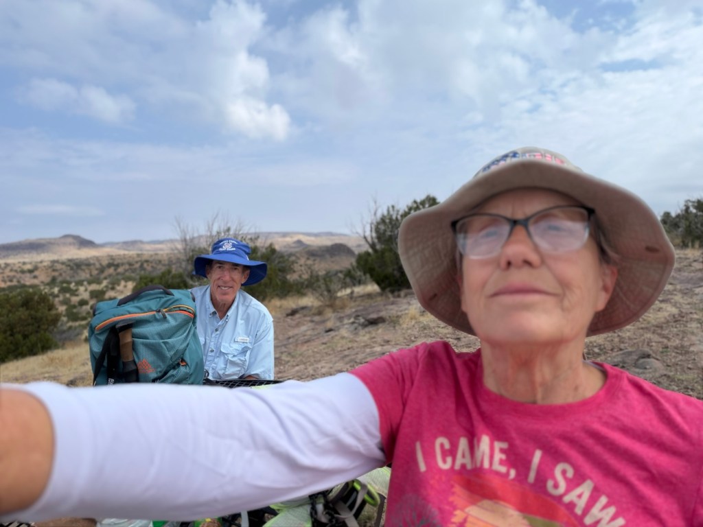
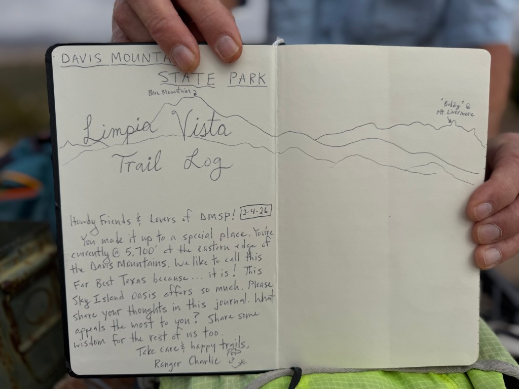
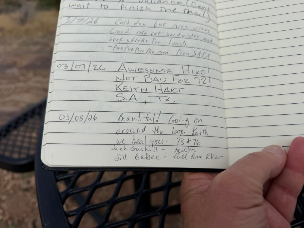
There was an ammo box (water tight) on the table with a log book in it.
So I signed it, and did a little bragging.
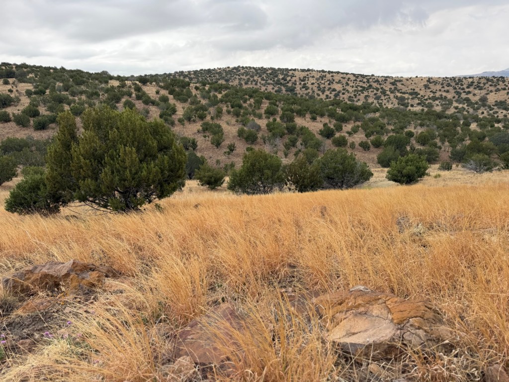
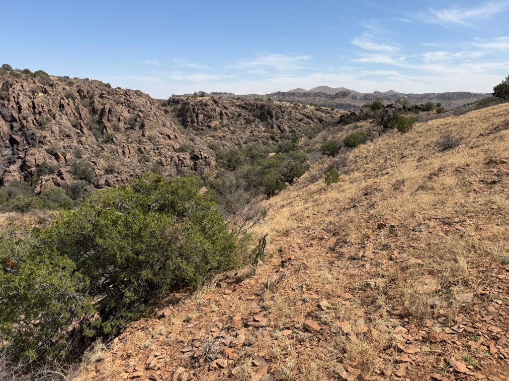
At this point I was feeling pretty good and so I decided to go on around the loop with Jack. It was, as he claimed, pleasant rolling terrain.
I took this photo to commemorate surpassing my six and a half mile hike with Jack.
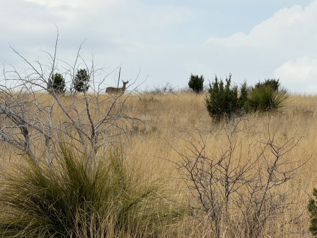
I saw one deer (Jack saw a second). Two women we met coming off the hike said they saw bighorn sheep (probably the aoudads that live here), but we didn’t see them.
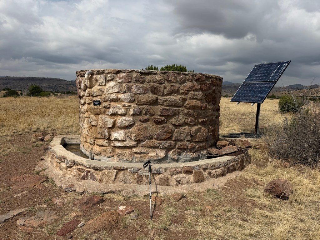
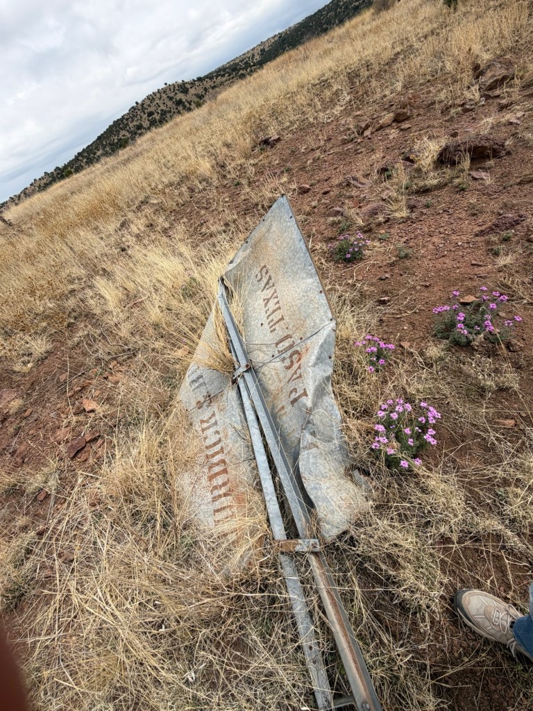
On the far side of the loop was this water tank and trough. The solar panel runs the pump and the water level in both the tank and trough is controlled by floats.
The tank used to have a windmill,
but that was fallen.
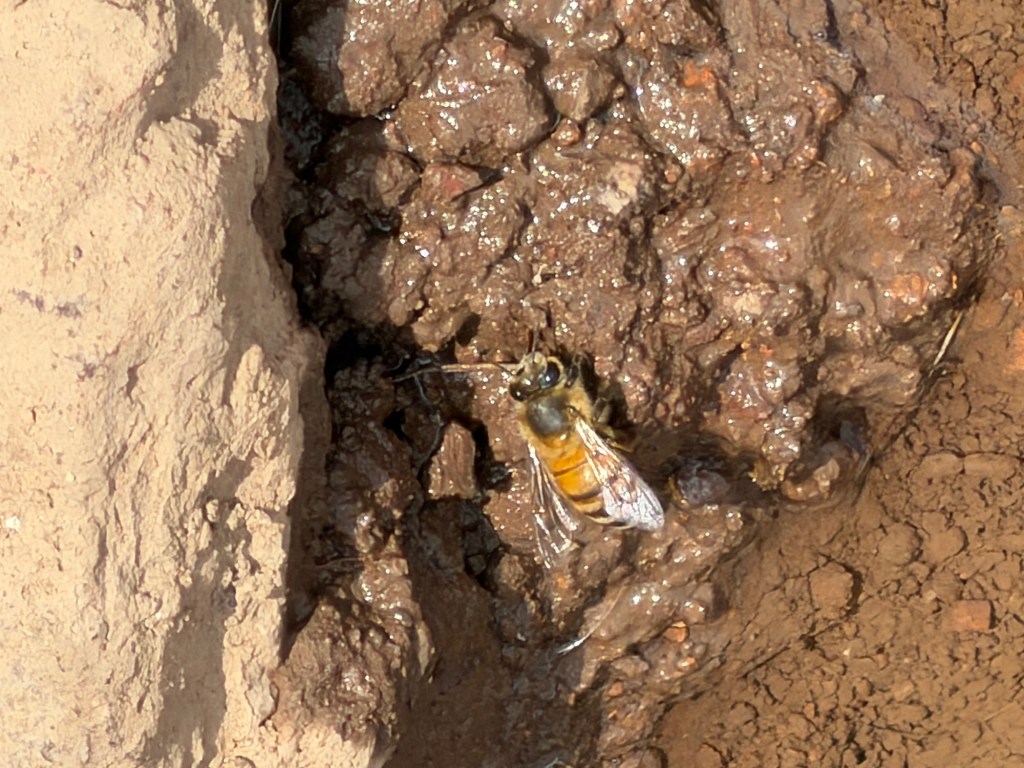
There was a seep out of the end of the trough and the insects were coming there for water.
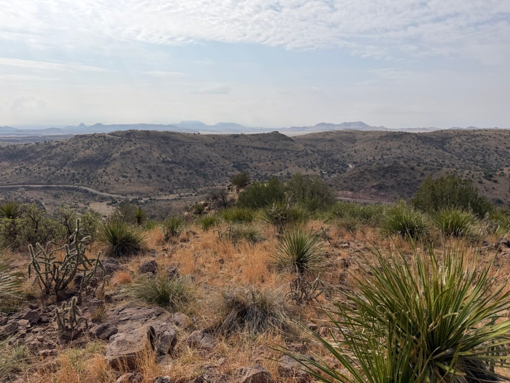
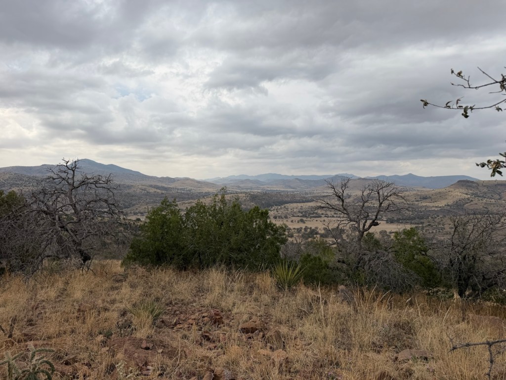
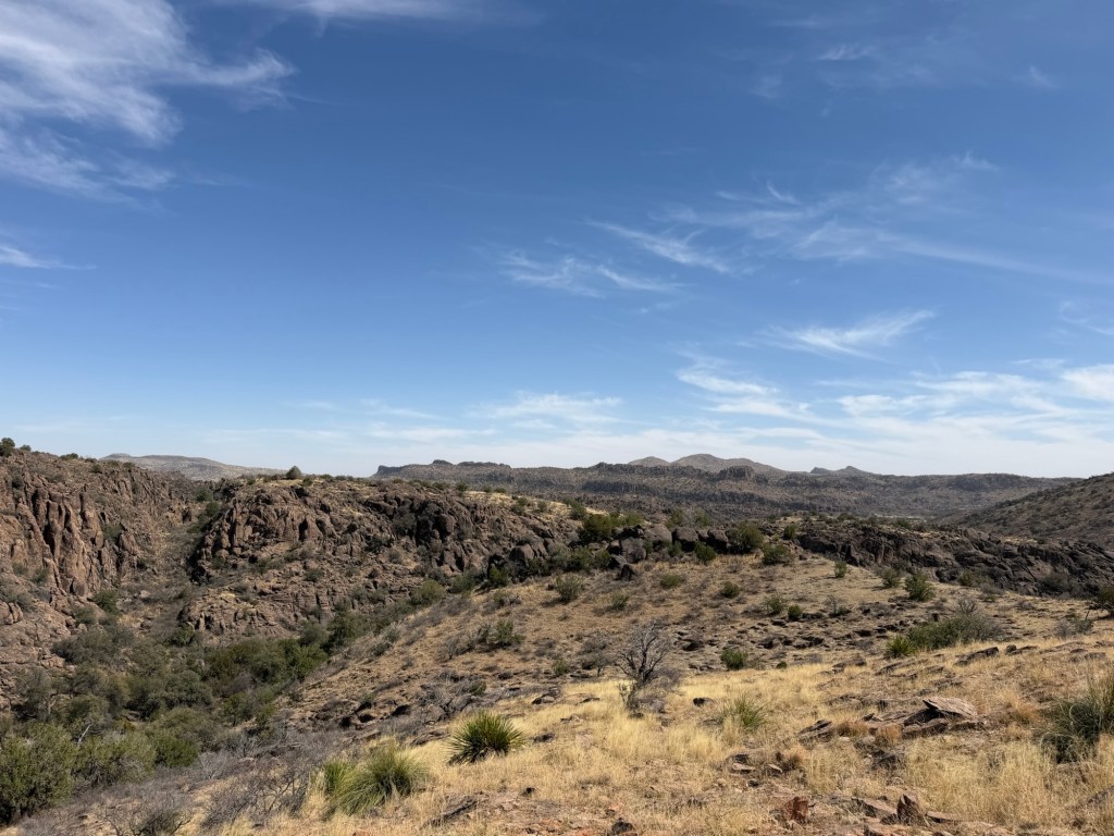
A few more vistas,
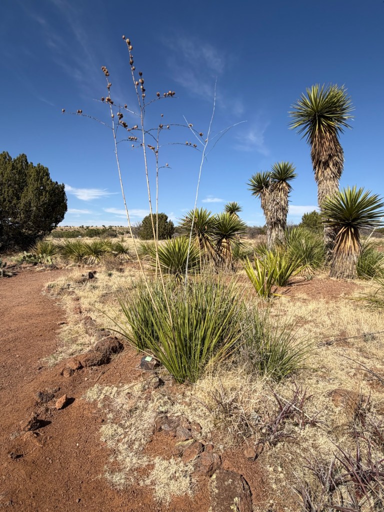
lots of desert plants,
and we completed the loop.
Jack checked his messages (no cell service down in the park) before we tackled the return trip on the 2.4 mile trail up to the loop.
It seemed a bit steeper coming down, probably because I was more tired.
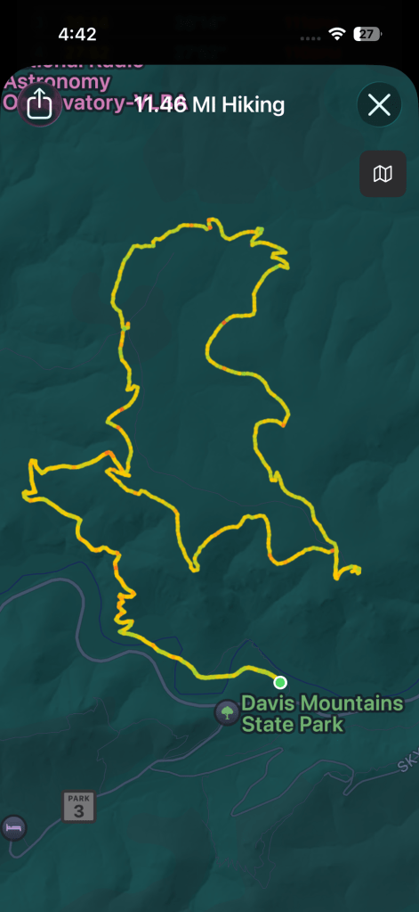
But I did it, 11.46 miles; a record for me at least since my retirement. And I have now walked every trail in Davis Mountains State Park.
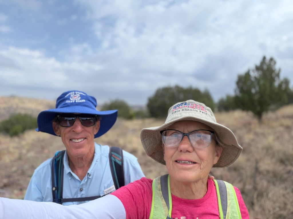
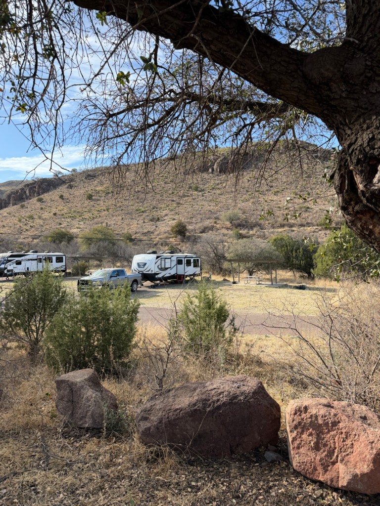
We’re at Davis Mountain State Park, in Fort Davis, Texas. Jack is also here with his Casita camping trailer. I’ll post more on the park later as today Bud and I didn’t really do anything park related.
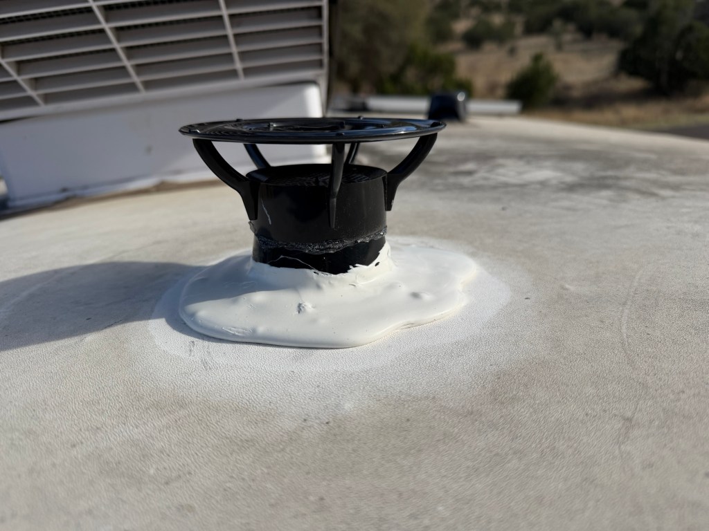
This morning Bud went grocery shopping in town and I replaced the vent cap on our black (sewer) water holding tank with this fancy new one that‘s supposed to suck all the stinky air up the vent tube. The installation was a success, we’ll see how it works.
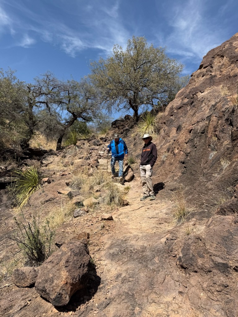
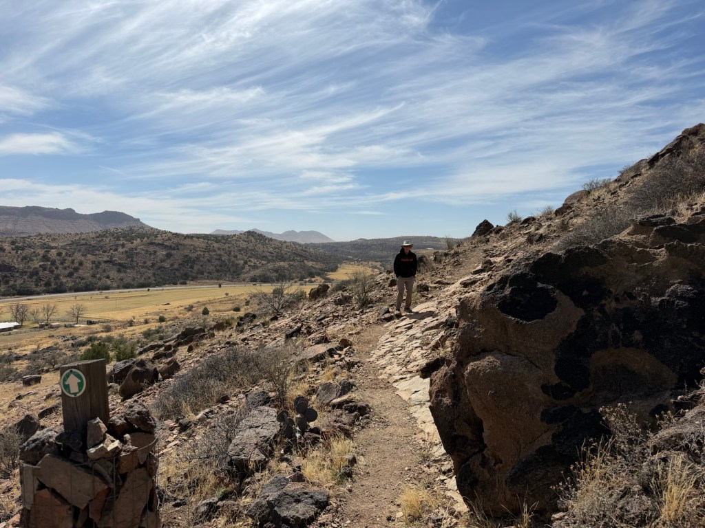
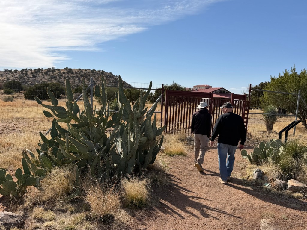
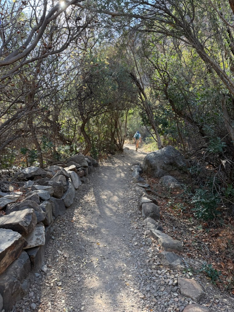
This afternoon the guys agreed to come with me to visit the Chihuahuan Desert Nature Center and Botanical Garden. There are a number of trails on the property. Jack and I decided to hike the Outside Loop, Bud decided to hike with us through the Modesta Canyon and then take a cut through back to the Visitor Center while we finished the loop. We all had on long pants and sweatshirts, this whole area is above 5,000 feet. The temperature at Big Bend is a few degrees cooler than when we were there, Fort Davis today was more than twenty degrees cooler than Big Bend. It was about 60 degrees when we were hiking.
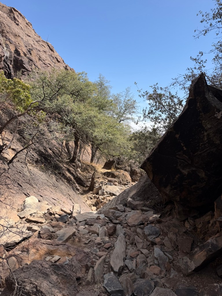
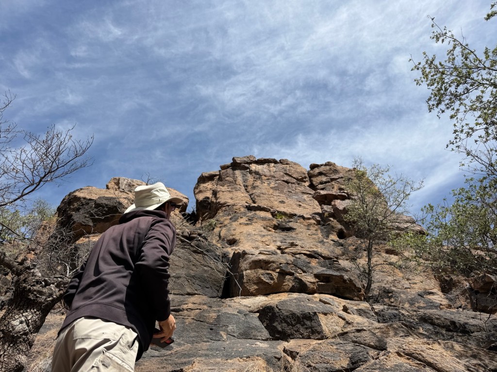
Hiking the direction we did the trail started at the shallow end of the canyon.
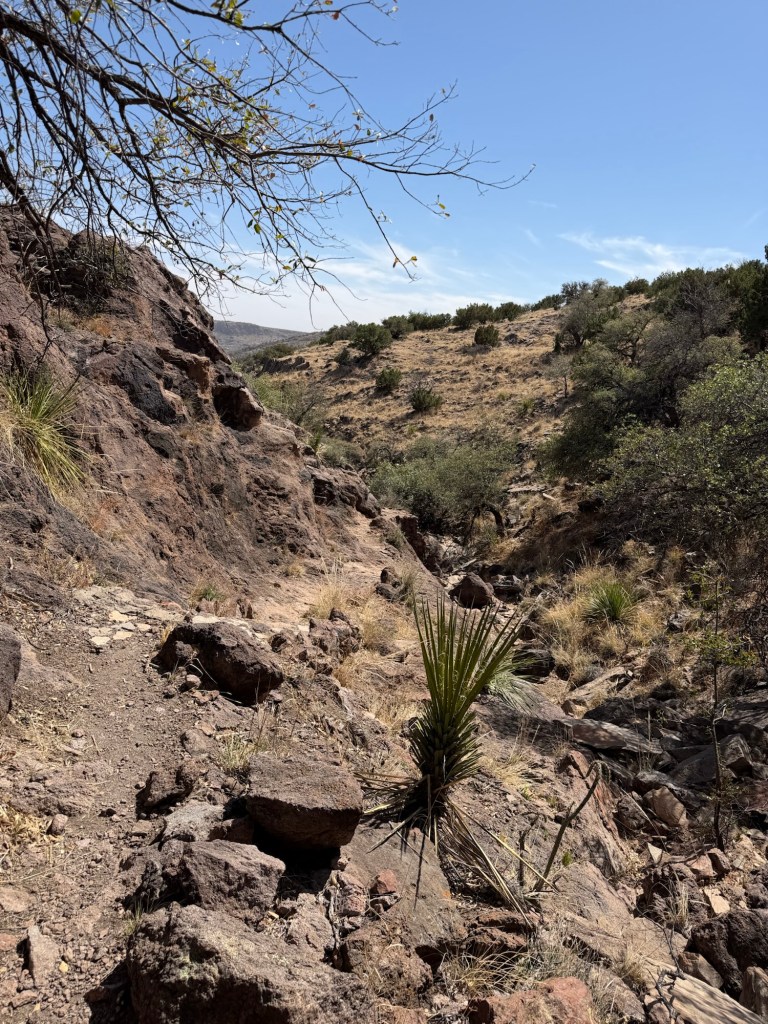
As we walked the canyon deepened and became more rocky.
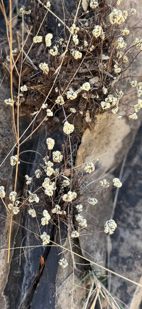
Up on the rocks I spotted these, which I thought were white flowers. They are not, the are the desiccated and curled up fronds of a fern, Notholaena standleyi. When it rains these fronds will turn green and uncurl. Even when unfurled these fronds will be tiny, maybe an inch or two long.
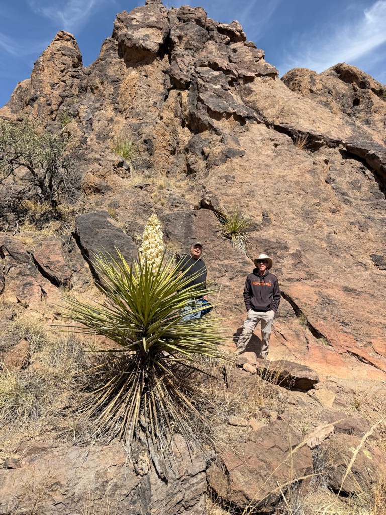
This yucca wasn’t tiny! And it was in bloom. I hope to see a lot more of that.
I was going to write that the canyon was getting deeper, and that’s true in that the sides were higher. But the whole canyon is up on a hillside, so we could look down from floor of the canyon to the plains below.
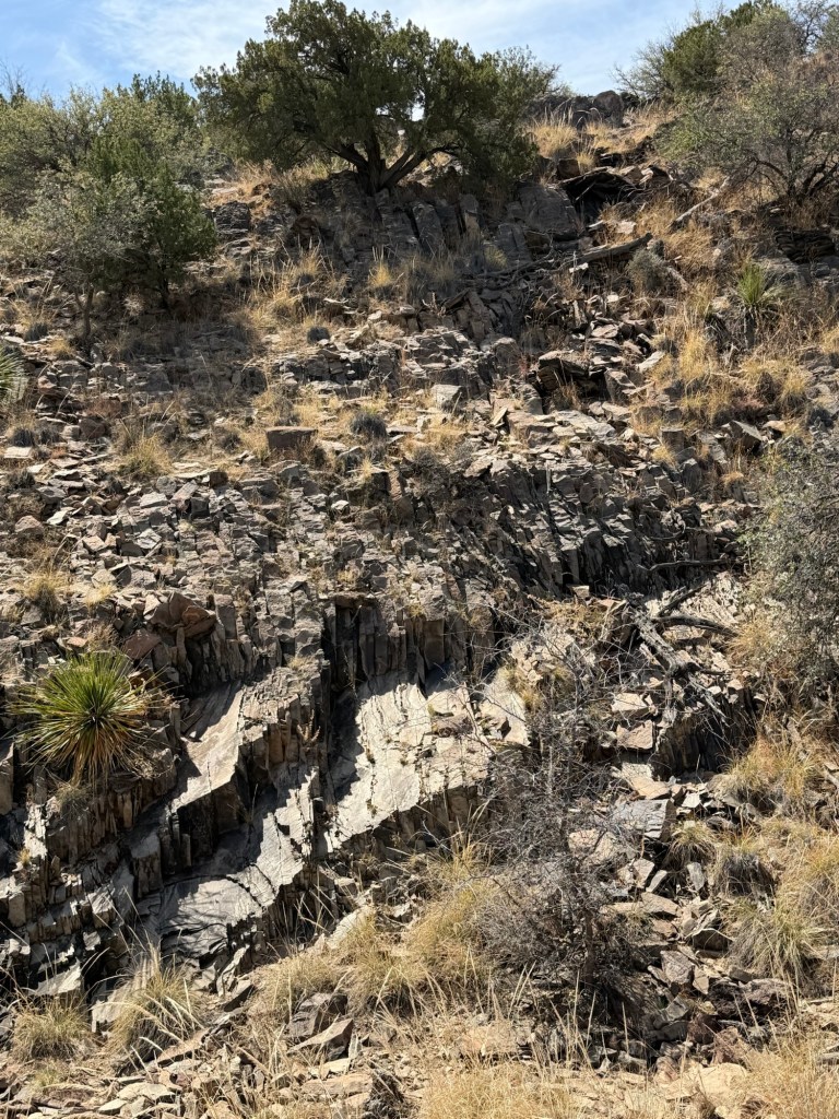
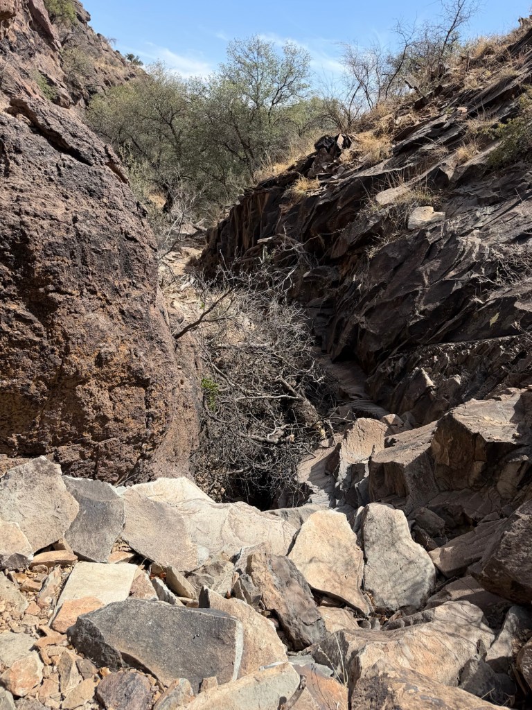
The trail was well done, but it was narrow and rocky,
sometimes very rocky.
In some places they had to work to find a place for the trail.
Here Bud is heading up around that tree.
There were some nice rock formations.
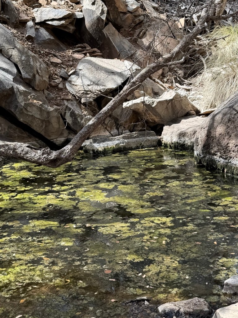
Eventually we reached the spring. That is a pool of water full of algae.
The water continued below the spring. There were water striders on the surface…
and ferns along the canyon wall. How those water loving species found this tiny bit of water in all the surrounding desert amazes me.
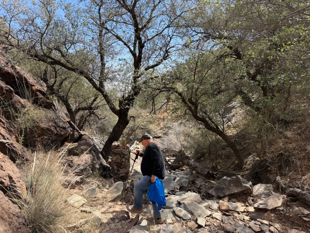
At this point the trail left the canyon bottom and ascended the canyon wall, here much higher and steeper.
Finally we came to the top.
Below us the canyon continued down the hillside.
This country is all much rougher than it appears from a distance.
Here Bud took a cut through to a trail back to the Visitor Center. That’s him about to disappear behind the juniper.
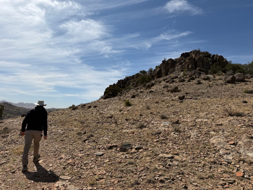
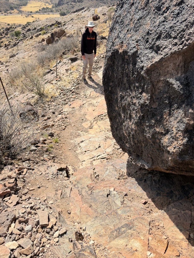
Jack and I continued on the Outer Loop around Lion’s Head Hill.
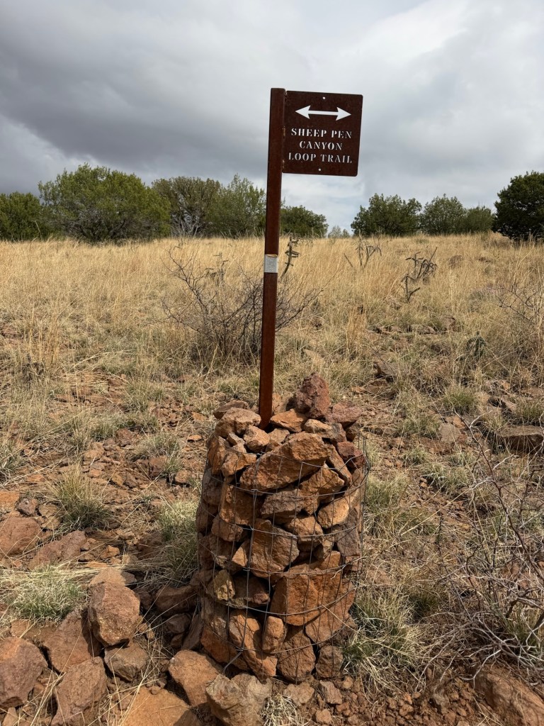
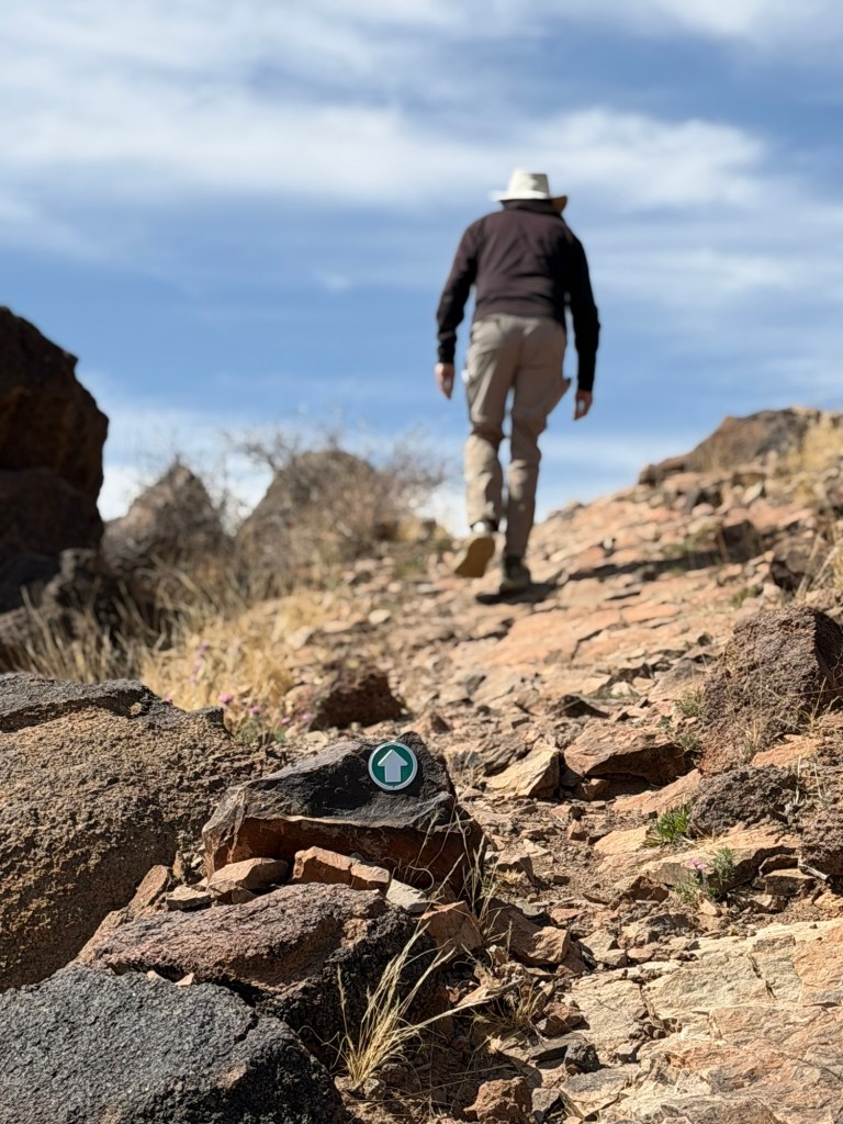
This is stony country. Sometimes the trail markers were on posts, but the posts were held up in chicken wire tubes full of rocks.
And sometimes the trail markers were just fastened to the rocks.
I liked the contrast here between the flat layer of sedimentary rock the trail is on and that great igneous boulder that had fallen on it.
I also liked the view and the sky.
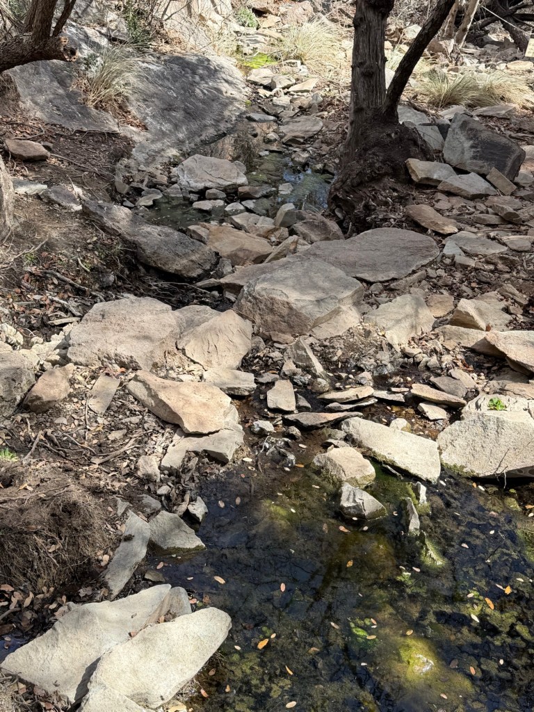
We saw this stream down below. It looked like it might have water in it. But at 40x you can see that’s just gravel.
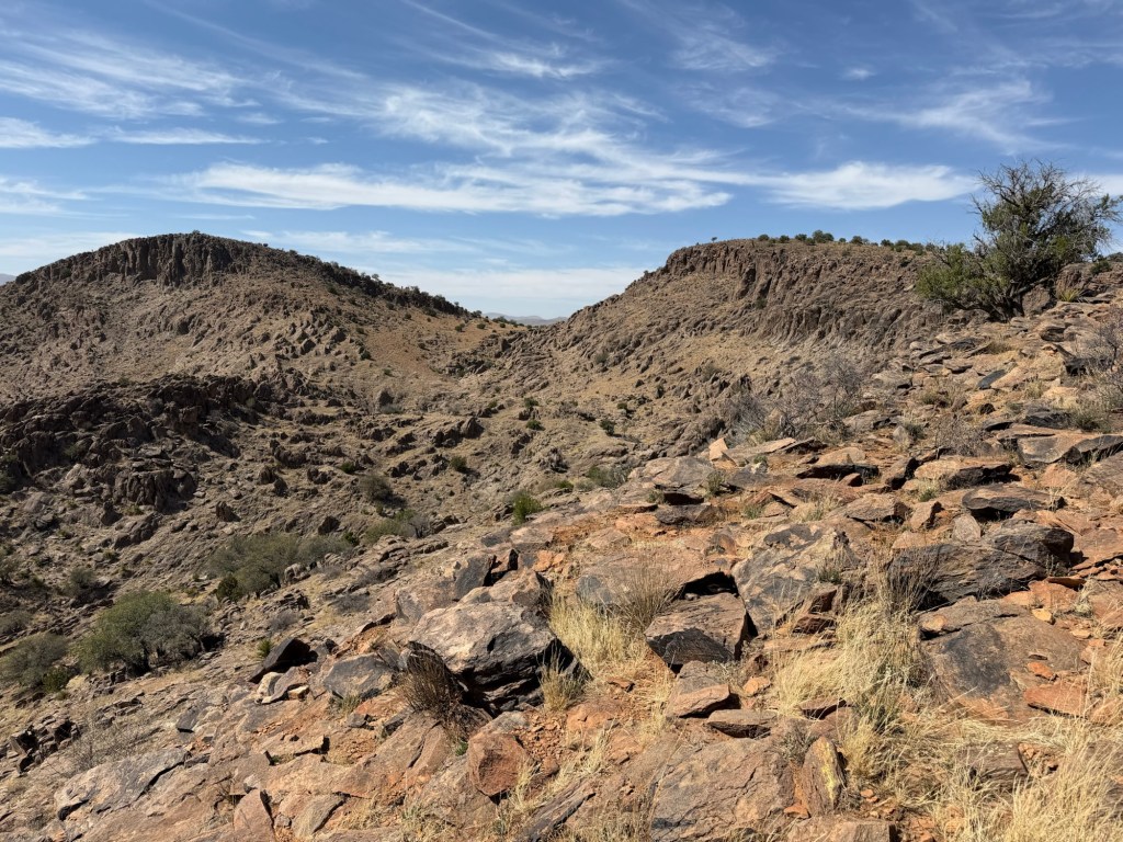
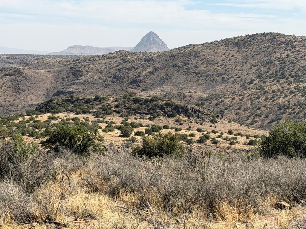
We were now headed towards that nearer hill, and Clayton’s Overlook.
Somewhere here there is supposed to be an old rhyolite quarry, but I’m not sure where.
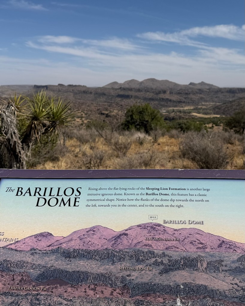
At Clayton’s overlook there was an octagon platform with signs explaining the mountains you could see in the distance. All these mountains are the result of volcanic activity that started about 38 million years ago.
This striking mountain is Mitre Peak. It is six miles away and tops at 6,190 feet. Mitre Peak is the result of magma pushing up into older rock. That rock eroded leaving this peak which resembles a volcano.
To the northwest you could see Fort Davis. That line down the picture is some kind of antenna. The cliffs are the result of lava flows 36 million years ago. The lava cooled, contracted and formed vertical cracks. Those cracks eroded to form the vertical columns you see.
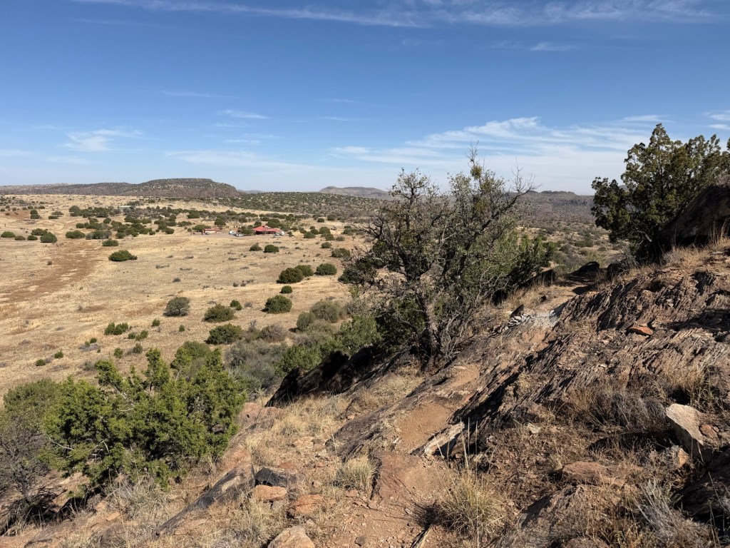
Leaving Clayton’s Overlook we headed around the side of the hill and back to the Visitor’s Center where Bud was waiting. He’d had a nice hike back along the top of the canyon.
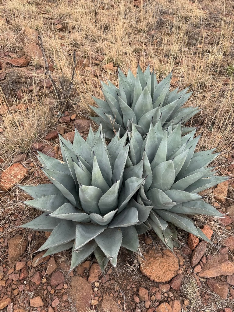
We then walked out to the botanical garden. There were some great specimens, like this yucca,
this false yucca,
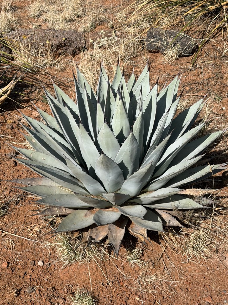
and this agave.
Unfortunately it was getting late and we didn’t want to leave Matey any longer so we decided to we had to leave.
We just got to see how large the garden was. I don’t know if there will be time this visit, but I hope eventually to come back.
“The mission of the Chihuahuan Desert Research Institute is to promote public awareness, appreciation and concern for nature generally and the natural diversity of the Chihuahuan Desert region specifically, through education, the visitor experience, and through the support of research.”
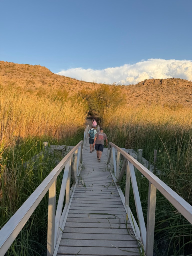
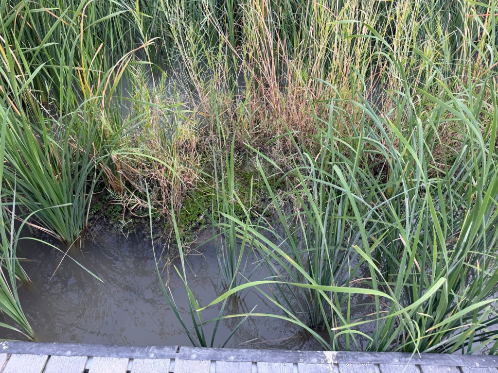
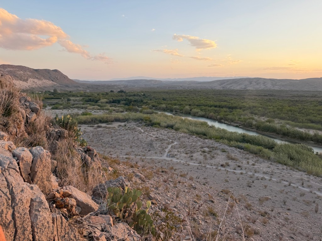
Last evening Jack, Bud and I took the nature trail in the Rio Grande Village Campground to an overlook to watch the sunset. The trail starts through a marsh.
Yes, a marsh in the desert.
Looking back you can see that the marsh is substantial.
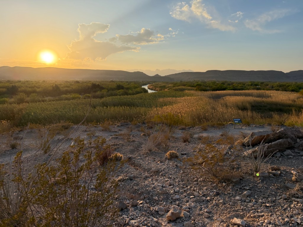
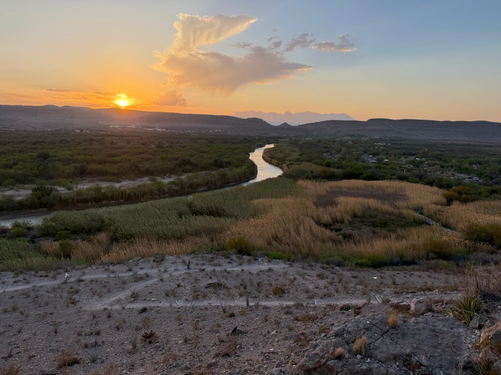
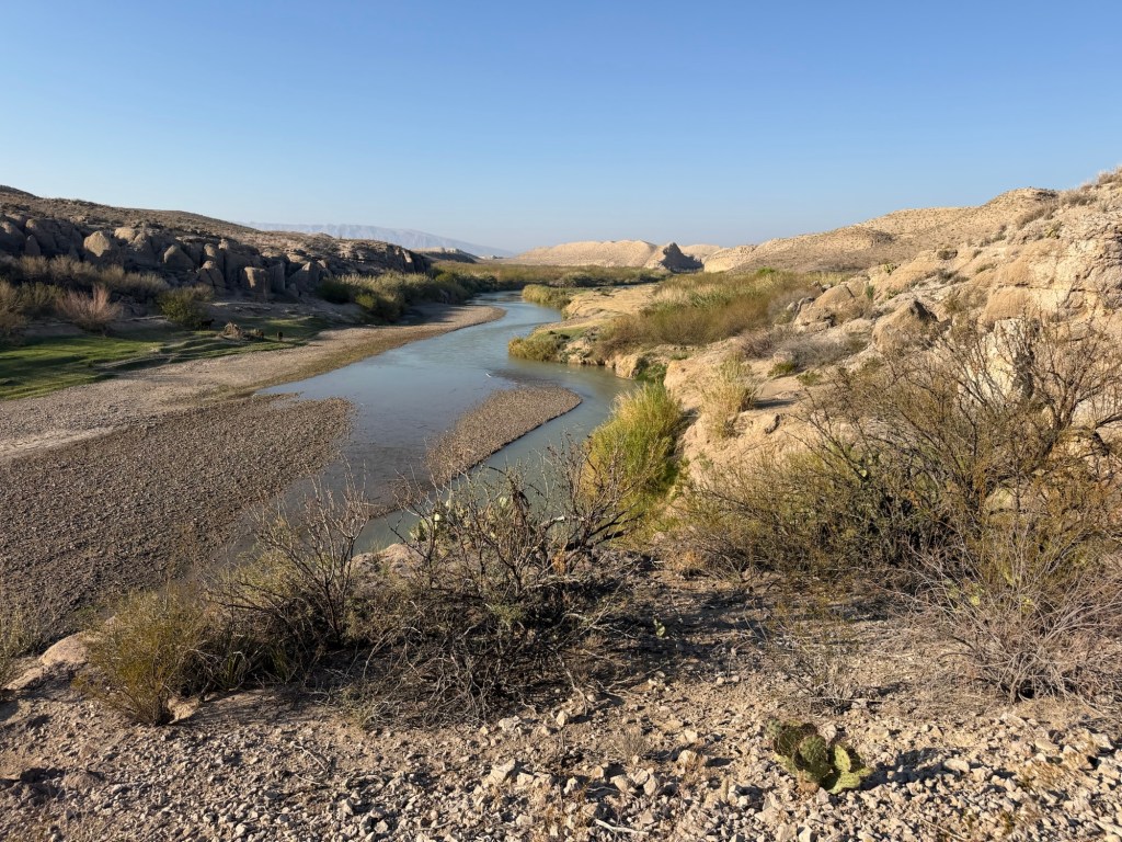
From up on the overlook you can see the band of green the river makes through here. A river through the desert is a precious thing.
We made it up not long before sunset.
Good night, sun.
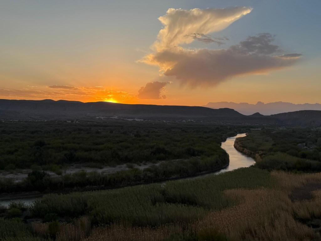
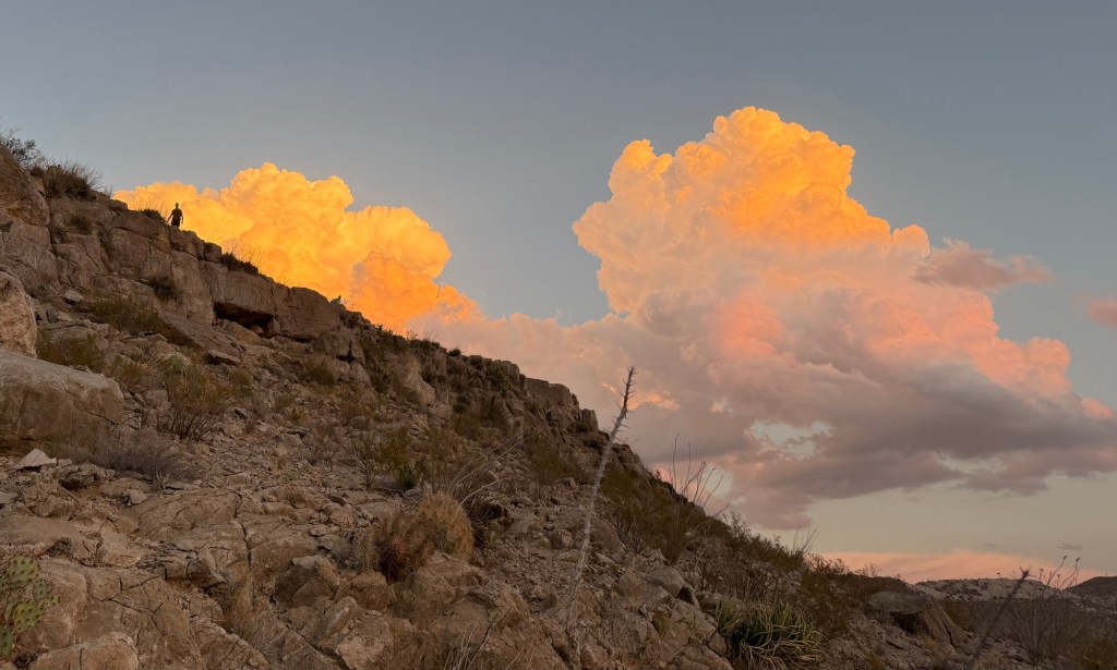
We walked back in the twilight,
while the lingering light painted the clouds.
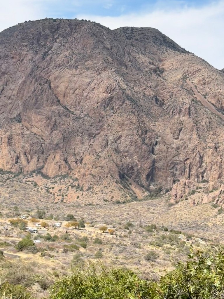
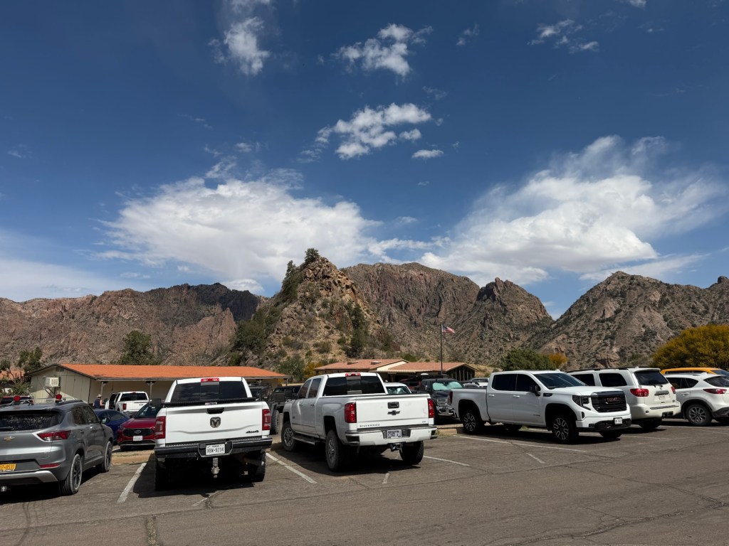
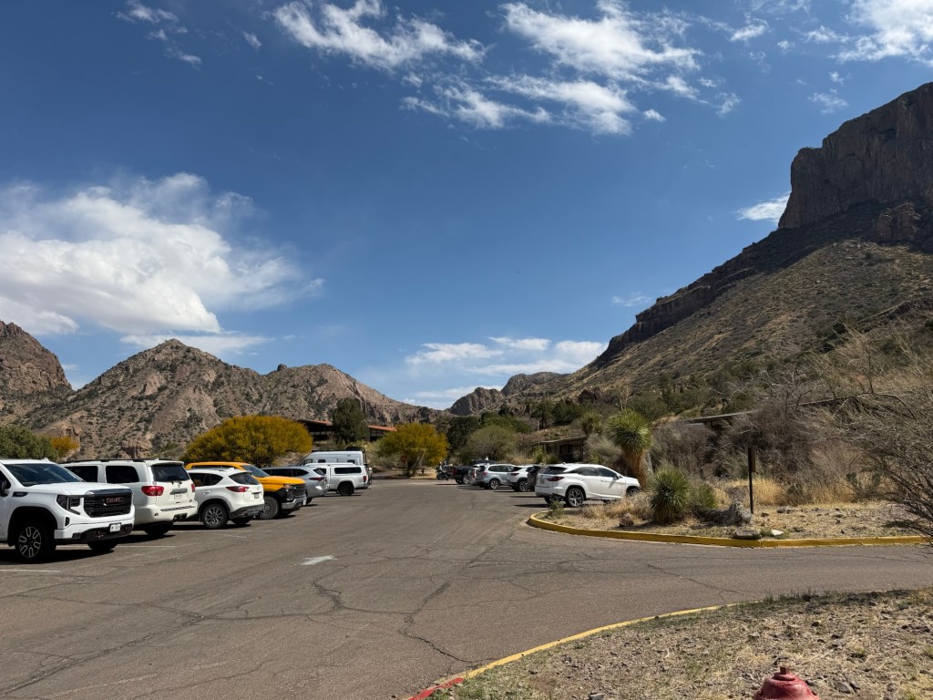
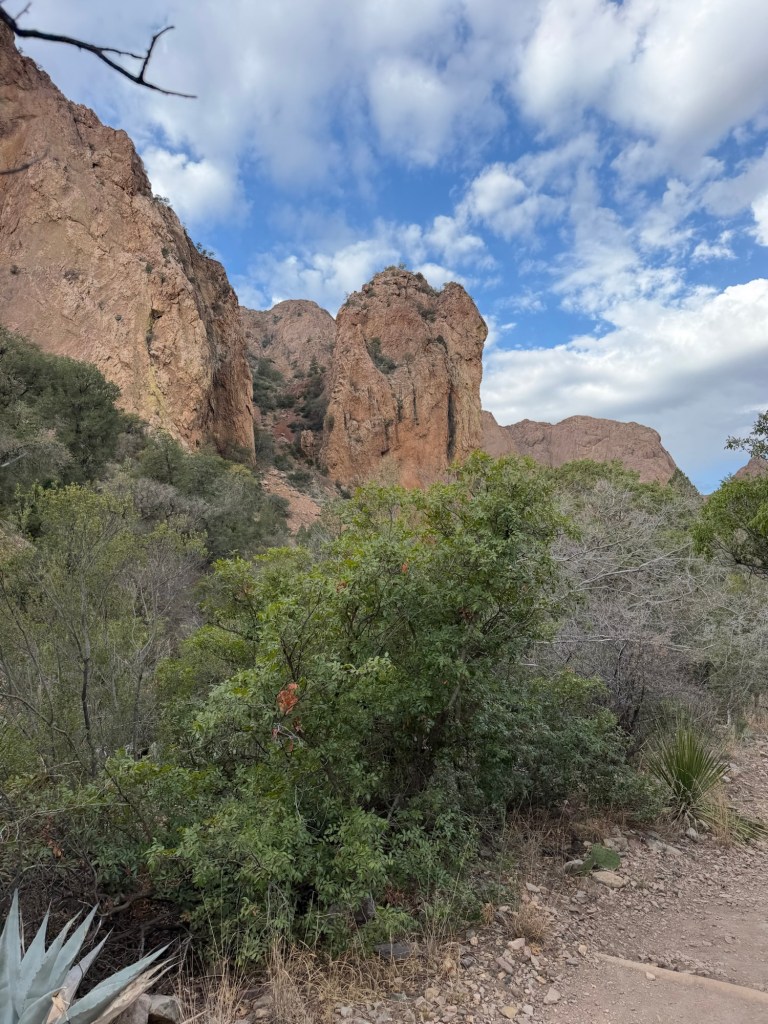
This morning we all (including Matey) drove up to the Chisos Basin. I took this picture of that slot canyon from the back seat of the Ram.
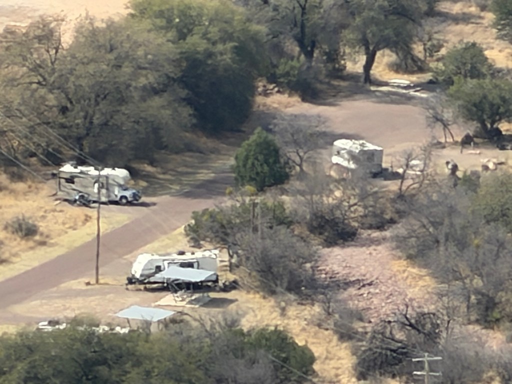
There is a campground you can barely see here.
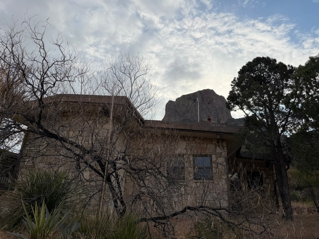
And a developed area with a lodge and restaurant,
several motel type buildings of rooms,
a visitor center and store,
and parking lots, all surrounded by the peaks of the Chisos Mountains.
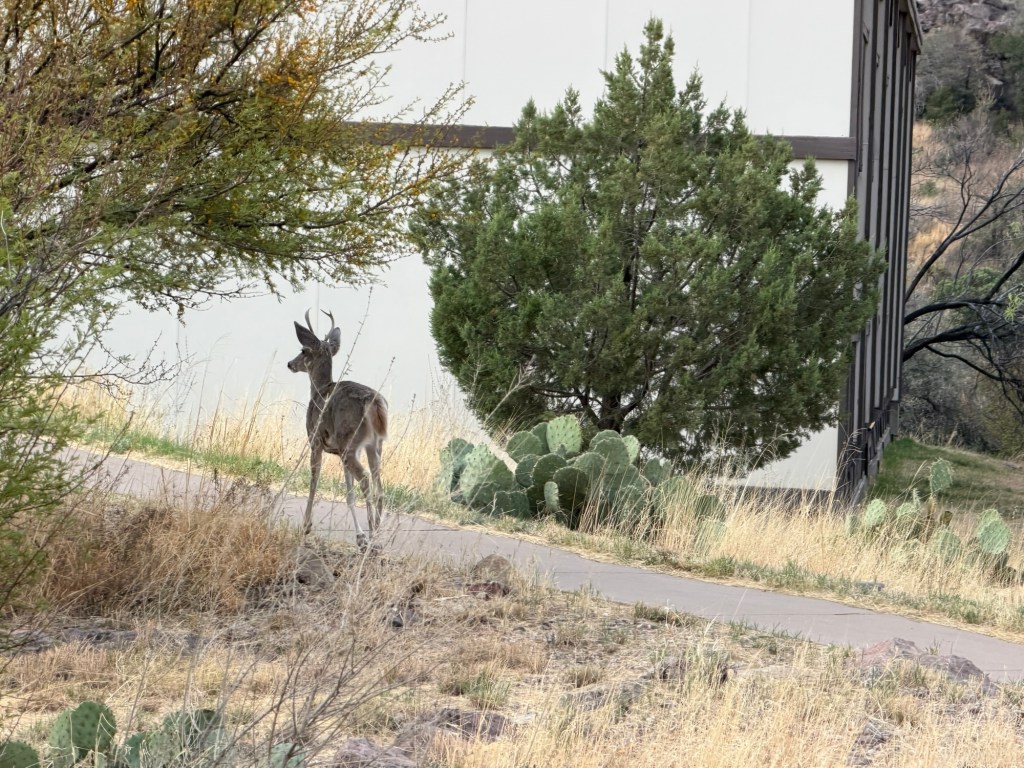
There are bears and mountain lions in the Chisos Mountains, but we only saw some deer.
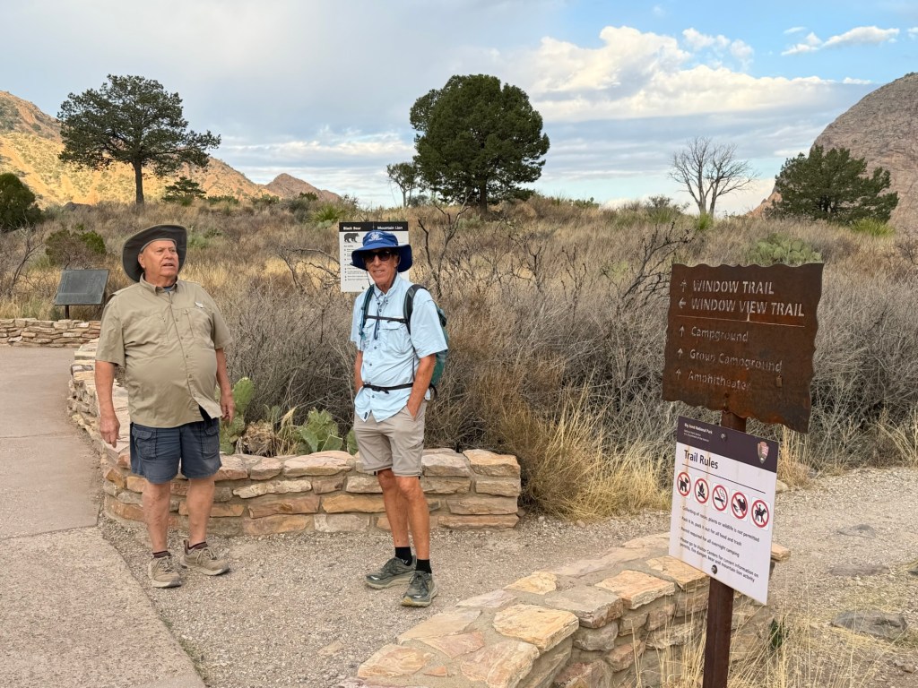
It was still cool so we left Matey in the truck. Bud walked the short loop of the Window View Trail and then went back to walk Matey and stay with him while Jack and I hiked the Window Trail.
Our hike was two and three quarters miles down to that “V” in the mountains circling the basin, then two and three quarters miles back up.
About half of it was a gradual slope, an easy walk while the sun gave a light show on the mountain walls.
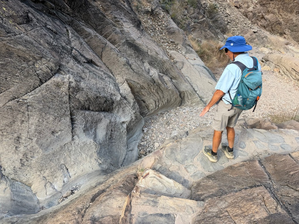
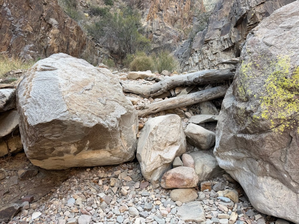
After almost two miles we came to Oak Creek Canyon.
The start of the descent through the canyon was on a smooth track through rising rock walls.
There were interesting rocks and
beautiful formations.
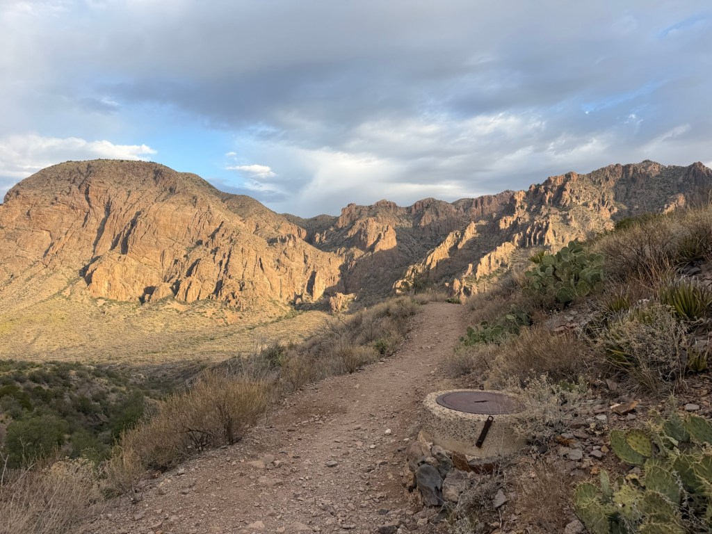
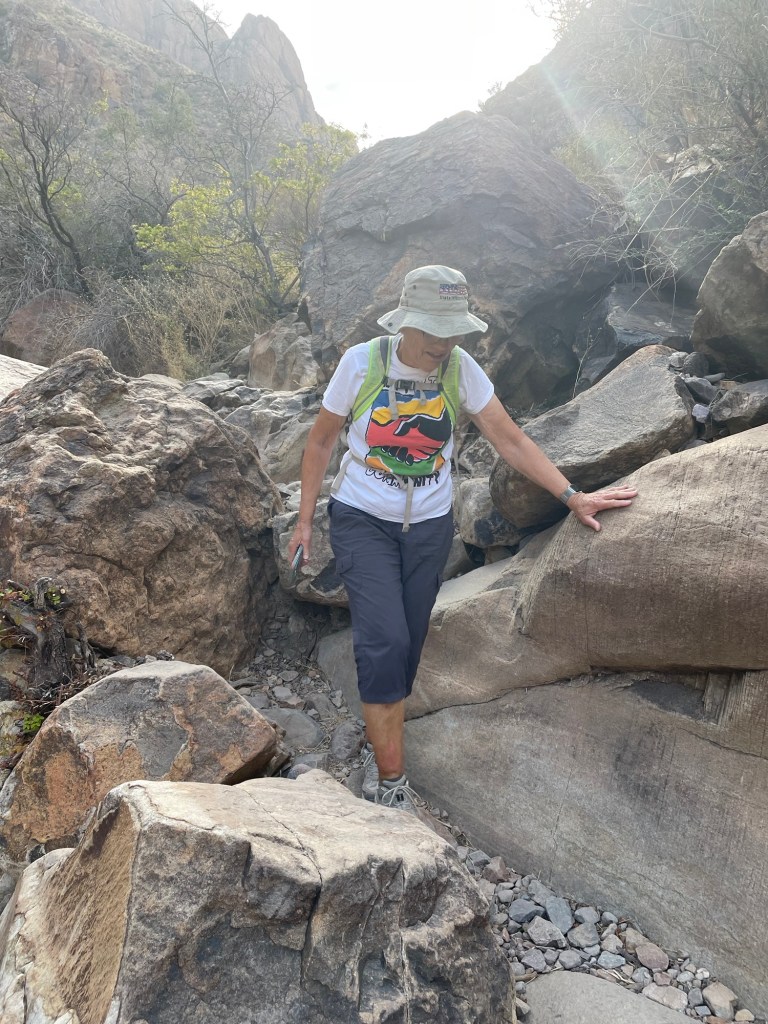
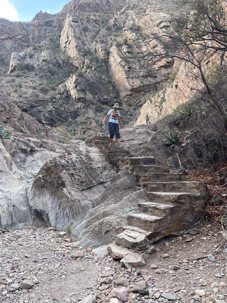
The going got gradually more rugged.
I was glad there were steps built around the difficult parts of the stream bed.
Even the steps took some concentration to navigate.
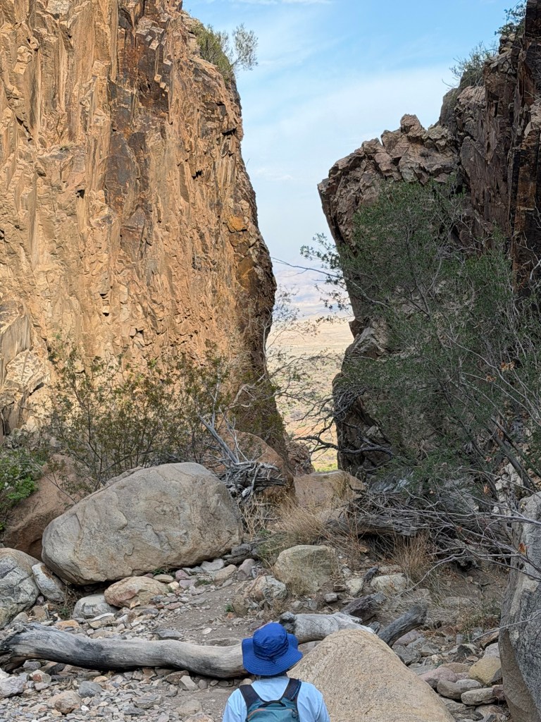
In the end we came to the narrow slot where Oak Creek…
pours out of the mountains to the desert below.
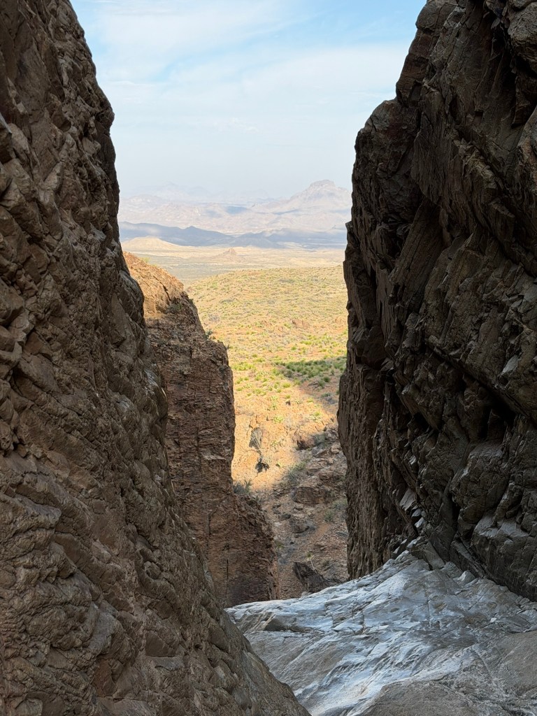
We wouldn’t be here if the creek was running.
And this was as close as I would go, because even dry these rocks were slick.
That’s a close enough look for me.
Then it was back up,
scrambling where we had to,
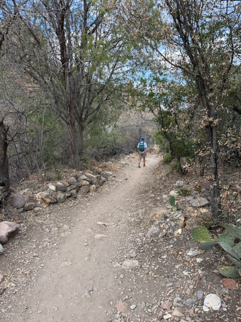
through the shaded canyon…
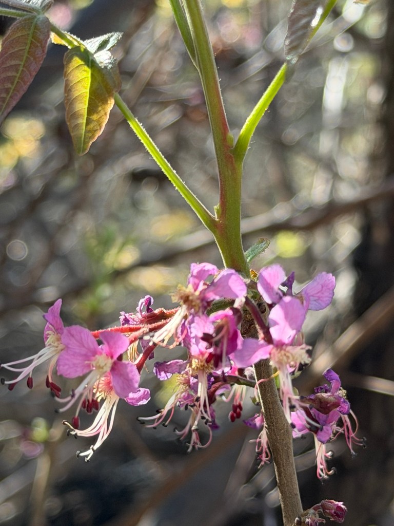
with its lovely flowers.
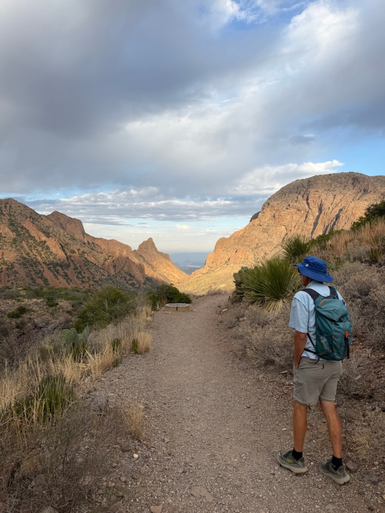
Then we came out of the canyon to just under two miles of steady climbing in the hot sun. The whole time we were walking up we passed people walking down. I felt bad for the folks just starting at close to eleven as we ended our hike. It was getting hot! Our timing was great as we were alone at the Window; all those who followed us would have to share the space.
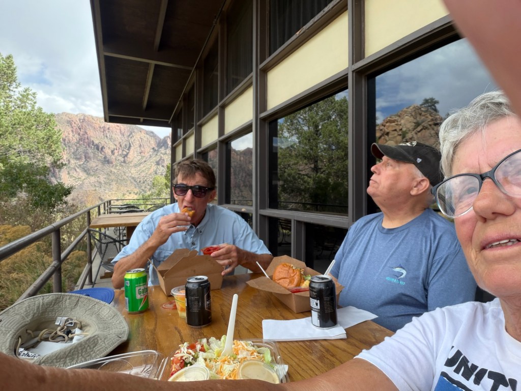
When we got back to Bud and Matey we went and got lunch at a food truck and ate on the shaded terrace of the lodge,
where we could look back across the basin to the notch in the mountains we’d just visited.
Tomorrow we leave this unique, remarkable and beautiful place. I just hope it is preserved for others to discover.
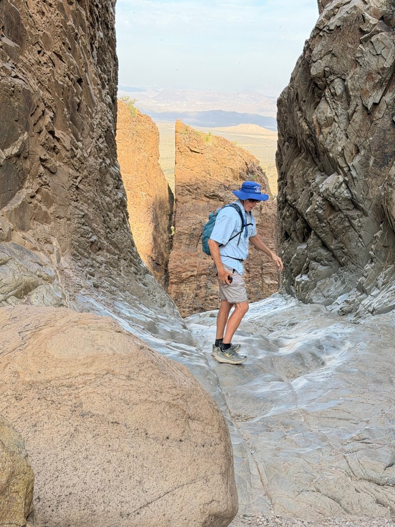
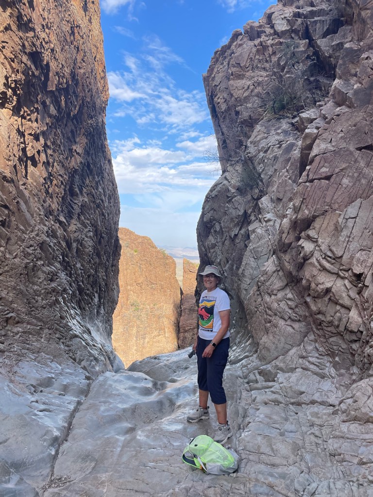
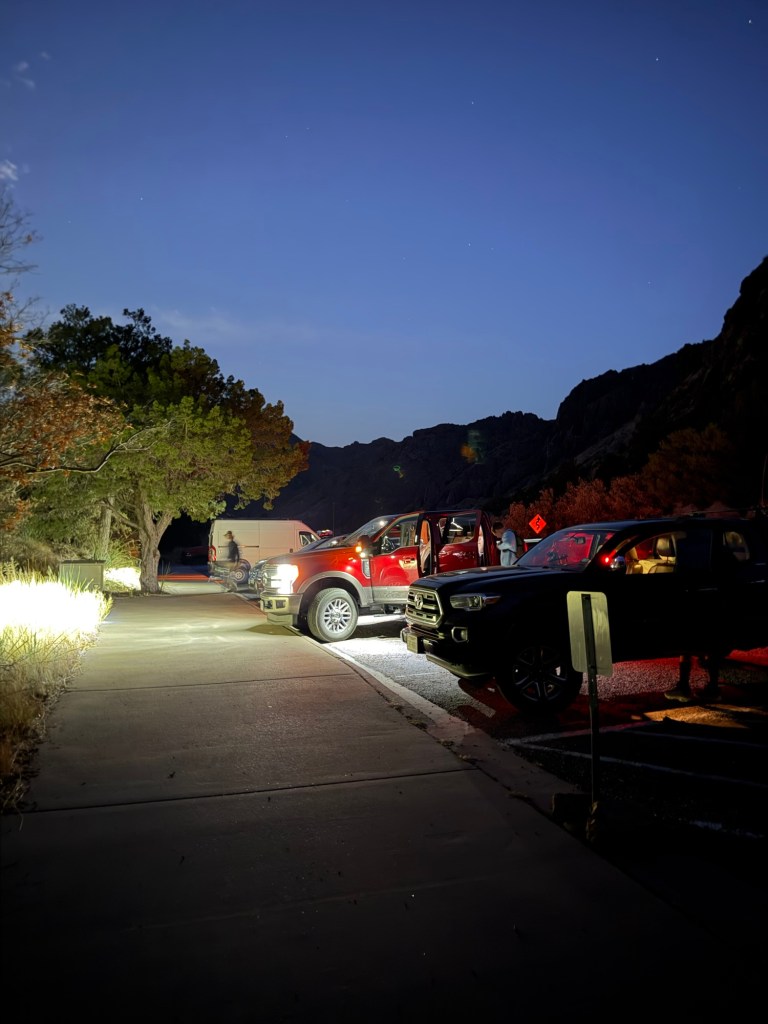
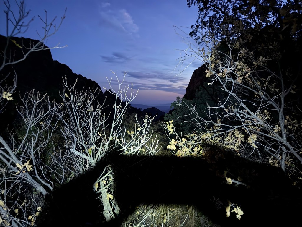
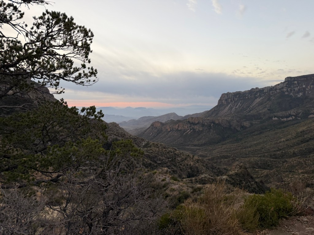
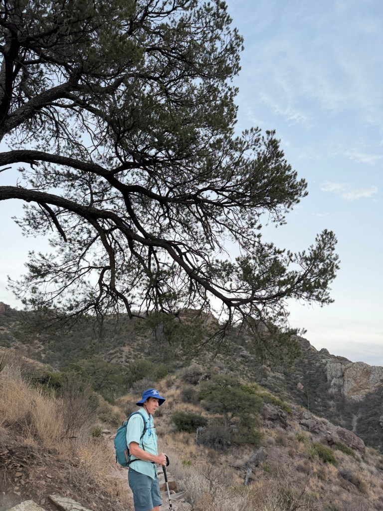
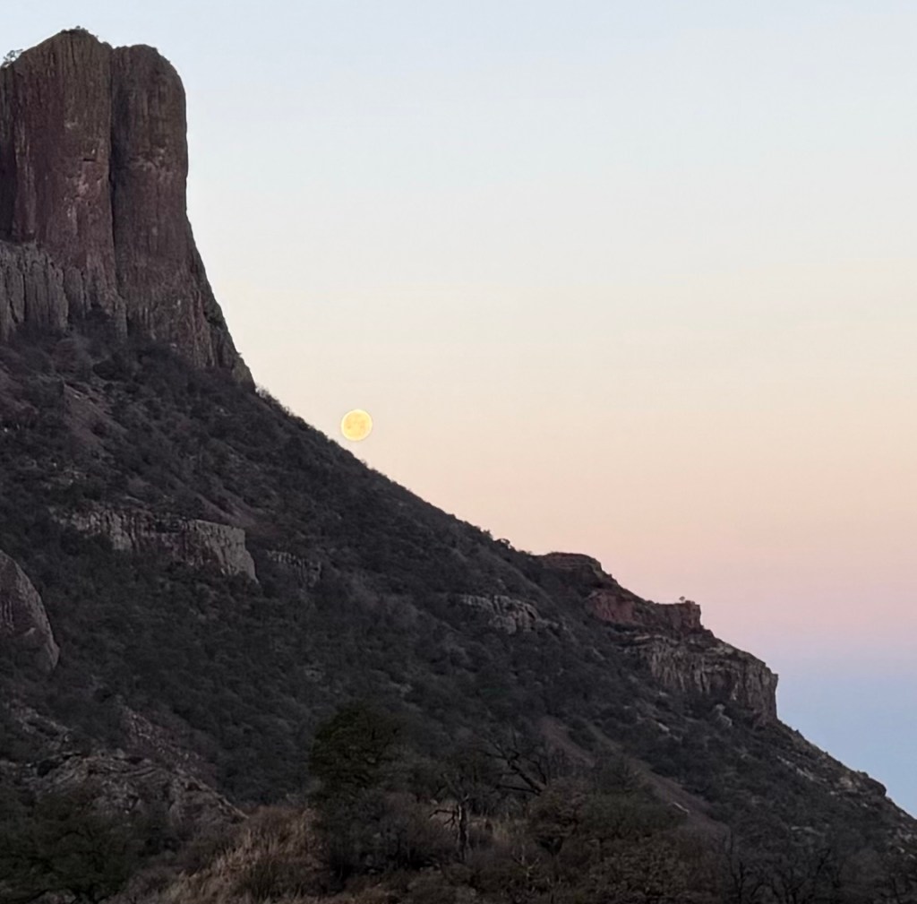
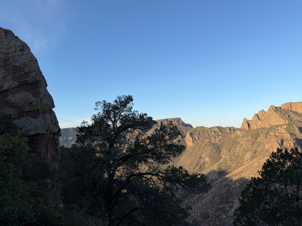
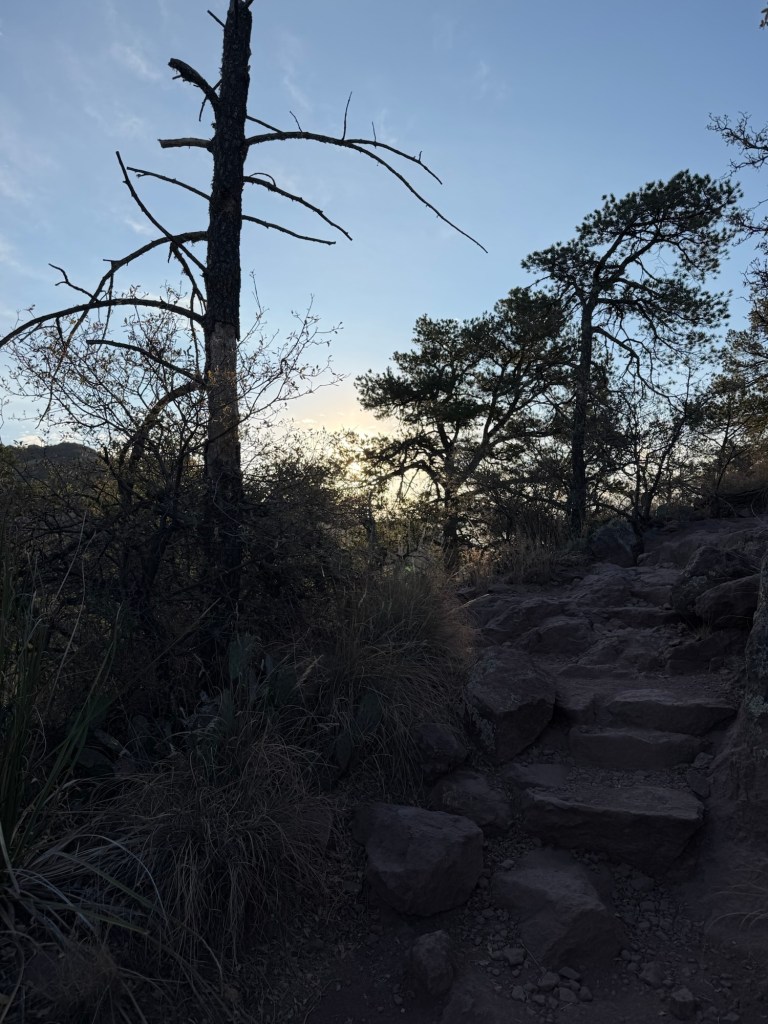
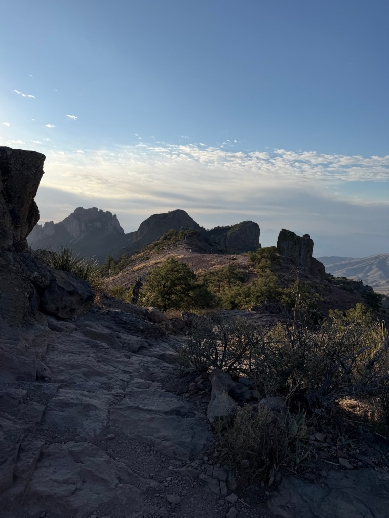
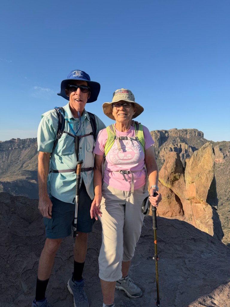
The Lost Mine Trail is one of the most popular trails in Big Bend National Park and Jack really wanted to take me on it. “I’m serious about a 5:45 AM start.”, he told me. It’s 30 miles to the trailhead and there is limited parking. Jack wanted to be at the trailhead no later than 6:30. So I knocked on his trailer door at 5:44, and woke him up! His alarm had been set to silent. I waited in his truck while he splashed some water on his face, threw on some clothes, grabbed his hiking boots and daypack and we took off. We arrived under a westering full moon…
at 6:27, and though there were plenty of people already there we got a spot.
We started hiking at about 6:40 using head lamps.
The eastern sky was just starting to get light.
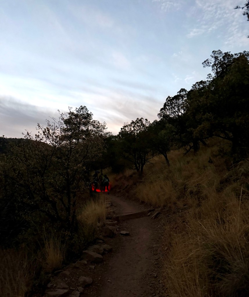
By 6:50 I was able to walk without the headlamp. Another couple walked by and he was using a red headlamp, which you can see ahead on the trail.
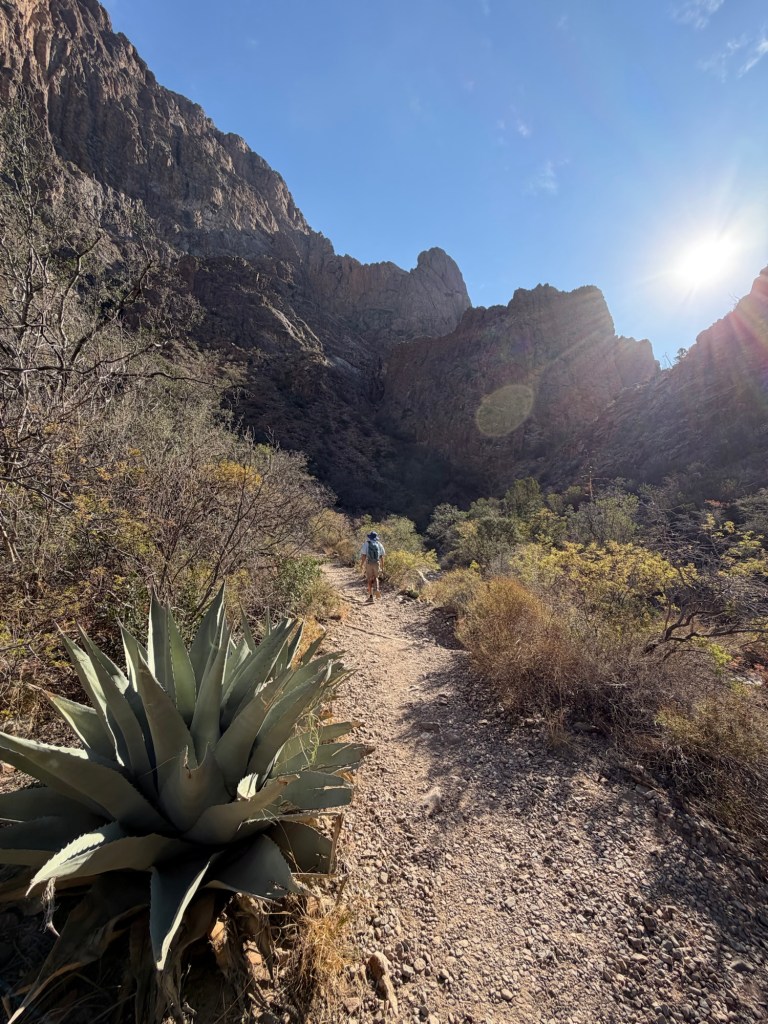
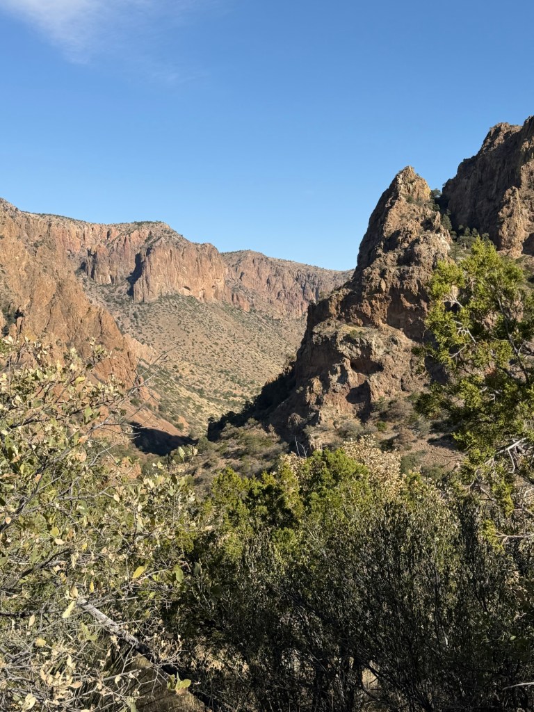
As the light increased the dramatic landscape of the Chisos Mountains began to appear.
It wasn’t long before we were walking through beautiful vistas.
We could see towards the east, where the impending sunrise began to paint the sky. Notice the pinyon pine; up here in the Chisos Mountains there is more moisture and the desert drops away. They call these mountains an island in the desert.
The trees get pretty tall.
Everywhere I looked I was arrested by the beauty.
This was looking southwest,
towards the setting moon.
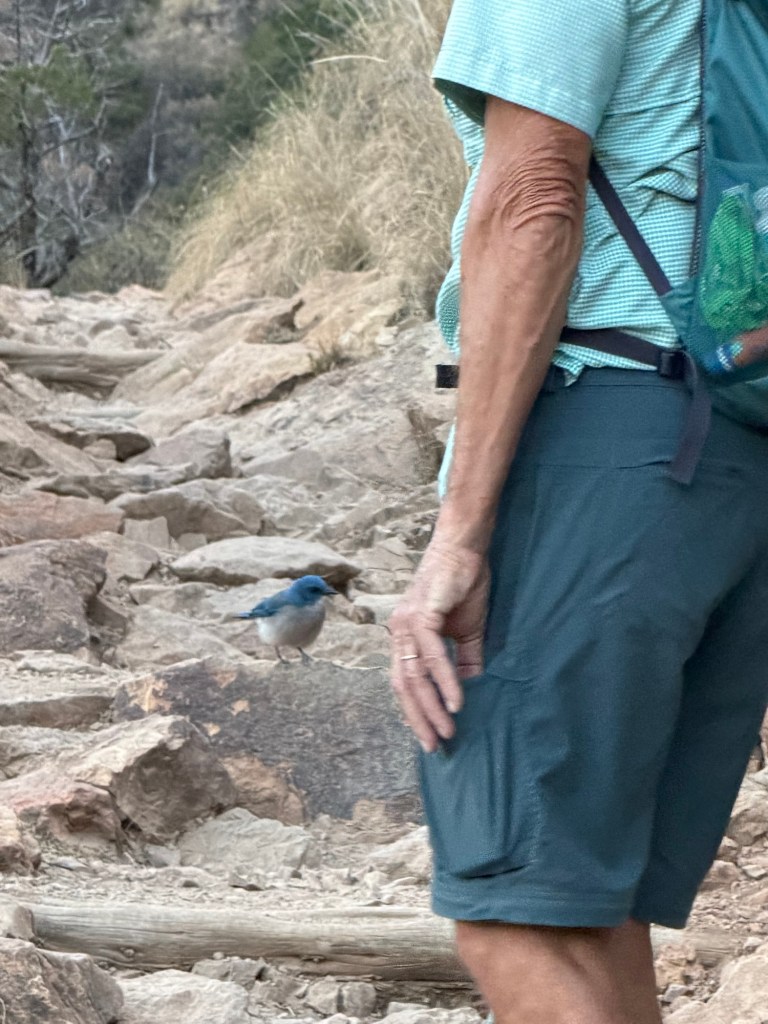
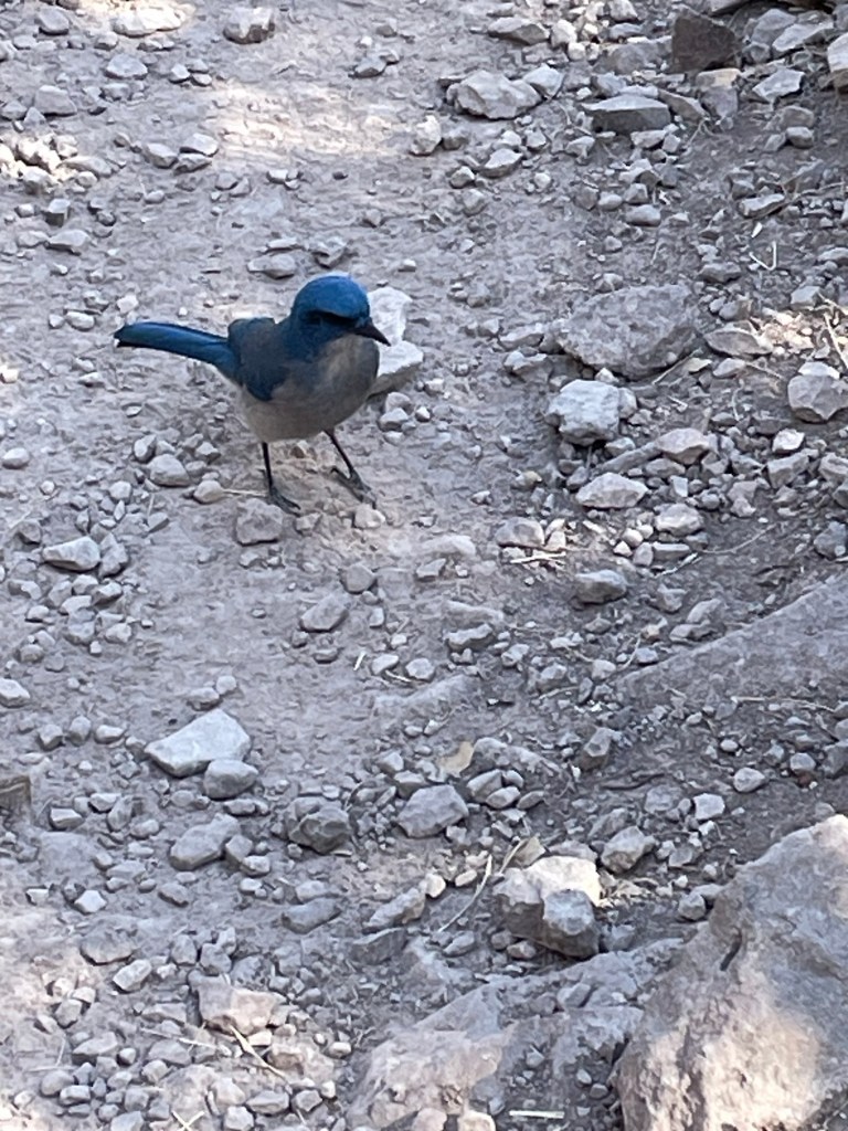
Suddenly Jack stopped. This bird was right on the trail in front of him. We have since identified it as a Mexican Jay. Jack says he never sees them except in the Chisos Mountains, but does see them every time he hikes up here.
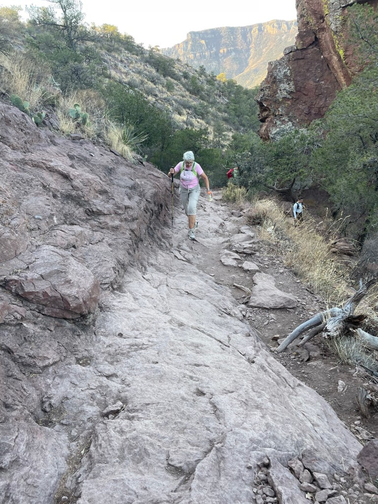
Most of the trail was like this. Not at all difficult, but going pretty steadily uphill.
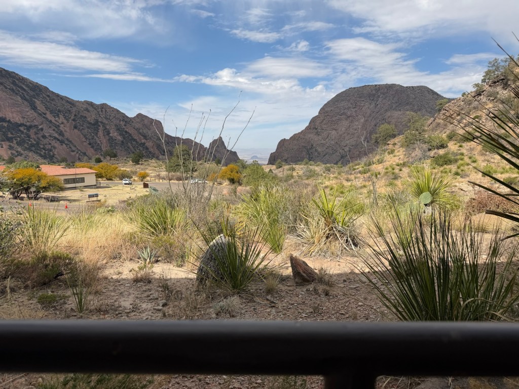
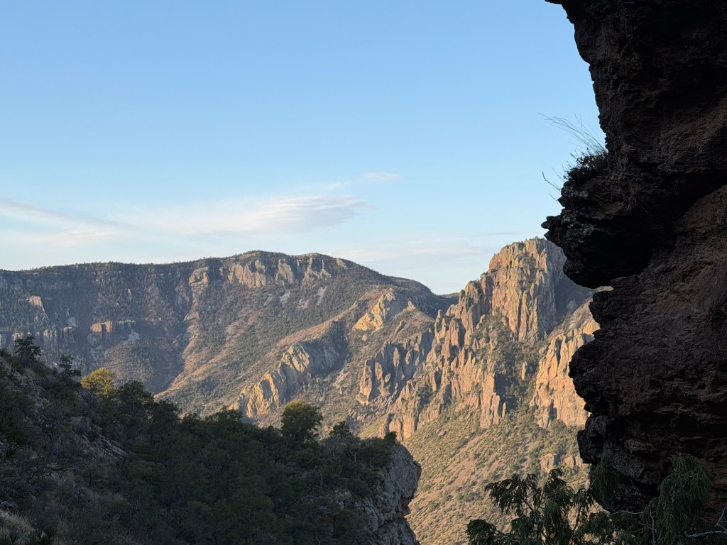
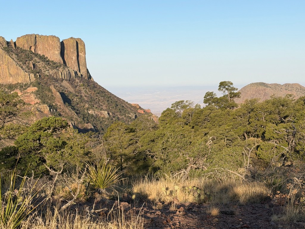
My progress was impeded more by frequent viewing stops than by the physical effort. This is looking down towards the Chisos Basin, where there is a lodge and campground. We aren’t high enough to see into the basin, but you can see the road as it passes over the last ridge.
We were still in the shade, but the rising sun was starting to light up the cliffs in the distance.
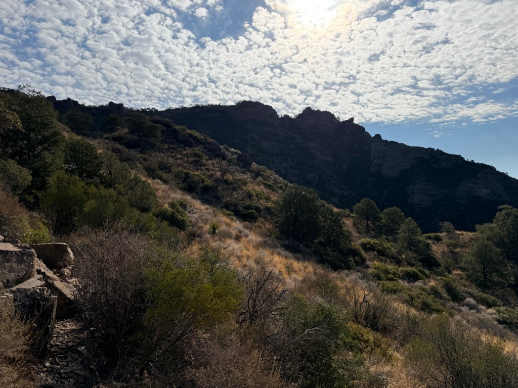
Minute by minute the vistas unfolded.
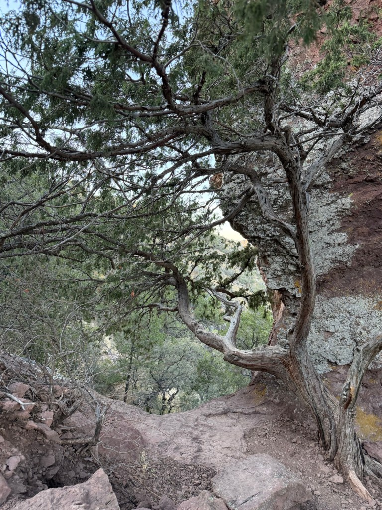
There was plenty of beauty close by, too.
It was hard to keep your eyes on the trail, which you sometimes needed to do.
At 8:02 AM we met the climbing sun.
At this point we were walking along the top of a ridge.
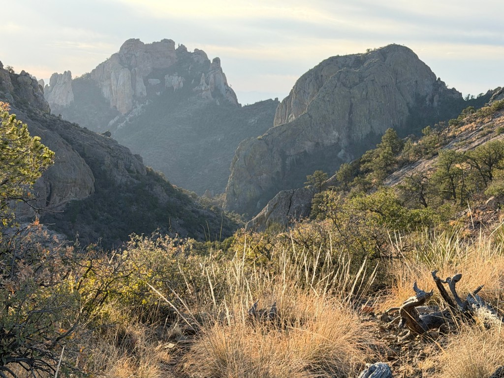
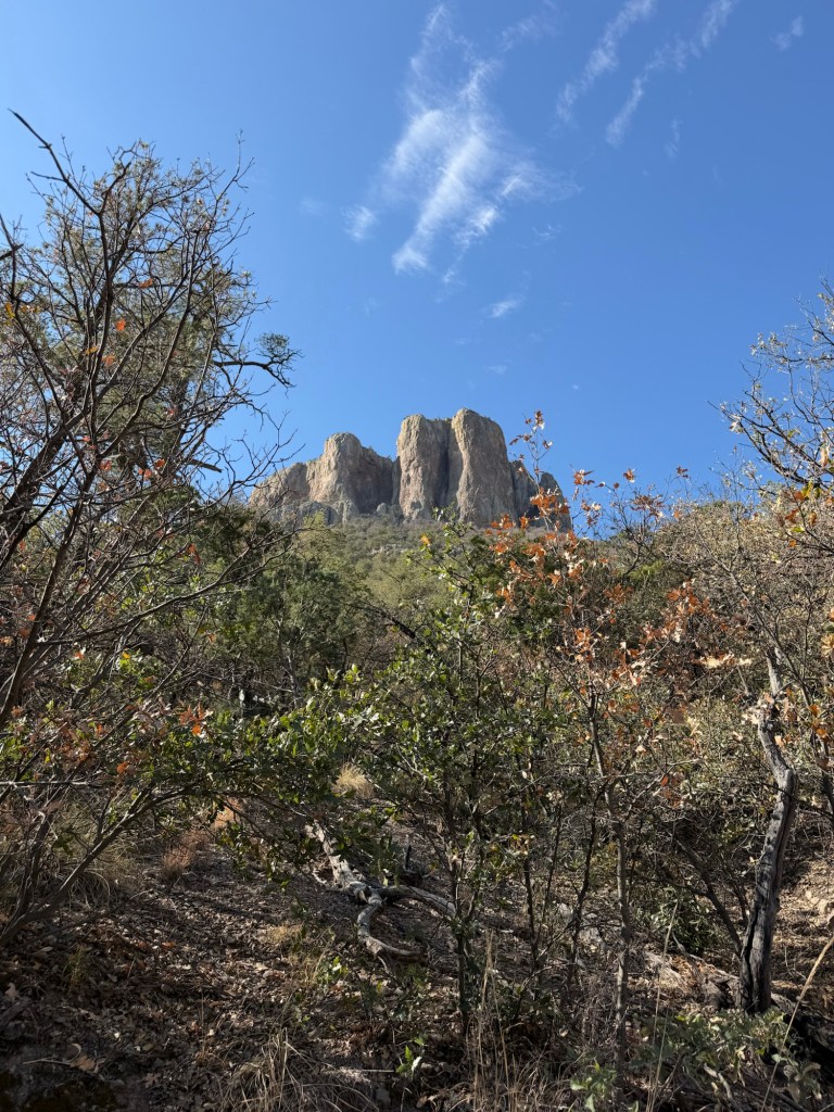
There were higher mountains around us…
But we could see a long way down.
We were headed east, towards the end of the ridge.
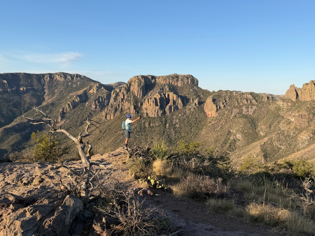
Jack…
and I both stopped to take videos.
This is what I recorded.
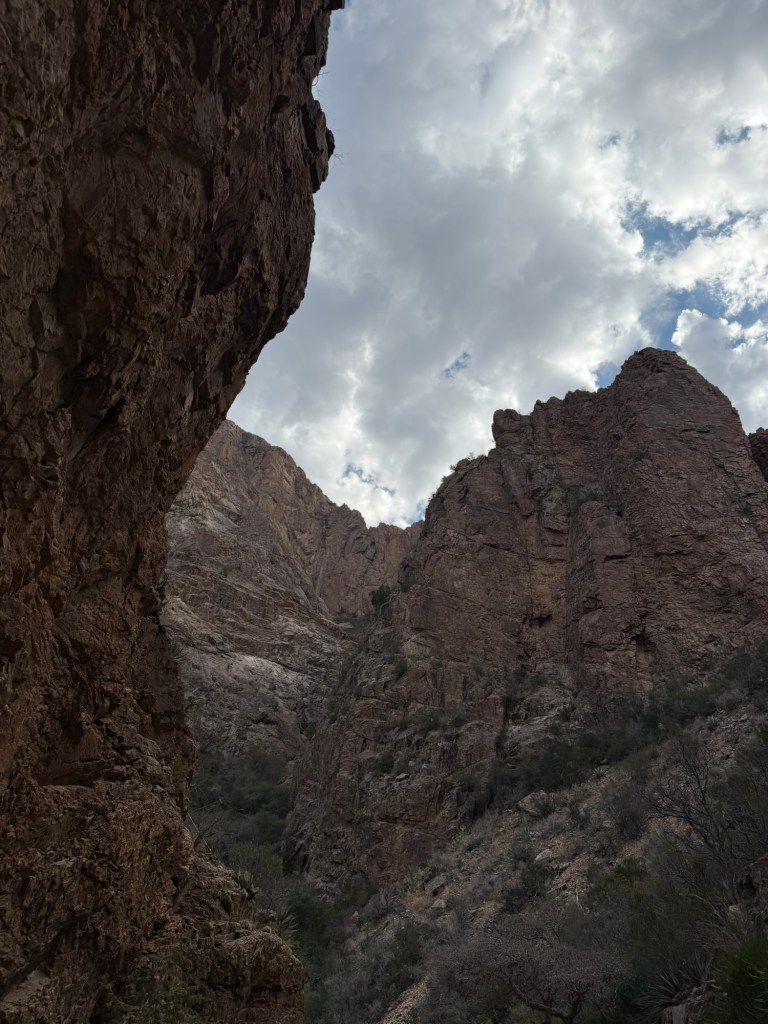
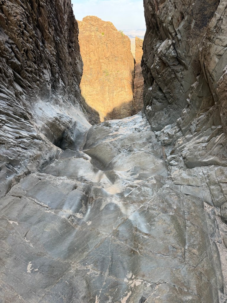
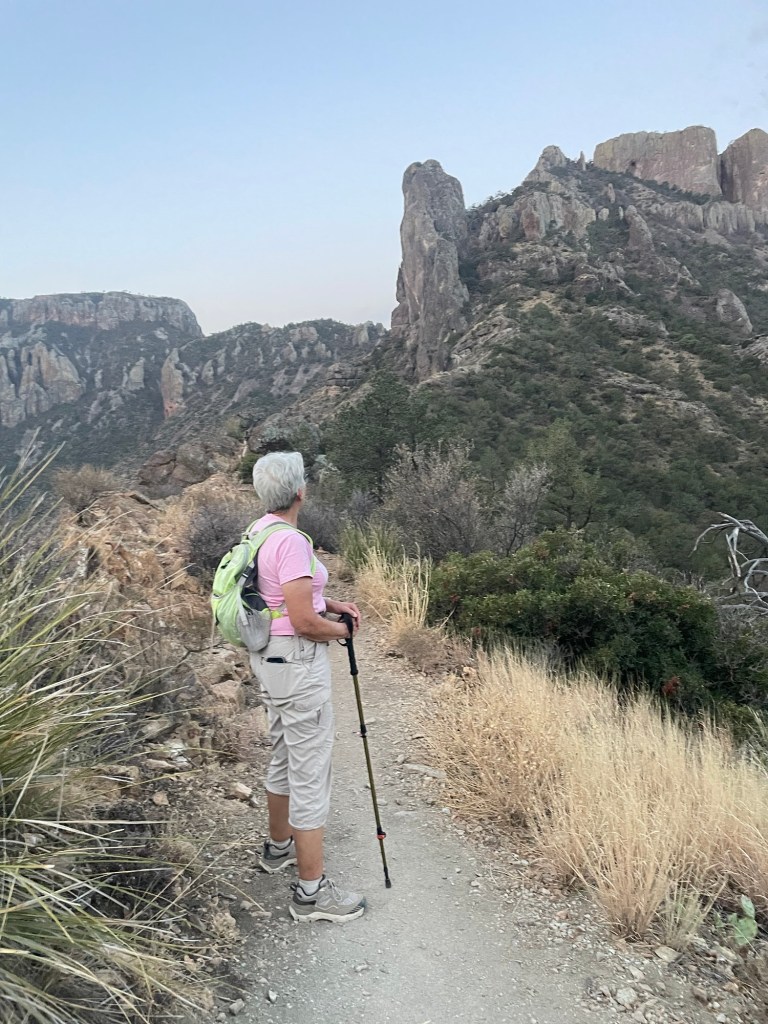
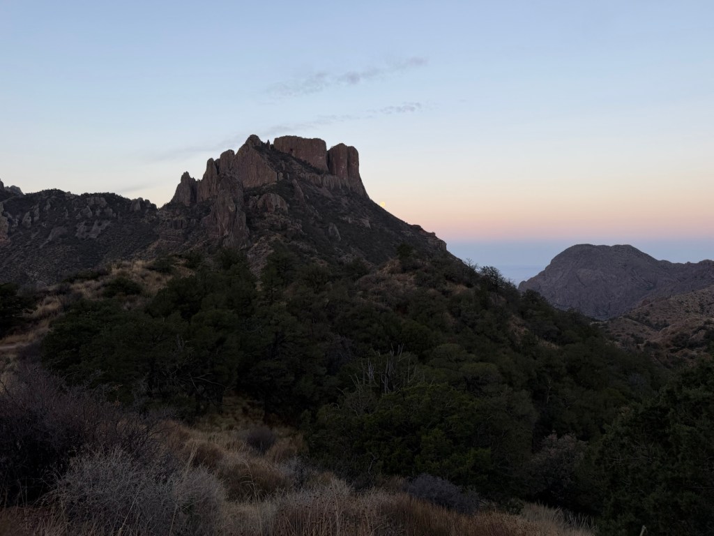
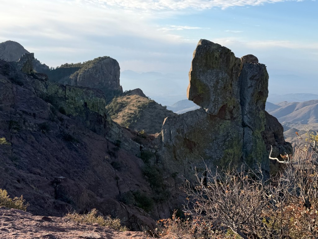
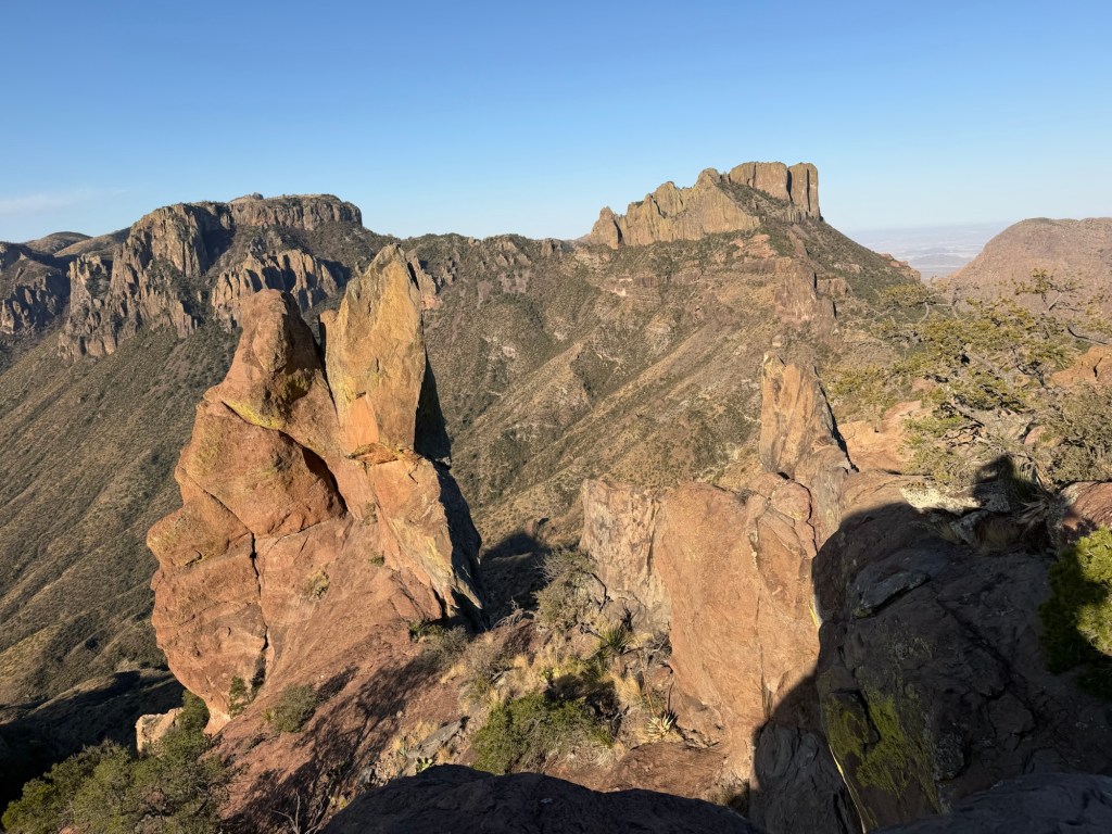
Near the end of the trail was this rather dramatic knife edge boulder.
And then this rather dramatic neck of rock to cross. It sloped steeply to the left and dropped off abruptly on the right. Not a place you’d want to slip and fall.
But we both made it,
and were well rewarded for our climb.
We’d come up over 1200 feet in a bit less than two and a half miles, but none of it was arduous. This view alone would have been worth it, but the views were gorgeous the whole way.
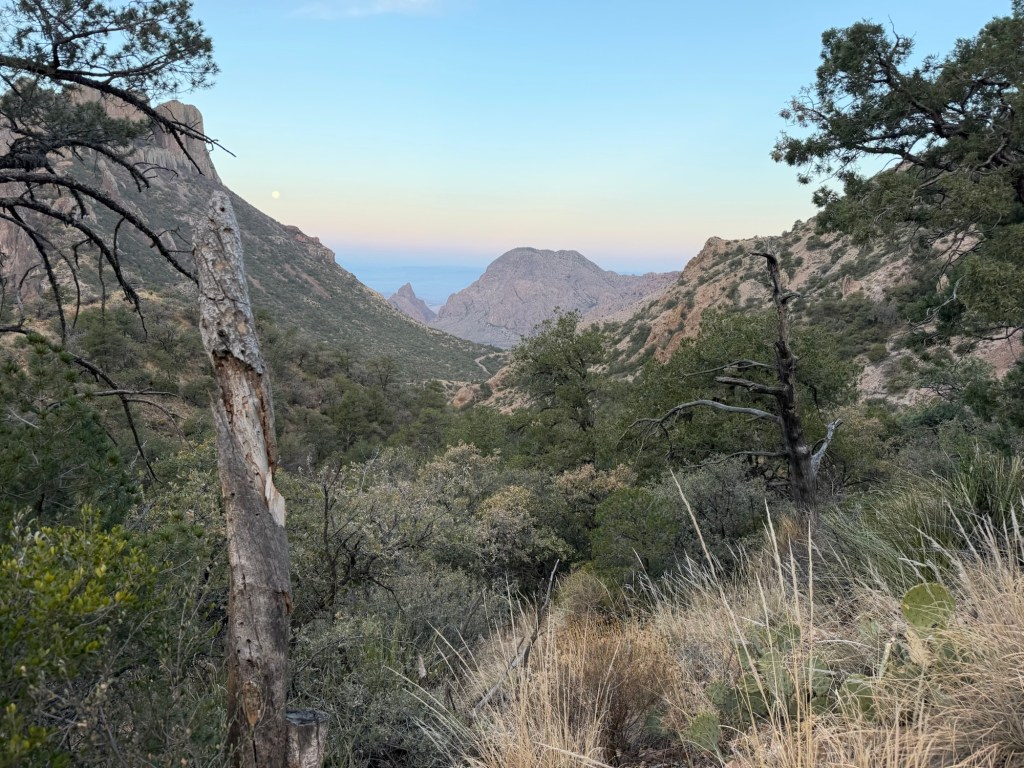
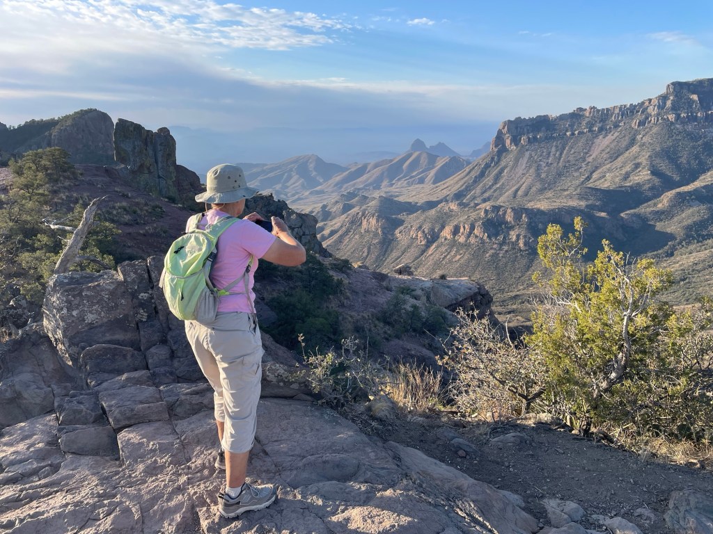
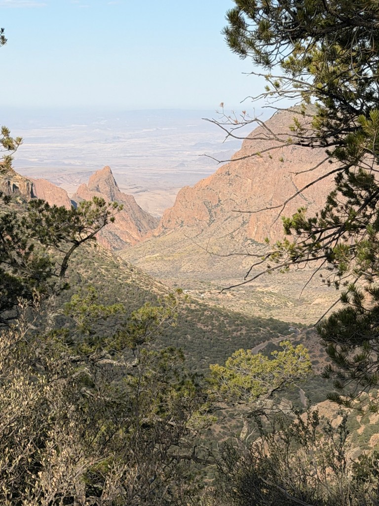
Coming back down was much faster, but I still had to stop to catch some shots, like this where you can actually see into Chisos Basin and see the campground down there. The V shaped notch in the far mountains is the famous Window, and we hope to hike to it tomorrow.
The play of Sun and clouds caught my eye here.
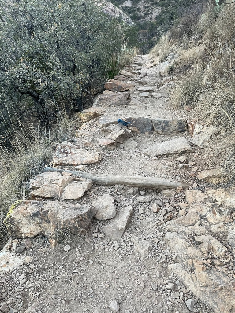
We met what we think was the same Jay on the way back down. This is Jack’s picture of him.
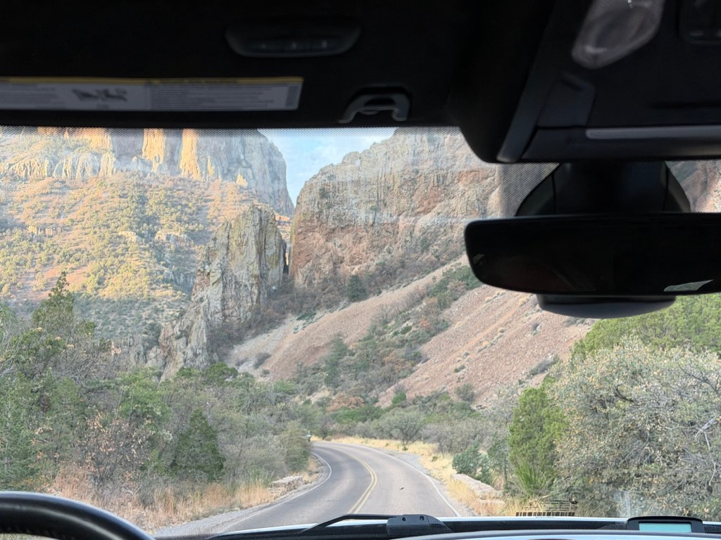
And now that I was returning in daylight I saw the valley we drove up to reach the trailhead.
The first rock formation I noticed on the way up impressed me again. What a spectacular hike, no wonder it’s so popular. Thanks Jack for missing your morning coffee to get us to the trailhead for this.
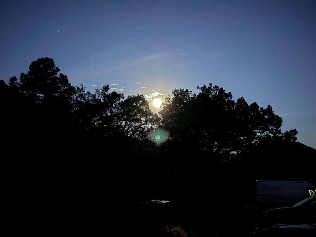
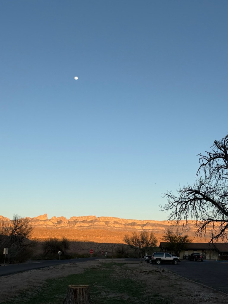
We are back at Big Bend National Park, this time visiting with Jack. This picture is moonrise over the Sierra del Carmen range in Mexico as seen from our campsite at Rio Grande Village RV Park. I am having a very hard time writing this post as so many emotions are swirling through me.
It is wonderful to be back in this vast, wild land. We have not been in such wildness since the north shore of Lake Superior. Places like this feed my soul.
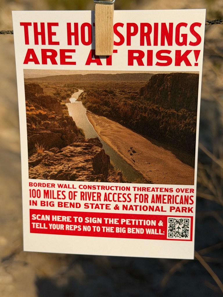
But I just learned that this great National Park is now in danger.
On February 17th the Department of Homelamd Security “set aside” 28 laws to clear the way for border wall construction in the Big Bend region. According to the Texas Monthly these laws included “the Endangered Species Act, the National Environmental Policy Act, the National Historic Preservation Act, the Clean Water Act, the Migratory Bird Conservation Act, the Clean Air Act, the Wild and Scenic Rivers Act, and the Historic Sites, Buildings, and Antiquities Act”.
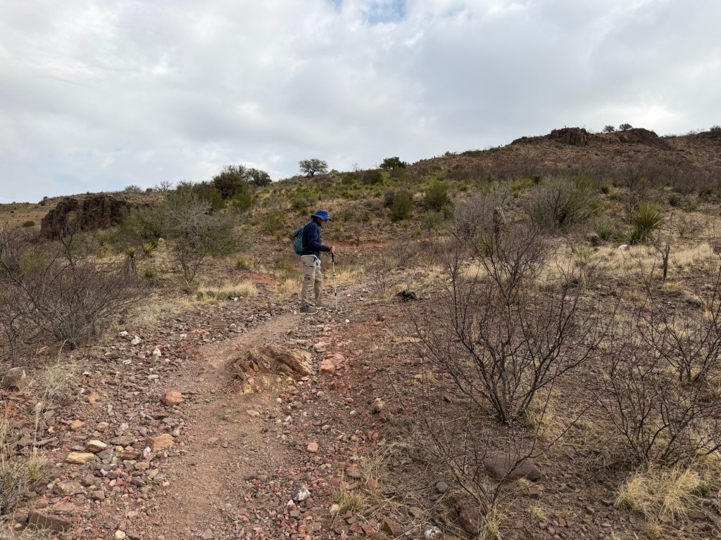
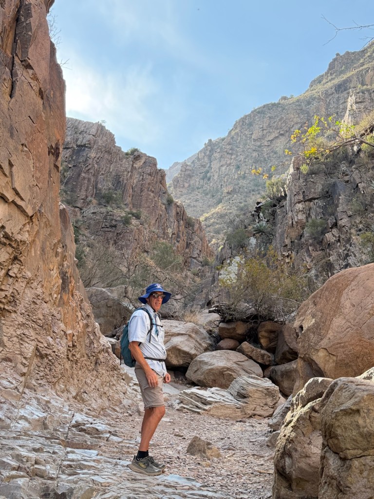
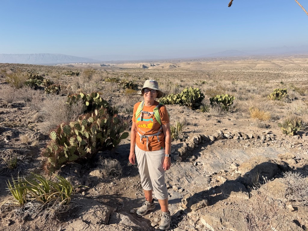
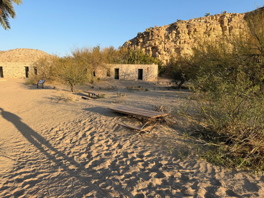
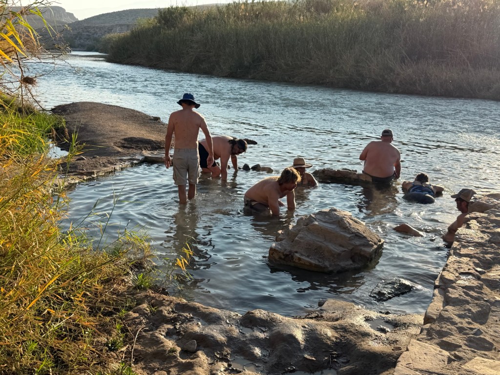
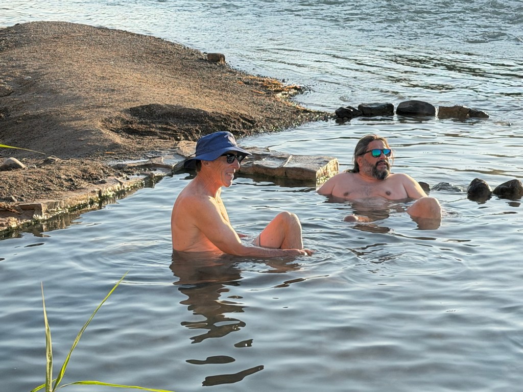
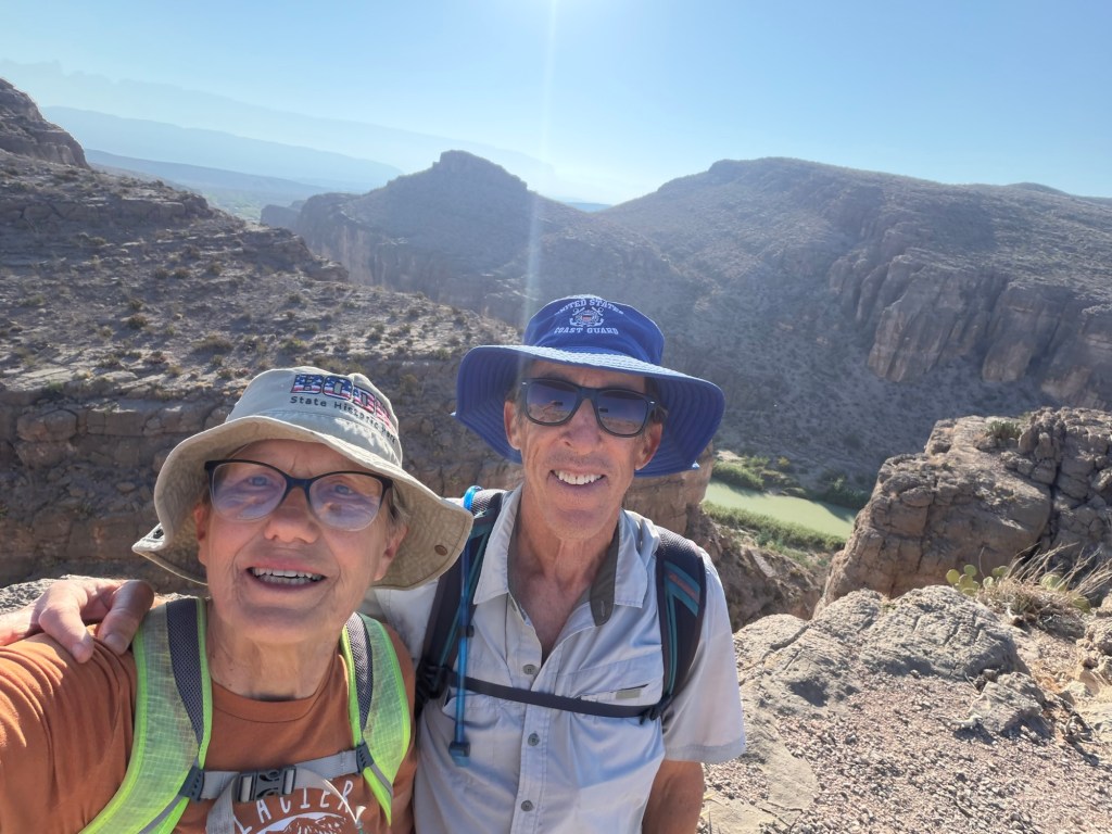
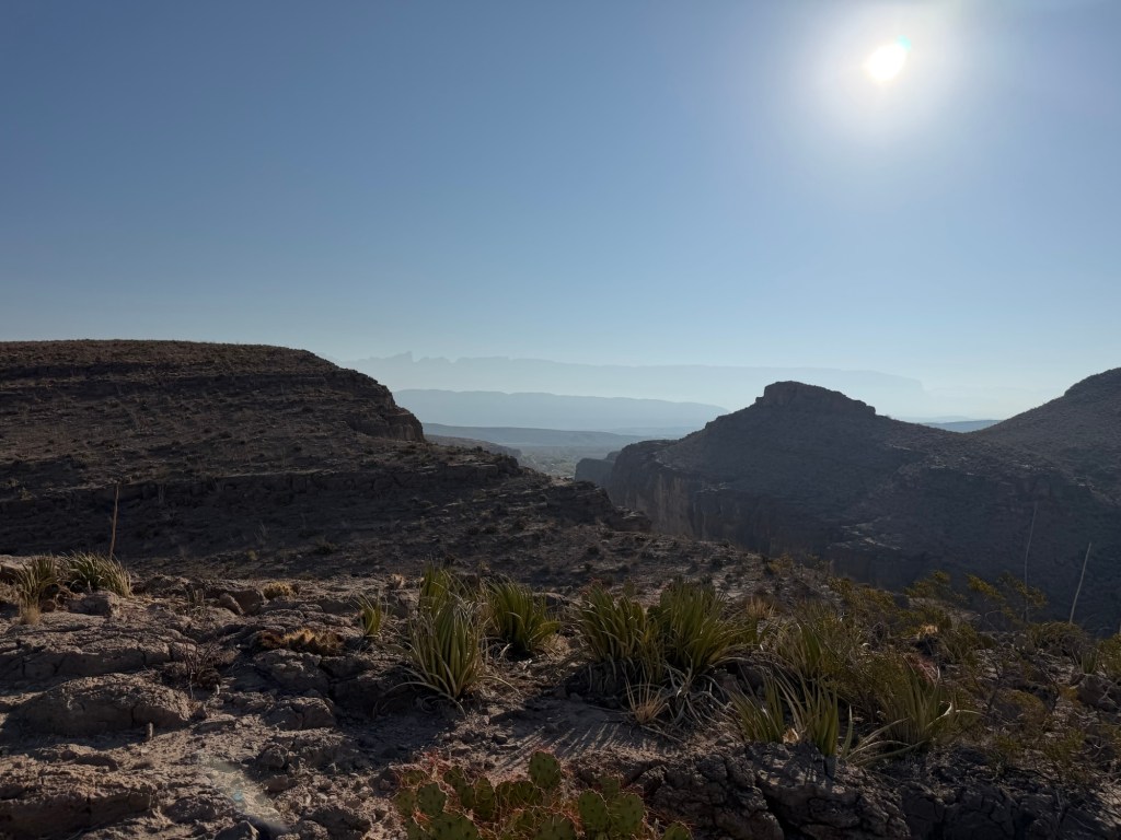
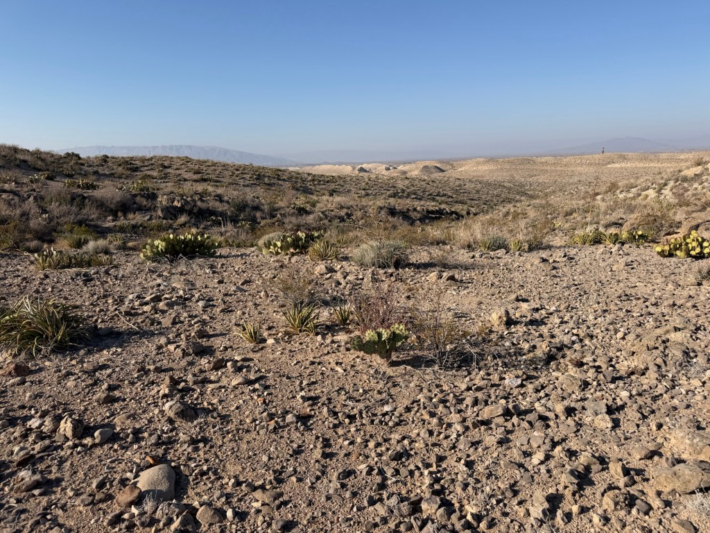
This morning Jack and I hiked the Ernst Ridge Trail. Bud dropped us off at the Hot Springs historic site where the sand has drifted enough to almost bury the picnic tables.
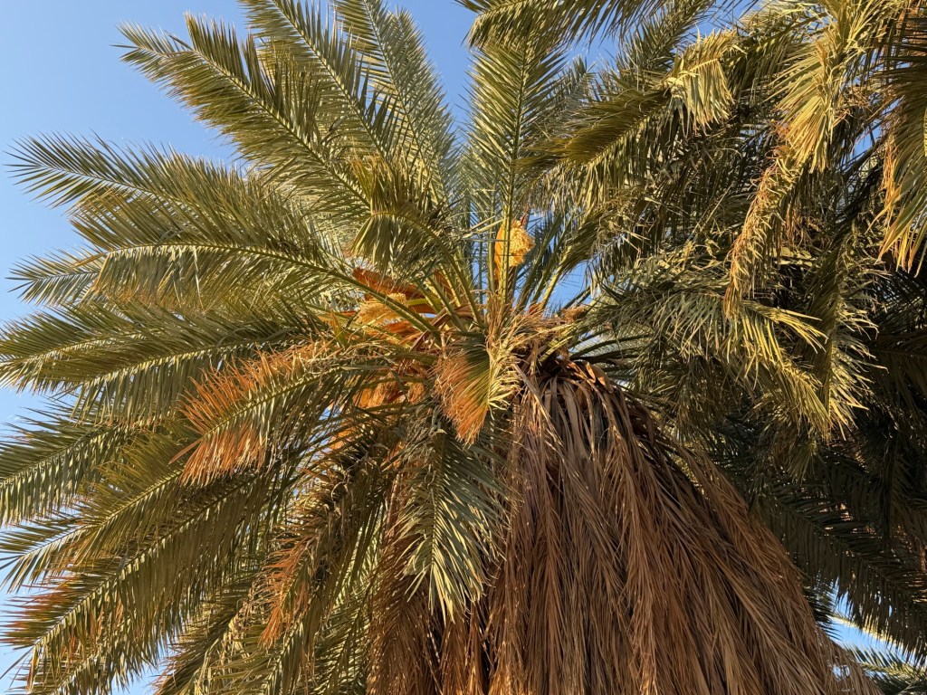
What will happen to this place and its palms that were probably planted in the 30’s?
What will happen to the Hot Springs,
where Jack enjoyed a morning soak?
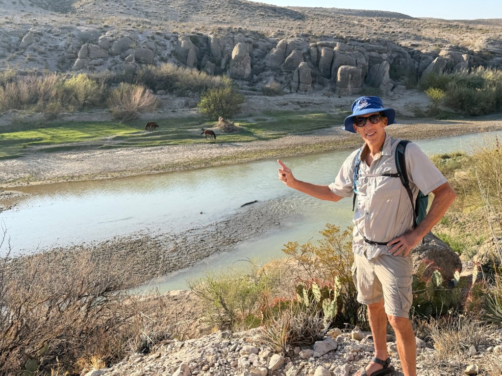
What will happen to the horses that freely range across the river?
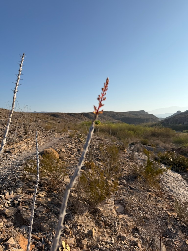
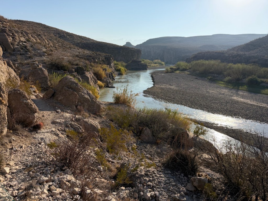
What will happen to this beautiful trail?
I was happy to show Jack a trail he had never taken, there aren’t many.
Will this beautiful trail even exist in a few years?
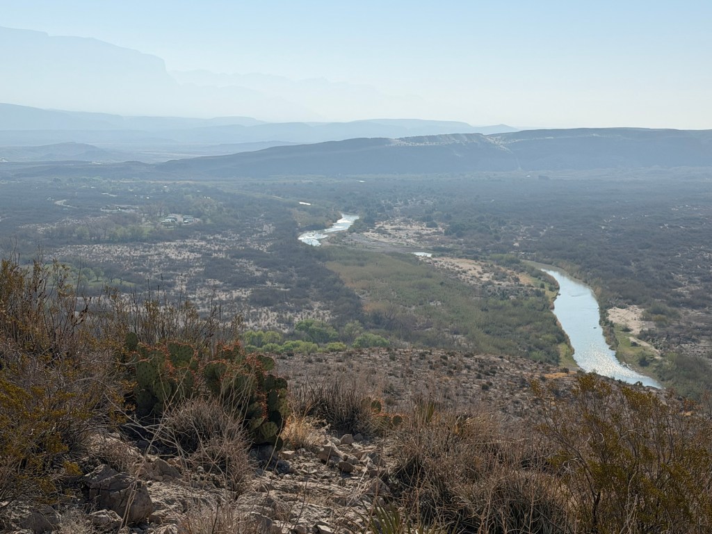
And what about this plain with the Rio Grande Village campgrounds?
But surely, the plans don’t include an actual wall in the park.
Well if you look at this map, a physical wall is planned running right through Rio Grande Village, the Hot Springs and over 100 miles more of Big Bend.
To quote the Texas Monthly:
“The idea of a border wall in Big Bend was once unthinkable.
The far West Texas region is one of the most remote, unpopulated places in the continental U.S.—a hot, arid landscape that defies human existence. Few migrants bother to cross the border here, for the same reason few people have ever called this part of the Chihuahuan Desert home. Summers are deadly hot, water is scarce, and any trek by foot will be long, arduous, and dangerous. Much of the Rio Grande is sheltered by steep, unscalable canyons—some as deep as 1,500 feet—that are far more effective in deterring illegal crossings that any man-made fence could ever be. The Big Bend sector of U.S. Customs and Border Protection, which encompasses nearly a quarter of the U.S.-Mexico border, typically has the fewest crossings of any of the agency’s nine sectors. In fiscal year 2025, there were just 3,096 apprehensions of migrants across 517 miles. The border here has never been open, not really.”
So what will the billions we spend on a border wall do?
According to Kristi Noem there is “an acute and immediate need to construct additional physical barriers and roads” along the U.S.-Mexico border. She describes the Big Bend as an “area of high illegal entry,”
Those who live here and visit here don’t see it. Again, according to the Texas Monthly, “There is virtually no support for a wall in the Big Bend region. Every local elected official—Republican or Democrat—who has spoken on the issue has rejected it.” Here the illegal entry that would be stopped…
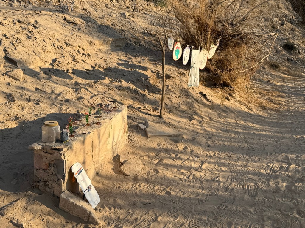
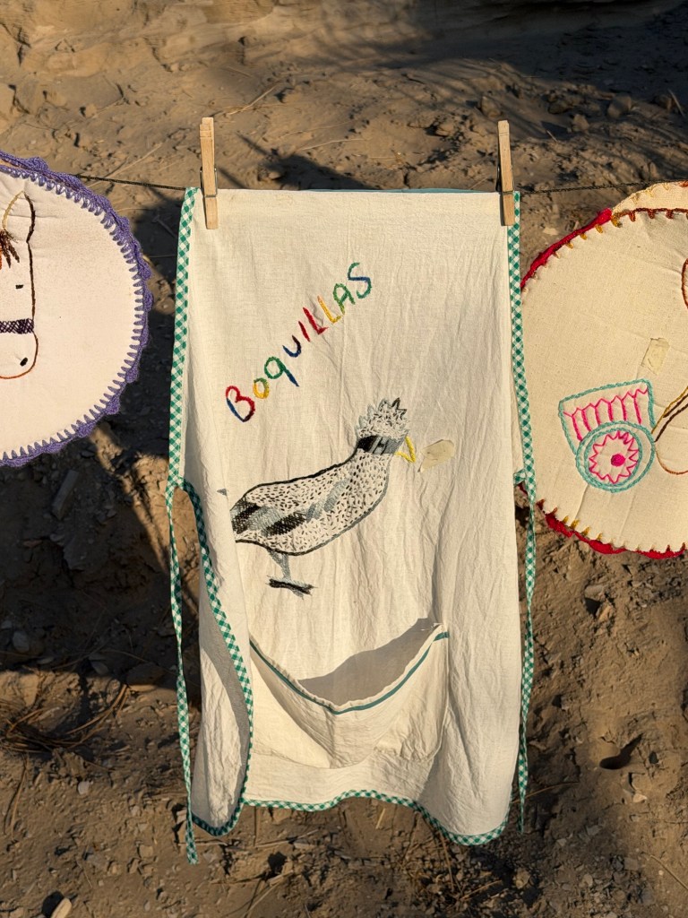
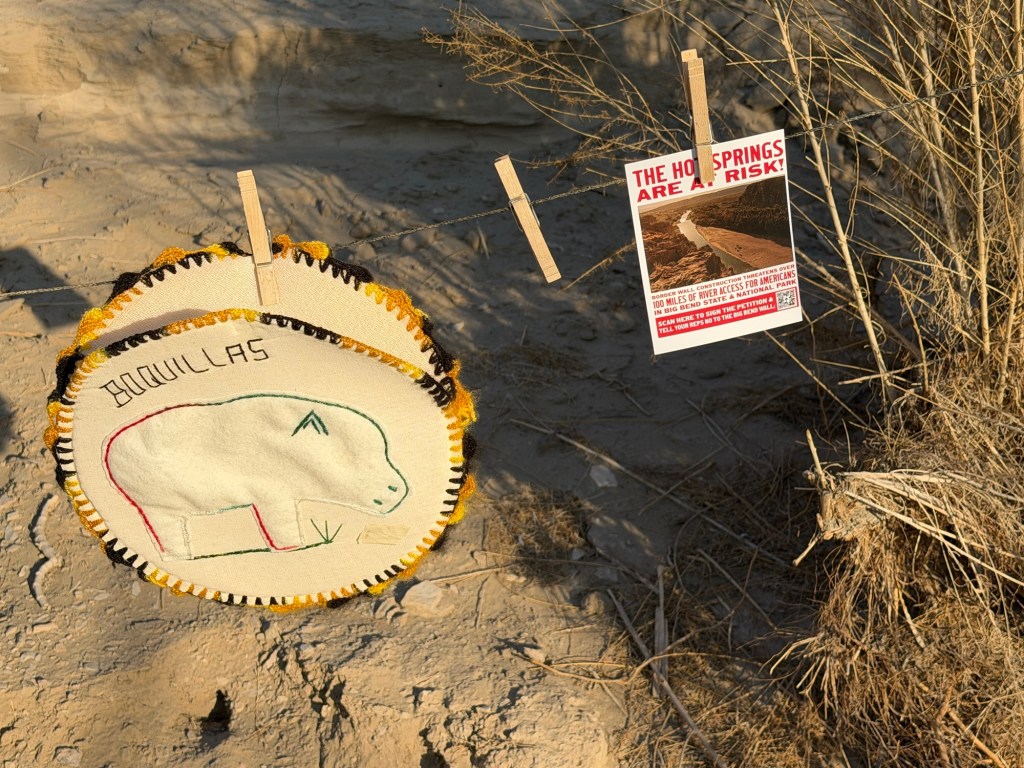
is the folks from the village of Boquillas del Carmen, who set up makeshift stands in trafficked areas of the park to sell their handcrafts on the honor system. Also stopped would be the wildlife; coyotes, bobcats, and more that range in the park and come to the river for water. They can’t advocate for themselves,
but the people from Boquillas can.
They want you to know what’s happening, and so do I!
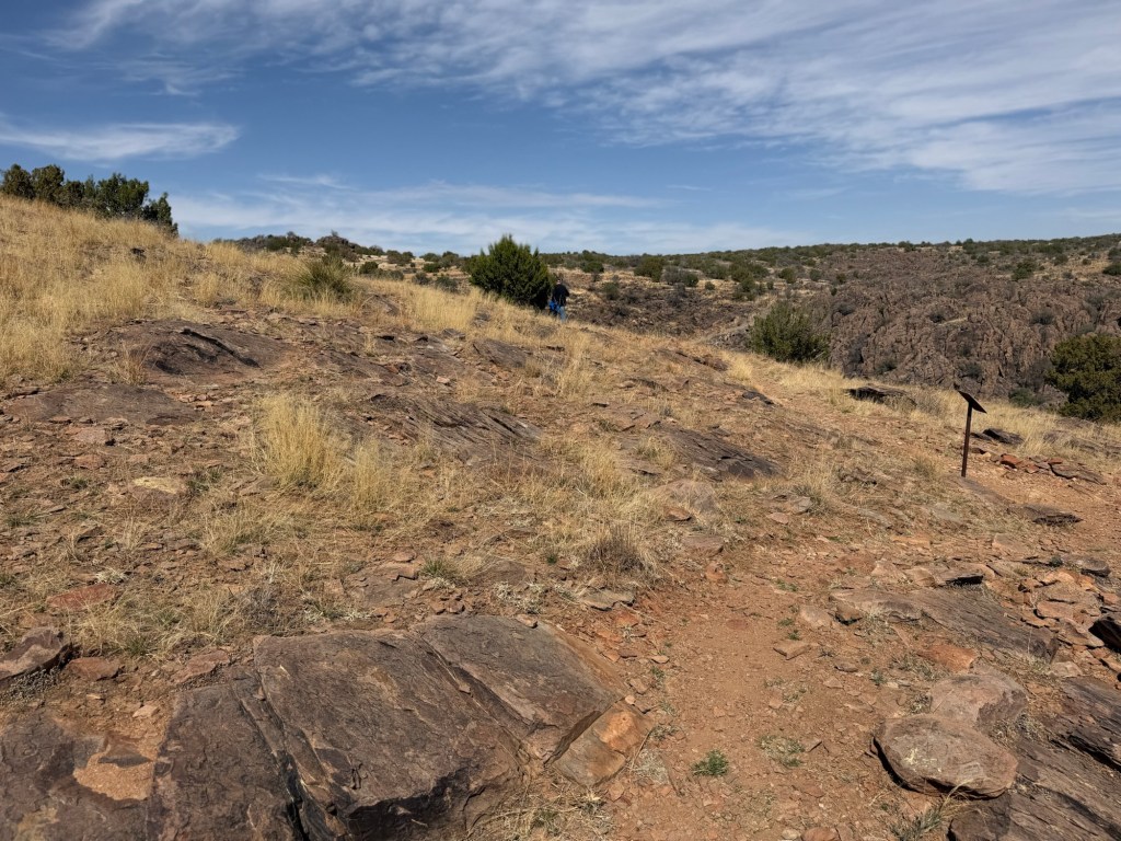
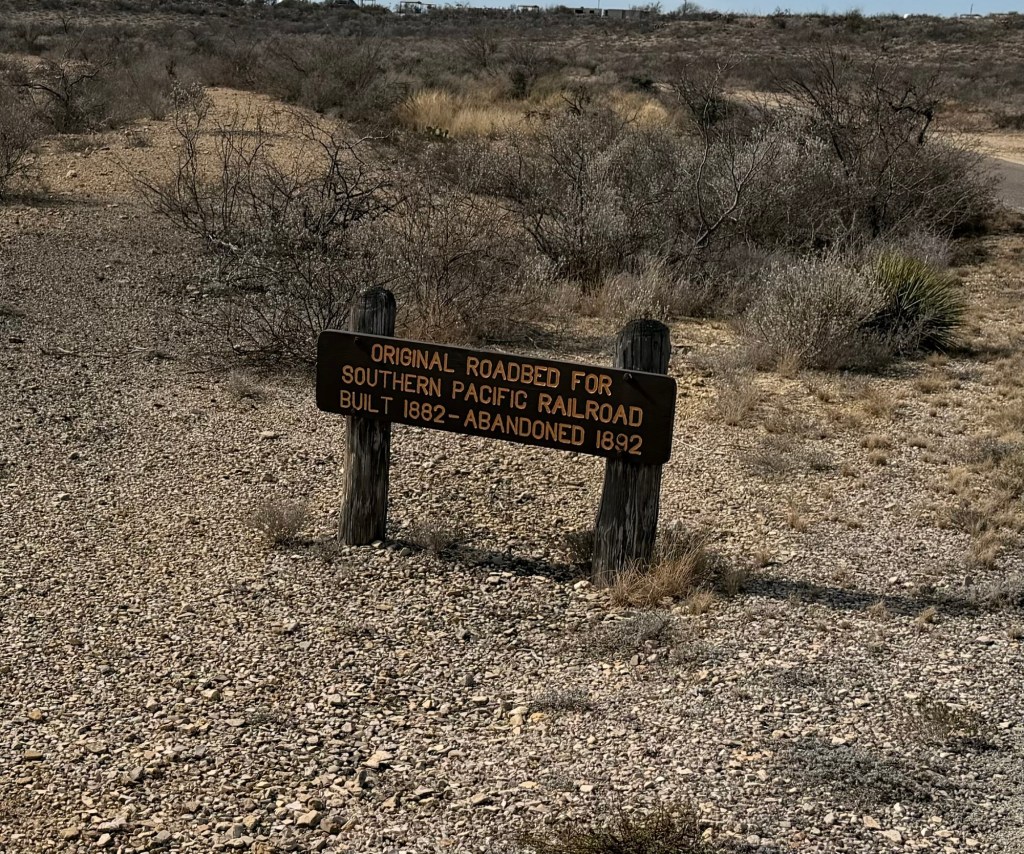
Just remember, the desert doesn’t recover. This railroad bed in Seminole Canyon State Park is still visible after being used for just 10 years over 130 years ago.
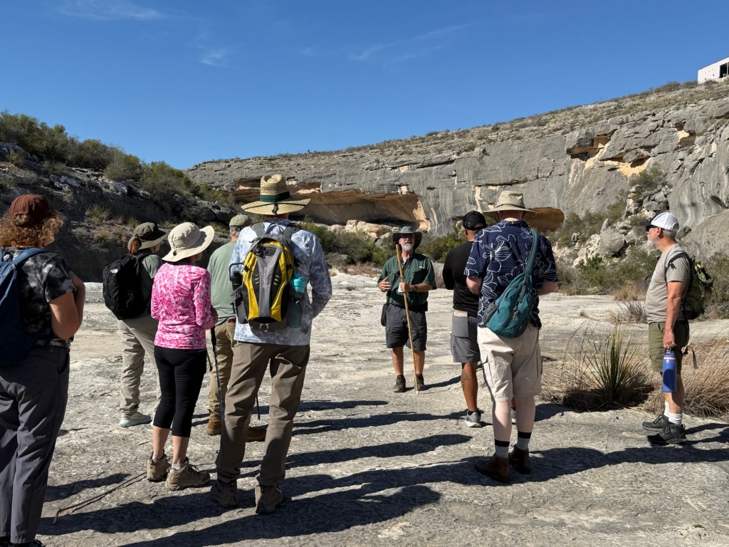
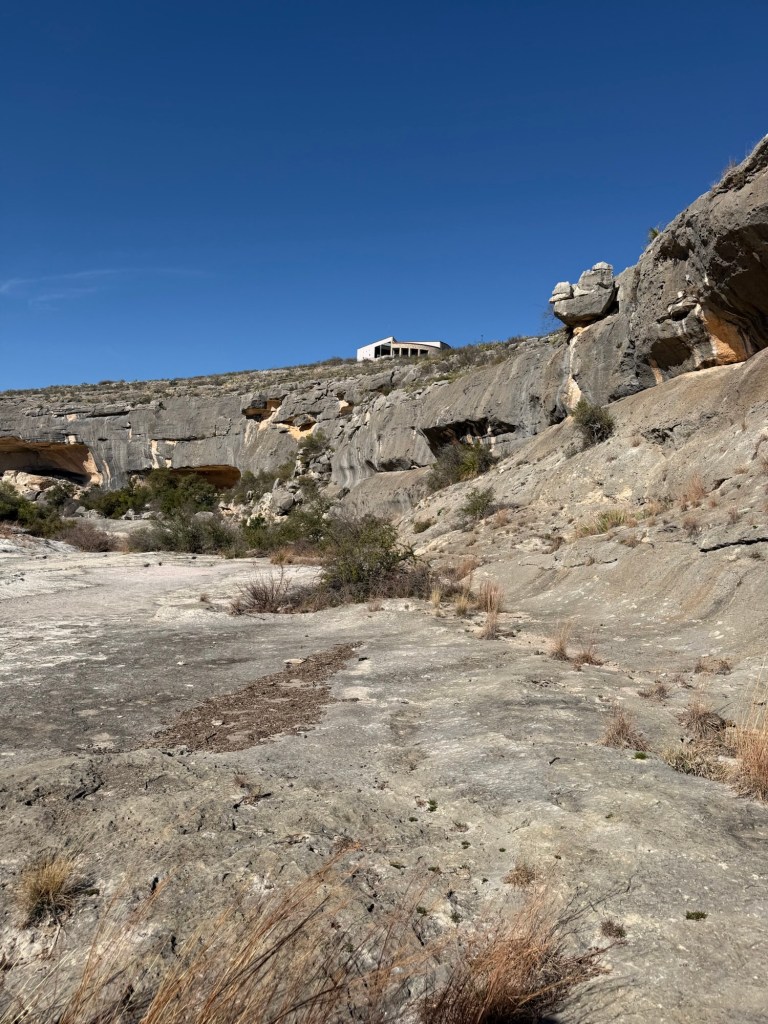
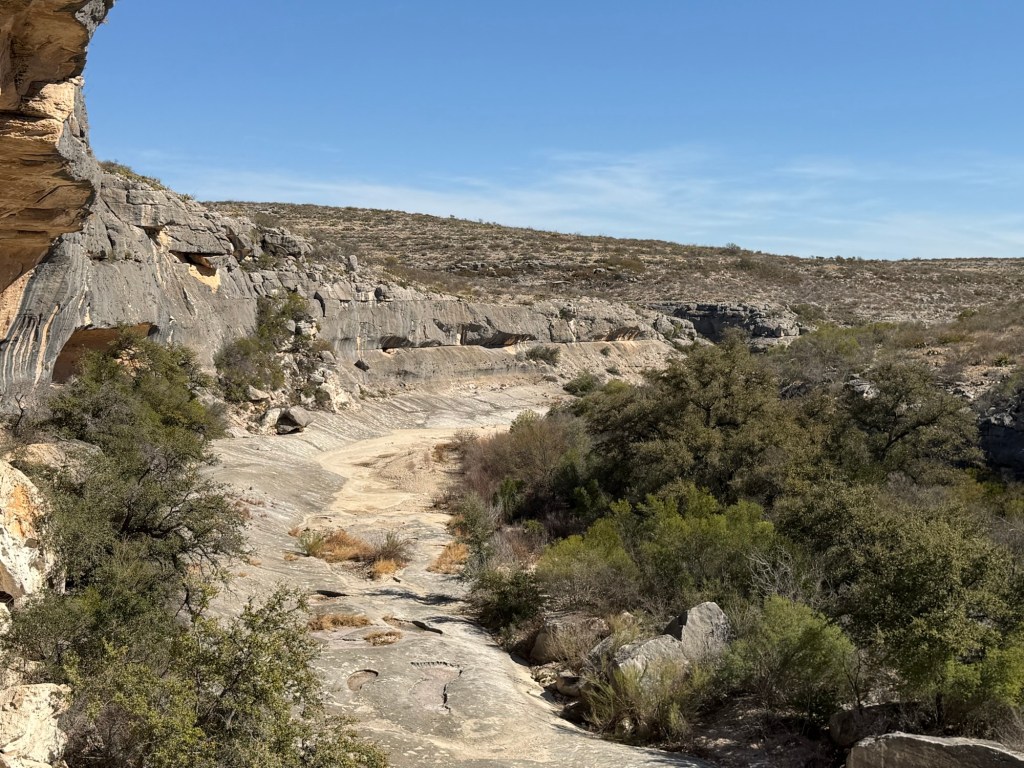
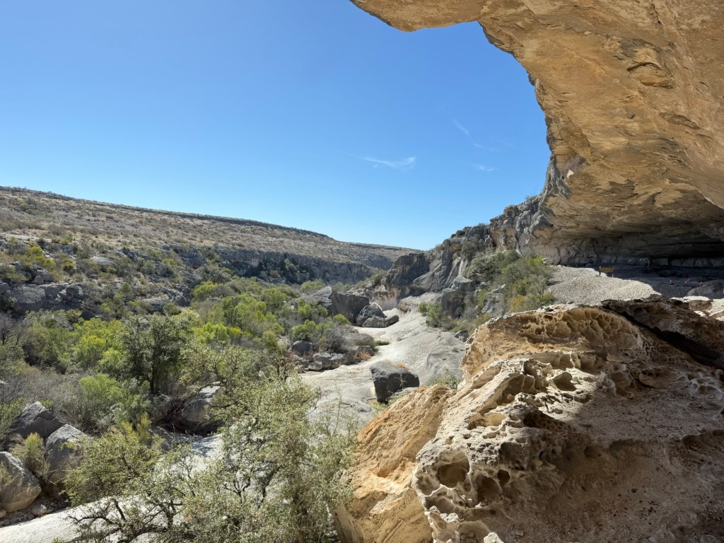
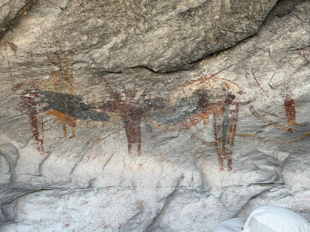
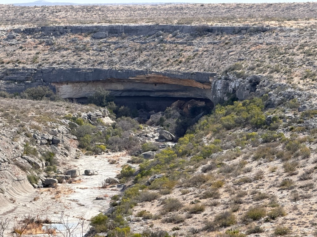
At every curve in the Seminole Canyon is a rock alcove carved by the periodic rushing water through the canyon walls. One of the largest is the one you can see near the top of this photo, the Fate Bell Shelter.
You can only visit with a guided tour and on Thursday I took the tour.
That’s the Visitor’s Center at the top of the canyon where the tour starts. The only trail into the canyon in the park is the one from the visitors center.
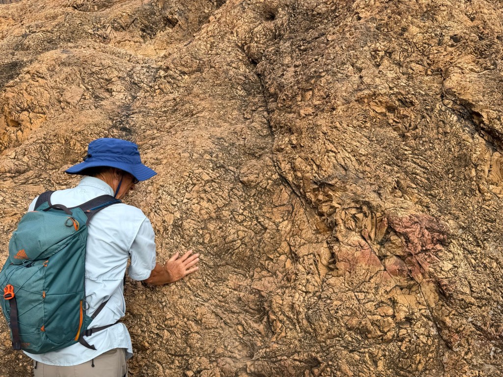
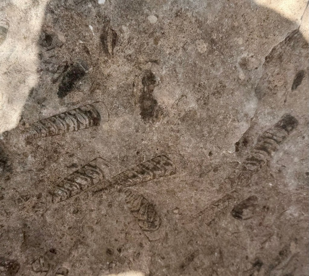
This whole area was once a shallow inland sea and the limestone of the surrounding desert and the canyon is composed of the shells of ancient sea creatures. There are fossils all around and our guide pointed out these as we walked by.
Our guide also explained why a canyon in south-central Texas is named after an Indian tribe from Florida. A group of blacks had fled slavery and lived and fought with the Seminoles. They were also exiled to Oklahoma with the Seminoles. Some fled to Mexico and some came to join the army as scouts. These Black Seminole Indian Scouts were stationed at Fort Clark. They patrolled west from there protecting white settlers from Apache and Comanche Indians who were still trying to repel the whites. There is a spring in the canyon floor not far north of here that they used as an outpost. It became known as the Seminole Spring and the canyon as the Seminole Canyon. The Black Seminole Indian Scouts have a storied history and a group of their descendants has a web site which I would recommend if you are interested.
Meanwhile, at least 5,000 years ago other people were sheltering in the canyon.
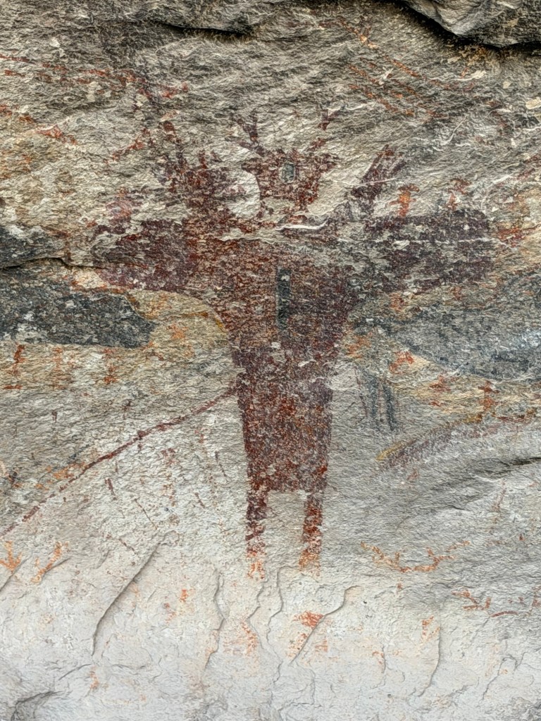
High on the canyon wall is the huge Fate Bell Shelter (named for an early land owner, Fayette Bell, whom everyone just called Fate).
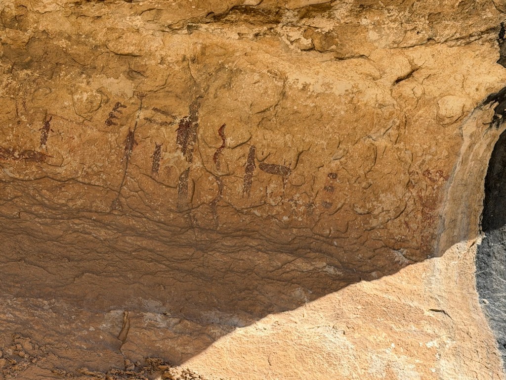
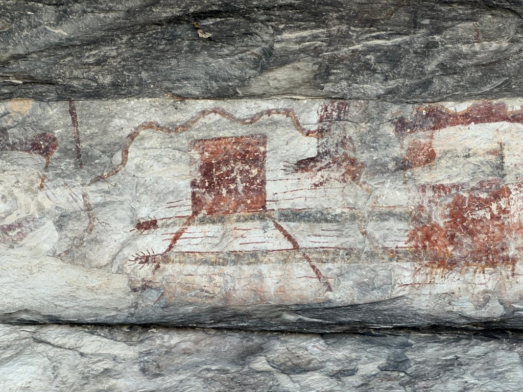
And for over 4,000 years people had been painting on the shelter walls using crushed minerals mixed with animal fat, water, and a soapy substance from yucca plants that acts as an emulsifier.
5,000 years later their paint is still adhering to the walls.
Lance, our guide told us about recent research done with digital microscopy by a team led by Carolyn Boyd that has shown that the colors of paint are always applied in the same order; first black, then red, yellow and lastly white. And the later colors are not just placed over the earlier colors. So the whole image has to be mapped out in some way before the first color is finished.
They also found that the images and techniques are consistent over that 4,000 year span. What an accomplishment!
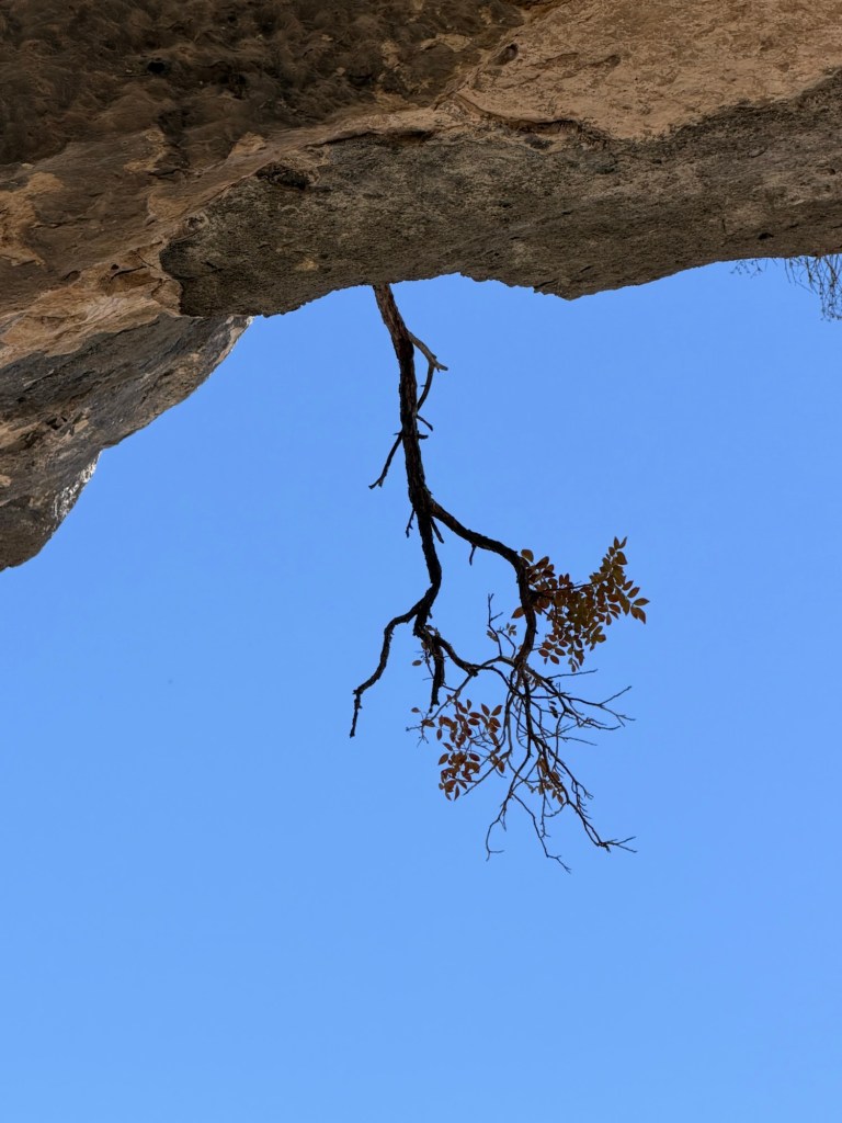
Speaking of accomplishments, this little tree was growing upside down on the lip of the huge alcove.
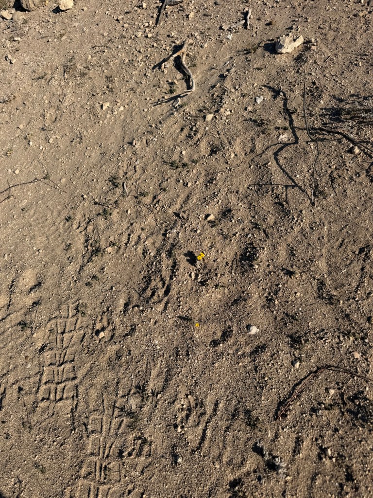
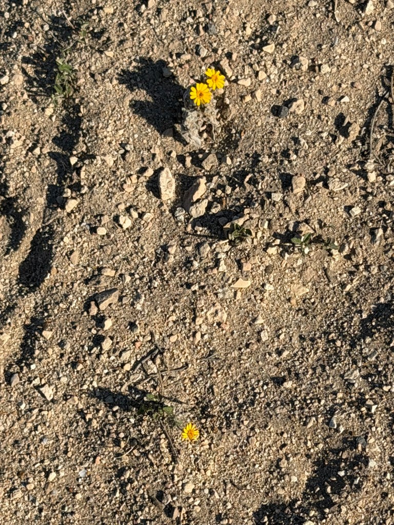
And back at the campsite I spotted on this patch of inhospitable ground…
three tiny flowers
The things I see on my travels both inspire and humble me.
We are definitely not in Texas hill country anymore.
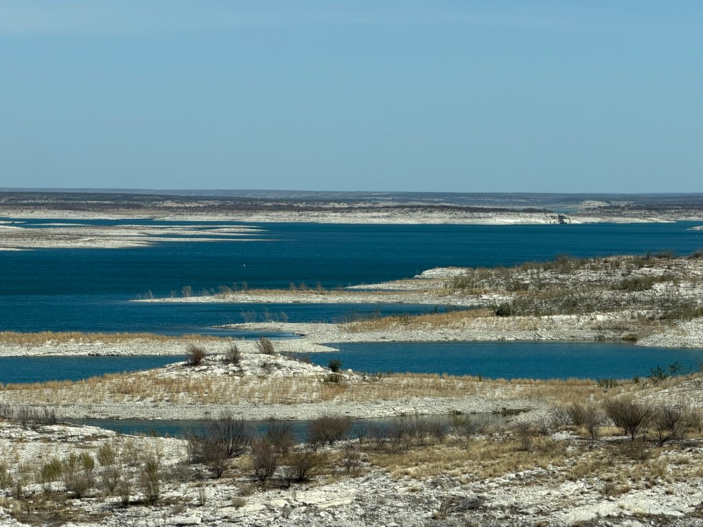
We’ve gone west, not far past the Amistad Reservoir, which is quite low,
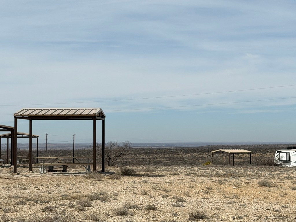
to Seminole Canyon State Park and Historic Site.
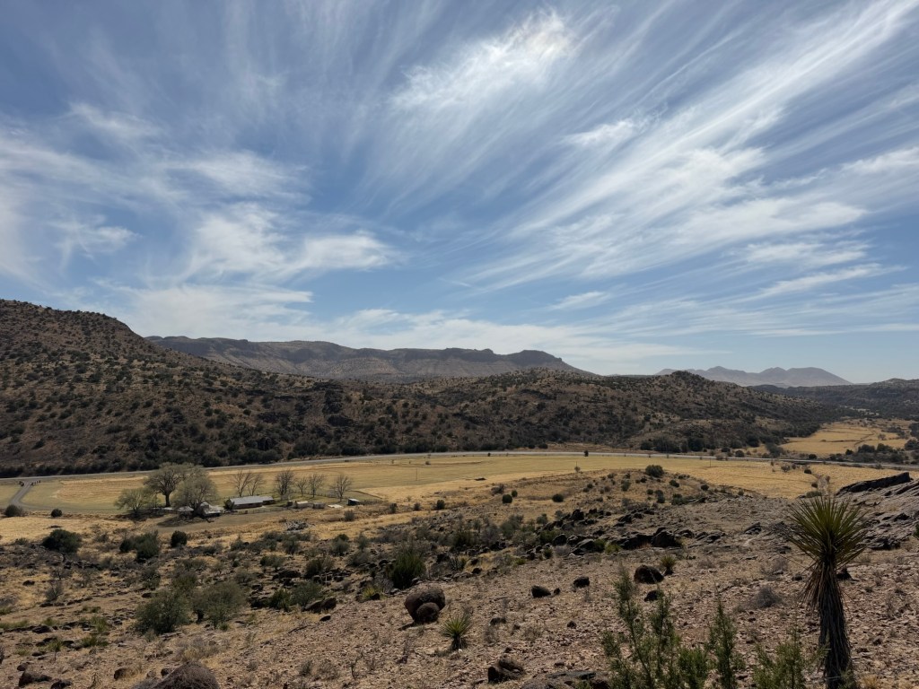
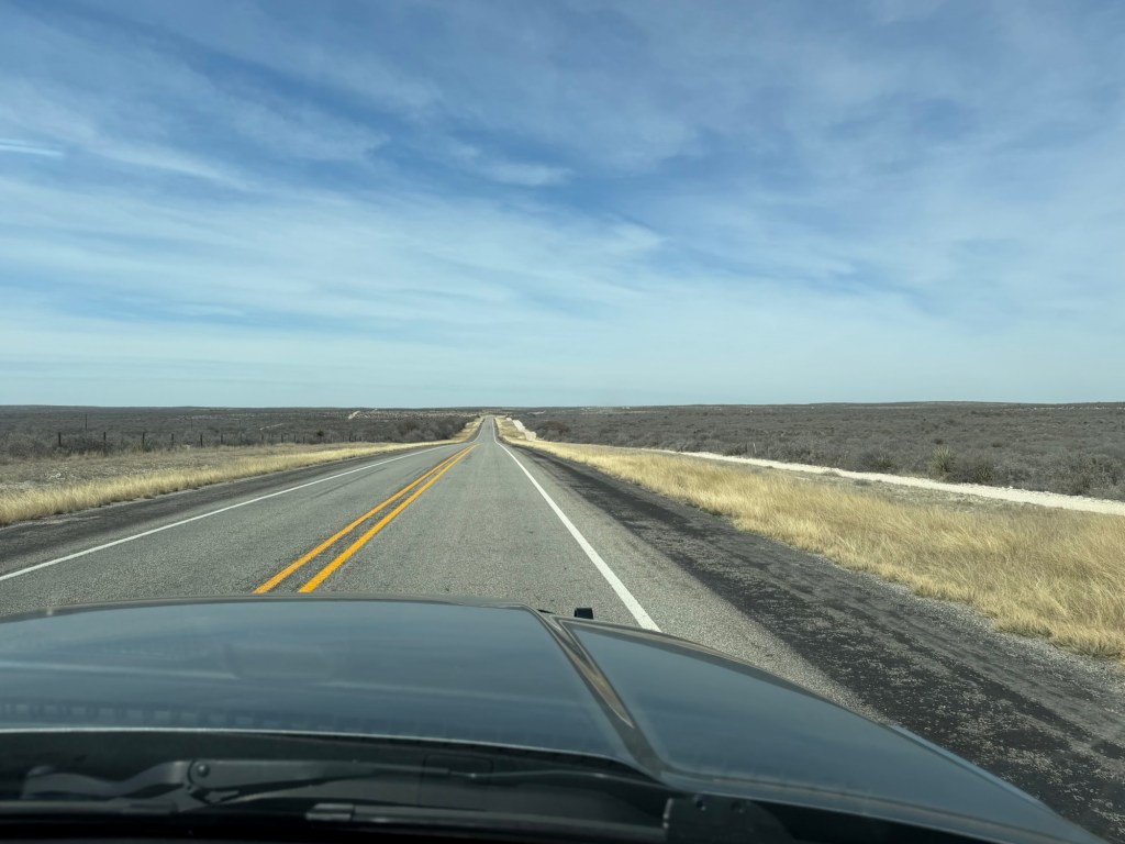
We are in miles of emptiness on the edge of the Chihuahuan Desert.
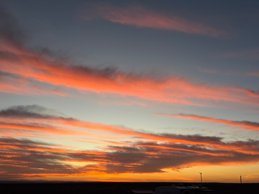
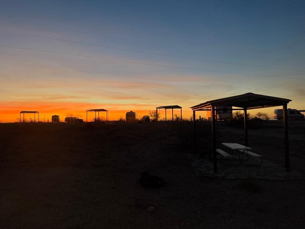
This is a place of far horizons,
vast skies, and lovely sunsets…
and sunrises.
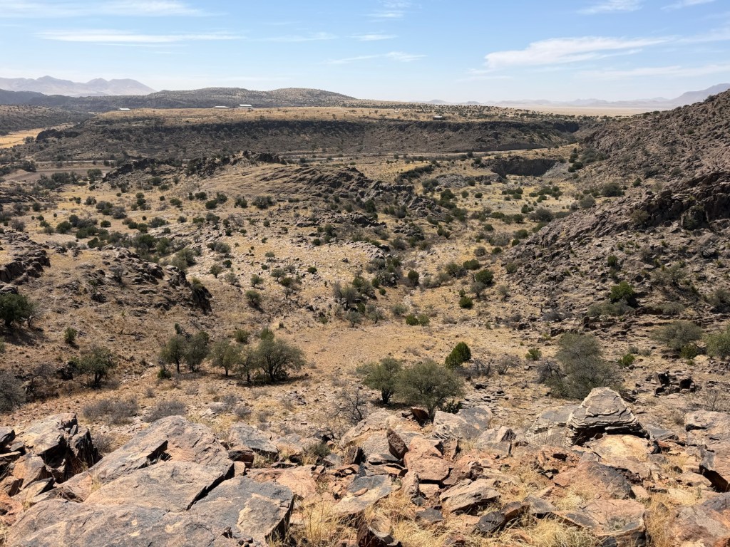
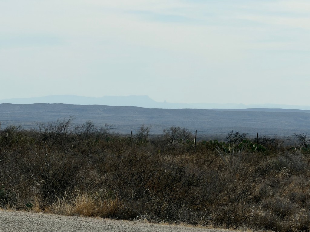
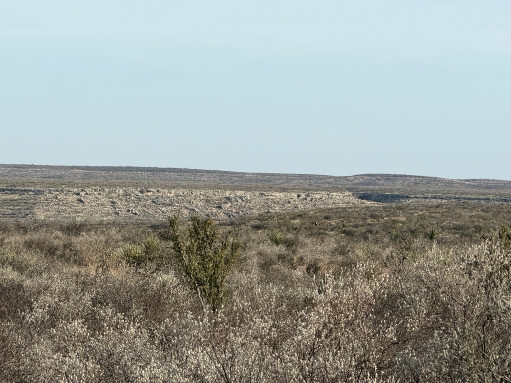
But the emptiness is deceiving. What looks to be flat…
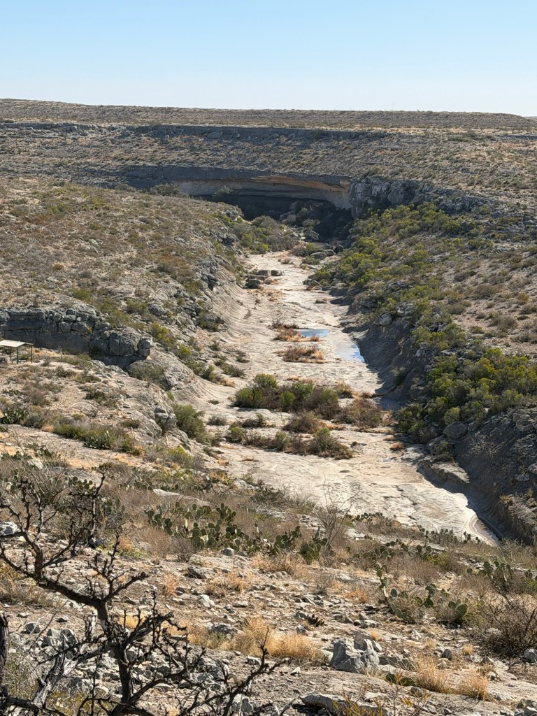
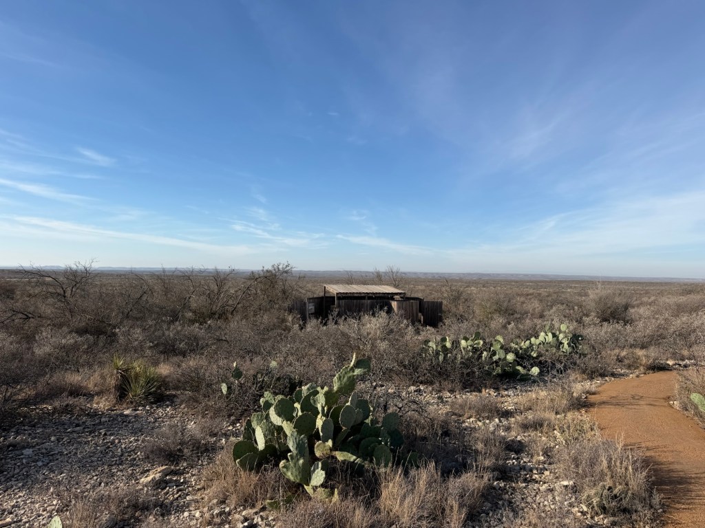
conceals the huge Seminole Canyon.
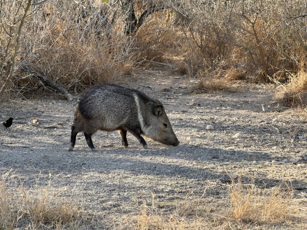
And though there doesn’t seem like much besides cacti and scrub bushes, when I walked into that bird blind this morning I was surprised to see 30 or so birds and
this collared peccary. No wait,
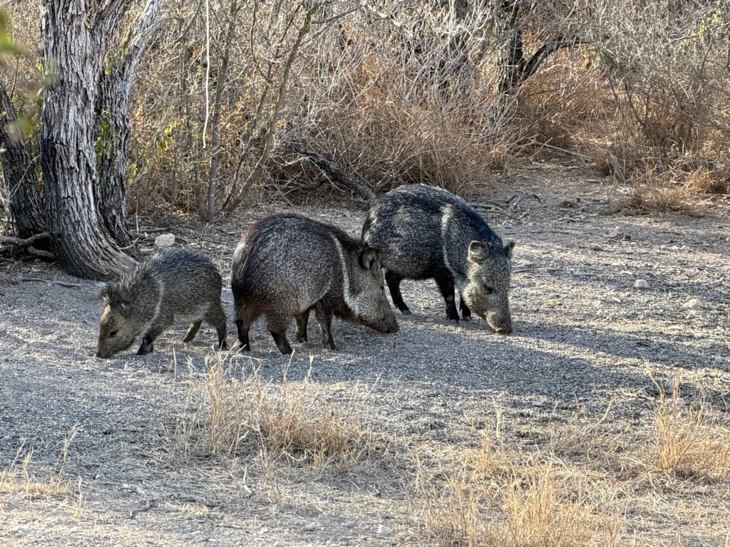
this family of collared peccaries!
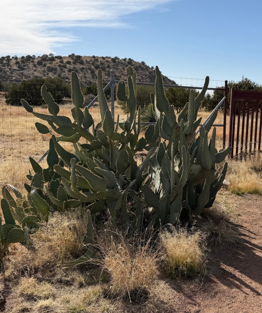
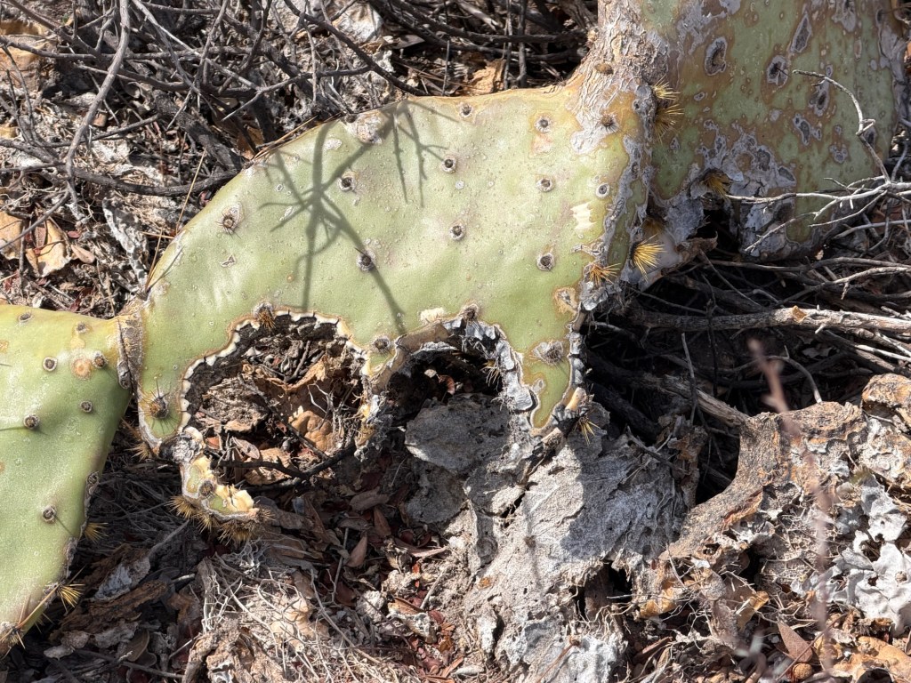
Yep, they do eat prickly pear cactus. So, by the way, do we; but Bud was able to buy ours in the grocery store with the spines already removed.
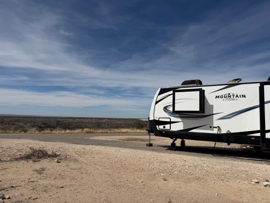
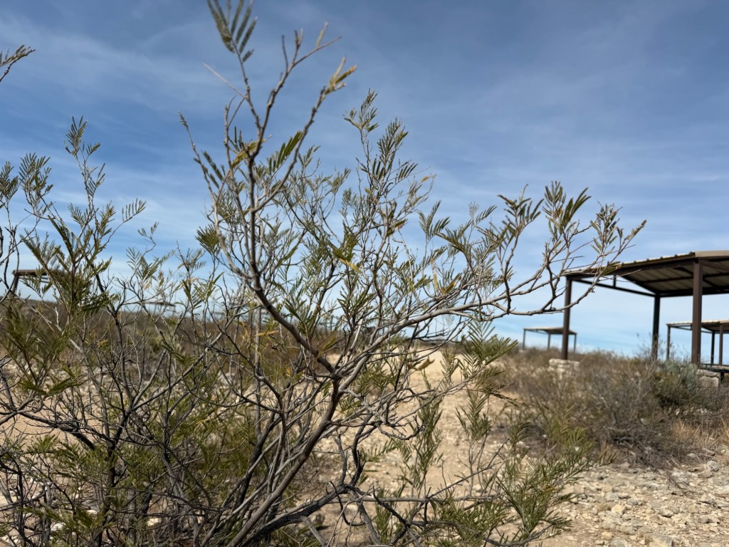
New leaves are coming on the mesquite and I’m sure there are walking and crawling beasts all around that I just don’t see. We are here until Sunday so I hope to report on further explorations. Right now Matey and I are sitting in the shade because it’s 85 on its way to 94 or so.