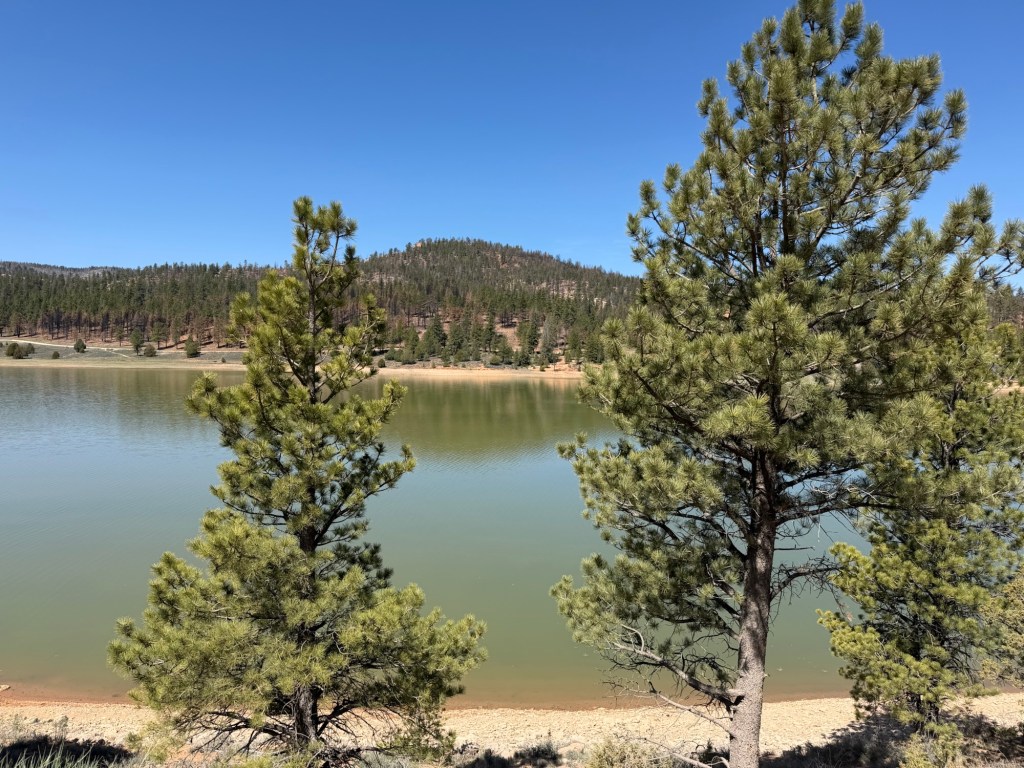
The sheet we got on scenic side trips included the Tropic Reservoir. I thought this might be an easy little trip for Matey, he’s been having a hard time the past few days. But when I put him in the truck he didn’t curl up on the seat like he usually does, he just stood there looking forlorn, so we left him home.
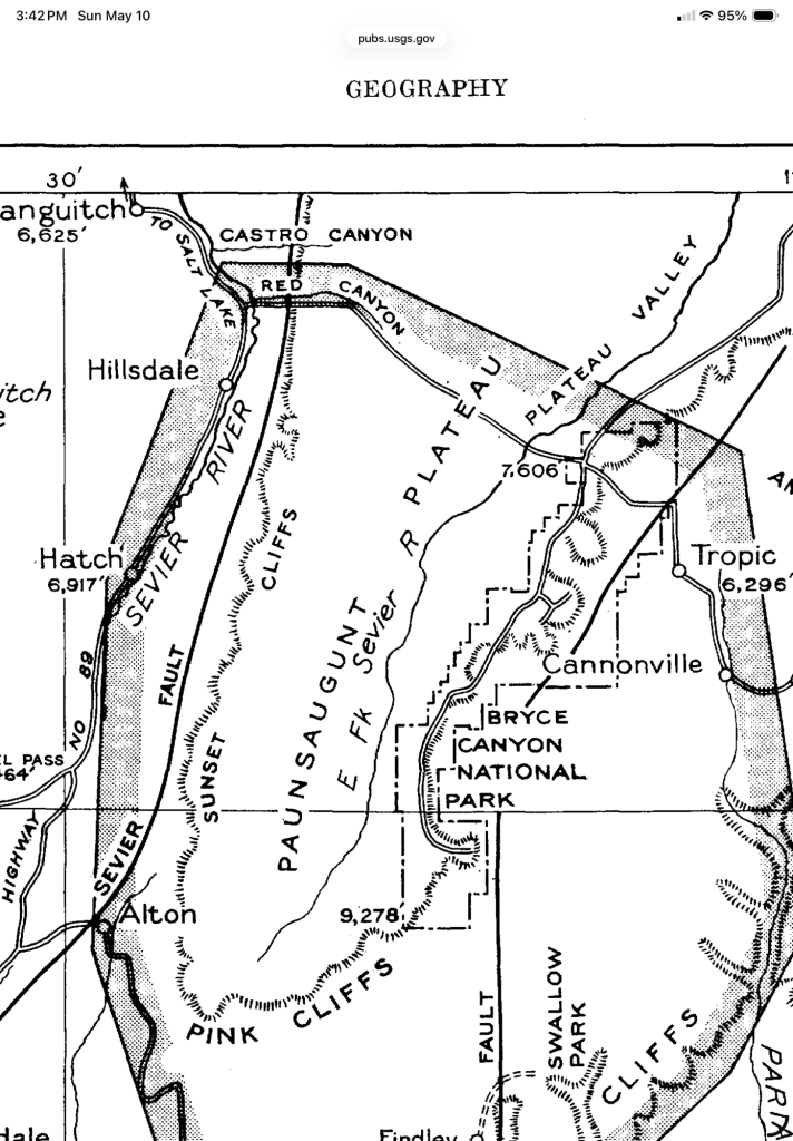
This map, published in 1951 in a geographical and geological survey of the area done by the Department of the Interior, is the best one I found of the plateau. Bryce Canyon National Park lies along the eastern edge of the plateau. The Pink Cliffs are the southern edge and the Sunset Cliffs the western edge. The Tropic Reservoir is an impoundment of the East Fork of the Sevier River, which is in a valley on the Paunsaugunt Plateau. It’s not on this map because it wasn’t built yet.
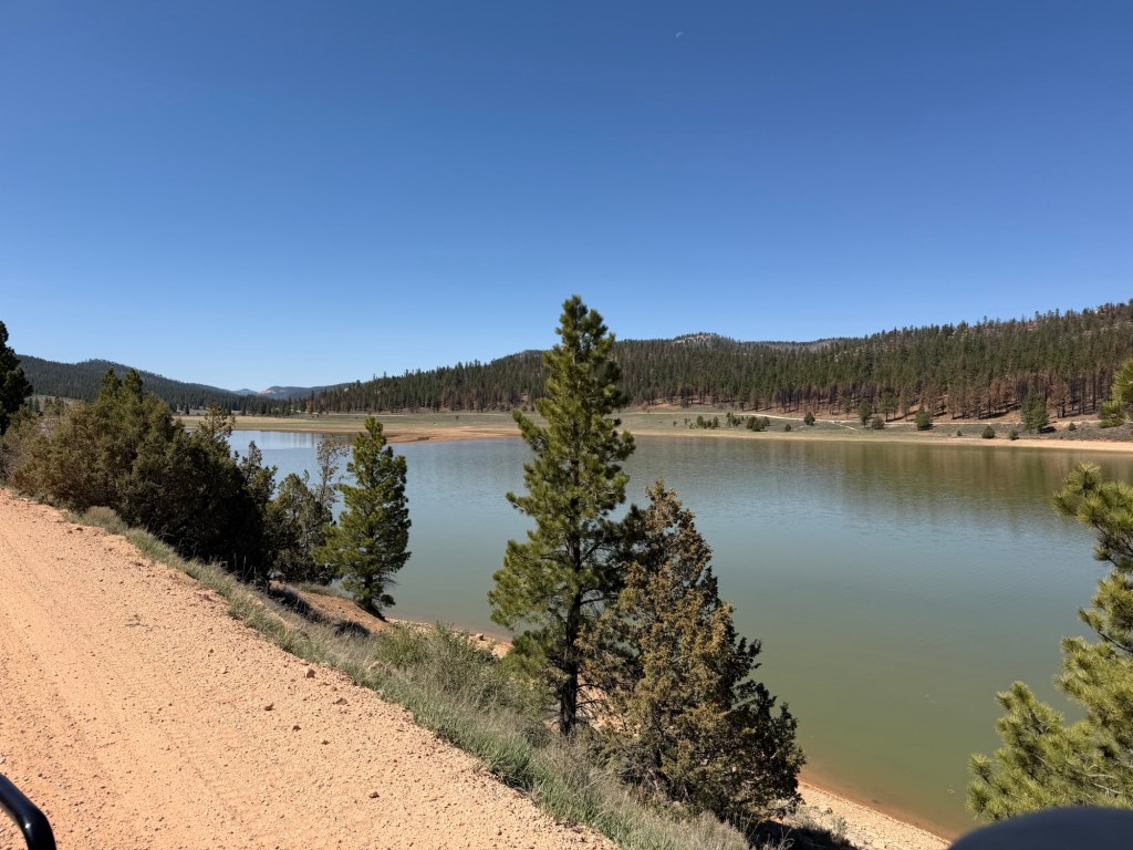
Our original plan was to drive around the reservoir, you can see the road on the other side.
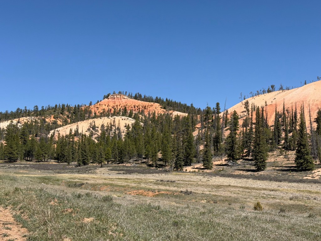
Instead, we continued west on the road we turned onto south of the reservoir. My Apple Map program called it Forest Road 91, which sounded promising; the signs by the road had it as Paunsaugunt ATV Trail 03, somewhat less promising. The sign did say “Hatch 16 miles” and we knew Hatch was off the other side of the plateau on US 89. Anyway, it was an OK dirt road and we were seeing some cliffs and hoodoos, so on we went.
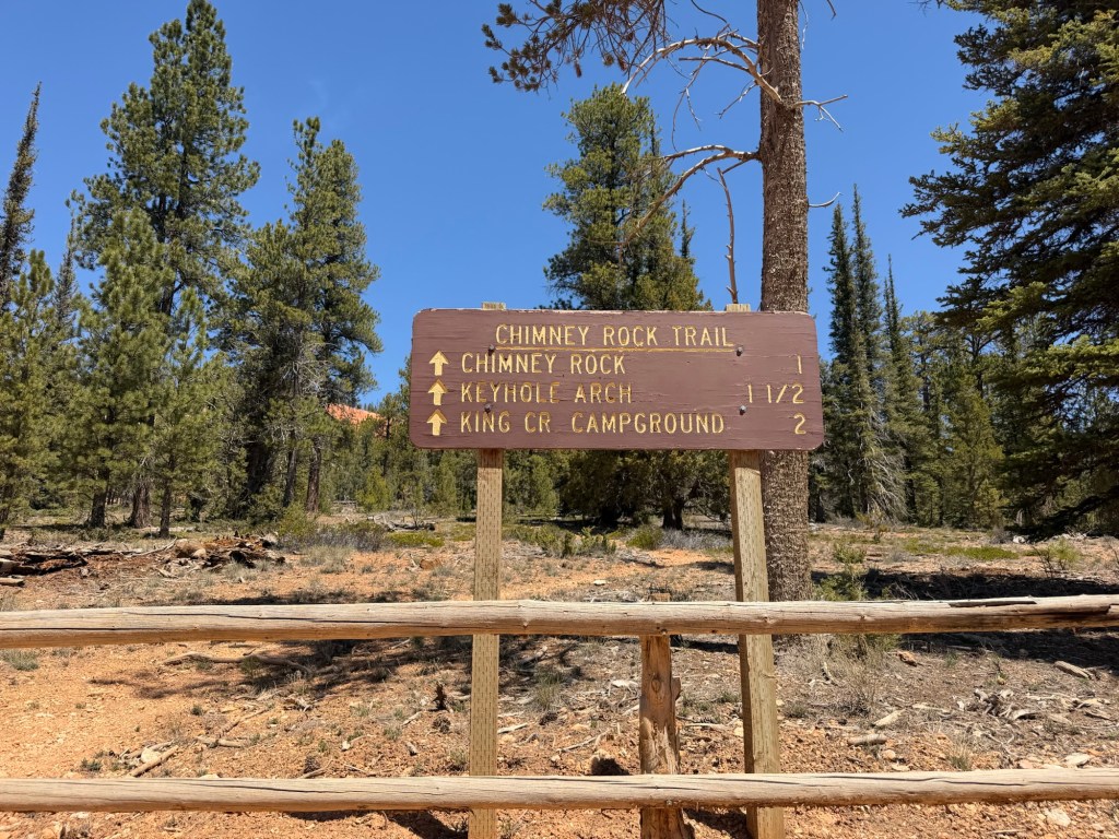
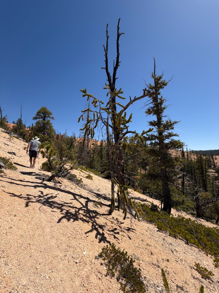
We came to a trailhead at a spot where we could see some cliffs and decided to hike up, at least as far as Chimney Rock.
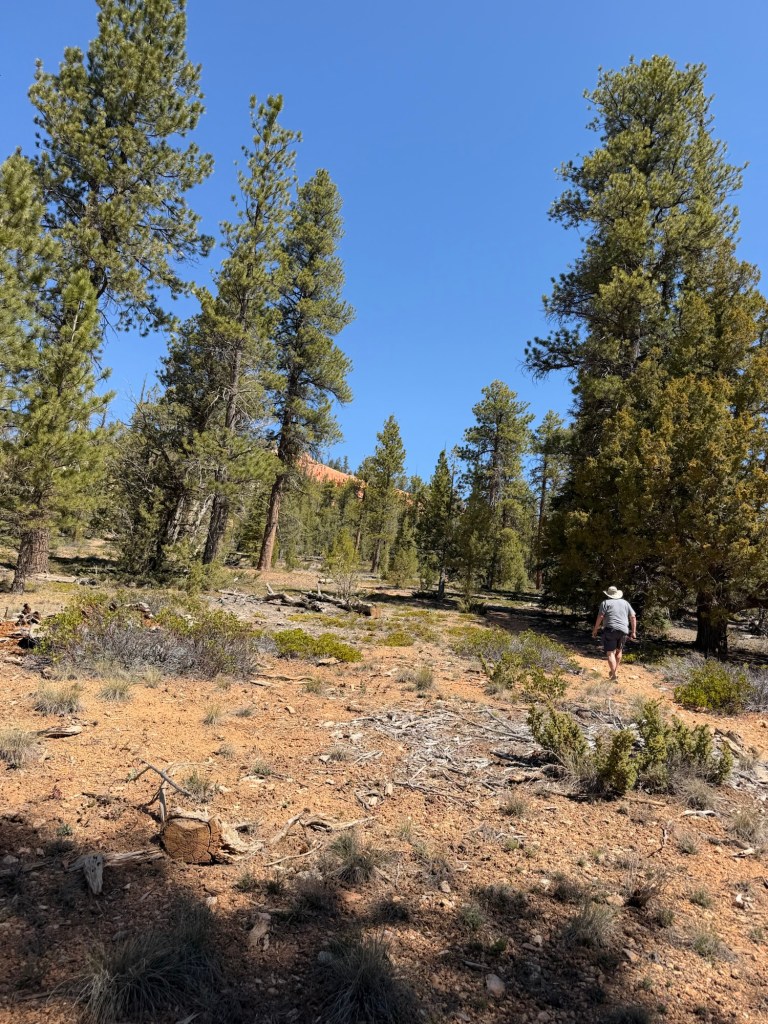
We hiked about a half mile…
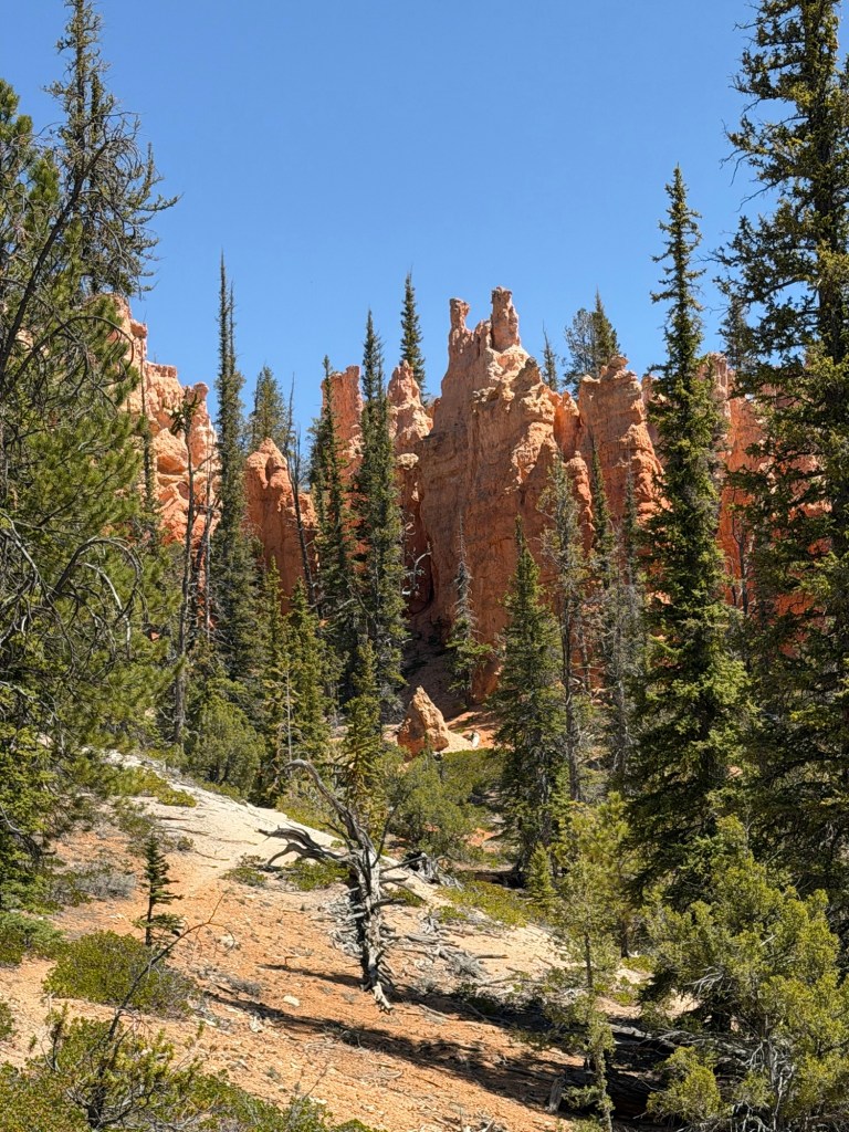
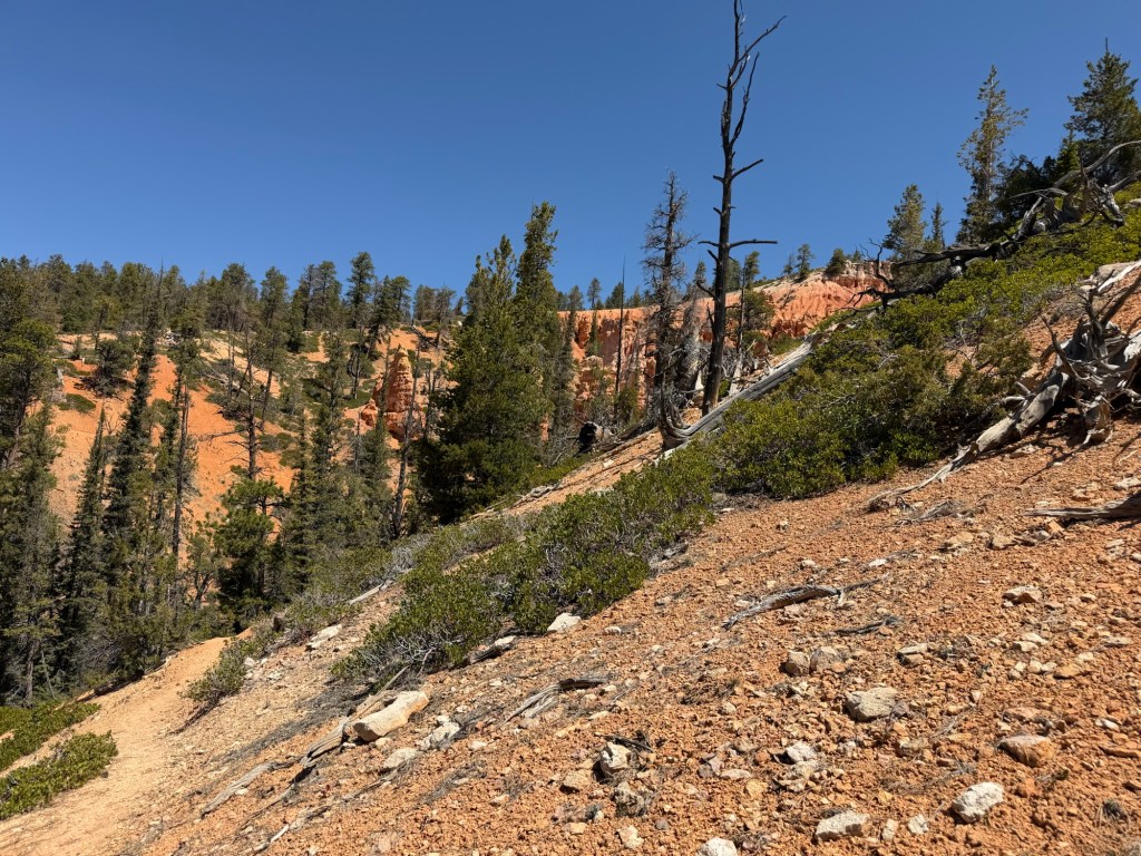
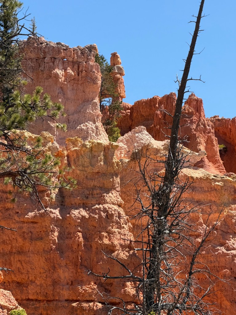
and came in view of the base of some hoodoos.
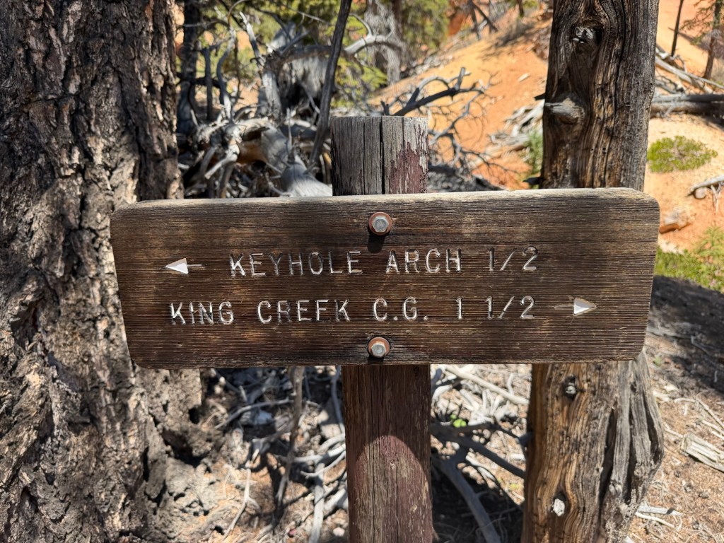
The trail split there, but there was no mention of Chimney Rock. And since we had hiked just a half mile, why was Keyhole Arch now just a half mile further, when it was supposed to be a mile and a half from the trailhead?

We took the trail towards the arch, which first headed crosswise up the slope away from the cliff base,
then headed back, still going up.
Then it headed away again and around the shoulder of that hill.
With all this back and forth we were gaining some height.
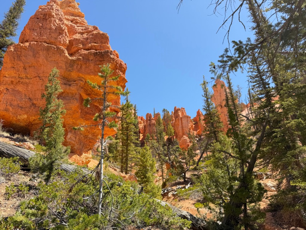
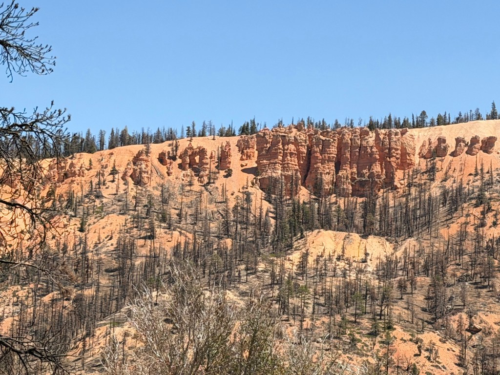
We came to another group of hoodoos.
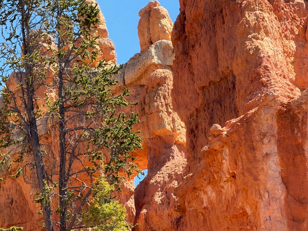
Looking up I spotted an arch.
We hiked a bit higher until we had a better view and then we headed back.
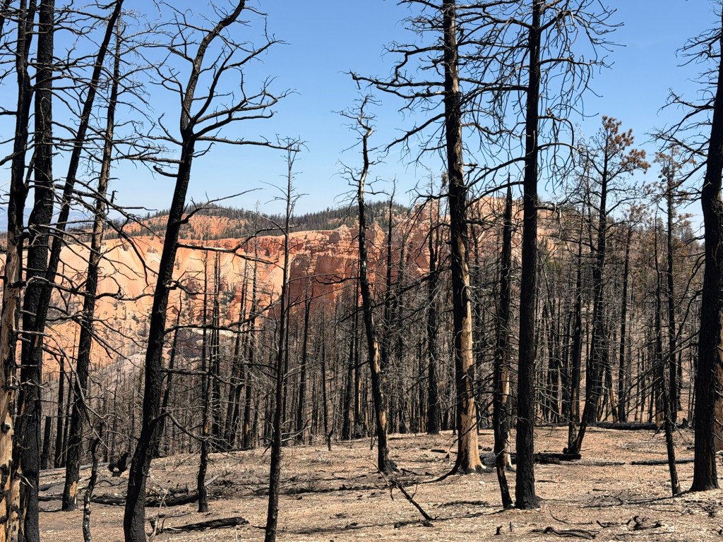
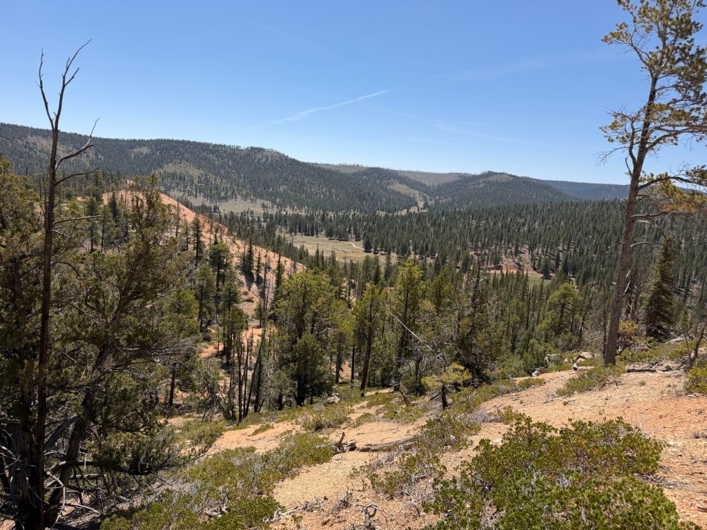
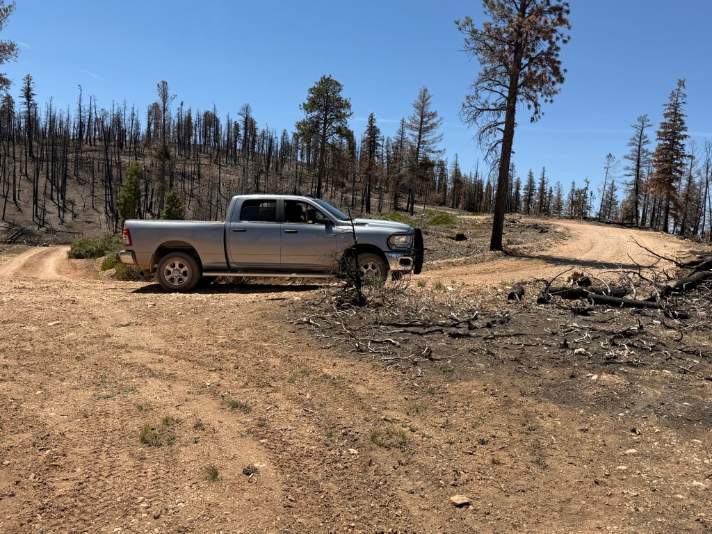
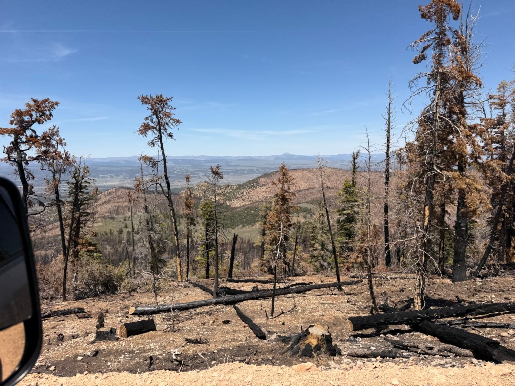
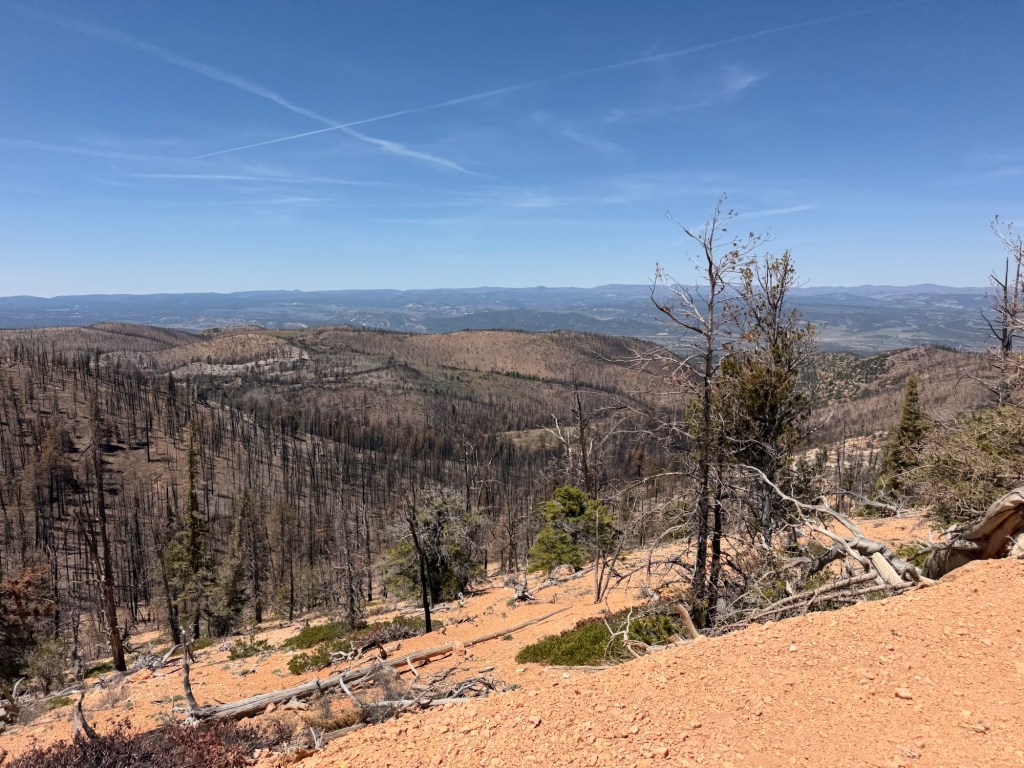
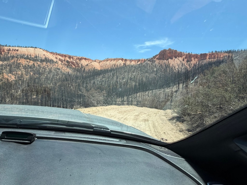
I thought we might turn back on FR 91, we’d only come a couple of miles down that road, but Bud wanted to go on. We crossed the mostly flat plateau, although we could see cliffs off through the burned trees. A good deal of what we drove through had burned.
Eventually we came to the other side of the plateau.
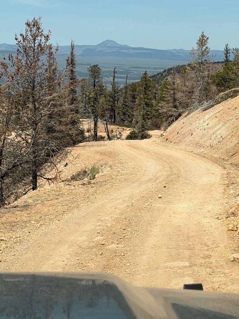
And we started to head down.
We were on another dirt road with no guardrails and steep drop offs.
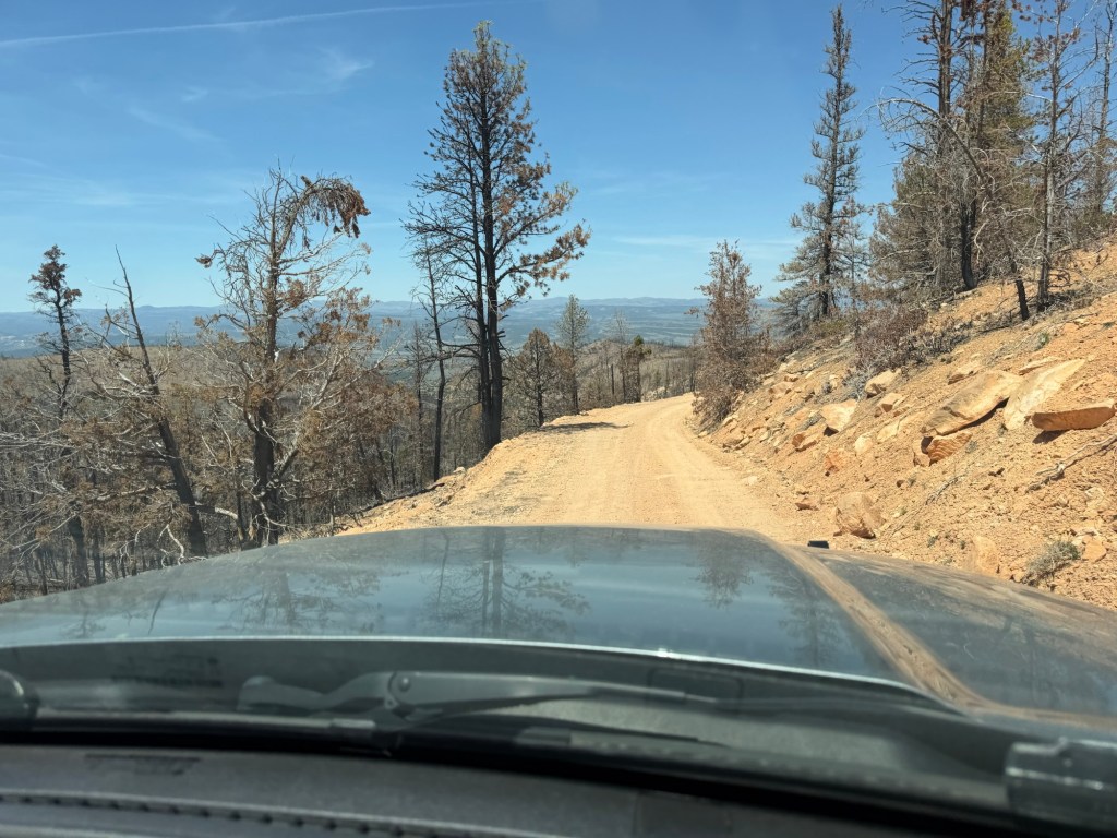
We were winding down…
the Sunset Cliffs.
I liked it better when we got down far enough to look back up at them.
We still had miles of descent.
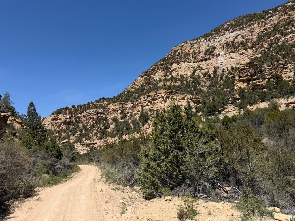
The road finally exited through Proctor Canyon,
to Long Valley and US 89.
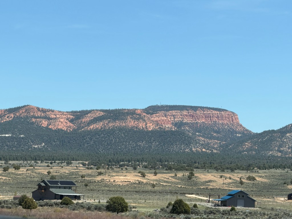
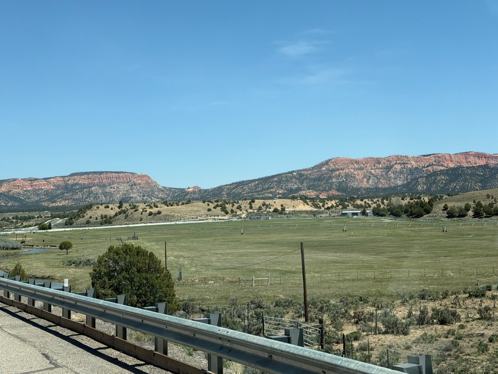
We took the highways back, the cliffs off in the distance.

That plateau has some pretty impressive elevations -especially near the southern end of it! Great views from up high and great hoodoos again!
LikeLiked by 1 person