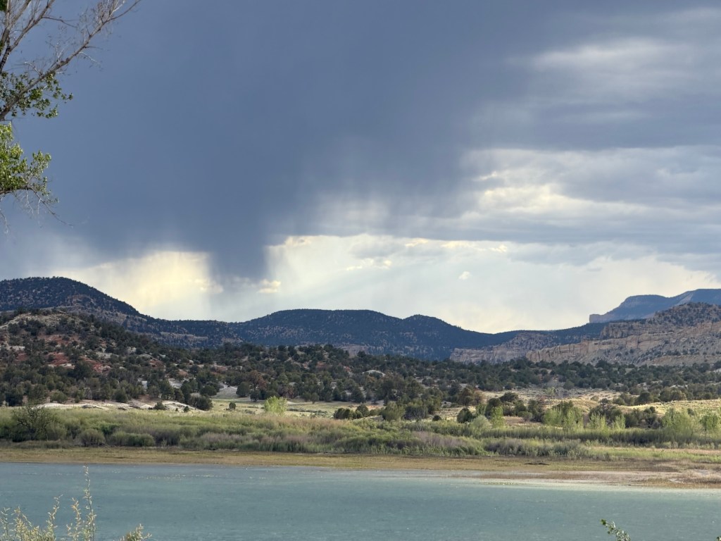
It maybe rained Saturday evening, but it looked to us like the rain wasn’t hitting the ground.
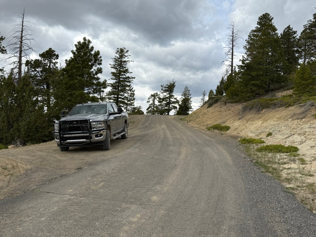
So Sunday we decided to take a chance and take the dirt roads up from the canyons…
to the forests.
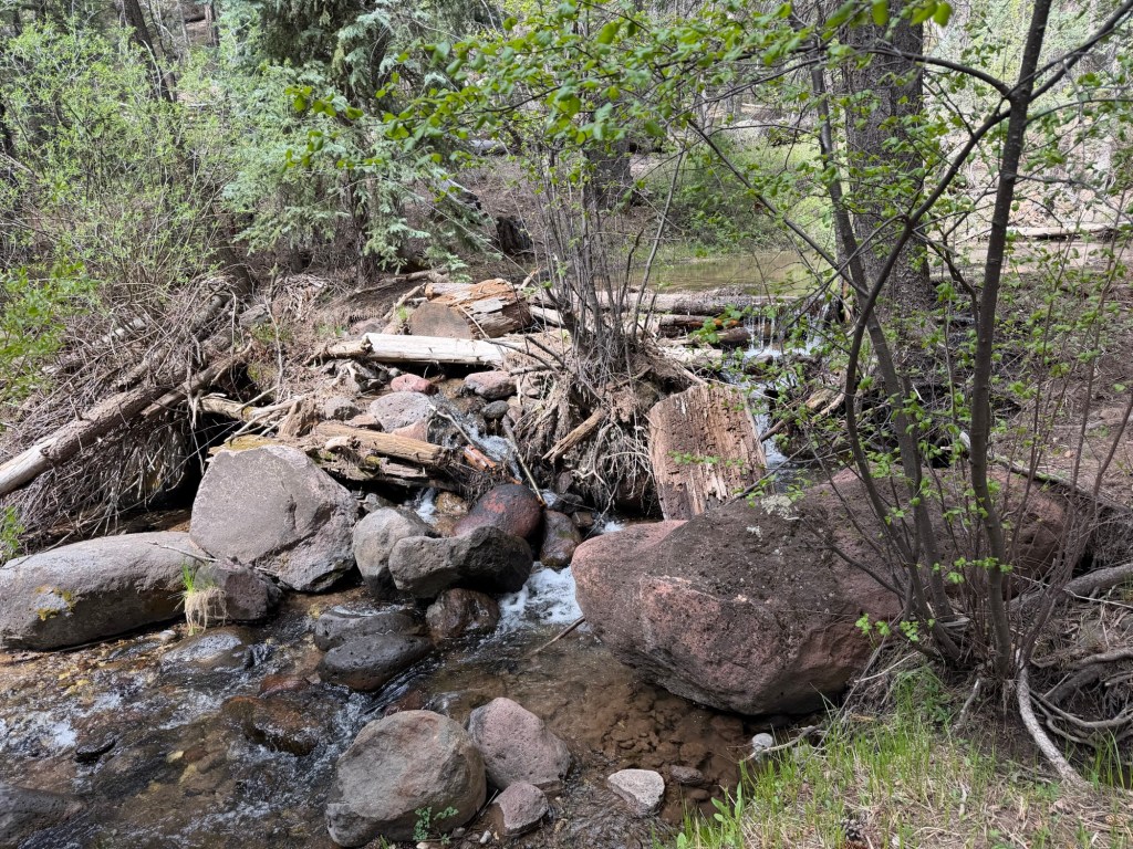
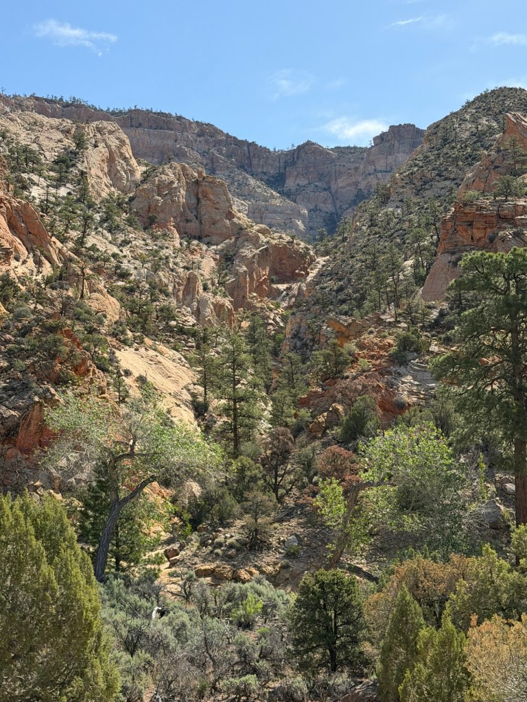
There was running water…
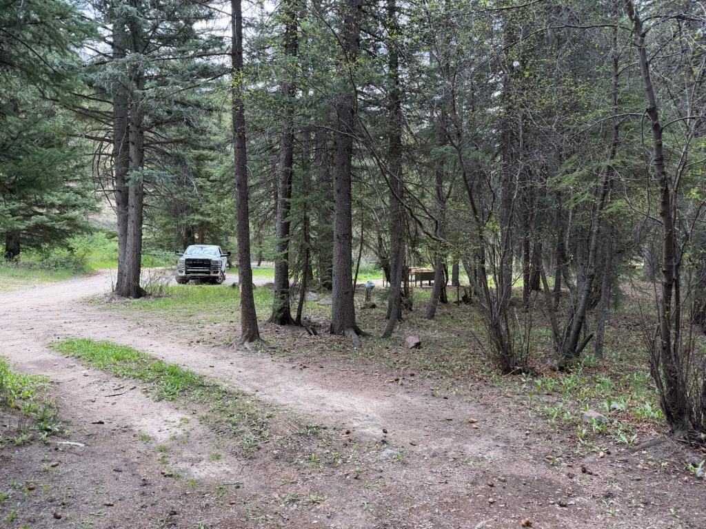
and full sized trees.
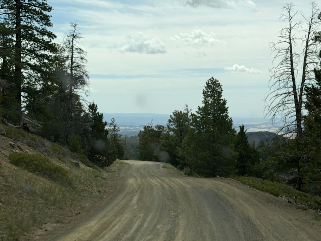
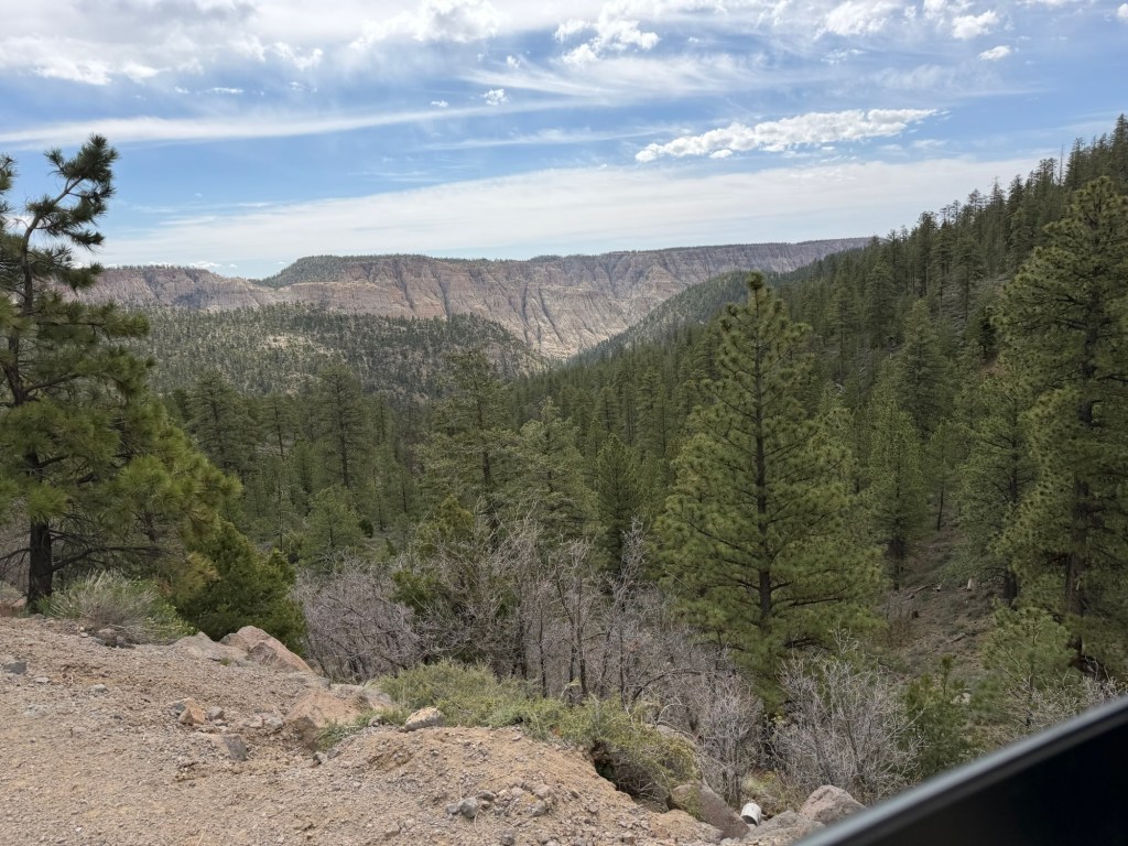
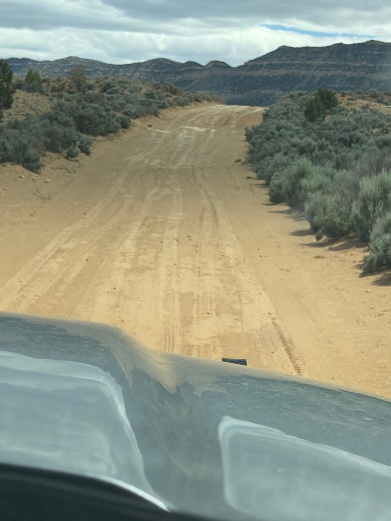
Fortunately the road was dry, because there were sections that would be muddy if wet…
and there were many steep drop offs.
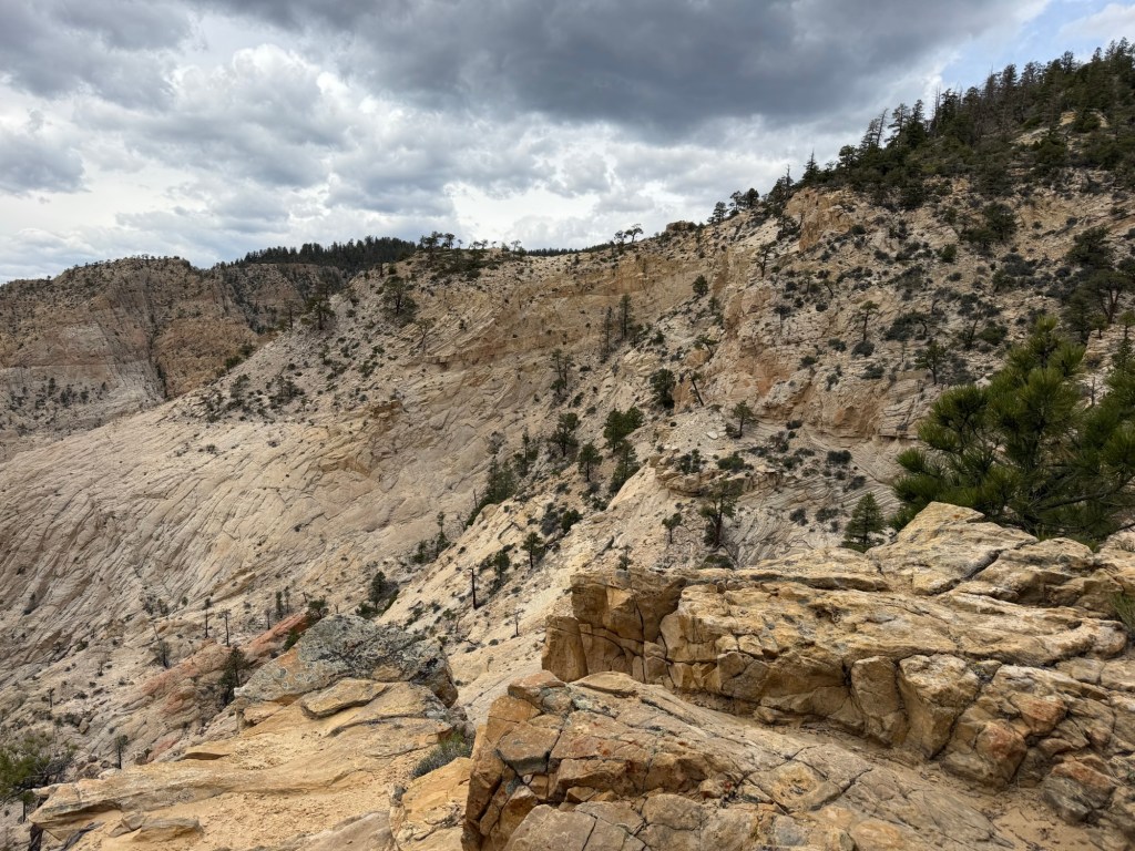
There is just so much dramatic country around here.
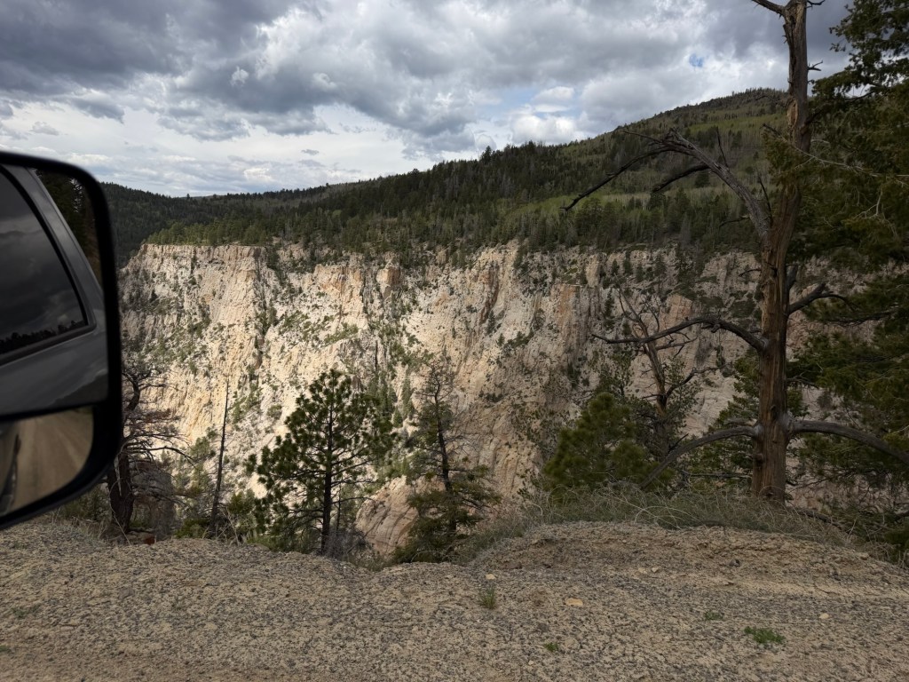
We use OnX off-road maps, I download the relevant section for our trip as we often have no cell service. GPS tracks our position, so I saw that we were coming to Hell’s Backbone. We pulled over and walked down to see it.
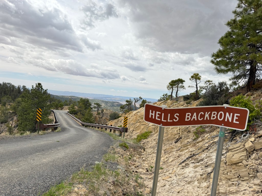
That section of the road was paved and had guardrails.
That’s because this was actually a one lane bridge built across the intersection of two canyons, and it’s 1500 feet to the bottom of the gorge.
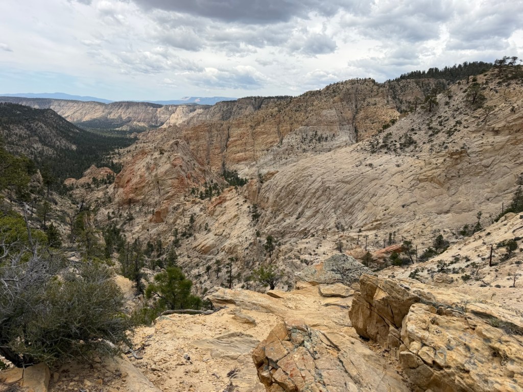
It was scarier standing on the edge of the road…
taking pictures of the canyon…
than it was driving across.
Miles later the road ended in a green valley where we came back to Utah 12 and got to drive along the Hogback again.
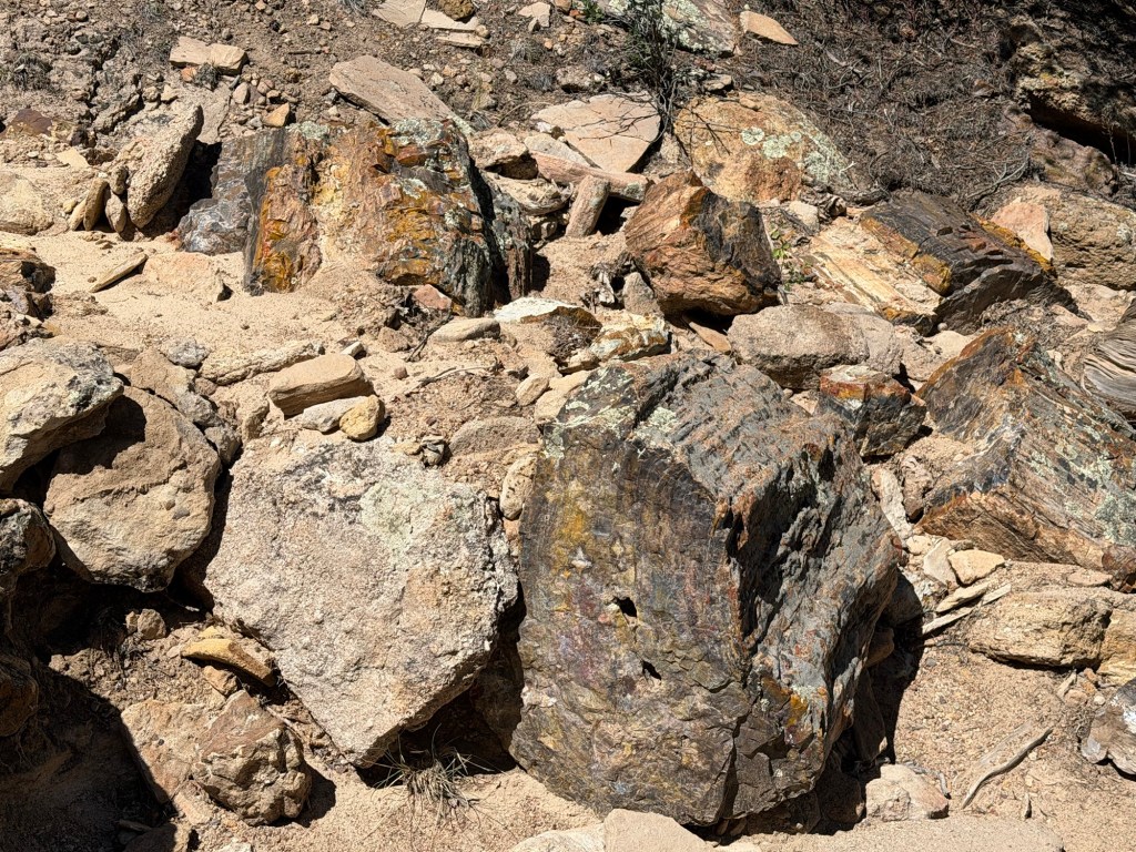
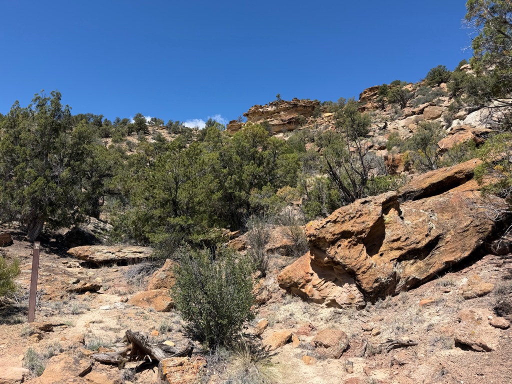
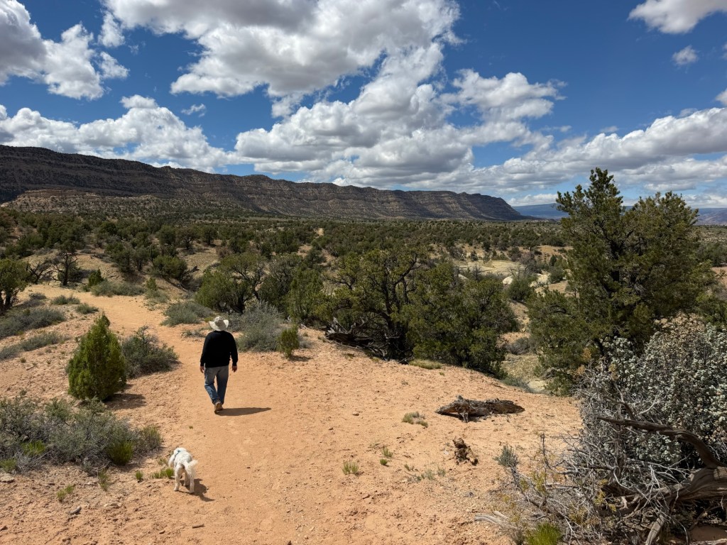
This morning dawned cold and bright. Bud had an appointment in Escalante to have the truck serviced and I decided hike back up the Petrified Wood Trail and this time do the additional loop, the Trail of Sleeping Rainbows.
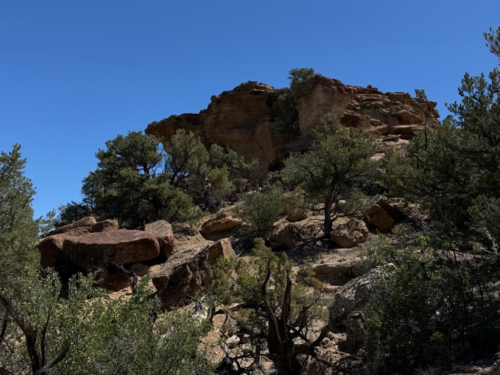
It was described as short, but steep and strenuous, and it was. It was also very lovely.
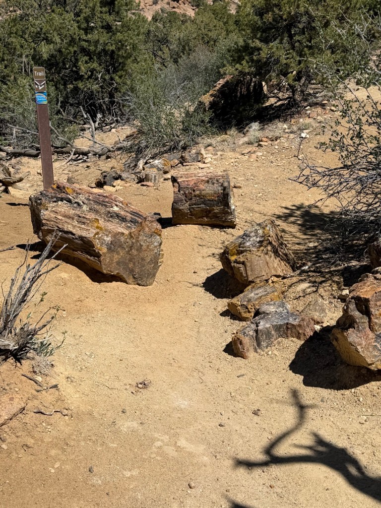
And it had a lot of petrified wood.
Hiking this little loop…
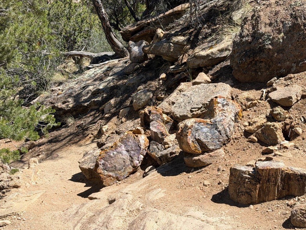
really made you realize this is a petrified forest.
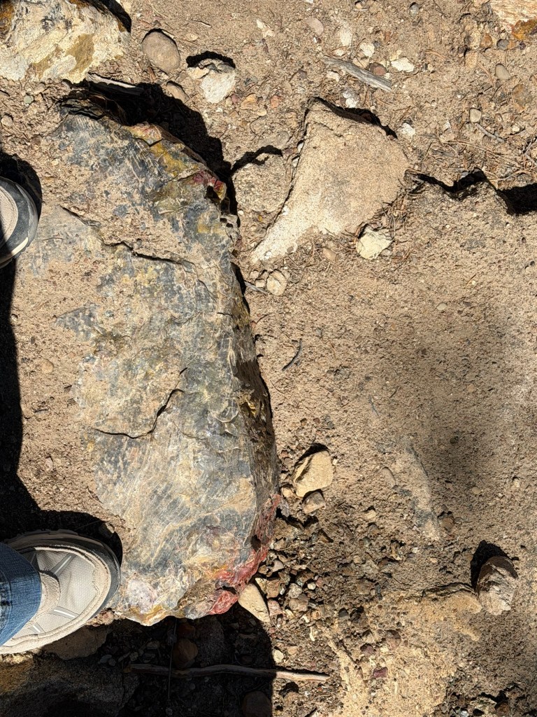
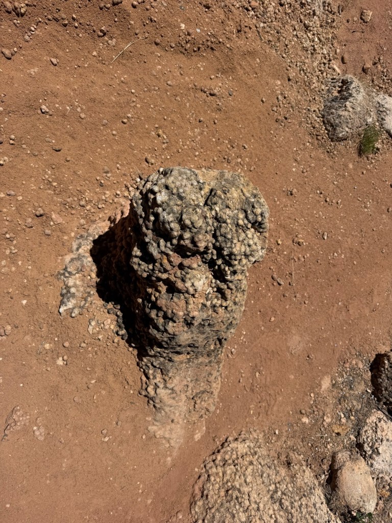
I looked down and saw one of the steps on the trail was a piece of petrified wood.
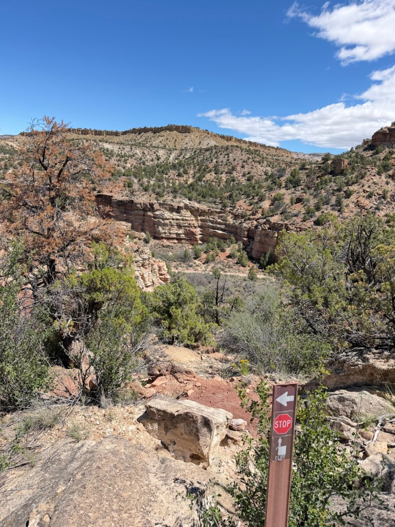
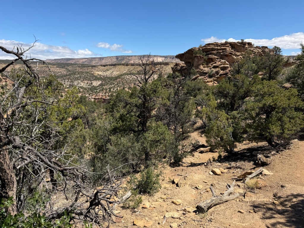
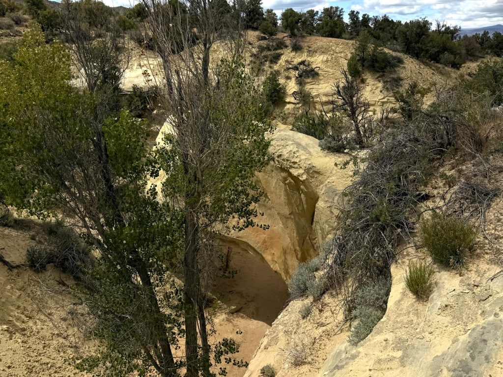
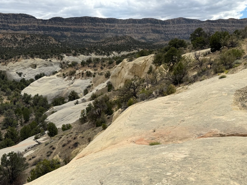
The loop went down a cove to a cliff on the opposite side of the ridge…
and then back up.
The interesting rocks and…
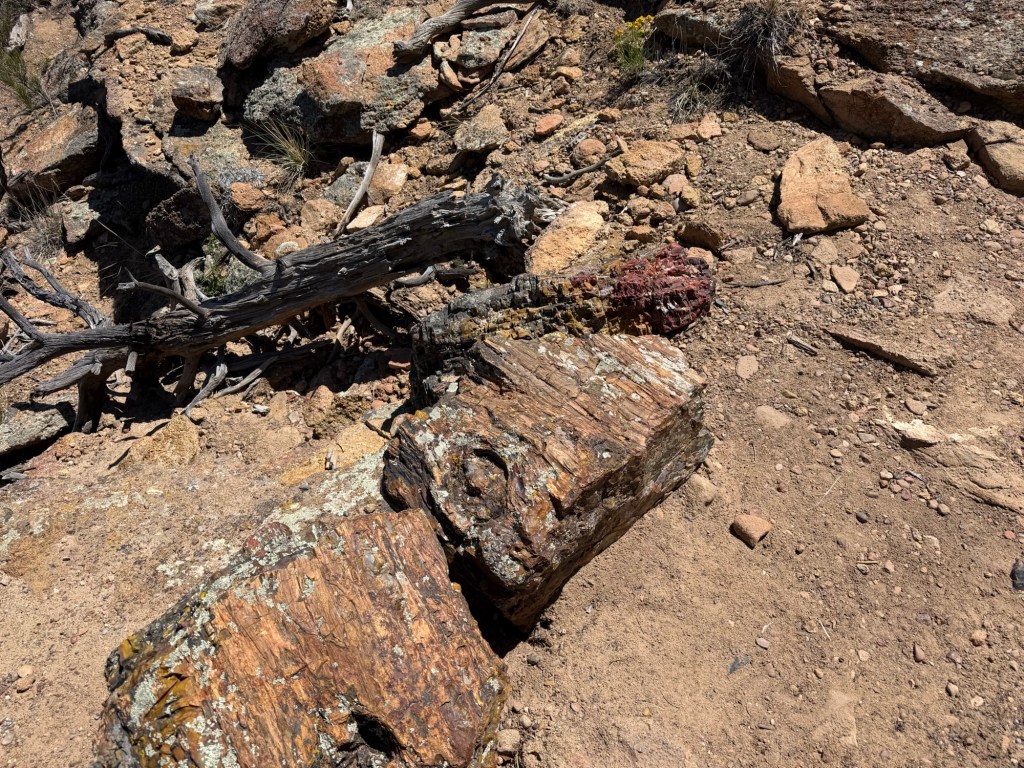
many pieces of petrified wood kept me moving along,
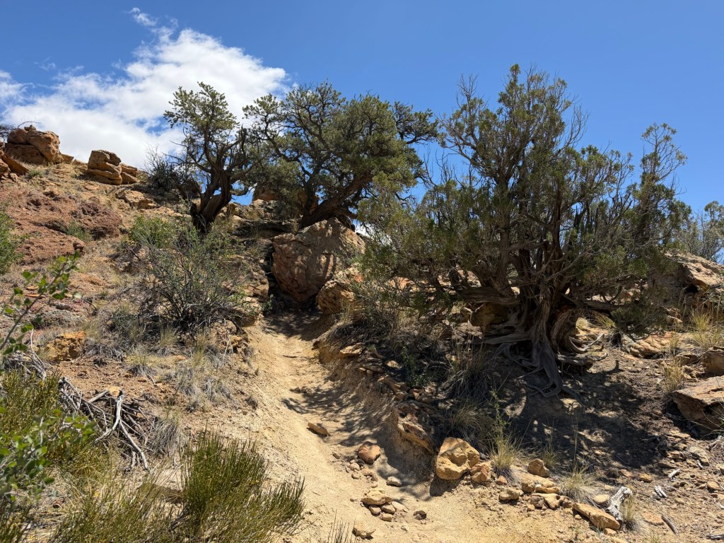
but it was a climb.
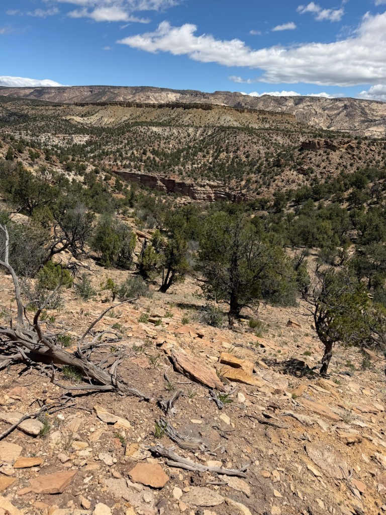
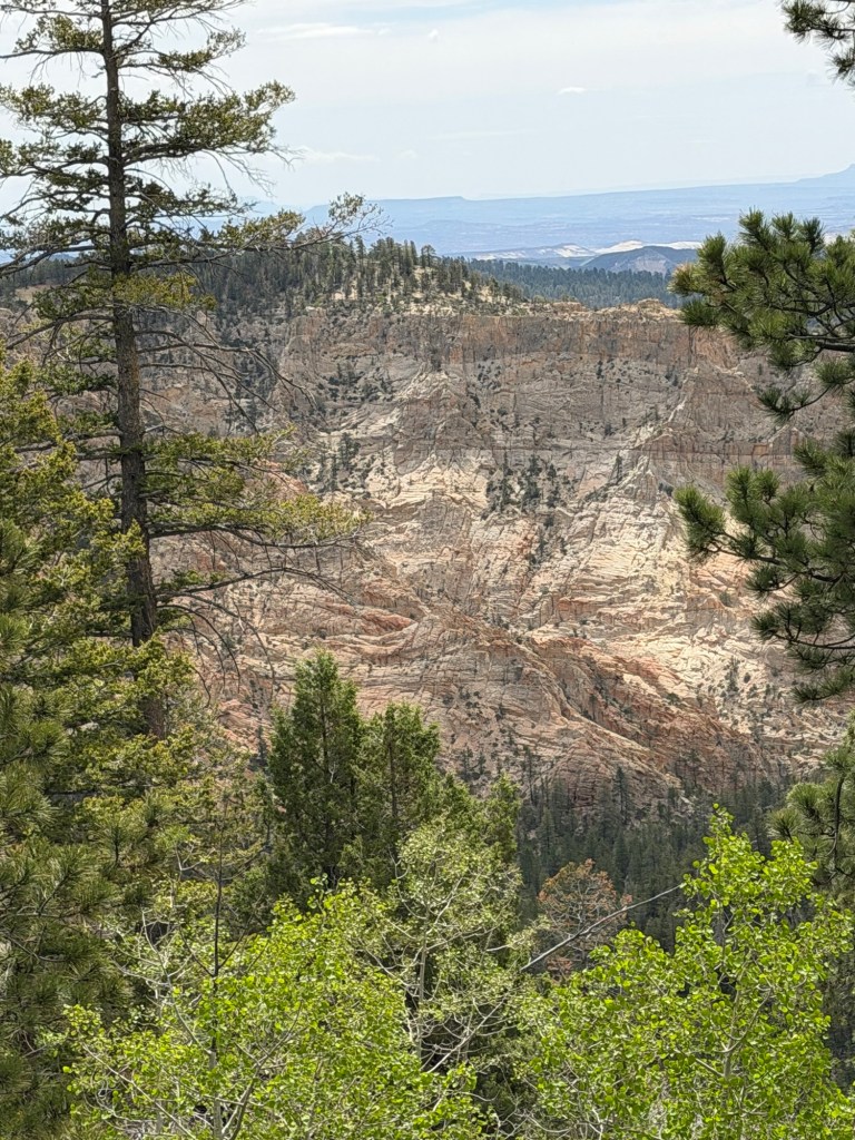
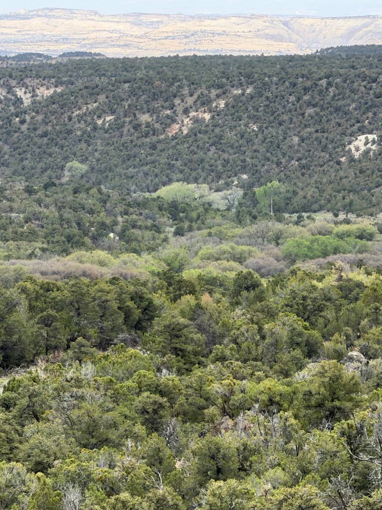
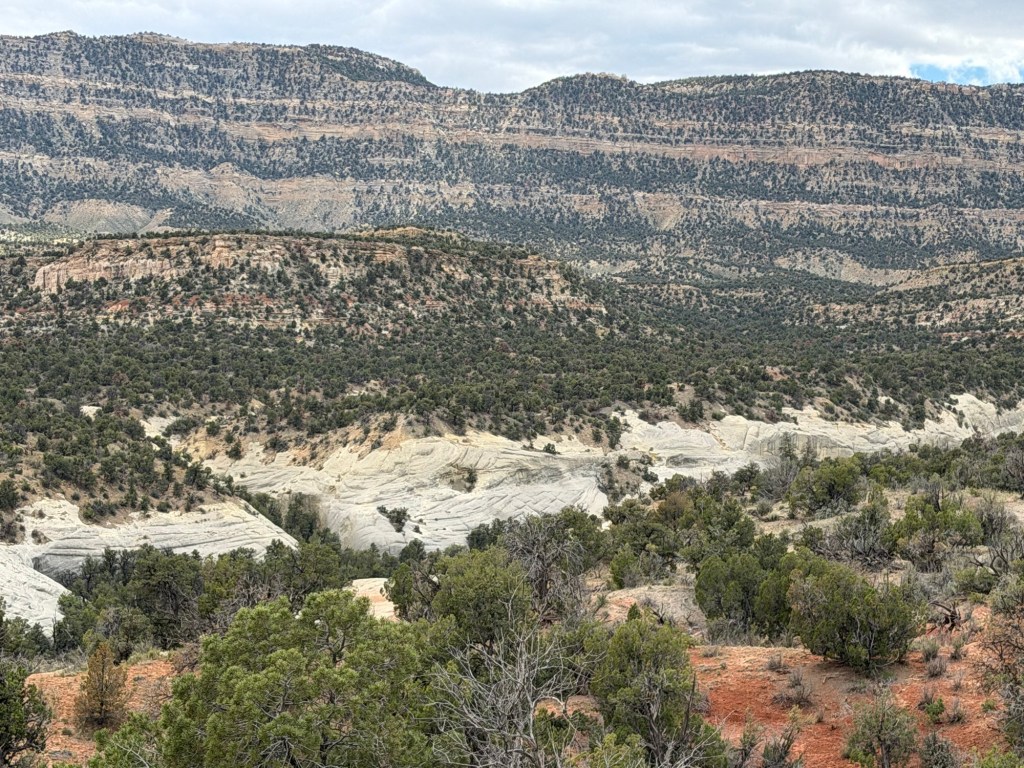
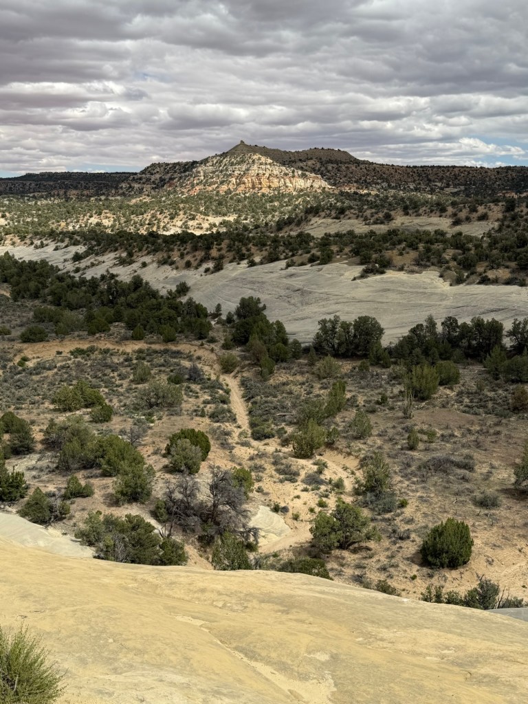
At the top again I got a great view of the canyon and ridges.
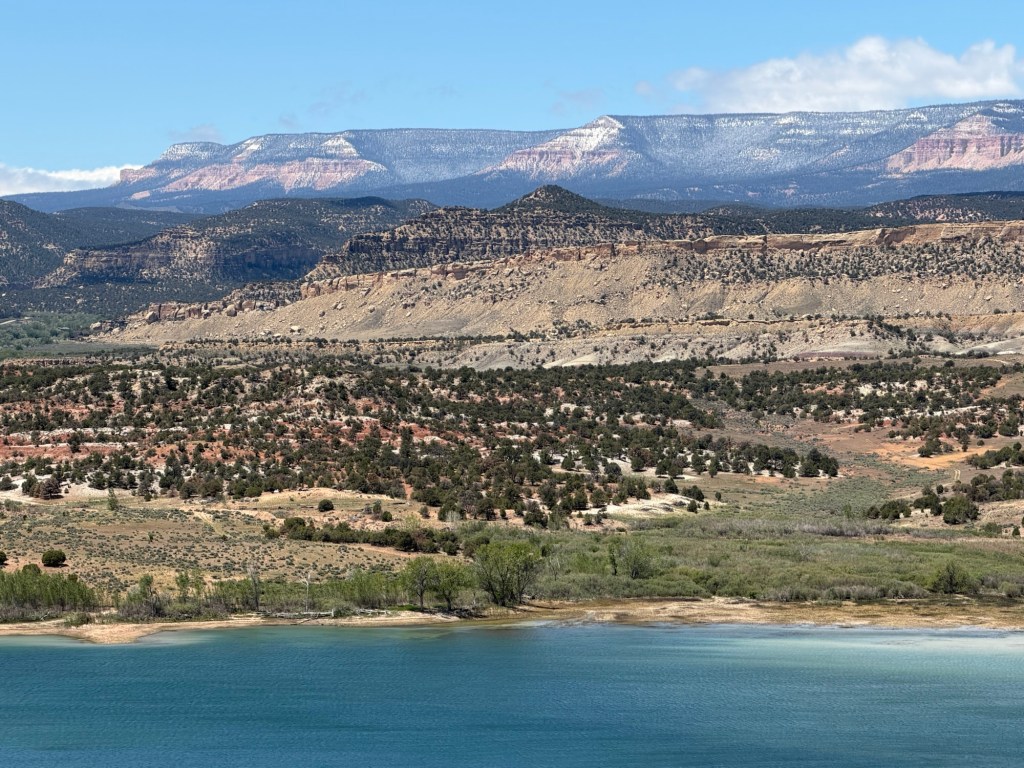
When I got back to the west side of the ridge, now back on the main trail, I took another picture of the reservoir, just because the air was so clear.
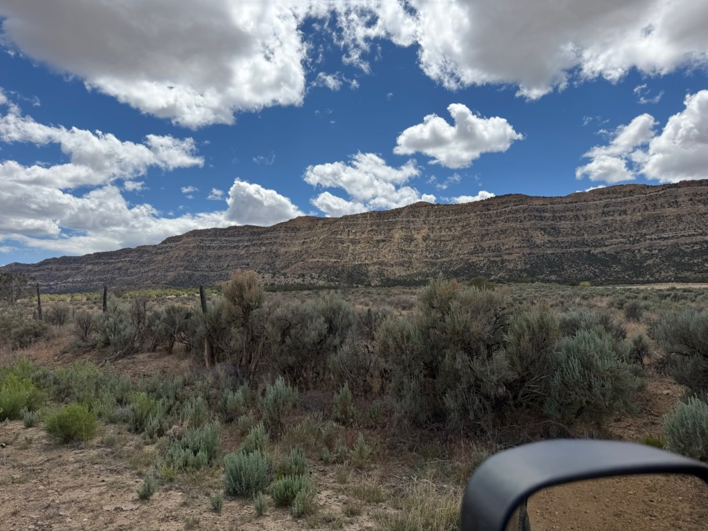
In the afternoon we decided to take a short drive on Cedar Wash Road south of Escalante. We were headed along the Straight Cliffs.
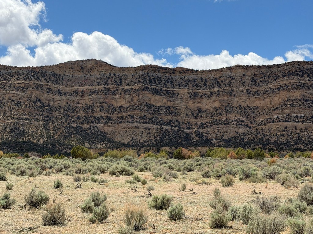
This is the tall and very abrupt edge of the Kaiparowits Plateau.
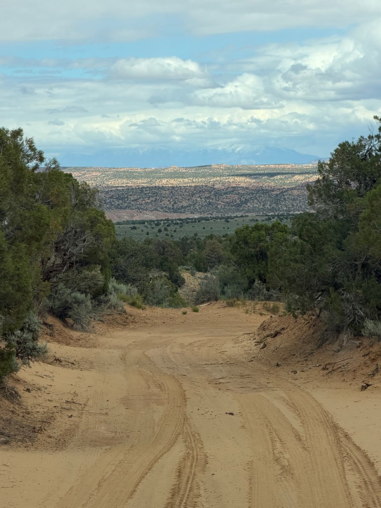
We were on another dirt road.
We stopped where there was supposed to be the Covered Wagon Natural Bridge.
We found it. Had we taken a steep trail down we could have walked underneath it.
Further down the road…
we stopped to look for the Cedar Wash Arch. The white rock is lining Cedar Wash.
We walked down to the edge of the wash…
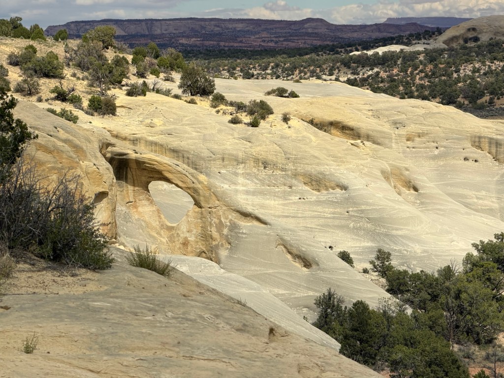
and there was the arch.
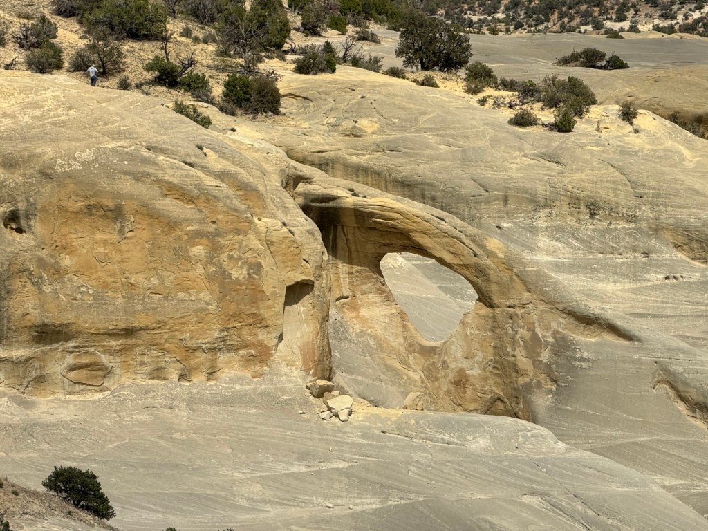
We walked a bit along the edge of the wash to get a better view. There was another hiker who was down by the arch, can you spot him in the blue shirt? That gives a perspective on the scale of these landscapes.
Every drive or hike here is an immersion in beauty.

You certainly were immersed in beauty!! Why do they call the one area “Trail of Sleeping rainbows”? Is it because of the colors of the petrified wood there?
LikeLike
I think so, though I also saw soil (ground rock really) that was dark red, red orange, yellow and bluish green, so that’s kind of rainbow-like, too.
LikeLike
Very interesting!!
LikeLike