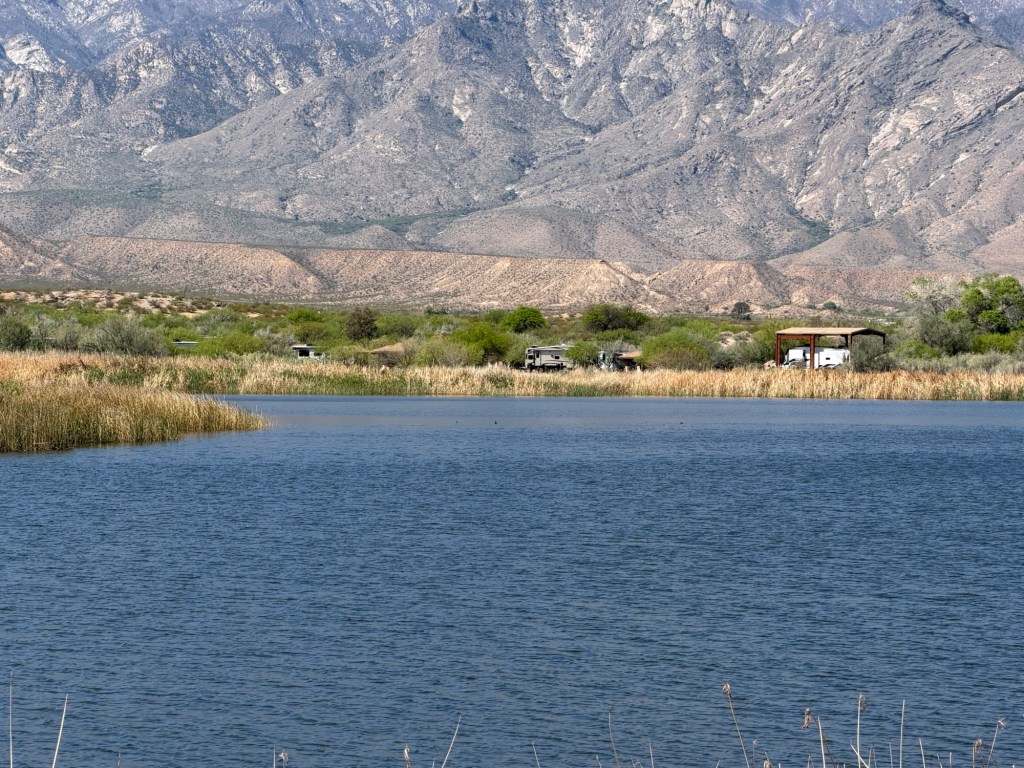
Sorry I haven’t posted the whole time we were at Roper Lake State Park, but sometimes it’s just hard for me to sit down and write. We are in eastern Arizona now and on Mountain Standard Time so the multiple time changes are getting confusing. We also crossed the continental divide coming here. Roper Lake exists because of the Pinoleno Mountains…
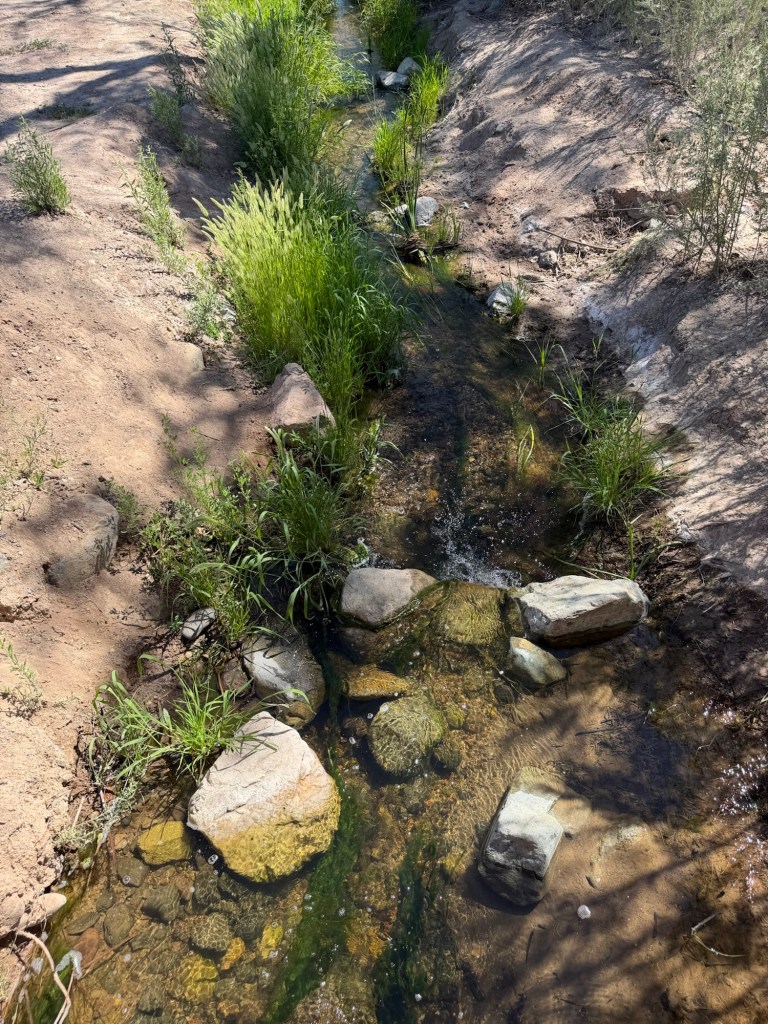
whose runoff feeds the lake.
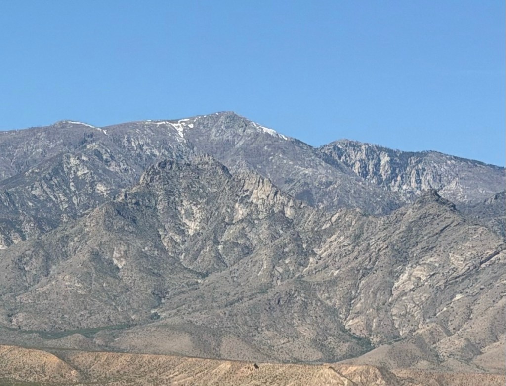
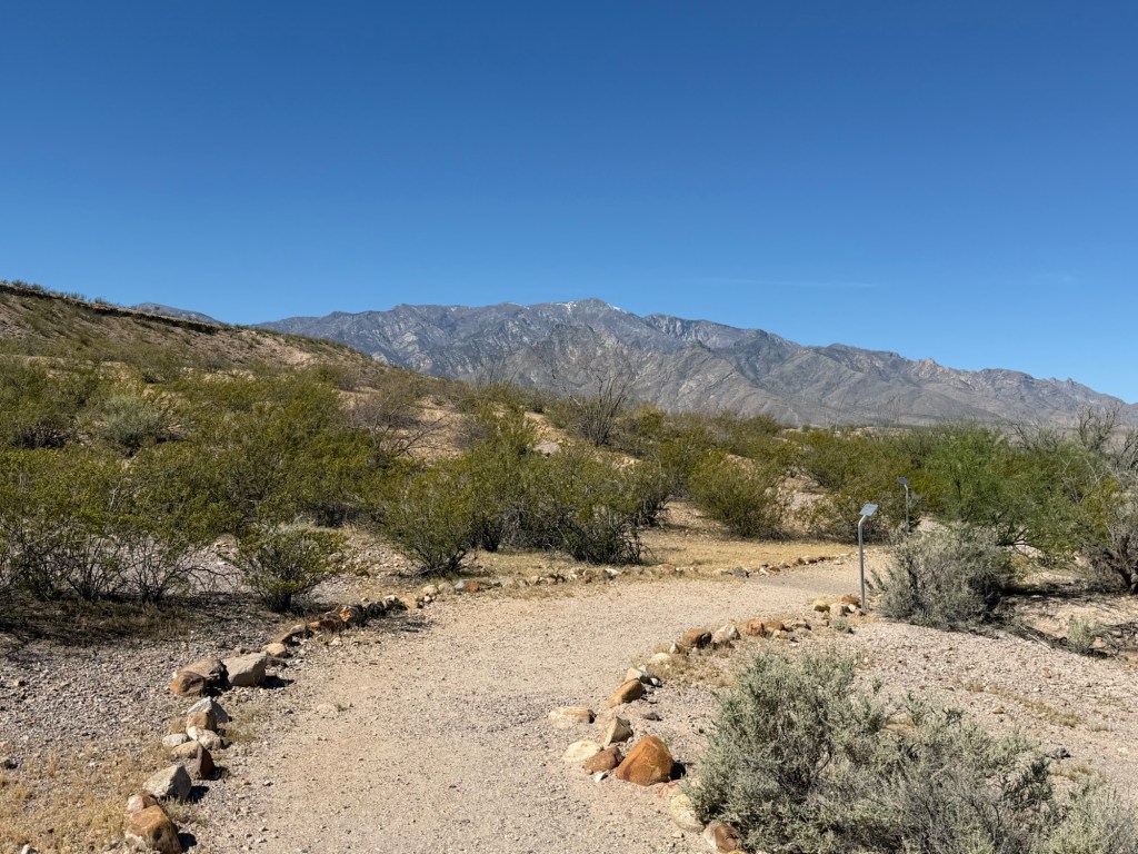
You could still see some snow on top of the tallest peak, Mount Graham.
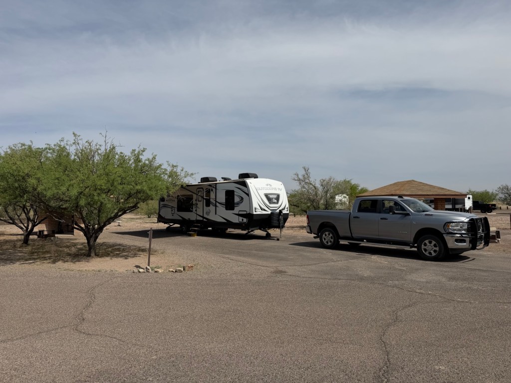
We had decent sites, though we were in site 8 for three nights and site 6 for the next two. We had decided to move from the 30 amp loop to the 50 amp loop a day before our stay because of the high temperatures; we wanted to be able to run both our air conditioners. We figured it was worth moving sites to keep cool.
It was cool enough in the mornings to explore the park.
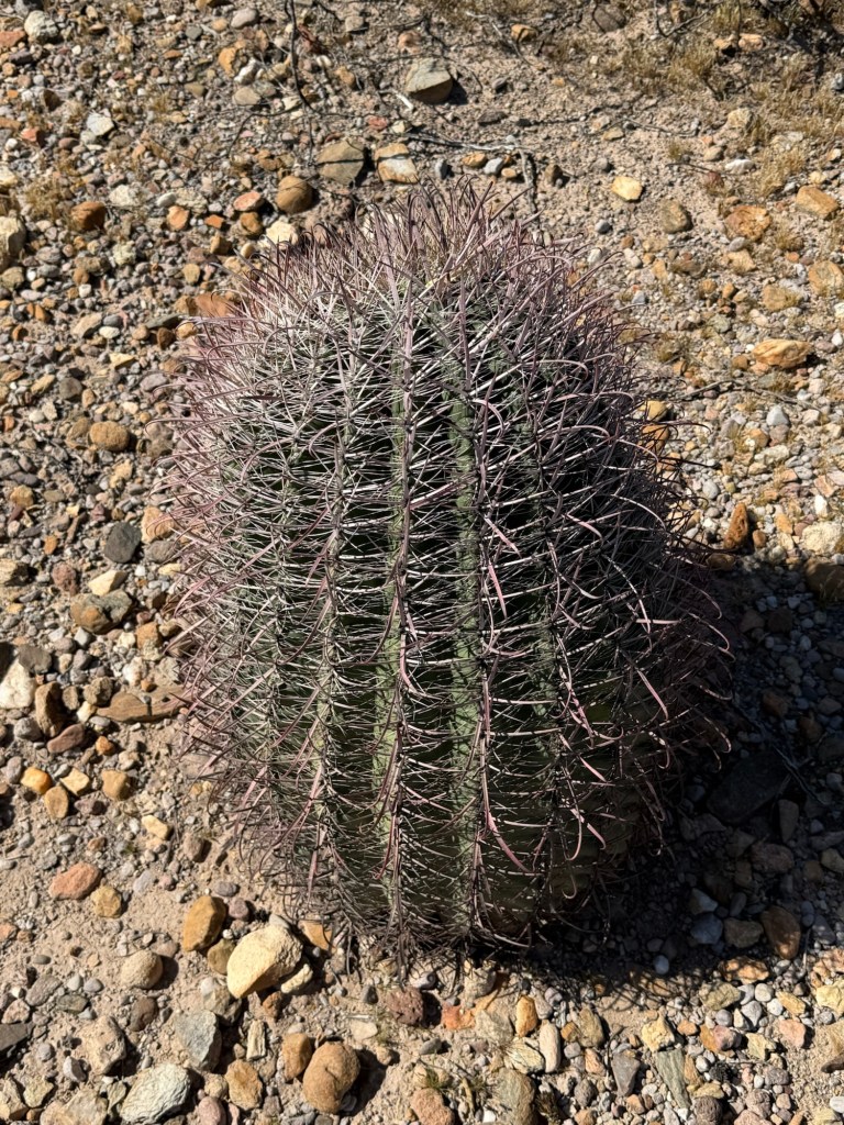
There are fishhook barrel cactus here,
and velvet mesquite,
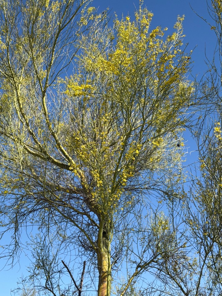
and blue Palo verde which have green photosynthetic trunks and branches and yellow flowers full of bumblebees.
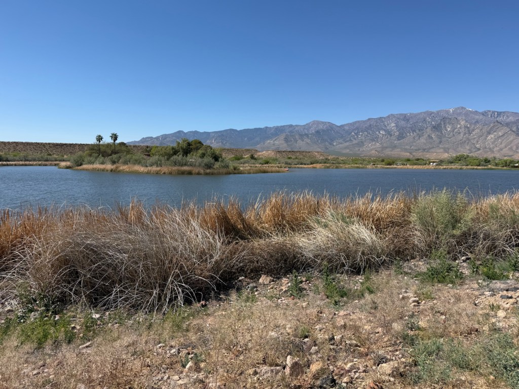
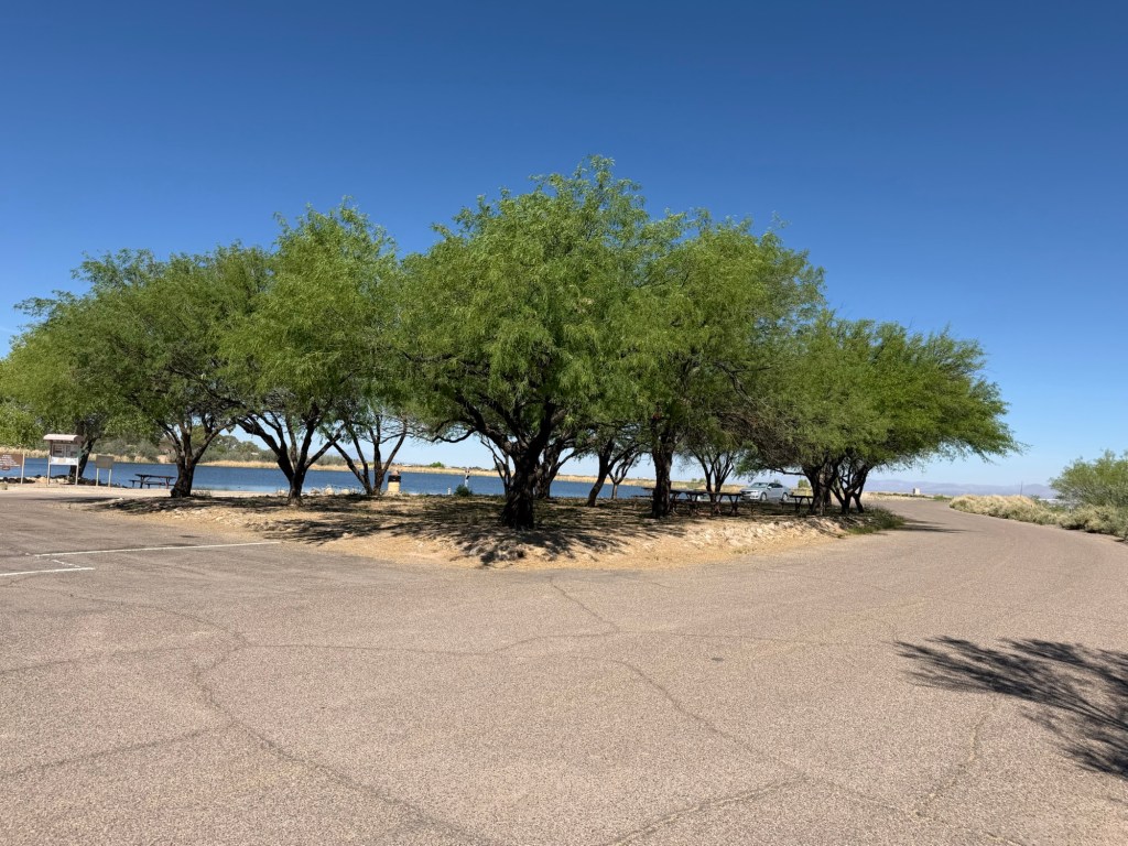
It’s a pretty little lake with a nice day use area. Someone planted a couple of palms there a long time ago.
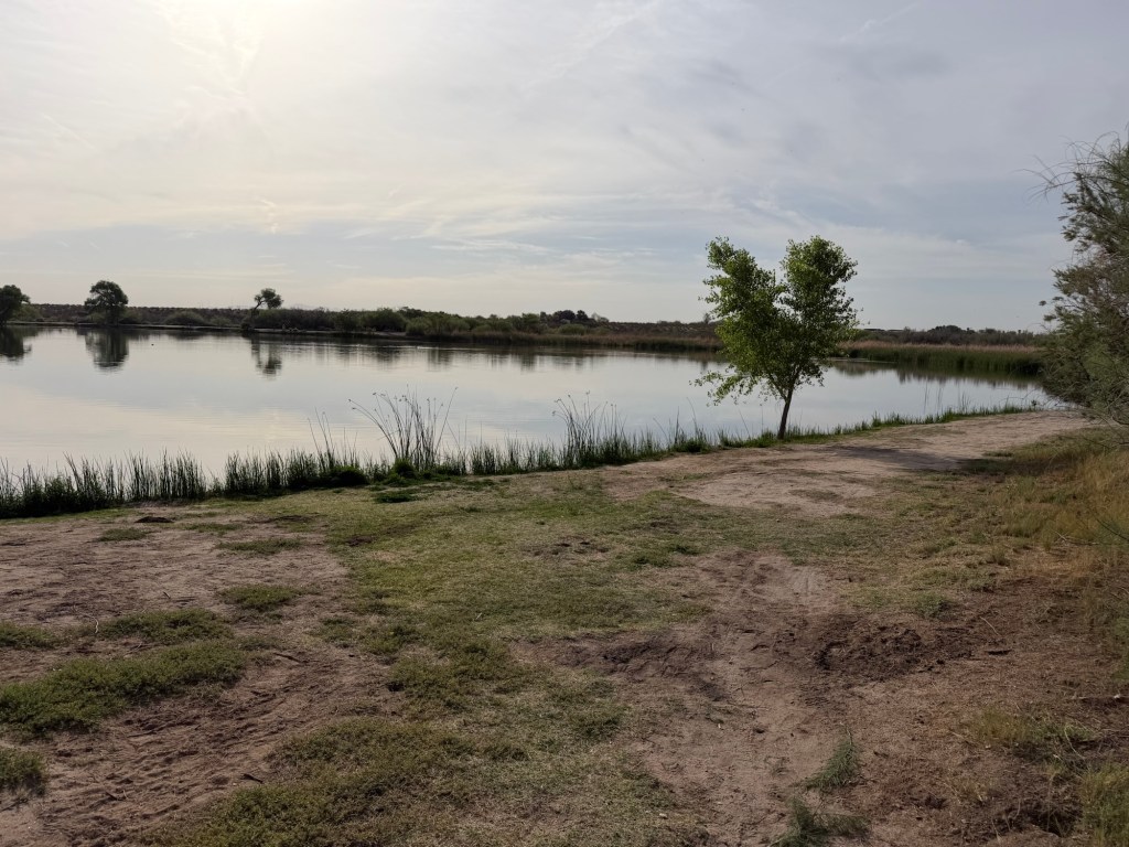
Another morning we went over and walked at Dankworth Pond State Park, which is just about three miles down the road and is managed as part of Roper Lake.
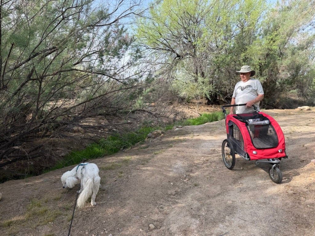
We took the stroller. We were trying to visit the reconstructed Indian village.
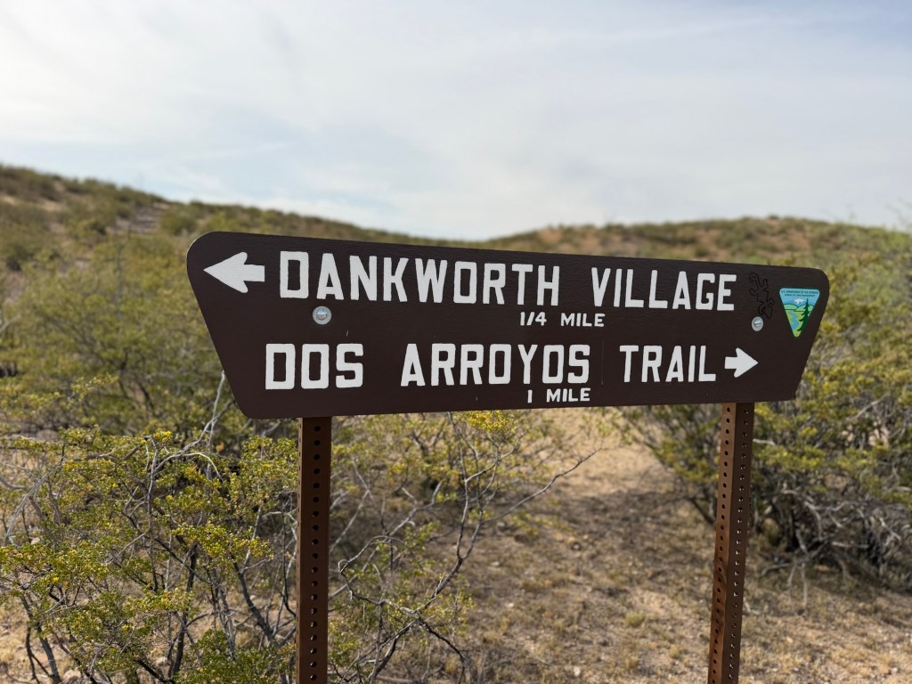
But because I misjudged the direction the arrow was pointing we missed it.
I put Matey in the stroller and walked back through the sandy part of the trail,
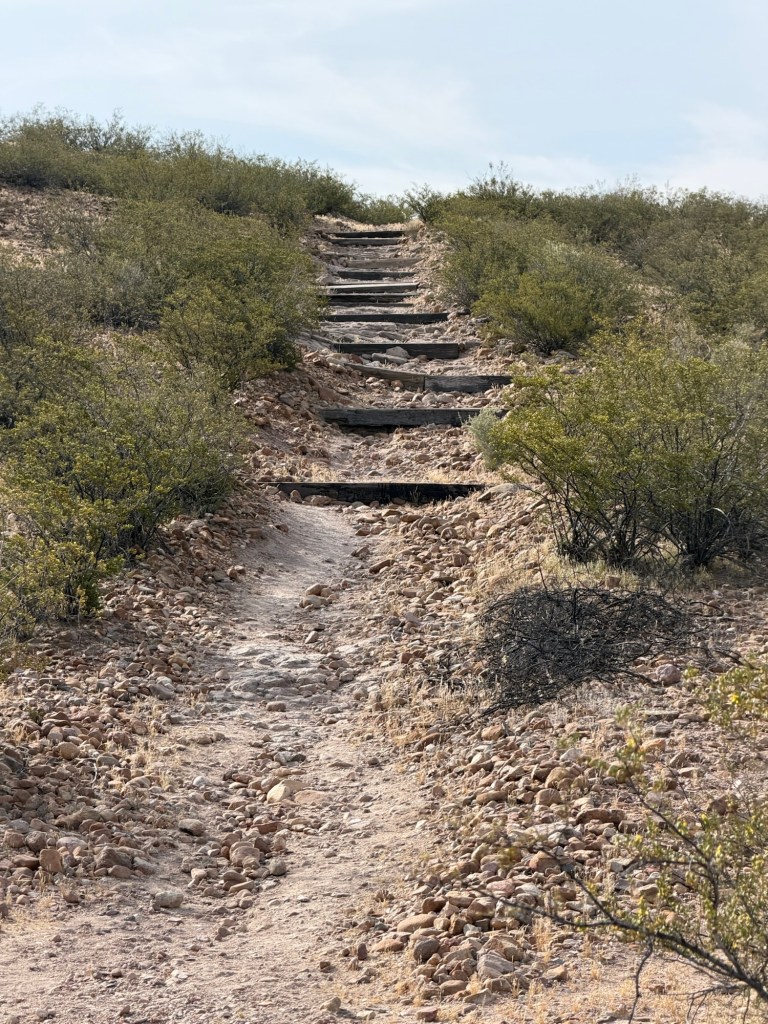
only to find it was three quarters of a mile, first up these steps then around the village and back down. It was too far for Matey to walk (he’d already walked a mile) and too hard for me to push the stroller, so we didn’t go.
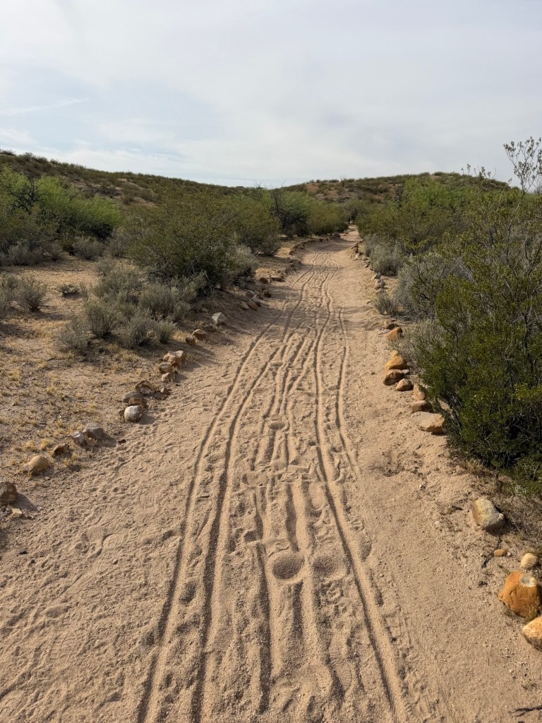
Instead I pushed him back through the sandy part and back around the pond to the truck. At least I got some good exercise.
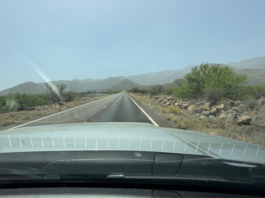
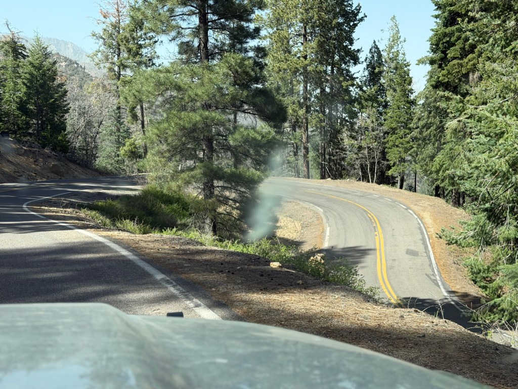
On the hottest afternoon we decided to drive up to the mountains. It had been windy for a while so the valley had a haze of dust. The road starts out straight as an arrow.
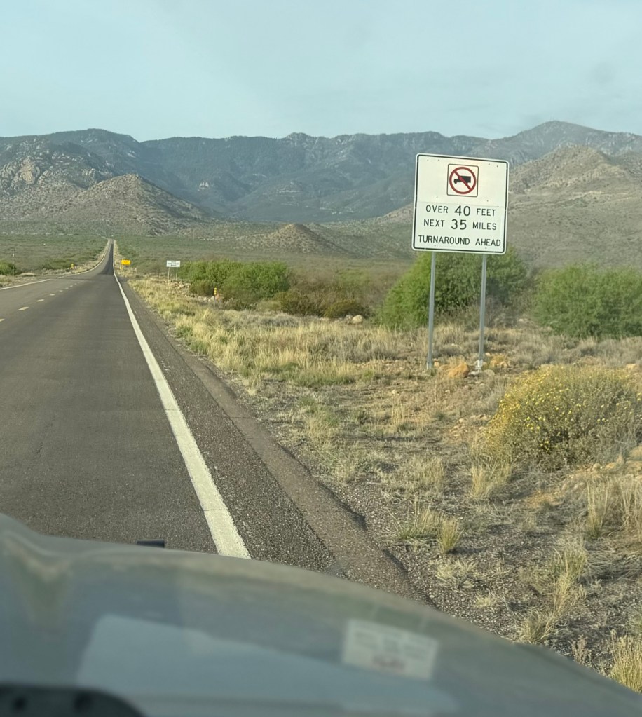
But you are soon warned that it won’t stay that way.
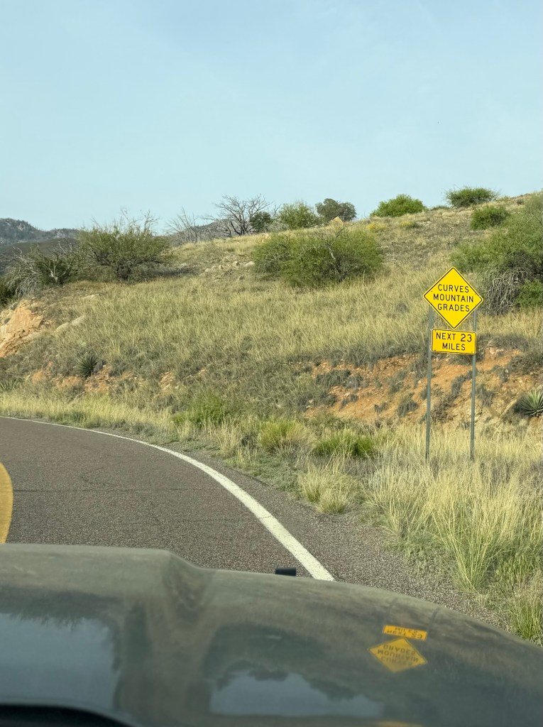
And they aren’t kidding.
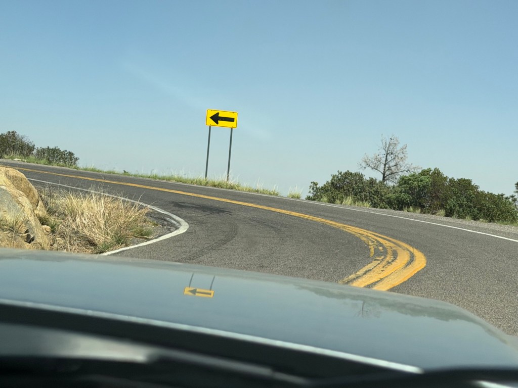
There were steep hills, sharp turns and no guardrails.
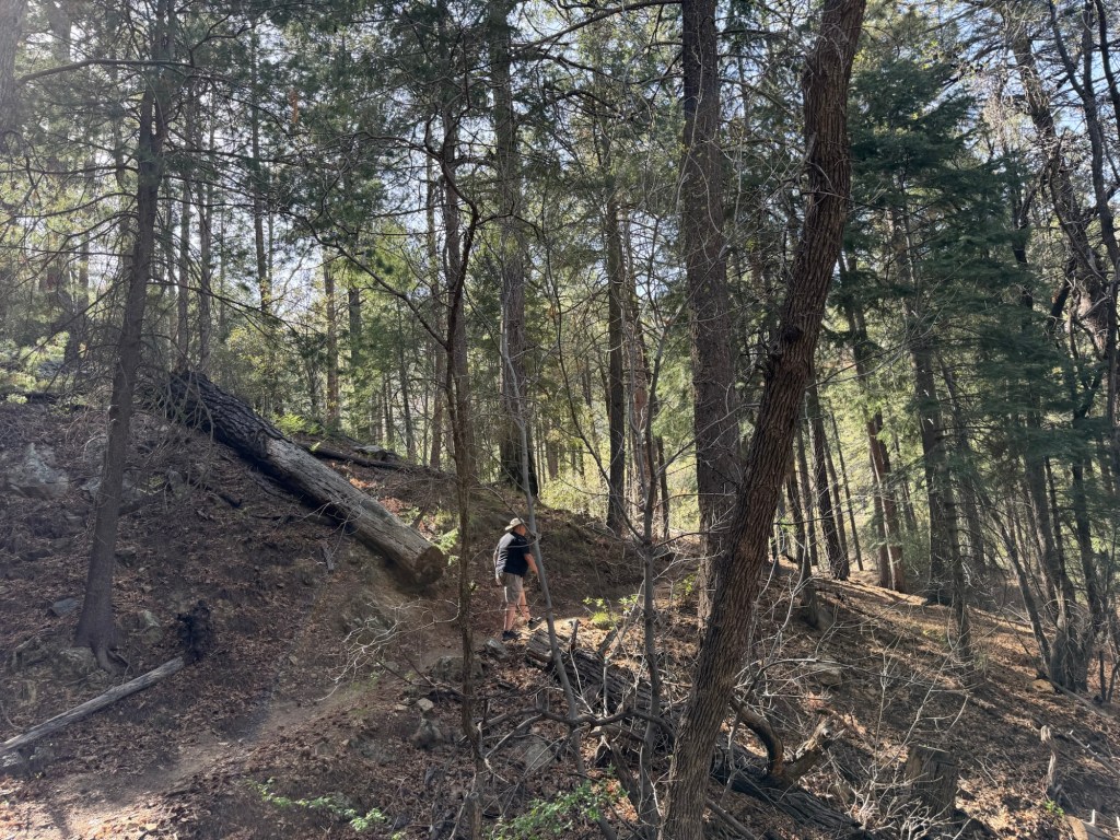
We stopped at a trailhead here. We were right off the end of a switchback.
We were quite a ways up…
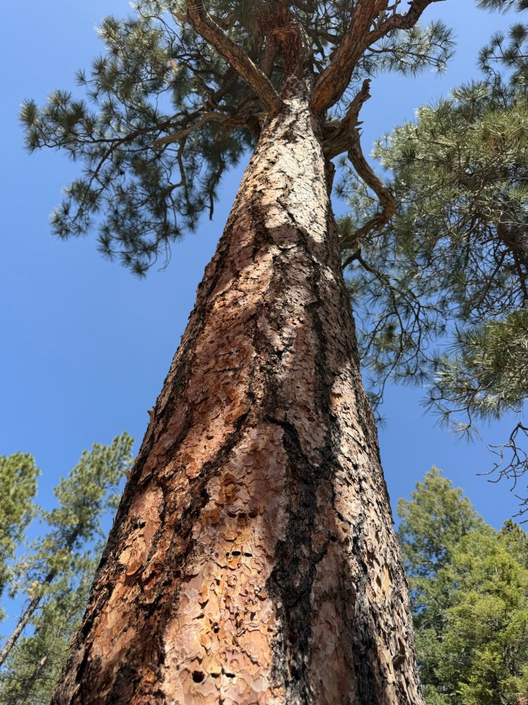
where tall pines grew. I’m pretty sure this was a ponderosa pine, its bark smelled faintly sweet, like vanilla, though it wasn’t as strong as others I’ve encountered.

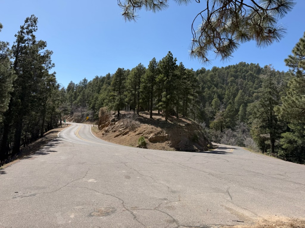
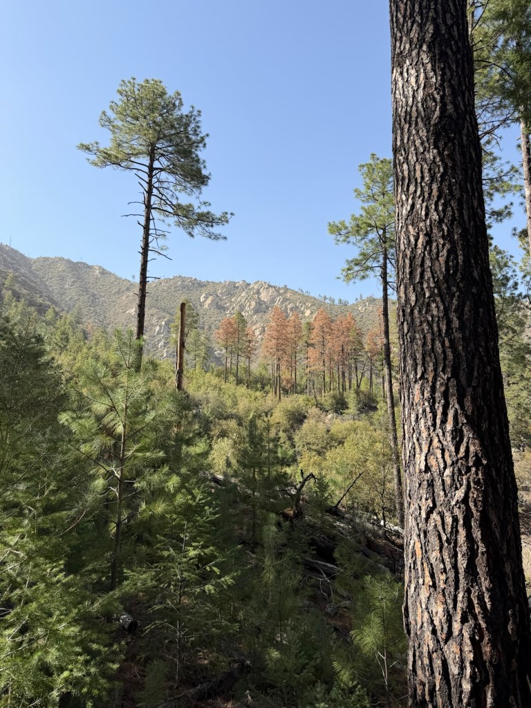
We kept going…
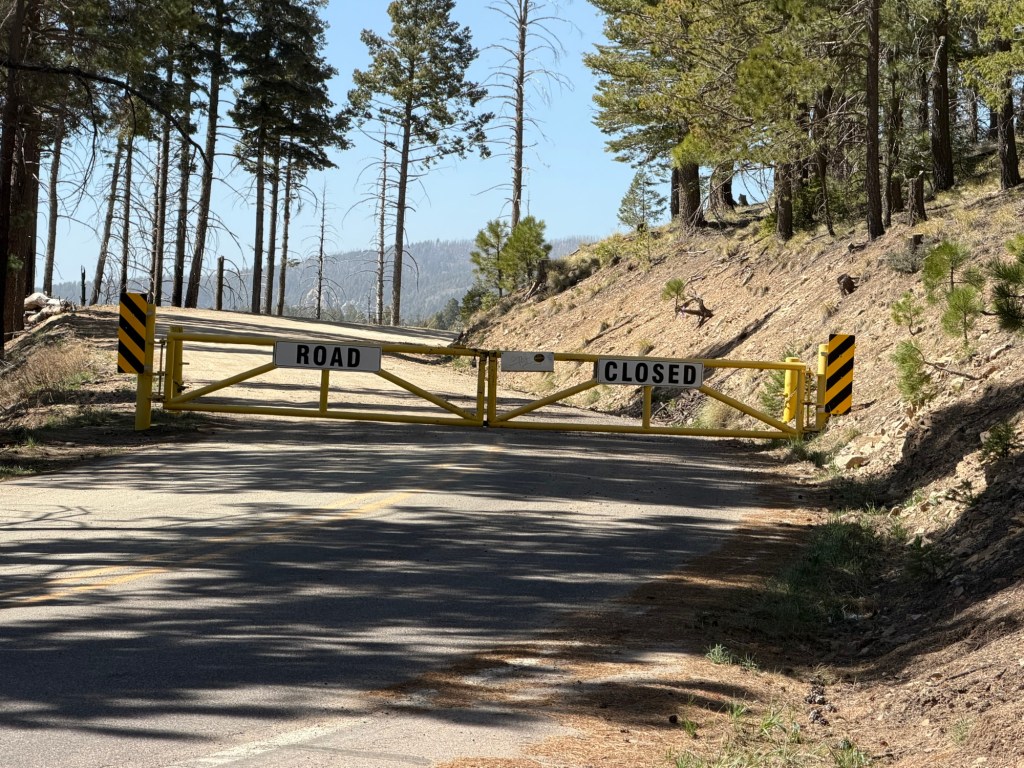
to where the pavement ended and the road was closed. It’s closed from October 15 to April 15. We were now at 9,144 feet above sea level. We’d come 11 miles as the crow flies, 25 miles by road and over 6,000 feet up. It was also about 20 degrees cooler up here.
Bud suggested we stop at a recreation area we’d passed to walk in the cool. I put it into the navigation system so we wouldn’t miss it on the way down.
This wasn’t a road you could stop and turn around on.
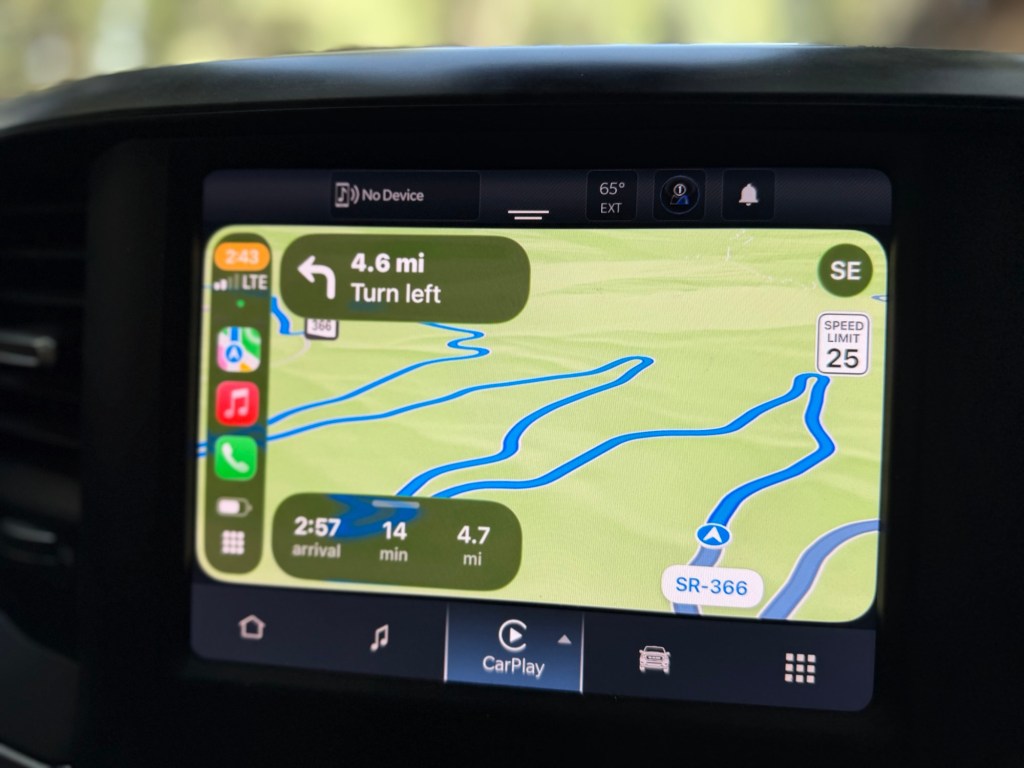
You can see from the navigation why the road takes 25 miles to cover 11 straight miles.
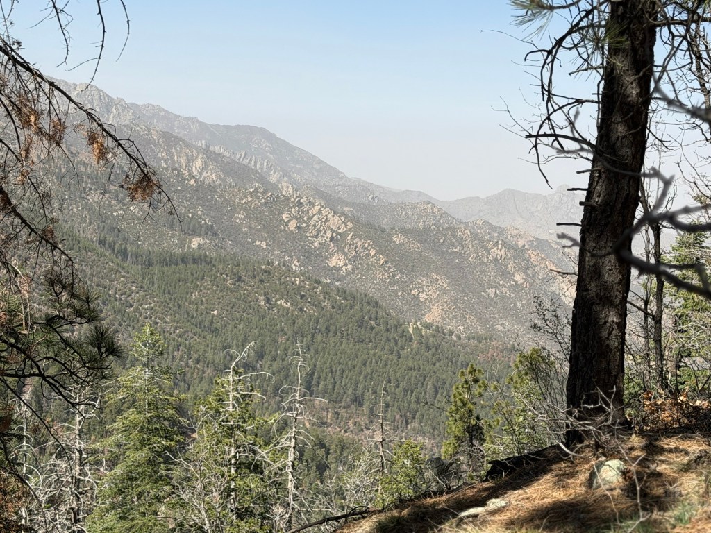
We stopped and found a trail.
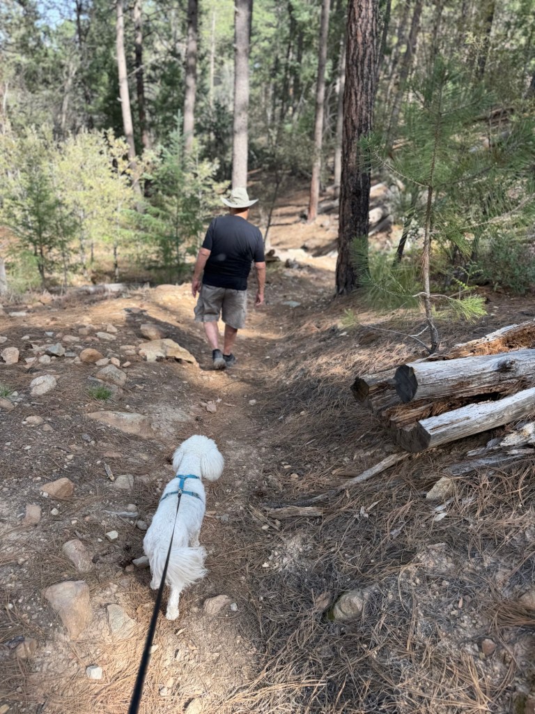
Matey got to walk where it was only 70 degrees…
and it was quite pretty.
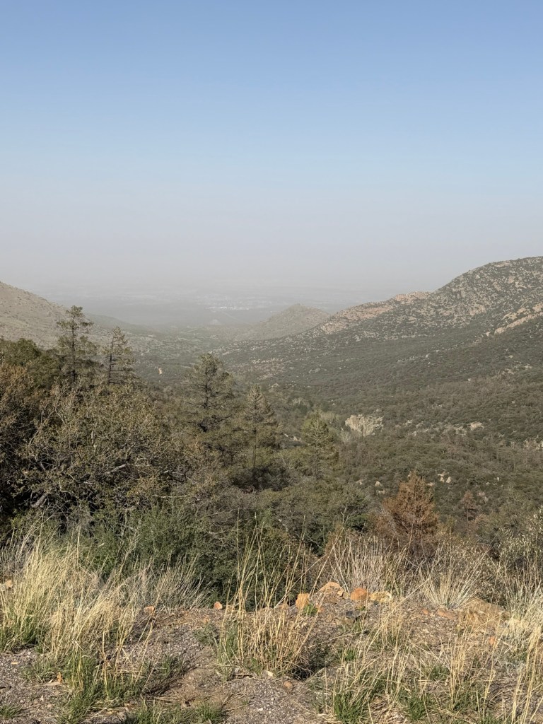
Then we drove back to our dusty valley,
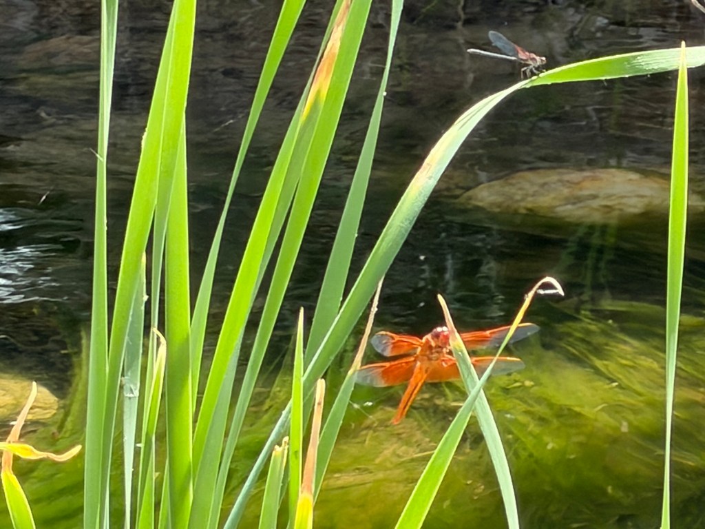
which had beauty on a smaller scale.

Those mountains are really pretty. I hope Roper Lake isn’t too thirsty if that little stream is what is feeding it! That fishhook barrel cactus looks pretty dangerous to come in contact with! Lovely dragonflies when you got back to the valley! So how much temperature change was there from the 70* to what it was in the valley?
LikeLike