We’re back at City of Rocks State Park in New Mexico.
We found this place on a day trip two years ago. We drove up from Deming, about 30 miles south of here.
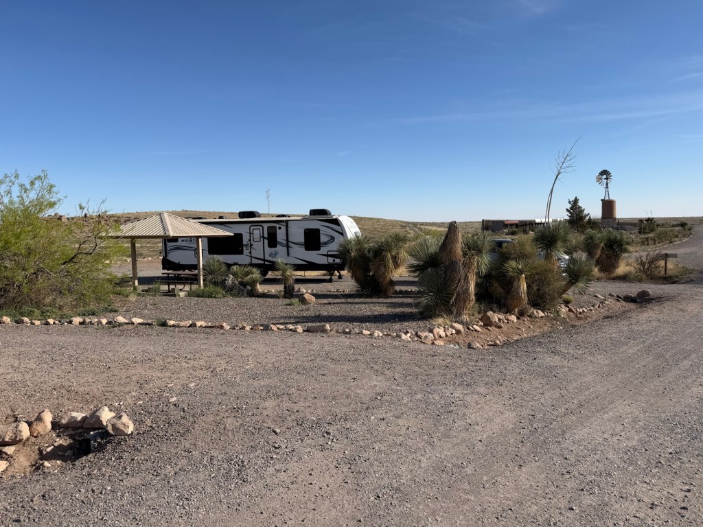
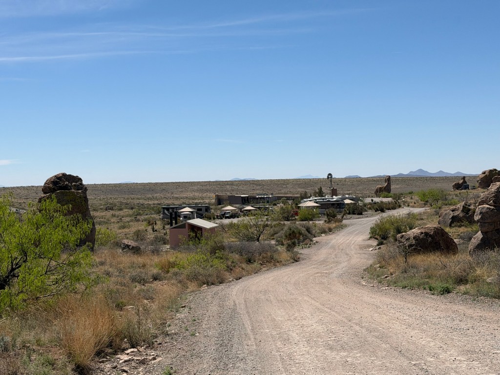
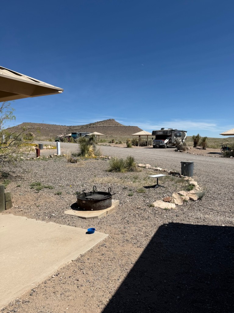
Although not as picturesque as the unserviced sites tucked among the rocks, they have 9 sites with electric and water, six of which are reservable. We came and stayed last year. Bud stayed a week, but this is where we were when my mom had her stroke, so I flew back to Buffalo after four days. We’re back for another three days this year.
Our site is pretty nice, being at the end of the row.
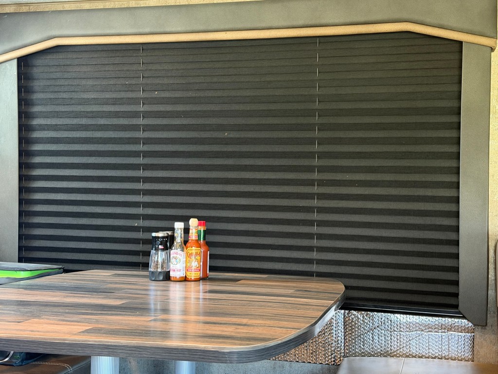
Unfortunately, we’re in the middle of a heat wave and the open area is on the south side of the trailer, so those windows have the shades drawn and foil insulation between the shade and the window. We have thermal pane windows, but we’ve found when the temperature gets above the low 80’s the desert sun shining in the windows is too much for the air conditioner. We just got the foil on Sunday and it really helps; ugly, though.
It’s still beautiful outside.
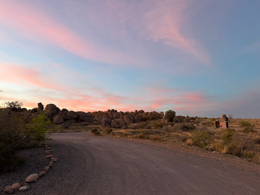
Matey and I went out at sunset…
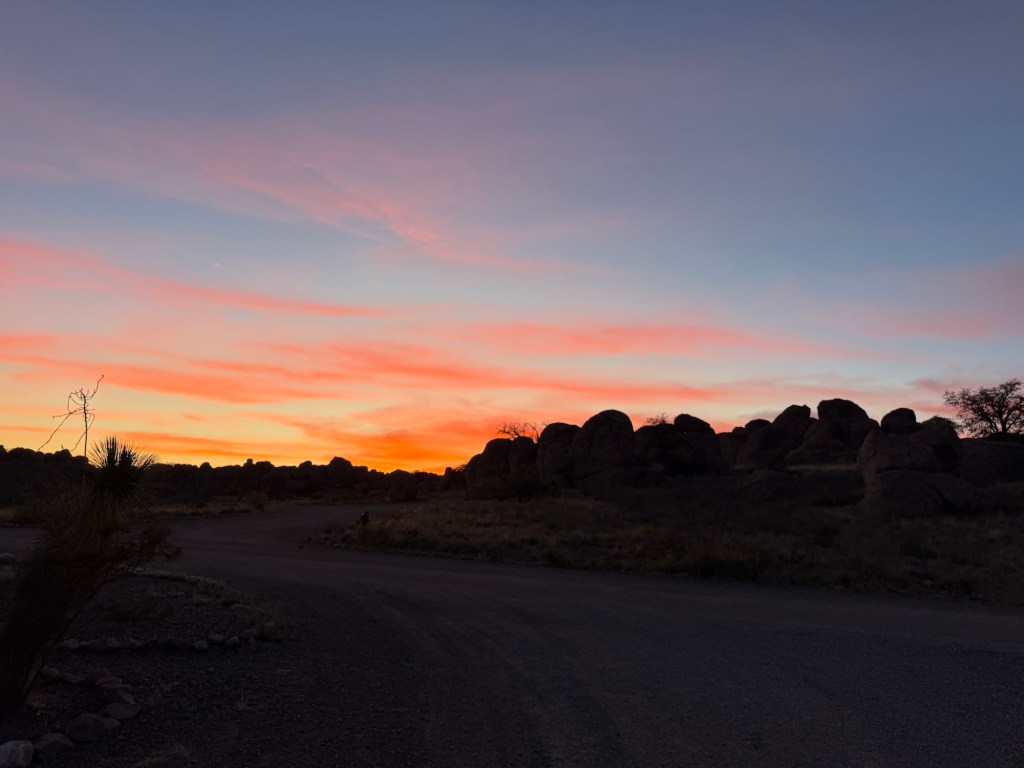
and were treated to this display.
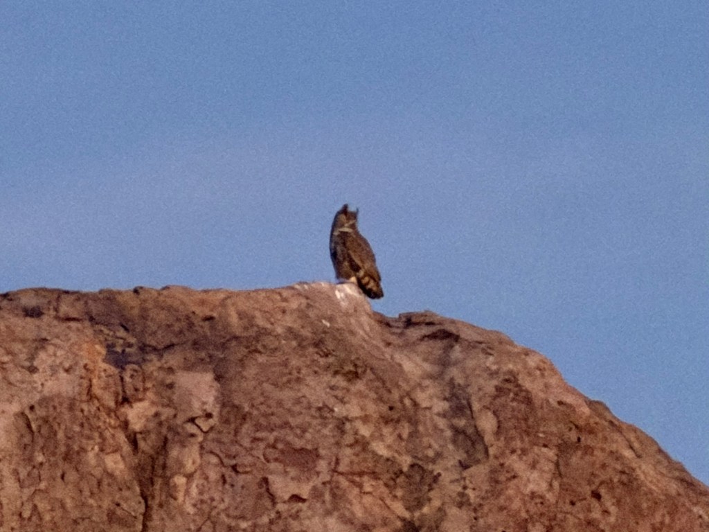
A bird swooped by and landed on a huge rock. I used maximum zoom in that low light and was pleased to see that I got a pretty good image. It was a great horned owl!
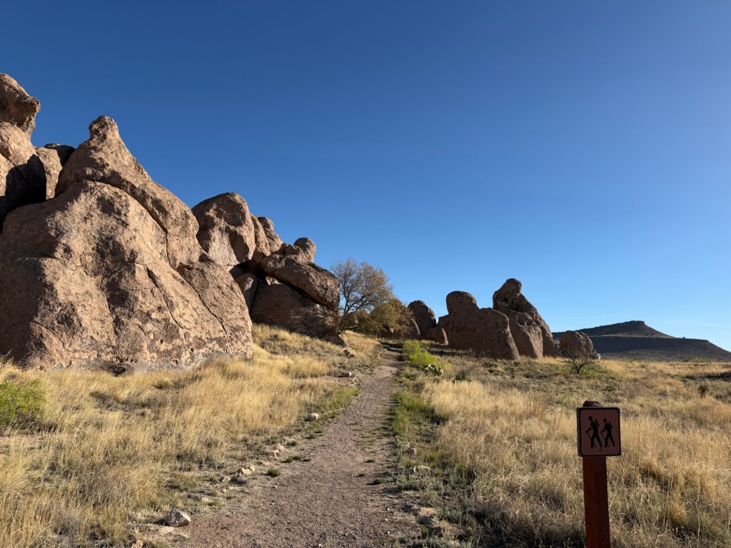
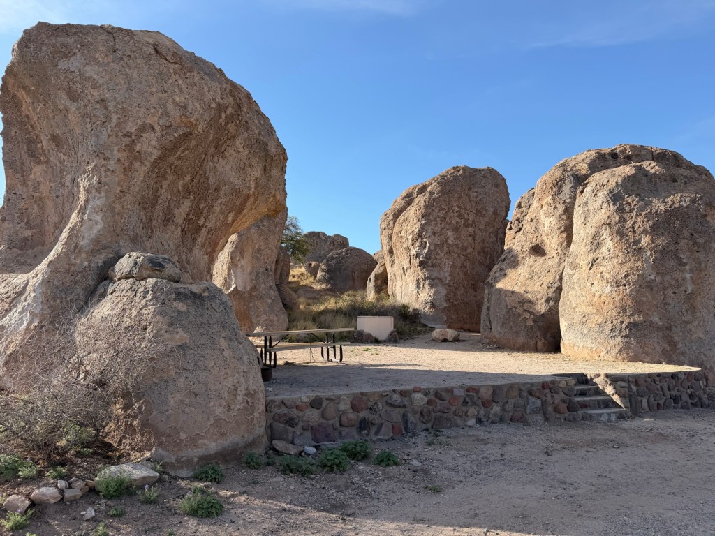
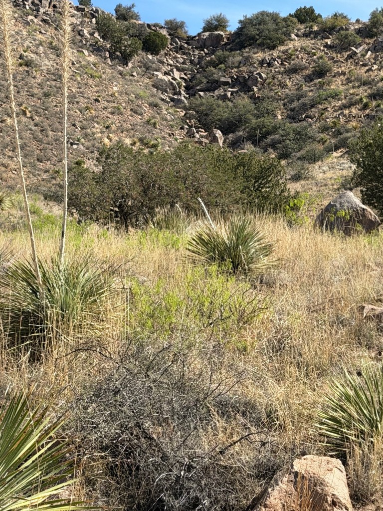
This morning Bud, Matey and I took a walk through the rocks.
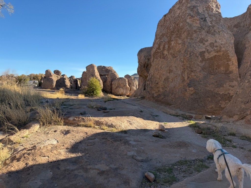
These rocks are made of volcanic ash and pumice that was still hot enough to weld together and formed a continuous layer. As it cooled it fractured.
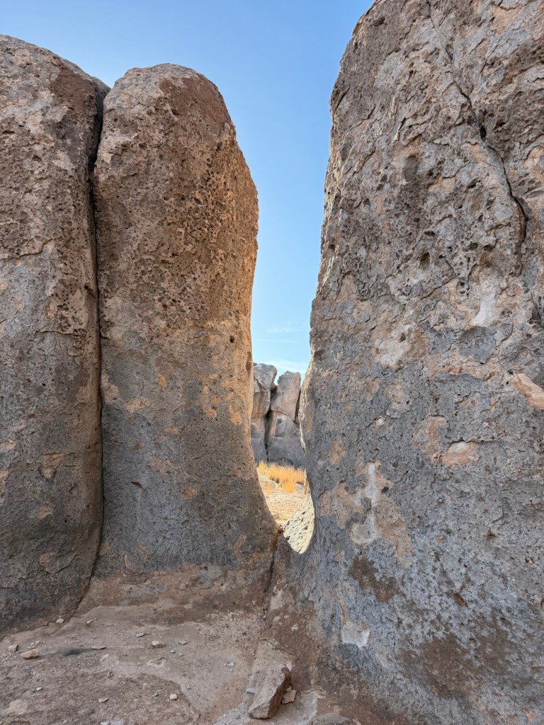
Over the next 34.9 million years the fractures eroded forming columns…
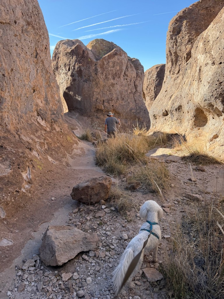
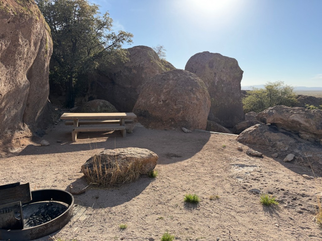
and streets. We wandered through the rocks for about a mile.
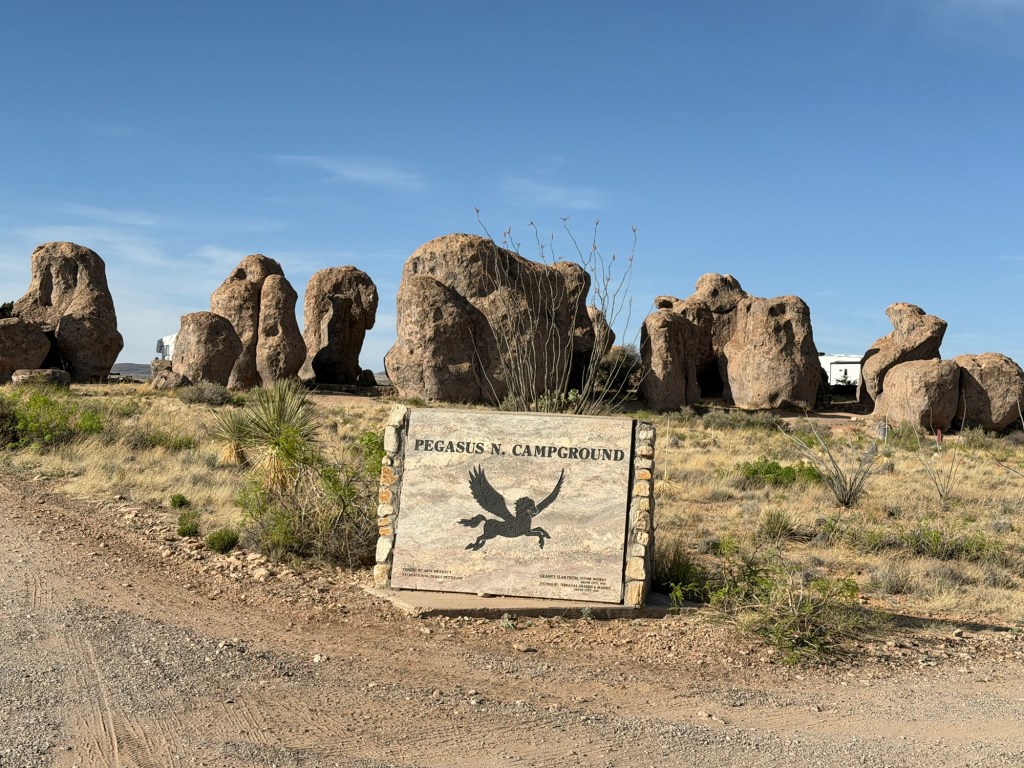
Then I took my pack and walking stick and set out for Table Mountain. The connecting trail leads out from next to site 16 in the Pegasus Campground, a small loop on the north end of the main loop road.
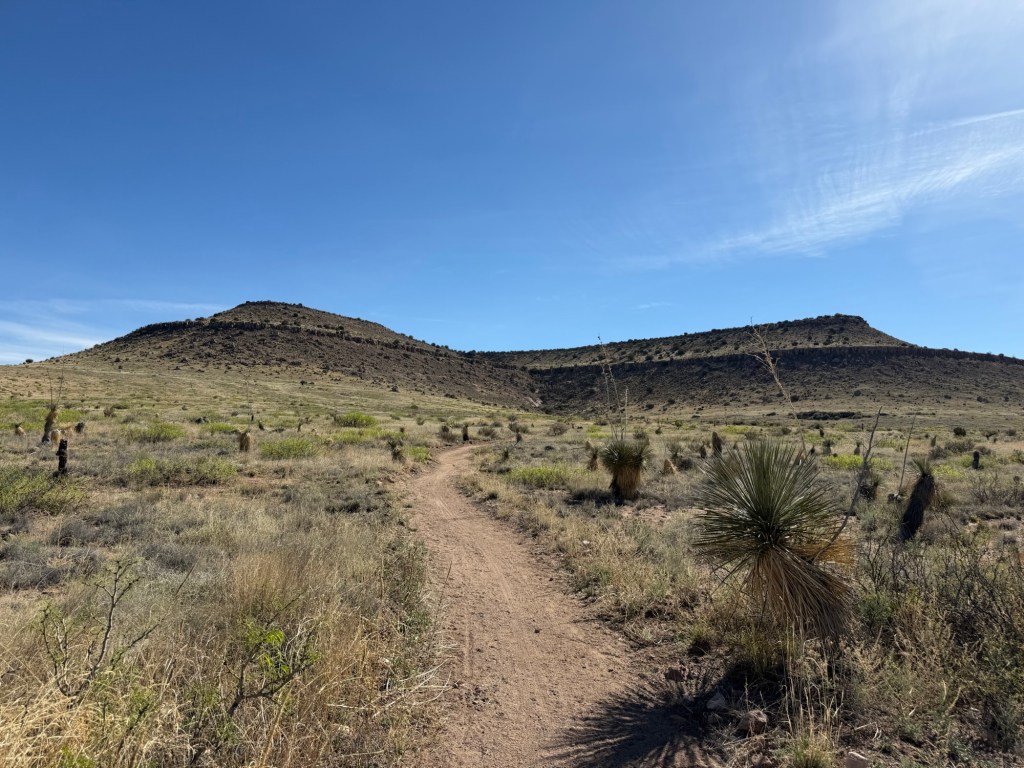
That’s where I was heading. It’s almost a six mile out and back with 500 feet of elevation gain.
When I got to the wash where the trail turned north along the flank of the mountain I wished I had stuck another bottle of drink in my pack. I’d had a drink before I left, but only had one bottle with me, and that was already opened. I probably had about 17 ounces left.
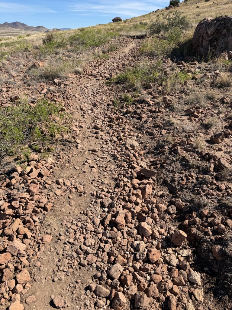
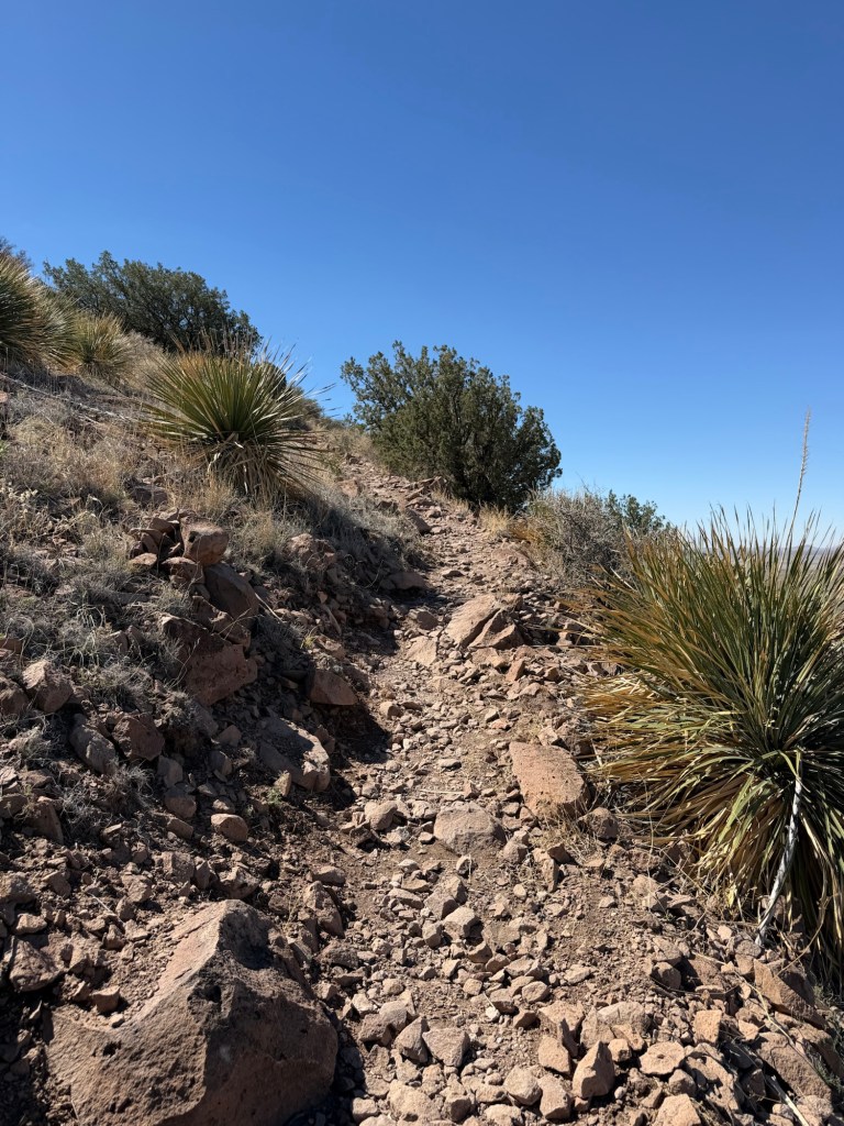
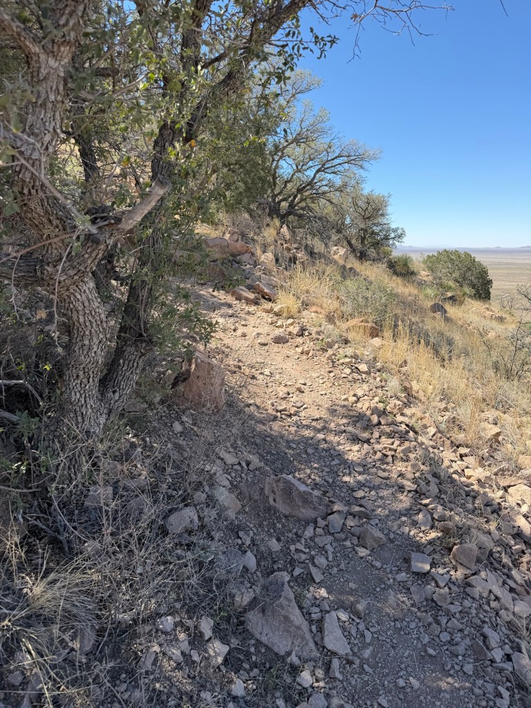
But this was a steady uphill on a fairly rough trail. Also, I hadn’t started until after 10, so it was getting warm. It was only 70 degrees when I left, but the sun is intense. Jack has inspired me to get out on my own and hike, but he would have told me to take an extra bottle of drink.
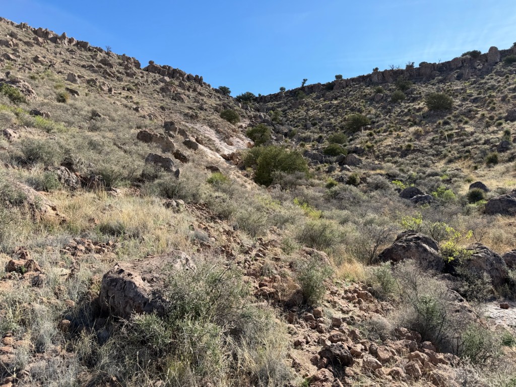
This is the switchback where the trail stops its northeast trend.
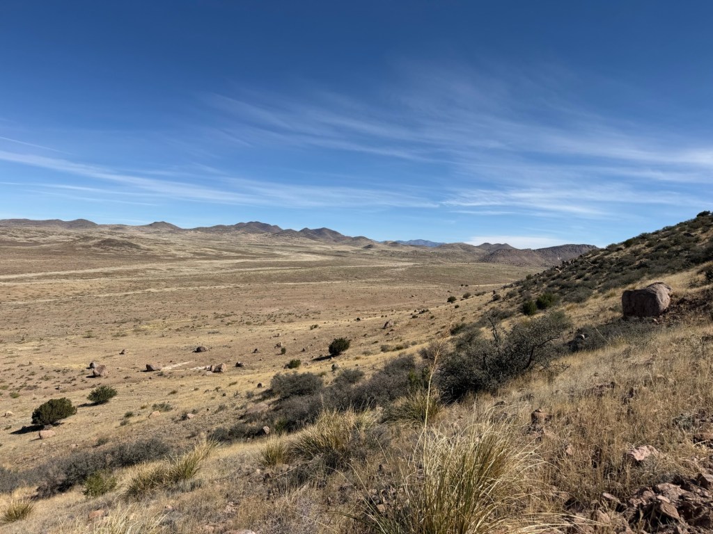
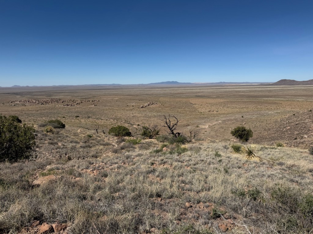
I took a picture of the north slope and beyond.
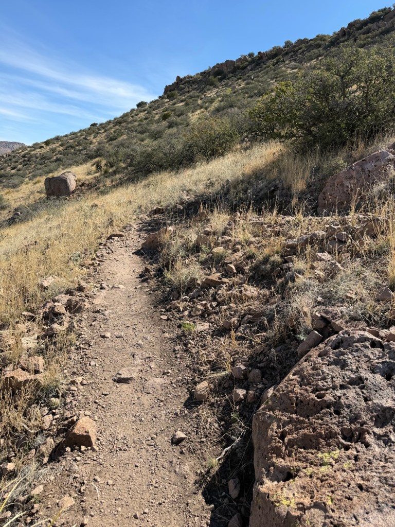
On this part of the trail there were pockets of shade and the breeze was in my face.
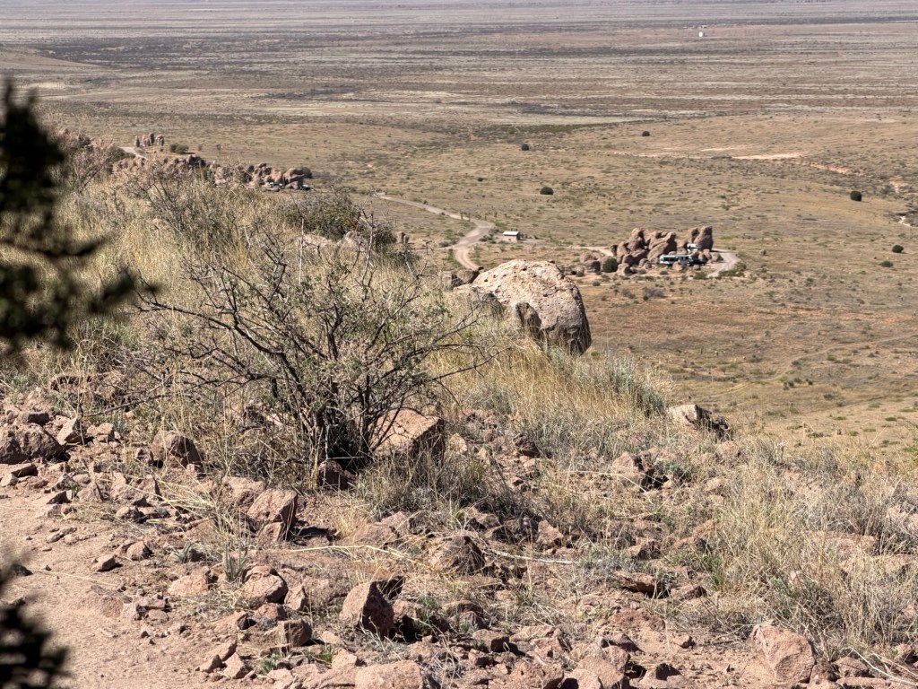
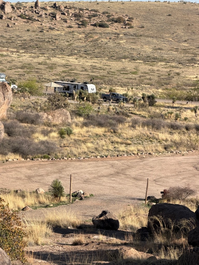
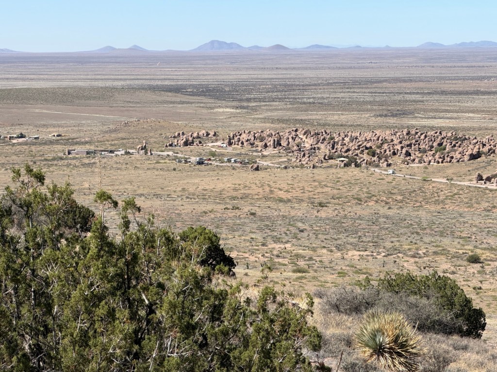
I tried to remember to only stop and take pictures when I was in the shade. The campground lies to the southwest of Table Mountain and I was coming around to where I could see it again. That’s the Pegasus Loop just right of the rock and some of the main loop road left of it.
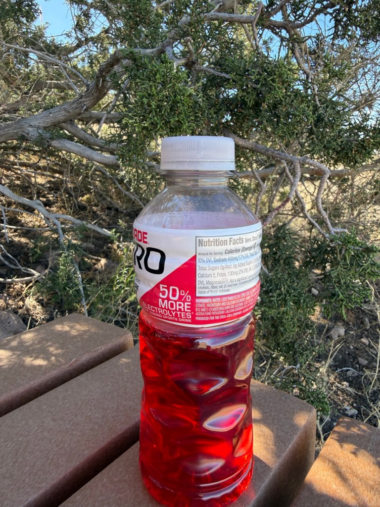
There was a bench in the shade and I stopped for a drink. I was rationing my fluid. I knew I would be fine, but the walk would have been more pleasant if I wasn’t worrying about how much I had to drink. Lesson learned, take more than you think you’ll need.
I drank that much, next drink at the summit.
I got back to the wash, but now I was above the first prominent layer of rocks.
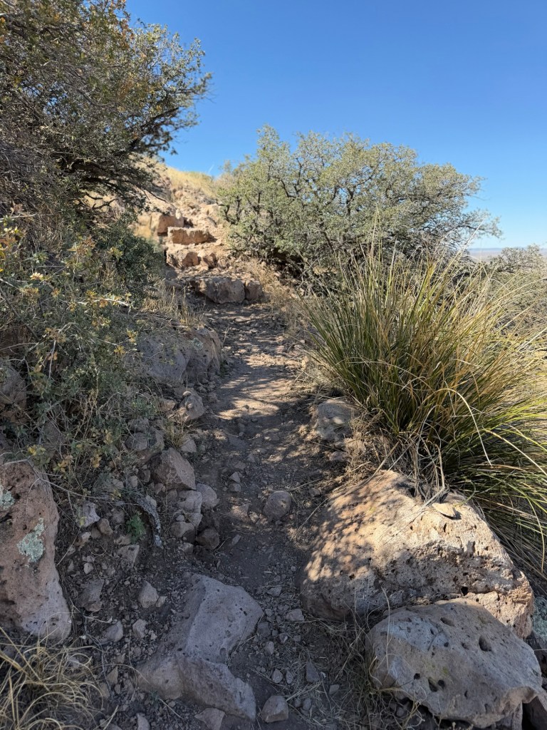
I had just the steep section of trail to the summit left.
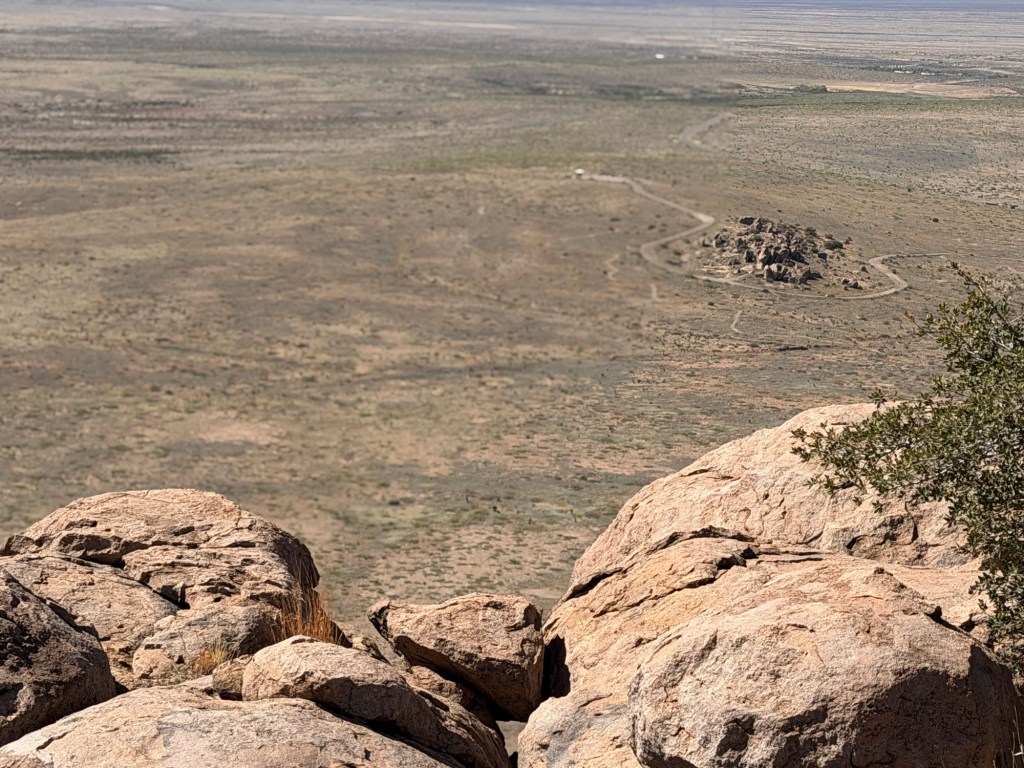
Now I could see the whole campground.
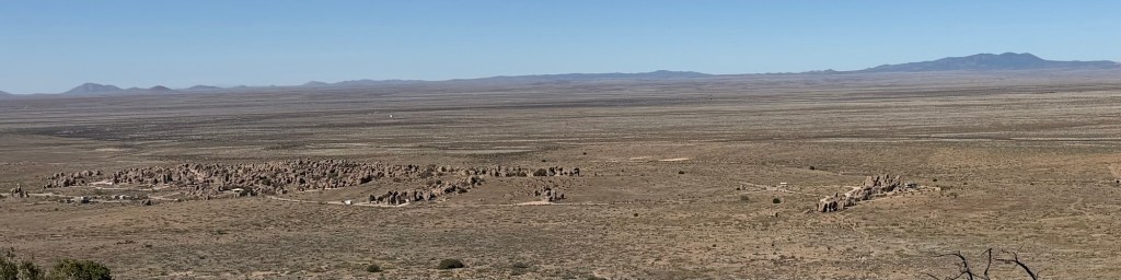
It does look like a city of rocks.
I zoomed in on the main campground. The campers in the serviced sites are lined up in the front just left of center.
A few more minutes…
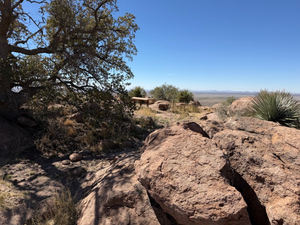
and I came to the bench at the summit.
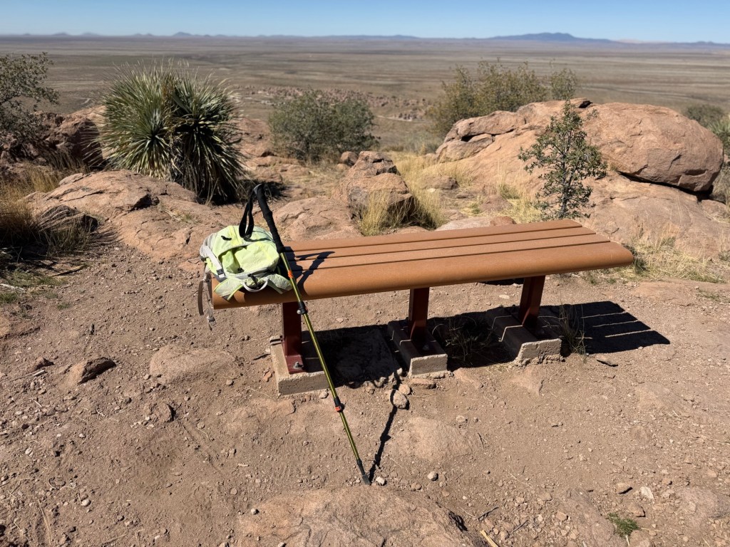
Time to look around.
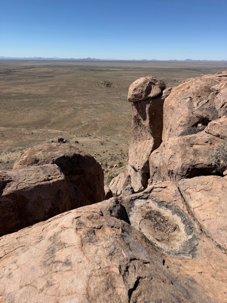
There’s quite a drop off here.
Down there is the shade structure at the observation point that you can drive to. Matey and I walked back from there last year. You can see another group of the volcanic rocks below it.
I took this rather long video to show the view and to show how very isolated this place is. That’s one of the reasons we like it.
There we are.
I drank half my remaining PowerAde and took off back down.
I was happy to see our campsites. I was out of drink and it was over 80.
That’s where I was and I’m glad I went up there.

Those are very impressive rocks!! Do you have ANY idea how far you could see when you were at the summit looking over the rock city toward the distant mountains?
LikeLike
No idea.
LikeLike
Reviewing the video, when I was looking south those mountains are probably around 40 miles away.
LikeLike
That’s an impressive distance!! From here across Lake Ontario to Toronto, which we can see on a clear day, is about 30 miles. So maybe from the top of the escarpment to Toronto might be almost 40 mi.
LikeLike