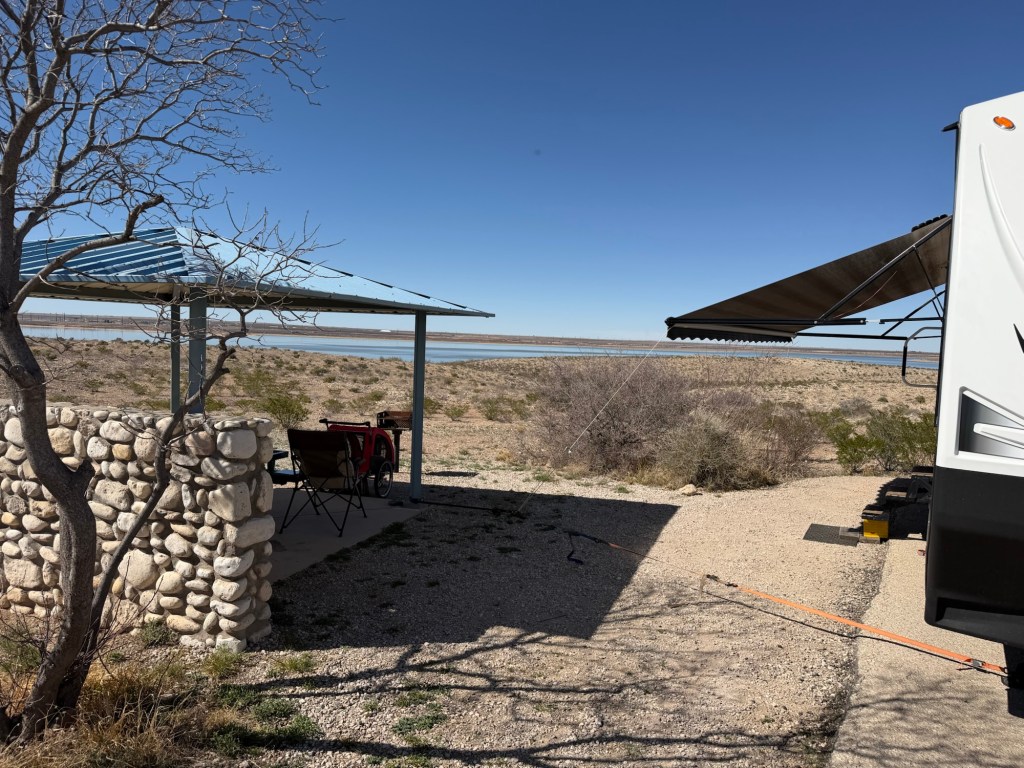
We left Texas yesterday and came to Brantley Lake State Park in New Mexico.
We also crossed into Mountain Daylight Time. So four days after we set our clocks forward an hour for daylight savings, we set them back for Mountain Time. This can all get a bit confusing.
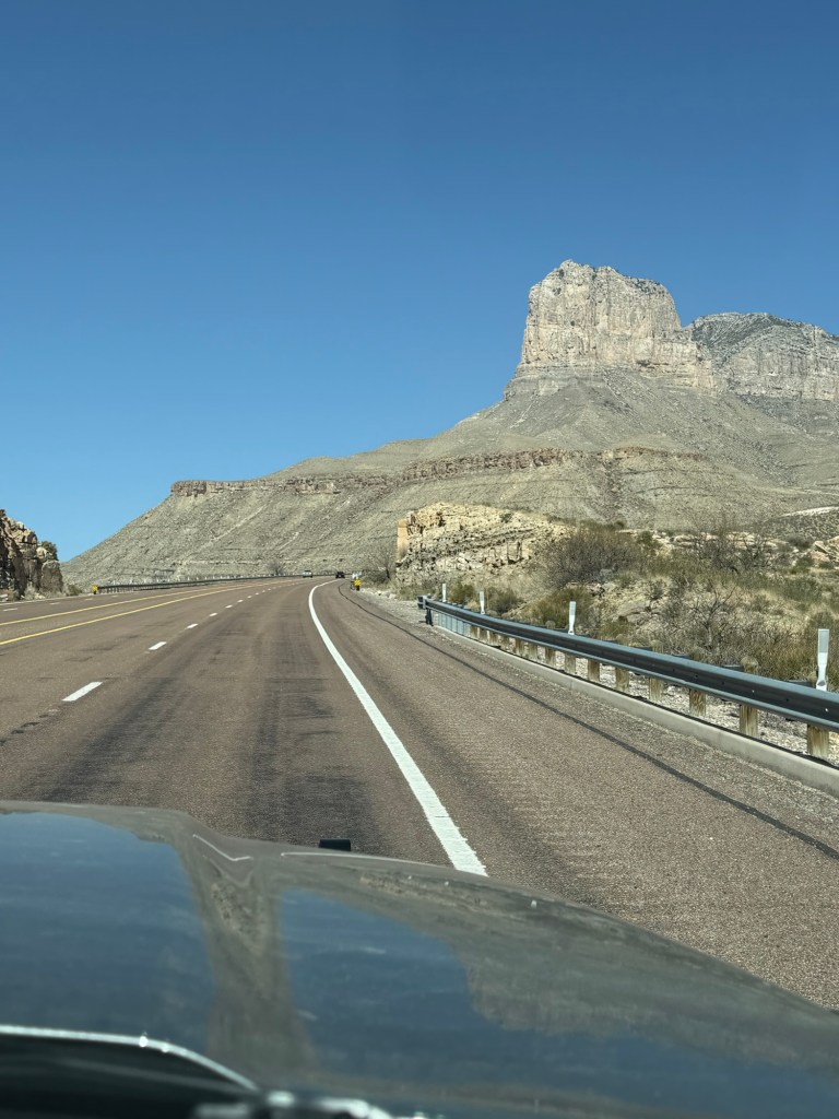
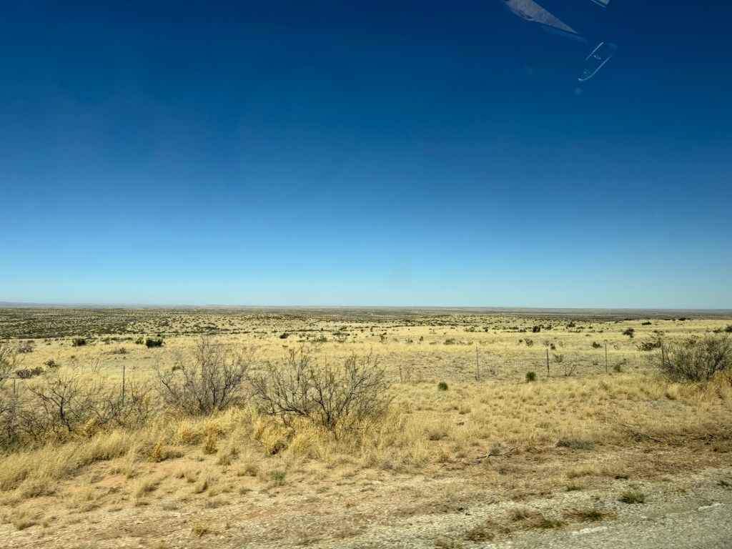
We drove here via Guadeloupe Mountains National Park where Jack stayed while we were at Balmorhea. That’s El Capitan that you see as you approach the park from the south. The park has only small, primitive sites, so we didn’t stay there.
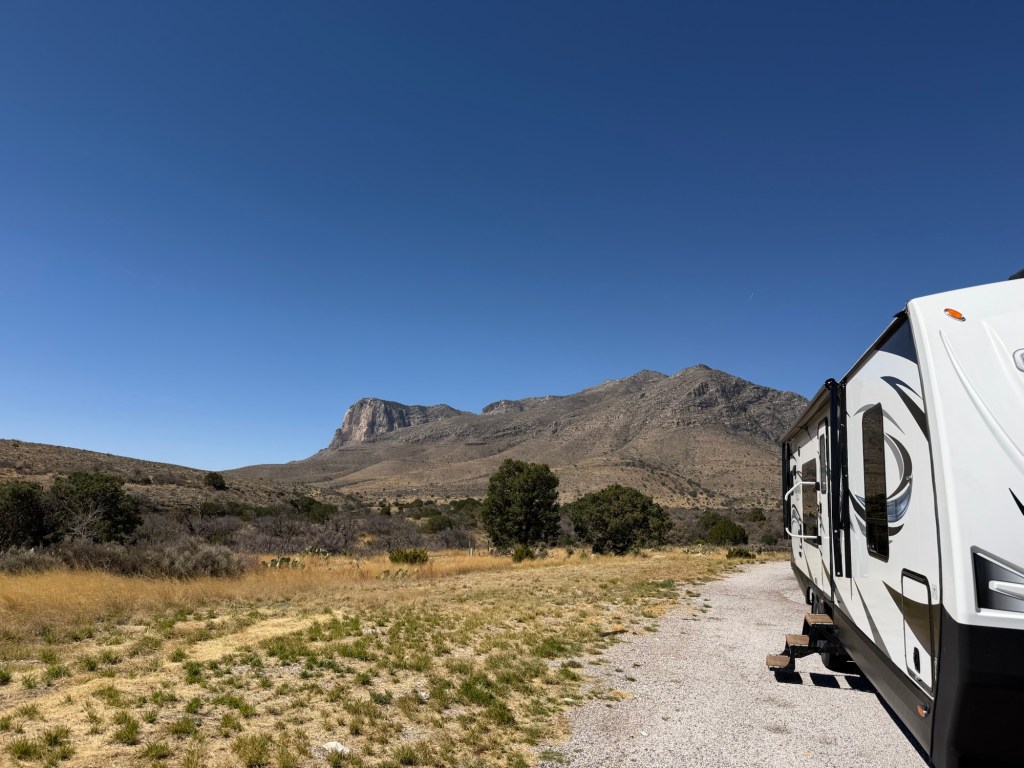
We had intended to park at the visitor center and take a short, paved trail that allows dogs. We had plenty of time as we were gaining an hour and New Mexico State Parks have a four o’clock check-in time. But we found that not only would we not fit in their campsites, their parking lot was all but full and we couldn’t fit there either. So we pulled off on a bit of a siding. Behind us you see El Capitan and to the right of it Guadeloupe Peak; at 8,750 feet it is the highest point in Texas. Jack climbed that for the second time on his visit. We just had a bite to eat and drove on.
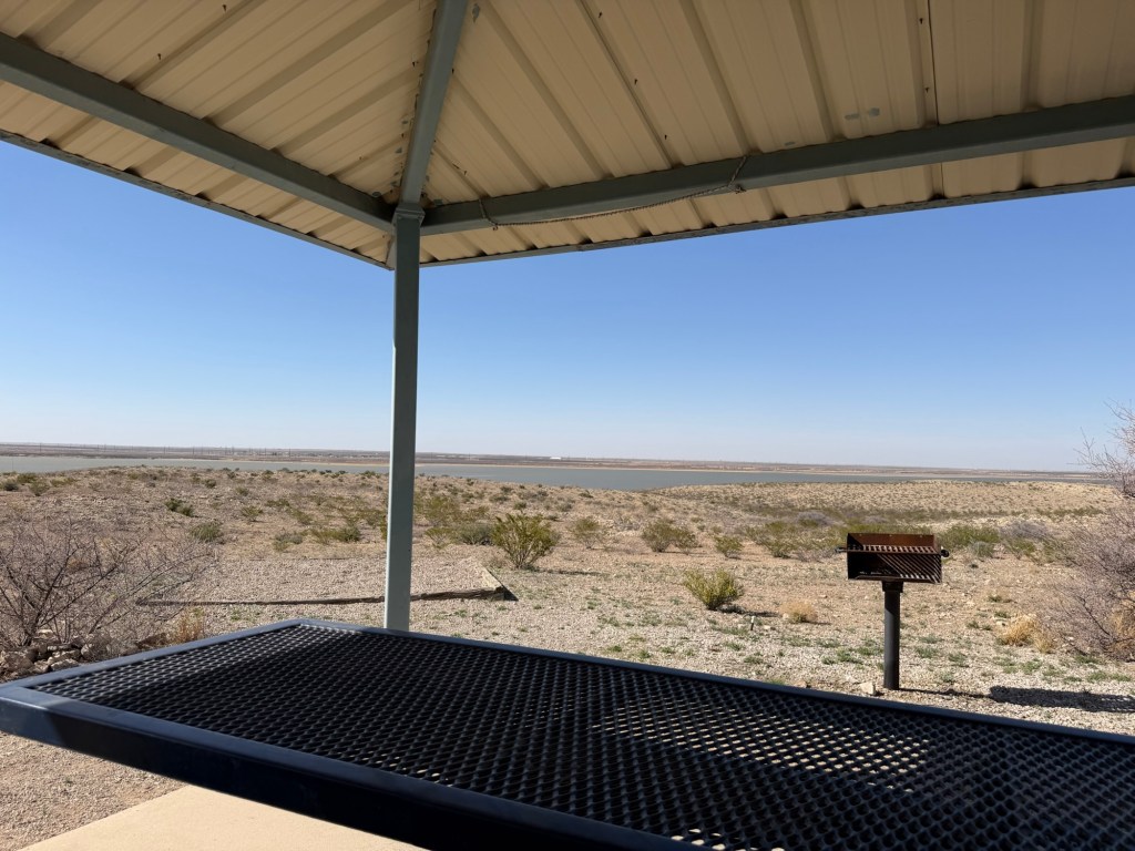
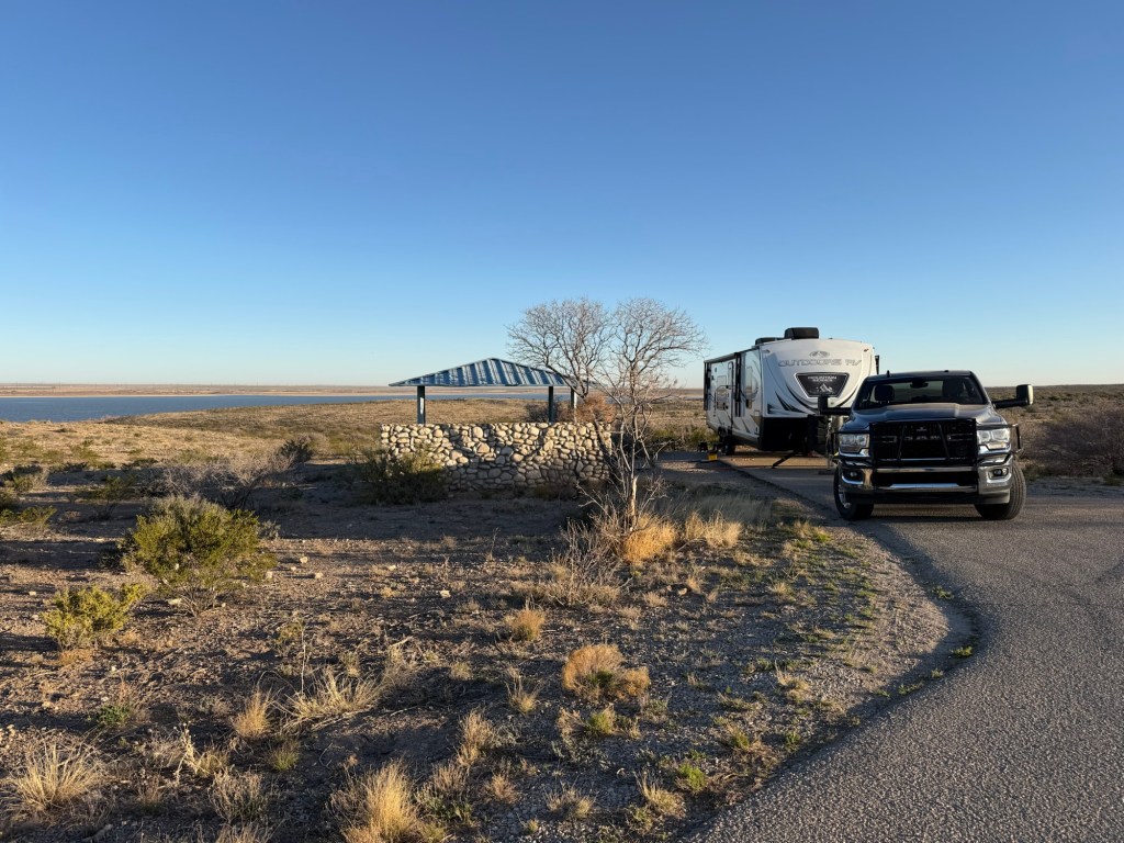
Happily, there was no one at the gate at Brantley Lake and no one at our site, so we came in early and set up. I spent some of the afternoon relaxing in the shade of our nice shelter.
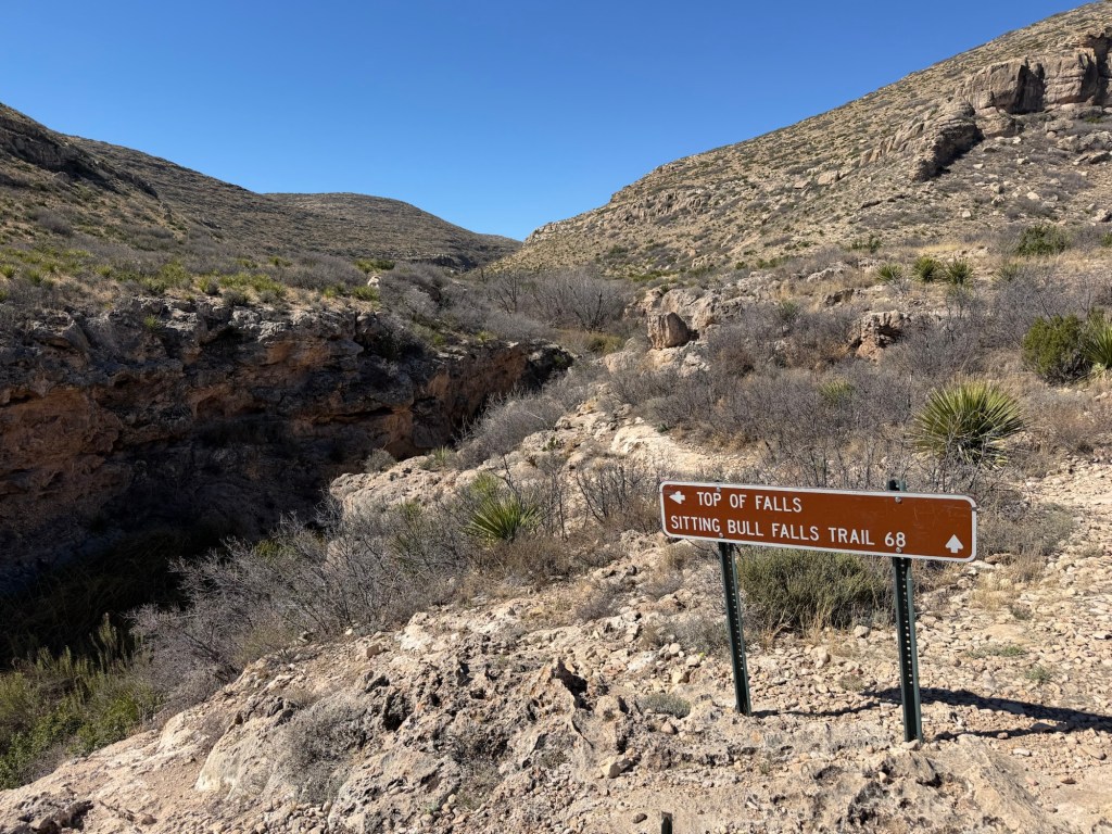
This morning Jack went with us to Sitting Bull Falls. This is a place he and Sharon found five years ago. It was about an hour’s drive down a secondary and then a tertiary road through miles of open desert.
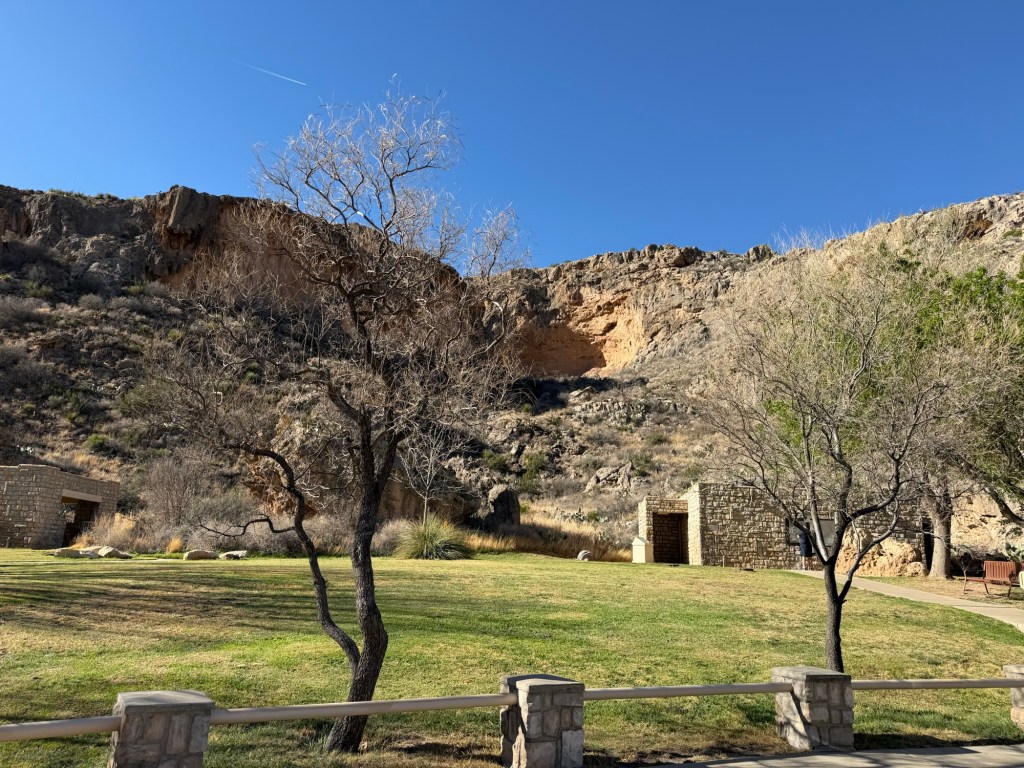
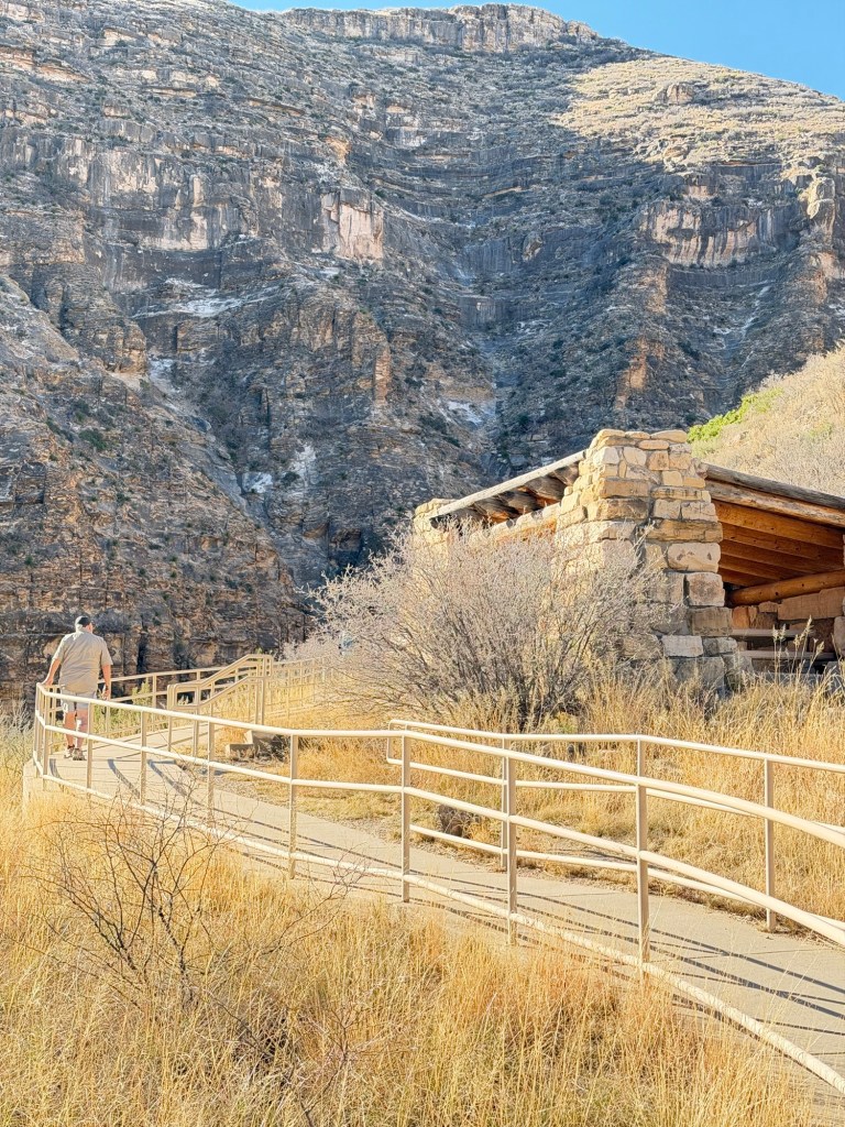
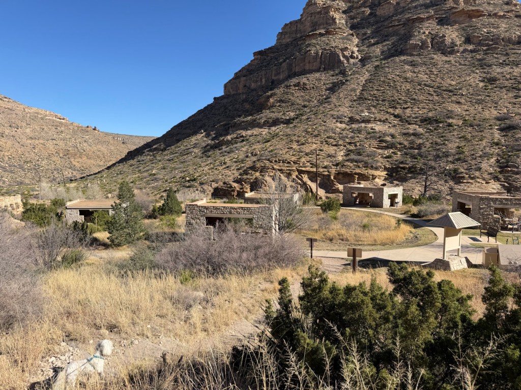
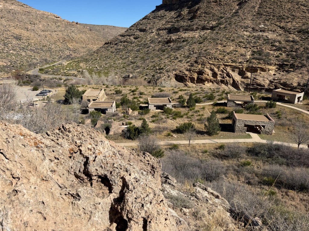
It was a bit surprising to find this nicely developed National Forest site at the end of the road.
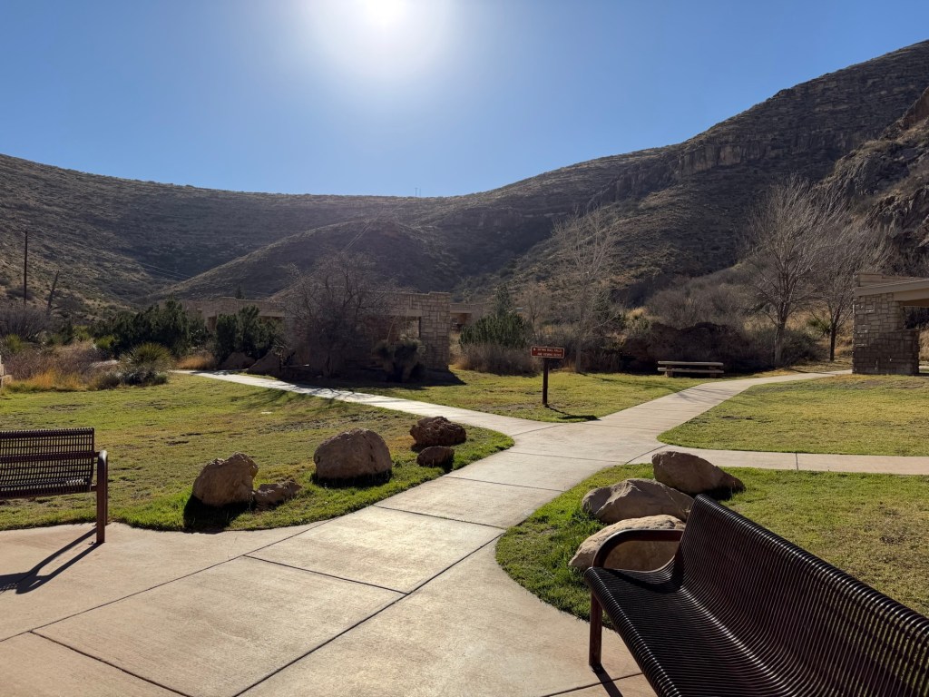
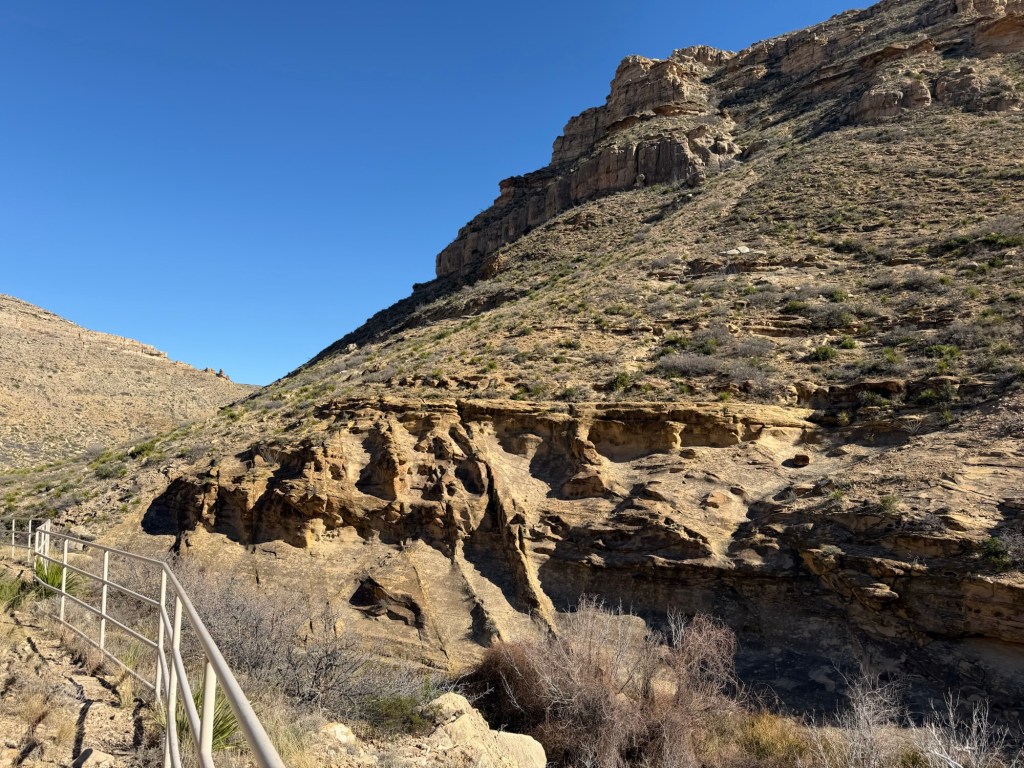
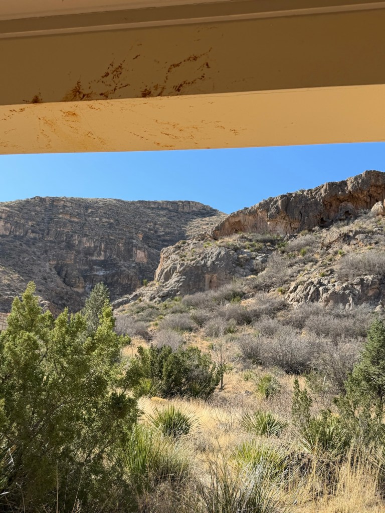
It was bright, but cool, when we set out up the short paved path to the falls.
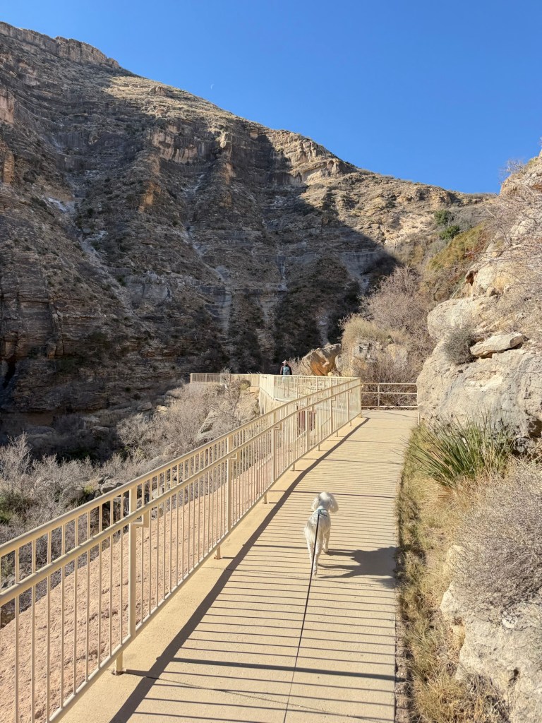
Matey got to come on this one.
We went past the last of the picnic shelters and arrived at a viewing platform,
where we could see the 150 foot spring fed waterfalls…
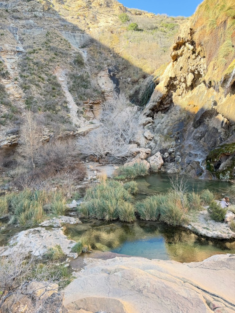
and the pools below.
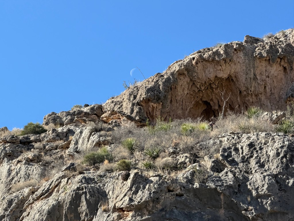
There was a rough trail to the top of the falls that ascended this ridge. I took this shot of the crescent moon…
while Jack
and Bud went up.
Matey and I walked around the shelters,
I took a photo looking downstream,
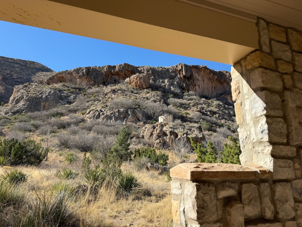
and then we waited in one of the nice, stone shelters.

There were pretty pleasant views all around.
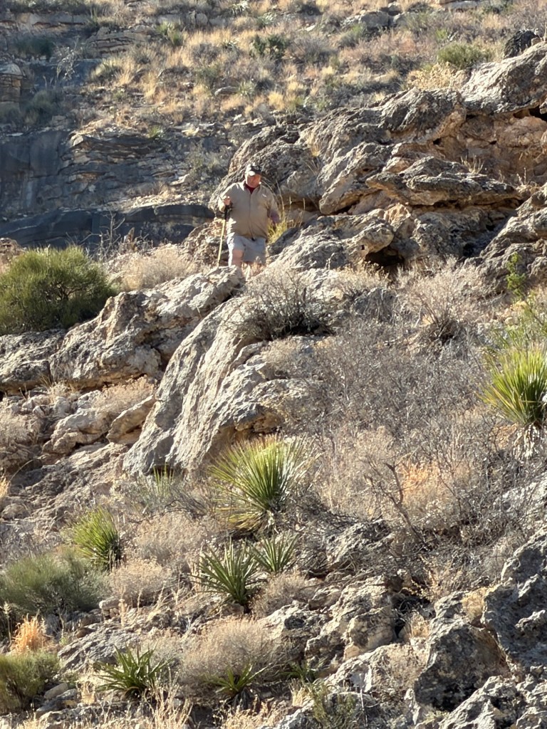
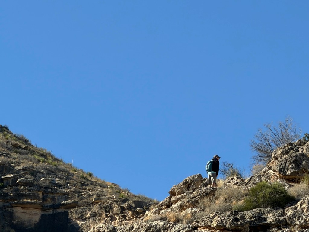
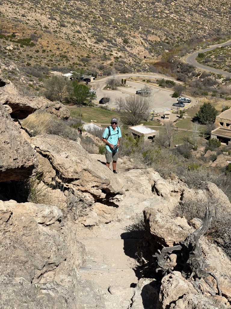
Eventually I saw Bud headed down,
and I was relieved as it was…
a long way up.
Then Bud stayed with Matey and it was my turn.
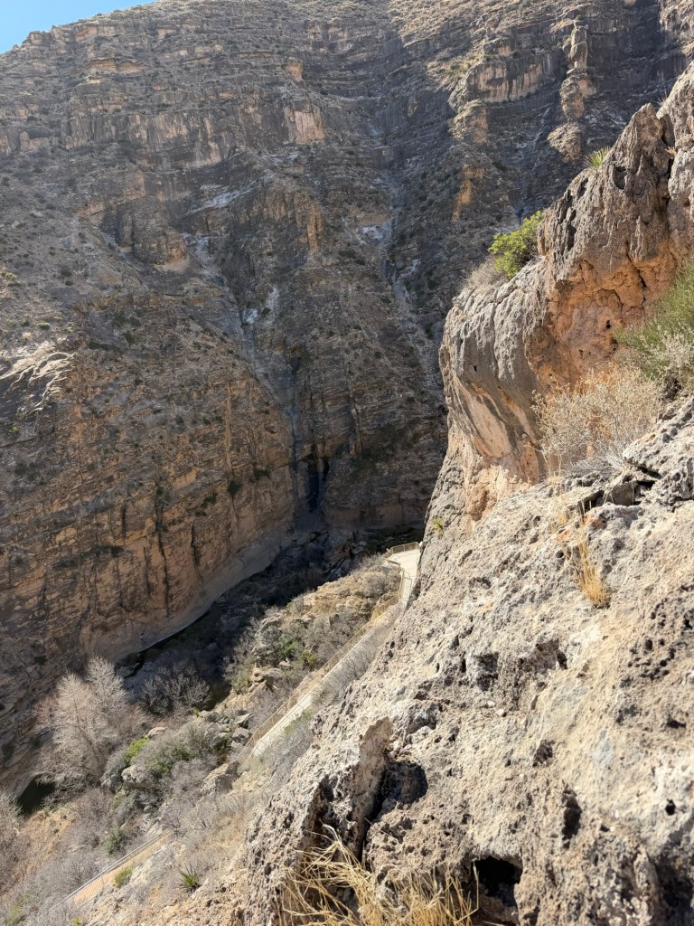
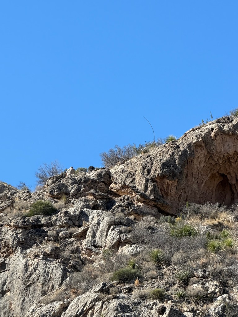
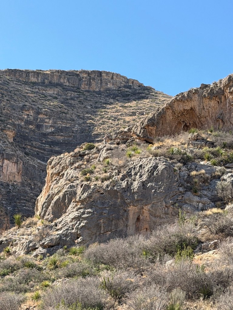
At one point I could see the viewing platform, but not the falls.
There is one place on the trail where you could just see the brink of the falls,
but you were not allowed to walk out there.
Instead the trail took you above the falls,
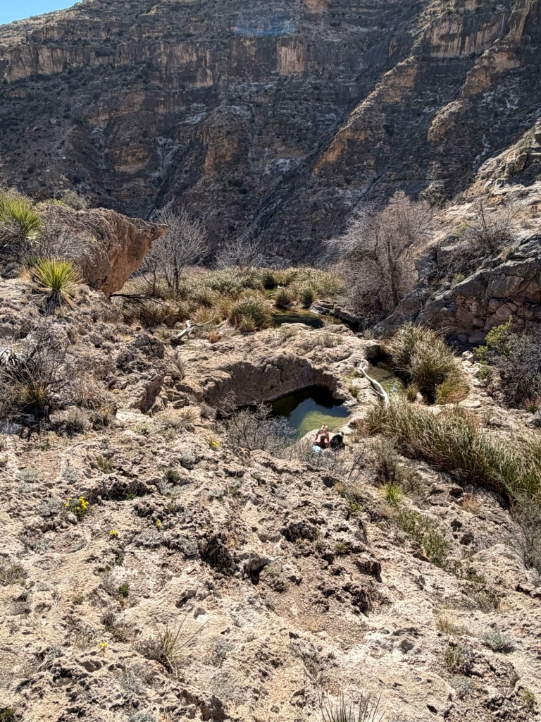
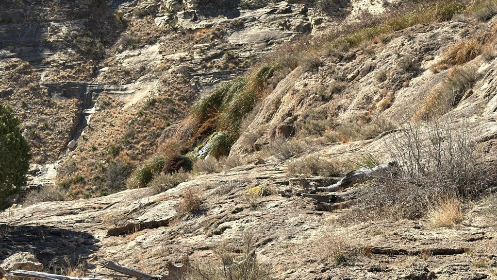
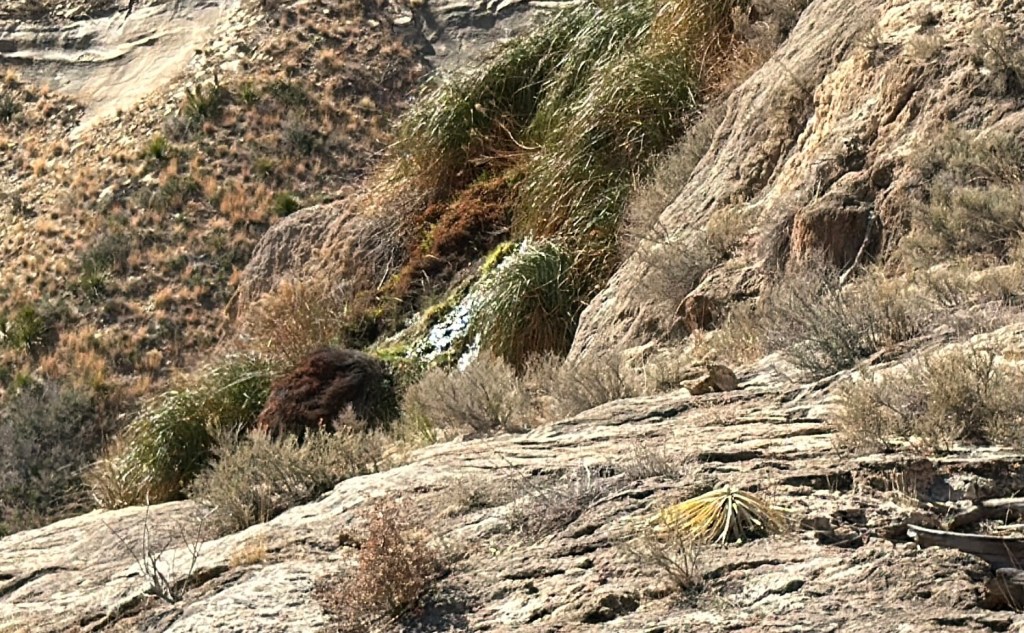
where you could look down on the pools the spring makes before the falls. The water runs over in the grassy area in the middle of the photo, but you wouldn’t want to walk there. As you can see, people do go in the pools.
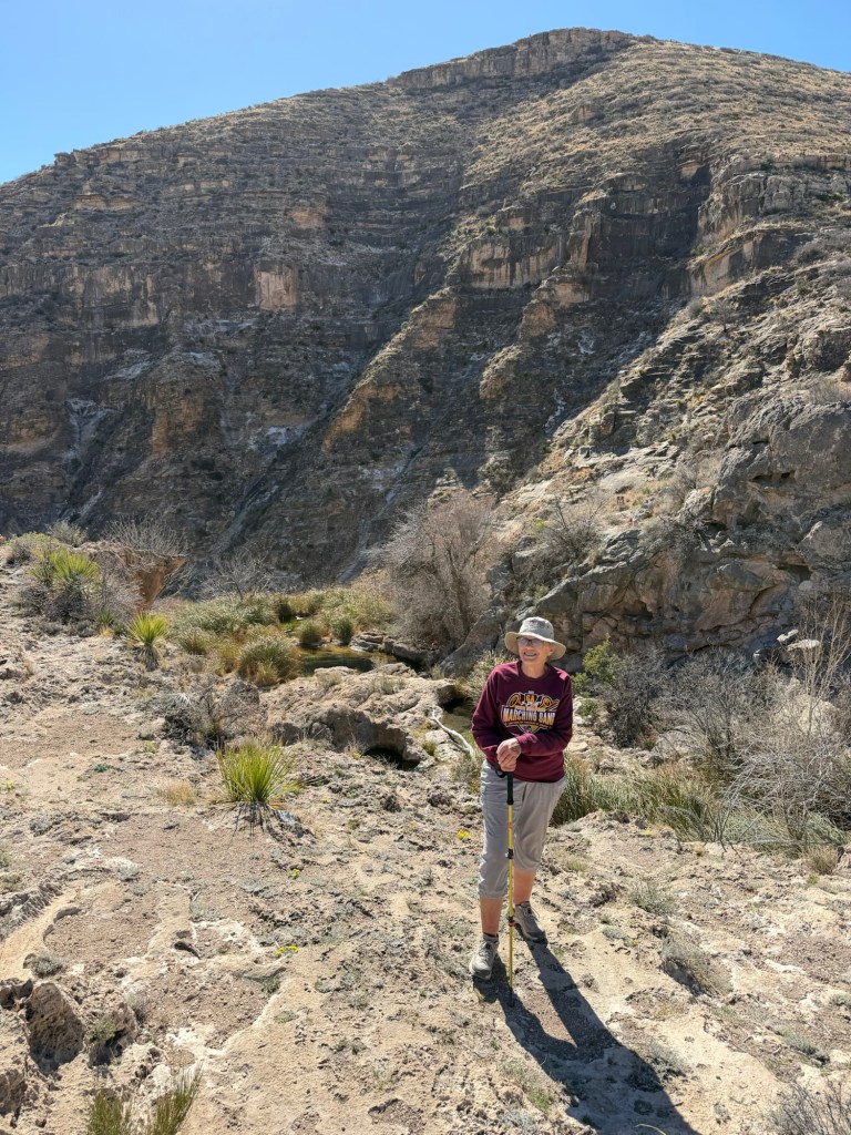
Jack was waiting at the top and he took this picture.
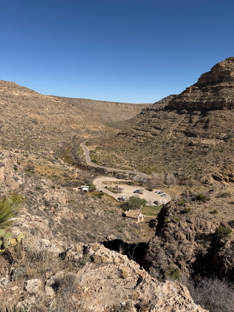
He also showed me a path where we could walk over and look down into the parking lot and the road in.
It had warmed up by the time we hiked back down…
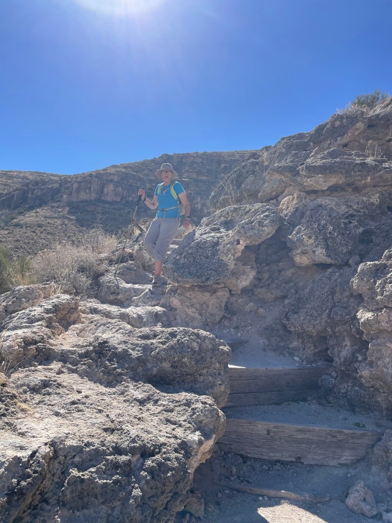
and we were now in shirt sleeves.
This afternoon Matey and I are content to just rest in the shade. It’s about 87 with a breeze. We’ll do more exploring when it cools.

From your first couple of pictures, I thought this was going to be a big, basically flat, expanse of an area. Boy, was I wrong! Pretty!! I didn’t notice the falls in any of the pictures. Was it there somewhere?
LikeLike
It only really shows in the video, and unless you click “Read on Blog” the videos don’t show up.
LikeLike
OK, I saw it! I’ll try to remember to “read on blog” all the time in the future.
LikeLiked by 1 person