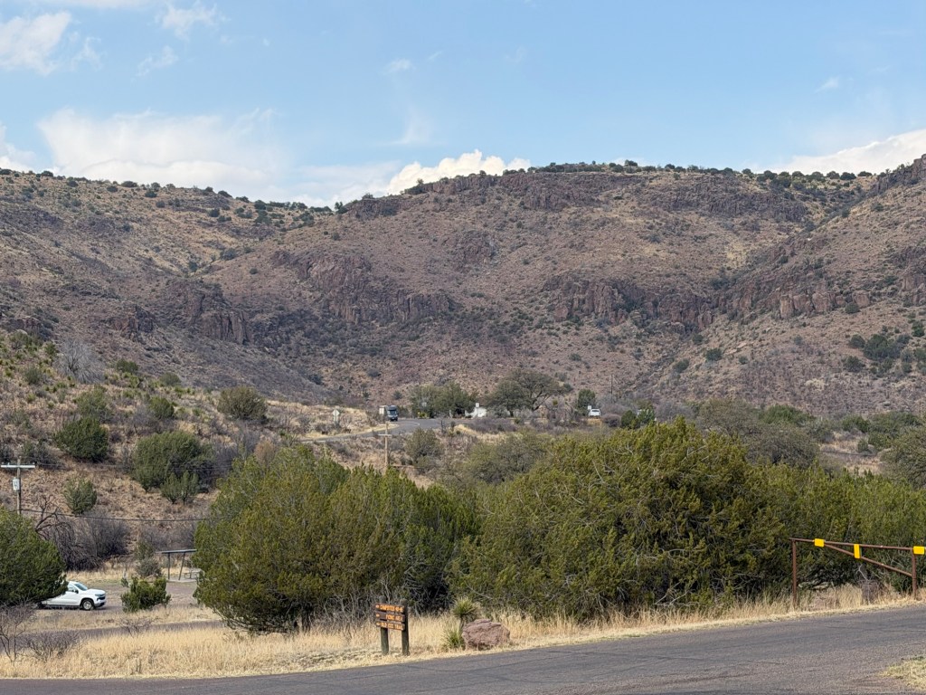
Yesterday Jack wanted to hike on the other side of the highway in the Limpia Creek Primitive Area.
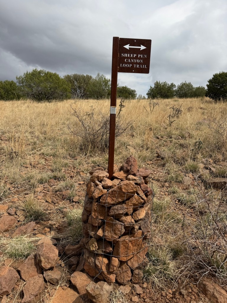
I wanted to go up to the overlook there, at the highest point in the park. Jack said he also wanted to do the Sheep Pen Canyon Loop. It’s a bit over four miles one way just up to the overlook. I wasn’t sure I wanted to add the additional four miles to do the rest of the loop. Jack suggested I see how I felt once I got to the overlook, so that was the plan.
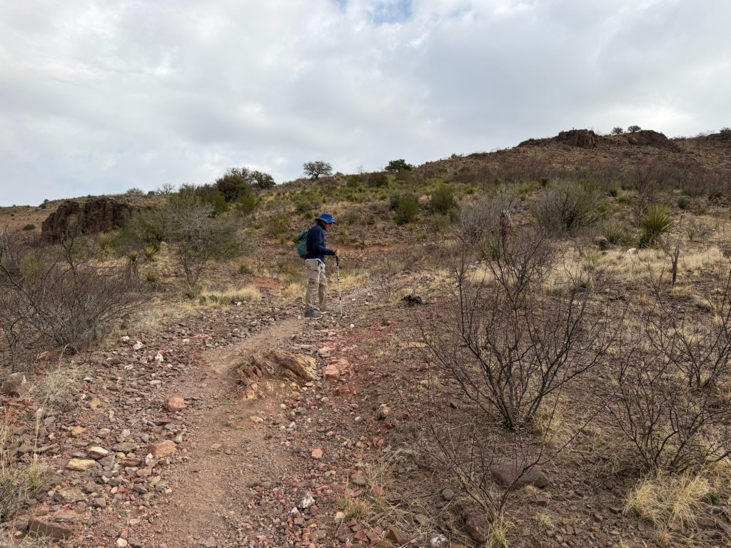
None of this was a particularly strenuous hike, just some long gradual uphills.
But we did gain some height fairly quickly.
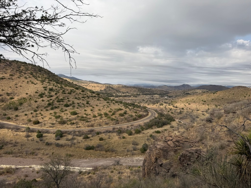
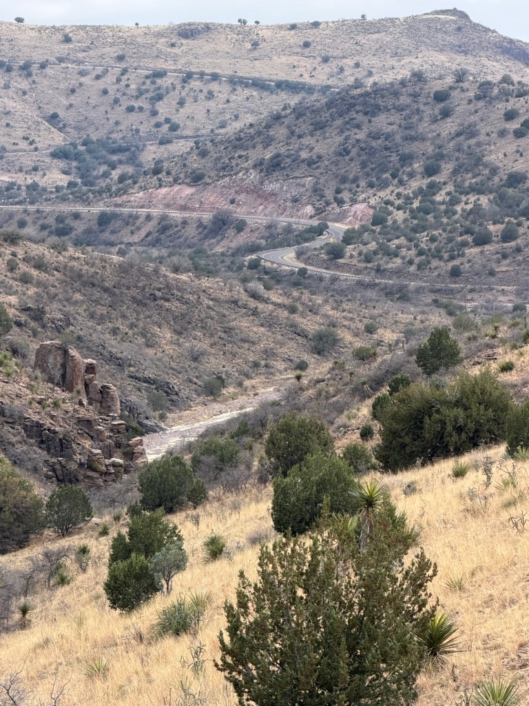
We could soon see Texas Route 118 as it winds further into the Davis Mountains.
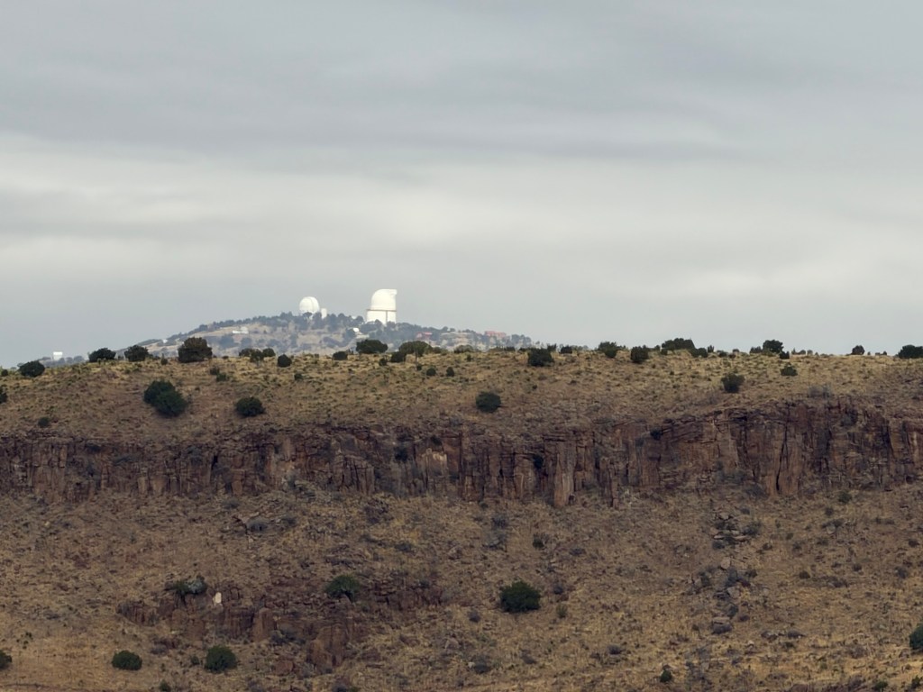
We then saw the McDonald Observatory, about eight miles away as the crow flies.
We cut back to the east along the top of the hills across 118 from the campground.
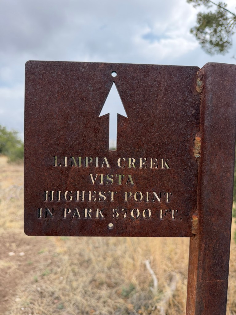
It didn’t seem to take long to reach the 0.3 mile spur trail to the vista.
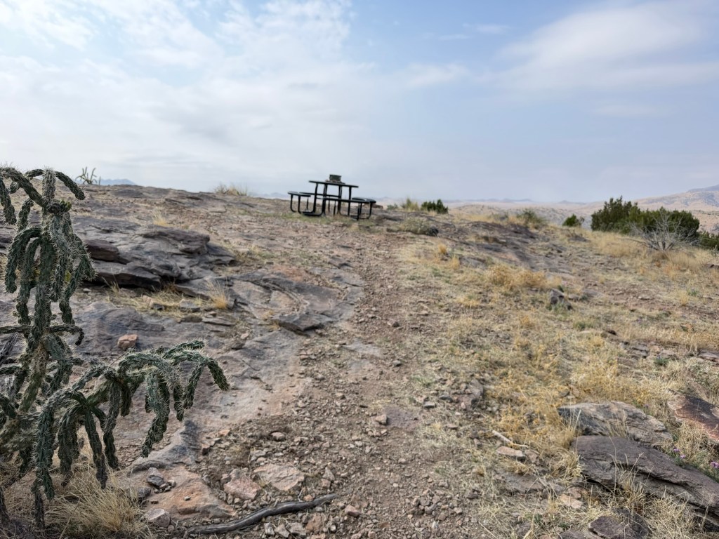
I was pretty surprised to see a picnic table up there.
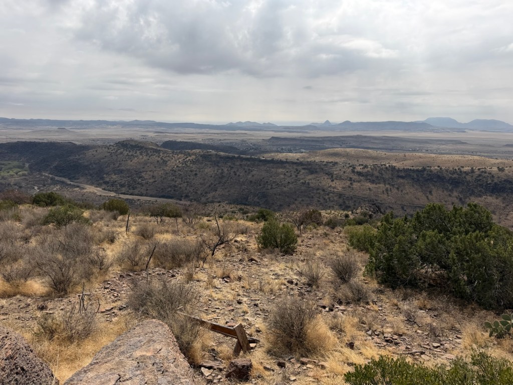
Looking east and a bit south you could see over the town. The historic fort is tucked behind the ridge.
Looking south and a bit west you can see the developed side of the park.
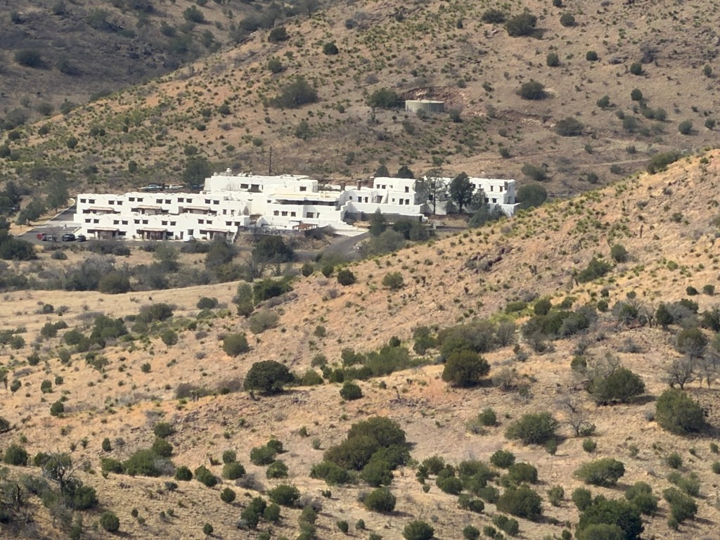
At the end of the park road is the beautiful white adobe Indian Lodge, built by the CCC.
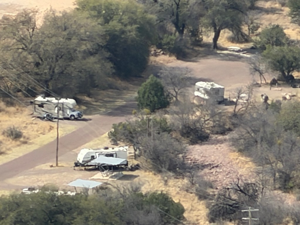
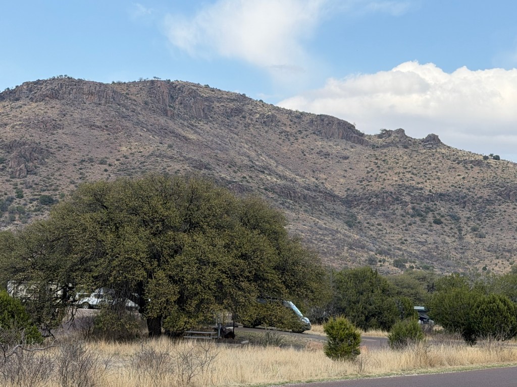
I managed to find our campground loop, but our trailer is the one almost obscured by trees at the bottom of the photo.
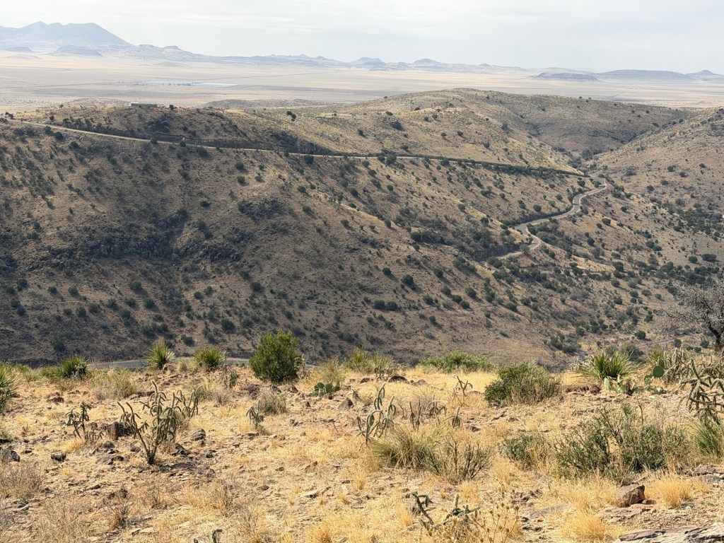
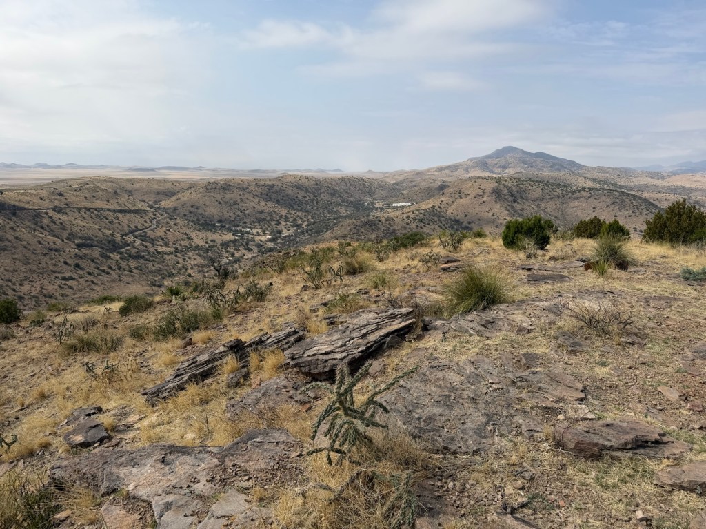
This is the Skyline Drive, probably the most known feature of the park.

There’s a lookout along Skyline Drive now closed for repair. That is the highest point I had been in past visits. Now I was looking down at it.
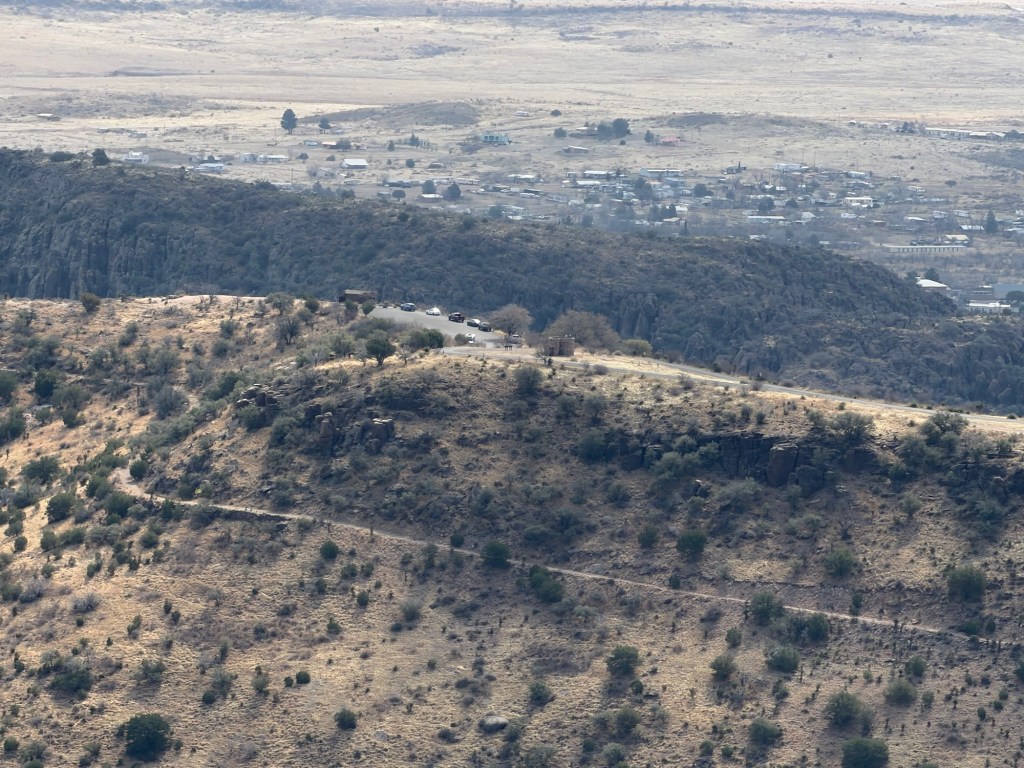
I could also see the lookout at the end of Skyline Drive, and could see over it to part of the town of Fort Davis beyond.
Once we were done gazing around, Jack and I sat at the table and had our lunch.
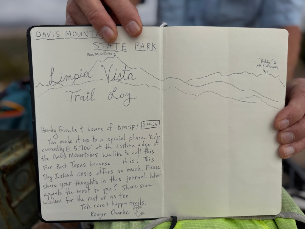
There was an ammo box (water tight) on the table with a log book in it.
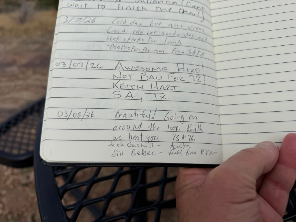
So I signed it, and did a little bragging.
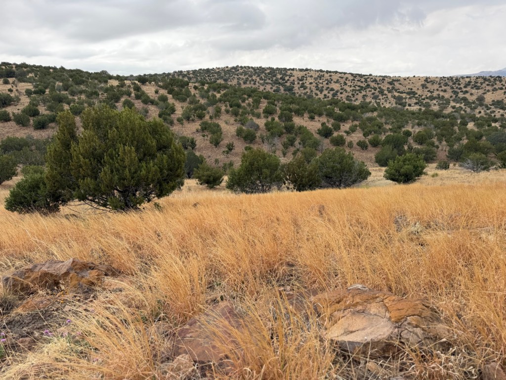
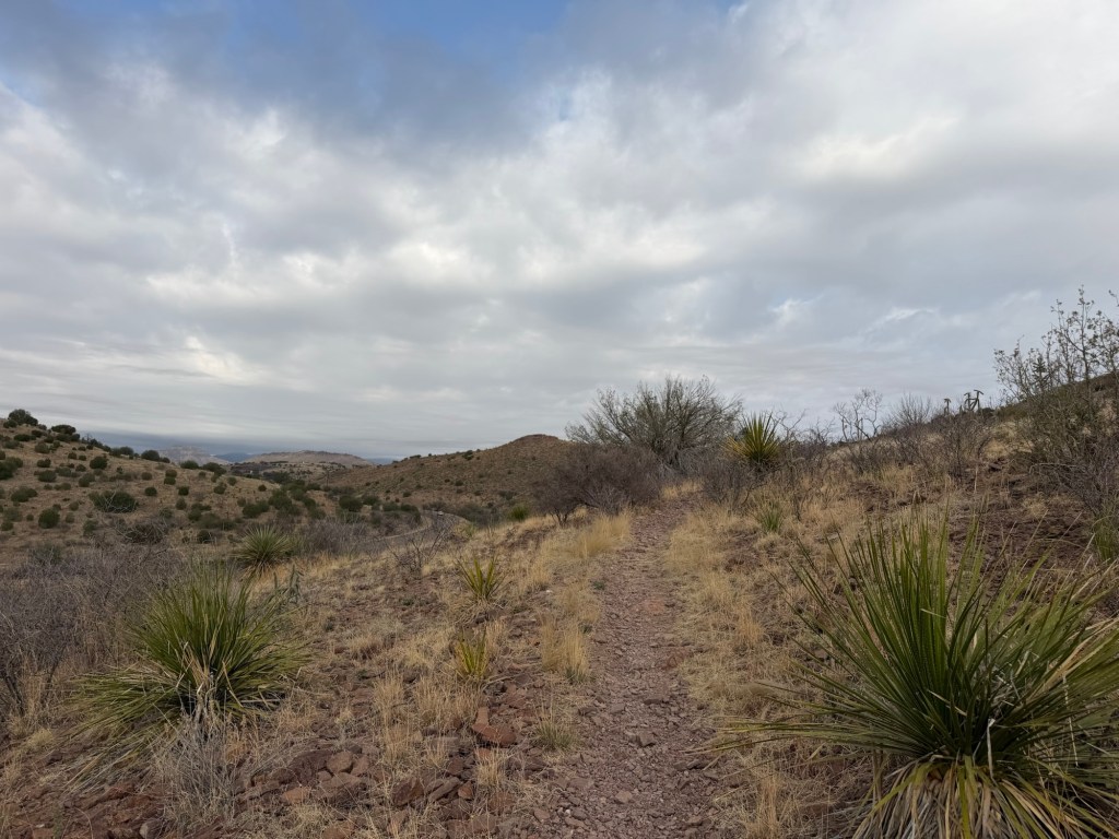
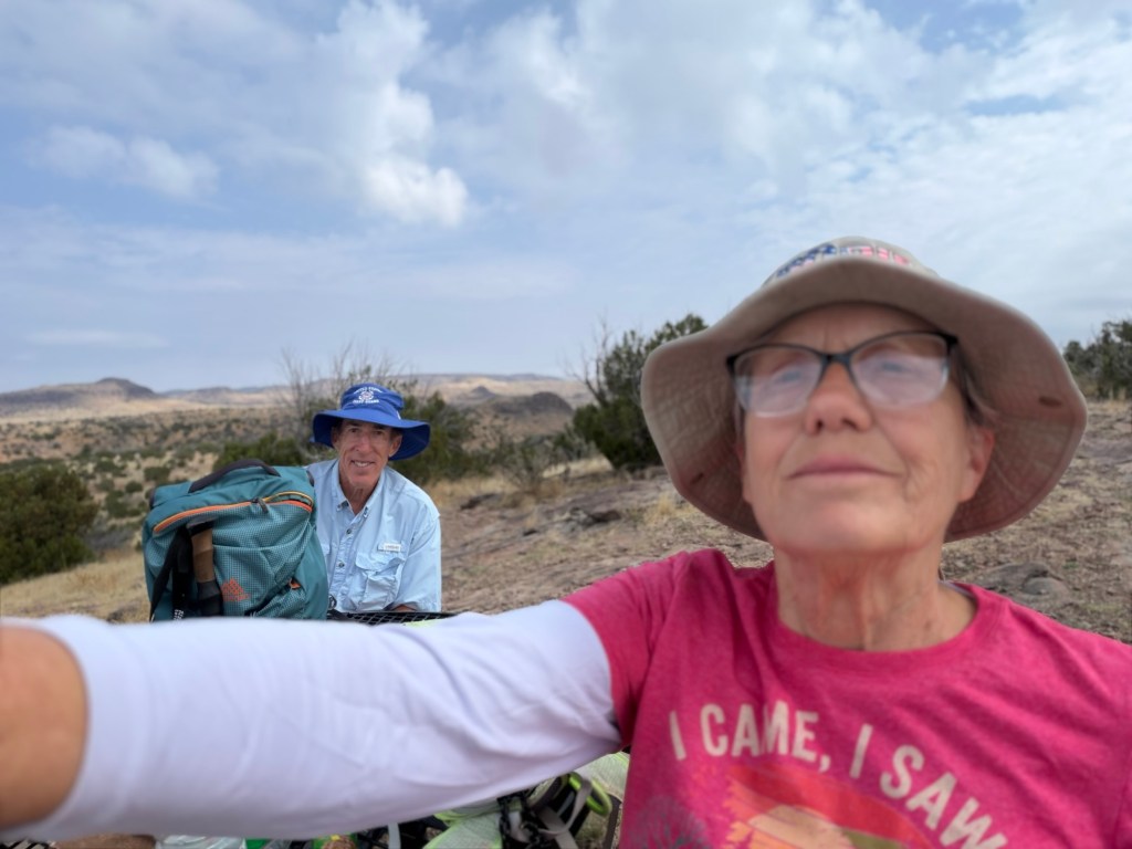
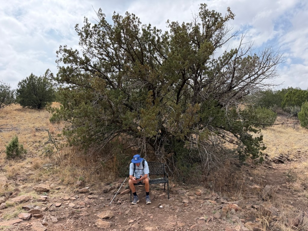
At this point I was feeling pretty good and so I decided to go on around the loop with Jack. It was, as he claimed, pleasant rolling terrain.
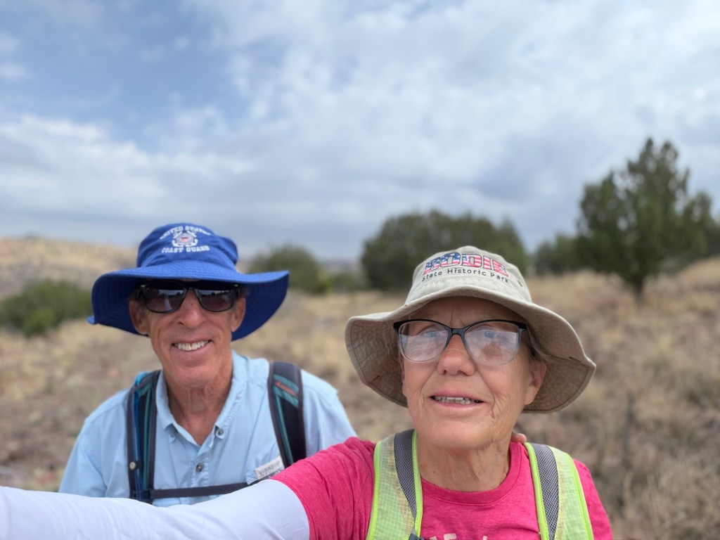
I took this photo to commemorate surpassing my six and a half mile hike with Jack.
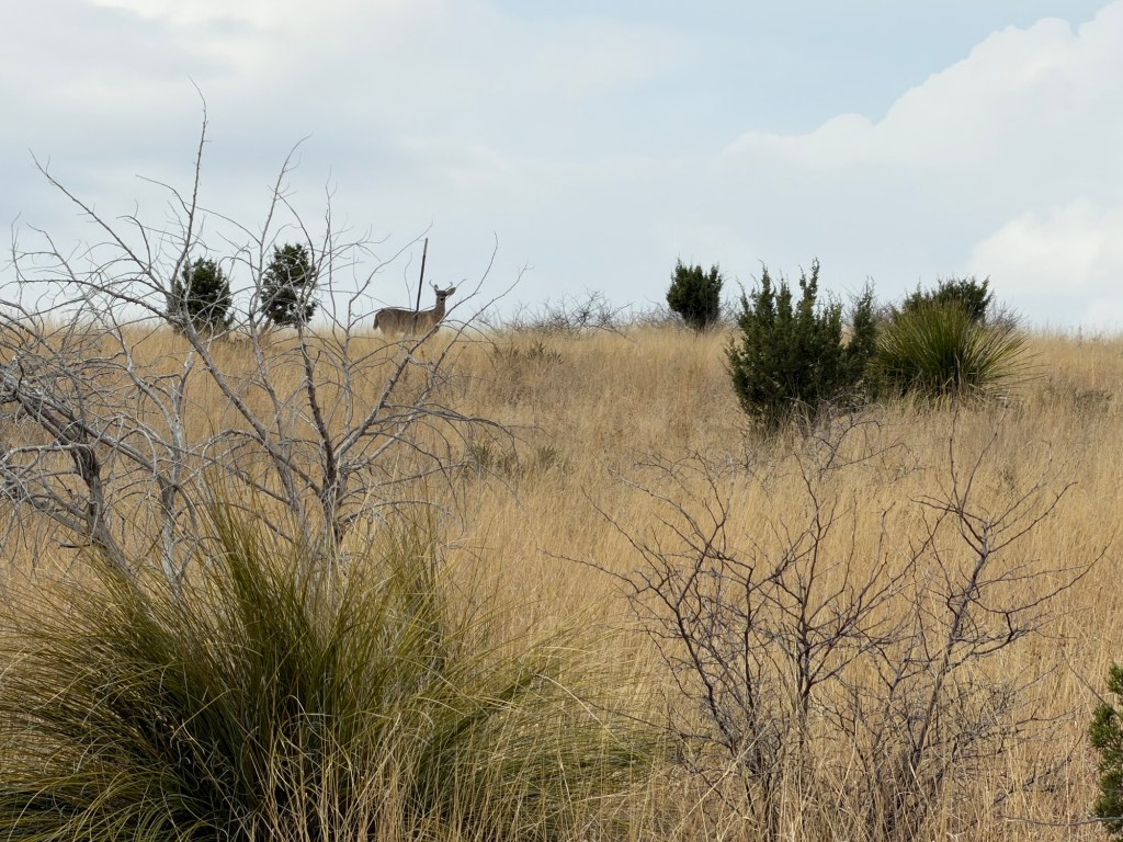
I saw one deer (Jack saw a second). Two women we met coming off the hike said they saw bighorn sheep (probably the aoudads that live here), but we didn’t see them.
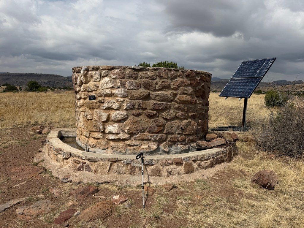
On the far side of the loop was this water tank and trough. The solar panel runs the pump and the water level in both the tank and trough is controlled by floats.
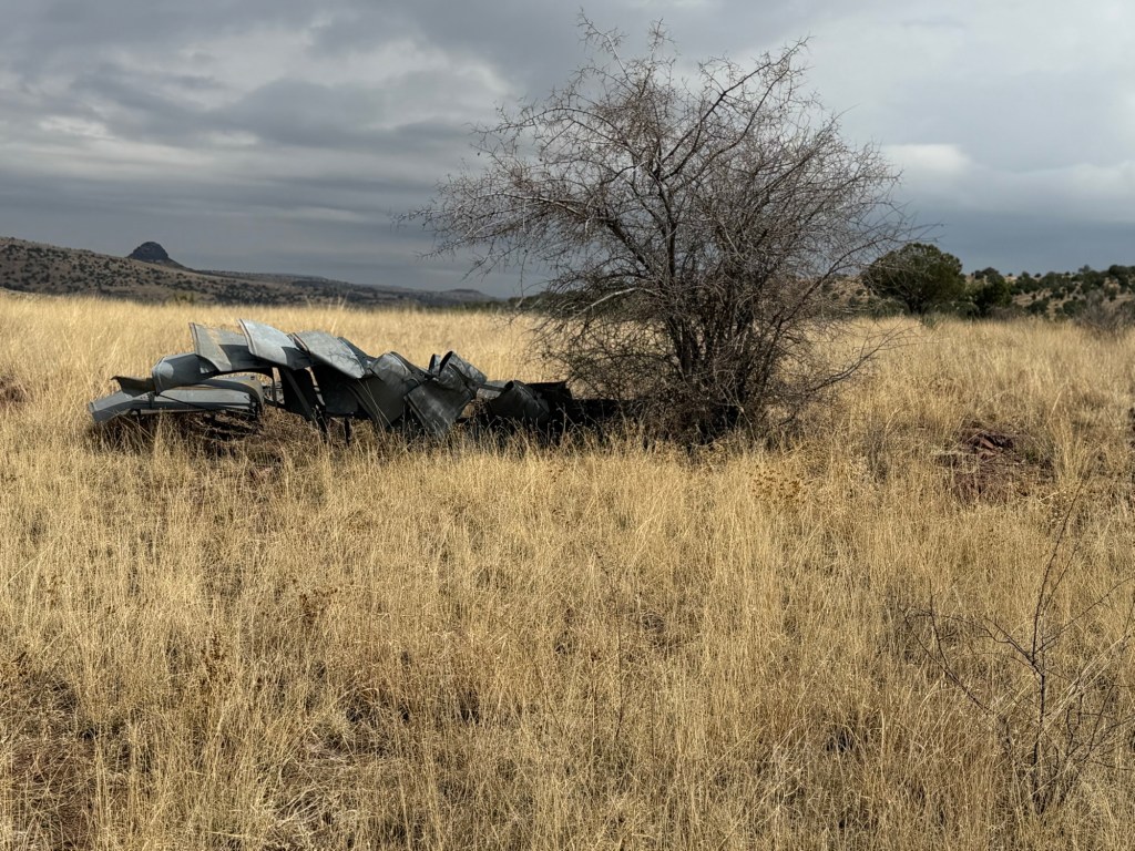
The tank used to have a windmill,
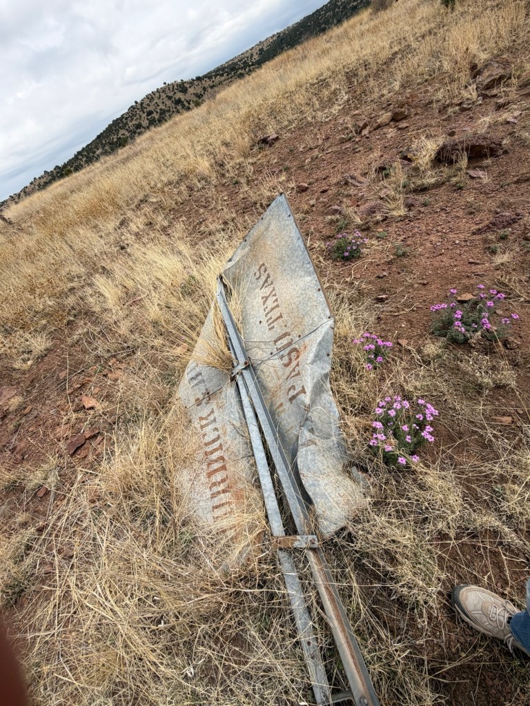
but that was fallen.
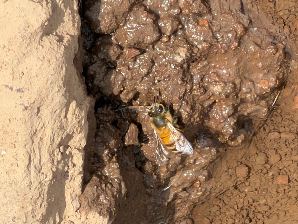
There was a seep out of the end of the trough and the insects were coming there for water.
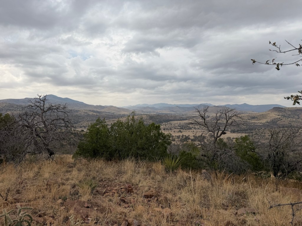
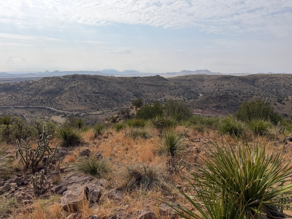
A few more vistas,
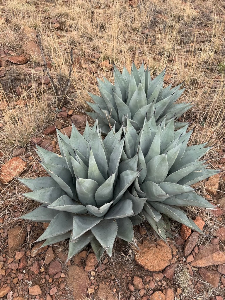
lots of desert plants,
and we completed the loop.
Jack checked his messages (no cell service down in the park) before we tackled the return trip on the 2.4 mile trail up to the loop.
It seemed a bit steeper coming down, probably because I was more tired.
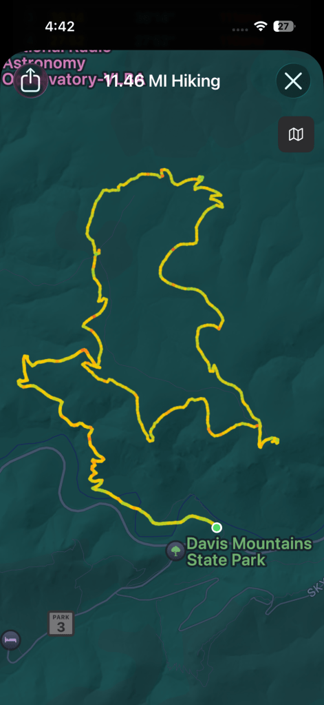
But I did it, 11.46 miles; a record for me at least since my retirement. And I have now walked every trail in Davis Mountains State Park.

VERY IMPRESSIVE – both the vistas and the distance you walked!! How long did 11.46 mi take you? Someone said “You never know how much you can do unless you try to do more than you can possibly do.” So, this may be your best for only a while! : ~ ) I like the little purple flowers by the fallen windmill and the agave, too!
LikeLike
It took 5 hours and 49 minutes, so we weren’t setting any speed records. However the total elevation gain was 1,179 feet.
I think those little purple flowers are Vervain.
LikeLike
Well that means you averaged about 2 mph. On that terrain, I’d say that’s very good. And since 1/2 of the time you were heading back downhill, you were climbing almost 200 ft per mile. That’s impressive, too!
LikeLike