We have an App on my iPad called OnX, that gives off road trails all across the country. We have the filter set to full width roads for the Ram. I had found a long series of roads in the area called the Texas Hill Country Tour. This morning we decided to drive a section of it. We drove 35 miles to get to the nearest section.
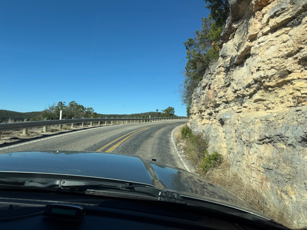
Just getting to the trail was pretty.
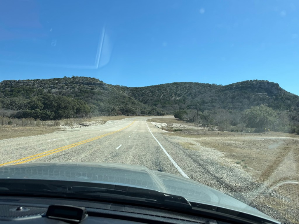
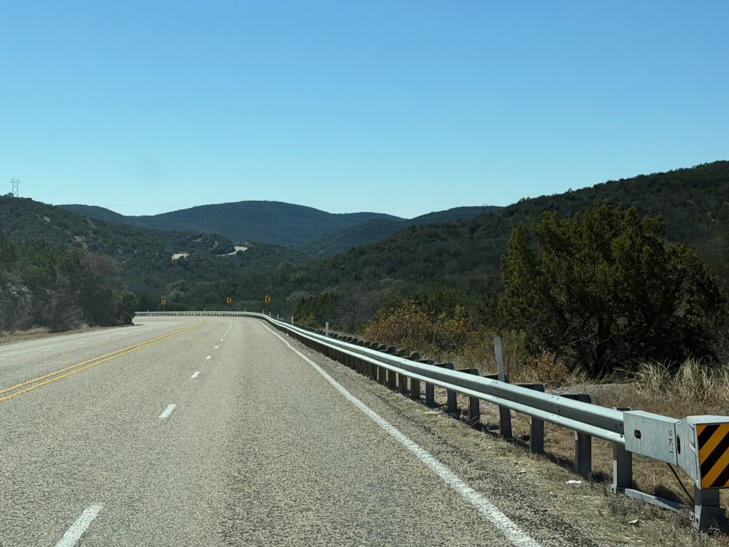
This is one of those bridges built to flood. This is on a four lane section of Texas Highway 55 we took coming home from our drive.
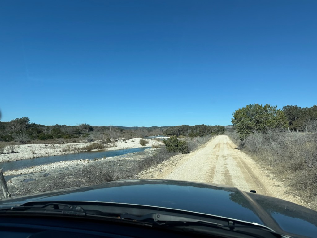
The first part of the trail we took was along Cedar Creek.
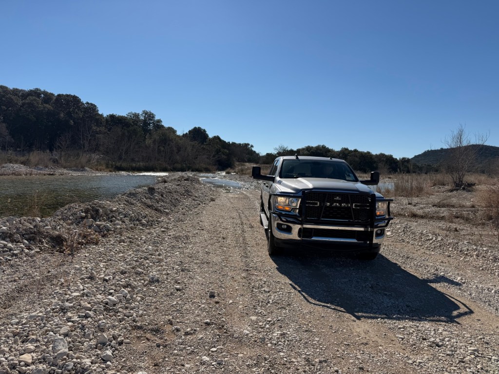
These were county roads, this one crossed the creek several times. Some were low water crossings, like this.
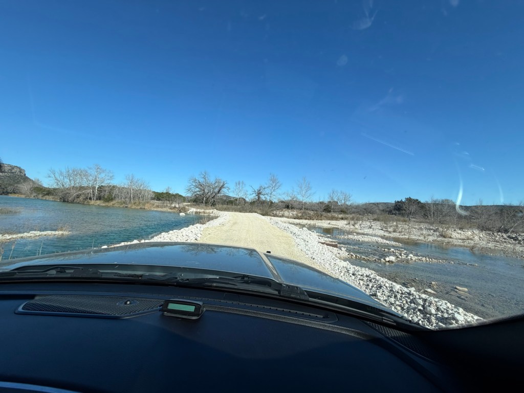
Some were on gravel causeways with culverts.
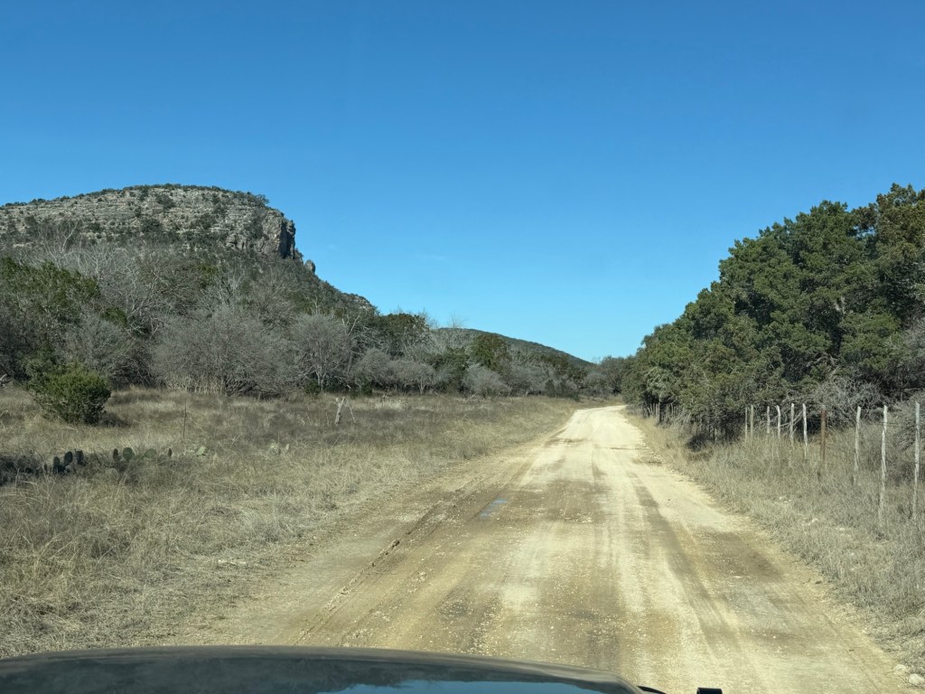
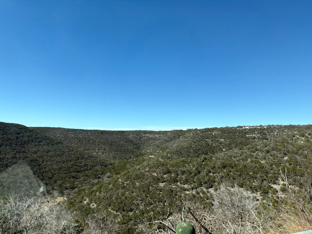
Along the creek were the hillsides carved over millennia.
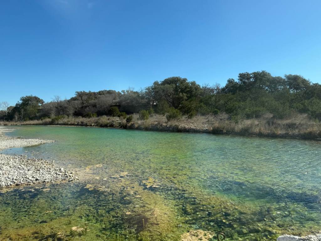
The water was clear and bright blue in the sunshine.
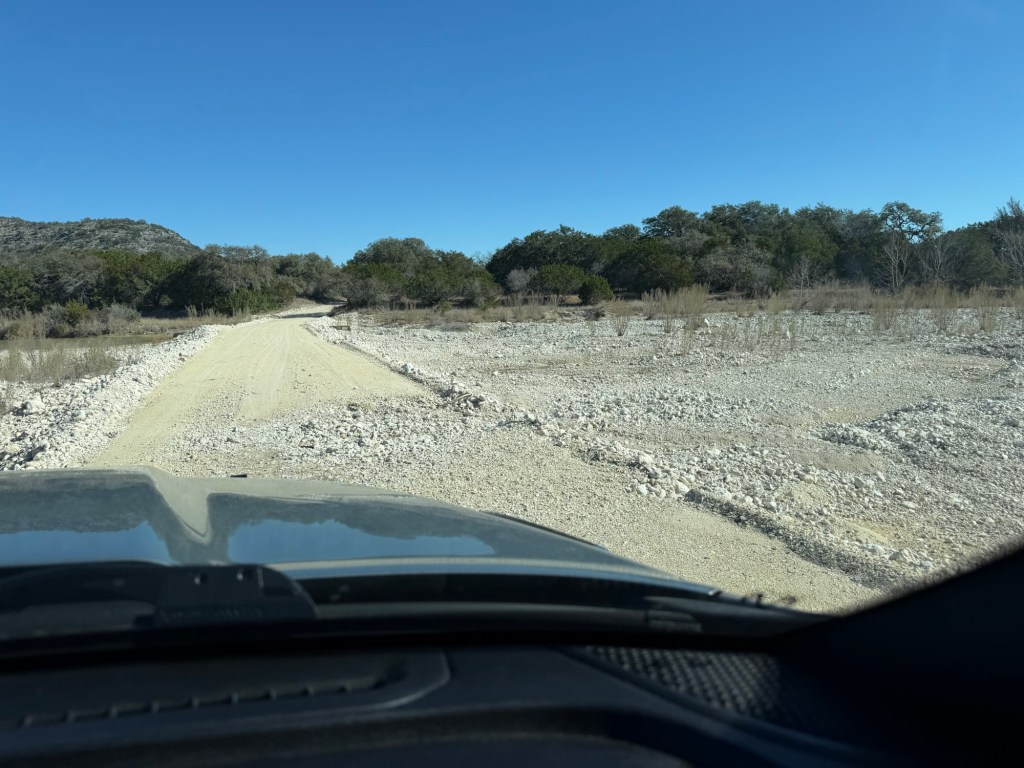
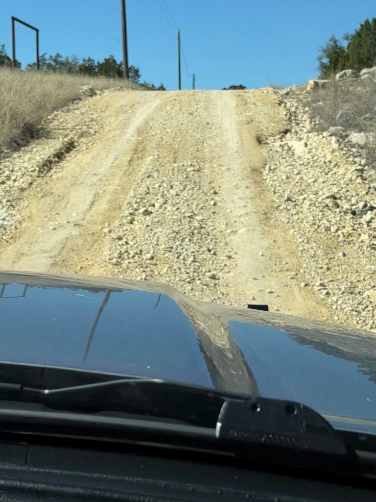
You could see the road had been recently graded, but still there were places where it was washed out.
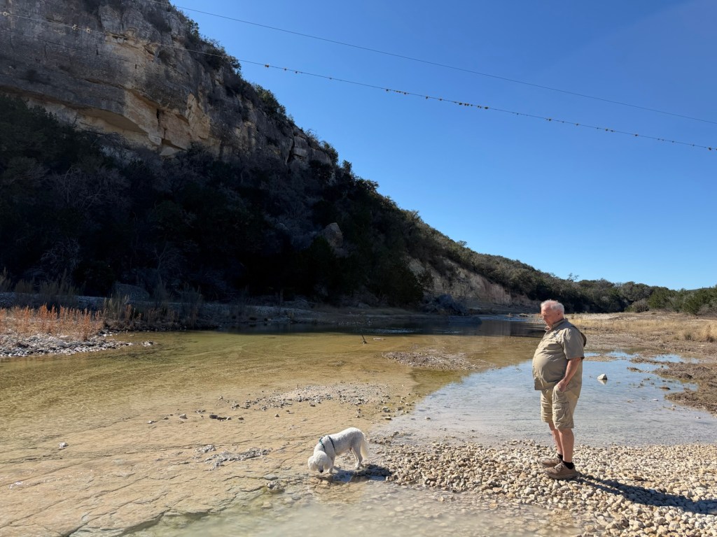
At the last crossing we stopped to let Matey get a drink.
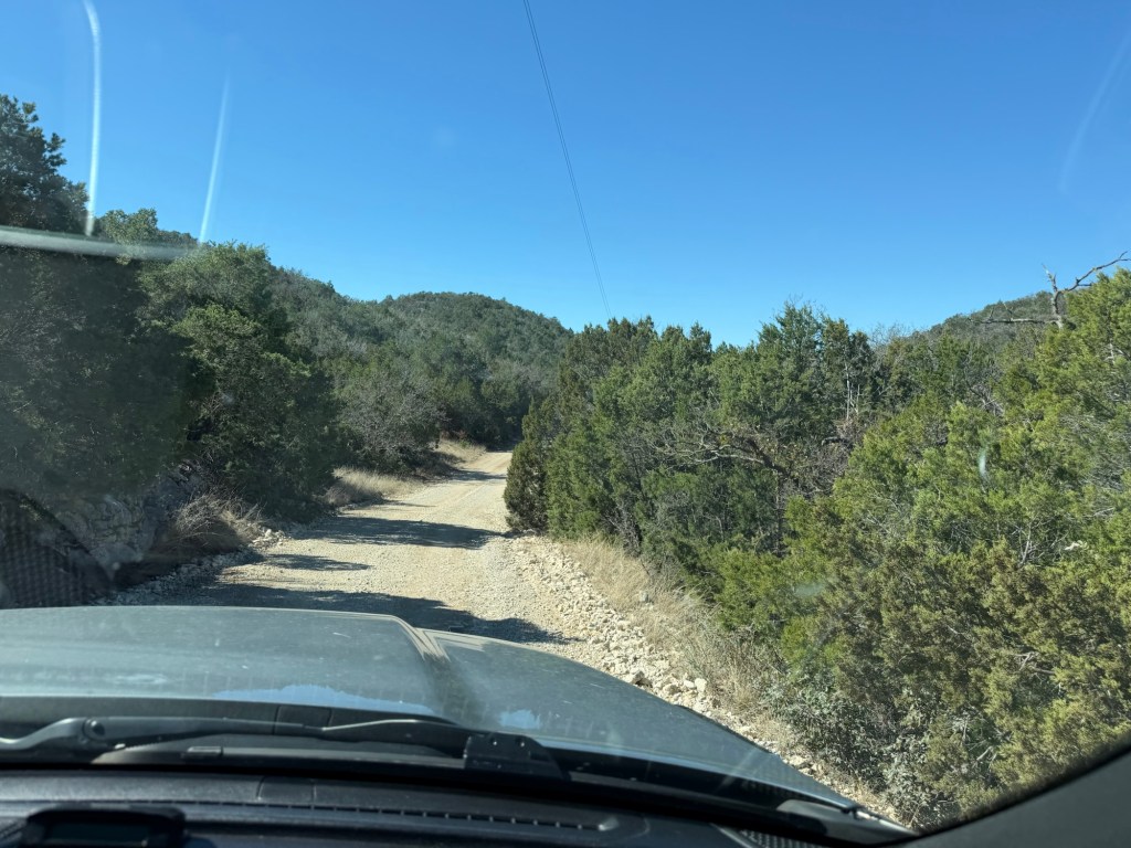
The road headed uphill, following a smaller creek that was dry now.
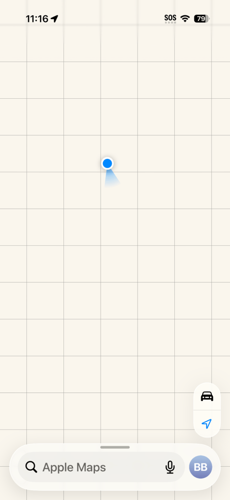
We were in back country and my phone navigation was blank.
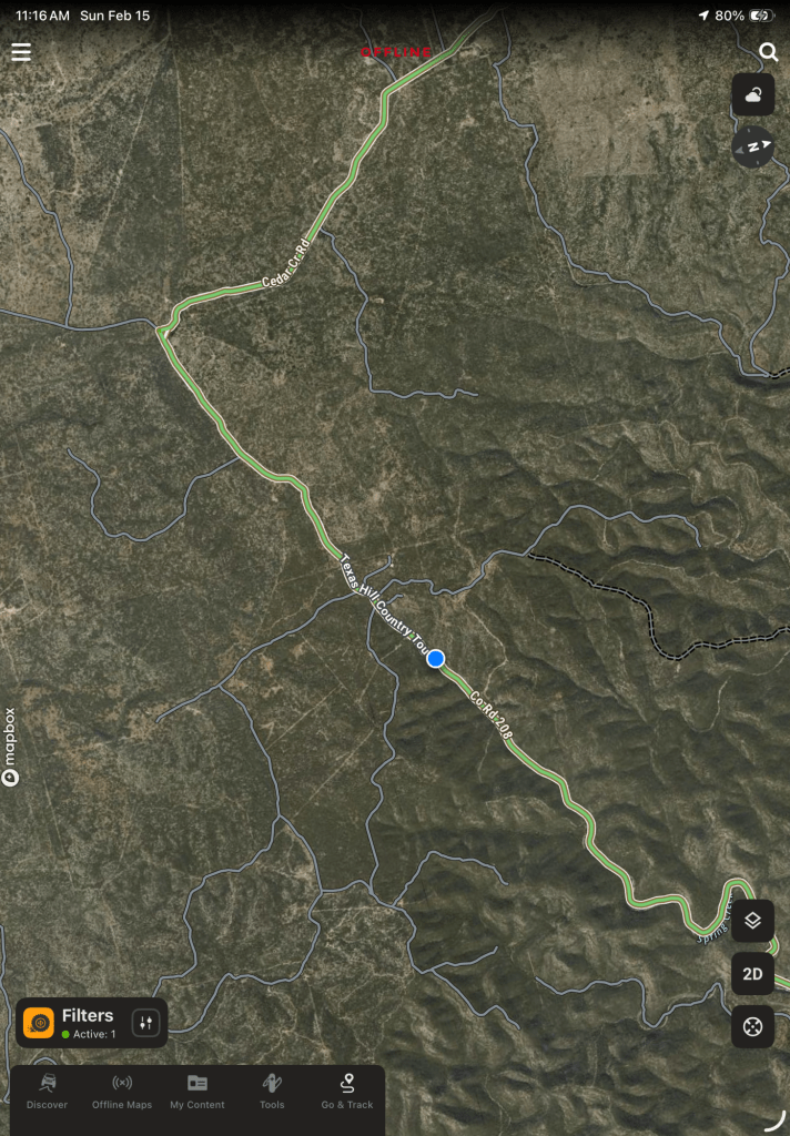
But I had downloaded the OnX map, so the GPS showed our little blue dot following the Texas Hill Country Tour.
Now we were coming up onto the hilltops.
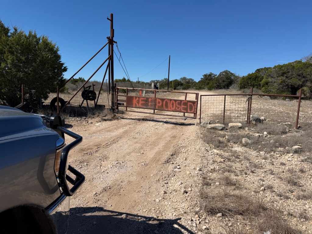
This is the first of many of these gates we drove through. Two pickups had just passed through going the opposite way. They simply drove slowly into the gate and let their brush guard push the gate open. We have a brush guard, but ours has never hit anything larger than a bird and Bud didn’t want to scratch it up, so I got out and opened each gate.
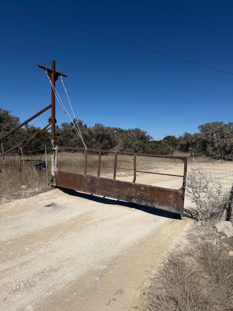
They are really heavy. Two cables come from a cross beam above them. The gate is fastened around the pole and there is a lot of grease so the gate can swivel and slide on the pole.
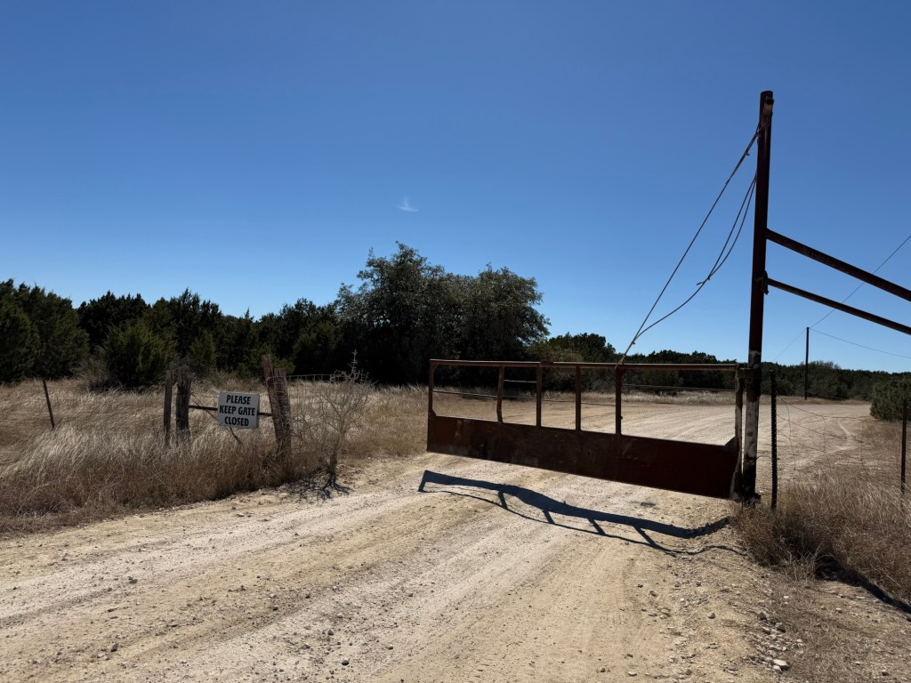
When the gate swings left, the right cable tightens and lifts the gate up the pole. Gravity then swings it back.
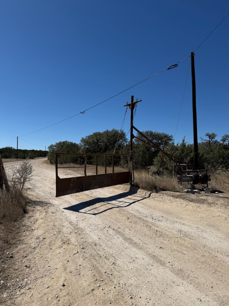
When it swings to the right the left cable tightens and again the gate slides up the pole. Gravity brings it back and after a couple of swings it settles back in the middle, in the closed position. Trucks driving down the road never have to stop, their brush guards swing the gate open and after they’re through the gate settles closed behind them. The gates seem to swing quite wide, they don’t scrape along the trucks, in fact we saw two pickups go through together, only the first one pushed the gate open. Pretty ingenious.
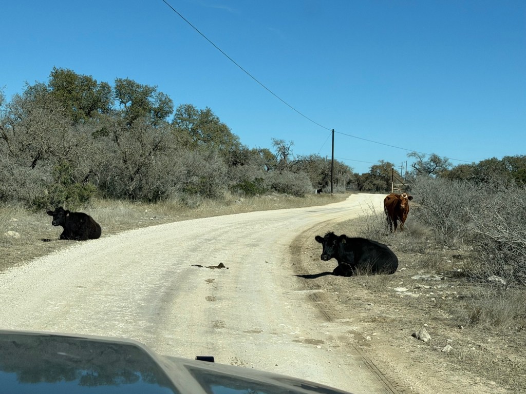
And yes, there were cattle,
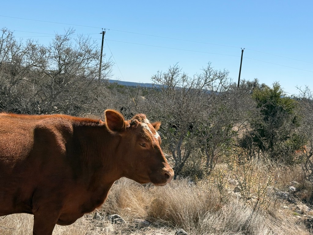
who were very nonchalant about the passing traffic.
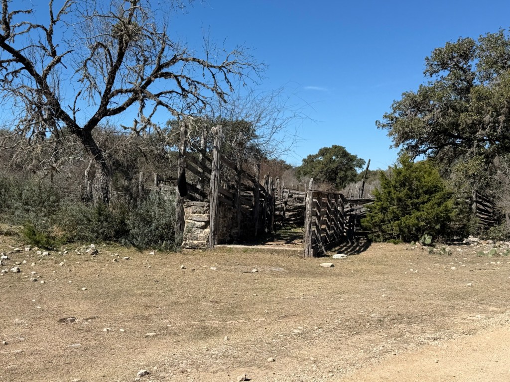
This is a cattle loading pen. It looked quite old, but looked like it was still in use.
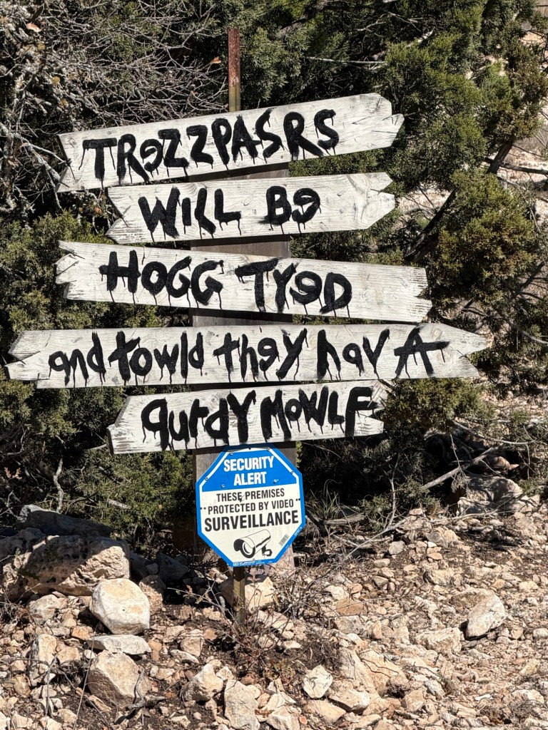
Besides being ingenious, folks seem to have a sense of humor. I can’t figure out what trespassers will be told once they are hog tied. Do they have a “pretty mouth” or “dirty mouth” or something else altogether?
In any case it was an interesting trip in beautiful country.
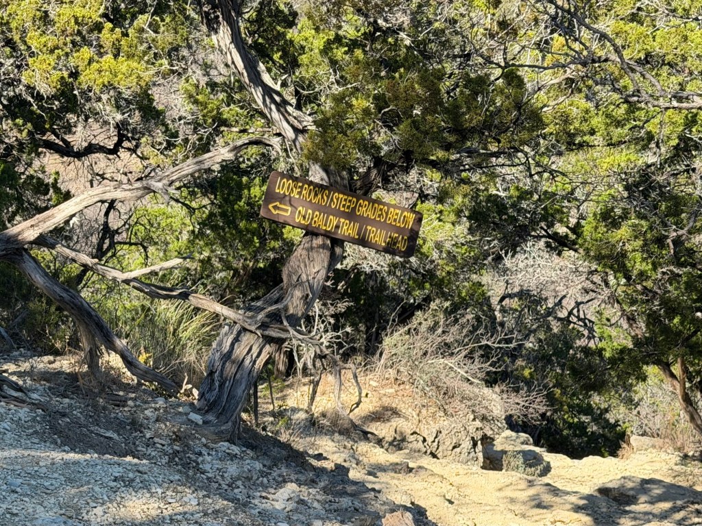
I still hadn’t hiked up Old Baldy. After lunch I asked Bud if he could drive me to the trailhead.
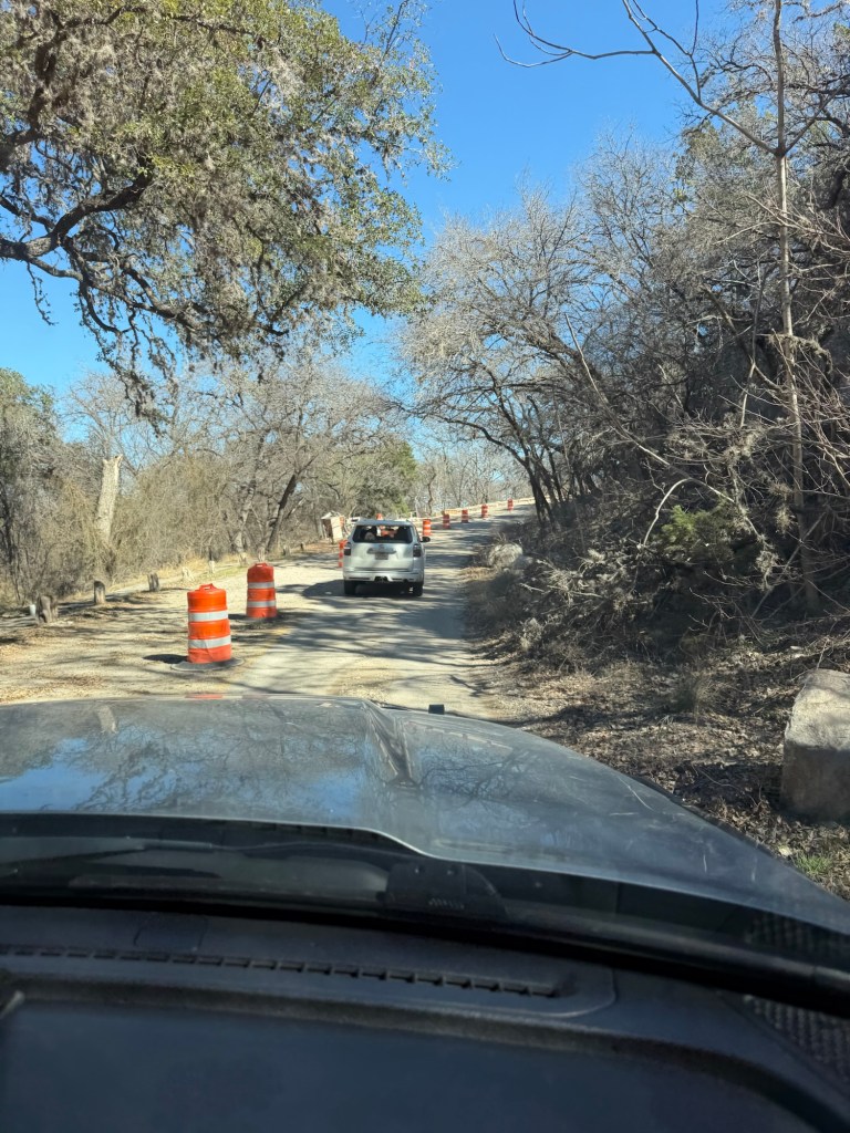
The park road is being worked on and to get there you have to drive this section of one lane road controlled by a traffic light. There are no pedestrians allowed along the road or the river trail below it. So I decided I would hike back out through the back country.
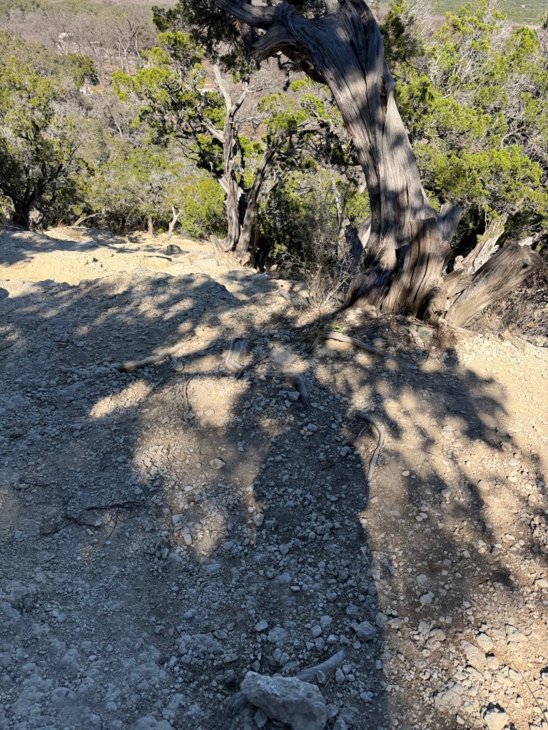
This is near the base of the trail to Old Baldy, and this is where we decided is wasn’t a good trail for Matey.
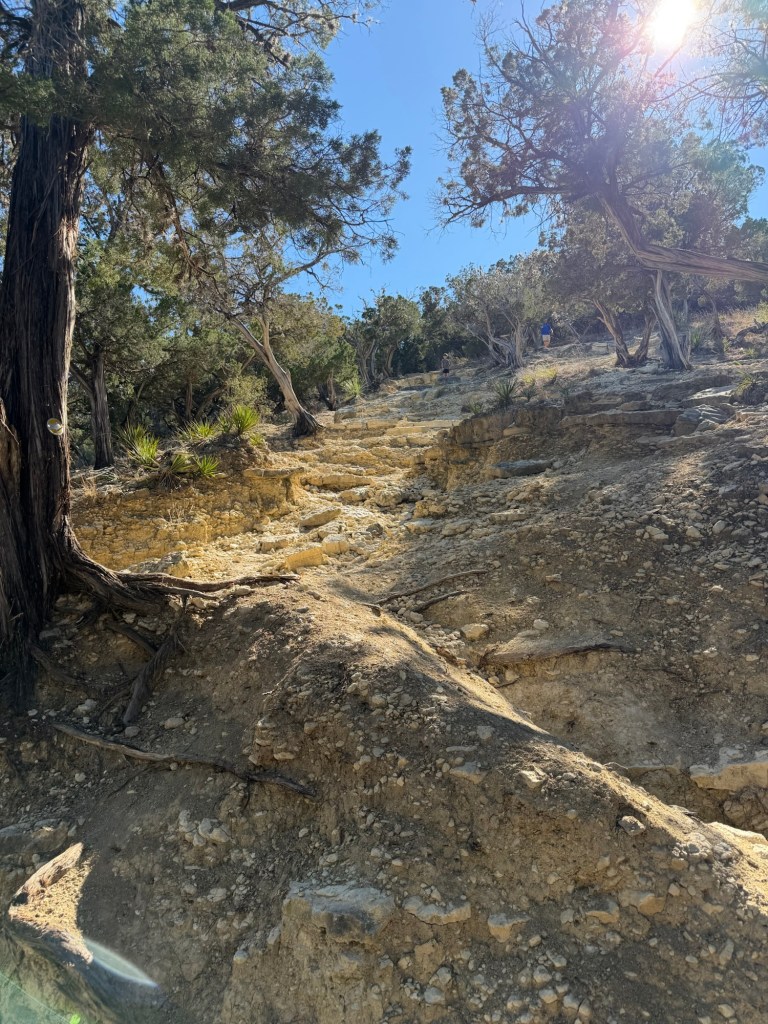
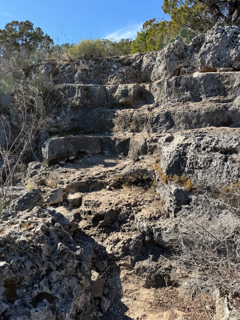
And it got worse.
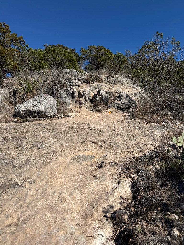
For a long way I was scrambling up an area of scree, without knowing exactly where the trail was.
Once in a while, looking back, you could see there were signs to keep people from getting too close to the edge.
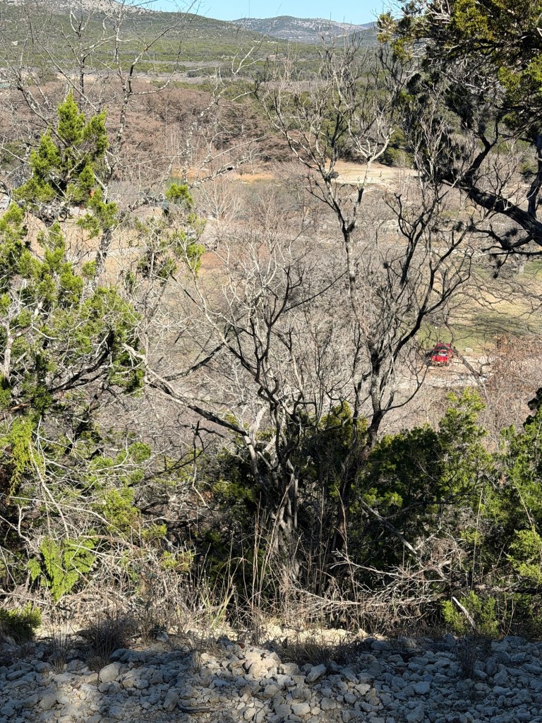
I didn’t like getting anywhere near the edge. Can you see that car parked down below? Go too far that way and you might quickly join it.
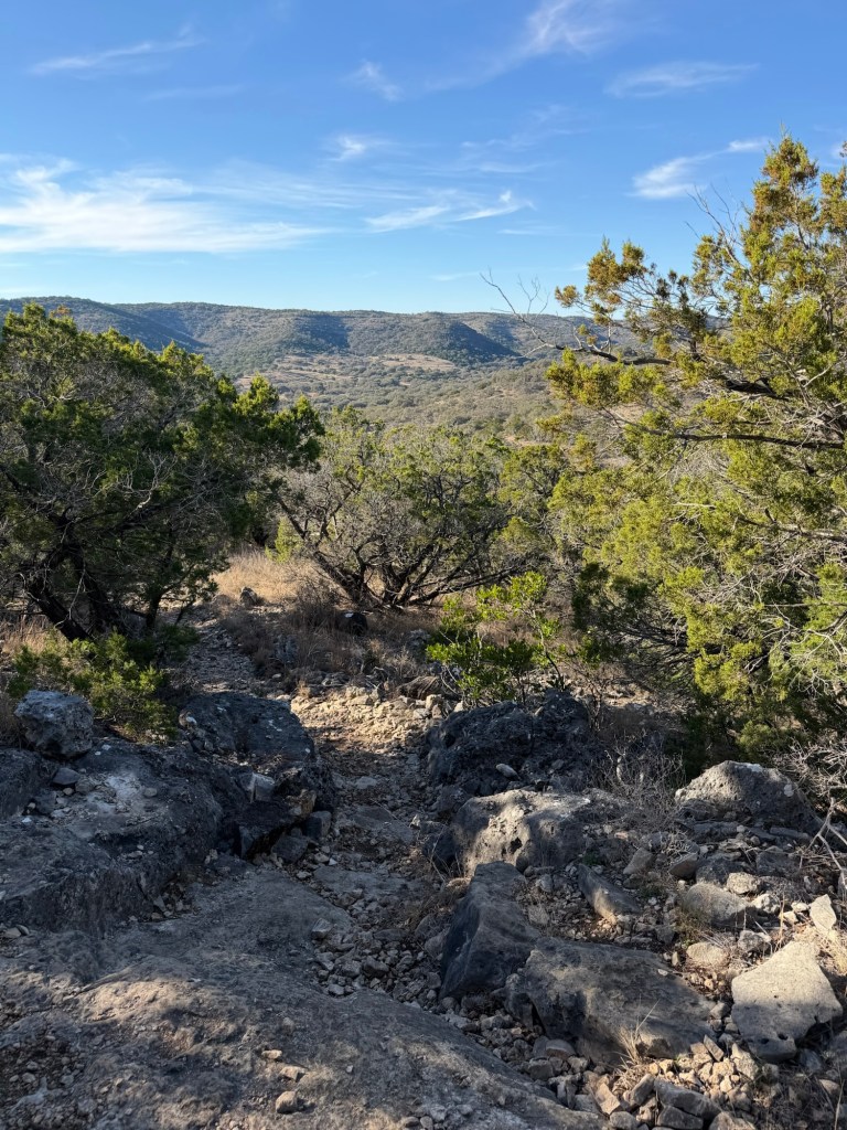
I thought about turning onto the Foshee Trail when it joined. There was a pretty good view from that junction.
But instead I kept going. At times I was using my hands, as well as my feet to climb, my climbing stick dangling from the wrist strap.
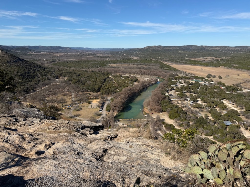
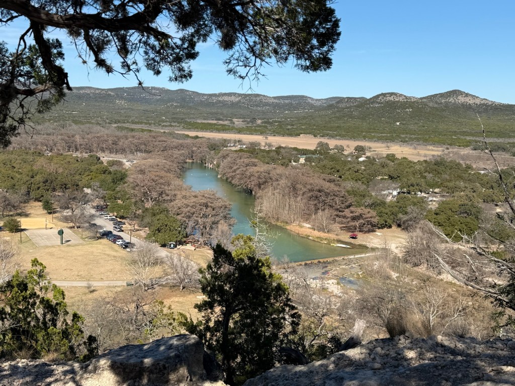
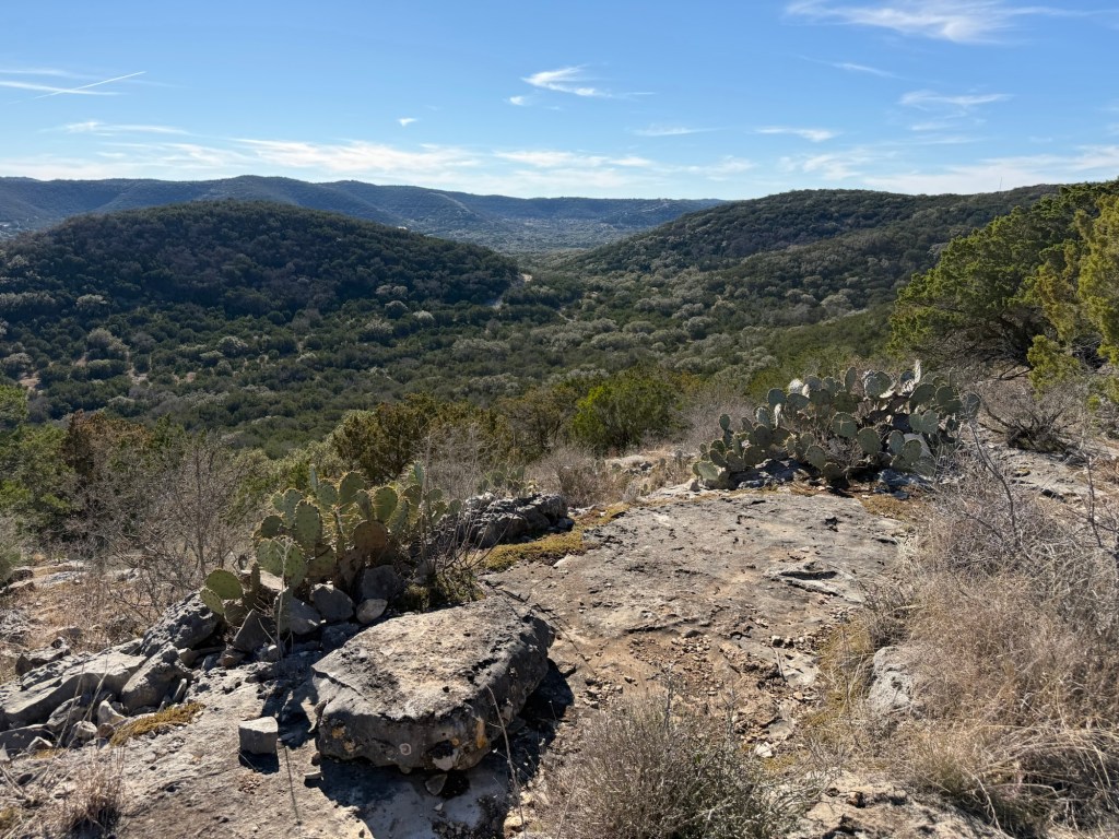
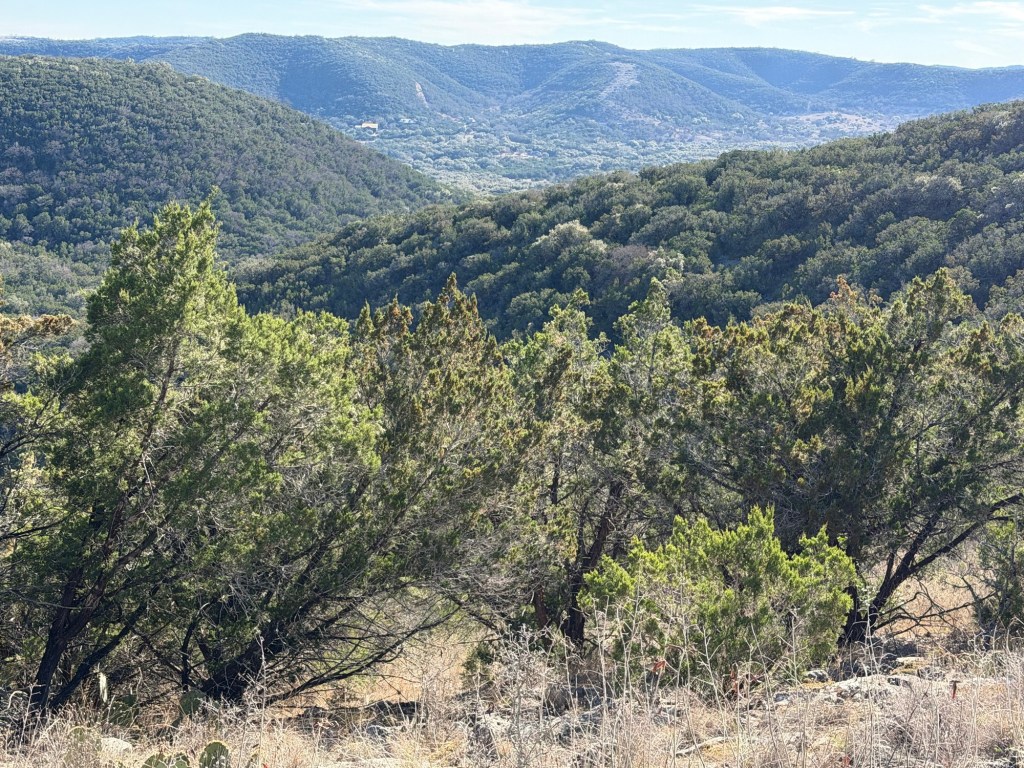
This is the view I finally saw.
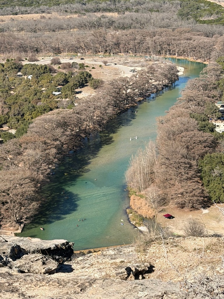
The view is cut off by the edge of the cliff. I didn’t want to get too close.
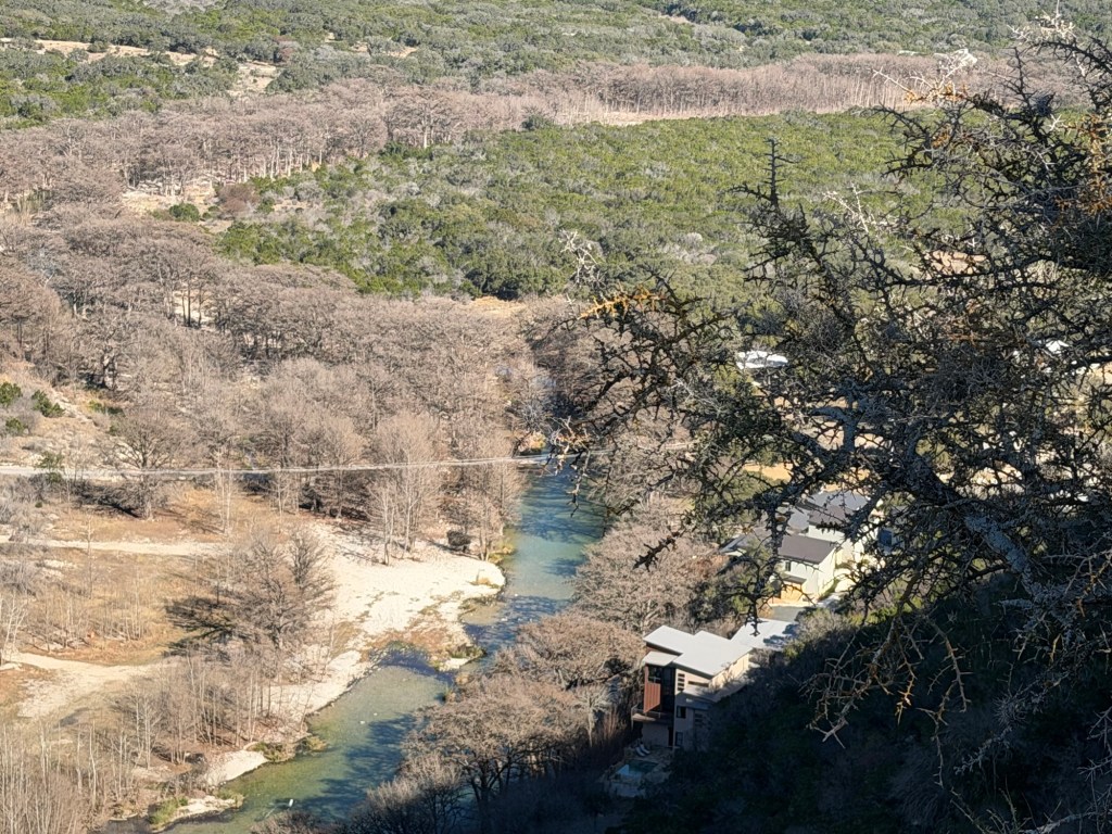
I did go out far enough to get a peek downstream.
The hillside on the left foreground is where I climbed to the Picture Rock Overlook.
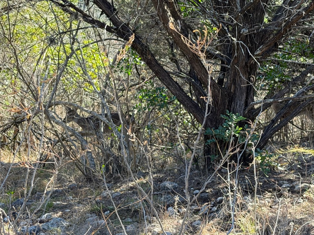
I carefully returned until I could cut across the hills on the Foshee Trail. Almost immediately I spotted four deer. I just managed to capture an image of one in the brush.
The Foshee Trail is listed as moderate, as opposed to challenging. It had its moments.
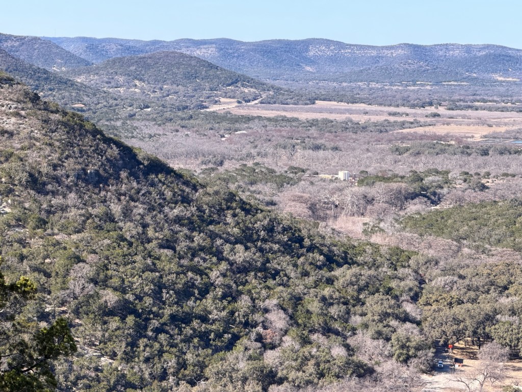
It also had some lovely views.
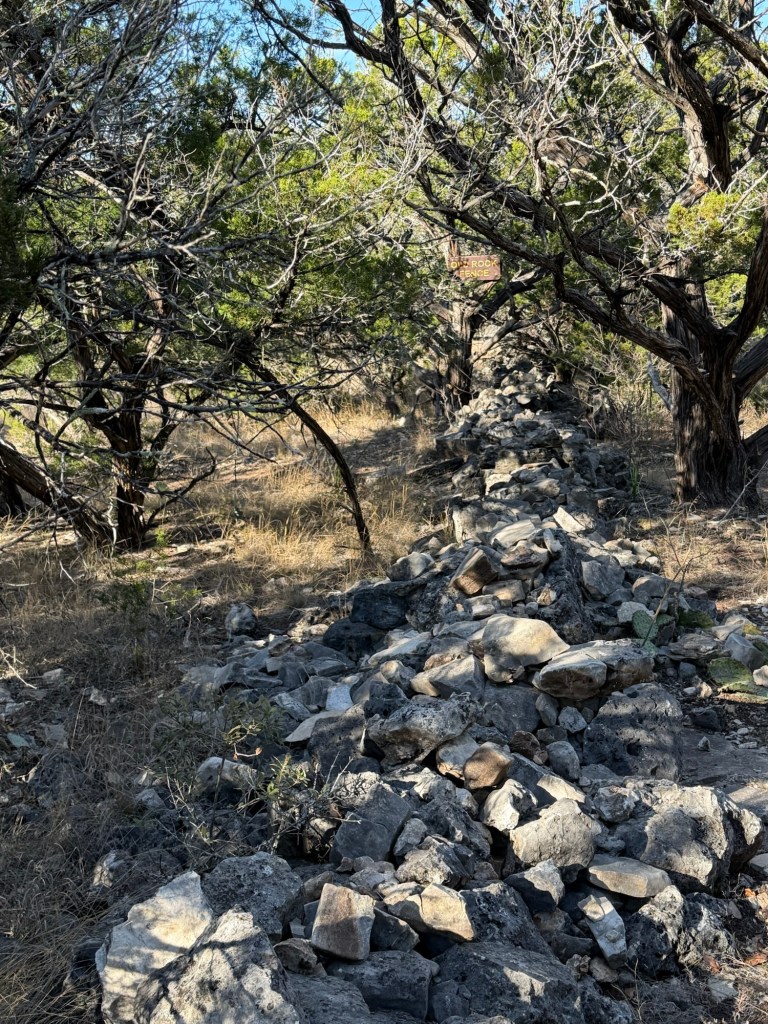
Past the old rock wall,
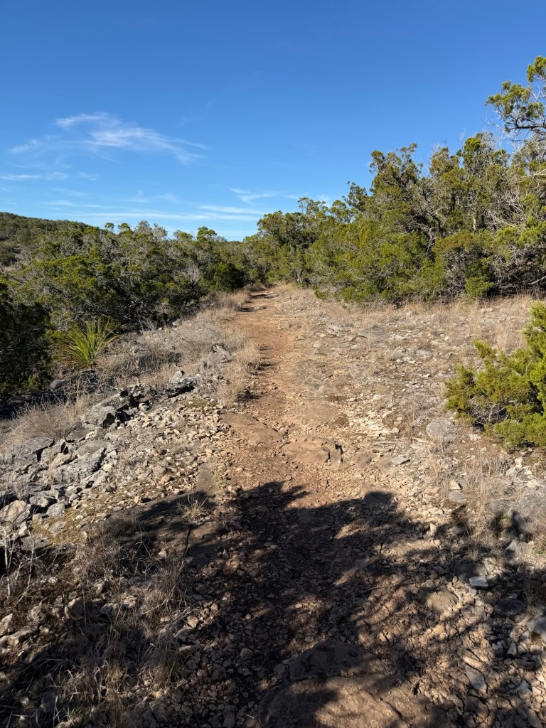
was some delightfully level trail.
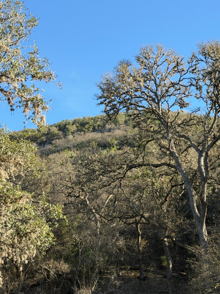
More rough trail was rewarded with more nice views.
Then began a long trek downhill, rough, but nothing like Old Baldy. At the end of the Foshee Trail I took the short Wild Horse Creek Trail.
I came out into the Shady Meadows Camping Area, from which I could look back at the hill I’d traversed.
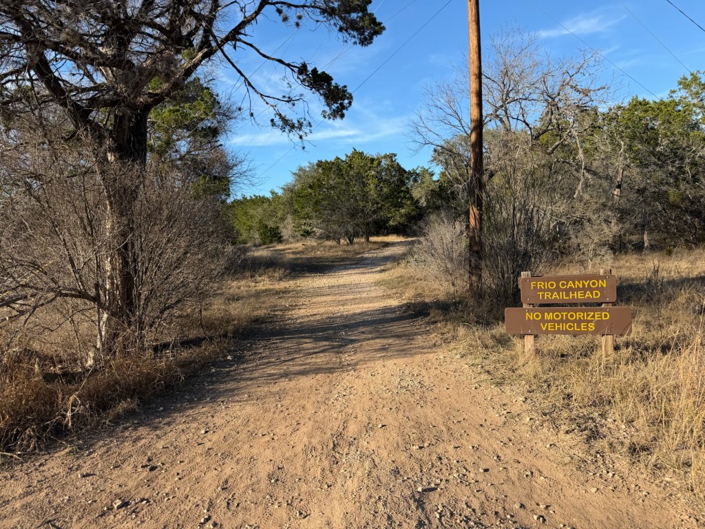
I walked the park roads over to the Frio Canyon Trailhead and followed that trail to a cutoff that led back to our campground. Phew!
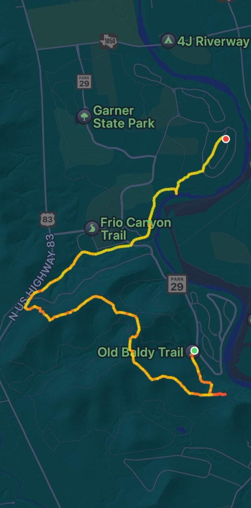
In reviewing the hike as recorded by my Apple Watch and iPhone I found that it made a map for me, I started at the green dot and finished 4.24 miles later at the red dot. The red, yellow and green on the route match my heart rate. No green on Old Baldy. There’s a little side blip towards the end. That’s where I walked out to the river to see if Rio Frio really is cold. Didn’t seem so to me, but maybe it stays cool even in the summer.
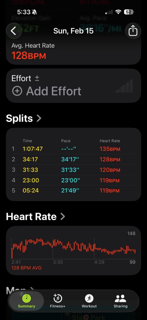
I also found my watch keeps splits for each mile and the final fraction of a mile. I have no recorded pace for that first section, as it took me over an hour to go the first mile. That four and a quarter mile hike was by far the most difficult hike I’ve done these weeks, far more tiring than the six and a half miles Jack and I did at Pedernales Falls. Still, I’m glad I did it and quite pleased that at 76 I could.

You get lots of credit for all that up-and-down hiking!! I’m really glad you’ve shared the pictures of so many great views so I can see them without trying to do that hike at 83!! Did you have to use both your feet AND your hands on any of the trail coming down?
LikeLike
Yes, and my bottom!
LikeLike
HA HA HA Whatever works!
LikeLike