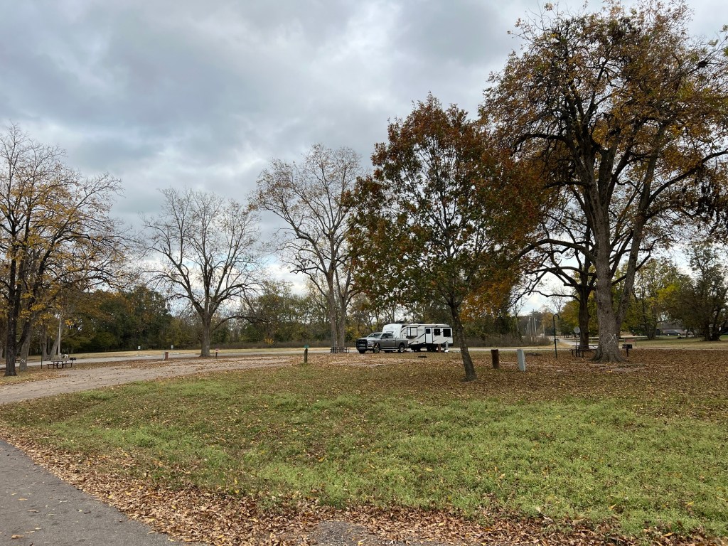
As has become our tradition we headed south for the weeks before Christmas and our first stop is here, Lake Chicot State Park in the Lower Arkansas Delta.
Lake Chicot, at 20 miles long, is the largest natural lake in Arkansas and the largest oxbow lake in North America. An oxbow lake is a curved lake left behind when a river changes its course. The river here is the Mississippi.
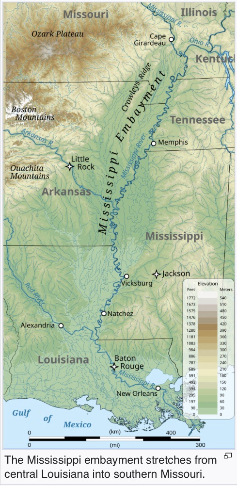
From Wikipedia I learned that the Mississippi embayment is an ancient basin now filled with sediment. It stretches from the confluence of the Ohio River to central Louisiana and the land is very flat and the river very meandering all through the area. The part of Arkansas within the embayment is called the Arkansas Delta and the lens shaped area in Mississippi between Vicksburg and the border just south of Memphis is the Mississippi Delta. Not to be confused with the Mississippi River Delta, which is in Louisiana where the river enters the Gulf of Mexico.
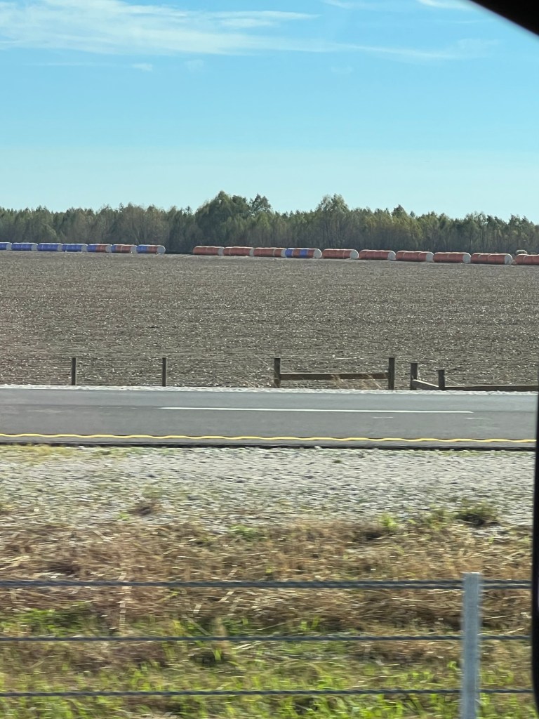
You can see the bales of cotton lined up on the far edge of this field. This is a very rich agricultural area. Cotton has been an important crop here, first grown with slave labor, then with sharecroppers, and today with machinery. The concentration of wealth among a few has resulted in this being an economically stressed area.
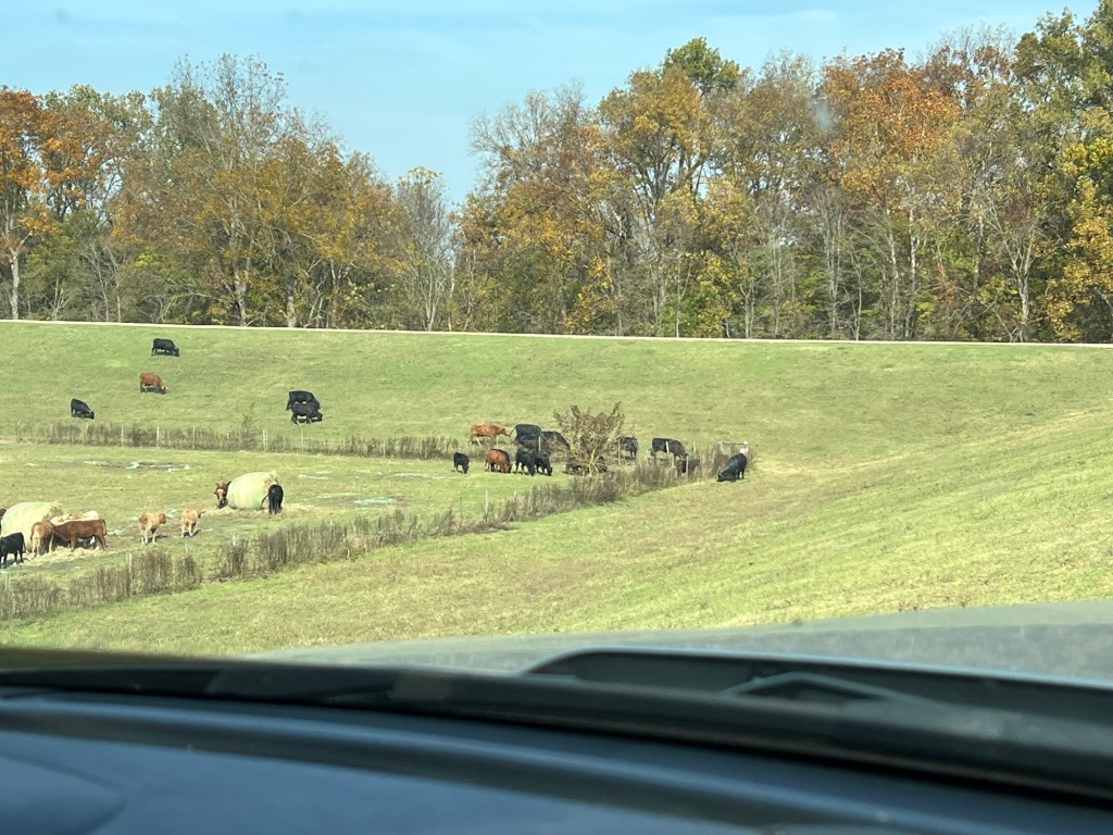
We’ve done a bit of exploring here. The other day we drove up onto the levee road. Cattle were grazing all along the levee.
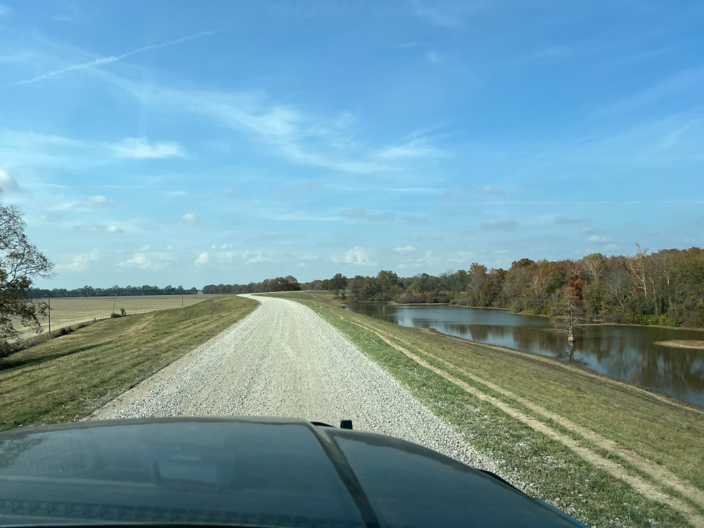
The smooth gravel road goes on for miles.
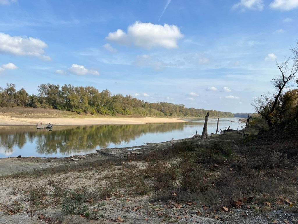
We found a side road down off the levee on the river side.
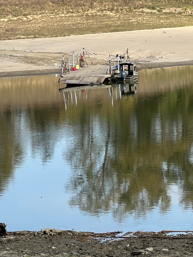
But this bit of river with a makeshift ferry can’t be the Mississippi.
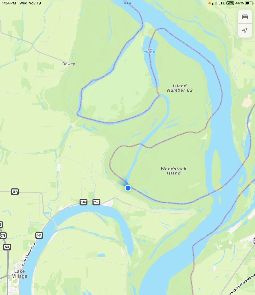
Well it is, but just a small channel that creates this island (near us, the blue dot). You can see from the border line between Arkansas and Mississippi how convoluted the main channel used to be. Some of those switchbacks get cut off naturally, like Lake Chicot, and some have been cut through by the Army Corps of Engineers to make the river more easily navigable.
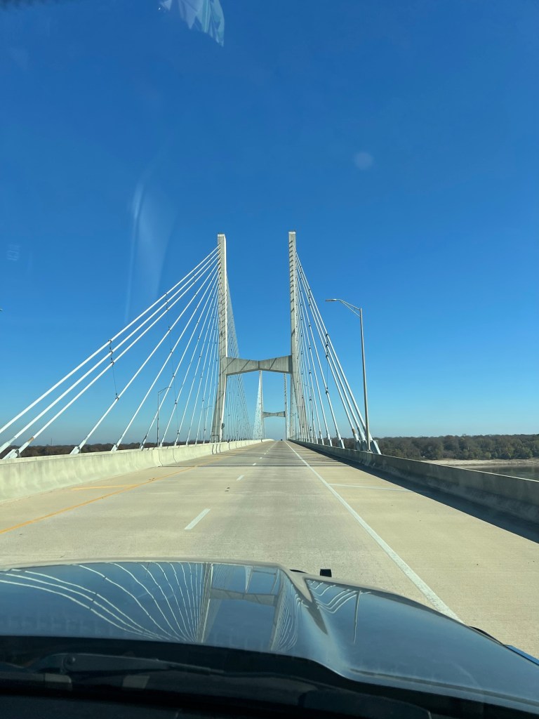
Today we crossed the river to Greenville, Ms. to visit an Indian mound site. (In late October when we came west into Arkansas I said I didn’t know when I’d be crossing the Mississippi again, but I obviously forgot about the near future. Not only did I cross the river going to Indianapolis, but we crossed to tour today and our next two campgrounds are in Mississippi. That’s three times back and forth before Christmas!)
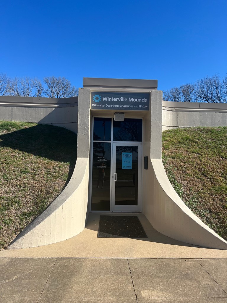
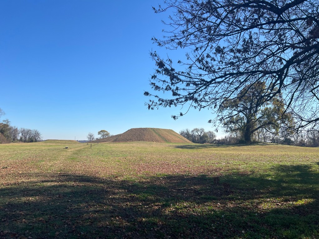
This was the Winterville Site and was thought to be occupied by ancestors of the Natchez for about 450 years, starting around 1000 CE. The museum was closed, I think for renovations,
but the grounds were open.
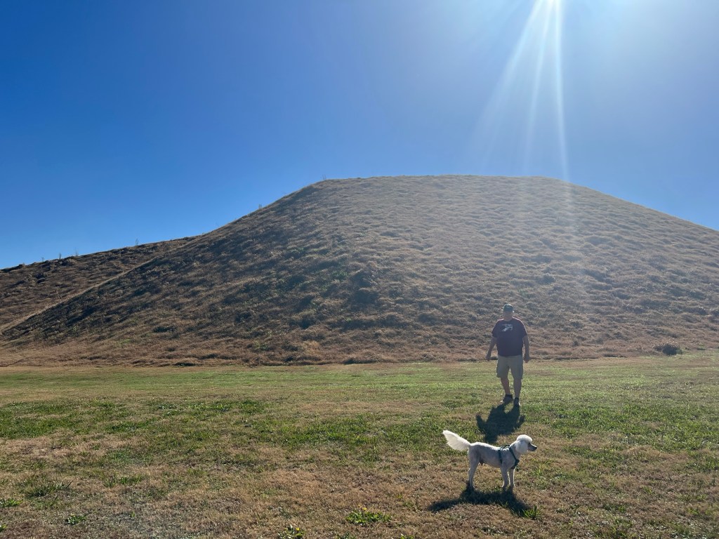
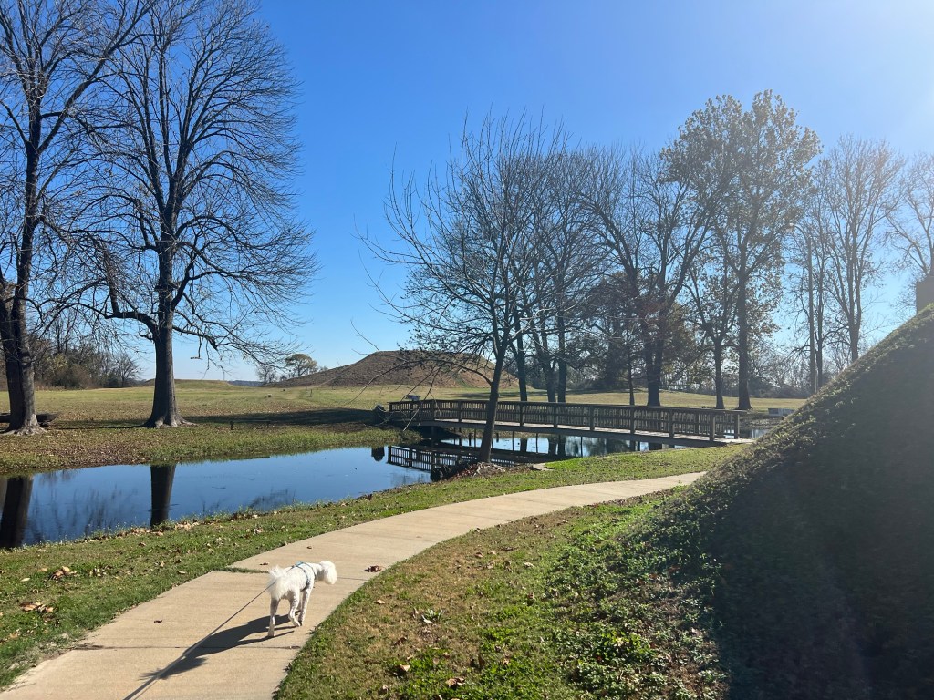
The largest of the mounds was carefully reconstructed to its original height, 55 feet, as tall as a five story building.
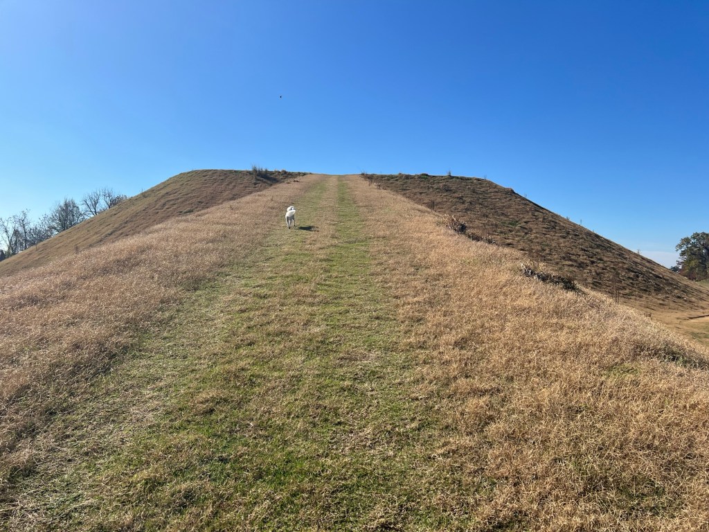
A long ramp up one side leads to the top where a temple was probably located.
The edges are abrupt and the sides very steep.
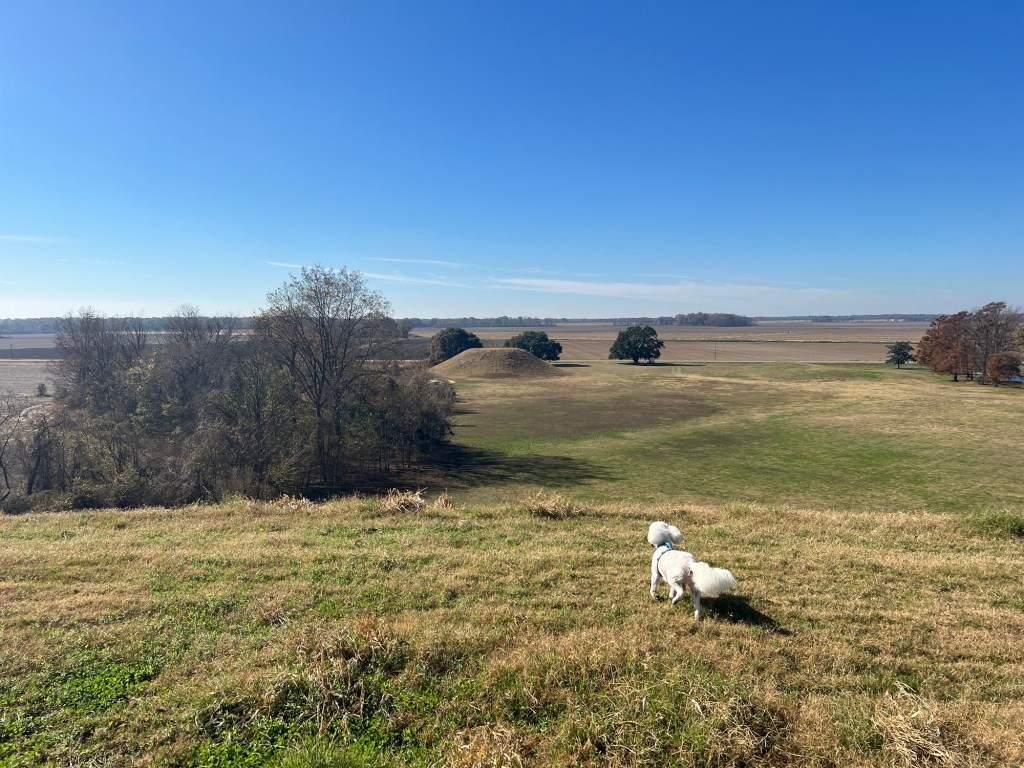
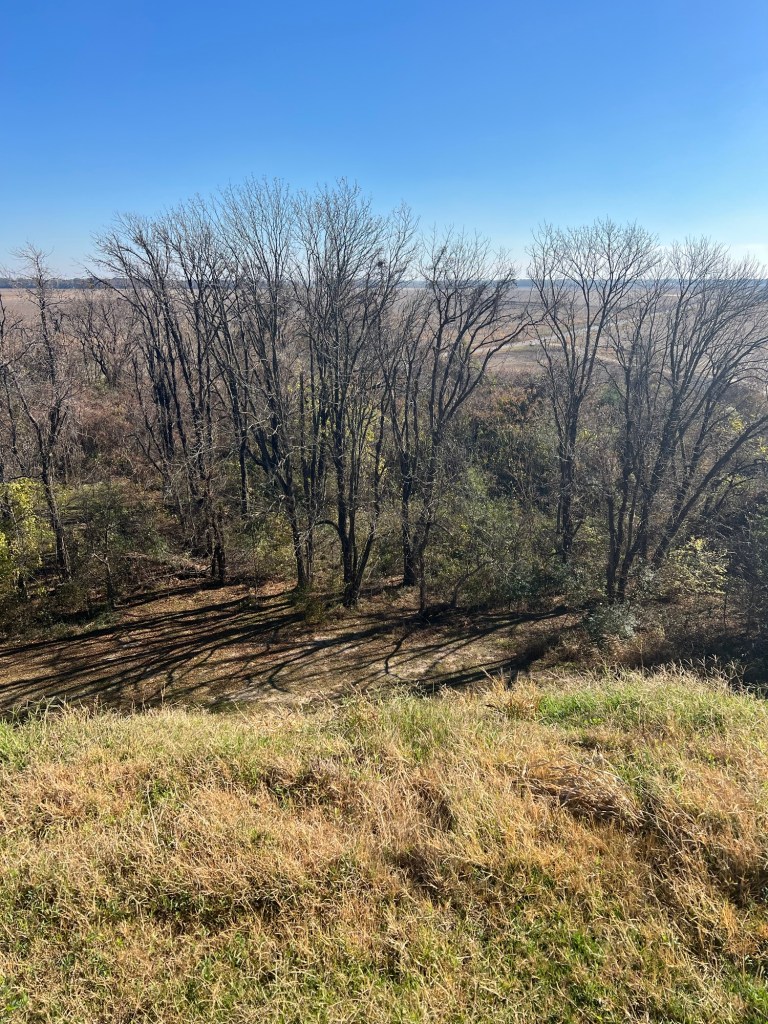
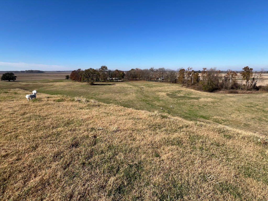
From the top you can see some of the other mounds on the site.
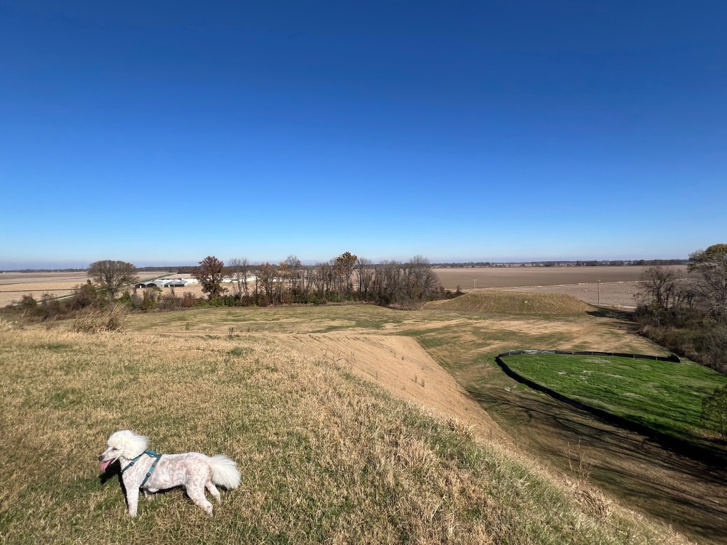
Eleven of the 22 known mounds are still there, but not all are easy to see.
The top also gives a nice view of the entrance and museum.
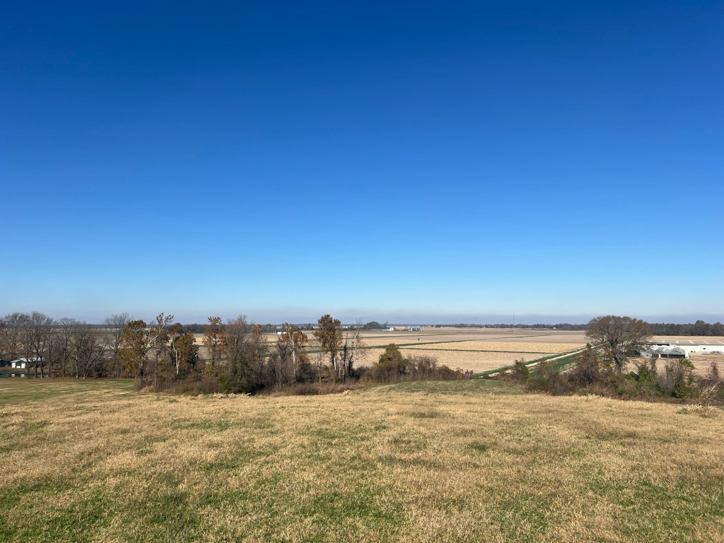
You can also see the miles of agricultural land around the mounds. There is no evidence that any but a few people lived on the mounds, so it is assumed the people who built the mounds lived on family farms in the surrounding area and used the mounds for ceremonies and other gatherings.
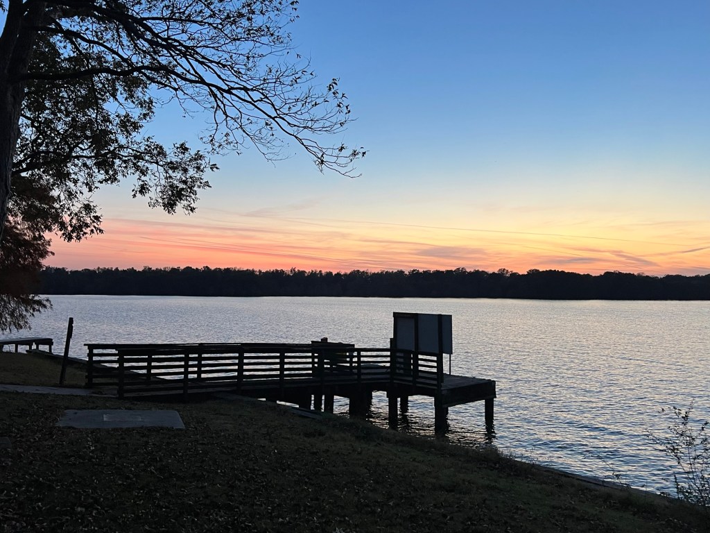
These remain beautiful places.
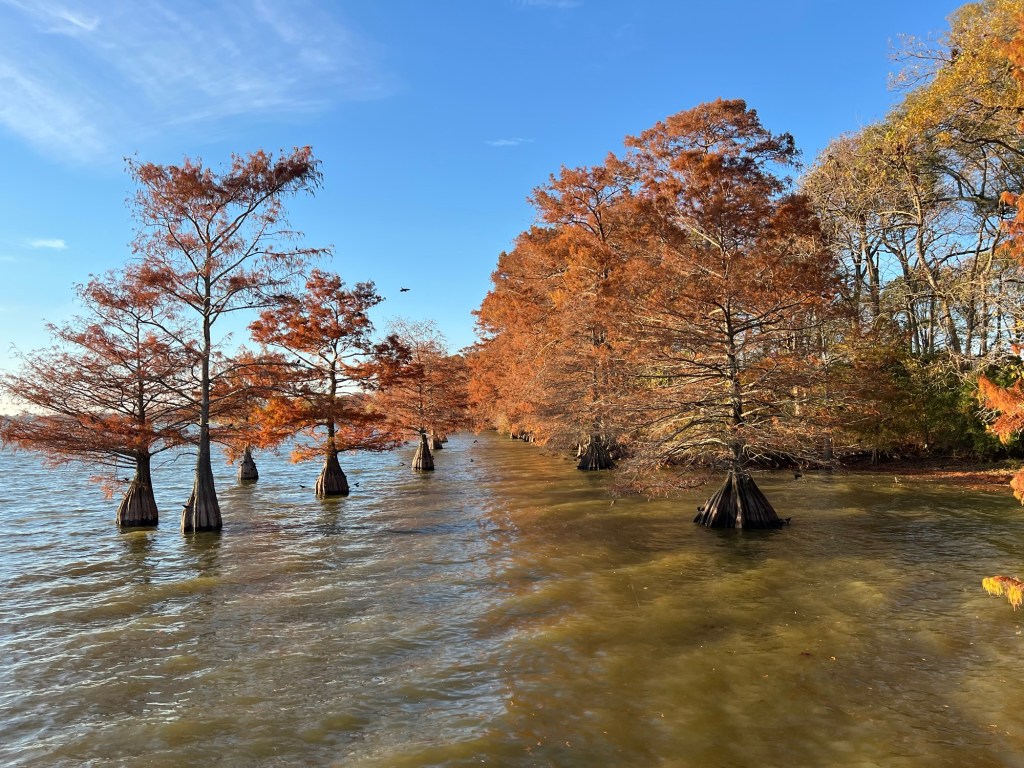
I love the hills, but Lake Chicot and the flat Delta regions have their own beauty, not the least of which is the gorgeous fall coloring of the cypress trees.

Pretty and very interesting!! It must have taken the Indians a long time to build those mounds since they didn’t have access to steam shovels and bulldozers!
LikeLike
Yes, they were built over generations one basket of dirt at a time. Originally the tops were covered with smooth clay.
LikeLike
I forgot to mention to you, my amazement at the meandering of the Mississippi River as shown on your little map! Looks like you could travel 3 or 4 miles by boat and cover only 1 mile as the crow flies! Very interesting!
LikeLiked by 1 person