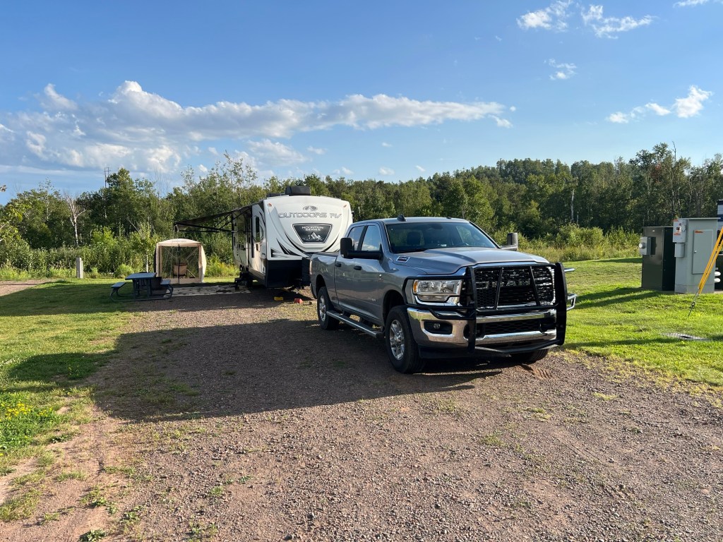
I’ve written before that there are trade-offs in campgrounds and that’s definitely the case here. No trees, not much privacy, but the sites are plenty big, there are full hookups and 50 Amp service. Our Starlink loves it so our internet is blazing fast and I dumped YouTube TV with their sign in requirements and we went with streaming DIRECTV, and had no problem opening an account in Minnesota with a billing address in Arkansas.
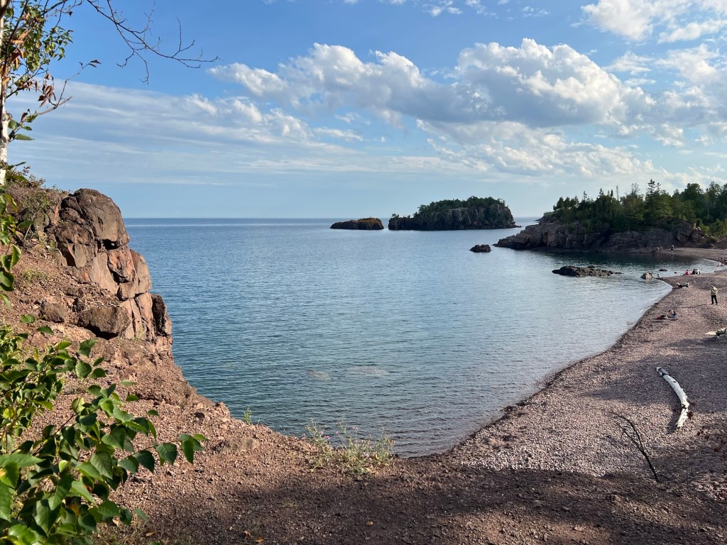
We are about a quarter mile from Agate Beach. Matey and I first approached it from here, and that’s about a 30 foot cliff down to the beach.
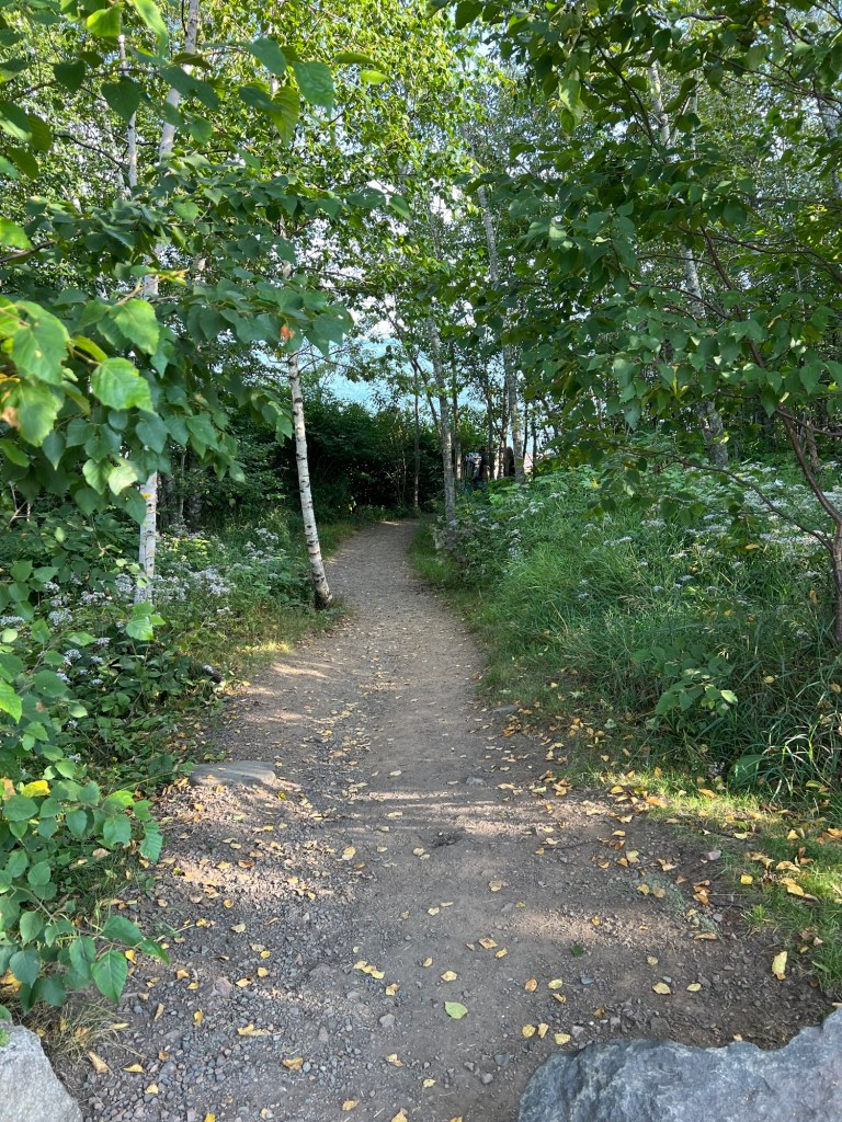
A short walk took us to a trail down.
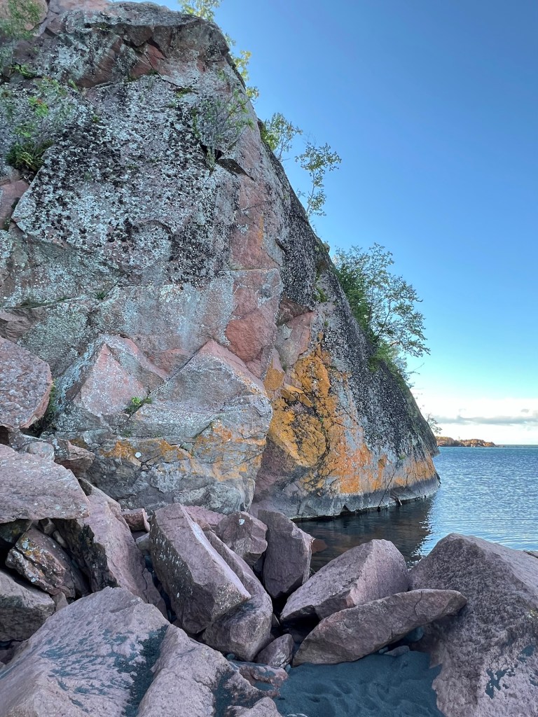
A nice little cove,
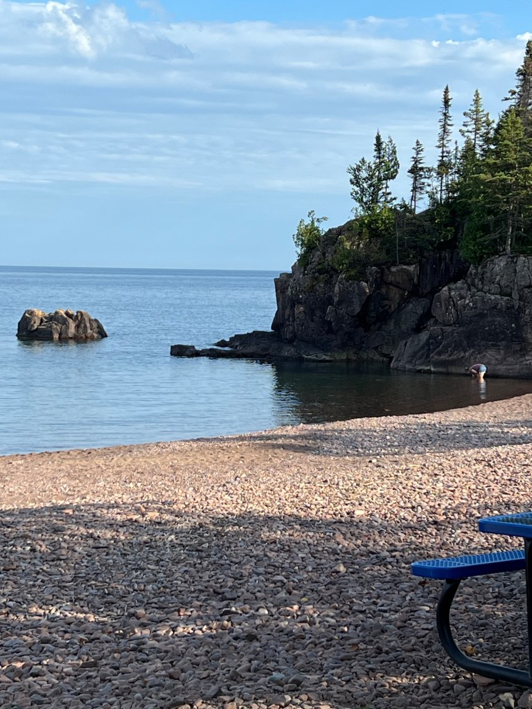
picturesque, but rocky.
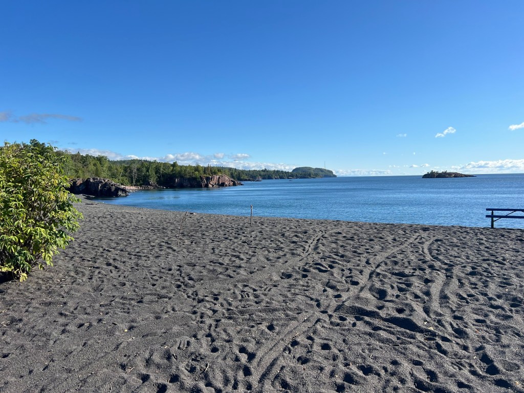
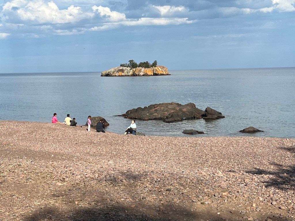
The next morning we drove about three-quarters of a mile to Black Beach, and that is black sand.
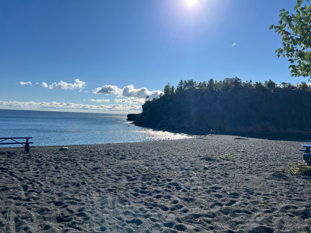
It, too, is in a lovely cove. The sand reaches right out to that island of rock and I thought perhaps we could walk there.
Nope. But it’s pretty.
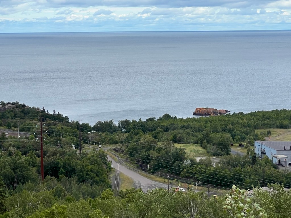
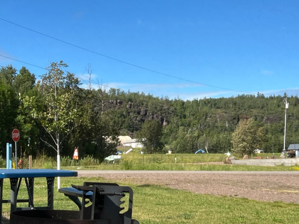
After lunch we drove around a bit. We went to 3 overlooks in the town of Silver Bay, which operates the campground. The first gave a view of Lake Superior north of town. Black Beach is in the cove to the left of that red rock island.
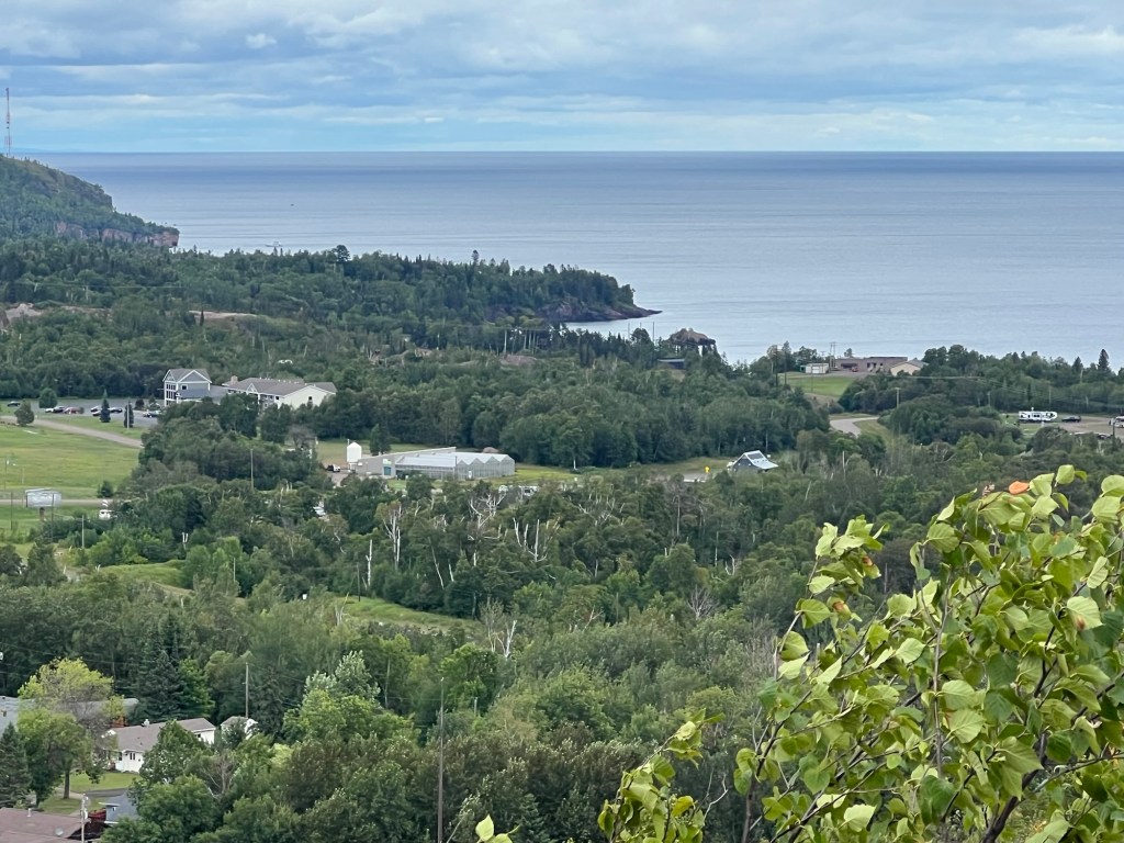
Our camper is just this side of the greenhouses, but the closer trees block the view.
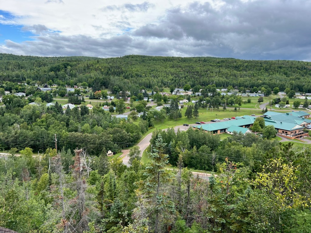
Another overlook gave a view looking west, to the town.
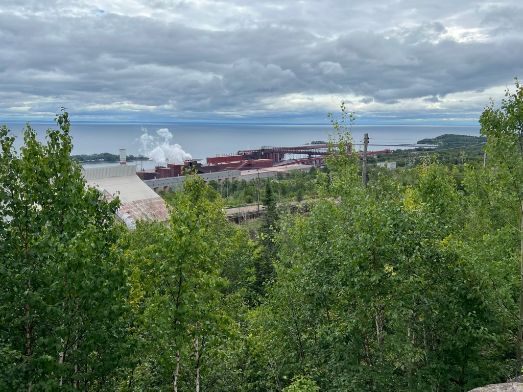
And a third gave a view more directly east, to the huge Taconite pellet facility and the lake beyond it.
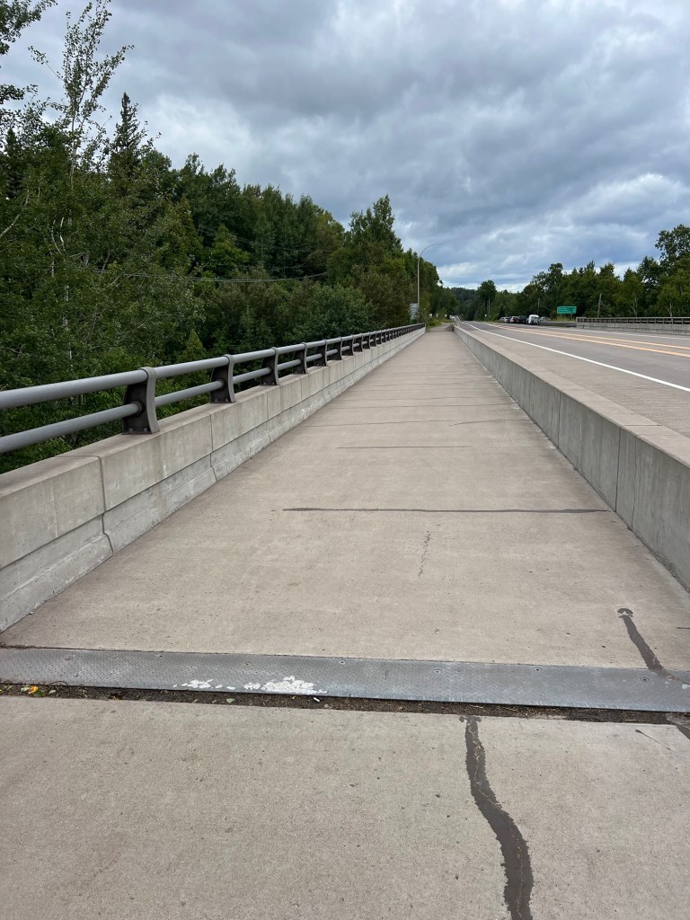
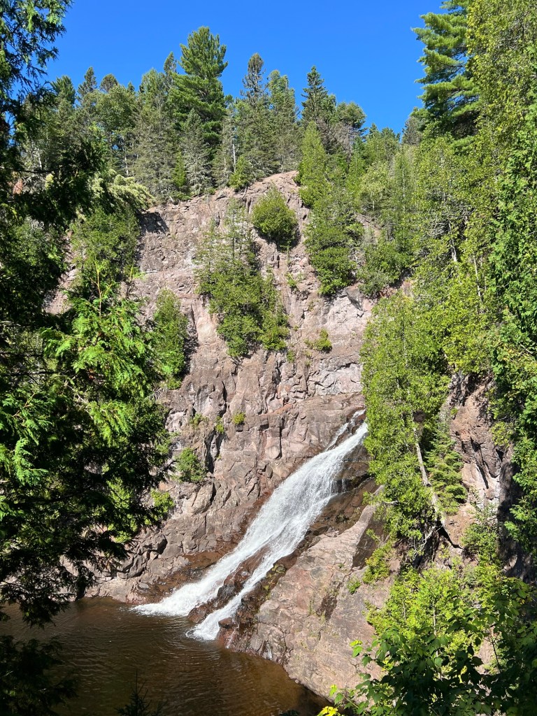
Next we went to the town of Beaver Bay where this walking/bike trail crosses the Beaver River alongside Route 61,
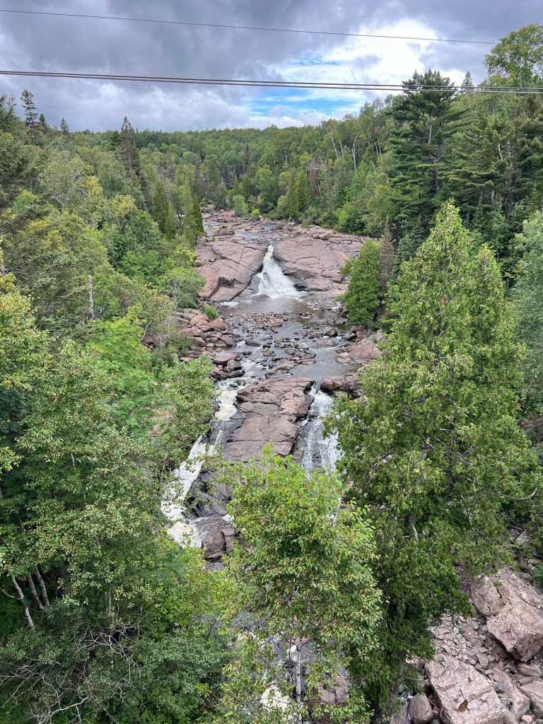
and gives a great view of the falls there.
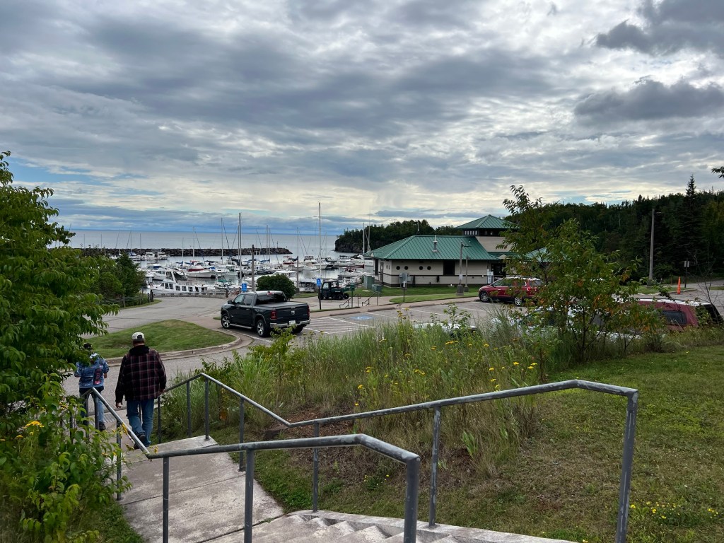
On the way back we stopped at the Silver Bay Marina. It was very nicely done, with power at the docks and a nice building. We would have liked this one, back in our boating days.
The north shore of Superior in the US has high, rocky hills that run quite close to the shore. So as you drive along this northernmost part of US 61 (the route runs through the twin cities to the Mississippi River and all the way to New Orleans) there are lots of waterfalls.
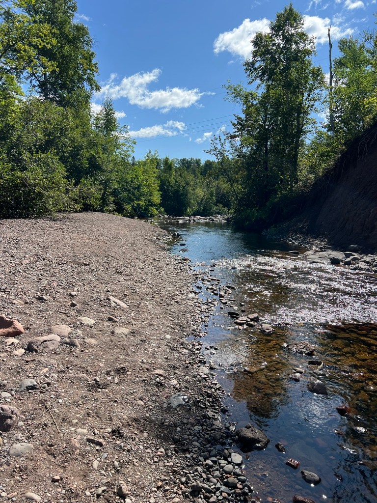
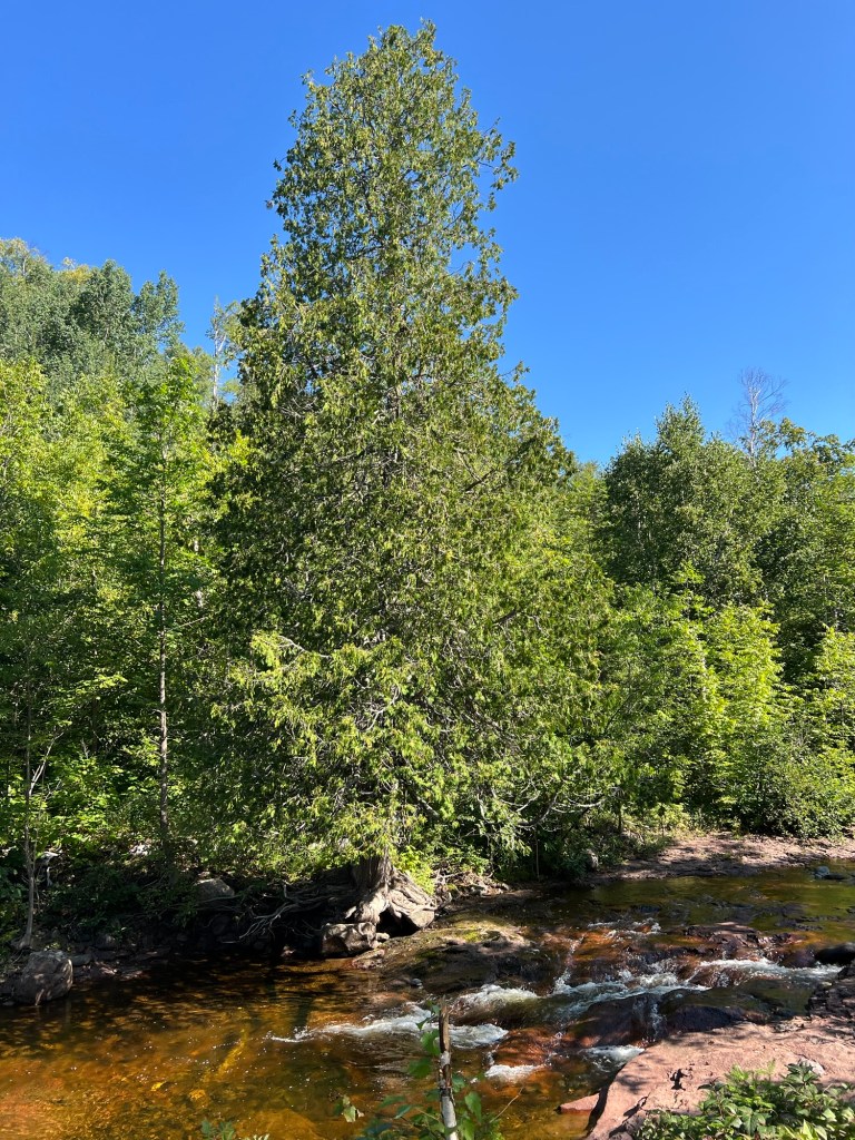
This morning we drove about 16 miles to another one on the Caribou River. The trail starts near the highway where the river is fairly flat.
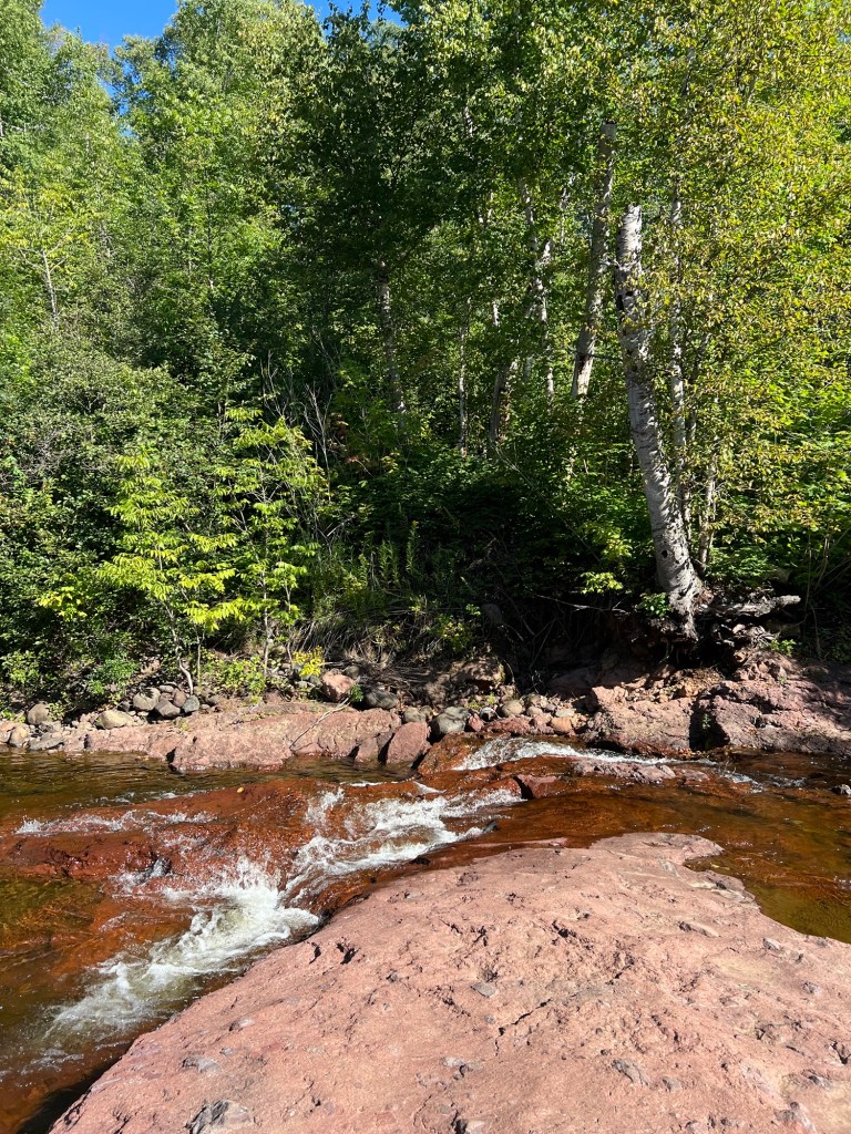
Walking up the trail there are a few places you can get to the river’s edge.
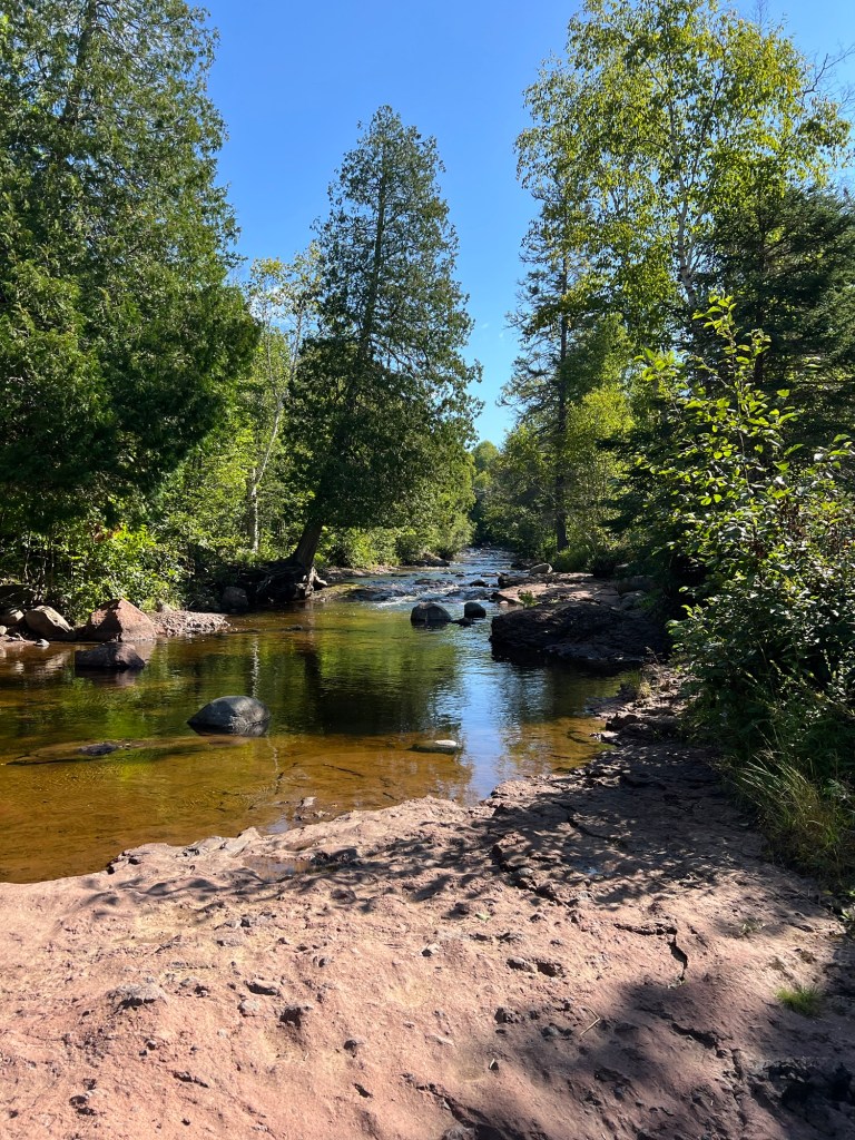
I took the opportunity to take some pictures.
The trail gains some height…
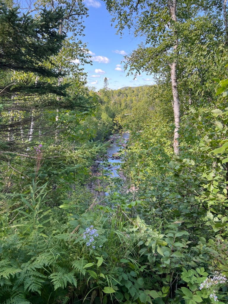
until you are well above the little river.
Then you come out on some stairs where you get a nice view of Caribou Falls.
So even though the view at the campsite isn’t the greatest, there’s lots to see around us.
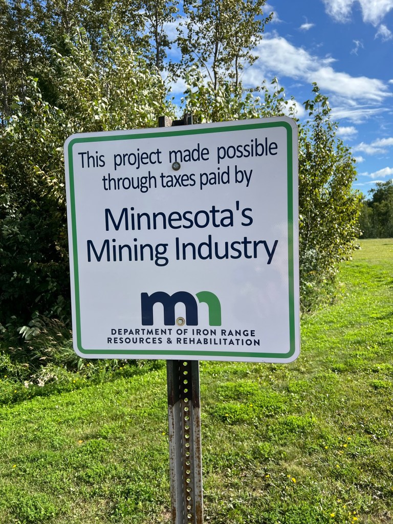
They want you to know that this nice campground is here because of the mining industry.
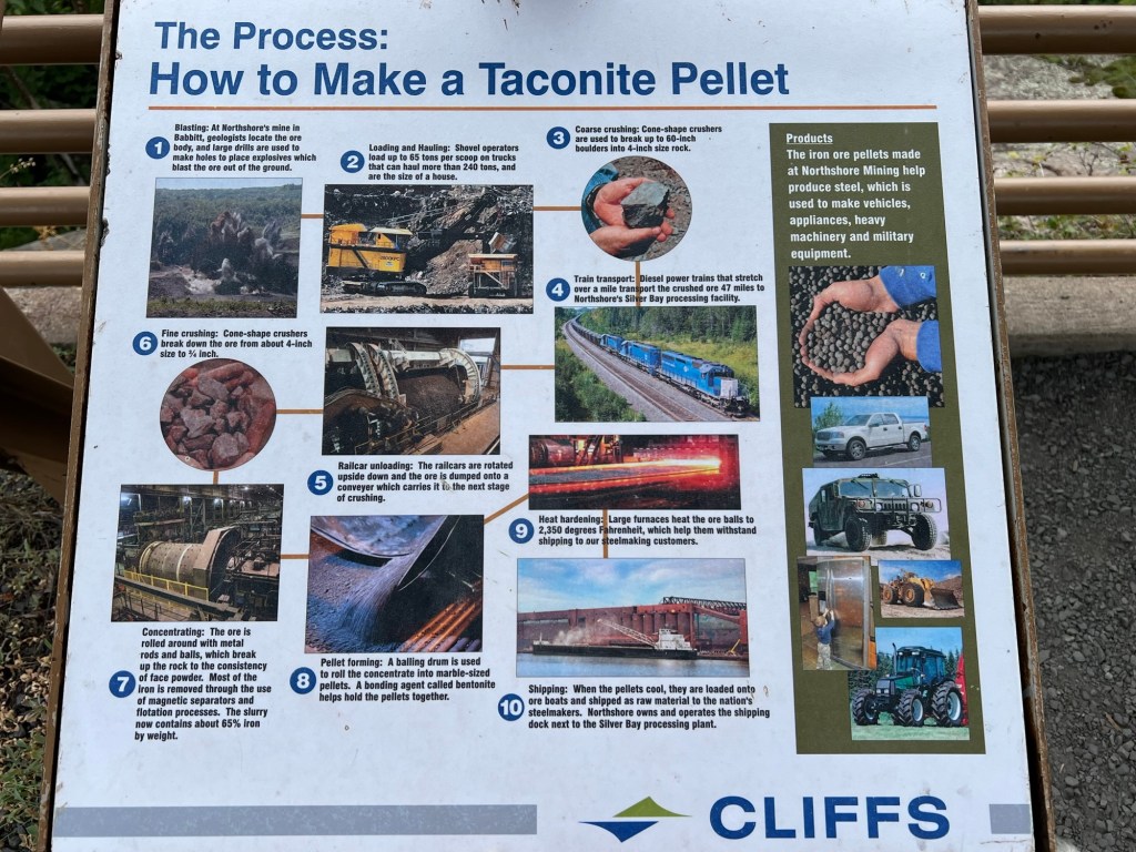
In all the information they give you at the overlook about the processing plant…
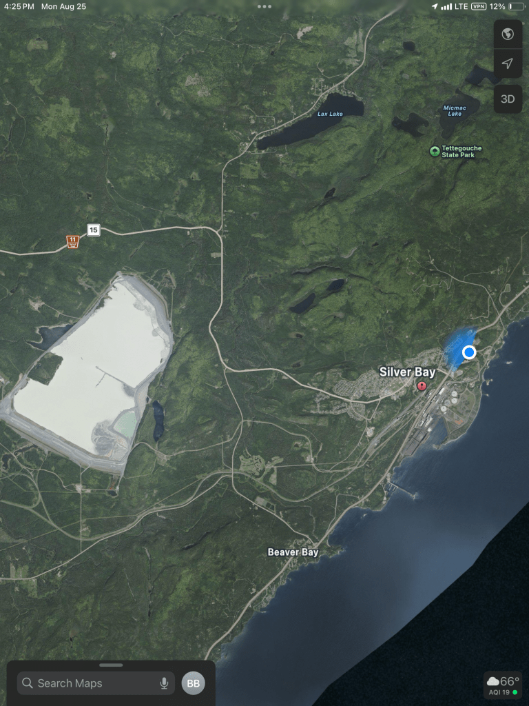
they don’t mention the 2,150 acre tailings “pond” that sits above Silver Bay and Beaver Bay. This is bigger than any natural lake along the 154 miles of shore from Duluth to the Canadian border. The company wants to increase its size by a third and environmental groups just won a court case to force them to file a new environmental impact assessment. They were saying the one done in 1973 when courts forced them to first build this and stop dumping their sludge directly into the lake were all they should need for the expansion. And the fun part is, this “pond” will need to be monitored for years after the company decides to shut this operation down. Hope those mining taxes have figured that in the bill.
So it’s nice here, we enjoy the good utilities, but it is far from perfect.

Well you did see some very pretty scenery and some very interesting things. I’m guessing, because you didn’t mention it, that in the area of Beaver Bay and along Beaver River, you didn’t see any beaver!
LikeLike
You are right, no beaver. Not even any sign of beaver, but we didn’t go up the river at all.
LikeLike