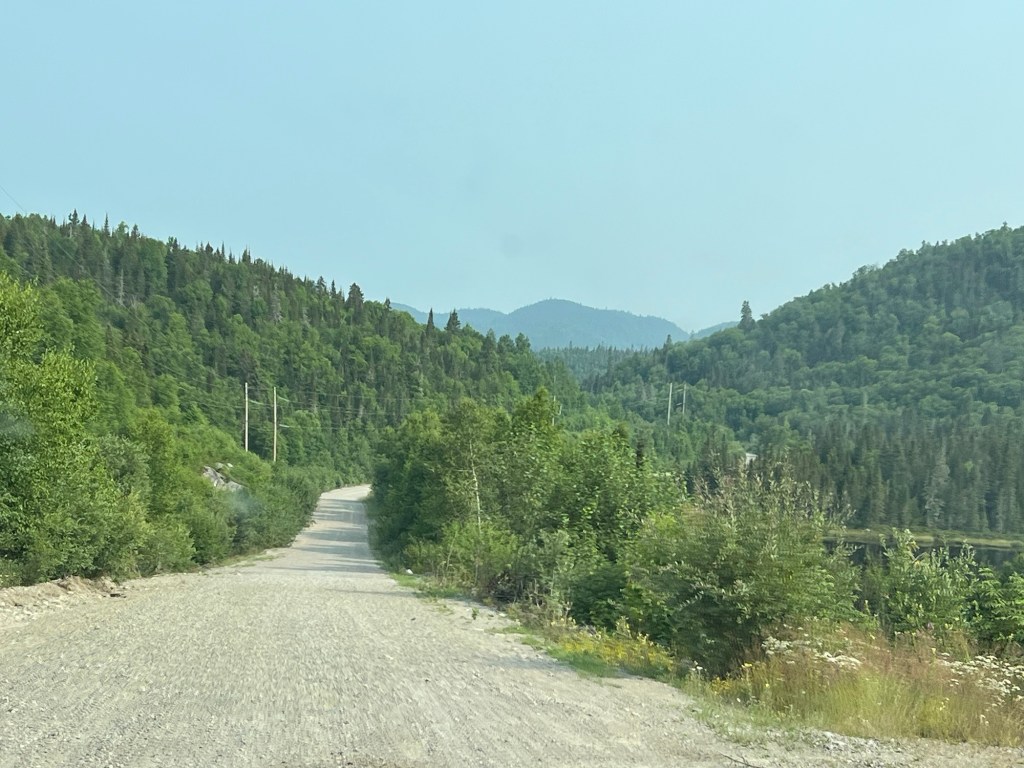
I was looking for something for us to do that didn’t involve a hike when I noticed a road on the map that led well inland. This is very unusual here, so I suggested we check it out. It was a paved road for a bit, but in less than a mile it turned to gravel. It led back through the hills and lakes here and had a set of power lines running along it.
The paved part ran along the other side of Whitesand Lake from the park and had some houses, cottages and campers along it.
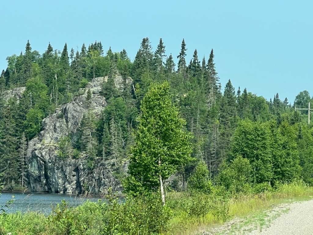
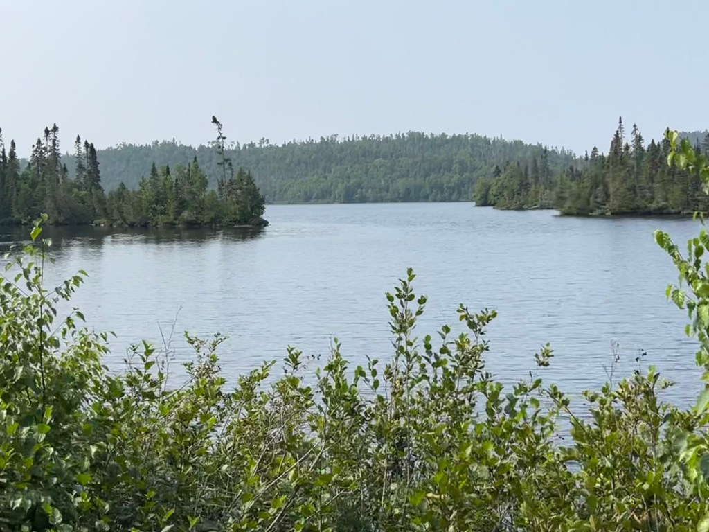
This is all very rugged and very pretty country.
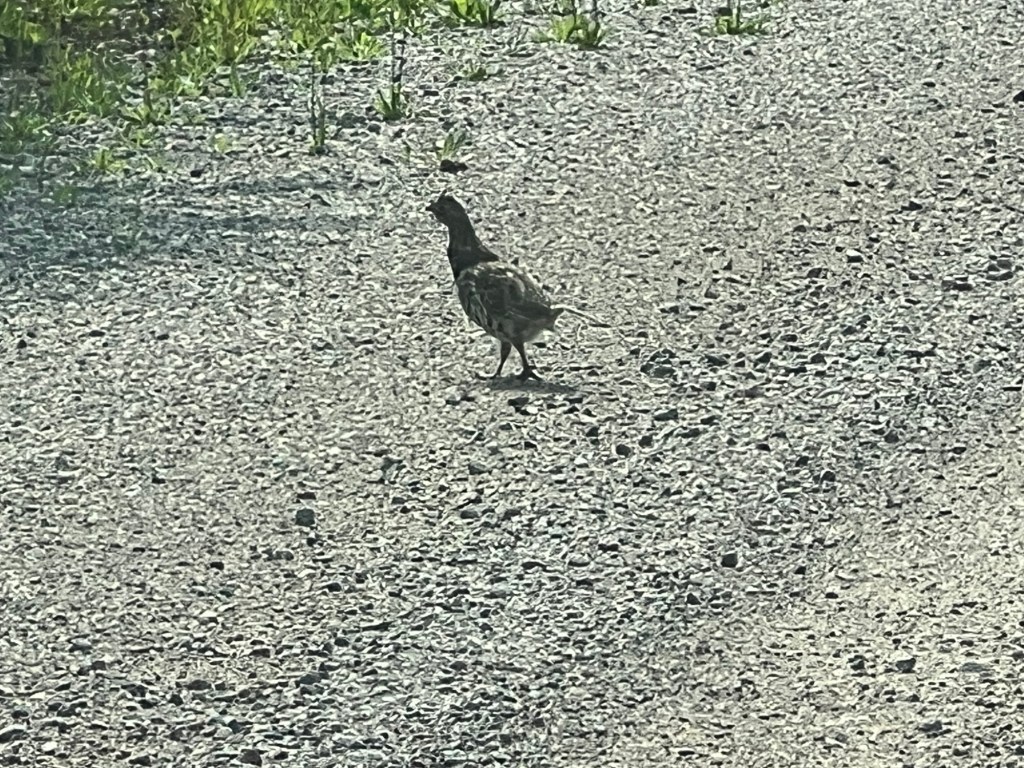
We kept checking the lakes and marshes for moose or beaver and although we saw beaver dams and lodges the only wildlife we saw was this grouse.
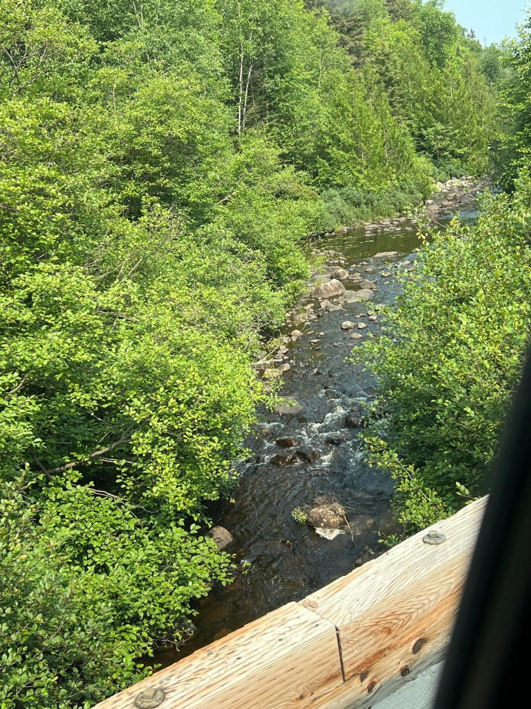
The road got smaller and at one point crossed this one-lane bridge. We were also going generally uphill, although gradually.
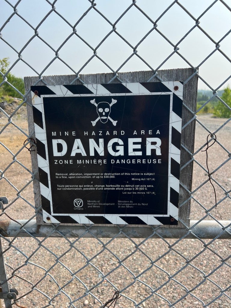
After 13 miles and 500 feet the road ended here. I assume the power lines were for the mining operation, probably now defunct, but they disappeared from sight beyond the fence.
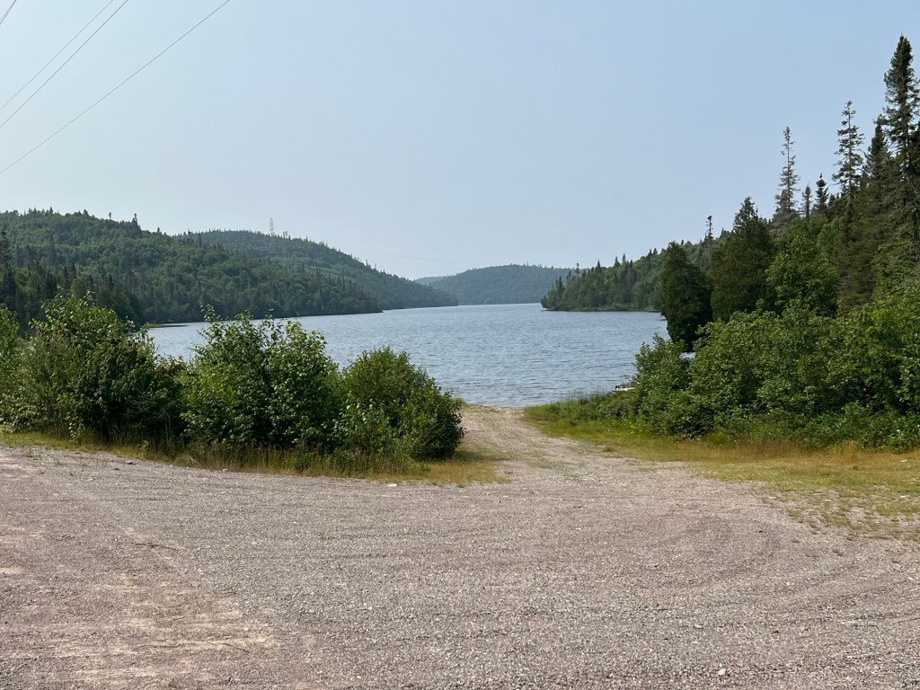
Oh well, we saw some pretty lakes.
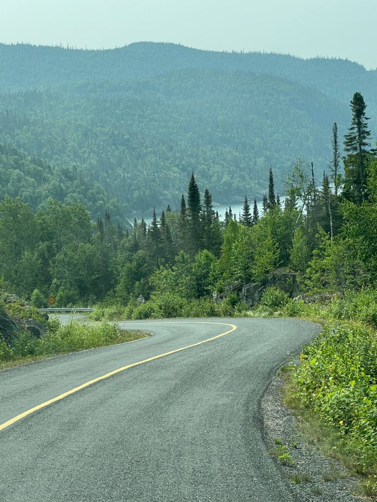
Since we were out and about we decided to drive the few miles further to the little town of Schreiber and check out their beach. The road to the beach was dramatic.
The lake shore on the north side of Superior is usually steep, and the hill continued from the parking lot down to the beach.
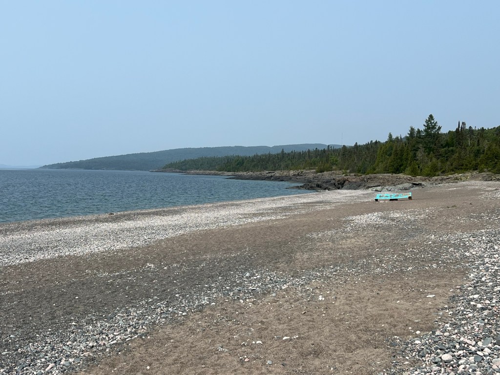
It was a nice little beach.
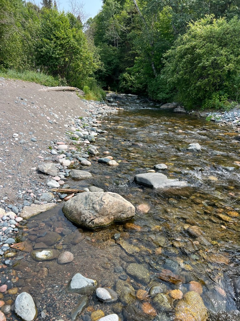
We walked down to where a little creek ran into the lake…
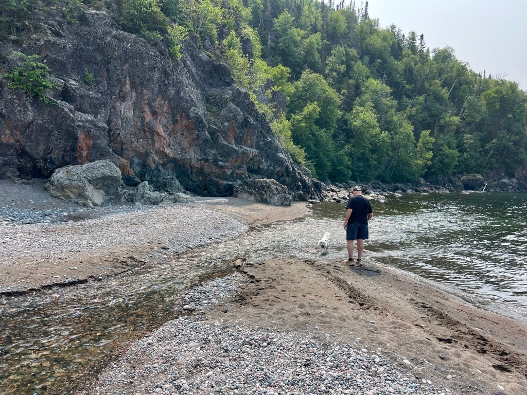
and Matey went wading.
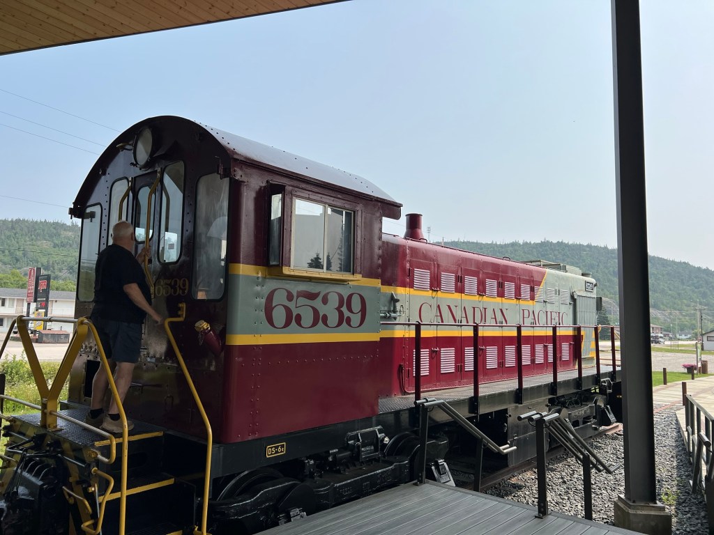
On the way out of town we stopped at their Welcome Center and railroad museum. Unfortunately you couldn’t go inside the engine.
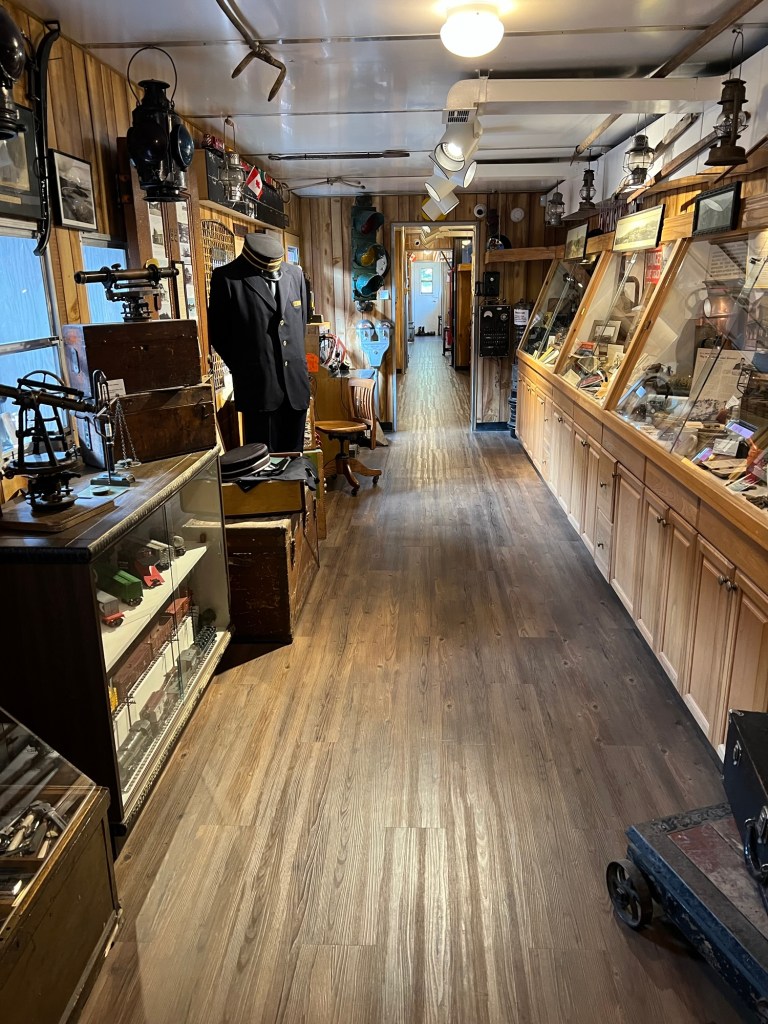
They did have an old passenger car converted to showcase museum items. That was interesting.
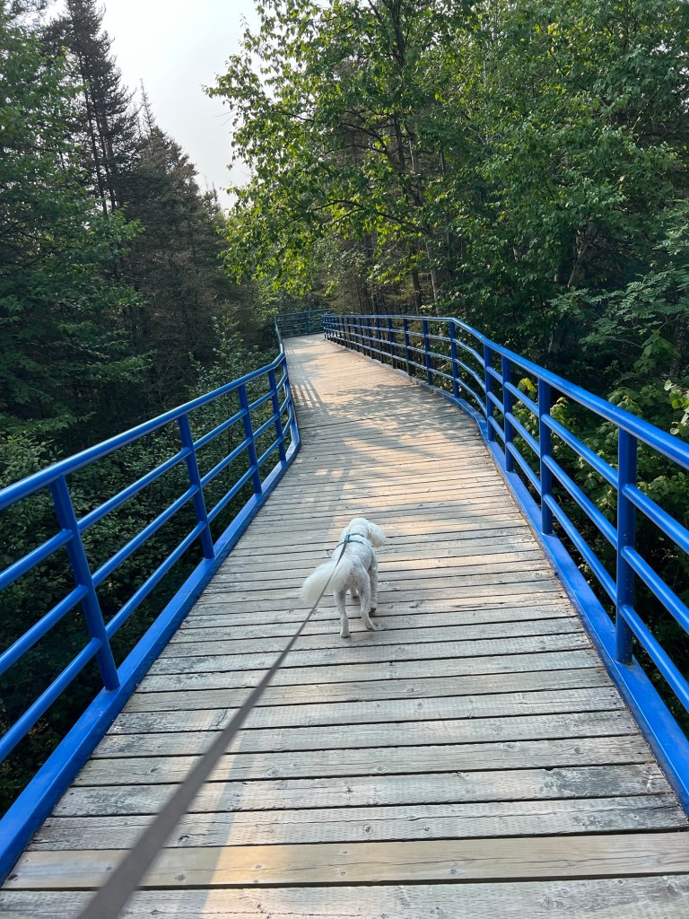
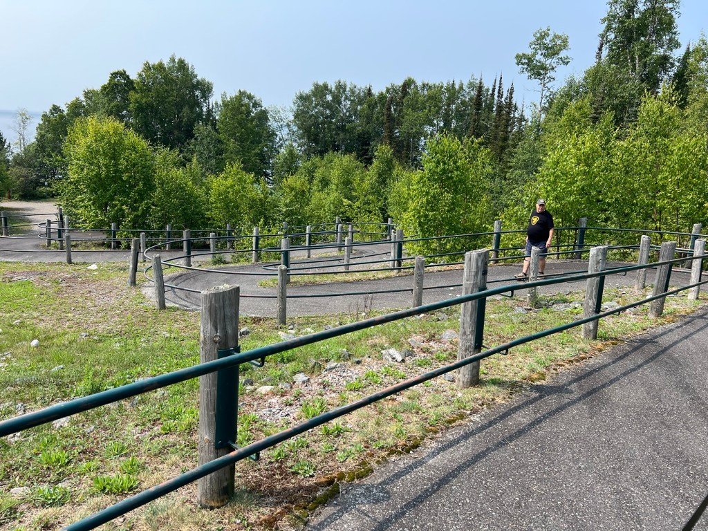
The highlight of our two days of exploring came today. I had seen Aguasabon Falls, just outside of Terrace Bay, advertised in the brochure we picked up on “The Lake Superior Circle Tour”. I checked and it was just fifteen miles away, so we decided to drive there this morning. This is the walkway we found leading to the falls.

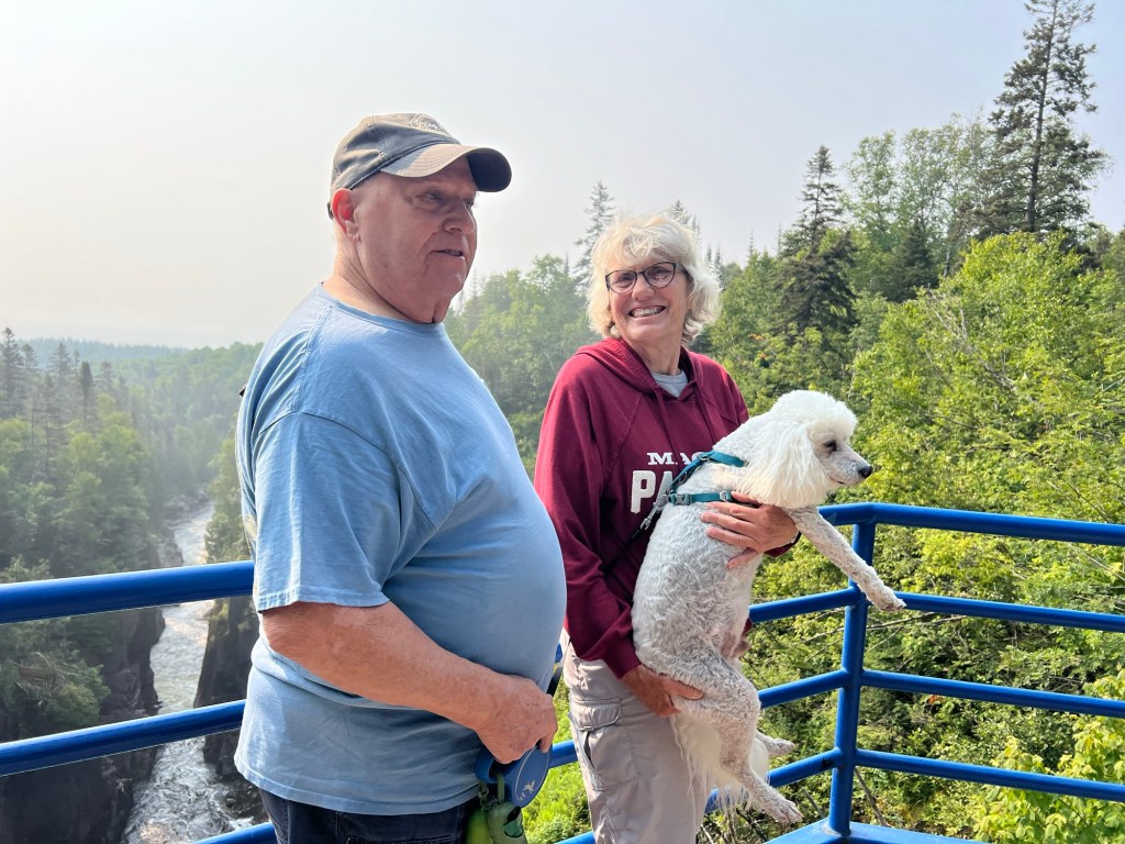
And this is the falls and the gorge.
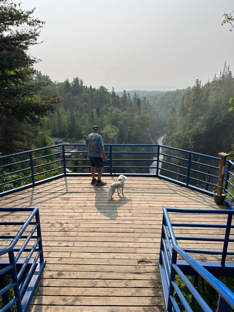
I stepped back to capture how close the viewing platform was to the river. A man offered to take a picture of us with the falls in the background.
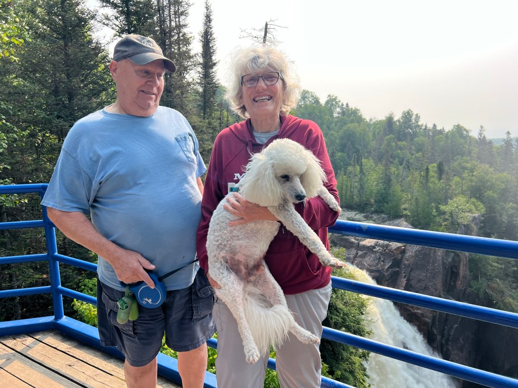
So here we are with the falls…
and the gorge. I was trying to get Bud to look at the camera,
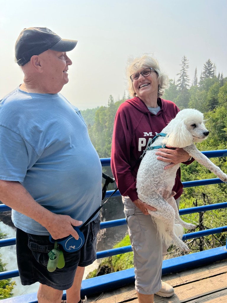
but he never did. Of course Matey didn’t either.
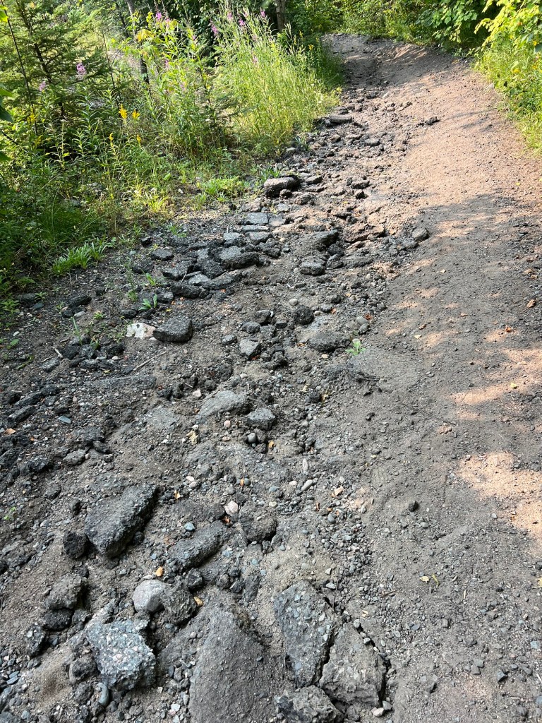
There was a trail that went from the falls down to the beach a bit over a mile away. Bud said he’d pick Matey and me up at the bottom, but Matey had already walked a mile that morning and refused to go down the trail, so he rode with Bud. The top of the trail had a lot of busted up asphalt and looked like it had once been paved.
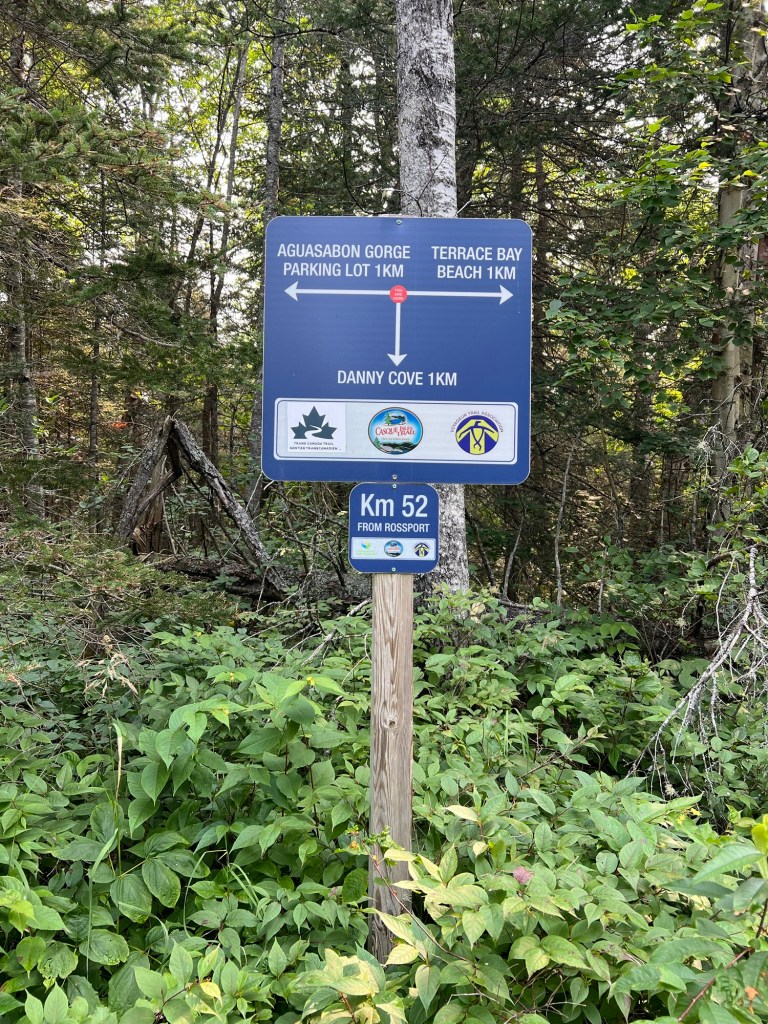
Here’s the junction where the Casque Isles Trail went to Danny Cove and then beyond. I walked on down to the Terrace Bay Beach.
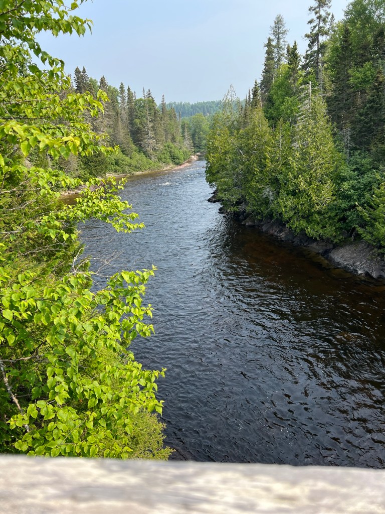
The trail soon crossed a footbridge where you could see the river coming down from the falls…
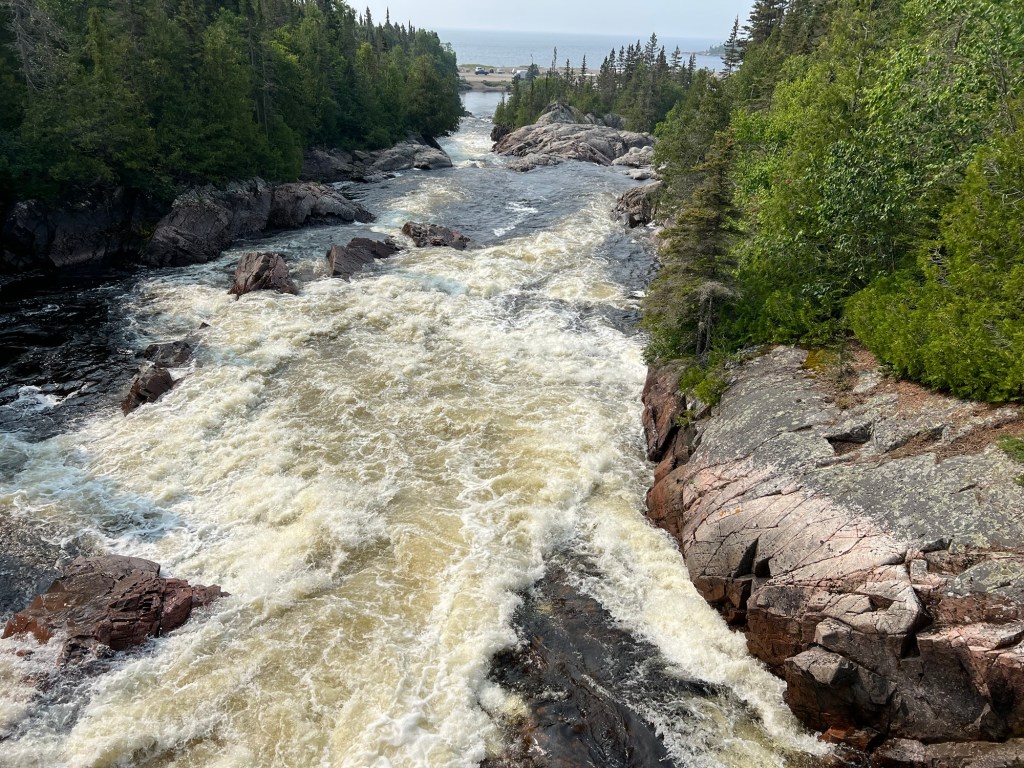
and continuing down through some steep rapids to Lake Superior.
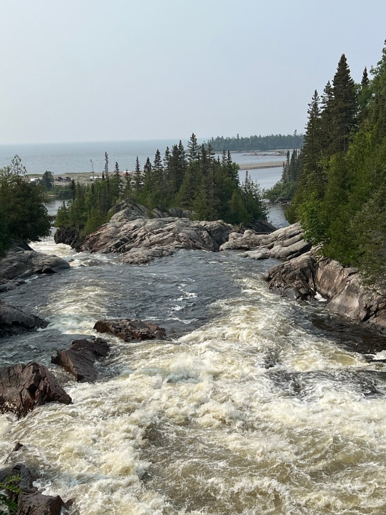
The river split around a rocky island just as it tumbled into the inlet on the lake.
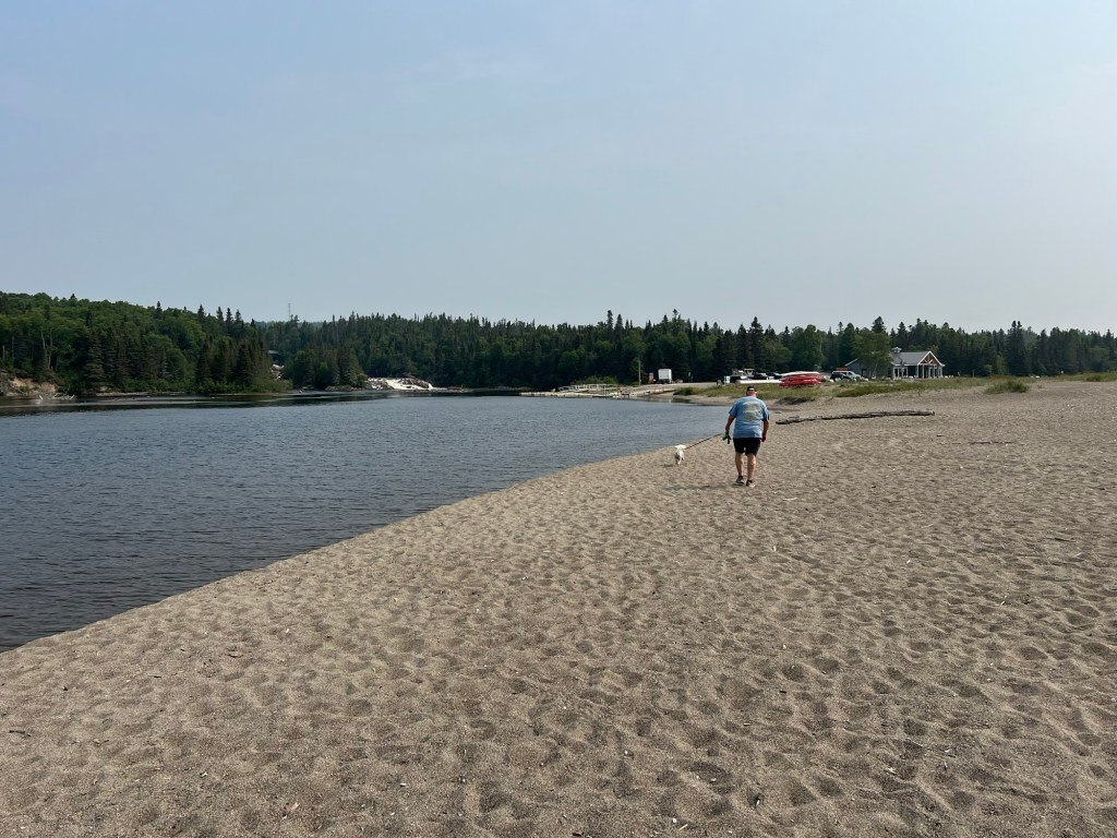
Bud and Matey were waiting at the beach and we walked out the sandy spit.
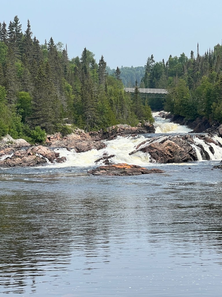
There’s the footbridge I crossed on the trail.
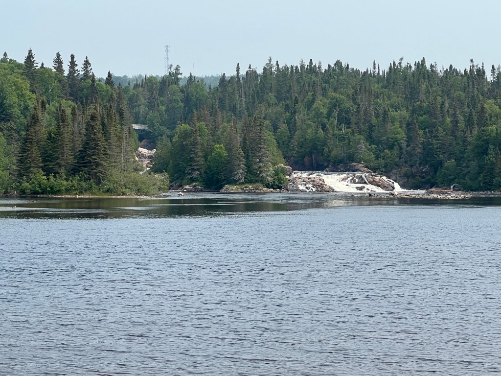
You had to be a long way out on the spit to see the little island with the bit of river on the far side.
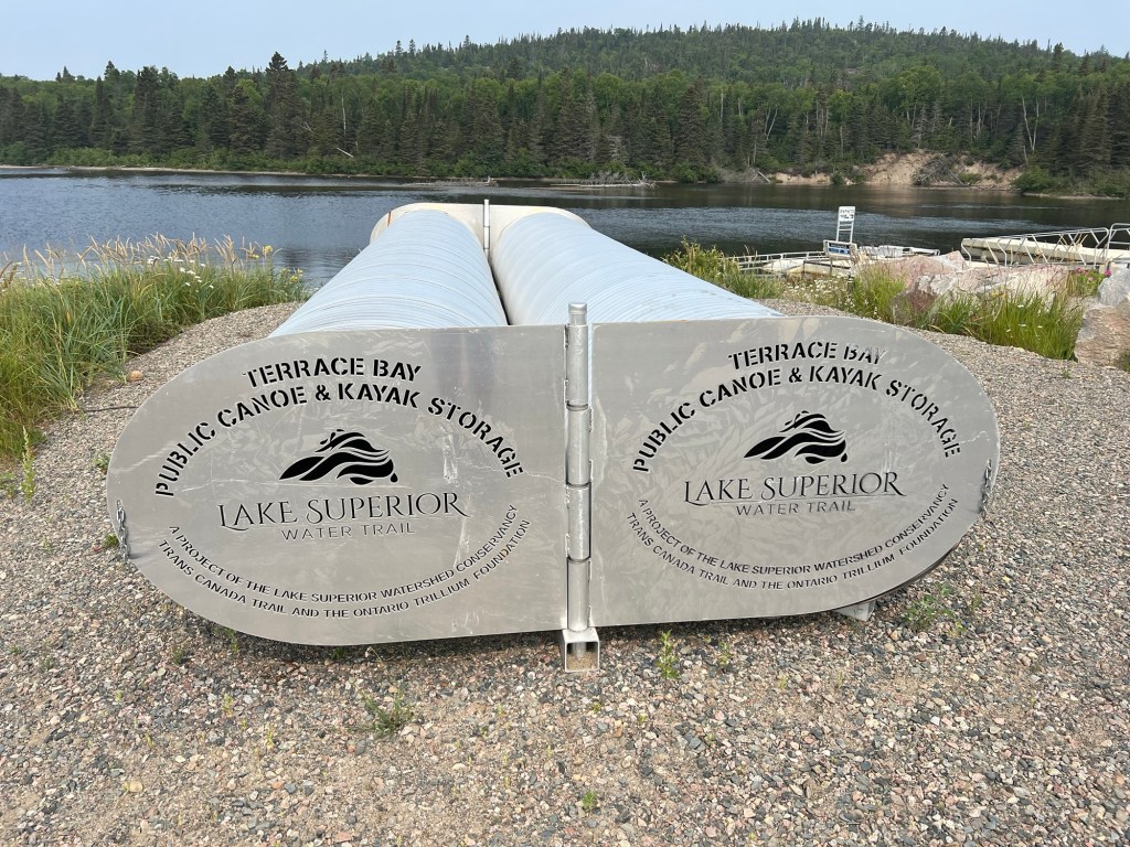
We passed these corrugated aluminum tubes and were trying to figure out what they were. Bud noticed the incised inscription “Public Canoe and Kayak Storage”. Oh.
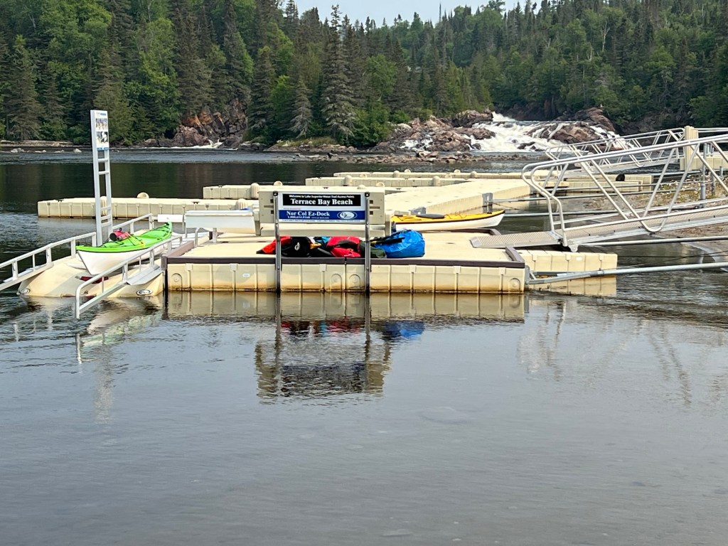
There are canoe and kayak routes all along this shore. I noticed the dock was labeled for paddlers coming from afar. There is a canoe and kayak route circumnavigating the whole lake, a far more daunting journey than the highway Circle Tour.
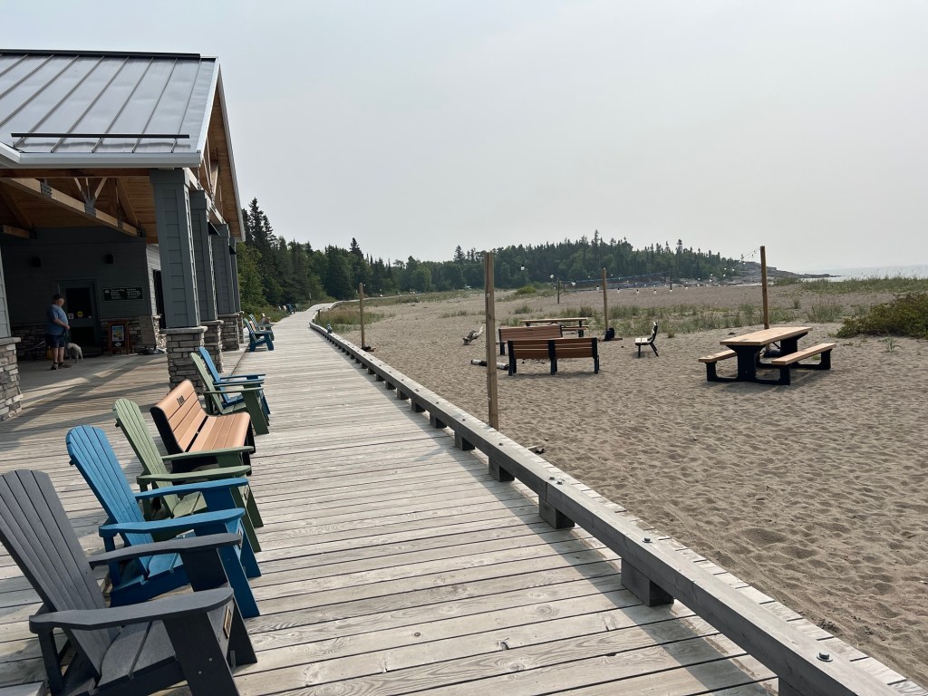
This is a much bigger and more developed beach than the one at Schreiber.
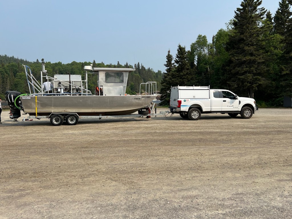
While we were at the beach a crew had pulled this boat out at the boat ramp. If you look closely at the truck you can see that these folks are from sea lamprey control. We talked to a young woman on the crew and she explained they put lampreycide in the water at a concentration that kills the lampreys but not the other species. They came here because the lampreys spawn in this inlet. She said the control is quite effective, much more so than for many other invasive species. The US and Canada cooperate in this venture. Canada covers Lake Ontario and during COVID they couldn’t travel there to carry out their work. Lamprey numbers shot up; but the population is coming back under control now that the work has been resumed.
Seeing new places, meeting new people and learning new things are what make this lifestyle rewarding for me.

I love the rugged rocky landscape with the river and lakes! So beautiful. I had to look up lamprey to see what they are. Are they an invasive species in that area?
LikeLike
They are invasive
LikeLike