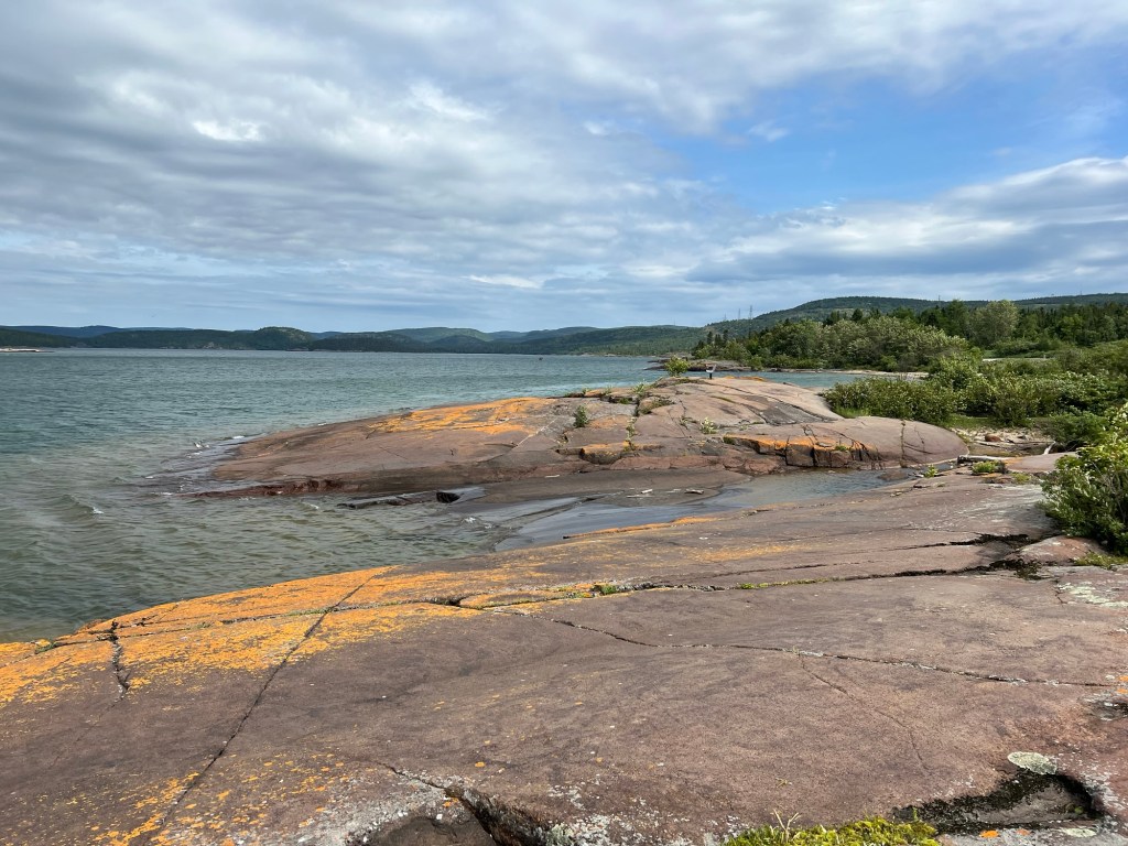
We are still at Penn Lake Park Campground in Marathon, Ontario. The other day we were exploring the streets and found our way here, near the boat ramp. This isn’t a beach, it’s more like a rock swimming pool.
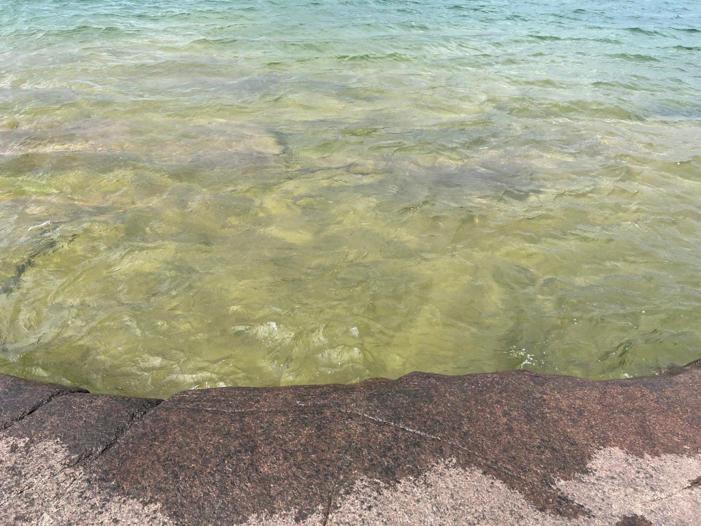
Here you could sit on the edge of the rock ledge and slip to another smooth rock surface about three feet down.
While driving around we came upon a large sign with a map of trails and roads in town. From that I discovered Carden Cove just west of town down a dead end gravel road.
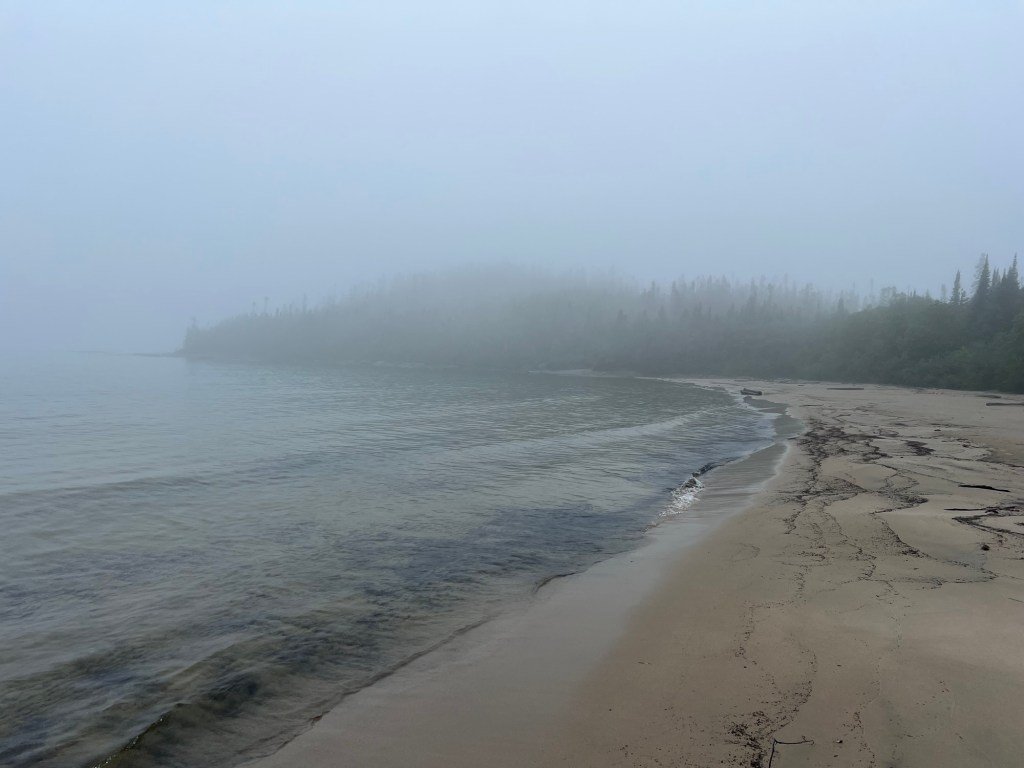
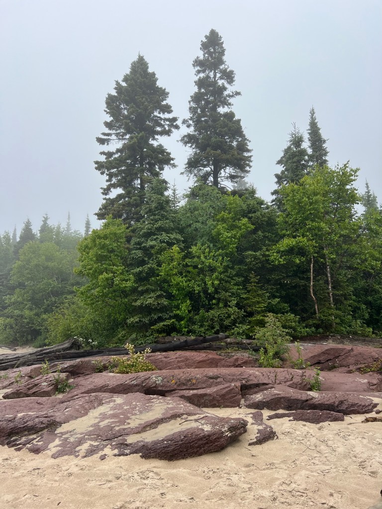
It has a pretty nice beach, but the first day we visited you couldn’t see much because of the fog.
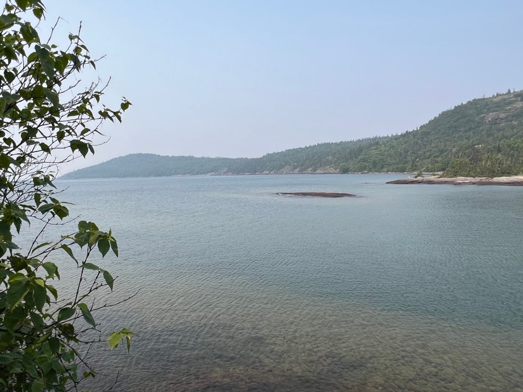
We went back another day, and although overcast, the fog was gone.
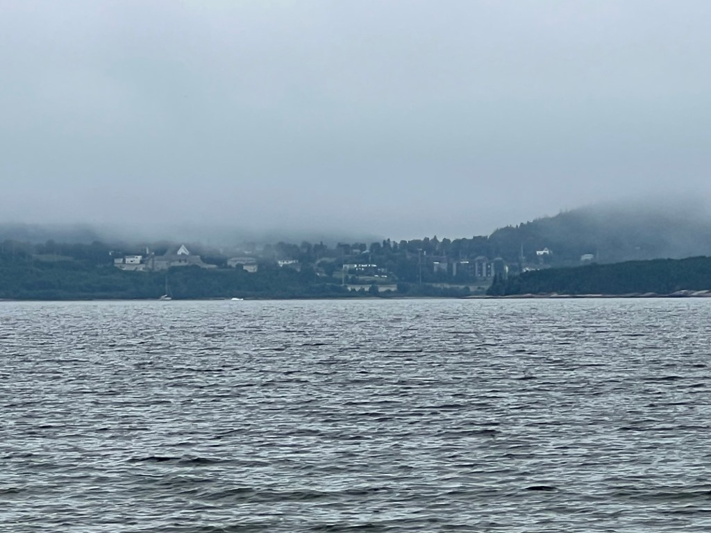
You could even get a glimpse of Marathon across the cove.
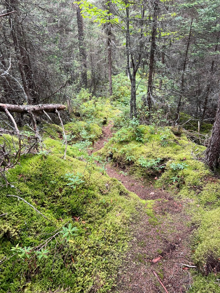
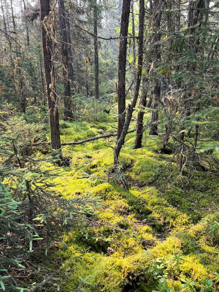
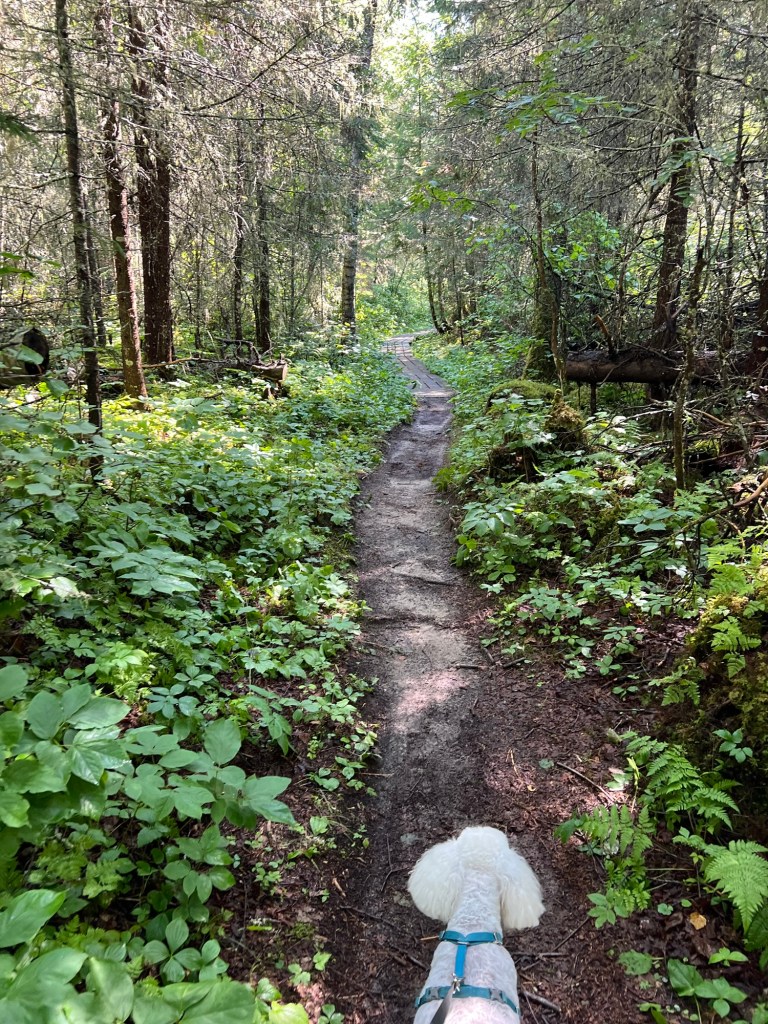
That day we decided to walk a trail to the next cove. The trail was worn deep into the sphagnum.
We were worried about bears. There are signs advising to be “bear aware” at every campgound and trailhead.
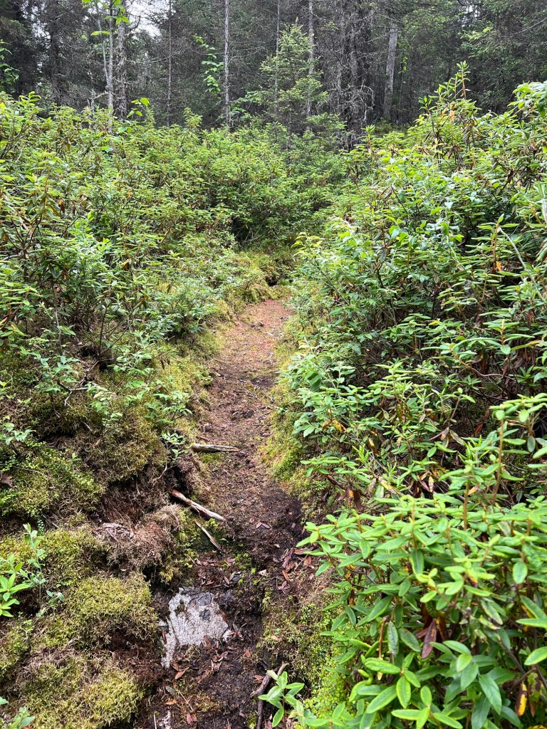
The trees and brush are so dense that it would be easy to come upon a bear unawares. That day we cut our walk short.
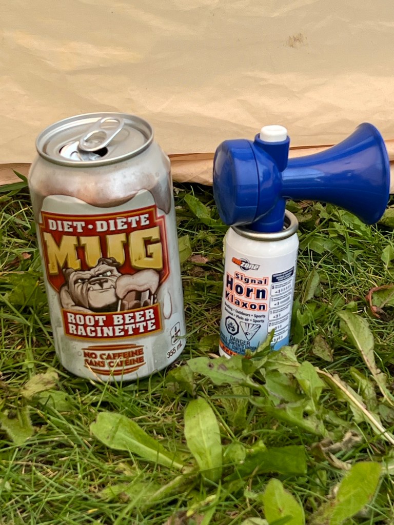
We have bear spray, but really don’t want to get close enough to use it. So we went to Canadian Tire and bought this really small air horn. All the online references said that bear bells don’t work, but bear spray and air horns do.
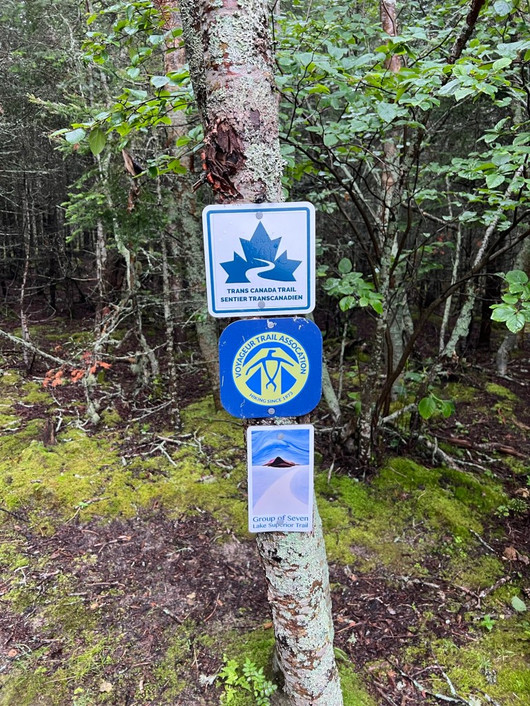
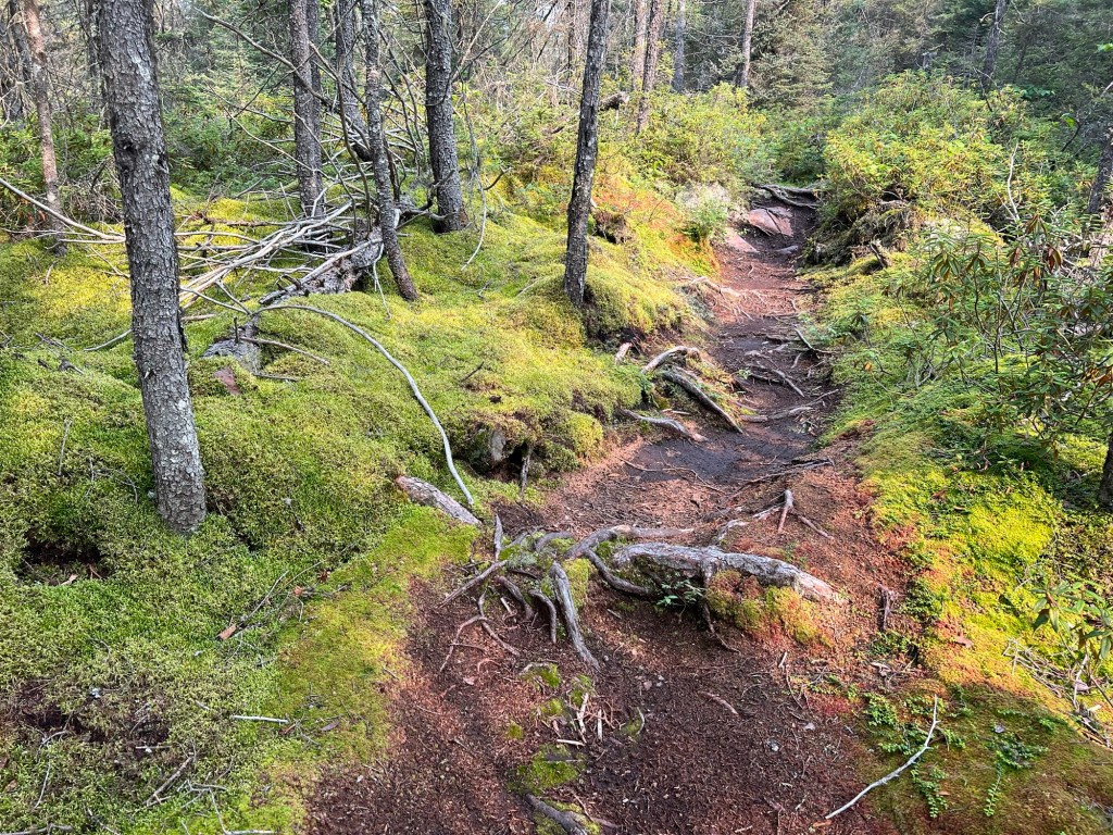
Armed with our new air horn we went back to the trail and this time headed for a side trail to the beach on the next cove.
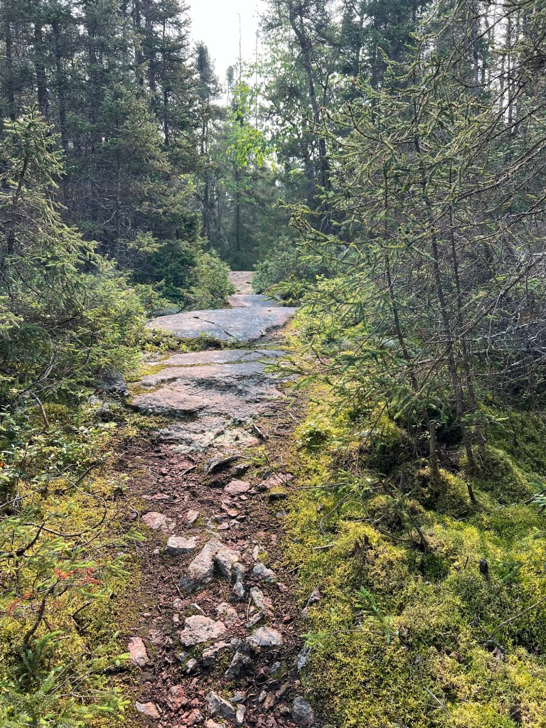
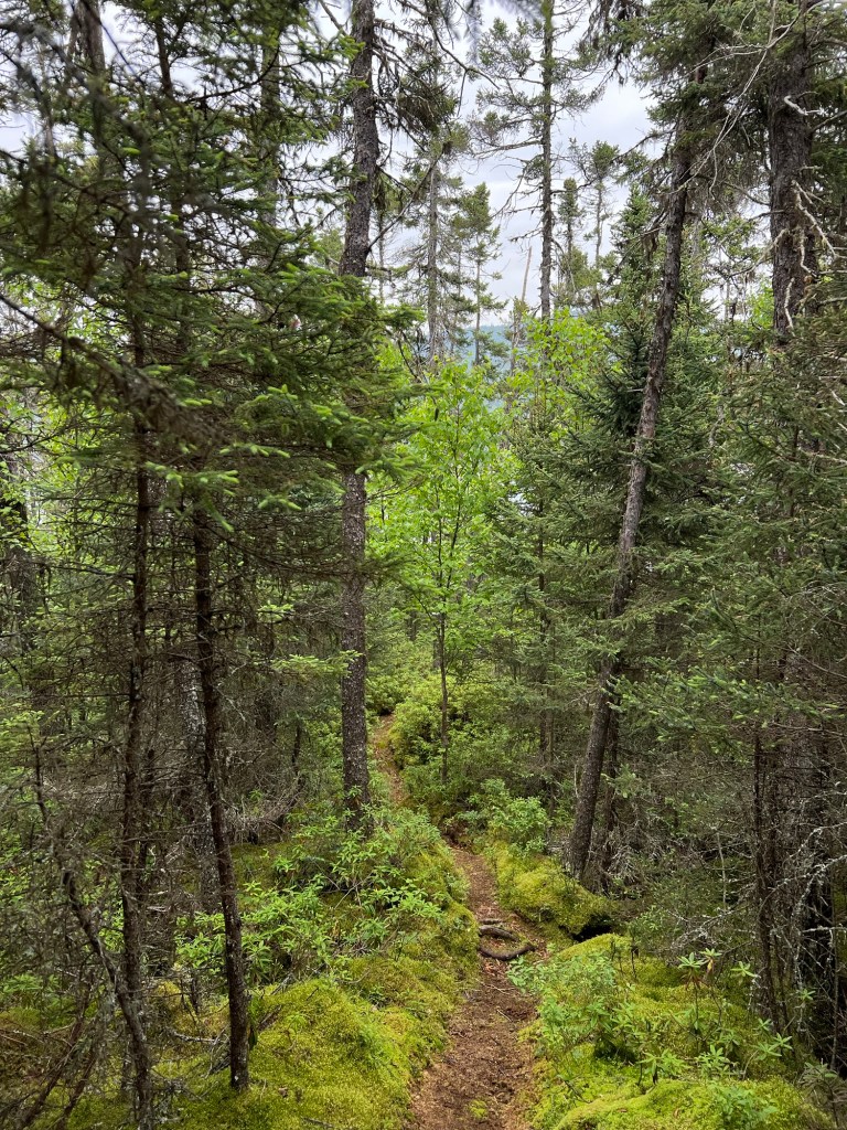
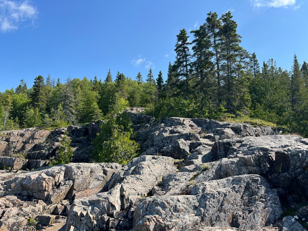
The main trail was a bit more open and rocky,
though there were still plenty of trees and sphagnum.
We walked until we found an overlook of Beatty Cove. This time the haze was smoke from the wildfires (mostly in Manitoba).
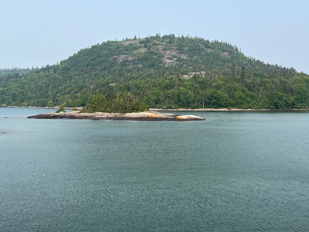
There wasn’t much of a beach, there was a lovely island. The hill across the cove is Picnic Table Hill and I would have loved to tackle that hike but my two walking partners (Bud and Matey) were not up for that.
At least we got a nice walk in the woods and didn’t worry about meeting a bear.
And Matey, even if he’s having a wobbly day, always enjoys trotting on the beach.
I was searching for other places to take Matey and came across a Facebook entry about the mouth of the Pic River. We decided to try that. When we got partway down the gravel road there was a big sign saying No Trespassing and advising people that this was private property owned by the Pic River Ojibway and permission was needed for entry. We turned around, but on our way back stopped at a tribal gas station for diesel. Not only did we save a lot of money, when he paid Bud asked about going to the land at the mouth of the river. “Oh, that’s fine,” they said. “No one will say anything if you go there.”
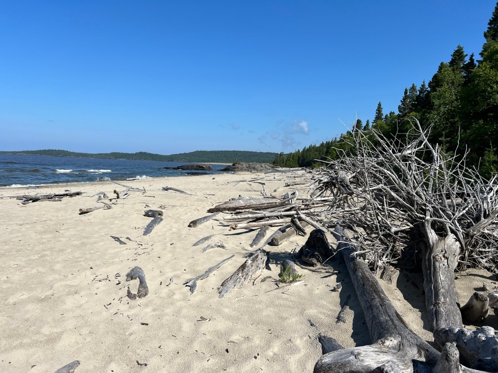
So we went, and it is a spectacular place.
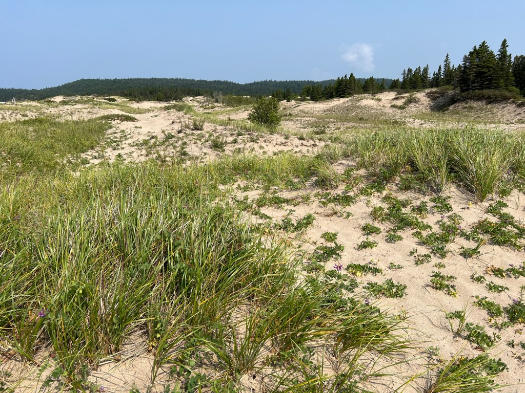
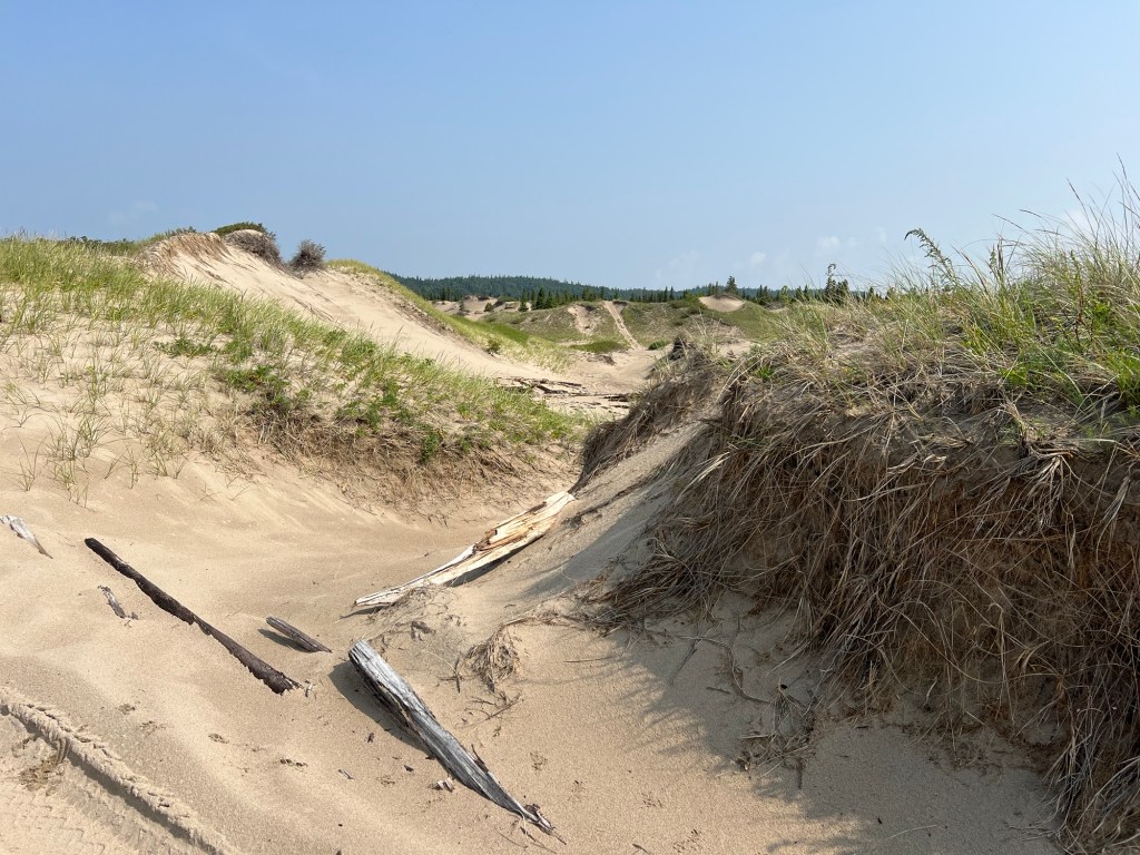
There is a huge area of sand with dunes reaching back at least a quarter mile.
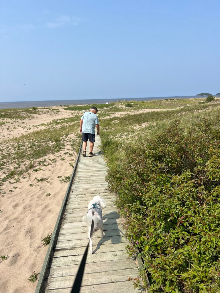
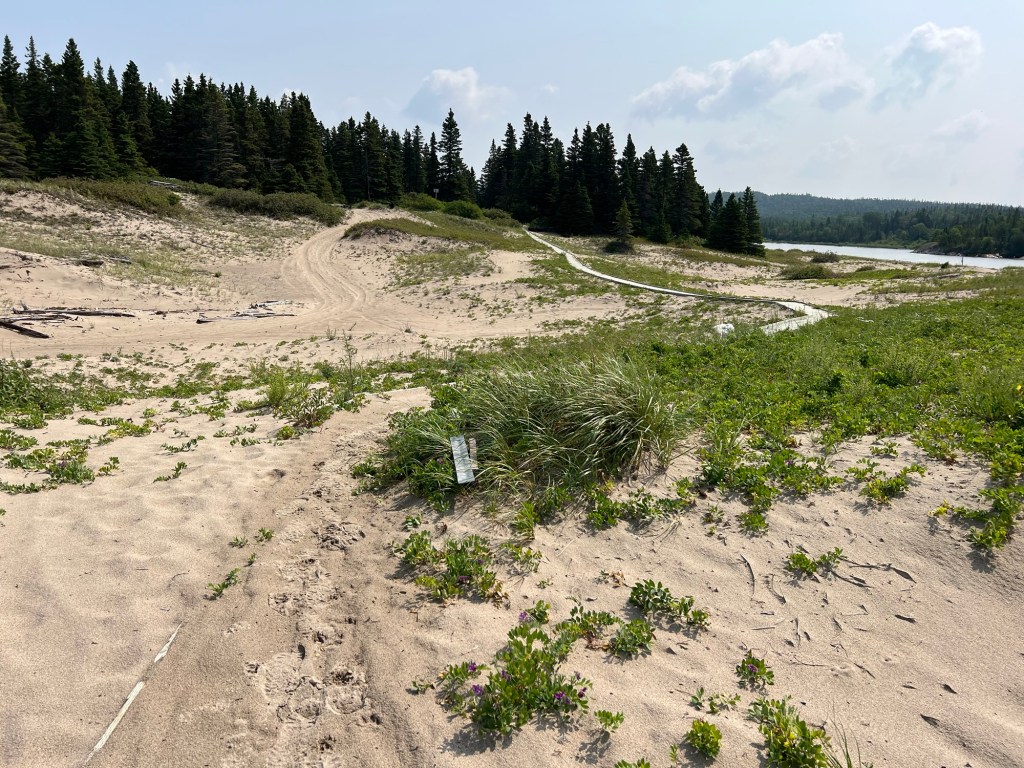
There was a boardwalk built out towards the edge of the lake.
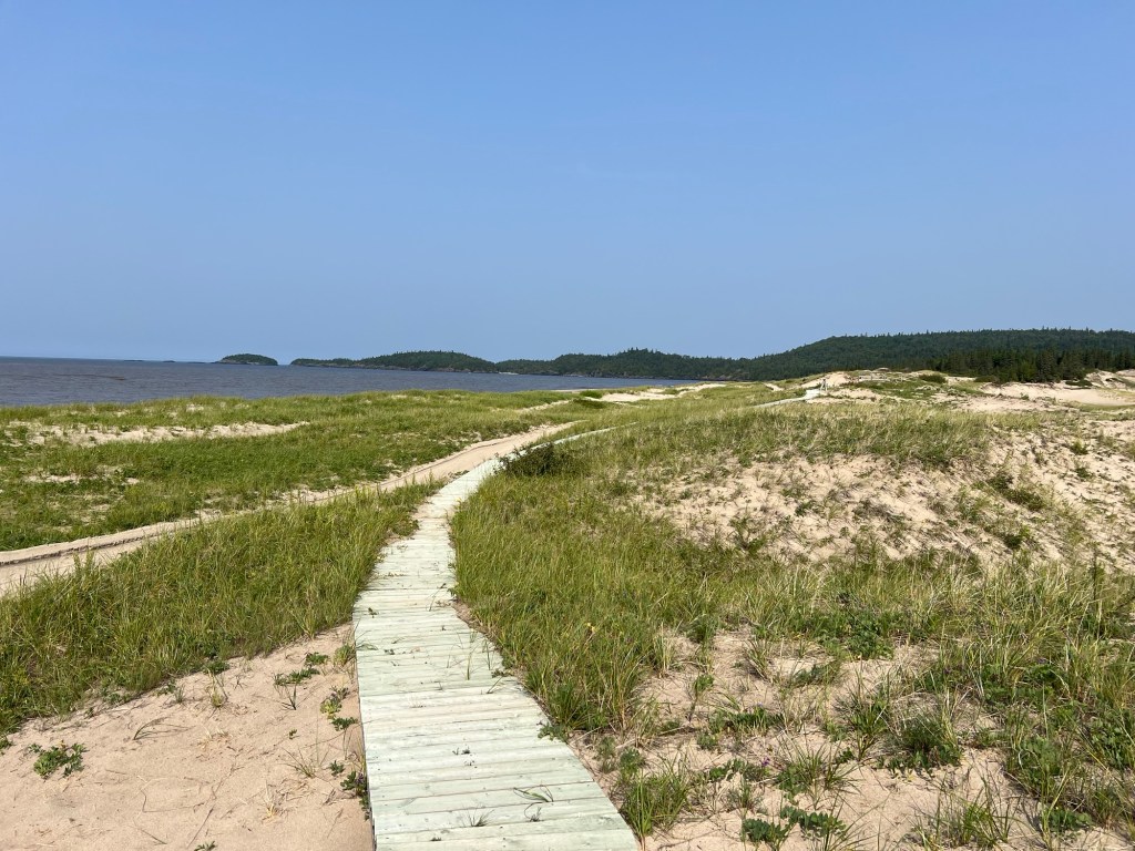
It continued along the edge of the beach but parts were damaged, probably by winter storms. We walked the sandy track next to it.
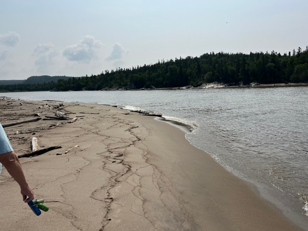
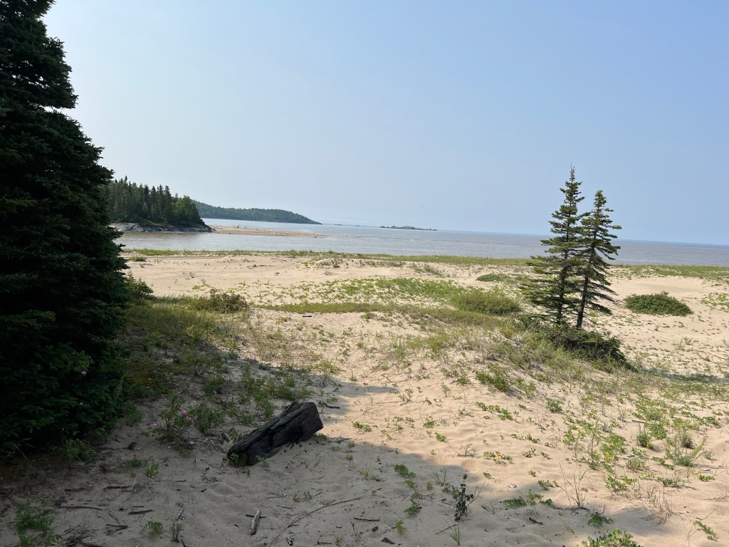
This is the mouth of the Pic River. I was facing southeast here, and the sky was white with smoke.
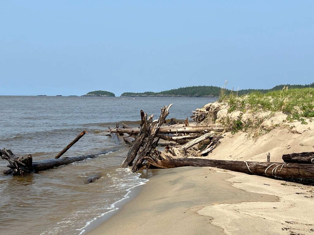
Heading away from the river the sand was eroded and choked with logs. And facing northwest the sky was clear.
The top of that was smooth, like a snow drift, and the sand curled over like drifted snow.
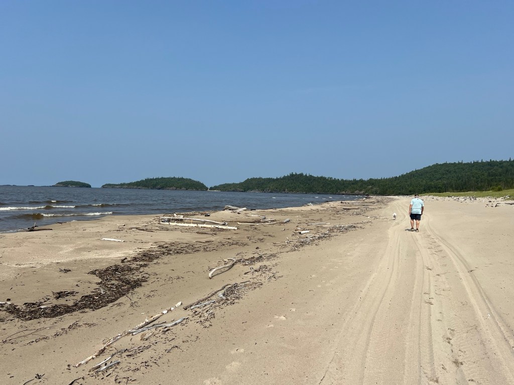
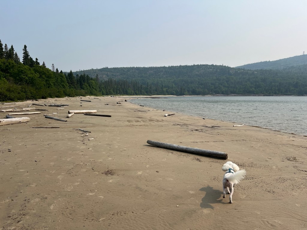
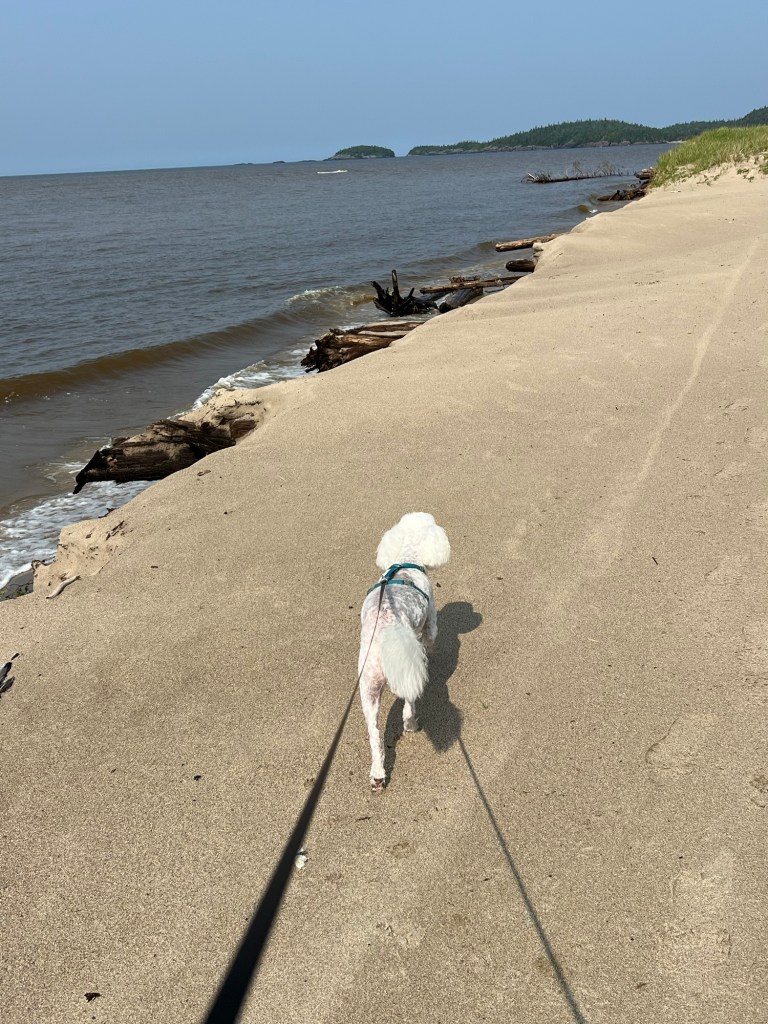
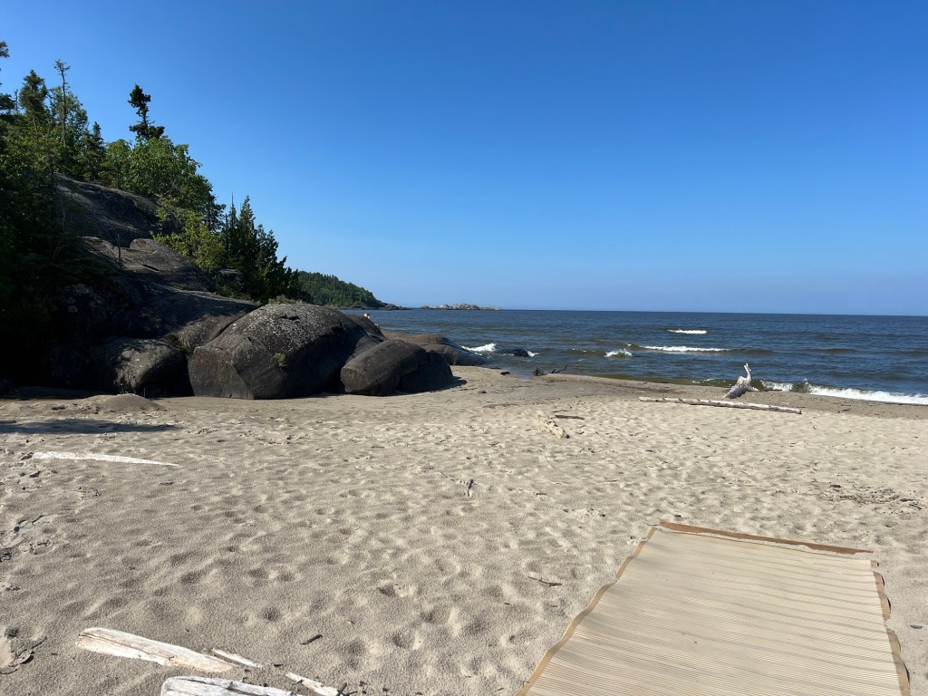
Further along there was plenty of beach.
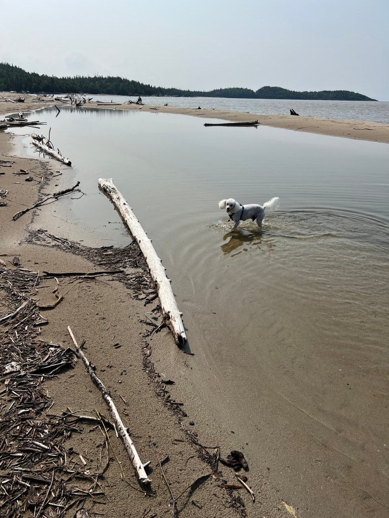
Matey waded in the quiet water trapped behind a sand bar.
Inland were the big dunes.
It was beautiful and I’m so glad we went there.
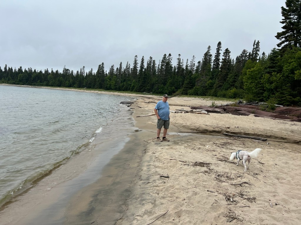
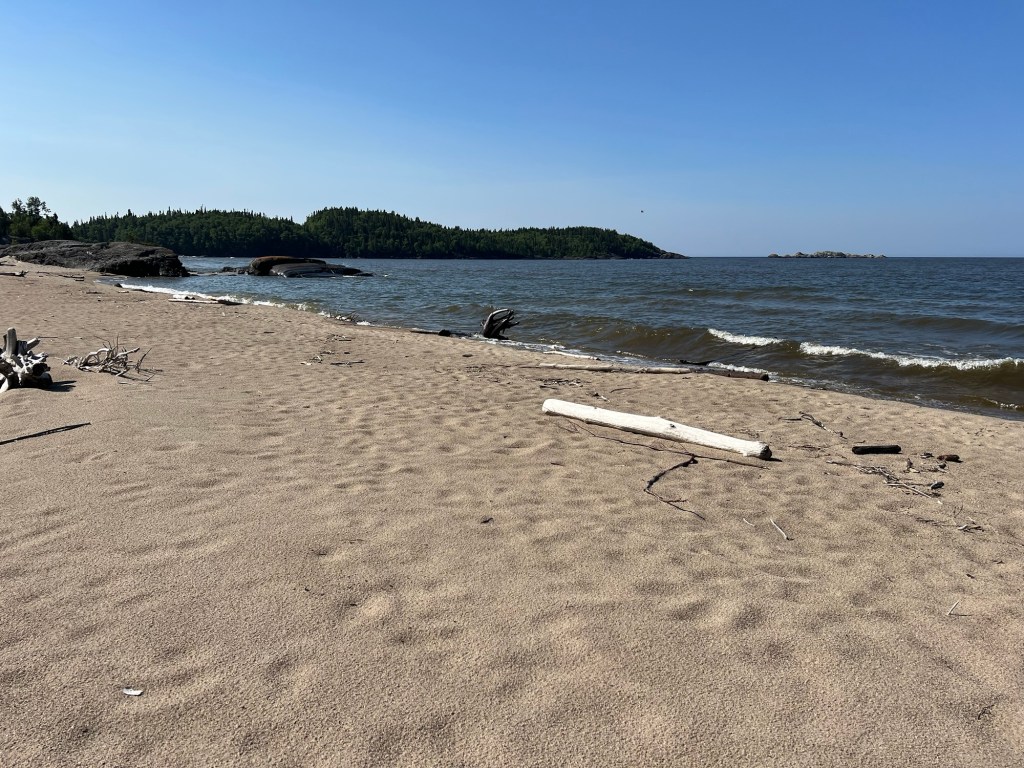
We went to one other beach. We went back to Pukaskwa National Park and hiked a short, easy trail…
out to North Beach.
No fog or smoke that day, just the spectacular rocks, trees and sand of the north shore of Lake Superior.
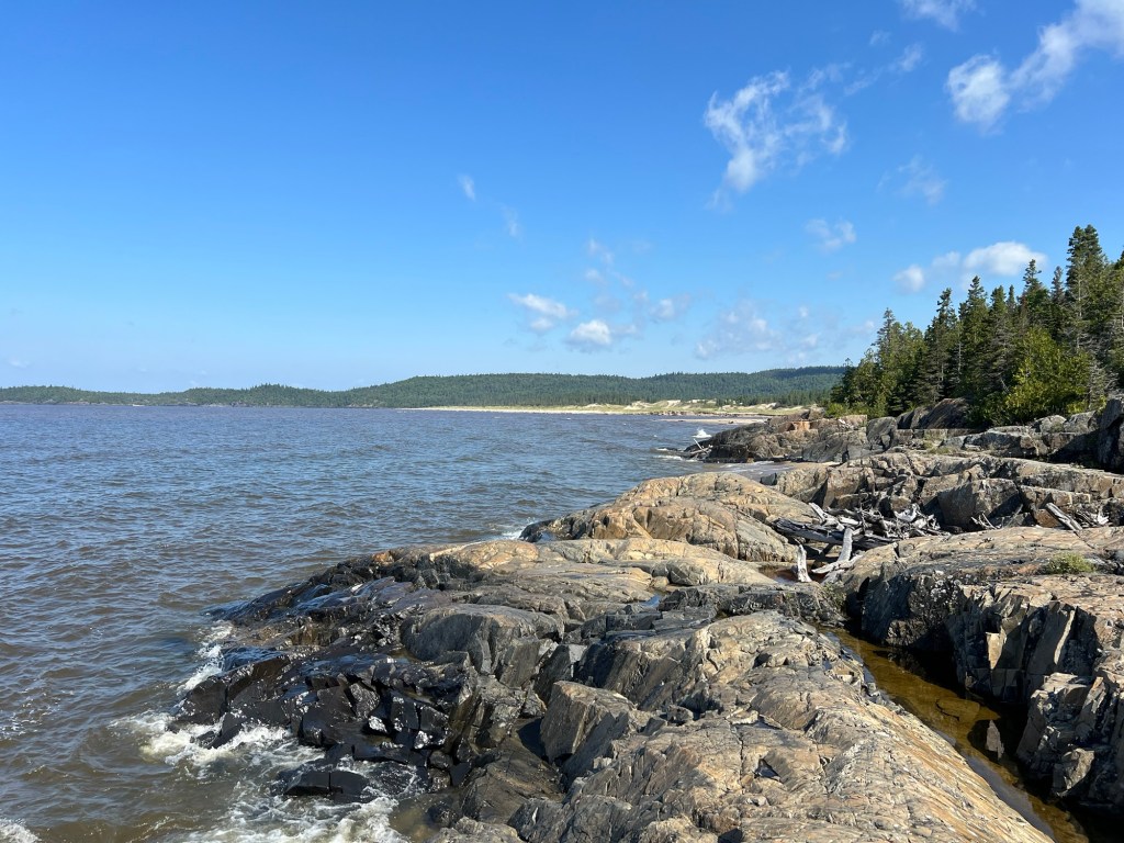
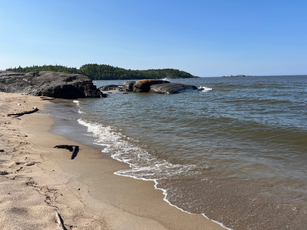
We walked to the end of the beach. From the rocks there you could see across to the dunes we went to on the other side of the mouth of the Pic River.
To the southeast are the rocky points we hiked in the park.
There were no quiet pools for Matey here, but there were also no other people or dogs, so he got to be leash free for a while.
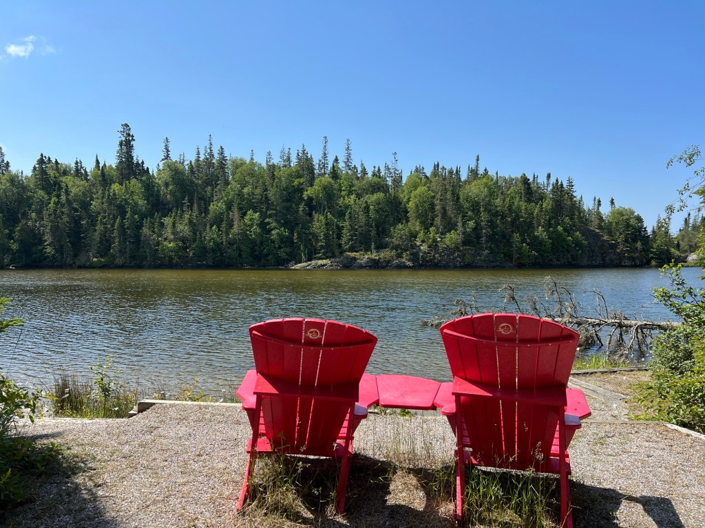
When we came back from our walk we looked around near the Visitor Center. We found one set of Red Adirondack Chairs (every Canadian National Park has them).
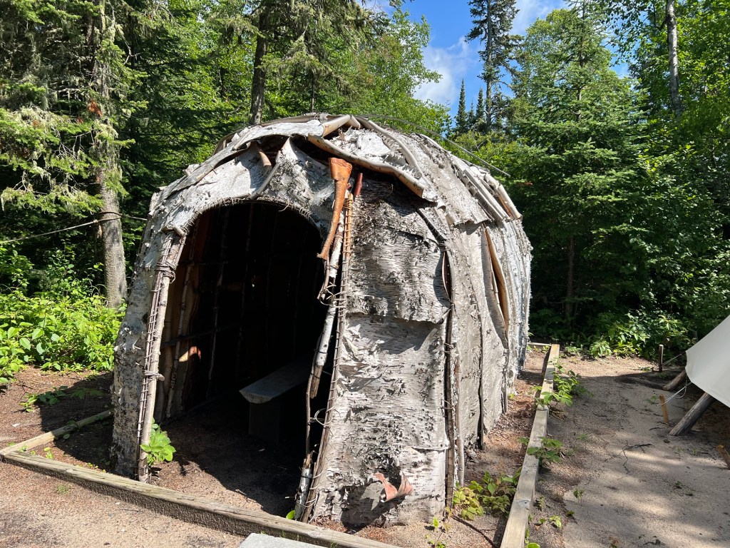
We also found where Anishinaabe (Ojibway) knowledge keepers had built a shelter using traditional techniques.
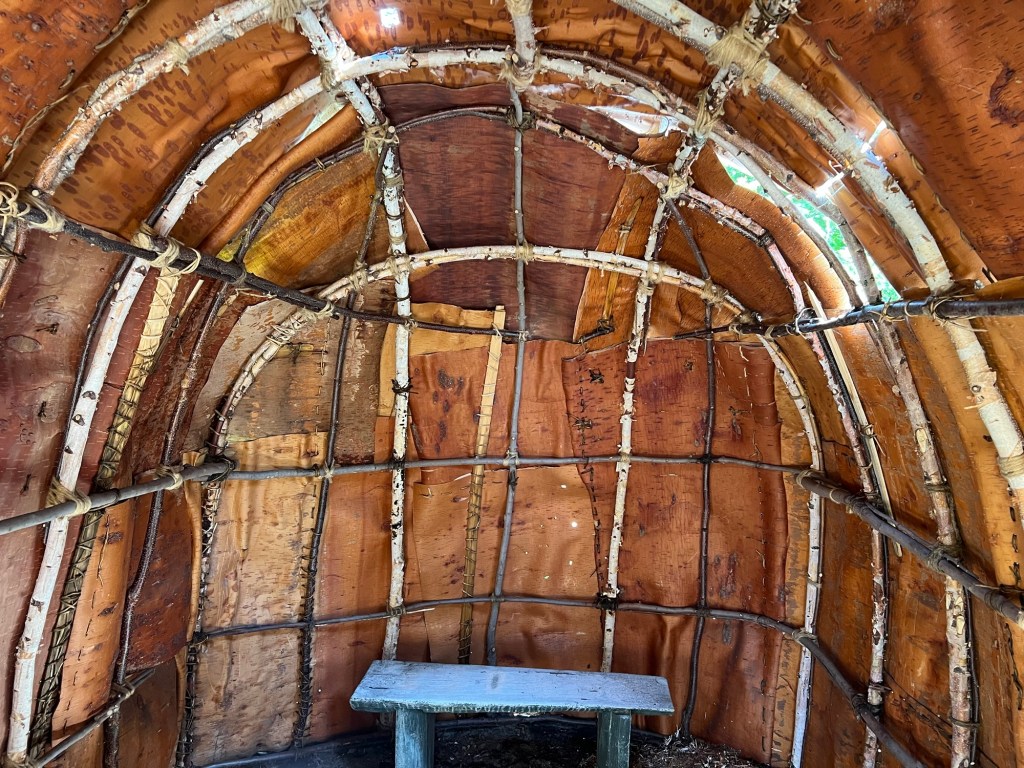
Although in need of repairs, it was beautiful and calming inside.
In spite of fog, smoke and bears we have loved our time here and would be happy to come back.

So much beauty – from the forests to the rocks to the dunes to the beaches and to the water! Is the covering on the shelter made of tree bark – Birch or something similar?
LikeLike
Yes, it was birch bark. And it appeared to be fastened with something like split grapevines.
LikeLike
Thanks for sharing your life of adventure with us. So many beautiful places. I think this post is a record for # of pictures. Love it. Safe Travels, Randy
LikeLike