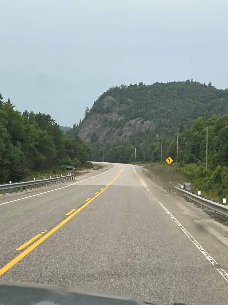
We have made it to the north shore of Lake Superior and it is beautiful. The weather has not been cooperative for picture taking, but we still love it. This photo looks misty because of wildfire smoke. We’ve either had poor air quality or rain.
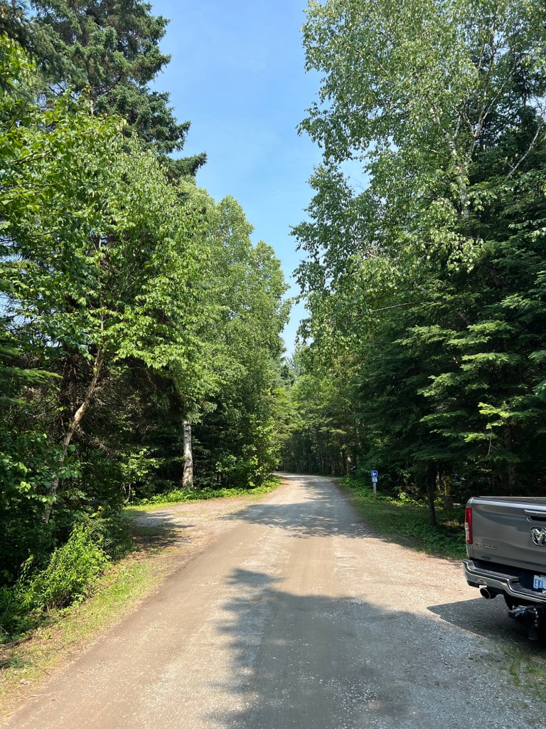
We’re staying at Rabbit Blanket Lake Campground. This park is huge. We drove a bit under 70 miles to get to the park boundary from Sault Ste. Marie and then almost 50 miles further along 17 to get to the campground. And there is still another 20 miles of park beyond this campground.
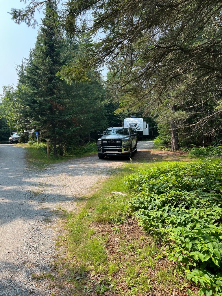
We’re very happy to be back in a place where we have some room.
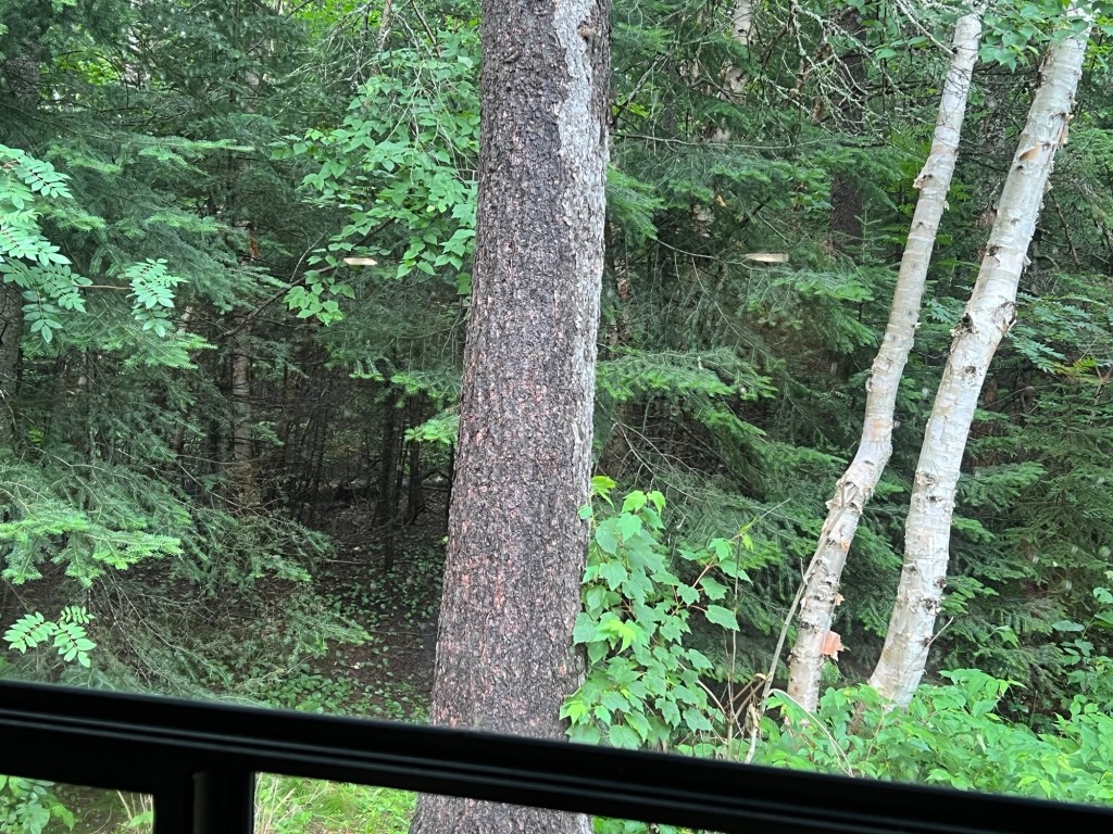
And we especially love the view out the dinette window.
On the way here we stopped at Chippewa Falls, which is at the midpoint of the Trans Canada Highway.
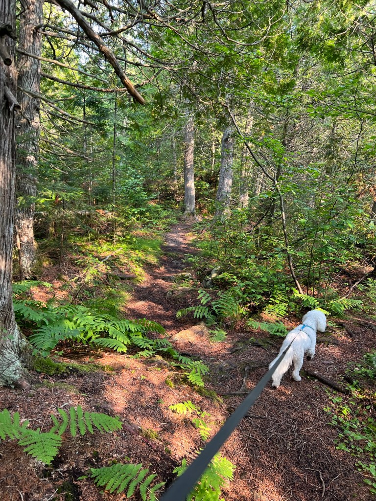
Yesterday we tried to take a short hike on South Old Woman River Trail that is just across the road from our campground.
It was quite pretty.
But when they said it was rooty they weren’t kidding.
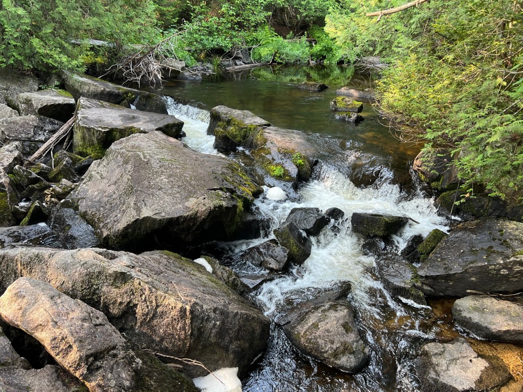
We couldn’t make this river crossing. I would have had to carry Matey as he is still too wobbly to be reliable jumping. And those gaps were too wide and the rocks too slanty for me to try.
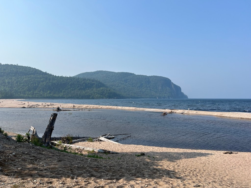
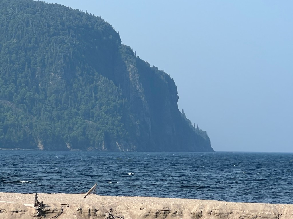
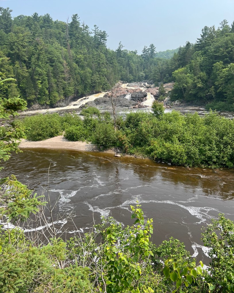
Instead we drove a few miles to where the river emptied into Lake Superior.
There were no dogs allowed out on the beach, so I just took some pictures.
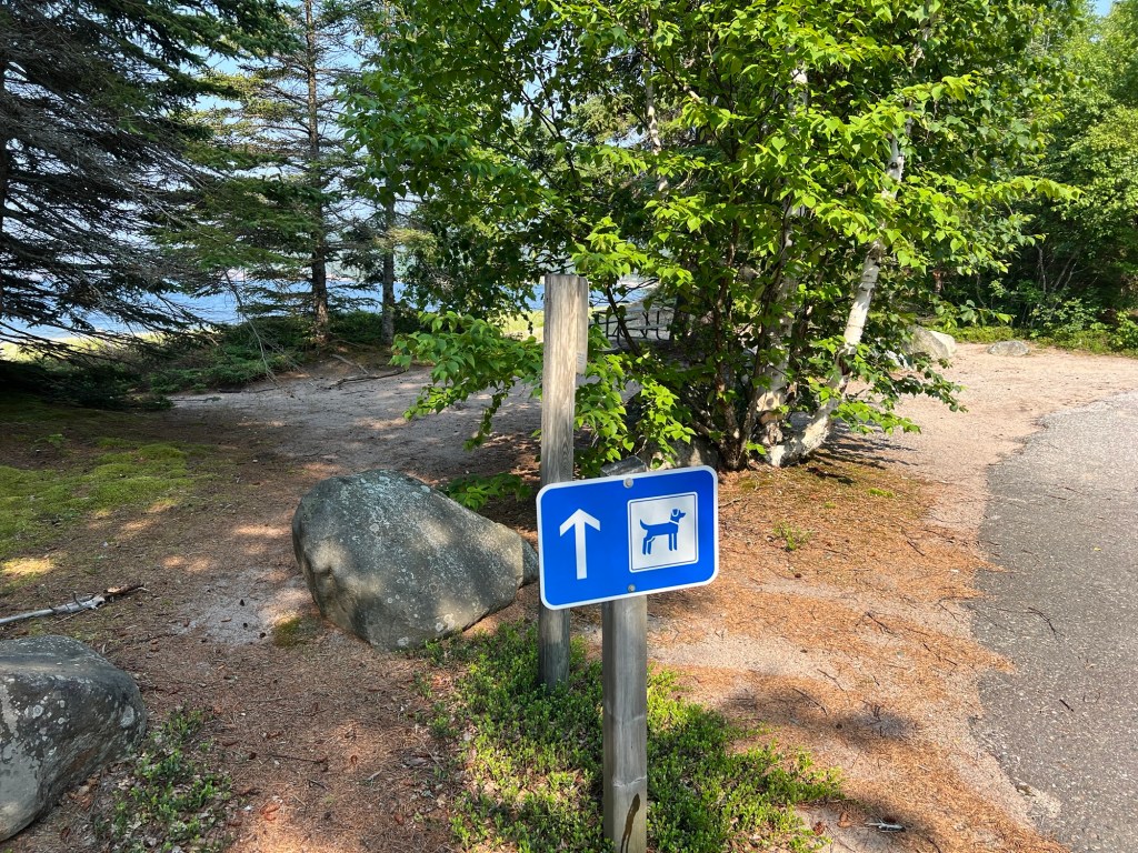
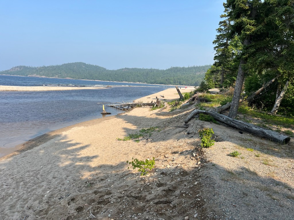
We walked down the park road along the beach and at the end there was a dog beach.
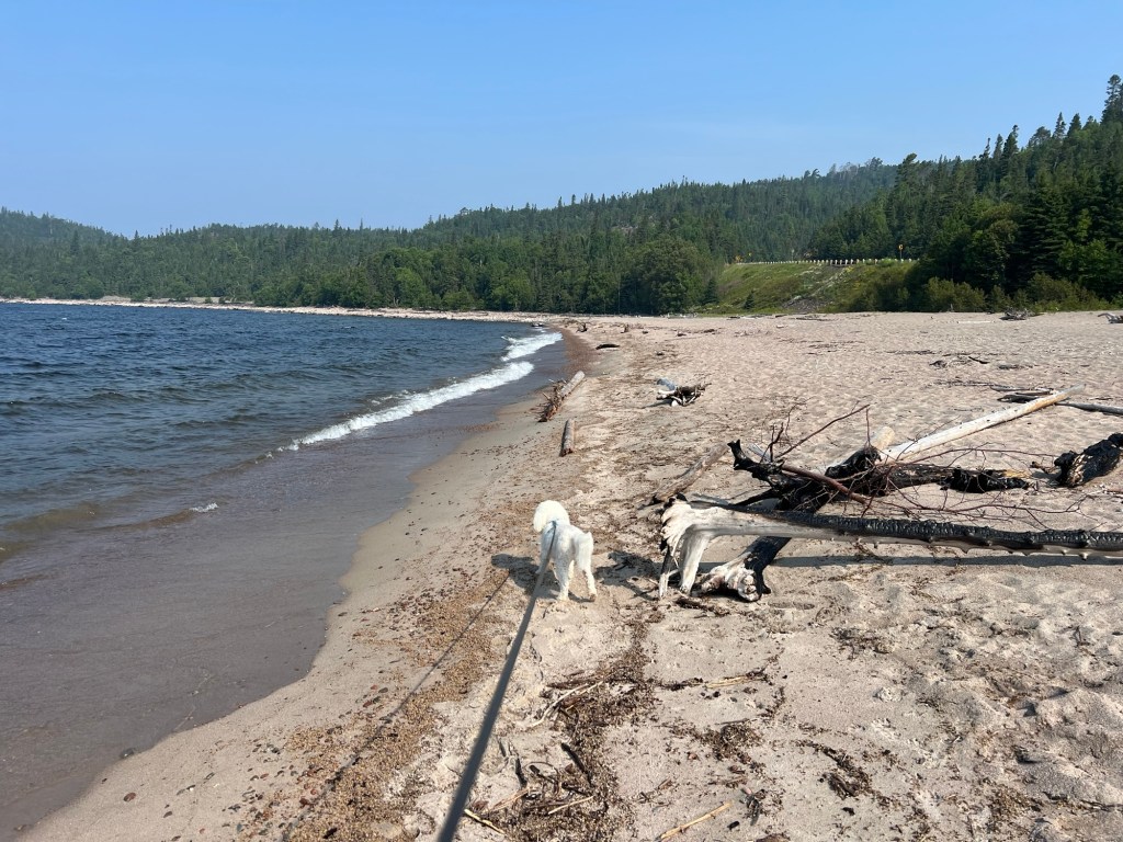
So we walked out there.
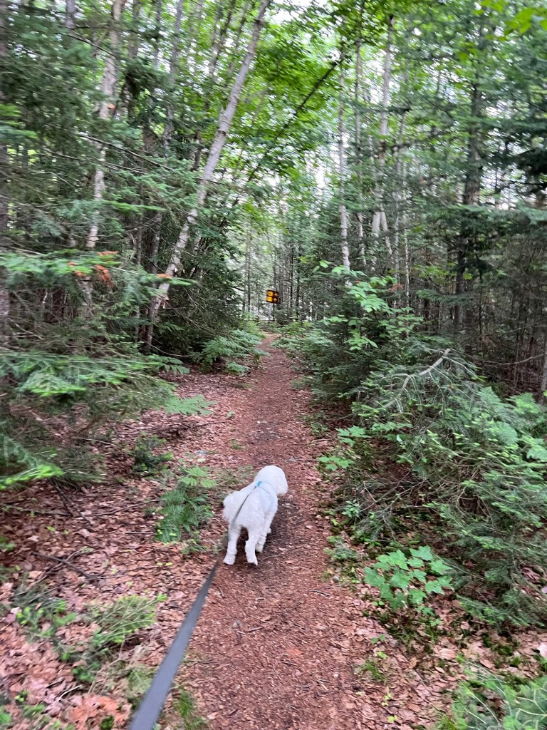
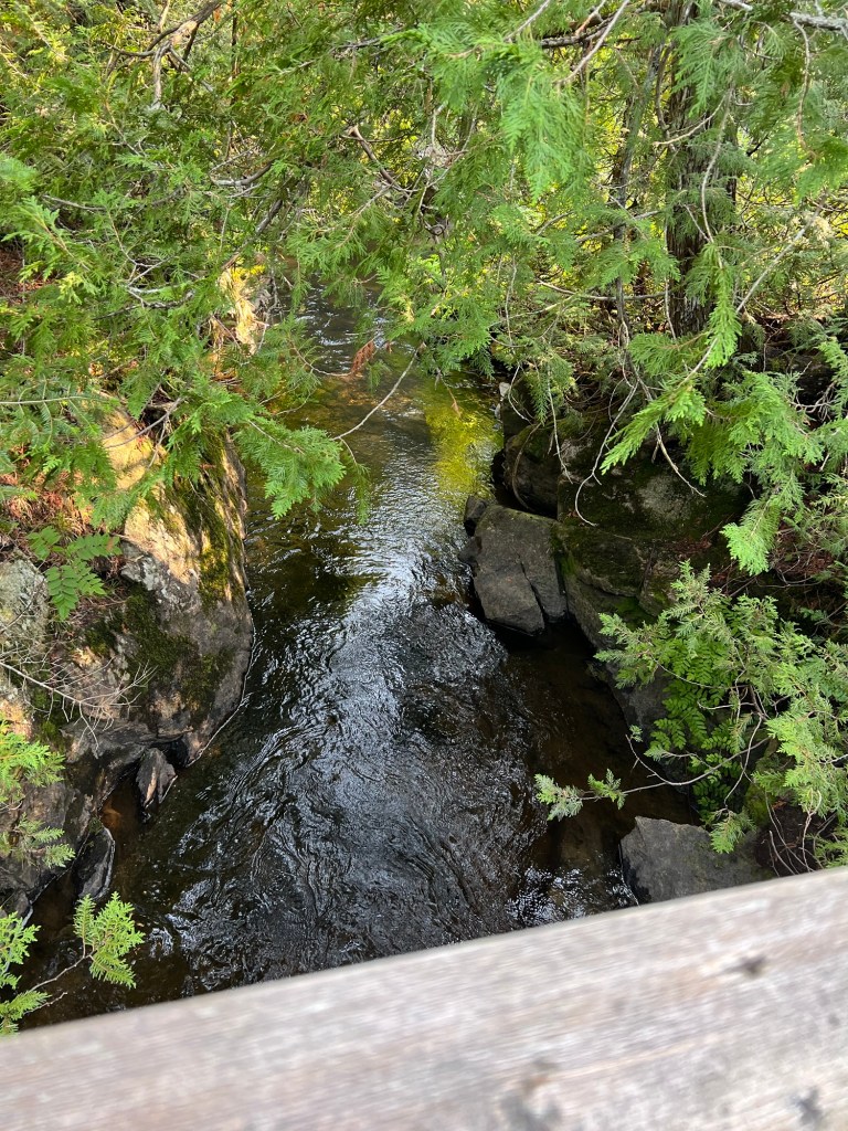
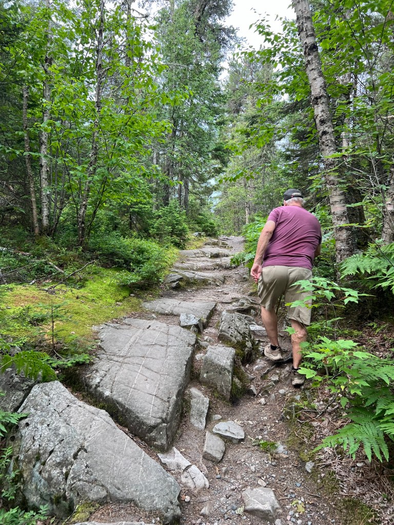
Today it was supposed to start raining at about 11, so we got going early and at 8:15 we were 16 miles down the road walking Trapper’s Trail. This was one that Matey could handle.
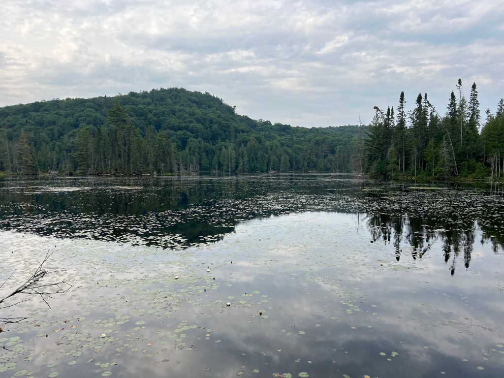
It circled pretty little Trapper’s Lake.
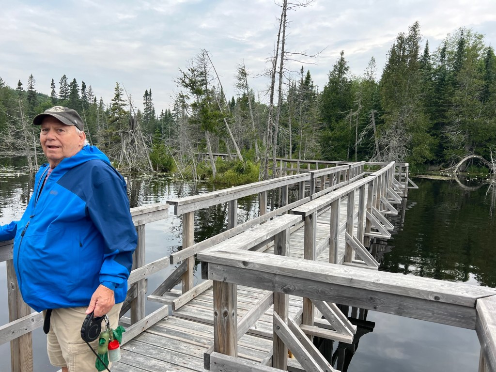
There were some boardwalks and lookouts,
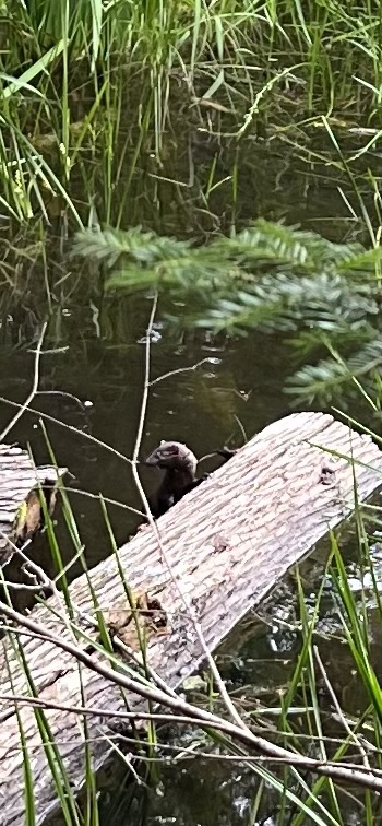
But the highlight for us was watching a family of minks playing around some logs on the edge of the pond.
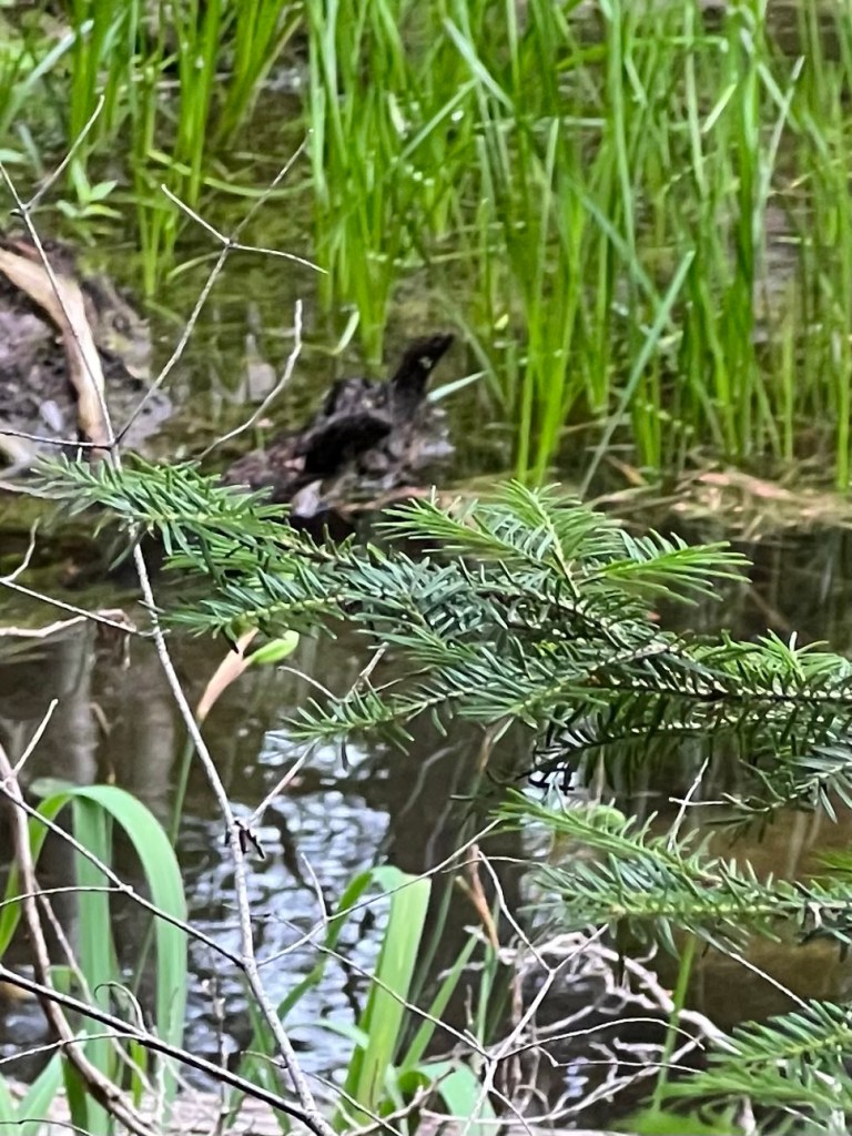
It was really hard to catch a picture because they were so fast.
This is the only one I got of one of them swimming, and it’s hard to even find it. Sorry, limitations of picture taking with an iPhone.
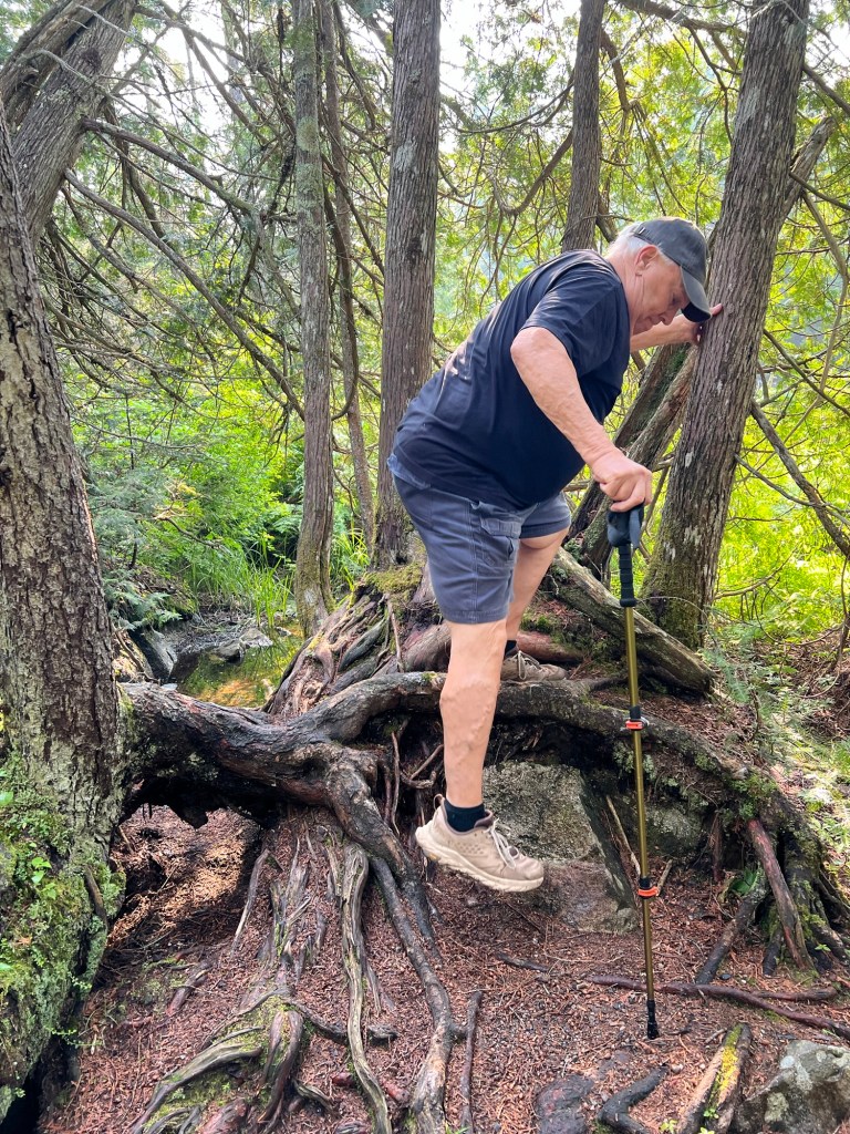
We then drove another 16 miles to the trail to the Agawa Rock Pictographs. Matey had to wait in the truck for this one.
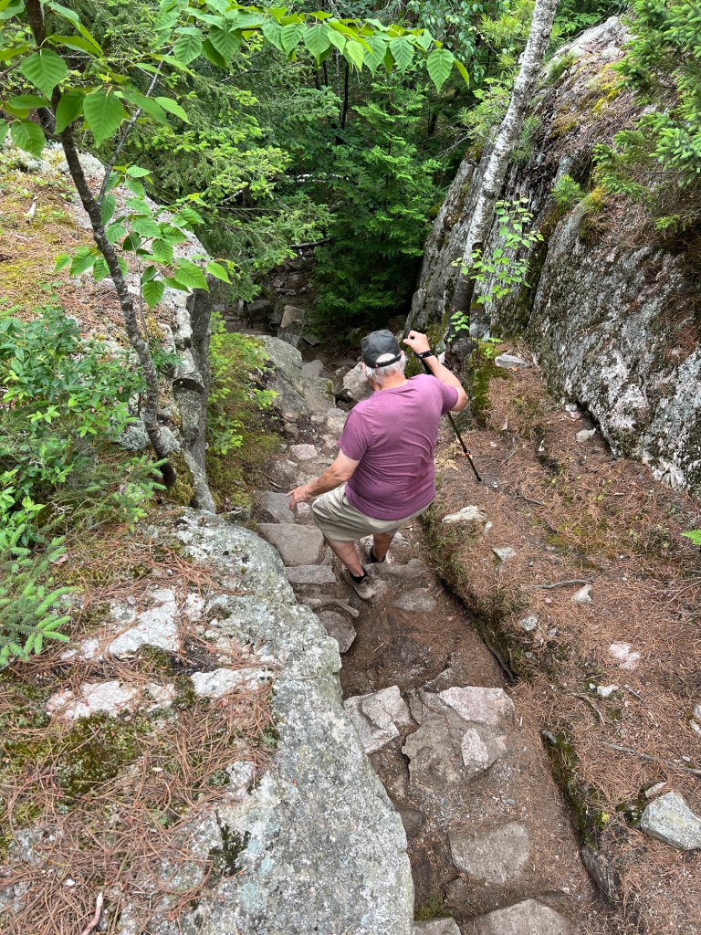
This was listed as a moderately difficult trail, though it was short.
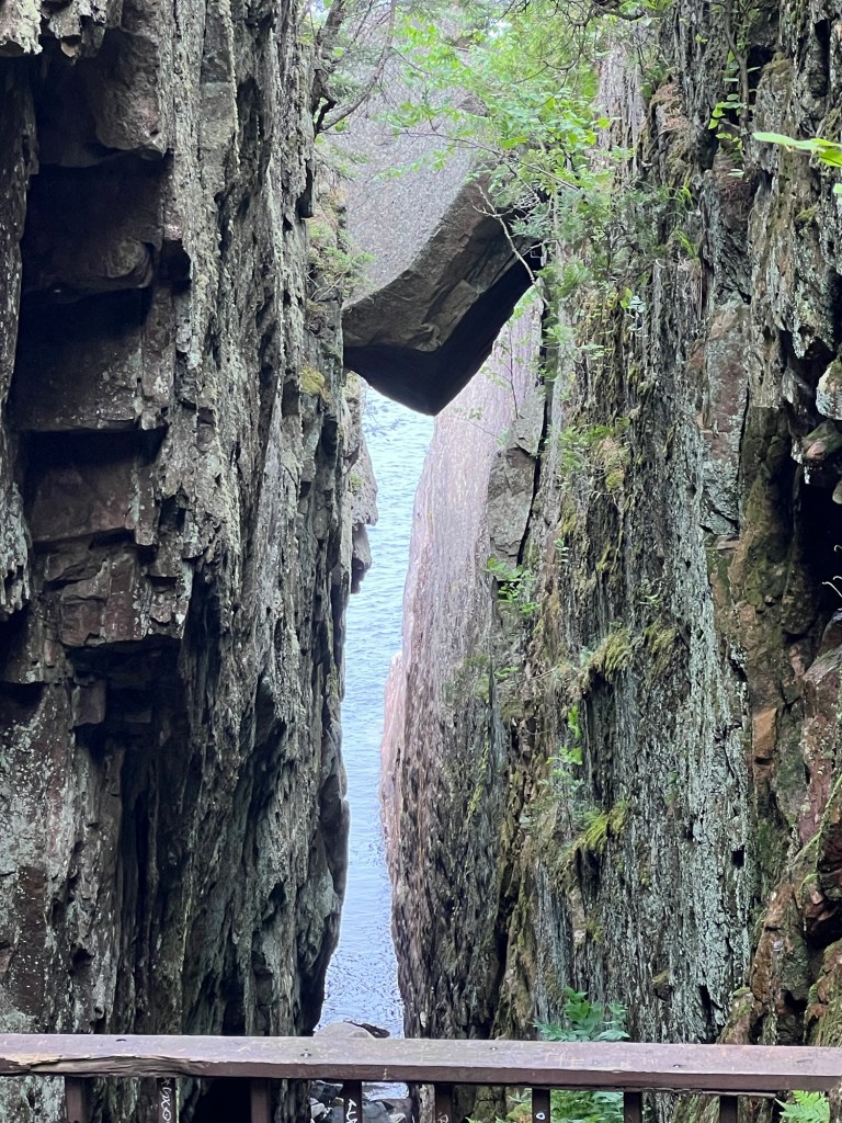
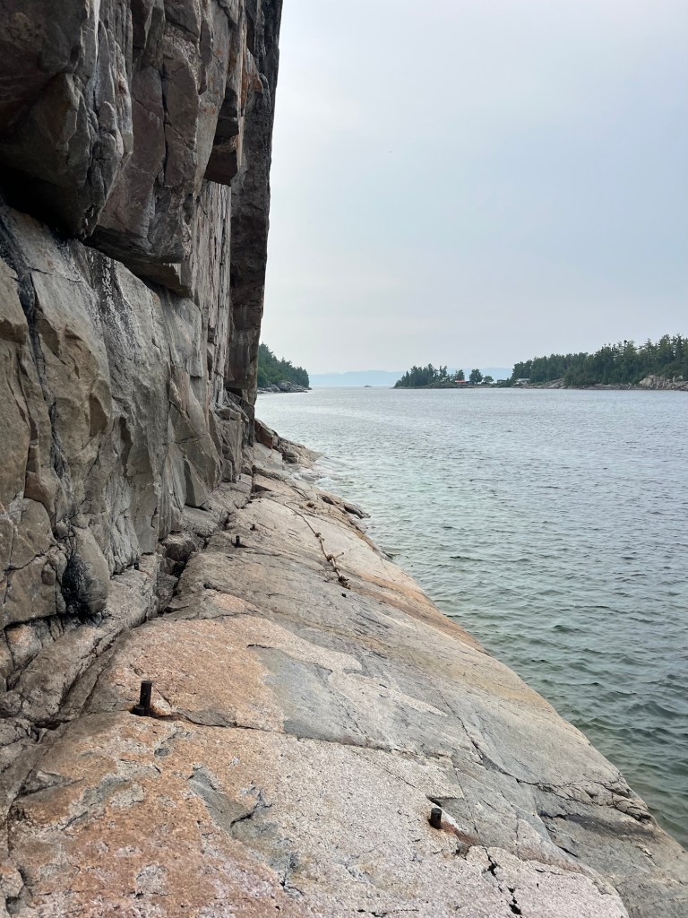
We passed this fissure that made a window to Lake Superior. That boulder was suspended there.
Matey would never have made it here!
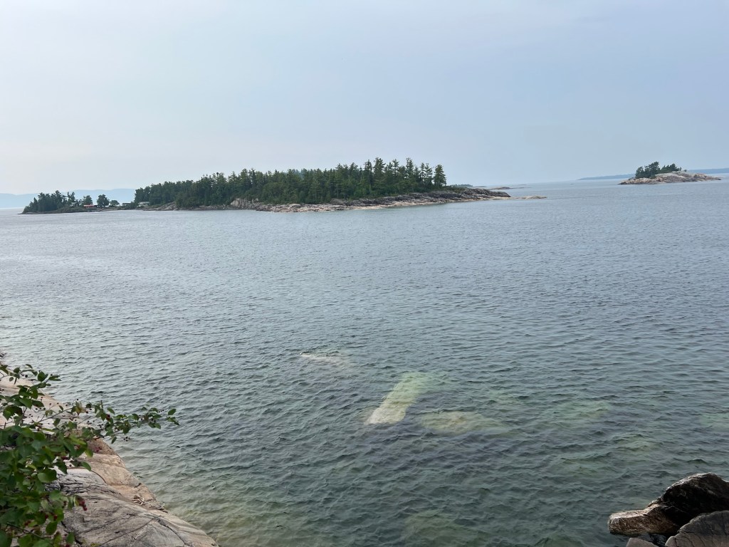
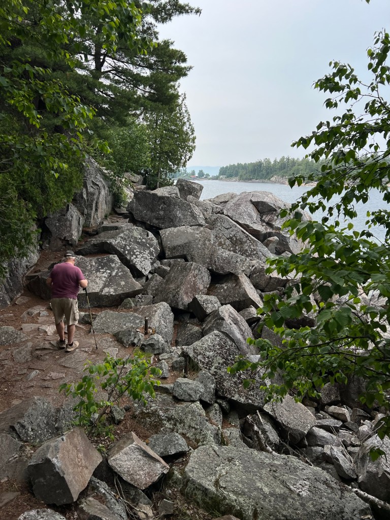
It was a beautiful shore. Those are huge pieces of rock just under the water.
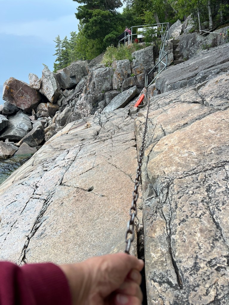
But we never saw the pictographs. I went out along the slanted rock where they had this chain to hang onto.
But the pictographs were out on that verticals rock wall, and the ledge below was quite slanted. And there was nothing to hang on to. Neither of us was willing to try it.
Still, the view was definitely worth the scramble.
We were driving back to camp by 10:30.
By noon the rains came! Our weather obsession paid off, we got two hikes in and stayed dry.

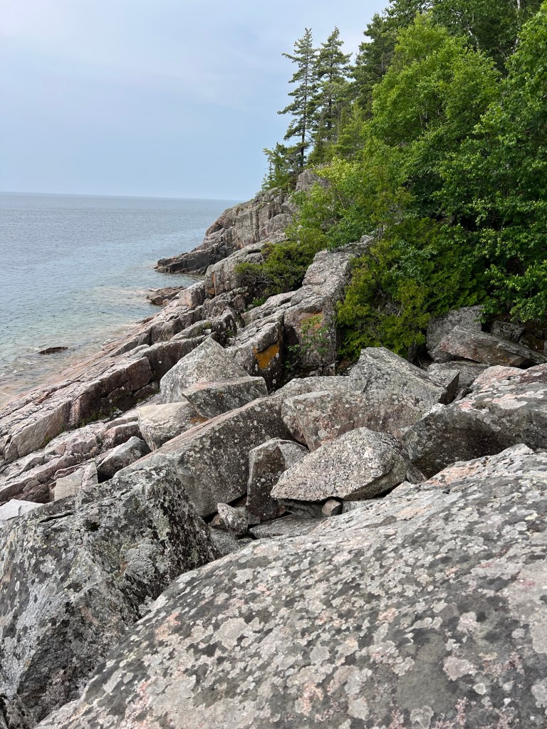
The rocks may have made it difficult to walk, but they sure make pretty scenery!
LikeLike