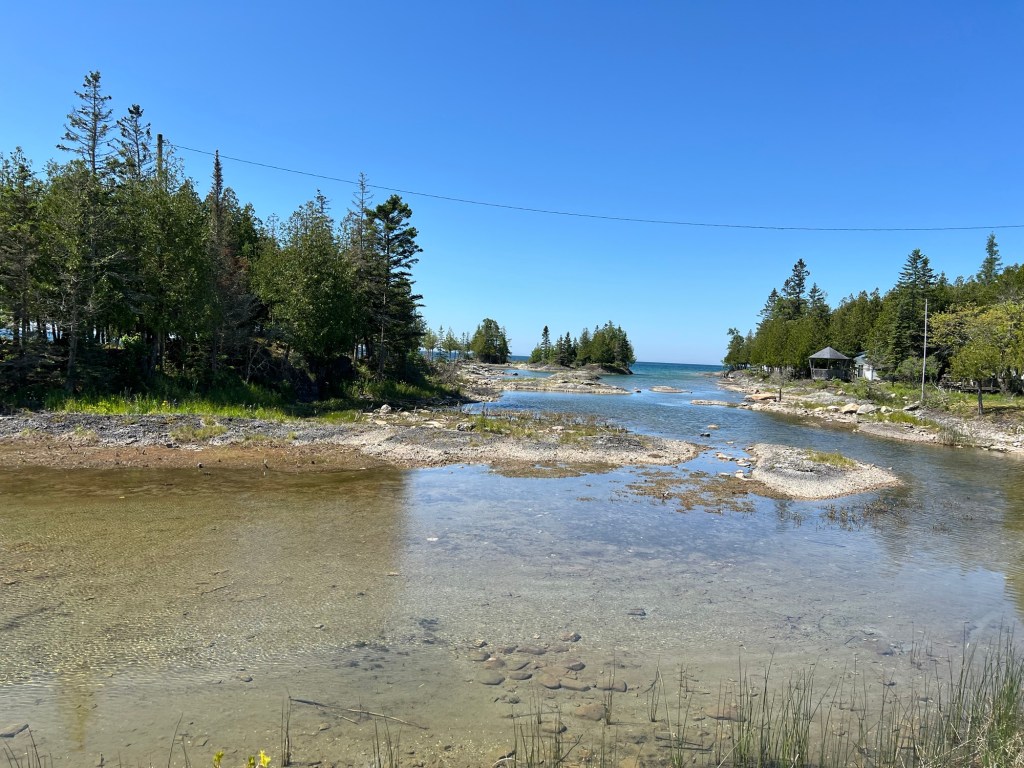
Manitoulin Island is the largest freshwater island in the world and it is formed by the arc of the Niagara Escarpment as it arches over the northern end of Lake Huron. This is exposed rock of the escarpment, but unlike on the Bruce Peninsula, here there is no cliff. The rock is at lake level.
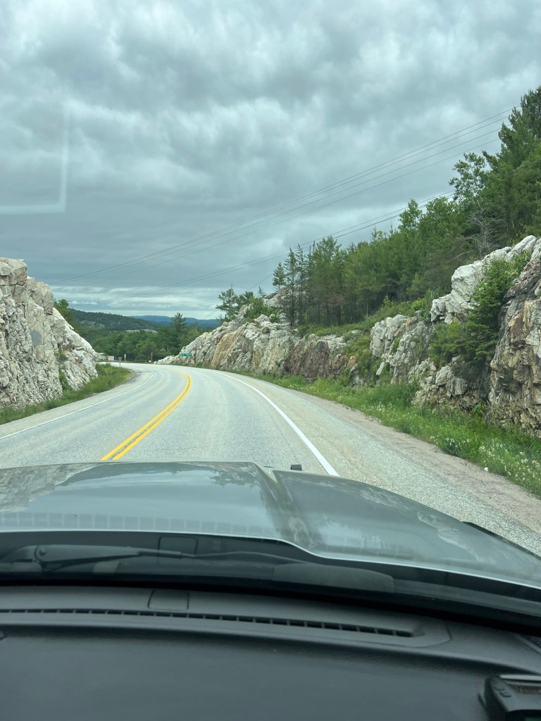
We came down from the north after driving along the east shore of the Georgian Bay. Here we were on route 6 coming south through the rugged rocks of the Canadian Shield.
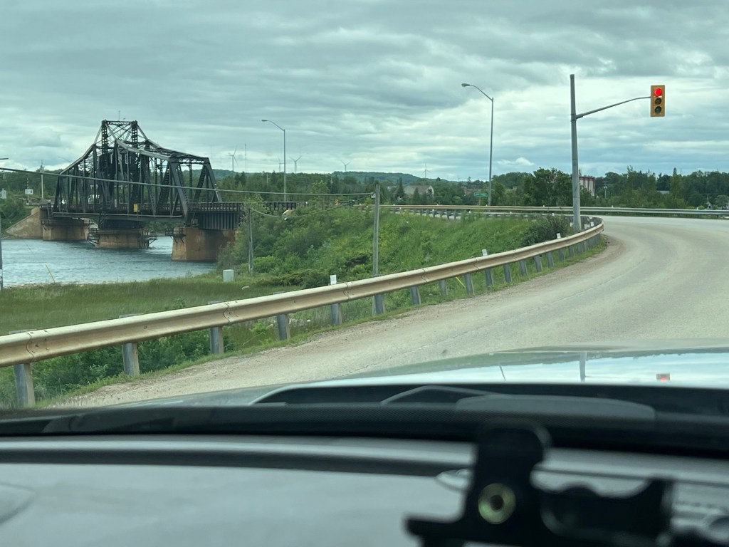
From the north you come on the island via this swing bridge. The red light was not because the bridge was opening for boats.
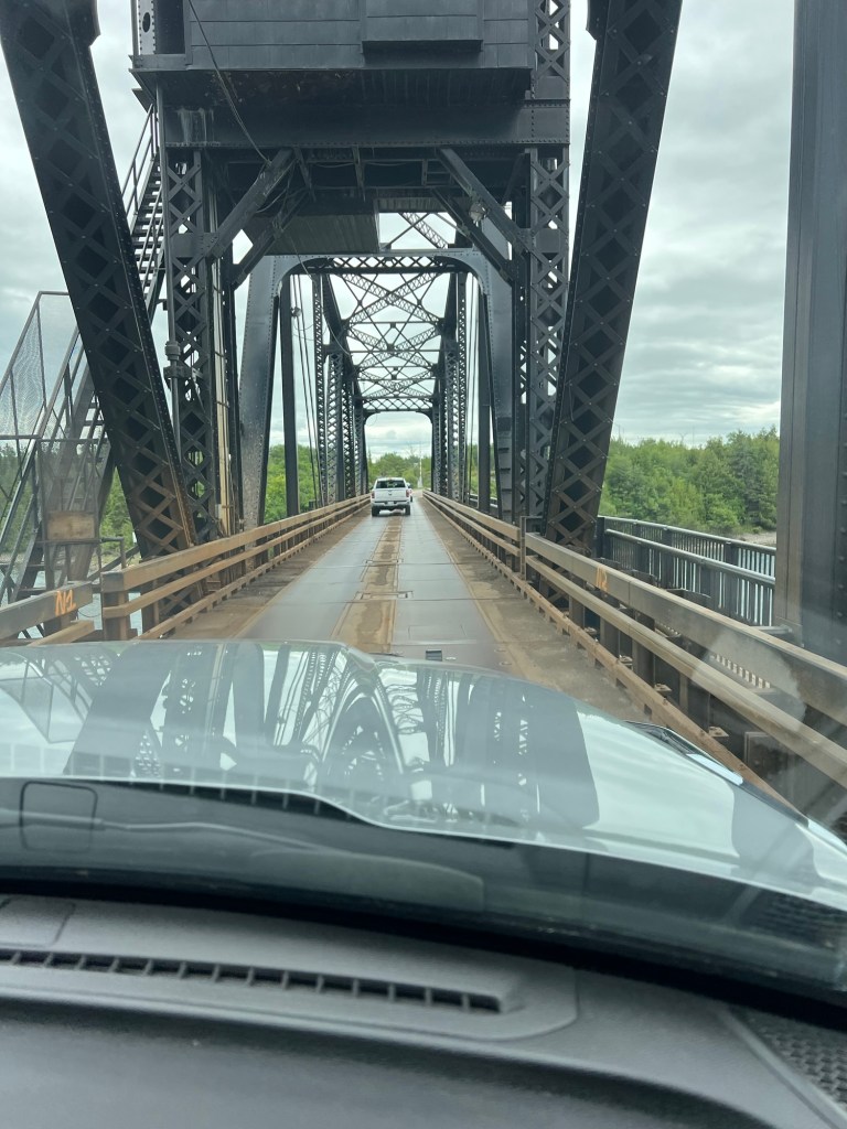
We had to wait our turn because this is a one lane steel decked bridge.
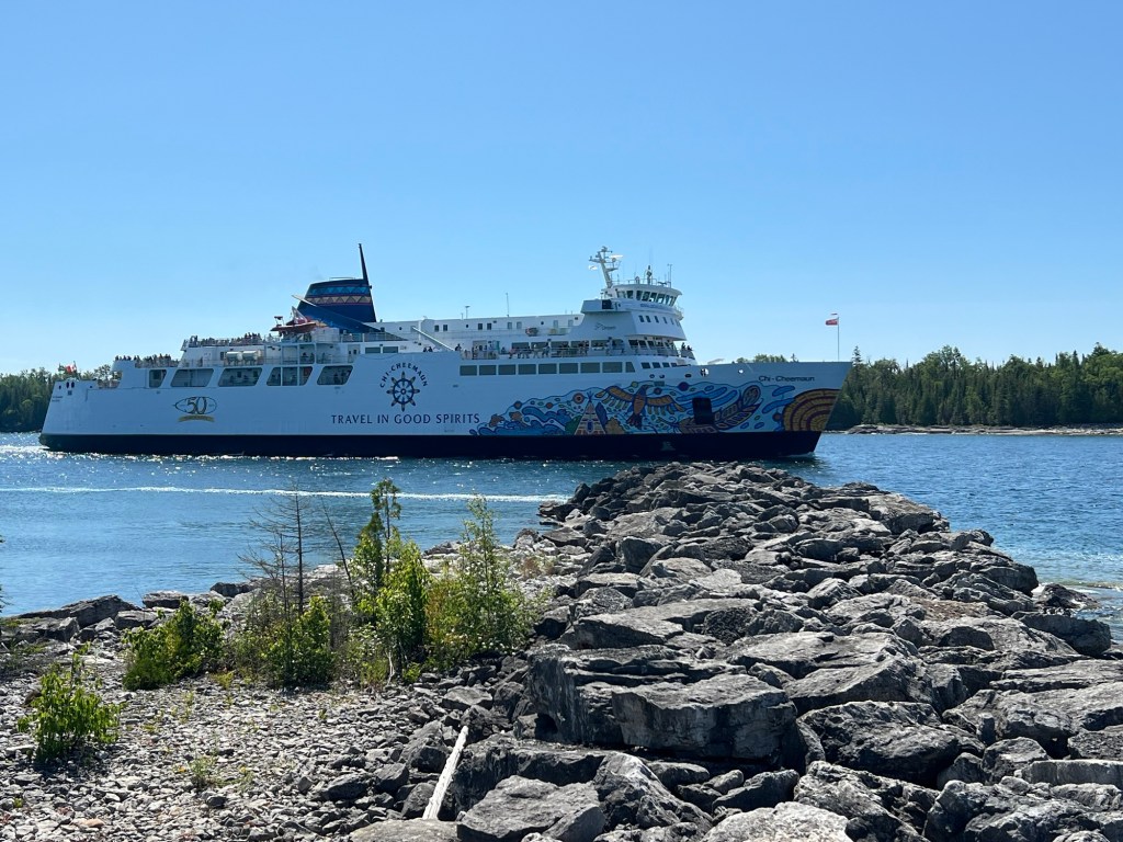
Access to the island on the south is by the ferry from Tobermory,
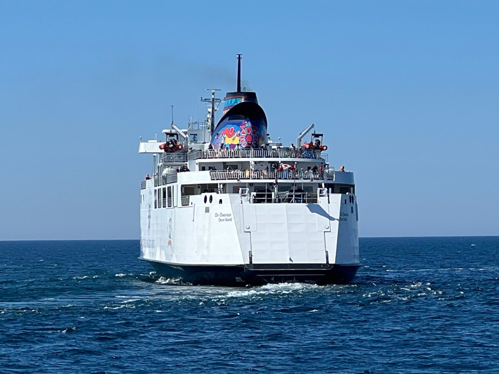
the same ferry we’d seen loading there, now heading back there after just leaving the dock at South Baymouth.
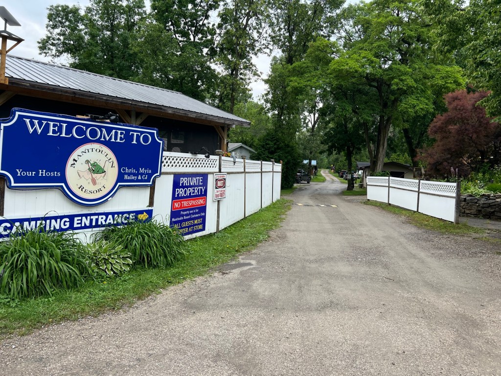
We’re staying at the Manitoulin Resort.
This is an older place where most of the sites are seasonal and permanent.
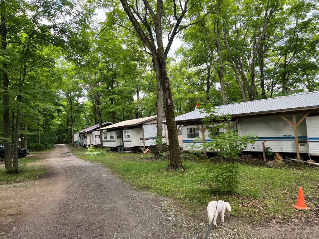
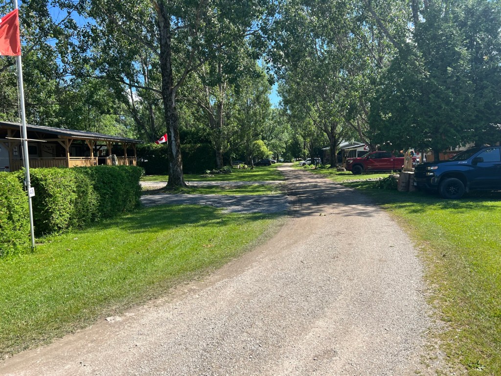
Most of the trailers are enclosed with roofs…
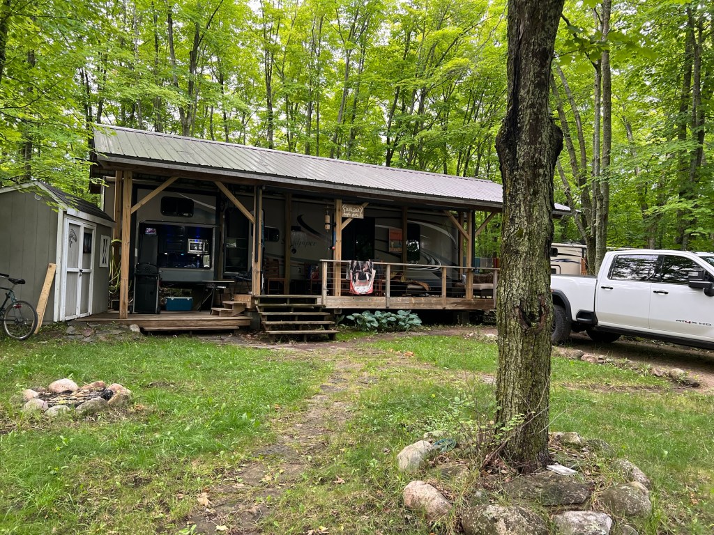
with covered front porches.
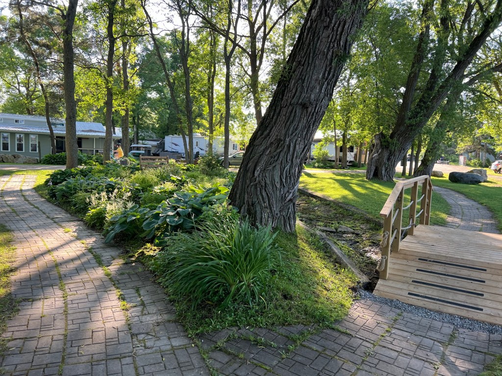
The property is well kept…
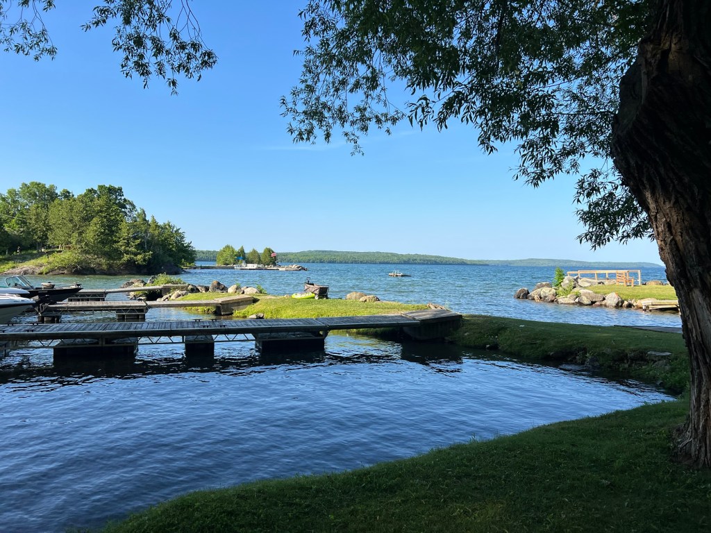
with access to Lake Manitoulin.
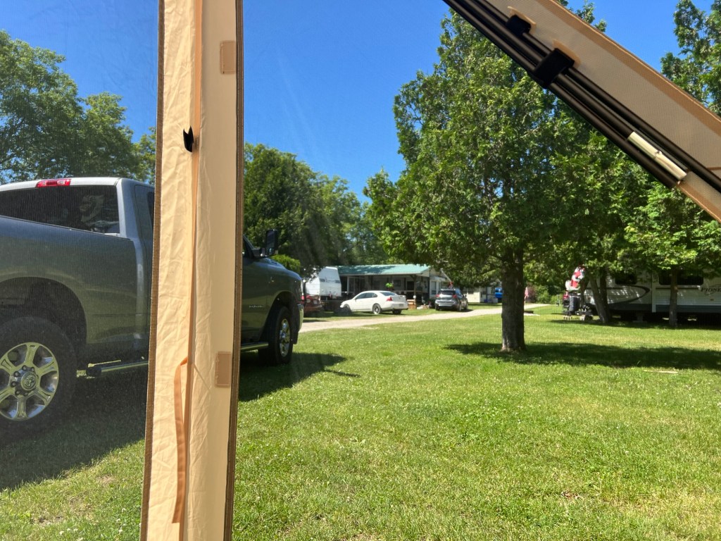
But it’s a bit dense for our tastes.
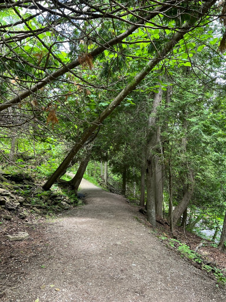
Sunday we drove about 30 miles to see Bridal Veil Falls, a place recommended by the woman who checked us in. We walked up a pretty nice trail.
At one point there were springs running down the rocks along the trail for several hundred feet.
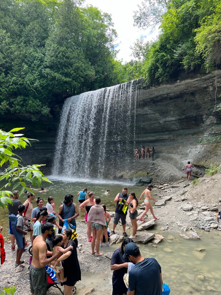
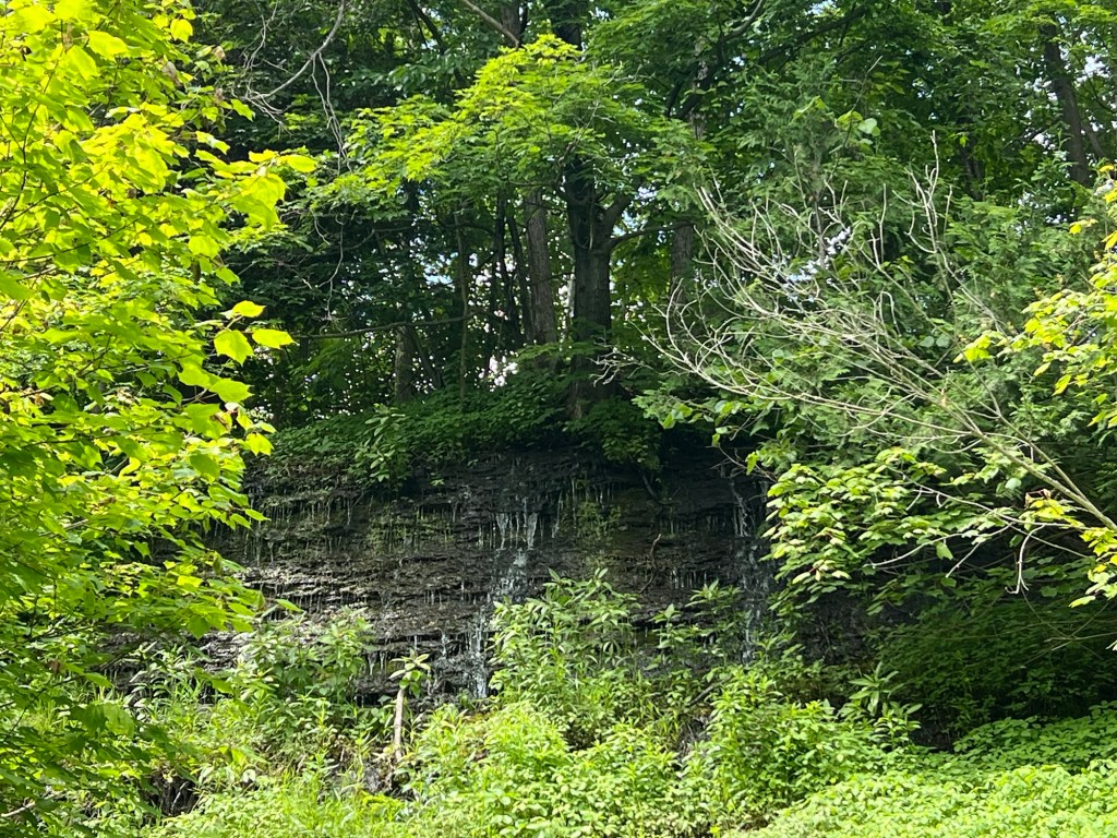
But when we got to the falls we were dismayed by the number of people. We couldn’t even walk down to the splash pool without pushing past people on the path. I got close enough on a side path to get a picture and we left. Of course it was Sunday on a holiday weekend.
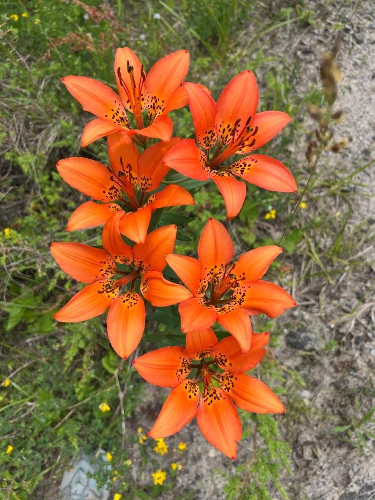
The trip was redeemed when I started seeing these along the roadsides. Bud stopped so I could take a picture. These are wood lilies. They are native to much of southern Canada and some of the higher regions of the northeast U.S. and they are every bit as vibrant as they look in this photo.
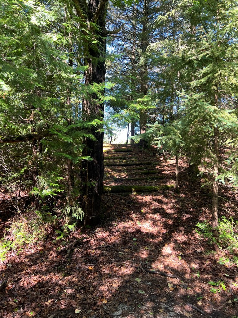
Today is Canada Day, so we chose not to go to one of the “must see sights”. I found a nice trail through the woods and then a “Fish Culture Station”. Both nearby and both deserted.
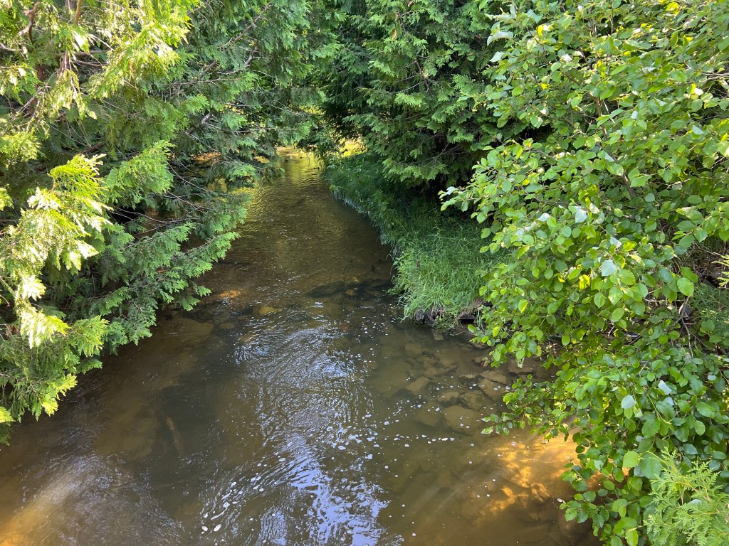
Blue Jay Creek, where they release the fish, is a lovely, deep, little creek.
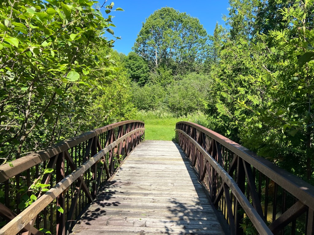
This bridge provided access to a short trail to show the work done to rehabilitate the creek.
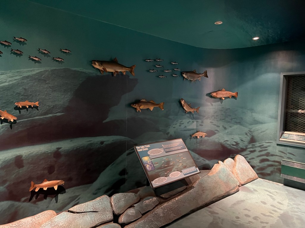
There was a little visitor center with information about the project.
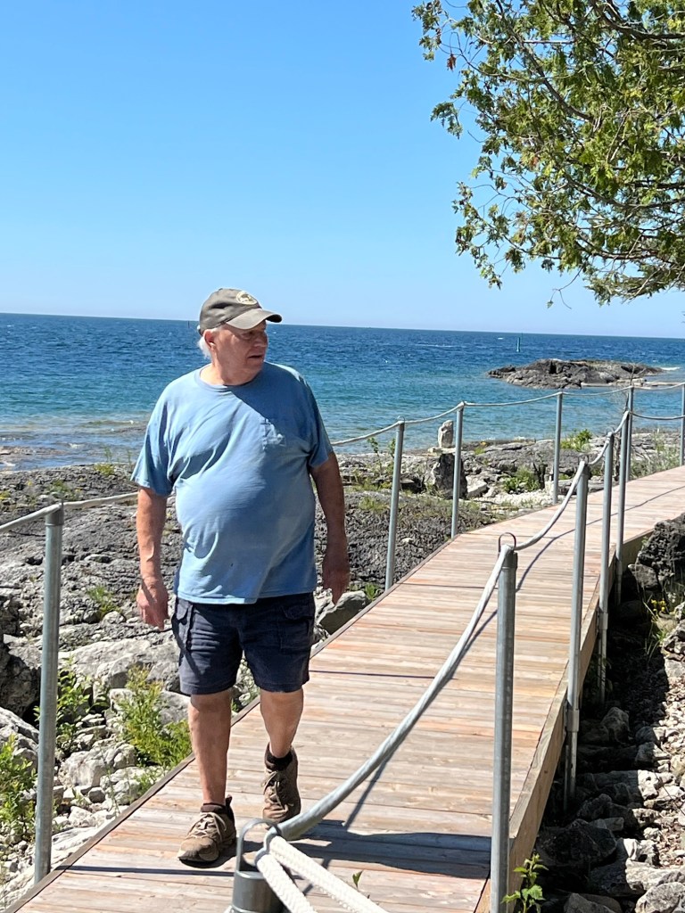
Today is when we drove down to South Baymouth where the ferry lands. We walked around the park at the west side of the harbor.
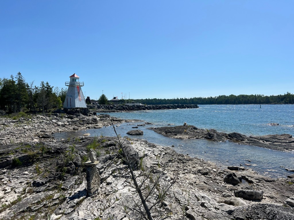
It was very pretty, and not crowded. So, happy Canada Day. Later in the week we’ll check out some of the other recommended places.

There is some really pretty scenery up there! I went back to your blog the time before last to see the map. I see how big that island is!! I’ll look forward to pics of the other sites when the crowd is gone. I’m planning to go 3 blocks up toward Youngstown and watch the fireworks from Fort George tonight to celebrate Canada Day.
LikeLike