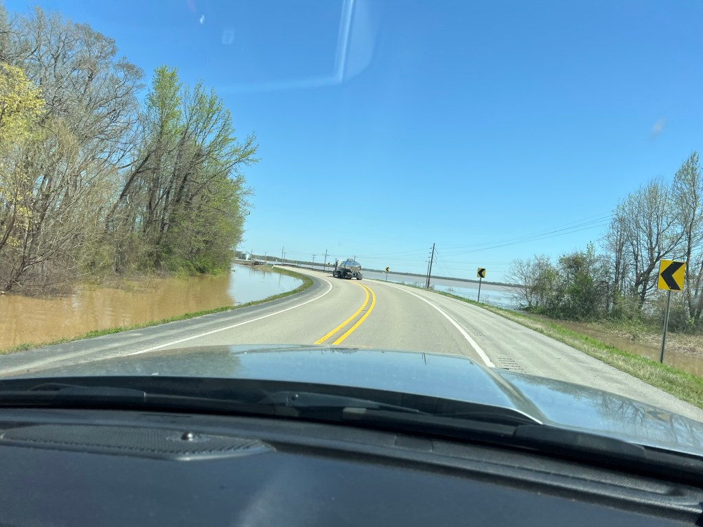
We left Hot Springs on Monday and headed northeast. The roads on our route were open, thankfully.
But the farmers’ fields looked like lakes and the current from the culverts was creating white water.
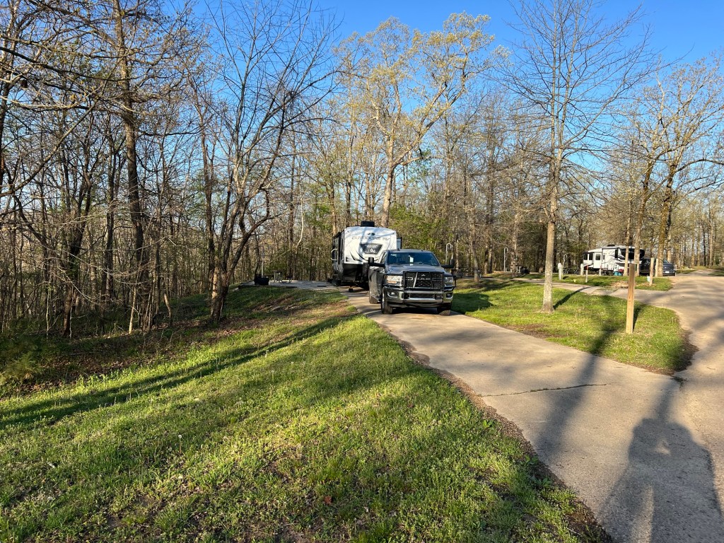
We stayed at a Corps of Engineers site near the dam on Lake Wappapello in southeast Missouri. Our campsite was high and dry…
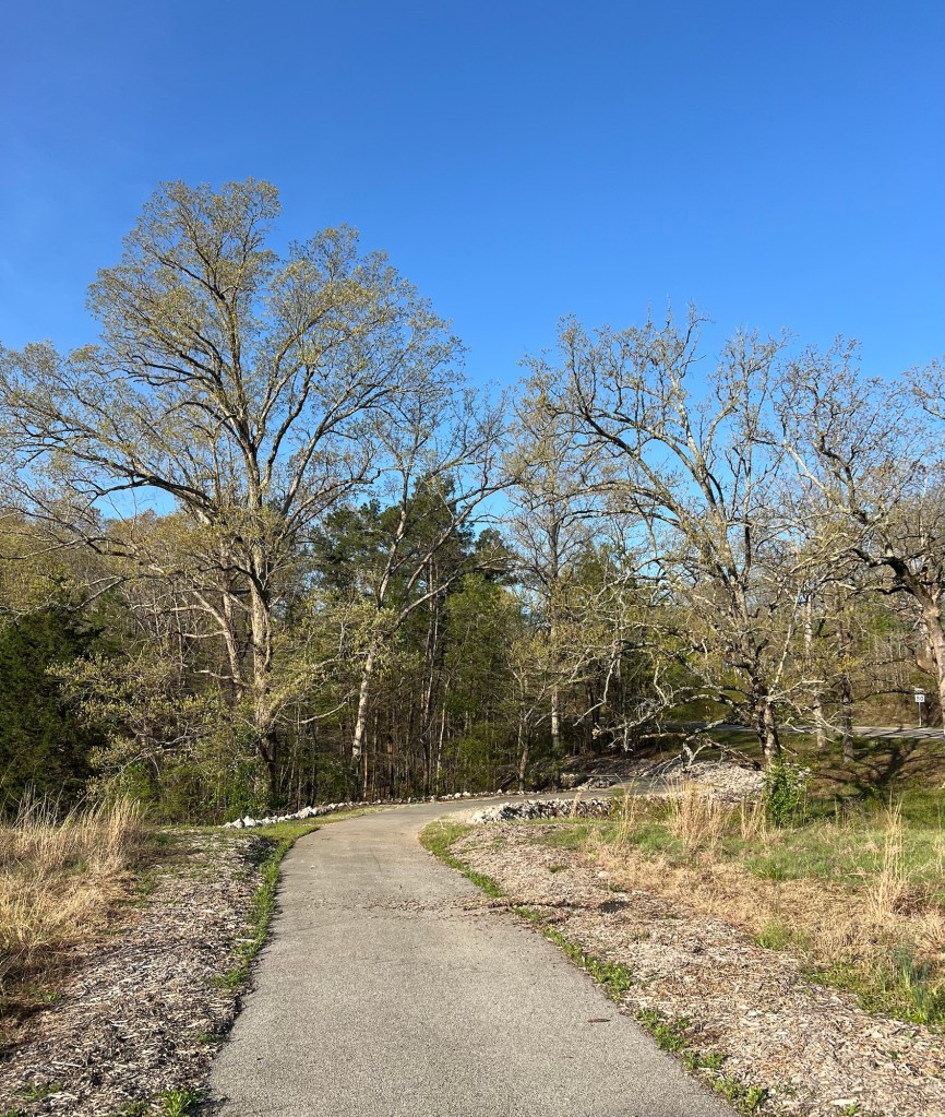
and there was a nice walking/biking path across the road.
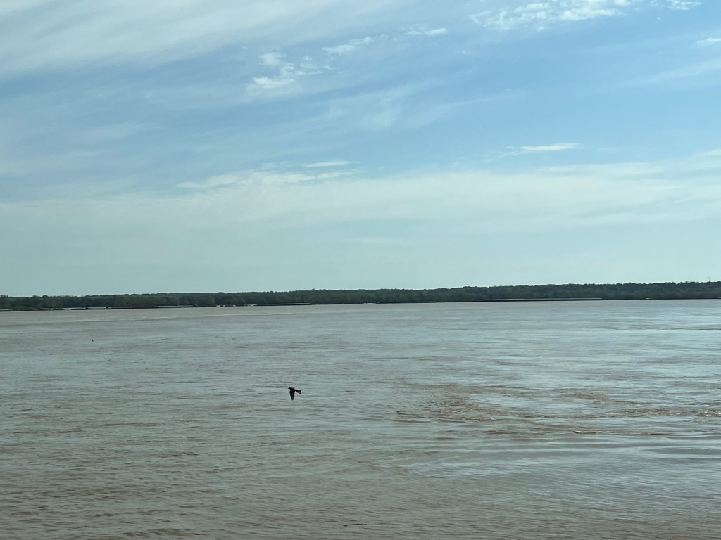
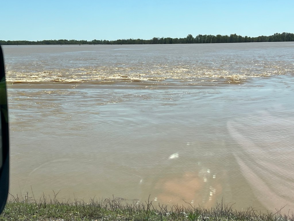
Yesterday we moved on. We crossed the Mississippi River.
We passed Fort Defiance at the confluence of the Mississippi and the Ohio.
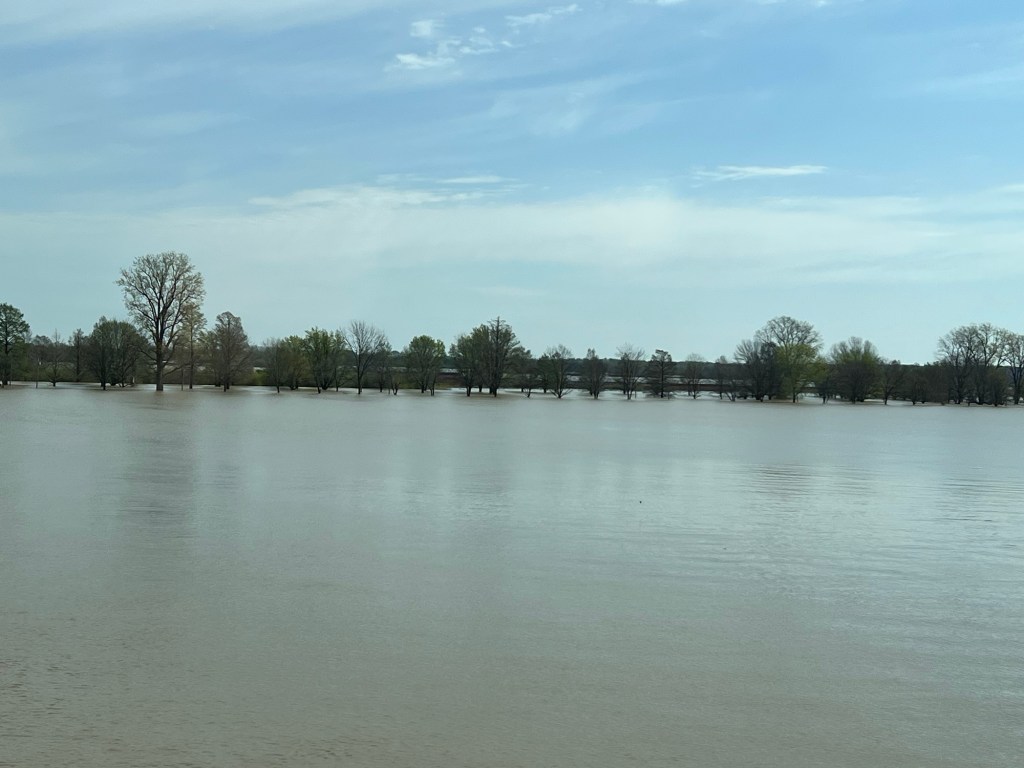
We weren’t visiting this time through.
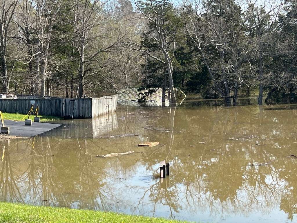
The whole park was under water.
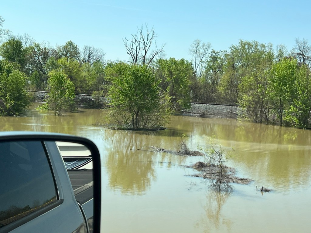
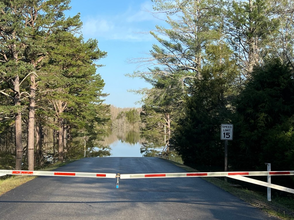
There was a lot of water along the roads.
I-69 was closed here up until yesterday, happily it opened in time for our trip.
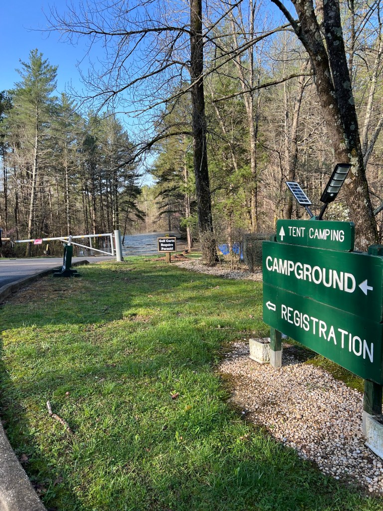
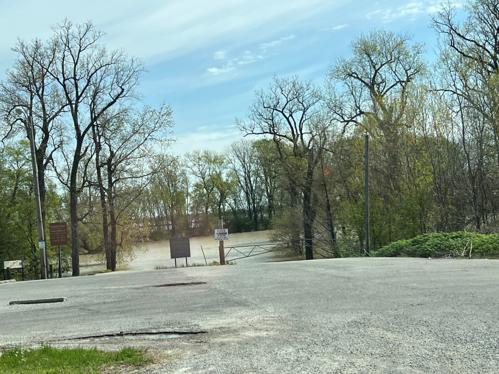
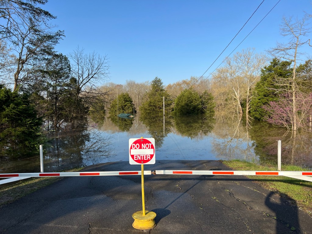
We were originally supposed to stay at Nolin Lake State Park, but they had closed due to earlier flooding and sent me a refund in February.
They were certainly flooded now!
I think that might be the gatehouse just sticking out of the water on the right.
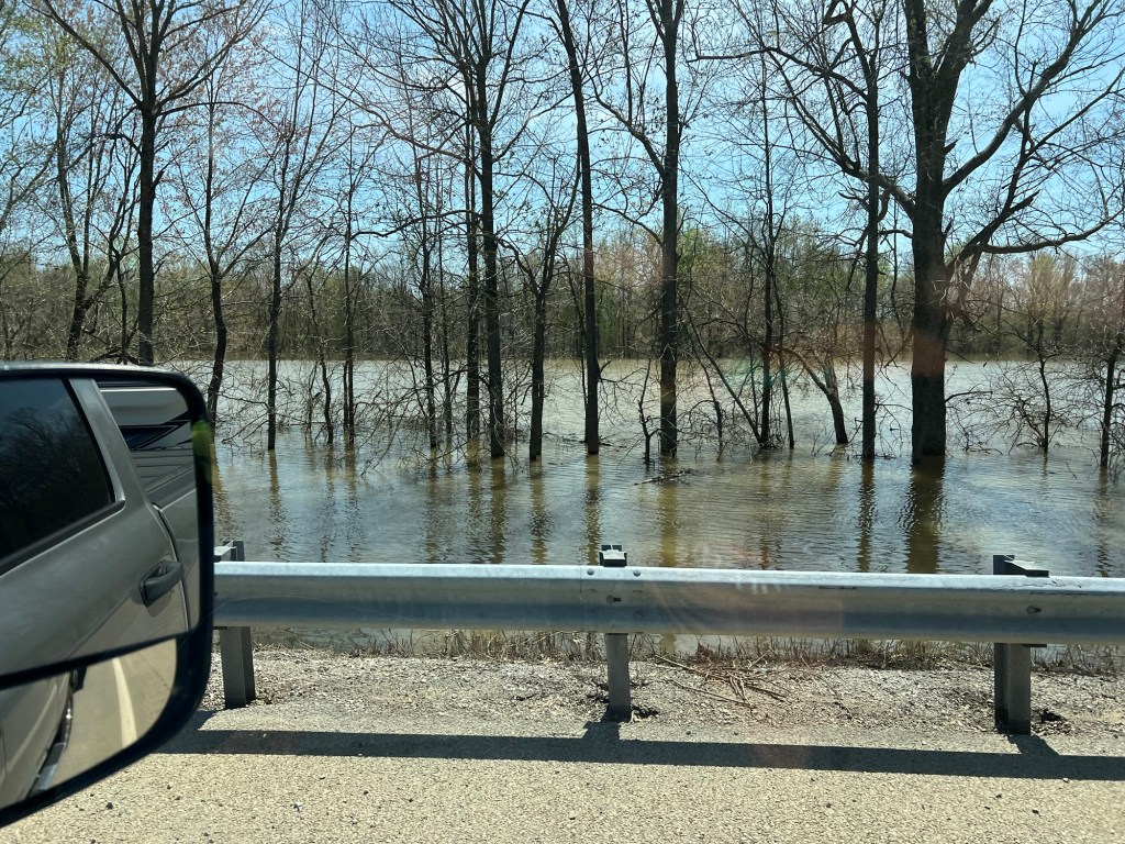
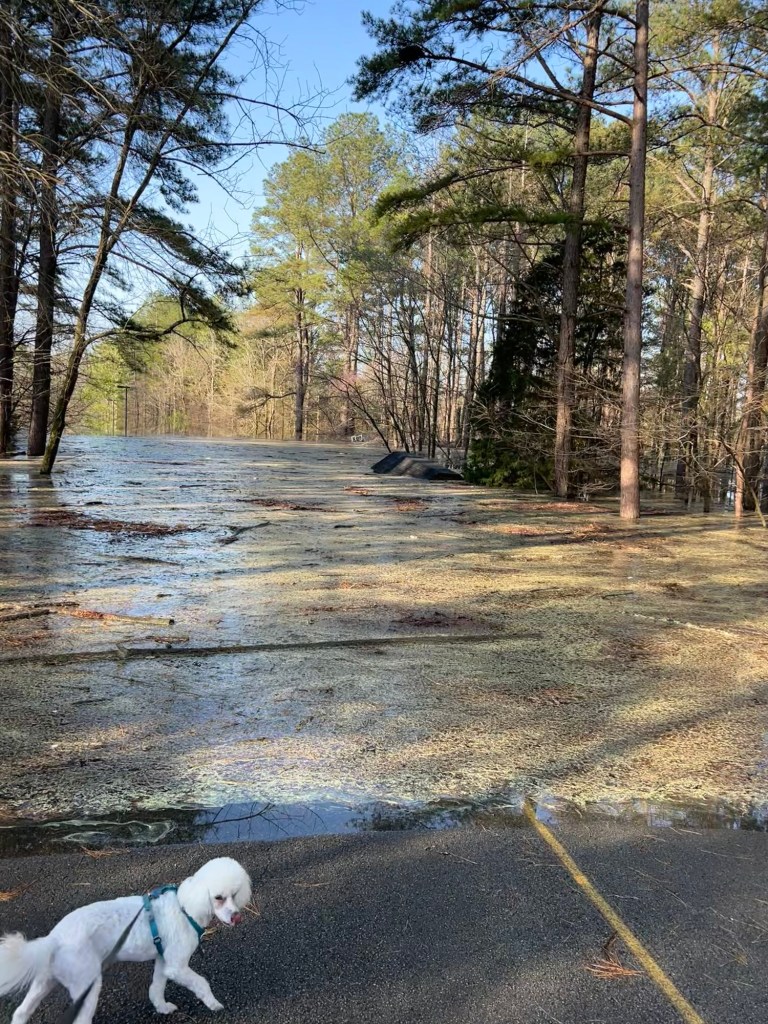
Things were seriously under water.
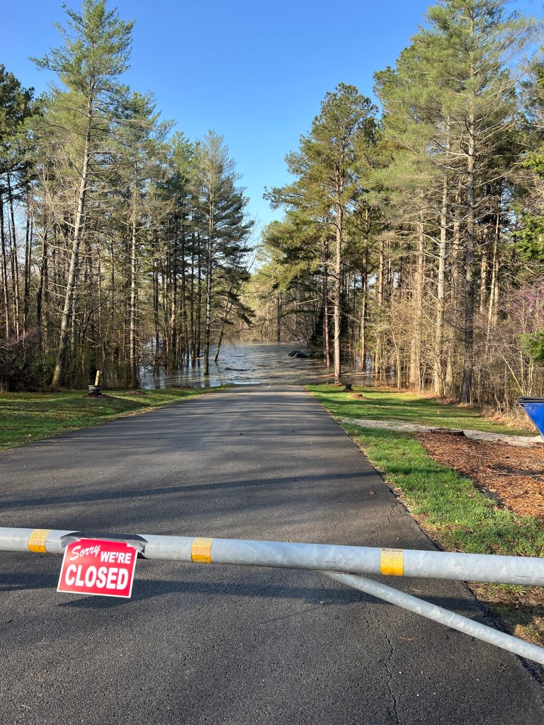
I had tried for Wax Recreation Area and
Dog Creek Recreation Area, but they were all closed and are underwater.
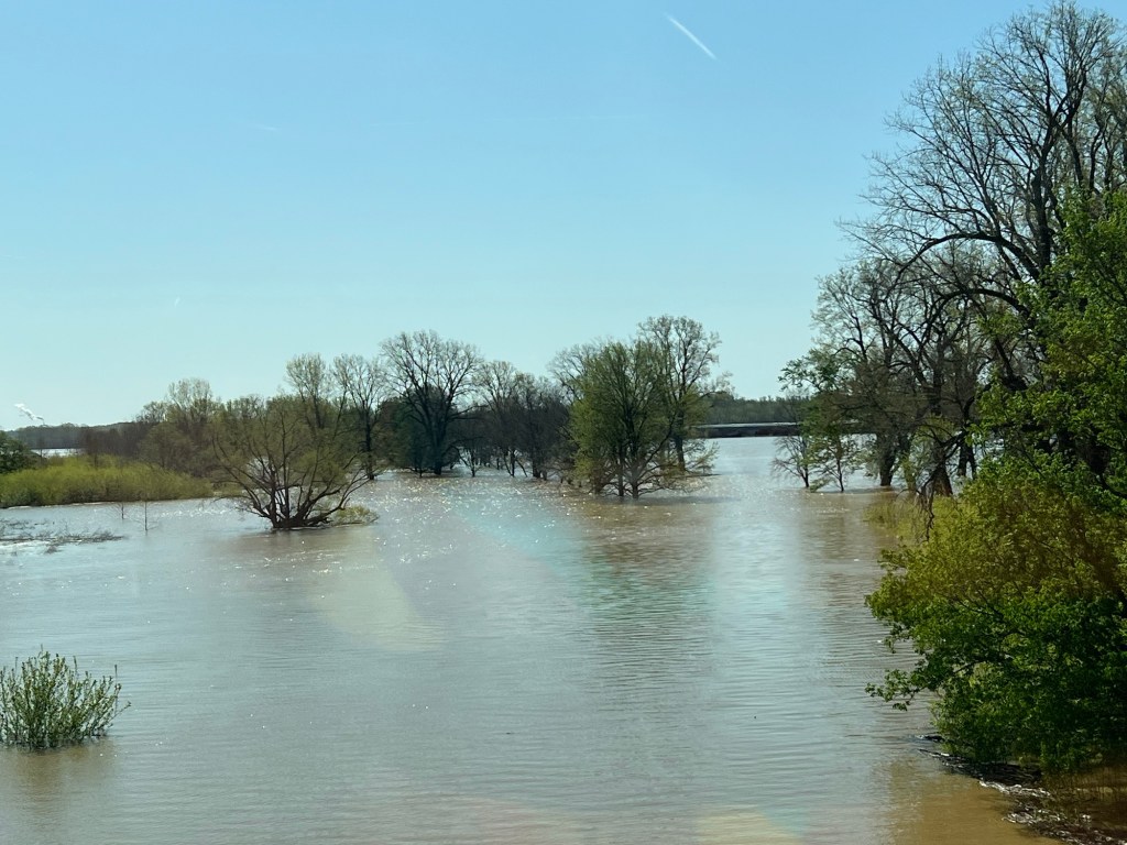
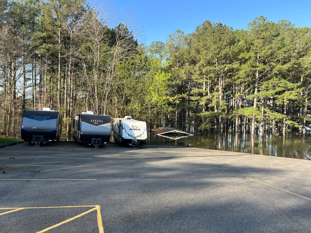
The commercial Wax Marina isn’t faring well either. That is not a boat ramp.
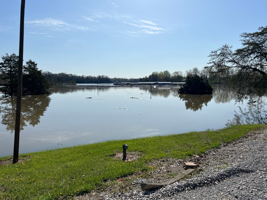
It’s the driveway out to the parking lot by the docks you can see way out there in this photo.
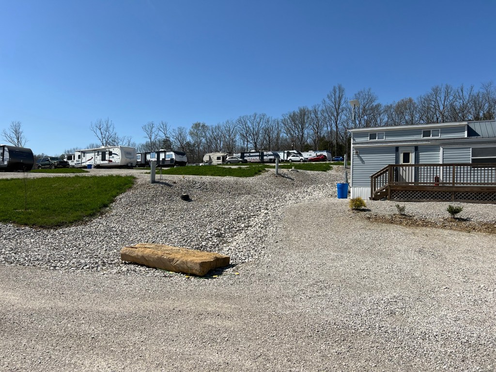
We ended up in a small, bare commercial RV park.
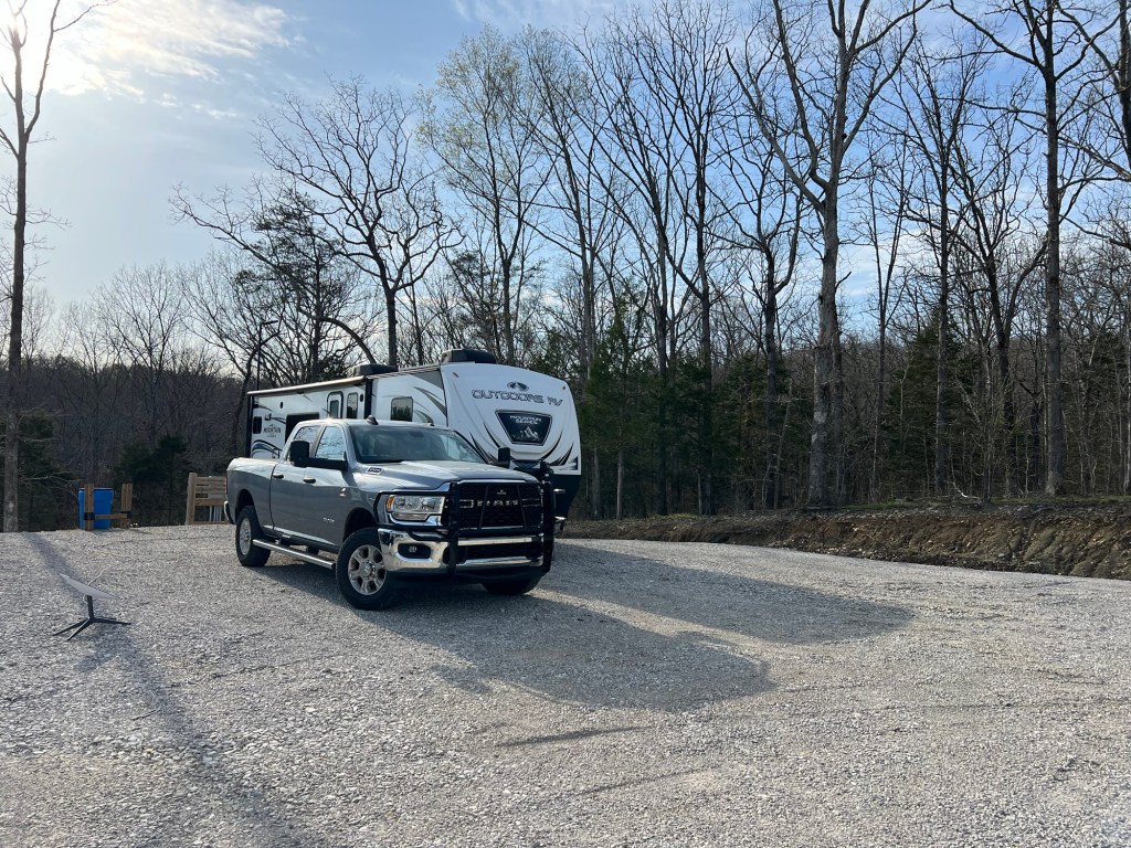
At least our site is in the back corner, and it is dry!
