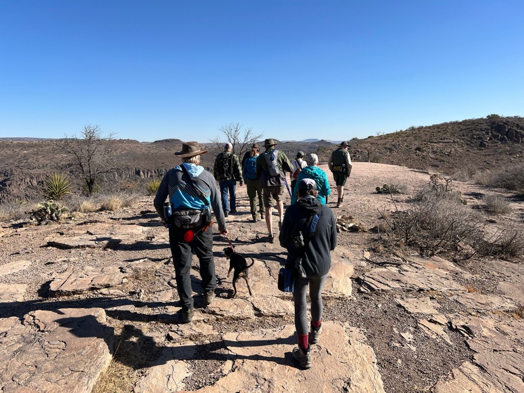
I saw a flyer for a hike with a Master Naturalist. Bud doesn’t like group things but said he’d be happy to take me to the top of Skyline Drive where we were to meet. I decided if the Old CCC Trail was open (it was being repaired the last time we were here) I would be able to walk back down it to the campground. It was open, so at a bit after 10 AM I took off with the group and Bud and Matey returned to the camper.
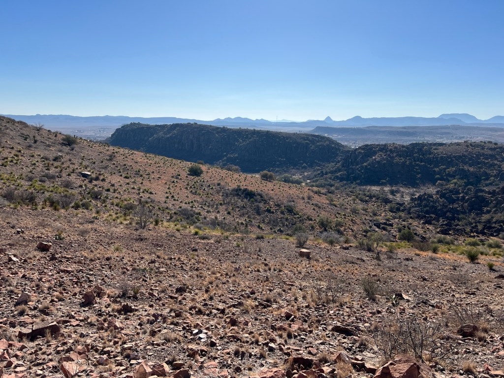
There’s a nice view to the east from our starting point.
The first thing we encountered were these stairs.
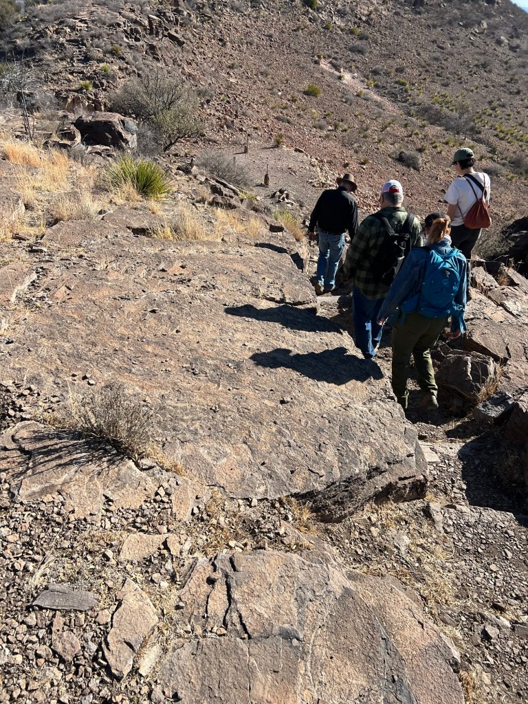
The CCC must have cut them into the rock.
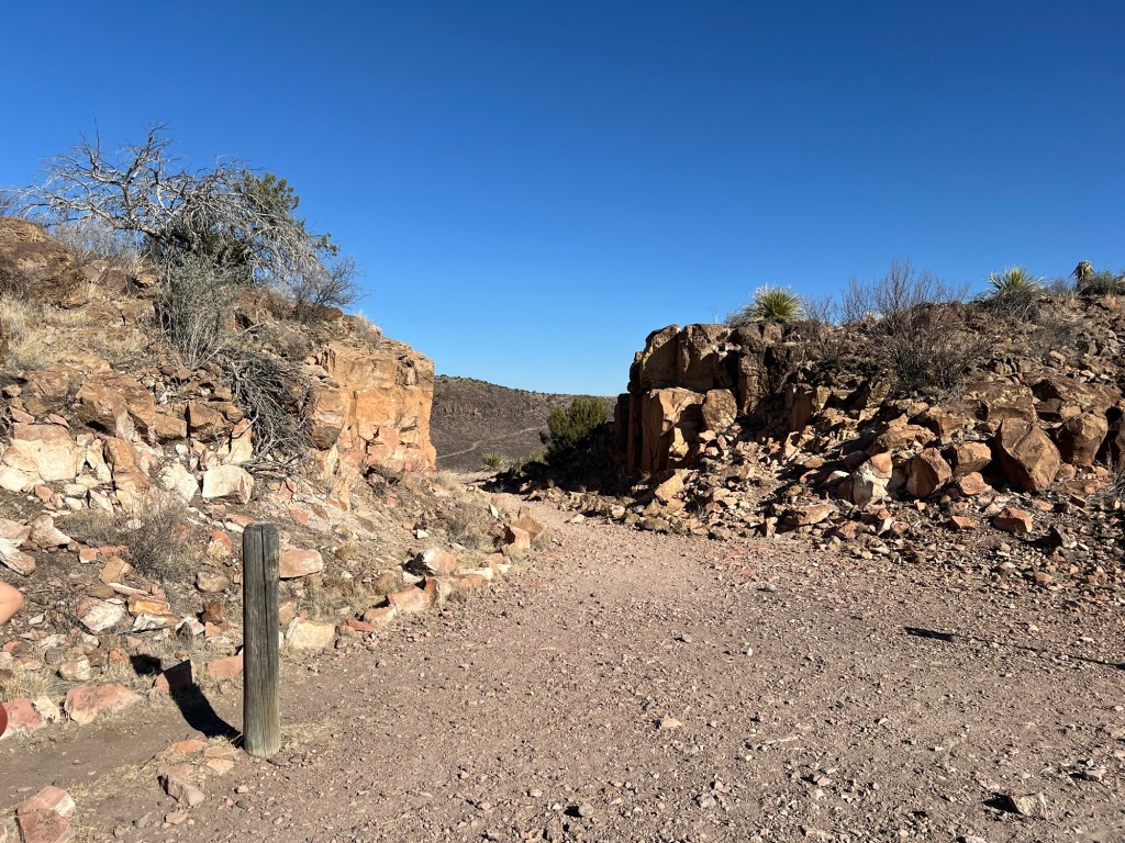
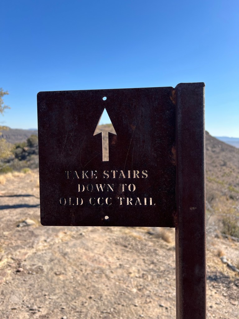
The Old CCC trail goes that way…
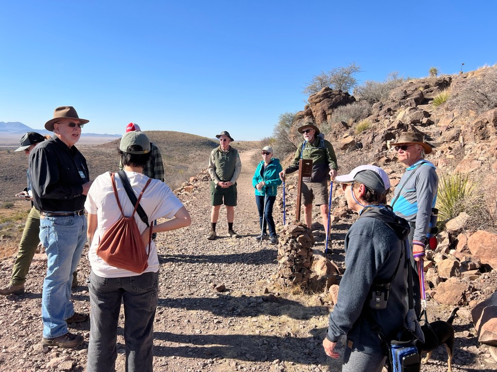
but we were heading down the other side of the ridge on the Skyline Trail. We walked slowly, with plenty of time to learn about the geology and ecology of the area.
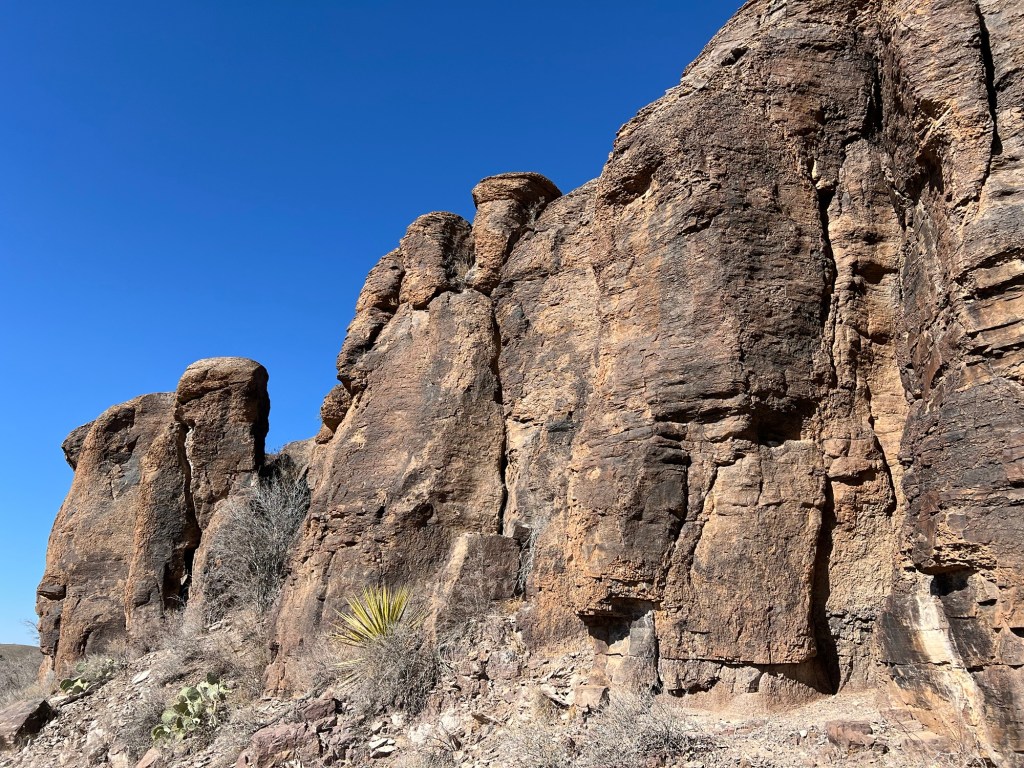
These mountains, like many of the ranges in this part of the country, resulted from volcanic activity because the Pacific tectonic plate is moving under another plate here. A fault let the magma explode upward millions of years ago. The magma here cooled quickly and formed rhyolite, a very fine grained, very hard rock. Granite is also an igneous rock composed of cooled magma, but granite cooled slowly beneath a covering of crust, and is courser grained and easy to work. You don’t find rhyolite countertops!
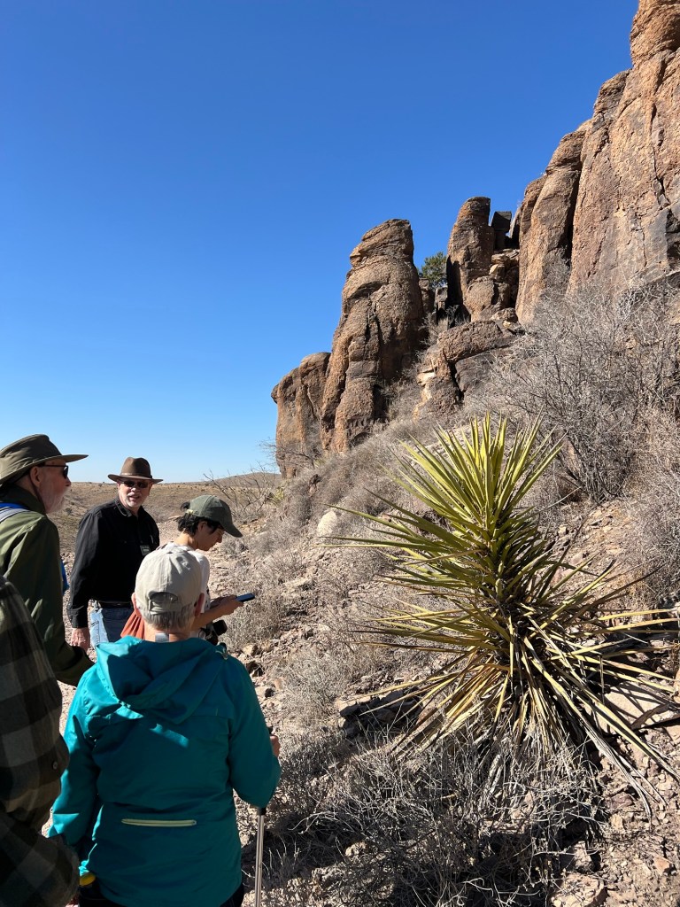
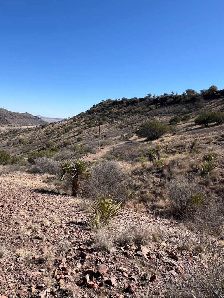
Yucca, which we are looking at here, also grows on the desert floor, but like the Chisos Mountains in Big Bend, the Davis Mountains have a cooler, wetter, climate than the desert below and support grasses.
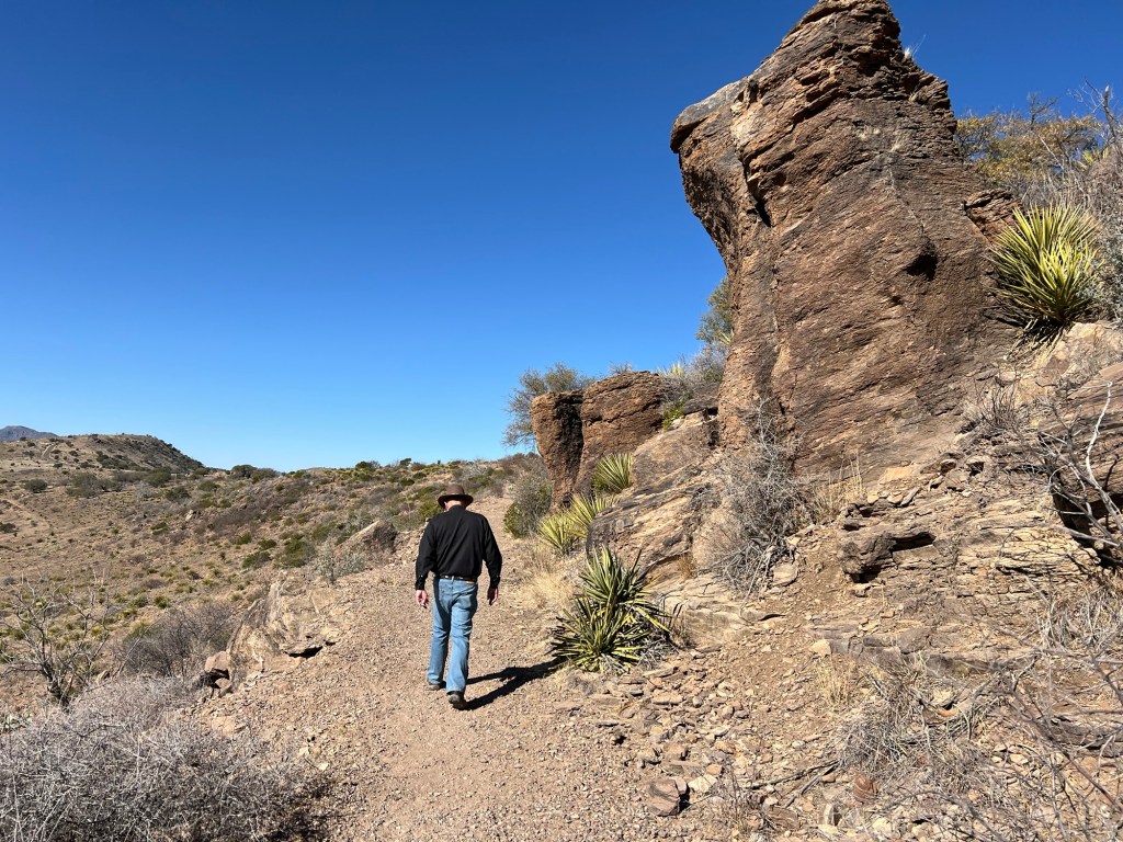
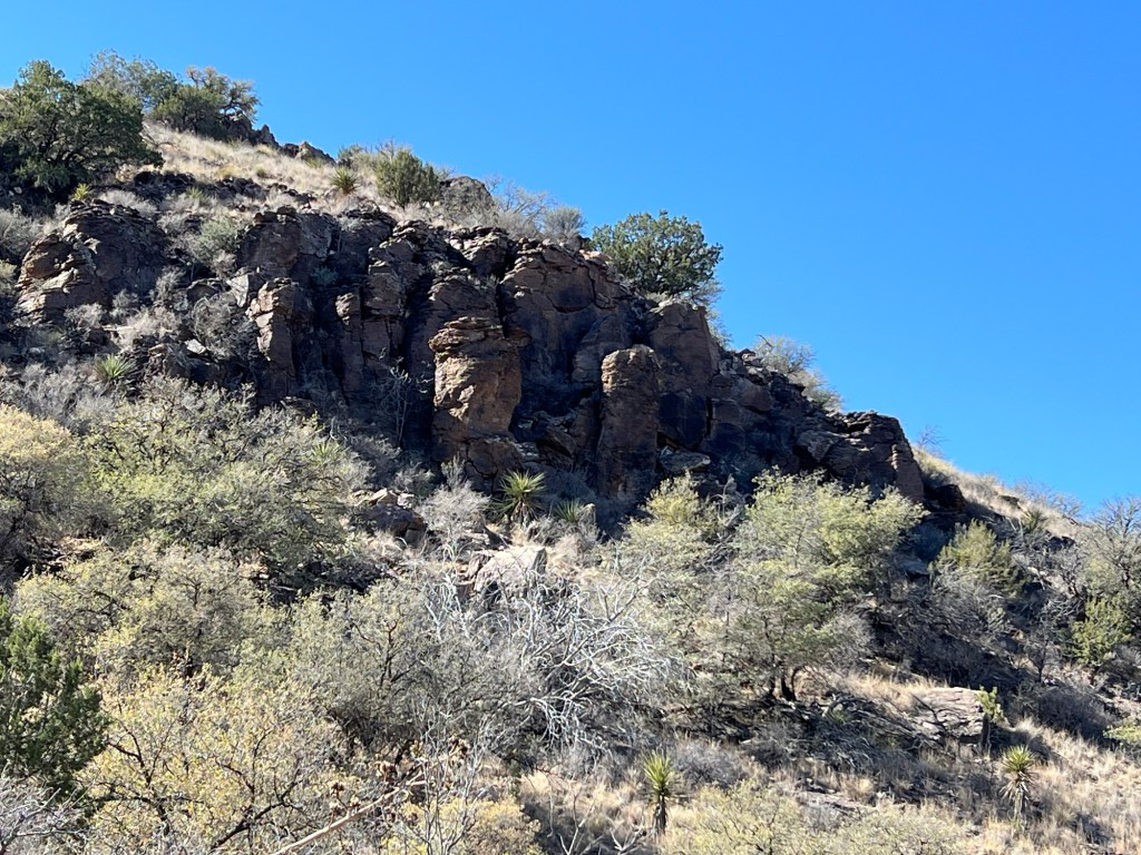
There used to be bighorn sheep here but they died out. In the 1950’s aoudads, or Barbary sheep were introduced in West Texas and have done very well. They tried to reintroduce the bighorn sheep but the aoudads are twice their size, so the bighorns couldn’t make it. We saw a herd of aoudads but they were too far away for me to get a picture, so you get to see another nice rock.
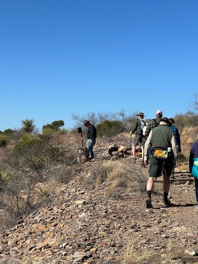
Altogether we walked and talked about a mile and a quarter.
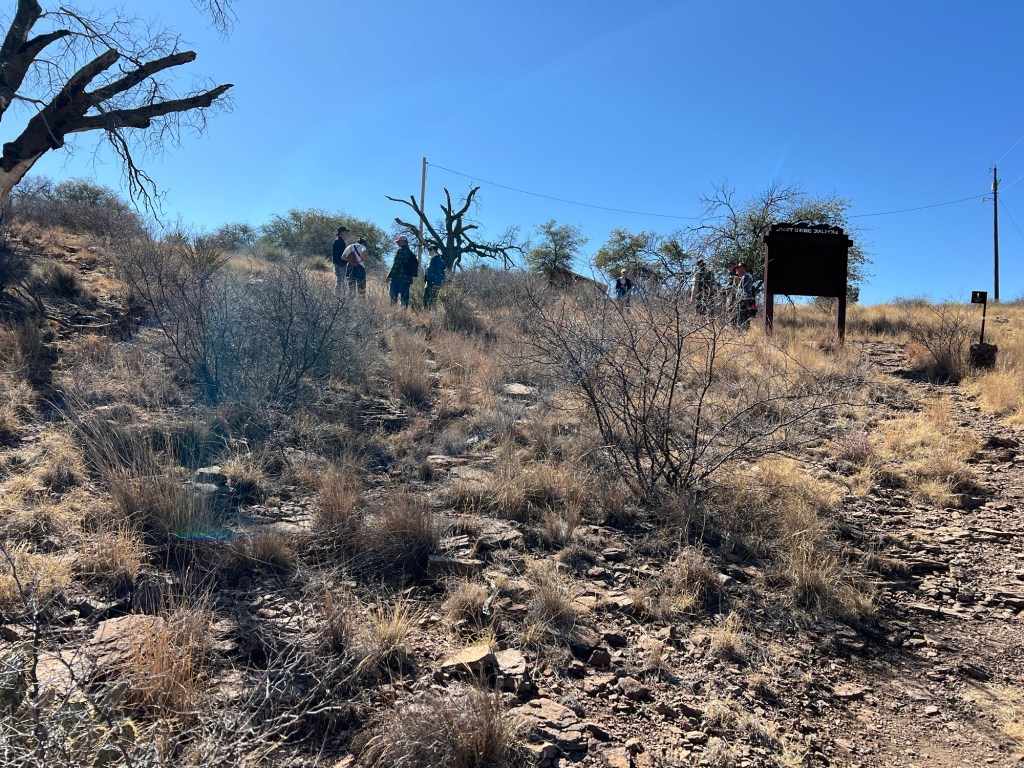
Then they were going to return along the park road to the parking lot.
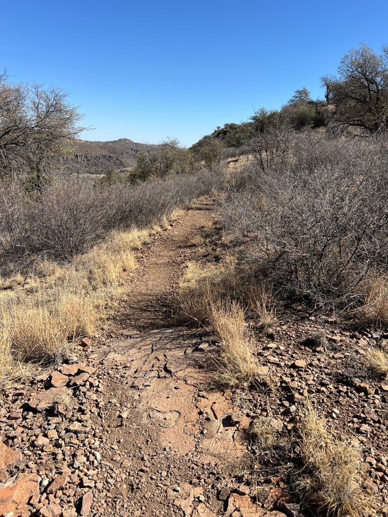
I chose to take this connecting trail down to the old CCC trail.
That’s the Old CCC Trail coming down from the edge of the ridge where we started.
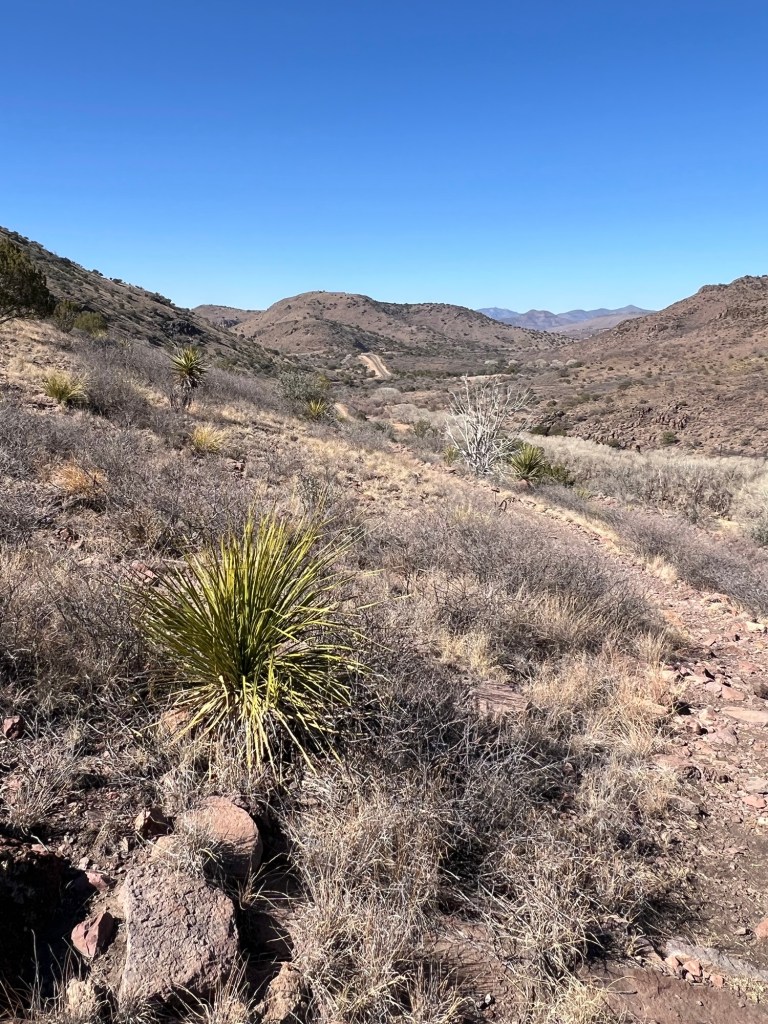
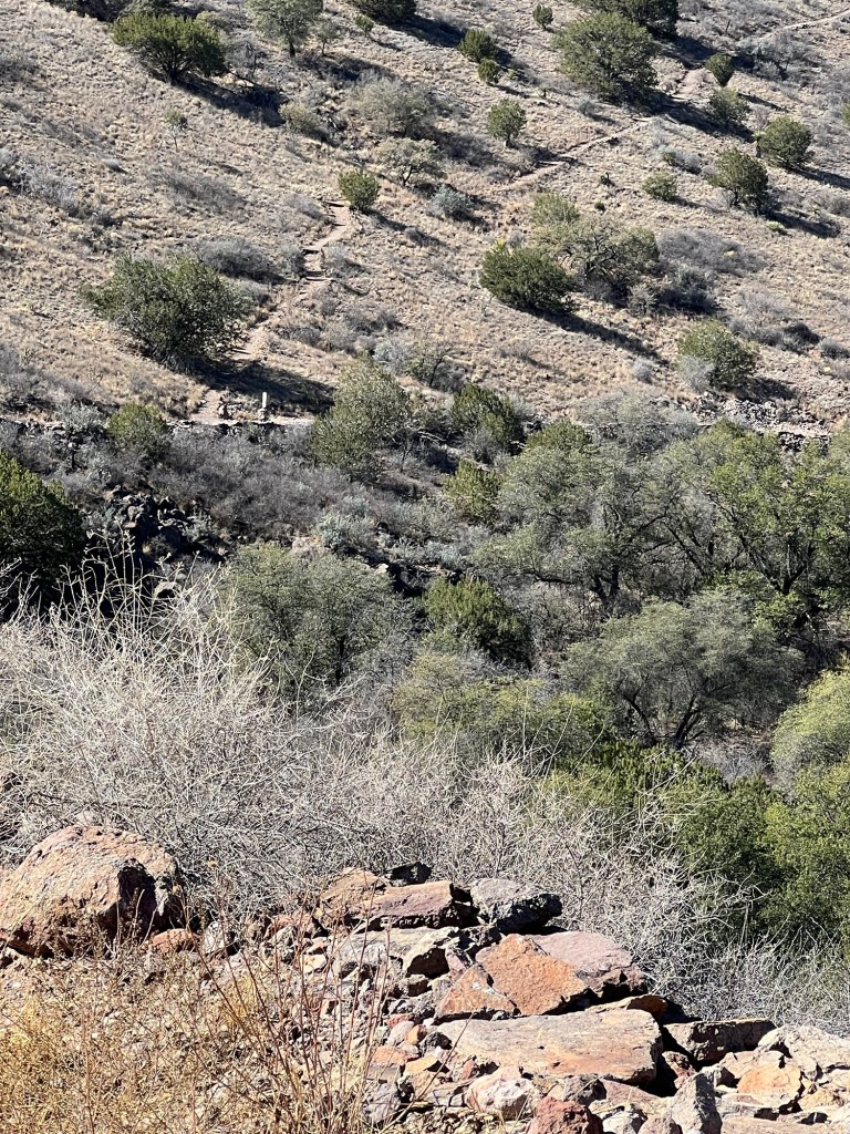
When I got to where I could see to the west I saw just how far I had to go. The piece of road you can see going up the hillside in the distance is the park entrance. I needed to go a ways past that.
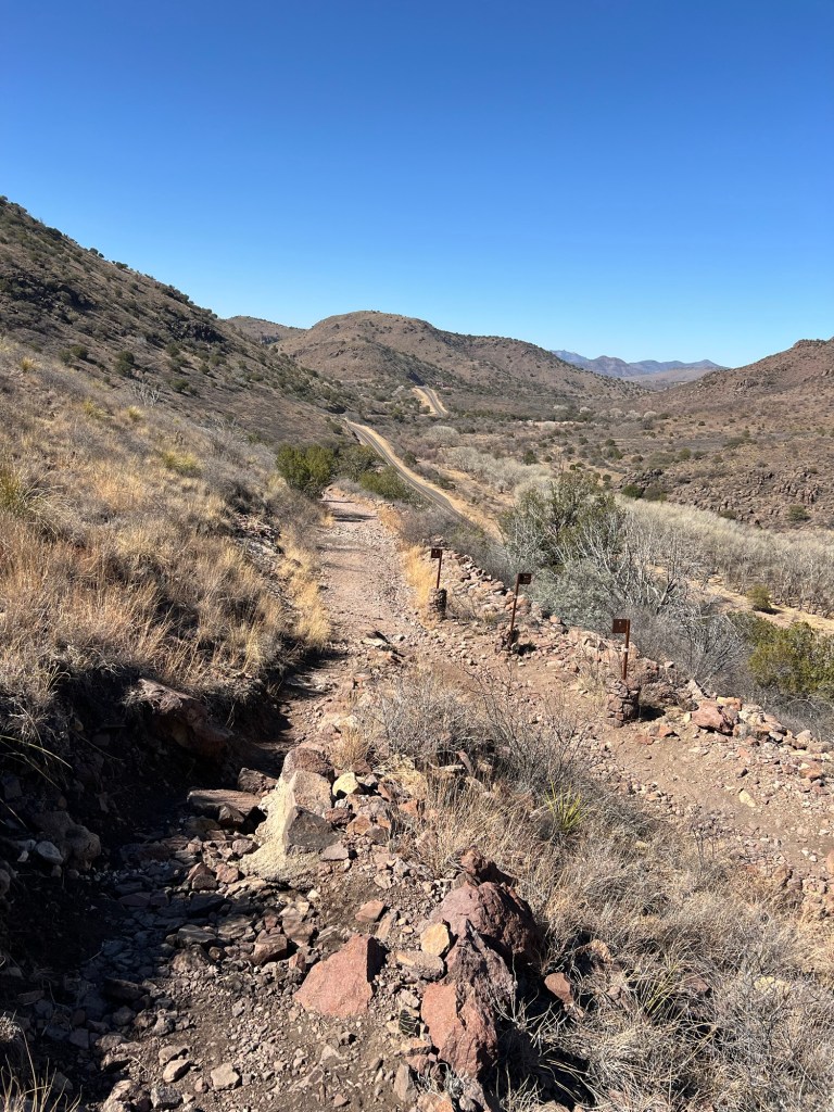
The walking got easier when I joined the Old CCC Trail.
Now I was walking on an old road bed slanting gently down towards Limpia Creek, below. It’s still lined with cottonwoods, here leafless in winter, but it no longer flows above ground year round as it once did. Our guide said that was most likely because there are enough wells to have lowered the water table. Now there’s water but it’s most often underground.
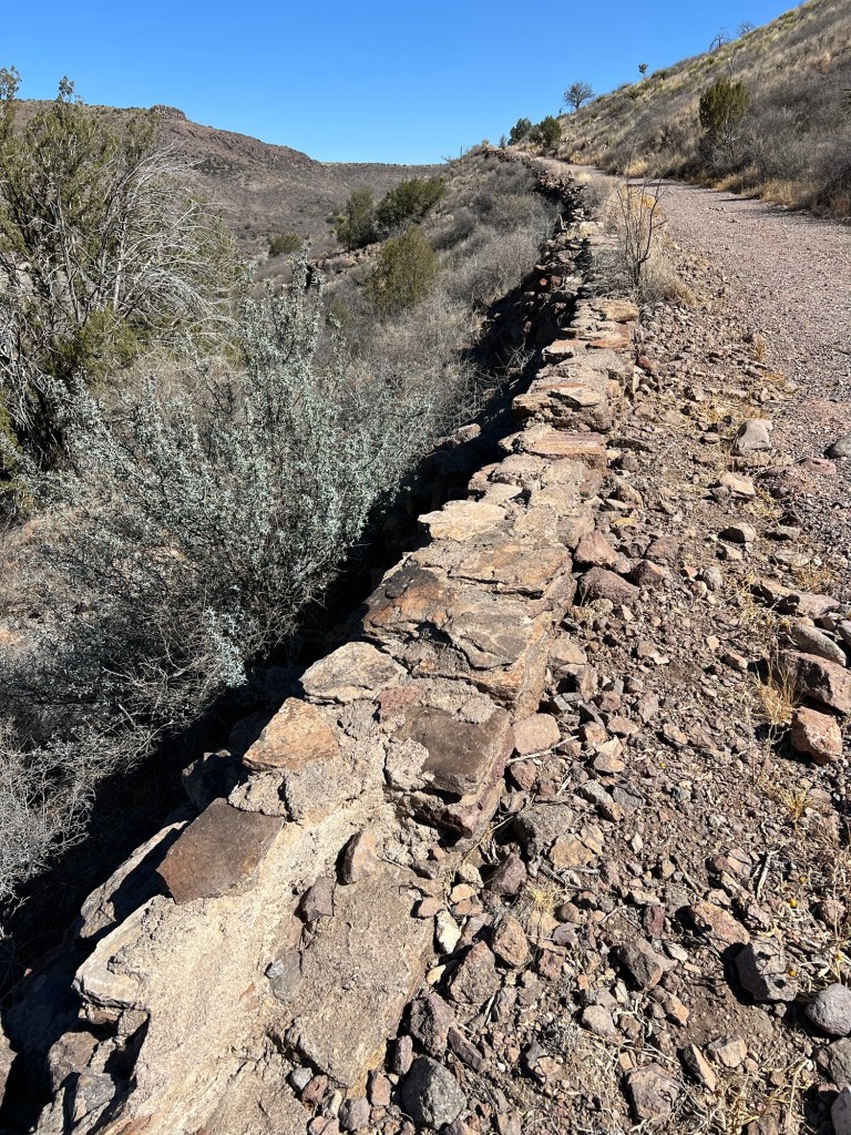
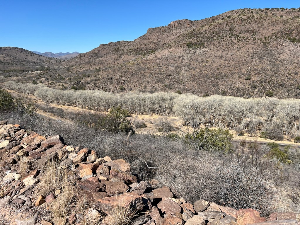
You can tell this was CCC work by the stone walls.
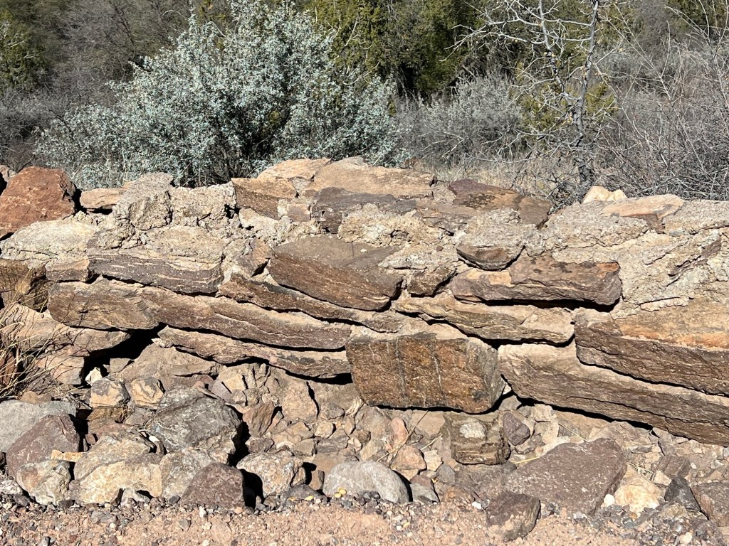
Our guide told us we’d notice that the structures here had a lot of mortar. That’s because they were built with rhyolite and it can’t be cut to fit like other stone.
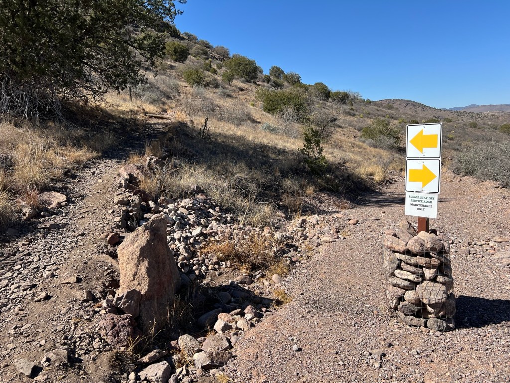
The other park ranger that was walking with us advised me to keep to the left on the foot trail and not take the old roadbed all the way down to the highway.
Not much chance of missing that.
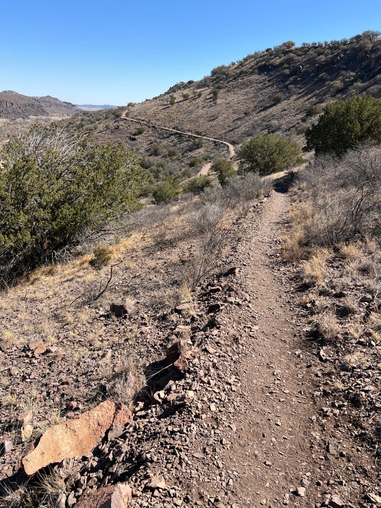
I thought my return trip would be a steady downhill from the ridge top. Silly me; first I hiked down the old roadbed, then back up this far and then down again. It’s steeper than it looks, especially the uphill parts!
It was beautiful, though.
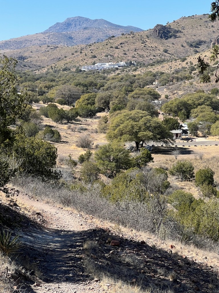
When I got to this point I could look up along the valley where the campgrounds are to the beautiful Indian Lodge at the far end. Unfortunately the lodge is being repaired and won’t open again for a couple of months.
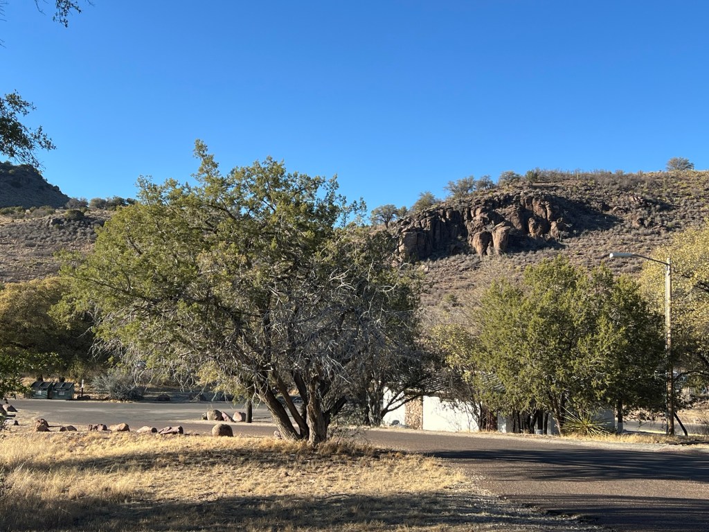
But I can still sit out in the shade, today facing a different direction and taking in another piece of beauty.

Sounds like that would have been a very interesting hike with the guide! It also looks like your solo hike was in pretty remote country! Hope you have a good way of calling for help if you ever need it!
LikeLike
Often I have no cell service, but I’m not that remote, Bud knows where I am and if I get hurt I know to just sit down in the shade and wait for help!
LikeLike
OK- that’s good – but I don’t see much shade there!
LikeLike