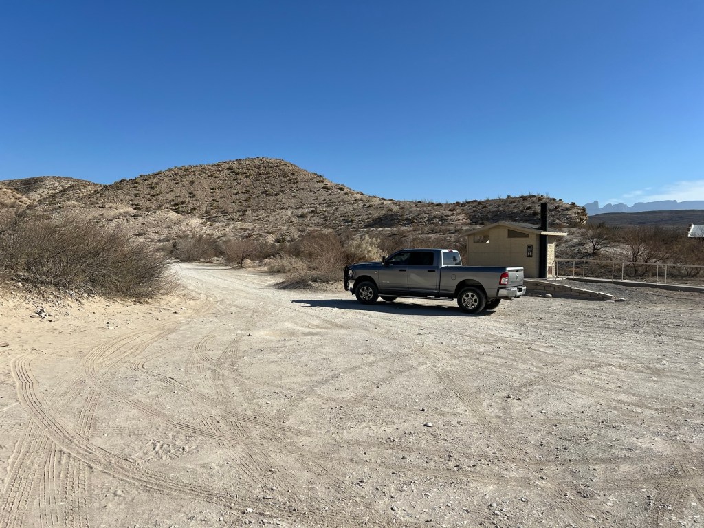
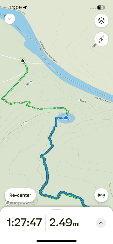
Bud wanted to have time to smoke some meat and Matey seems content with half mile walks so I proposed that Bud drive me to the Hot Springs Historic District and I could hike the three miles back to the campground.
I didn’t spend time at the historic area…
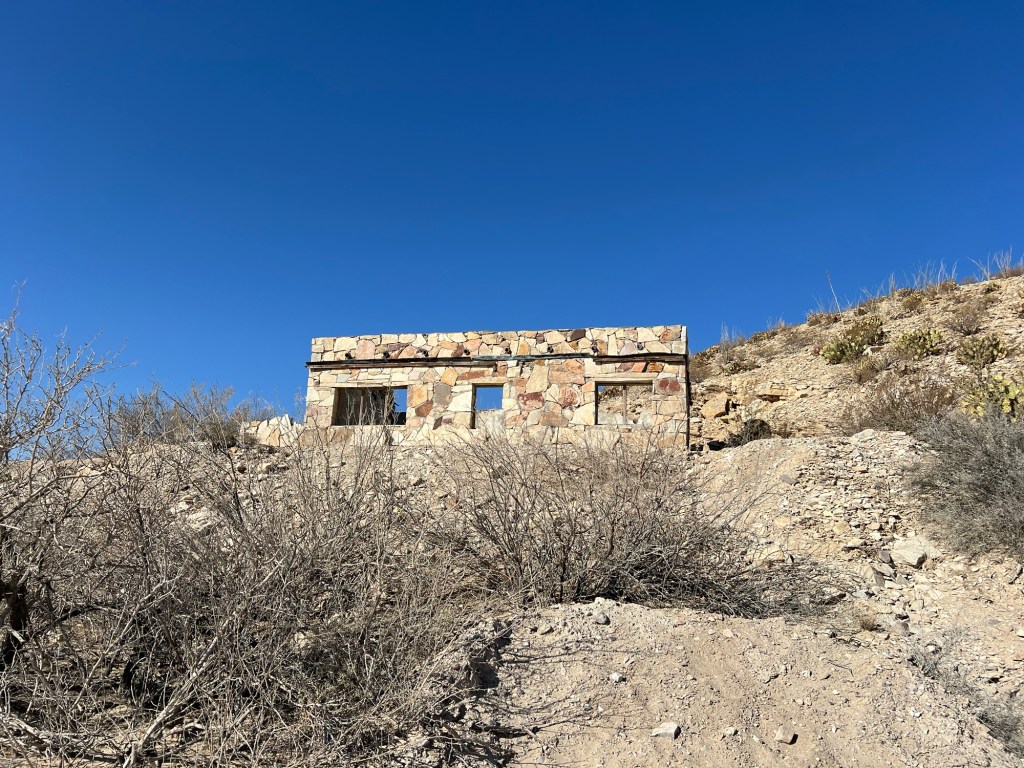
I just walked by the old buildings.
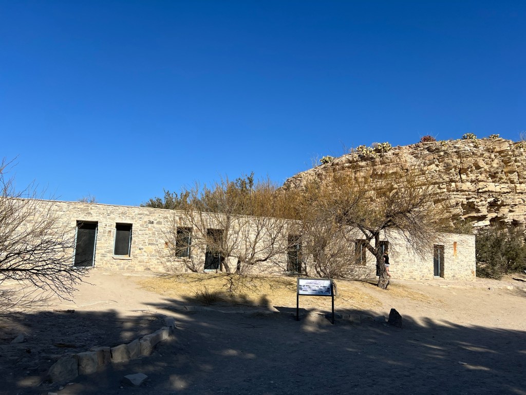
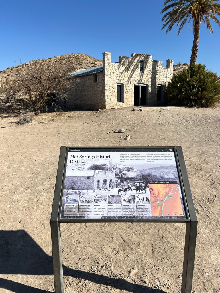
This area was developed to coax people to come and enjoy the nearby hot spring that bubbles up on the edge of the Rio Grande. If they didn’t want to camp they could stay in one of these rooms, no water, though.
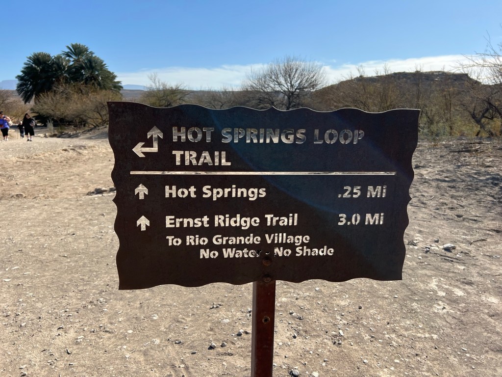
I was here to hike the trail and with a 3 mile “moderate” hike to do I didn’t want to linger. The sign was blunt, “No Water – No Shade”. This time I was better prepared, I had sun protection, two bottles of drink and I had downloaded the trail map.
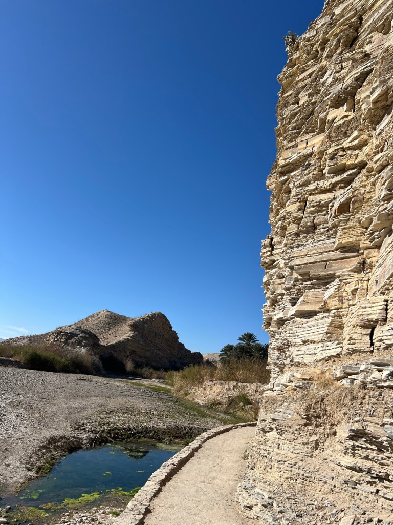
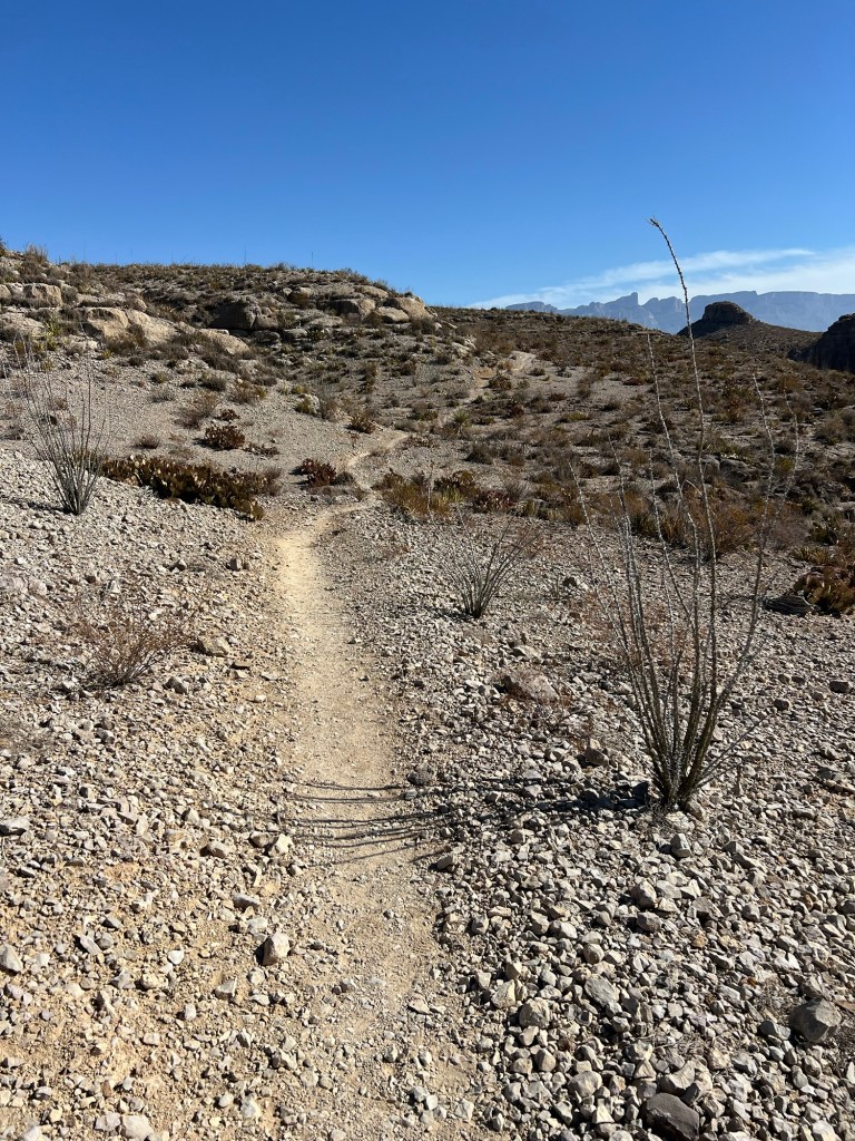
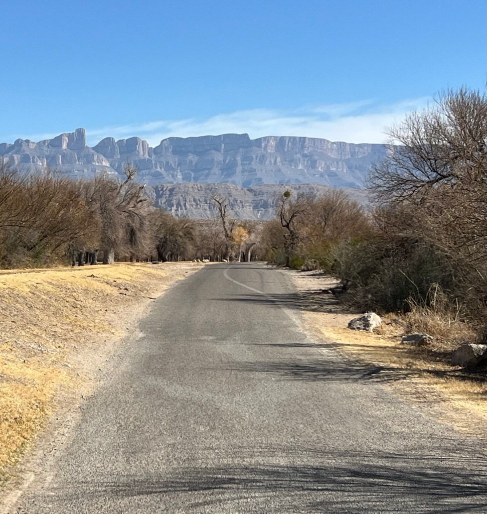
It was a great day, blue sky and cool temperatures. The trail here was very well made.
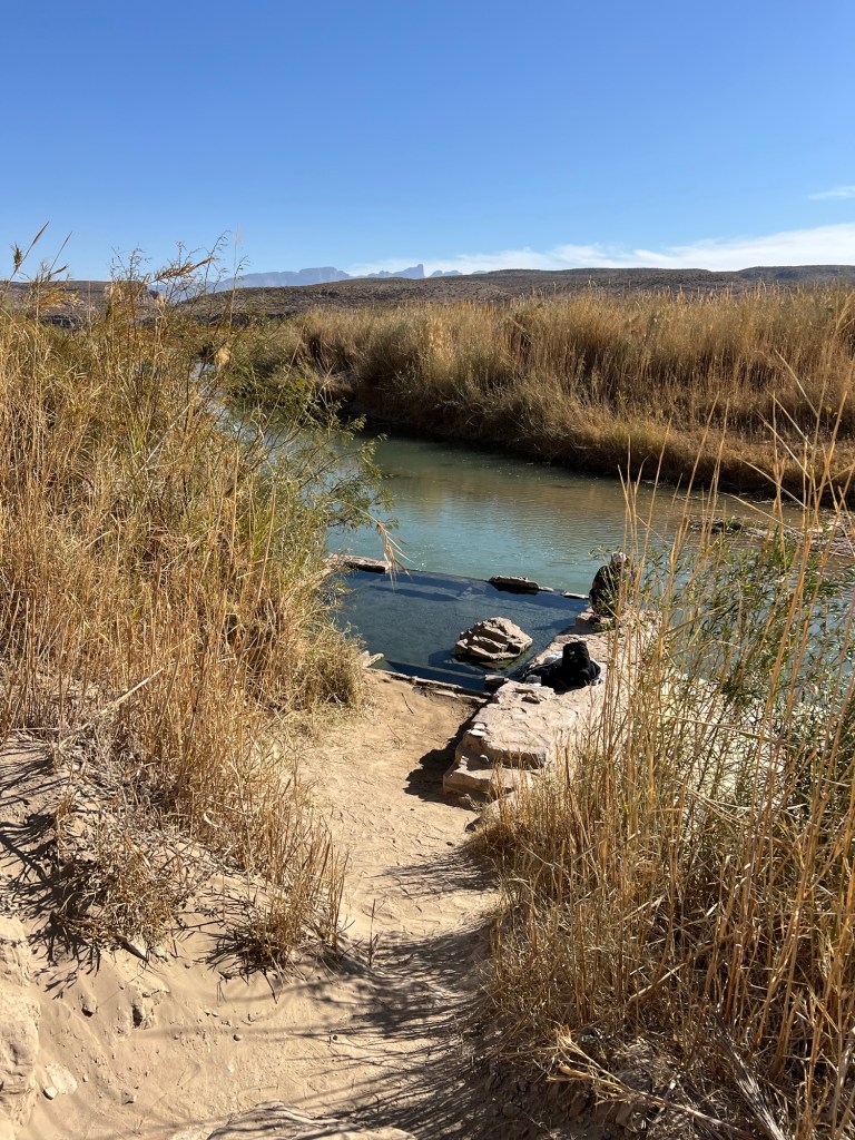
I walked past the hot springs. There was once an enclosed bathhouse here, you can still see the foundation and you can go into the 105 degree water it encloses.
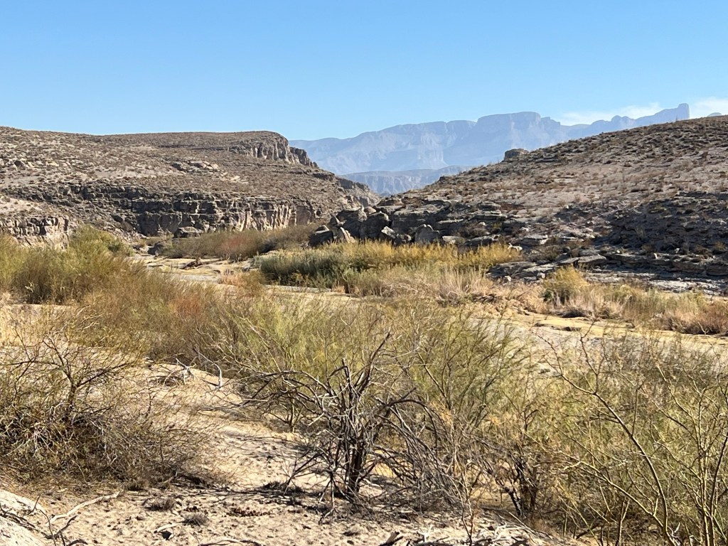
The trail was easy and flat here, but there was rough country ahead.
Soon the trail began to climb…
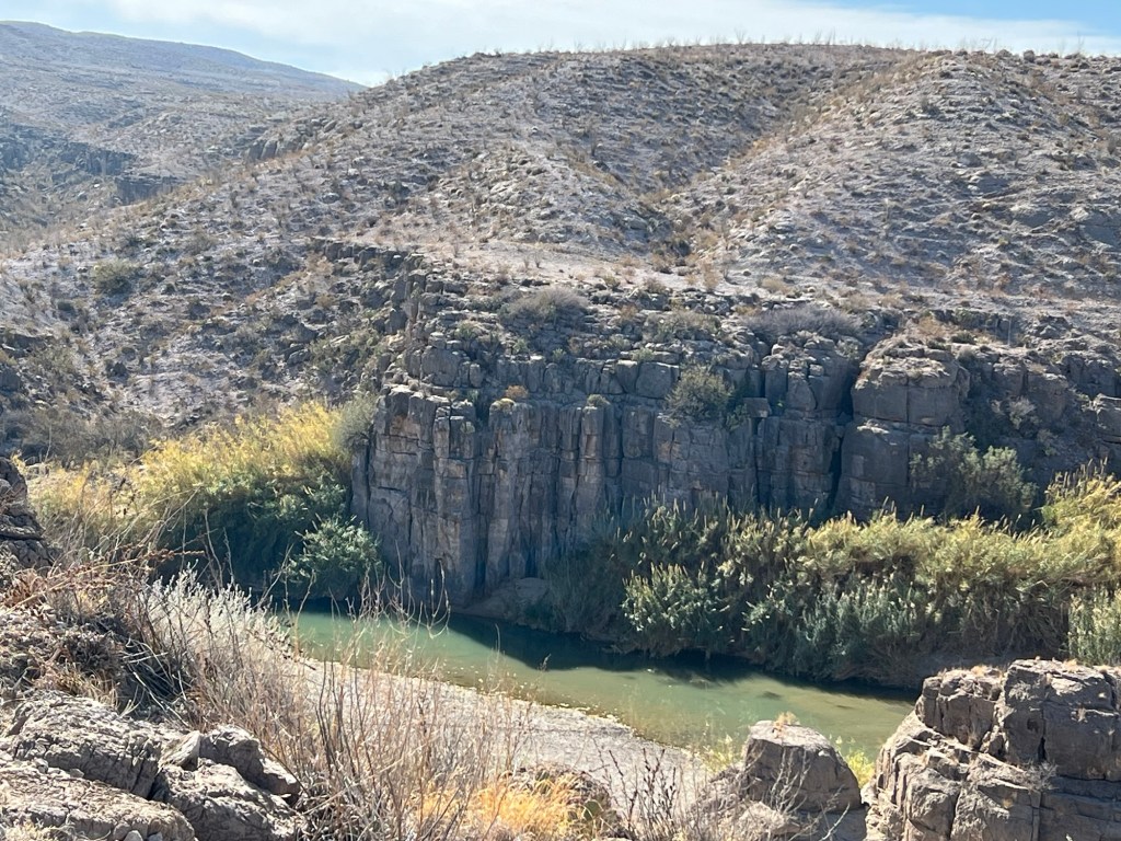
and I could look down on more of the river,
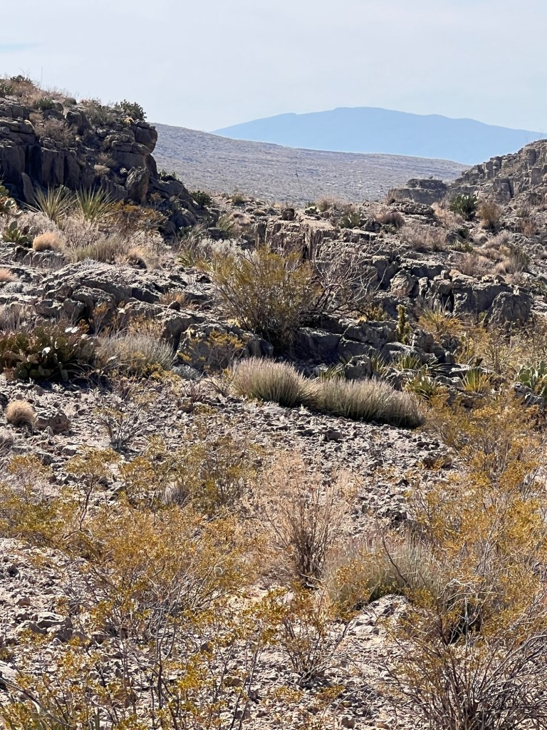
and the ahead to the spectacular cliffs. Many times during the hike I was wondering just where, through those rocks, the trail would take me.
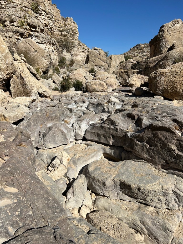
I think it was justifiably rated a moderate trail. The climbs up the rocky parts…
brought me to smoother parts up top…
and more beautiful views.
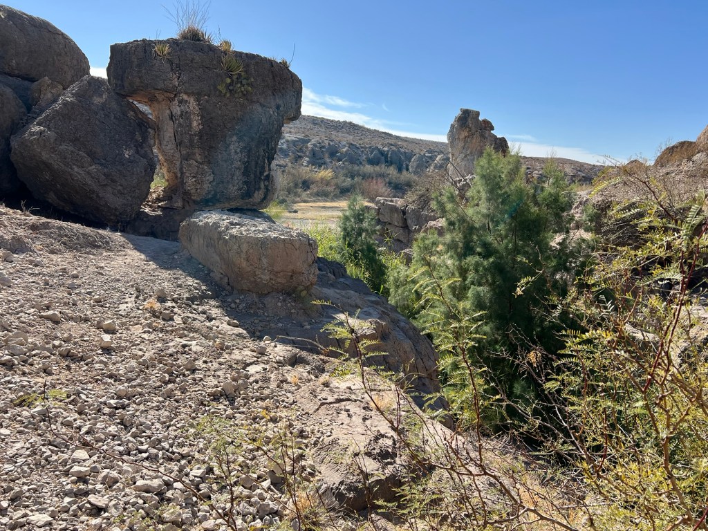
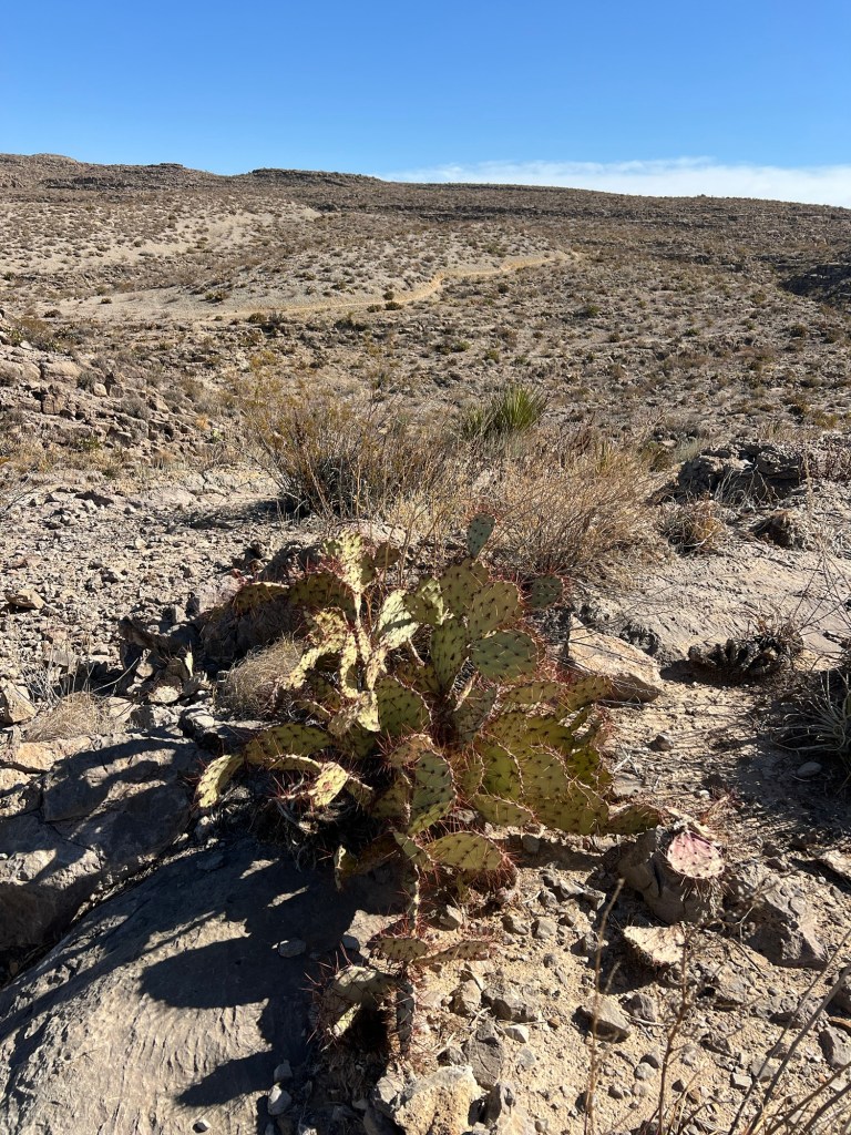
I enjoyed the close-up scenery, too.
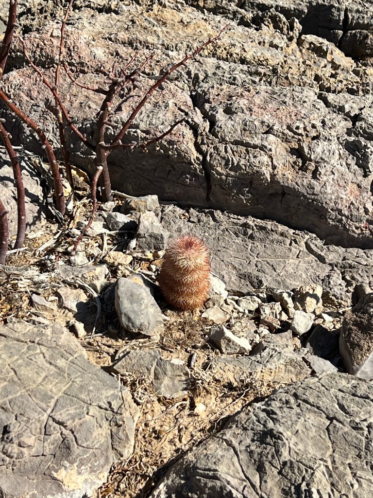
Very pretty,
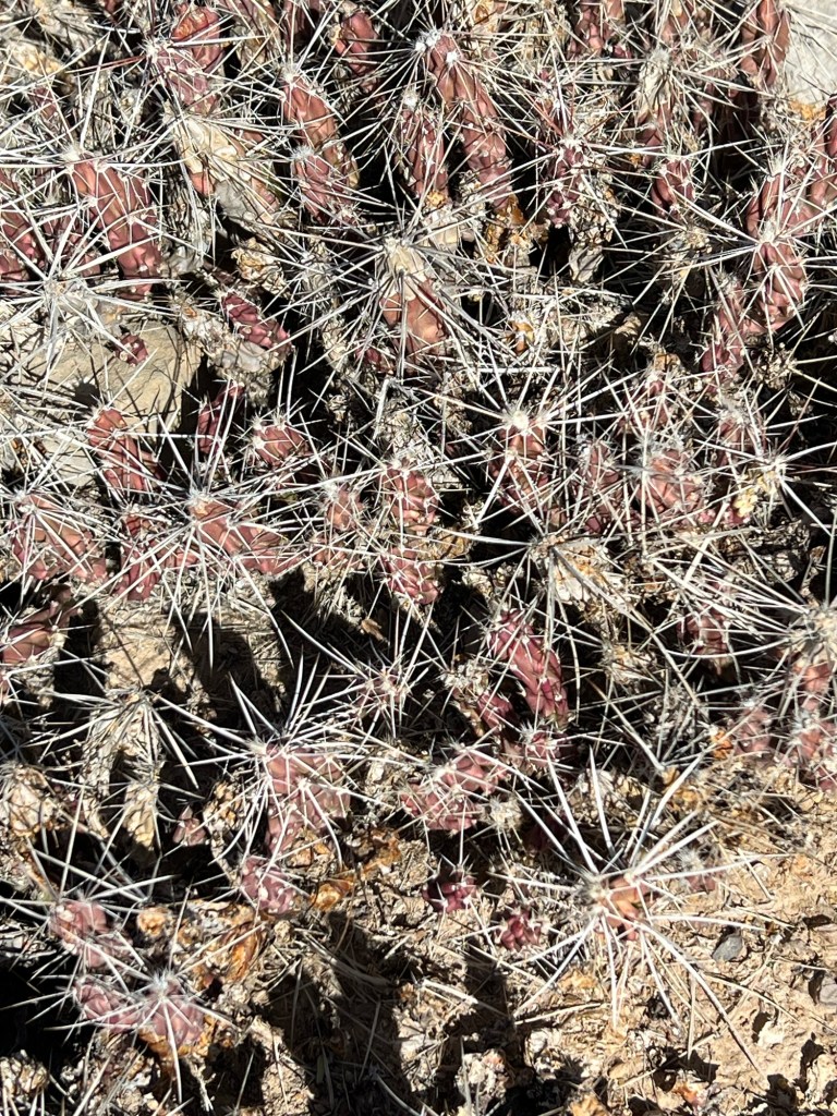
just don’t touch.
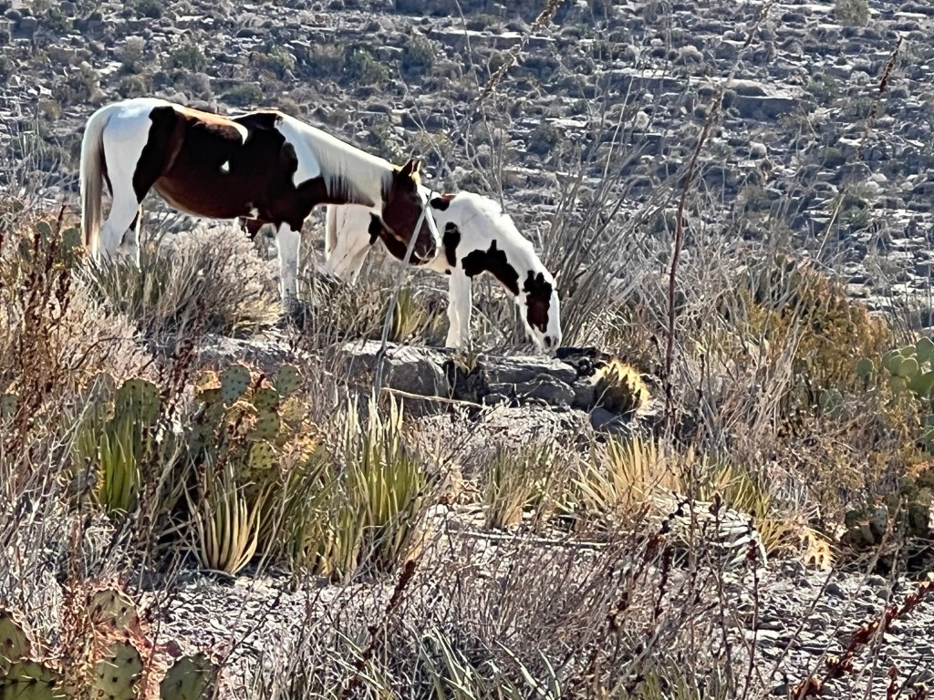
When I was high above the river I came across these two horses.
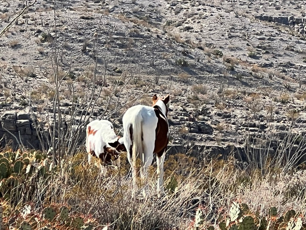
Baby gets a drink, but momma has a long walk before she can drink.
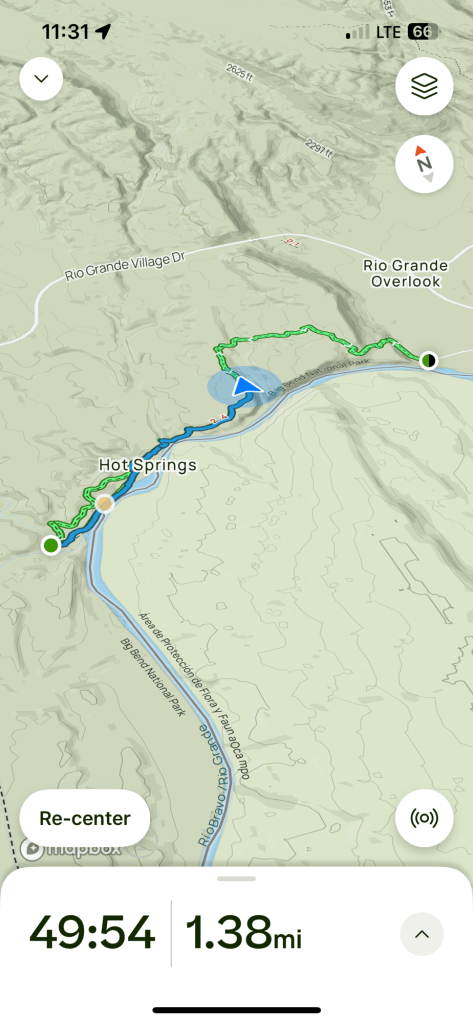
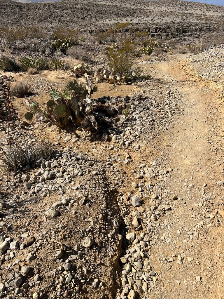
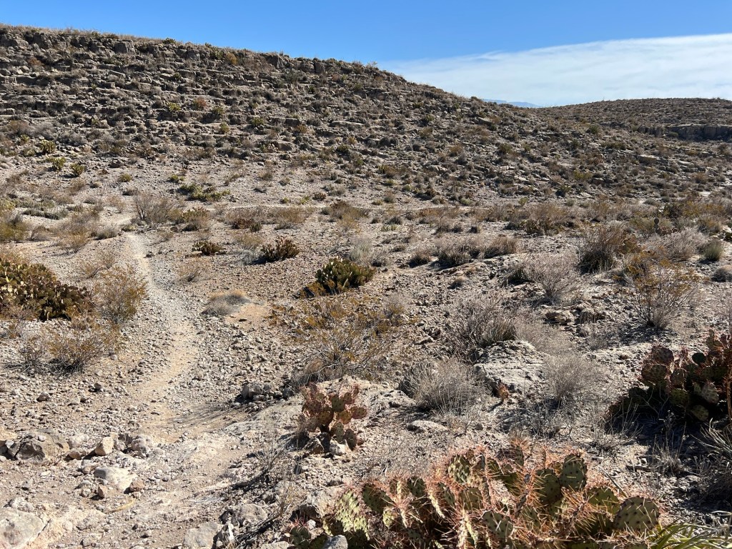
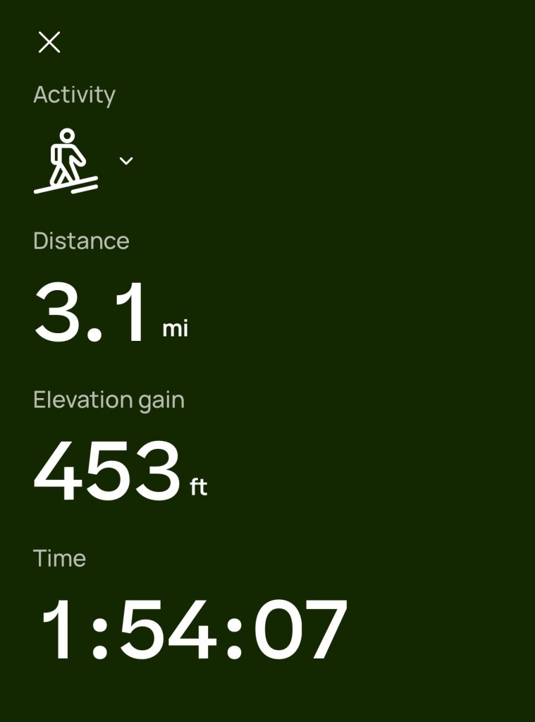
I could follow my progress on the downloaded map.
But the map doesn’t show you the huge gully that’s just beyond the cactus, between you and the trail on the far side.
Turns out you just have to walk up the side canyon a ways until you can walk down and back up again. None of it was too steep or too scary but it was a workout.
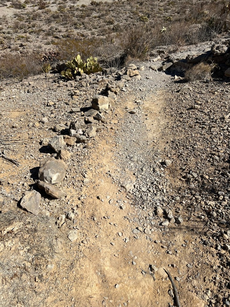
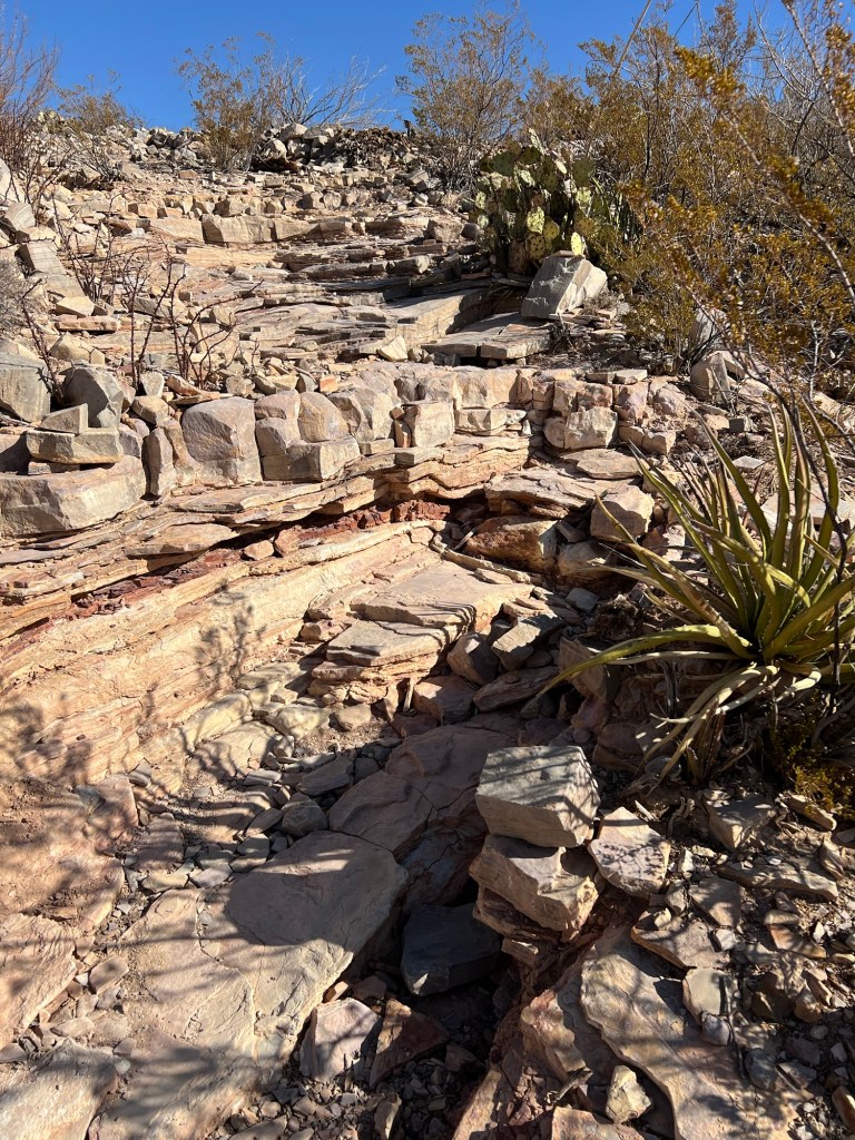
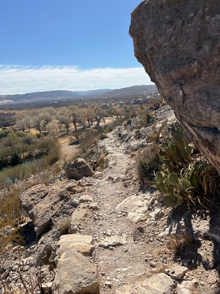
The trail was well made,
with cuts made to divert rainwater,
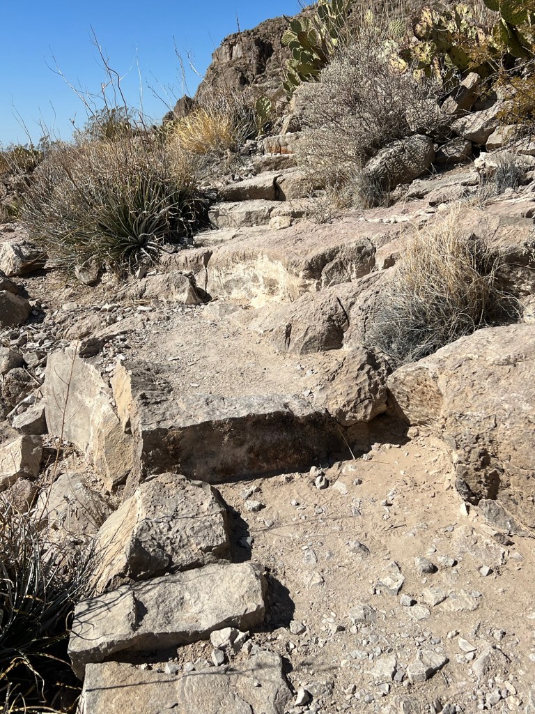
and in some of the steeper places, steps.
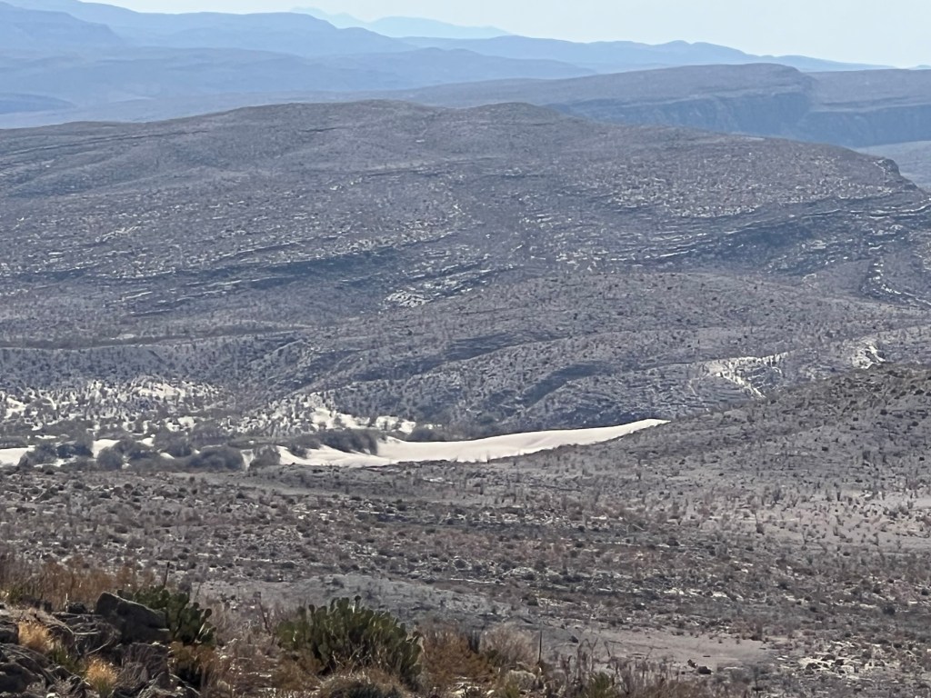
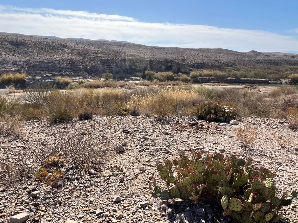
And always the views. This is looking far over the Rio Grande into Mexico. That sand area is visible for miles, it would be interesting to see it up close.
I kept thinking as I crested a ridge that I would see the river again and the plain with the campground, but instead there was another, higher, ridge.
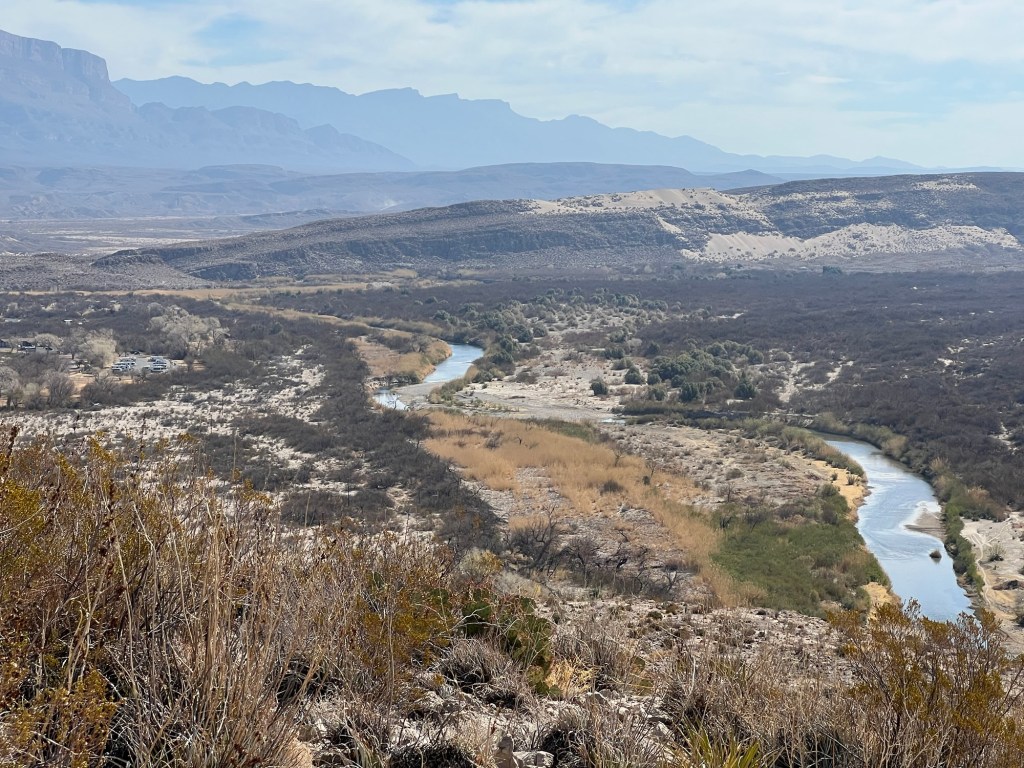
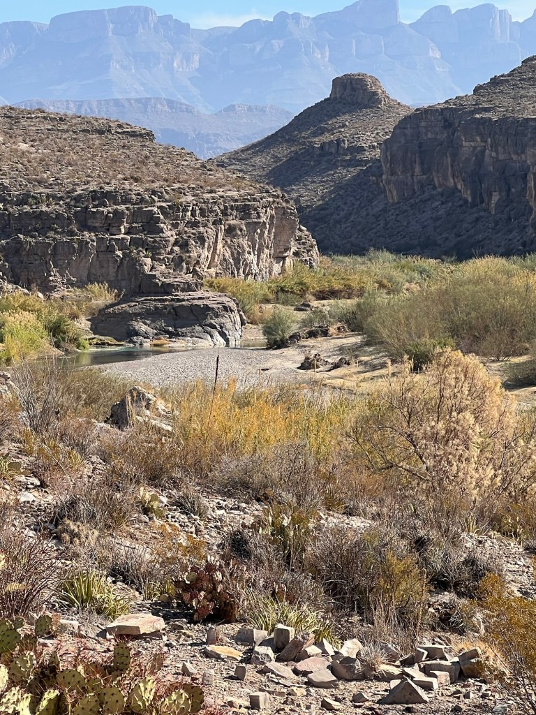
Finally, there it was, the river again, and to the left of center our parking lot campground.
I still had quite a ways to walk to get down there.
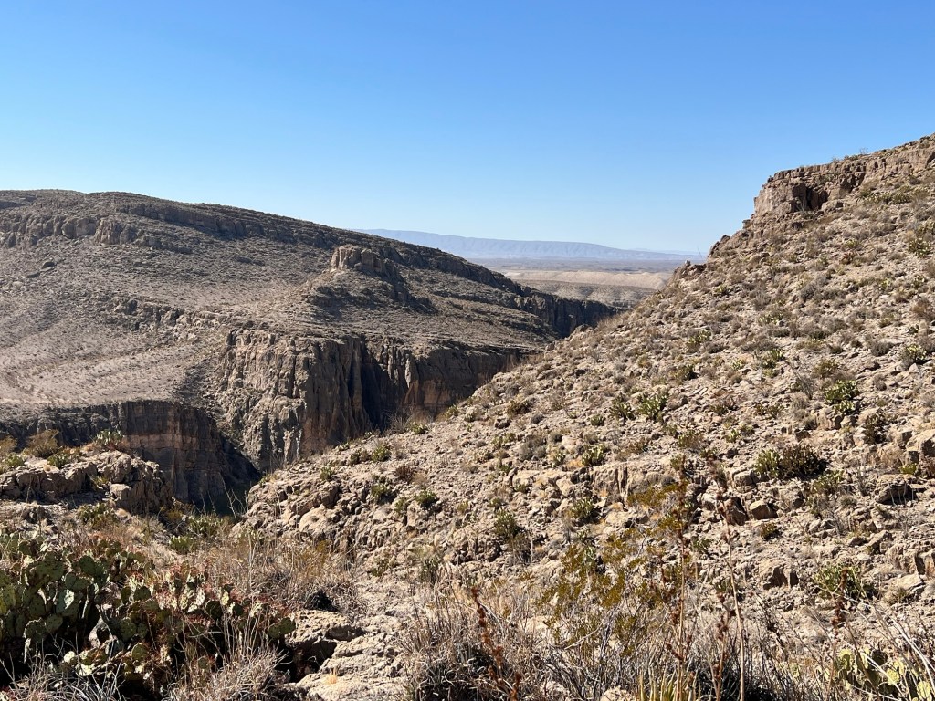
The trail was taking me towards the gorge.
I walked far enough out on the overlook spur…
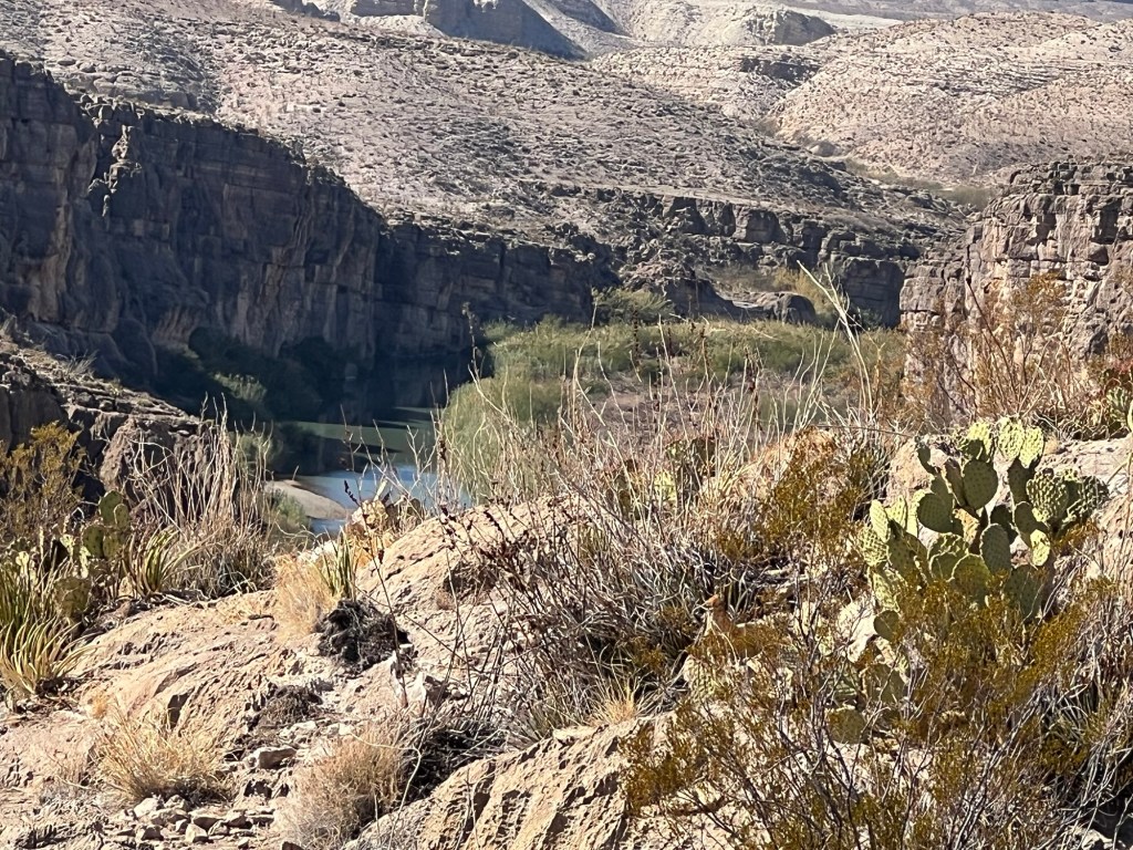
to get a glimpse of the river. It may not look it, but that’s a long ways down.
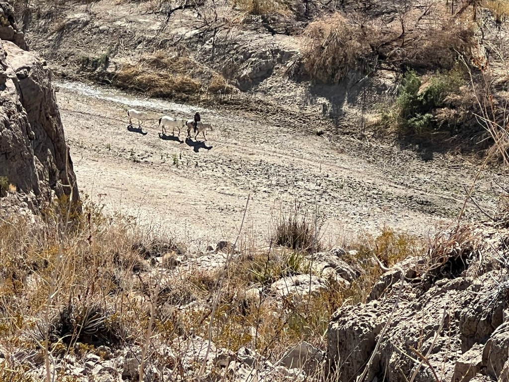
I also saw this cowboy leading two horses. They are all on the Mexican side, the Rio Grande is blocked from view by the cliff.
A bit later I came to the last descent.
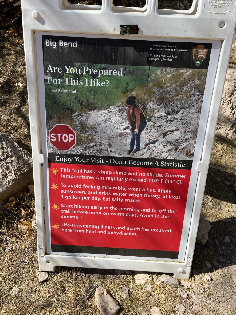
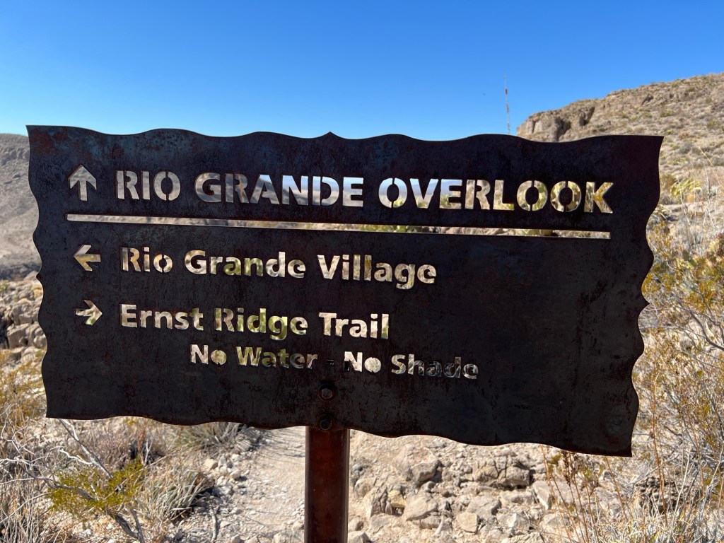
This was a sign for the trail at this end of it. I think I’m glad it wasn’t at the end where I started.
But I made it, it was a beautiful hike.
I walked the half mile back the park road and had my lunch.

Such pretty scenery – I love those rocks and cliffs! Other than the signs you took pictures of, was the trail marked? Some places it looks pretty obvious, but over some of those rocks, not so much. What is that prickly little plant in the picture you called ‘pretty’? It is short and wide for its height and rings of color in shades of tan.
LikeLike
The trail wasn’t marked but there were rocks arranged from time to time. Generally it was easy enough to follow.
I haven’t been able to find that little cactus anywhere, I do like it.
LikeLike