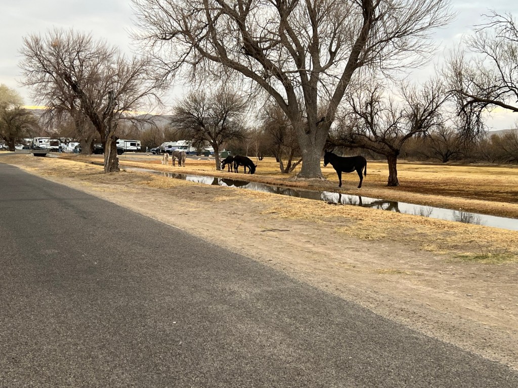
This morning when I walked Matey there were no cattle or horses, there were donkeys.
They grazed right into the campground, which was very entertaining for Matey.
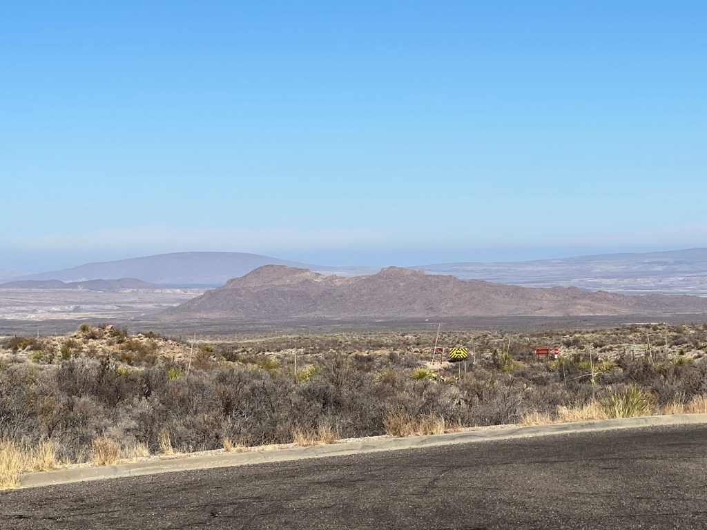
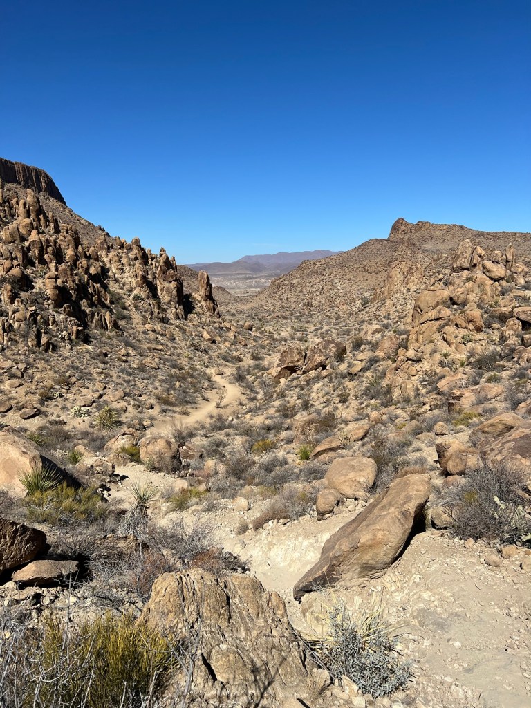
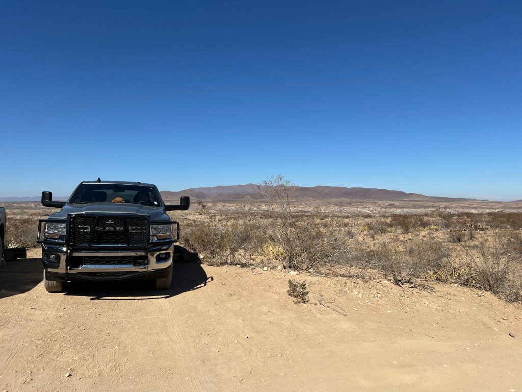
When we were done watching donkeys we headed to the six mile long Grapevine Hills Road. It’s a better road than the Old Ore Road, but in places not by much. It takes you down to those brown hills in the middle distance. We were headed for Balanced Rock Trail, which Jack had recommended.
Again Bud waited in the truck with Matey so I could do this short hike. Today the sky was bright blue and it had warmed to the upper fifties by the time I started the walk.
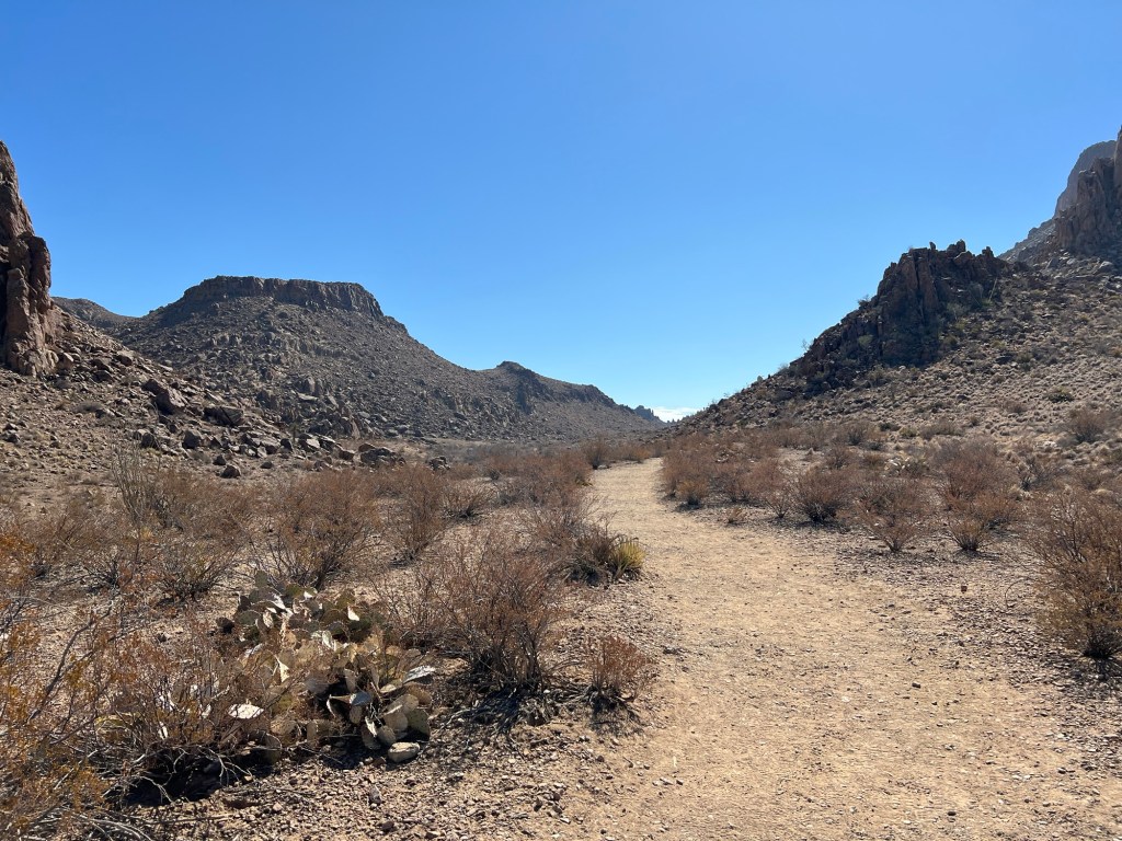
The beginning of this trail was also up a sandy wash.
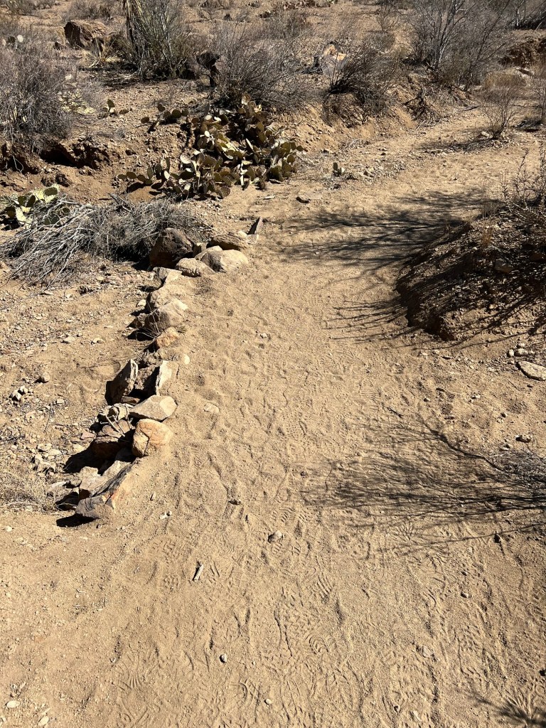
If you don’t have trees to mark a trail you use what you have.
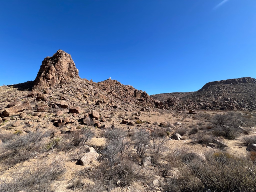
There are plenty of rocks here.
So far it was an easy walk, but things looked more difficult ahead.
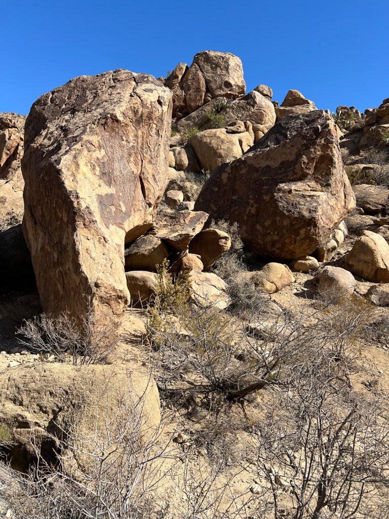
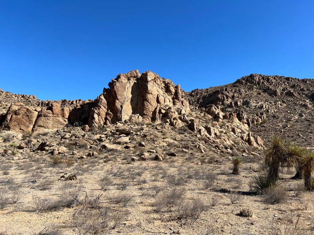
The trail was taking me up and closer to the rocks.
It’s rugged and beautiful.
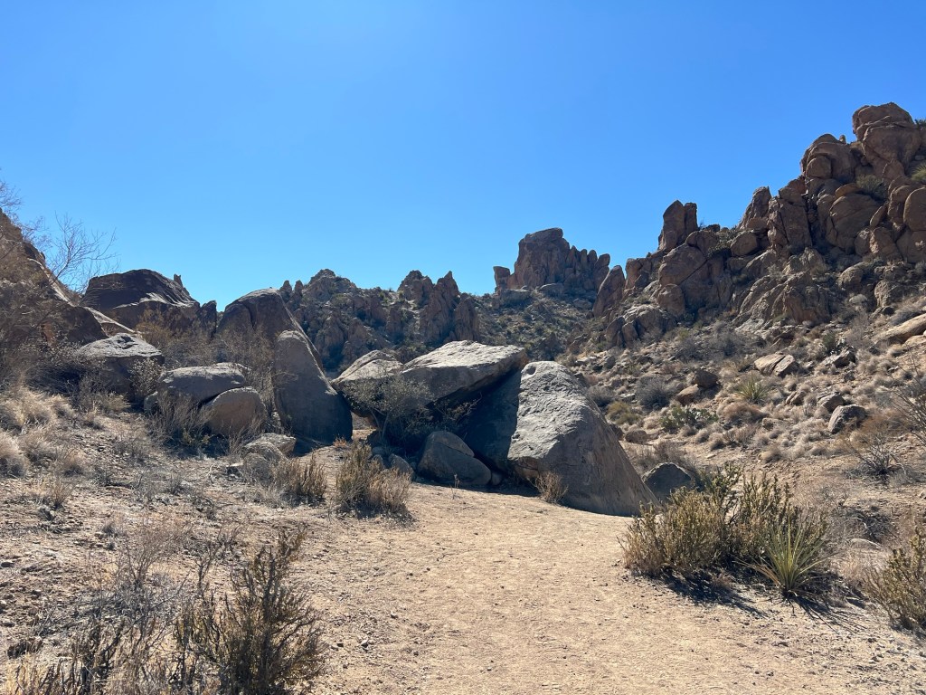
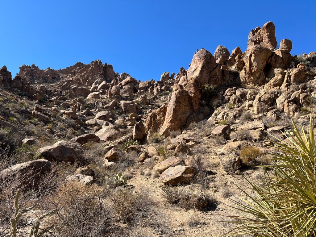
Now it was about to get interesting.
I quickly gained altitude and a nice view of the trail behind me.
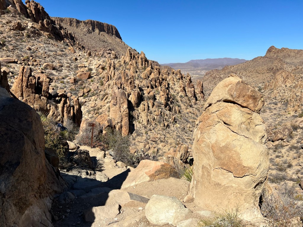
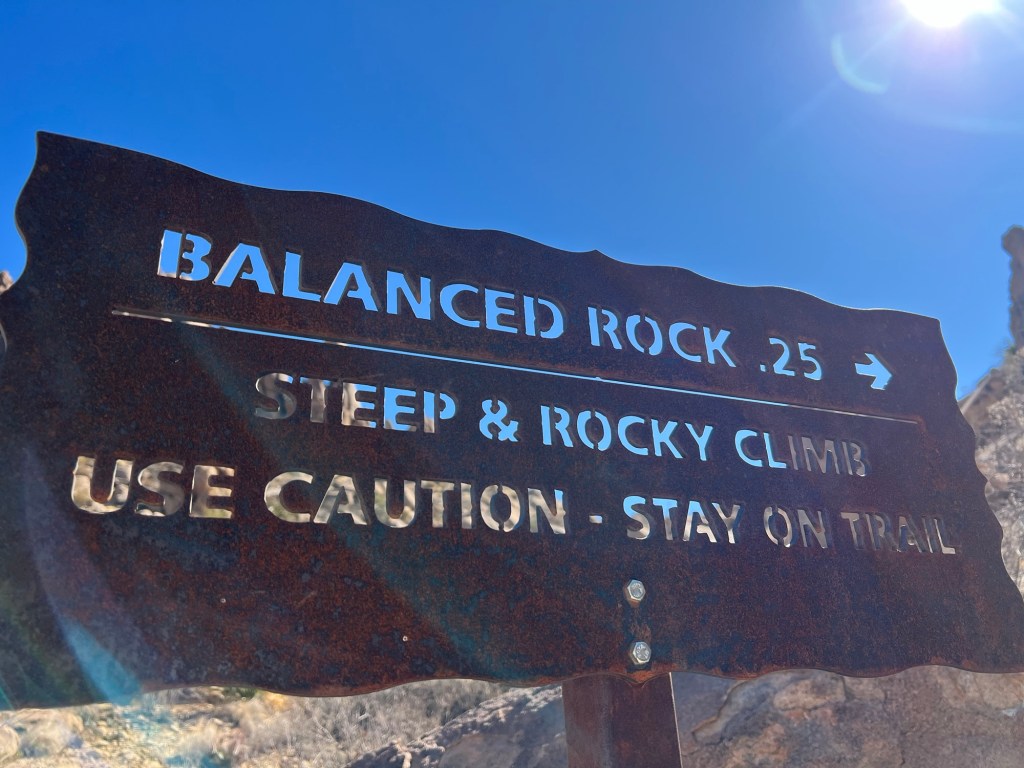
It’s not so easy to find the trail here, but if you look close you may be able to pick out the metal trail sign ahead.
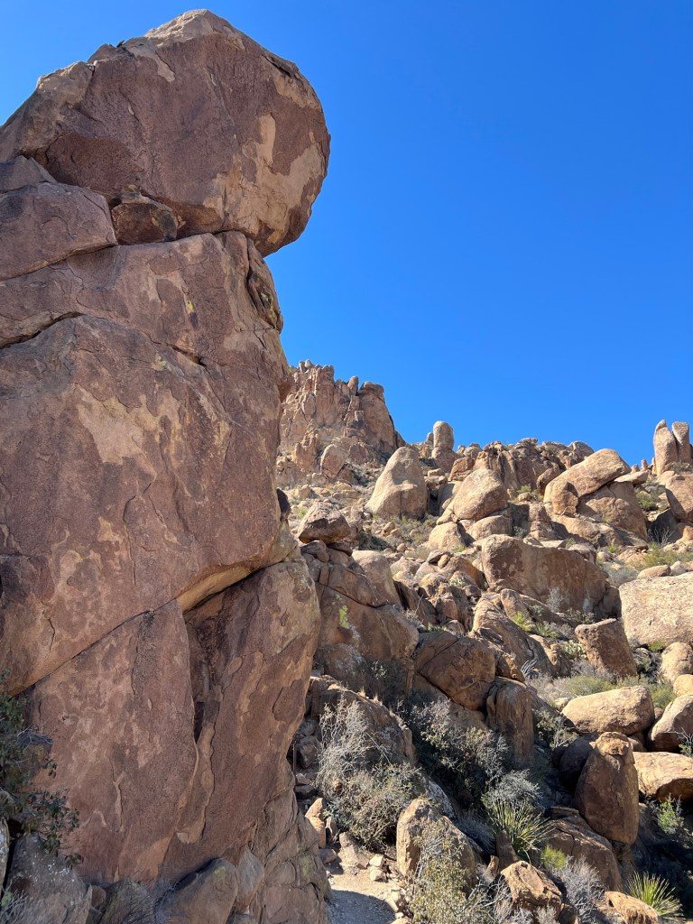
I was right up among the boulders now.
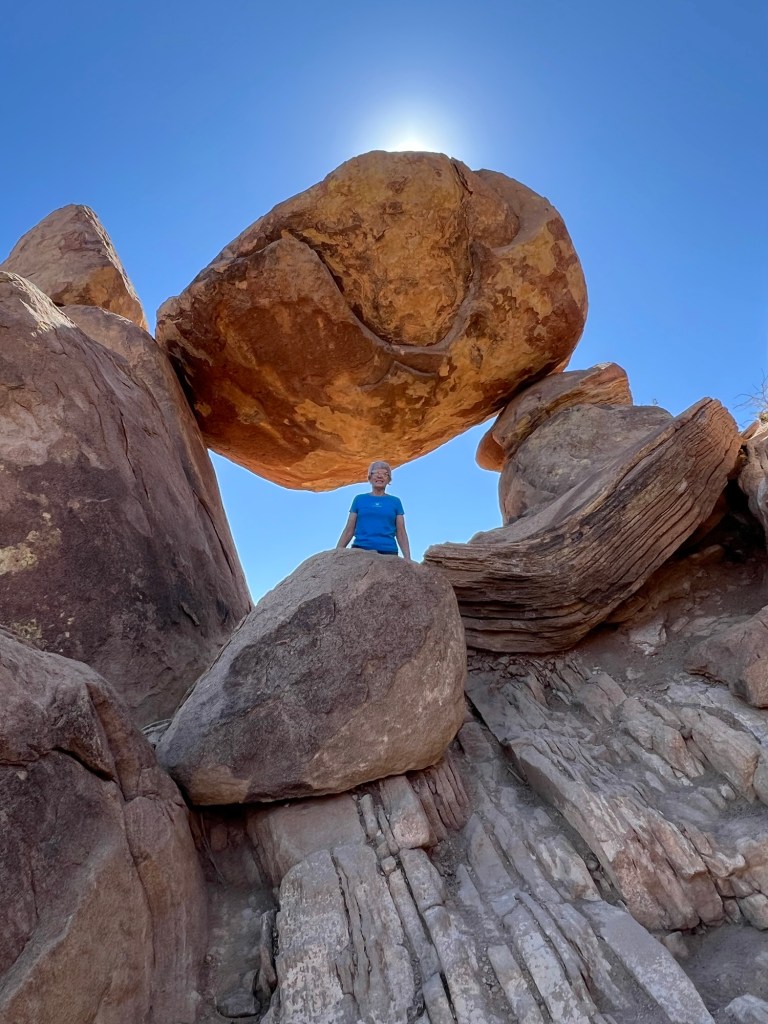
And here I am…
under the balanced rock. A nice young woman from Austin took these for me.
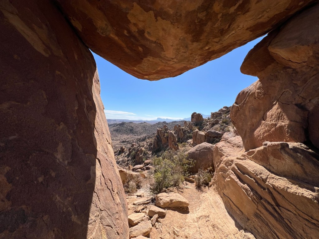
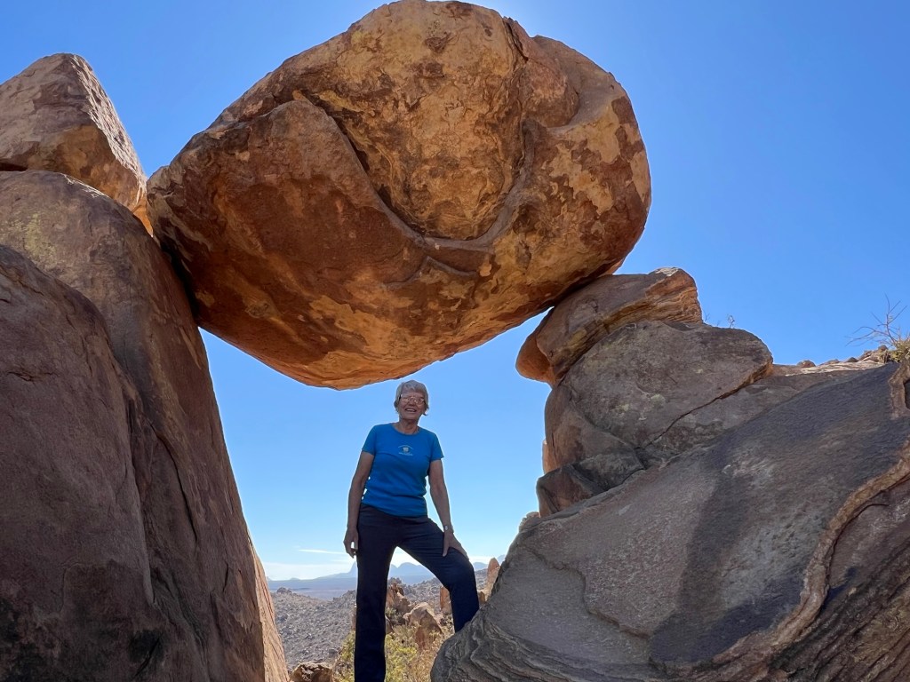
This is looking out from under the rock.
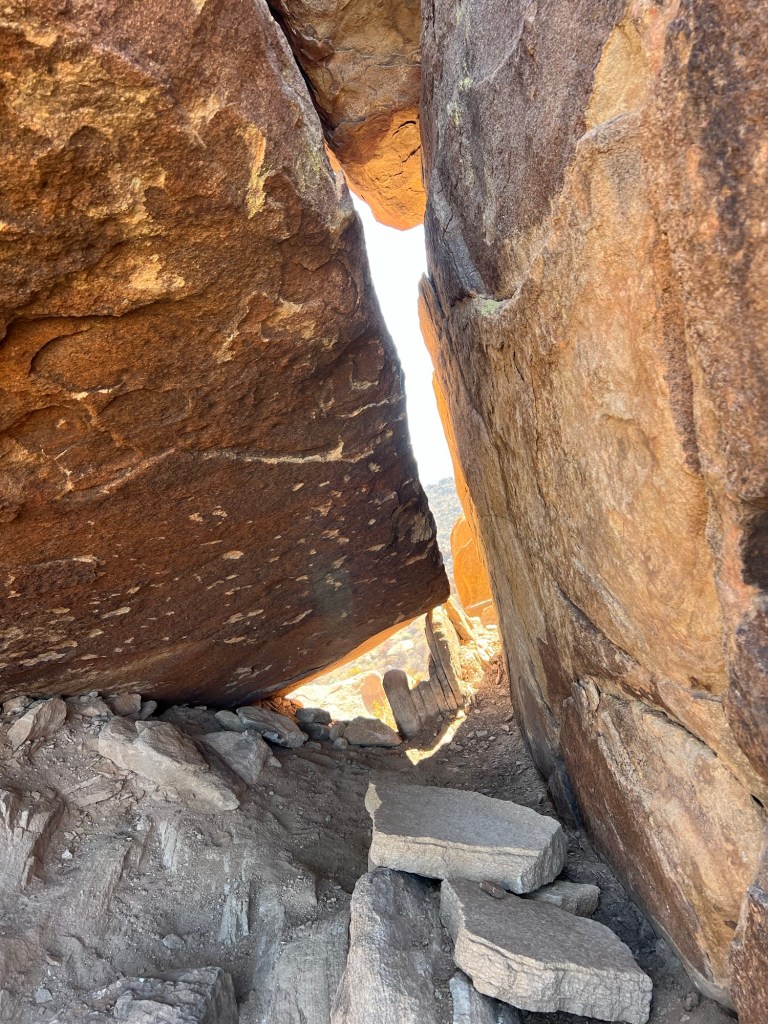
I started back down and right away went astray. Oops, those footsteps in the dust were not the trail, but this is a pretty dead end and it was only 50 feet or so in the wrong direction.

Right after I took this shot I must have missed the trail again as I ended up on a steep and slippery shortcut. The young woman was following me, happily we both made it safely back to the more level part of the main trail.
I hurried to get back to the truck, the hike was about 2 miles.
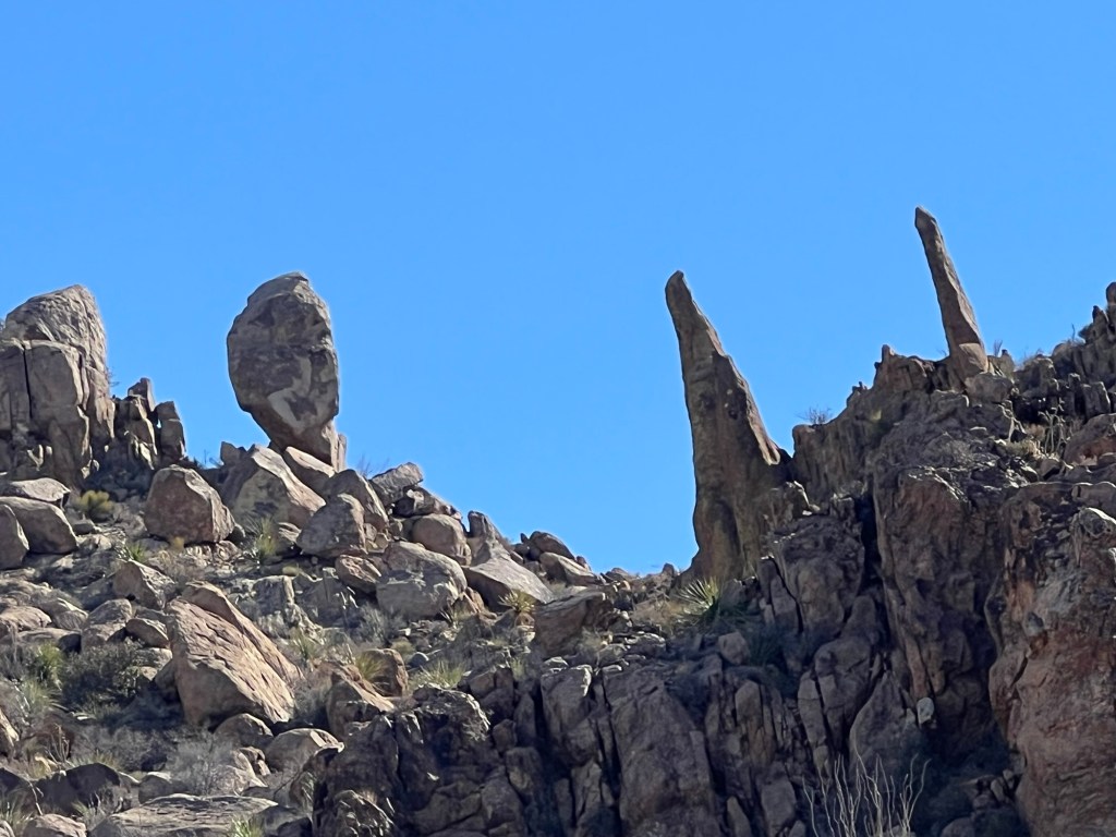
Bud and Matey had walked a bit further down Grapevine Hills Road and seen their own balanced rock. Bud drove me down to see it. Pretty spectacular.
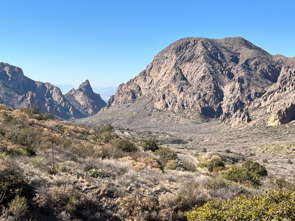
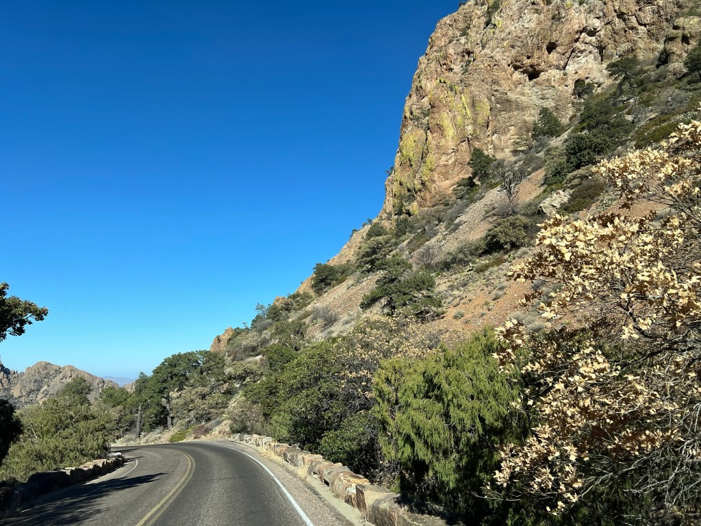
Once we made it back out the dirt road we took the paved road up into the Chisos Mountains to Chisos Basin.
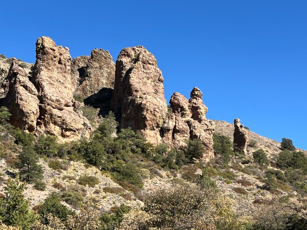
Of course there are spectacular rocks here, too.
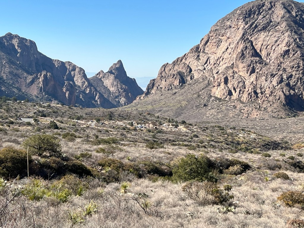
Another switchback closer and you can see the campground below and get a sense of just how big this basin is.
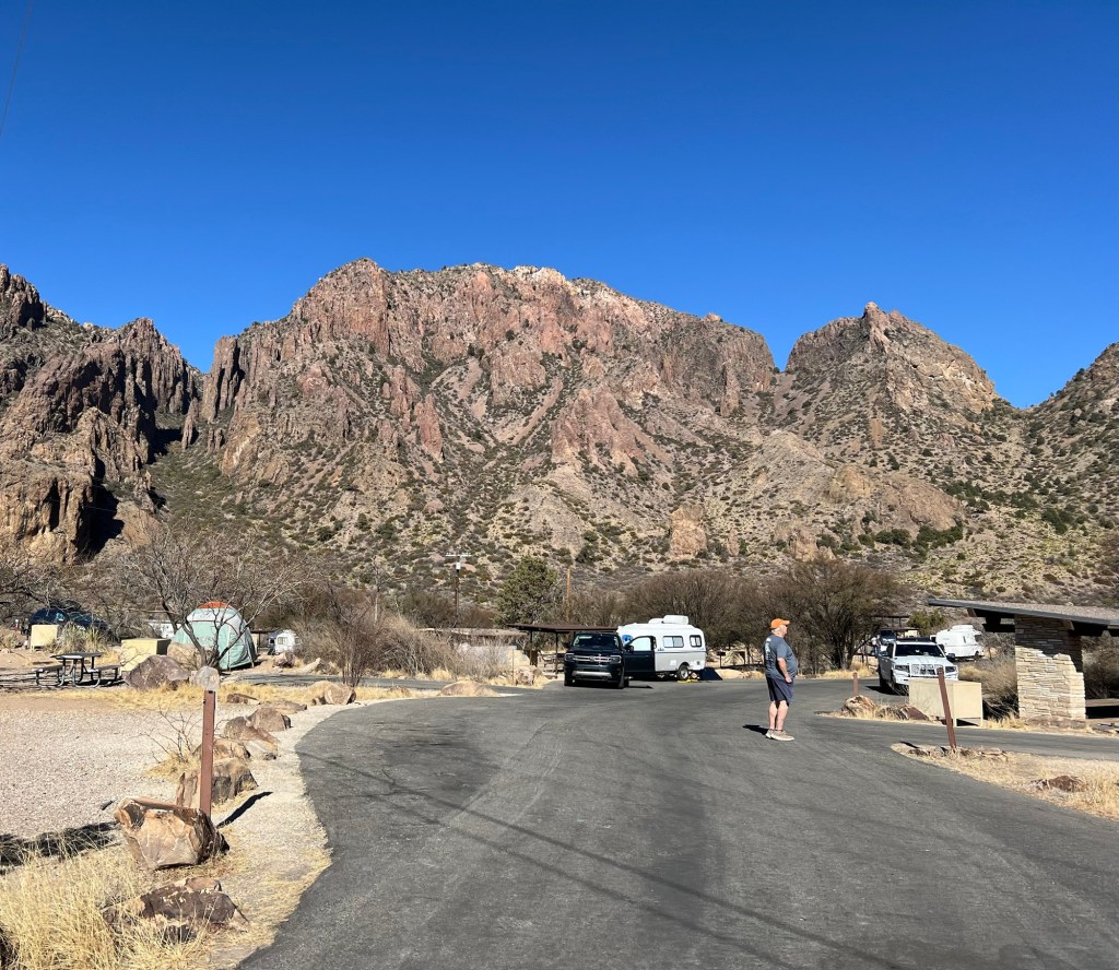
We parked and took a look at the campground. It’s beautiful here, but we would never fit. Trailers are limited to 20 feet.
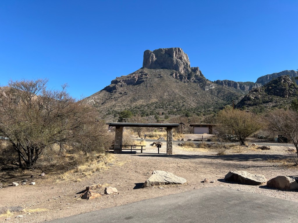
We walked around to look at the surrounding peaks and let Matey stretch his legs.
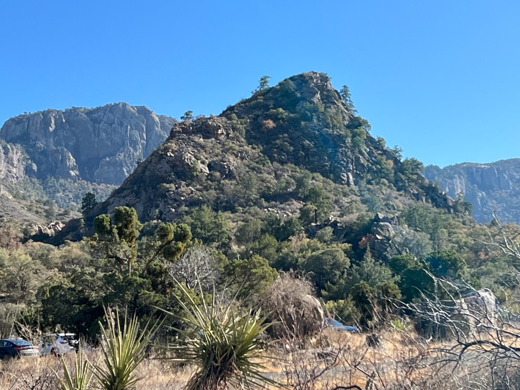
Notice the pine trees on this peak. It’s a whole other ecosystem here.
The drive back was one long descent.
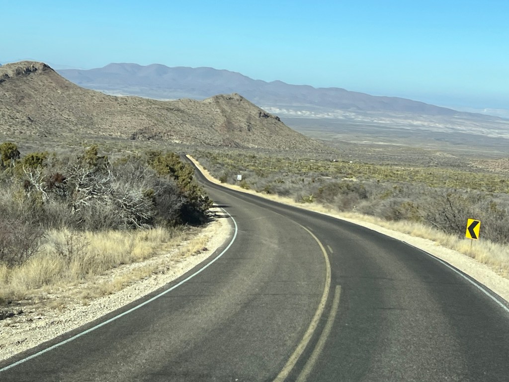
Chisos Basin is at an altitude of 5400 feet. Twenty five miles later we were back at Rio Grande Village and just 1,800 feet above sea level.
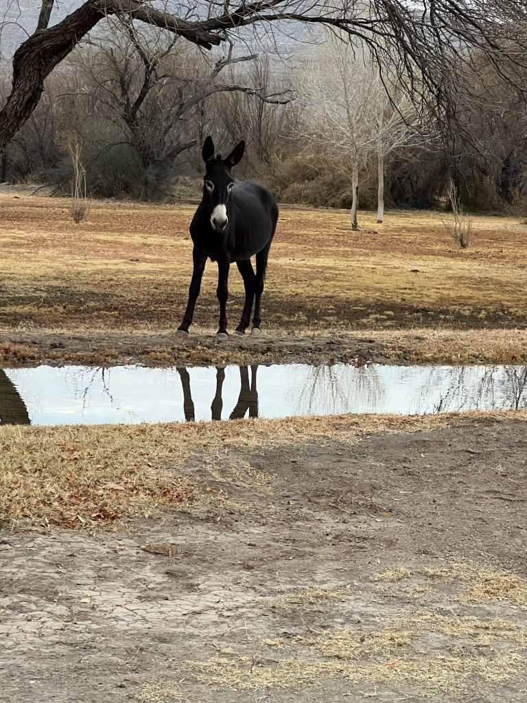
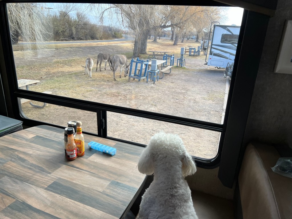
The donkeys were still hanging out.

More pretty scenery! It’s interesting that you see so many “domestic” animals!
LikeLike