The other day we went to Natchez to visit the museum and grounds of the Grand Village of the Natchez, a sacred center in use by the Natchez people at the time of contact with the French.
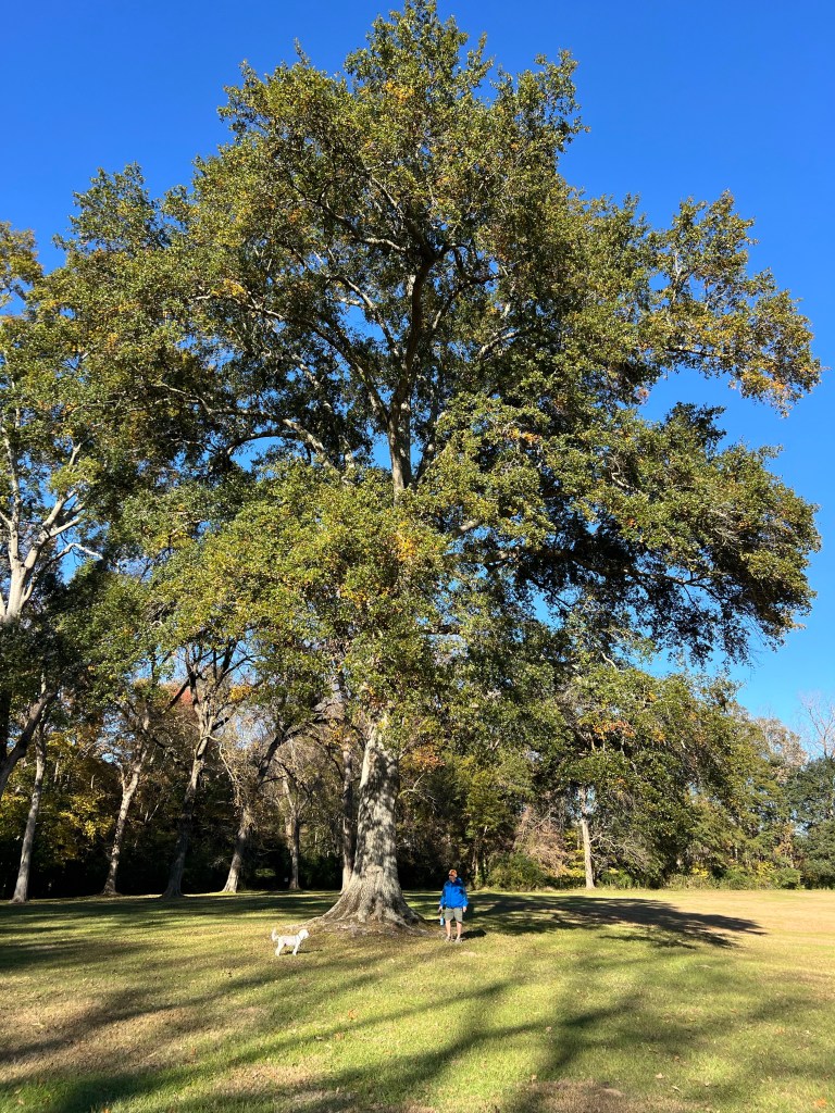
It was interesting and beautiful. My favorite was this immense water oak tree. I love the huge old trees in this part of Mississippi.

On the way back we decided to try driving the Natchez Trace Parkway rather than our usual route up U.S.61.
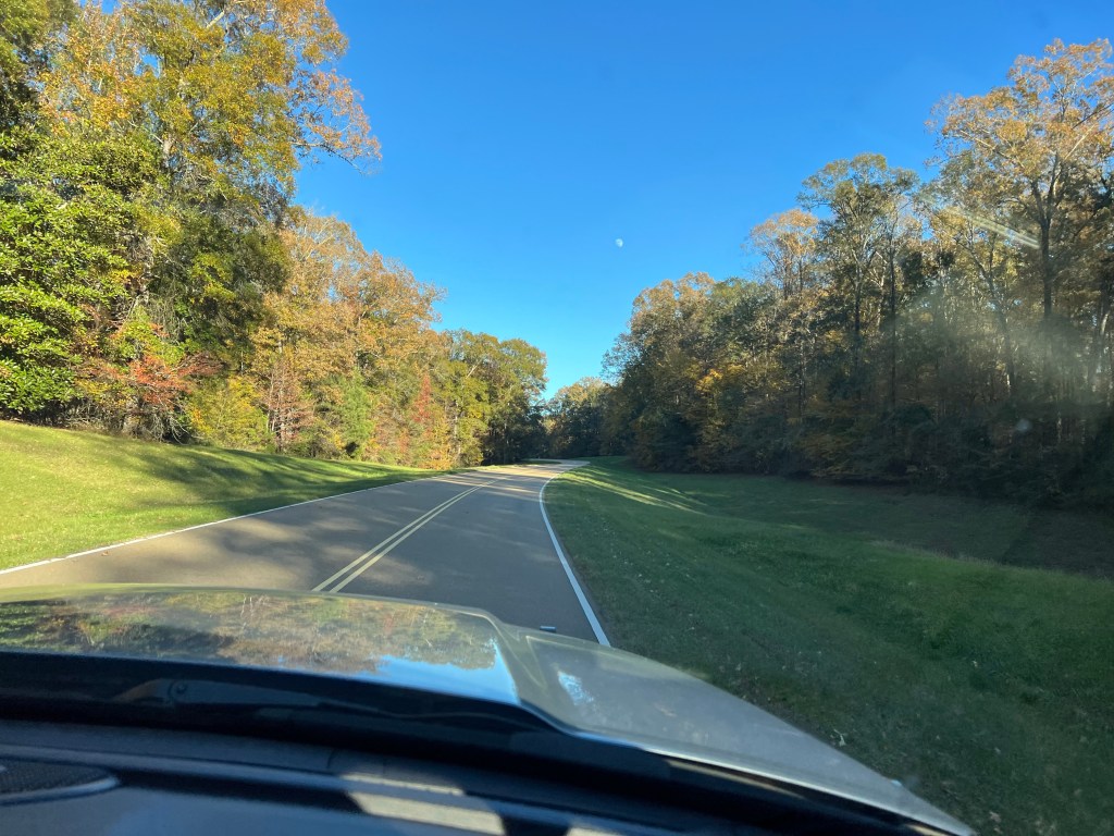
What a beautiful road! We have since learned a bit about it. The Parkway is part of the National Park system and runs for 444 miles from Natchez, MS to Nashville, TN. It follows near the old Natchez Trace; this natural corridor was used by natives for centuries. In the late 1700’s and early 1800’s it was used extensively by people from the Kentucky/Tennessee region. They would float their goods down the Ohio and Mississippi rivers on flatboats. When they got to Natchez they would sell the goods, disassemble the flatboats and sell them for lumber and walk the 450 miles back to Nashville and then to their homes. The Natchez Trace was the route they took.
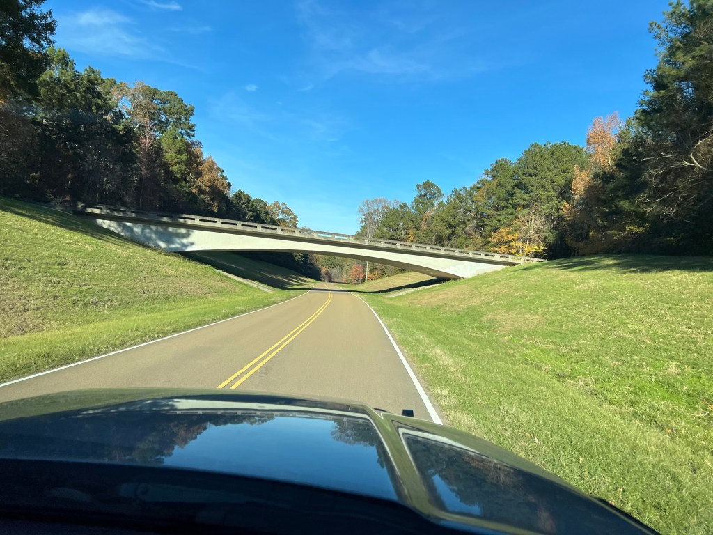
The Parkway was just completed in 2005 and has some beautiful bridges. It is closed to commercial traffic and though the speed limit is just 50 mph the part we have driven has no stops and no traffic making it a great alternative.
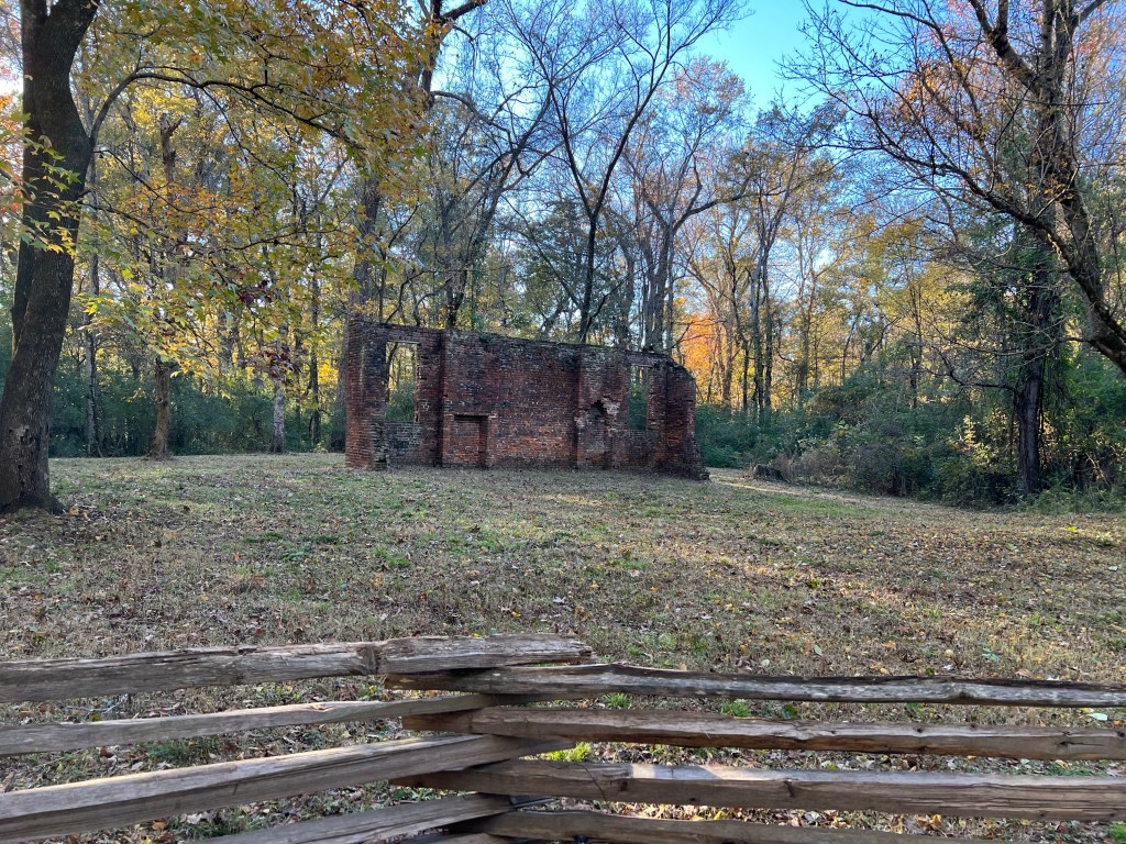
On the way back to camp we stopped at the site of the Elizabeth Women’s Academy. This is all that’s left of the first female institute of higher learning for women in Mississippi, built in 1818. Mileage on the Parkway is counted from the southern end, this was at mile 5.1. Natchez State Park, where we’re staying, is near mile 10.
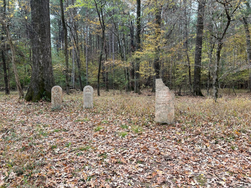
Today we drove as far as mile 45.7 where we stopped to see the Grindstone Ford and Mangum Mound. The path to the ford led past these old tombstones from the middle 1800’s.
This is the original trail leading down to the ford. In the flats near the ford the trail became indiscernible, probably from flooding. It was interesting to note that in the early 1800’s this was the northern edge of European settlement.
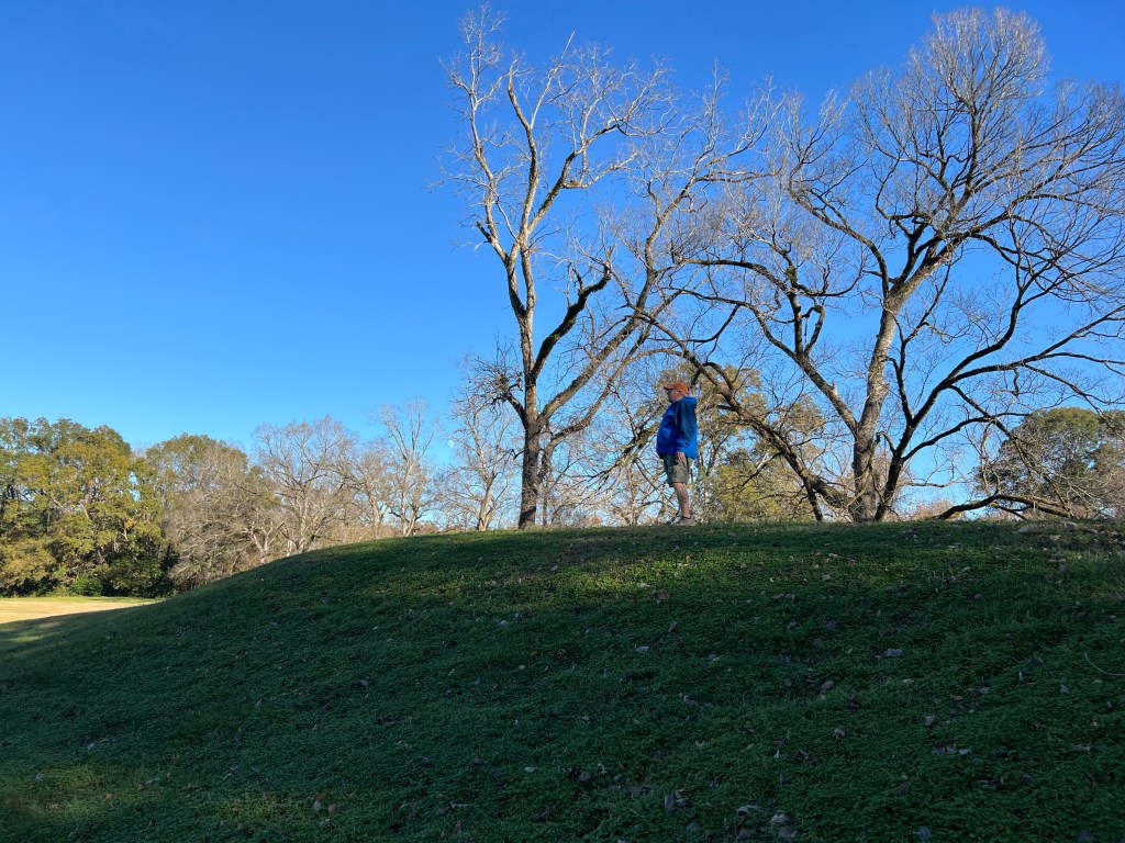
On the other side of the road was Mangum Mound, This was a burial place used between 1350 and 1500.
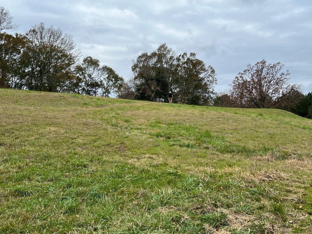
It was a pretty large earthwork. You can just about see Bud on top in front of the largest trees. There were remnants of silk flowers on top, reminding us that this site is still sacred to the descendants of those buried here.
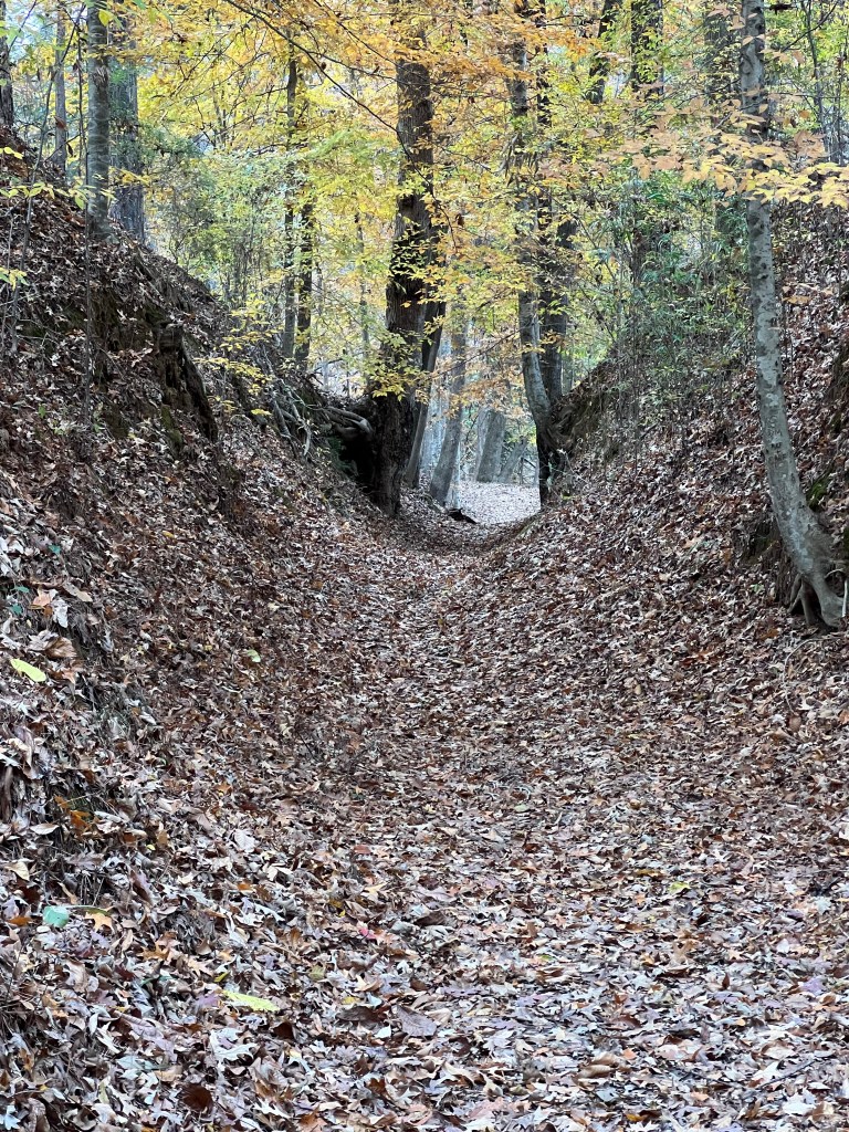
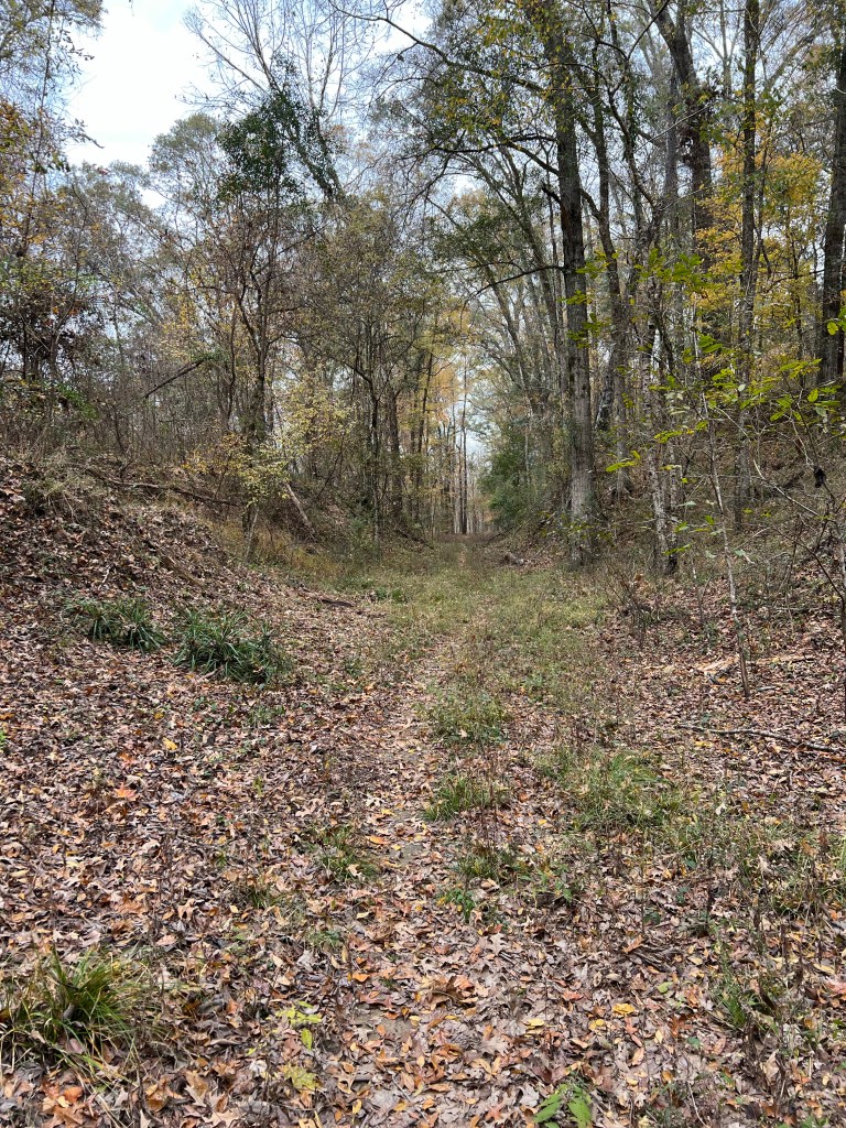
On the way back we stopped at mile 41.5 where there is a section of the original Trace that over the years has been worn below the surrounding forest.
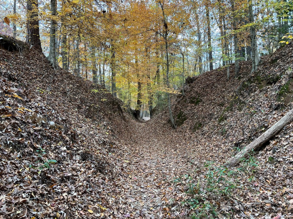
This “Sunken Trace” was at least 20 feet below the surface. It was a bit eerie to walk this path that thousands of footsteps had worn into the the forest floor.
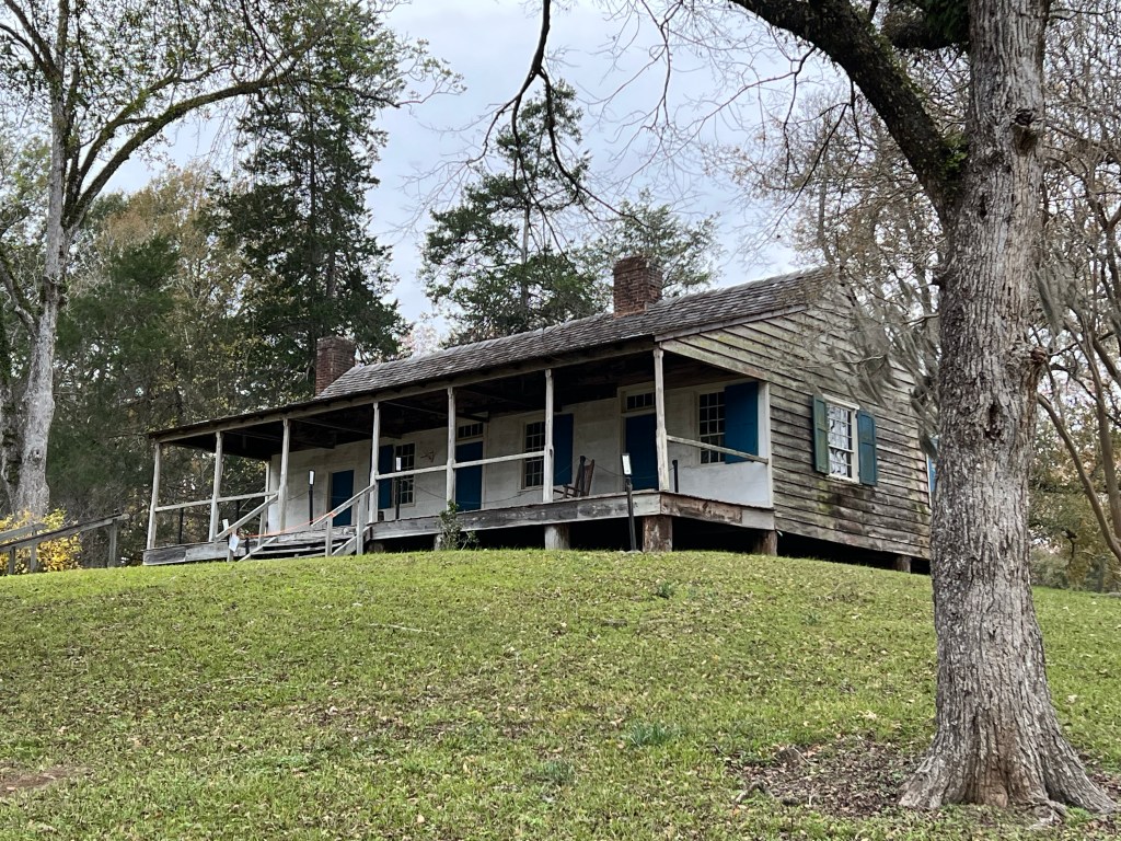
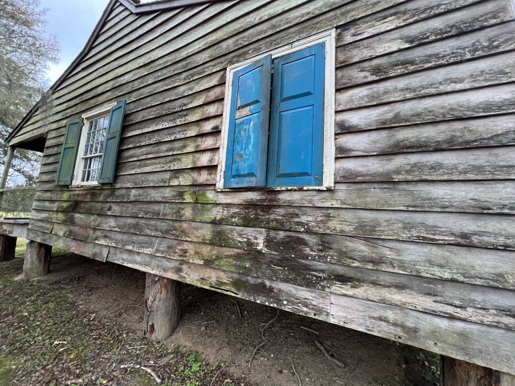
Our last stop of the day was at Mount Locust at mile 15.5. There is an interpretive center there that at 3:40 PM was already closed. A ranger told us we could walk around, but the whole site was closing at 4:00. This place was built in 1785 and was used as a “Stand”, an inn for travelers walking the Trace. For $.25 you got a meal and a safe place to sleep on the porches or grounds,
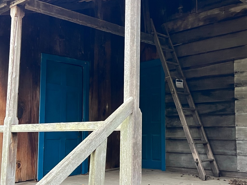
This is the back porch. I would have loved to have more time here, even though you can’t go inside. The building has been declared structurally unsound. I hope it can be stabilized.
If we would have had more time I would have peered into the windows.
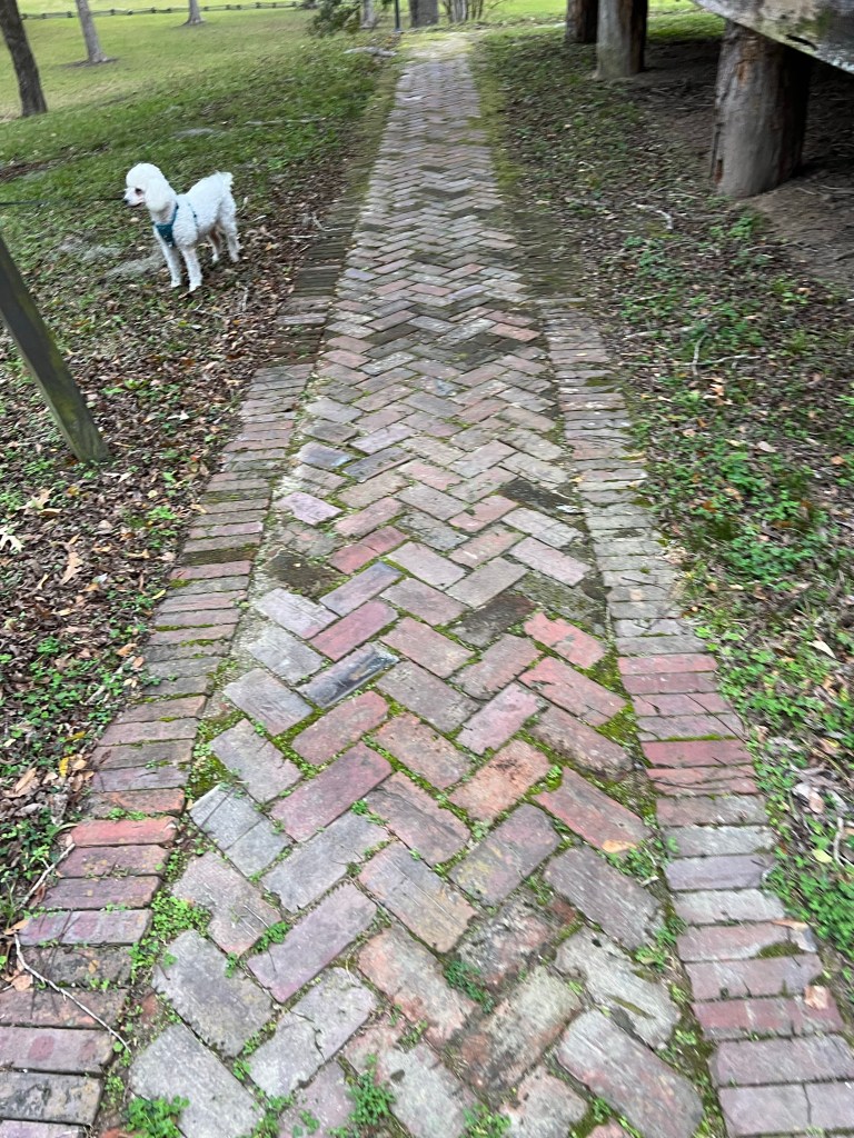
This sidewalk went all around the building, it looks quite old, but I doubt it is original.
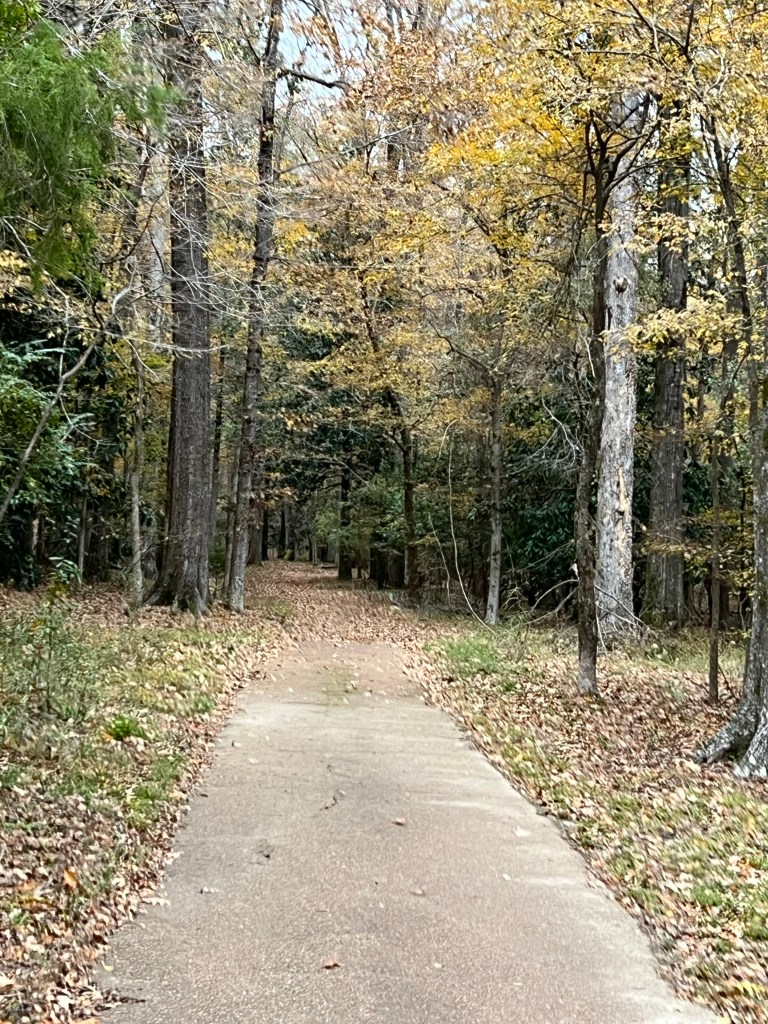
This is the original Natchez Trace which runs right in front of Mount Locust.
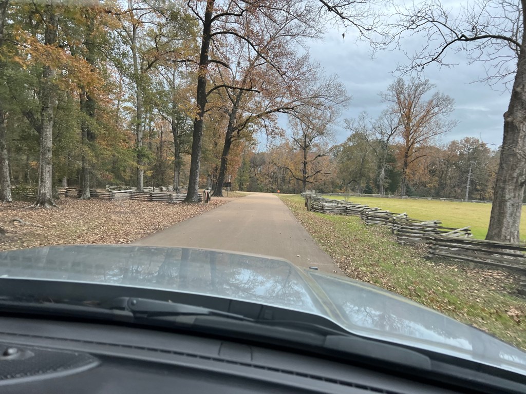
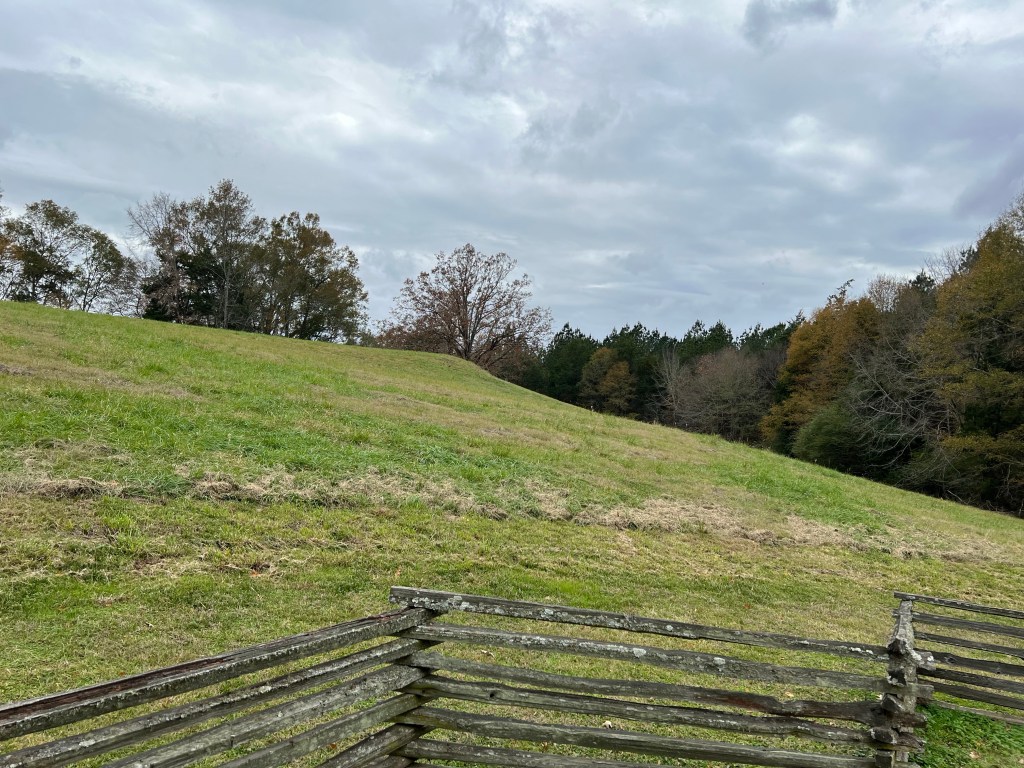
All of the sites have this beautiful fencing and along with the Parkway itself, are very well maintained. We’ve seen only a tenth of the Parkway; in future travel I will try to take us along more of this fascinating roadway.

So pretty and so interesting! thanks for including the history of parts of the area! I’m wondering, though, how come some parts of the original trace are worn down so much, but not all of it? That was sure a long way for those folks to walk back home after coming down the river with their cargo!!!!
LikeLike
What the information said was that these were areas that were softer, but I couldn’t tell that now.
LikeLike
OK, thanks, Jill. Maybe they’re not softer now ’cause they’ve been packed down after so many years of being trodden on!
LikeLike