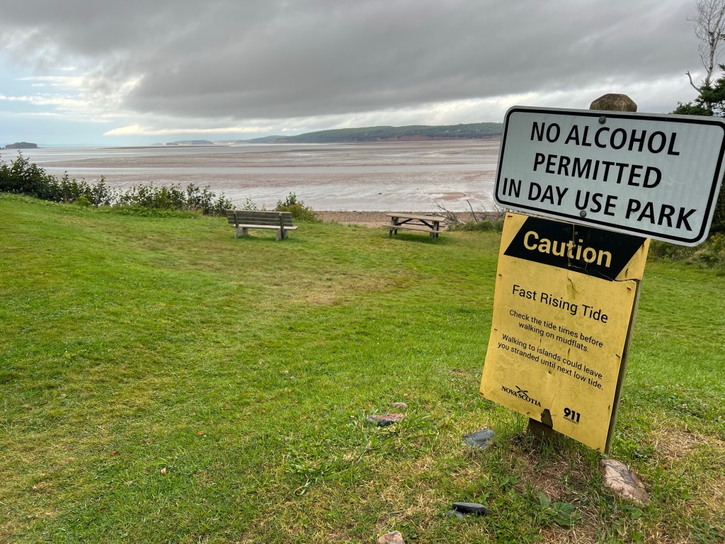
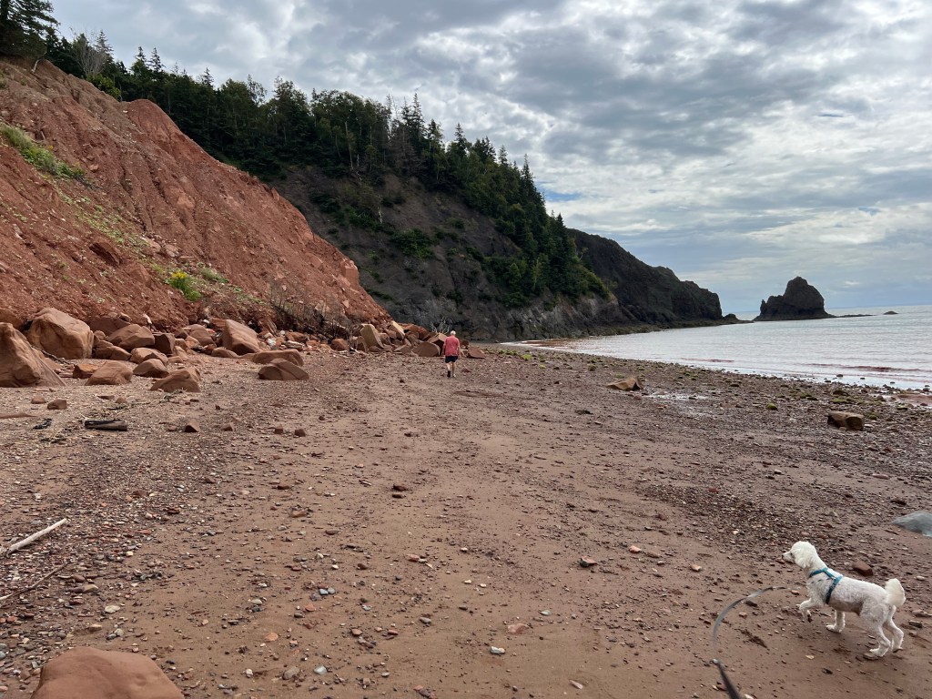
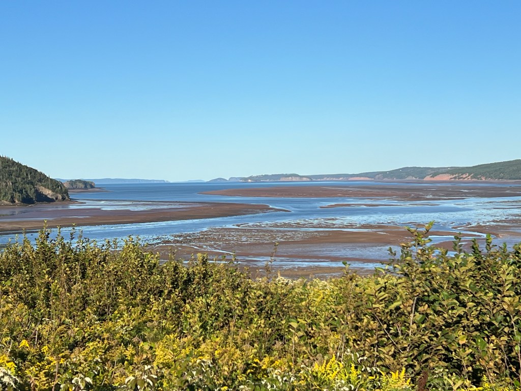
After it rained on Sunday and the tide started to drop we finally took a walk out on the beach. I’d been wanting to walk out along the cliffs, but every morning while we were here there was a rising tide.
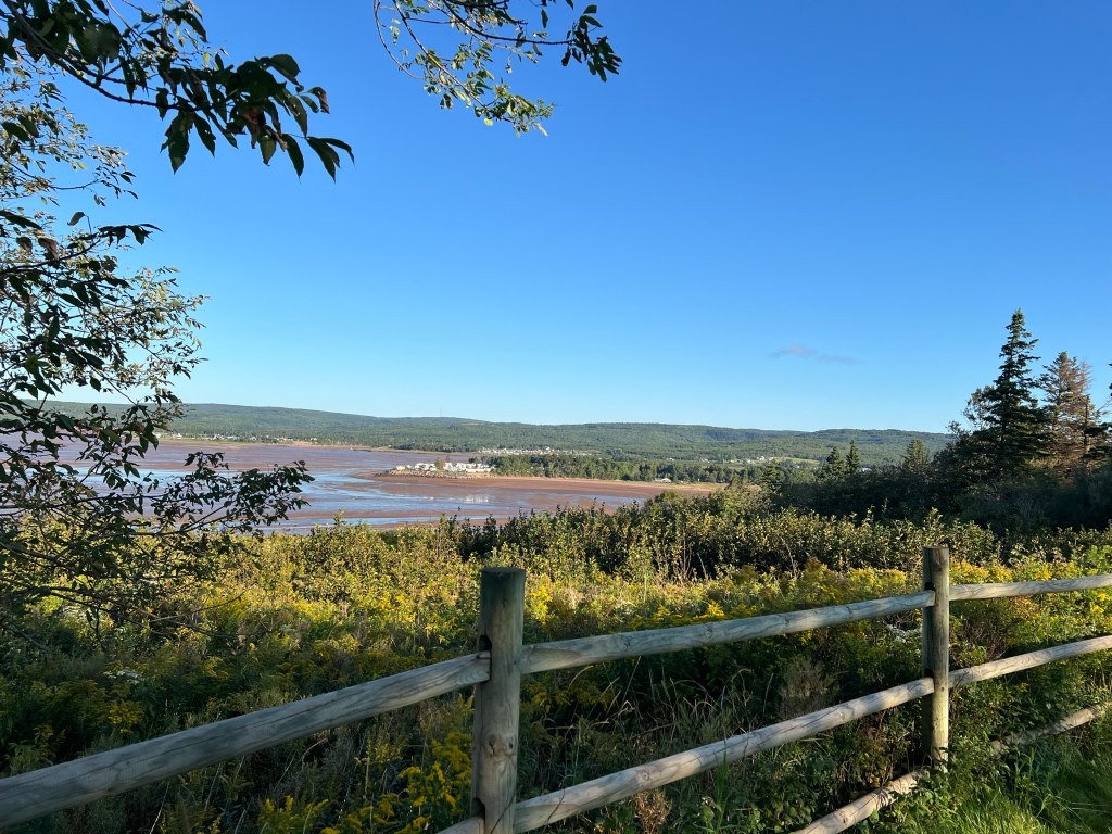
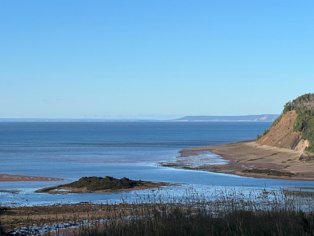
The tide is about 40 feet here now. This was only a couple of hours after high tide and already a lot of beach is exposed. You can see the bit of dry sand at the bottom of the photo, and the wet tide line.
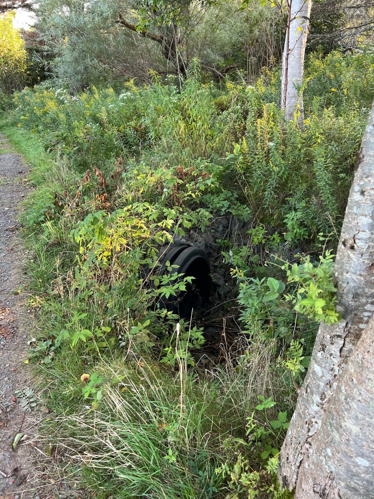
When I walked the trail along the top of the cliffs I noticed this large culvert, but couldn’t really see where the water drained.
This is where it drains.
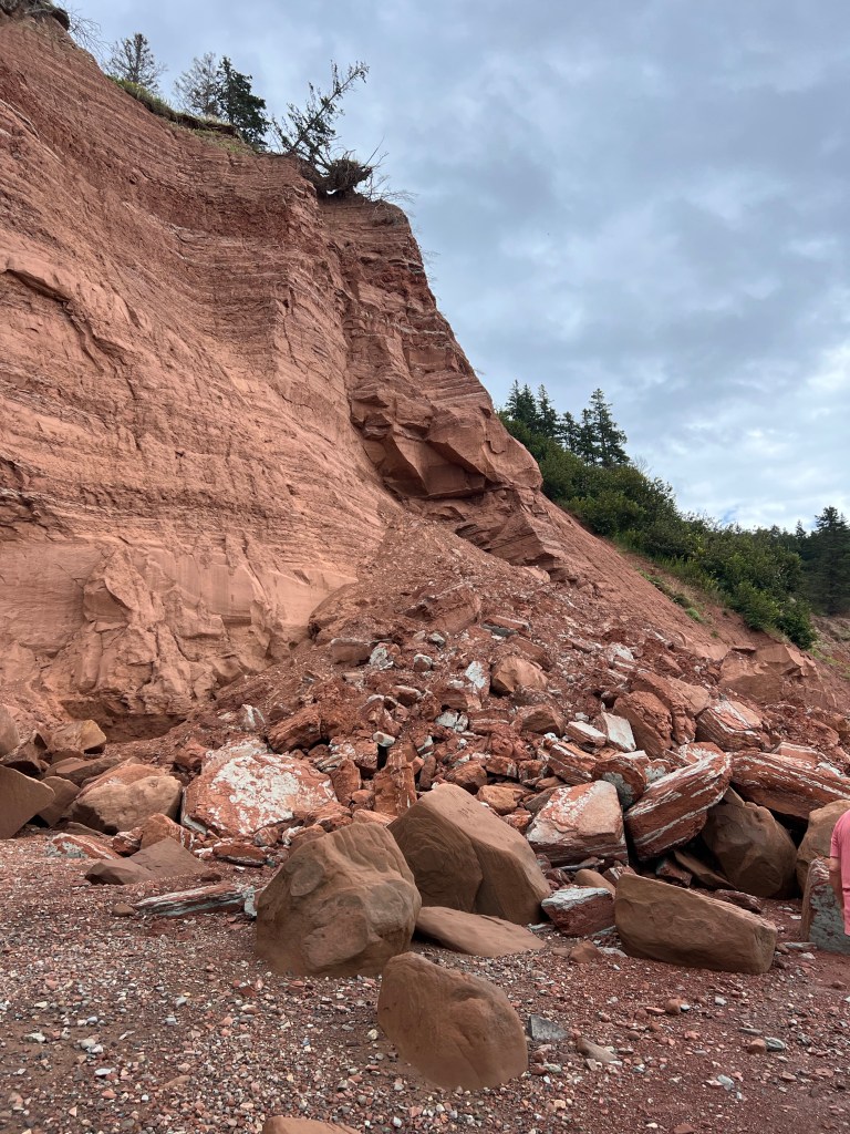
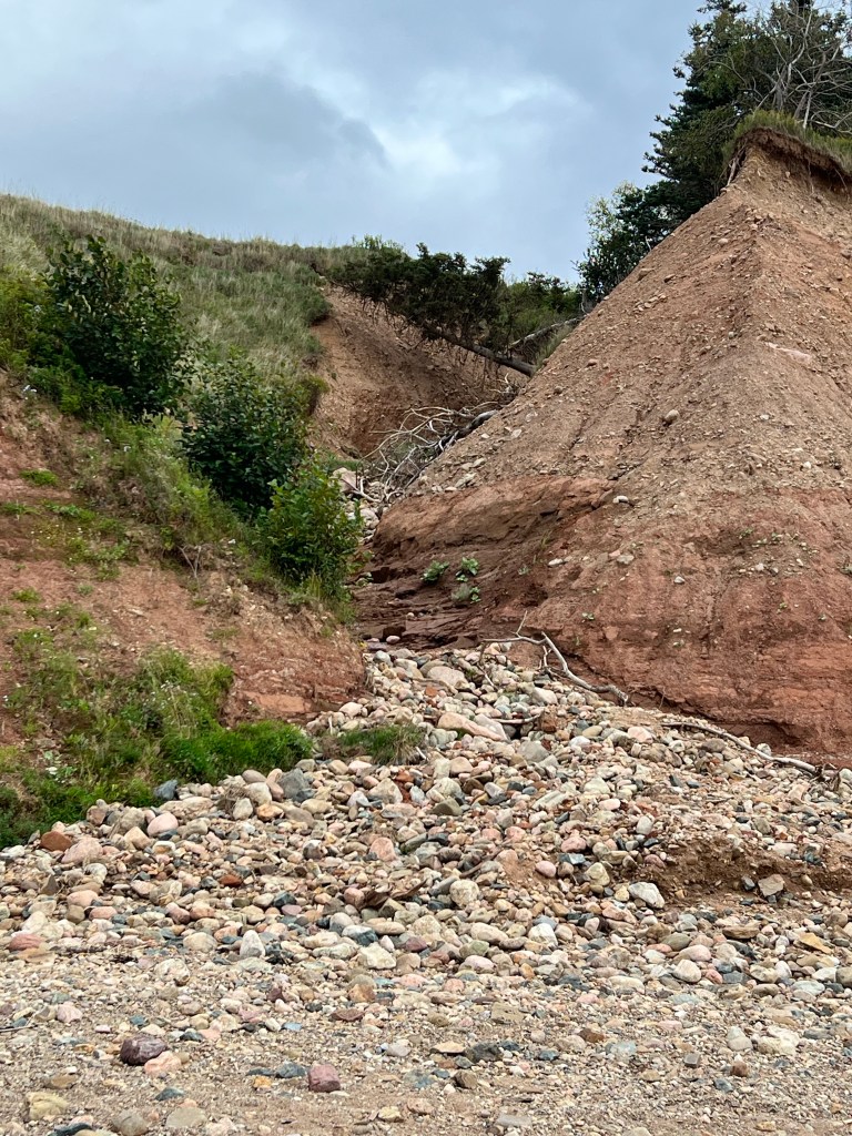
When the sign says these are actively eroding cliffs, this is what it’s referring to.
You don’t want to stand near these edges!
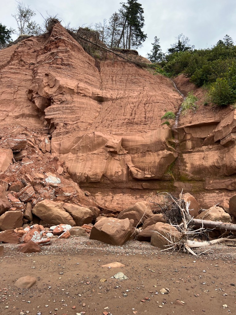
I found out later that this striking seam between the red rocks and the grey rocks is a fault line between the more recent (200 to 150 million years ago) Jurassic red rocks and the older (250 to 200 million years ago) Triassic grey basalt rocks.
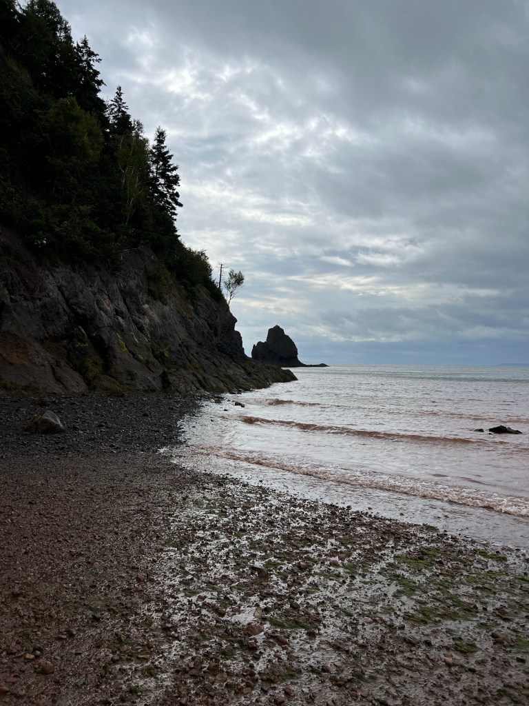
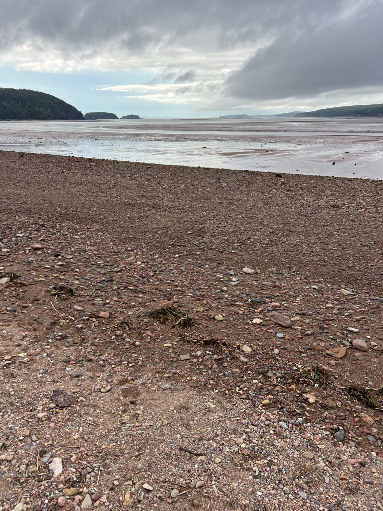
But alas, this was as far as we could go as the water was up against the cliffs at this point.
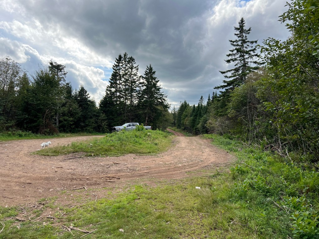
On Monday the tides were even less cooperative, so we took a drive to the end of Phillips River Road nearby.
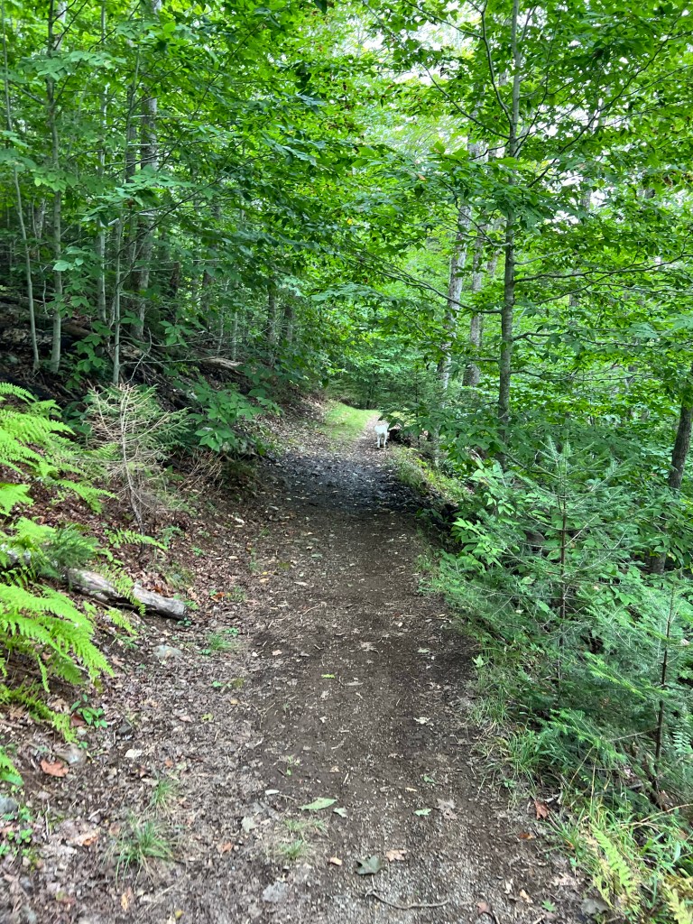
We walked a short way on the trail there…
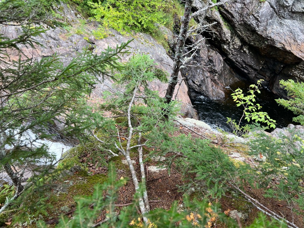
to Economy Falls. You can just about see the falls from this vantage point. The water is flowing from the left, then is blocked by the rock I’m standing on and falls into the deep pool on the right.
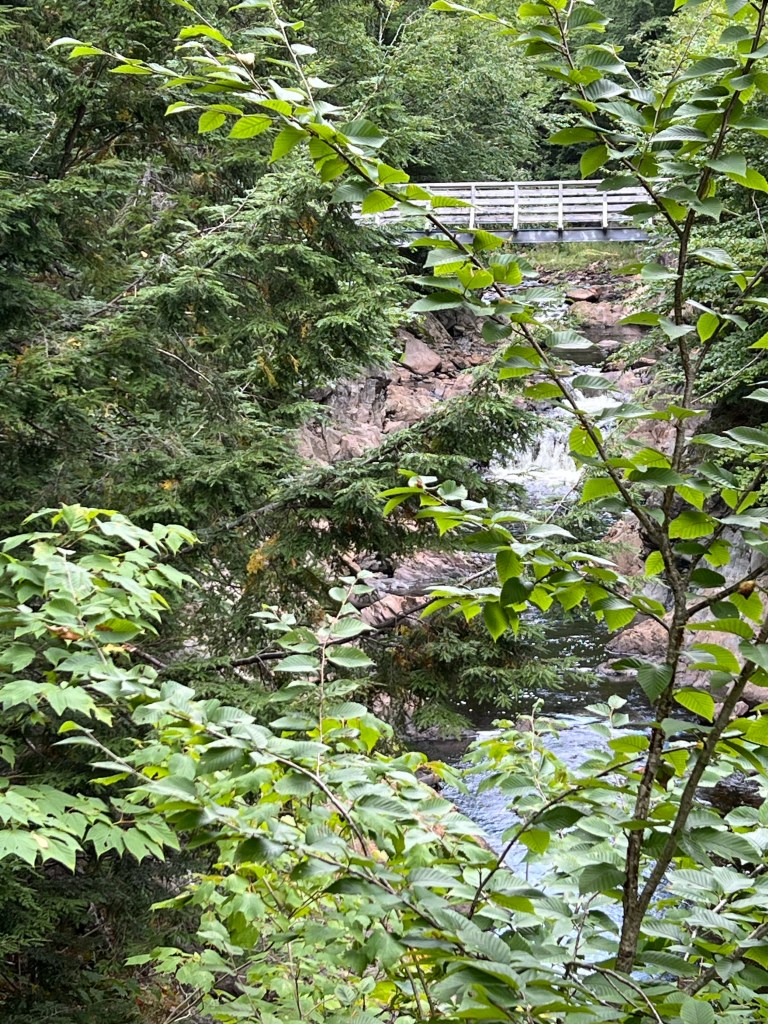
There was a bridge…
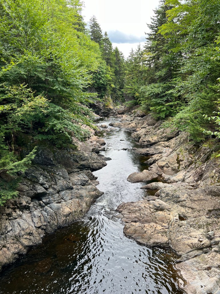
that afforded a nice view of the stream…
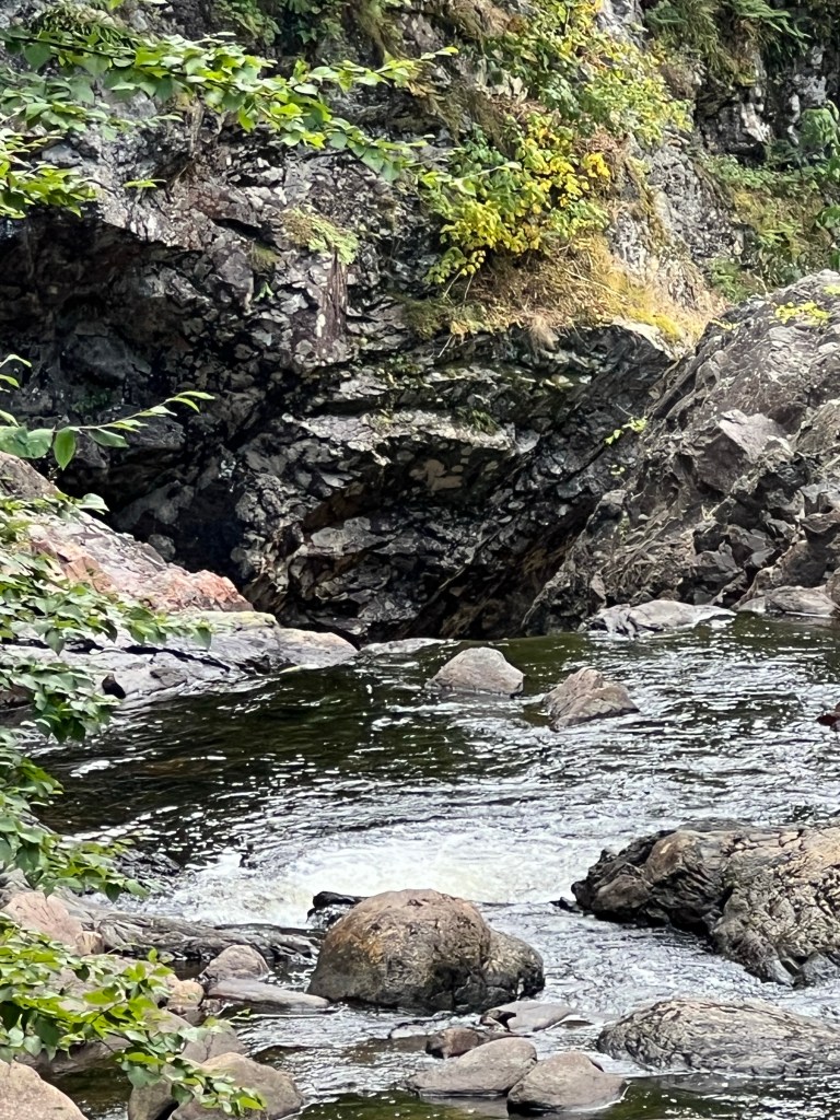
but you still couldn’t see the brink of the falls.
I think the best view was below the falls, but we didn’t do the 186 steps to get down there (the dog, you know).
It was a nice walk and a pretty drive anyway.
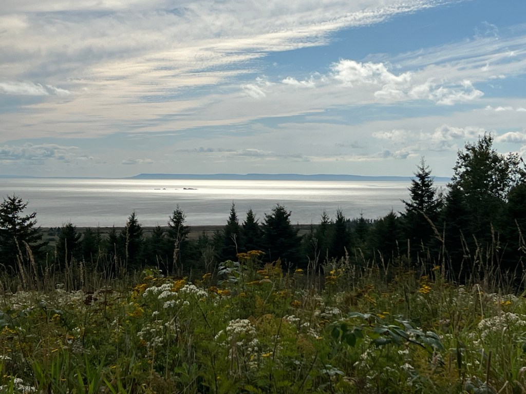
Tuesday morning when we got up to leave the air was crisp and clear.
I had to snap a few more photos…
of this beautiful place.
Goodbye Five Islands.
Goodbye Fundy.
Goodbye Nova Scotia.

WOW – 40 ft tides – the further north, the higher the tides.
>
LikeLike
That’s what I thought but it actually has to do with the shape of the land masses and how the water is funneled in as the moon pulls on it. And the Bay of Fundy’s tides are amplified because the rebounding water matches the next tide so essentially doubles it.
LikeLike
I wonder if it’s called “Economy Falls” because not much water goes over it? More beautiful scenery and the wild flowers are pretty, too!
LikeLike