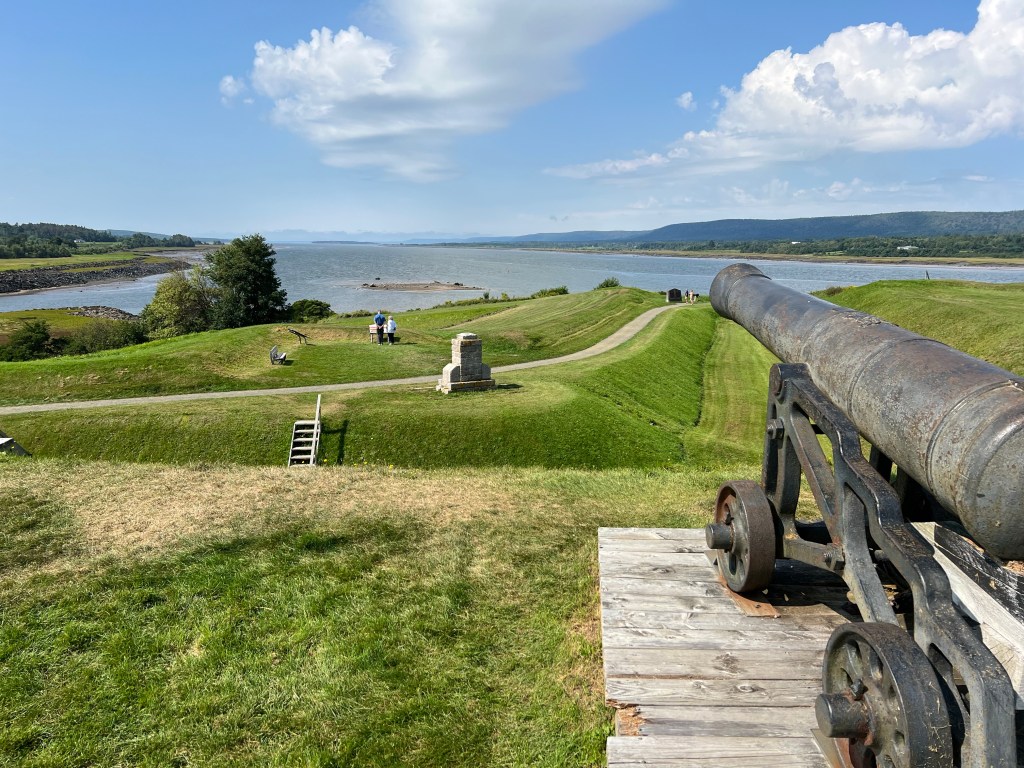
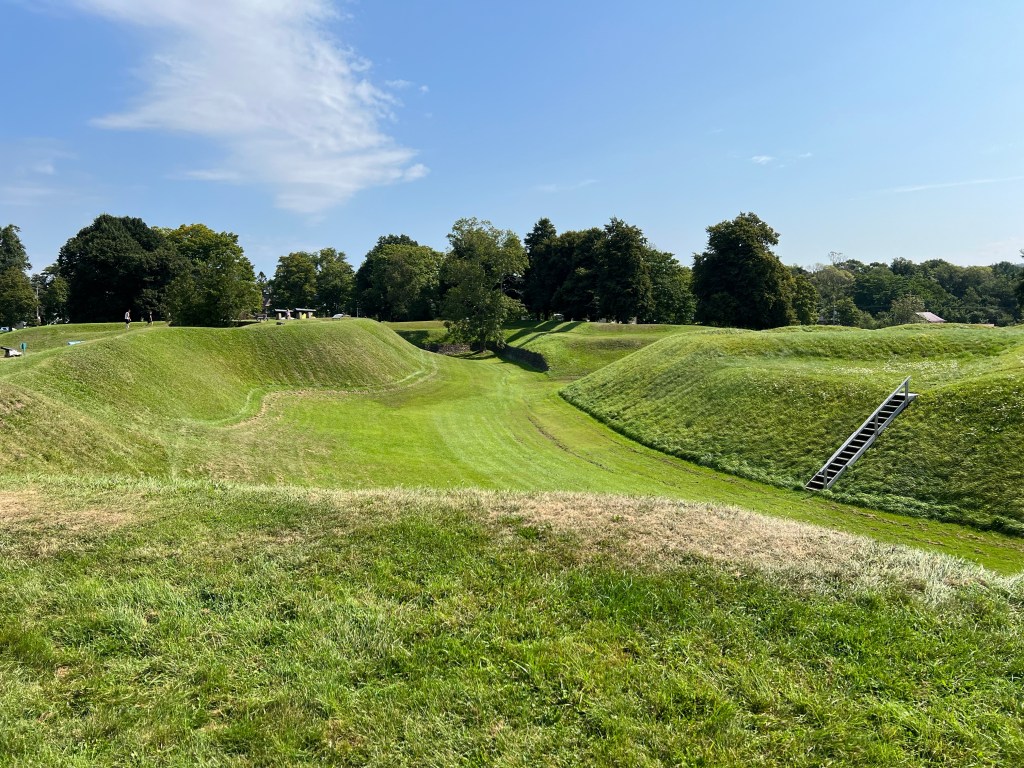
Yesterday we went to Fort Anne National Historic Site. The fort as restored is mostly based on the last fort the French built here, in the community they called Port-Royal.
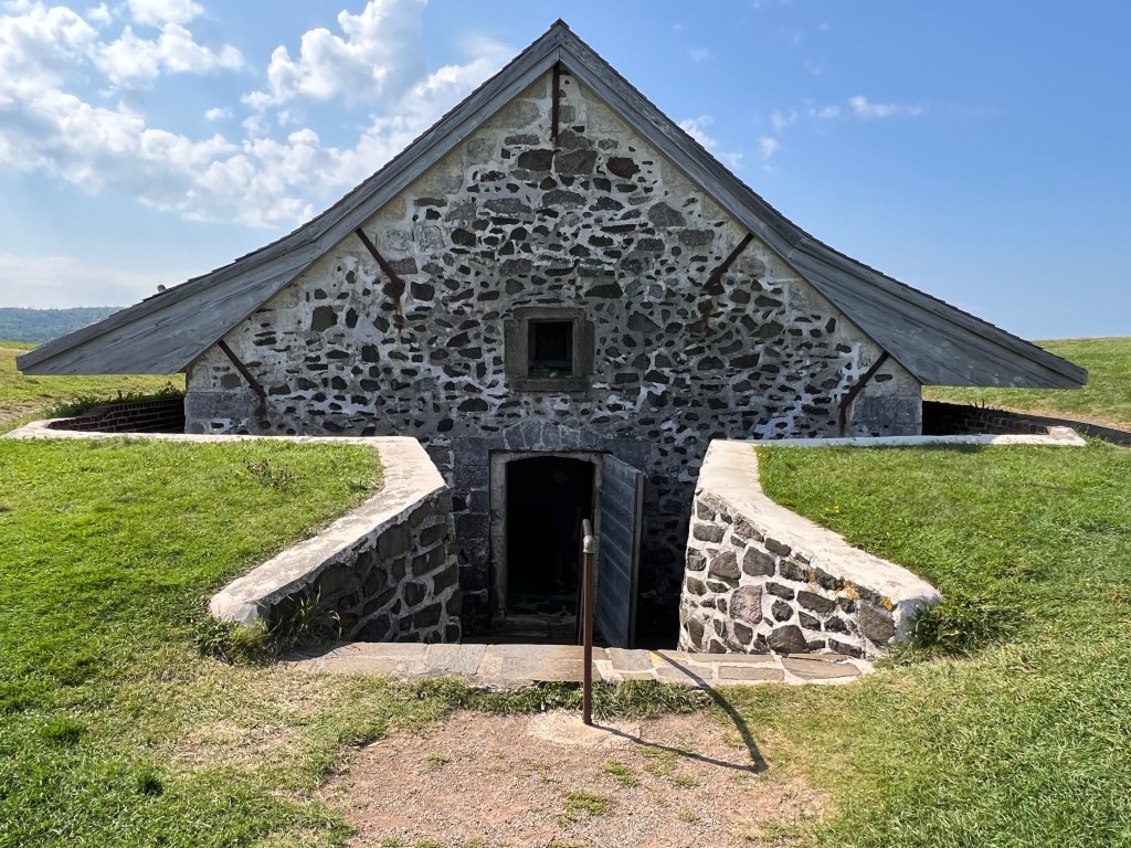
The site is the first national historic site in Canada, operating as such since 1917. It also has the oldest building protected by Parks Canada, this powder magazine…
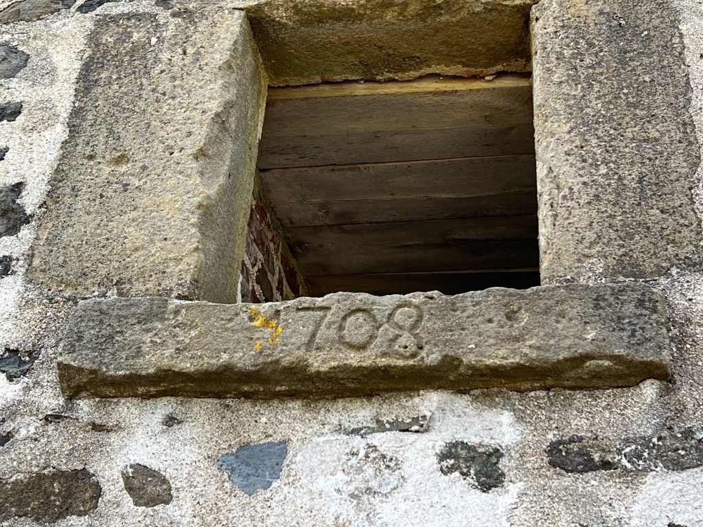
built in 1708.
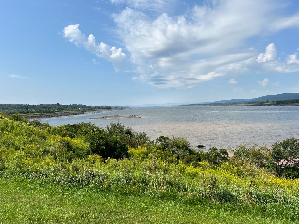
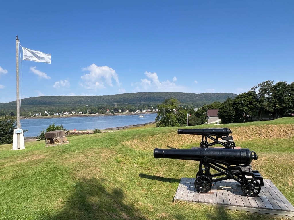
The fort sits where the Annapolis River widens to become the Annapolis Basin, a very protected harbor on the Bay of Fundy. This is a rich area, its first human inhabitants, the Mi’kmaq, call it Nme’juaqnek-place of bountiful fish. There was a French fur trading post built in 1605, burned by an expedition from Jamestown in 1613.
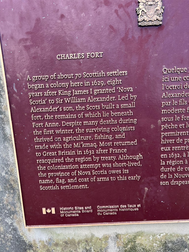
And this was the place that gave Nova Scotia its name. A group of Scottish settlers came here in 1629. A treaty between France and Britain gave the area back to France in 1632; but though the Scots left, ultimately the name stuck and 70 people who lived here for just three years gave us Nova Scotia, Latin for New Scotland.
Then in 1636 a group of French came back. They were welcomed by the Mi’kmaq who helped them learn to live on this land. It became the center of the French colony of Acadie. The Acadians learned to dyke the river and convert the land from marshes to fertile fields. They didn’t interfere with the Mi’kmaq’s seasonal fishing and the groups lived as friends and allies. The fort changed hands seven times over the next years. The Acadians kept farming and tried to stay neutral. The Mi’kmaq just tried to keep to their traditional way of life; no matter who claimed the land belonged to them, the Mi’kmaq knew they belonged to the land.
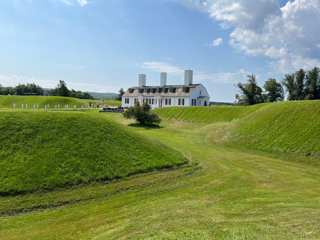
In 1710 Port Royal fell to the British for the last time. The fort was renamed Fort Anne and the town became Annapolis Royal in honor of Queen Anne. The officer quarters you see here, now a museum, is the only building remaining from the British fort.
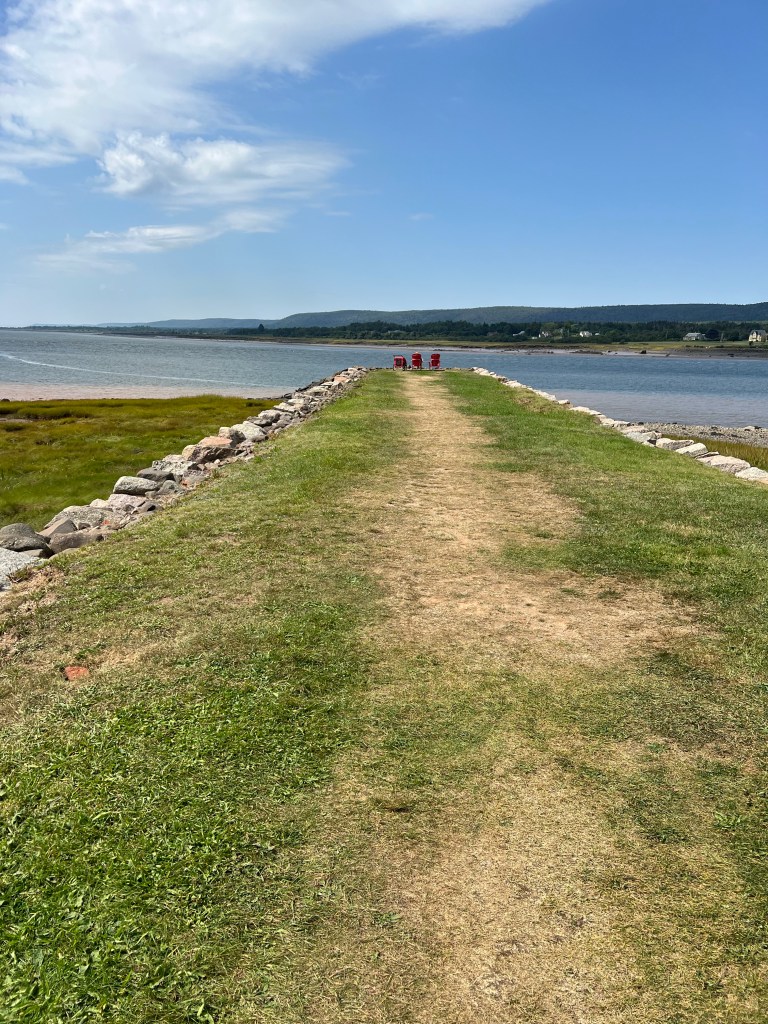
But not the only structure. This is the Queens Wharf.
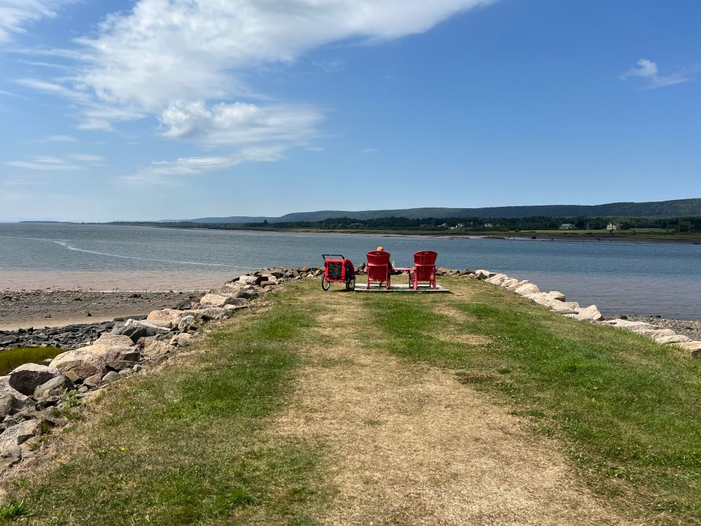
It’s been partially reconstructed and although it no longer extends far enough to be useful to boats it is a great place to take in the view, complete with Canadian National Parks red Adirondack chairs. Bud and Matey waited for me there while I toured the museum.
The whole site is now a lovely place to be.
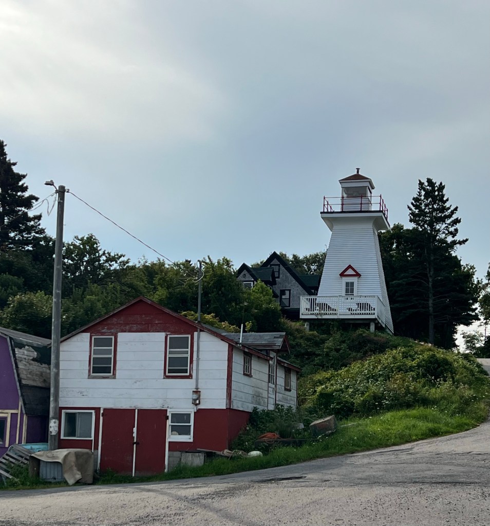
Today after a brief stop at a nearby lighthouse…
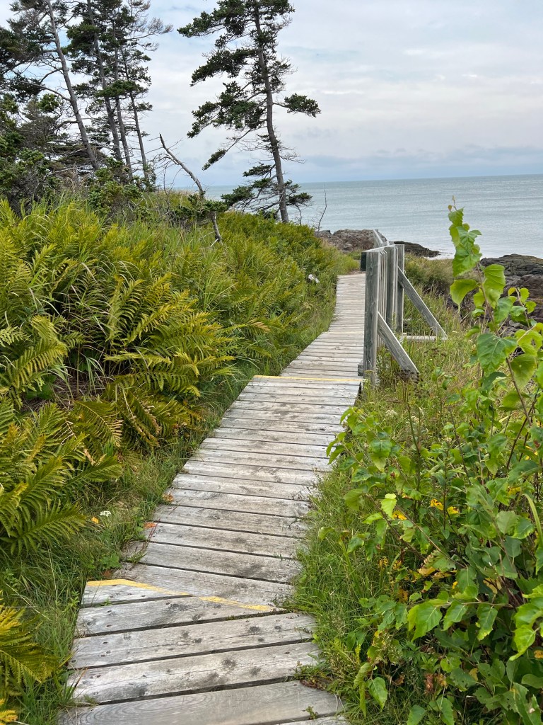
we took a walk on the nicest trail we’ve been on since leaving Newfoundland. Signage told us the trail, part of the Delaps Cove Wilderness Trail is on land that was a settlement of “Black Indians”, descendants of Mi’kmaq and Black Loyalists who came north after the Revolutionary War. Their name for the place is Medbankeajetc (Little Red Bank).
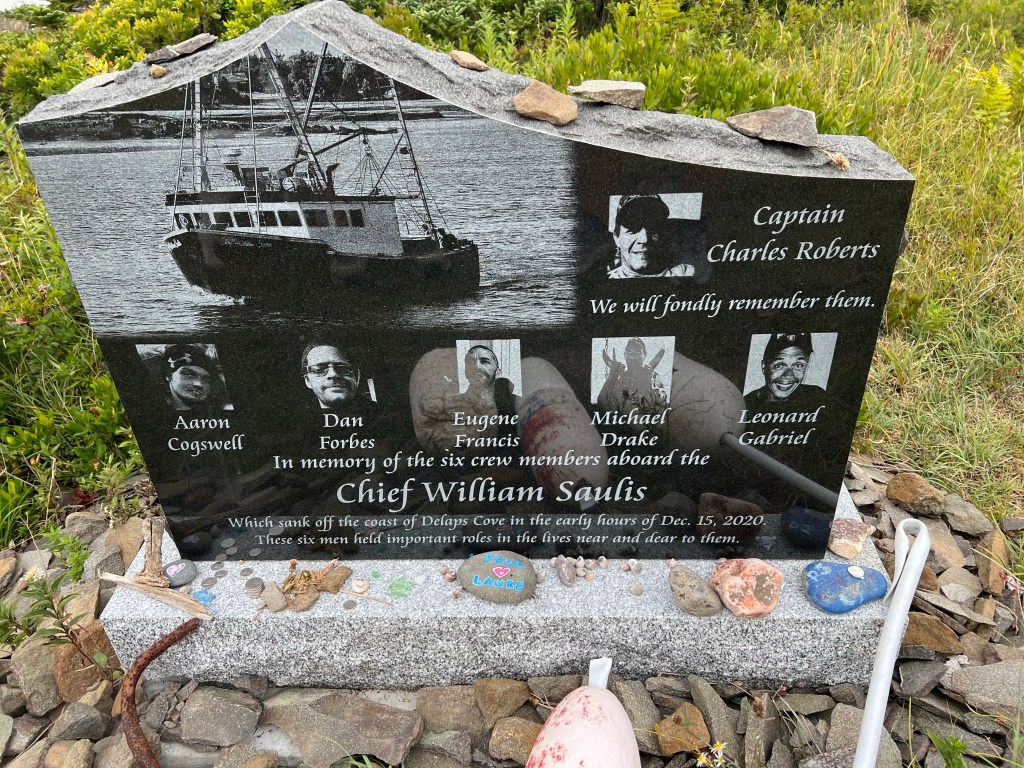
When the trail reached the coast of the Bay of Fundy we found this moving memorial.
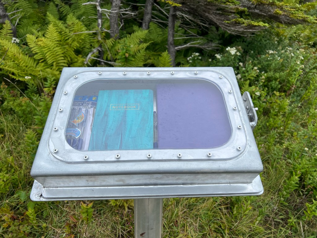
I signed the guestbook enclosed in the very well made stand.
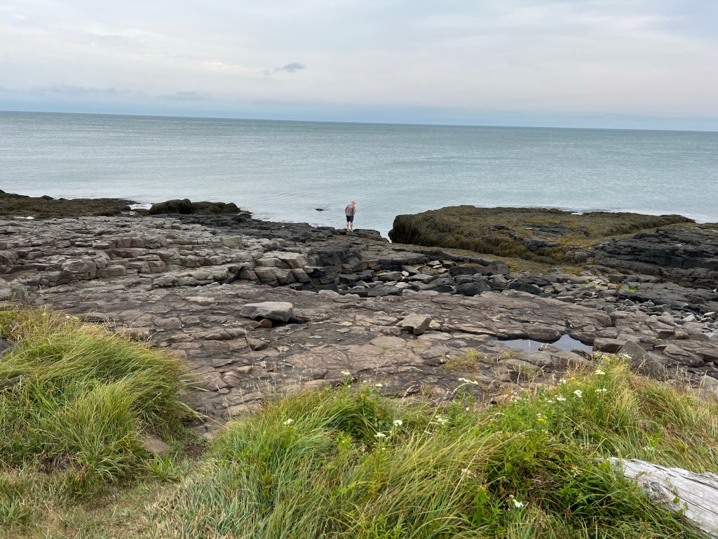
This was a very rocky shore.
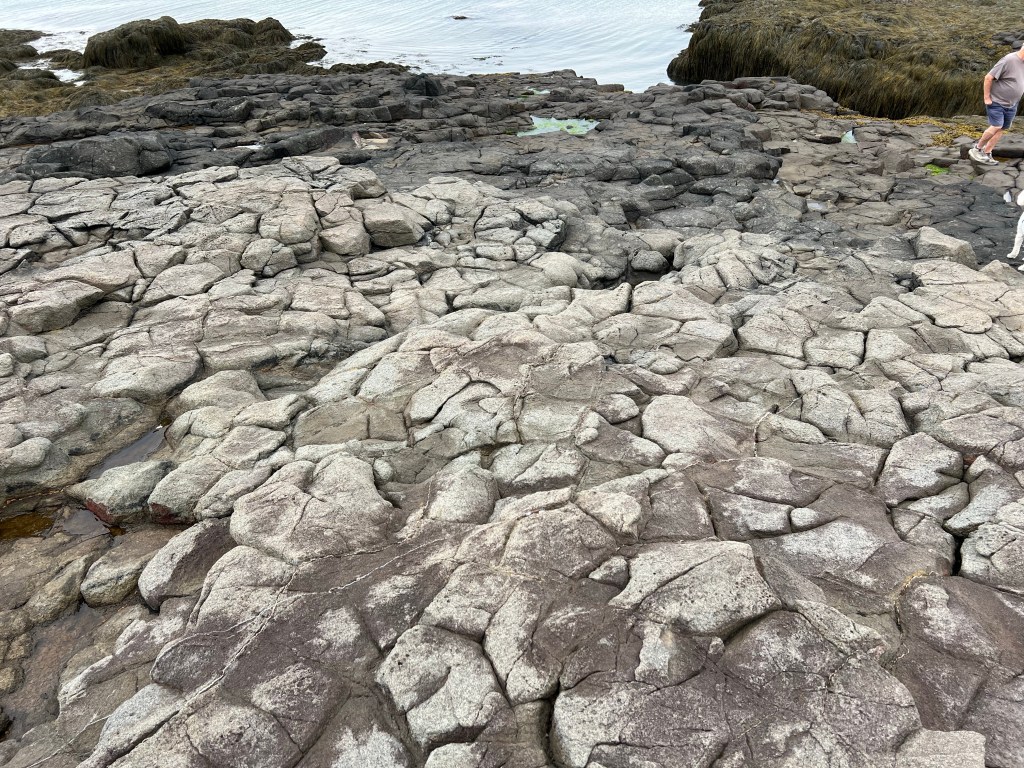
We thought these rocks looked volcanic.
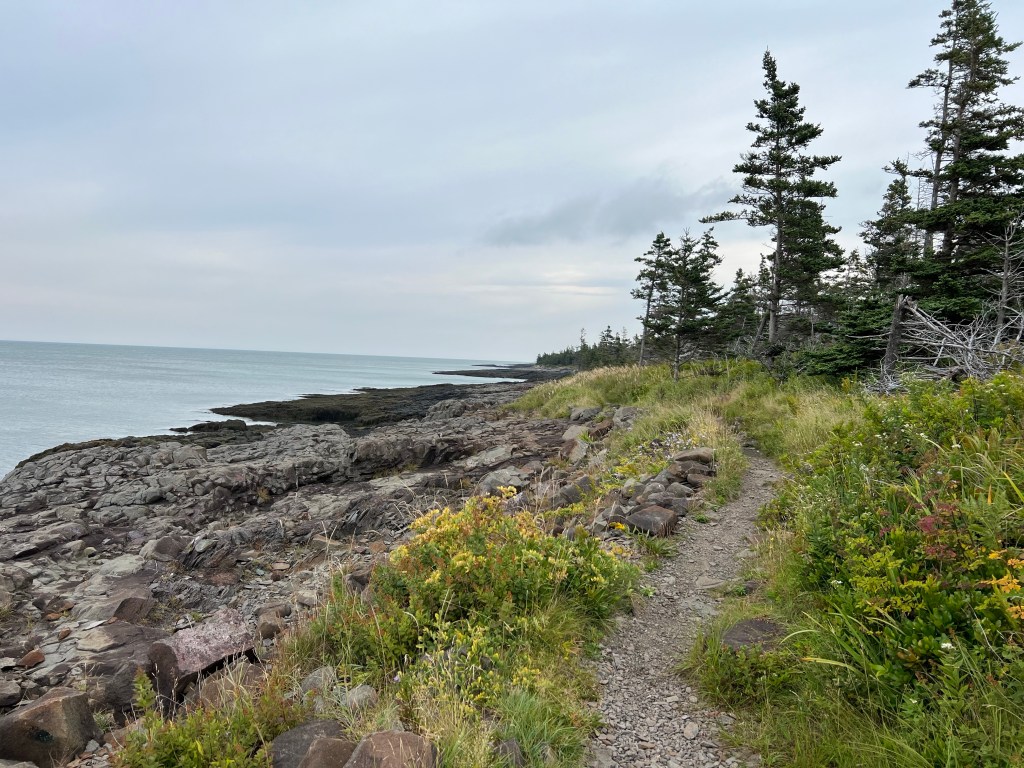
Whatever the rocks, it was beautiful.
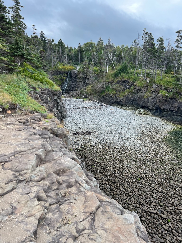
There was a brook that made a little falls…
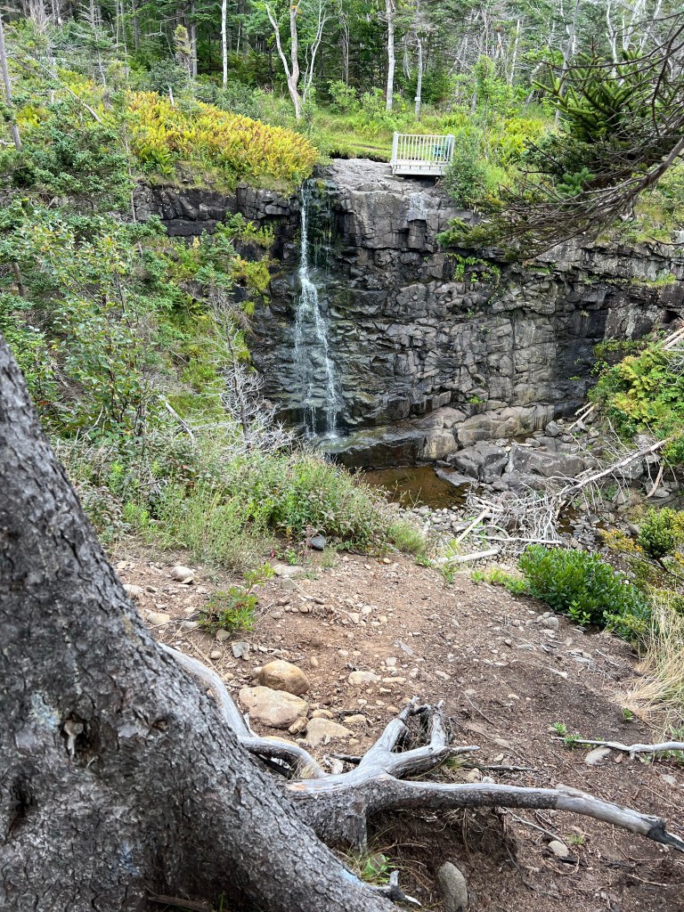
with places to view it…
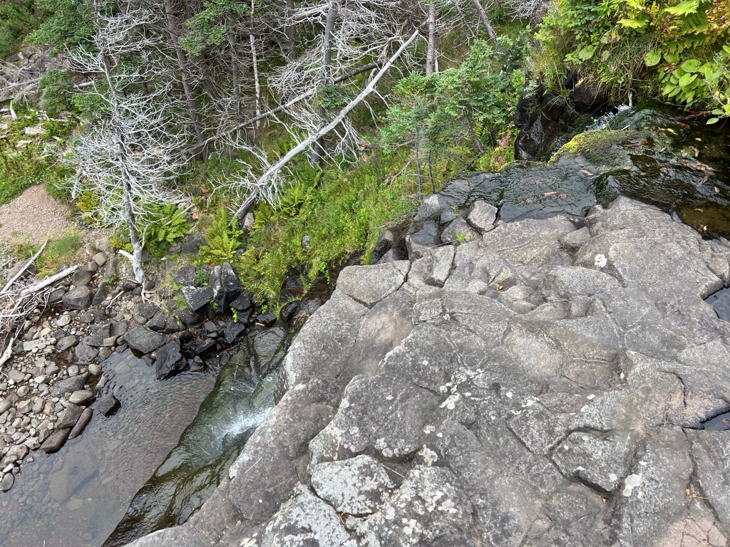
from both sides.
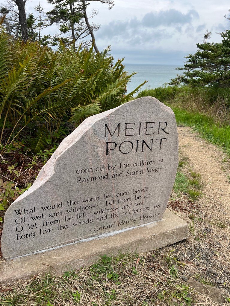
I loved the poem on this dedication for Meier Point.
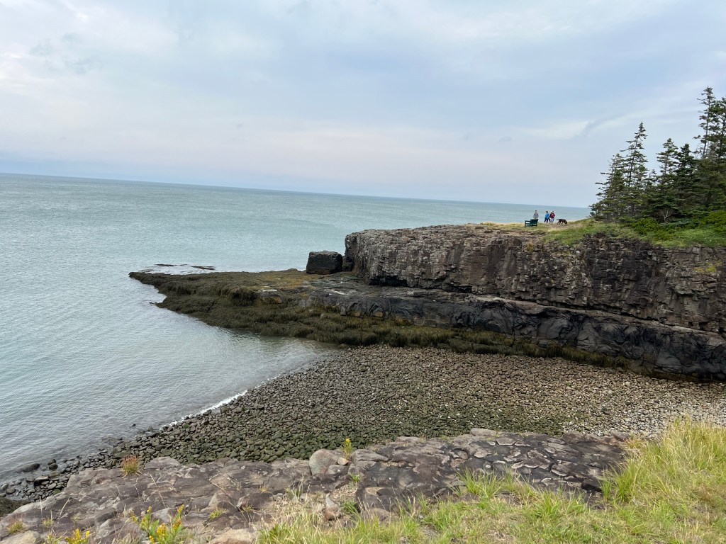
The view was nice, too.
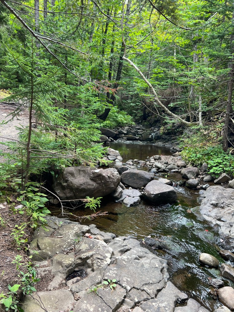
From there the trail followed Bohaker Brook and looped back to the parking lot.
Leaving the trail we drove across the peninsula to the Annapolis River.
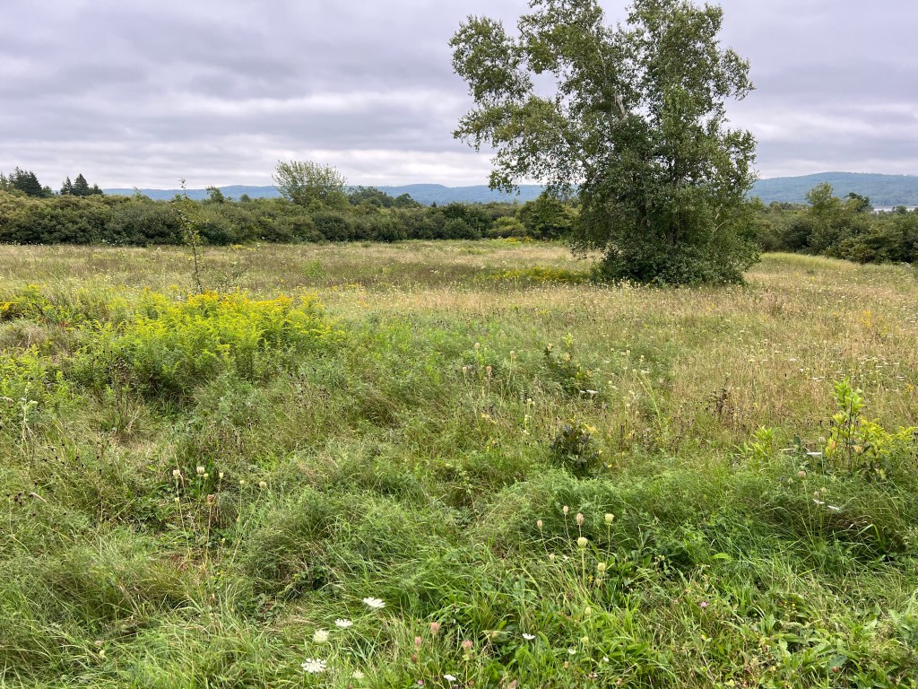
We went to the Melanson Settlement National Historic Site, just outside of today’s Port Royal, which turned out to be this open field with a lot of signage.
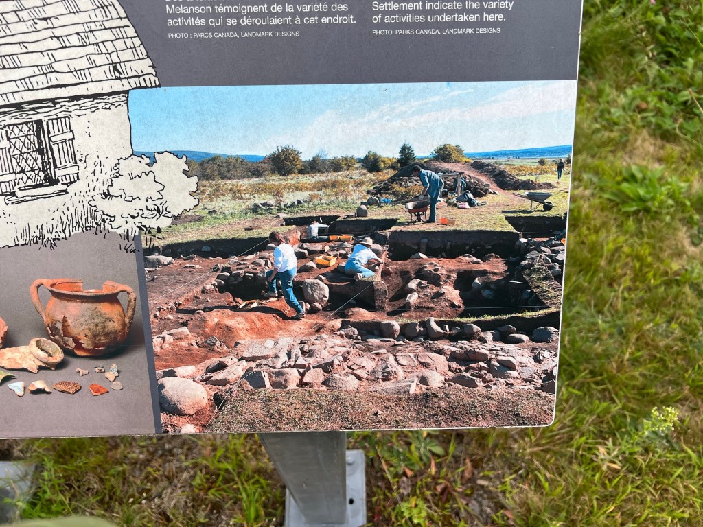
From the picture on this sign you could see that there had been a lot of activity here. This was an Acadian homestead where six families lived. It was abandoned in 1755 when the Acadians were forcibly deported. Because of its location this site was never disturbed since the British razed it, so it is a great archaeological find.
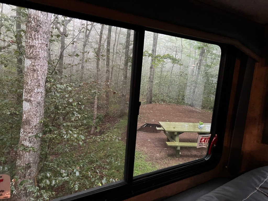
Now we are snug in our trailer for a very foggy, drippy afternoon.

Was there anything that said why the boat sank? I was surprised to see it was so recent. That’s so sad. Maybe it was weather.
LikeLike
That’s all that was there, but if you look at the stone the date was December 15th. The weather could be wicked them and survival in the cold water would be short.
LikeLike
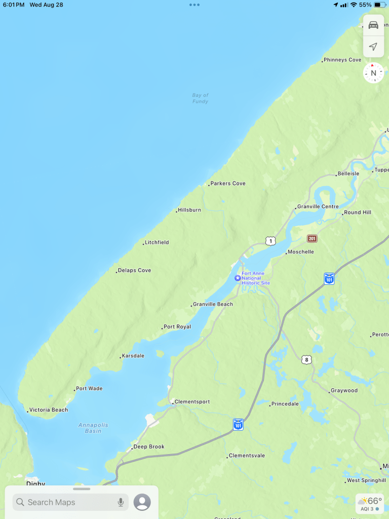
Very pretty and such interesting history! I like the very rocky shore line. It DOES look like it could be volcanic rock. Thanks for including another map!
LikeLike