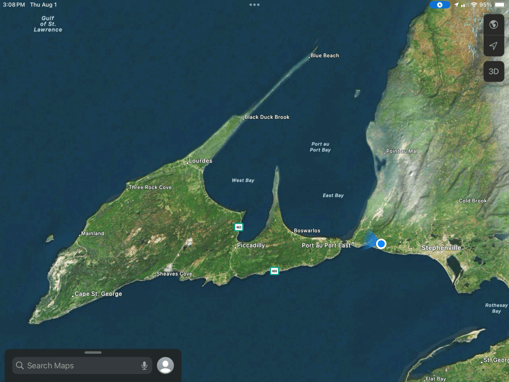
Another reason I wanted to stay where we are was to explore this arrow shaped peninsula, Port au Port Peninsula. There’s basically one road around the coastline with a spur going out the long, narrow point heading northeast. Today we took a drive out there.
On the way back I was able to get a good shot of the very tenuous link between the peninsula and the rest of Newfoundland. The road crosses the causeway to the left. The water body between the land links is Gravels Pond. We didn’t stop to check if it was fresh or salt water. Hopefully we’ll get back there and I can see.
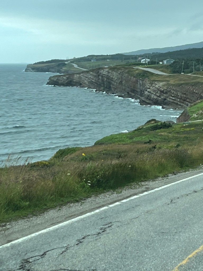
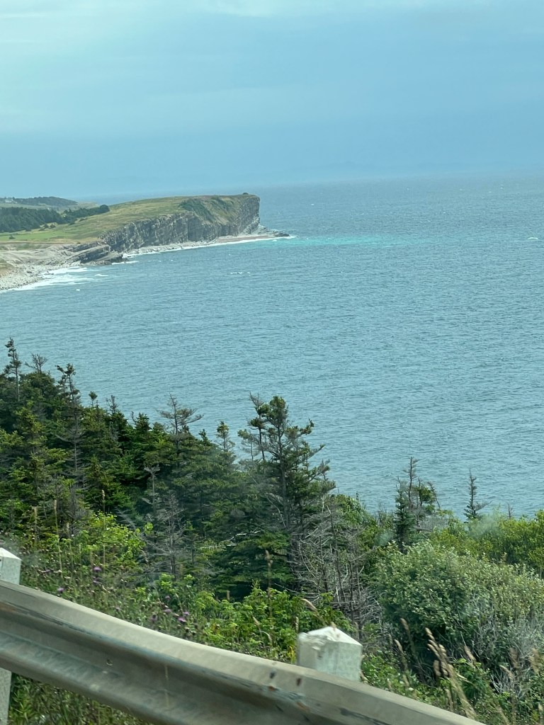
We drove out to Cape St. George along the south shore. There are cliffs here.
In fact, the shoreline is almost all cliffs with no real harbors.
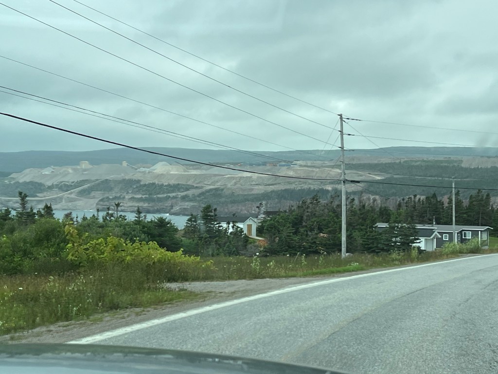
As we drove we saw this huge area of excavation with huge piles of sand and gravel.
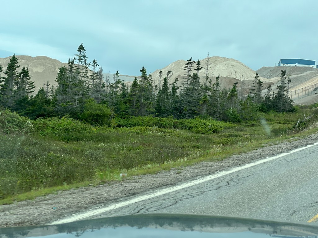
This is the Lower Cove Quarry of CEMEX, an international building materials company that started as a cement plant in northern Mexico in 1906.
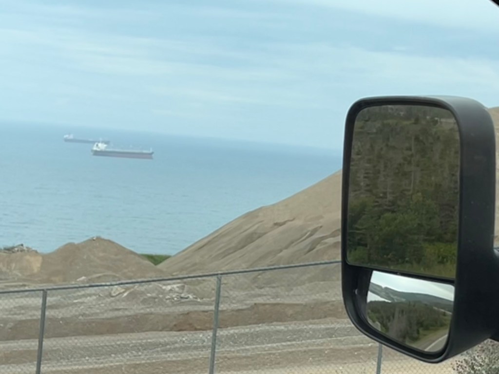
I never got a good angle to show the loading facility that extends into St. George’s Bay. These ships are probably at anchor waiting to load the sand, gravel or aggregates quarried here. The bay is completely exposed to the southwest, so I’m guessing weather plays a big role in their operations.
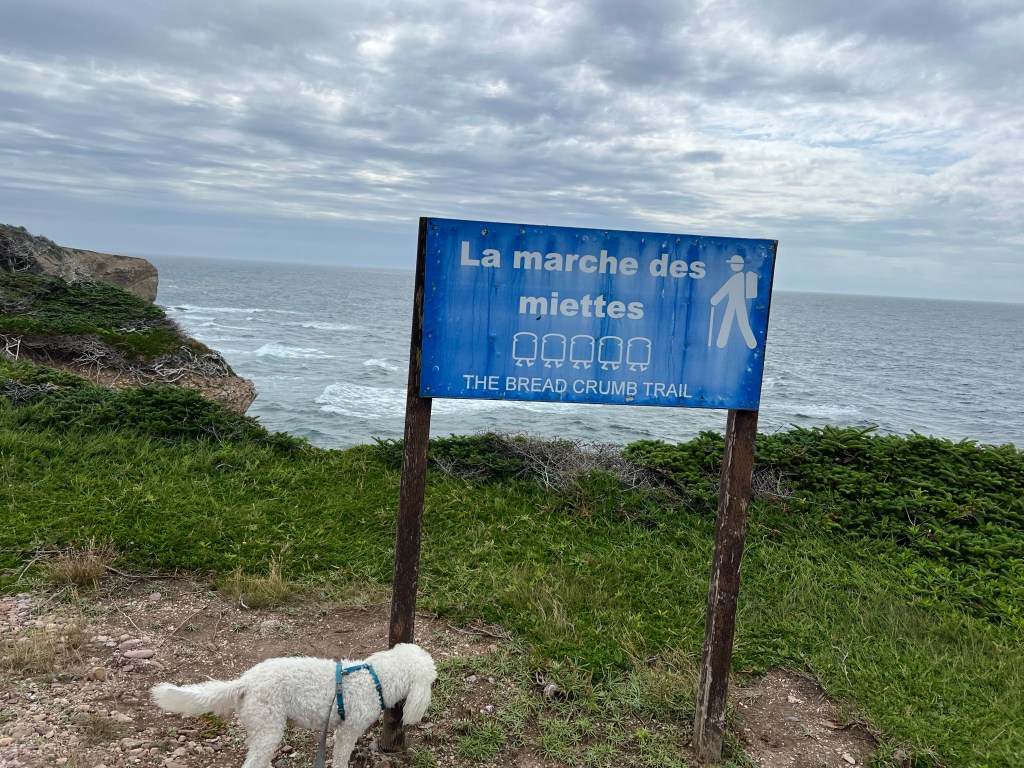
We stopped at Boutte du Cap Park in Cape St. George and poked about The Breadcrumb Trail. There’s an outdoor French Bread Oven here but we were too early for the baking. This peninsula has a lot of French ancestry people. People from both France and England fished Newfoundland and had some settlements. When the English won the Seven Years War (called the French and Indian War here), they took over French Canada (except for the tiny islands of Saint-Pierre and Miquelon) but let the French continue to fish off Newfoundland. When the Acadians were expelled from the Maritime Provinces some of them came here and joined the other French settlers who stayed here. So the peninsula has a lot of French names, Catholic Churches and schools and even a French speaking school.
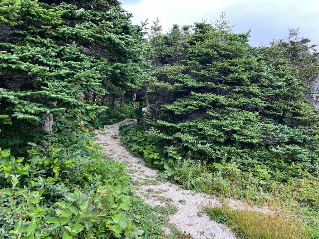
The trail went through a patch of dwarf woods…
and then out on the open heath.
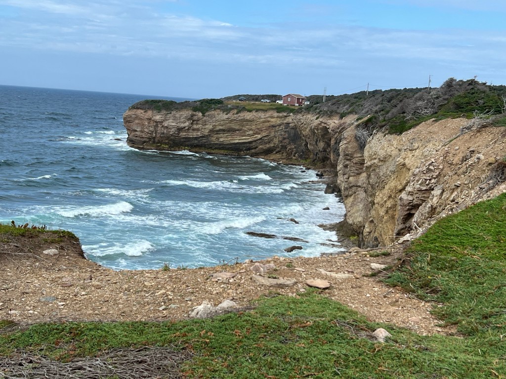
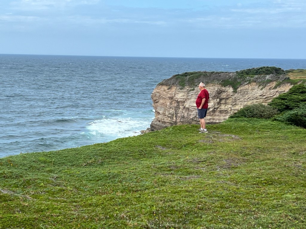
The sun was peaking out and I got a couple of shots of the cliffs.
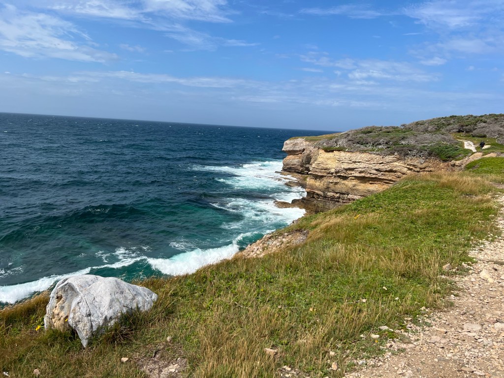
Another beautiful shoreline.
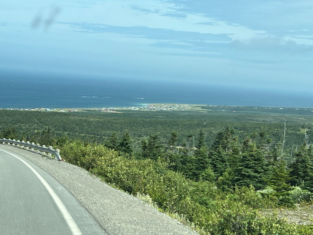
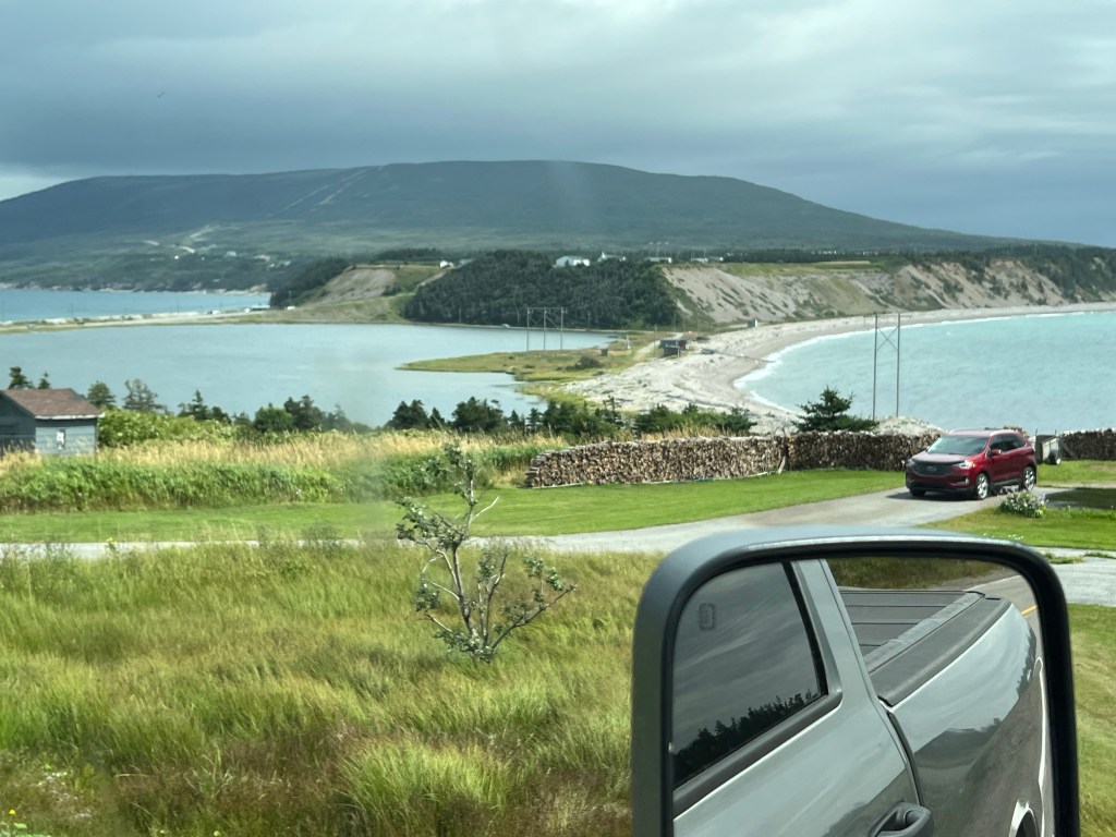
The road back went across a highland until it swept down to the town of Mainland along the northwest shore.
We stopped there so I could get a shot of the headland we’d just crossed, and Red Island offshore.
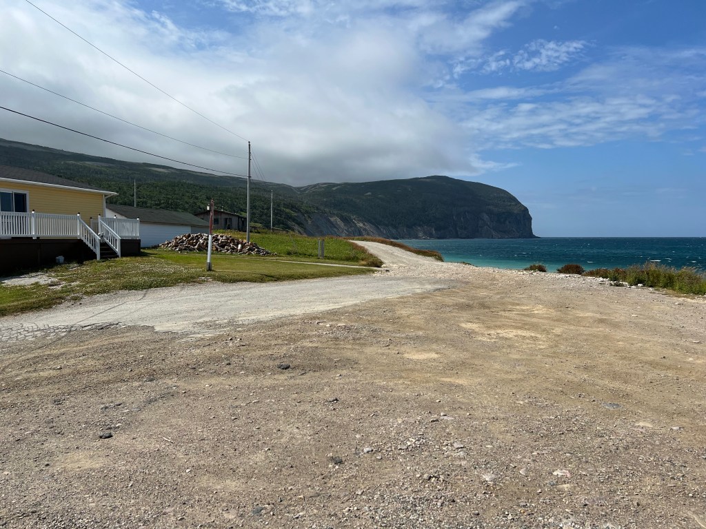
There were a couple of houses here. What a view they had!
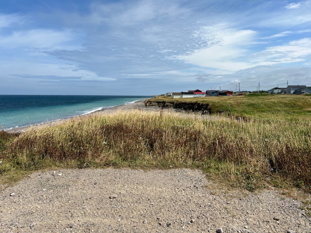
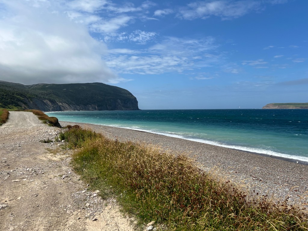
The town stretched along a gravel beach.
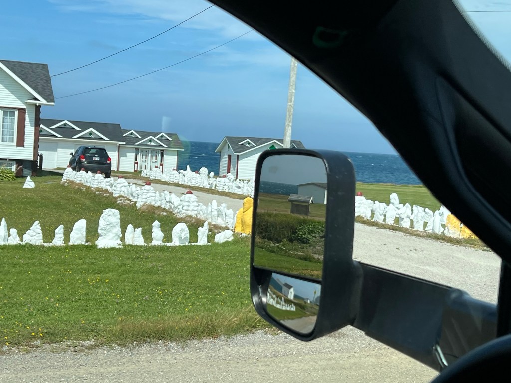
There were several houses in town that had arrays of white painted rocks in their lawns. Don’t know what that was about.
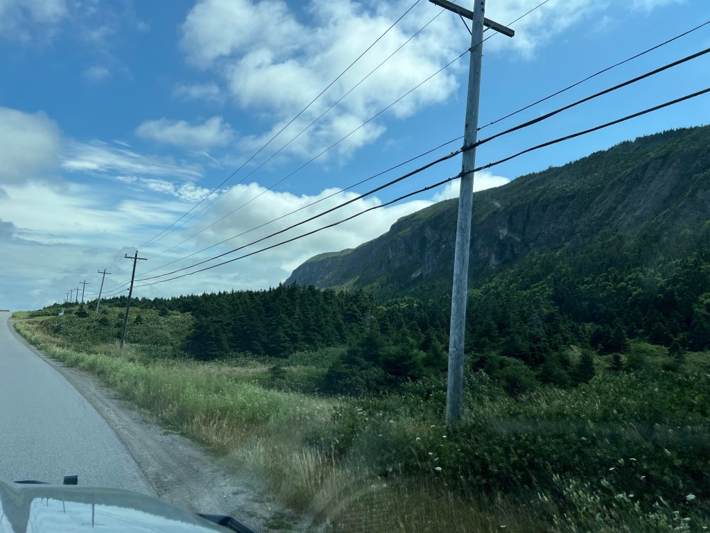
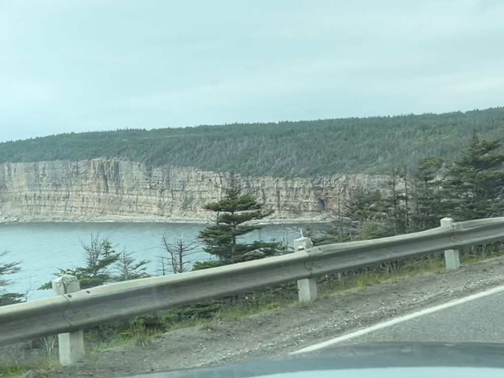
For this part of the drive there was a smaller cliff sea side and then a large cliff inland.
We finished our loop without going out to Long Point because our truck was not liking the low speed driving. It has a particle filter to clean the exhaust and you need to drive at highway speed for the engine to generate enough heat to burn that clean. Evidently 60kph (37mph) doesn’t do it. We were afraid the smaller road out the point would be even slower. Hopefully we can do that another day, the filter was about 80% clean when we got back.
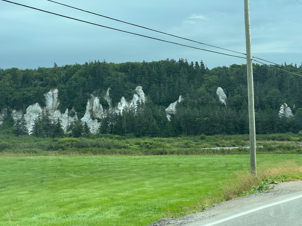
As a bonus we saw these white hoodoo structures on the bank of Romaines Brook less than a mile from the campground. Something else to explore if I can get Matey to walk there.

Those cliffs are sooo pretty! And so is the color of the water in several of the pictures including “Another beautiful shoreline”!
LikeLike